Tag: Utah 2019 (page 1 of 2)

Yant Flat (Candy Cliffs)

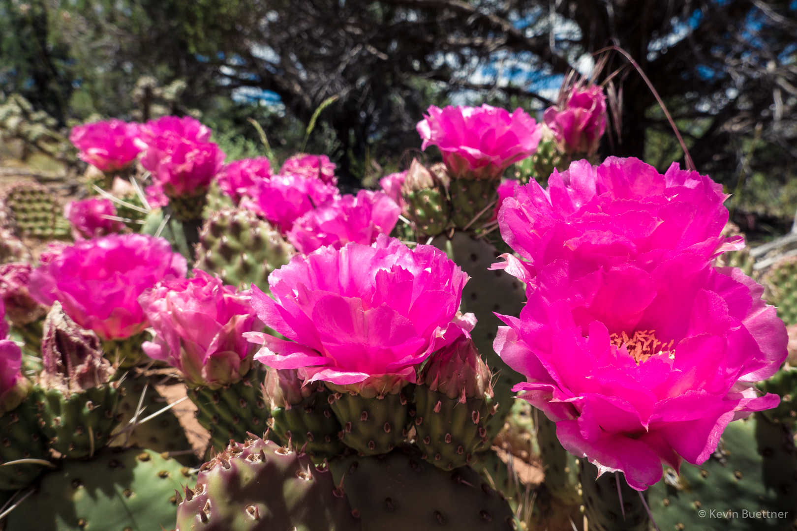
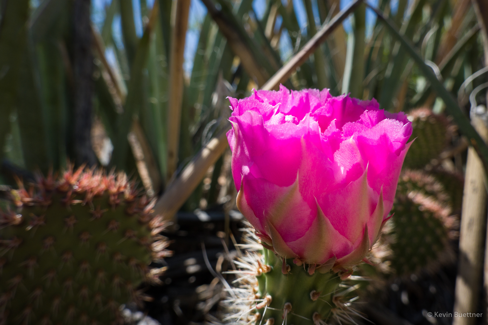
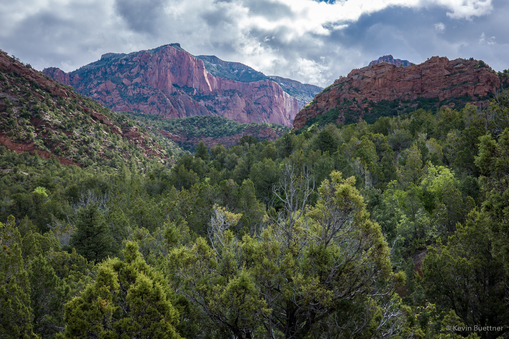
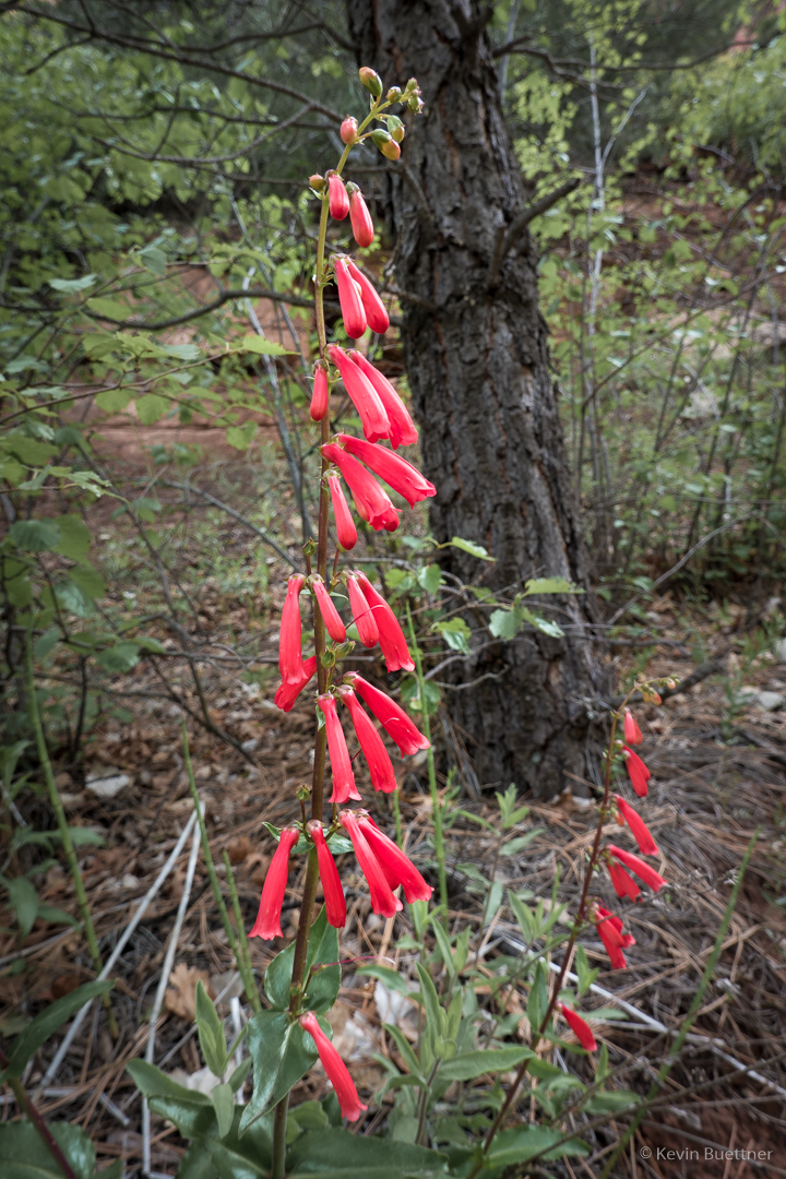
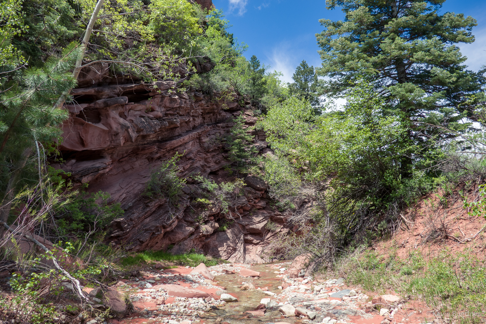
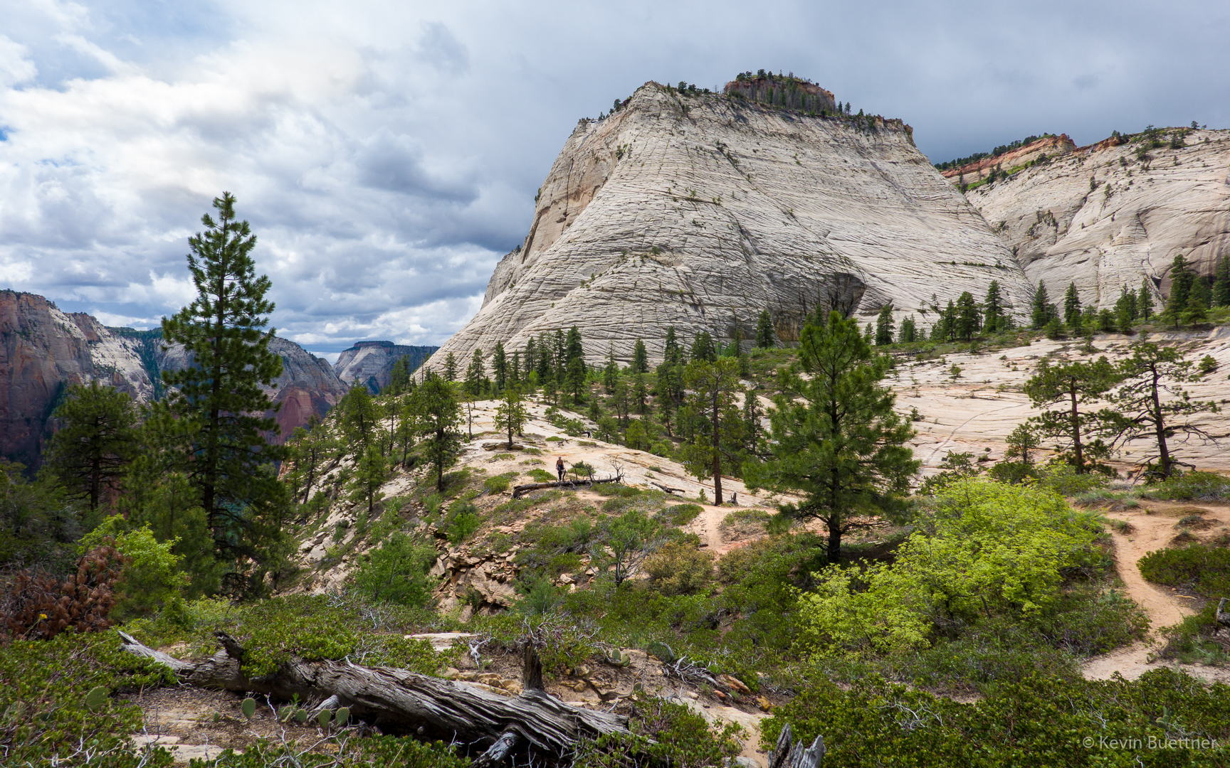
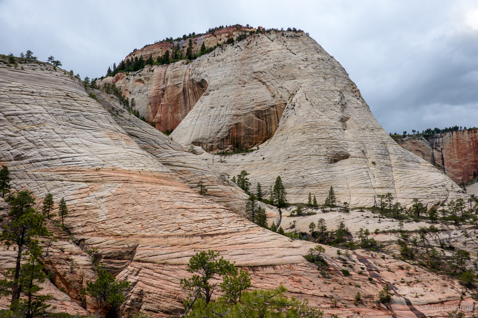
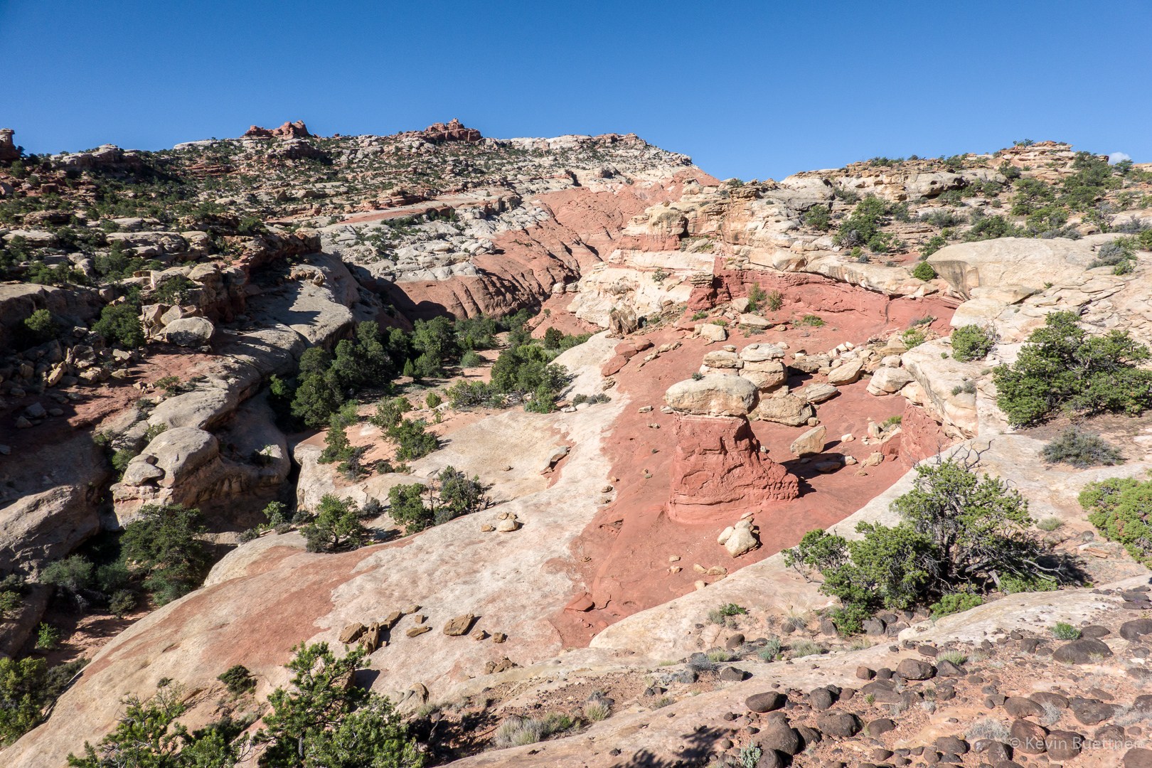
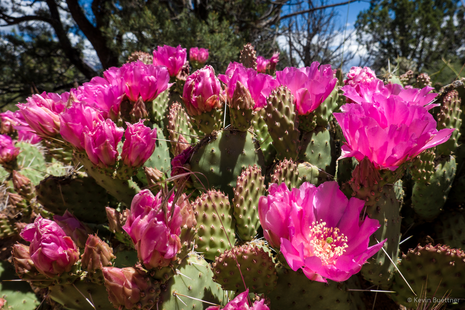
On Saturday, the 25th, Marilyn and I drove to Yant Flat where we hiked out to the Candy Cliffs. We didn’t really know where we were going and we ended up first hiking over a mile (out and back) in the wrong direction. On the way there – and even on the wrong way there – we saw the largest concentration of blooming prickly pear cacti that either of us had ever seen. One plant after another was blooming along the mile long path out to the Candy Cliffs.

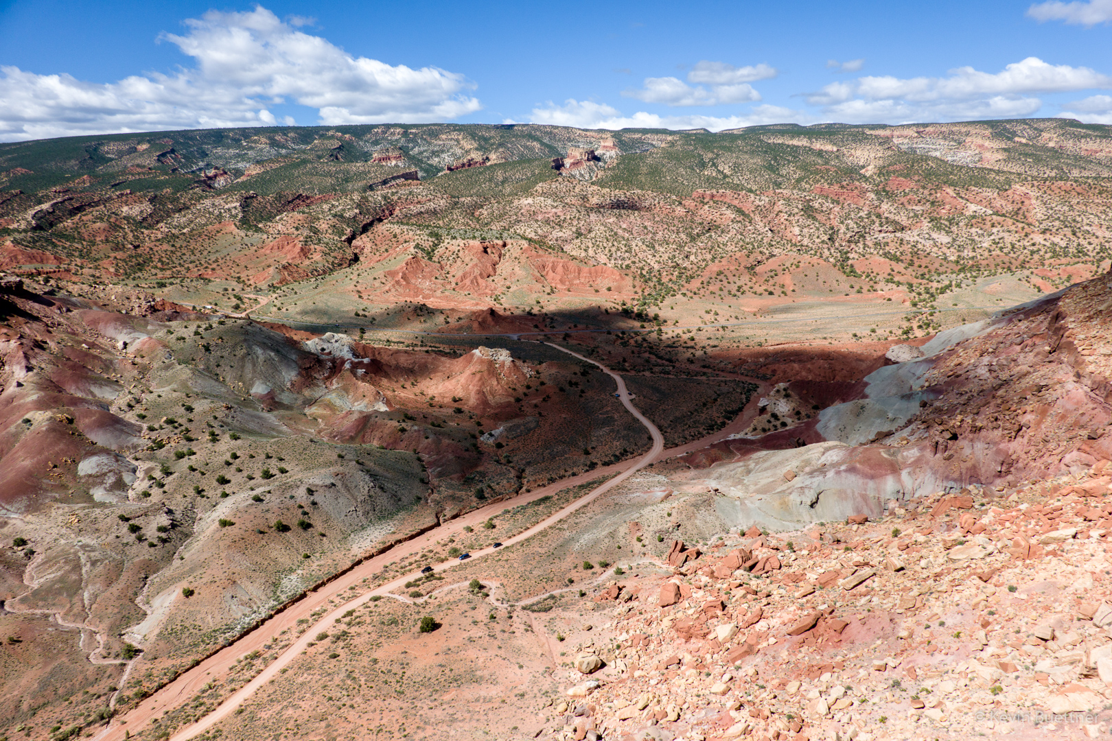
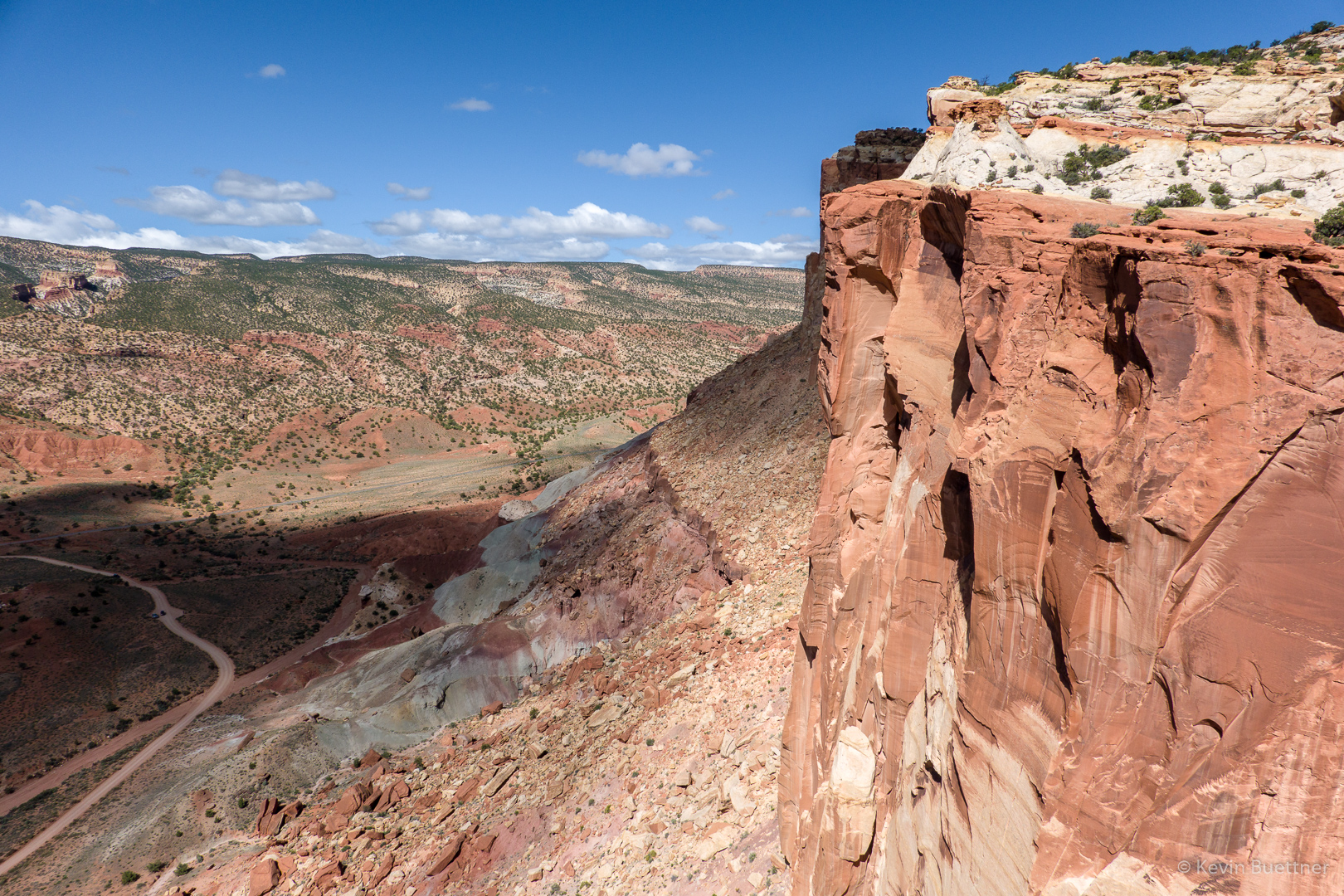
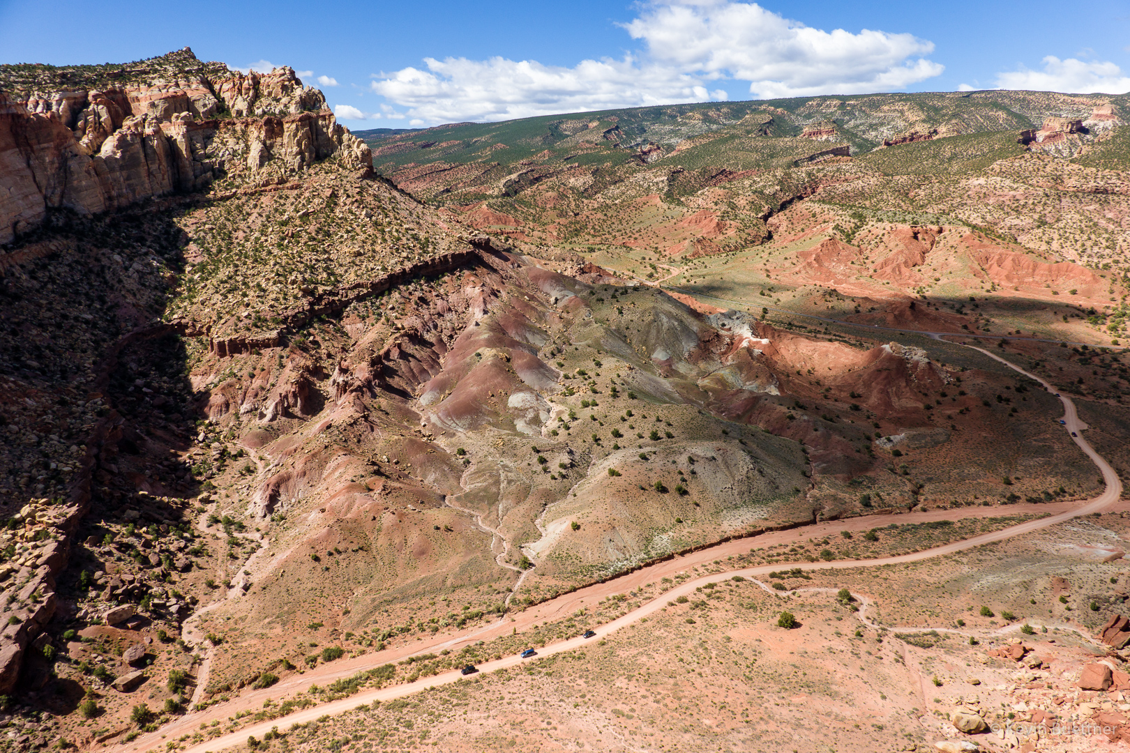
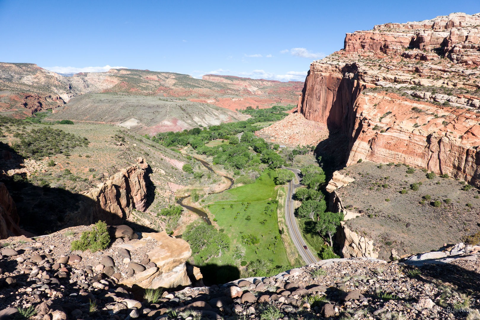
On the way out, we took I-15 north from St George and eventually got onto FR031 which took us to Yant Flat. On the way back, we continued on FR031 which took us back into St George. The drive back was moderately exciting as we had some sheer drop-offs to our left along sections of the road. (It was nearly as exciting as driving Shafer Road up to Island in the Sky earlier in our trip.) If you’re not driving a high clearance vehicle, it’d be best to return on FR031 towards I-15 instead of continuing onto St George as we did.

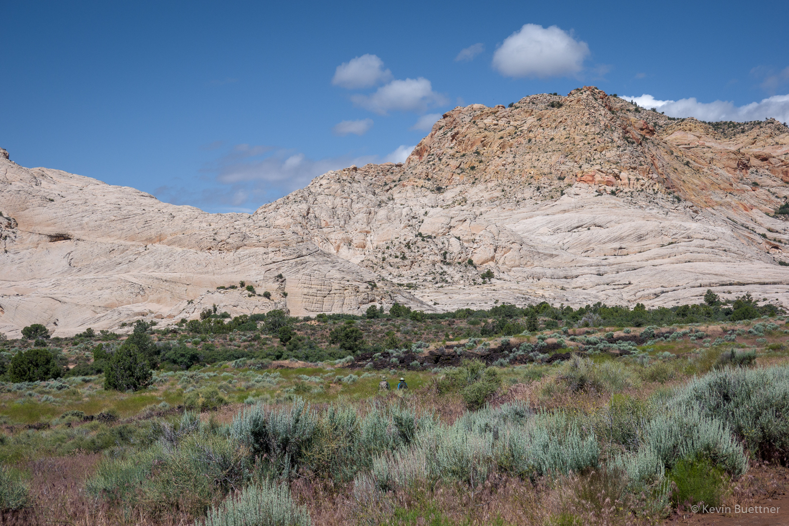
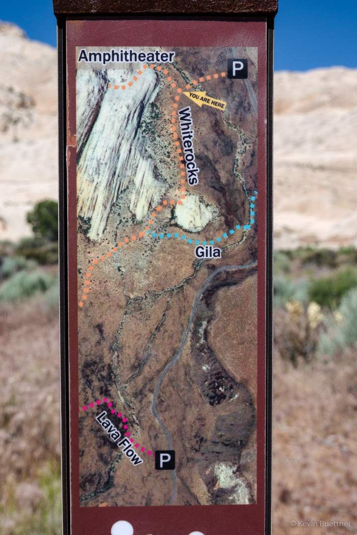
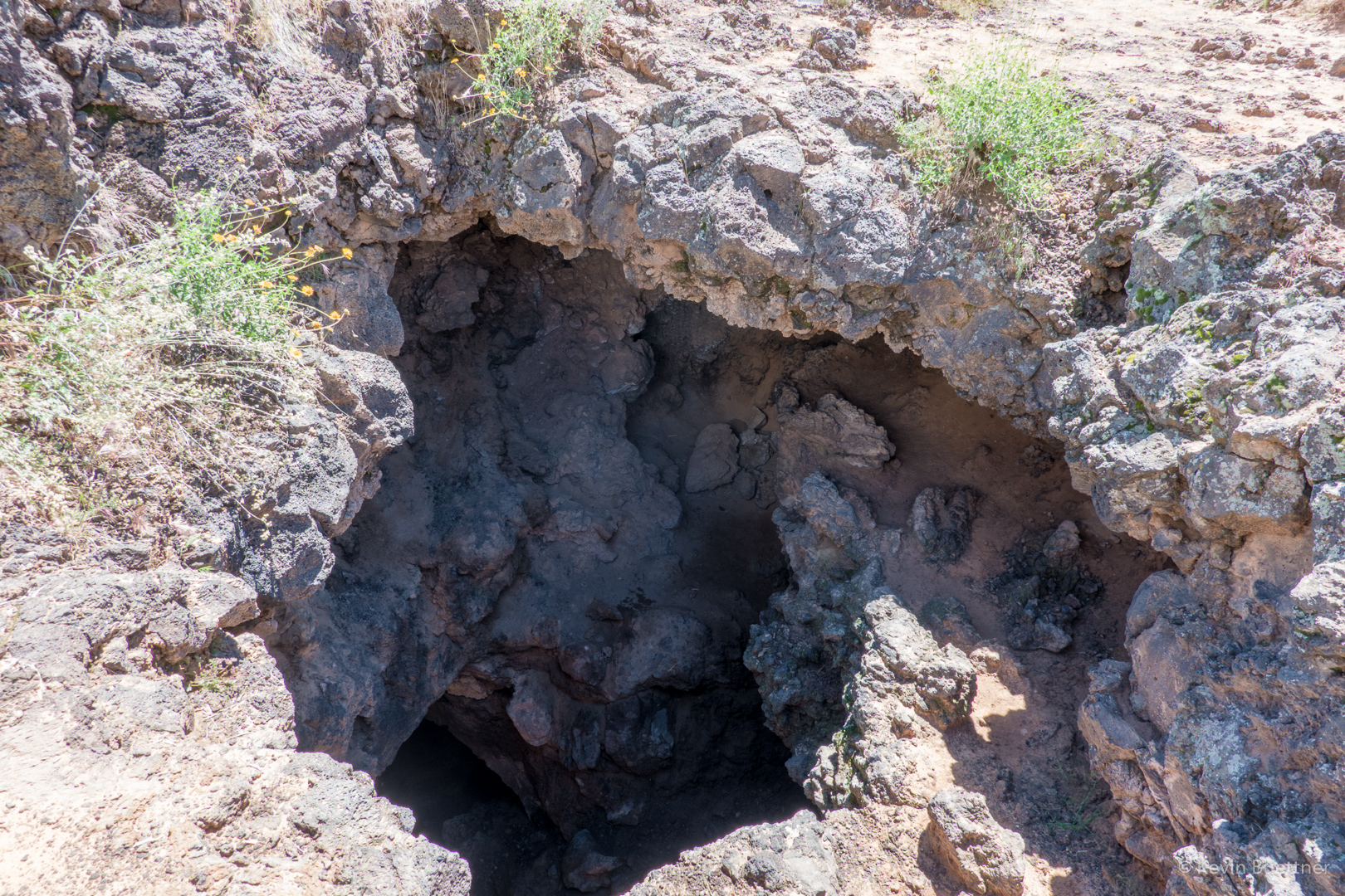
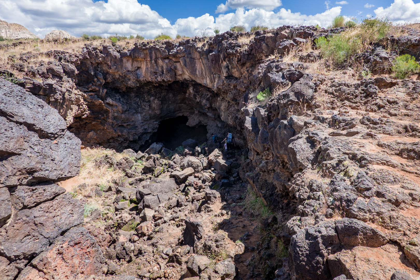
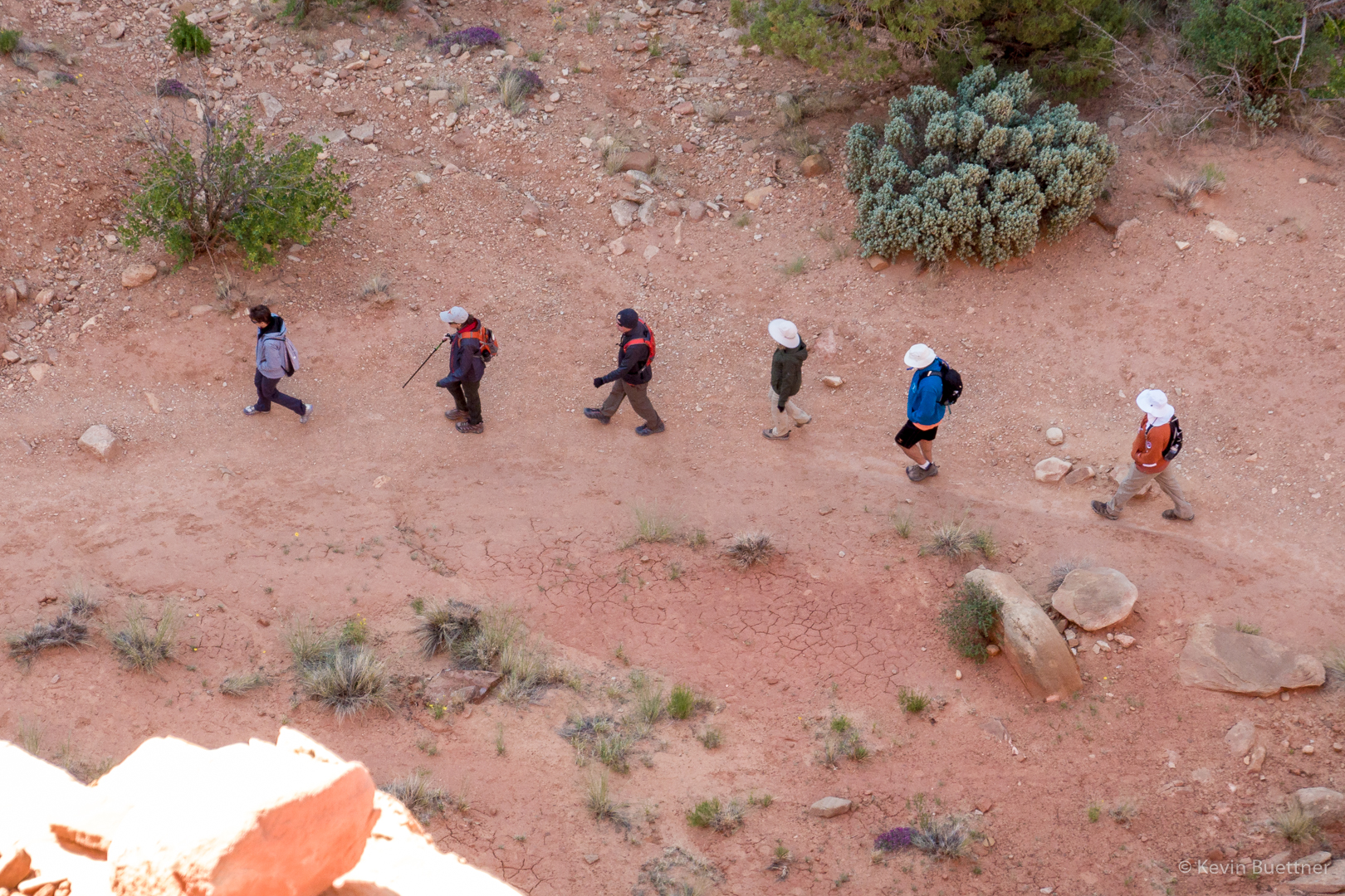
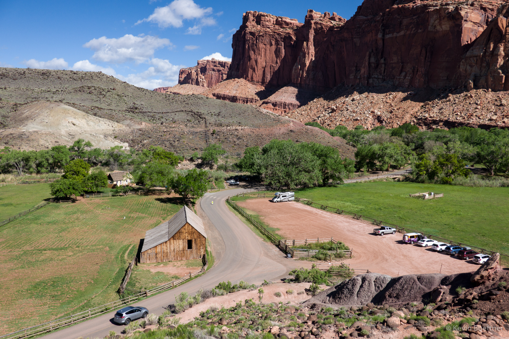
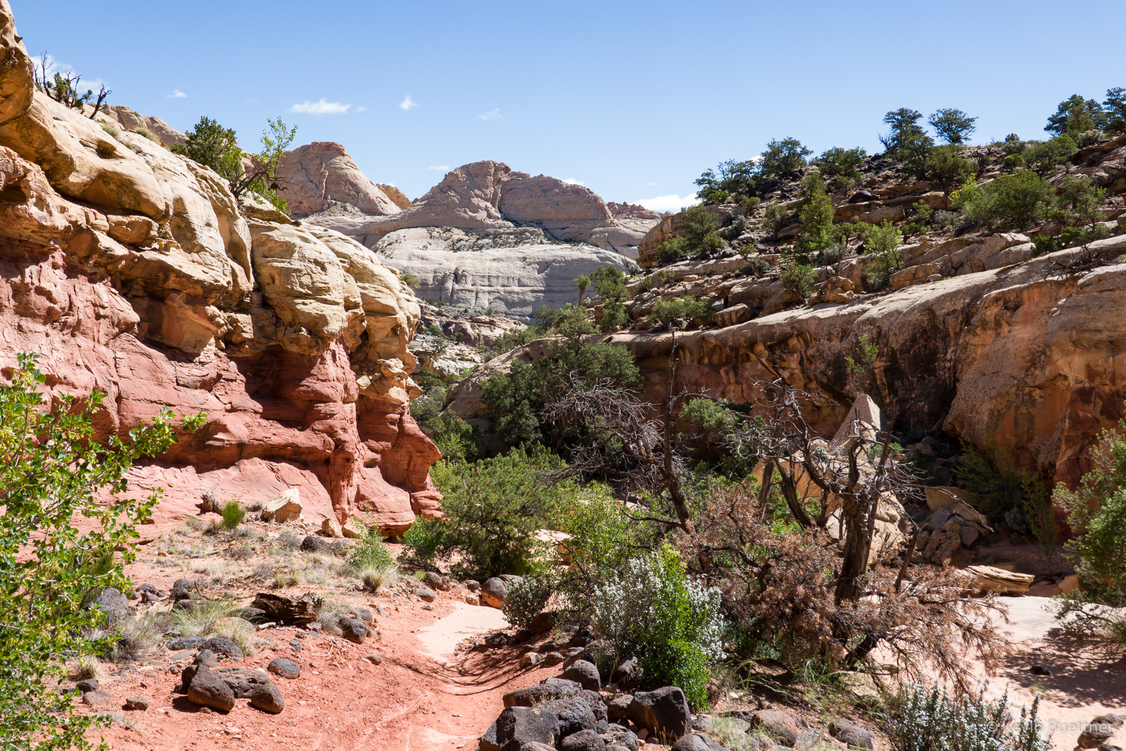
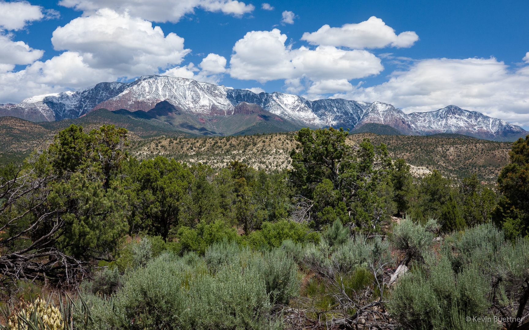
If you’re walking towards these mountains (as we were when we started), you’re going the wrong way. The trail starts on the south side of FR301. (We weren’t even certain that we were at the right place as the trailhead was not marked. There were, however, a large number of vehicles parked in nearly all of the available parking there, so we were pretty sure that something of interest was nearby. It turned out that we hiked a ways along FR903 before turning back.)

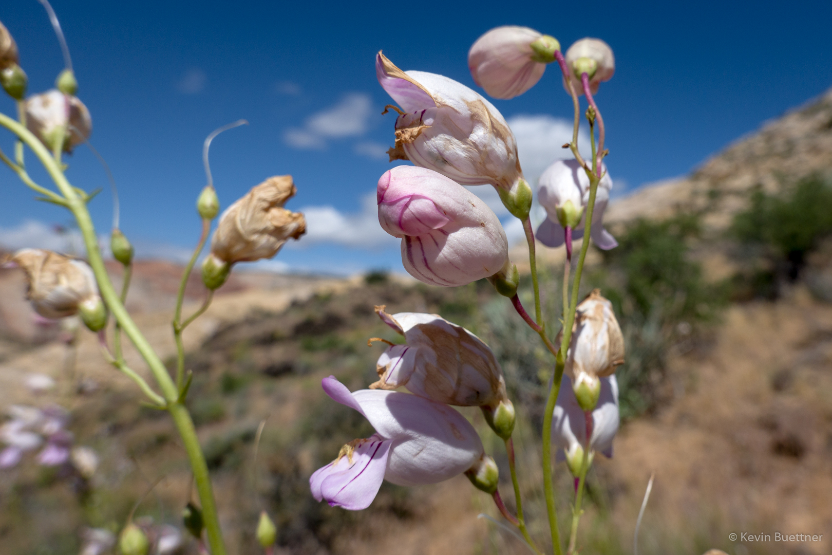
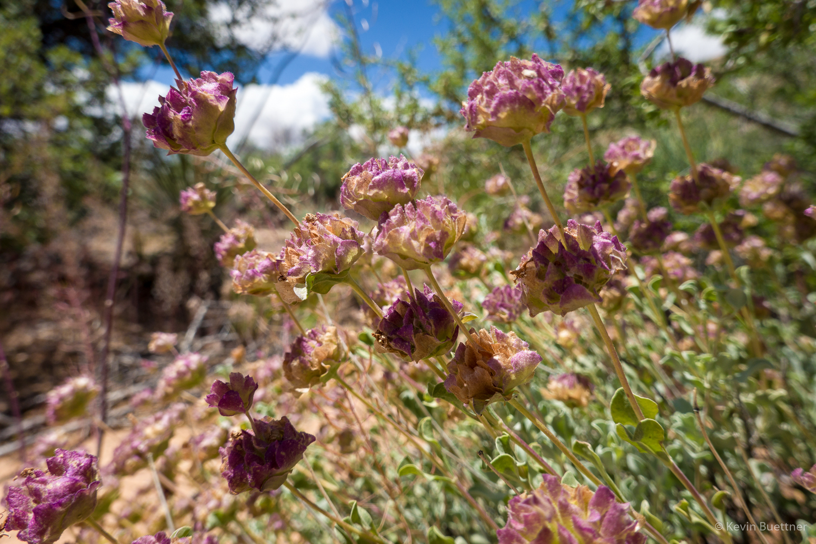
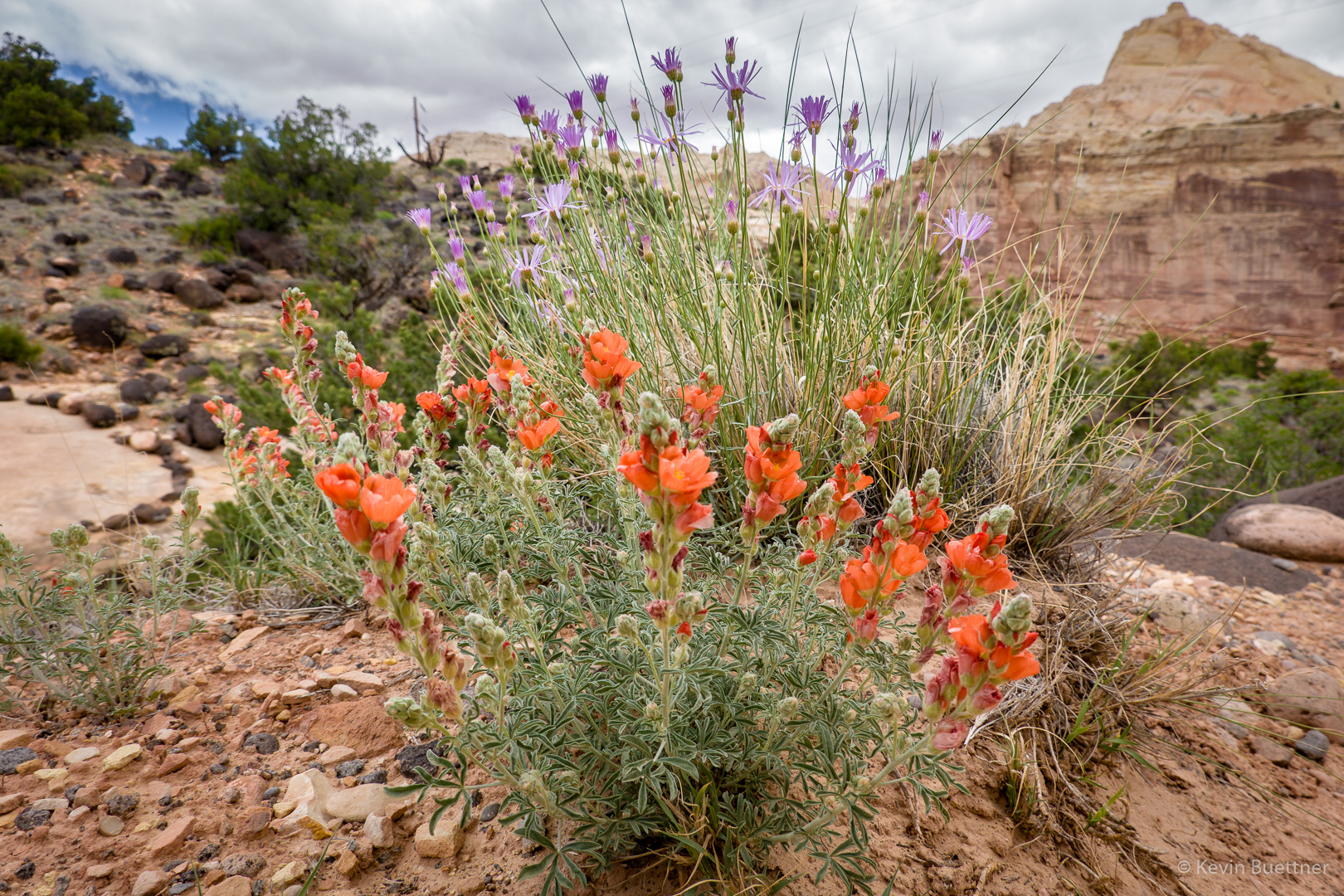
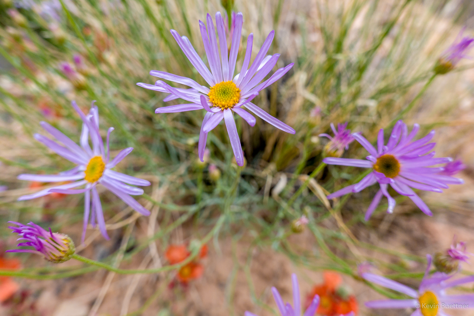
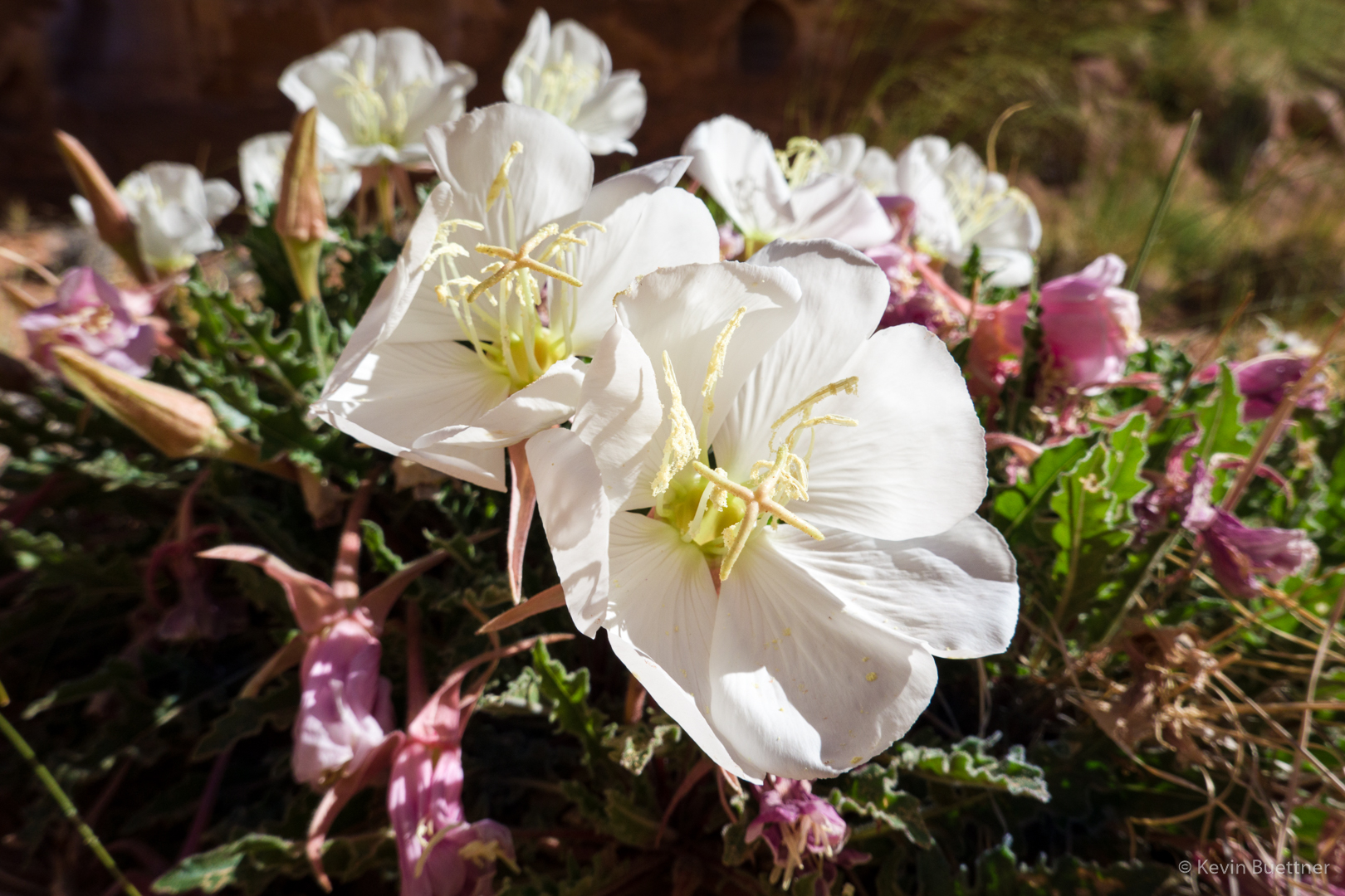
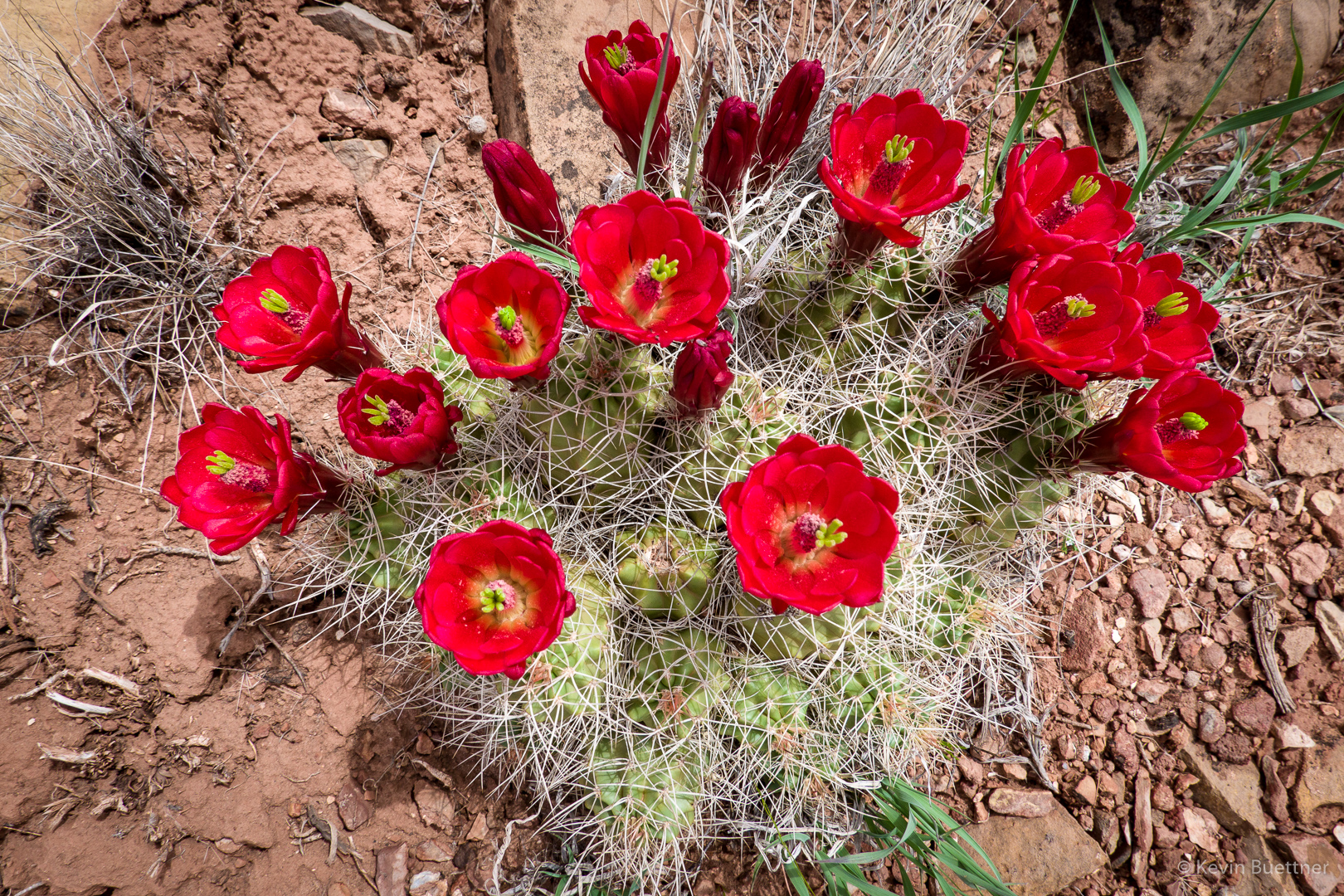
Prickly Pear blossoms:

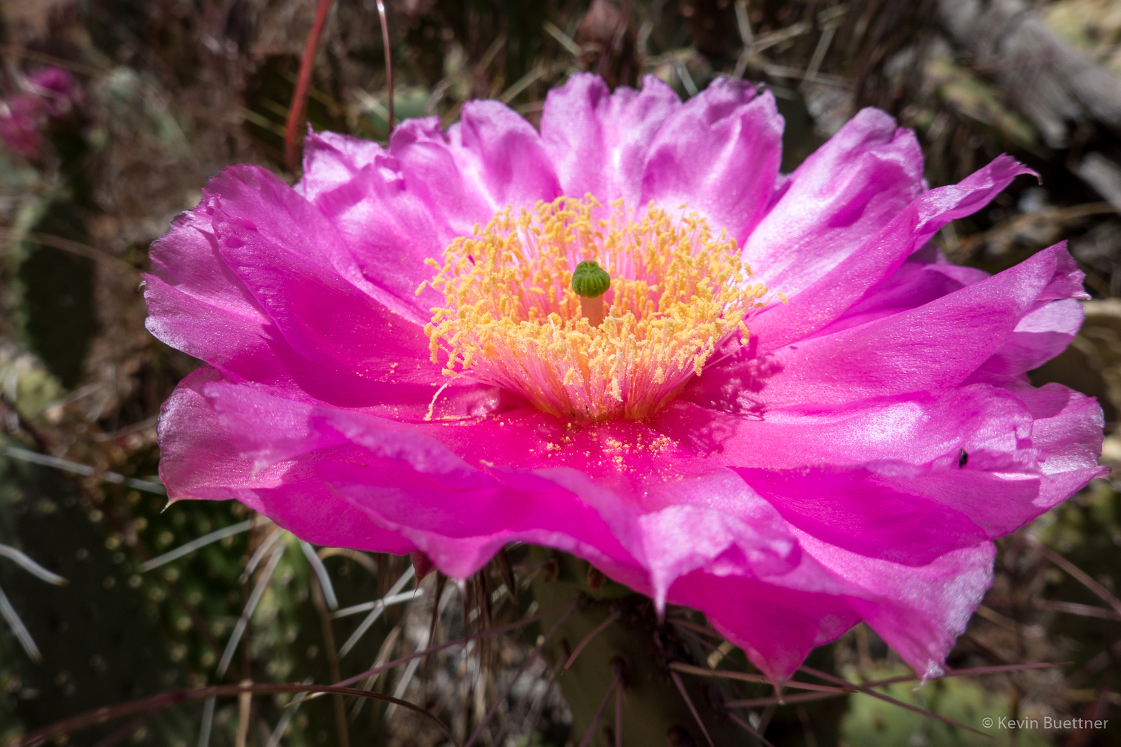
This may have been one of the largest prickly pear blossoms that I ever saw. We saw a number of large ones along the way.

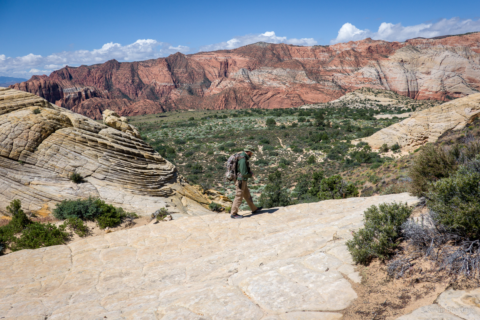
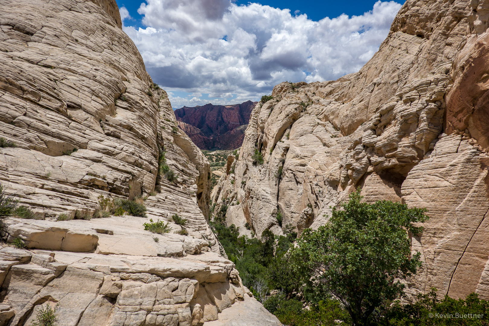
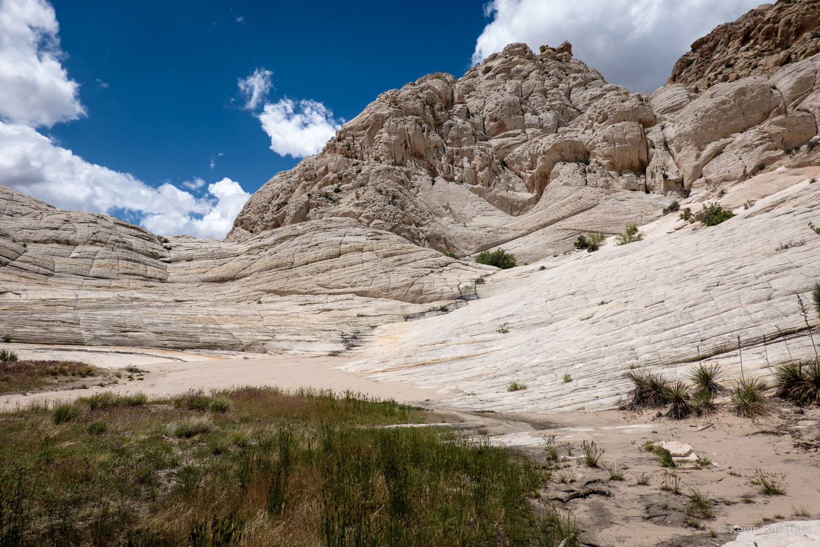
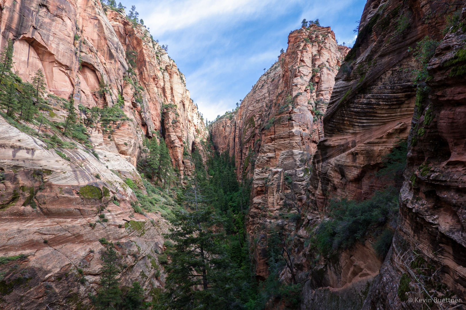
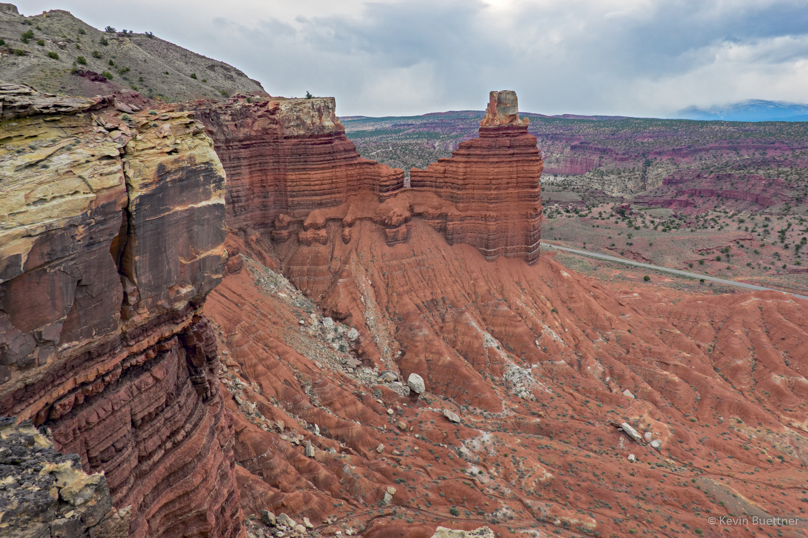
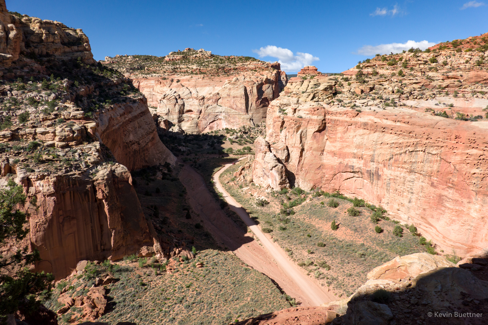
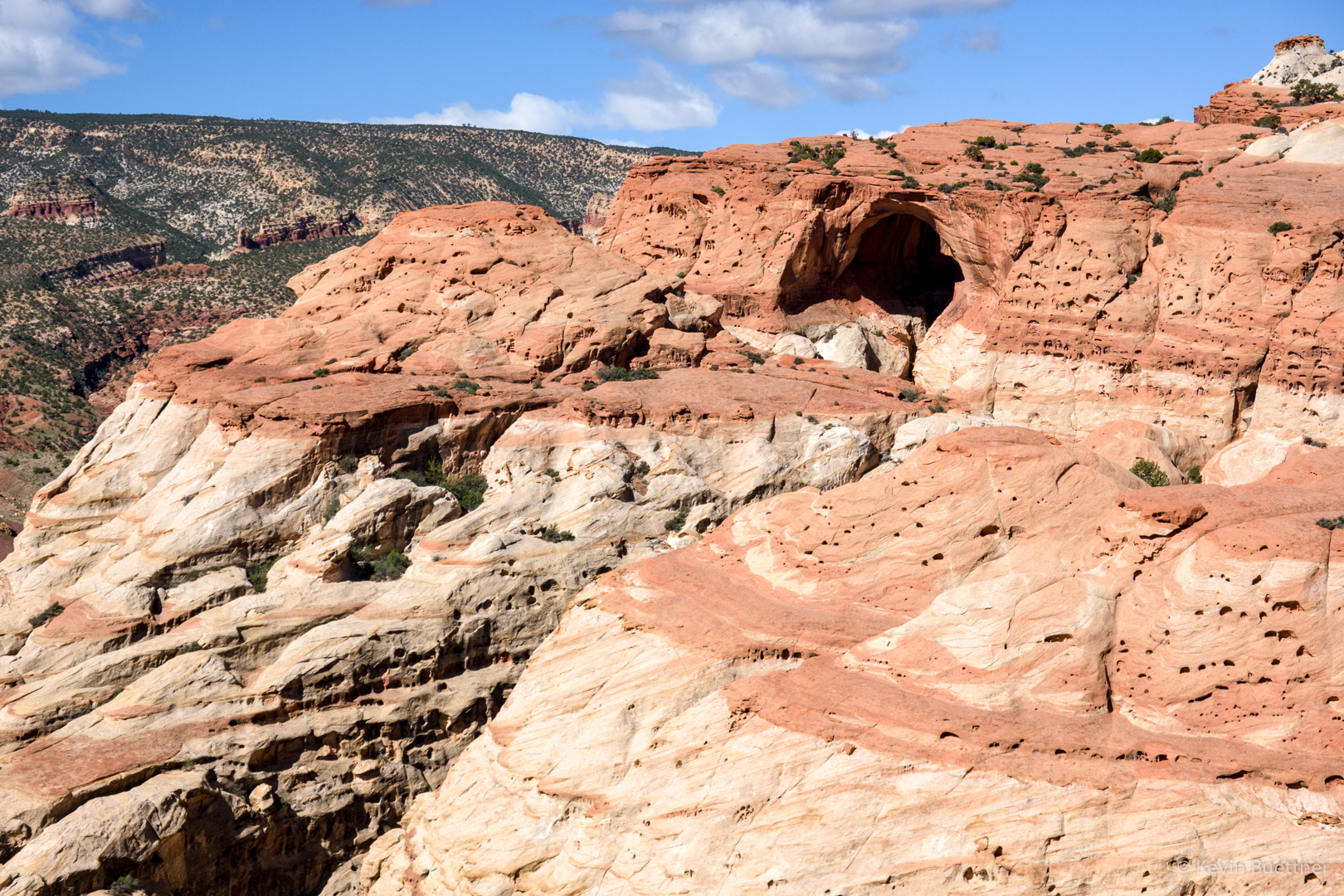
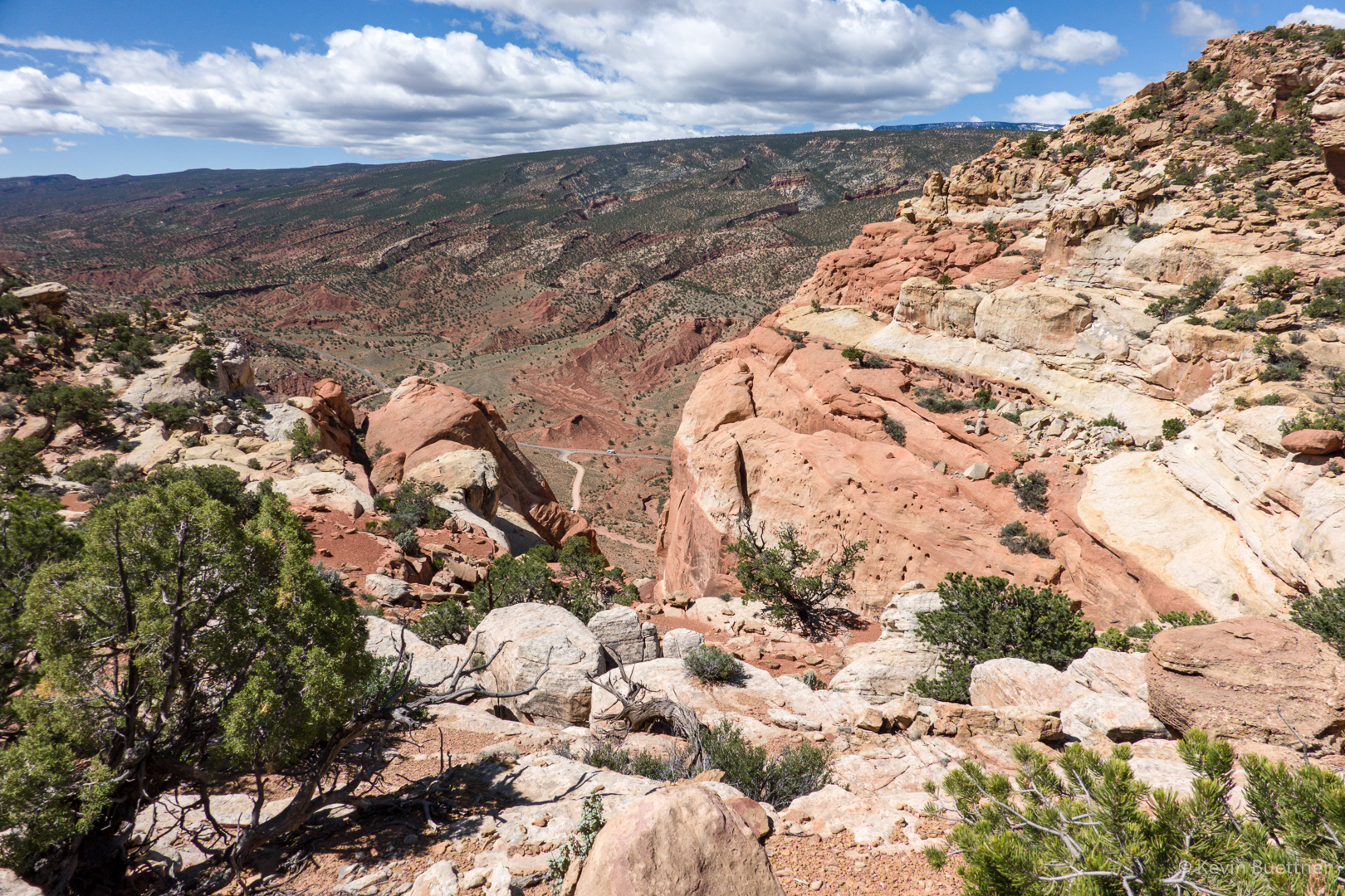
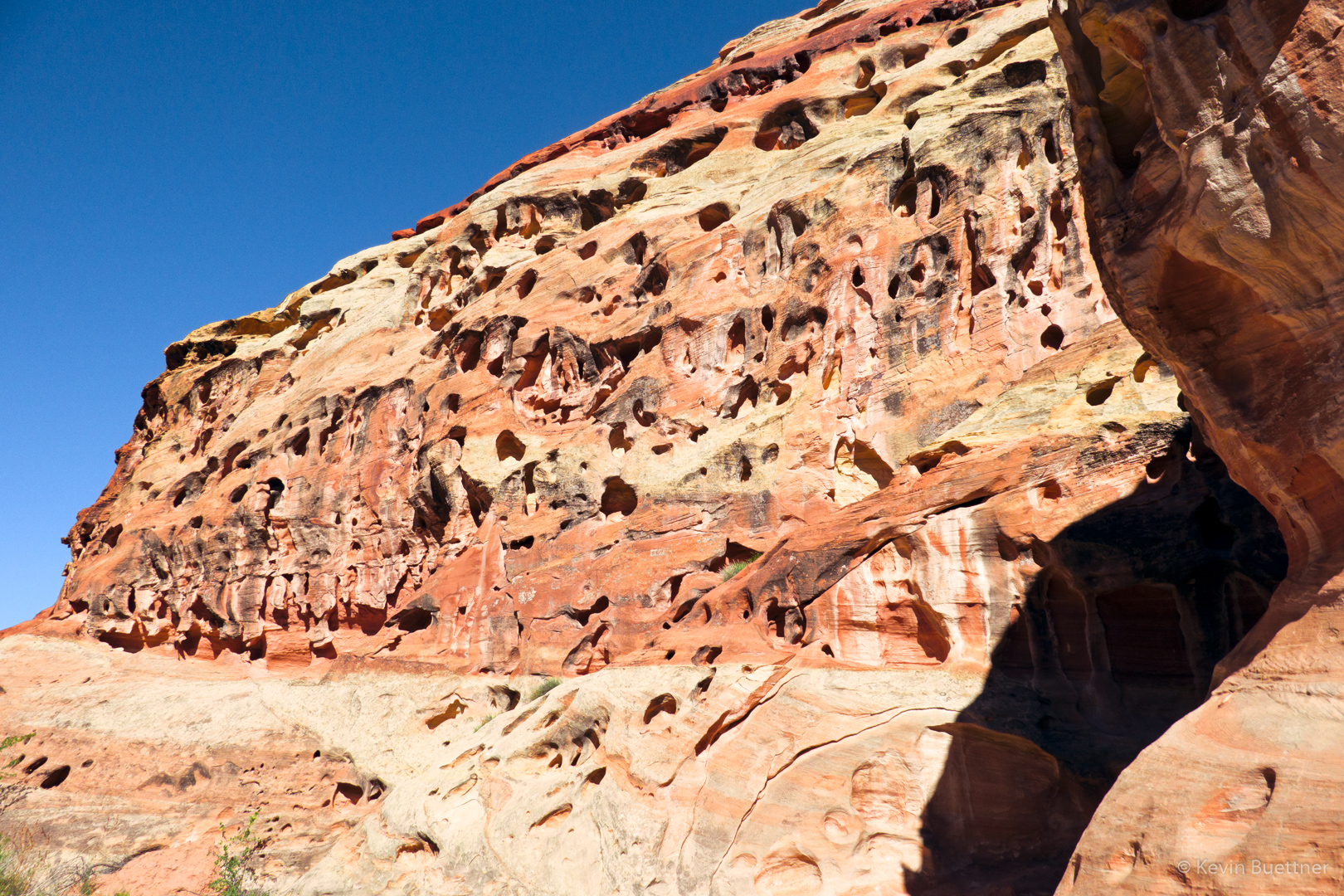
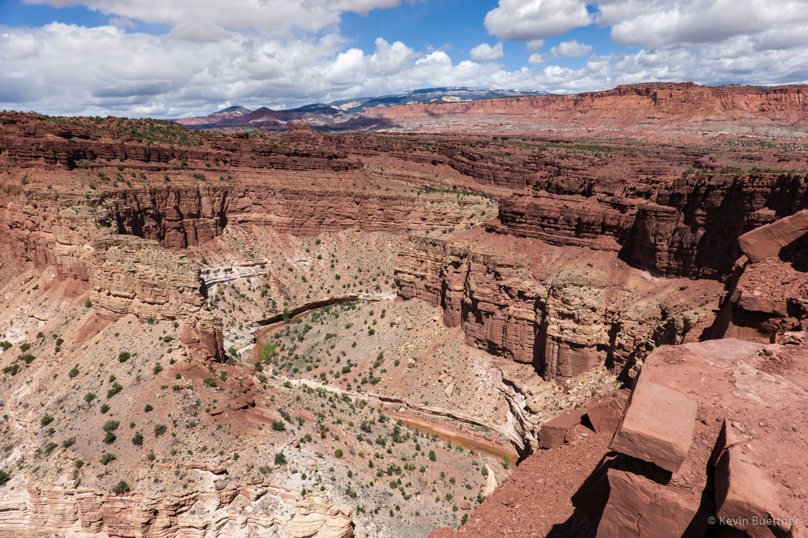
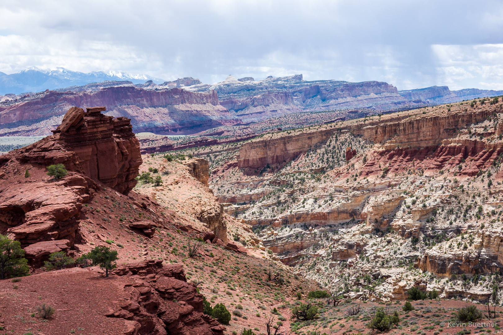
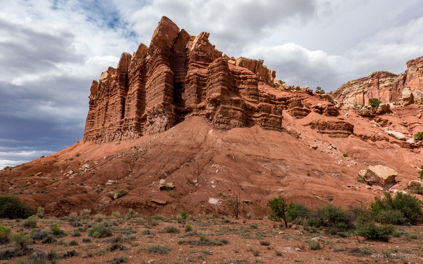
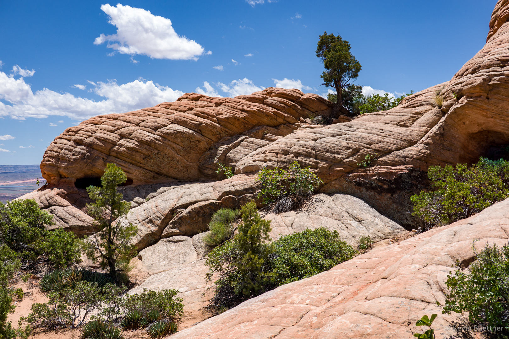
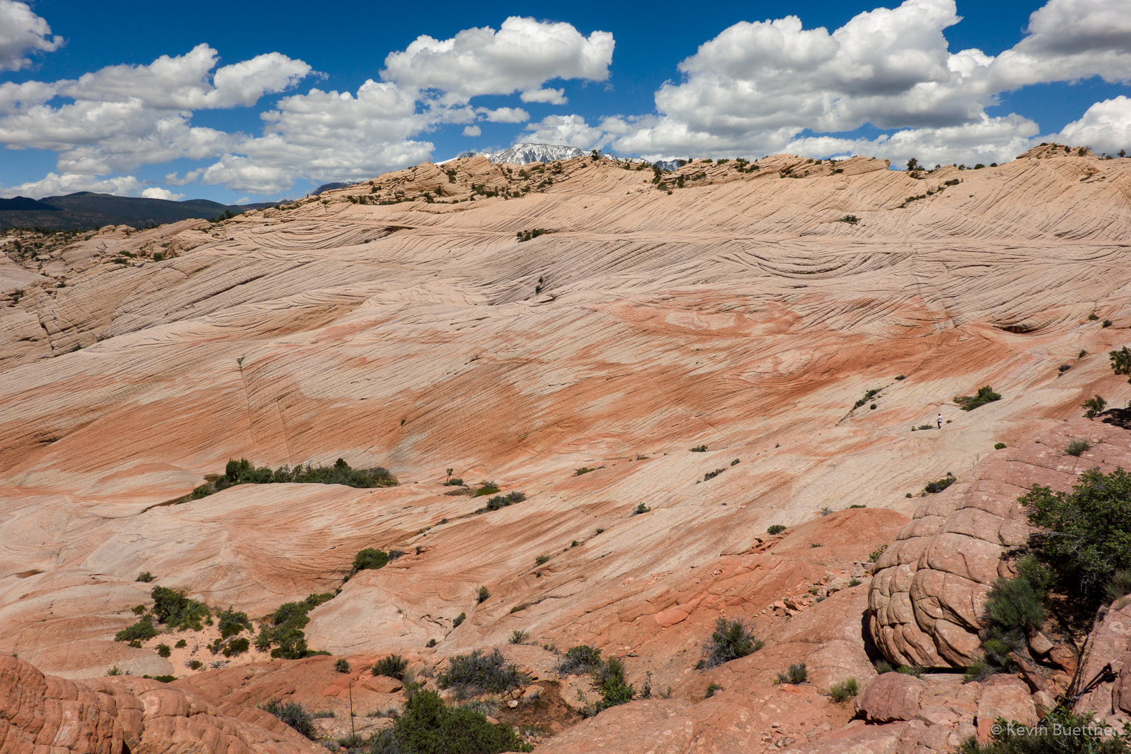
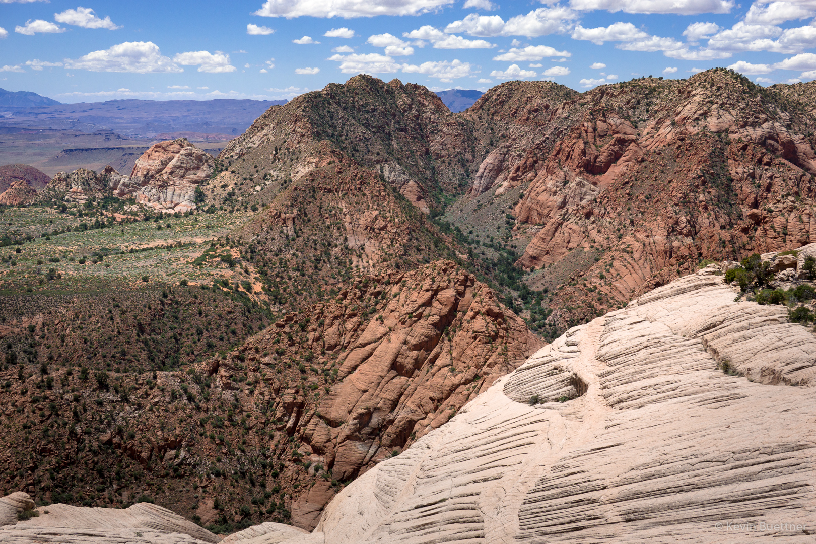
Our first look at/from the Candy Cliffs.

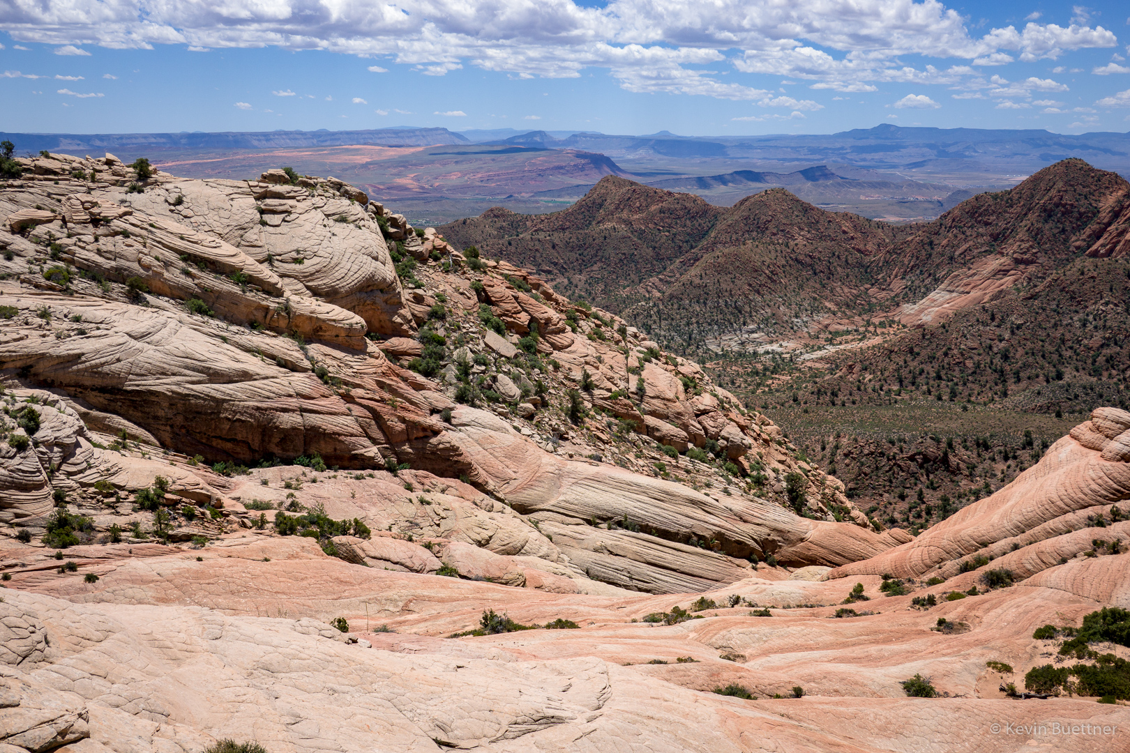
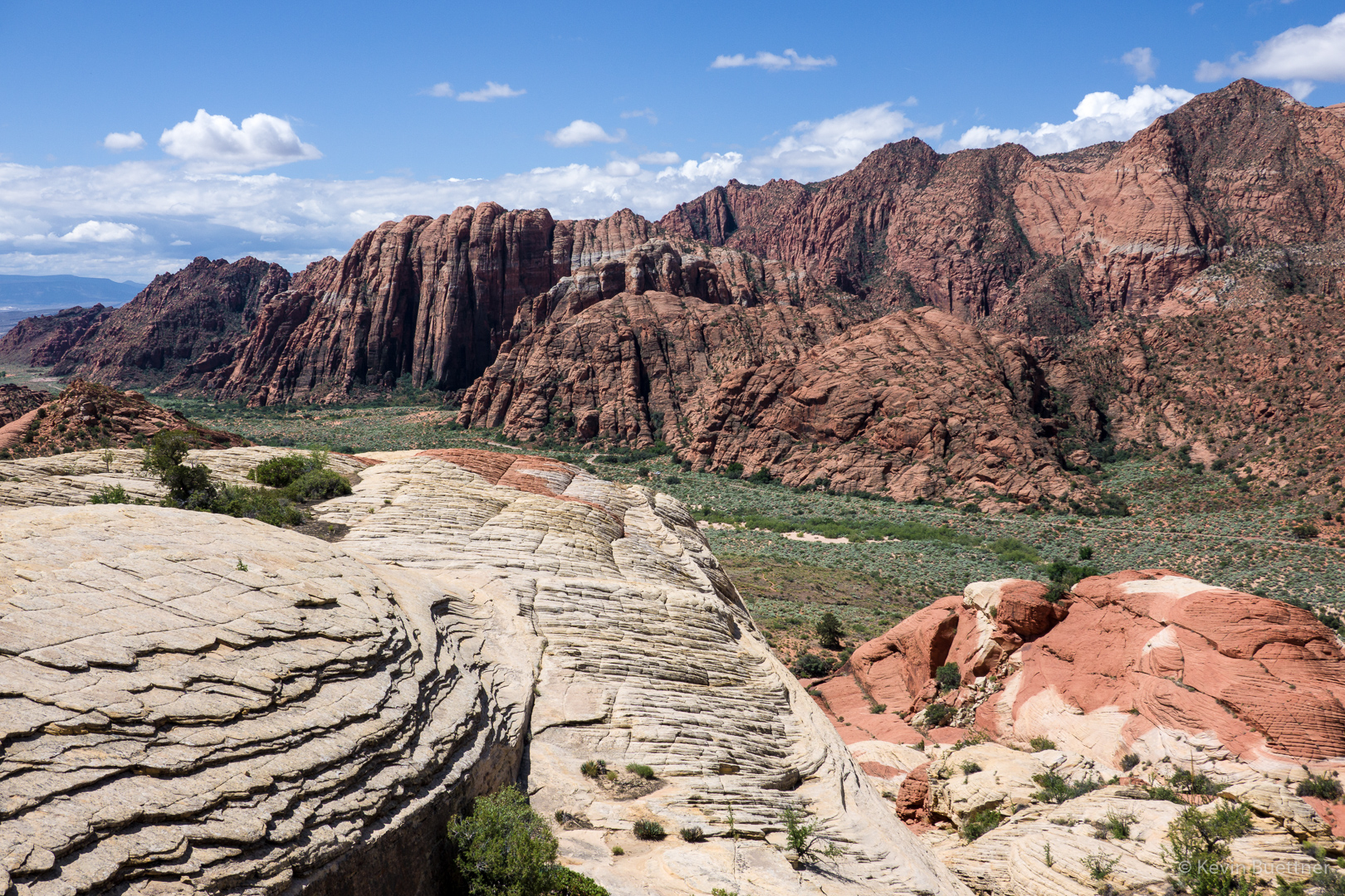
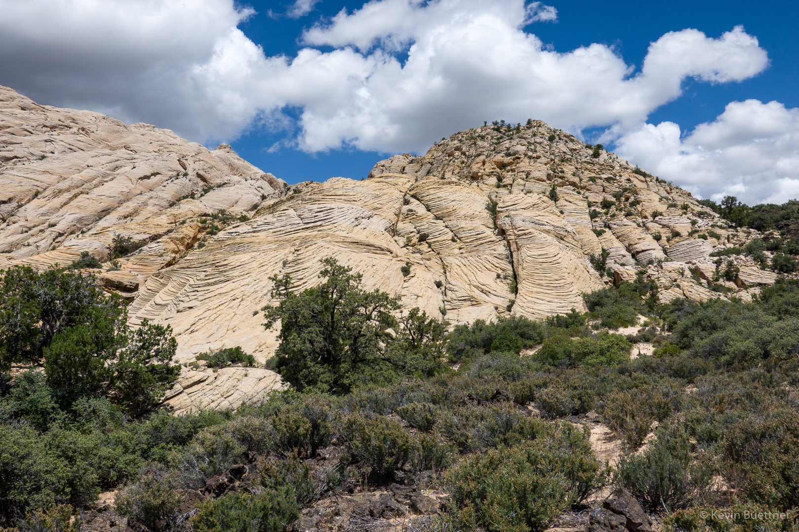
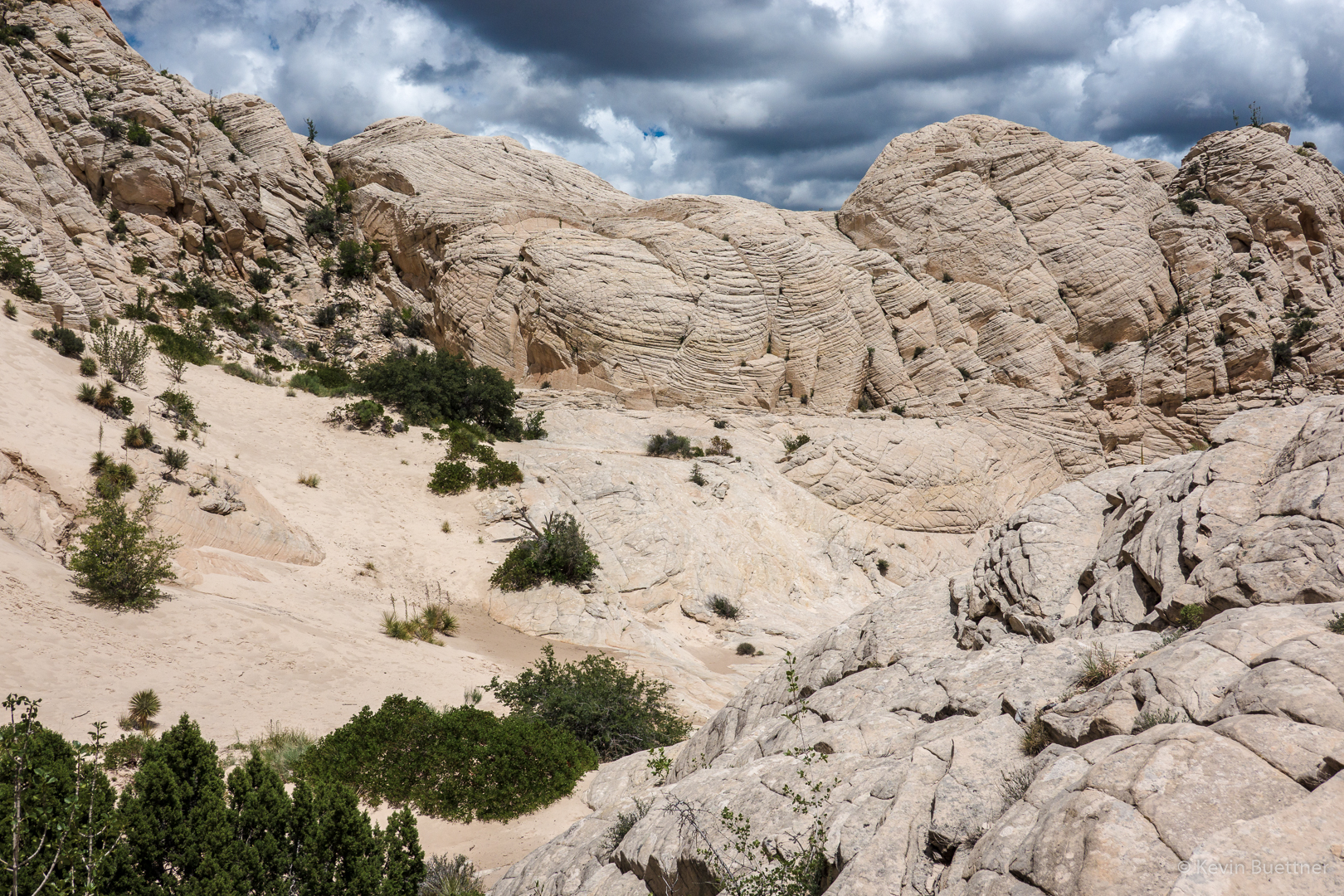
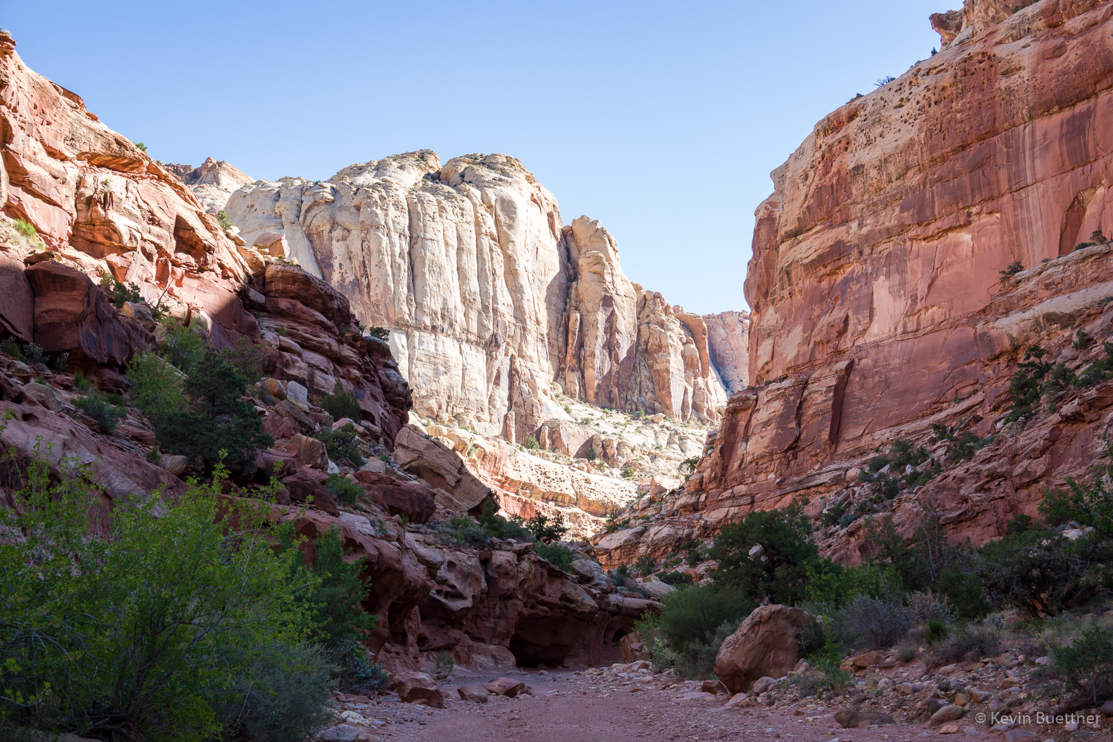
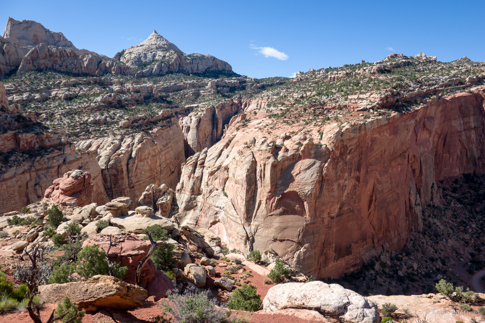
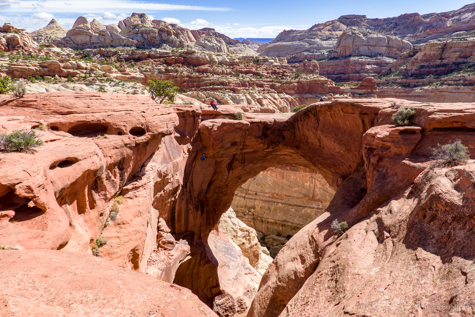
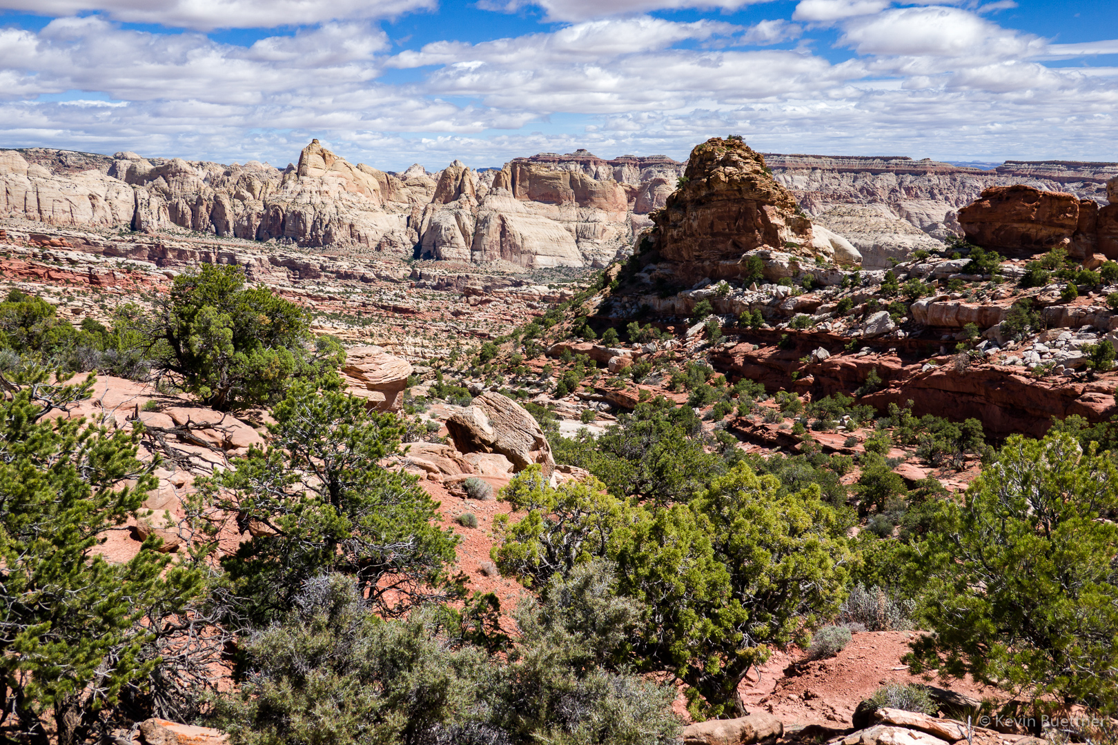
I eventually hiked to the top of the slickrock formation just right of center. It was an easy scramble to the top.

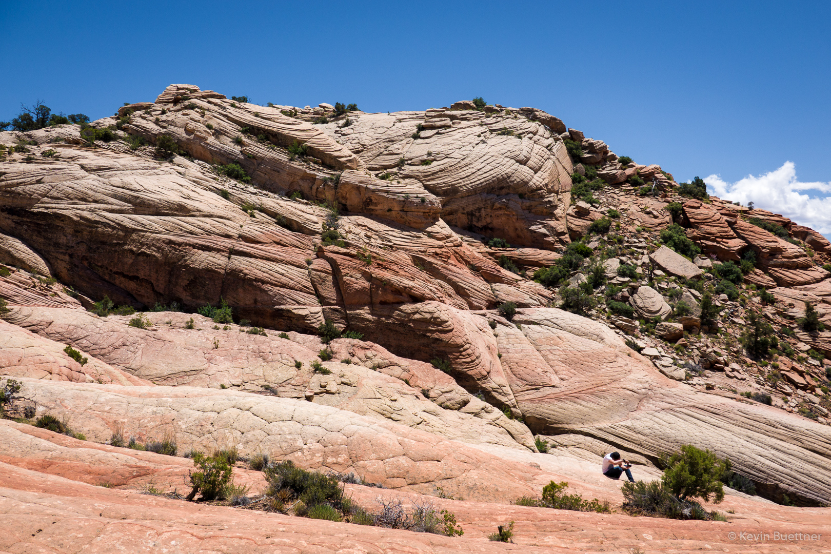
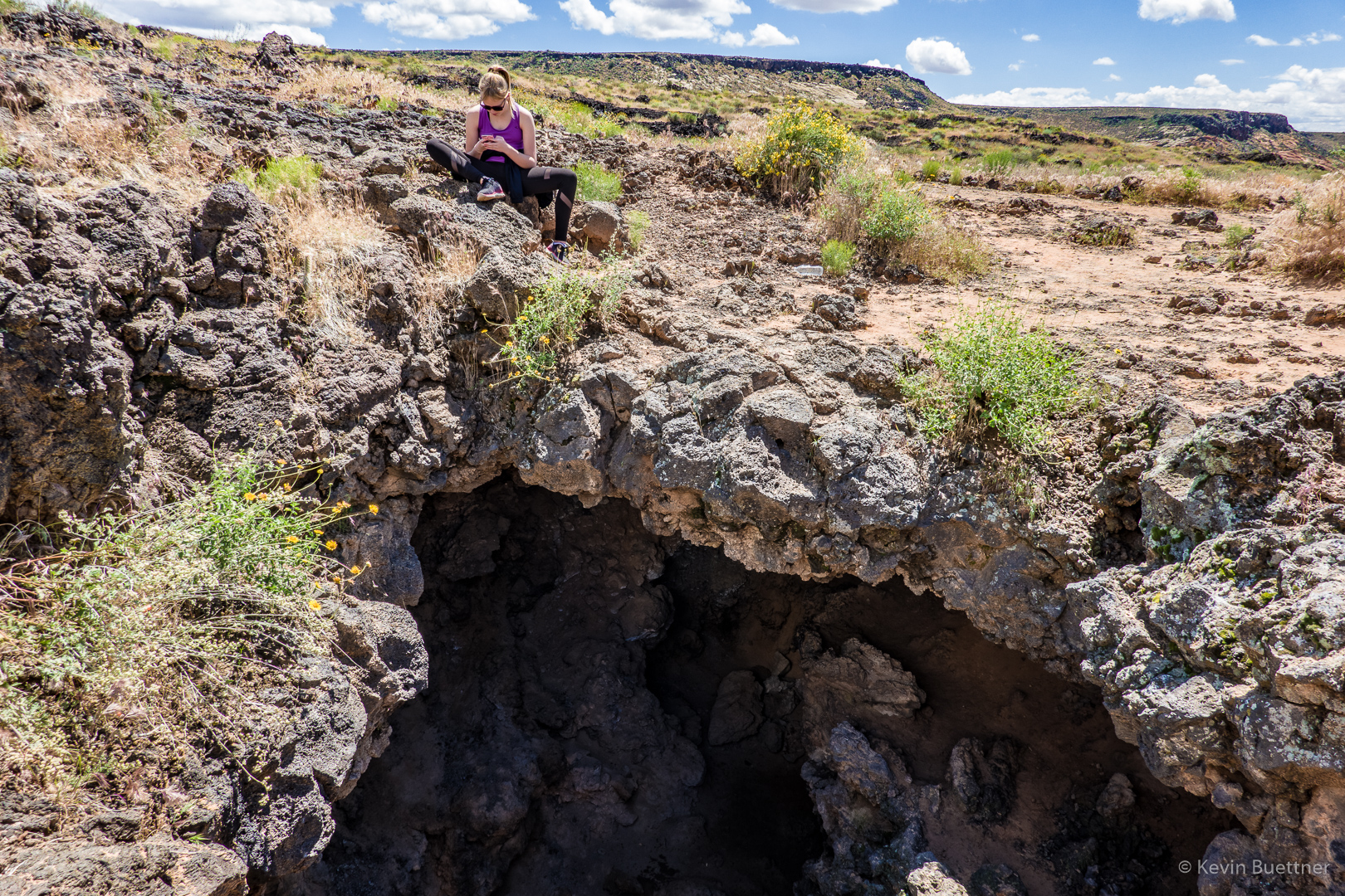
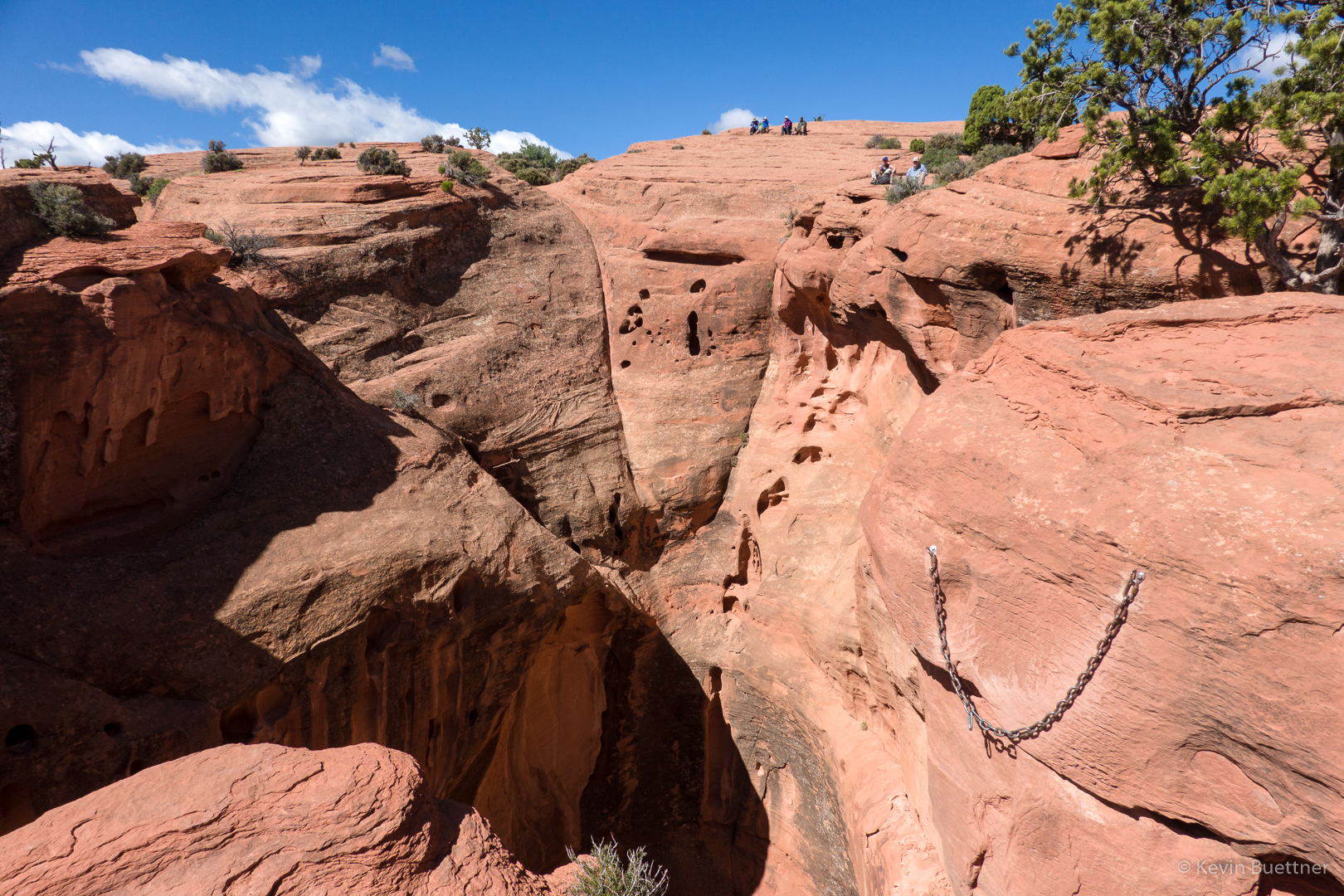
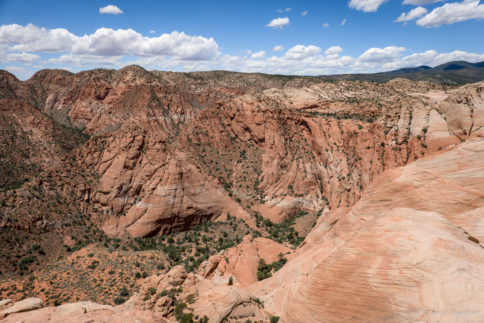
Looking back up at the way I came down. Marilyn is sitting in the notch at the top of the ridge, just right of center between some vegetation on the left and a pile of rocks on the right.

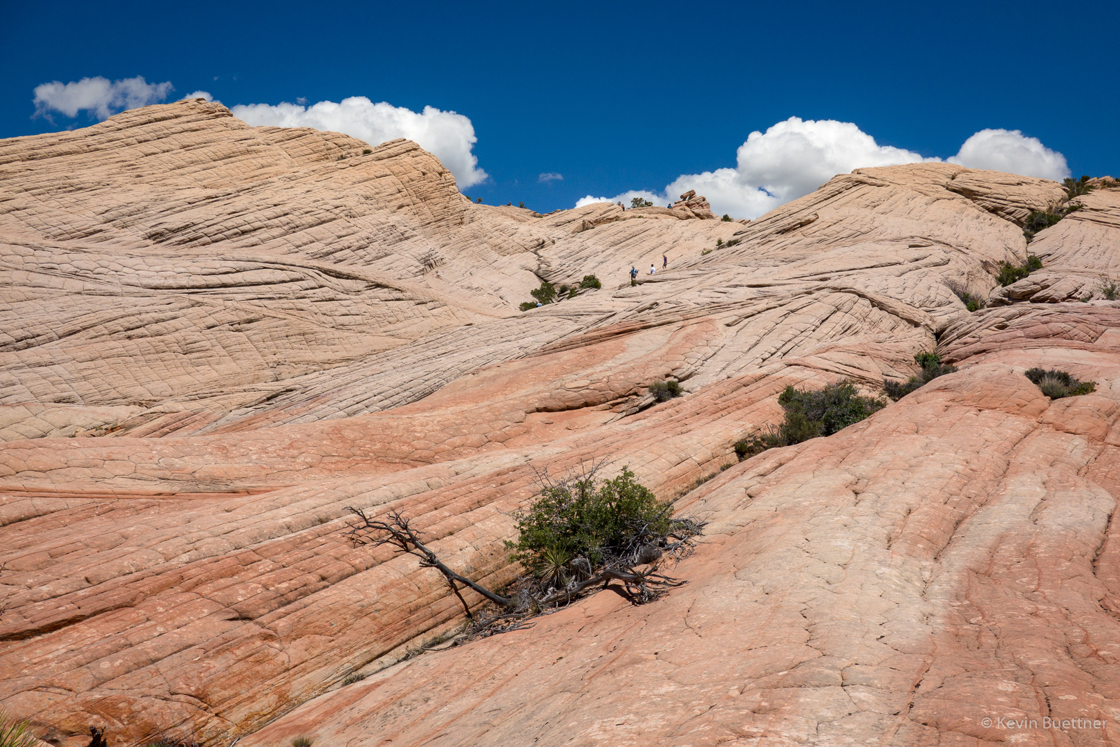
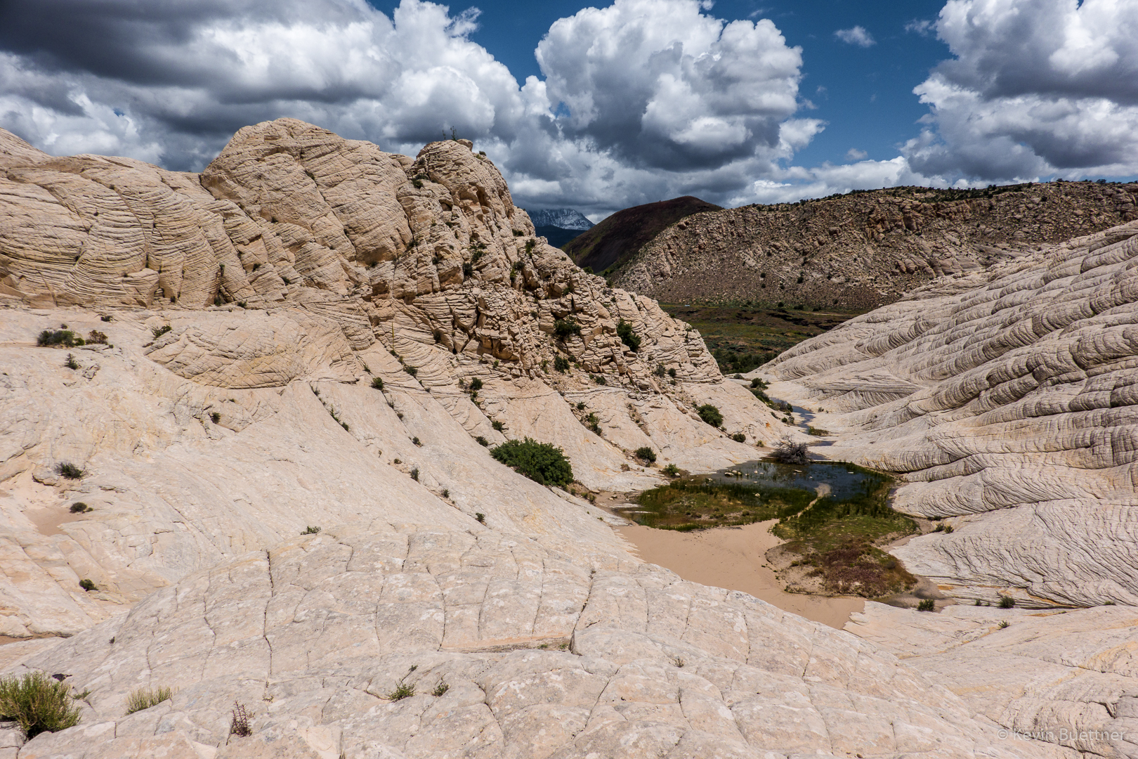
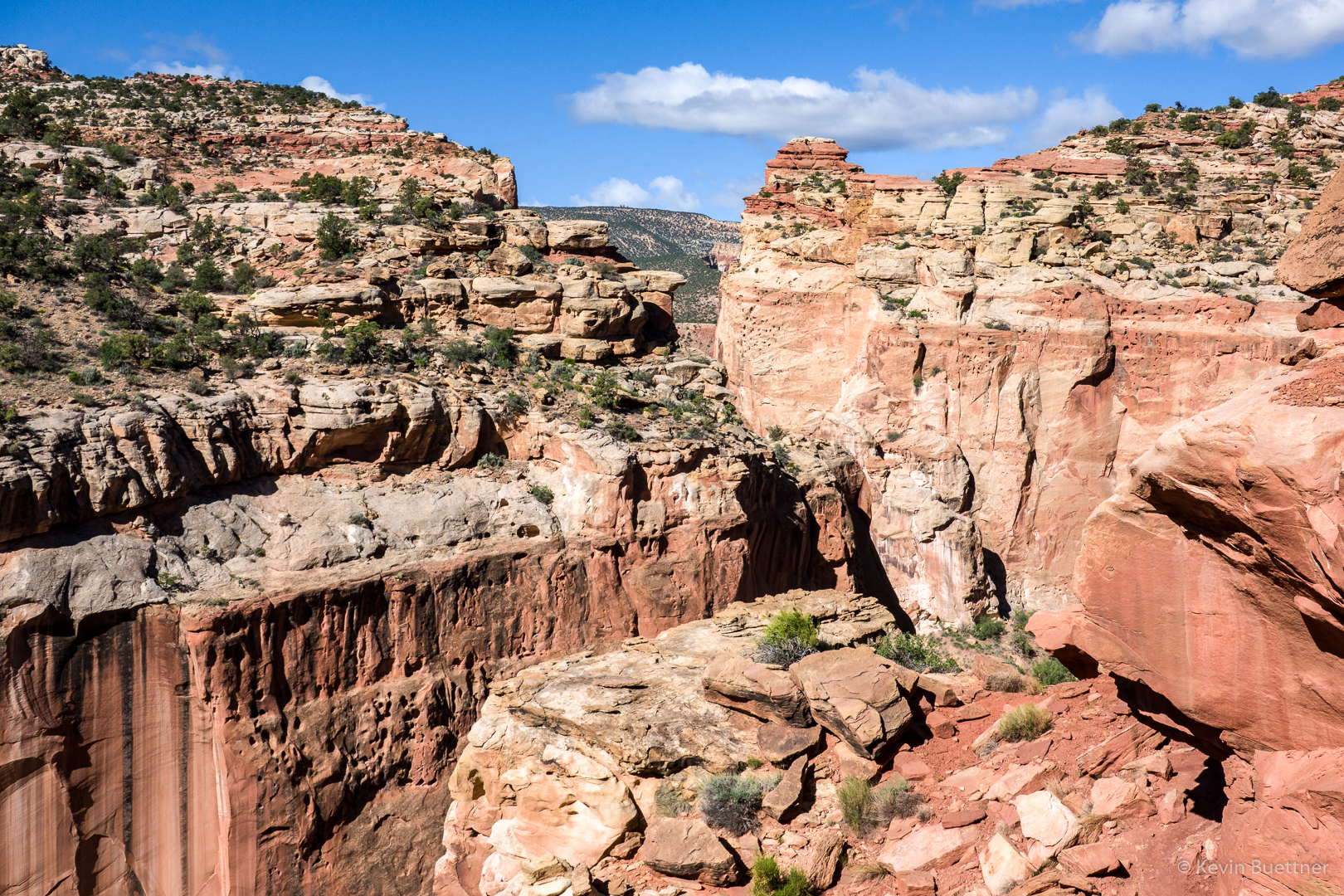
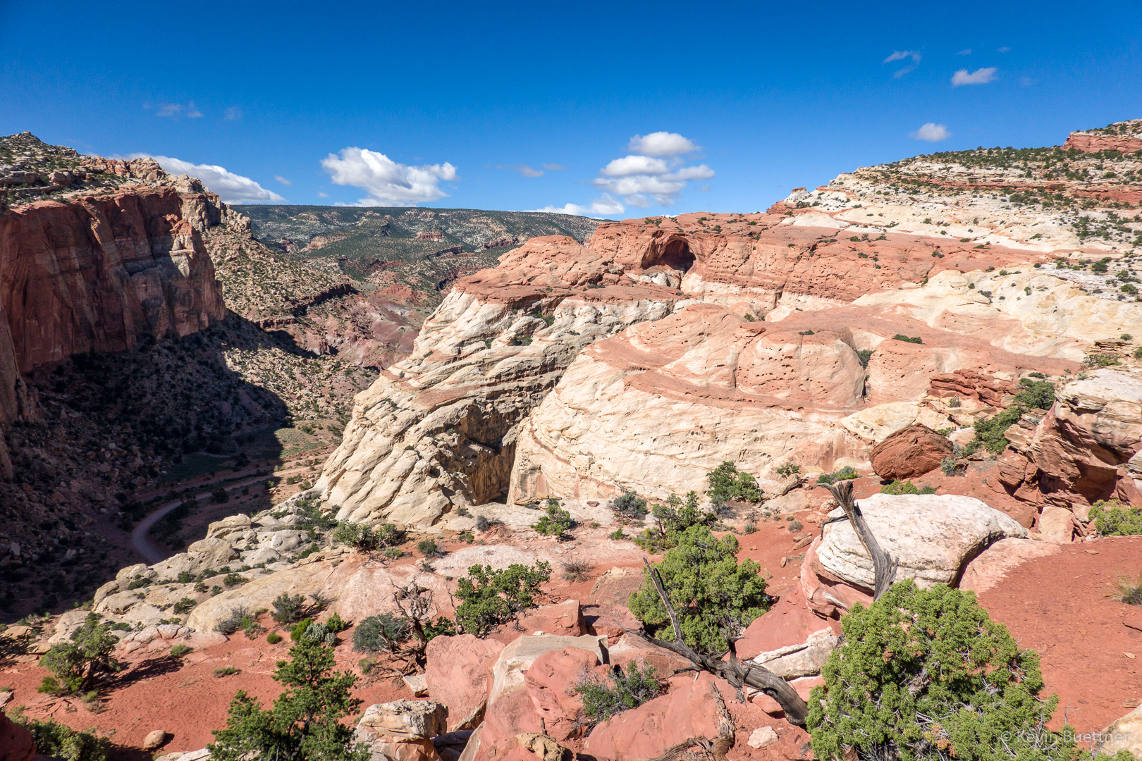
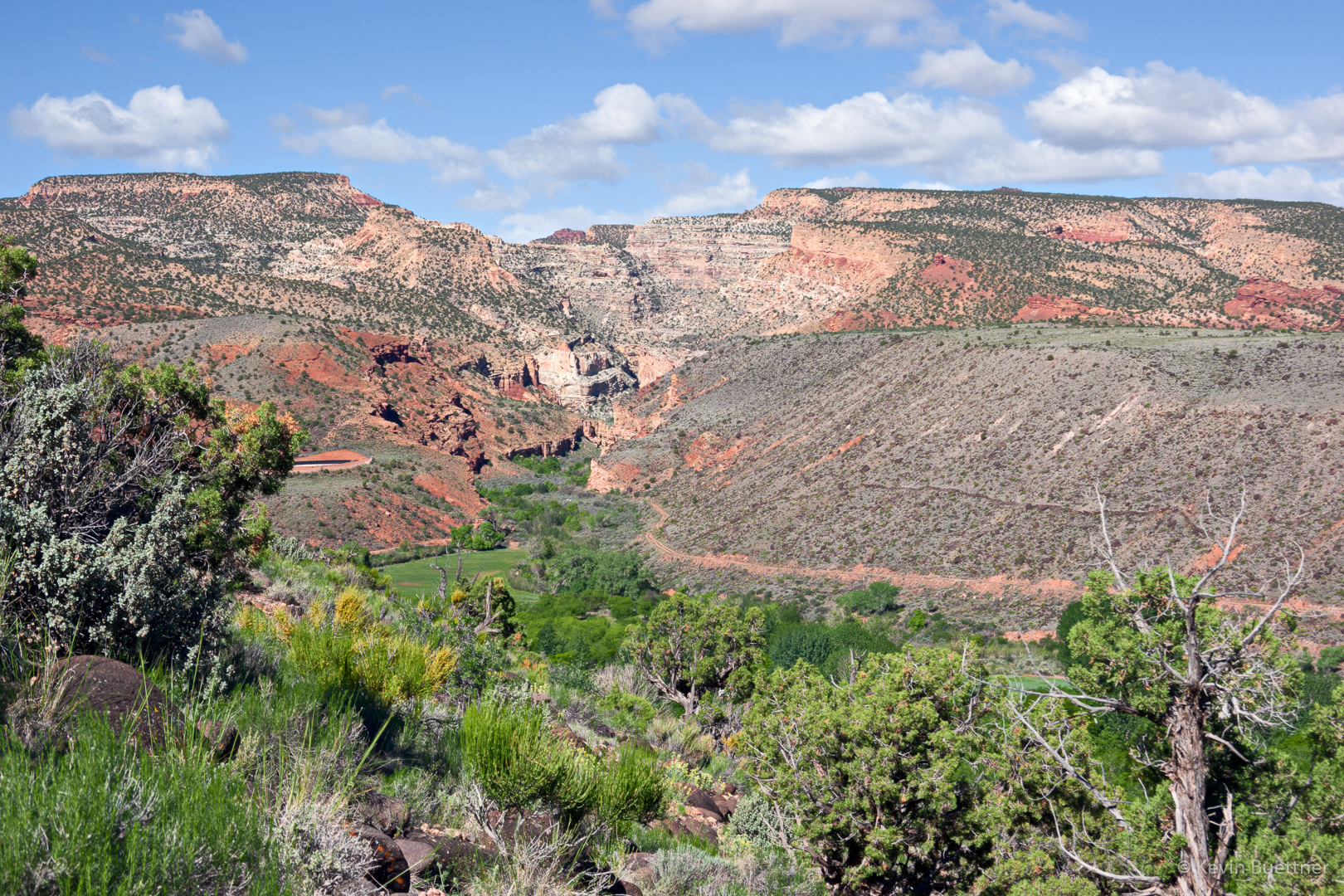
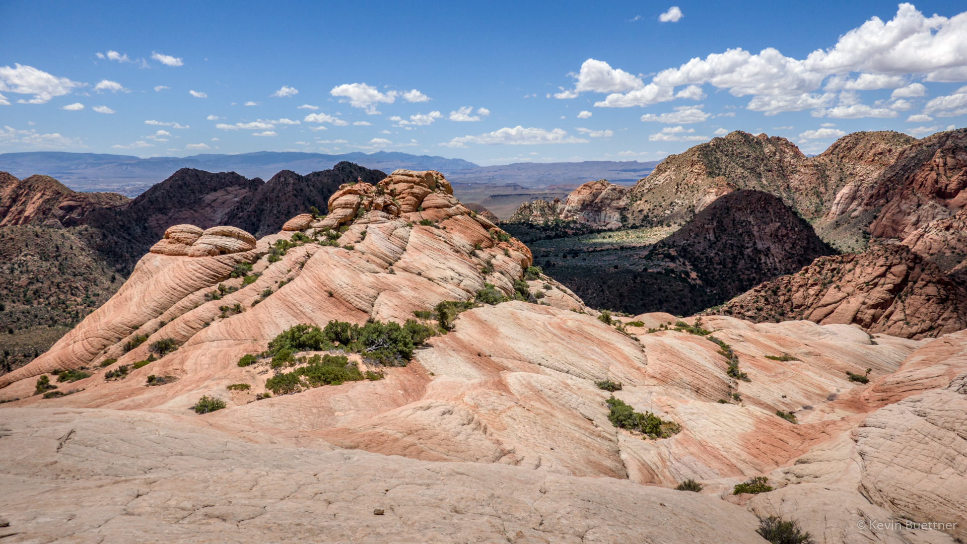
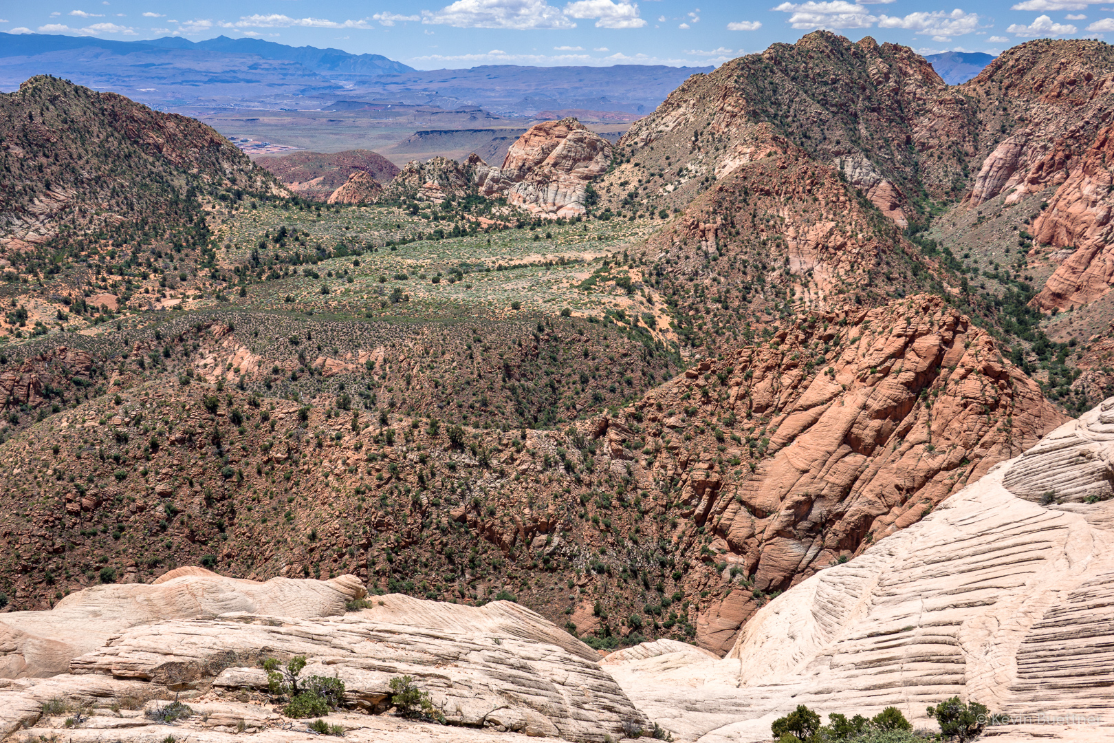
Looking out from the top of the rock formation mentioned earlier…

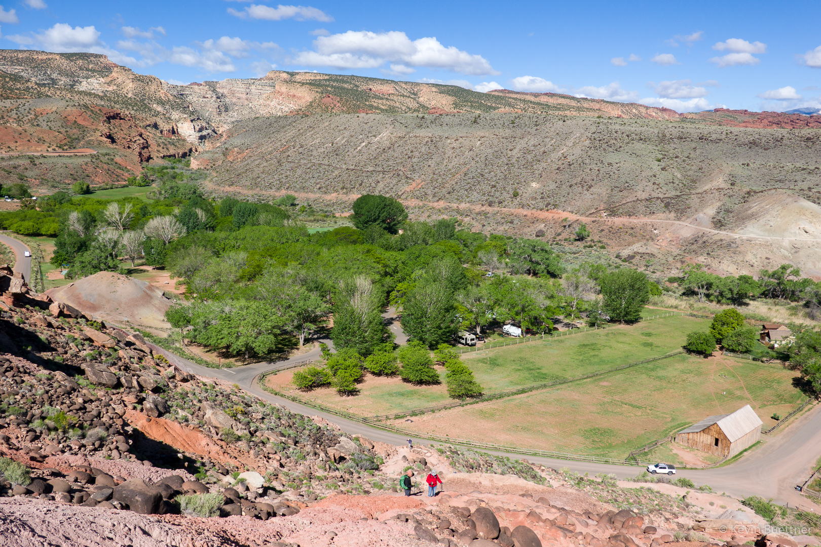
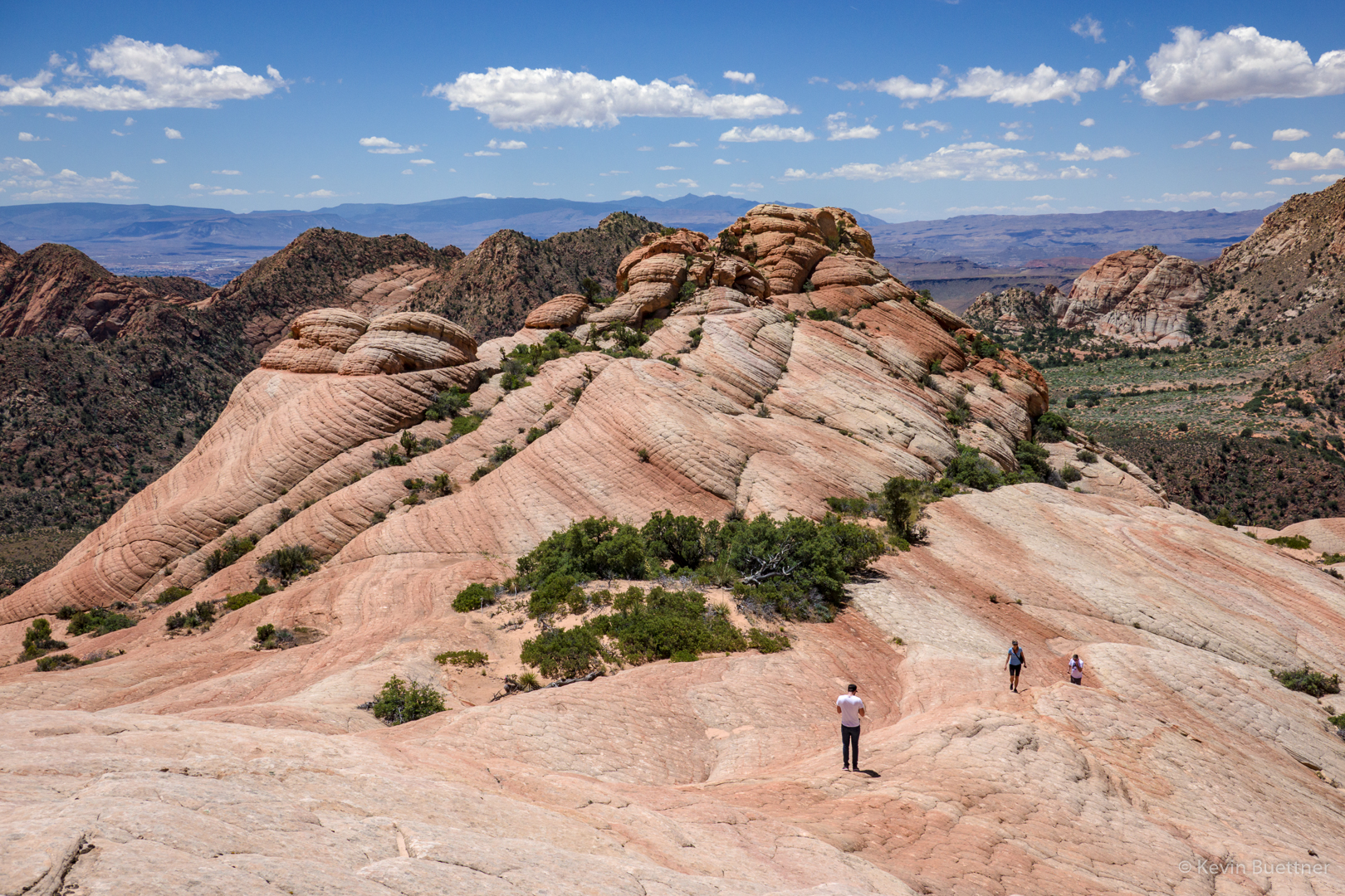
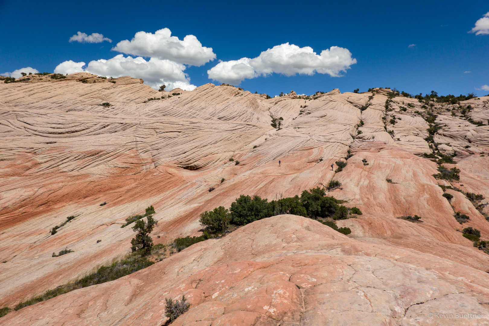
Heading back towards Marilyn now; looking back at where I had been…

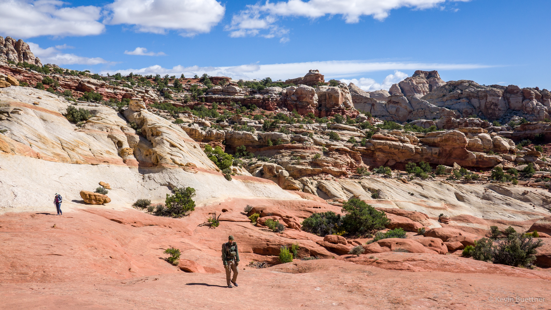
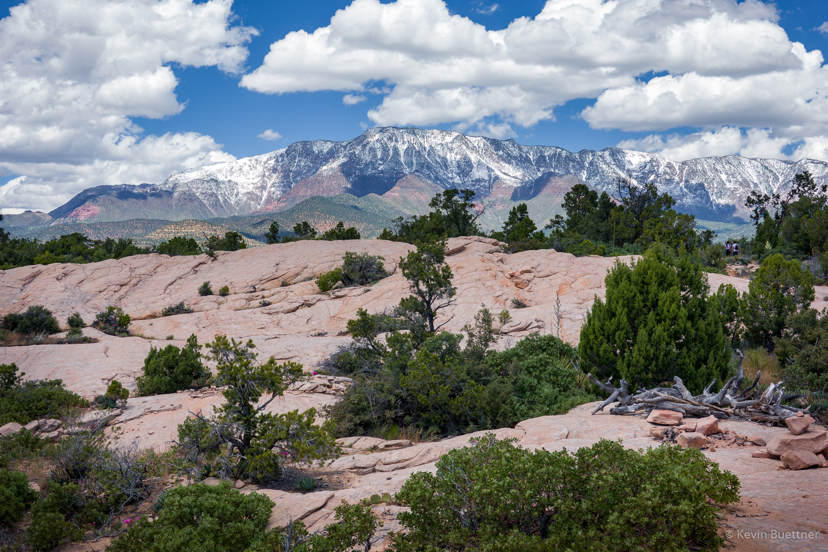
Marilyn joined me for a brief excursion to a slickrock overlook before heading back.

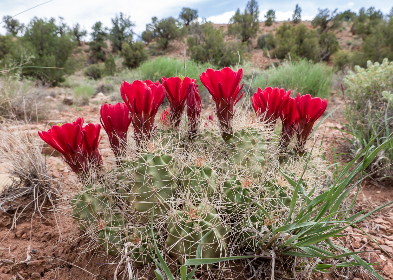
We stopped and took a few more photos of prickly pear blossoms on our way back.

Snow Canyon State Park

On Friday, the 24th, Joe, Marilyn, and I hiked the White Rocks Trail and then part of the Lava Flow Trail at Snow Canyon State Park. The park is named after Erastus Snow, the principal founder of the nearby city of St George. On the day that we were there, the park seemed to be well attended; not only is there hiking, but there are camping sites, and opportunities for road cycling. I think I also saw mention of rock climbing in the park literature.

Starting out…

The park had some very nice trail markers. Small sections of map along with “You Are Here” arrows were placed on each trail marker.  This made navigation very easy.

Prickly Pear cacti were in bloom in the area. Marilyn and I saw a lot more on the next day’s hike.

Joe, making his way across and then down a section of slickrock. Depsite it’s name, the White Rocks Trail was mostly not on slickrock – there was a lot of hiking on sand and then, near the intersection with the Lava Flow Trail, on volcanic rock.

At one point, the trail went by a nearby tongue of slickrock. Going uphill slightly on the slickrock yielded this view:

Further on, piles of volcanic rock appeared. We started seeing some big holes in the ground shortly thereafter.

This is an opening for one of the lava tubes along the Lava Flow Trail. The girl’s grandfather, who turned 80 that day was down in the hole exploring.

Joe climbed down into this hole and explored for quite a while. (I took this photo before he decided to go in.) He was down there for at least 20 minutes. From what he said, I would guess that you could spend at least several hours exploring the tubes beneath the ground.

This is another lava tube entrance, perhaps a quarter mile away. It may be the case that there is some connection to the entrance shown above.

As I hiked back to the hole where Marilyn was waiting for Joe to come back out, I noticed this tongue of red (and white) rock.

I took a few more pictures as we made our way back…

Buckwheat, I think:

I don’t know what this flower is. I asked a hiker local to the area, but he didn’t know what it was either.

When we got back to the intersection for the parking lot, I went on to look at the Amphitheater.

I found this vegetated canyon after hiking a ways up the slickrock.

There was a small pool of water at the bottom; there’s a low barrier which helps keep water in the pool.

There were a lot of tadpoles in the pool!

One last look back at the Amphitheater:

Kolob Canyons in the Fog and Rain

On Thursday, the 23rd, we had hoped to hike the La Verkin Creek Trail in the Kolob Canyons area of Zion National Park. The morning started sunny, but by the time we arrived at the Kolob Canyons area, it was raining on and off, mostly on. The trails were wet and muddy; visibility was poor; we decided to take a few pictures and take a rest day.

The first two photos were taken from the same overlook that Marilyn and I had visited on the day before. The final photo was taken from a switchback on the road back down to the park entrance.

Taylor Creek

On the 22nd, Marilyn and I hiked Taylor Creek, which is in the Kolob Canyons section of Zion National Park. This is well away from the main canyon in Zion where we had hiked the day before. We found Taylor Creek to be considerably less crowded than the main section of the park.

Larson Cabin:

Larson Cabin interior:

Penstemon:

Fife Cabin:

There was a waterfall at the end of the trail!

Some of the Double Arch Alcove is visible in this photo. Earlier in the hike, we stood in the alcove. It was raining then, so I didn’t take any pictures from the alcove. The “arches” that we saw weren’t the kind of arches that you see elsewhere in Utah, e.g. in Arches National Park.

Another Look at Fife Cabin:

The trail crosses Taylor Creek many times. On the way back, I decided to hike in the creek for a ways.

When we were finished with hiking Taylor Creek, we drove the rest of the Scenic Drive to the overlook.

Zion – Angel’s Landing

On Tuesday, the 21st, Marilyn, Joe, and I hiked Angel’s Landing in Zion National Park. Tuesday’s forecast was the best for the days that we were scheduled to be there – it was supposed to be mostly rain-free in the morning with light rain forecast for the afternoon. The remaining days in the Zion area were forecast to be considerably more wet.

Also, the only significant hike that was open in the main canyon was Angel’s Landing. The Narrows was closed due to snow melt. Other trails of consequence were closed due to damage from rock fall. So, we picked the one good weather day to do Angel’s Landing.

I had hiked Angel’s Landing several years ago. On the day that I did it, the route was very dry and the footing was good. On the 21st, it wasn’t entirely dry and there was often wet sand underfoot. When I had done the route earlier, I found the chains to be optional; in dry conditions, they aren’t necessary to safely ascend and descend the route. In less than optimal conditions, however, I was very happy that the chains were there.

The hike to Angel’s Landing starts at The Grotto, ascends the West Rim Trail to Scout Lookout, and then ascends a steep section to the top of Angel’s Landing. This sign appears early in the hike on the West Rim Trail.

A view of Angel’s Landing from the lower (and flatter) section of the West Rim Trail.

Another early look at Angel’s Landing:

Looking back down canyon:

This was one of the easier sections on the West Rim Trail. It was relatively flat here with some interesting views.

Looking up-canyon (below) from near the point where the above photo was taken:

Walter’s Wiggles:

Scout Lookout had some nearby bathrooms and a mass of humanity milling about. This photo is from near the start of Angel’s Landing. The route was crowded that day; groups of (often) ten to twenty people were self organized to travel up or down together. Groups going in one direction would find a landing at which to wait while a group going in the other direction would negotiate a steep and narrow section. At this particular spot, I remember there being a steep drop off to my left. We waited there for perhaps ten minutes for a group coming down. I got separated from Joe and Marilyn at this point. (Joe found some younger folks that he chose to hike with.)  After stopping a few few times on the next section, I reached another really big landing where I waited for Marilyn. Marilyn had hurt her knee earlier during our trip and opted to wait for me at this large landing. I think she made the right choice; the descent from the top is very steep and would have been hard on her knee(s).

These next photos are either from the top or near the top of Angel’s Landing…

I’m on my way back down at this point. A little while earlier, I encountered Joe and his group finishing their ascent.

After finishing the descent to Scout Camp, the last part with Marilyn, I proceeded hike further up the West Rim Trail. There were some overlooks from which good views of Angel’s Landing could be found.

I really liked the upper parts of the West Rim Trail. It was considerably less crowded. The views were different too…

I hit a high point on the West Rim Trail and then proceeded perhaps a quarter of a mile further. Had I kept going, the trail would have descended a lot more before going up again. Instead of losing even more elevation which I’d have to reascend on the way back, I chose to turn around at that point. Along the way, I met Marilyn who, after meeting Joe, started up the West Rim Trail. It was at around this point that I took this photo. We’re still high above Scout Lookout at this point.

On the way back down to Scout Lookout, I zoomed in on a steep section of Angel’s Landing. Although it had been raining – hard enough for me to put on my rain jacket – there were still people going up and down the route!

I took this photo from the West Rim Trail below Scout Lookout:

Snow / Bryce Canyon

May 20 was one of our travel days.  Our four days in Torrey / Capitol Reef had been cold and occasionally slightly wet. On the 20th, we woke up to find our truck (and pretty much everything else) covered with snow. When we arrived at Bryce Canyon, we found even more snow along with poor visibility. We didn’t stay long.

This was the view from the parking area of the Broken Spur. In addition to standard motel rooms, guests are also lodged in the covered wagons; it provides a “glamping” experience. We spoke with a fellow who was in one during the evening snowstorm. He said that they worked very well at keeping the weather out. I had hoped to see what they looked like inside, but when I walked around, I saw that they were locked up.  (As I recall, the canvas at the end of the wagon unzips.  Beefy looking padlocks keep them secure.)

Another view from the Broken Spur in Torrey:

Views from Sunset Point in Bryce Canyon National Park:

Visibility was somewhat better from the parking lot / overlook for Fairyland Canyon (also within Bryce).

Capitol Reef – Spring Canyon

Marilyn and I hiked the Chimney Rock Trail into Chimney Rock Canyon and then a short ways into Spring Canyon. On the way back, I hiked a bit more of the Chimney Rock Trail and photographed the formation for which the trail and canyon got their names.

Capitol Reef – Cassidy Arch / Frying Pan Trail

Marilyn, Joe, and I visited Cassidy Arch on Saturday, the 18th. After seeing the arch, I hiked over to the Hickman Bridge Trailhead via the Frying Pan Trail and the Cohab Canyon Trail.

This is a view of the Grand Wash. The trail to Cassidy Arch begins shortly after entering the wash. A sign at the bottom indicates that there’s 950 feet of difference in elevation between that point of the wash and Cassidy Arch.  However, my GPS watch showed only and 800+ foot difference.

A view from near the start of the trail leading to Cassidy Arch.

Hikers in the Grand Wash below us:

Joe and Marilyn on the trail to Cassidy Arch:

Looking down at the road through the Grand Wash which leads to the parking area for hiking the Grand Wash and Cassidy Arch…

Fern’s Nipple:

The black hole just right of center below the horizon is Cassidy Arch.

A closer view of the Arch.  We still had a ways to go before reaching the arch – we might have been halfway there by that point.

Marilyn and Joe hiking across an expanse of slickrock before reaching the arch:

This is Cassidy Arch.  There is a woman in red sitting to the right of a tree above the arch. Below her, one of her companions is rappelling. Another of her companions told me that it’s a 140′ rappel. They had another six (or seven?) rappels to do before getting all the way down.

A closer look at one of the canyoneers:

The woman in red starts her rappel:

Joe told me about good views from the slickrock above the arch…

When I got back, I found that the rappellers had descended; they were in the process of pulling their rope when I took this picture.

I walked around the arch to find out what the anchors looked like. I first looked at the tree. I saw indications that the tree has been used as an anchor in the past. But I’m pretty sure that the group I saw earlier used these chains for their anchor.

Marilyn and Joe returned to our vehicle via the Cassidy Arch Trail. I, however, took the Frying Pan Trail to Cohab Canyon.

The trail gained even more elevation.

Great views…

I thought I was looking at Cohab Canyon here, but I still had quite a ways to go.

The trail led down and then back up again. At around this point, I went over a ridge after which a long descent eventually led me back to Cohab Canyon.

This, finally, is Cohab Canyon.

The orange flower appears to be a type of Globe Mallow. I don’t know what the purple one is.

Capitol Reef – Cohab Canyon

Marilyn, Joe, and I hiked out and back on the Cohab Canyon Trail starting across the road from Hickman Bridge. I hiked all the way down to the campground, whereas Marilyn and Joe chose not to lose the elevation that they had gained while hiking up the canyon.

This is a view of Cohab Canyon from part way up the side trail to the Fruita Overlook.

A view from one of the Fruita Overlooks.

The grooves in this rock caught my eye…

We came across some sections of canyon where the walls had lots of holes.

Looking out from the trail leading to the campground…

Back at the top of Cohab Canyon; looking down canyon.

Joe, Marilyn, and Kevin:

Another shot view of Cohab Canyon:

After hiking Cohab Canyon, we drove up to the Gooseneck Overlook.  This looks down into Sulphur Creek, which carved this channel. We had planned to hike Sulphur Creek on the following day, but ended up not doing it due to the wet and cold conditions.

We then hiked out to Sunset Point, which was accessible from the same parking area.

Capitol Reef – Egyptian Temple

On the 16th, we drove from Moab to Torrey. I didn’t take many pictures that day, but I did get out to photograph a formation known as the Egyptian Temple along the Scenic Drive in Capitol Reef National Park. I don’t know why we stopped for this formation in particular; it may just be that we felt the need to stretch our legs after the long drive. Prior to this stop we had driven to the end of the Scenic Drive and then into the Capitol Reef Gorge. We want to go back and hike some of the trails in the Gorge someday.