Month: July 2017 (page 1 of 1)

Friday Fitness Hike

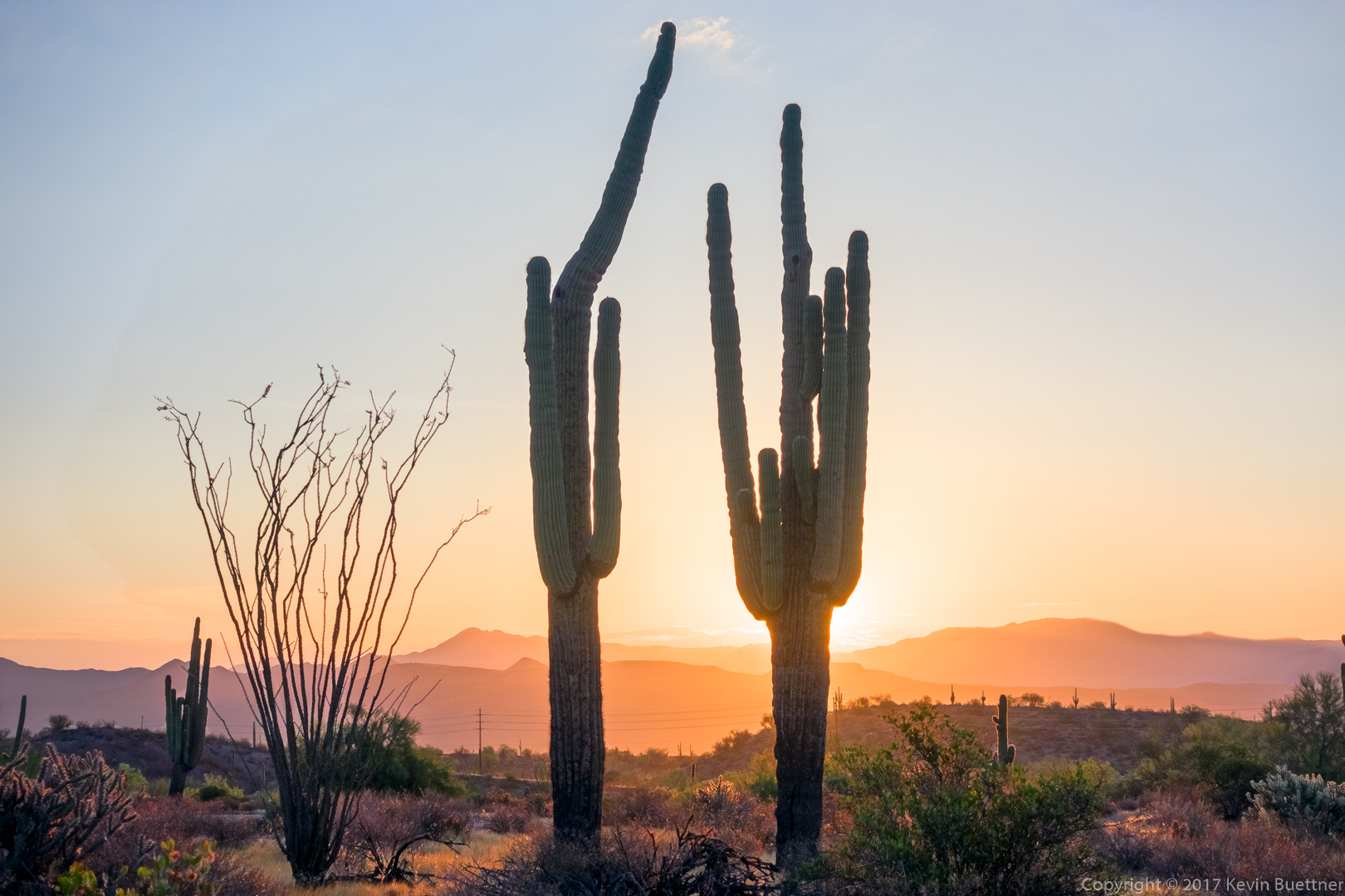
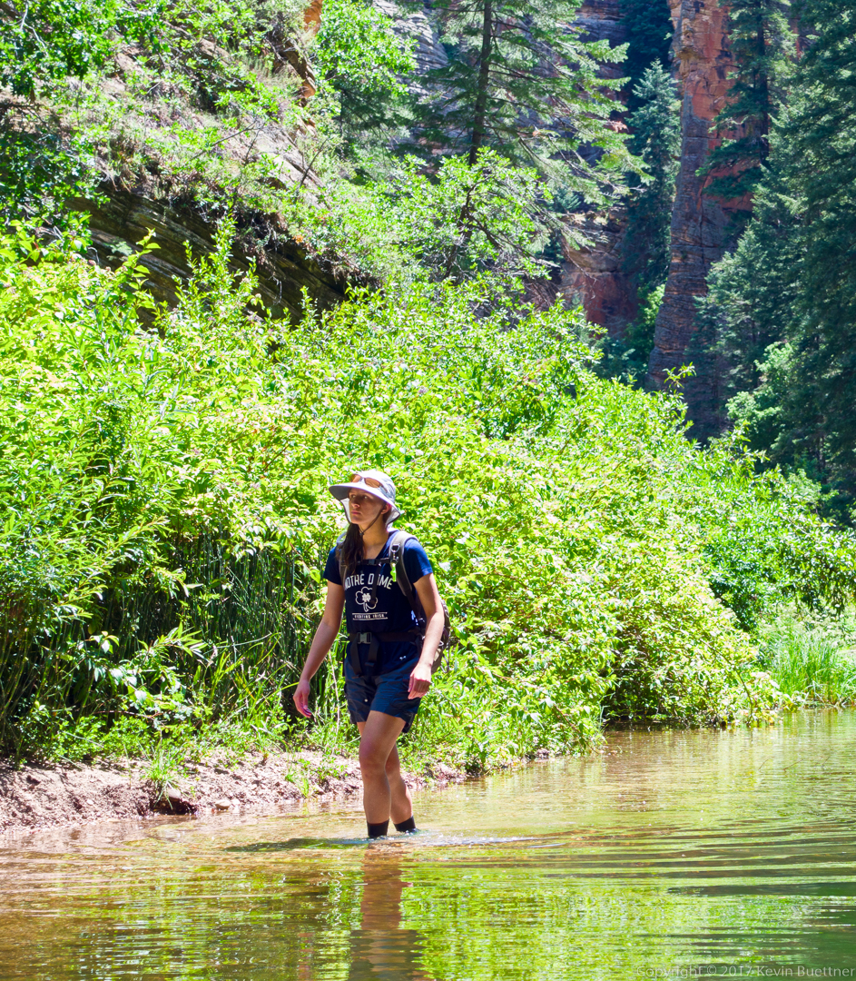
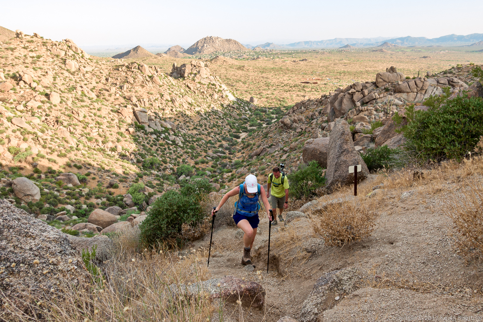
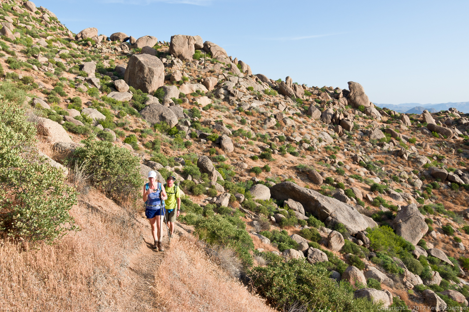
I hiked 10.3 miles on Friday starting from the parking lot for the Dixie Mine Trail at the end of Golden Eagle Blvd. I hiked Dixie Mine, Coachwhip, Windmill, Bell Pass, Prospector, service road, and then back on Dixie Mine.

It rained off and on, though never hard – often times, it was just some light sprinkles. The rain plus the cloud cover kept the temperature down in the low to mid eighties.

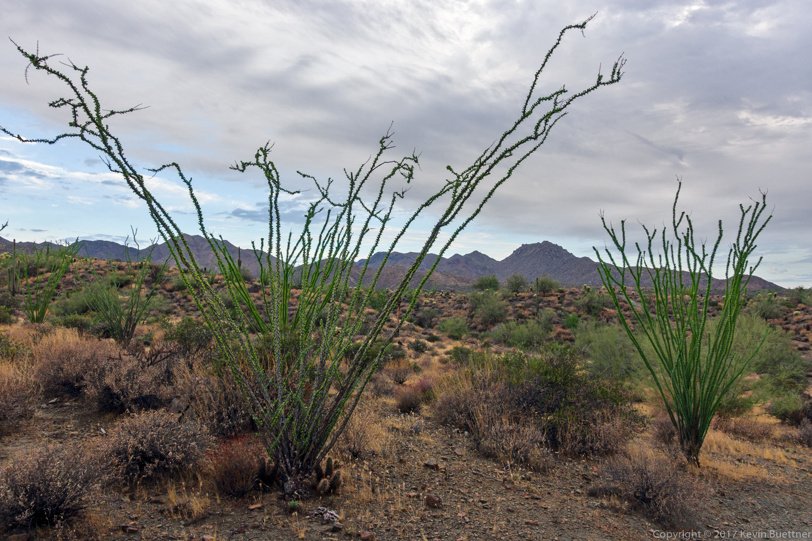
Ocotillos on the Dixie Mine Trail:

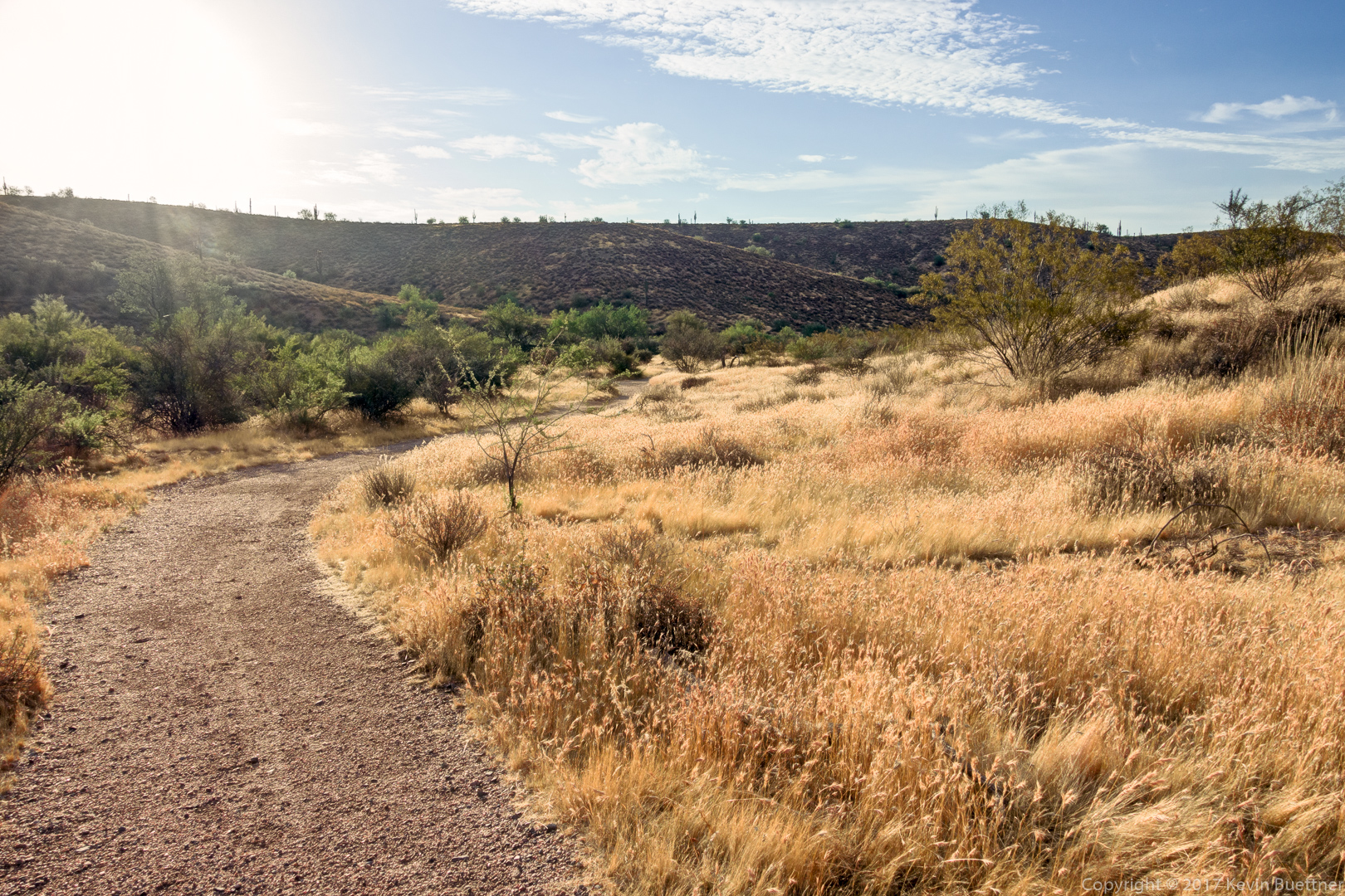
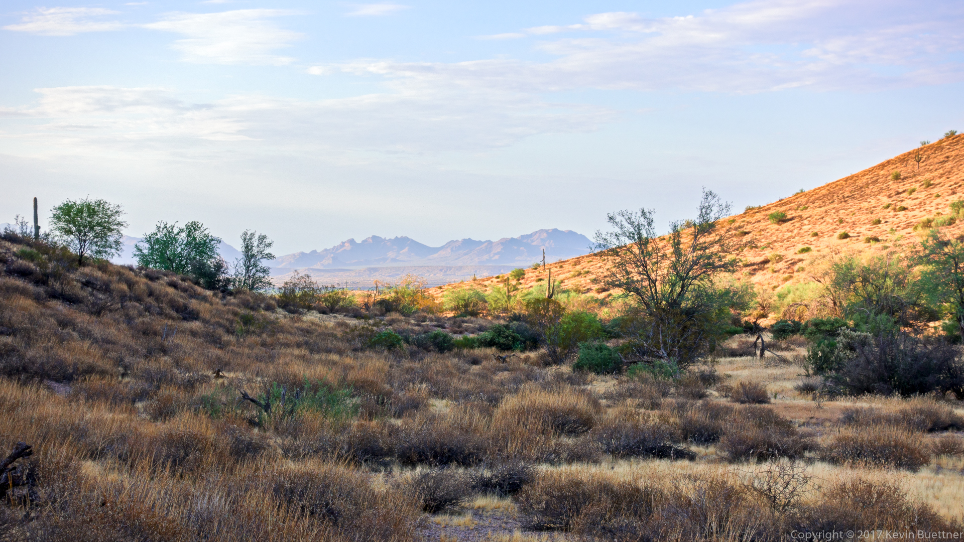
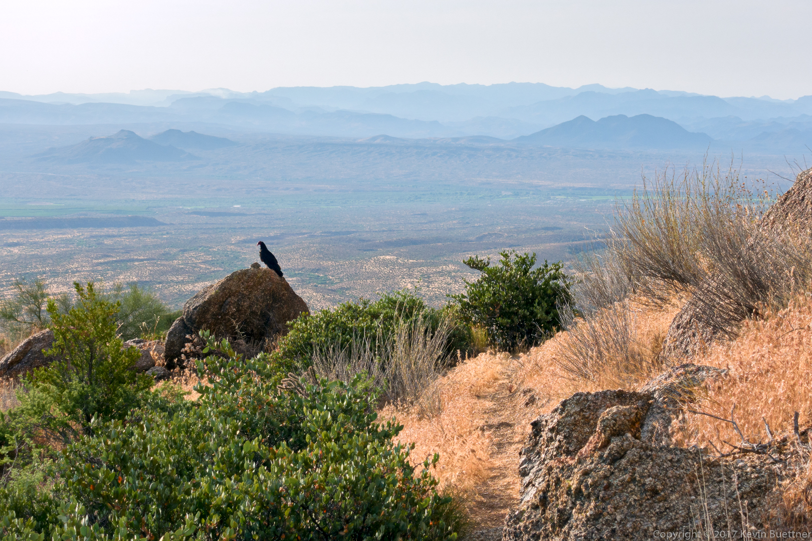
Past the spur which leads to the mine – which I did not do – the Dixie Mine Trail goes up a hill. This is a view from the top of that hill.

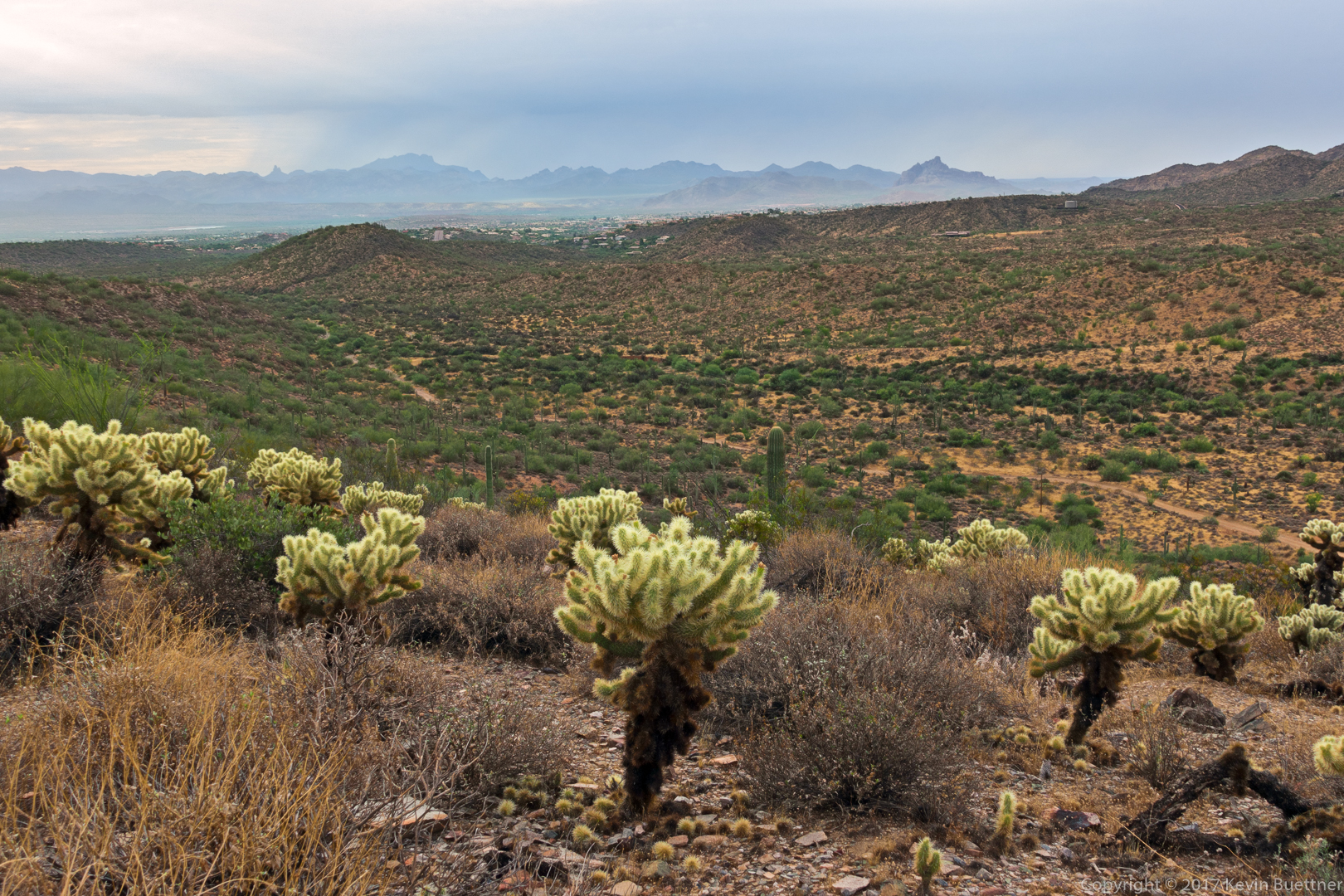
A view from the Coachwhip Trail:

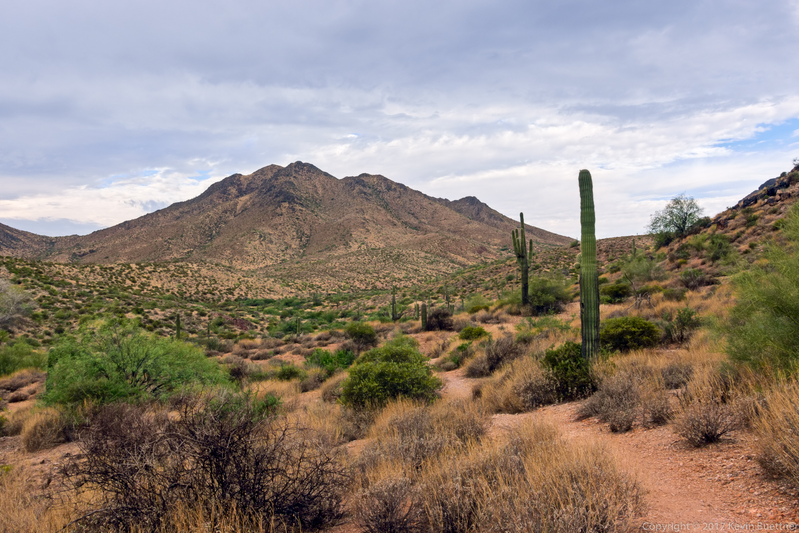
At this point, I’m still within the boundaries of McDowell Mountain Park, at the intersection of Windmill & Coachwhip.

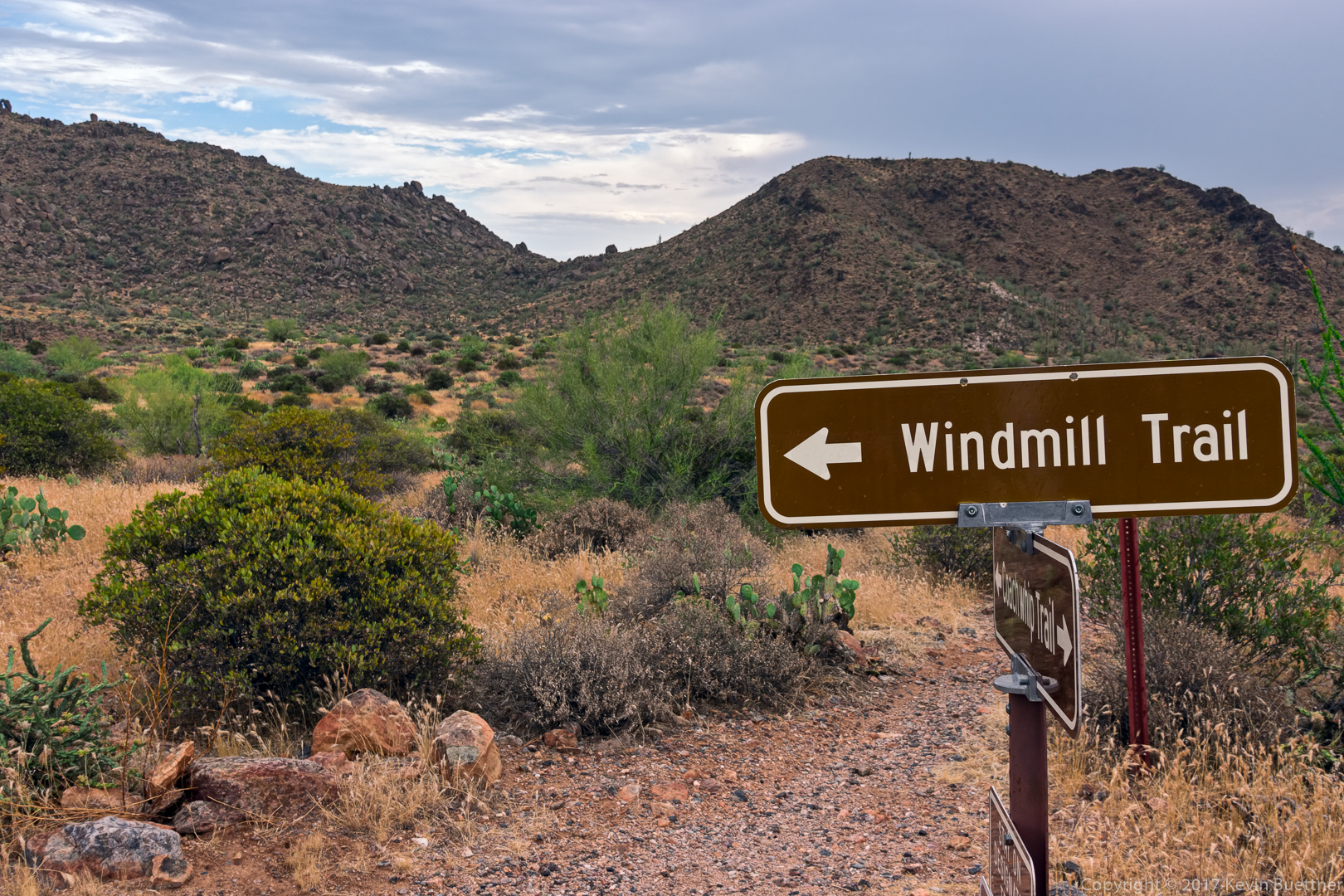
A view from the Windmill Trail.  The windmill is out of frame to the left. (You can see a little bit of the nearby cottonwood tree at the edge at the far left.)

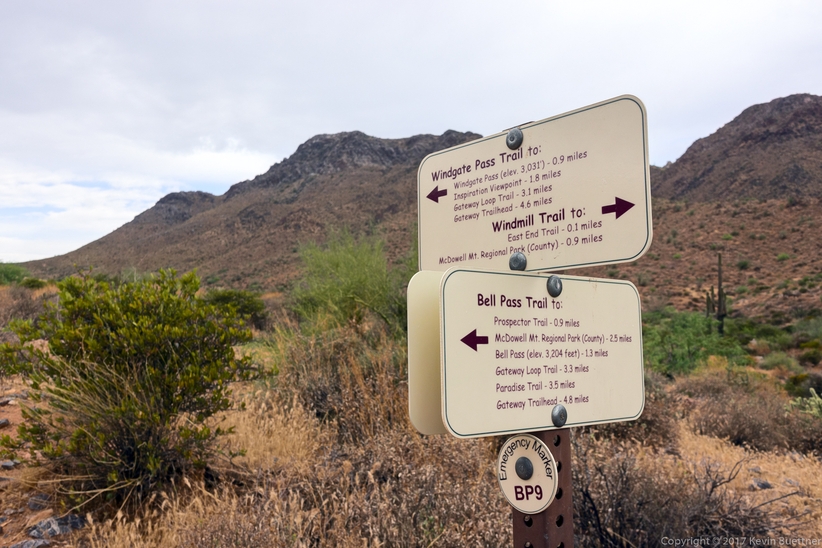
I’m in the McDowell Sonoran Preserve now. Notice the difference in signage between the Park and the Preserve. There’s no getting lost with these signs!

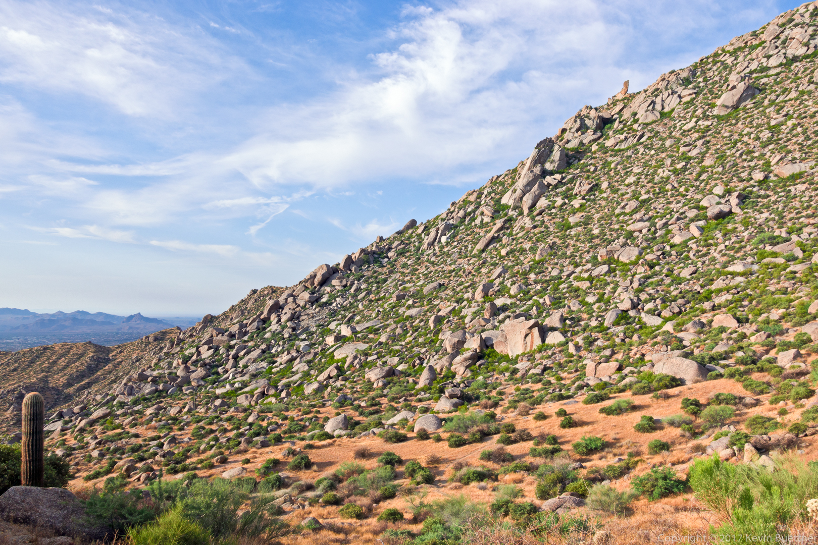
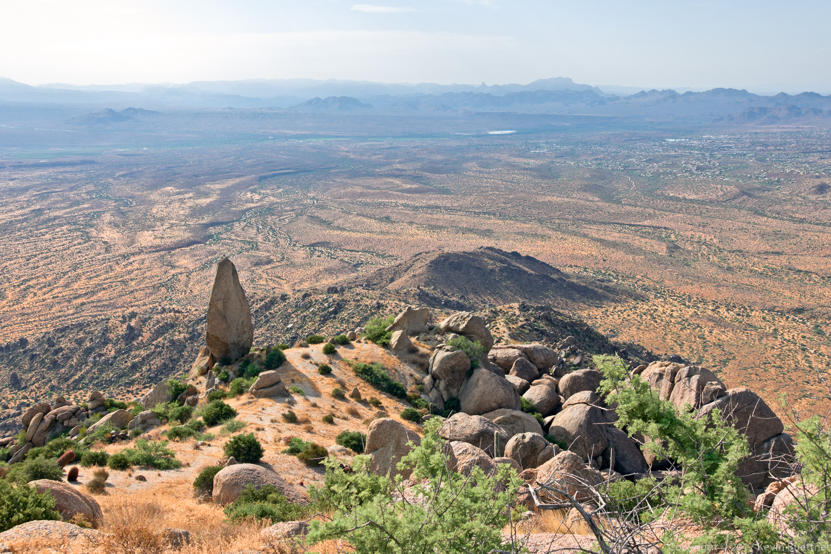
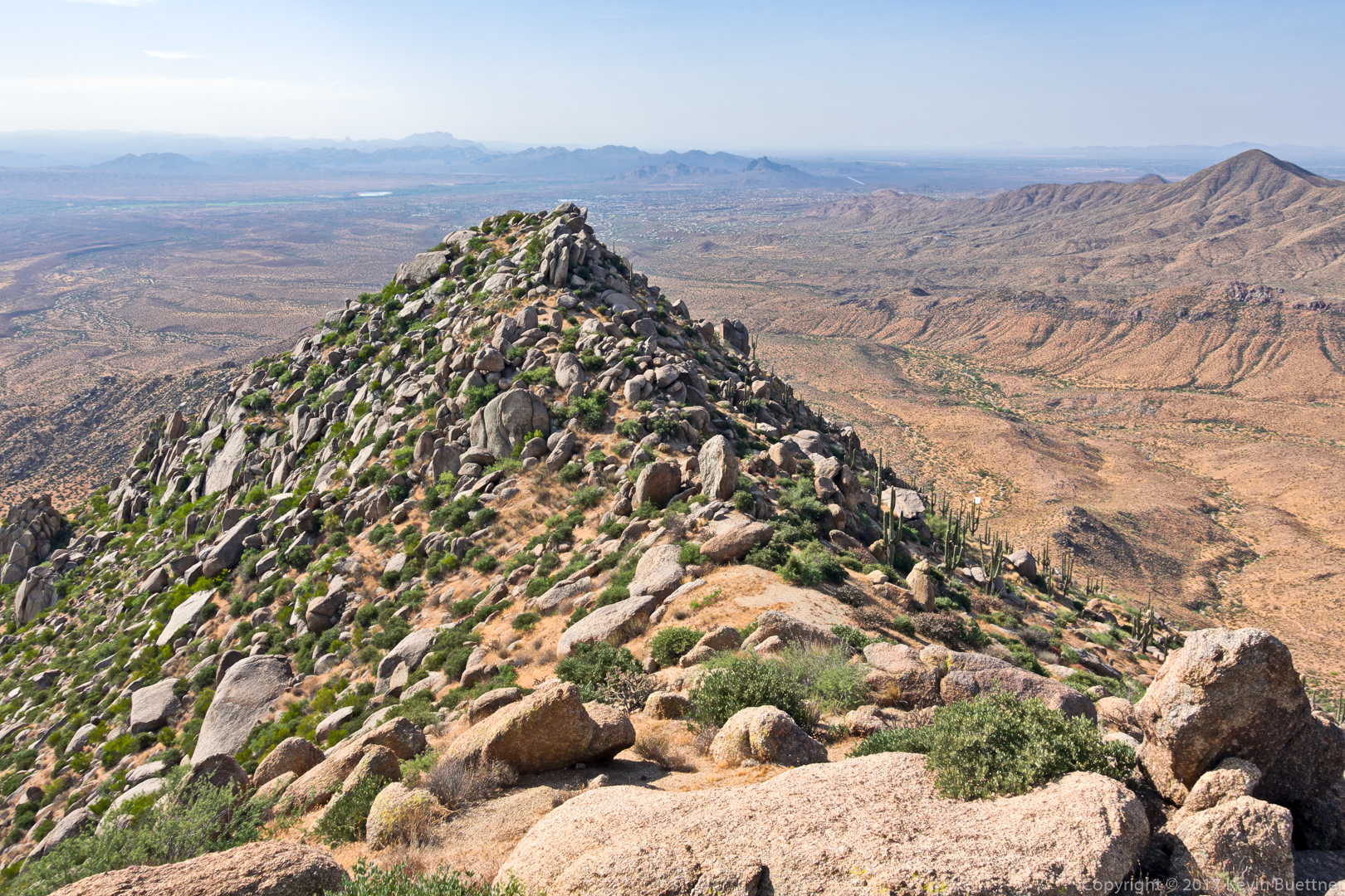
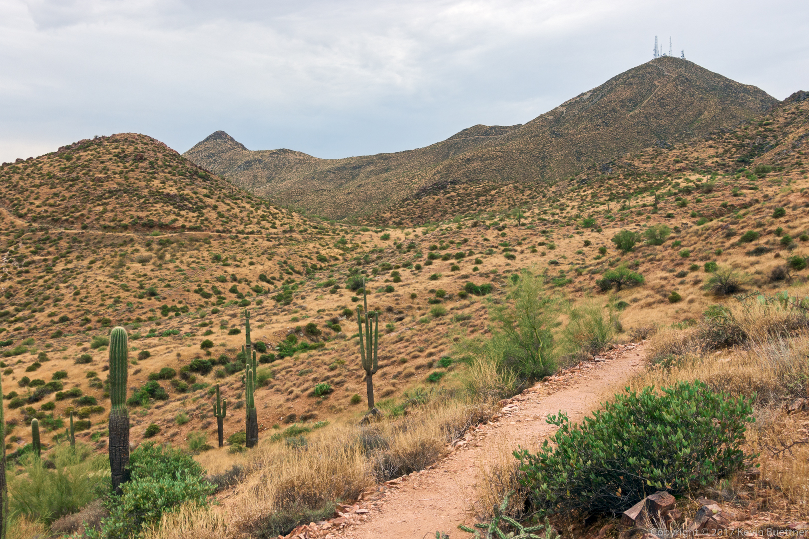
A view from the Bell Pass Trail. The mountain with the antenna towers is Thompson Peak.

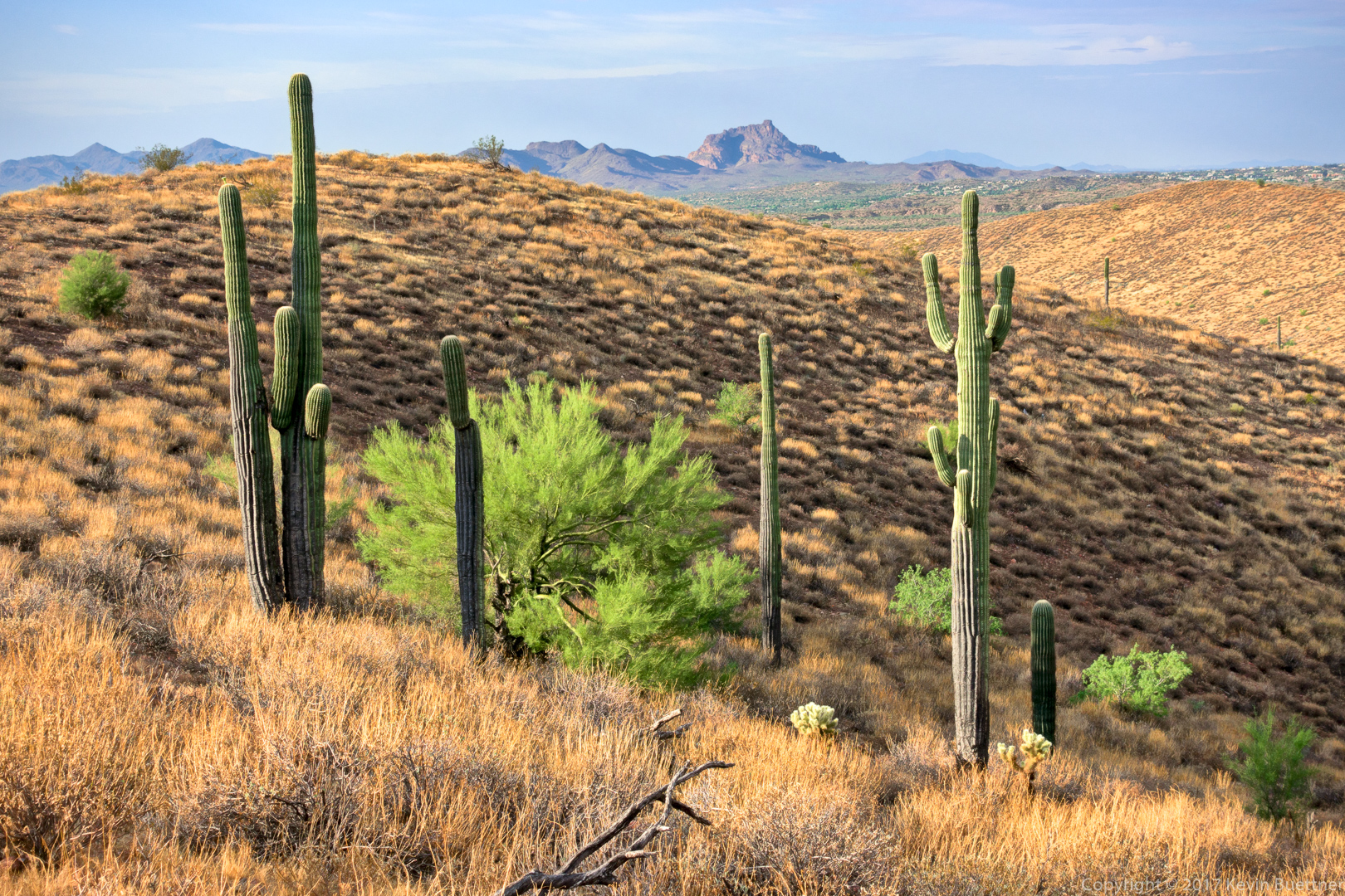
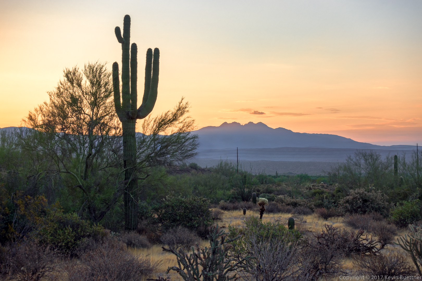
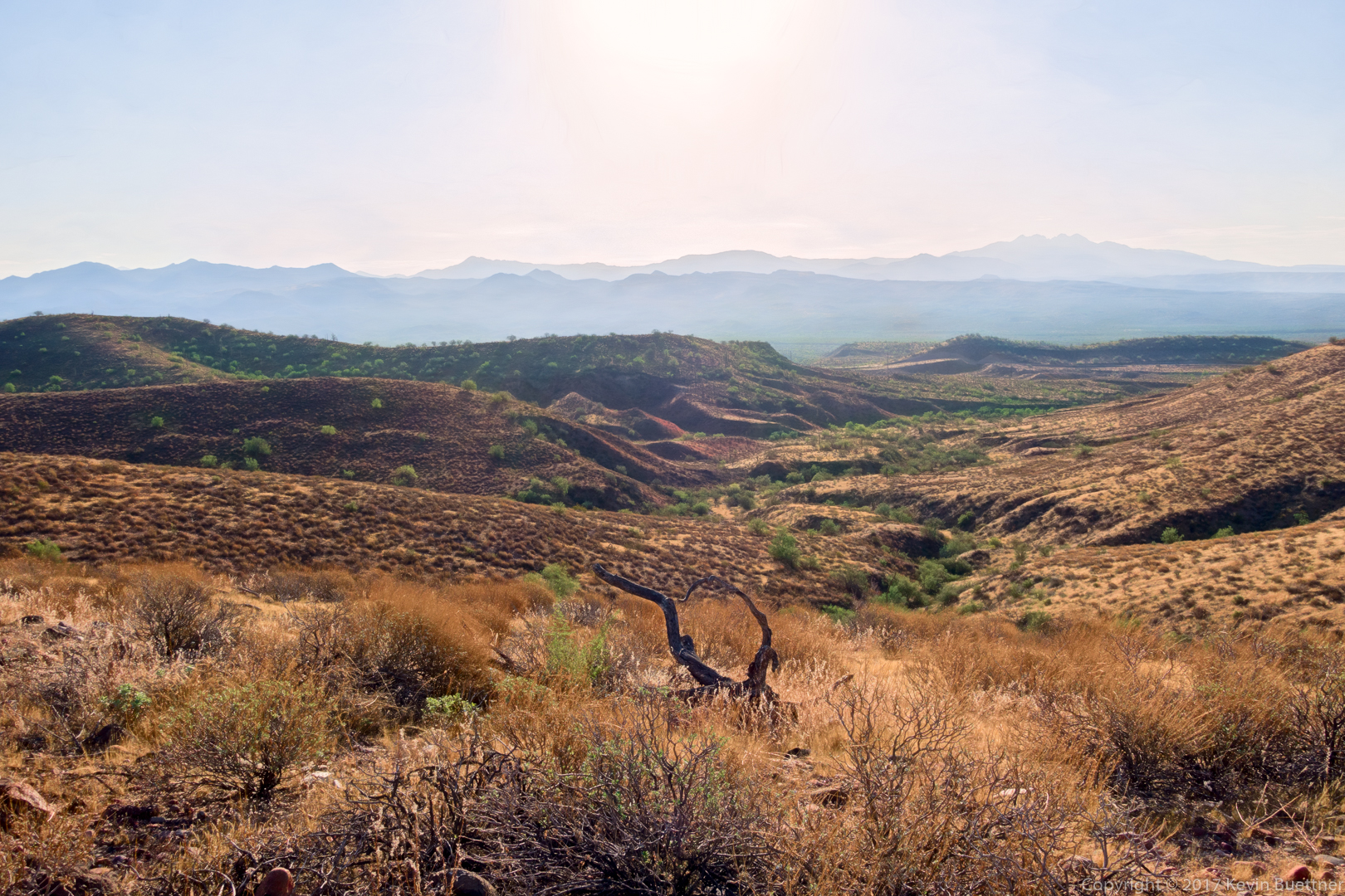
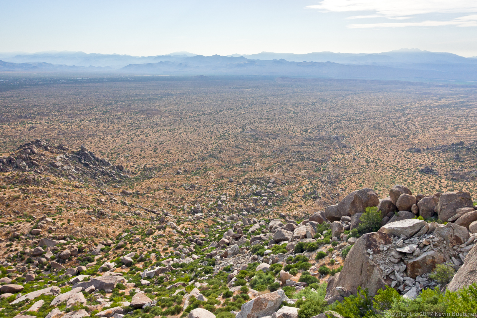
Looking toward Four Peaks from the Bell Pass Trail:

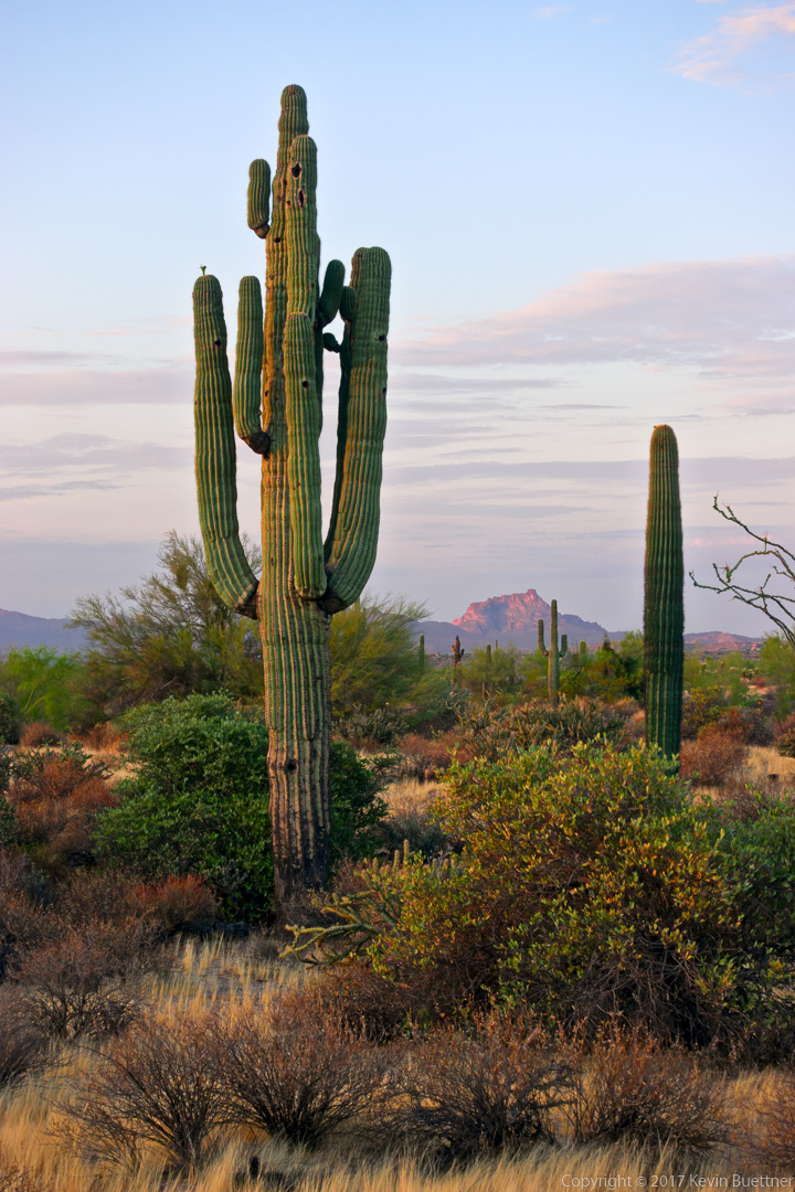
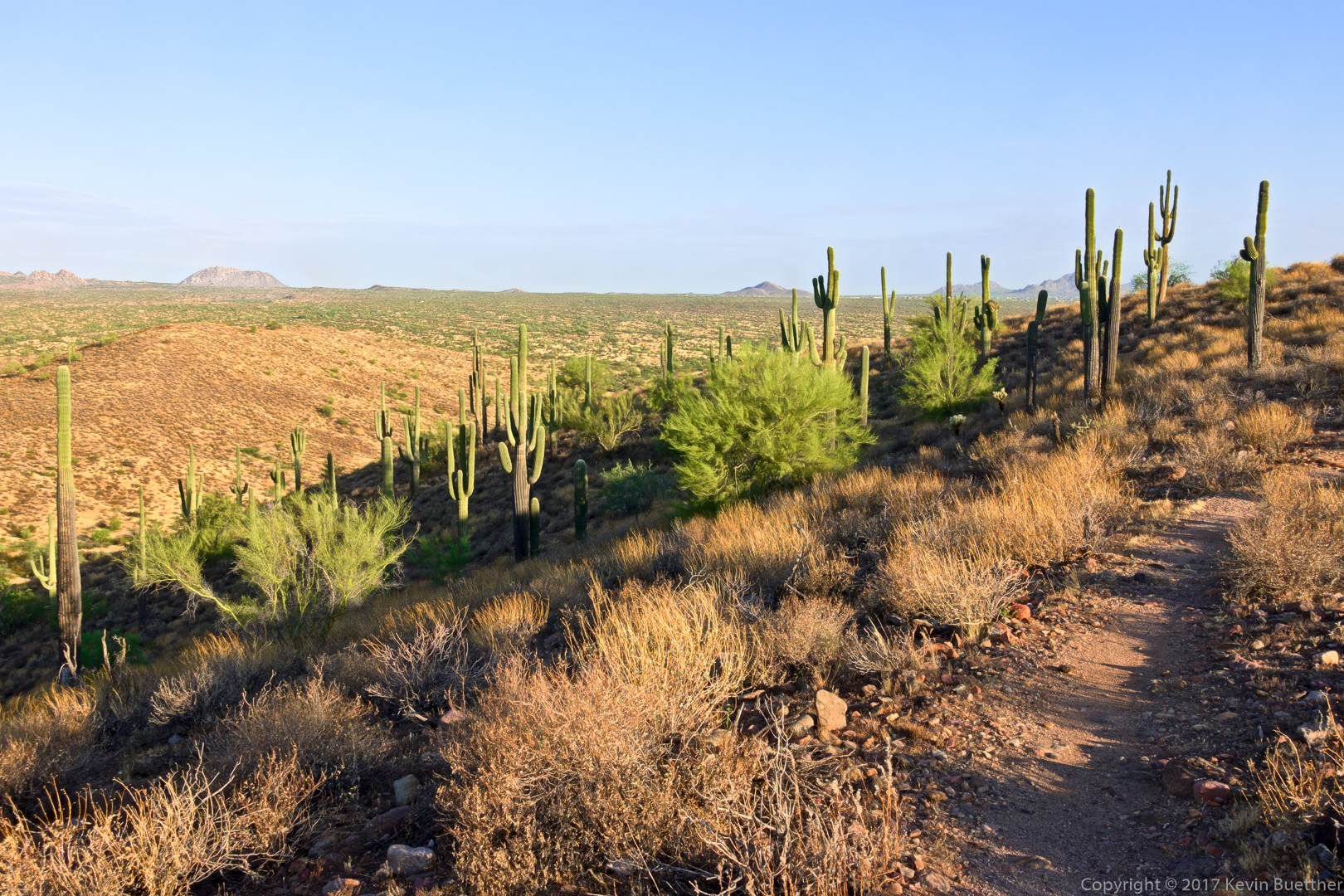
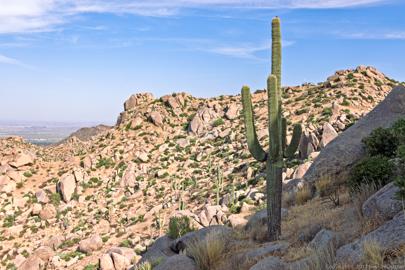
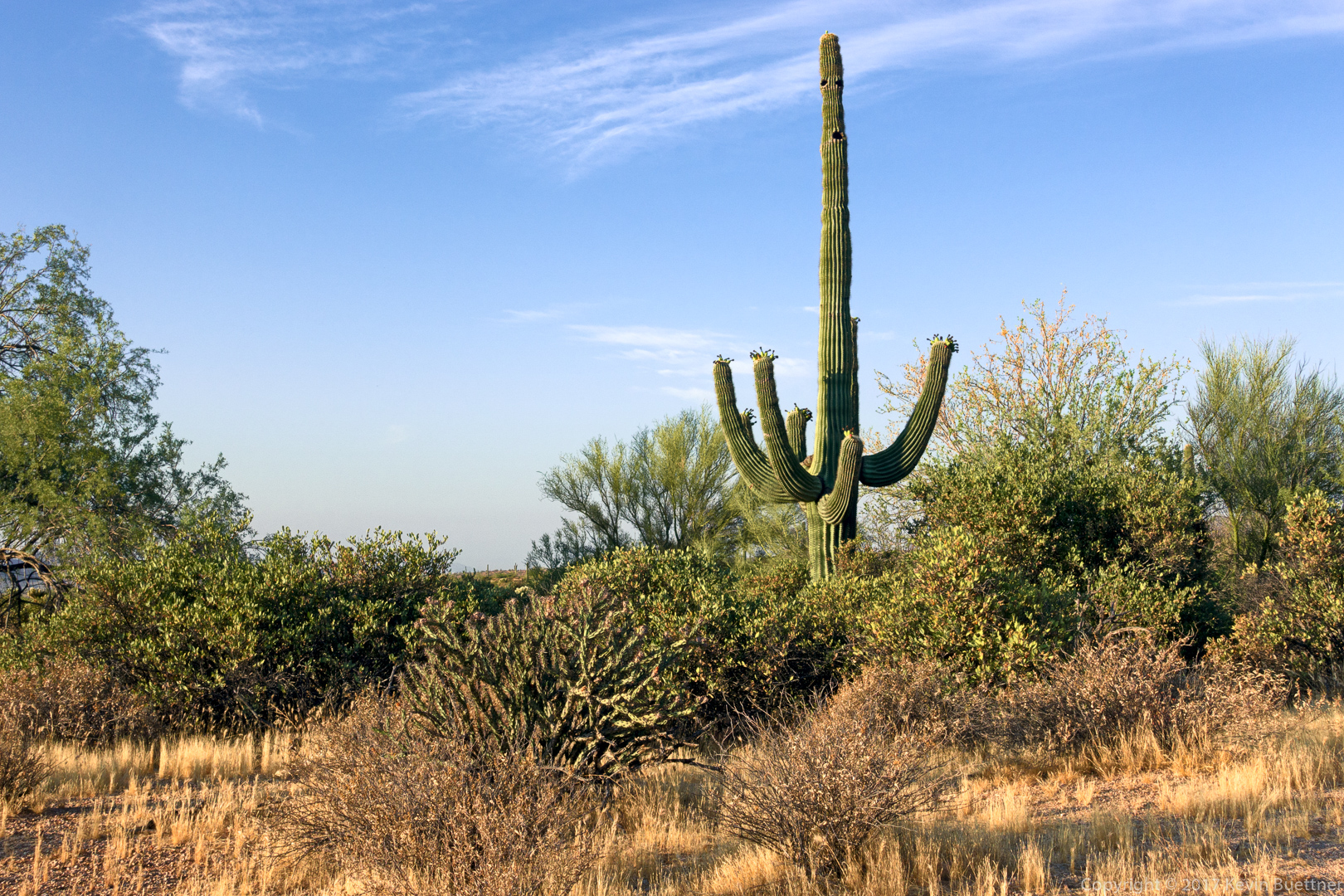
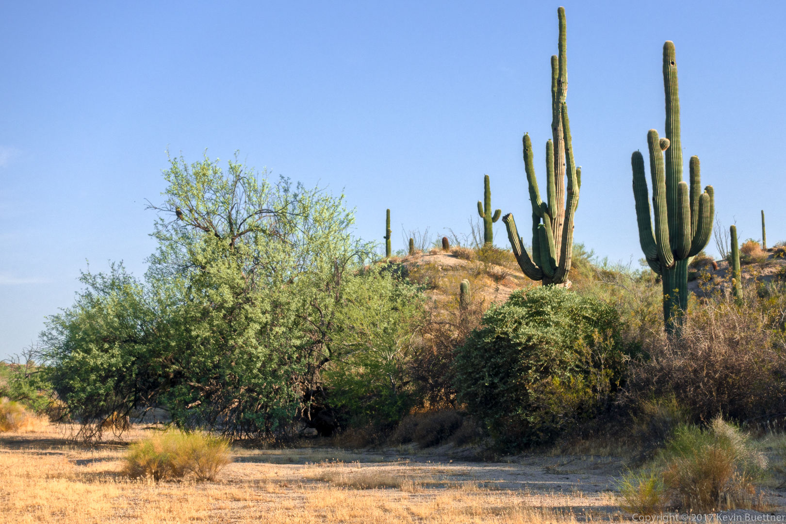
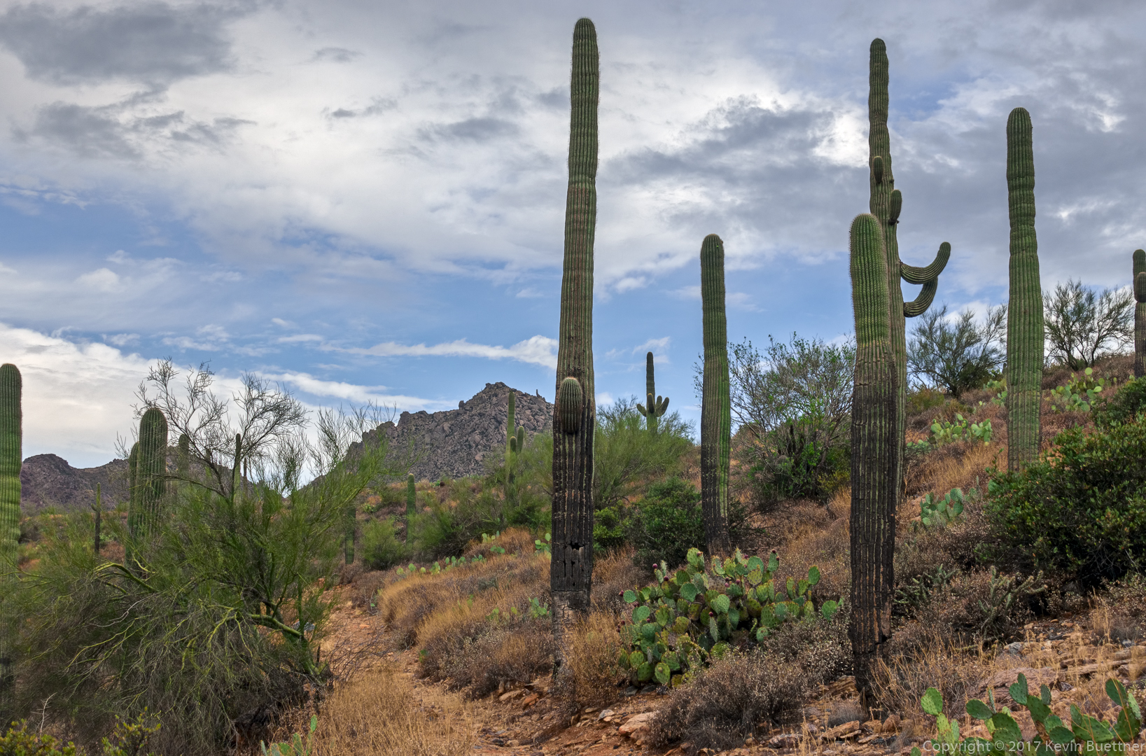
Saguaros on the Prospector Trail:

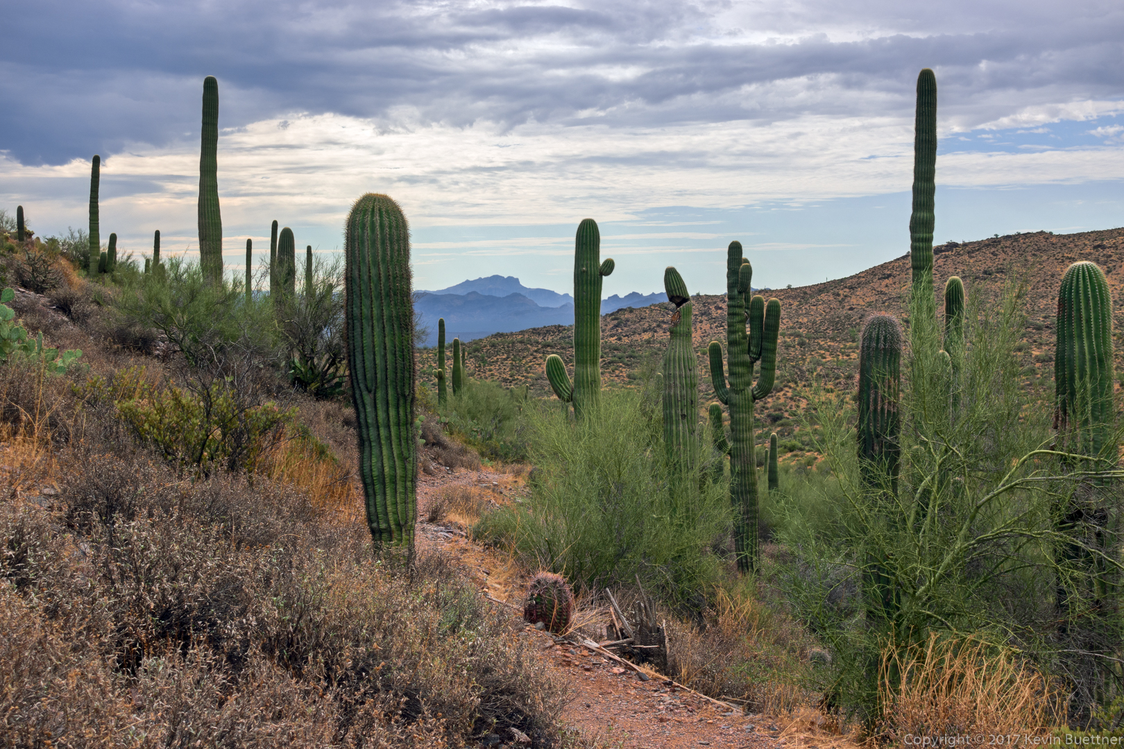
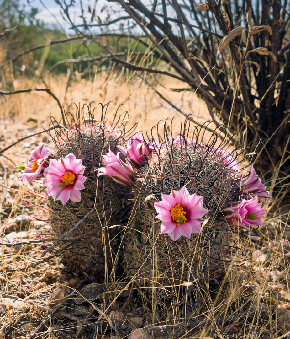
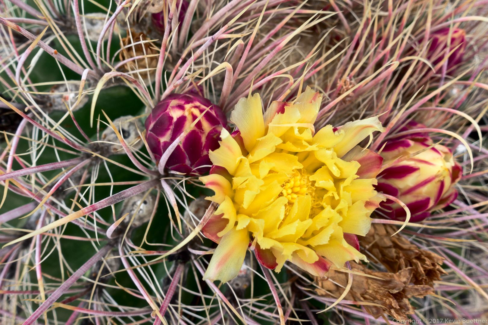
This is a barrel cactus blossom:

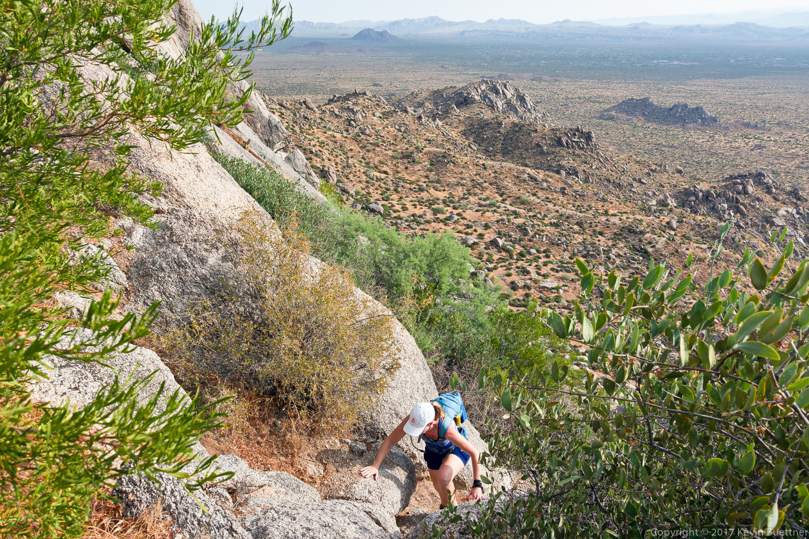
A mountain biker on the Dixie Mine Trail – one of only five people that I saw during the entire hike.

Molly and Callisto

Sunday Hike

Marilyn and I hiked the Scenic Trail on Sunday.  Temperatures were in the mid-eighties with roughly fifty percent humidity.  Marilyn saw a shiny snake as she hiked. I saw a small flowering cactus, which is, I think, kind of unusual for this time of year.

Early in the hike on the Scenic Trail. I didn’t realize that the sun was in frame – if I had, I would have taken measures to eliminate the lens flare.

A view of the crested-arm saguaro with the McDowells in the background:

Another view from the Scenic Trail: Red Mountain is visible from most places where the trail follows the ridge.

This is a Graham’s Pincushion cactus:

A view from the Shallmo Wash Trail:

Friday Fitness Hike

I hiked 6.4 miles on Friday: Escondido, Cinch, Scenic, Pemberton, Shallmo Wash.  Temperatures weren’t bad for this time of year – it was in the low eighties when I started and nearly ninety when I finished.

Point Trail / West Clear Creek

Marilyn, Marie, Bob, and I hiked the Point Trail to West Clear Creek on Sunday. When we got down to the creek, we changed into neoprene socks and started hiking up canyon.  We paused at the entrance to Sundance Canyon and then Marie, Bob, and I went across the neck high water into this side canyon. A few strokes of swimming were needed to get across.

The bottom of Sundance Canyon was crowded. One group had camped there the night before. They had gotten some rain, but stayed perfectly dry due to the overhang of the canyon walls.  It’s my understanding that the final 180 foot rappel (when doing the canyon from the top) is down this overhung section.

We then hiked down canyon, past the way back up to take a look at Bear Canyon. We found it, but it was very vegetated – I didn’t feel like bushwhacking through it.

It started to rain on the way back up. Also, we saw what we think is poison ivy. Marie inadvertently touched one of the plants – she used several wipes to scrub the affected area – so far, no rash or itching! It was weird; despite looking for poison ivy on the way down, I didn’t see any. But, on the way back up (using the same route), I saw at least half a dozen plants.

We got into the truck only moments before it started raining really hard.

A downed tree across the trail. It was easy to duck under it though. This trail was quite steep; those of us without teenage knees found the descent to be somewhat painful. I found going back up to be quite a lot easier.

Marie, hiking through the foliage. It had rained the night before – we got wet when we went through the foliage.

It took us quite a while to figure out how to get through here.  The pool at the right is quite deep, probably above head level. We ended up finding a way to get through by going left.

Bob and Marilyn backtracked to get to shallower water.

This is Sundance Canyon:

Looking out of Sundance Canyon:

Kevin, Marie, and Bob. (One of the guys who camped there overnight took this photo of us. Marilyn decided that she didn’t want to cross the deep water leading into Sundance Canyon.)

Small or young fish (minnows?):

Marie, hiking toward Bear Canyon:

Flowers along a weeping wall on the way back from Bear:

I think this is poison ivy:

Friday Fitness Hike

Heather, Dave, and I hike a little over four miles in the Tom’s Thumb Area on Friday.  We hiked up Mesquite Canyon, past Hog Heaven, past the Thumbnail Pinnacle, and then made our way over to the East End (summit), which is the highest point in the McDowells. After that, we hiked down to the Tom’s Thumb Trail and returned to the parking area.

Making our way up to the pass at the top of Mesquite Canyon:

This is an easy section on the way to Hog Heaven:

We saw this turkey vulture along the way:

The prominent rock formation somewhat belong the ridgeline and about a third of the way over from the right hand edge of the photo is Hog Heaven. Above that and to the right is the Thumbnail Pinnacle. This strange looking pinnacle can be seen from Fountain Hills.

Heather makes her way across some large boulders on the way to Hog Heaven:

A view of McDowell Mountain Park – we were surprised at how flat it looked.  It doesn’t feel quite that flat when mountain biking there.

Heather, making her way up a loose section somewhat past Hog Heaven:

Heather and Dave make their way up some more large granite boulders on the way to the Thumbnail Pinnacle.

Thumbnail Pinnacle, up close:

Thompson Peak and other lesser peaks in the McDowells. Thompson Peak’s elevation is 3,984 feet. The East End summit is slightly higher at 4,069 feet.

From this vantage point, above the Thumbnail Pinnacle, it no longer has a hooked shape, but instead looks more like a spire. Weaver’s Needle and the Flatiron can be seen in the distance. The large bright area in front of (and slightly to the right) of Weaver’s Needle looks like it might be a lake, but is actually a quarry.  The Fountain Lake can be seen in this photo – it’s right of the quarry.

The East End (summit) can be seen at the far right in this photo. Below and to the left is a radio repeater.

This is a view from the East End summit.  We hiked along that rocky ridge to get to this point.

Friday Fitness Hike

Bob and I hiked seven miles starting from the Wagner Trailhead. We hiked: Tortoise, Pemberton, Stoneman Wash, (left on) Bluff, Granite, and Wagner.

It was a warm morning: temperatures at the start of the hike were in the high eighties; when we finished it was in the high nineties. The humidity was a bit higher too.

A view from the Tortoise Trail shortly after starting out:

A saguaro near the Pemberton Trail:

The remains of a dead tree in Stoneman Wash:

Look for the owl in the tree. Neither Bob nor I noticed this owl when we were there.

Seed pods on a palo verde tree: