Mara sent me this photo…
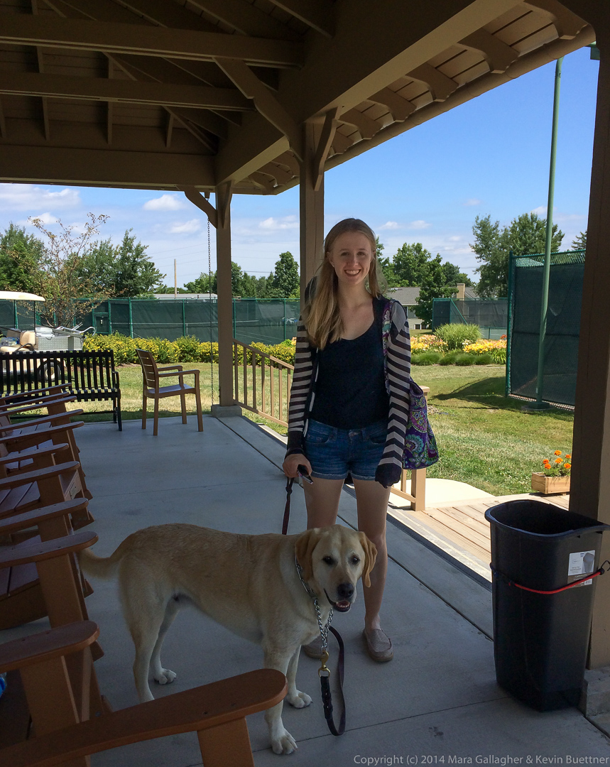
Mara sent me this photo…
Bob and I hiked the Dixie Mine Trail out to the service road for the antenna towers. We then hiked up to the Prospector Trail and took the first wash down towards the mine. There were a large number of bees around the pools of water at the waterfall, so we worked our way around the waterfall via a different path. We eventually did end up at the mine and the petroglyphs before hiking back. Total distance today was only 6.5 miles.
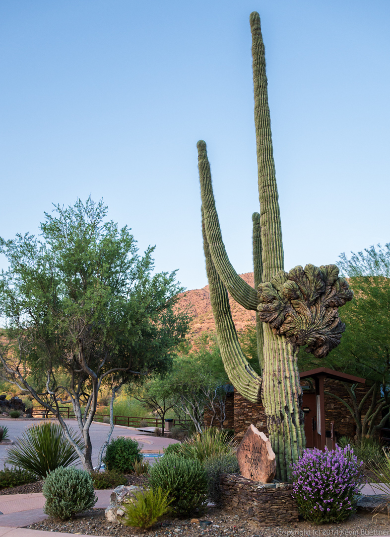
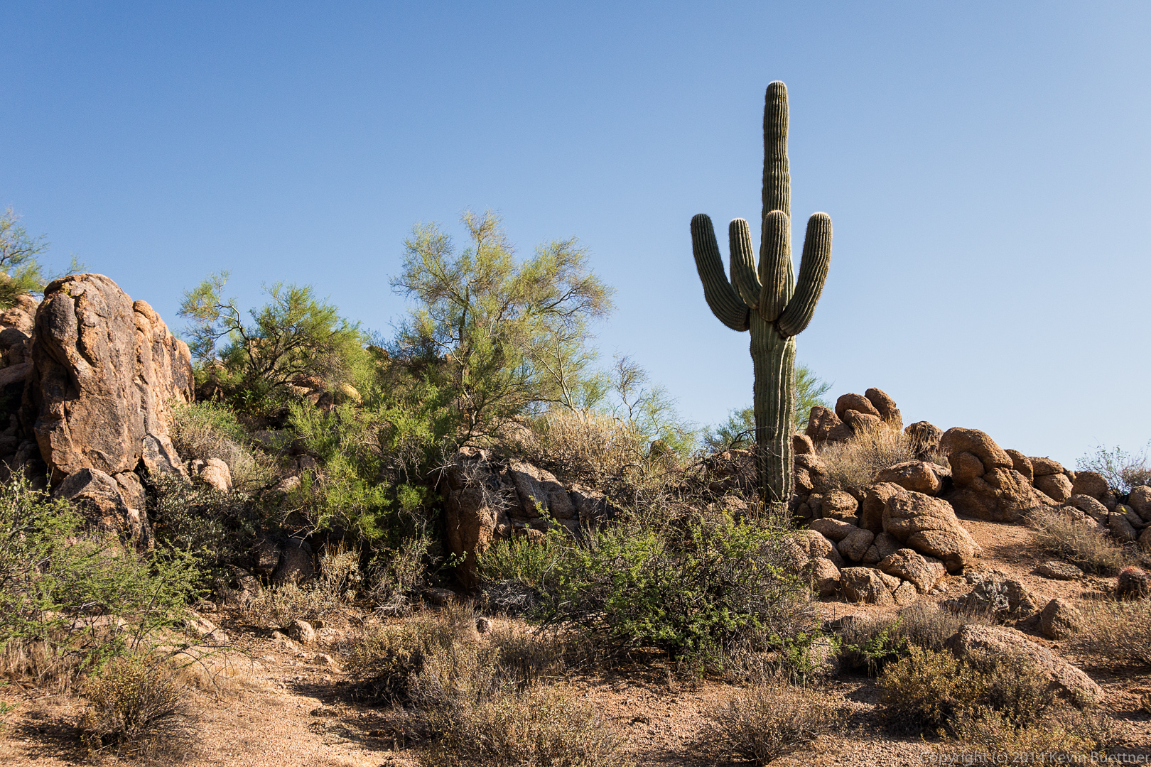
This is the crested saguaro at the trailhead parking lot.
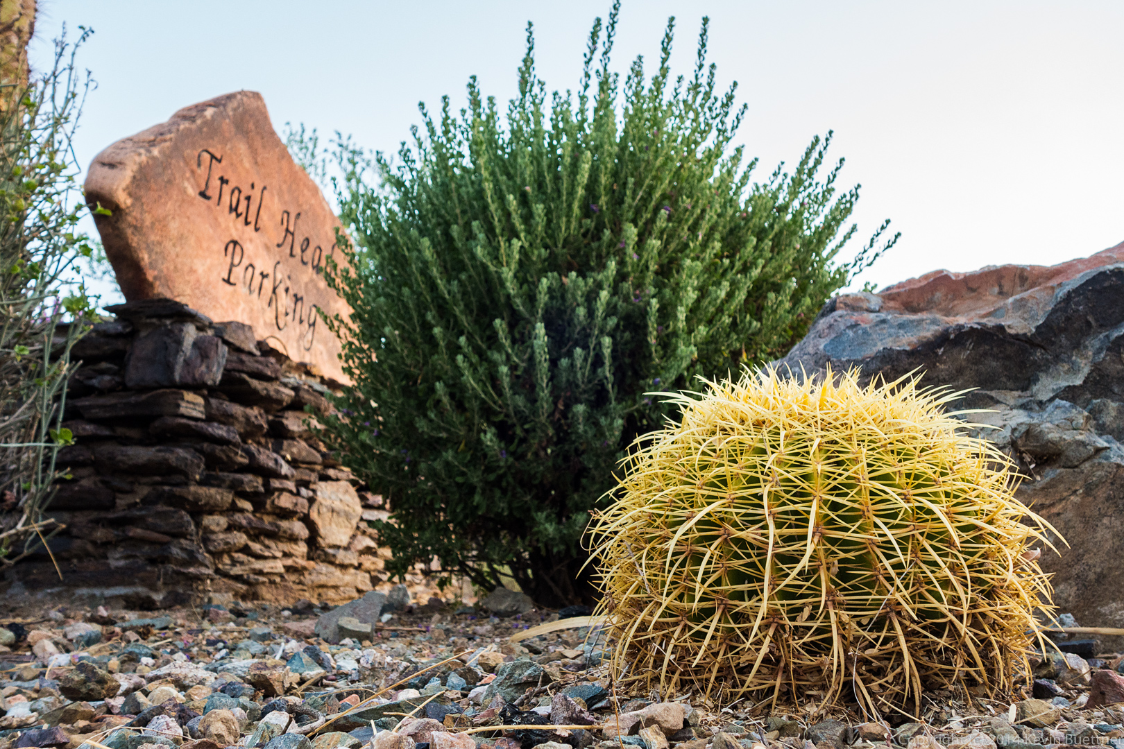
 Another photo at the trailhead:
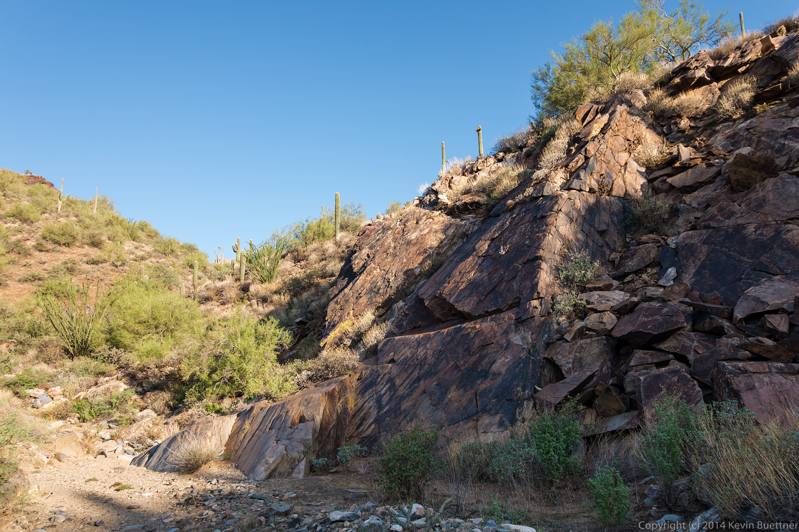
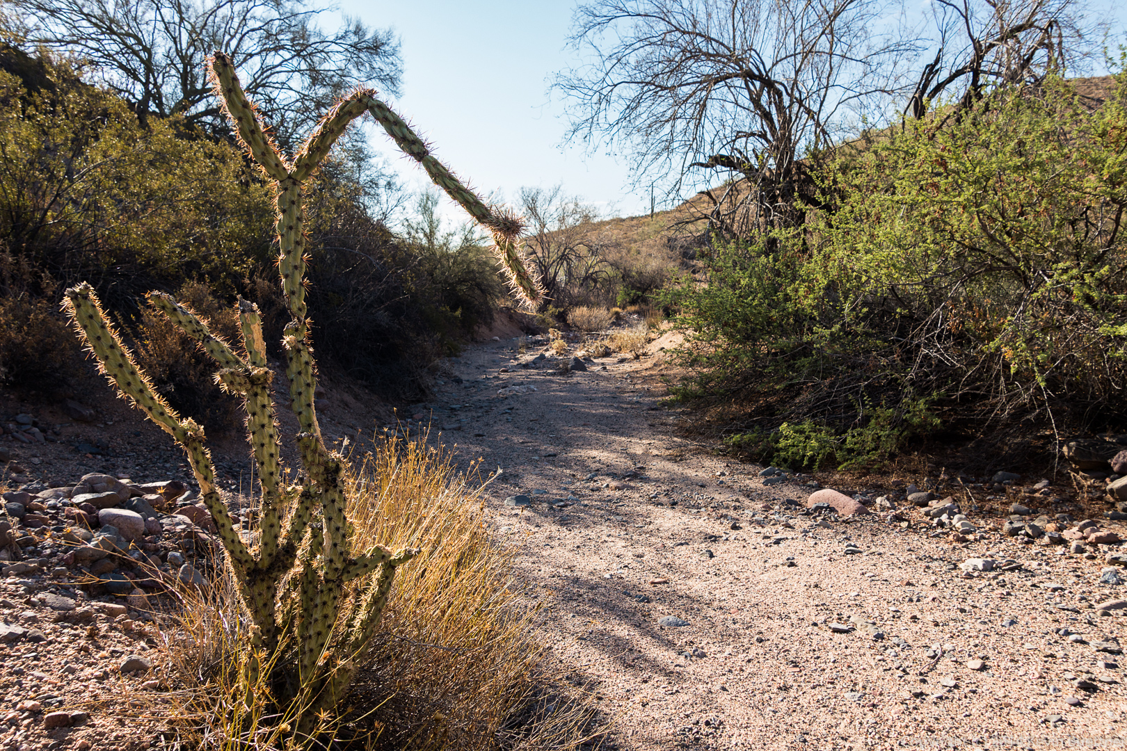
 This is the wash just off the Prospector Trail:
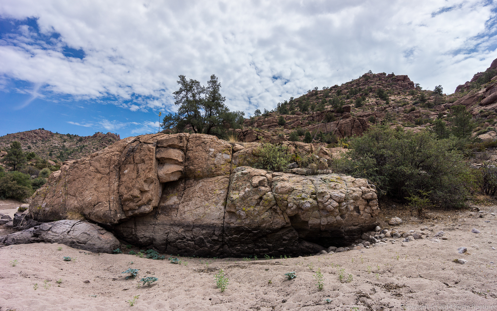
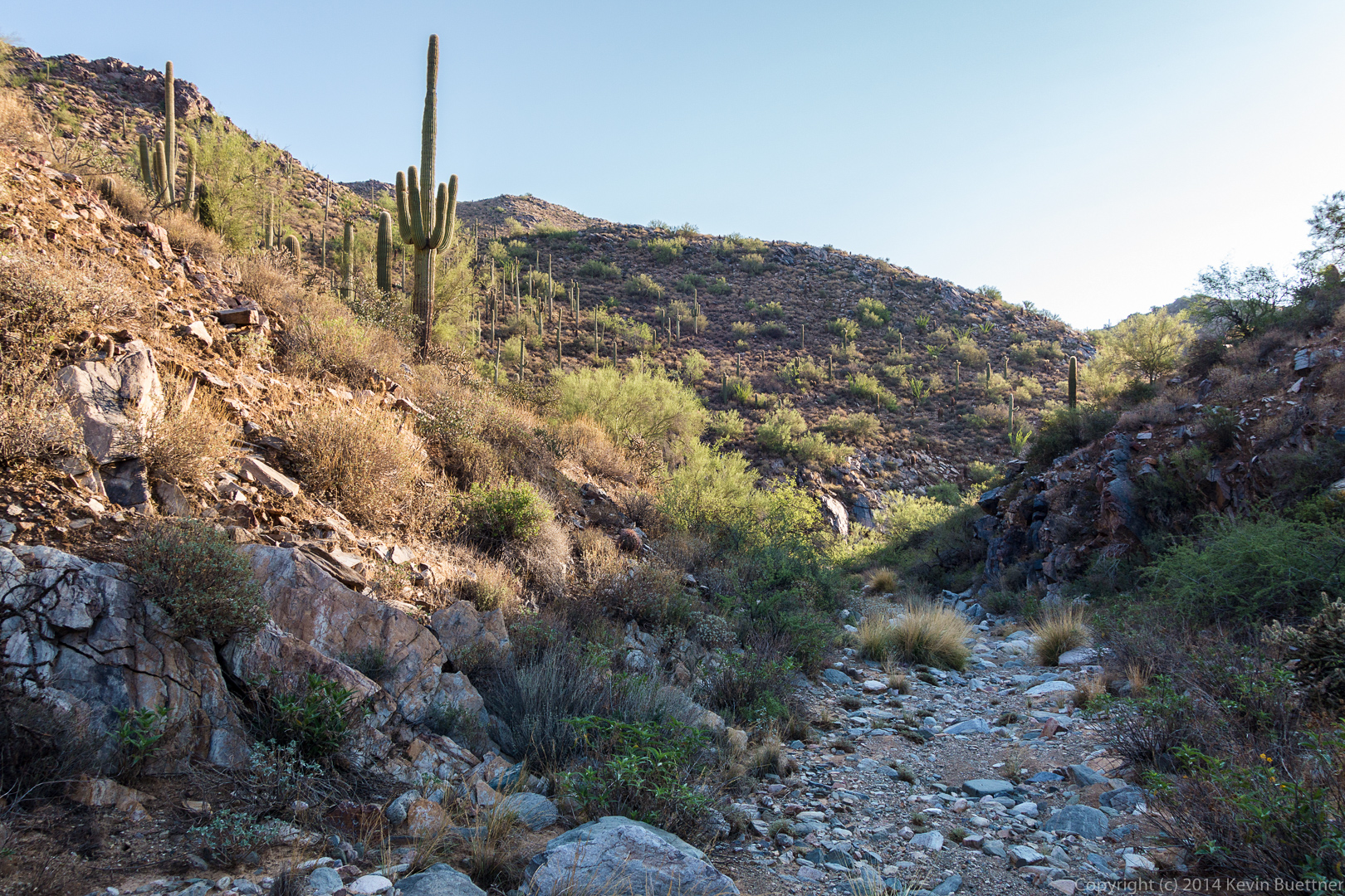 A look back at a fun rock upon which to scramble:
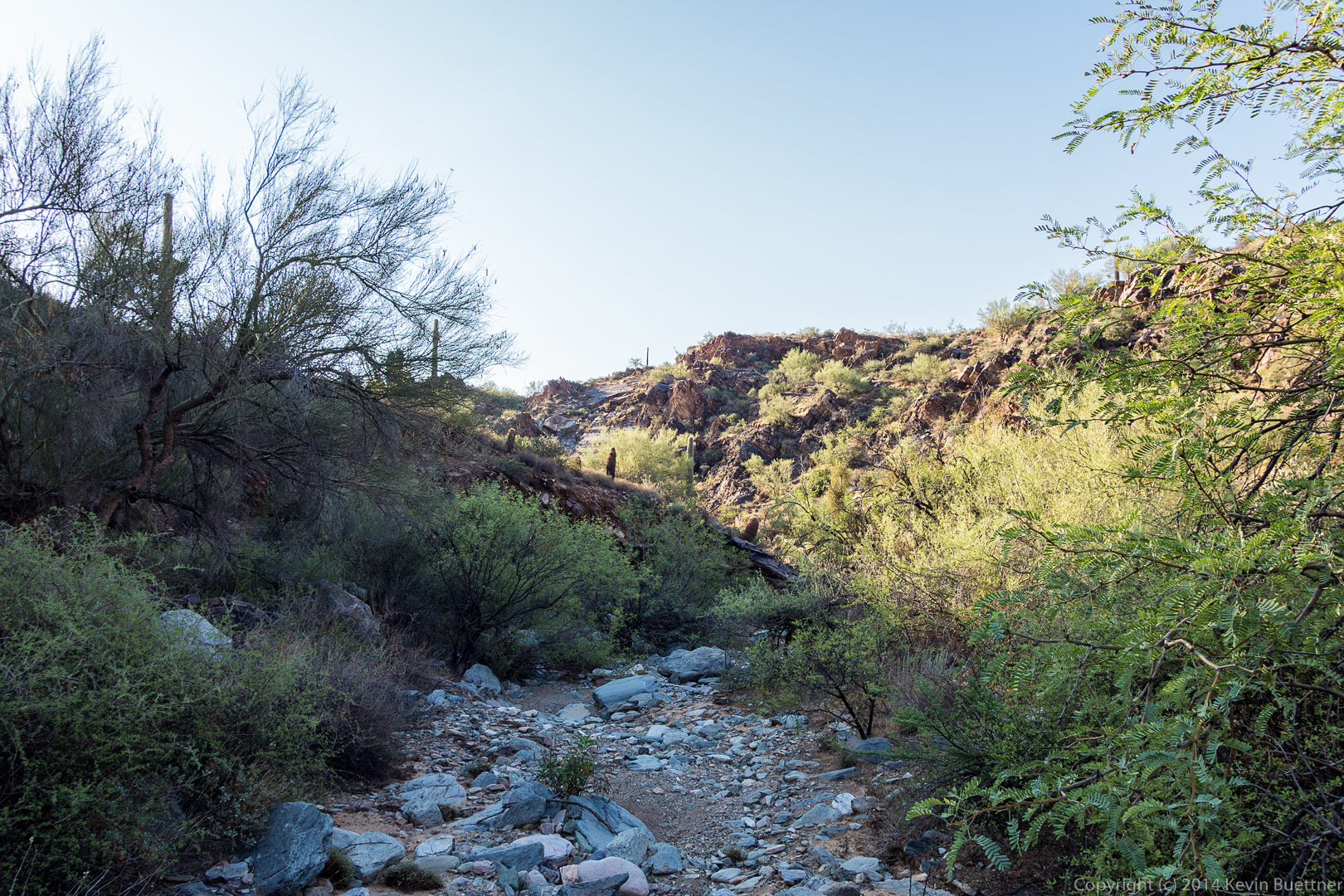
 Still in the wash…
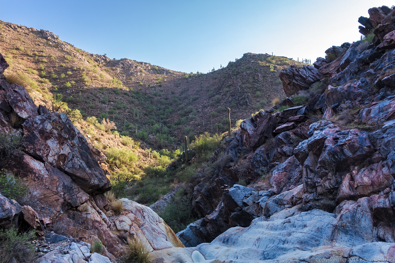
 A view from the top of the (mostly dry) waterfall.
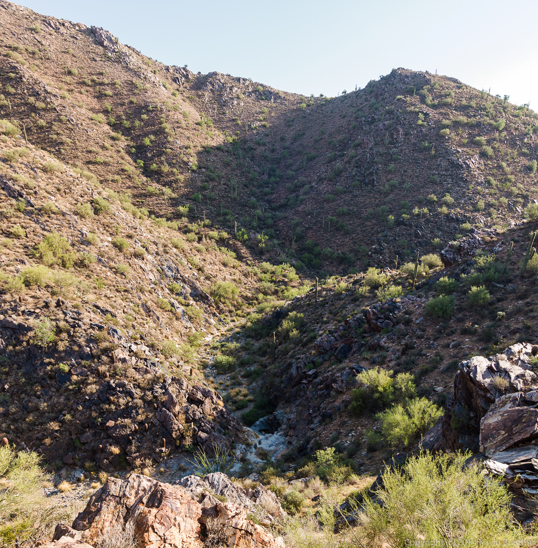
 A view looking down upon the same area in the previous picture. We had gained quite a lot of elevation between the previous shot and this one.
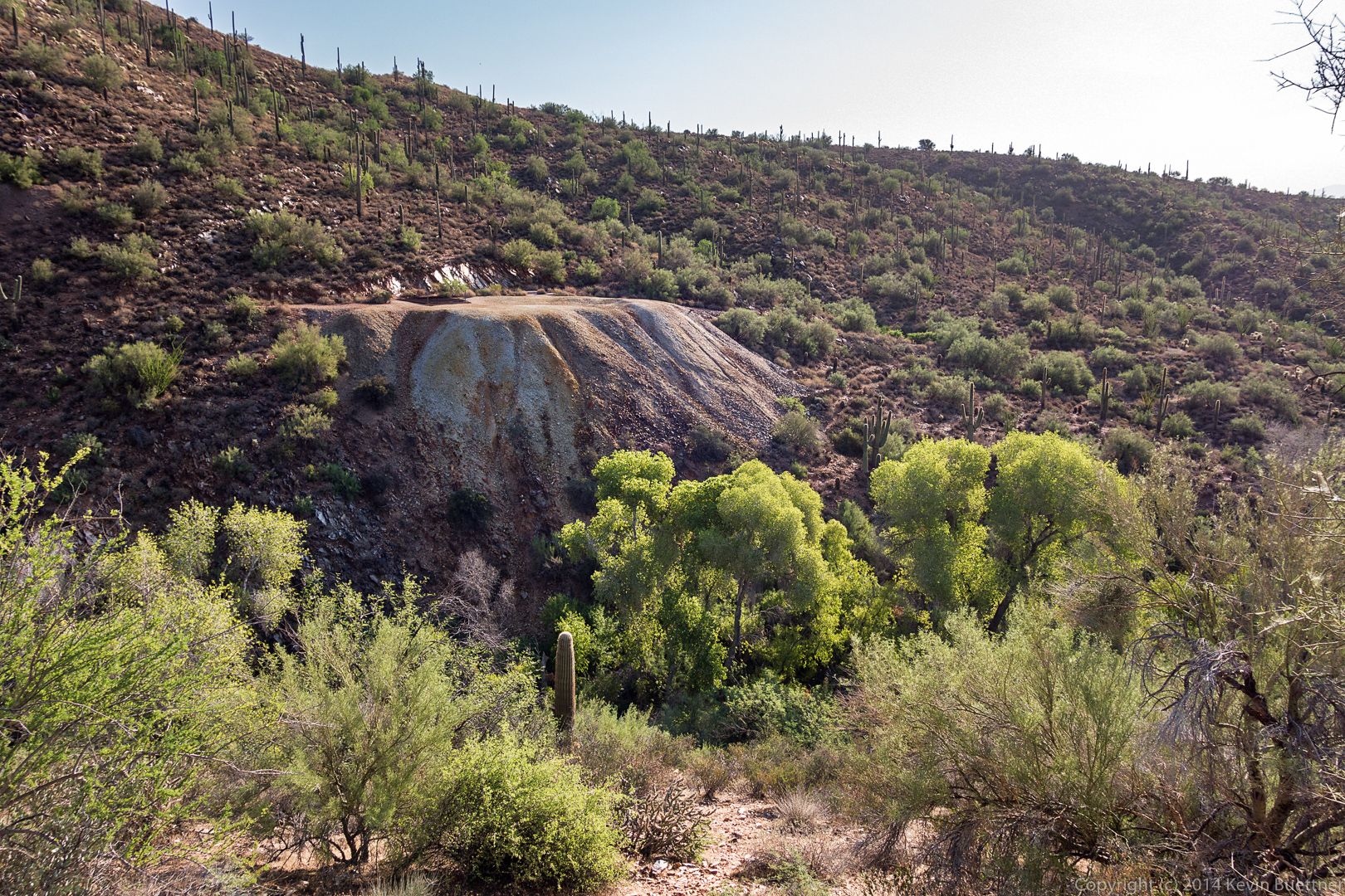
 A view of the mine. If you look closely, you can see the metal protective grate over the mine shaft at the top of the tailings.
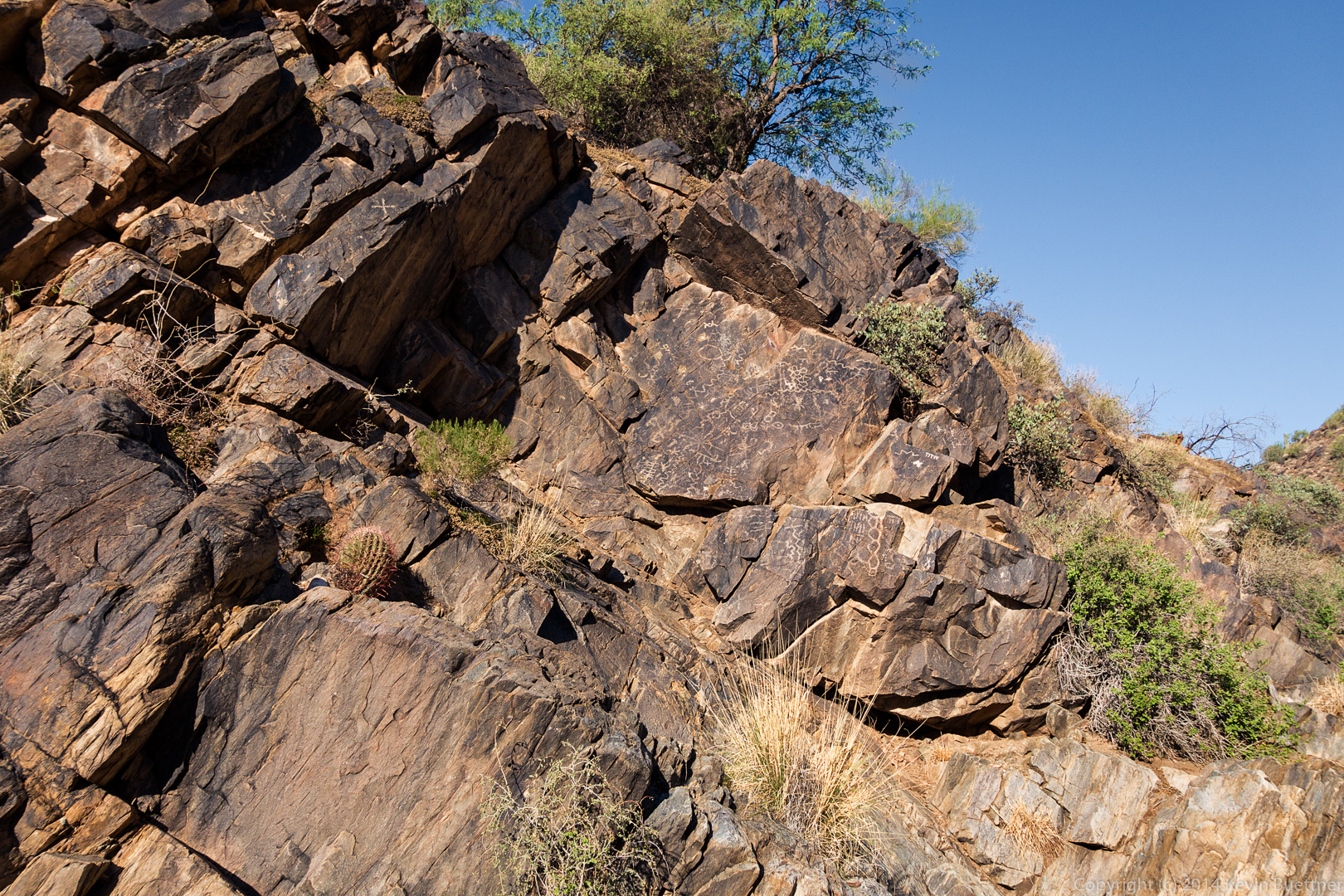
 A photo of the main petroglyph panel:
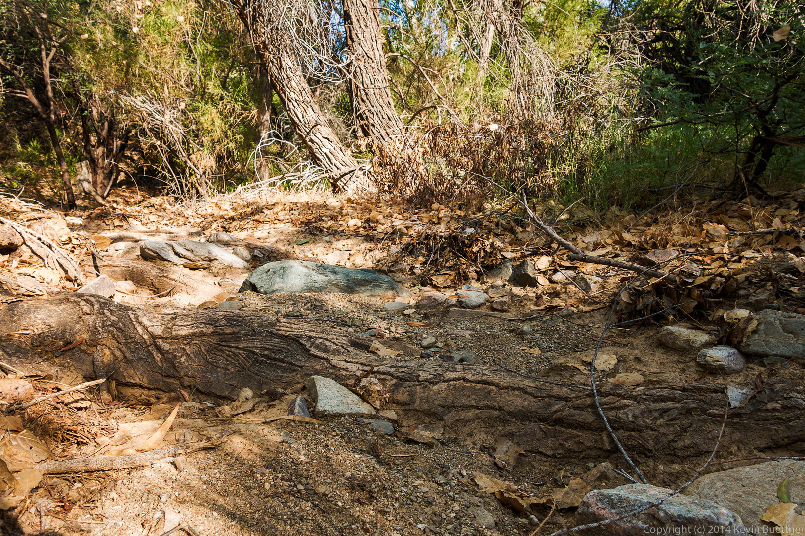
 As I was leaving the mine area, I noticed what appeared to be a large, very textured root.
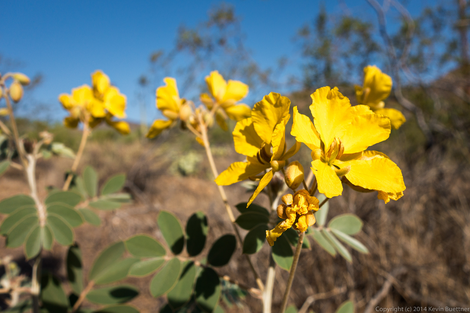
 We saw flowers on the way back. We were both surprised by this because, although we’ve gotten rain recently, the highs have been over 110 degrees. The flowers did look somewhat wilted.
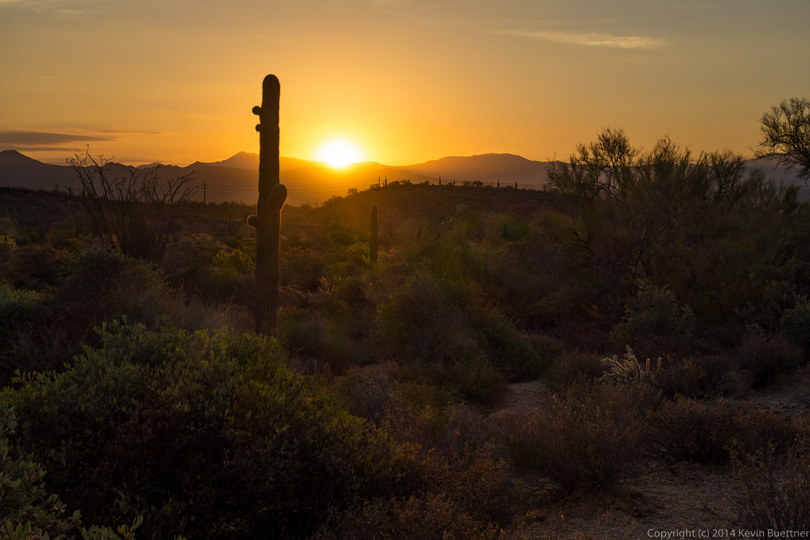
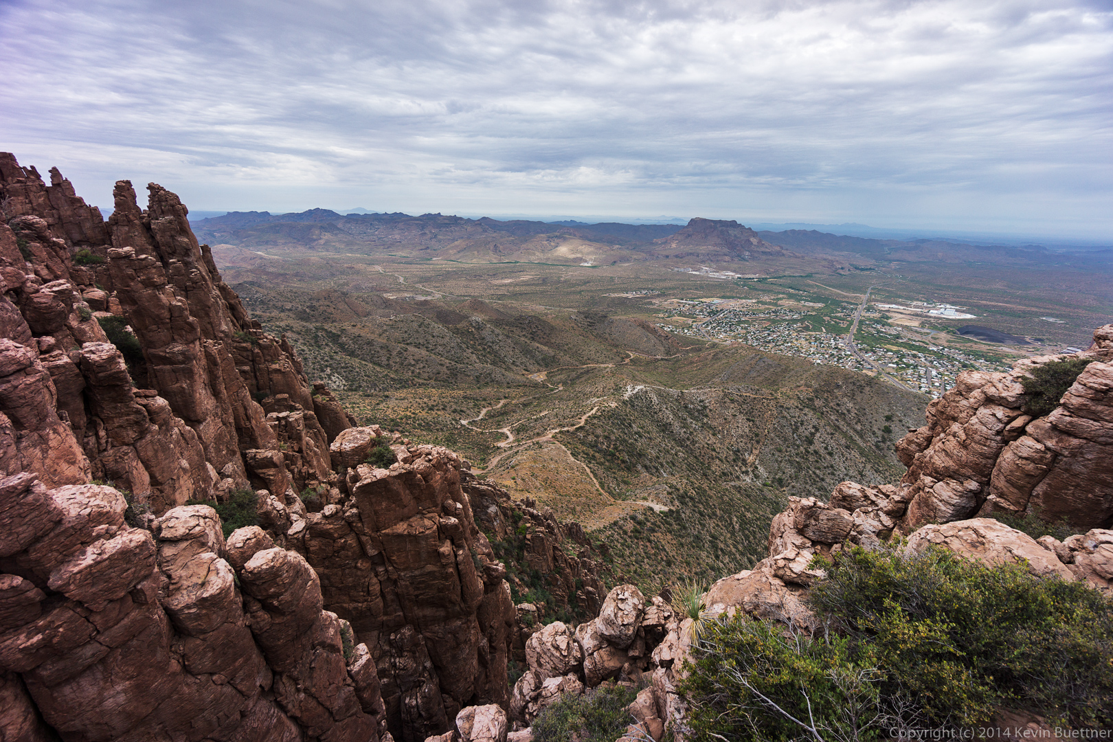
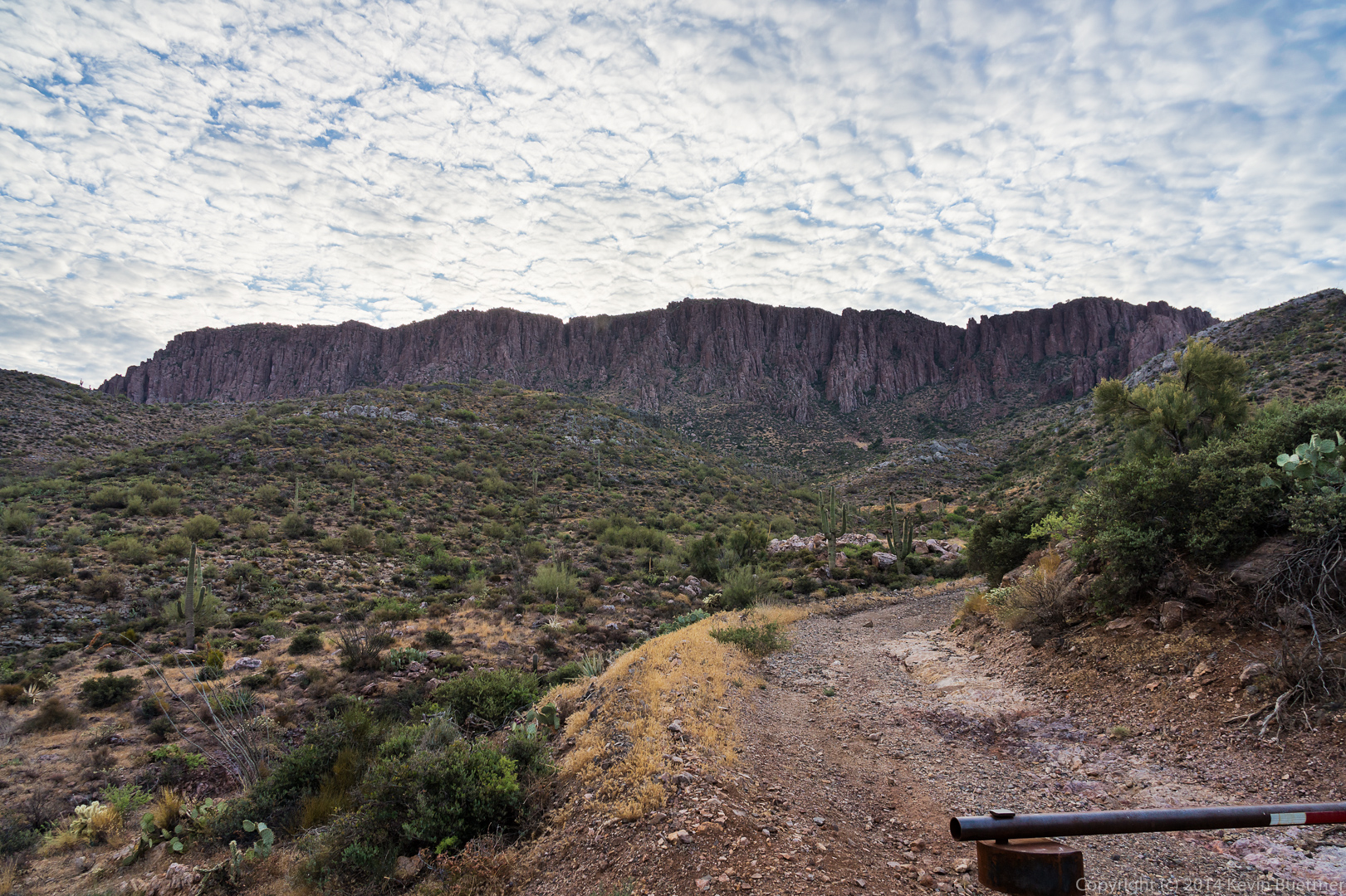
 A view from the Dixie Mine Trail:
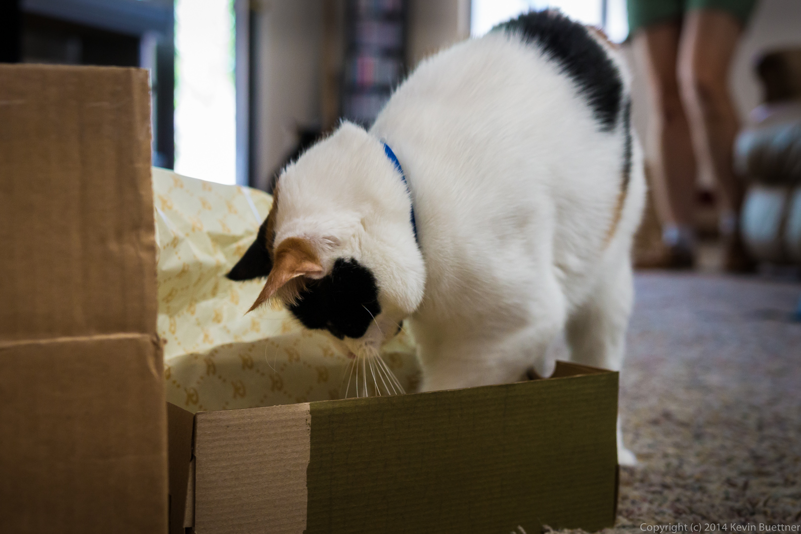
Marilyn got a new pair of shoes today. Callisto decided to check out the shipping box.
 Freckles has been sleeping in this box which we’ve had for a while now:

Callisto then proceeded to examine the shoe box. You can see Marilyn with her new Lems Mariner shoes in the background.
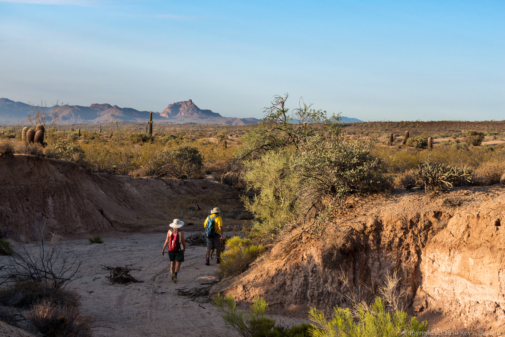
Sarge, Bob, Linda, and I hiked seven miles on Friday. Starting from the Wagner Trailhead, we walked across the street and took Tortoise to Pemberton, Pemberton to Stoneman Wash, Stoneman Wash to the Bluff Trail Wash, Bluff Trail Wash to Granite, Granite to Wagner, and Wagner back to the trailhead. (The Bluff Trail Wash feeds into Stoneman Wash. The Bluff Trail overlooks this wash.)
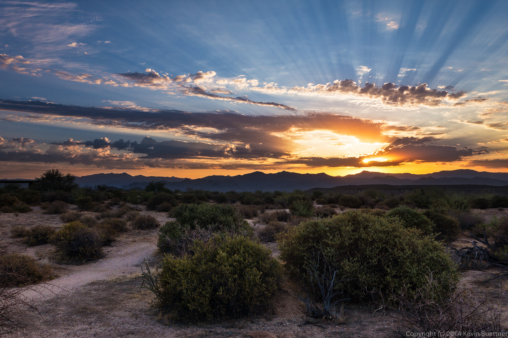
I arrived at the trailhead just after sunrise, but fortunately, there were some nice clouds obscuring the sun, giving me this shot:
 A view from the Tortoise Trail. Weaver’s Needle is barely visible in the distance.
 This is a view from the Pemberton as it descends into Stoneman Wash. Red Mountain is visible in the distance.
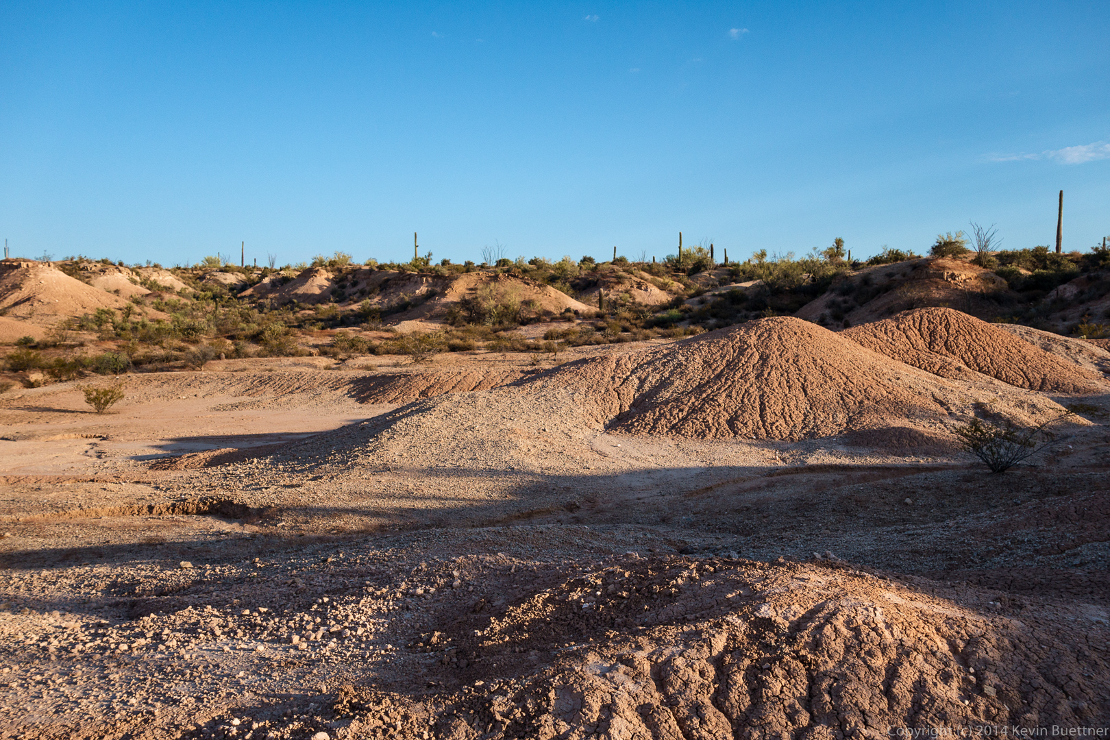
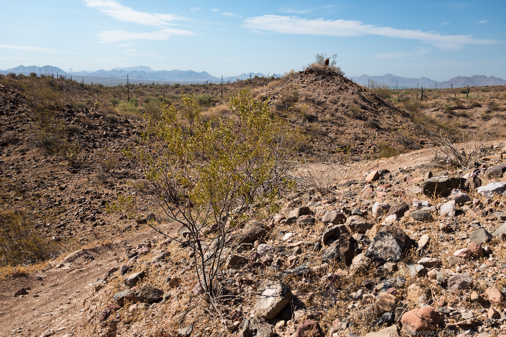
 There’s an area just off of the Pemberton, but adjacent to Stoneman Wash which was a test site for possible clay mine operations. There are a number of mounds in this area.
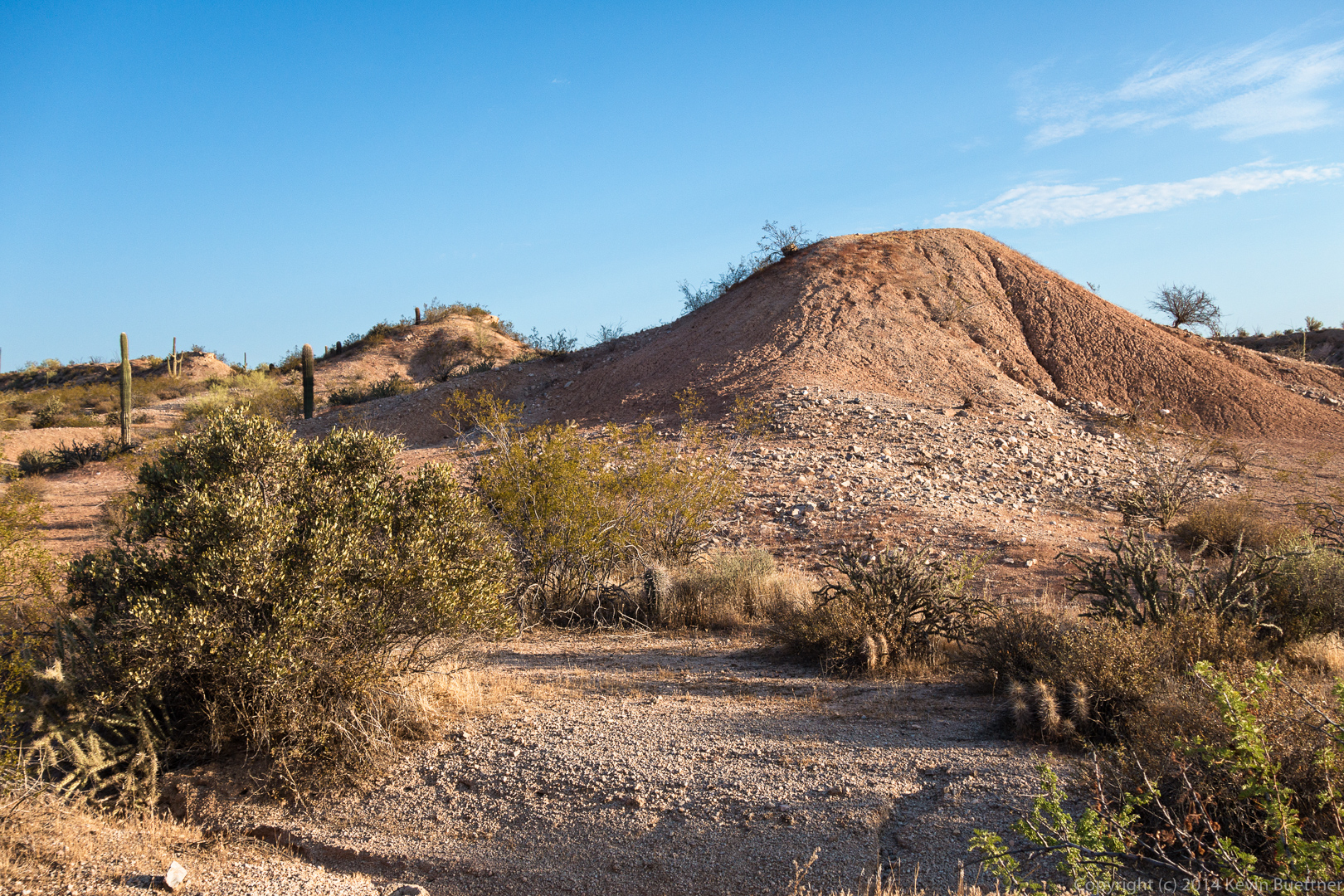
 Another view of some of these mounds, just after entering Stoneman Wash.
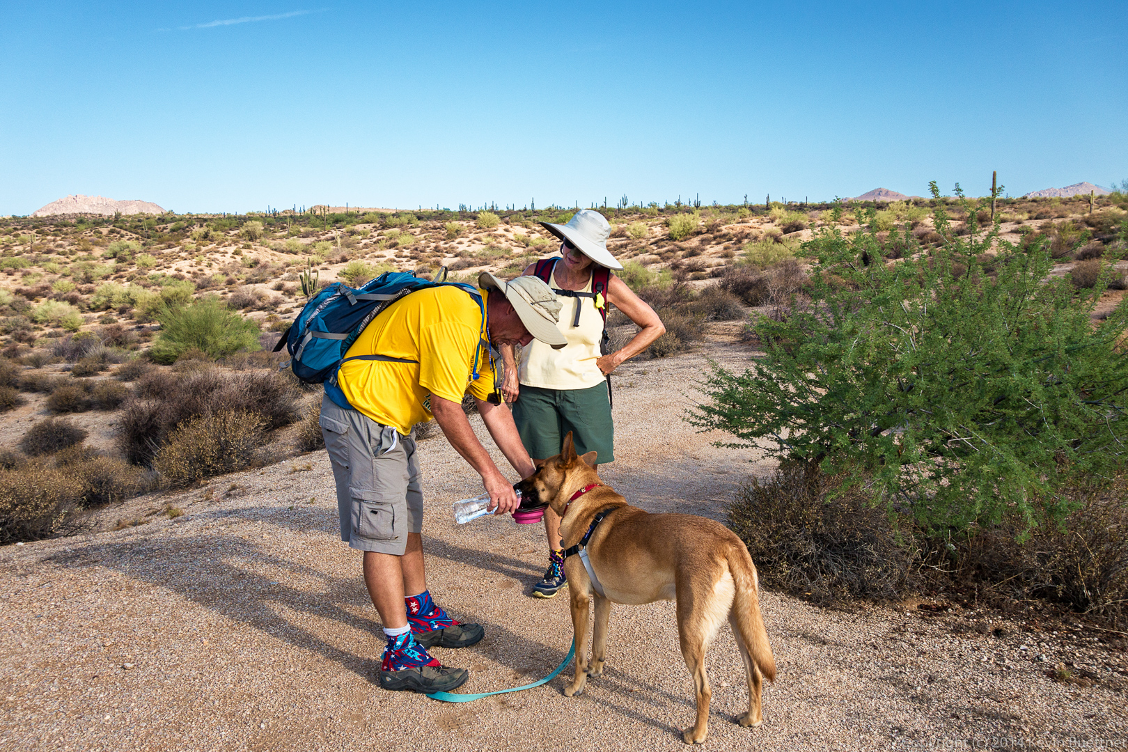
 Sarge, taking in some water.
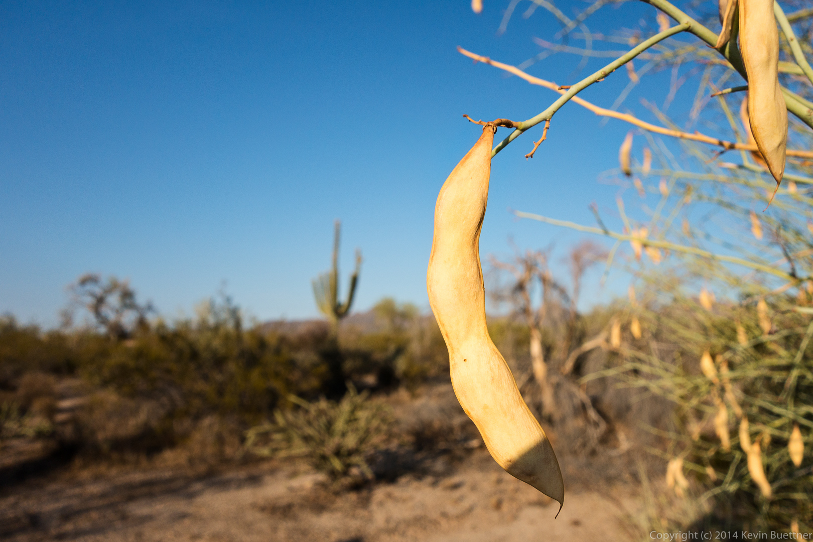
 Seed pods on a palo verde tree.
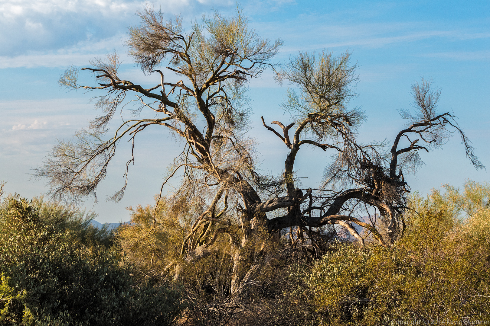
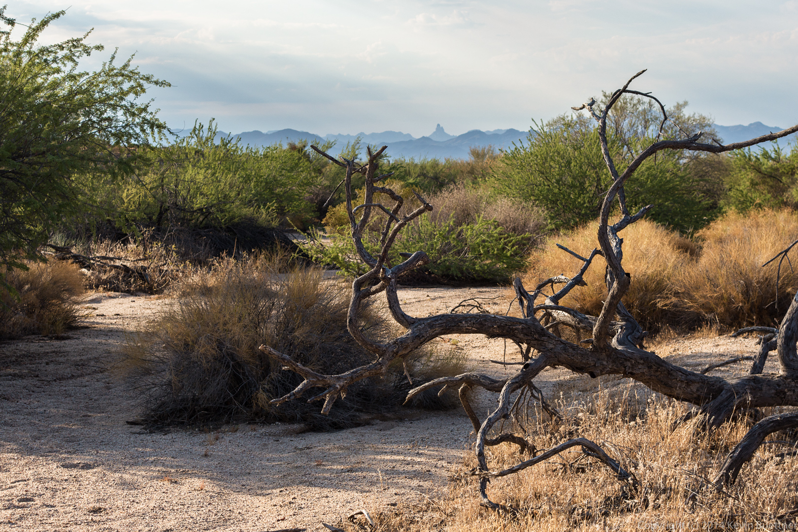
 Another interesting tree in Stoneman Wash.
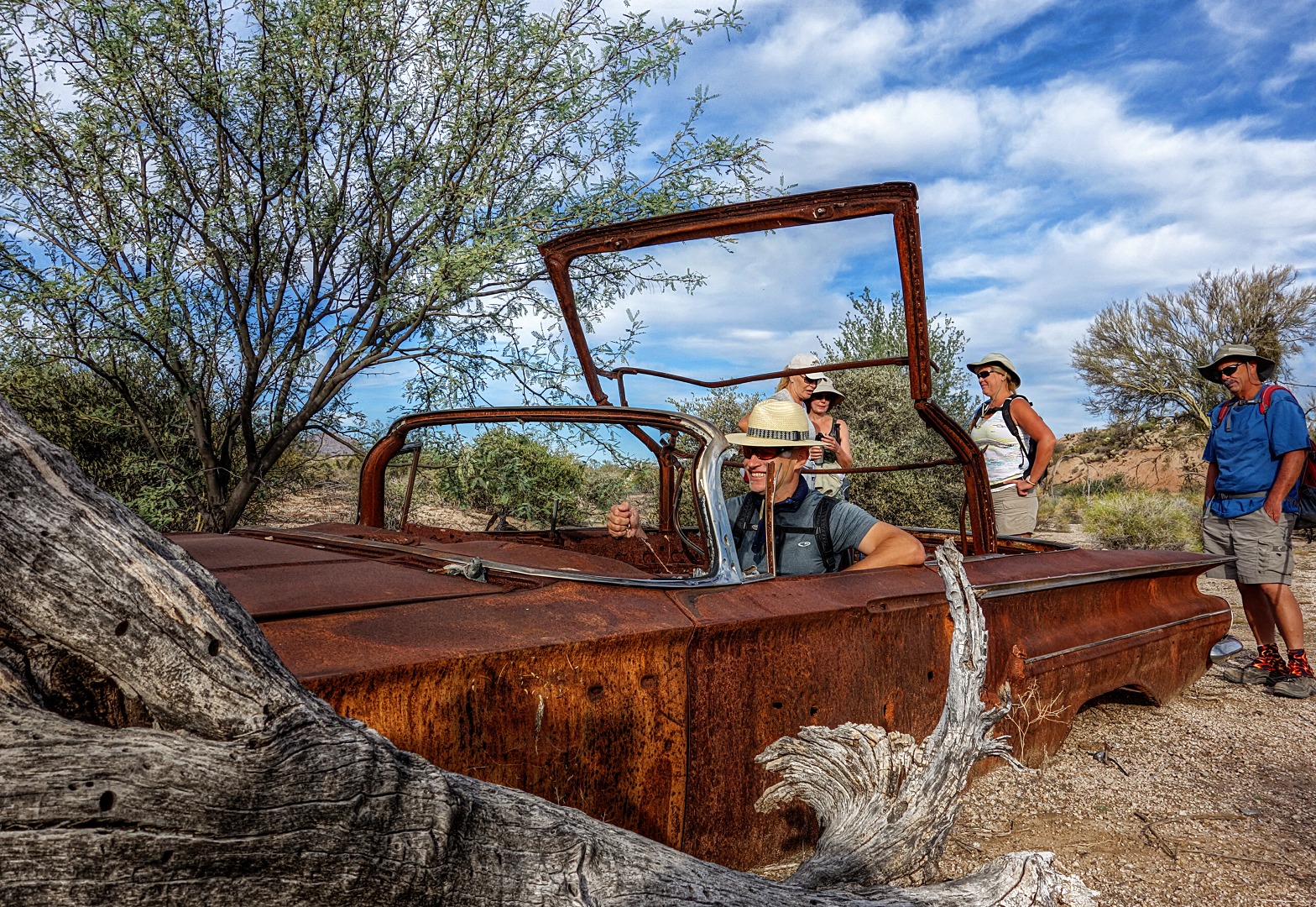
 This is a view from near the abandoned car in Stoneman Wash. (I decided not to take yet another photo of the car this time around.)
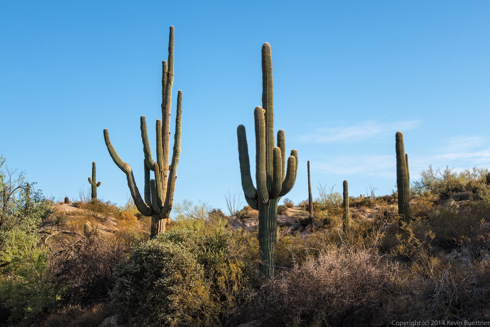
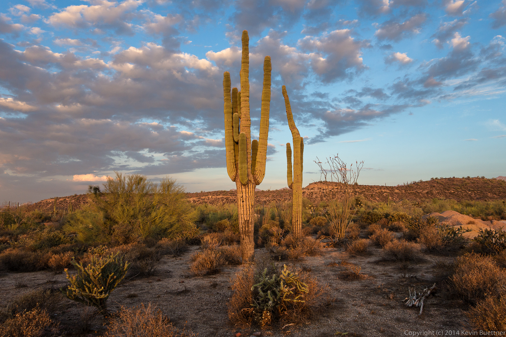
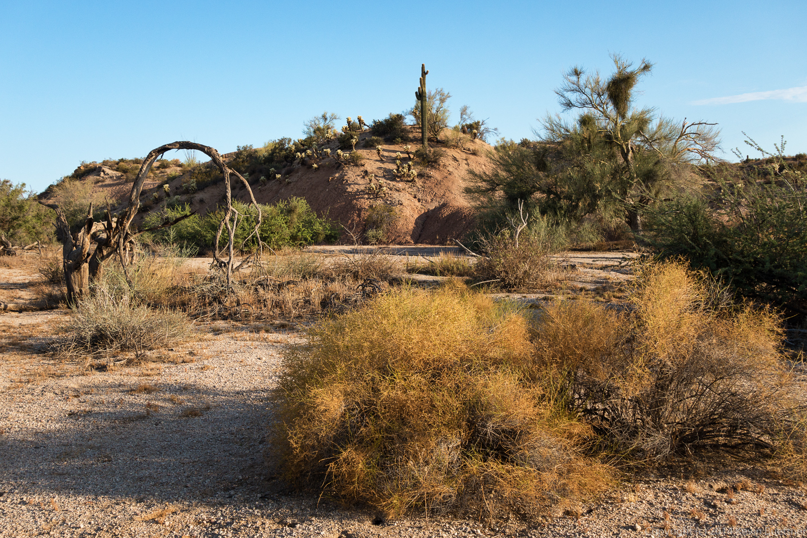 Saguaros in Stoneman Wash:
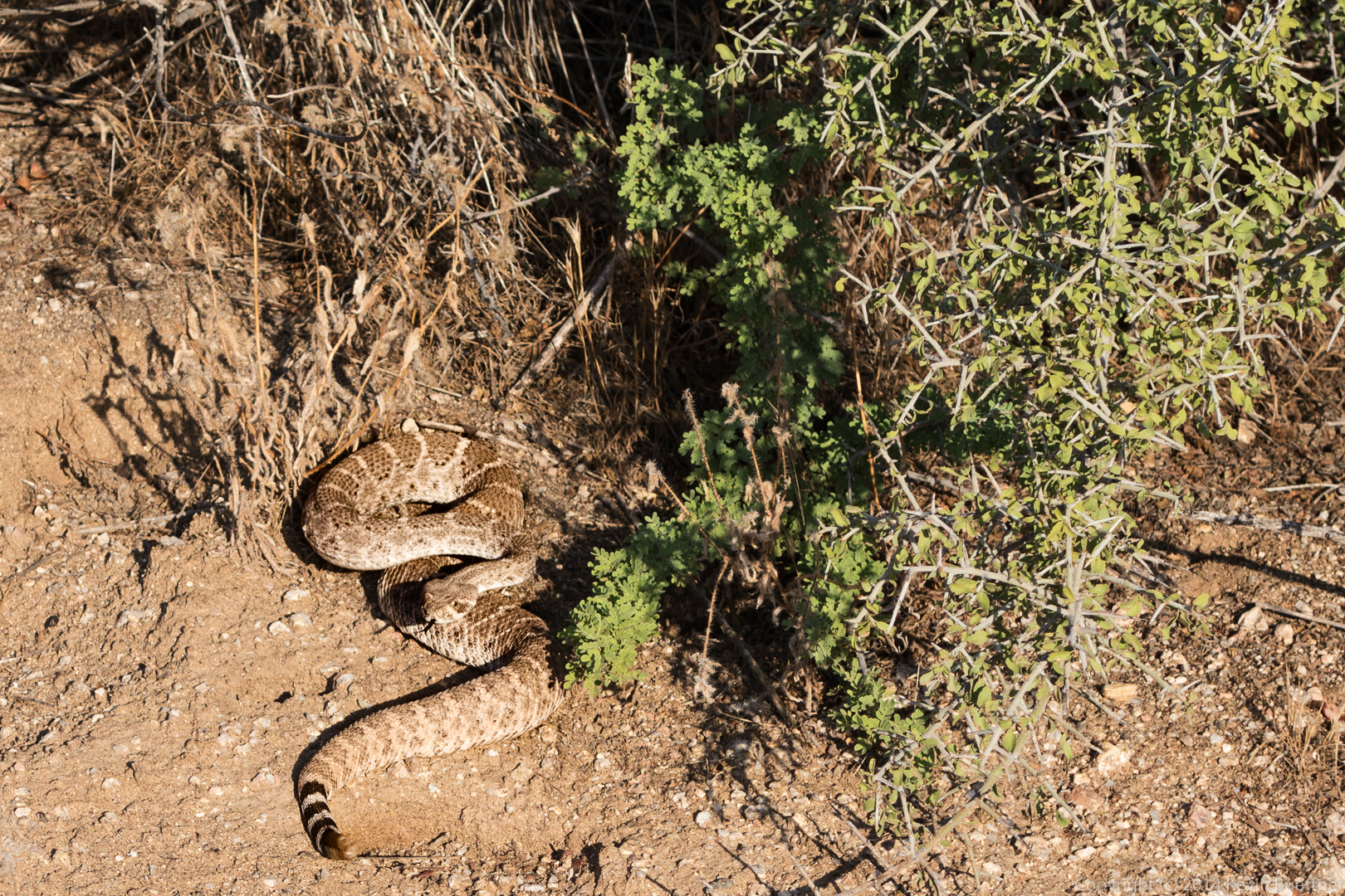
 Linda spotted this rattlesnake. It didn’t let me get very close for a photo.
 A view of Weaver’s Needle from Stoneman Wash:
 Sarge, getting some more water on the Granite Trail.
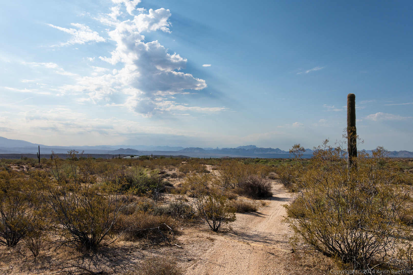
 Bob noticed that a large cloud bank was casting obvious shadows…
Bob, Linda, and I started from the Horse Staging Area on Friday and hiked a little over 7.5 miles.
Sunrise:
 I took this photo from the parking lot, just after sunrise:
 A view from the Cinch Trail:
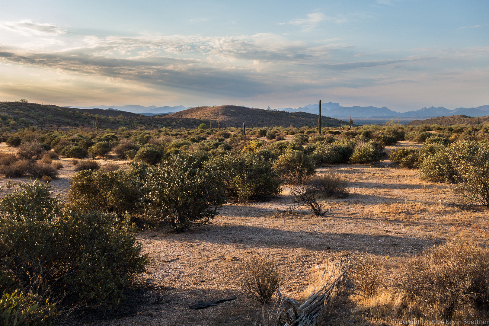
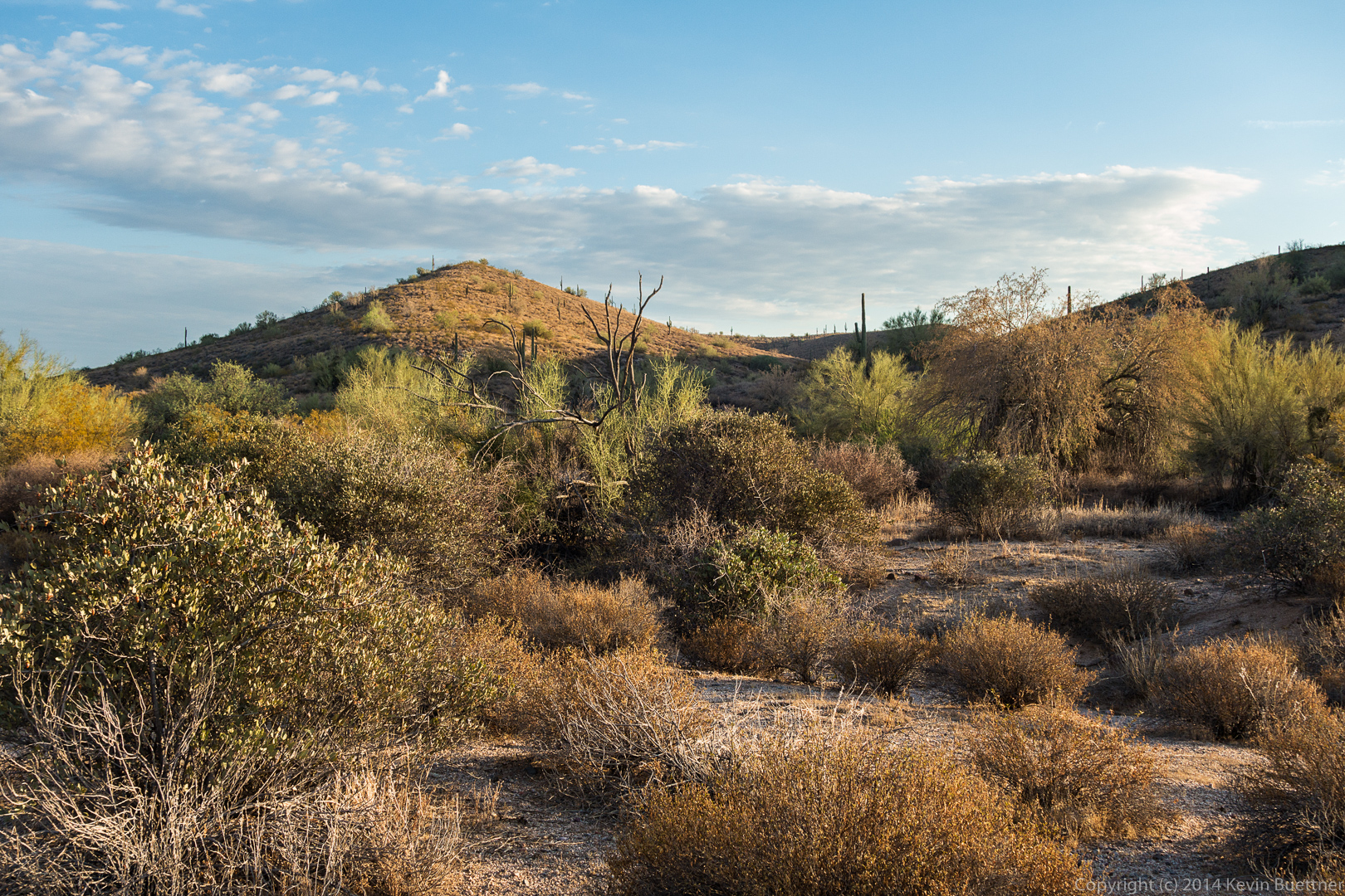 Things are looking mighty brown from the Scenic Trail:
 We found this wash which lead us over to the Escondido Trail:
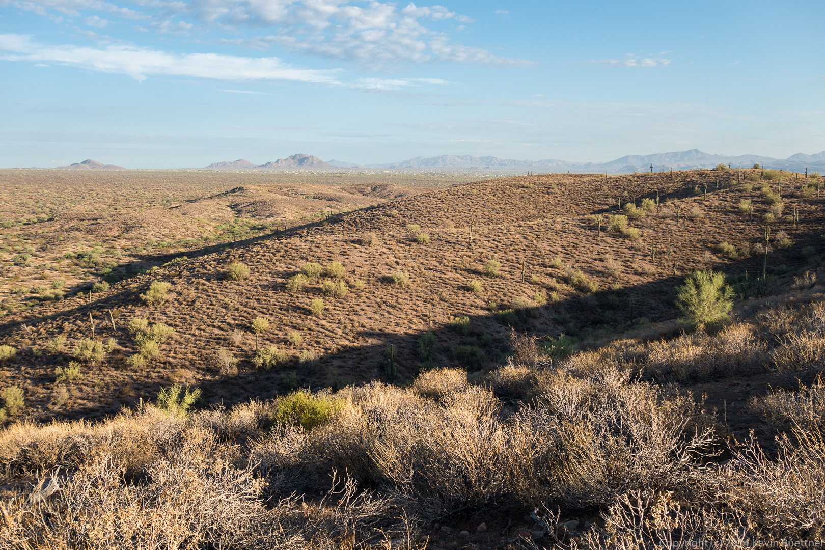
 A view from the Escondido Trail:
Bob and I hiked out to the top of Apache Leap on July 4. On July 5, we returned to the area and approached Apache Leap from the west side. We hiked up some old roads and eventually started following some cairns to the base of Apache Leap, but turned back before we got there because, without climbing gear, it looked doubtful that we would be able to proceed much further once we arrived at the base. We then went on to do a short hike in Upper Devil’s Canyon.
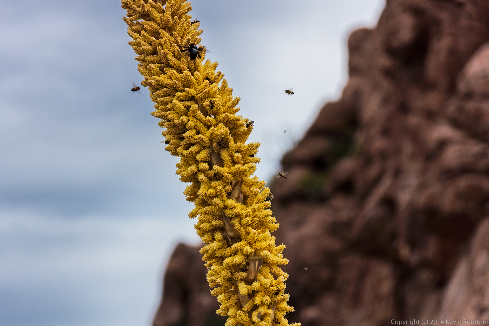
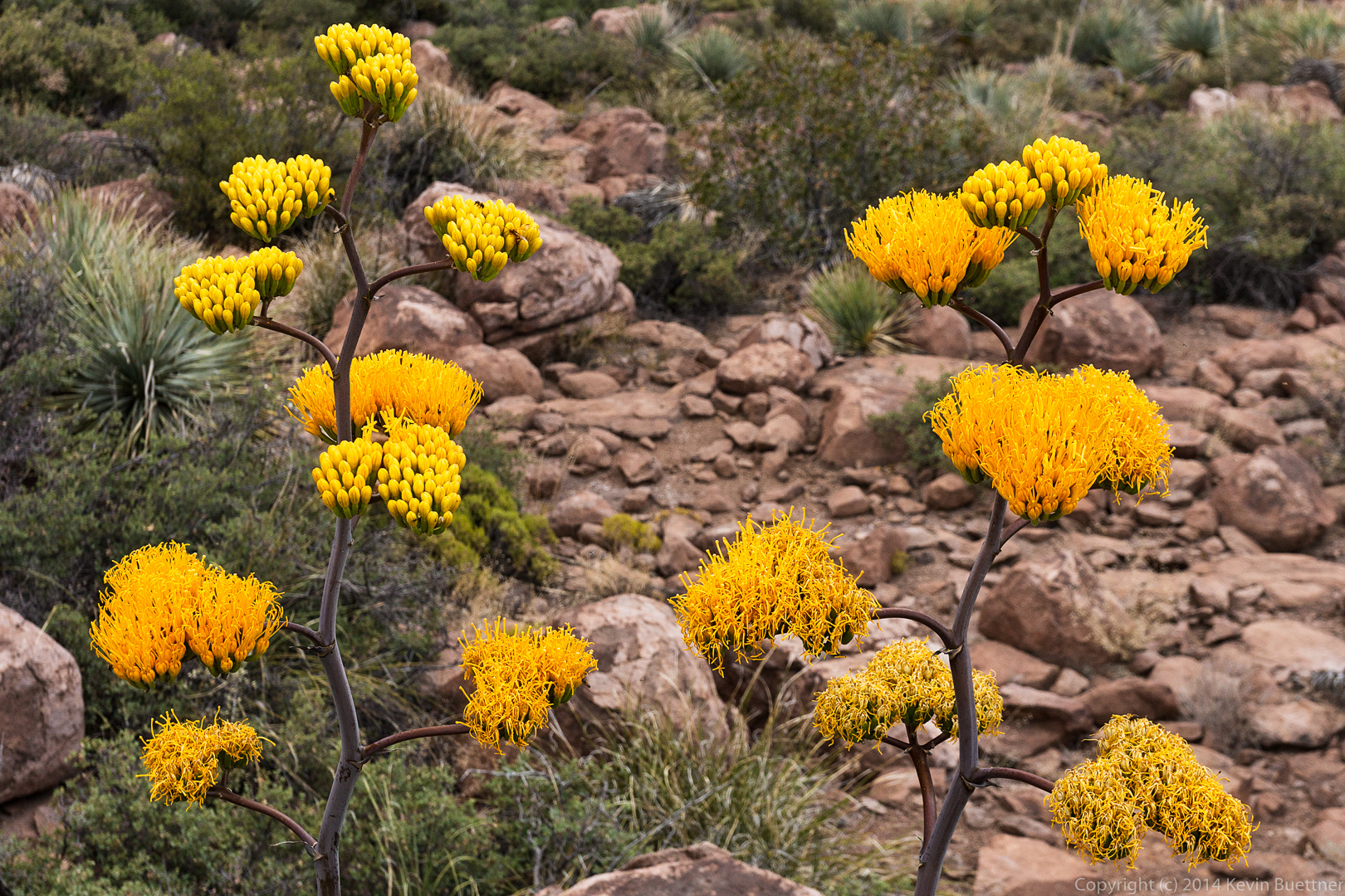
Bees and other insects around an agave flower.
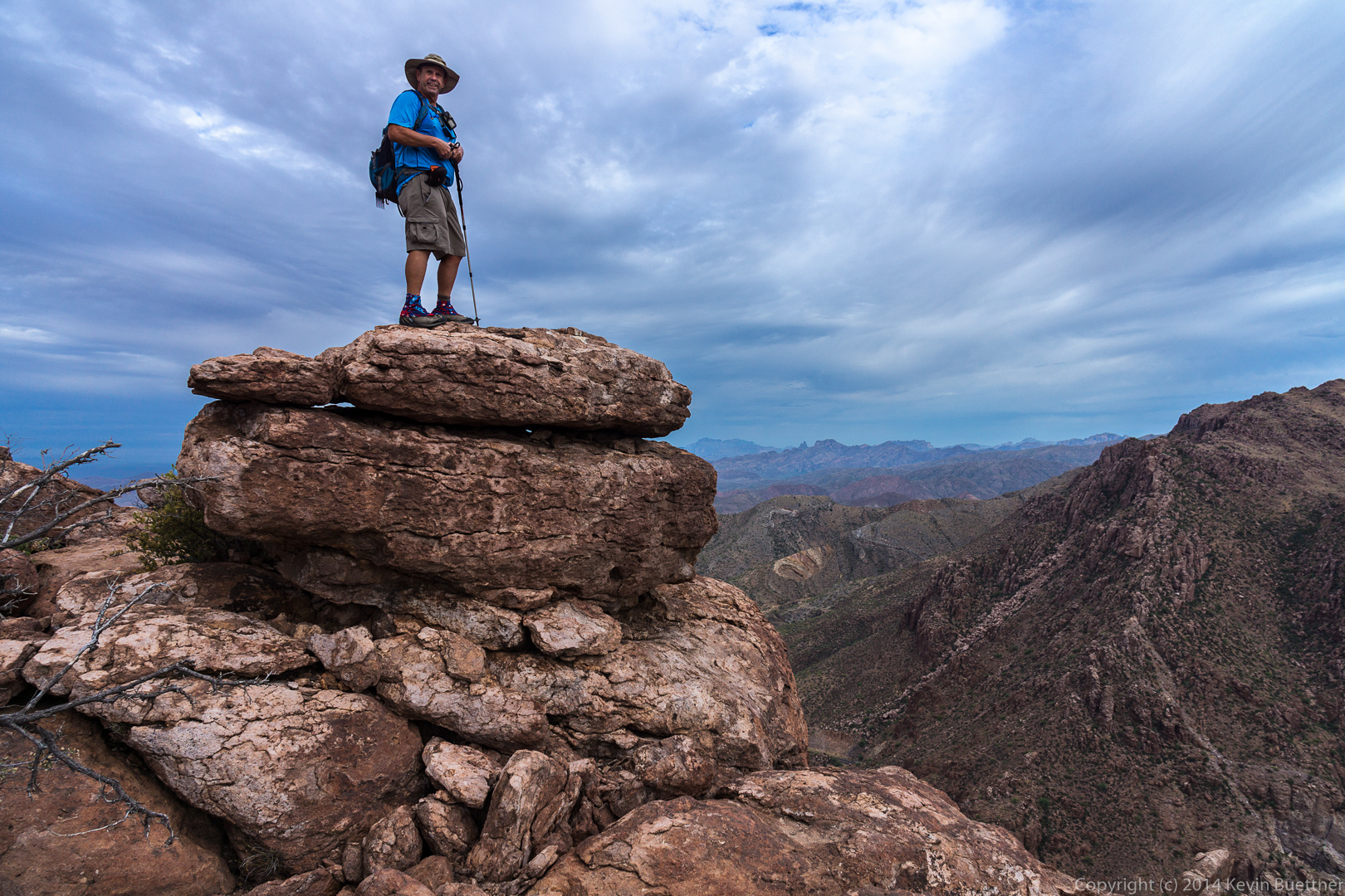
 Bob standing atop a boulder at the northern edge of Apache Leap.
 A view of Superior with Picketpost Mountain in the distance. We’ve added Picketpost Mountain to the list of hikes we want to do. There is a hike which goes to the summit.
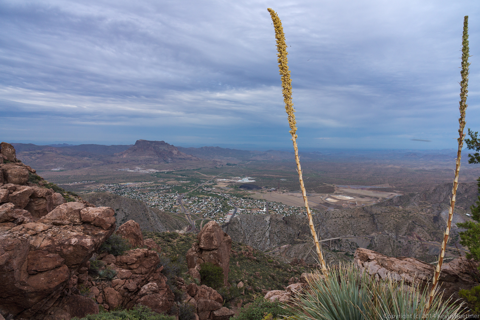 We could see Weaver’s Needle from this vantage point too.
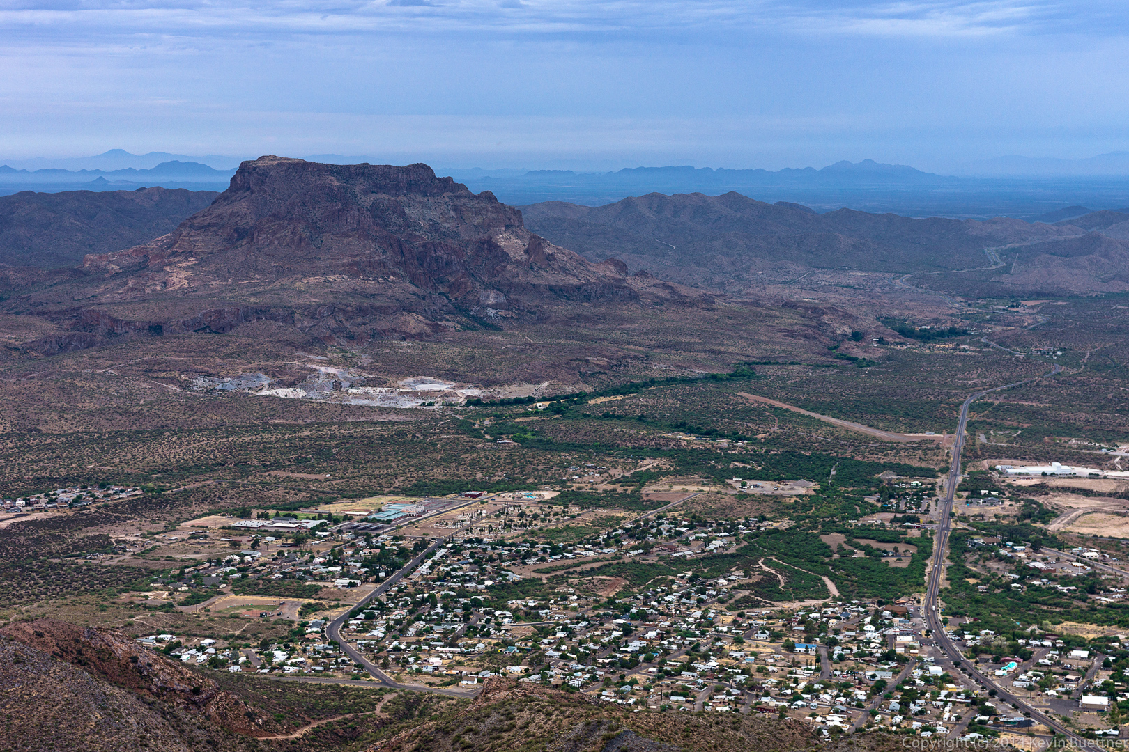
 Another view of Picketpost Mountain with the town of Superior in the foreground.
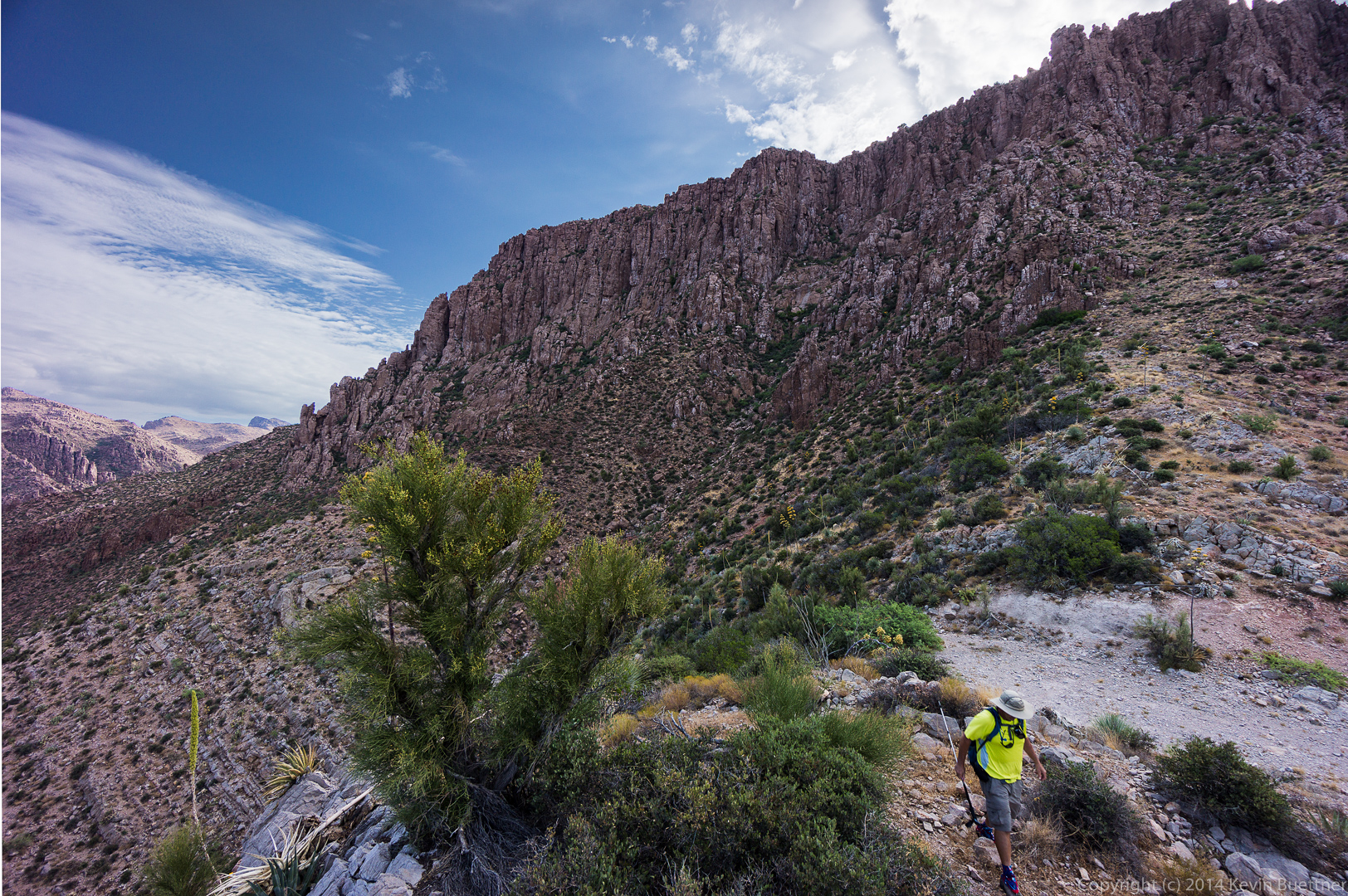
 We hiked further south along to reach another view from the top of Apache Leap.
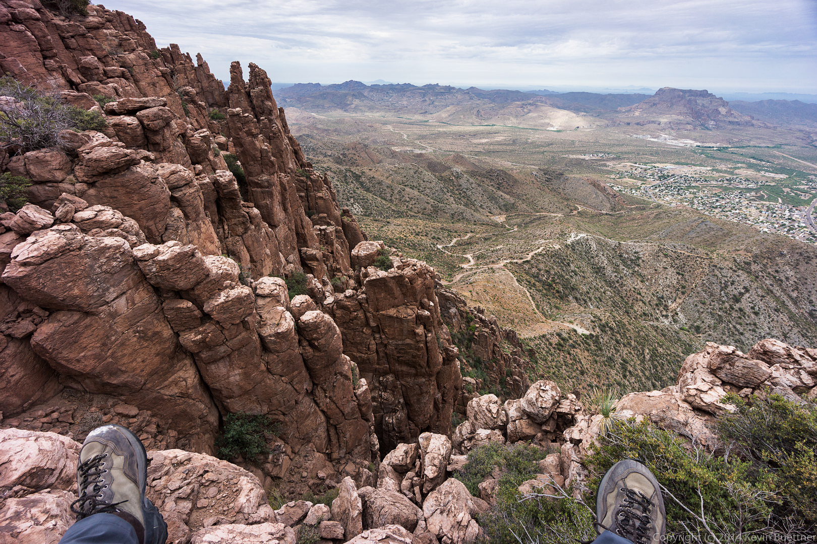
 This shot, taken at a 10mm focal length (on an APS-C camera) gave a wide enough angle to include my feet.
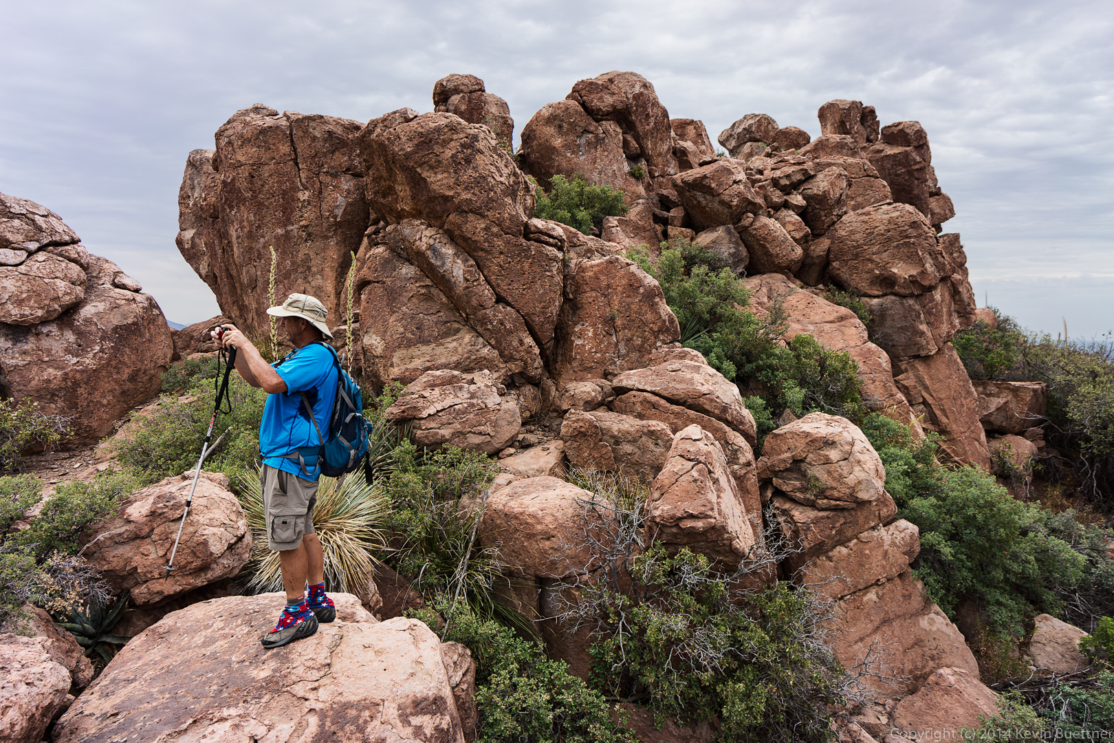
 Bob is taking a photo of the terrain towards the mine.
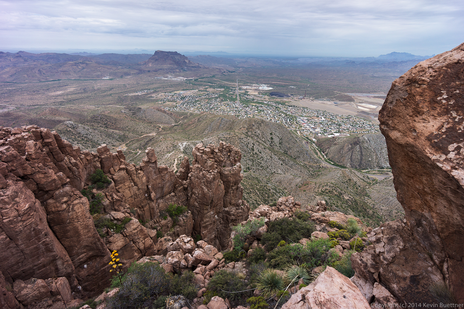
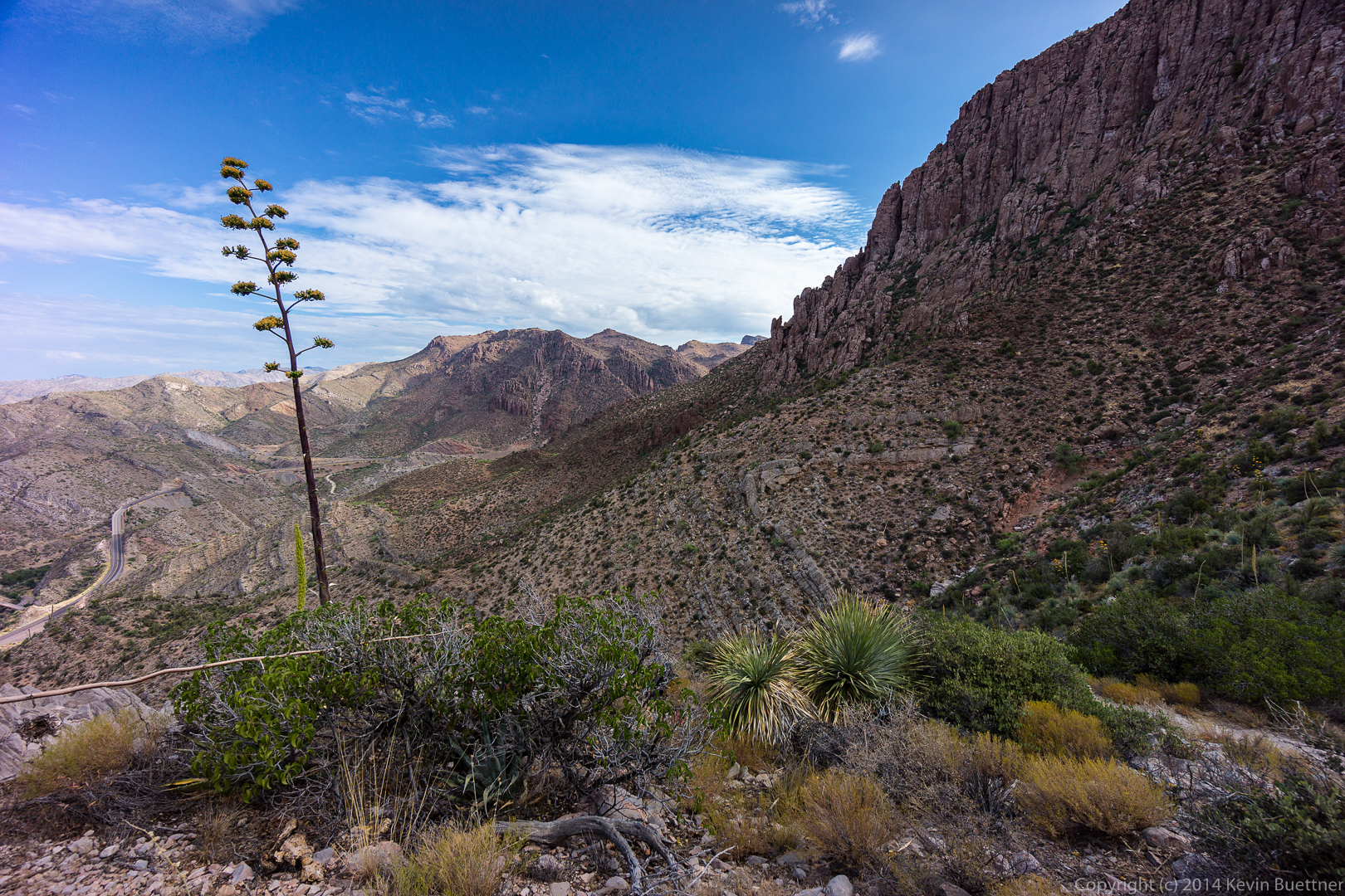
 Yet another view from the third (and last) area at the top that we visited.
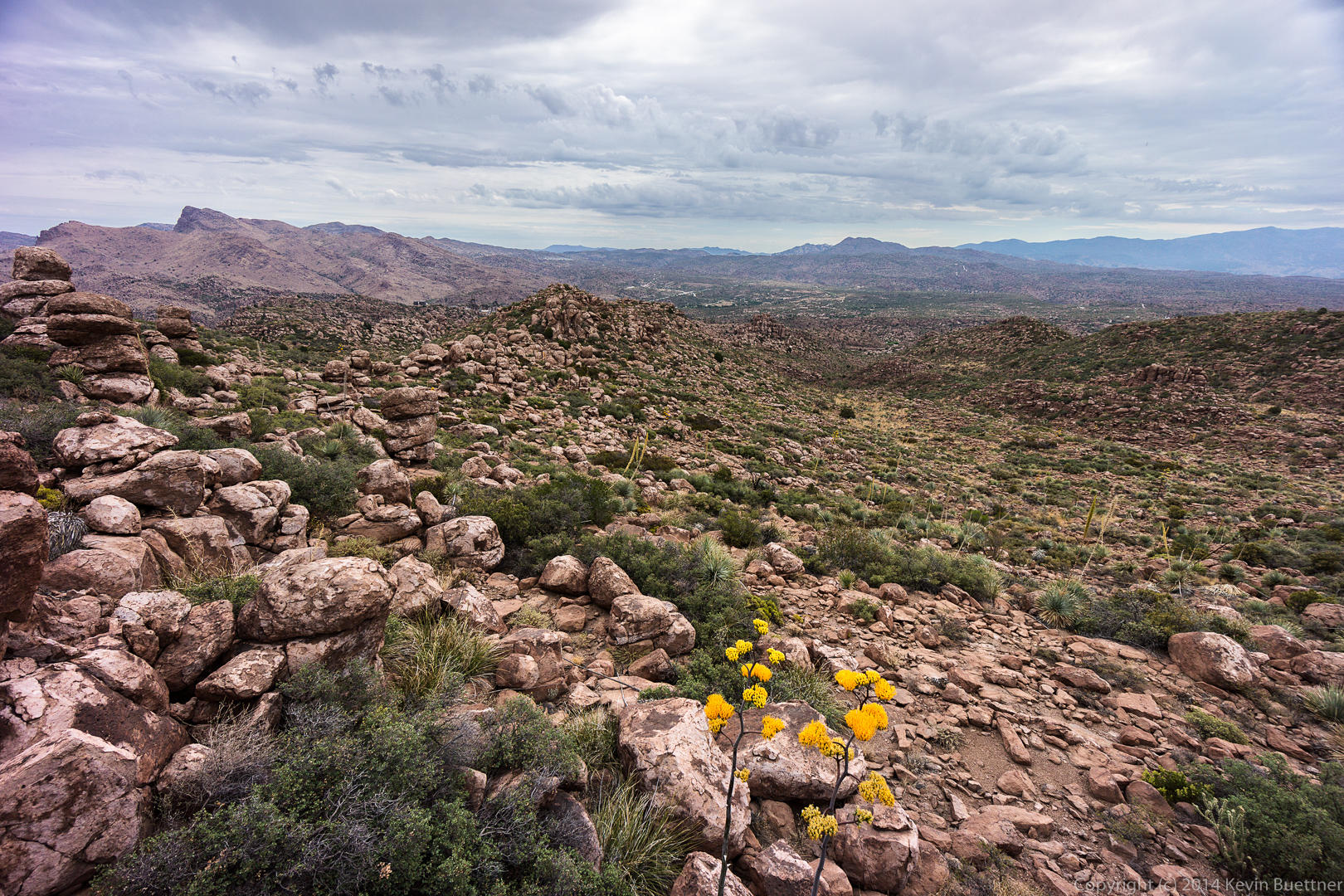
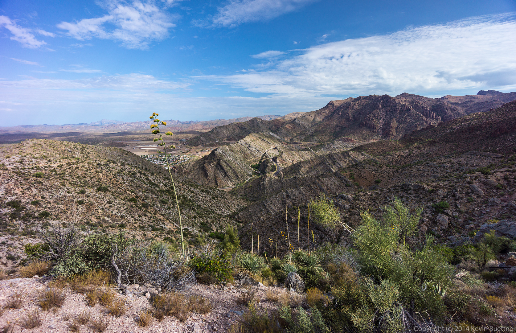
 A view looking back towards where we had come. The terrain is quite rough; we only hiked 3.5 miles in 5.5 hours, though our moving time was about 3 hours. There were cairns leading us out and back, but spotting them was difficult. We would frequently stop for a minute or two and try to spot the next cairn. We’d then have to figure out a reasonable looking path over to(wards) the cairn.
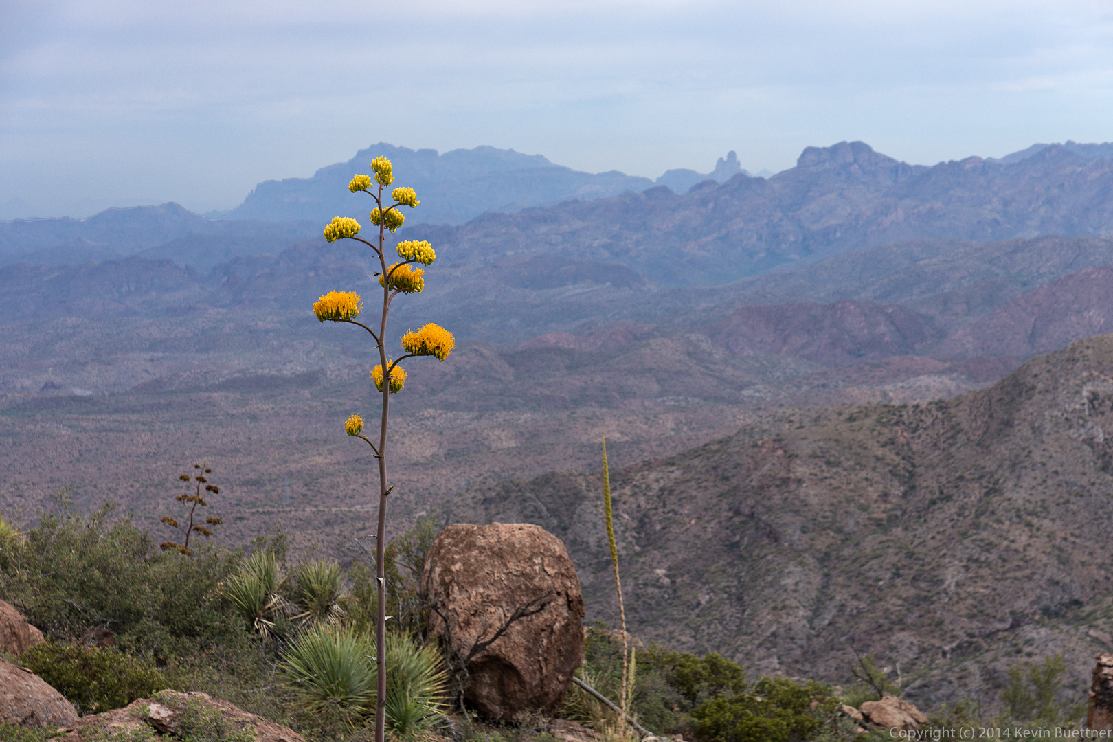
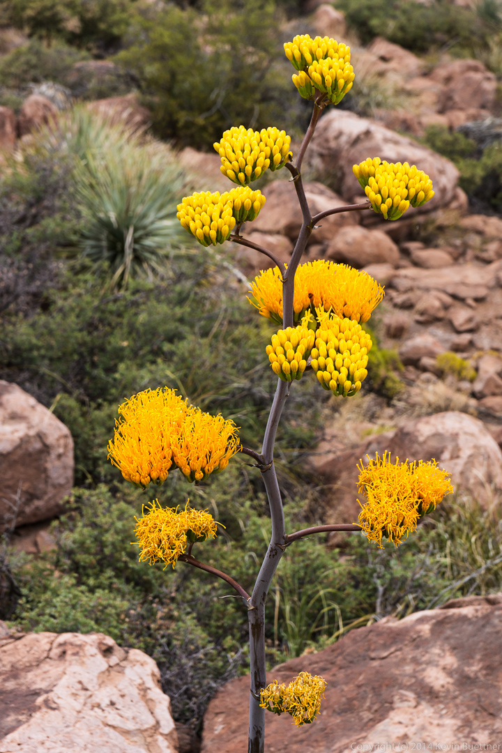
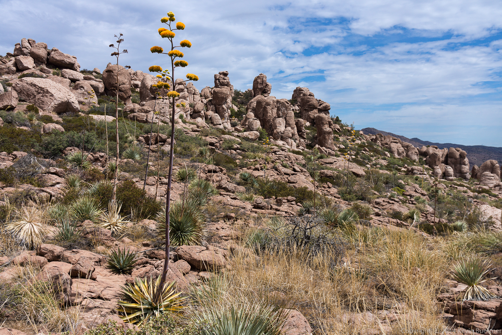
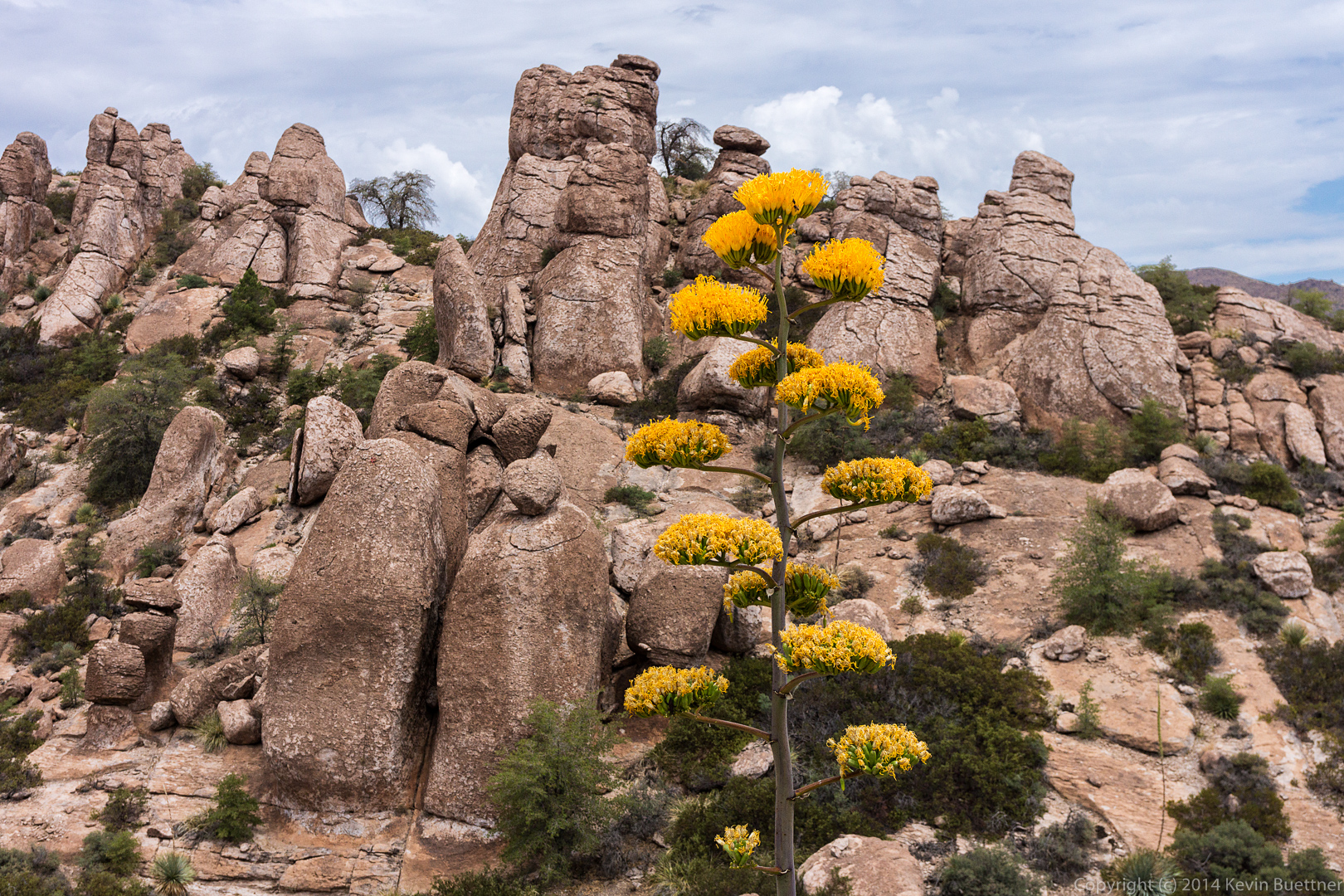
 We saw many agave flowers on our hike. Near the edge of the leap, I noticed a flowering agave plant just below one of (the many) boulders. That particular boulder as fairly close to the flowers and placed me and my camera about level with it.
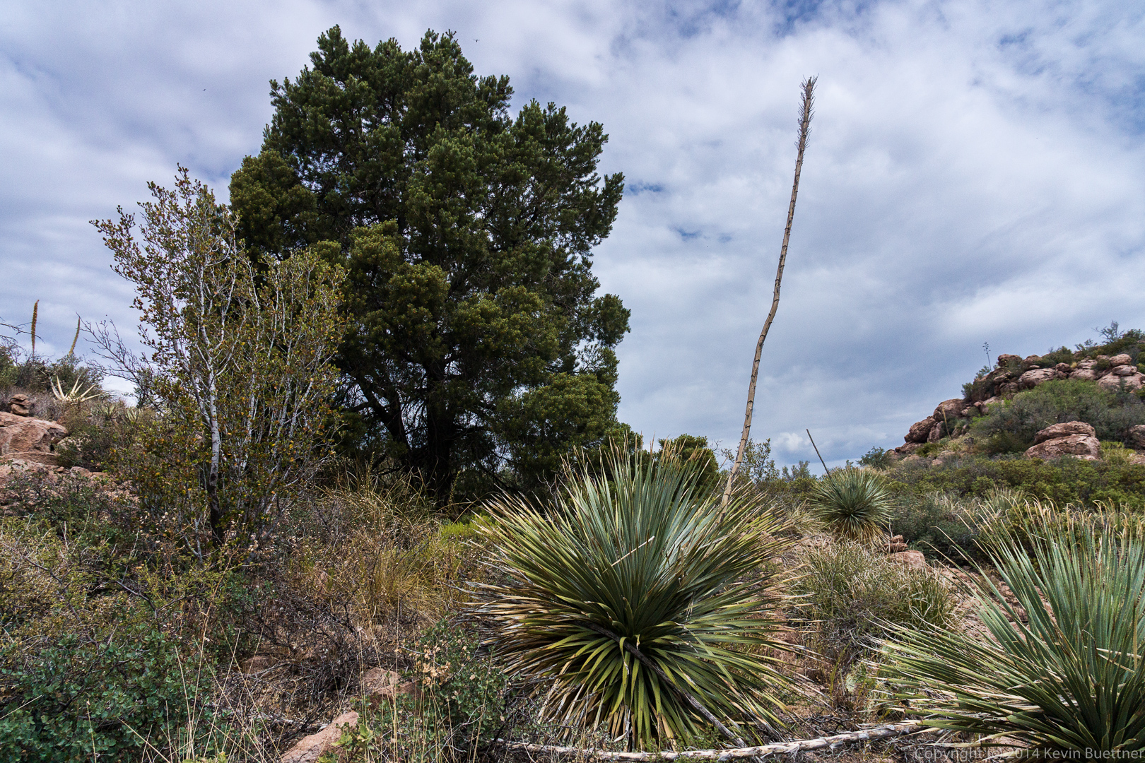
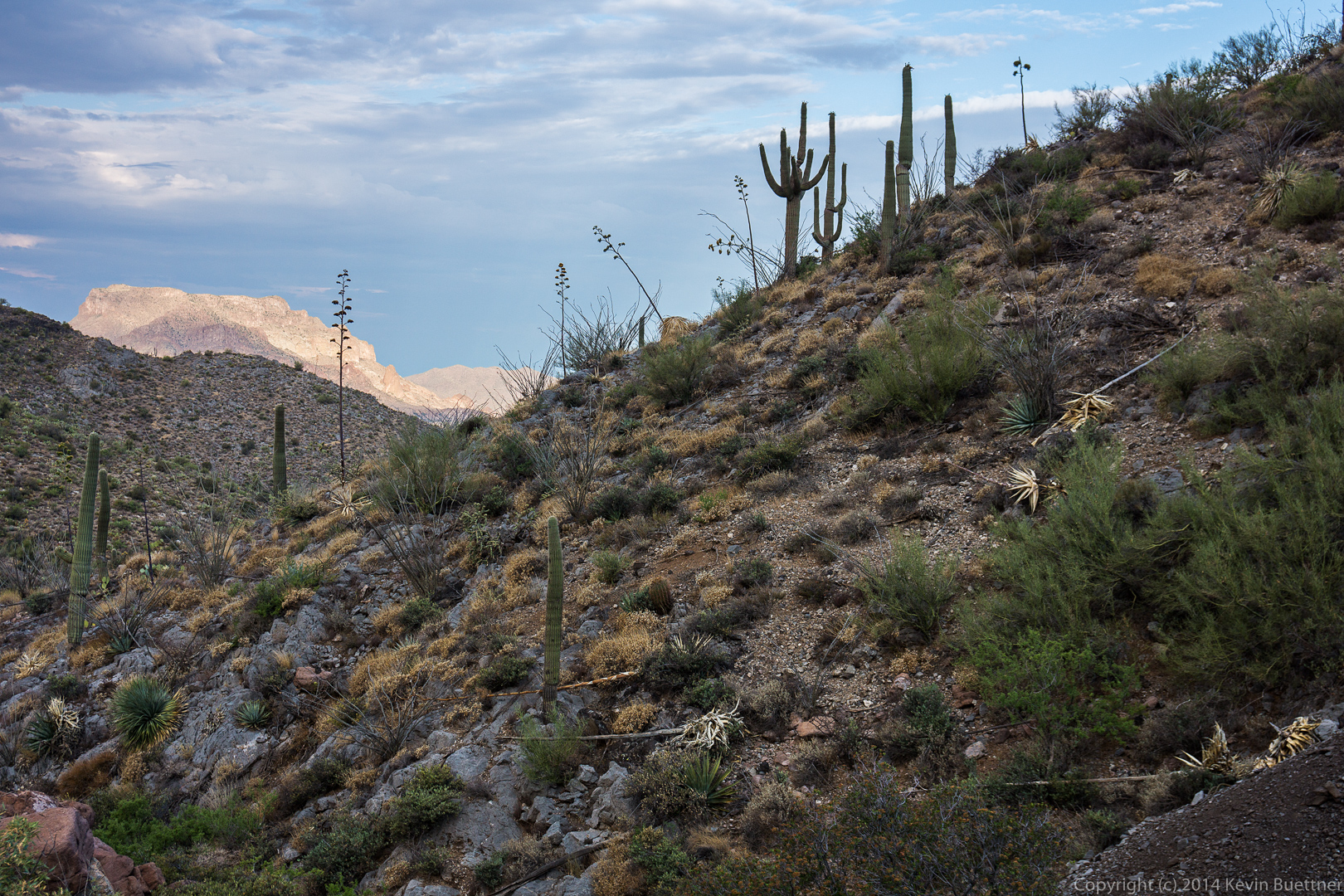
 Examples of some of the vegetation that we saw along the way.
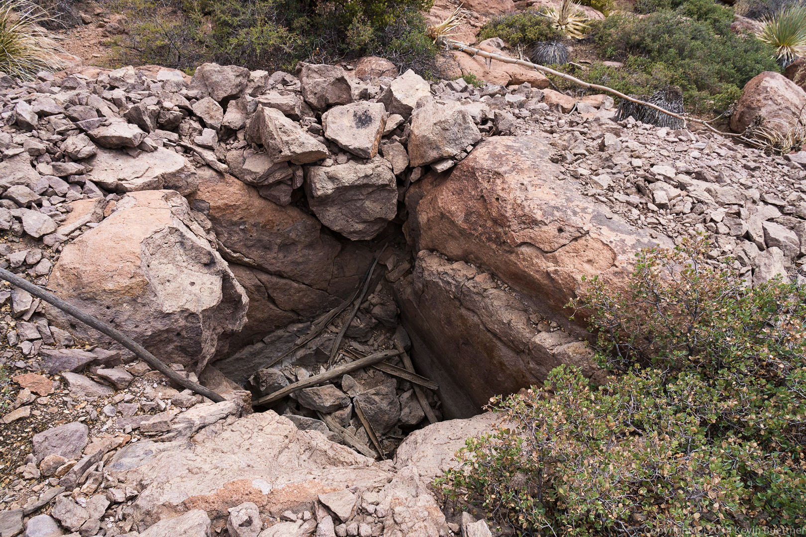
 We came across a hole dug into the ground.
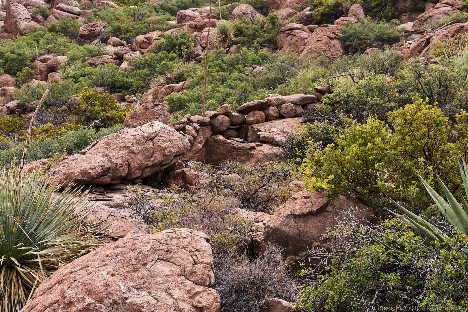
 A short ways further on, as we were hiking back, we saw what looked like a stone wall. We have no idea what its purpose might have been.
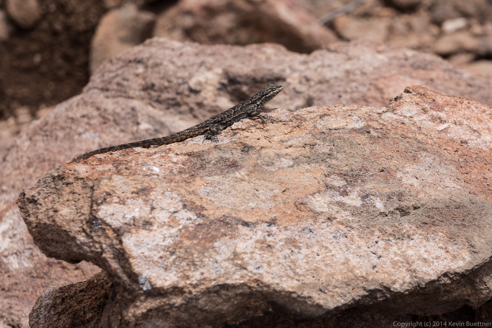
 A lizard that stayed still long enough for me to get this shot.
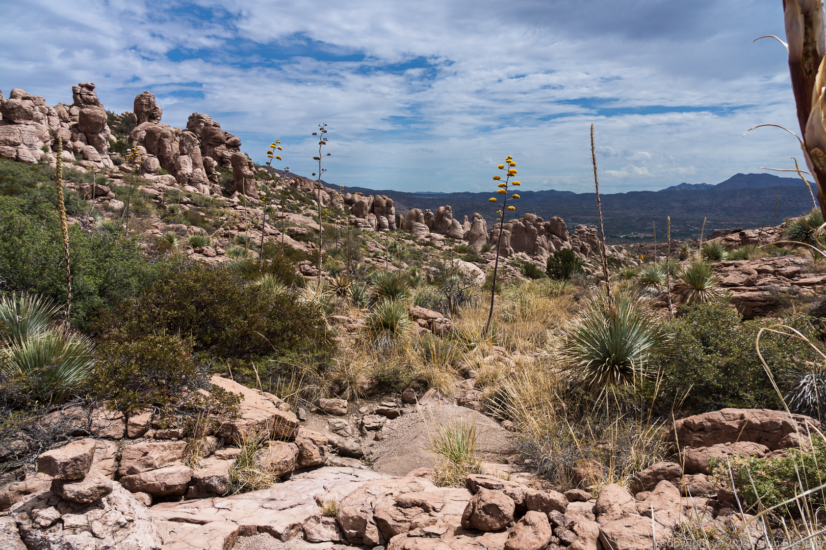
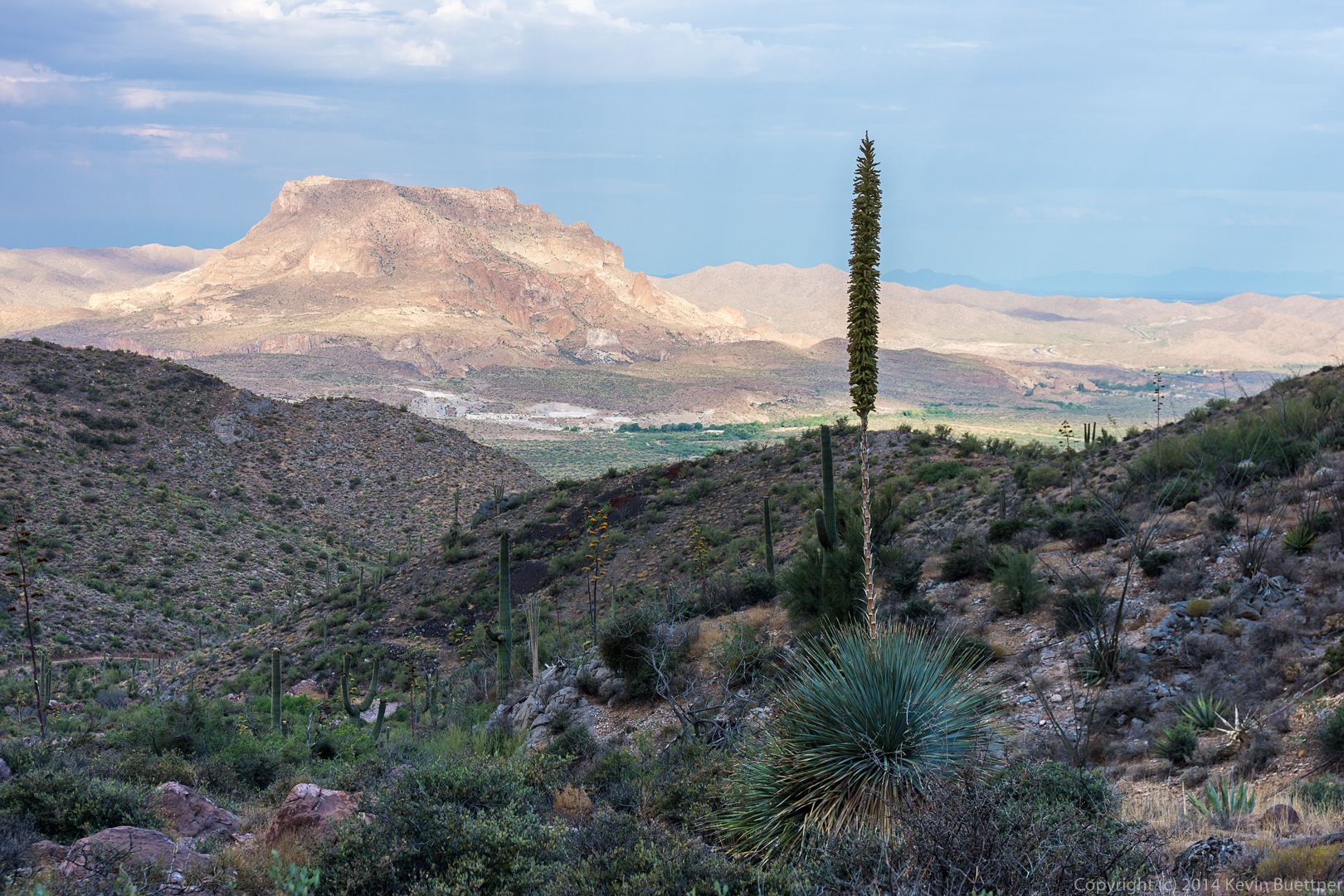
 Views from the wash that we hiked on the way back…
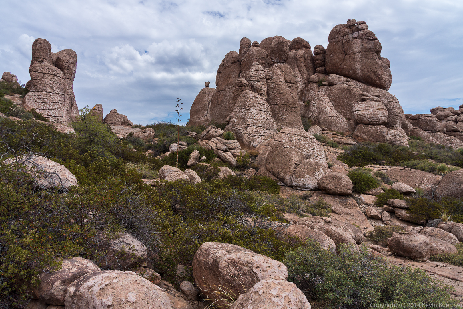
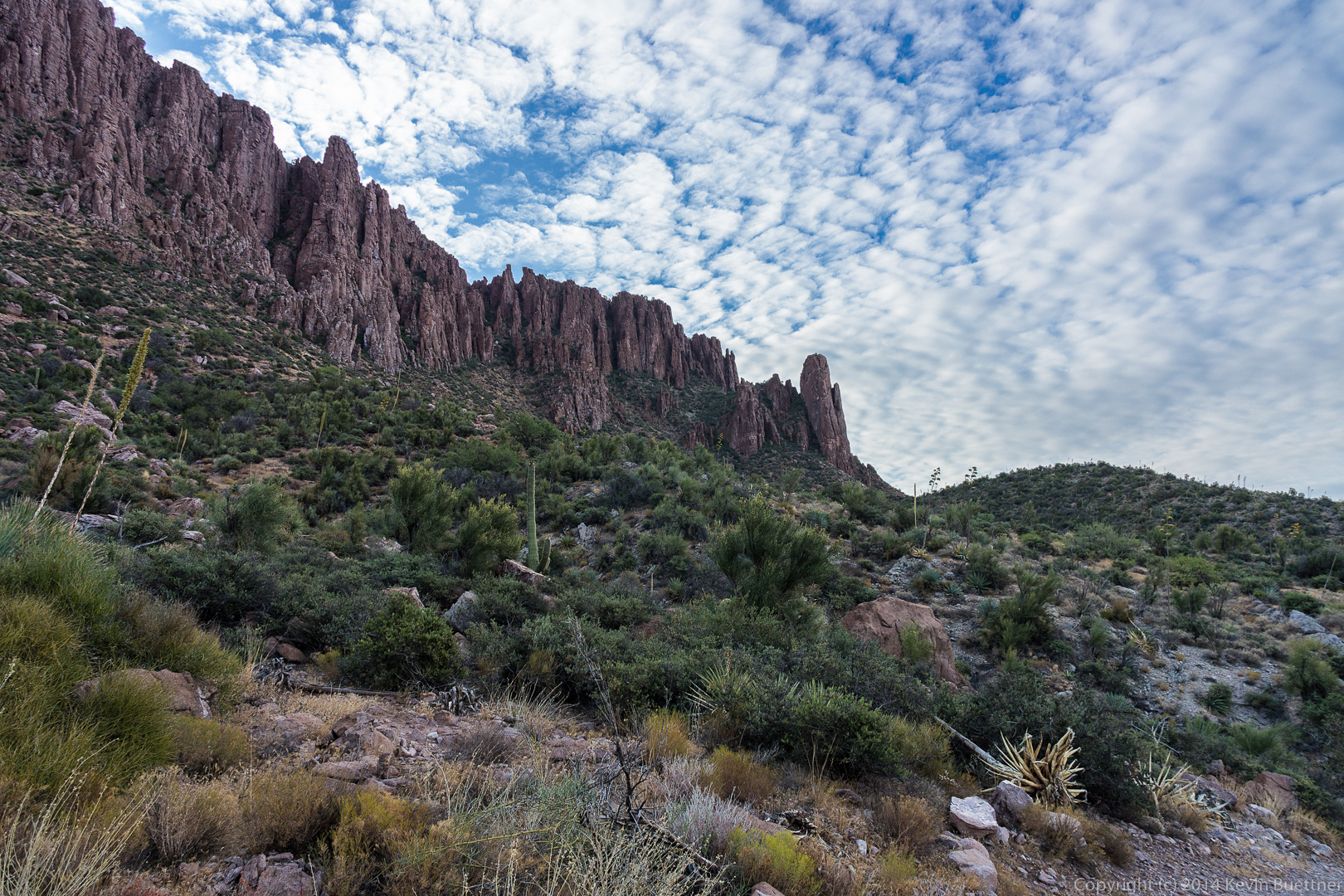
 These rock formations are part of the climbing area known as the “Mine Area”. I think these might be in Lower Looner Land.
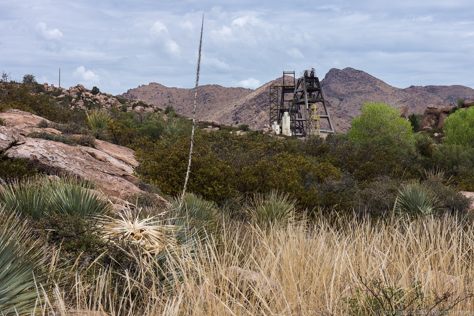
 A view of the mine. It’s expanded a lot since I used to climb in the area. There’s a lot of exploration and drilling going on elsewhere in the area too. We saw thick black hoses snaking along the road and across the terrain.
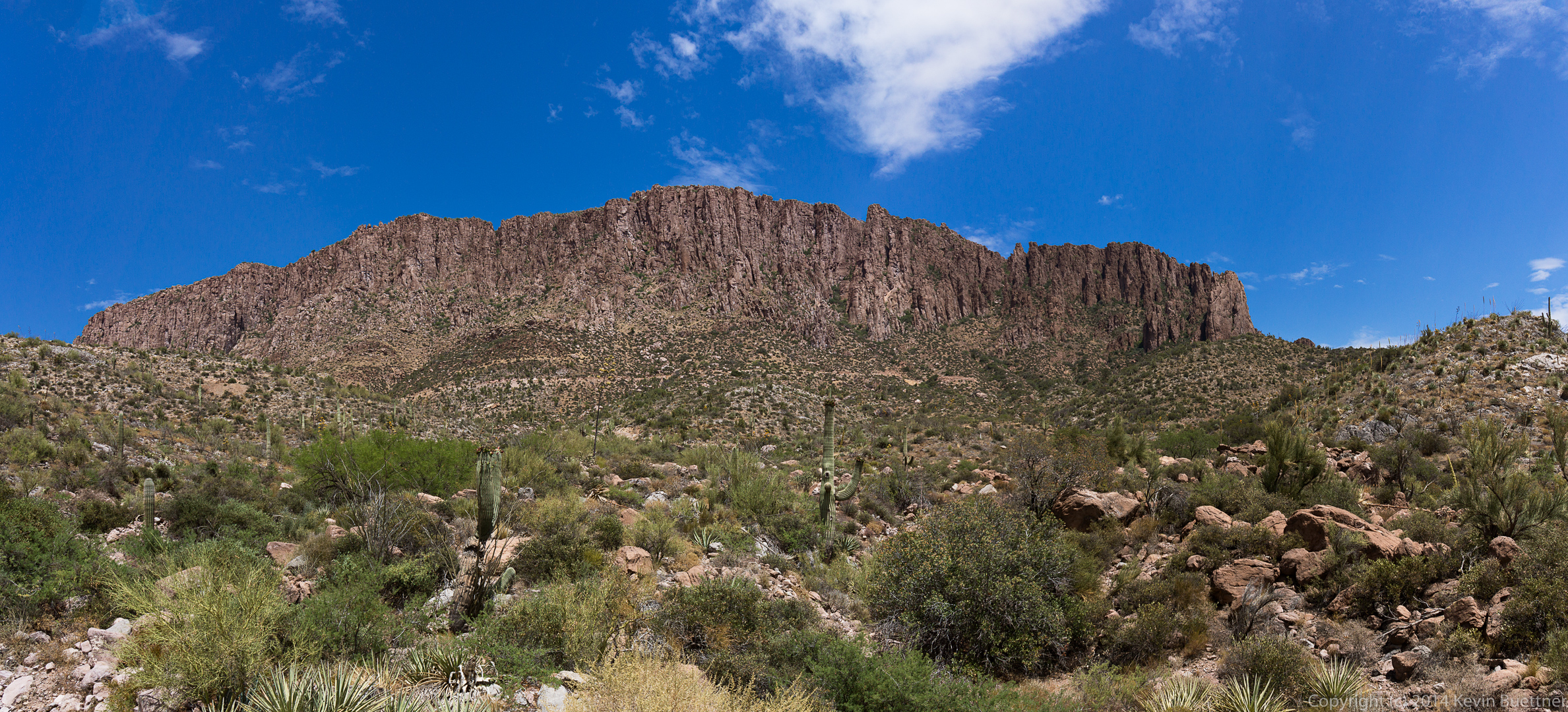
 After we finished our hike, drove as close as we could from the west side. We hiked a short ways up one of the roads where I got this picture (stitched together from several shots).
This is what the west side of Apache Leap looked like on Saturday morning. You can see the old road that we hiked in the foreground.
 A look back towards Picketpost Mountain in the early morning light.
 Ditto:
 A view of the southwest portion of Apache Leap. (Though it’s possible that there’s more that can’t be seen here.)
 This is the northwest corner of Apache Leap.
 Views towards the north.
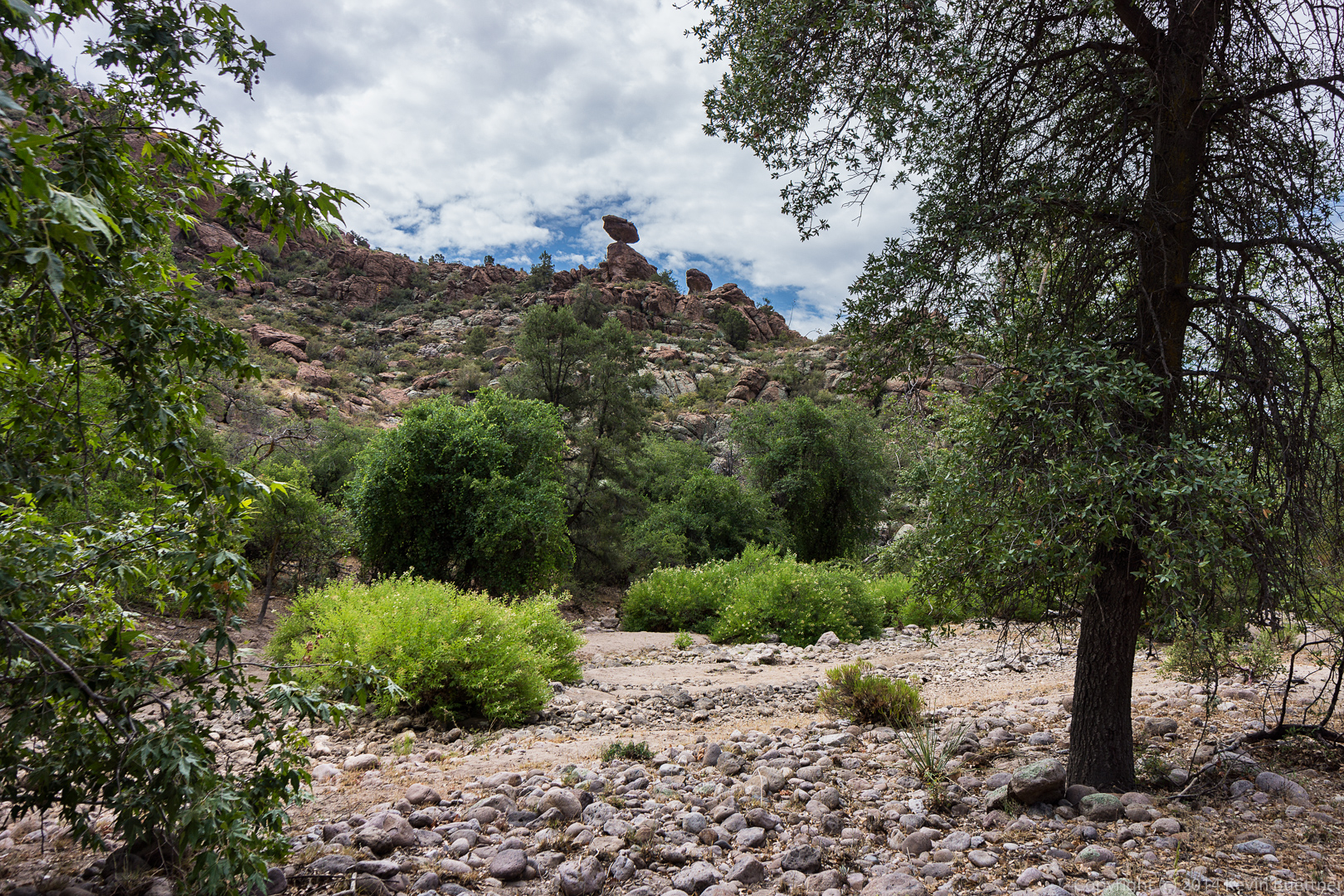
 A view of a balanced rock formation from the bottom of Upper Devil’s Canyon:
 A large and textured boulder in the wash at the bottom of Upper Devil’s Canyon: