Sandra and I hiked 9.5 miles starting from the Horse Staging Area…


Sandra and I hiked 9.5 miles starting from the Horse Staging Area…
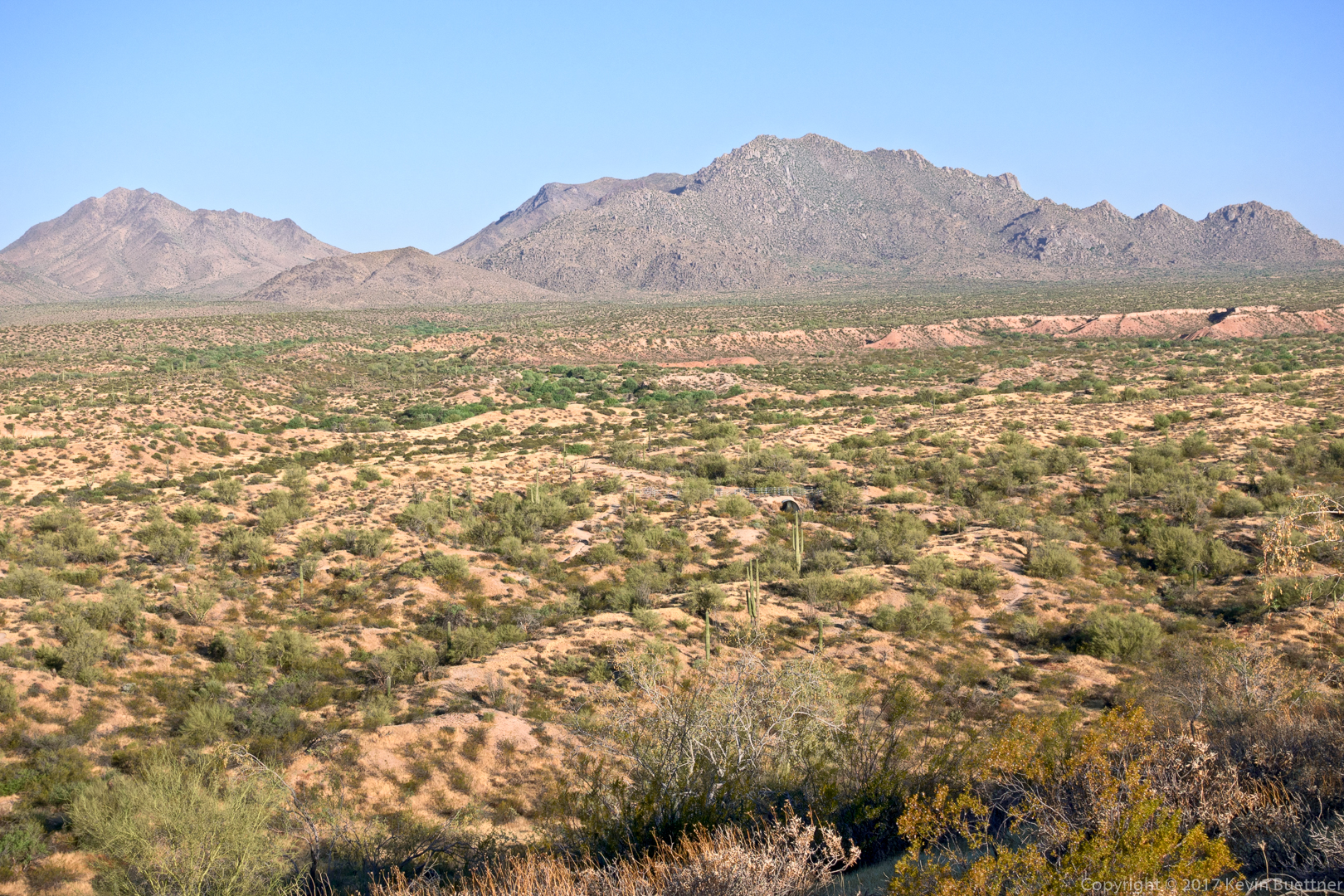
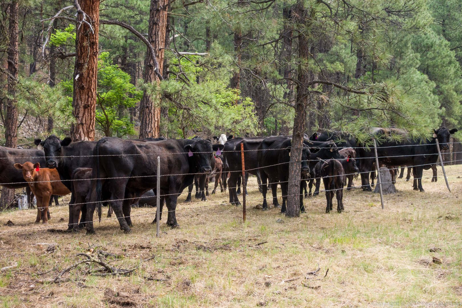
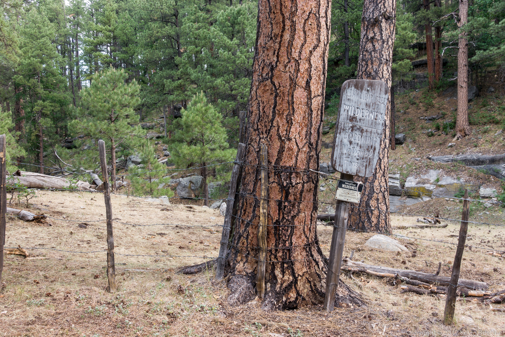
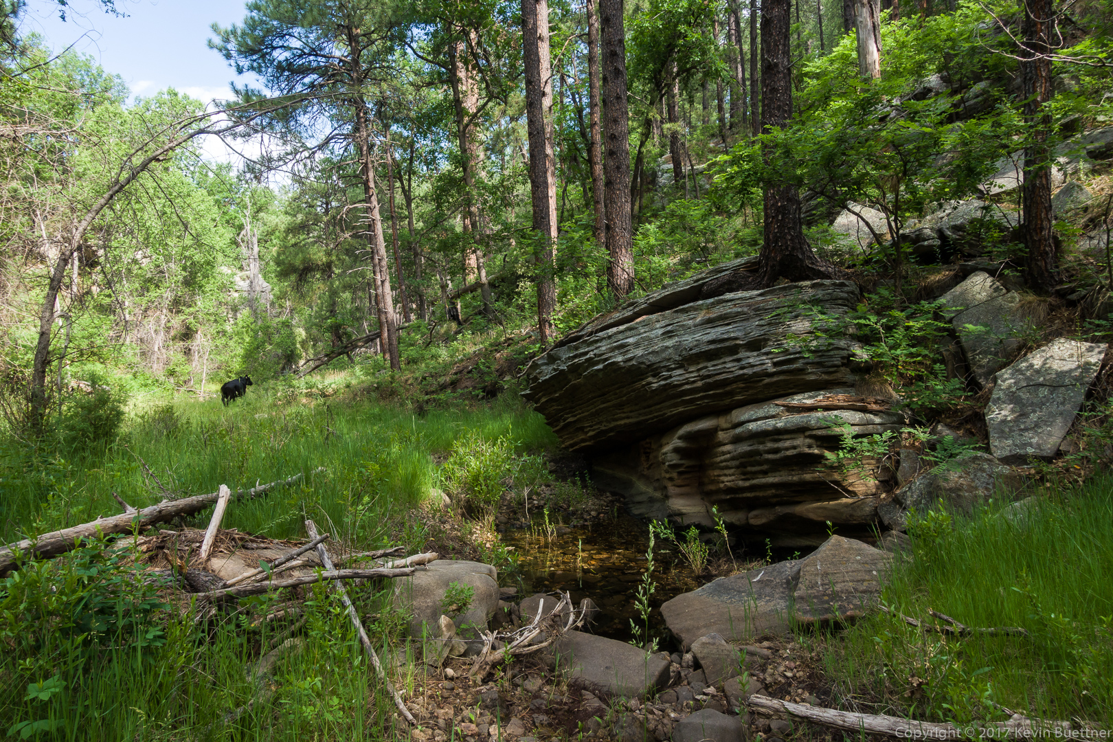
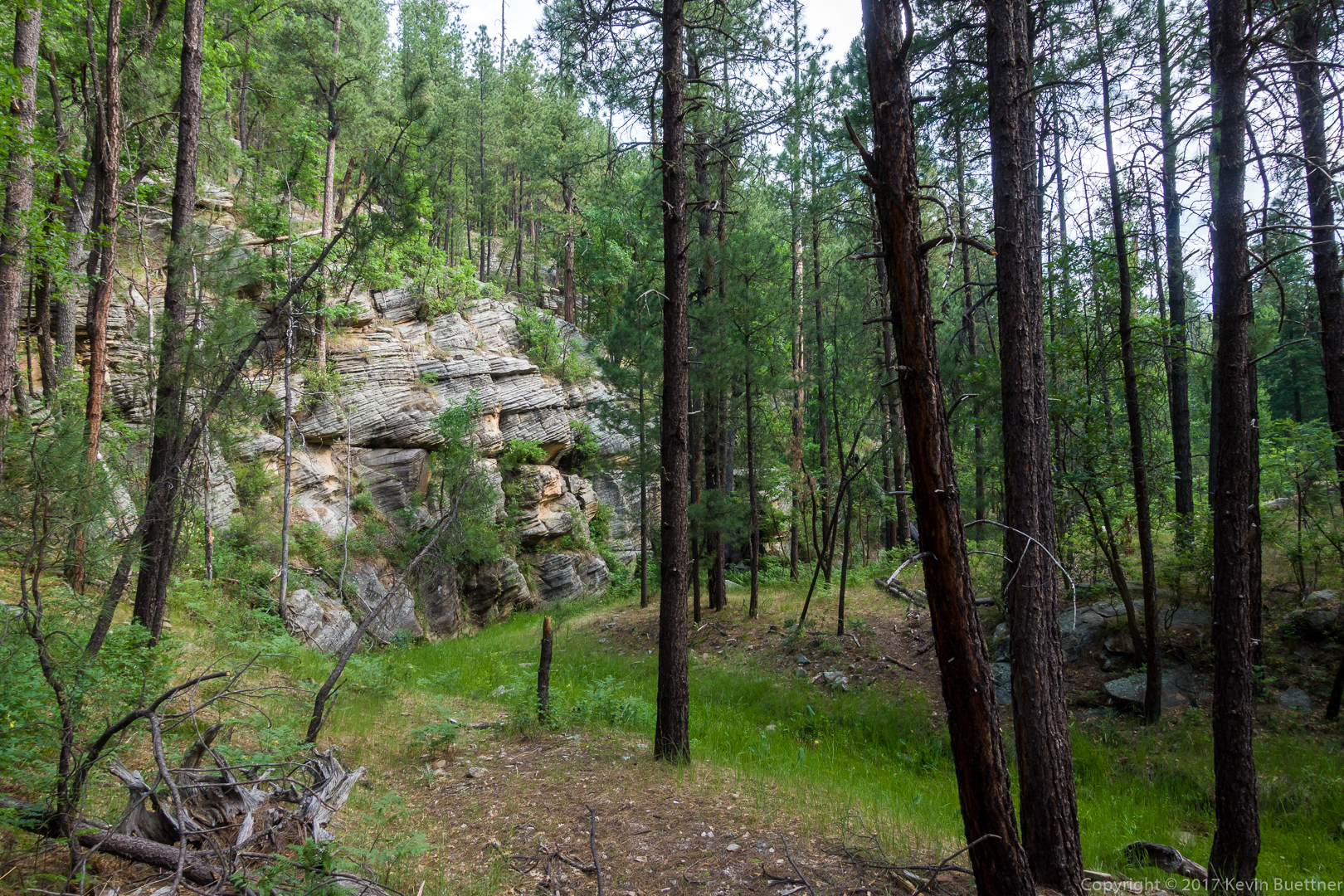
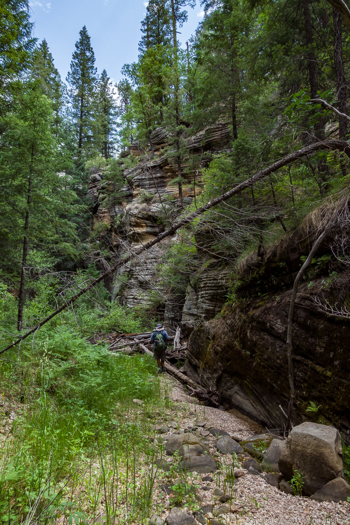
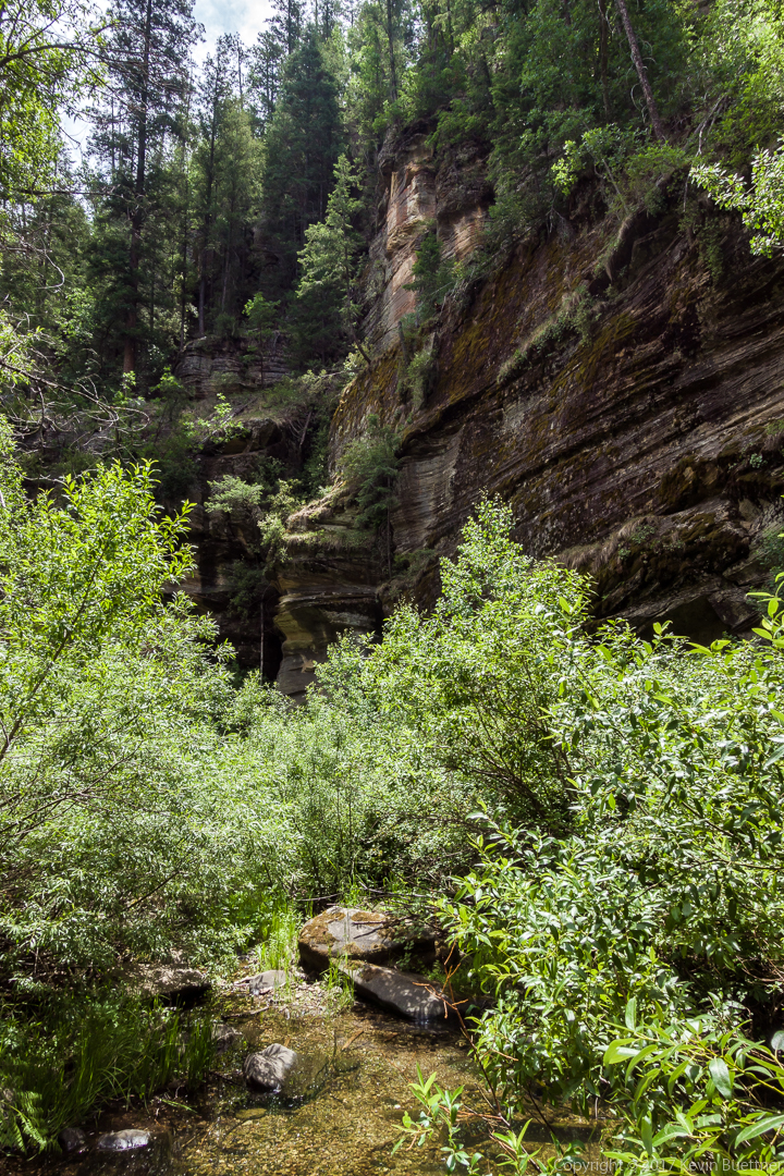
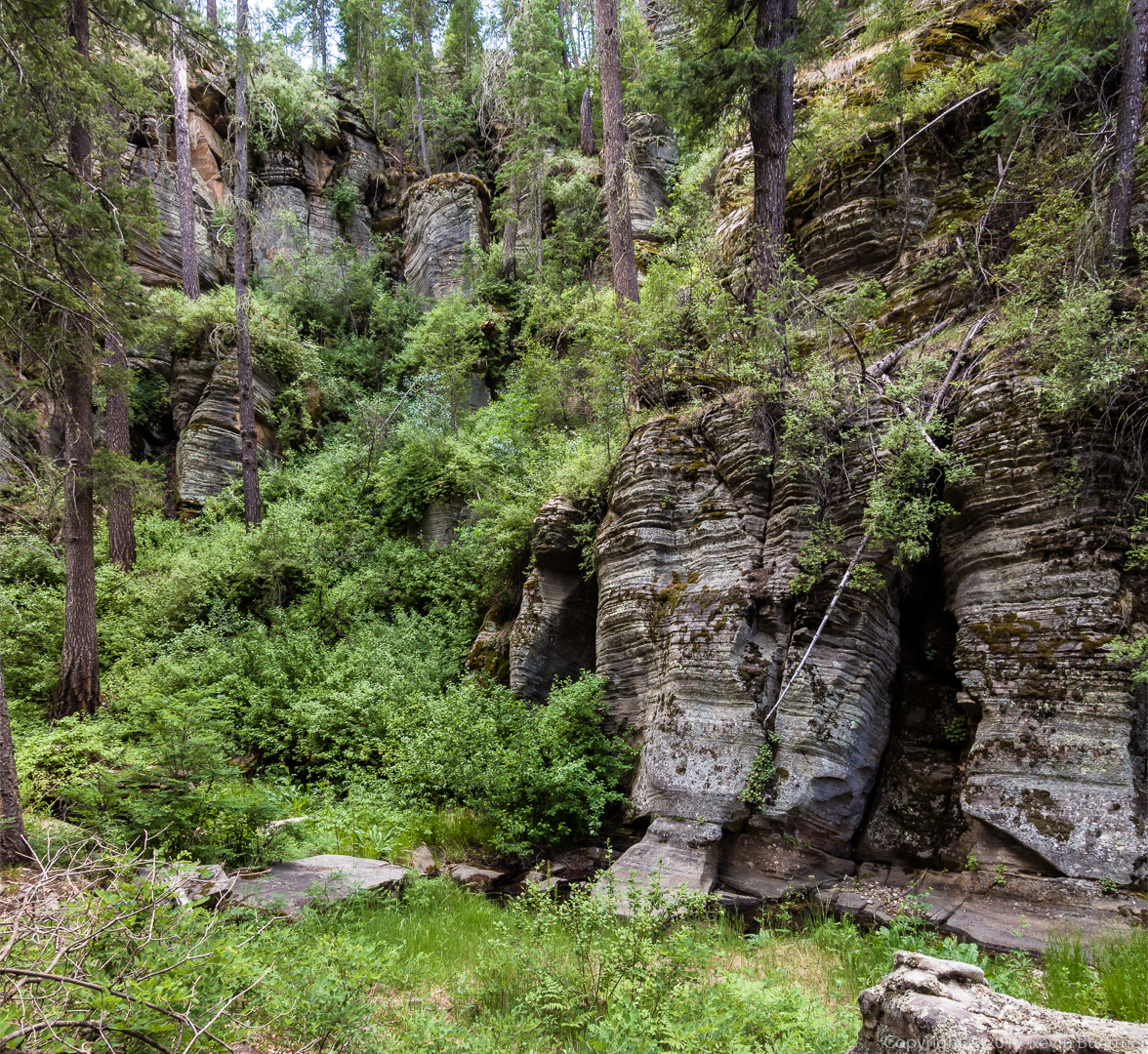
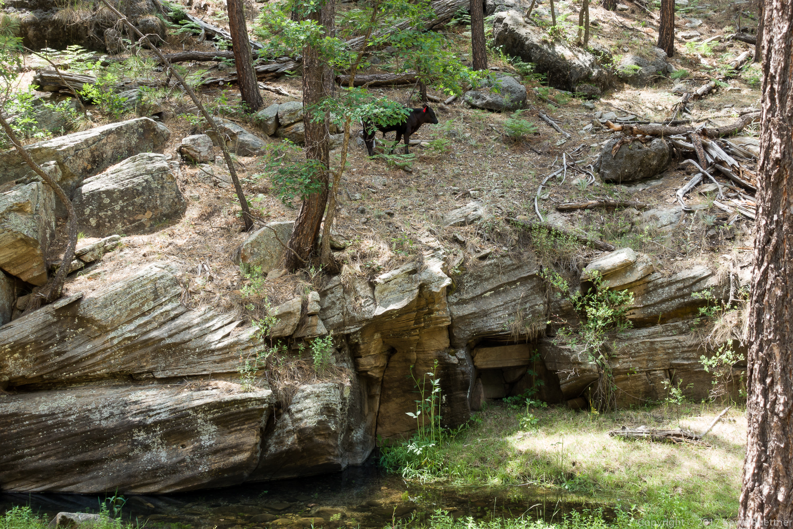
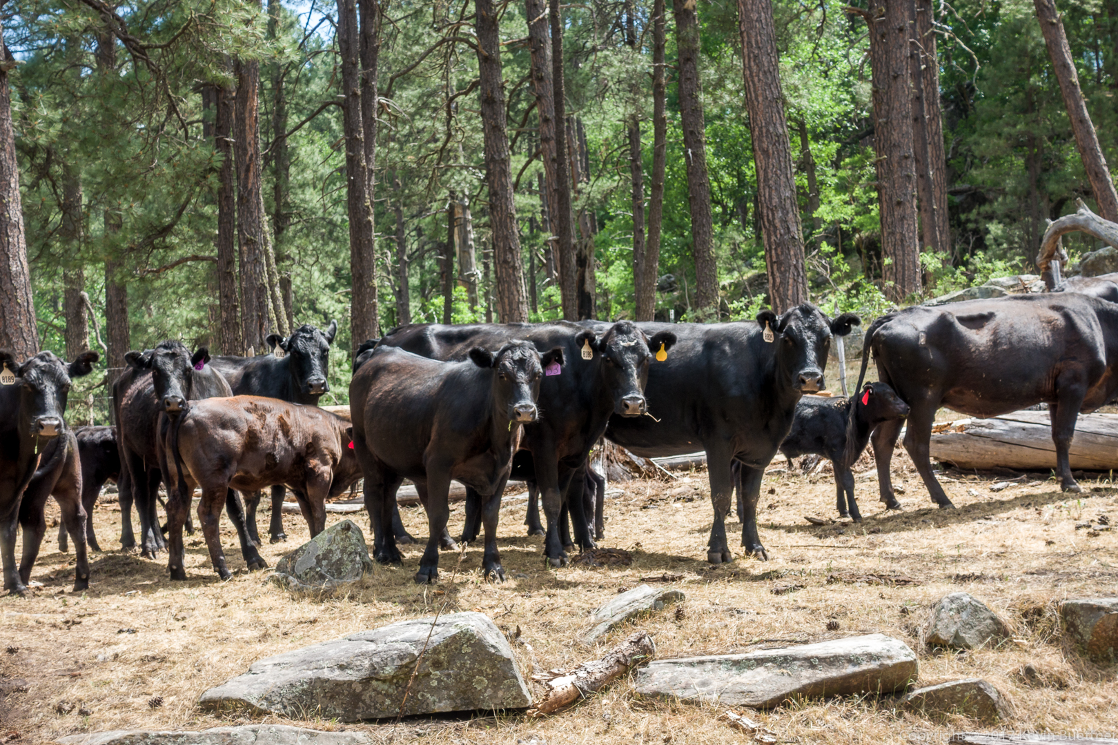
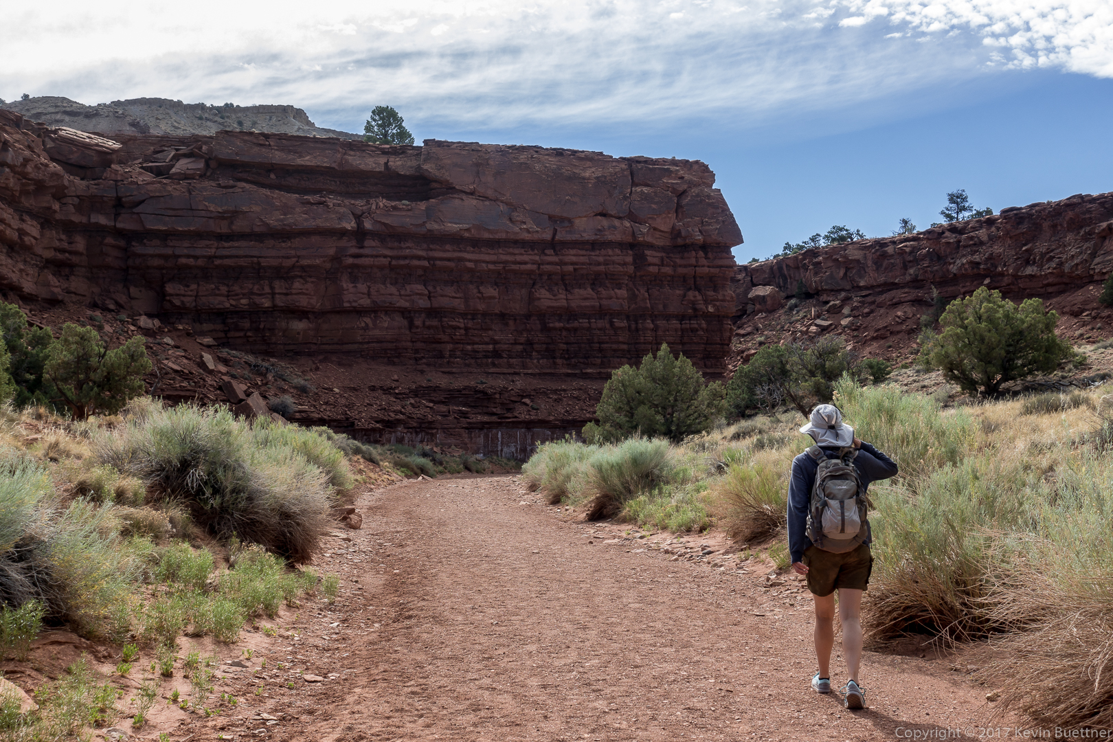
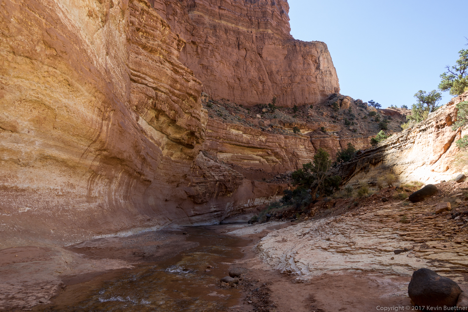
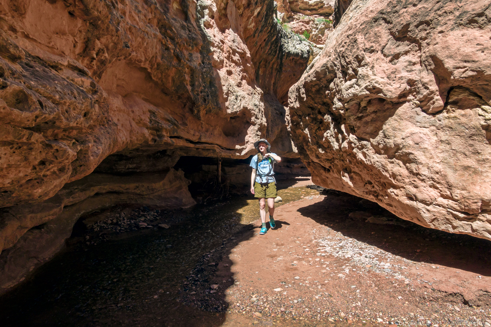
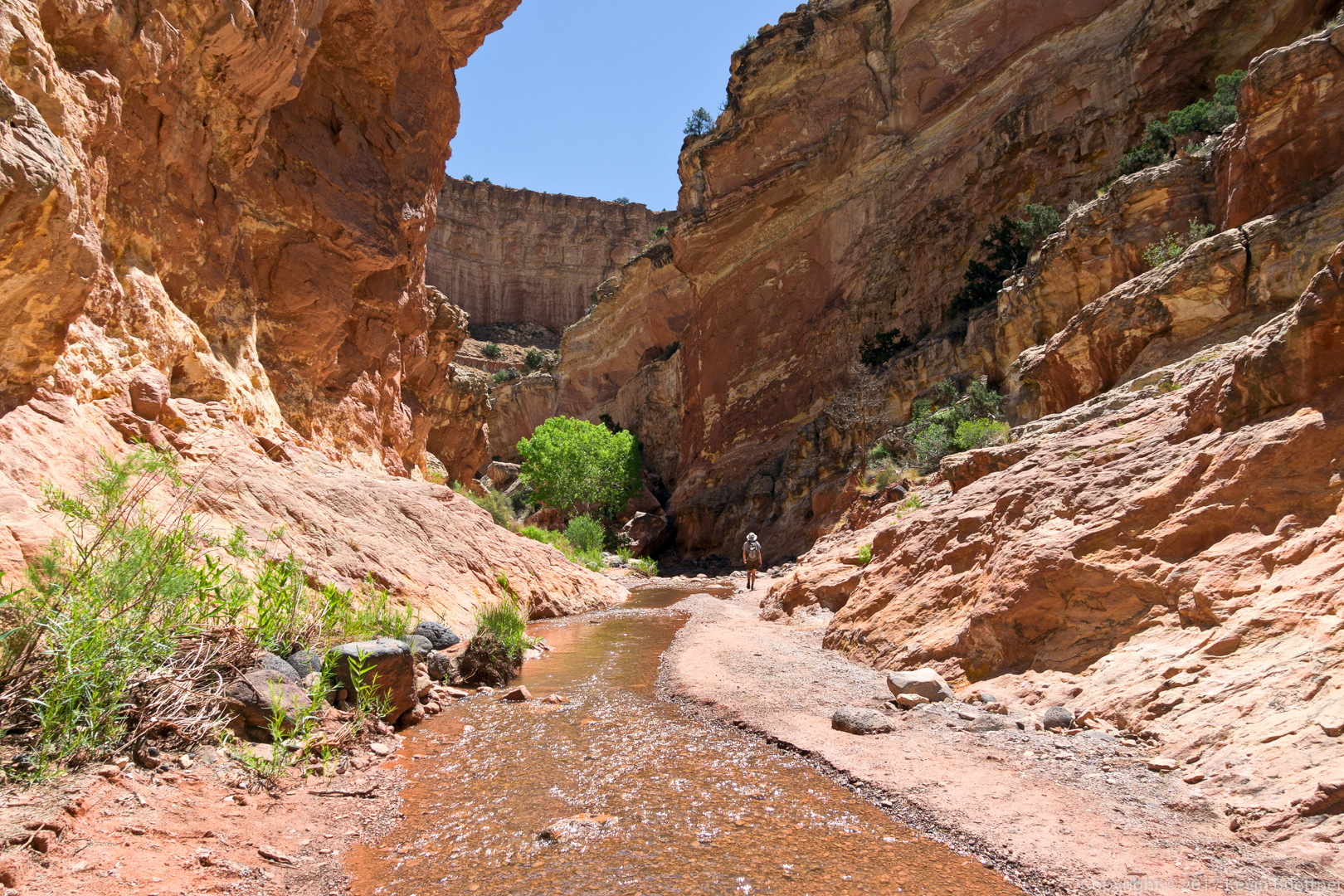
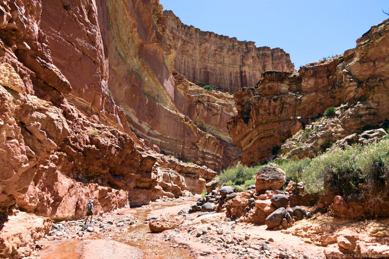
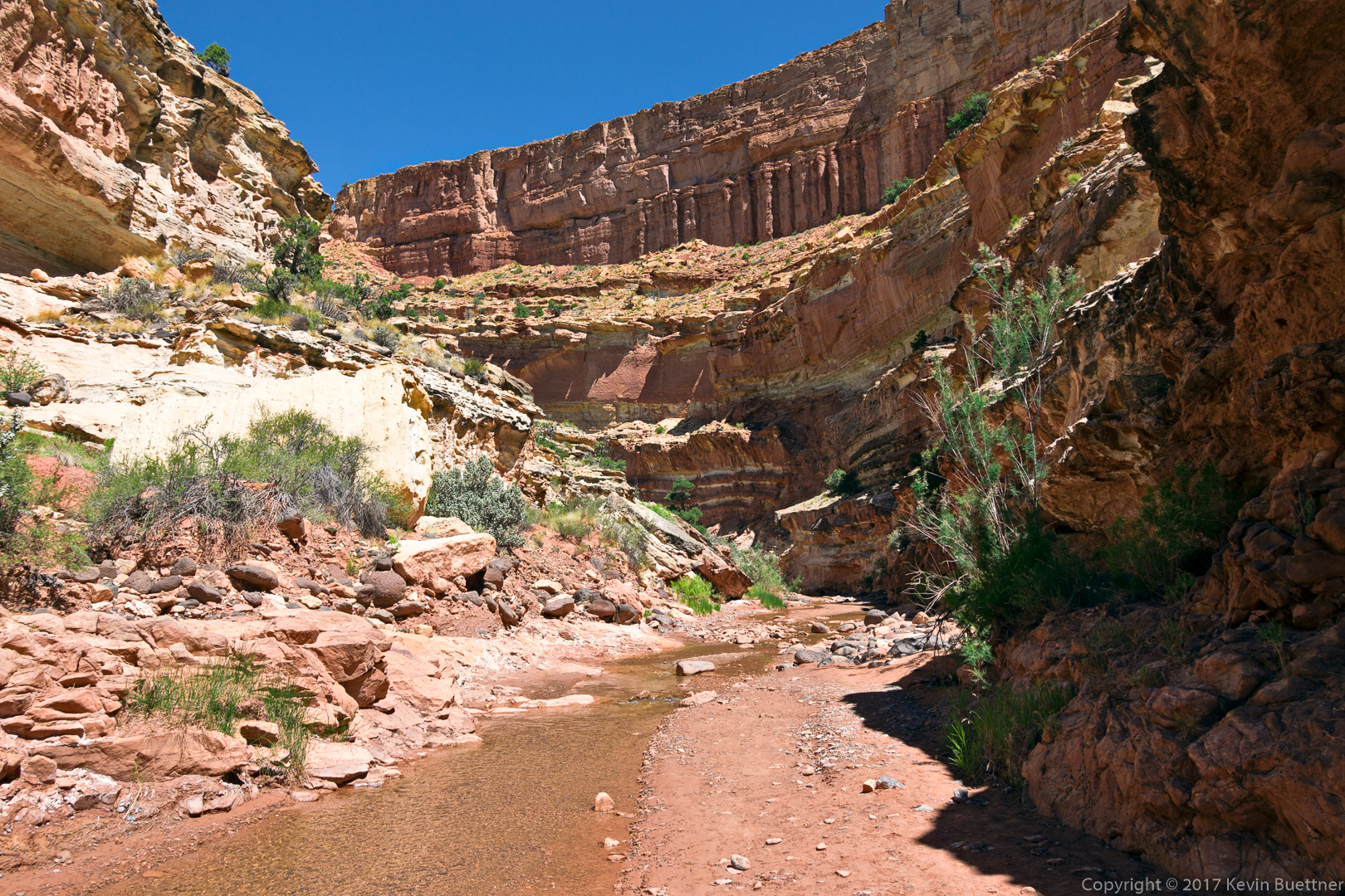
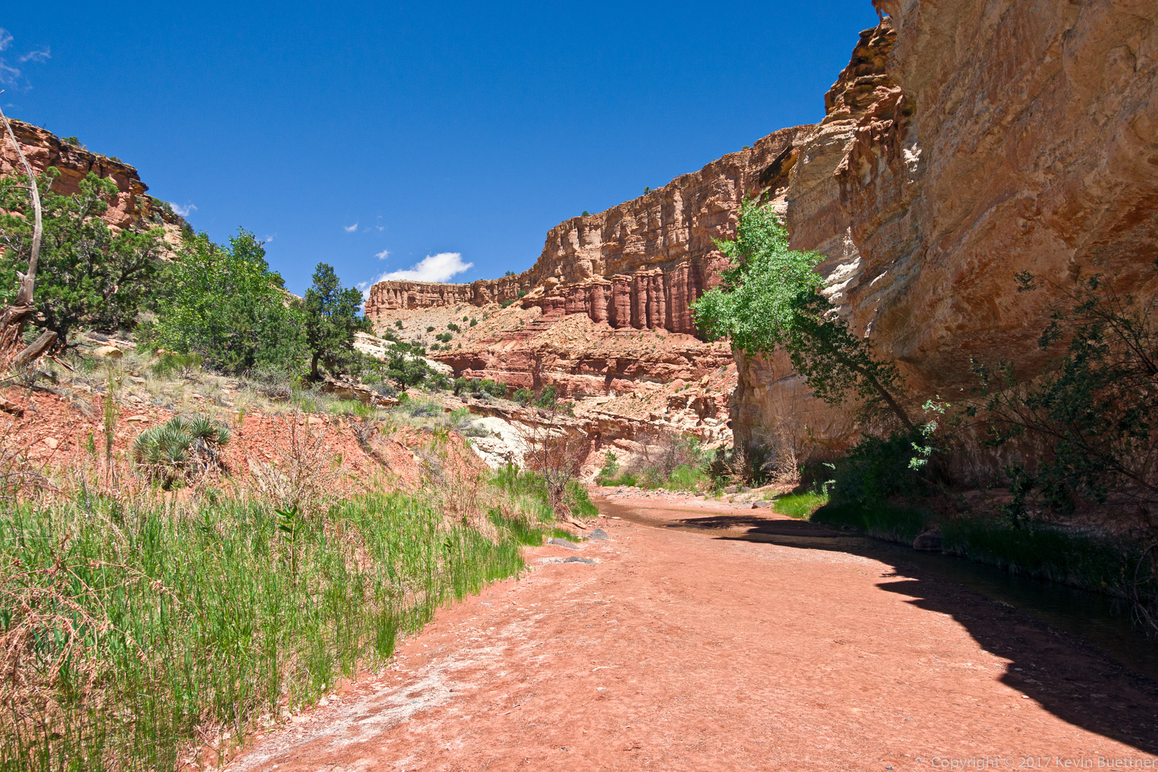
Bob and I did an out and back hike in Clover Creek Canyon. Although it was hot in the Phoenix metro area, the temperature was 67 degrees (Fahrenheit) when we started at 7:30am and around 85 degrees when we finished up just before 3:00pm. We inadvertently crossed that bridge in the first photo when we started, which led us to a fenced in pasture with cows. We fixed our mistake, this time following the creek, entered the wilderness area and encountered even more cows. We walked slowly through them to make sure that we didn’t spook them. We saw at least two bulls along the way, but they left us alone.
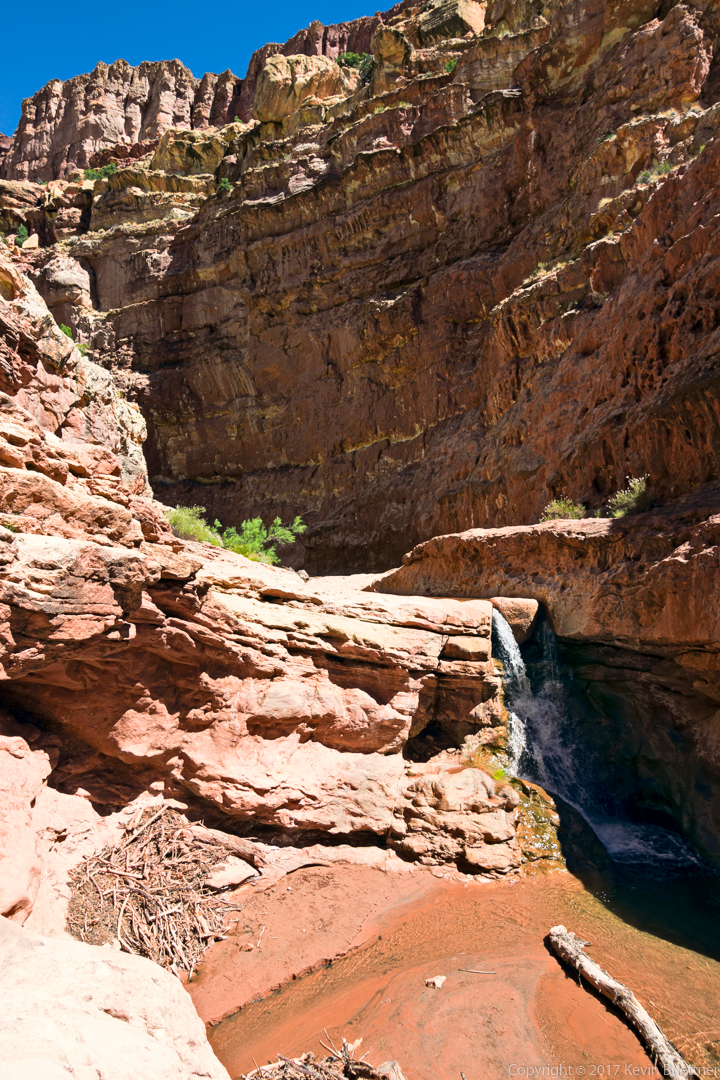
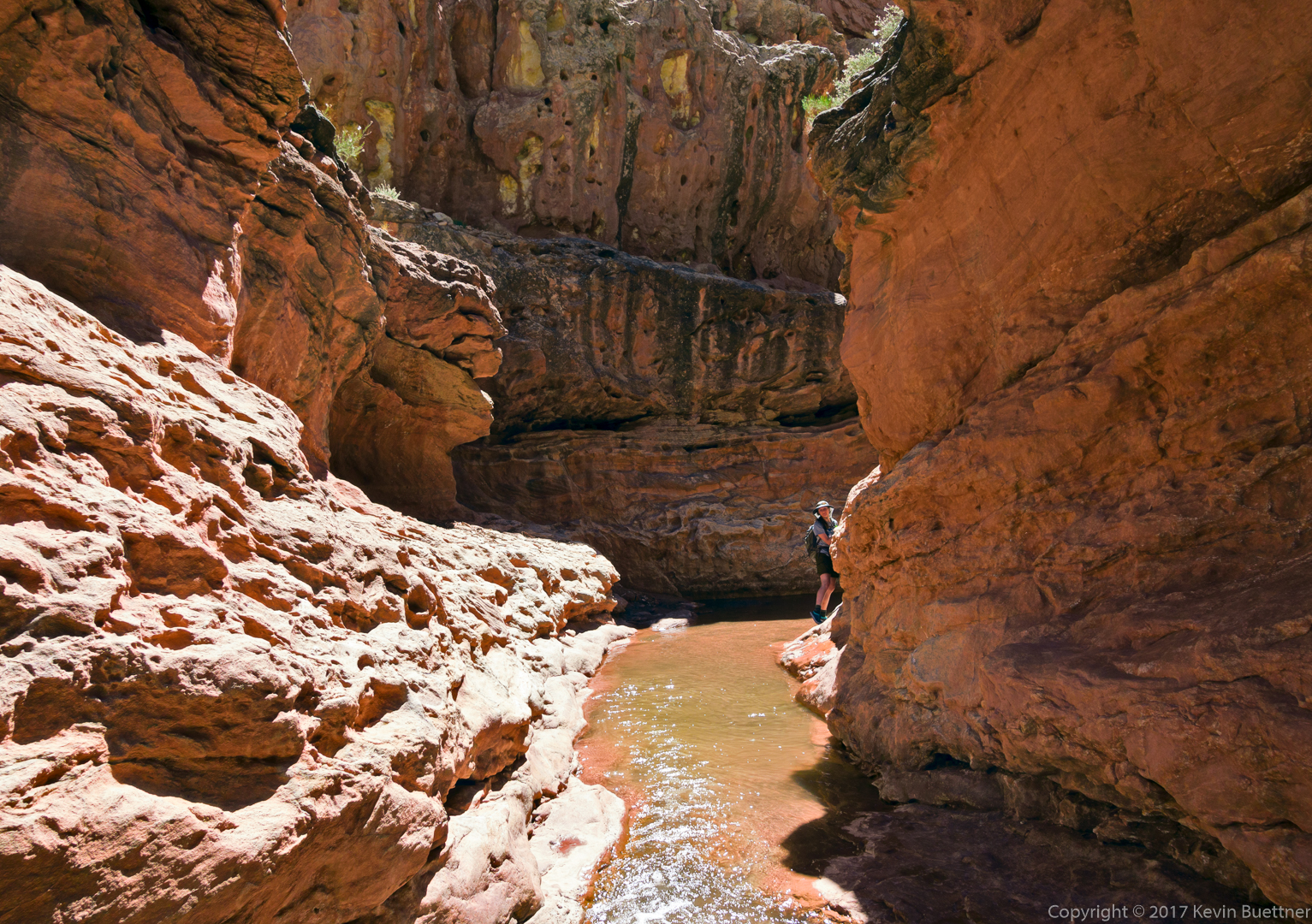
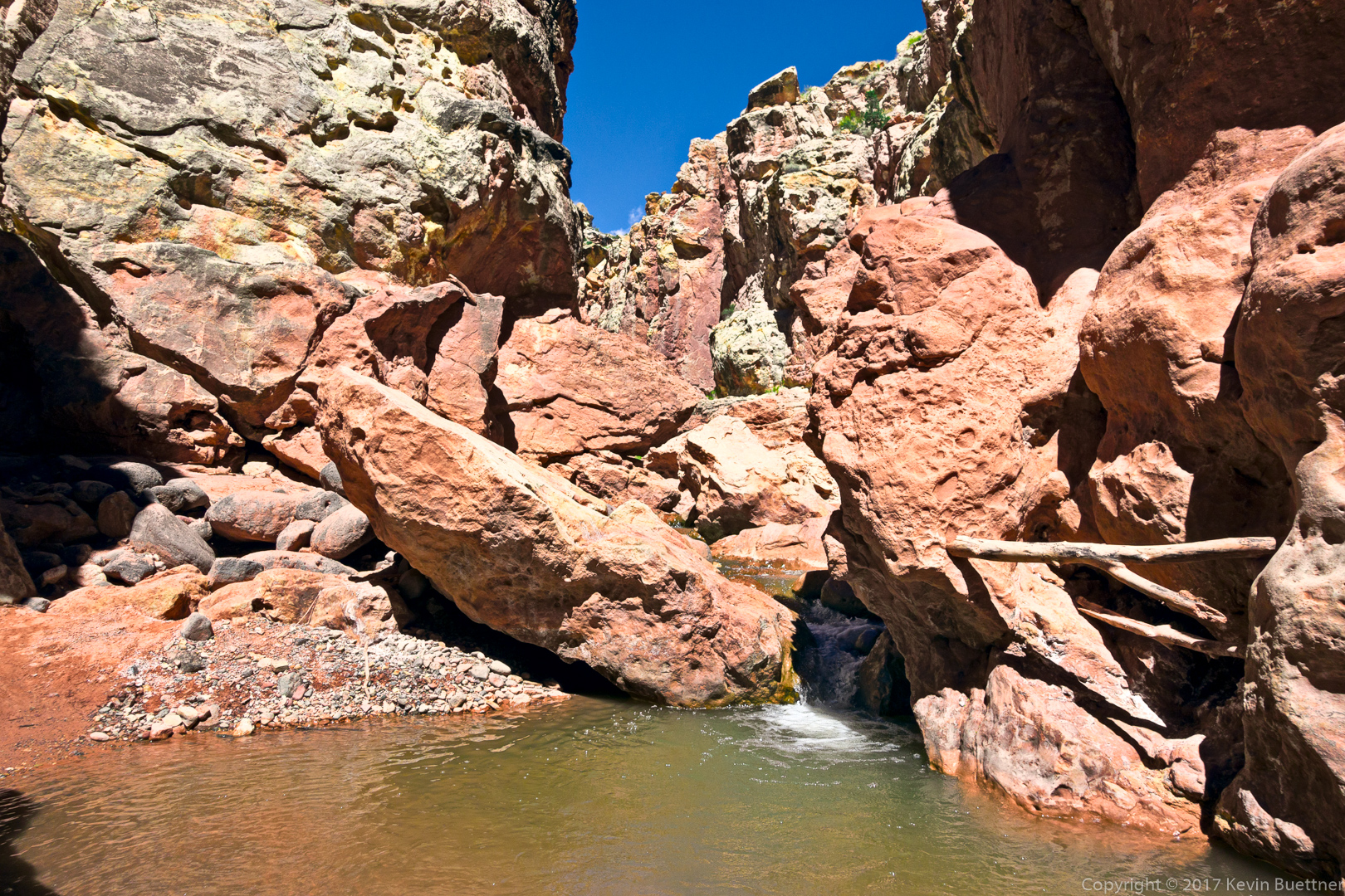
Early in the hike, we tried to keep our feet dry, but after about 2.5 miles, it became clear that we’d have to wade through water. I switched to using my water shoes at that point; I should have used them for the entire hike.
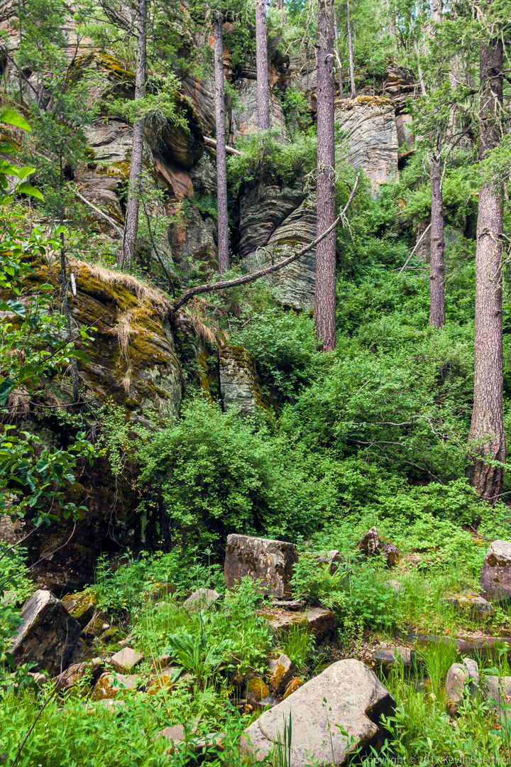
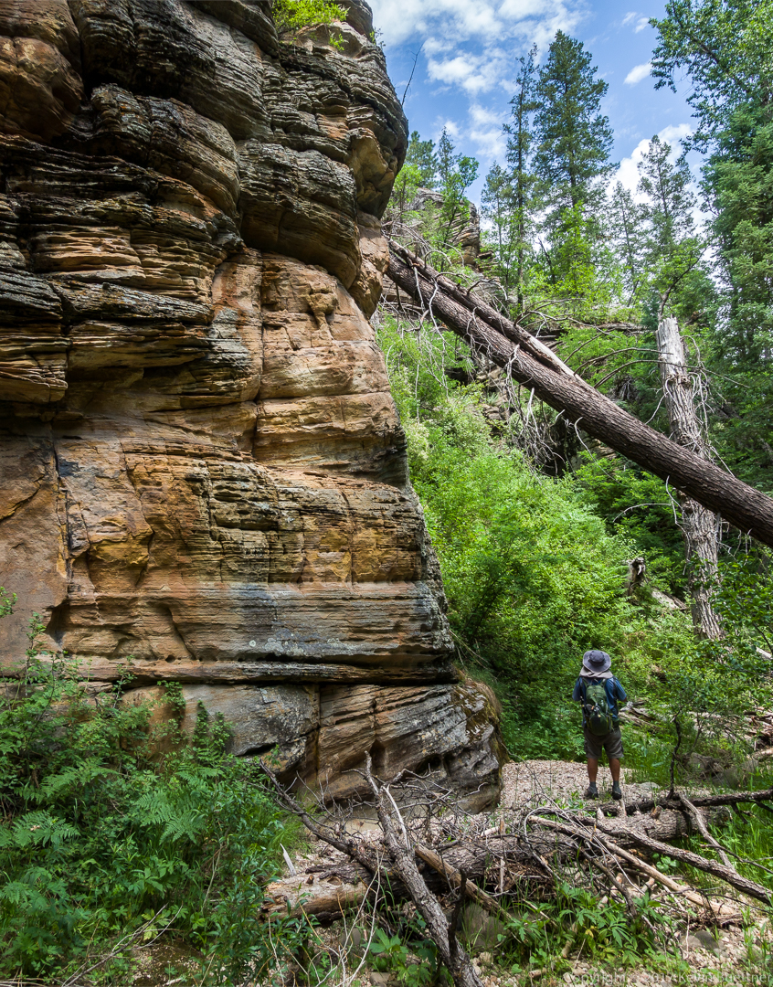
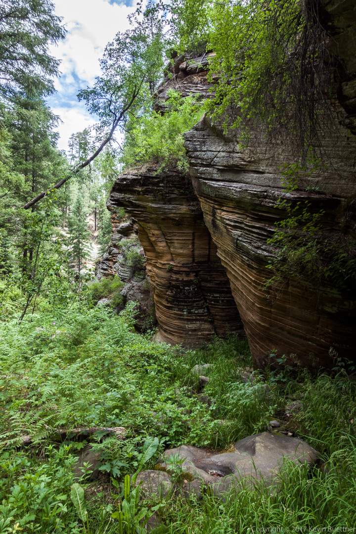
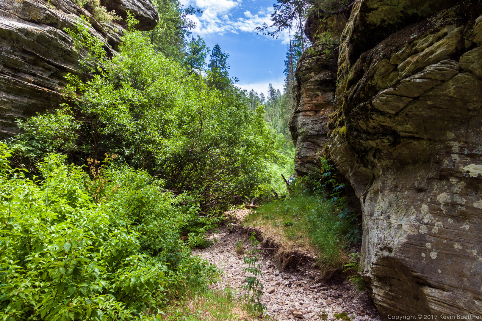
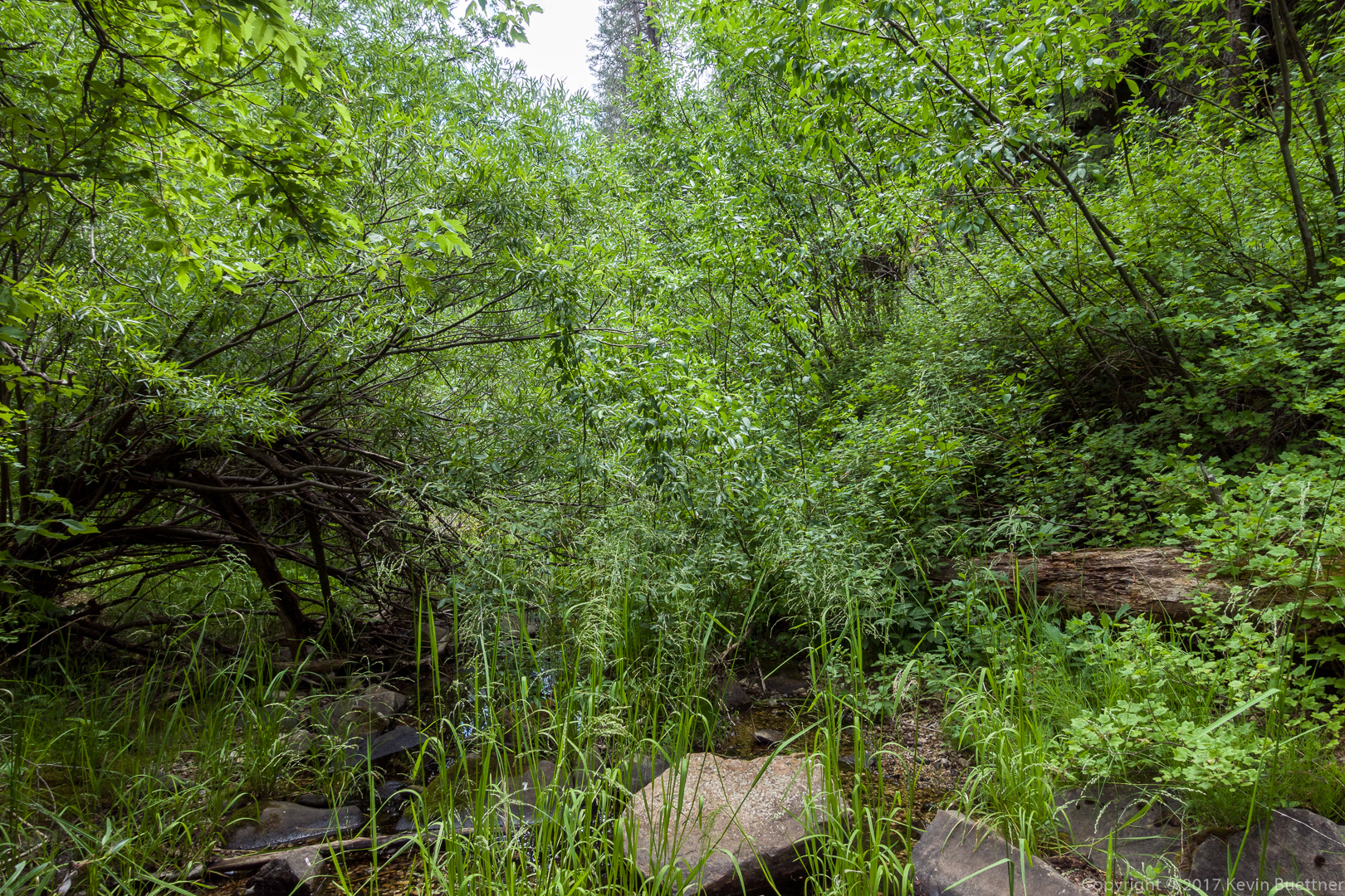
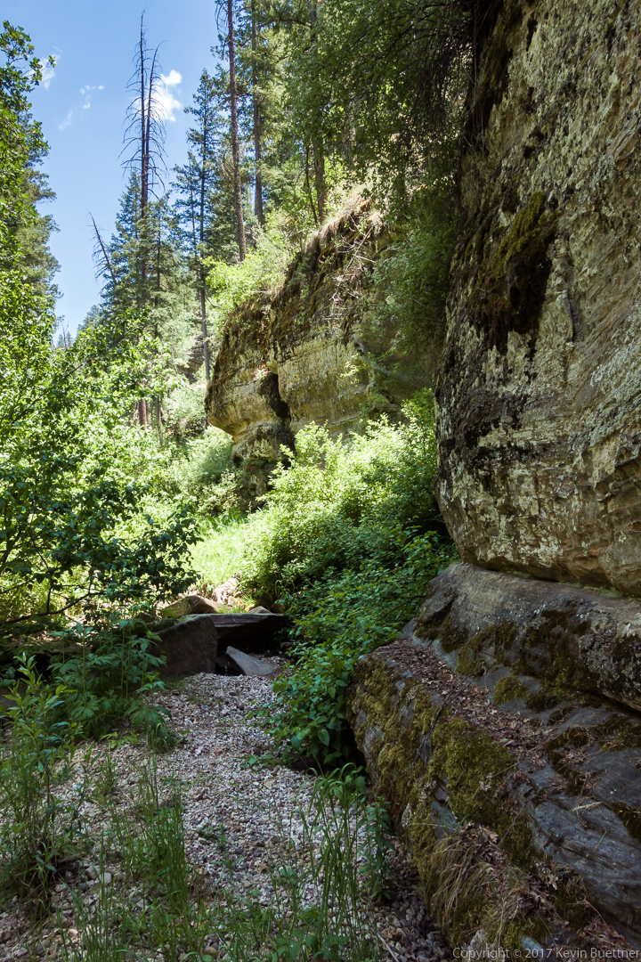
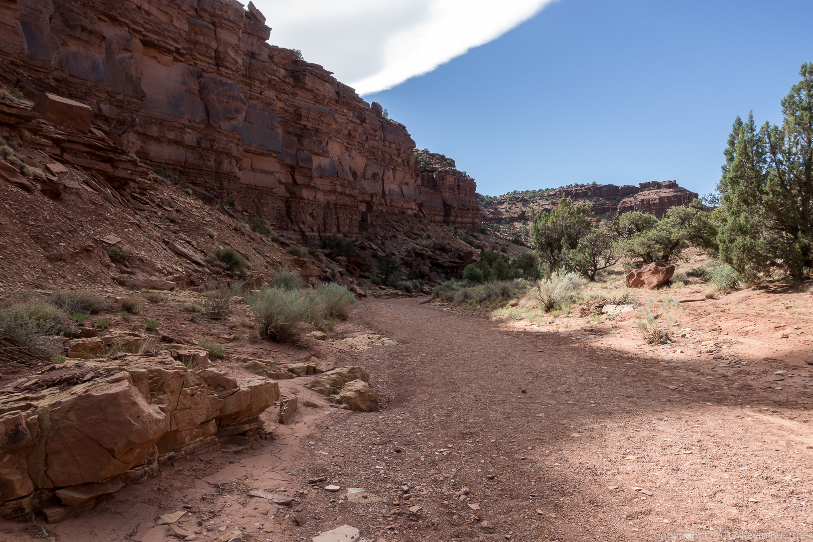
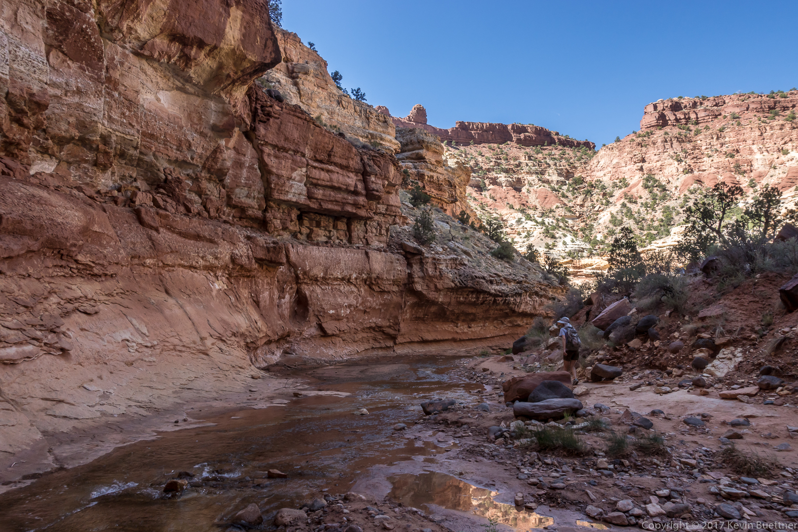
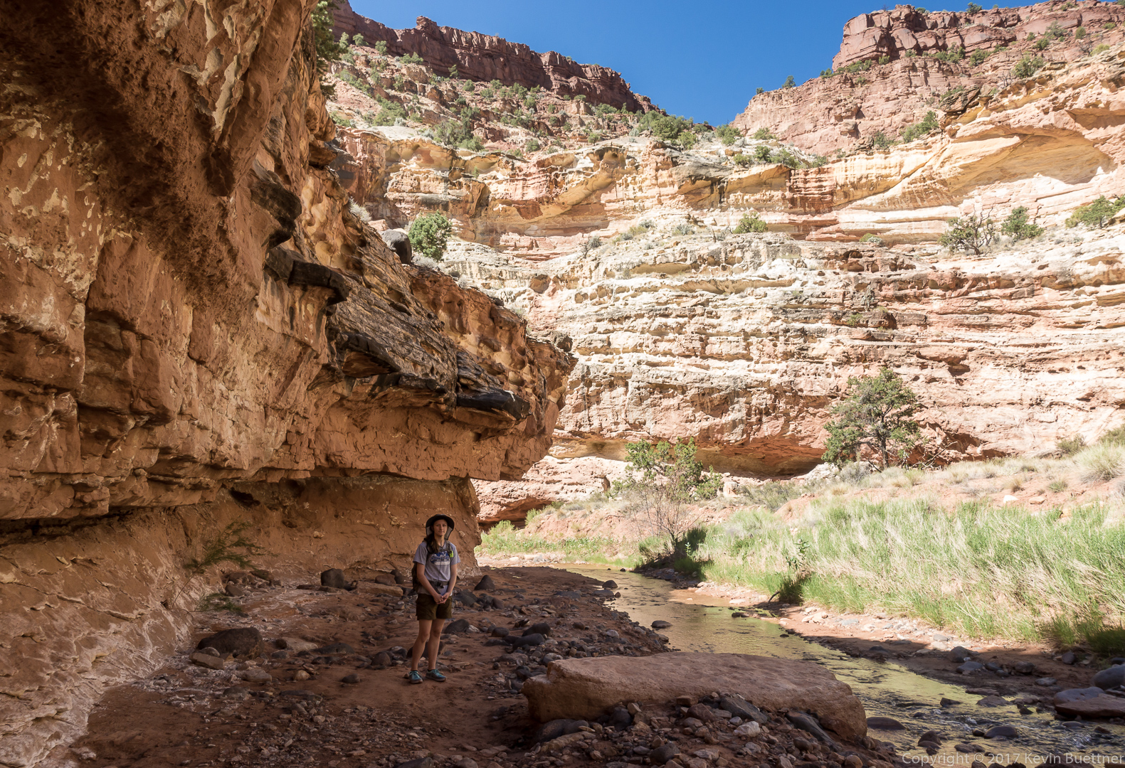
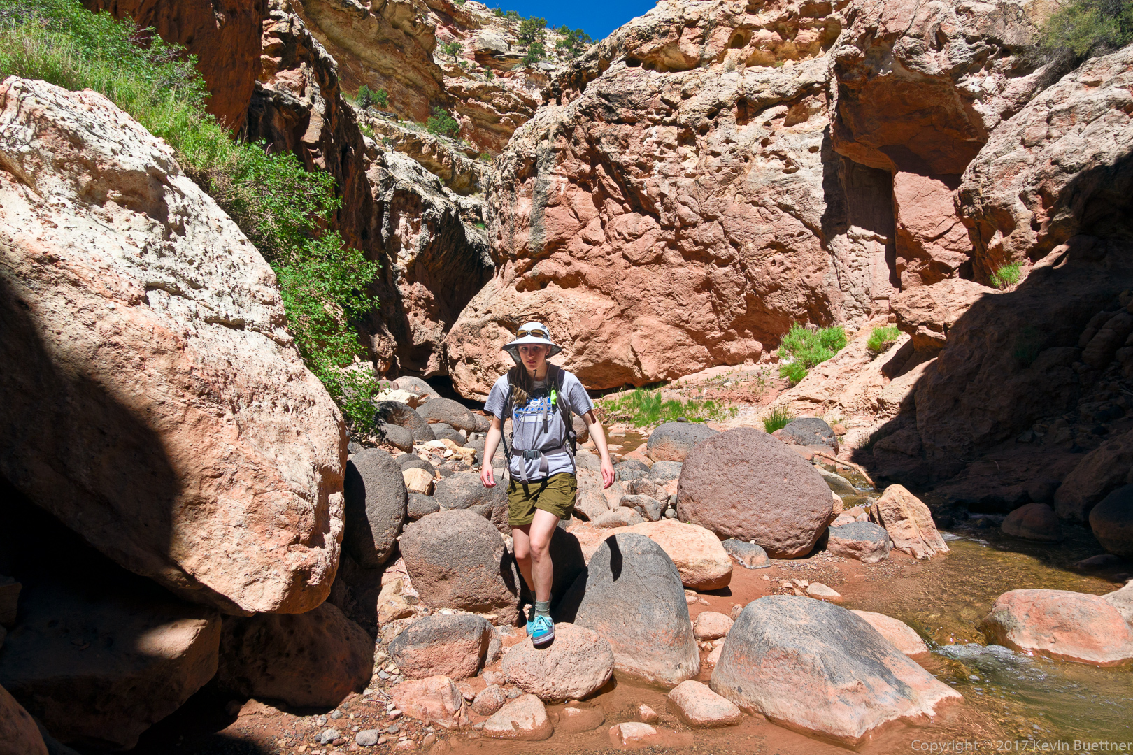
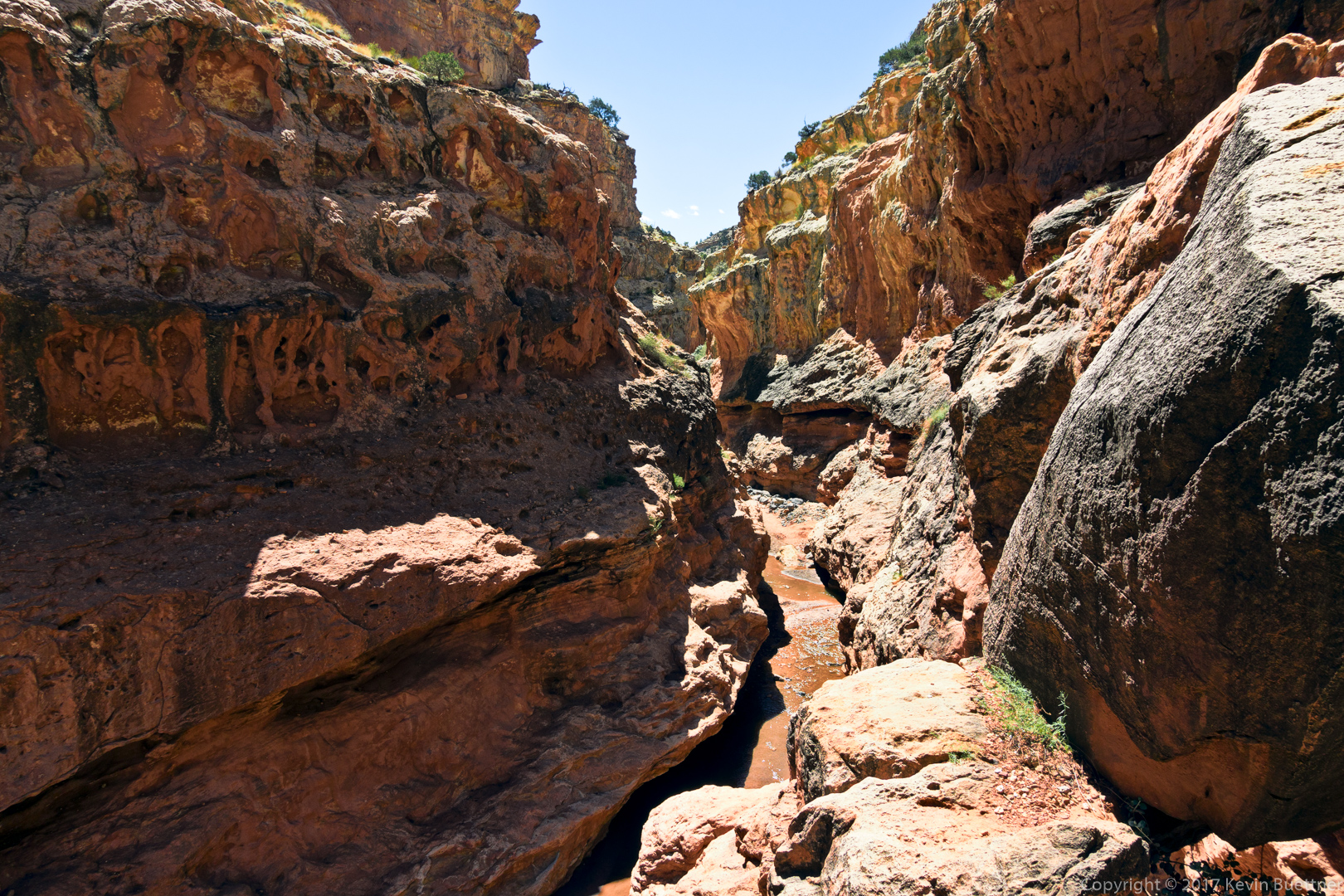
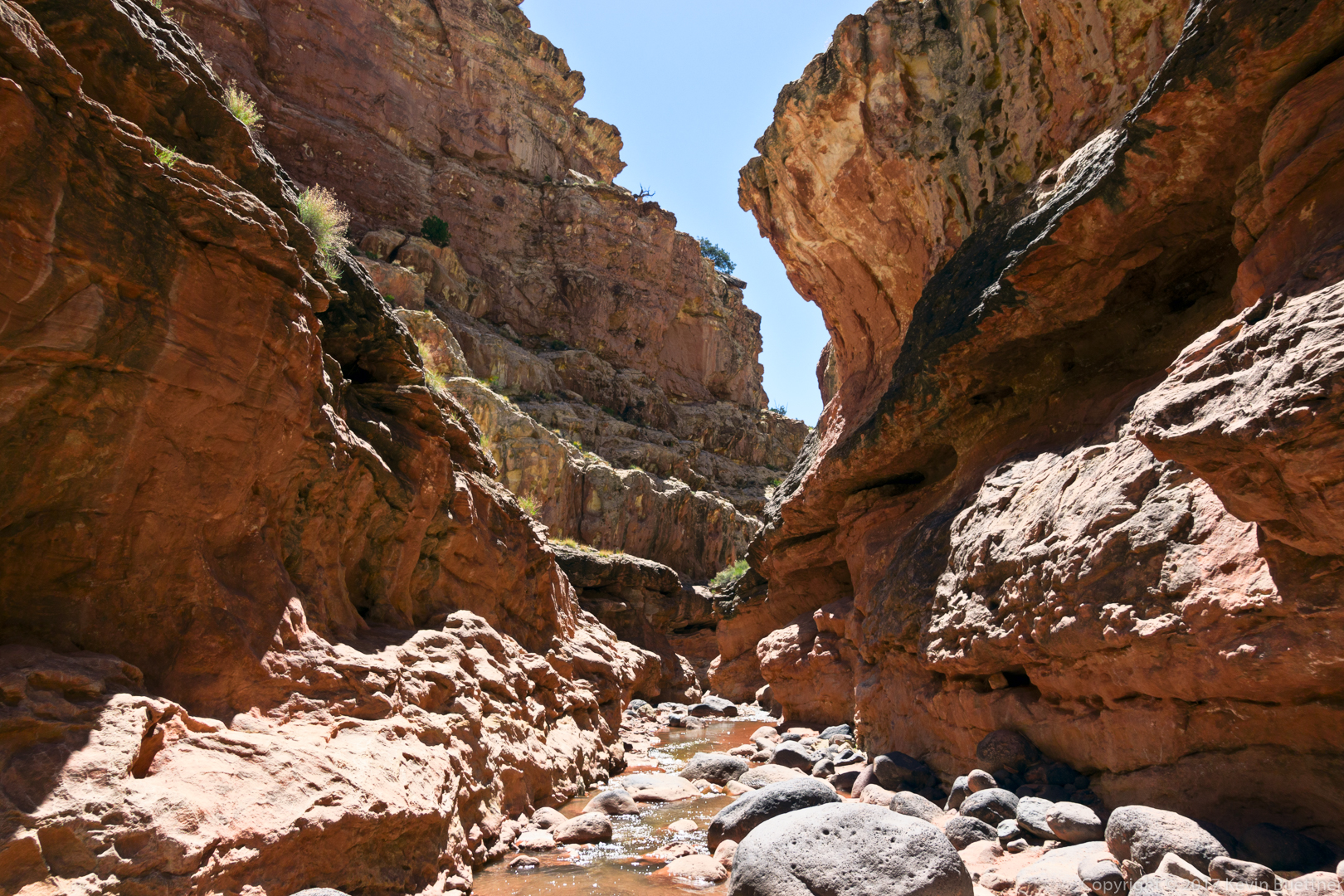
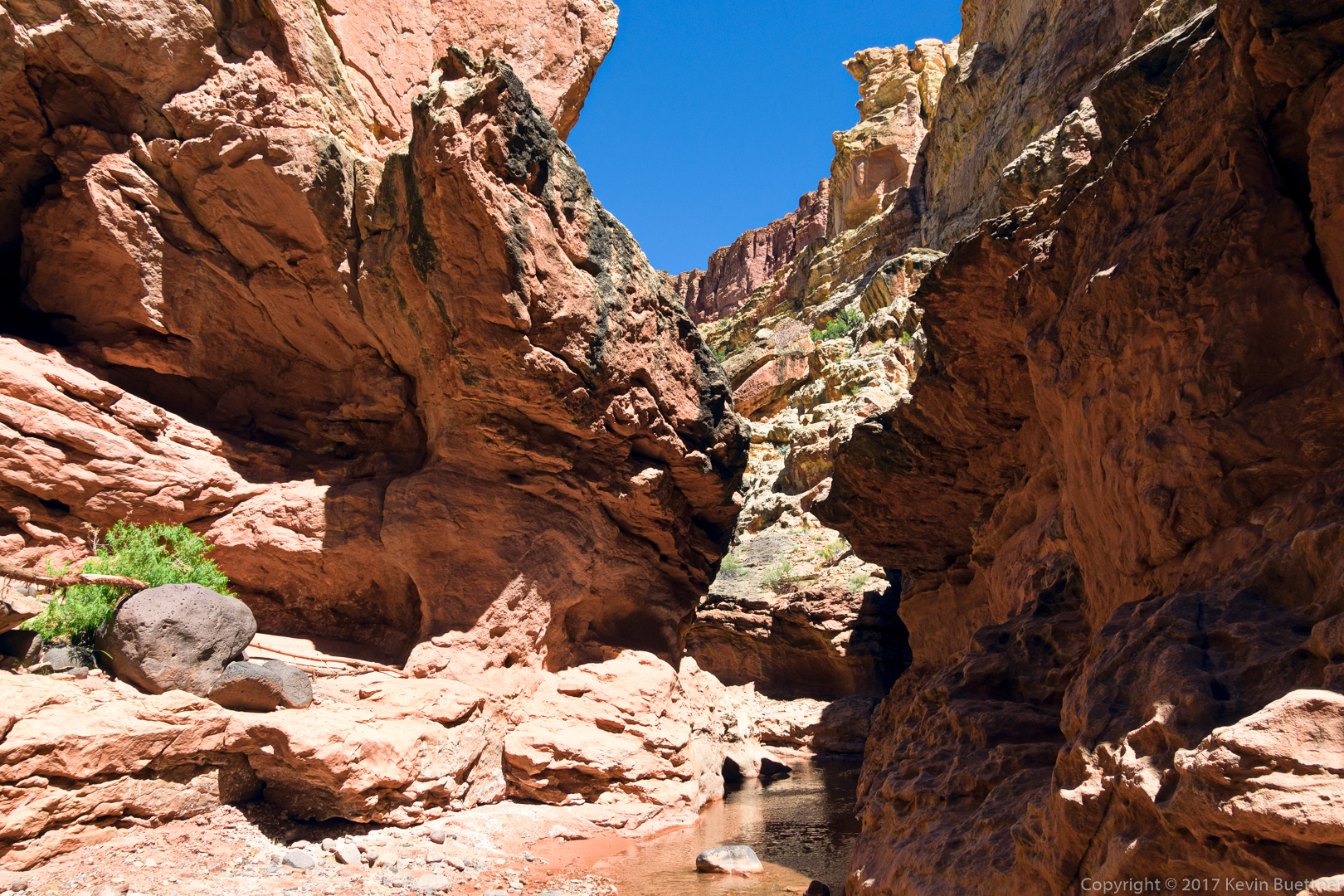
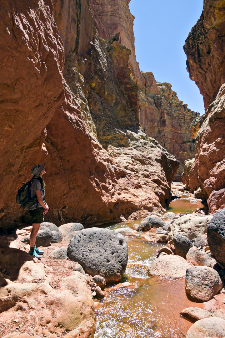
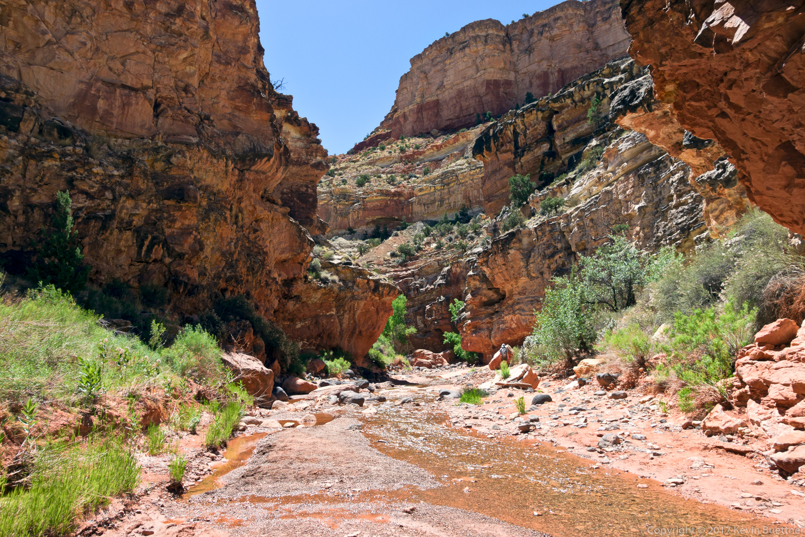
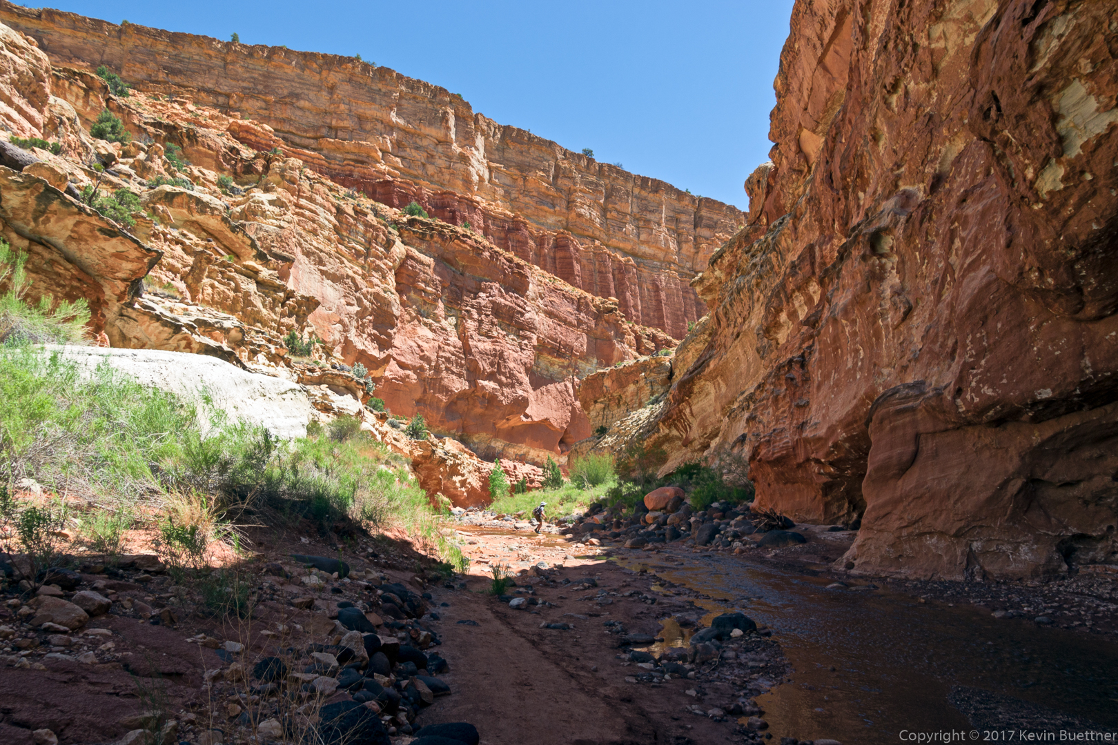
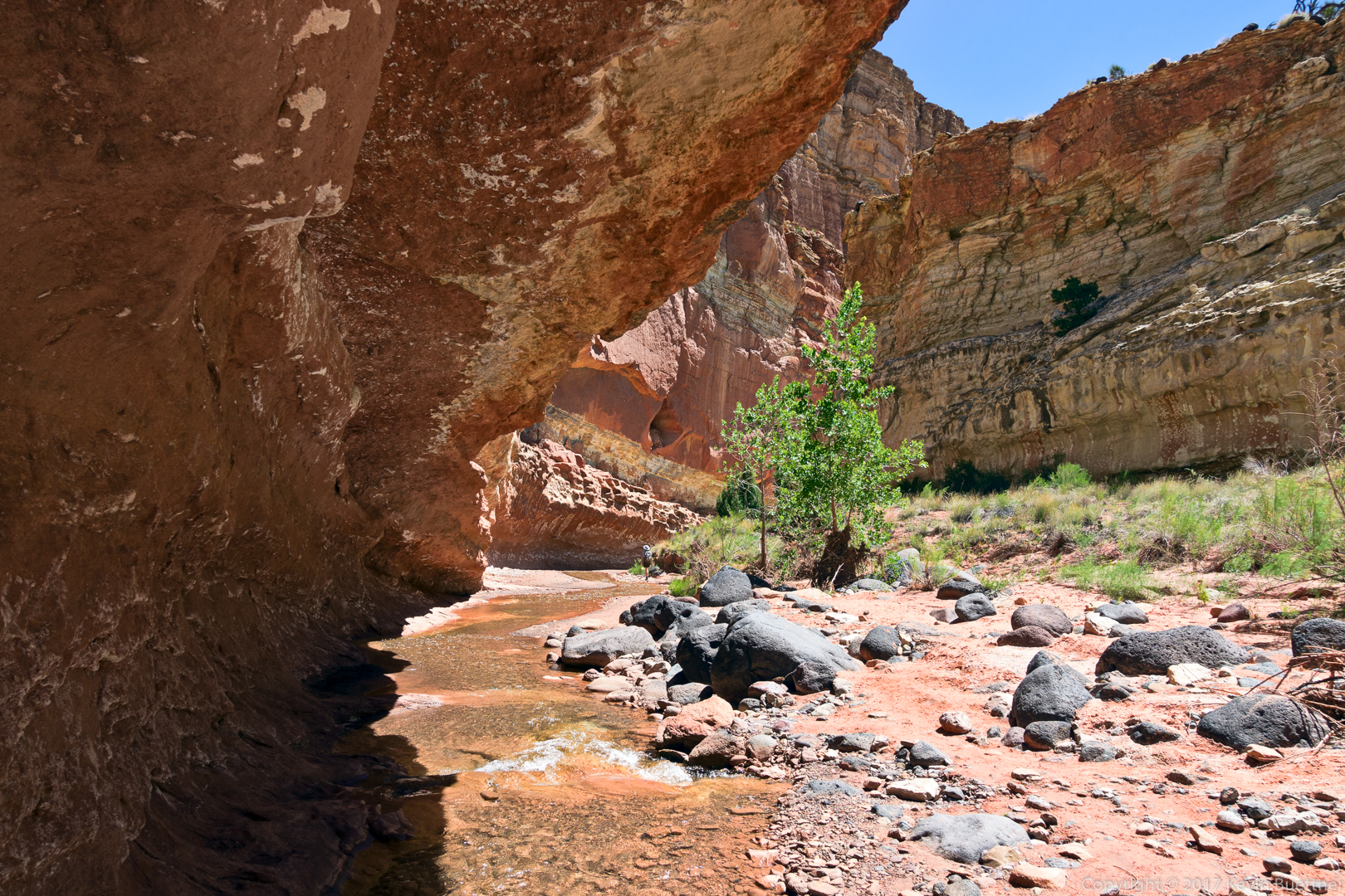
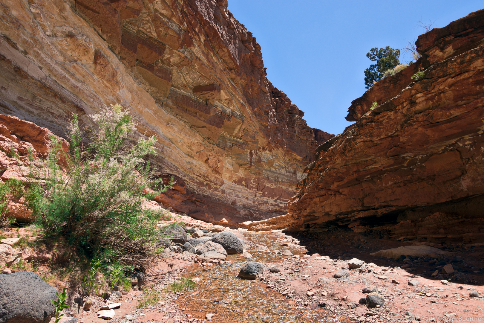
The canyons became steeper and narrower as we went. There were sections where we waded through pools that were knee deep and other sections where we pushed our way through vegetation; my arms and legs were amply scratched when we were done. We saw some three leafed plants that might or might not have been poison ivy. We avoided it and, thankfully, have not developed a rash. There were also lots of logs and debris washed up against the logs which blocked our path; we had to make our way over or under that stuff. In some places, it created a sort of false floor that we had to negotiate. These sections were short, but slowed us down a lot.
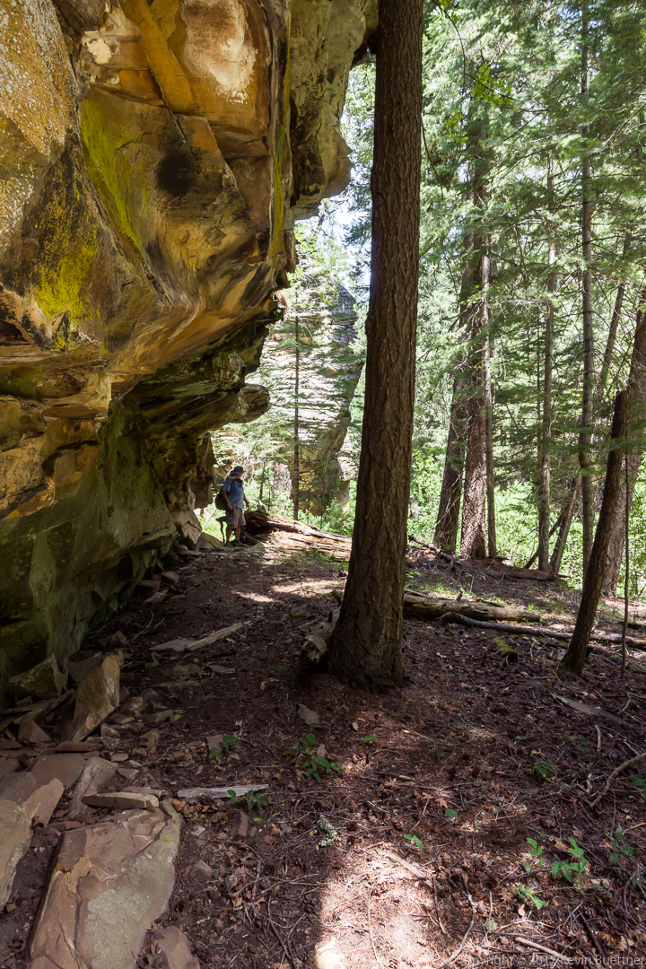
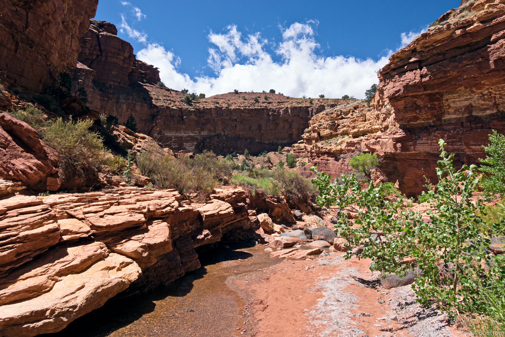
We were hoping to get to the intersection with Tom’s Creek Canyon. It wasn’t that far off, but making our way through the brush and over and under logs was slow going. We turned back after hiking for four hours.
We saw the same cows on the way back as we did when we were going in, inadvertently herding them back up the canyon. We were able to pass some of them, but a bunch of them accumulated at the area around the gate at which we had entered the Wilderness Area earlier in the day. We slowly made our way to one side of them to encourage to head back down canyon.
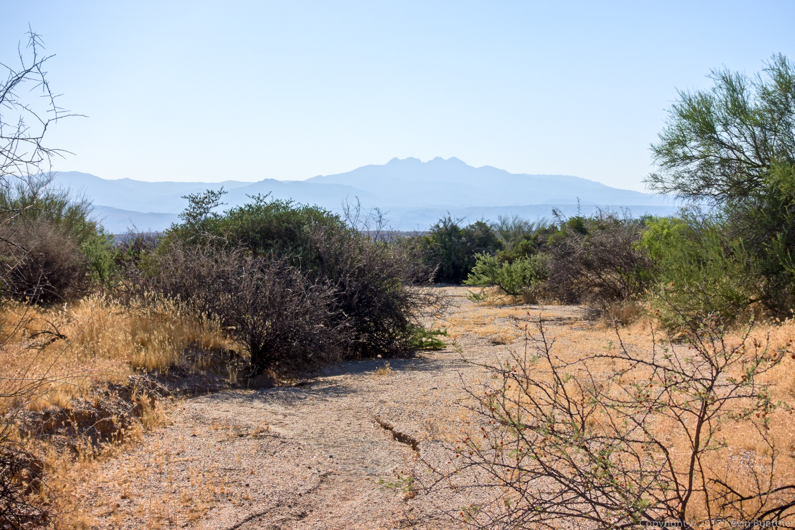
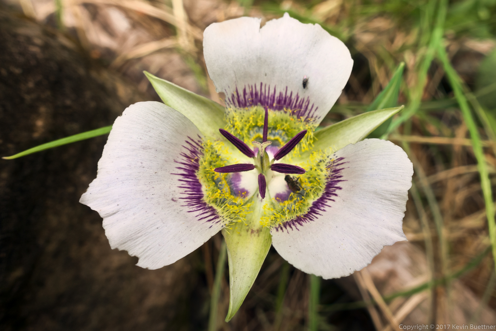
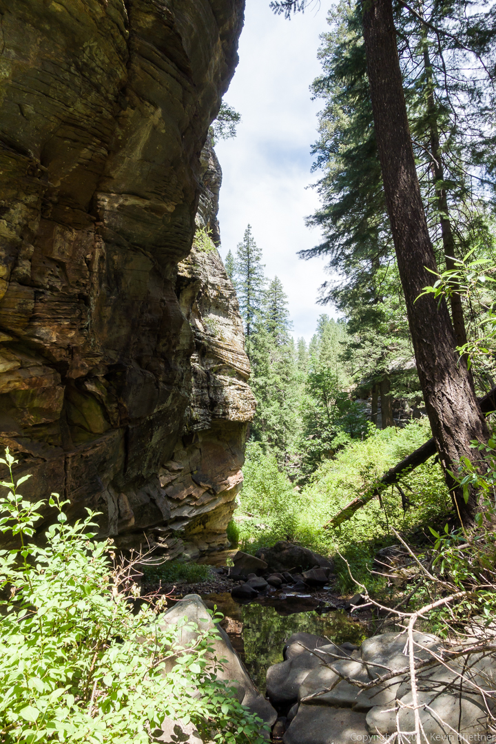
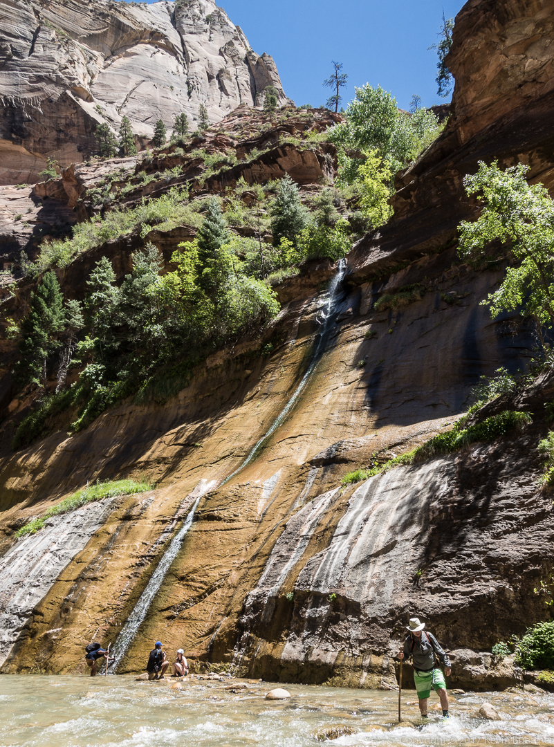
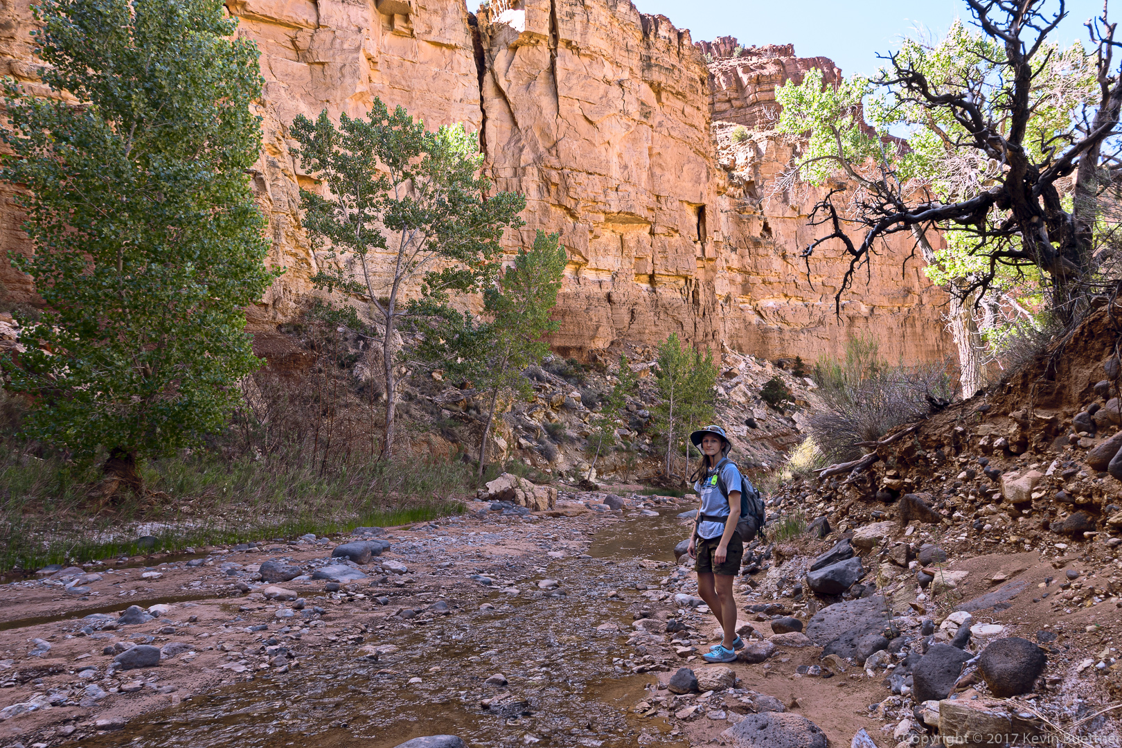
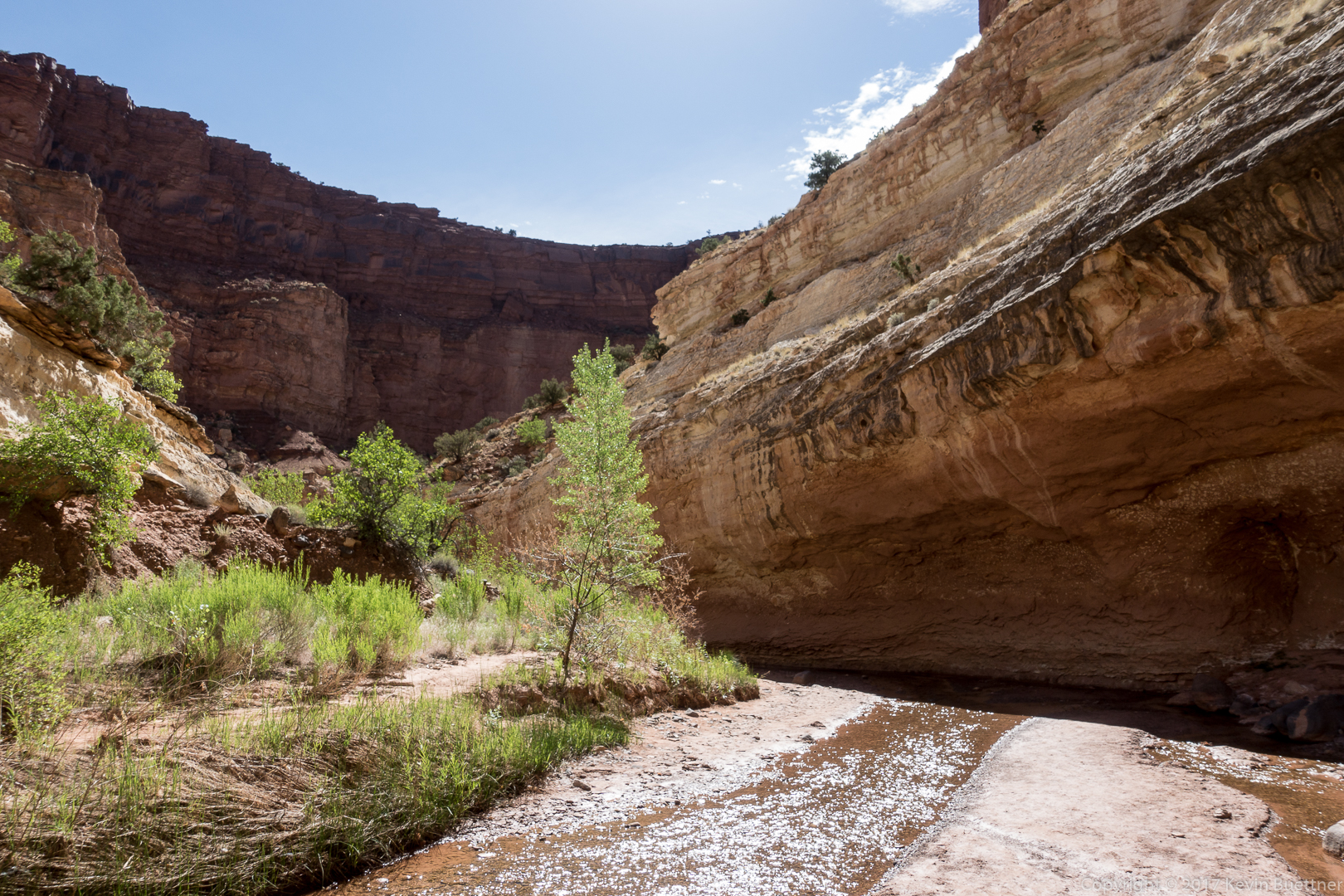
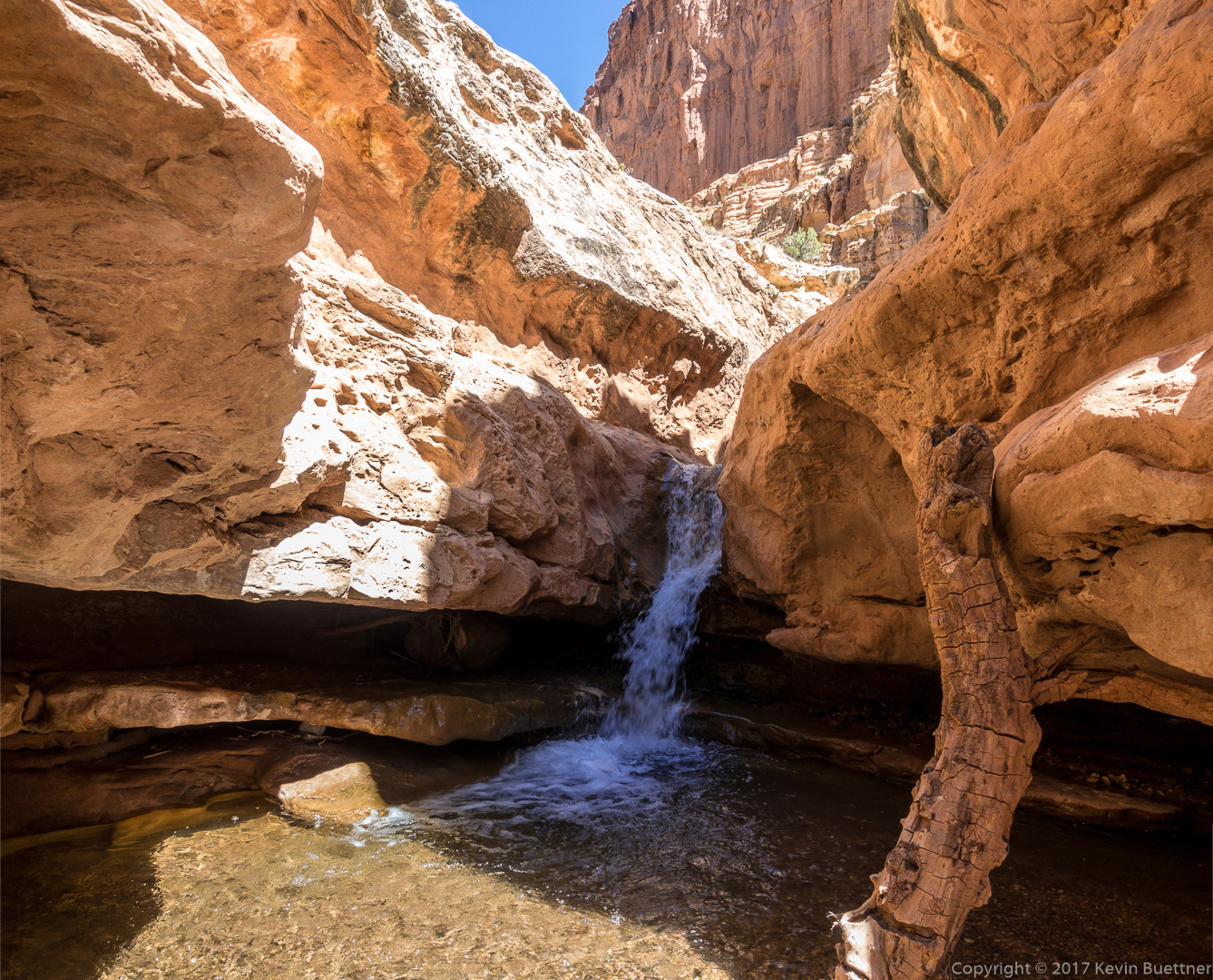
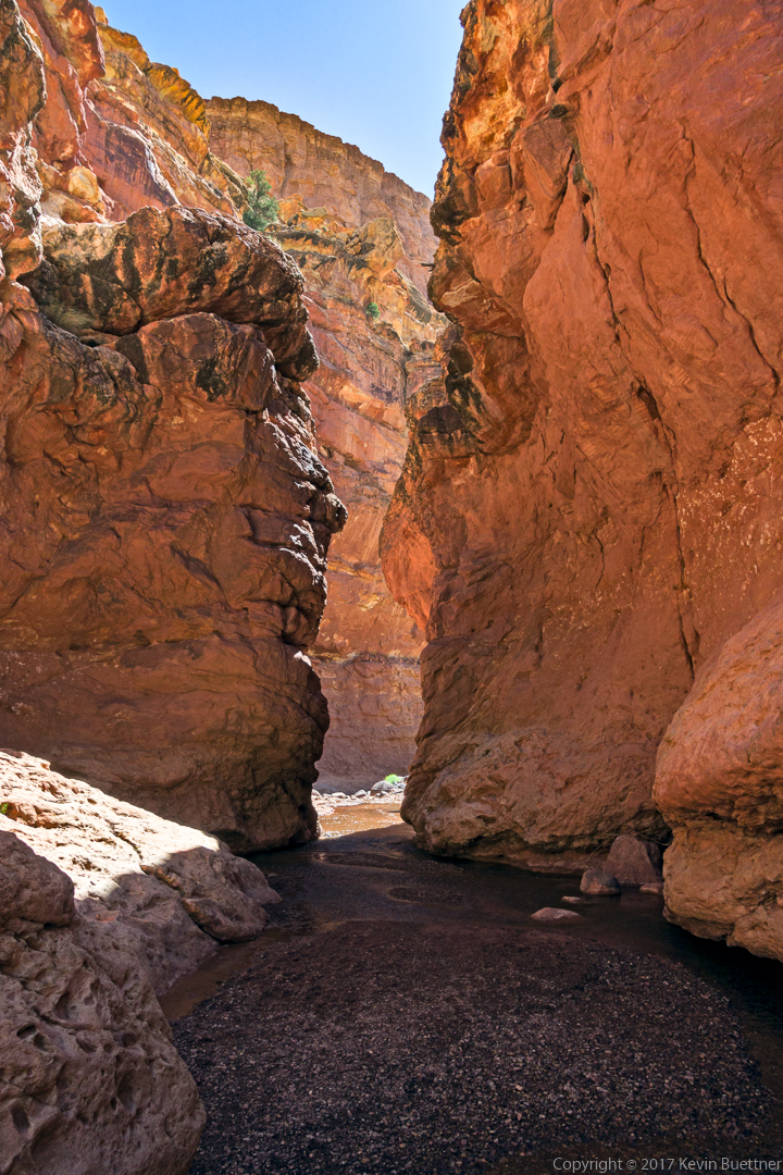
There was a lot more water there than my pictures show. For some reason, I didn’t take many photos with water in them. The water was chilly, but refreshing.


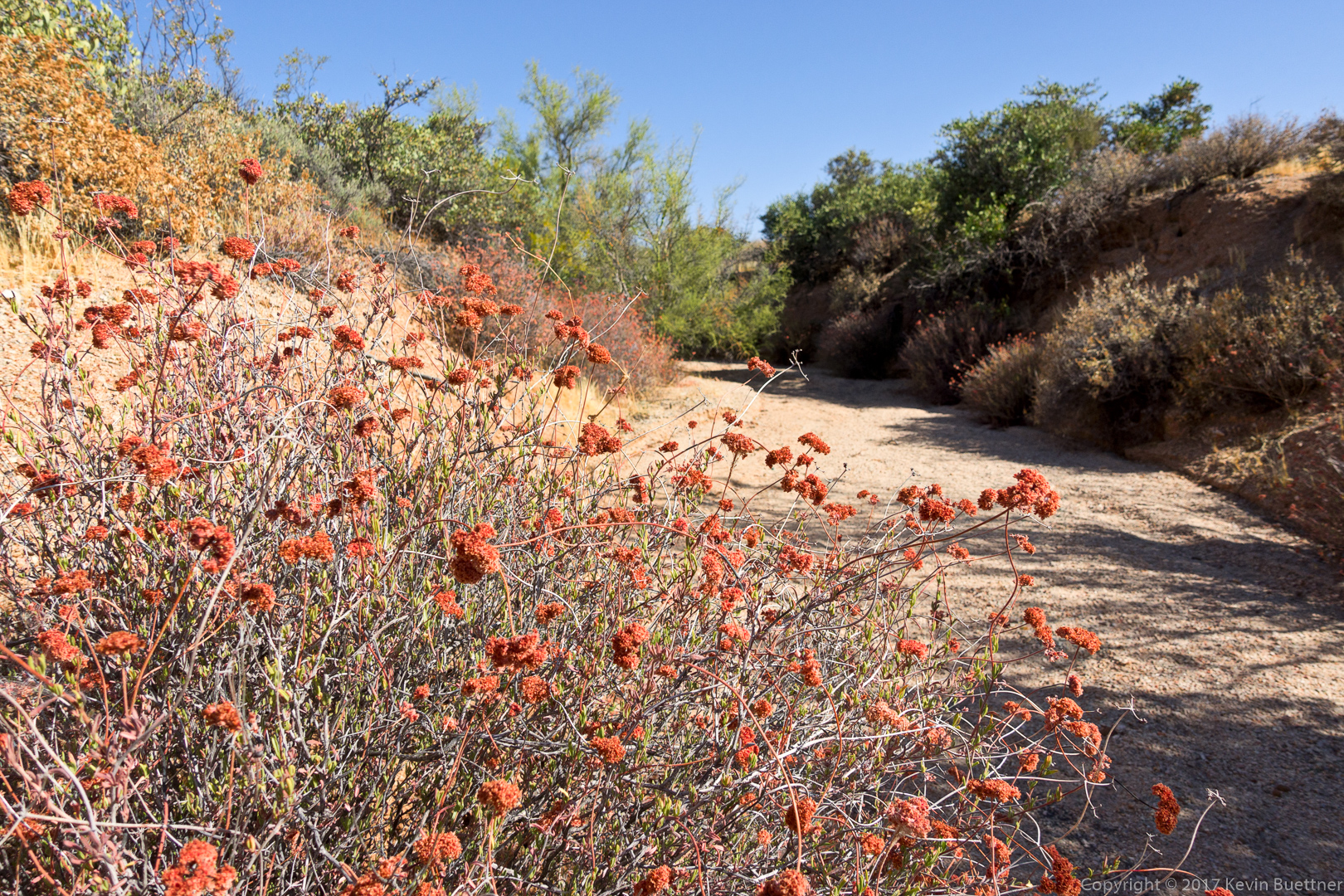
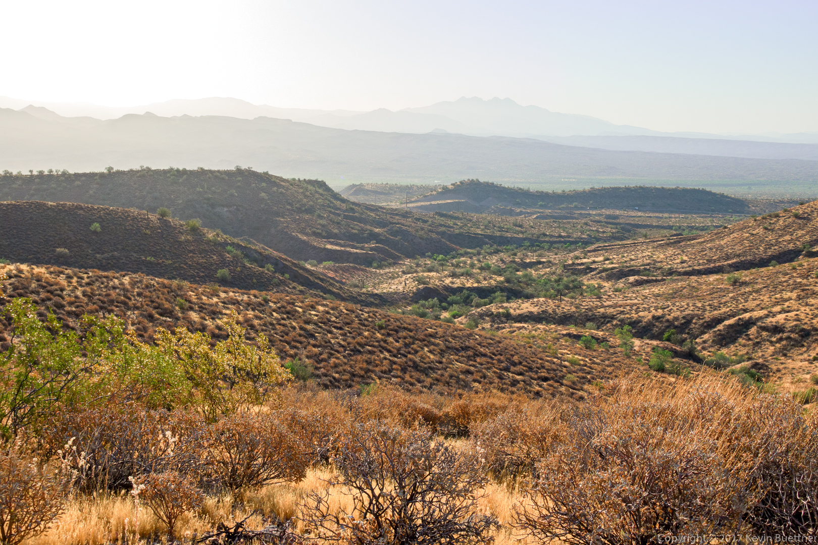
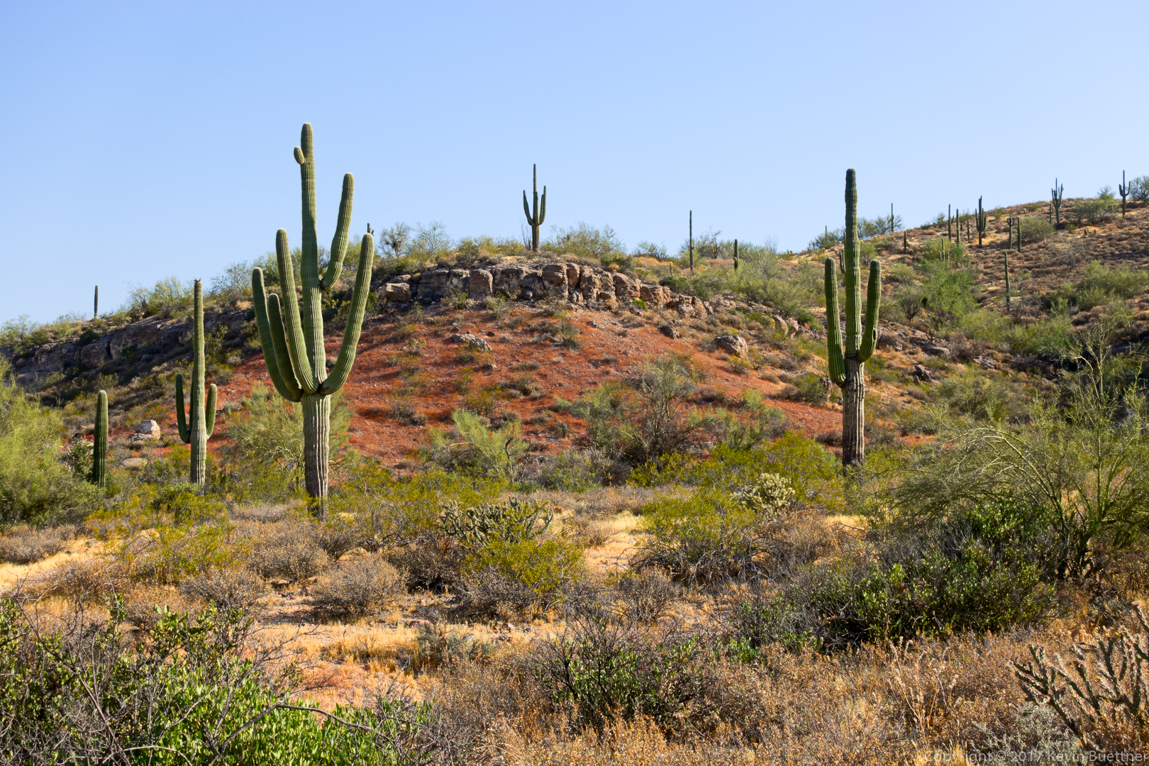
Starting from the Trailhead Staging Area, I hiked a six mile loop: Pemberton, Scenic, Cinch, Escondido, Shallmo Wash, and Pemberton. The temperature was in the mid to upper eighties when I started and the low nineties when I finished. I’m definitely not quite acclimated to these conditions yet – I was happy that I kept the hike short today.
Early morning on the Pemberton Trail:

I saw this snake on the Pemberton shortly before turning off onto Scenic. I heard a bike in the distance and waited until it passed to make sure that the snake didn’t get run over.

A view of Red Mountain from the Scenic Trail:
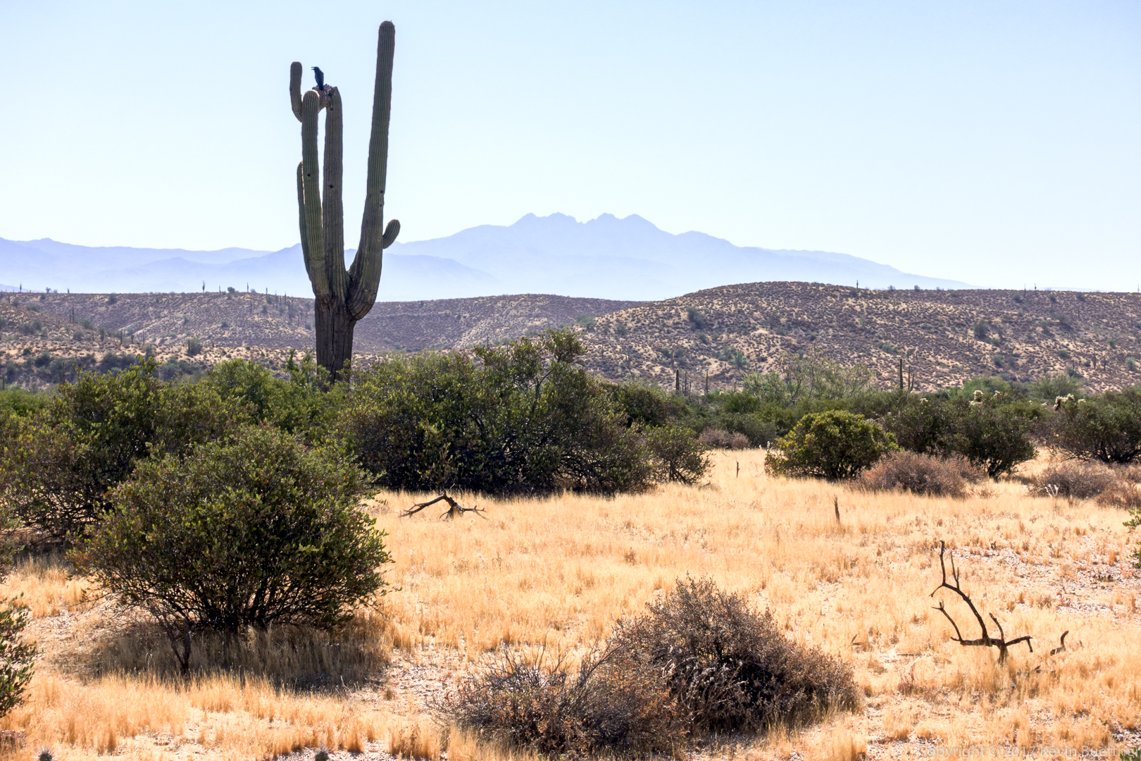
A view of Four Peaks from the Scenic Trail:
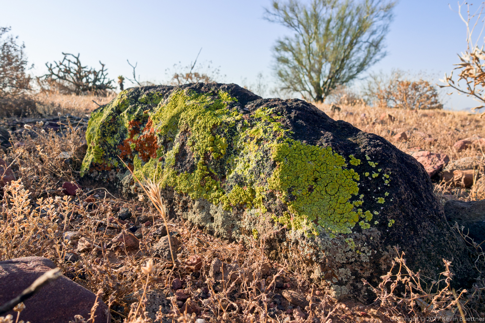
I saw this lichen covered rock on the Scenic Trail:
A view from the Shallmo Wash Trail:
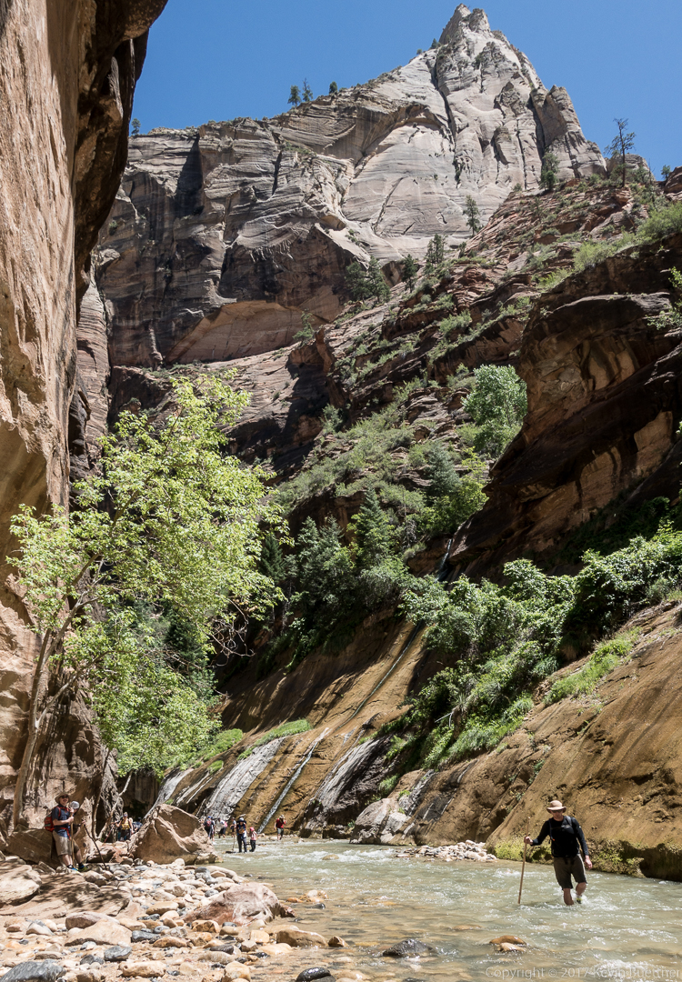
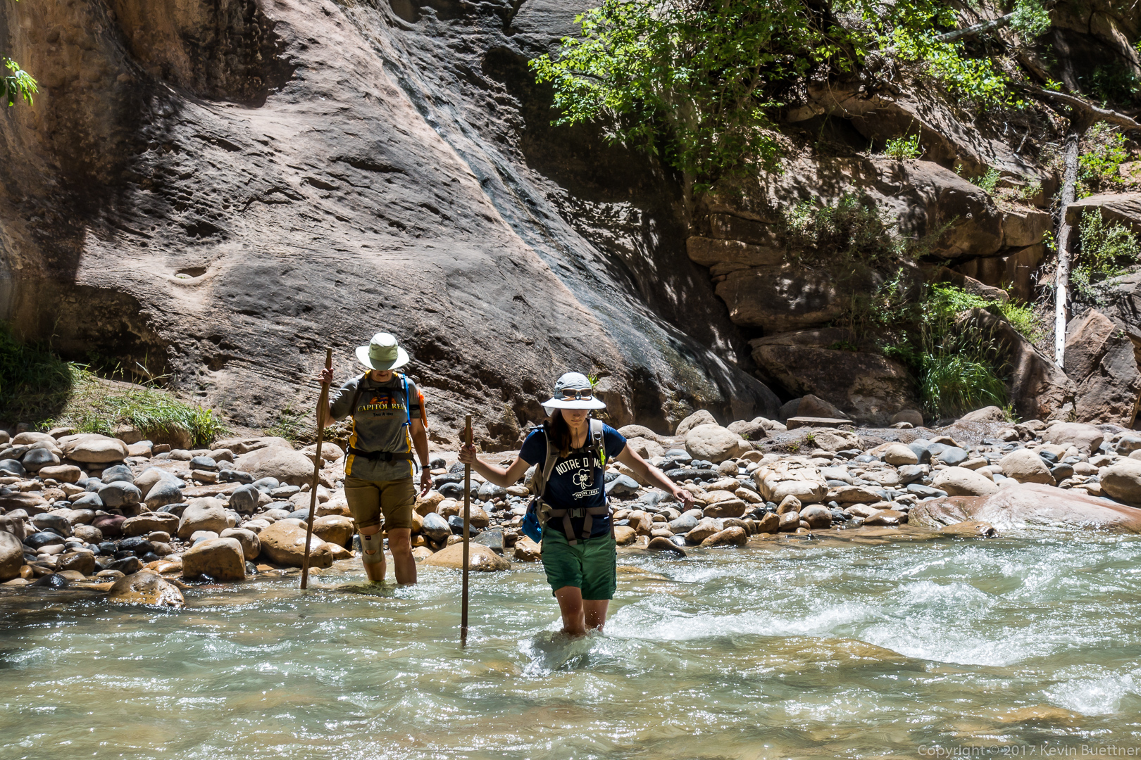
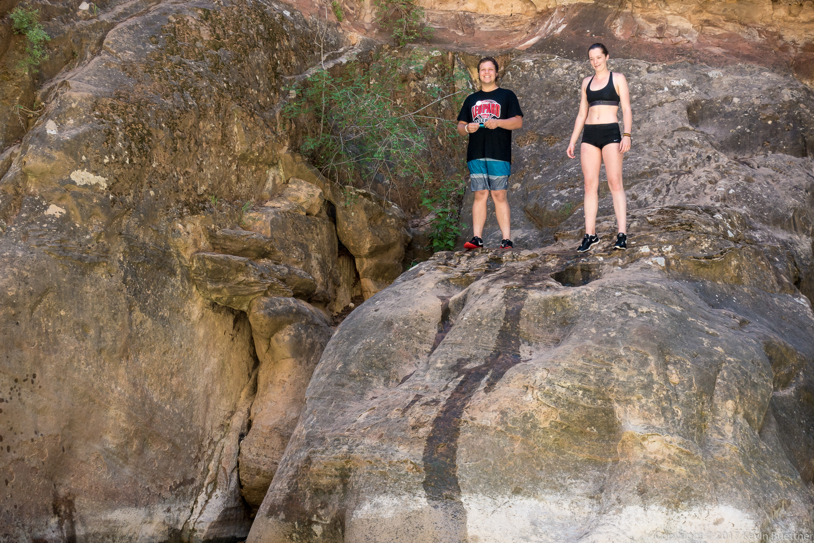
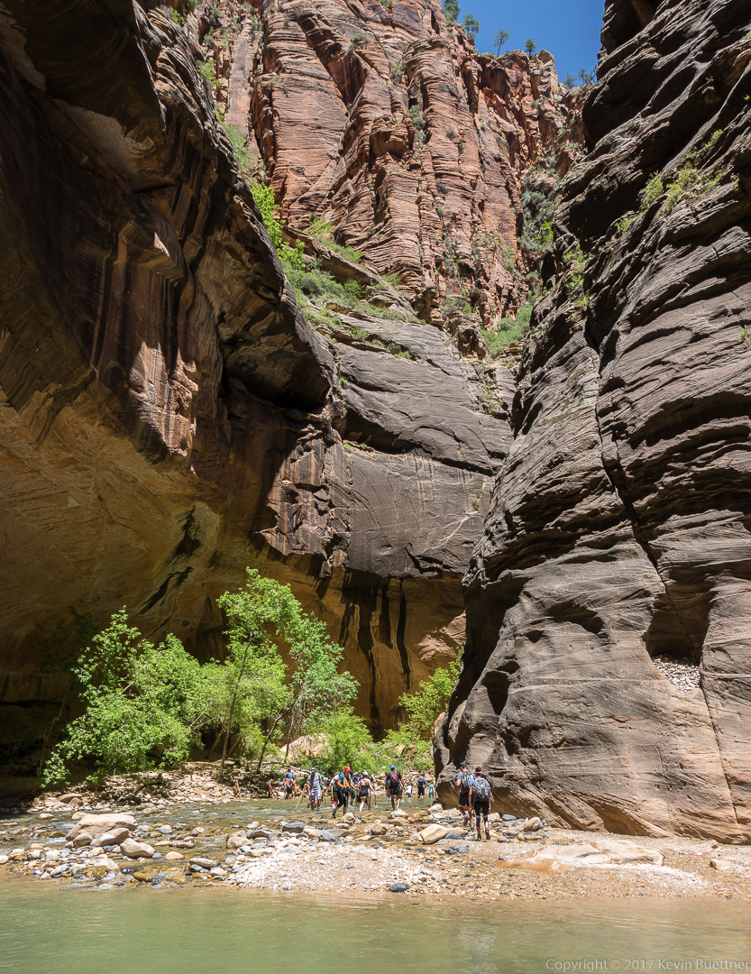
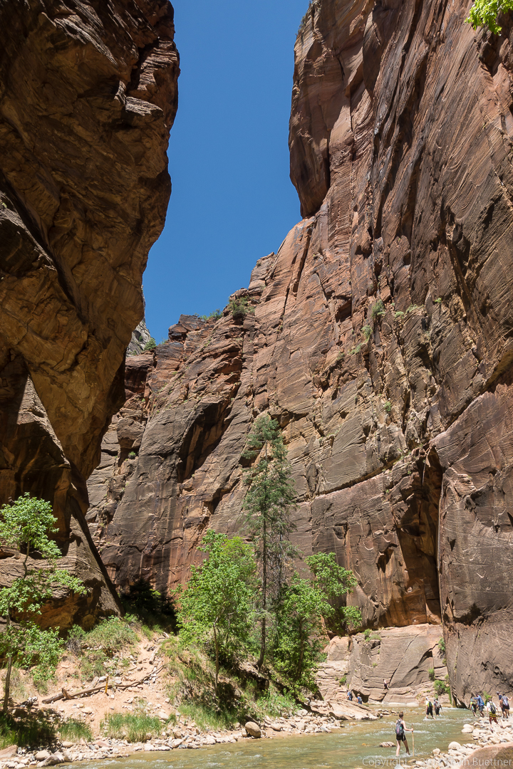
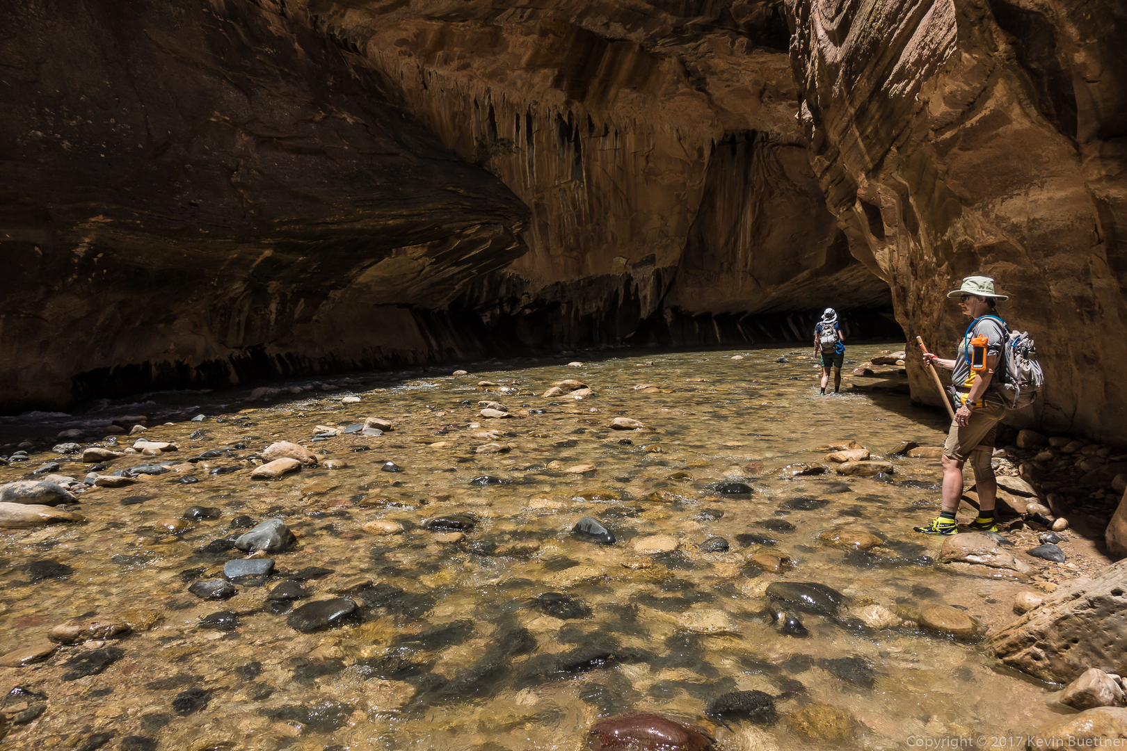
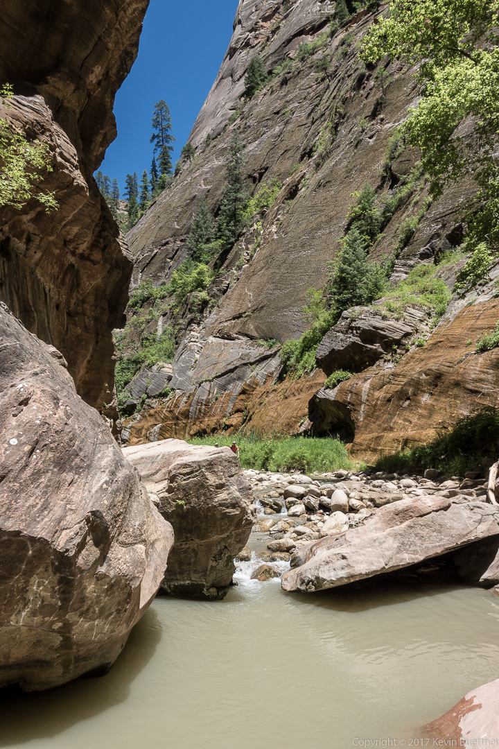
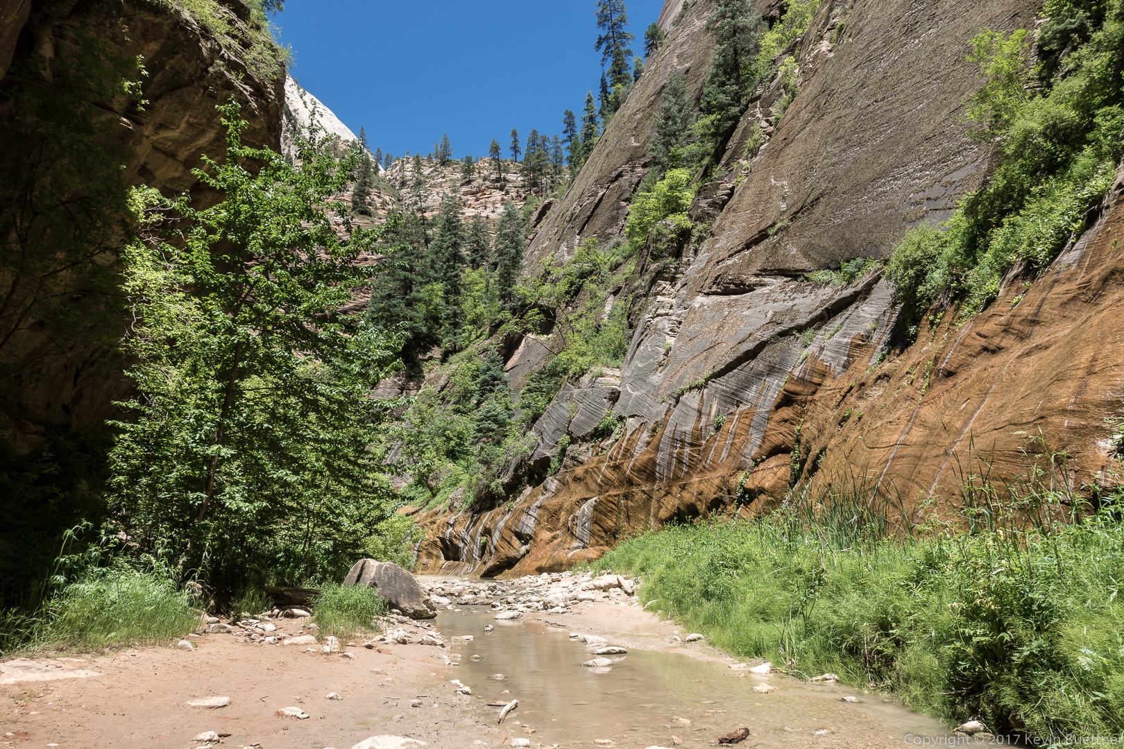
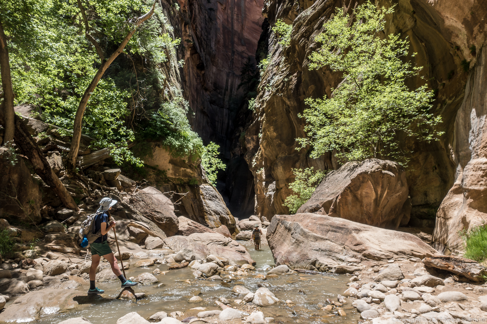
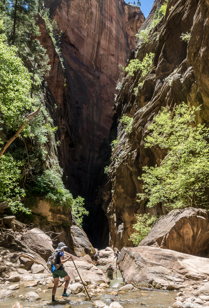
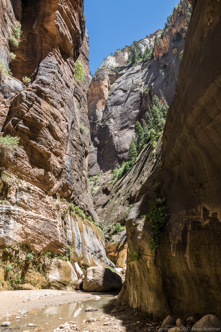
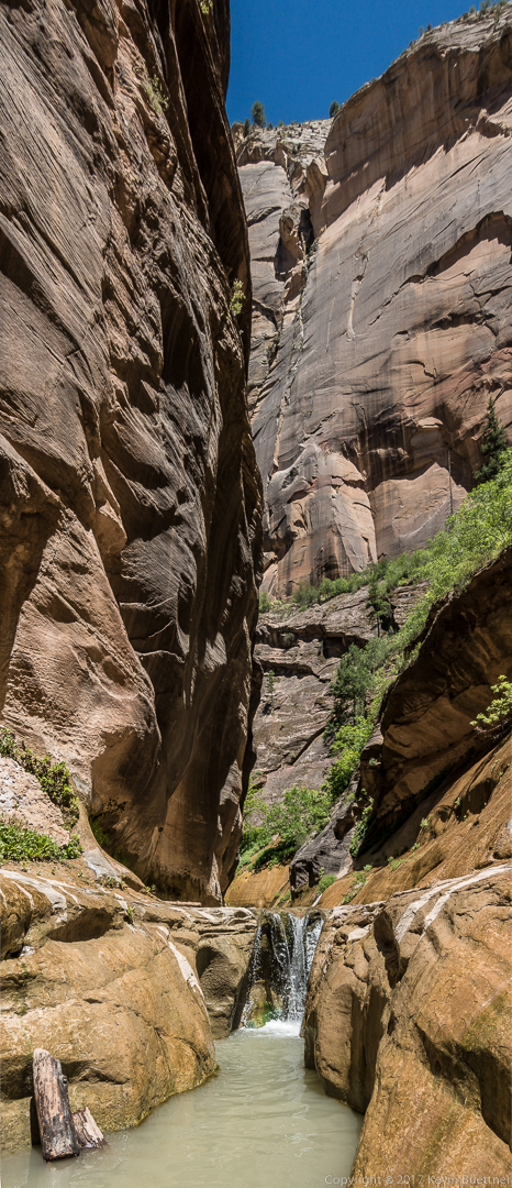
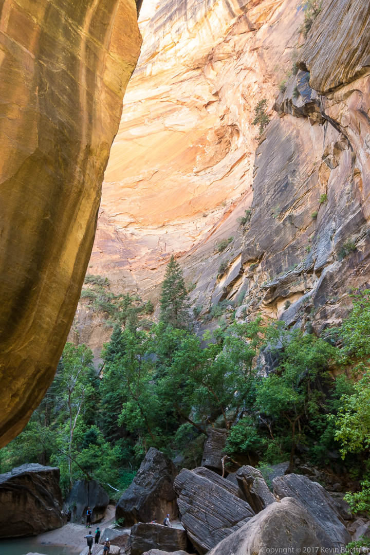
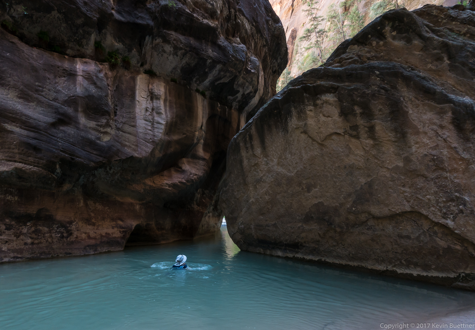
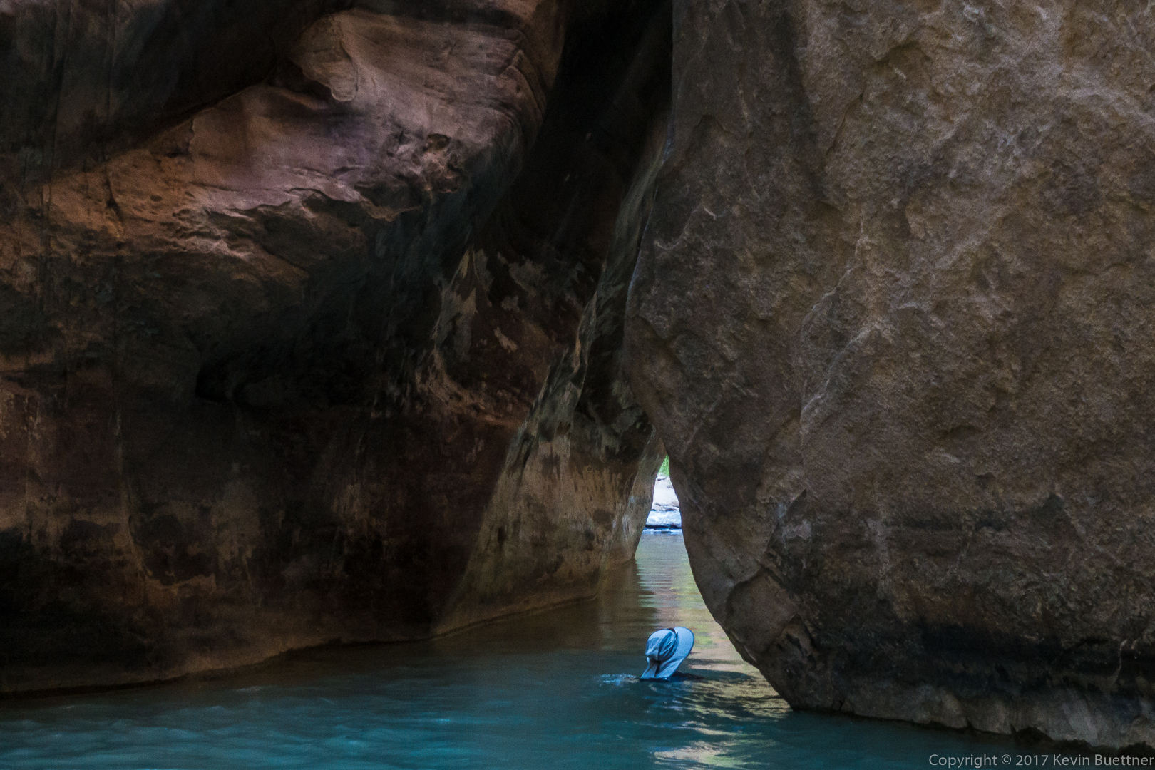
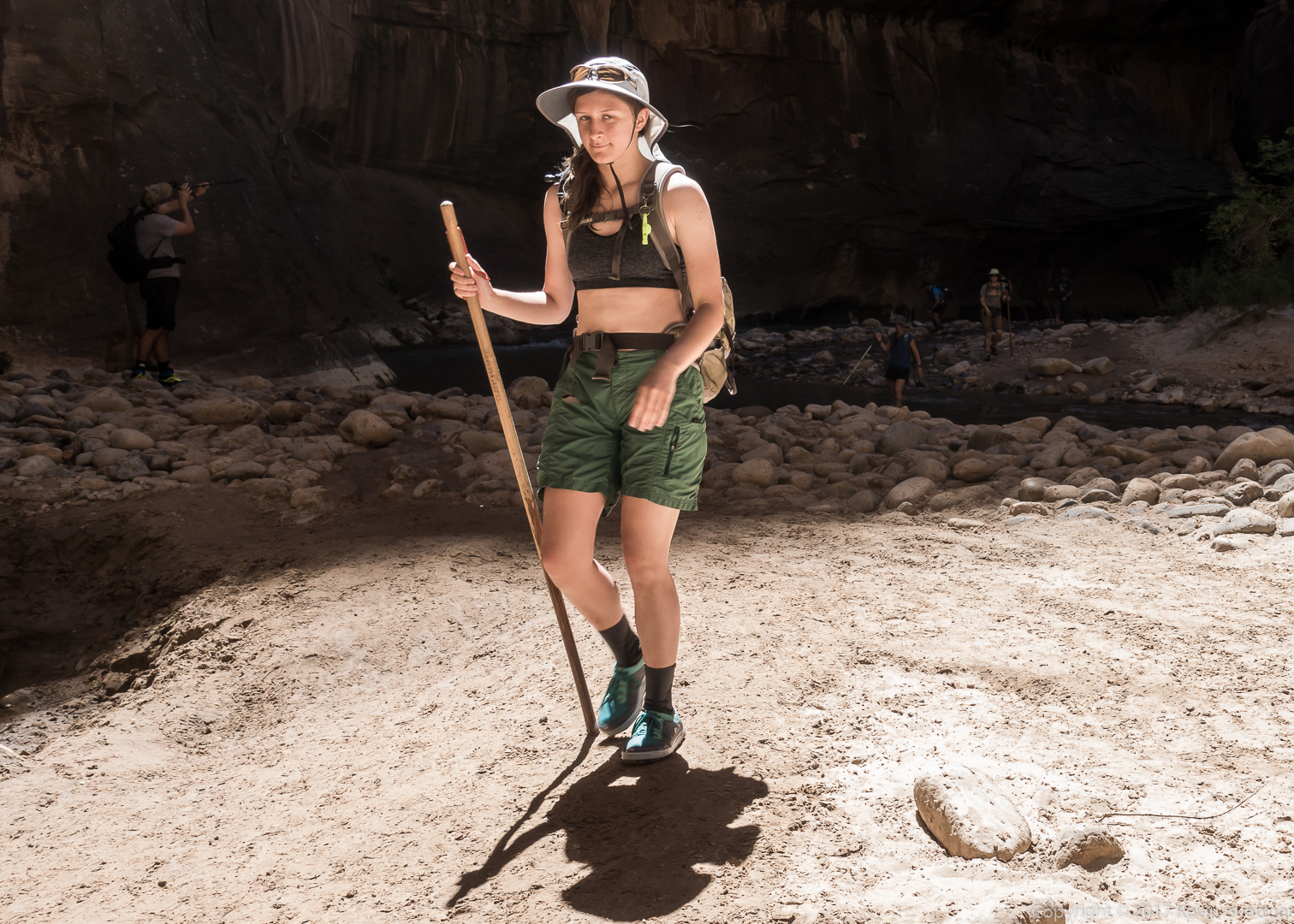
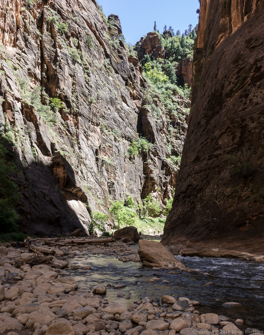
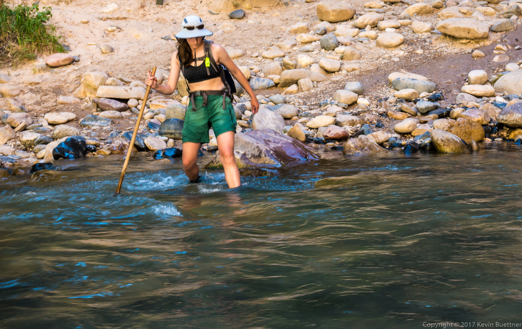
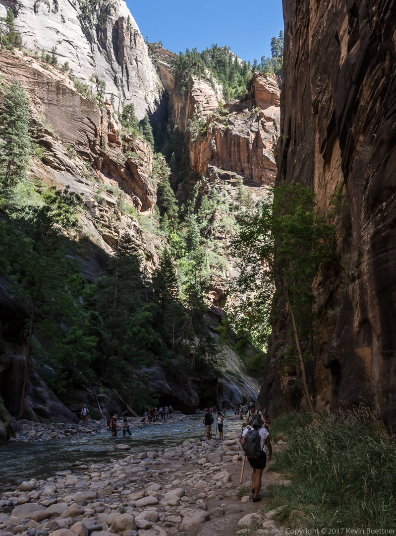
Marilyn, Marie, and I spent over five hours in the Zion Narrows.


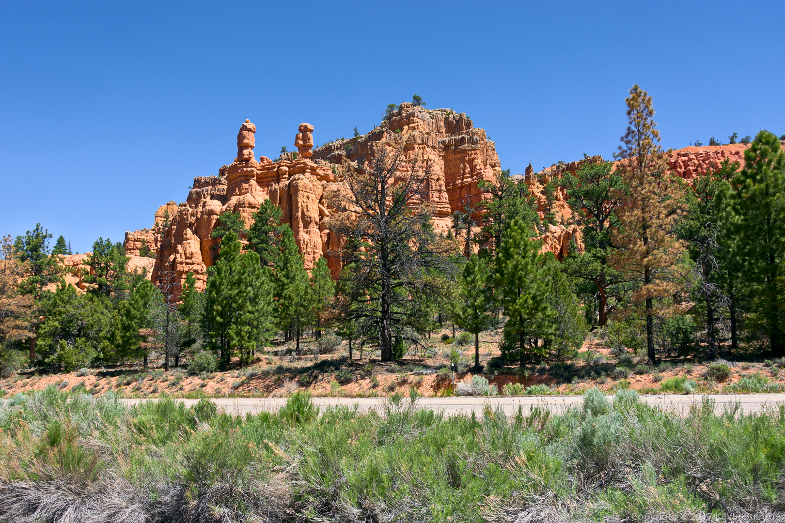
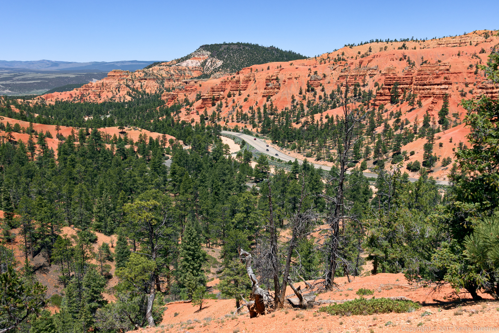
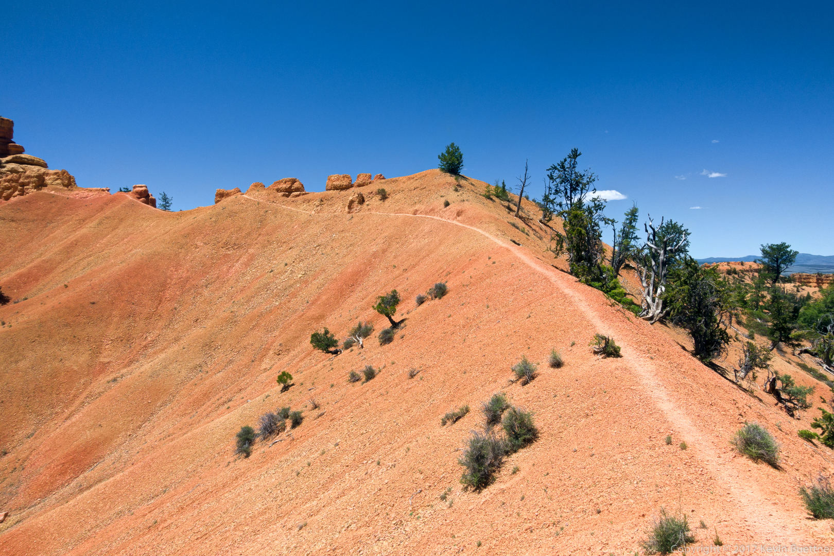
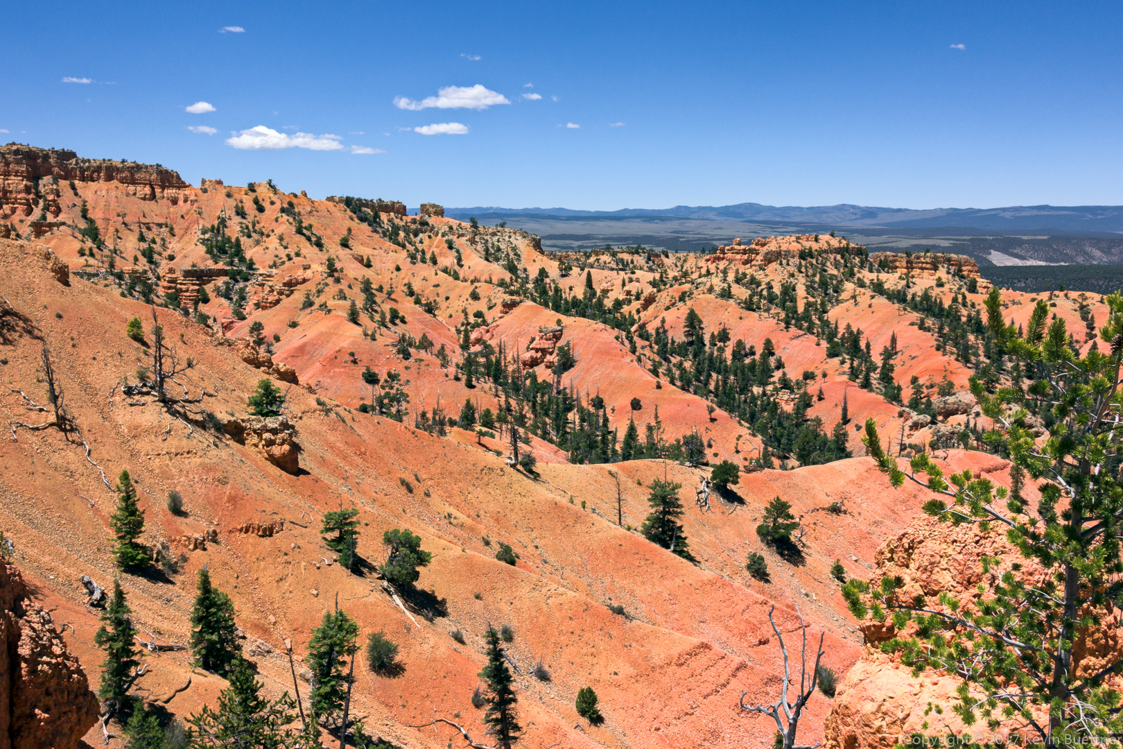
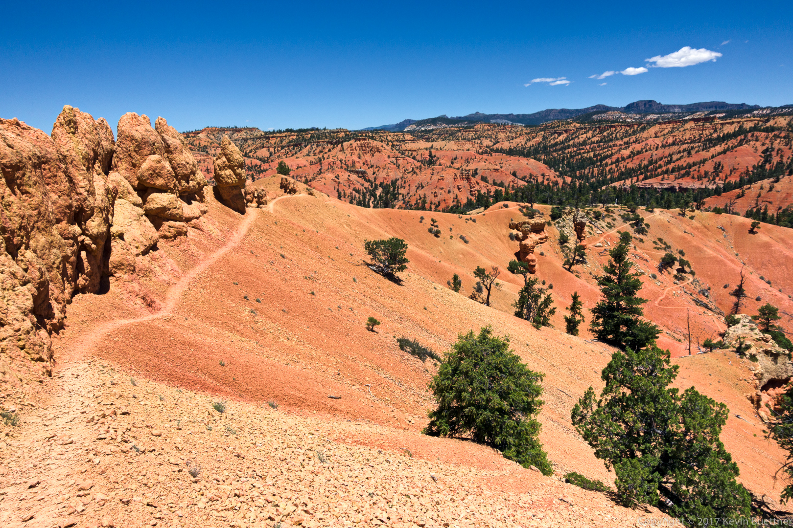
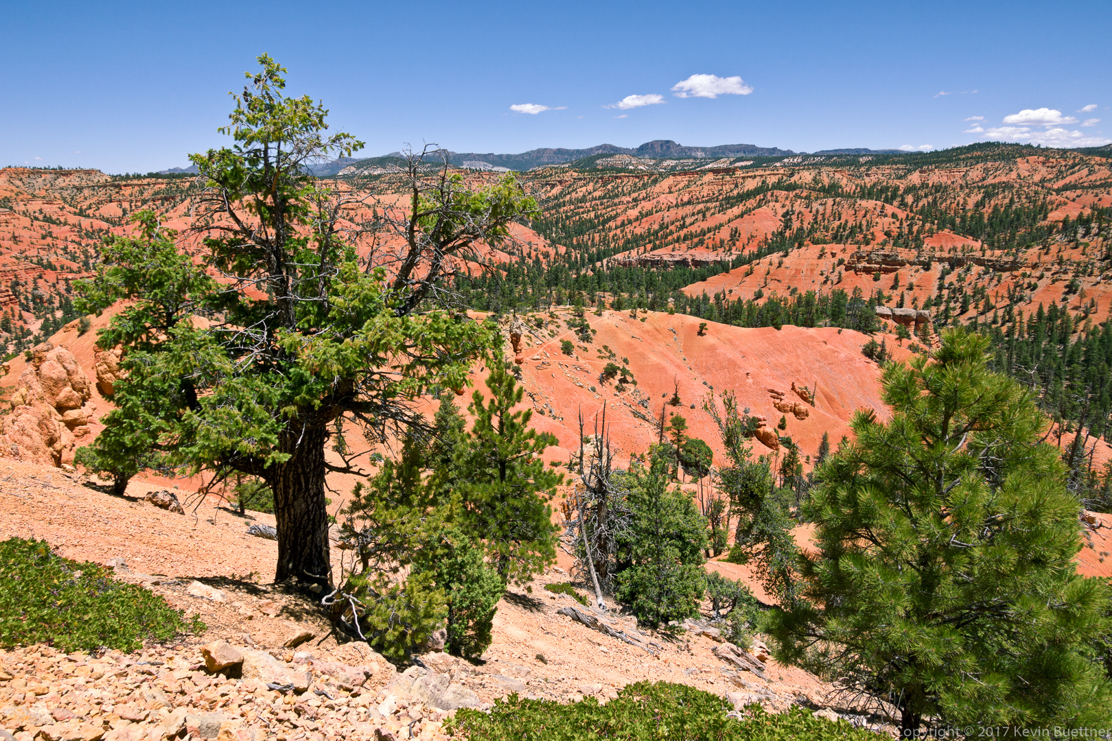
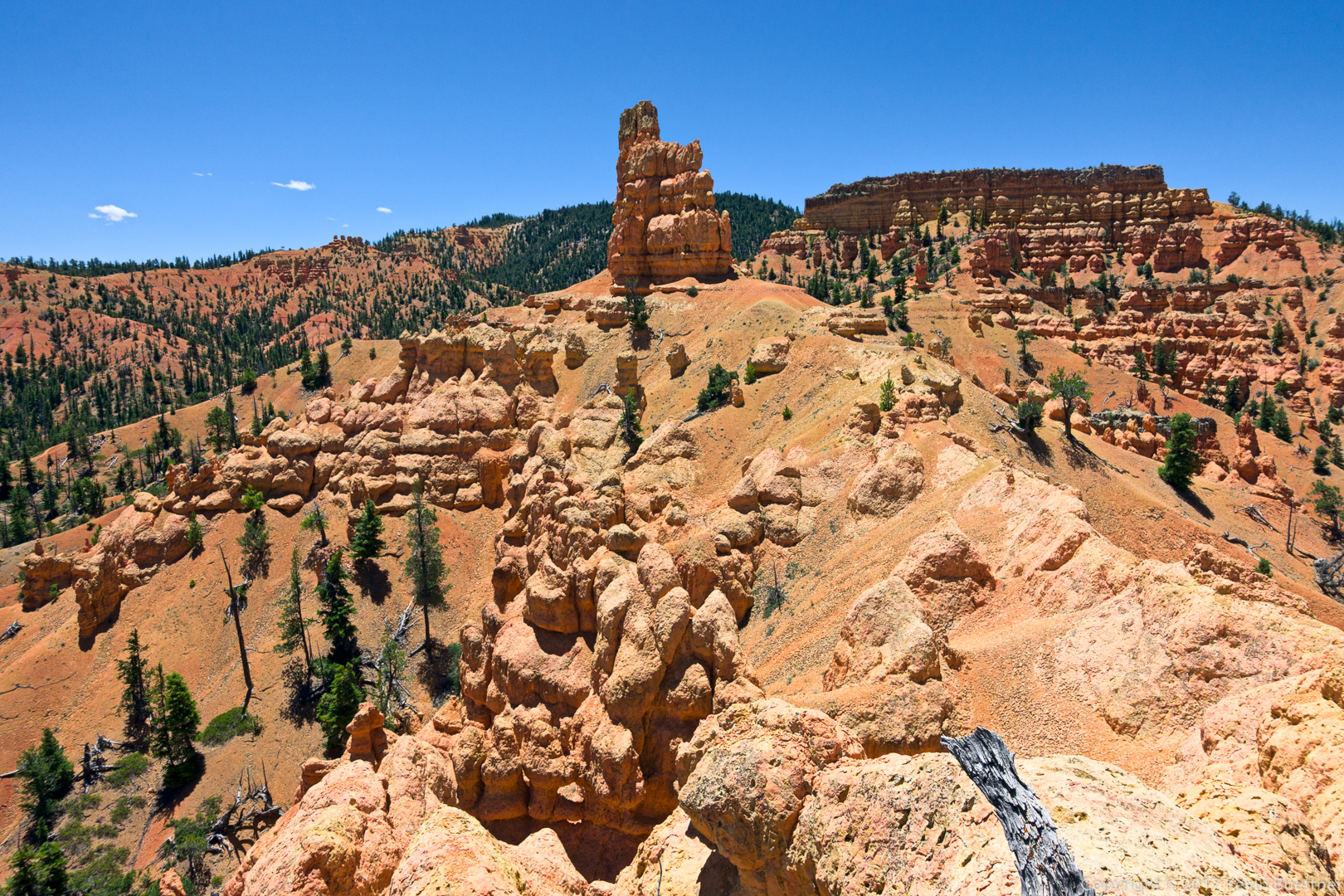
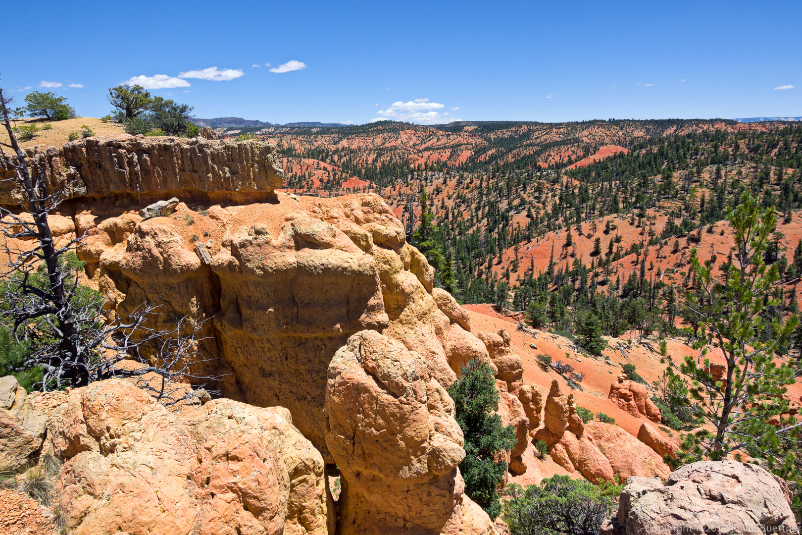
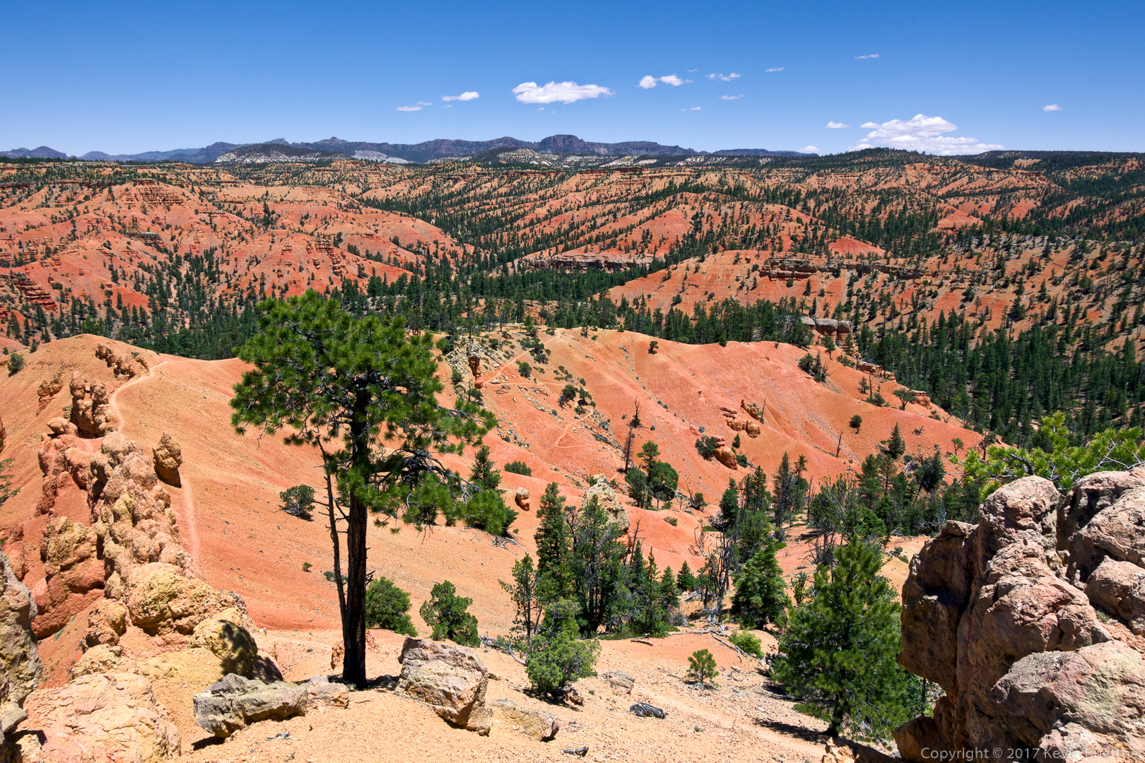
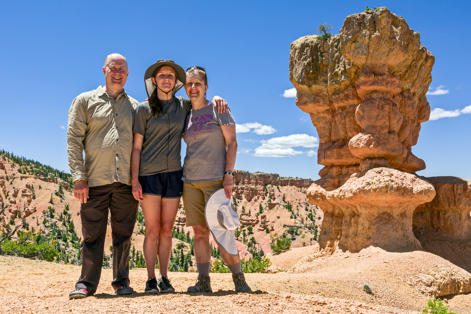
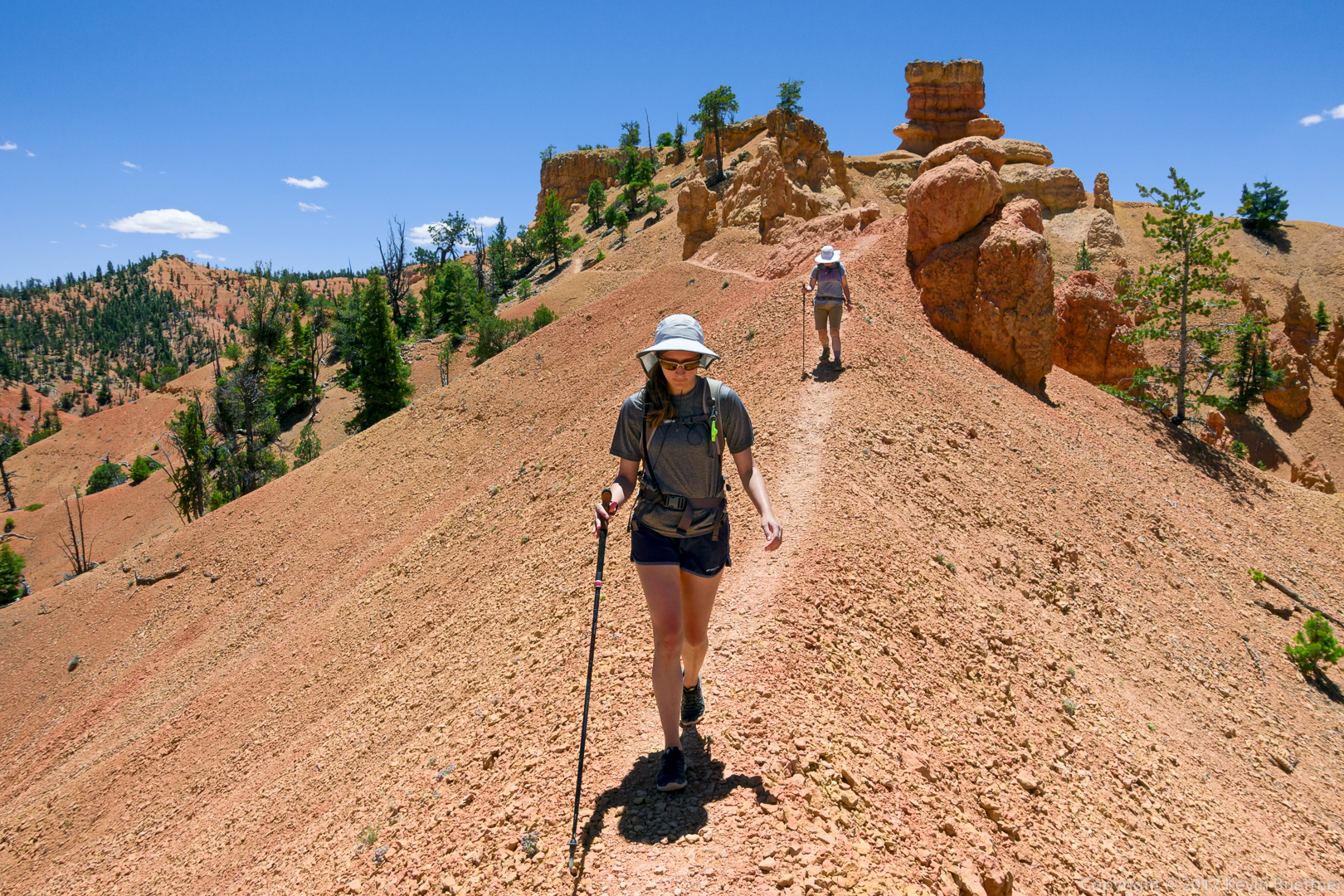
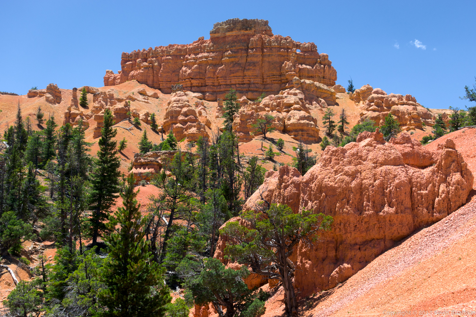
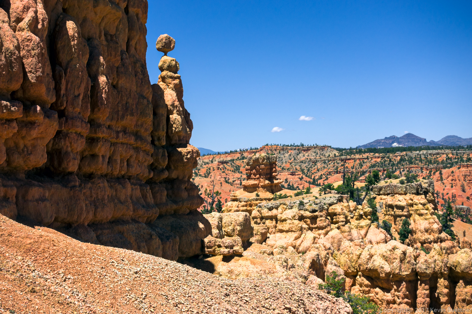
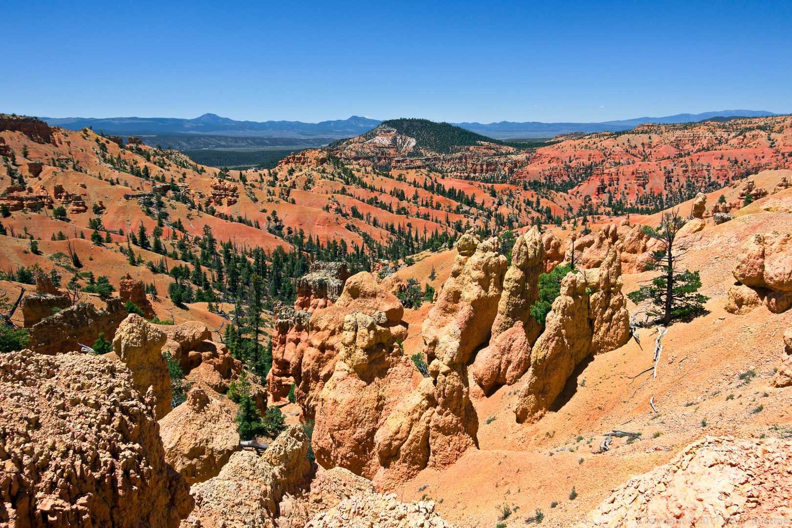
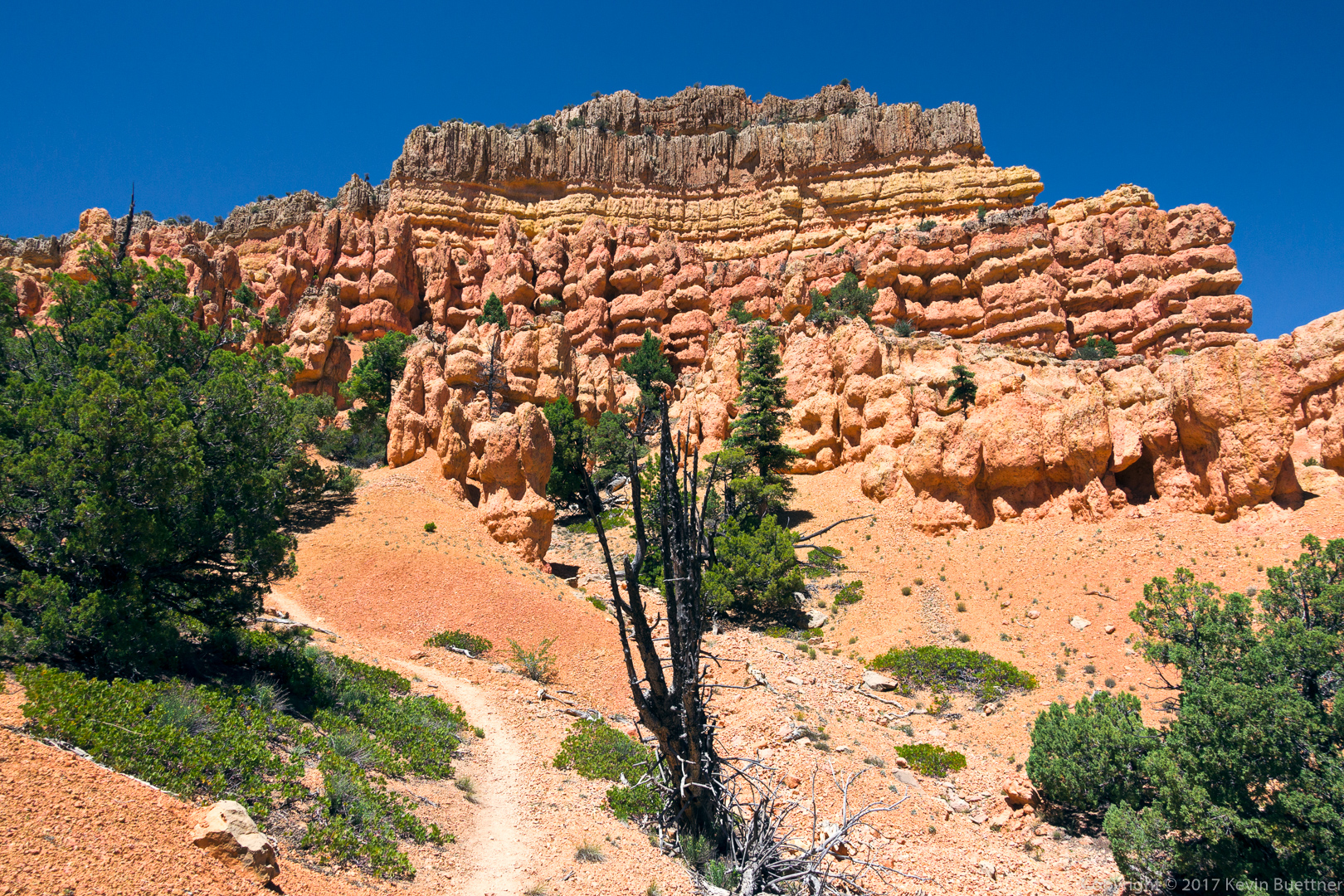
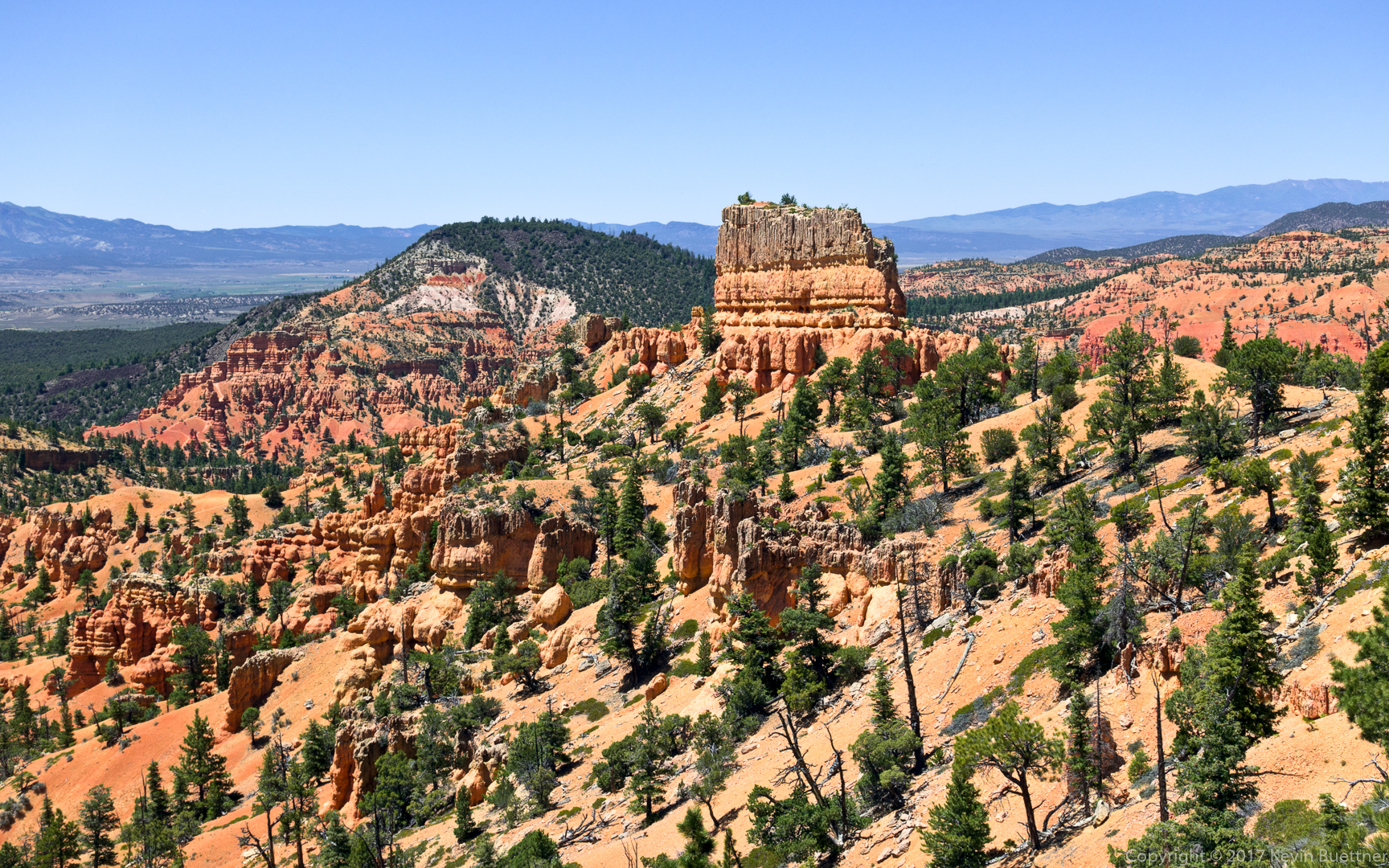
Marilyn, Marie, and I hiked over six miles on the Buckhorn and Golden Wall Trails. This area is in the Dixie National Forest just off of Highway 12. Bryce Canyon National Park is about 13 miles away.
Marie and I did a point to point hike down Sulphur Creek. This was the best hike I did during our 2017 vacation. Scenery was great and the terrain was challenging at times.
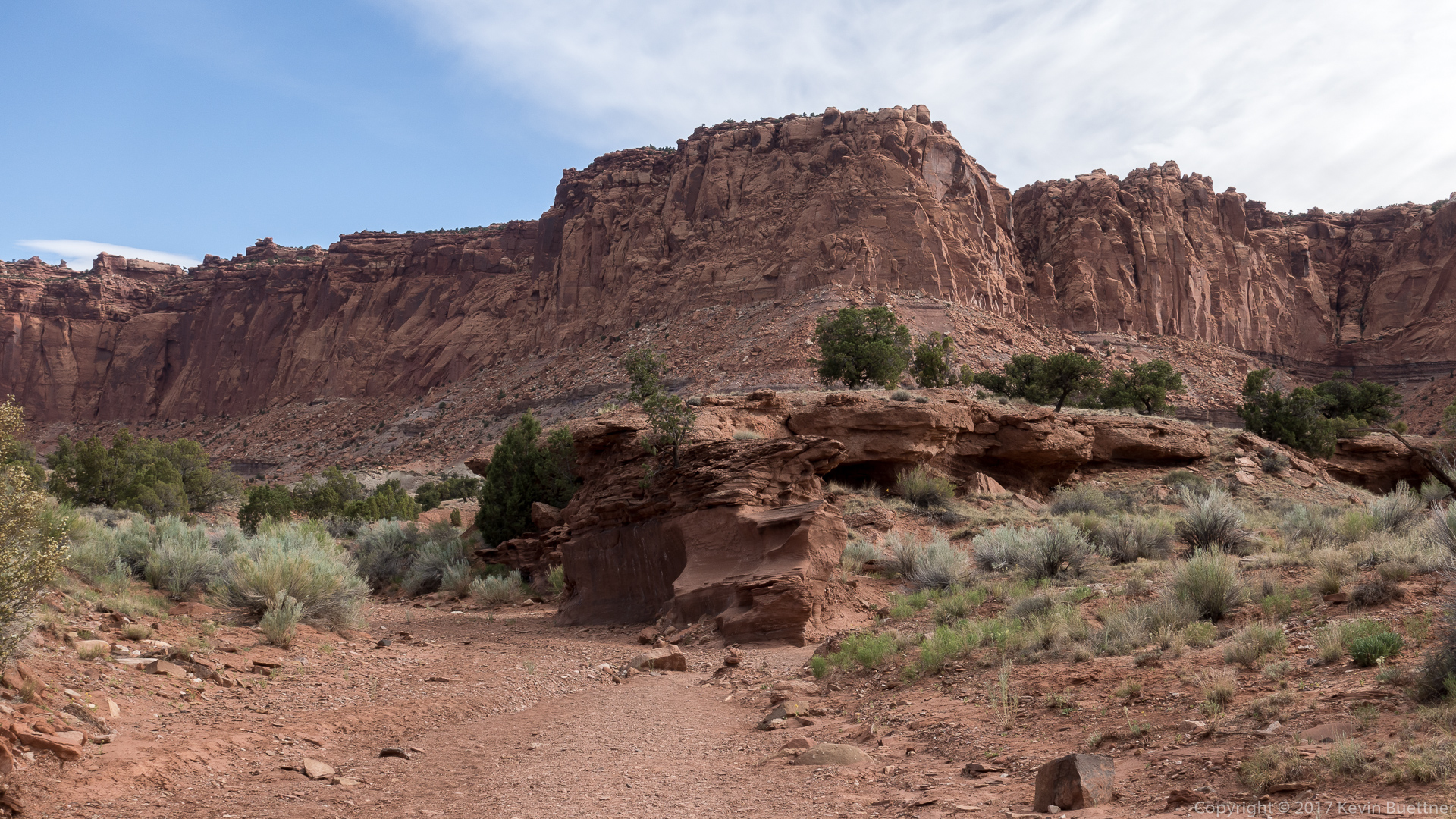


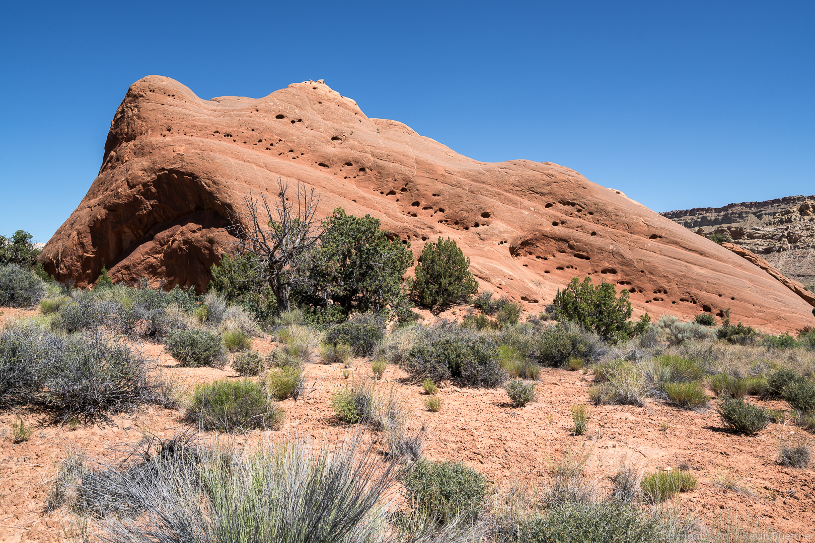
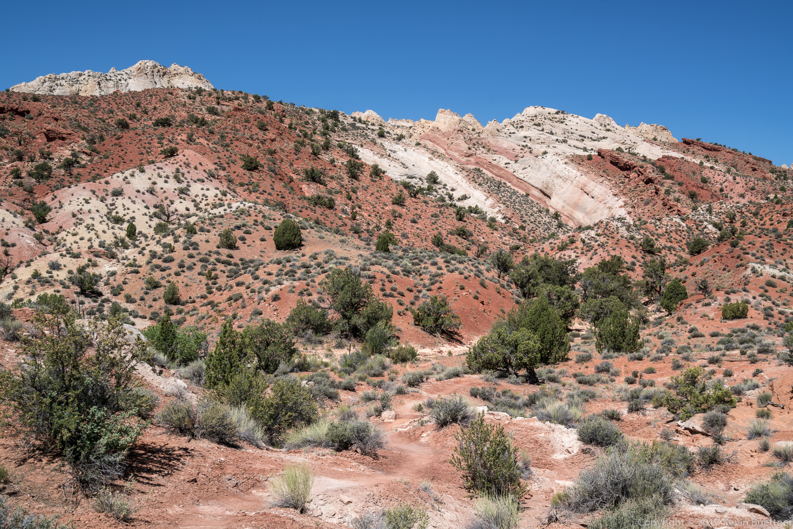
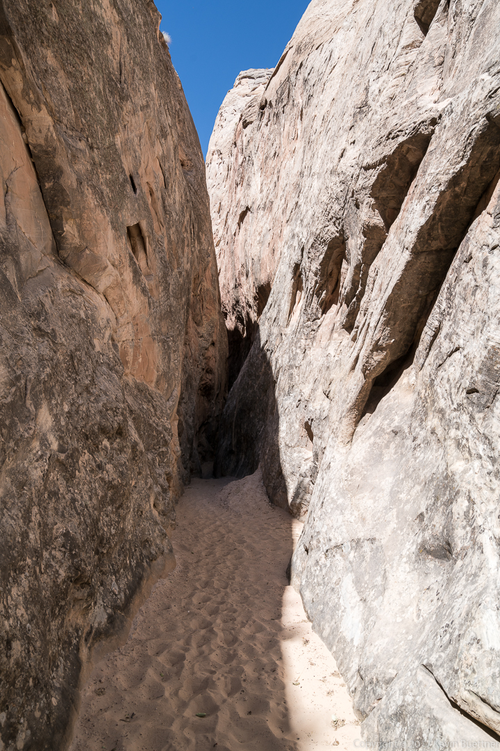
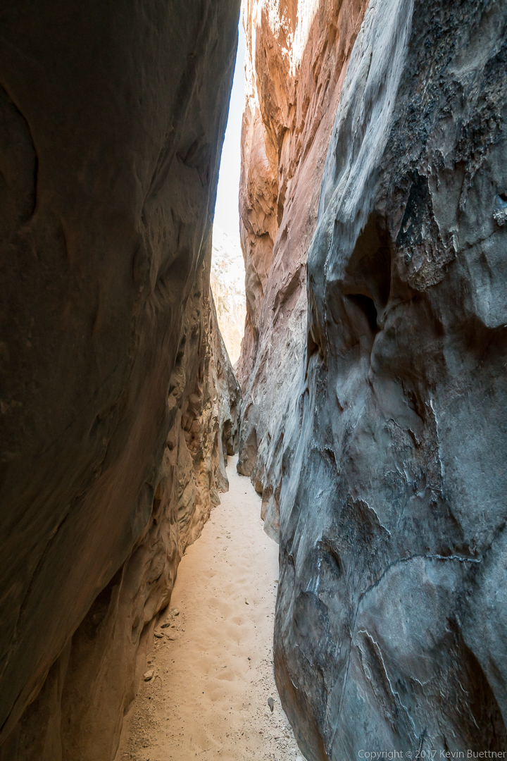
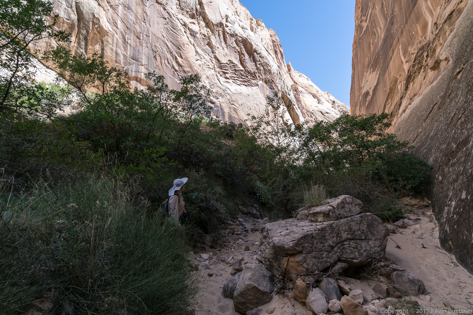
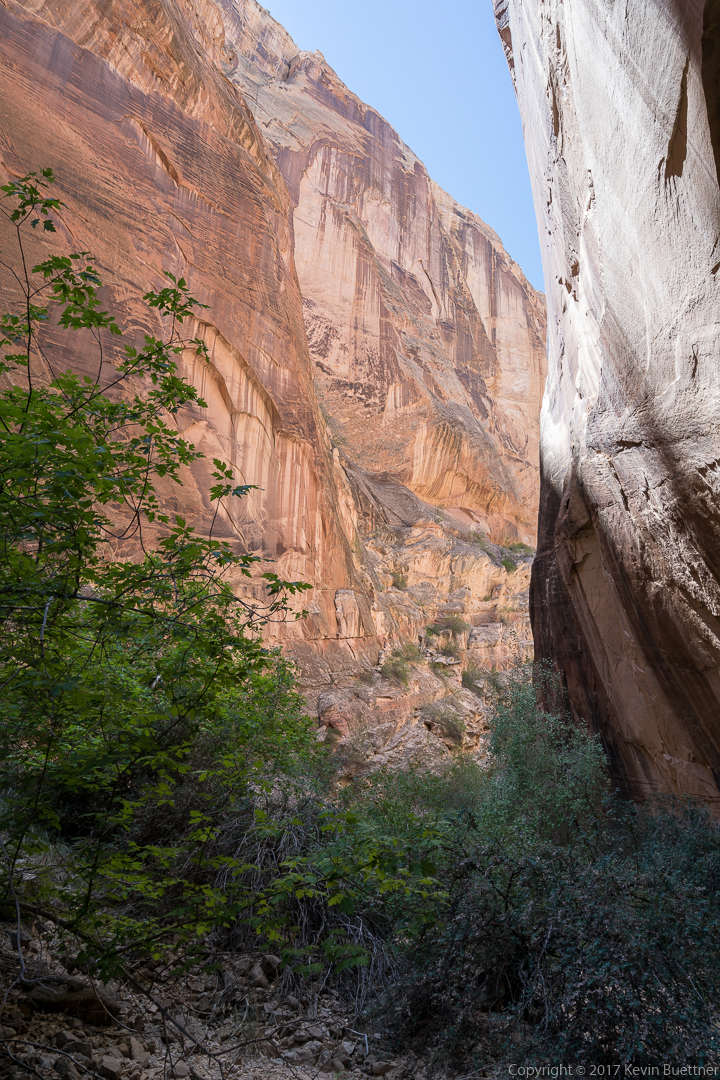
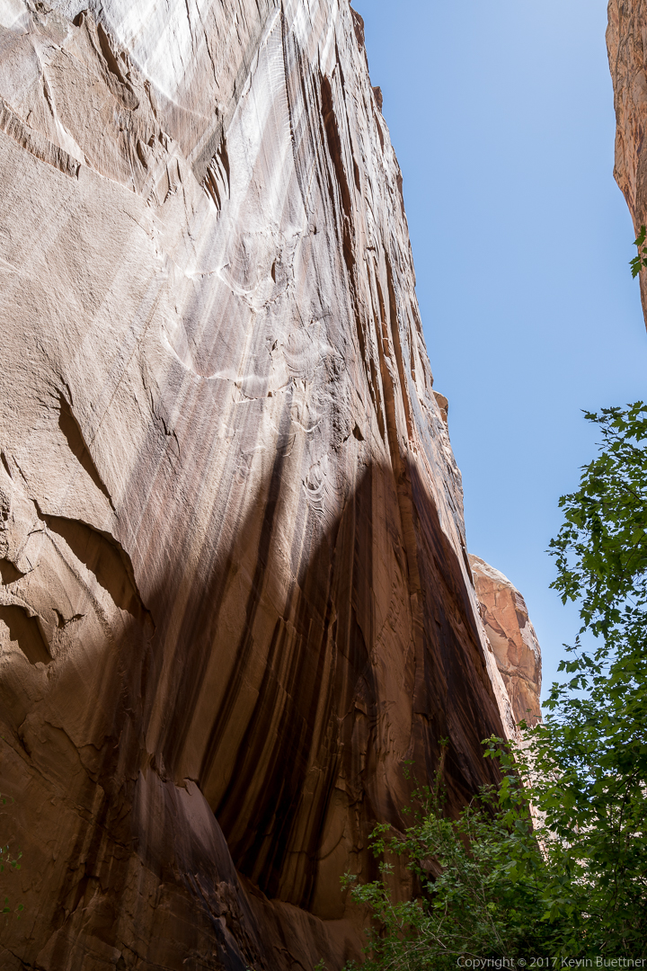
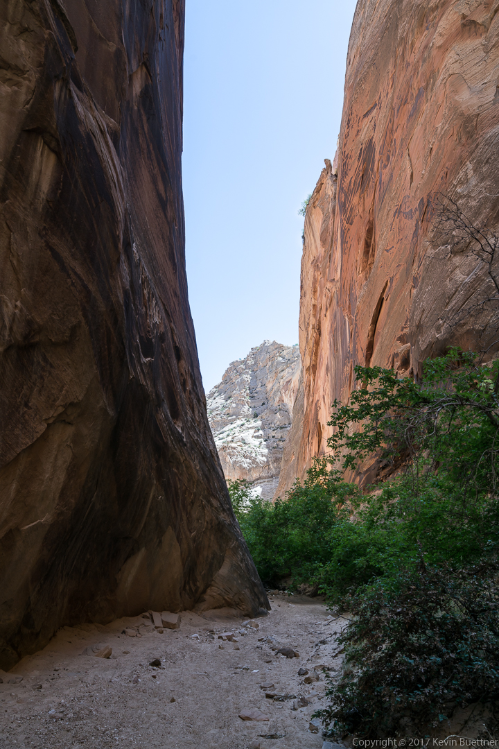
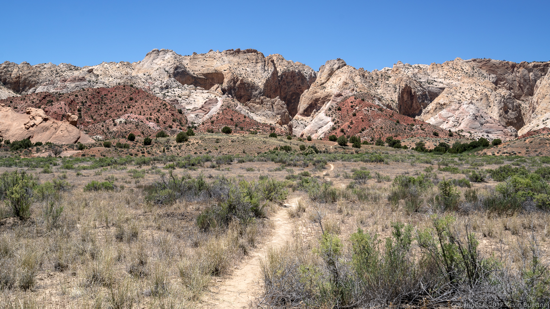
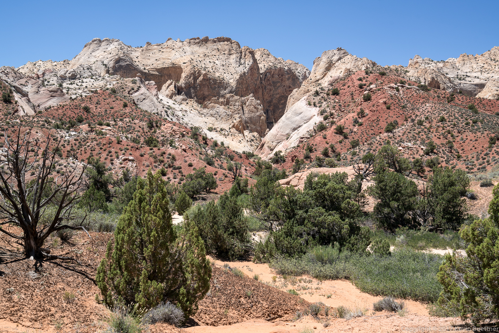
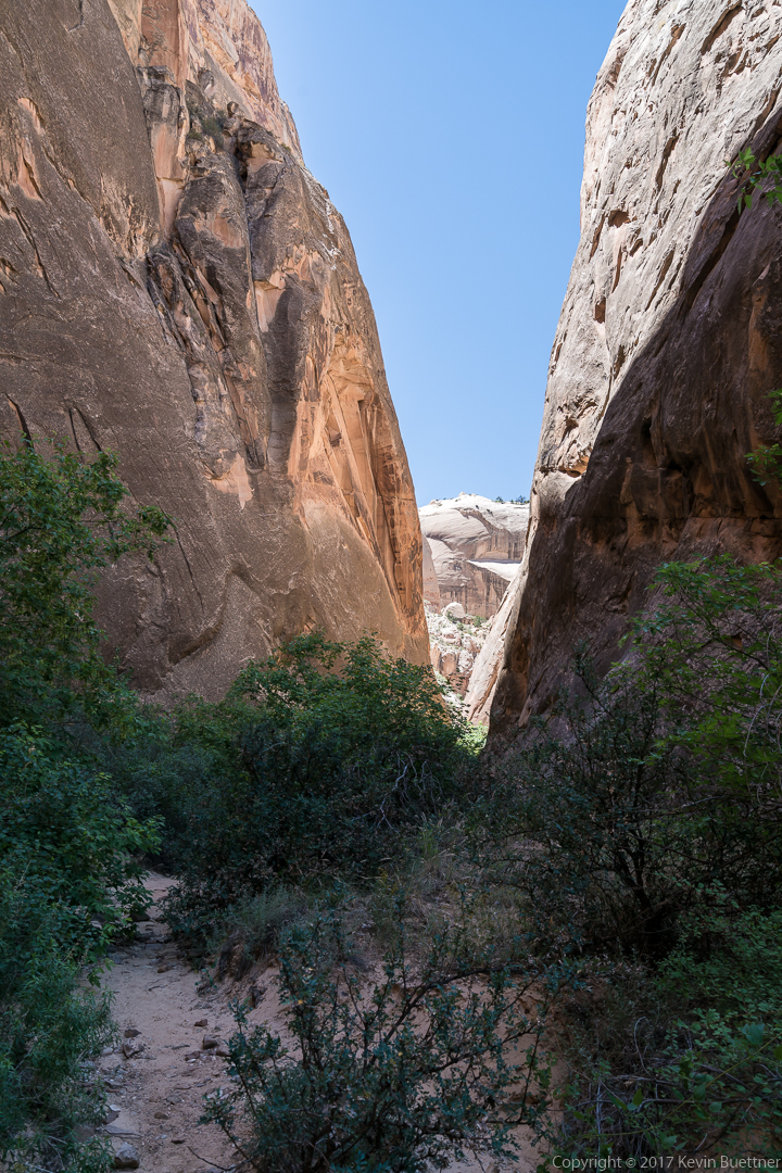
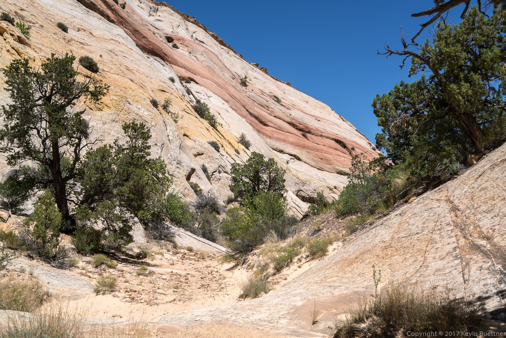
Marilyn and I visited Headquarters Canyon and Surprise Canyon. These are short and easy canyons with access several miles apart on Notom-Bullfrog Road. Getting there and returning via the washboarded road took longer than the hikes.
Headquarters Canyon…

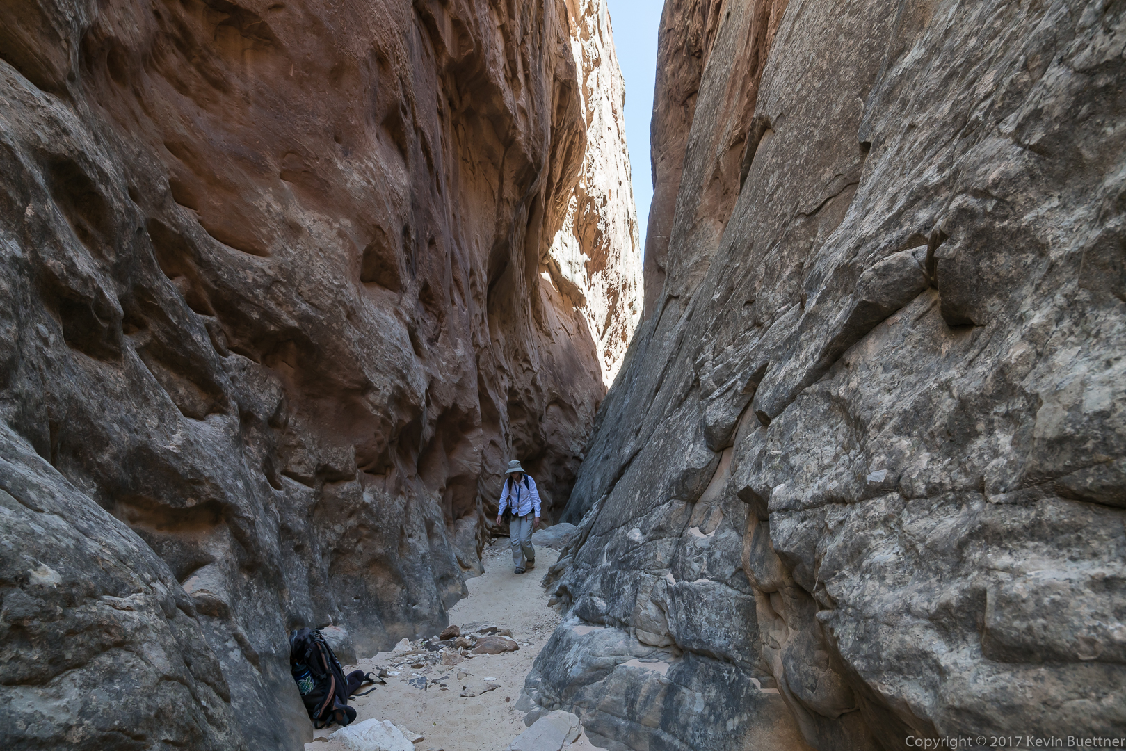
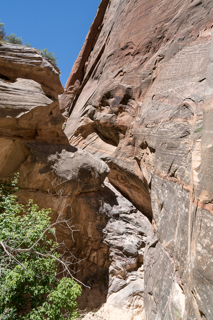
This is one of the members of a geological study group from The Ohio State University. The backpack belongs to another member of the group that we met on the way out.
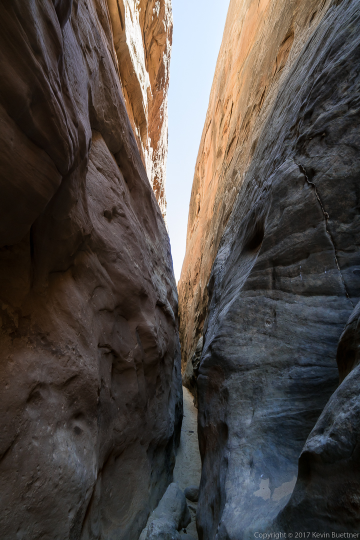

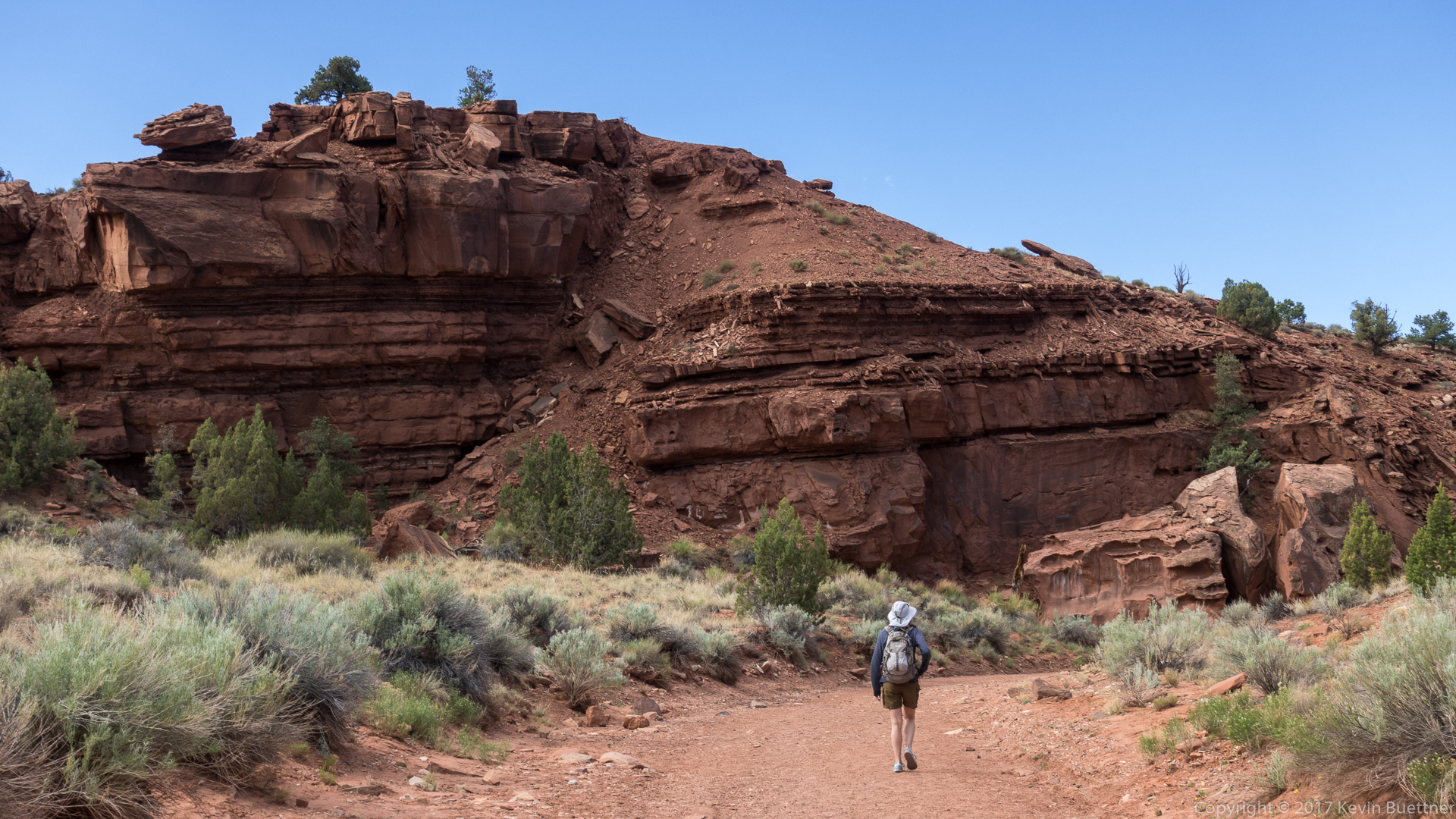
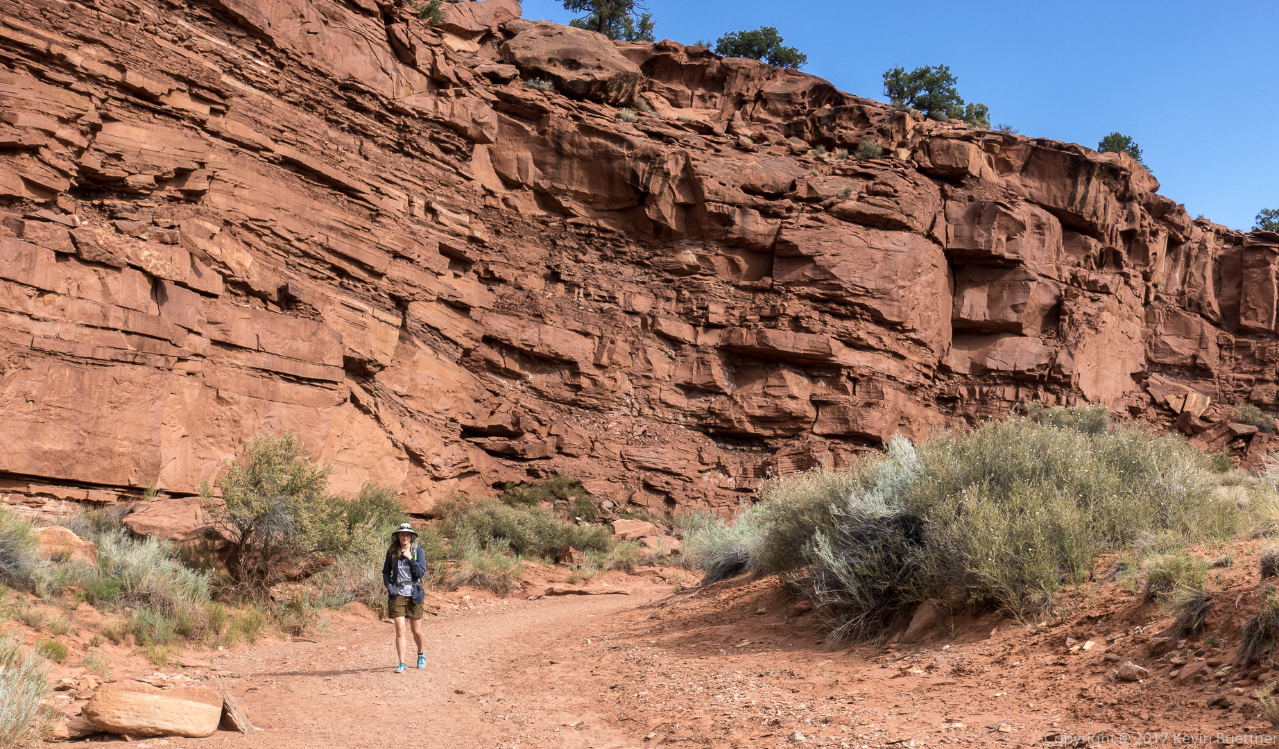
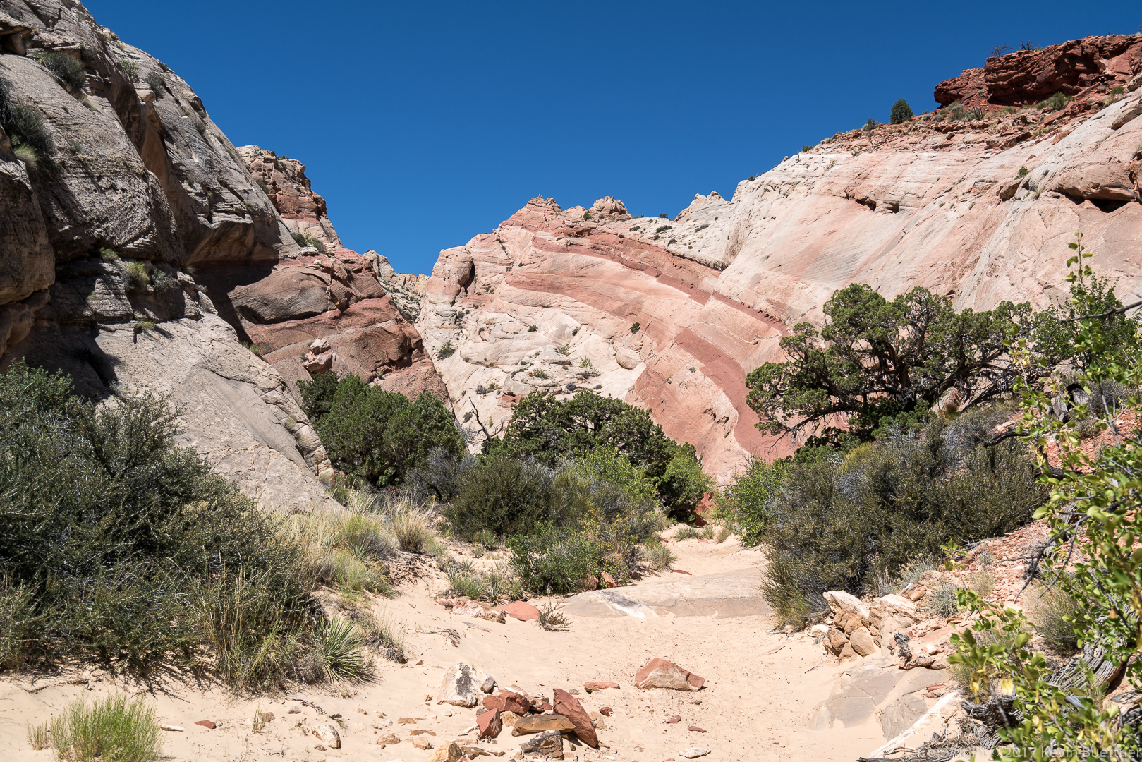
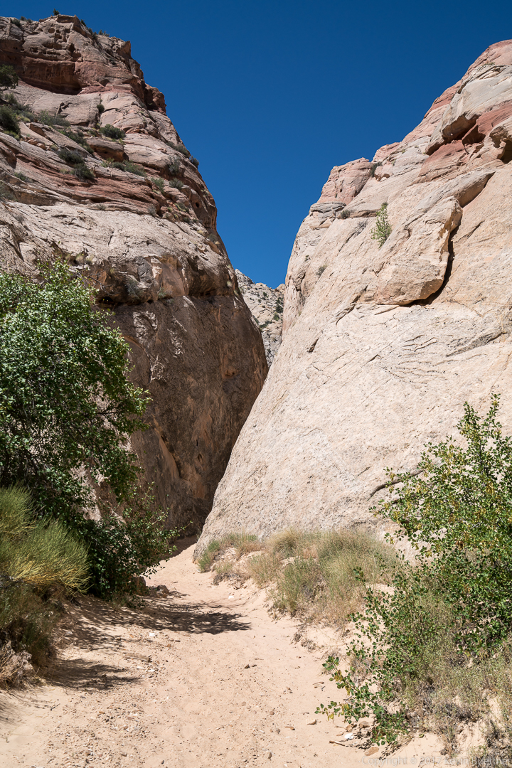
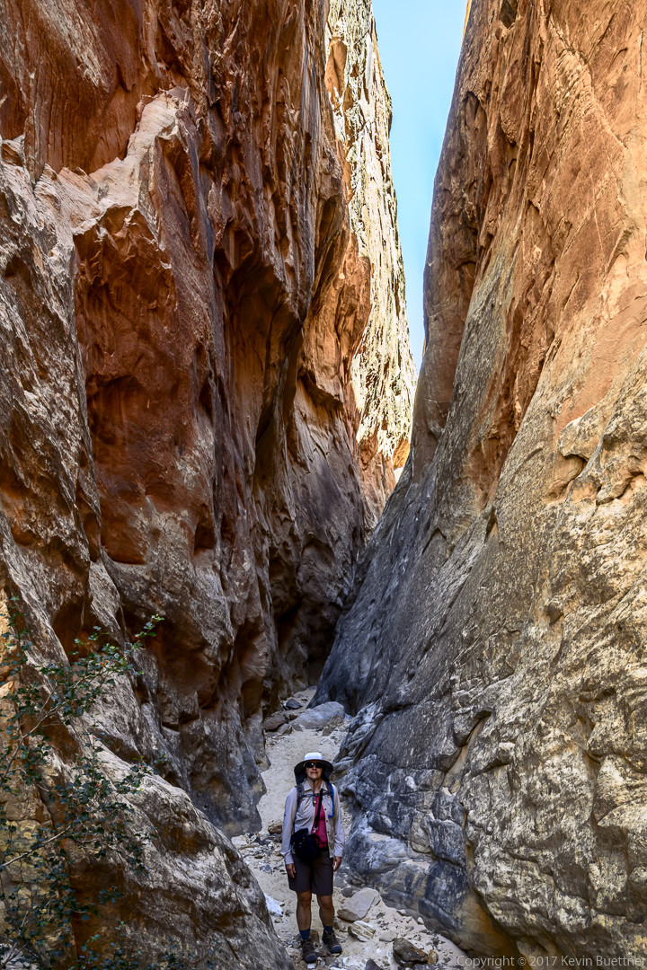
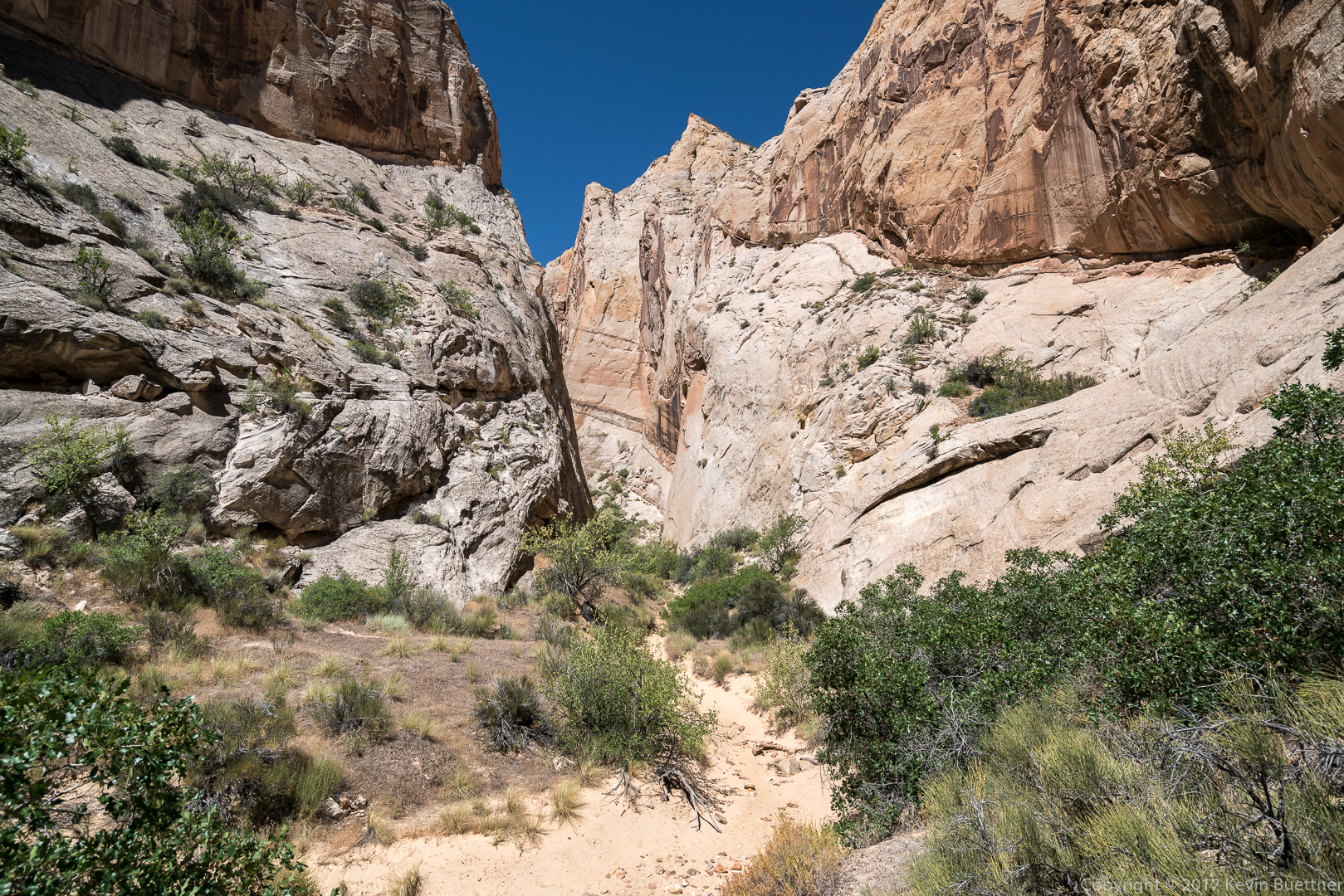
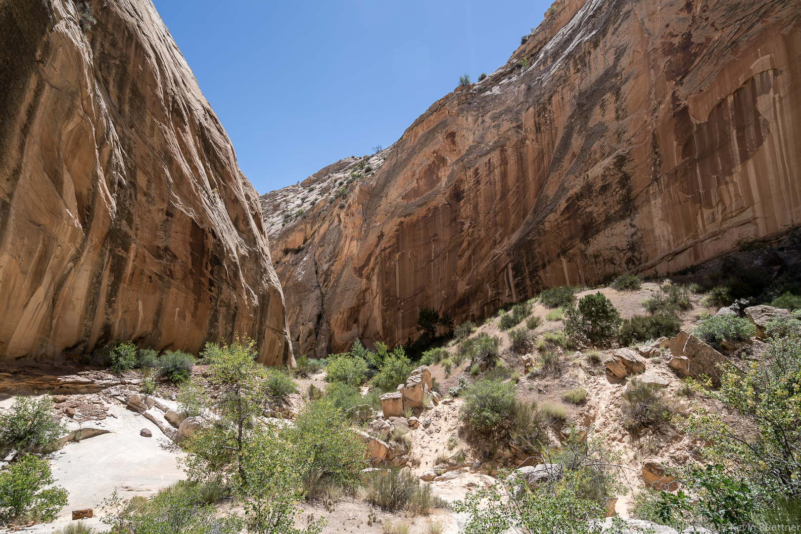
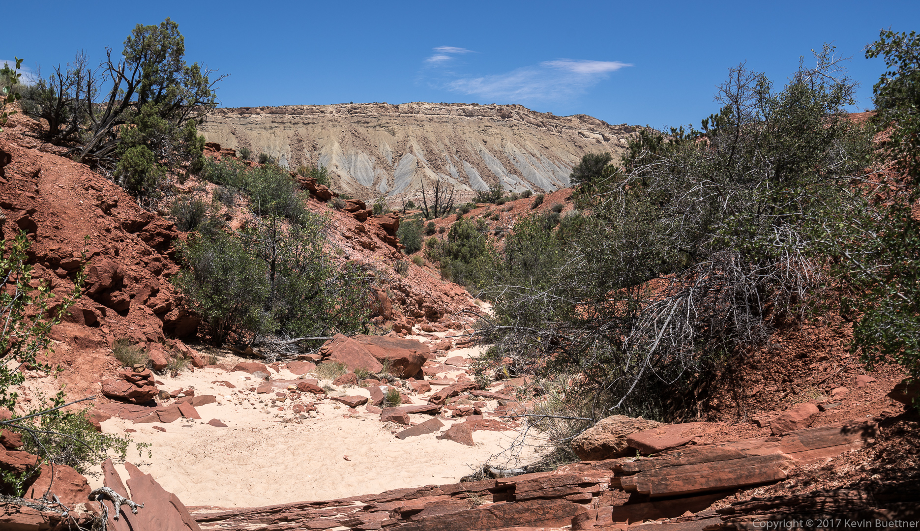
Surprise Canyon: This one was not as narrow as Headquarters Canyon, but it was still fun to visit. The obstacle at the end at the place where I turned around looked to be easy to surmount via scrambling, but Marilyn was waiting for me at the entrance to the canyon.

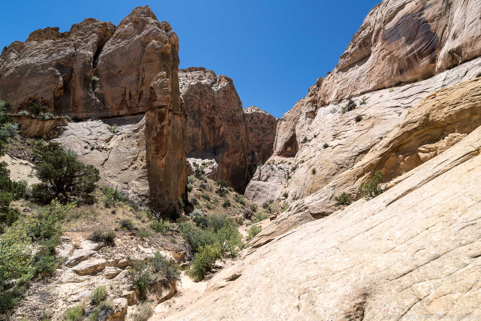
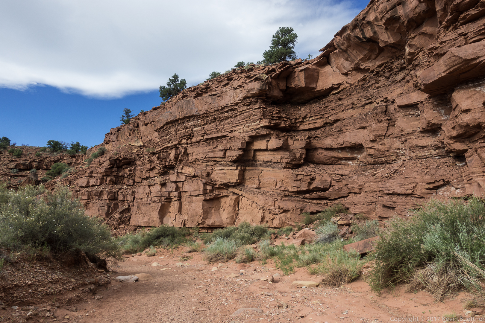
This is where the canyon narrowed. Easy climbing on the slickrock slab to the left would allow one to advance. I don’t know what’s beyond this point though.

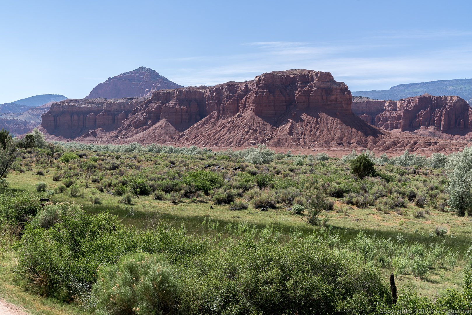
We stayed three nights at the Capitol Reef Resort just outside of Torrey, Utah. To the best of my knowledge, this motel is the closest to the Capitol Reef National Park of any in the area. That said, Torrey isn’t that far away and there are plenty of places to stay there too.
As shown below, the views are outstanding. However, there is quite a lot of nearby exposed dirt, making it very dusty on windy days. On the day we left, the parking lot seemed to be ensconced in a dust storm.
The beds were firm and comfortable. Room size was barely adequate for the three of us with all of the stuff that we bring with us.
There is no complimentary breakfast – it’s $10 per person. The breakfast buffet provided plenty of choices, but the scrambled eggs seemed a bit greasier than I was accustomed to. Marie didn’t feel well after her breakfast there and ended up staying back on that day. We bought cereal and milk from the General Store in Torrey and ate cereal on the remaining days.
When we visit again, we’ll stay somewhere else. It’s not that the Capitol Reef Resort was bad; we just want to find out what else is available.


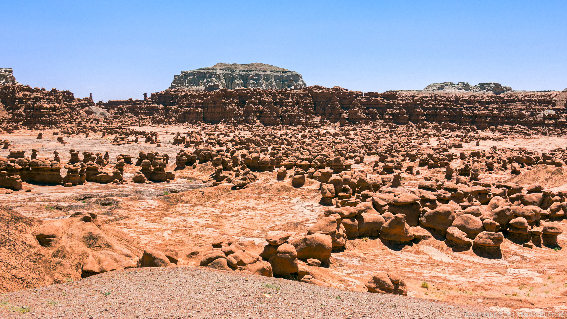
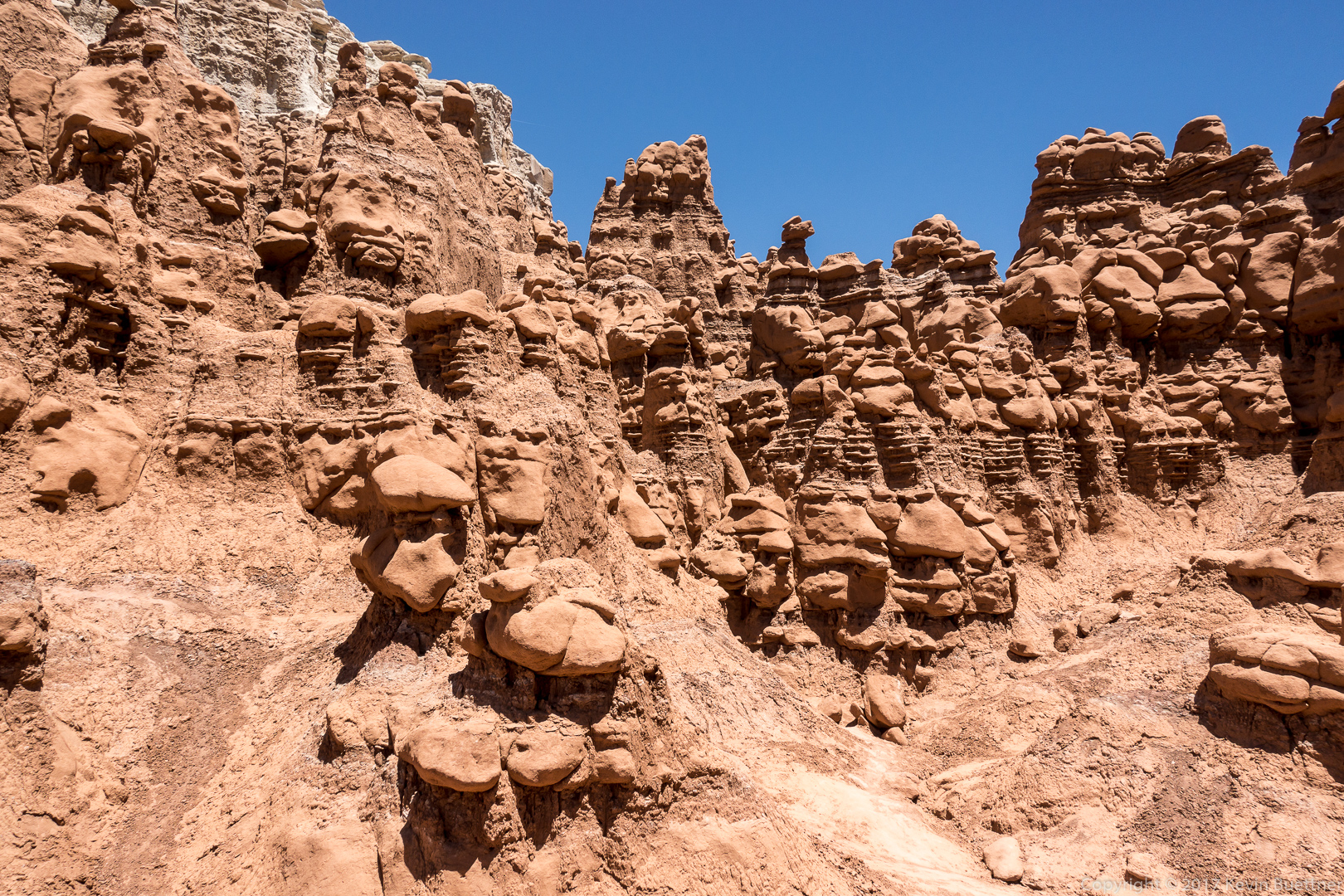
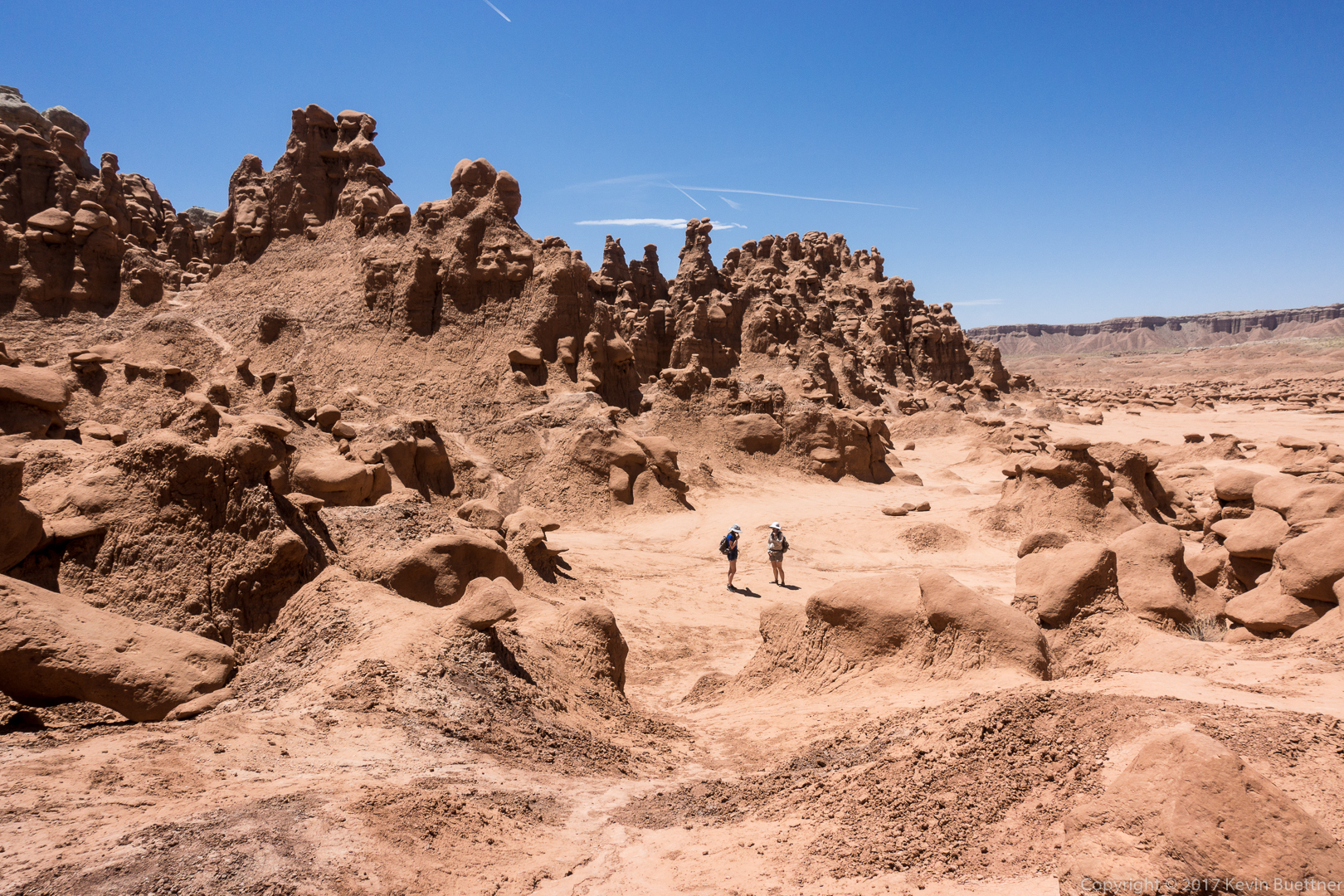
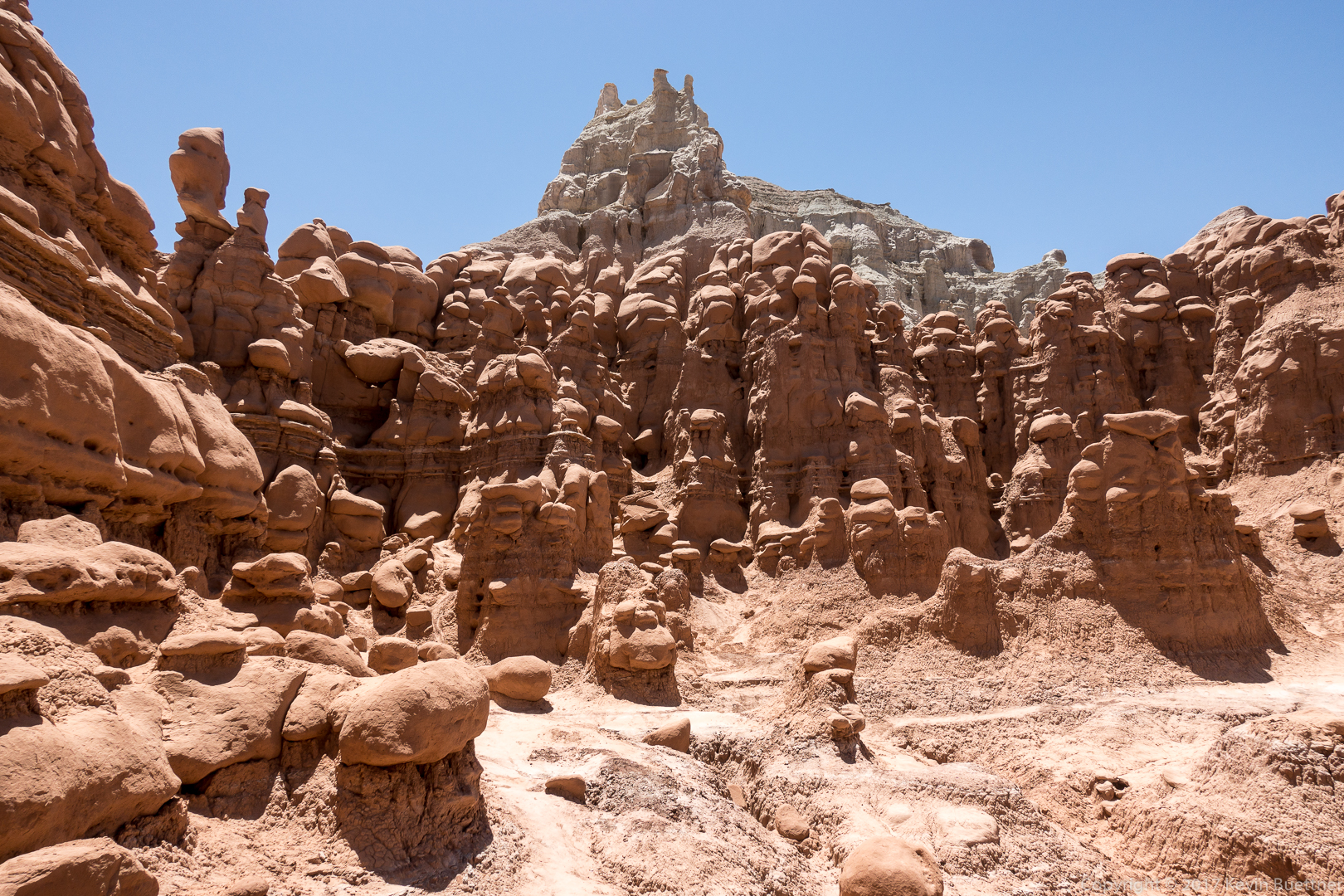
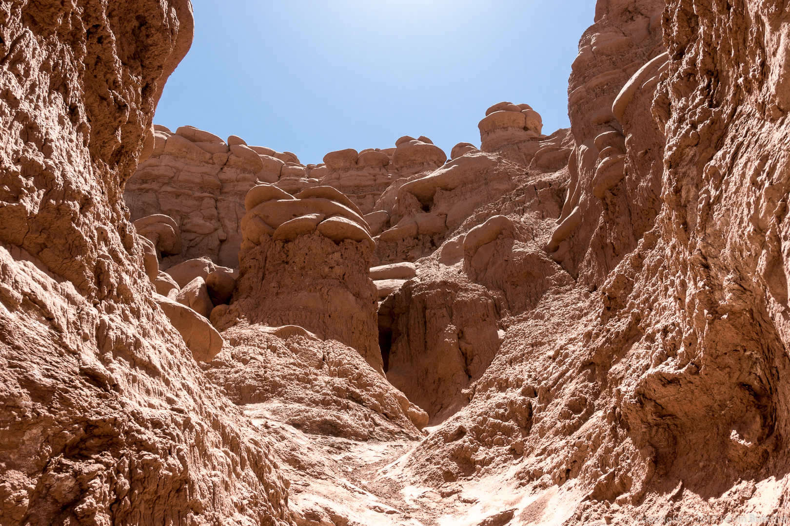
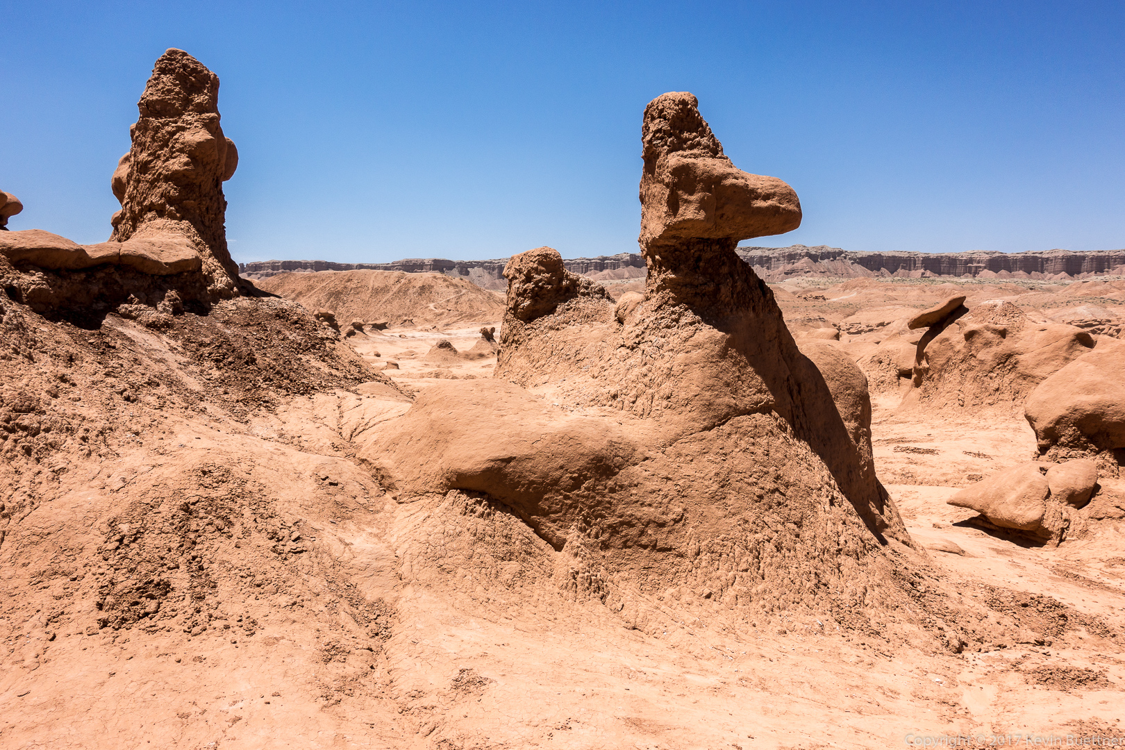
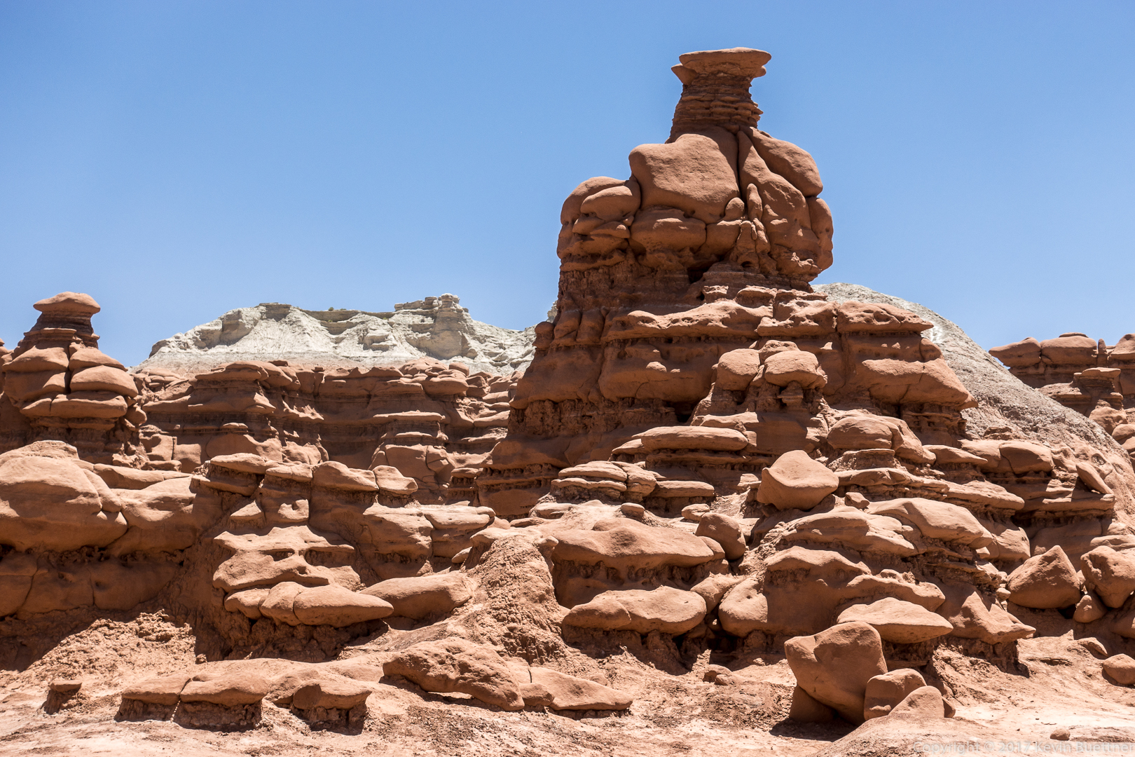
On June 9, while traveling between Moab and Torrey, we stopped by Goblin Valley State Park. We didn’t stay very long as it was extremely windy. (It stayed windy over the next several days.) Surprisingly, visibility wasn’t too bad, but there was still a lot of dust in the air. We figured that breathing it wasn’t especially good for us.
We ate a Duke’s Slickrock Grill in Hanksville after our visit to Goblin Valley. The food and service was exceptional, possibly the best of our entire trip to Utah in 2017.


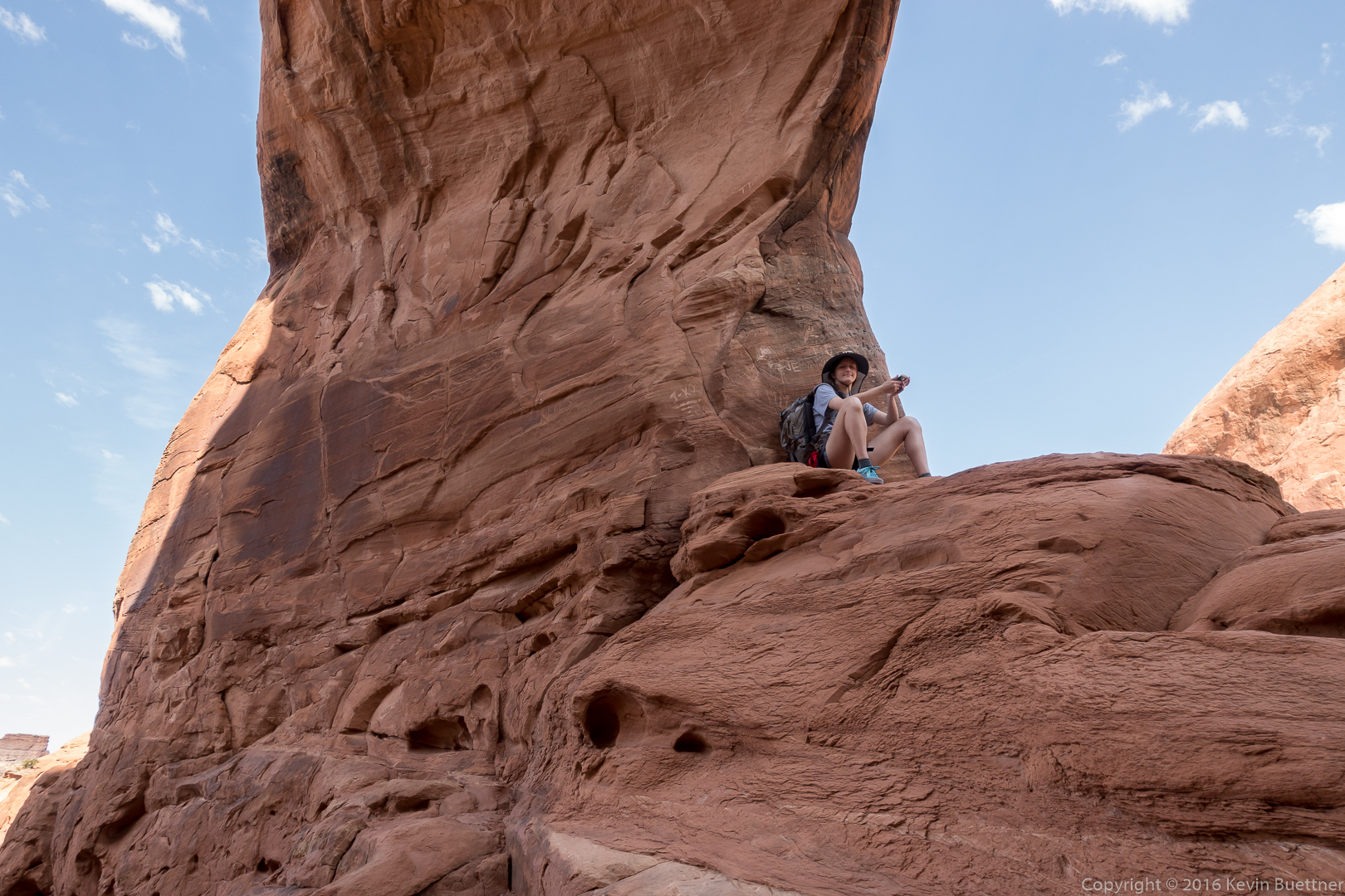
On Wednesday, Marilyn, Marie, and I visited Funnel Arch. We had tried to go there several years ago, but came to a steep section, supposedly still class 3, which we weren’t certain we could down-climb. This year, we came equipped with a rope, climbing harnesses, and gear for setting up an anchor. Marie did the moves up the tricky section and used a stout tree for an anchor. She gave me a belay, allowing me to climb get past that section safely. I belayed Marilyn and then belayed Marie up and down the route several times so that she could both practice the moves and also transport both her and her Mom’s backpacks to where Marilyn and I were waiting. After our visit to Funnel Arch, Marie rappelled down in order to get more practice with rappelling. After Marilyn and I both rappelled down, she took down the anchor and then down-climbed the route (with me spotting).
I don’t have any photos of this section – we were all to busy with rope management, etc.
Marie and Marilyn at Funnel Arch:
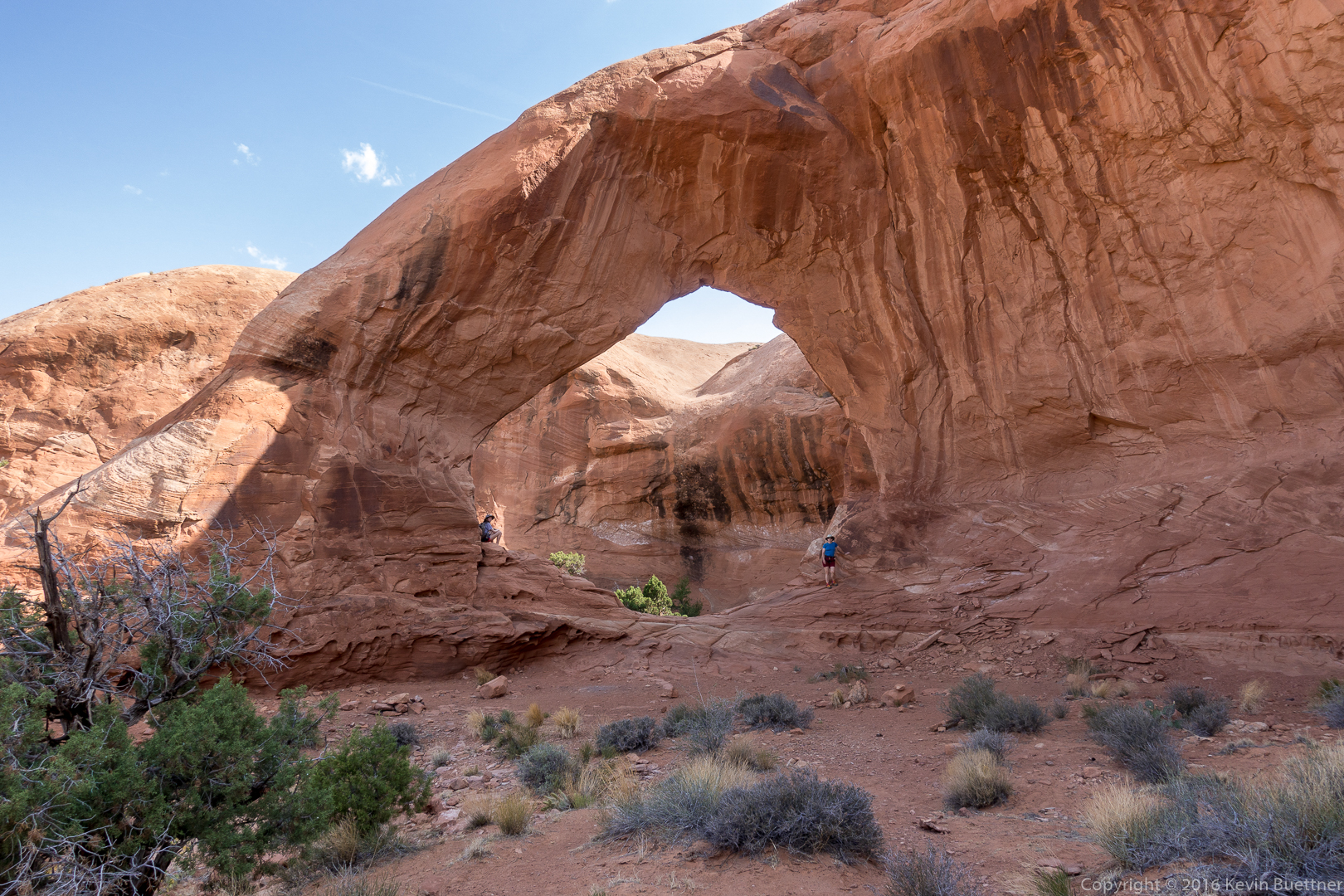
Marie taking a well deserved break beneath Funnel Arch:
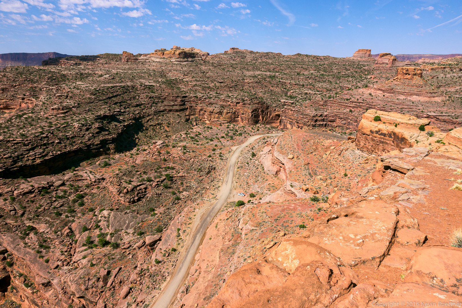
Looking down on the Colorado River and Kane Creek Road:
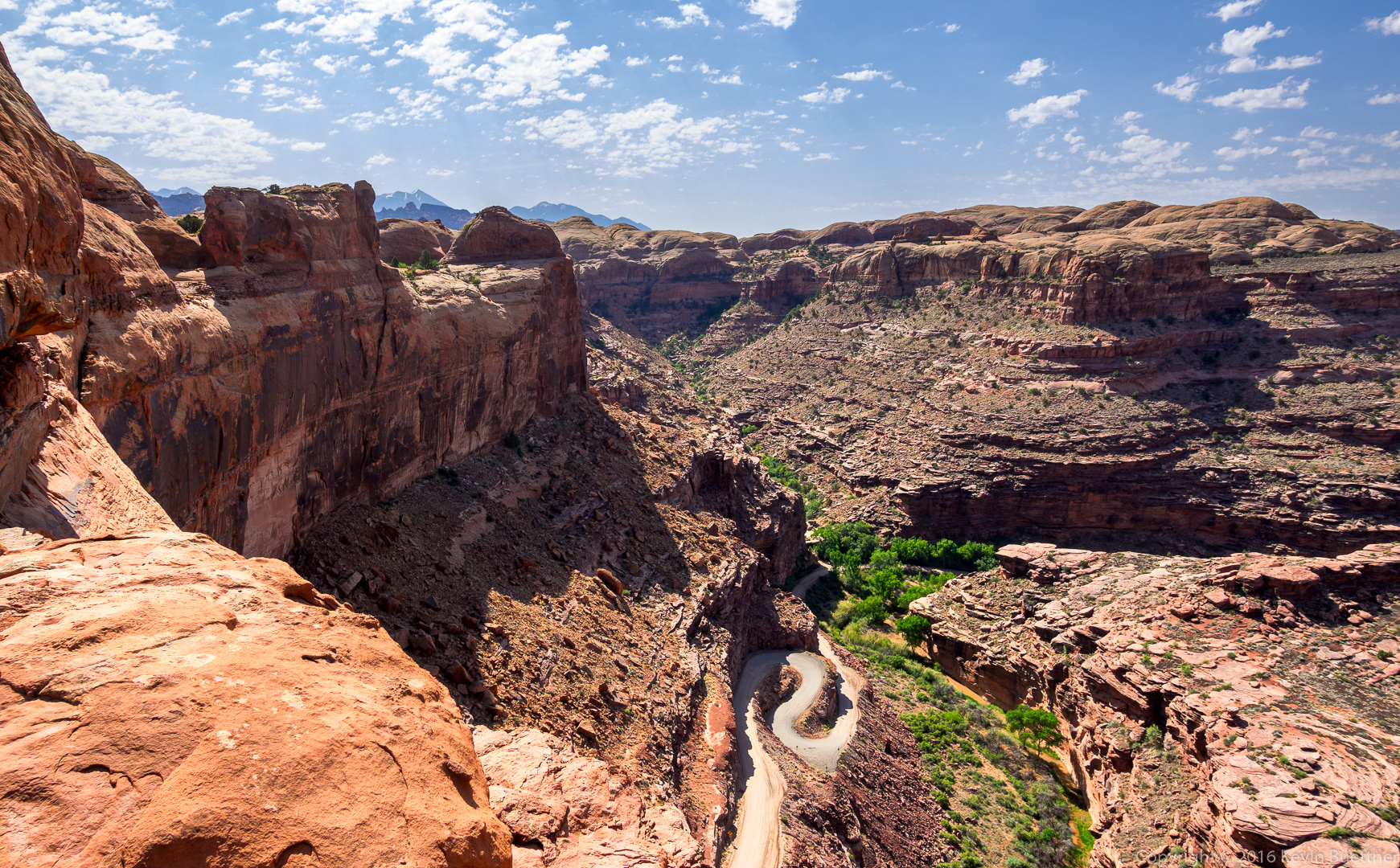
Our car is far below us in this photo. Marie spotted some bolted anchors for rappelling here, but neither she nor Marilyn wanted to descend via these anchors. I’m not certain that our rope would have reached to the bottom anyway – we would probably need two ropes to get down via these anchors.
Somewhat beyond the arch, I noticed a fin blocking our view of what was beyond. I scrambled up a low part of the fin to see what was on the other side. I have read that a climb up the arch – or perhaps the fin that I saw – can be used as a gateway to the “Behind the Rocks” area. This looks like a fun area to explore.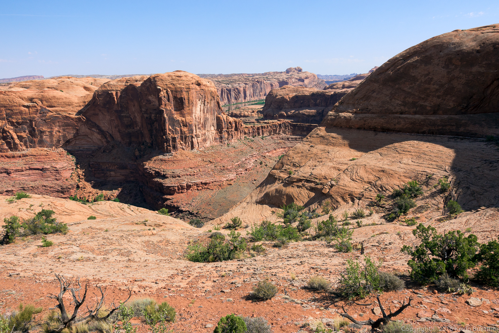
On my way back to where Marilyn and Marie were waiting, I got this photo of the other side of Funnel Arch:
