Month: September 2015 (page 1 of 2)

Lunar Eclipse


This is attempt #2 with a different set of 11 frames:

20150927-_DSC3001-Edit-medium

This is my original attempt using 11 frames and image averaging to bring some detail out of the noisy images (at ISO 12800) that I got. I wish now that I would have taken even more frames in a row. (It’s difficult to align them once the tripod head has been adjusted to follow the moon – there’s potential rotation to deal with in addition to simple x,y displacement.)20150927-_DSC2778-Edit-medium

Friday Fitness Hike

Krisztina, Amy, Linda, and I hiked about seven miles today starting from the Wagner Trailhead.

I forgot to bring my camera with me today, but Linda kindly loaned me hers. Thanks, Linda! Amy helped out too by sending me some of her photos.

A view from the Granite Trail:

20150925-DSC00820-Edit-medium Amy spotted this Western Diamondback Rattlesnake as we hiked the Granite Trail.20150925-DSC00835-Edit-medium

Stopping for water at the Bluff Trail Wash.

20150925-DSC00849-Edit-medium

Amy sent me these two photos at the rocky section of the Bluff Trail Wash.

OLYMPUS DIGITAL CAMERA


OLYMPUS DIGITAL CAMERA


Linda ducks under some vegetation in the wash.

20150925-DSC00854-Edit-medium

Looking down from a small boulder that I climbed.

20150925-DSC00871-Edit-medium

Amy sent me this photo of me atop the boulder.

OLYMPUS DIGITAL CAMERA

Krisztina stops to taste a jojoba seed.

20150925-DSC00860-Edit-medium

A view from above the wash.
20150925-DSC00874-Edit-medium

We came upon this dead saguaro along the Bluff Trail. It appears to have fallen recently.

20150925-DSC00903-Edit-medium

Tuesday Evening Hike

I hiked the Tech Loop on Tuesday evening, with the last mile or so in the rain.

20150922-_DSC1709-HDR-Edit-medium

20150922-_DSC1660-Edit-medium

20150922-_DSC1694-HDR-Edit-medium

20150922-_DSC1673-HDR-Edit-medium

Sunday Evening Sunset

This is Shallmo Wash:
20150920-_DSC1436-HDR-Edit-medium

As I was driving out, I saw a snake in the parking lot. I stopped and got out to take a look. The snake crawled towards the car as I was getting my camera out of the trunk. By the time I had my camera ready, it had crawled under the car! I took some (dark and noisy) photos of it underneath the car. A short while later I managed to back up without running of the snake. I left the headlights on so that I could get this shot.

20150920-_DSC1634-Edit-medium

Friday Fitness Hike

Bob and I hiked a big loop starting at the Tom’s Thumb Trailhead. We hiked about 10.5 miles with over 2,000 feet of total ascent. The first three miles took three hours!

This is a view of Morrell’s Wall from the parking area shortly after sunrise. (We arrived too late for me to get a sunrise photo.) Gardener’s Wall is also visible at the far right.

20150918-_DSC4399-Edit-2-Edit-medium

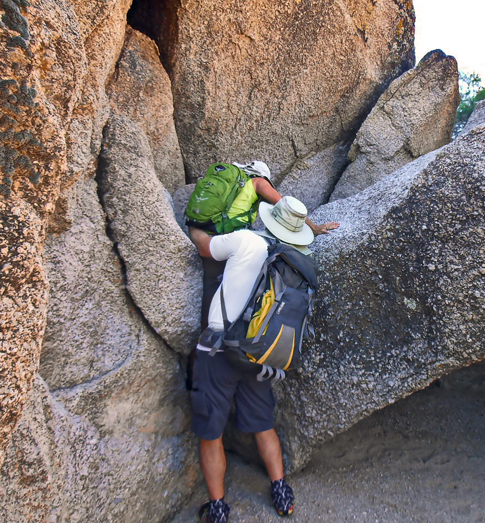
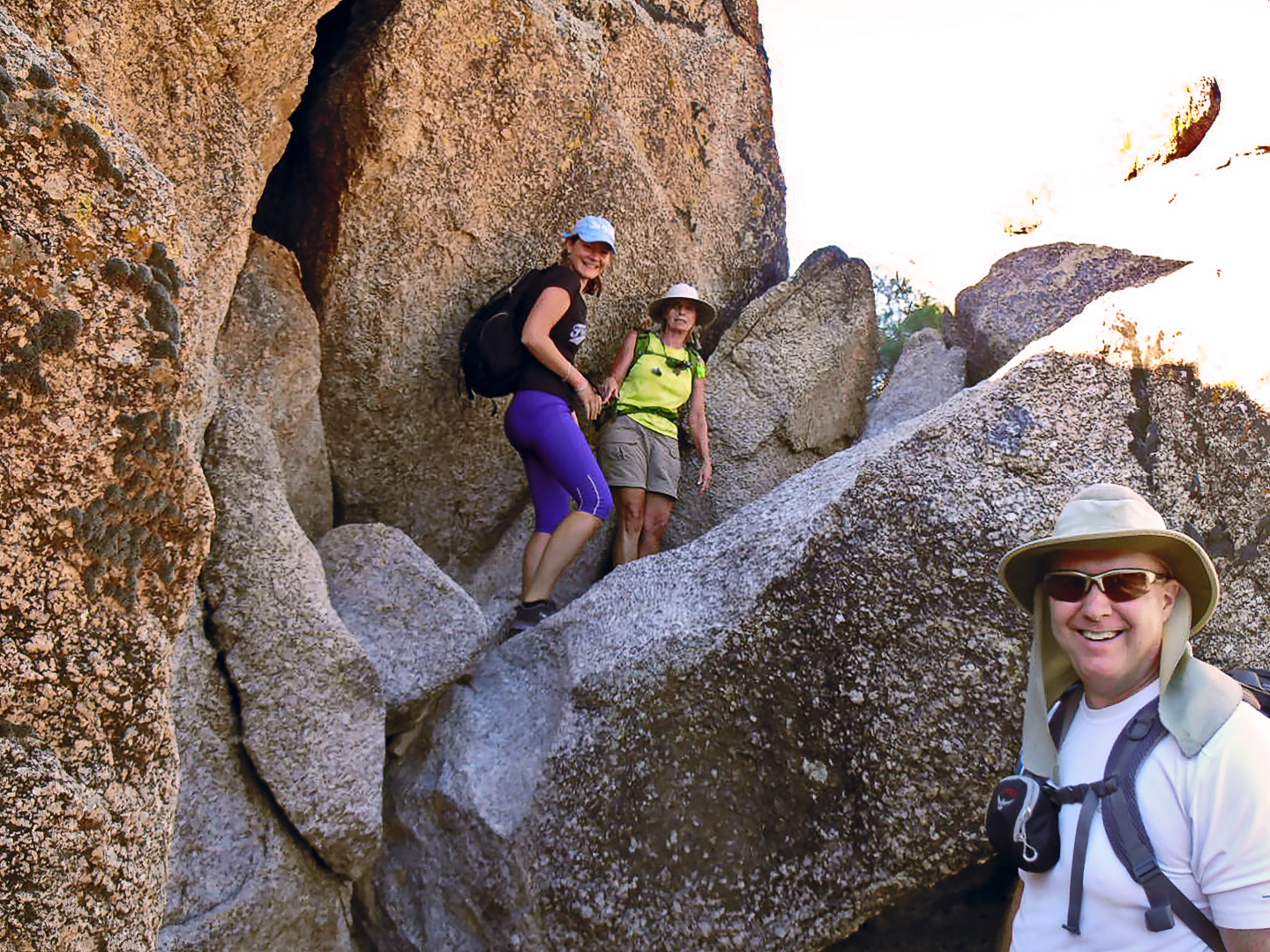
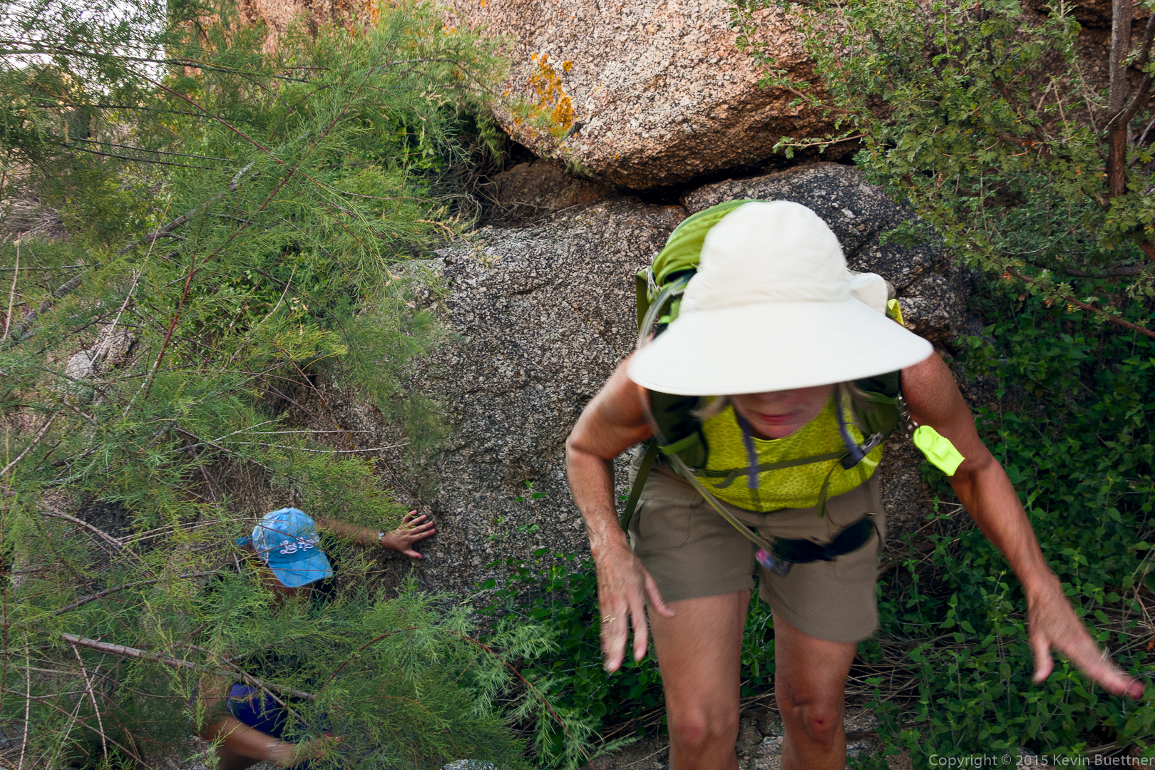
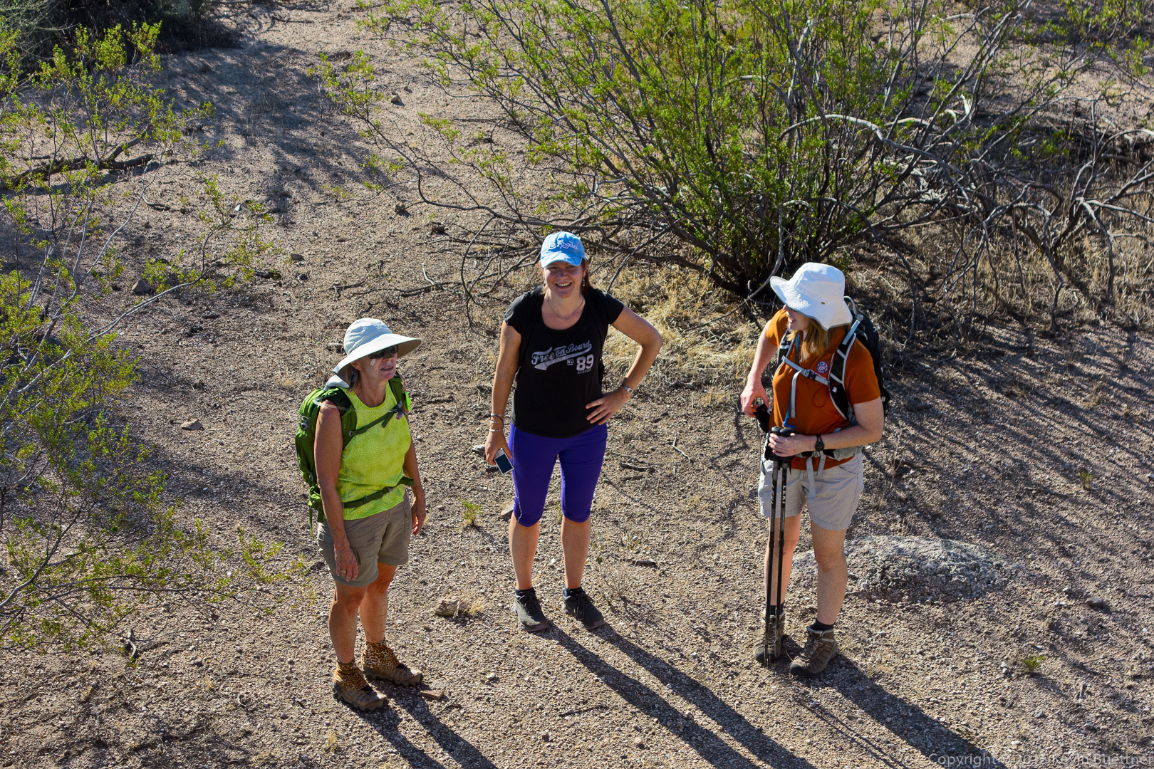
We hiked the Tom’s Thumb Trail to the first climber’s access trail. This is a view looking up the mountain from that trail. The largish slab about a quarter of the way from the right edge and a quarter of the way down from the top of the photo is the Half and Half Wall. The rock formation above it and somewhat to the right is (I think) the Lost Wall. The rock formation just slightly left of center is Lost in the Air. Bob and I visited the top of the Half and Half Wall where we saw a number of rappel anchors at the top. We then followed a trail over to Lost in the Air. I don’t think Lost in the Air gets many visitors. This portion of the trail did have occasional cairns (which were often just a single rock placed on another boulder) and ribbons. One of the challenges was to spot these markers. The other challenge was to move in that direction. There was one spot in particular that I found exciting. The move wasn’t especially difficult, but there was just enough exposure to make it mentally challenging. 20150918-_DSC4423-Edit-medium

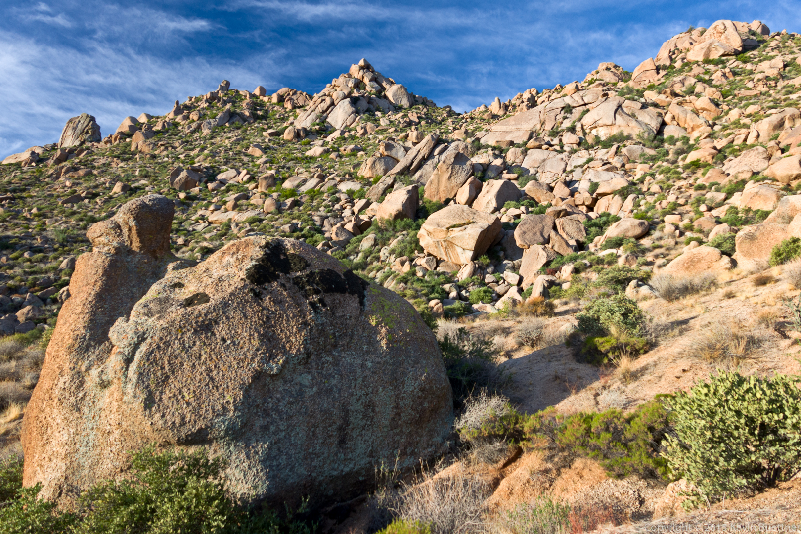
This is a view from the Half and Half Wall.20150918-_DSC4444-Pano-Edit-medium

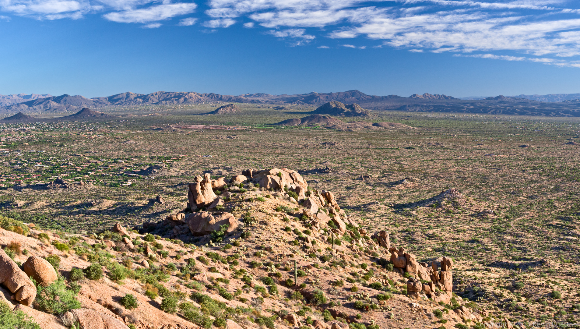
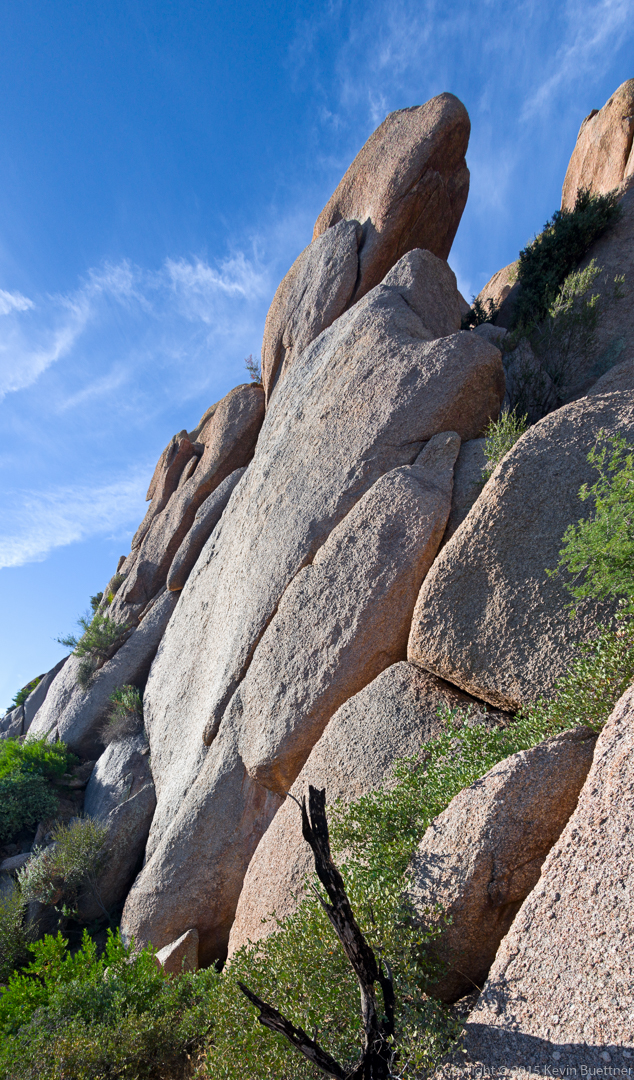
This is part of the Lost in the Air formation. I think I stitched together six shots to make this one photo.

20150918-_DSC4483-Pano-Edit-medium

This is the view to the north from Lost in the Air. The top of Half and Half Wall is just right of center and up about a quarter of the way from the bottom of the photo. It’s not especially steep at the top. We had to walk down twenty to thirty feet to get to the rappell anchors.

20150918-_DSC4489-Edit-medium

We found a way to hike up past Lost in the Air.
20150918-_DSC4495-HDR-Edit-medium

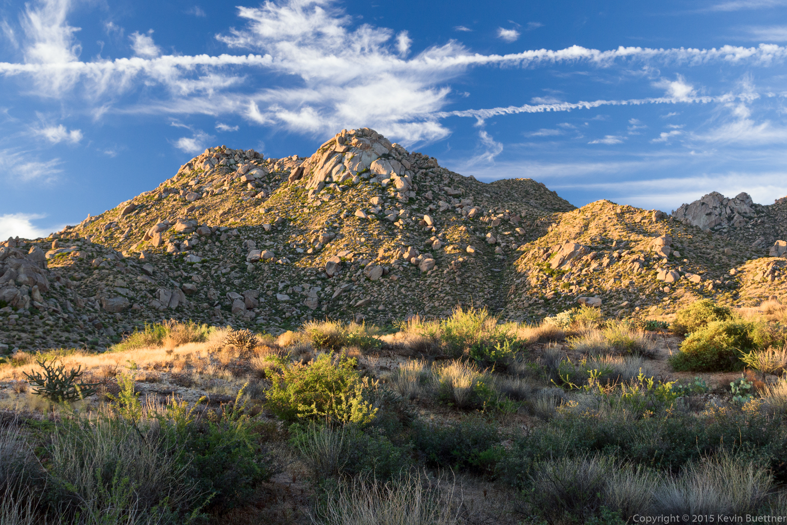
Tom’s Thumb and the Rist were visible when we got to the ridge. (Glass Dome and the top of Gardener’s Wall are visible in this photo. Weaver’s Needle and Four Peaks can be seen far in the distance.)
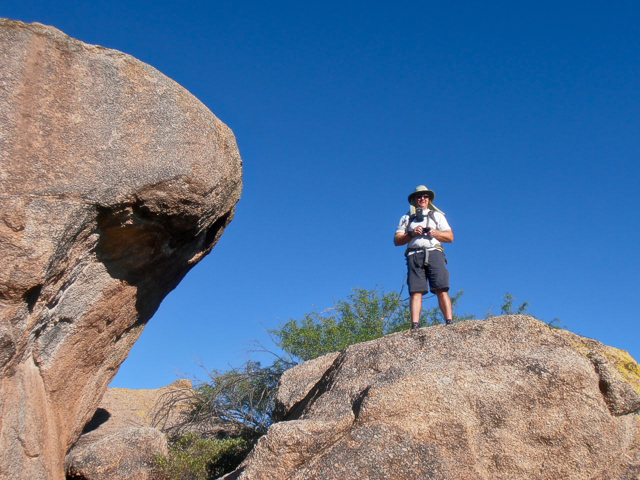
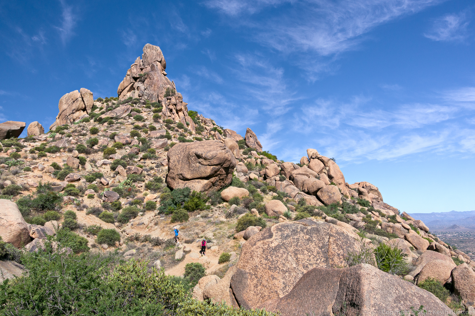
20150918-_DSC4504-HDR-Edit-Edit-medium

Tom’s Thumb:

20150918-_DSC4525-Edit-medium

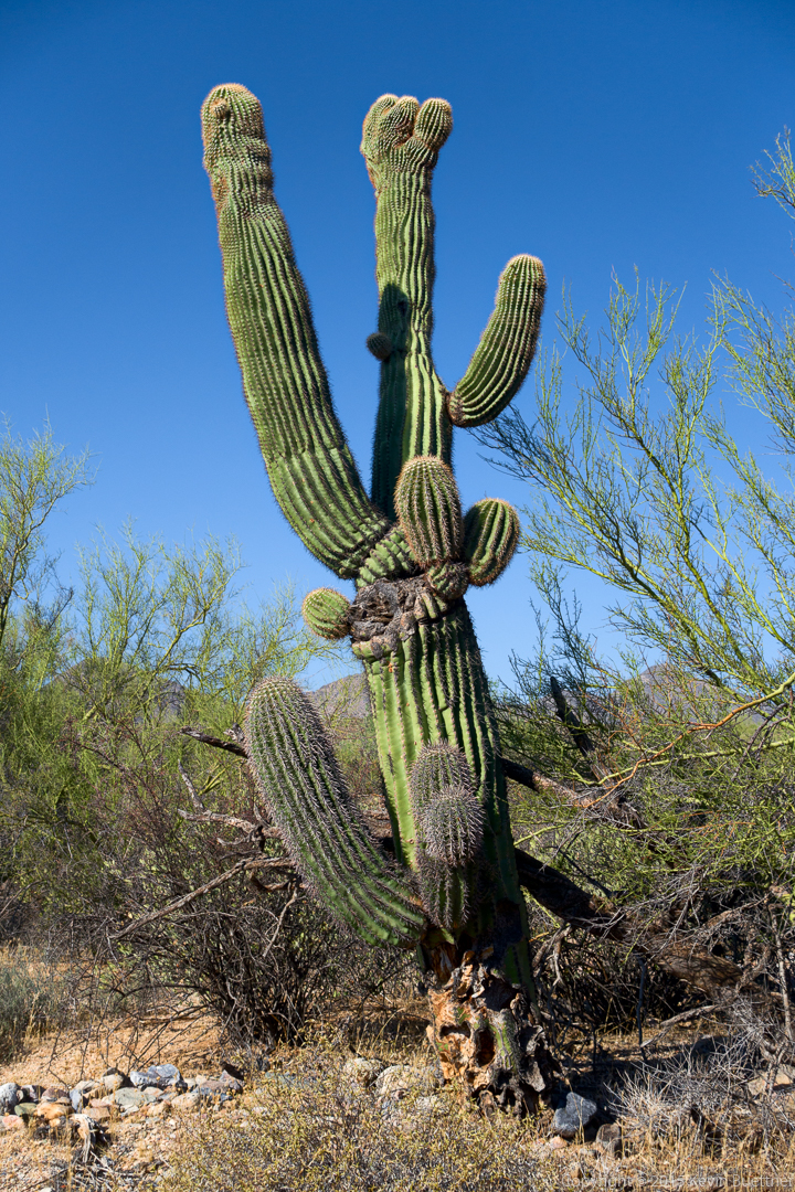
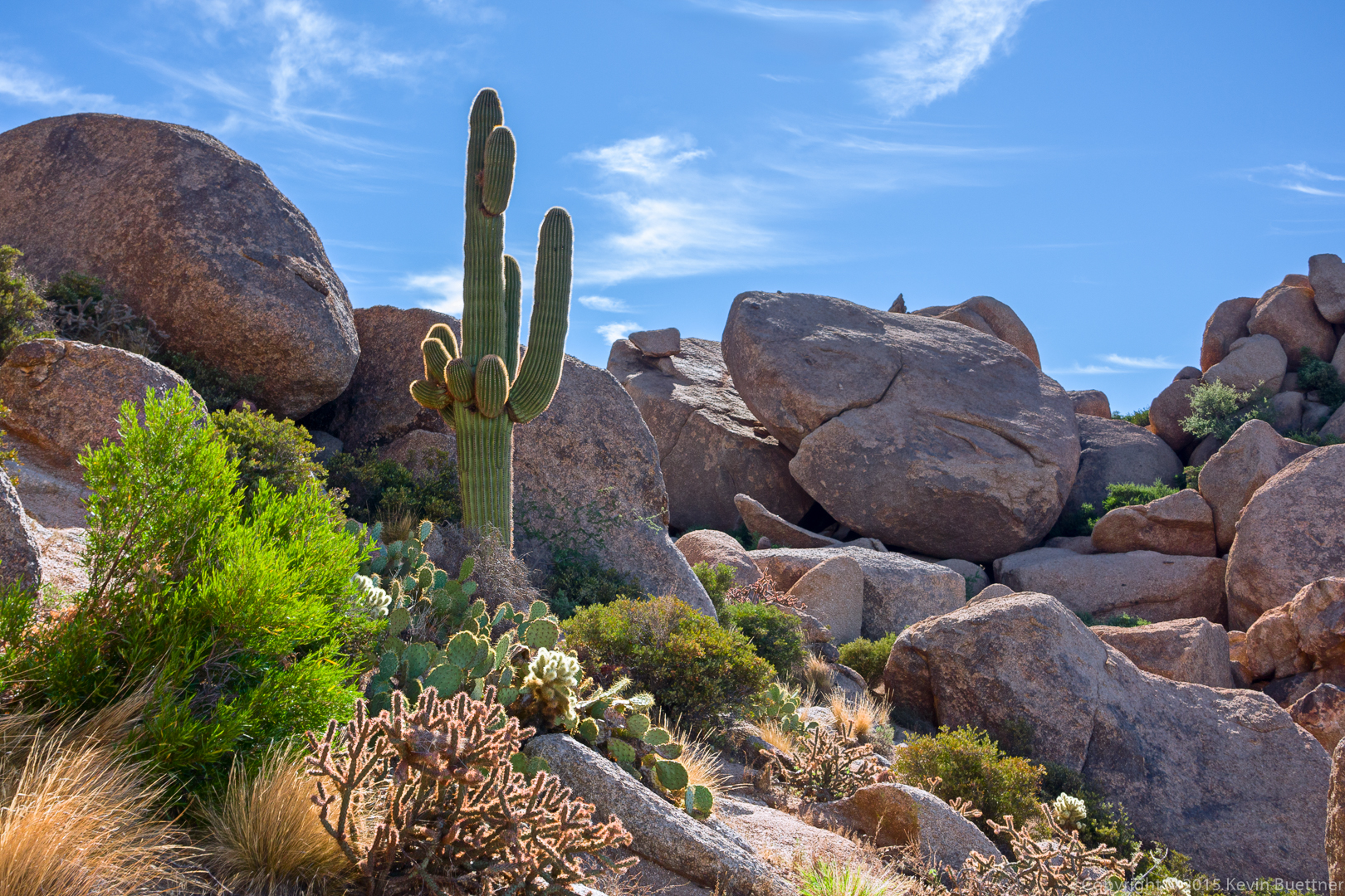
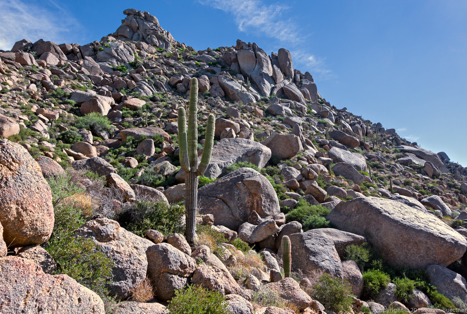
We came upon this saguaro and boulders as we made our way around Tom’s Thumb.

20150918-_DSC4546-Edit-medium

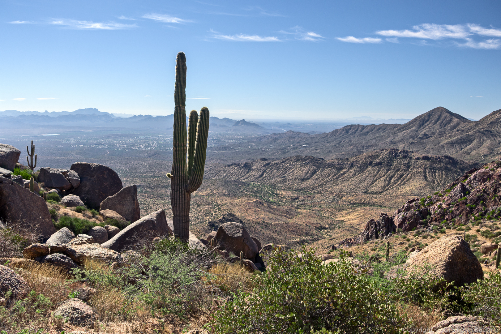
This is a view of Glass Dome from the Tom’s Thumb Trail. I had stopped to dump my spare 40oz water bottle into my 3L CamelBak reservoir prior to our descent of the East End Trail. I drank all of my water on this hike.

20150918-_DSC4564-Edit-medium

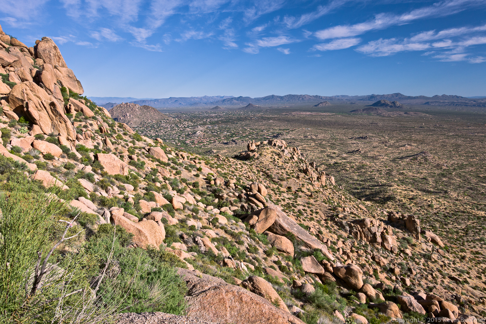
A view looking toward Fountain Hills from the East End Trail:

20150918-_DSC4570-Edit-medium

Another view from the East End Trail. The rock formation at the very top of this photo is Goat Hill. The East End summit is a short ways (less than a quarter mile) beyond that rock formation.

20150918-_DSC4573-Edit-medium

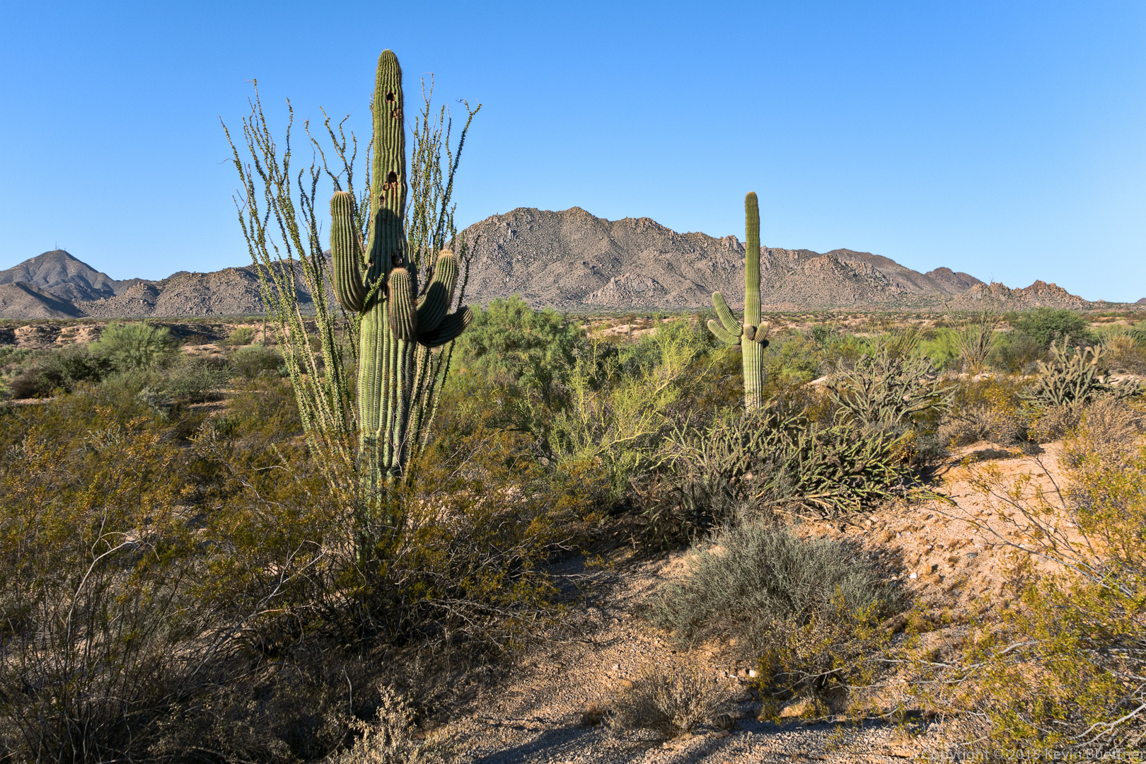
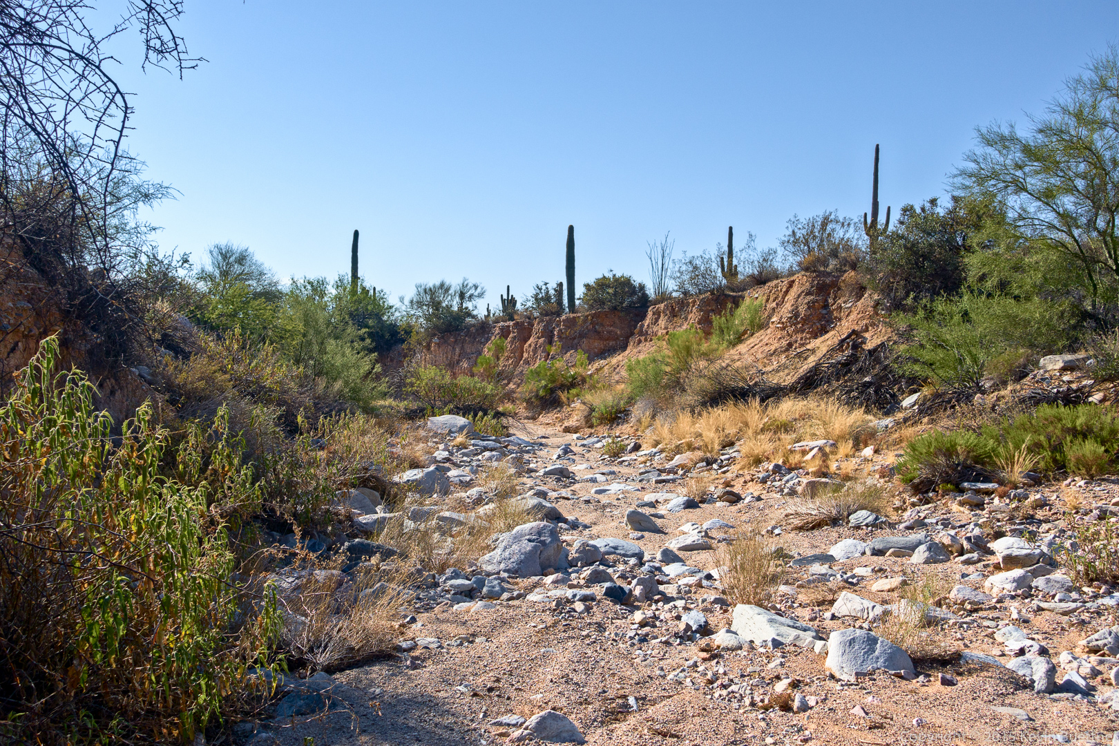
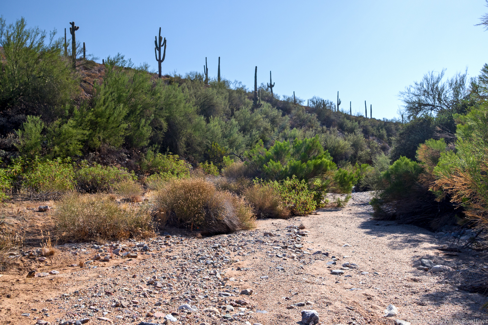
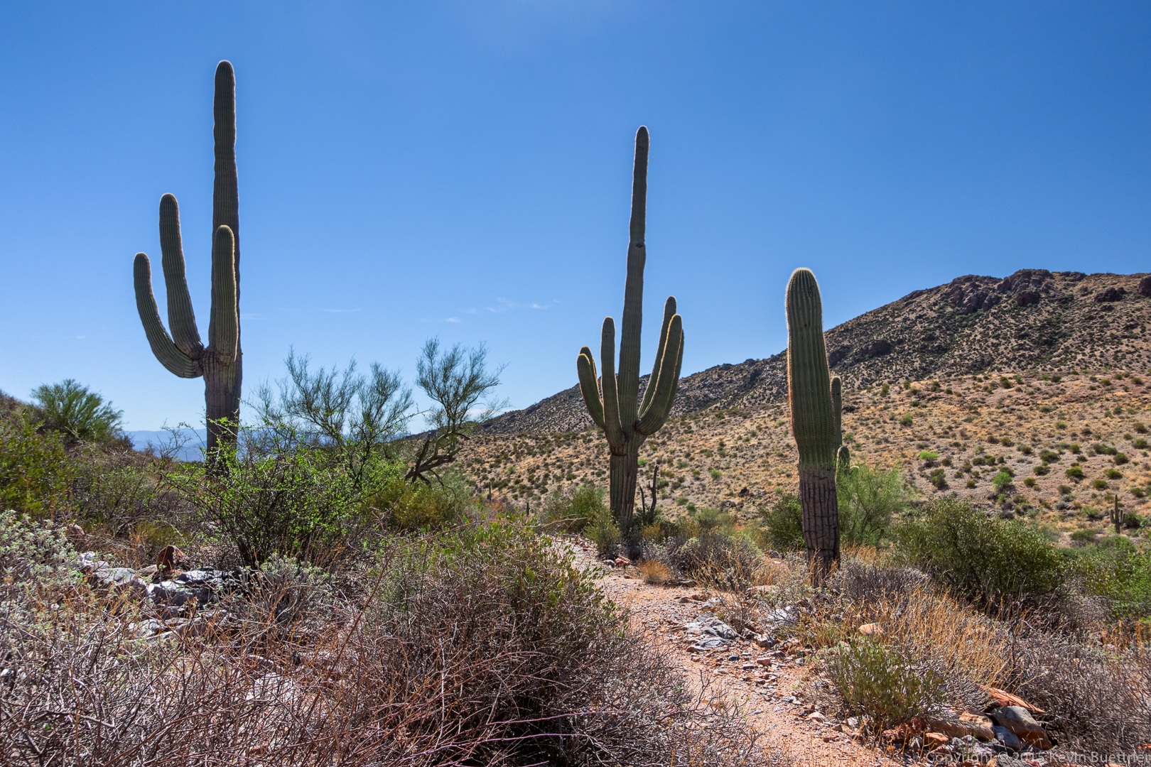
Saguaros on the Windmill Trail:

20150918-_DSC4582-HDR-Edit-medium

A view looking back at Windgate Pass. I think we’re still on the Windmill Trail here.20150918-_DSC4585-Edit-medium

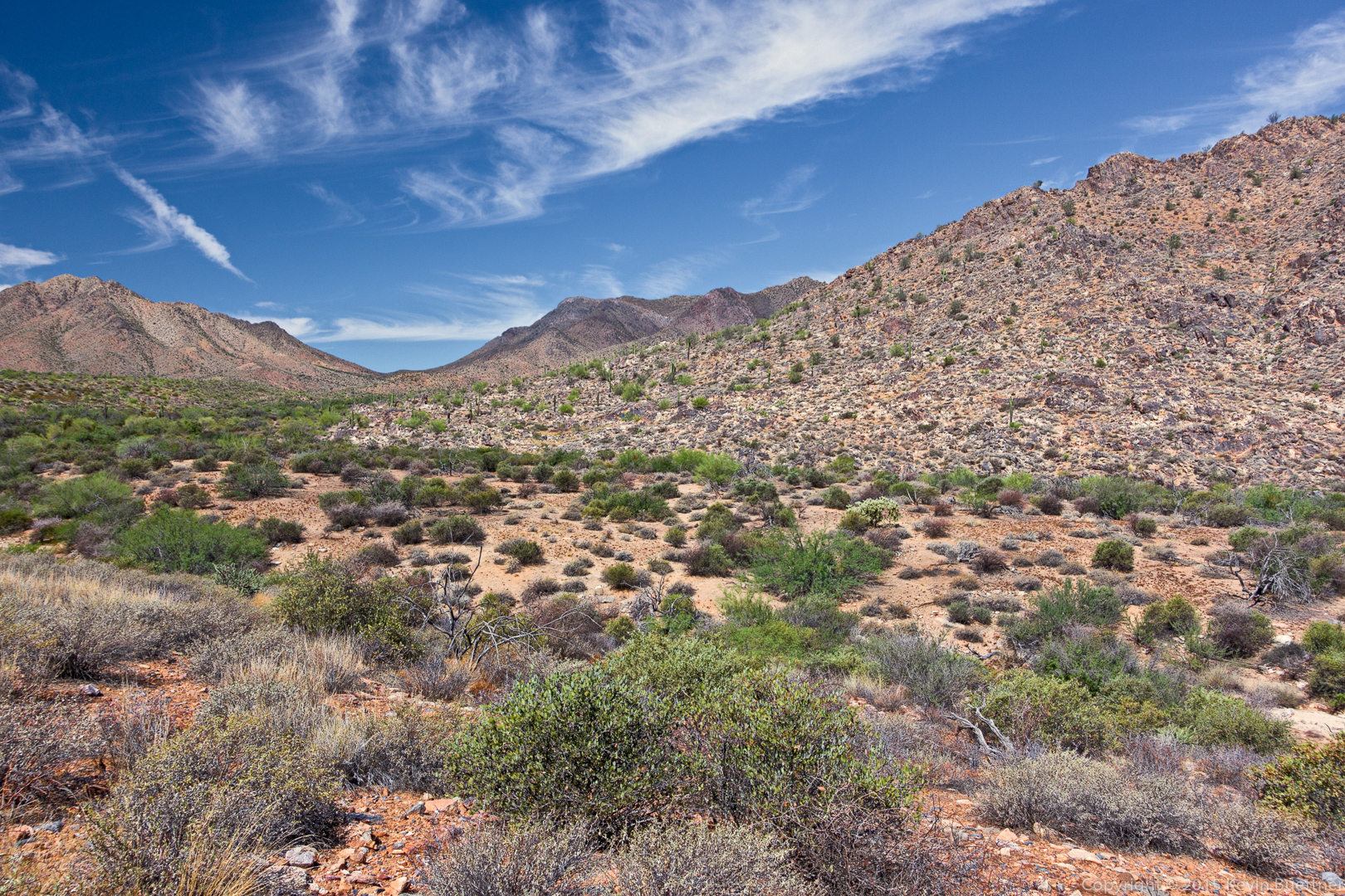
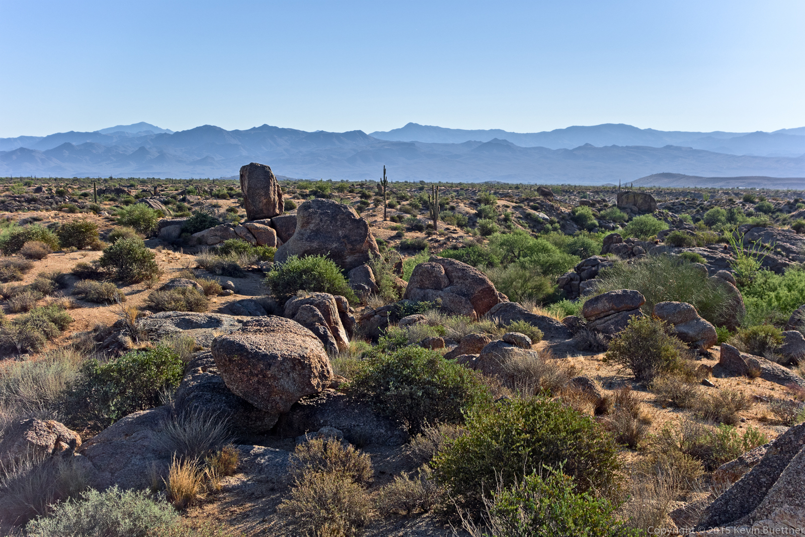
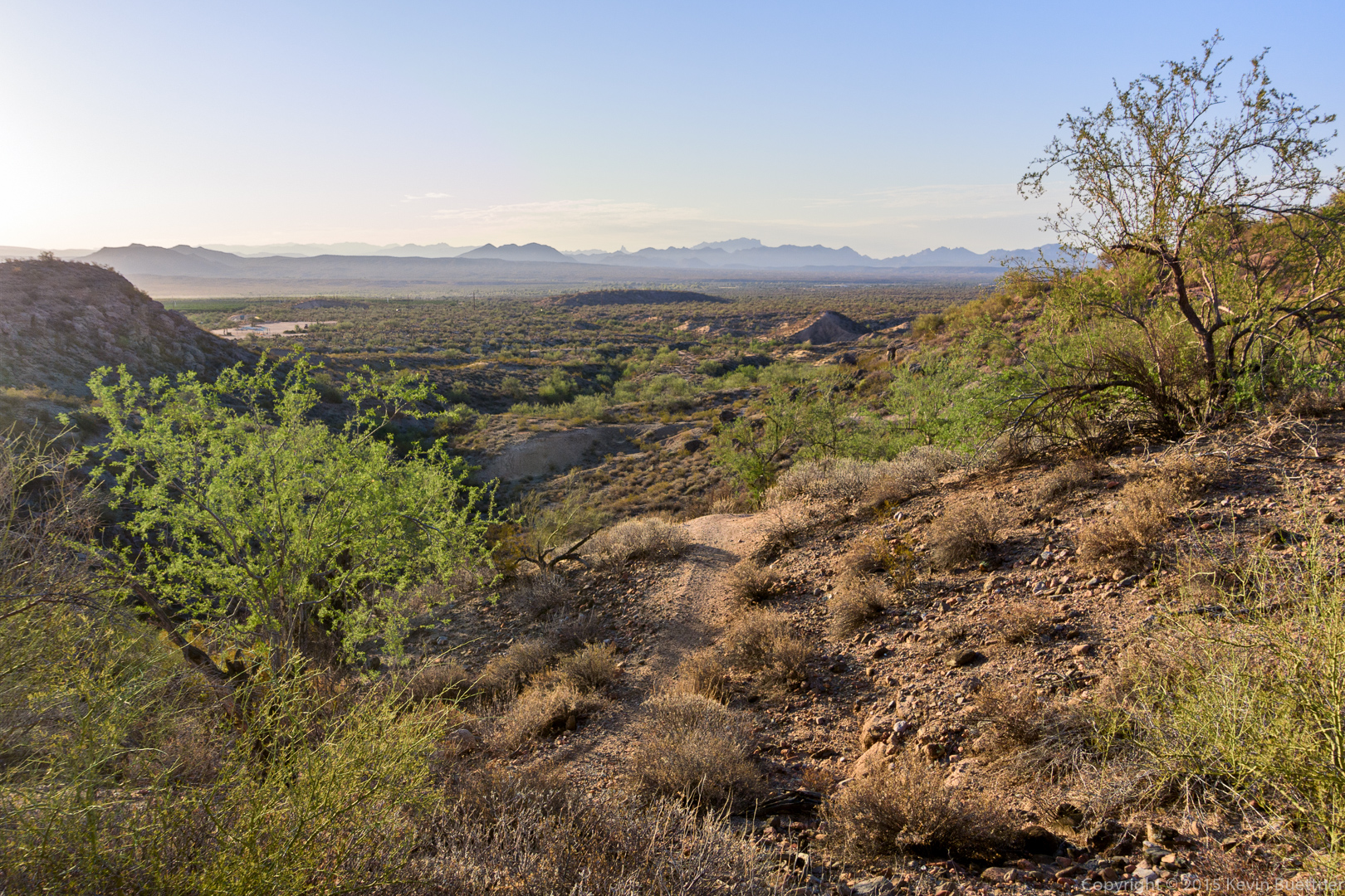
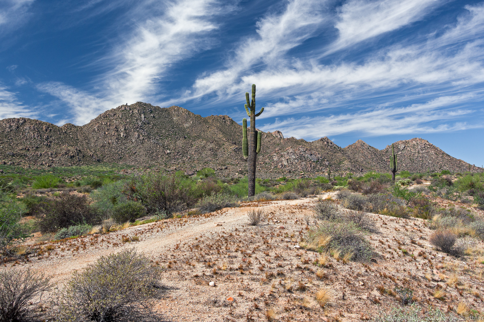
We hiked down the Coachwhip Trail, turned left on Pemberton, and then left again on Boulder.  This shot was taken from either the Boulder Trail or the Pemberton Trail.

20150918-_DSC4606-Edit-medium

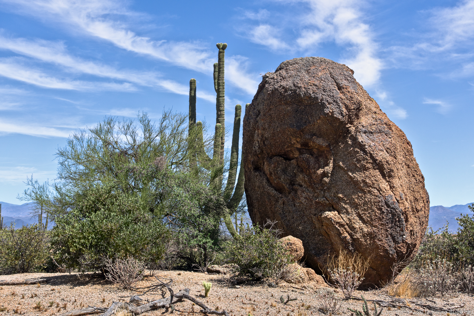
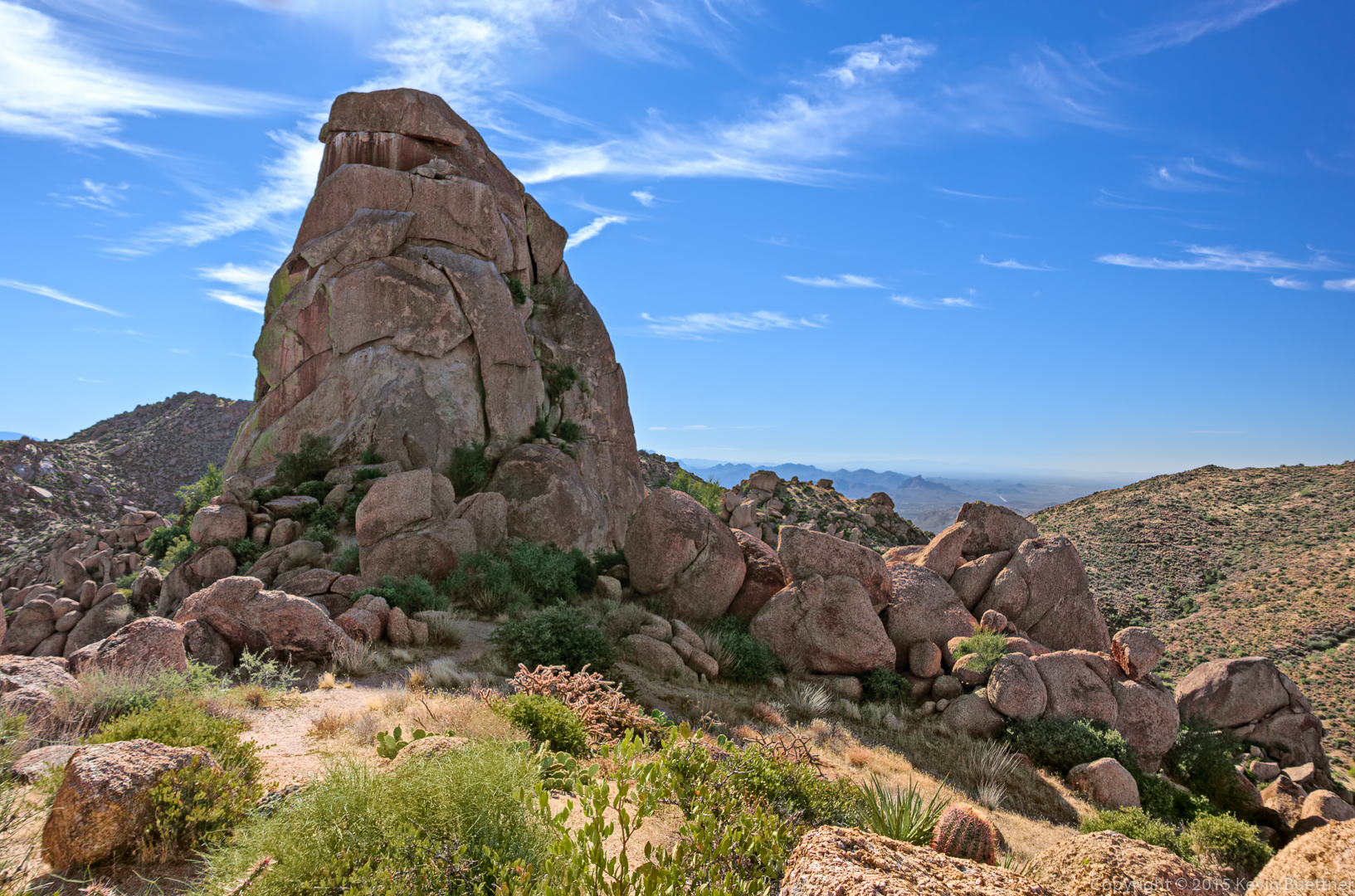
This large boulder is on the Marcus Landslide Trail. We hiked the Marcus Landslide Trail back to the parking lot.

20150918-_DSC4627-Edit-medium

Rattlesnake

I saw this snake on my morning hike…

20150916-_DSC1164-Edit-2-medium


Tiger

20150916-_DSC1105-Edit-medium

Freckles

20150915-_DSC1028-Edit-medium

Friday Fitness Hike

Linda and I hiked a little over 12 miles on Friday. We began at the Horse Staging Area and made our way over to the Pemberton. We hiked to the Dixie Mine Trail, went perhaps half a mile, and then hiked many miles in a wash that lead back to the competitive track area. We crossed the Long Loop just before that trail climbs up to the South Ridge.  We continued following the wash until it again intersected the Long Loop. We returned via a combination of the Long Loop and one of the service roads.

Sunrise from the Horse Staging Area:
20150911-_DSC4234-Edit-medium

A view from T-Bone Ridge on the Technical Loop:20150911-_DSC4255-Edit-medium

This is one of the clay pits near the Pemberton Trail:

20150911-_DSC4267-Edit-medium

This is where we entered the wash, just off of Dixie Mine Trail.

20150911-_DSC4285-Edit-medium

More views of the wash…

20150911-_DSC4291-Edit-medium

20150911-_DSC4306-Edit-medium

20150911-_DSC4315-Edit-medium

20150911-_DSC4327-Edit-medium

Linda noticed an unusual saguaro. It sort of looked like a crested saguaro at the top of one of the arms, but we couldn’t decide if it would turn into a crest or if separate arms would eventually form.

20150911-_DSC4336-Edit-medium

Here’s a closer look at the top of the saguaro. The left arm sort of looks like a crest, but it also has distinct humps.

20150911-_DSC4348-Edit-medium

Other nearby saguaros:

20150911-_DSC4354-Edit-medium

Linda also found this bird’s nest in a chain fruit cholla:

20150911-_DSC4366-Edit-medium

Freckles

20150906-_DSC0967-Edit-2-medium