Month: September 2019 (page 1 of 1)

Friday Fitness Hike

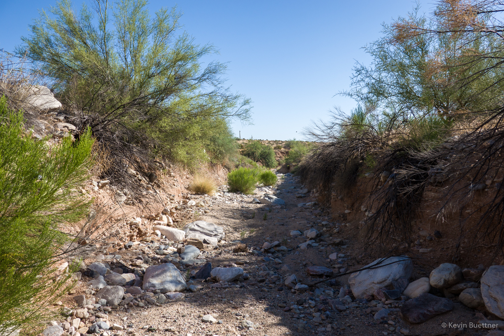
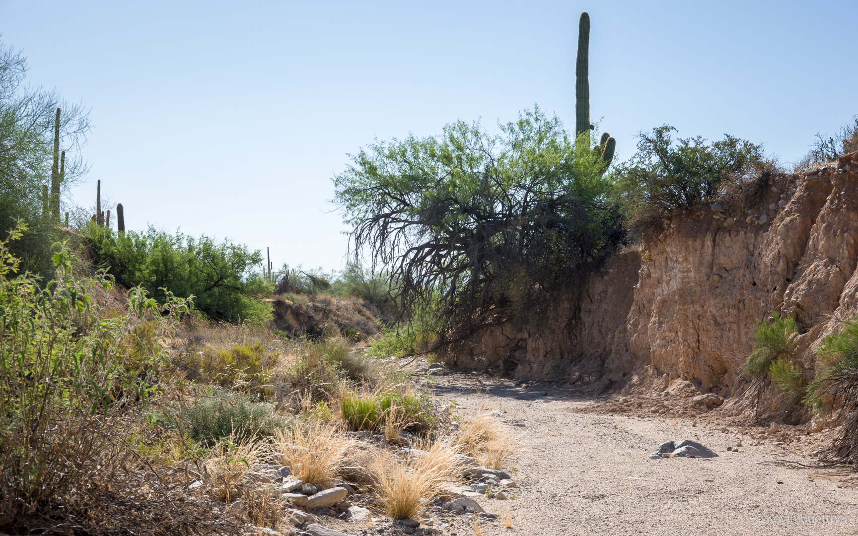
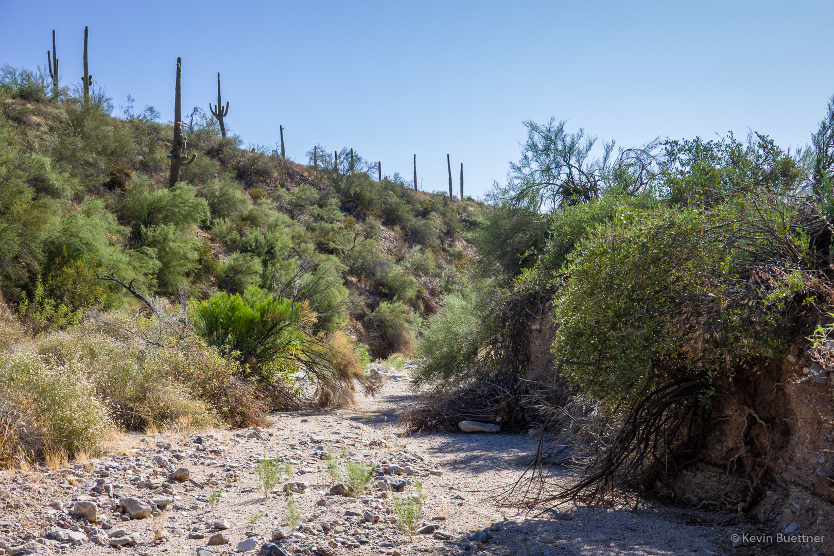
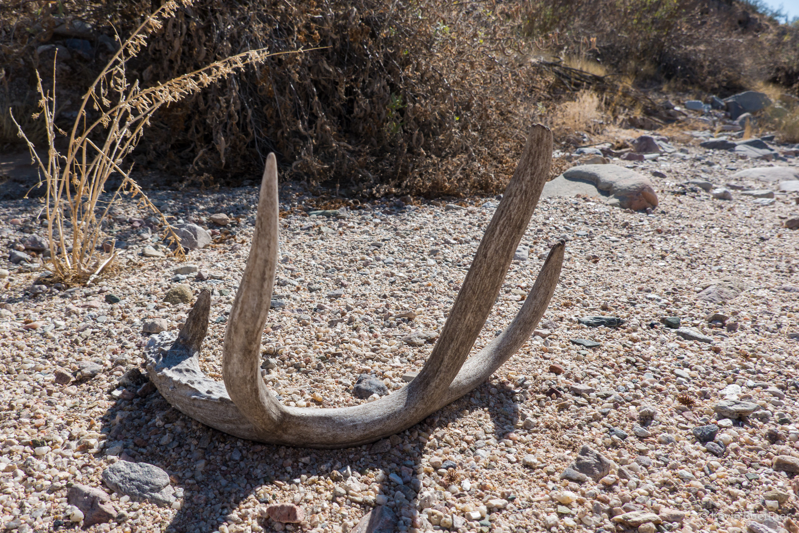
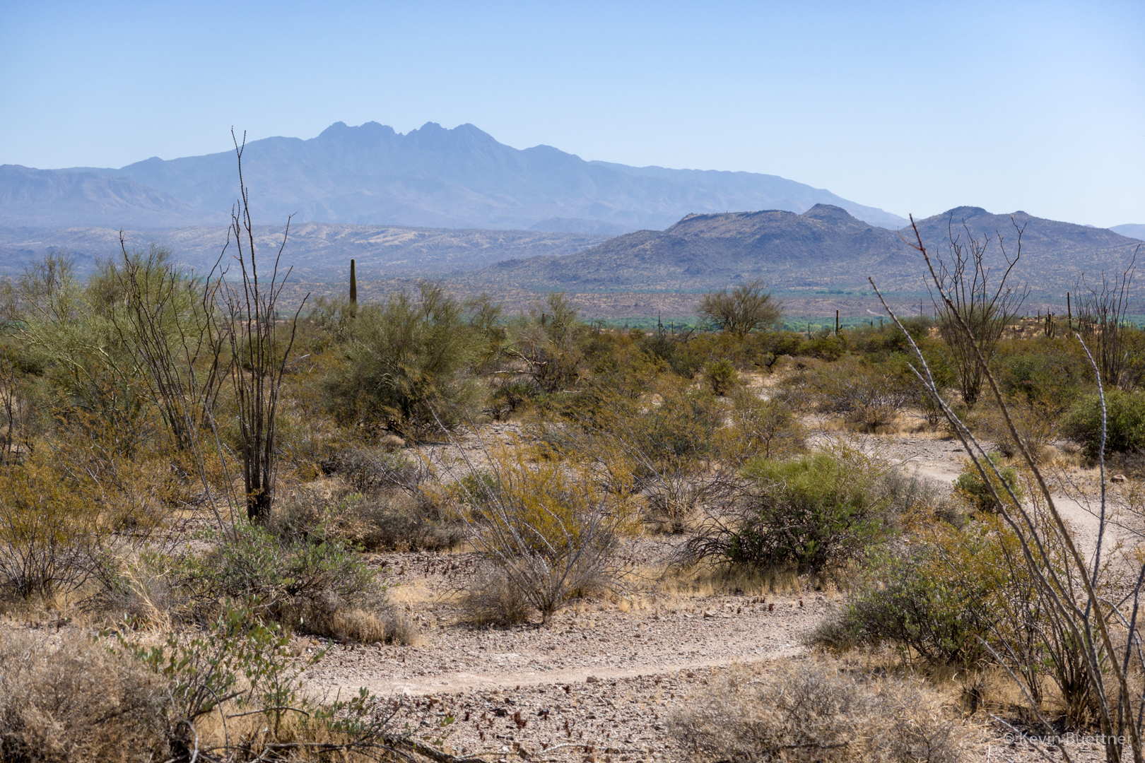
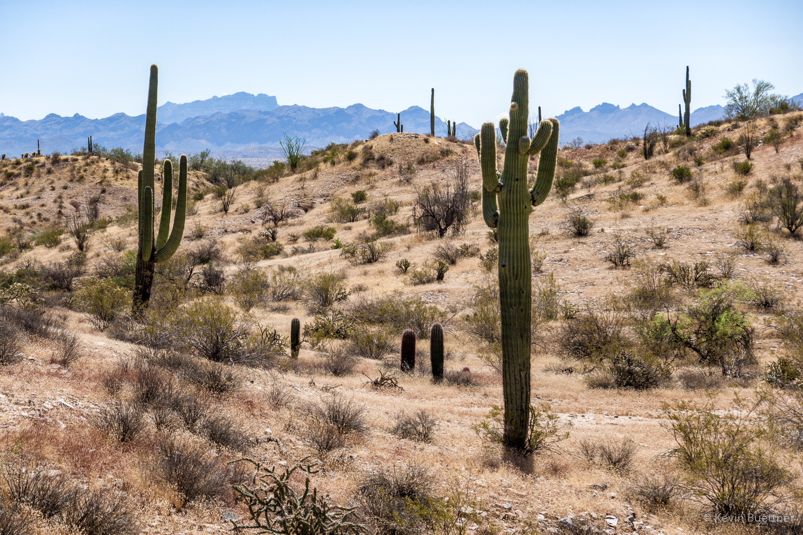
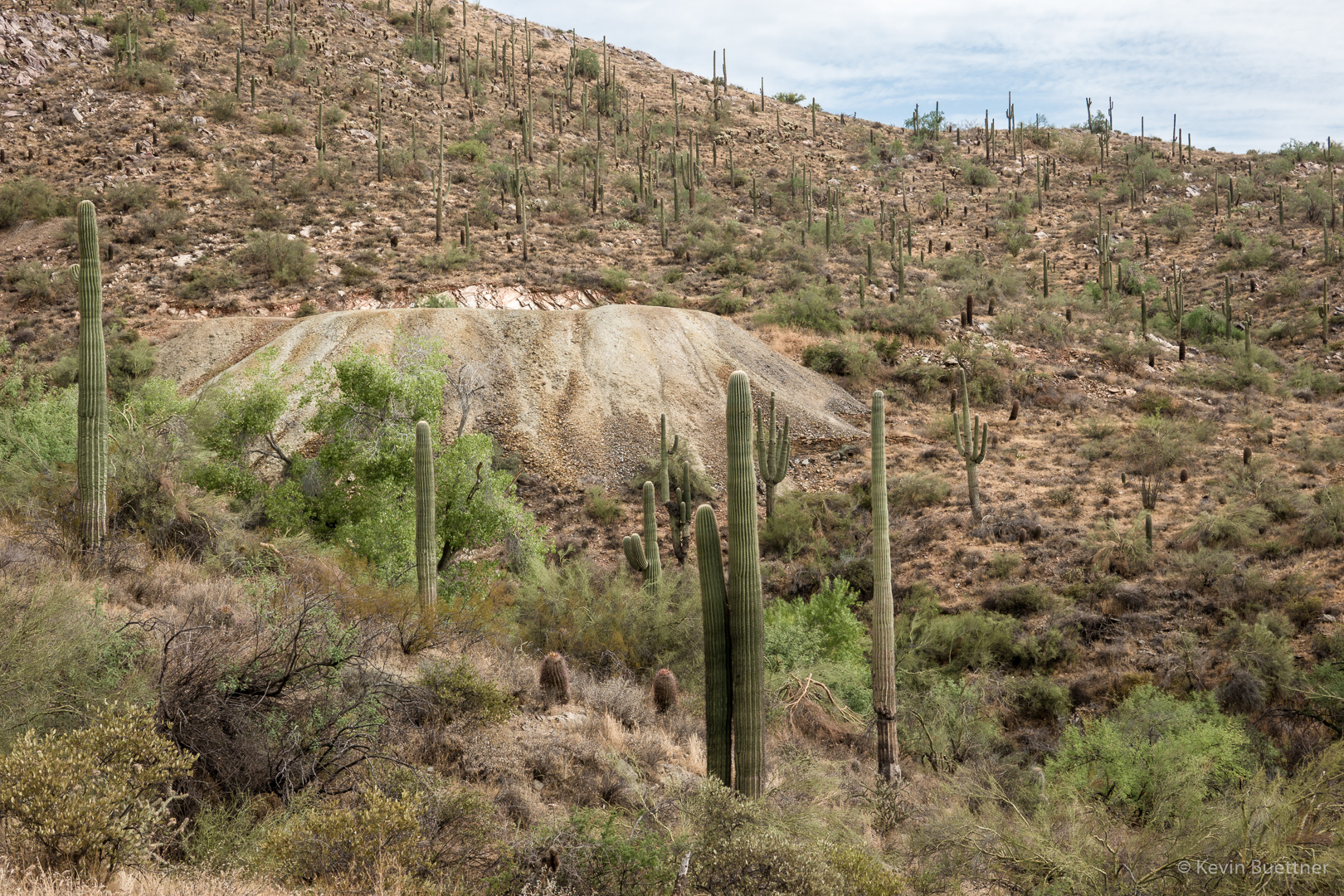
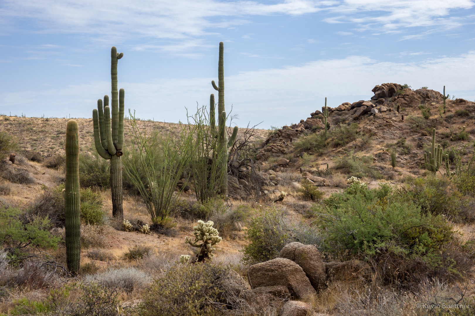
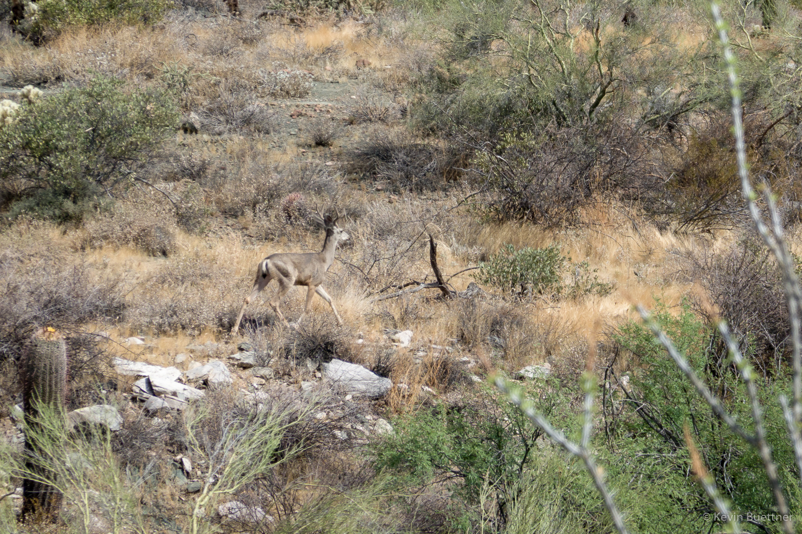
On Friday, the 27th, Linda and I hiked 10 miles starting from Tom’s Trailhead. We hiked a big loop: Marcus Landslide, Boulder, Pemberton, Coachwhip, Windmill, East End, and down Tom’s Thumb (adding in Feldspar with a return on Marcus Landslide to get us up to 10 instead of just 9).

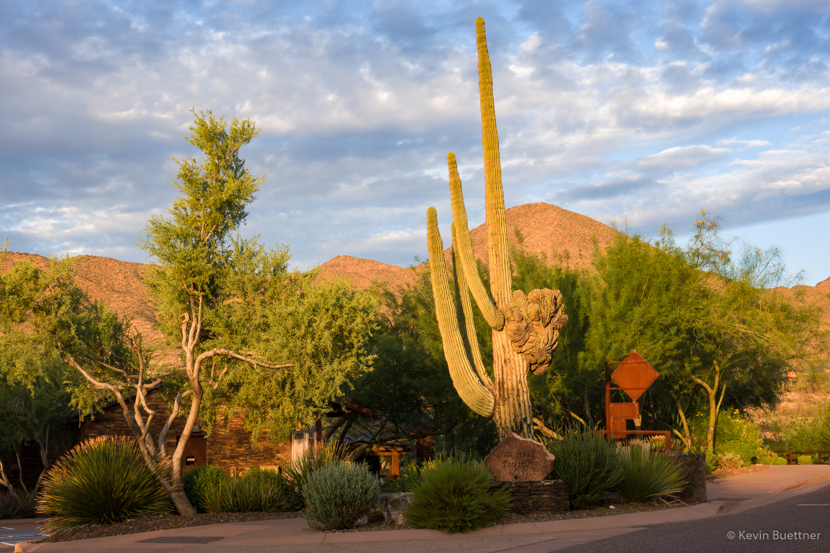
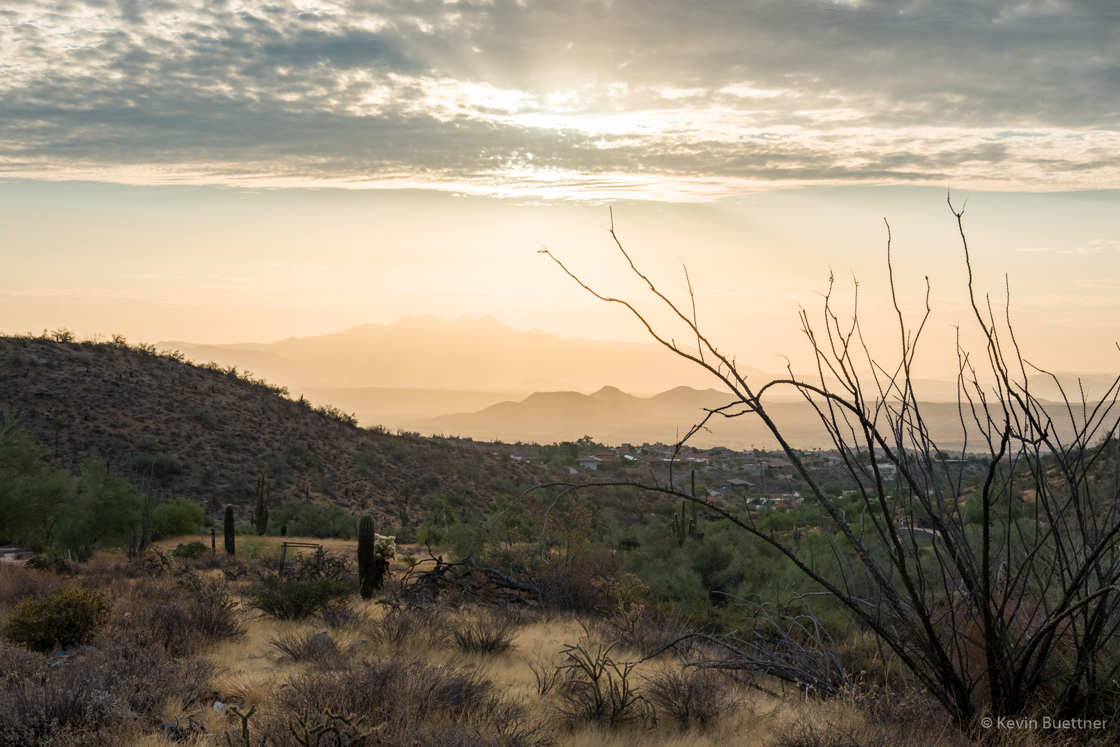
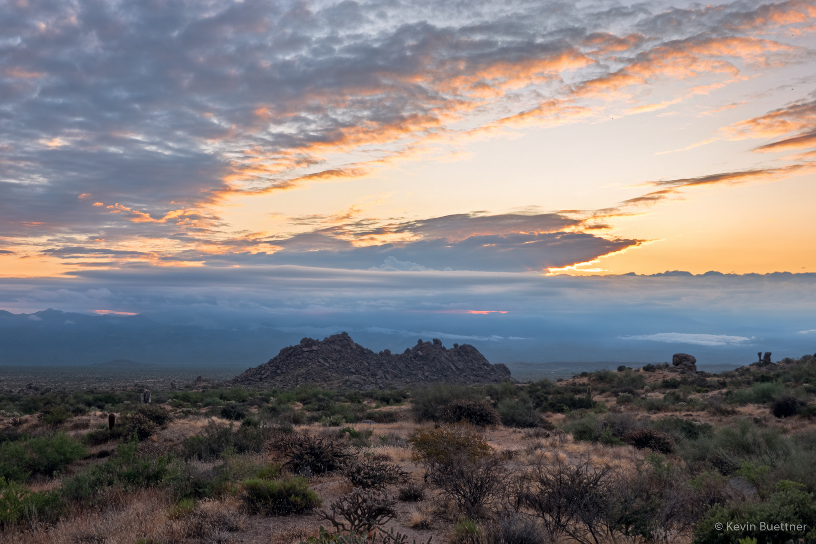
Sunrise from the parking lot:

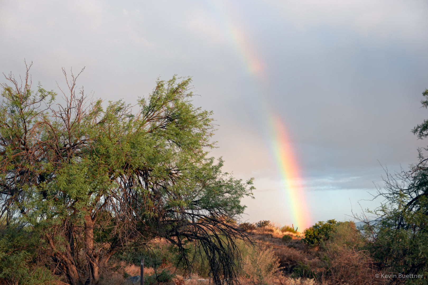
An early morning rainbow!

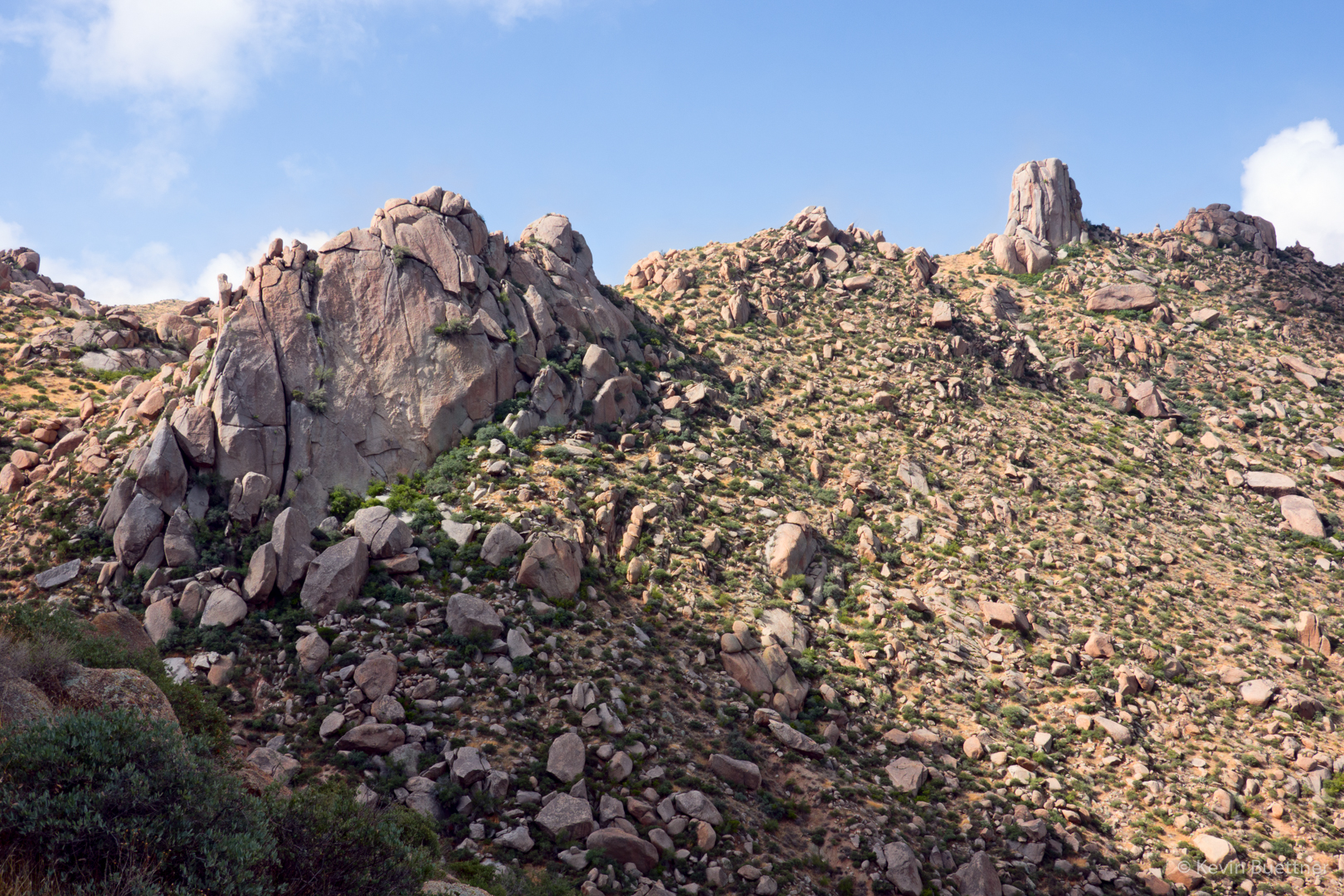
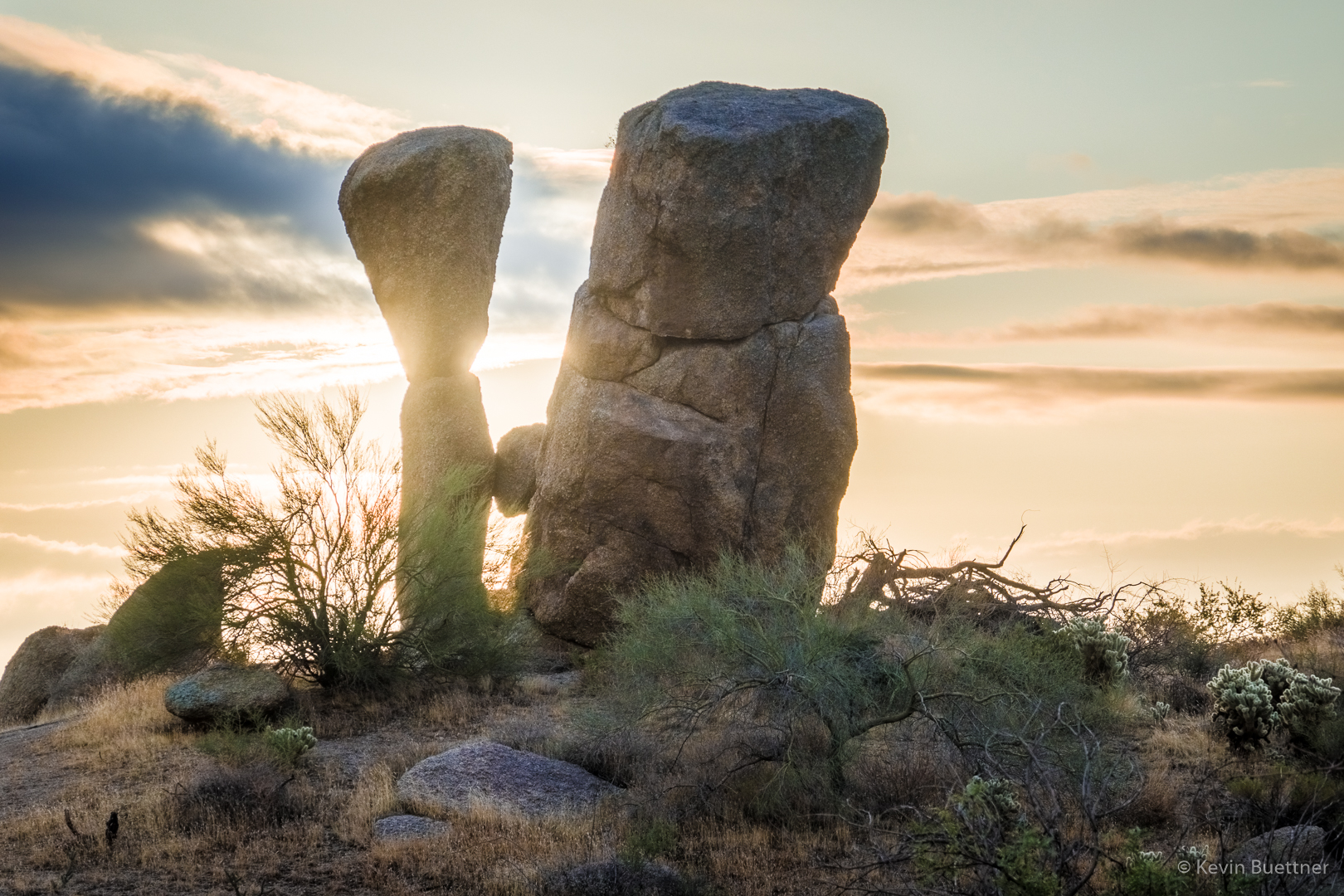
Prominent boulders near Sven Slab:

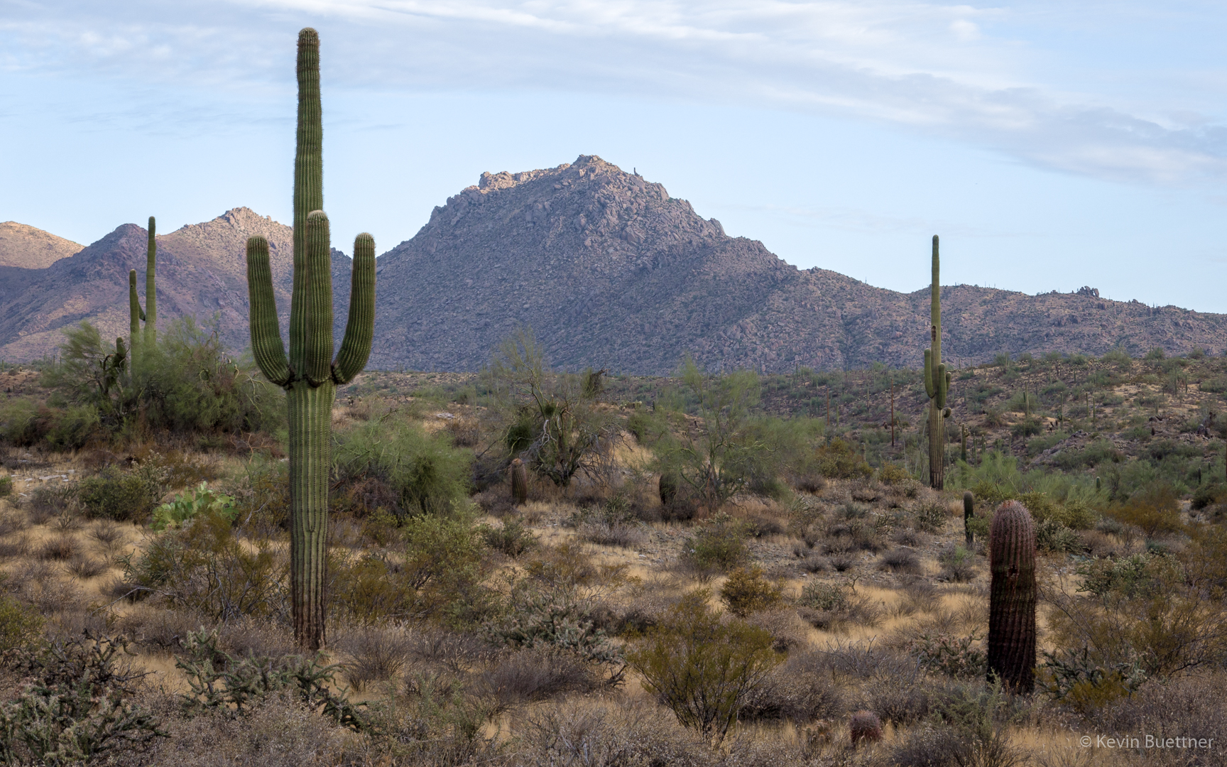
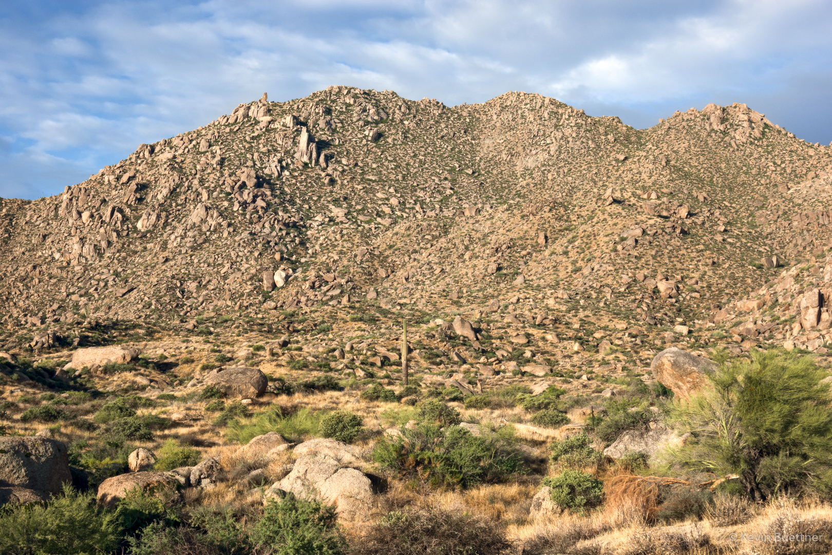
A view of the McDowells from the Boulder Trail:

As we were hiking up the Coachwhip Trail, I stepped over this rattlesnake, thinking it was a rock.  Linda called my attention to it, allowing me to get this photo…

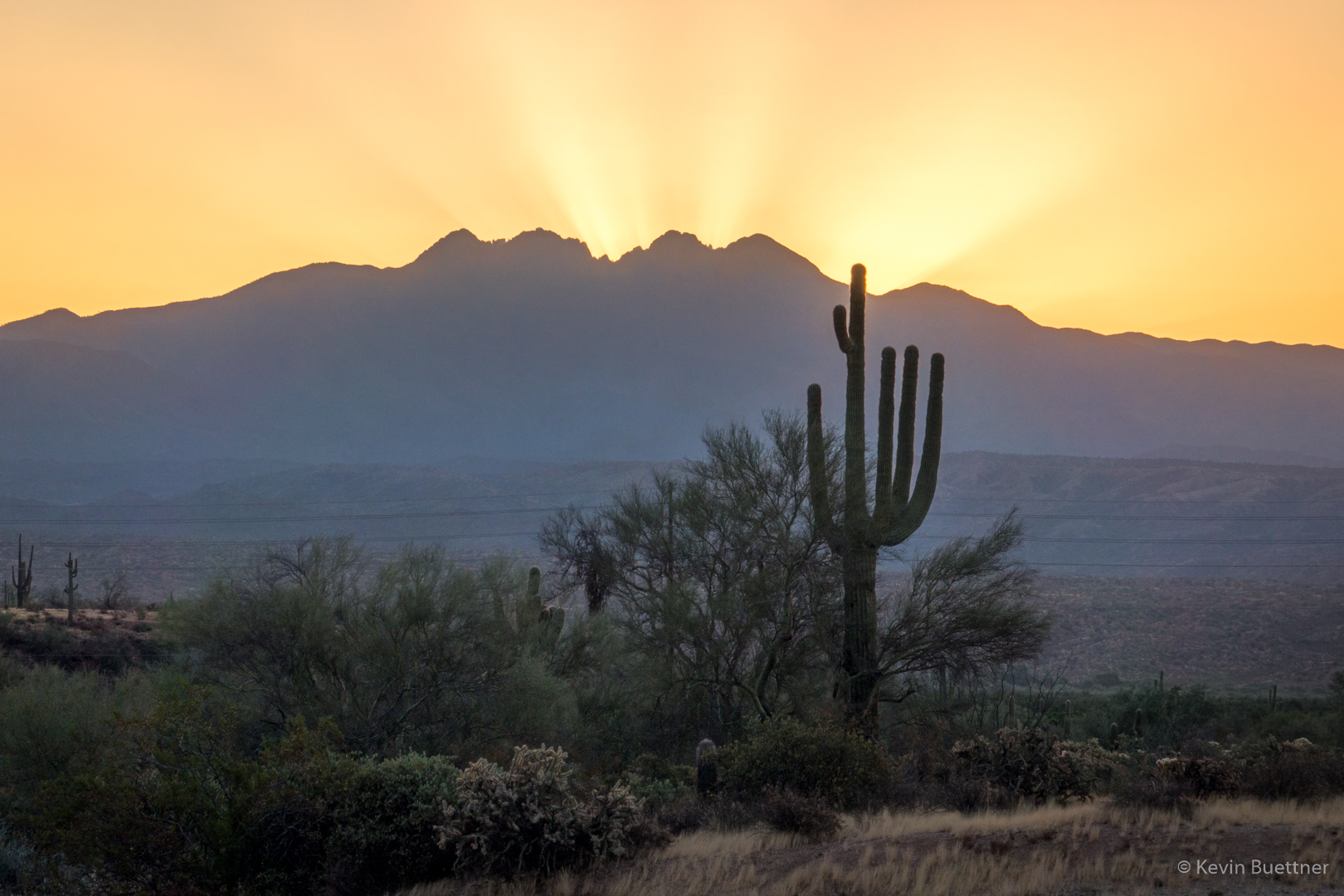
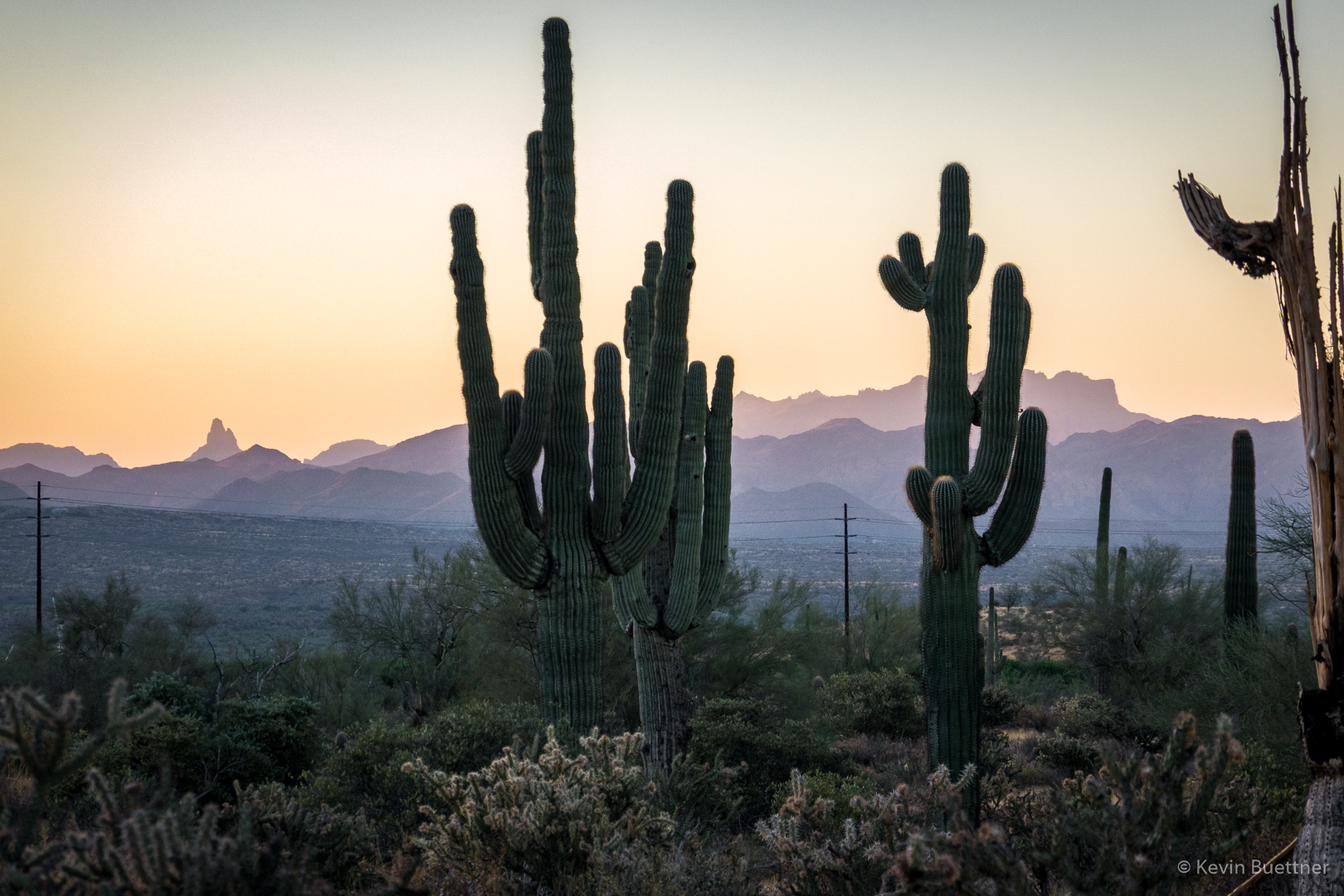
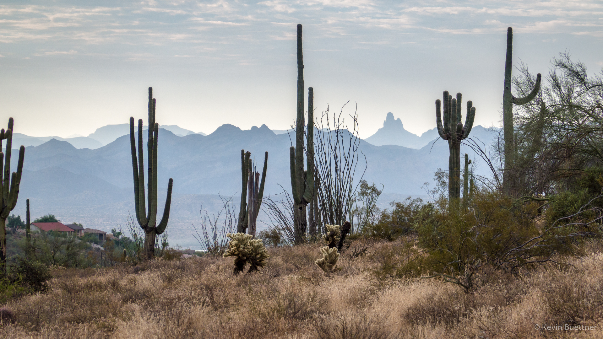
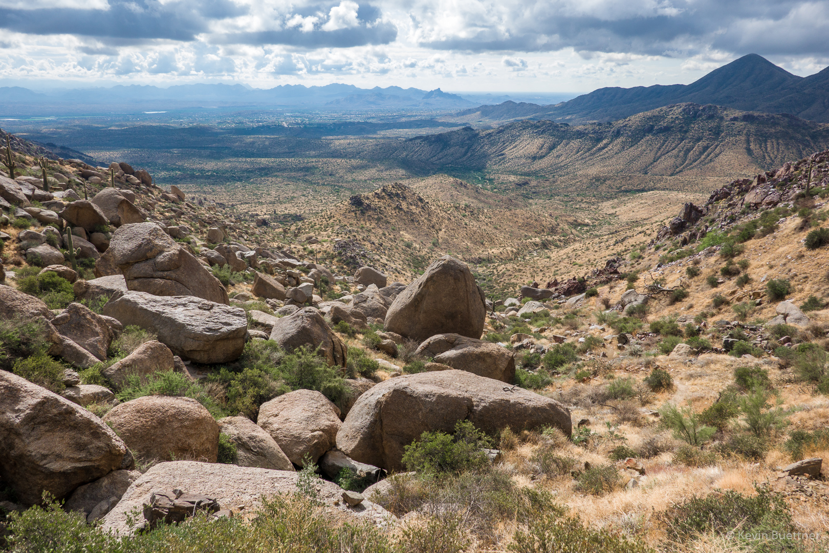
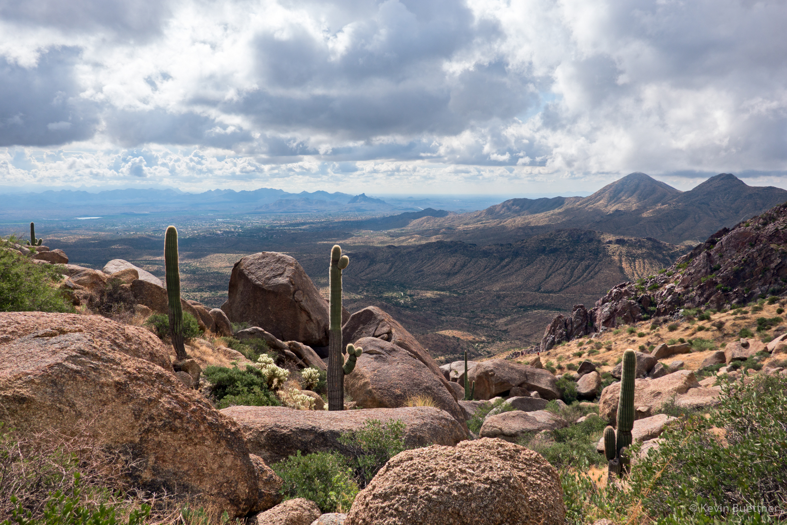
Two views from the East End Trail…

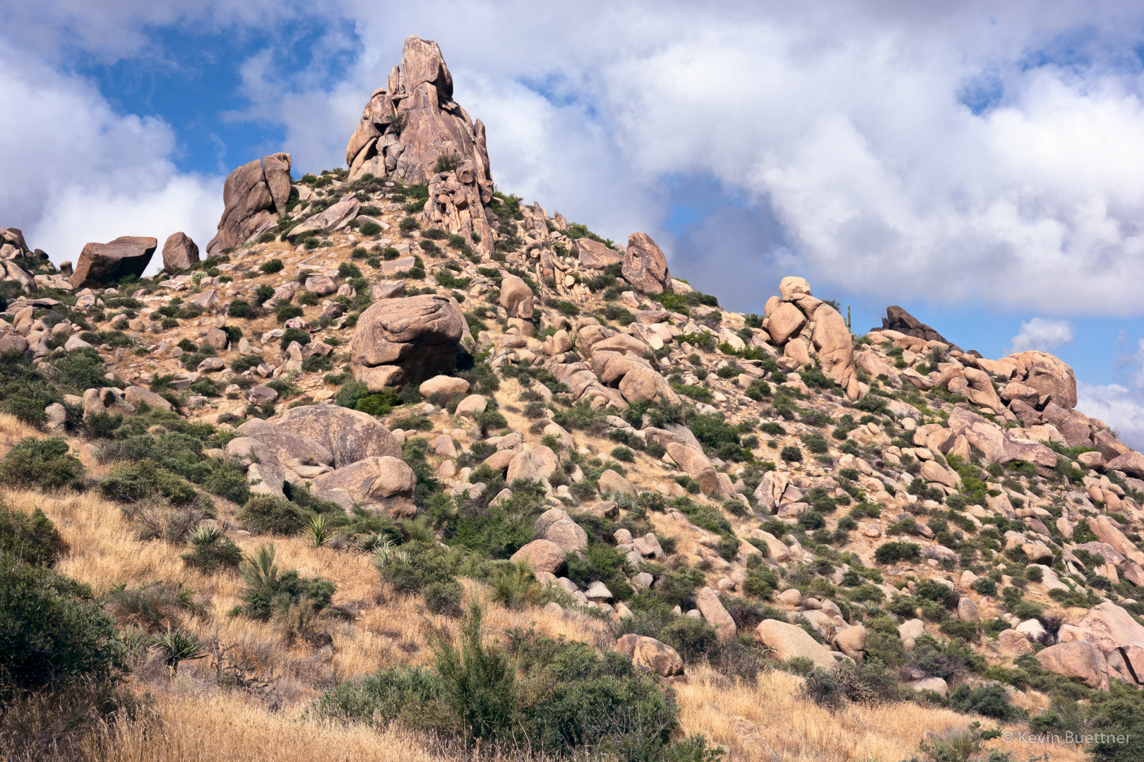
This is a view of the pinnacle known as “Glass Dome” from near the intersection of the Tom’s Thumb and East End trails.

A view of Gardener’s Wall and Tom’s Thumb as we hiked down Tom’s Thumb Trail:

Friday Fitness Hike

On Friday, Sept 20, I hiked a little over 13 miles starting from Four Peaks TH (in McDowell Mountain Regional Park). After hiking through the competitive track area, I wound up on Pemberton and then took Dixie Mine to the South Wash. I then hiked this wash back to the competitive track area, taking the Long Loop back to the parking lot.

Four Peaks from the parking lot:

Another parking lot photo, this time of some saguaros with the Superstitions (including Weaver’s Needle and the Flatiron) as the background.

A view of Red Mountain from the Technical Loop:

Looking back towards the Superstitions from my ascent of T-Bone Ridge (still on the Technical Loop):

Another view of Red Mountain as I descend T-Bone Ridge on the west side:

Red Mountain again, but this time I’m in Stoneman Wash:

Looking toward the McDowells from one of Stoneman’s feeder washes:

A view from the Dixie Mine Trail:

In the South Wash now…

We’ve gotten quite a lot of rain since my hike on the 20th, but it has been very dry for a very long time before that. Thus, I was surprised to see these flowers in the wash.

I like the high vertical banks of the South Wash.

The wash goes on and on – perhaps a quarter of the hike takes place in the South Wash.

Mule deer antler:

Looking toward Four Peaks from near the Long Loop:

Looking towards the Superstitions, again from the Long Loop:

Chia:

Friday Fitness Hike

On Friday, Sept 6, I hiked nine miles on the Dixie Mine and Sonoran trails.

This is a view of the crested saguaro at the parking lot entrance.

A view of Four Peaks on the way to the start of the Dixie Mine Trail. (There’s about 0.7 miles of residential sidewalks to walk between the parking lot and actual trailhead.)

A view of the McDowells:

The route I took provided a good view of Weaver’s Needle!

Saguaros were dense along this hillside.

Looking back down the wash towards the road:

This is the “waterfall”. Seeing bees around one of the puddles at the first landing, I turned around at this point. If you look closely, a few petroglyphs are also visible in this photo.

There’s a cave (which was probably created from mining activity) at the left in this photo.

Mine tailings:

Views from along the Dixie Mine Trail:

When I got to the intersection with the Sonoran Trail, I decided to hike it to the preserve boundary and then a short ways into the preserve. On the way back, I saw a deer!