Month: March 2018 (page 1 of 1)

Friday Hike – Barnhardt Trail

Marilyn, Nora, Linda, and I hiked part of the Barnhardt Trail on Friday. We went out about five miles on the Barnhardt Trail. We had planned to also hike the Sandy Saddle Trail to Casterson Seep and then hike down to the first waterfall in Barnhardt Canyon, but the manzanita not only obscured the trail but also greatly slowed us down. We hiked perhaps a quarter of a mile of Sandy Saddle before turning back.

Looking into Barnhardt Canyon from midway up the trail:

We’re much higher on the trail now, perhaps even on the Sandy Saddle Trail – I don’t remember exactly.

As we continued on, we saw greater evidence of damage from the 2004 Willow Fire. It’s my understanding that there used to be a forest of Ponderosa Pines in this area.

We were intrigued by the fallen tree. It looked like someone had drilled a bunch of 7/16″ holes in the wood.

Looking into “Big Kahuna” falls from the trail. I also got a shot from further into the canyon on the way up, but I decided that I liked this shot better.

One of the blocky rock walls along the trail.

This was a well shaded area – it doesn’t appear to ever get much direct sun.

Another secluded spot for cacti to grow:

Some kind of toad…

Looking back…

Some interesting veins of zig-zaggy rock.

Mona, Linda, and Marilyn:

Linda provided this photo of Nora and me looking over one of the edges.

Sunday Hike – Praying Hands / Massacre Falls Loop

Nick, Mike, Bob, Marilyn, and I did a hike in the western Superstitions on Sunday. I hiked nearly 7.5 miles with about 1700 feet of total ascent.

Friday Hike – Four Peaks Trail

Nora and I did and out-and-back hike on the Four Peaks Trail. We ended up hiking just under 12 miles w/ nearly 3200 feet of total ascent. One of our hike options was to go to the summit of Buckhorn Mountain, but the brush looked dense, so we decided to stick to the well groomed Four Peaks Trail.

I had hiked the Four Peaks Trail back in 2001 or 2002. It was quite a different experience. The area had (sort of) recently been devastated by forest fire and was kind of barren. The trail was difficult to follow – I had to look very carefully for cairns or occasional ribbons tied to mostly burned trees. Due to the fire, the foliage was fairly sparse. I think I did go to the top of Buckhorn Mountain that day – the Four Peaks Trail used to go over the top, but has now been rerouted to go around the mountain.

On our Friday hike, we found a very different trail to the one that I recalled. The trail surface is well beaten in and is not especially rocky or loose. It was exceptionally easy to follow – there was never any doubt about which way to go.

Views from Mills Ridge Trailhead…

On the trail now…

The trail went both below and above this small dryfall. We took the lower trail on the way out and the upper trail on the way back. We had thought at first that the lower trail is the preferred trail, but on the way back, we found that a great deal of care had been taken in the construction of steps leading down to the wash.

One of many views of Roosevelt Lake:

One of the few remaining tall trees. I would guess that, prior to the fire, there were a lot of this type of tree.

This is Camelback Peak 5663. Nora and I wondered about going to the summit. I looked it up on HAZ when I got home. BobP did it in 2013 and uploaded a track, but in his notes, he says, “If I were you…I’d choose a different route.” So maybe there is no good route.

Four Peaks; this is pretty close to where we turned around. We had several decent views of Four Peaks prior to this point, but this was the best.

Nora next to a burned and dead tree.

We encountered a group who are riding the Arizona Trail on their mules. We chatted with them for a while and then continued. These mules worked hard as the trip outward had quite a lot of elevation gain.

We saw very few flowers on our hike. Last year, about a week earlier, we had hiked the Vineyard Trail which also starts from Mills Ridge Trailhead. We saw lots of flowers last year.

This is a poppy. I also got a shot of a desert marigold, but was unhappy with the way it turned out (so I’m not posting it).

As we hiked back to the trailhead, I noticed a catchment just off the Vineyard Trail. I decided to hike down to take a look…

When we were finished with our hike, we became tourists and visited Theodore Roosevelt Dam, which was just down the road from where we had driven in on Forest Road 647 to get to the Mills Ridge Trailhead.

This is a photo of the bridge from the upper view area:

Sunday Hike – Y Bar Trail #44

For Sunday’s hike, I hiked the Y Bar Trail, which starts at the Barnhardt Trailhead. I hiked out a little over four miles and turned around at the saddle / ridge that separates Shake Tree Canyon from Y Bar Basin. I ended up with 8.6 miles and a total ascent of  2460 feet.

Friday Hike – Black Mesa

Heather, Ben, and I hiked from the Spur Cross Trailhead to Black Mesa on Friday. From there we hiked over to New River Mesa and then returned the way we came. Total distance was nearly 13 miles with over 3400 feet of ascent.

Black Mesa on the left; Sugarloaf Mountain on the right. Sugarloaf looks higher in this photo, but we were looking down on it when we got to the top of Black Mesa. Black Mesa is about 800 feet taller.

This is the Fortress Pinnacle next to Elephant Mountain.

We followed the Rondo Spring Trail, even though it seems like it’s going in the wrong direction.

Ben and Heather:

The grass was less of a problem than when we did this hike in December of 2014. Much of it was matted down as shown here. On the section before this spot, it had broken off and was fairly short allowing us to see the cairns.

For some reason there’s a yellow tire in a tree at the top of Black Mesa. I haven’t a clue about how it got there. We made it to the top of Black Mesa in good time and with such relative ease that I suggested going over to New River Mesa, which is the formation well beyond the tree. There’s a fairly narrow isthmus which connects the two mesas.

Looking at Skull Mesa from that connector strip of land between Black Mesa and New River Mesa:

Heather and Ben make their way down some rocks:

We didn’t see many flowers on our hike which is kind of unusual for Spring.

Looking back at Black Mesa, on the right, from New River Mesa. The formation to the left is Sugarloaf Mountain.

Another look at Skull Mesa, this time from New River Mesa:

We encountered this dead tree on our way back across Black Mesa.

Some of the ocotillos are in bloom:

We saw this young Mule Deer as we returned on the Elephant Mountain Trail. You can see its mom’s ears poking up above the bush on the right.

La Barge Battleship Saddle Loop

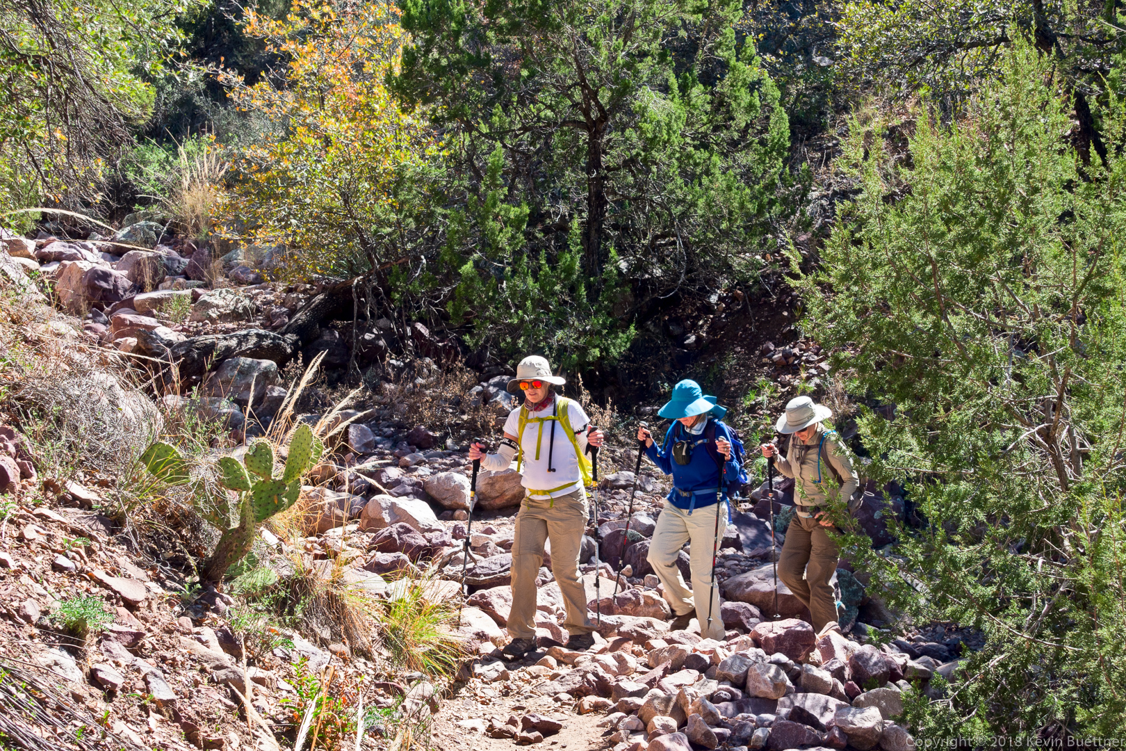
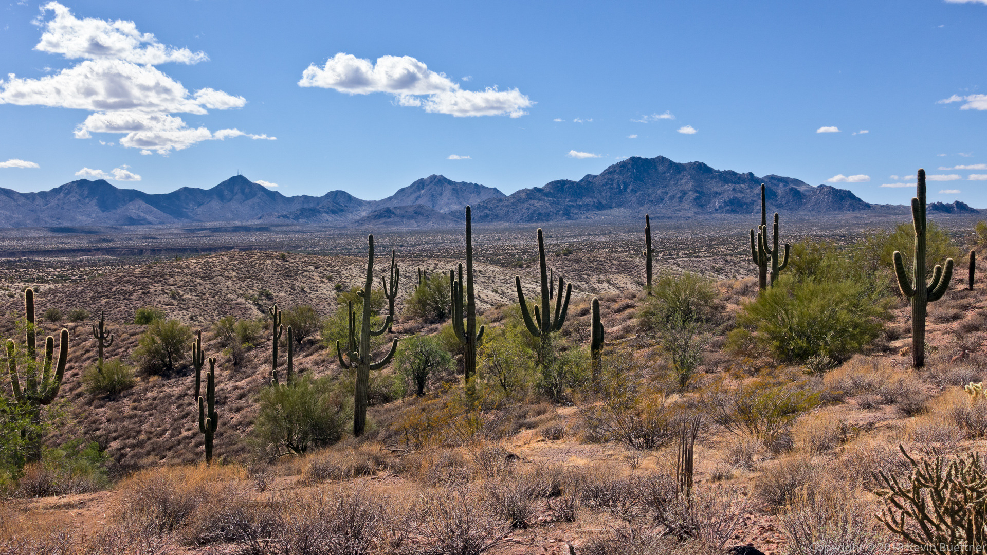
Marilyn, Linda, Ben, Marilyn, and Mona joined me for a twelve mile hike of the La Barge Battleship Saddle Loop. I modified the hike somewhat from the route on hikearizona.com; I turned the loop into more of a lollipop by hiking back on the Boulder Canyon Trail instead of coming back via Boulder Creek.

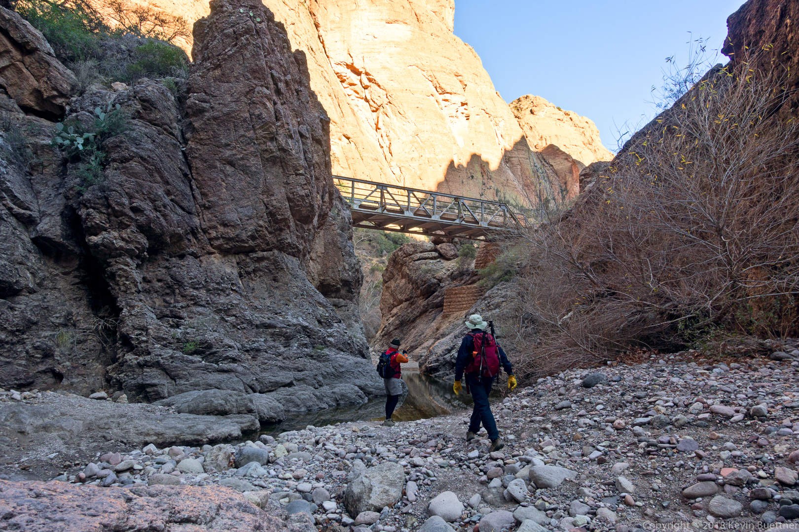
The hike starts at the Canyon Lake Marina and follows the Boulder Canyon Trail to the intersection with La Barge Canyon. From there, we entered La Barge Canyon and hiked up-canyon until the way narrowed and became blocked with boulders. There are some nice pools of water here; some of us stopped and ate lunch at this spot. We then backtracked slightly and hiked up to the saddle at the “stern” of Battleship Mountain. From there, we descended the other side of the ridge until we entered Boulder Creek. From there, we hiked back on the Boulder Canyon Trail (mostly through Boulder Creek) and found Marilyn waiting for us at the Indian Paint Mine ruins. (Marilyn wanted to limit her hiking to eight miles for the day.) We finished our hike by returning the way we came – on the Boulder Canyon Trail.

The route is shorter and has less elevation gain if you follow the route posted on HAZ.  However, I’m guessing that it is harder because the way back is through Boulder Creek; there is no trail for the two miles or so back.  It looks to me like it’s boulder hopping all the way.  For me, I think this would be more strenuous than hiking back on the Boulder Canyon Trail.

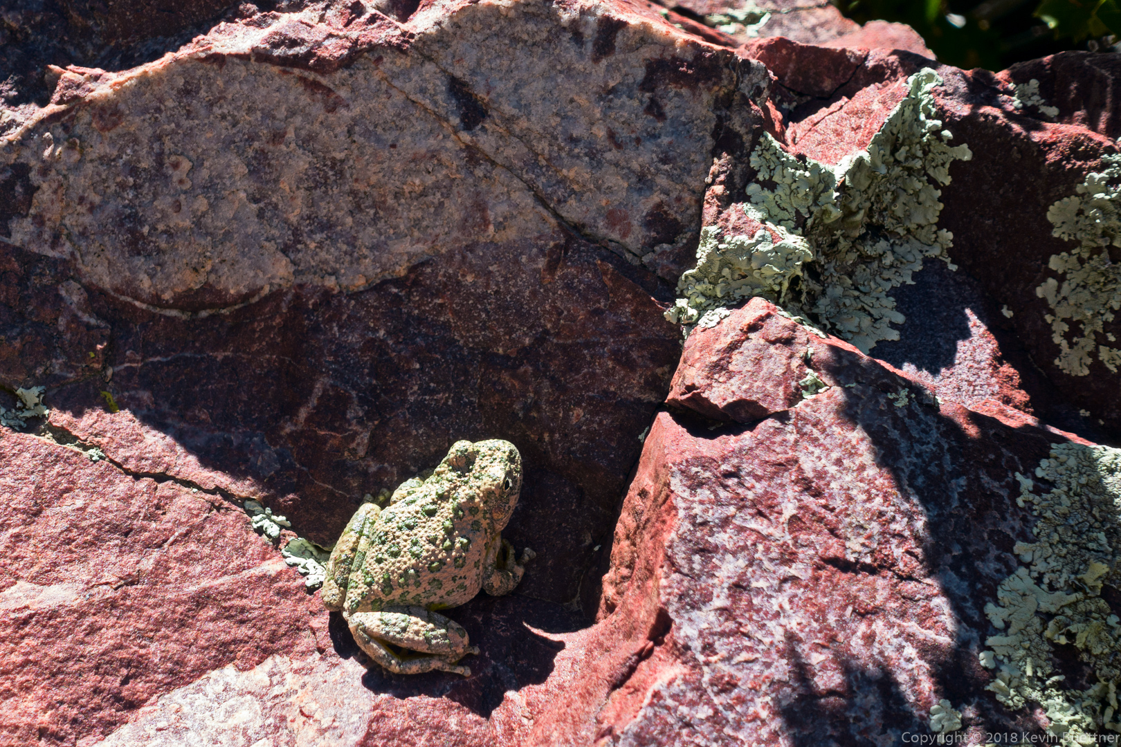
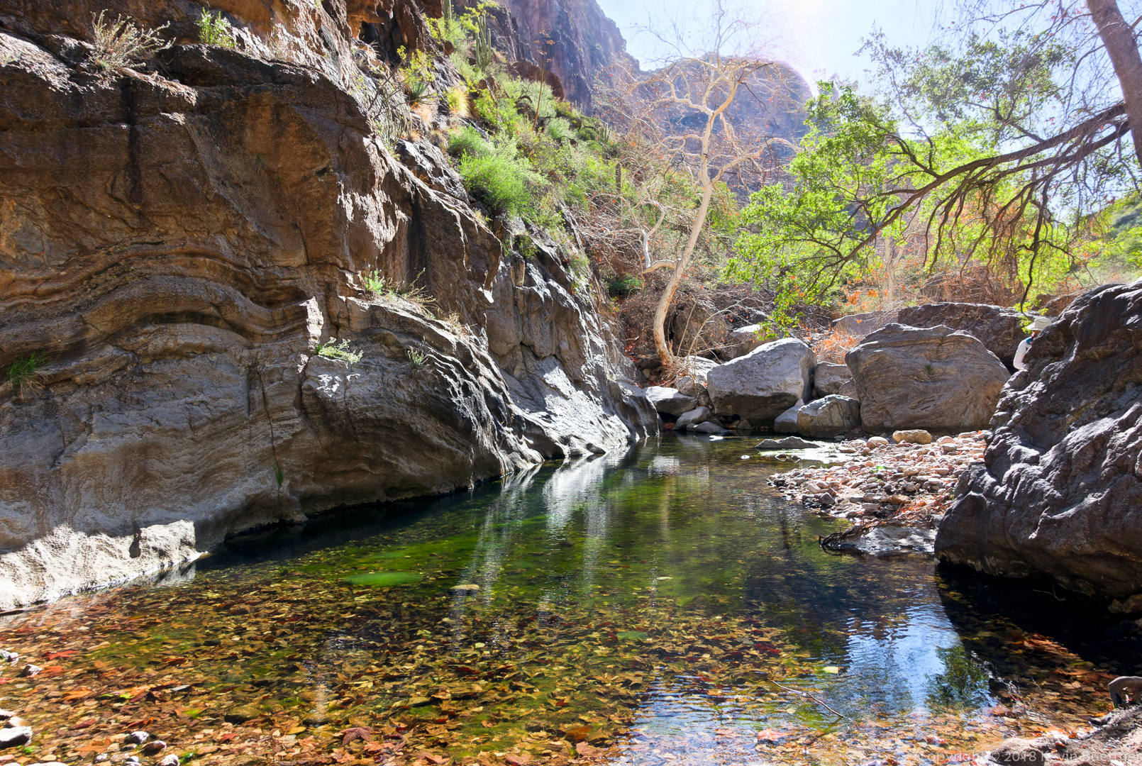
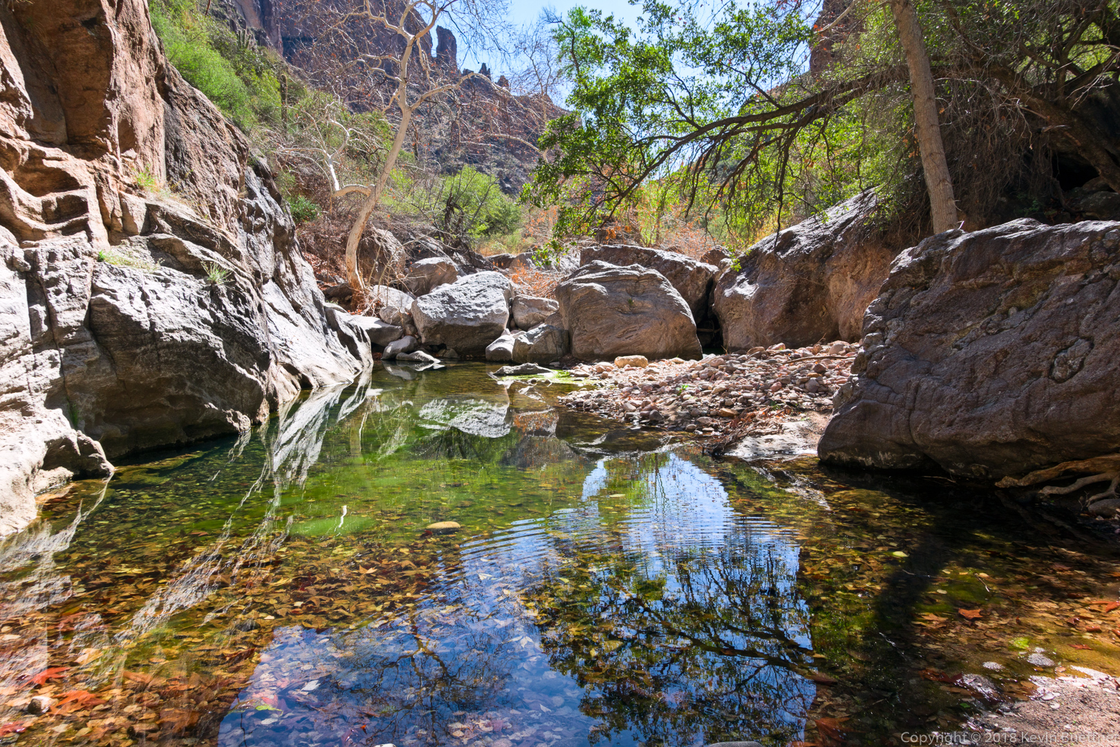
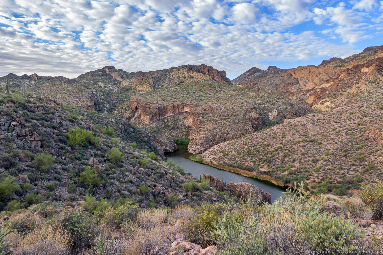
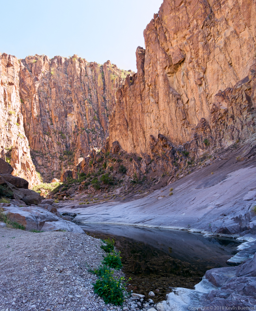
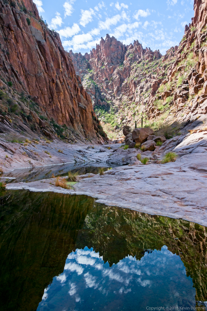
This is La Barge Creek, just above the point where it empties into Canyon Lake. It has water in it due to the backflow from Canyon Lake. While we did see some pools of water in La Barge Creek, it was mostly dry on the day we hiked it.

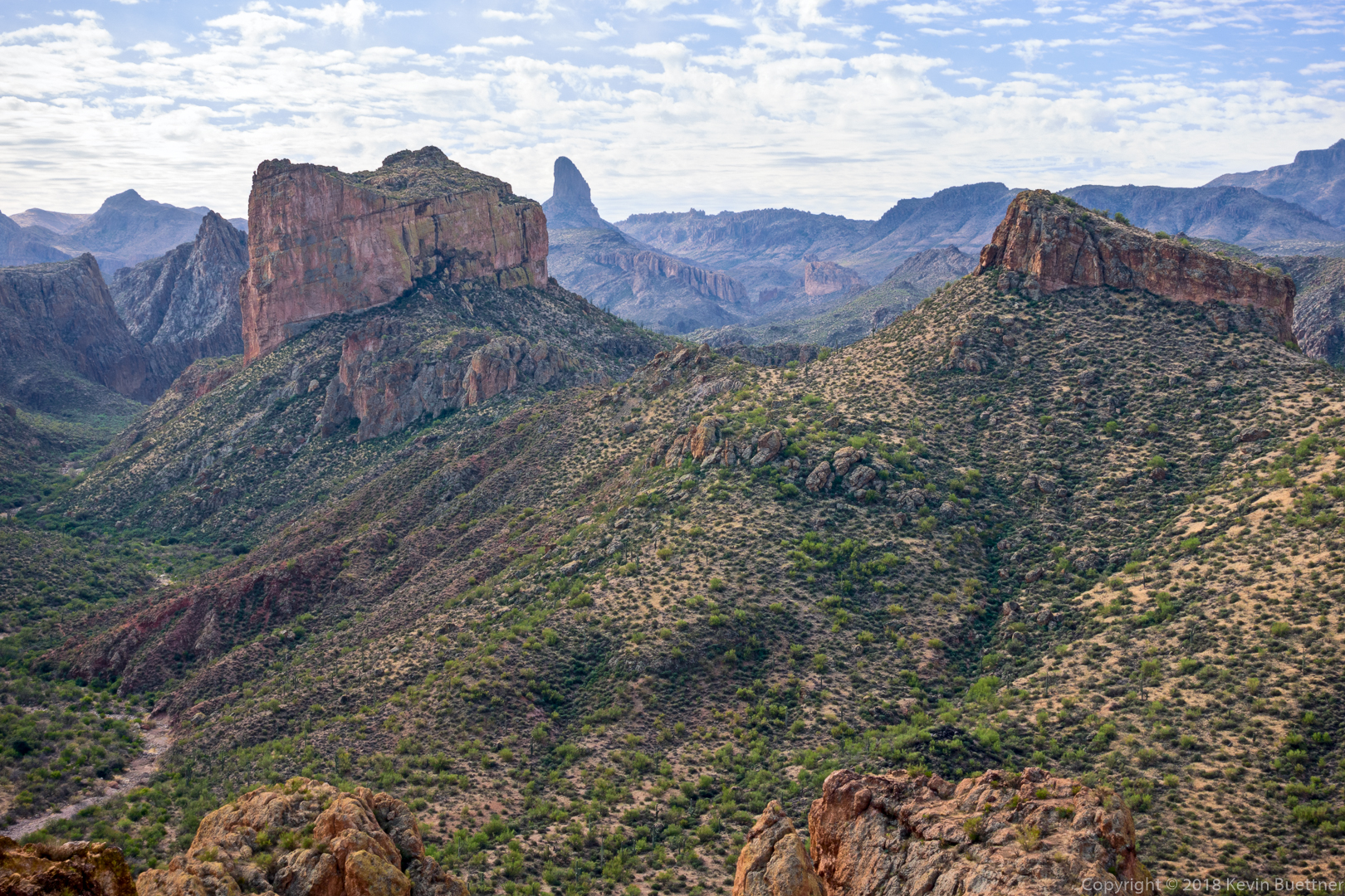
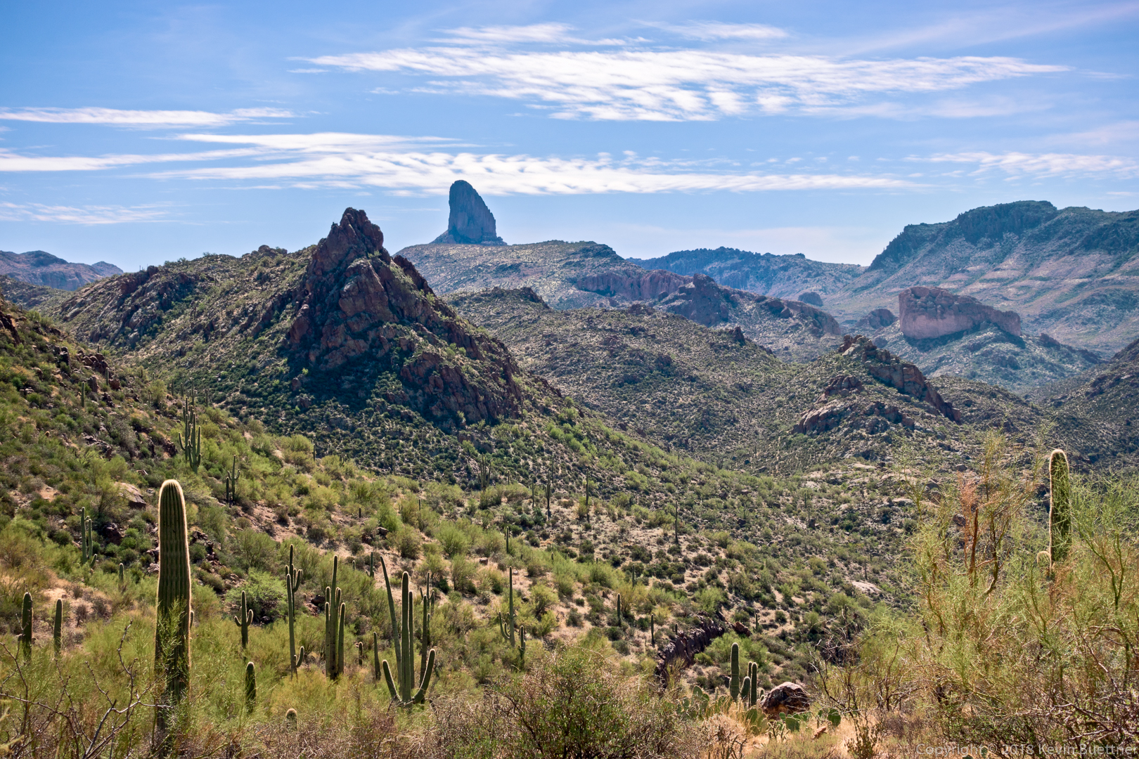
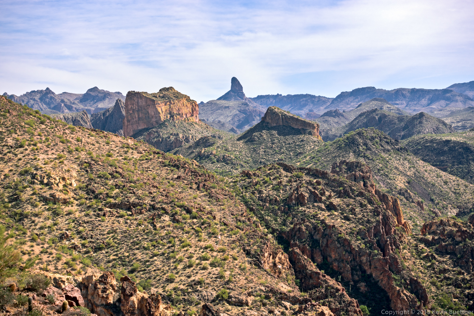
Battleship Mountain on the left and Weaver’s Needle more towards the center. I have a lot of photos of Battleship Mountain in this set of photos.

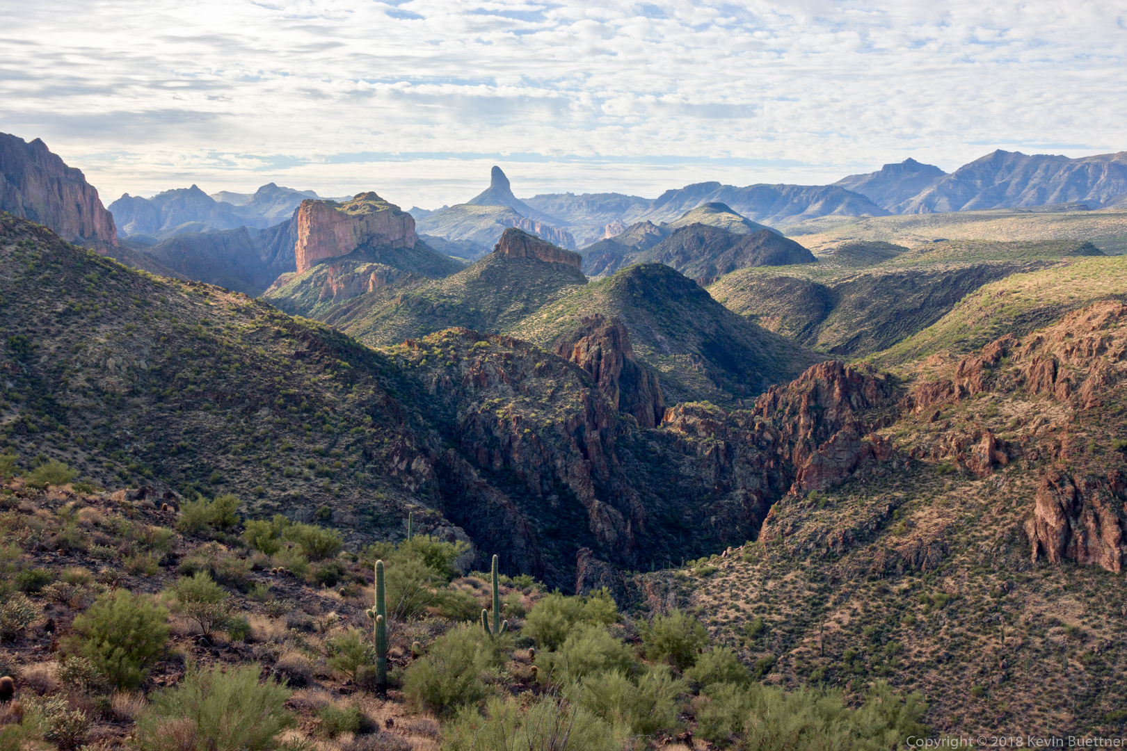
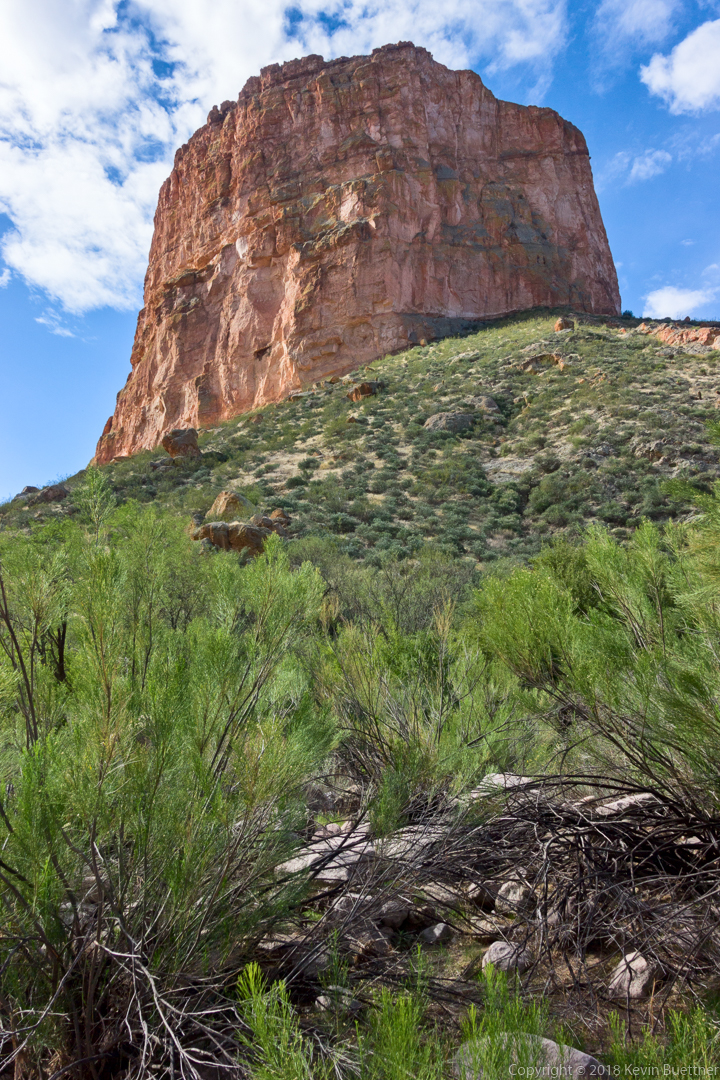
Yep, this is still Battleship Mountain.

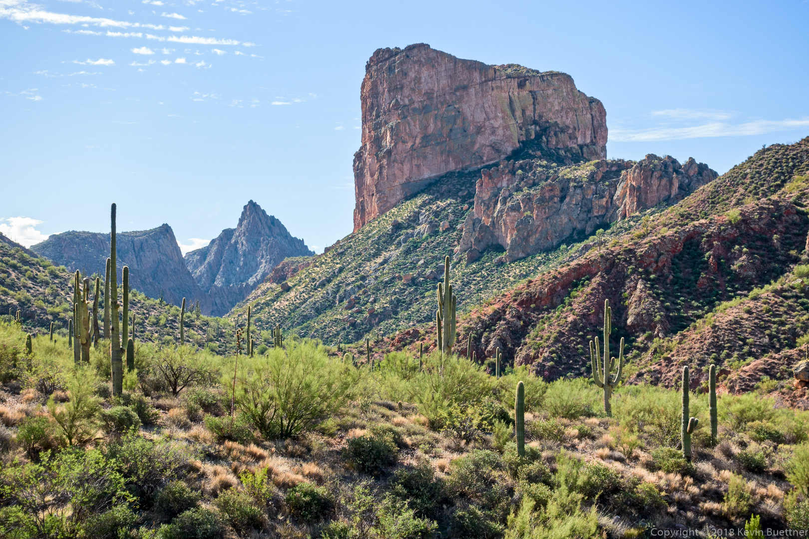
Heading up La Barge Creek now, with Battleship Mountain on the right.

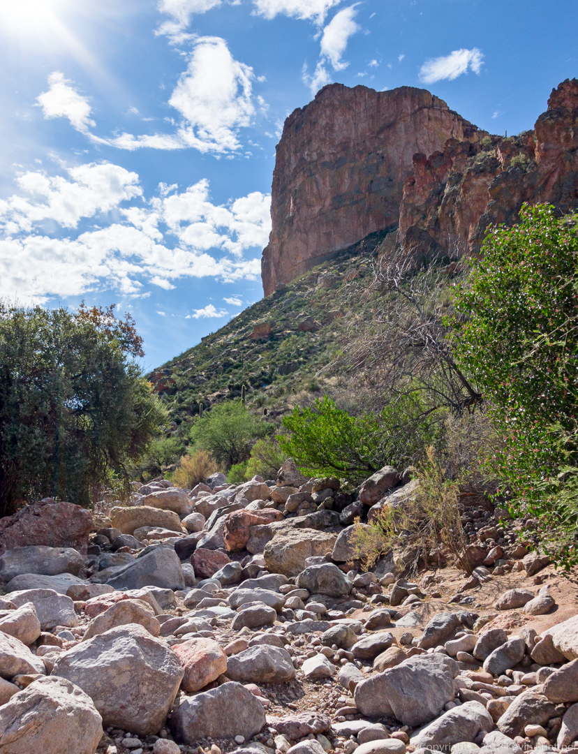
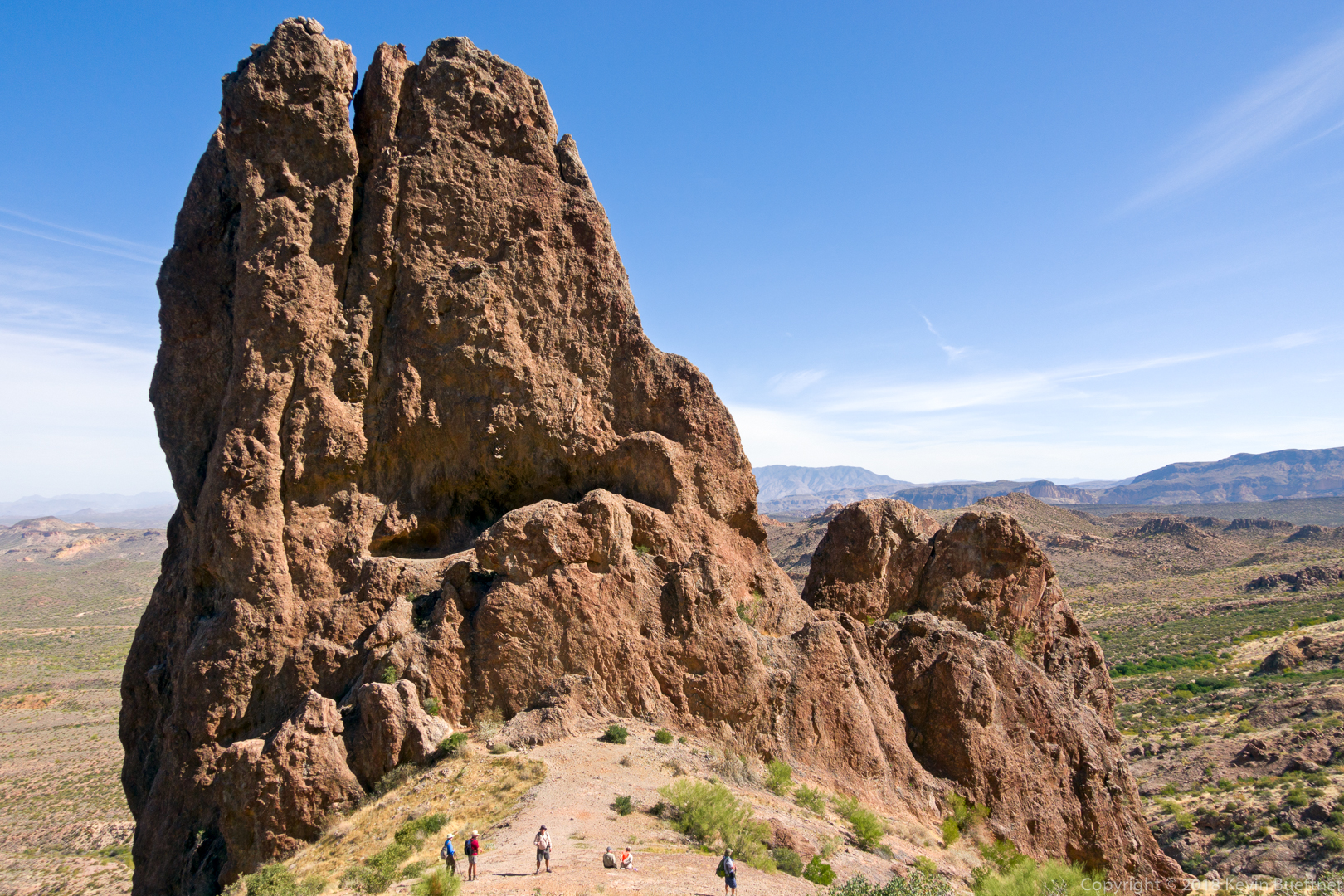
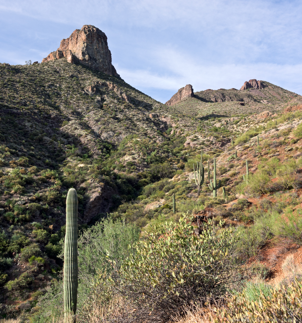
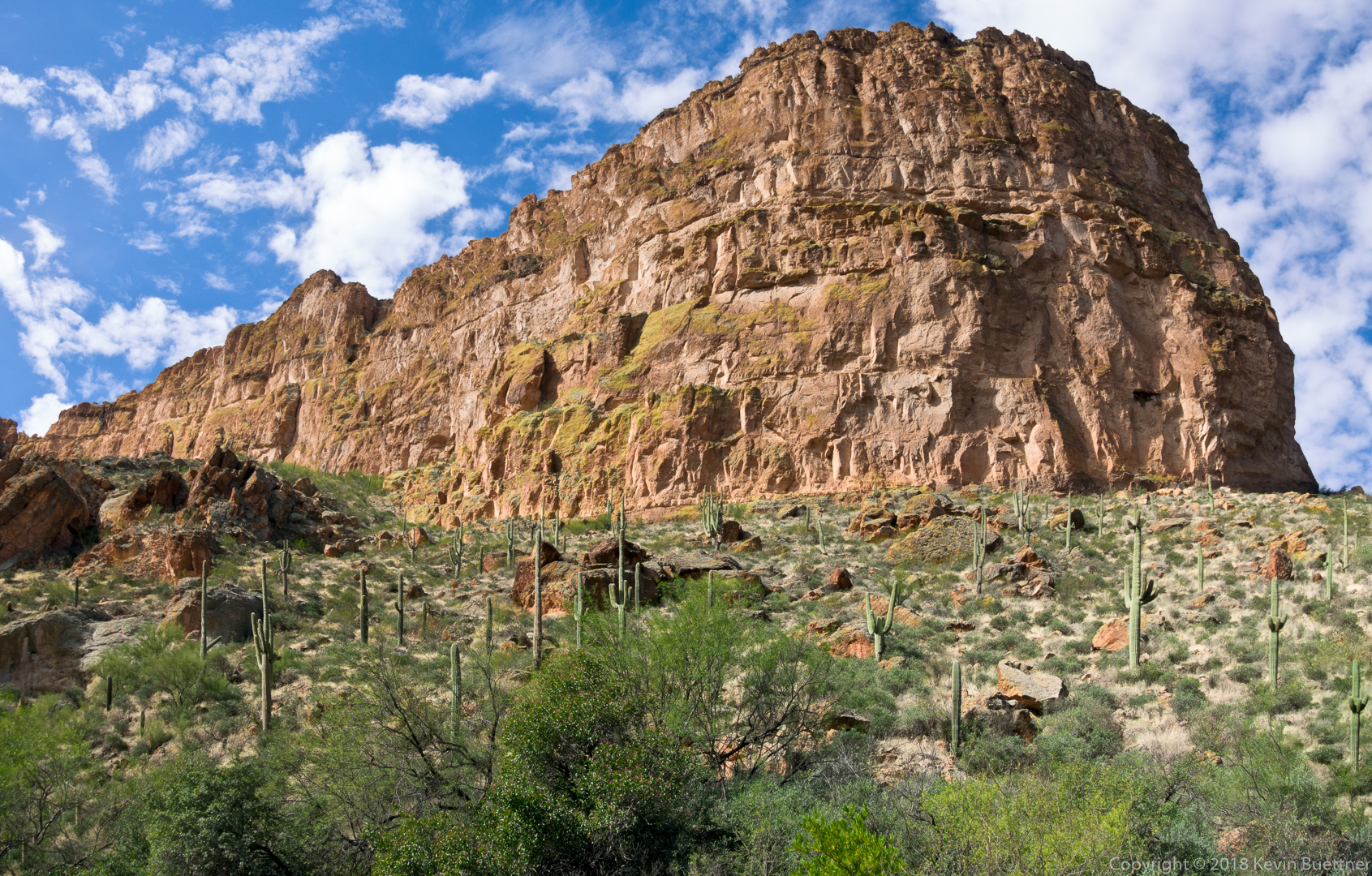
The bow of Battleship Mountain is impressively steep.

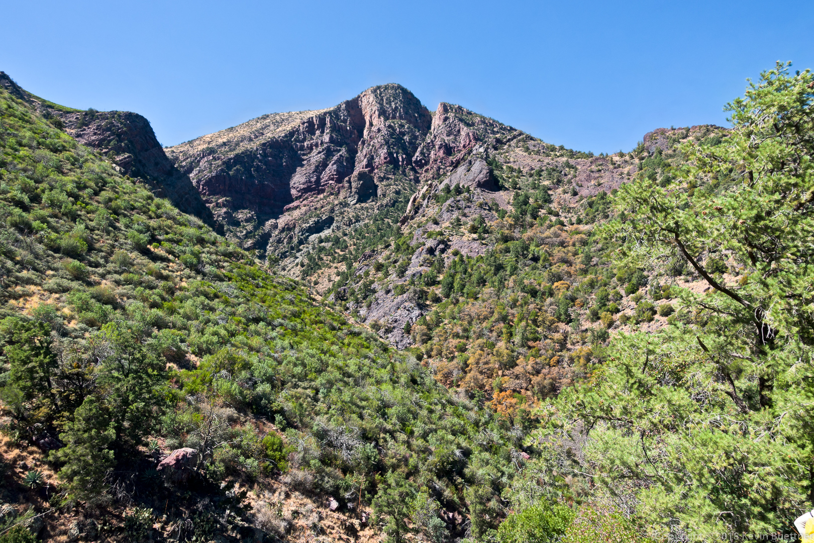
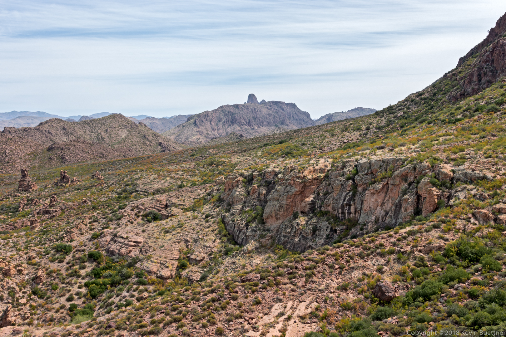
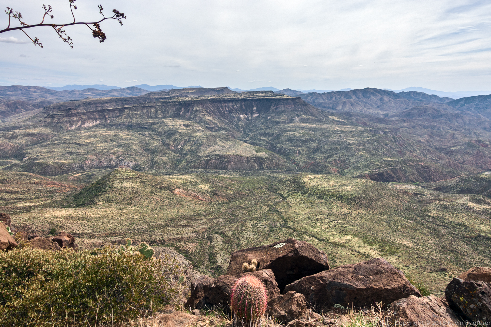
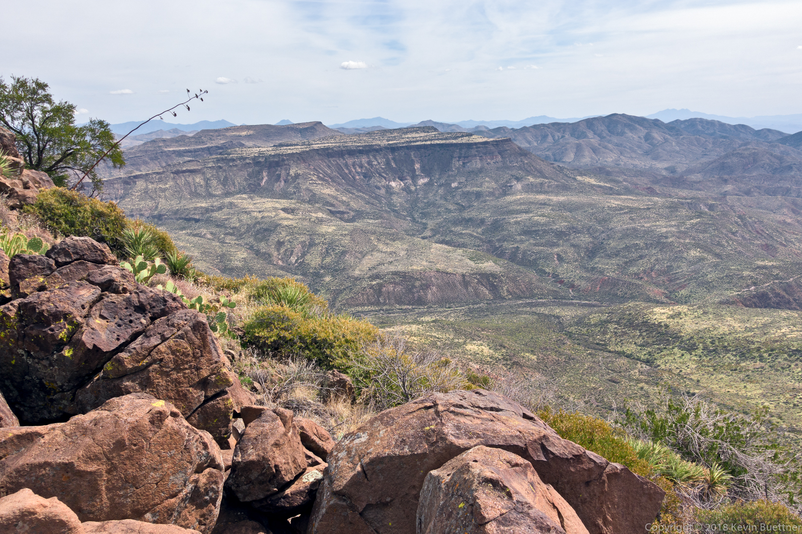
I haven’t been able to figure out the name of this peak, but it’s impressive looking from this vantage point while walking up La Barge Canyon.

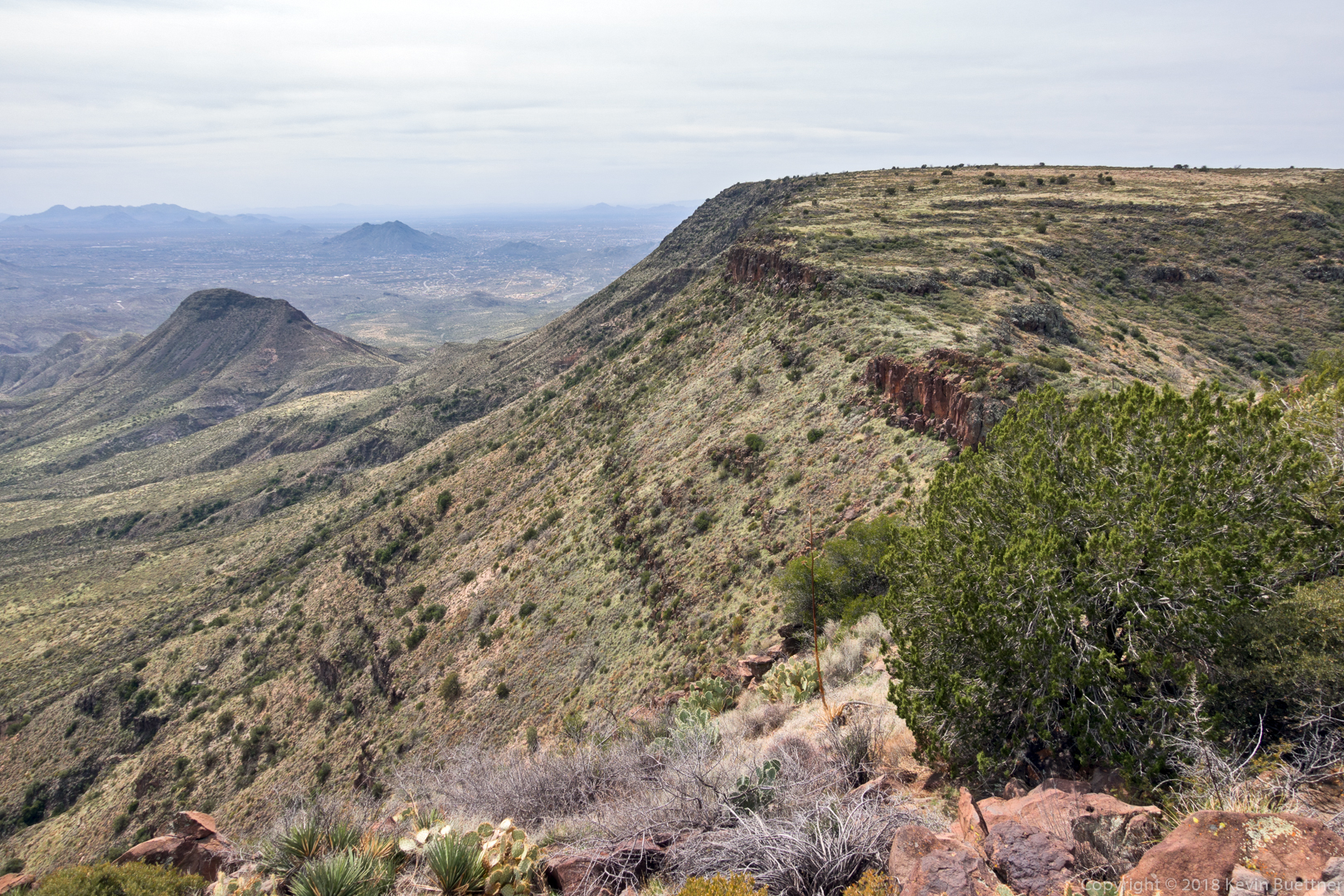
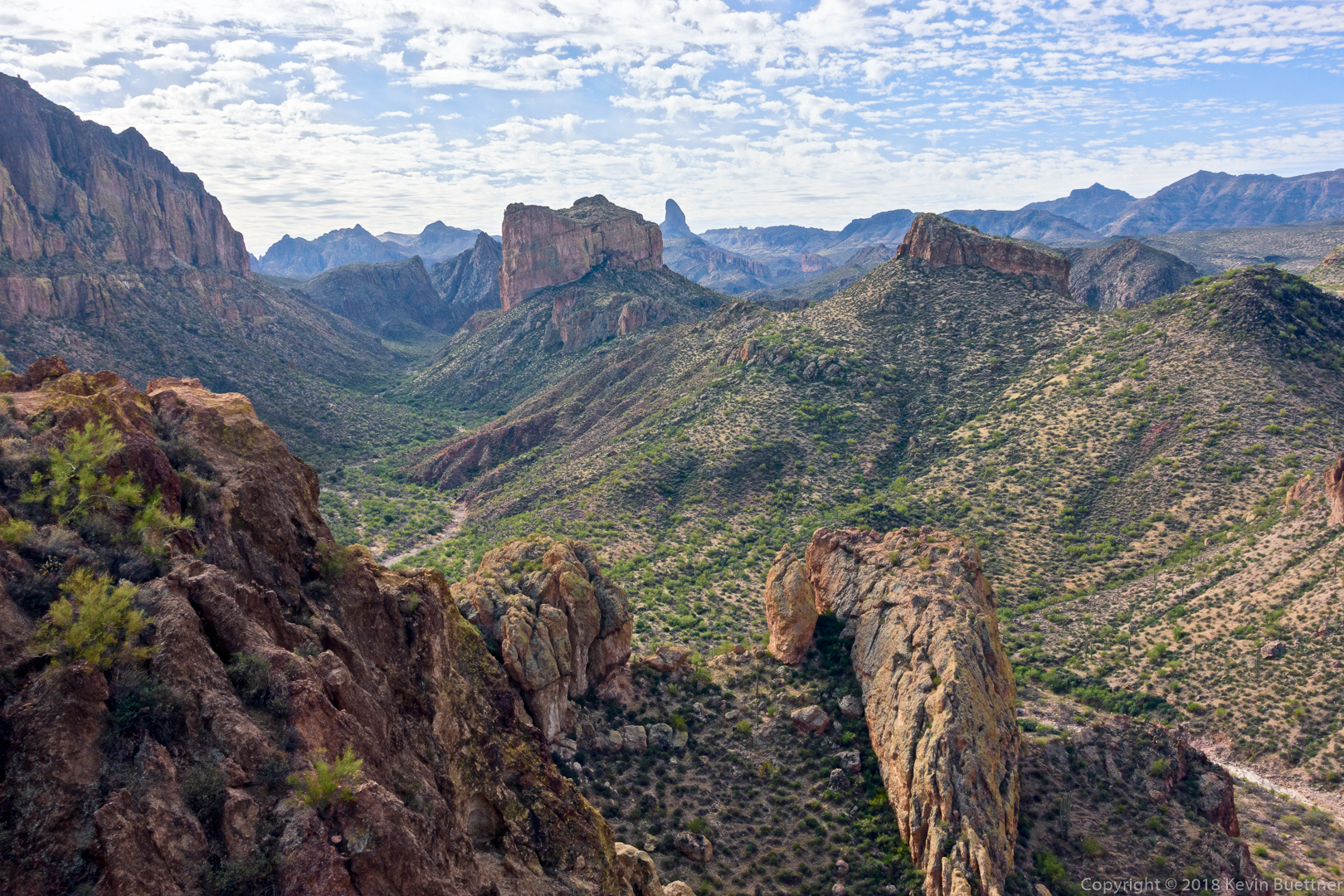
This shot helps to explain why Battleship Mountain has its name. When approaching it on the Boulder Canyon Trail from the marina, it looks like it might be a blocky cube shaped mountain. But that’s not the case at all.  It’s a long mountain which forms one of the walls (for quite a distance) of La Barge Canyon.  I hope to get a photo of it someday from Geronimo Head which is taller than Battleship Mountain – it’s just across the canyon from Battleship Mountain.

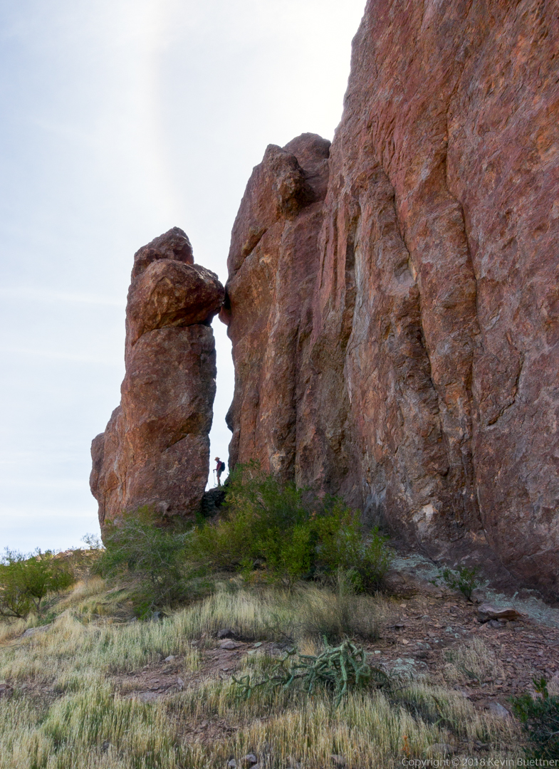
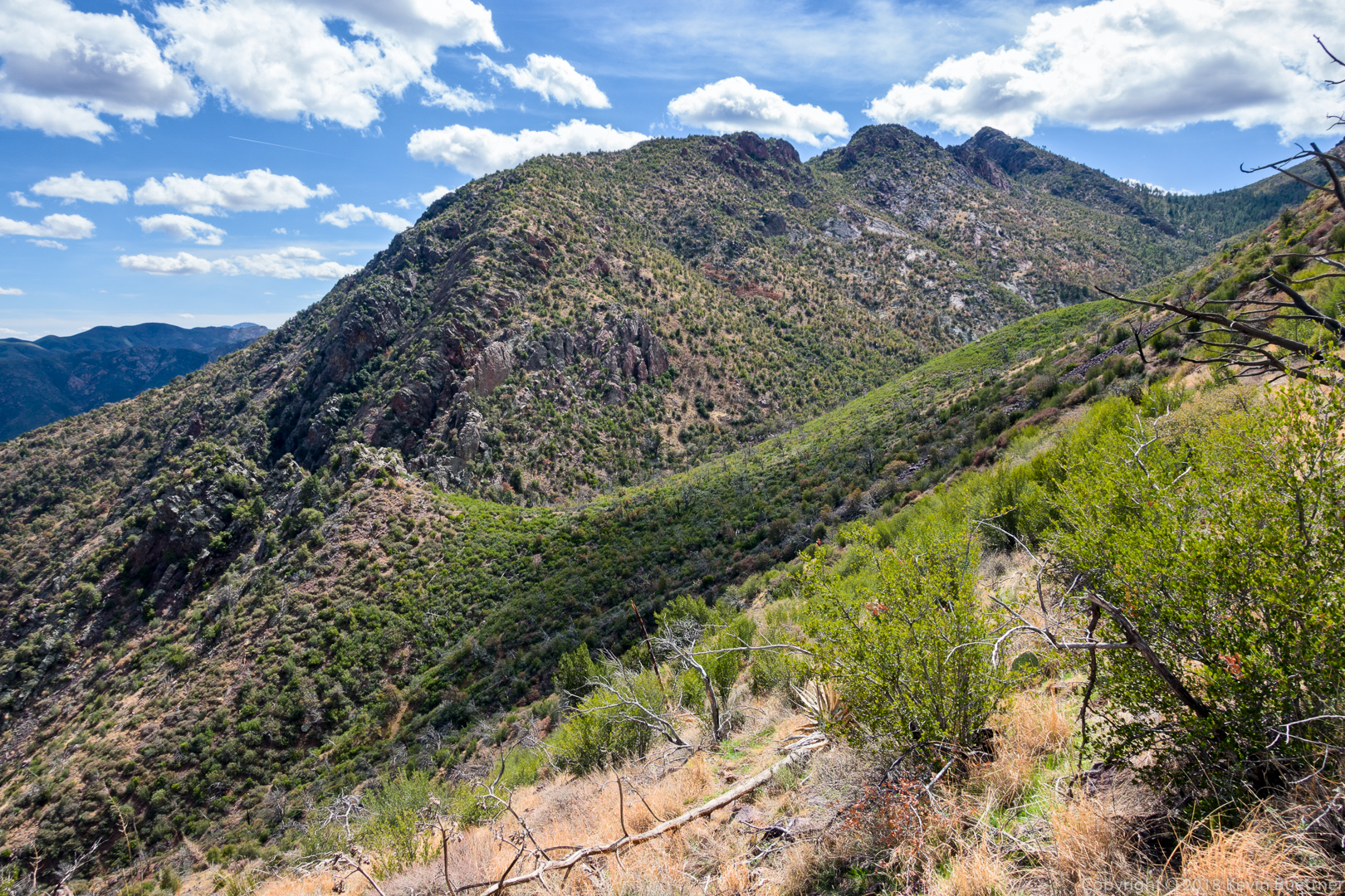
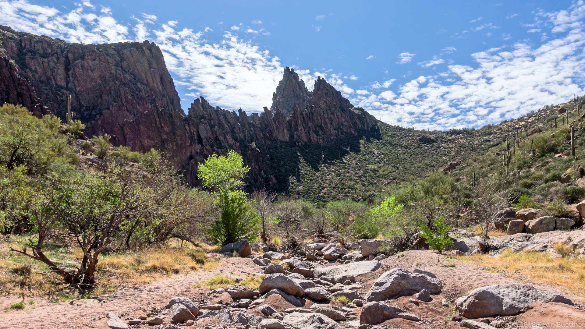
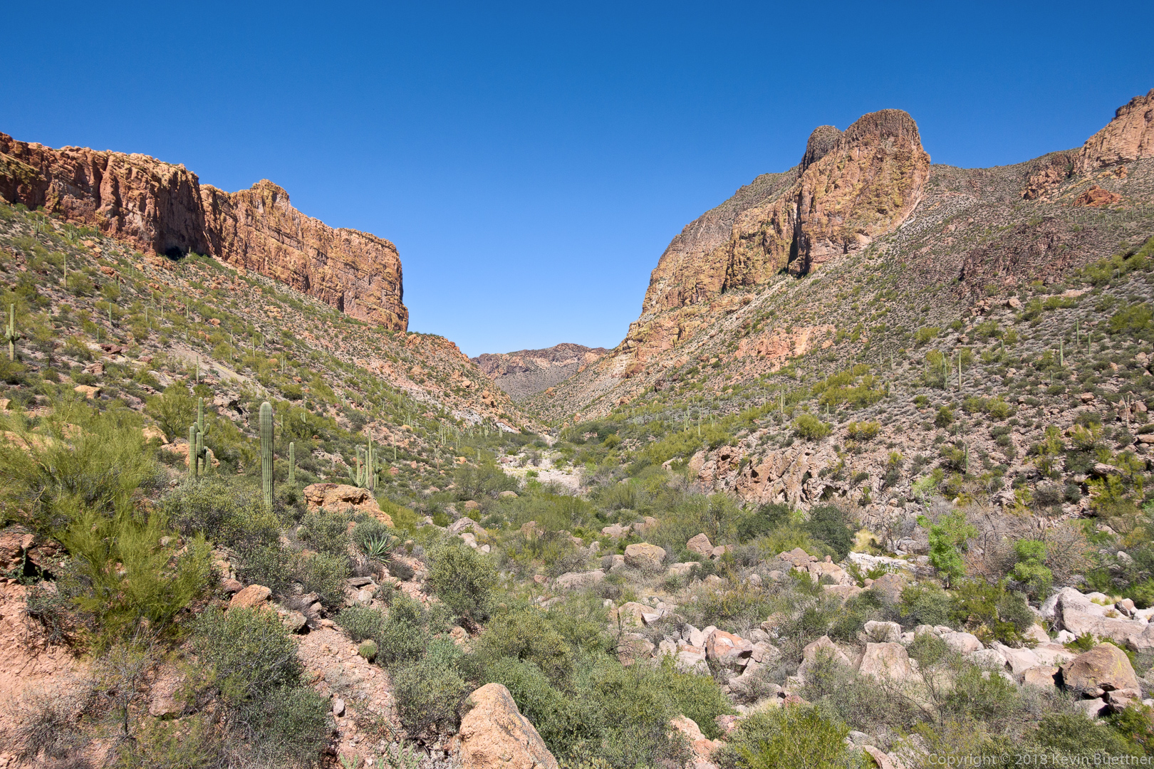
Continuing up La Barge Canyon. Later on, we hiked to the top of the saddle at the right.
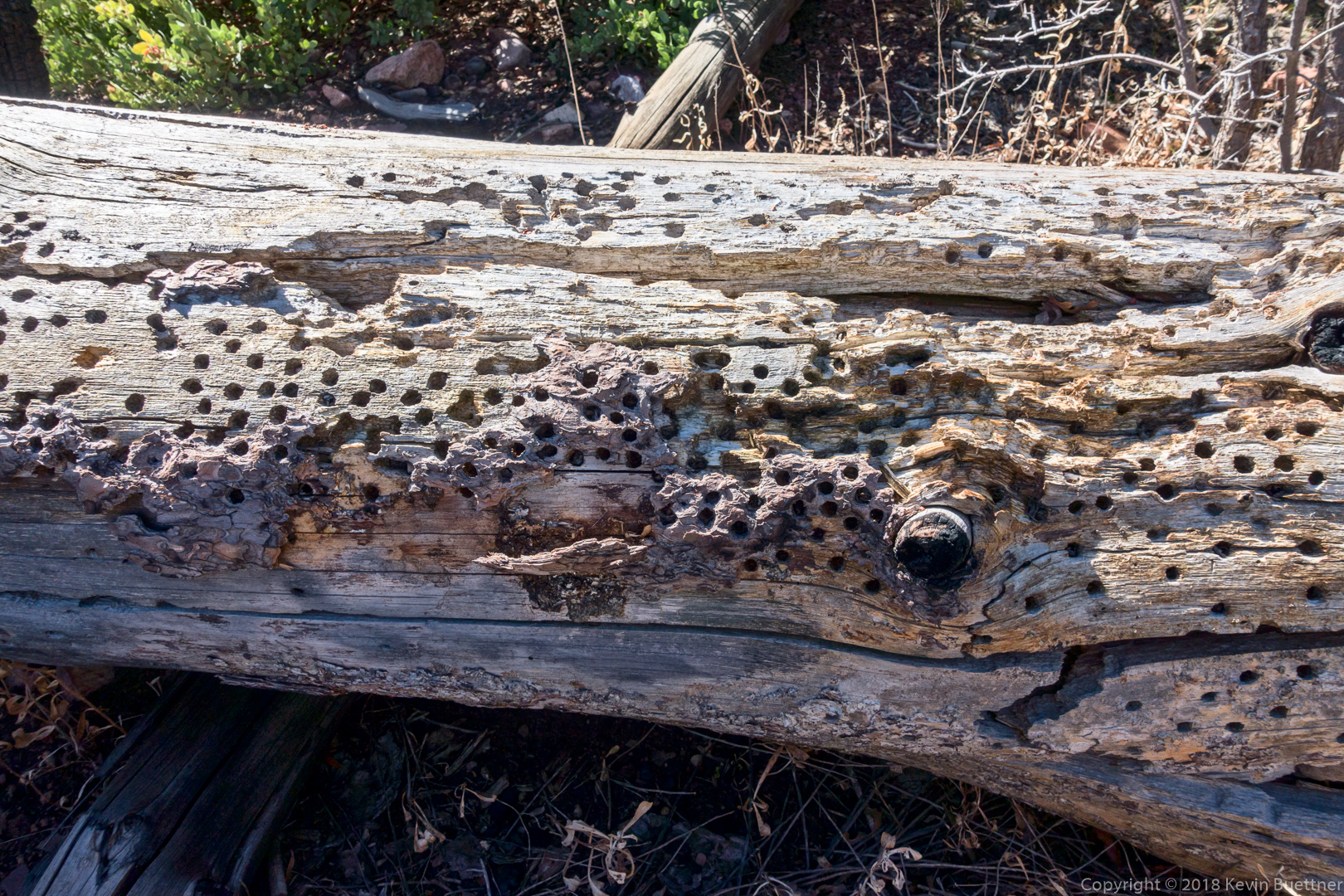
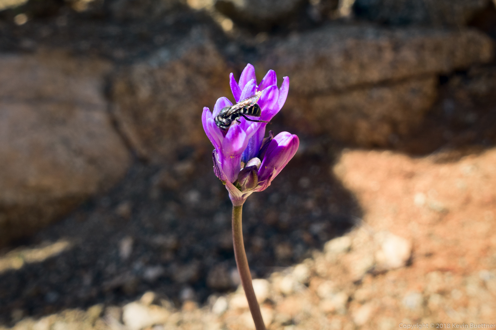
Minnows.

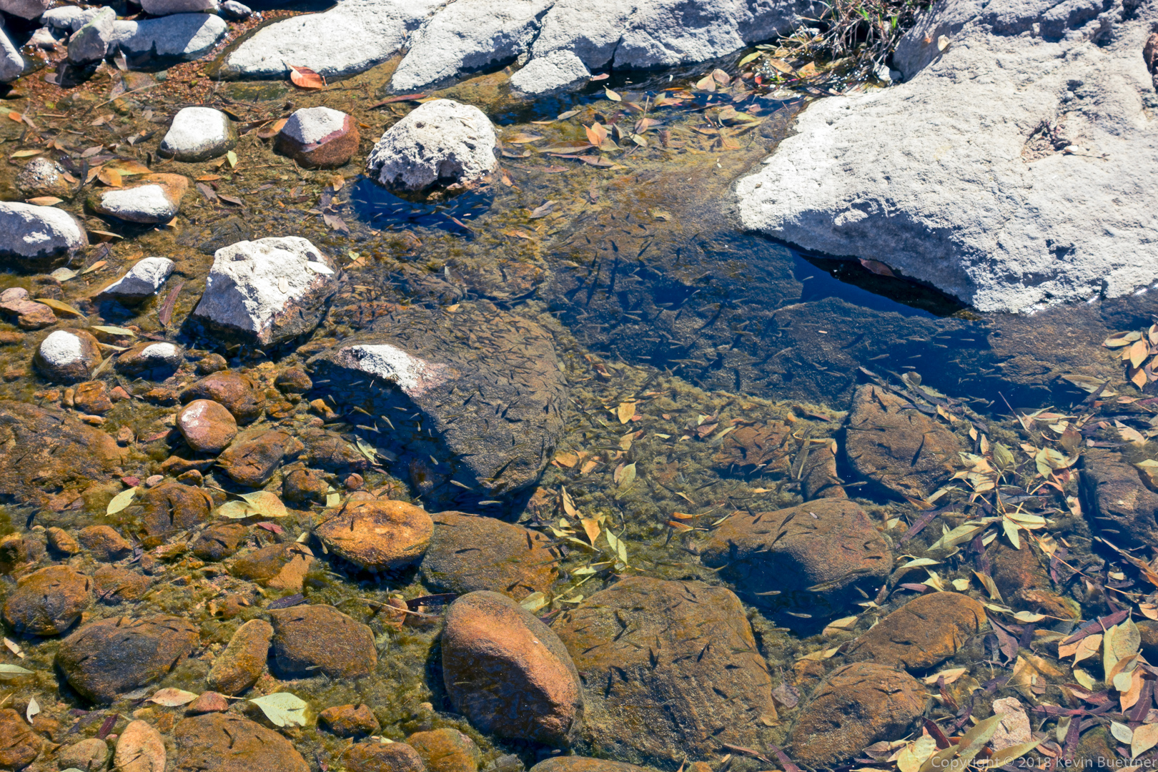
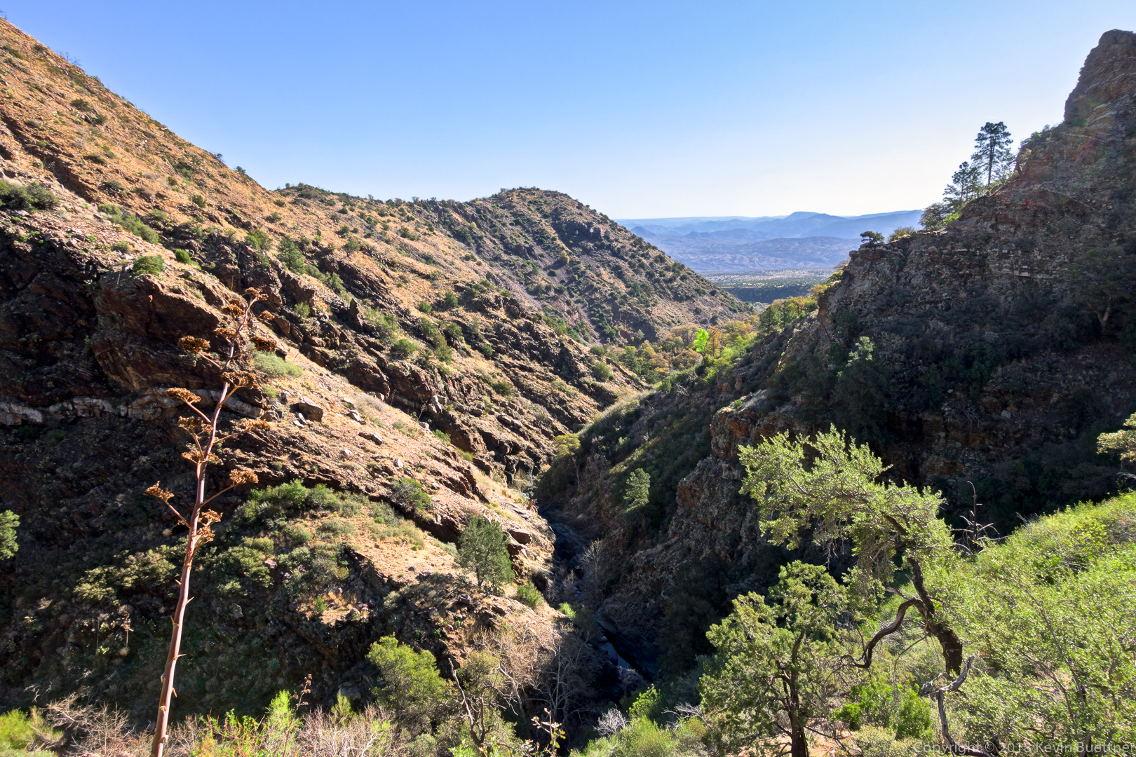
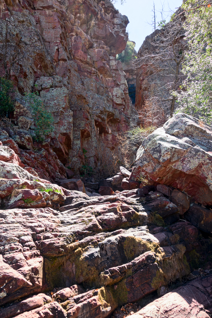
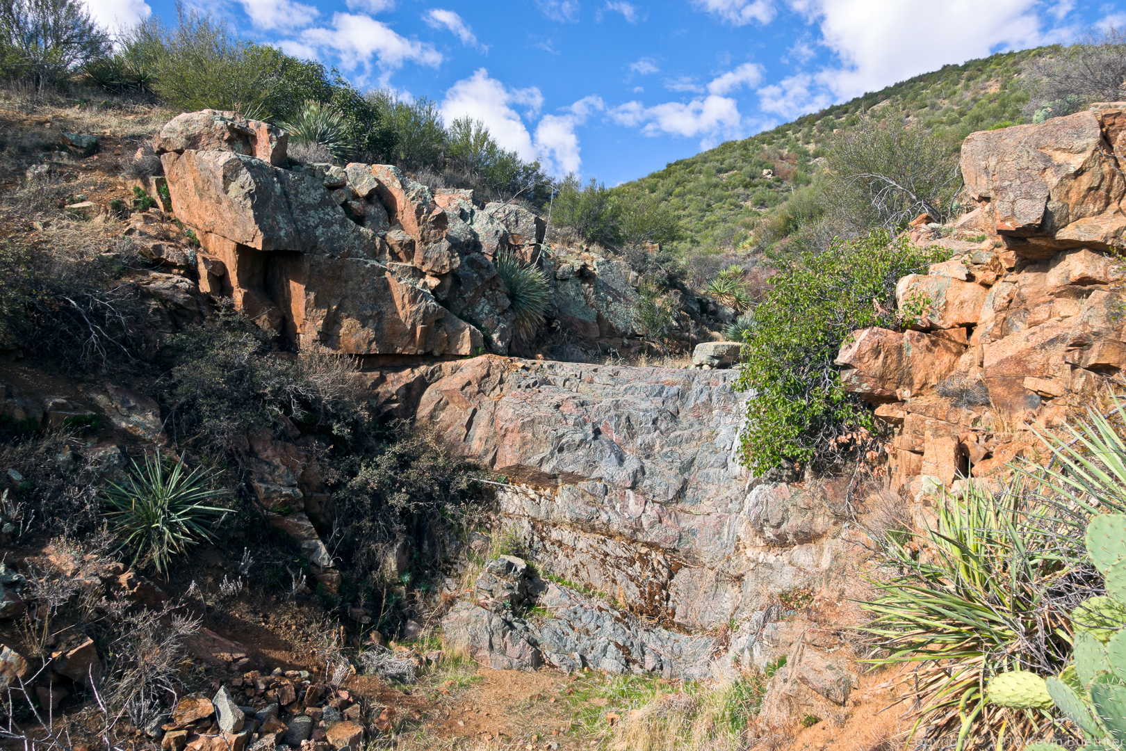
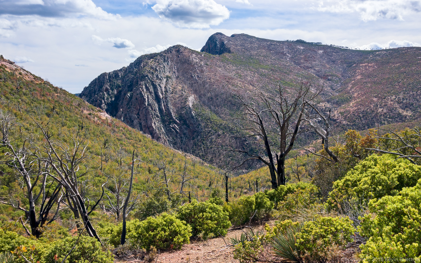
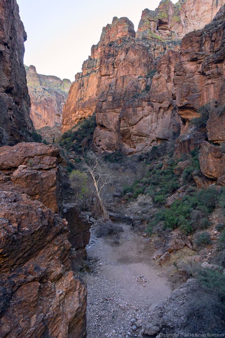
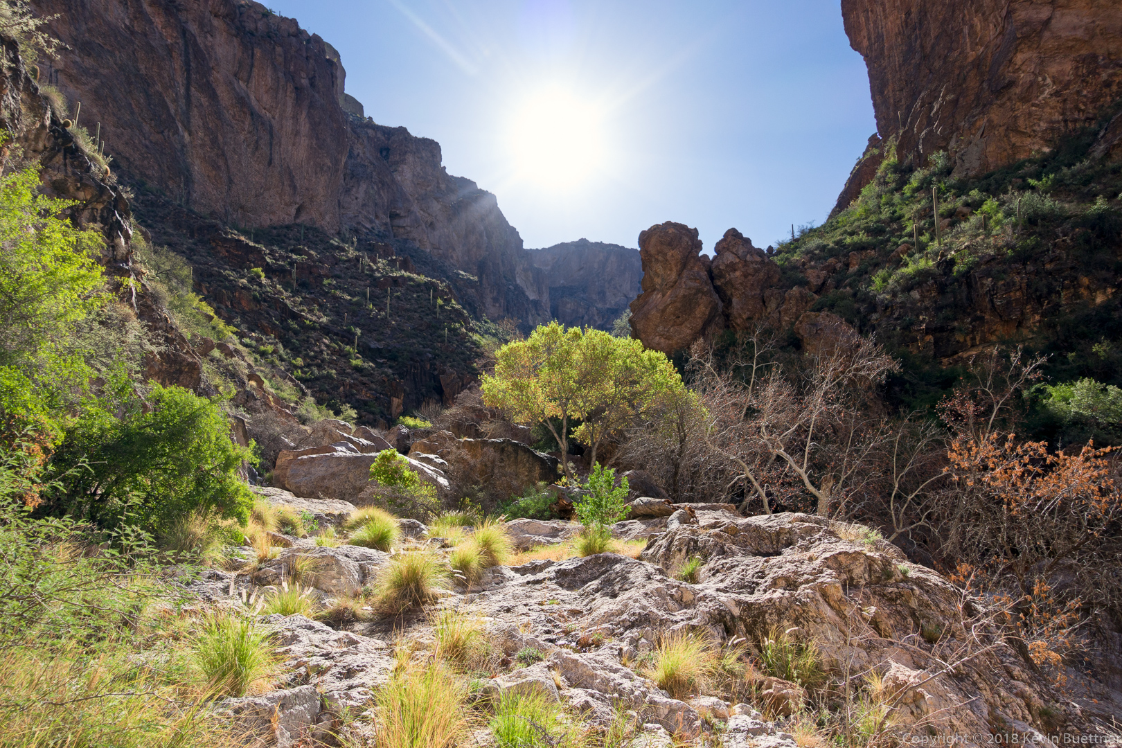
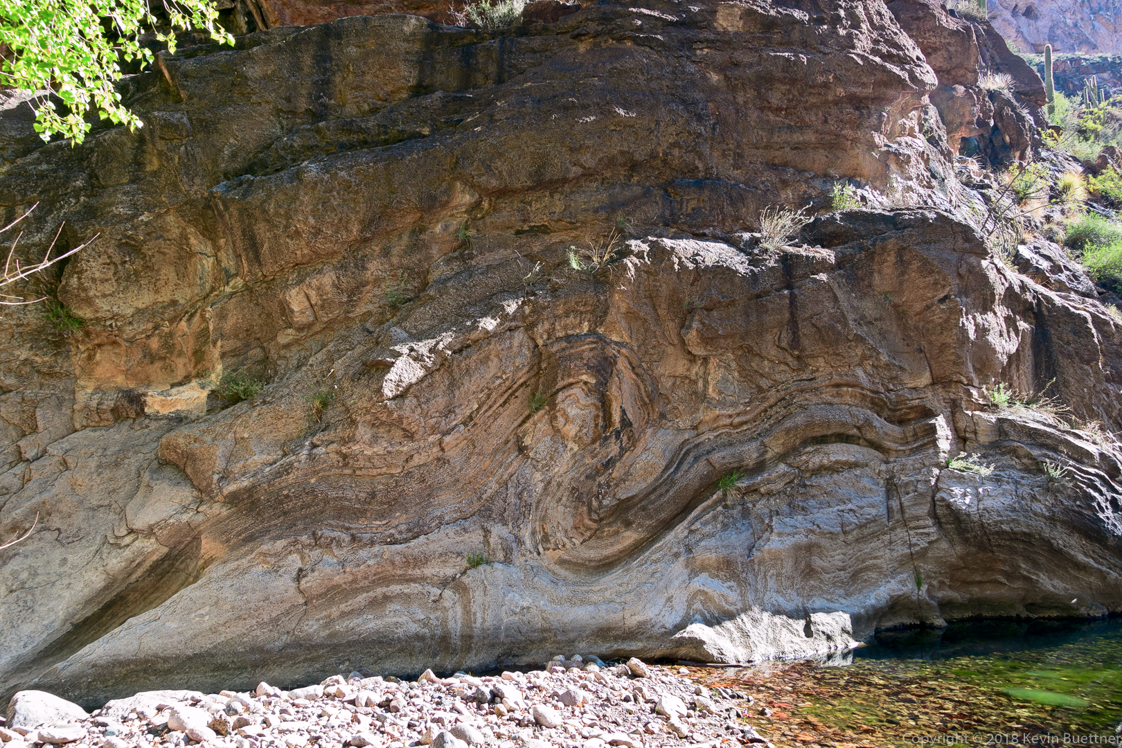
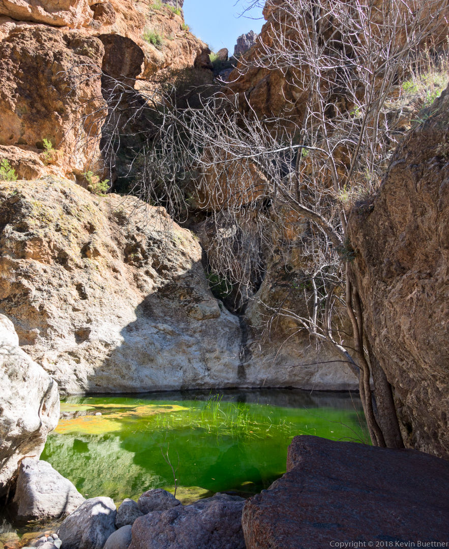
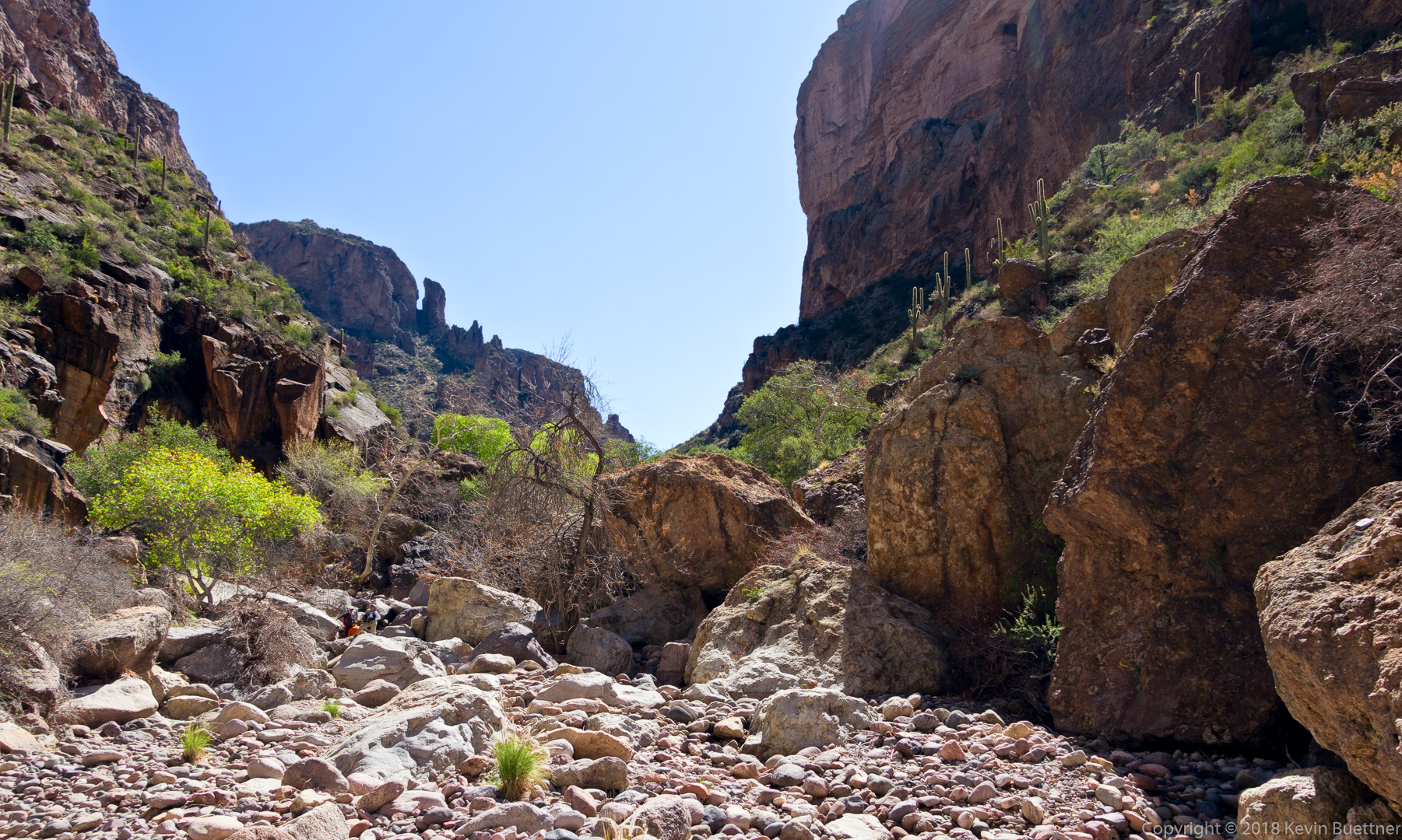
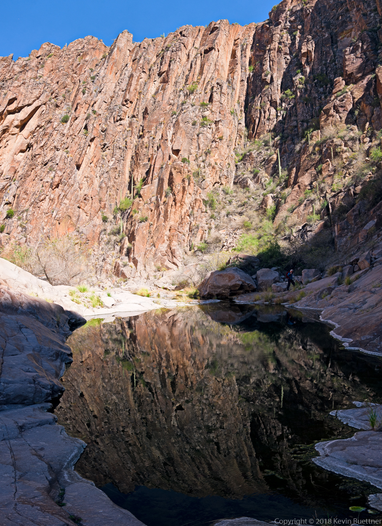
This is where La Barge Canyon starts to narrow.  There are several pools in this area.

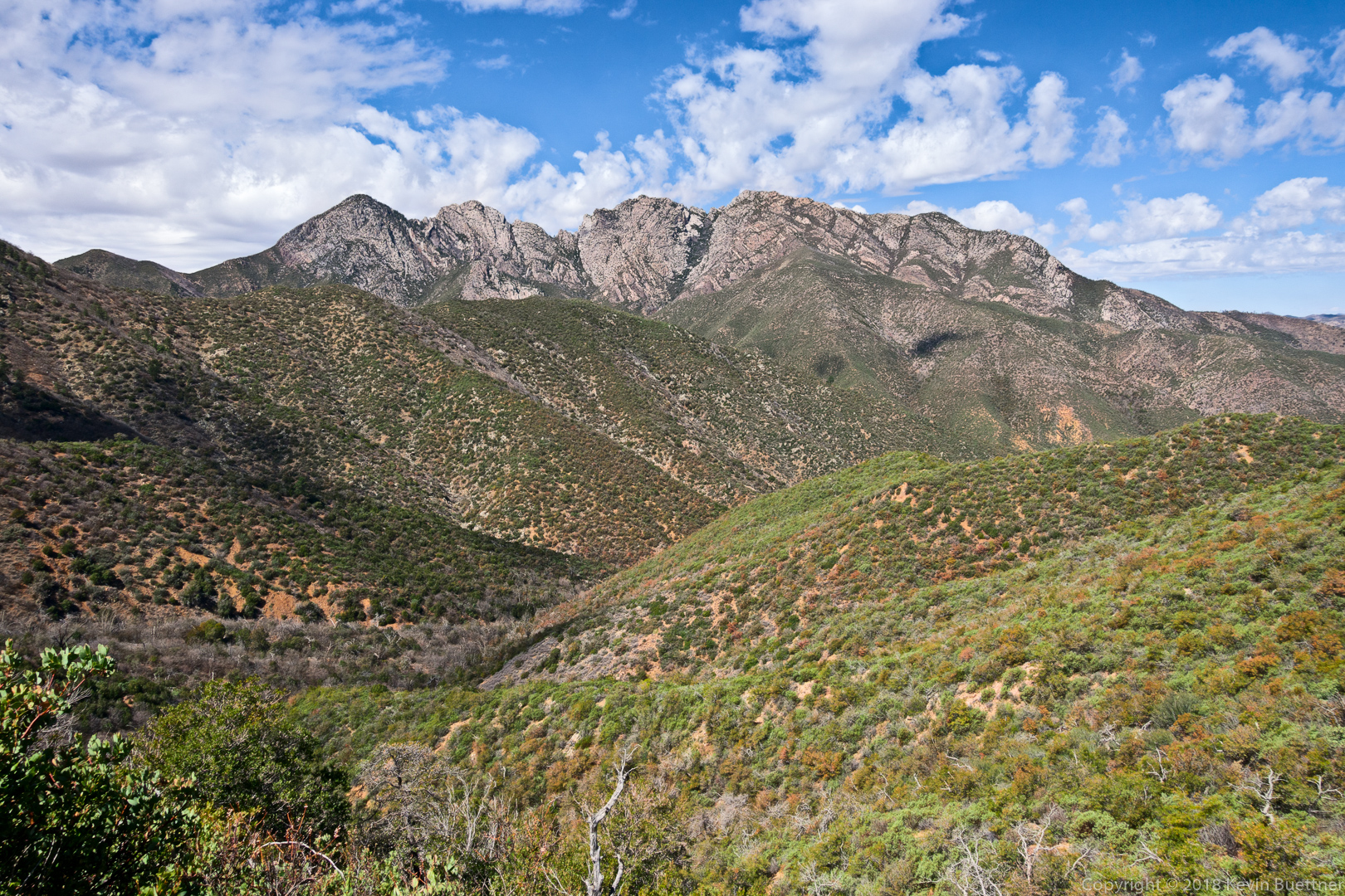
Looking back down La Barge Canyon from the trail leading up to the saddle. Battleship Mountain is on the left and Geronimo Head is on the right.

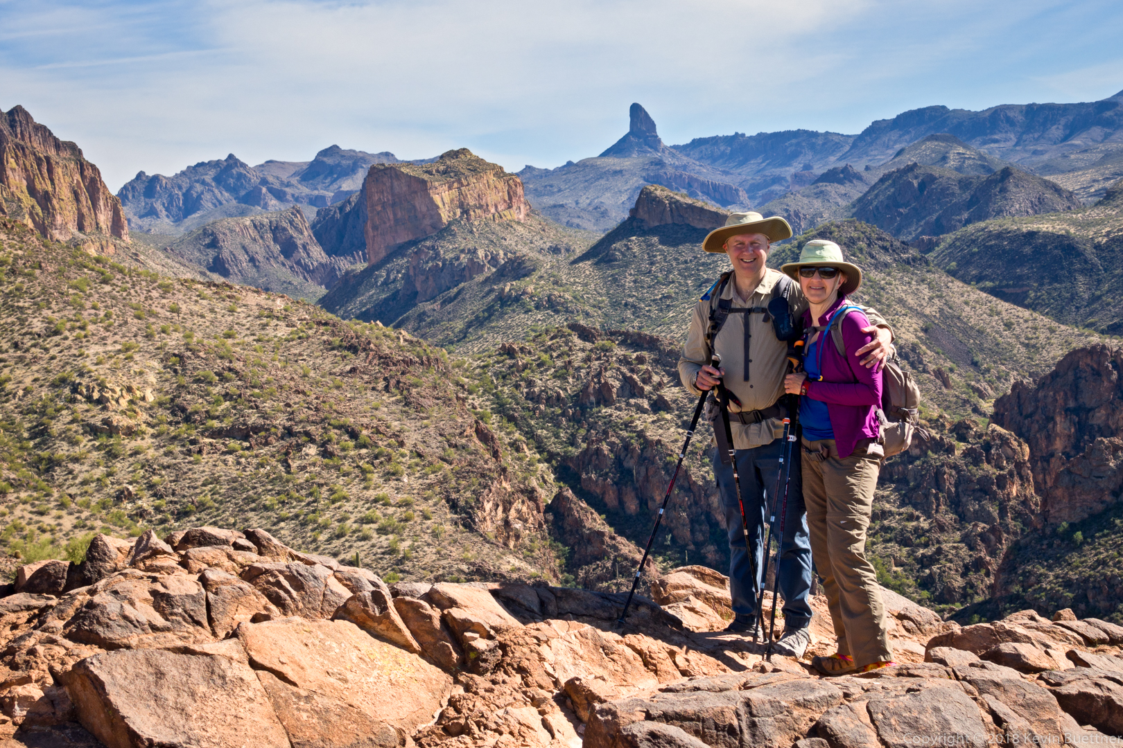
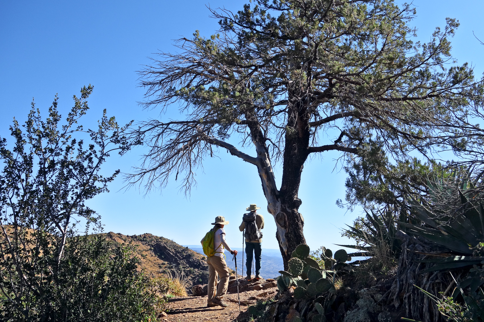
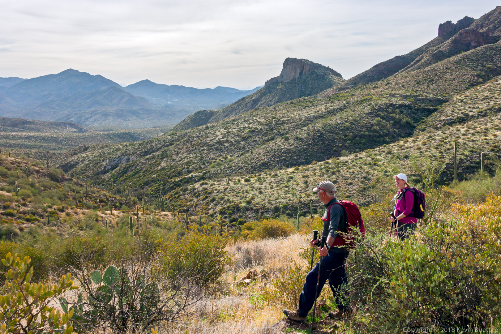
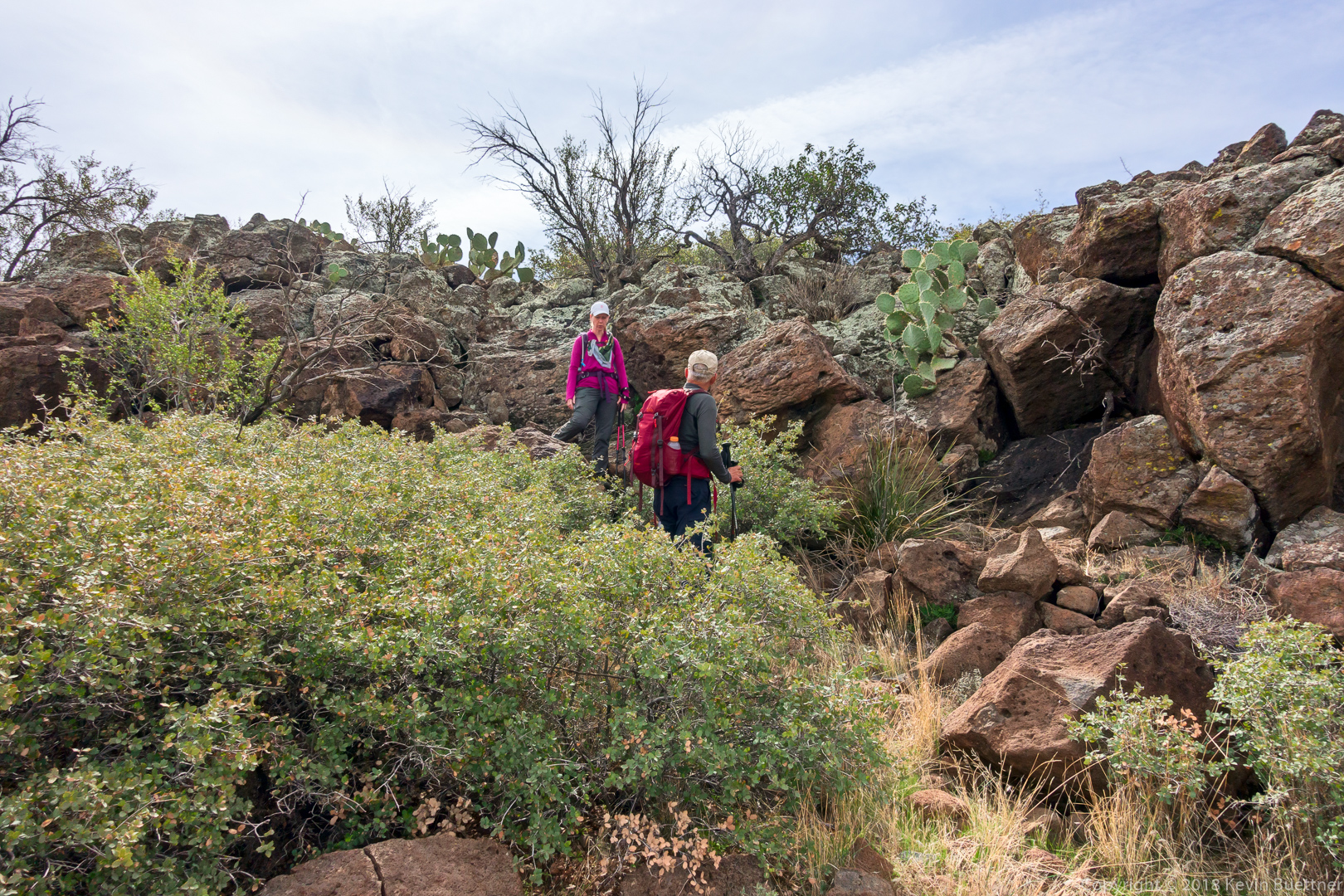
Ben, Marilyn, Linda, and Mona:

A view of Weaver’s Needle from the saddle just aft of the “stern” of Battleship Mountain.

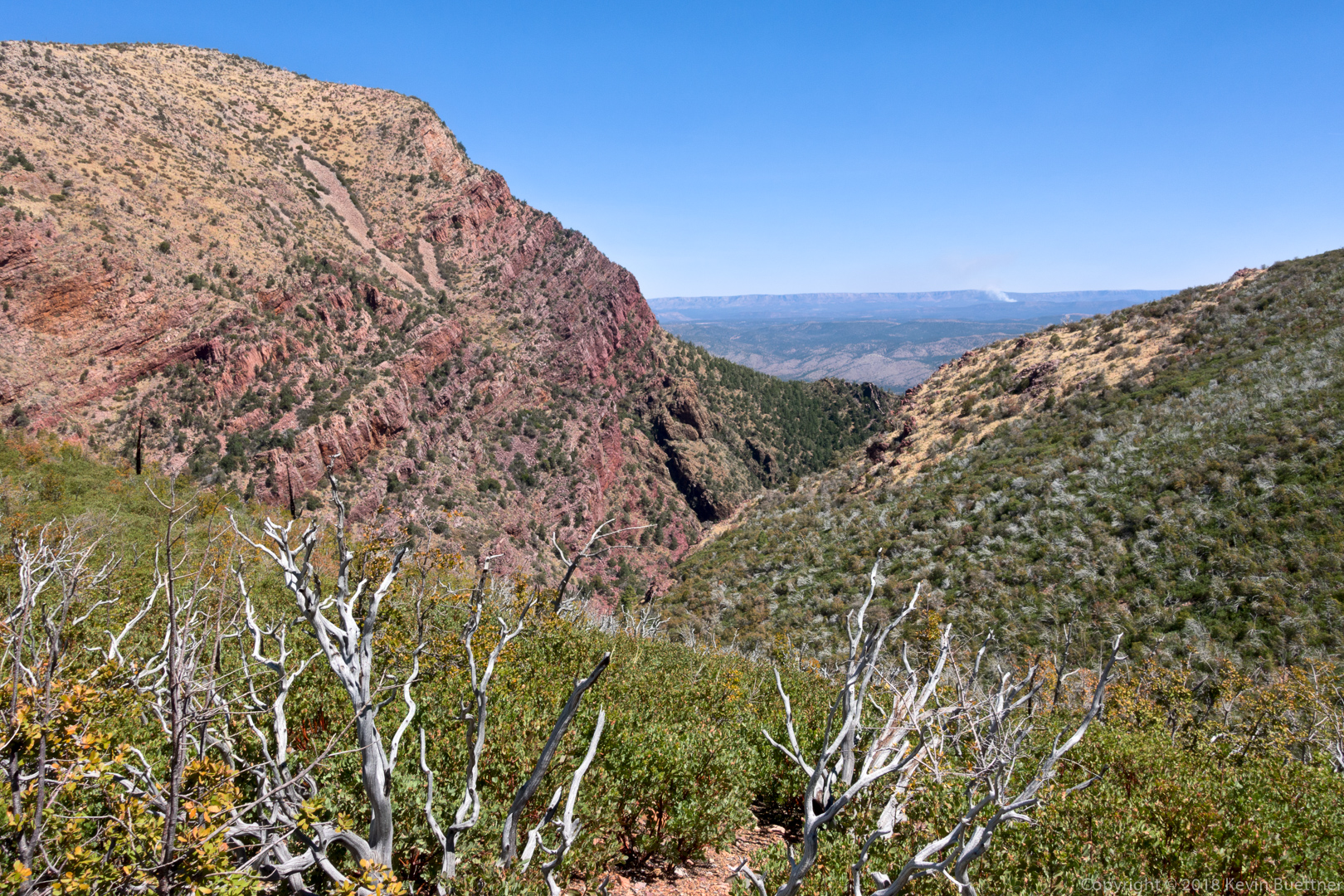
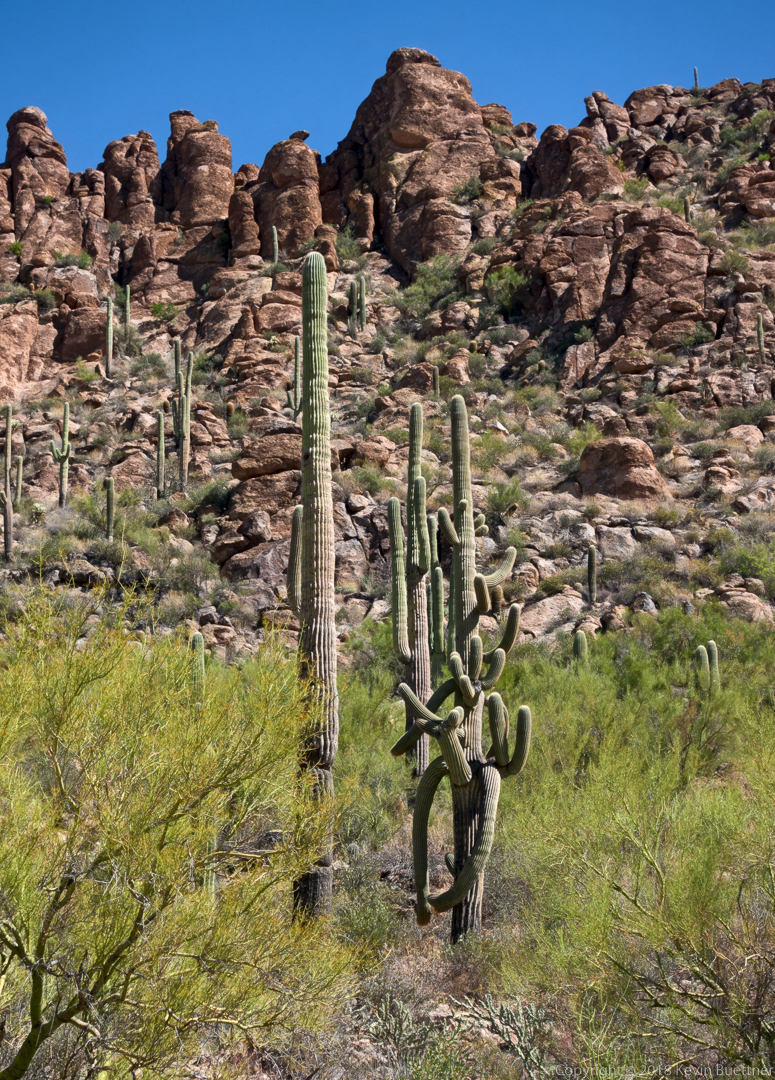
As we hiked down to Boulder Creek, we saw a saguaro with many twisted arms.

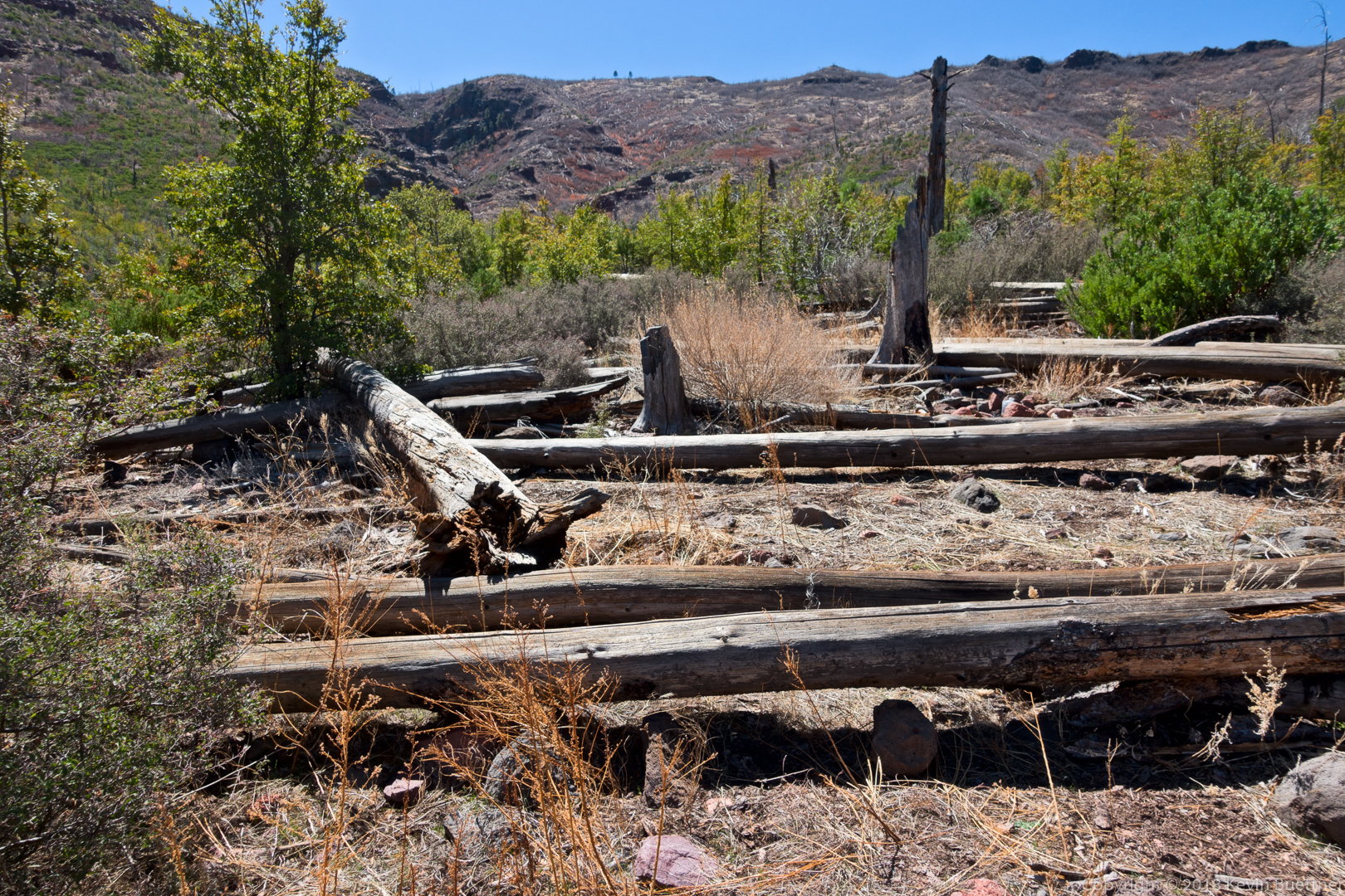
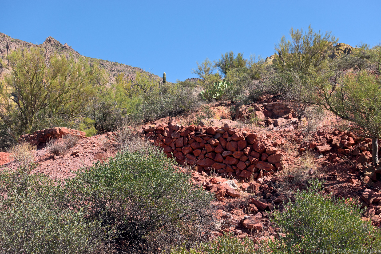
This is part of the ruins at the Indian Paint Mine where Marilyn was waiting for us.

A memorial for someone or something who (apparently) died while hiking on Feb 21, 2014. (It seems unlikely that it’s 1914 or 1814.)

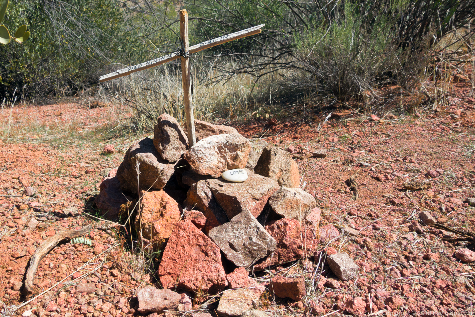
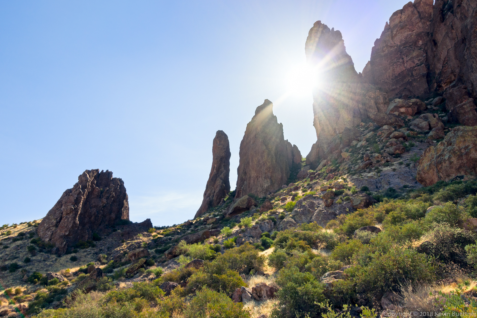
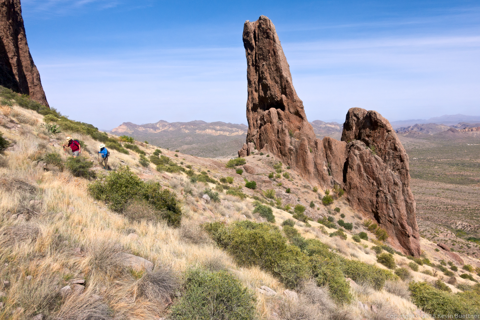
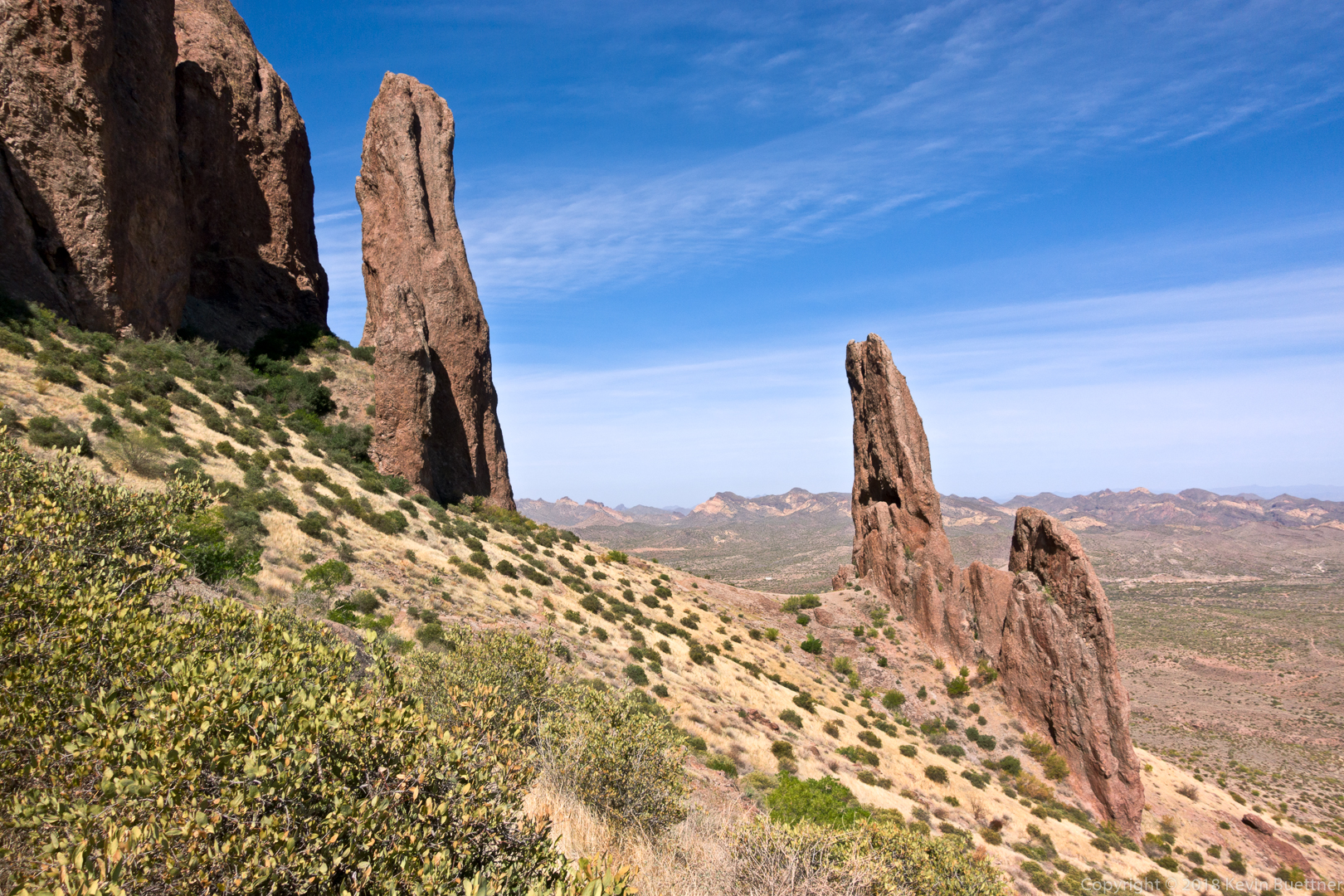
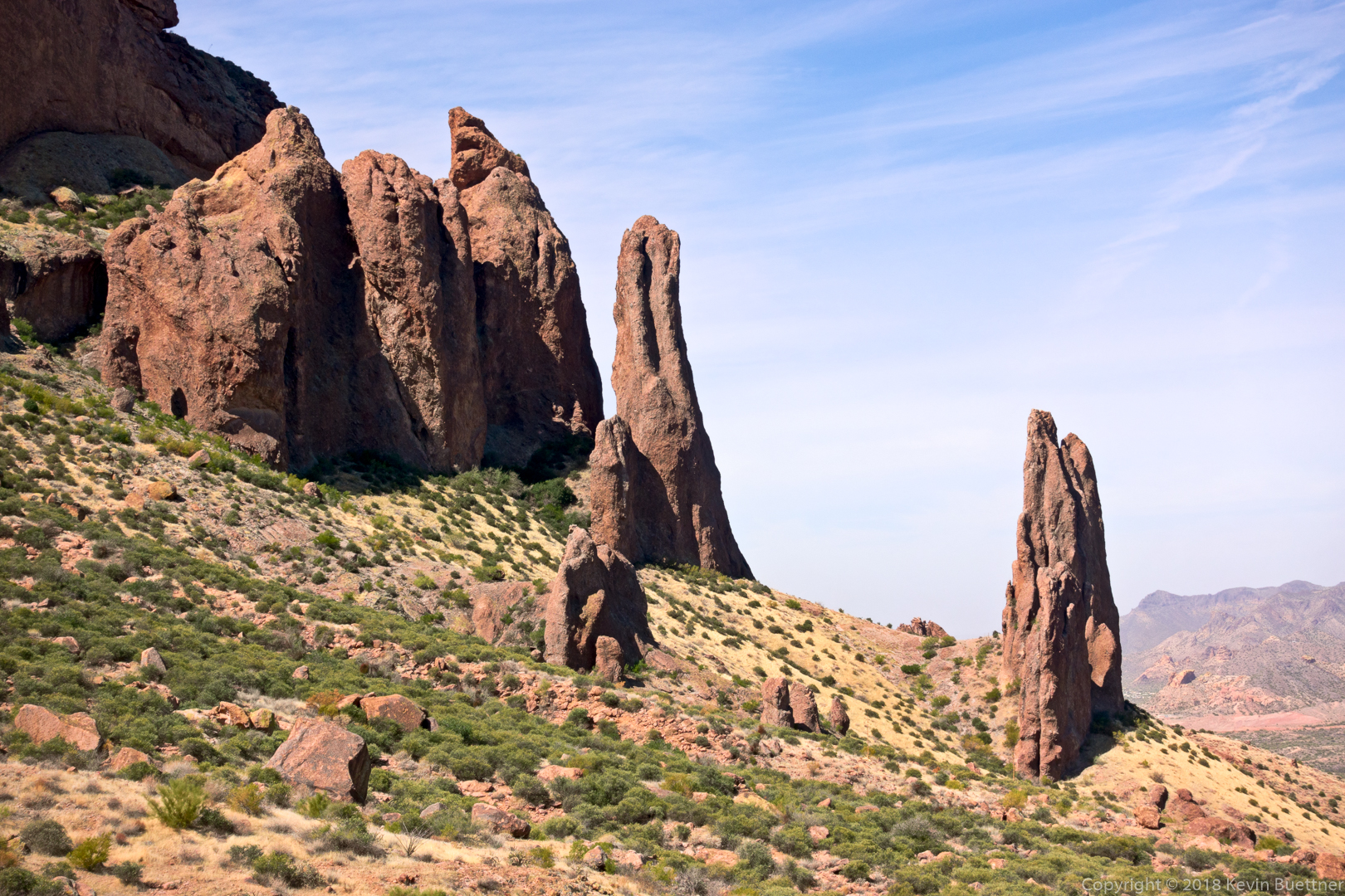
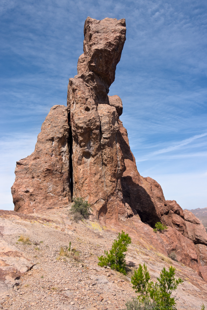
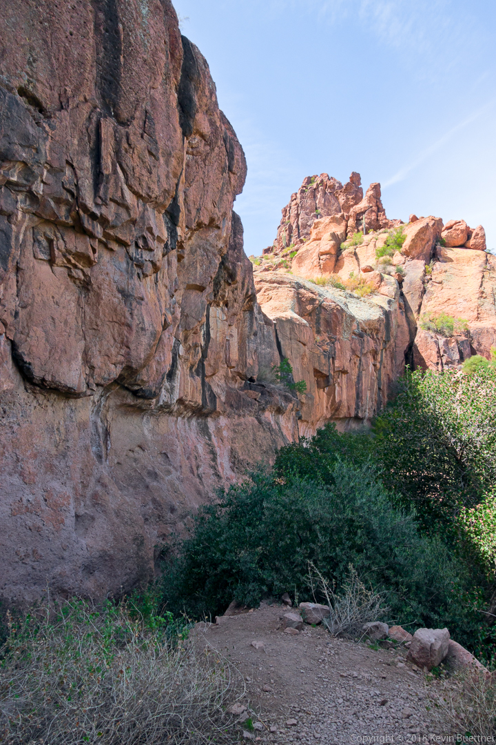
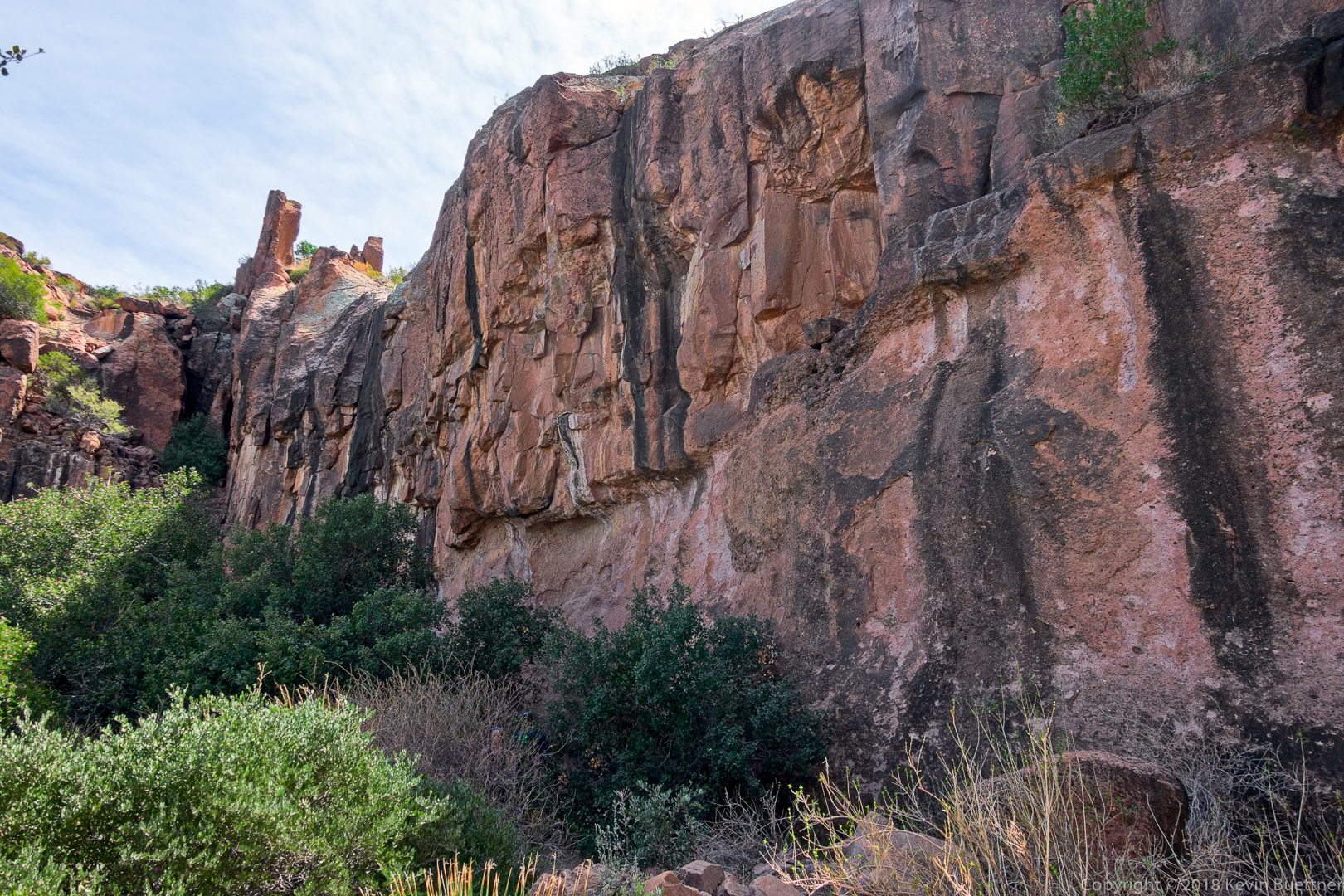
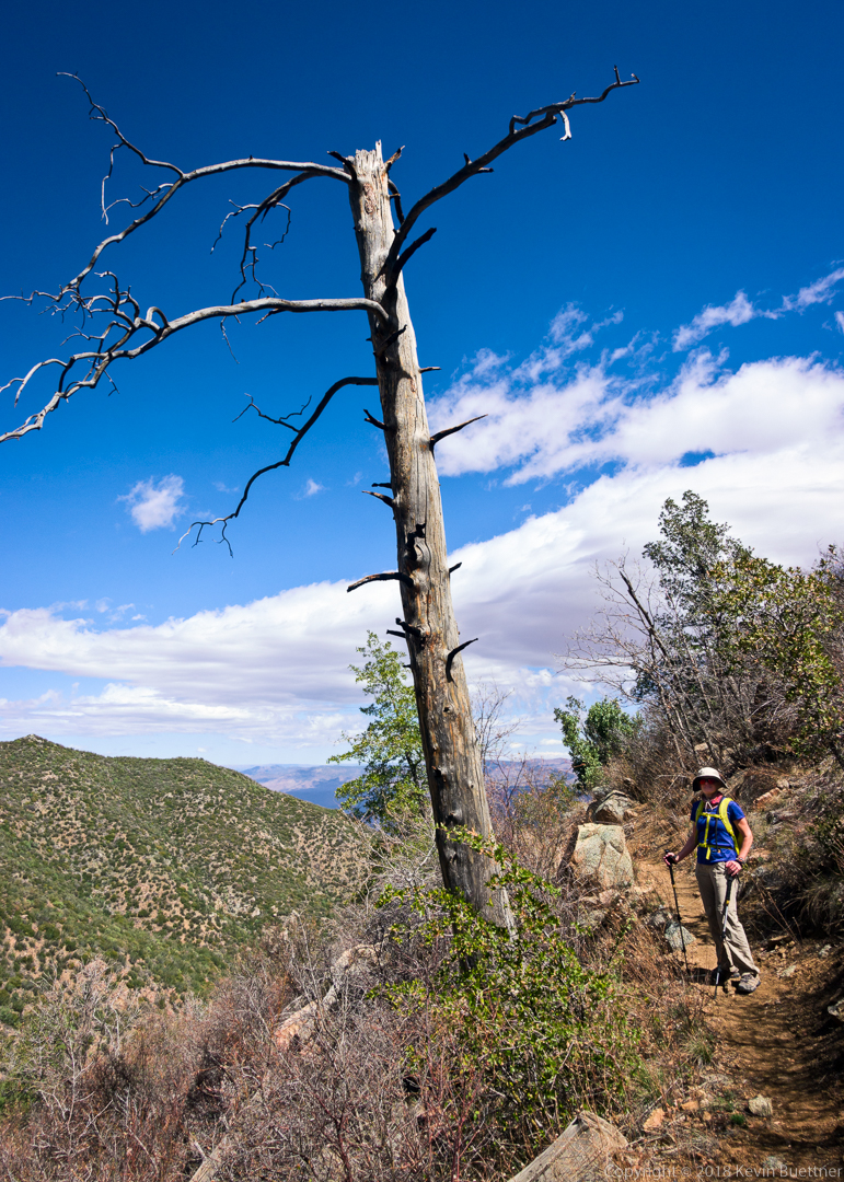
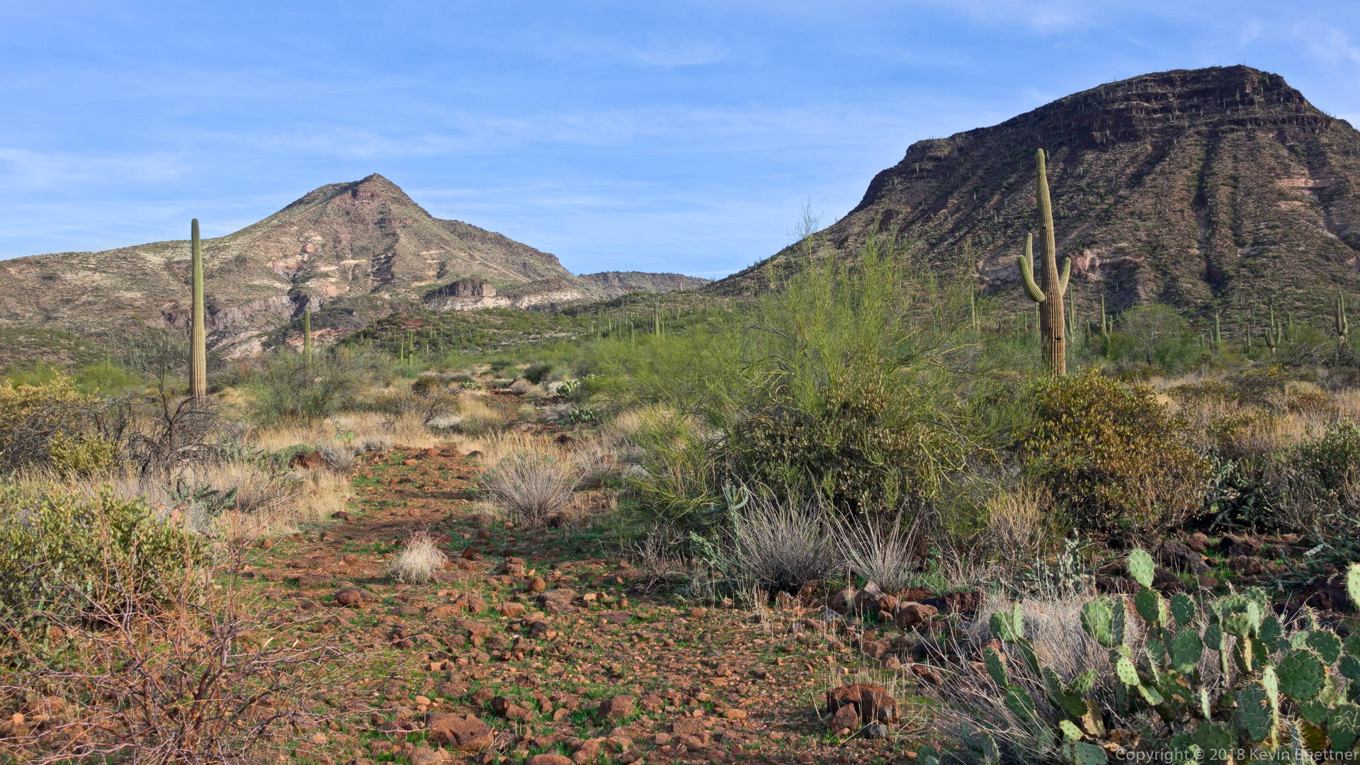
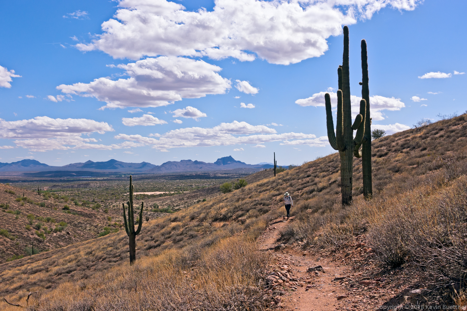
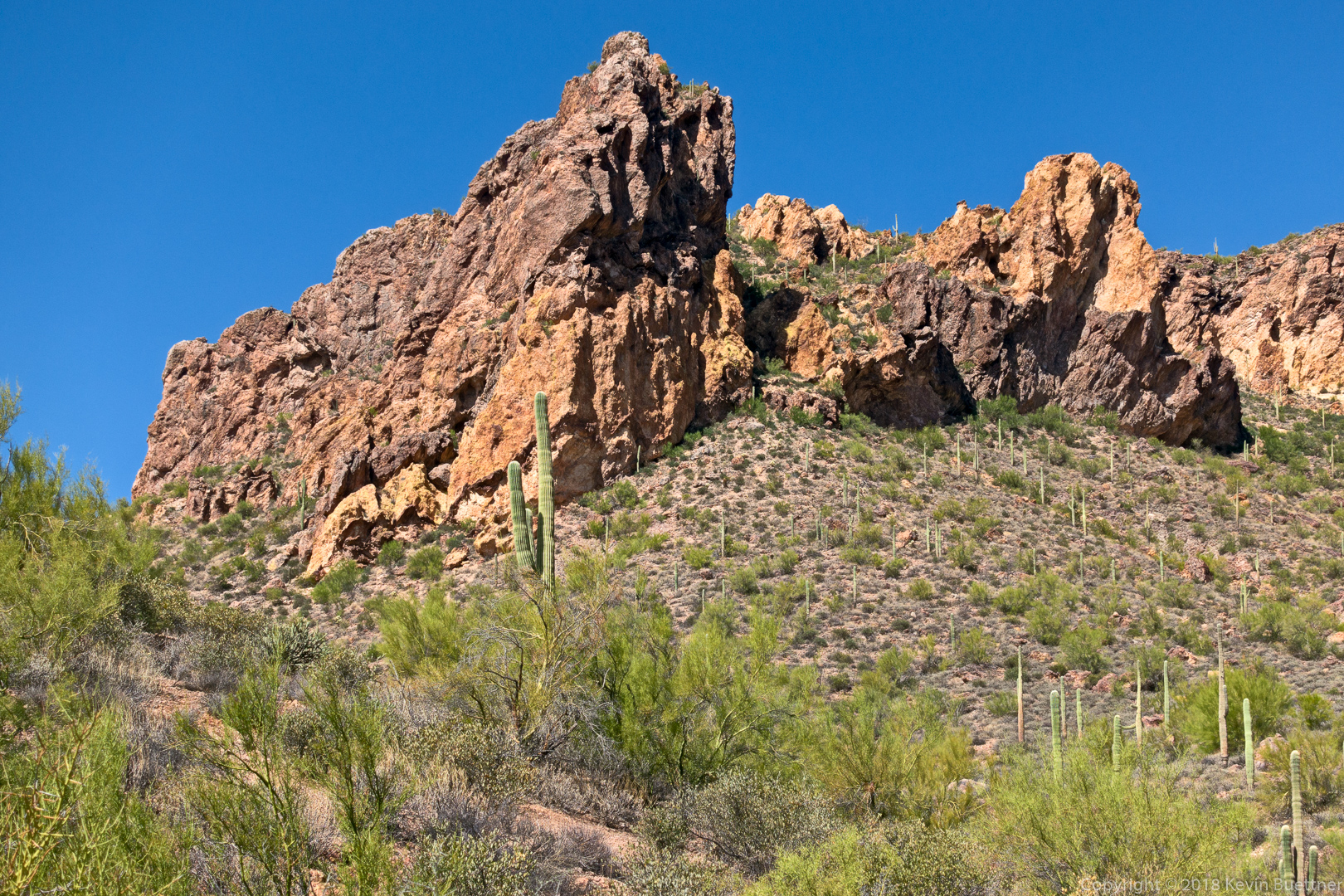
One of the many rock formations that we saw while hiking back on the Boulder Canyon Trail.

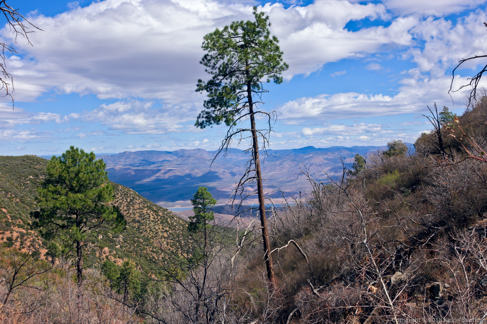
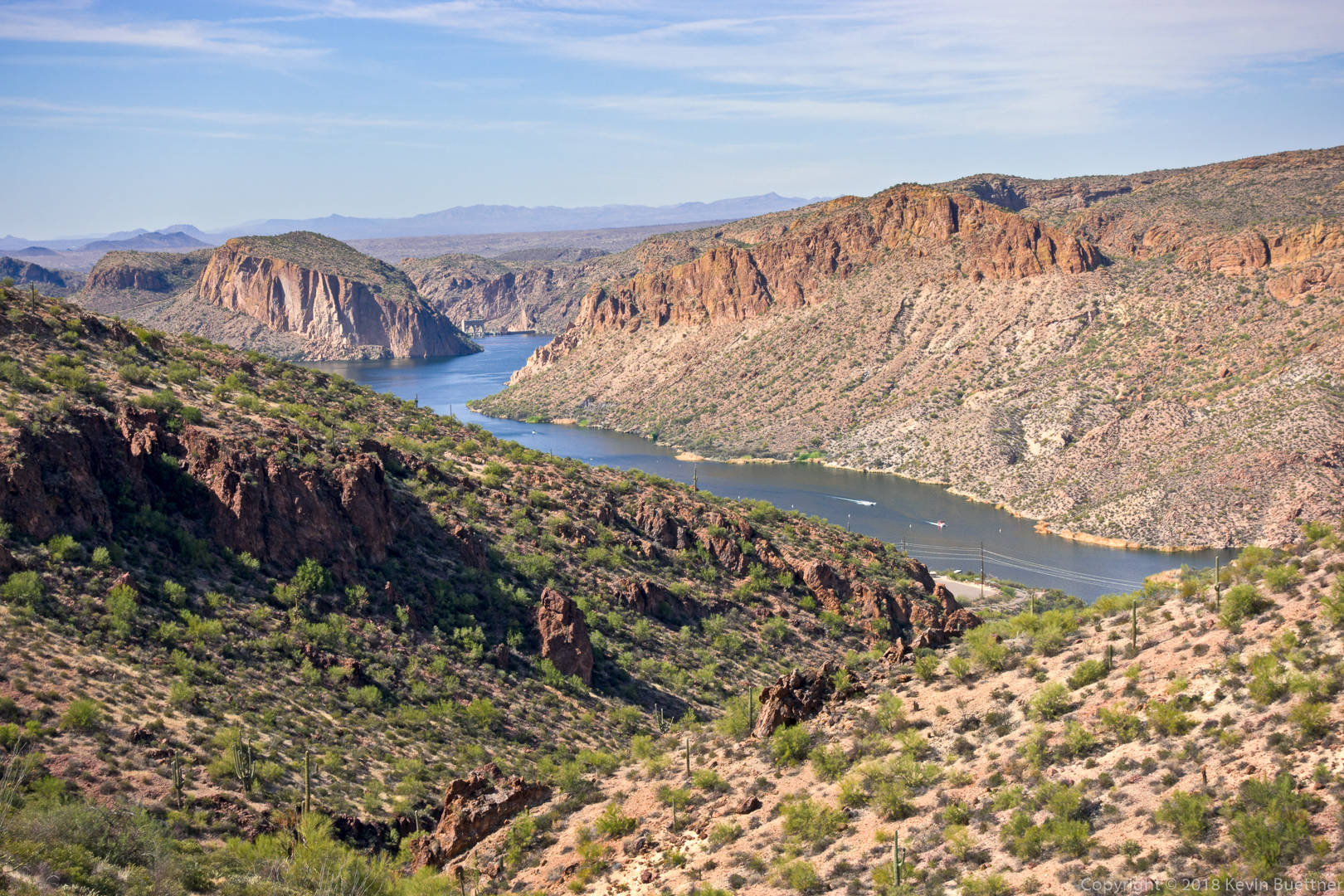
Looking down at Canyon Lake:

Some last looks at Battleship Mountain and Weaver’s Needle just prior to losing sight of them on our descent back to the Marina…

Kevin and Marilyn:

Sunday Hike – Scenic Trail

Marilyn and I hiked the Scenic Trail on Sunday…

Fish Creek Canyon

Nick, Ben, Marilyn, and I hiked perhaps a mile up Fish Creek Canyon from the bridge.  We had planned to go further, but were turned back by bees.

A view from the bridge before starting out:

Nick and Ben take a look at the bridge from the bottom just before heading up canyon.

A tiny waterfall:

There were a number of pools that we had to work around.

An especially green pool:

The piled up logs and smaller pieces of wood is evidence that the canyon occasionally carries a substantial amount of water.

Lunch break:

Looking up-canyon (while still on lunch break):