Marilyn, Bob, and I hiked the Pass Mountain Trail at Usery Mountain Park on Sunday. Total distance was 7.8 miles with an elevation gain of just over 1000 feet.
Month: November 2015 (page 1 of 1)
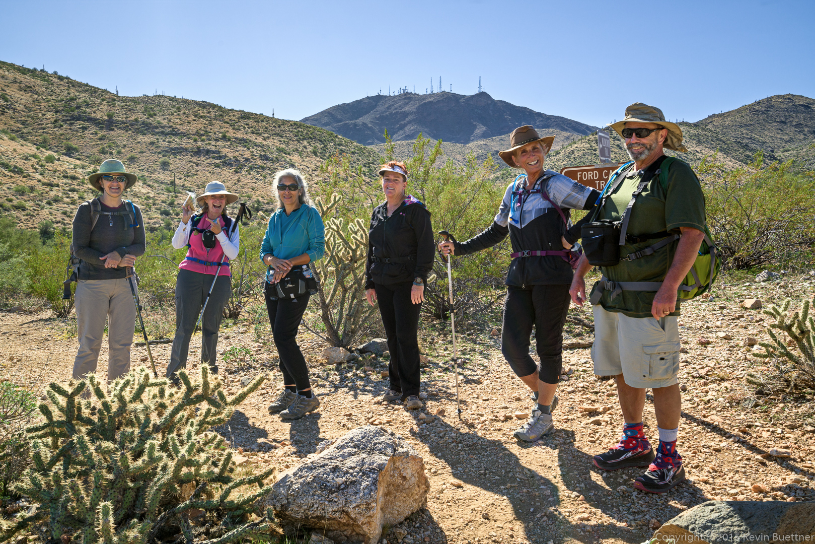
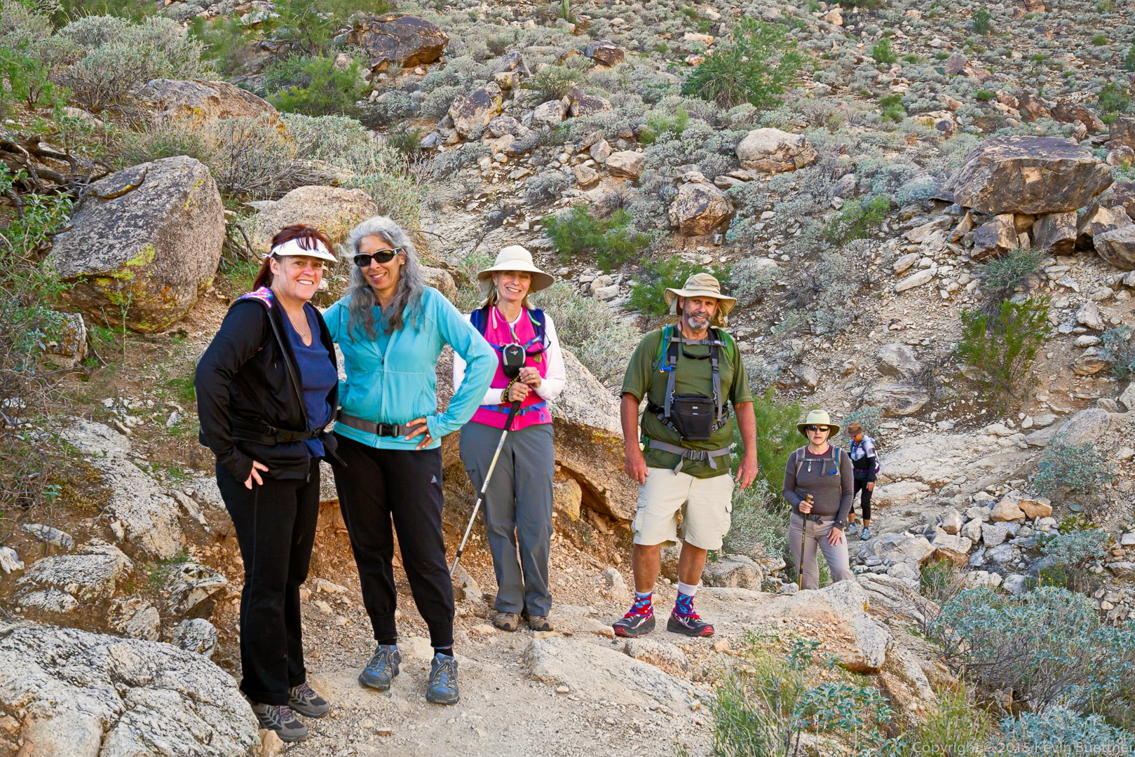
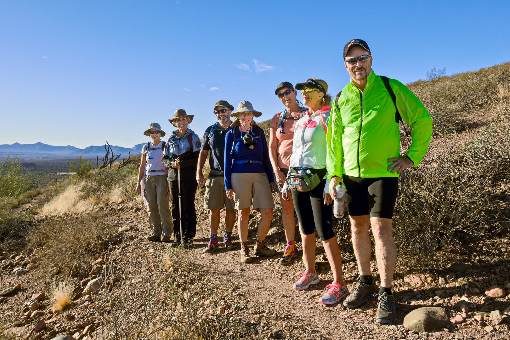
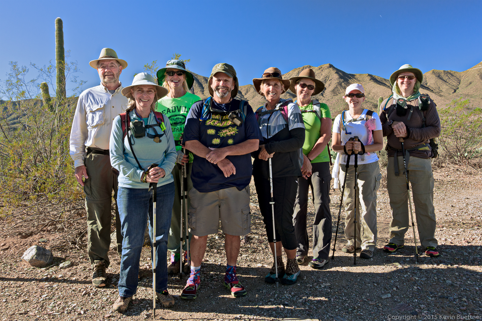
Sandy, DeAnn, Bob, Nancy, Linda, Marilyn, and I hiked 10.9 miles in White Tank Mountain Regional Park. We hiked a loop consisting of the Waddell, Mesquite Canyon, and Ford Canyon trails. Marilyn also hiked the Willow Canyon Trail which cut off about 1.5 miles from her hike.
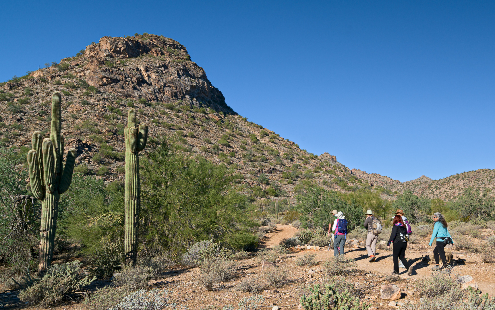
Starting out…
Sandy and DeAnn on the Mesquite Canyon Trail. The Willow Canyon Trail is behind them.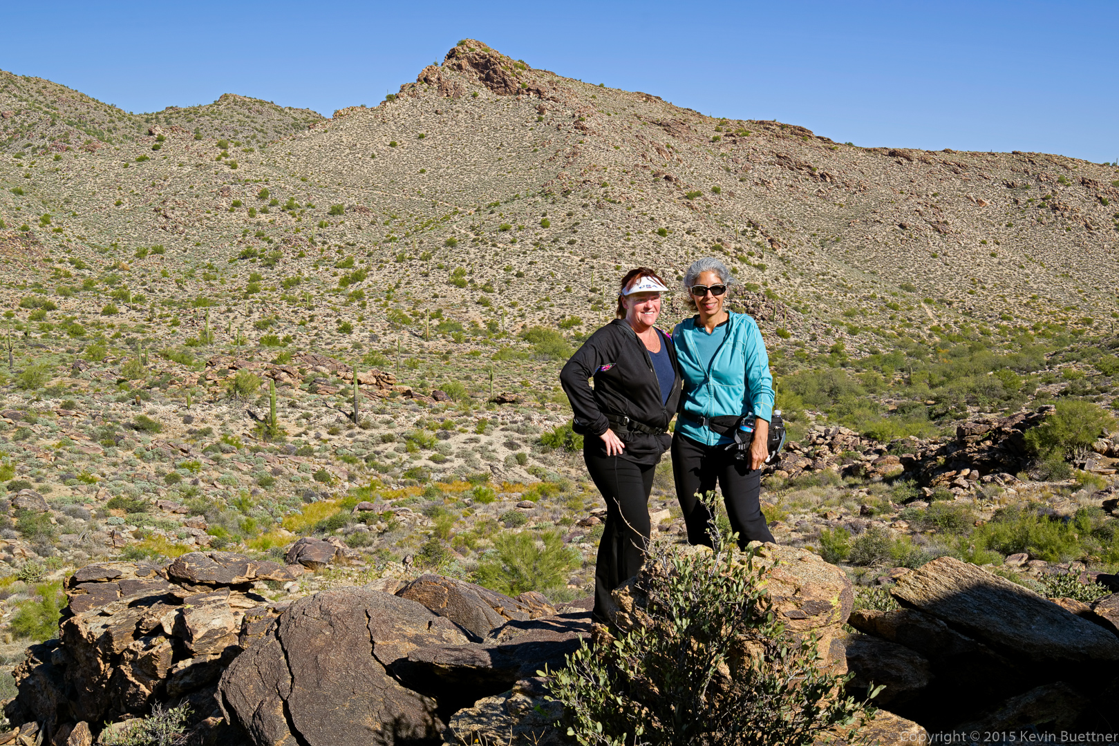
Marilyn, Linda (holding up her sandwich), DeAnn, Sandy, Nancy, and Bob:
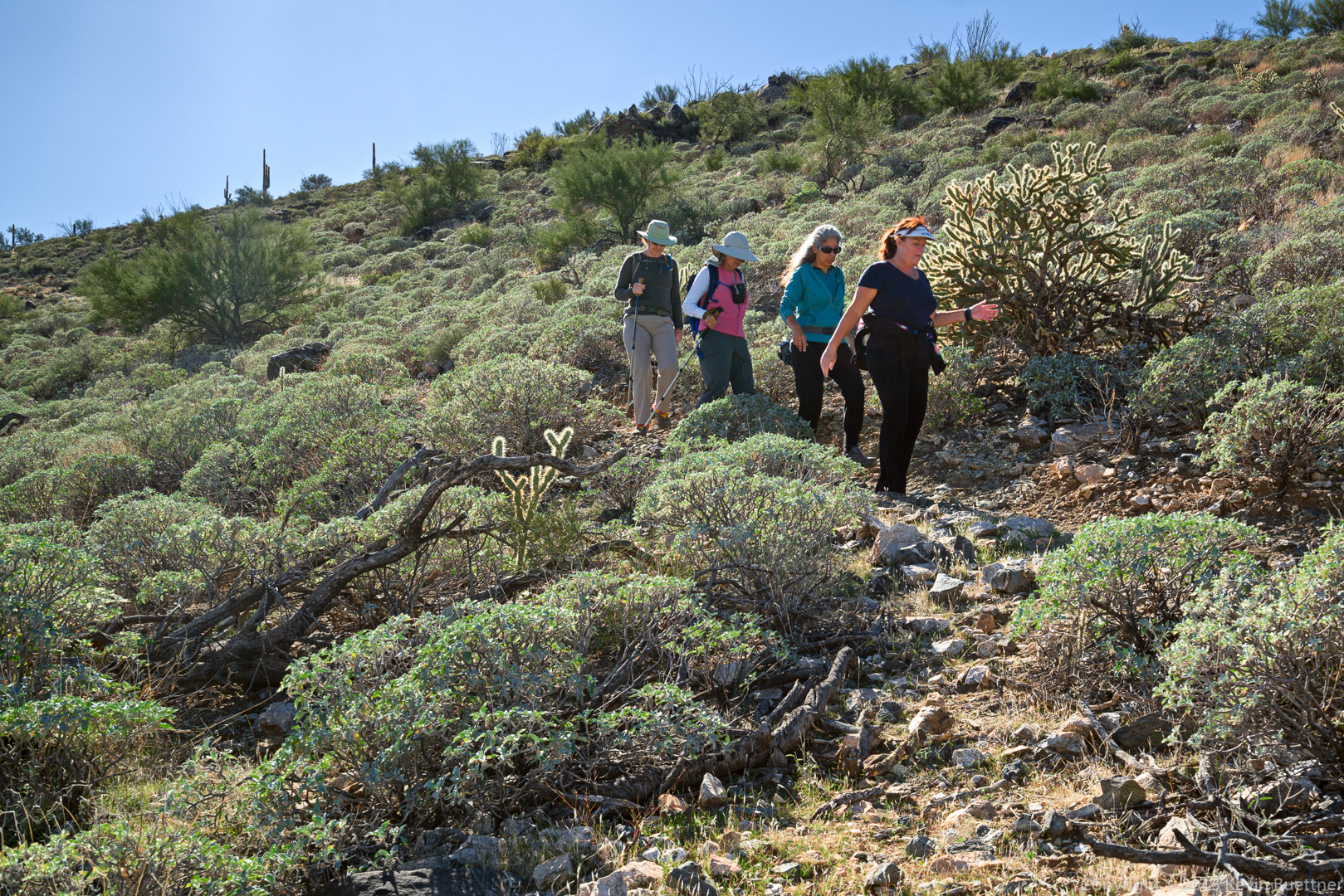
Marilyn, Linda, DeAnn, and Sandy on the Ford Canyon Trail:
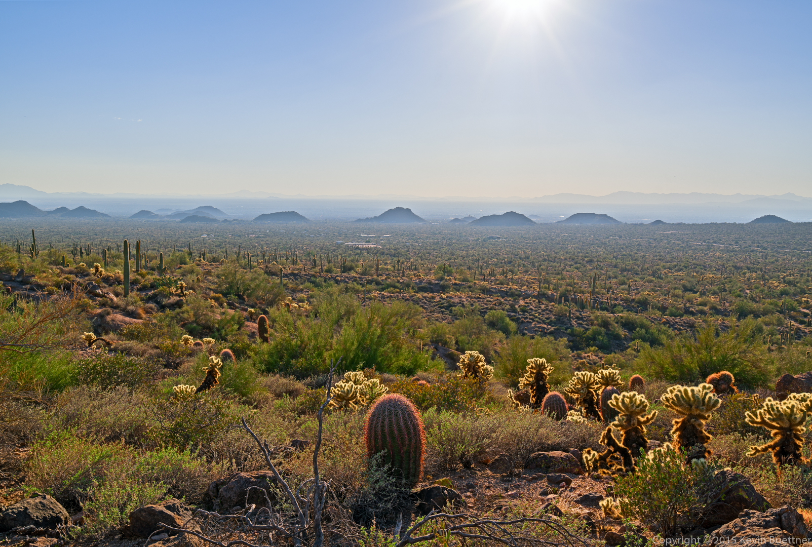
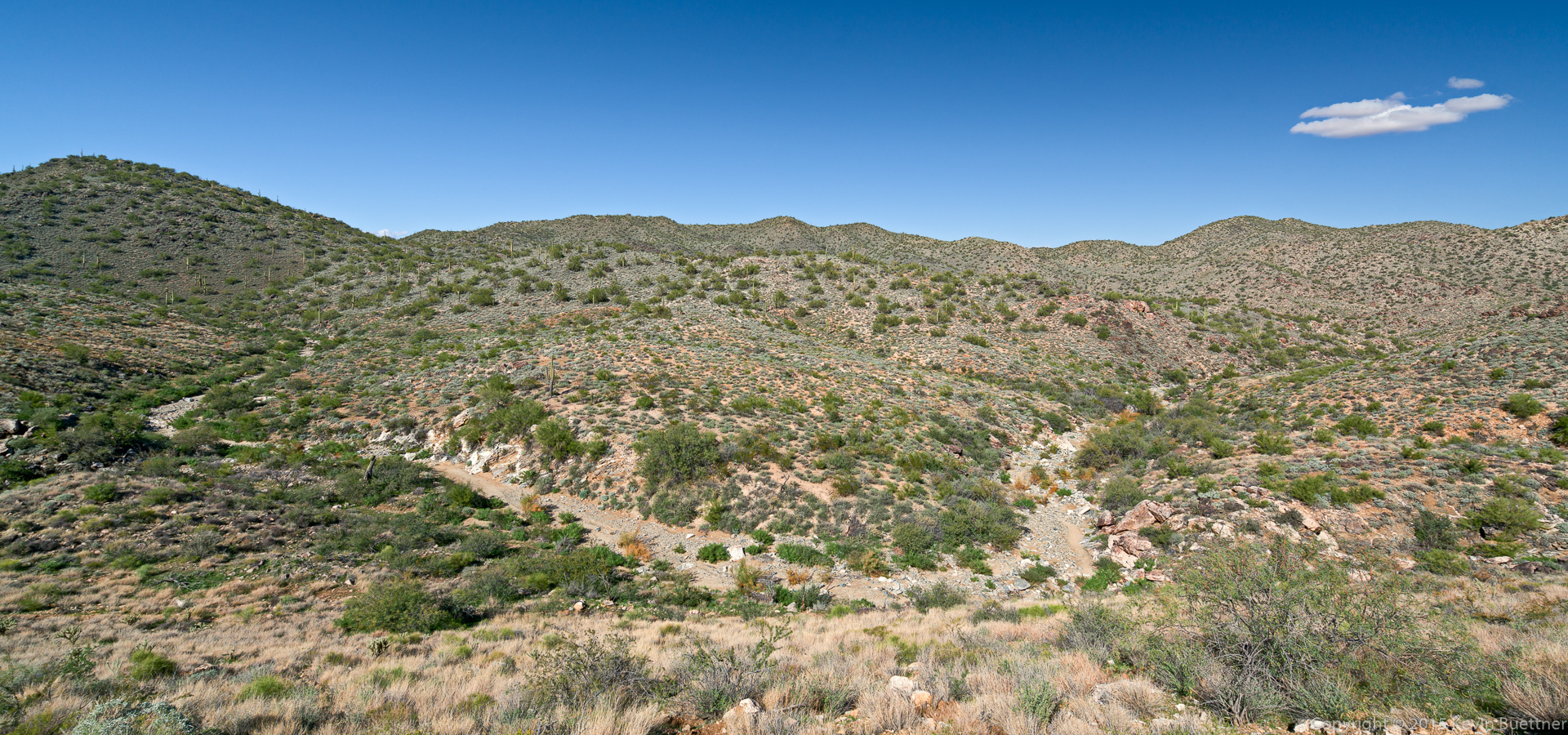
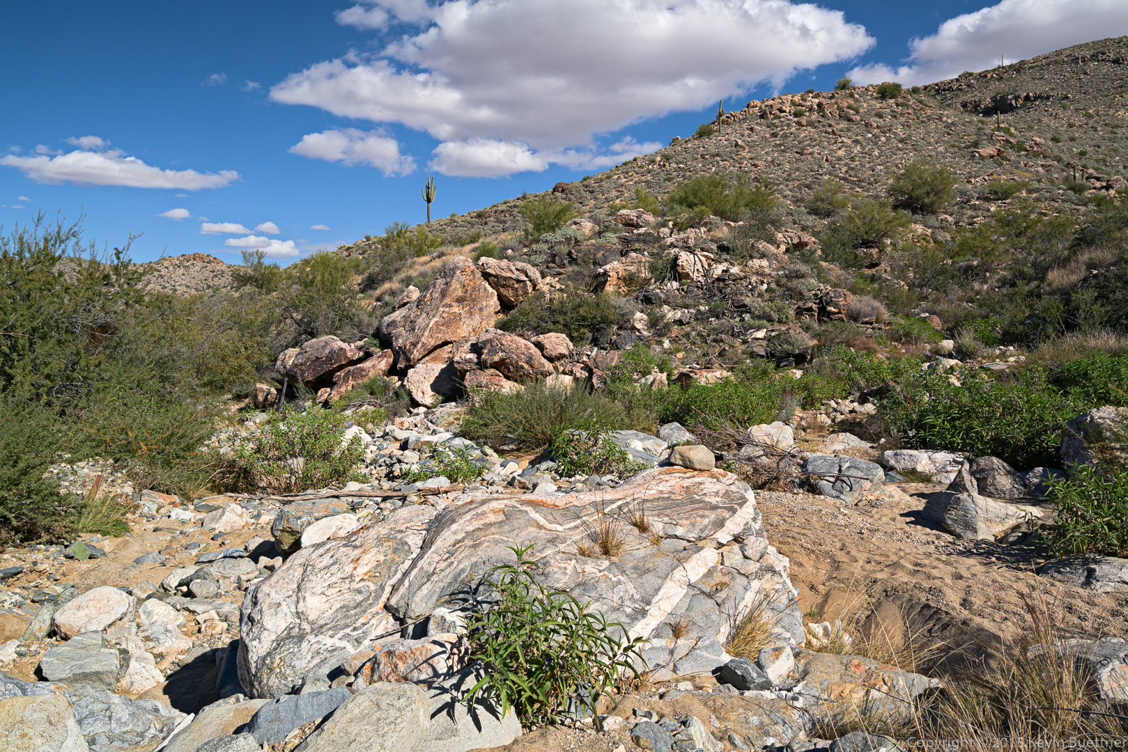
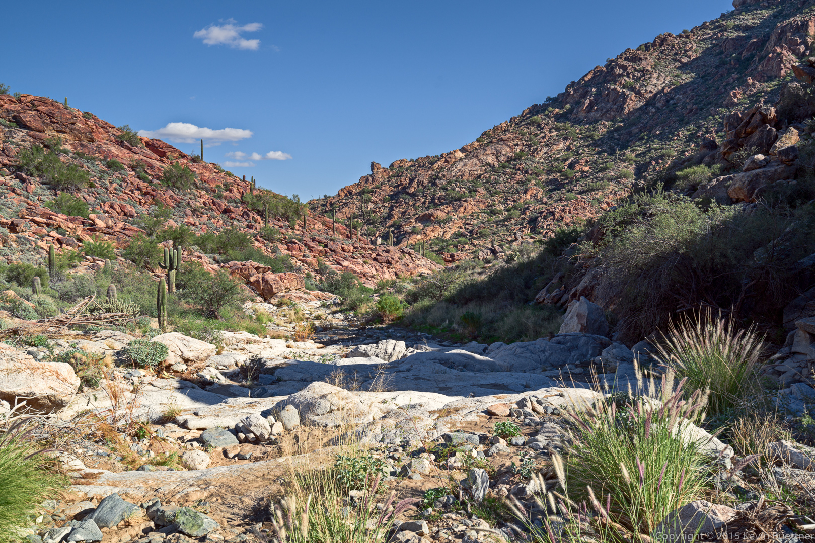
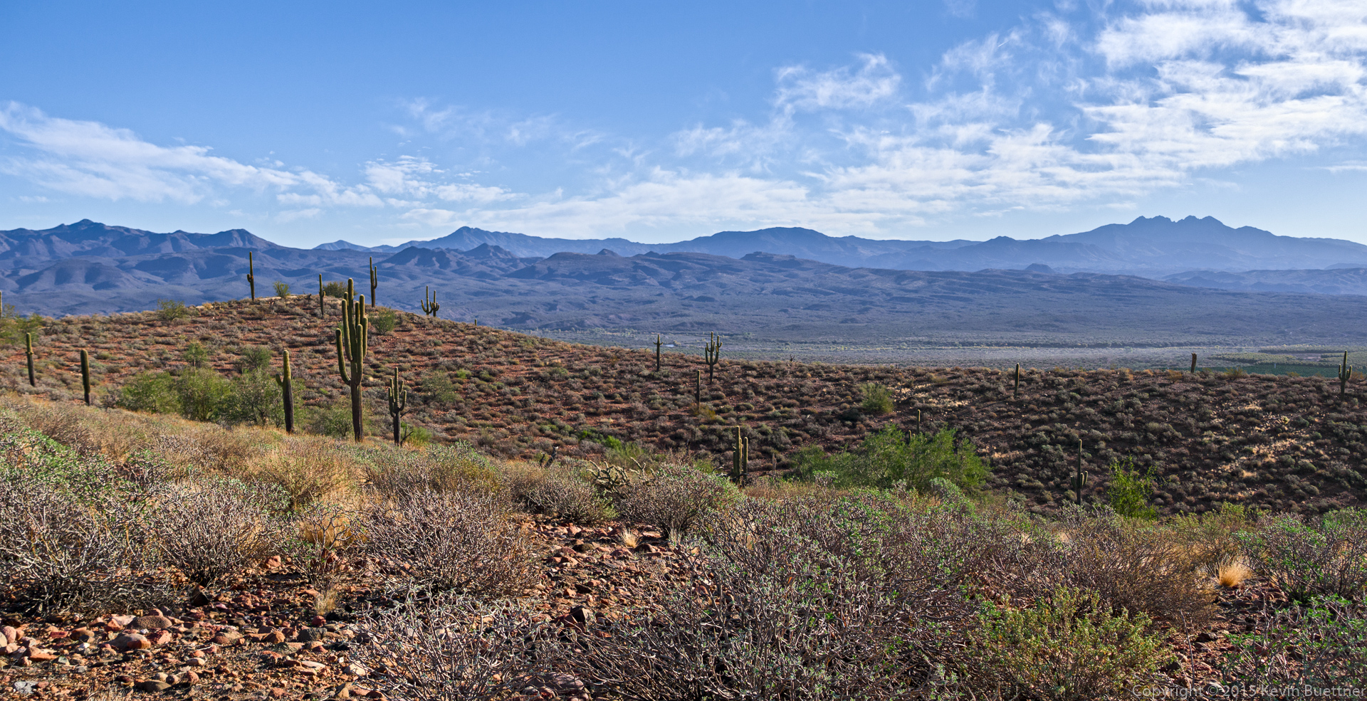
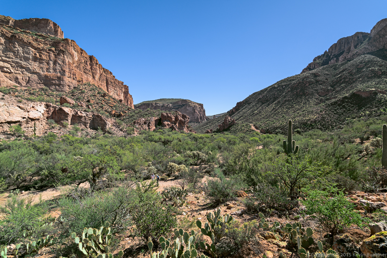
A view of Ford Canyon:
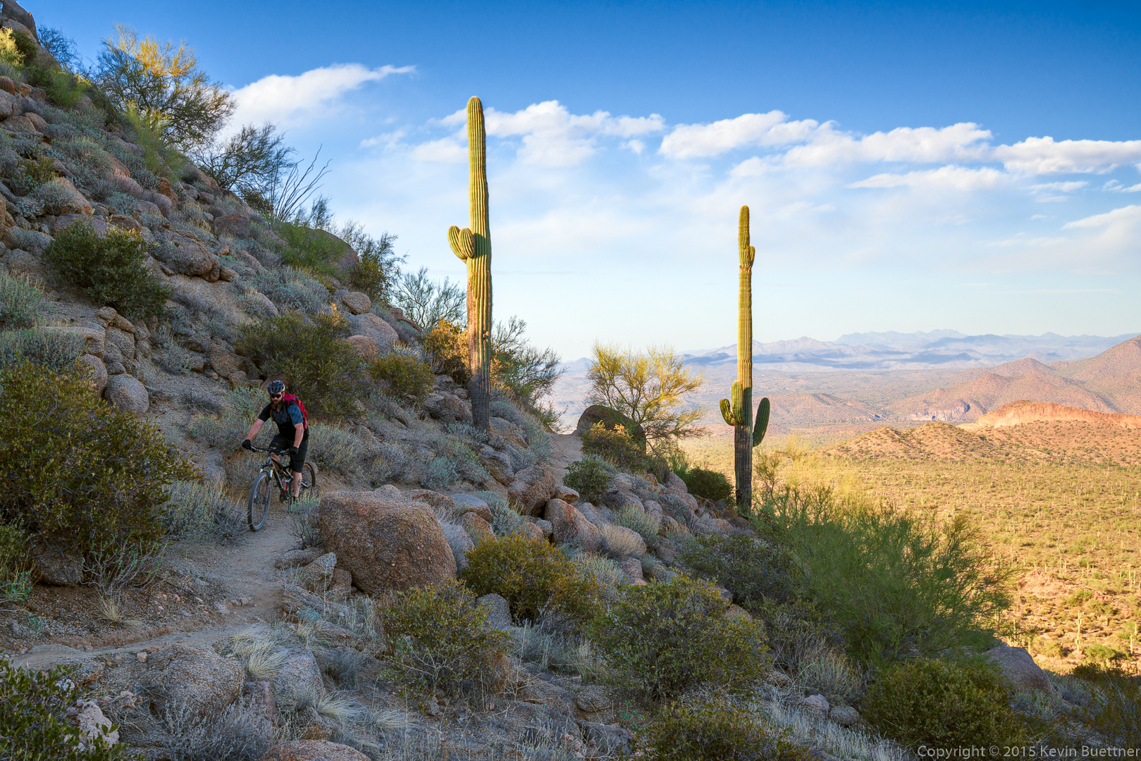
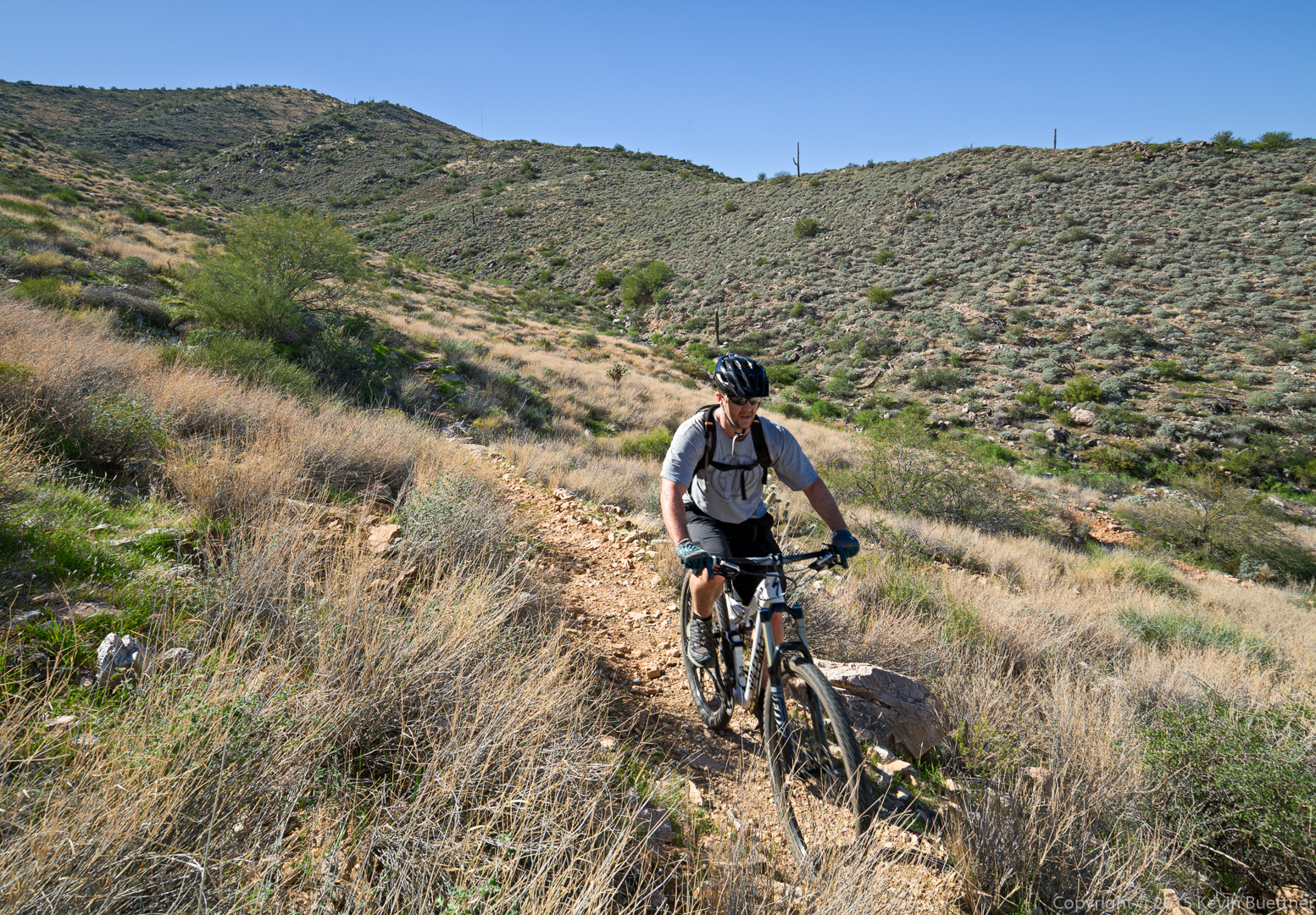
A cyclist riding up (!) the Ford Canyon Trail.
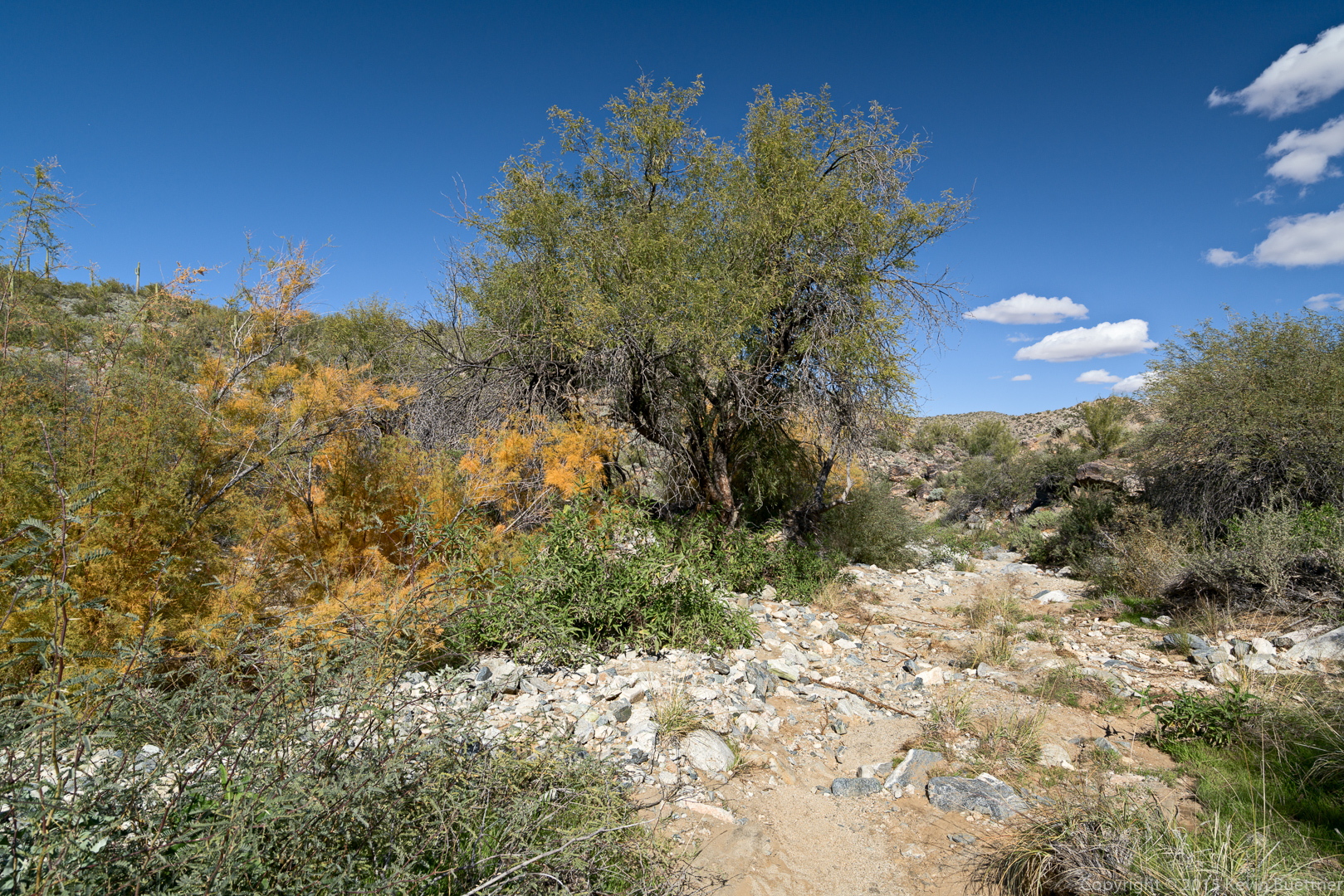
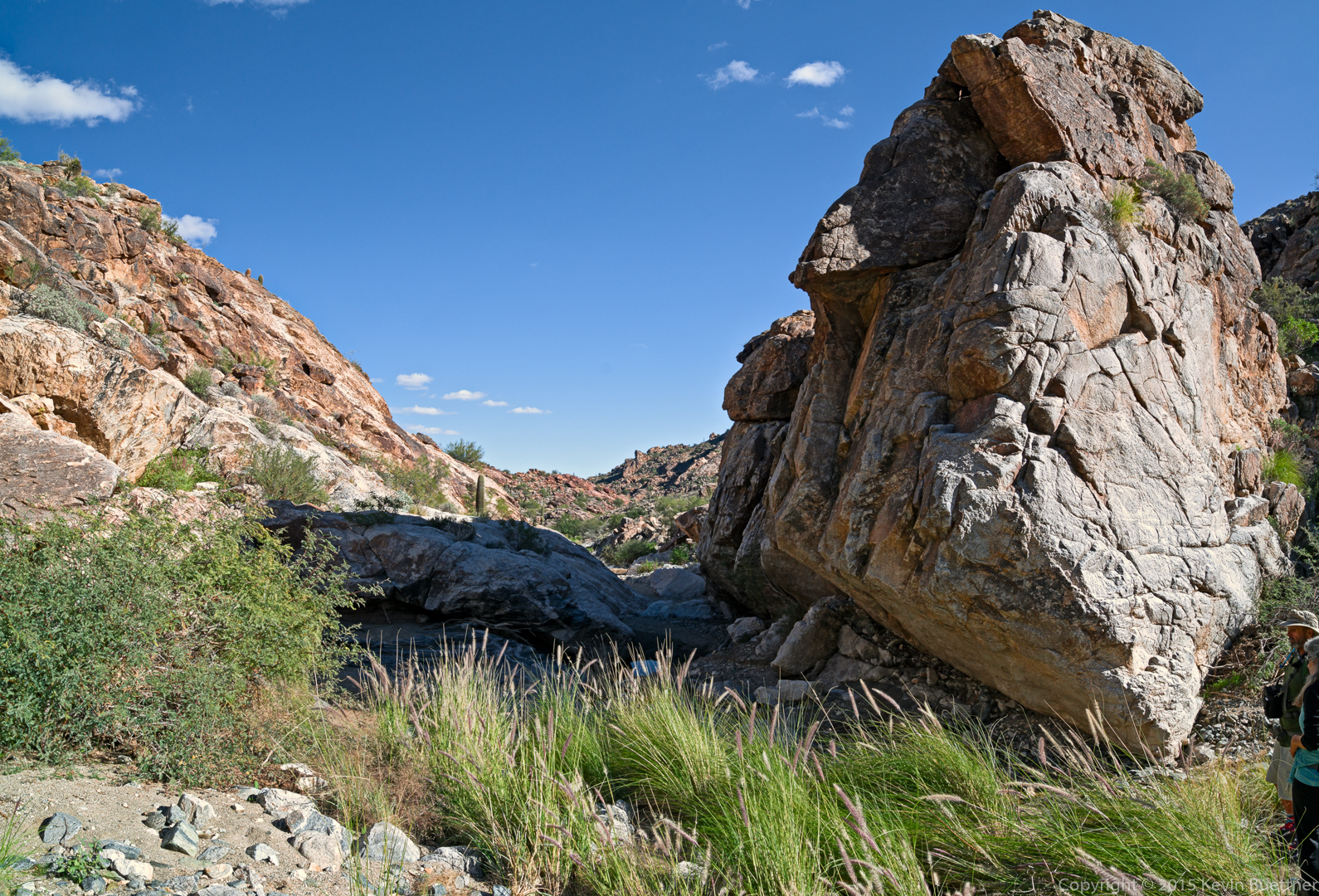
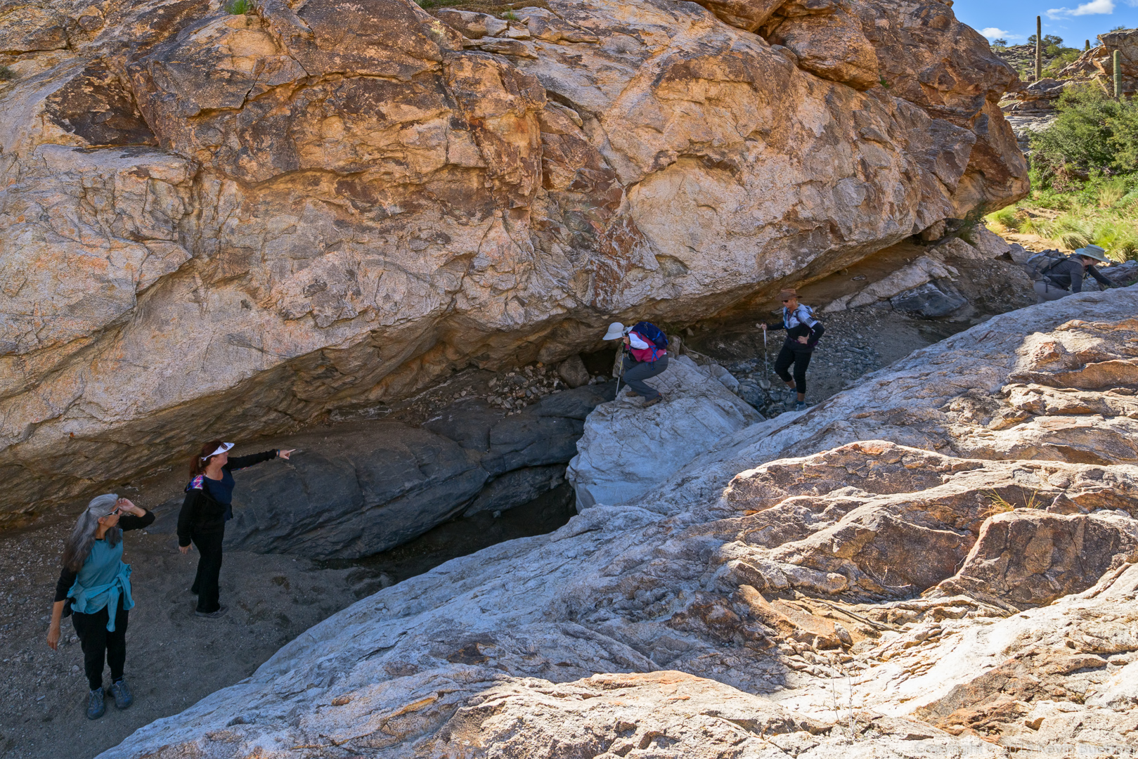
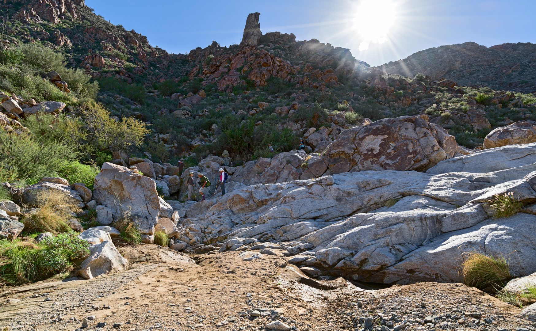
Entering the “canyon” section of the Ford Canyon Trail:
At this particular spot, there was an easy way down and also a way to down-climb. Note that Linda (on the left) chose to down-climb!
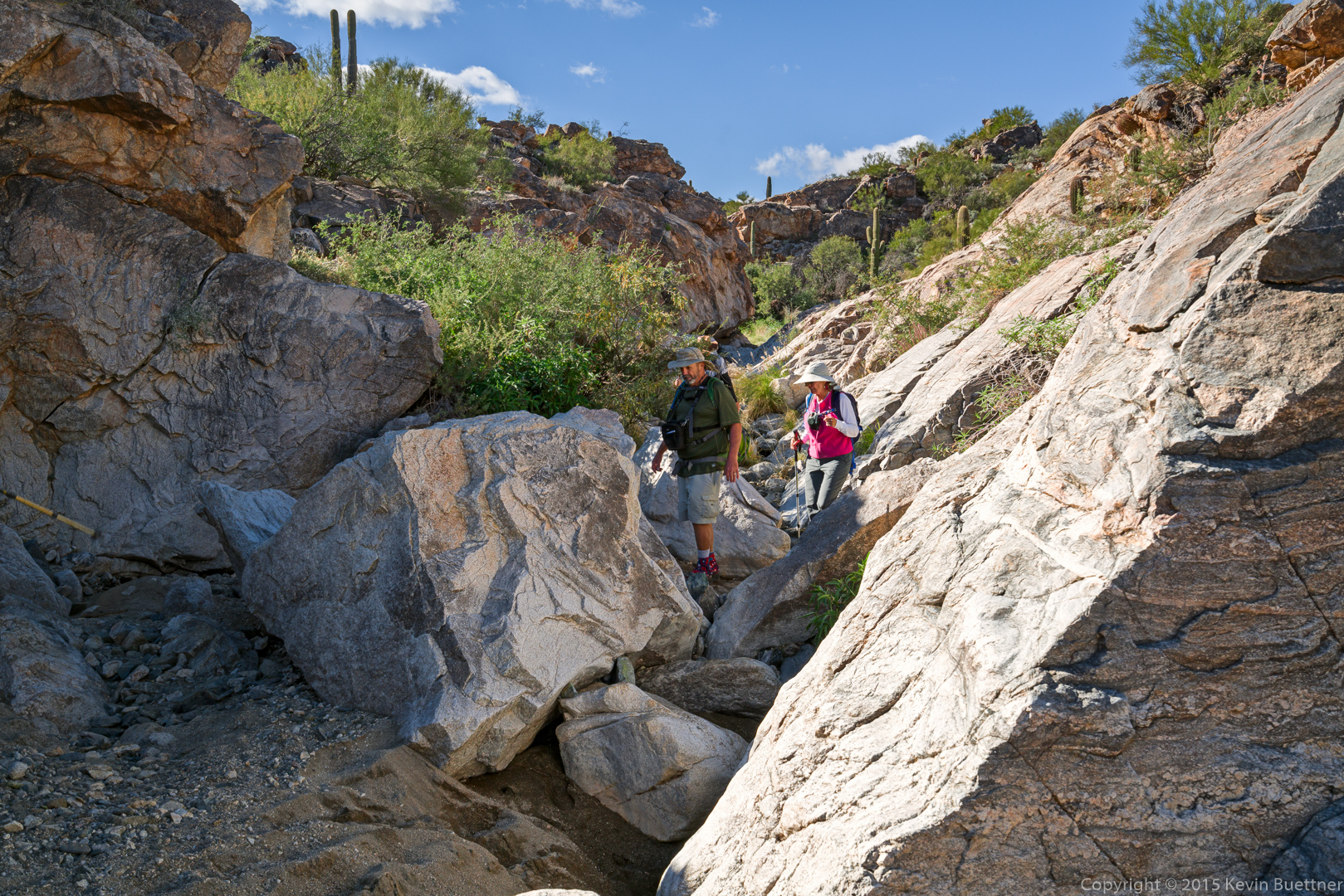
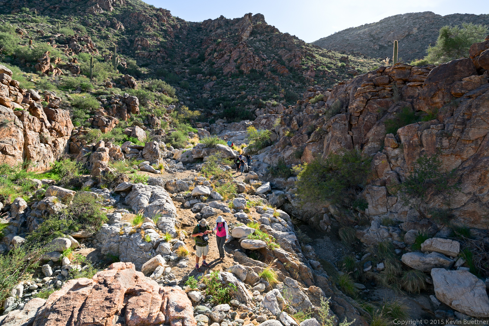
DeAnn, Marilyn, Nancy, and Linda making their way through a very scenic part of the canyon.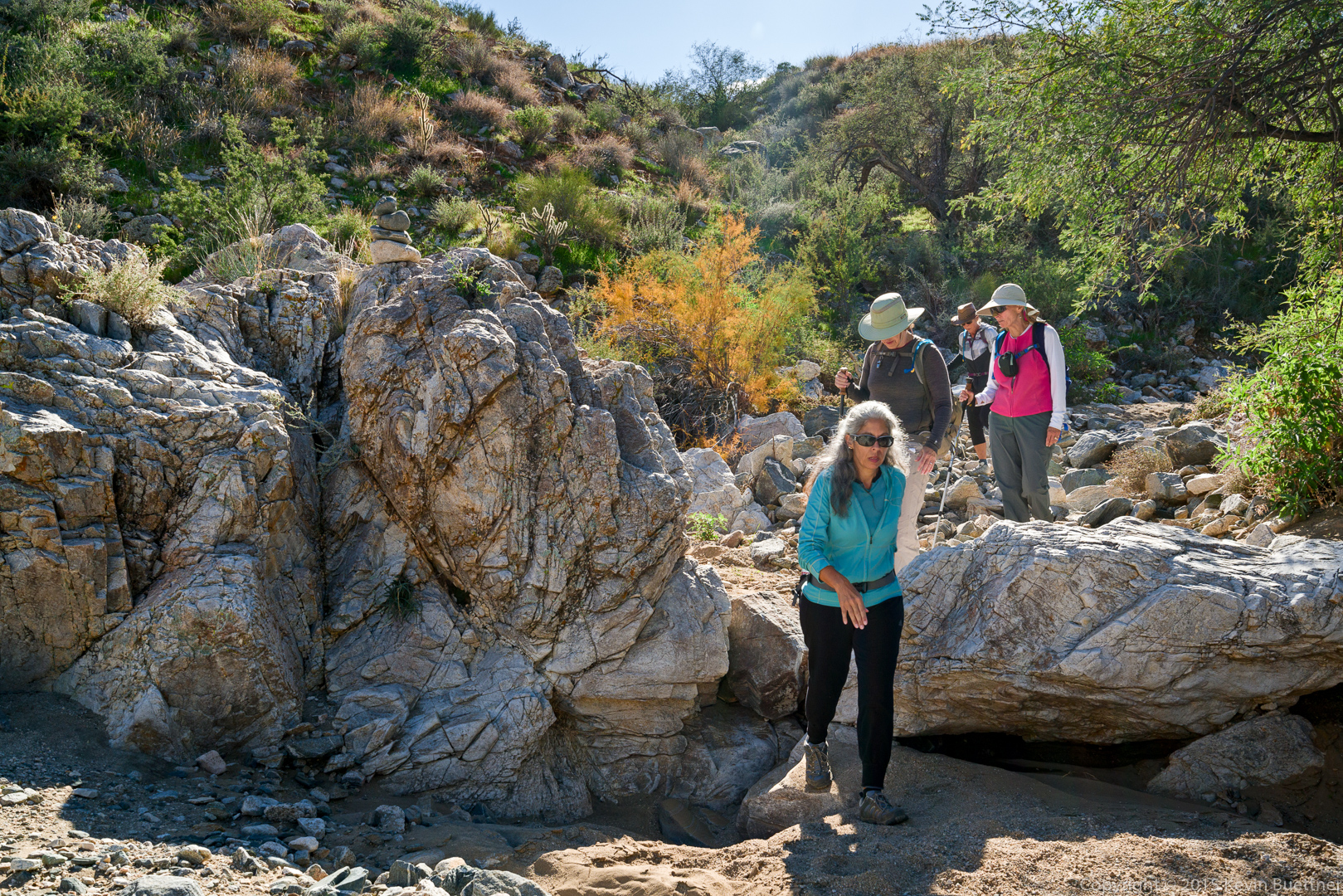
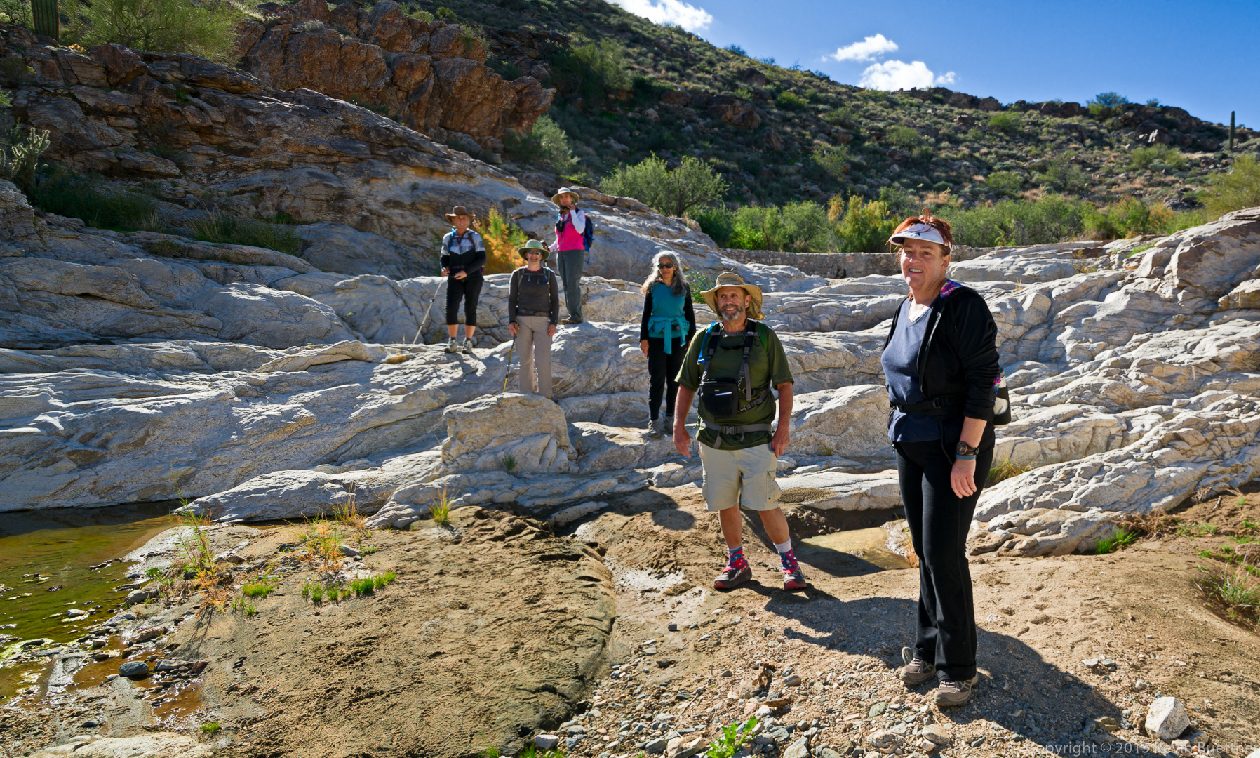
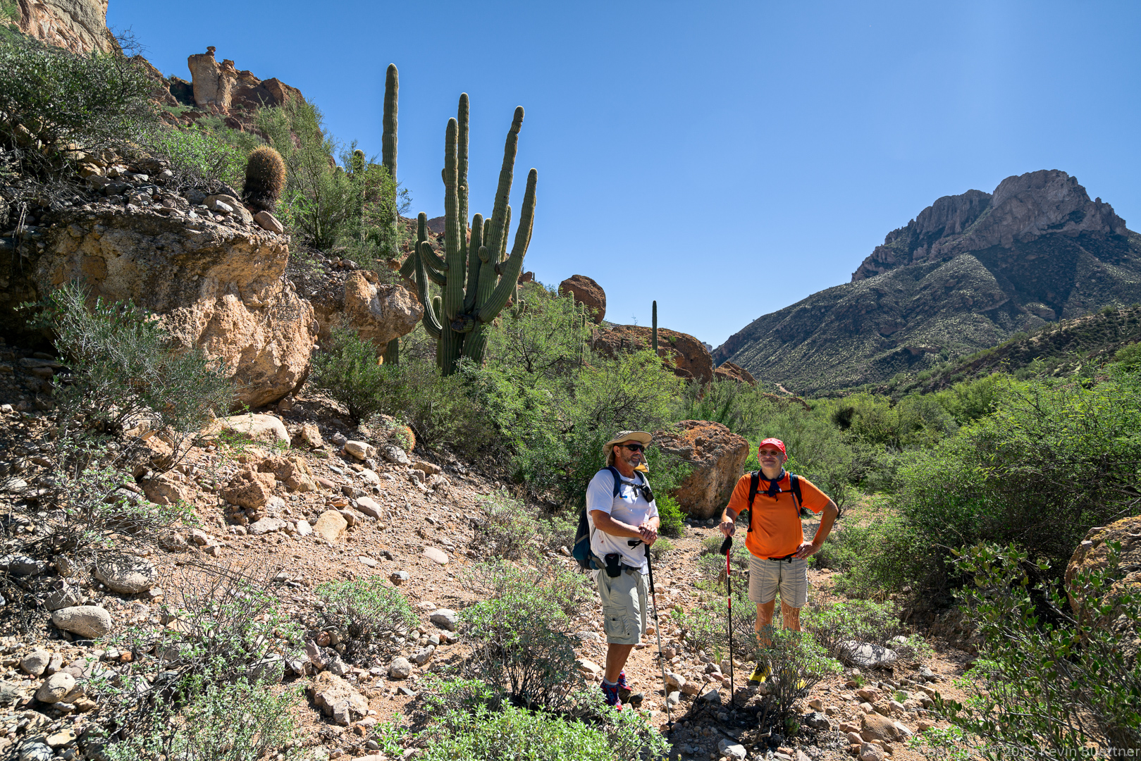
Nancy, Marilyn, Linda, DeAnn, Bob, and Sandy:
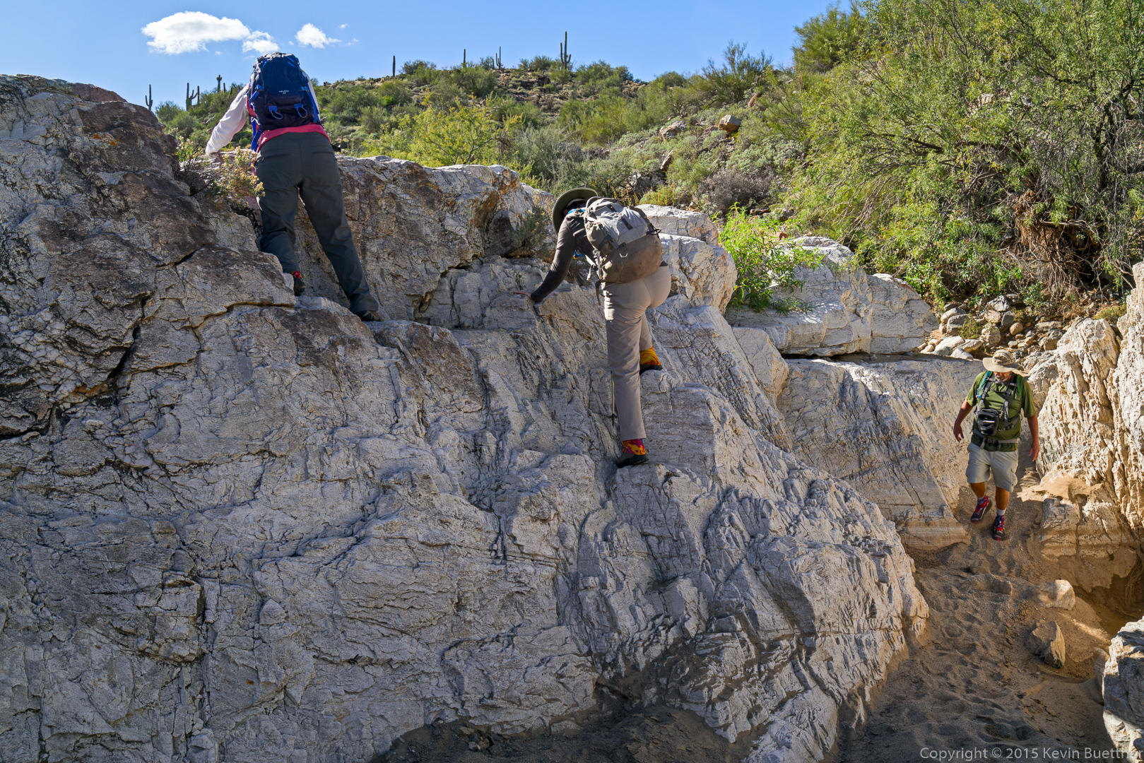
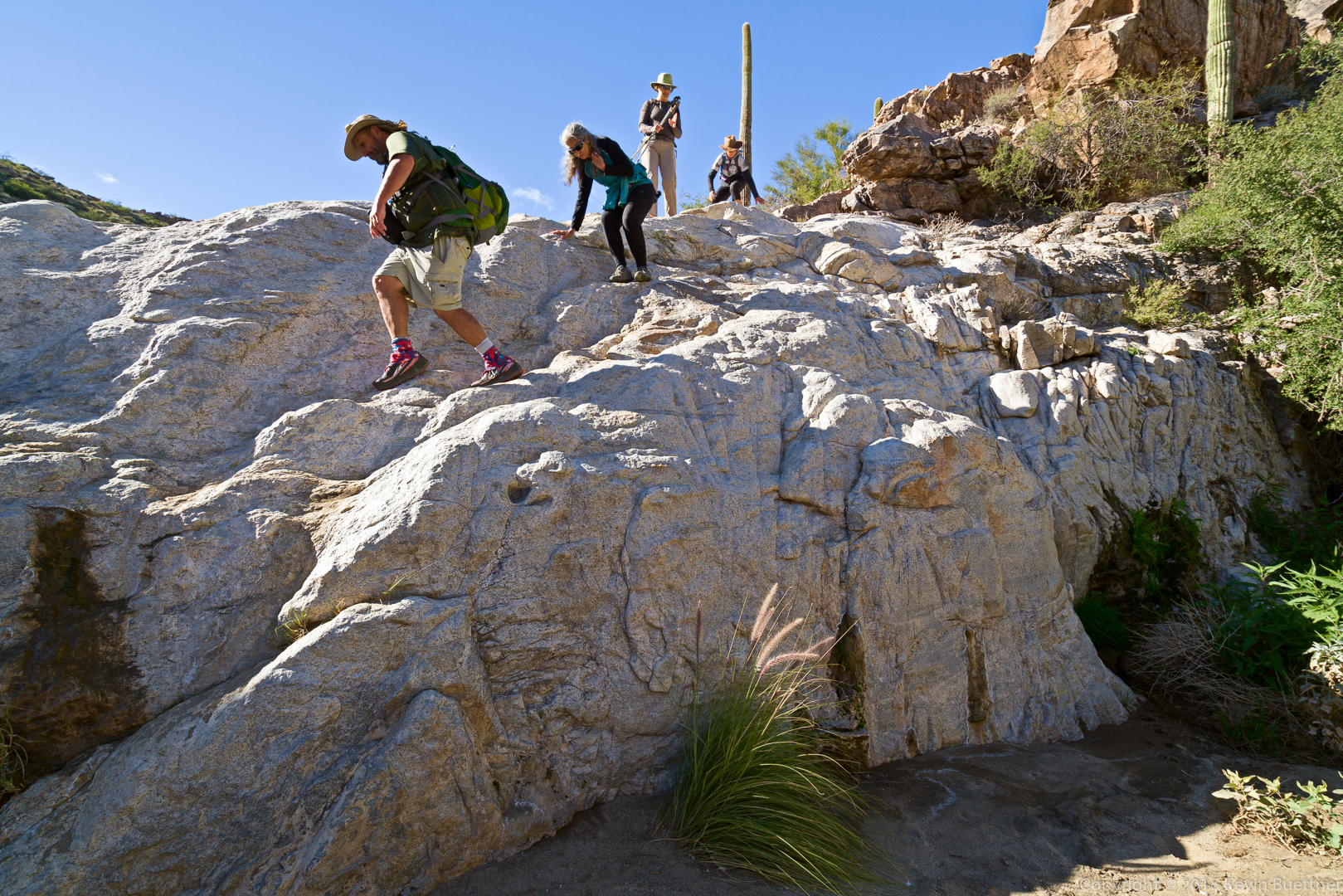
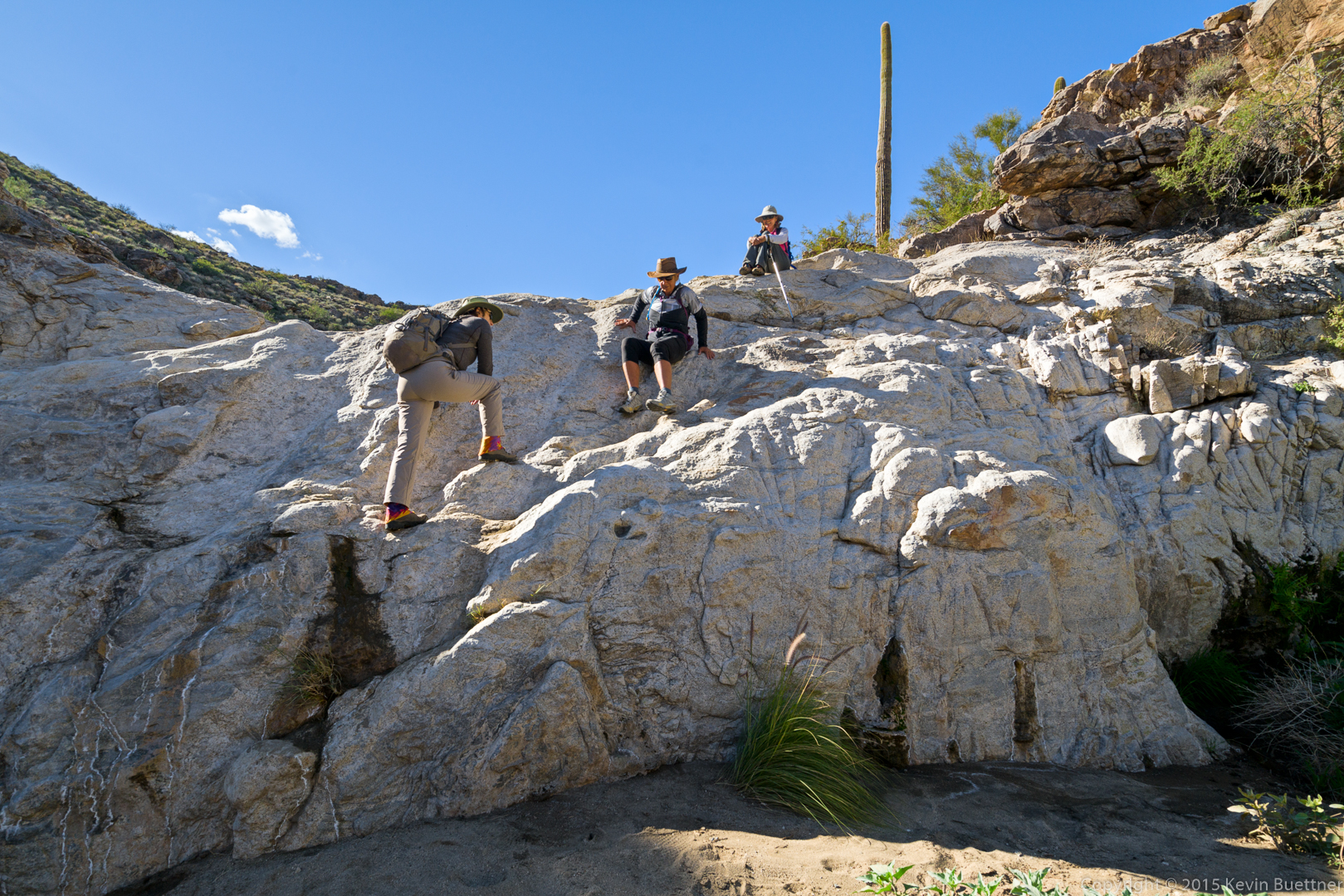
Bob leads the way down another section where some easy down-climbing was required.
Marilyn assists Nancy down the rock.
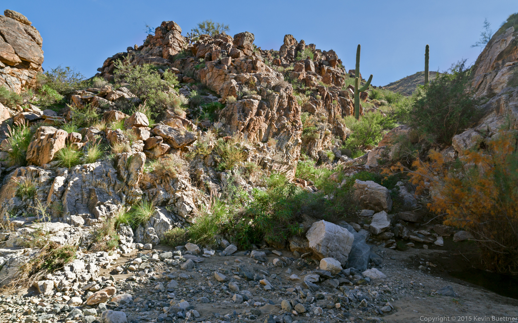
There were wonders to behold around every bend of the canyon.
I chose to avoid this obstacle by climbing the rock at the side. Linda is being told how to make her way around that small pool of water.
Bob and Linda (and Nancy, behind Linda) continue down the canyon.
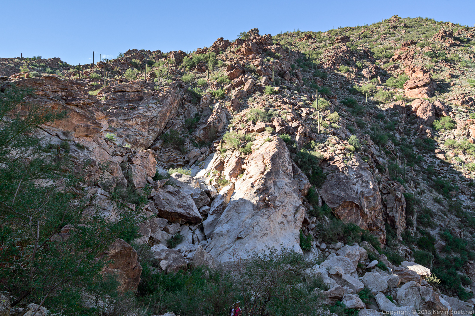
I climbed another rock formation to get this shot of our group and another group going the opposite direction:
This is the rock that I climbed last year to retrieve Nick’s hiking pole. We had missed the turn-off for the hiking trail at the side of the canyon. Nick had tossed his stick down a pour-off to the left; unfortunately, it soon became clear that we wouldn’t be able to easily descend that way.
From this point on, we (again) had an obvious trail to follow.
Sany, DeAnn, Linda, Bob, Marilyn, and Nancy (still hiking up the trail):
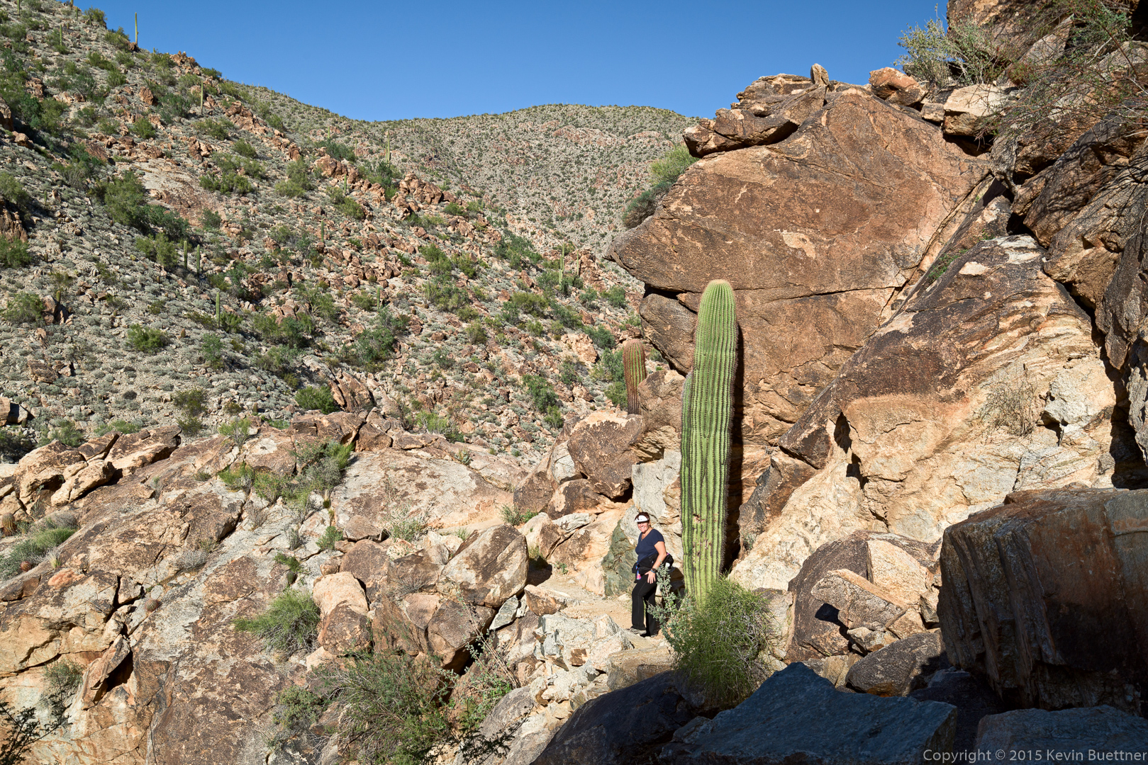
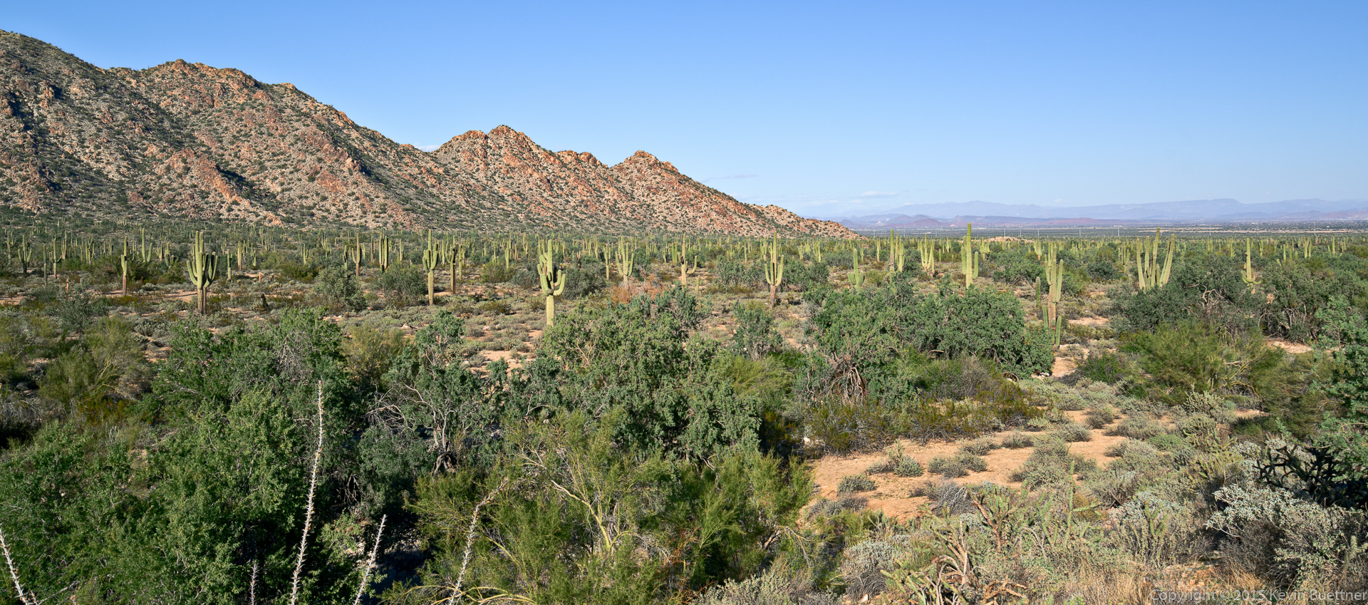
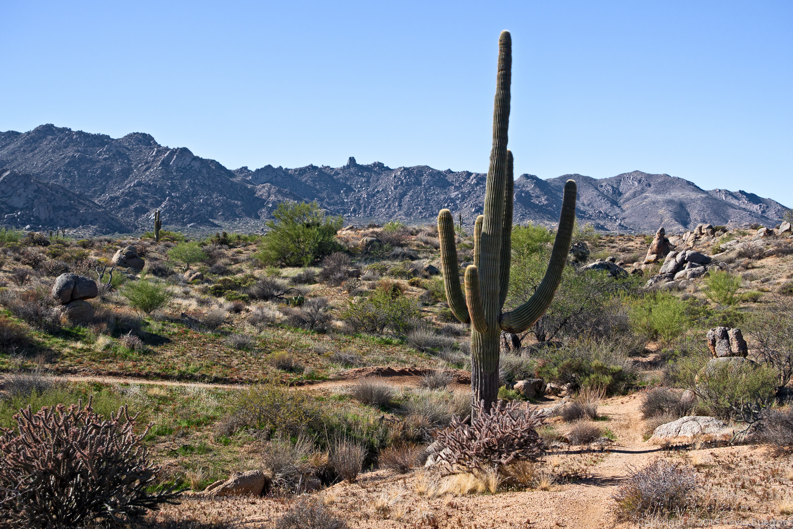
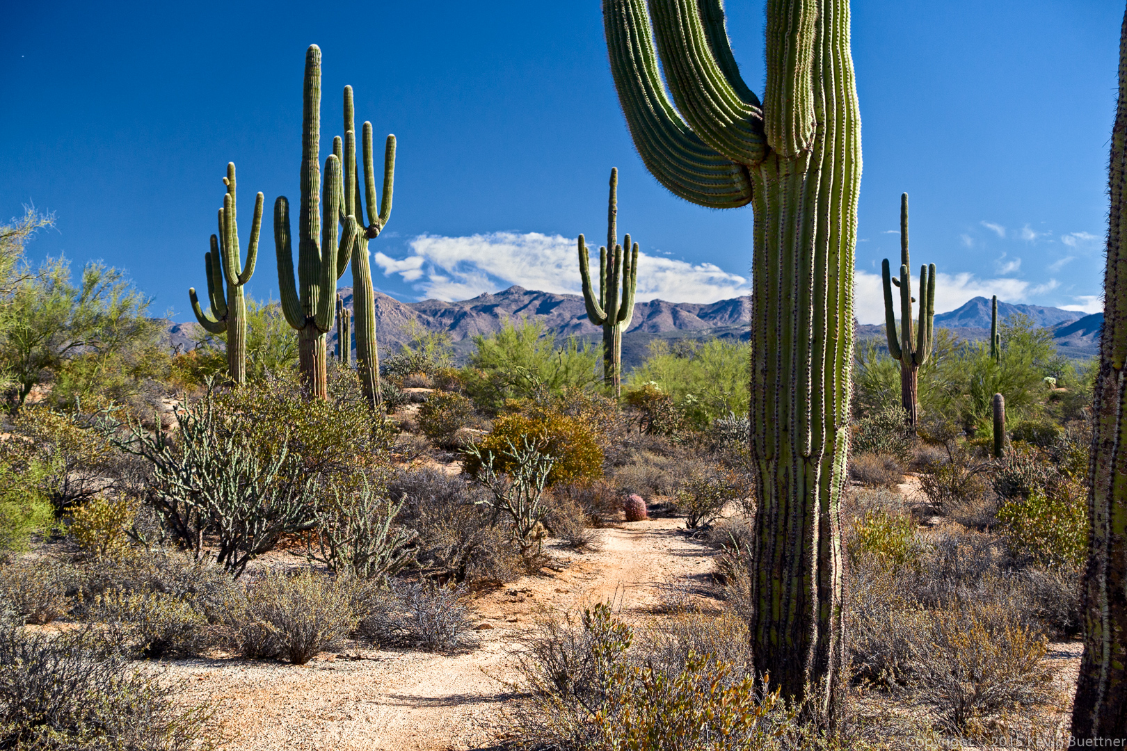
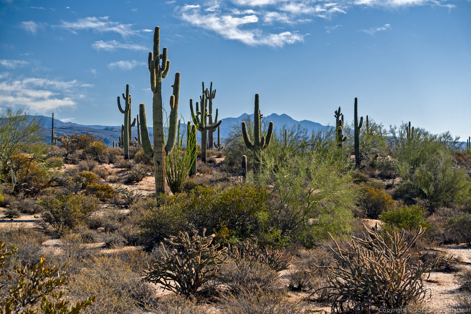
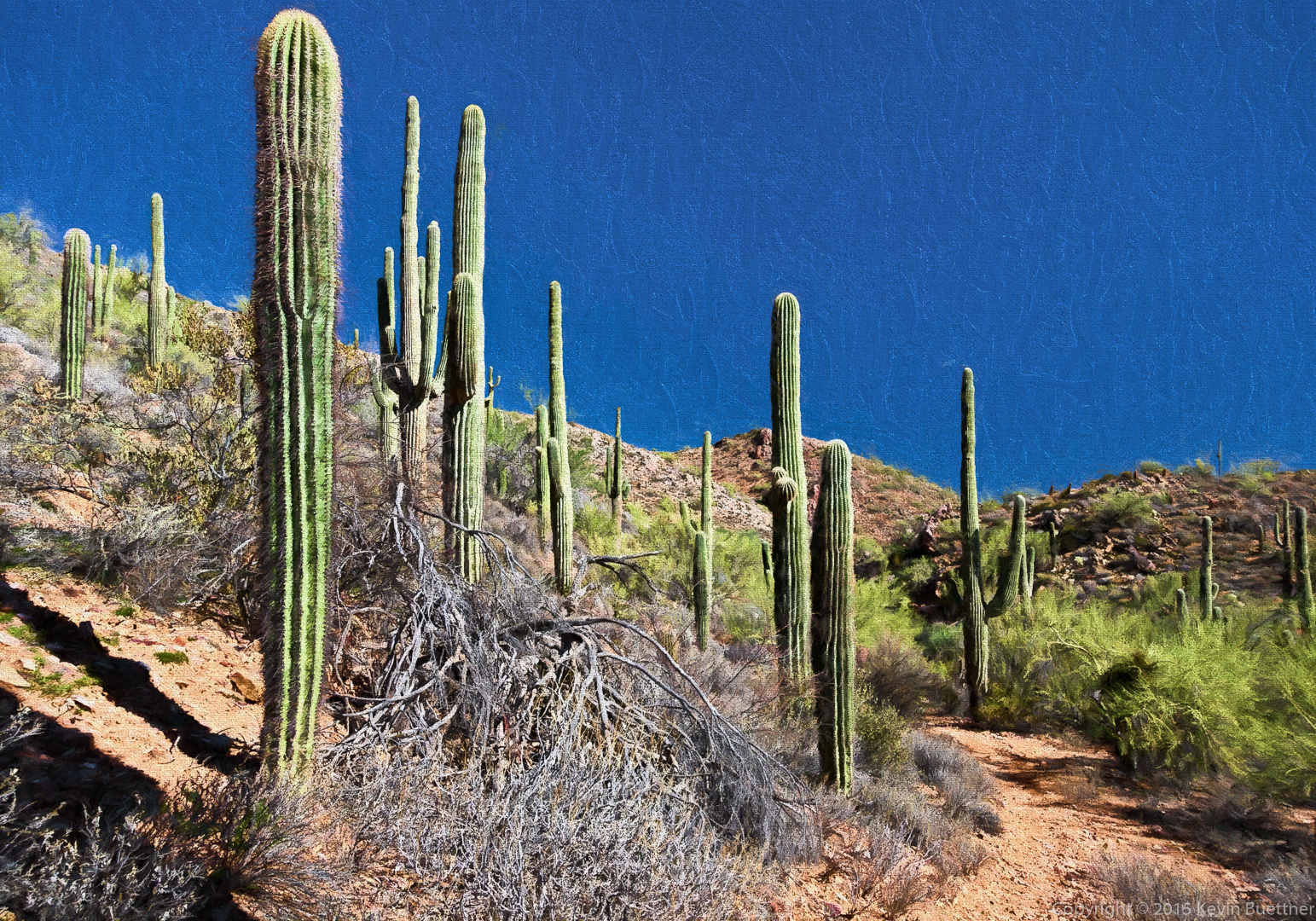
Saguaros near the end of the Ford Canyon Trail:
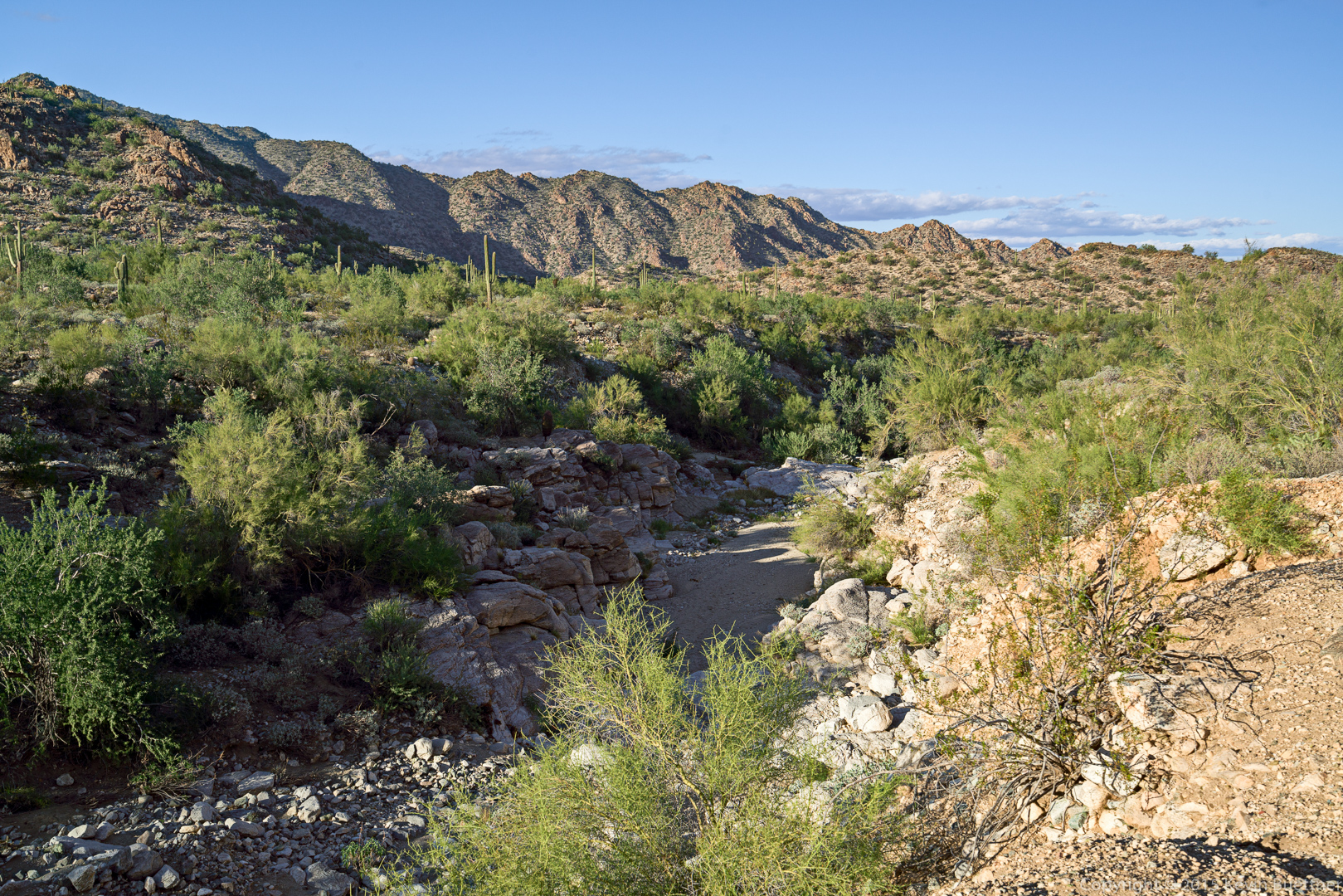
Another small wash / mini-canyon just off of the Waddell Trail:
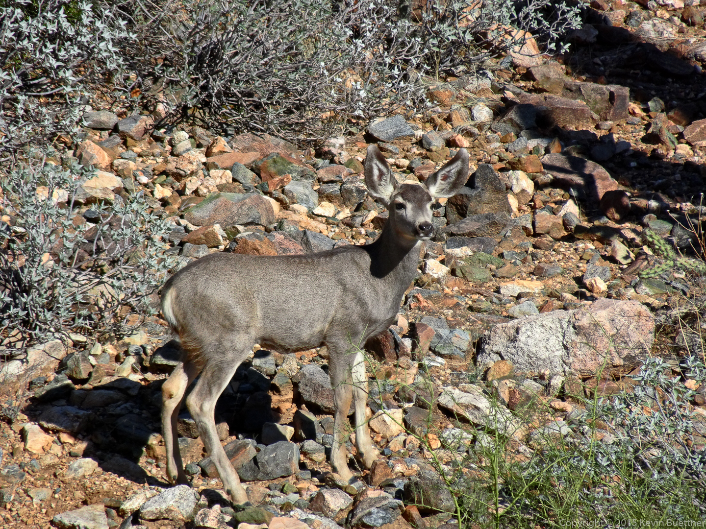
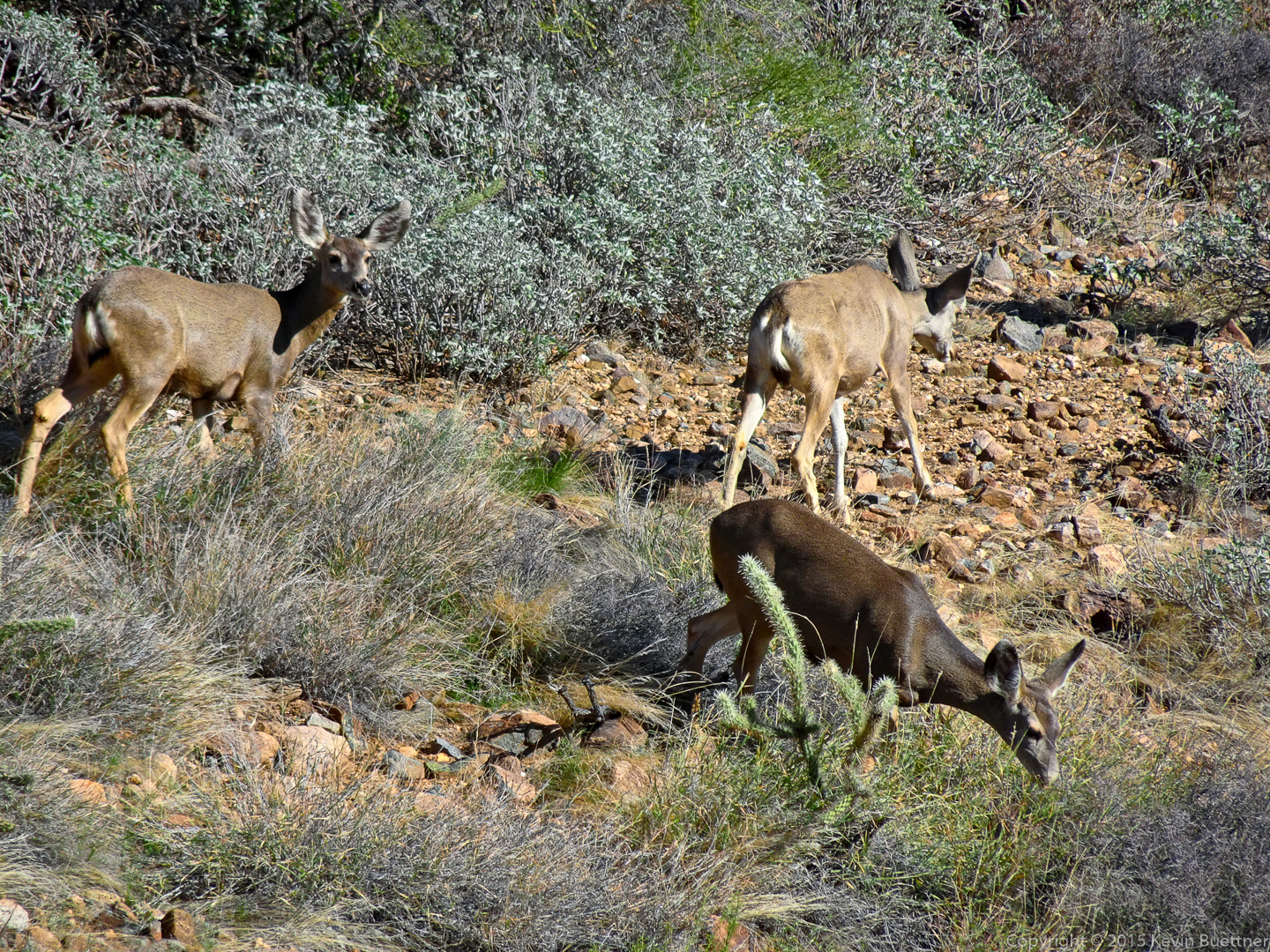
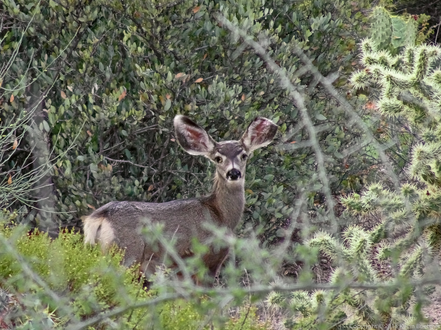
We saw these deer earlier in the hike.
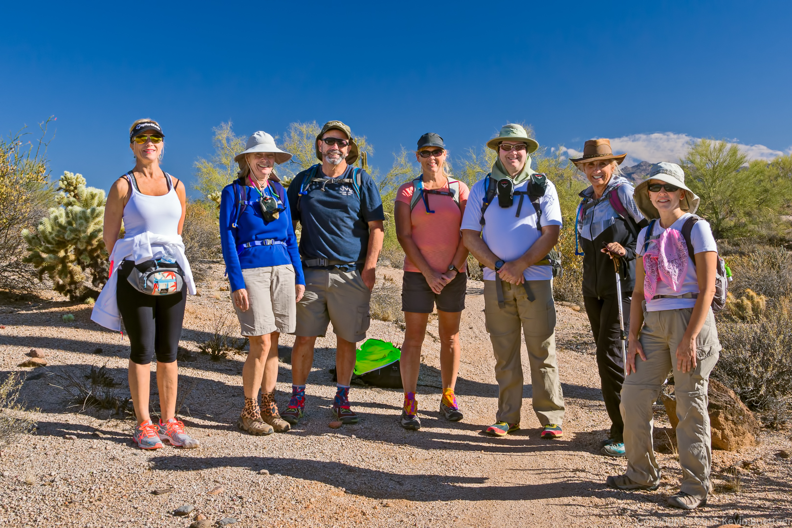
Marilyn, Bob, and I hiked at San Tan Mountain Regional Park. Bob and I hiked a loop of 11.3 miles while Marilyn hiked a slightly shorter loop of 9.6 miles.
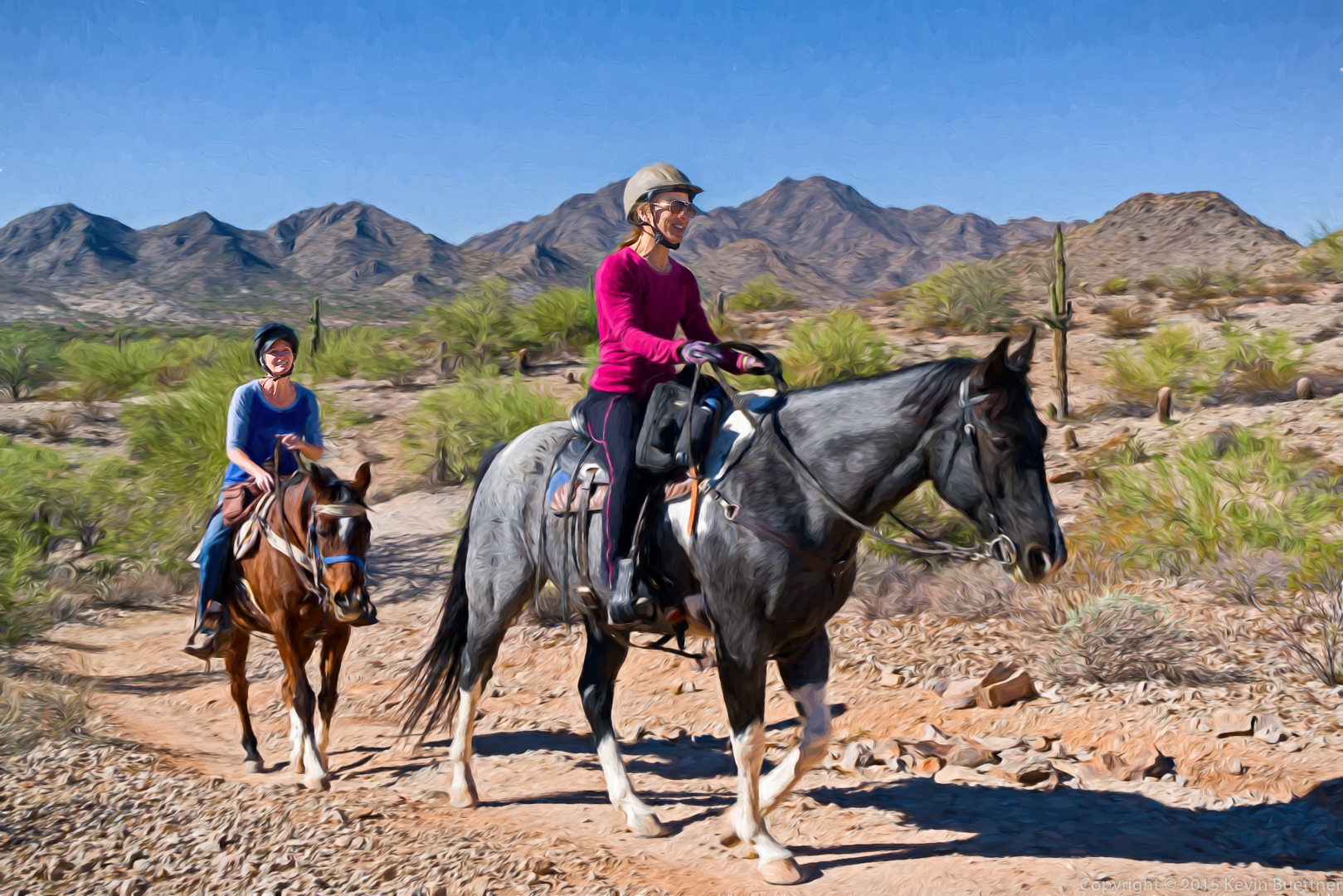
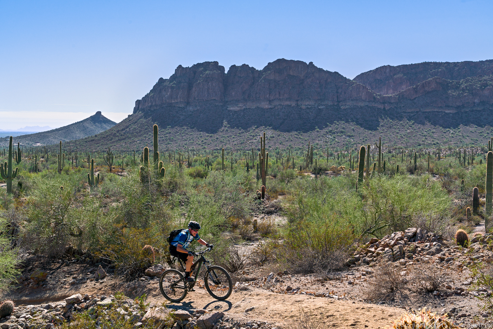
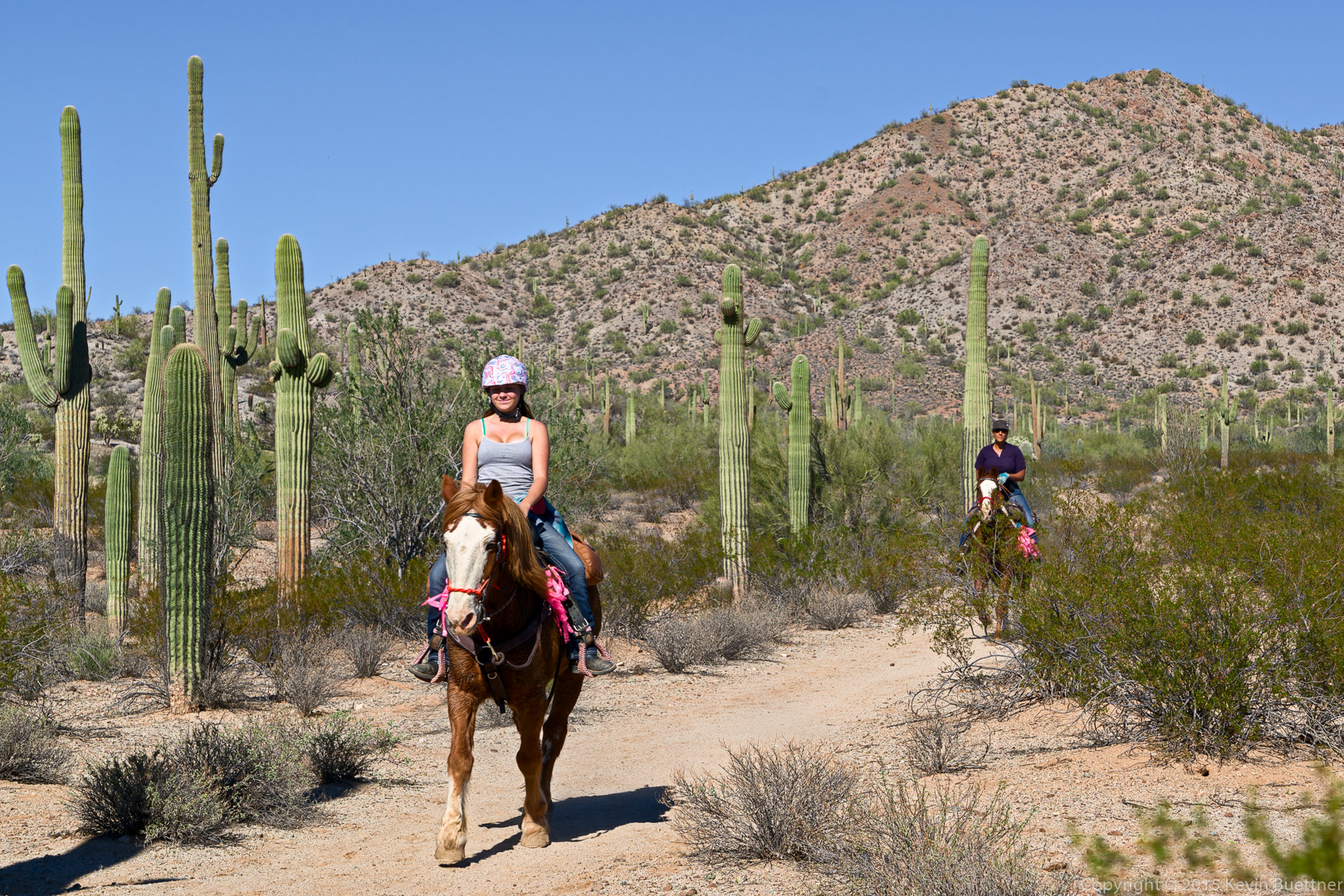
There was an equestrian event at the park while we were hiking; we saw several groups of horses along the way. This park is popular with hikers and mountain bikers too.
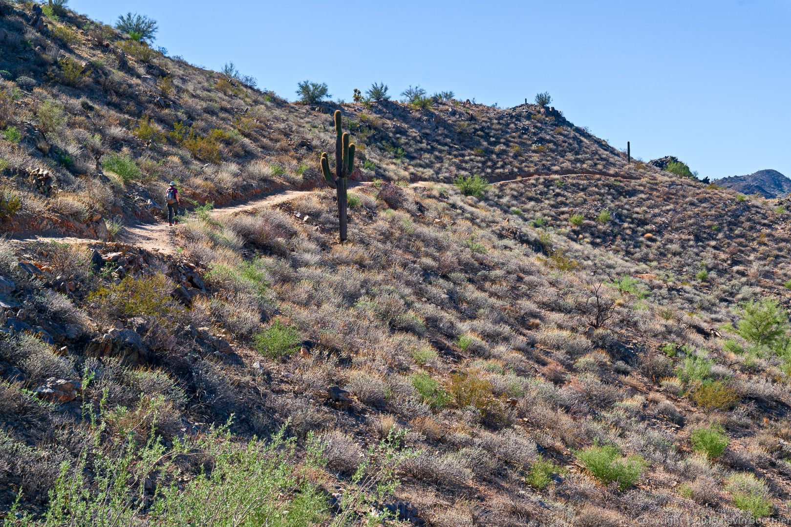
This is Marilyn hiking up a steep section of the Gold Mine Trail.
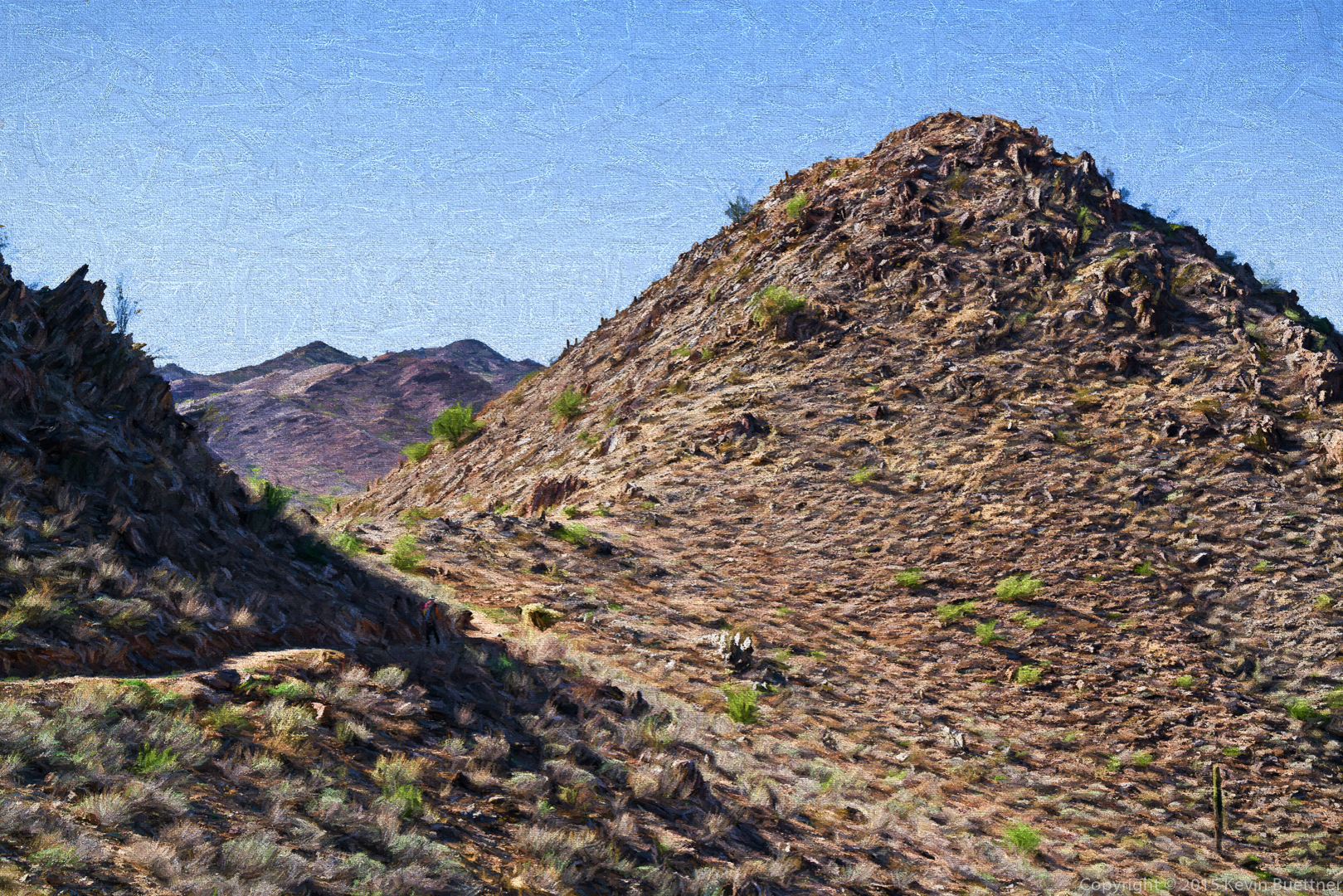
This is a little peak that’s accessed off the Gold Mine Trail. We hiked up to the top of this peak in addition to doing the loop. There’s also a grave site along the way; we visited the two graves (not shown) as well.
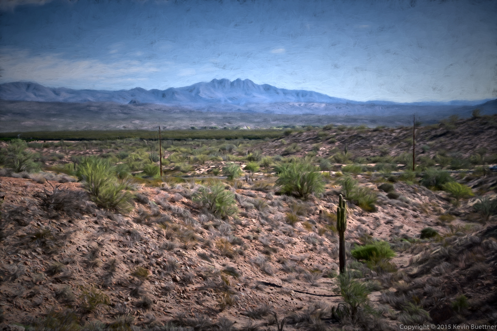
A view from the Dynamite Trail:
There are a number of conical peaks in the area. We saw this one while hiking the Dynamite Trail.

This is the same photo as above made with Topaz Impression.
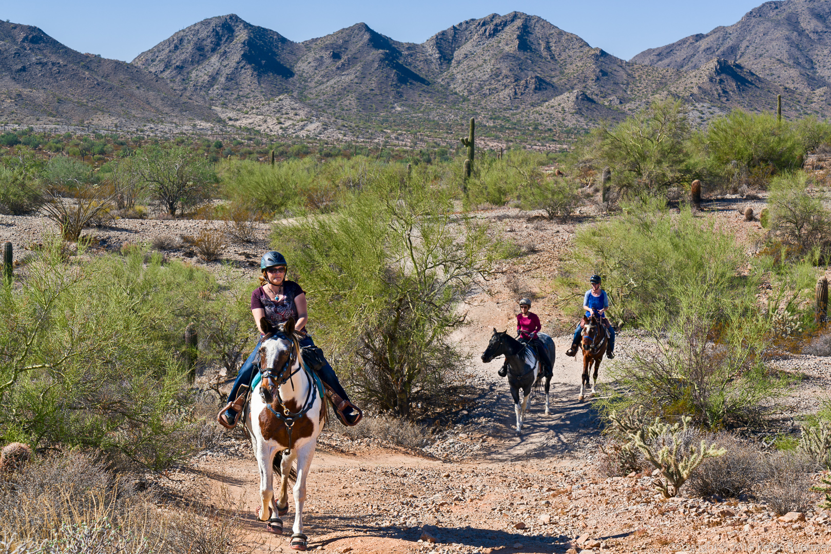
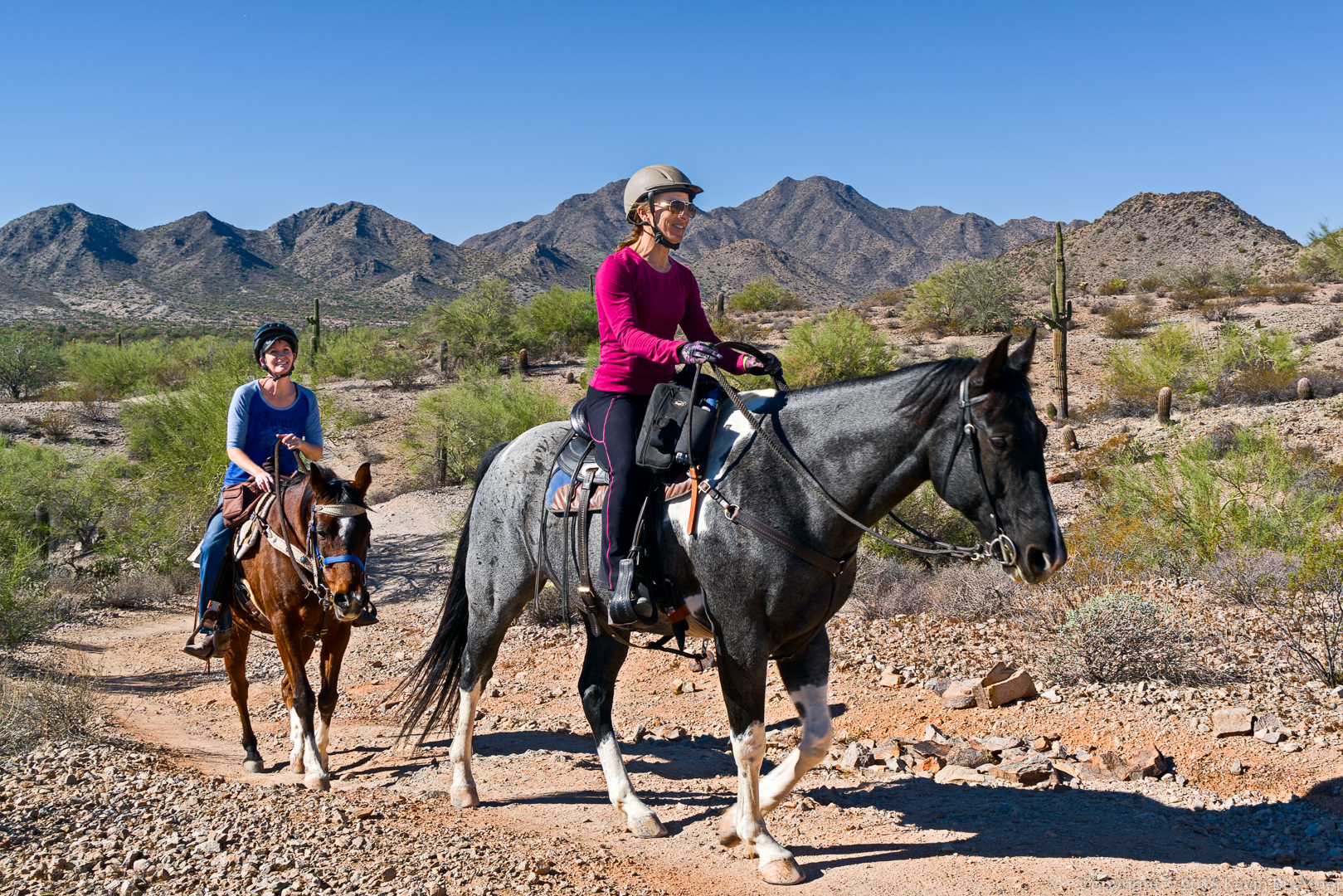
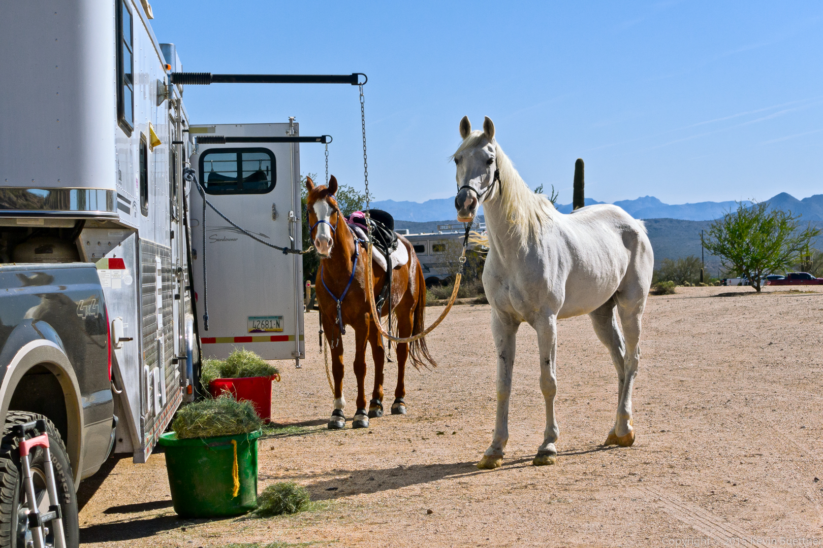
Horses on the San Tan Trail…
Another photo made (mostly) with Topaz Impression. It blurs facial details more than I wanted. I restored some of these details by using the “detail” layer after doing a frequency separation on the base image. I masked in the some of the detail layer (and a small amount of the corresponding “blur” layer) when I wanted to restore facial details.
A mountain biker on the San Tan Trail.
These women were sweeping the trail, cleaning up the pink ribbons marking the route for the equestrians. We were fortunate enough to see them galloping theirs horses as we hiked.
We hiked 11.8 miles on Friday starting at the Wagner Trailhead. We hiked these trails (in order): Wagner, Granite, Delsie, Gooseneck, Rock Knob, Pemberton, Bluff Trail Wash, Granite, Bluff, Granite, and Wagner.
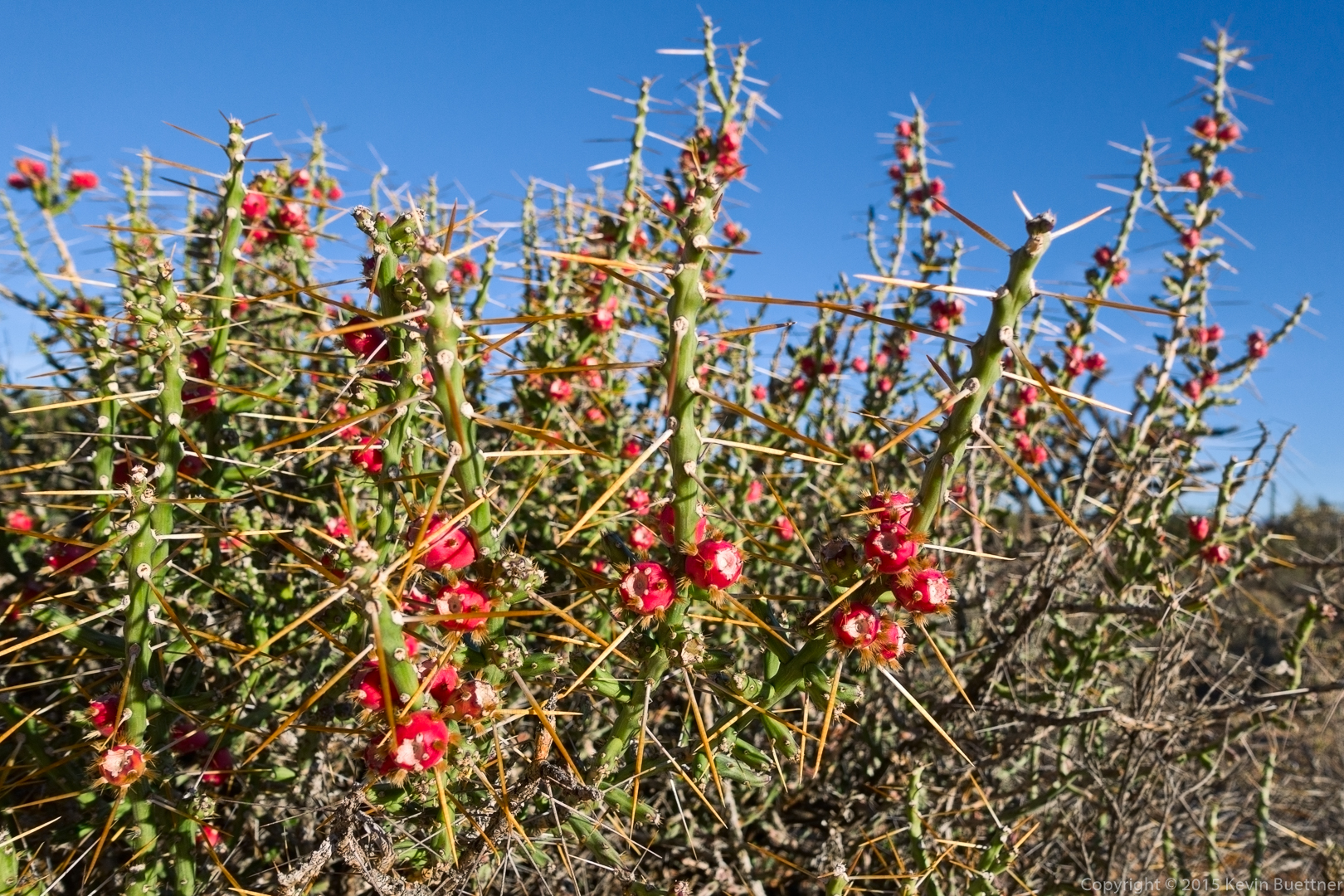
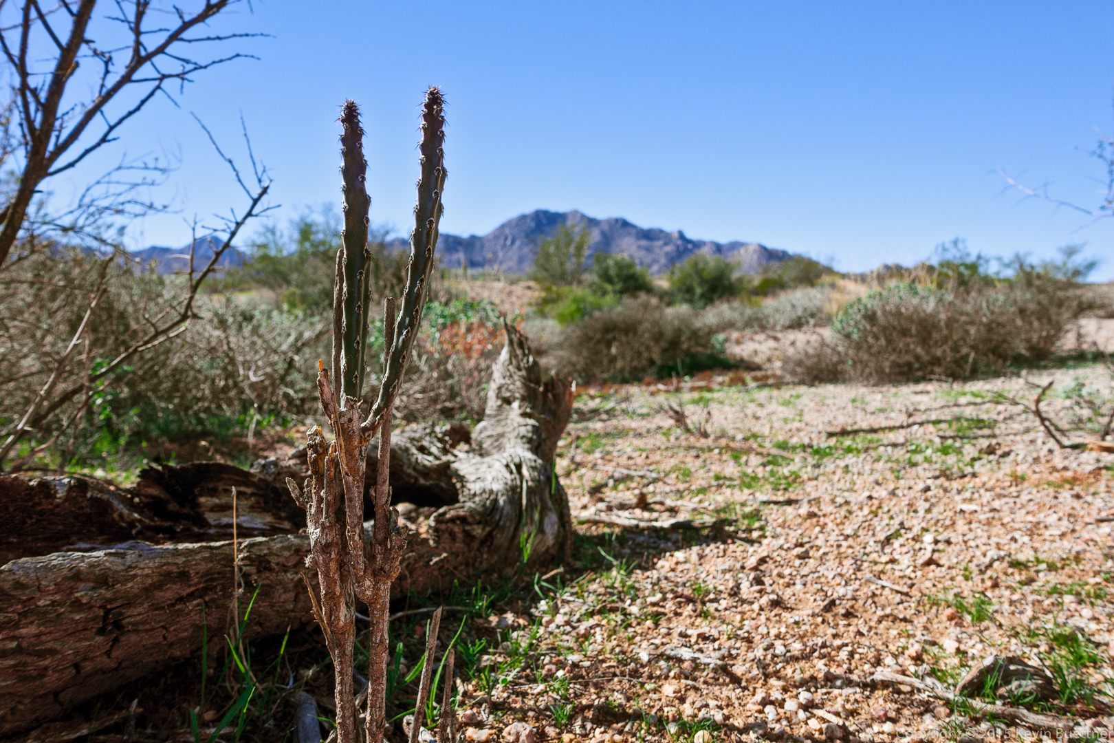
Christmas Cholla on the Granite Trail:
Mike and Amy on the Delsie Trail:
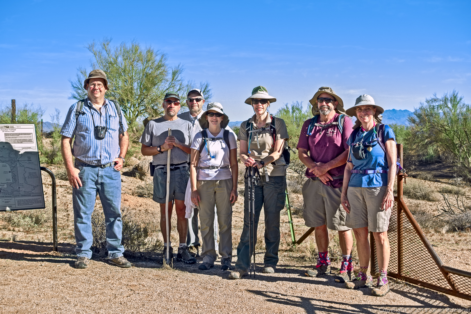
Mike, Kelly, Bill, Laura, Amy, Bob, and Linda:
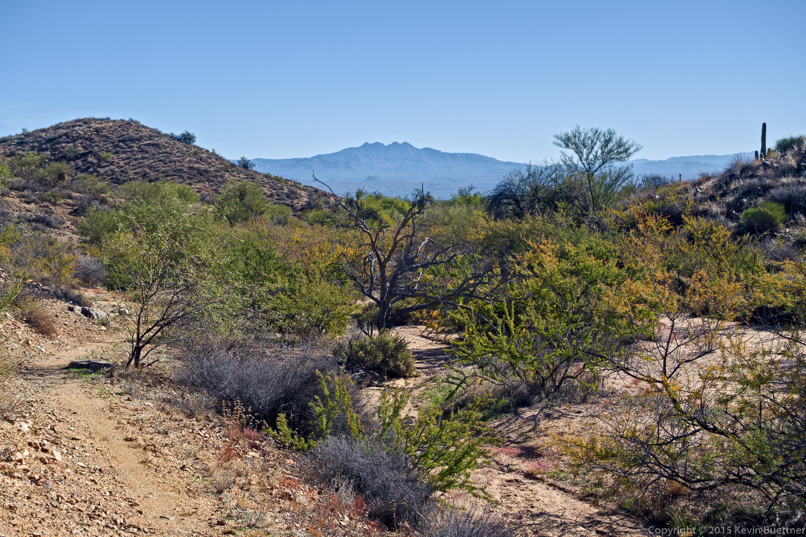
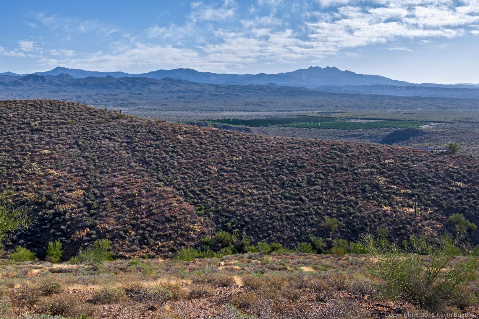
A view of Four Peaks from the Gooseneck Trail:
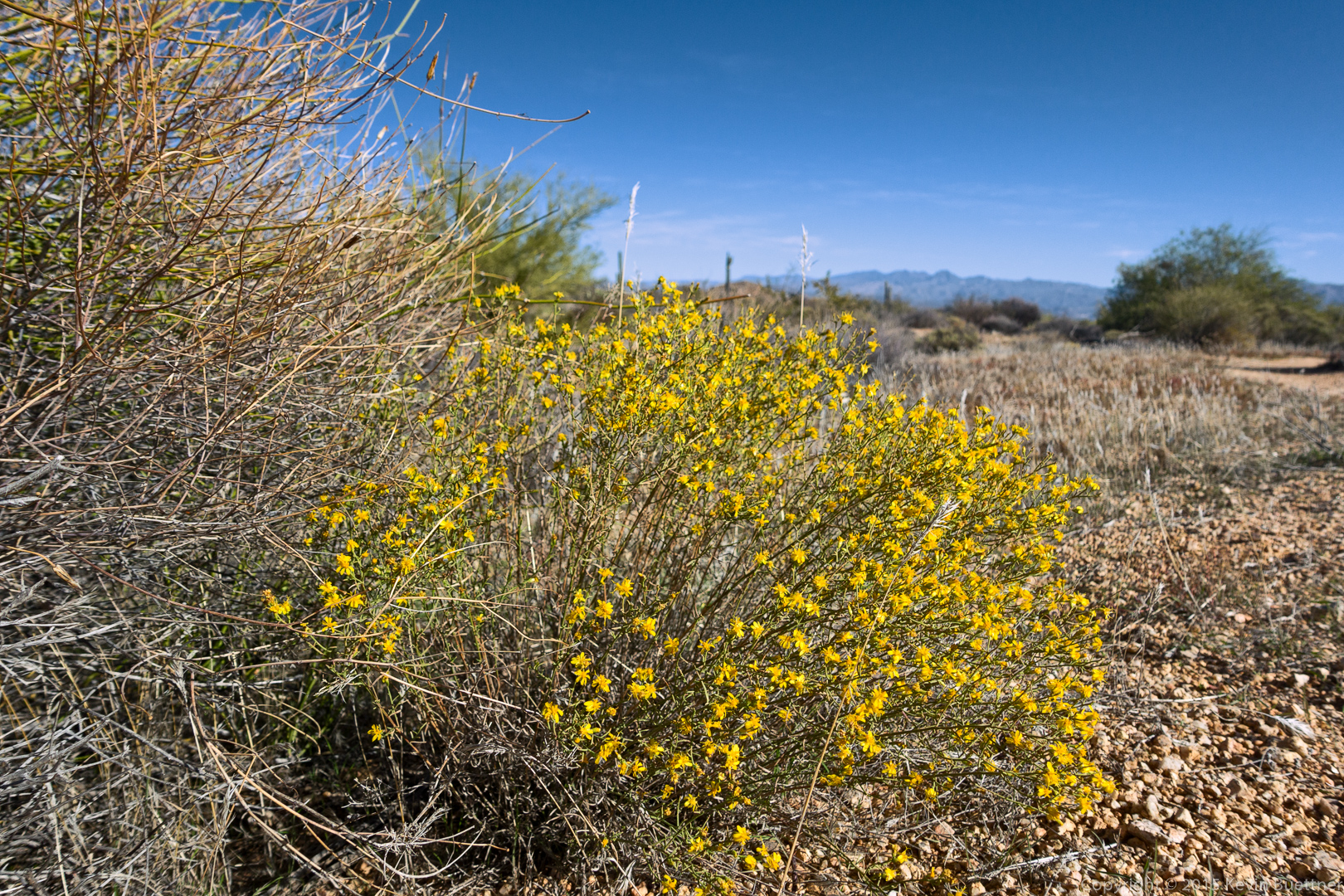
Some flowers are already starting to bloom!
More views from the Gooseneck Trail…
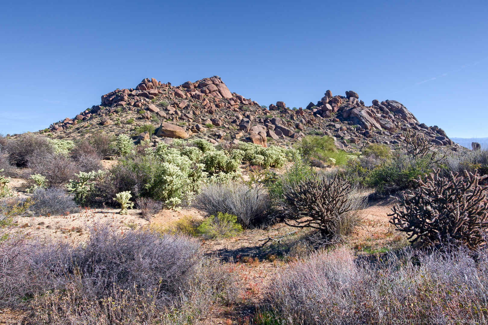
A view of Rock Knob from the Rock Knob Trail:
I think we were still on the Rock Knob Trail for this shot:
A view of Rock Knob from the Pemberton Trail:
Views from the Bluff Trail Wash:
Linda spotted this Queen of the Night plant on the Bluff Trail. She saw another one perhaps 200 feet later.
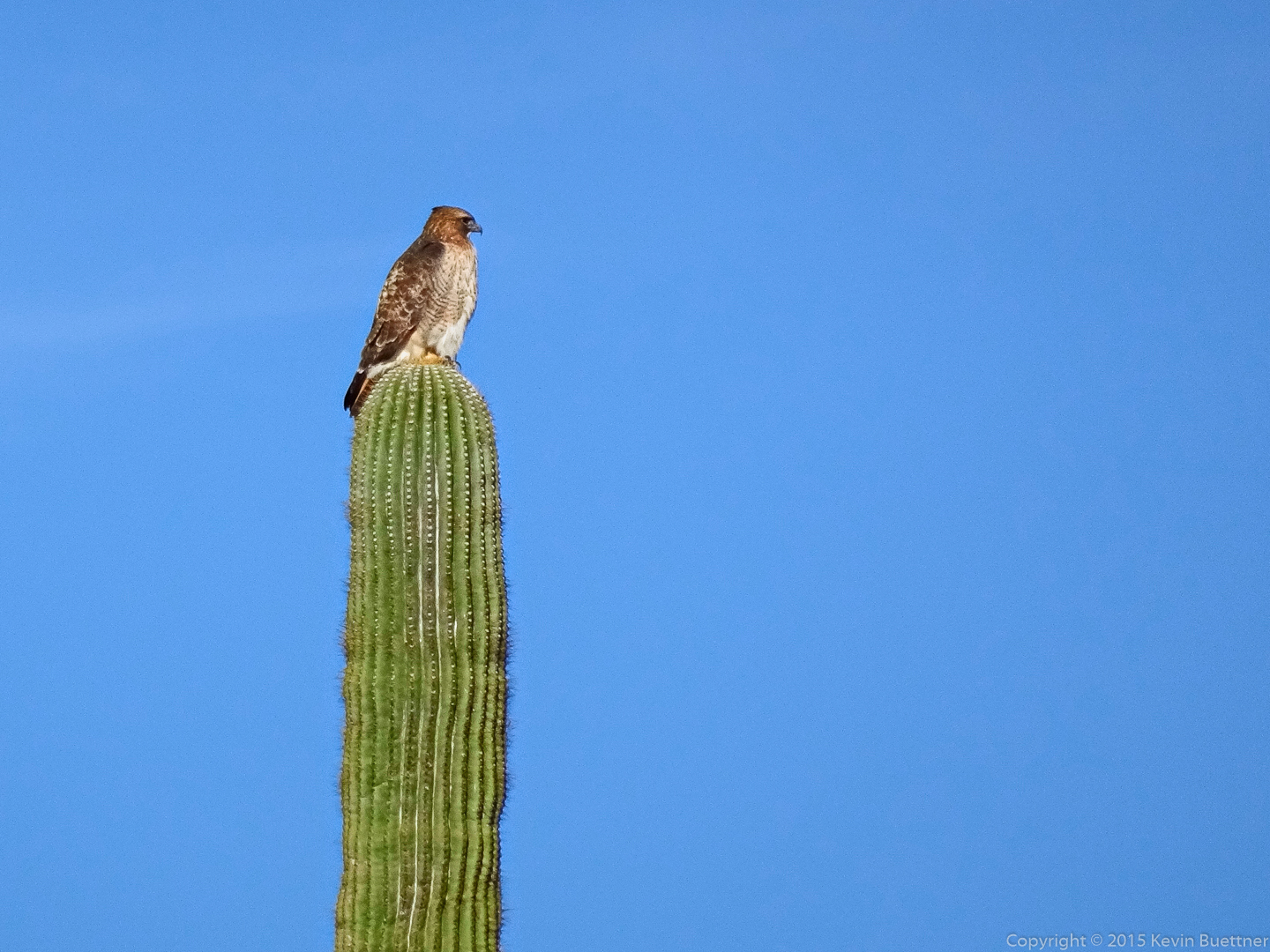
Earlier in the hike, Amy spotted this hawk:
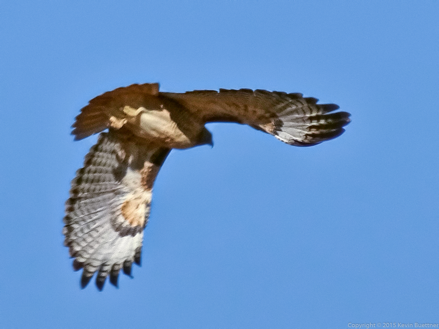
It’s not a very good shot, but here it is shortly after taking flight:
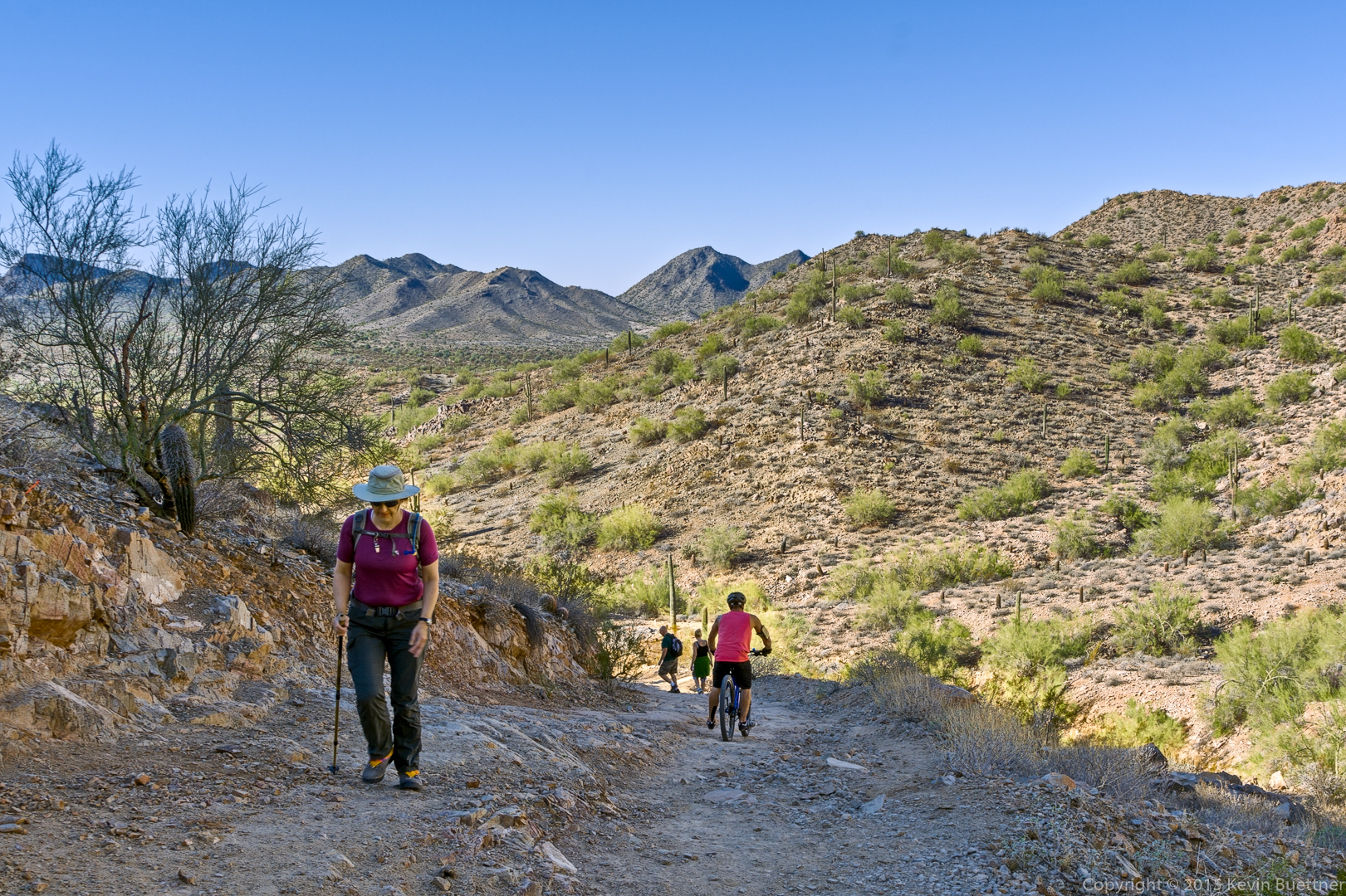
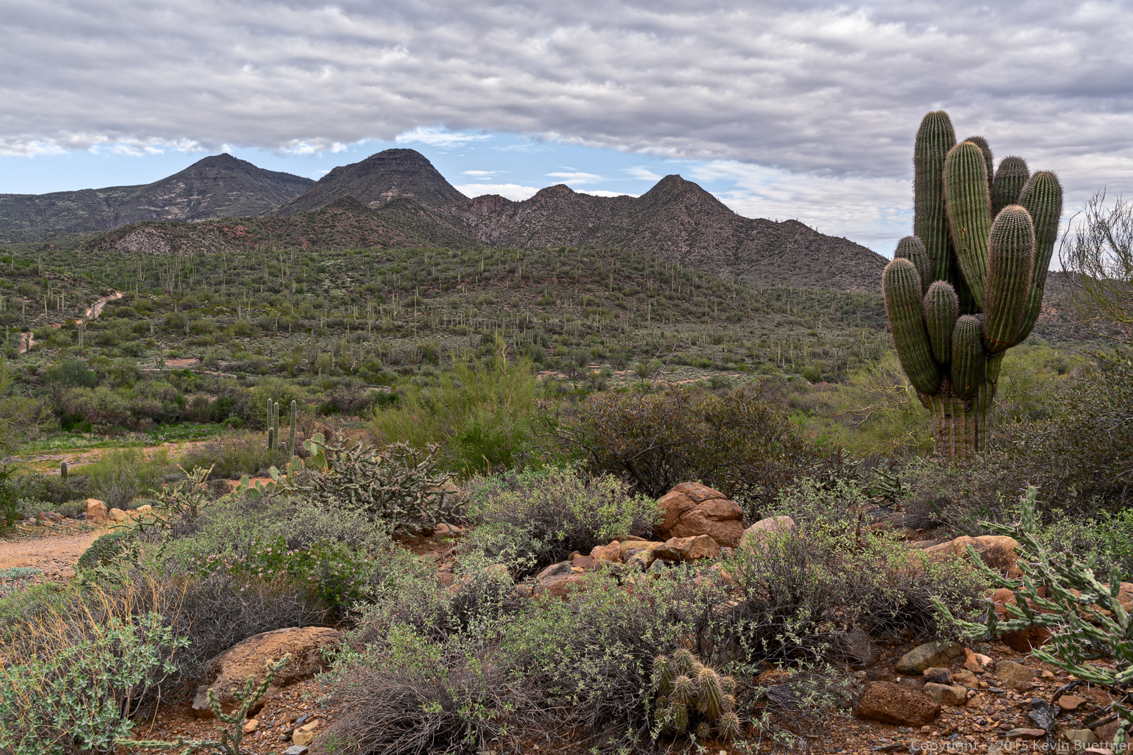
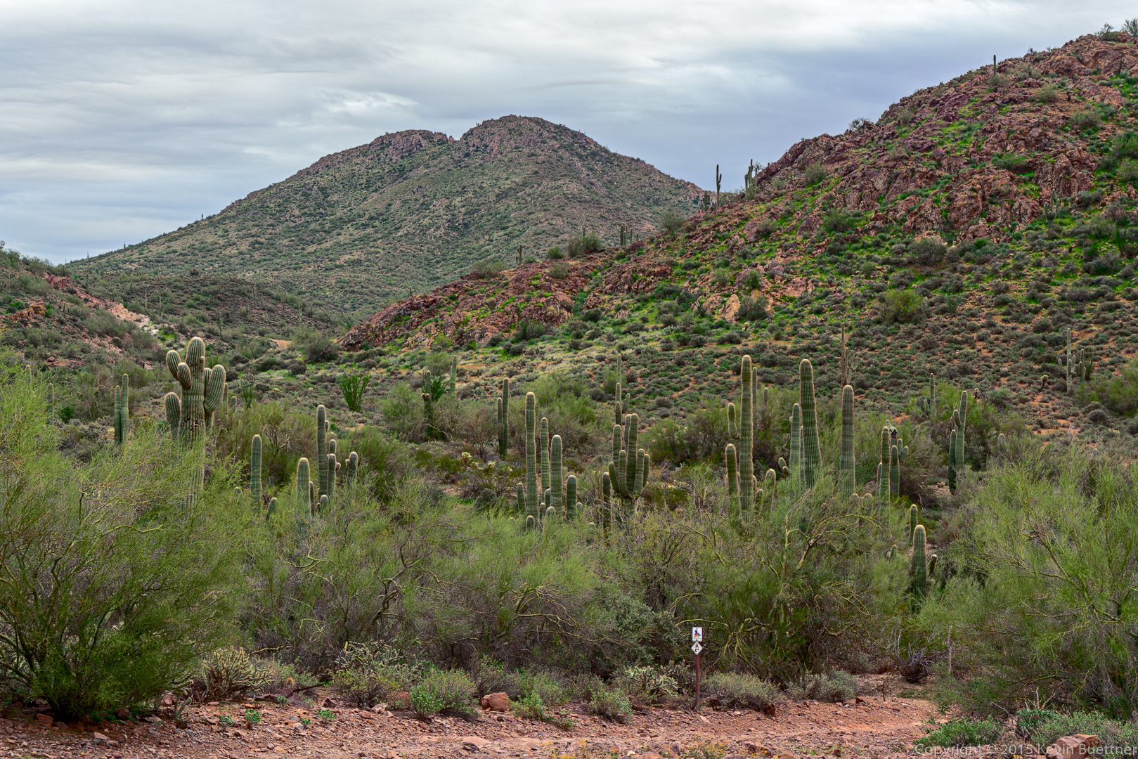
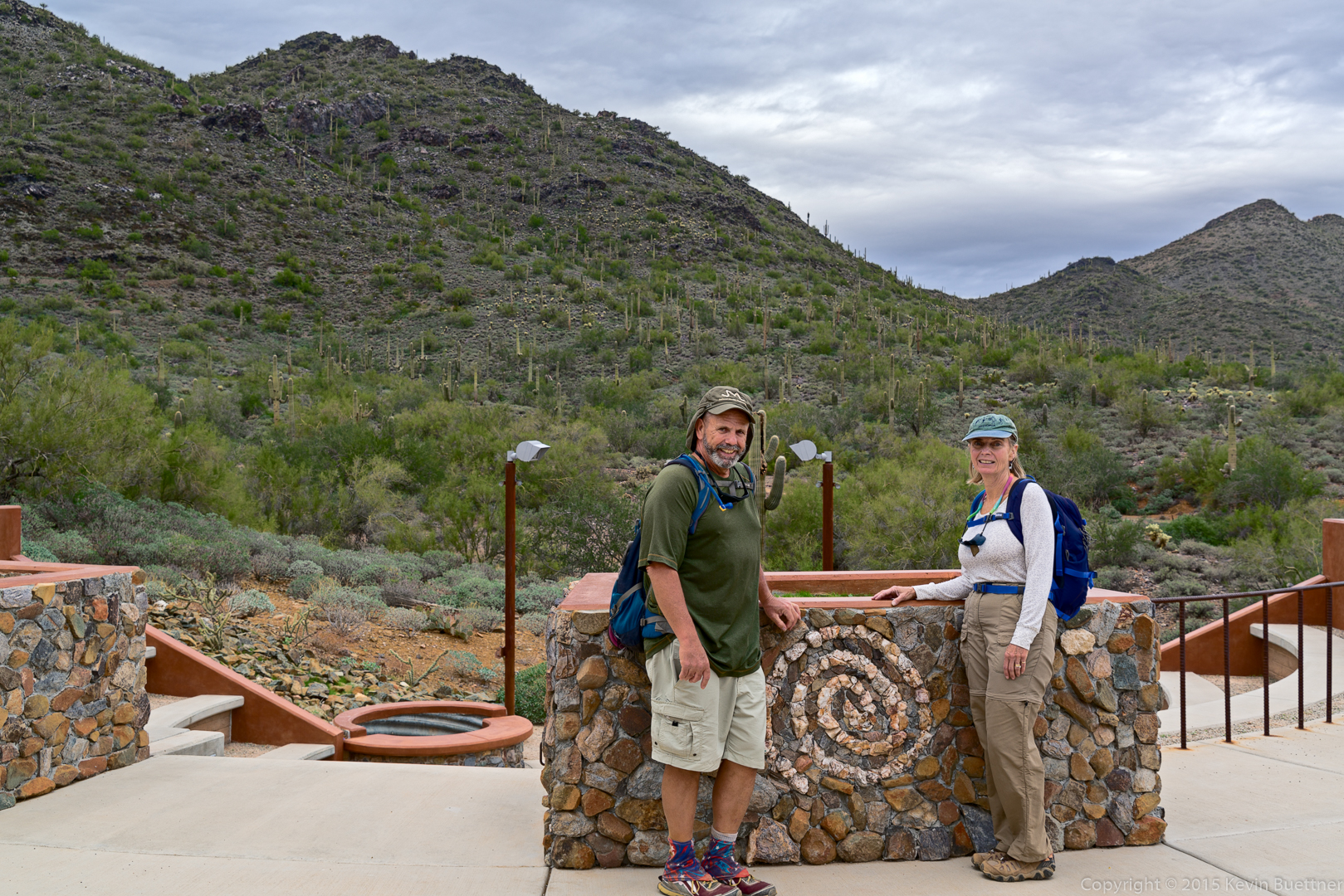
On Sunday, Linda, Bob, and I hiked 11.6 miles between the Spur Cross Ranch Conservation Area and the Cave Creek Recreation Area. Marilyn hiked out 4.5 miles with us and then returned to the car for a 9 mile hike. According to my GPS watch, we ended up with 1,070 feet of total ascent and 1335 feet of total descent.
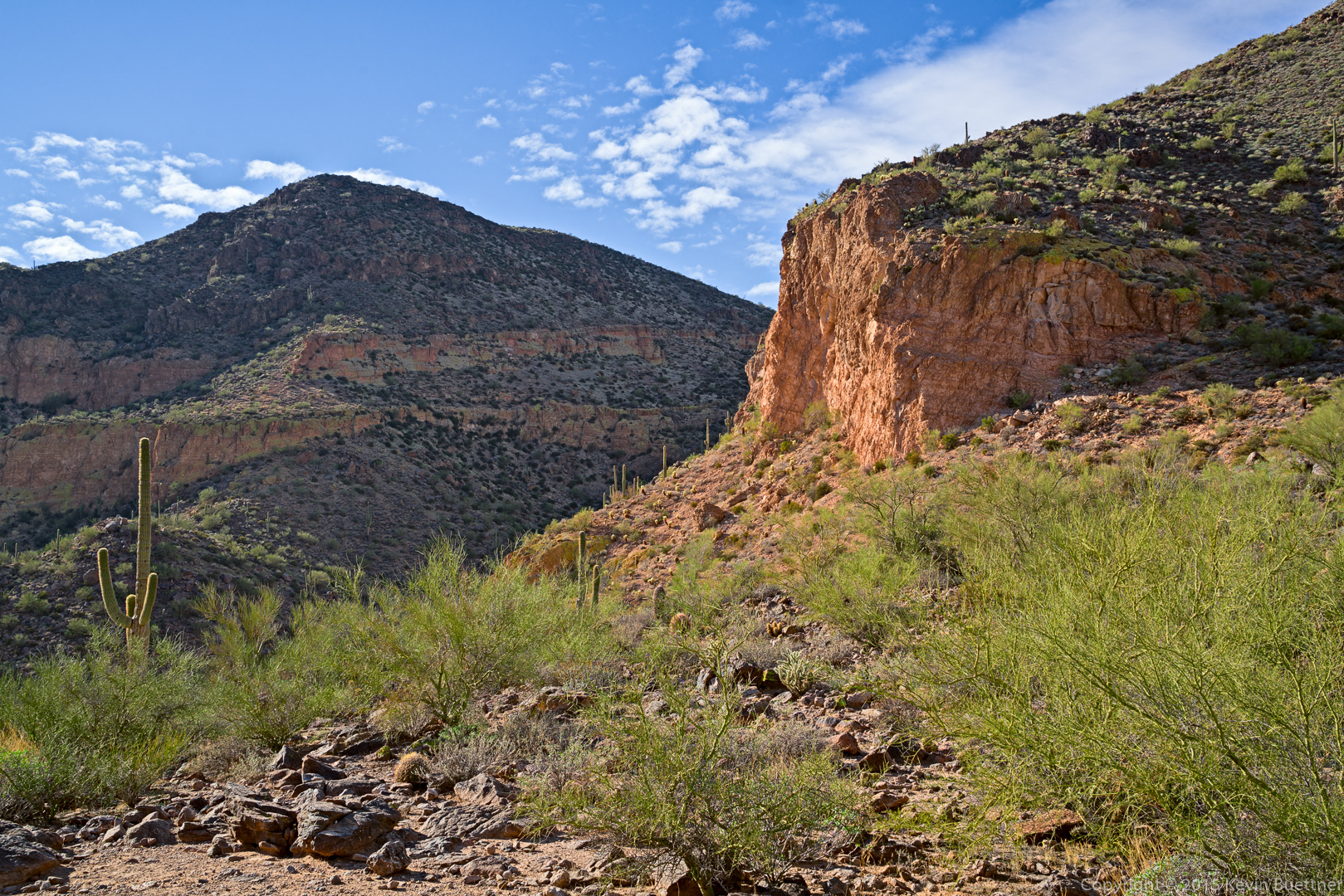
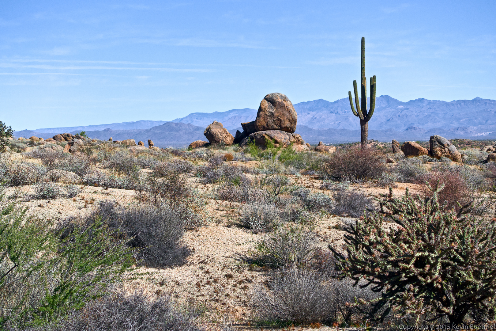
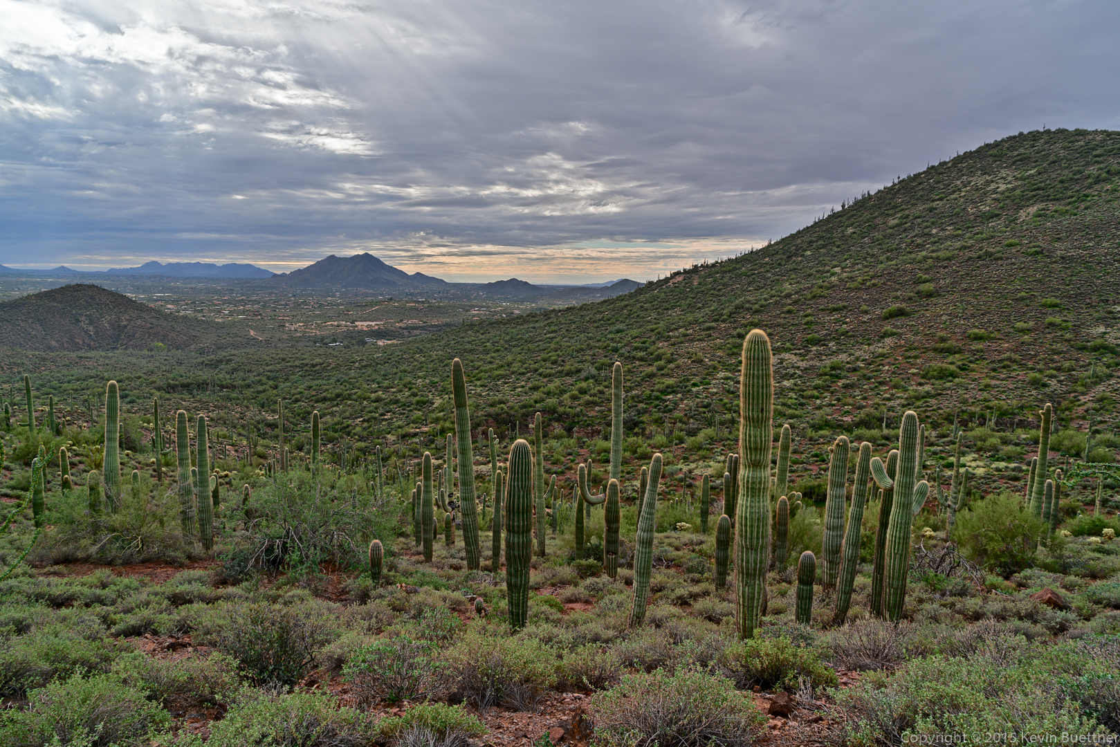
A view from near the beginning of the Spur Cross Trail:
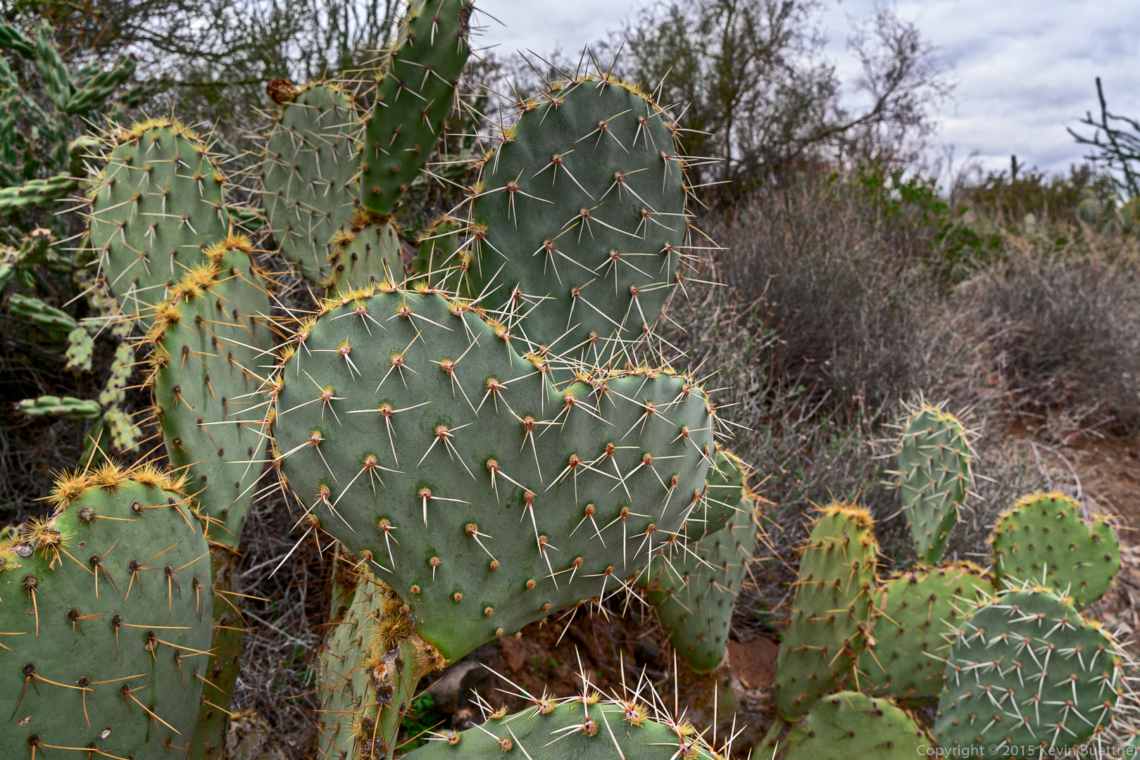
Linda spotted this heart shaped prickly pear:
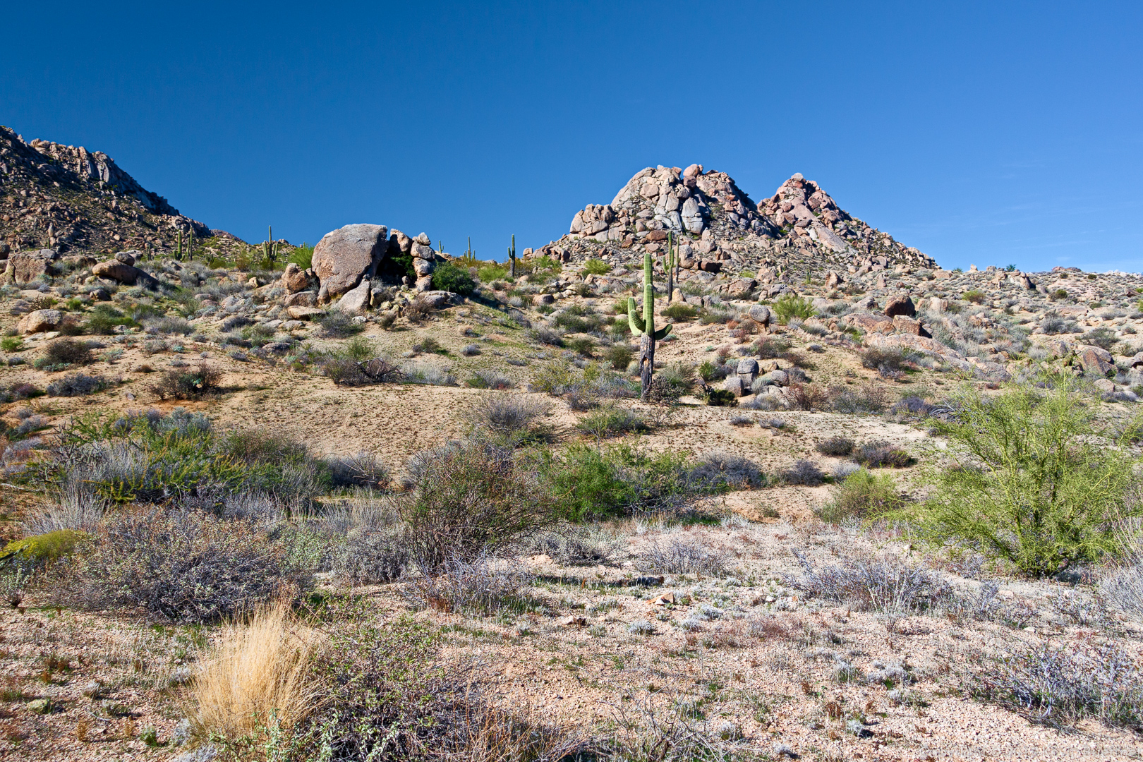
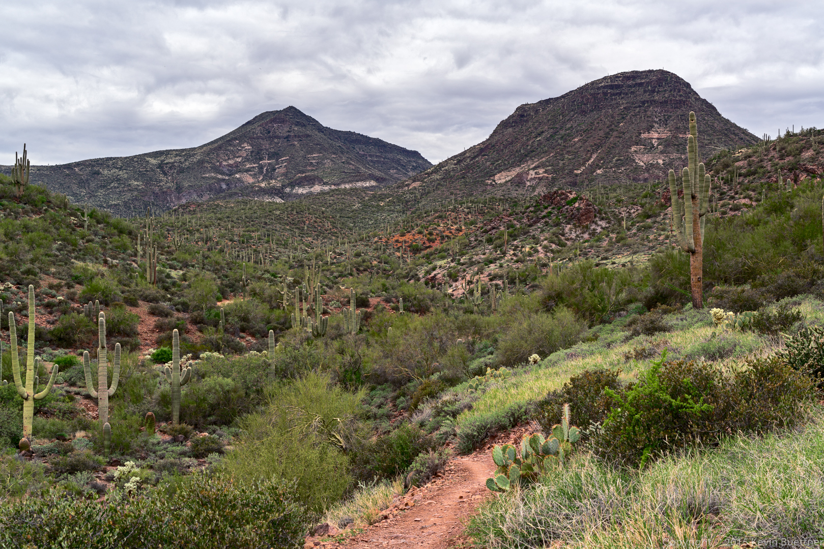
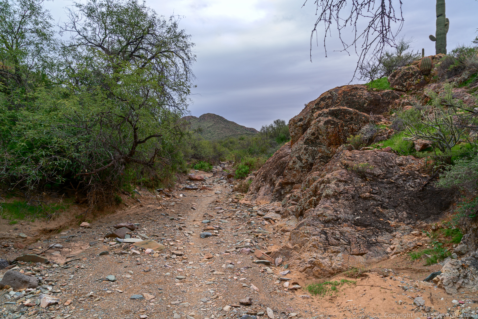
Another view from the Spur Cross Trail:
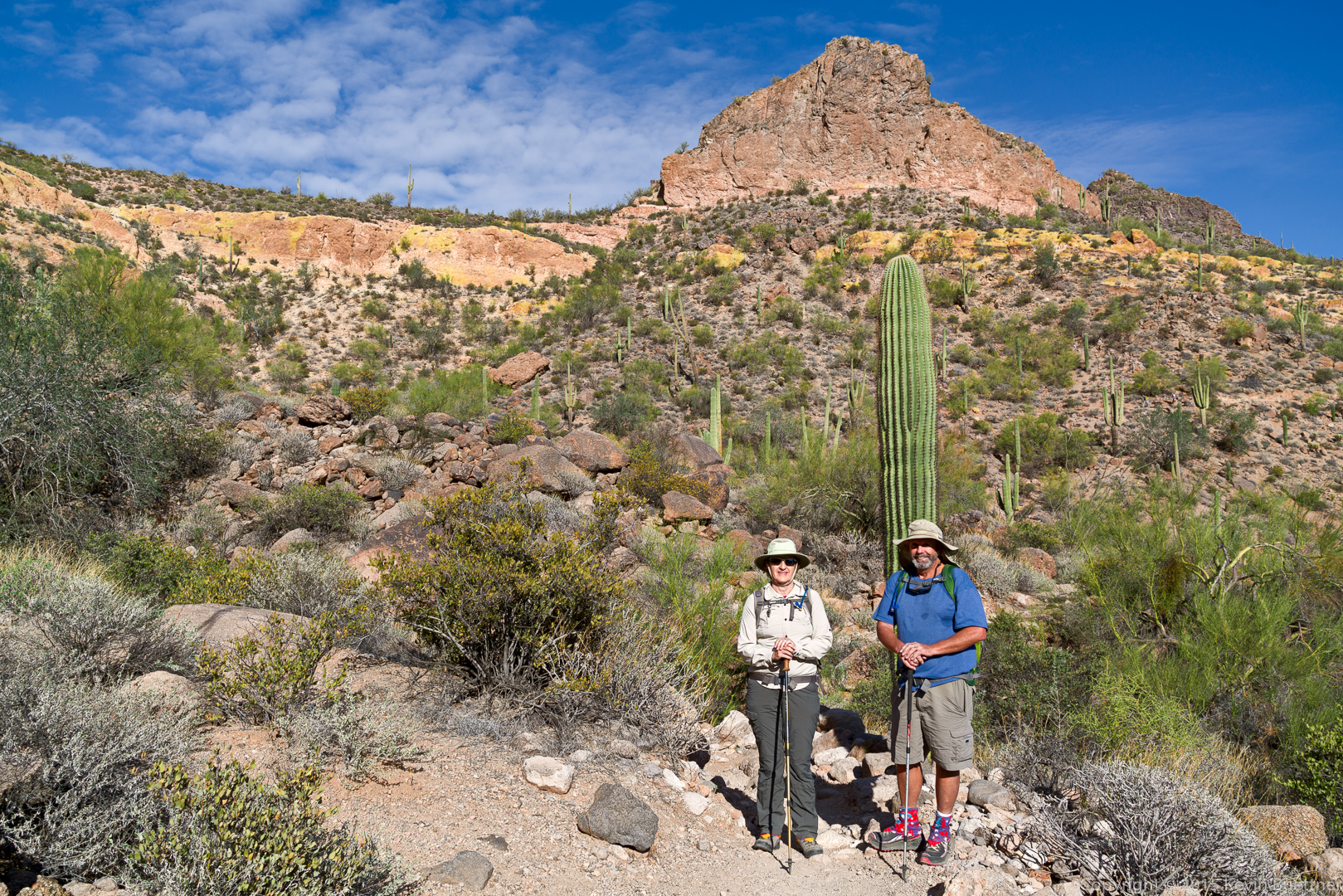
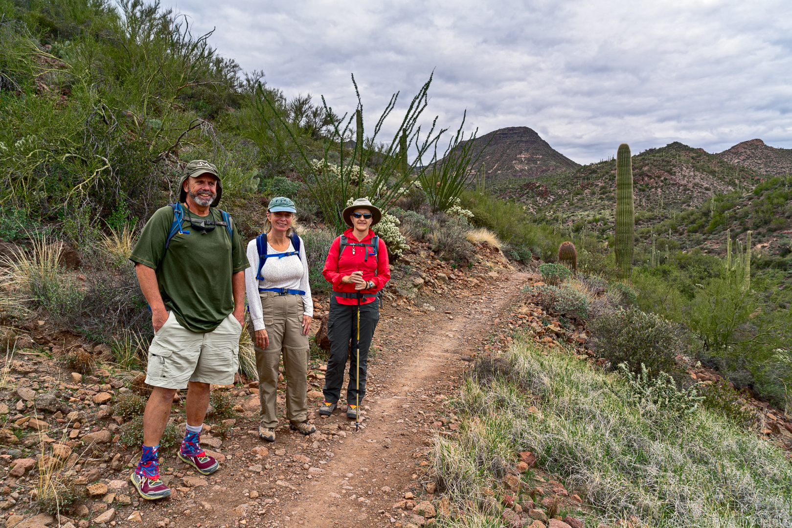
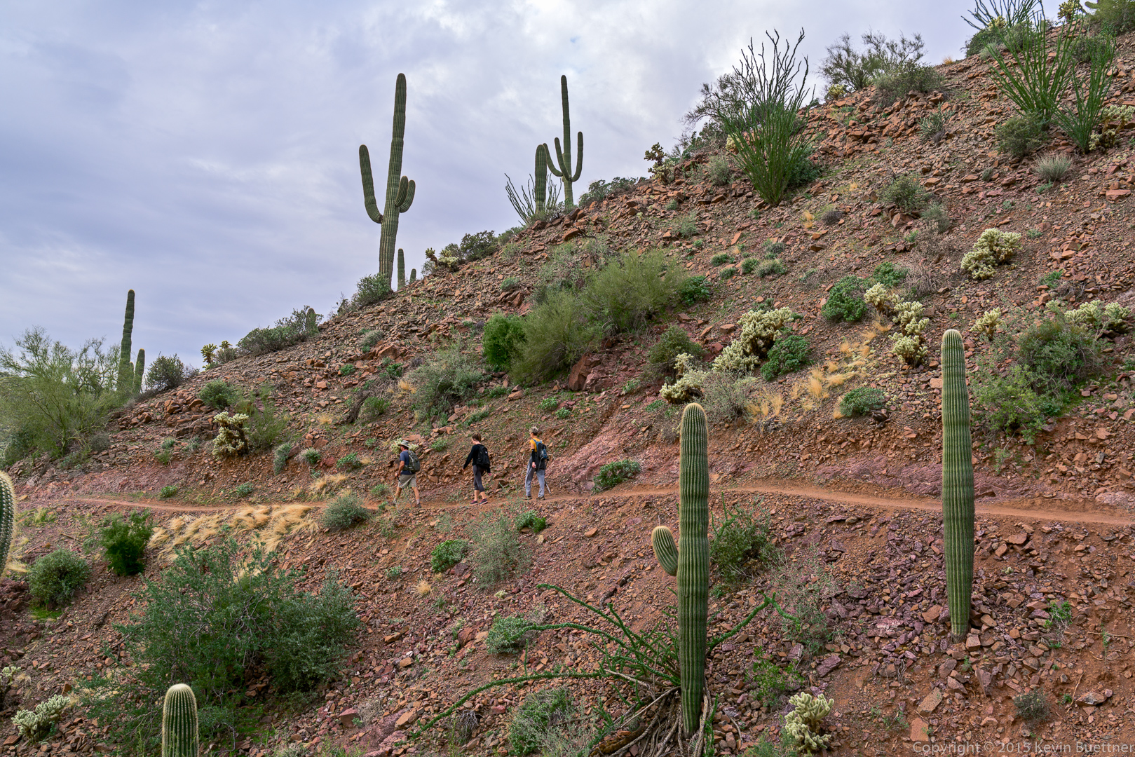
Bob, Linda, and Marilyn:
Brief periods of light rain made for interesting views:
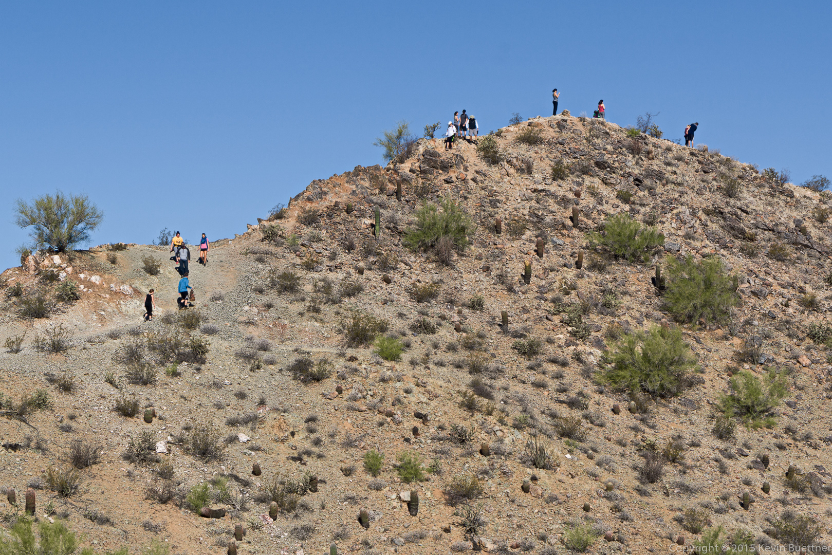
Another group ahead of us – they hiked to the park boundary and then returned.
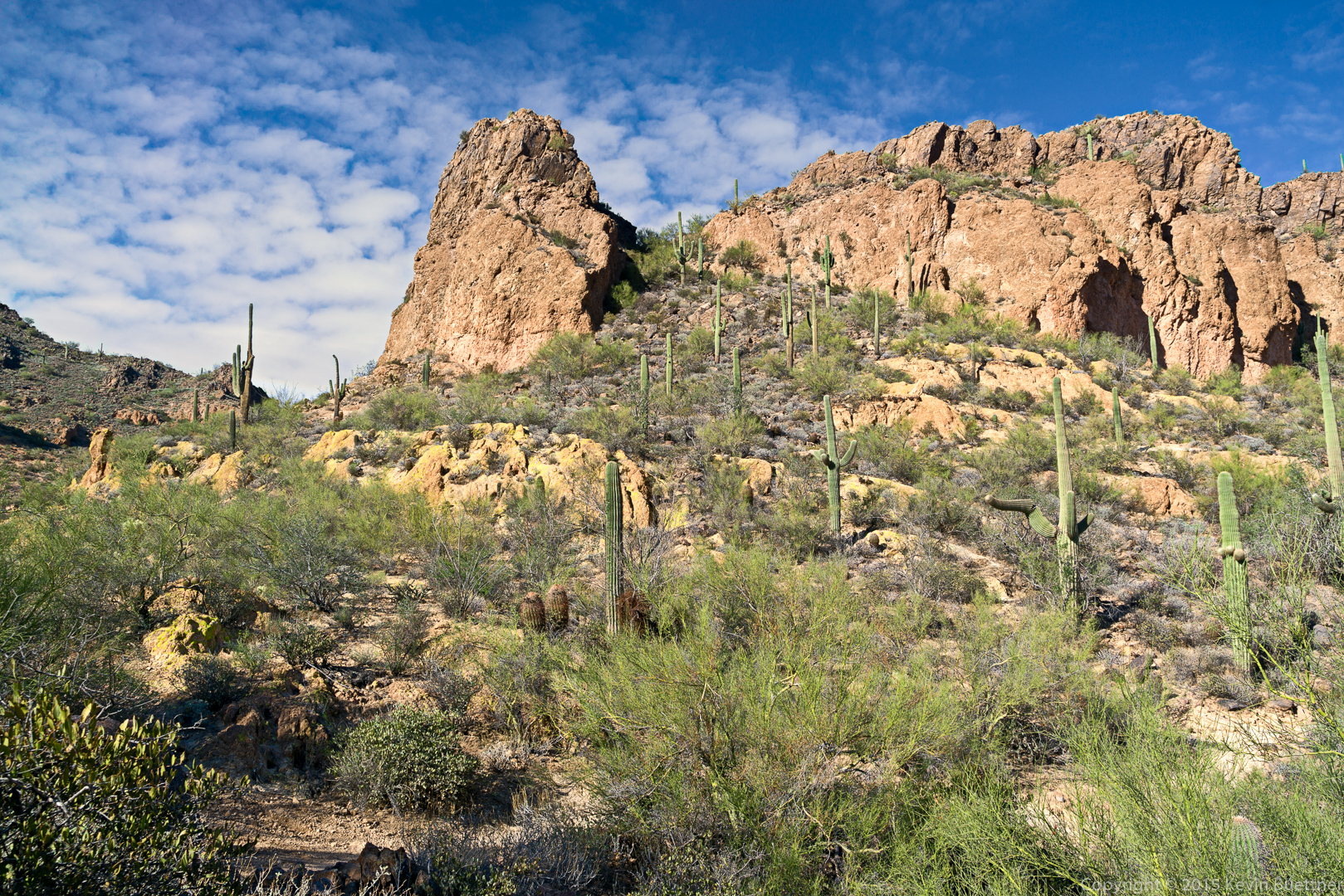
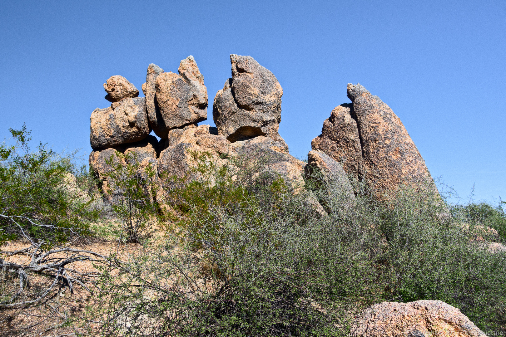
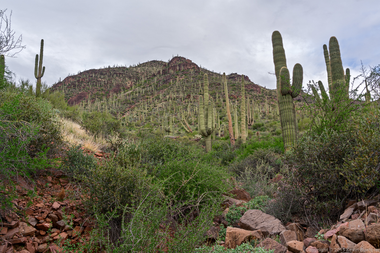
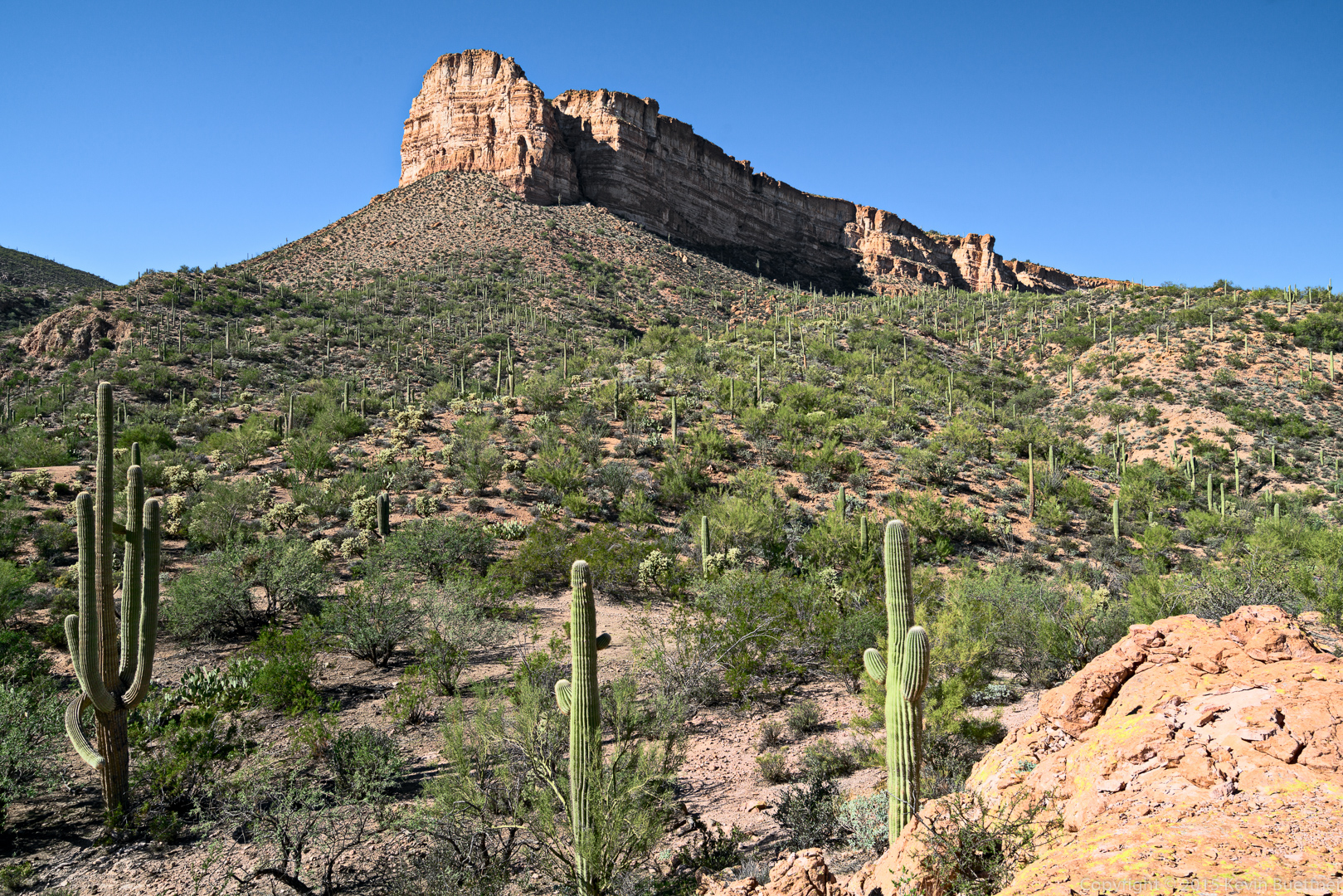
Looking up at Elephant Mountain:
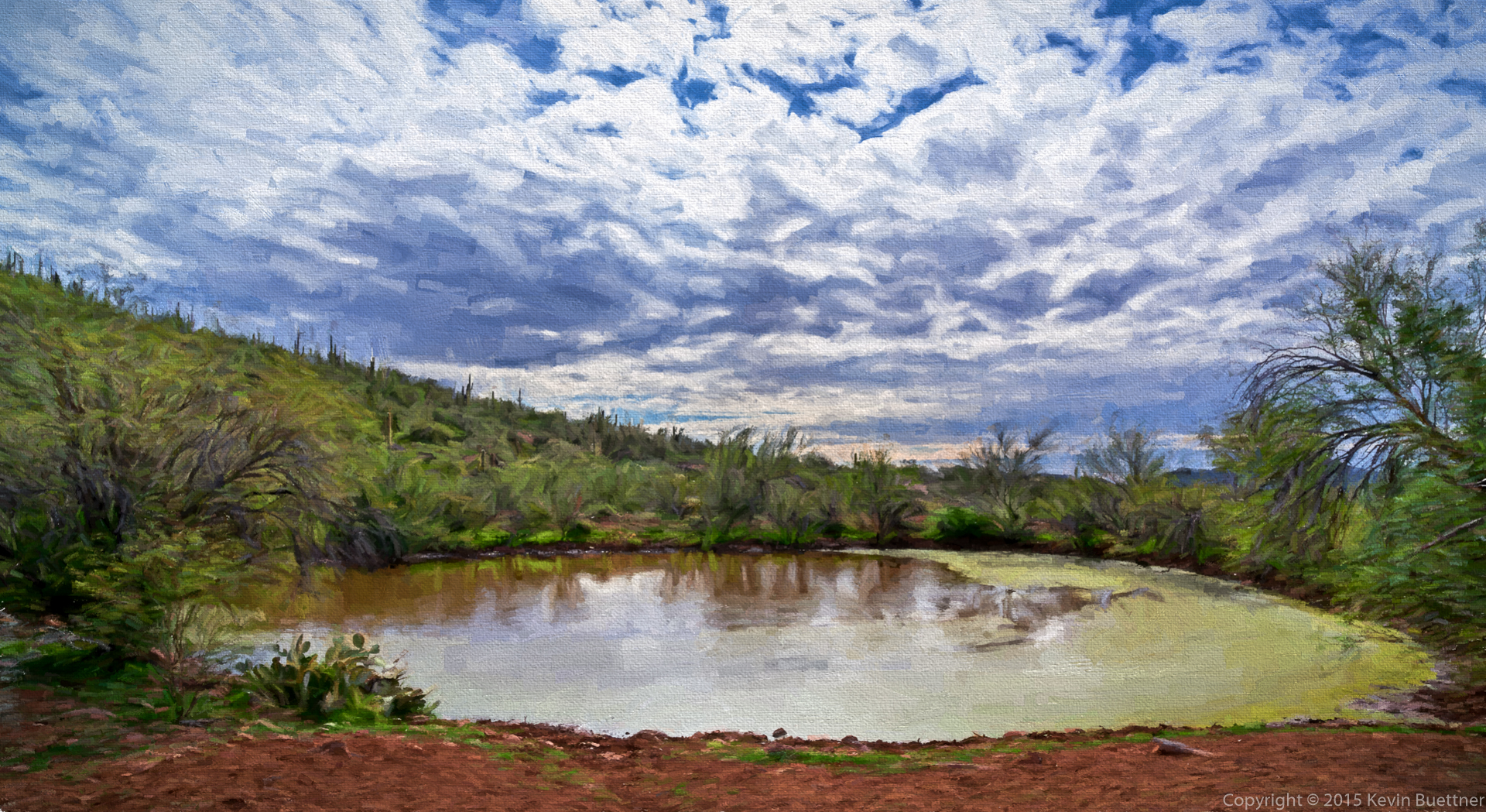
We encountered a watering hole shortly after leaving the park. Marilyn told us that she saw cows on the way back.
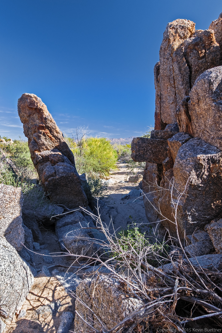
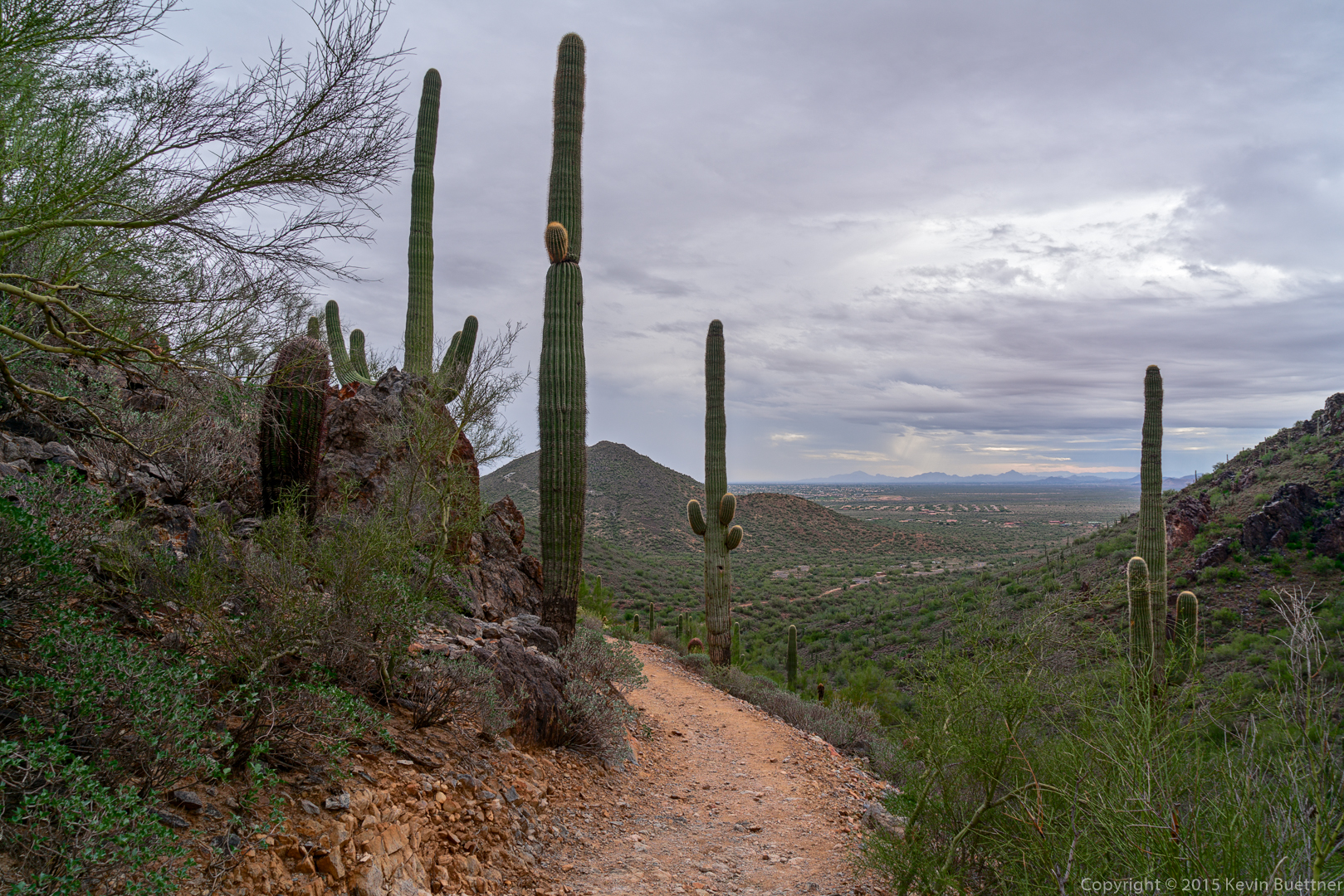
Views from the Maricopa Trail…
This is a view from the Go John Trail in the Cave Creek Recreation Area:
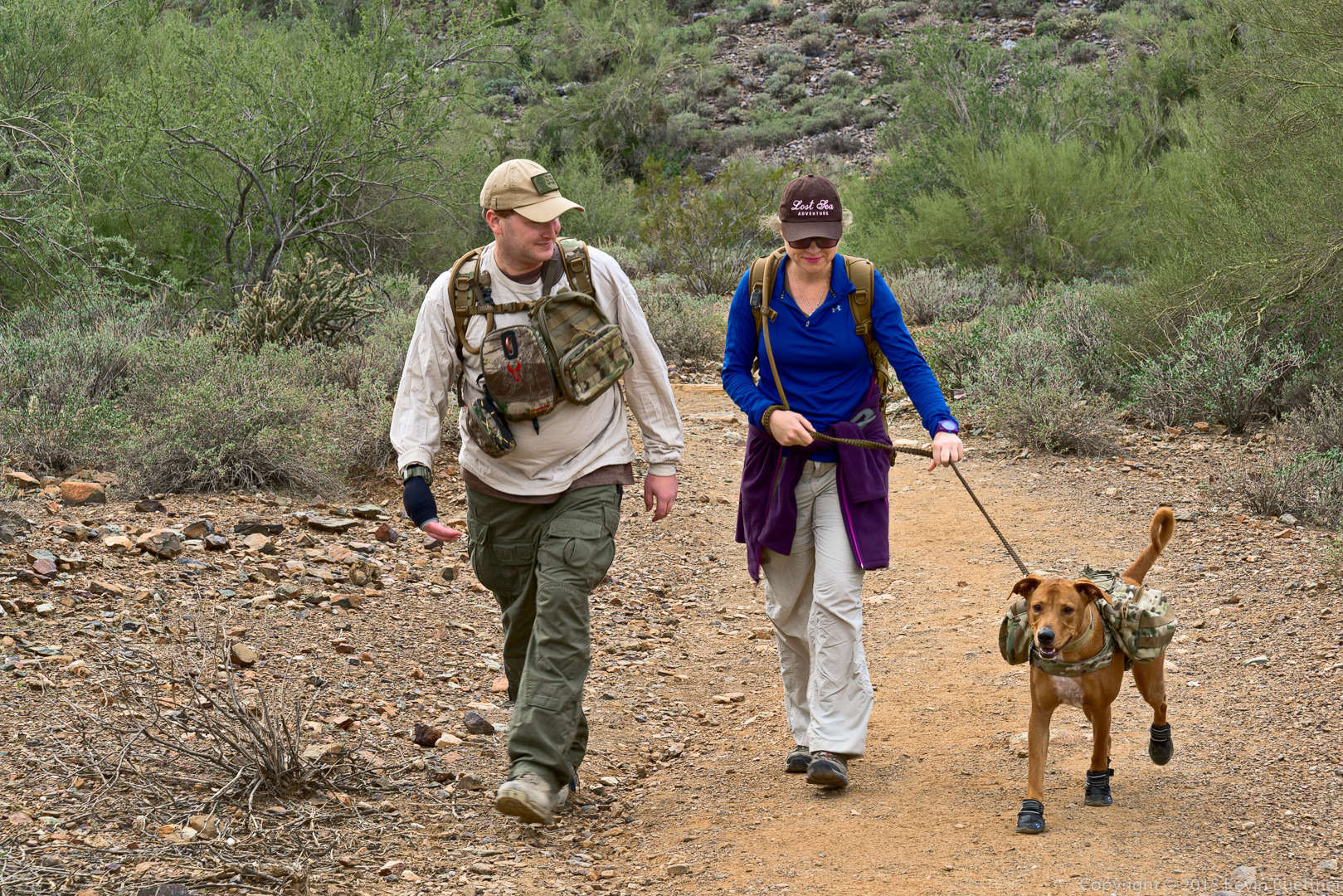
This dog has its own pack and boots, too!
We’re done! This is a view from above the amphitheater outside of the Nature Center at the Cave Creek Recreation Area.
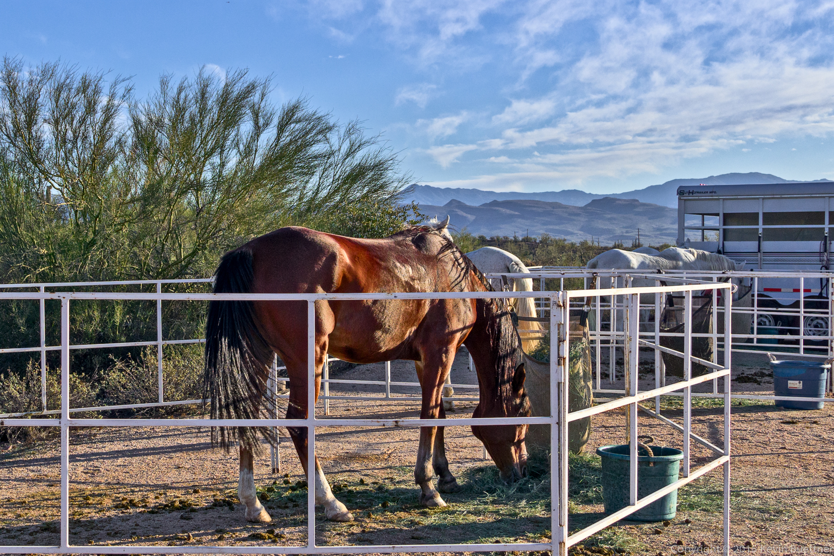
Friday’s hike started from the Horse Staging Area. We hiked a 10.1 mile loop consisting of the Escondido, Cinch, Scenic, Pemberton, and Escondido trails.
There will be an equestrian endurance ride over the weekend – it’s called Lead, Follow, or Get Out of the Way. We saw a number of horses as we walked through the parking lot on the way to the Escondido Trail.
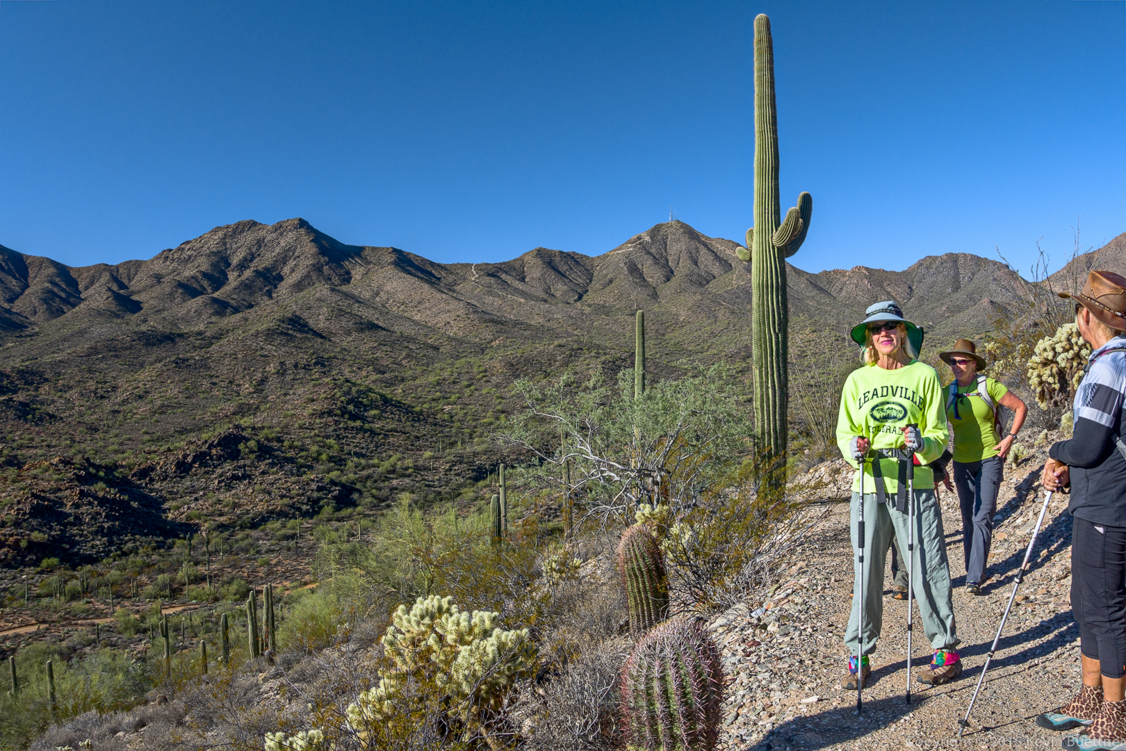
A view from midway up the hill on the Scenic Trail:
A view of Four Peaks from the Scenic Trail:
Laura, Nancy, Bob, Linda, Janet, Sue, and Jerry:
Yet another view from the Scenic Trail:
Saguaros on the Escondido:
Sue, Linda, Bob, Janet, Kevin, Nancy, and Laura:
Still on the Escondido Trail…
When we got back to the Horse Staging Area, we noticed that even more horses had arrived.
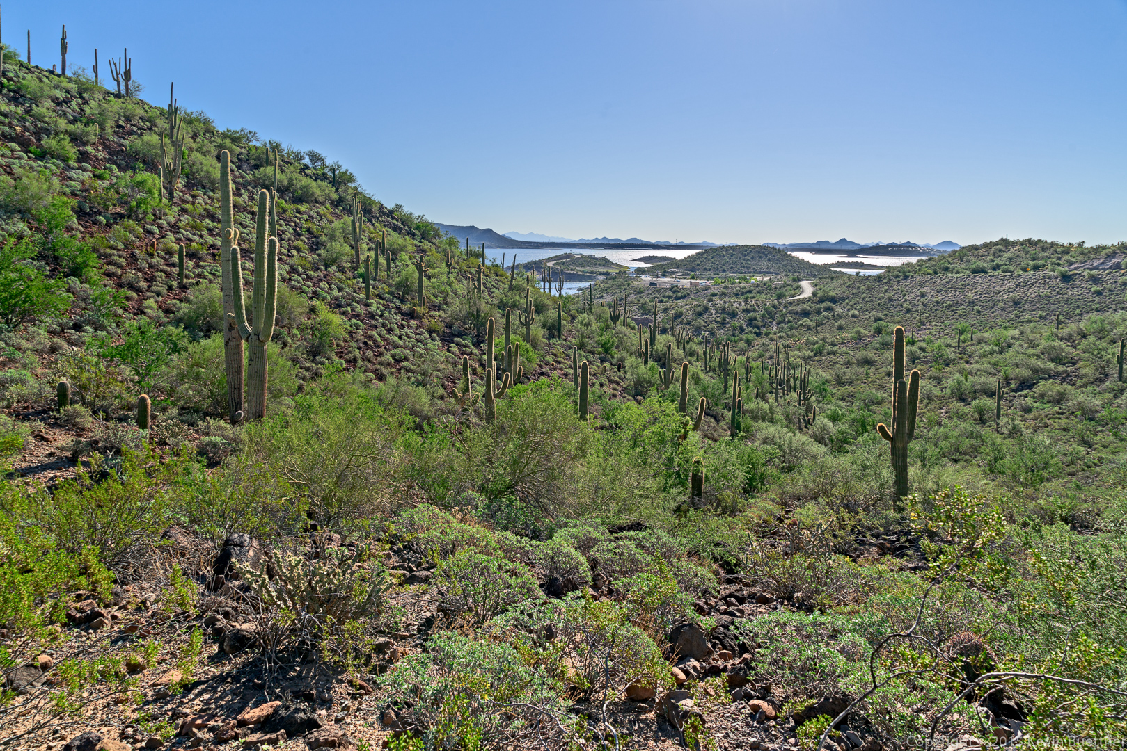
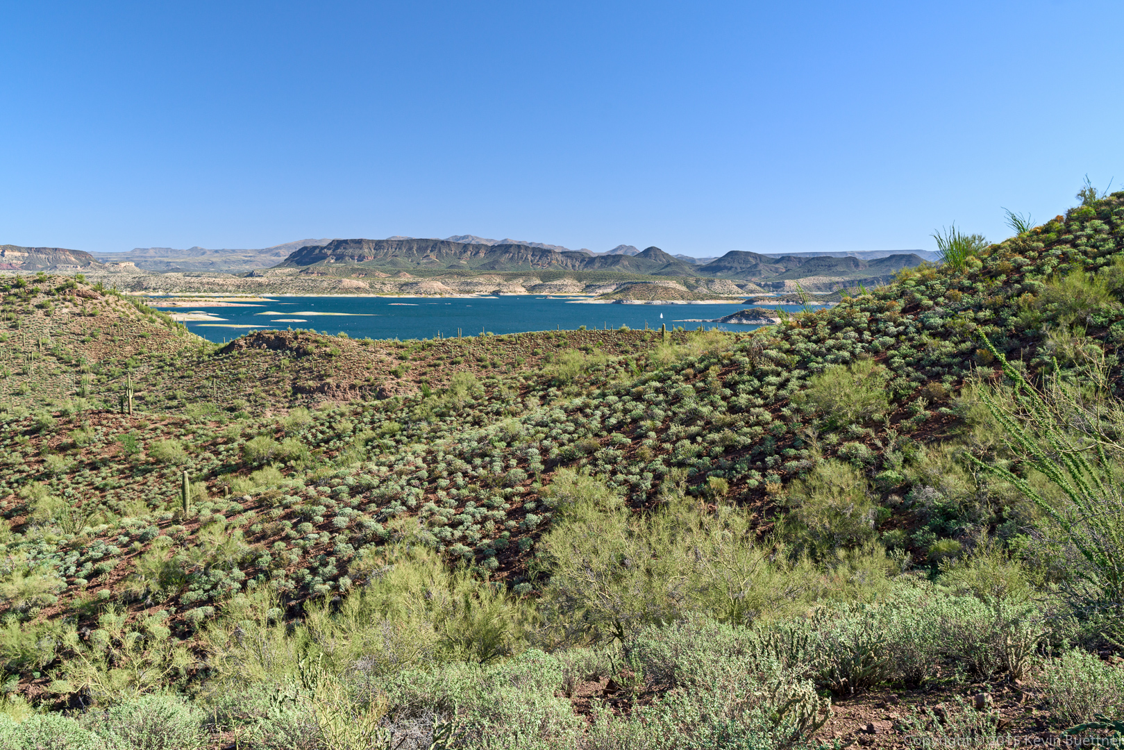
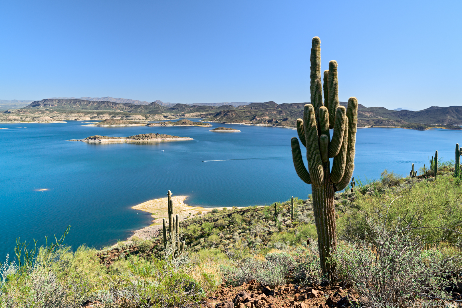
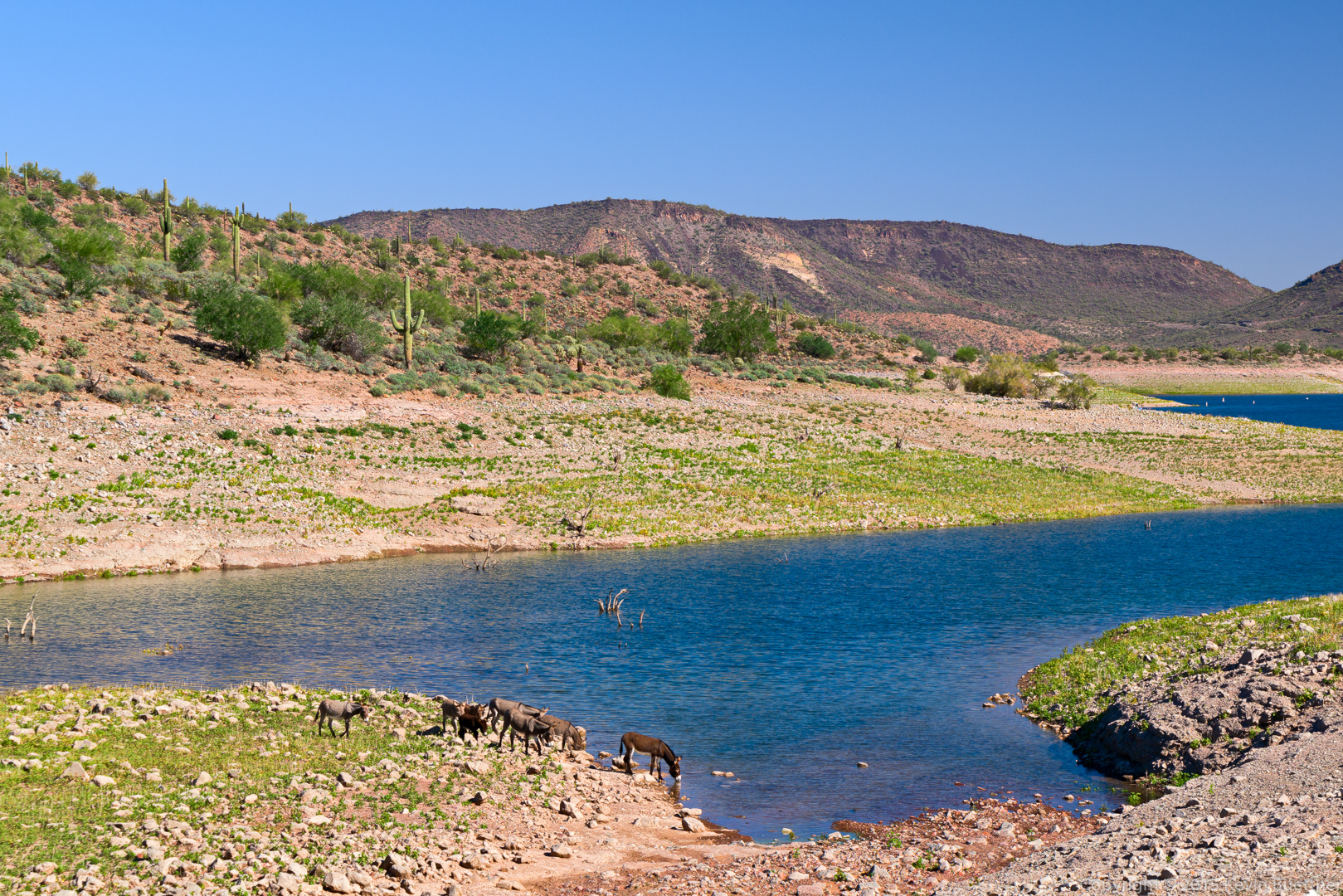
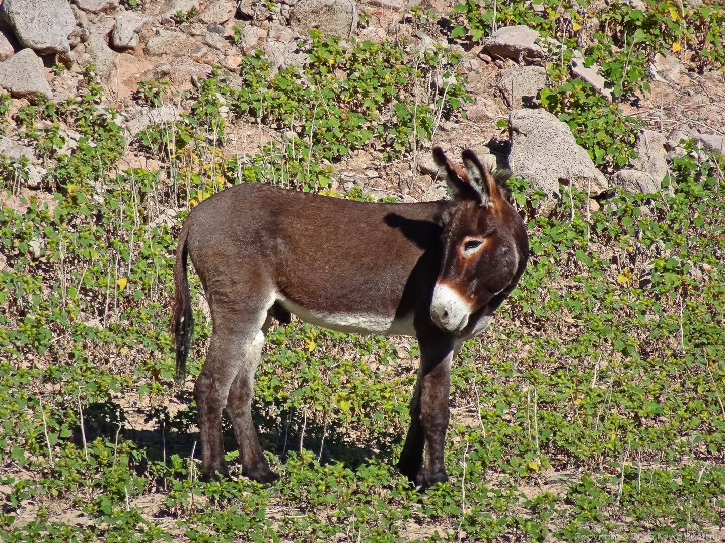
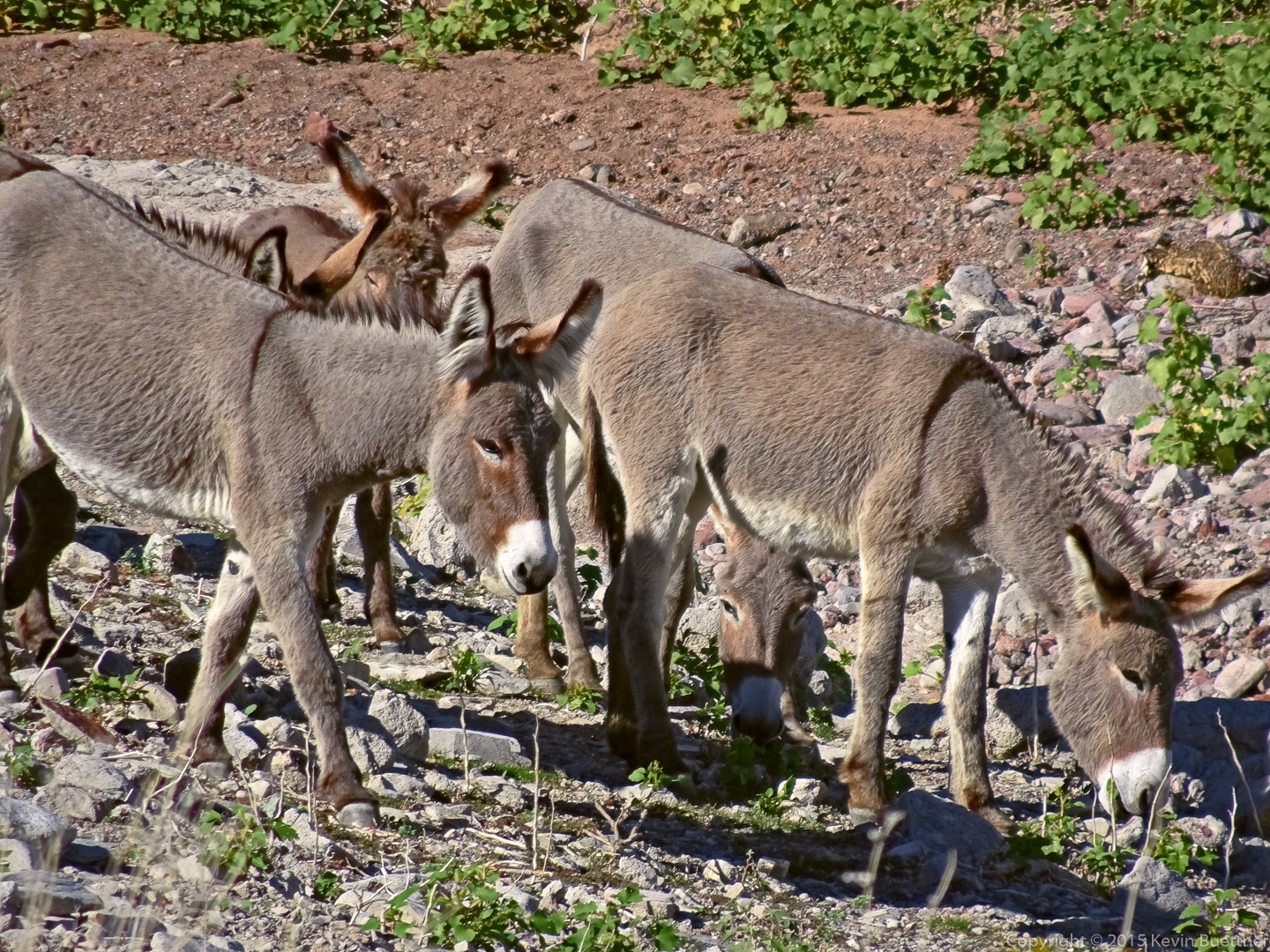
Marilyn and I hiked 8.6 miles at Lake Pleasant on Sunday. We hiked the Pipeline Canyon, Yavapai Point, and Wild Burro trails. We both liked the Pipeline Canyon and Yavapai Point trails. The portion of the Wild Burro trail that we hiked wasn’t quite as impressive, though we did see some wild burros as we made our way back; this made it worthwhile.
The view from one of the picnic sites near the parking lot:
A view of the floating bridge on the Pipeline Canyon Trail:
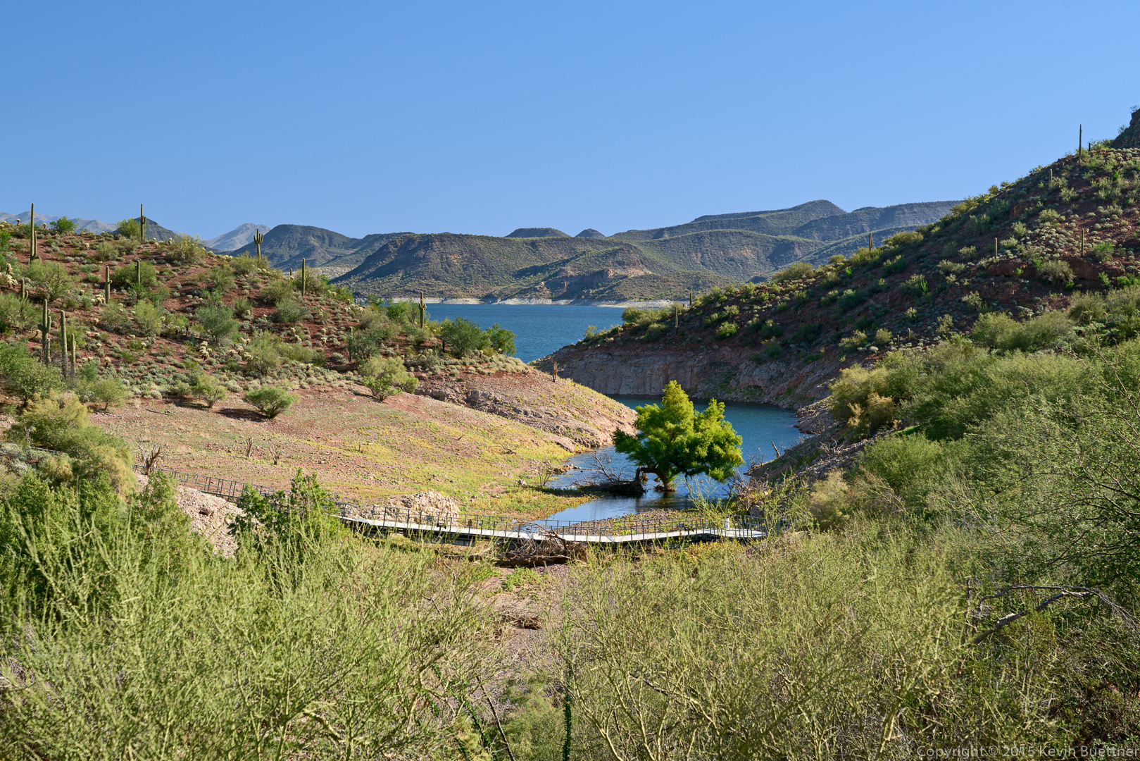
A view from the bridge:
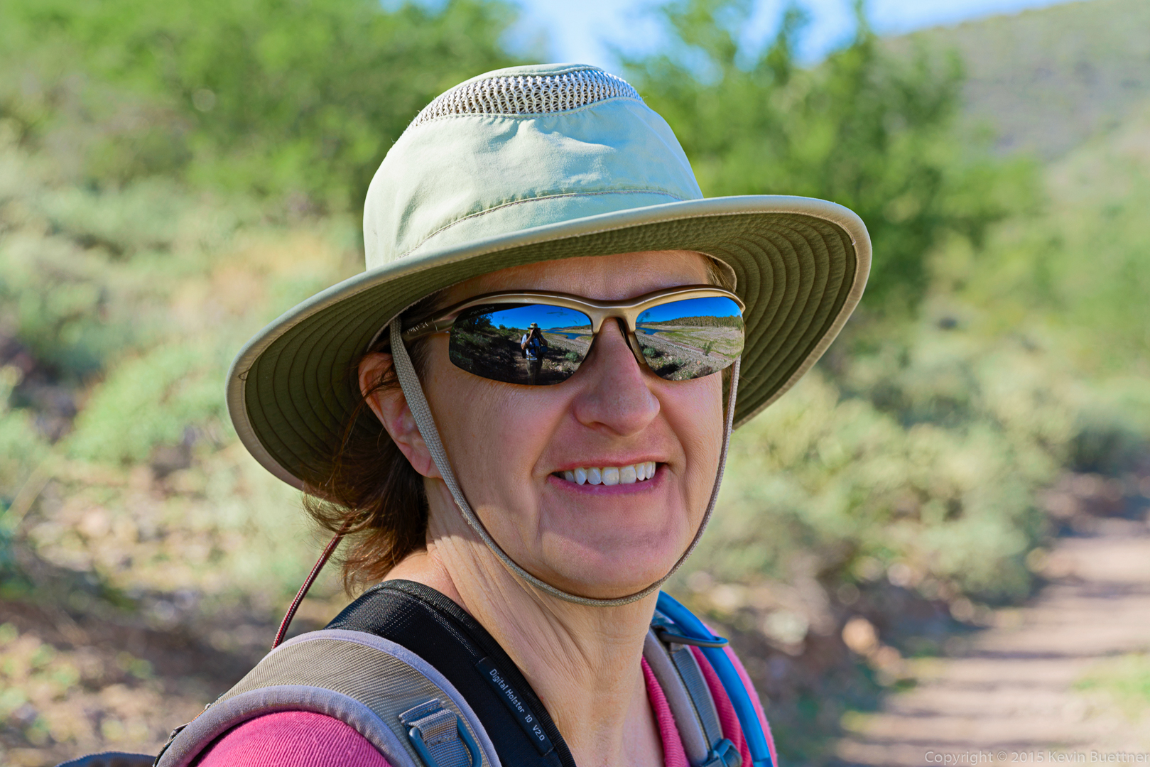
Marilyn, on the Pipeline Canyon Trail:
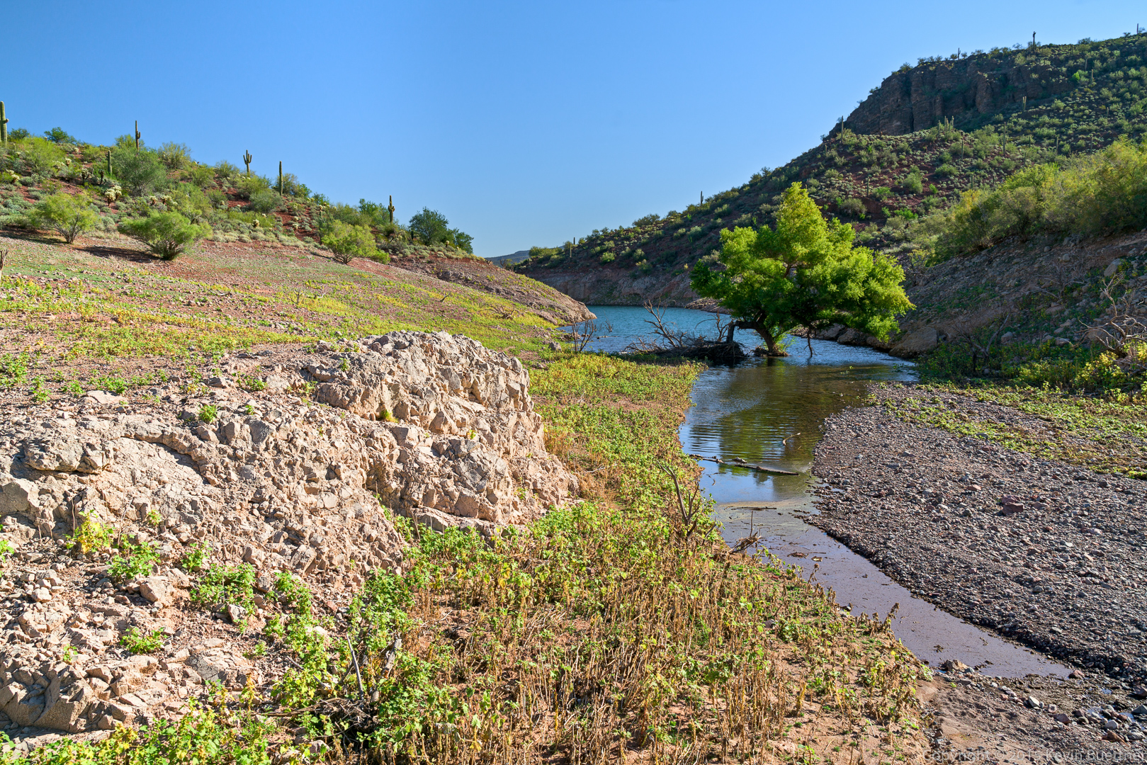
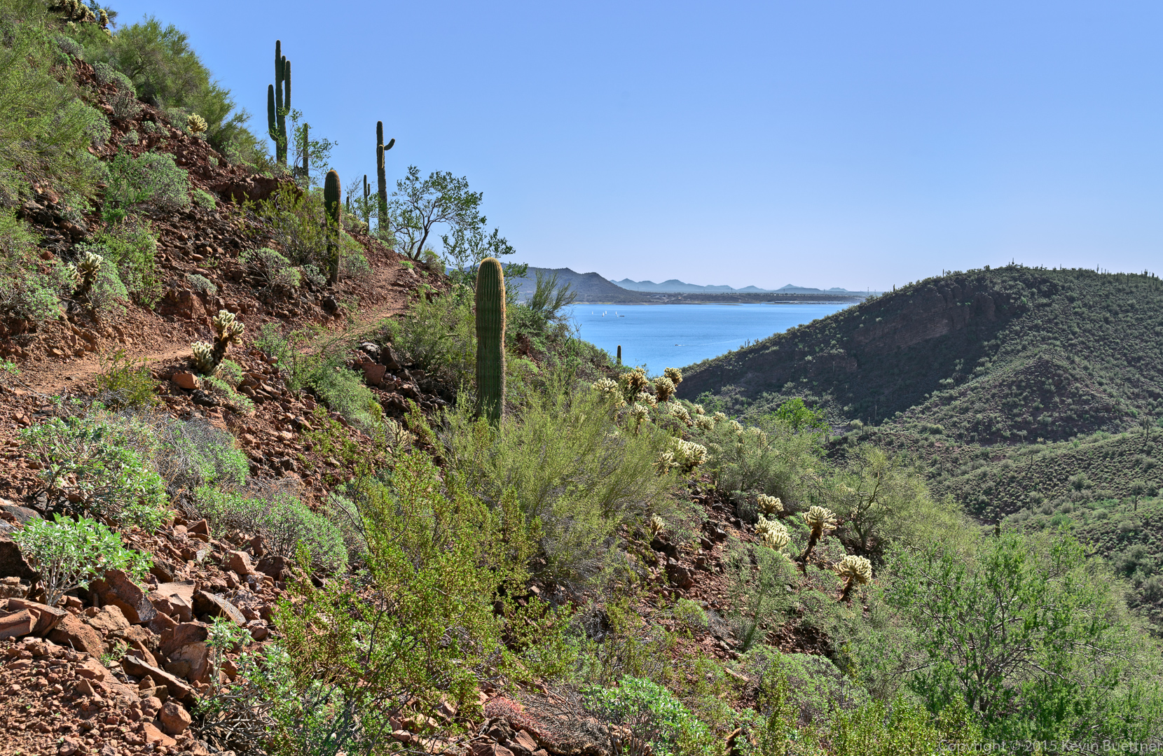
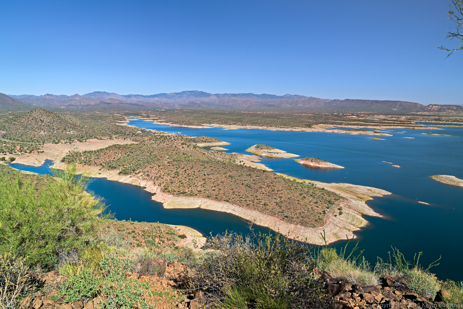
A view of the lake from the lower portions of the Yavapai Point Trail:
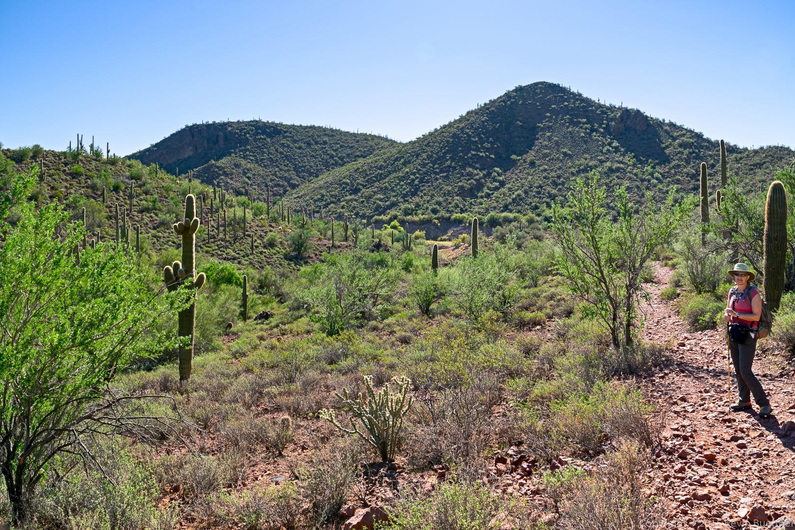
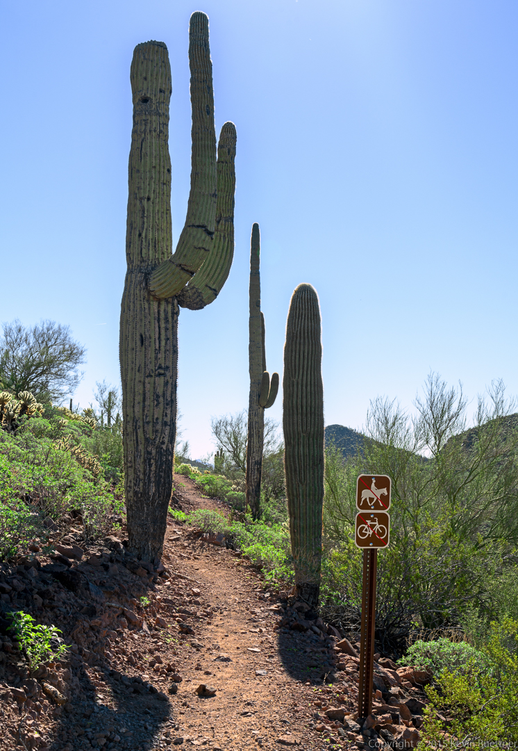
Saguaros on the Yavapai Point Trail:
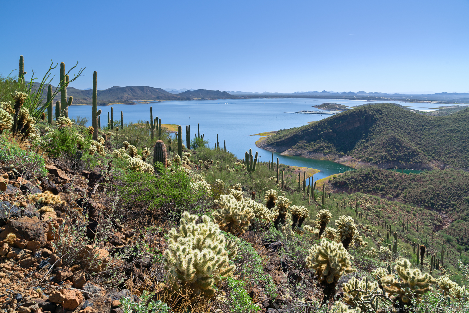
Marilyn on the Yavapai Point Trail. This trail leads to the top of a hill overlooking the lake.

Several views from the Yavapai Point Trail…
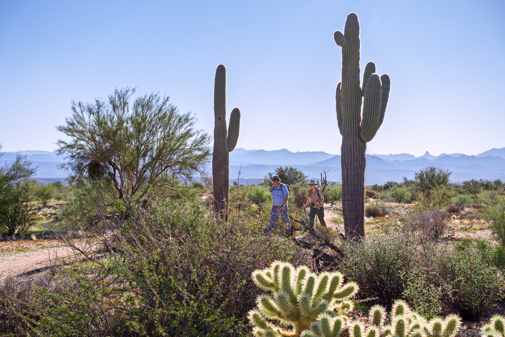
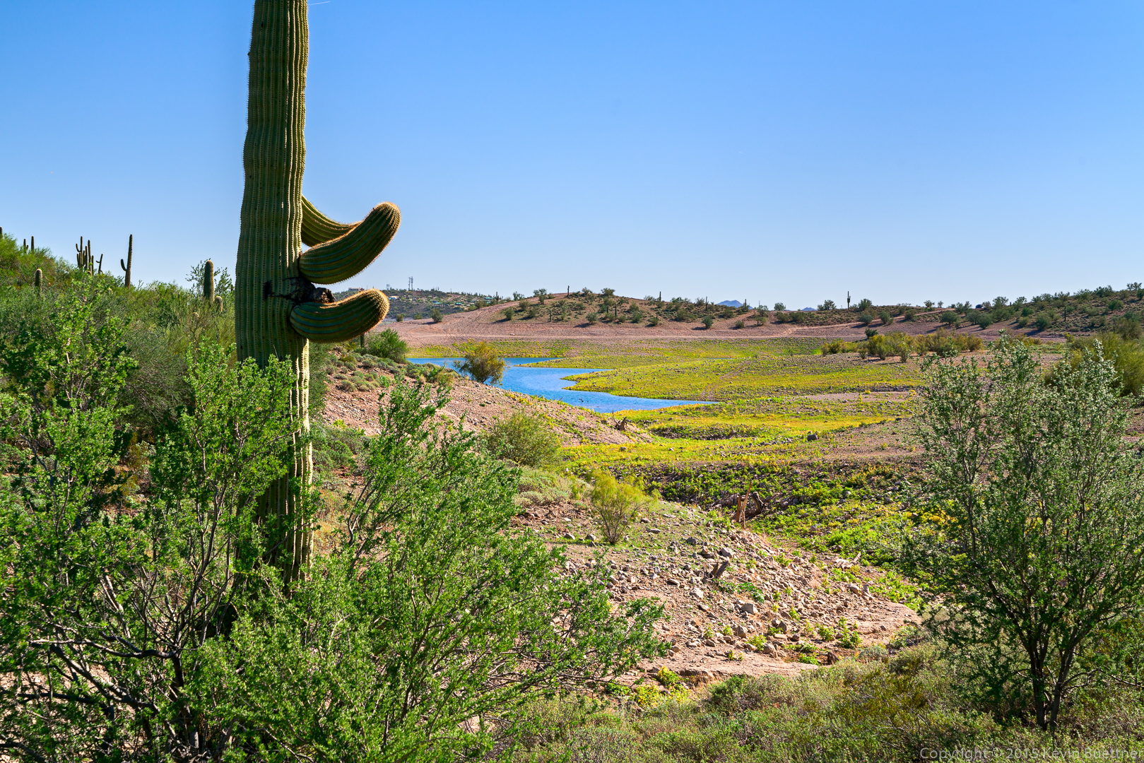
A view from the Wild Burro Trail. The yellow vegetation are plants that are drying up. It’s somewhat more yellow in this photo than it was in real life.
Two shots of the wild burros that we saw on the way back…
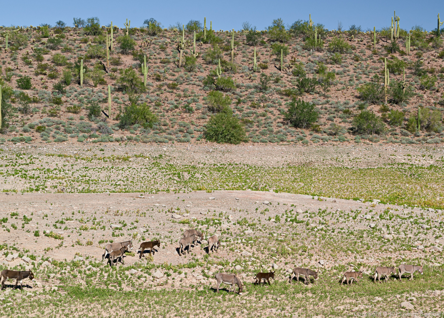
Marilyn on the Wild Burro trail:
Marilyn took these photos of the burros with her Sony RX10:
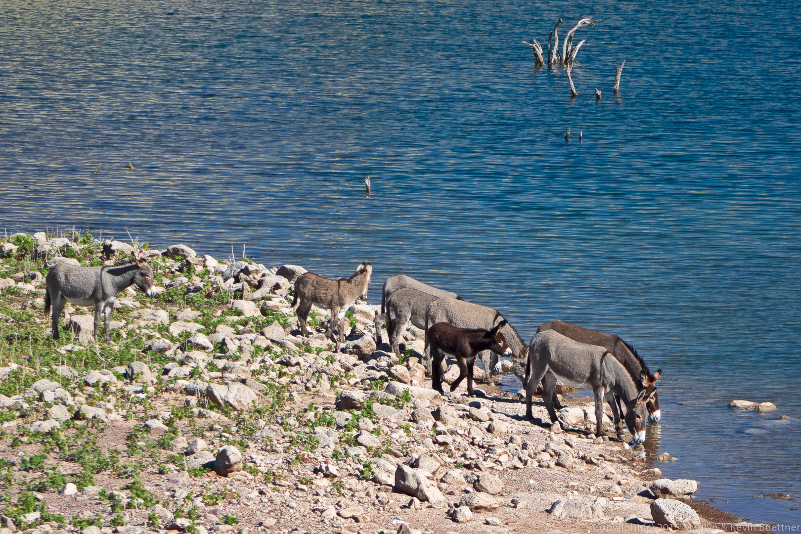
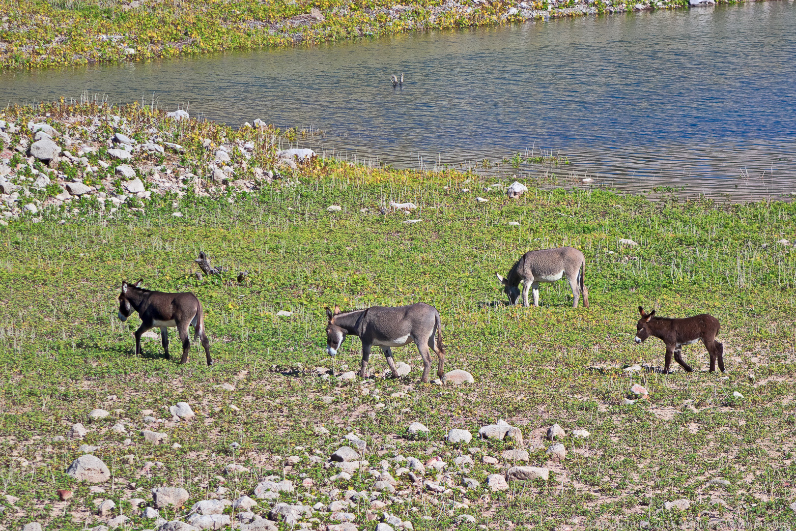
I got these photos with my HX90V. (I used the A7RII for the earlier photos.)
Friday’s hike started at the Dixie Mine parking area at the end of Golden Eagle Blvd. We hiked the following trails: Dixie Mine, Coachwhip, Windmill, Bell Pass, Prospector, (road), and Dixie Mine for a total of 10.4 miles with nearly 1500 feet of total ascent. (This distance includes our walk through the gated community, 0.6 miles each way.)
After processing these photos using the PPW (Picture Postcard Workflow), I ran Topaz Impression on a few of them.
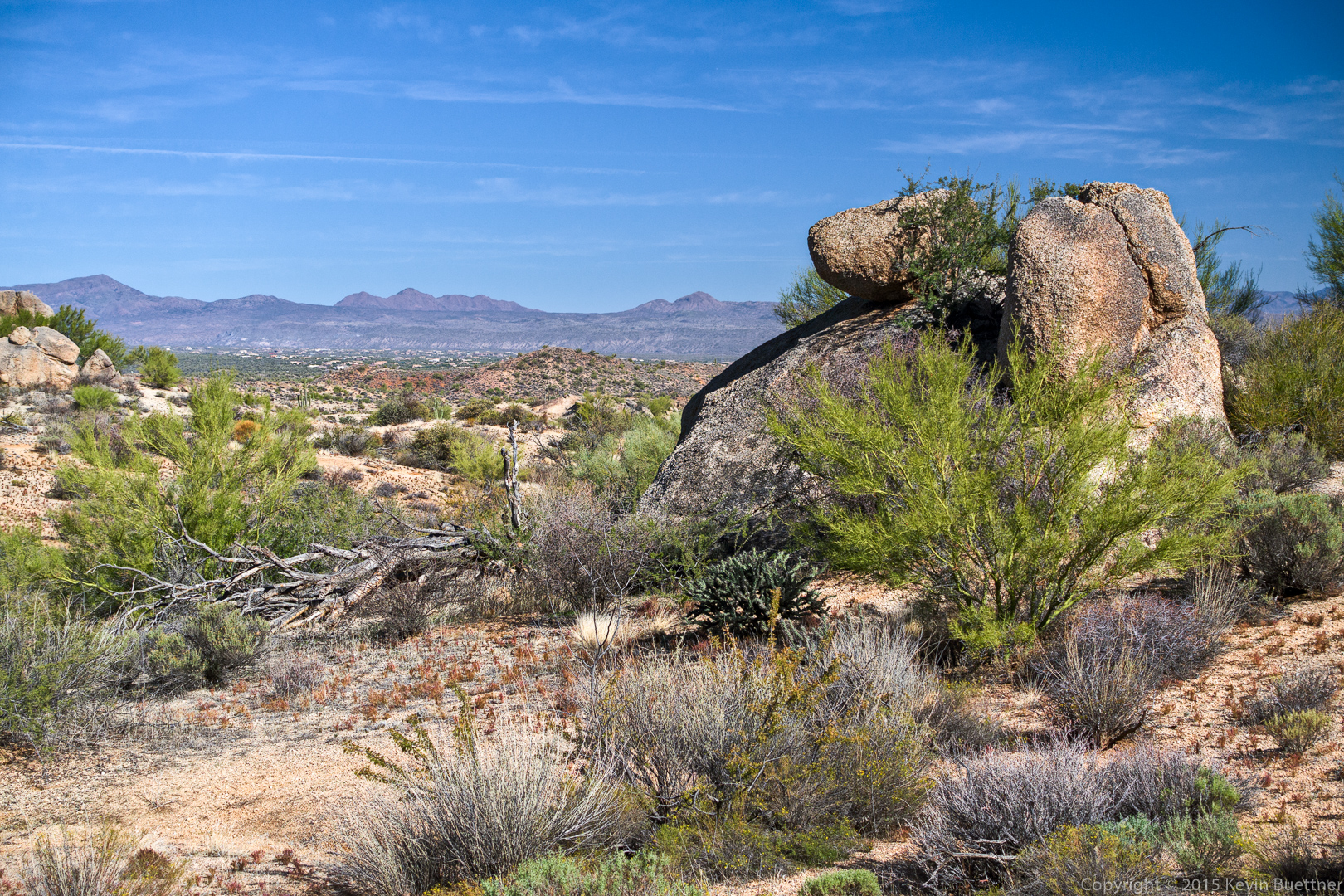
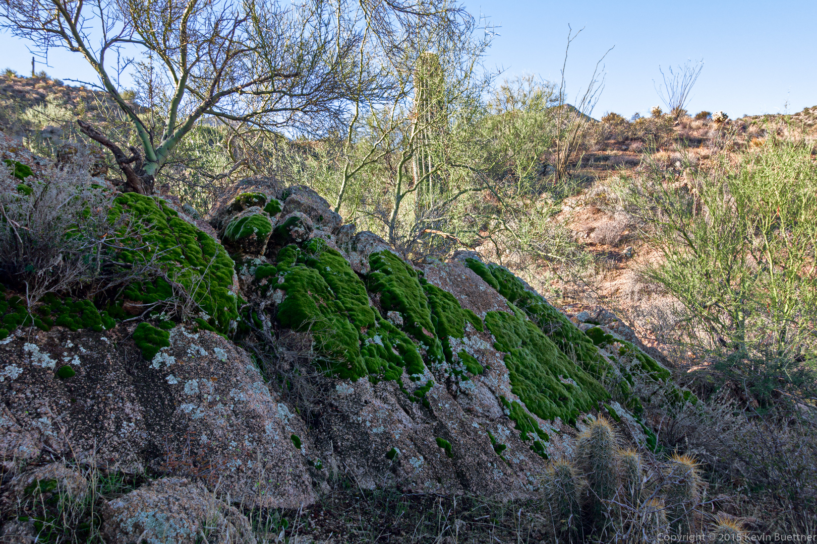
A view from the Dixie Mine Trail:

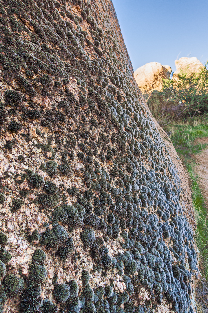
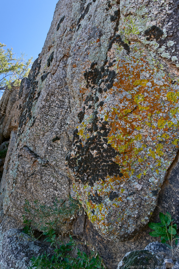
Recent rains have made the moss especially green.
We bypassed the mine and continued up the Dixie Mine Trail to the ridge. This is a view from partway up the hill to the ridge.
Bill, Linda, Denise, Bob, Nancy, Janet, Laura, and Kevin:
A view of the large cottonwood tree and the windmill on the Windmill Trail:
A version of the above filtered through Topaz Impression:

Views from the Bell Pass Trail…
Saguaros on the Prospector Trail:
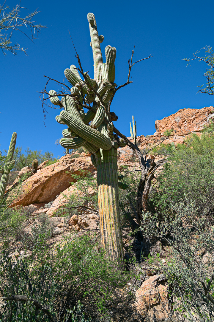
On Sunday, Nick, Bob, Marilyn, and I tried to do a hike in the White Canyon. We didn’t get very far – there was a lot of brush in the canyon and some of the brush was flowering, which attracted more than a few bees. We ended up exploring a nearby box canyon. Later on, Bob and I found a trail that we think would be worth doing some other time.
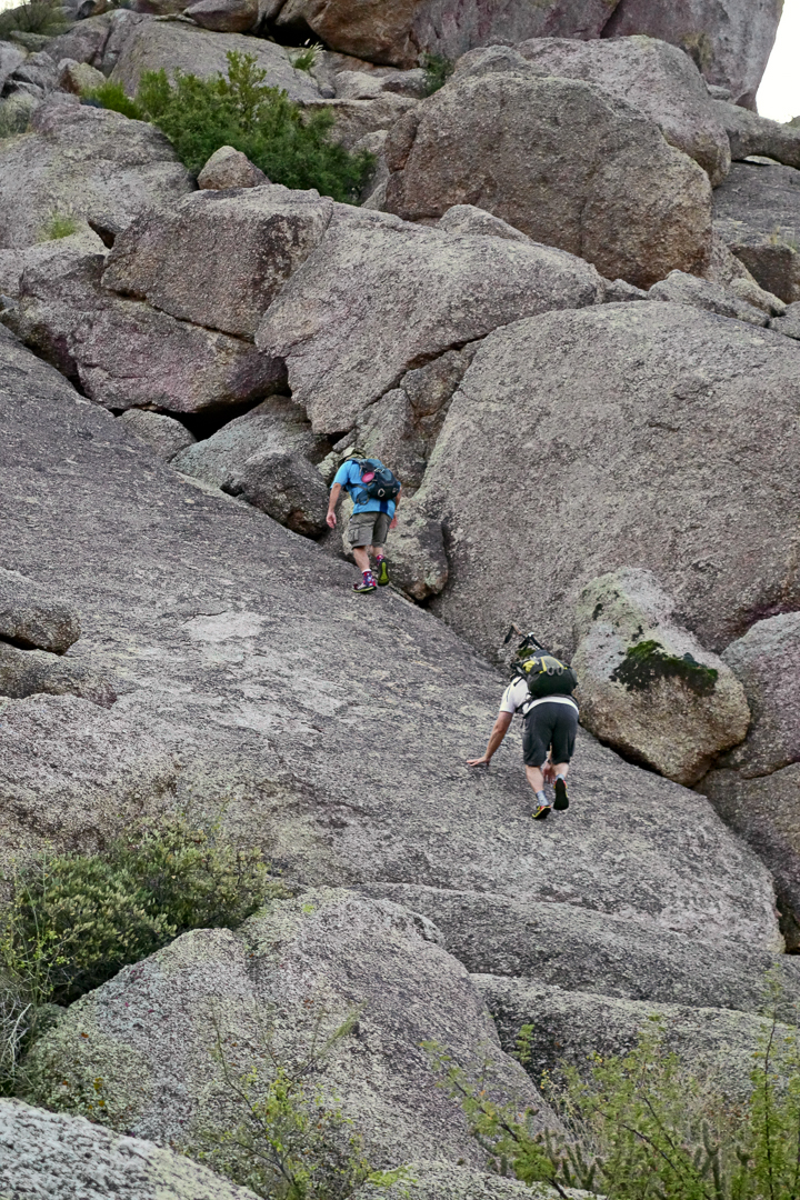
Bob and I met Linda and Nancy at the Tom’s Thumb Trailhead. We hiked with Linda and Nancy to the Feldspar Trail. Bob and I scrambled up a low angle slab just off the trail. Linda took some photos of us and then continued on with Nancy, hiking a loop over over 10 miles!
Bob and I proceeded to the top of Sven Tower I and then hiked past Sven Towers I, II, and III where we joined the trail that led us to Hog Heaven. From there we made our way up to the Thumbnail Pinnacle and then to the East End, the highest point in the McDowells. We then hiked down to the Tom’s Thumb Trail, hiked up Tom’s Thumb, proceeded past Tom’s Thumb along the top of the ridge to the north. We followed the trail back down the Tom’s Thumb Trail and then back to the trailhead for a hike of 5.4 miles with over 2400 feet of accumulated ascent.
Linda took these photos of me and Bob making our way up the low angle slab just off the Feldspar Trail:

I took this photo of Linda and Nancy at the bottom of the slab.
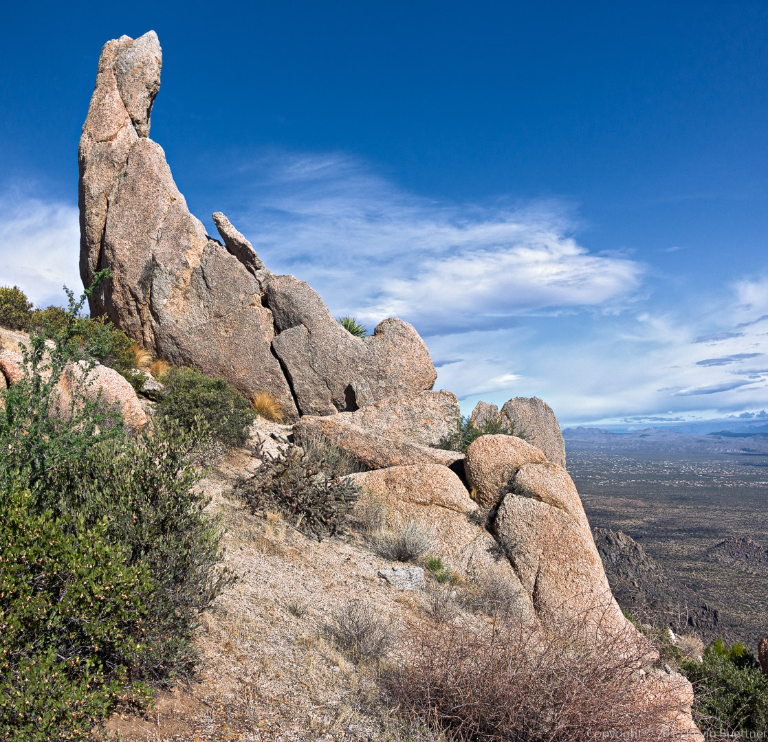
This is a view from the highest point in the Sven Tower I area. The Thumbnail pinnacle can be seen atop the ridge just right of center.
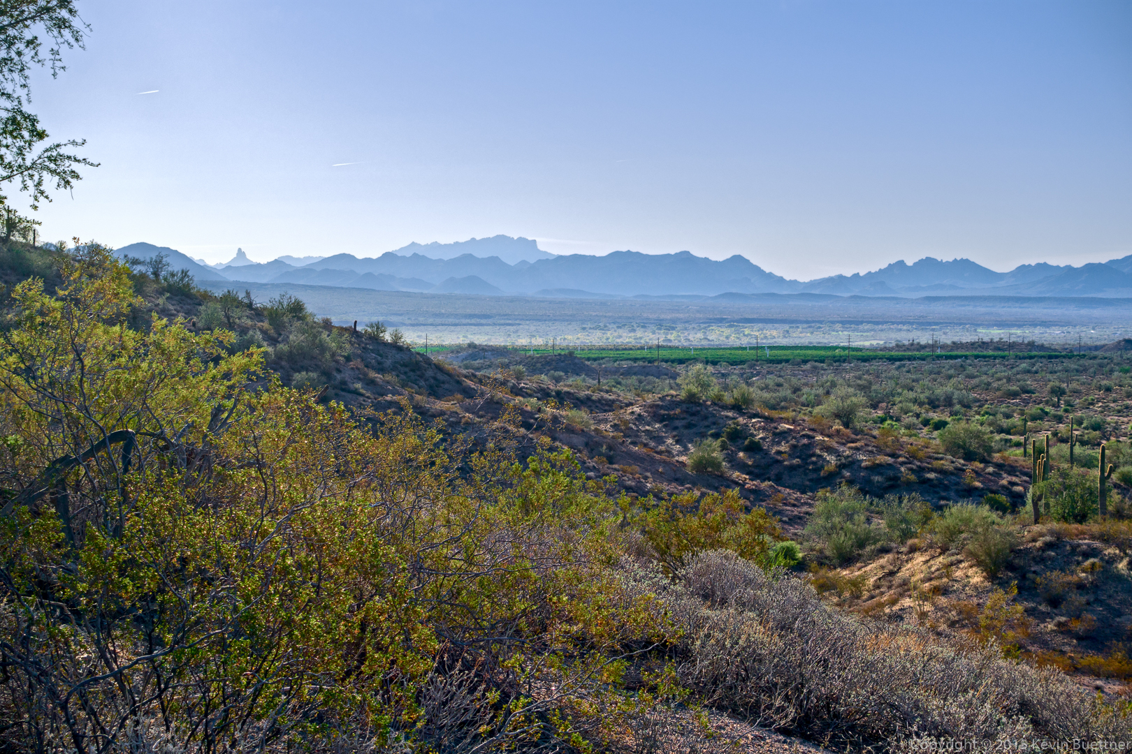
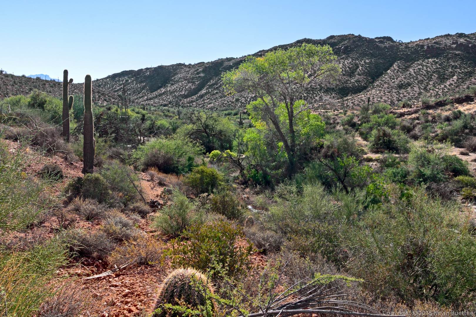
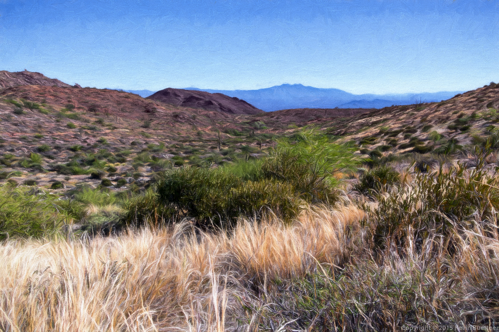
A view looking back down Mesquite Canyon.
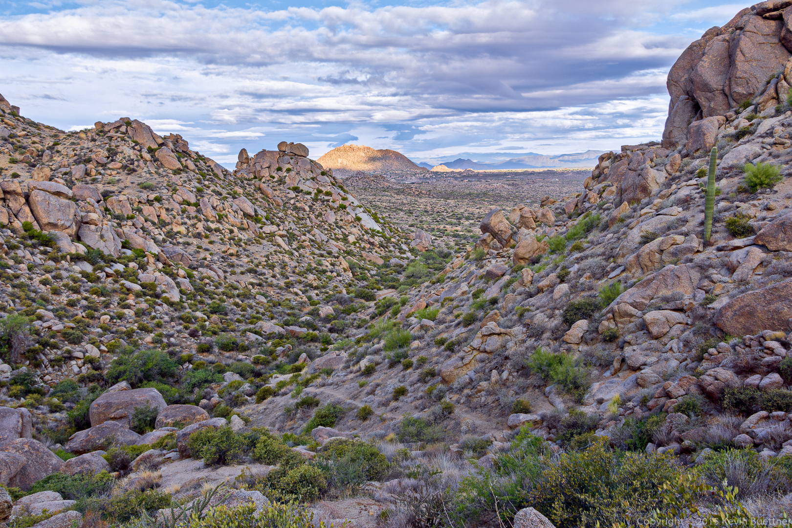
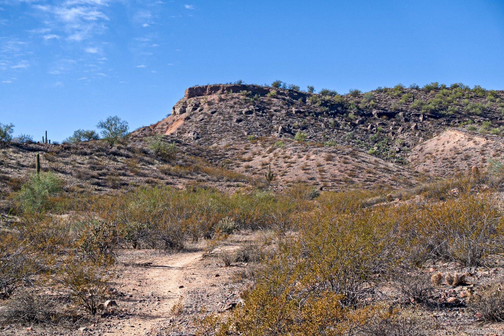
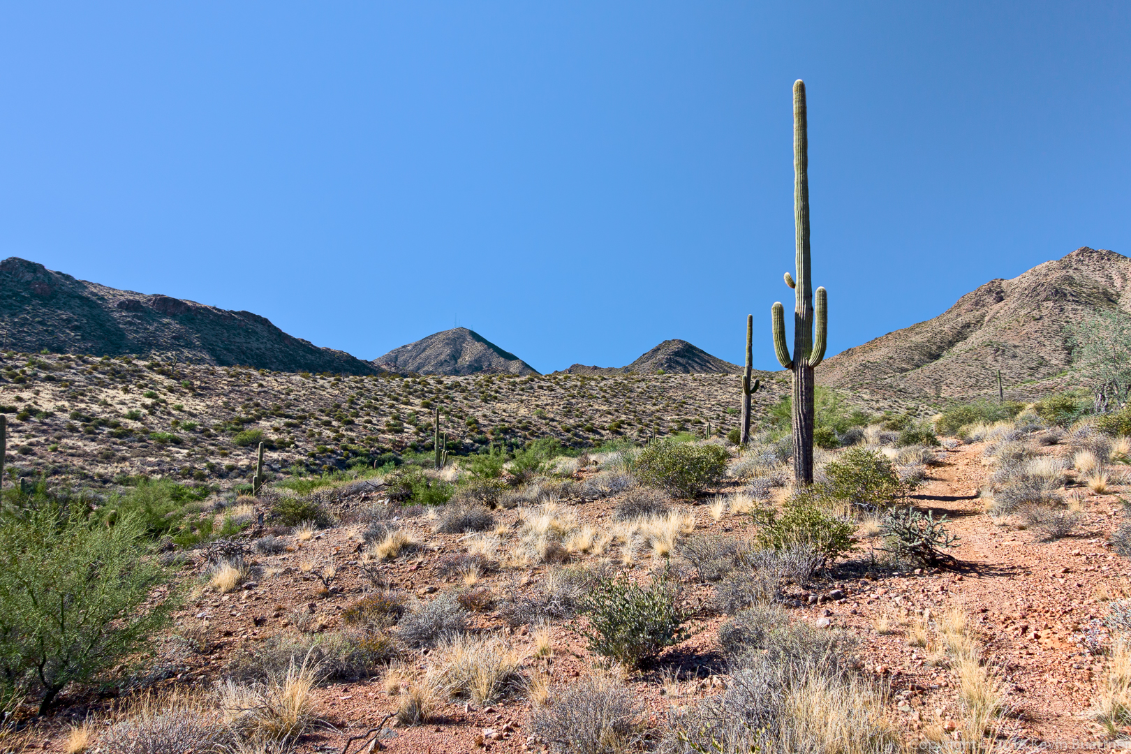
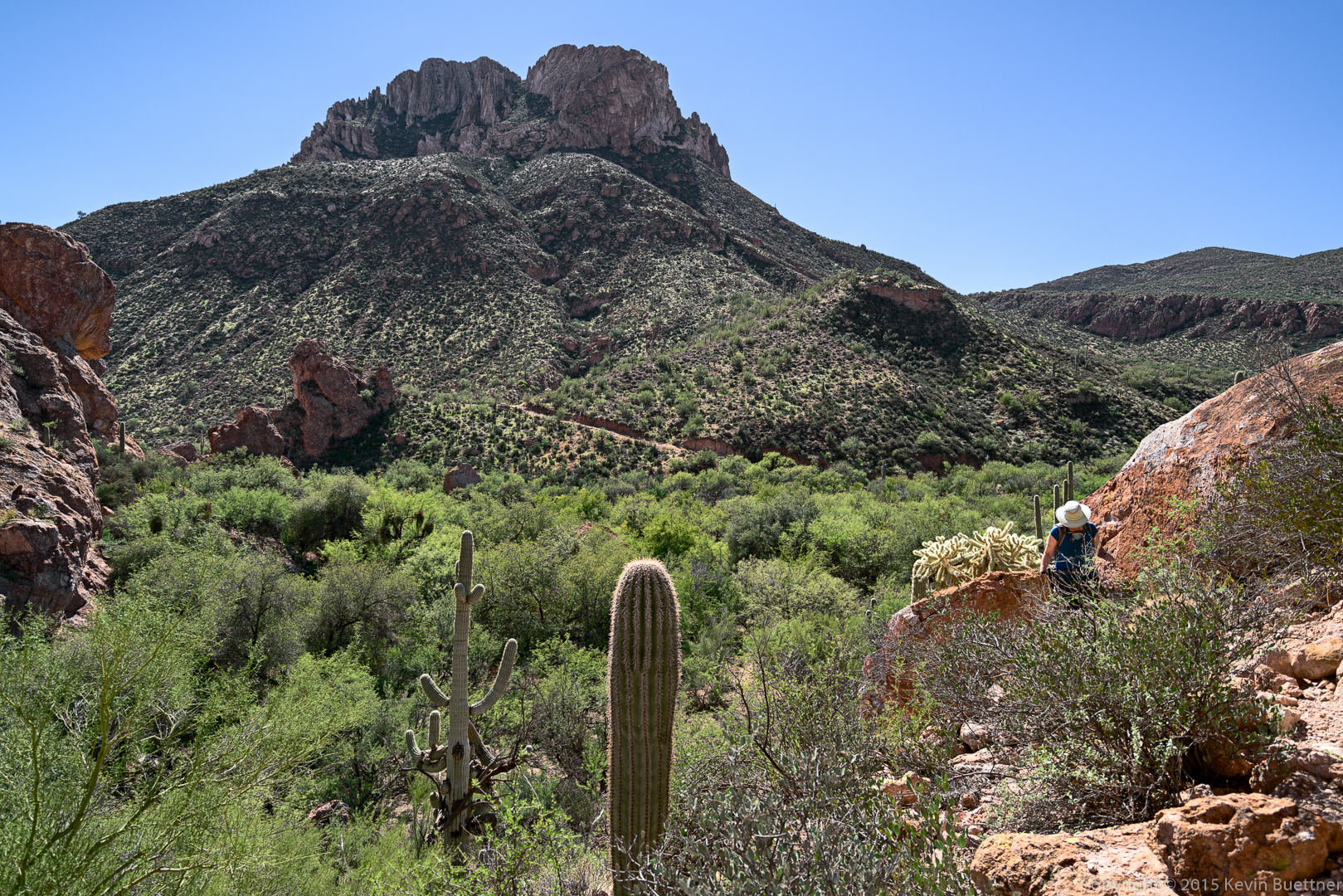
Another view of the terrain ahead.
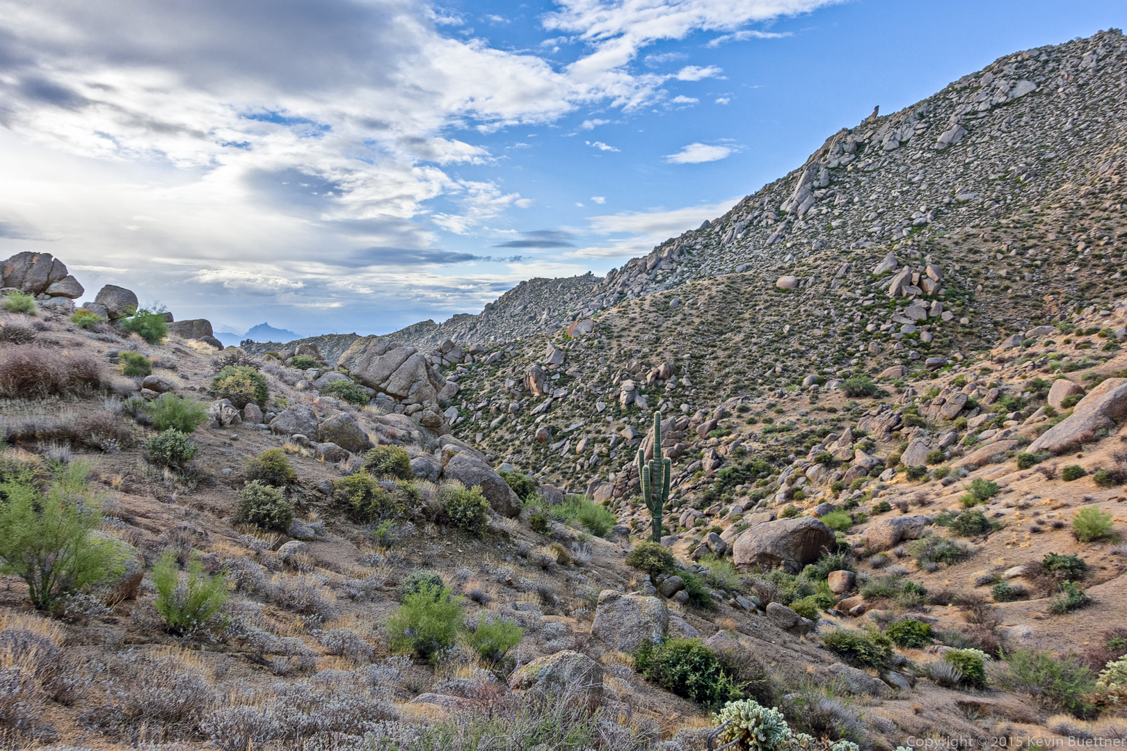
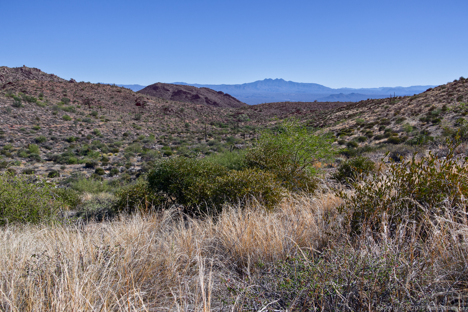
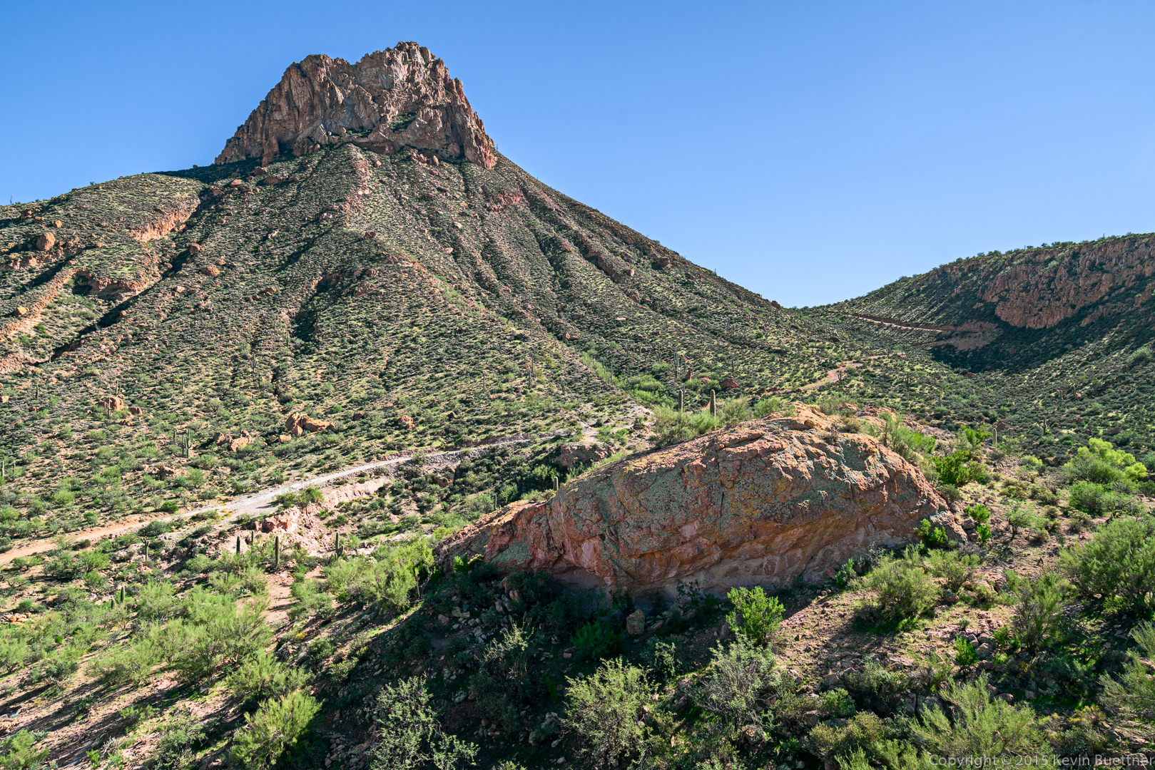
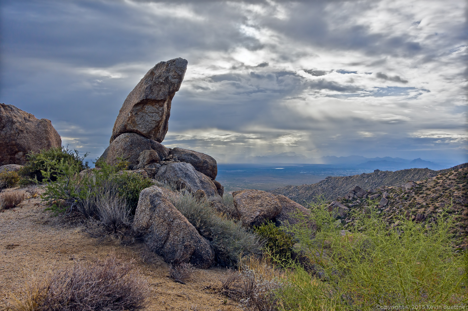
This is a view from the pass.
The sun rays through the clouds were interesting.
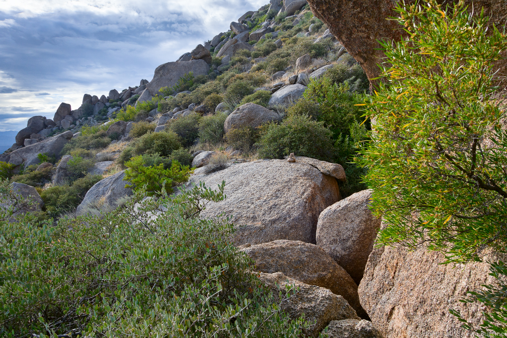
The trail proceeds across these granite boulders.
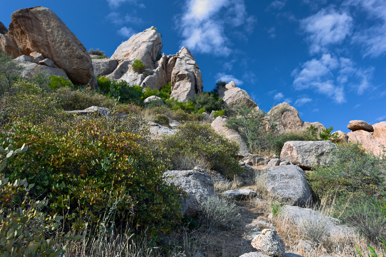
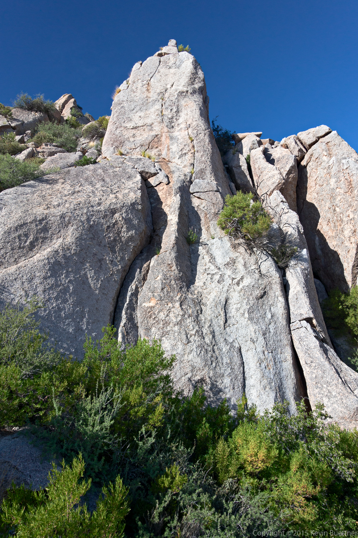
Looking up at Hog Heaven:
We’ve arrived at Hog Heaven. This is the main climbing wall.
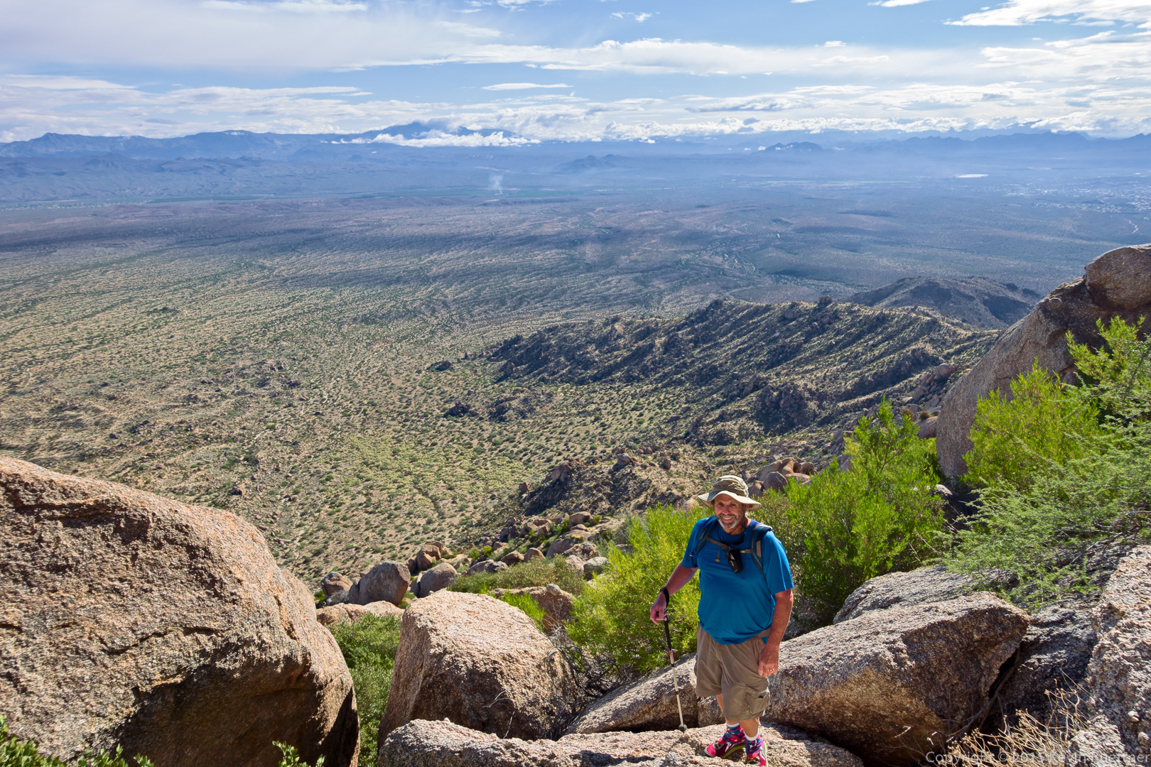
Making our way up past Hog Heaven…
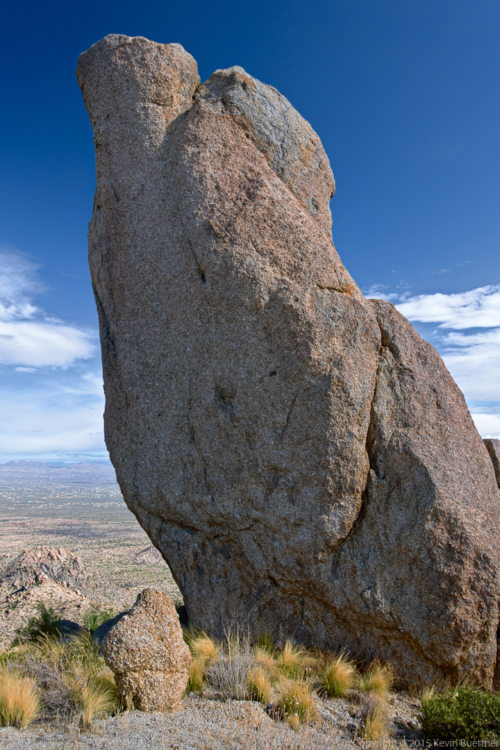
 A view of the Thumbnail from below.
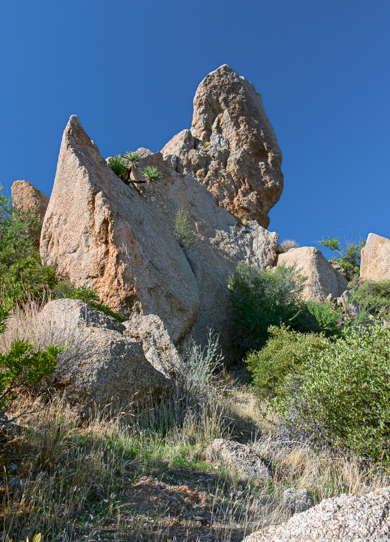
A view of the Thumbnail Pinnacle from the side.
Yet another view…
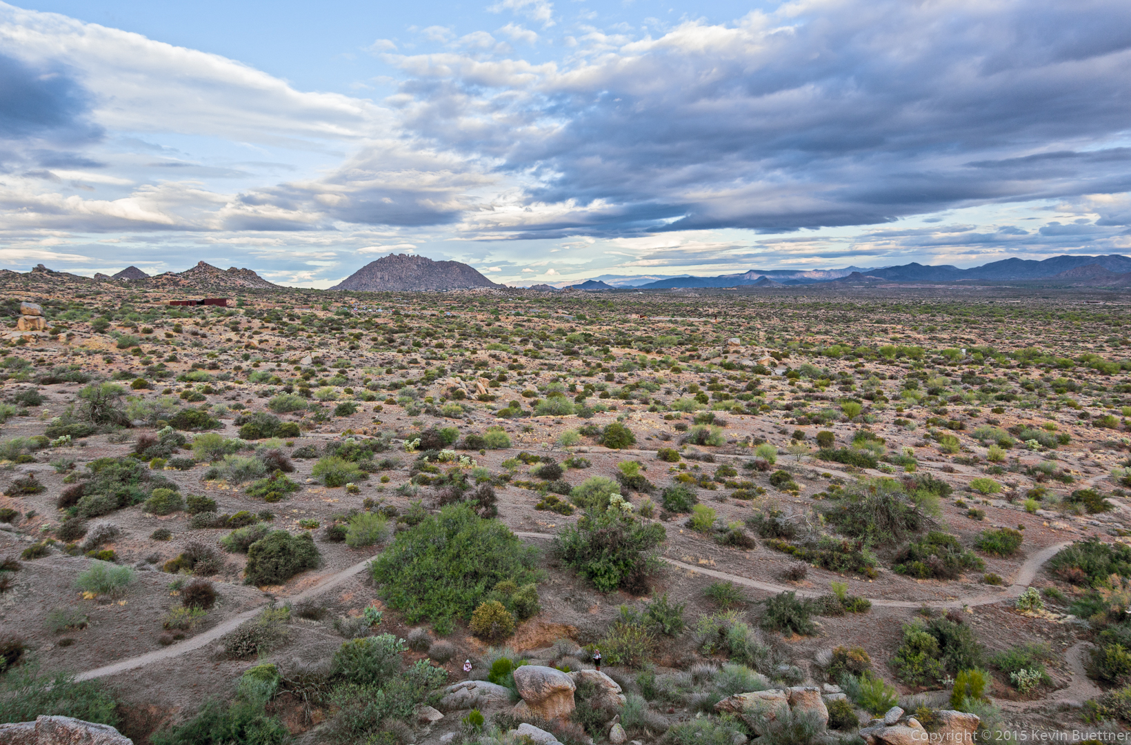
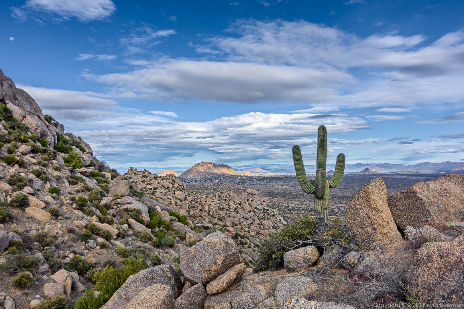
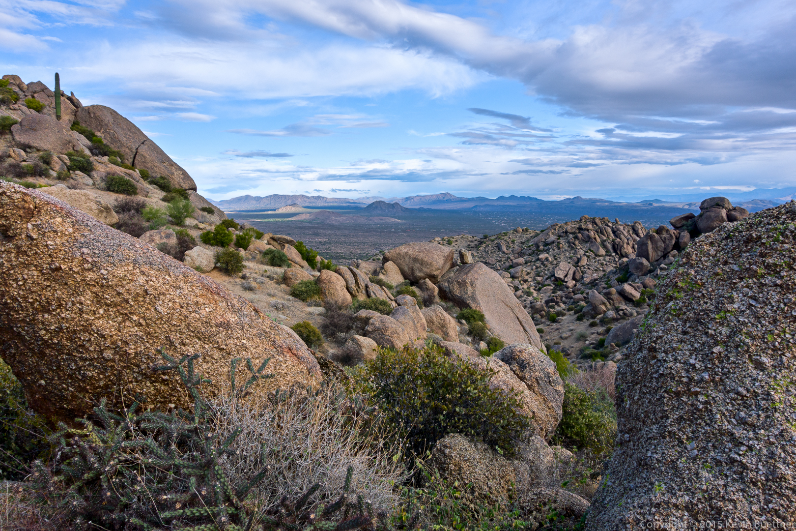
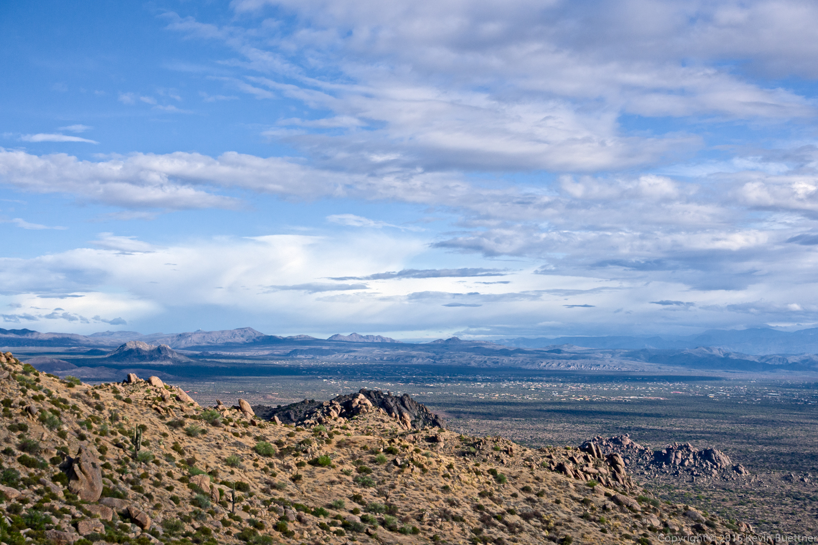
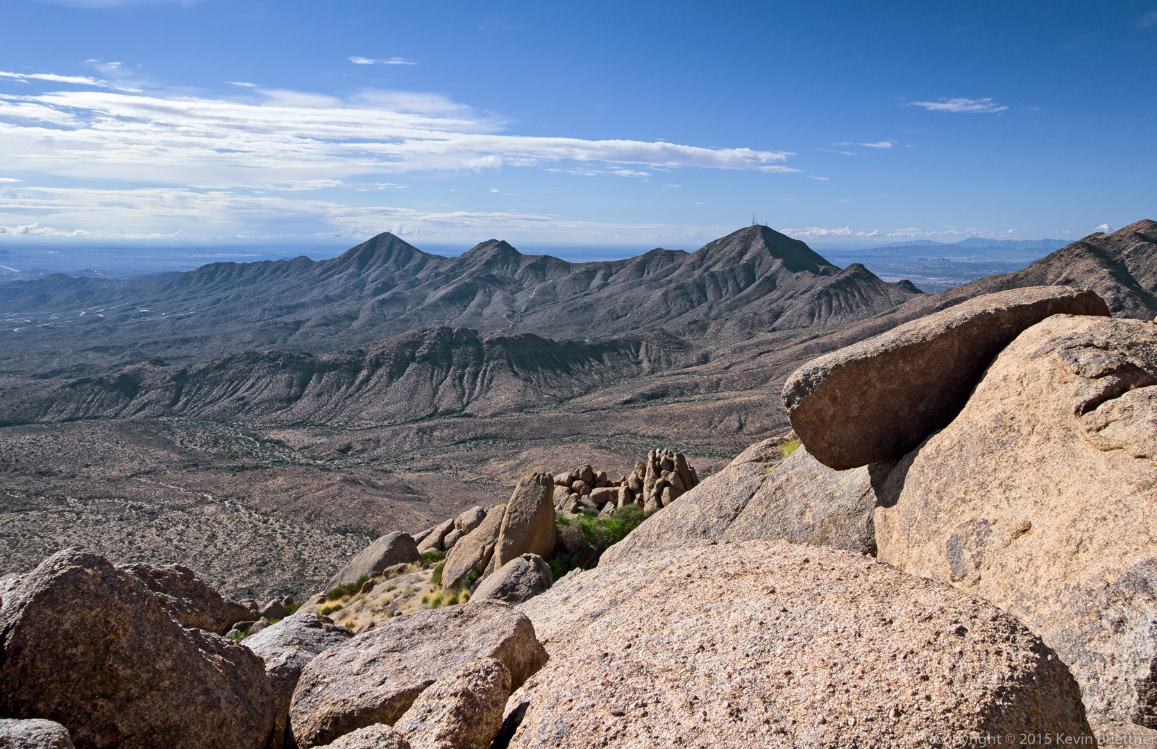
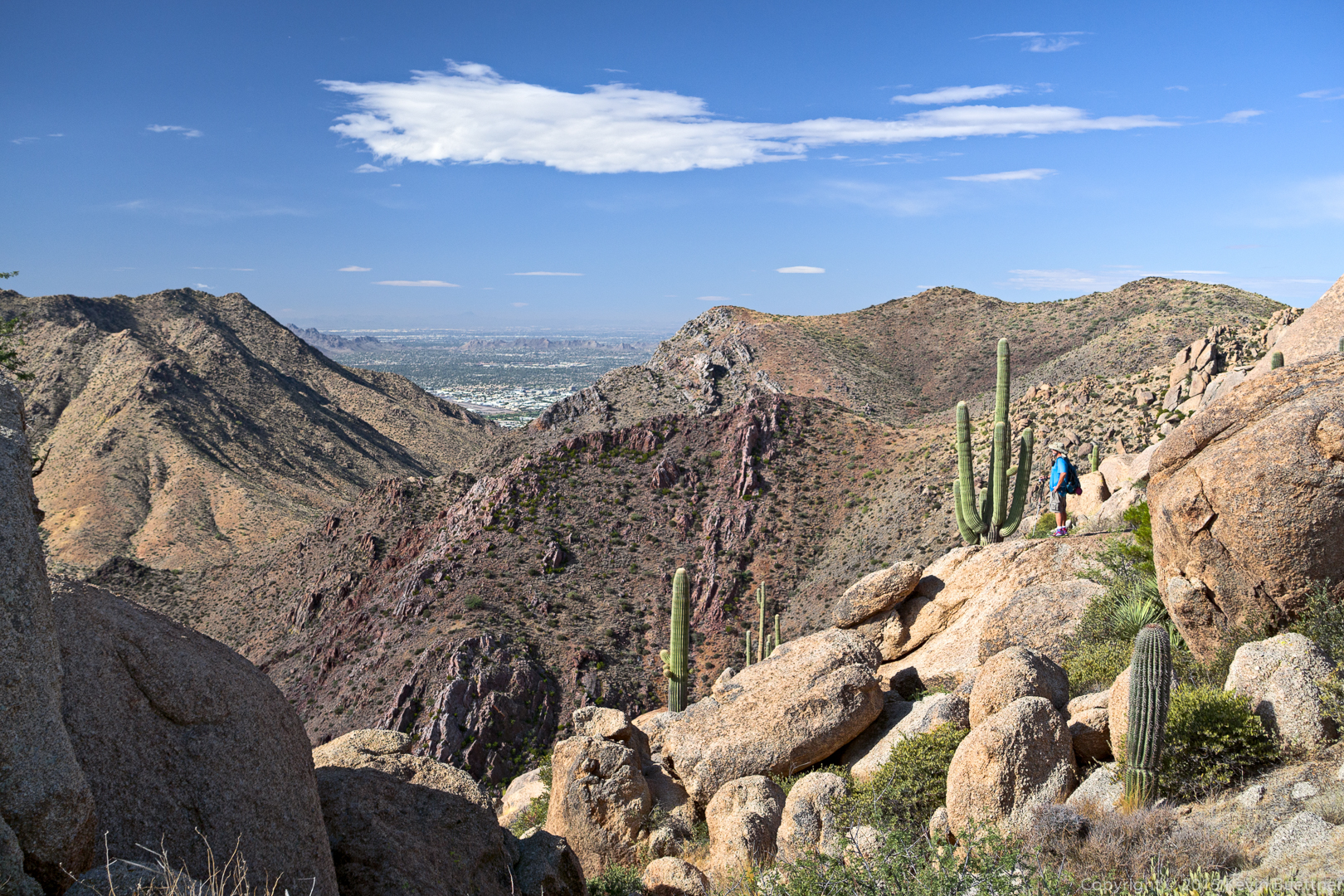
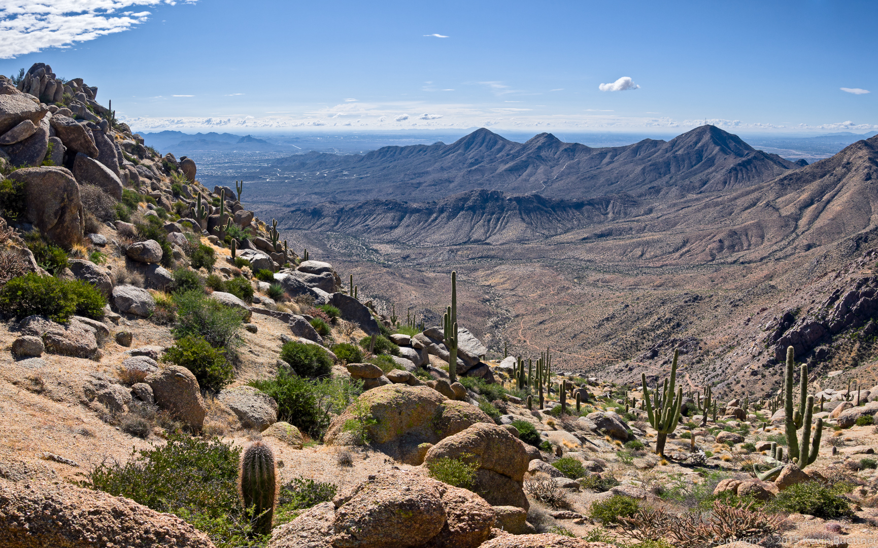
 Looking toward Scottsdale:
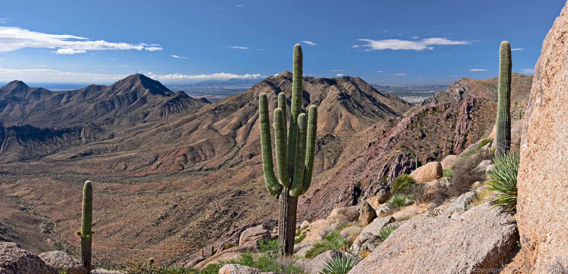
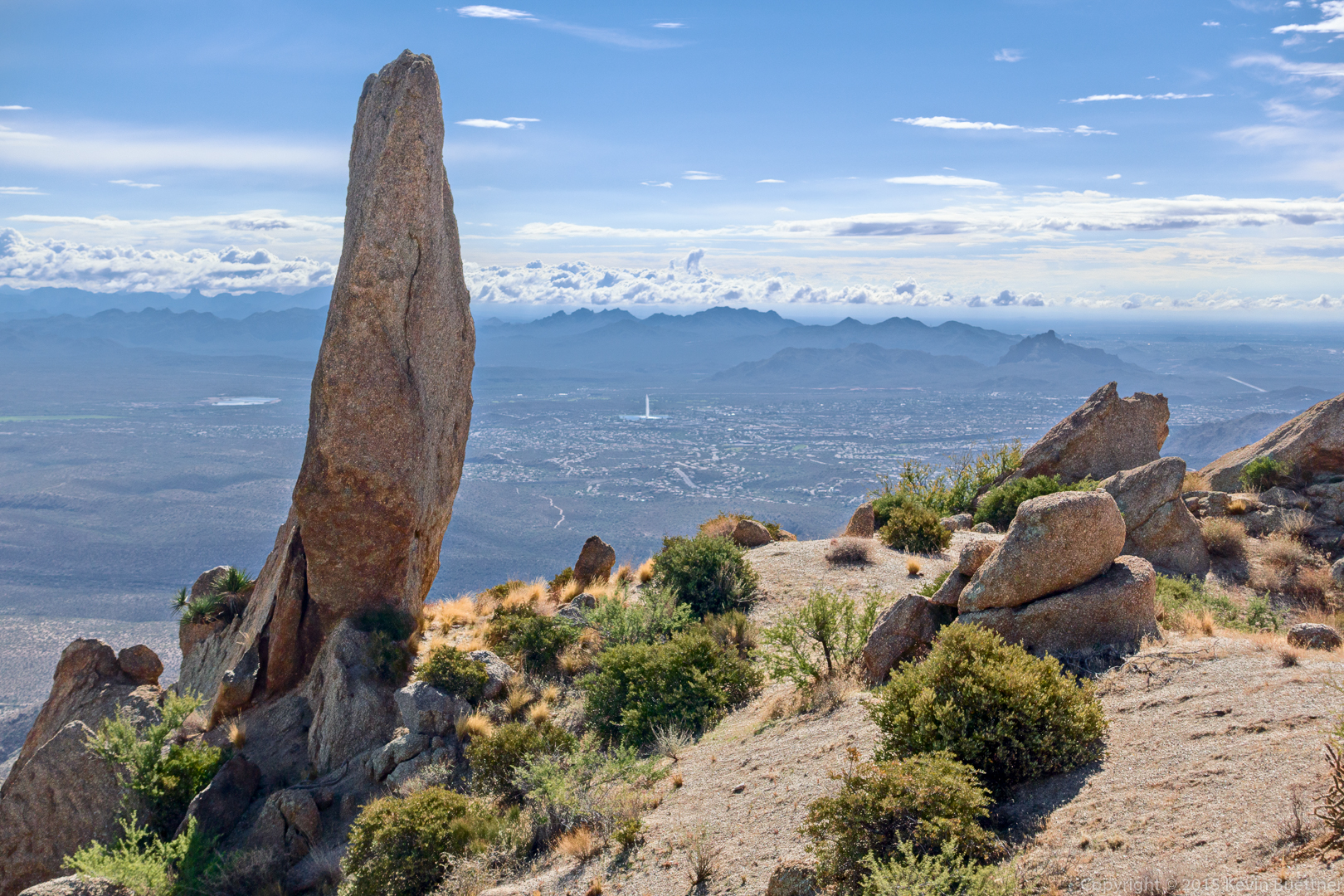
Yet another view of the Thumbnail Pinnacle with the Fountain (in Fountain Hills) in the distance.
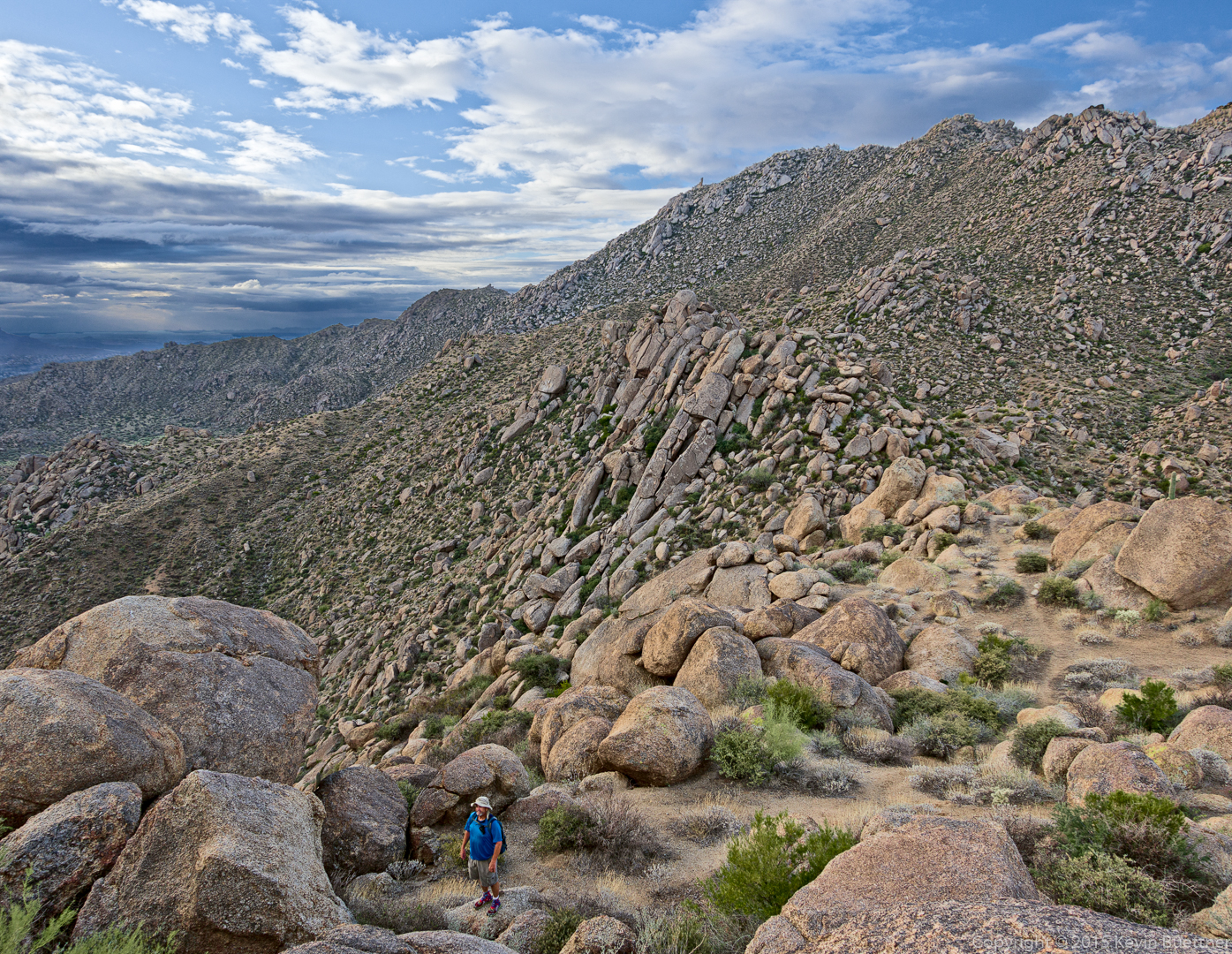
We’ve made our way most of the way across the ridge by this point.
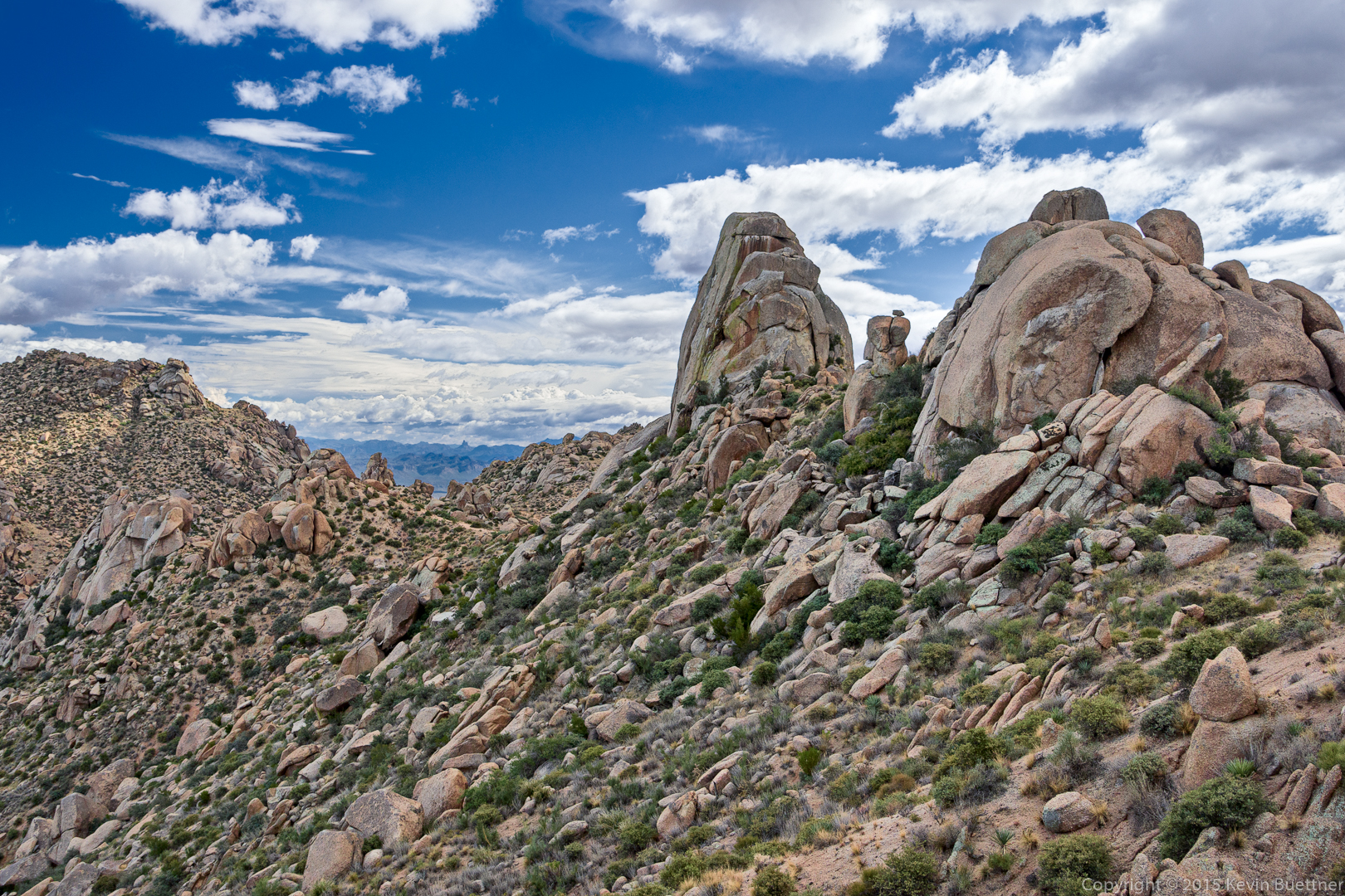
This is a view of Tom’s Thumb from the ridge to the North. The rock formation at the far right is known as the Rist.
(I have a bunch of photos of the trail in between, but haven’t gotten around to processing them yet.)
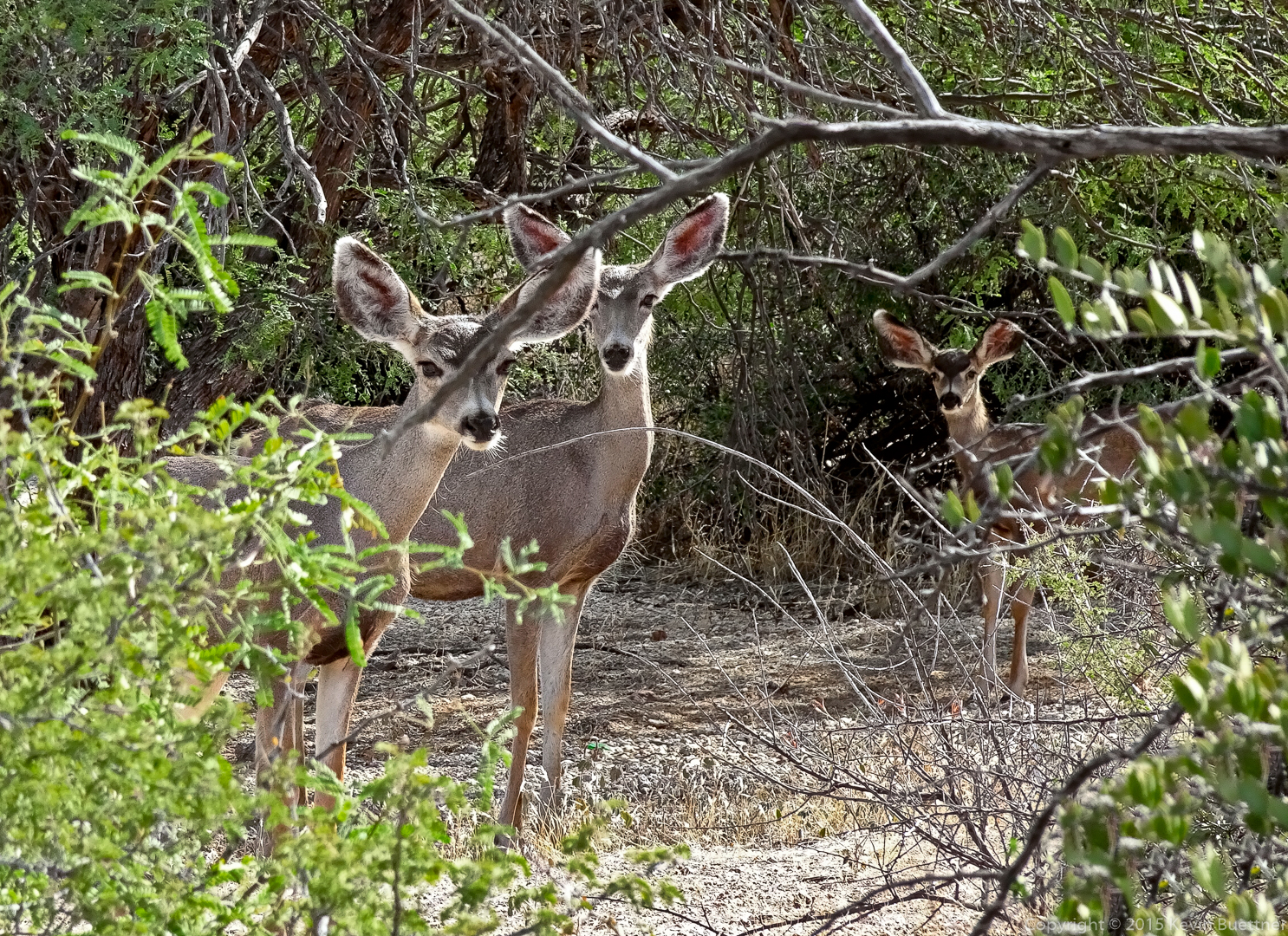
On our hike an the lower slopes, we came across some deer!
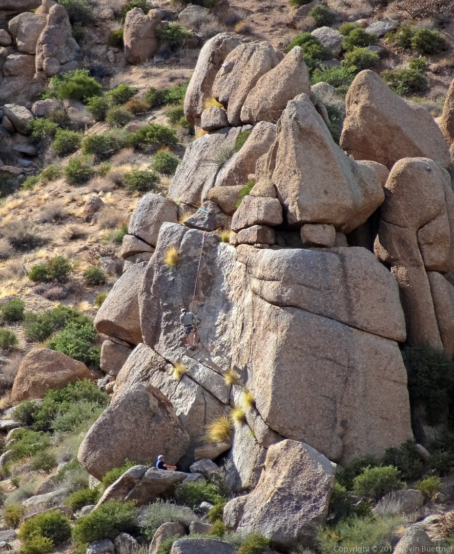
Higher on the trail, we had encountered a pair of climber setting up to top rope a climb on Fort McDowell. After taking a photo of the deer, I turned around and got this photo of one of the climber rappelling the route.