Month: July 2018 (page 1 of 1)

Friday Fitness Hike

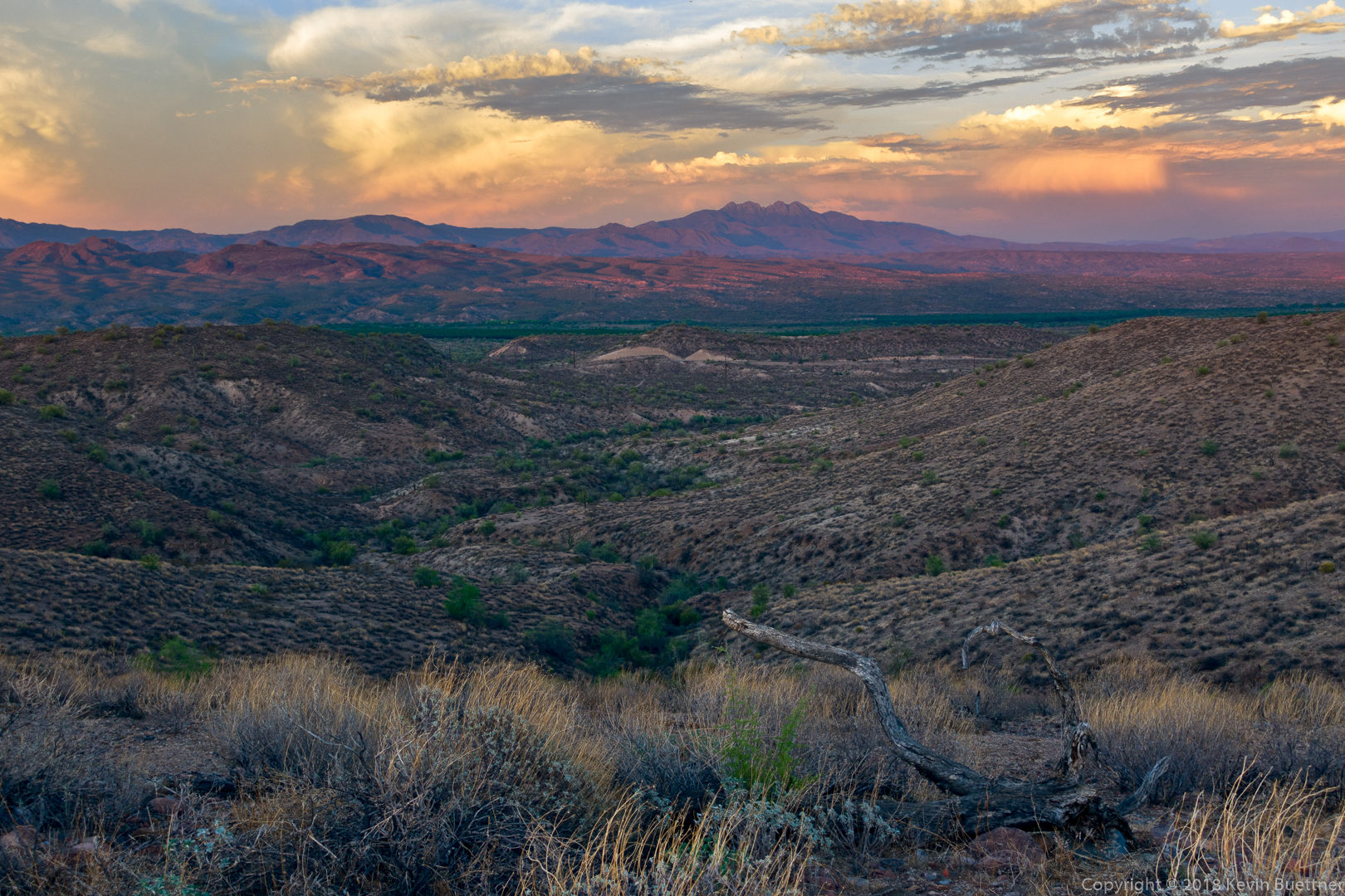
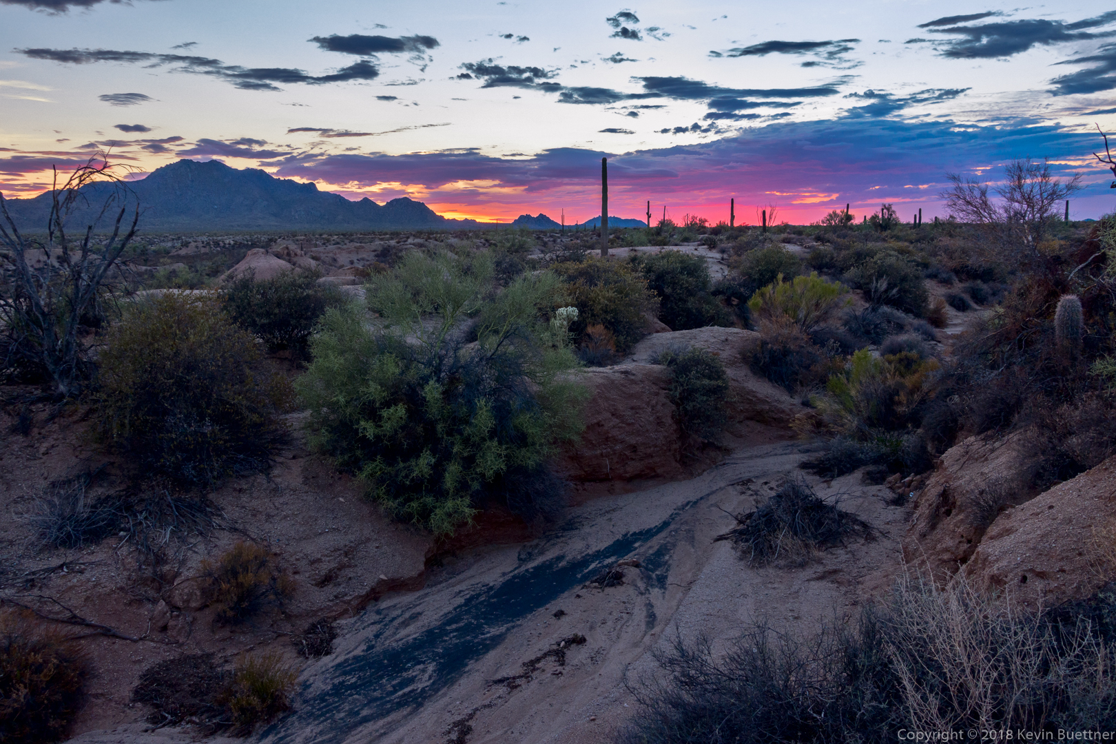
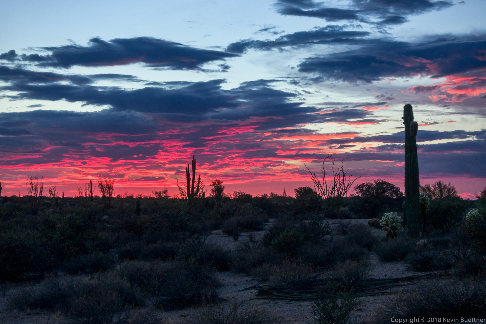
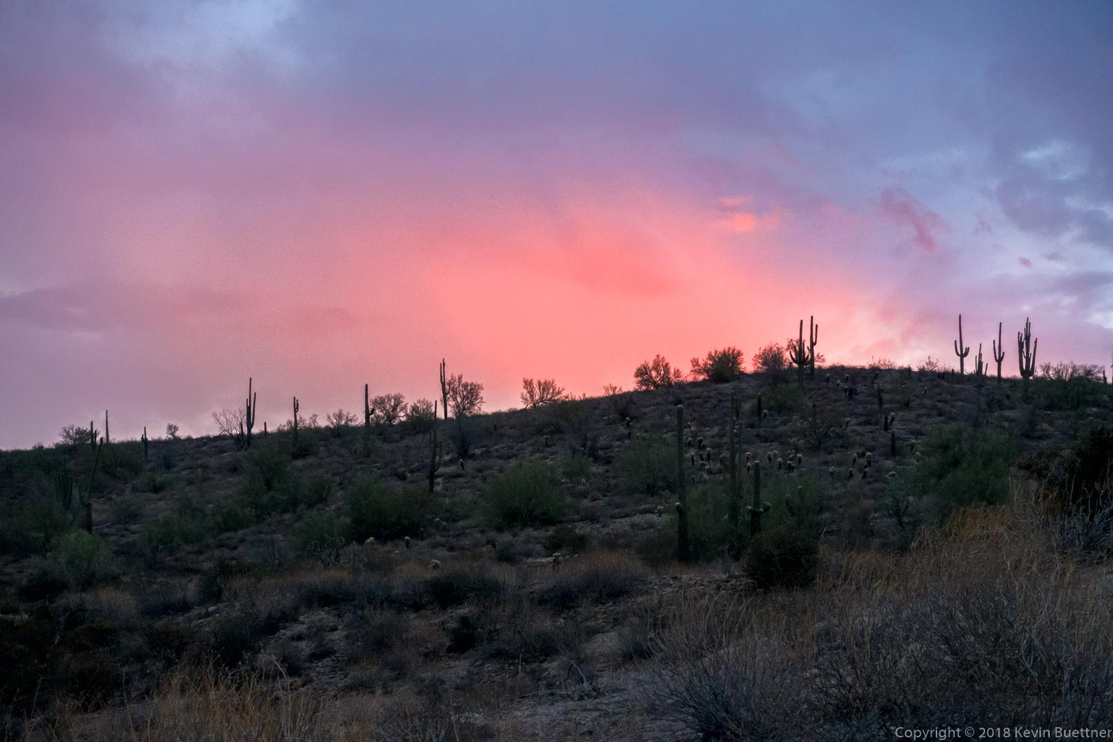
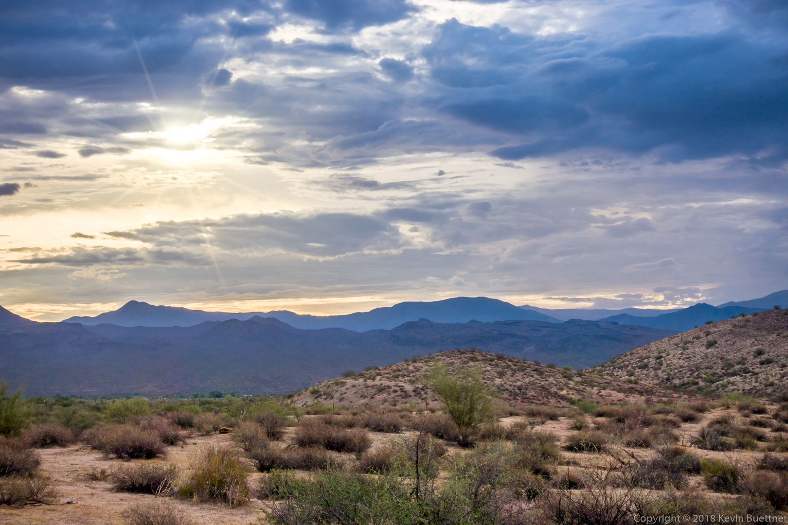
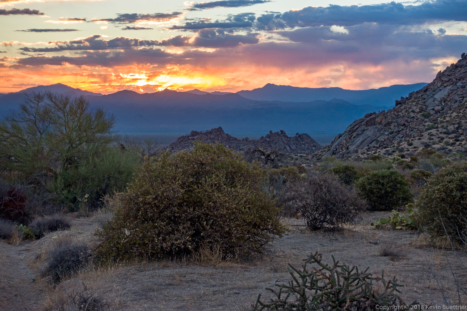
I hiked a little over five miles doing the Hog Heaven Loop, which is in the Tom’s Thumb area.

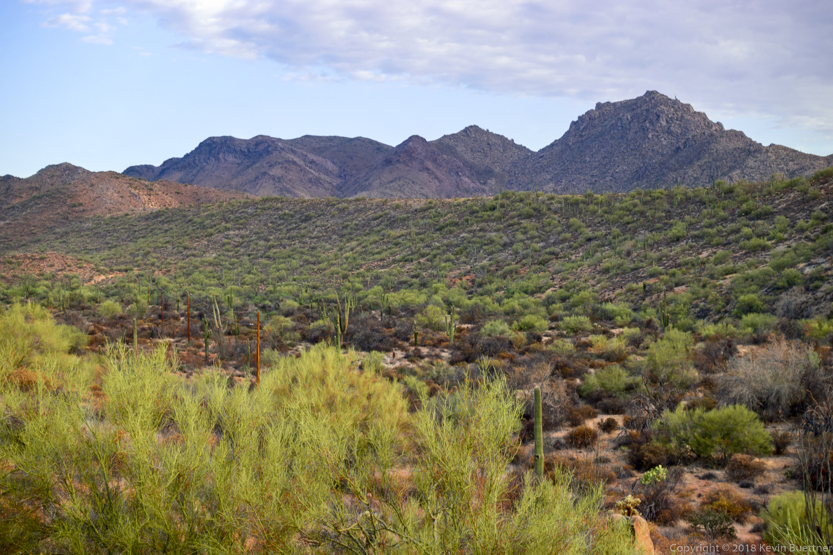
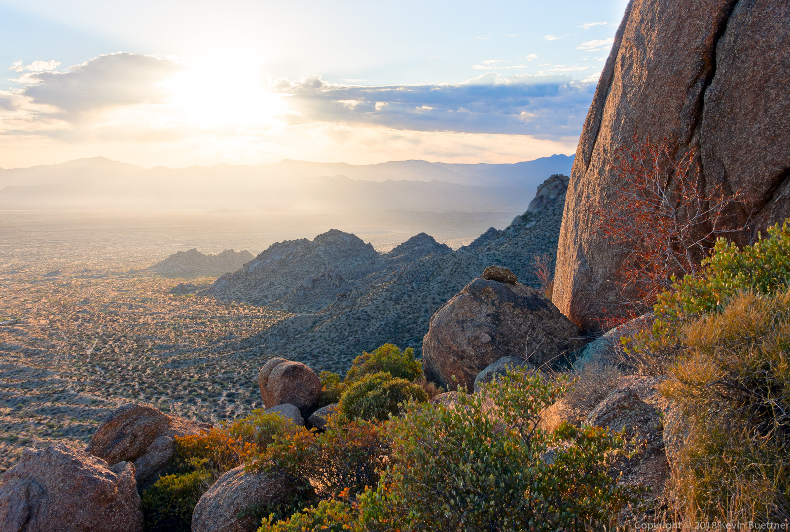
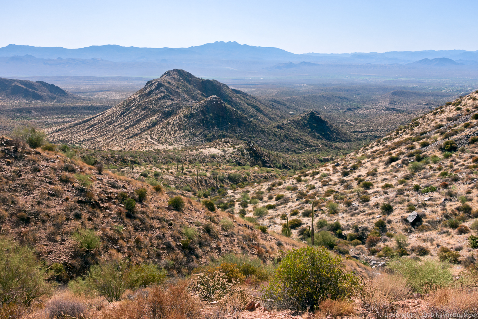
From this vantage point, I eventually hiked up past Hog Heaven, which is the climbing area just below the ridge in the center. I then made my way up to the Thumbnail Pinnacle which is on the ridge, just right of center. After that, I went to the highest point in the McDowells, the East End at the far right.

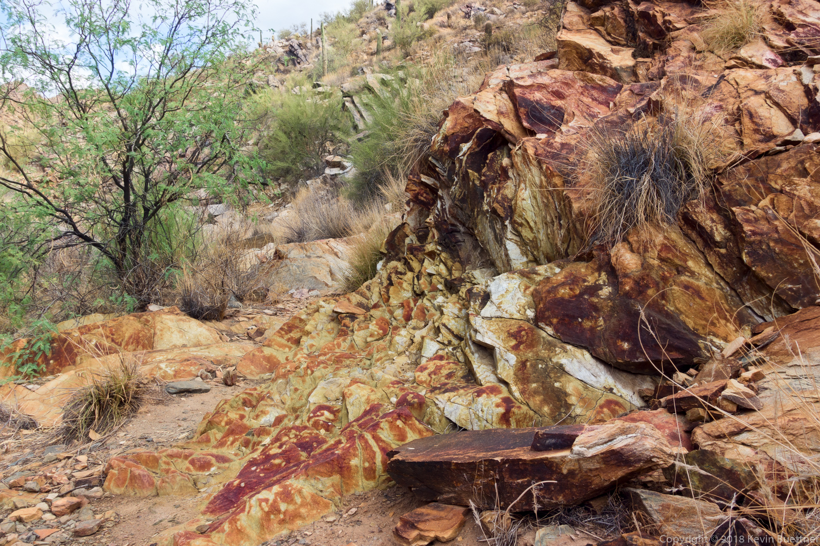
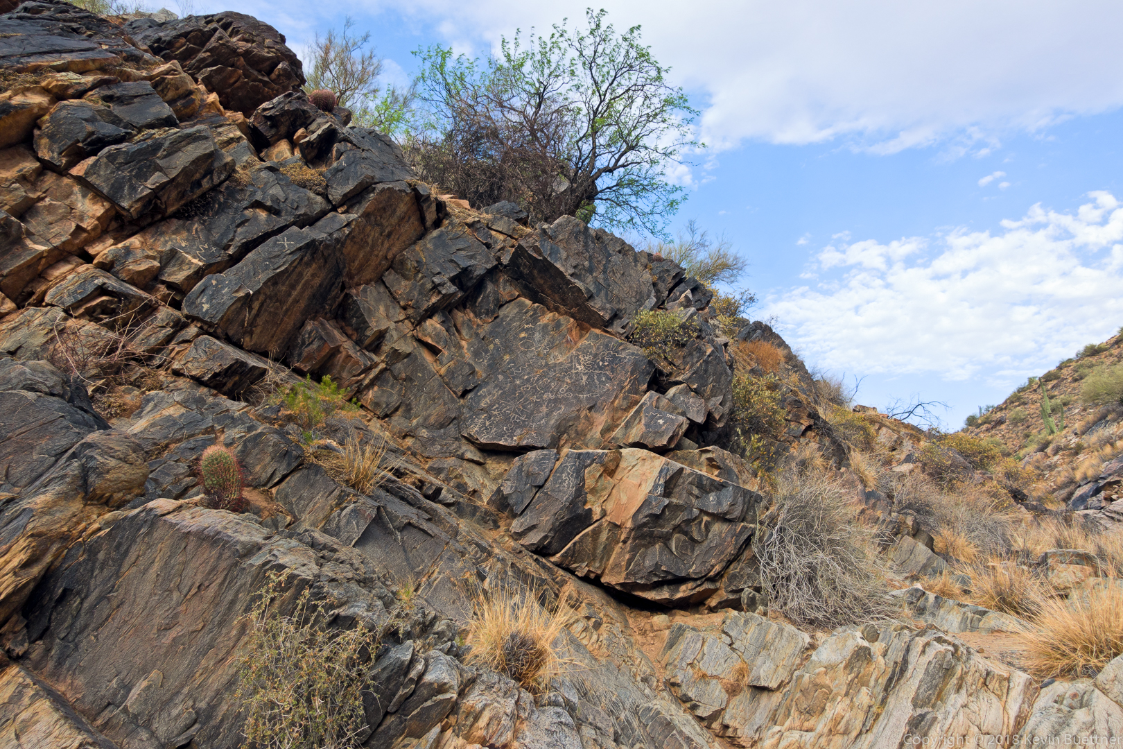
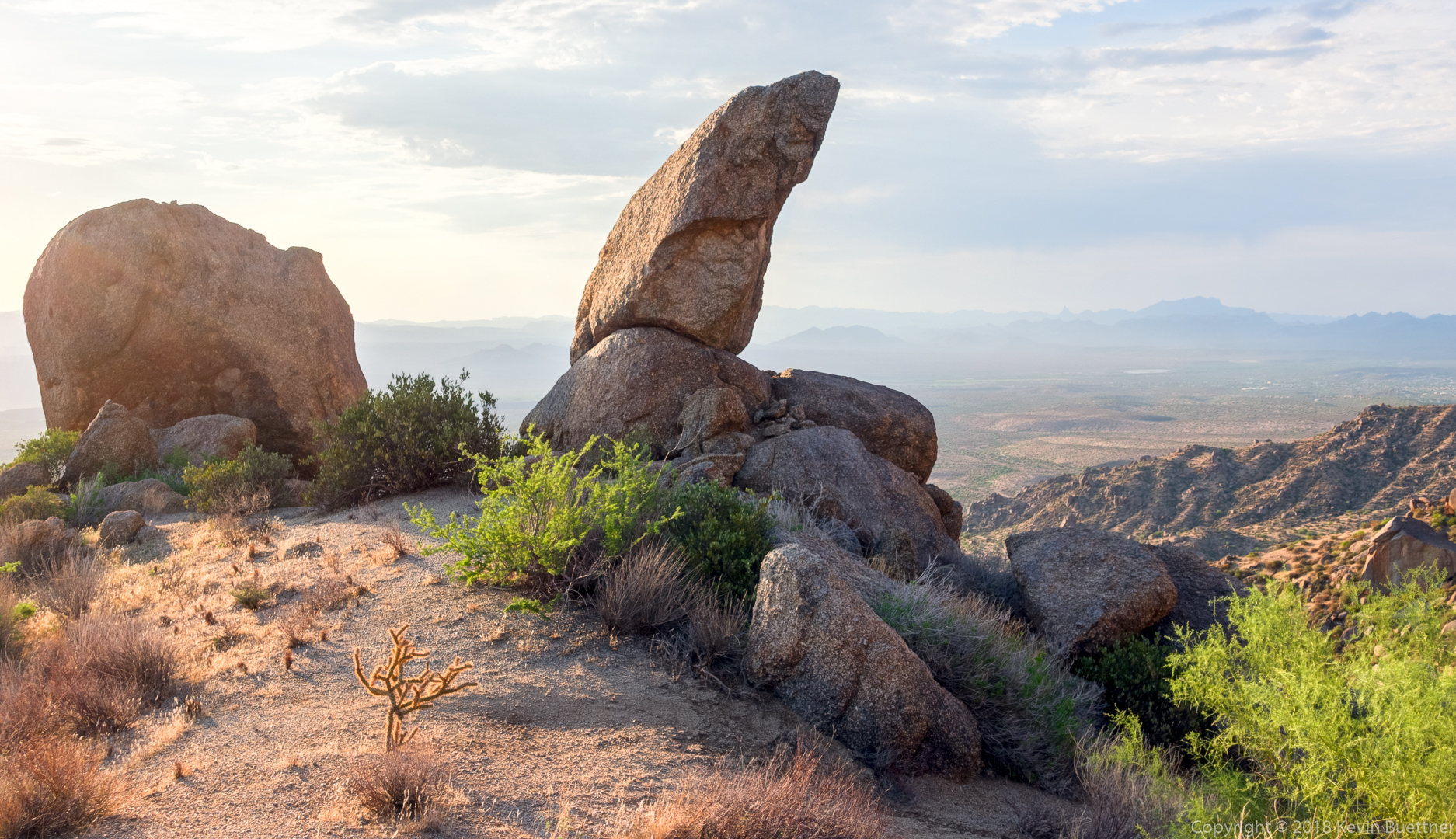
This is one of the interesting rock formations along the way. It is not the Thumbnail Pinnacle.

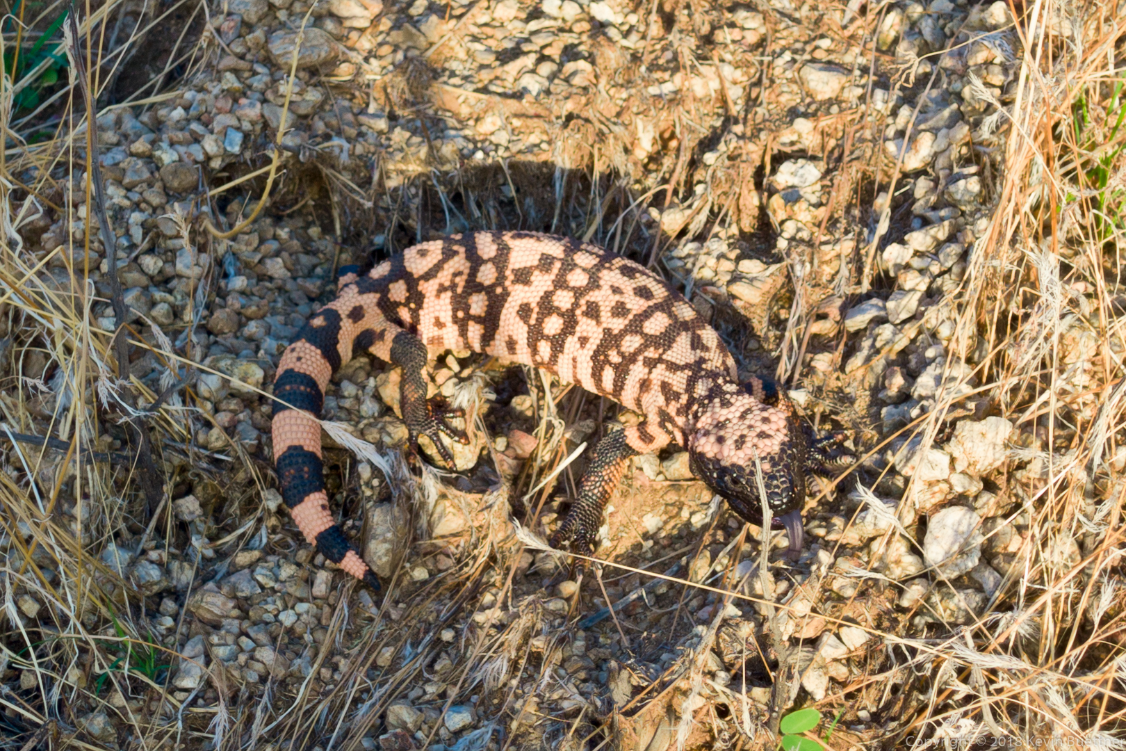
I saw this Gila Monster along the way. A got a photo of it when it turned around to hiss at me.

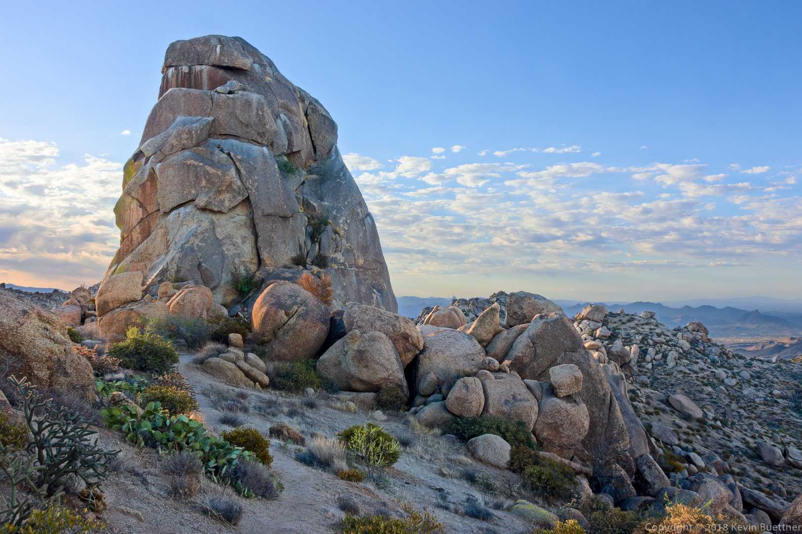
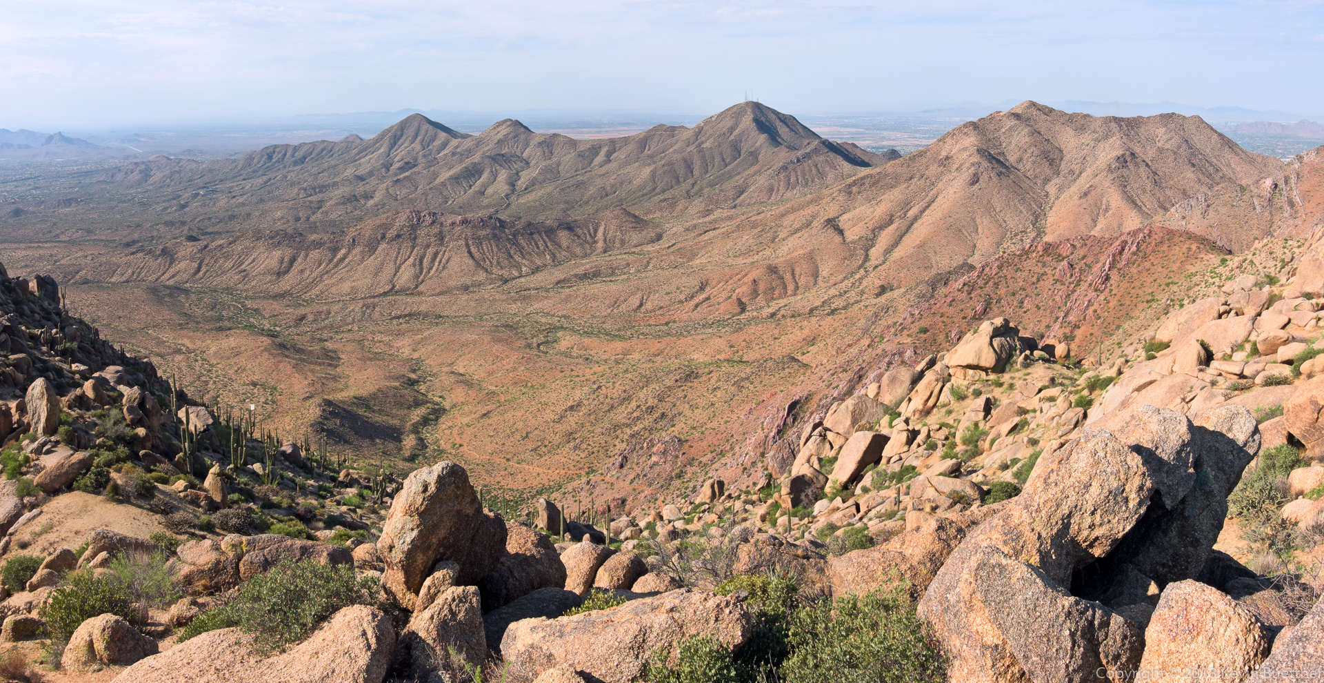
I took this shot while standing atop the boulders that form the highest point in the McDowells.

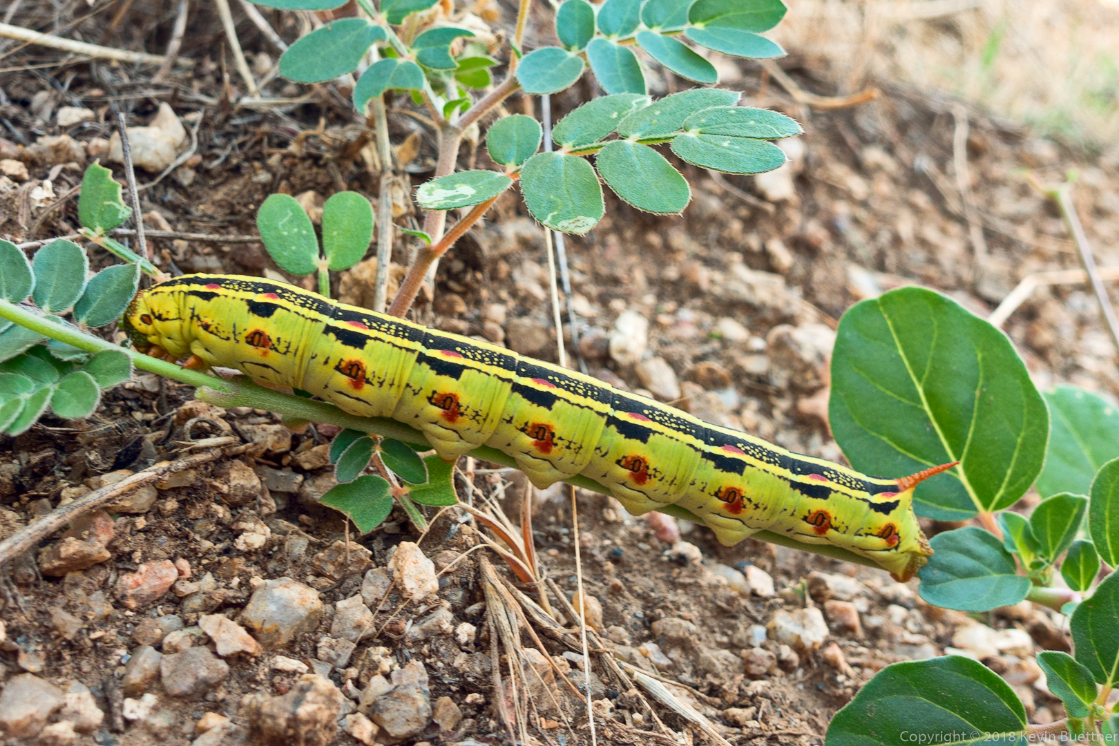
I saw a number of these yellow caterpillars as I made my descent to Tom’s Thumb Trail.  Joe Bartels has identified it as a White-lined Sphinx Caterpillar.

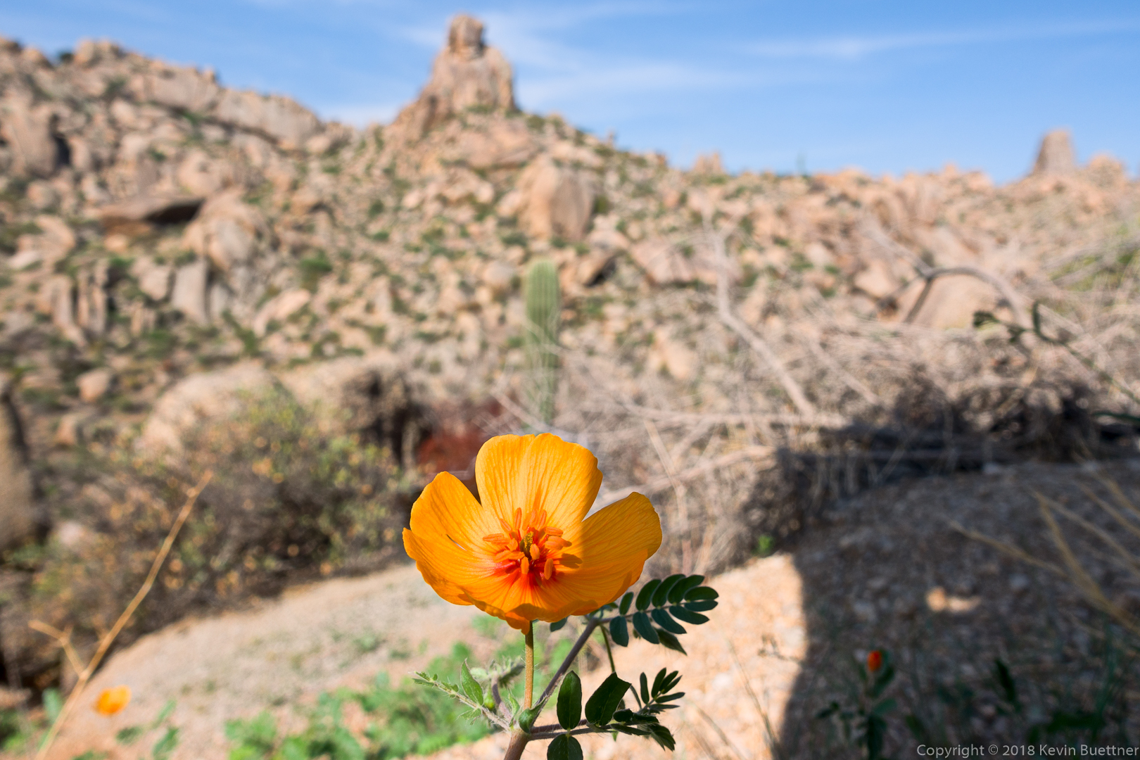
When I got to Tom’s Thumb Trail, I started seeing what I thought were Mariposa Lilies. Joe Bartels at hikearizona.com identified it as an Arizona Caltrop, also known as an Arizona Poppy.

Monday Night Hike

6.4 miles on Monday Night. Temperature at the start was 113 F and 100 F when I finished. The first mile felt oppressively hot, but it got easier after that.

Friday Fitness Hike

Bob and I hiked 10.3 miles on our Friday Hike. We hiked: Wagner, right on Granite, right on Delsie, left on Pemberton, left down Stoneman Wash, right on Granite, left on Bluff, left on Granite, and back (right) on Wagner.

We saw an owl towards the beginning of our hike on Delsie, but not many other critters.

A view of the McDowells from the Delsie Trail:

A happy skeleton!

A view from (and of) the Pemberton.

Stoneman Wash:

Wednesday Night Hike

8.5 miles on Wednesday Night…

Tuesday Night Hike

7.4 miles on Tuesday, with some really pretty skies just after sunset…

Sunday Hike – Escondido Loop

I hiked a little over 11 miles on Sunday. Starting from the Four Peaks / Horse Staging Area, I hiked Shallmo Wash, Pemberton, and Escondido. Midway around Escondido, I hiked the Lousley Hill loop as well, adding in an extra mile to what would otherwise be a ten mile loop.

Friday Fitness Hike

Linda and I hiked 10.6 miles in McDowell Mountain Park, staying mostly in washes.  We finished up with about two miles in Shallmo Wash, eschewing the nearby trail for the loose and sandy goodness of the wash.

Any early morning view from the parking area:

Looking toward the McDowells from the top of T-Bone Ridge:

Stoneman Wash:

This is one of Stoneman’s feeder washes:

After crossing the Pemberton, we continued up this wash and came upon this snake.

Further on, we found this shed from a mule deer:

This is Shallmo Wash:

Some critter, probably a pack rat, seems to have piled up sticks and twigs on two levels in this dead tree.


Friday Fitness Hike

Jill and I hiked out to Dixie Mine, visiting both the top of the tailings and the horizontal entrance. After looking at the petroglyphs, we continued onto the Prospector Trail where we hiked to the scenic overlook. Total distance for the day’s hike was nearly 8 miles with just over 1,000 feet of total ascent.

July Fourth Hike

On July 4, I woke up very early and drove to Tom’s Thumb Trailhead. I hiked the beginning of the Lost Wall Loop, passing the Tom’s Thumb pinnacle. When I (again) reached Tom’s Thumb Trail, I followed it west to the Scottsdale side of the mountain range. I returned by hiking up Windgate to the pass, then down Windgate, and down some more on Windmill. I then went up East End to arrive back at Tom’s Thumb Trail. Near the end of my descent of Tom’s Thumb Trail, I added on an extra mile by hiking Feldspar, Marcus Landslide, and Caballo. Total distance was 11.2 miles with about 3100 feet of total ascent.

Sunday Hike – Dixie Mine, Prospector, Bell Pass, Windmill, Coachwhip Lasso

On Sunday, I hiked 11.3 miles in the McDowells.  Starting from the parking area at the end of Golden Eagle Blvd, I hiked Dixie Mine to the road, up the road to Prospector, Prospector to Bell Pass, then up to the top of the pass, back down Bell Pass (the way I came) to the intersection with Prospector, continued on Bell Pass to intersection with Windmill and Windgate, Windgate to Coachwhip, Coachwhip to Dixie Mine, then back on Dixie Mine.

The temperature started out in the mid-seventies at around 6:00am and rose to the mid- to high-nighties when I got back around 10:30. So, fairly cool for this time of year.