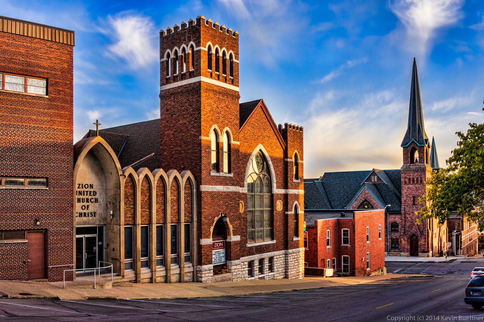
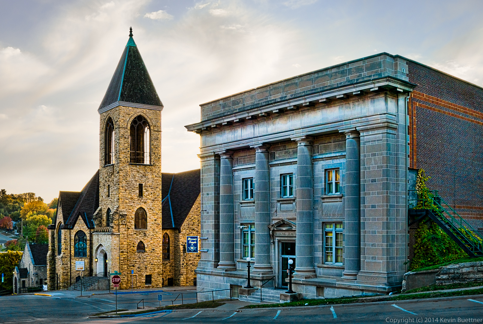
Two more shots from my visit to Burlington last November…
Two more shots from my visit to Burlington last November…
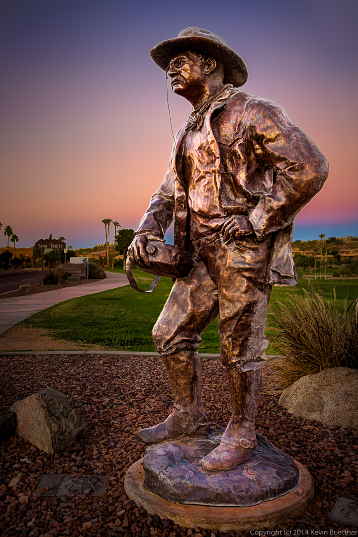
Artist Dan Snarr created this sculpture depicting Theodore Roosevelt, the twenty-sixth president of the United States. Titled Roosevelt – The Conservationist, this sculpture was donated in 2008 by The Arizona-Dakota Connection and many others; see additional photo below for the complete list of donors.

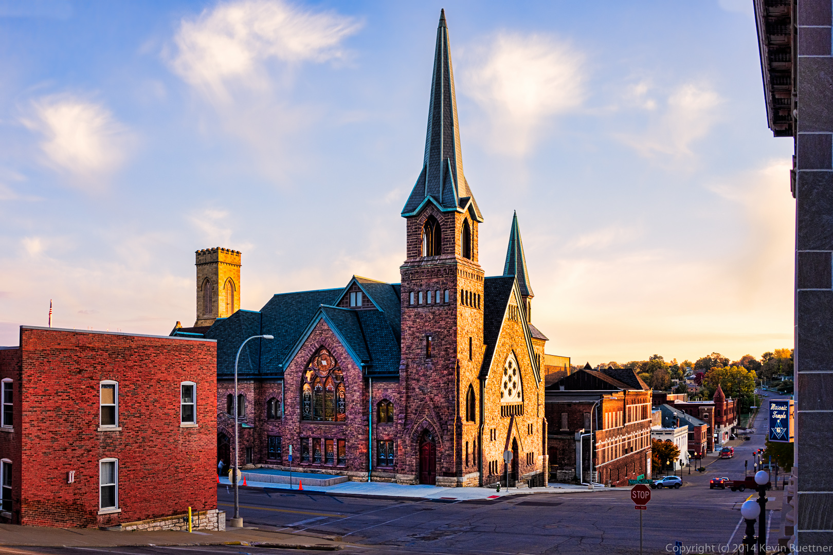
I took this photo on November 1, 2013, during my visit to Burlington, Iowa.
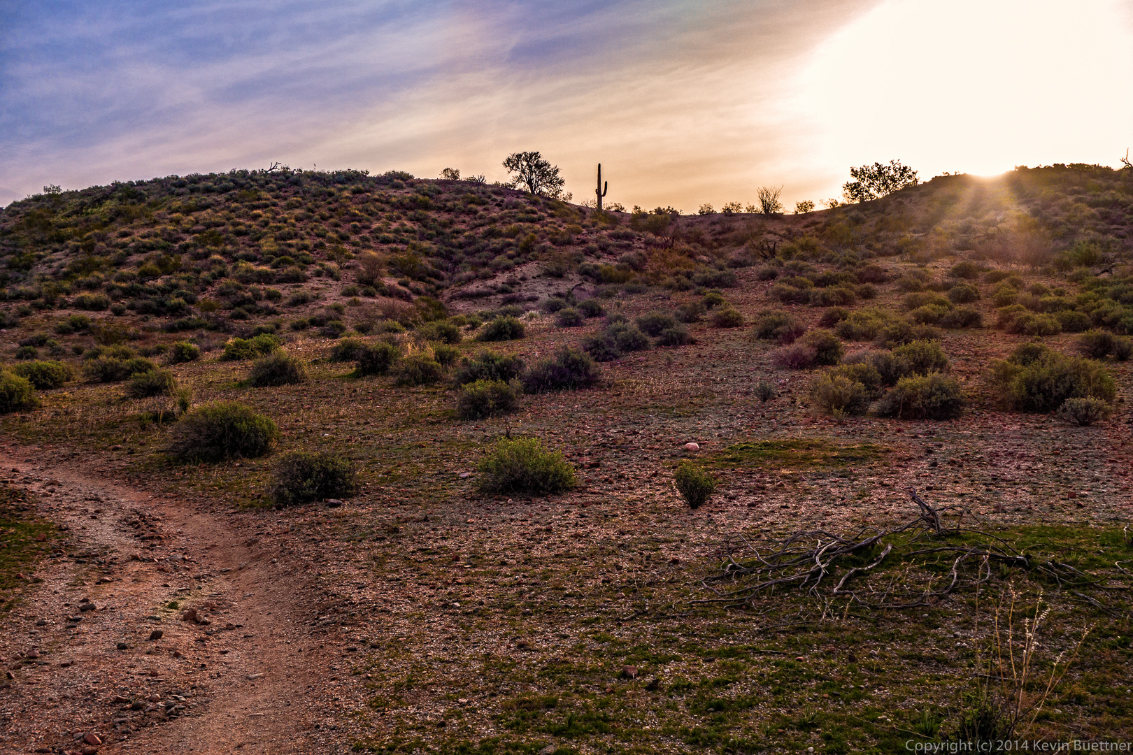
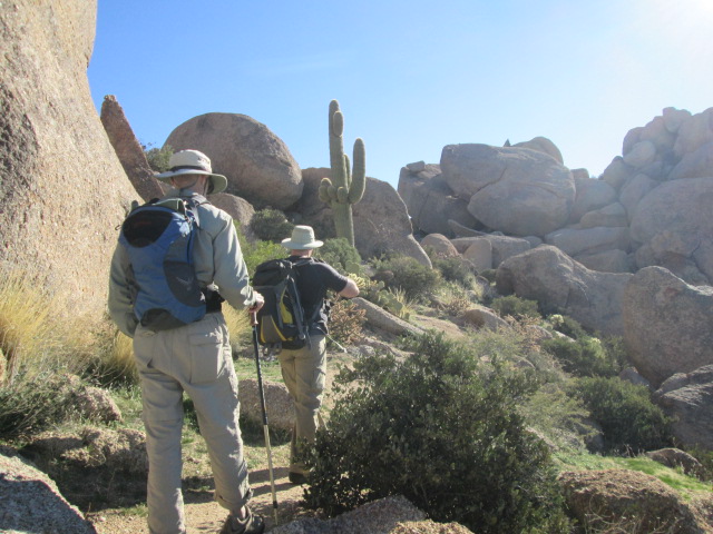
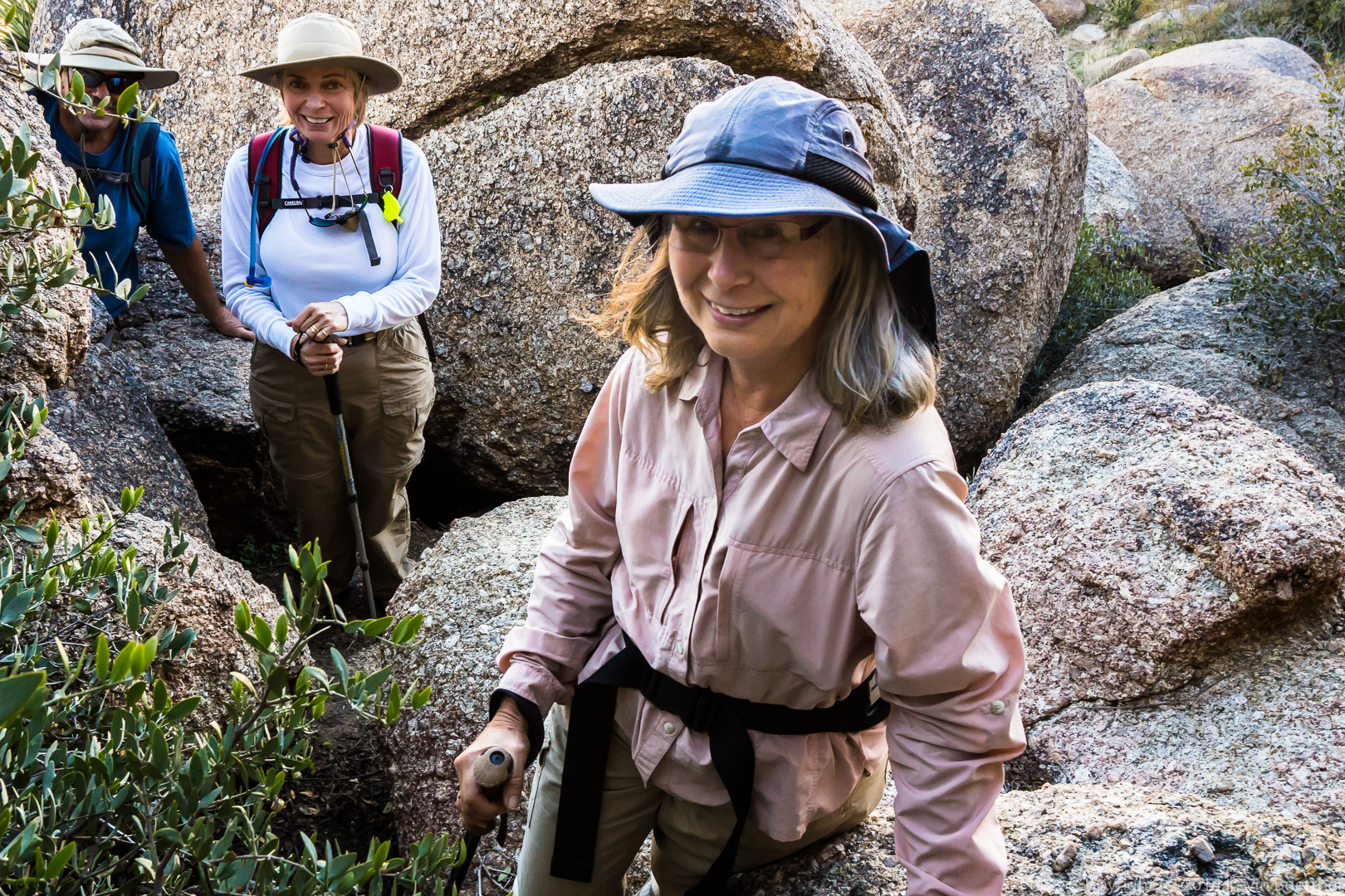
We hiked the Scenic Trail last Friday. When we returned to the parking area, most of us continued on to explore a twisty canyon near the old homestead. We saw a hummingbird and a pair of owls along the way.
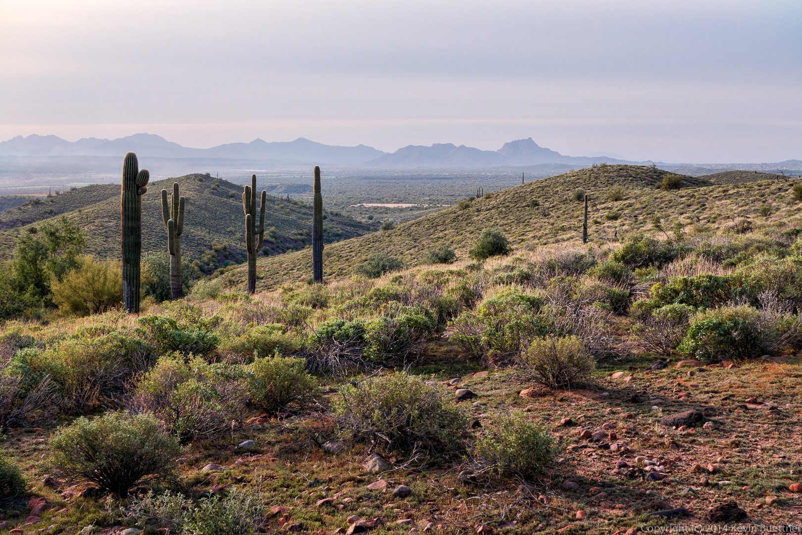
We hiked out about a mile on Pemberton and then turned onto the Scenic Trail. This was the view just as we turned onto the Scenic Trail.
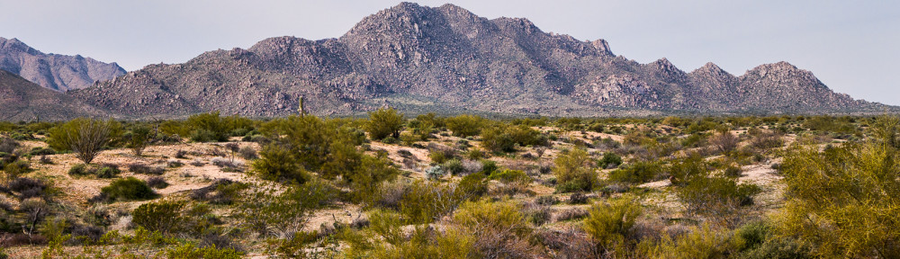
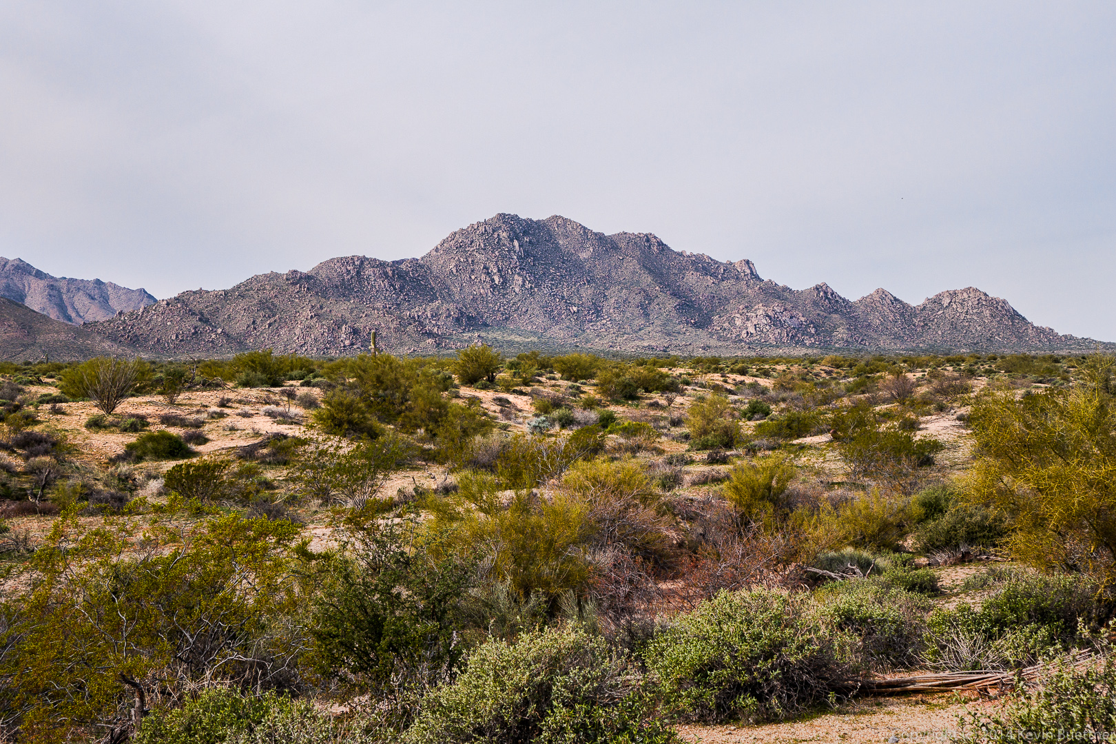
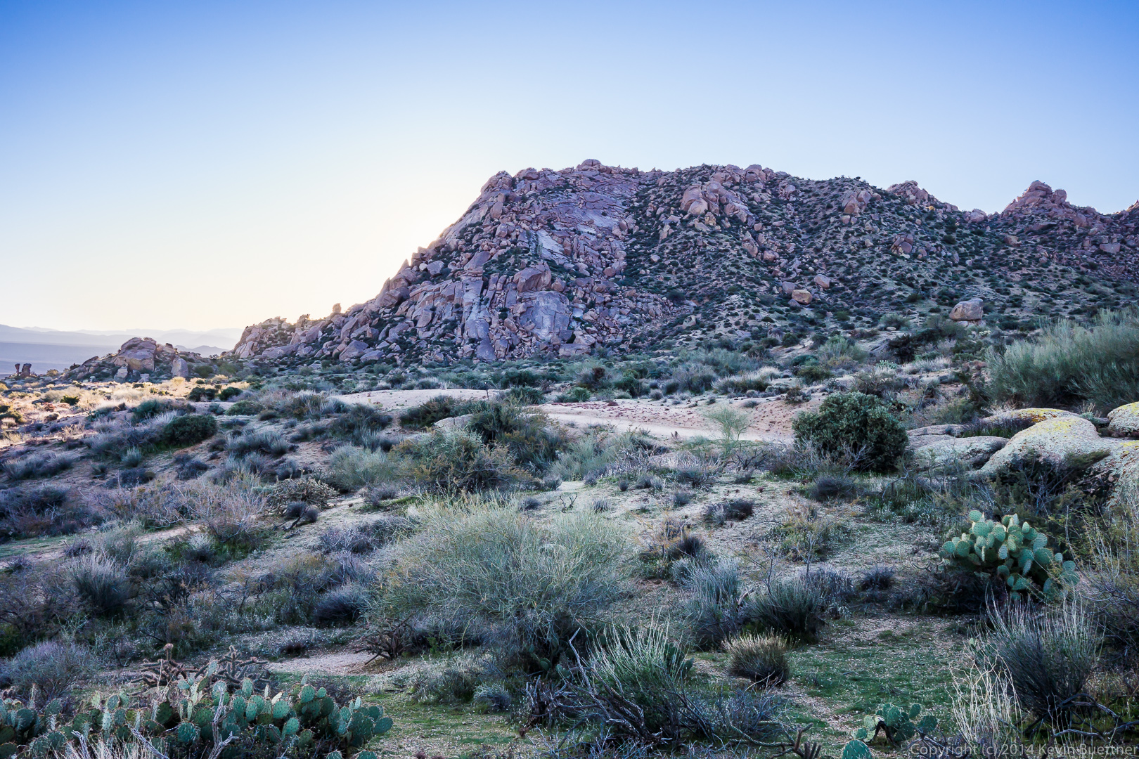
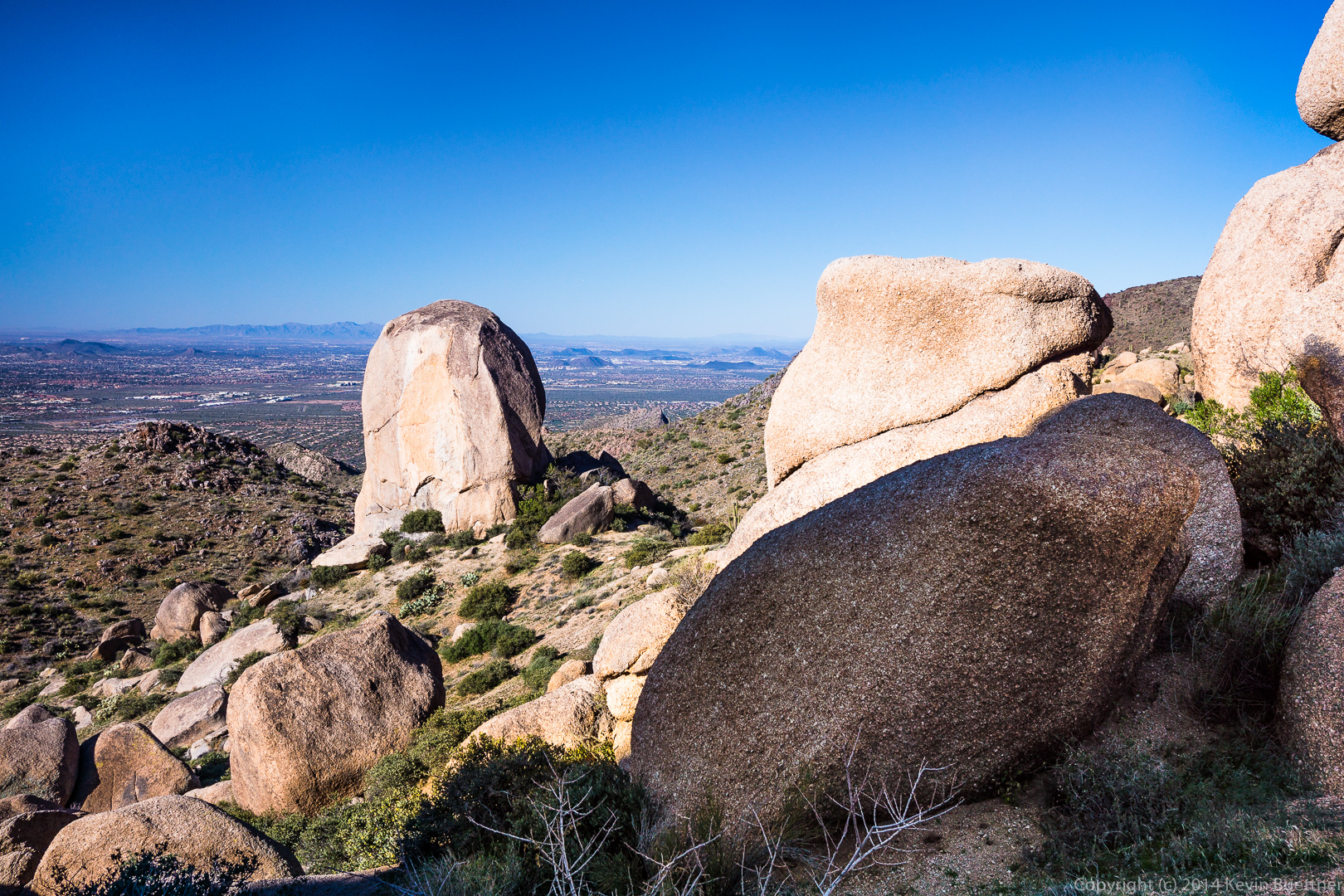
 A view of Red Mountain from the Scenic Trail:
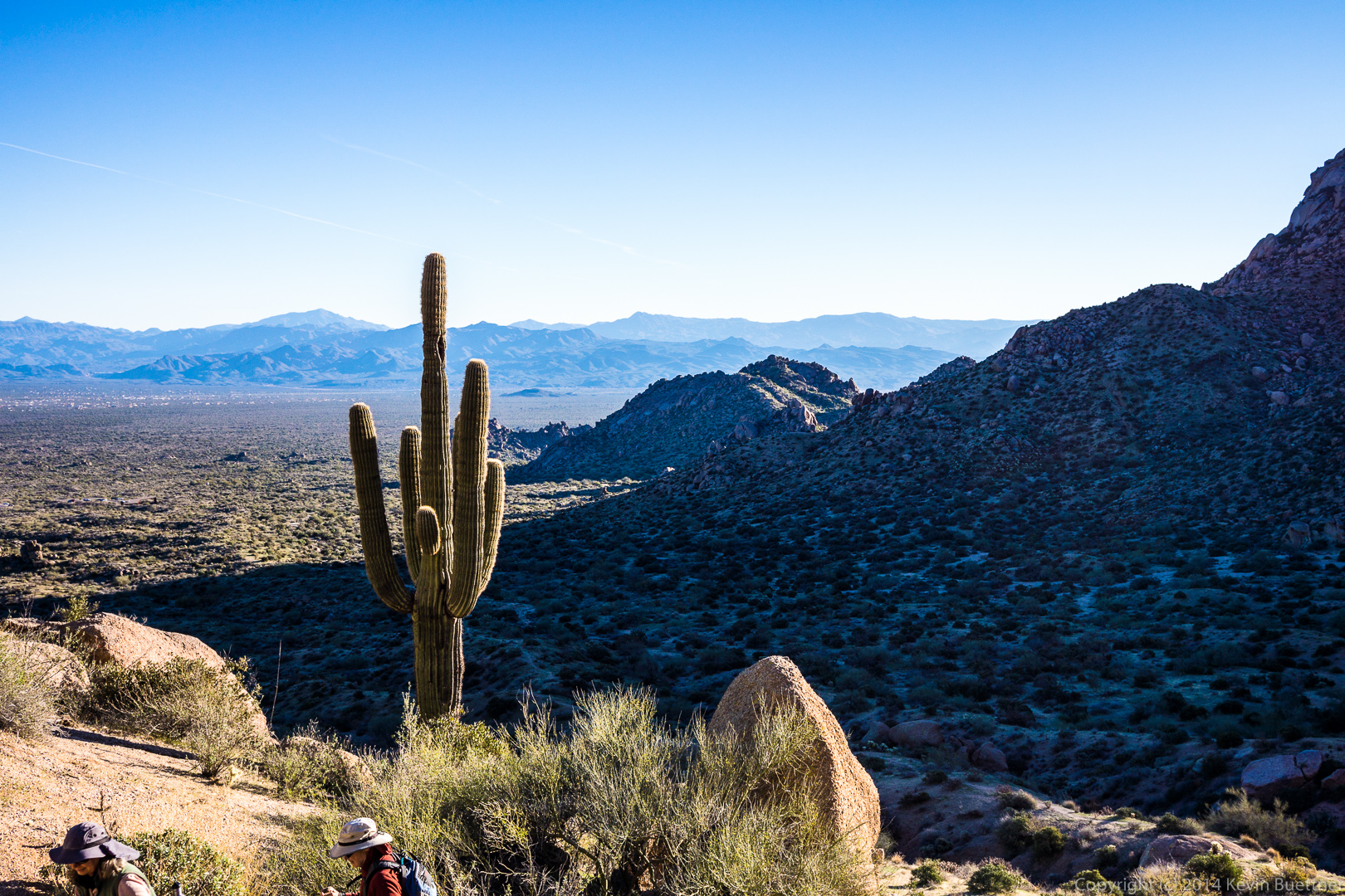
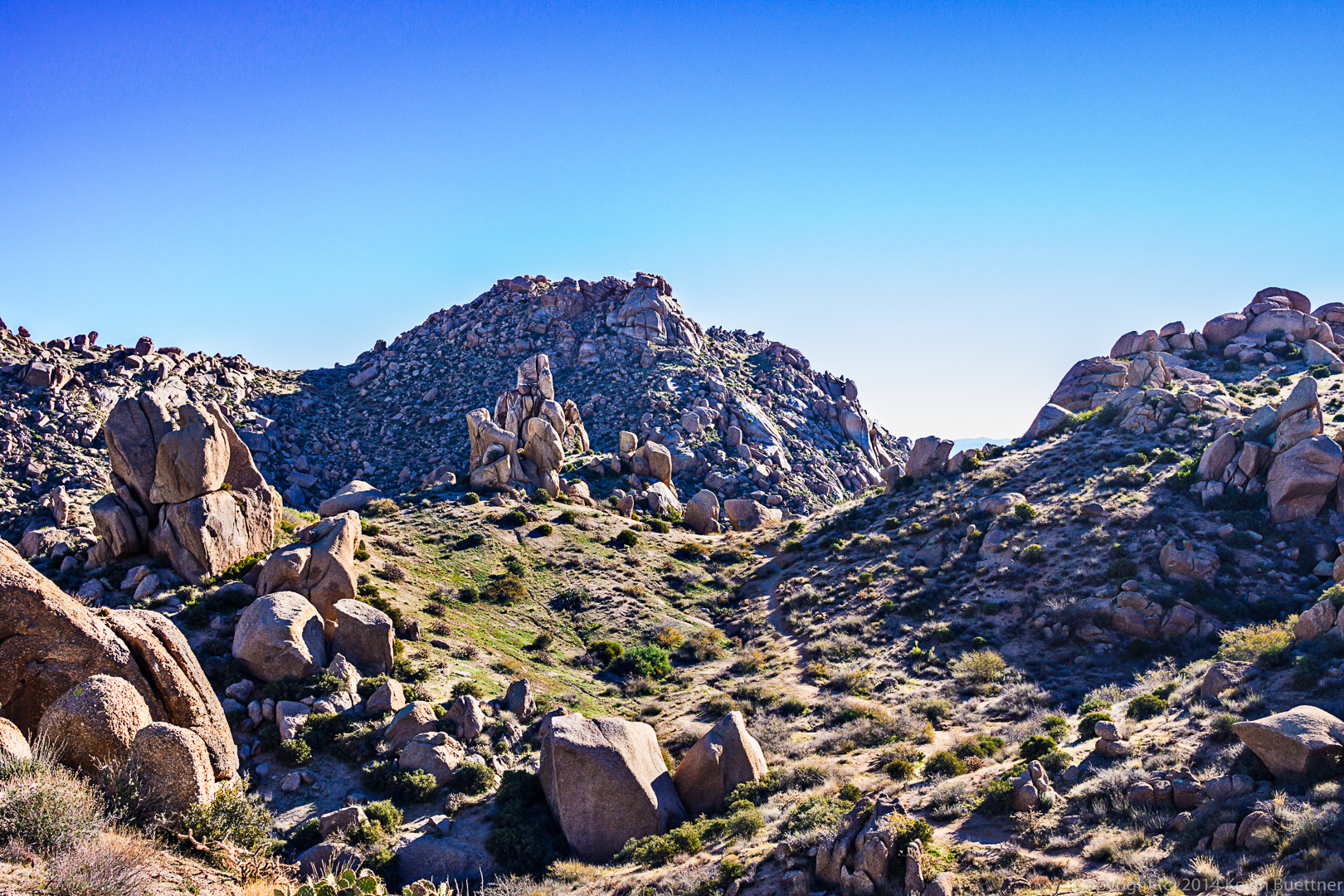
A panoramic view from the Scenic Trail.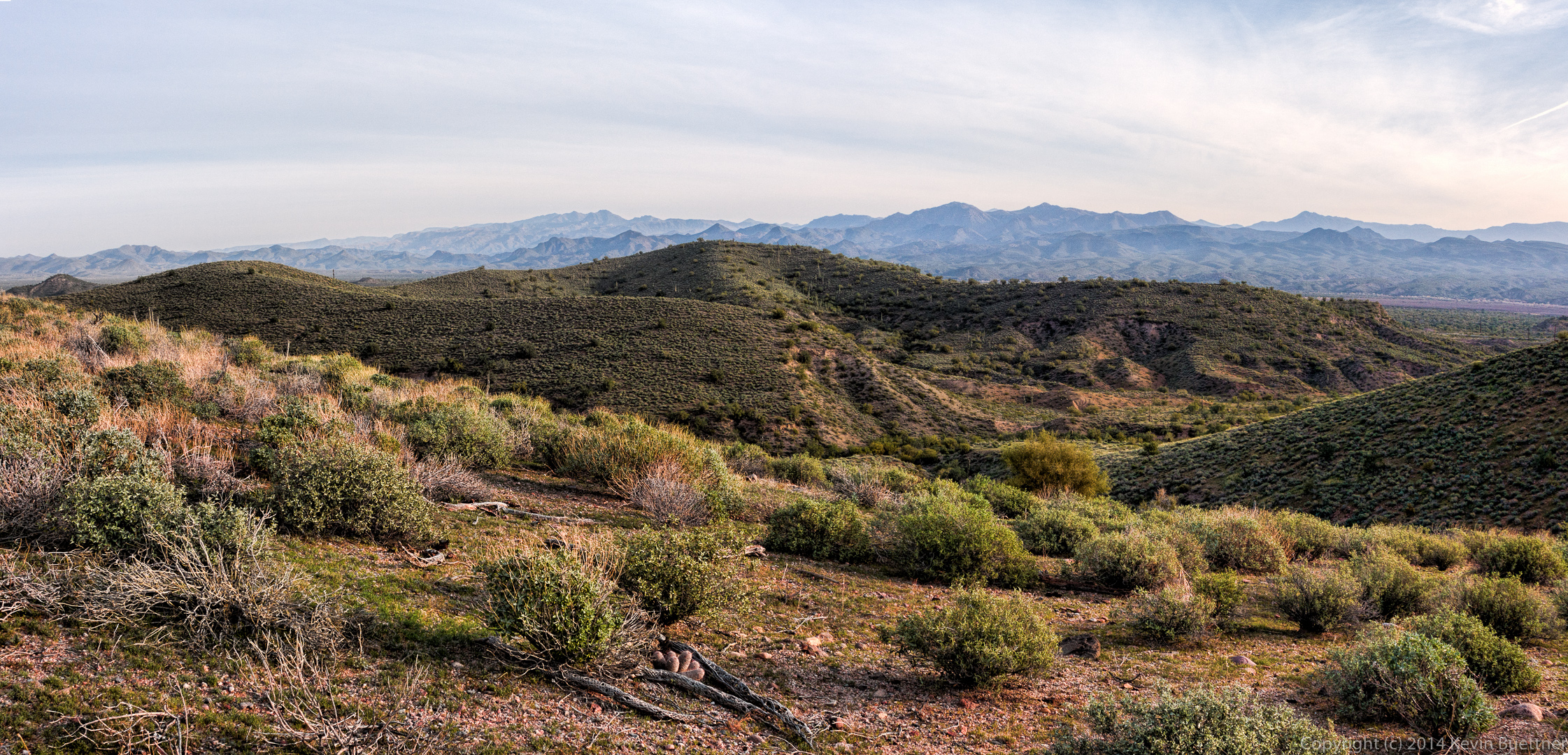
Another view of Red Mountain:
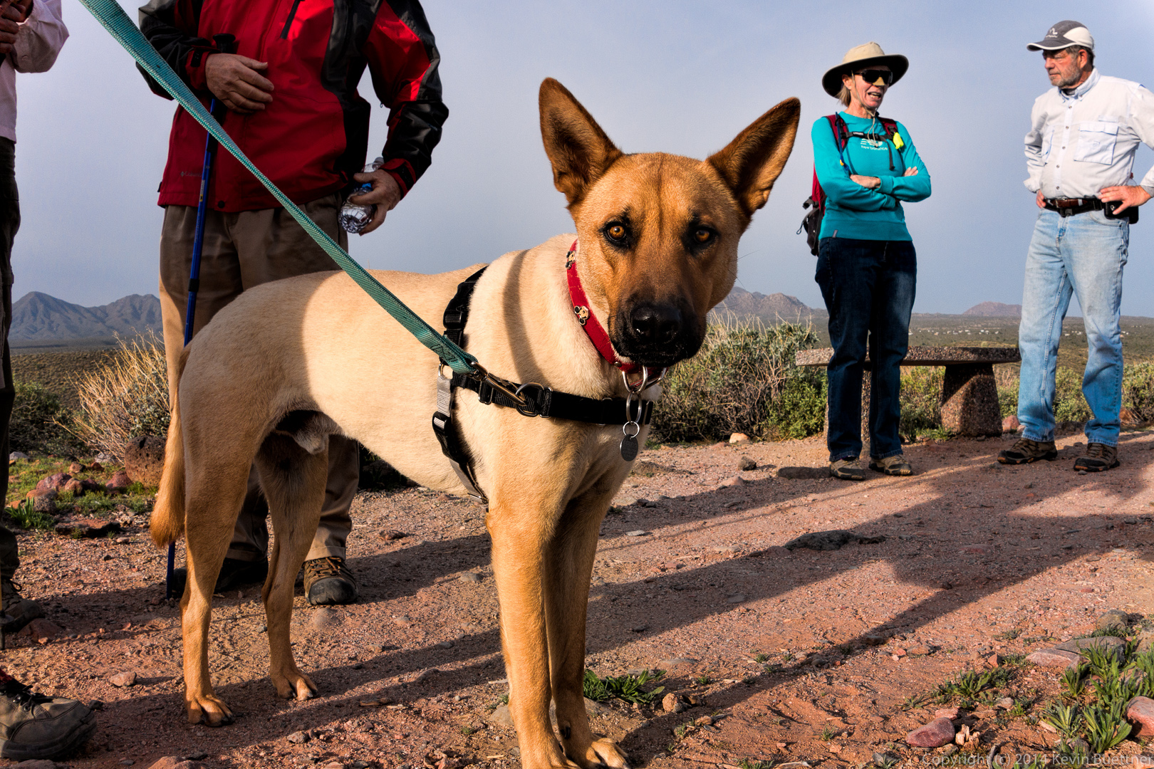
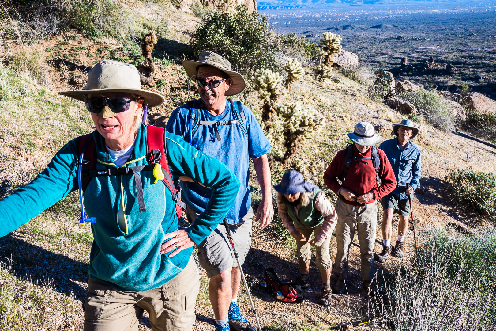
Time for a water break. From left to right are Sarg, Janet, Bob, Richard, Linda, Bill, Doug, Ellen, and Venie.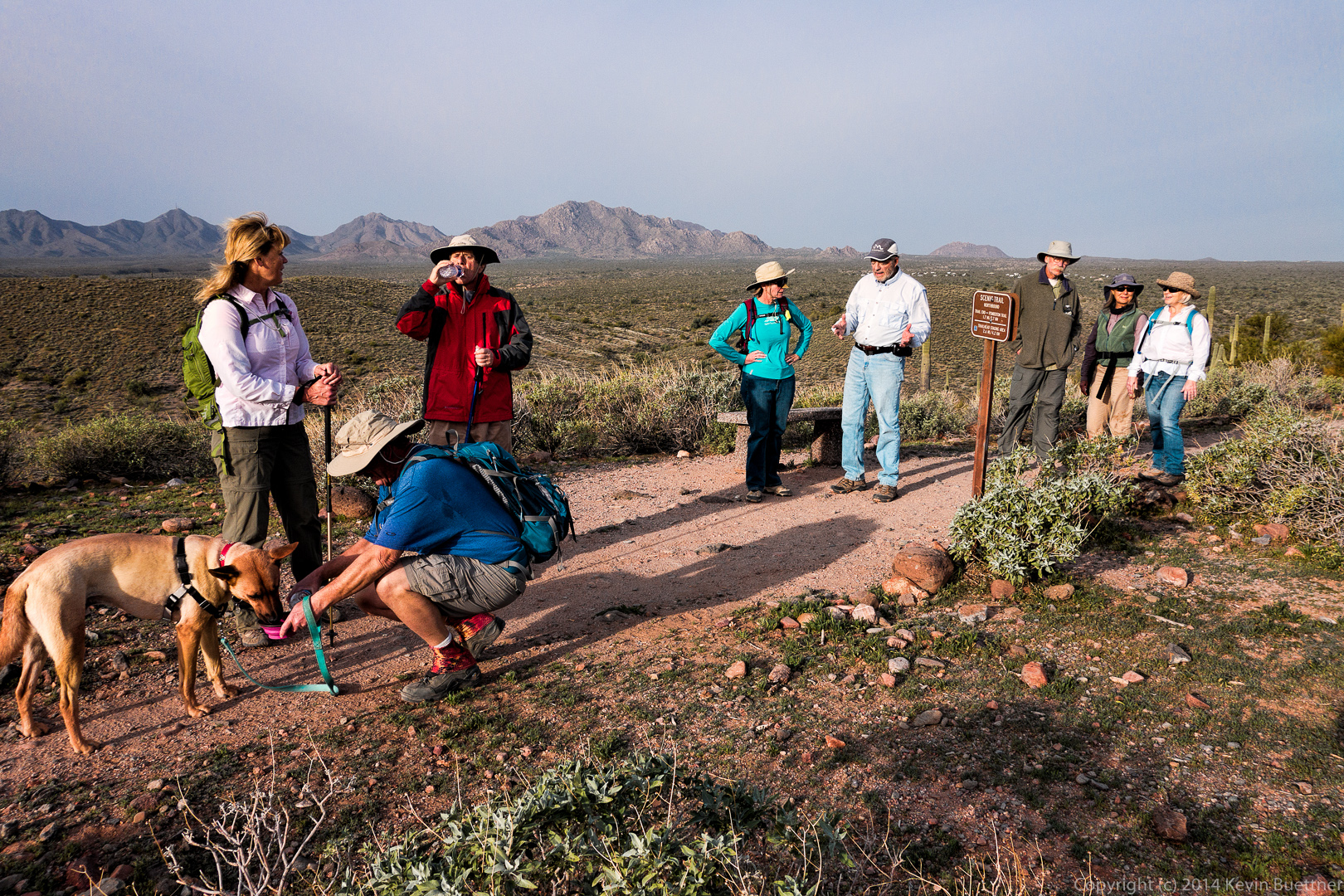 Another view from the ridge.

Sarge shows off his new haircut.
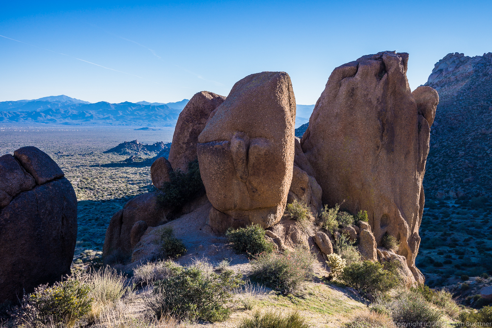
 A view of Red Mountain just before dipping into Stoneman Wash:
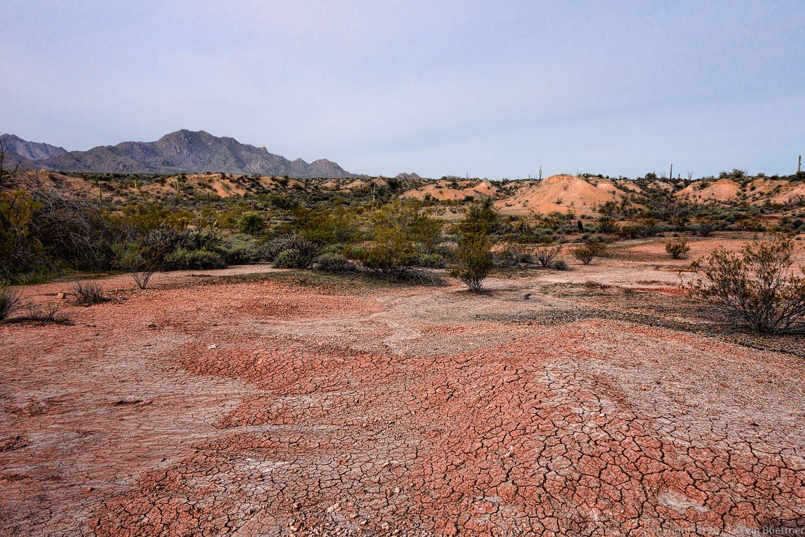
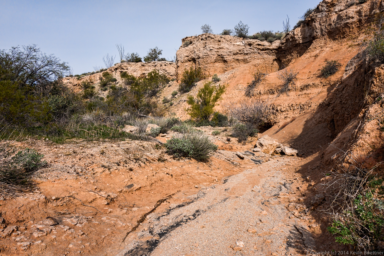
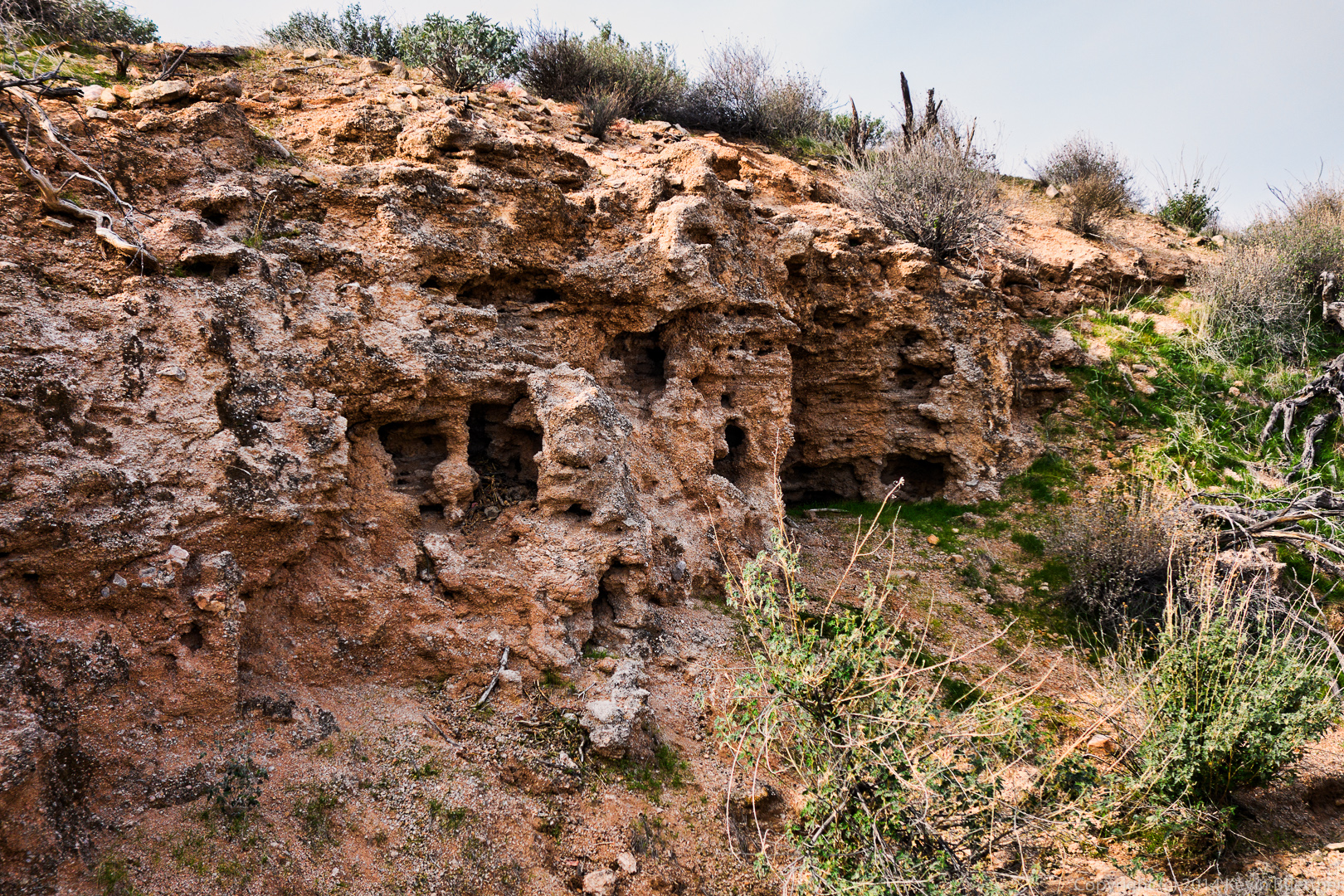
 The Pemberton Trail passes several clay mining sites. These areas were not heavily mined due to the invention of PVC pipe.
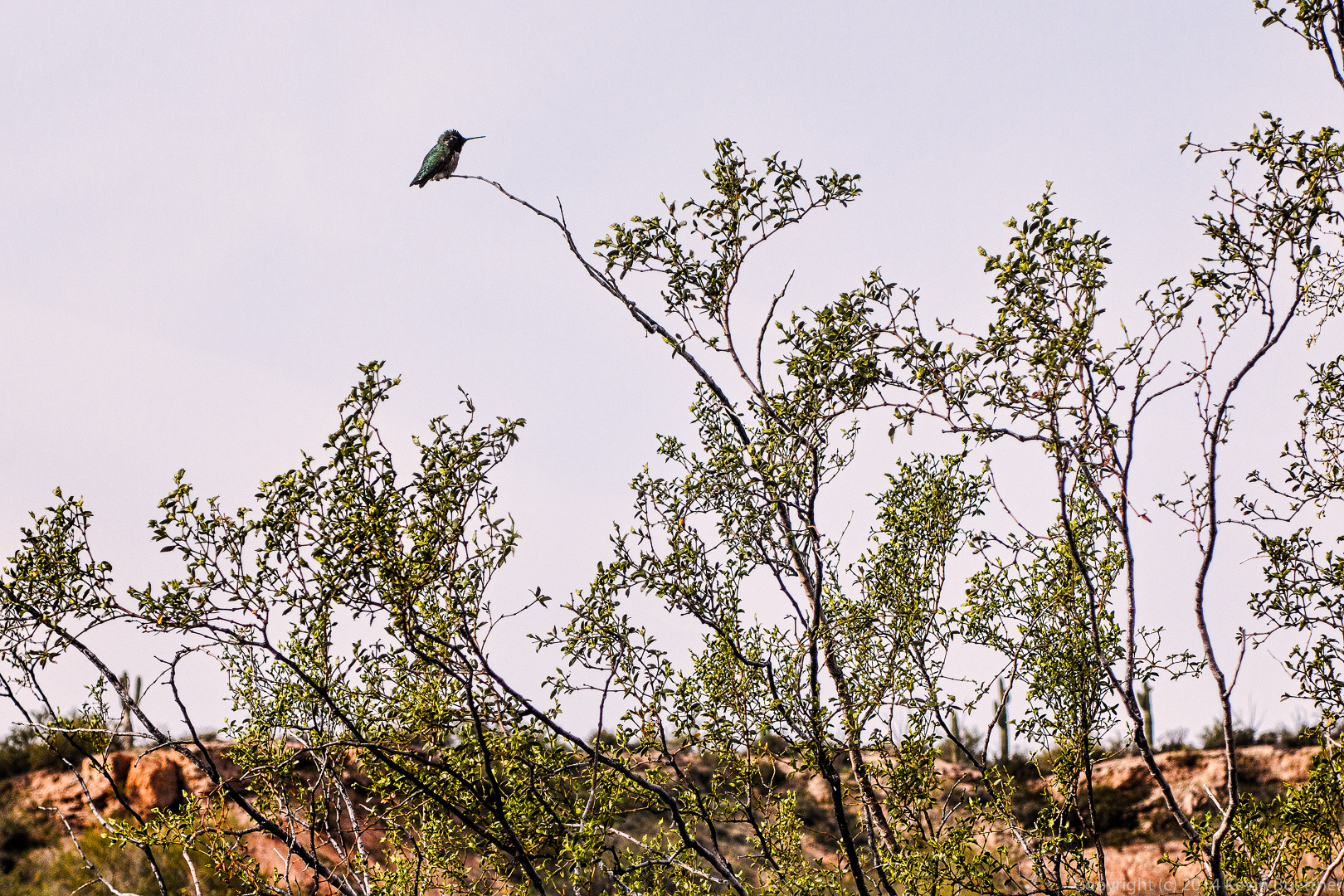
 A hummingbird at rest in a bush. Several of us, including me, were surprised to see it resting.
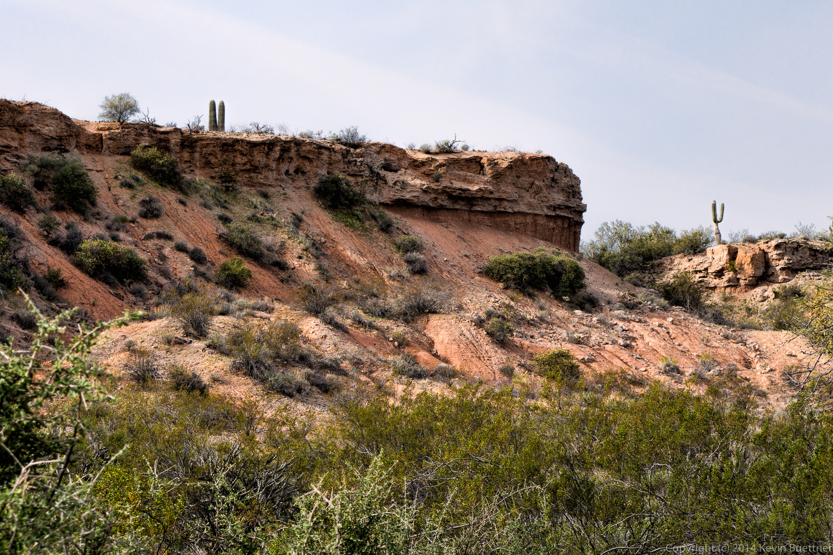
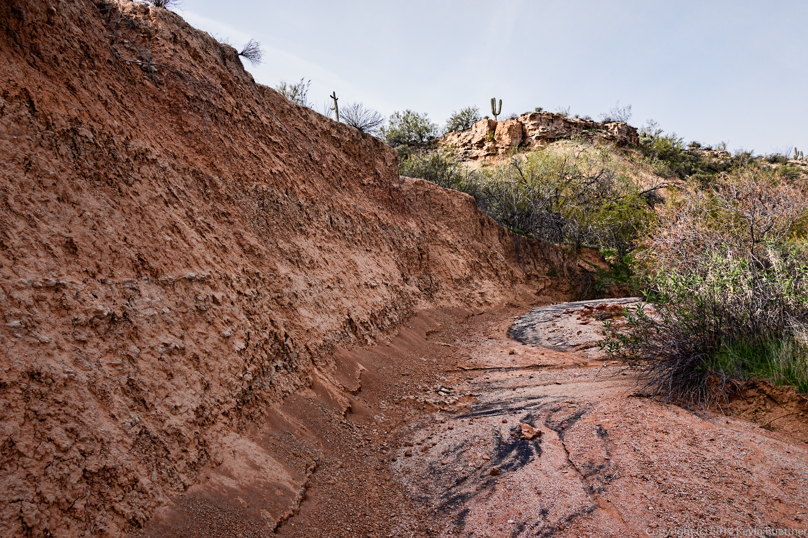
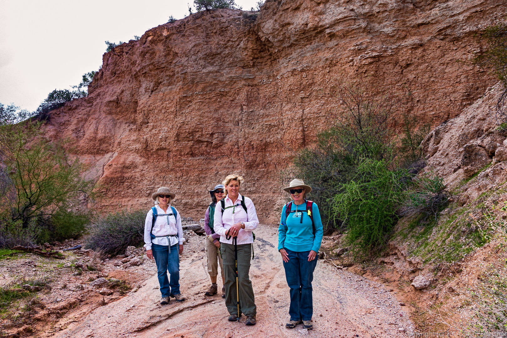
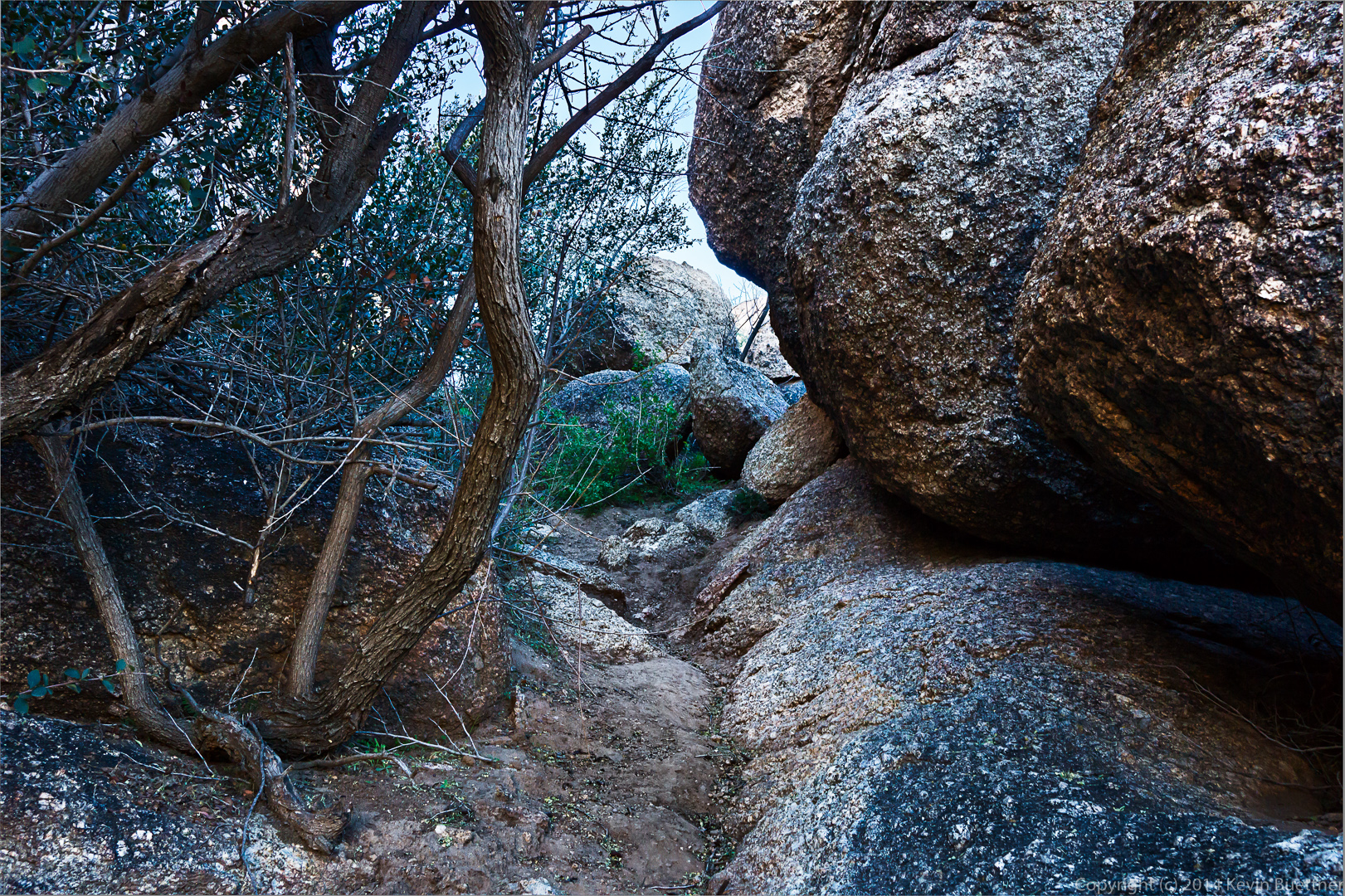
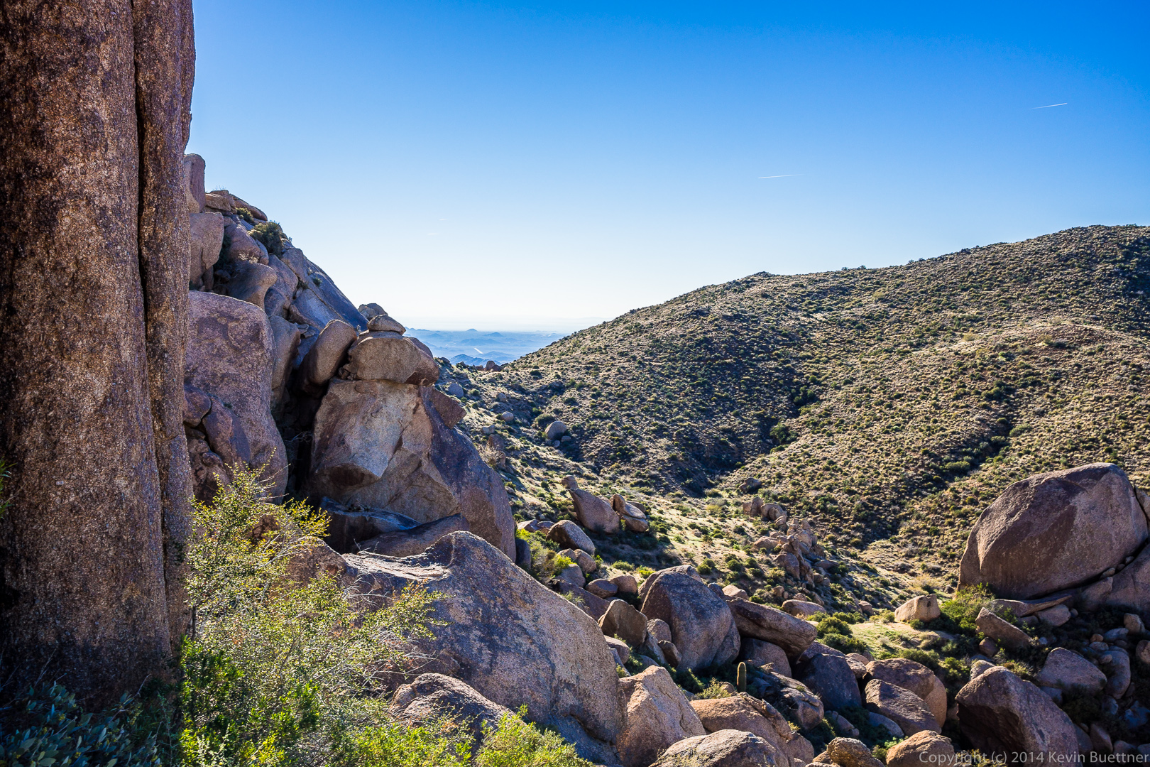
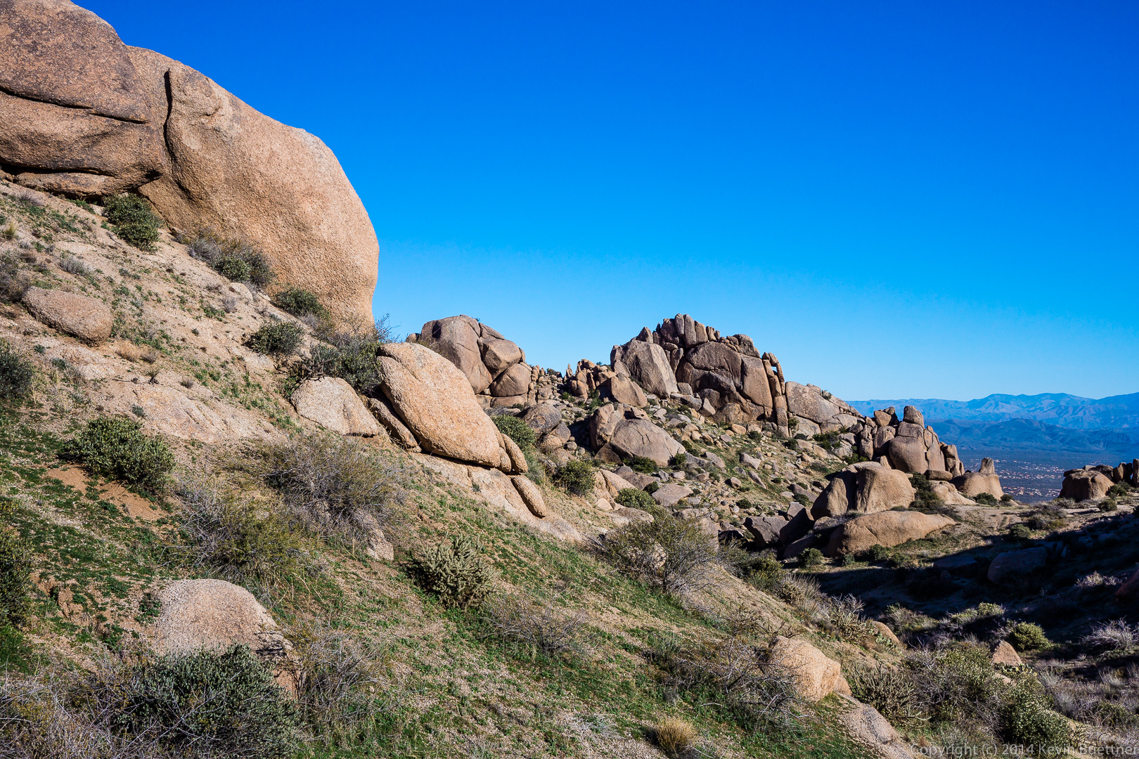
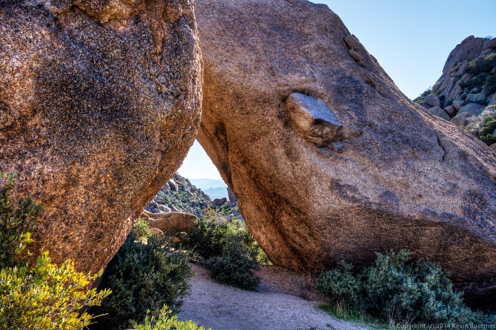
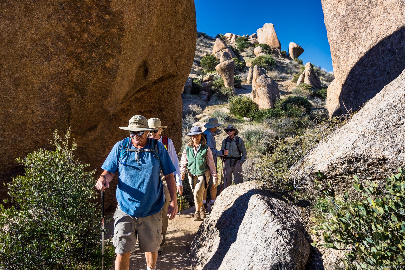
 Approaching the canyon area:
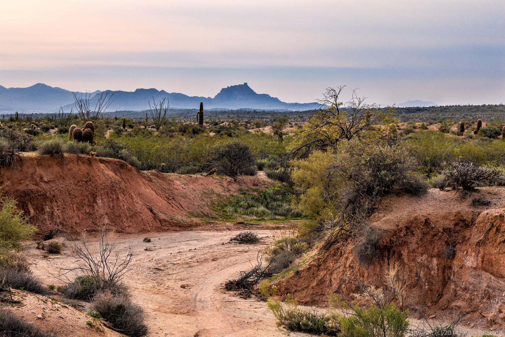
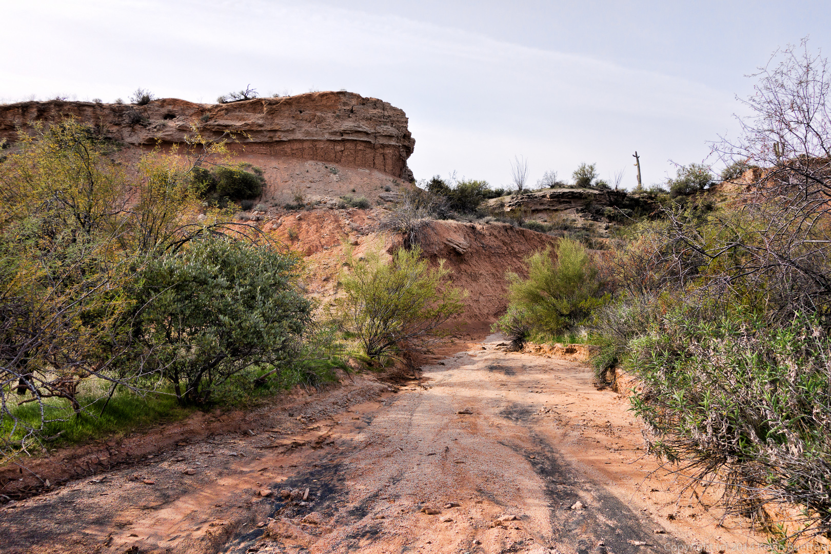
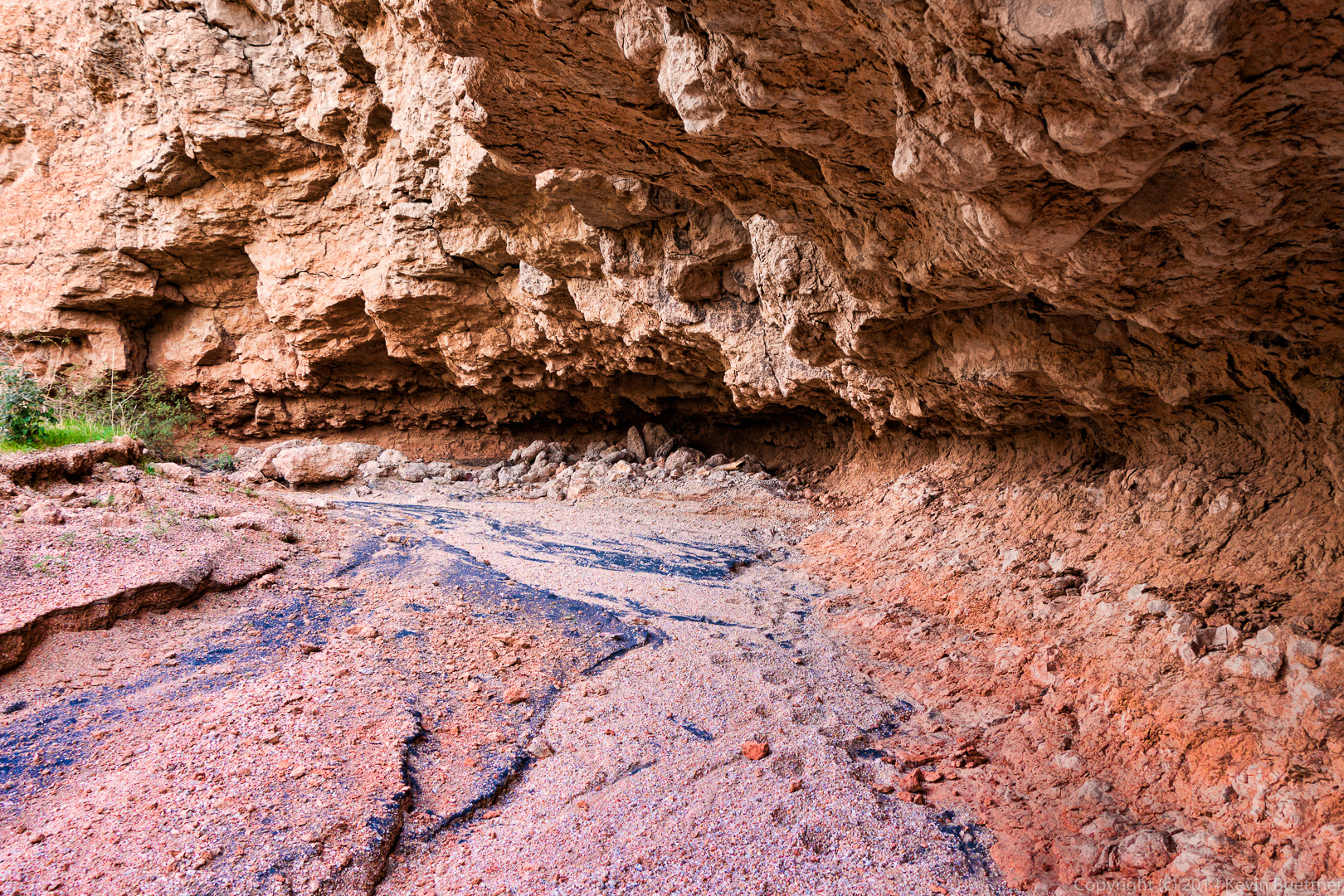
 A wash flows through the area, eventually feeding into Stoneman Wash.
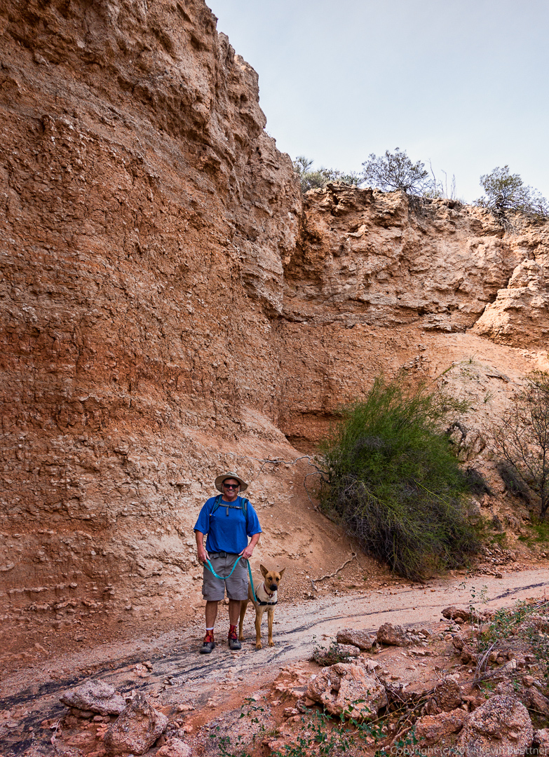
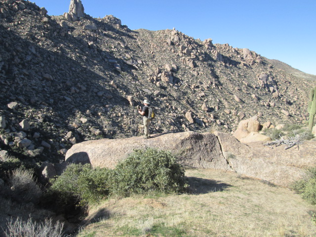
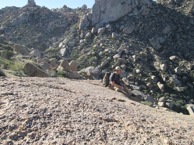
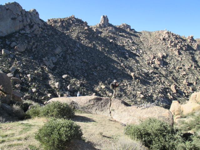
 Sarge takes a break while Bob and I discussed which way to go. There are many choices, some of which lead to dead ends.
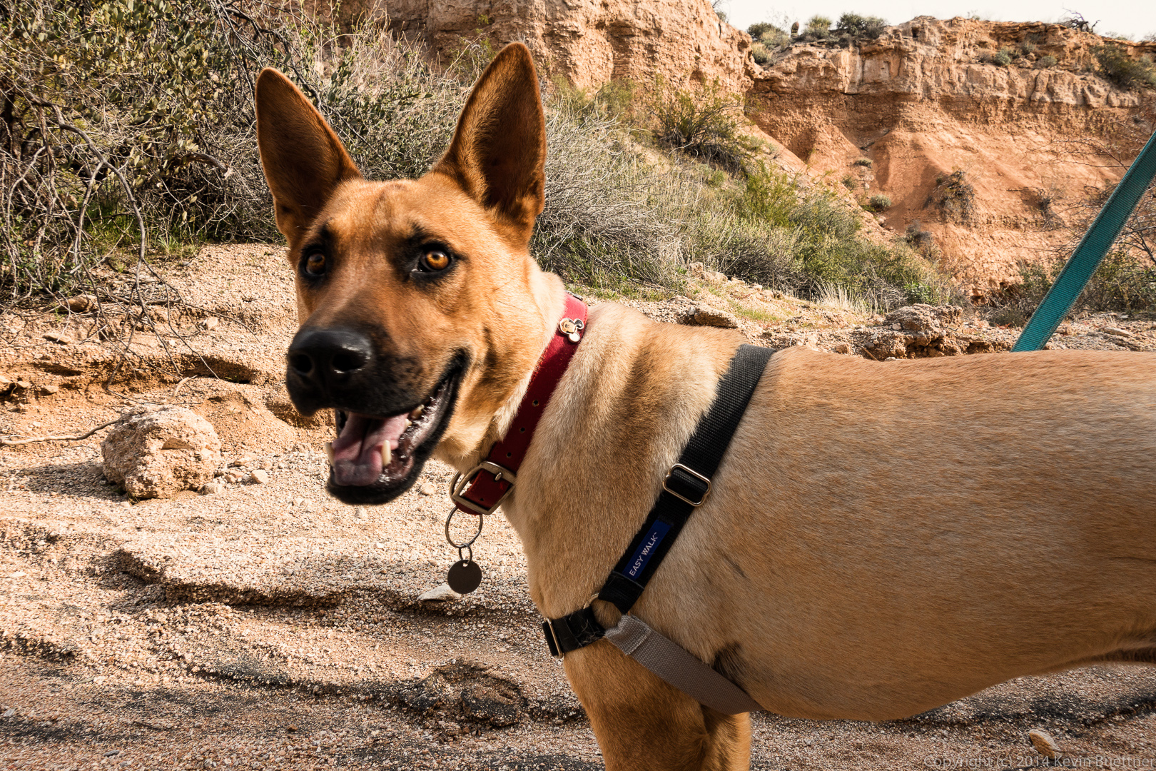 Bob and Sarge pose by a steep wall.
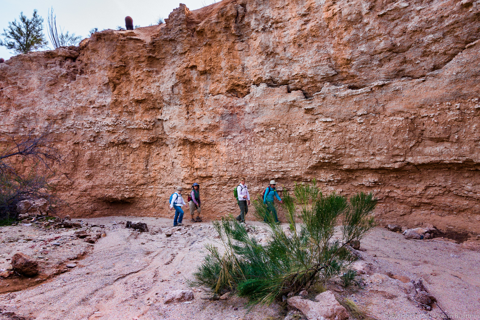
 Venie, Ellen, Janet, and Linda:
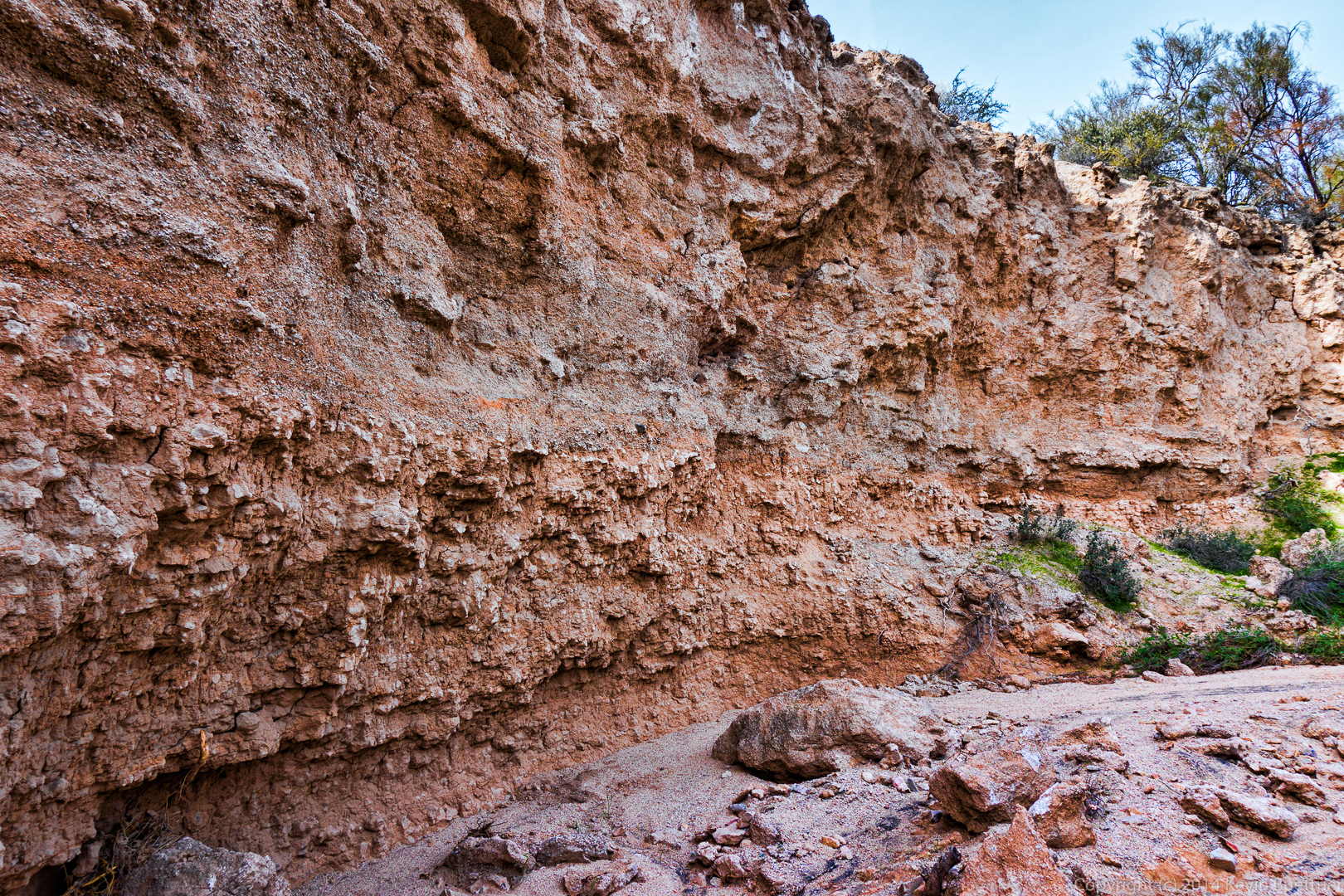
 Erosive processes undercut a section of one of the walls in several places. This is the most prominent one that we passed on our hike.
Venie, Ellen, Janet, and Linda hike beside another steep wall.
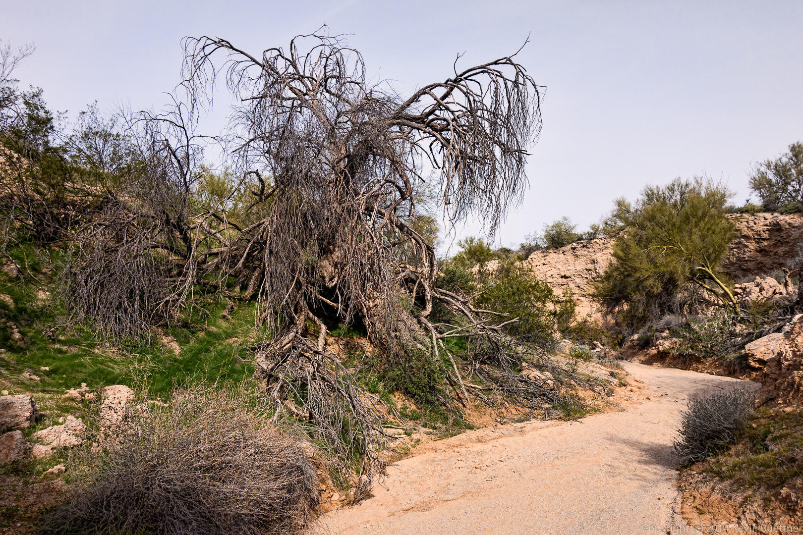
 A dead tree beside the wash:
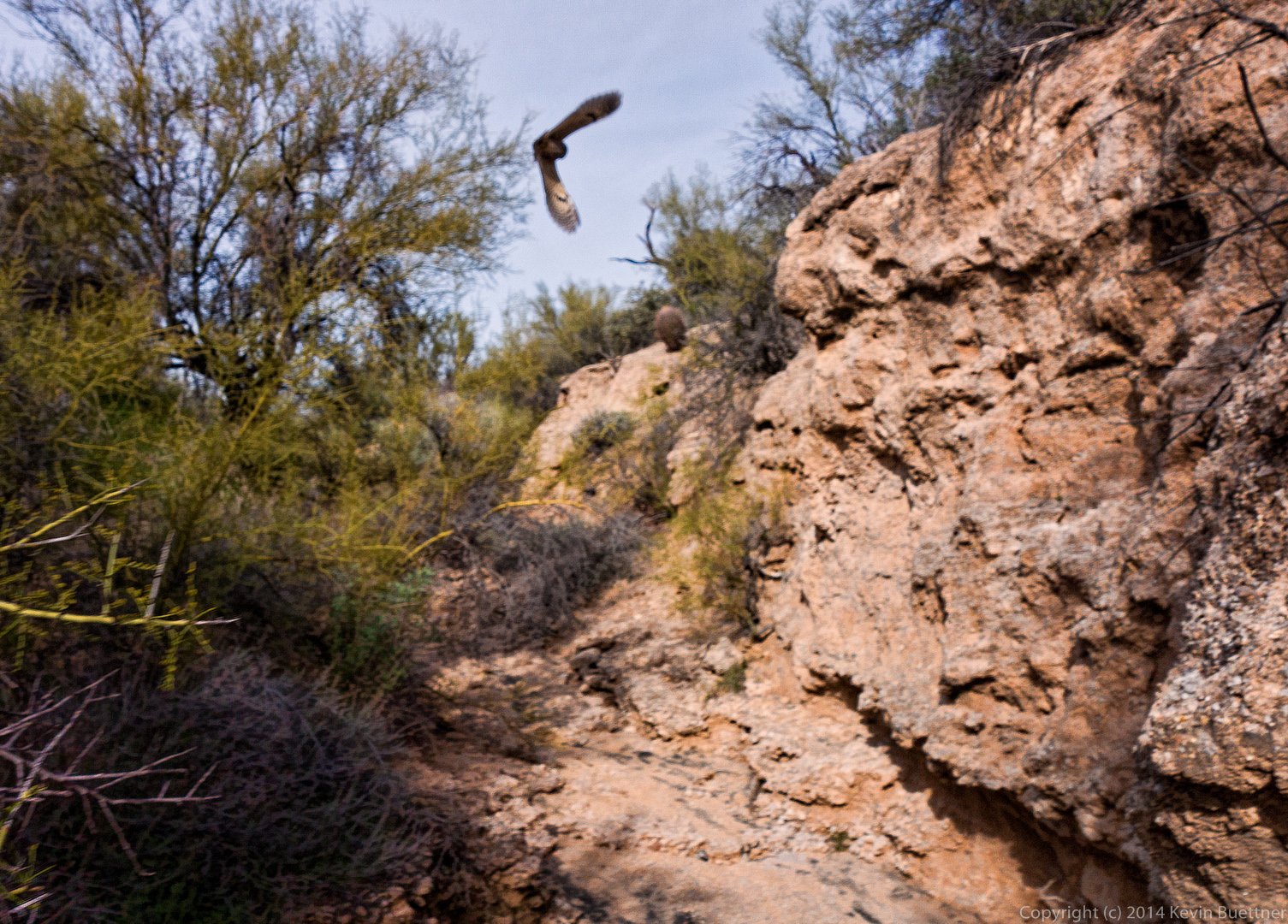
 We startled a pair of owls along the way. They would fly a short way and land, only to be roused again as we continued our way up the canyon. We saw them take off and land perhaps half a dozen times. Unfortunately, this photo isn’t in focus, but I’m more than a little surprised that I managed to get a photo of an owl in flight at all.
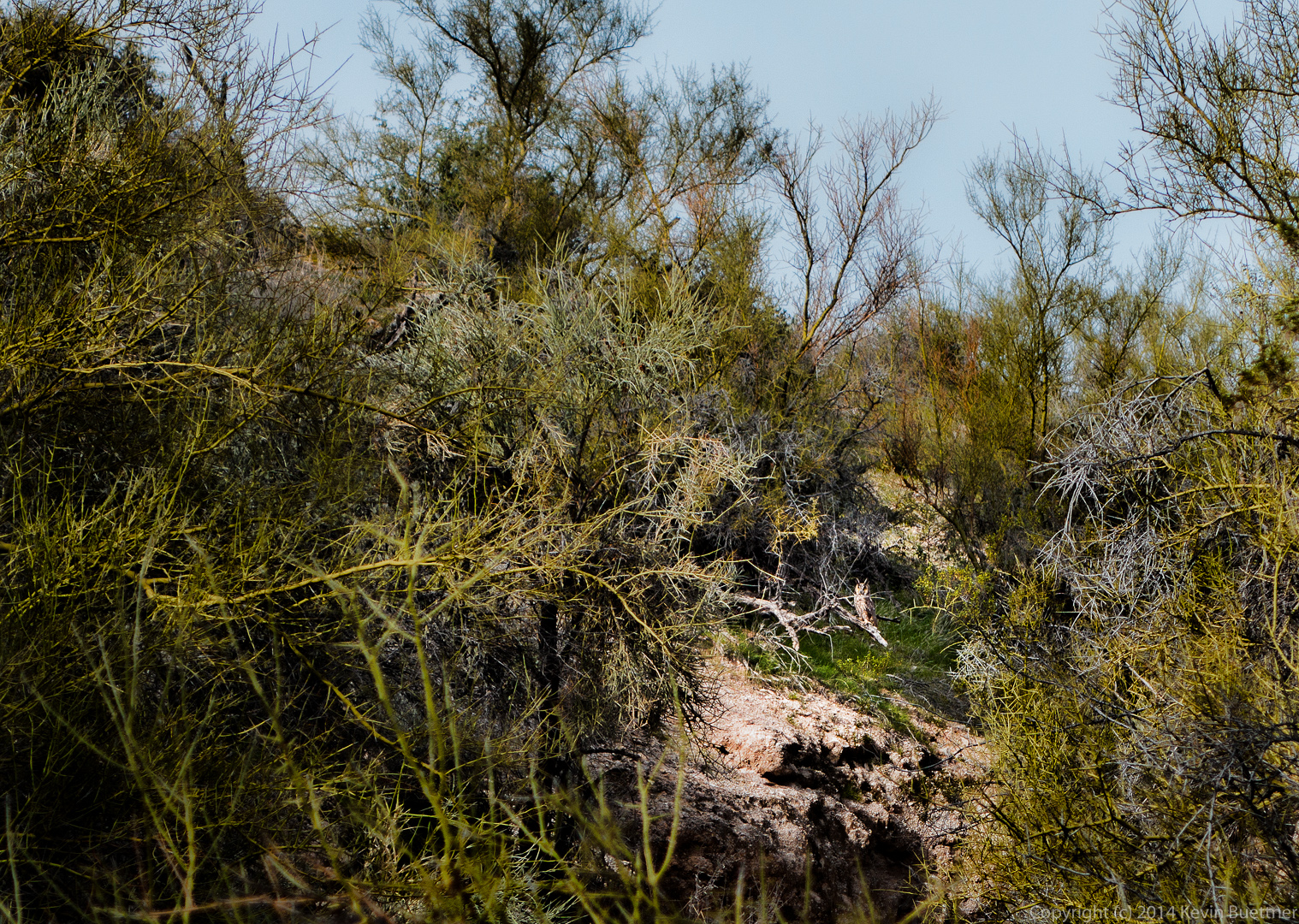
 Look for the owl in the lit up area of the photo below. (I artificially darkened the rest of the photo.)
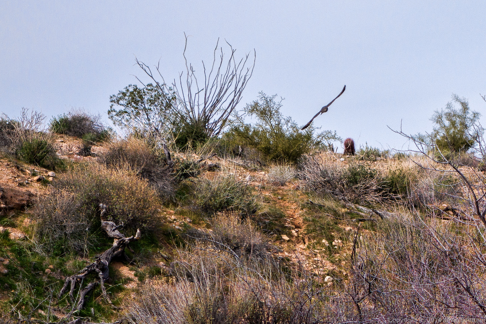
 Another view of one of the owls in flight:
 Another small wall with interesting holes. By the time we got to this point, the owls had flown well away from us; we didn’t see them again.
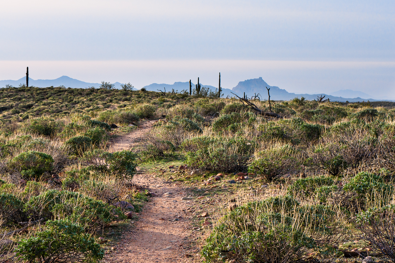
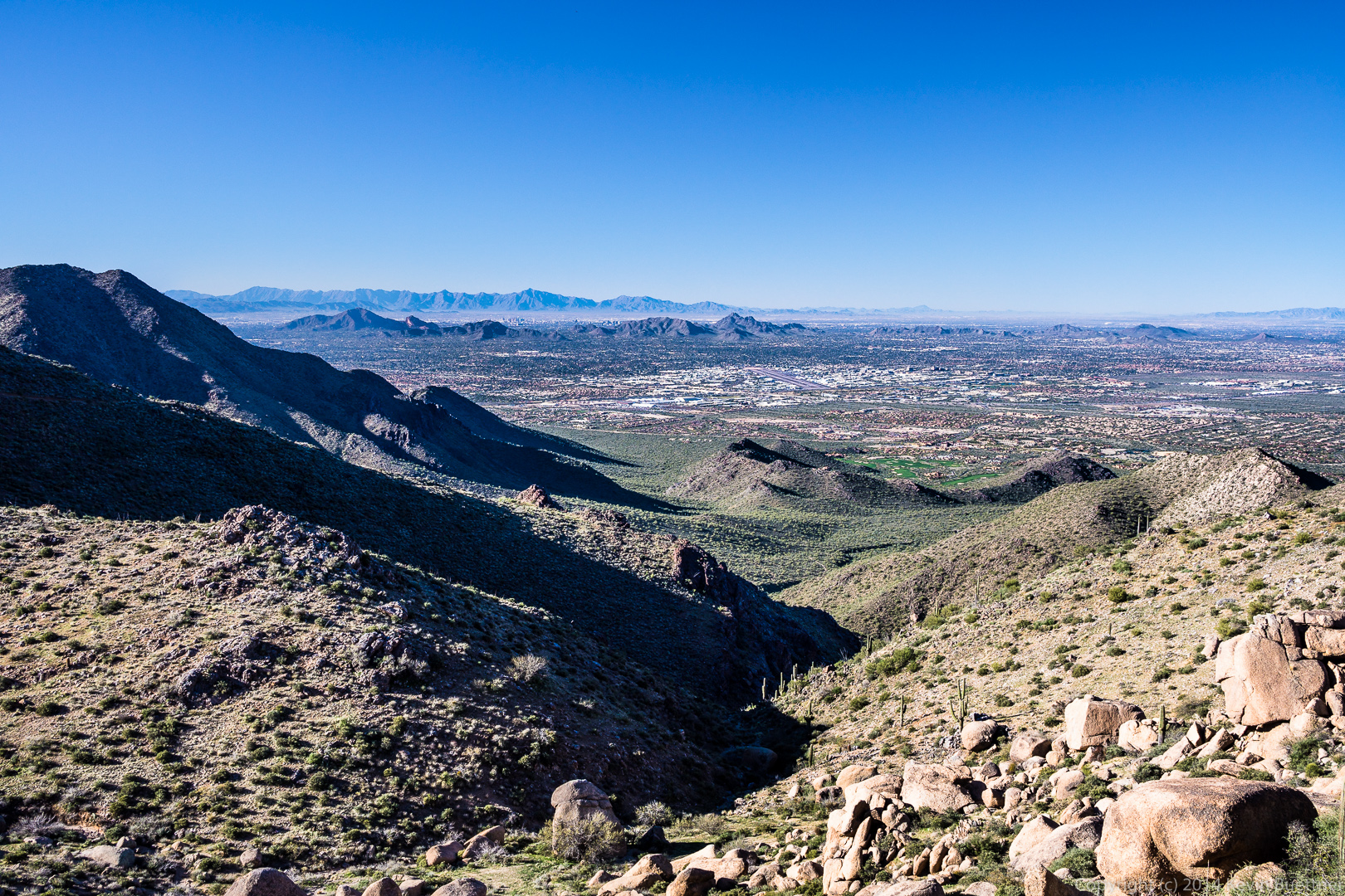
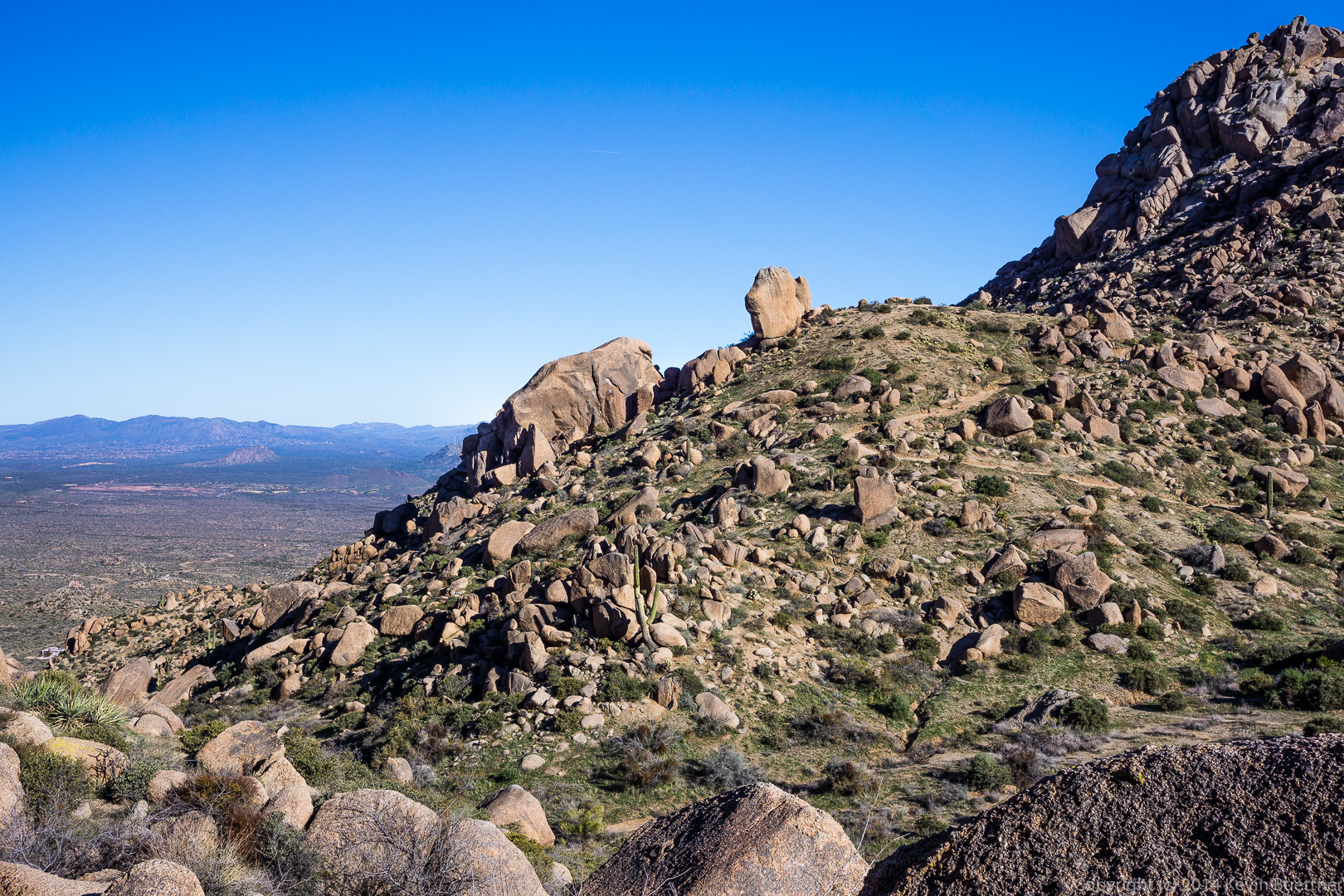
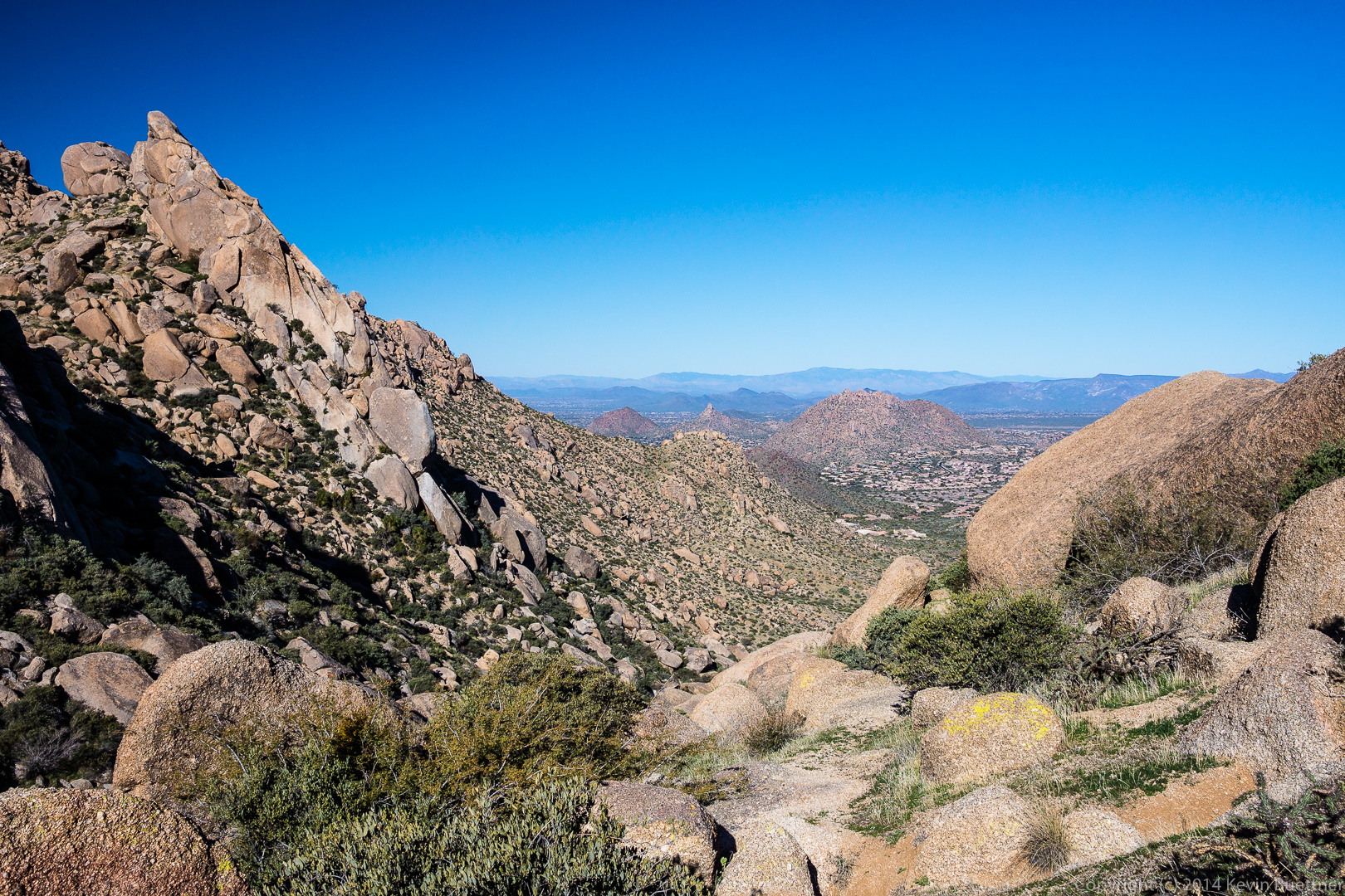
 Once we exited the canyon, we were able to see the McDowells again:
Linda sent me these photos from last Friday’s hike at Tom’s Thumb:
Six of us hiked from the Tom’s Thumb Trailhead up to Tom’s Thumb last Friday. We took a circuitous, little used route which provided us with views that most hikers to the area do not get to see.
A view of the Sven Slab area prior to starting the hike.
A view of Gardener’s Wall at the far left and Tom’s Thumb, more towards the middle. Our route took us up to the ridge right of Tom’s Thumb.
 A view to the northeast as we began to make our way up to the ridge.
 Taking a break and removing some layers…
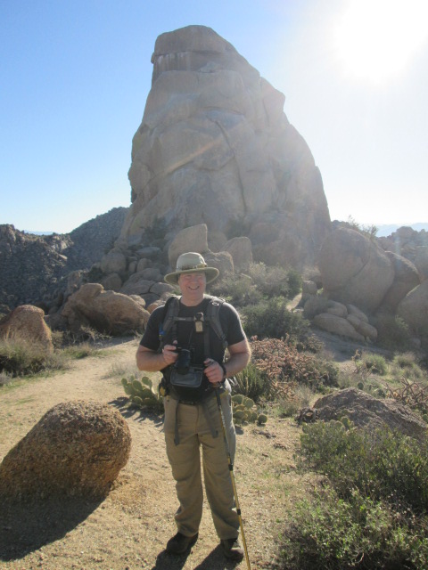
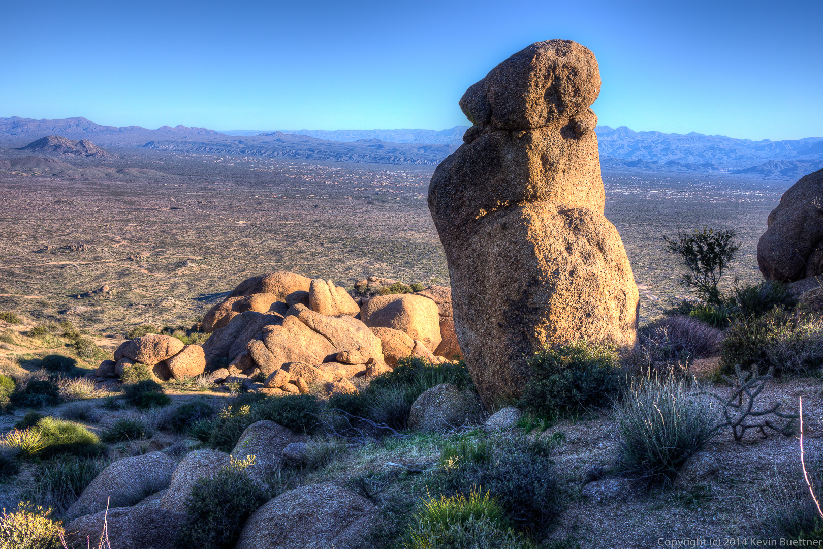
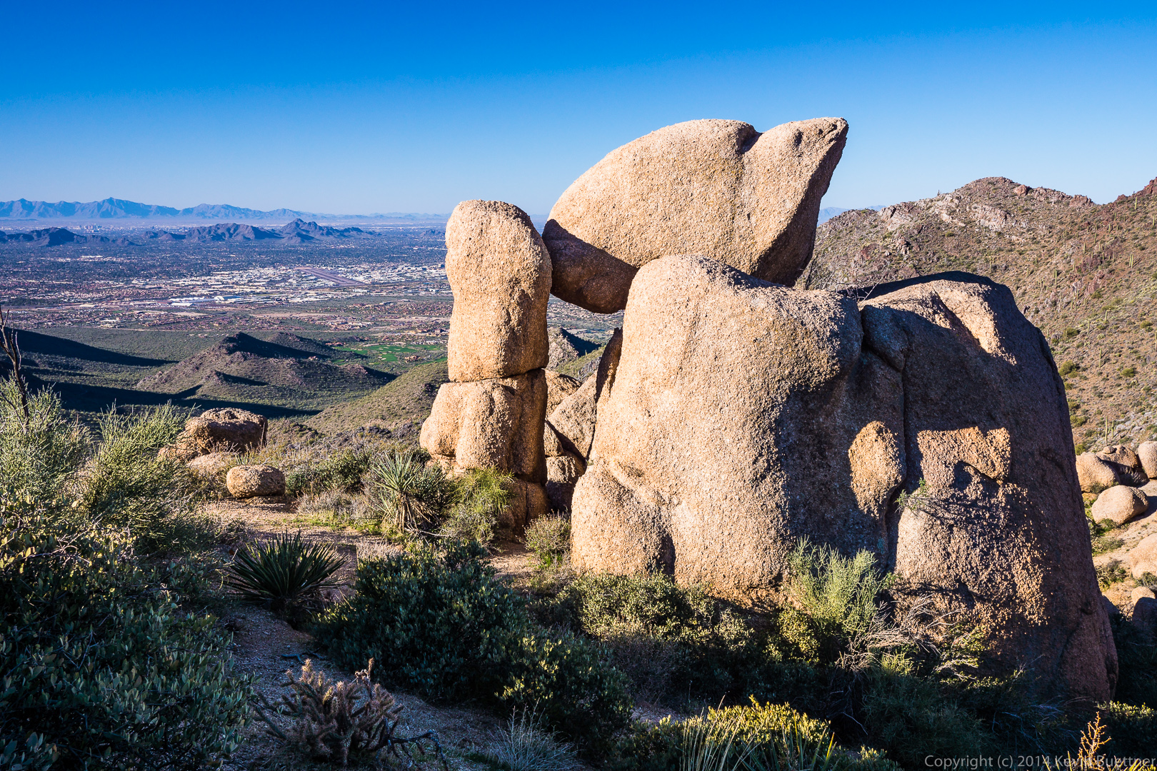
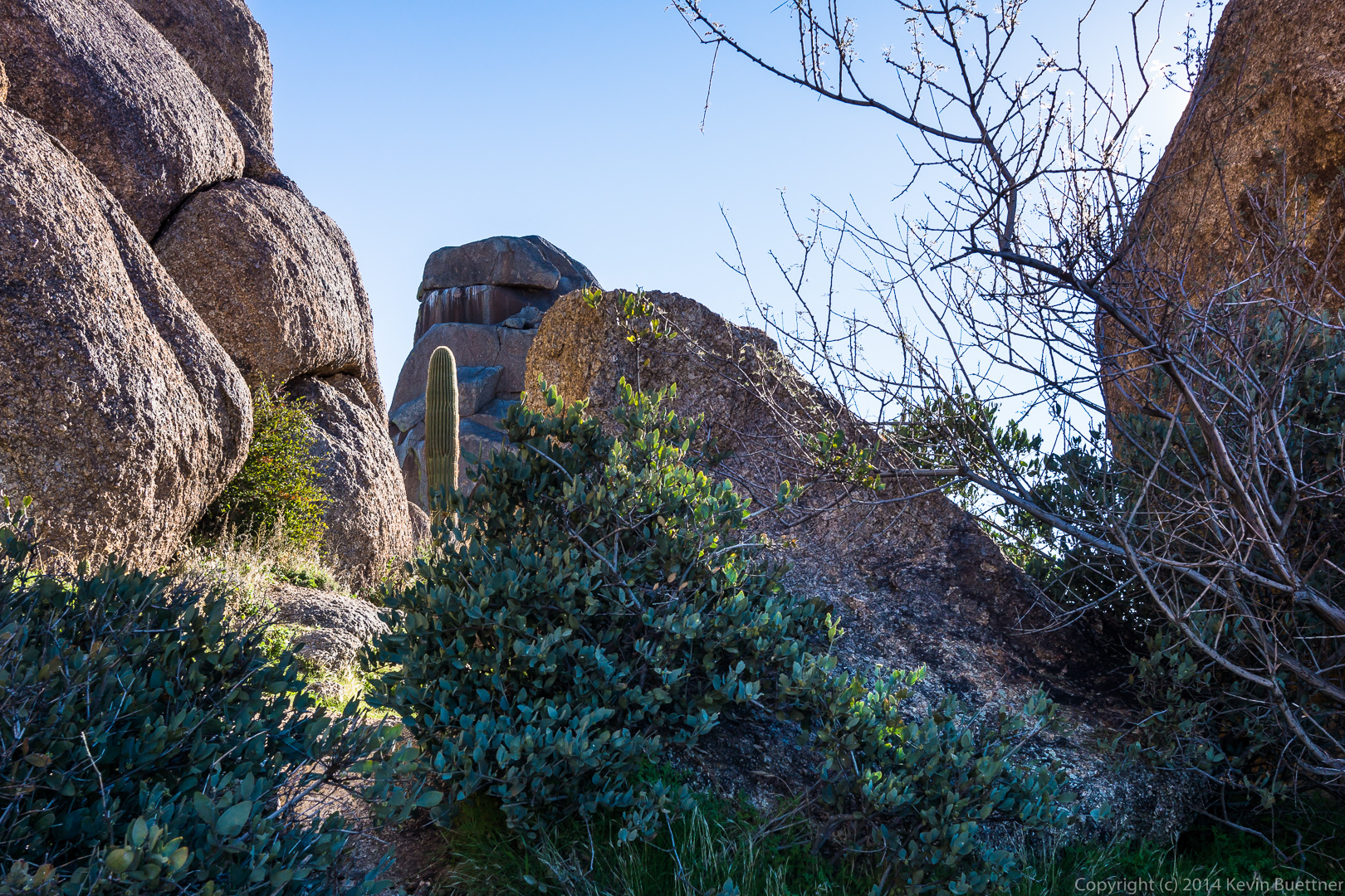
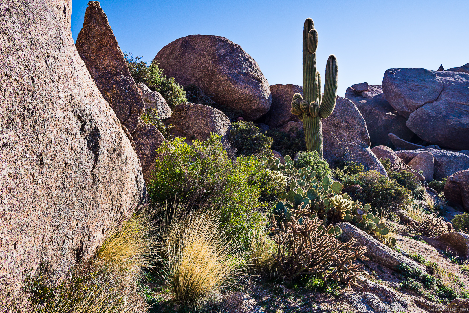
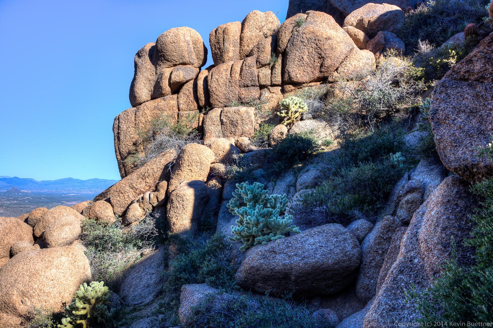
 One of the rock formation we encountered on our way up:
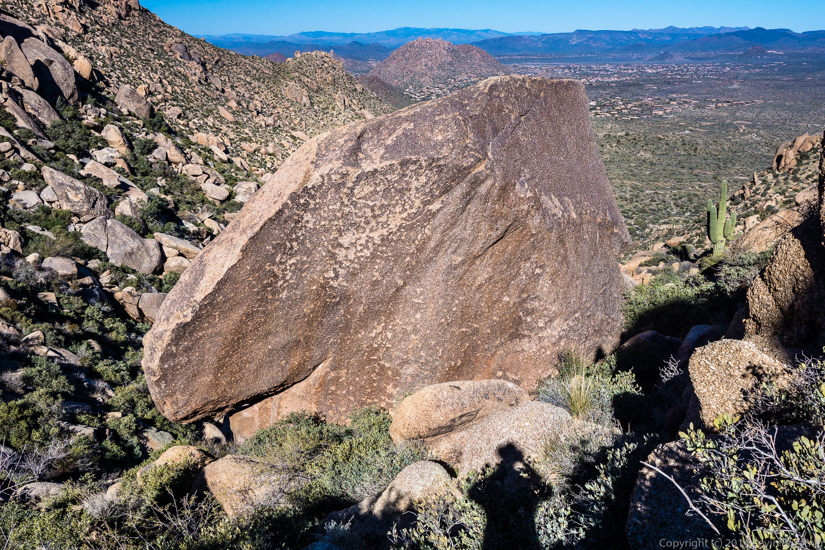
The trail up was steep and loose!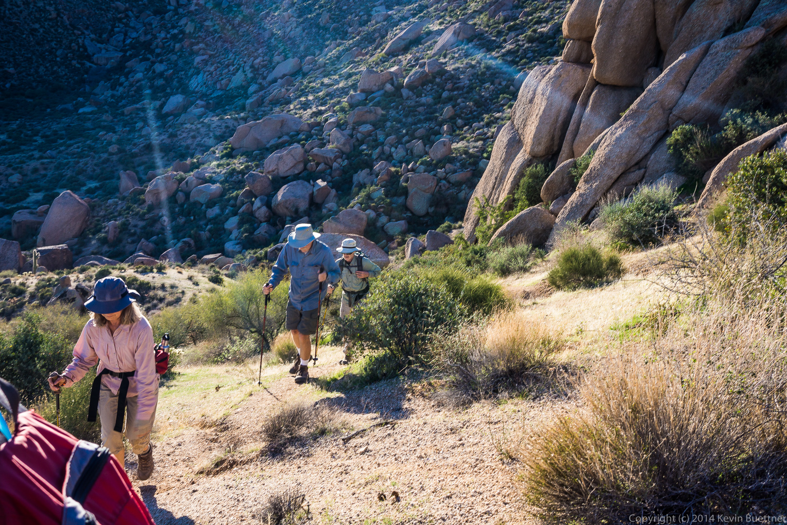 A view to the north as we continued up to the ridge:
 We saw these flowers along the way:

A view of Troon and Pinnacle Peak:
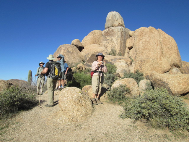
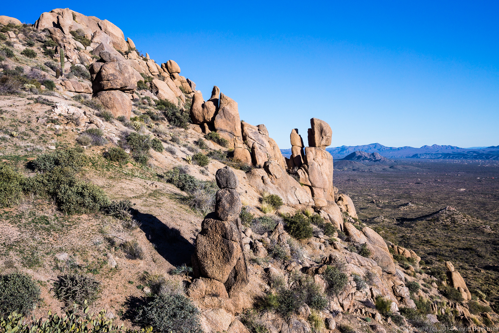
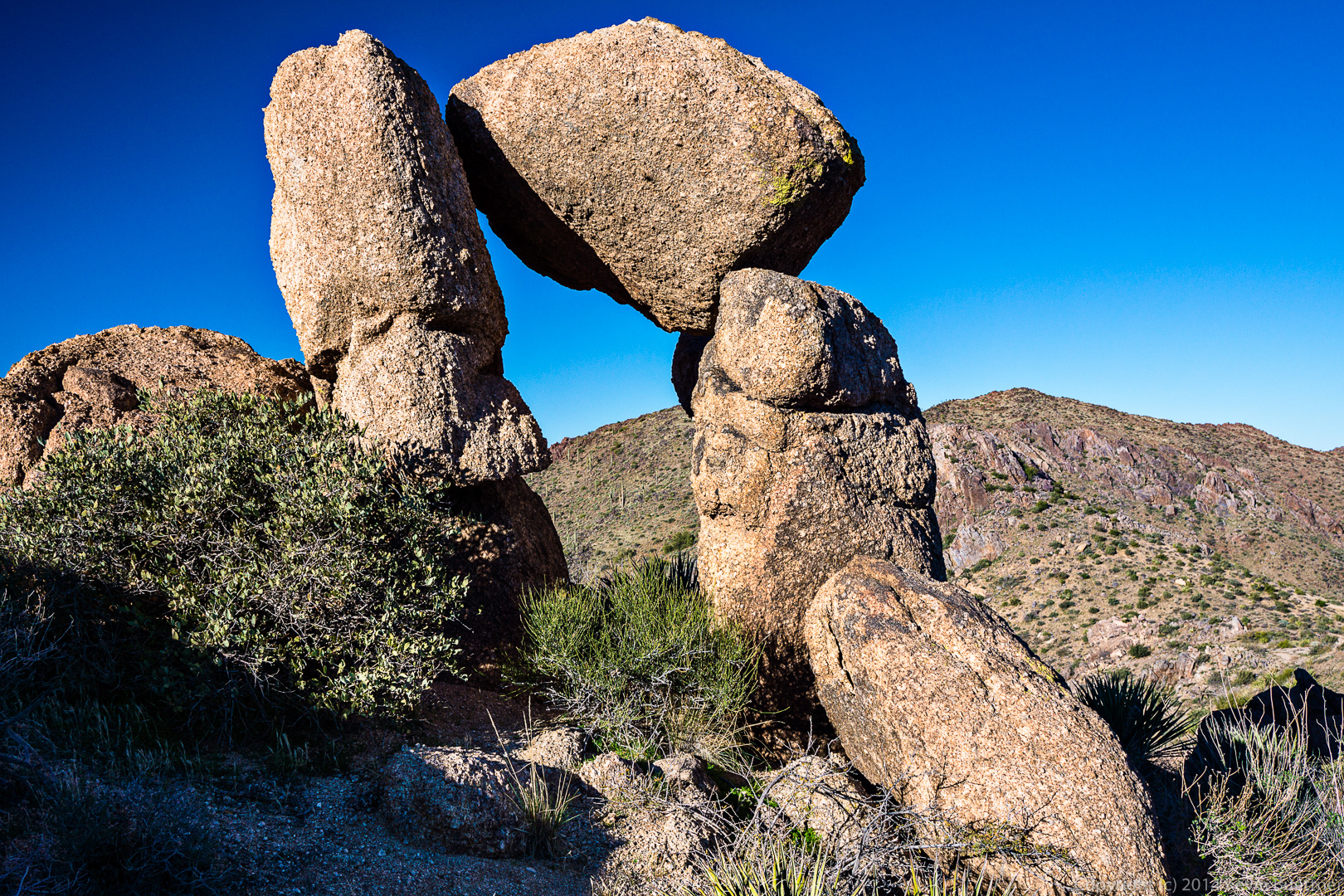
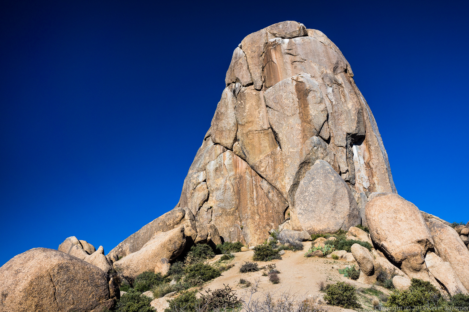
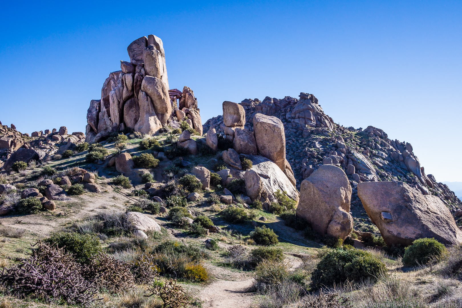
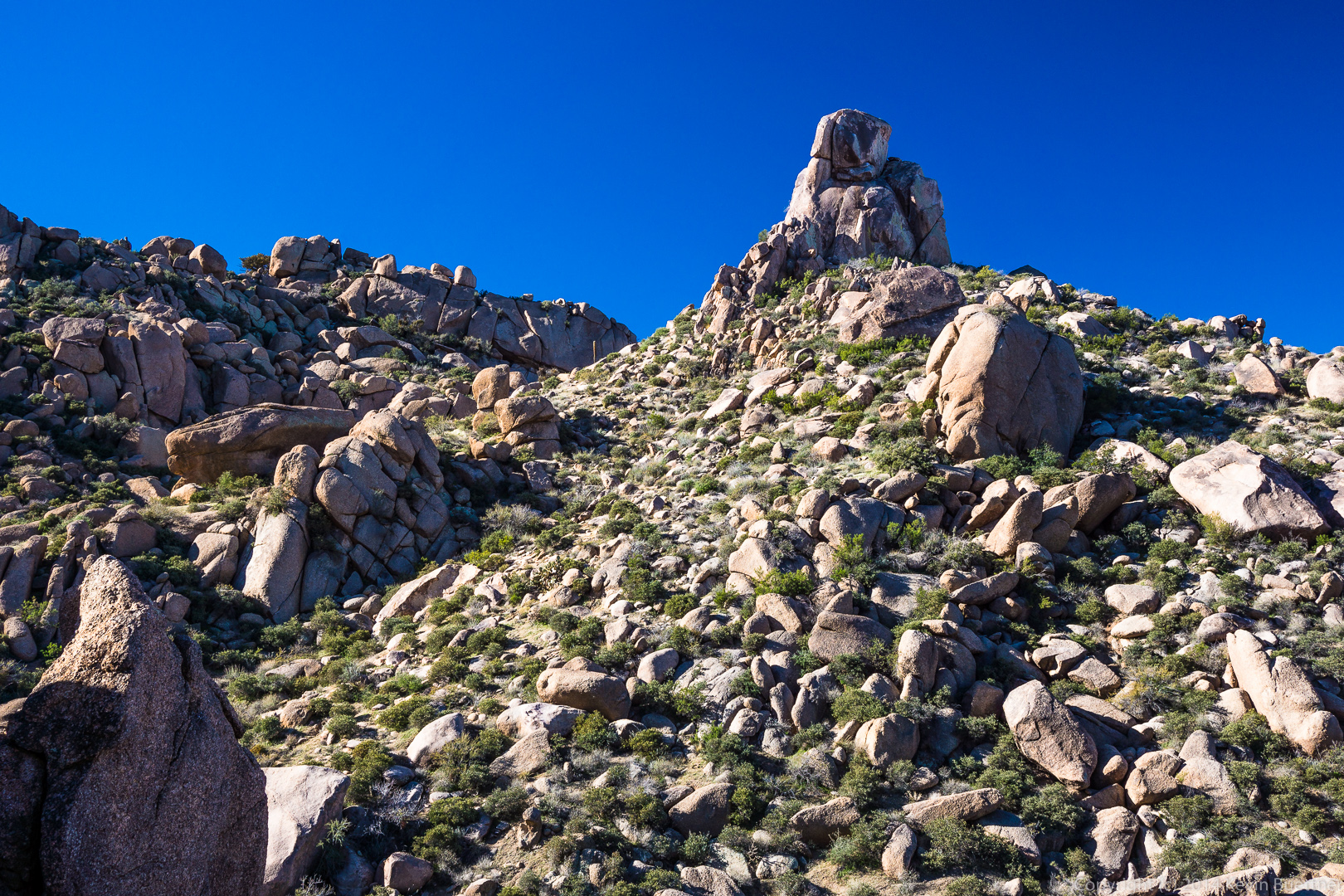
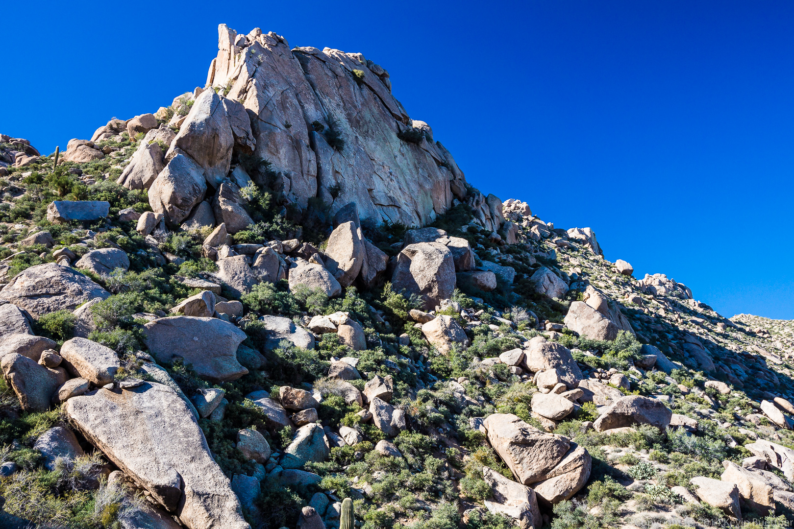
 A rock formation along the ridge:
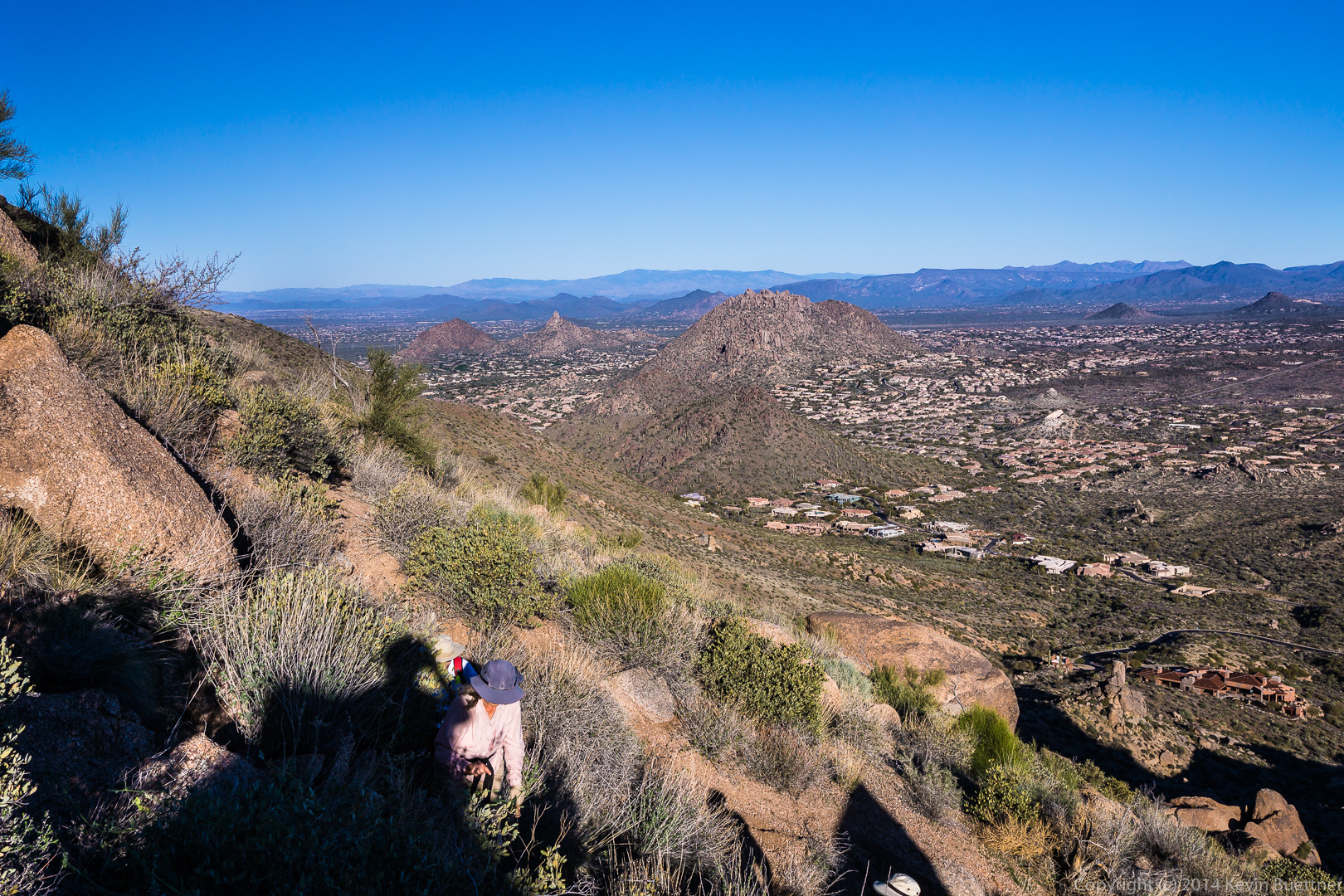
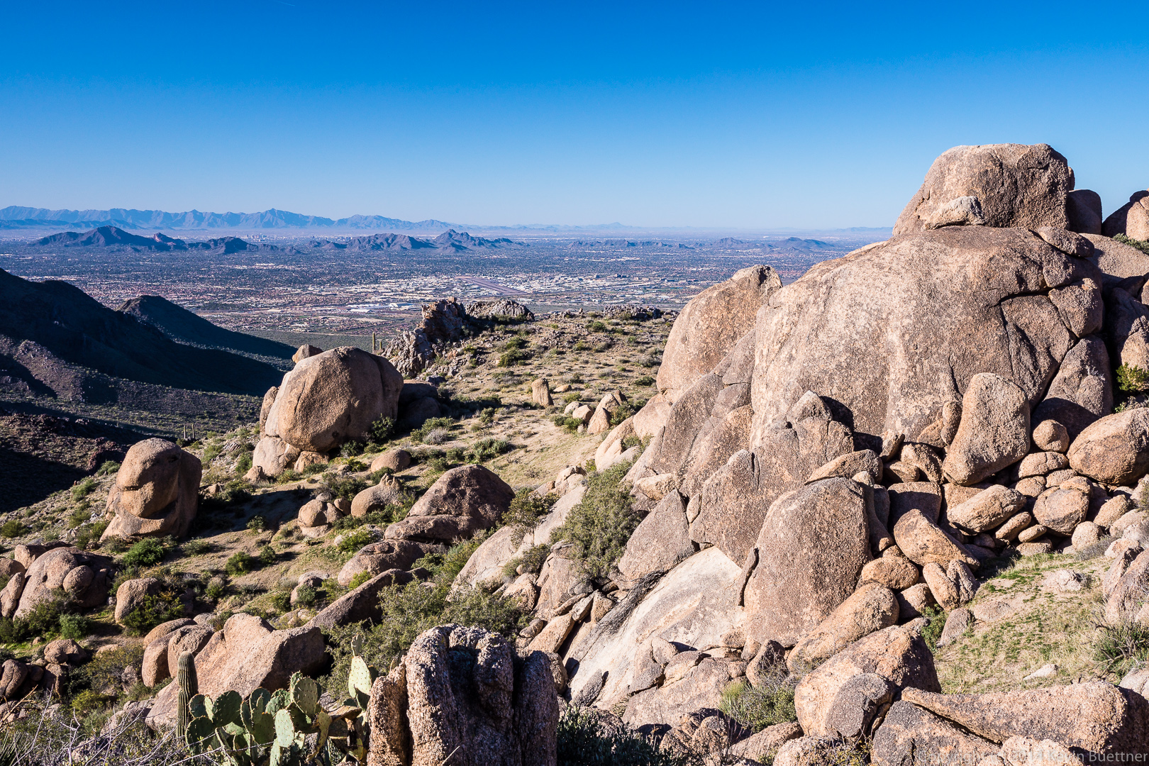
 More views from the ridge…
 The trail up to Tom’s Thumb took us up a steep path through granite boulders and vegetation.
 Bob, Linda, and Ellen:
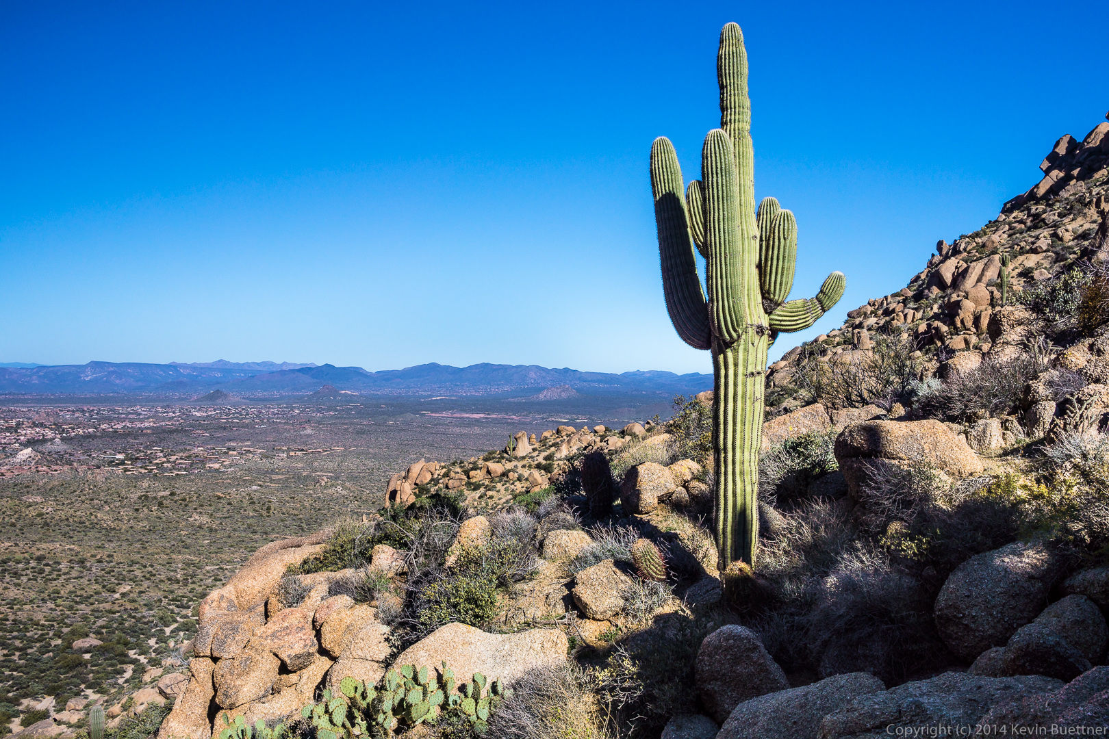
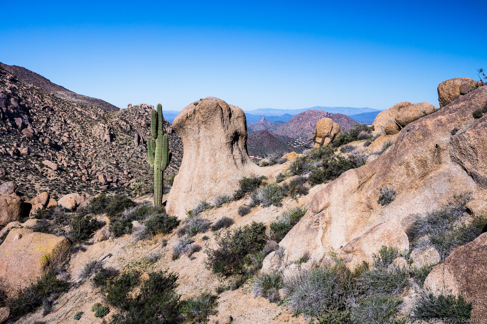
A glimpse of Tom’s Thumb behind the saguaro:
Doug, Bob, Linda, Ellen, and Alex pose for a photo on the northwest side of Tom’s Thumb.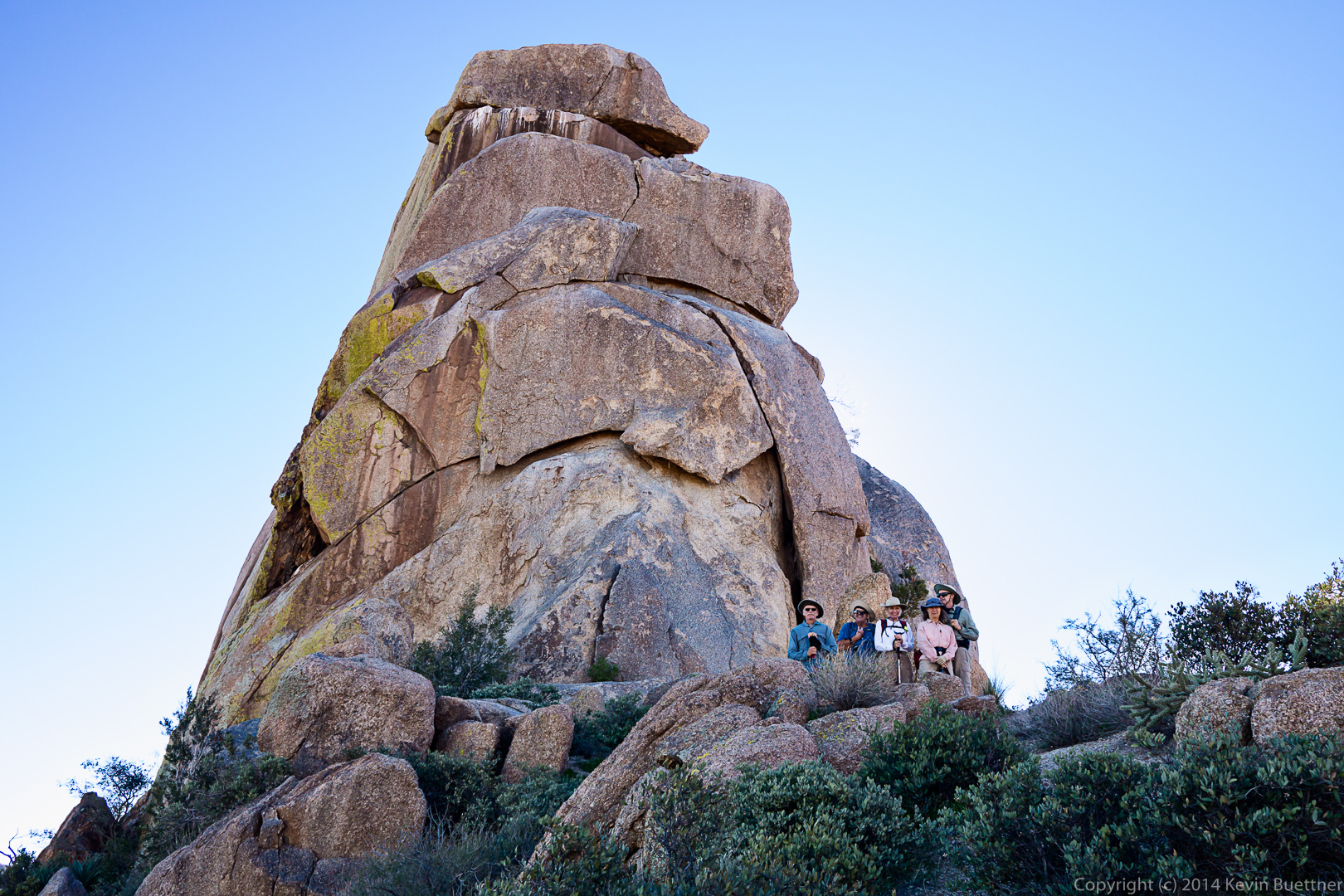 A view of Scottsdale and Phoenix to the west:
 As we made our way around Tom’s Thumb, we were able to see the Tom’s Thumb snake its way along the hillside ahead of us.
 Cacti and boulders ahead of us as we make our way around to the southeast side of Tom’s Thumb:
 A view of the southeast side of Tom’s Thumb:
 As we hiked away from the thumb, we saw another pinnacle to the west:
 A view of Glass Dome with the East End behind it.
 The grass is still fairly green from the rain we got in December. If we don’t get rain soon though, it’ll turn brown.
 Getting closer to Glass Dome:
 We passed through these boulders as we made our way down the Tom’s Thumb Trail:
 A look back as Bob, Linda, Ellen, Doug, and Alex pass by the boulders shown in the photo above:
 A view to the northeast:
 A view of Troon and Pinnacle Peak in the center with the edge of Gardener’s Wall on the left:
 Another view of Glass Dome, this time from the west:
 Linda, Bob, Doug, Ellen, and Alex make their way through and across granite boulders on the way back:
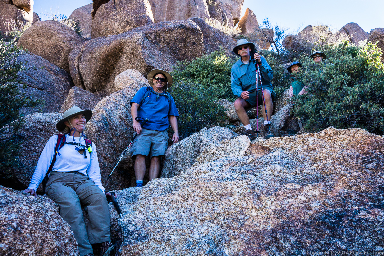 I think that this large boulder sort of looks like a dinosaur head:
 A view to the northwest:
 Gardener’s Wall:
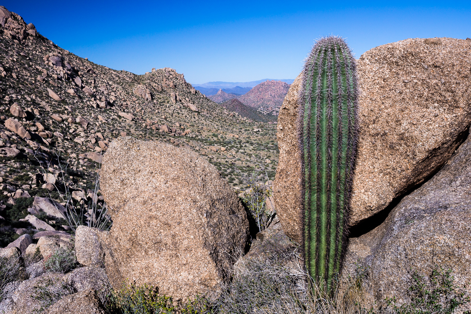
 Another view of Pinnacle Peak and part of Troon in the distance with a saguaro and some boulders in the foreground:
 Gardener’s Wall on the left and Tom’s Thumb on the right. If you look closely, you can see the path up to Gardener’s Wall in this photo.
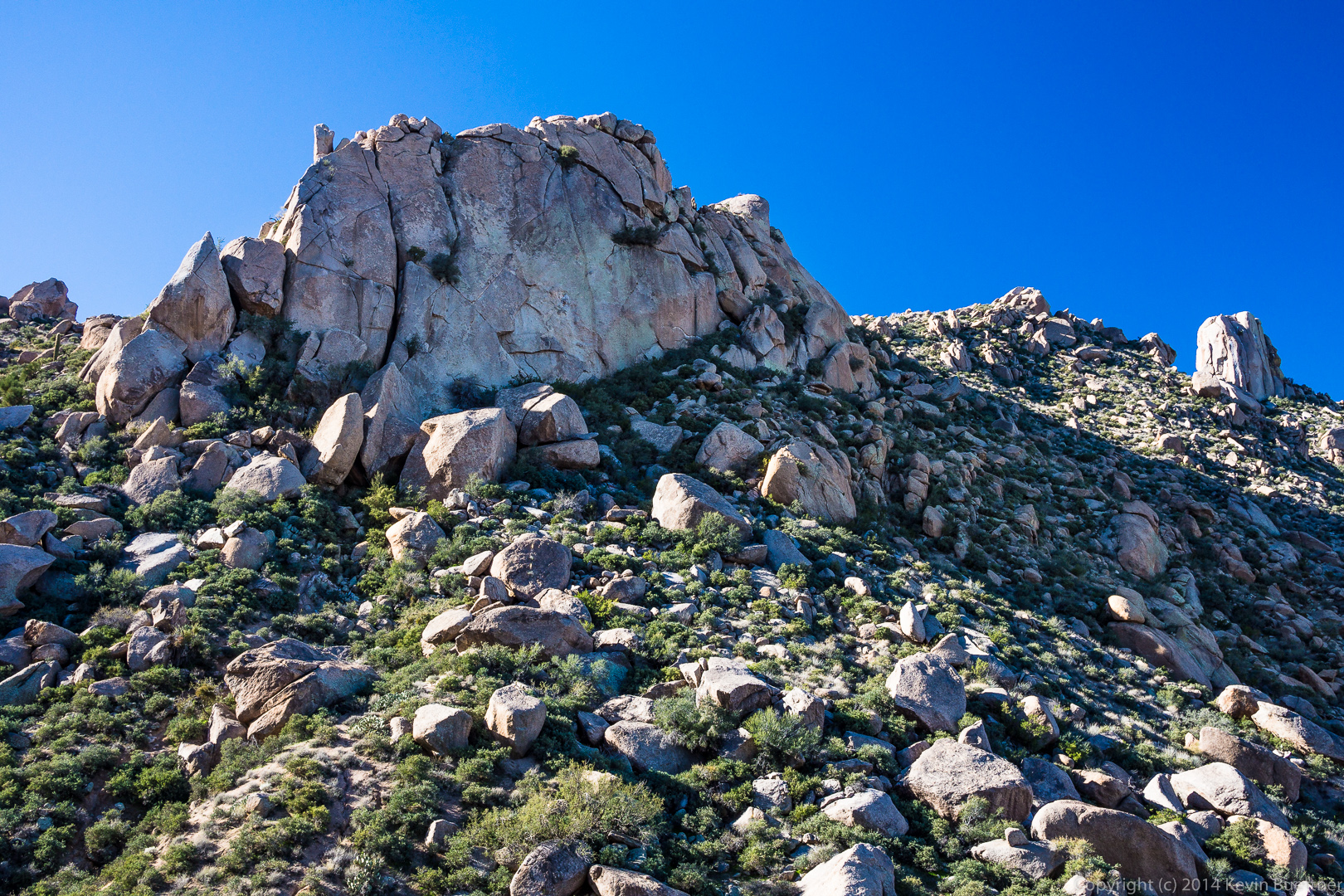 A large boulder with a saguaro on the left and Pinnacle Peak off in the distance to the right:
 Sven Towers I, II, and III in the foreground with Four Peaks in the distance at the far right:
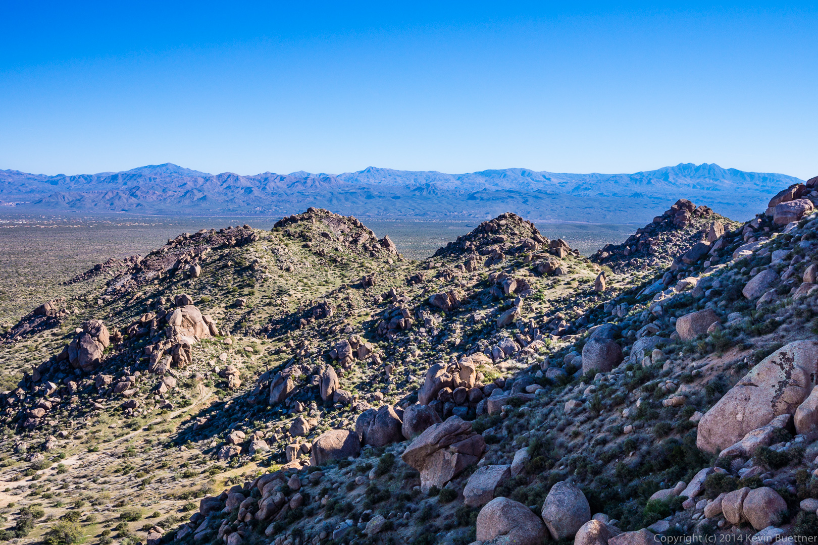
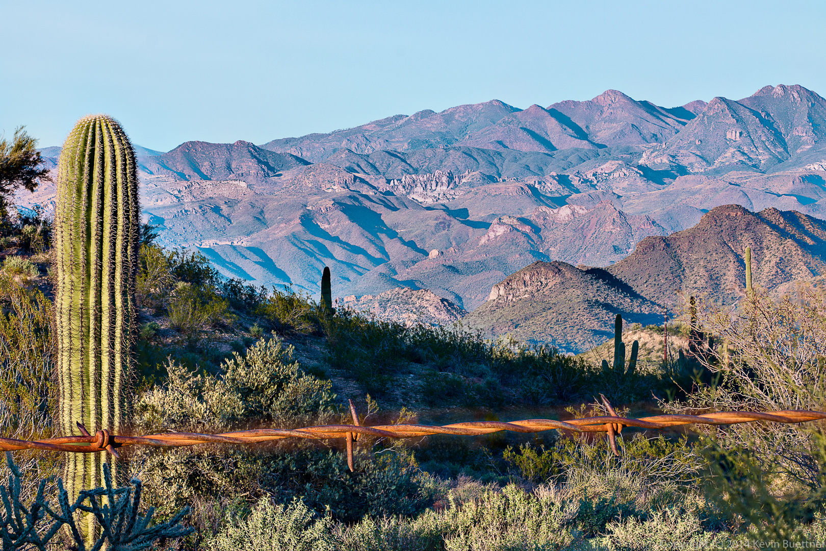
I took this photo yesterday afternoon from the Nursery Tank at McDowell Mountain Park. It was composed from five different exposures with different elements in focus. I had difficulty blending the strand of barbed wire. The wire created a brown blur that was significantly wider than the focused strand of barbed wire in the other exposures. I mitigated that blur as best I could, but was not totally successful.
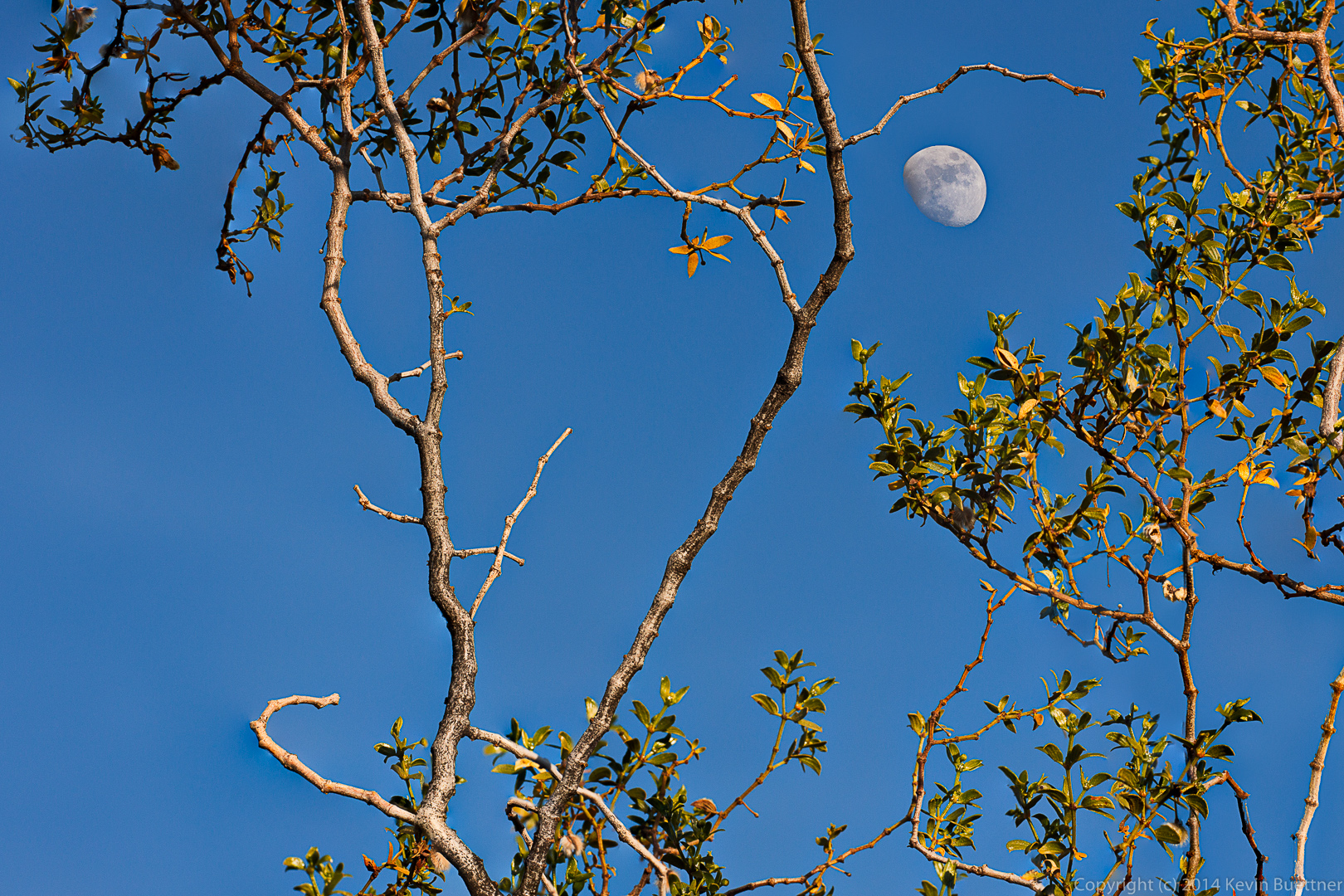
 Two other photos from the same shoot:
Friday’s hike started at the Wagner Trailhead. We hiked the Wagner Trail to Granite, Granite to Delsie, Delsie to Pemberton, Pemberton to Lariat, Lariat to Granite, Granite to Wagner, and Wagner back to the trailhead. Total distance was 9.7 miles with minimal elevation gain.
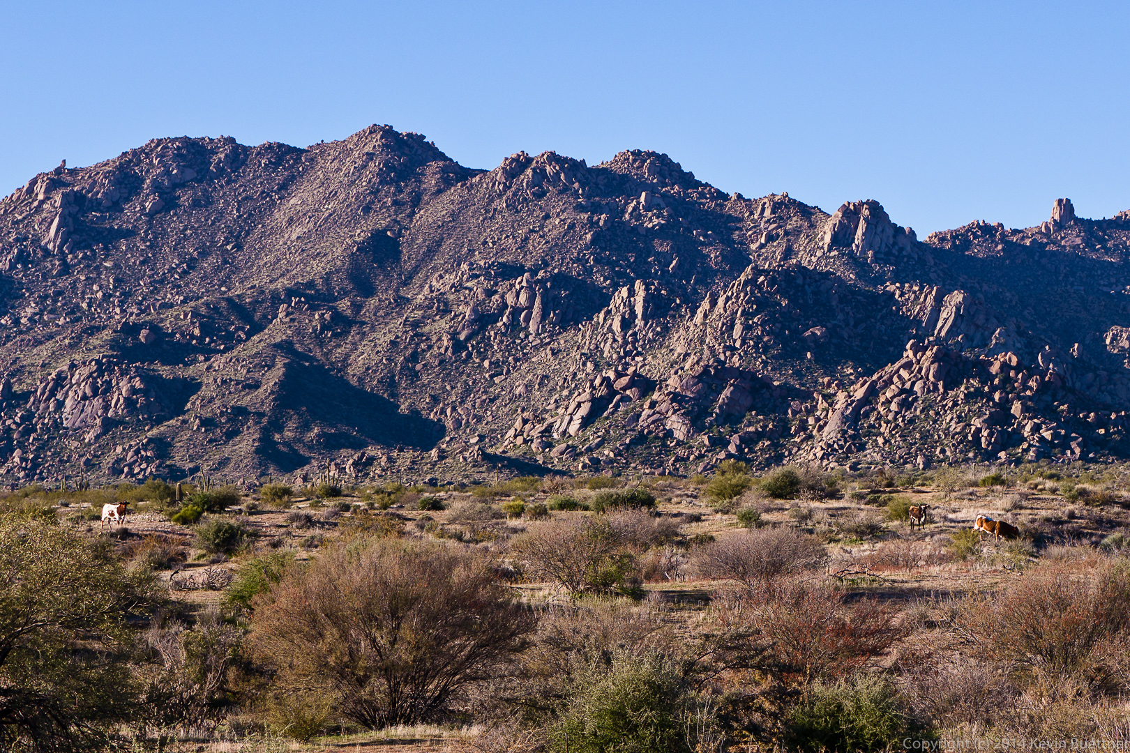
We saw some cattle from the Delsie Trail.
A view of Tom’s Thumb, between two saguaros, from the Delsie Trail.
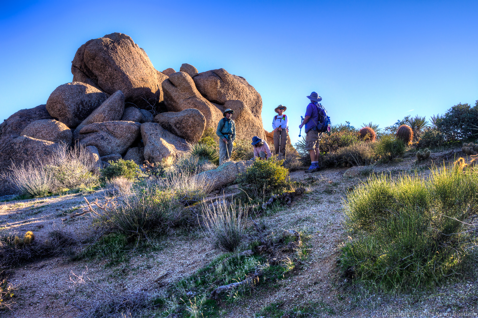
Nick, Doug, Leslie, Janet, Venie, Phil, Bob, and Sarge pose for a photo on the Pemberton Trail.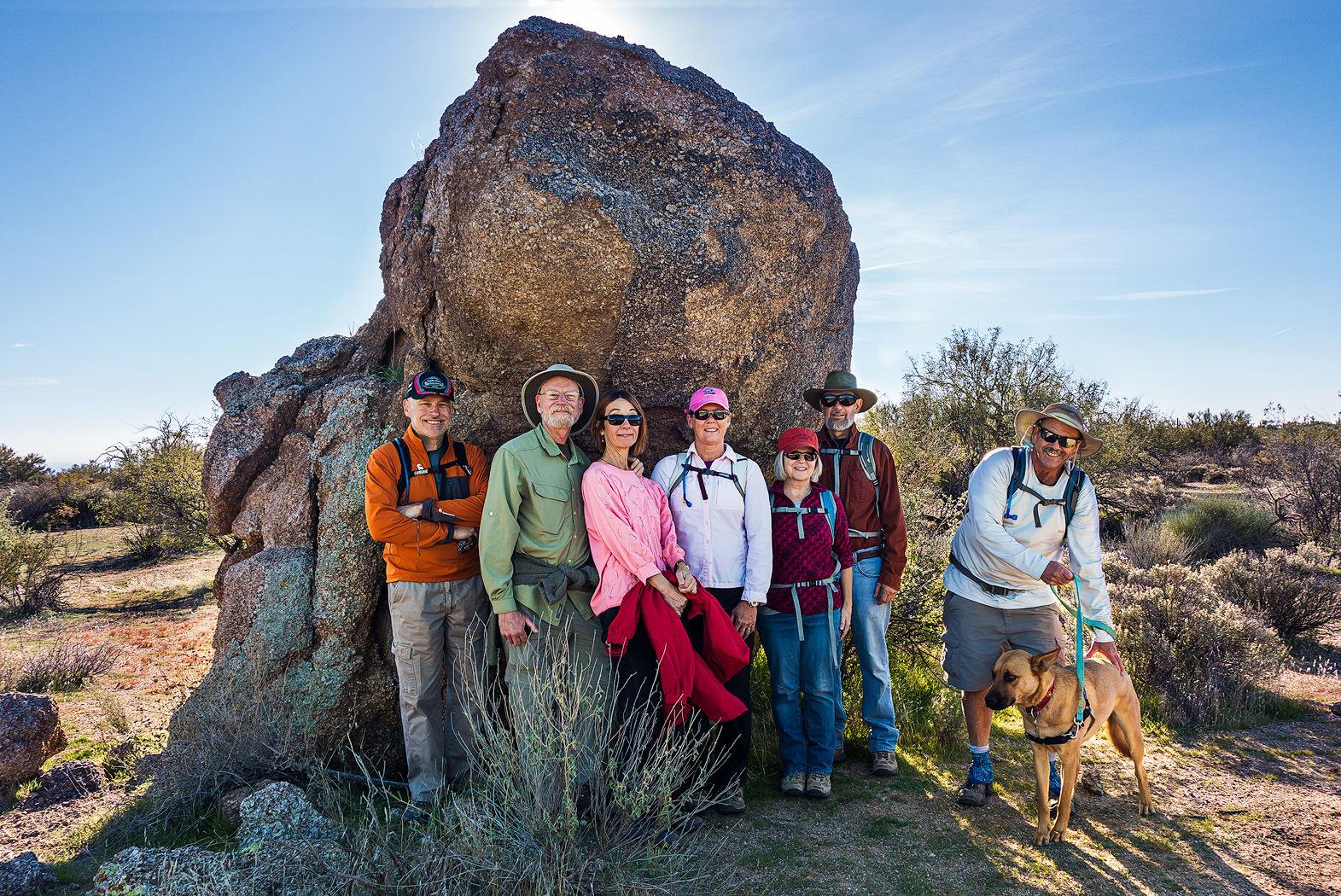
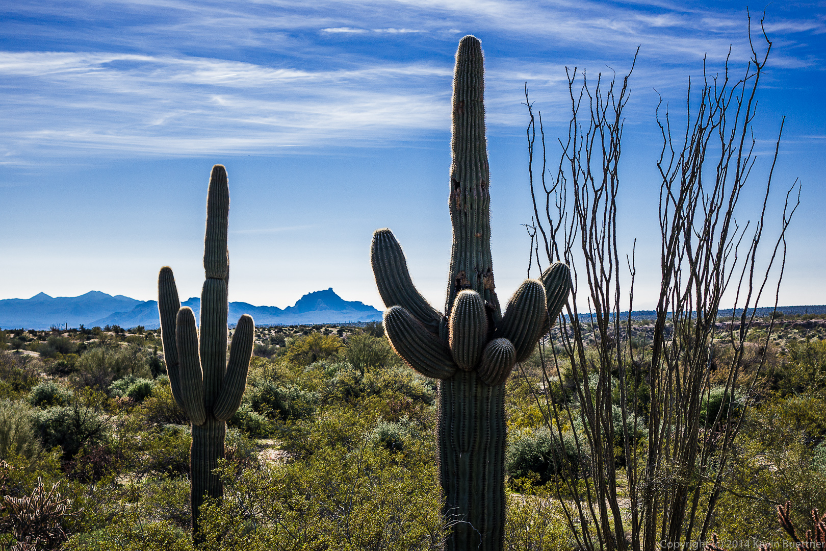
A pair of saguaros on the Pemberton Trail.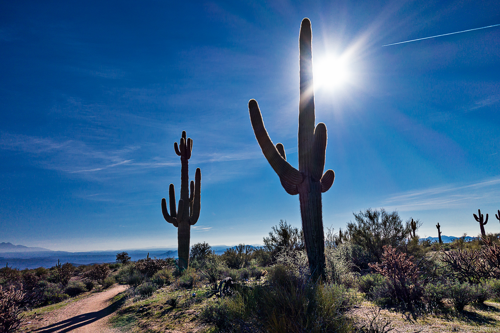
A water break for Sarge!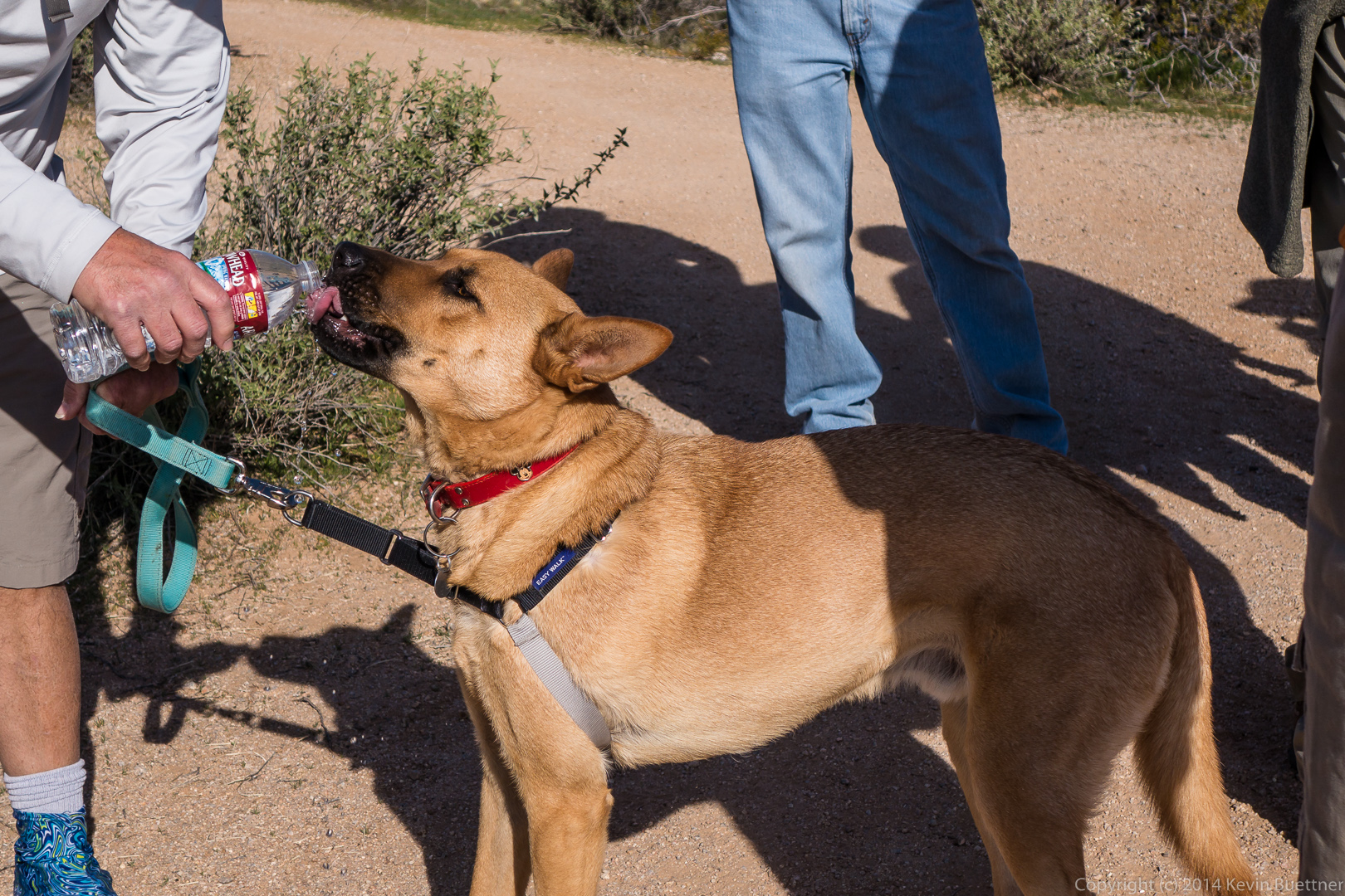
A view of Red Mountain from the Granite Trail.
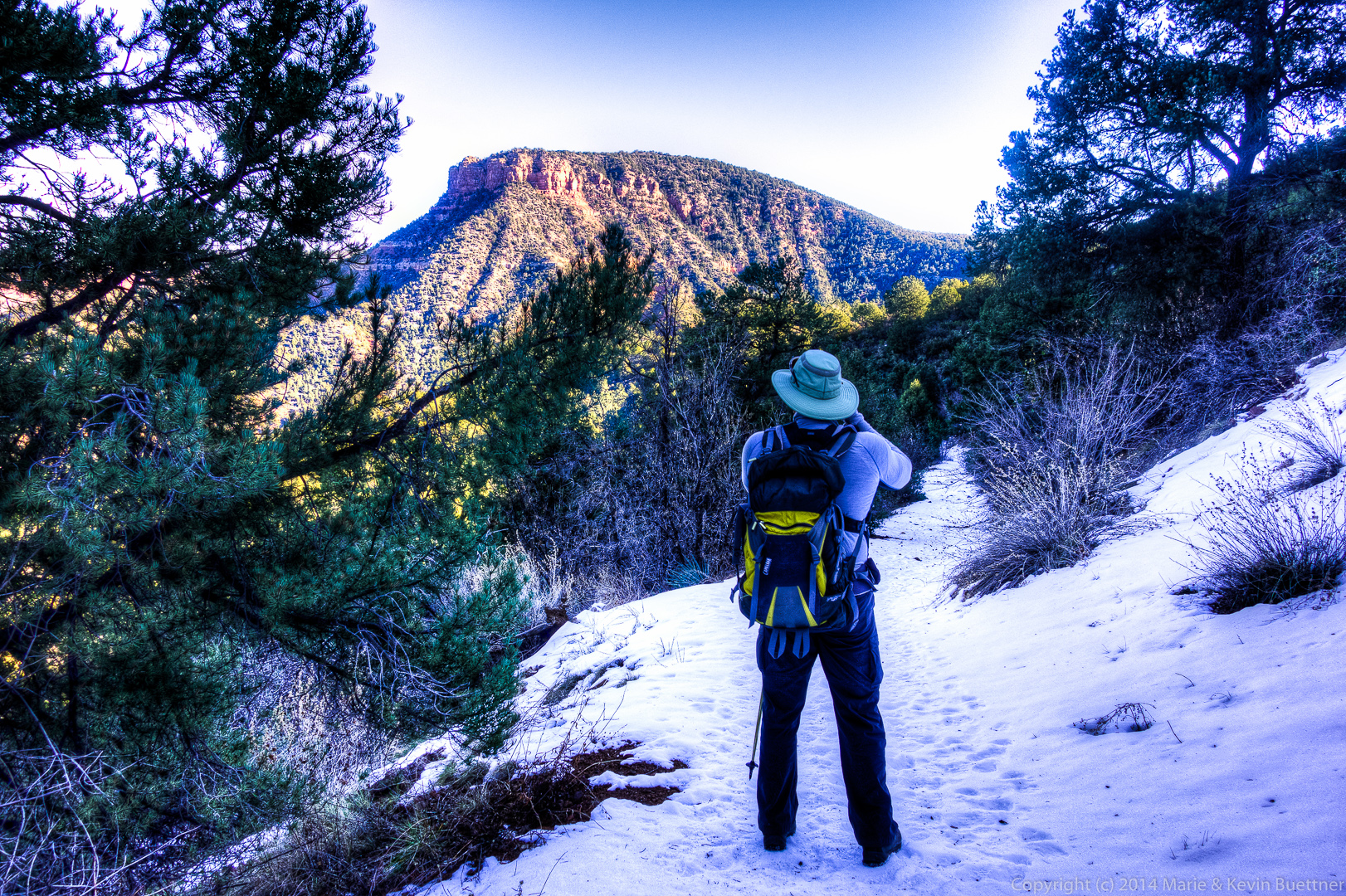
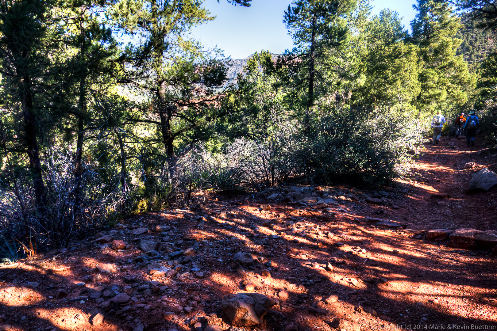
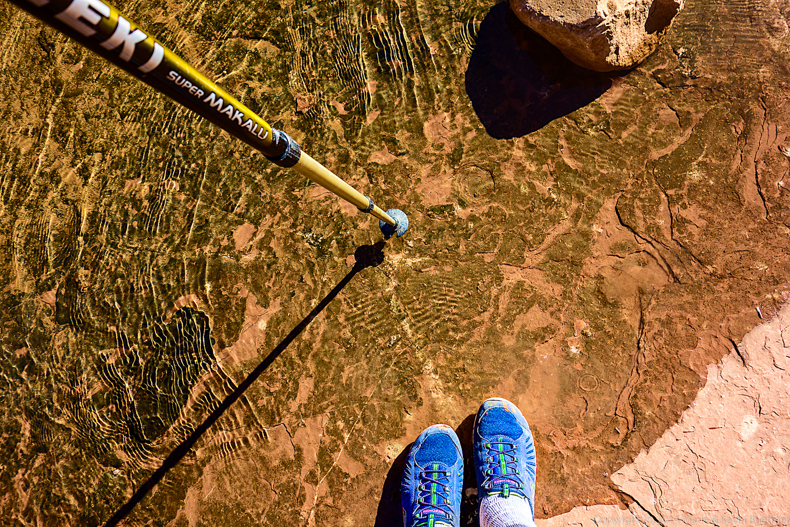
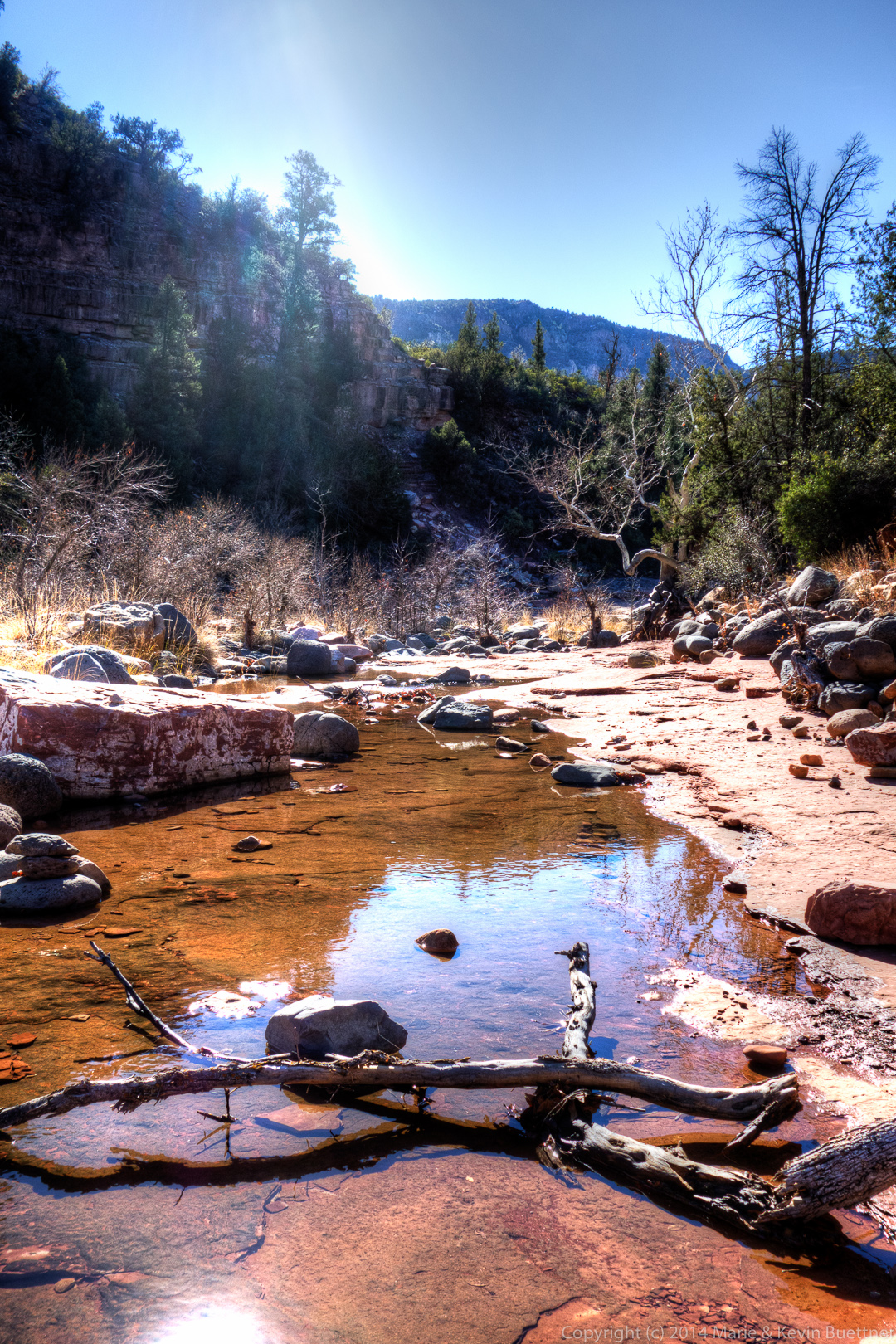
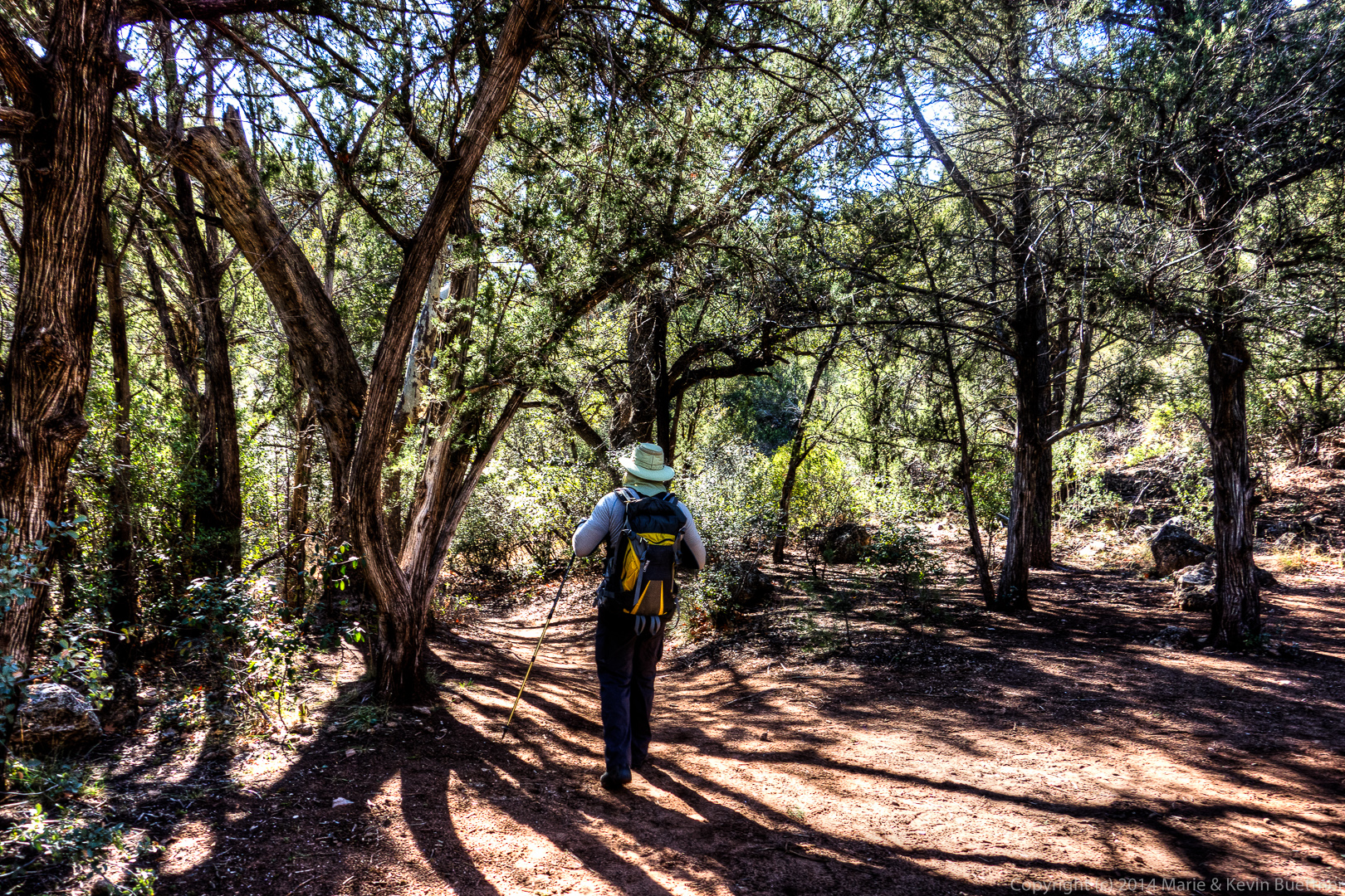
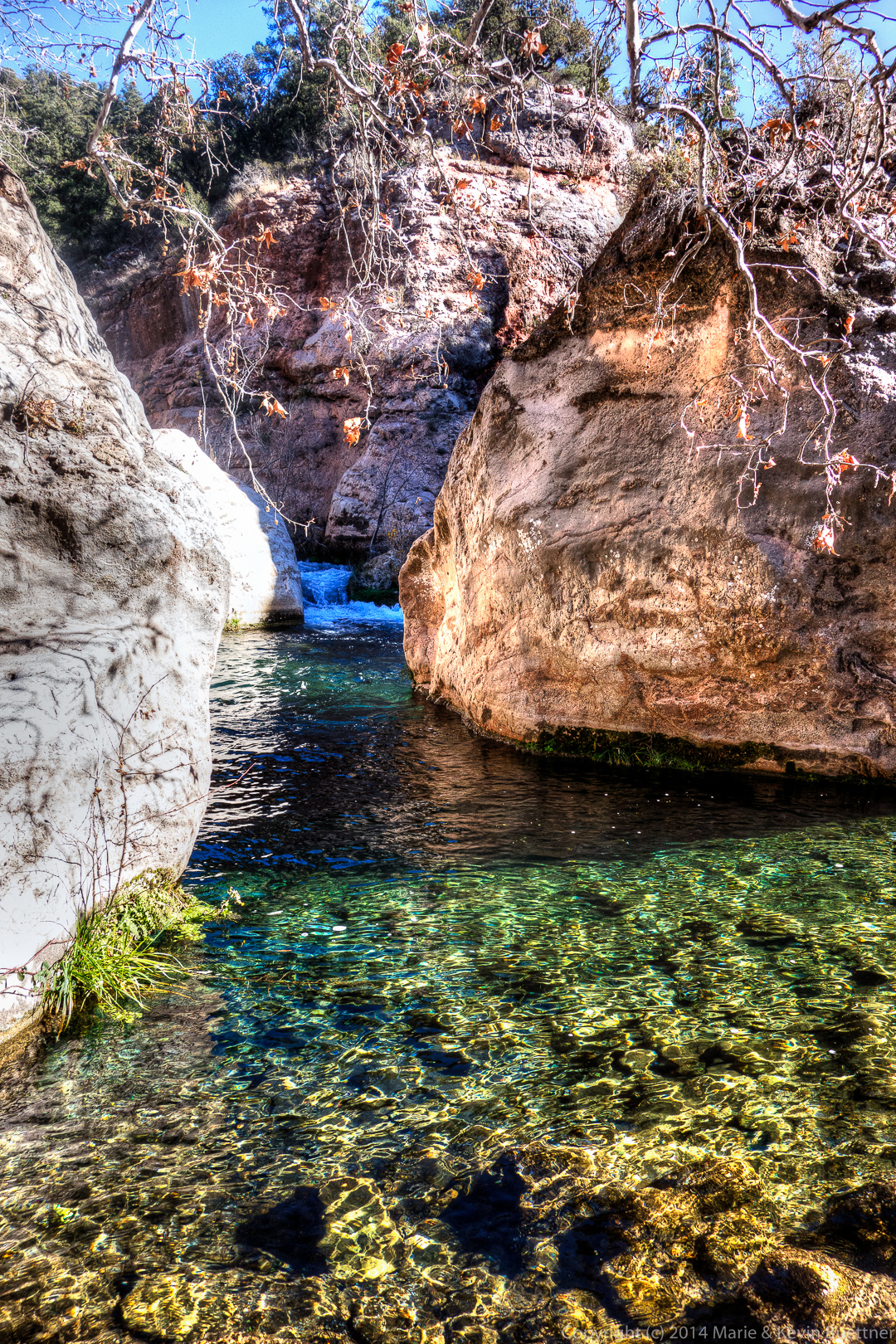
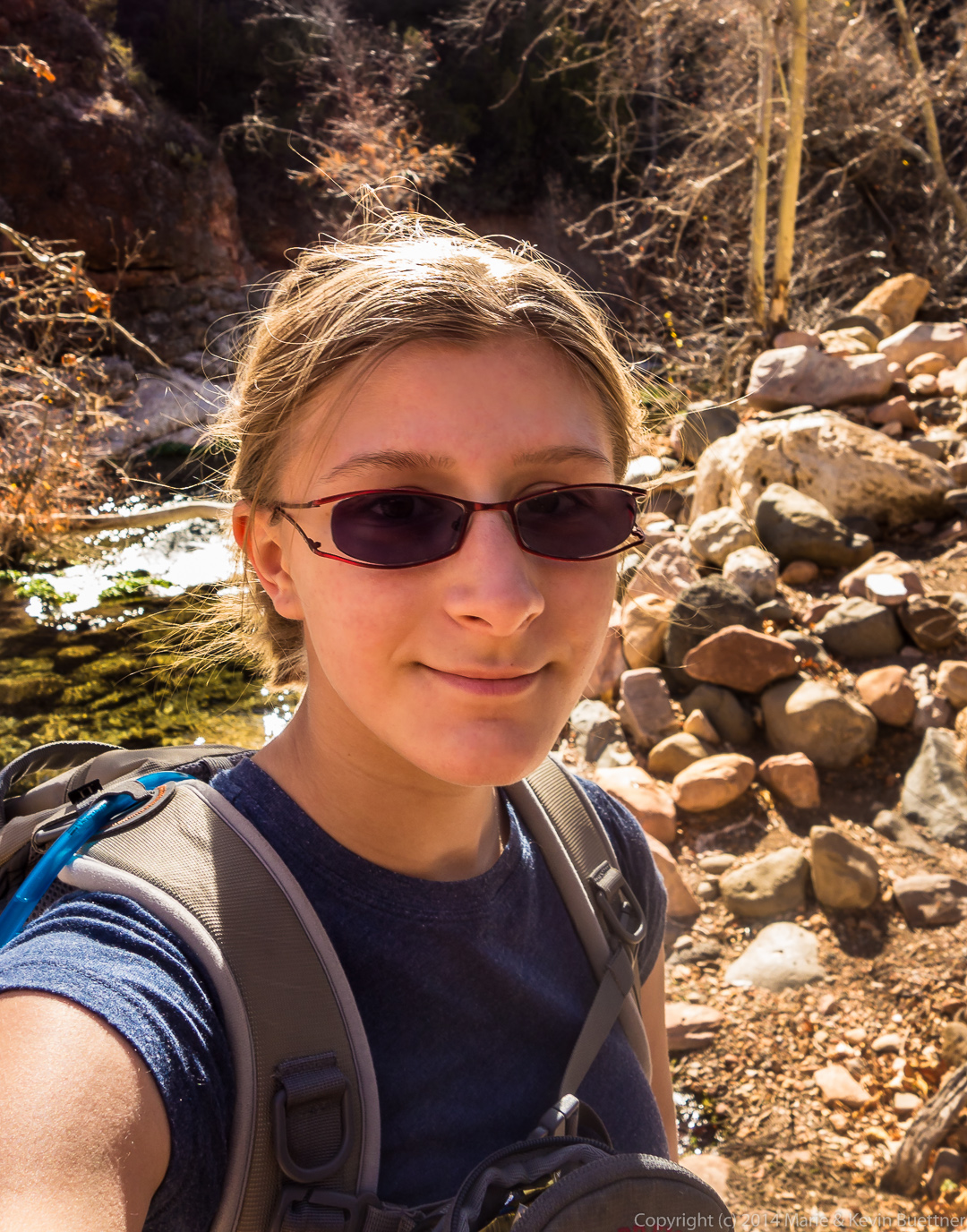
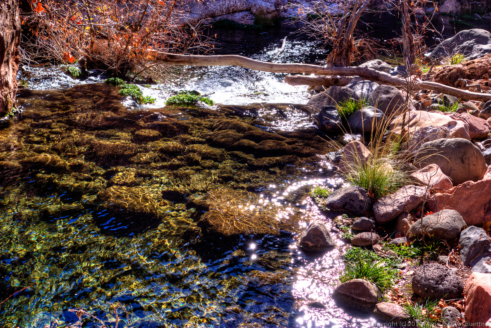
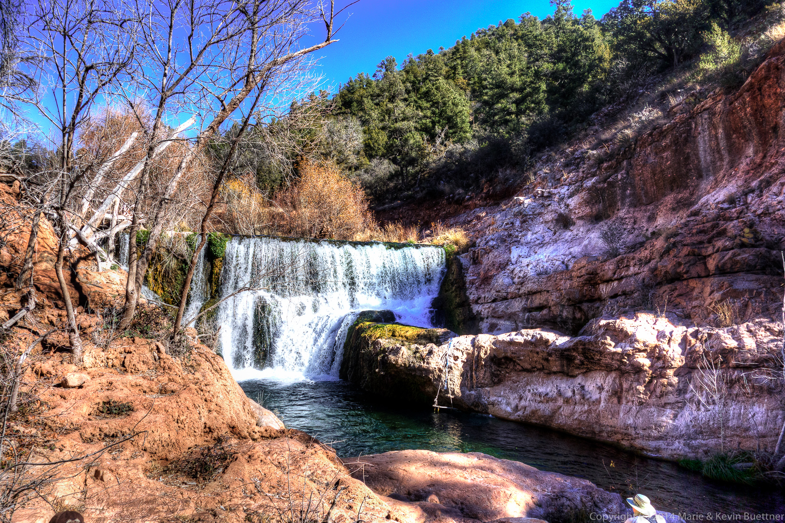
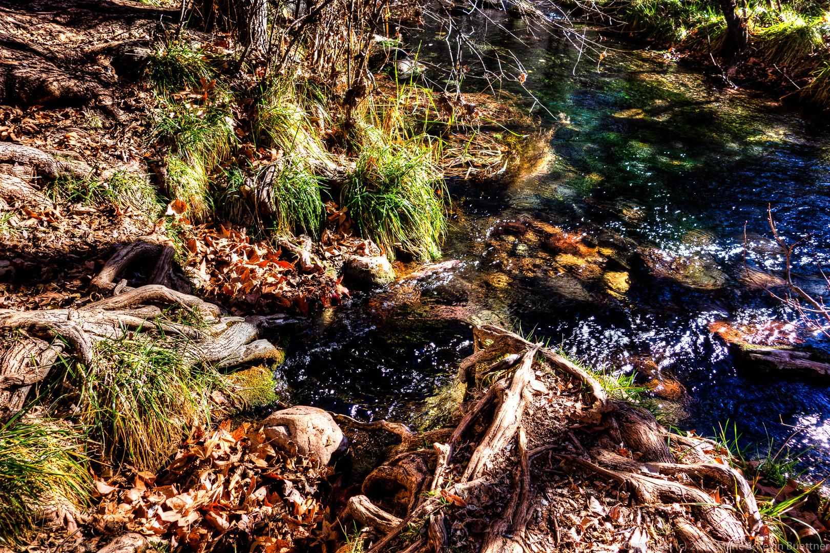
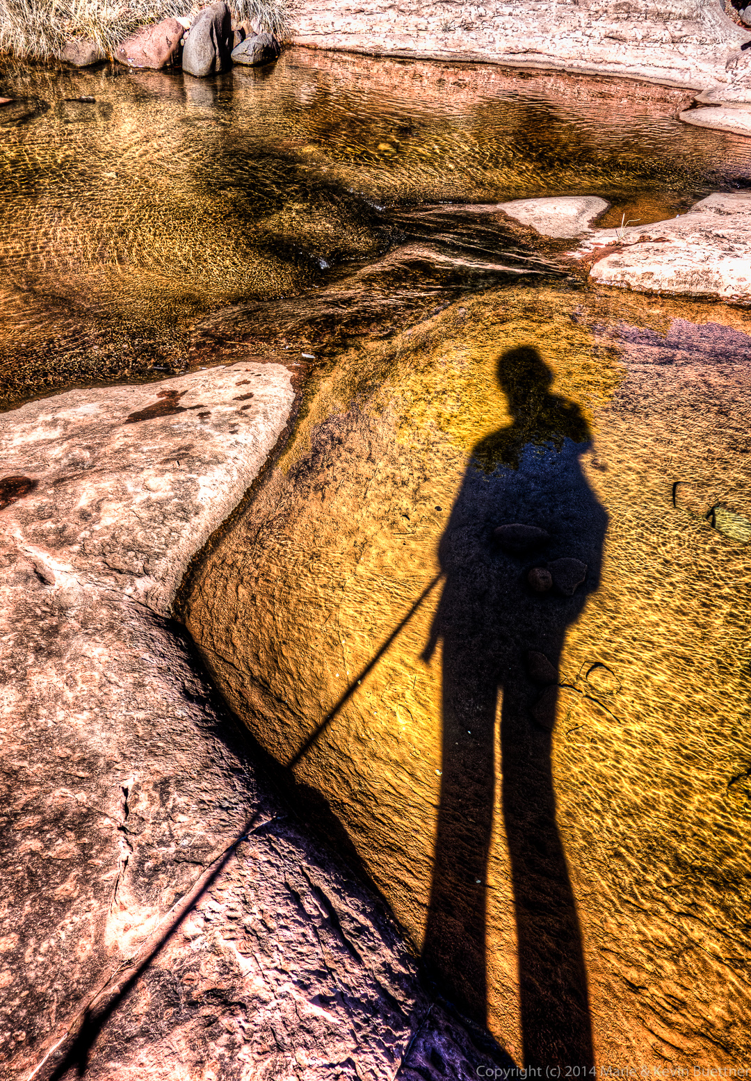
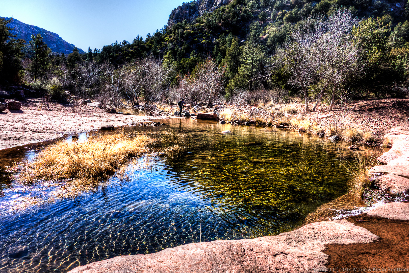
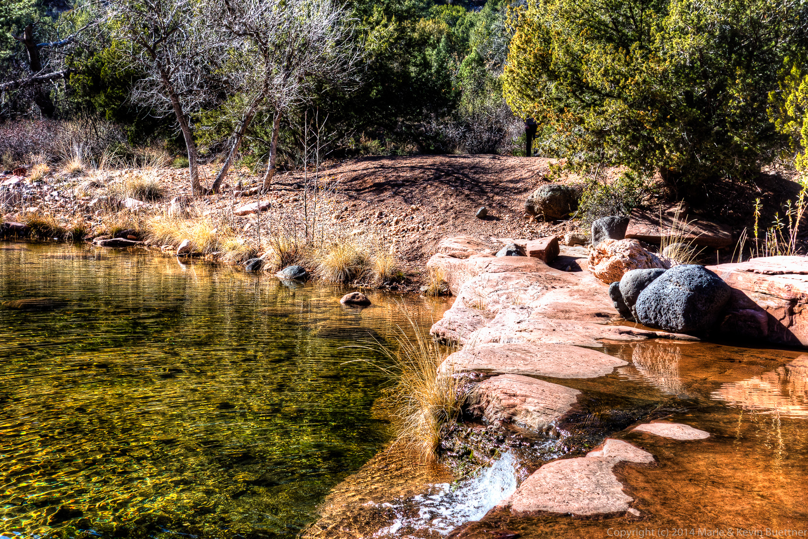
Below are Marie’s photos from our Fossil Creek hike on January 1. I processed most of these with Photomatix and Lightroom.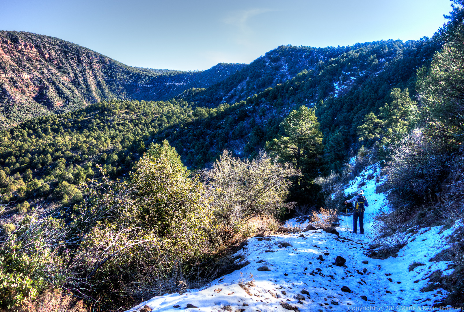
