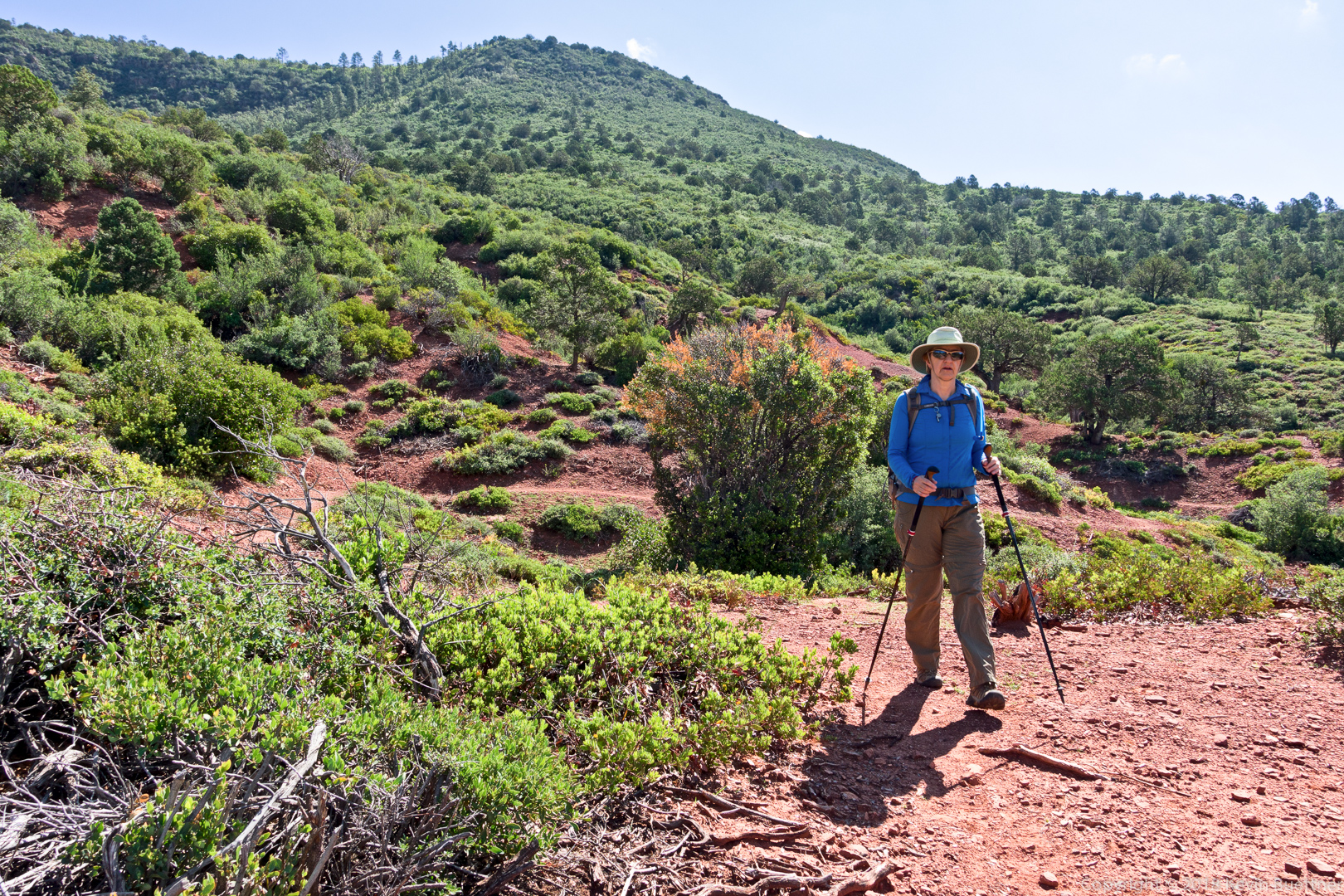
Linda and I hiked a 10.4 mile loop starting from Tom’s Thumb Trailhead. We hiked Marcus Landslide, Boulder, Pemberton, Coachwhip, Windmill, East End, and Tom’s Thumb.

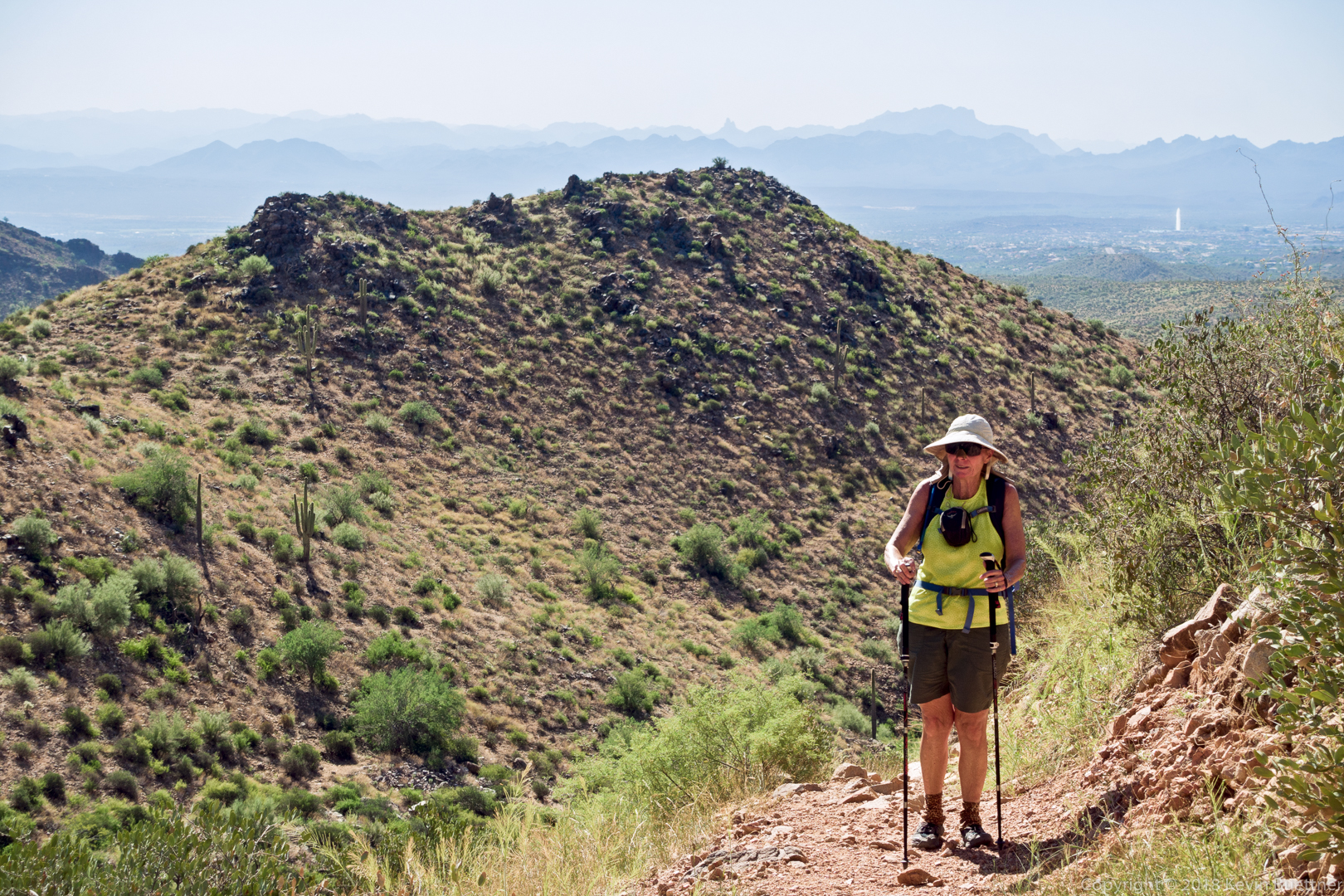
Linda and I hiked a 10.4 mile loop starting from Tom’s Thumb Trailhead. We hiked Marcus Landslide, Boulder, Pemberton, Coachwhip, Windmill, East End, and Tom’s Thumb.
4.6 miles on Tuesday Night…
Marilyn hiked four miles of the Pine Canyon Trail with me. At the four mile mark, I went on and she turned back, eventually picking me up at the northern end of the trail further up Beeline Highway. I hiked nearly 12 miles with over 2500 feet of total ascent.
Linda and I hiked 10.5 miles starting from the Four Peaks Trailhead.
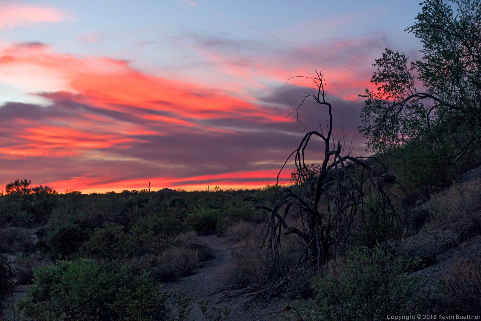
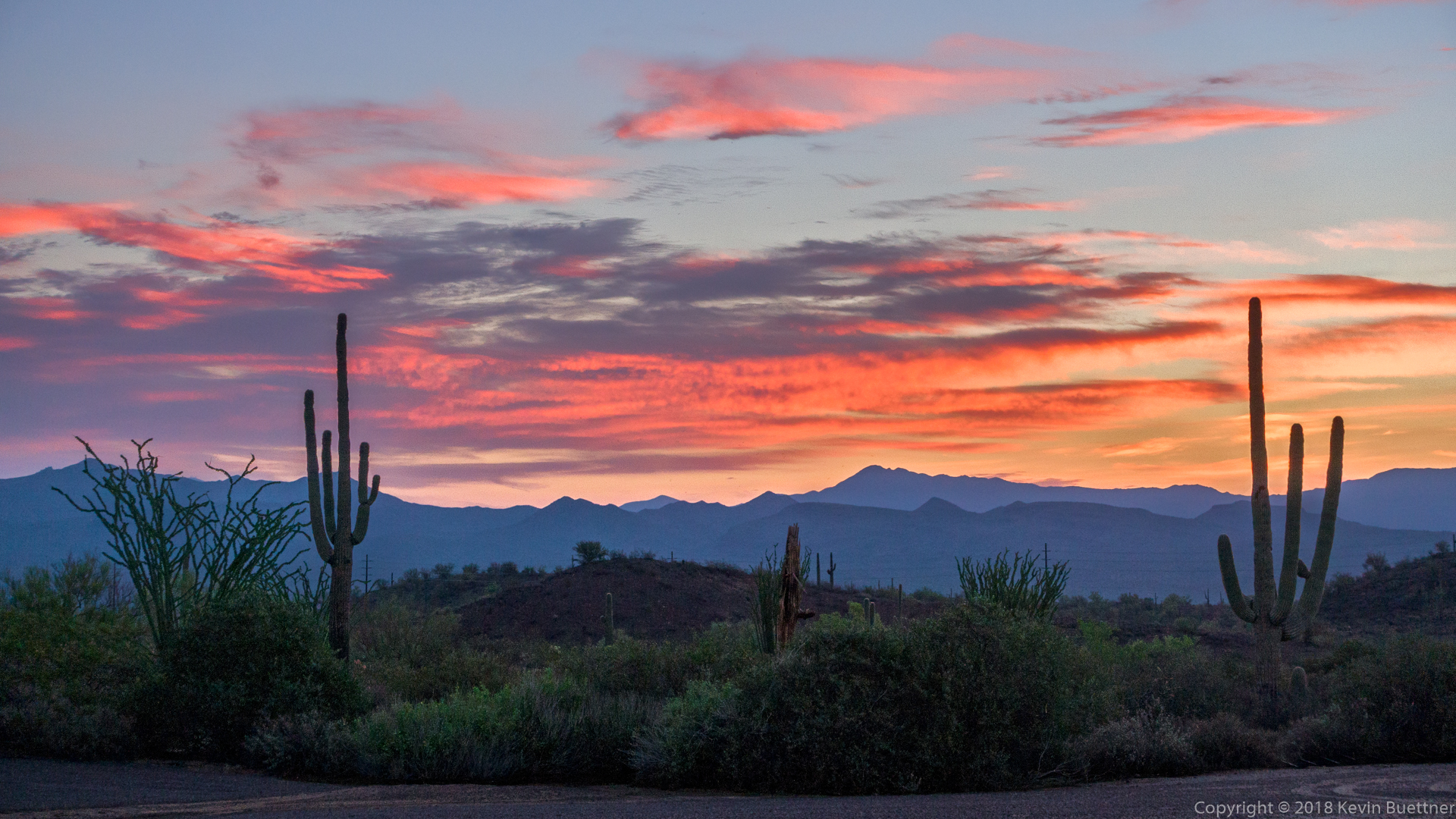
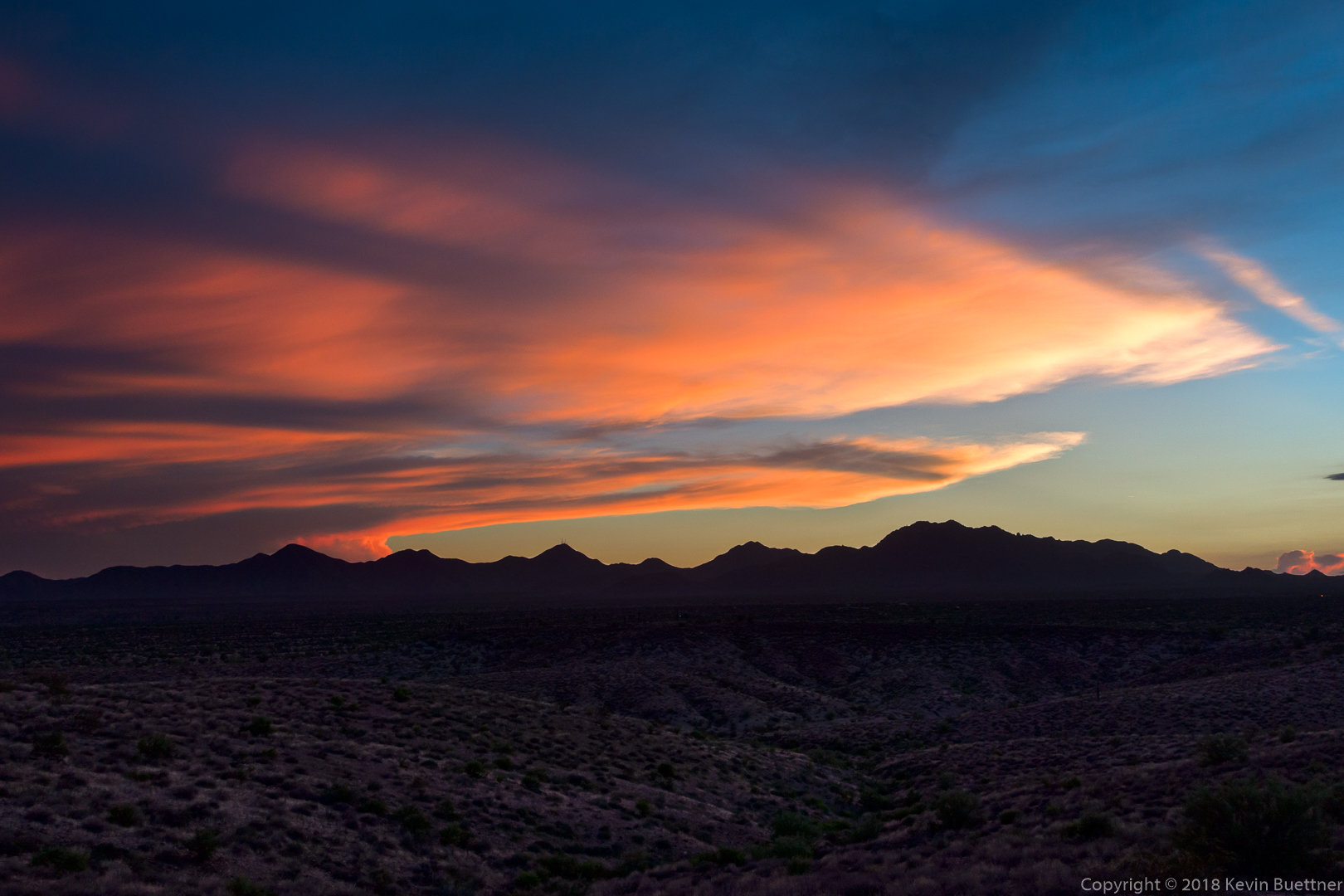
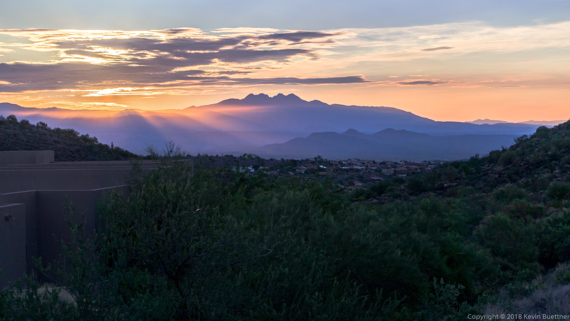
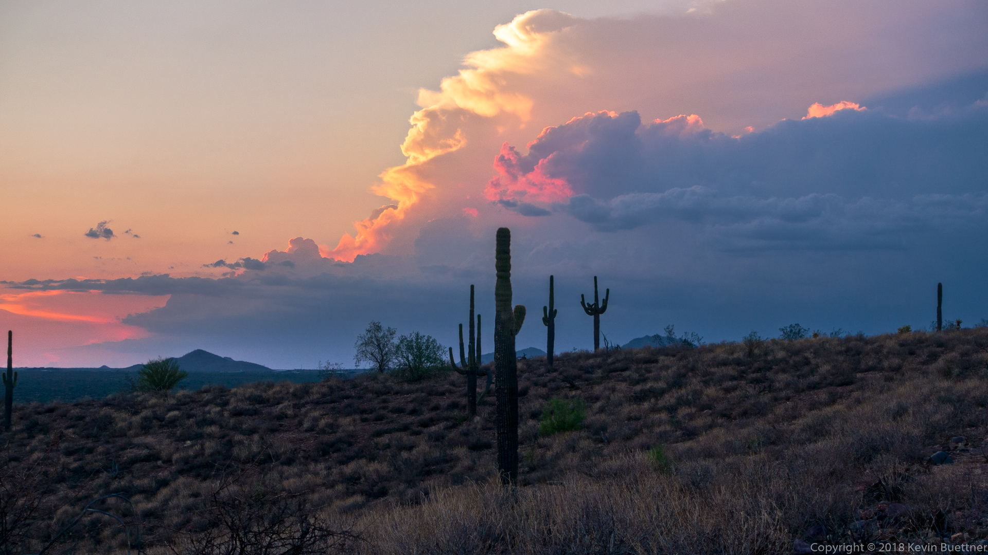
Colorful, pre-hike clouds.
A view of Red Mountain from the Technical Loop:
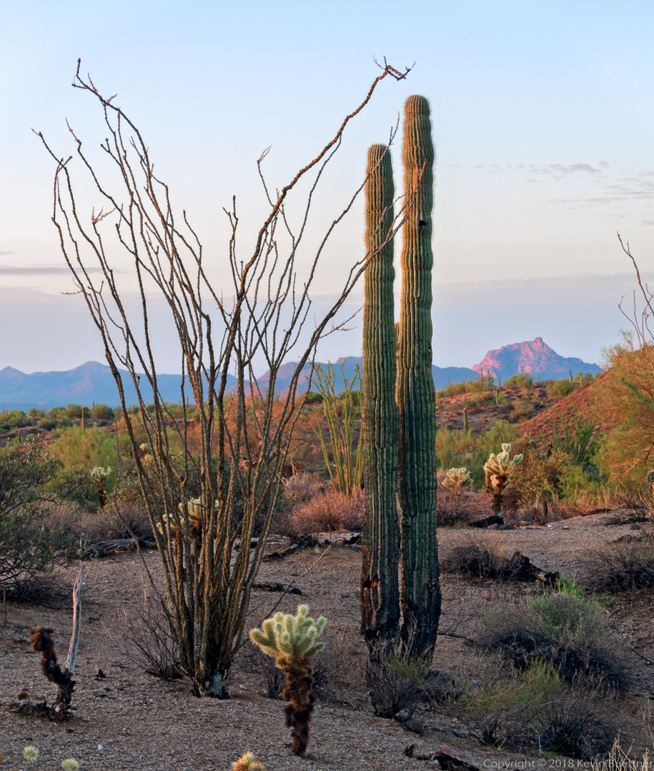
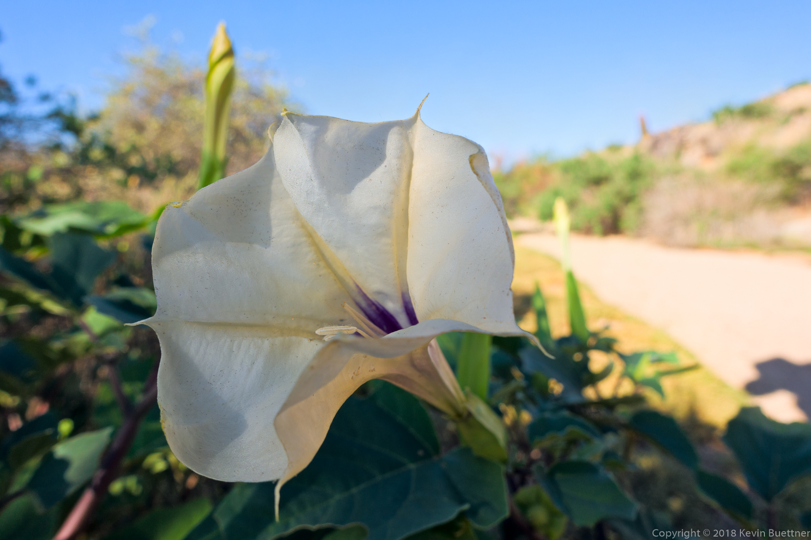
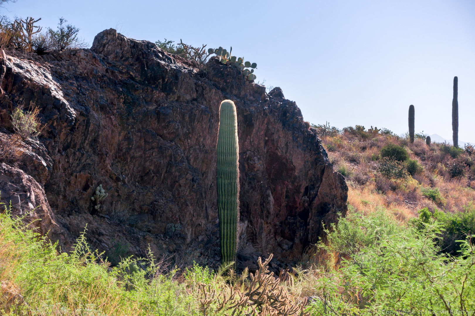
Linda and I were both surprised at how green the ocotillos are.
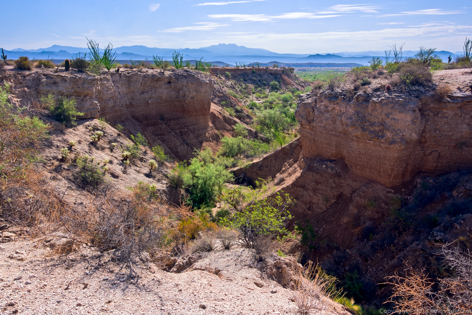
We looked for a descent into this small canyon, but the two nearby drainages were too steep.

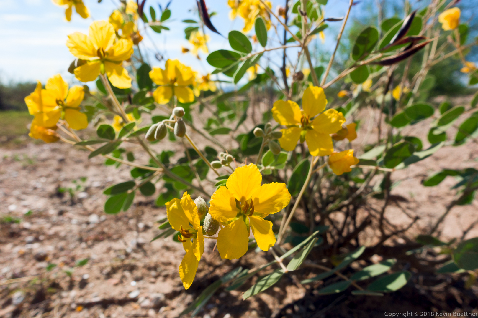
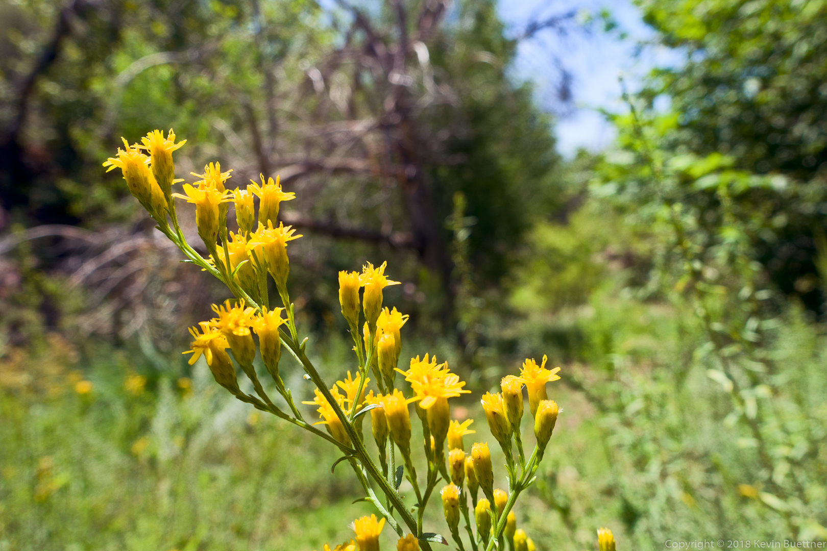
Senna:
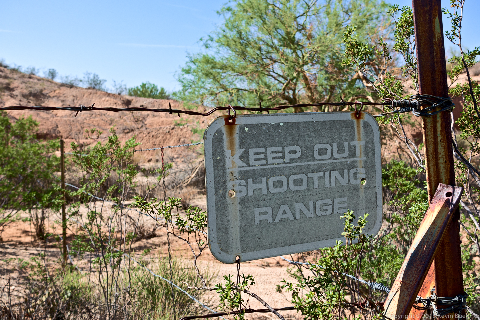
There was once a shooting range in the park?
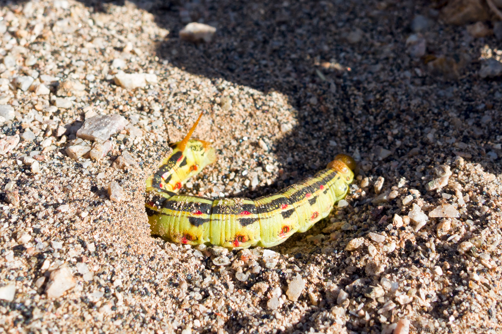
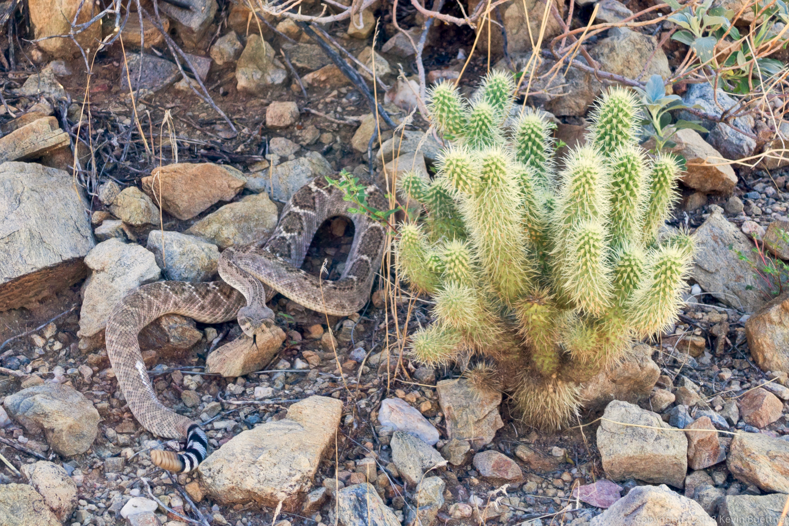
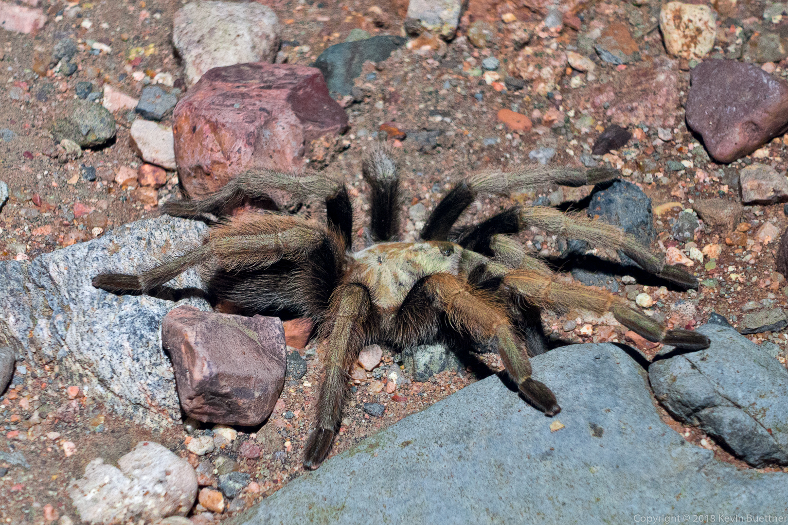
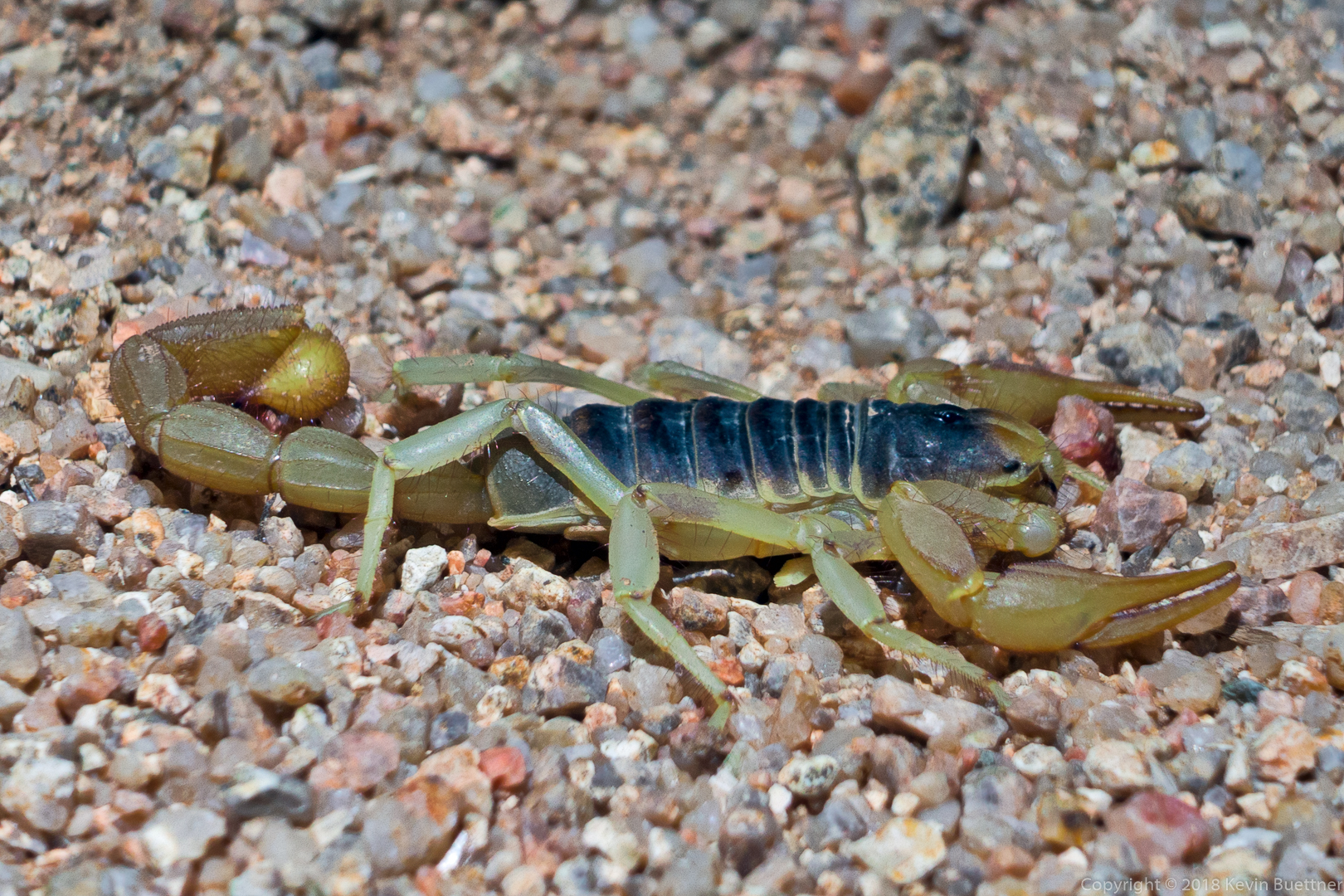
9 miles on Wednesday Night. I was testing a new headlamp which allowed me to see a number of night-time critters. I saw a tarantula, three scorpions, several packrats, a couple of bunnies, and an owl!
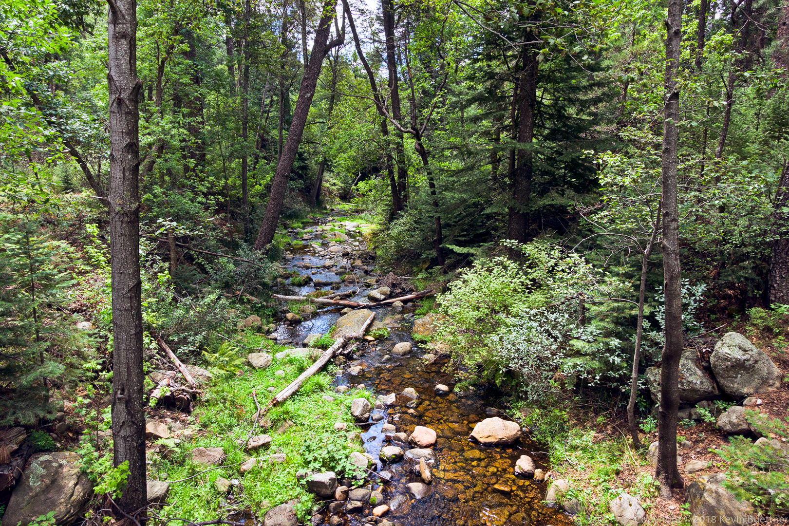
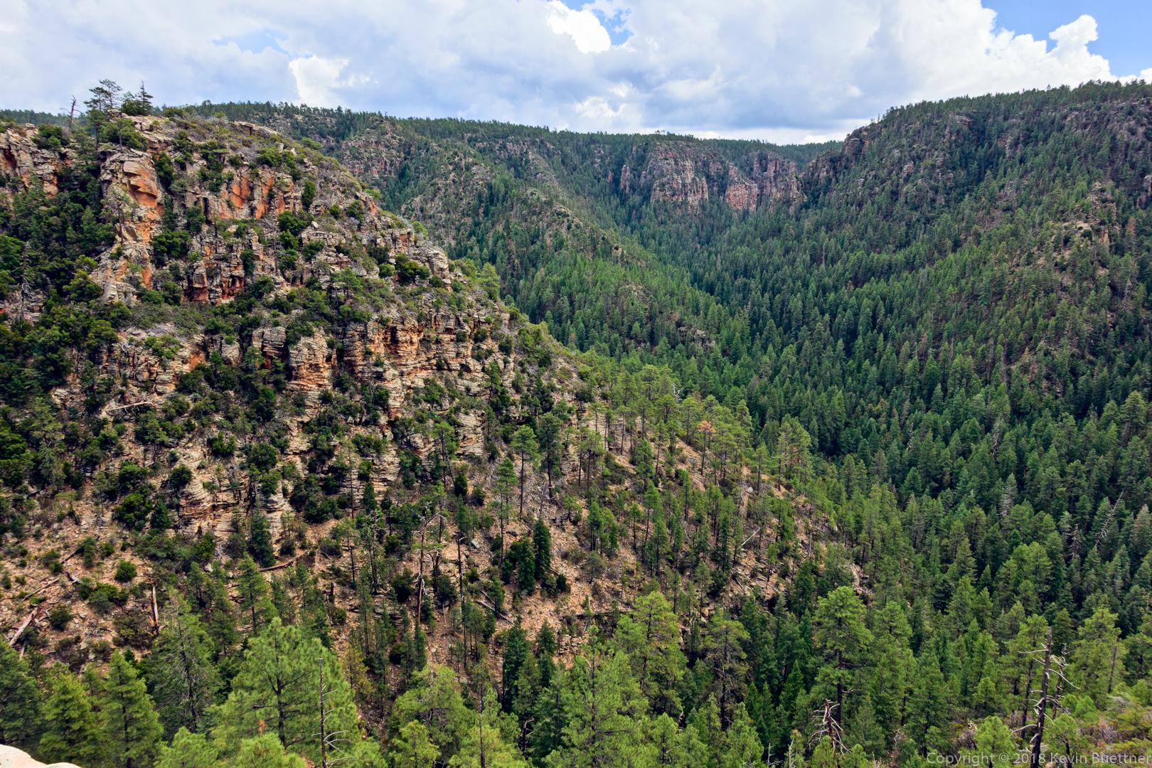
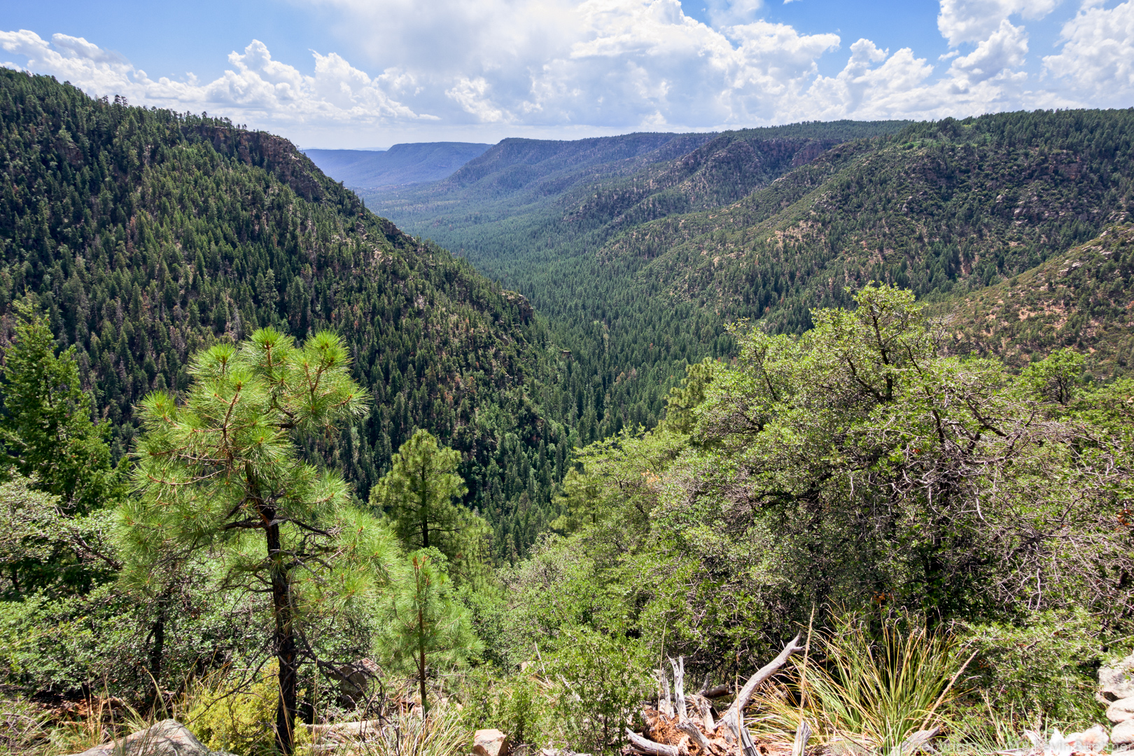
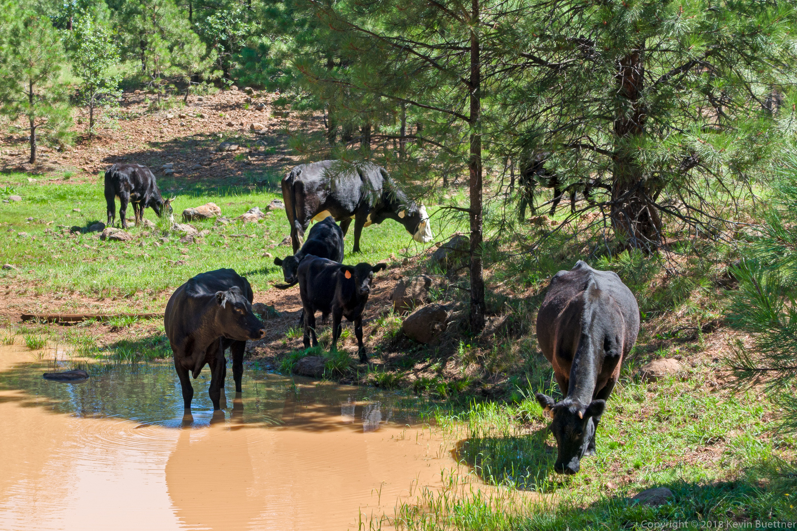
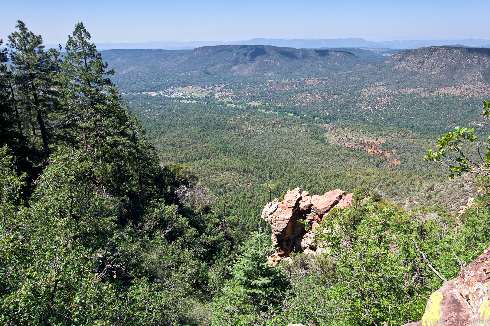
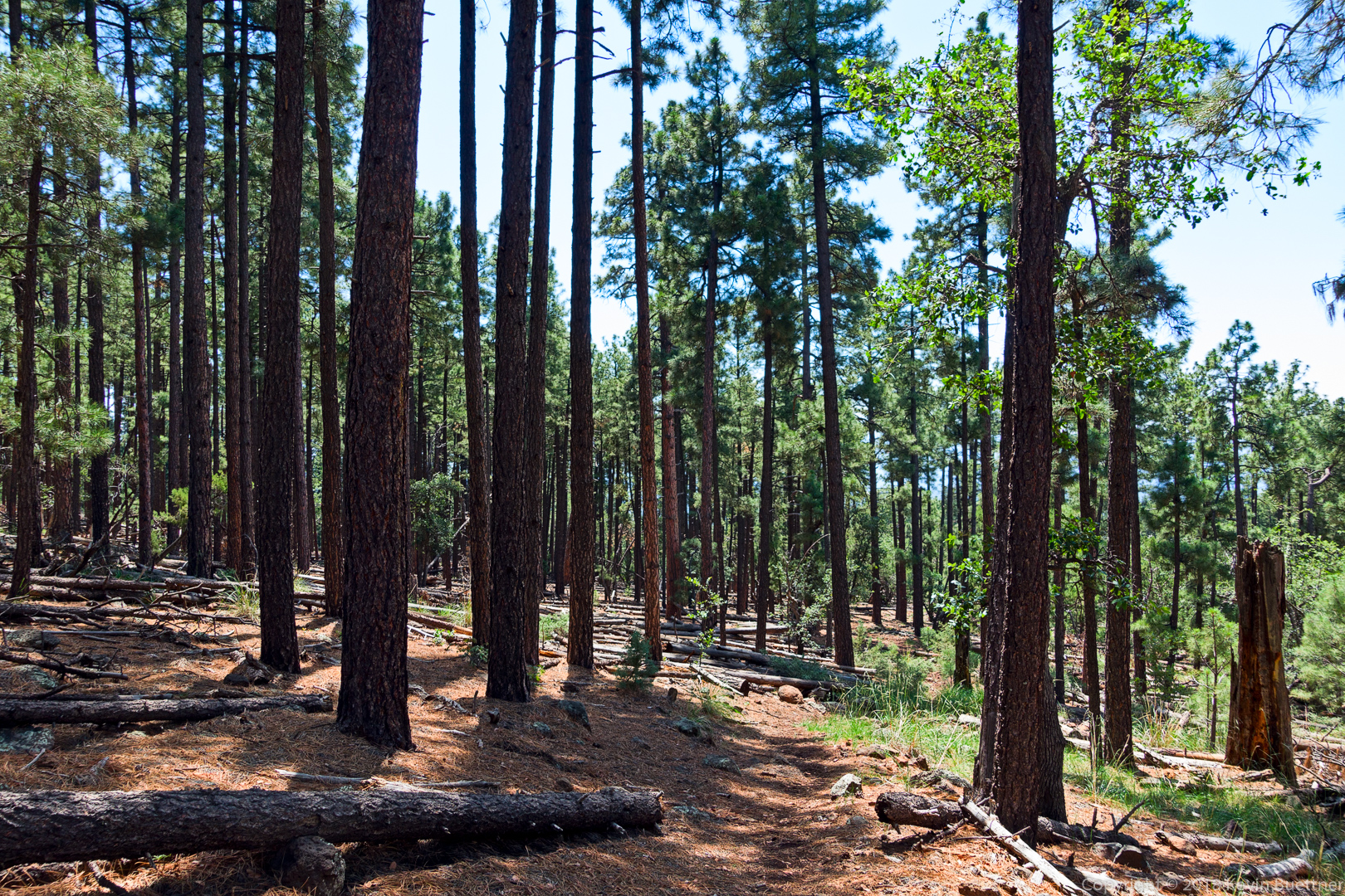
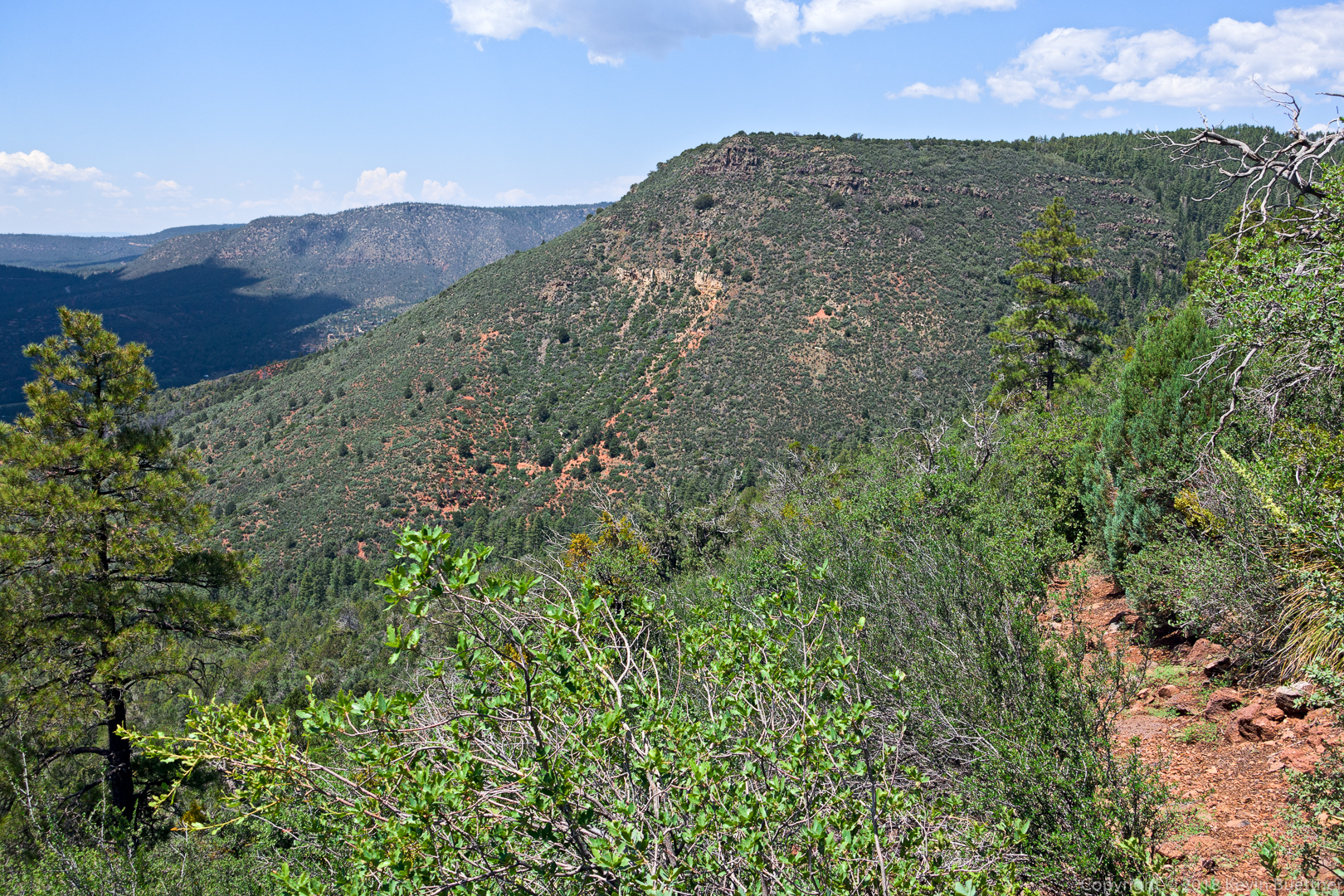
On Sunday, I drove to the Pine Trailhead and did an out-and-back hike of the Highline and Donahue trails. I also hiked two forest roads beyond the Donahue Trail – these were FR 218 (Milk Ranch Point Road) and FR 9382L. The hike that I did – well, the return portion, anyway – is the latter half of a loop that can be done. I’m thinking about doing this loop and wanted to scout the latter part of the hike.


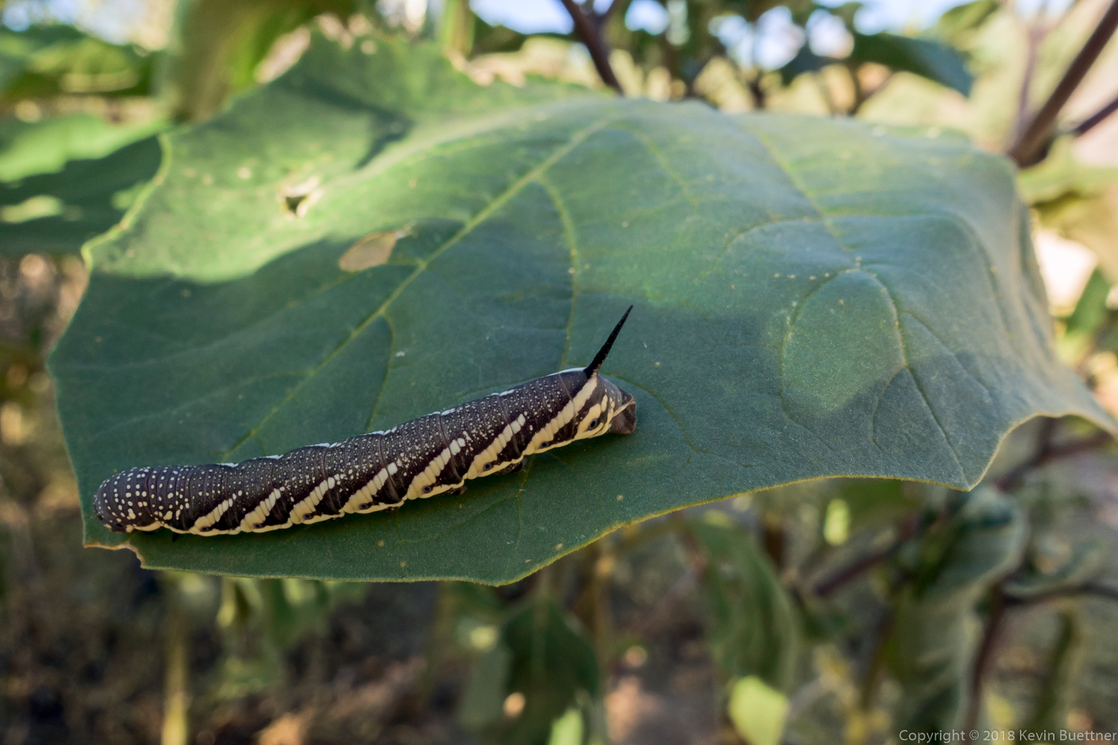
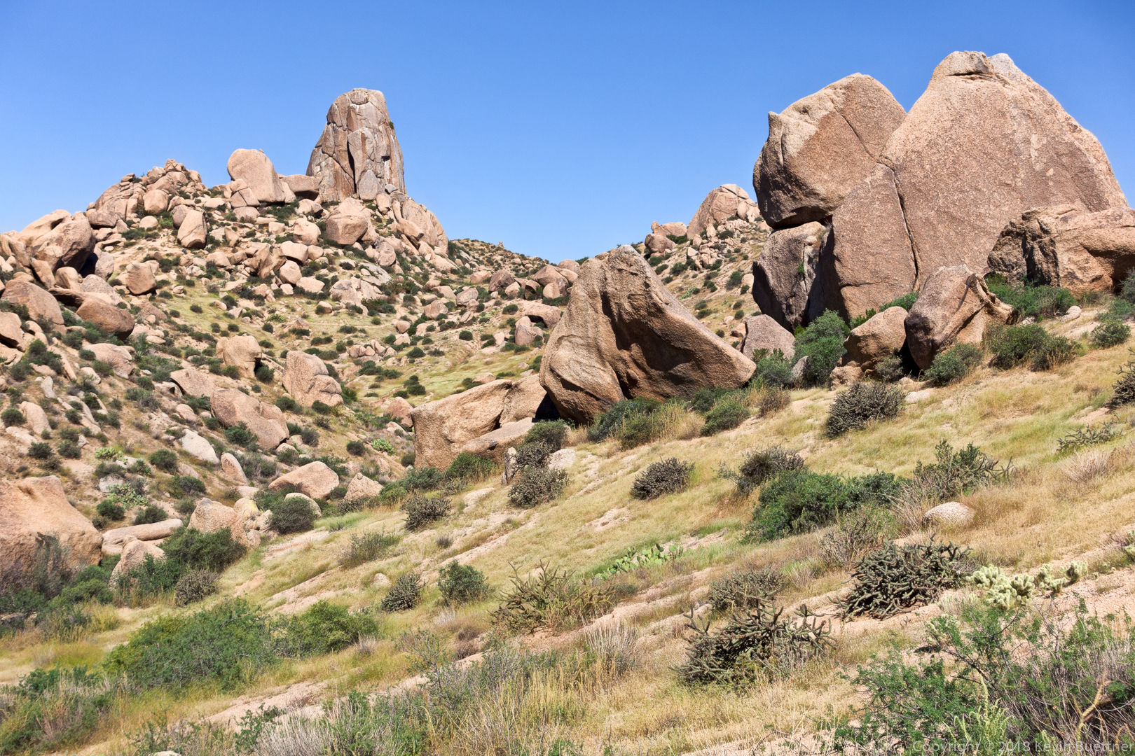
I hiked 10.6 miles on Friday: Dixie Mine, Coachwhip, Windmill, Bell Pass, Prospector, and back on Dixie Mine.
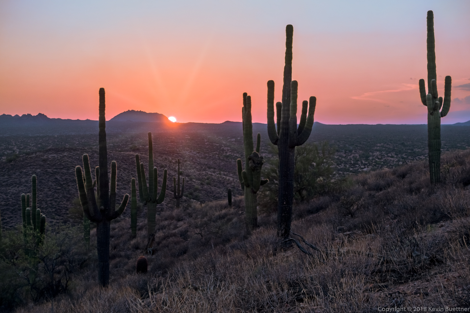
Sunrise from the approach through Eagles Nest:
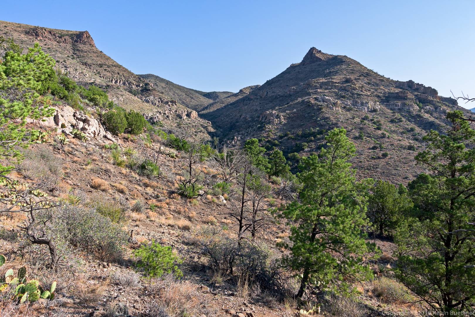
A view from the Dixie Mine Trail:
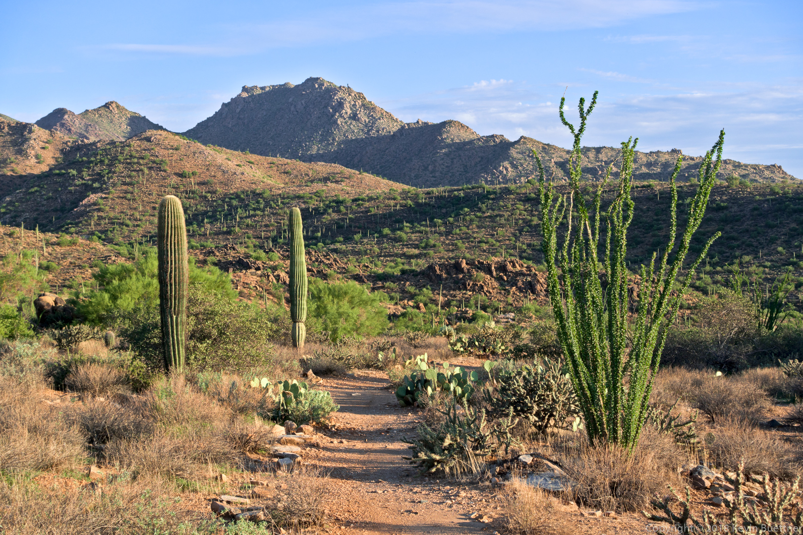
A view from the Coachwhip Trail.

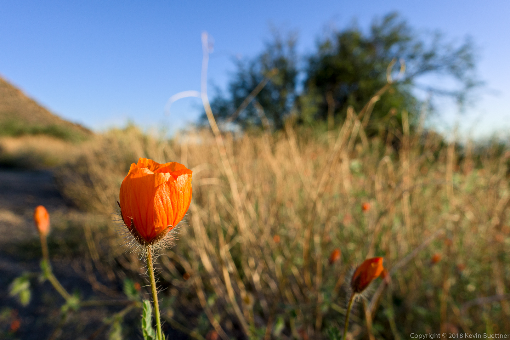
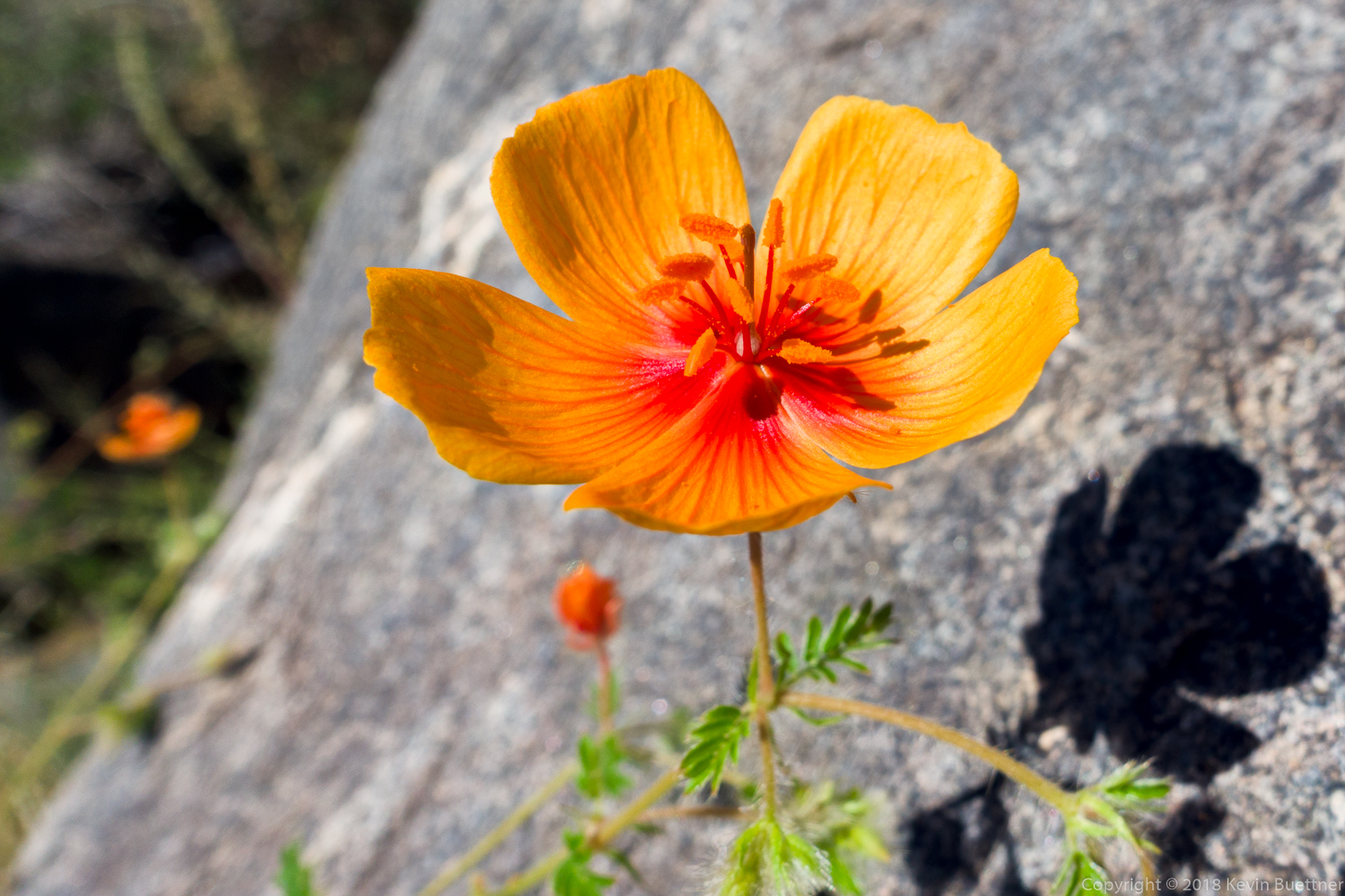
Arizona Poppies – I saw these in a wash running across the Windmill Trail.


A view of Four Peaks from the Bell Pass Trail:

A view from the Prospector Trail:

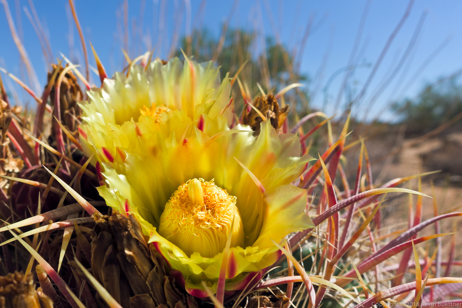
Barrel Cactus blooms on the Dixie Mine Trail:
Only 2.77 miles on Tuesday Night – I knew it was going to rain, so I kept it short. I got wet, but my camera survived this one.
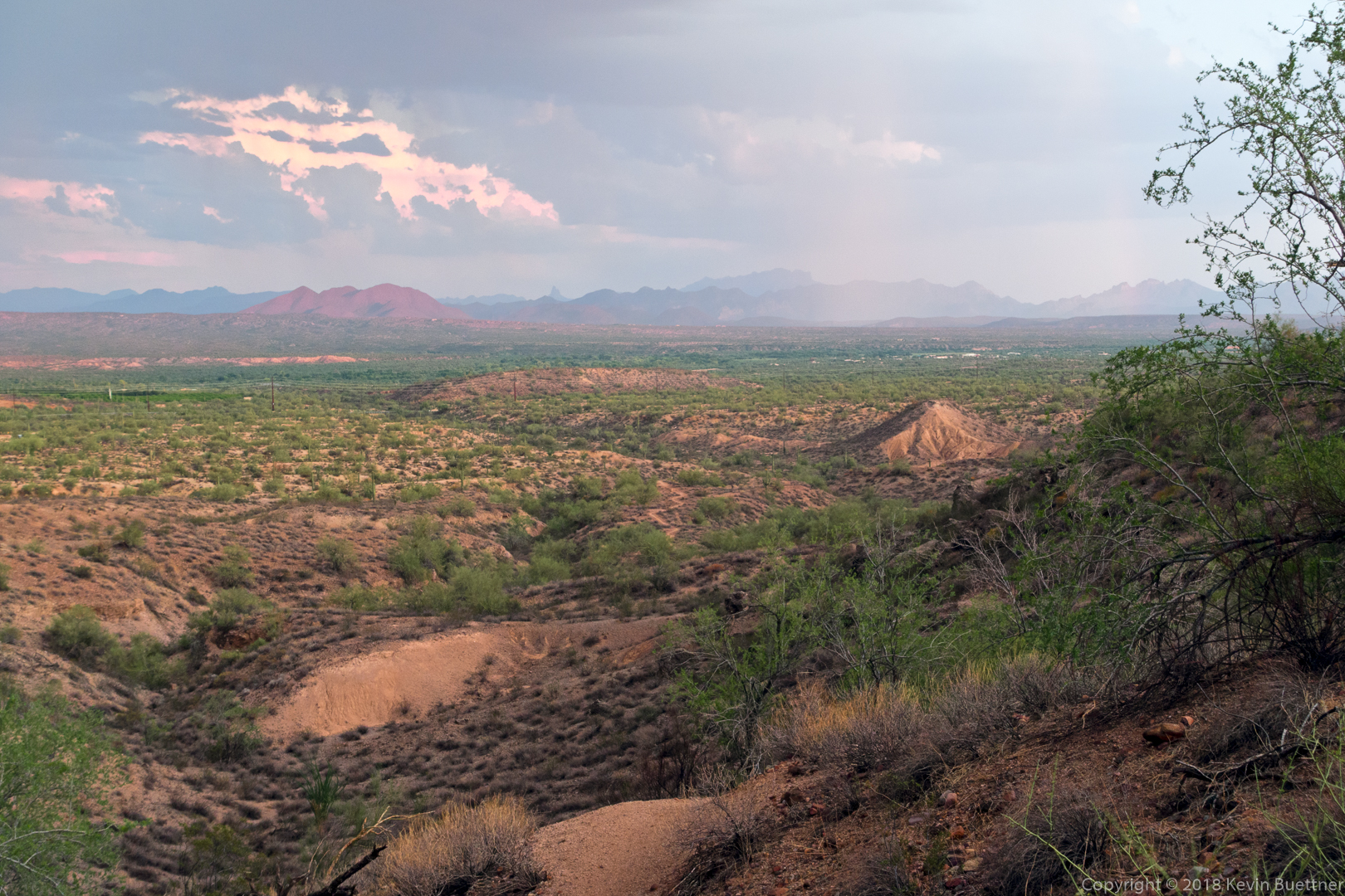
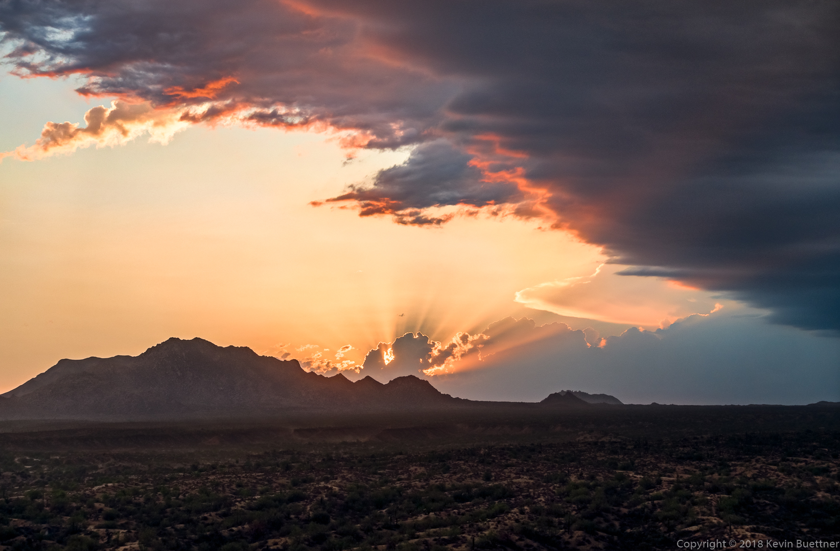
You can see the rain in front of the Superstitions and Goldfields…
I got this photo of the sunset from the T-Bone Ridge. After leaving this point, I sealed my camera up in a zip lock bag. It got very windy as I descended and I felt a few drops of rain as I approached the culvert for “The Chunnel”. I decided to return via the Sport Loop; it started raining in earnest as I made my way back on the Sport Loop.
6.4 miles in MMRP…
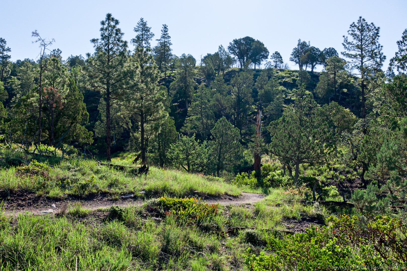
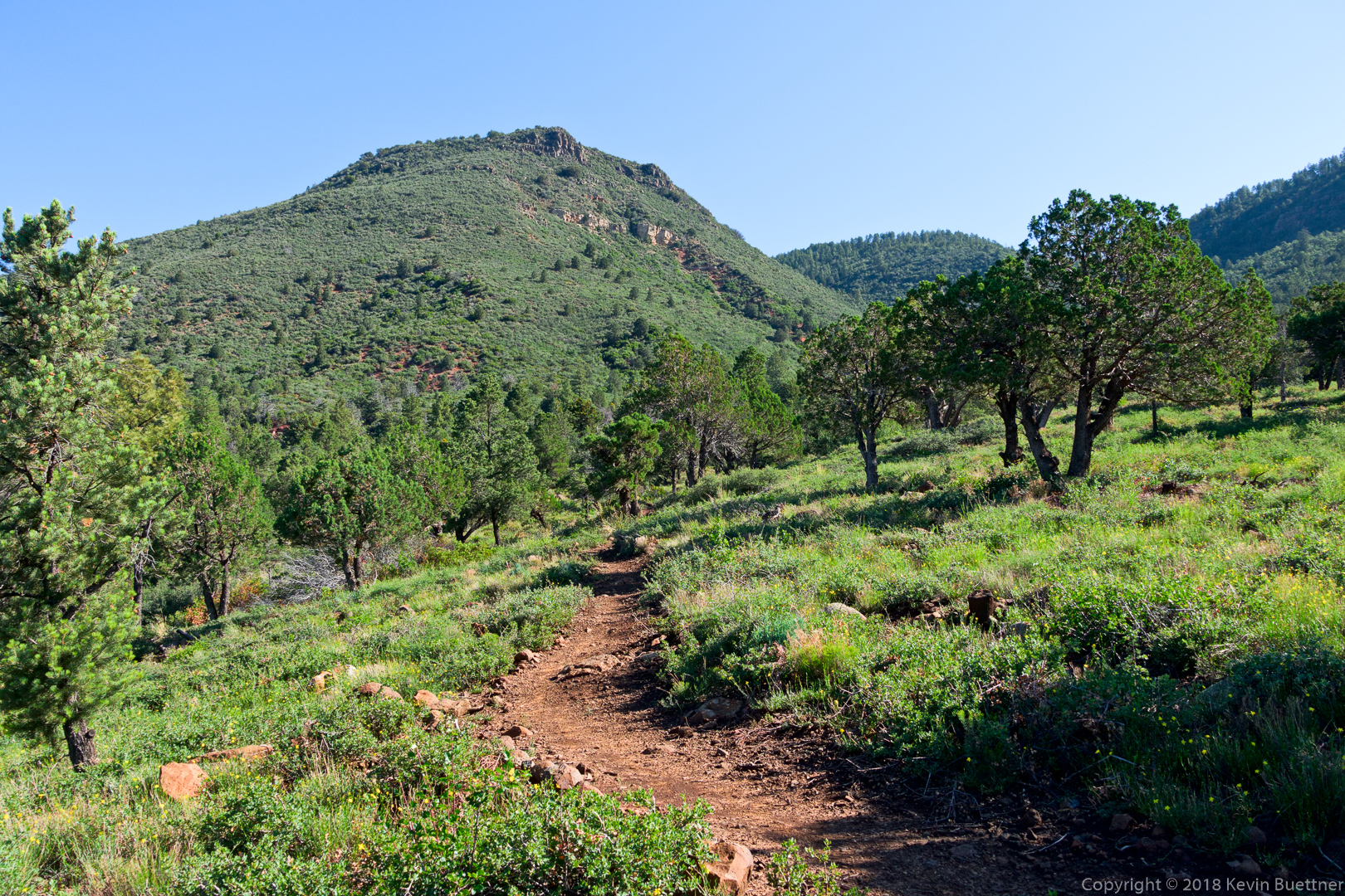
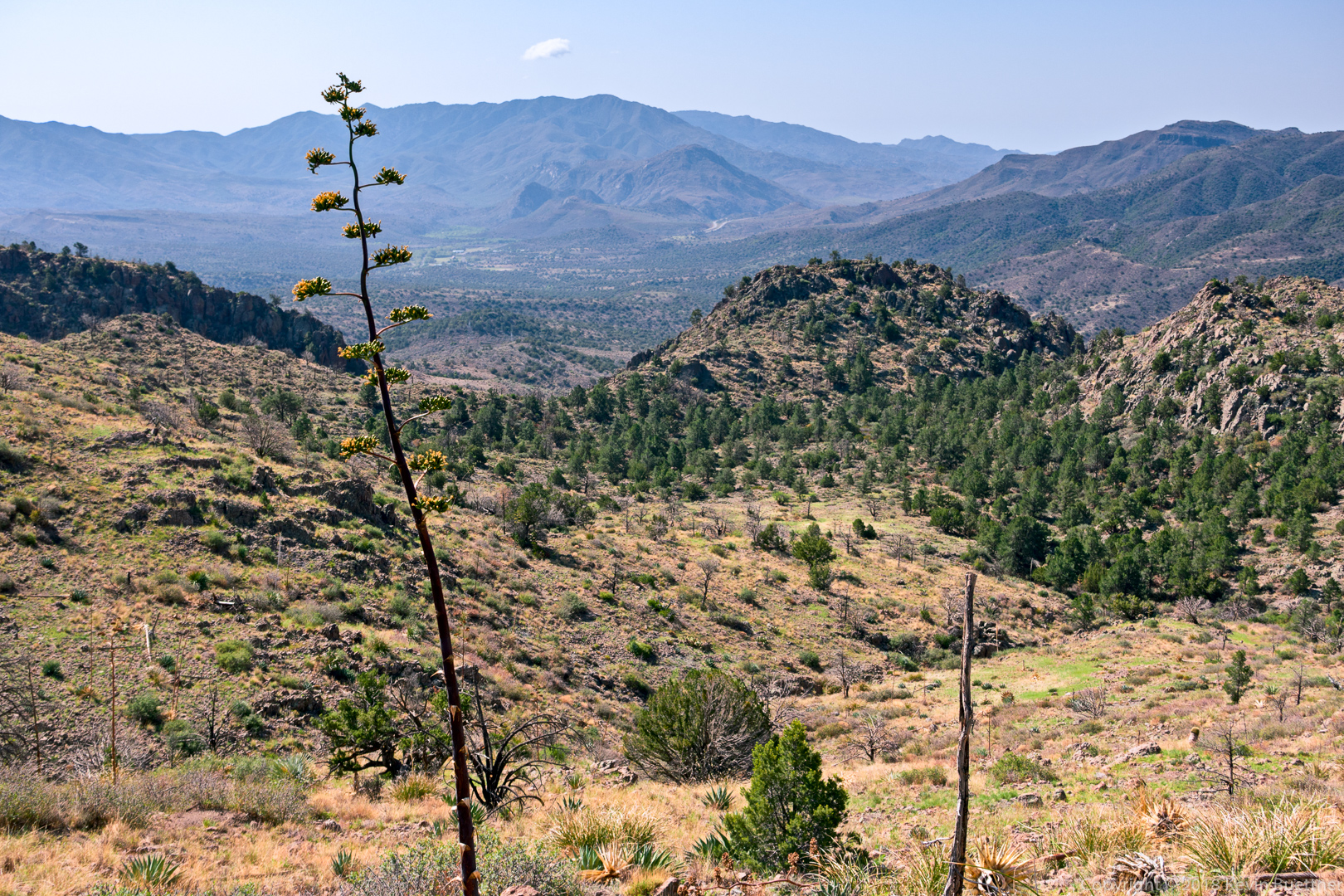
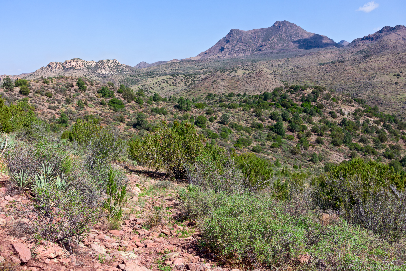
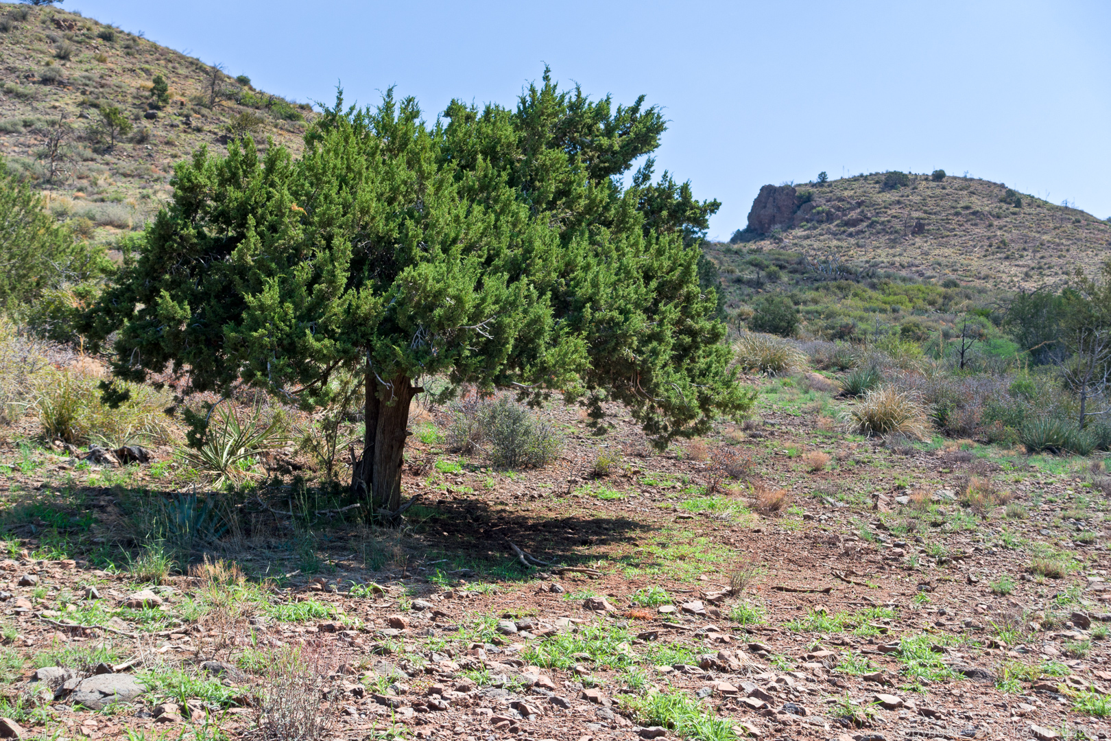
I did 8.1 miles on this loop hike in the Mazatzals.
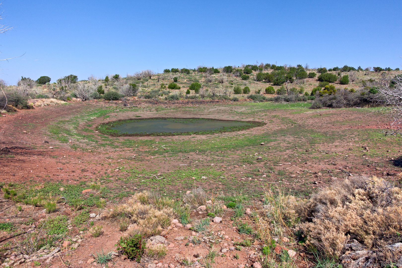
This is Brunson Tank. Not much water, but more than there was when I did the same hike in March.
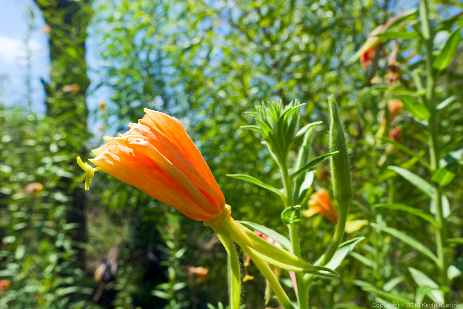
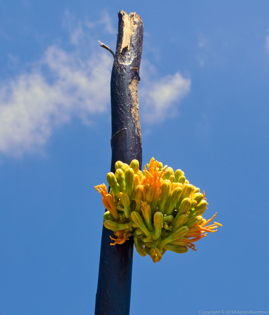
This is a flower on the side of an agave stalk. (It may even be a Century Plant.) The leaves at the bottom of the plant were dead. I would guess that the main blooms were at the top of the stock a season ago.
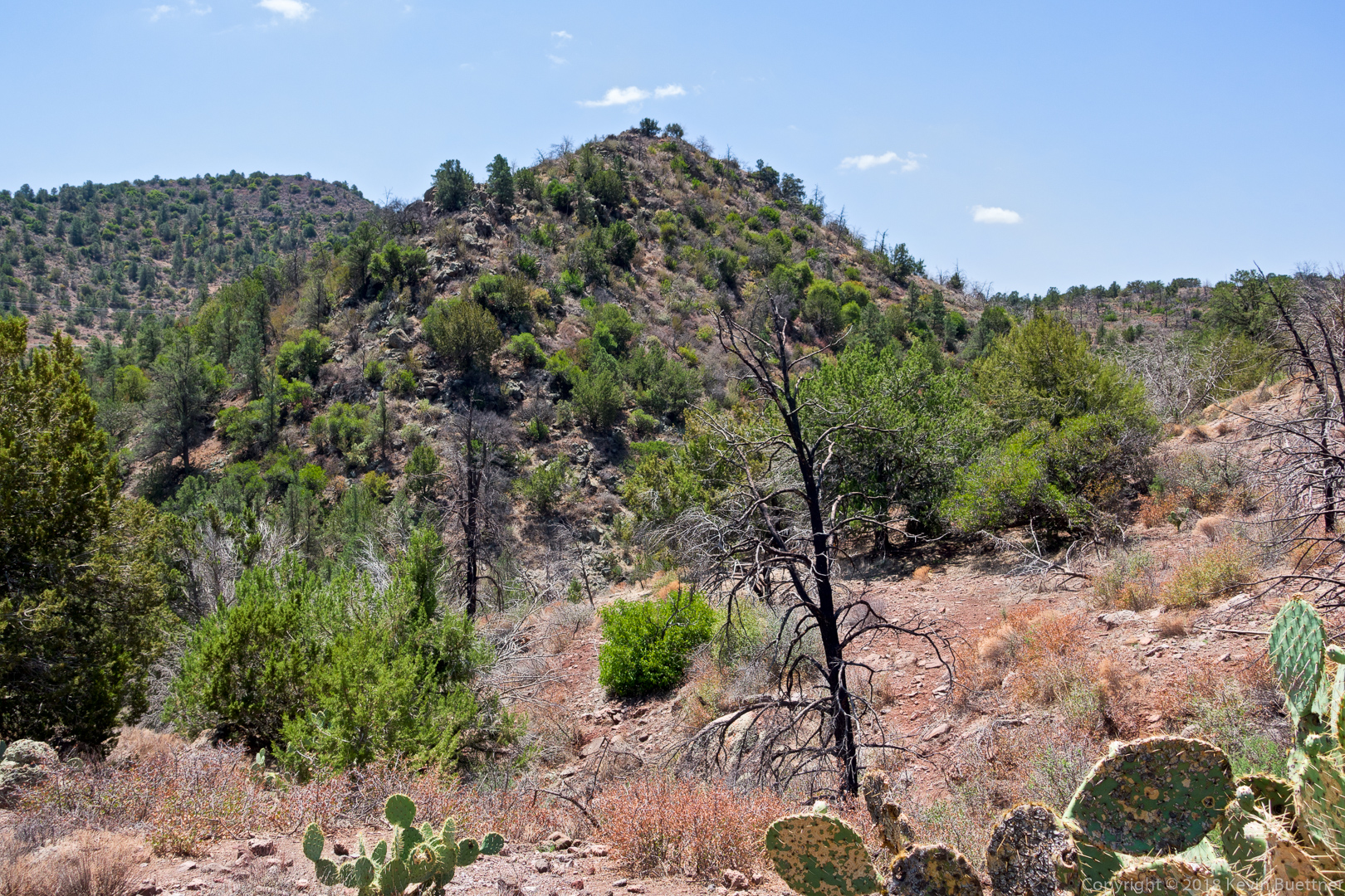
Almost done with the hike – I liked the shape of this cone shaped hill.