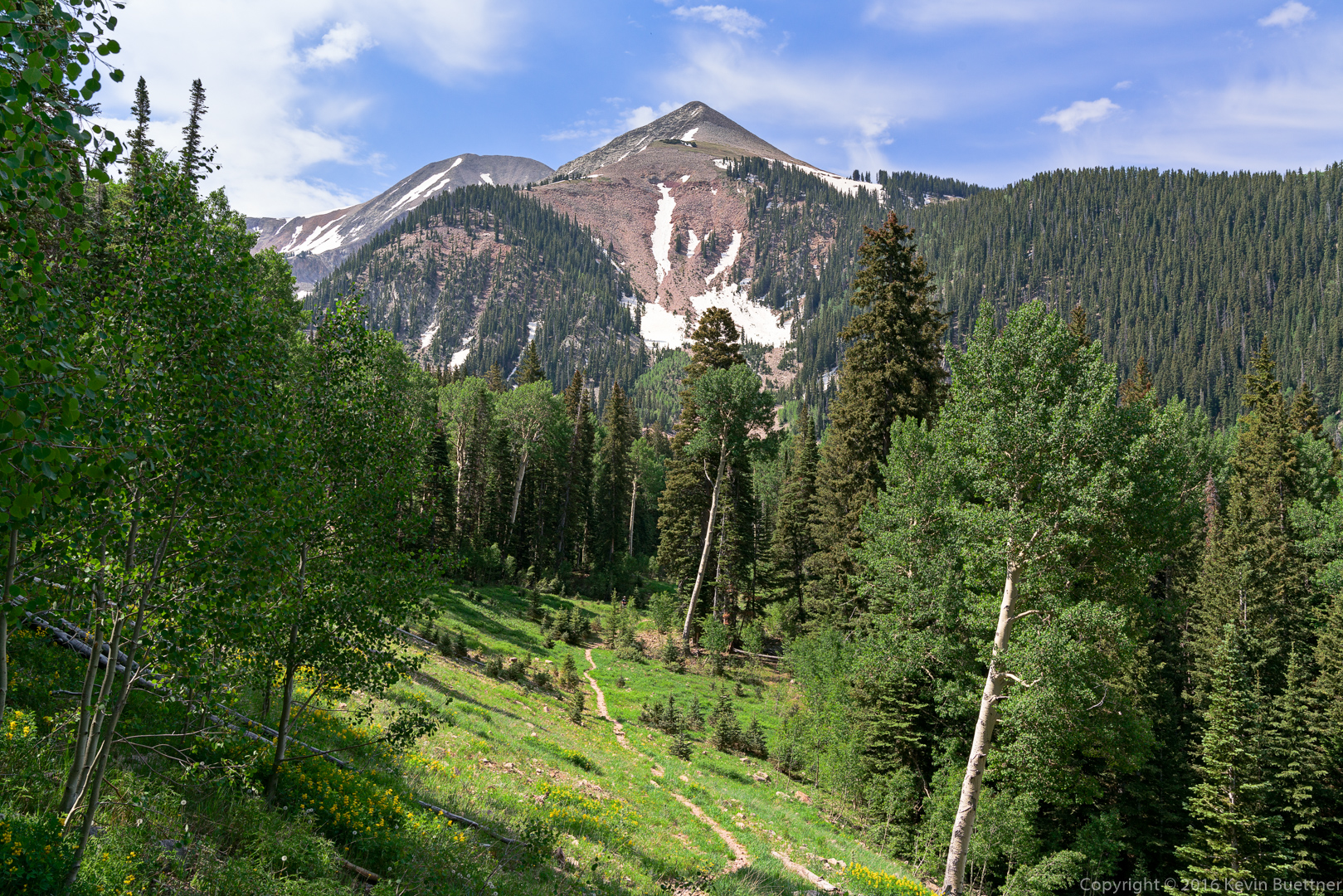
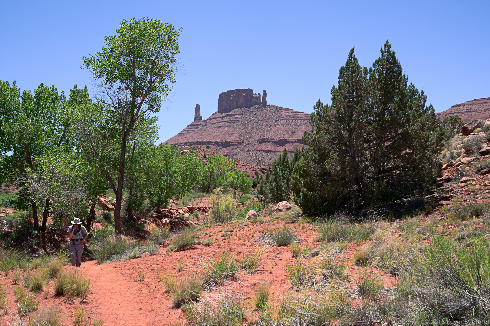
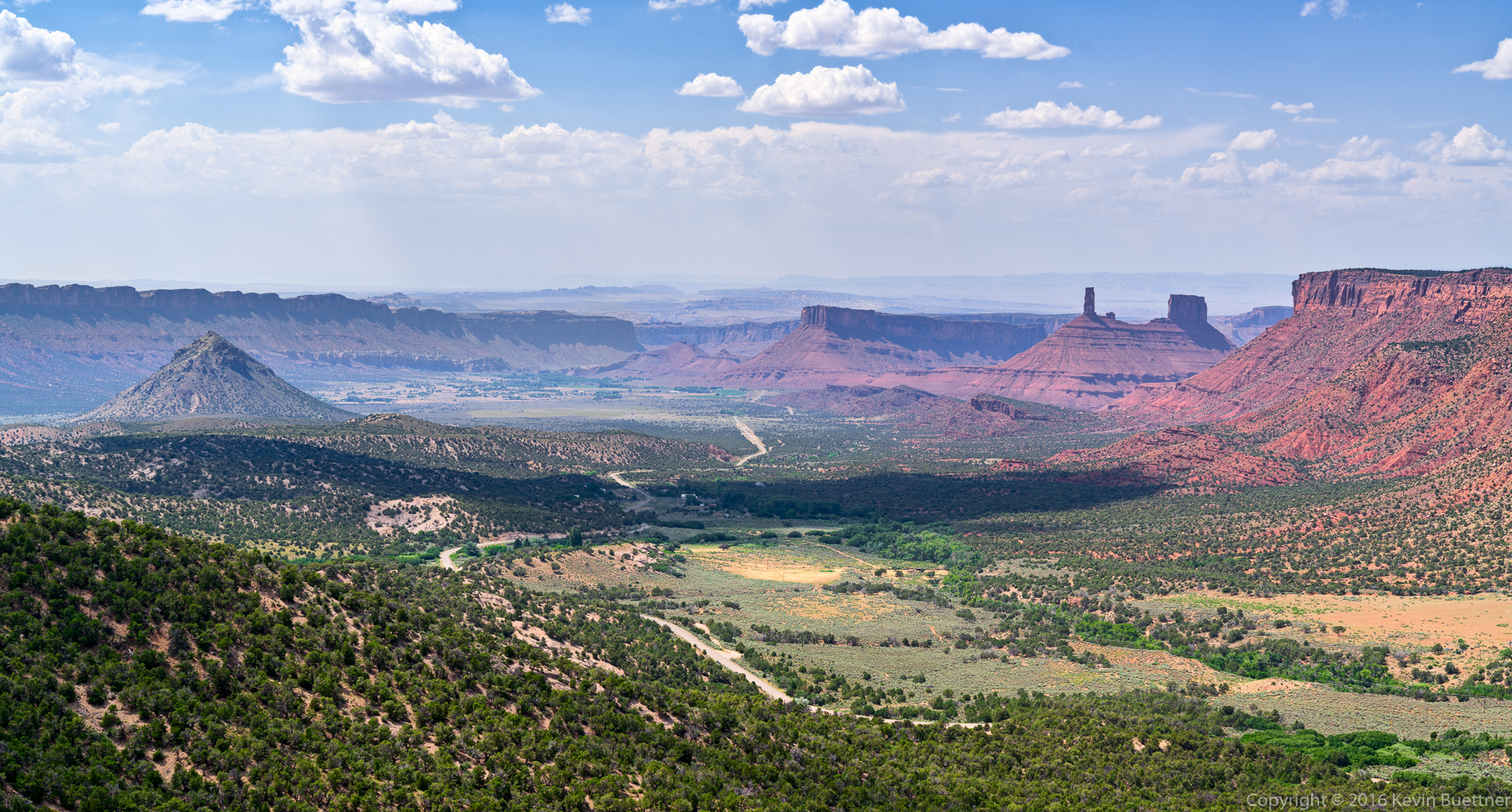
This photo was taken from one of the pullouts along the La Sal Loop Road:
This photo was taken from one of the pullouts along the La Sal Loop Road:
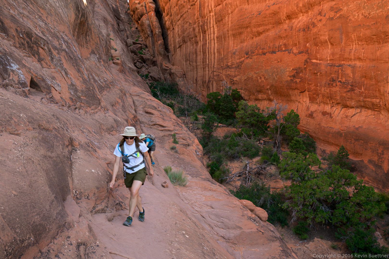
Marilyn and Marie on the most difficult section while hiking the “primitive” loop in the Devil’s Garden area:
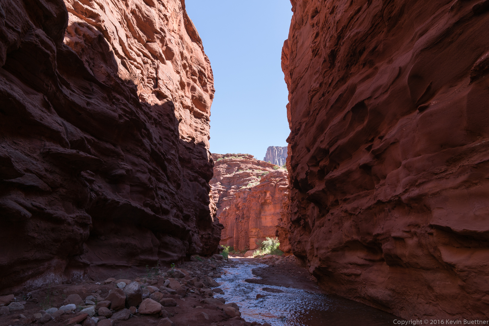
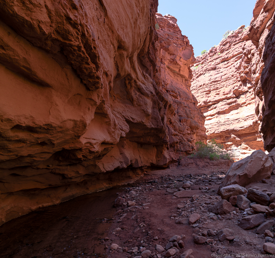
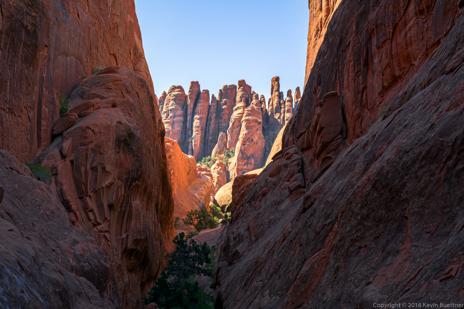
I got this photo from the small canyon near Private Arch:
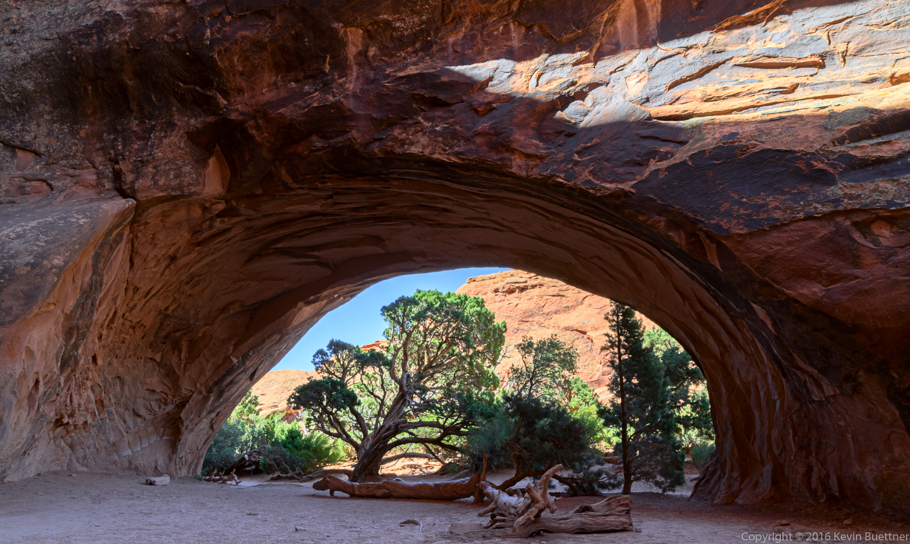
I got this photo of Navajo Arch while hiking in the Devil’s Garden area (at Arches National Park) with Marilyn and Marie.
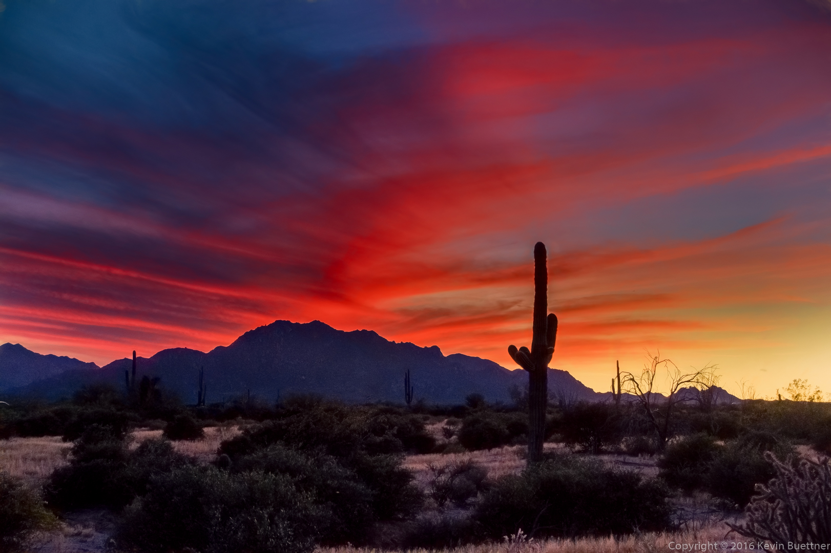
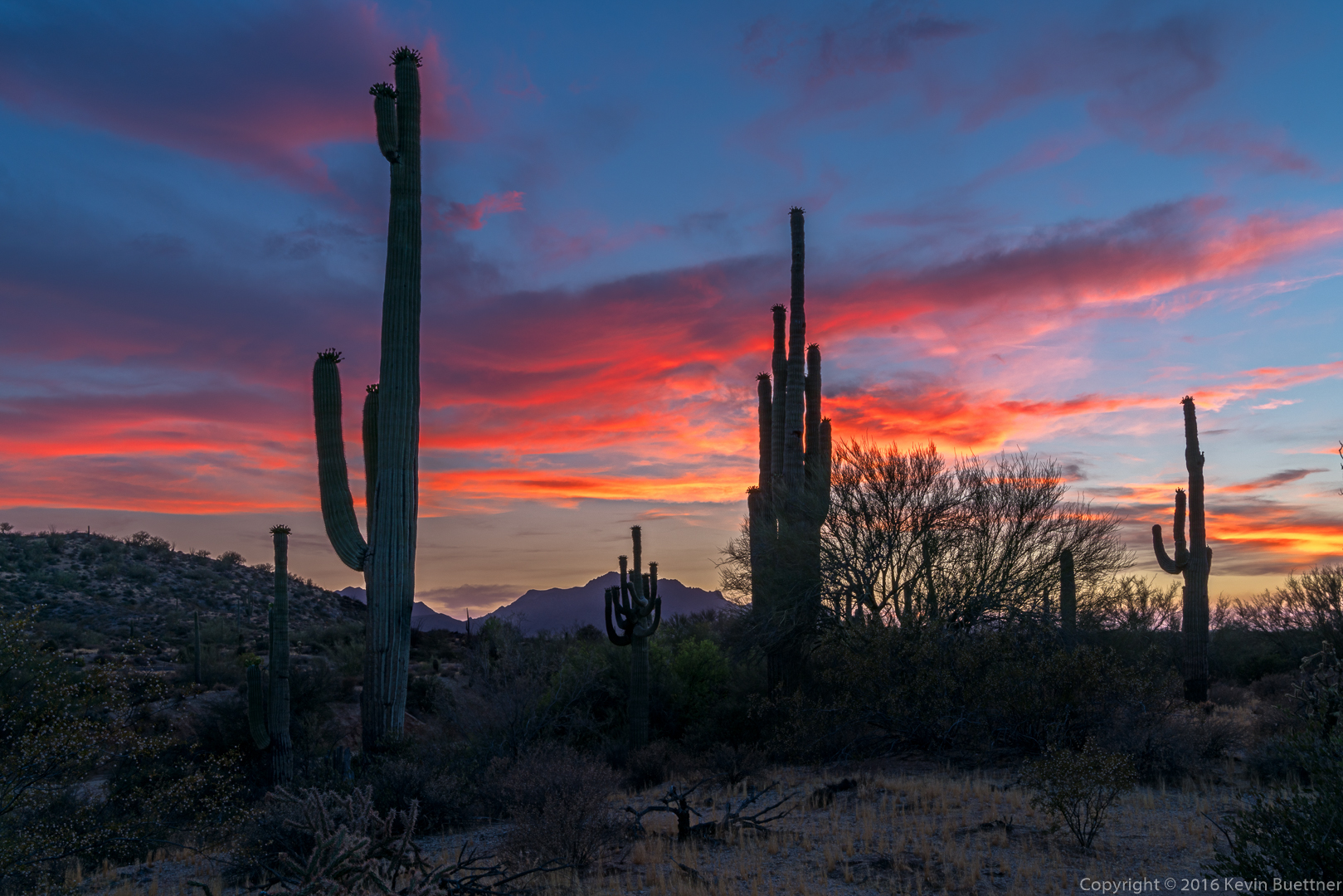
Amy identified these photos as candidates for McDowell Mountain Park postcards…

Moon over Lousley Hill
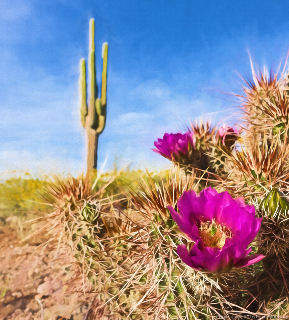
Springtime on the Scenic Trail
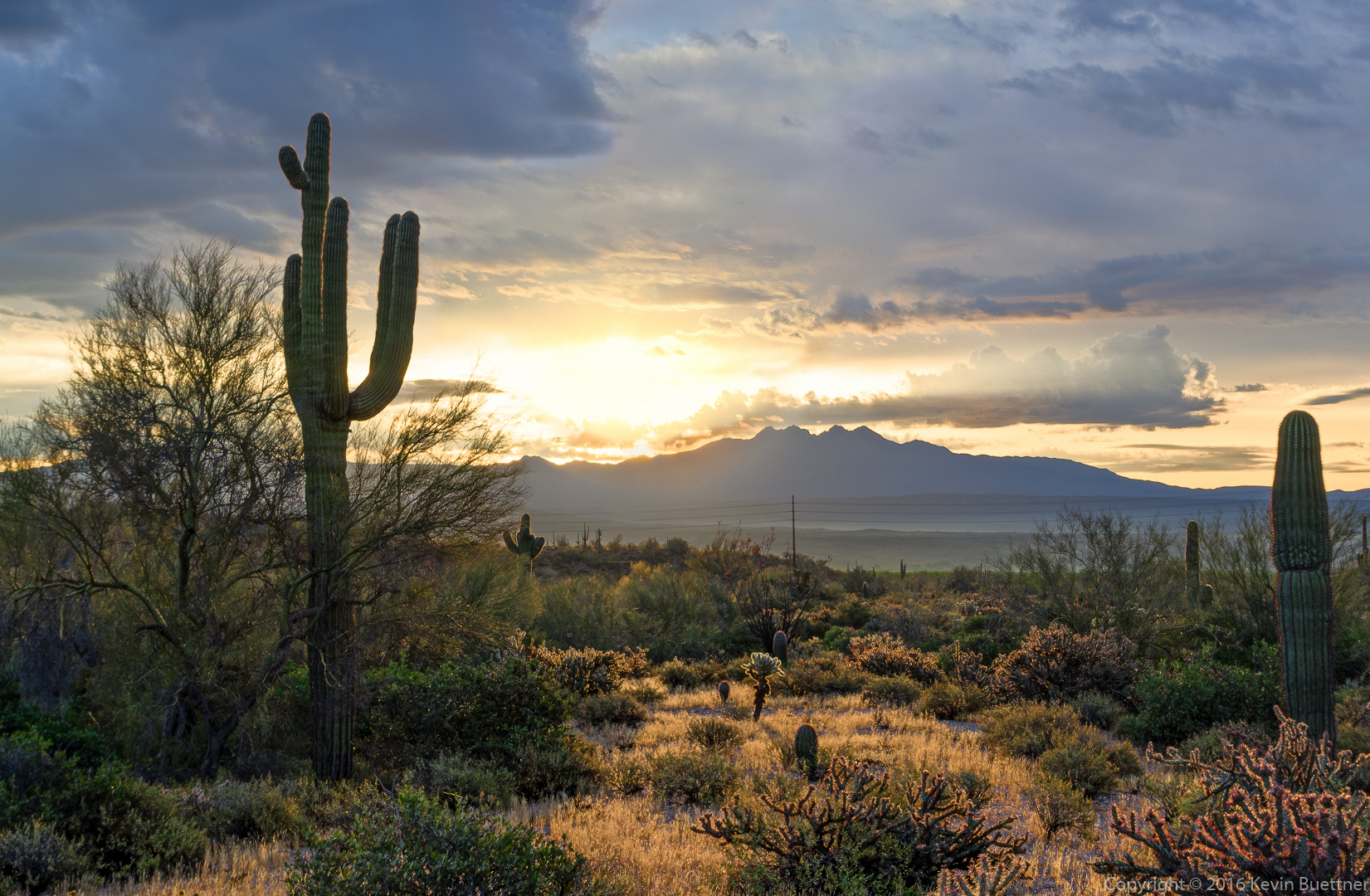
Sunrise from the Four Peaks Trailhead
McDowell Mountain Sunset
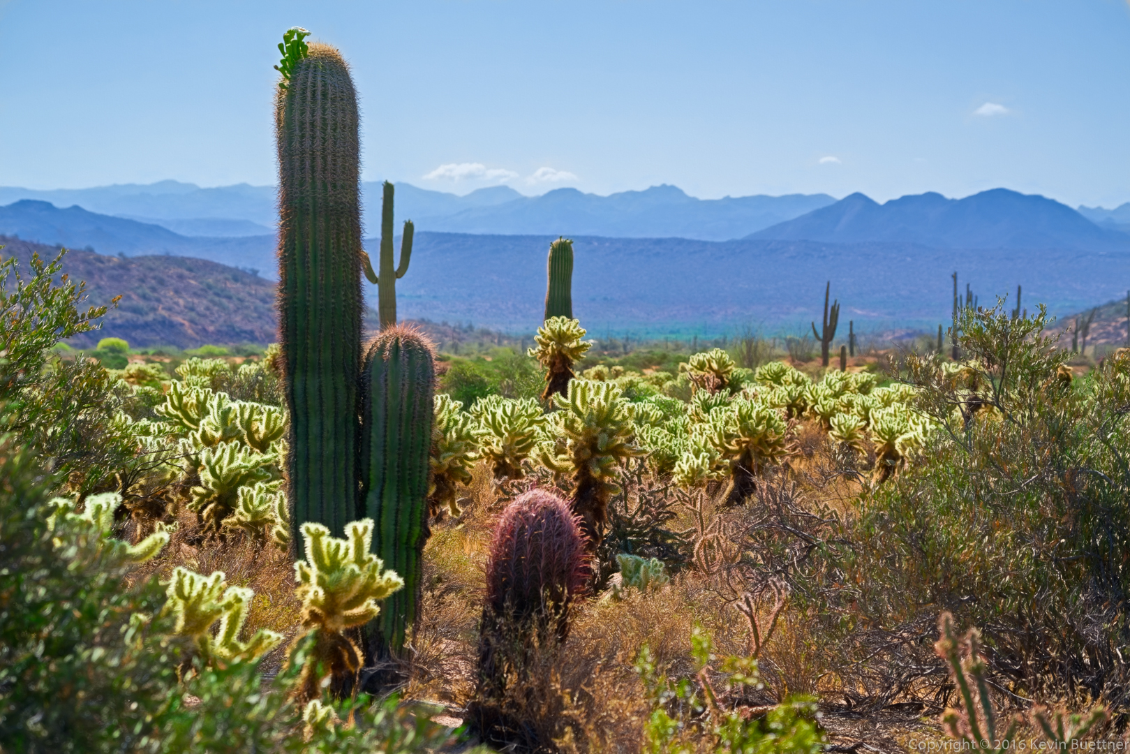
Fluorescent Chollas on the Pemberton Trail
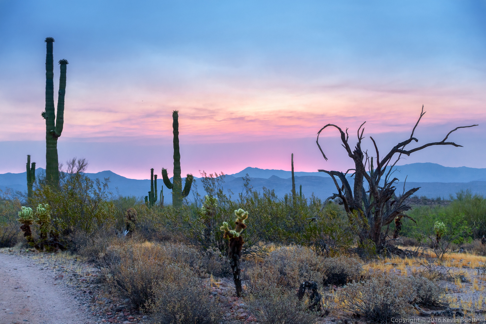
Escondido Trail Sunrise
Sunset on the Shallmo Wash Trail
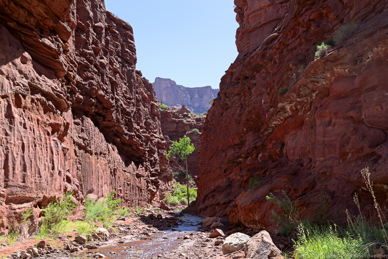
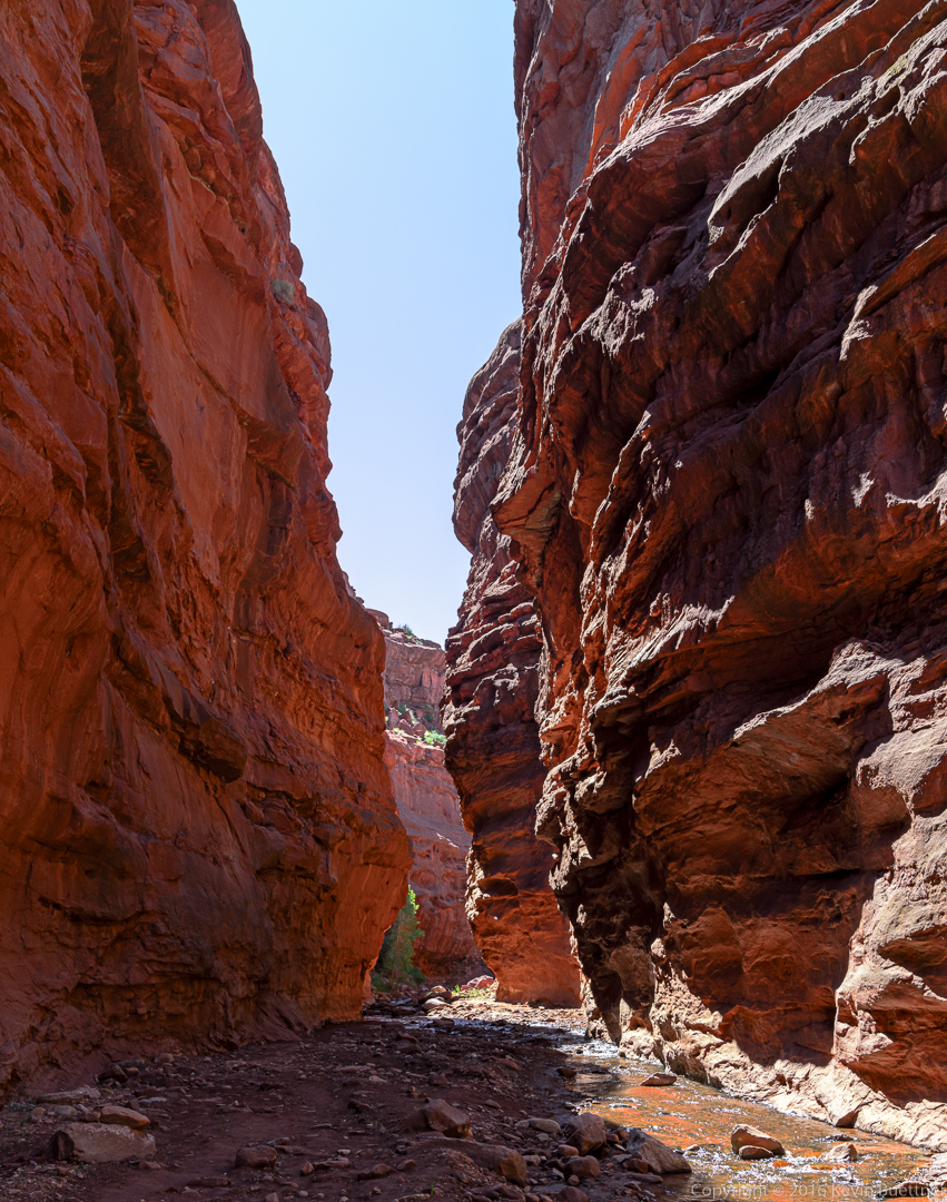
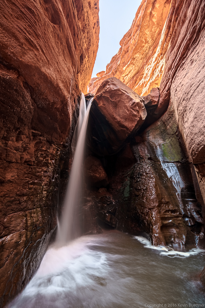
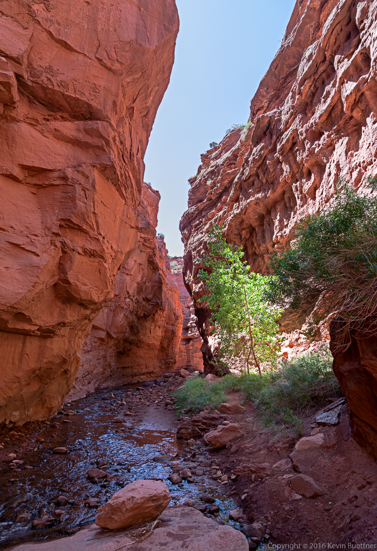
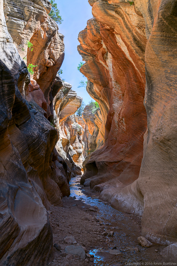
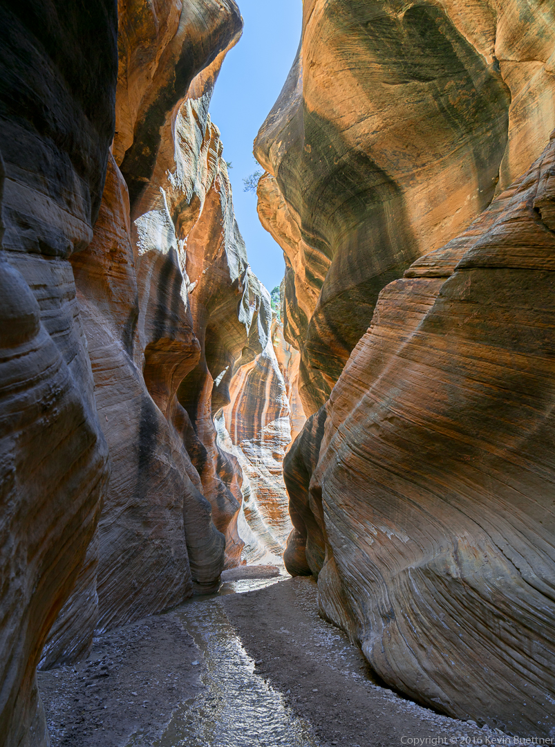
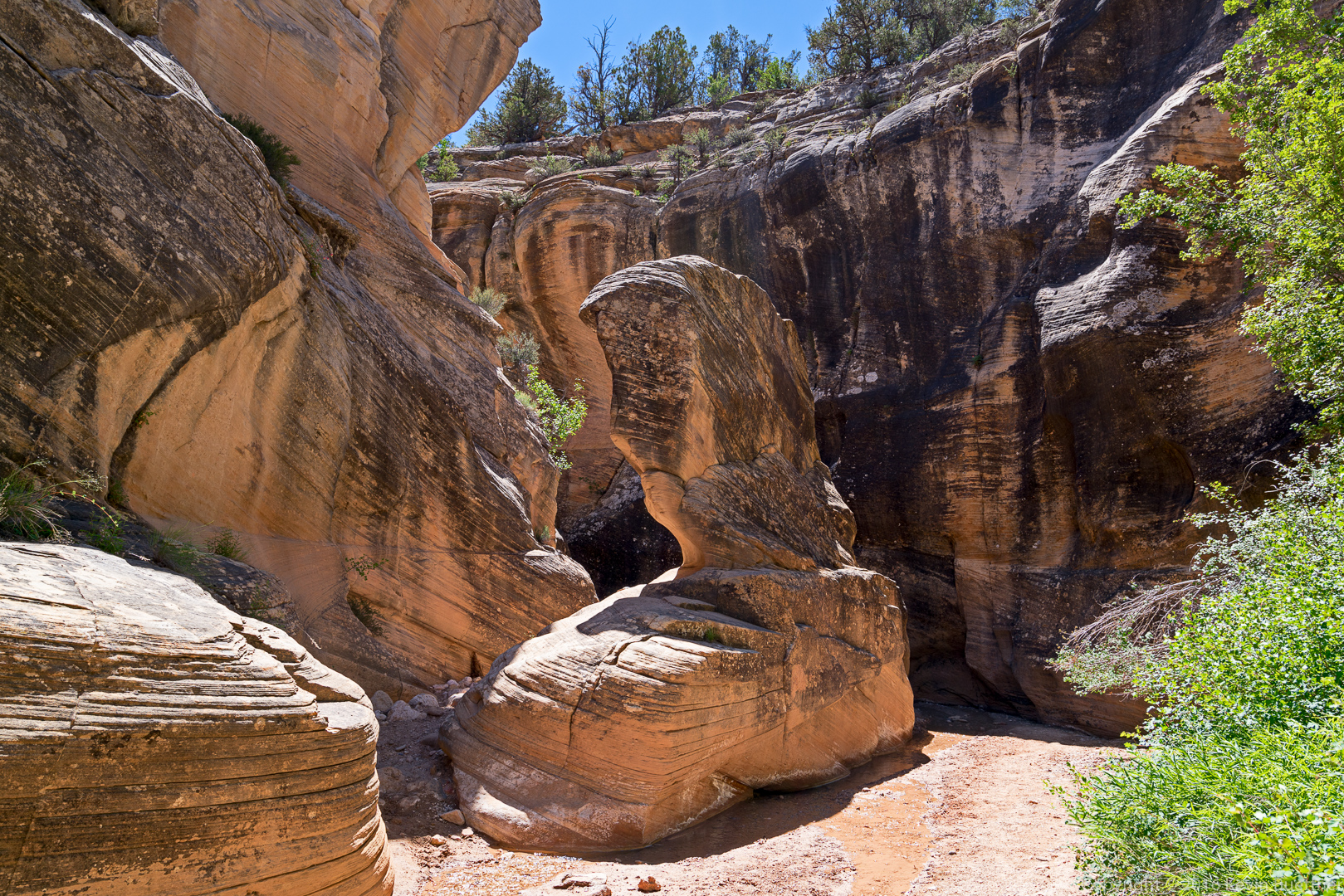
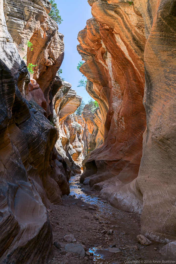
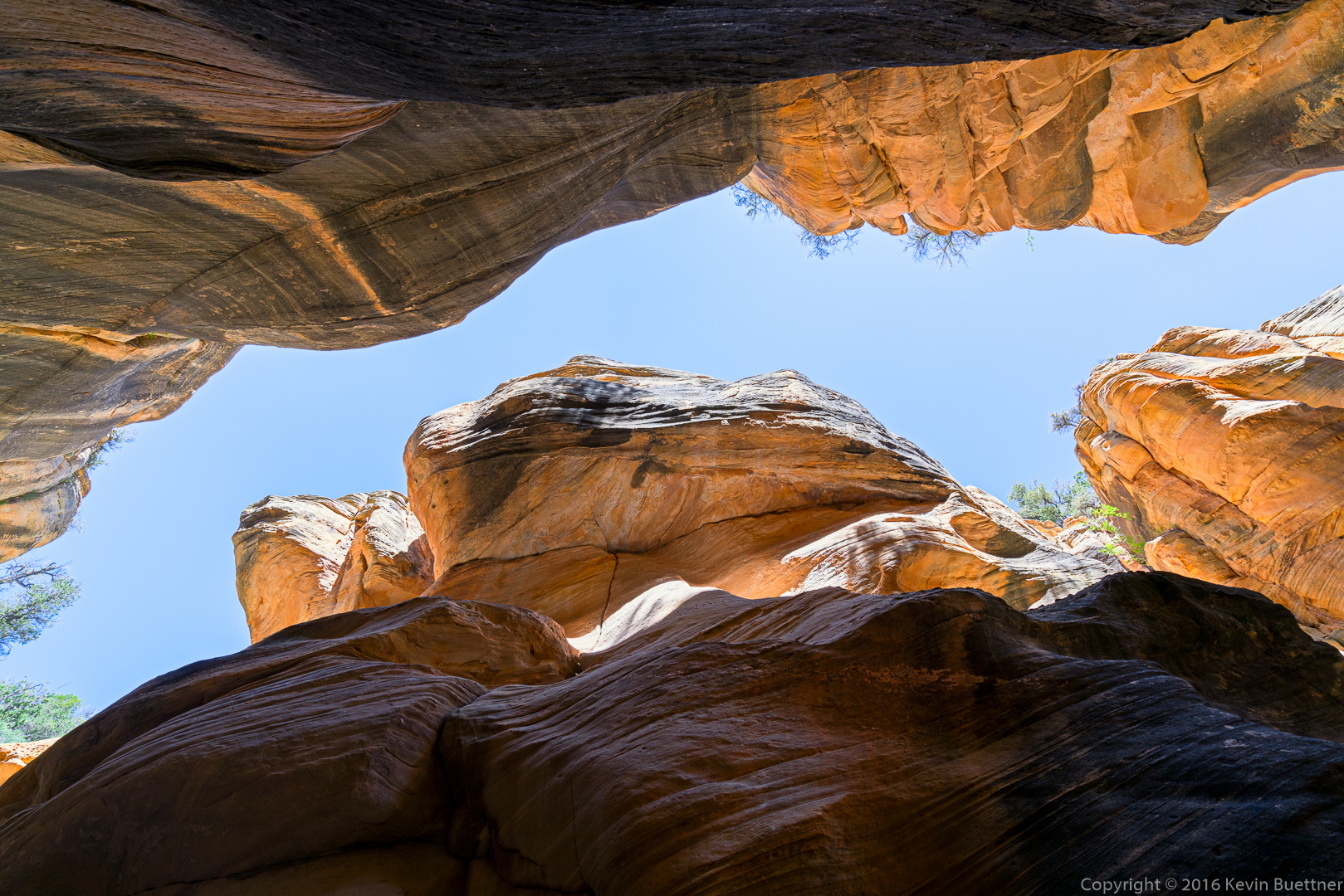
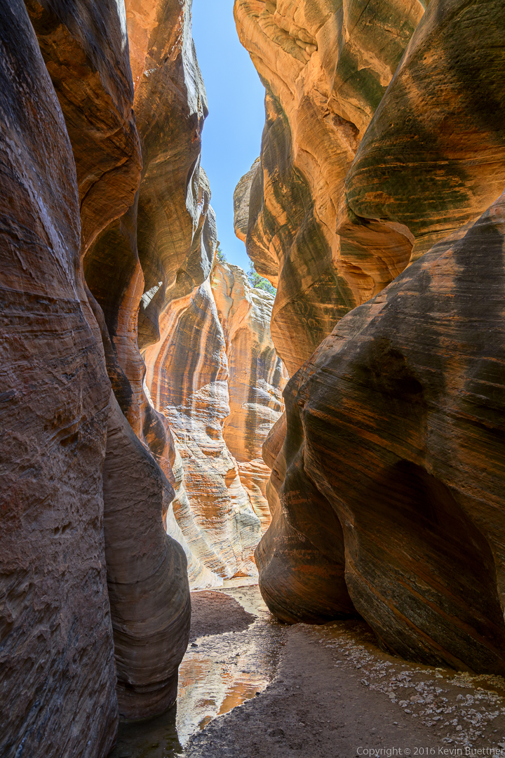
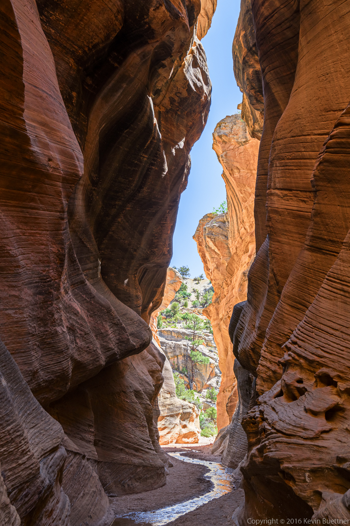
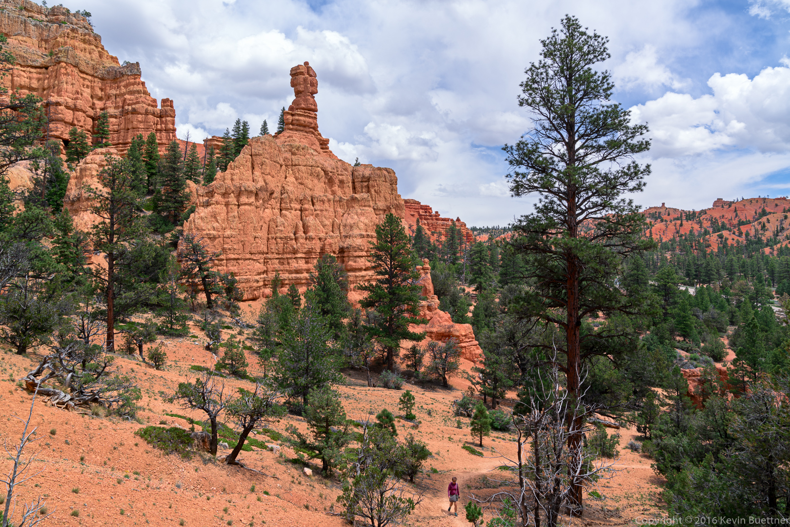
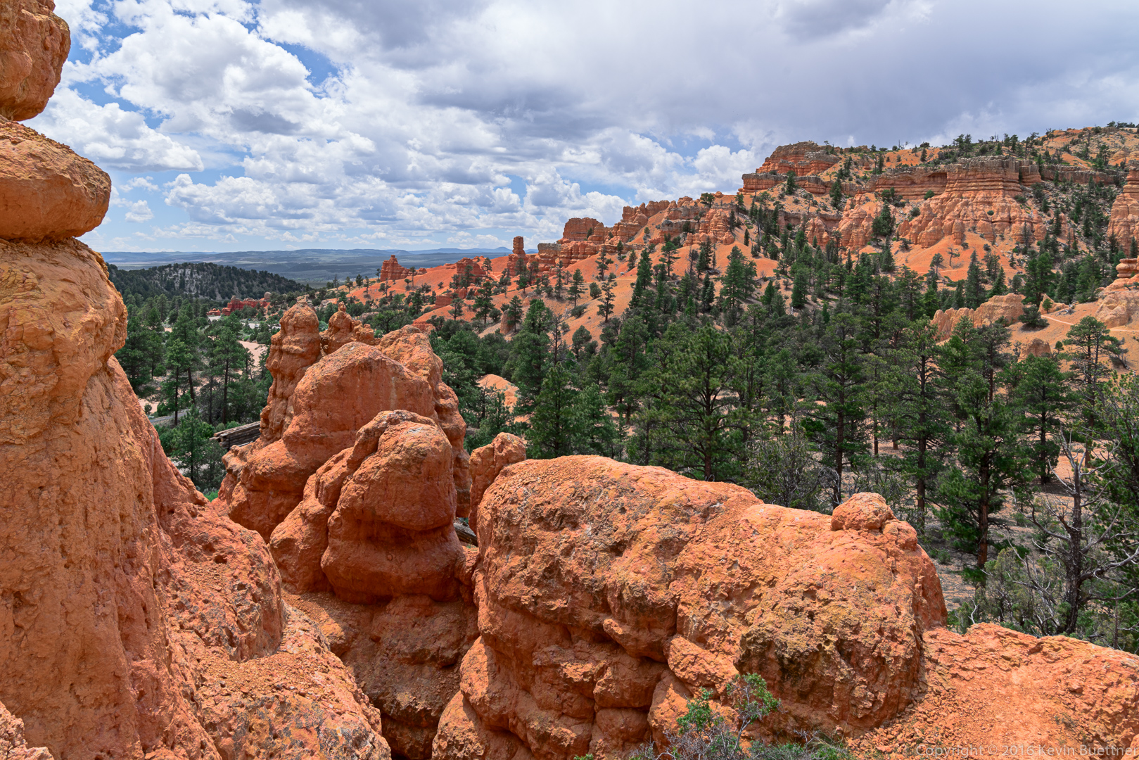
While on our way to Bryce Canyon, we did some hiking in Red Canyon along Highway 12. There are a lot of trails in this area. I want to go back again and do more hiking there. The views are good and it’s a lot quieter than either Bryce or Zion.
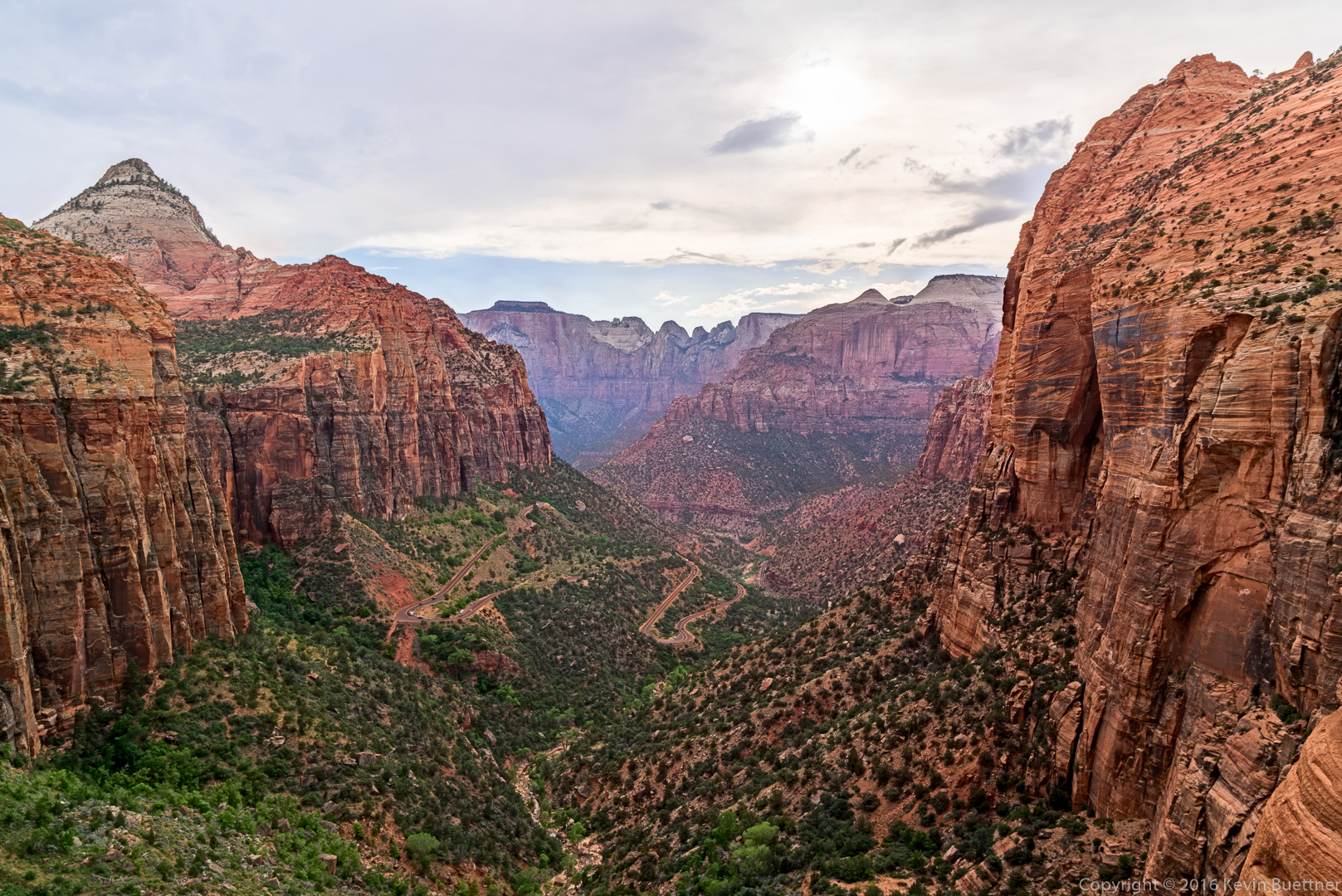
During our visit to Zion National Park, I hiked to the summit of Angel’s Landing while Marilyn and Marie hiked the Narrows. I found it to be challenging – it had a significant amount of elevation gain combined with some steep and exposed sections. The steepest portions had chains that you could grab if you were freaked out by the exposure. I saw more than a few folks using them to pull themselves up or lower themselves down. This is not necessary – none of the moves are that (technically) difficult.
While I was going up one of the early (steep) sections of Angel’s Landing proper (the first two miles is the West Rim Trail – it’s steep, but it’s also wide and paved most of the way), I saw a woman hugging one of the metal poles for dear life. She was clearly freaked out by the exposure.
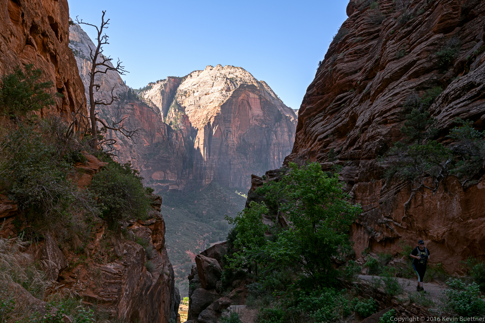
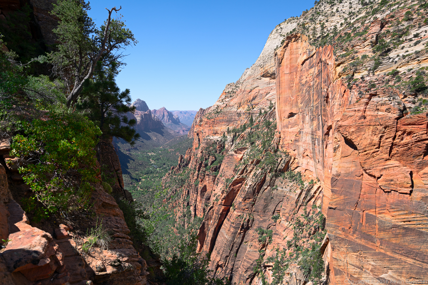
This is a view from the West Rim Trail:
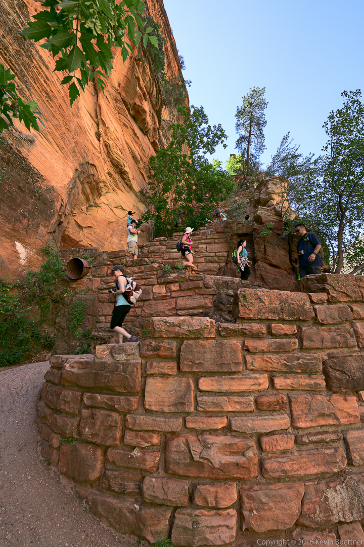
Walter’s Wiggles – a steep switchback section on the West Rim Trail. Once you reach the top of Walter’s Wiggles, Angel’s Landing becomes visible. The path along the Walter’s Wiggles section is paved and is roughly six feet in width.
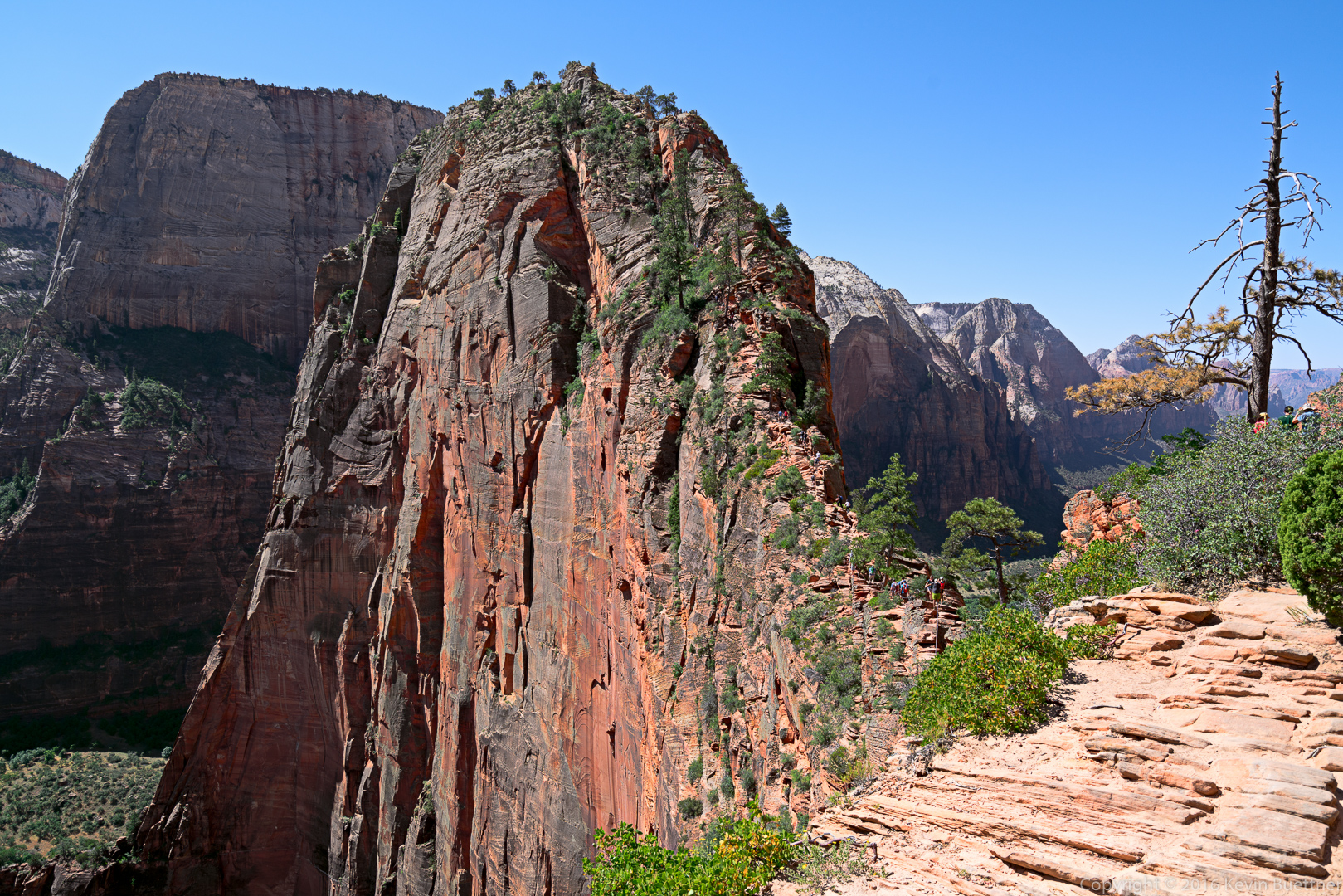
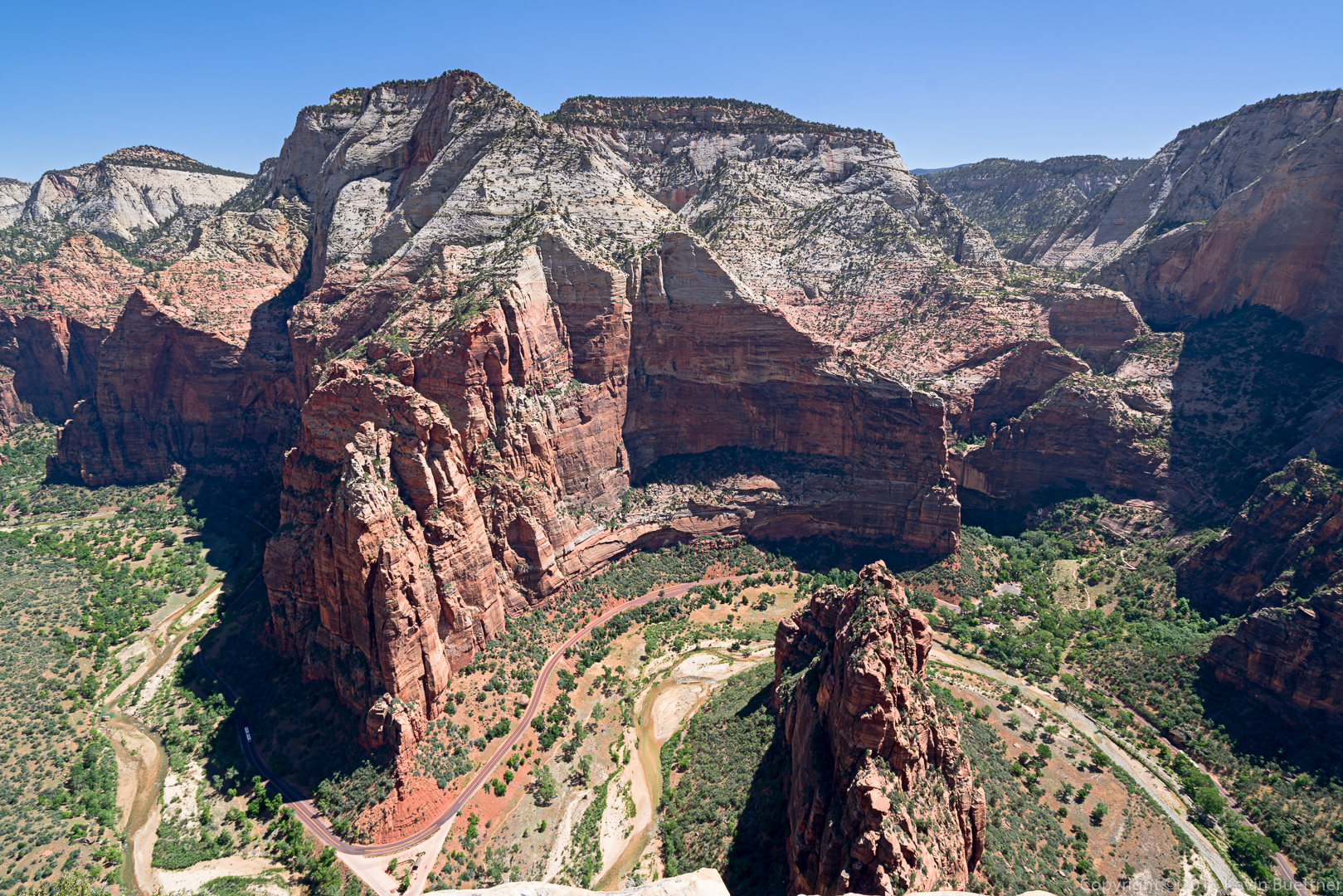
This is Angel’s Landing. Look closely – you’ll be able to see a stream of humanity going both up and down the path to (or from) the summit of this formation.
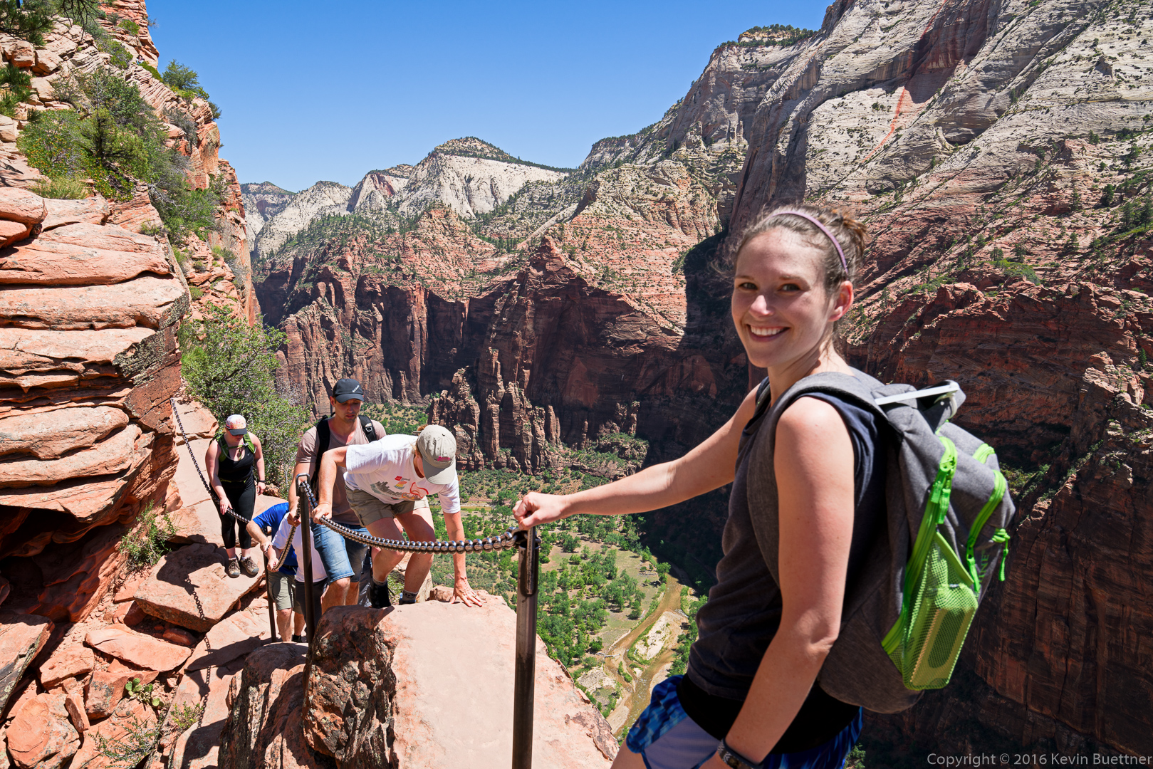
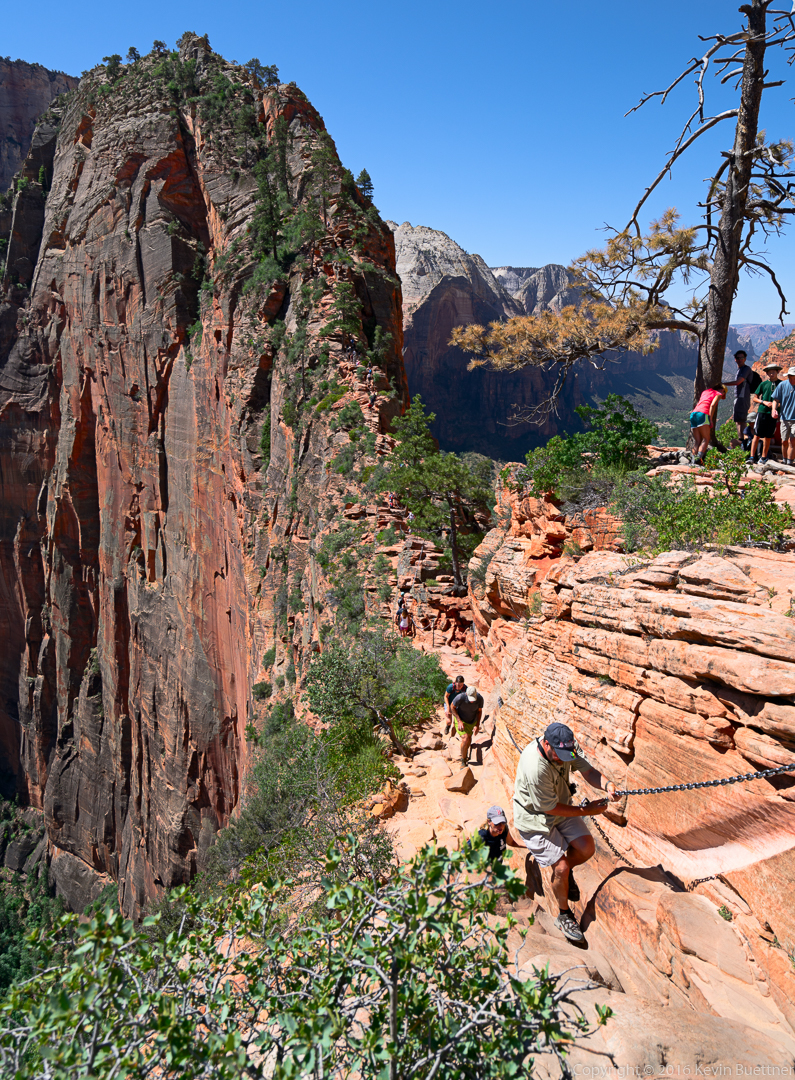
A hiker in this photo uses a chain to pull himself up the path. As mentioned earlier, the moves in this section are actually fairly easy. The chain is not needed.
A view from high on Angel’s Landing. (I wasn’t at the summit yet when I took this shot.)
A woman hiking along one of the ledges leading to the summit:
Another view from the Angel’s Landing trail:
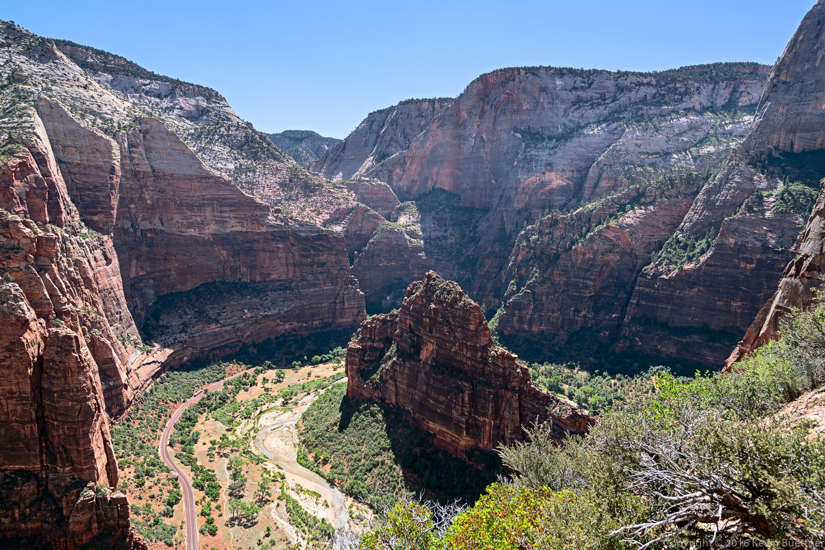
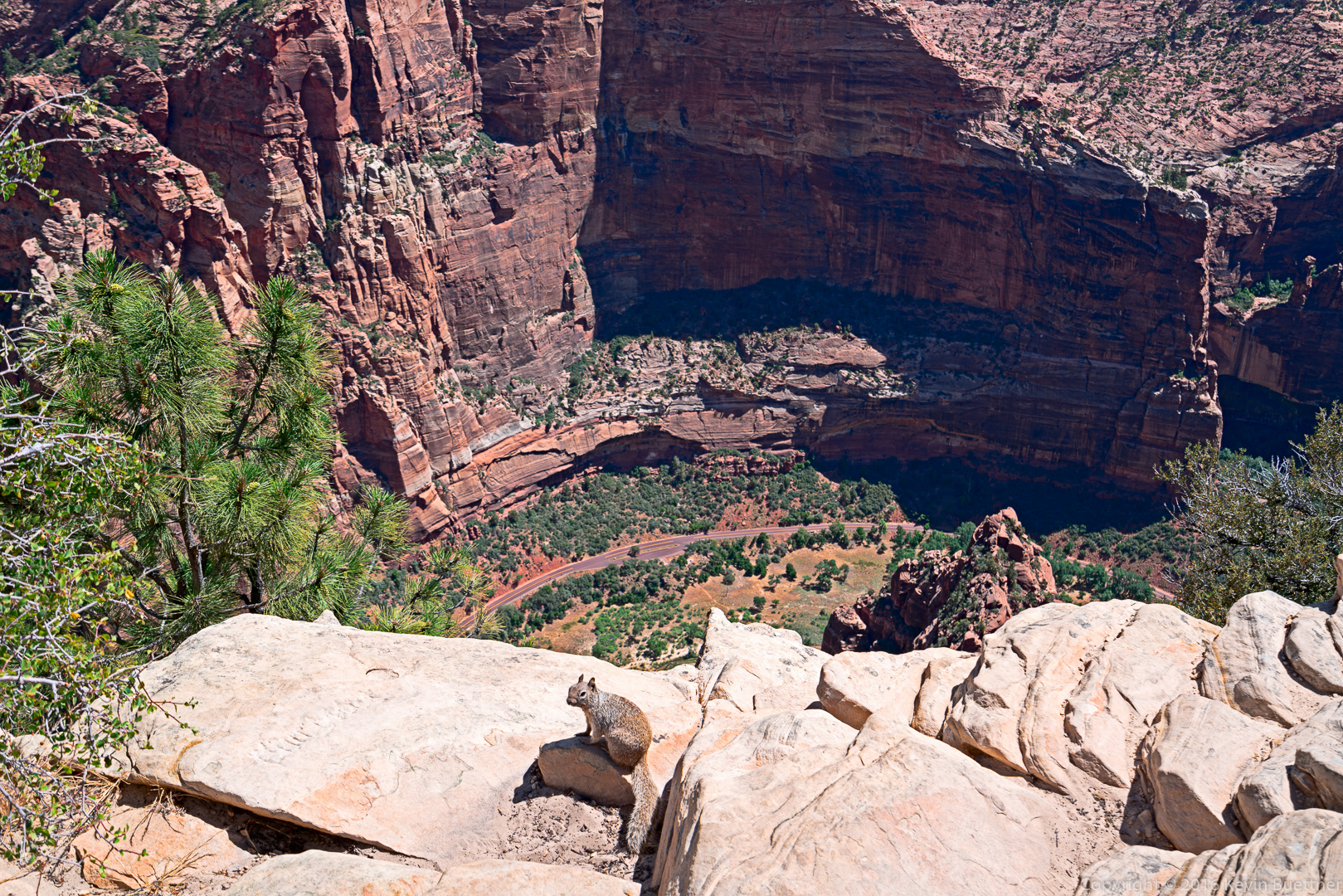
Looking down from the summit:
The squirrels and chipmunks at the top were aggressively friendly, probably from being fed by hikers resting at the top.
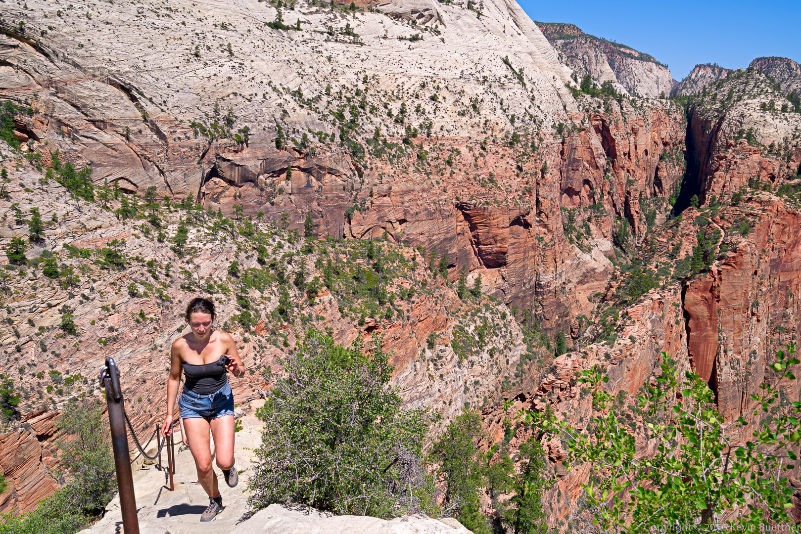
This woman was jogging up the path!
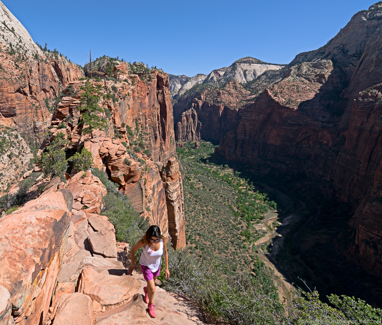
I took this photo on my way back. The woman in the white T-shirt is crossing a narrow, exposed section. After making it across, she asked, “This is the scariest section, right?” I told her it was in the top ten.