Month: February 2016 (page 1 of 1)
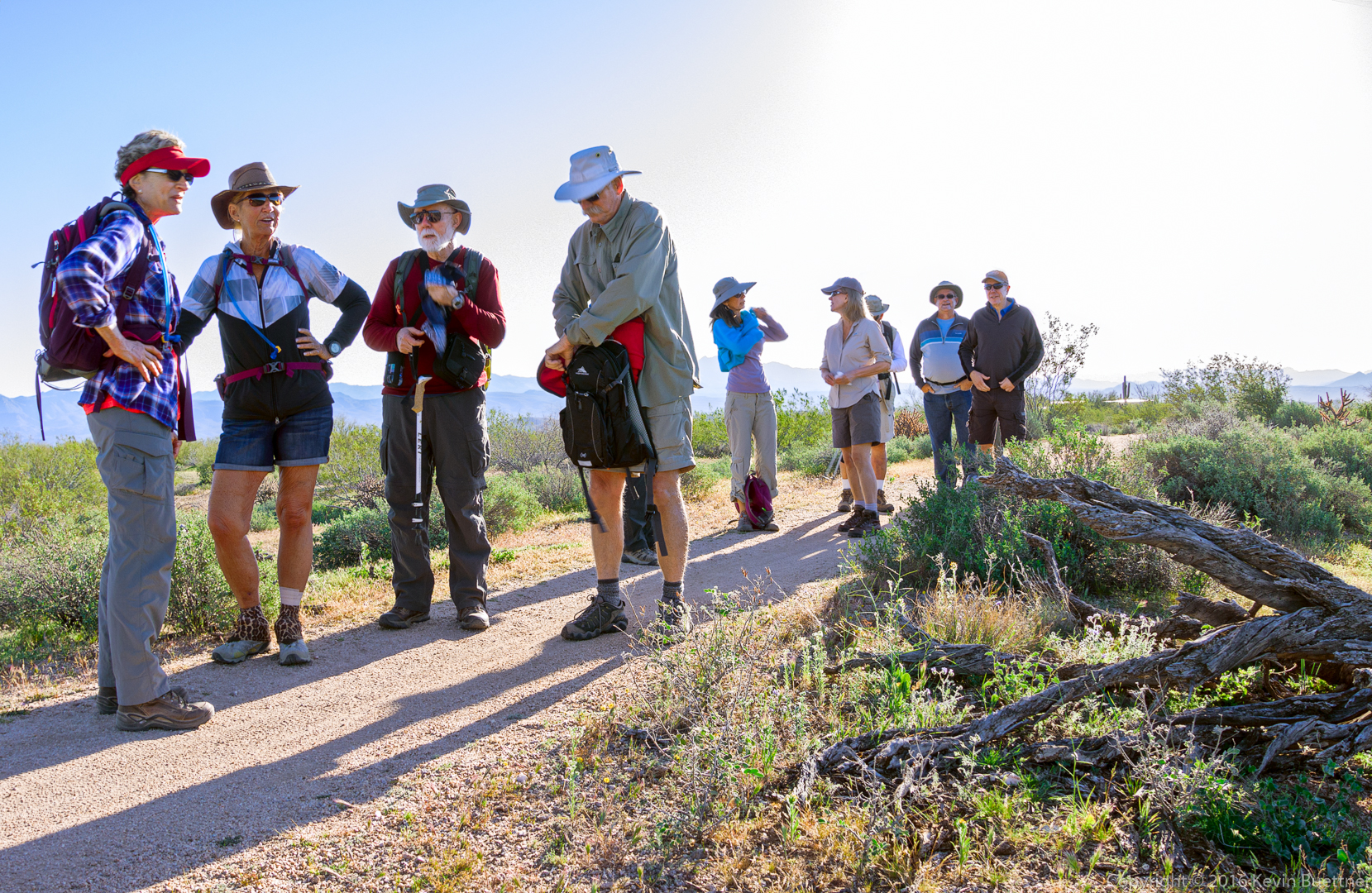
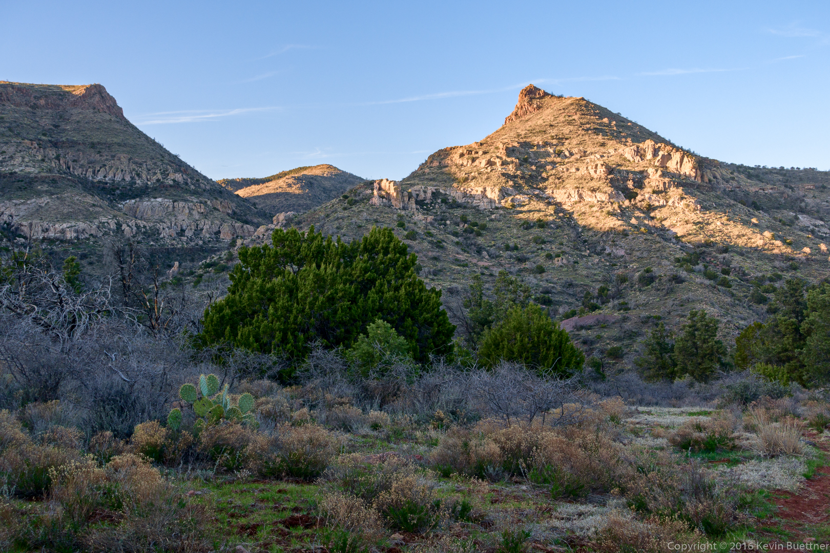
Friday’s hike started from the Wagner Trailhead. We had a dozen hikers total, eight of whom hiked five miles with Amy. The rest of us hiked up to Rock Knob for a nine mile hike.
Starting from the Cross F Trailhead yesterday, I scouted part of the Black Ridge Loop to see if it would be suitable for a hike in March.
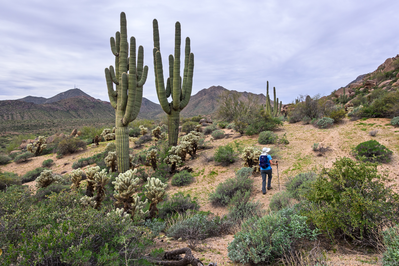
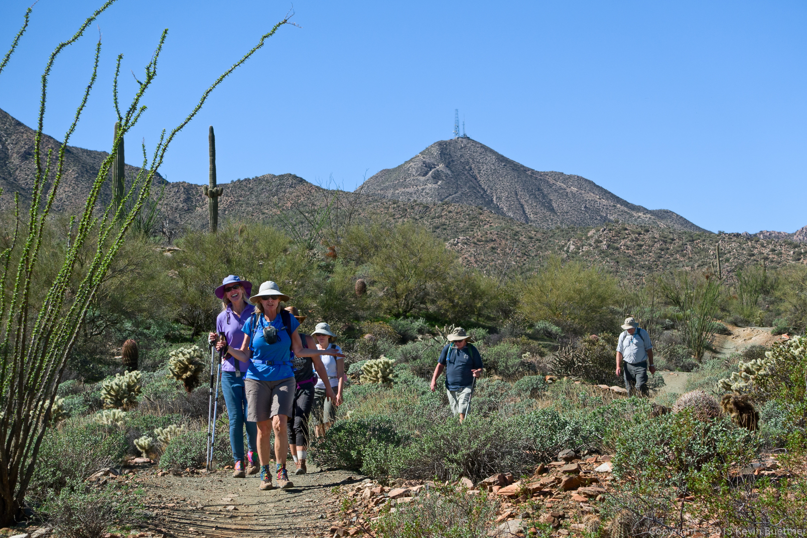
Linda, Nancy, and I hiked an 8.4 mile loop starting from the Tom’s Thumb Trailhead. Amy joined us for the first part of the hike.
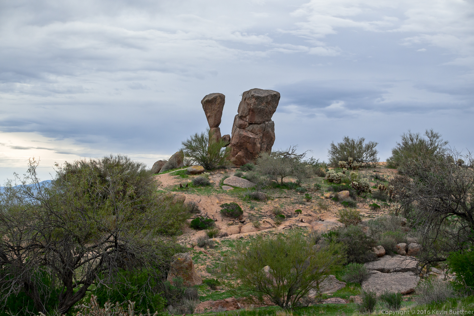
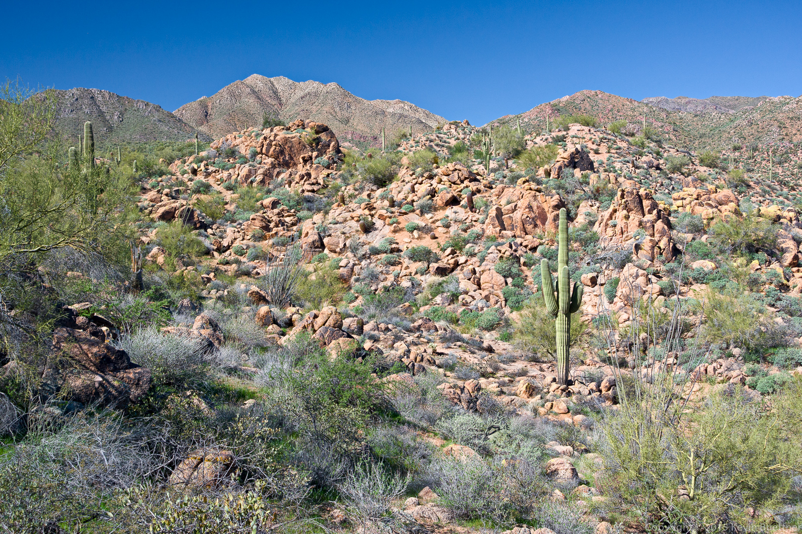
Boulders near the Sven Slab area:
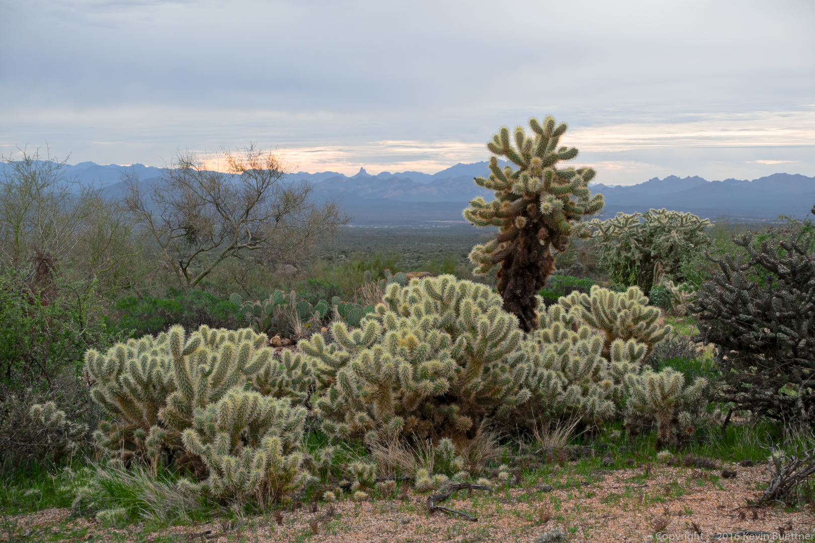
Early morning cholla:
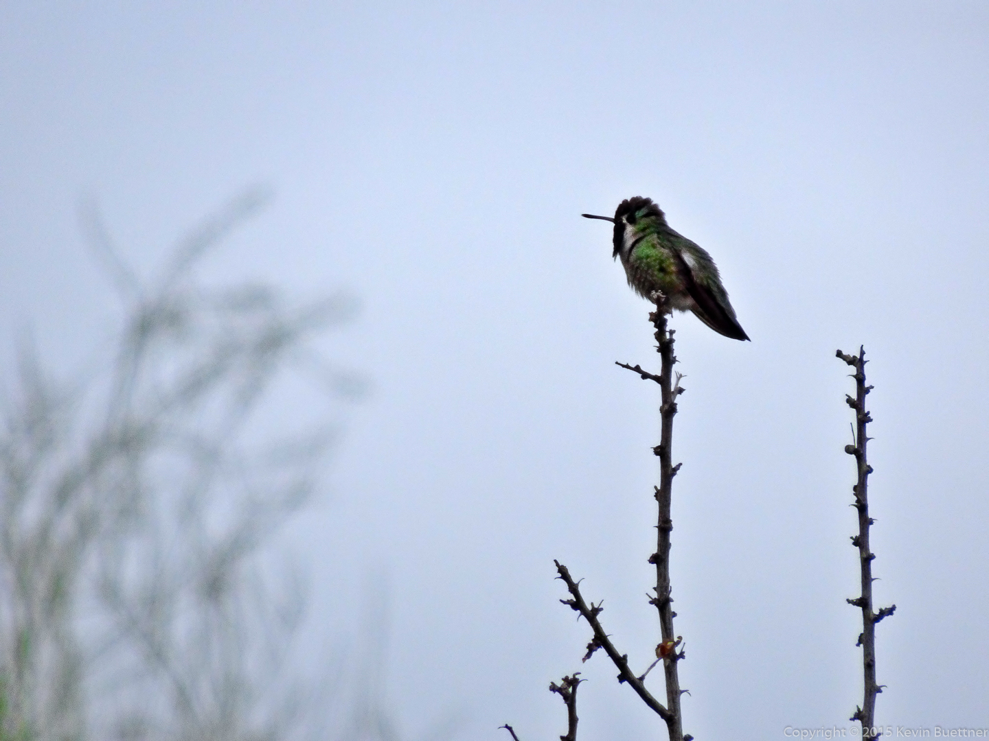
Amy spotted this hummingbird:
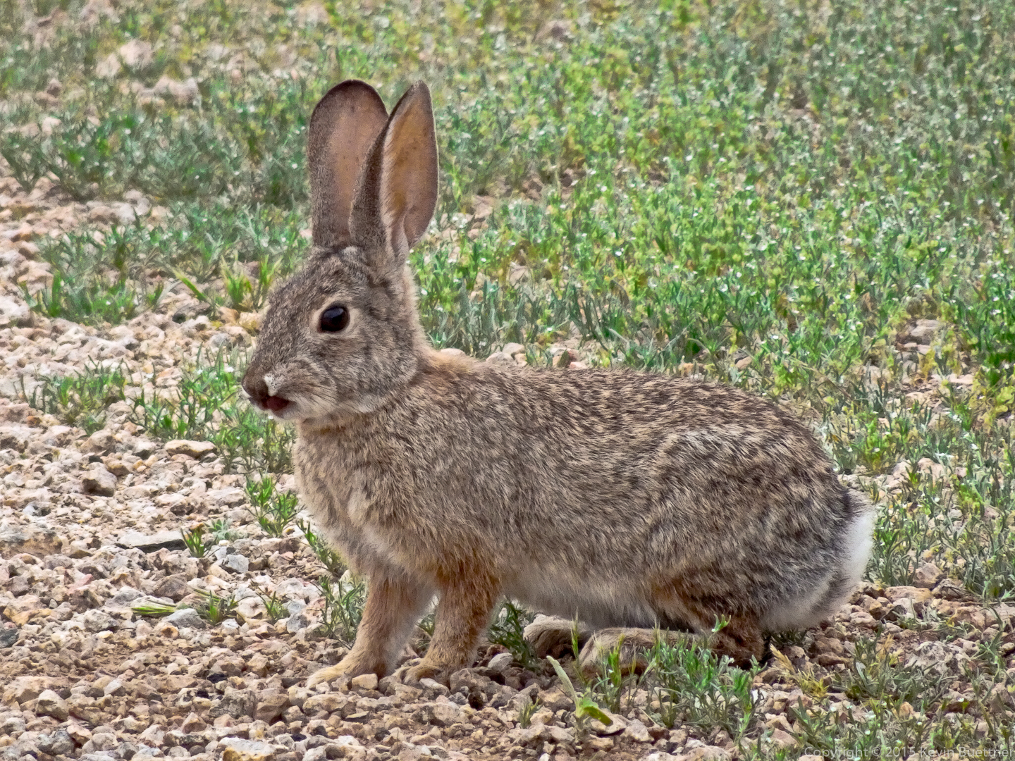
The bunnies were out too:
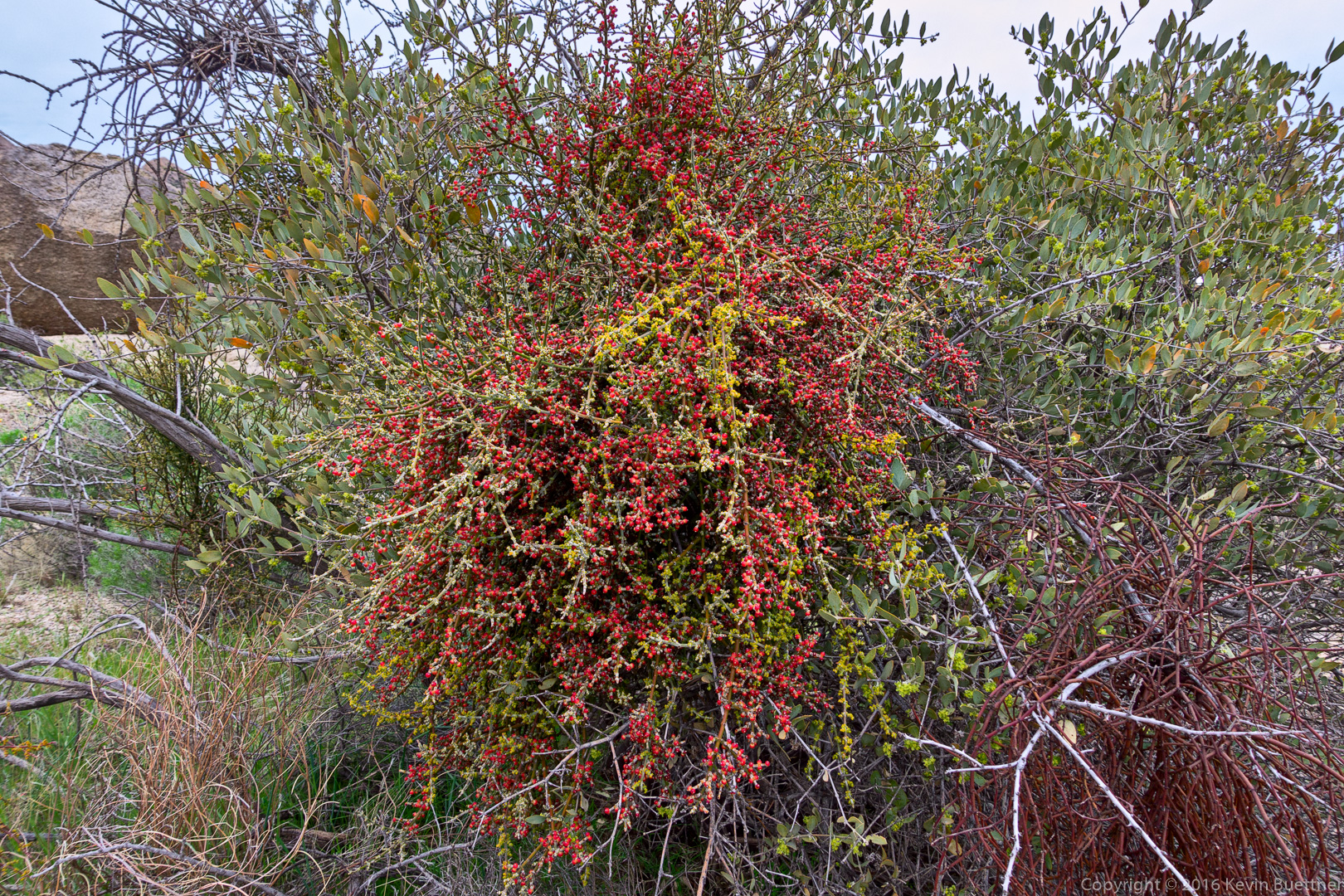
Desert Mistletoe:
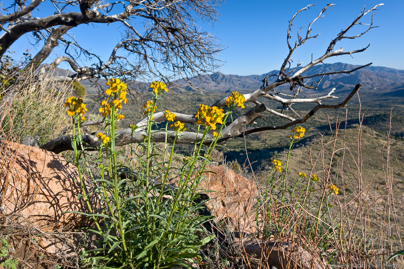
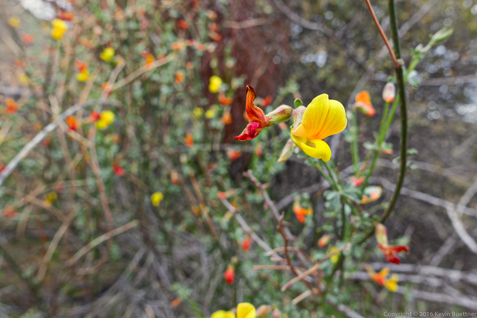
Linda told me that this is Deer Vetch:
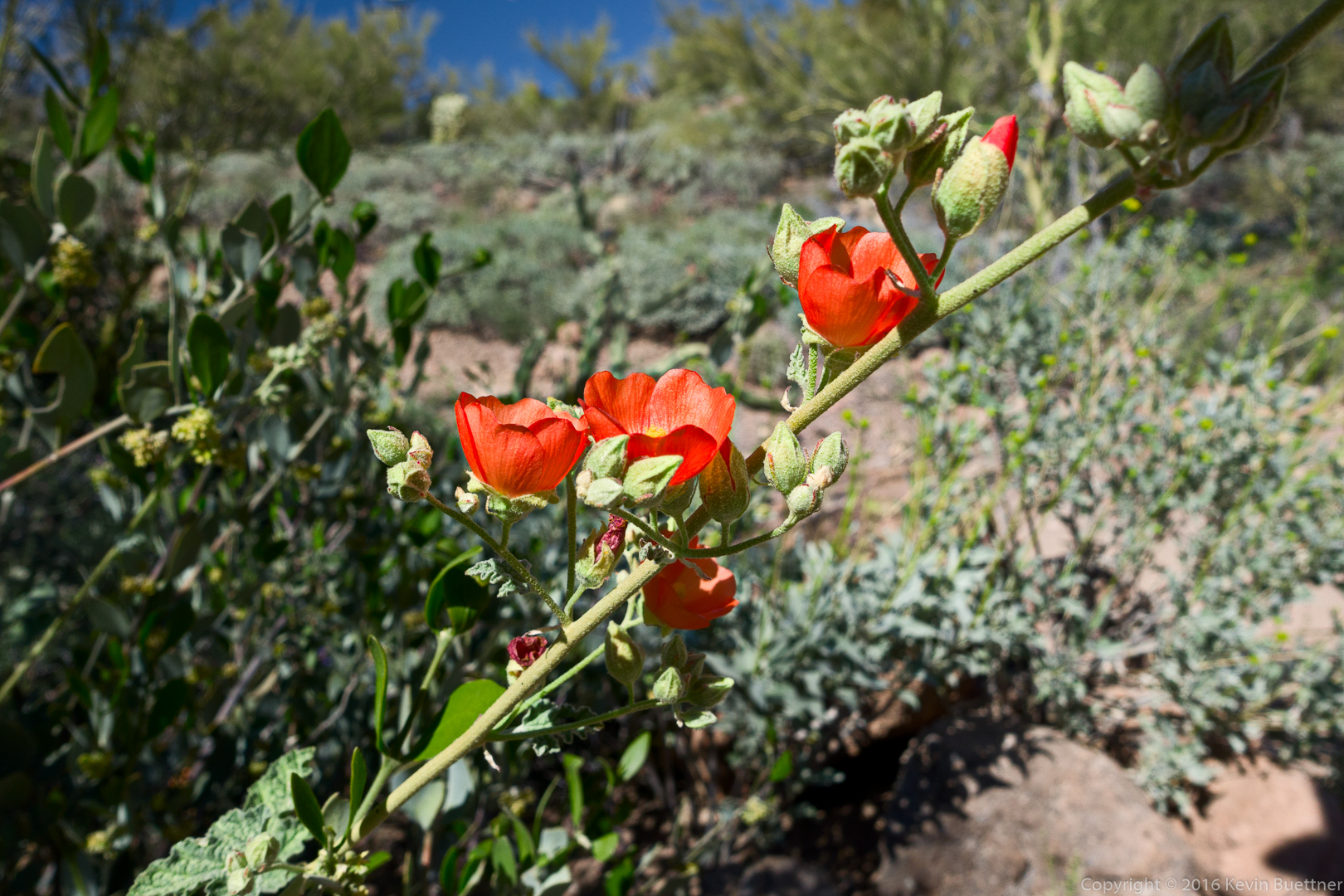
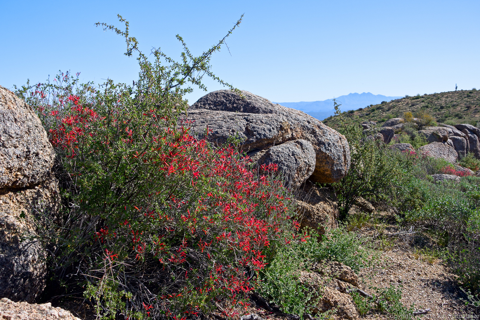
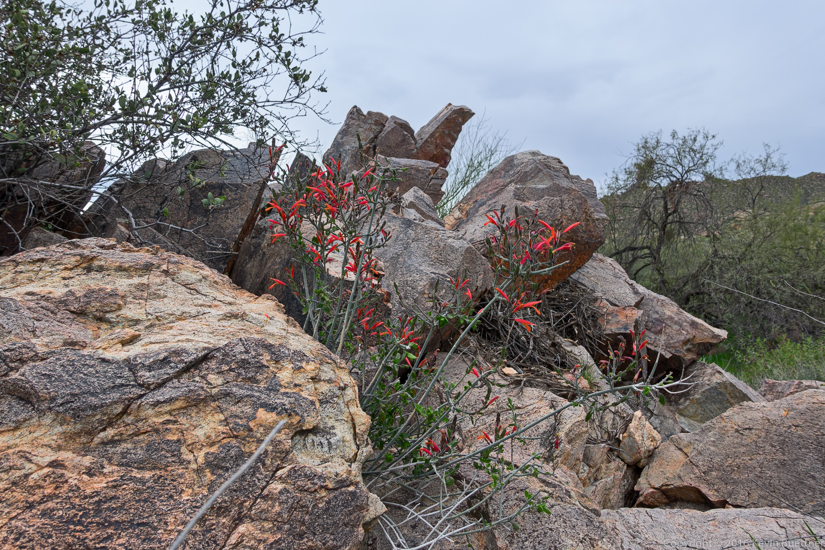
Chuparosa amidst the rocks:
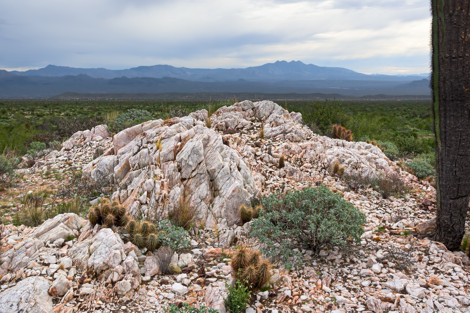
A quartz outcropping:
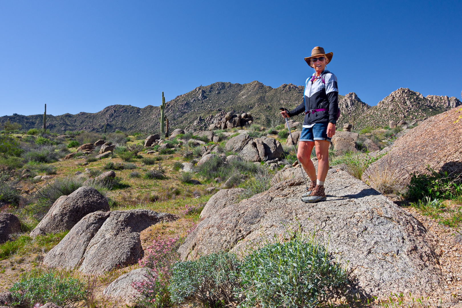
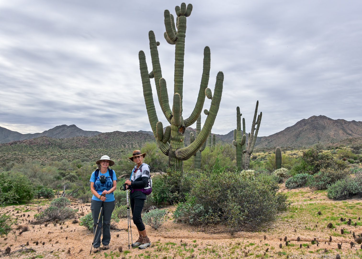
Linda and Nancy:
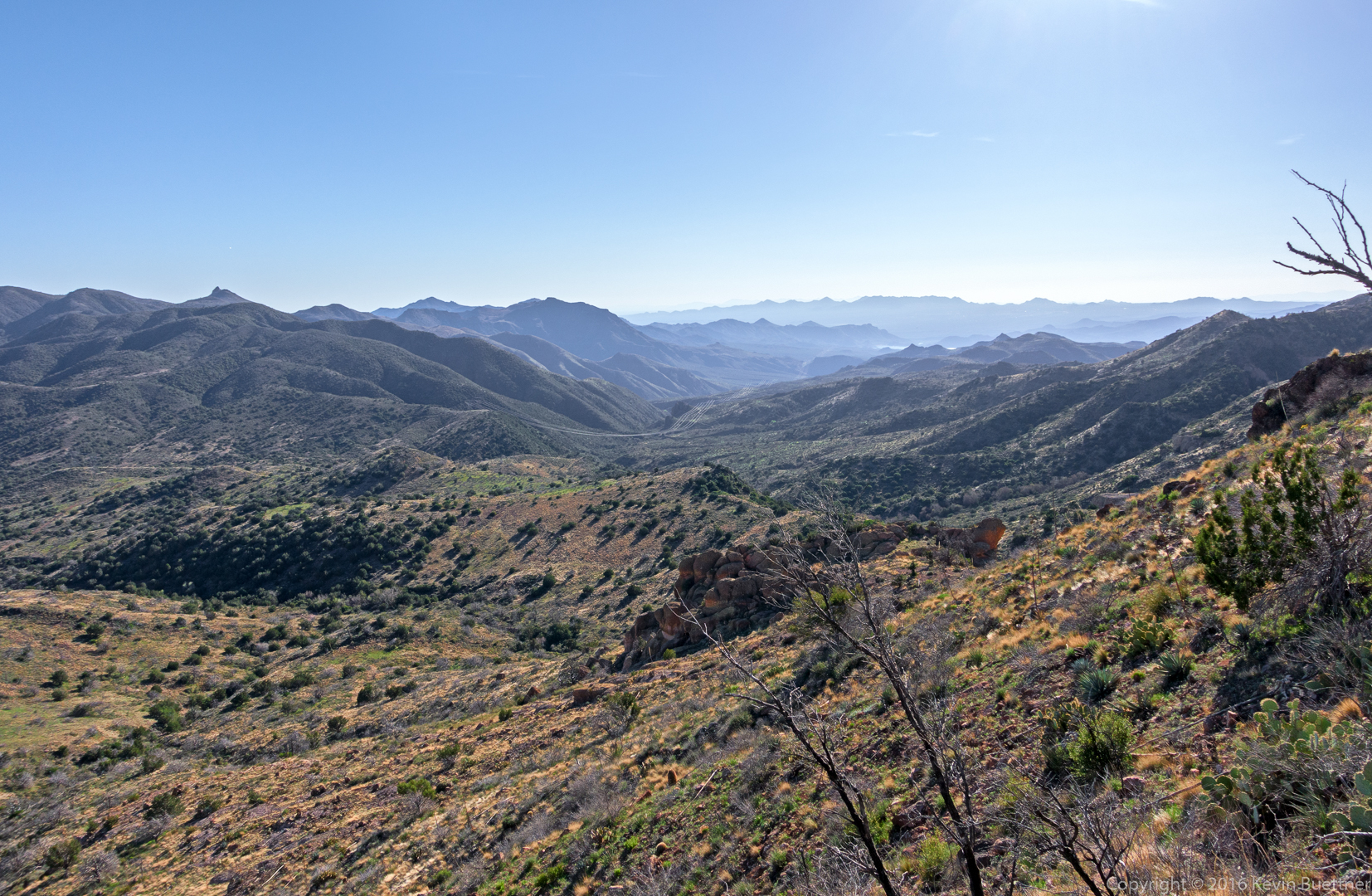
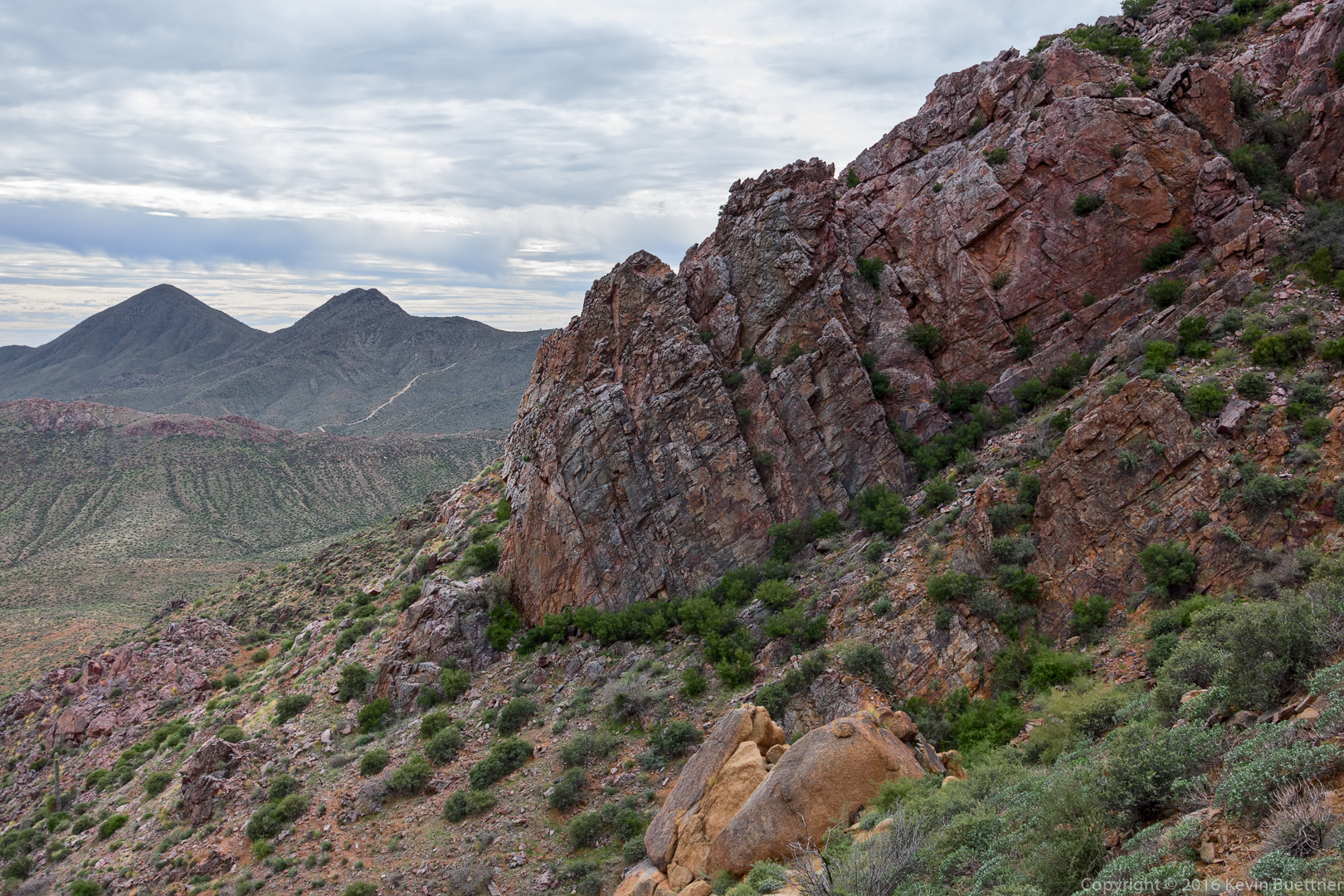
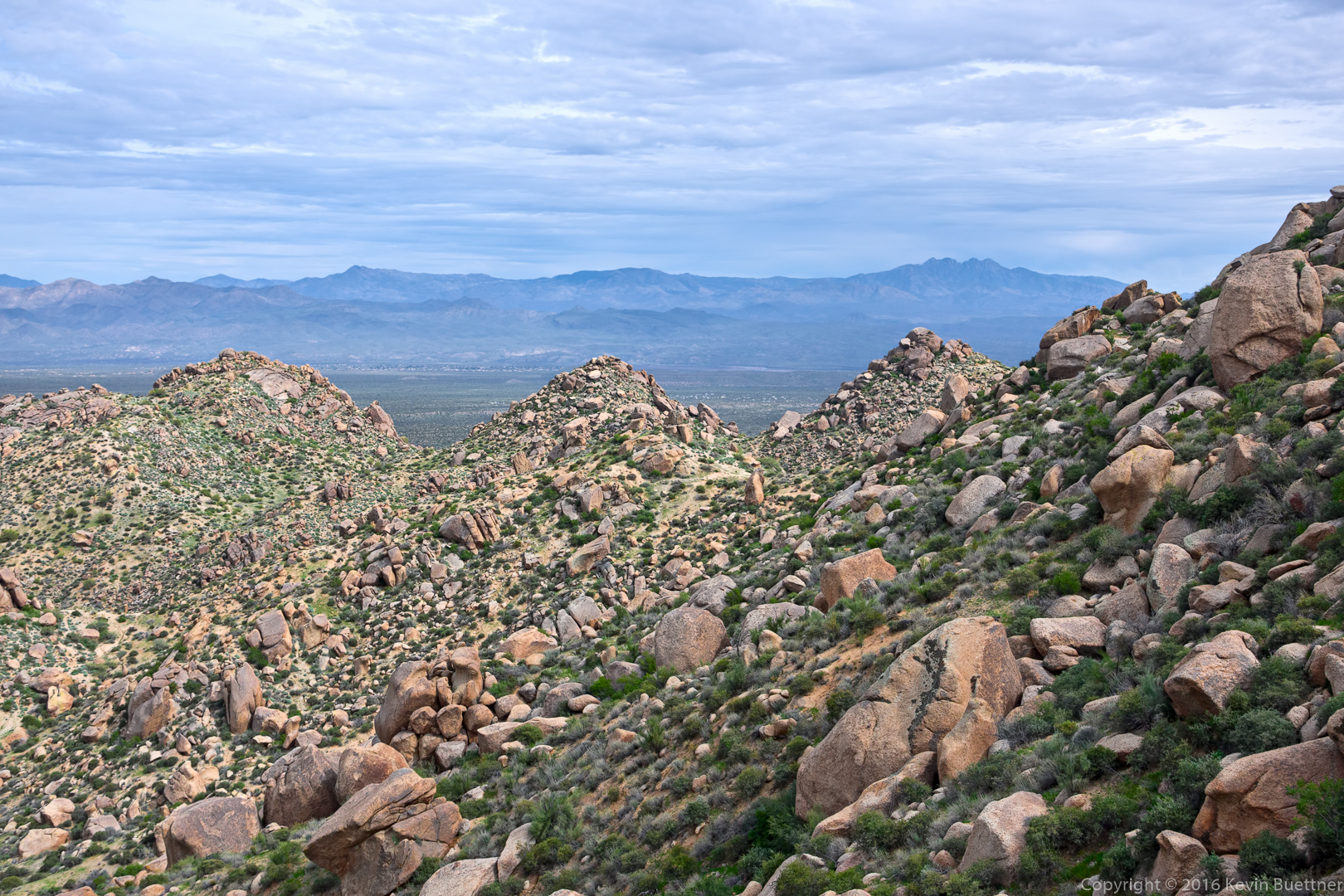
A view from the East End Trail:
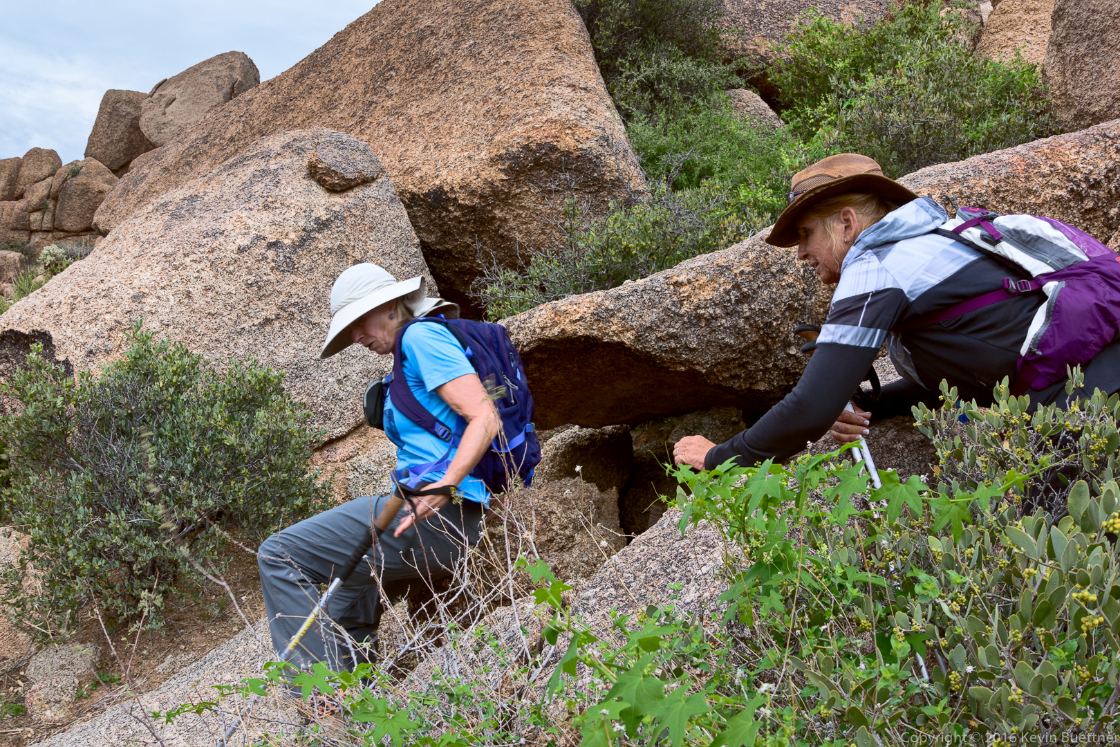
Linda is about to “crab walk” down a granite boulder on the way back. (Nancy observes her technique.)
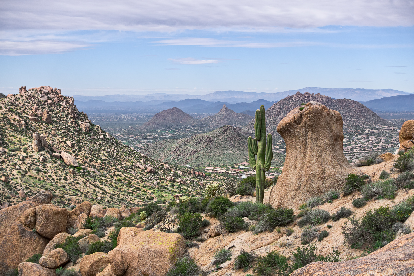
Pinnacle Peak and Troon in the background:
A view of the three Sven Towers – they don’t really look like towers – in the foreground with Four Peaks in the background:
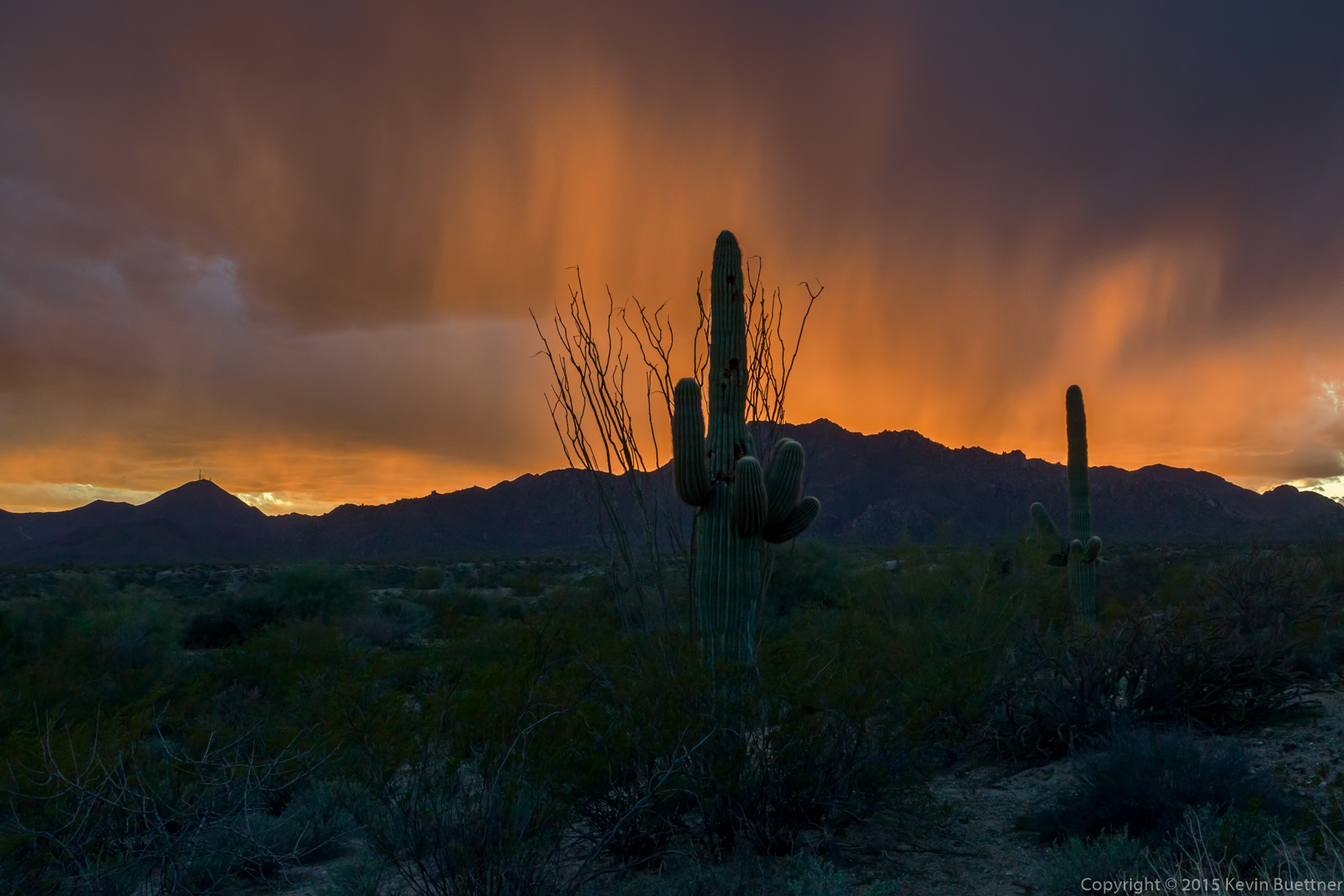
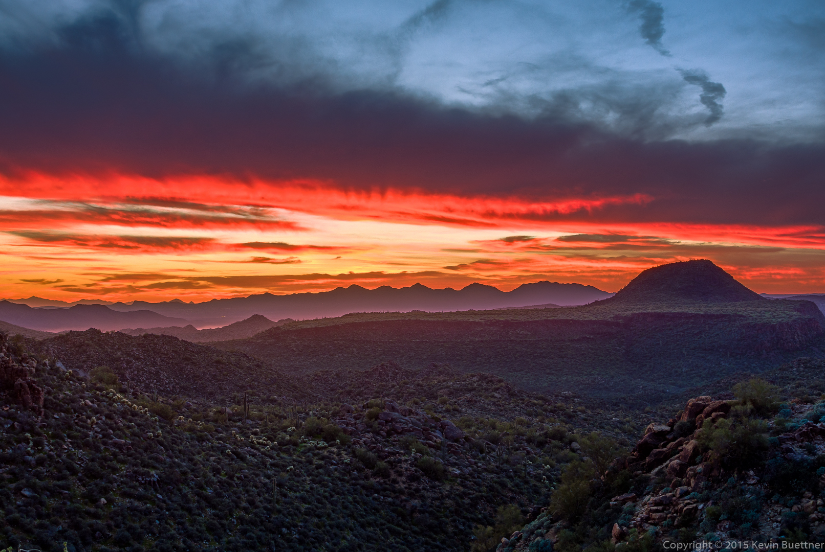
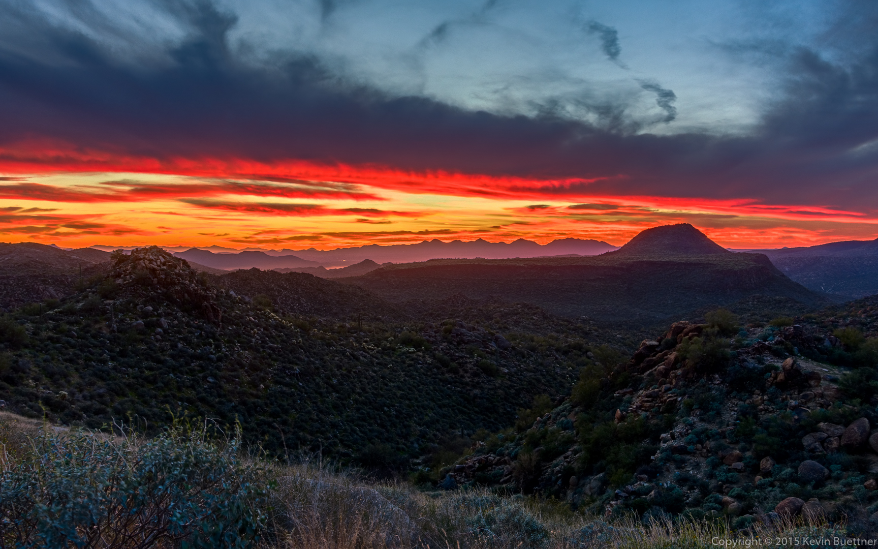
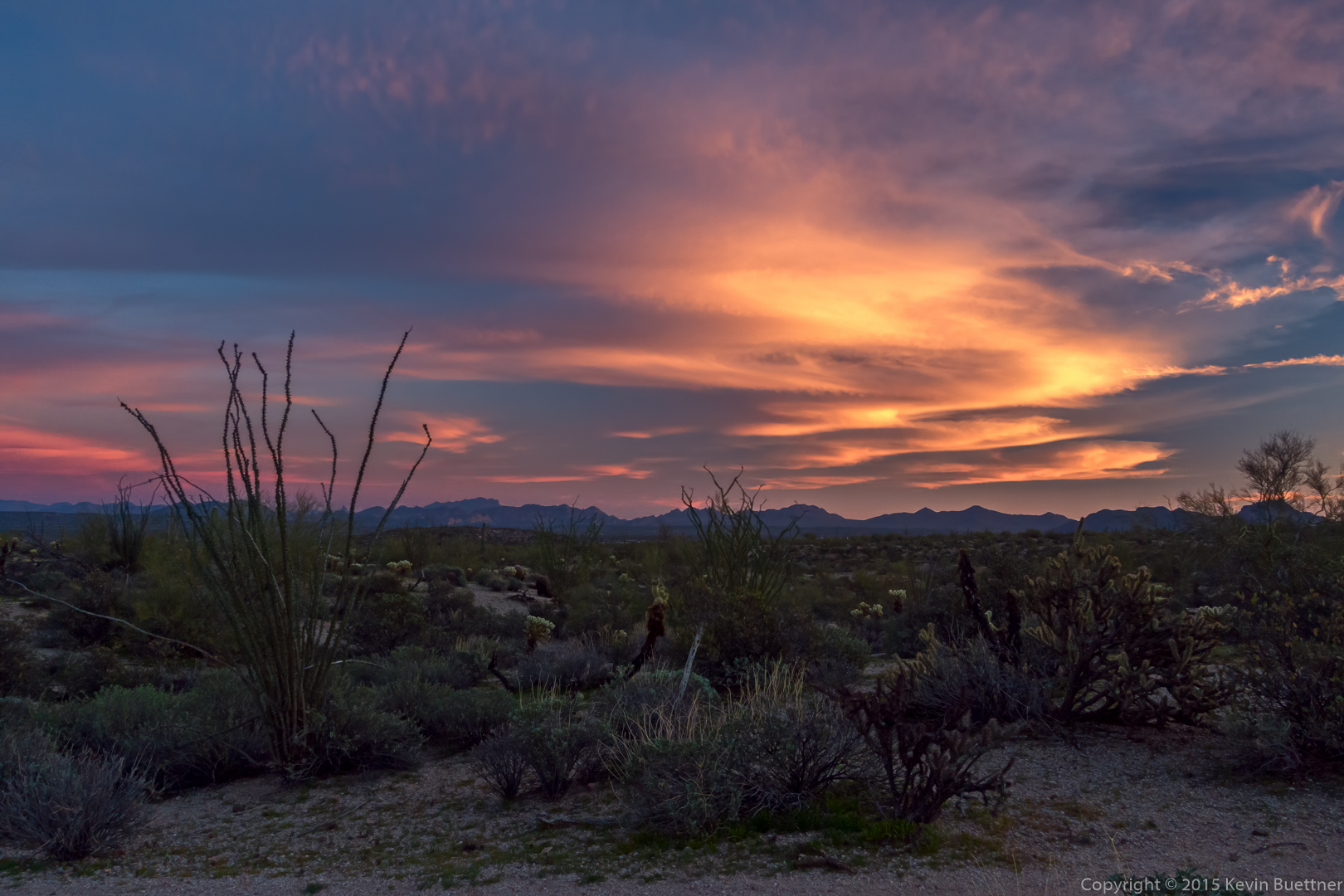
I got these shots of Sunday night’s sunset from AZ 87 (Beeline Highway).
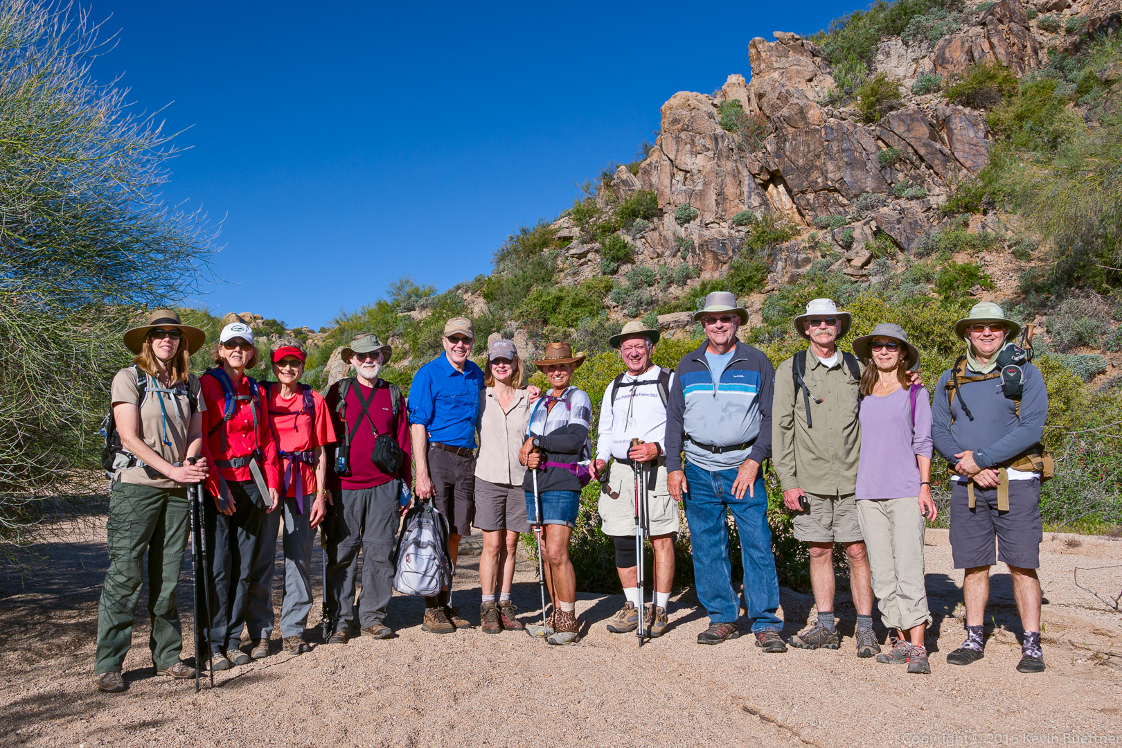
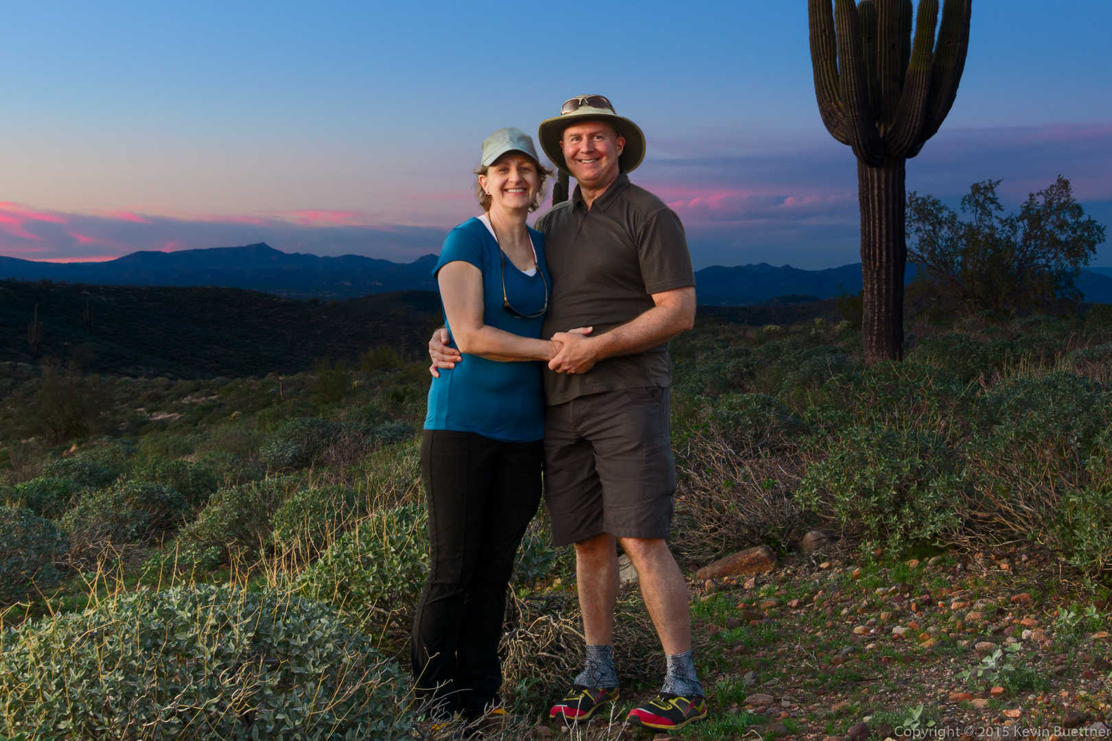
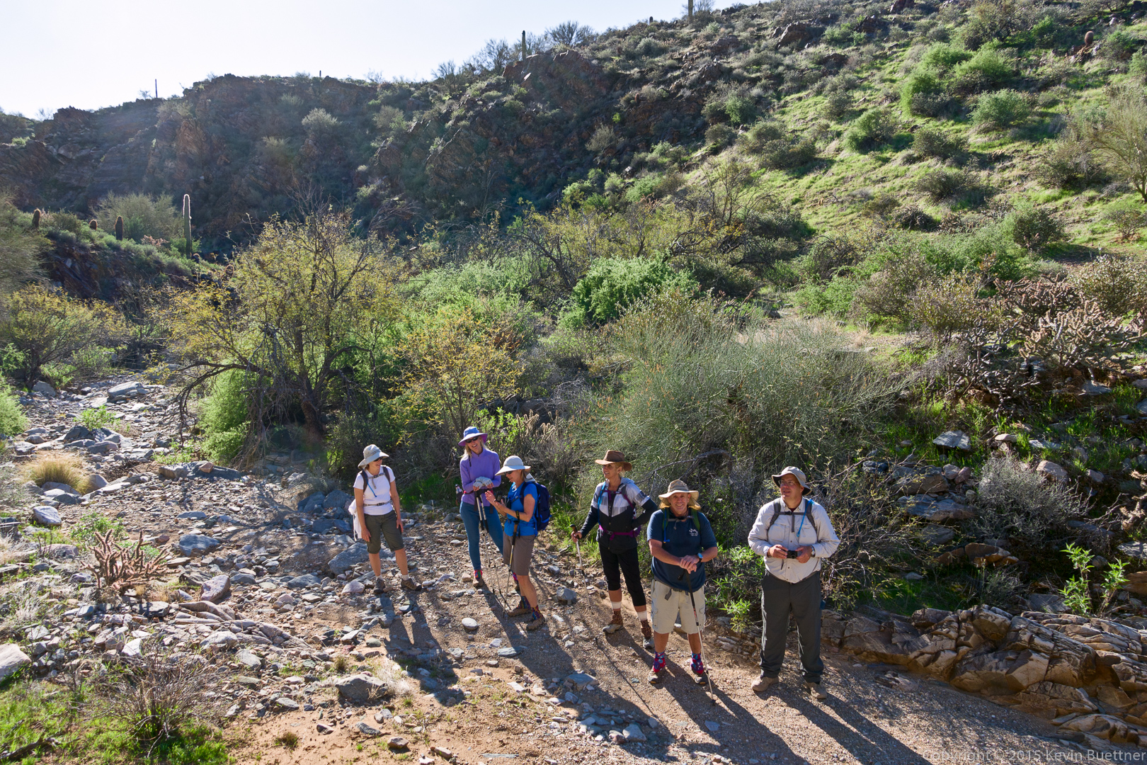
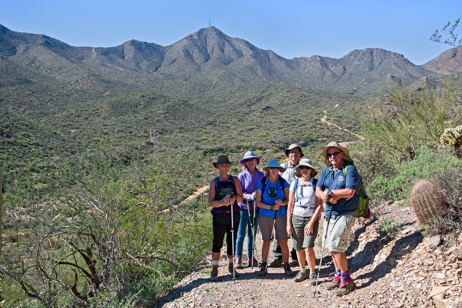
Ranger Amy took this photo of us on the Saturday evening hike.
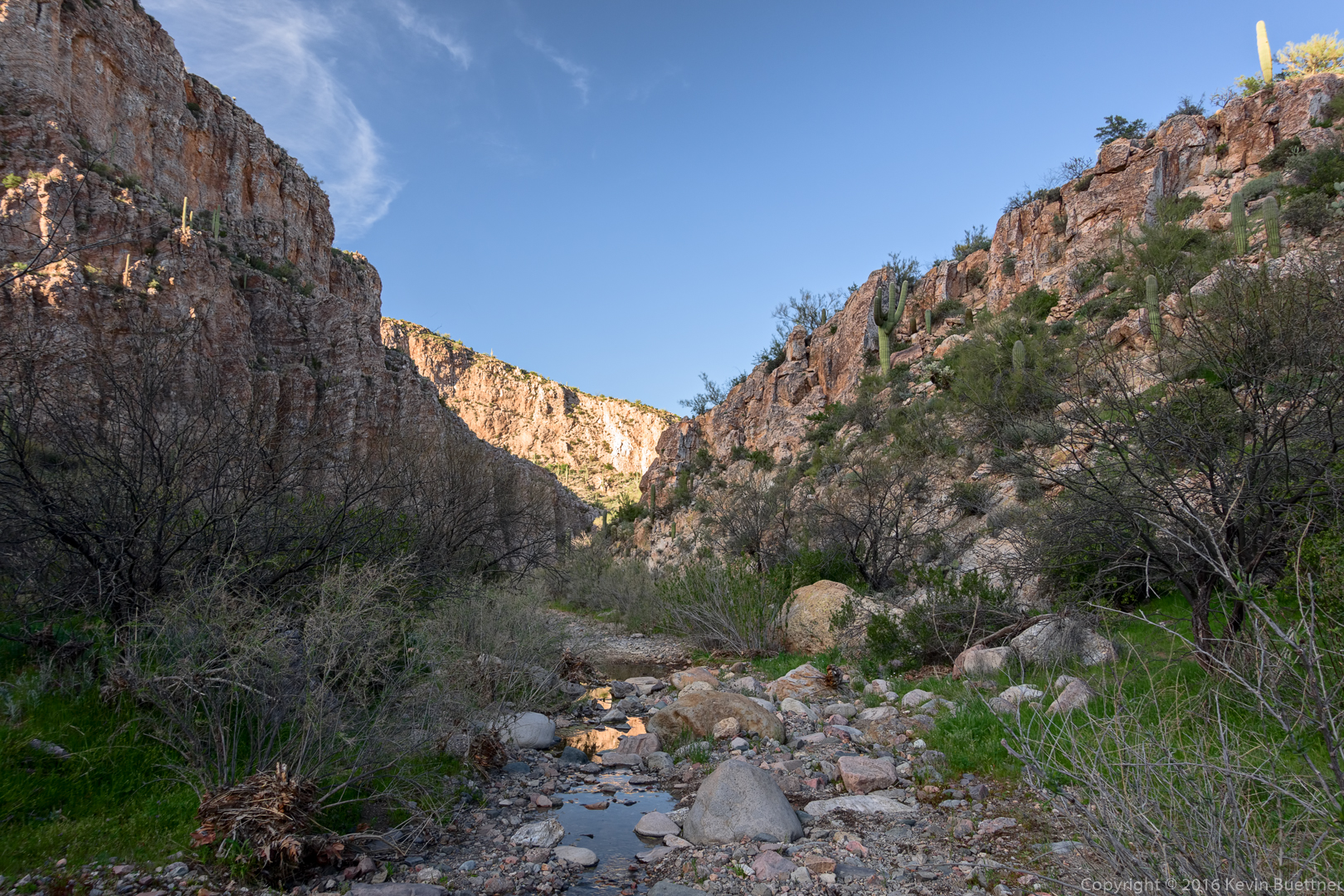
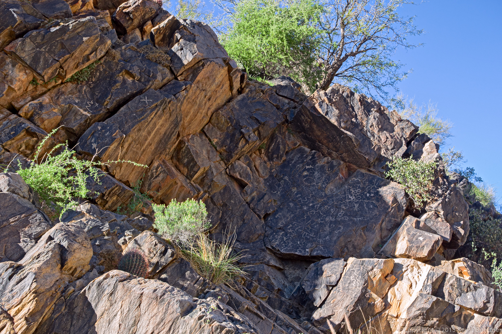
Mike, Bob, Laura, Nancy, Linda, Denise, and I hiked 10.7 miles on Friday. We hiked: Dixie Mine, wash past mine and petroglyphs, Prospector, Bell Pass, Windmill, Coachwhip, Dixie Mine (back to trailhead).
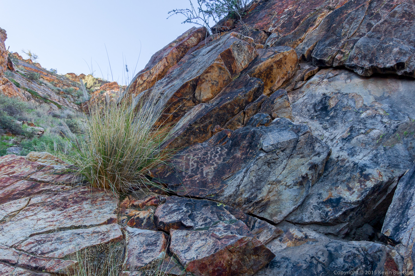
This is the petroglyph panel near the mine:
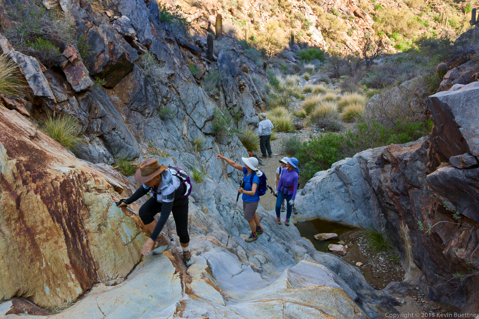
There are also petroglyphs near the waterfall. Nancy climbs up the waterfall while the others look for petroglyphs.
Just a few of the petroglyphs near the waterfall:
I climbed a short ways up a slab to a ledge and took this photo of the group.
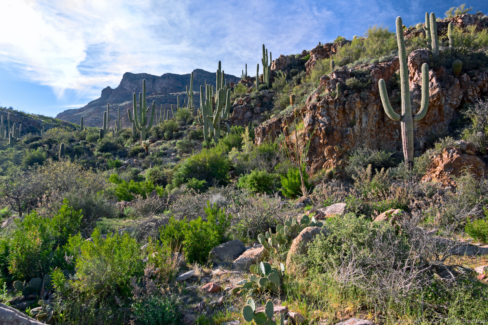
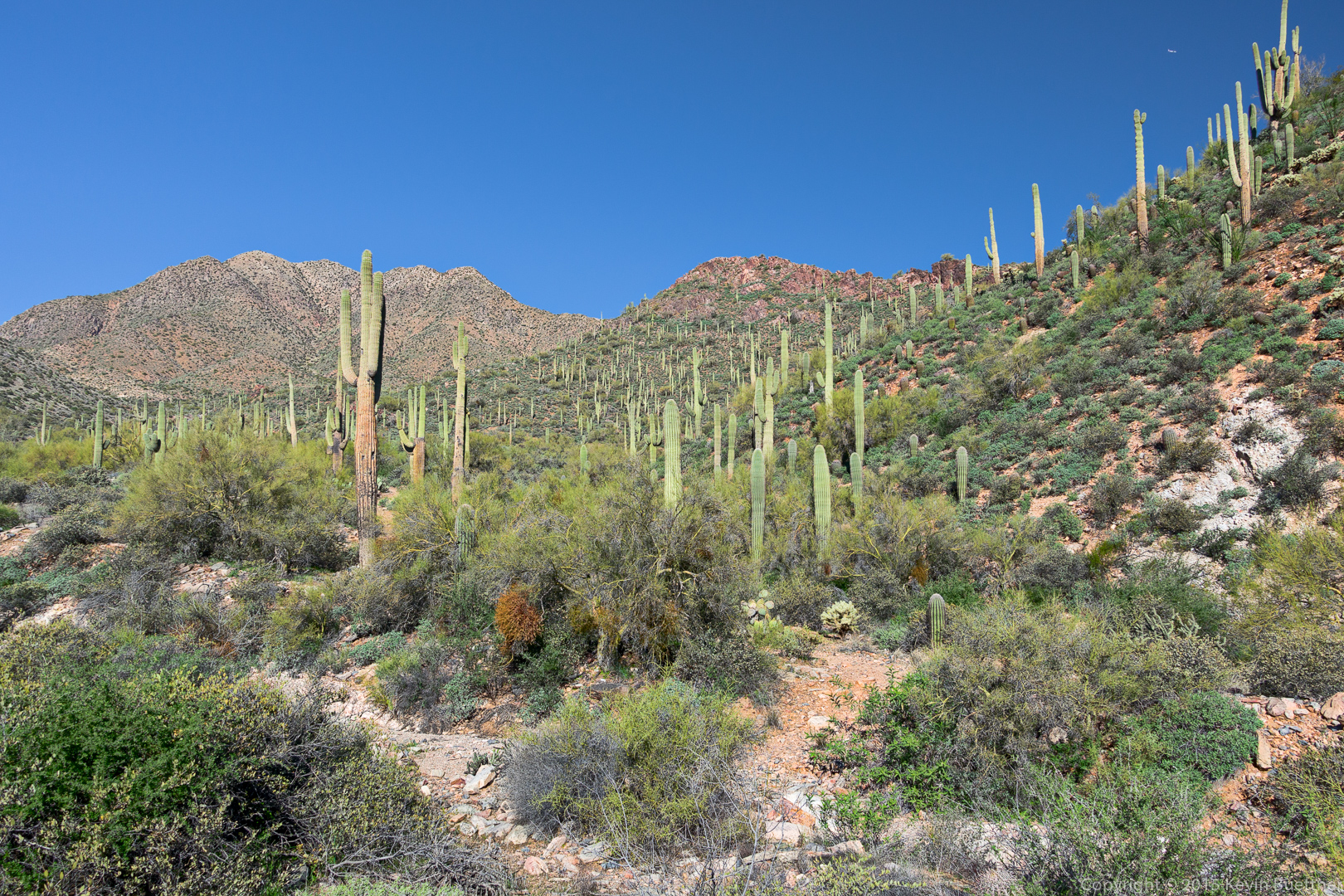
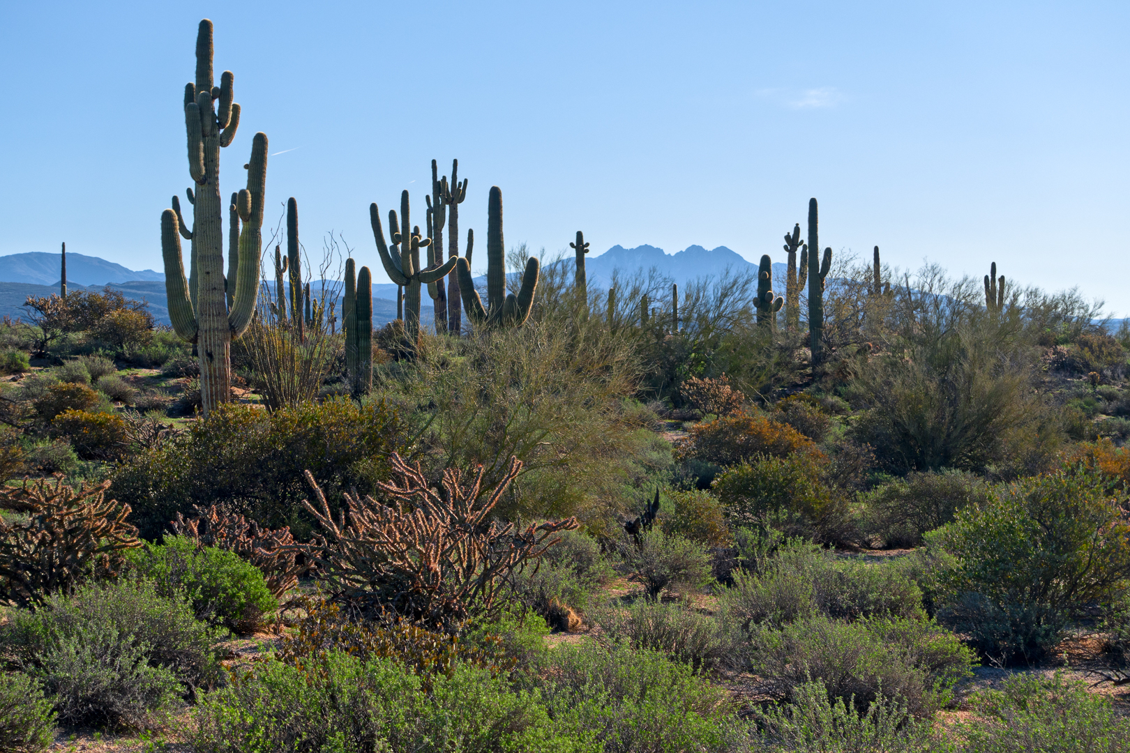
Saguaros on the Prospector Trail:
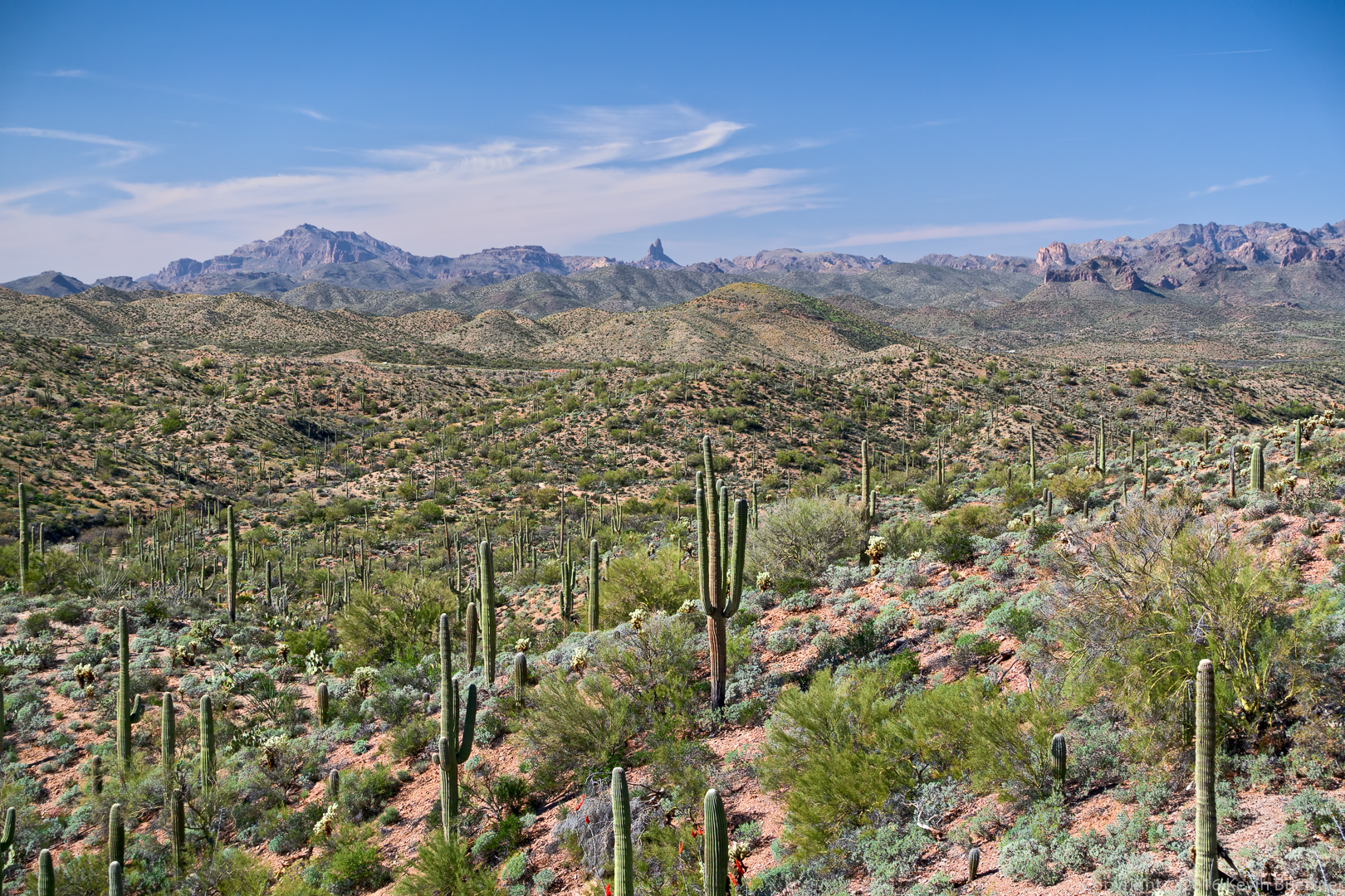
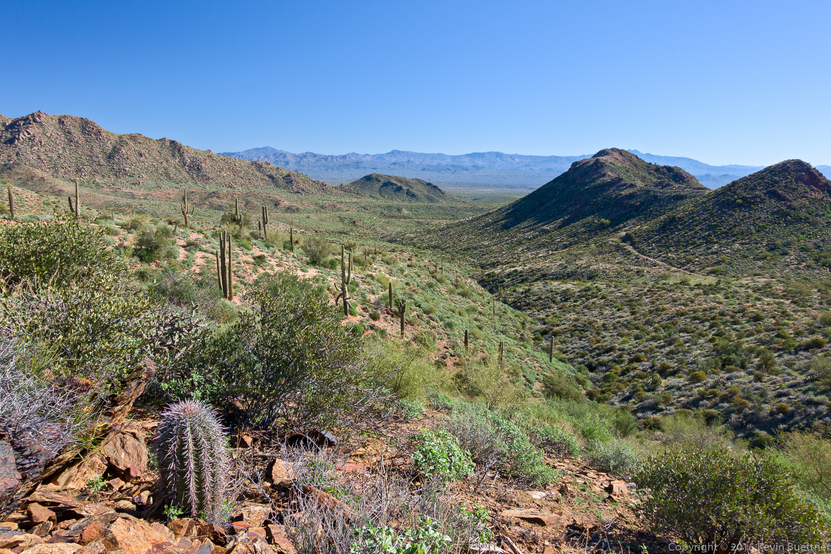
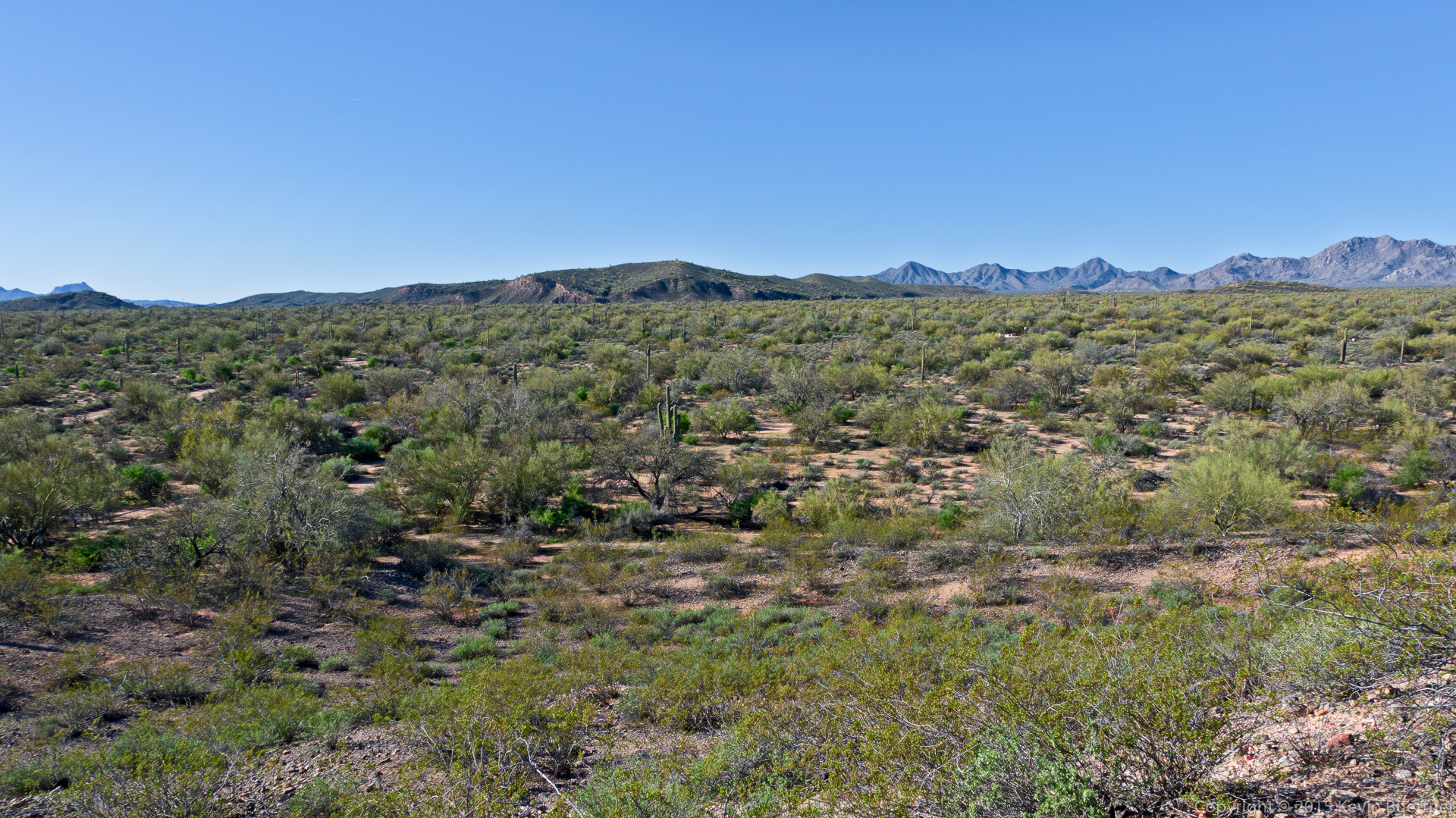
A view from the Bell Pass Trail:
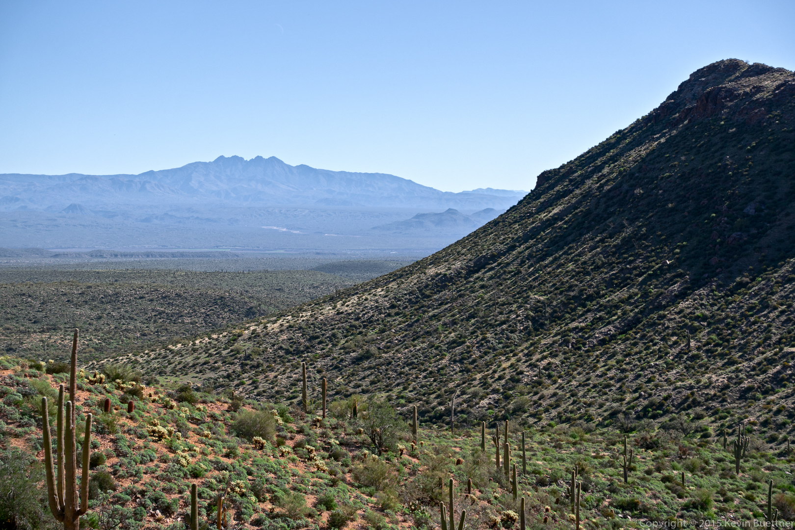
Four Peaks:
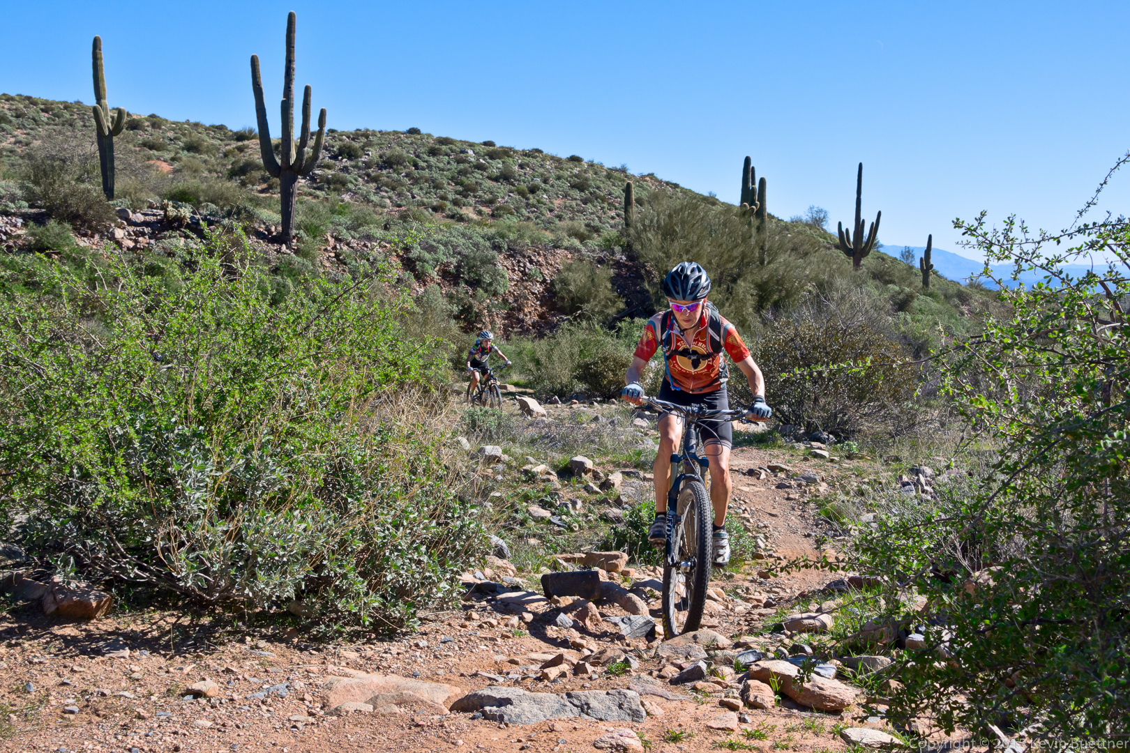
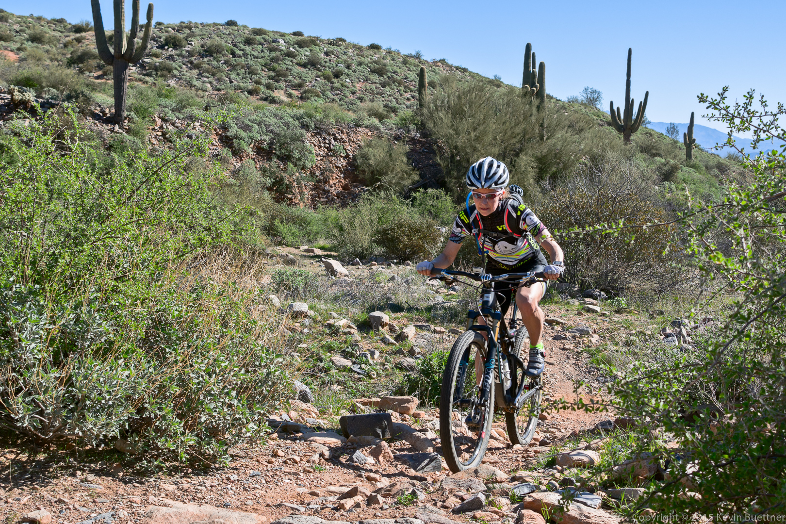
Just after leaving the Bell Pass Trail, we encountered three cyclists making their way the windmill trail. All three were very skilled cyclists as they had no problem with the rocks in this area.

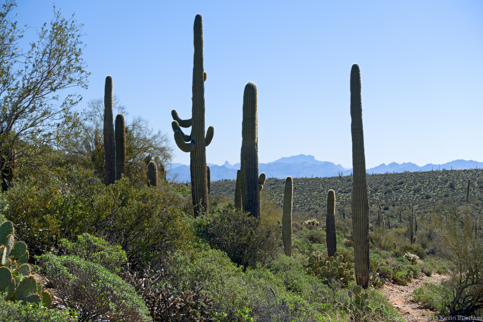
A view of Weaver’s Needle and Flatiron through the saguaros just off of the Coachwhip Trail.
Nancy, Denise, Linda, Mike, Laura, and Bob on the Dixie Mine Trail.
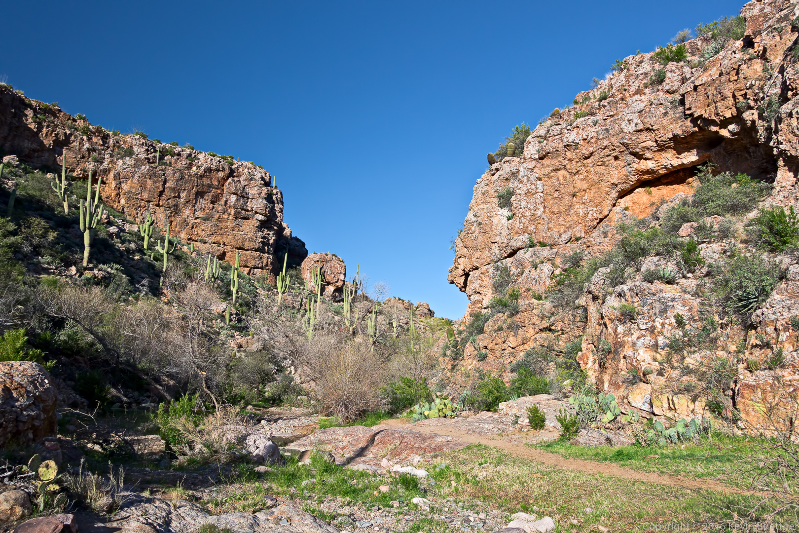
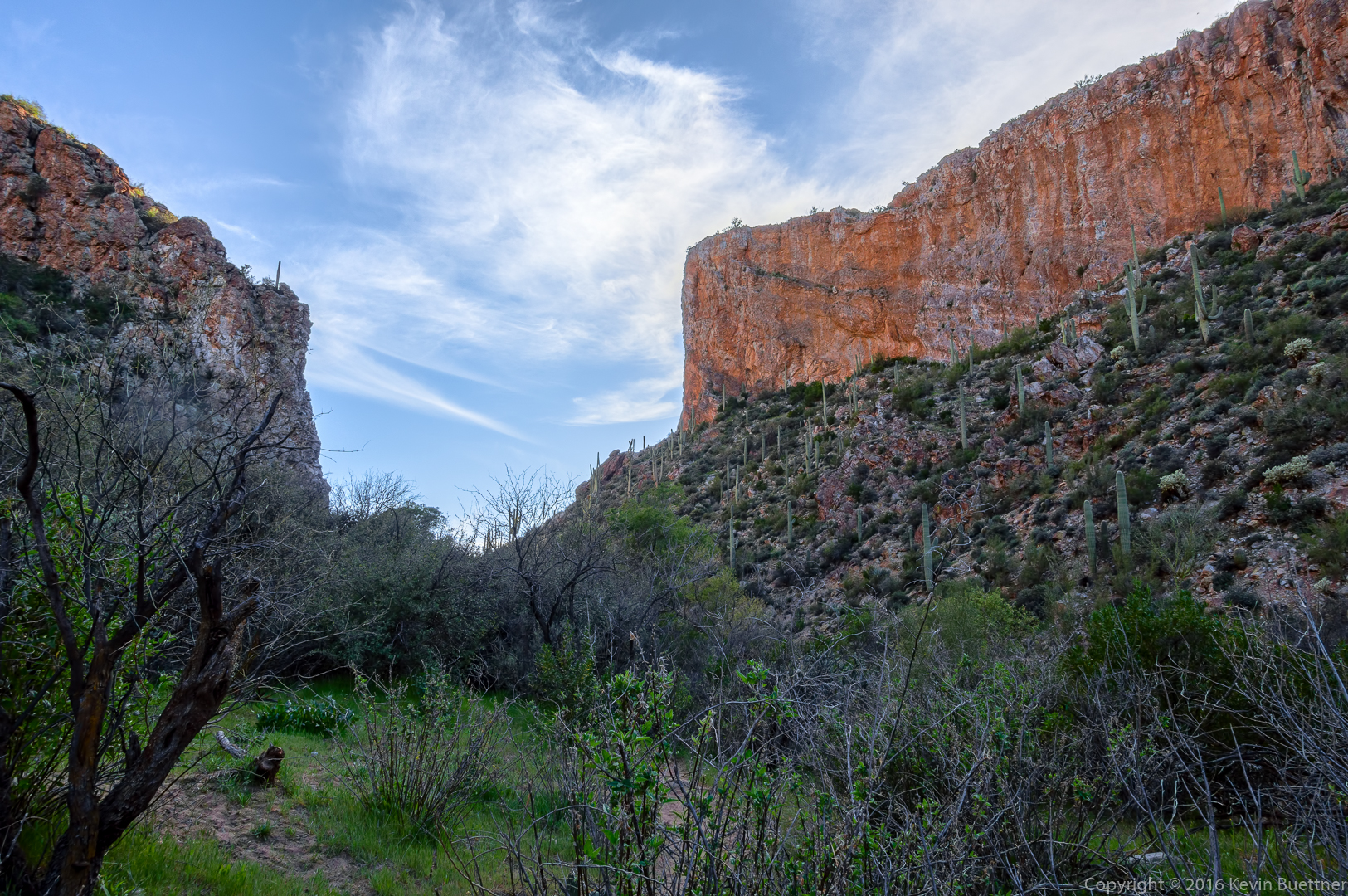
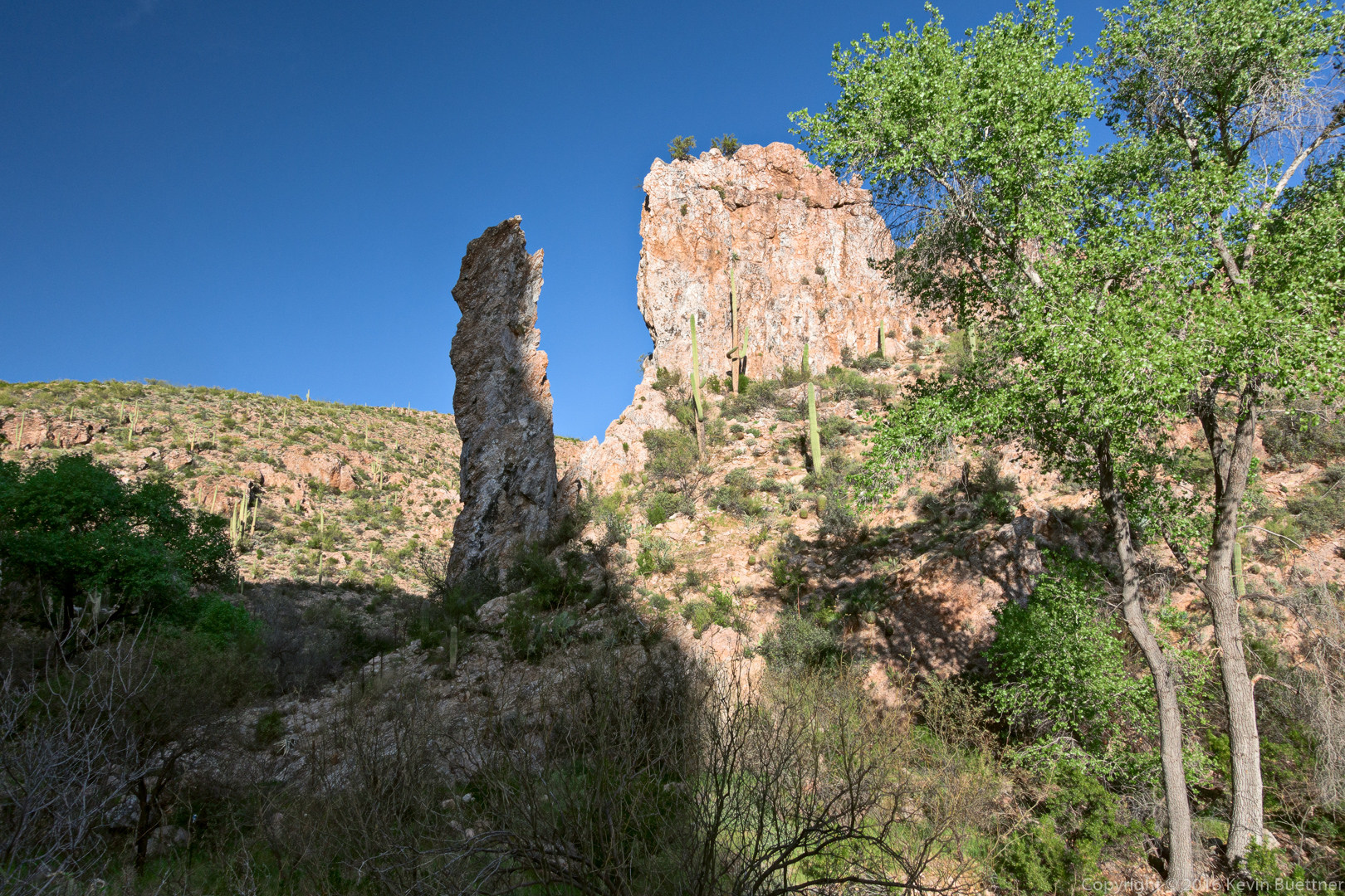
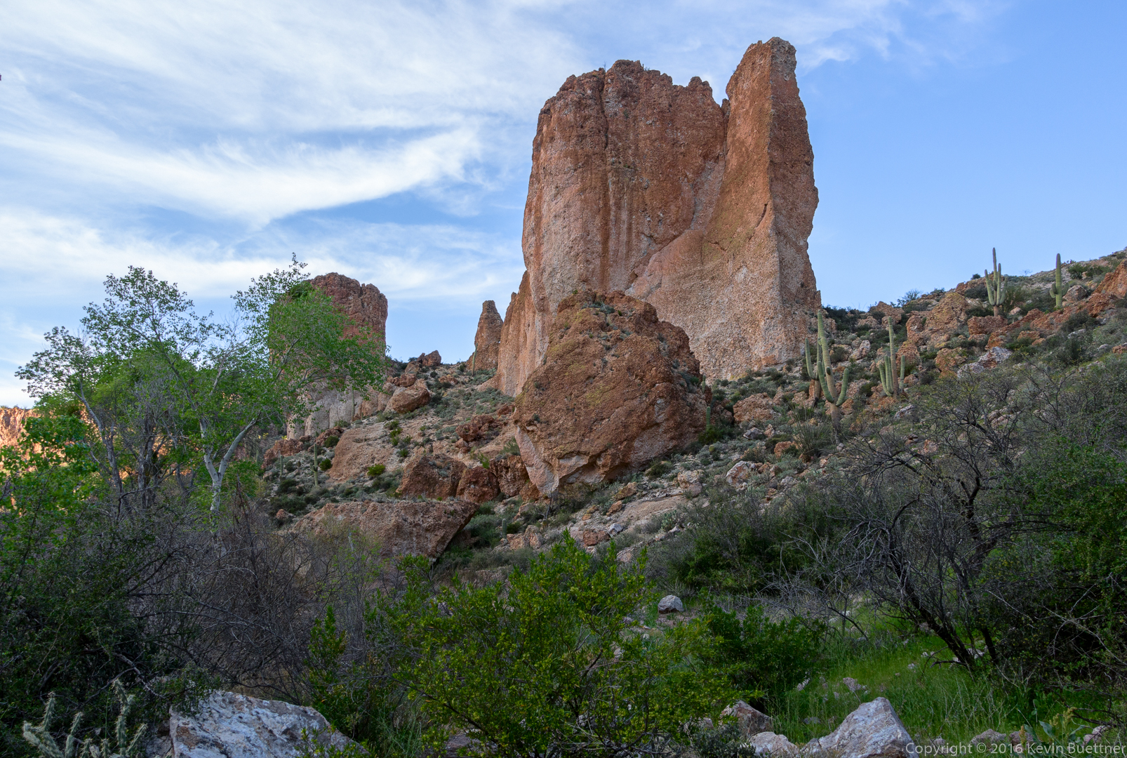
A rocky area near the Dixie Mine Trail:
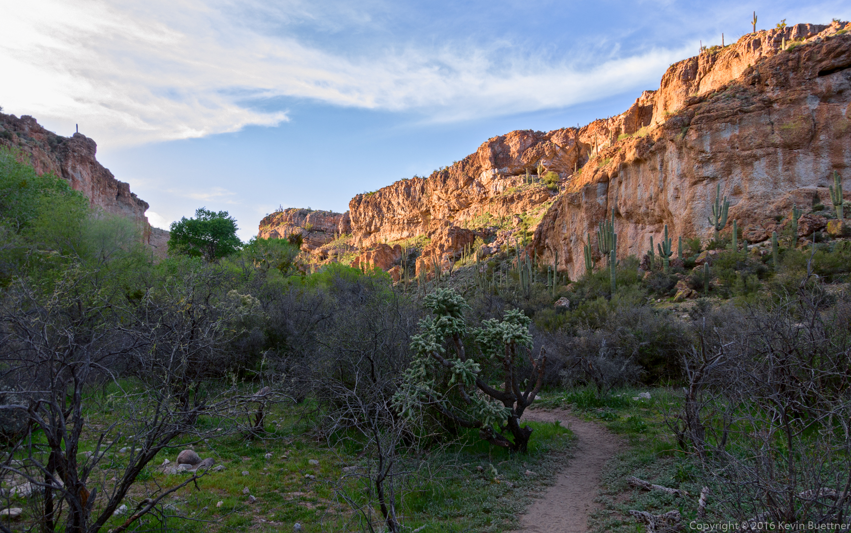
Making our way back on the Dixie Mine Trail…
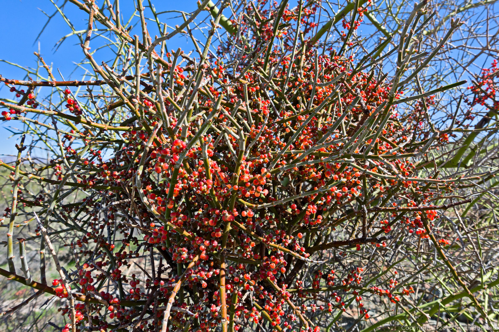
Desert Mistletoe berries:
Finishing a hike on the Tech Loop…
Friday’s hike started at the Trailhead Staging Area. Bob, Mike, and I hiked 9.9 miles through the northeast corner of the park. Amy, Jill, and George joined us for the first 1.3 miles (short hike).
A view of Four Peaks from the Escondido Trail:
A view of Lousley Hill from the Eagle Trail. This was my first hike on the Eagle Trail.
A view of Youth Group Area from the Eagle Trail. We also hiked the Scout Trail which is visible in the photo below.
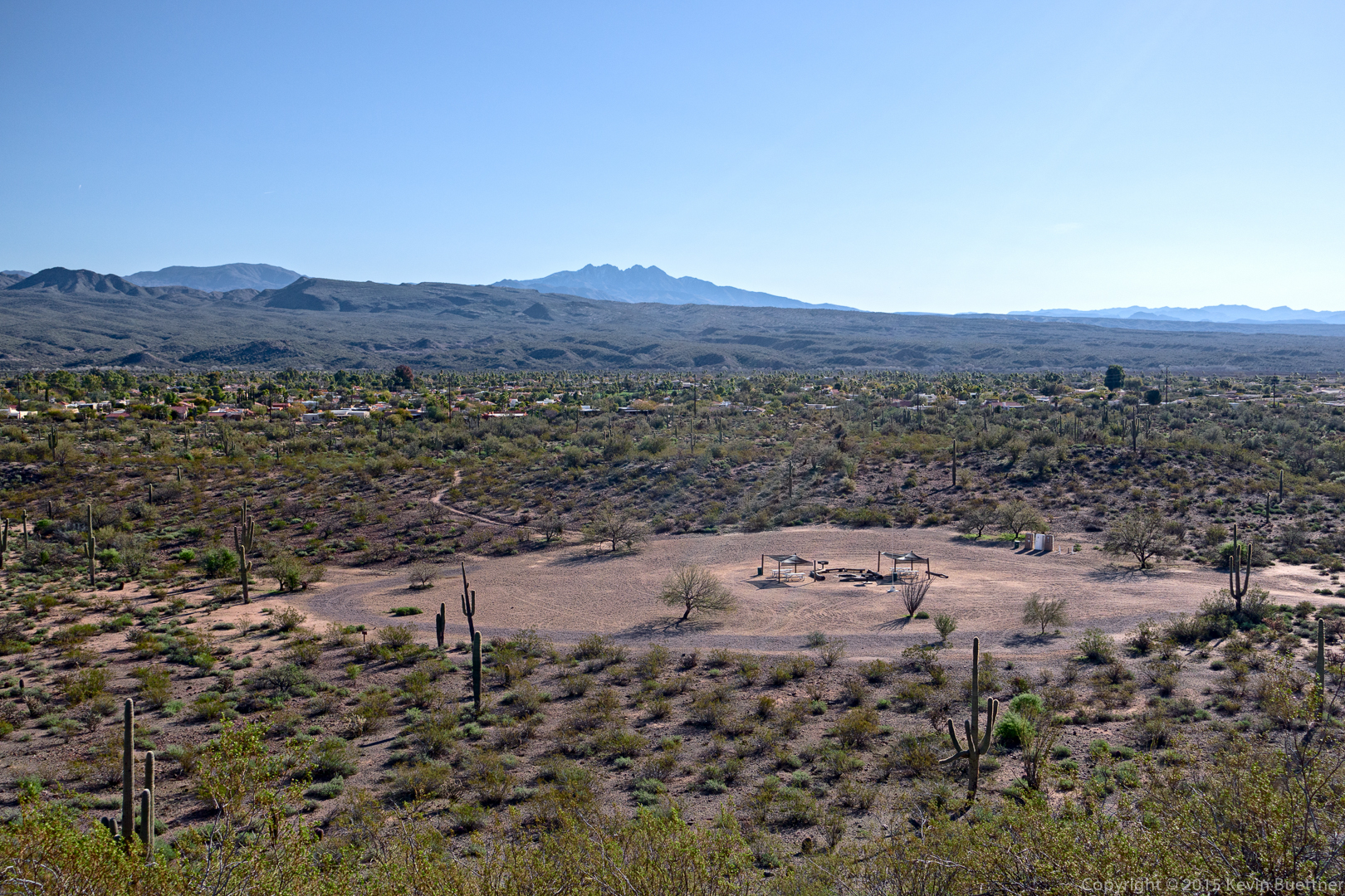
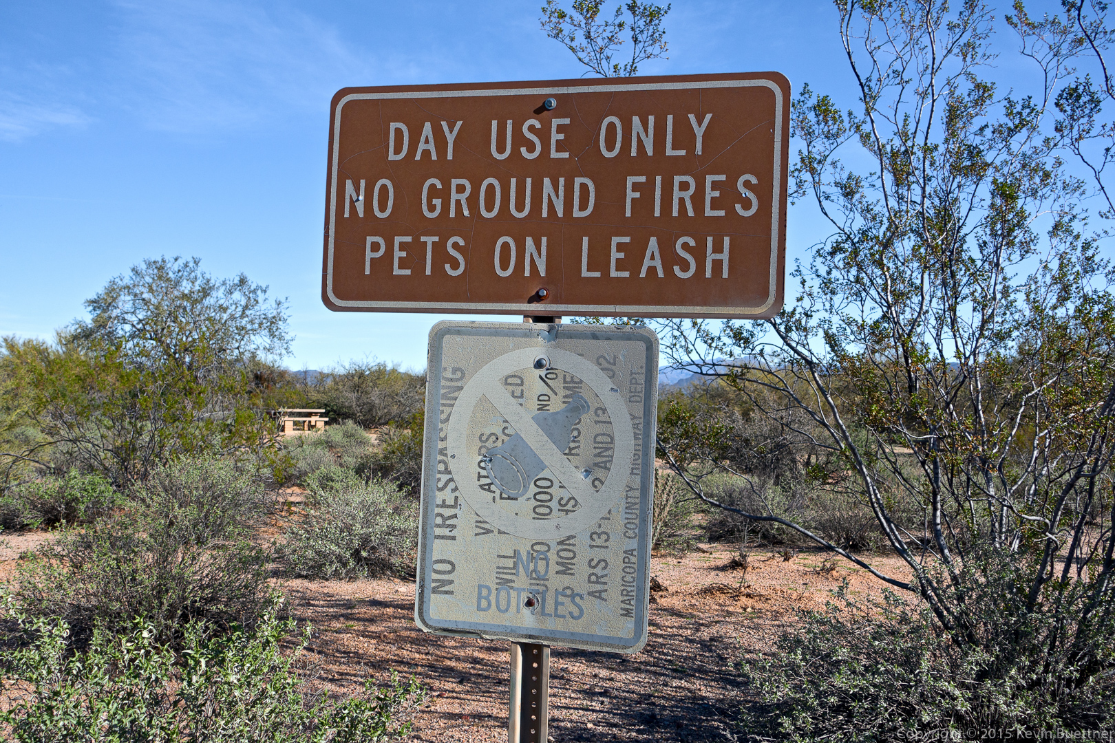
These are signs near one of the picnic areas. The lower “No Bottles” sign was painted on top of a “No Trespassing” sign, but the paint has faded enough to see both.
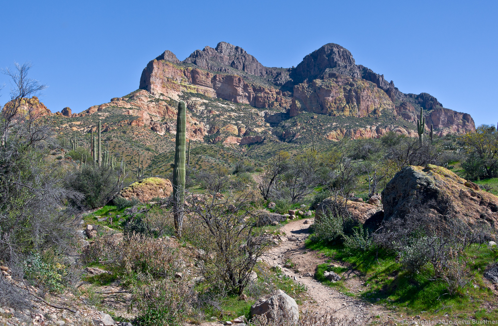
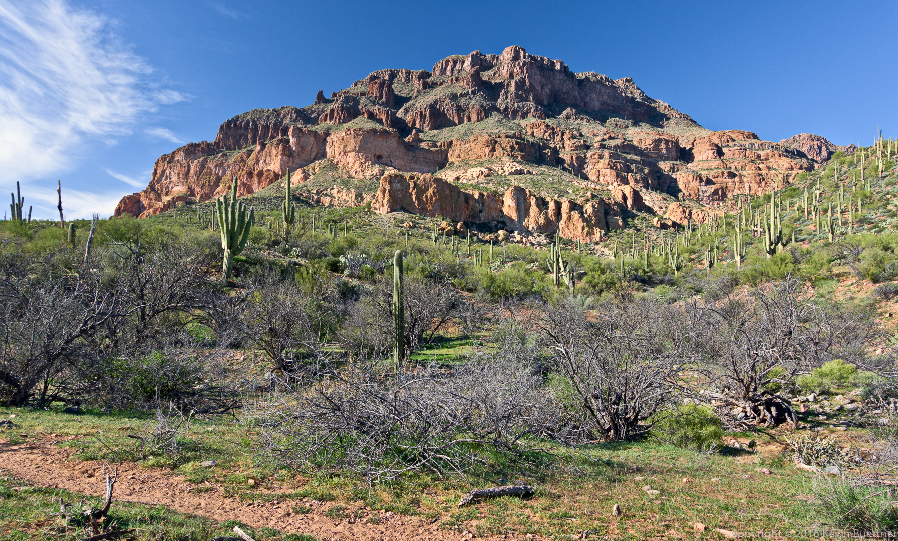
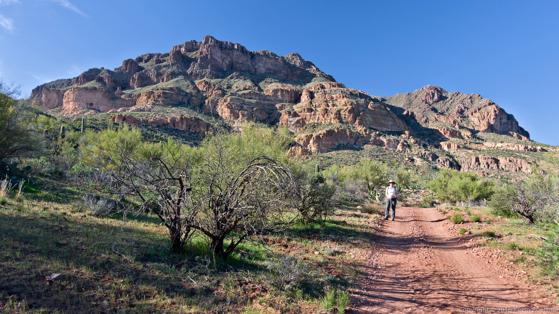
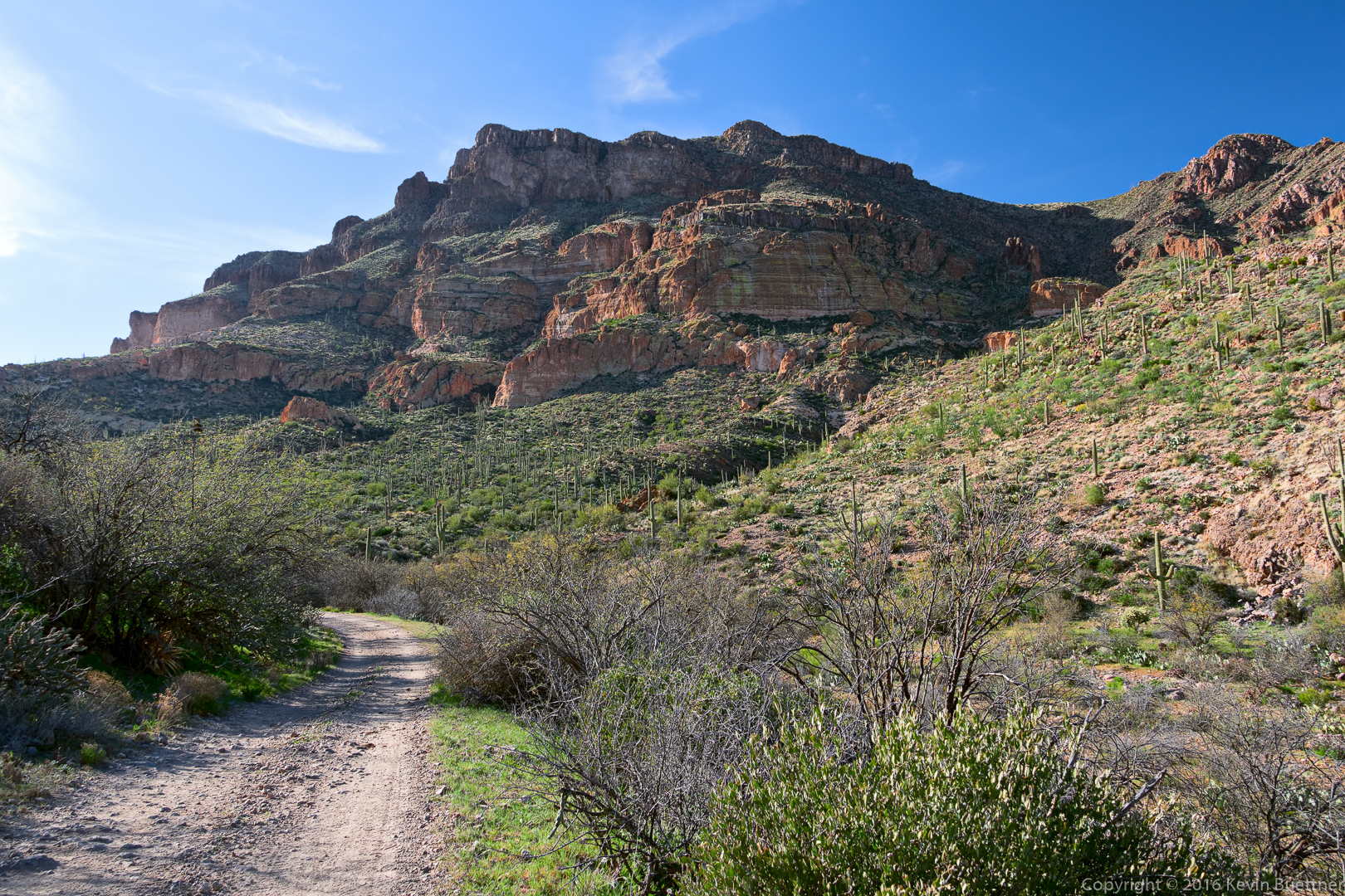
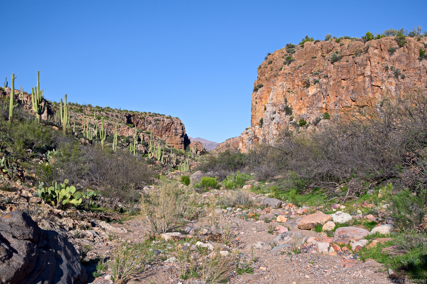
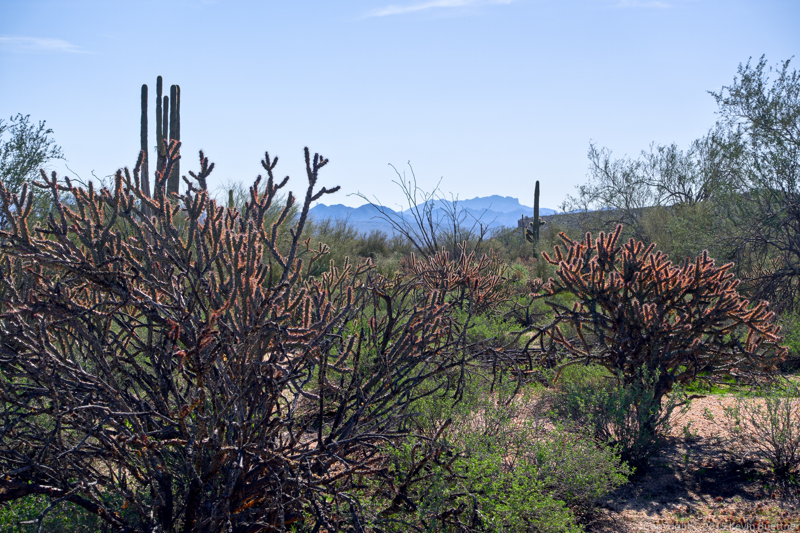
A view of the Flatiron in the distance:
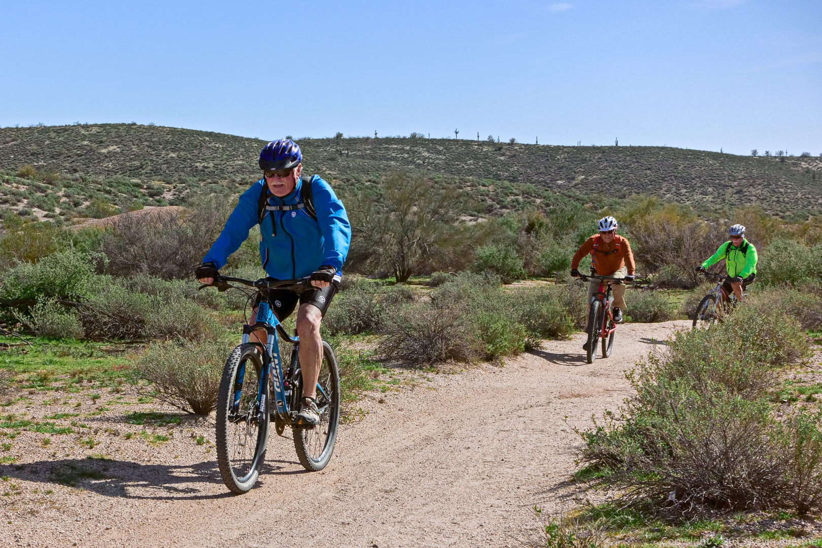
Cyclists on the Pemberton:
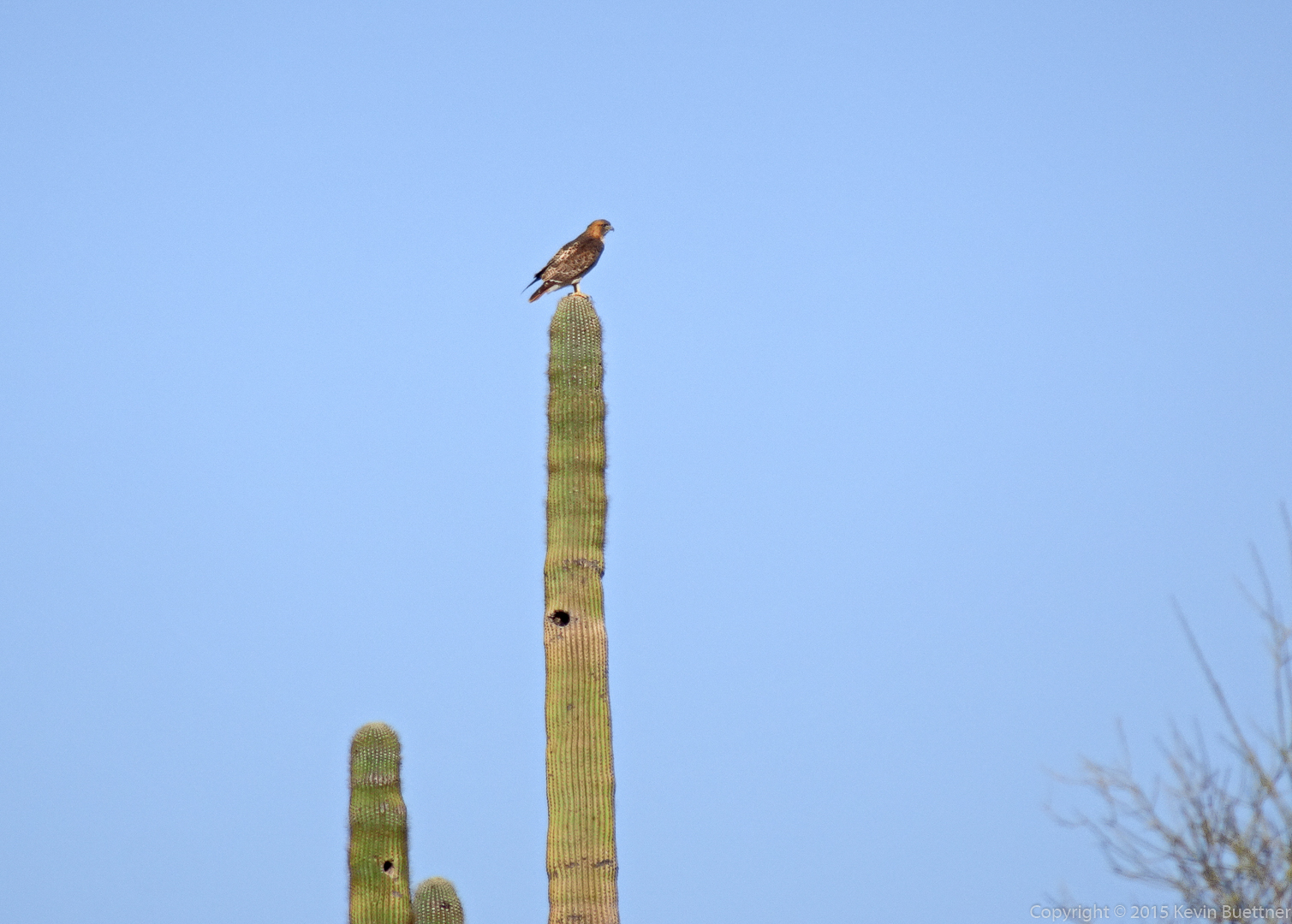
We saw this hawk while on our way over to the Scout and Eagle Trails.