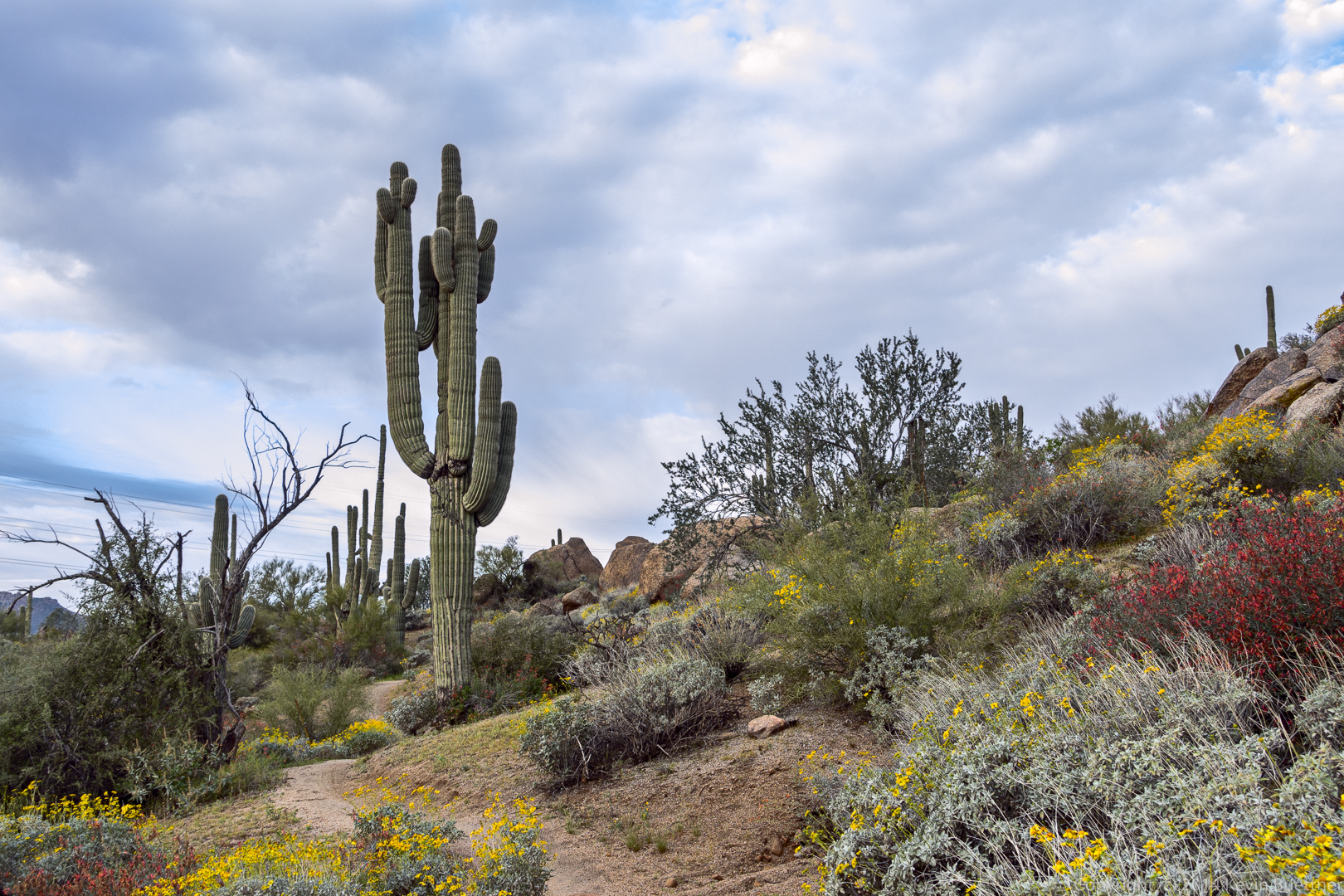
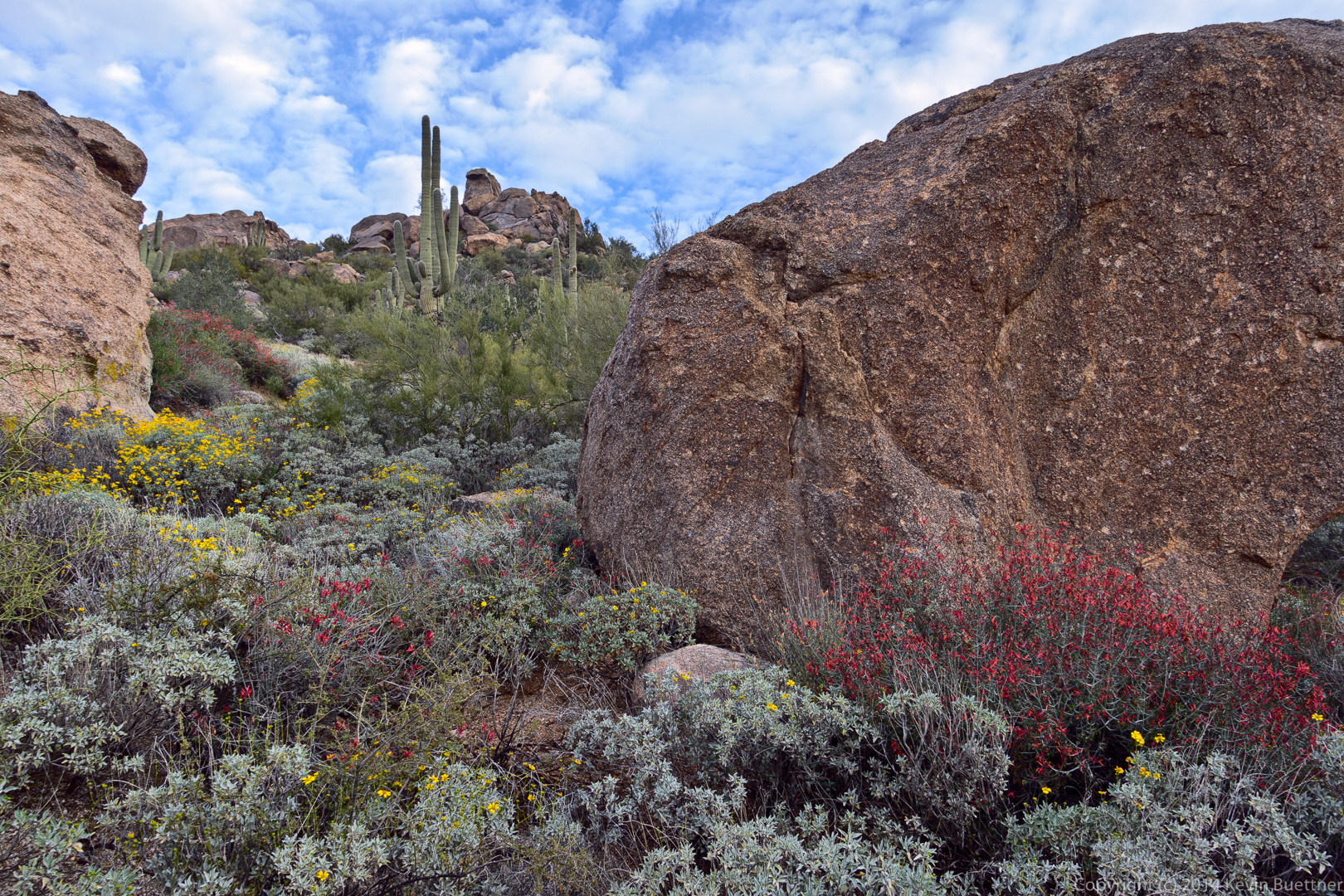
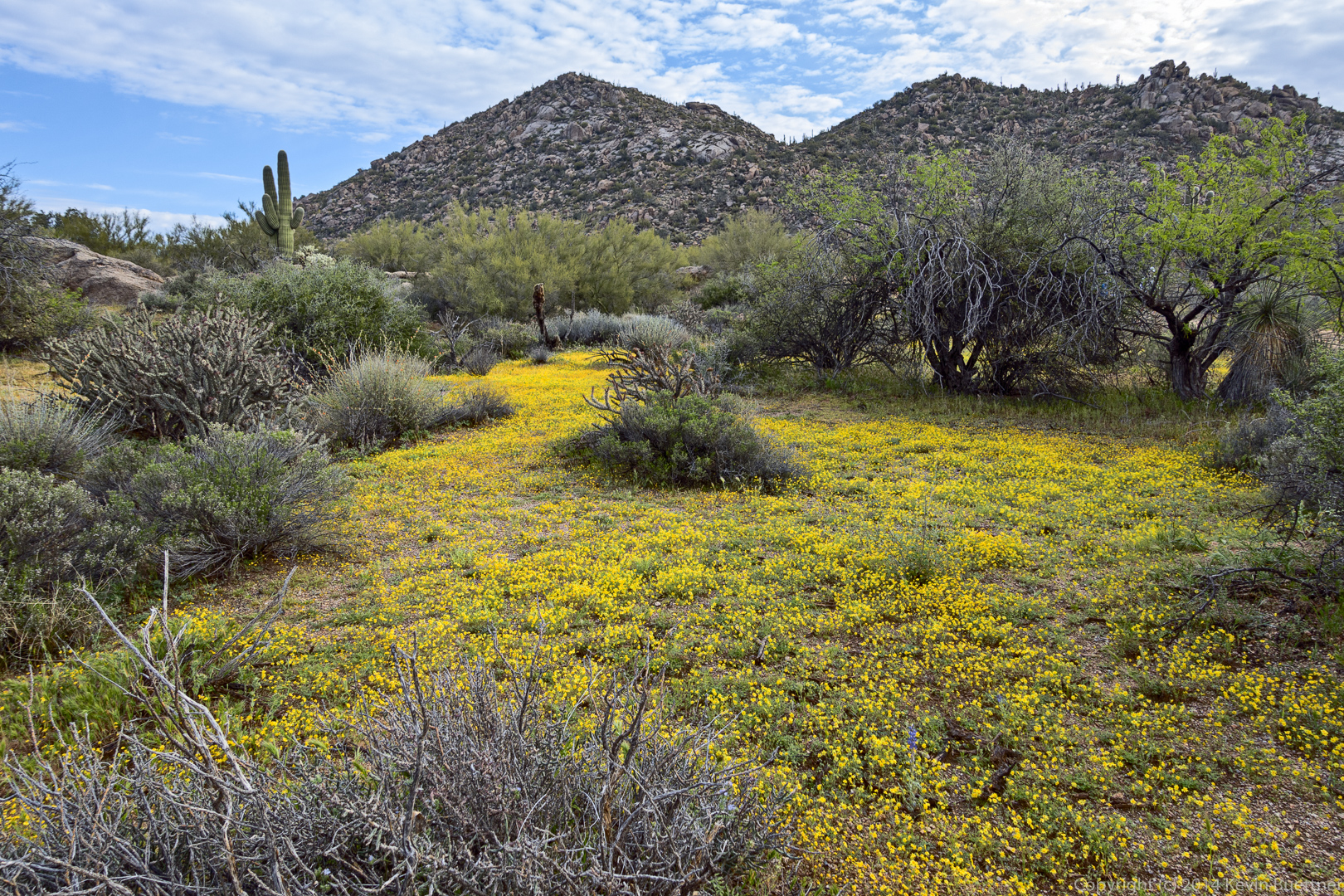
Testing a new lens…


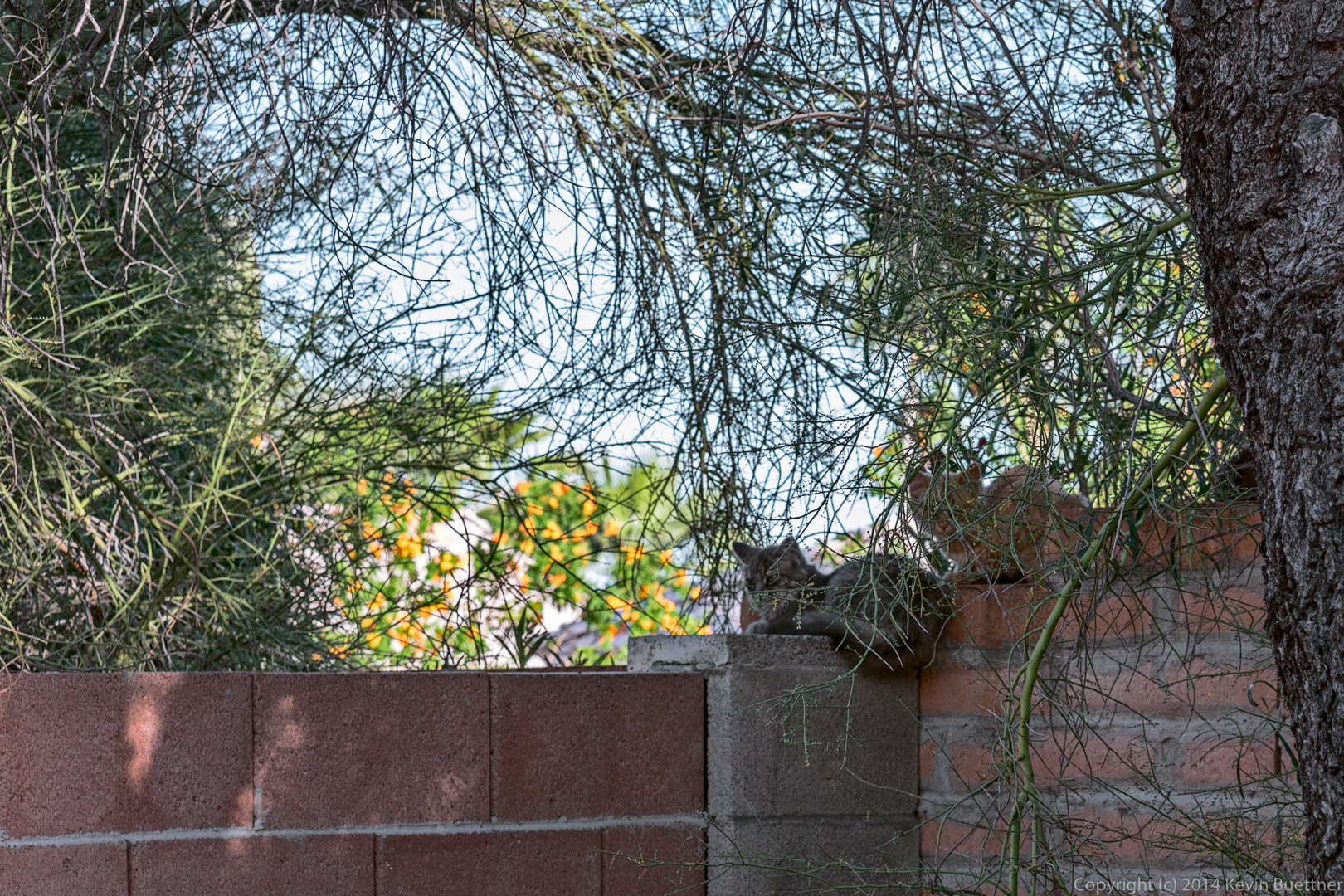
Testing a new lens…
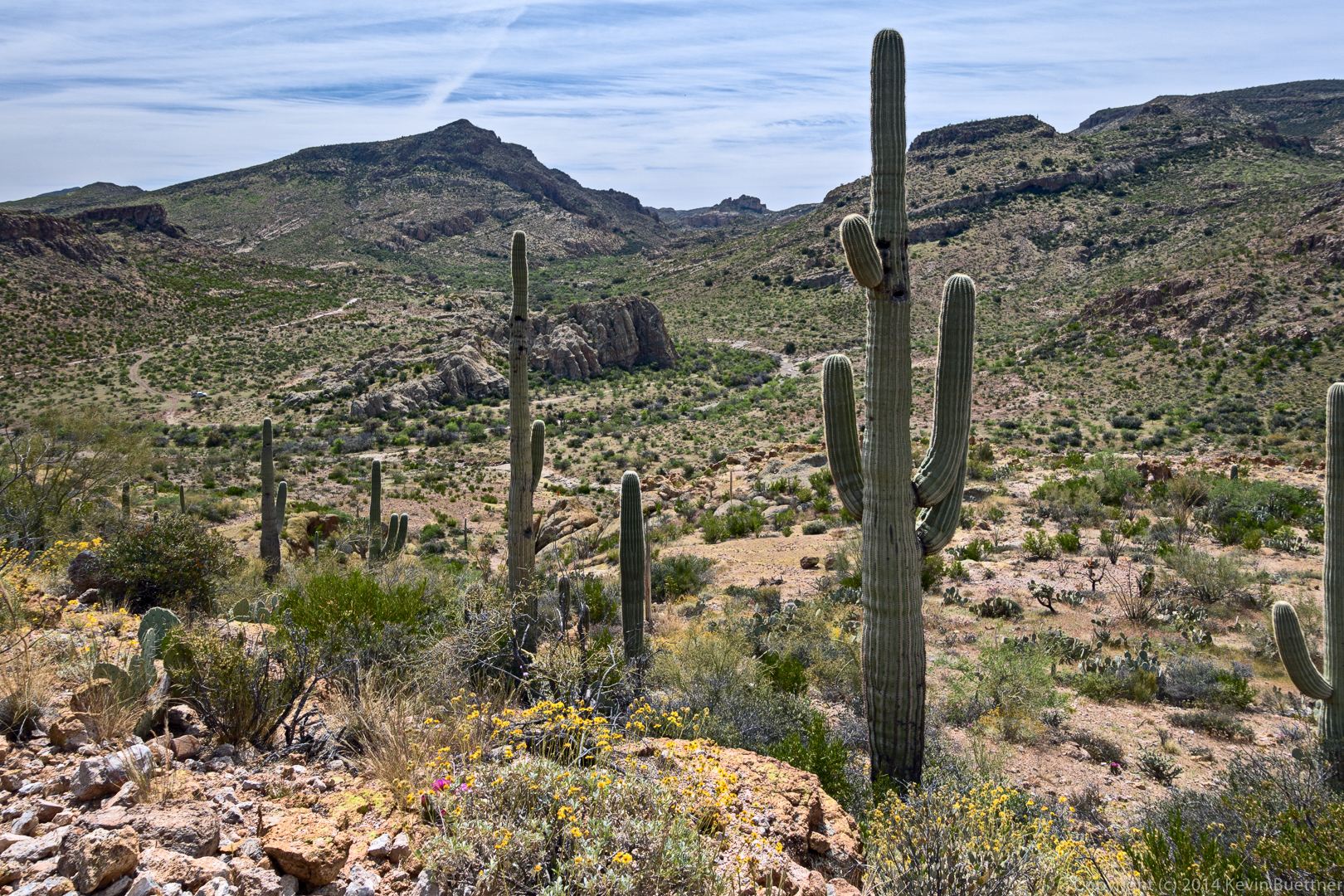
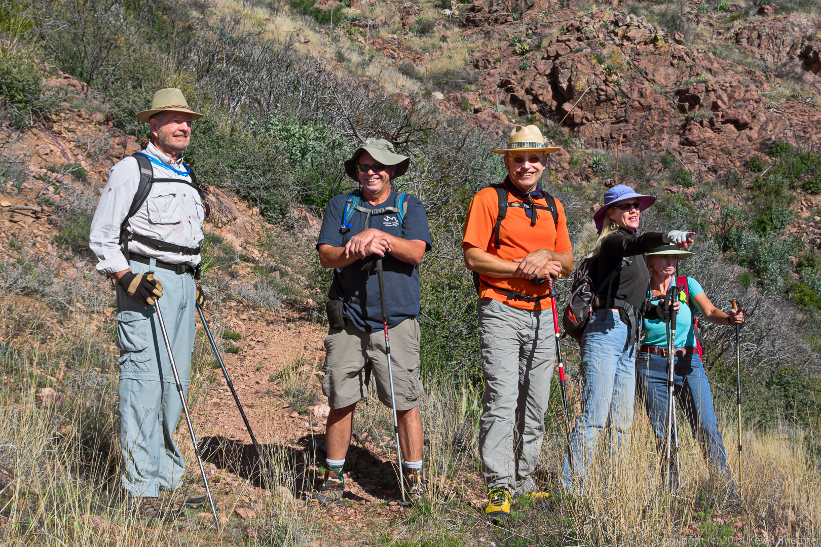
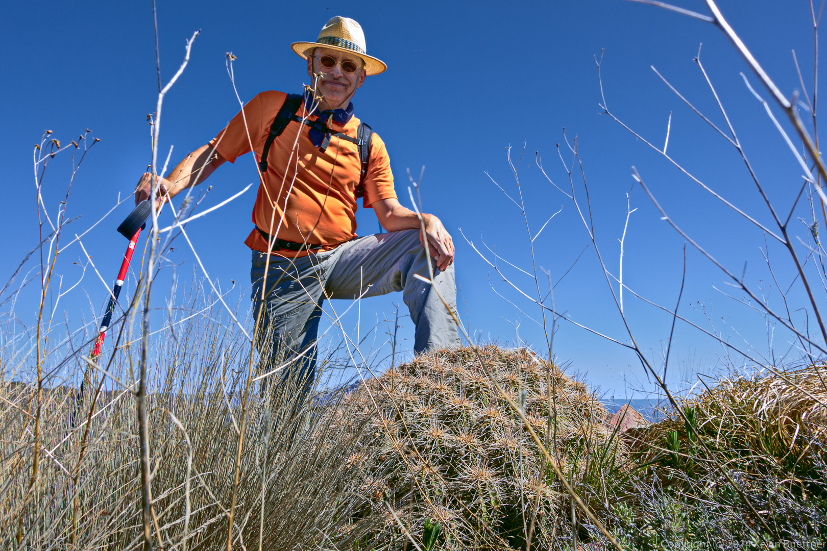
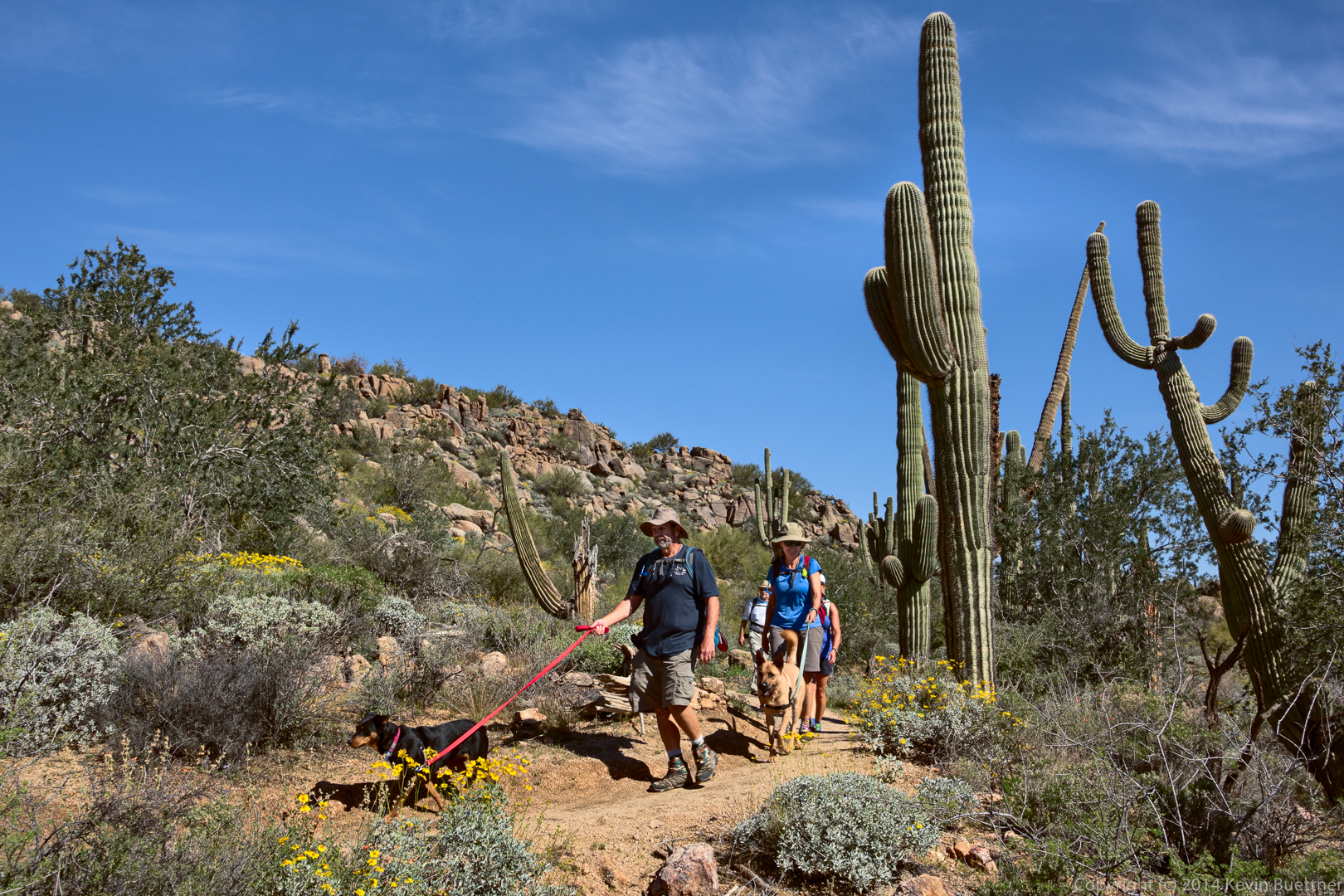
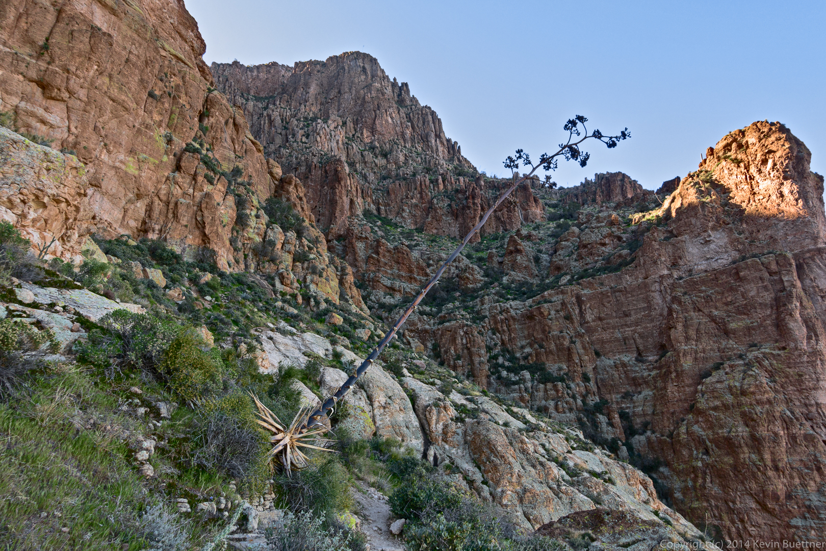
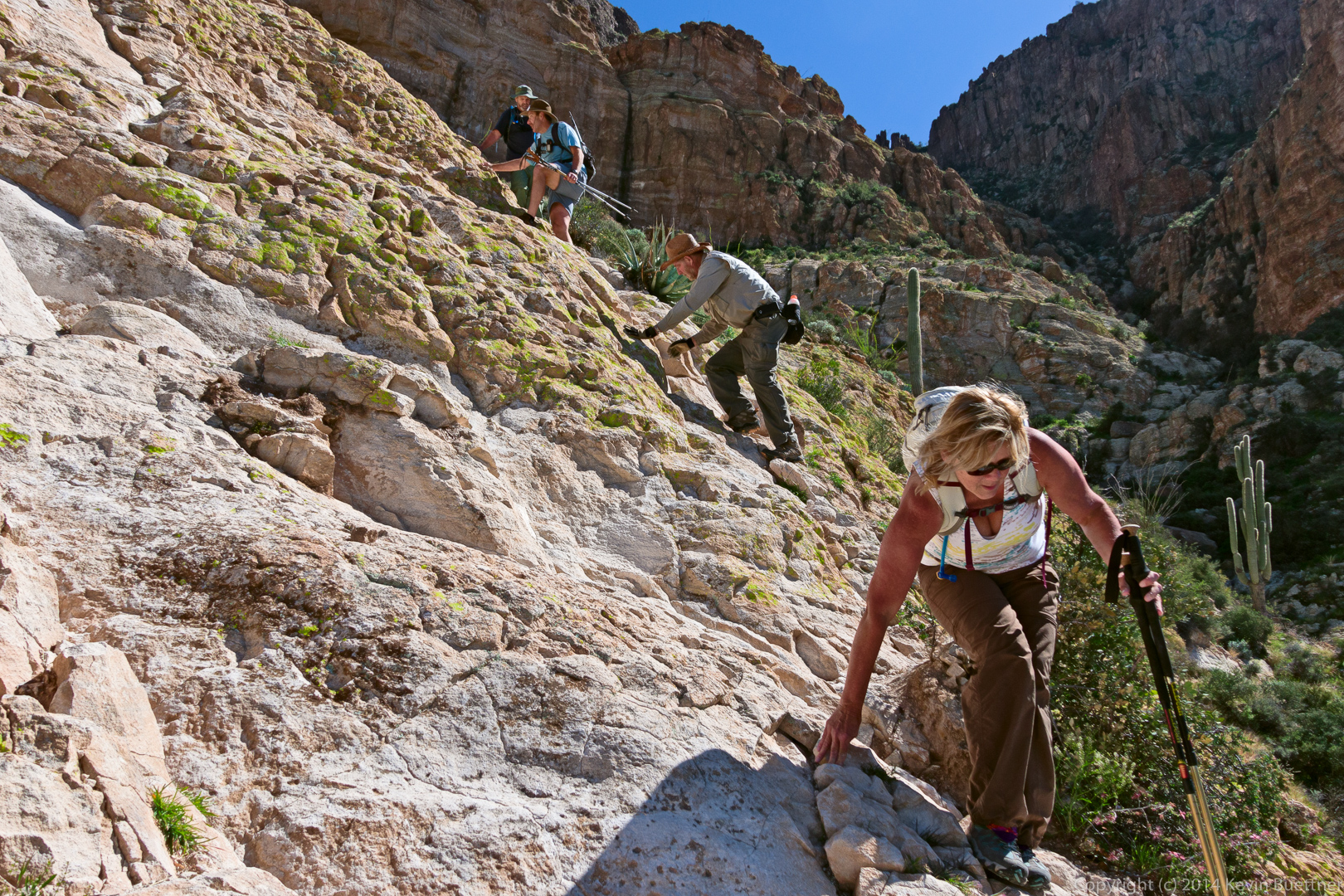
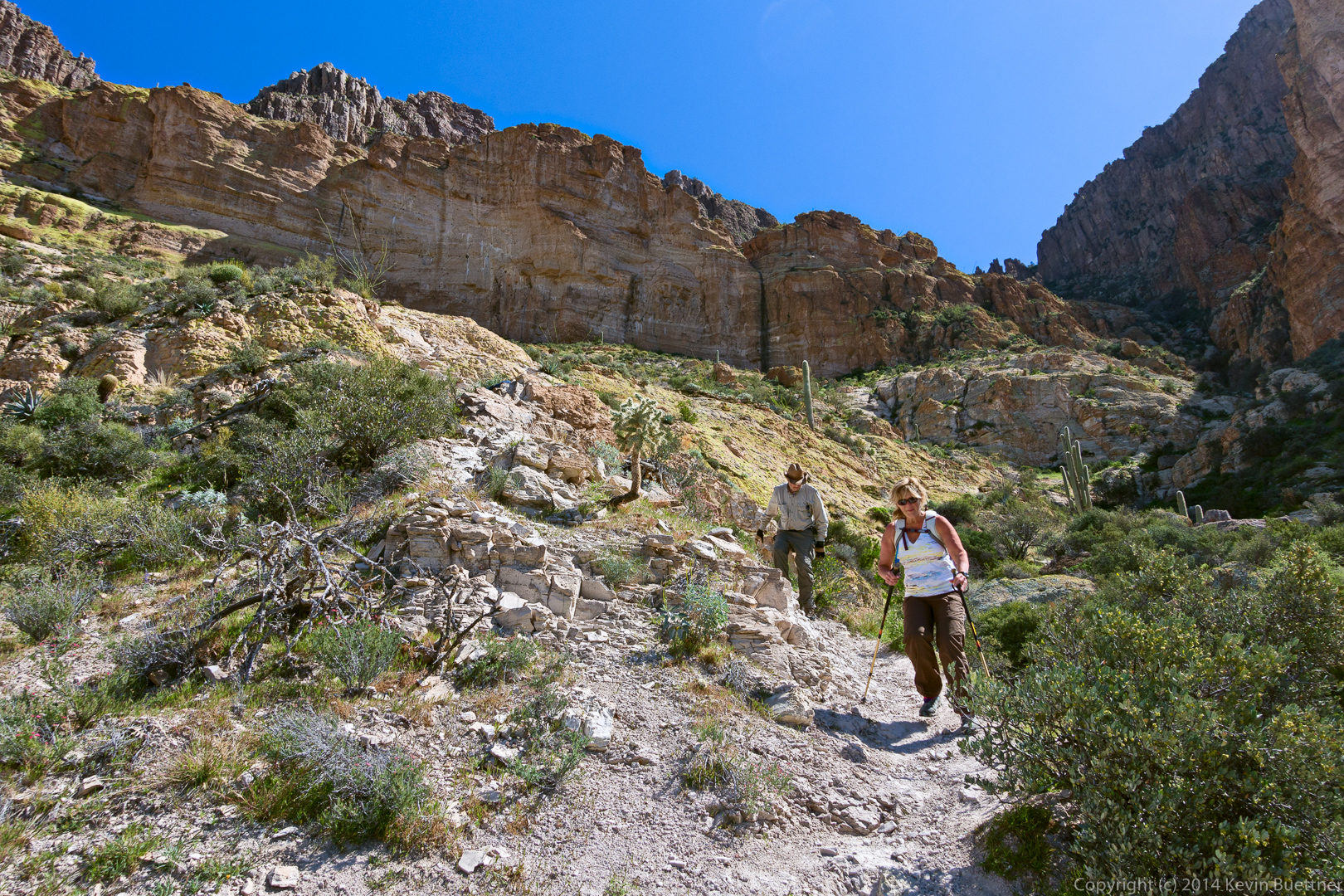
Bob, Marilyn, Nick, and I attempted to hike Wood Canyon – Upper Rim on Sunday. We hiked a mile or so out when Bob was stung by bees. (I got stung by just one bee.) We weren’t sure how Bob would react to the bee stings, so we turned back and then drove out to Eurodog Valley, a climbing and bouldering area where we scrambled around on the rocks.
This is a Mariposa Lily. We saw a lot of these in the Wood Canyon area, probably at least one order of magnitude more than I’d seen prior to that day altogether.
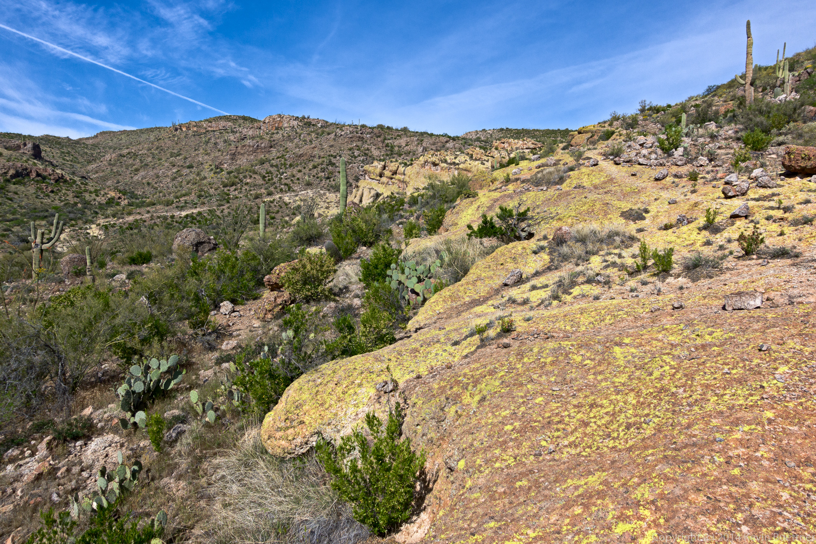
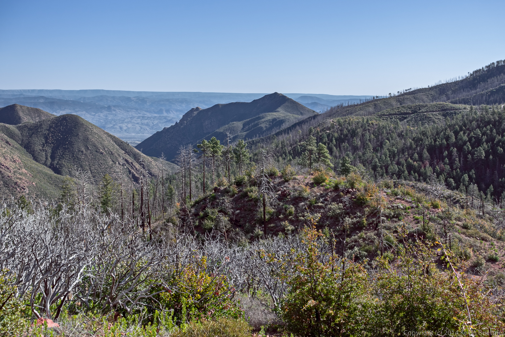
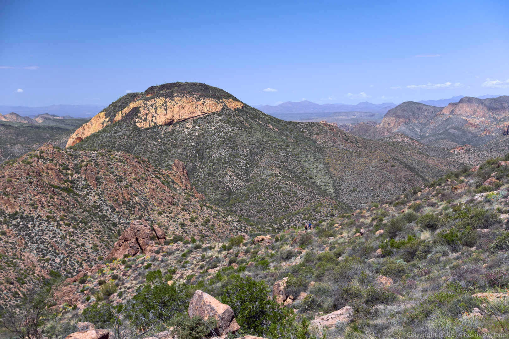
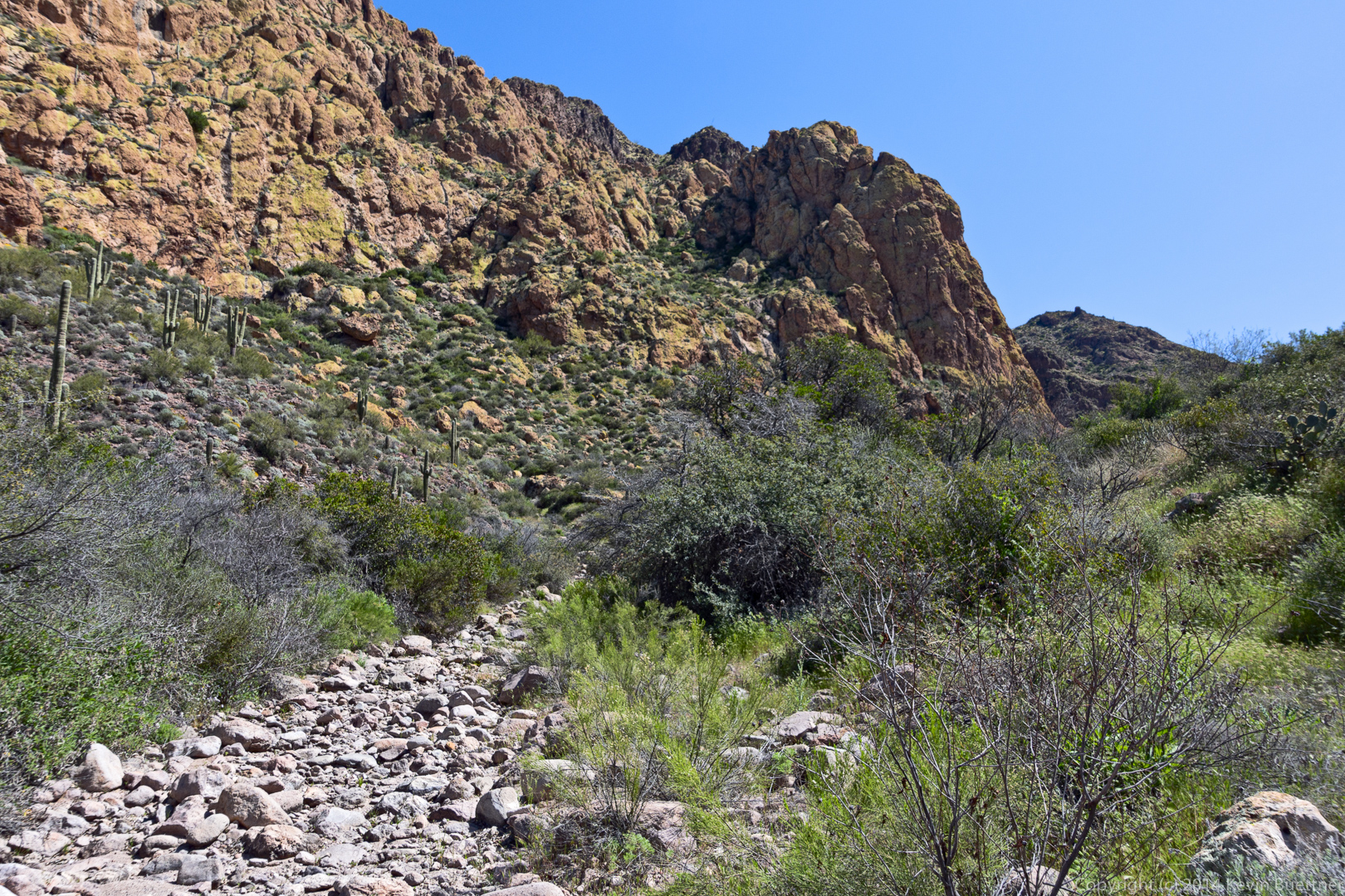
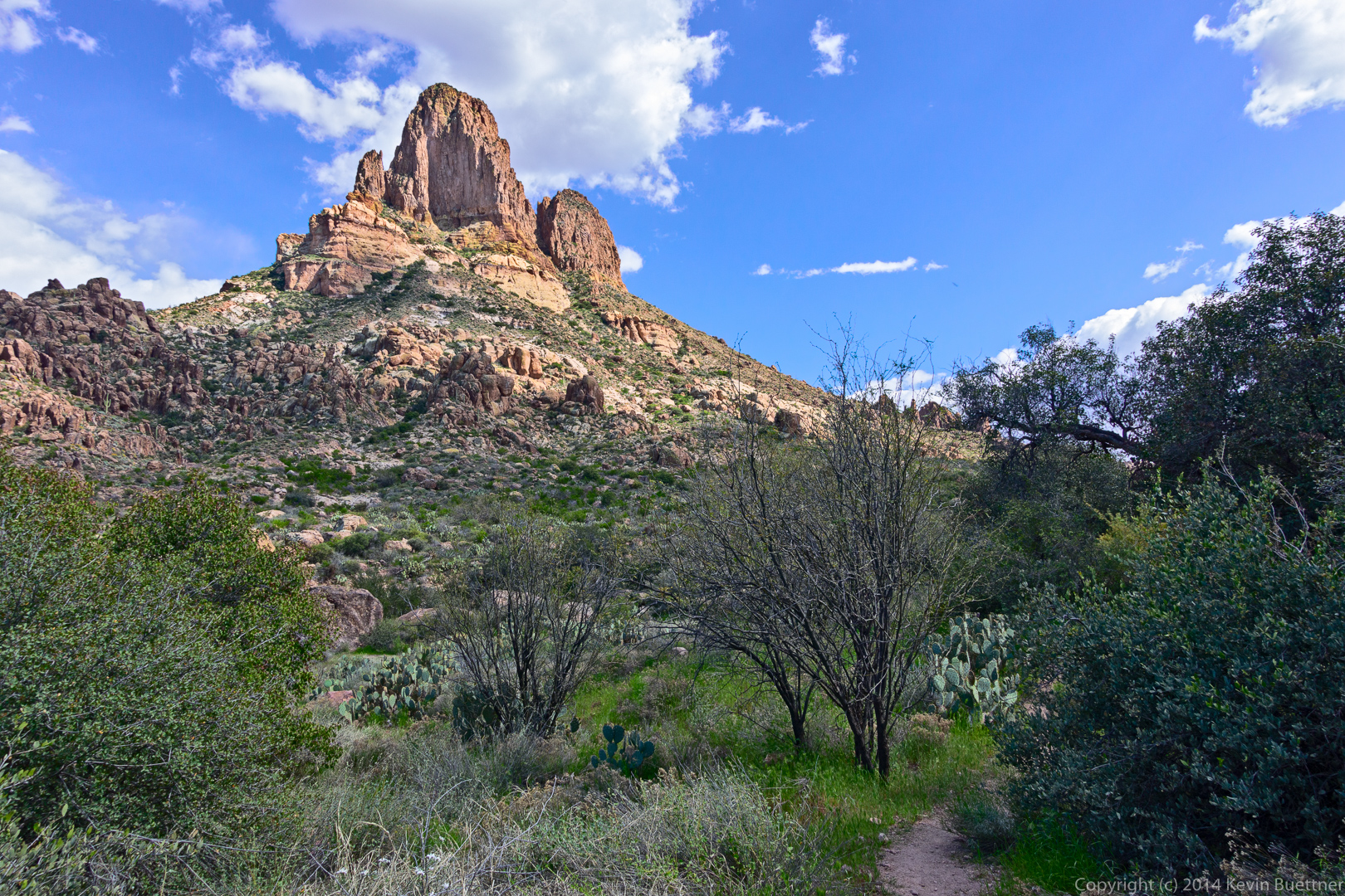
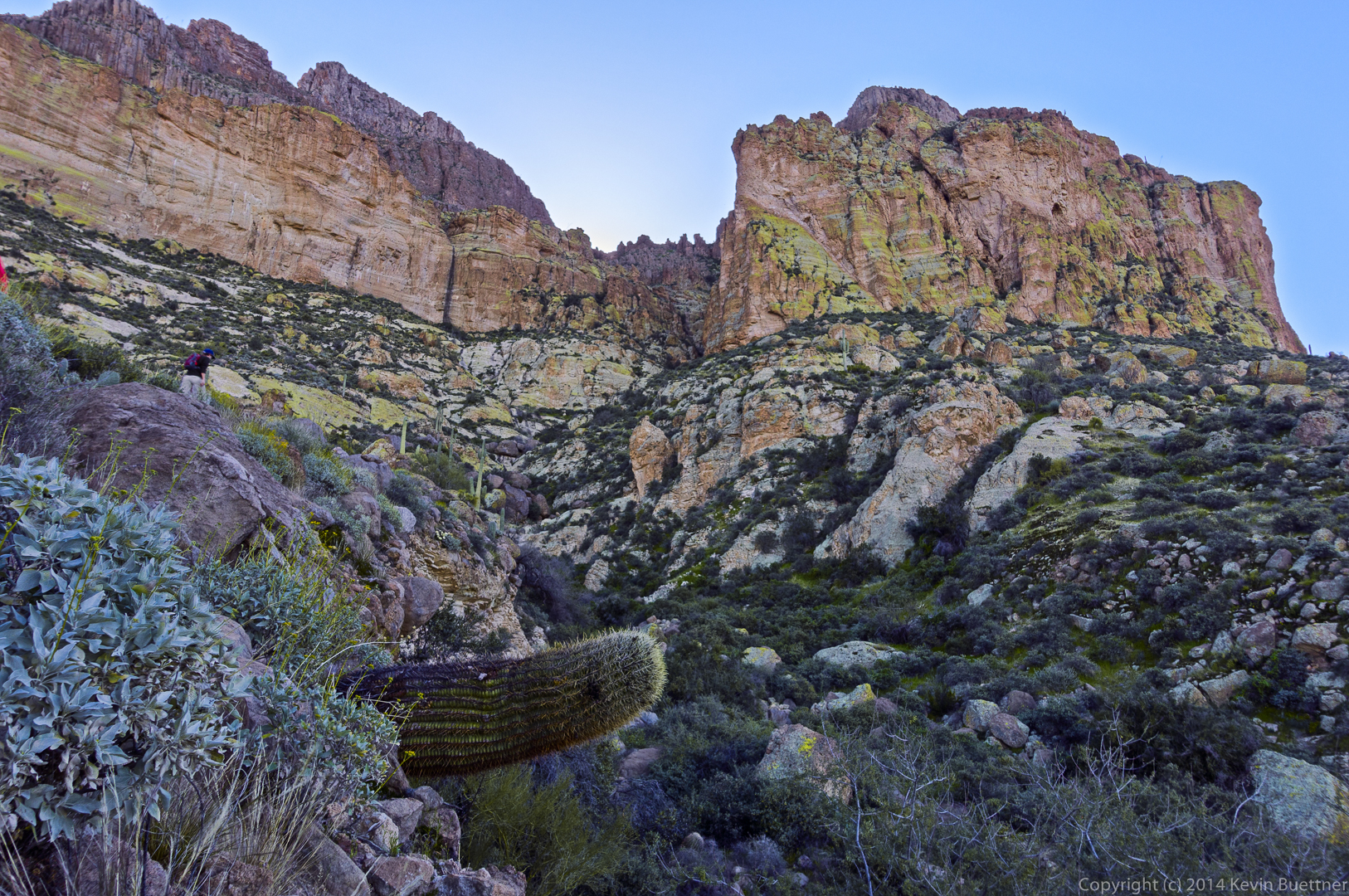
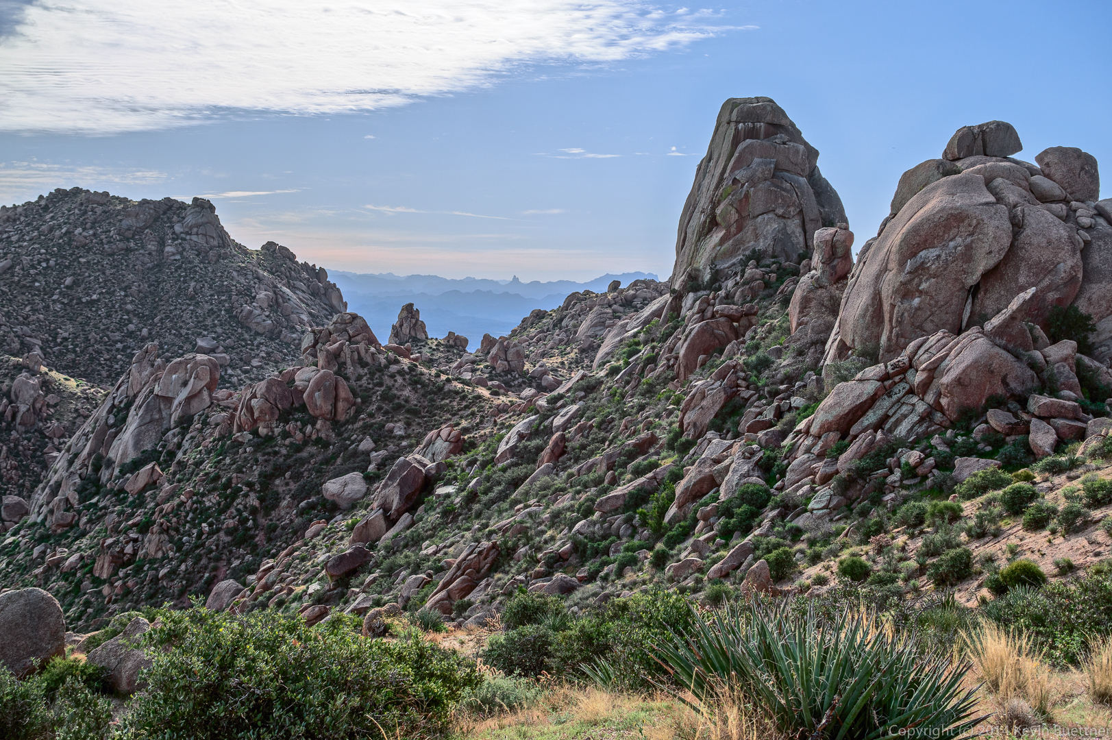
The hike is billed as being off-trail. It started off going up this lichen colored rock.
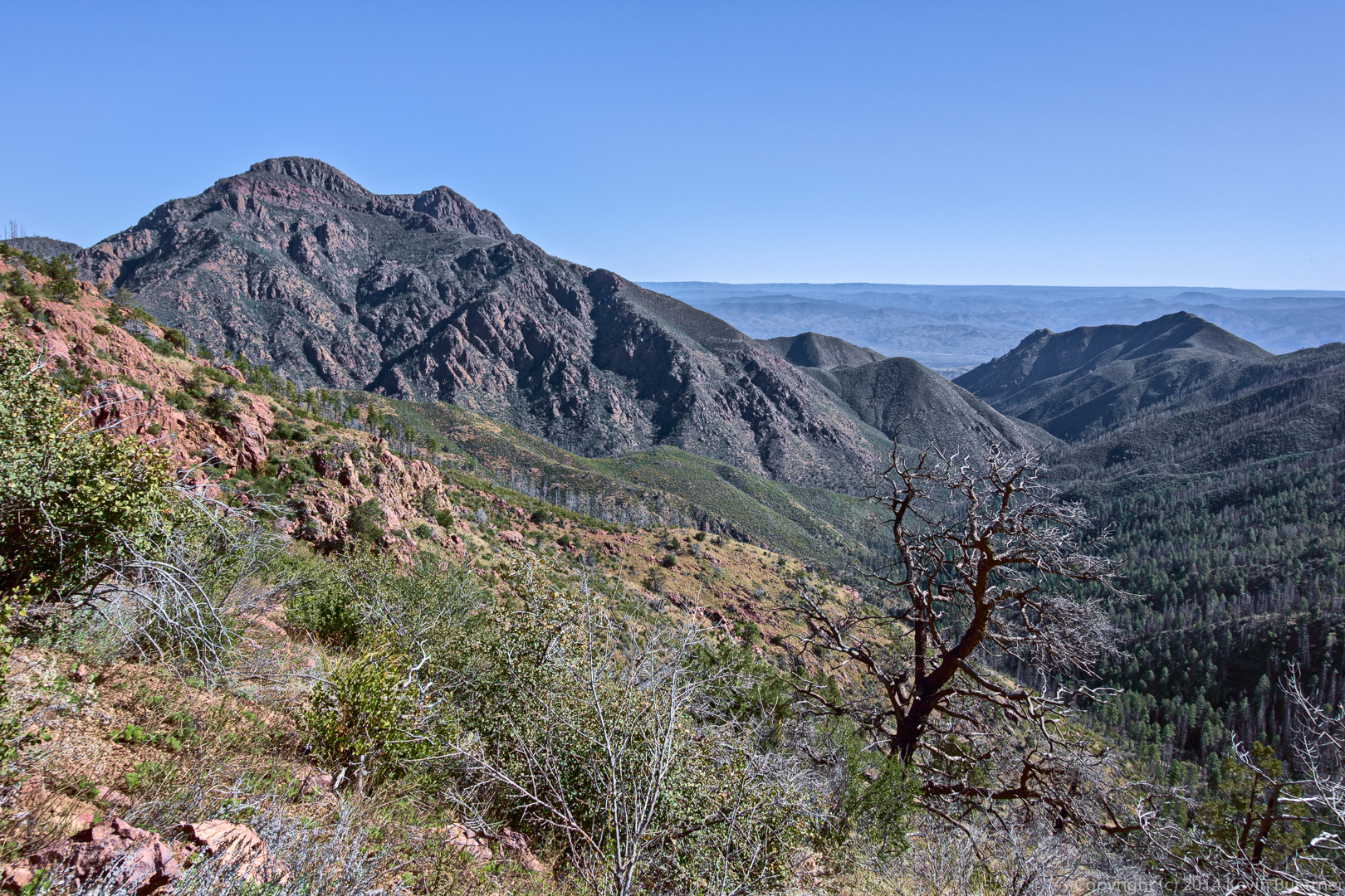
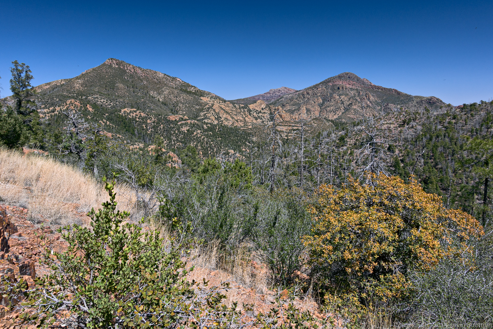
There were excellent views here, even at the start.
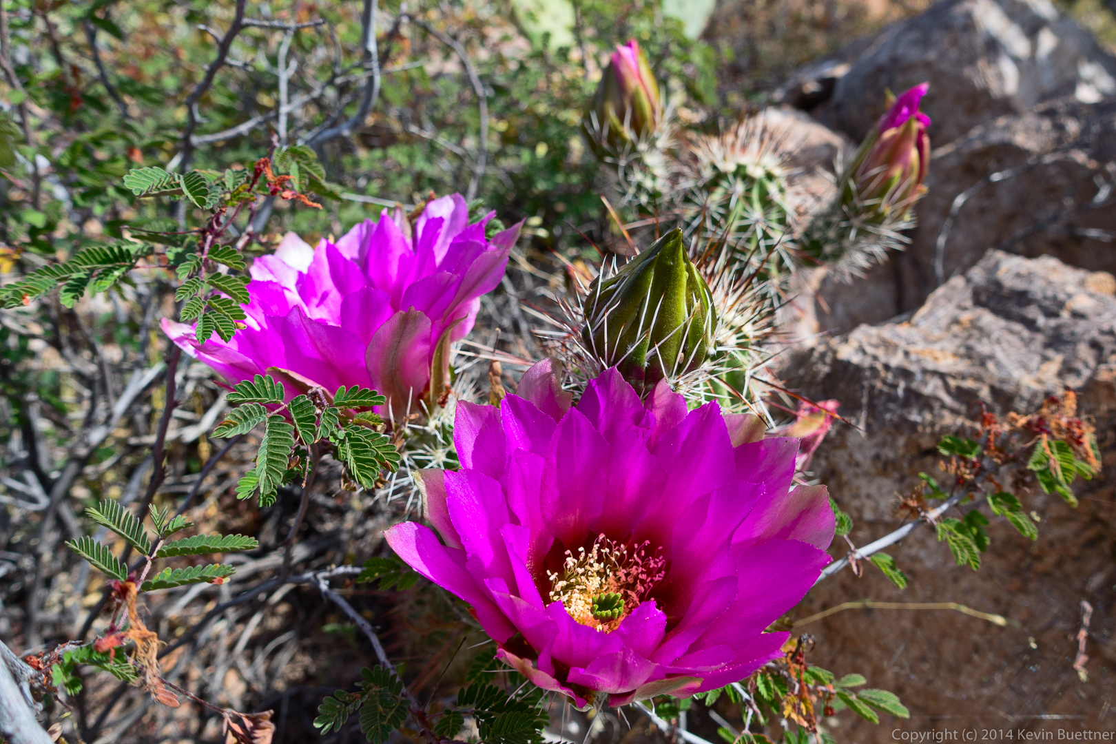
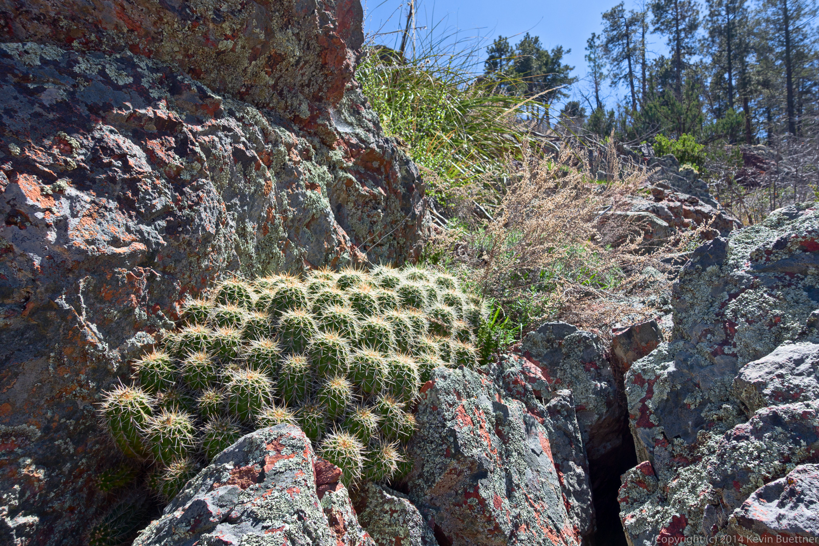
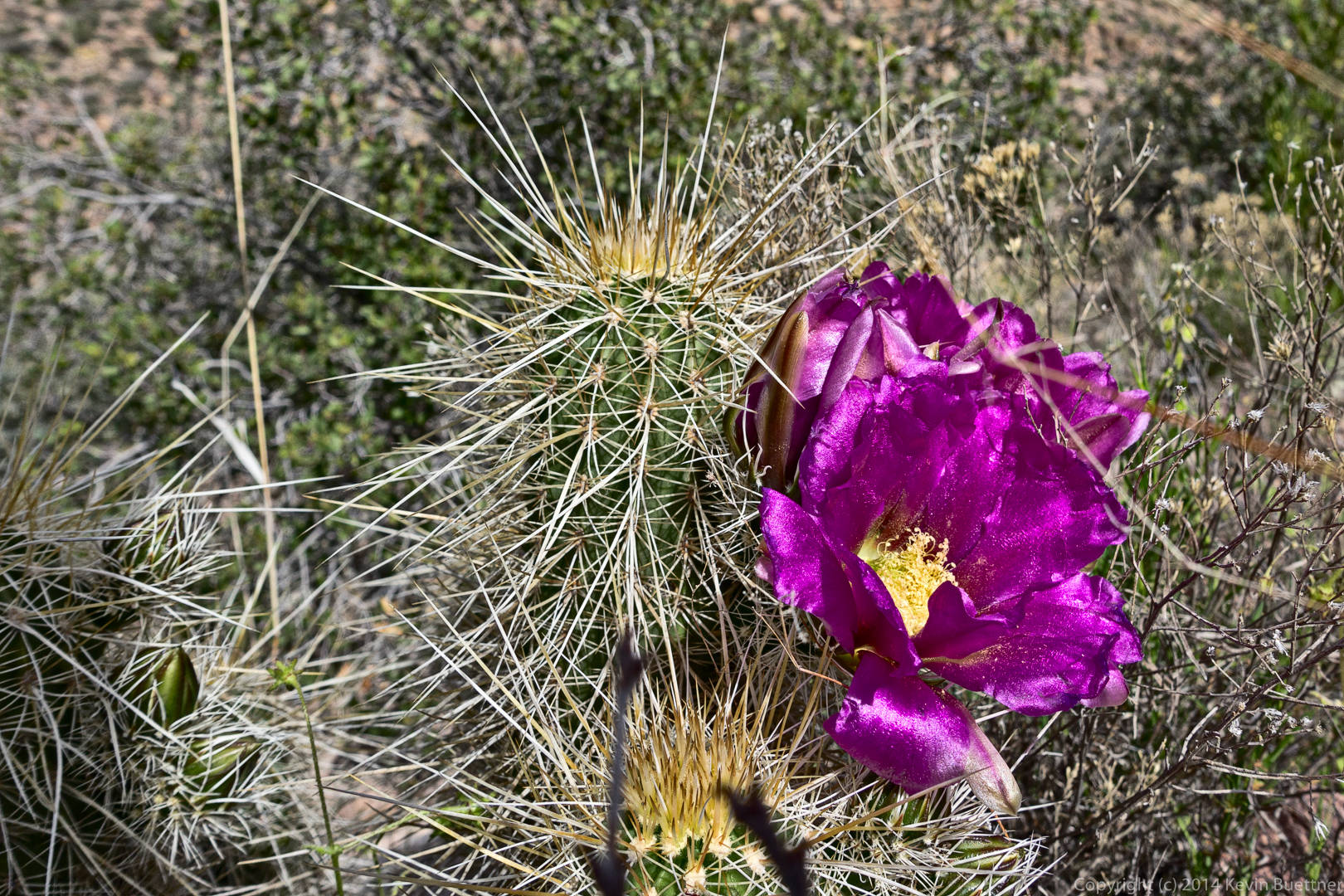
Hedgehog cactus blossoms. Nick told me that these are a variety of hedgehog cacti known as claret-cup.
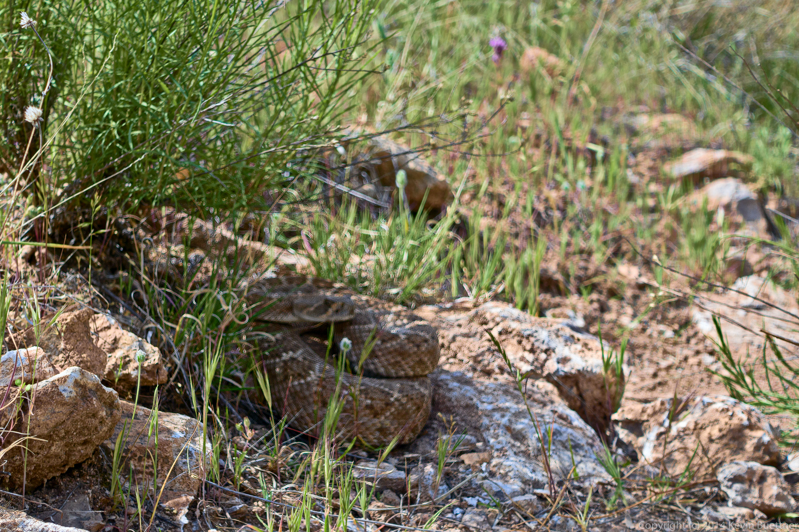
After the bee incident, we headed back. Nick, Bob, and I walked within inches of a coiled up rattlesnake. I think it’s likely that this happens frequently, but that no one but the snake notices.
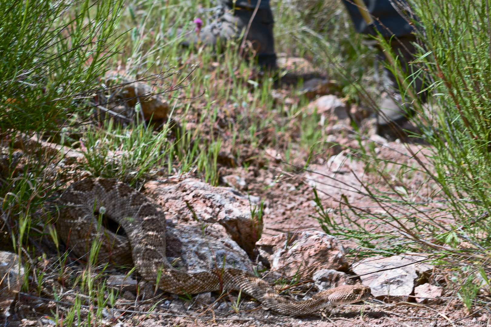
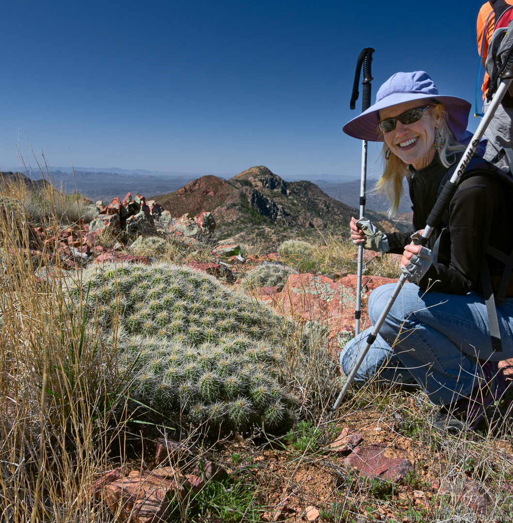
Marilyn waited to pass until the snake crossed the trail.
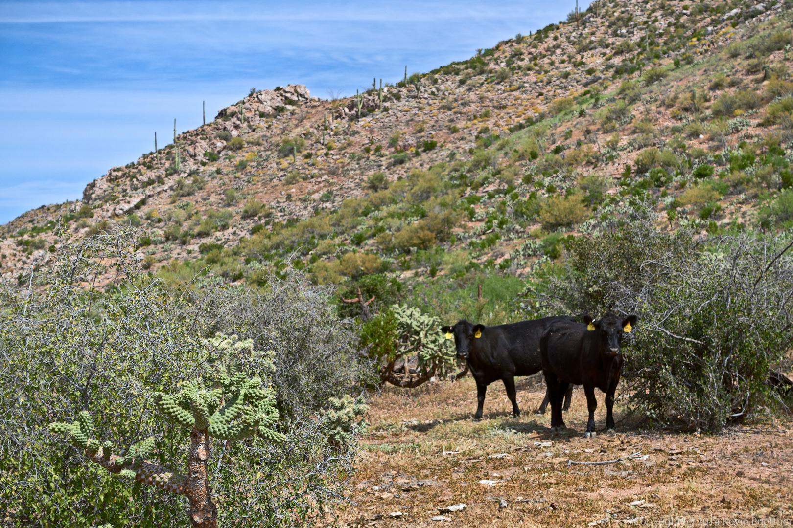
We also saw cows on the way back.
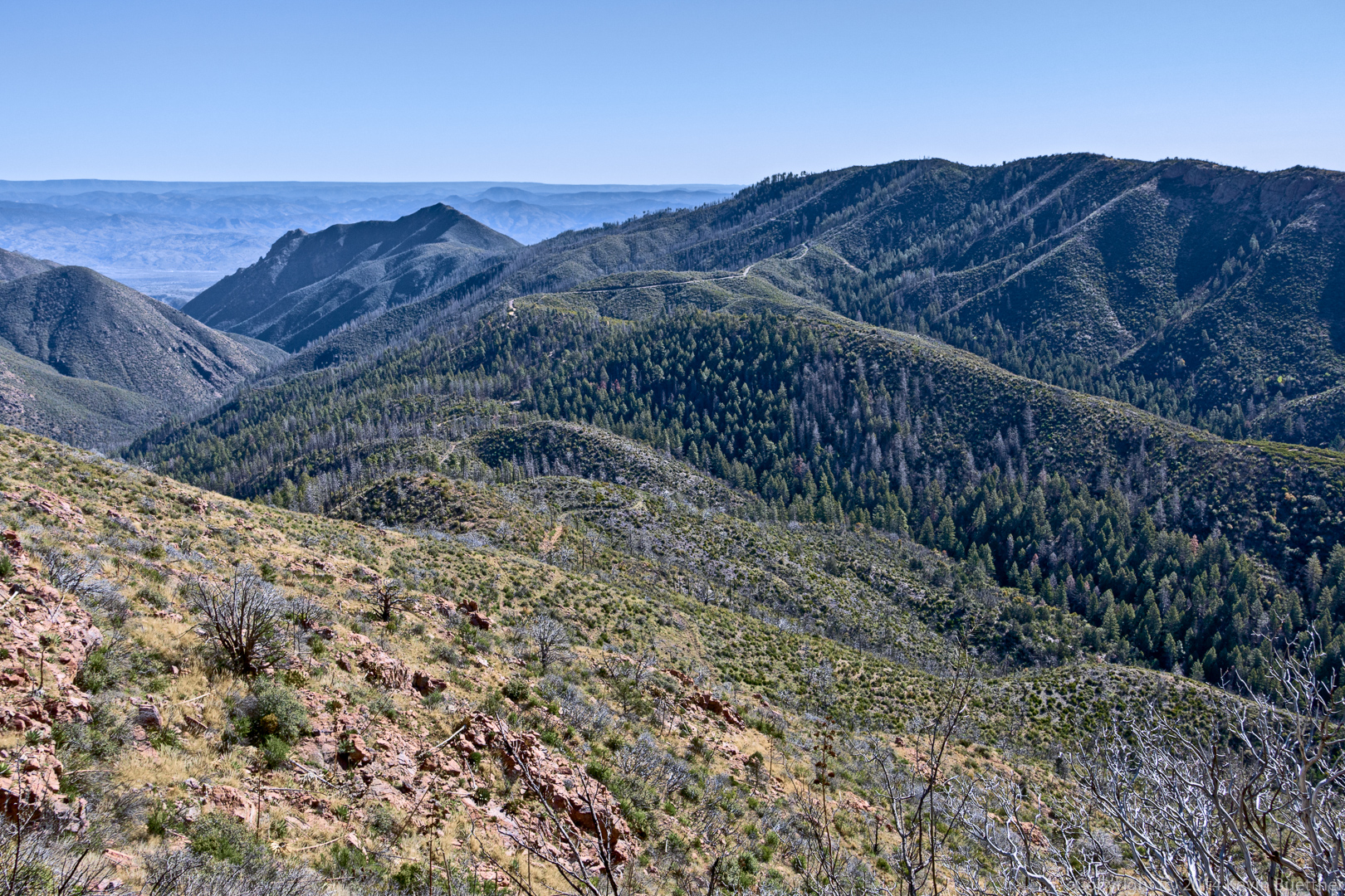
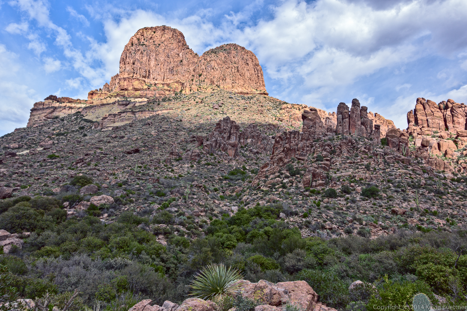
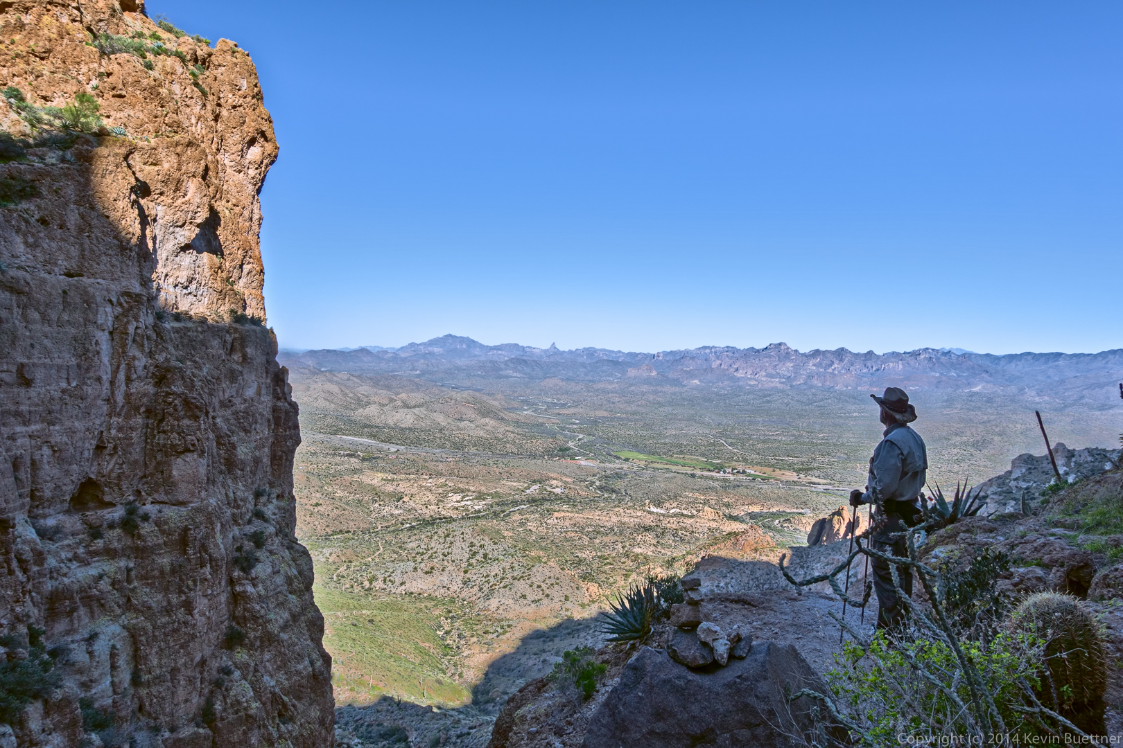
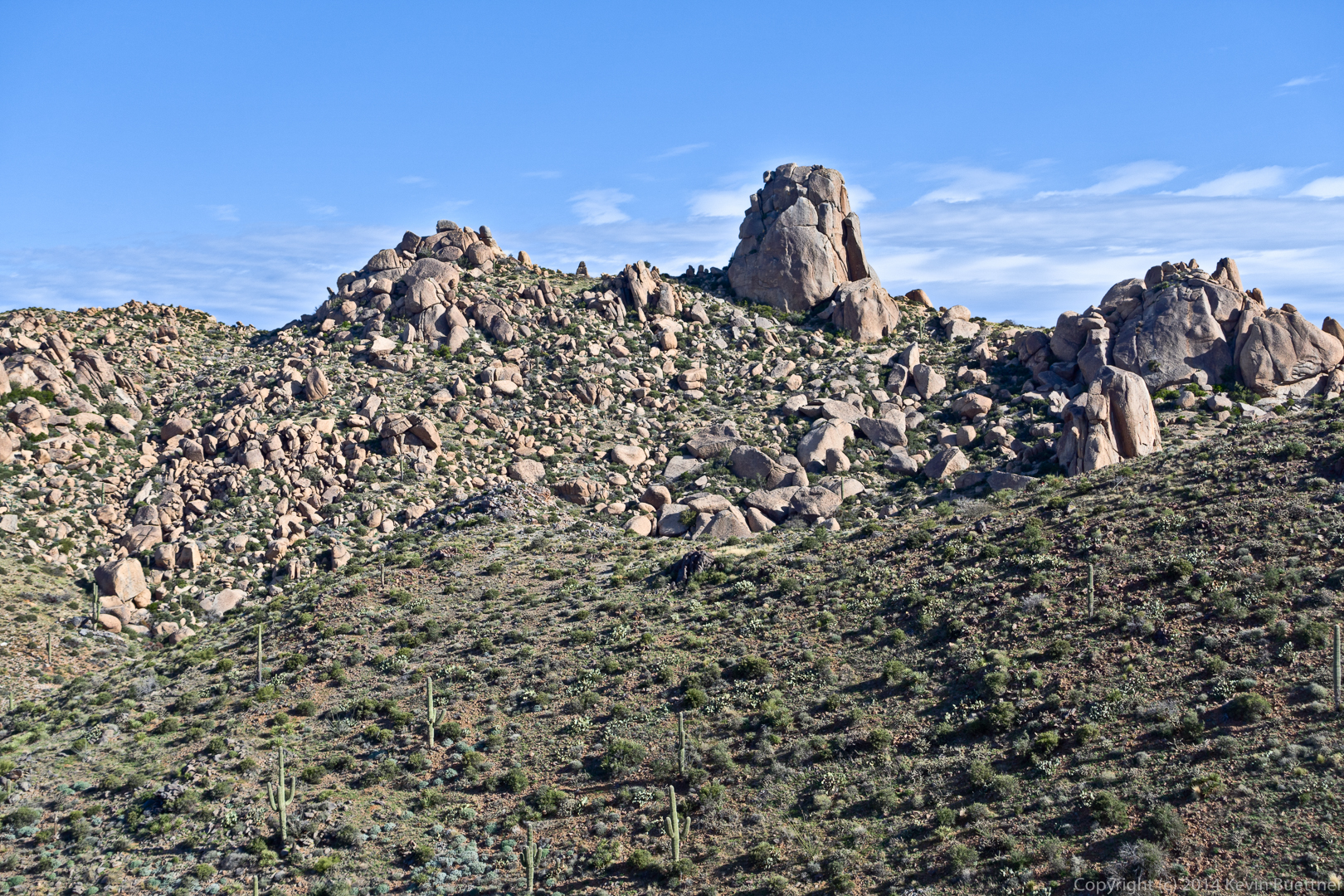
Another view from the lichen colored ridge. Nick’s truck is visible at the left.
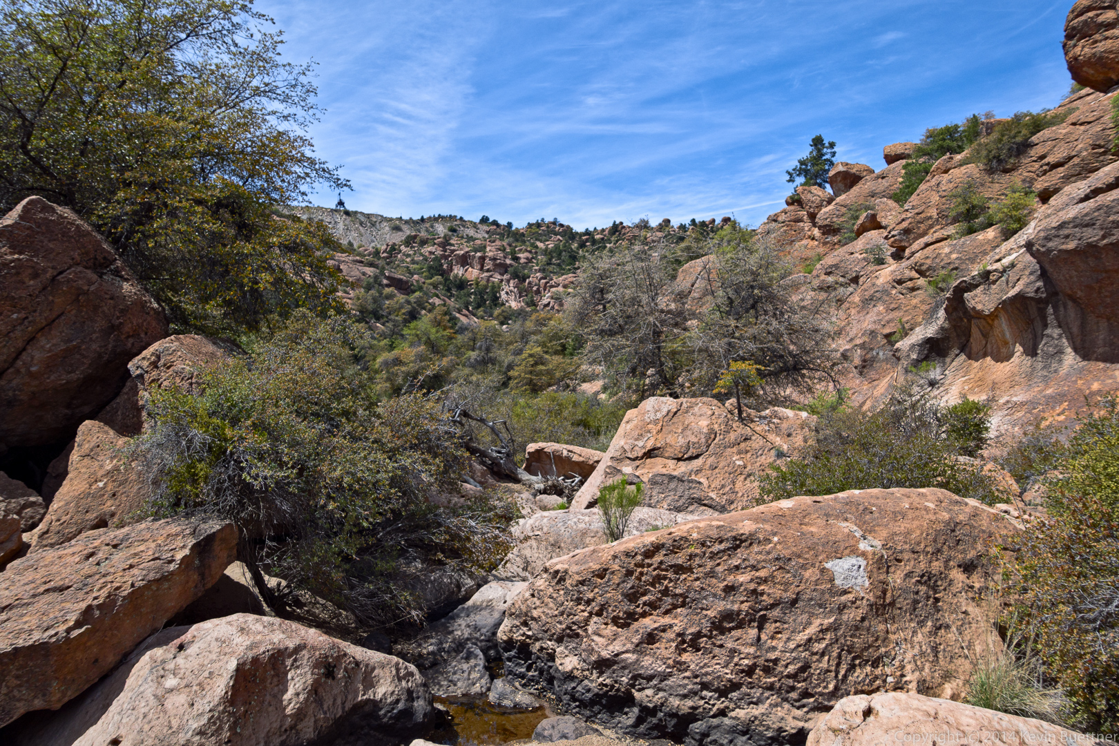
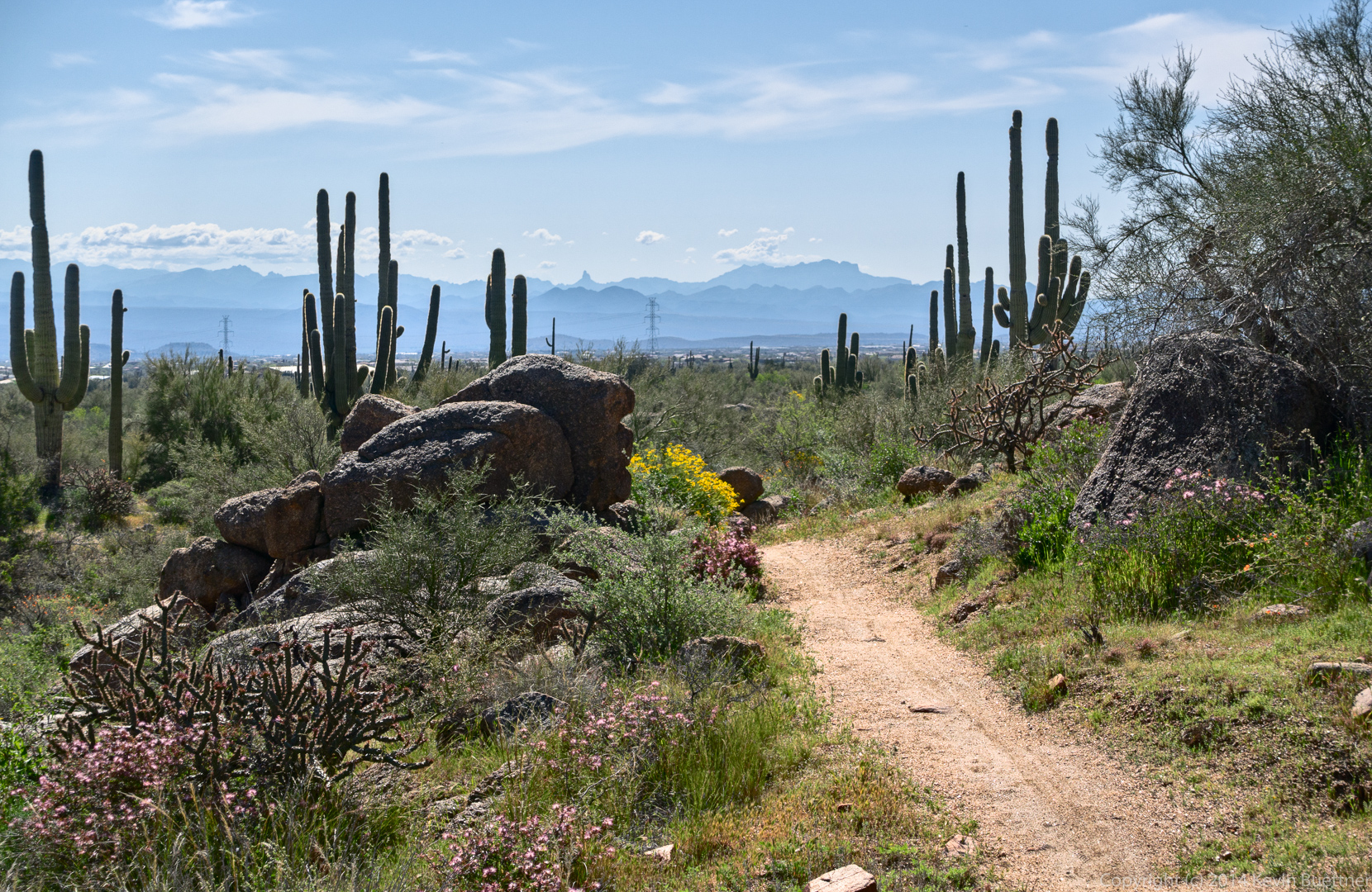
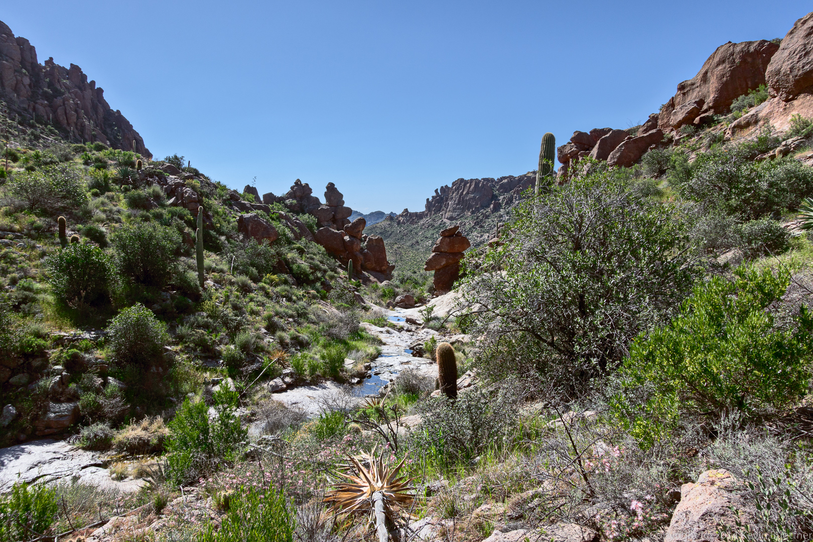
This is the wash / creek at the bottom of Eurodog Valley.
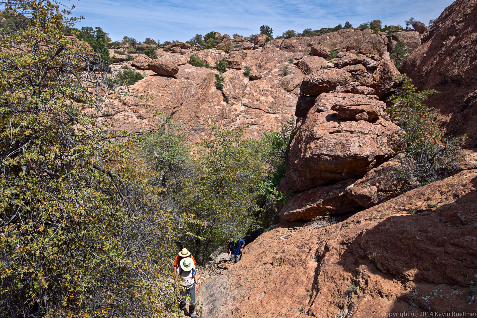
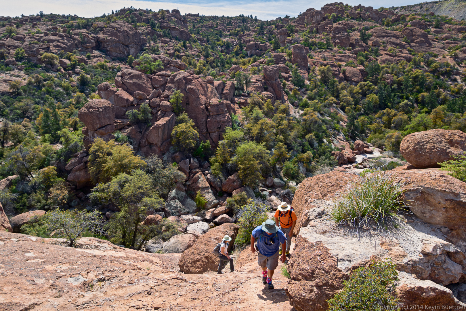
Marilyn, Nick, and Bob hike up the steep hill after crossing the creek. We initially descended via the 45 degree slab on the other side of the creek – it’s the wall visible in this picture.
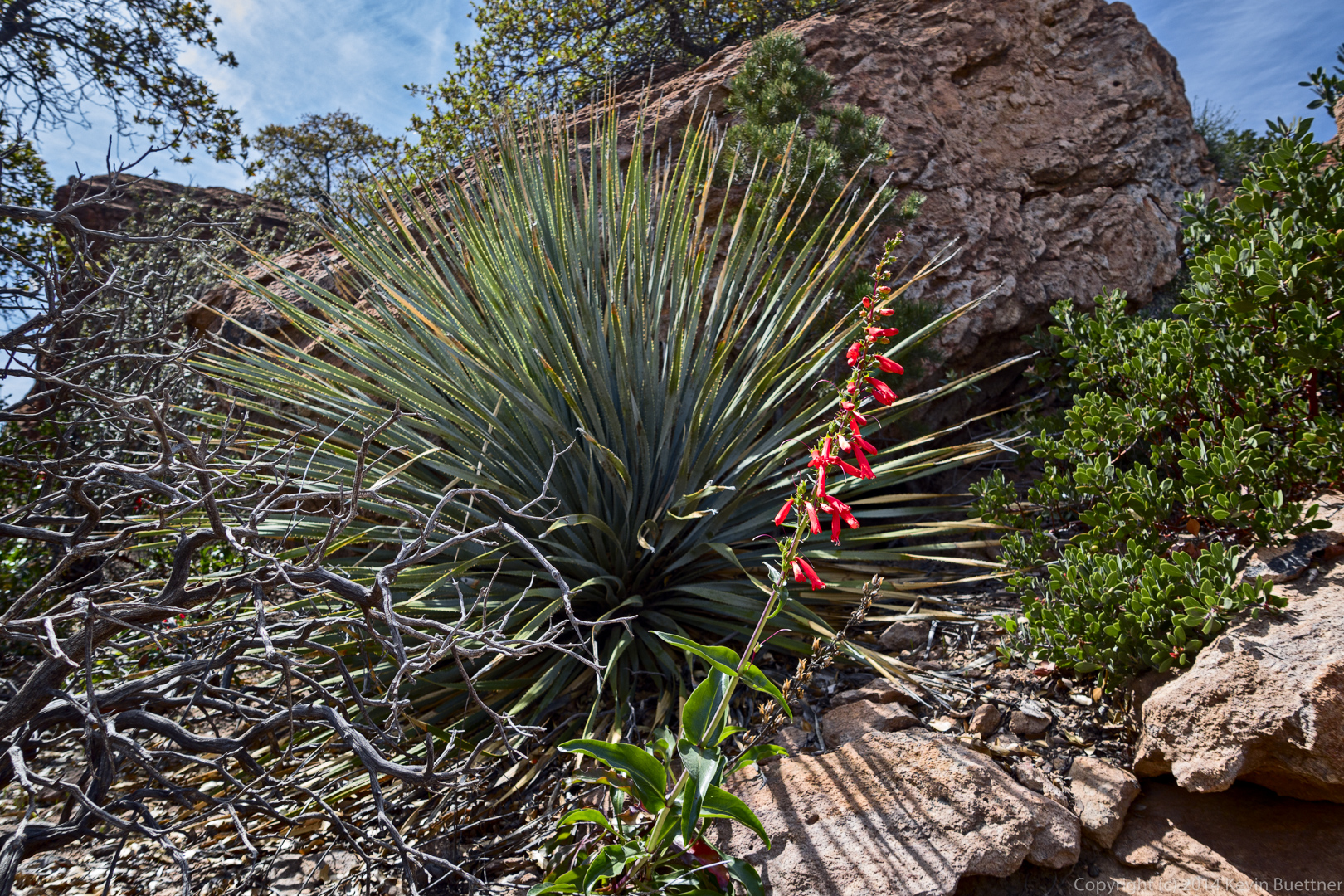
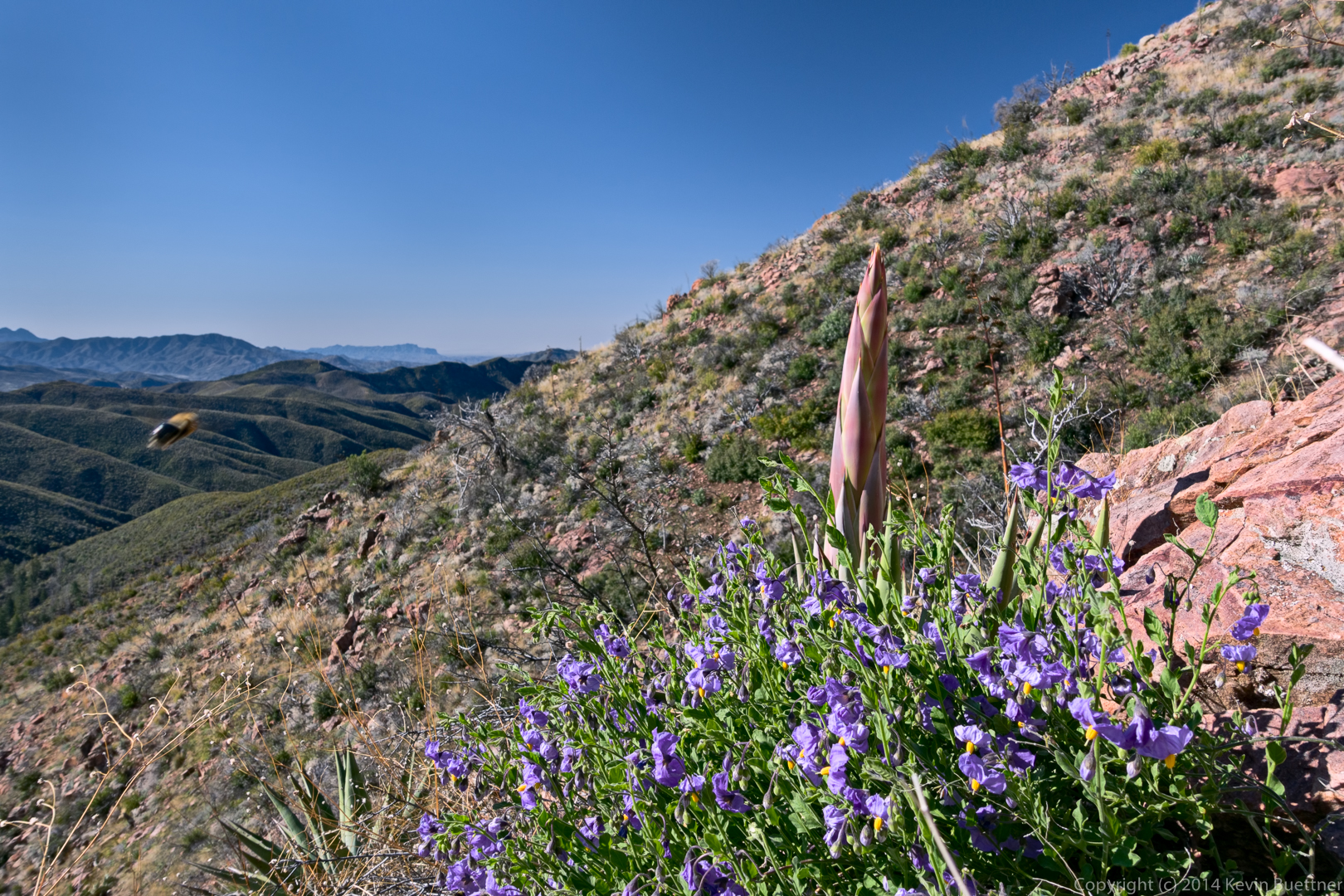
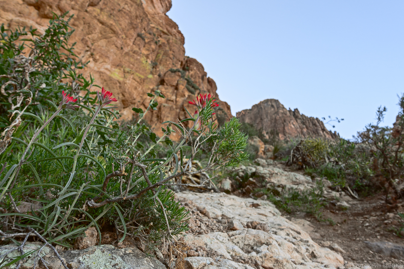
I think the red flowers might be a type of penstemon.
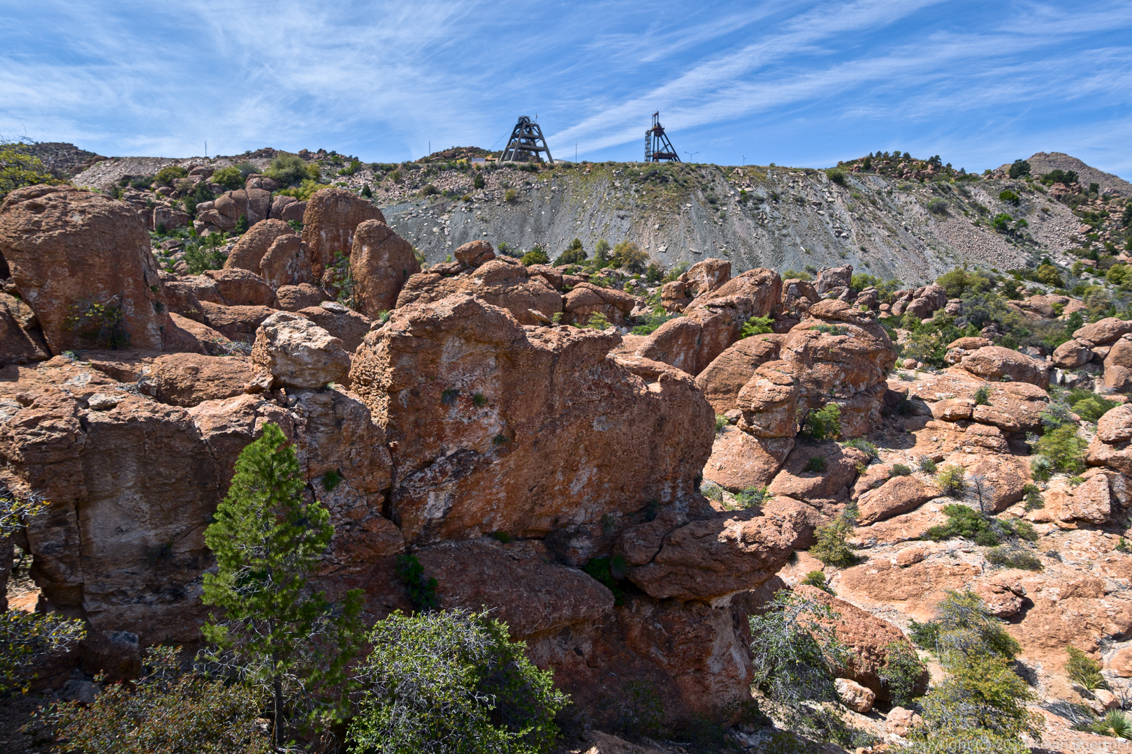
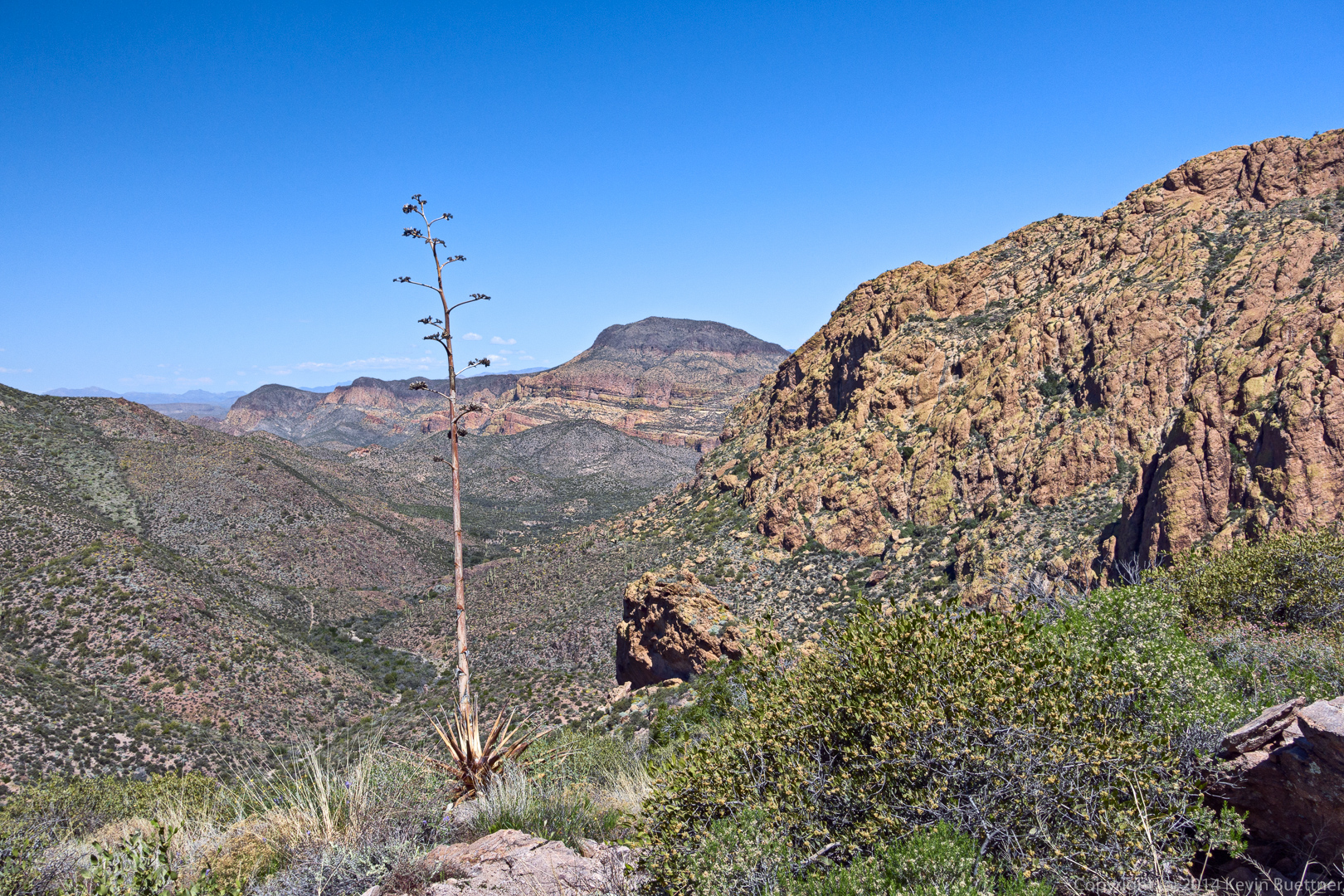
A view of the mine.

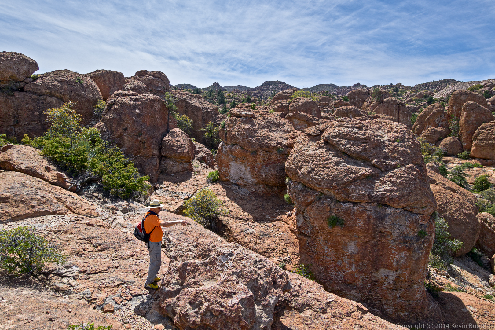
Nick points at a rock formation (which I eventually photographed, but did not process).
Another shot of the mine and the tailings.
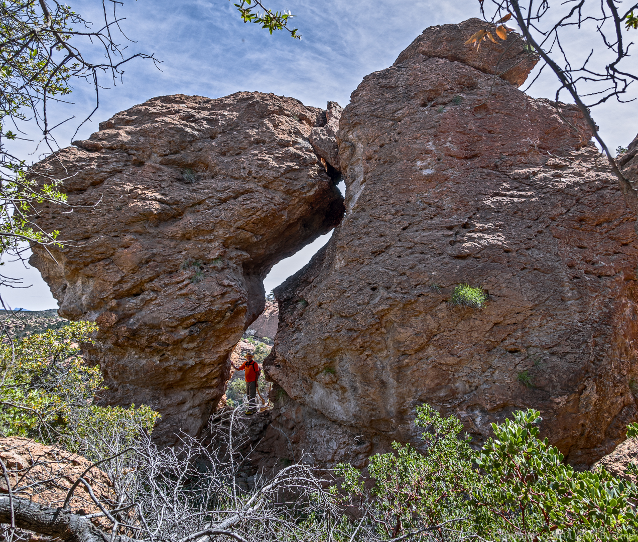
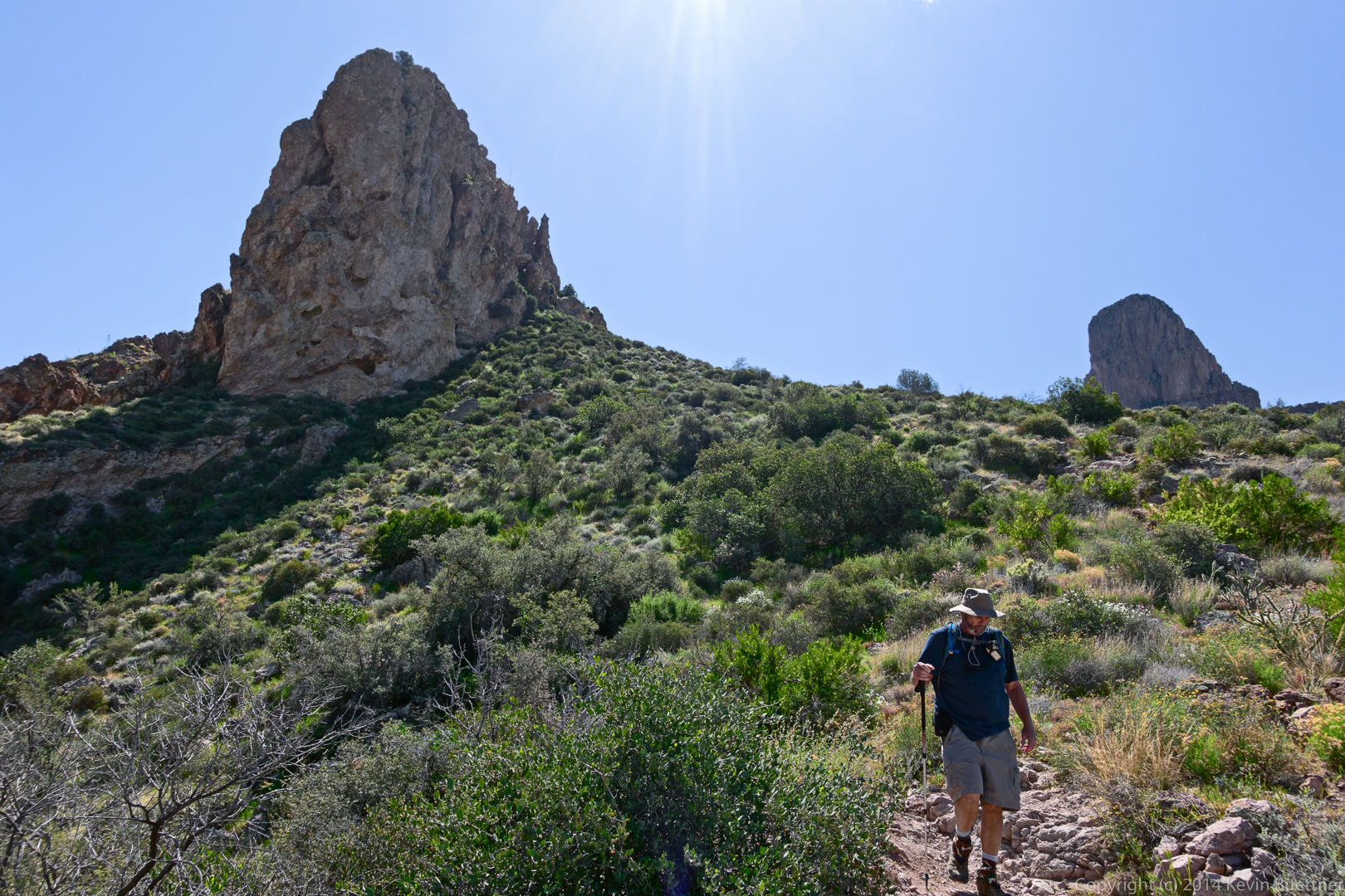
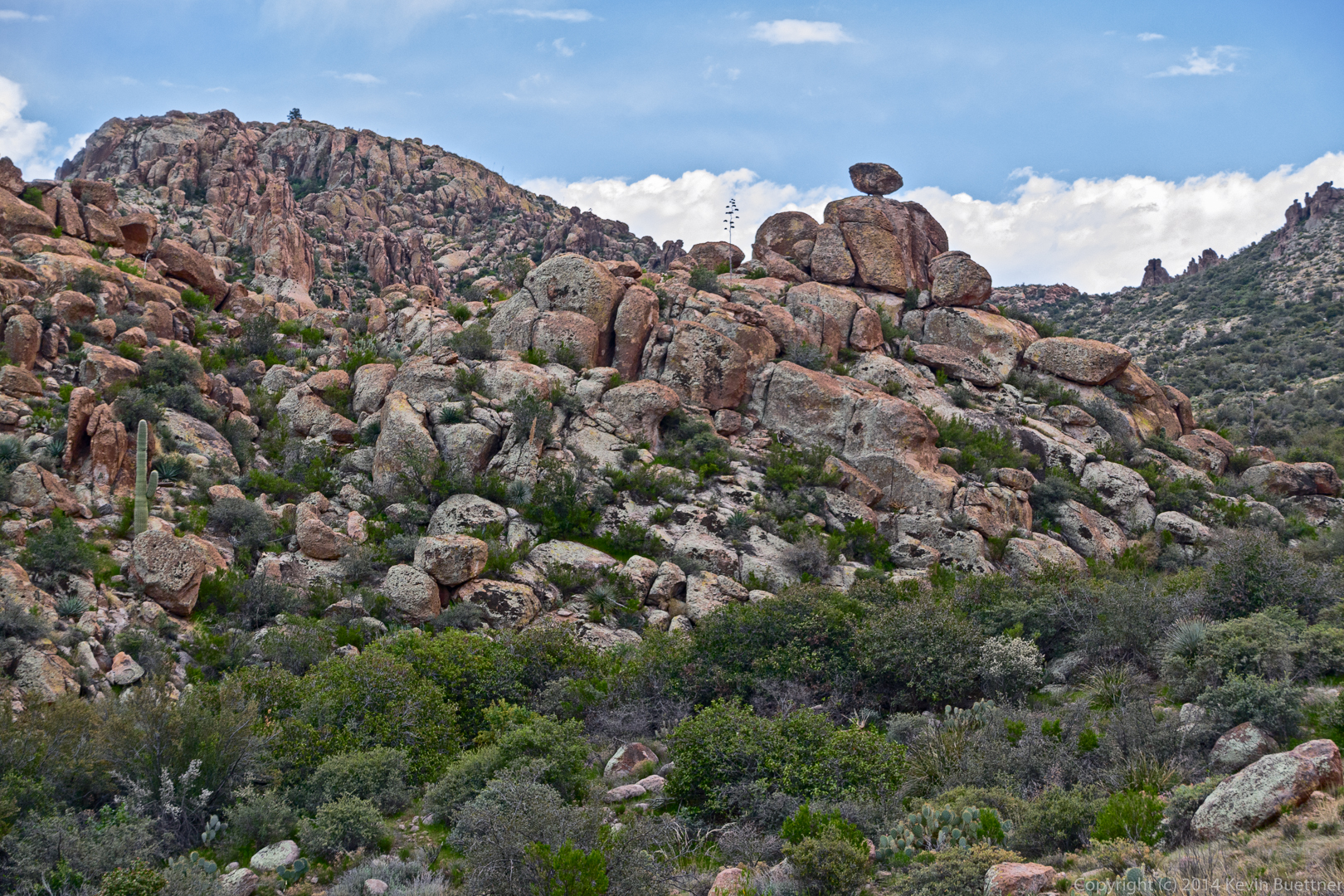
On the way back, we noticed this rock formation:
Hiking back up the 45 degree slab:
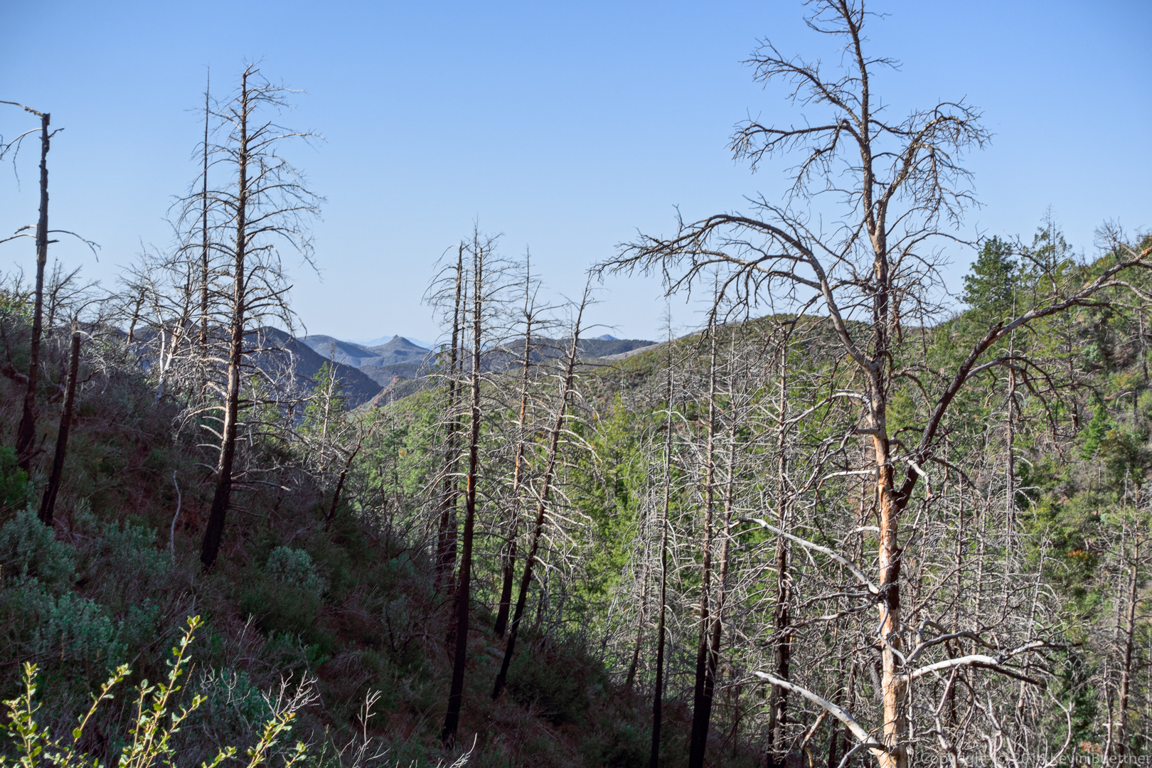
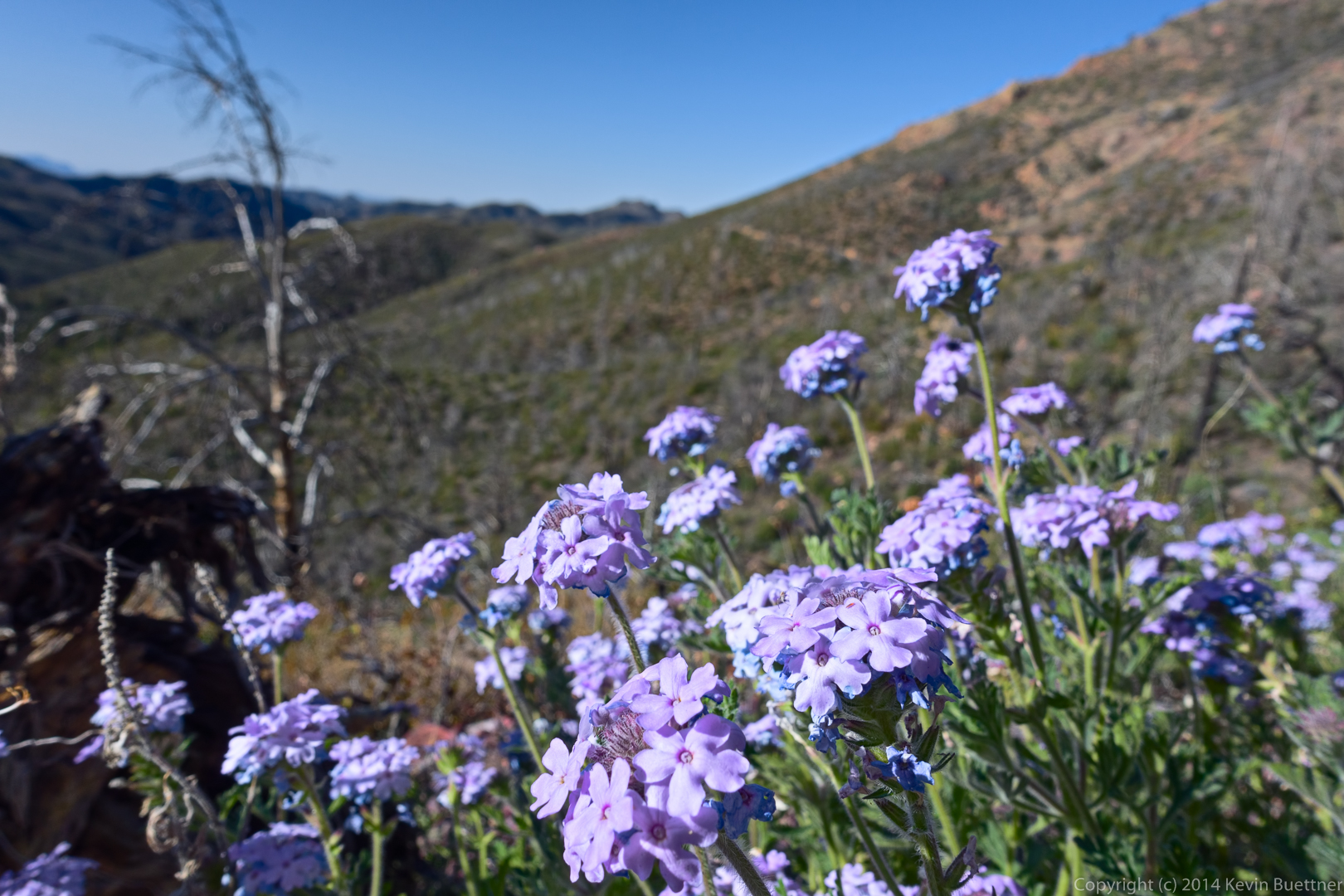
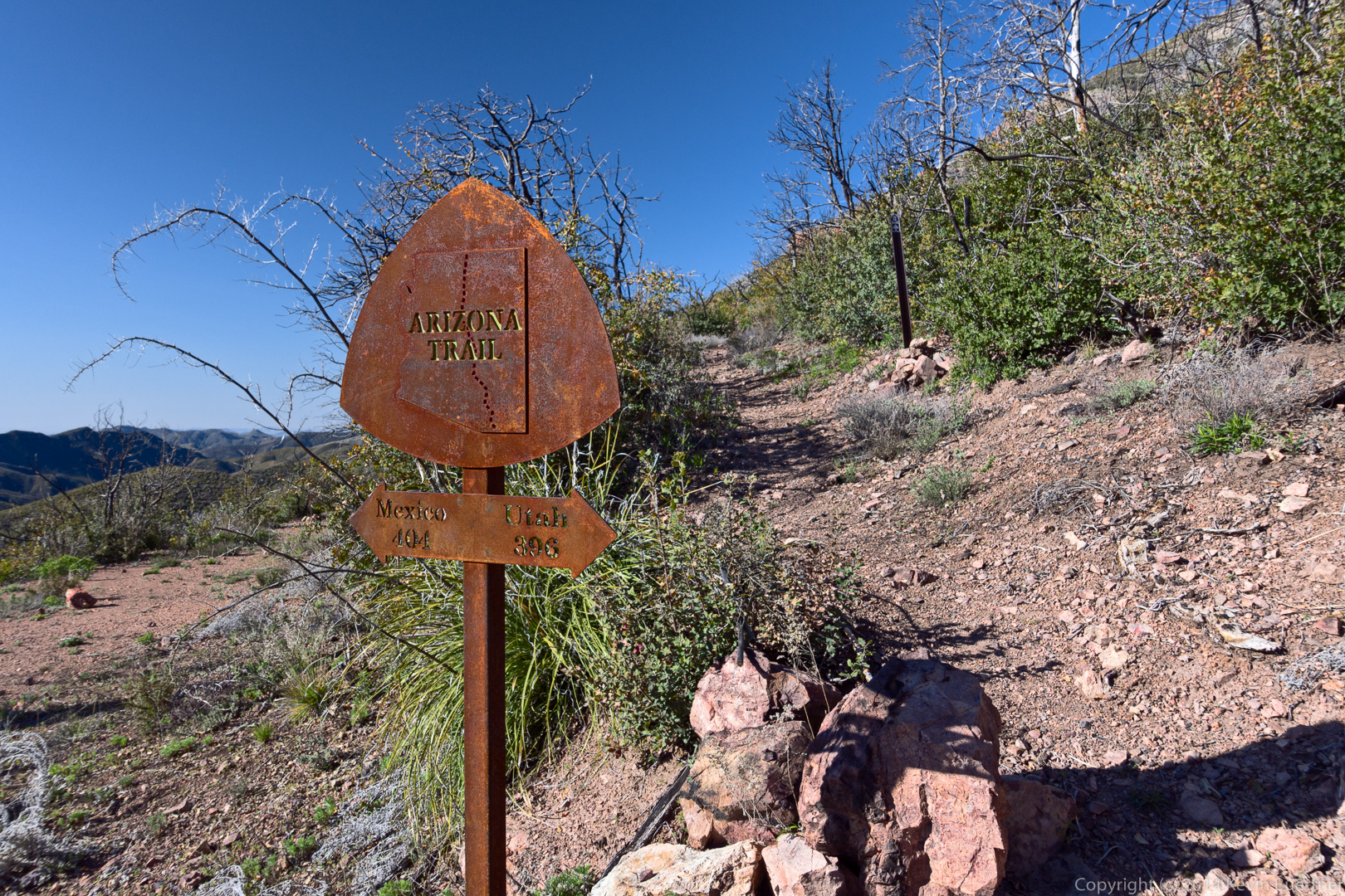
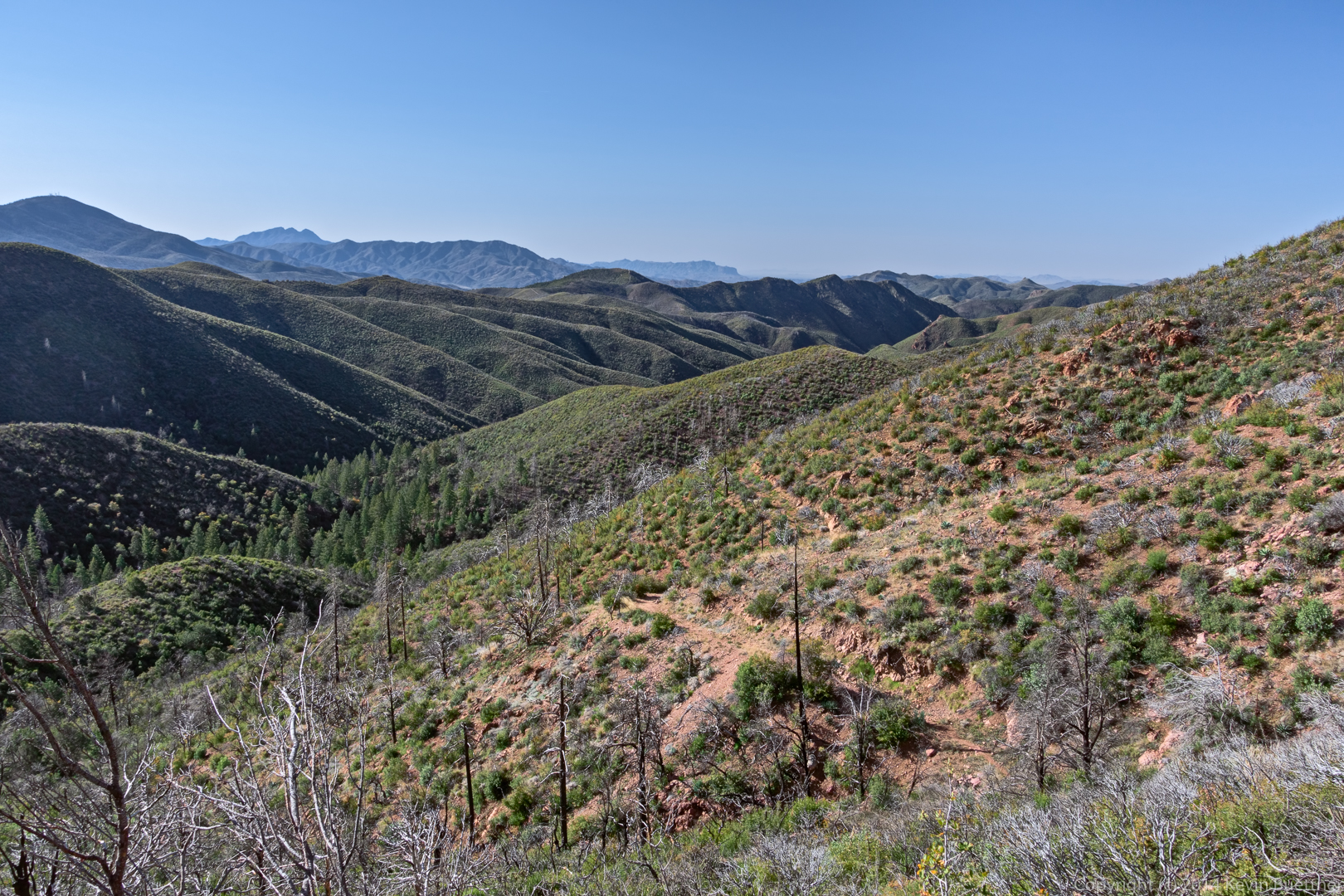
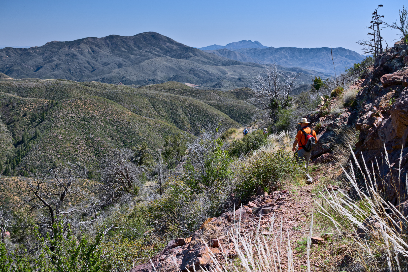
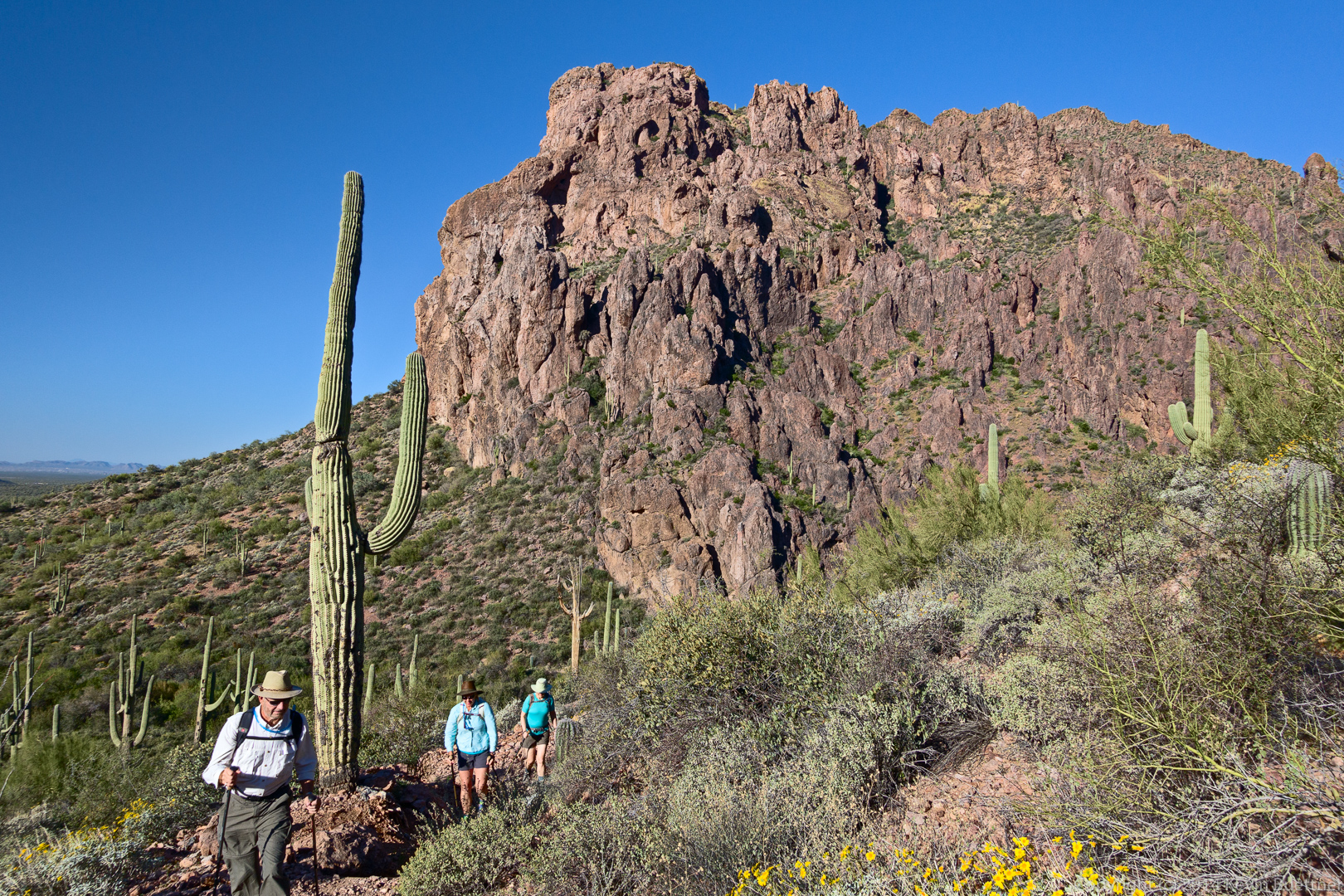
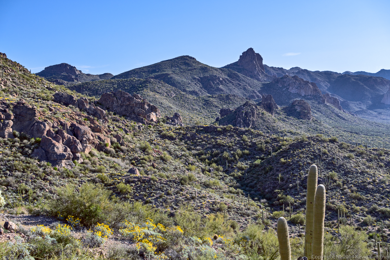
Bob, Nick, Bill, Denise, Linda, and I hiked to the top of Mt Peeley on Friday. The ascent consists of roughly two miles of hiking on the Arizona Trail (which is the Mazatzal Divide Trail through that section) followed by half a mile of less defined trail to the top of Mount Peeley. When we descended the half mile portion, we hiked a bit more of the Mazatzal Divide Trail before turning back. Total distance was 7.9 miles with 1500 feet of total ascent.
We did an 8+ mile route on Friday, March 20 starting at the Granite Mountain Trailhead. We hiked the following trails: Bootlegger, Saddlehorn, (left on) Granite Mountain Loop, Balanced Rock, (right on) Cholla Mountain Loop, Branding Iron, (left on) Granite Mountain Loop, and (back on) Bootlegger.
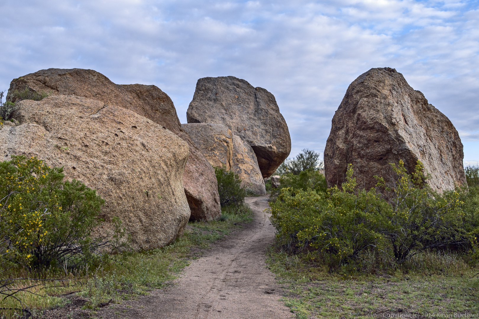
The Bootlegger Trail passes through these large boulders:
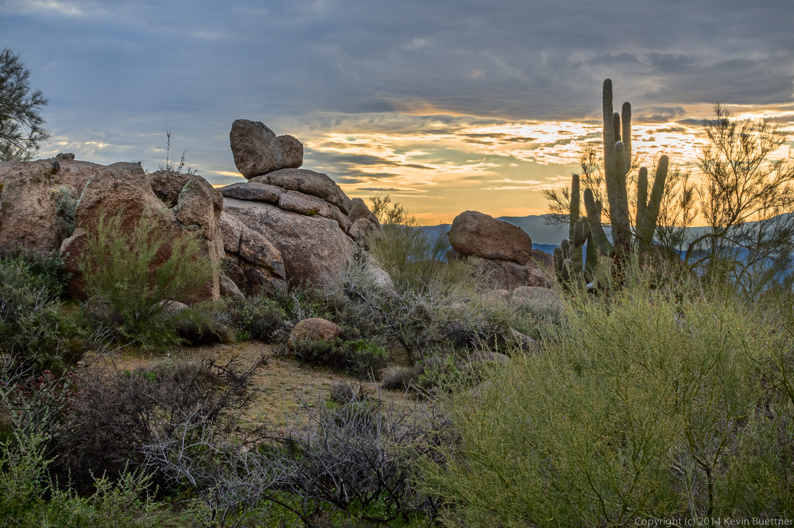
A heart shaped rock can be seen from the Bootlegger Trail. On the way out, you have to turn around to see it. It’s easier to find when returning to the trailhead. Fortunately, Linda was our guide; she let us know when it was time to look back to see it.
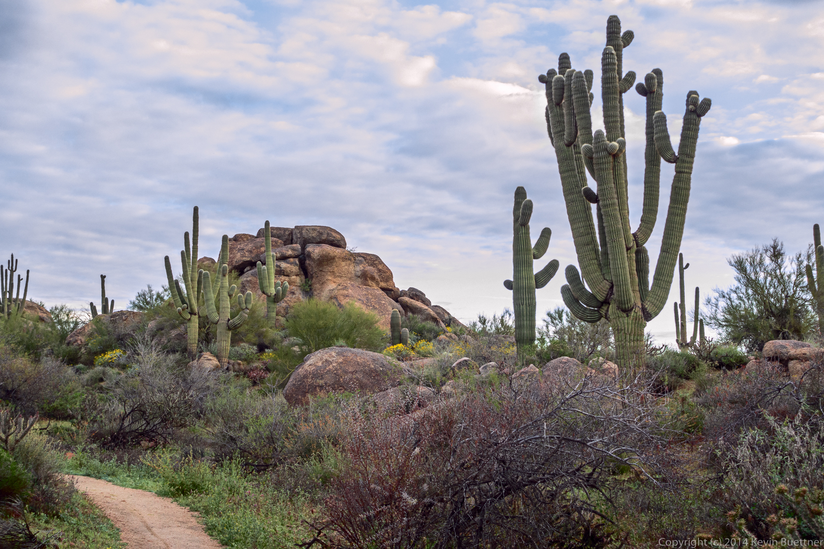
Another view from the Bootlegger Trail. The segment of Bootlegger from the Trailhead to the intersection with Saddlehorn is only about 3/4 mile long and is very scenic. It makes an excellent mile and a half hike for just about anyone.
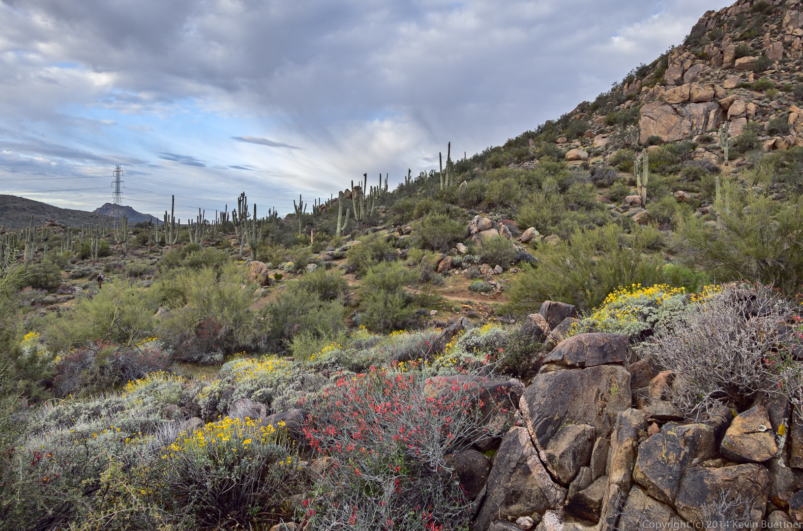
I think these photos might have been taken from the Saddlehorn Trail:
This is the intersection of Saddlehorn and the Granite Mountain Loop Trail. We turned left here.
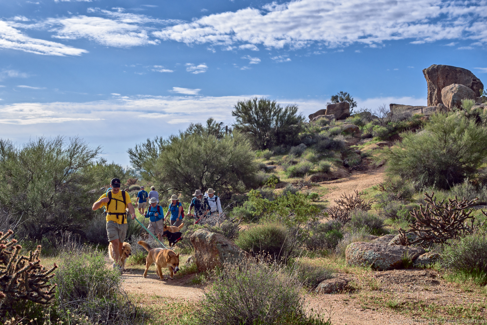
Hiking the Granite Mountain Loop Trail:
Taking a break…
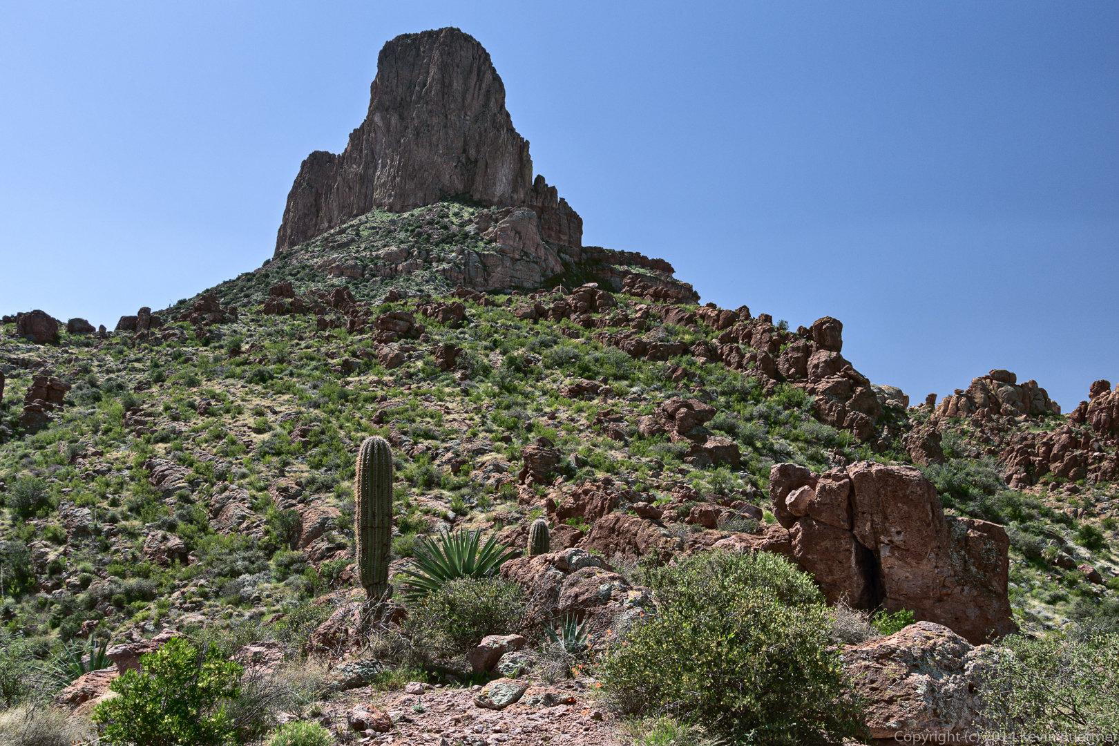
Looking up the mountain. The rock at the top has a roof upon which is a 5.8 called Pasta Man Unchained.
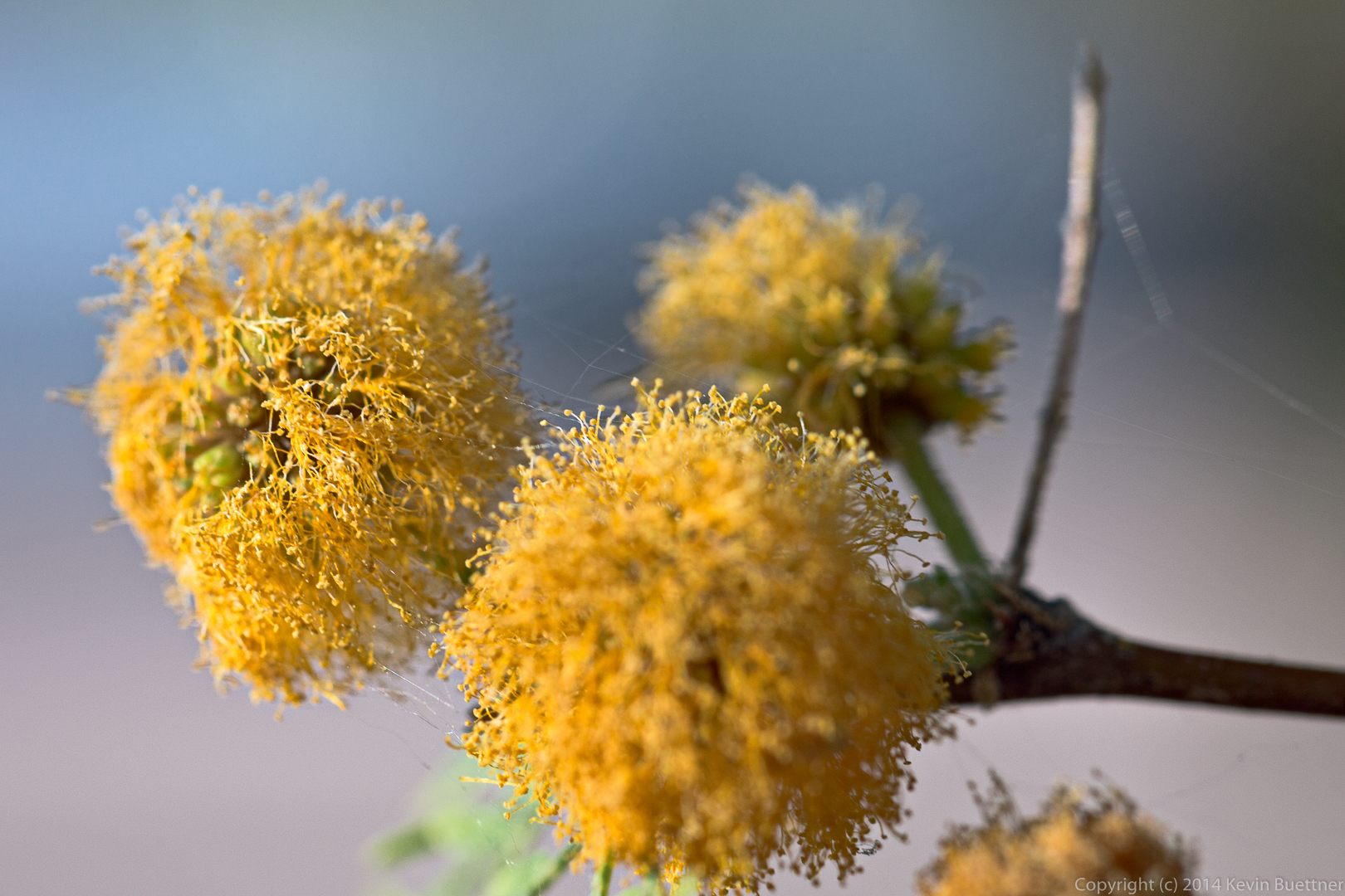
The yellow flowers are Goldfields:
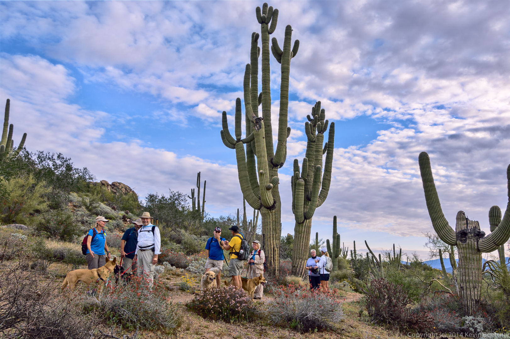
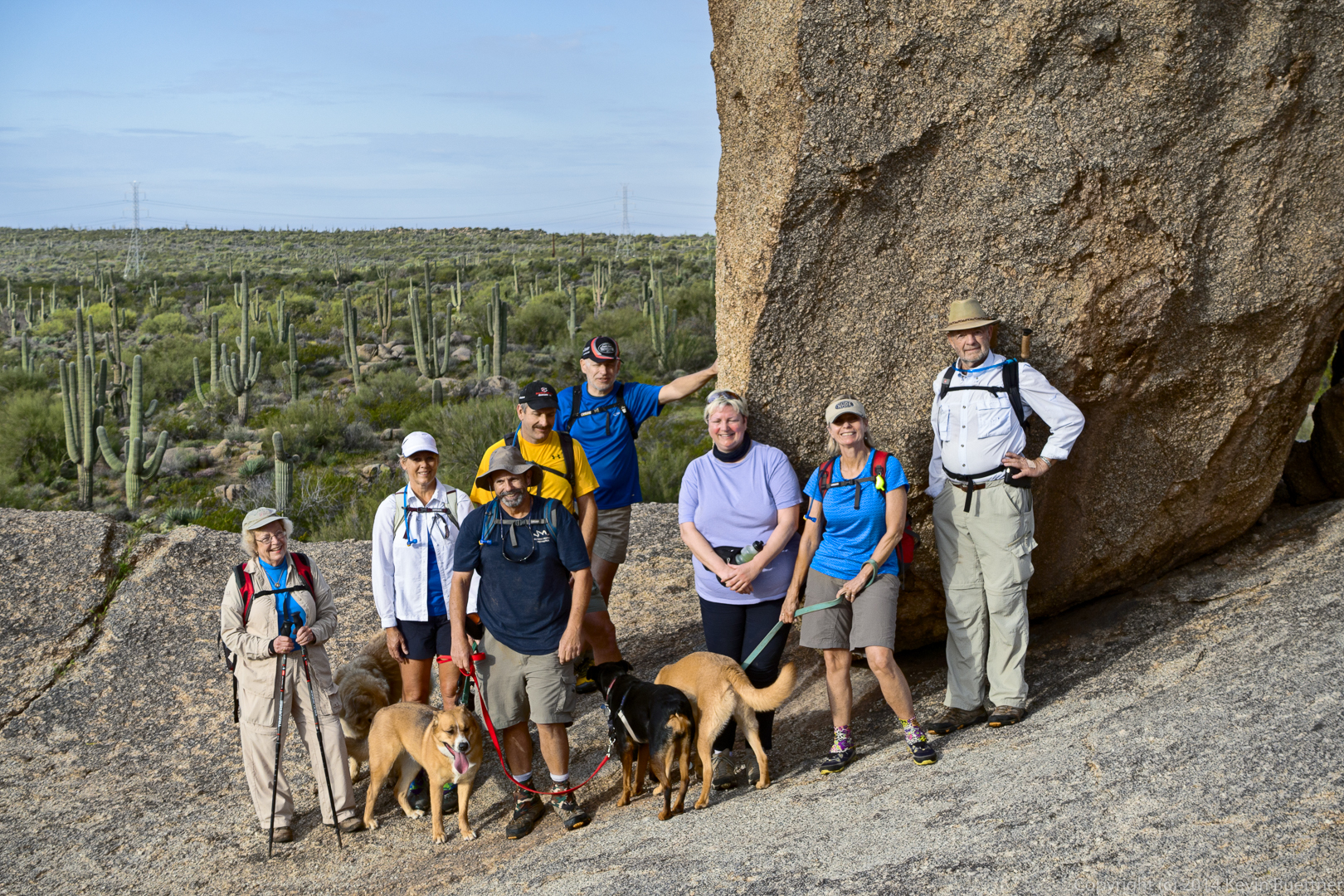
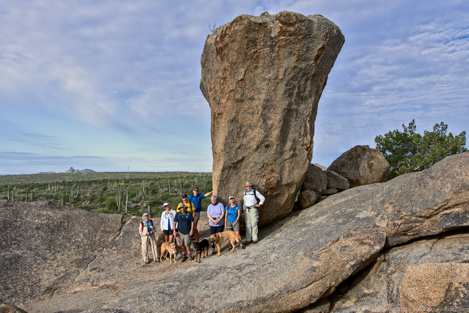
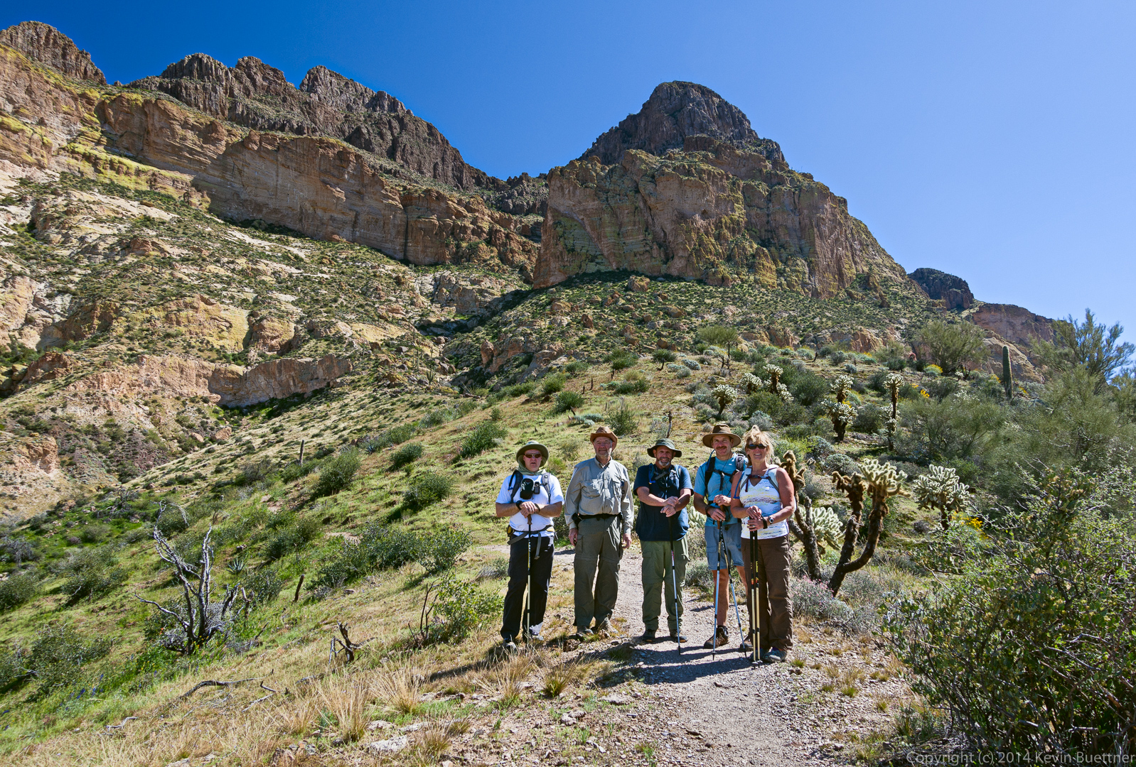
From left to right are Heather, Janet, Bob, Allen, Nick, Jen, Linda, and Bill. The dogs are Savannah, Bella, Keena, and Sarge. Linda took charge of Sarge for the day.
Another view, showing the upper part of Balanced Rock:
Nick and Jen returned to the trailhead at this point. The rest of us continued on the Balanced Rock Trail.
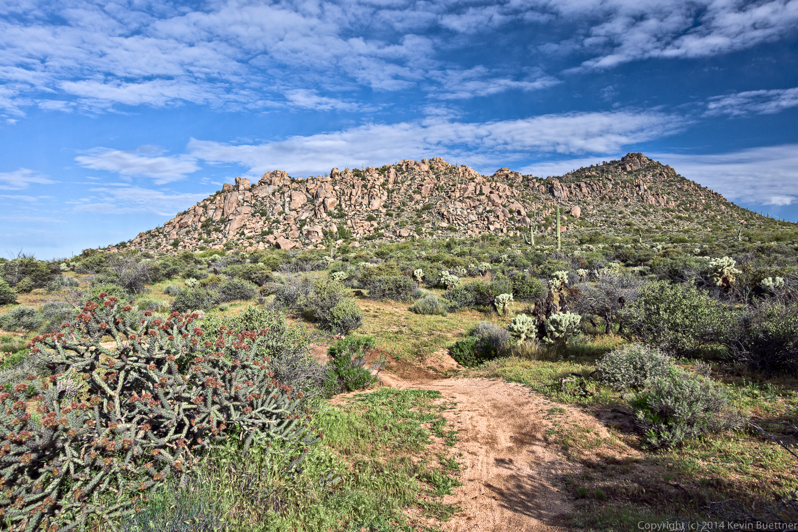
This is Cholla Mountain:
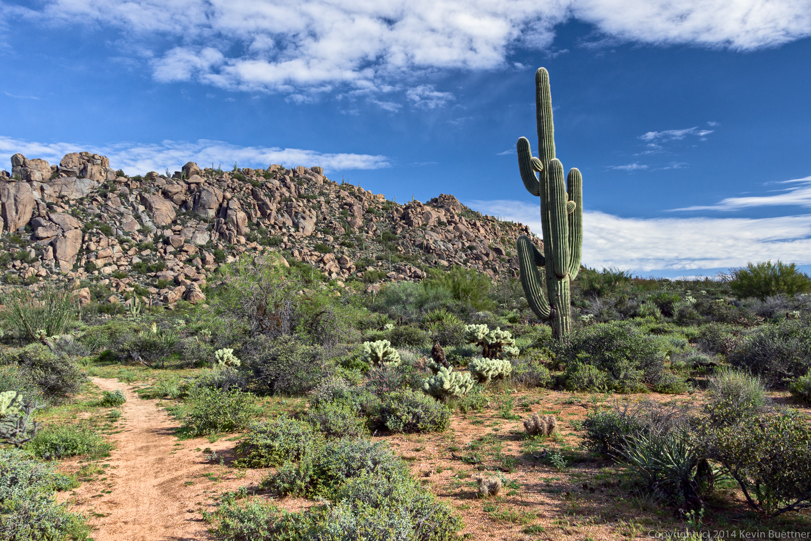
A view of the northeastern portion of Cholla Mountain:
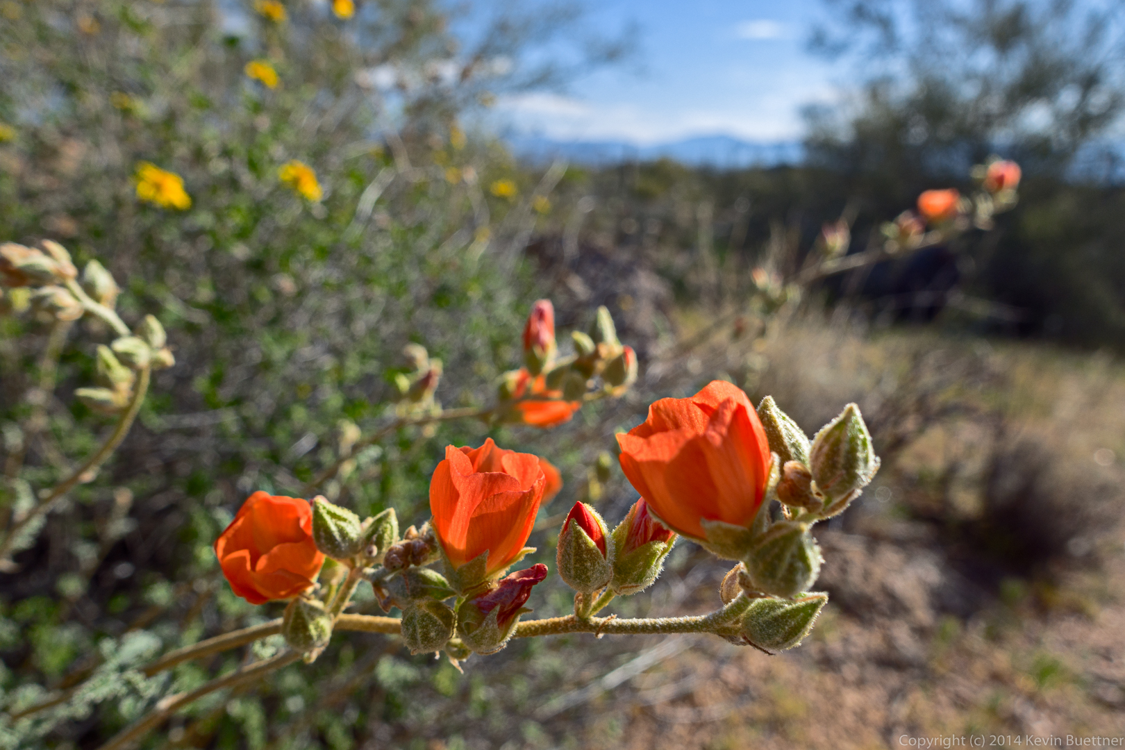
Globemallow flowers:
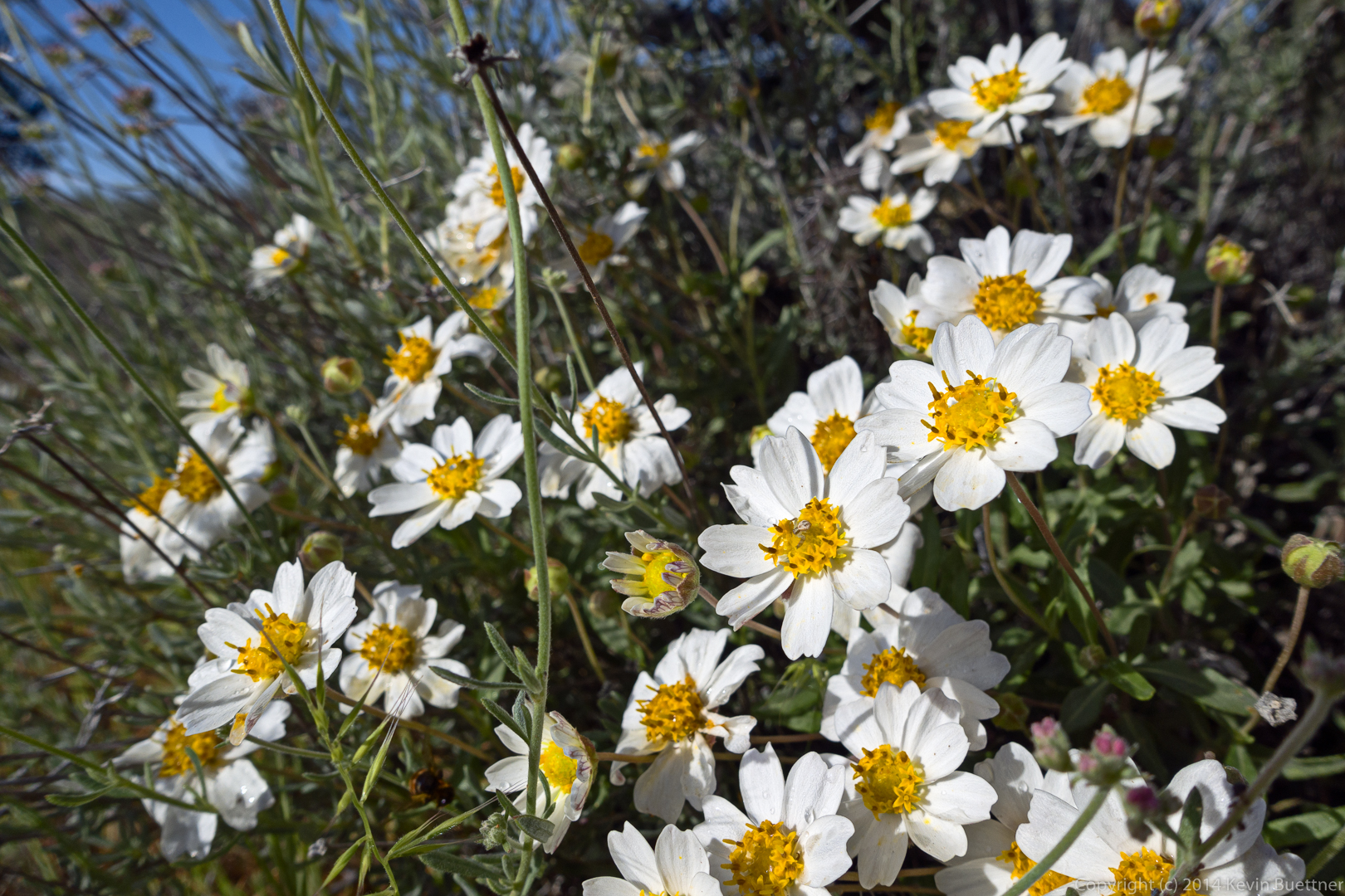
Blackfoot Daisy:
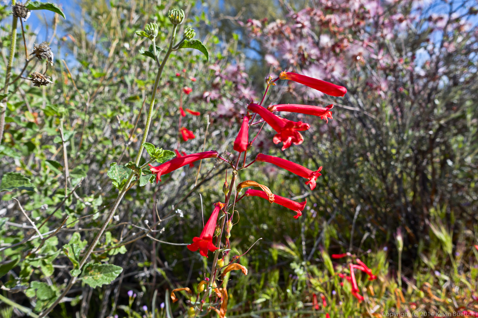
I think this is Hackberry Beartongue / Arizona Scarlet Bugler (with Fairy Duster in the background):
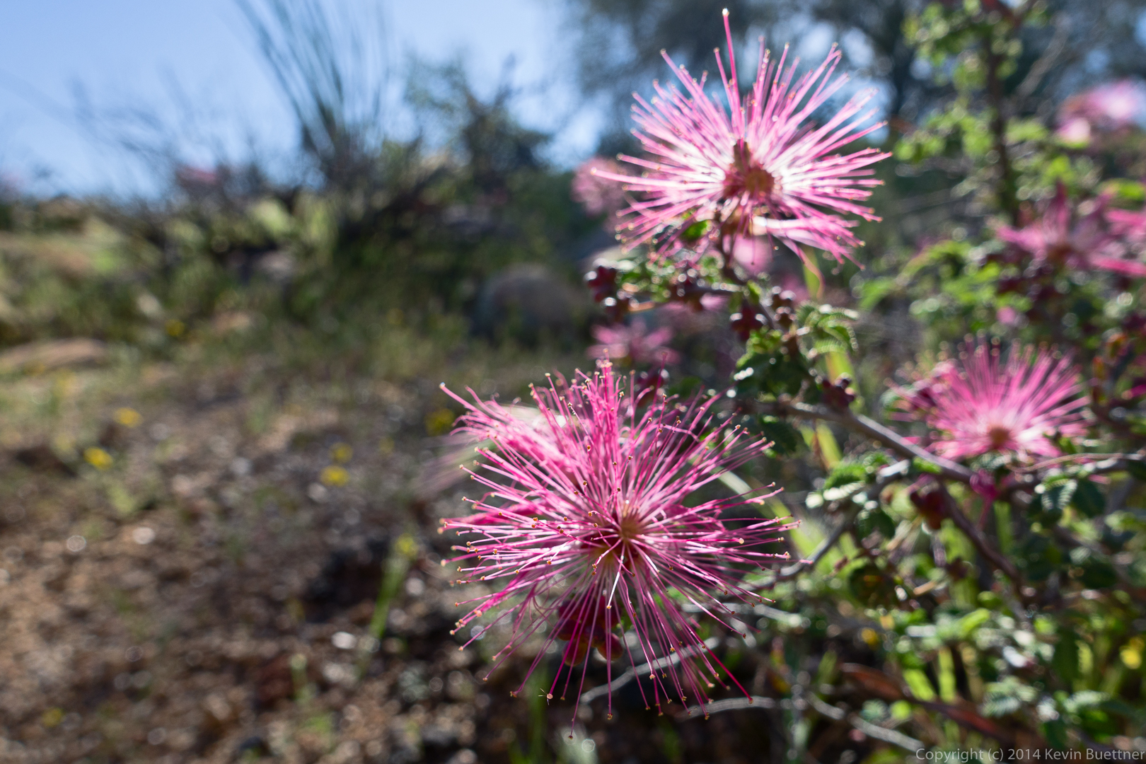
Fairy Duster:
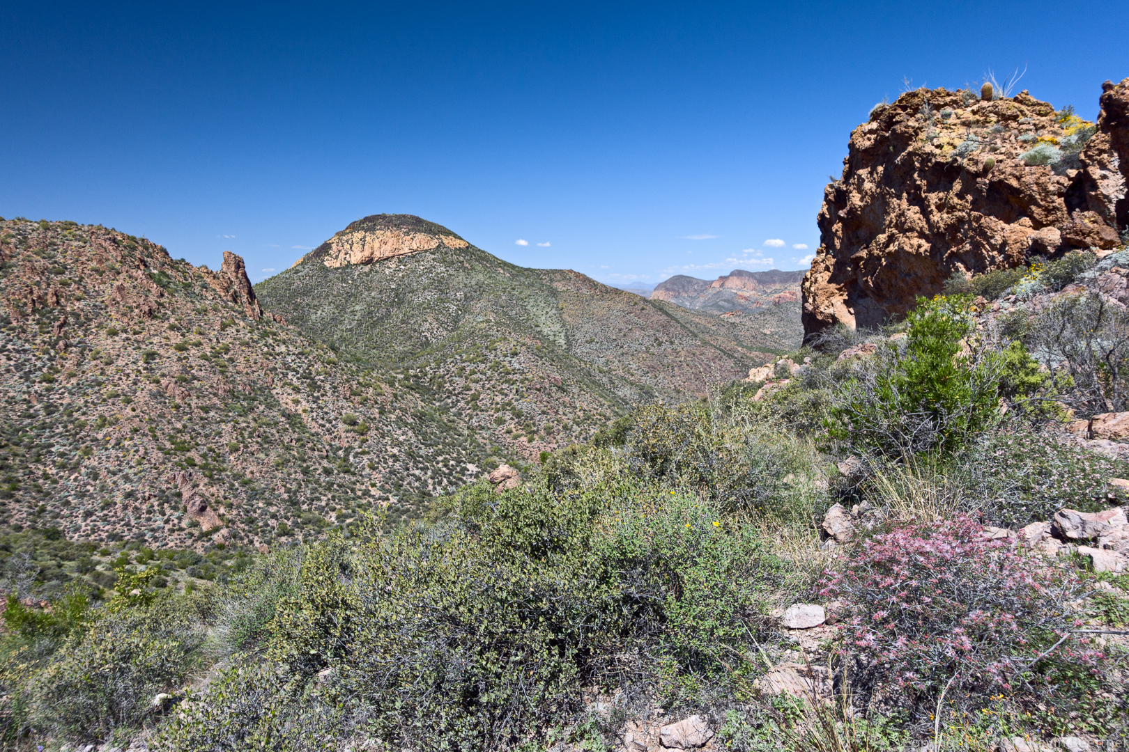
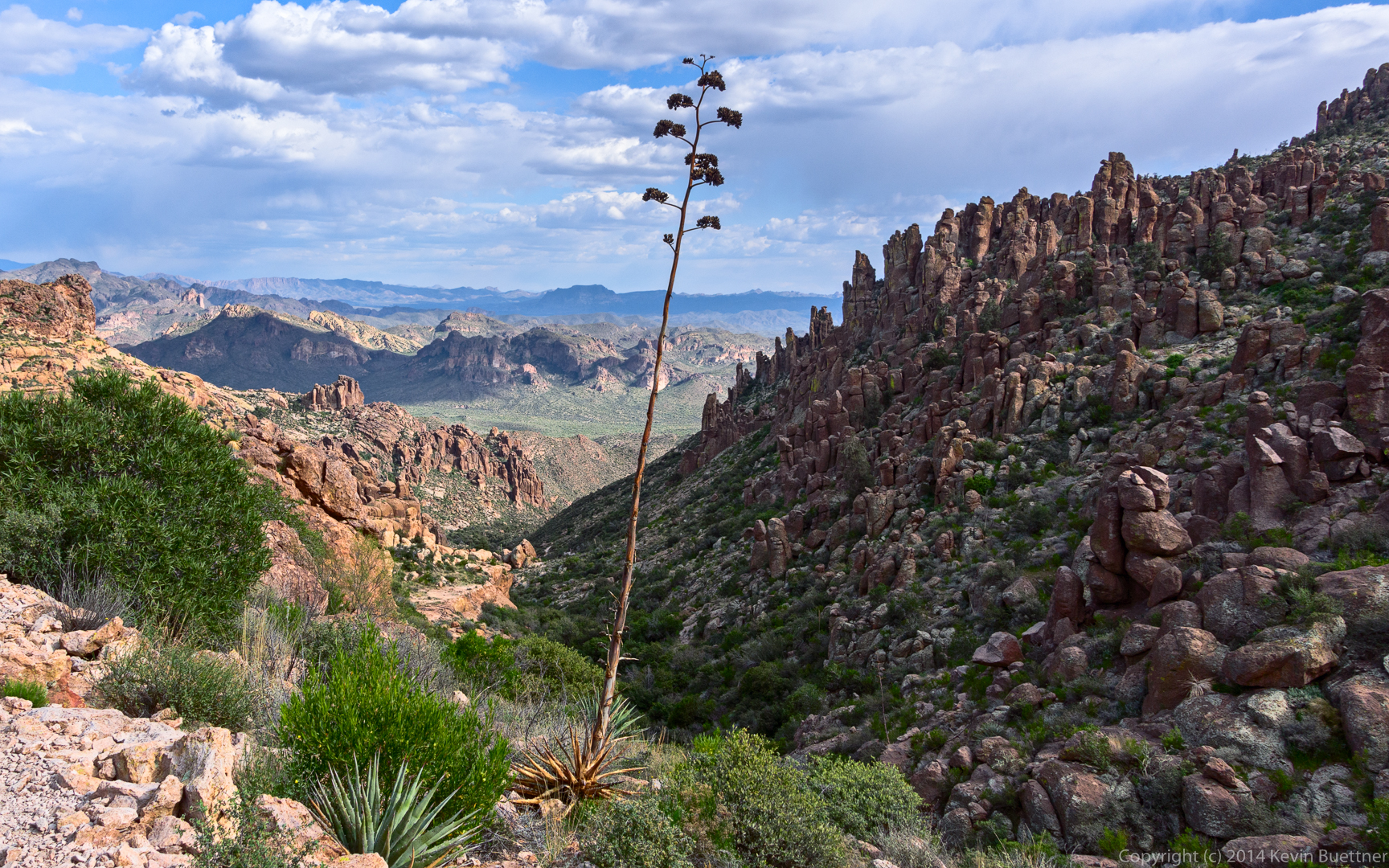
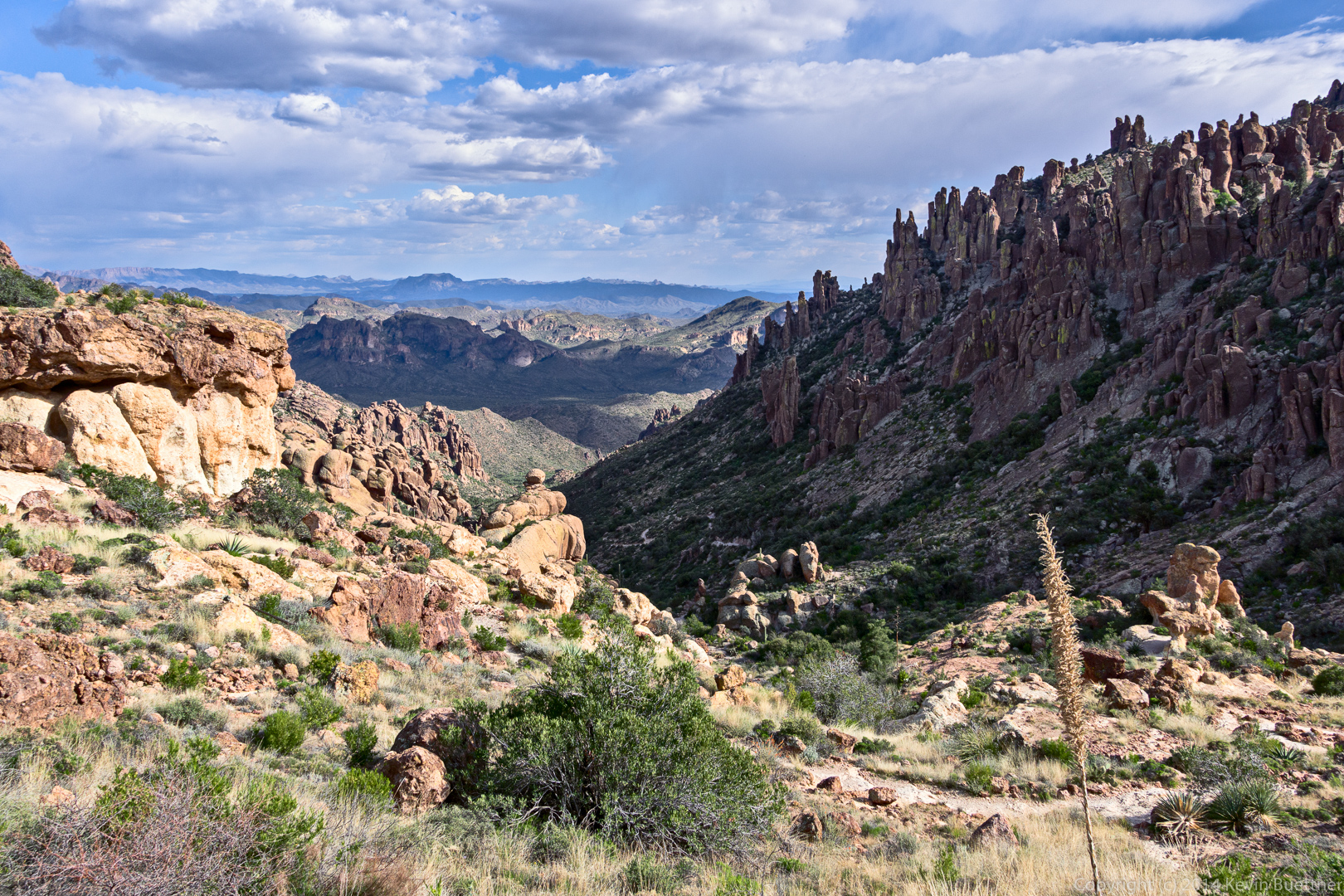
Returning on the Granite Mountain Loop Trail:
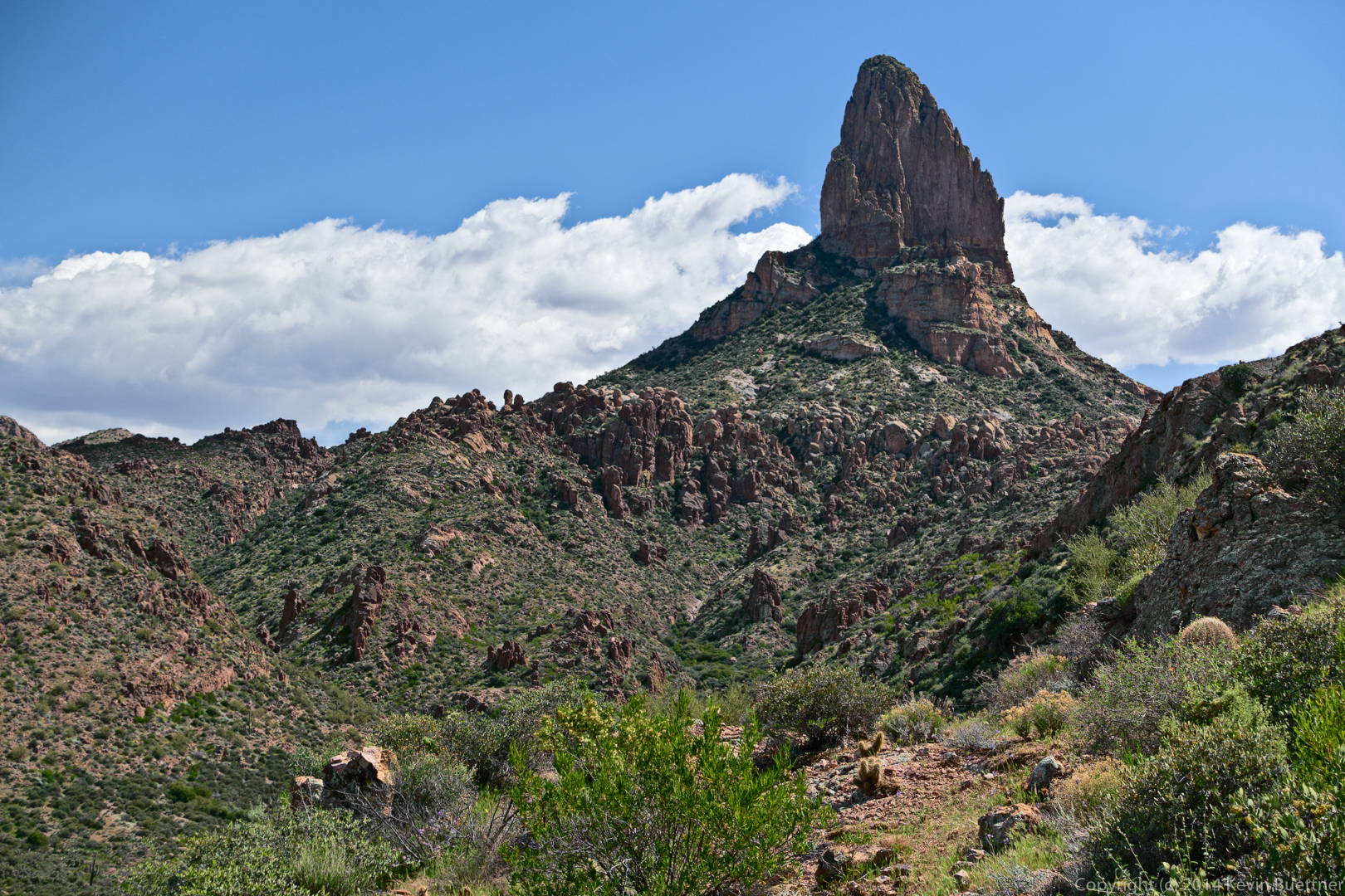
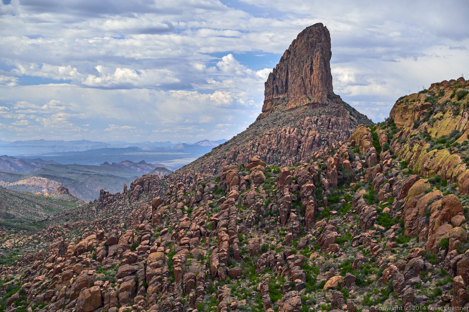
Views of Weaver’s Needle and the Flatiron in the distance:
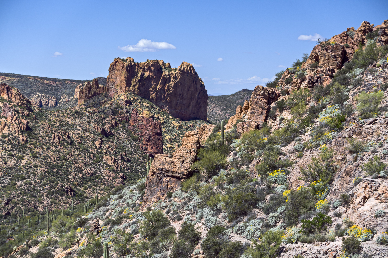
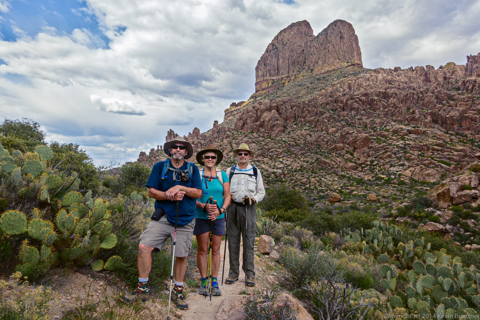
Friday’s hike on March 13 started from the Peralta Trailhead. Bill, Bob, Janet, and I did a thirteen mile route around Weaver’s Needle. (Marilyn joined us for the first part of the hike.) Starting at the Peralta Trailhead, we hiked the Bluff Springs Trail, Terrapin Trail, Dutchman Trail, and returned on the Peralta Trail. Weaver’s Needle was in view for much of the hike.
Bill, Janet, and Marilyn hike up the Bluff Springs Trail:
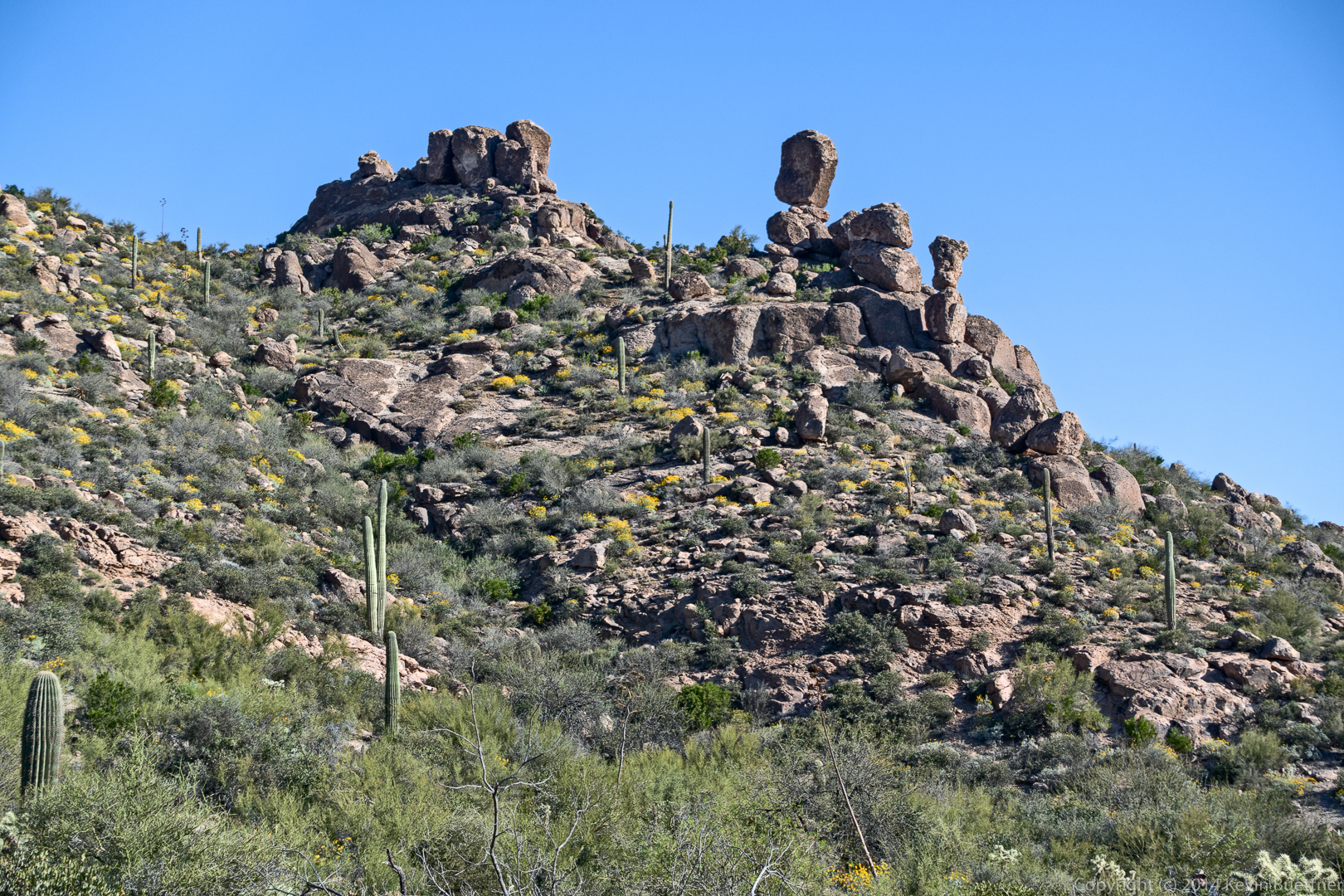
This is not Weaver’s Needle – we saw this rock formation early in the hike.
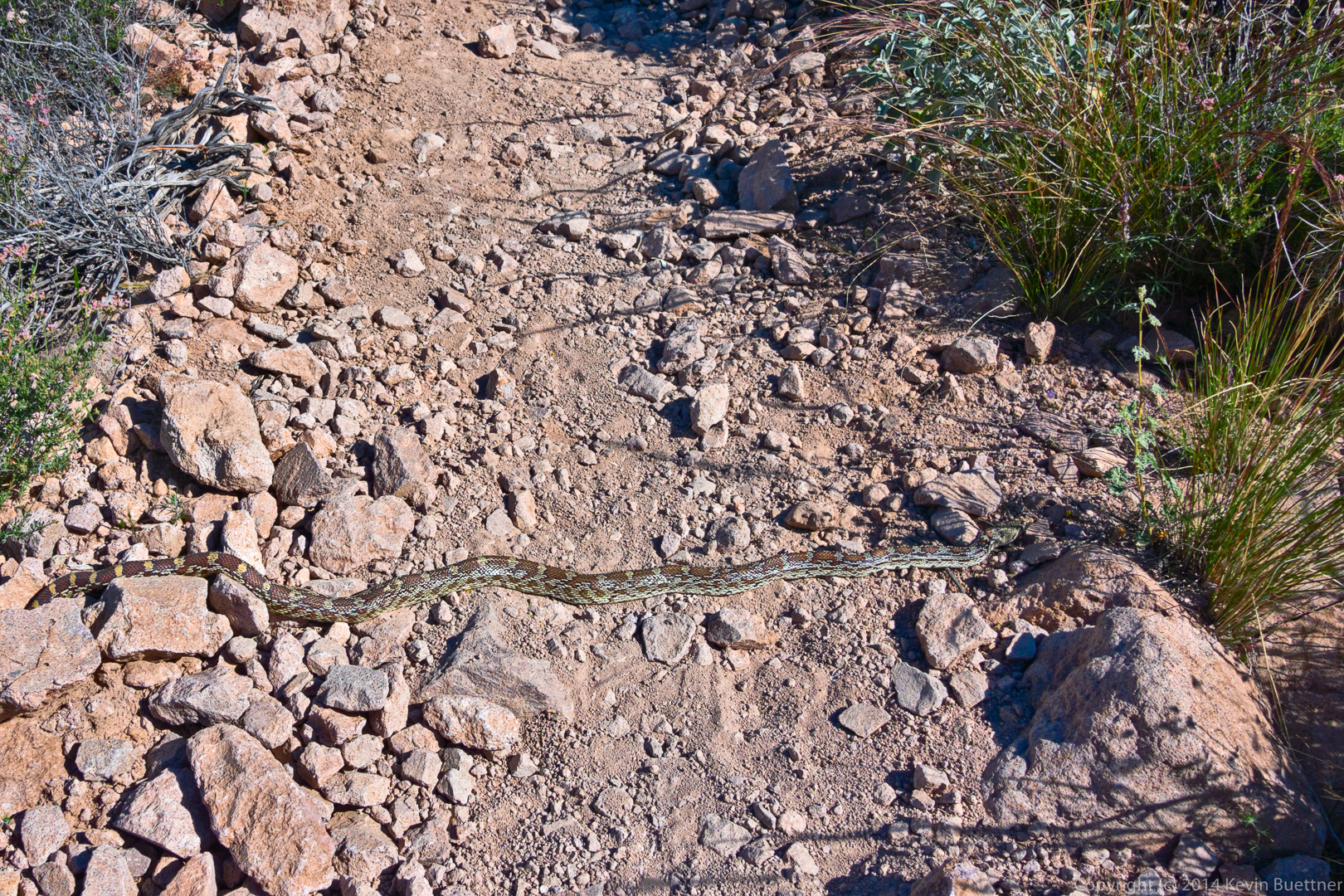
I only managed to get one photo of this snake. It turned around and slithered off the trail before I had a chance to get more interesting shots. Michael and Sue, in their comments to this post, identified this snake as a Sonoran Gopher Snake.
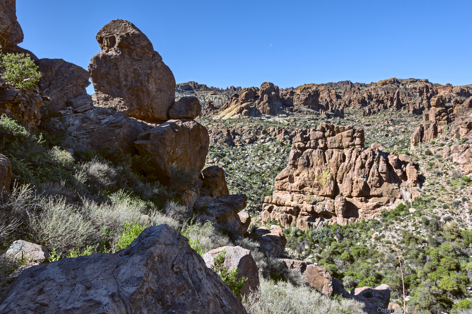
This is a view from a spur off of the Bluff Springs Trail.
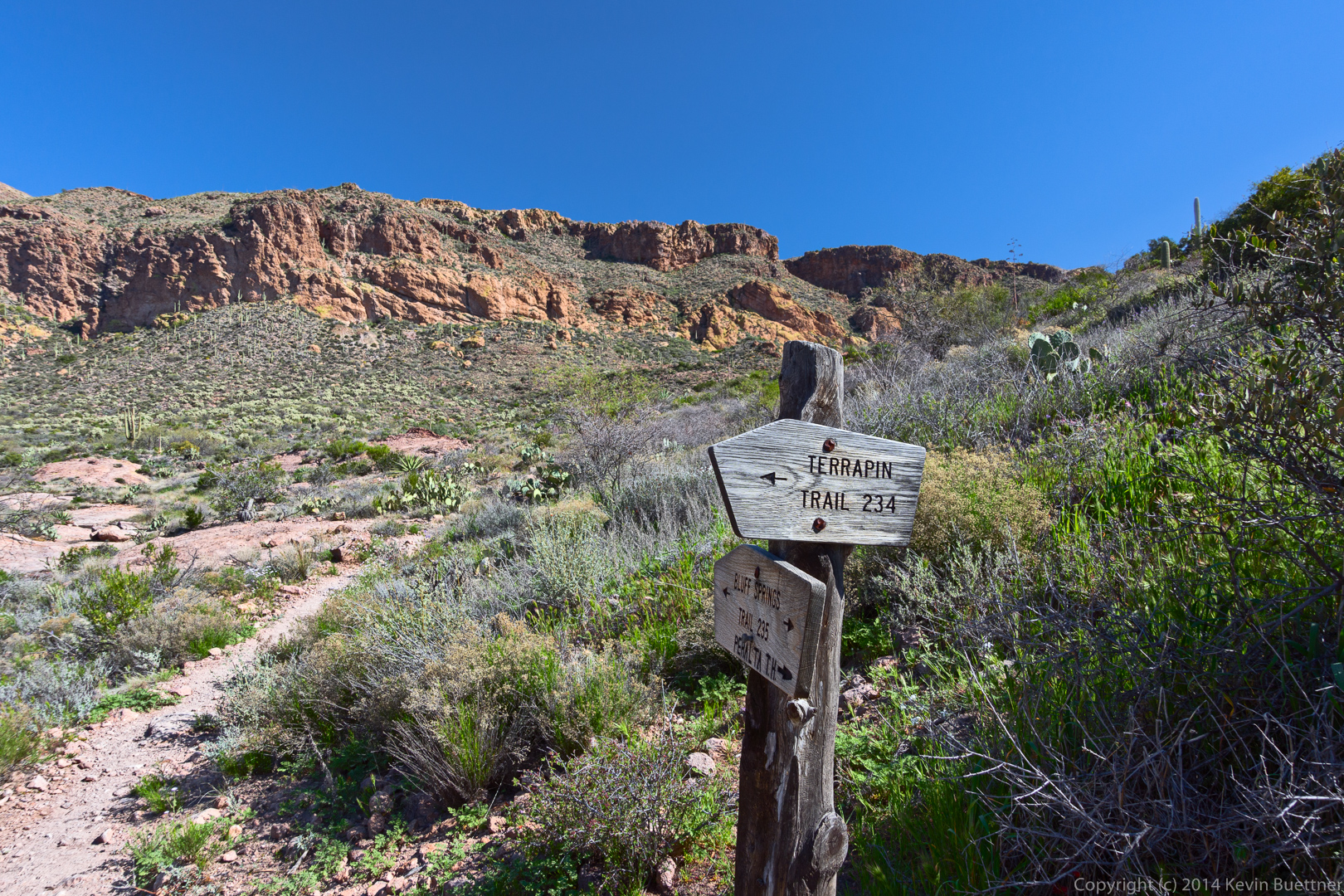
This is (obviously) the intersection of the Terrapin Trail and the Bluff Springs Trail. Route finding was fairly straightforward the entire way except for one spot a bit further on where the Terrapin Trail branched off to go to the base of the needle.
This might be Phlox Tenuifolia, also known as Santa Catalina Mountain Phlox, Vine Phlox, and Desert Phlox:
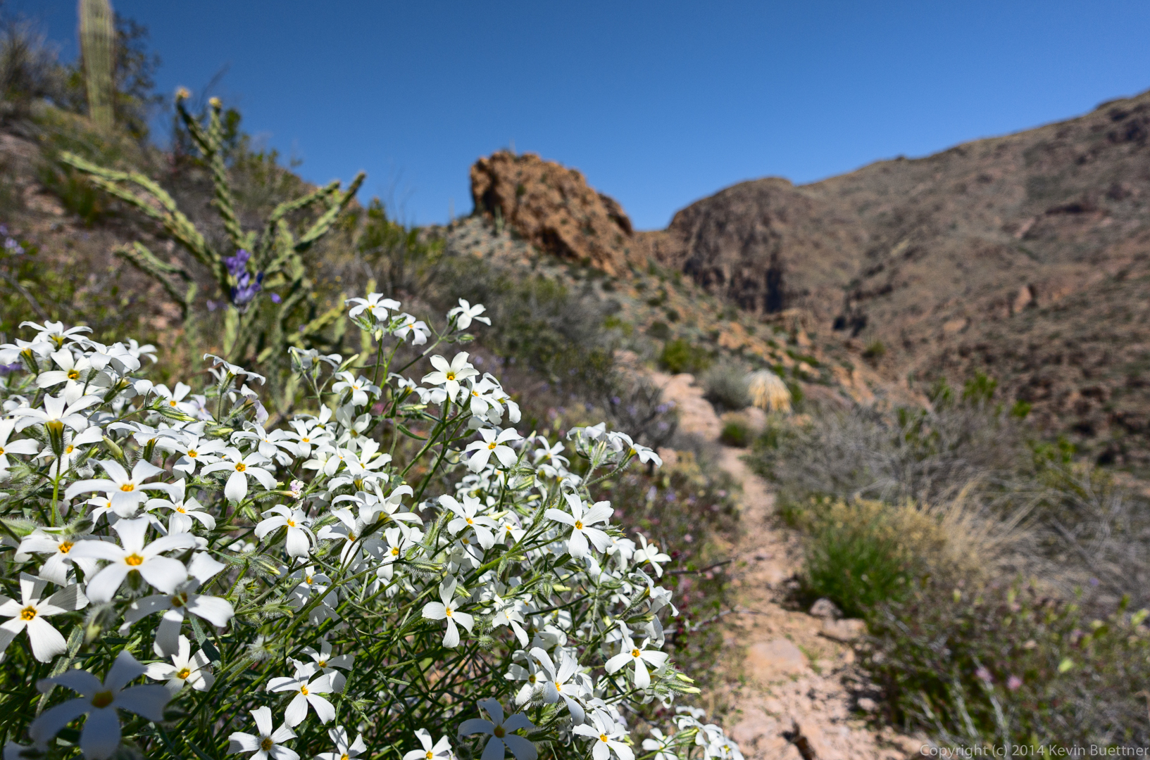
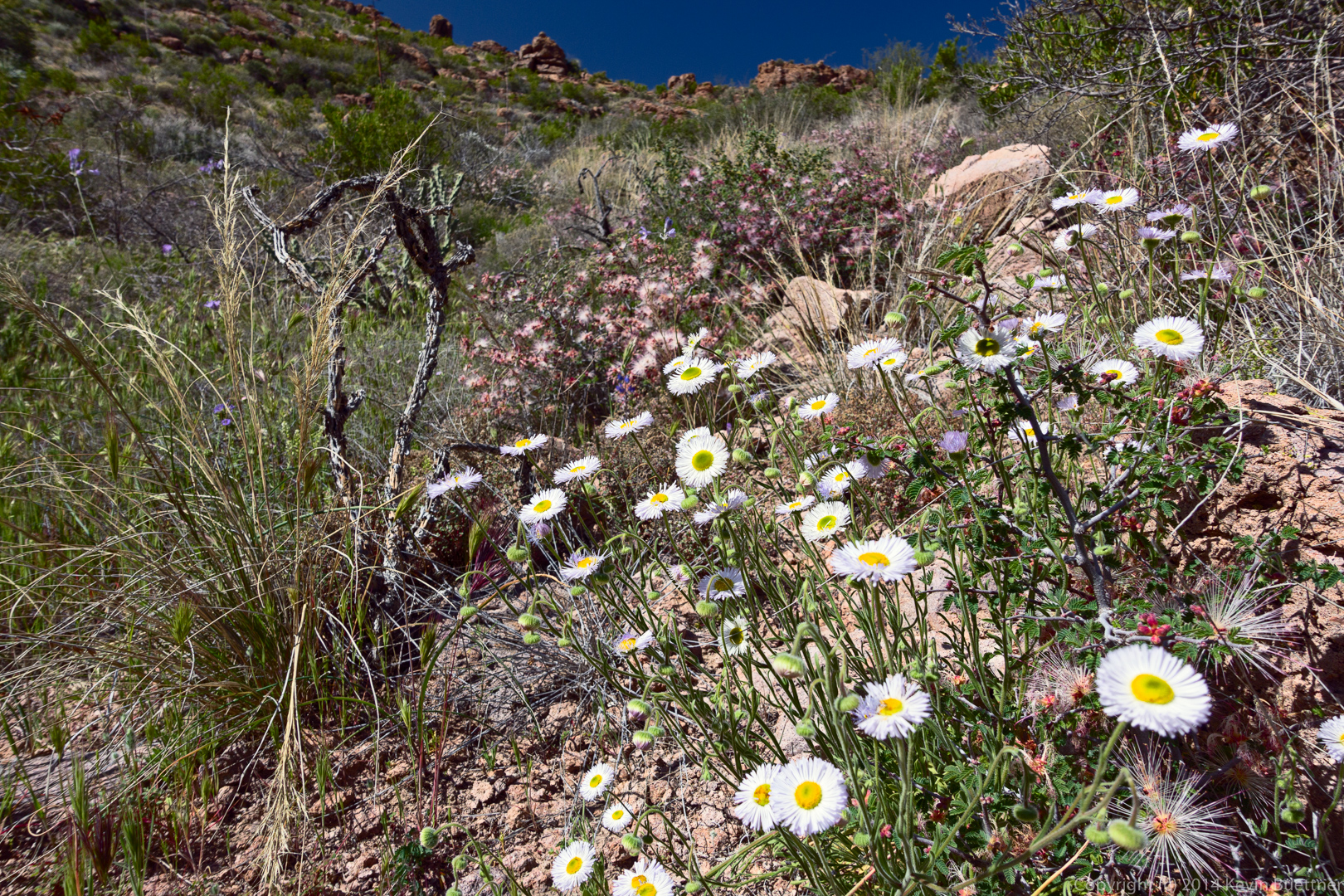
I think the white flowers are Fleabane:
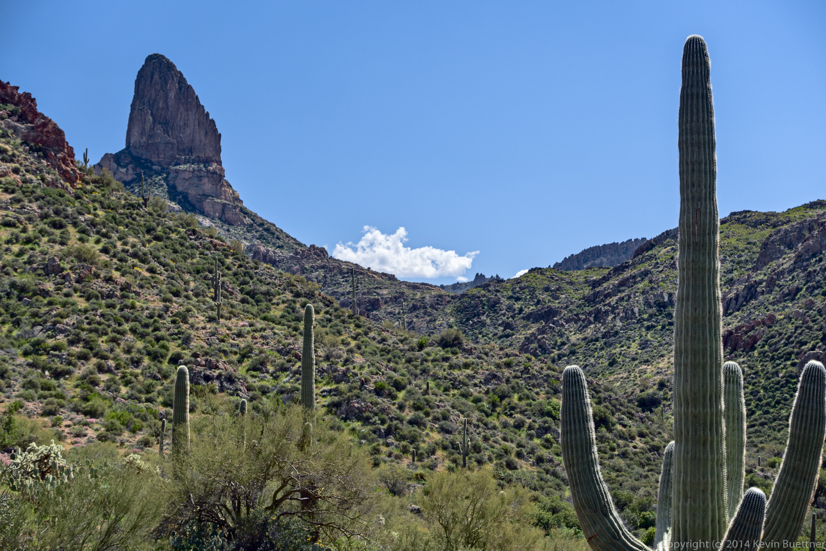
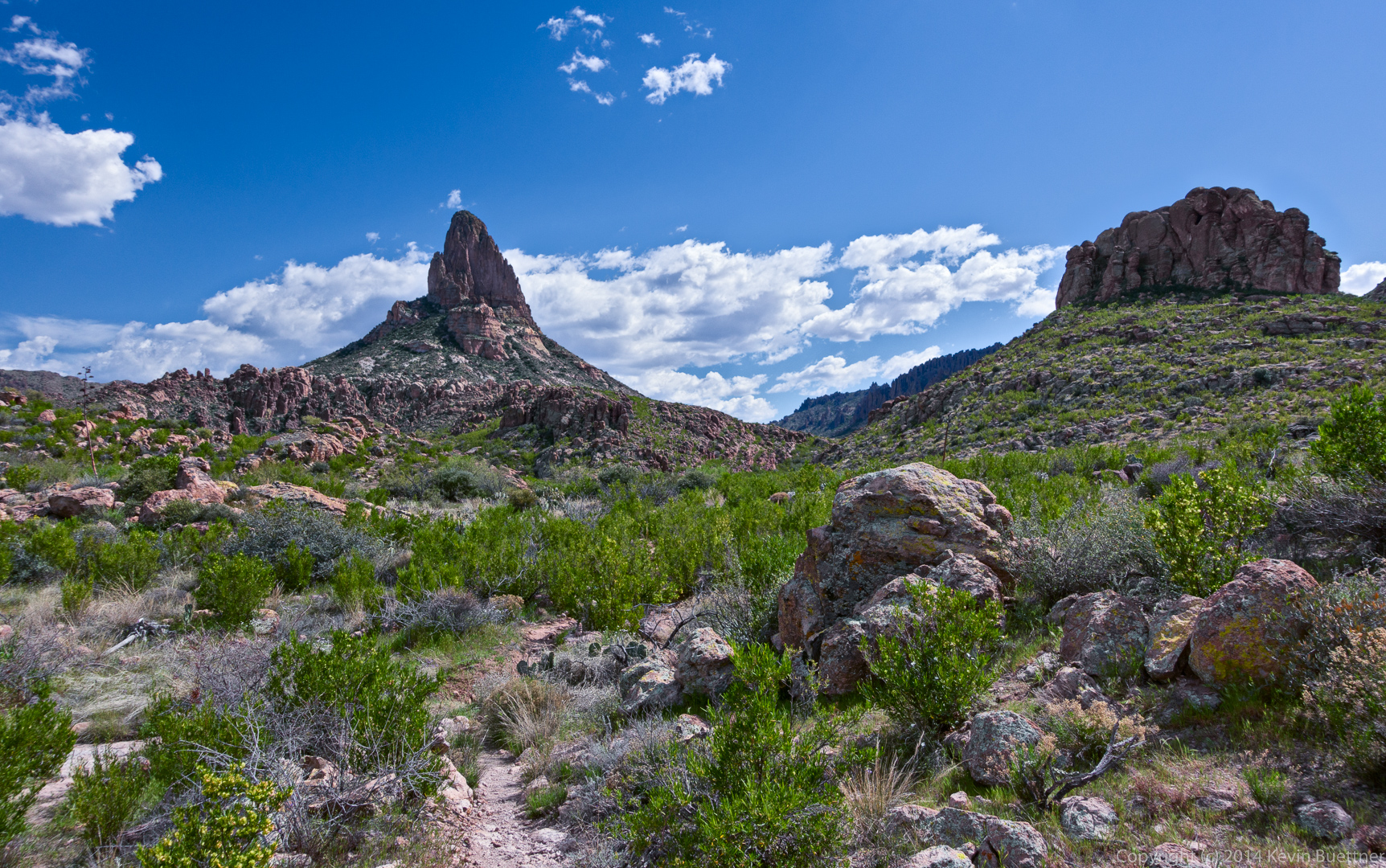
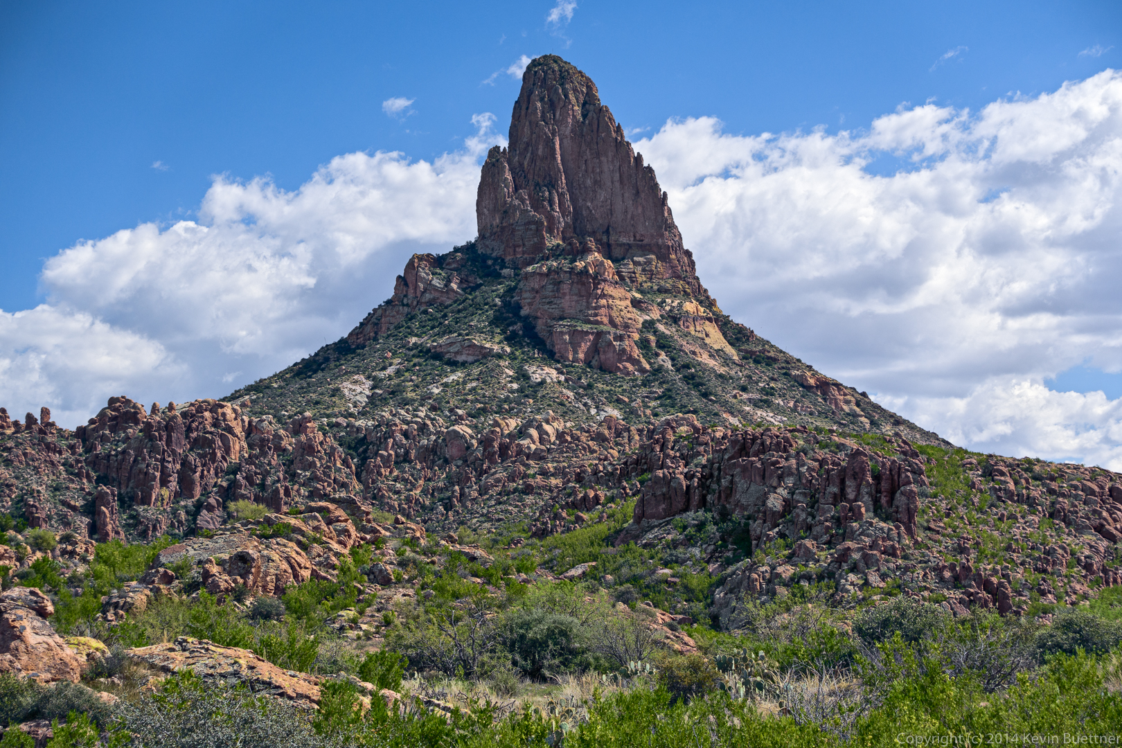
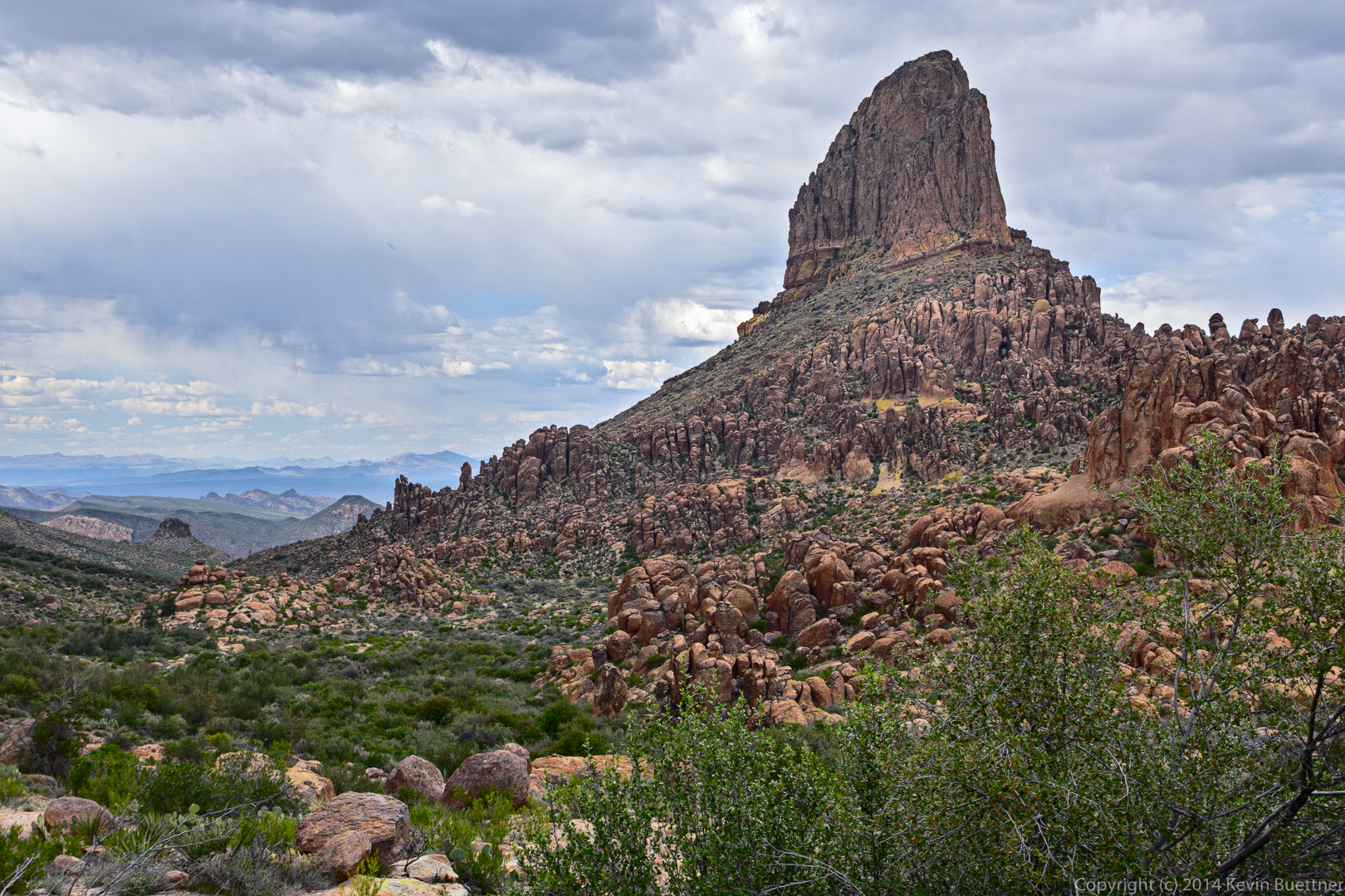
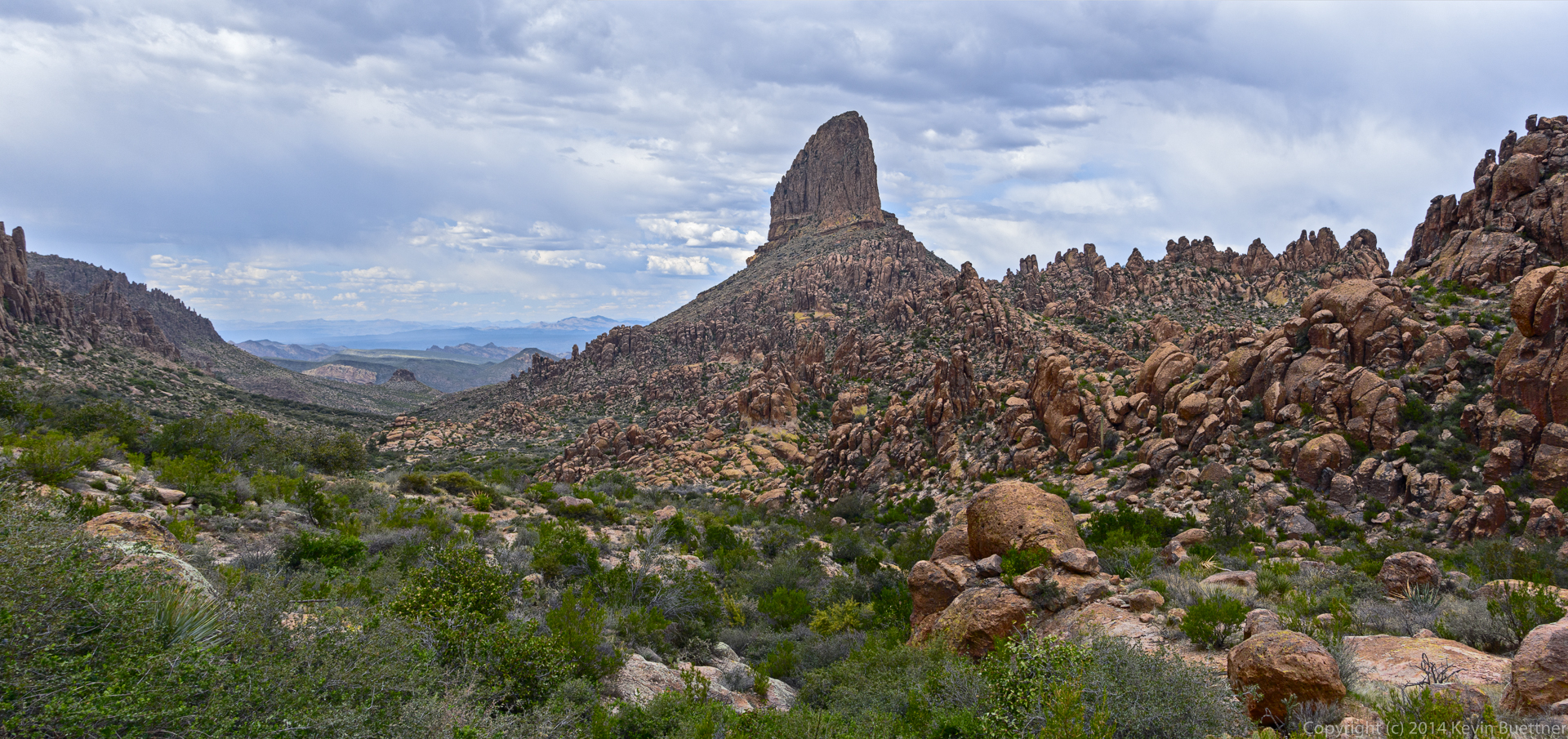
This is Weaver’s Needle. We saw it before this point too, but the view was not as impressive as this or later photos:
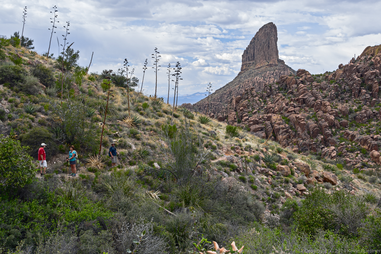
Bob, hiking on the Terrapin Trail with Weaver’s Needle in the background:
I think this might be Battleship Mountain:

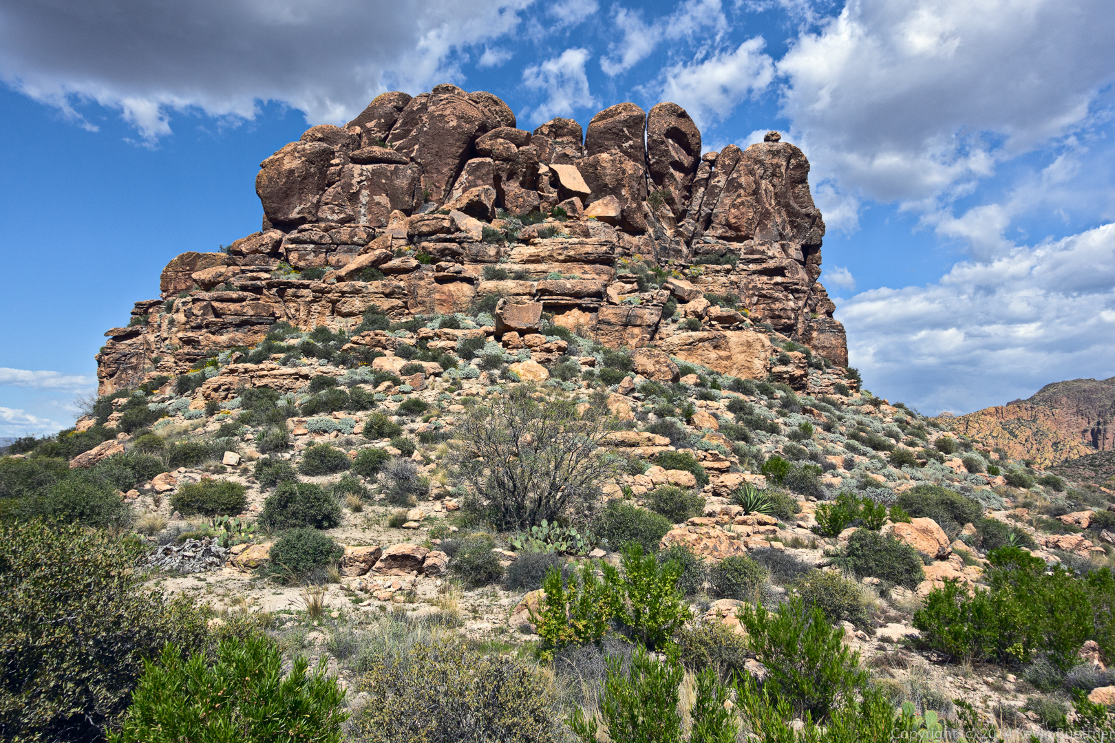
This relatively small rock formation blocked our view of Weaver’s Needle for a time.

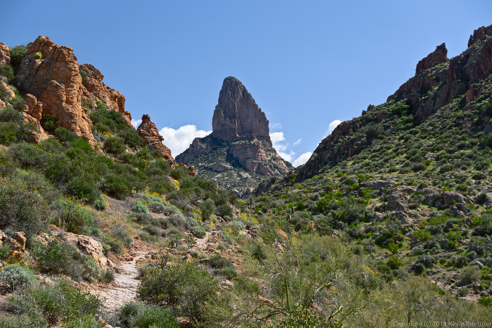
This is still Weaver’s Needle. It looks very different from this side.
Bob, Janet, and Bill:
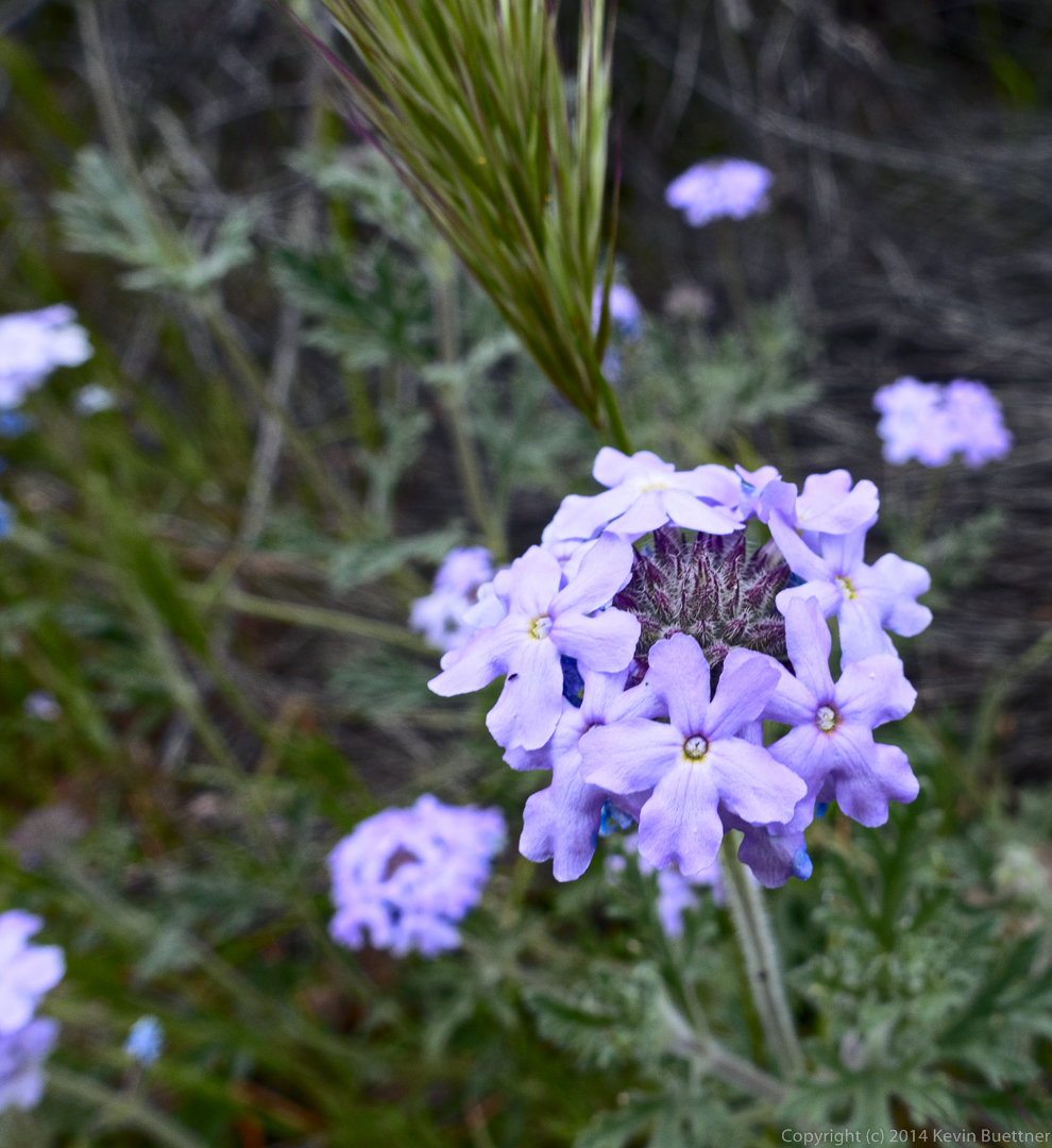
Goodding’s Verbena:
This was the view of Peralta Canyon as we (mostly) descended back to the trailhead.
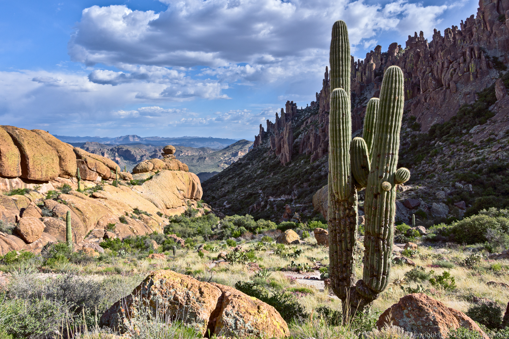
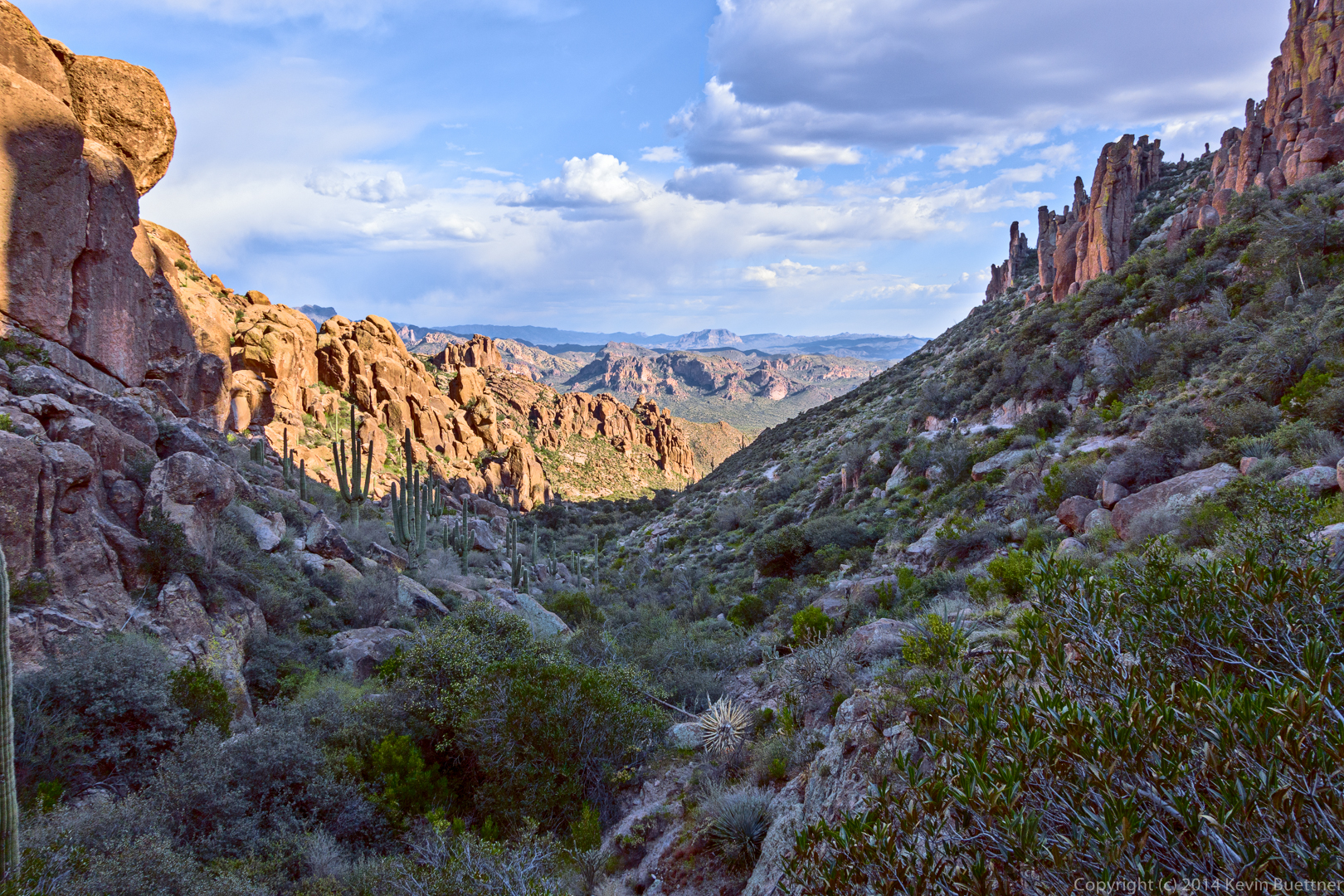
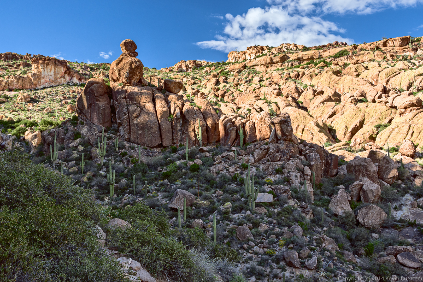
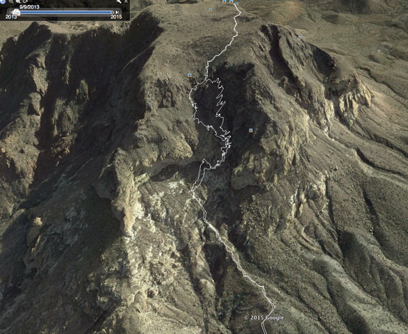
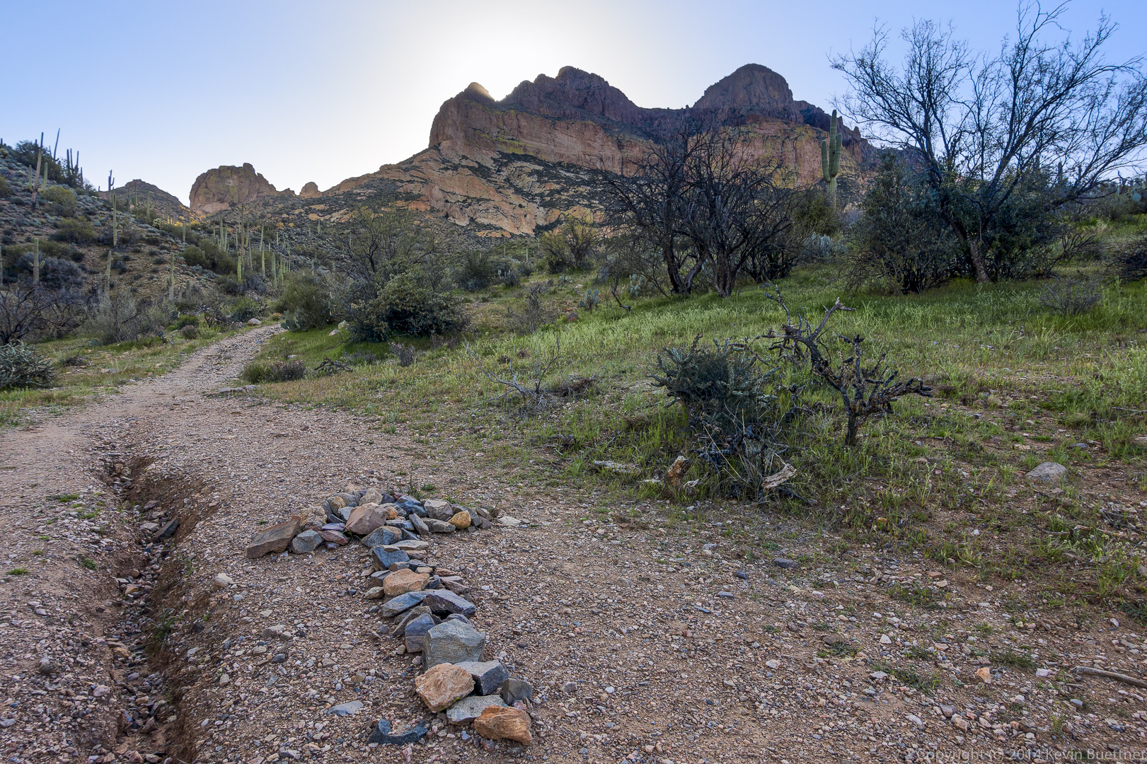
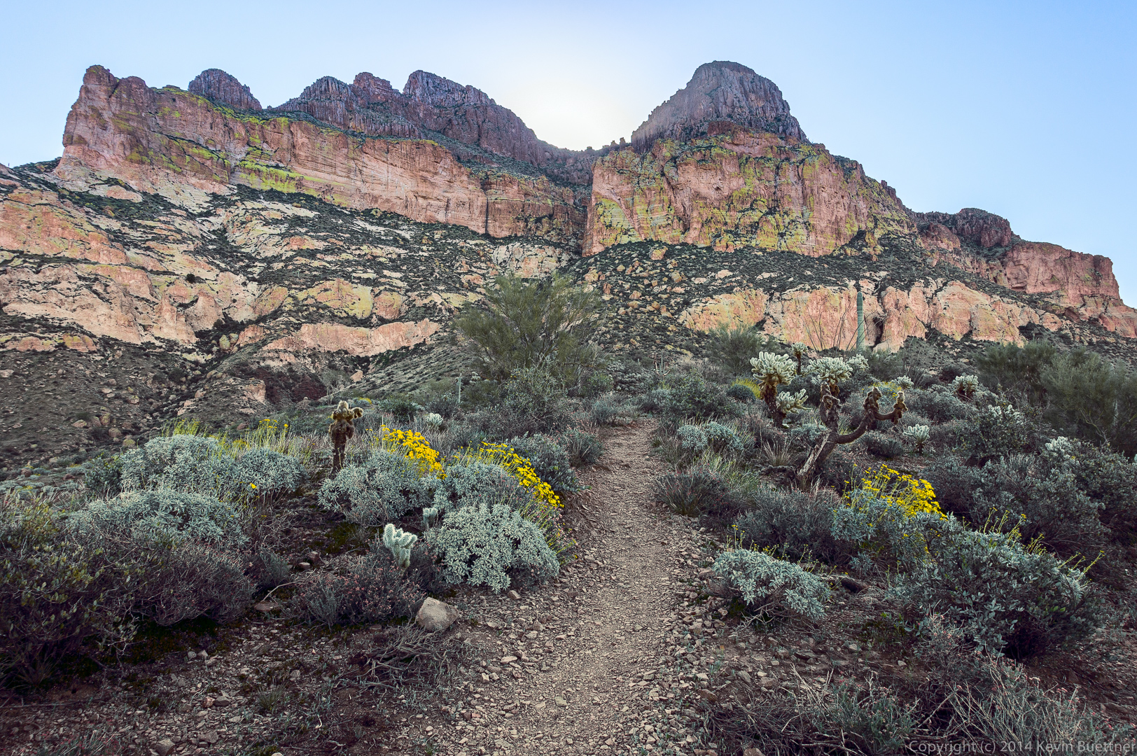
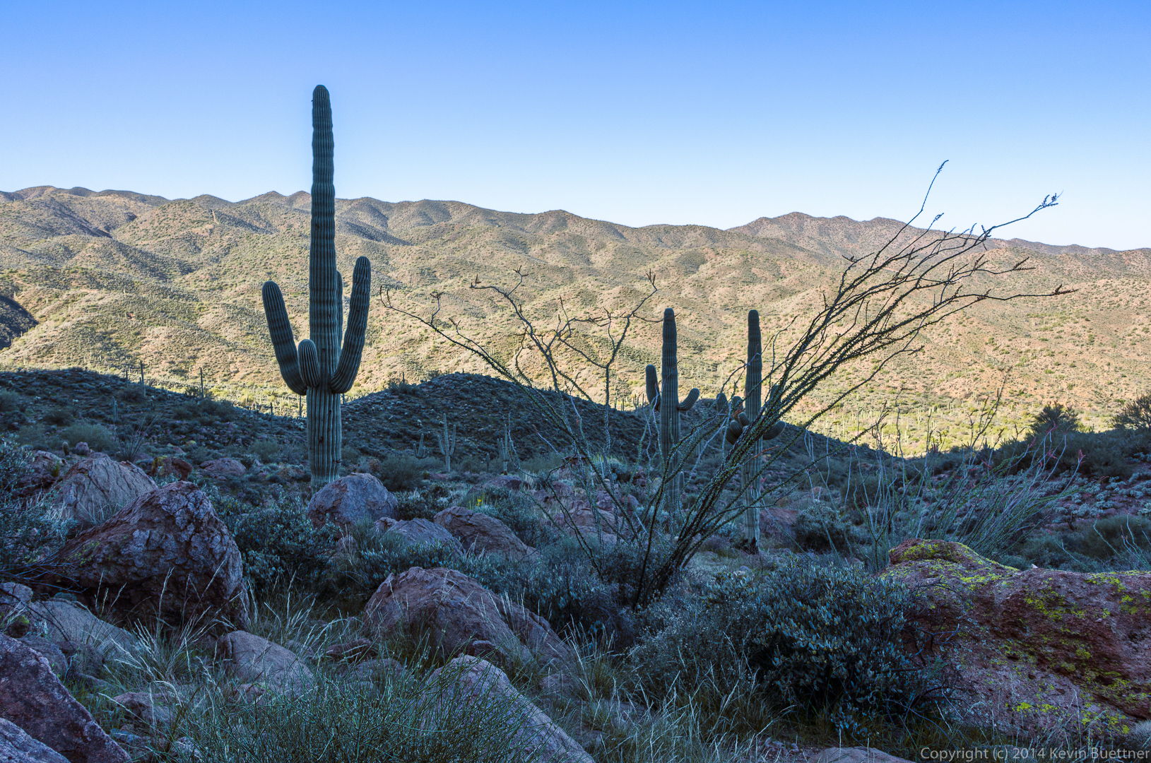
On Friday, March 6, Bob, Allen, Janet, Bill, and I hiked to the summit of Picketpost Mountain.
Allen sent me this plot of the elevation profile from our hike:
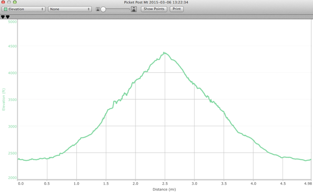
Here is a plot of our hike (also from Allen). We took a somewhat different path back in some of the steeper, looser sections. The path that we used to go down was somewhat easier than that which we used for the ascent.
Something isn’t quite right in the first few photos here, but I can’t quite figure out what it is. Many of my photos from early in the day were in the shade of Picketpost Mountain. It could be that I should have used different techniques for color correcting the portions in the shade.
The hike starts on a portion of the Arizona Trail. The arrow made out of stones points to the correct path up to the summit of Picketpost Mountain. We had passed another likely path perhaps a quarter mile prior to encountering this one.
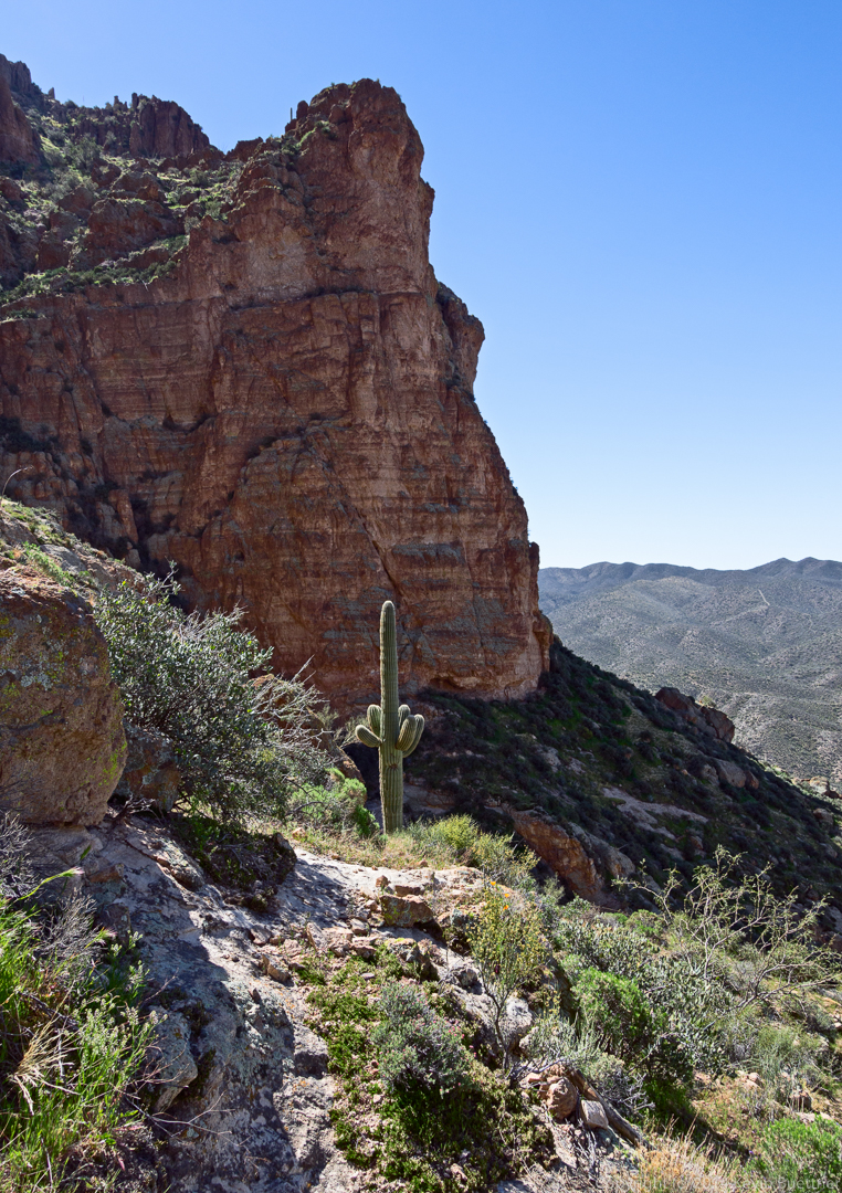
A view of Picketpost Mountain from the lower slopes. The hiking path goes up the “crack” just right of center.
A view looking in the other direction.
I thought the barrel cactus growing sideways was interesting.
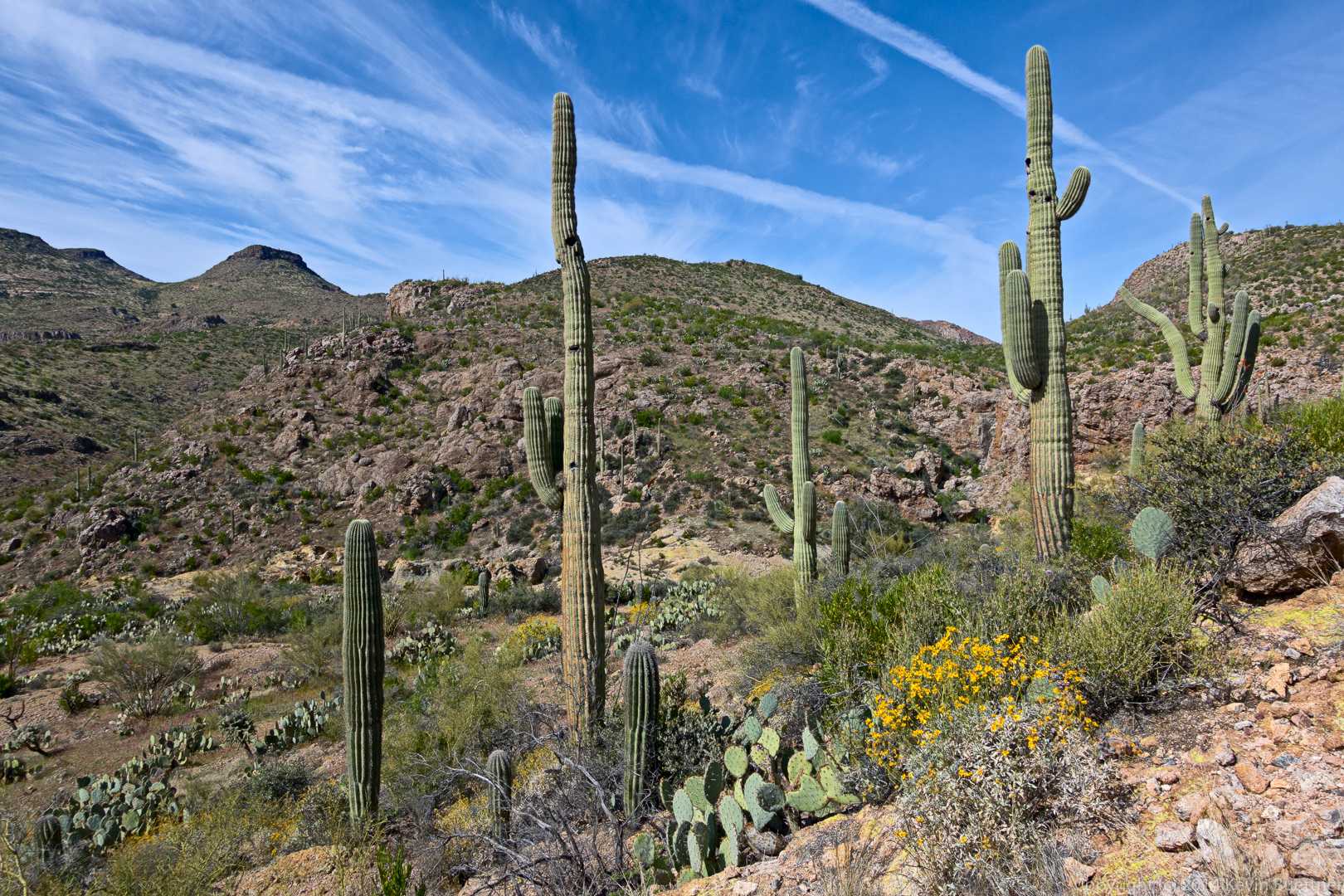
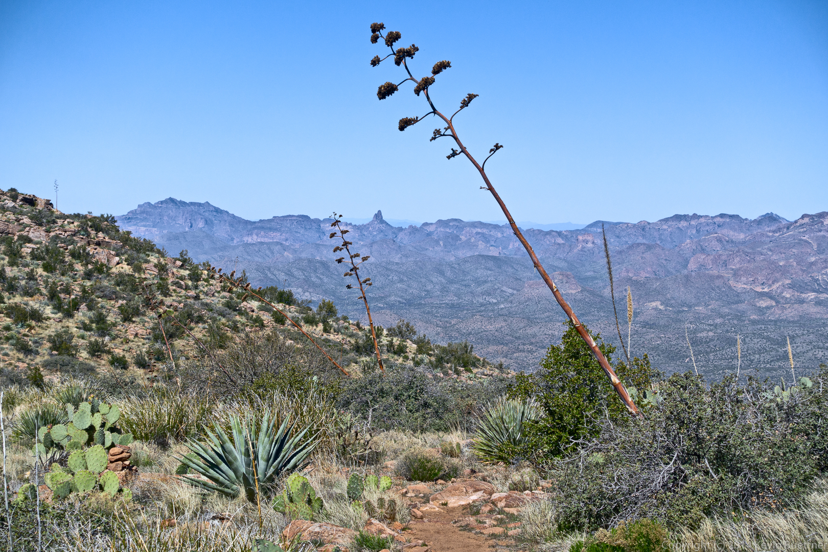
We saw many agave stalks on this hike.
I don’t know what these red flowers are…
Bill enjoys the view from midway up:
There were a few spots with some exposure…
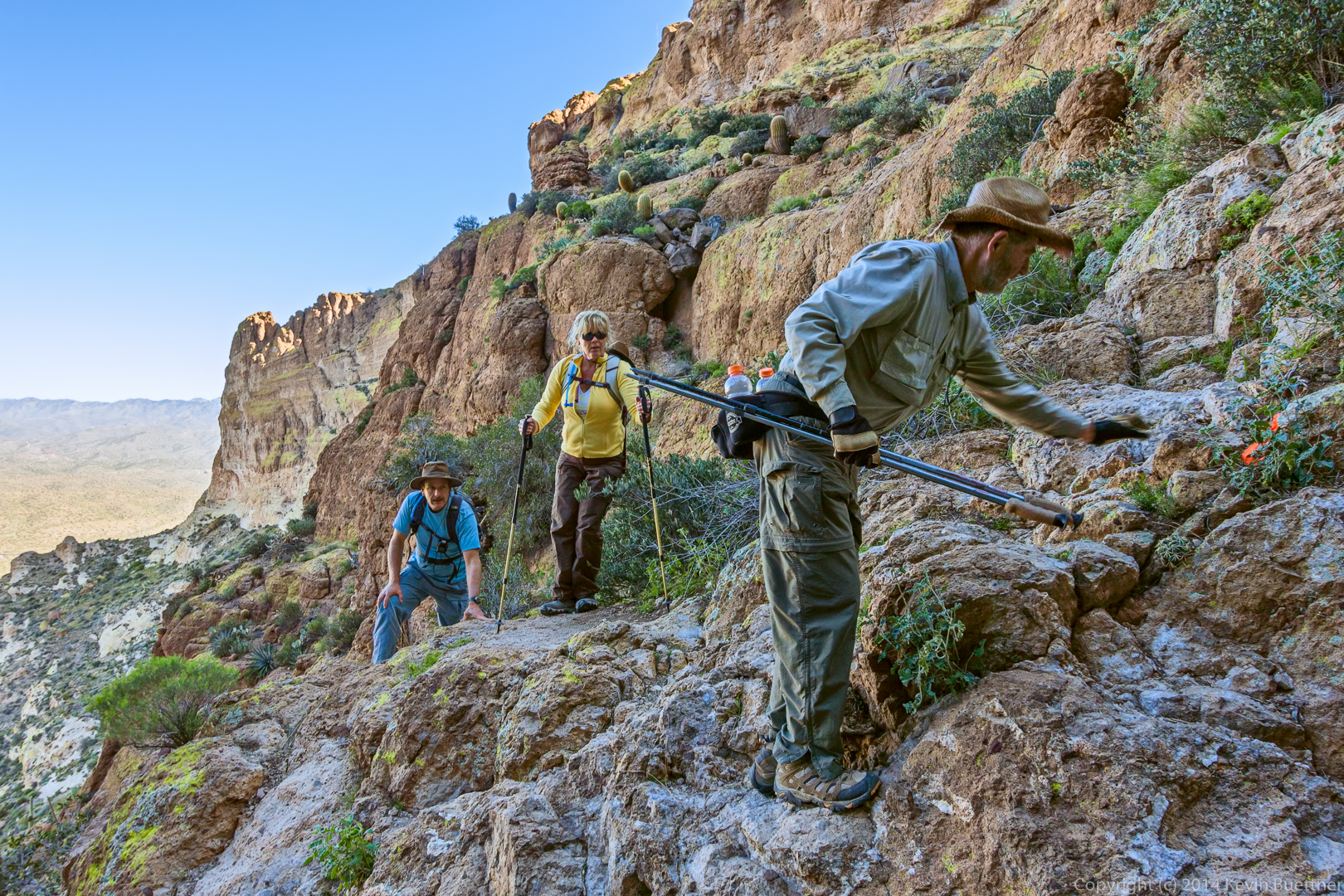
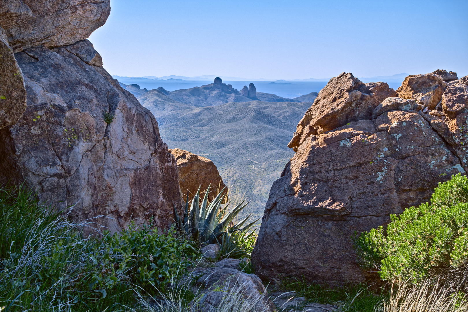
This is the view from near the summit. A side path lead to a gap in the boulders.
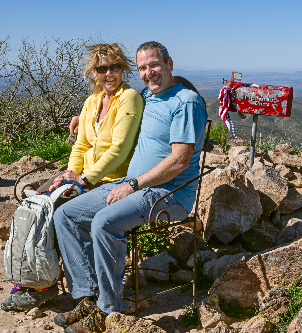
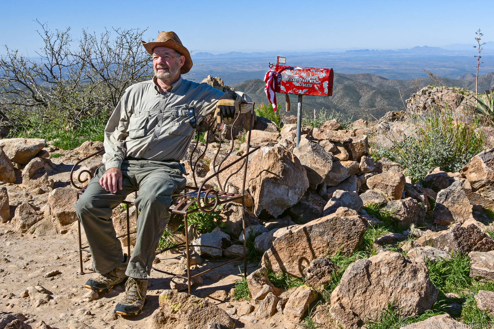
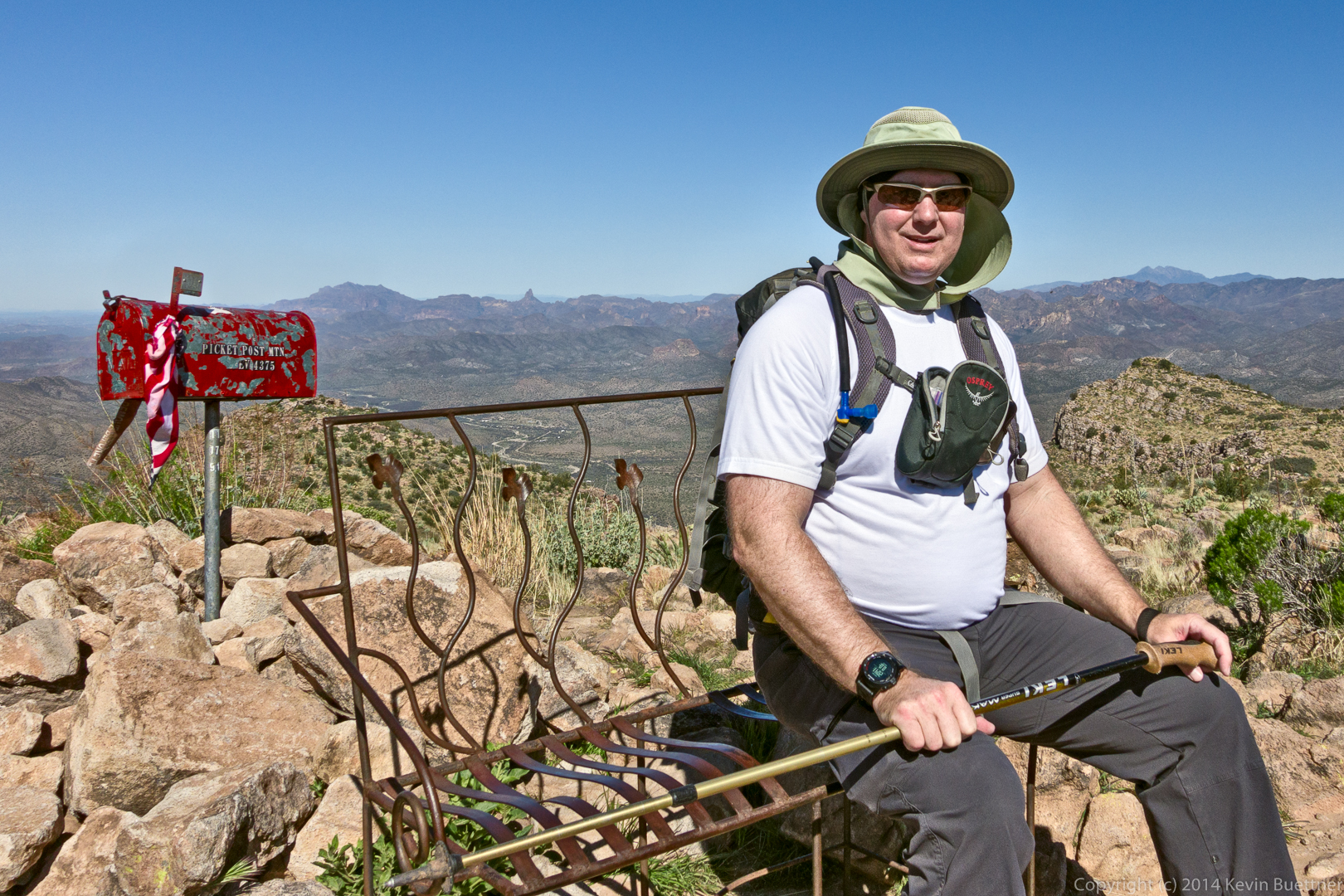
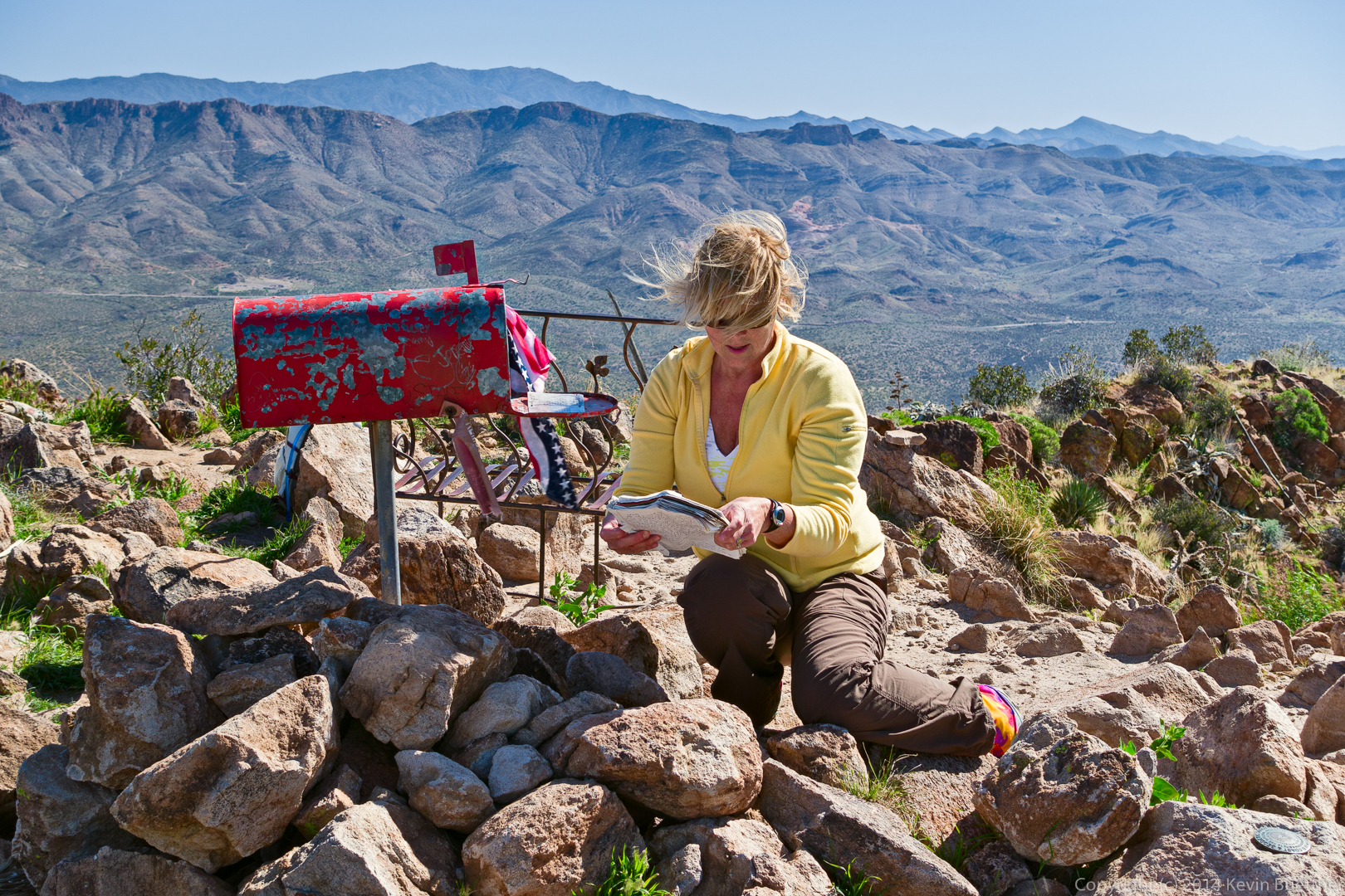
There is a mailbox at the summit! We each posed on the bench near the mailbox…
Janet and Allen:
Bill:
Bob:
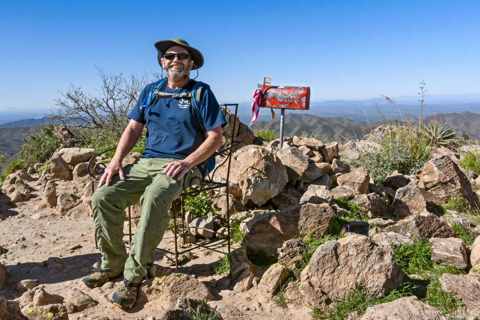
Kevin:
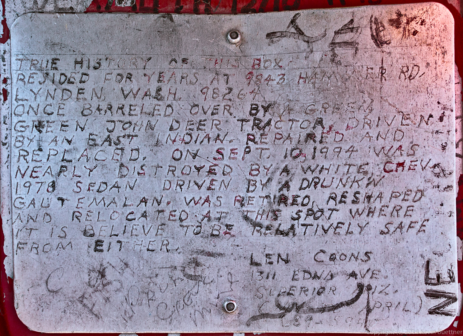
This is the story about how the mailbox came to be on the top of Picketpost Mountain:
The hike to the top of Picketpost Mountain is not especially easy, yet a lot of people have been there. The mailbox contains a number of summit register books. (Janet was examining a few that aren’t in the mailbox in this photo.)
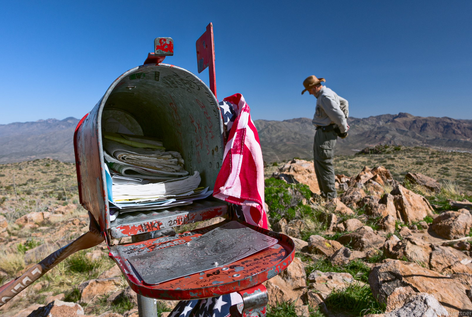
Janet, looking at the summit logs:
A view of Weaver’s Needle as we started downward.
Another view from early in our descent:
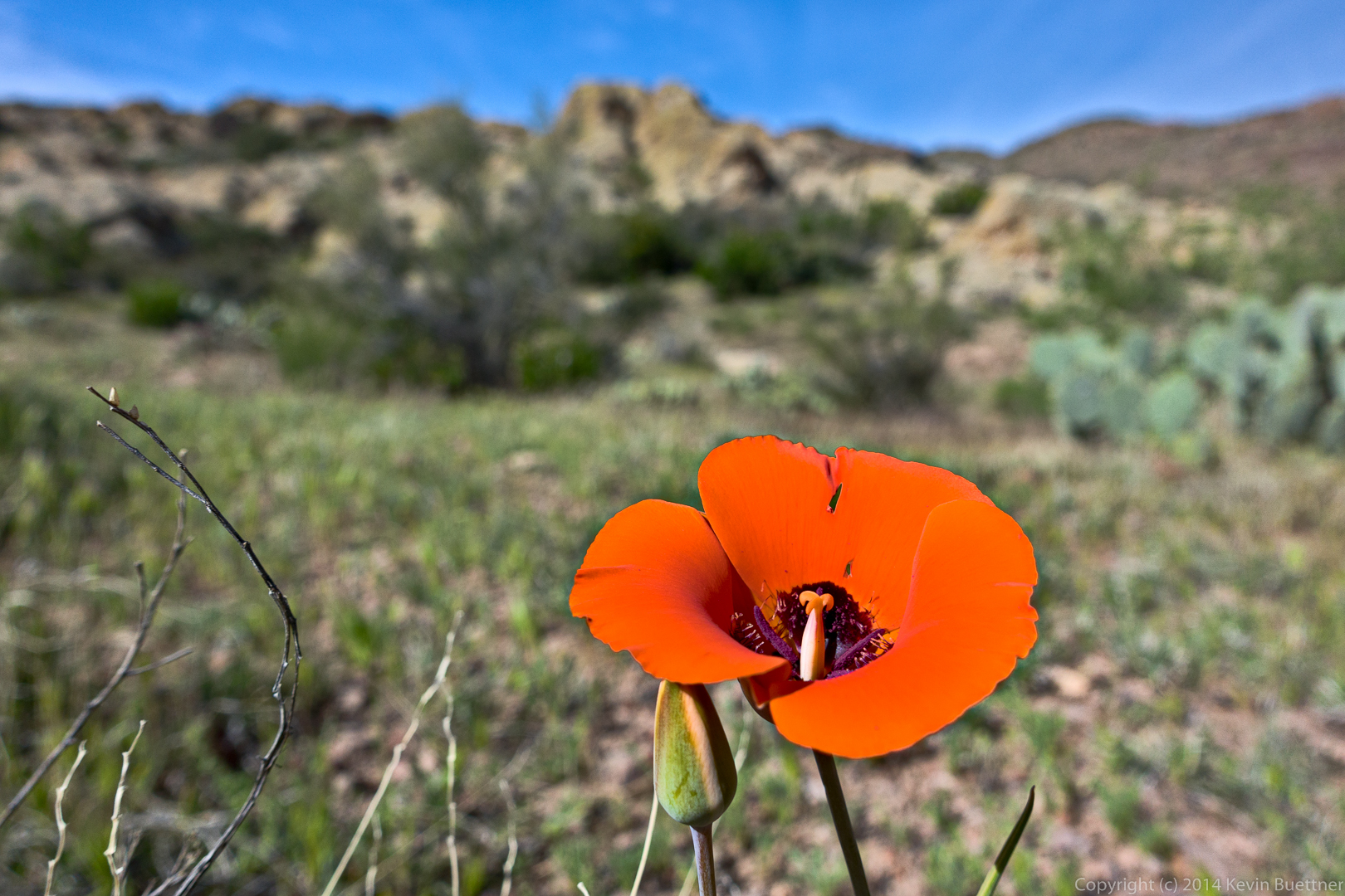
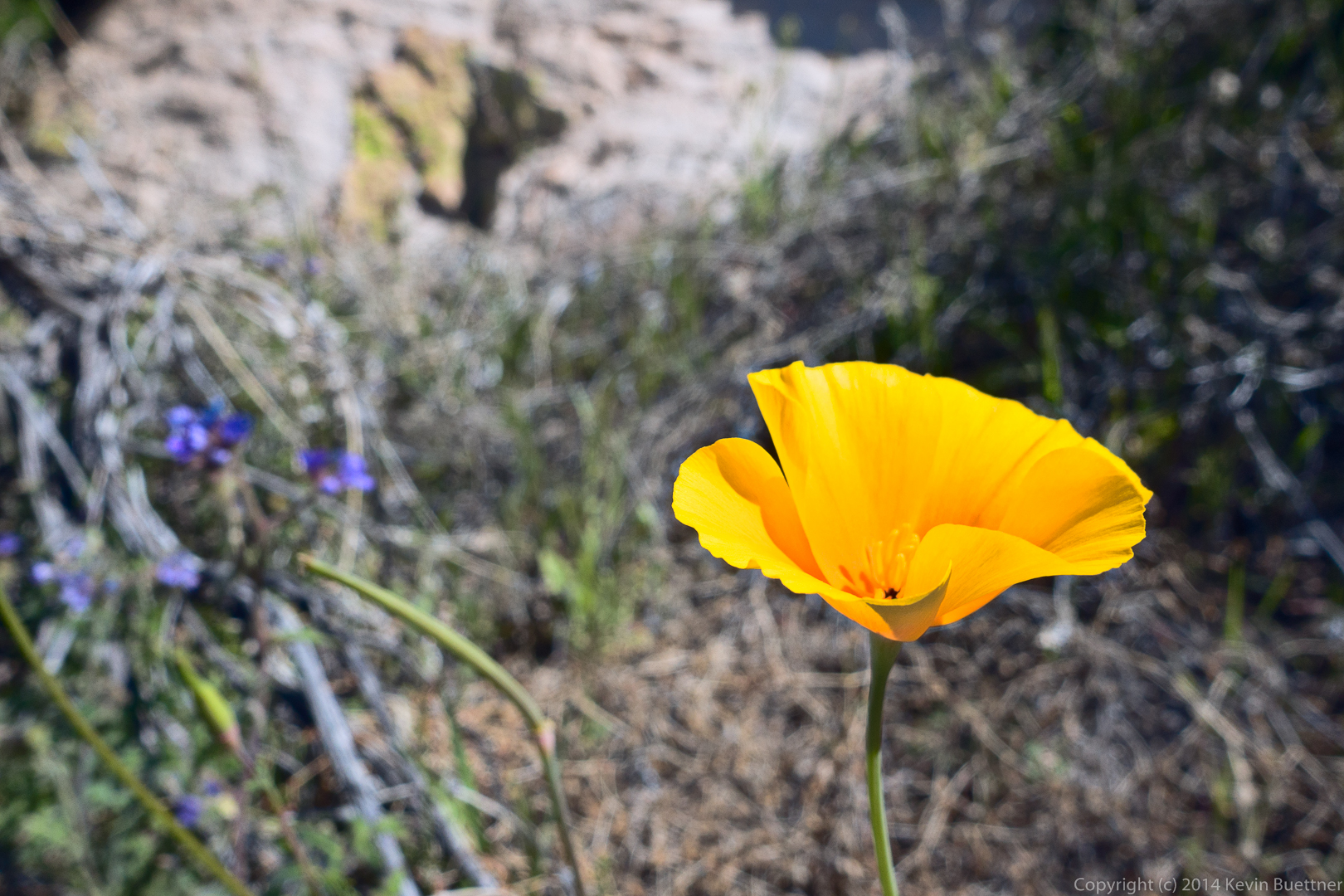
This is a Mexican Poppy:
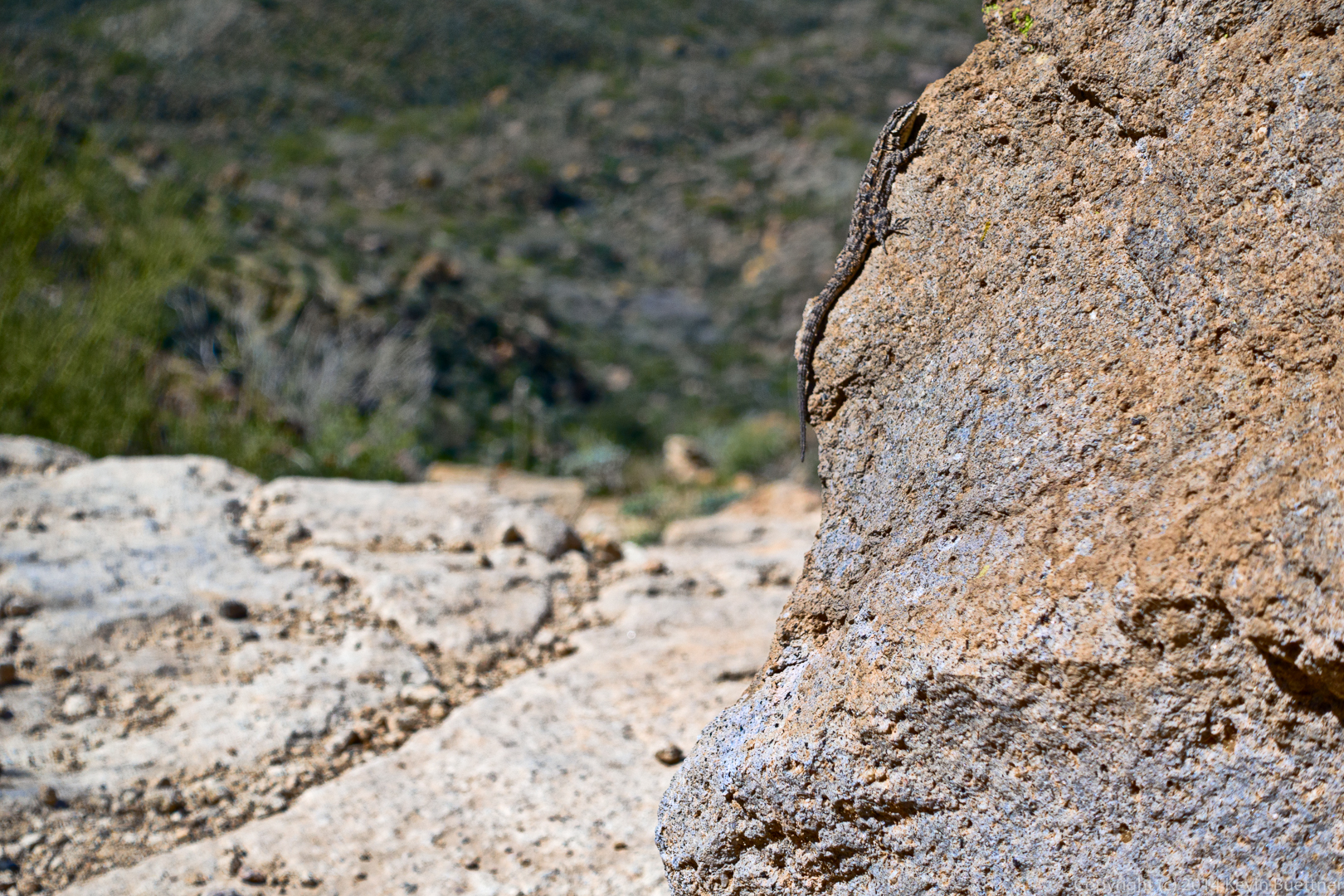
A lizard:
This was the last steep section of the descent:
Kevin, Bill, Bob, Allen, and Janet:
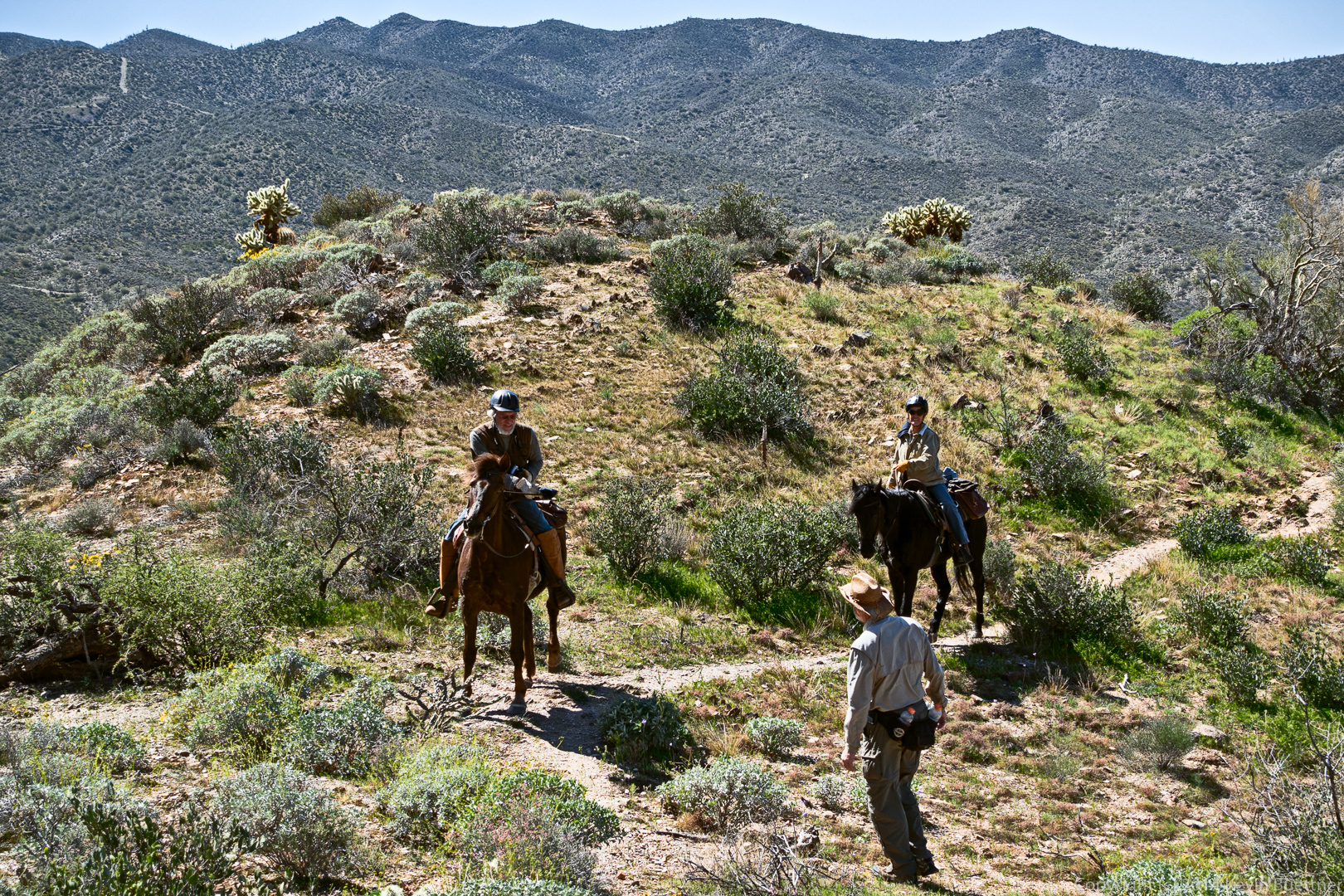
Much to our surprise, we saw two equestrians coming up the trail. I don’t think they made it to the top. I’d be surprised if they made it even a quarter of a mile further from this point.
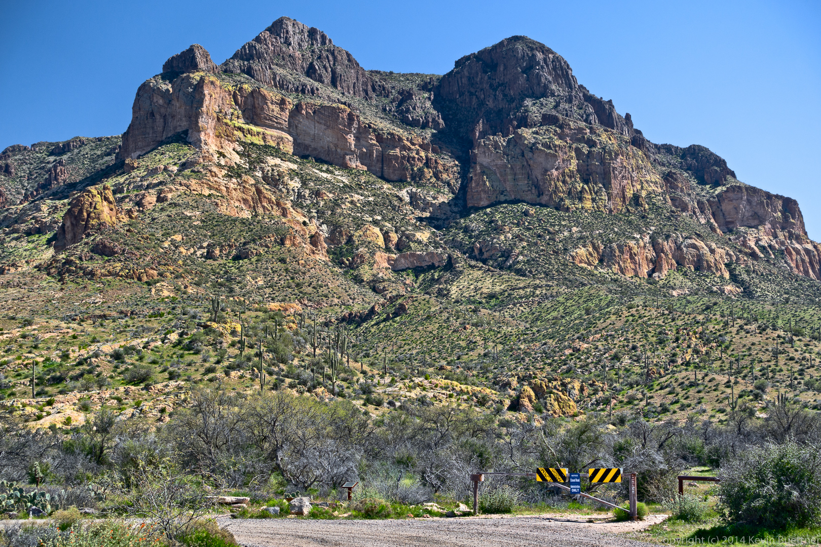
A view of Picketpost Mountain from the parking lot:
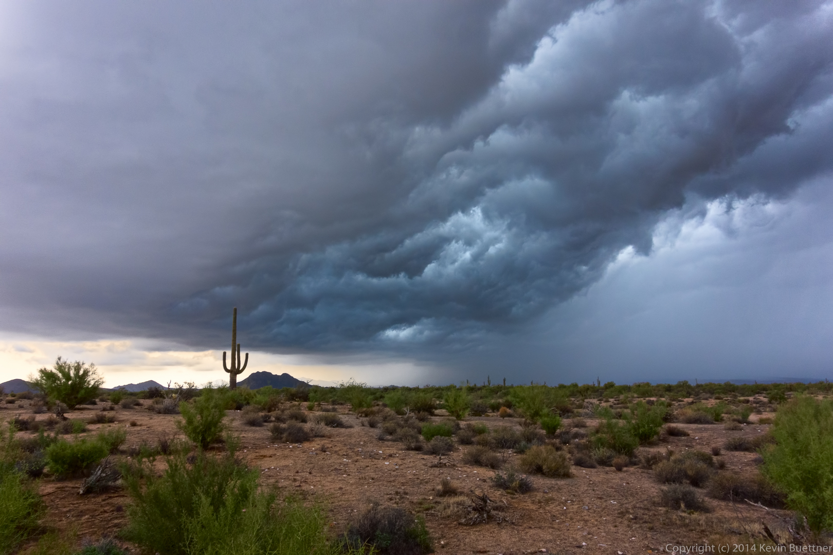
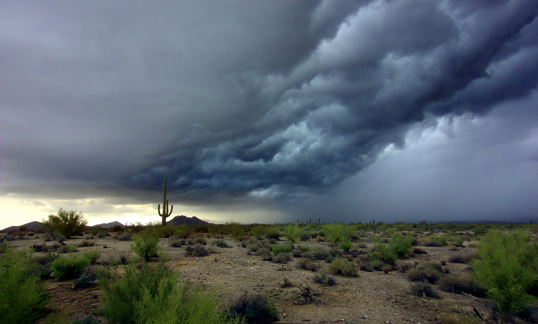
Here are three edits of a monsoon photo from a hike that we did on September 7, 2012. We ended up hiking through monsoon rains a short time after the photo was taken.
This version, below, is my most recent attempt using techniques from the PPW, though I did some minor dodging and burning of the clouds through luminosity selections.
This is my second edit where I used luminosity masks. I think I blended two exposures using luminosity selections. It produced a more dramatic result.

This photo, below, is my original edit. I had just switched over to shooting RAW (from JPEG) at the time so this was one my early attempts at processing a RAW image. Looking at it now, it looks grainy to me (due to lack of noise reduction). It’s not as sharp as it could be either.
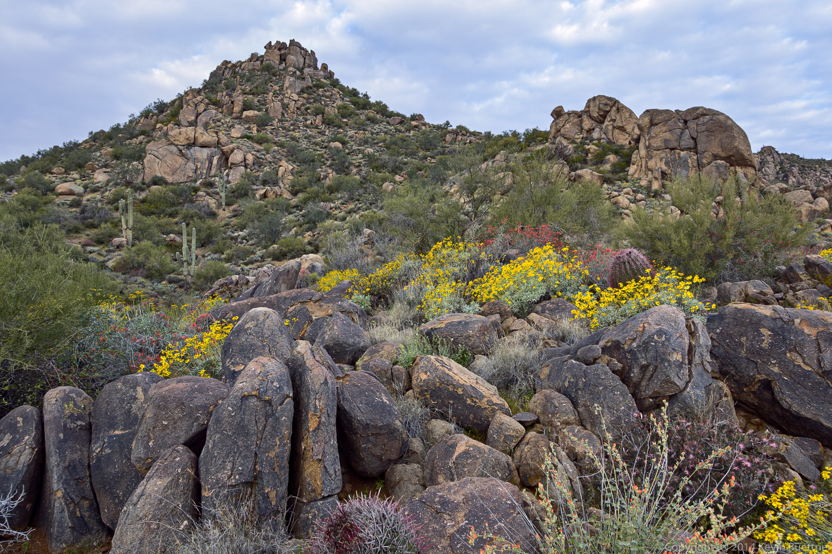
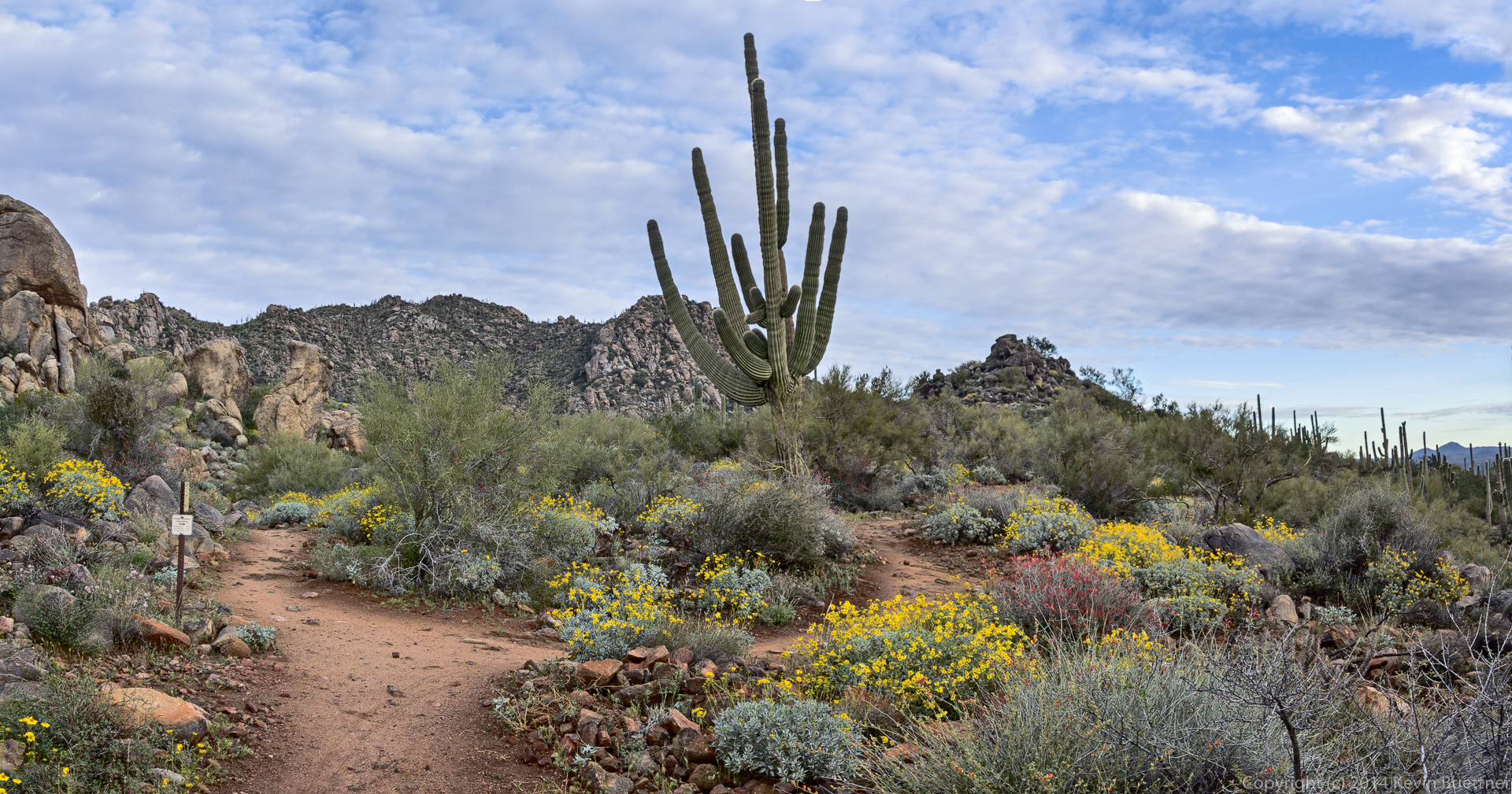
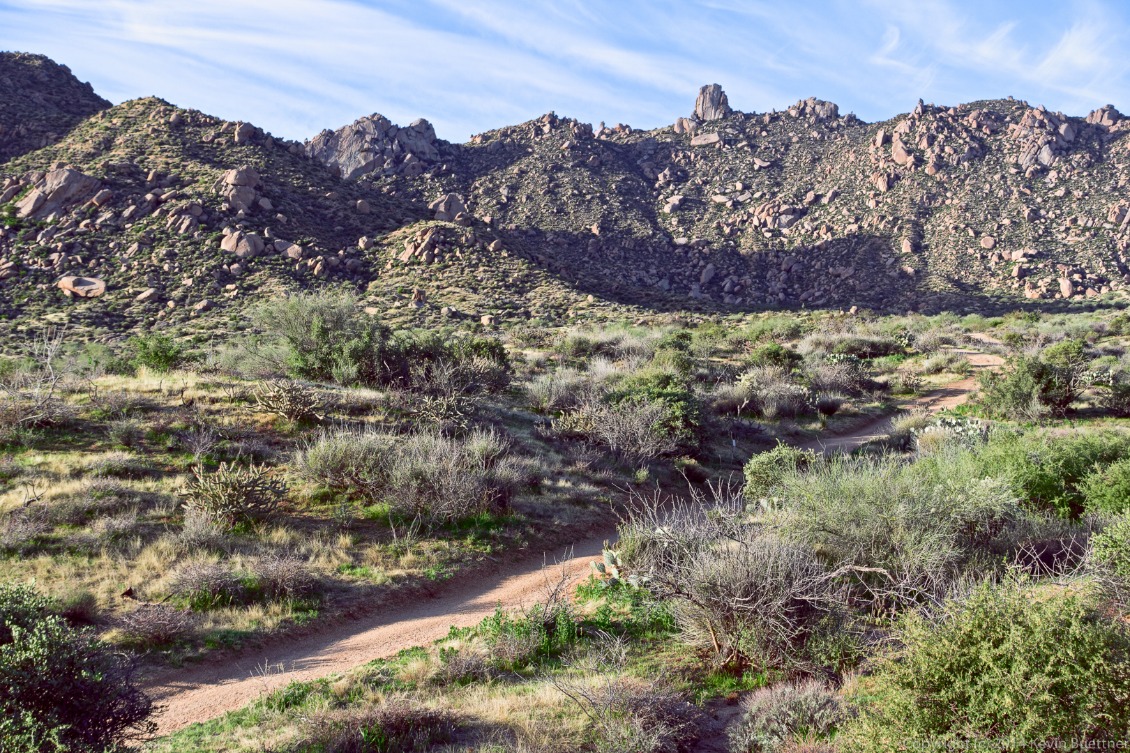
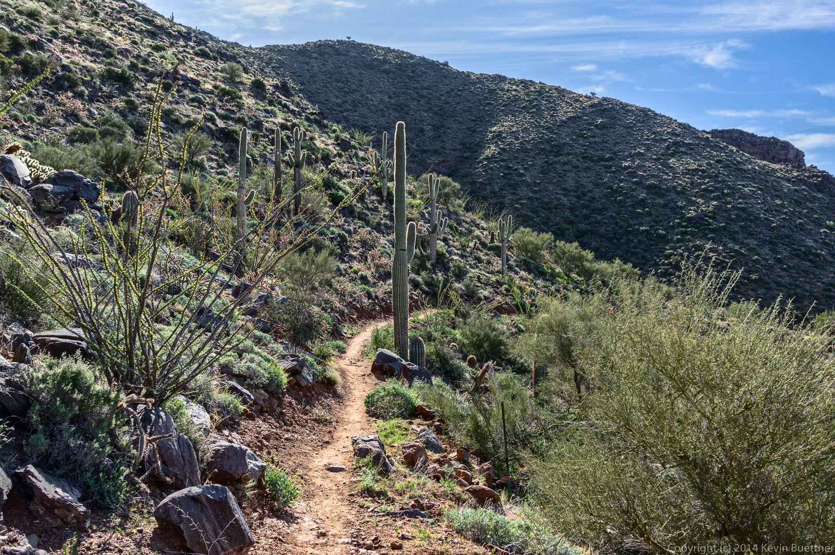
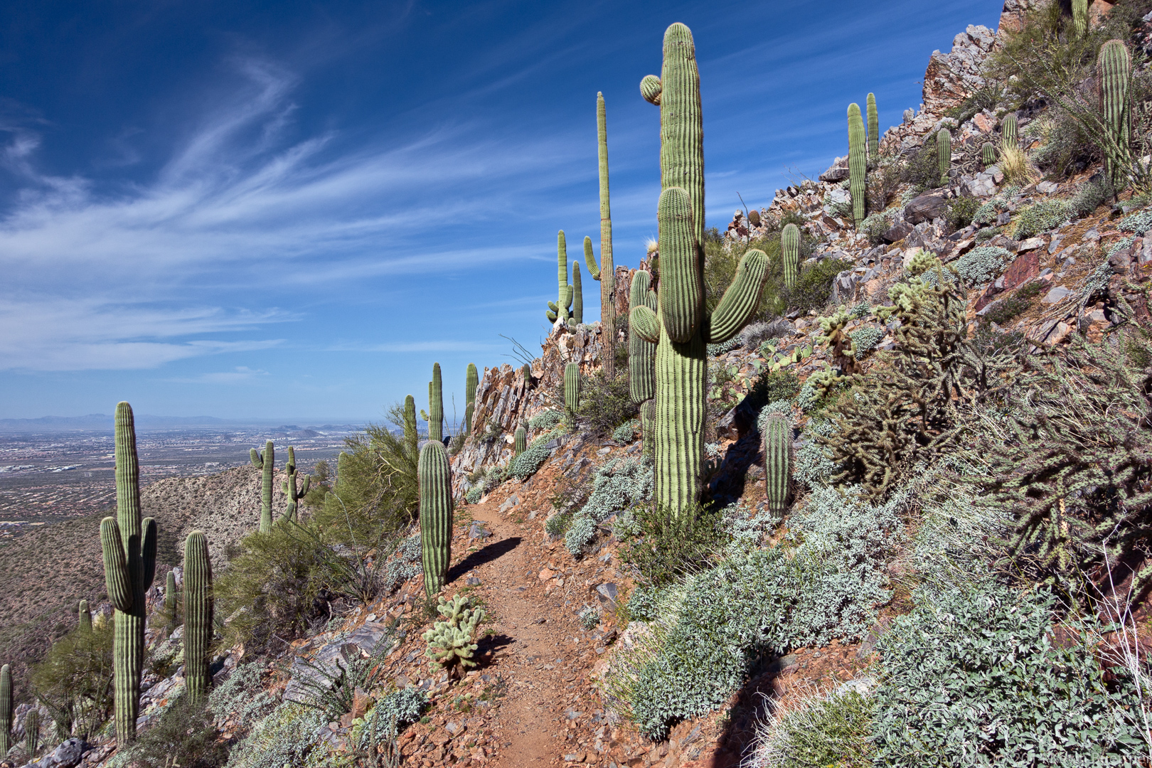
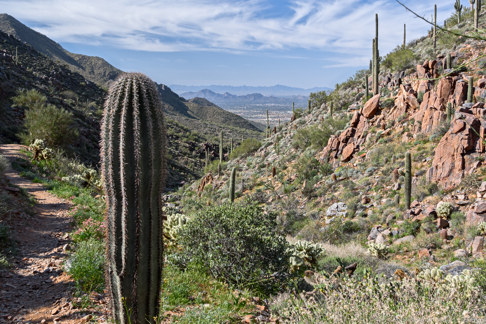
Friday’s hike started at the Tom’s Thumb Trailhead at the end of 128th St. We hiked up to Tom’s Thumb and then took the Tom’s Thumb Trail east to the Scottsdale side of the mountain. We hiked down to the Windgate Trail and then took Windgate back up through Windgate Pass until we reached the East End Trail. We took the East End back to the Tom’s Thumb Trail and followed the Tom’s Thumb Trail back to the parking area. Total distance was 10.3 miles with over 3200 feet of total ascent.
This was the view shortly after leaving the trailhead:
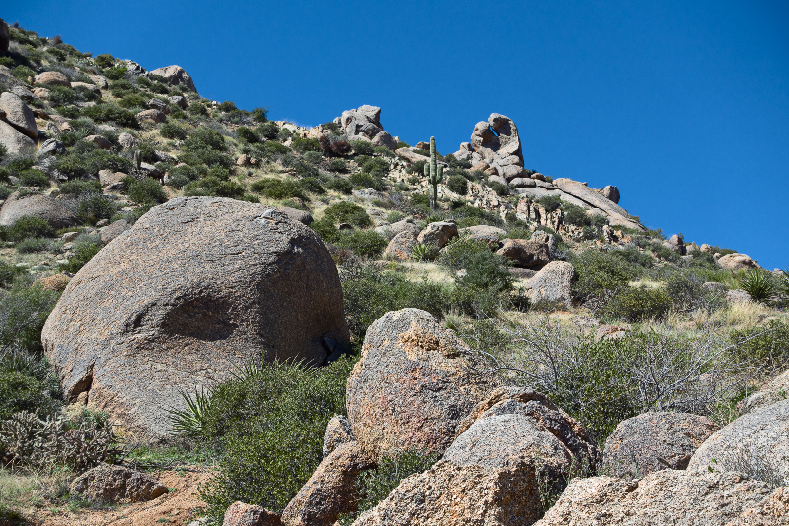
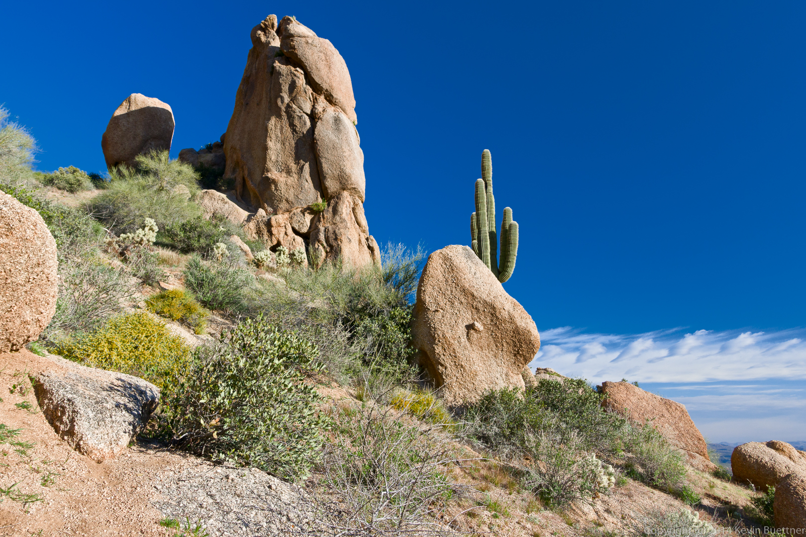
One of many rock formations that we passed on our way to Tom’s Thumb:
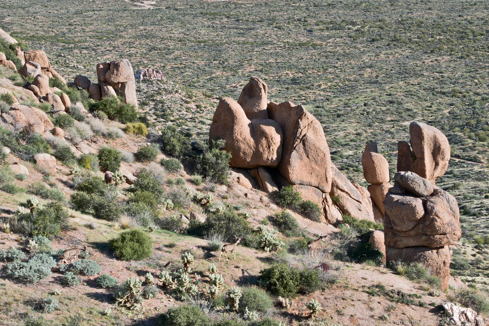
Look for three deer in the following two photos. We saw one of the deer high above us as we worked our way up the mountain. As we got higher, we noticed that there were actually three deer – which eventually ran down the mountain.
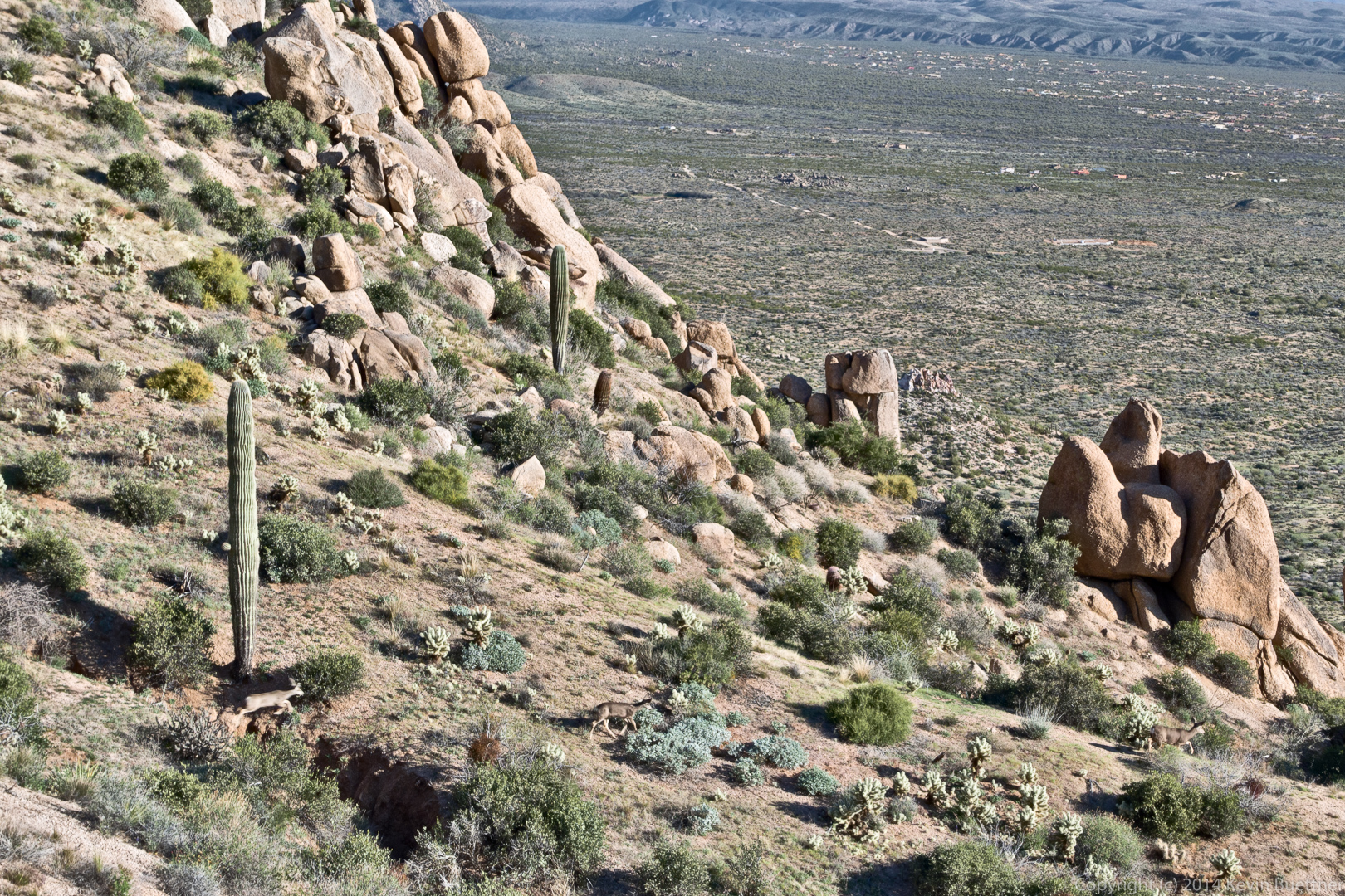
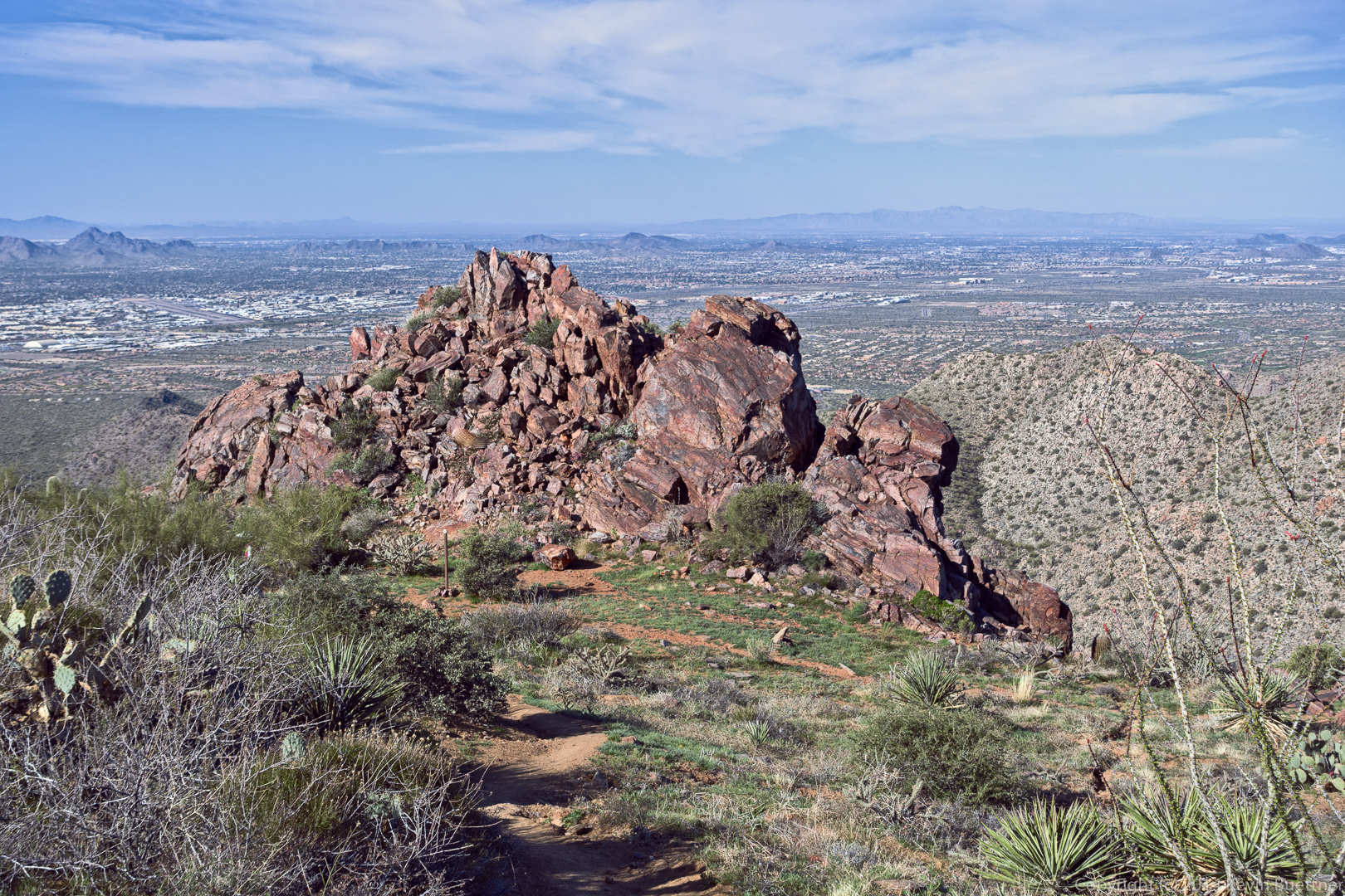
A view of the East End, Goat Hill, Glass Dome, Weaver’s Needle, Tom’s Thumb, and The Rist. I think part of Gardener’s Wall might also be visible at the lower left.
A view of the East side of Tom’s Thumb:
I saw this rock formation as I hiked down the Tom’s Thumb Trail on the Scottsdale side.
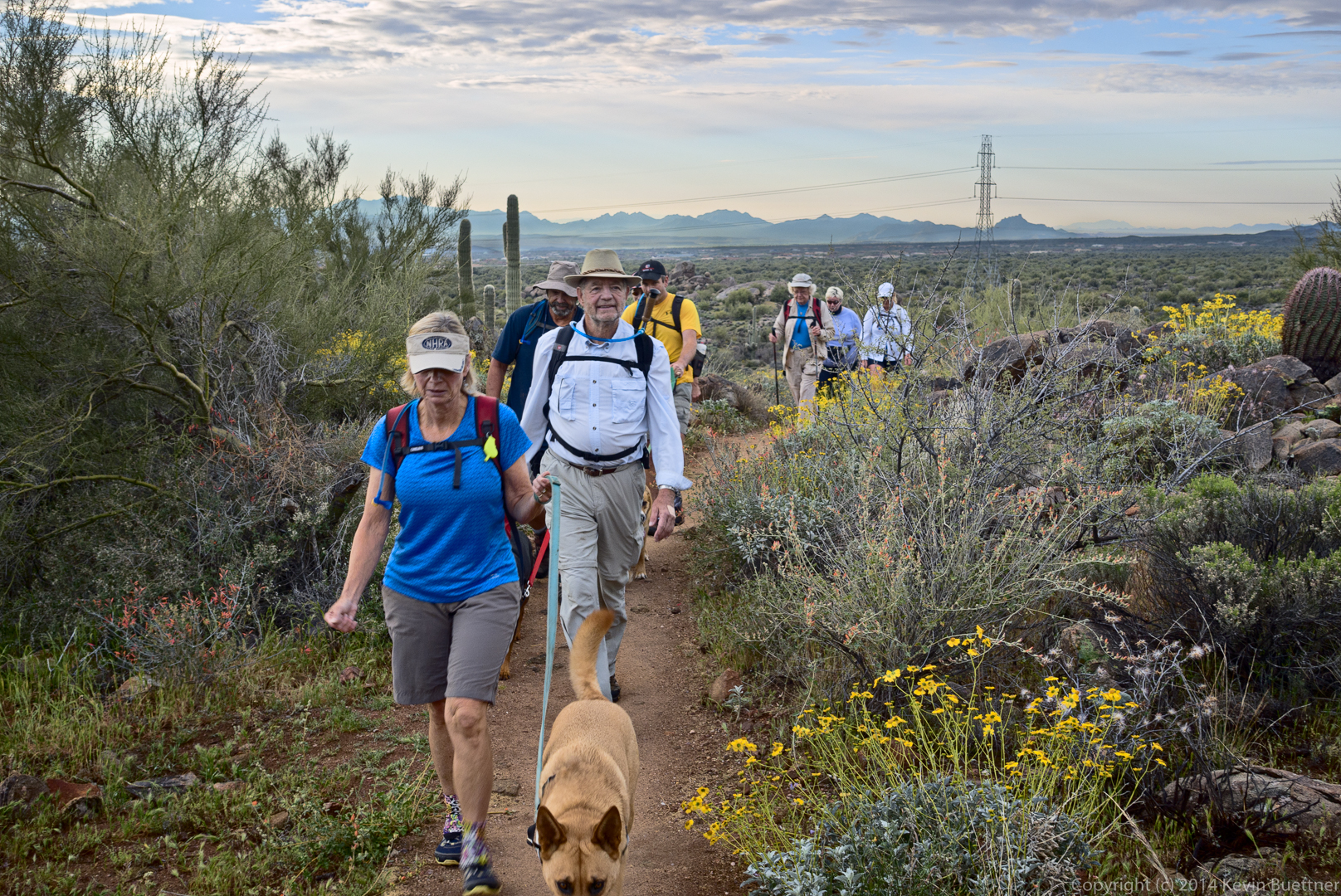
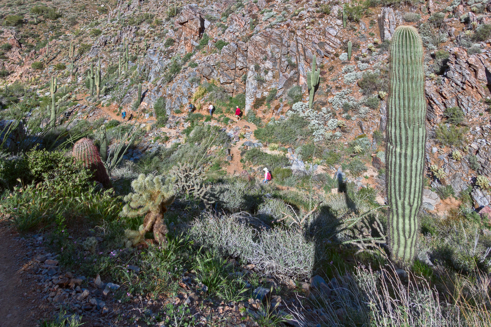
Look for two groups of hikers in the photo below. Bob, Allen, Janet, Greg, and Linda are hiking below me. (Bob was hiking very fast due to time constraints.) There was another group of hikers above me.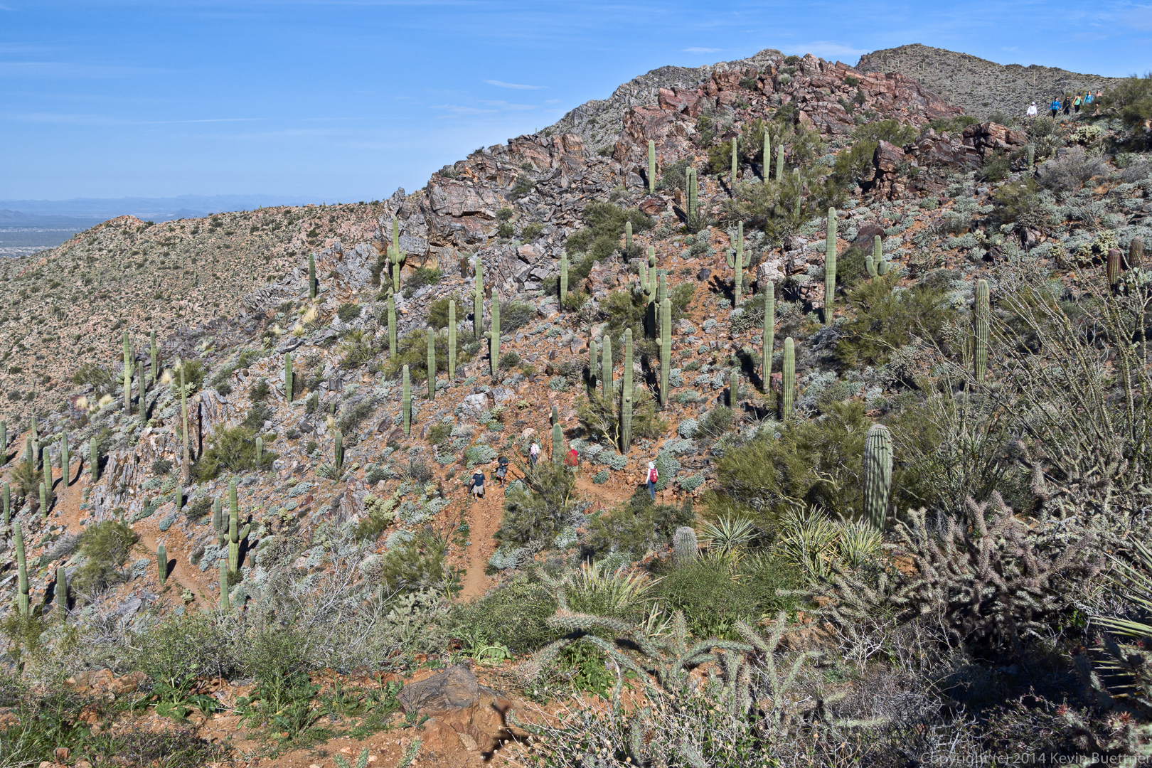
Another view of the the trail with Scottsdale in the background.
Bob is pulling even further ahead in this photo.
I noticed that I could see the tall buildings of downtown Phoenix when I took this photo.
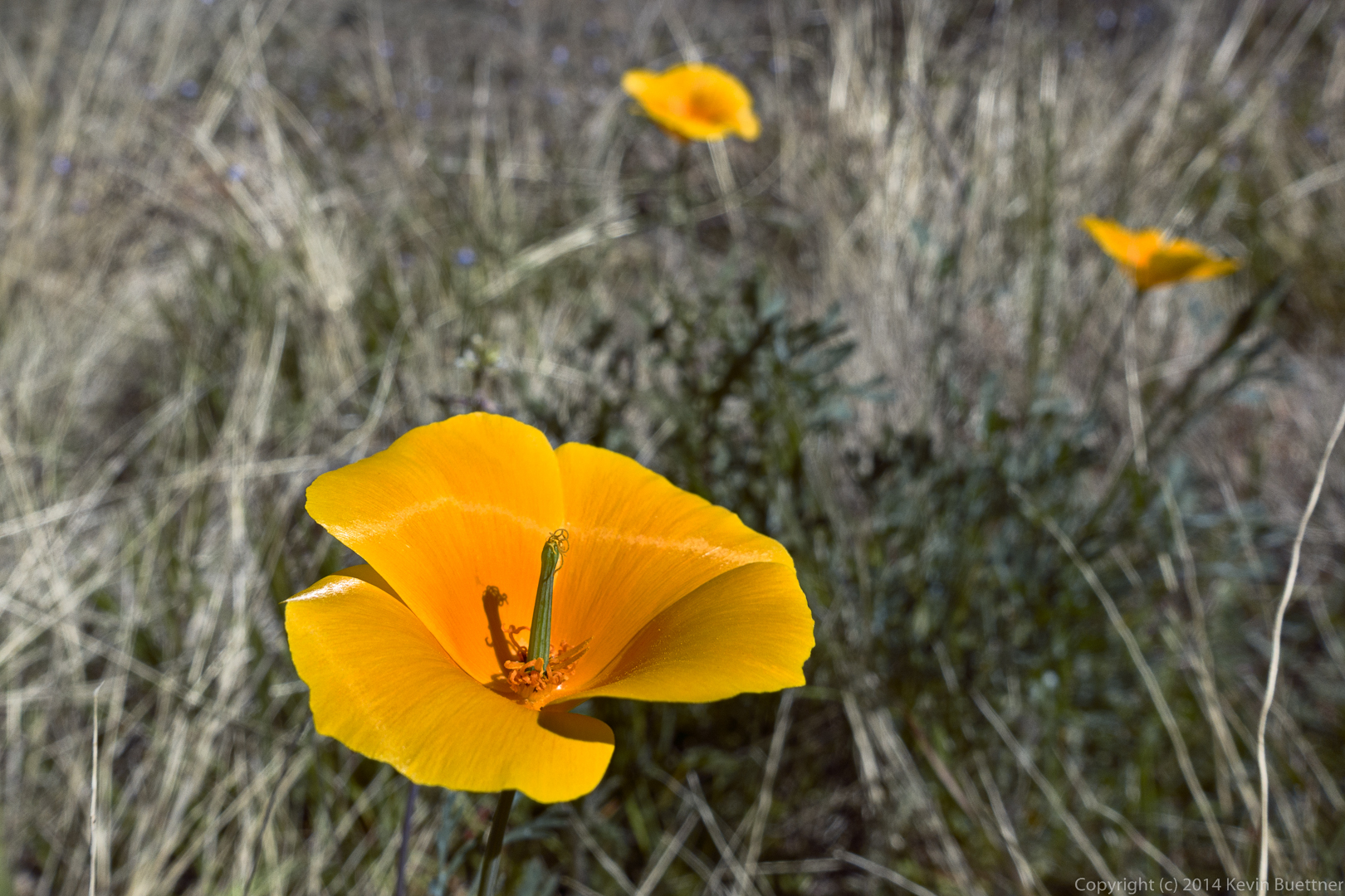
Poppies:
We saw a rock that looked like a baseball mitt as we hiked up the East End Trail.