Month: August 2016 (page 1 of 1)

Friday Fitness Hike

Linda, Lisa, Shawn, and I hiked 4.8 miles starting from the Tom’s Thumb Trailhead. Our total elevation gain for the day was nearly 1700 feet.

This is Shawn, Lisa, and Linda at the start of the hike. This photo provides a good view of the ridge – just over their heads in this photo – that we hiked towards, and then past, Tom’s Thumb.

20160826-_DSC6955-Edit-medium-3

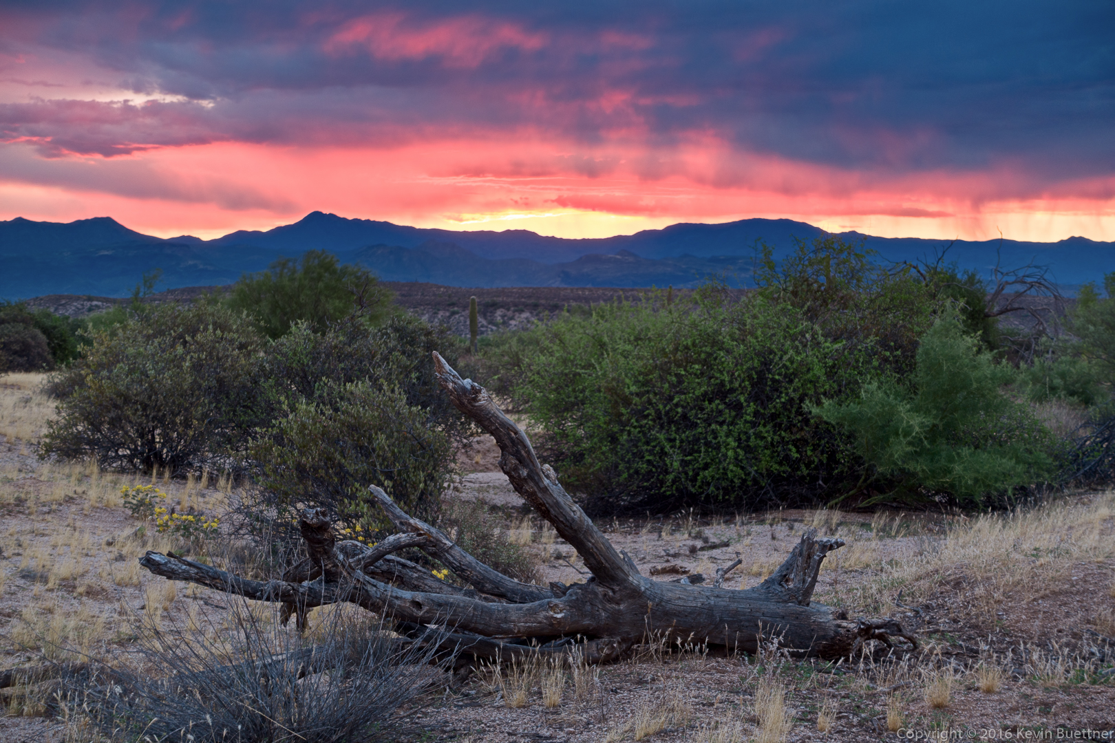
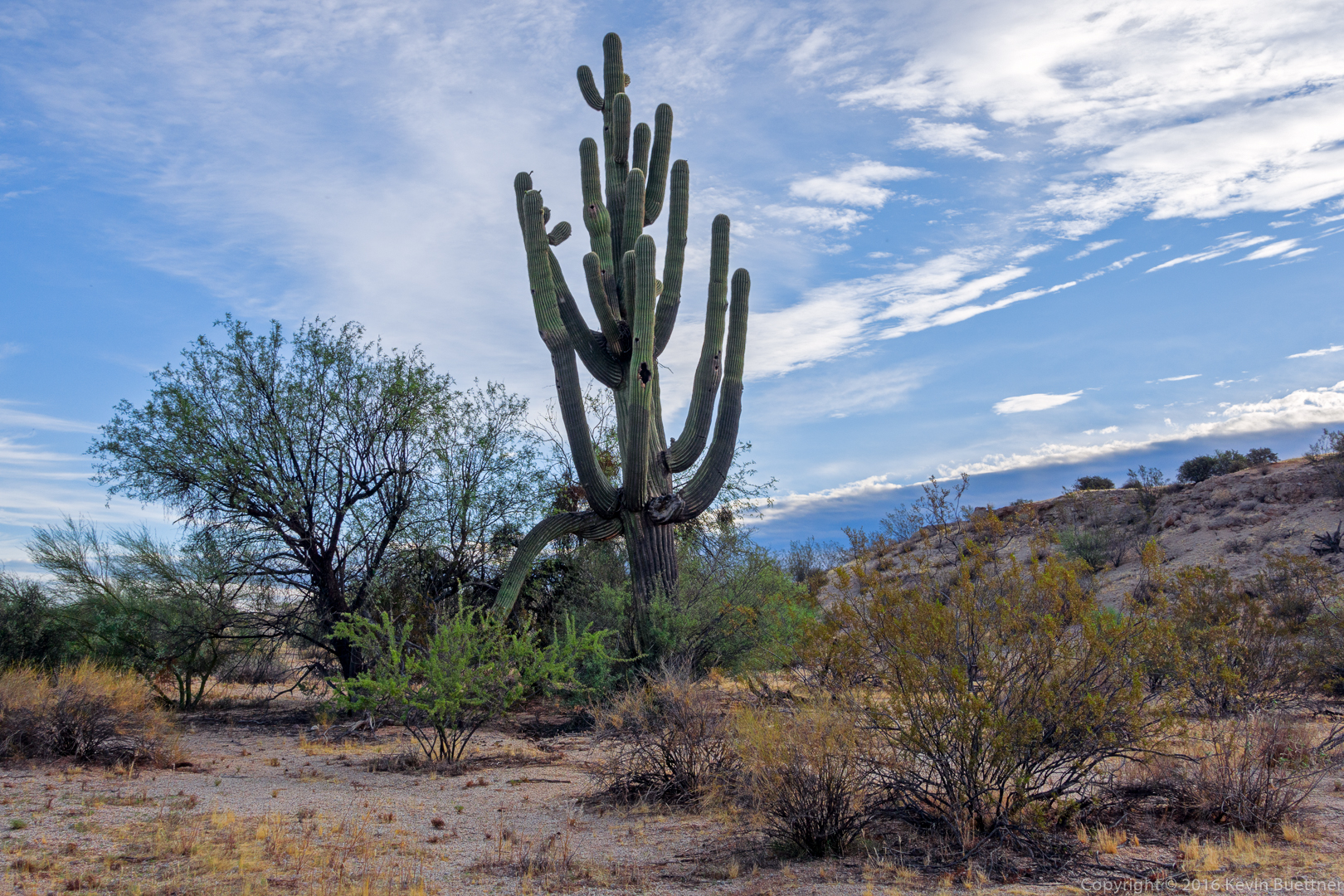
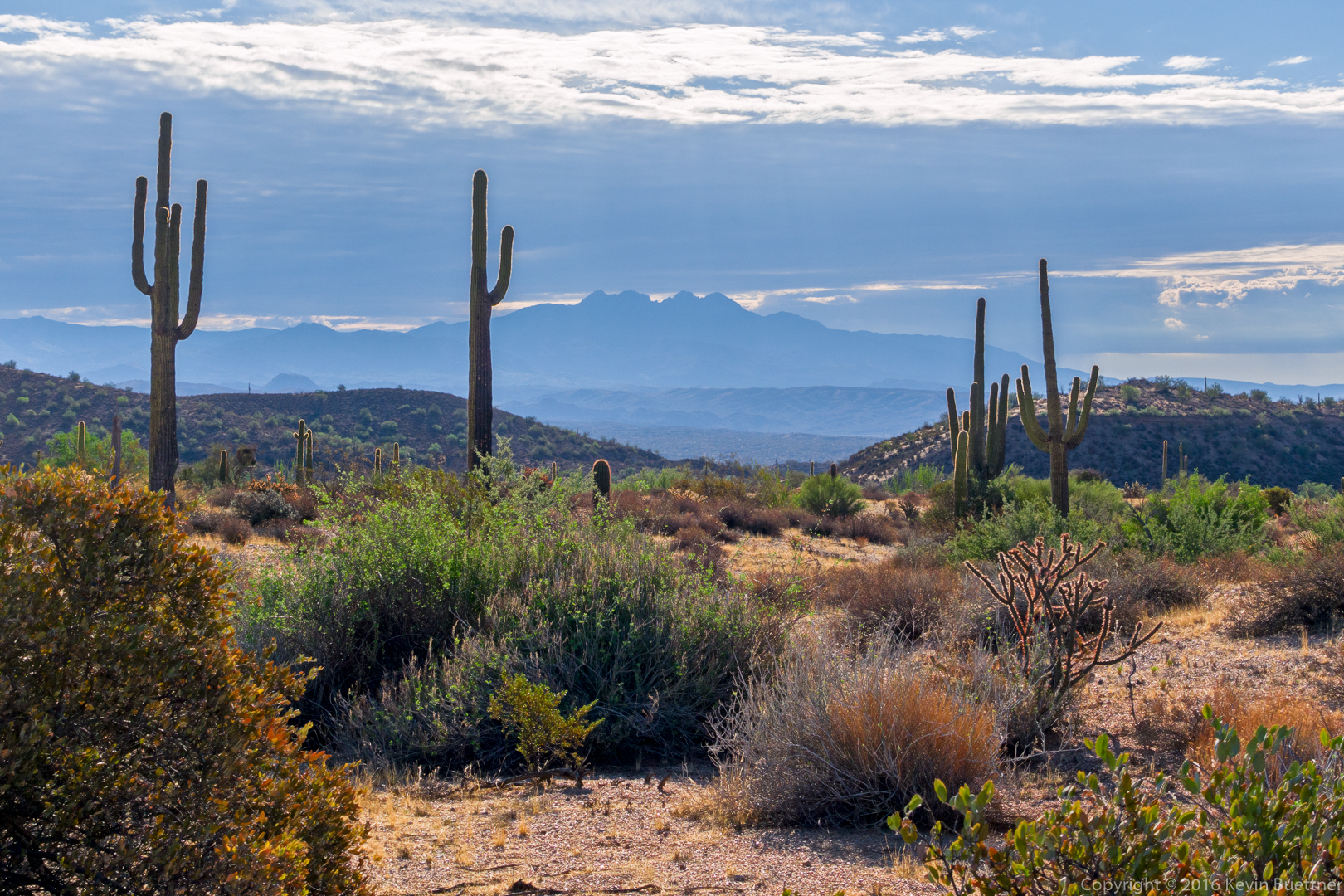
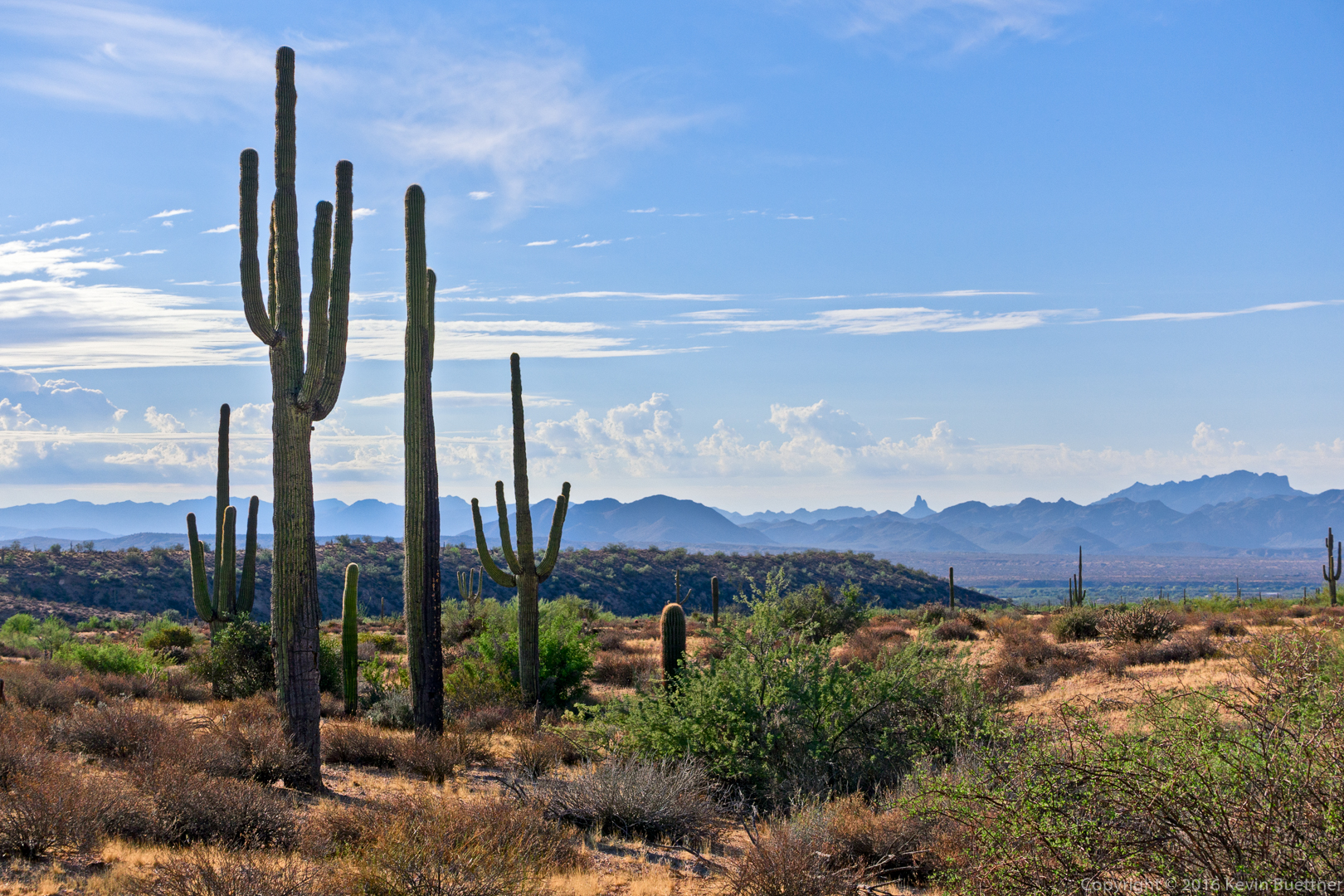
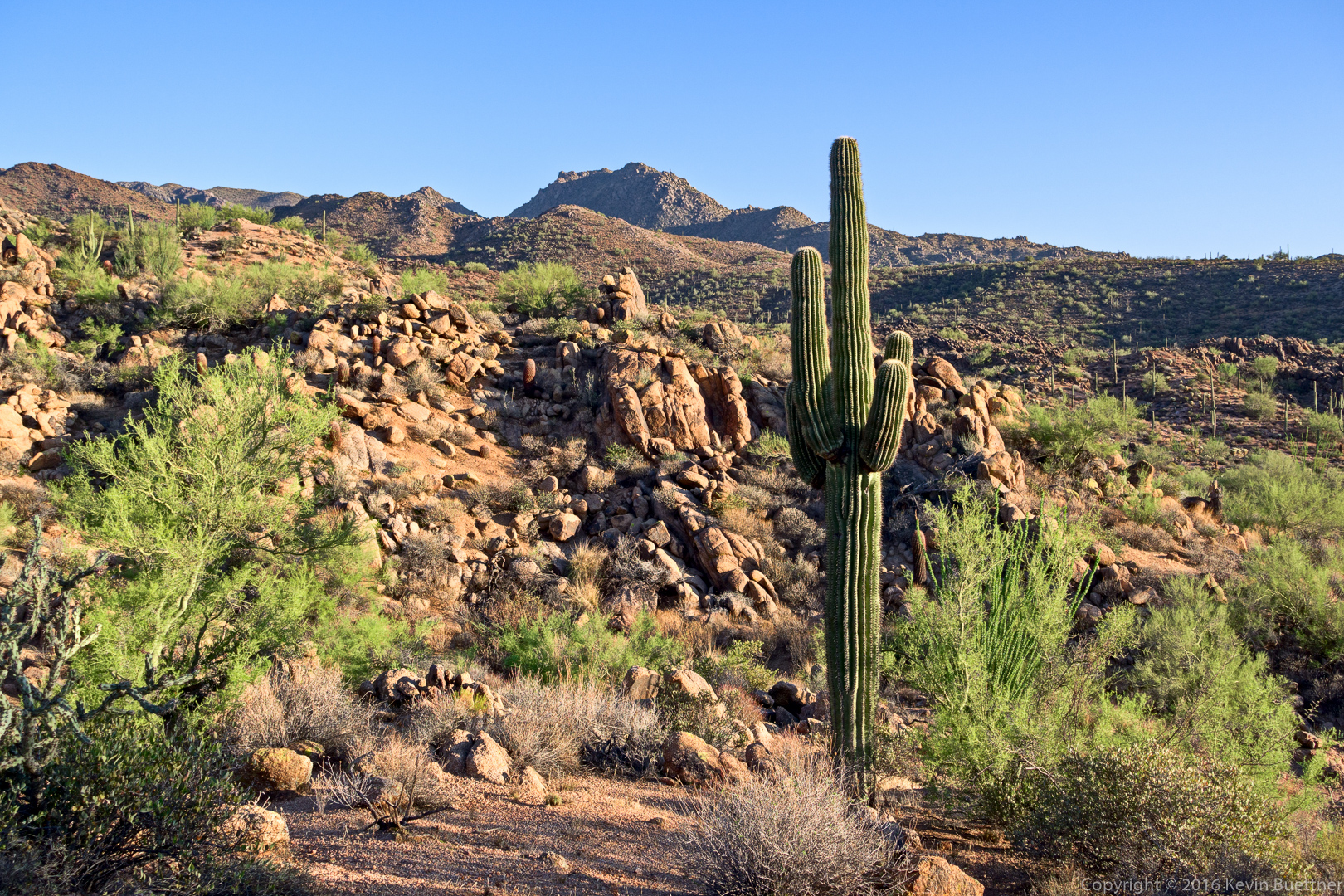
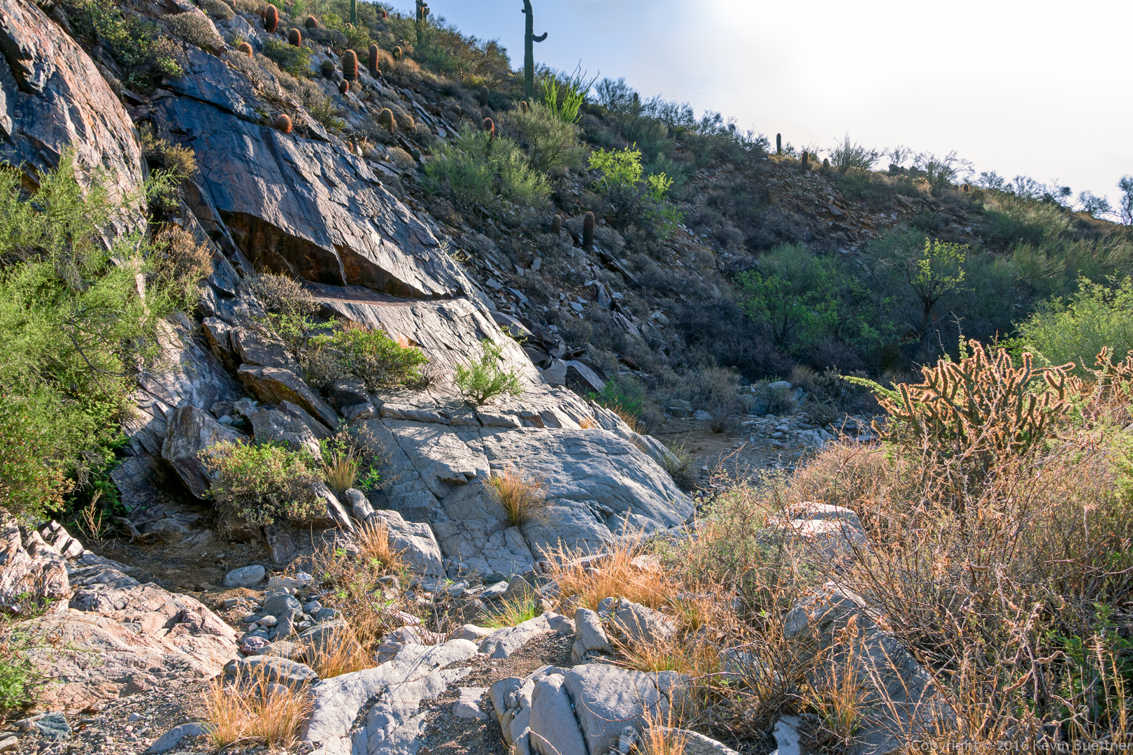
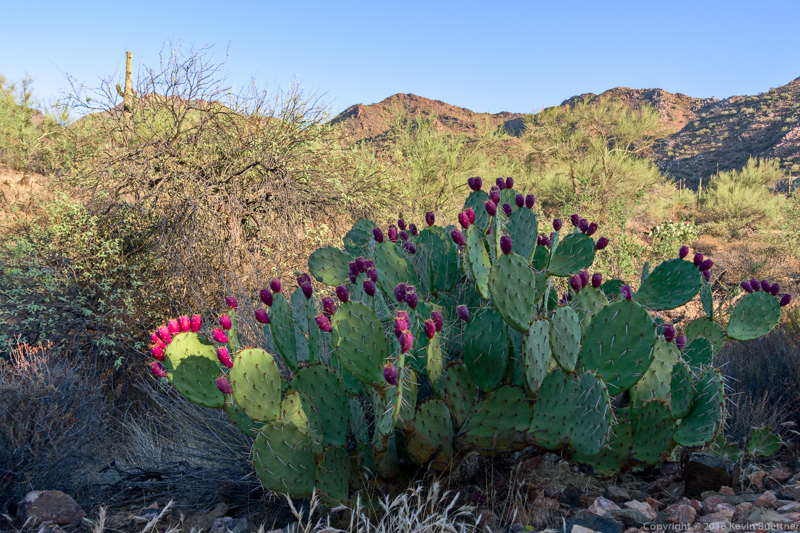
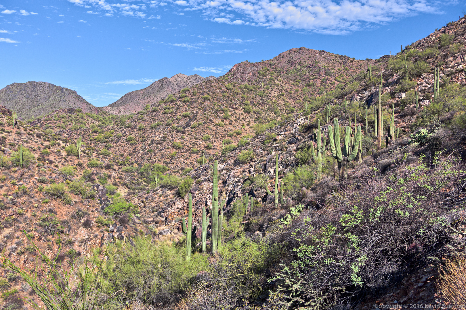
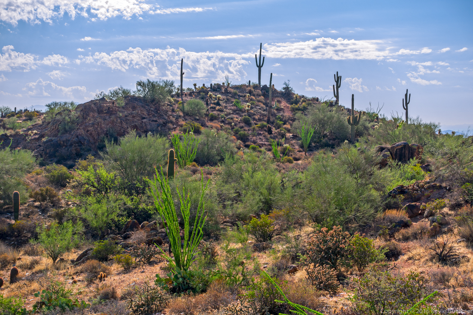
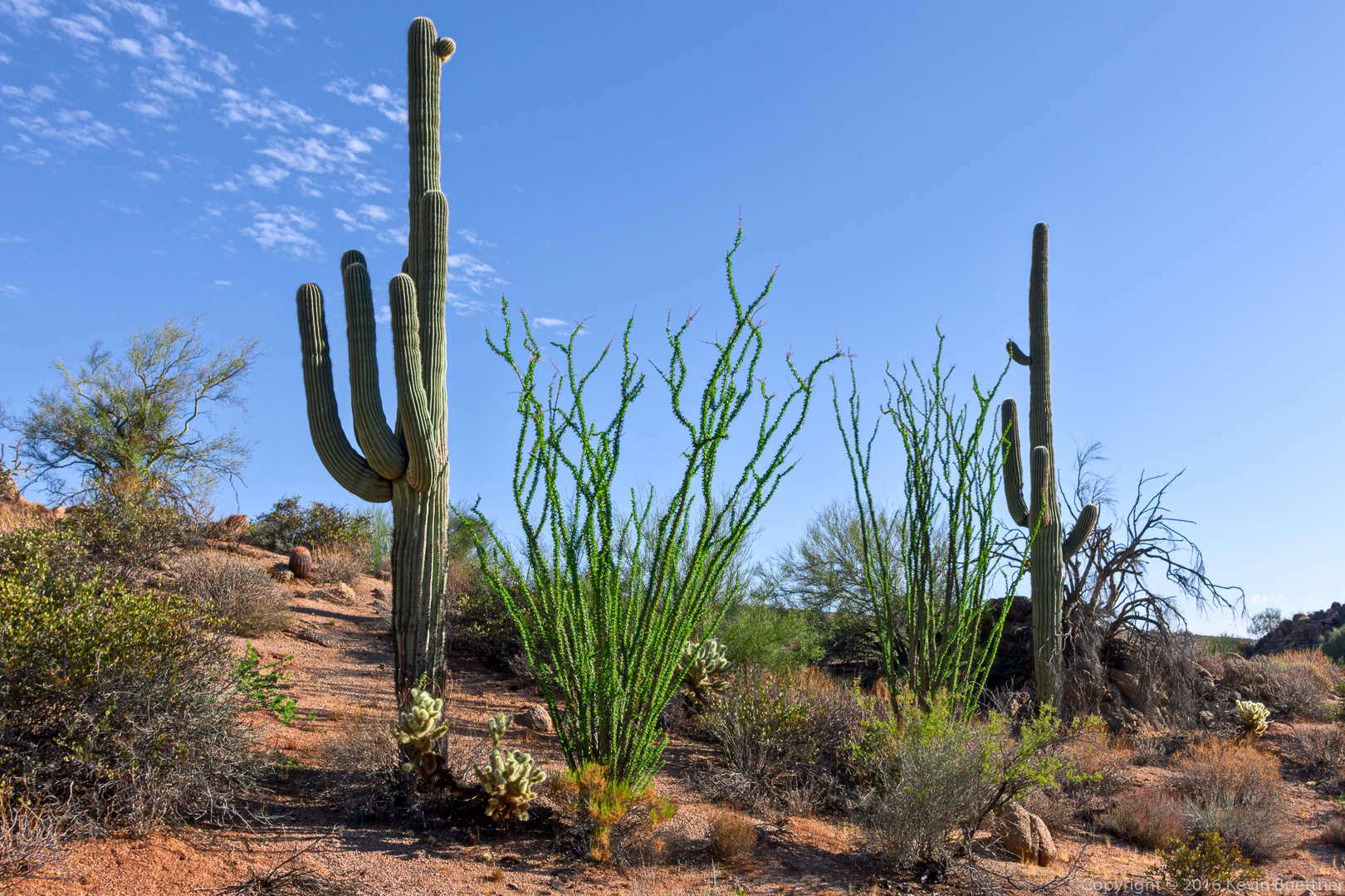
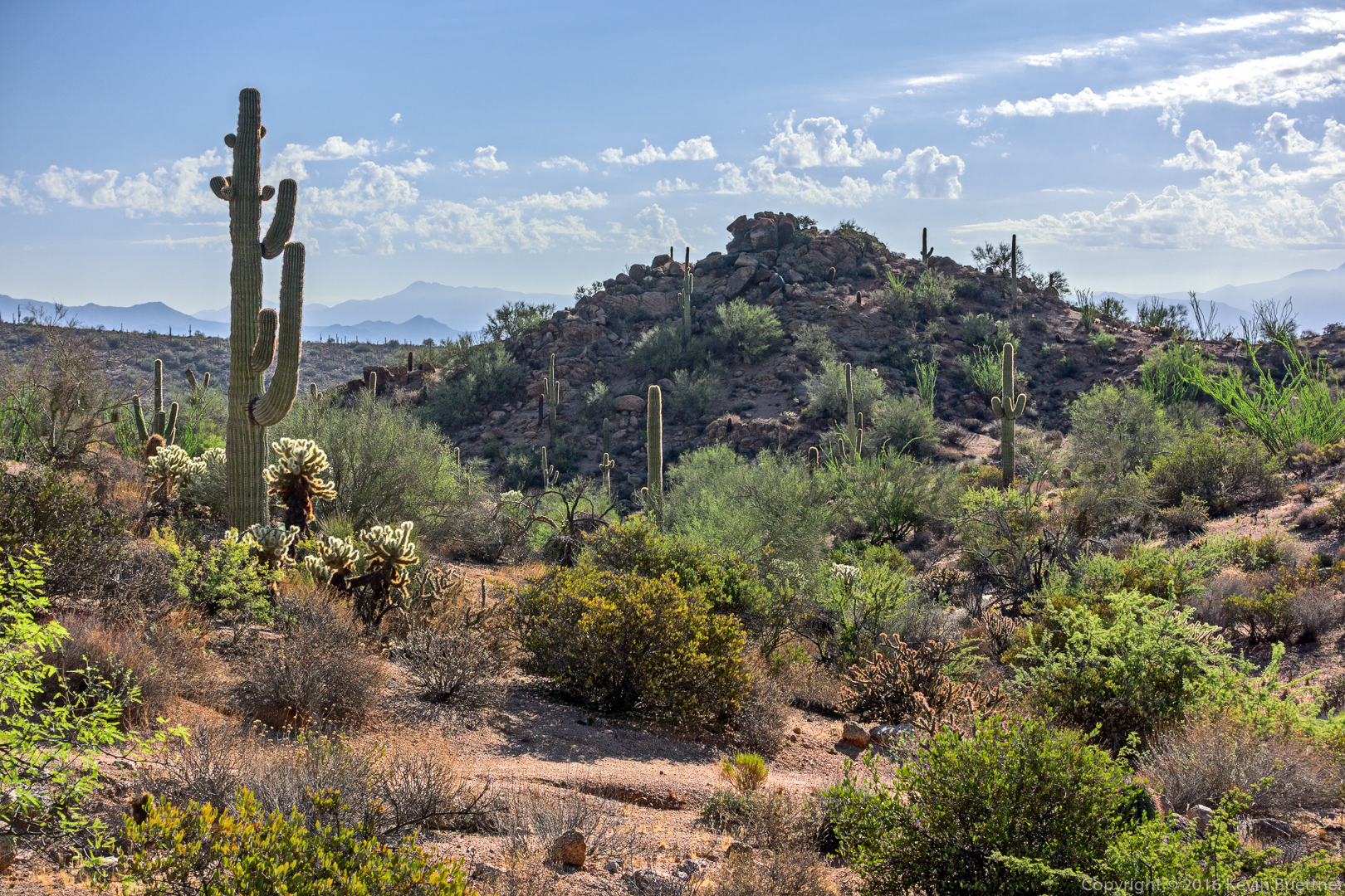
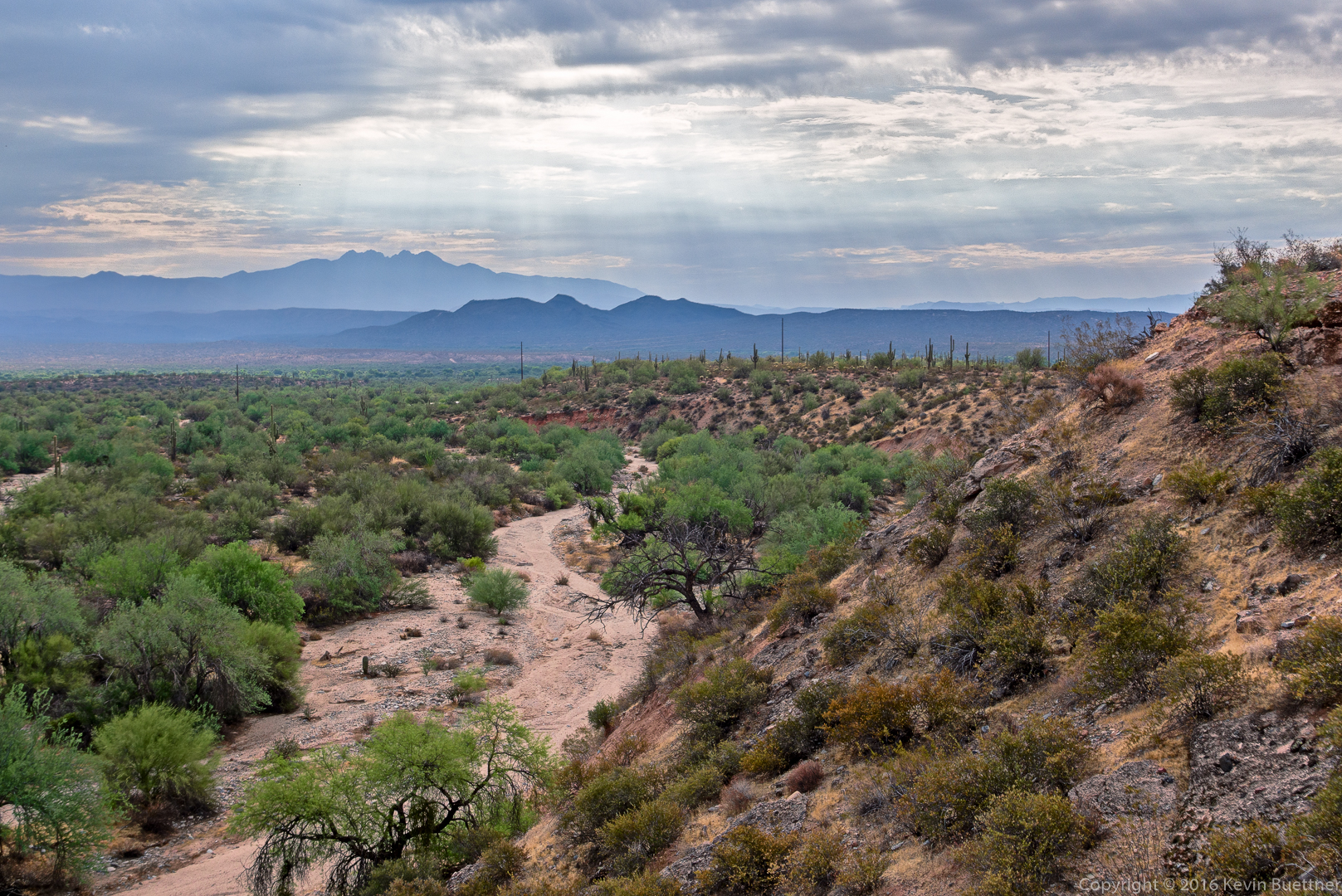
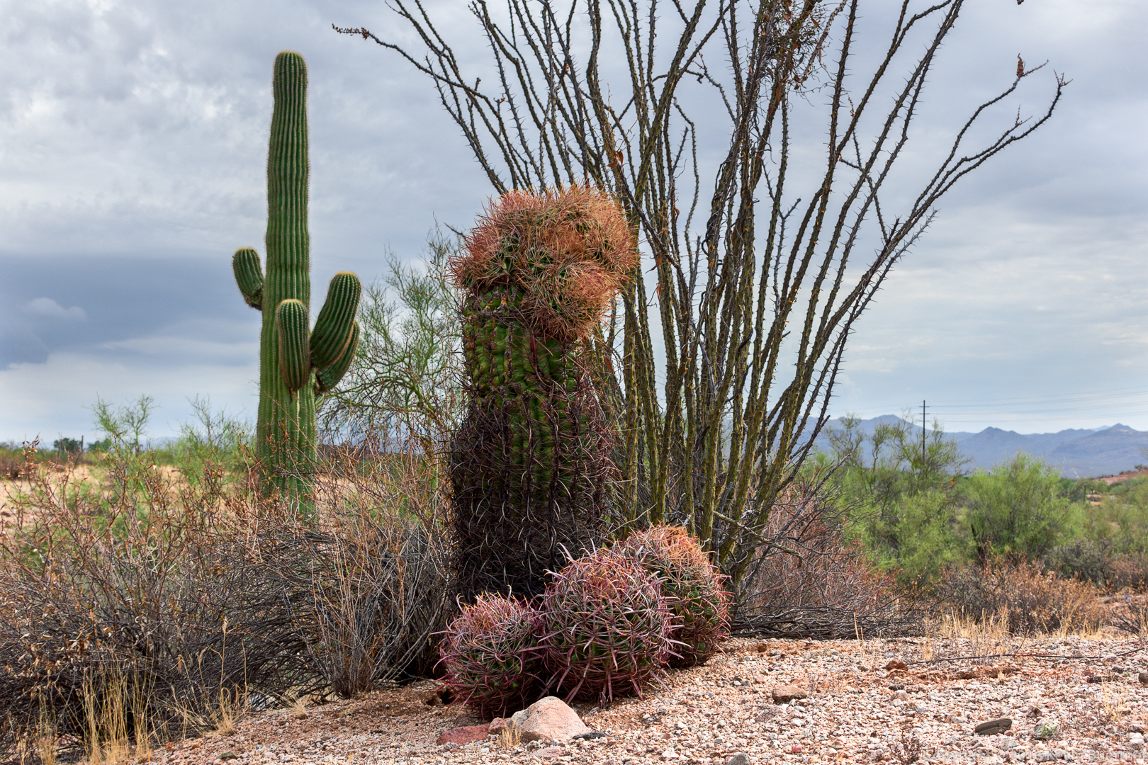
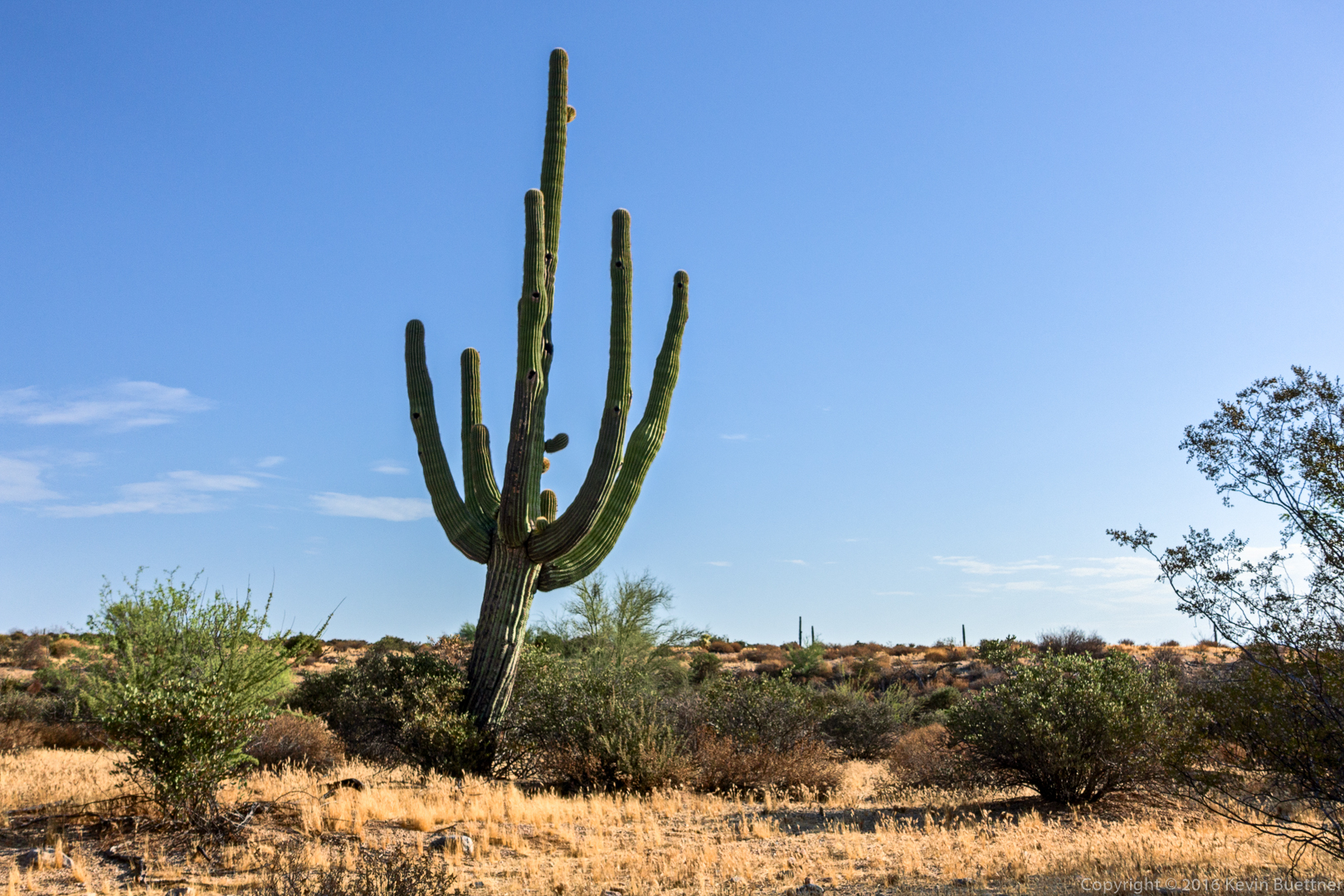
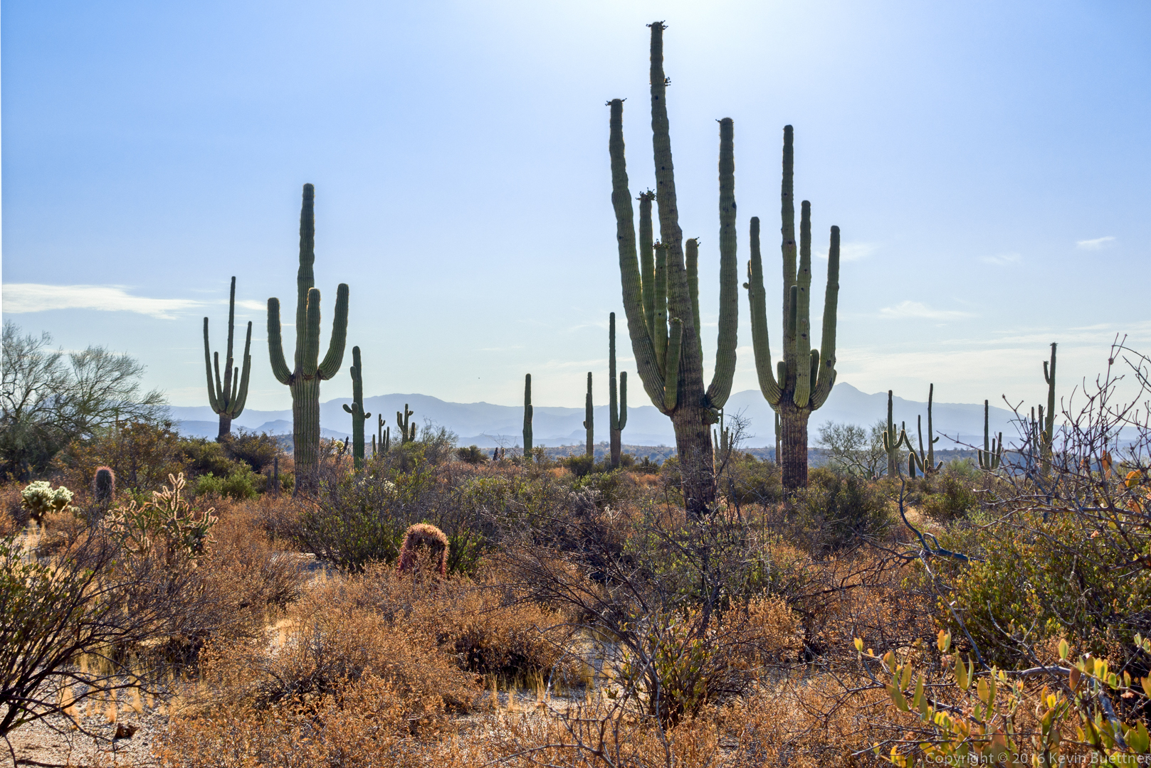
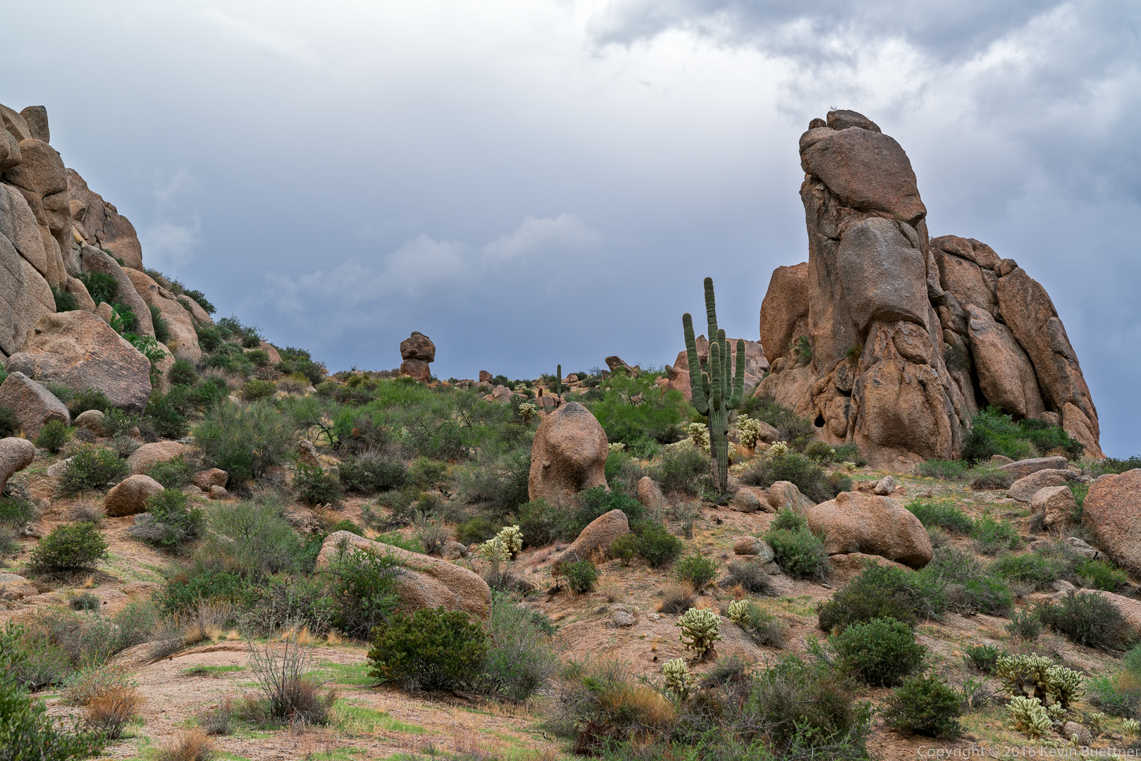
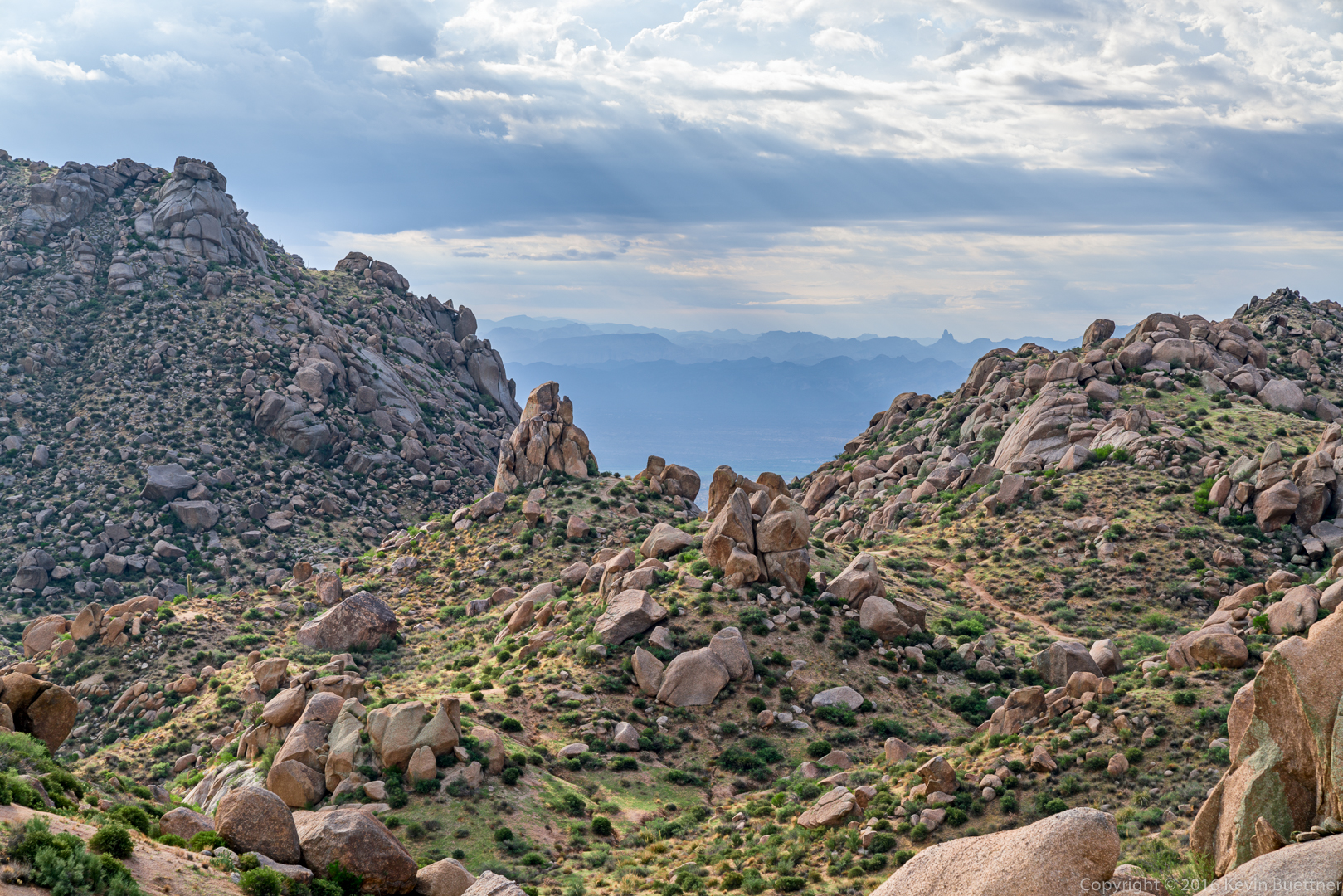
Views from early in the hike…
20160826-_DSC6964-Edit-medium-4

20160826-_DSC6979-Edit-medium

20160826-_DSC6982-Edit-medium

20160826-_DSC6988-Edit-medium

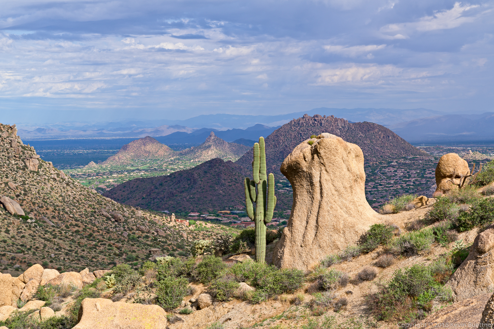
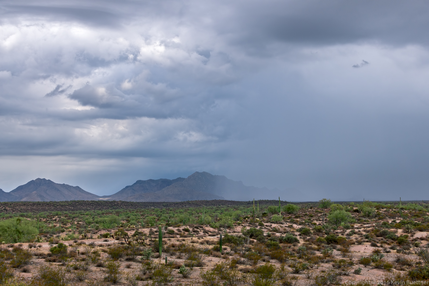
Light rain over Pinnacle Peak and Troon Mountain. The rain eventually made it over to us. The rain was not especially heavy, but the winds were strong, especially during our hike along the ridge as we approached Tom’s Thumb.
20160826-_DSC7000-Edit-medium

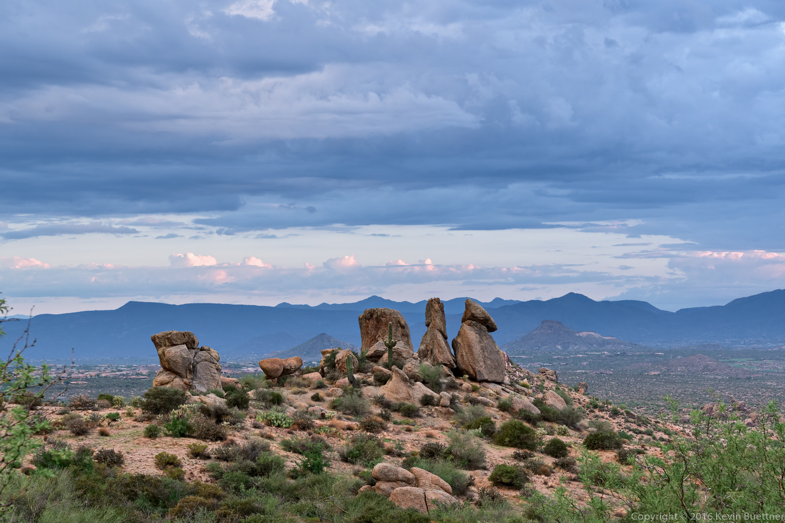
A view of the Rist (at the far right), Tom’s Thumb, and Glass Dome (lower left). Weaver’s Needle is also visible in the distance.20160826-_DSC7009-Edit-medium

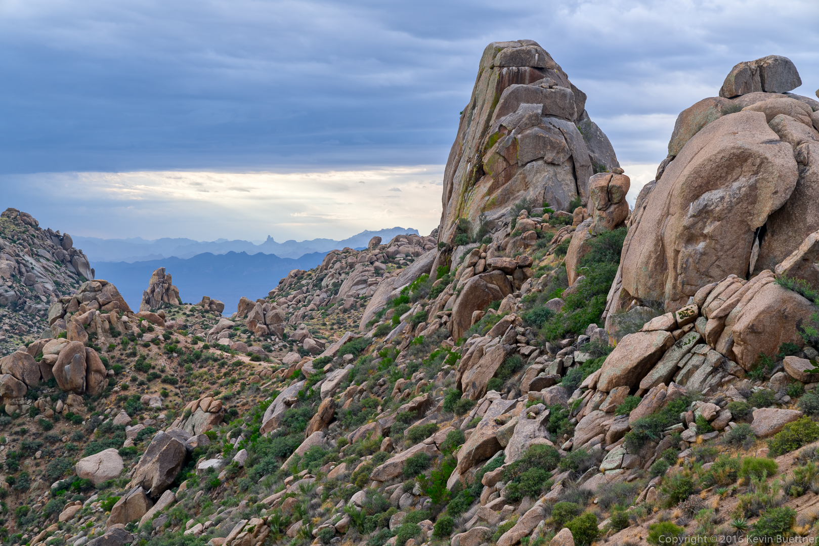
Kevin, Lisa, Shawn, and Linda on the northwest side of Tom’s Thumb:

20160826-_DSC7074-Edit-medium

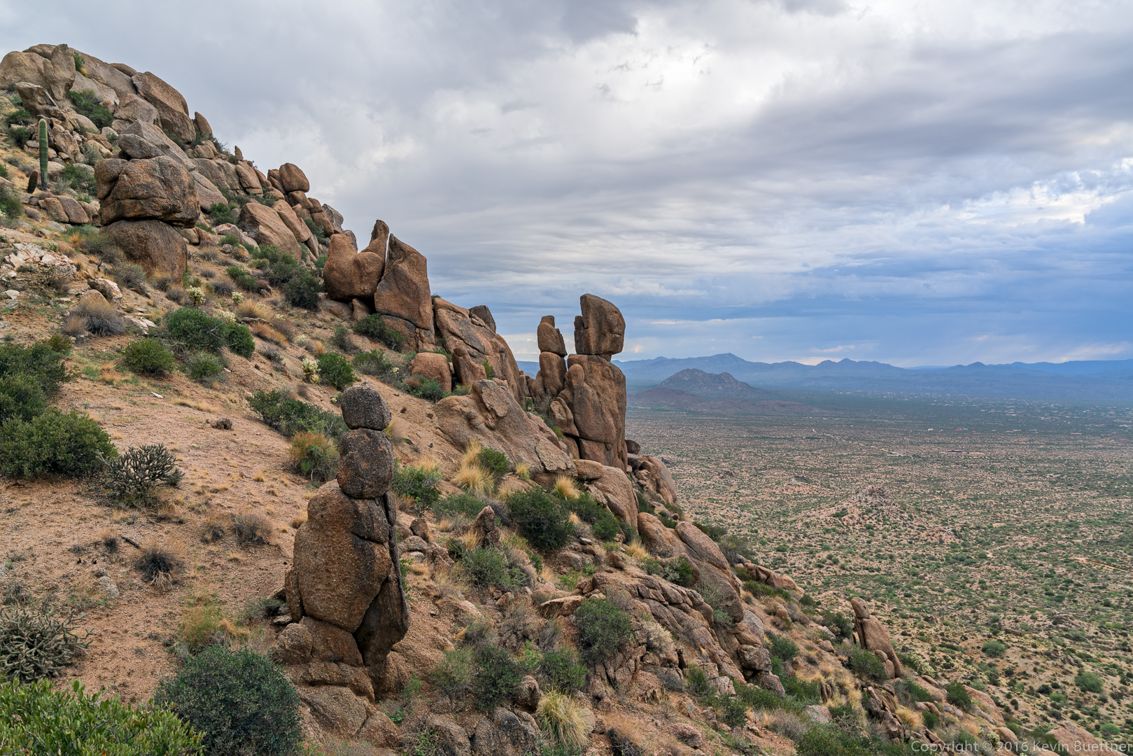
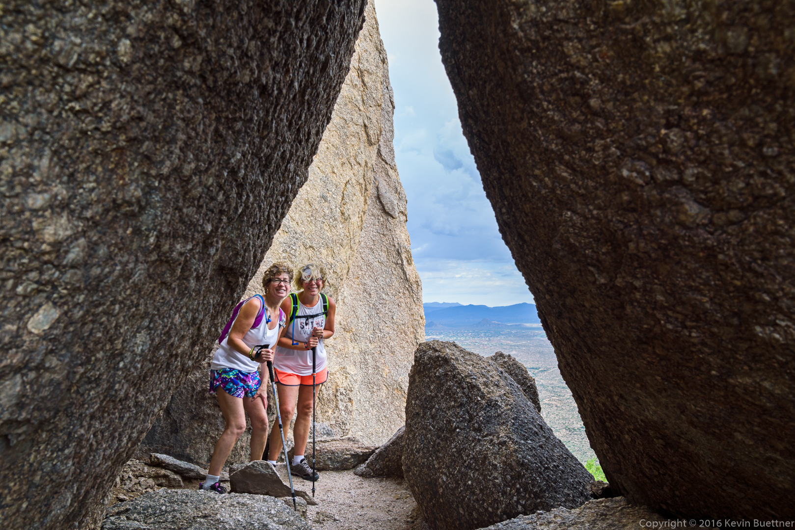
Shawn, Lisa, and Linda on the south side of Tom’s Thumb. It was very windy here.20160826-_DSC7098-Edit-medium

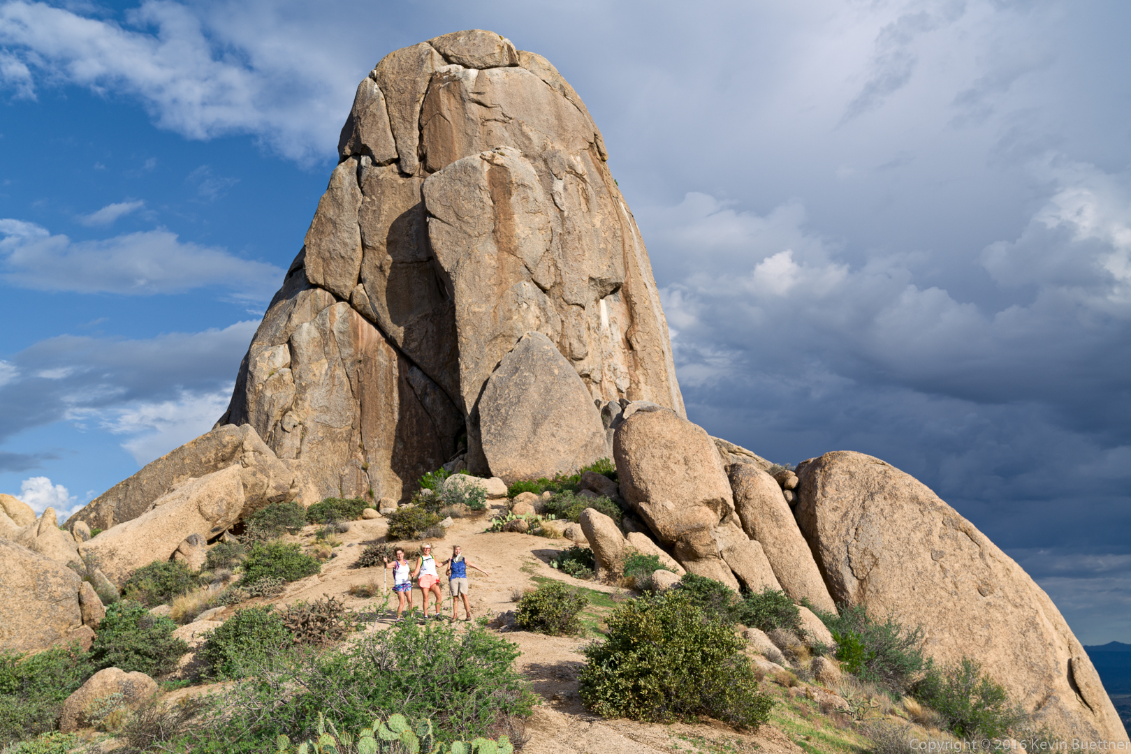
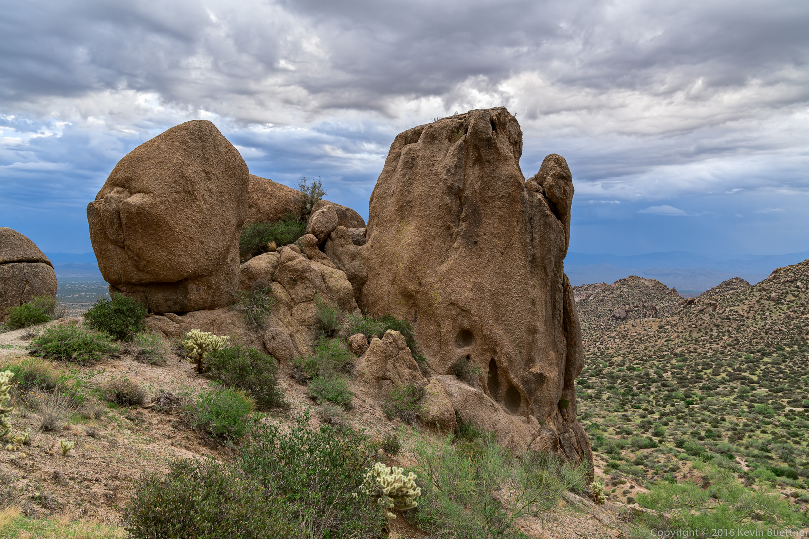
Shawn and Linda amid some large boulders near Tom’s Thumb.

20160826-_DSC7104-Edit-medium

Another view of Glass Dome. The Goat Hill climbing area is at the upper left in this photo.

20160826-_DSC7110-Edit-medium

Yest another view of Glass Dome…20160826-_DSC7140-Edit-medium

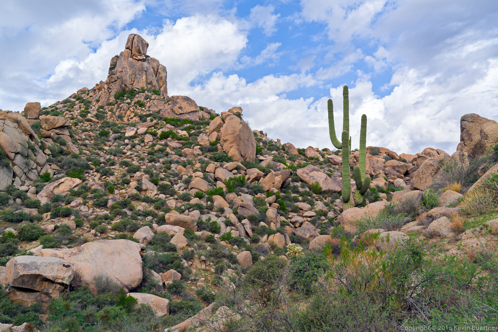
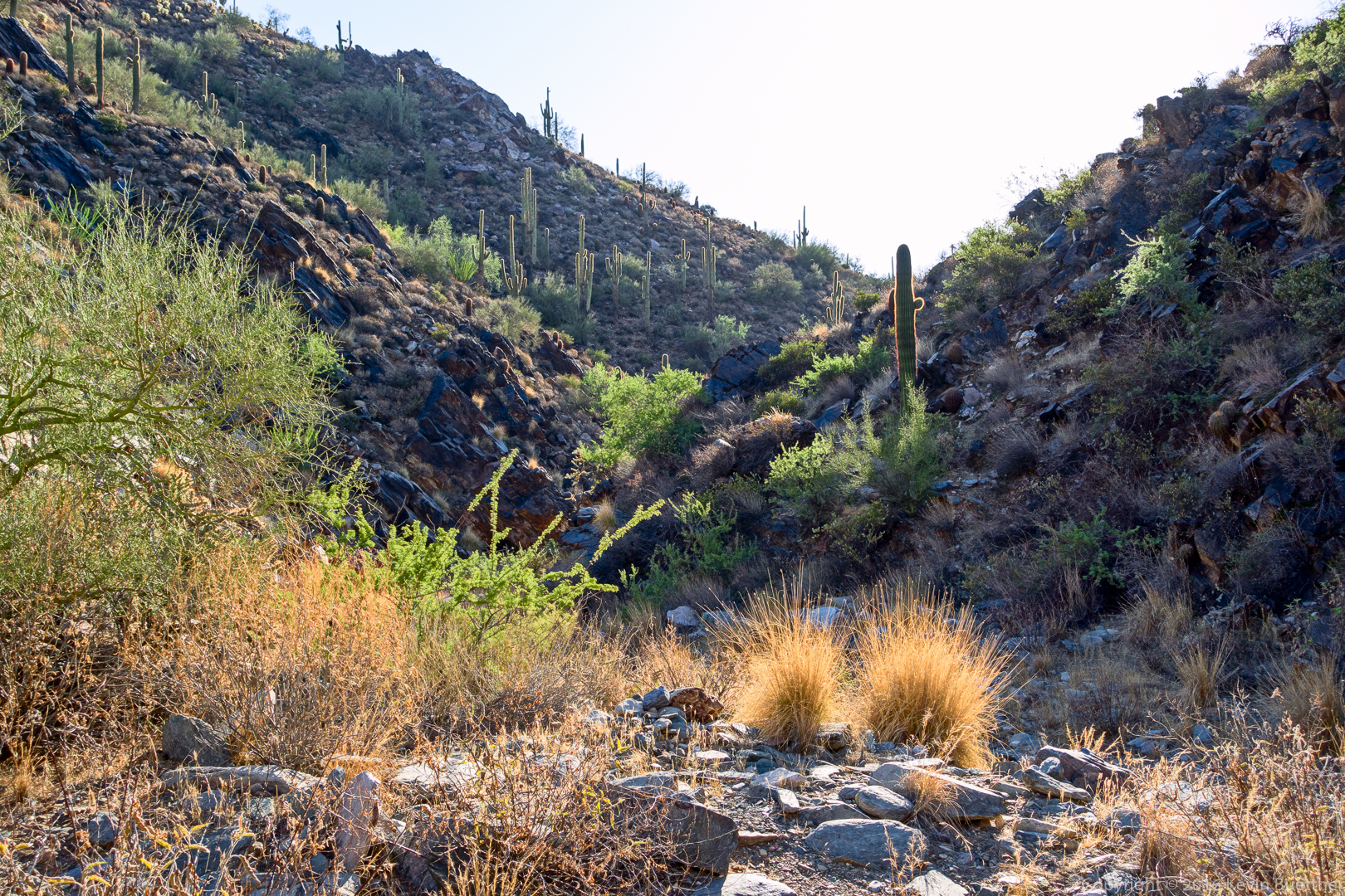
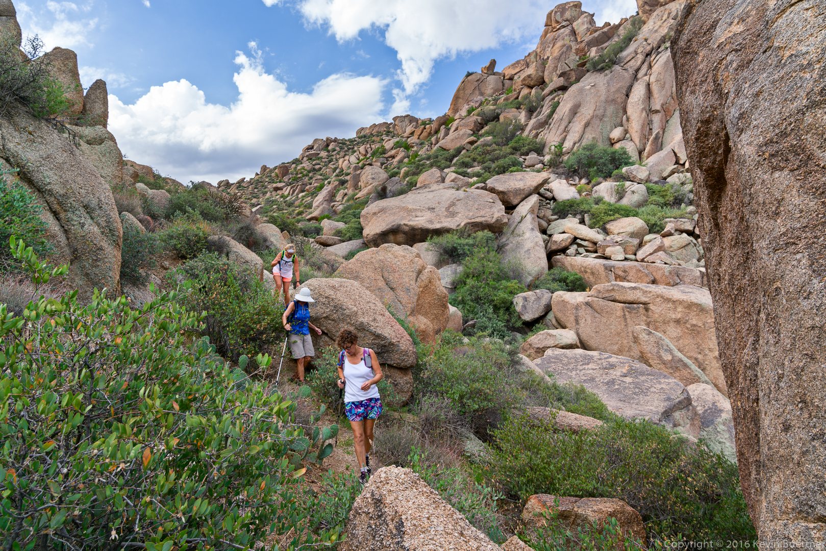
Lisa, Linda, and Shawn descend a canyon running below Glass Dome and Gardener’s Wall.

20160826-_DSC7173-Edit-medium

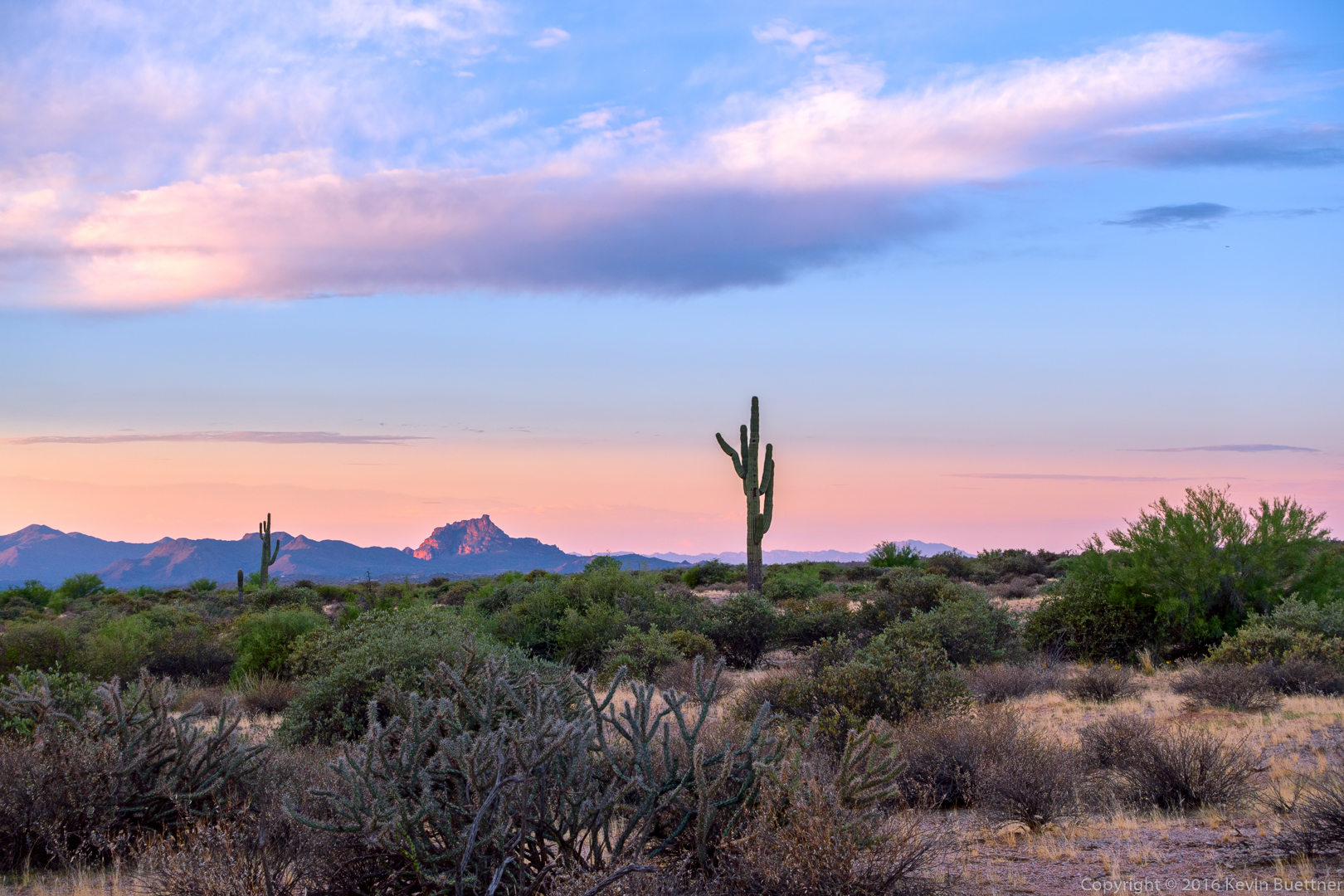
Looking towards Pinnacle Peak and Troon Mountain…
20160826-_DSC7233-Edit-medium

Friday Fitness Hike

Linda and I hiked a little over eight miles on Friday.  Starting from the Wagner Trail, we hiked Wagner, left on Granite, down Bluff to Stoneman Wash, then south on Stoneman Wash. We hiked through the competitive track area, and then returned via Cinch, Pemberton, and Tortoise.

The view shortly before sunrise…

20160819-_DSC7642-Edit-medium-3


A view of Red Mountain from near the Wagner Trailhead:

20160819-_DSC7732-Edit-medium

Topaz Impression applied to a sunrise photo…

20160819-_DSC7736-Edit-Edit-medium

The moon is setting over the McDowells…
20160819-_DSC7771-Edit-medium

A large saguaro in Stoneman Wash:

20160819-_DSC7786-Edit-medium

The remains of a burned tree in Stoneman Wash:

20160819-_DSC7801-Edit-medium

Linda spotted this rattlesnake in Stoneman Wash:

20160819-_DSC7814-Edit-medium

Recent rain has caused the Senna to bloom.

20160819-_DSC7834-Edit-medium

A view of Four Peaks:

20160819-_DSC7843-Edit-medium

Weaver’s Needle and the Flatiron in the distance:

20160819-_DSC7849-Edit-medium

Friday Fitness Hike

Linda and I hiked out to the mine / petroglyphs and back. Our total distance was only 6.3 miles. I had considered going further since we had a relatively cool morning, but it was still uncomfortable due to higher than normal humidity (for AZ).
20160812-_DSC7540-Edit-medium


20160812-_DSC7567-Edit-medium

20160812-_DSC7555-Edit-medium

20160812-_DSC7546-Edit-medium

20160812-_DSC7585-Edit-medium

20160812-_DSC7624-Edit-medium

20160812-_DSC7594-Edit-medium

20160812-_DSC7591-Edit-medium

20160812-_DSC7627-Edit-Edit-medium

Friday Fitness Hike

Linda, Bob, Mike, and I hiked 8.8 miles starting from the Horse Staging Area. We walked across the park road and then hiked the Long Loop in its entirety.

I took these first two photos prior to sunrise from the parking area:

20160805-_DSC7426-Edit-medium

20160805-_DSC7441-Edit-medium

Partial rainbow:
20160805-_DSC7465-Edit-medium

Cadiente’s Corner:

20160805-_DSC7474-Edit-medium

Four Peaks in the distance:

20160805-_DSC7480_1_1_2-Edit-medium

A view from South Ridge:

20160805-_DSC7489_90_91-Edit-medium

We saw this rain shower moving in on the McDowells. We walked through a very light rain perhaps 20 minutes later. Shortly after that, the winds picked up. We were done with our hike by the time a really heavy storm swept through the park.
20160805-_DSC7513-Edit-medium

Barrel cacti (with an ocotillo and saguaro too):20160805-_DSC7519-Edit-medium


Friday Fitness Hike

Bob, Mike, and I hiked 7.2 miles starting from the Trailhead Staging Area.  Aside from about two miles on the Pemberton Trail, most of our hike was through washes in the area.

Sunrise; I took this photo from the road, shortly after passing the entrance to the Horse Staging Area.

20160729-_DSC7250-HDR-Edit-medium-3

A view from the Pemberton Trail, shortly after crossing Stoneman Wash, but prior to reaching the intersection with the Tonto Tank Trail.

20160729-_DSC7280-Edit-medium

Wash Views…

20160729-_DSC7295-Edit-medium

20160729-_DSC7301-Edit-medium

20160729-_DSC7313-Edit-medium

20160729-_DSC7337-Edit-medium

20160729-_DSC7343-Edit-medium

20160729-_DSC7350-Edit-medium-2

20160729-_DSC7356-Edit-medium

20160729-_DSC7373-Edit-medium