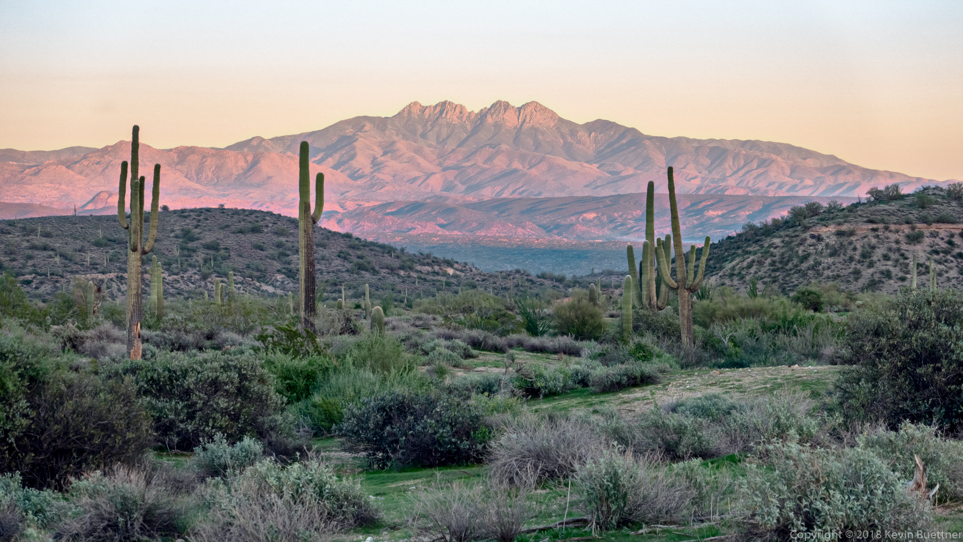
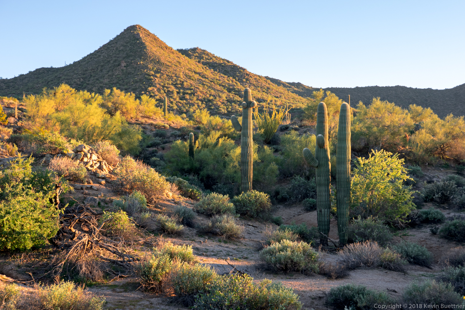
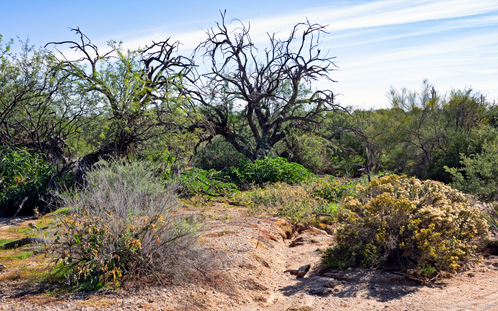
Heather, Marilyn, and I hiked in the Seven Springs area on Friday…

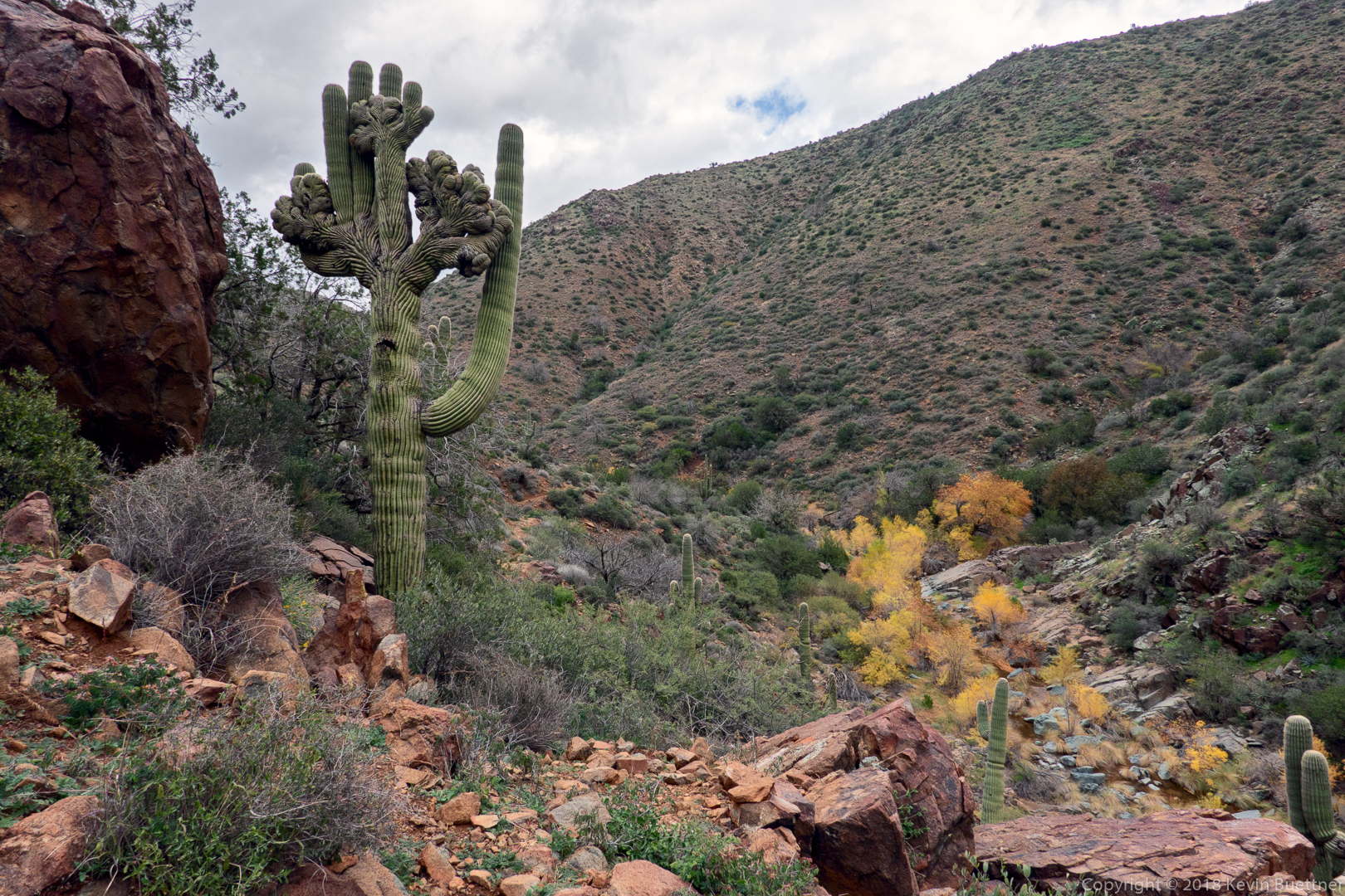
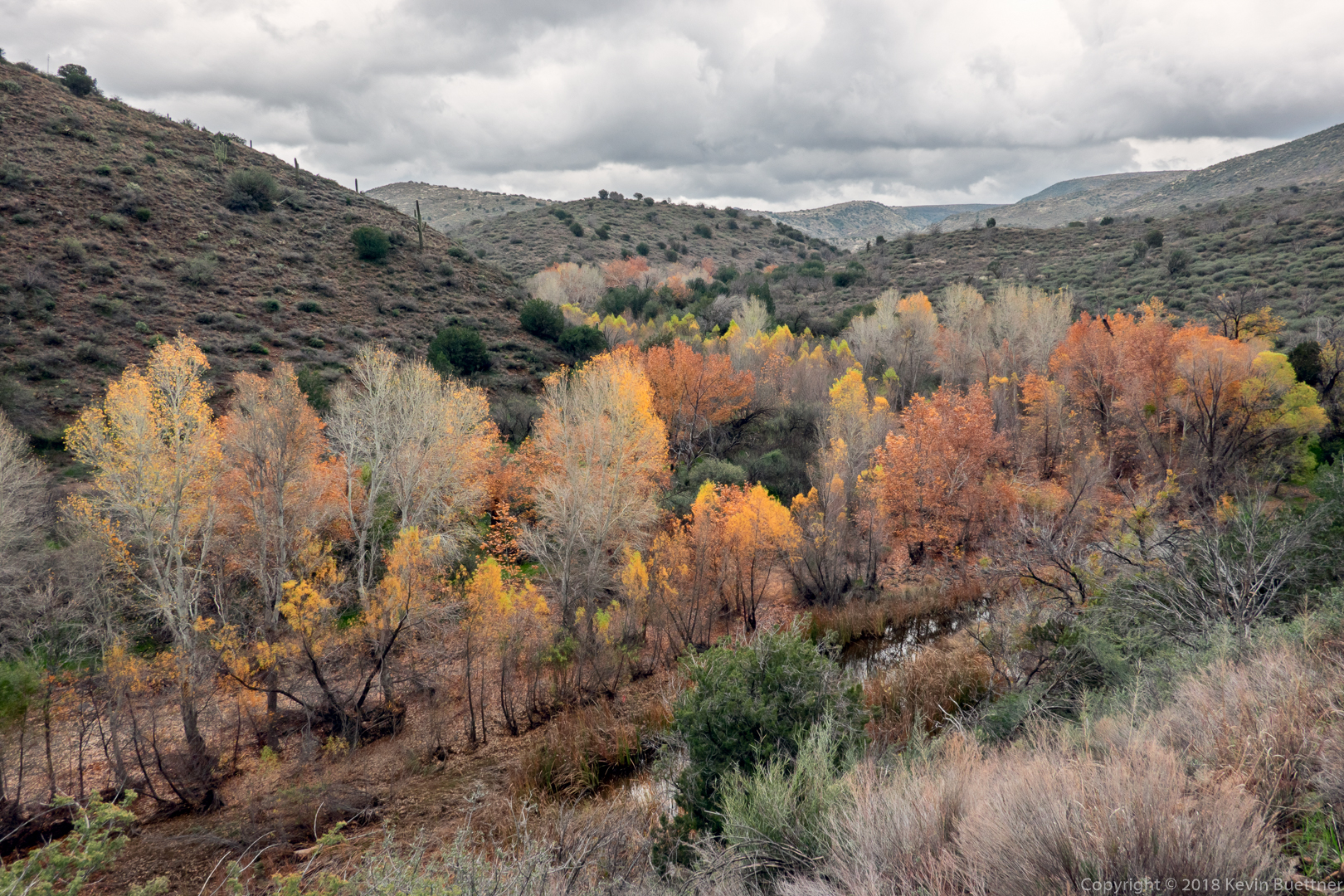
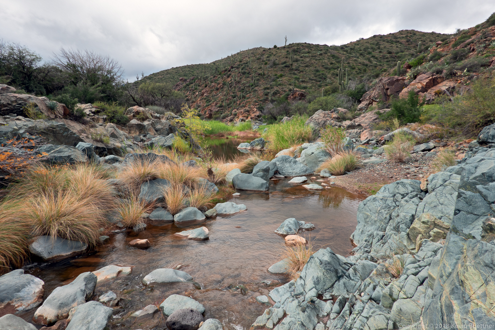
Heather, Marilyn, and I hiked in the Seven Springs area on Friday…
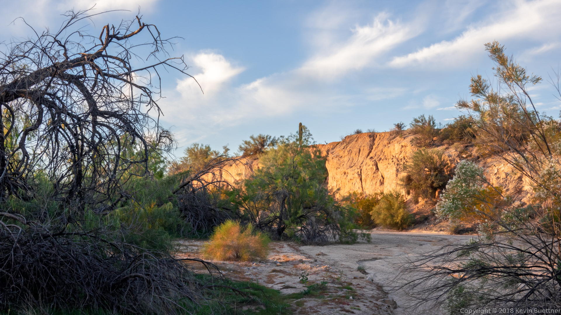
7.7 miles on Wednesday evening…
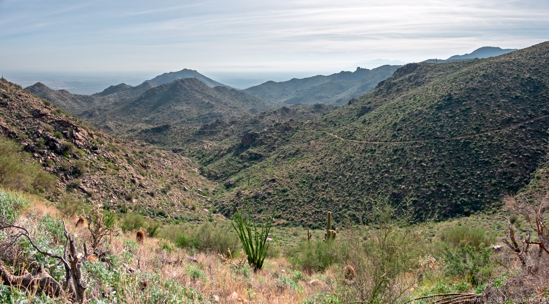
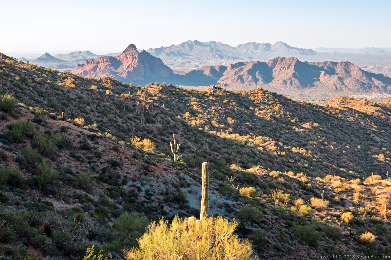
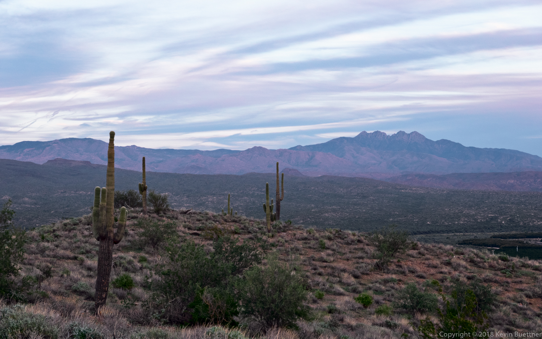
I hiked a little over 13 miles on Sunday, visiting Peak 2972 along the way. This is the highest peak in the Usery Mountain range. (Pass Mountain, which is in Usery Mountain Park, is higher, but is part of the Goldfields.)
This was the view of Red Mountain as I neared the summit:
I saw another peak south of the peak I was on. It looked lower to me, but the presences of flags there suggested that it might actually be higher. I’m pretty sure that it’s Peak 2959.
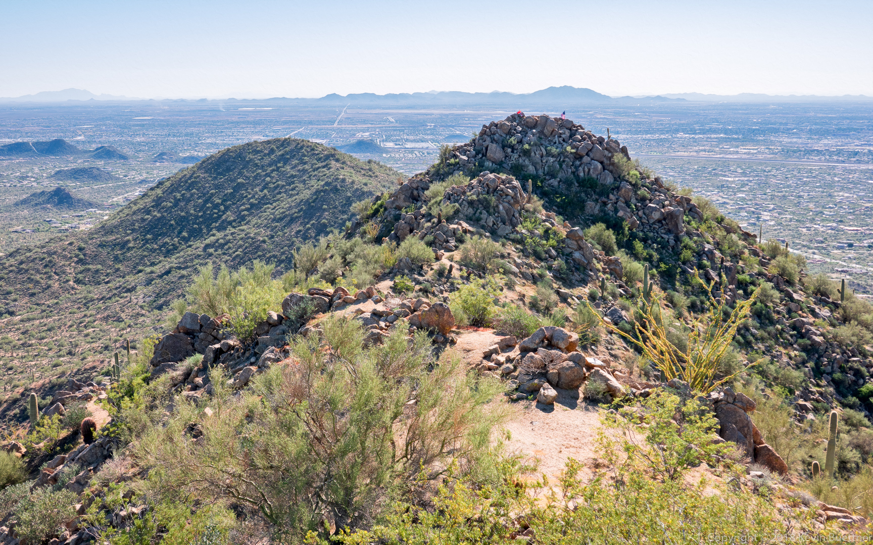
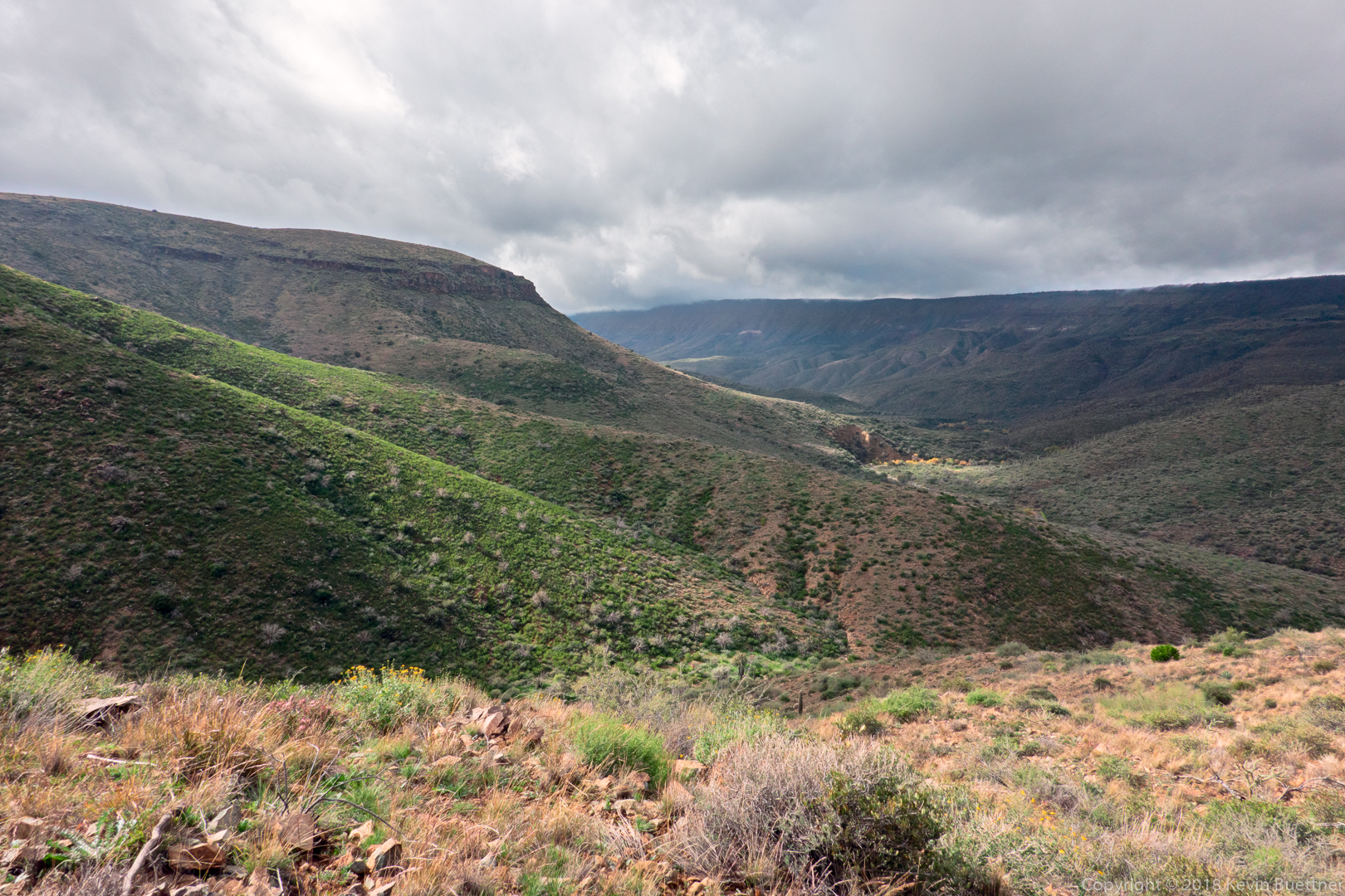
This is a panorama from the summit:

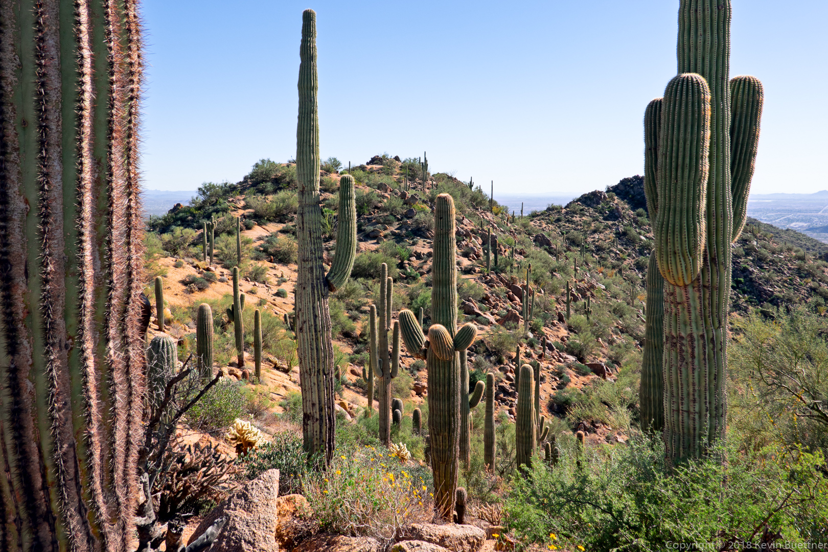
A look back through the saguaros at the summit:
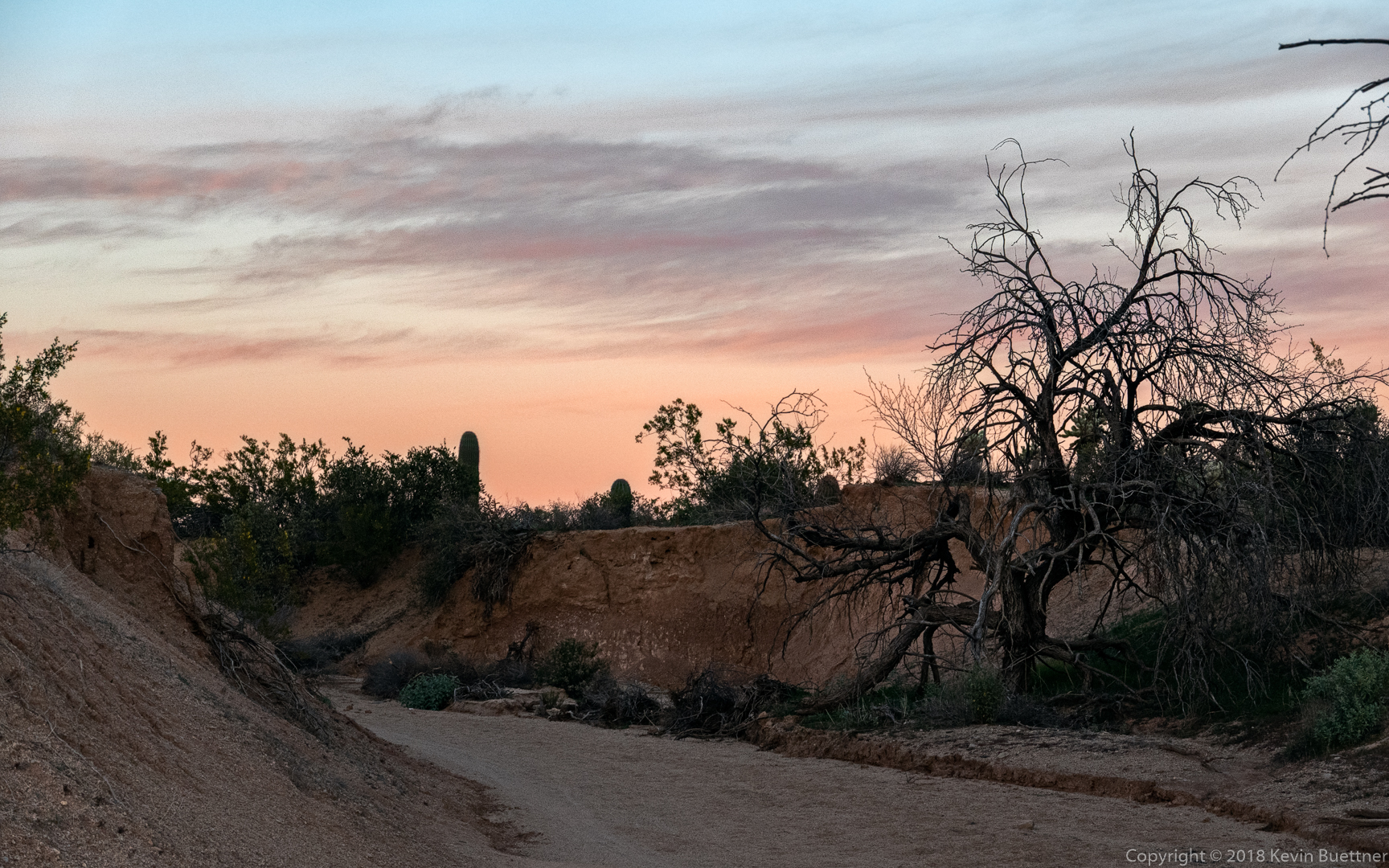
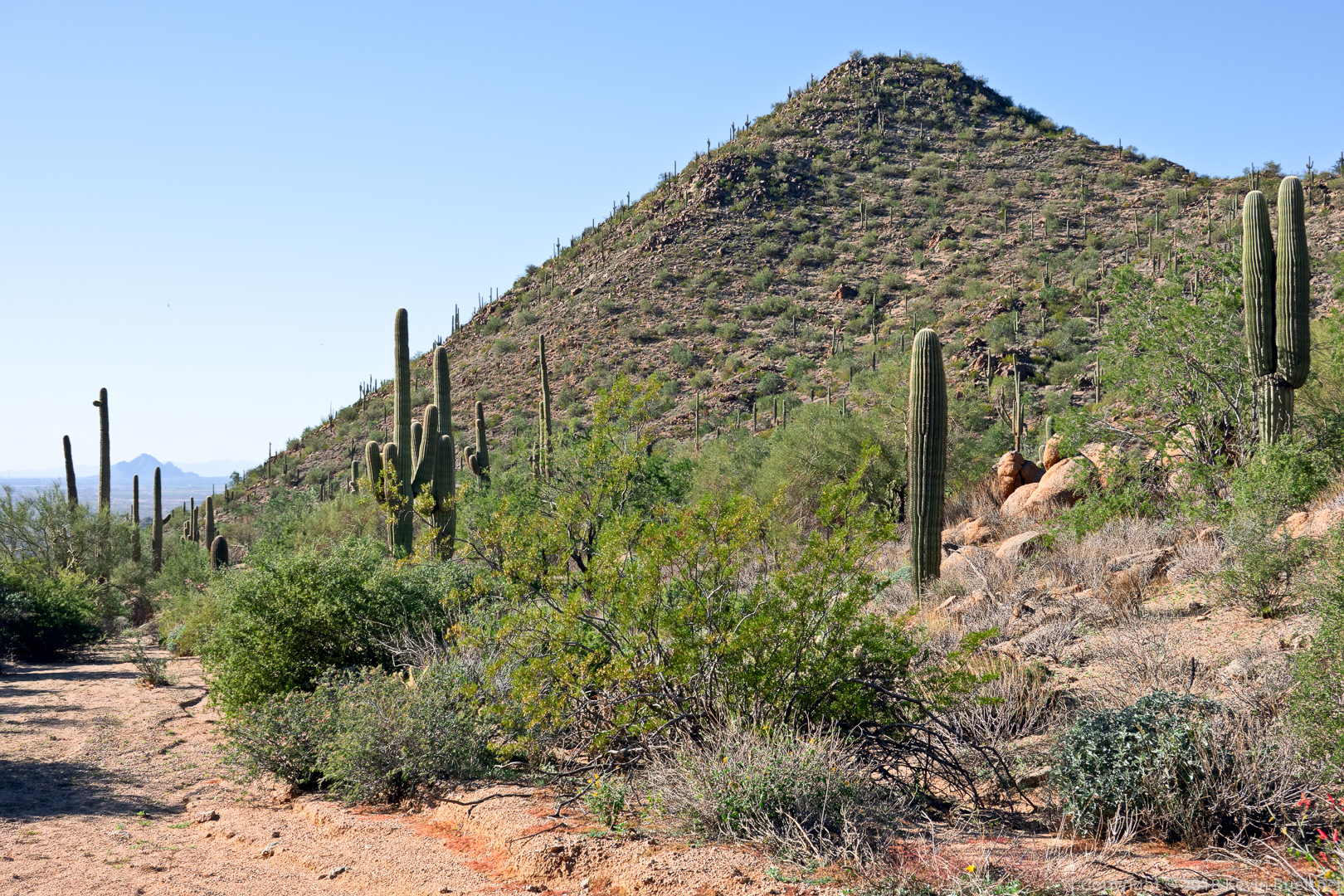
After reaching the summit, I did a mostly off-trail section which led down to this wash on the left. The wash was very relaxing; descending off-trail from the summit, prior to this wash, not so much.
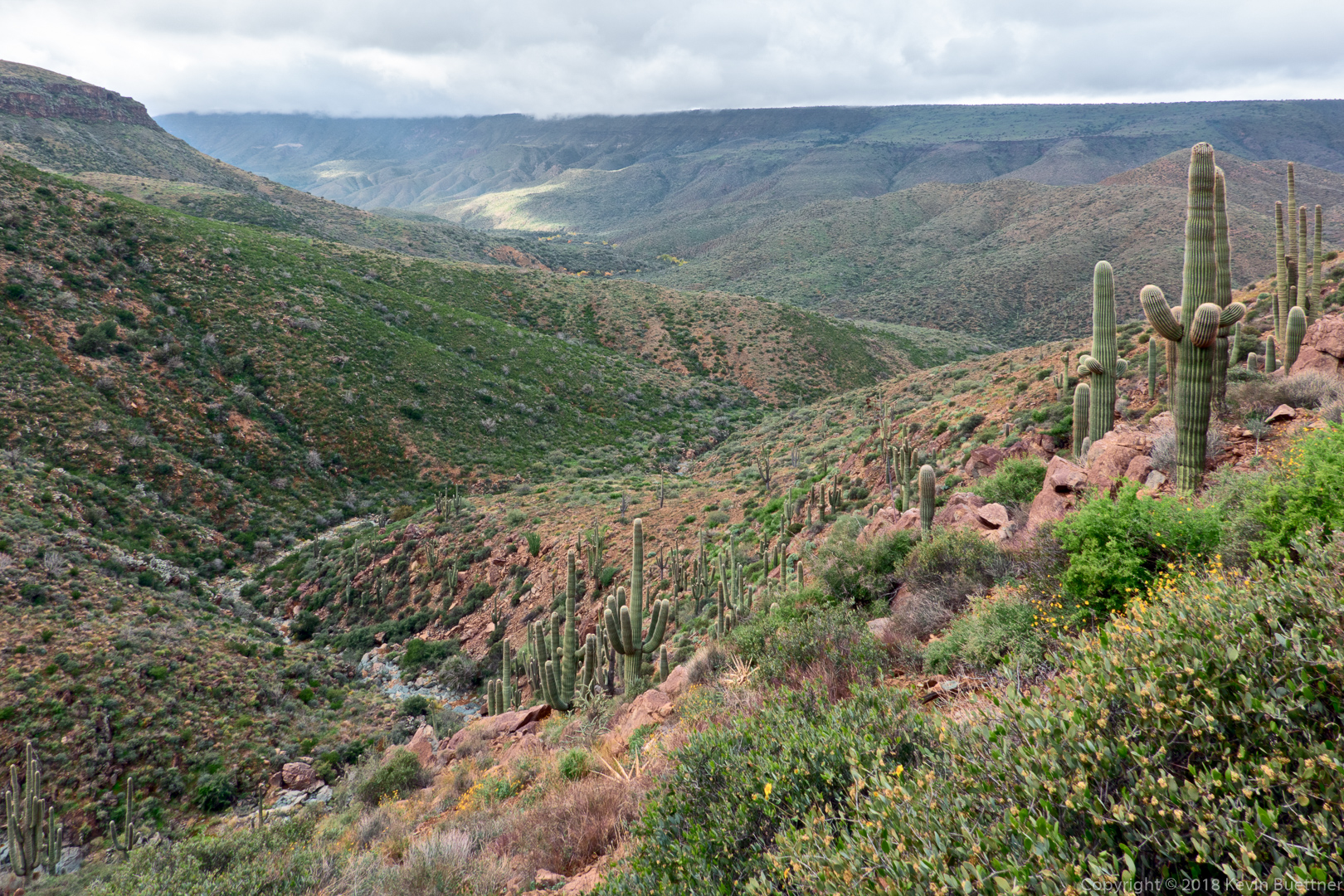
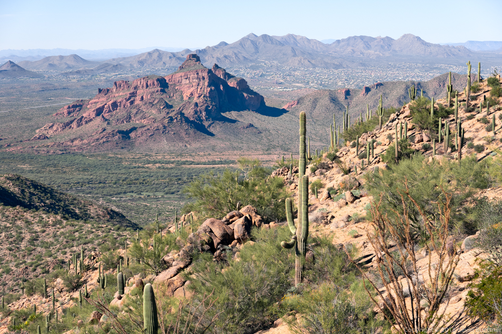
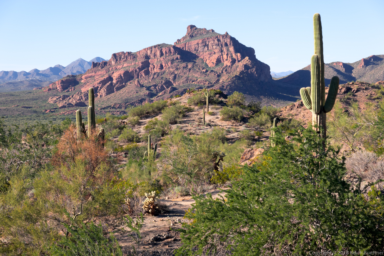
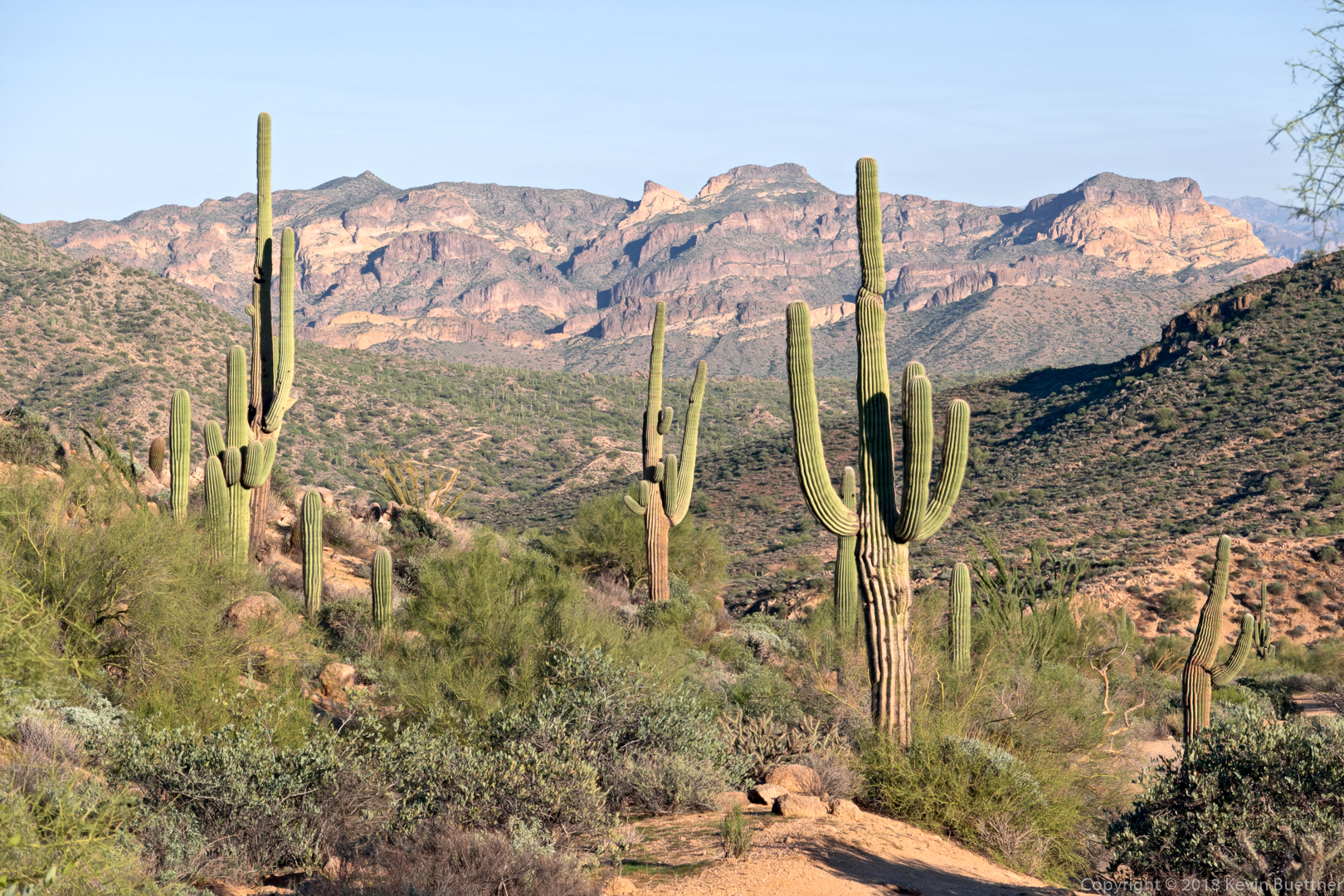
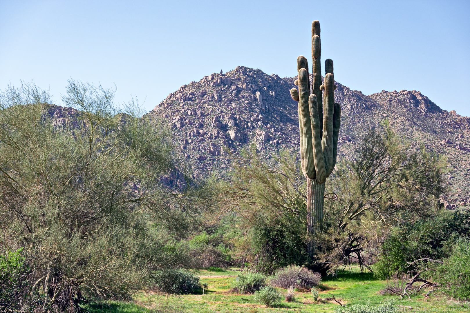
Another view of Red Mountain. I think I got this shot from the Saguaro Trail while looking for a mine. (I never found the mine, but I only left the track for the loop that I was on for about a quarter mile.)
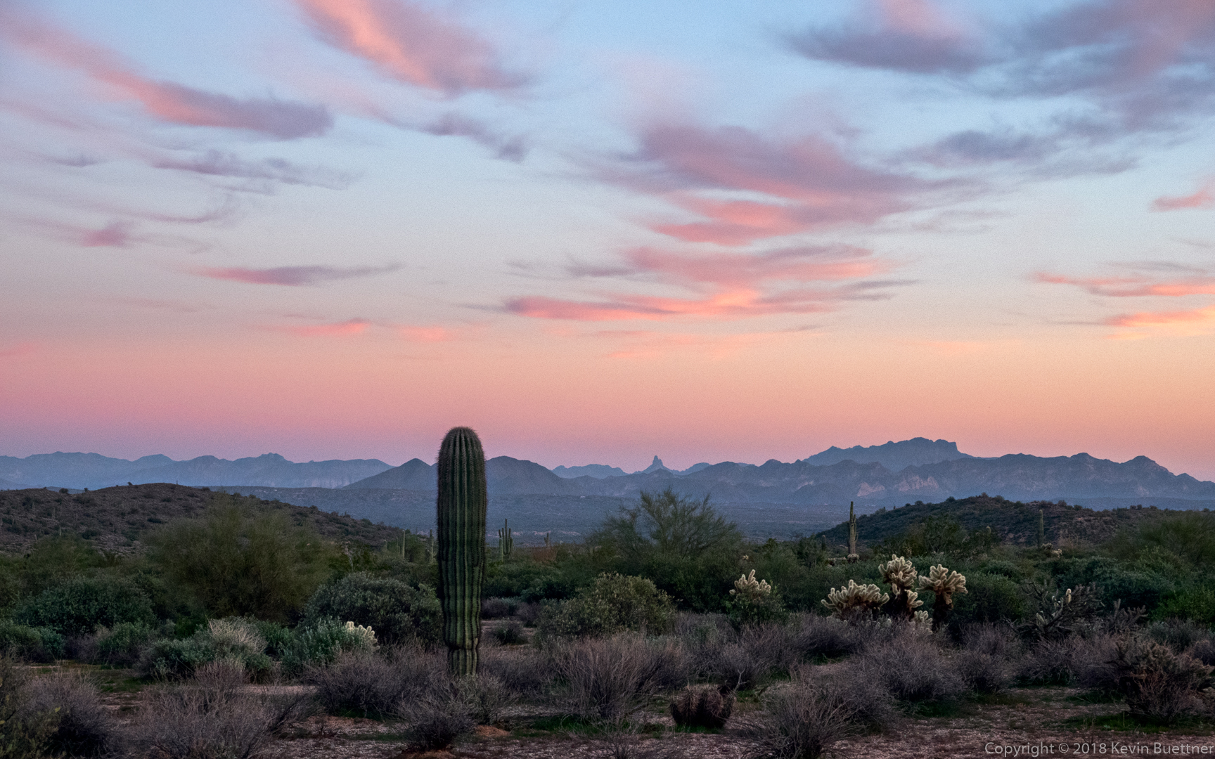
I think I was on the Twisted Sister Trail (which is part of the Hawes Trail System) when I got this shot of Red Mountain near sunset.

Another shot near sunset…
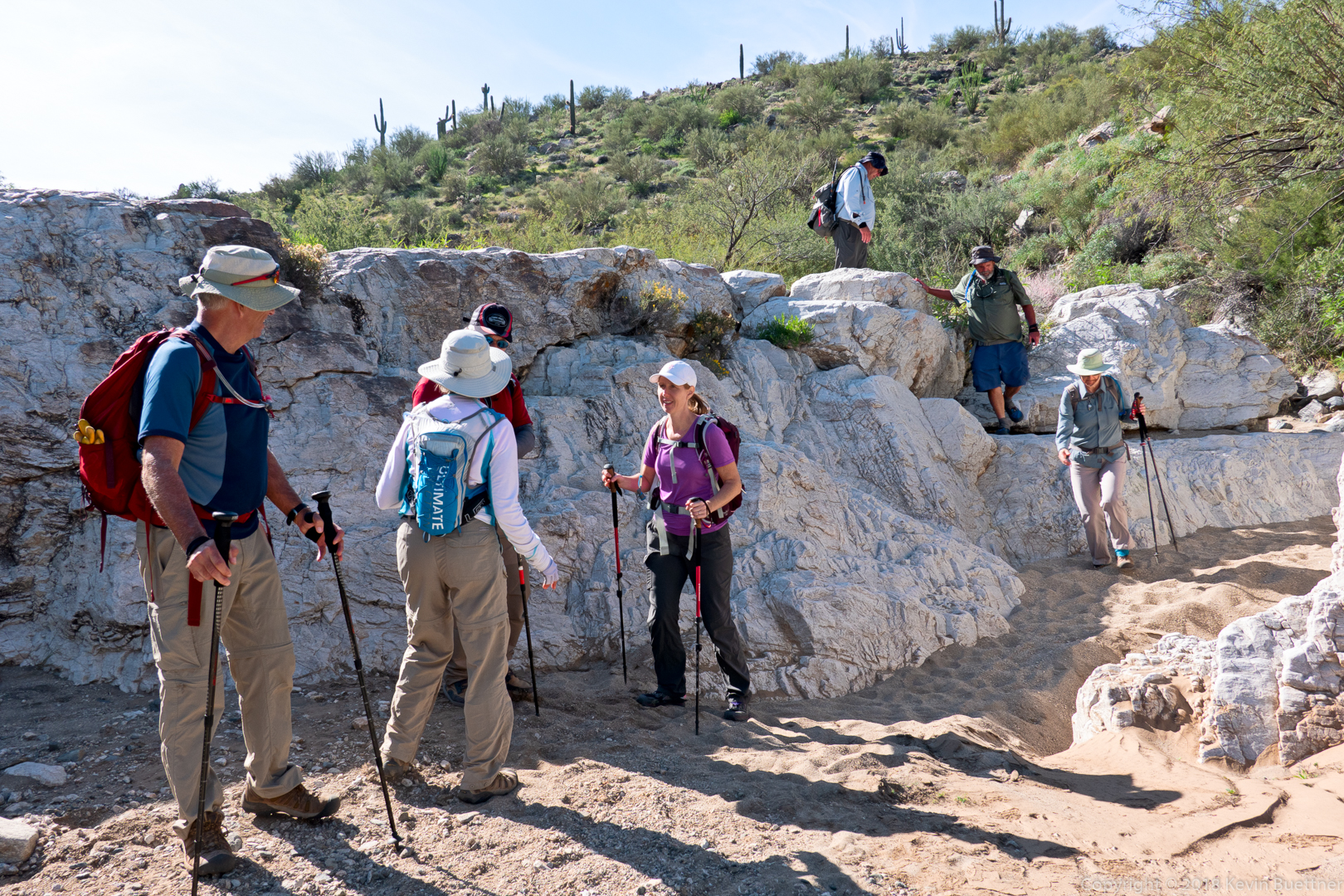
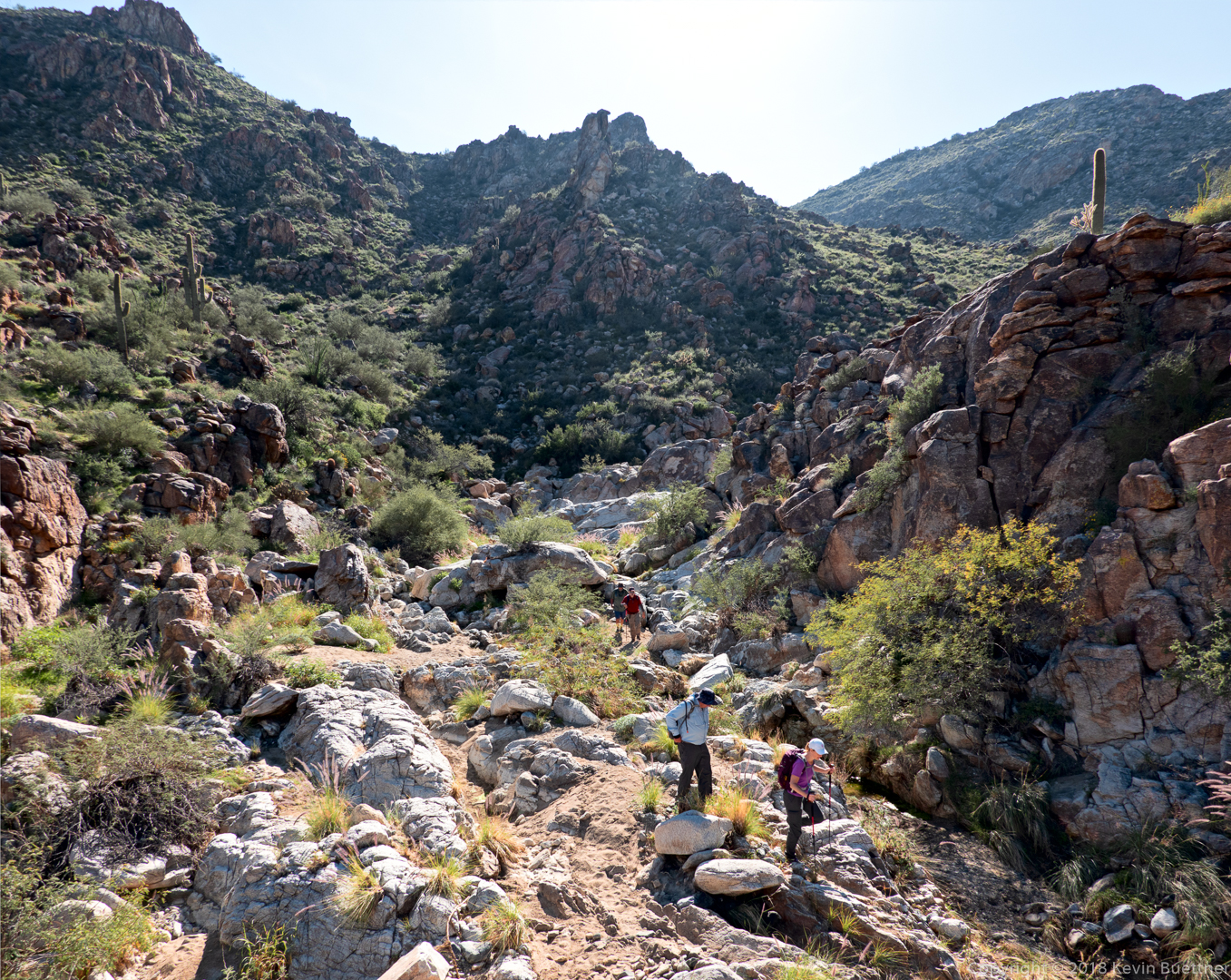
Heather, Marilyn, Marilyn, Nick, Ben, Bob, and Mike joined me for a hike of the Mesquite Canyon / Ford Canyon Loop at White Tank Mountain Regional Park.
This is a view of the Mesquite Canyon Trail from the Ford Canyon Trail.
Ben, Marilyn, Nick, Heather, Mike, Bob, and Marilyn:
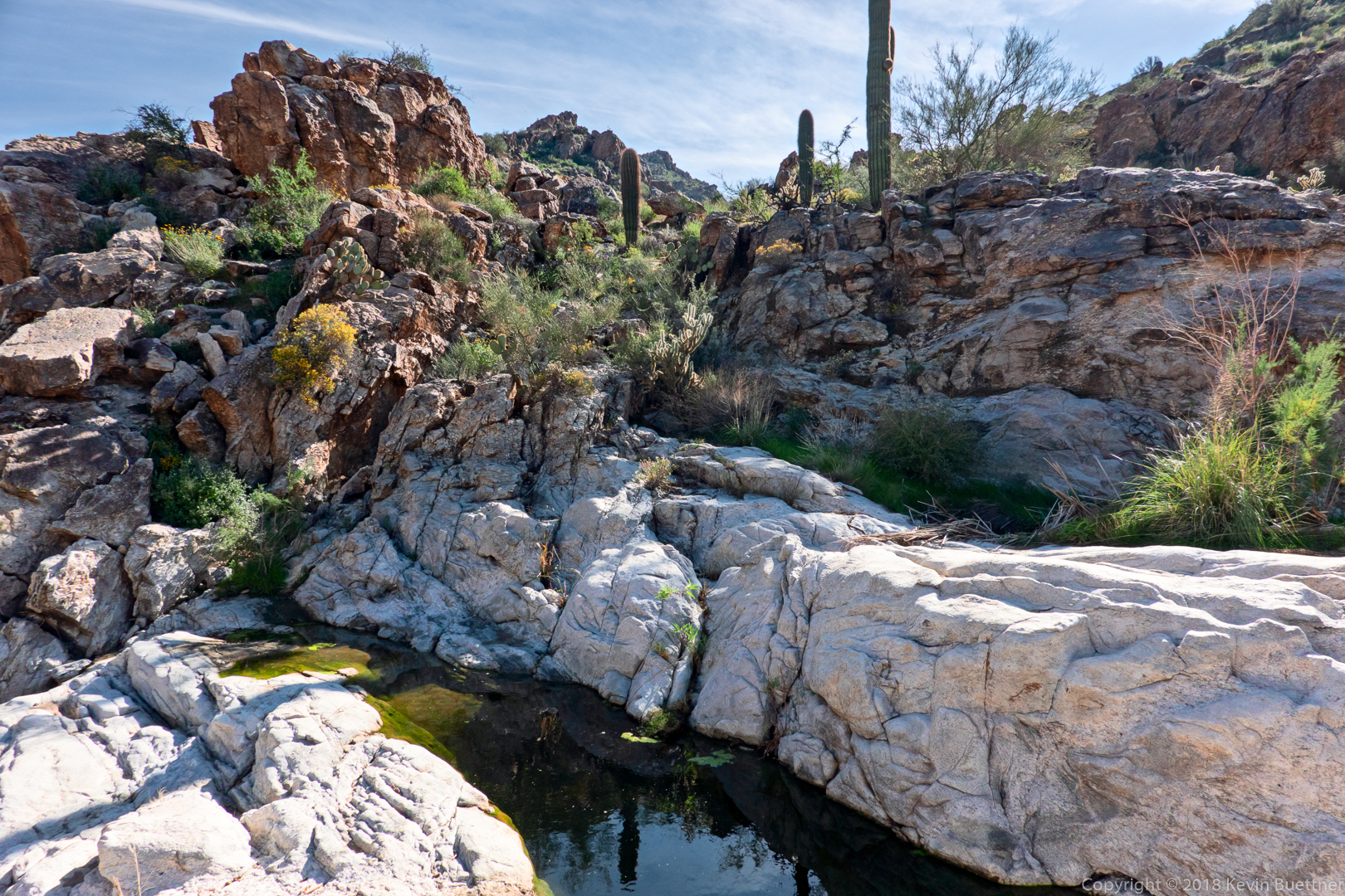
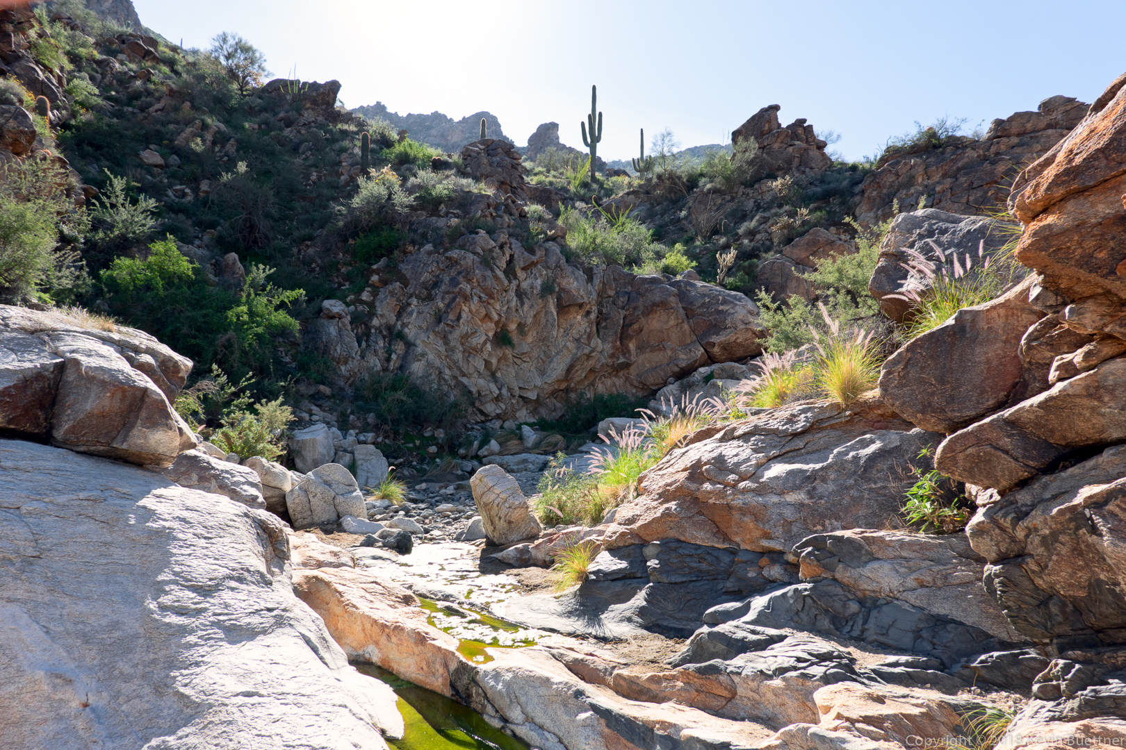
We saw pools of water on our way down Ford Canyon. Heather says that this was the most water she’s seen in the canyon.
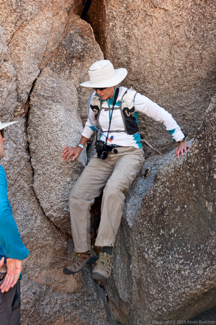
This was probably the hardest (most technical) section of our descent of Ford Canyon.

I stood atop a small boulder pile to get this photo…
Nick and Bob… 
It’s very beautiful here. This is my favorite loop hike in all of the Maricopa County parks.
Globe mallow:
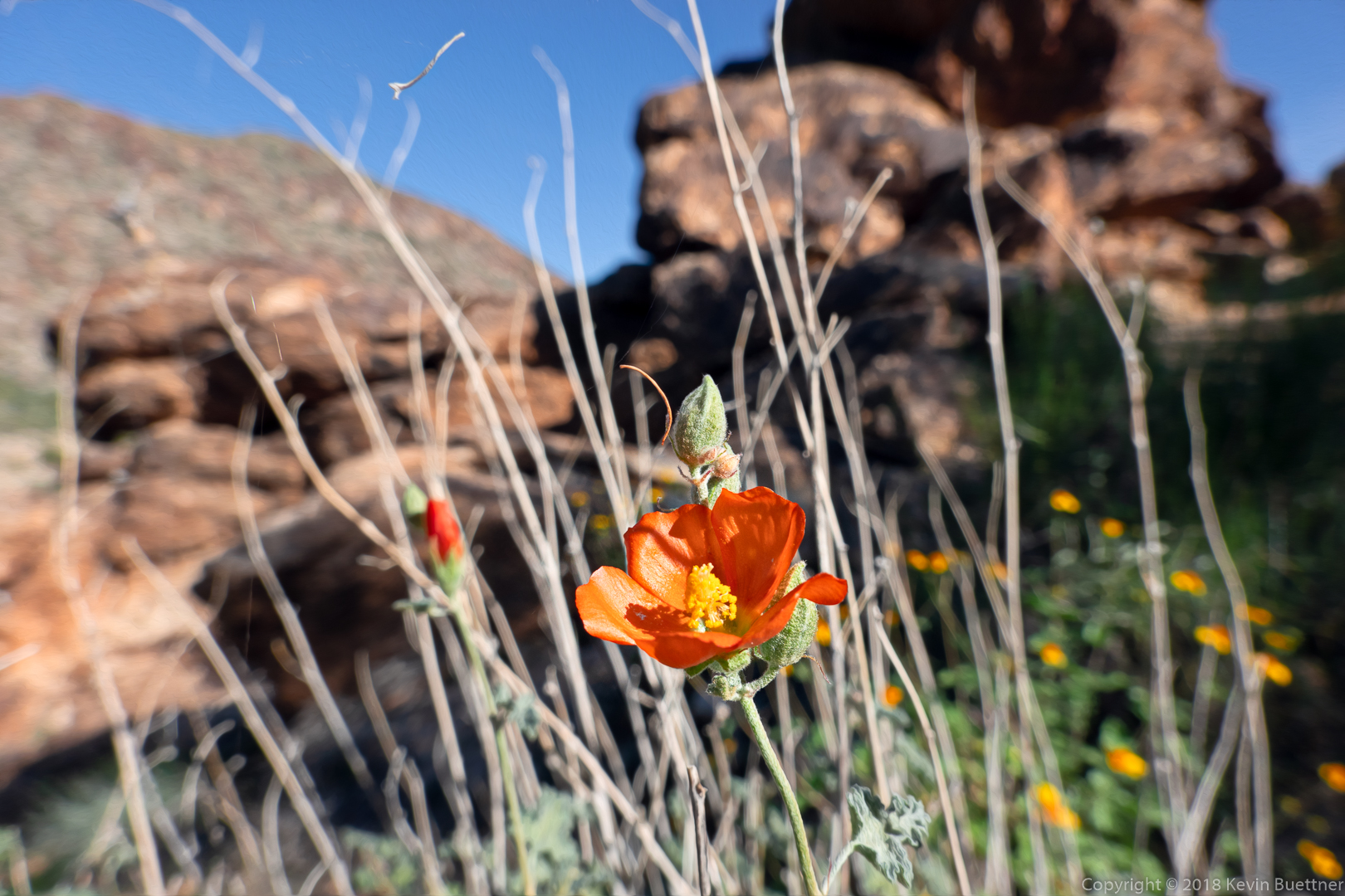
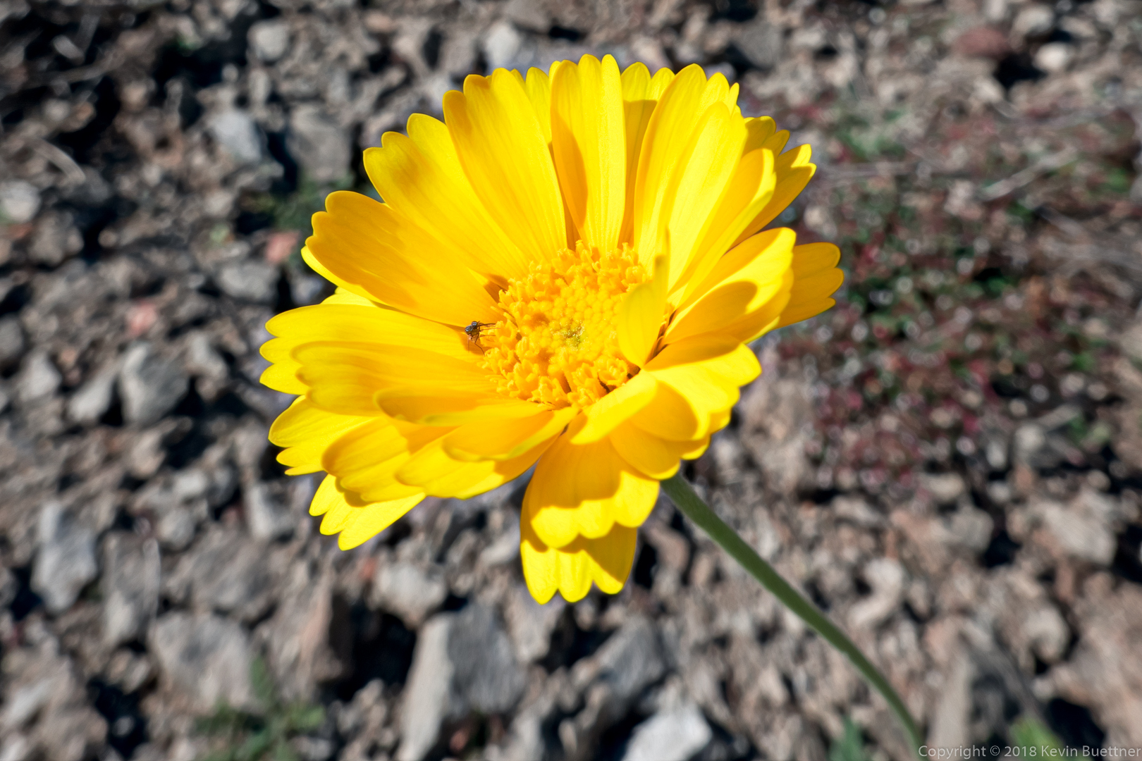
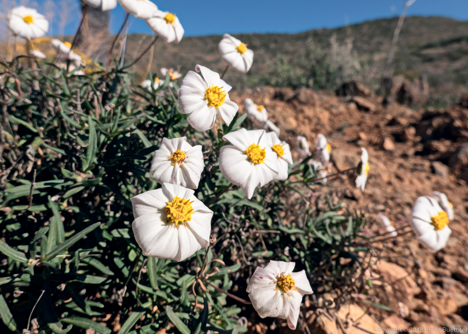
Poppies – I don’t think I ever remember seeing poppies in November.

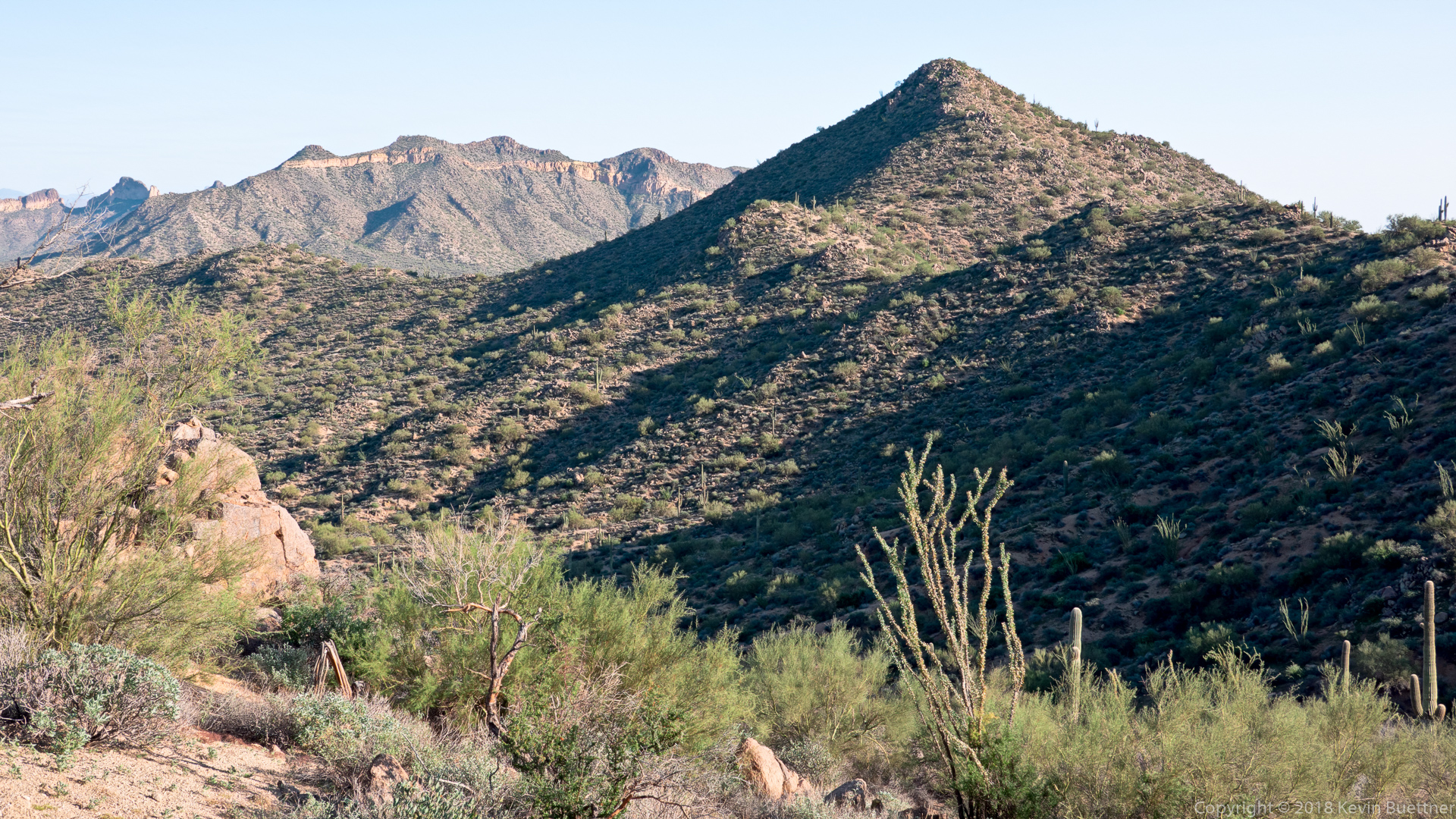
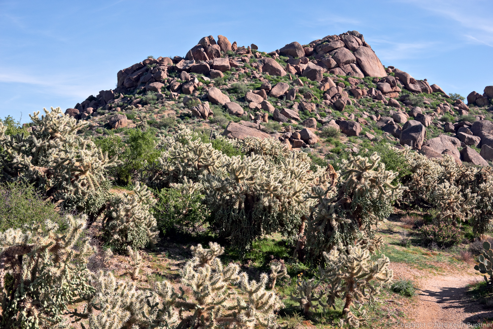
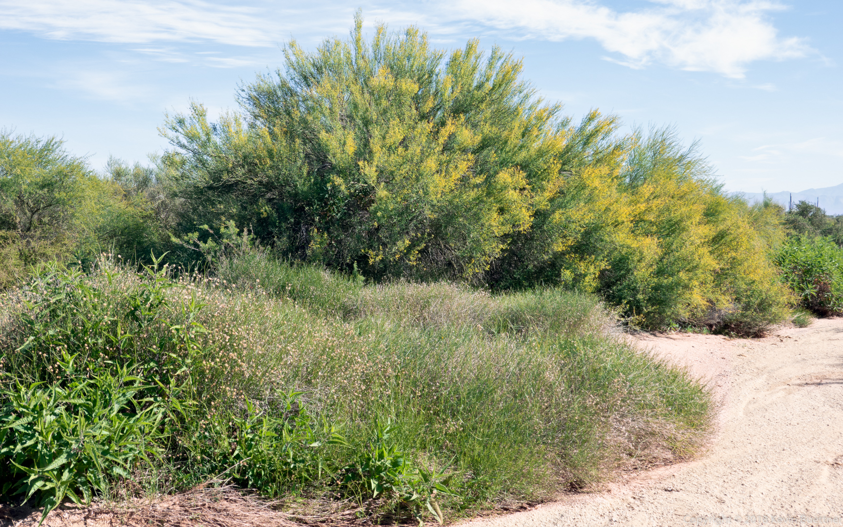
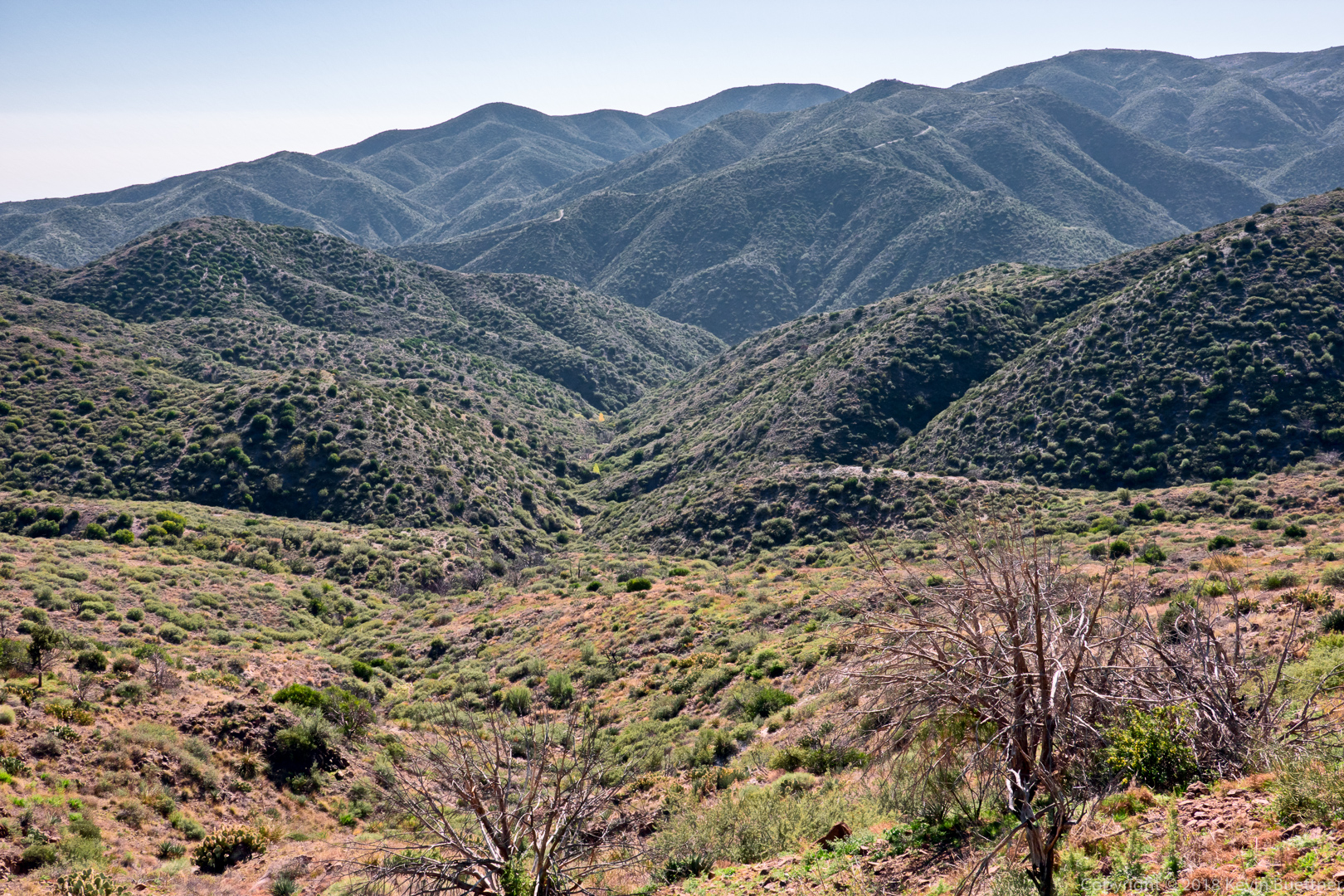
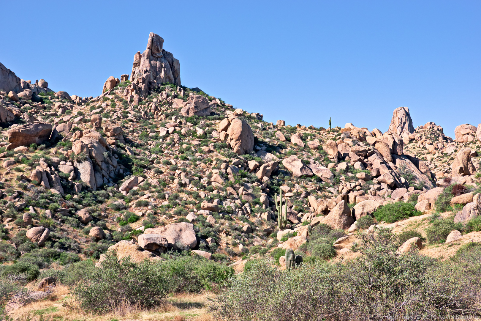
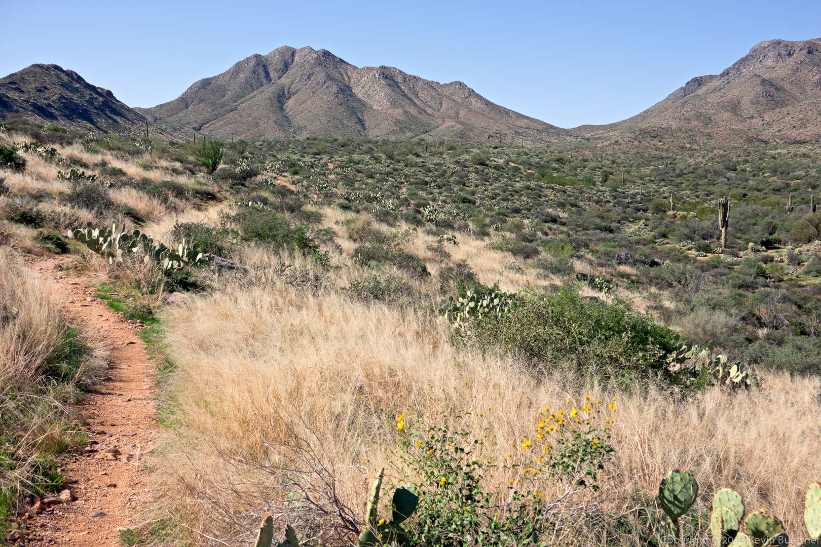
Marilyn and I did a hike in the Usery Mountain area on Sunday. We parked in the lot next to the western gate of Bulldog Canyon, then crossed the road and hiked west of the road. It’s a very scenic area. I want to do a longer hike in this area someday.

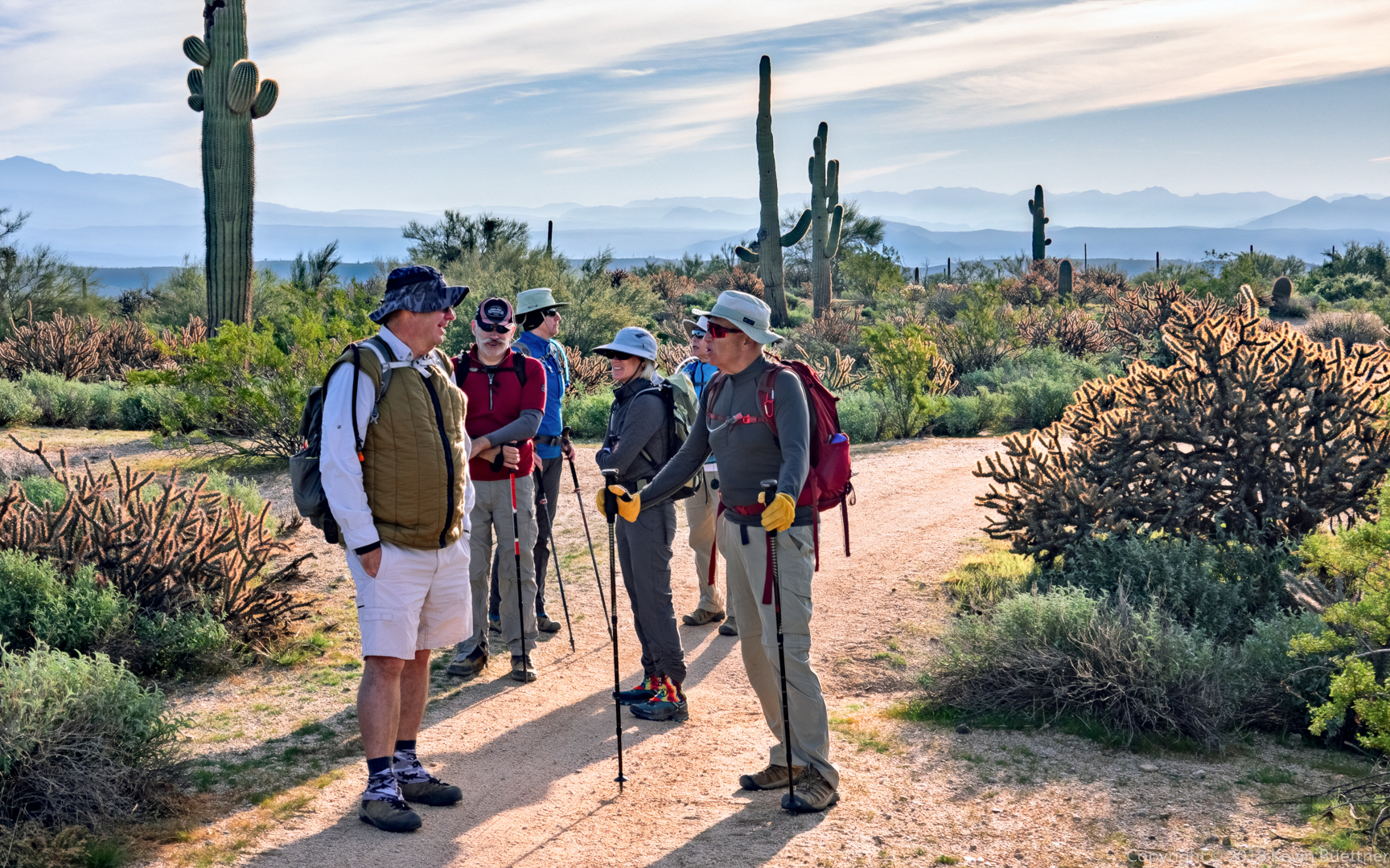
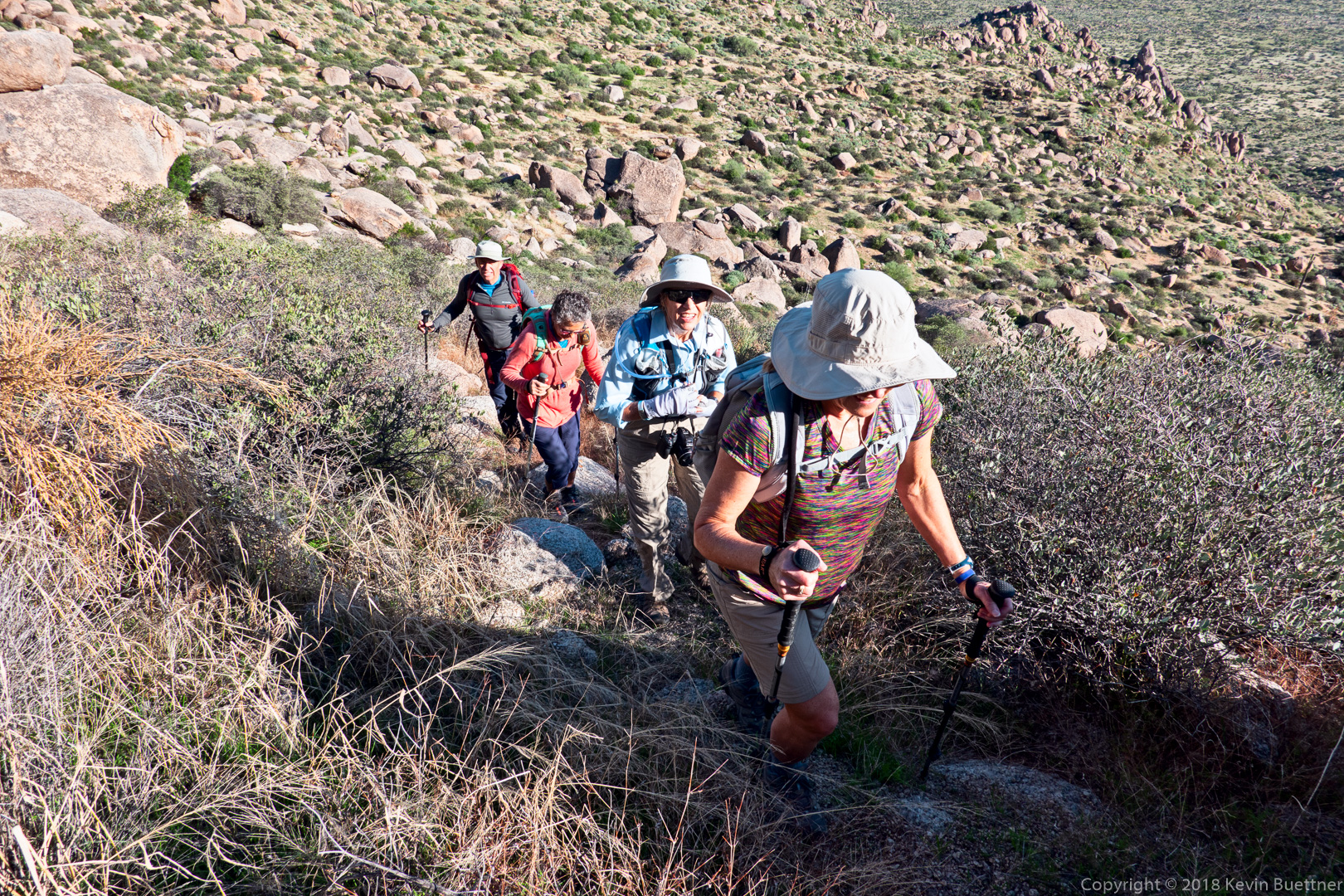
Ben, Marilyn, Sara, Nick, Mike, and Marilyn joined me for Friday’s hike starting from the Wagner Trailhead. A subset of us did: Wagner, Delsie, Gooseneck, Rock Knob, Pemberton, Bluff Wash, Bluff, Granite, and Wagner. Total hike distance was 11.8 miles with 800+ feet of total ascent.
Mike, Nick, Marilyn, Sara, Marilyn, and Ben:
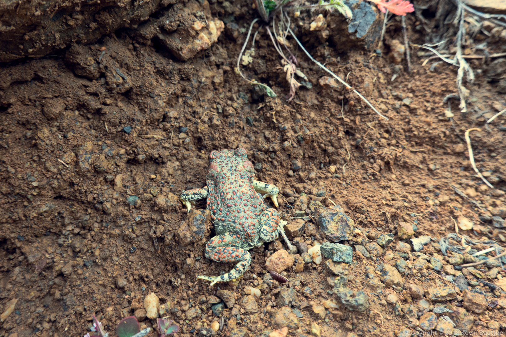
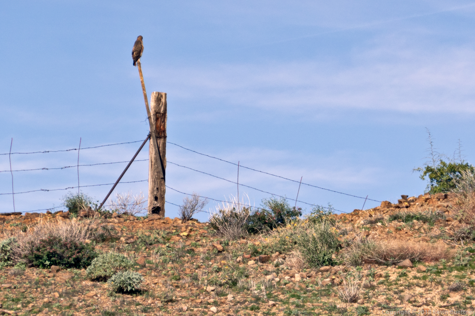
Some sort of hawk, perhaps a red tail.
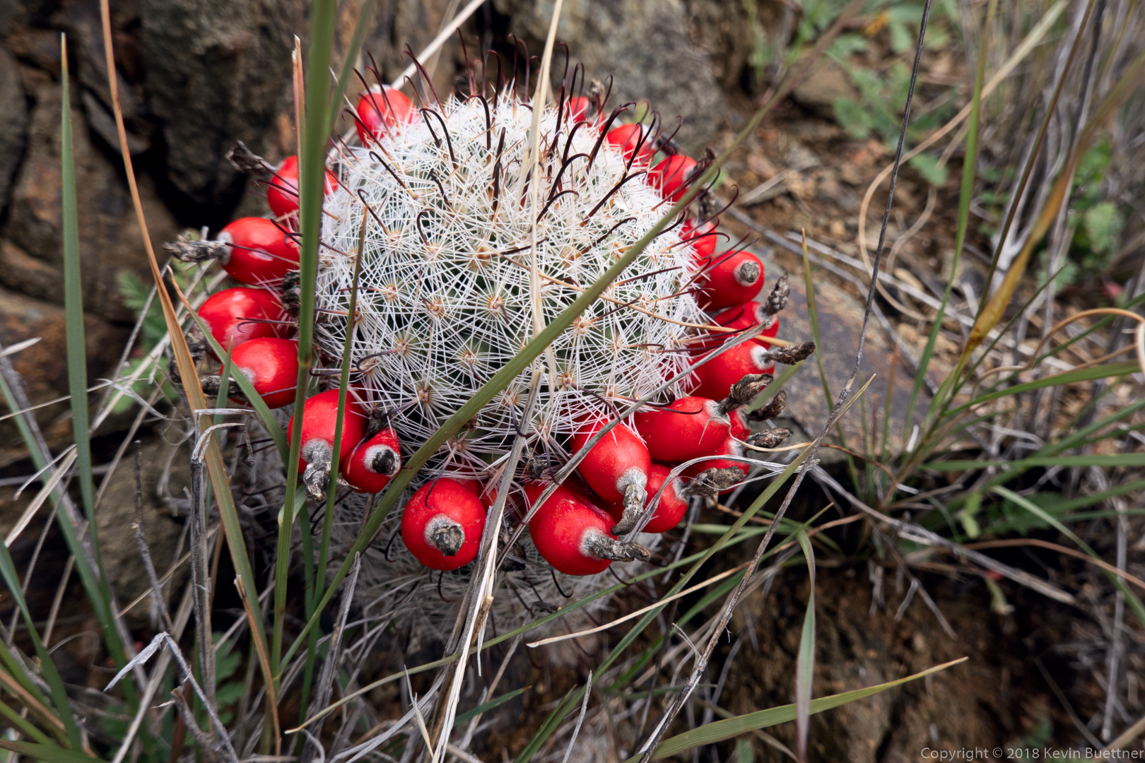
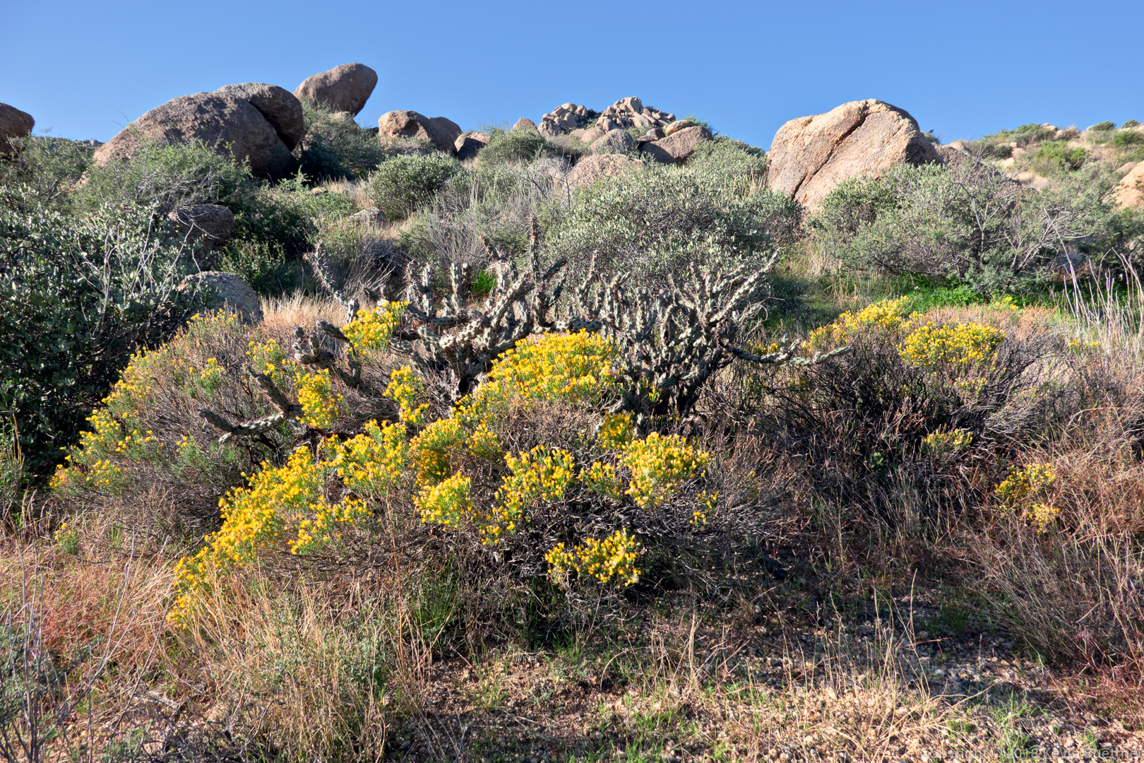
Chain fruit cholla:
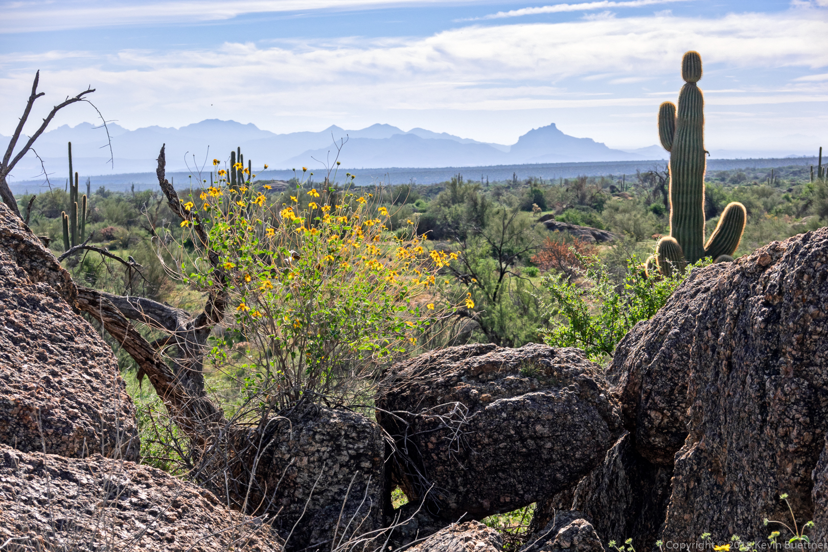
The flowers are goldeneye – see below – with Red Mountain in the distance.
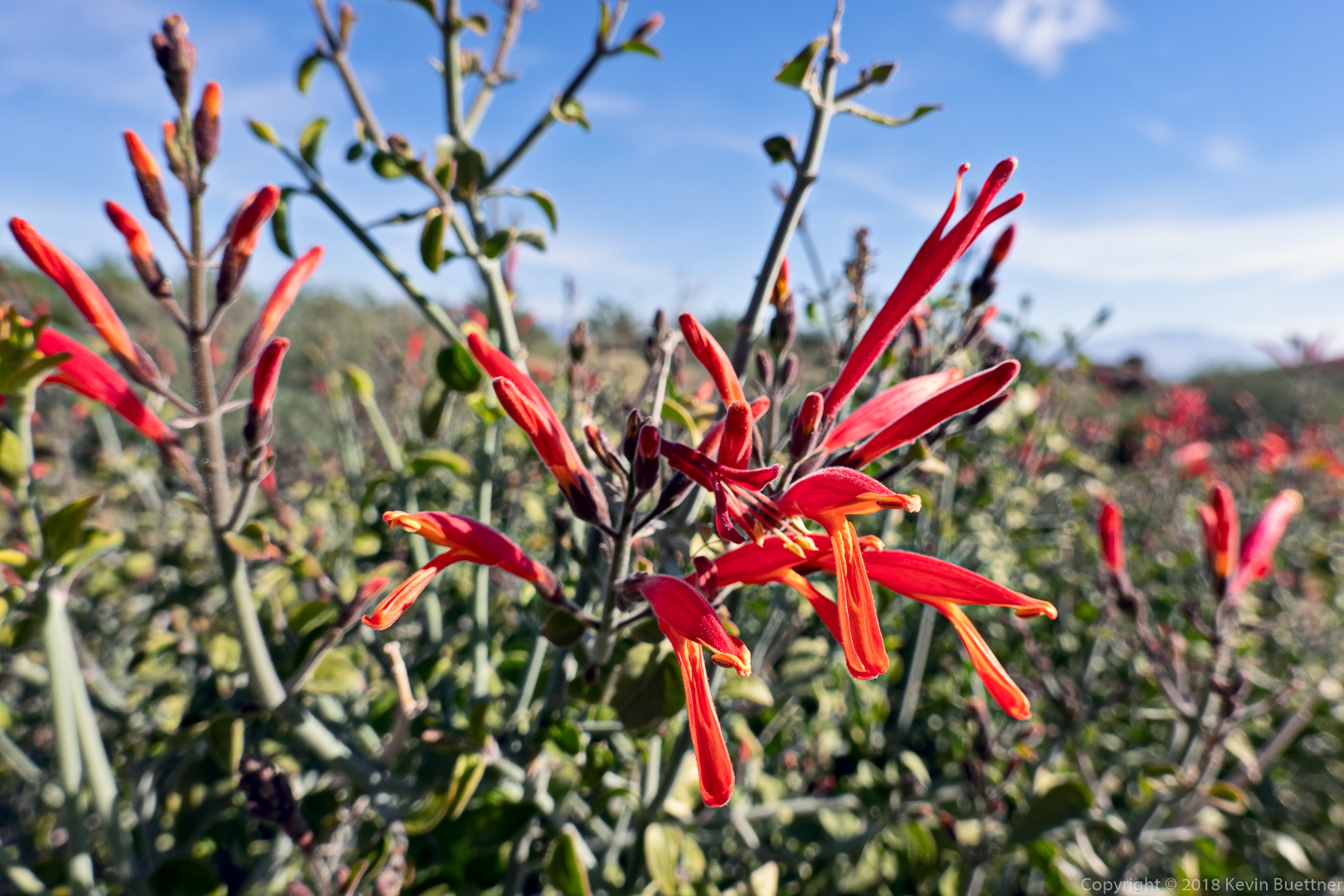
Chuparosa:
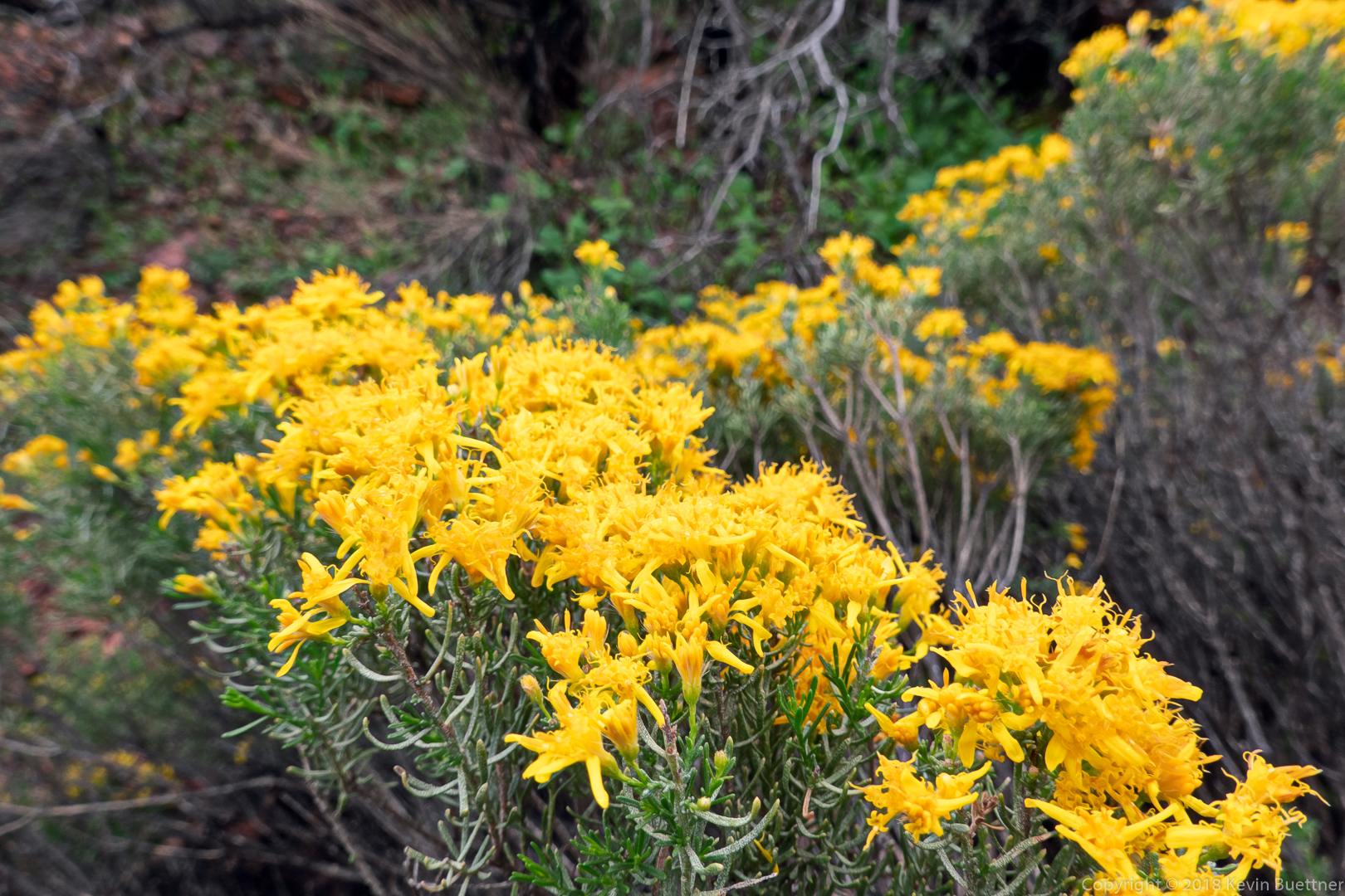
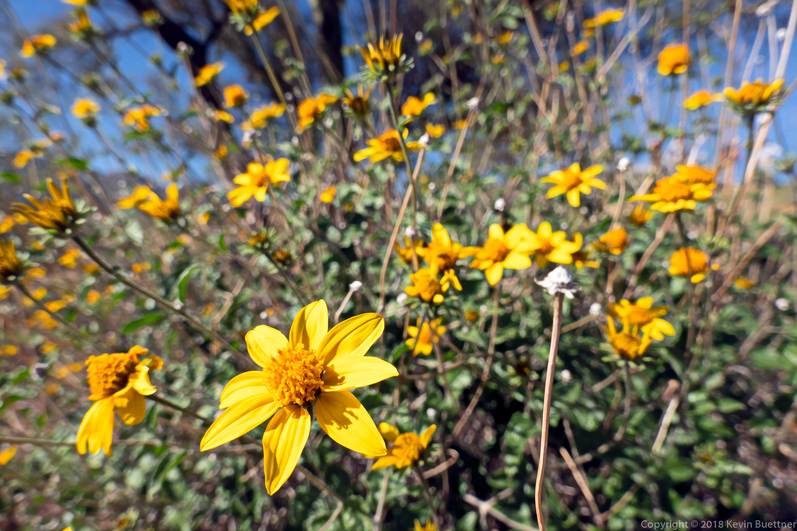
Goldeneye – these flowers sort of look like brittlebush, but the leaves are different and don’t have the whitish coating that brittlebush leaves have.
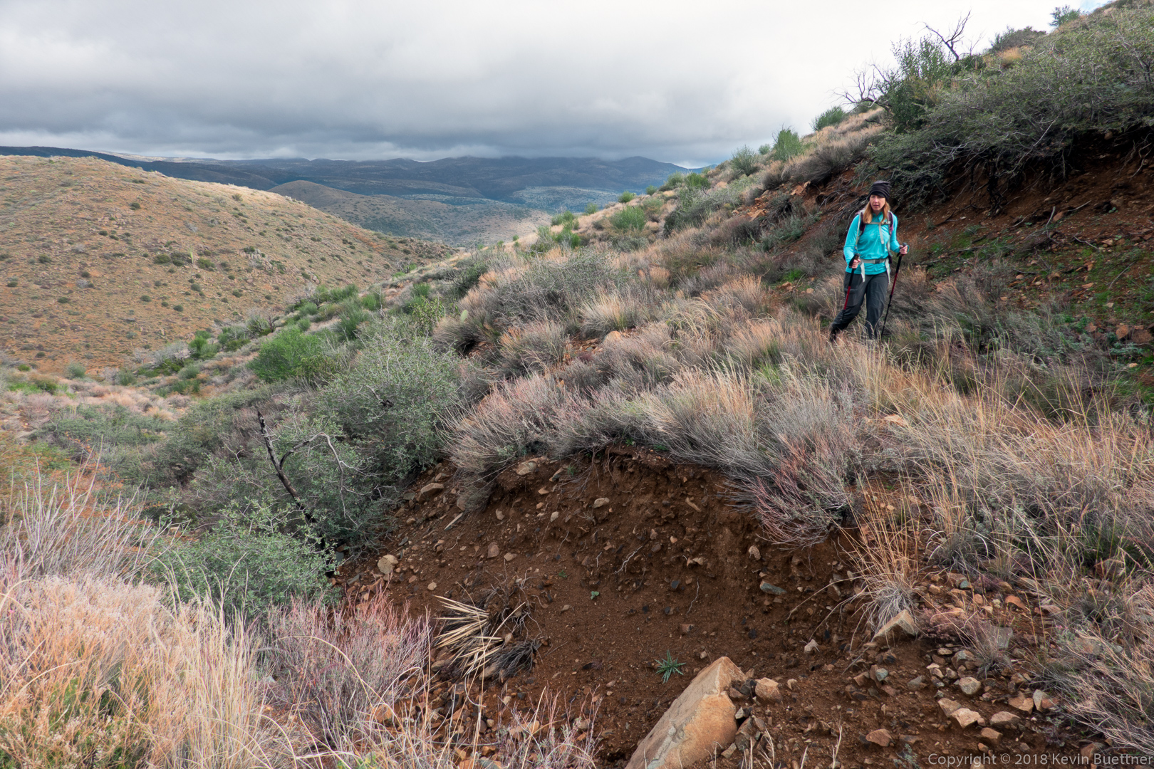
Marilyn descends a steep section coming down from Bluff Wash. We also used to go up this way, but the move up has gotten a lot harder now that even more of the sand below has eroded away.
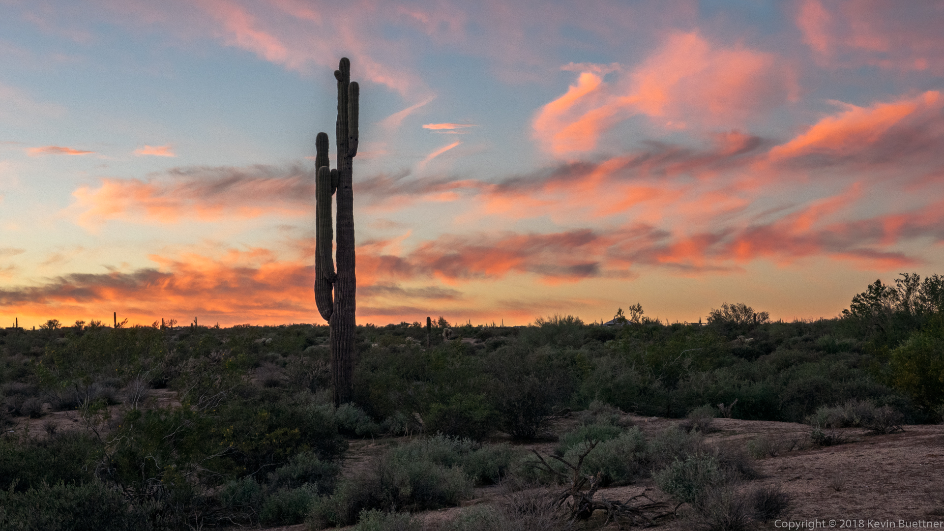
10.3 miles on Wednesday evening. I got the photos below near sunset while on the ridgeline of the Scenic Trail.


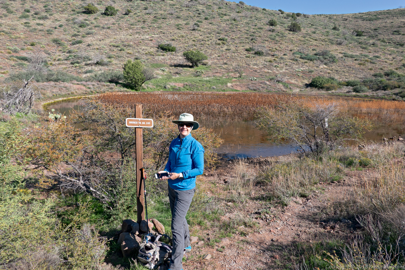
Marilyn and I hiked the Bronco Trail on Sunday afternoon – 9.8 miles with nearly 1800 feet of total ascent.
Ben, Marilyn, Kay, and Nora joined me for a hike of the Hog Heaven Loop starting from Tom’s Thumb Trailhead. After doing the interesting / fun part of the loop, I left the group, hiking down East End, left on Windmill, left on Coachwhip, left on Pemberton, left on Boulder, right on Marcus Landslide, and right on Caballo. My total distance ended up being 10.7 miles with nearly 2500 feet of total ascent.

This is part of the trail leading to Hog Heaven.
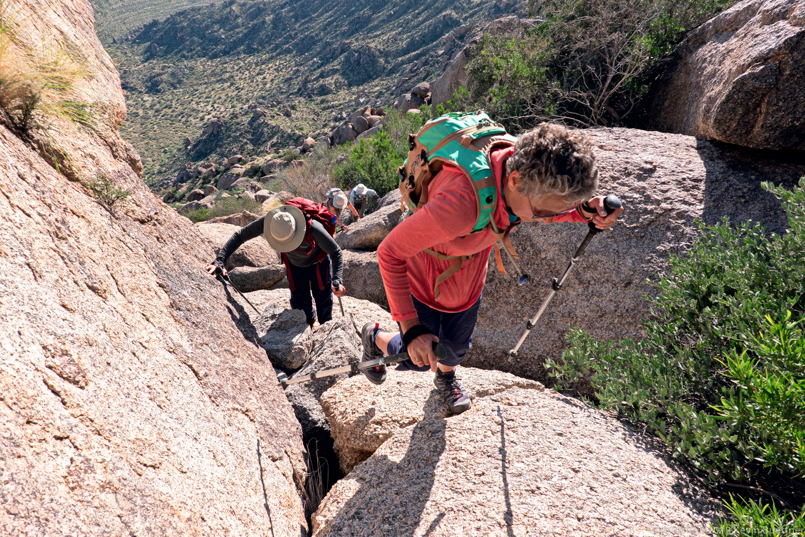
Kay leads the way up a steep section between the main wall of Hog Heaven and the Thumbnail Pinnacle.
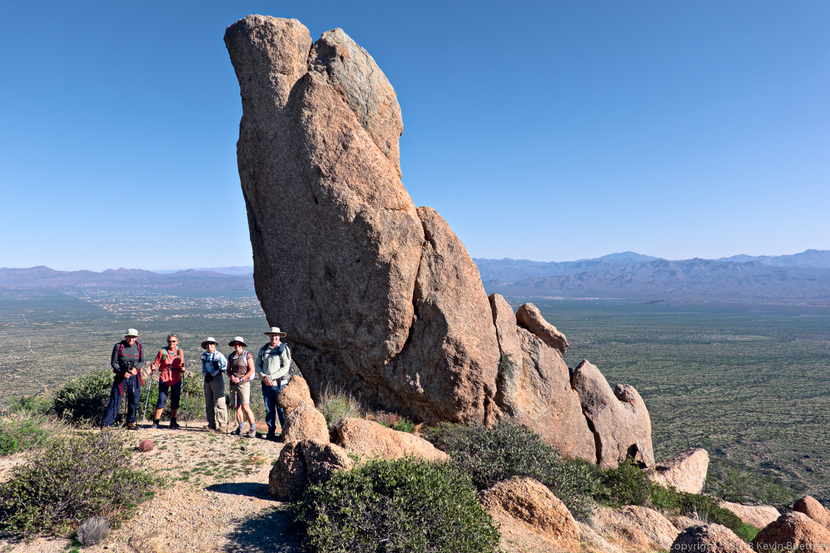
Ben, Kay, Marilyn, Nora, and Kevin at the Thumbnail Pinnacle.
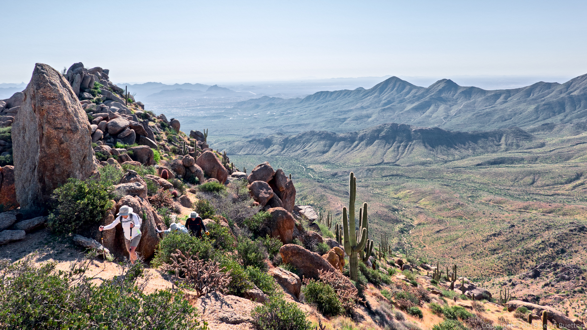
We’ve passed the Thumbnail Pinnacle and are now on the ridge leading to the East End, the highest point in the McDowells.
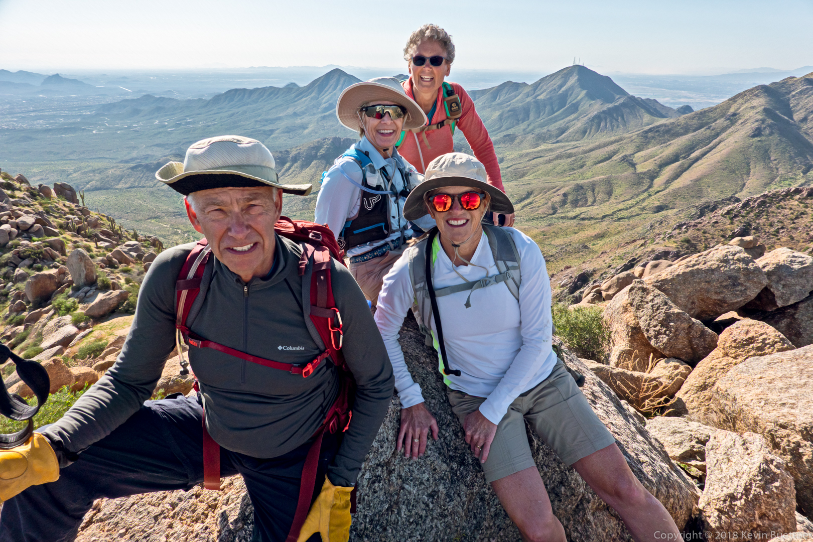
Ben, Marilyn, Kay, and Nora at the summit.
Glass dome on the left and Tom’s Thumb on the right.
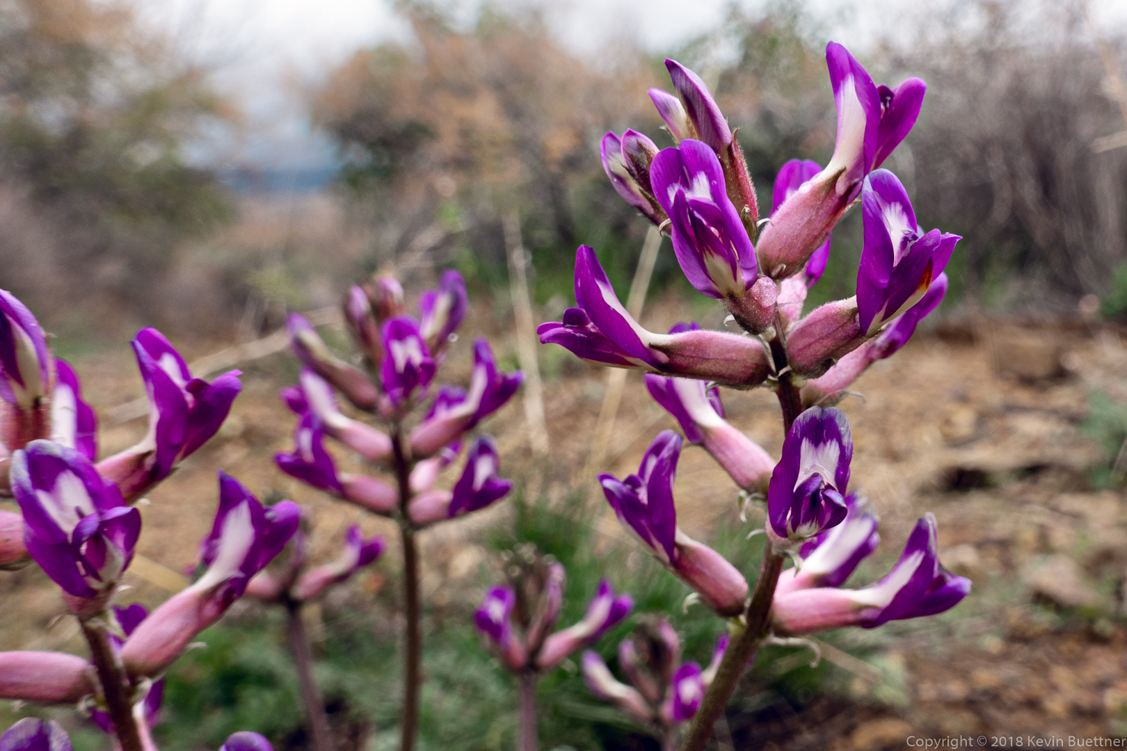
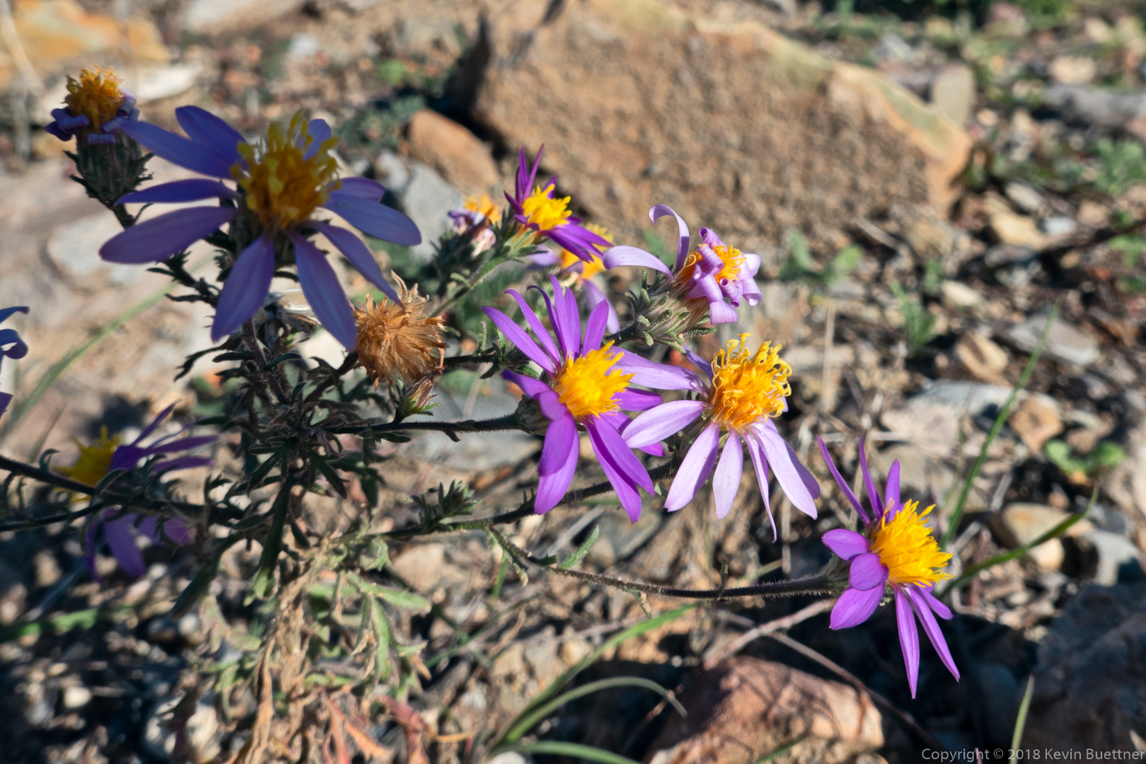
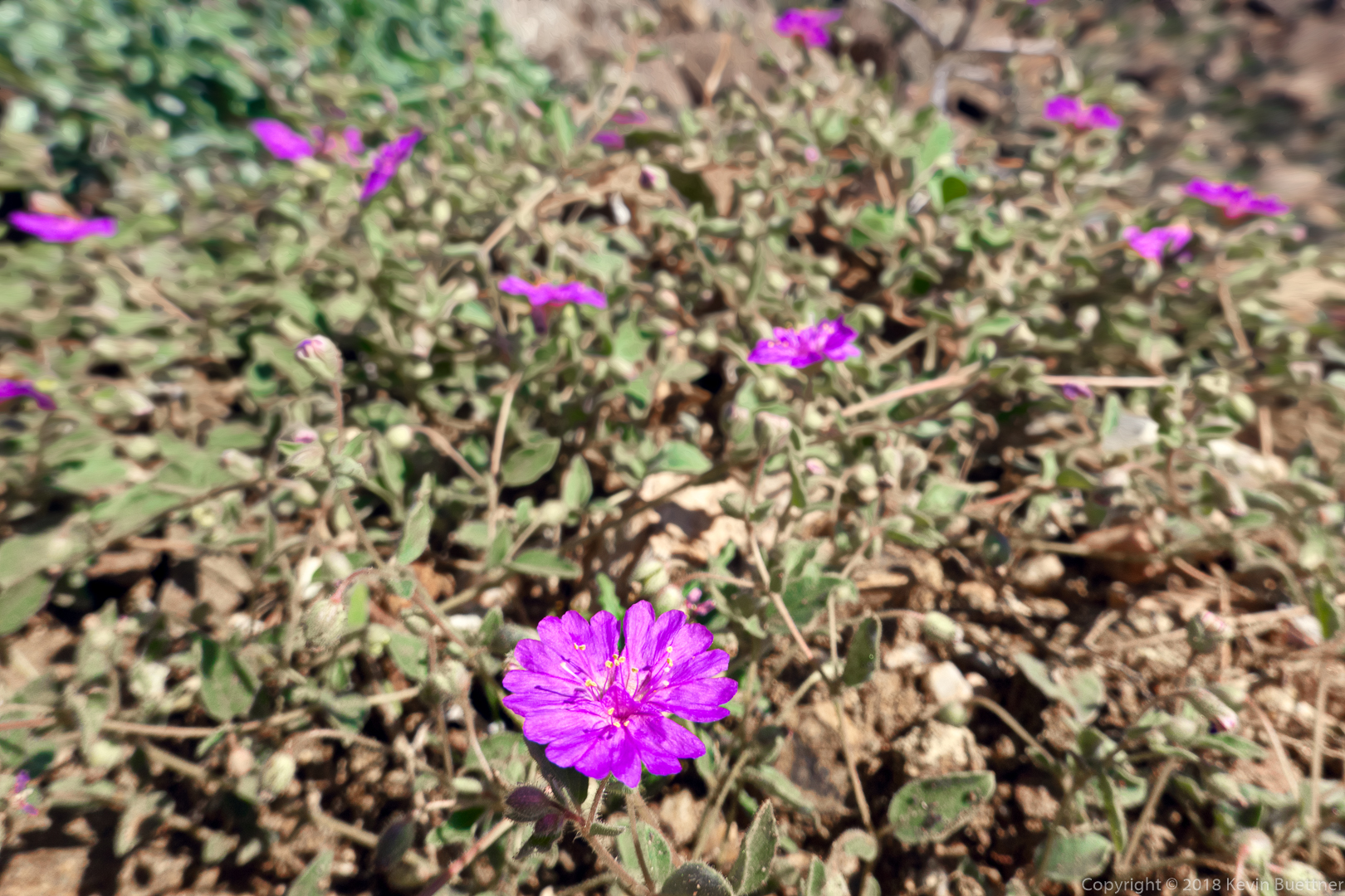
I think these purple flowers are Trailing Windmills.
Fairy Duster on the East End Trail.

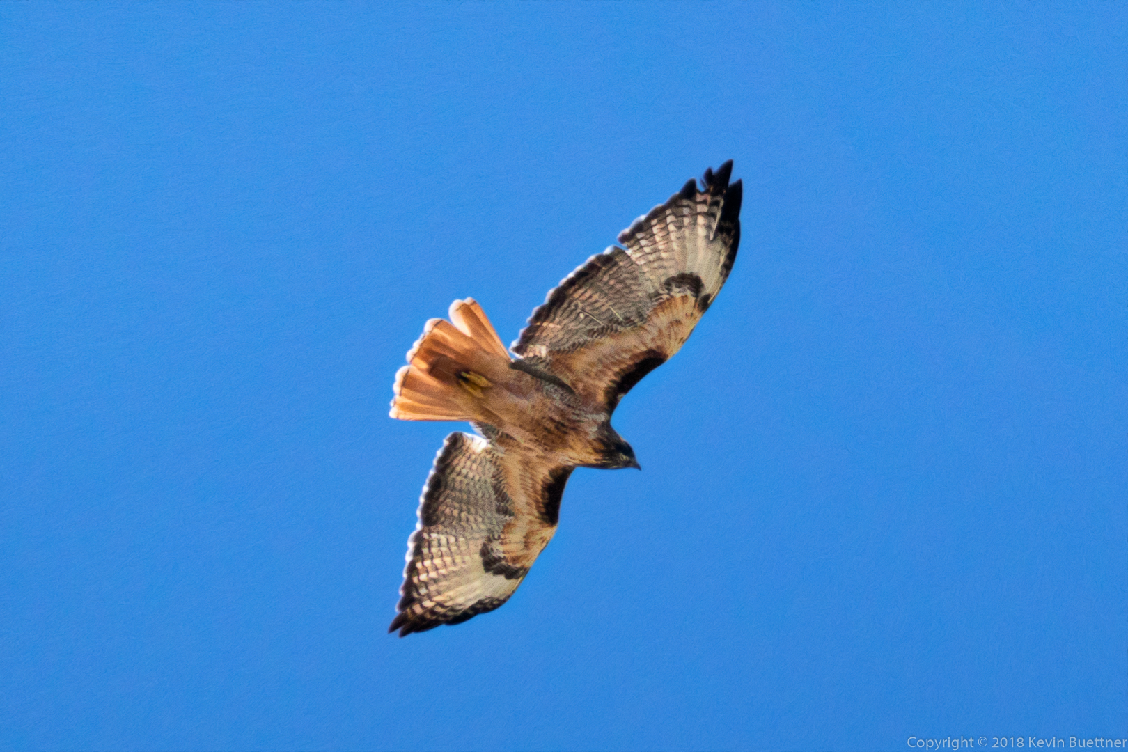
I think this is a hawk…
Look for the Thumbnail Pinnacle below and to the right of what appears to be the summit. We were there earlier in the day. (The actual summit is beyond the apparent high point in this photo.)
A view from the Coachwhip Trail.
Another look at the Thumbnail Pinnacle, this time from the Pemberton Trail.
7.4 miles on Wednesday…