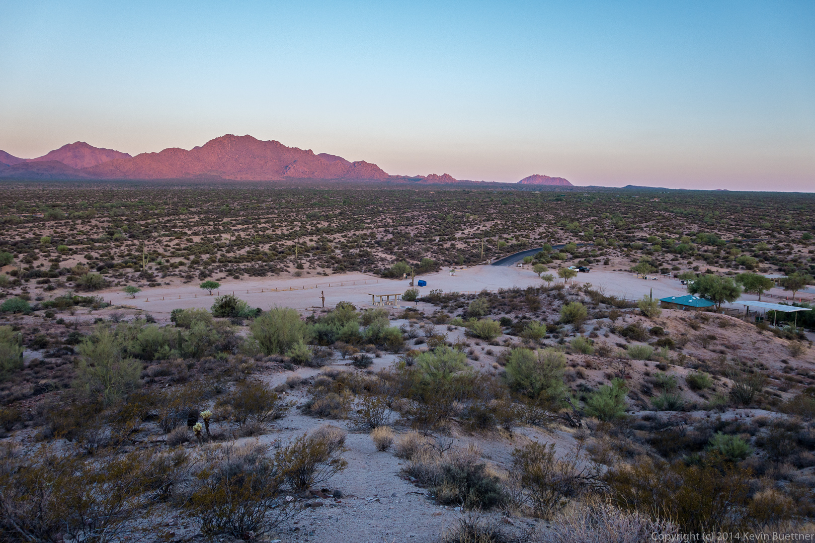
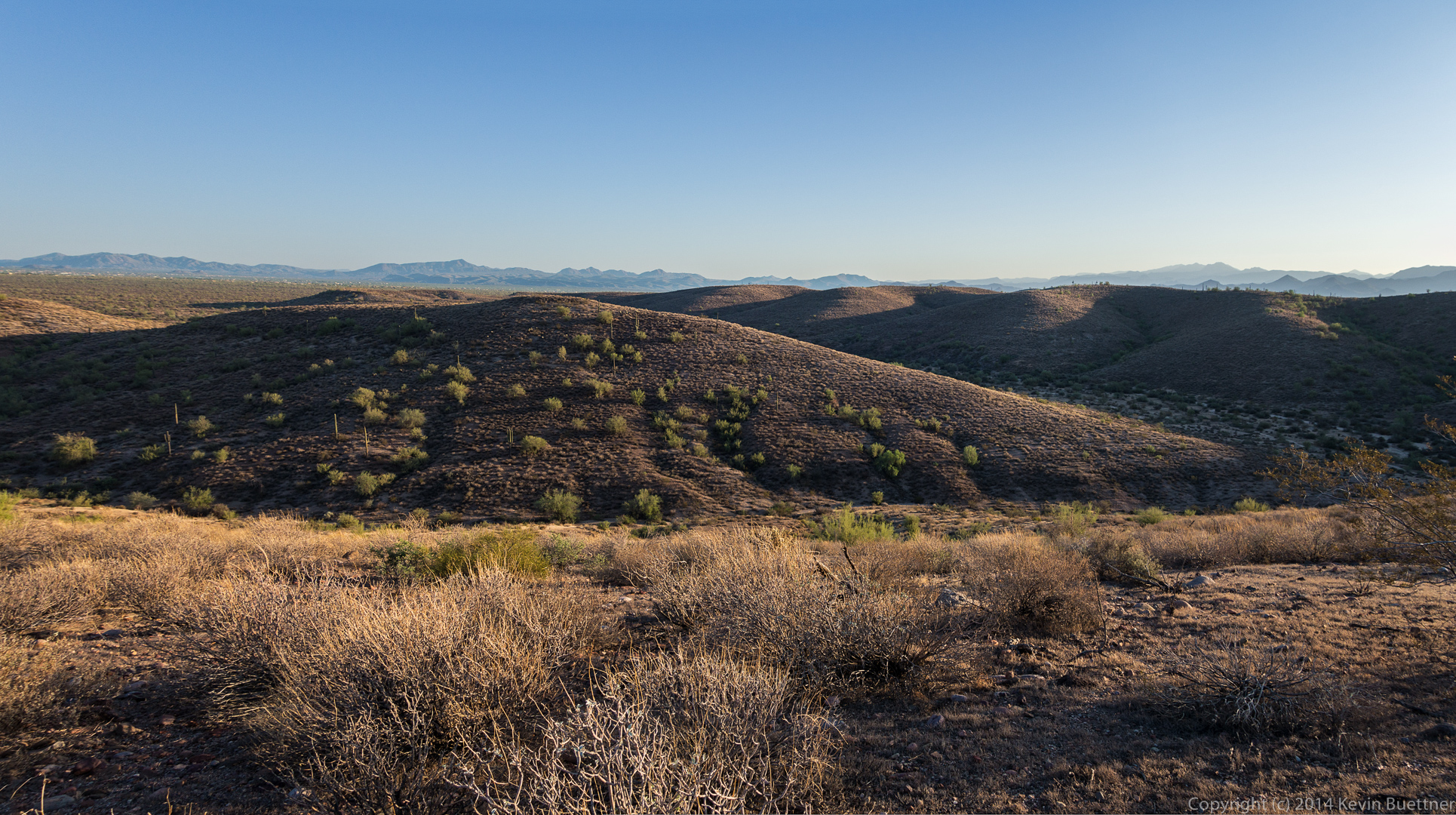
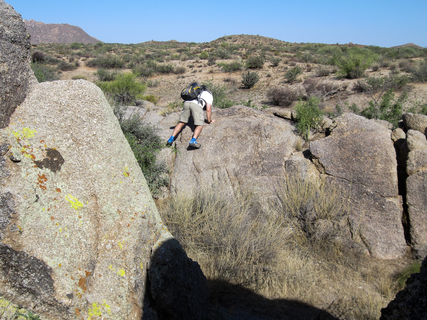
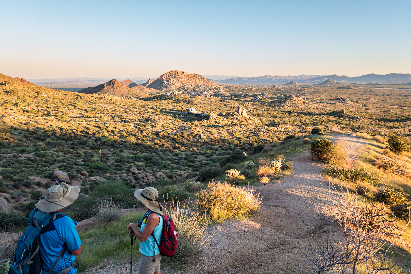
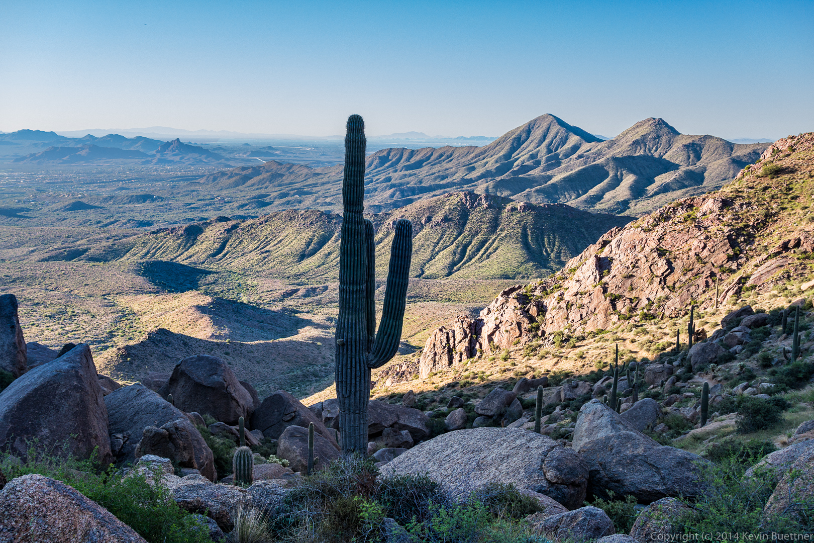
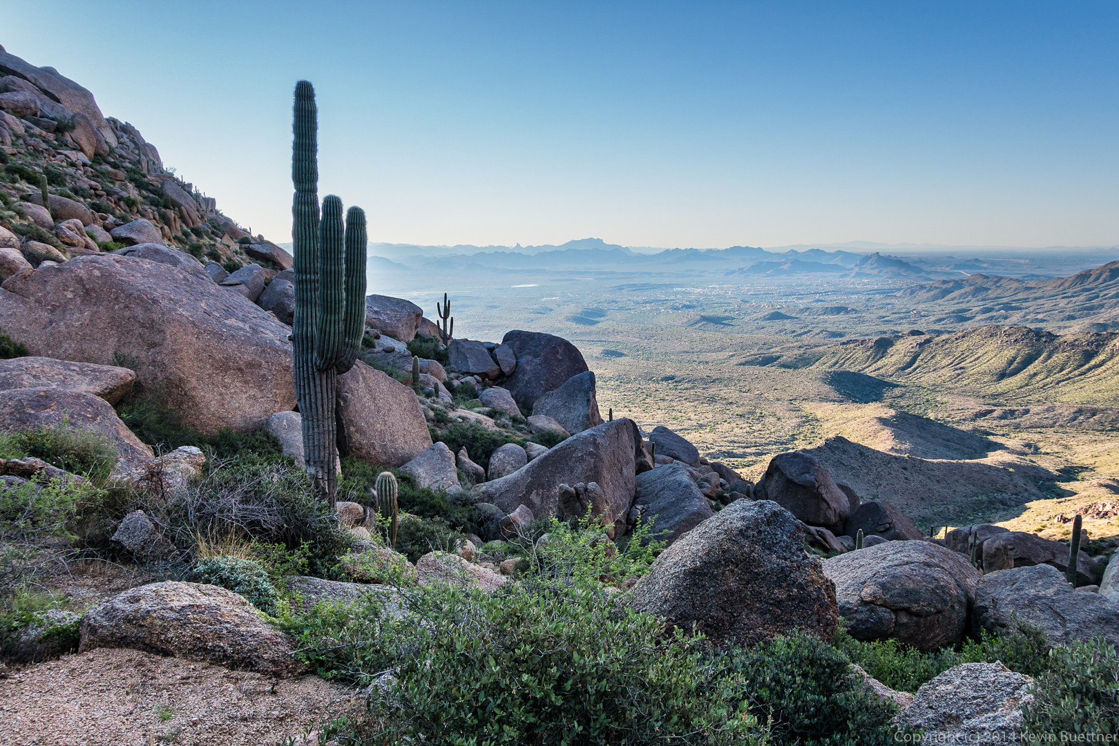
Linda, Bob, and I hiked 9.5 miles on Friday starting from the Tom’s Thumb Trailhead. We took the shortest route using the following trails (in order): Tom’s Thumb Trail, East End Trail, Windmill Trail, Coachwhip Trail, Pemberton Trail, Boulder Trail, and Marcus Landslide Trail. Roughly half of our hike was in the Preserve; the rest was in McDowell Mountain Park. Our total accumulated ascent for this hike was a bit over 1,700 feet.
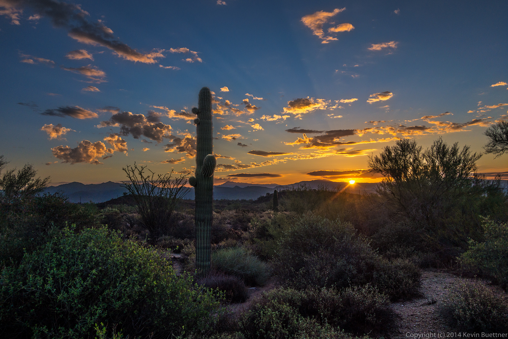
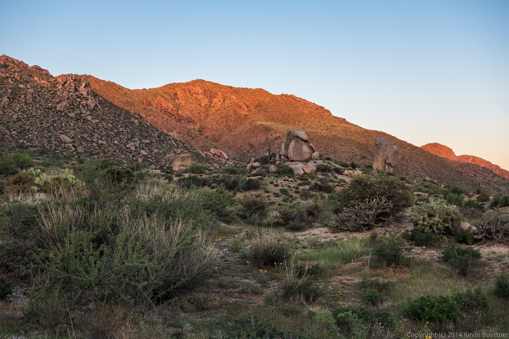
The rising sun created an interesting glow on one of the slopes as we started our hike.
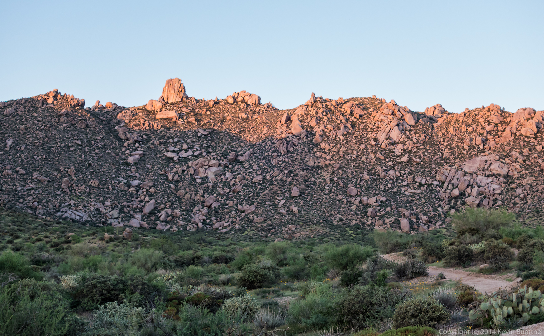
 Tom’s Thumb and the upper ridge to the north had a similar glow.
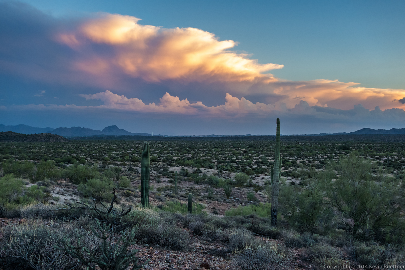
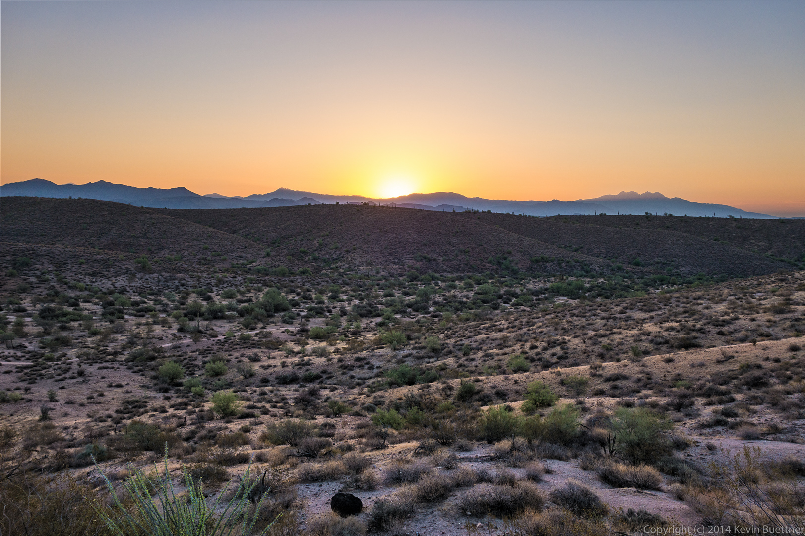
 As the sun got slightly higher, we noticed the landscape behind us turning a brilliant yellow. It didn’t last long, however. When we looked a few minutes later, from somewhat higher on the trail, it was mostly gone.
 Glass Dome on the left and Tom’s Thumb on the right, both in the sun.
 Approaching the East End Trail:
 Another shot of Glass Dome and Tom’s Thumb:
 Views from the upper part of the East End Trail:
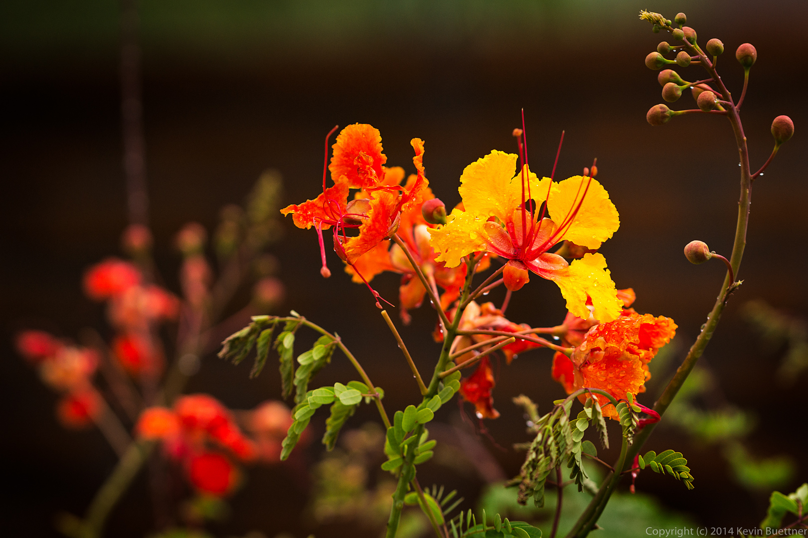
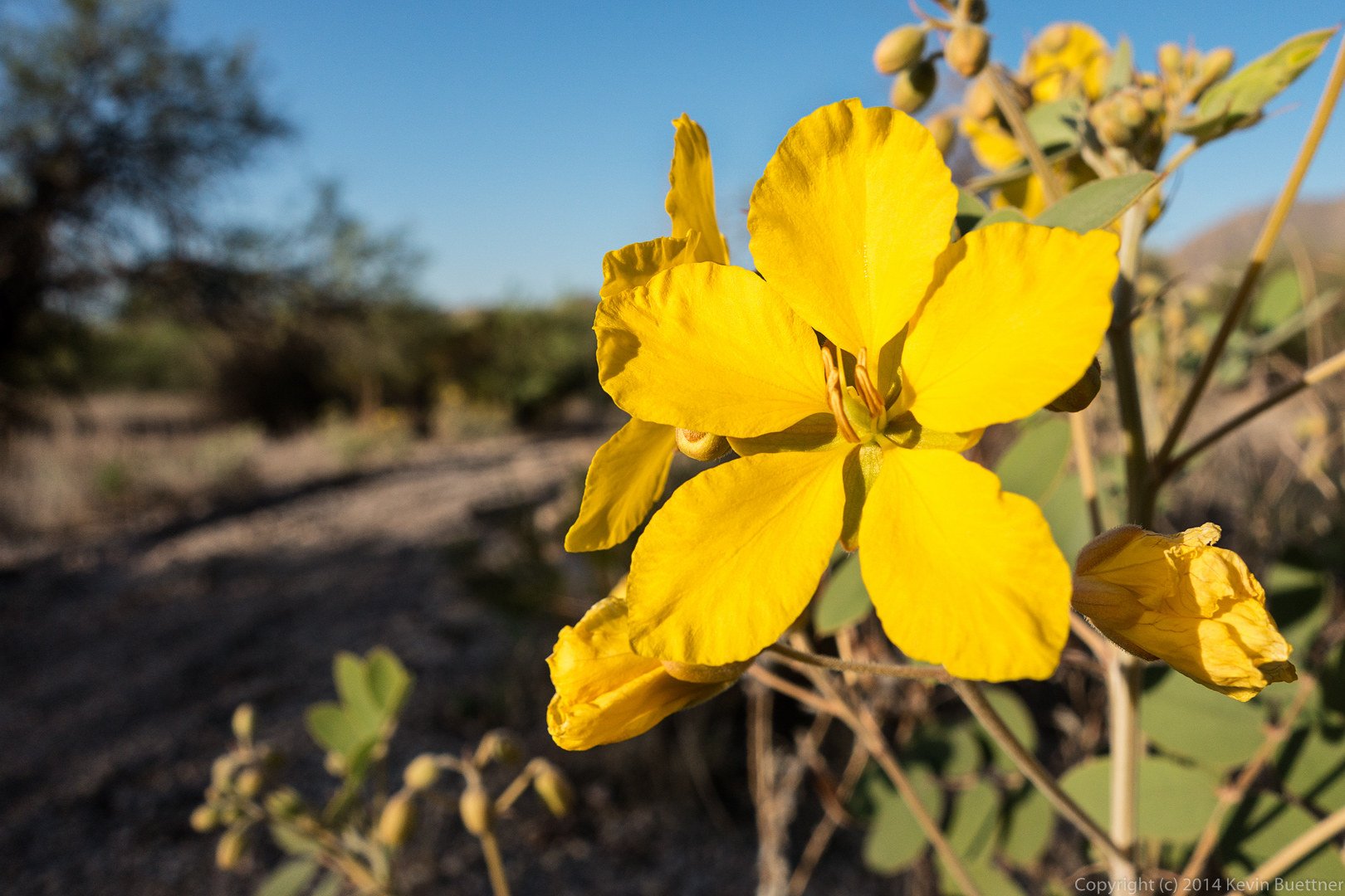
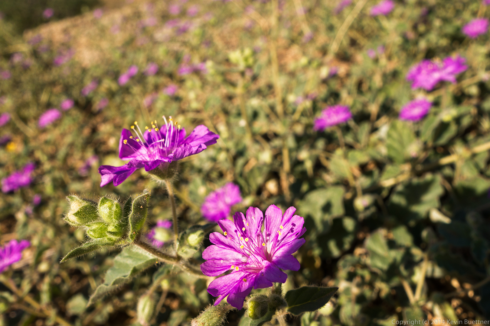
 I think these flowers might be Phacelia. We saw some Globemallow flowers too, but my photos of those weren’t in focus.
 A view from further down the East End Trail:
 Thompson Peak as seen from the lower portion of the East End Trail.
 A view from the Windmill Trail. There is a nearby windmill which is off to the right, but not visible in this photo.
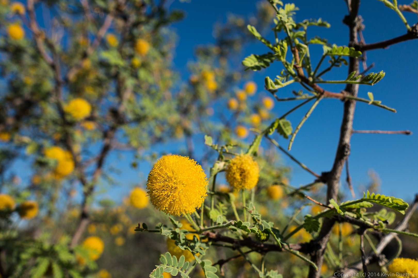
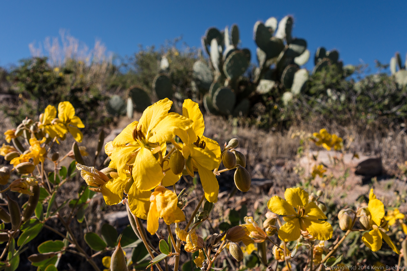
 Senna flowers on the Coachwhip Trail:
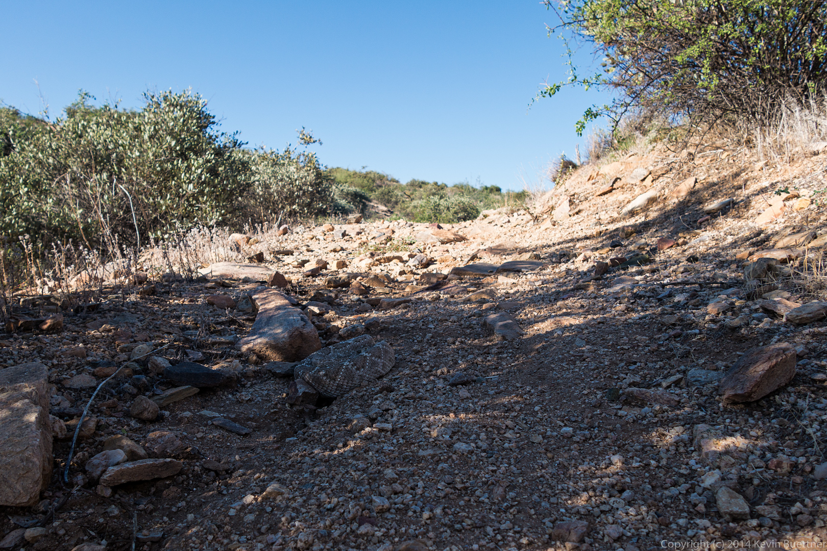
 We saw two rattlesnakes on the Coachwhip Trail. This was the second of the two. In both cases, we didn’t see them until Bob was right on top of them. I think I might have stepped on the first one, riling it up which, in turn, gave Bob a few moments of excitement. I’ve adjusted the contrast in this photo, making it much easier to see here than it was in real life.
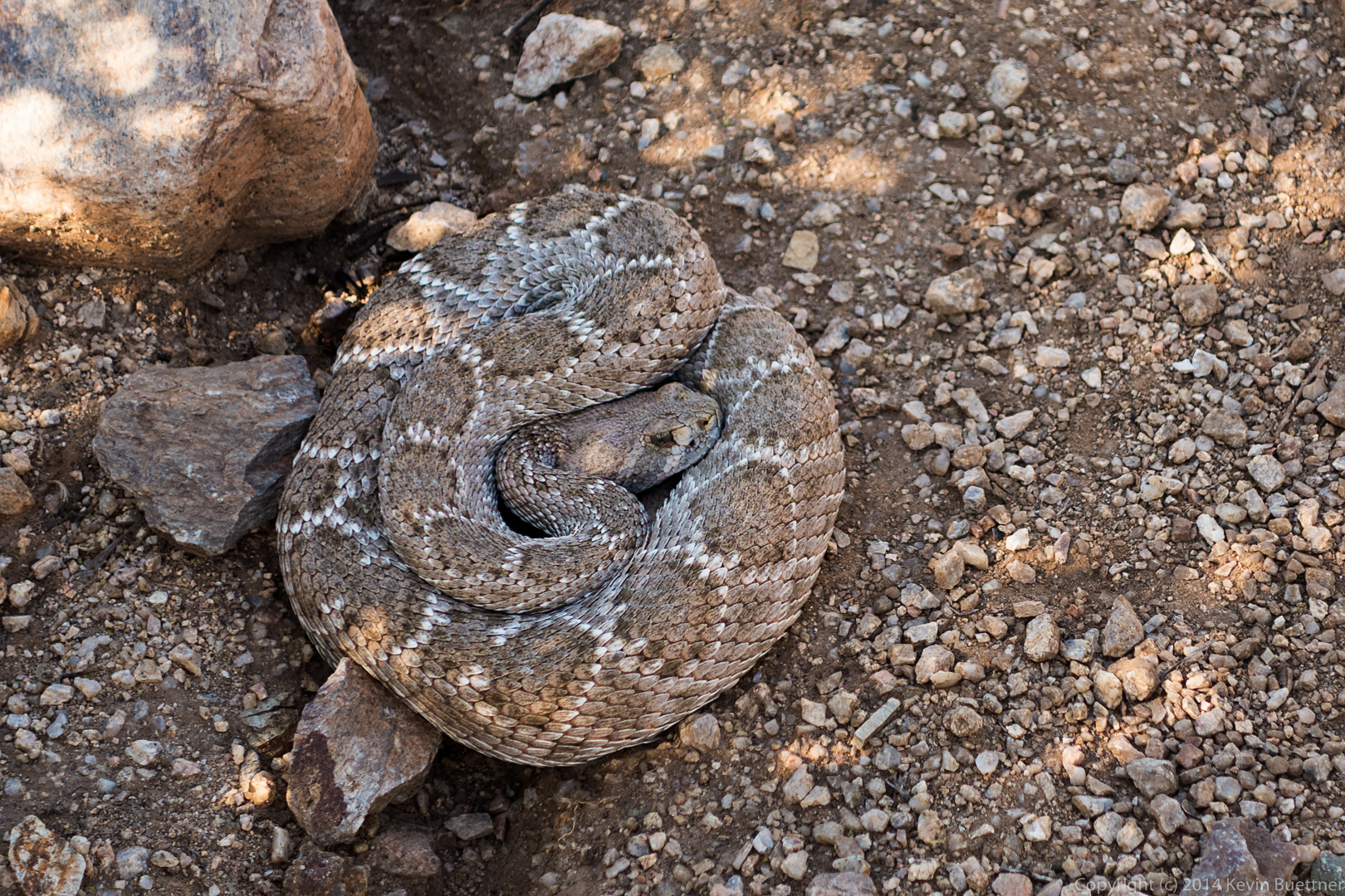 Here’s another photo of that snake, showing how difficult it is to see them.
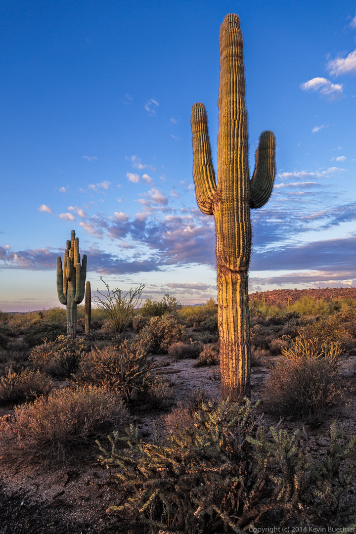
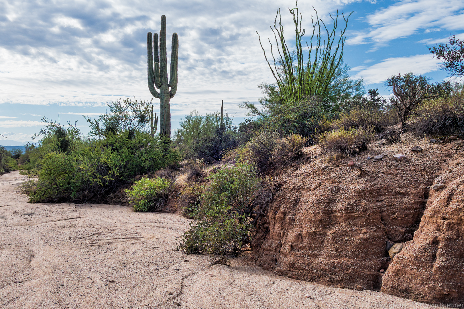
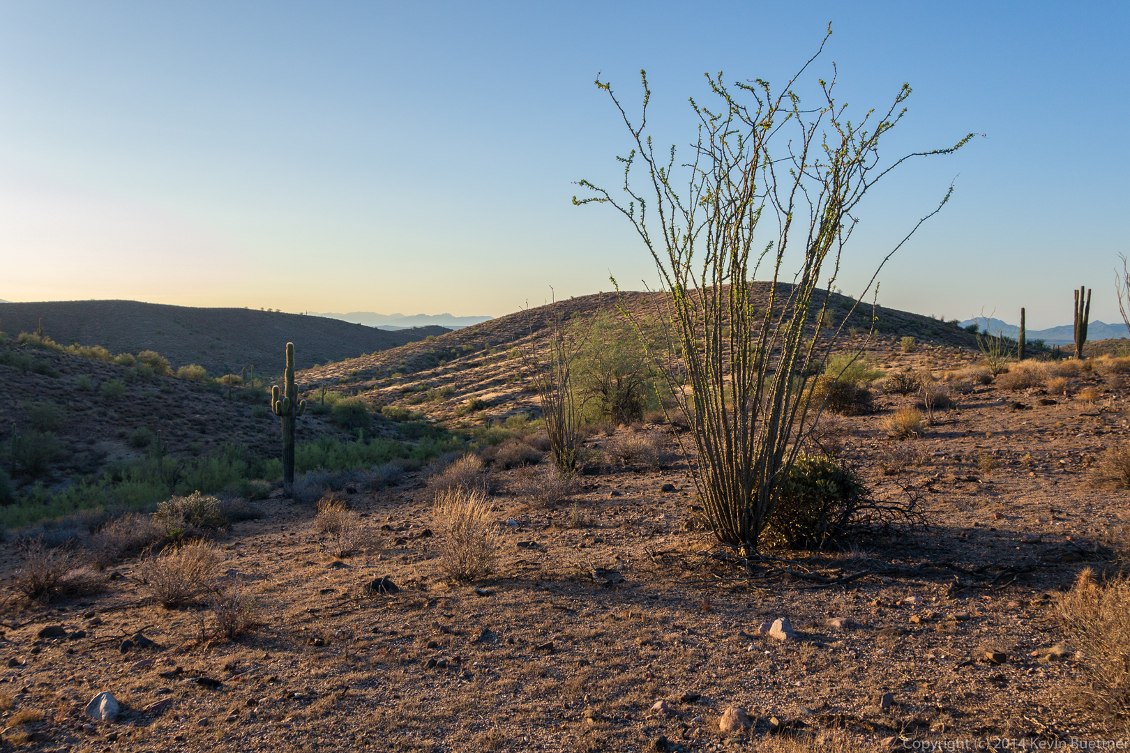
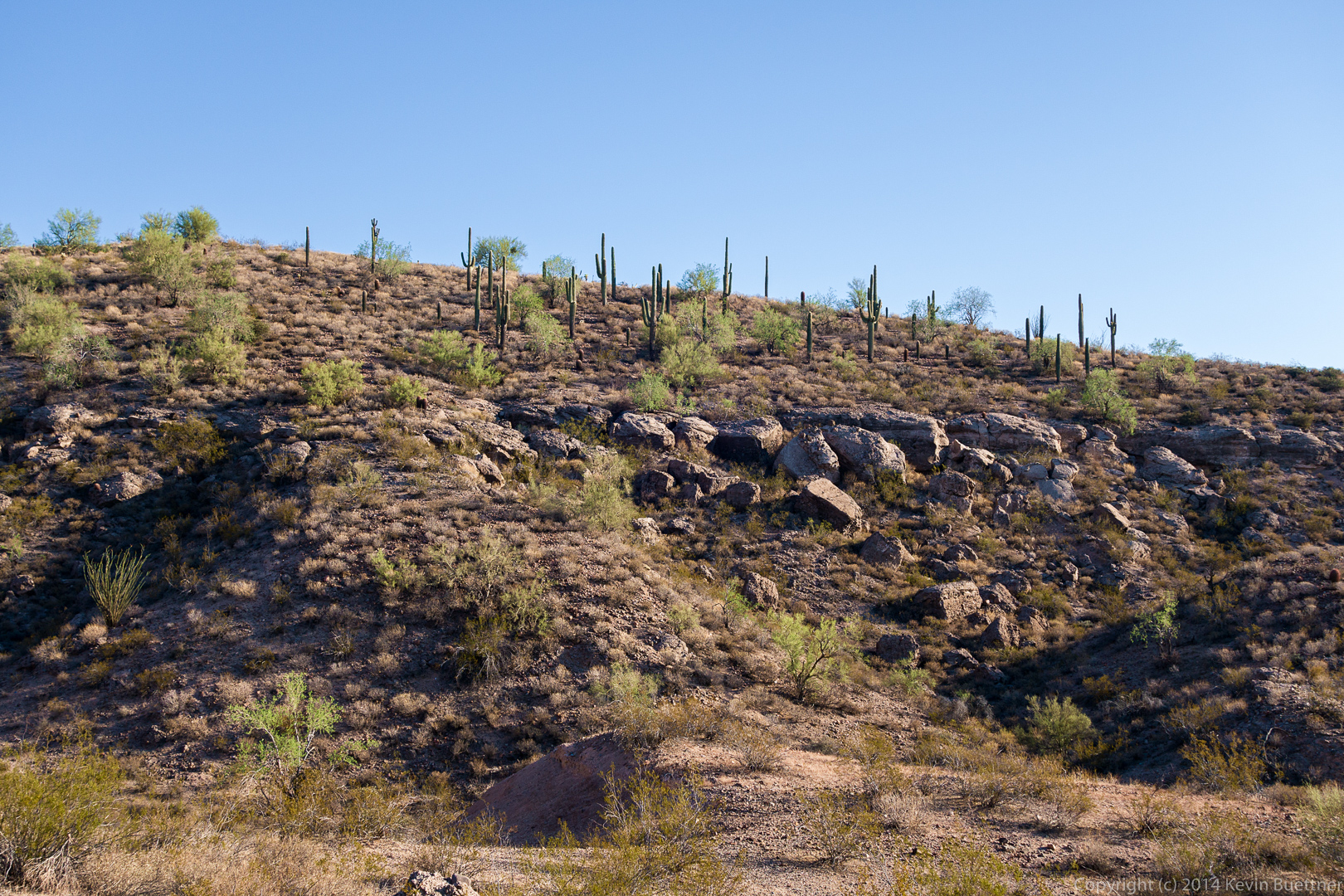
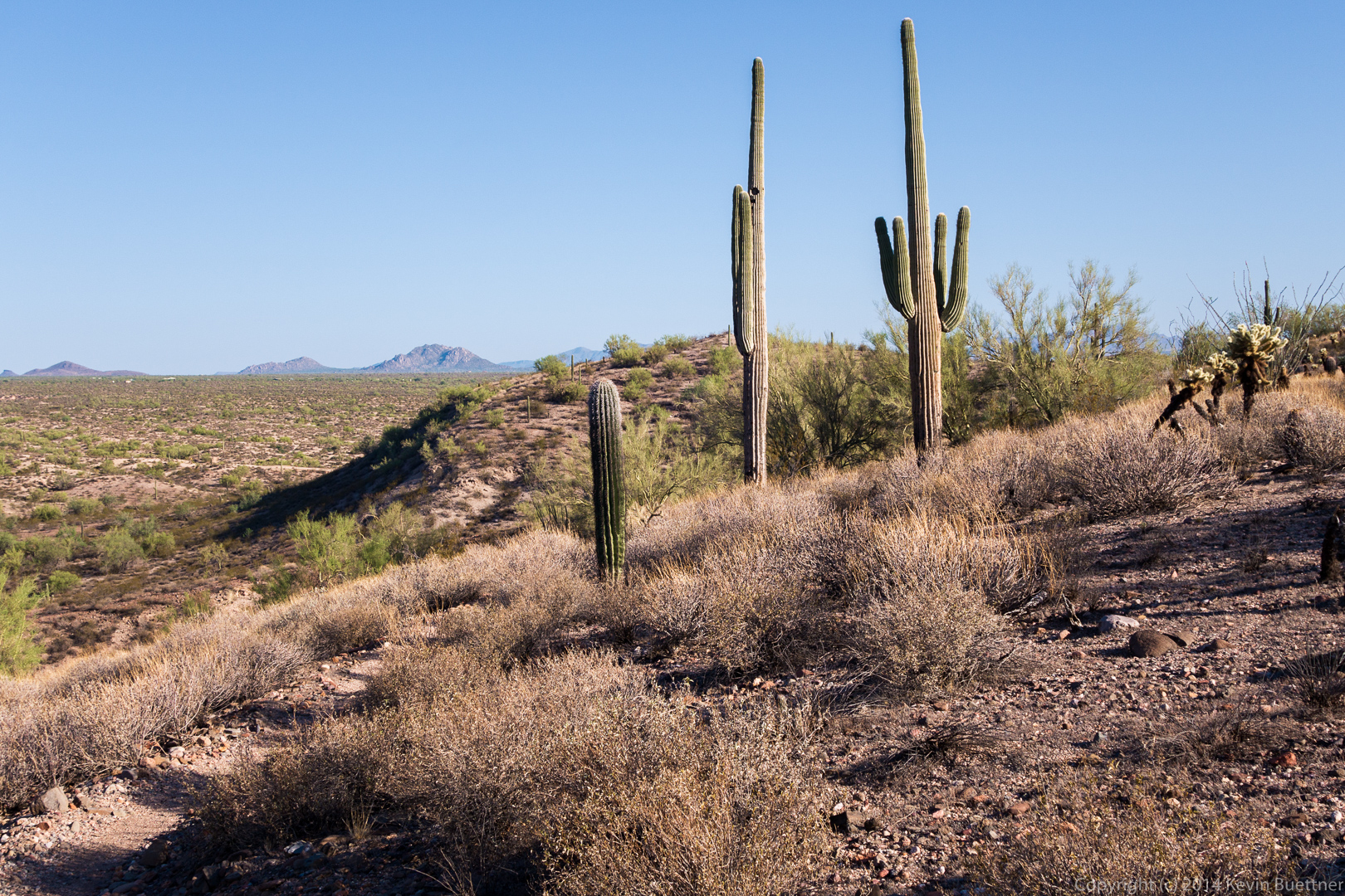
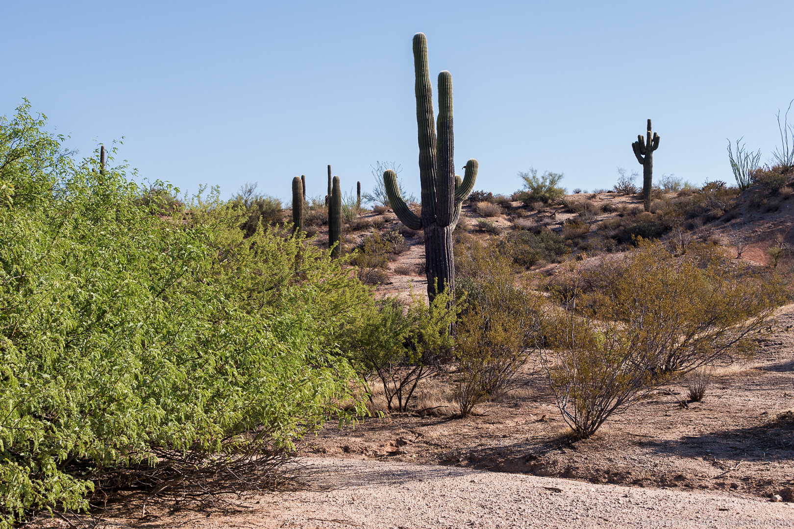
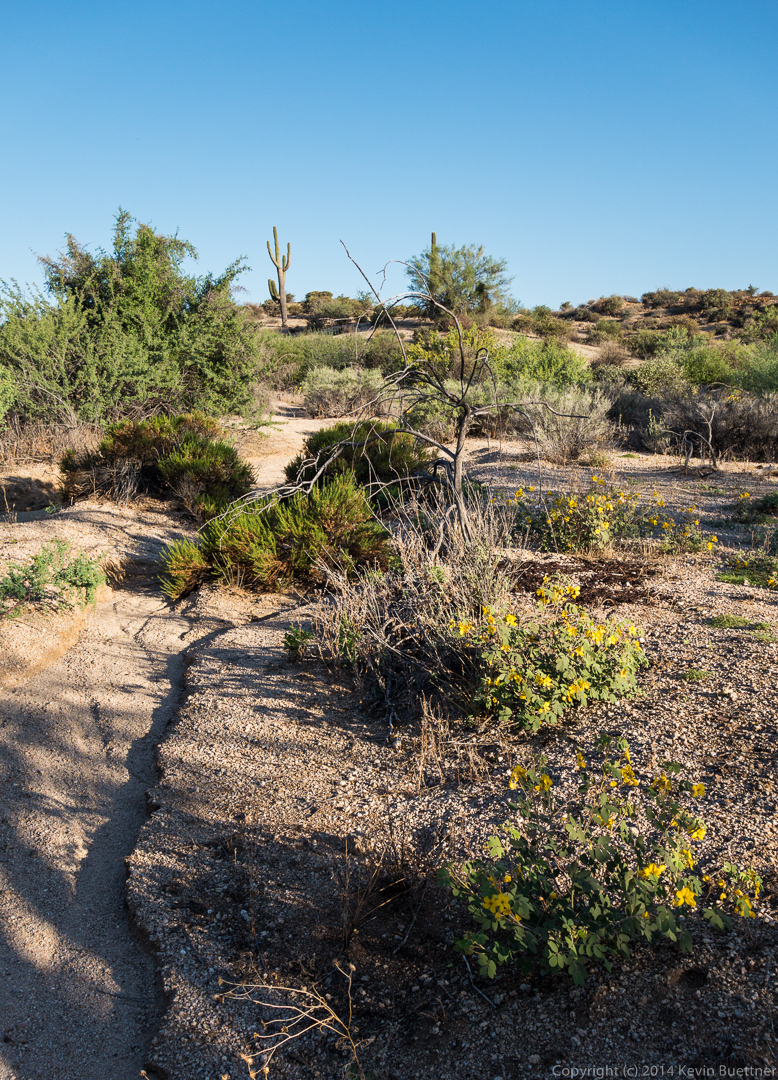
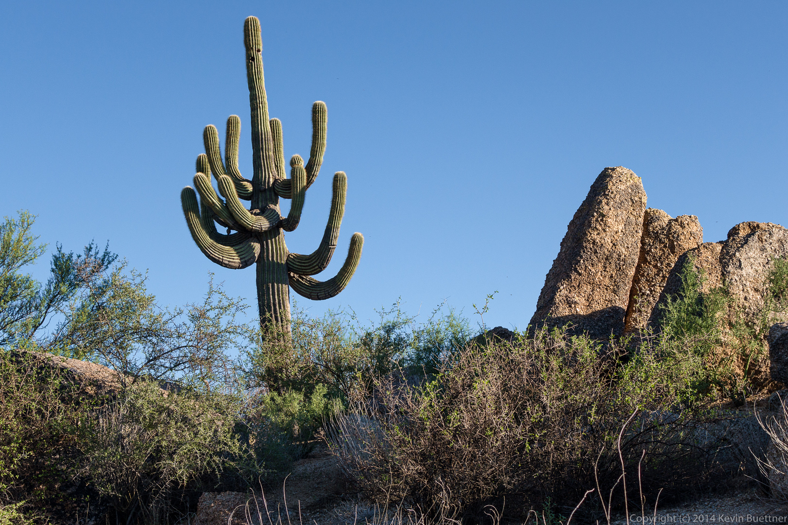
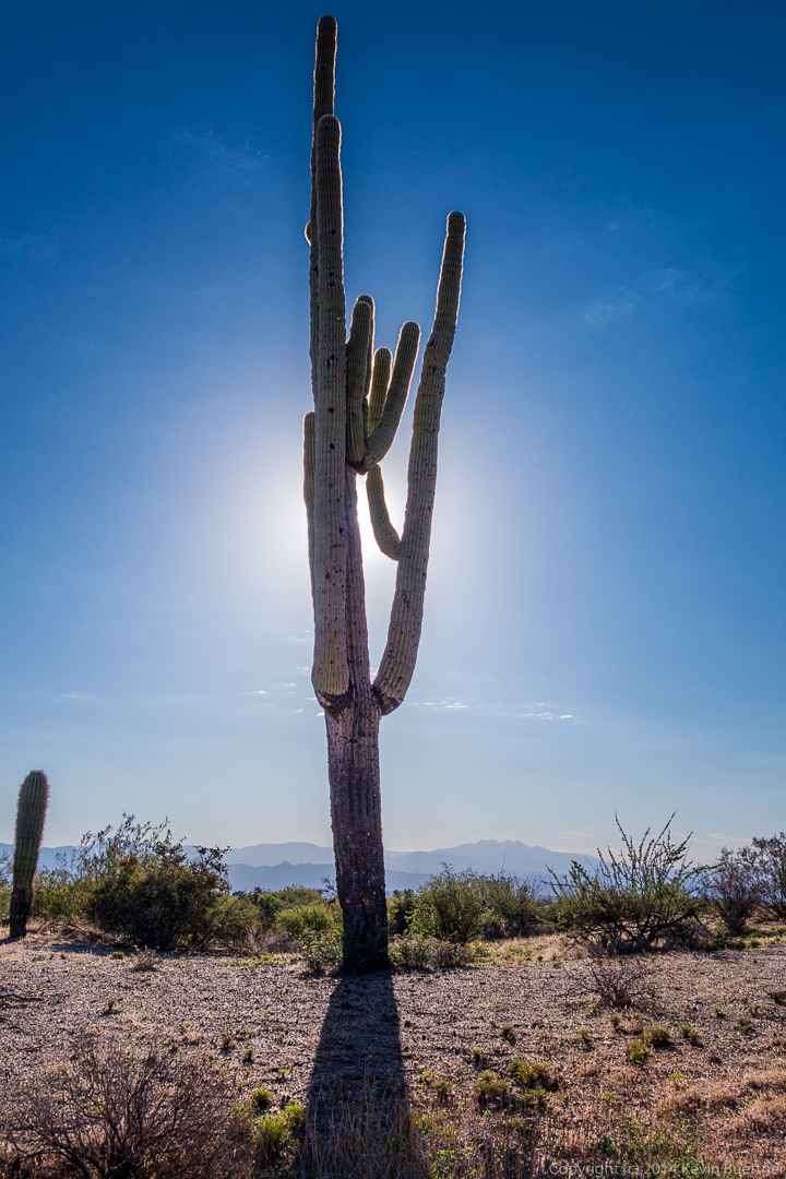
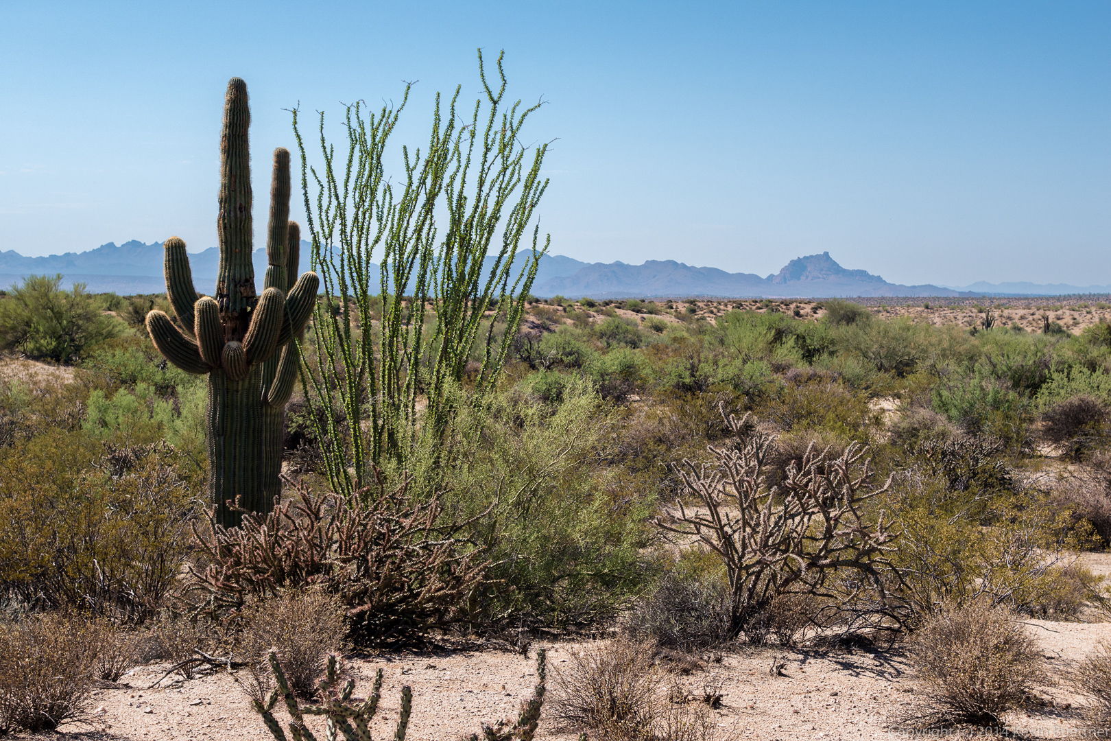
 A view of some saguaros from further along the Coachwhip Trail.
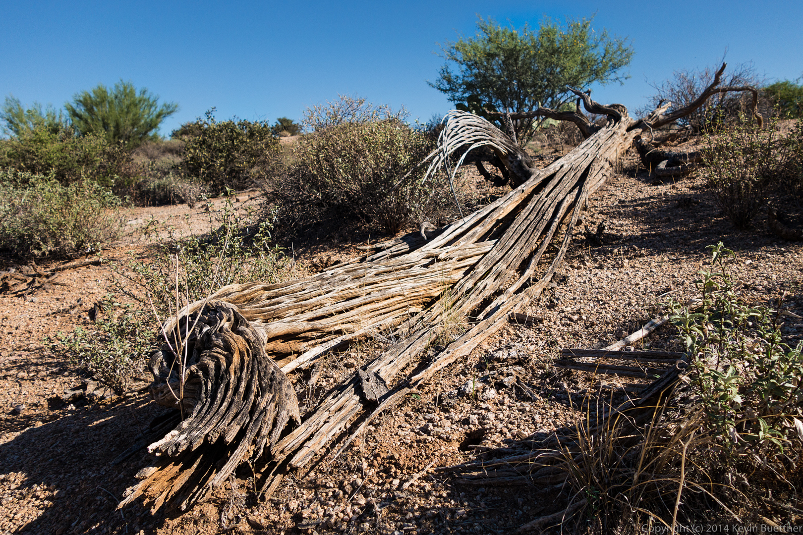
 The remains of a saguaro on the Coachwhip Trail:
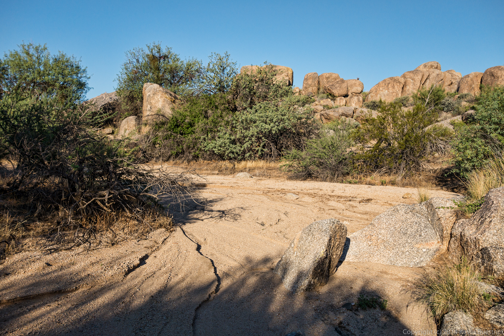
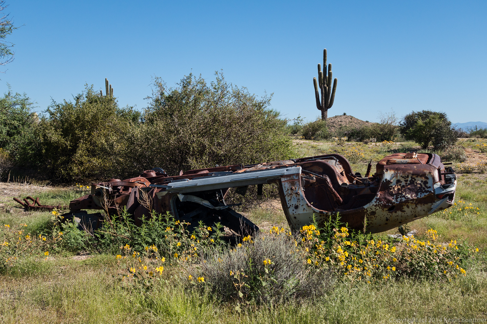
 An old, overturned car near the Boulder Trail:
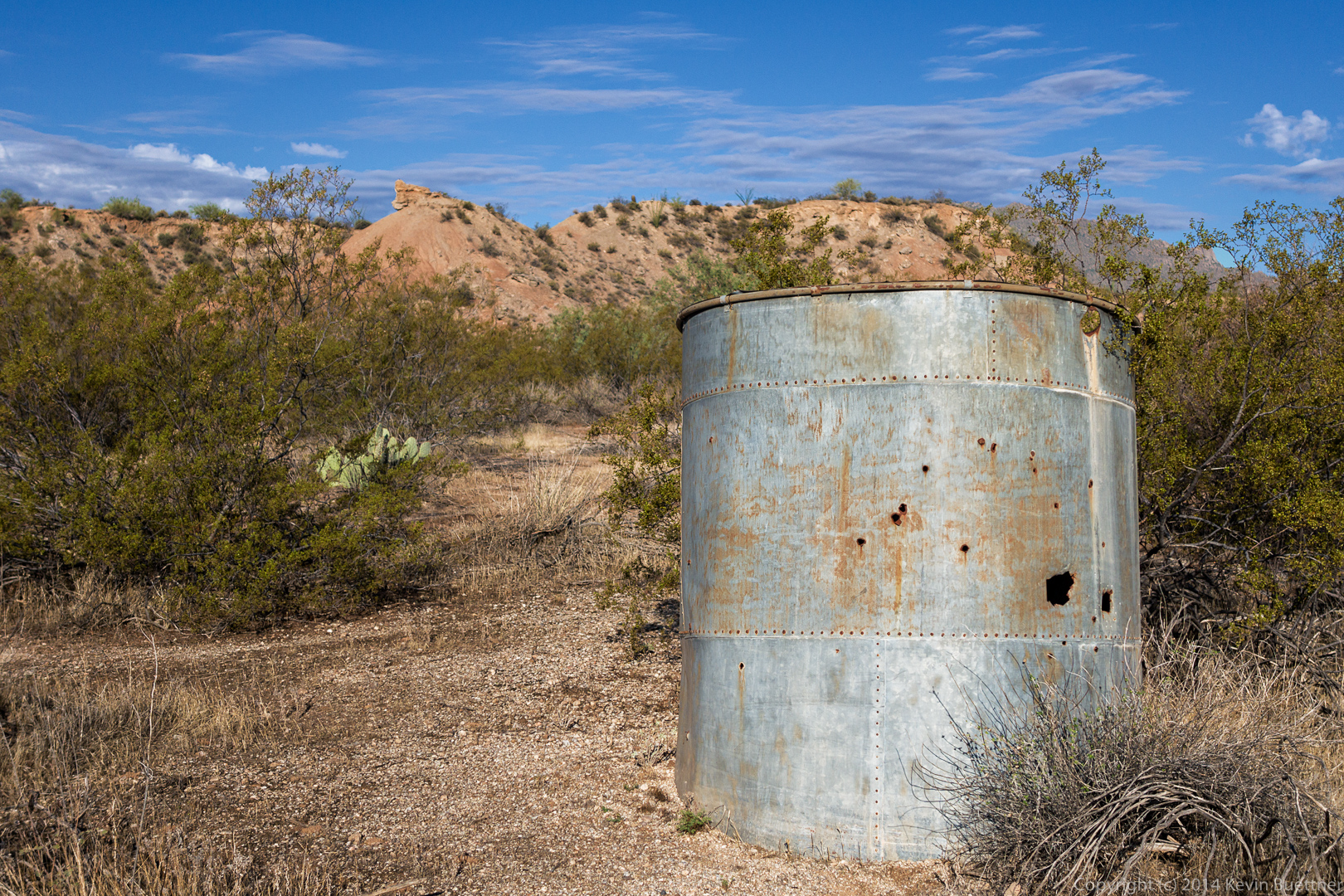
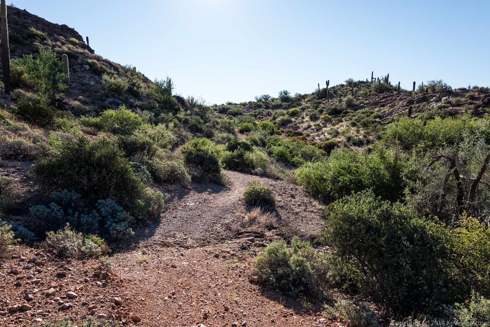
 Fallen pieces of cholla near the trail leading to the leaning mushroom rocks (on the Marcus Landslide Trail):
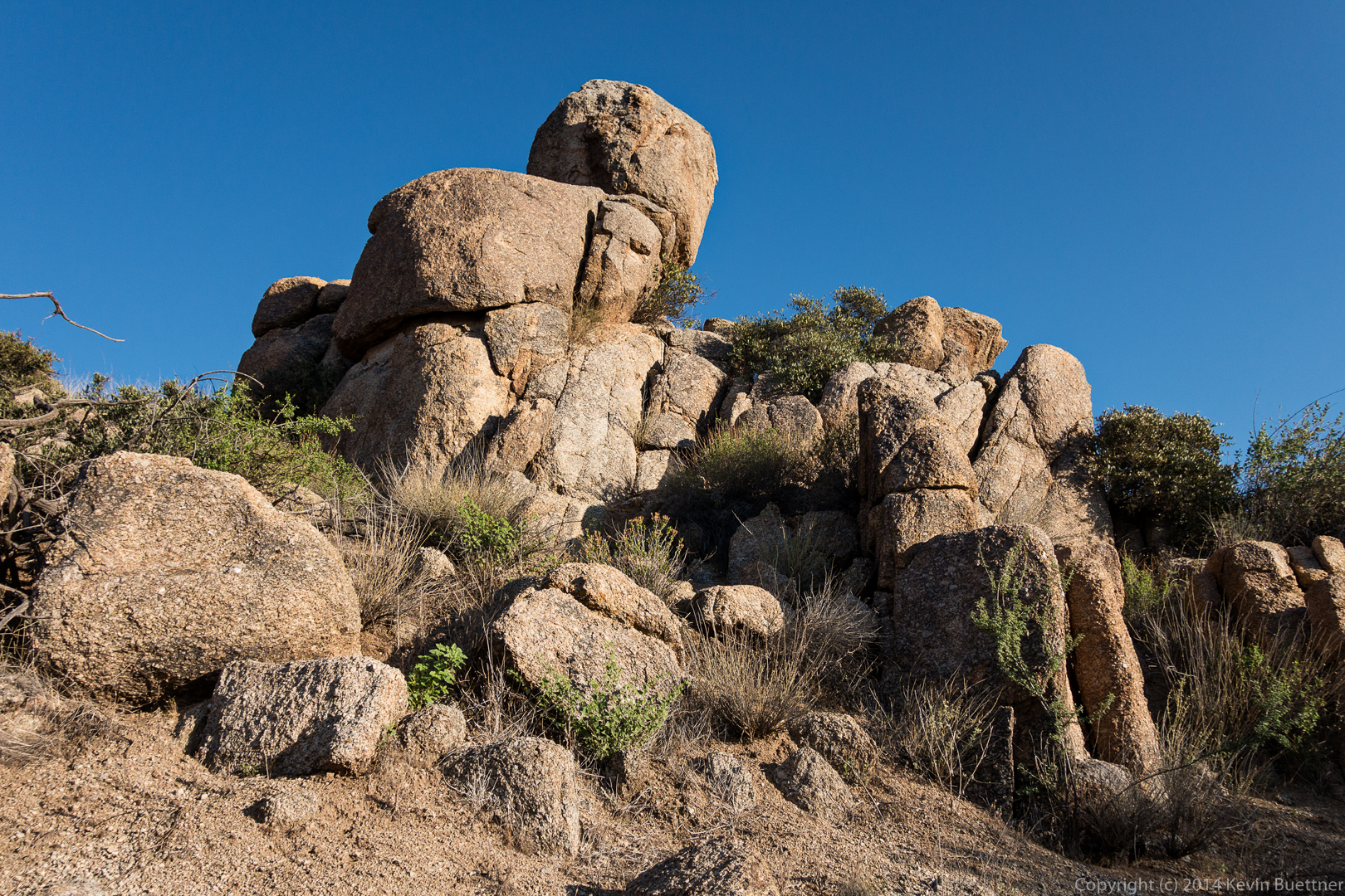
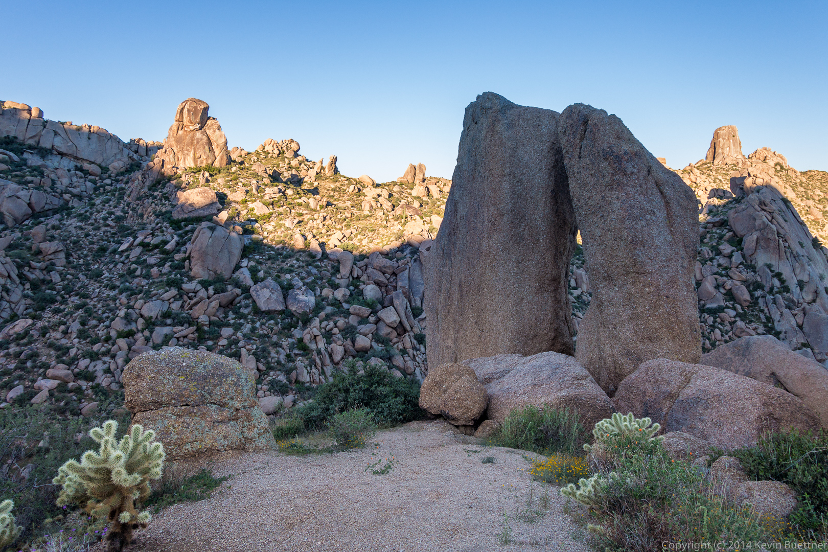
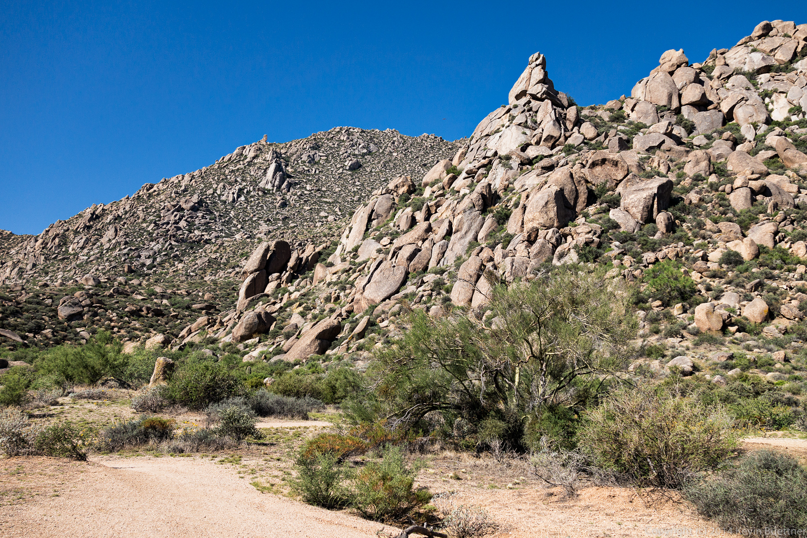
 I think the prominent pinnacle in the foreground of the picture below is Noah’s Ark, which is part of the Granite Ballroom climbing area. According to both Waugh’s and Opland’s books, there’s a 5.7 (Beam Me Up Scotty) on the back side and a 5.9 (Wattle ‘n Daub) on the front side. We’re viewing it from the side, so the 5.9 is on the left and the 5.7 is on the right. Opland’s book, which is newer, also lists a 5.10 TR. Bob and I are thinking about climbing this pinnacle. Linda said she’d carry the rope.
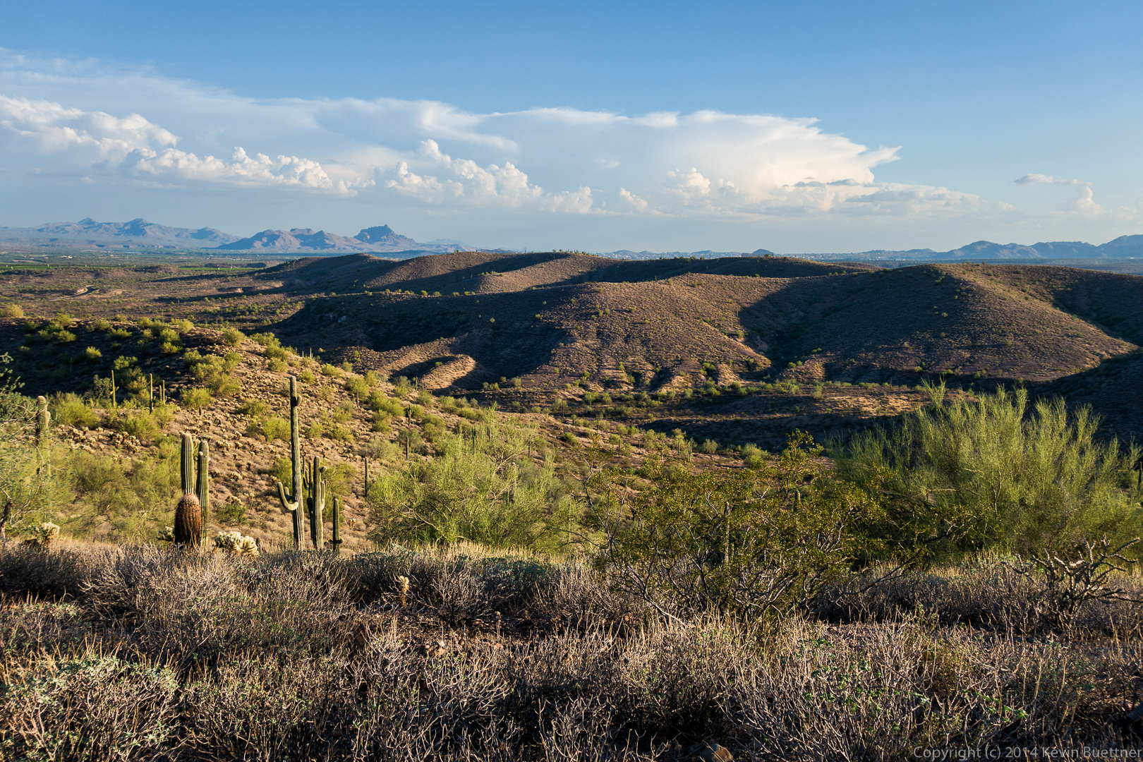
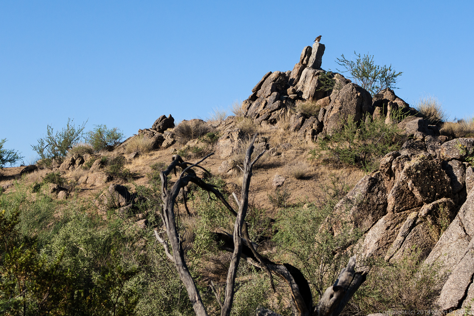
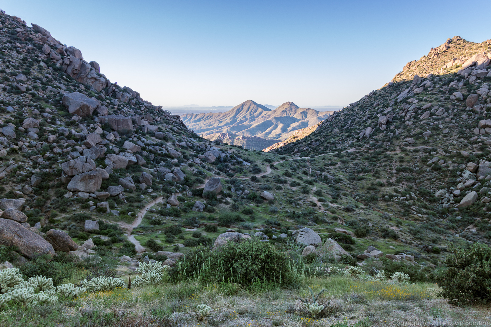
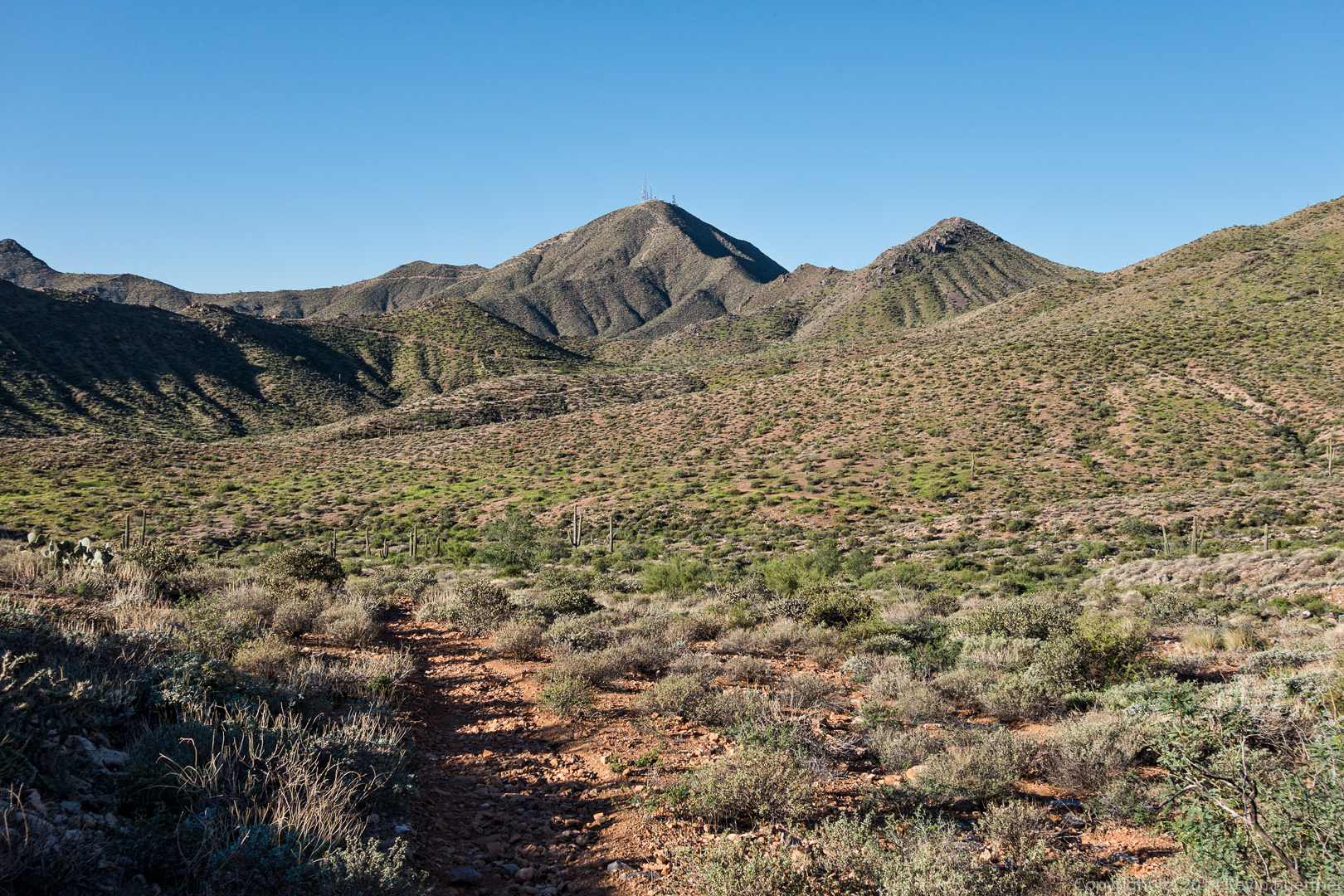
Hog Heaven and the Thumbnail Pinnacle can be seen on the ridge in the distance. We had considered going there for this hike, but decided to leave it for a day when Allen and Janet could join us.
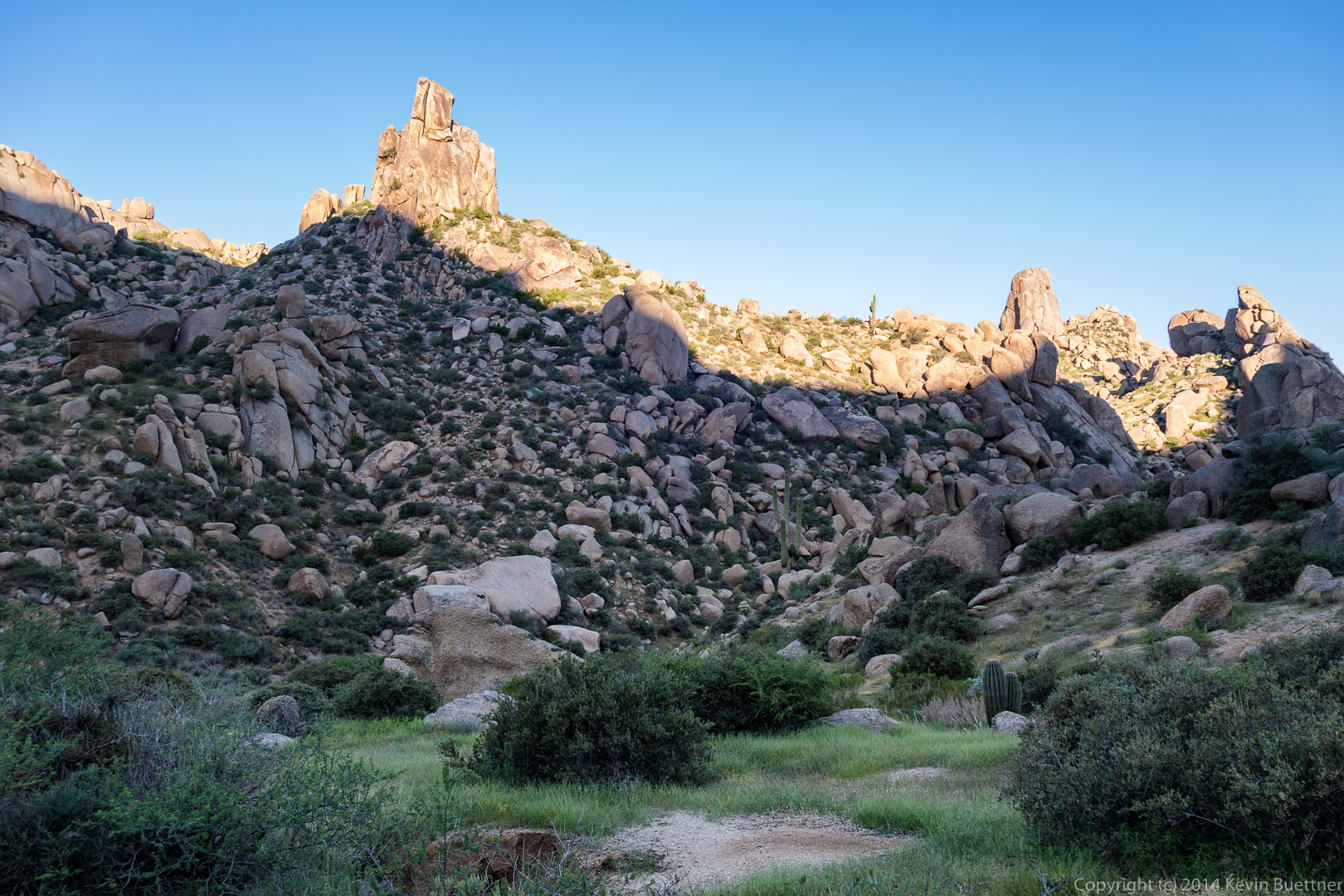
 This is a view of the Sven Slab Climbing area.