Month: April 2015 (page 1 of 2)
All taken with the Venus/Laowa 60mm macro lens…

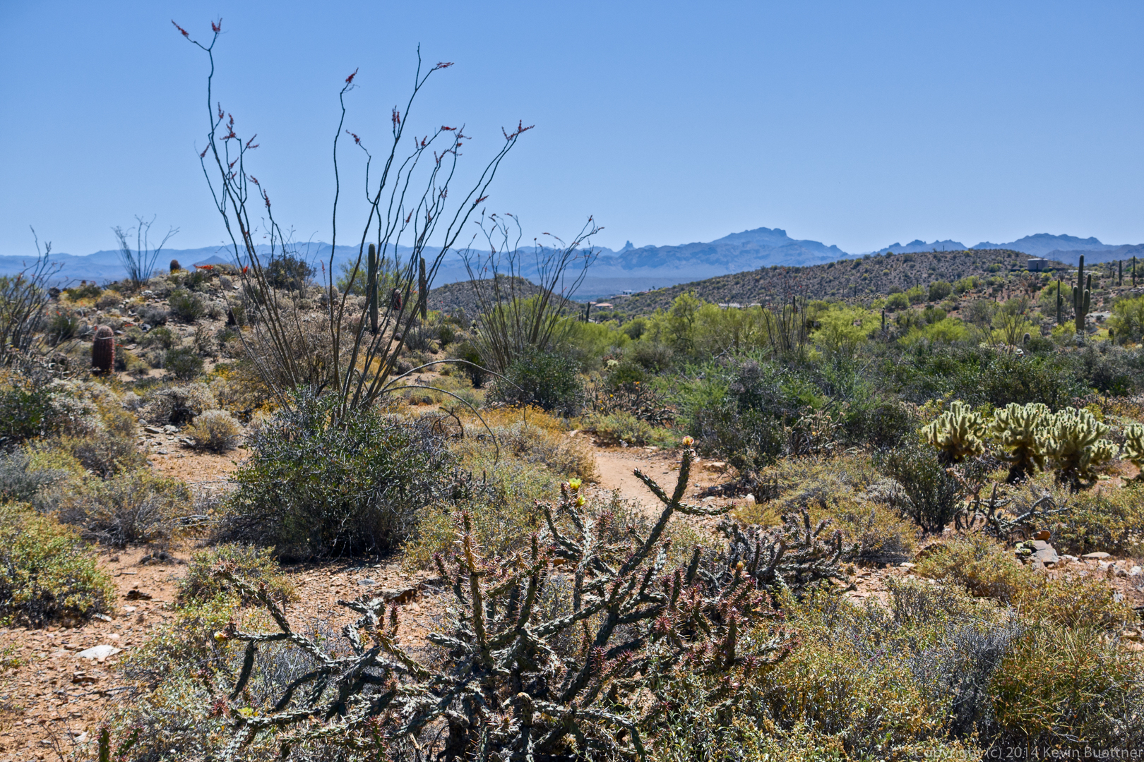
On Friday’s hike, Janet, Linda, Bob, and I hiked from the Tom’s Thumb Trailhead to Gardener’s Wall, and then from Gardener’s Wall to Tom’s Thumb. We then proceeded to the top of the East End Trail. We had planned to do a route down the East End Trail, but it had begun raining fairly hard, so we headed back down the Tom’s Thumb Trail instead, for a hike that was somewhat under five miles.
A view from the parking lot prior to starting the hike:
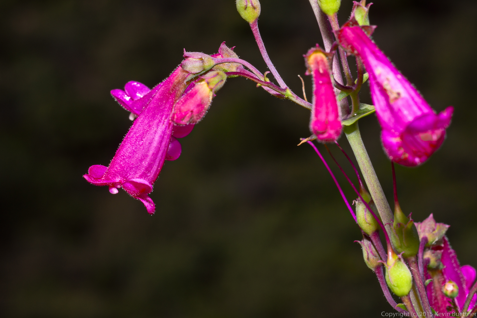
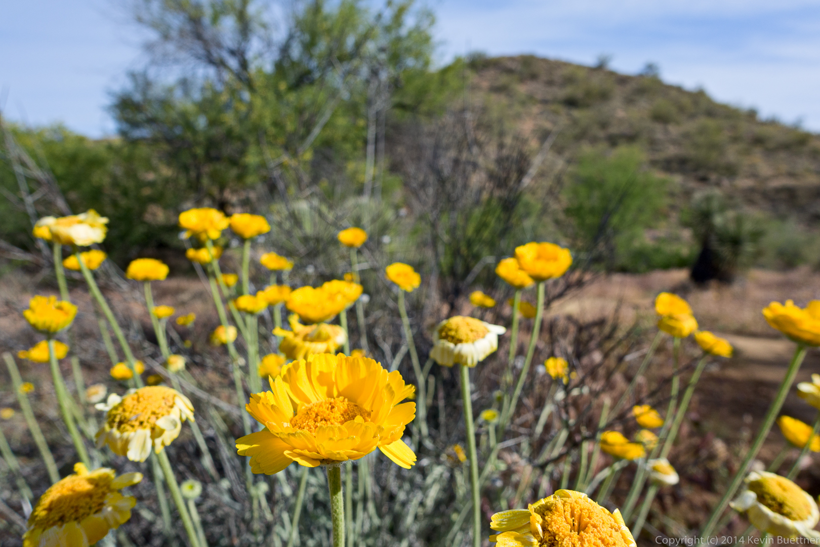
Sandwash Groundel on the Tom’s Thumb Trail.
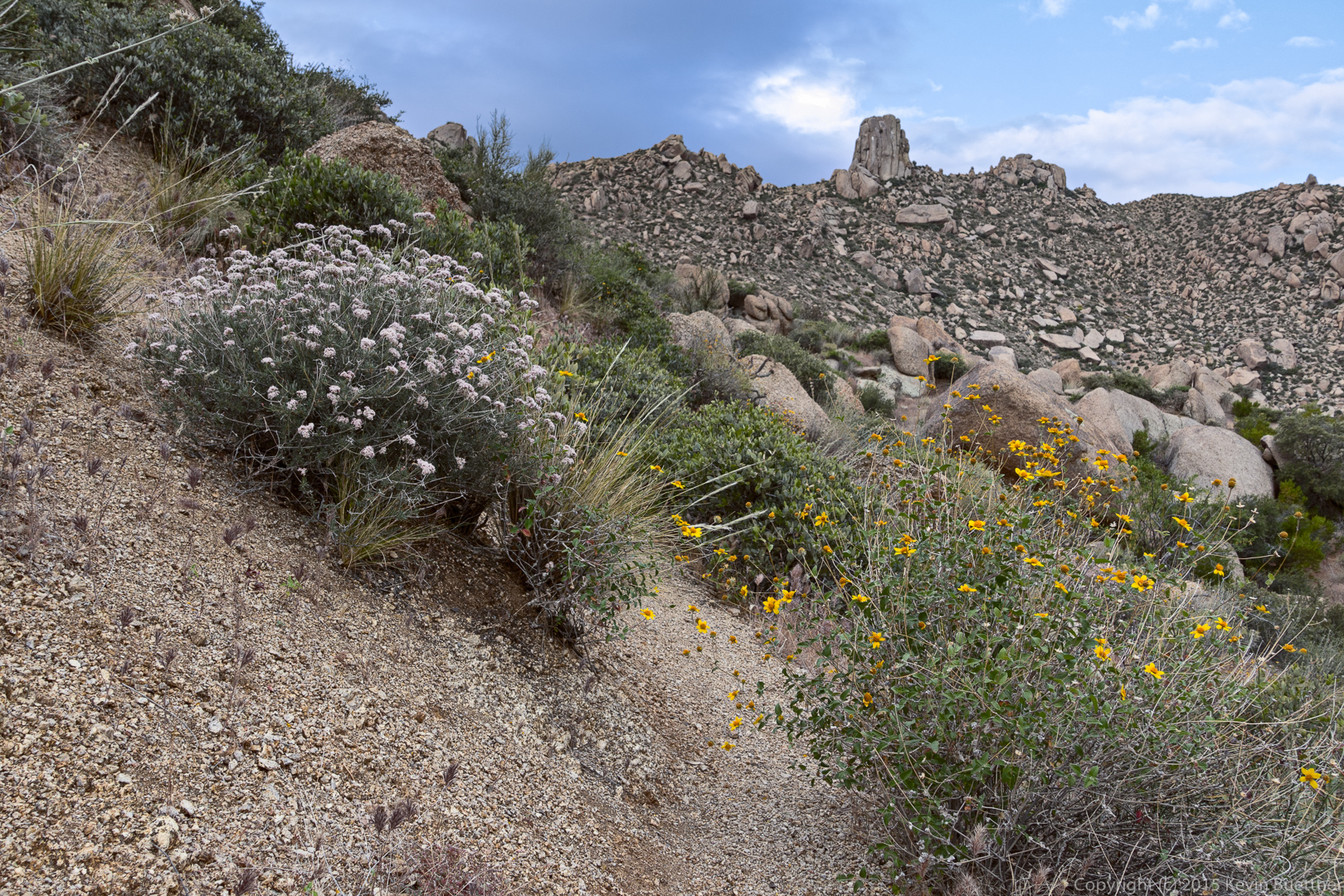
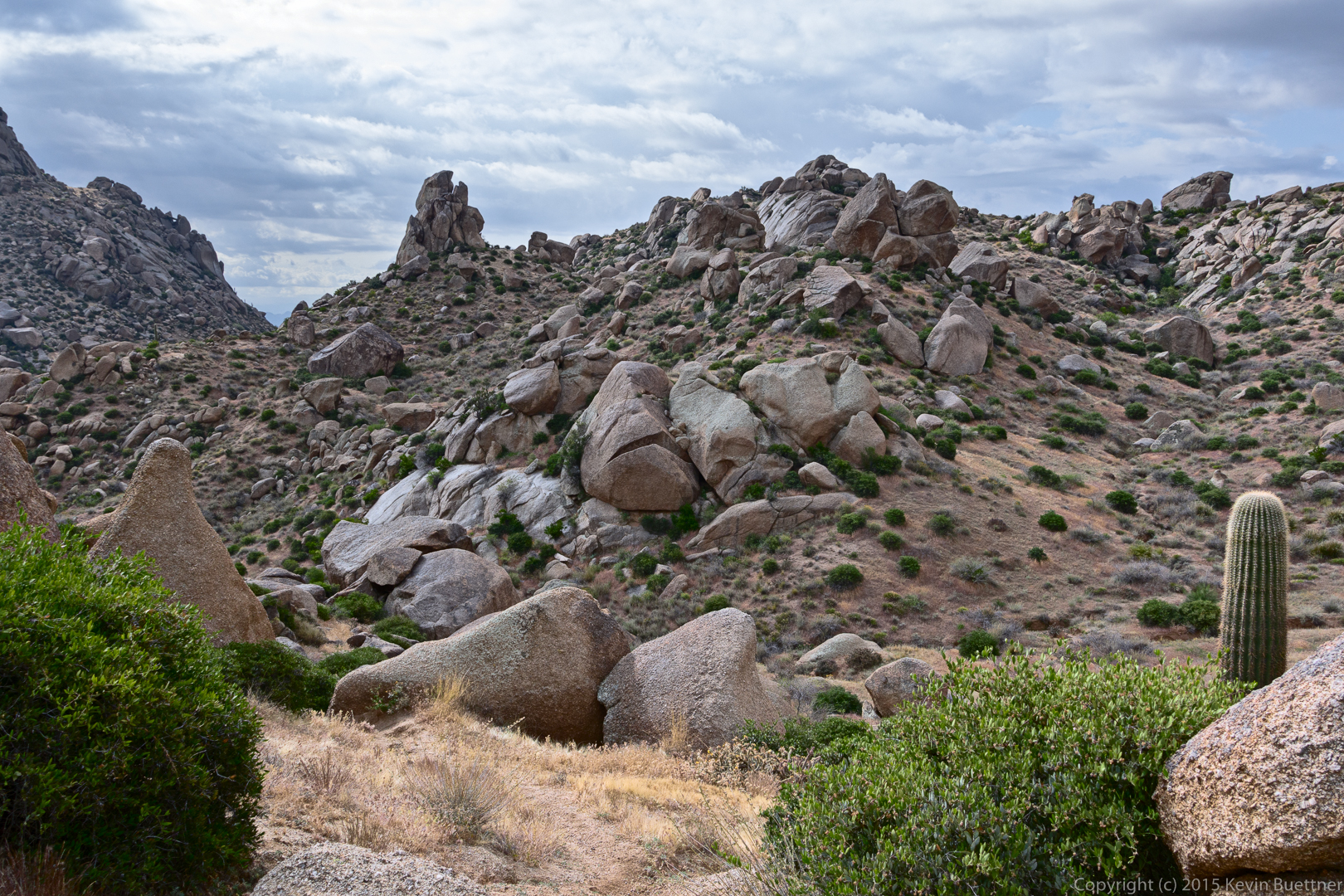
This is the view to the east as we hiked up the Tom’s Thumb Trail:
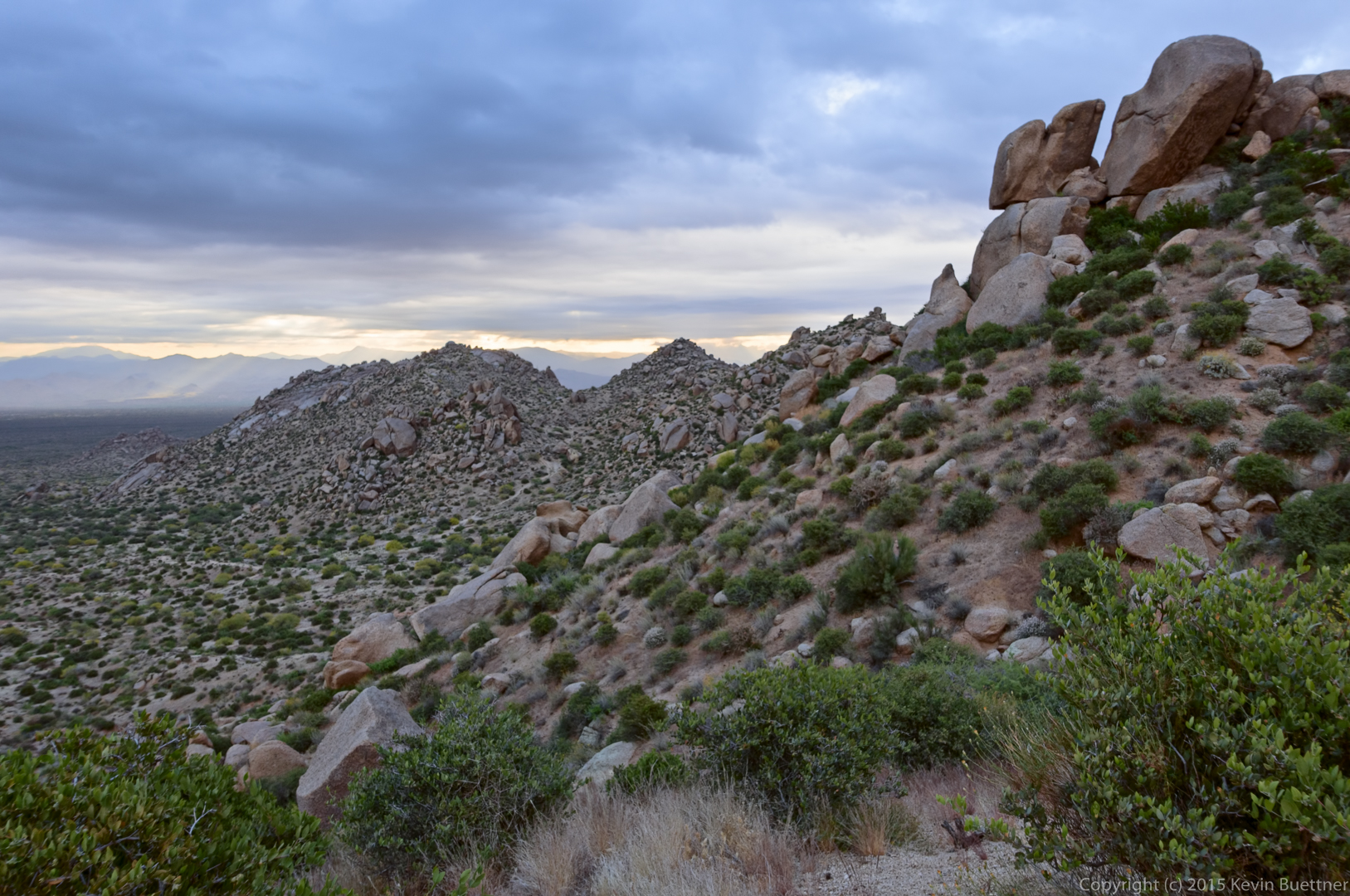
Troon and Pinnacle Peak:
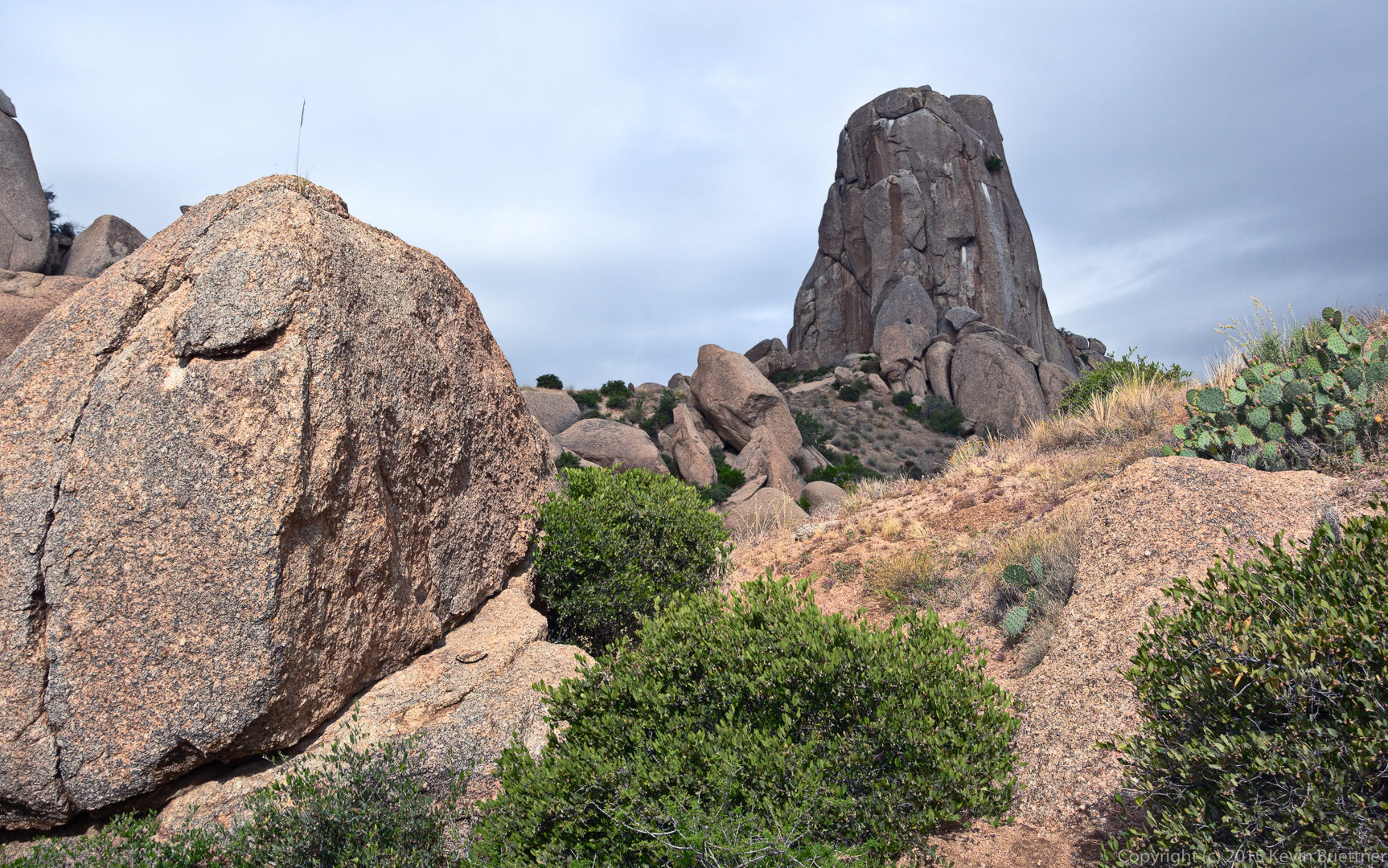
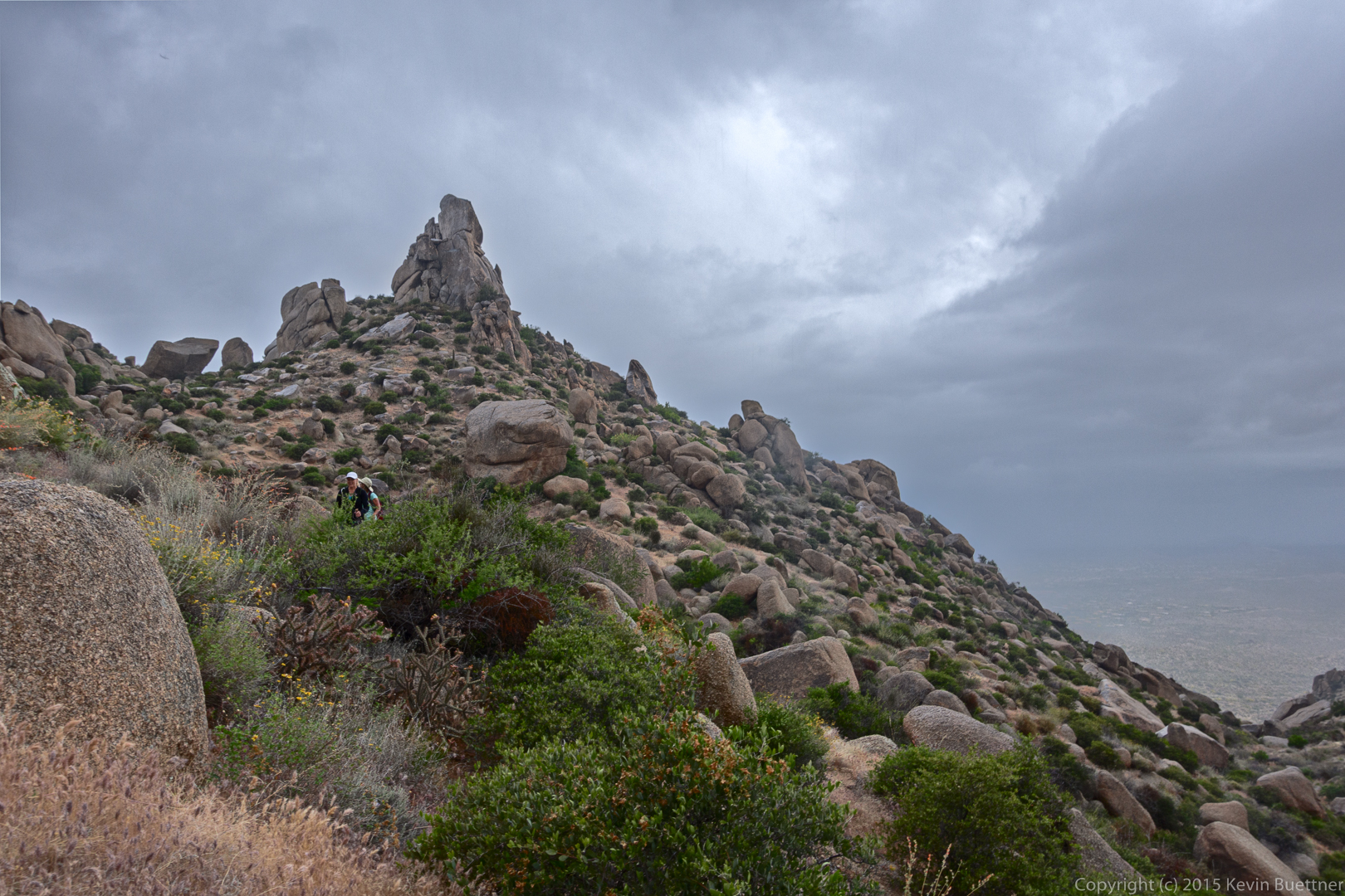
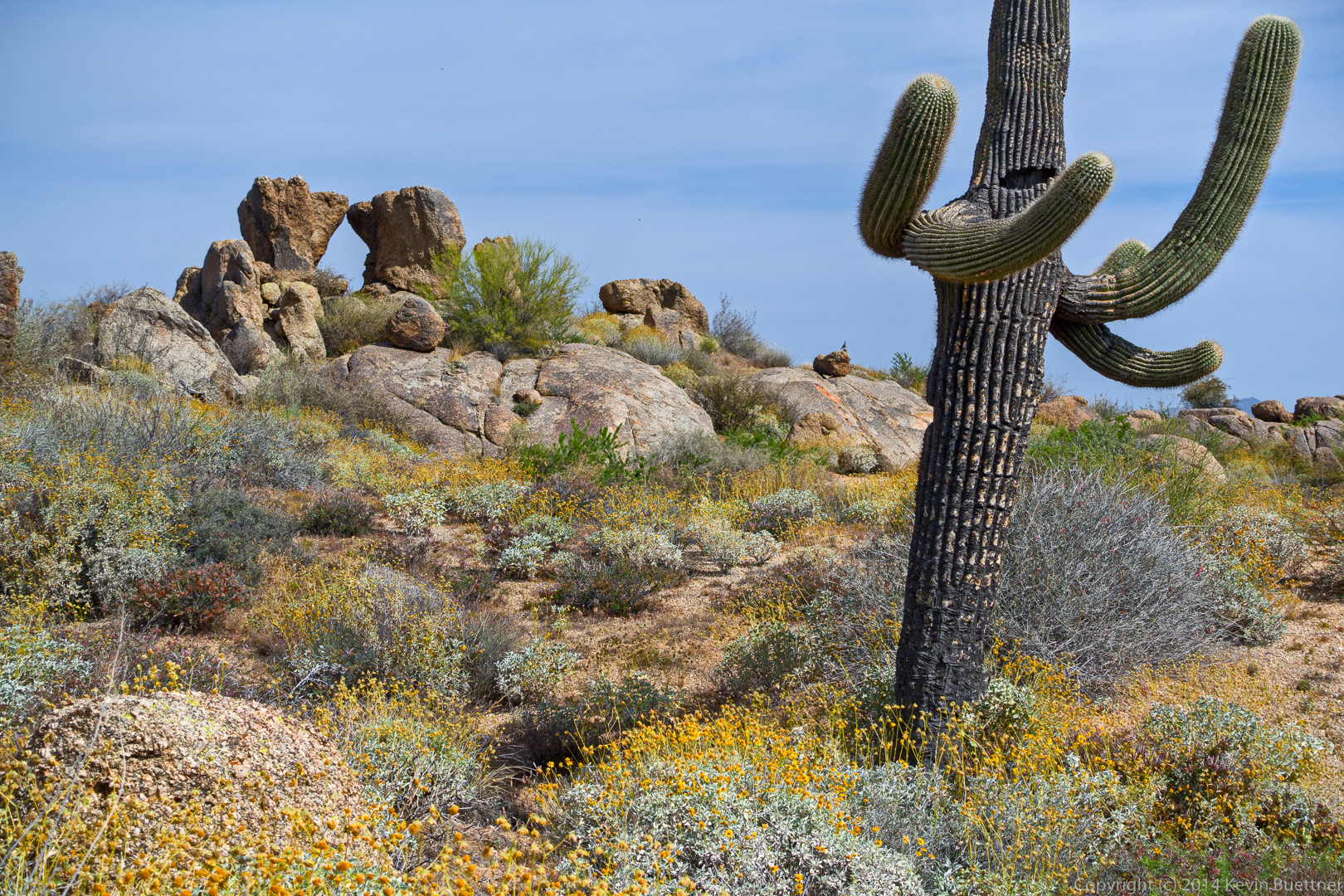
Tom’s Thumb:
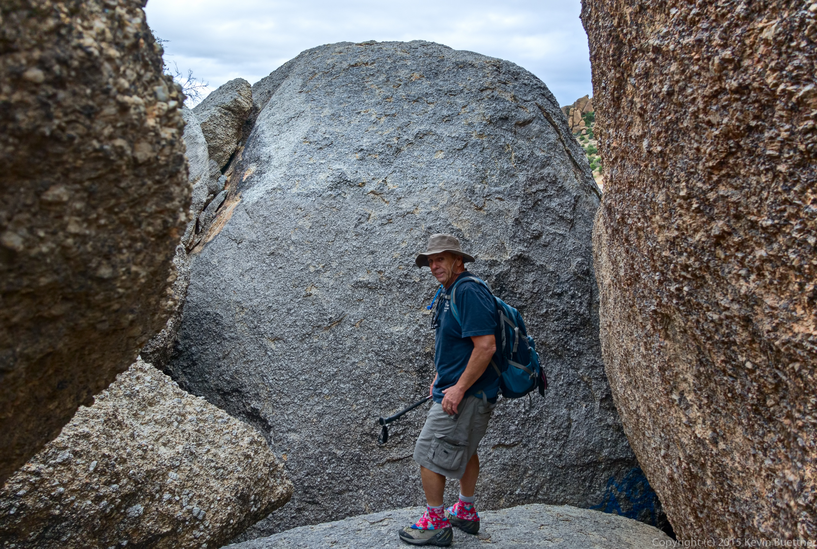
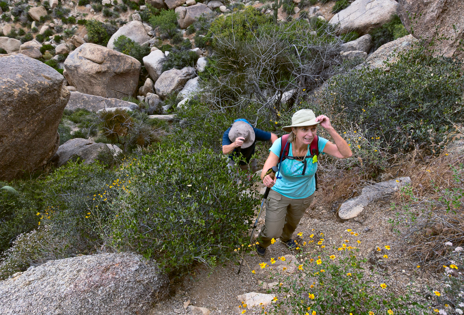
Janet, Linda, and Bob wait for me while I use my camera:
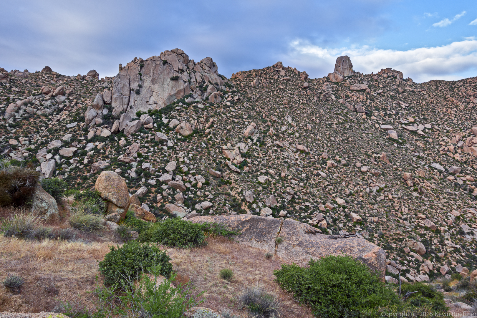
Another view of Tom’s Thumb as we start making our way towards Gardener’s Wall:
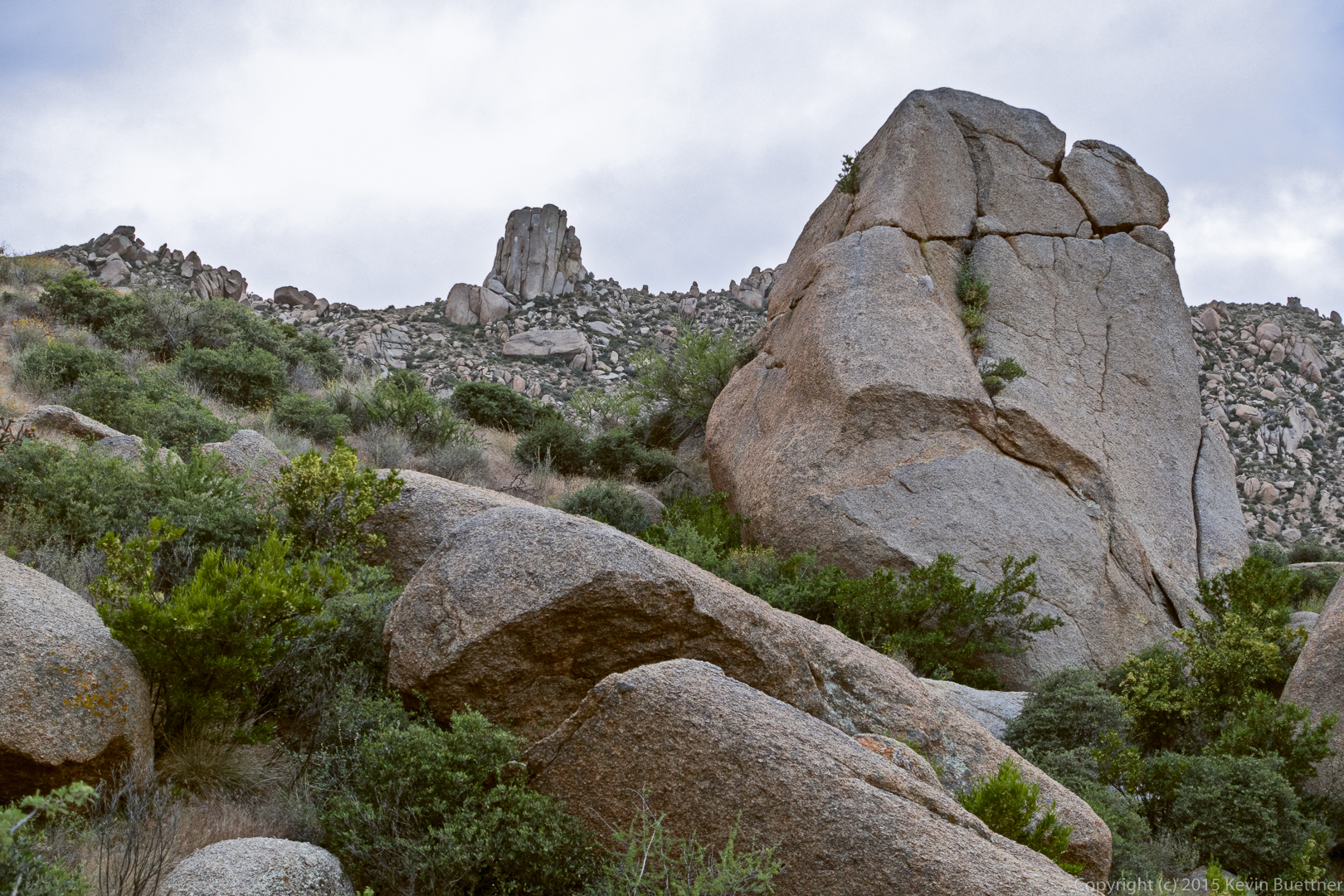
Gardener’s Wall and Tom’s Thumb:
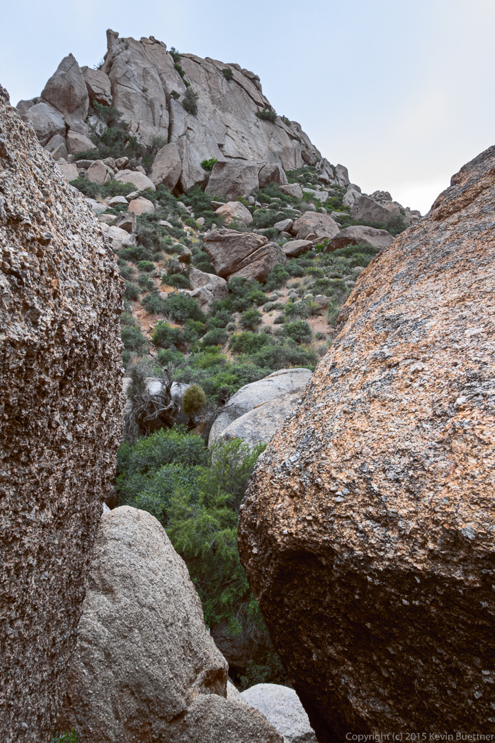
This is another view of Gardener’s Wall. The trail appeared to go between these rocks, but we turned back and found another way.
 Bob, at a dead end.
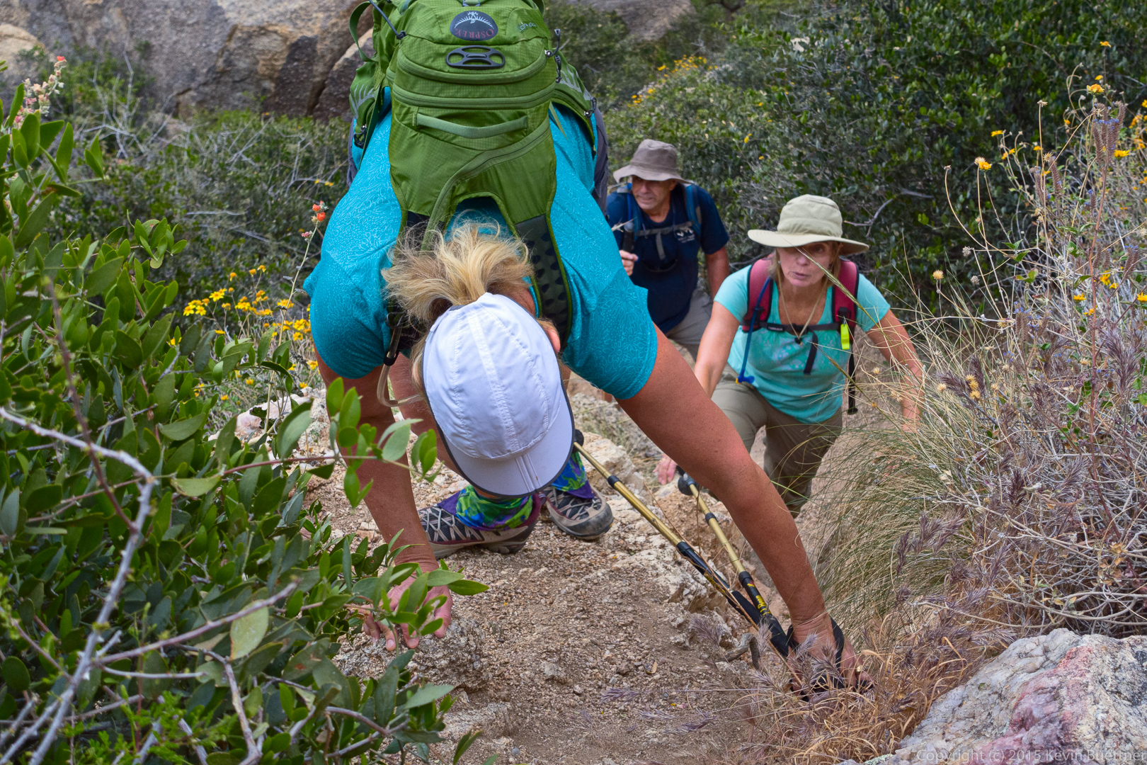
Linda and Bob make their way up the steep trail to Gardener’s Wall.
Janet, after completing a mantling move:
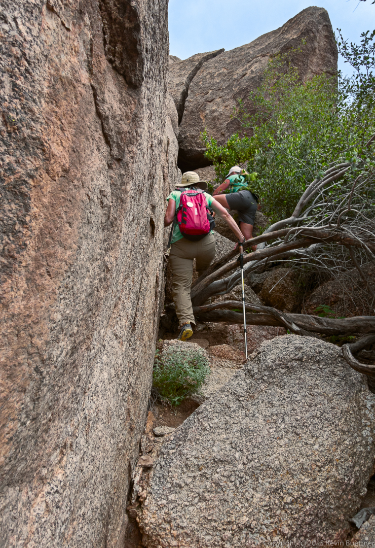
Janet and Linda on their way towards the “cave”.
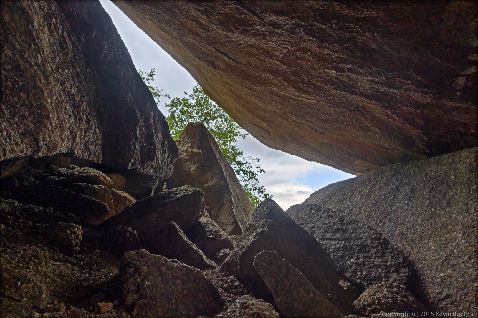
The cave:
Janet, Linda, and Bob on the traverse past Gardener’s Wall. Note the cairn by Janet’s hand. (It really is a trail!)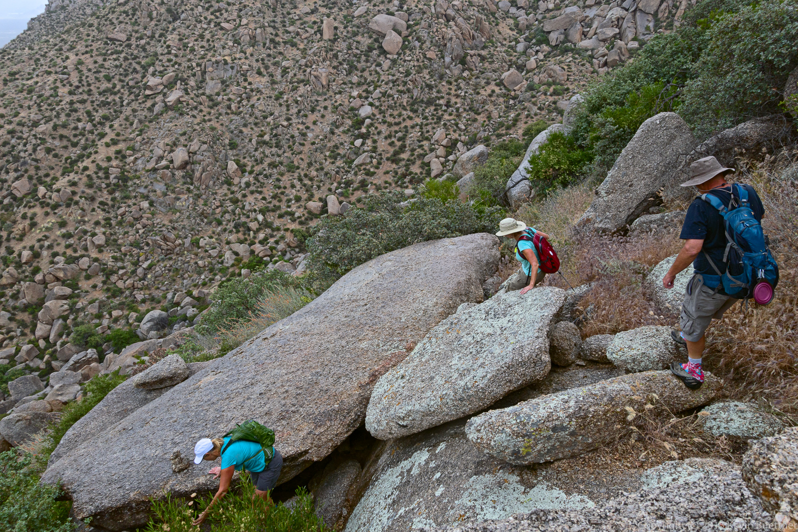
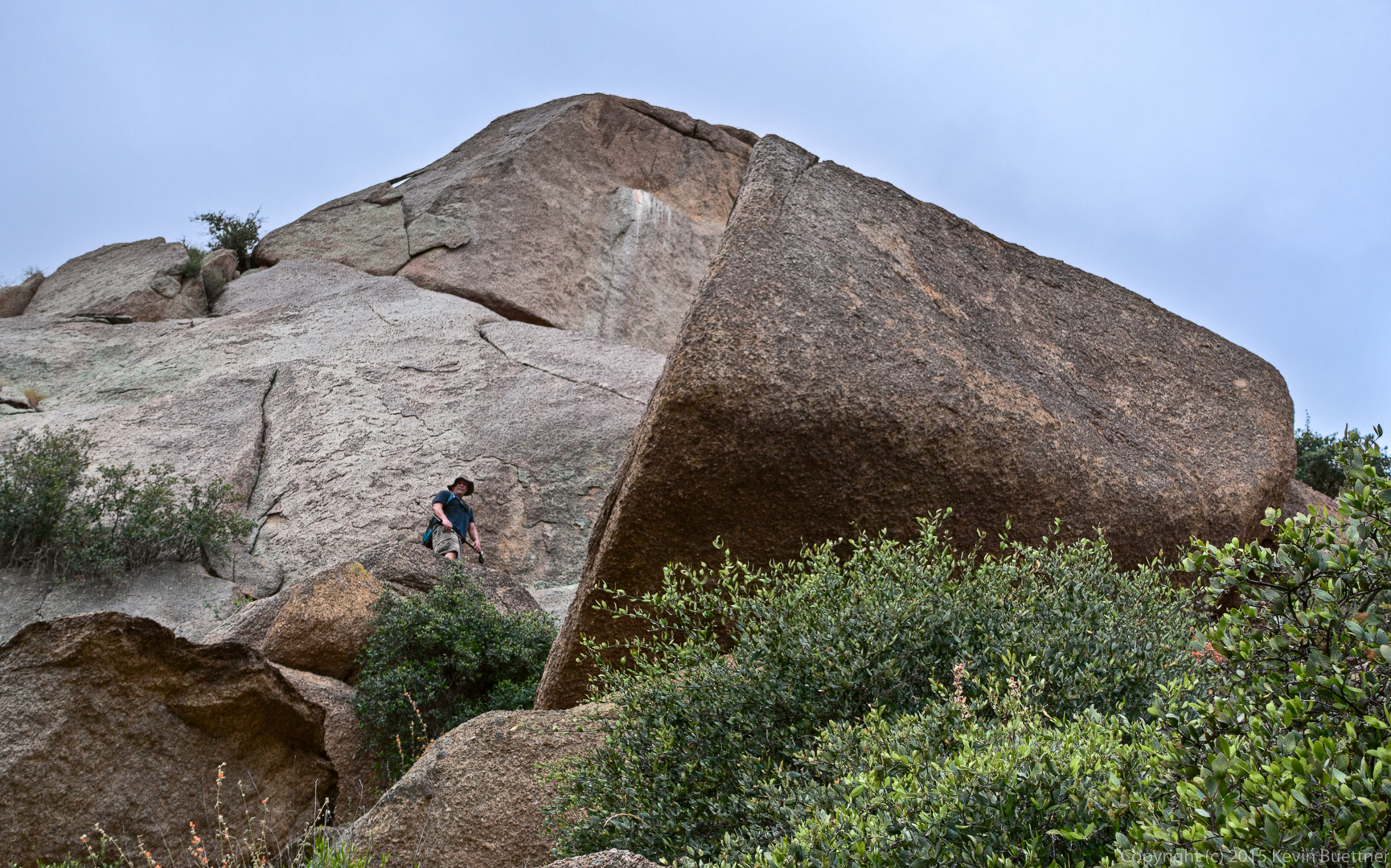
Bob looks for the trail from a high vantage point.
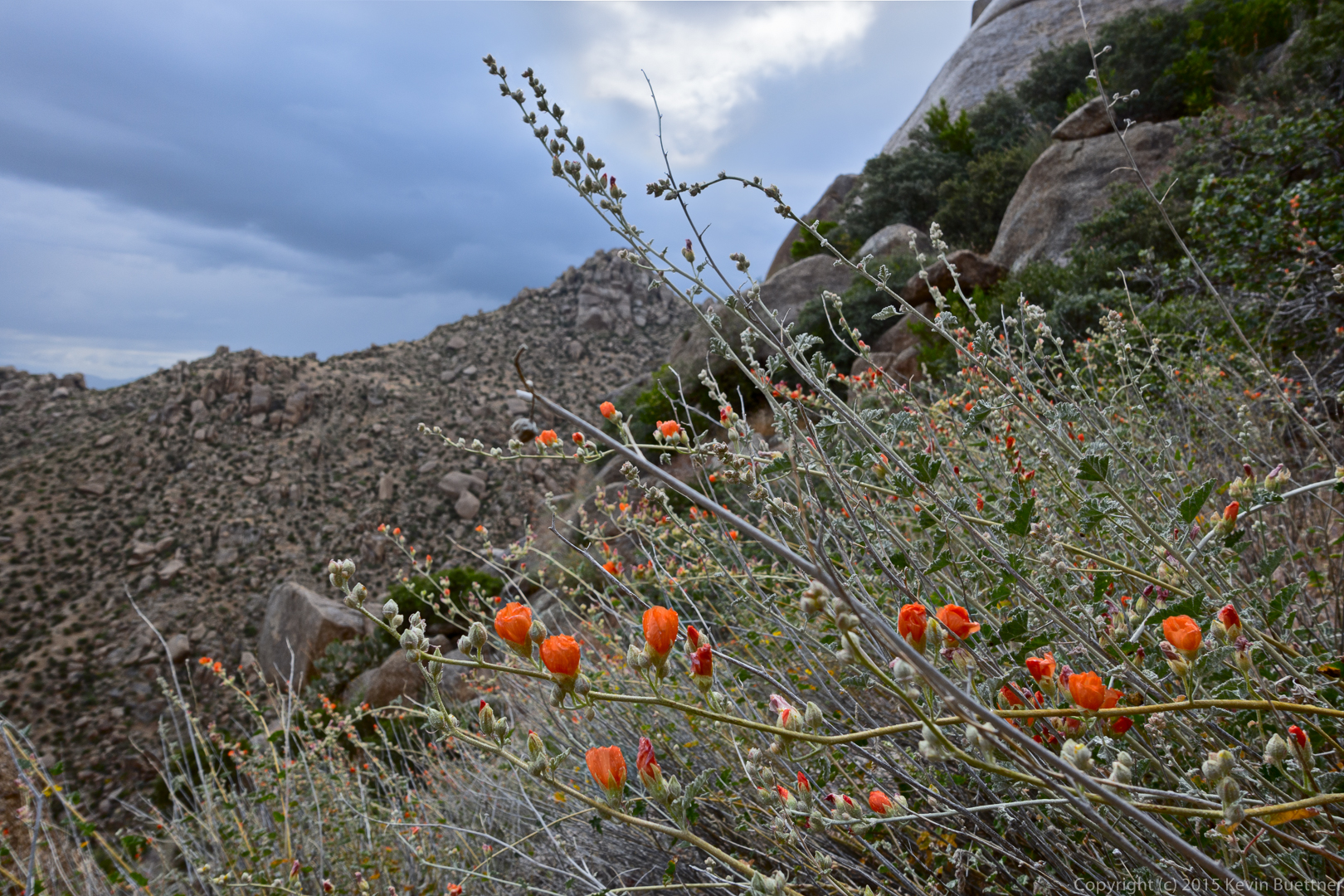
Globemallow:
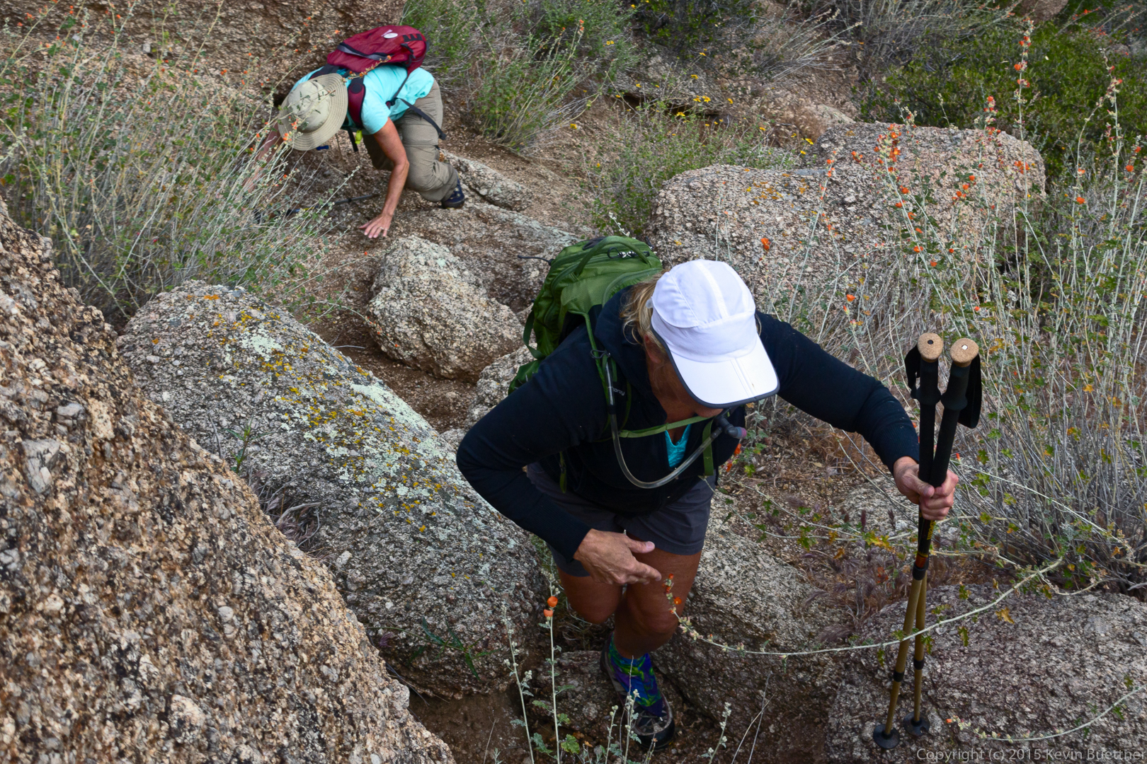
Linda and Janet, proceeding upward again.
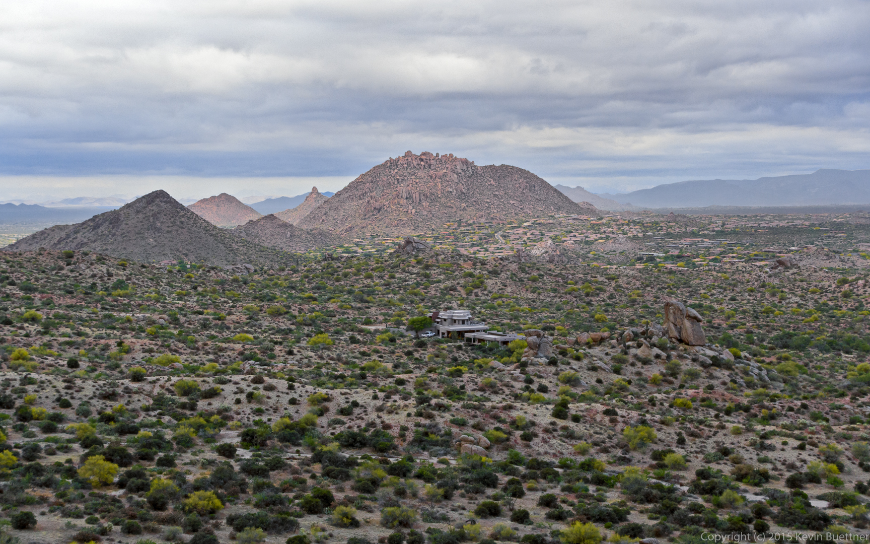
A view of Glass Dome after making it to the top, next to Gardener’s Wall.
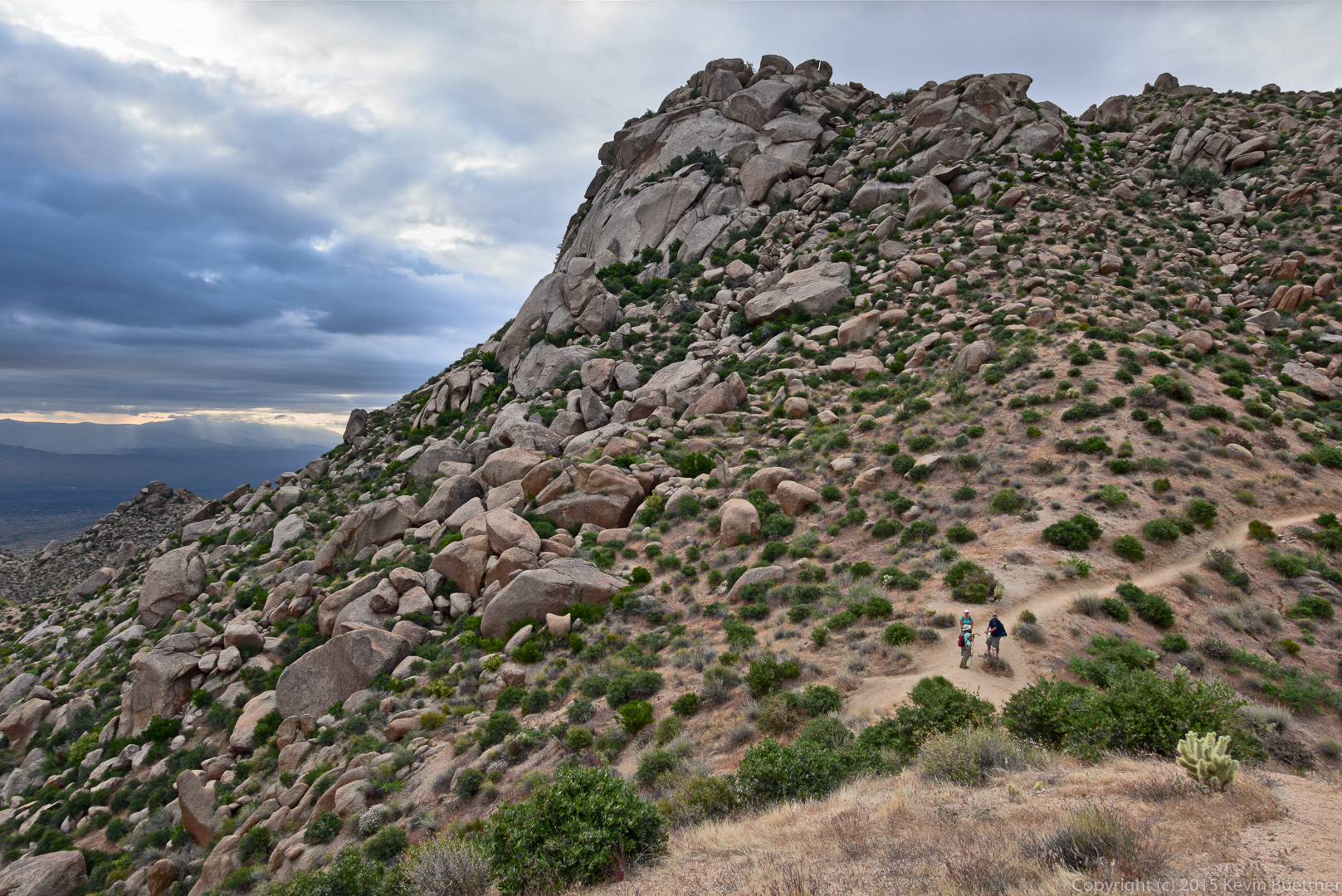
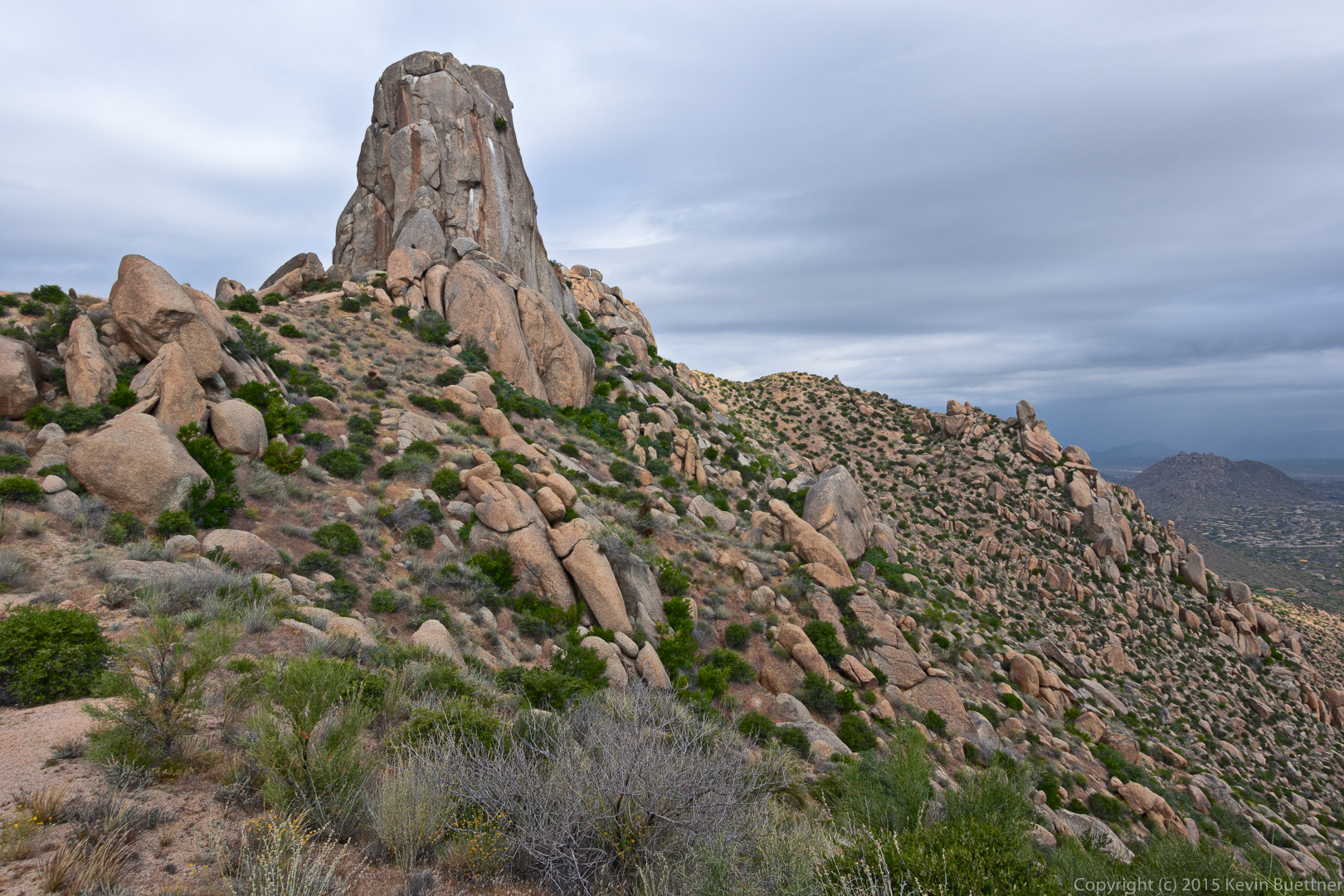
Views of Tom’s Thumb:
It’s raining in Scottsdale.
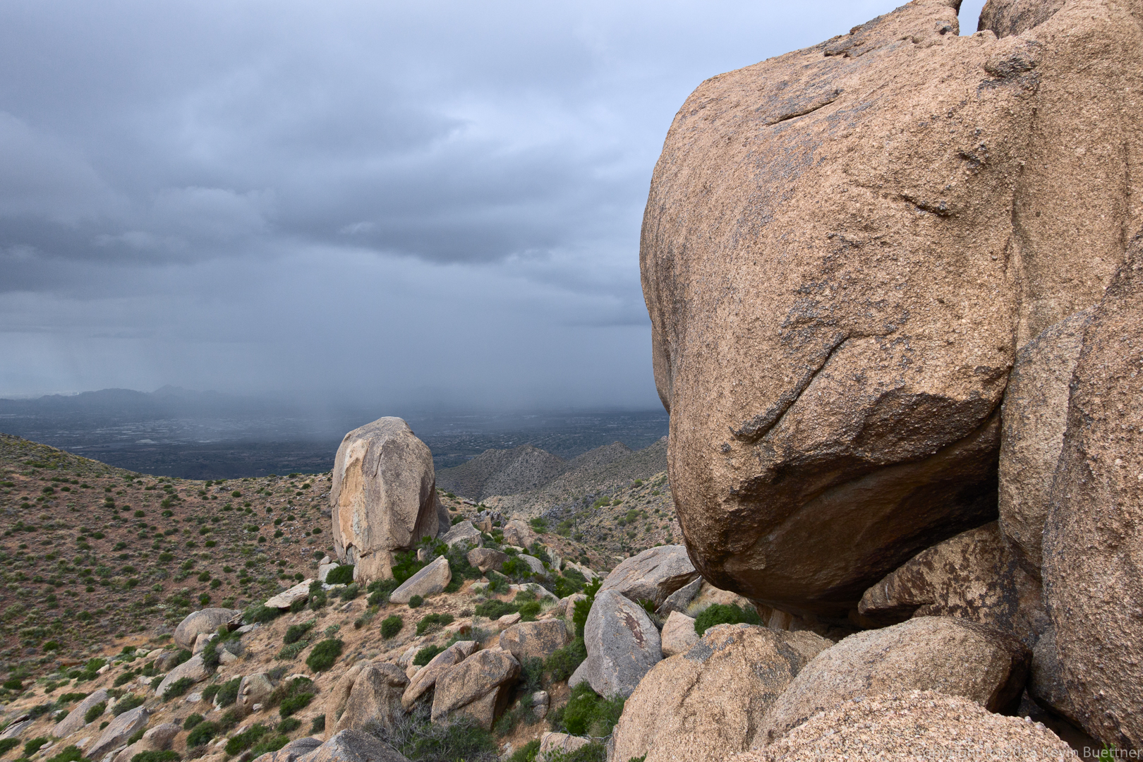
It was raining lightly when I took this photo. This was my last photo of the day – it began raining much harder after taking this shot.
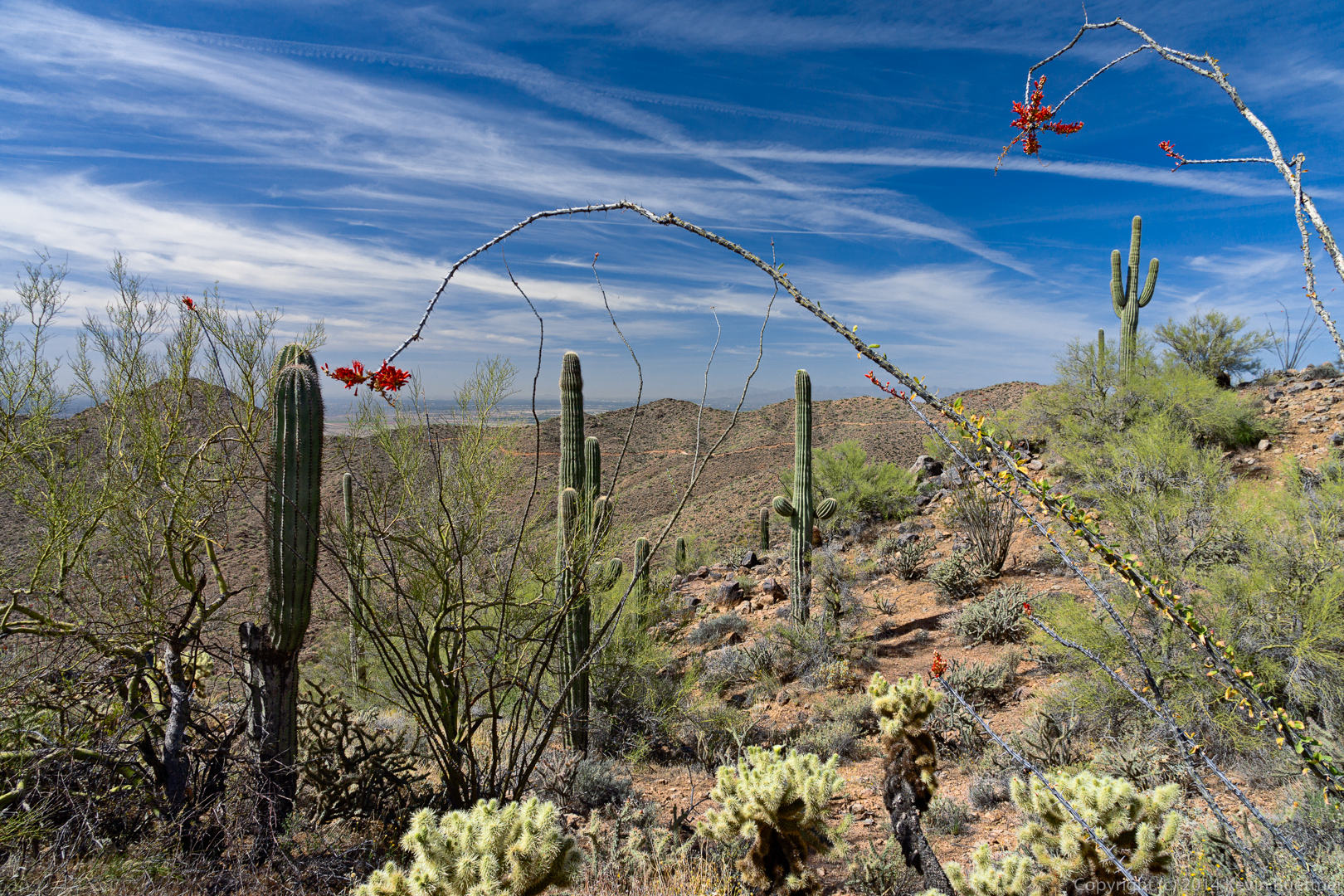
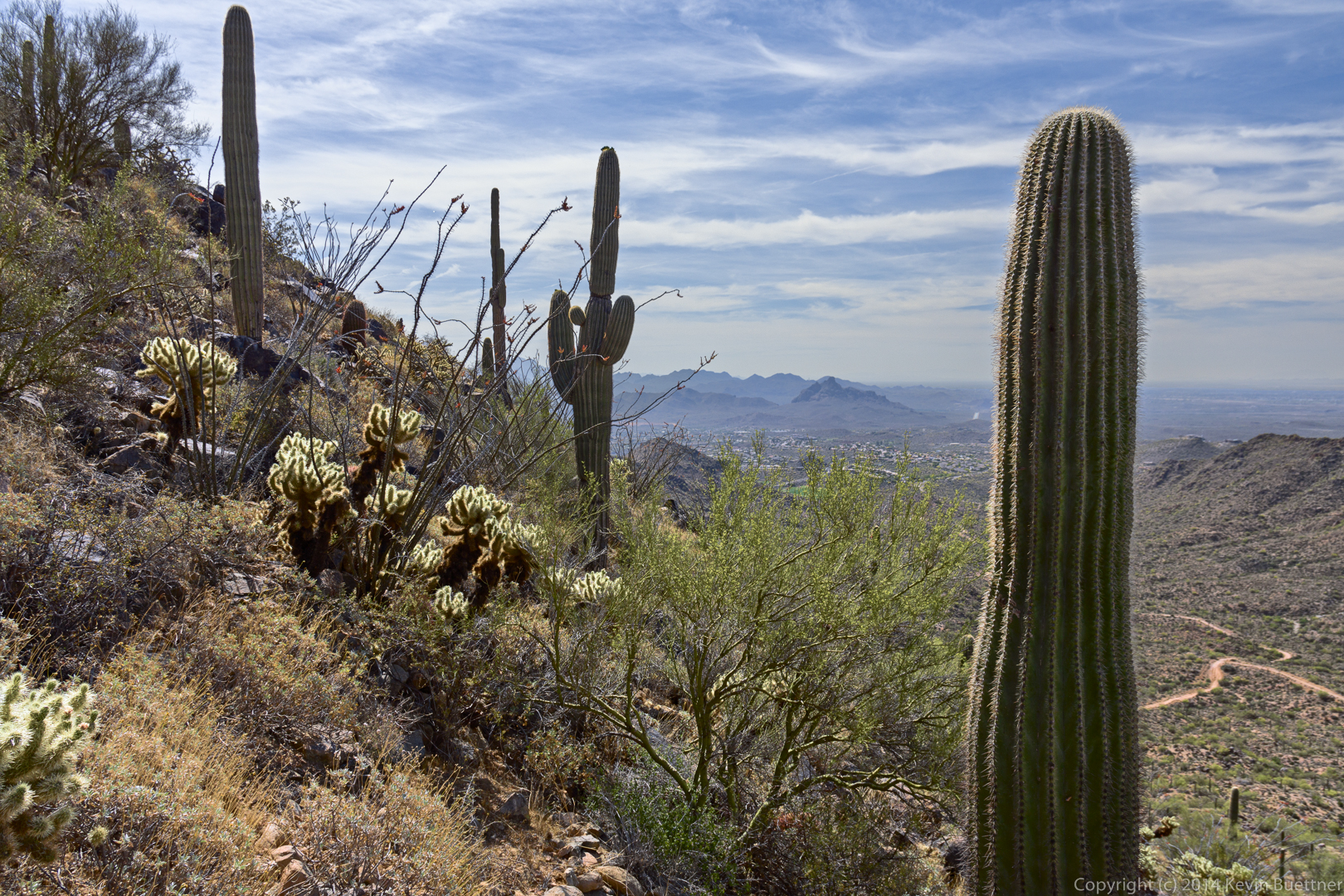
These photos are from a fitness hike on the Sonoran and Western Loop Trails. I decided to edit them again using the PPW and am posting them here with links to the originals for comparison. (Clicking on a link or photo should display a lightbox.)
New edit on 2015-04-23.
For the next photo, I did two edits and then a blend as Dan Margulis recommends.
#2:
Edit #2.
#3:

Edit #3.
#4, This is a blend using 25% of the luminosity of #2 and 45% of the color from #2 with the rest of the luminosity and color coming from #3.
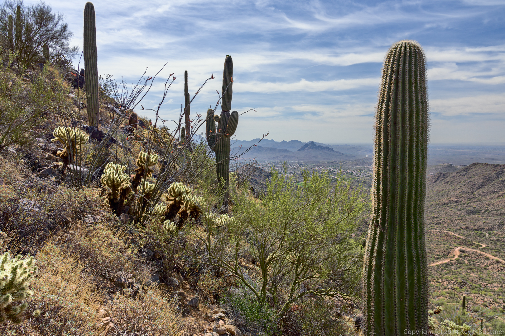
Edit #4; Blend w/ 25% luminosity from #2, 45% color, with remainder of color and luminosity coming from #3.

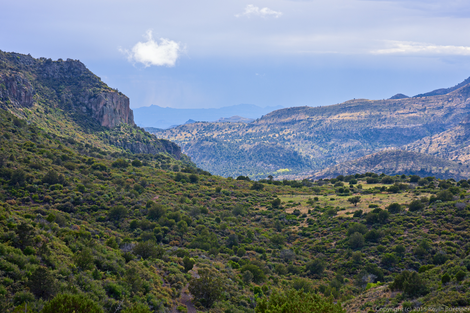
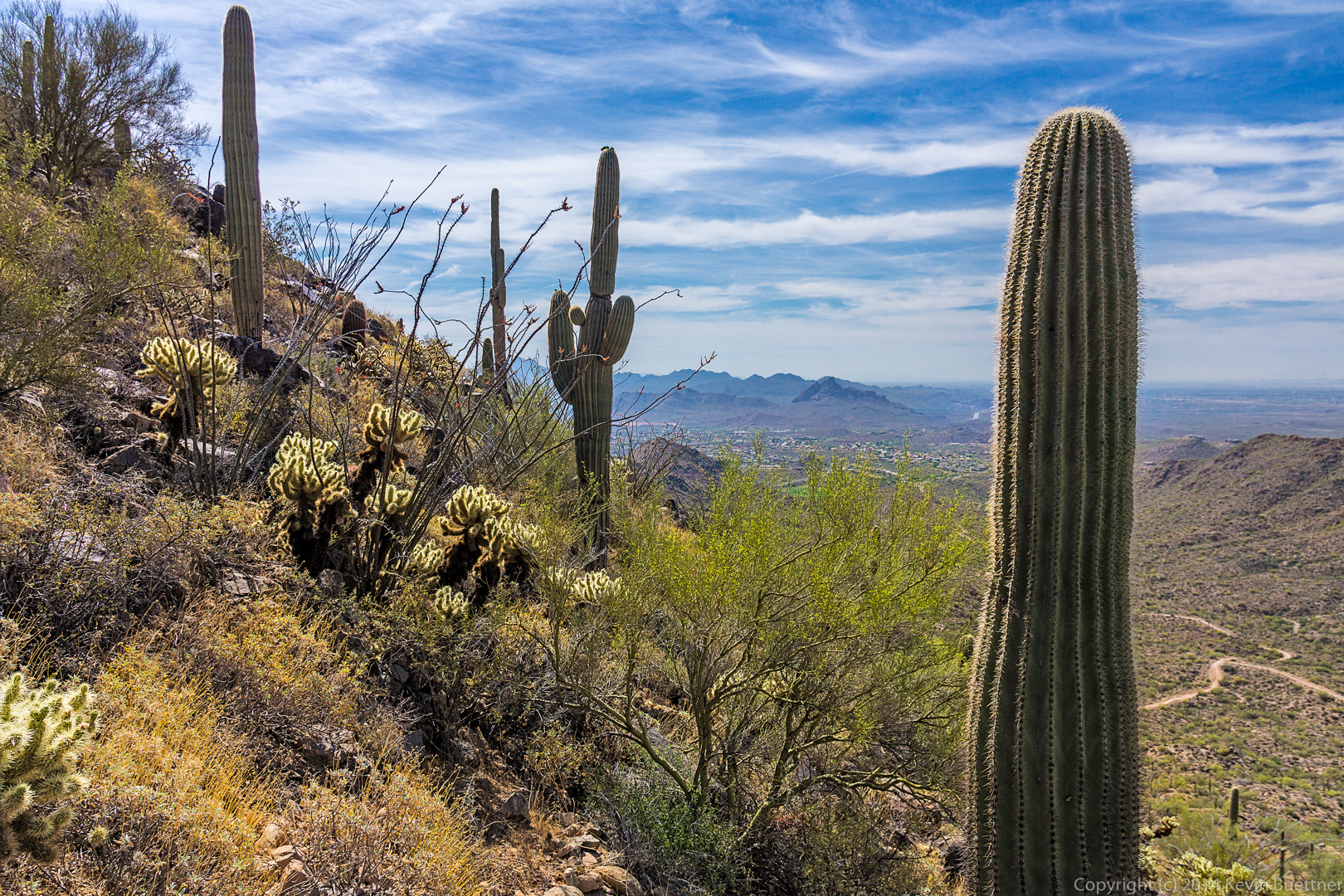
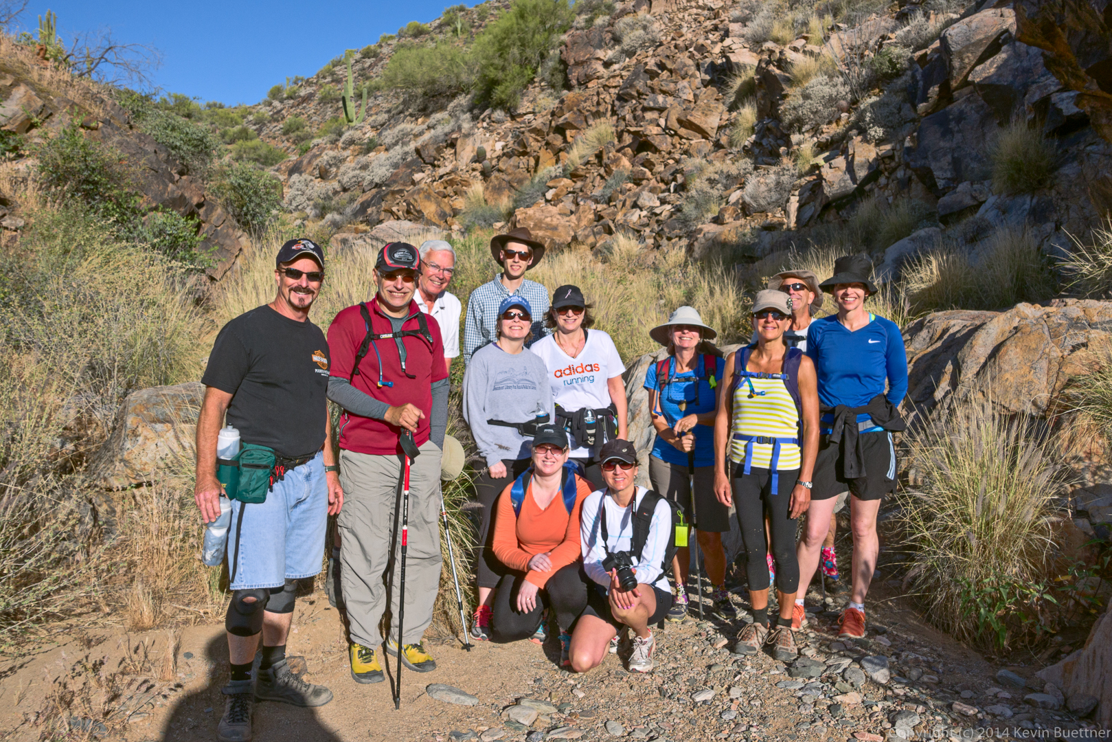
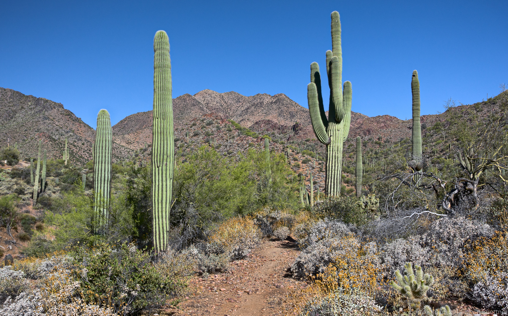
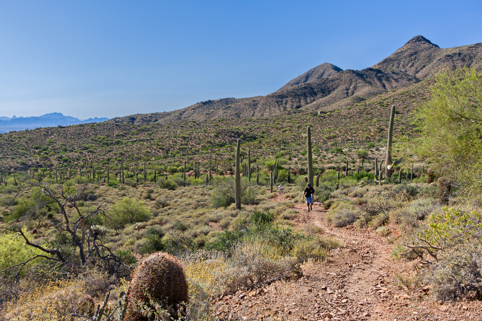
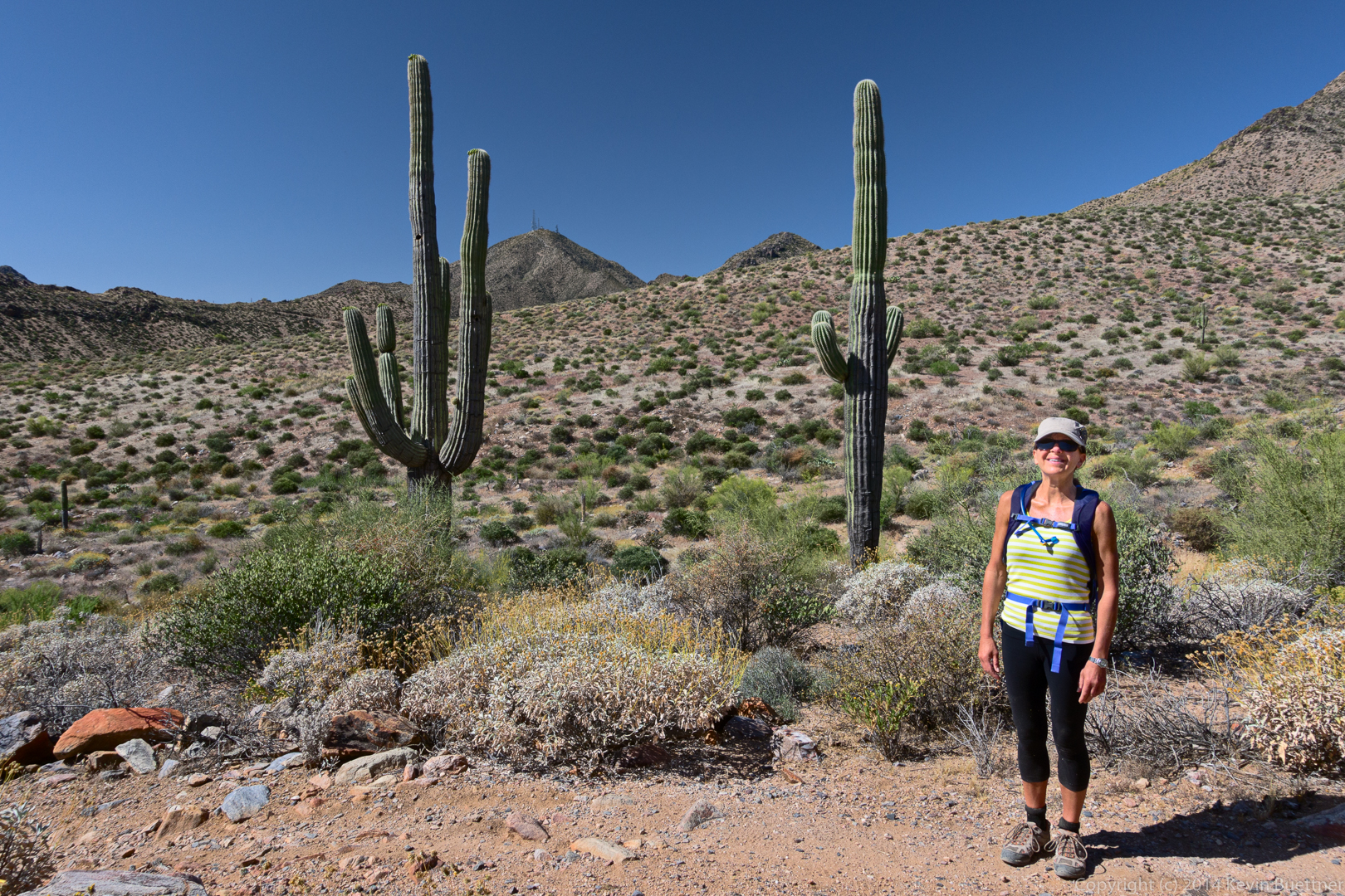
Friday’s hike started from the parking area at the entrance to Eagle’s Nest. From there, we walked through the gated community to the trailhead for the Dixie Mine Trail in McDowell Mountain Park. We hiked Dixie Mine out to the mine and petroglyphs and continued up the wash to the Prospector Trail. At that point, Nick led a group of eight (counting himself) back to the trailhead for a 6+ mile hike. Jerry, Eva, Linda, and Jon hiked up the Prospector Trail with me (five of us) until we got to the Bell Pass Trail. We then hiked to the top of Bell Pass, enjoyed the views, and then hiked down the Prospector Trail to the Windmill Trail. That brought us over to Coachwhip, which took us back to the Dixie Mine Trail, which took us back to the gated community, and then back to the parking area for a 12.25 mile hike.
This is a view from the Dixie Mine Trail:
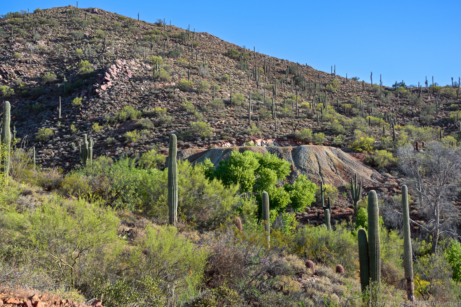
A view of the mine tailings, as seen from the road which crosses the Dixie Mine Trail – the trail follows the road for a short ways.
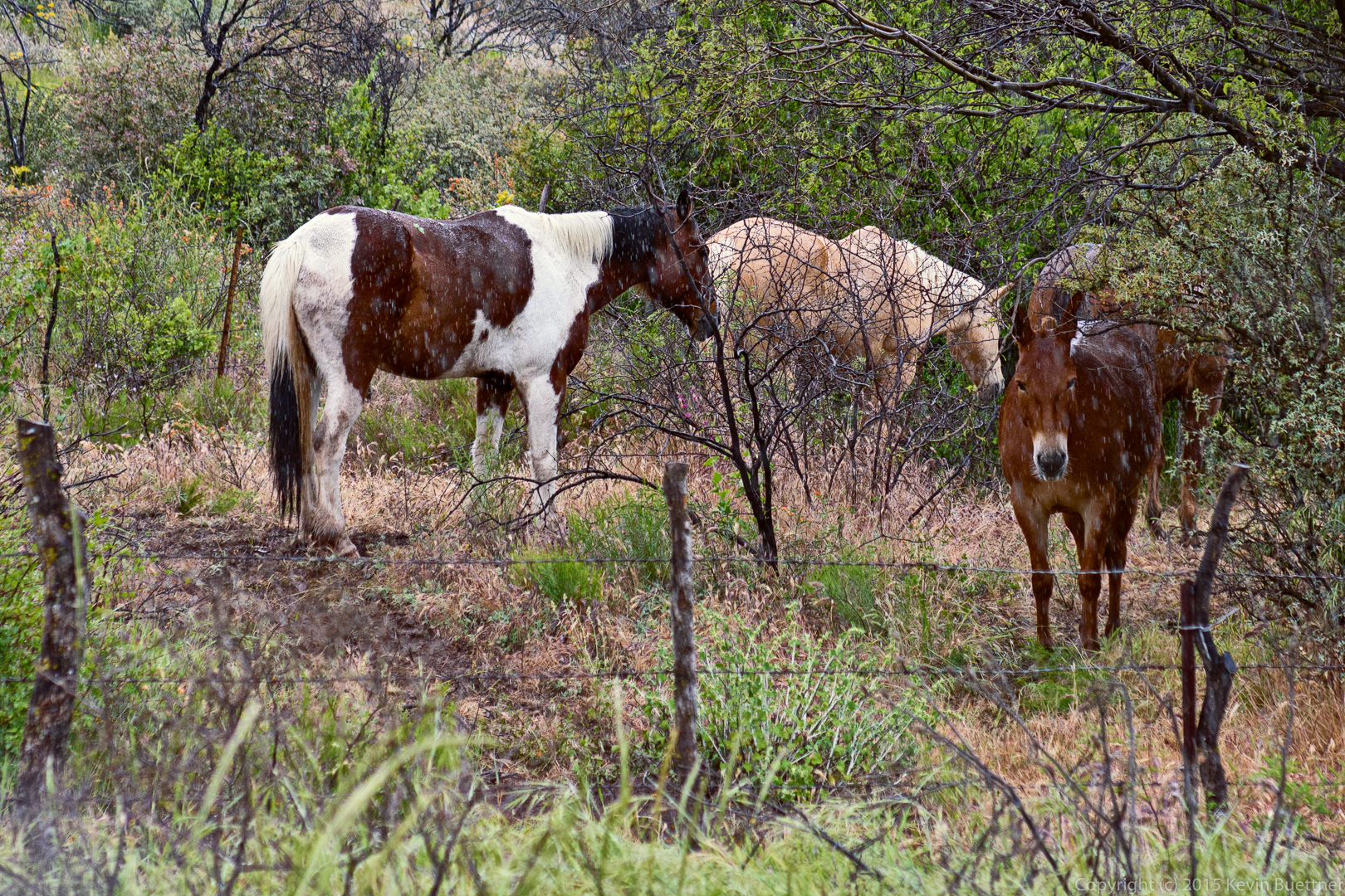
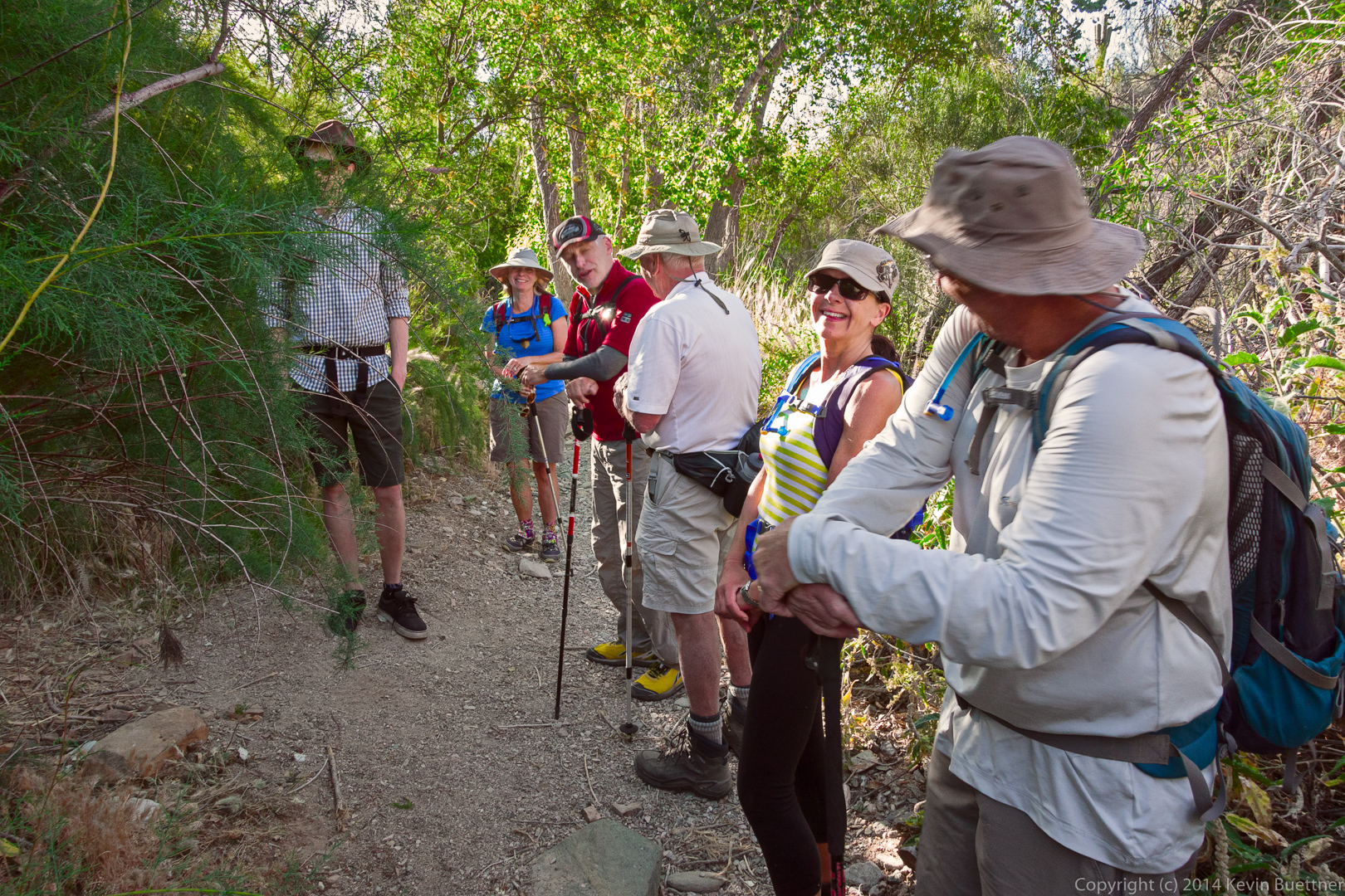
A group of five women from Canada joined us for a hike. (I’ve forgotten their names.) Here, Anton (who is Nick’s son), Linda, Nick, Jon, Eva, and Bob wait for Jerry and the women from Canada to finish examining the entrance to the mine.
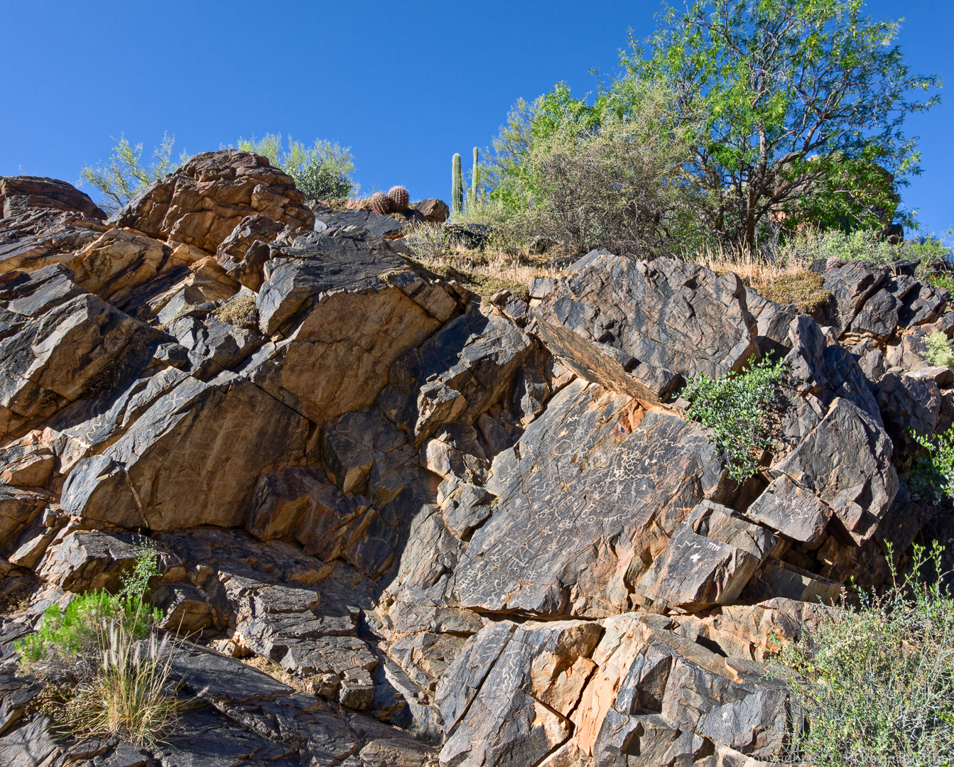
This photo was taken in the wash near the petroglyphs.
A view of the main petroglyph panel. There are some additional petroglyphs further up the wash, but I did not photograph them on this hike.
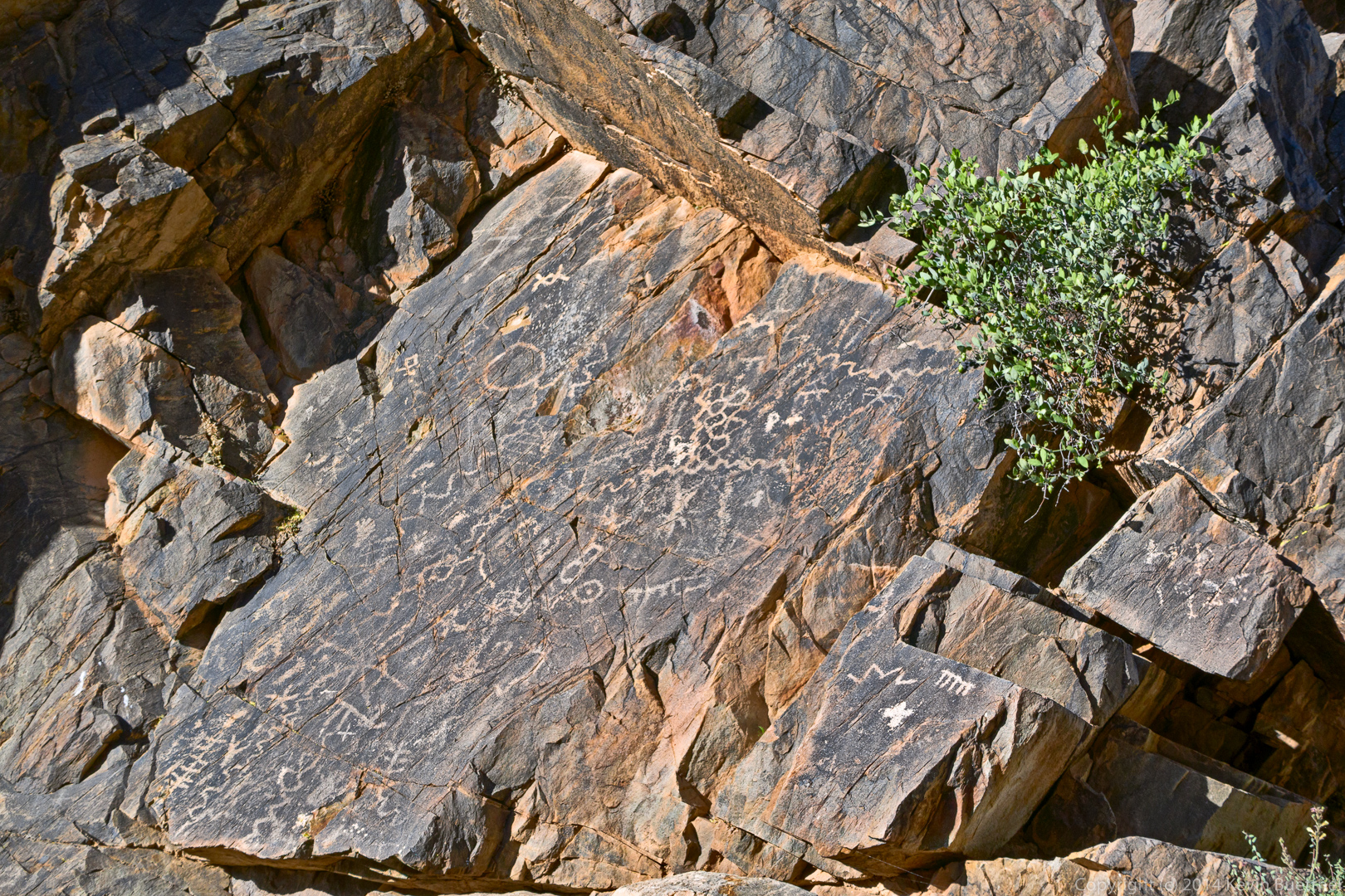
A closer view of the main panel:
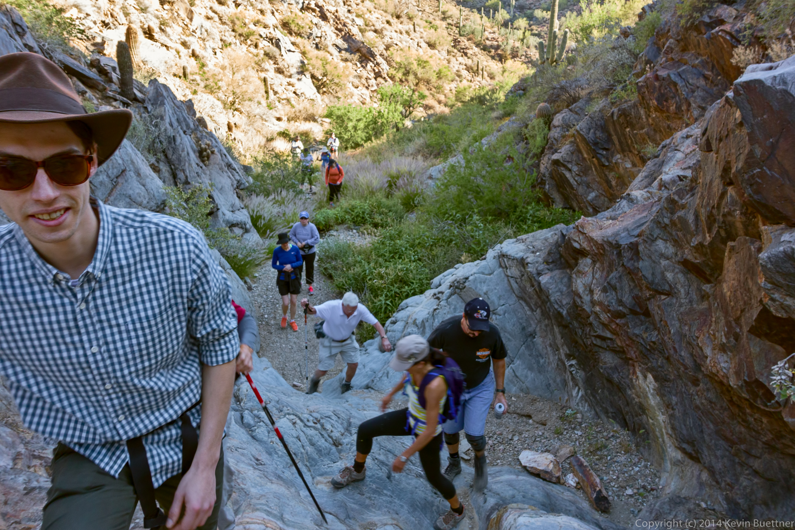
Hiking up the steep and smooth rocky area further up the wash:
A view from the Prospector Trail:
Jerry and Jon hike up the Prospector Trail:
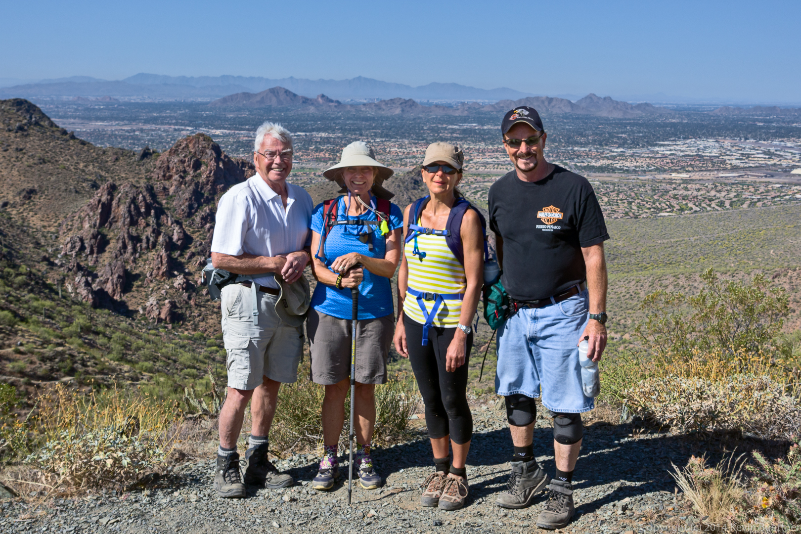
Jon, Linda, Eva, and Jerry at the top of Bell Pass. Scottsdale, Camelback Mountain, and even a part of Phoenix can be seen behind them.
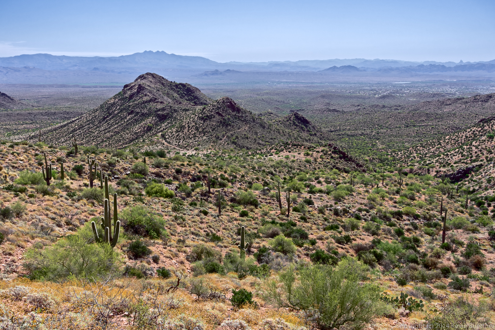
Another view -in the opposite direction – from near the top of Bell Pass.
Eva on the Windmill Trail. Thompson Peak is just visible in the background.
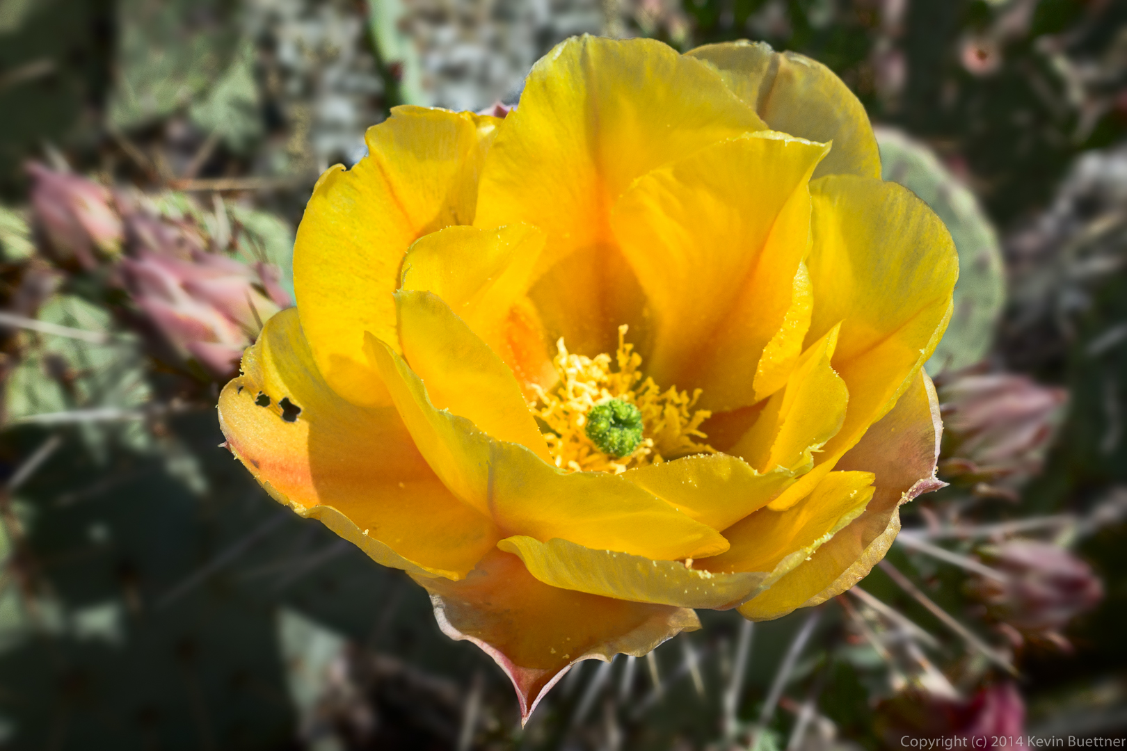
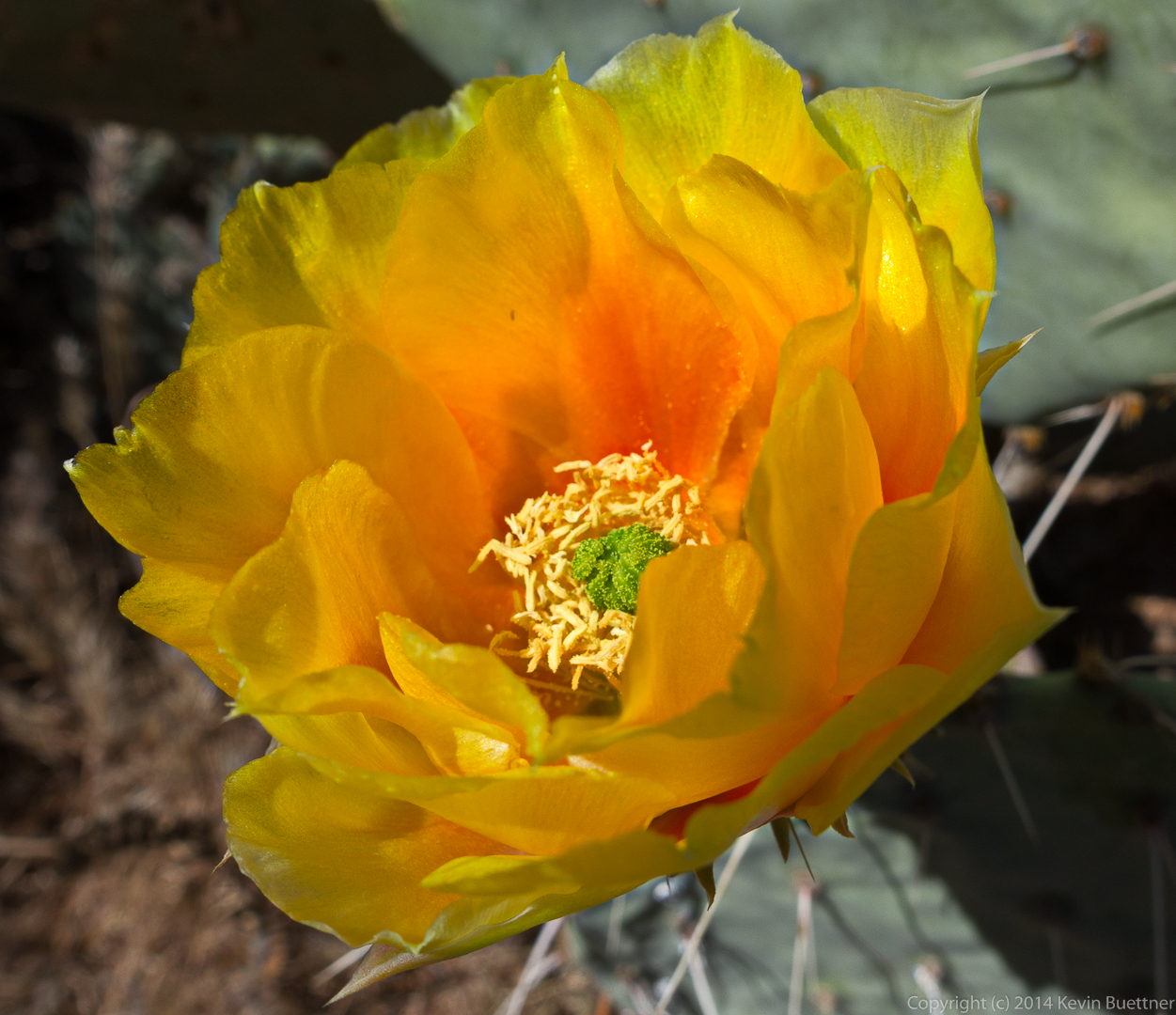
Prickly Pear blossom:
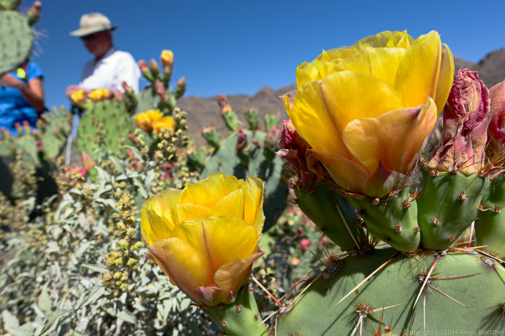
More Prickly Pear:
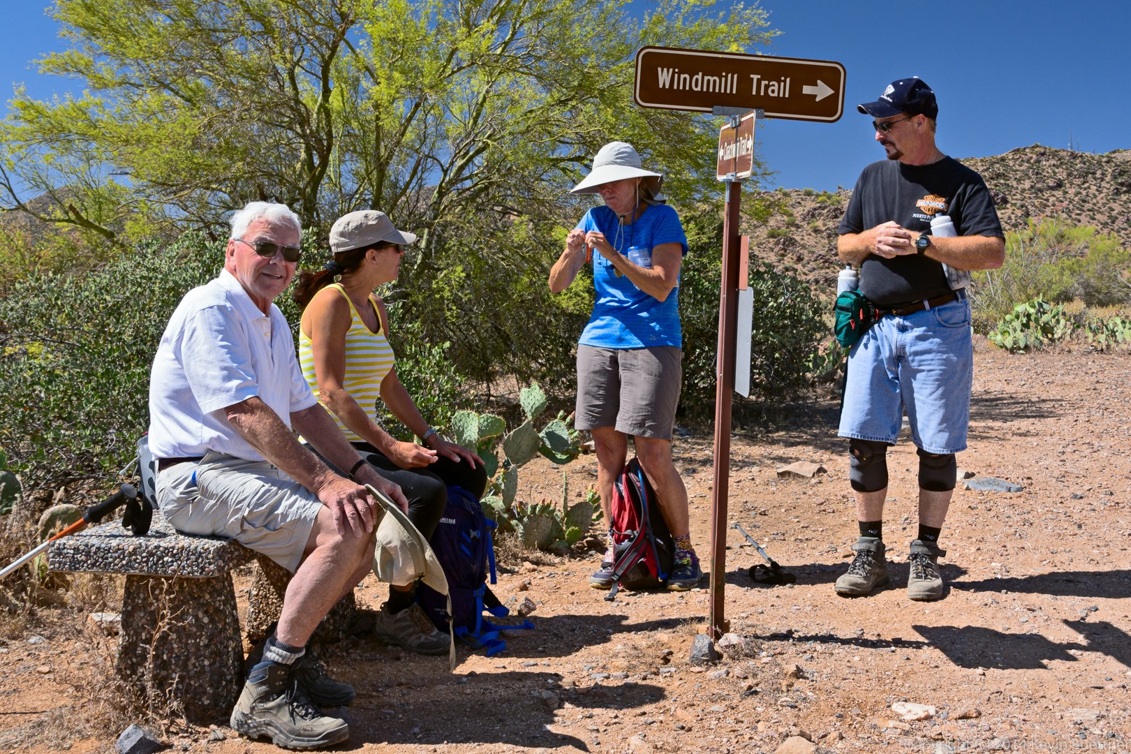
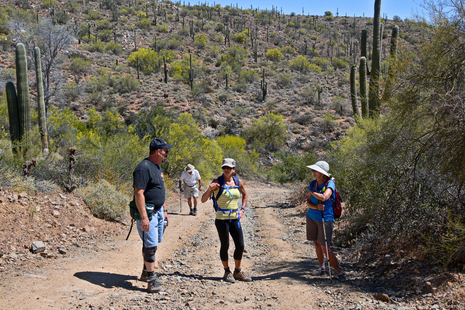
Taking a break at the intersection of the Windmill and Coachwhip trails. Linda is struggling with a recalcitrant snack bar wrapper.
Yet another Prickly Pear blossom:
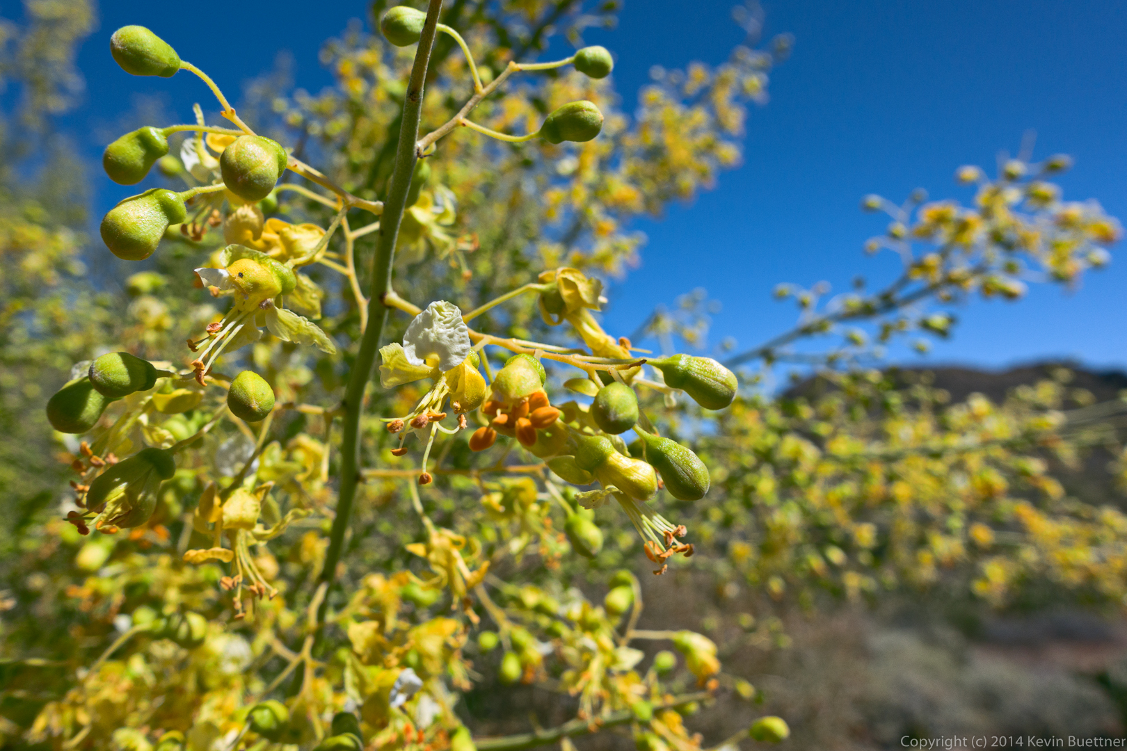
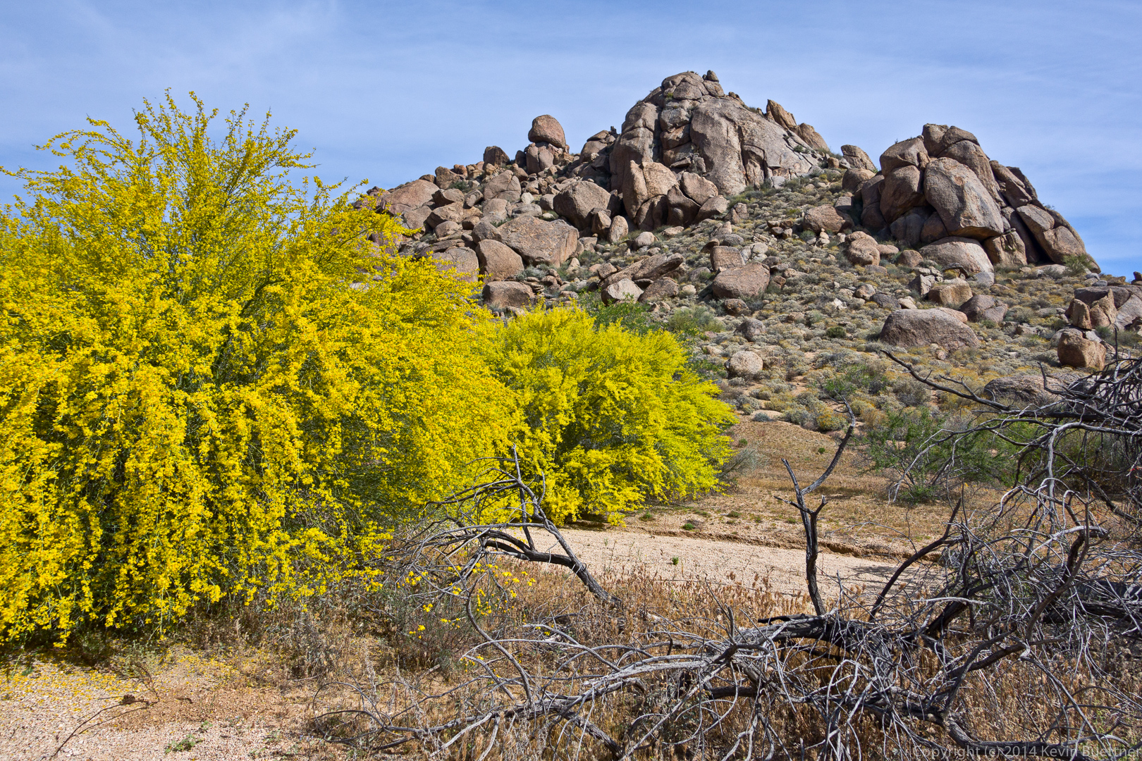
Palo Verde blossoms:
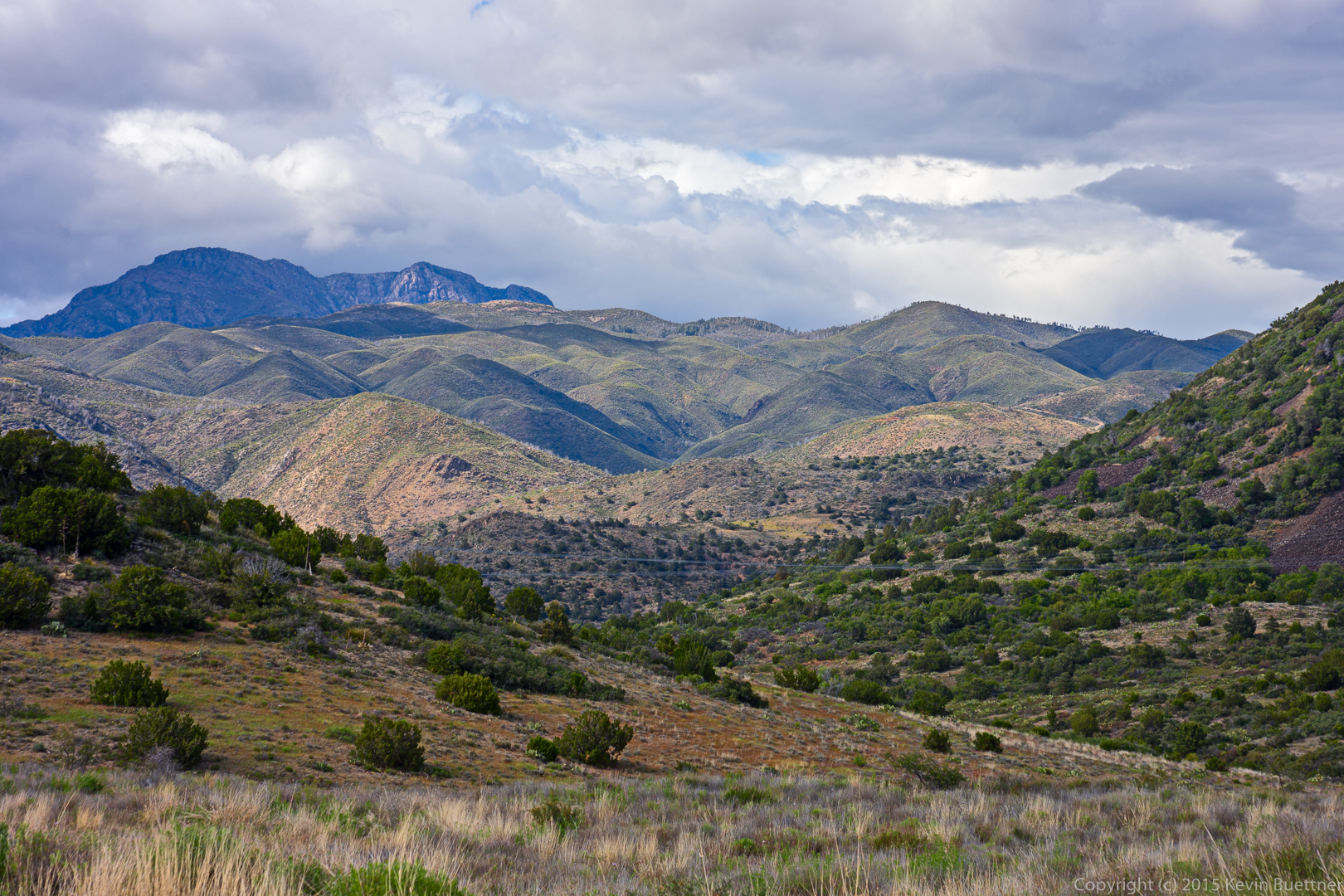
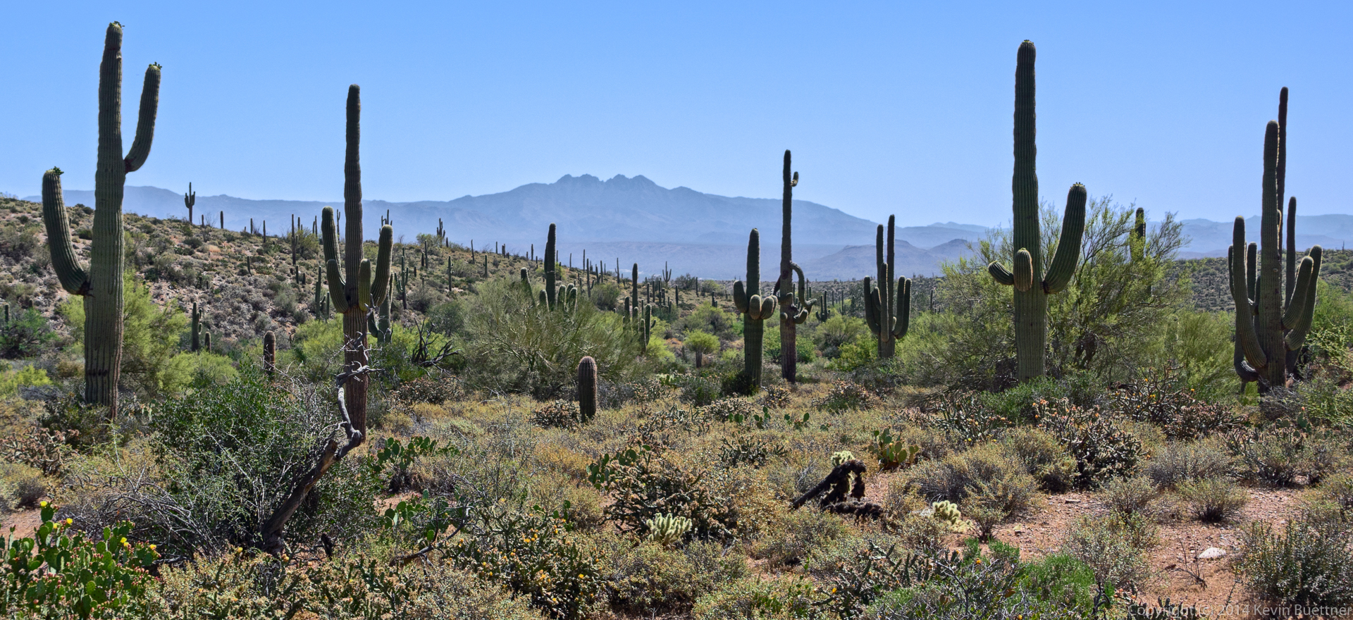
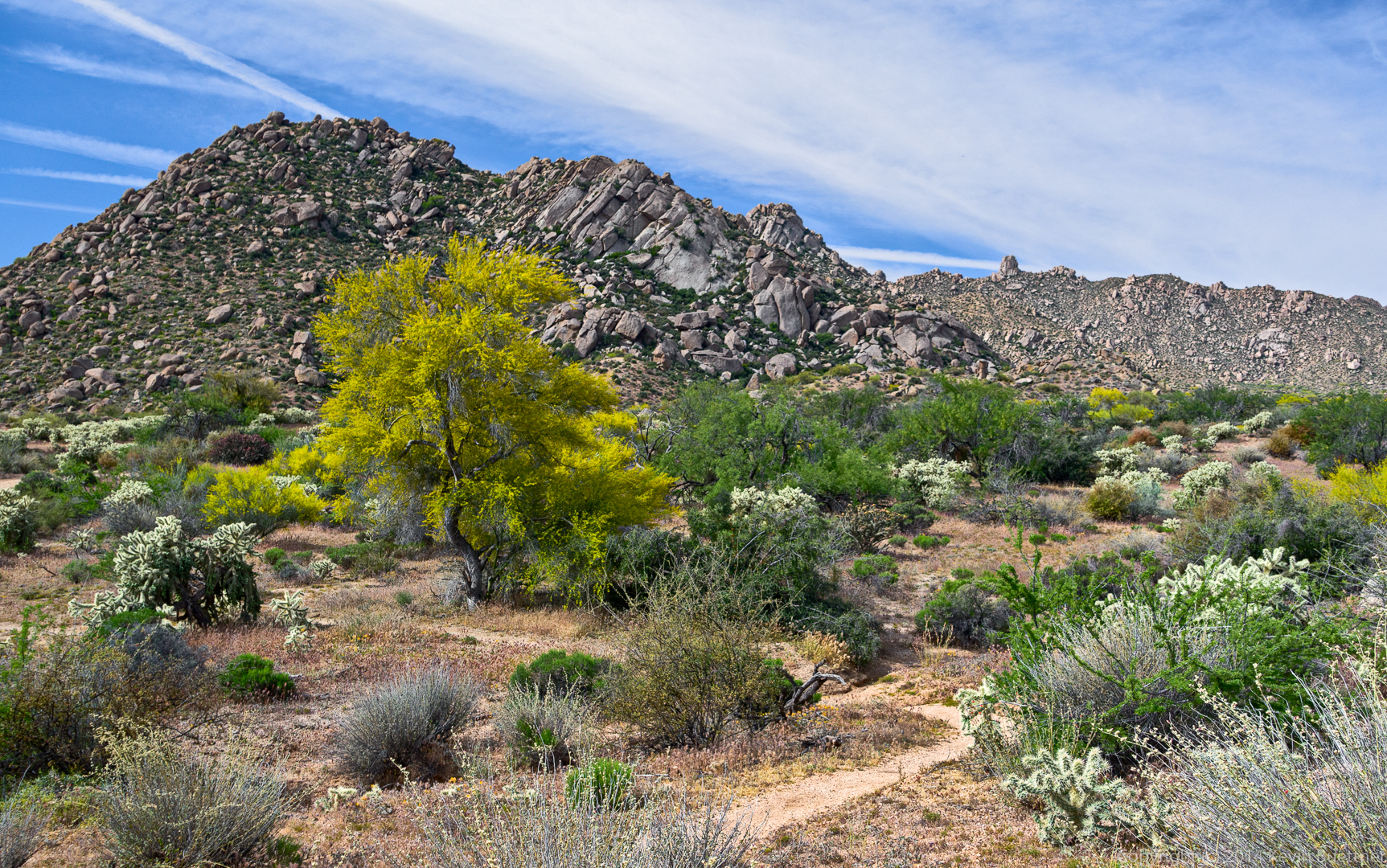
A view of Four Peaks from the Coachwhip Trail:
This is the steep section of road connecting the two segments of the Dixie Mine Trail. (Near the bottom of the road is a small trail which leads to the mine and petroglyphs.)
Returning on the Dixie Mine Trail…
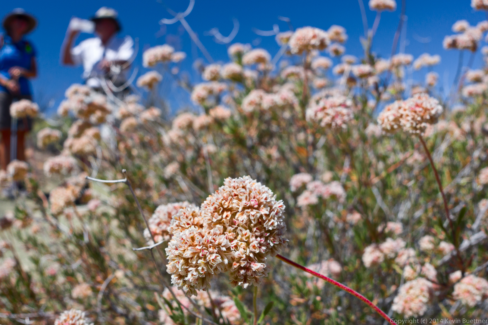
Buckwheat:
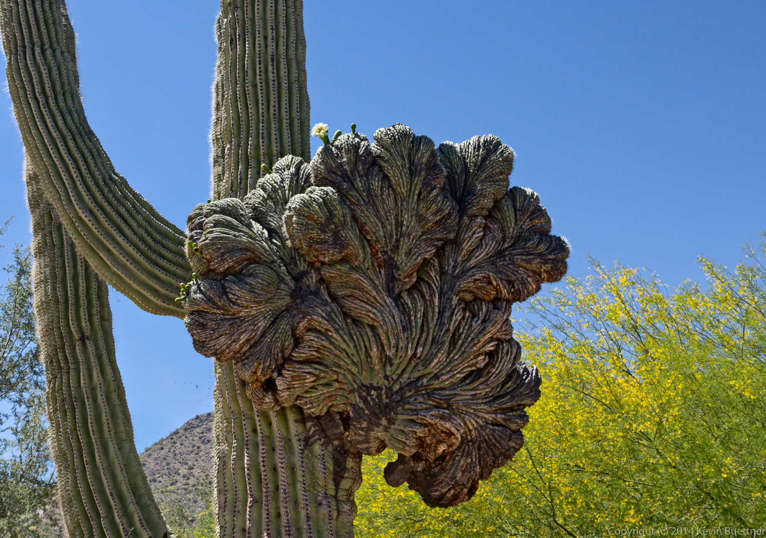
This crested saguaro at the parking area has one bloom on the crest:
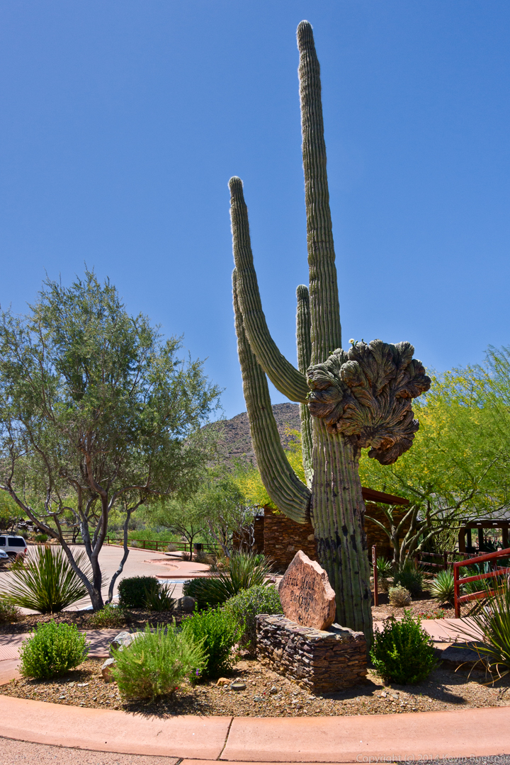
Here’s a full view of that saguaro:
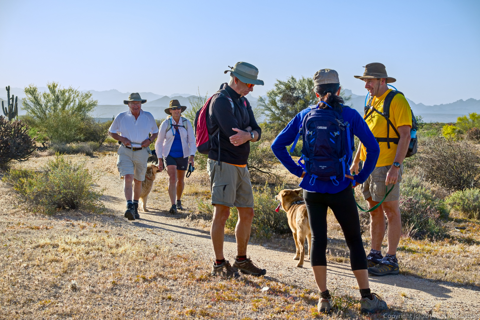
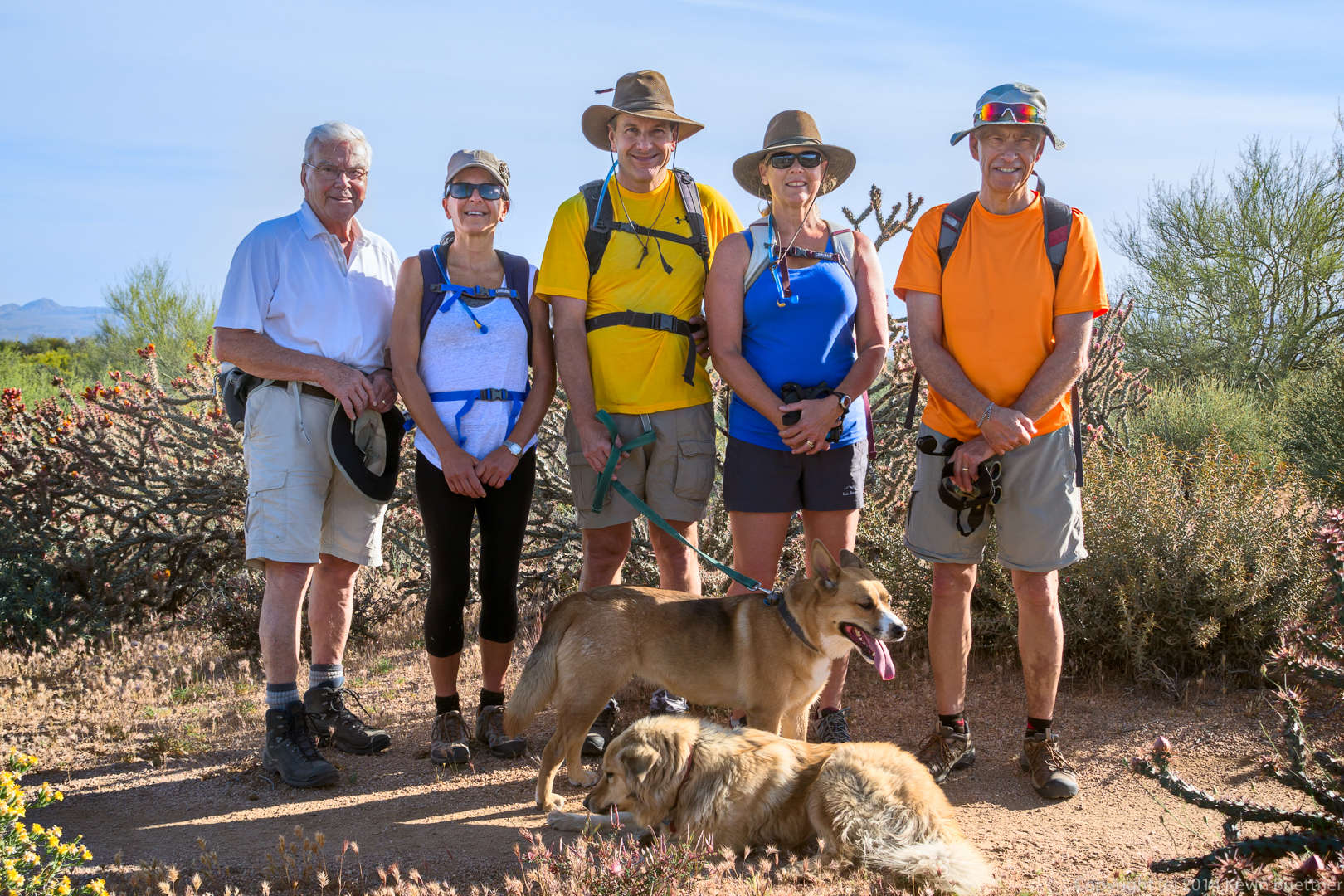
We hiked 11.7 miles on Friday, starting from the Wagner Trailhead. In order, we hiked the following trails: Wagner, Granite, Delsie, Gooseneck, Rock Knob, Pemberton, Bluff, Granite, Wagner.
Jon, Savannah, Janet, Ben, Bella, Eva, and Allen:
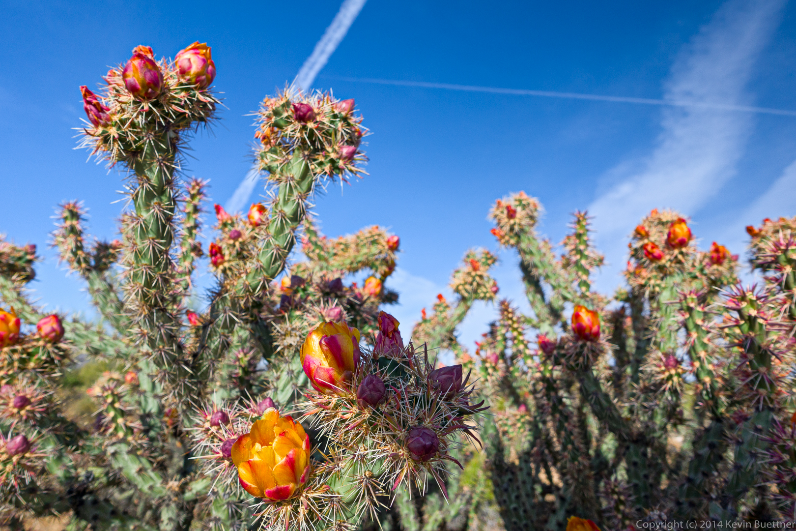
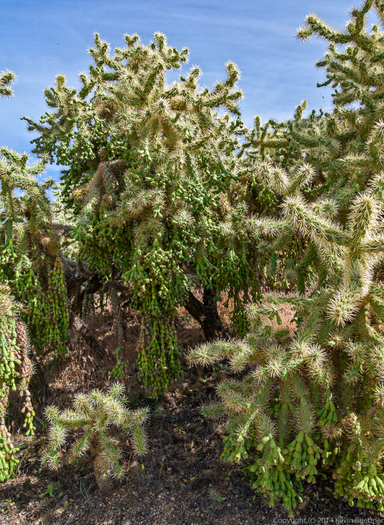
Buckhorn Cholla:
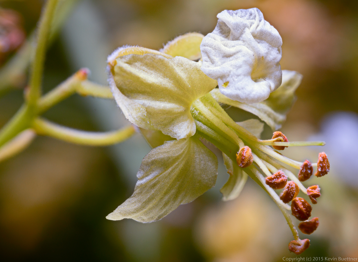
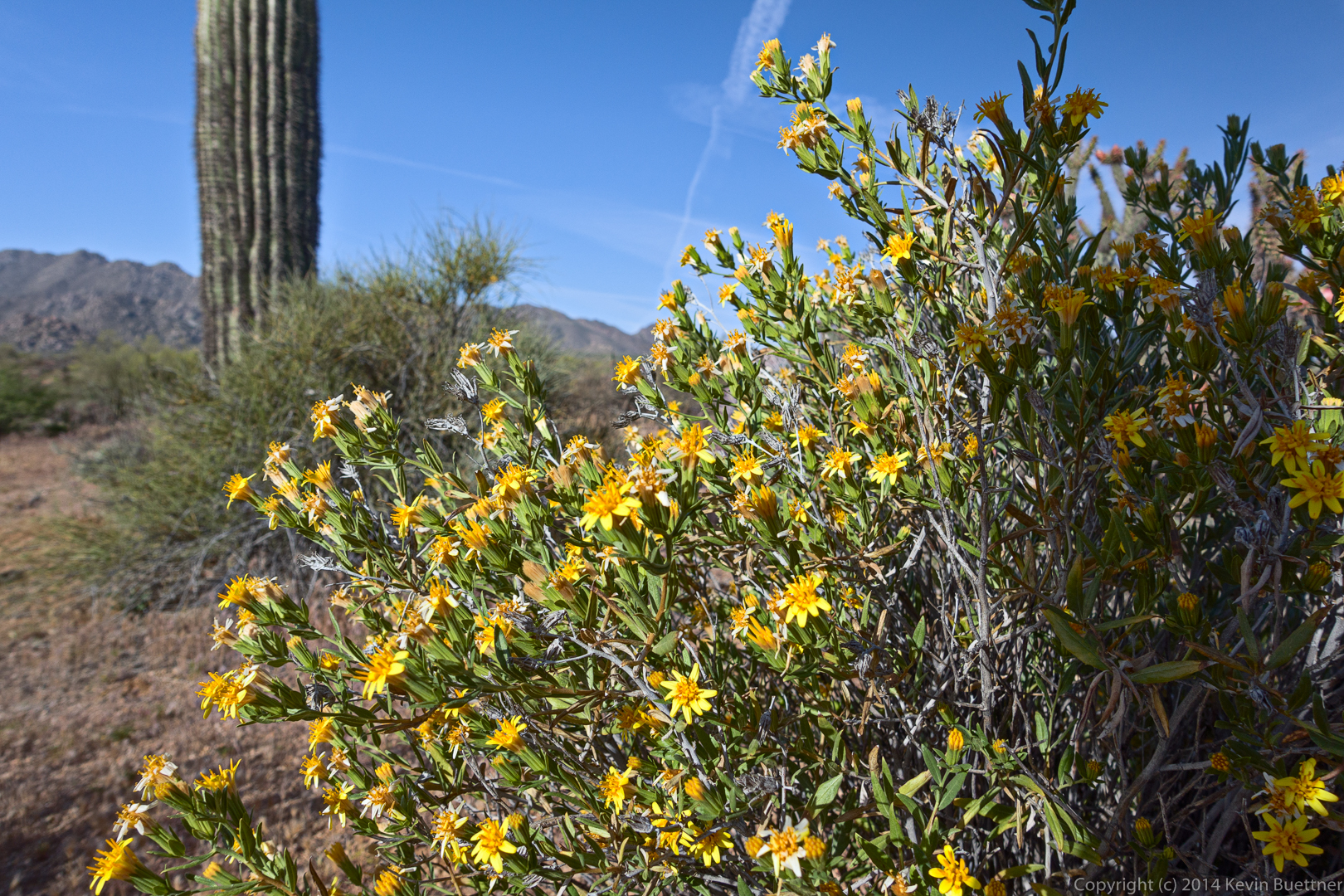
Bill Craig tells me that these yellow flowers are likely Trixis (Trixis Californica).
Jon, Eva, Allen, Janet, and Ben, with dogs Bella and Savannah in front:
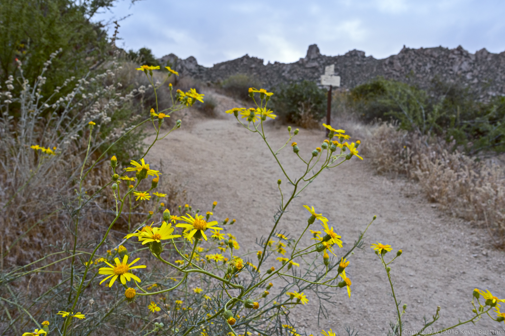
Desert Marigold:
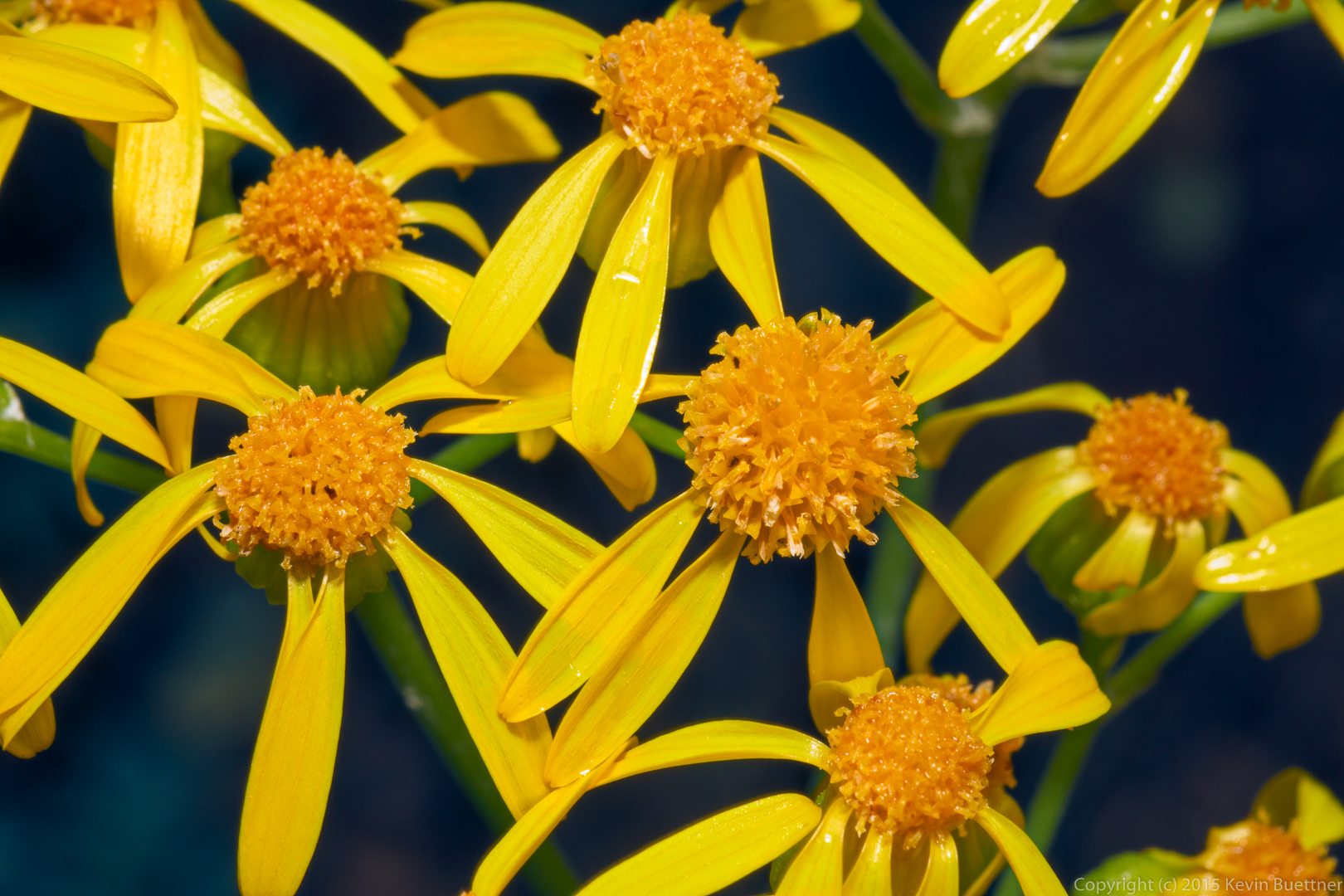
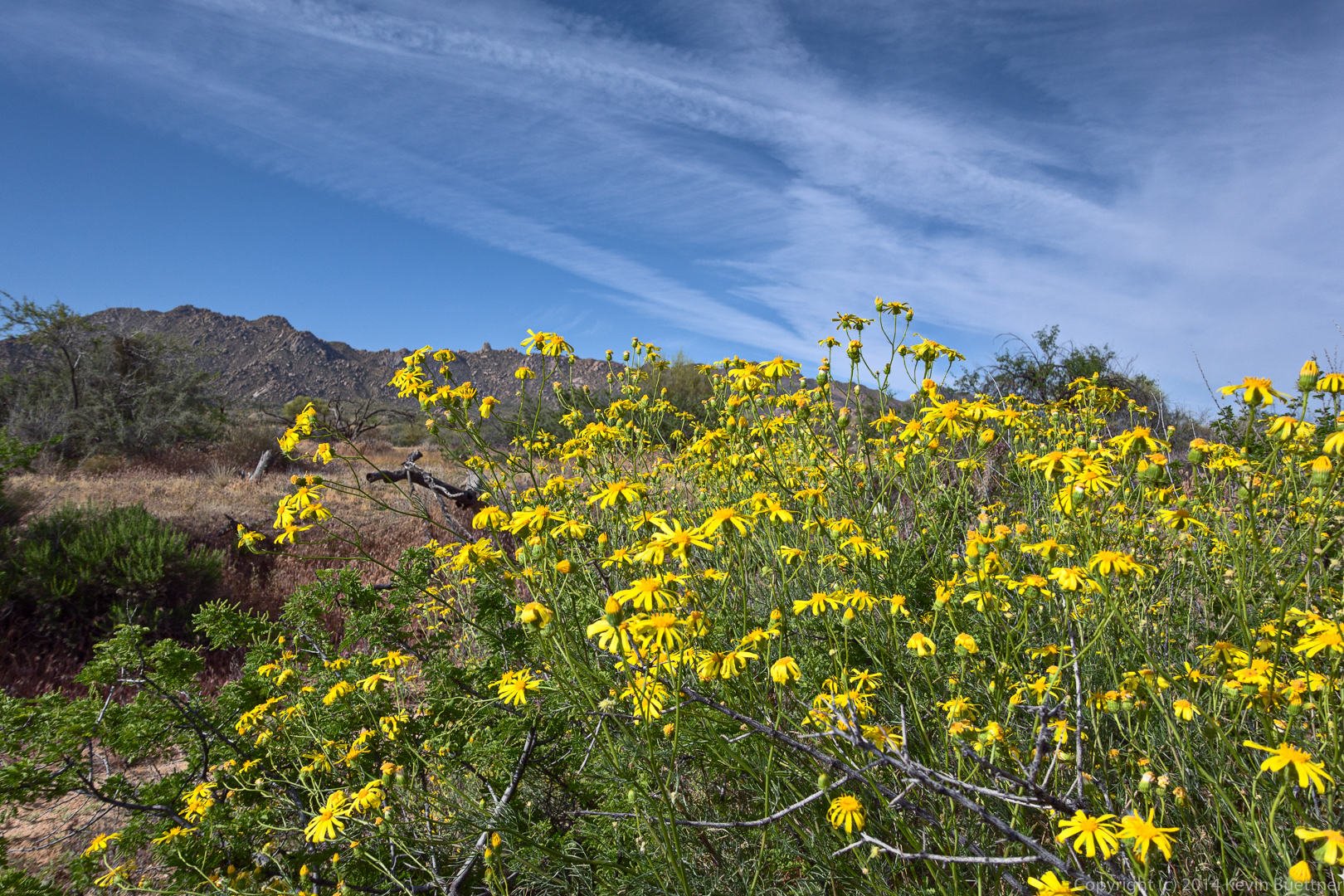
I think this might be Threadleaf Ragwort / Sandwash Groundsel:
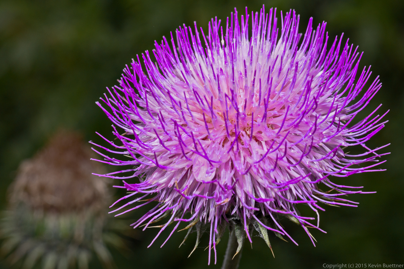
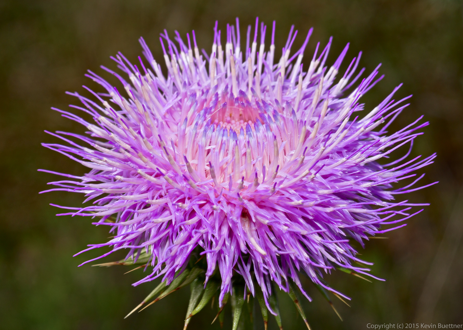
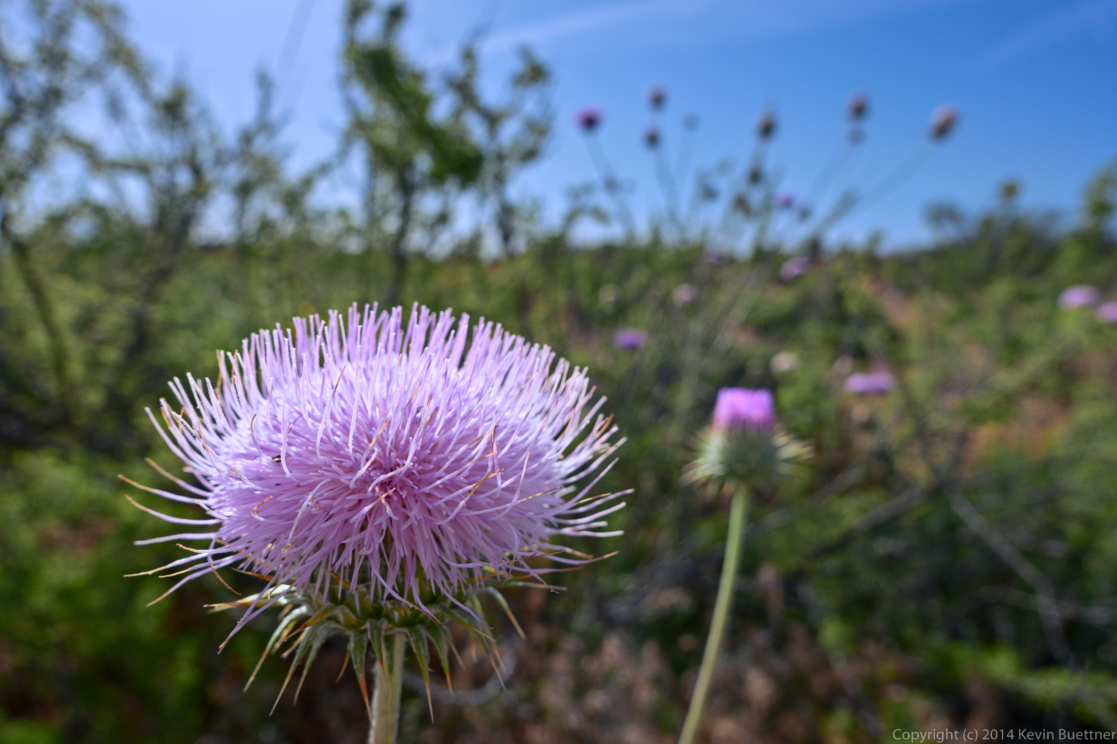
New Mexico Thistle:
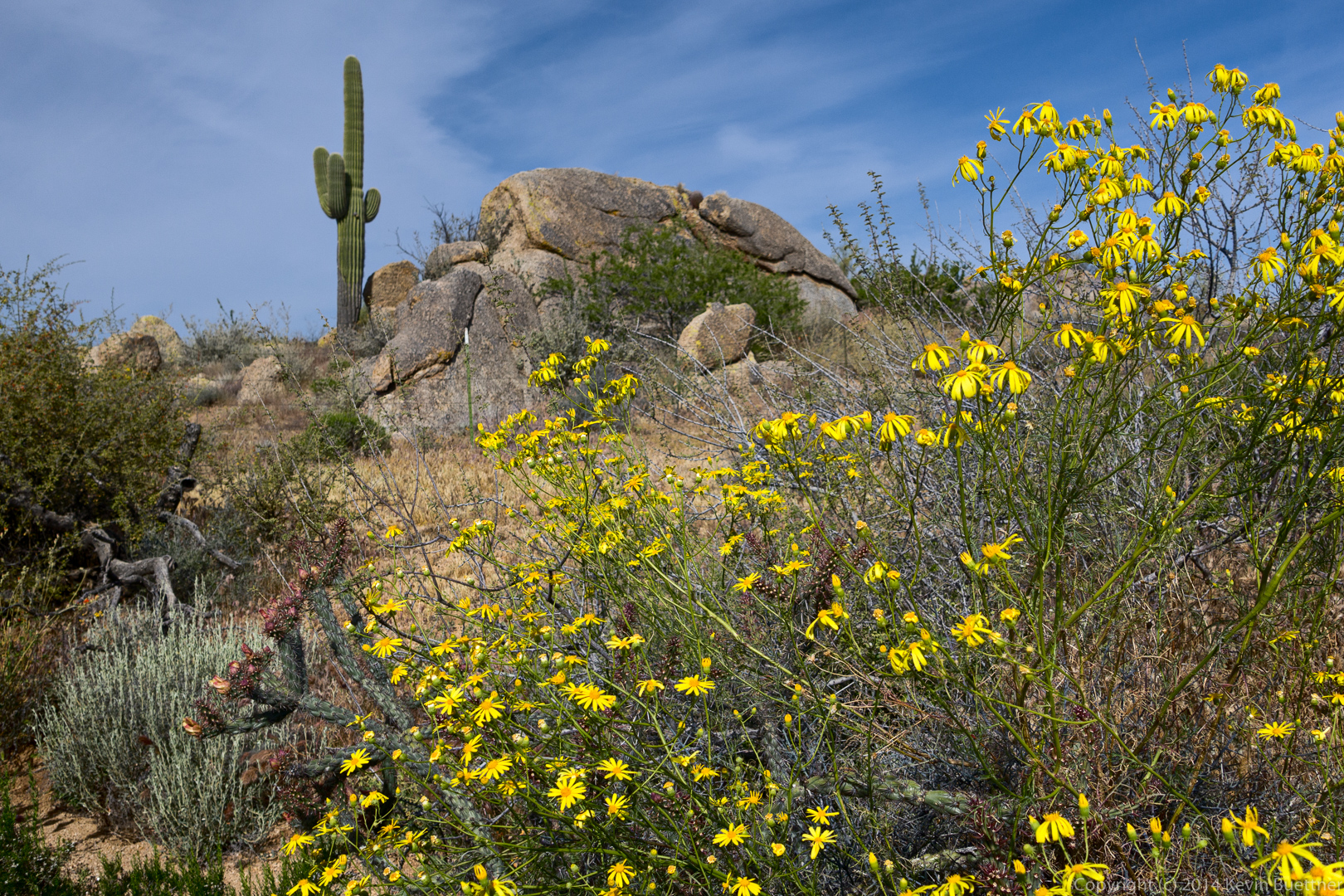
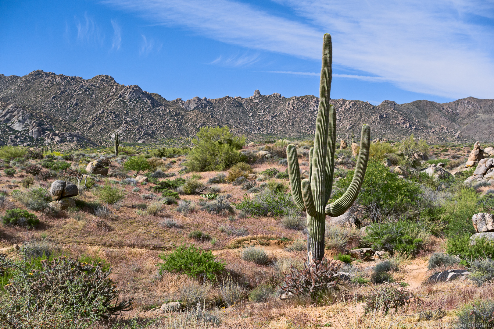
I think this is some more of the Sandwash Groundsel. We saw this small rock formation with the saguaro on the Gooseneck Trail.
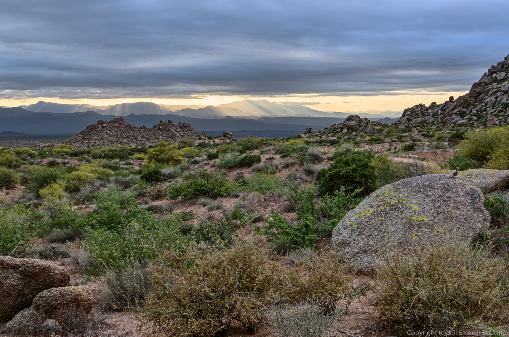
A view of the McDowells from the Gooseneck Trail:
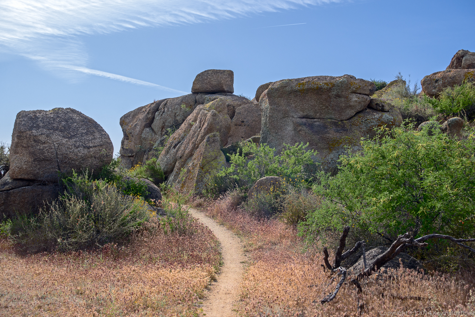
The Goosneck Trail went between some rocks.
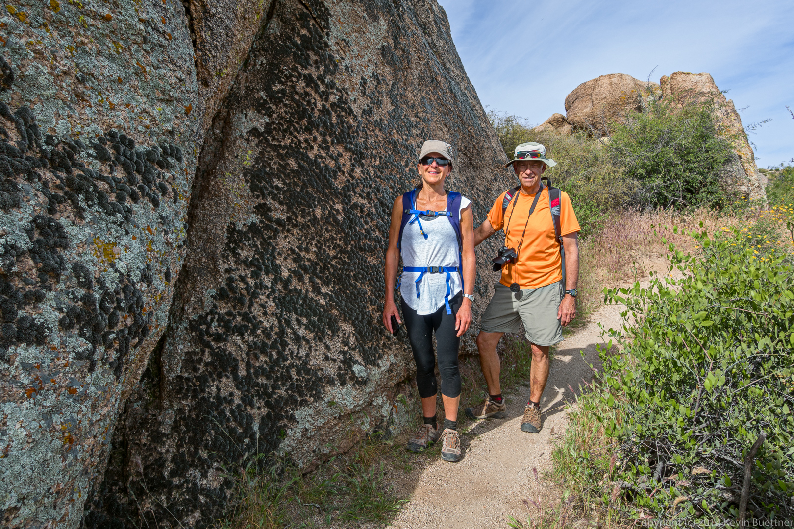
Eva and Ben standing next to the lichen and moss covered rock.
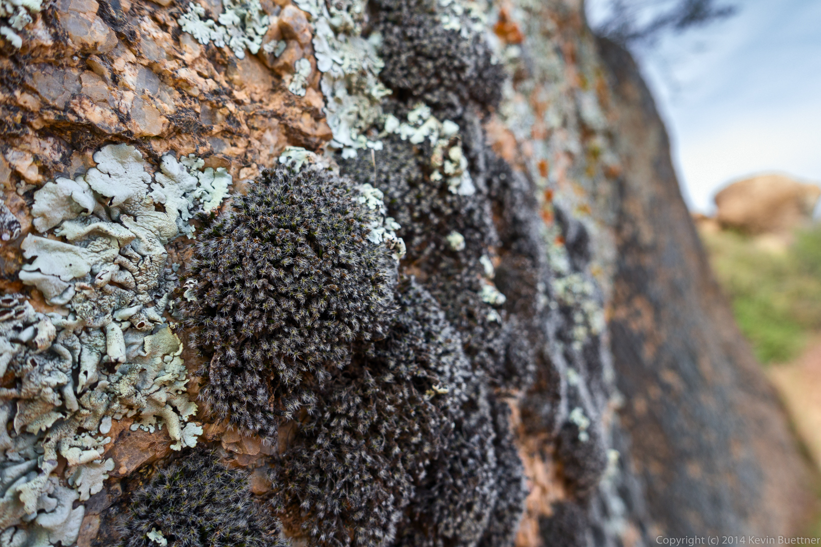
A closer look at both the lichen and the moss.
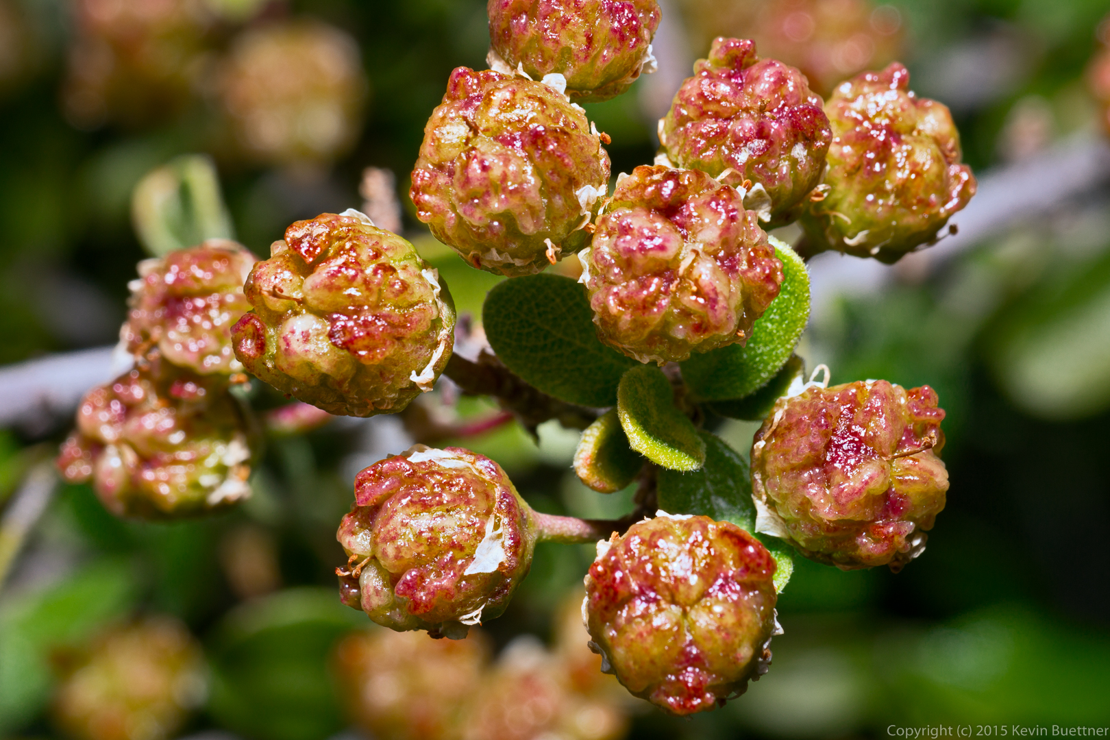
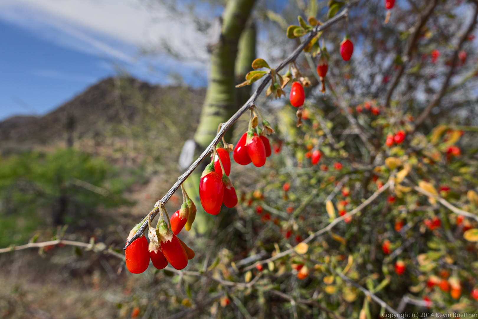
I think these are wolfberries. I ate one earlier in the hike.
A good view of Sven Slab with Tom’s Thumb in the background:
Chain fruit cholla, along the Rock Knob Trail:
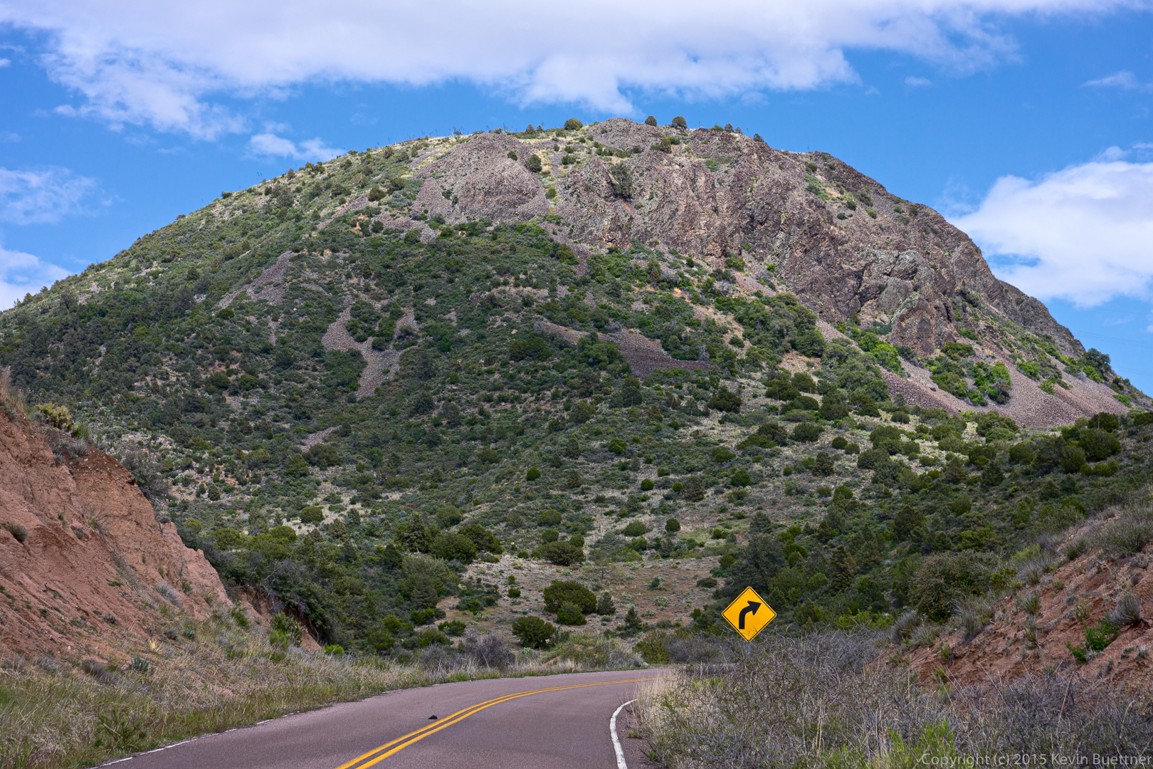
A view of Rock Knob:
This small rock formation can be seen from the Rock Knob Trail:
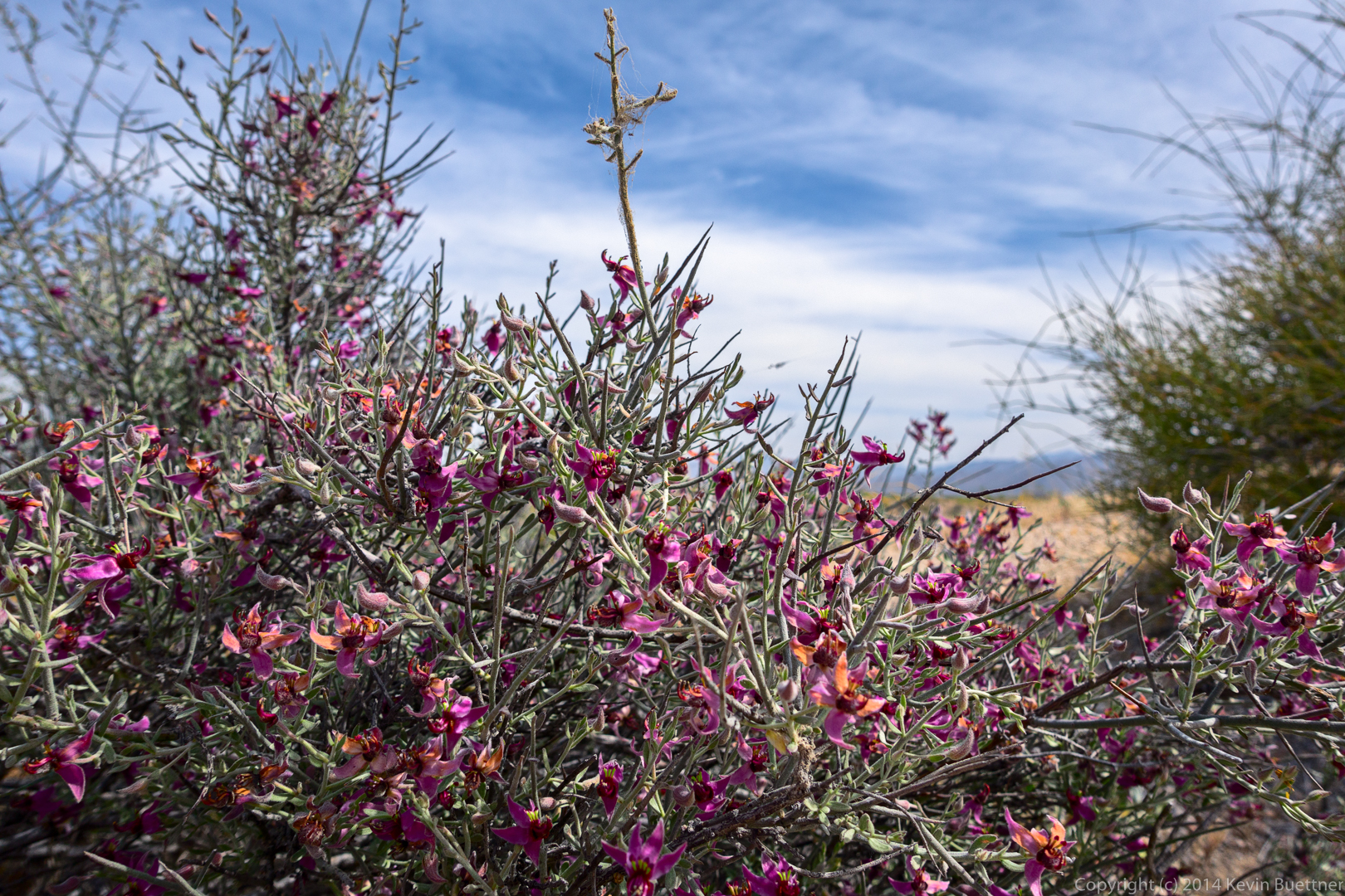
I think this is White Ratany: