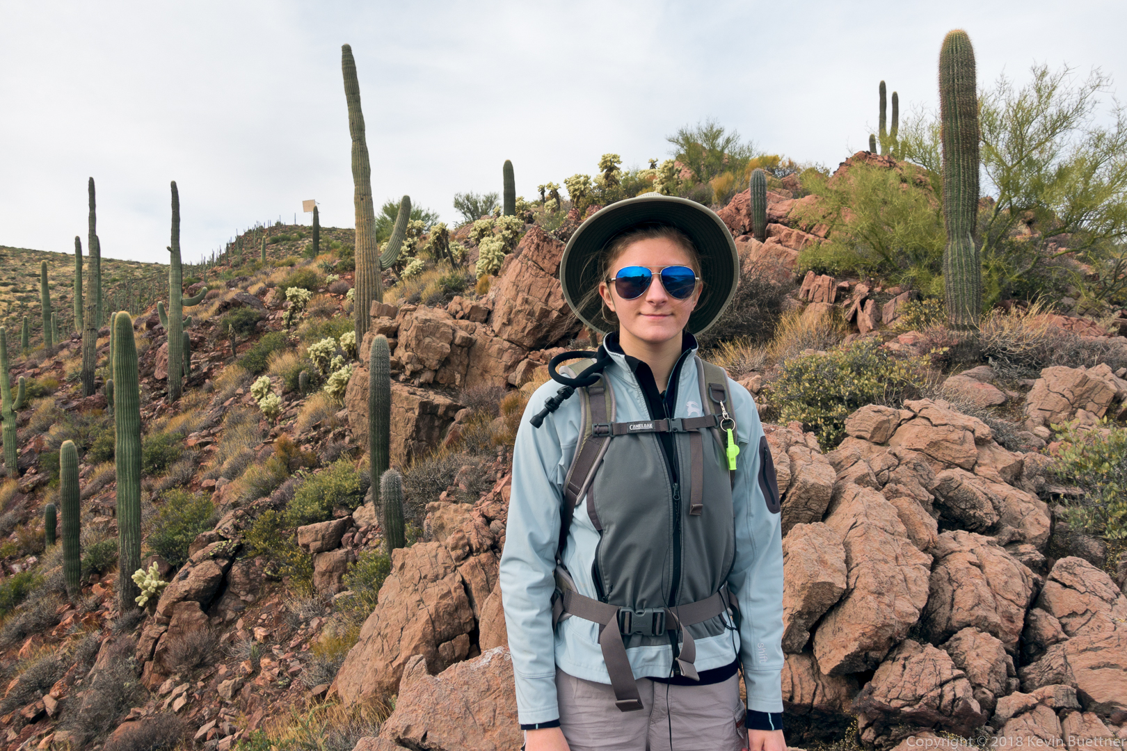
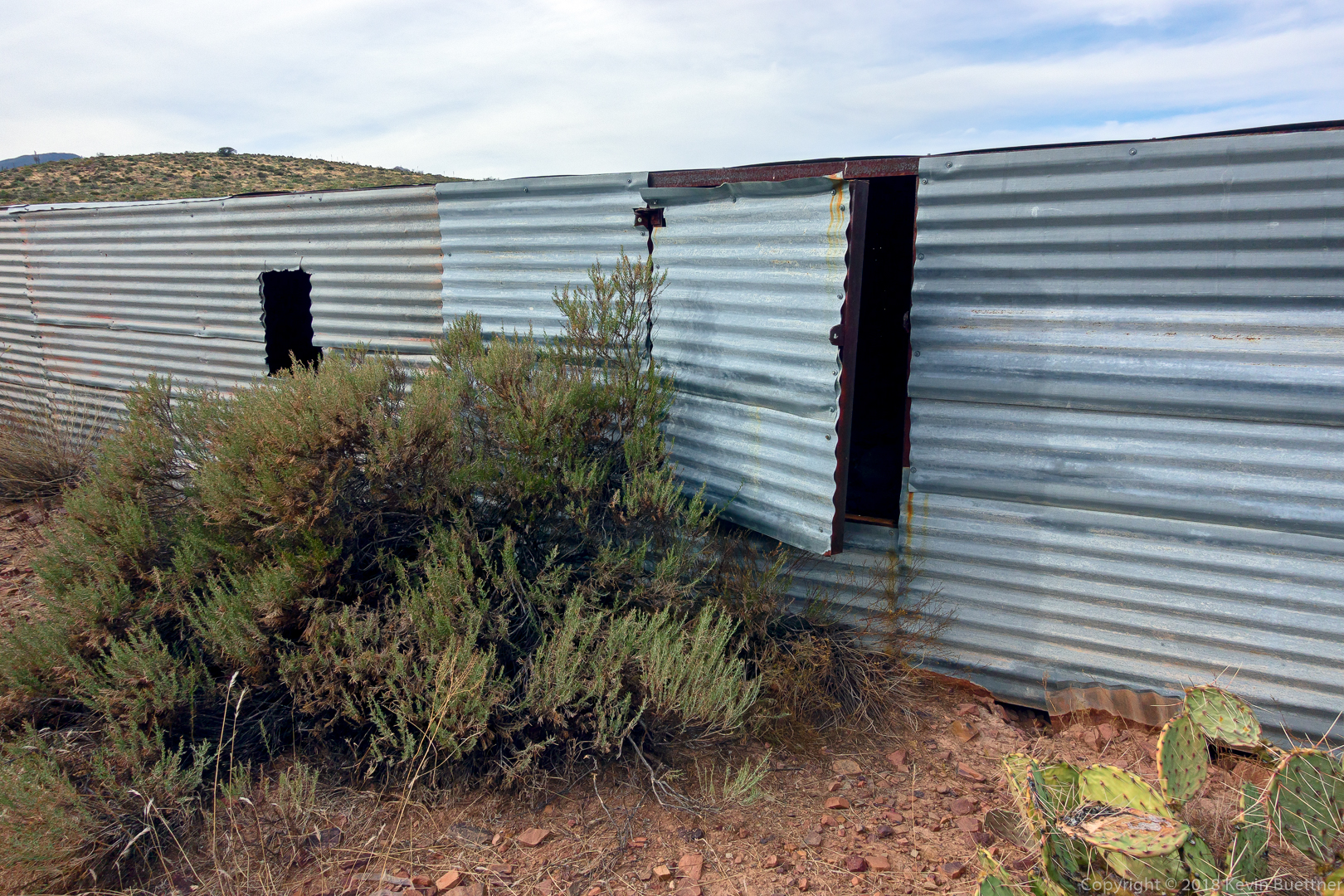
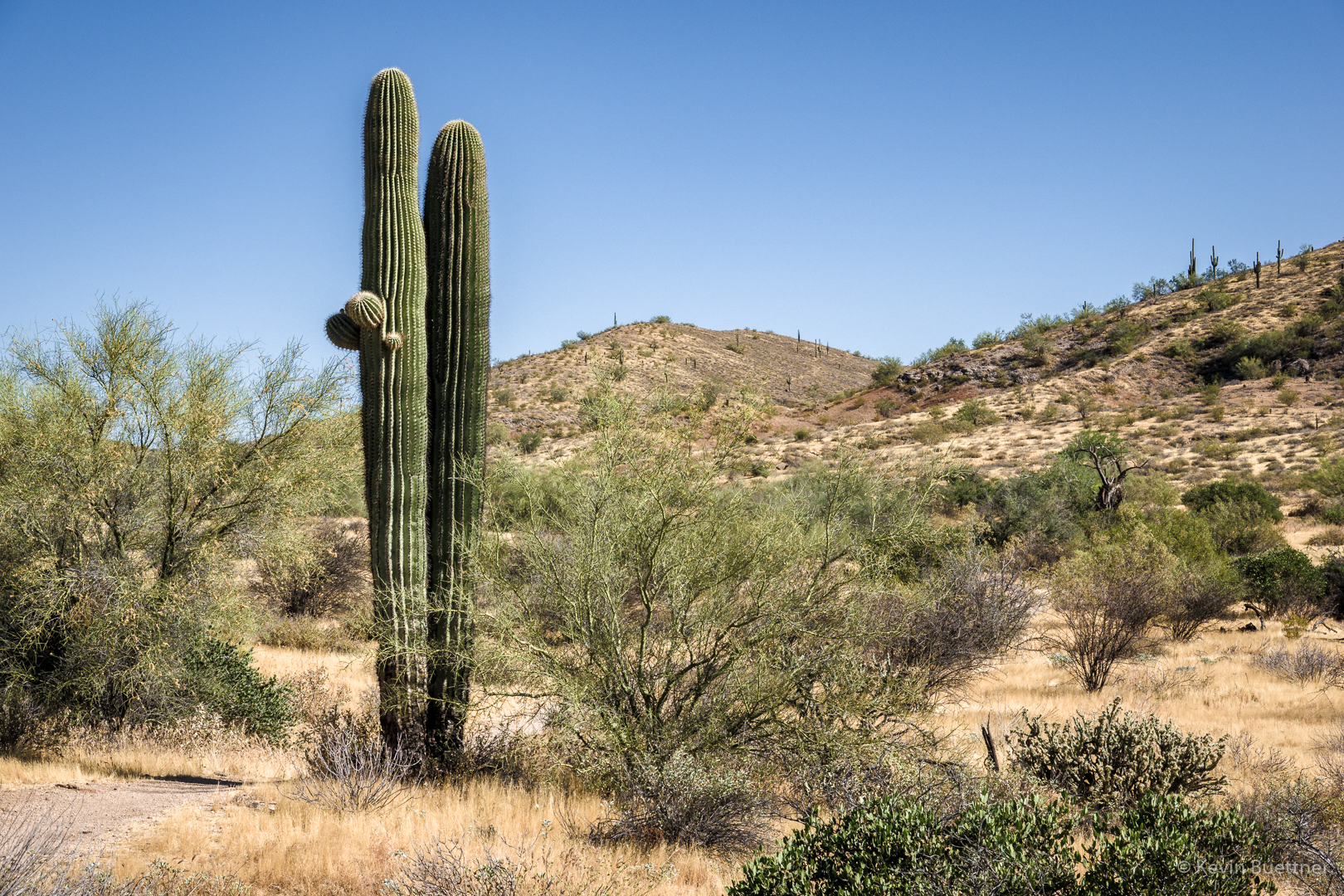
Marilyn, Heather, Gayle, and I hiked in McDowell Mountain Regional Park on Sunday. We looked at some petroglyphs that I only learned of about a month ago. Near the end of our hike, we saw a rattlesnake.

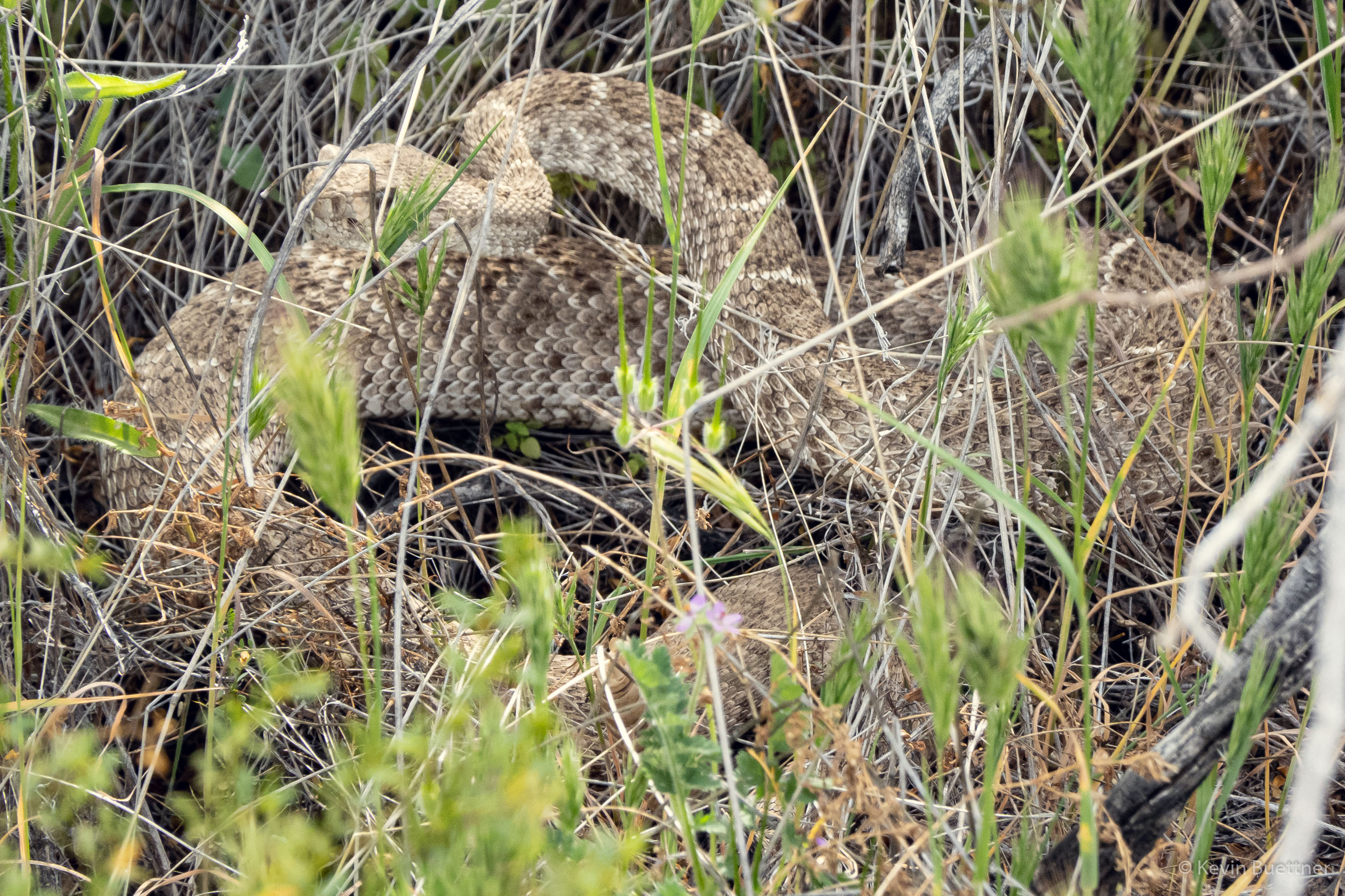
Marilyn, Heather, Gayle, and I hiked in McDowell Mountain Regional Park on Sunday. We looked at some petroglyphs that I only learned of about a month ago. Near the end of our hike, we saw a rattlesnake.
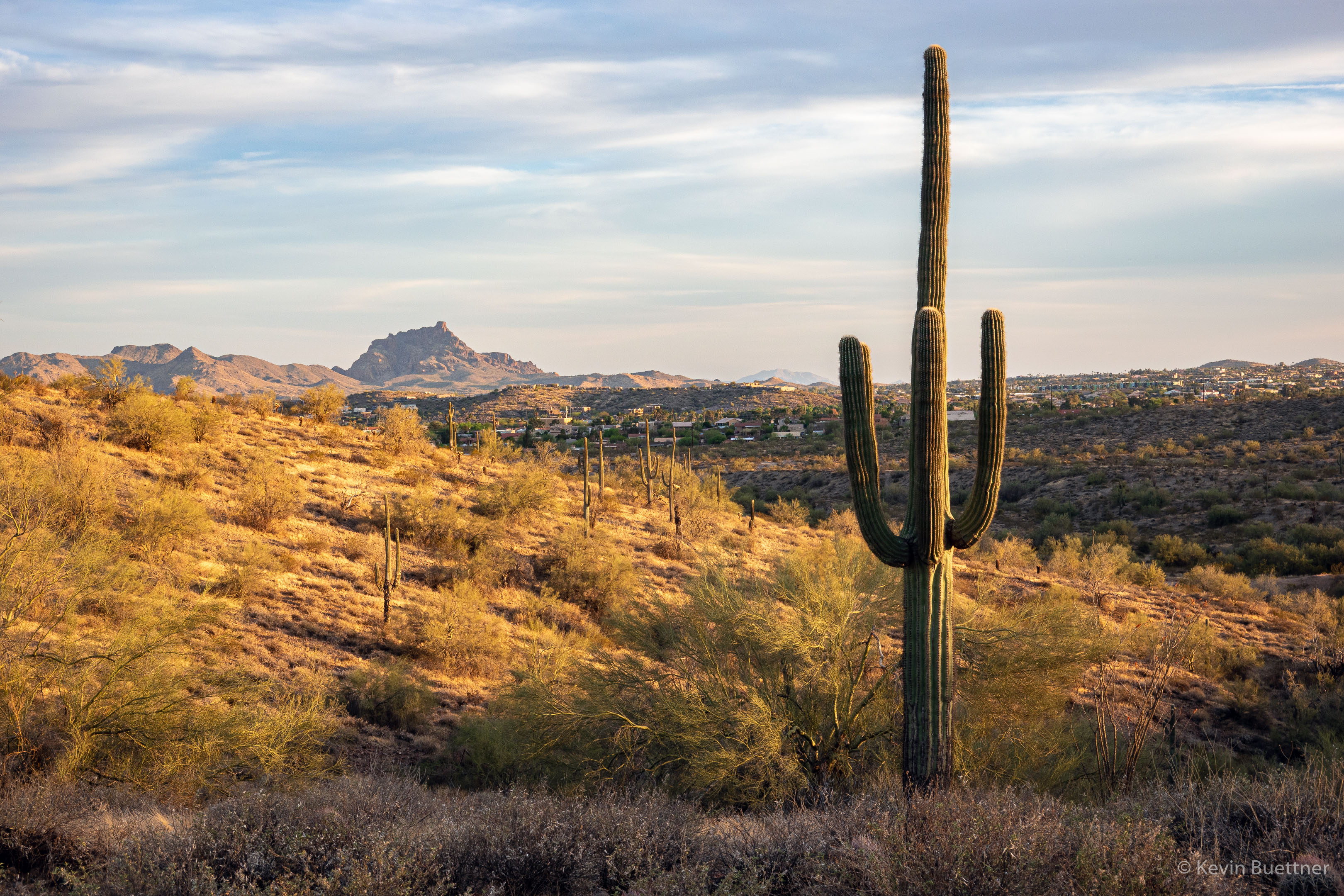
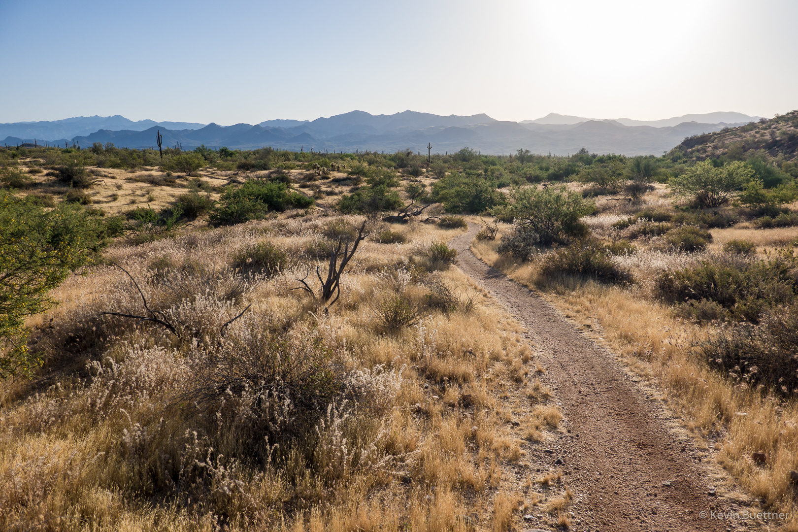
On Sunday, April 4, I hiked 11 miles, mostly in the desert, though I did make my way over to the fountain before returning home.
Red Mountain:
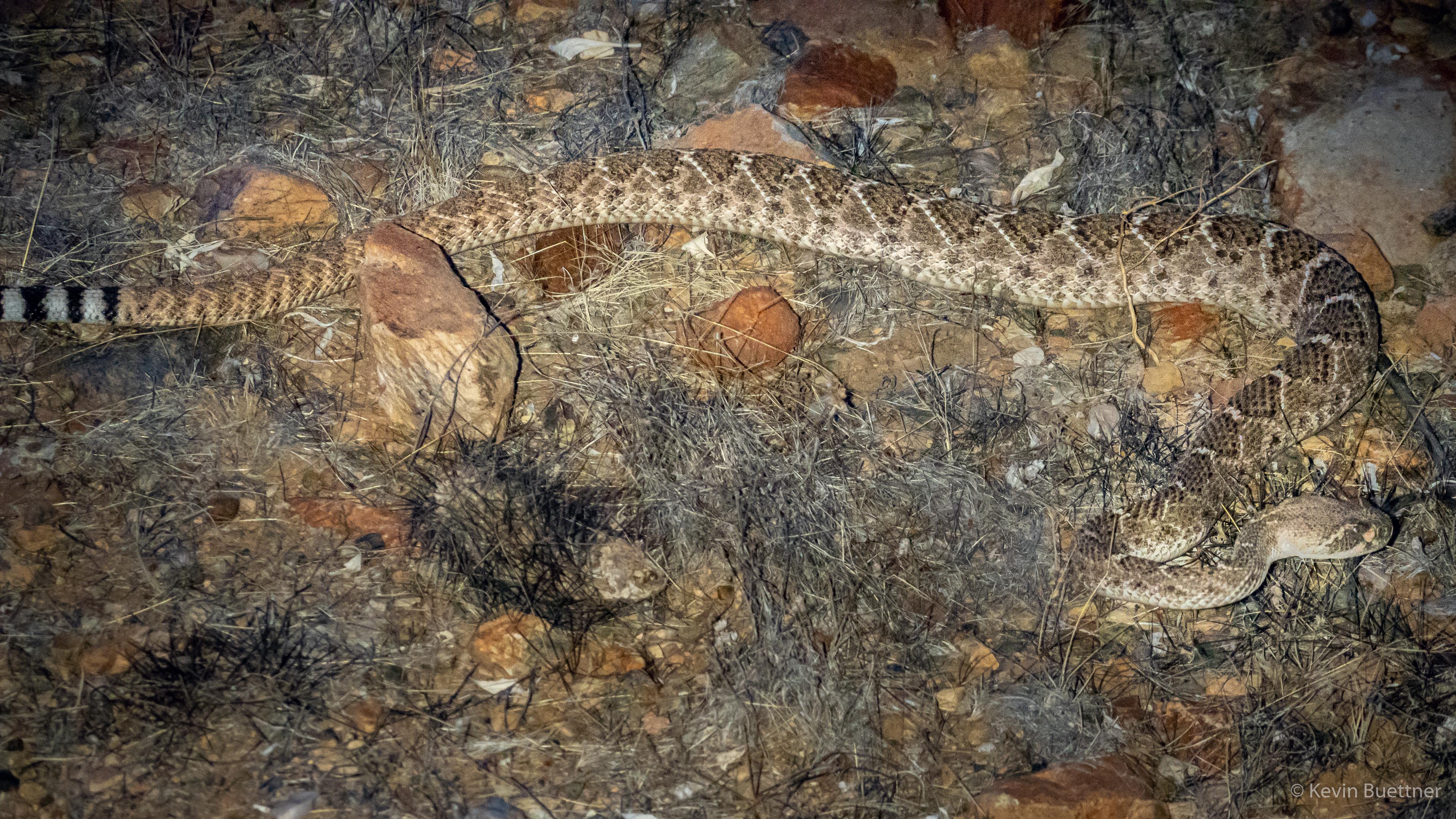
I saw two rattlesnakes, but only got a photo of the second. It was nearly dark and it was hard to see. I had to frame the snake and focus while trying to aim my flashlight at the snake. This photo, below, turned out to be the best of those that I took.
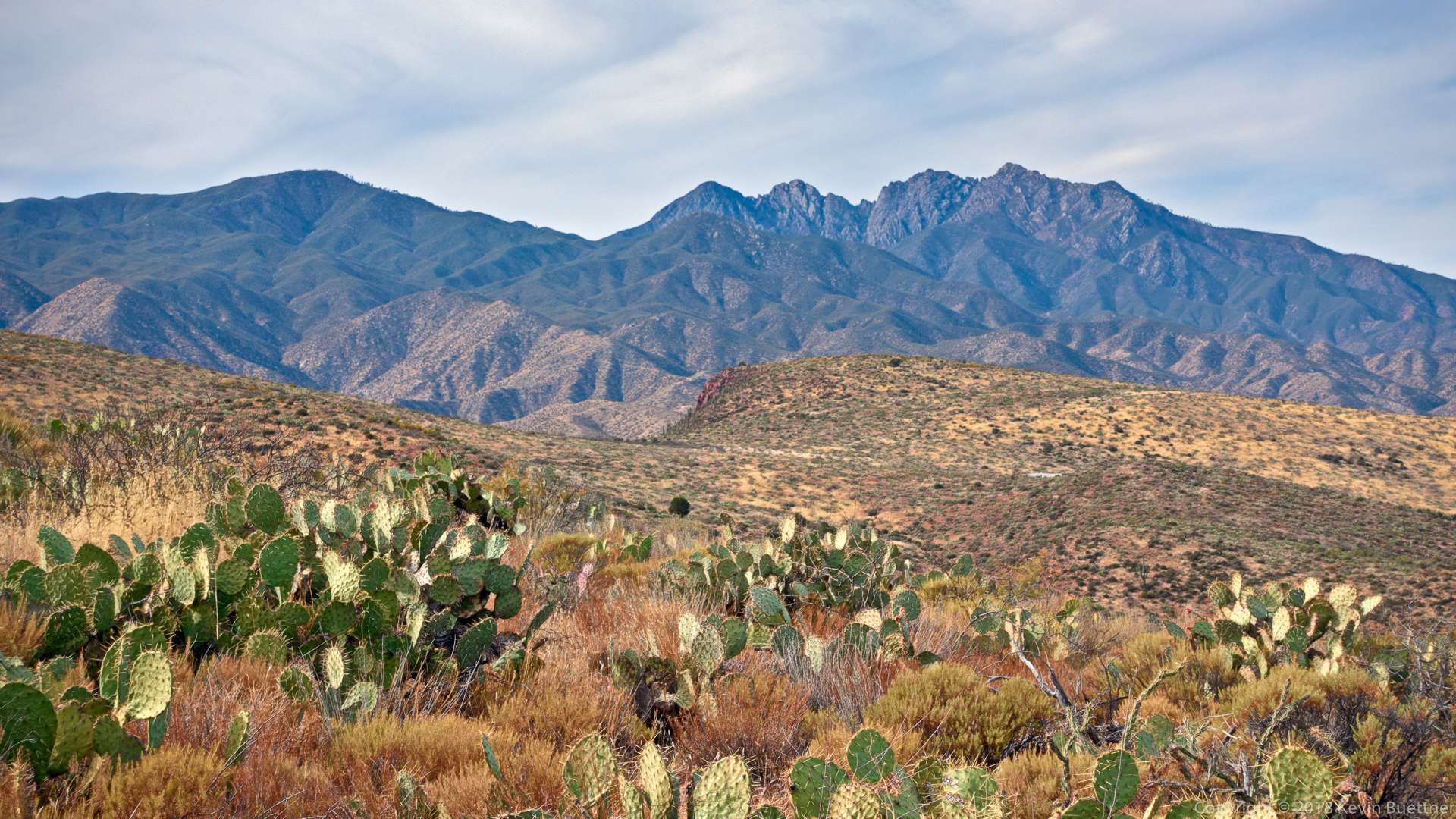
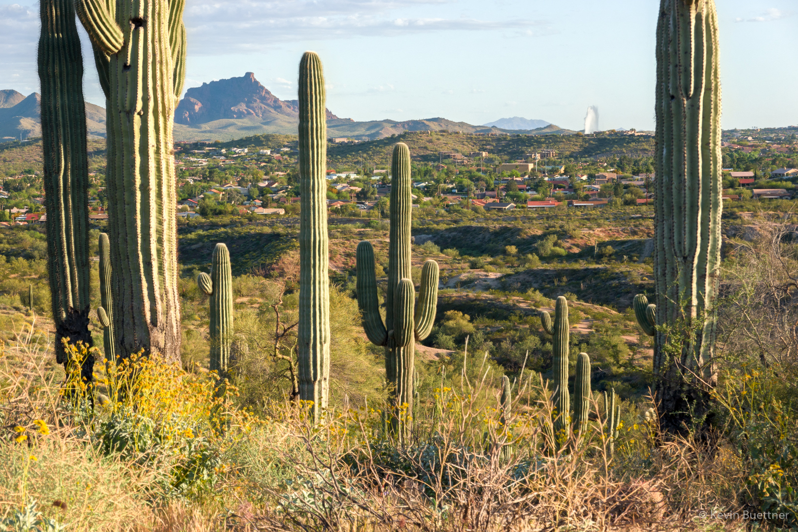
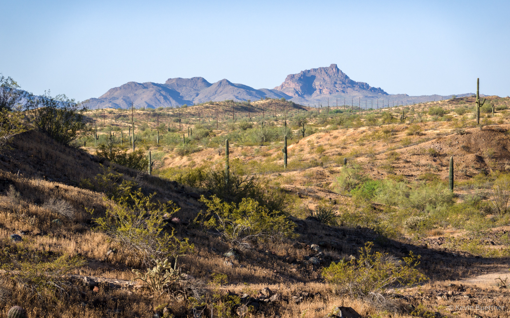
Red Mountain and Fountain:
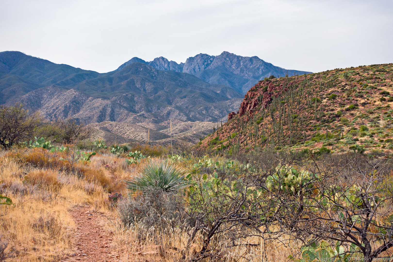
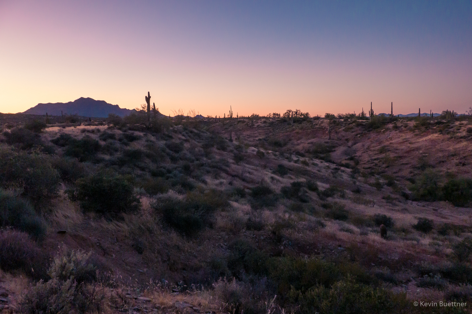
Nearing sunset:

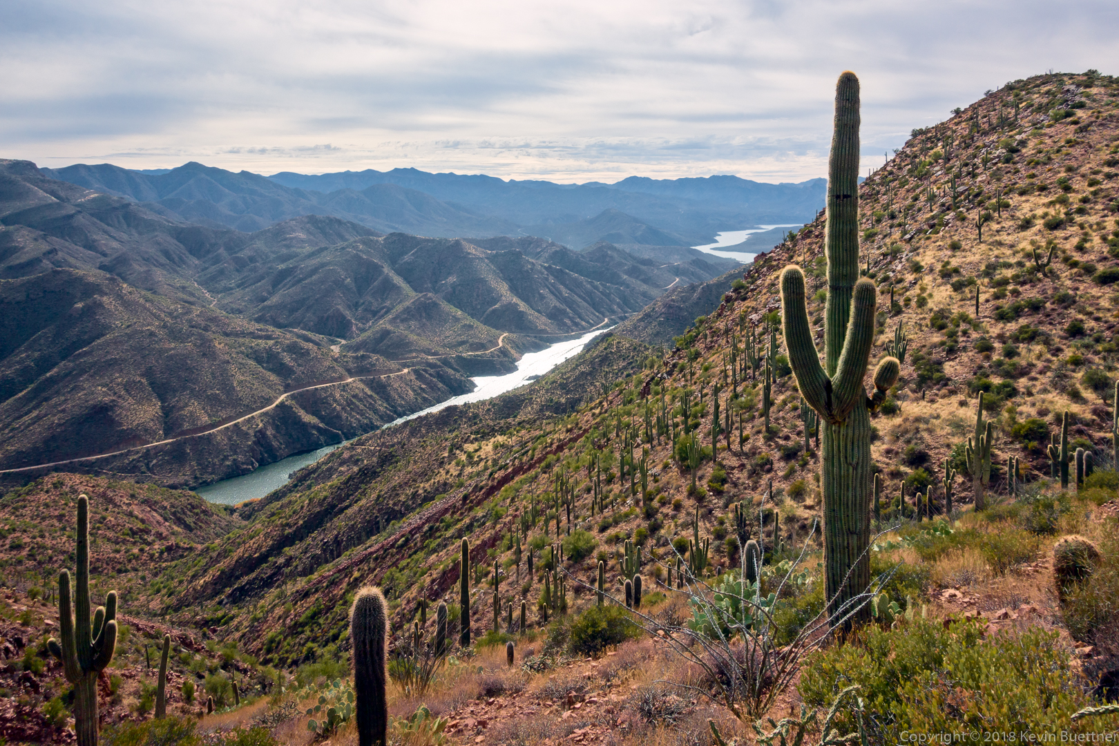
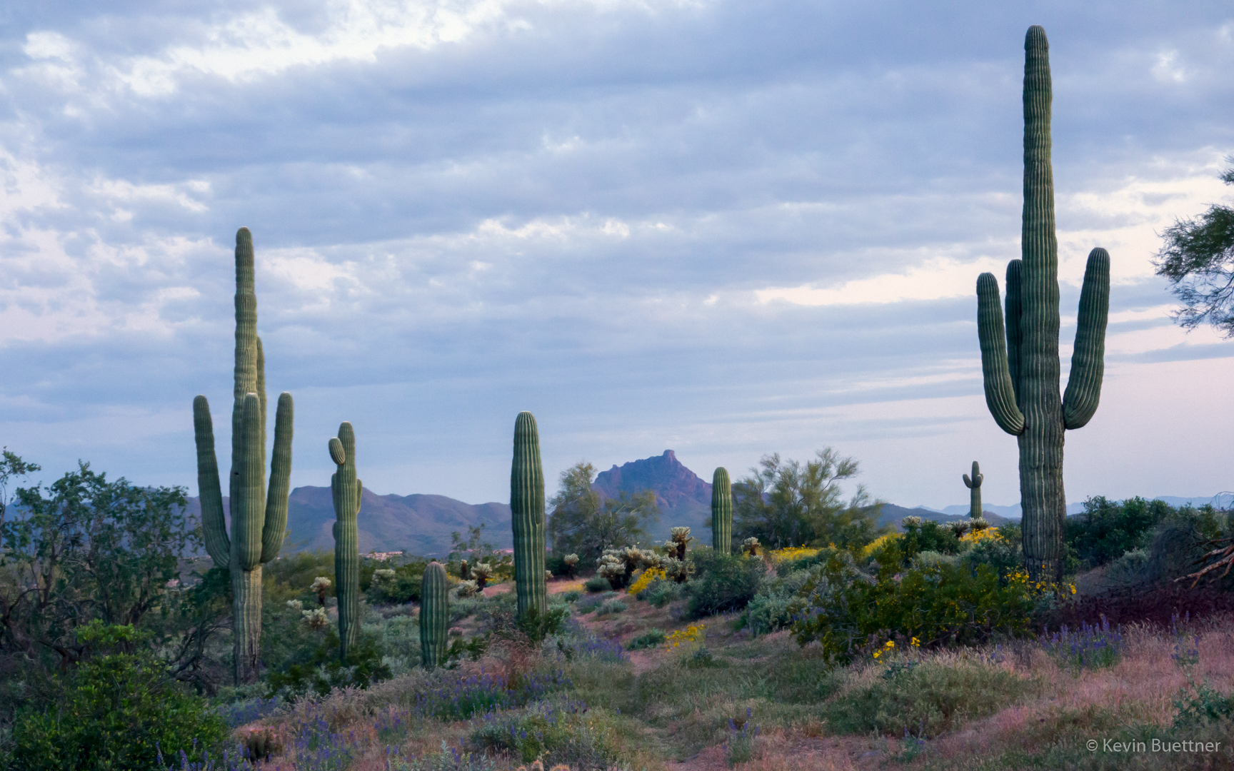
Looking toward Red Mountain as it’s getting dark:
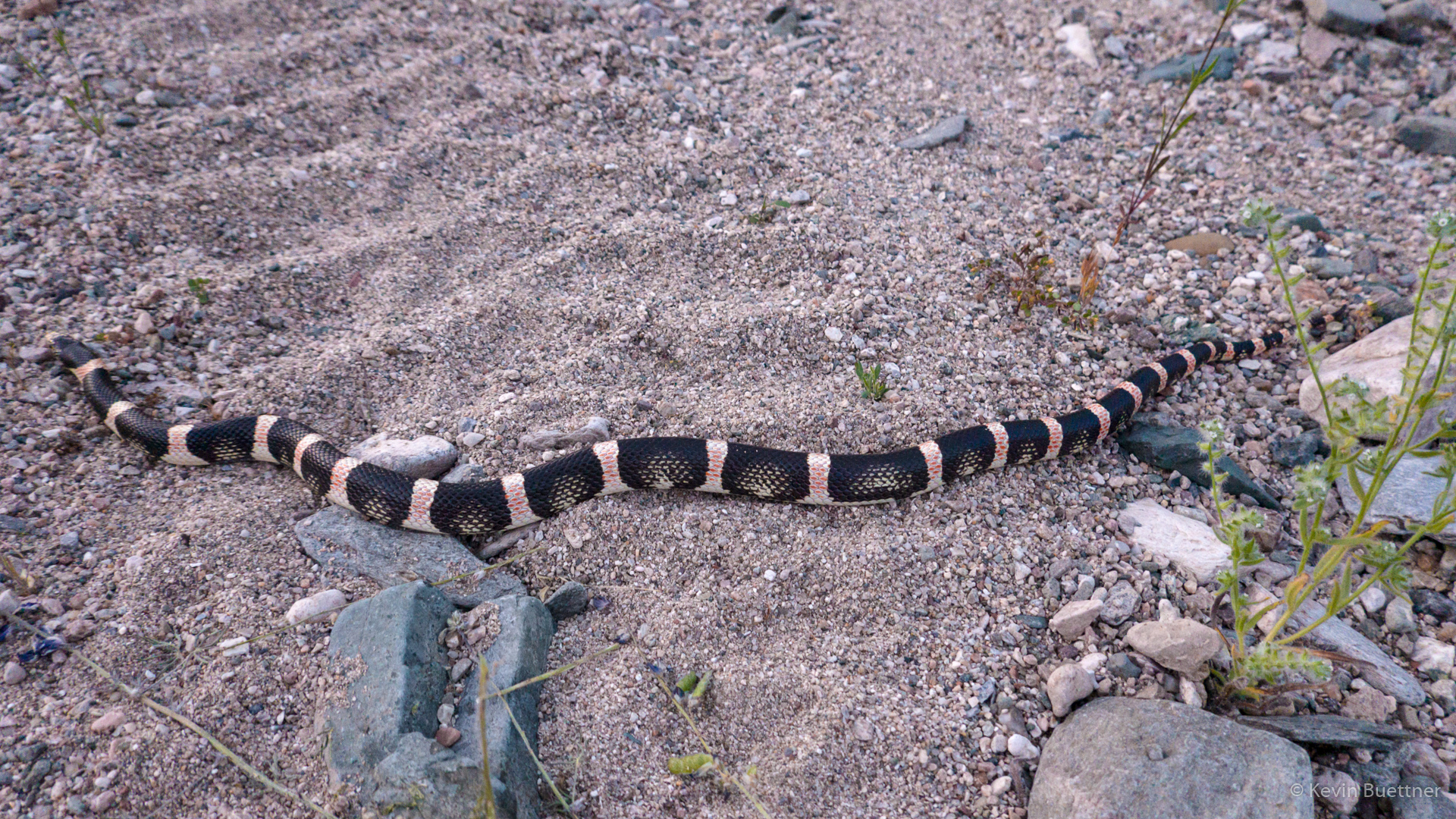
I saw this snake as I finishing my Monday night hike.
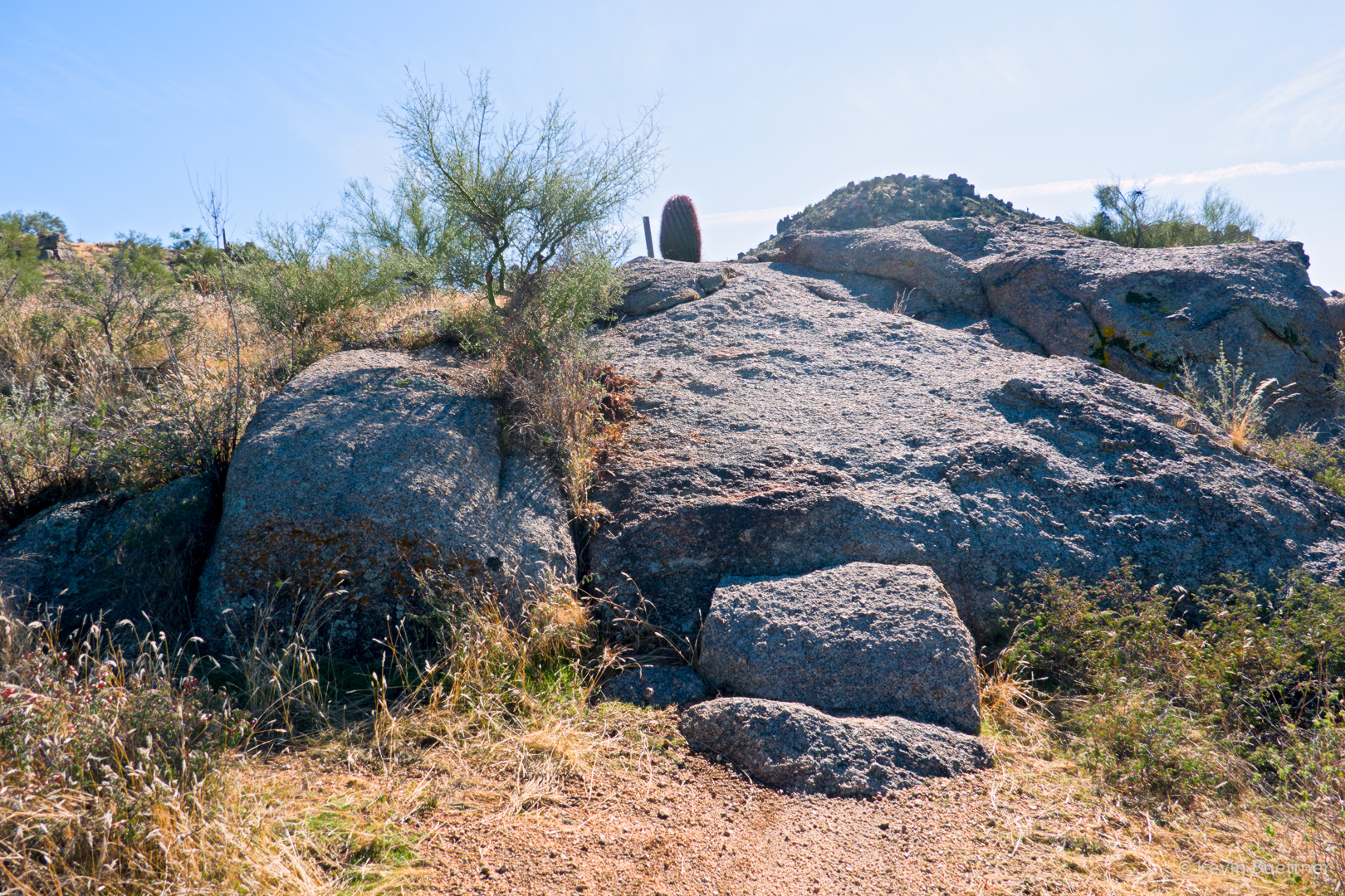
On Saturday, Nov 30, Marilyn and I did a hike at Granite Mountain. It was our first time there since the new trailhead facilities went in. The parking area is much larger and there are bathrooms now.
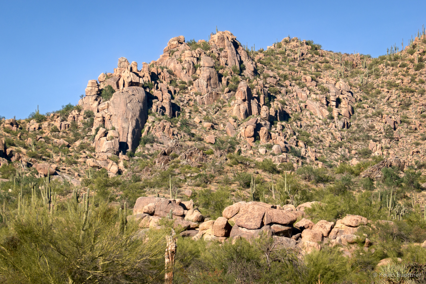
As we started out on the Bootlegger Trail, we got a good view of one of the areas at which we used to climb. I was wondering what the best approach might be. (We used hike there from the Lost Bandanna Area, but there might be a better route now.) We used to climb at The Loaf and Bobcat Boulder which are located towards the left but below the ridge line.
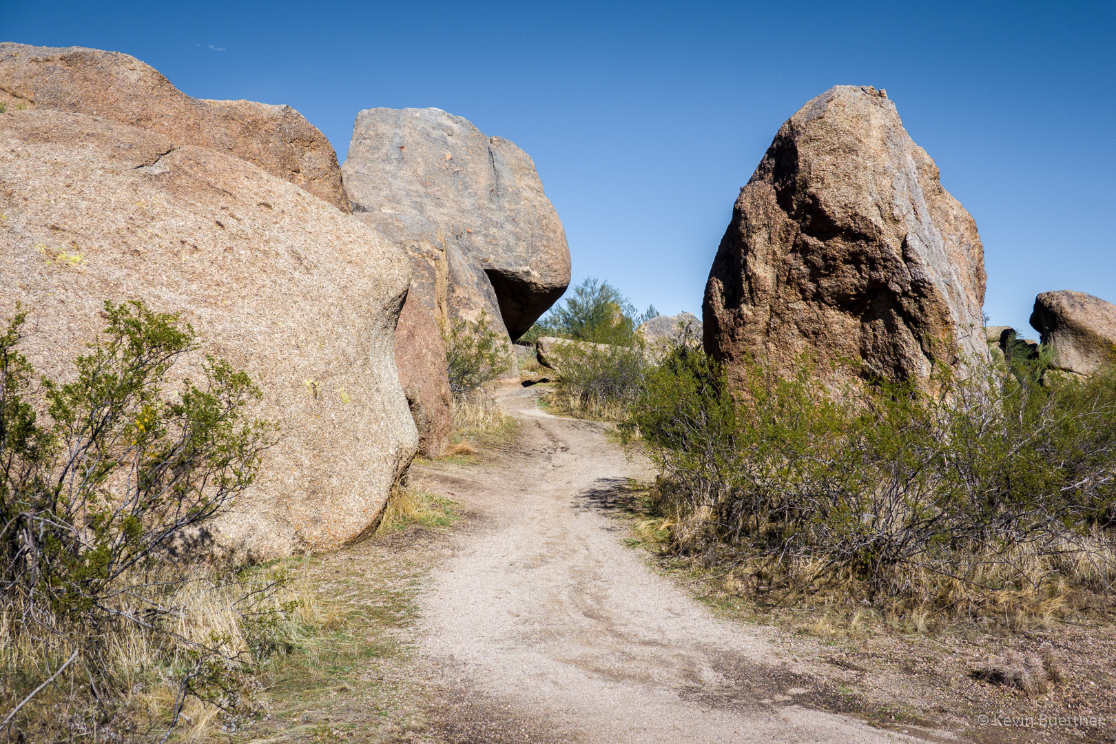
The Bootlegger Trail passes between some large boulders along the way.
A view of snow covered peaks from the Saddle-horn Trail…
We proceeded around Granite Mountain Loop where we caught sight of another of the climbing areas that we used to frequent, this time the Lost Bandanna Area. We’ve done climbs on the prominent wall right of center (Lost Bandanna Wall) and also the relatively easy slab (The Cone) to the left.
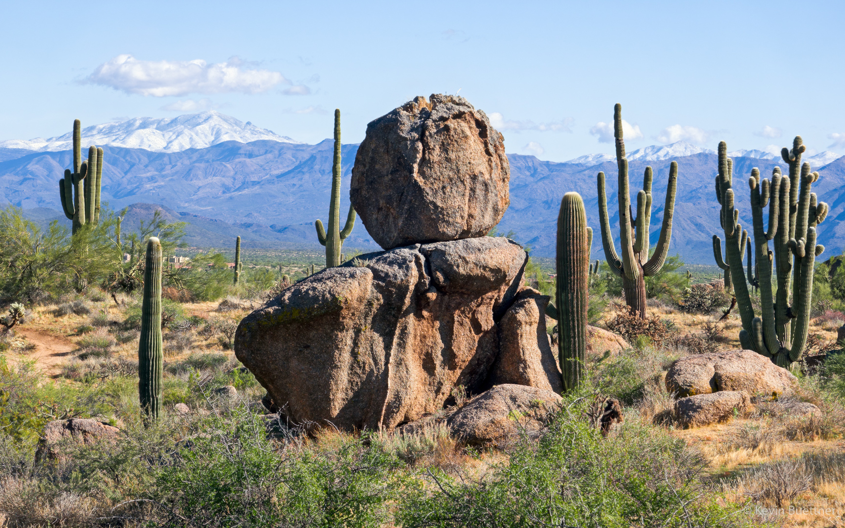
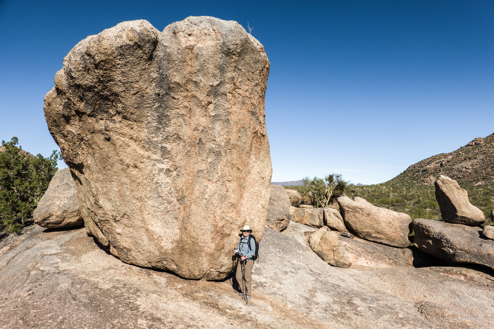
We took the Balanced Rock Trail to, well, this large rock for which the trail is named.
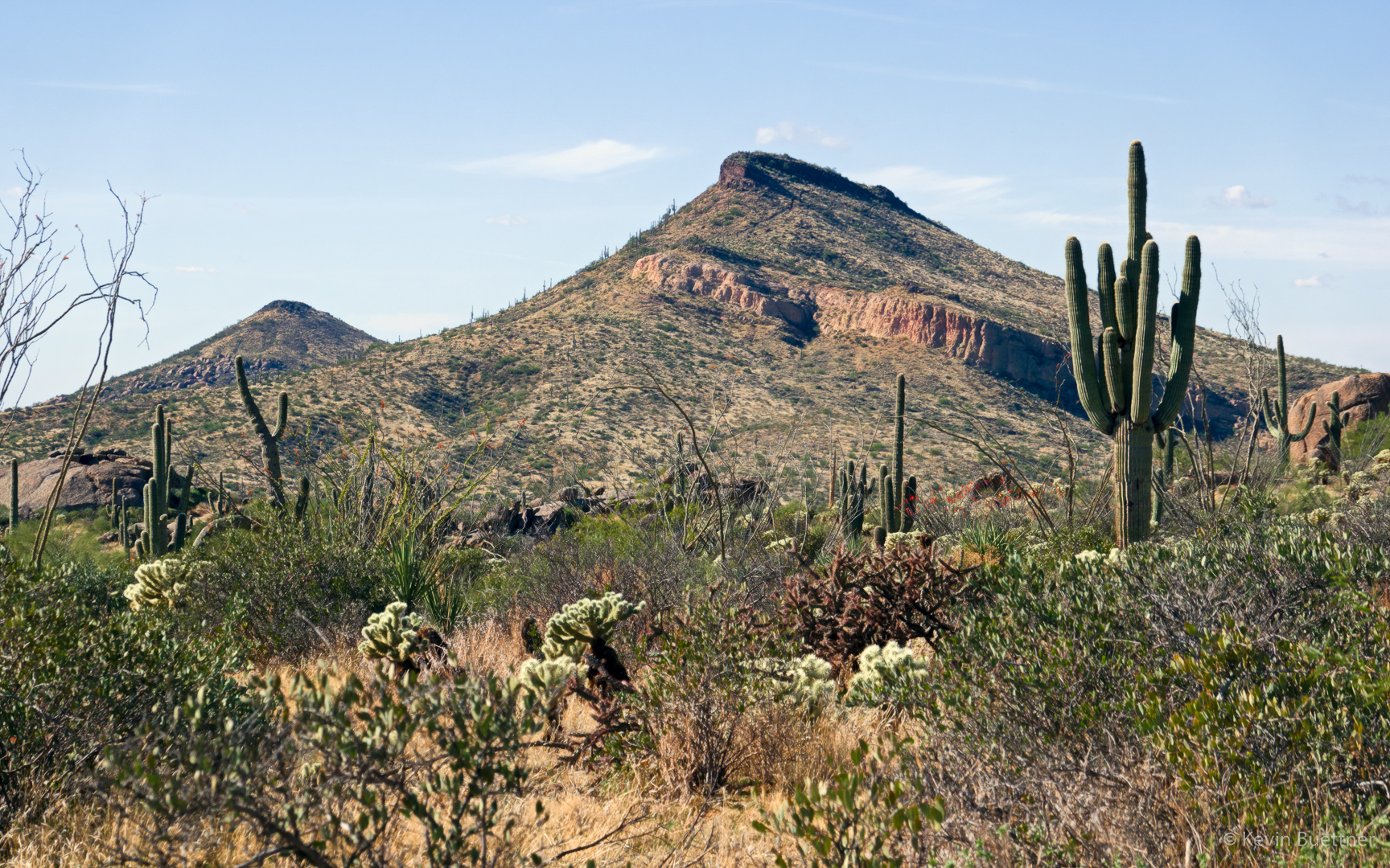
A view of Brown’s Mountain and Cone Mountain from the Cholla Mountain Loop Trail:
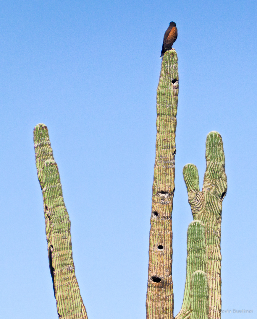
I think this is some kind of hawk; we saw it as we were approaching the intersection with the Branding Iron Trail.
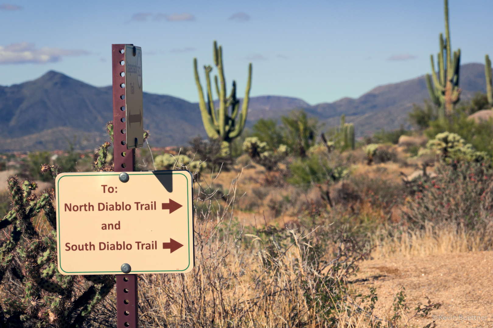
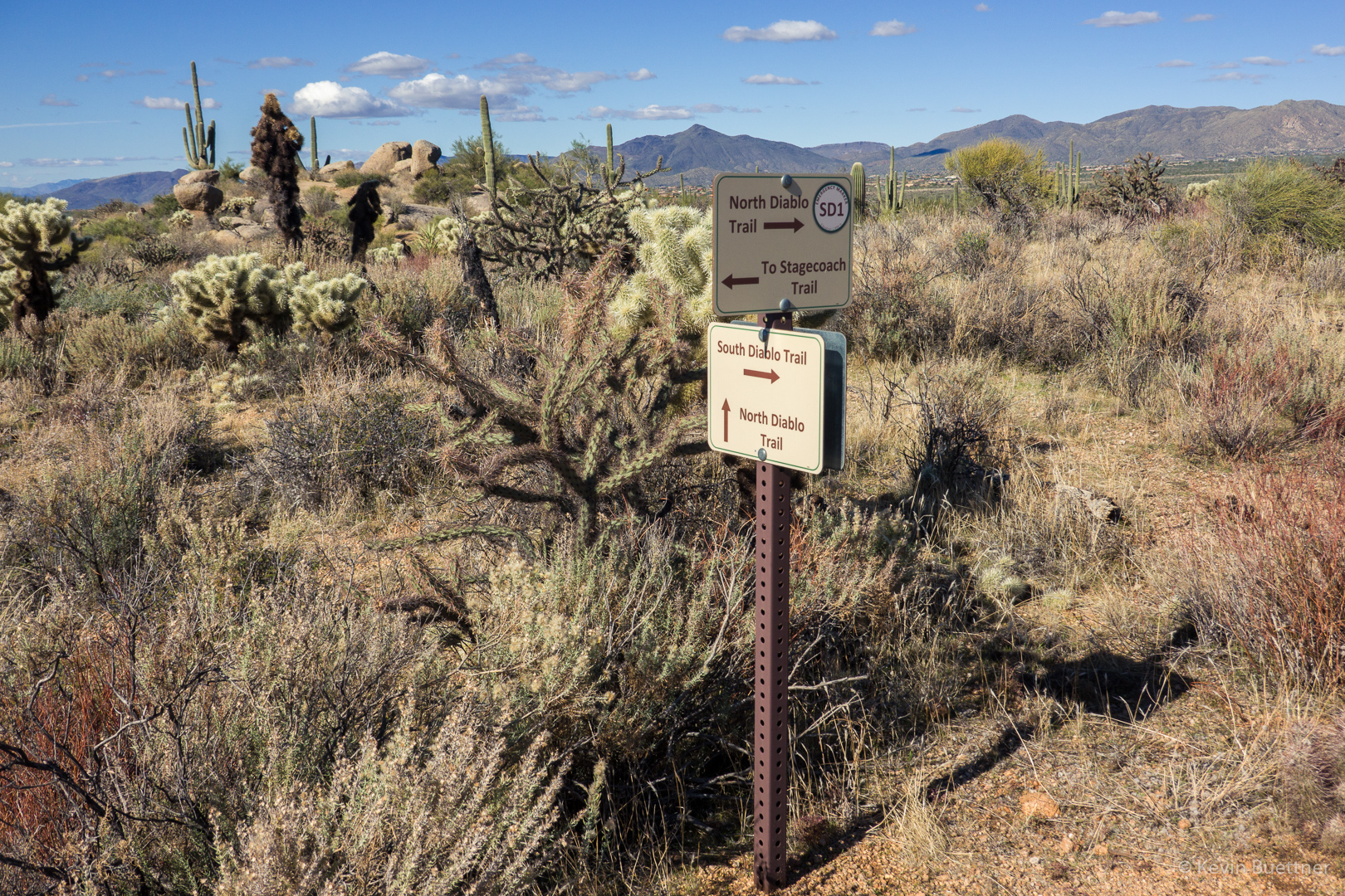
I saw this Christmas Cholla on the Stagecoach Trail. Marilyn and I had split up at this point. We eventually met up again on the South Diablo Trail.

Signs for the Diablo Trails…
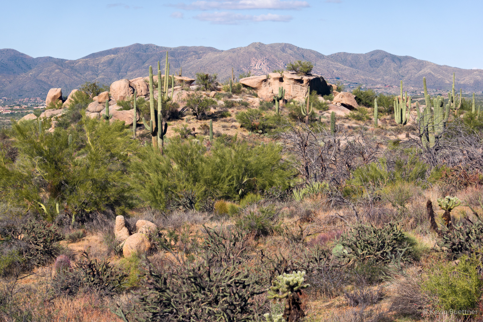
I zoomed in a lot and got a shot of some rock formations in the distance. I think that the Stagecoach trail goes around this formation.
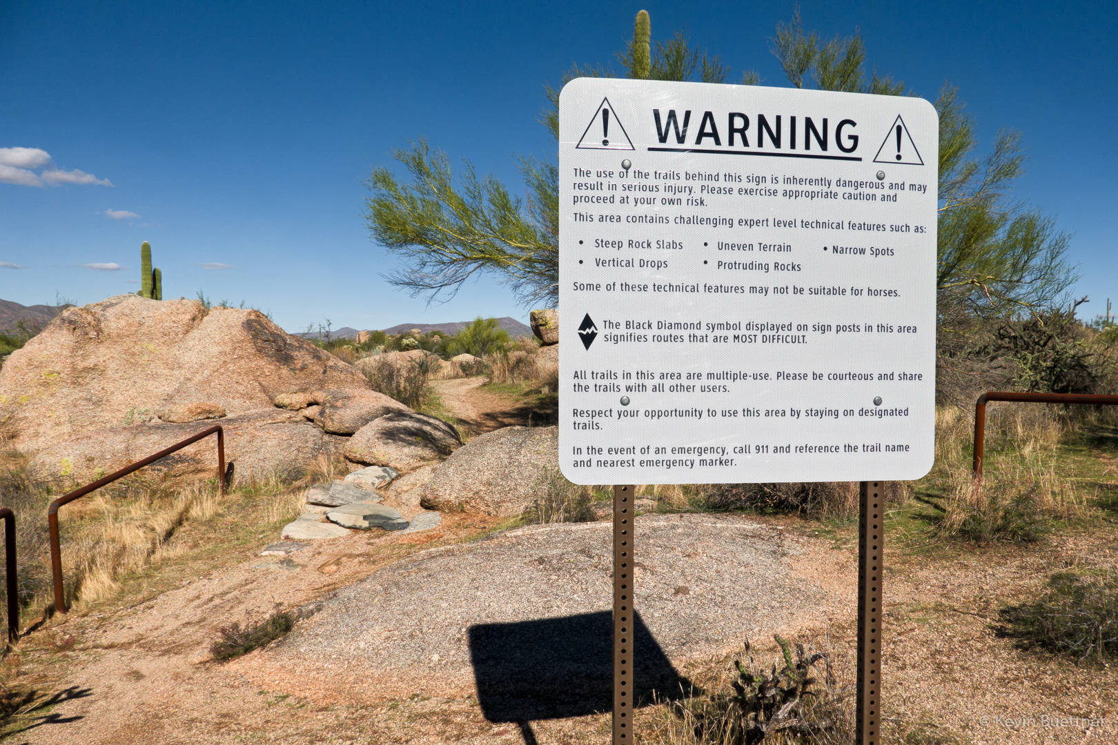
This is one of the moderate obstacles on the Diablo Trail. I doubt that I could ride up it, though I might be able to make it down. That said, there was a tricky bit at the top (out of view in this photo) which I might not make were I riding it in that direction. There are some much more difficult obstacles in other locations, but I forgot to photograph them.
This is a view from the Bootlegger Trail, somewhat after turning off of Granite Mountain Loop.
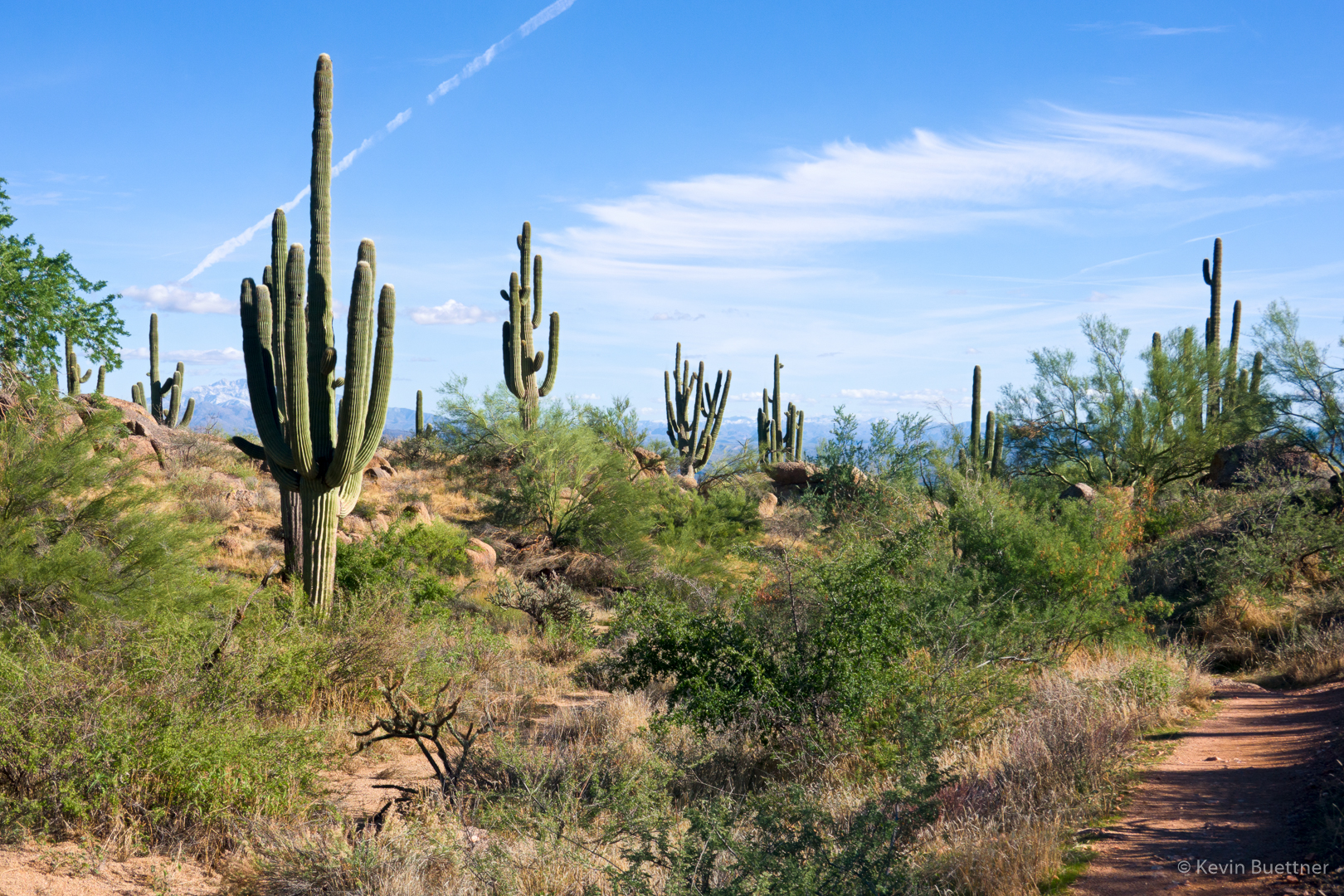
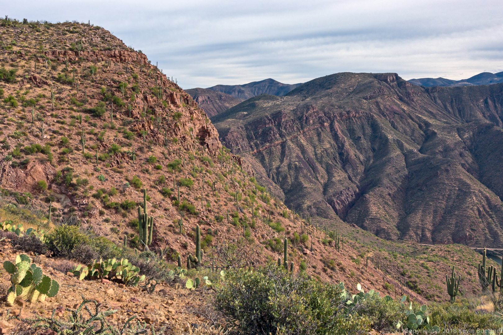
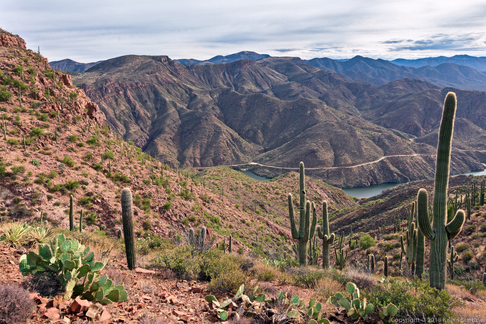
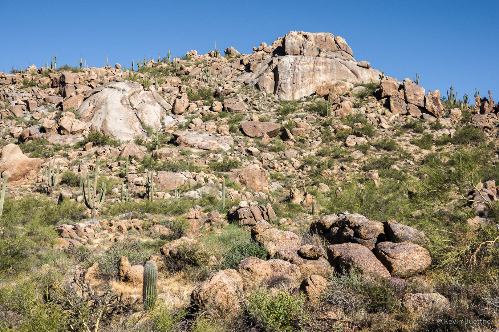
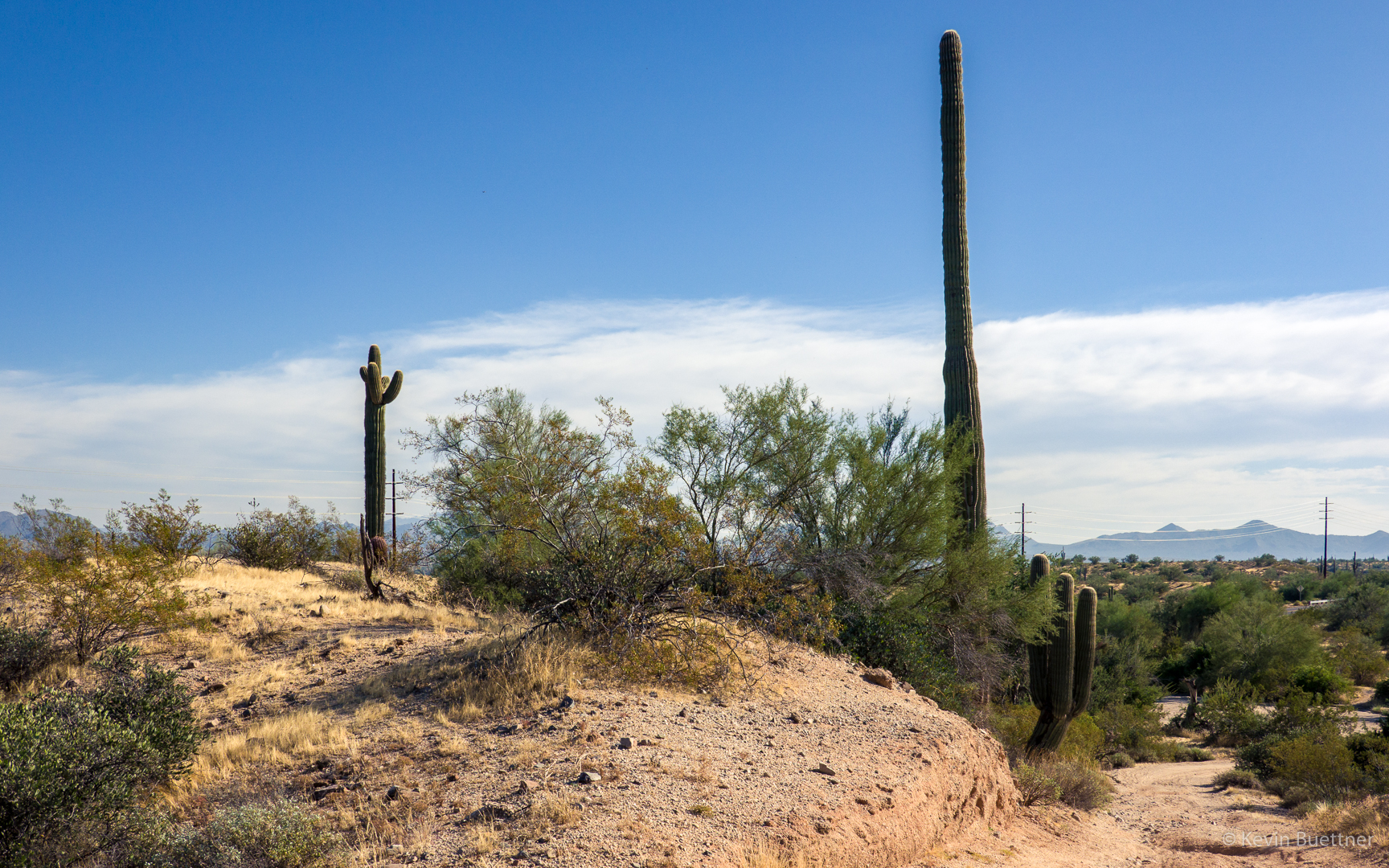
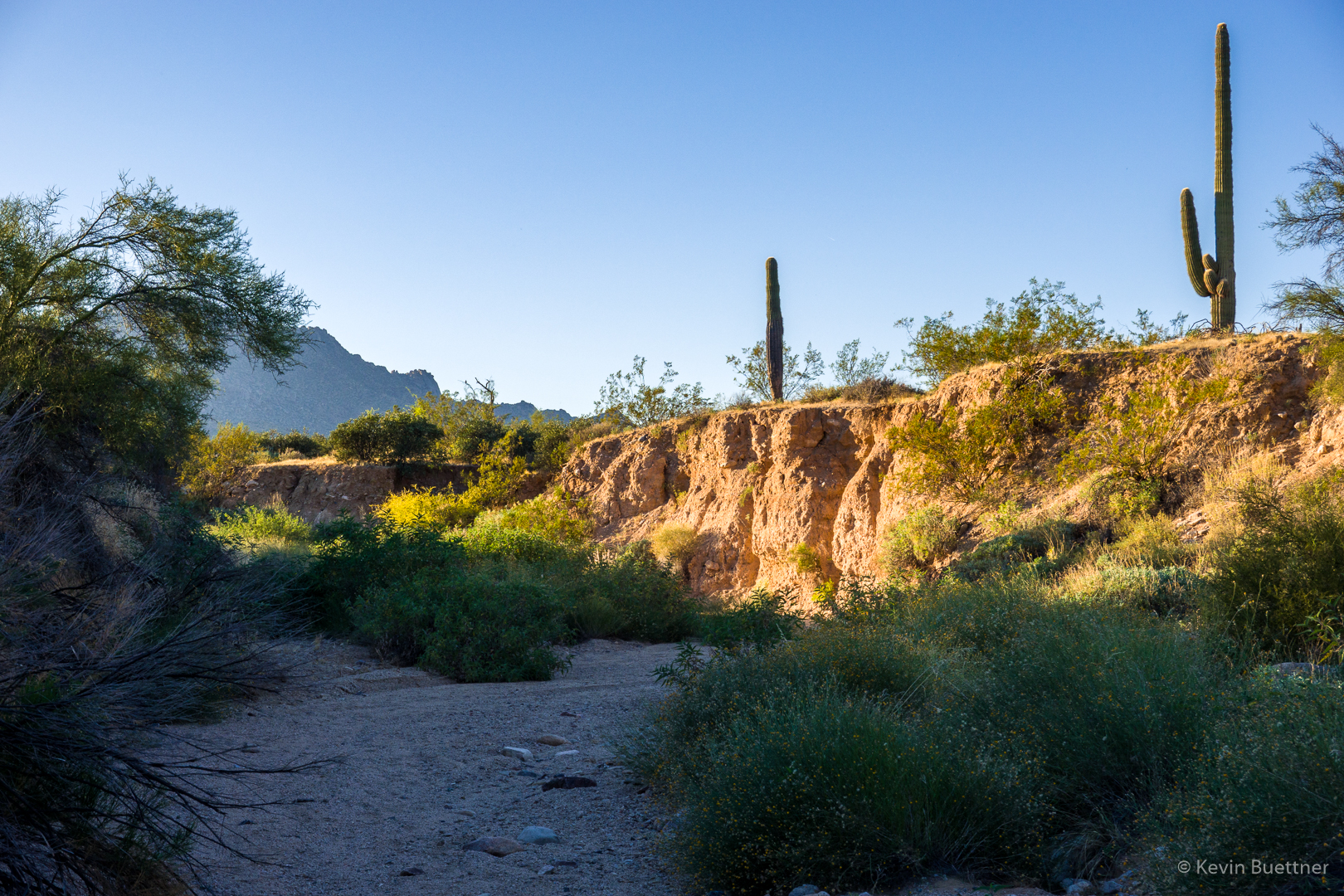
On Sunday, I hiked a 12.5 mile loop incorporating the South Wash in McDowell Mountain Regional Park.
This is a view as I was making my way over to South Ridge:
This is a view from South Ridge:
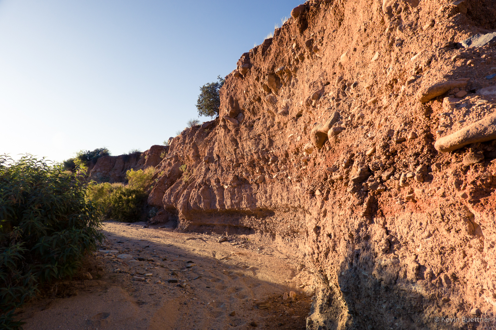
Views from South Wash…
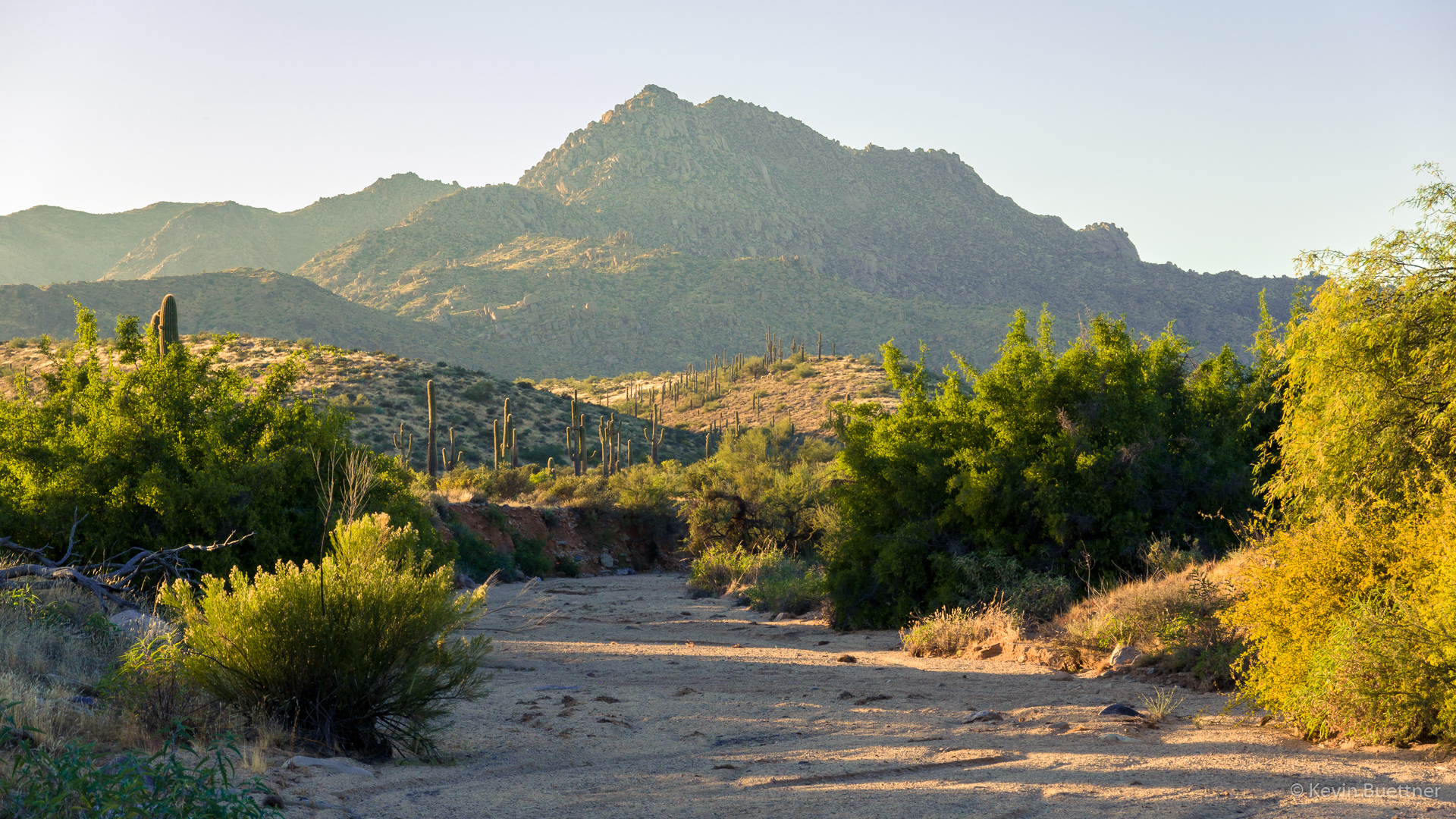
When I left South Wash, I hiked Dixie Mine to Pemberton. I think I took this shot shortly after turning onto the Pemberton.
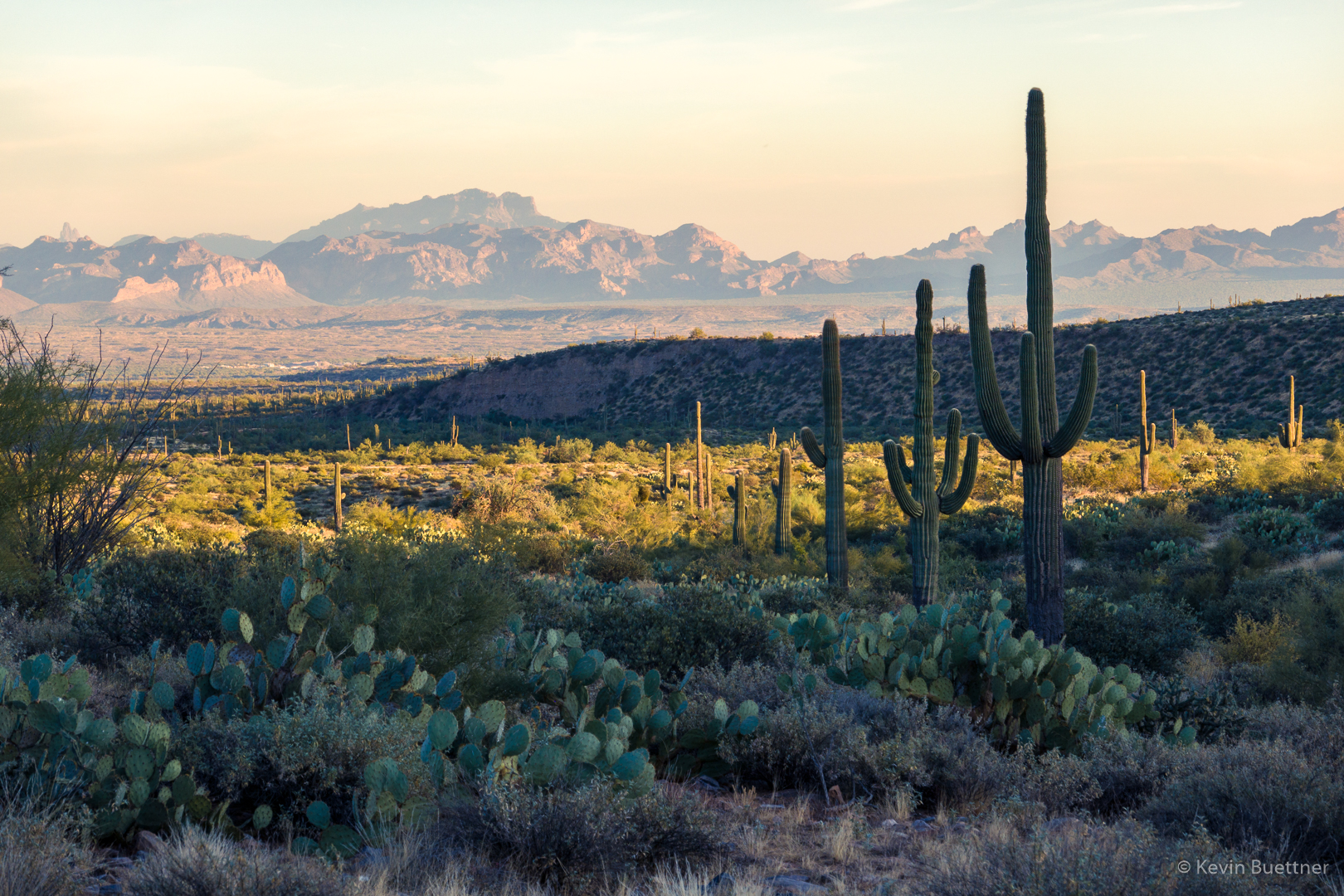
Another shot from the Pemberton – it was starting to get dark.

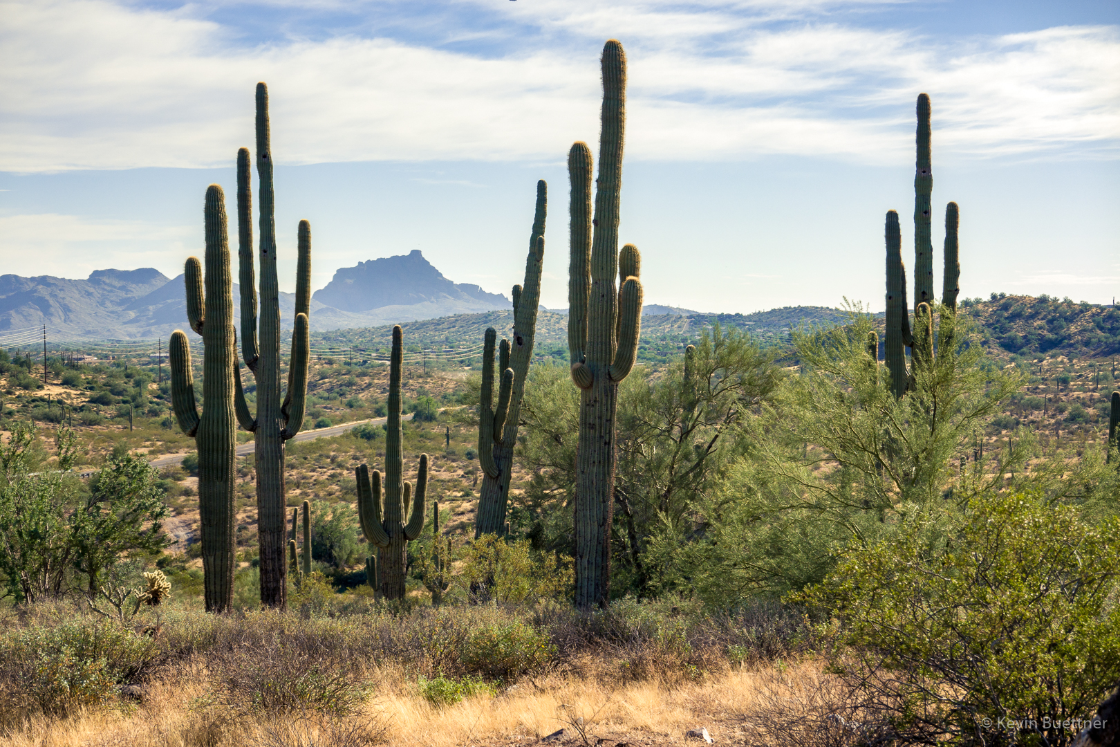
Looking back toward the McDowells:
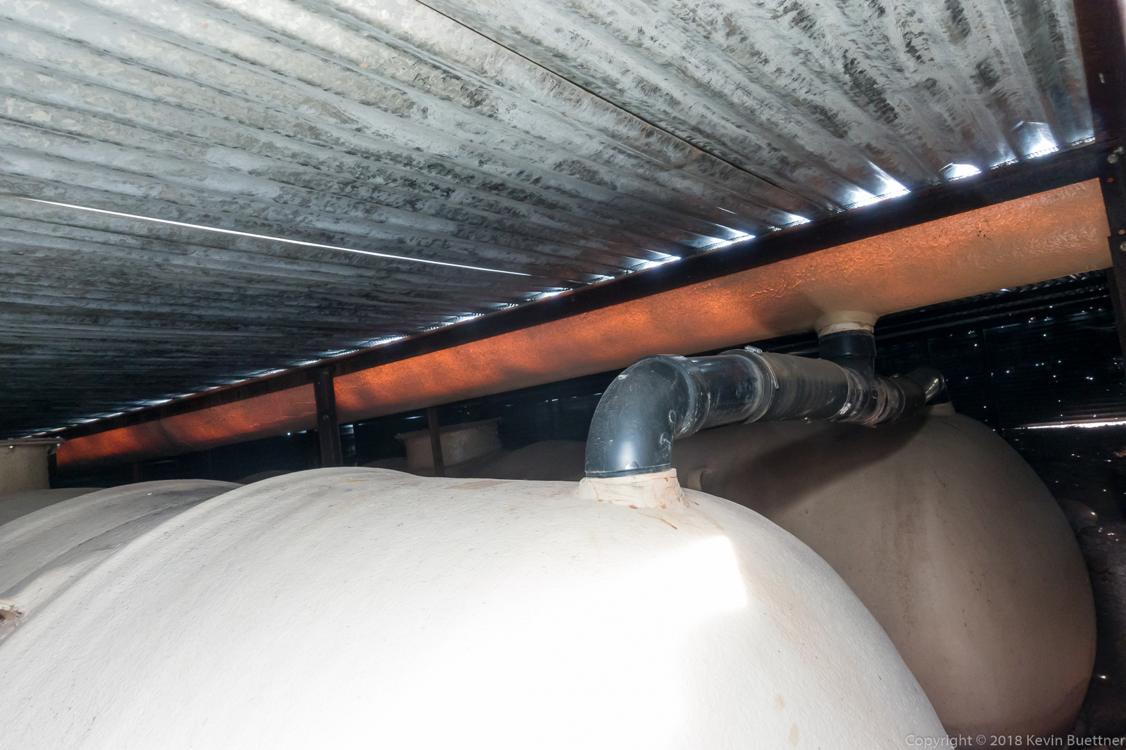
Mike and I hiked a little over 9 miles on Friday. Starting from the Trailhead Staging Area, we hiked Pemberton, Escondido, Cinch, and Scenic.
All but the last of the photos below were taken along the Escondido Trail. I took the last one from the beginning of Cinch, just after turning off of Escondido.


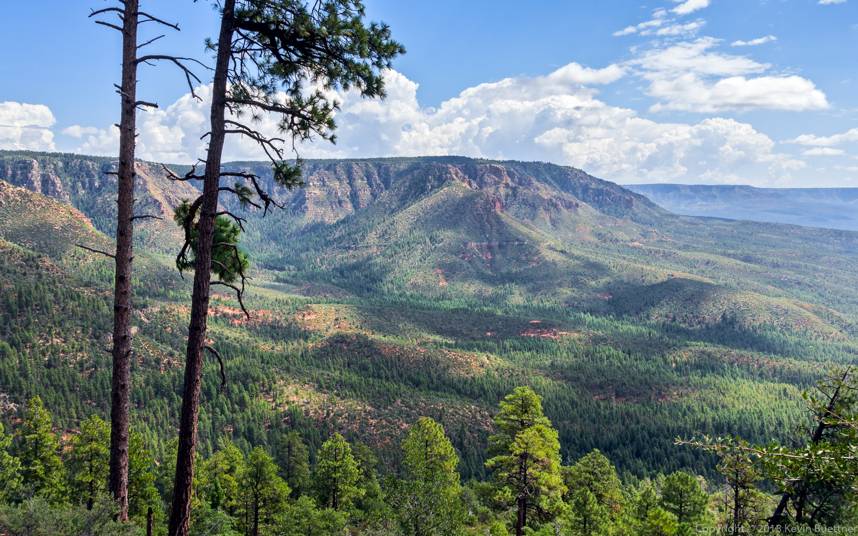
Dave and Heather joined Marilyn and me for a hike up and down the Mogollon Rim. Starting from the Geronimo Trailhead, we hiked Geronimo to the Turkey Trail, which took us to Milk Ranch Point, a Mogollon Rim peninsula. Atop the rim, we hiked FS 218 and then headed back down via the West Webber Trail. We returned to the trailhead via the Geronimo Trail.
We crossed this small creek at the start:
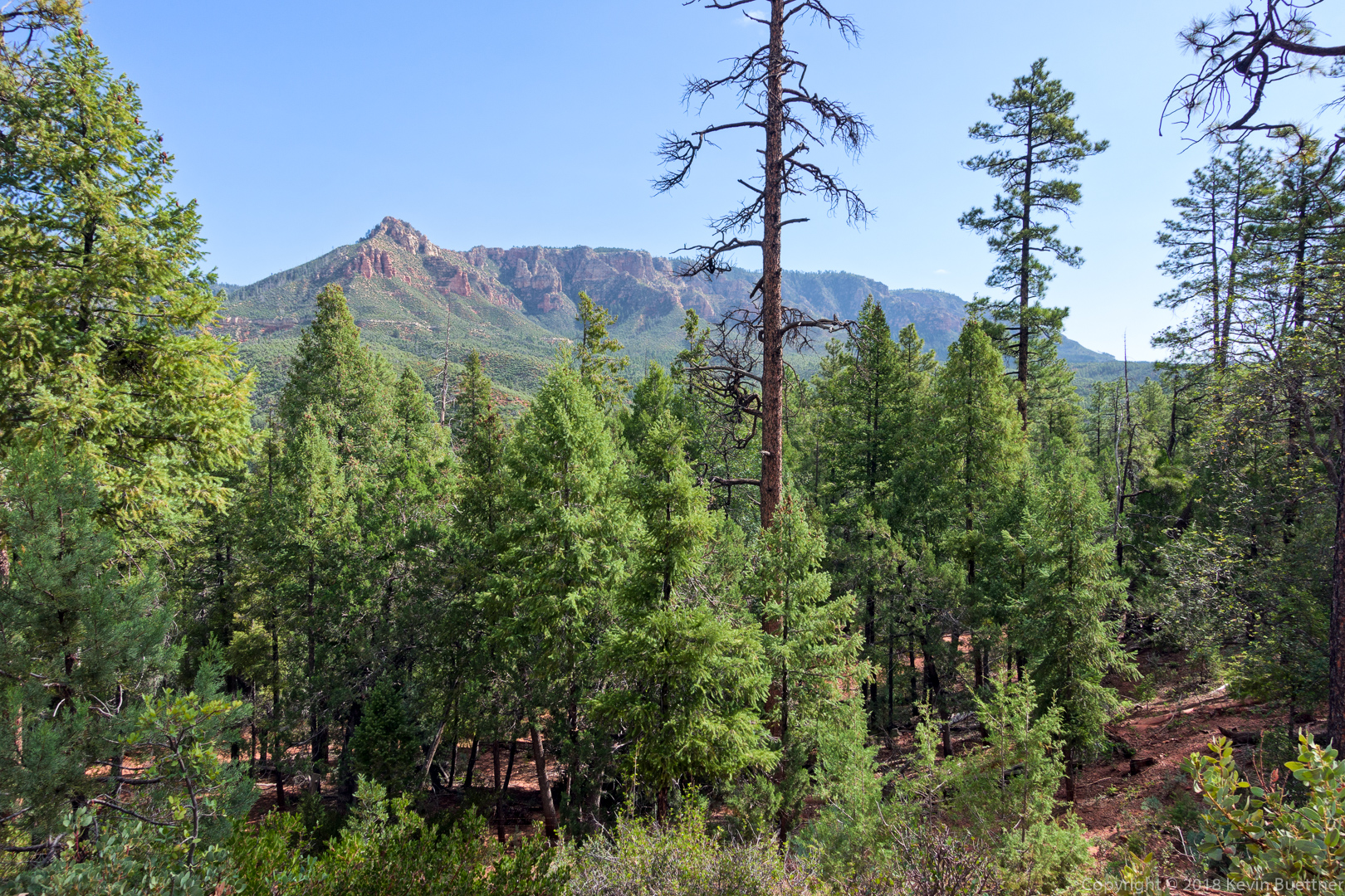
A view from the Geronimo Trail:
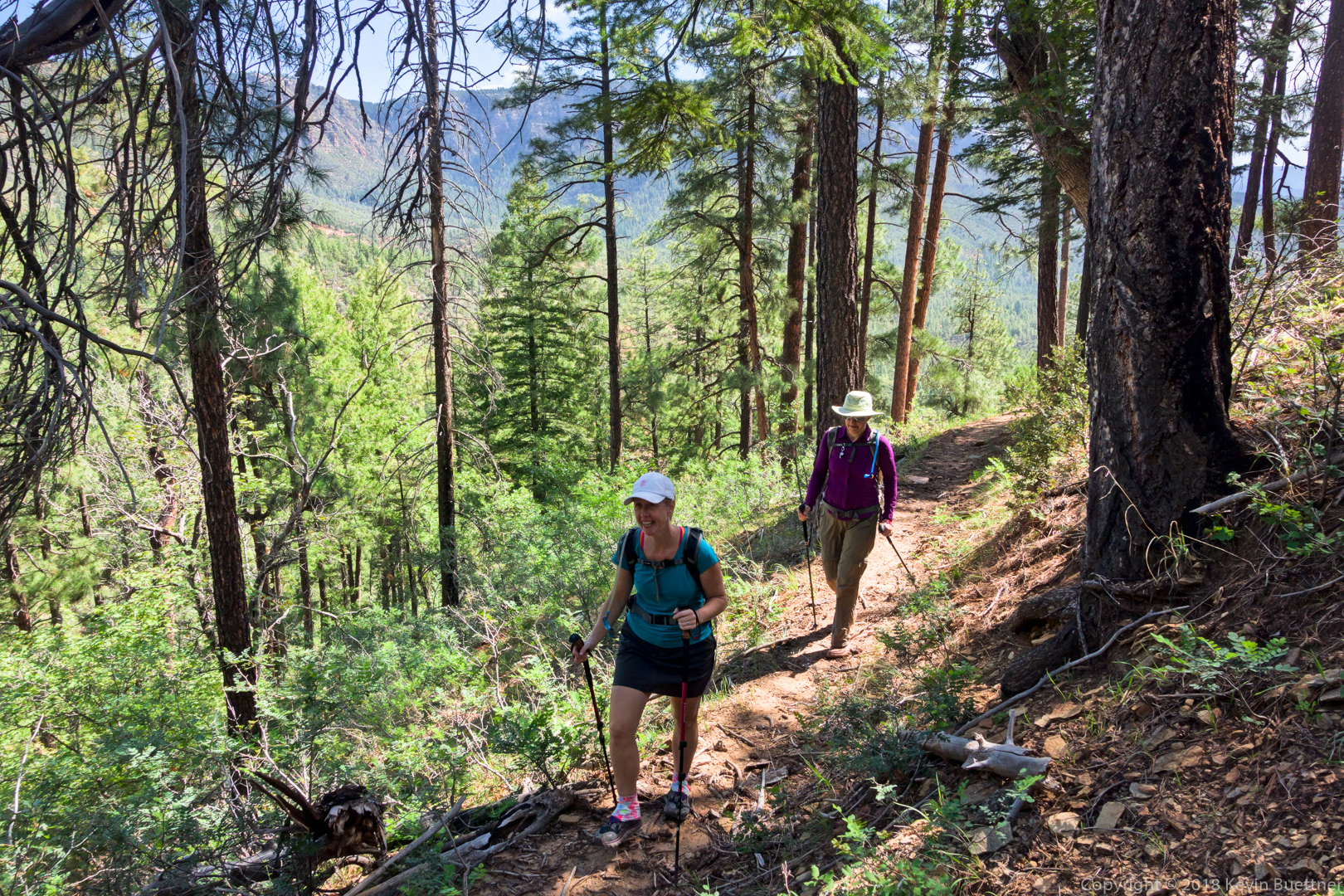
Heather and Marilyn, hiking up the Turkey Trail:
A view from the Turkey Trail:
Dave took this photo of Heather, me, and Marilyn:
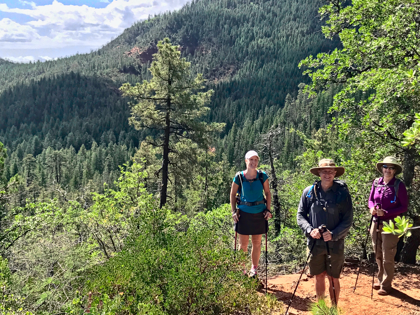
(Photo Credit: Dave Sesteli)
There were some expansive views from the Turkey Trail. We decided to go up this trail instead of West Webber because I had read that West Webber was shadier – I wanted the shade during the warmer parts of the day.

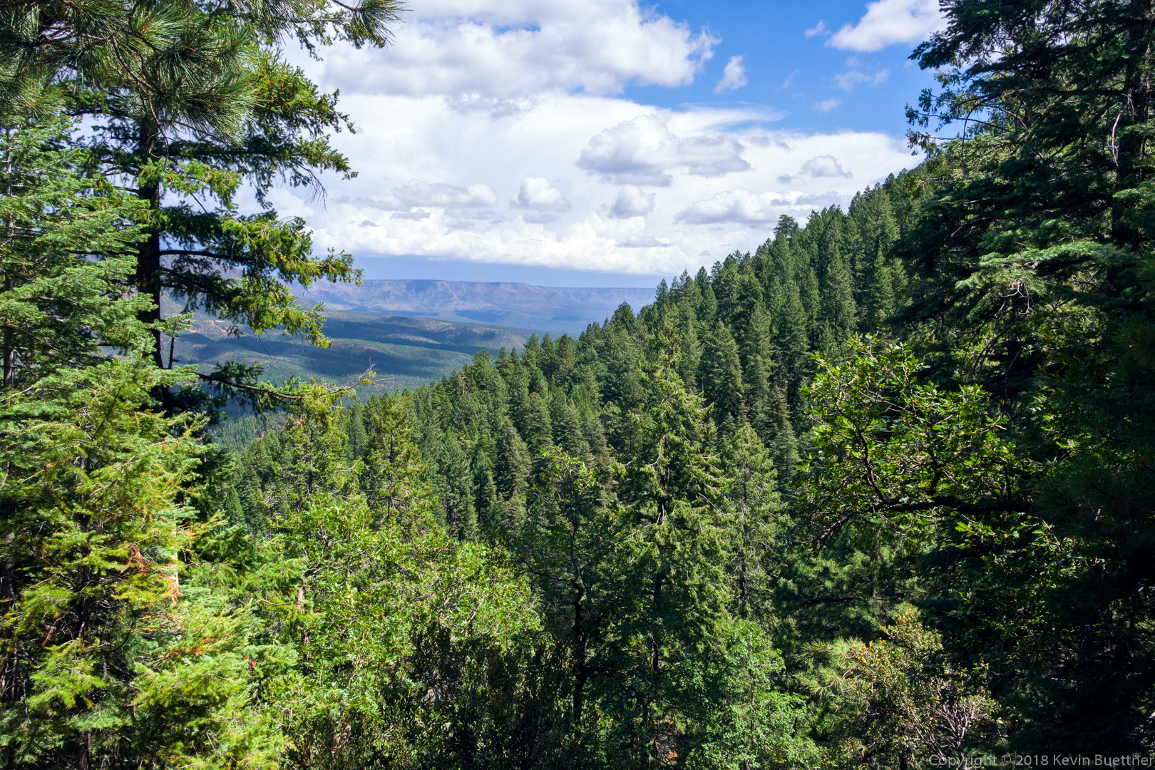
A view from the West Webber Trail. West Webber was mostly in forest. This was probably the most expansive view available from that trail.
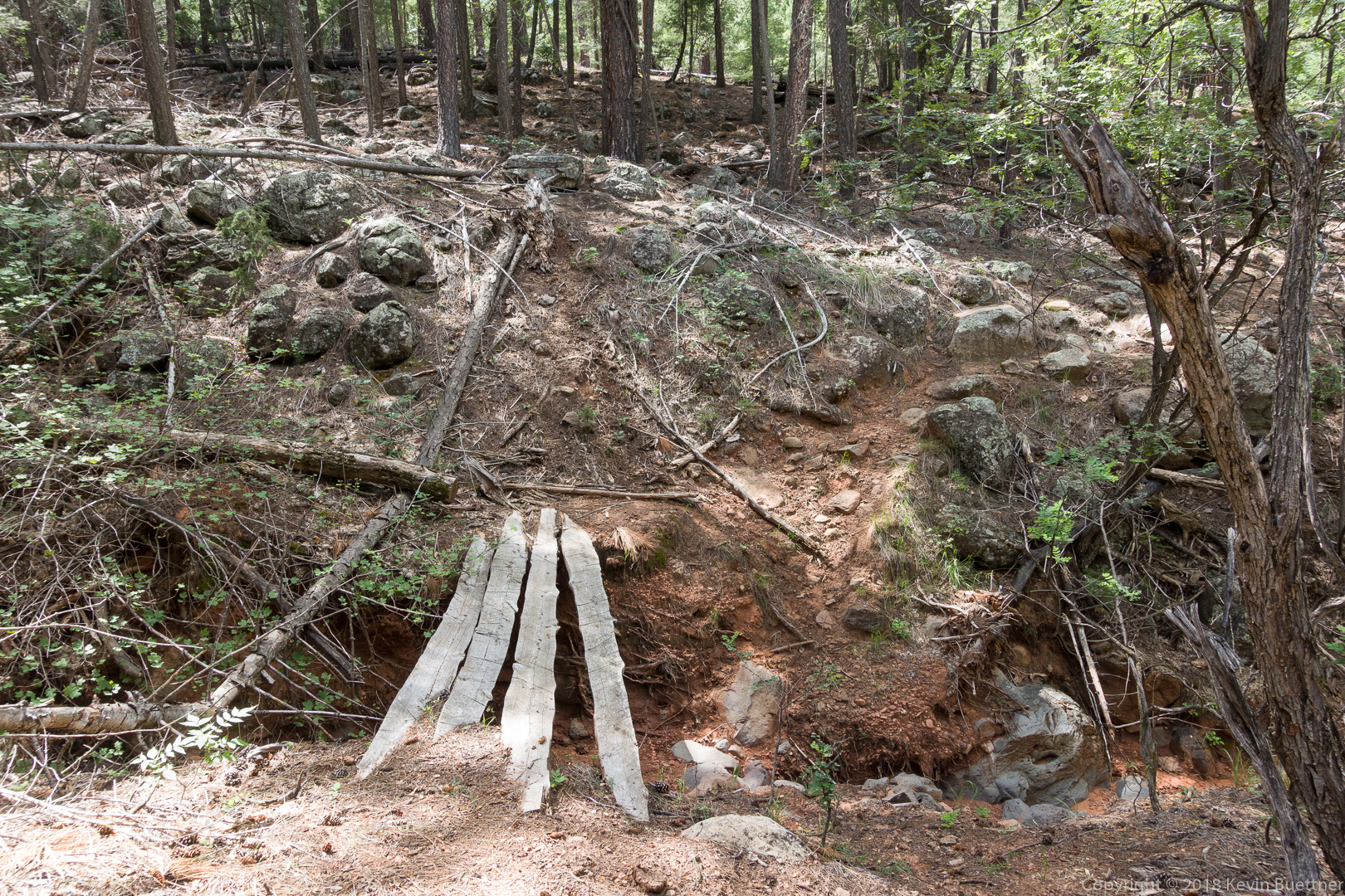
Marilyn and I crossed this “bridge” on our way back. Dave and Heather had hiked ahead of us and most likely took the left fork while descending the West Webber Trail. I enjoyed this stretch of trail – there was just enough growth to make me look twice in a few spots to see where to go next.
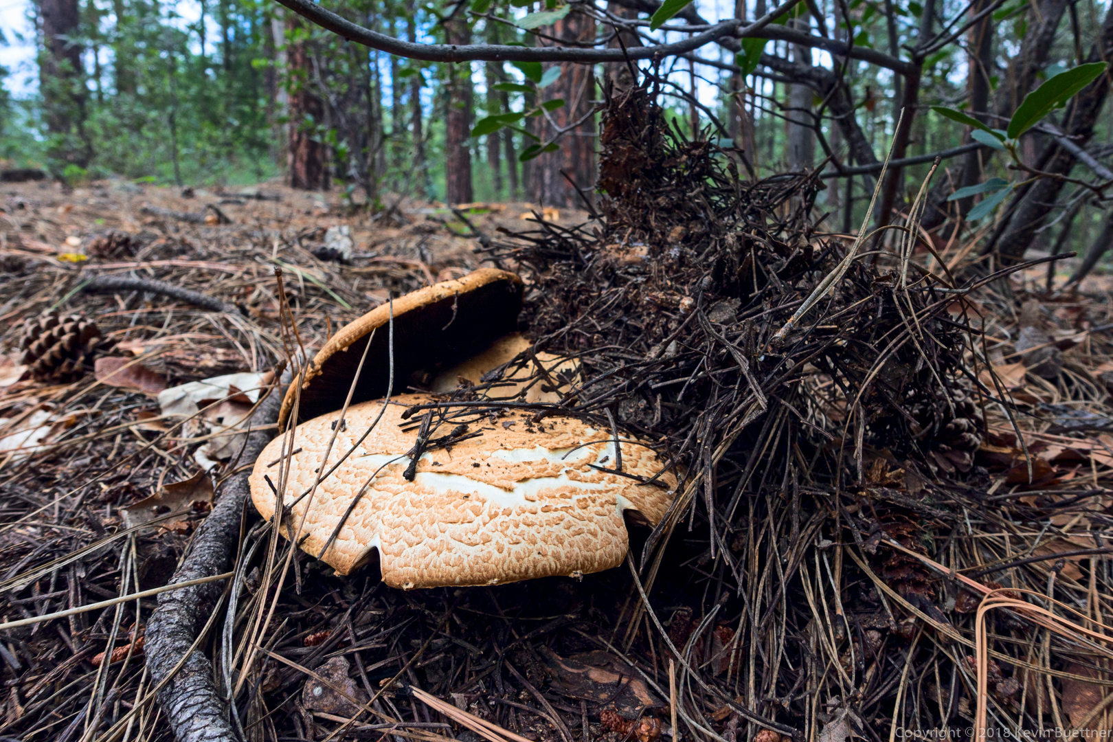
We saw this mushroom on the Geronimo Trail not long before arriving back at the trailhead.
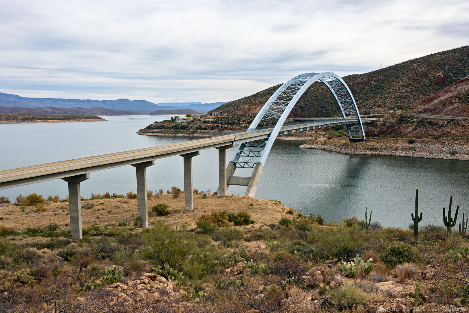
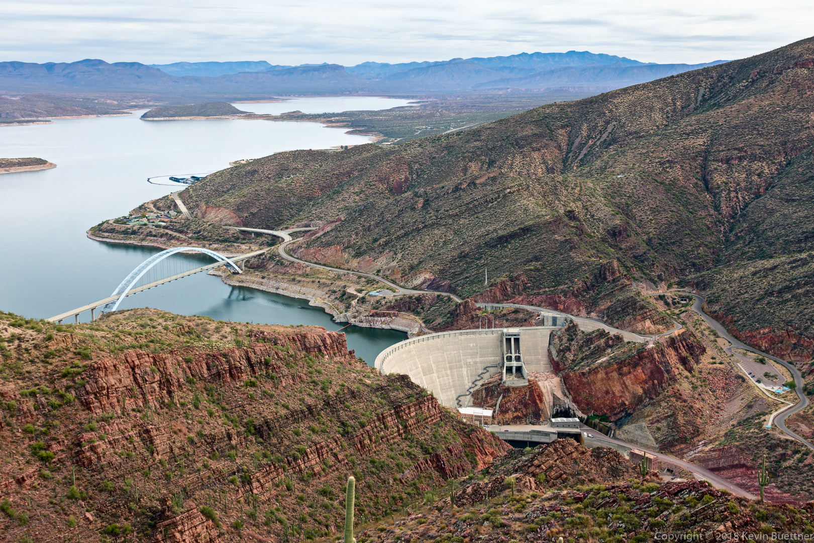
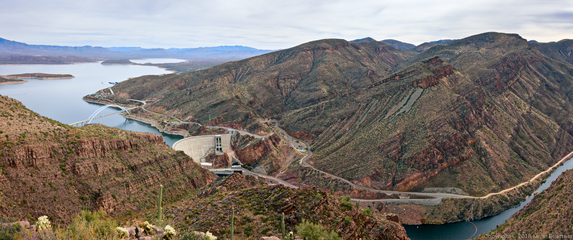
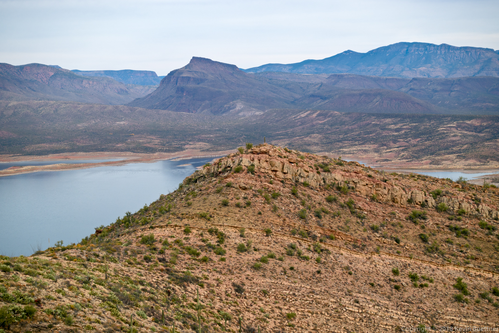
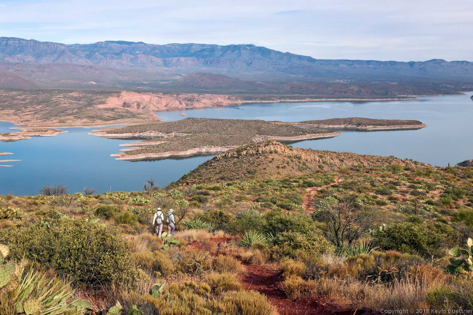
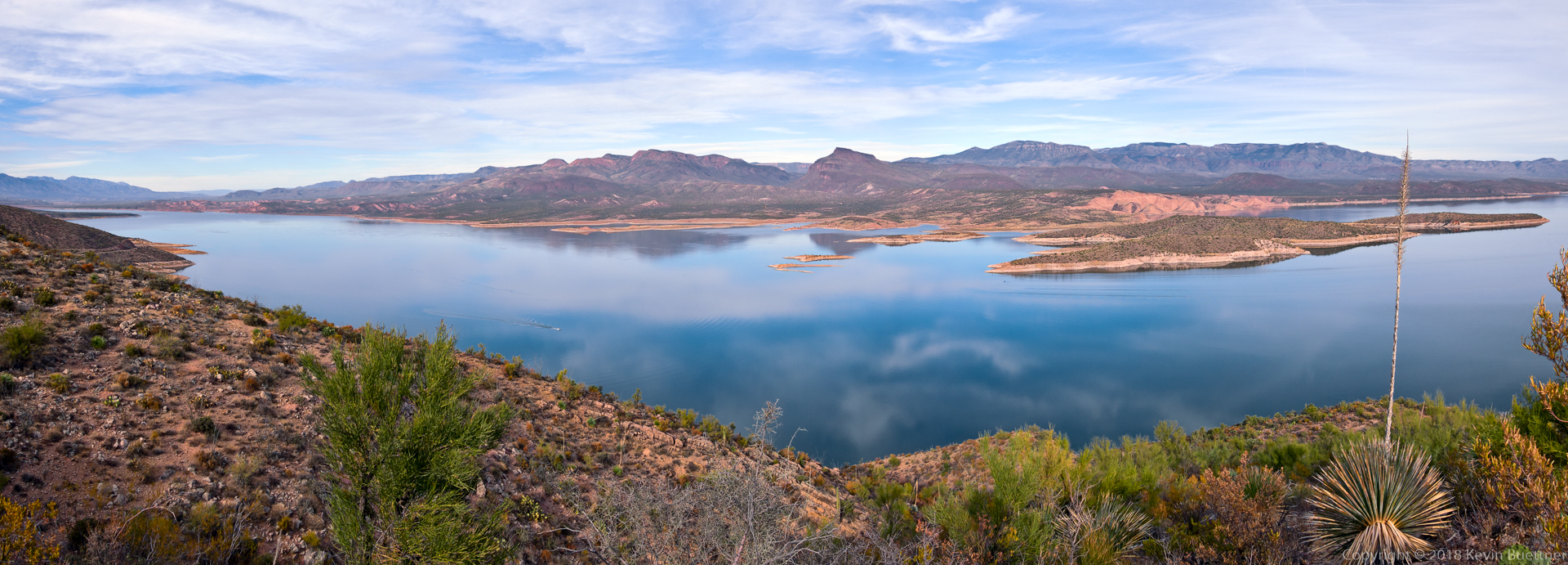
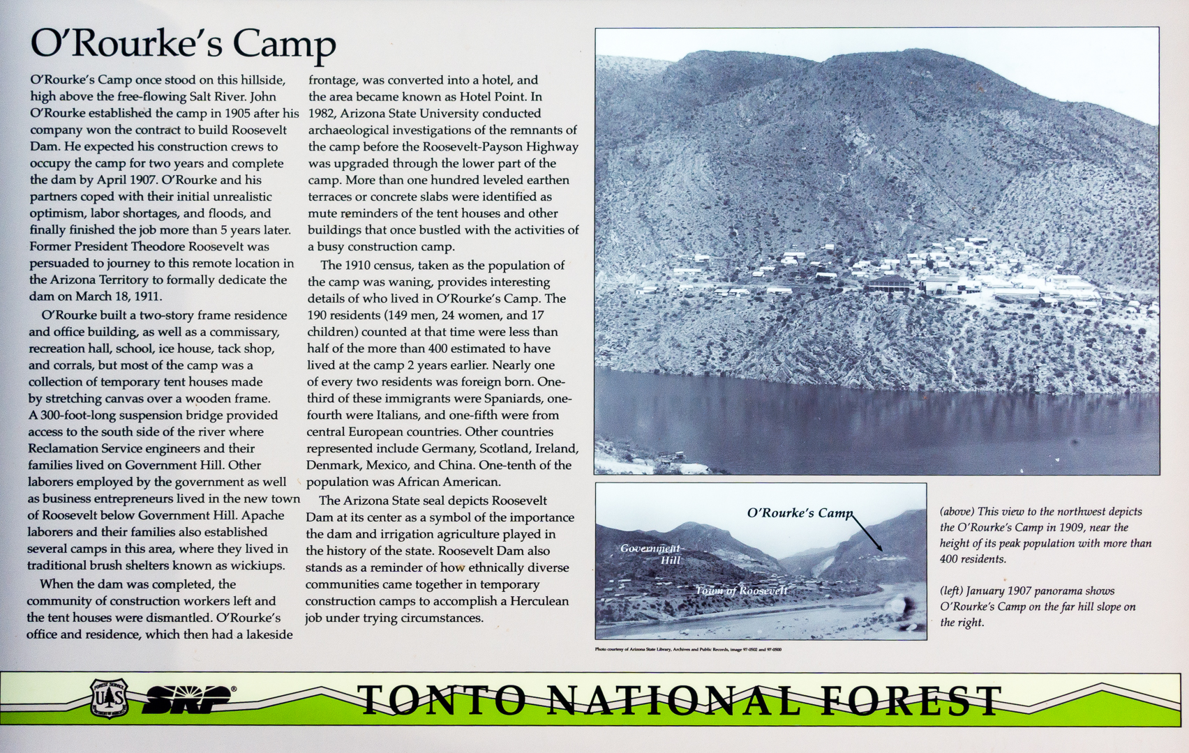
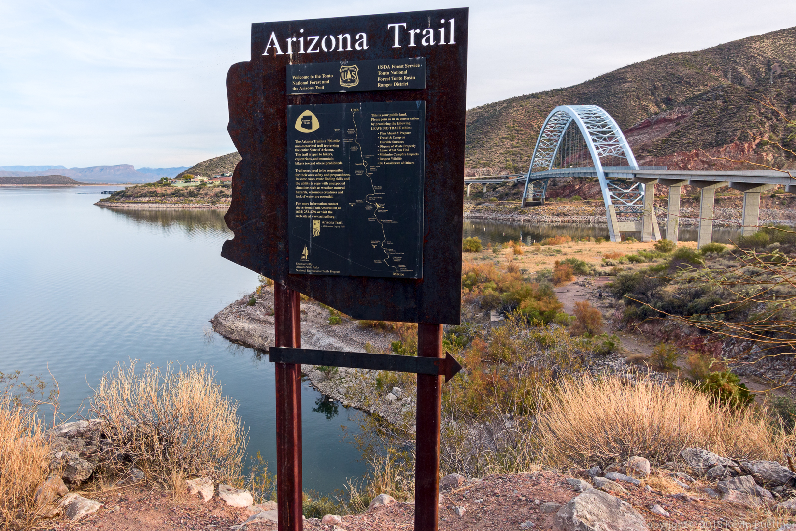
Marie, Marilyn, and I hiked the Vineyard Trail starting from the bridge near Roosevelt Dam.