Month: April 2019 (page 1 of 1)

Friday Fitness Hike

Mike, Sandra, Jan, Melissa, Joelyne, Kristin, and I hiked 10.8 miles in the Dixie Mine area.  (I’m not sure of the spelling of some of the names, though I did check with Jan on the spelling of his name.)

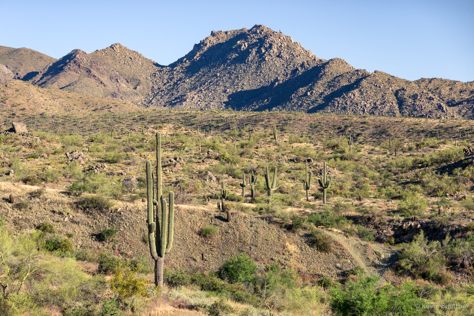
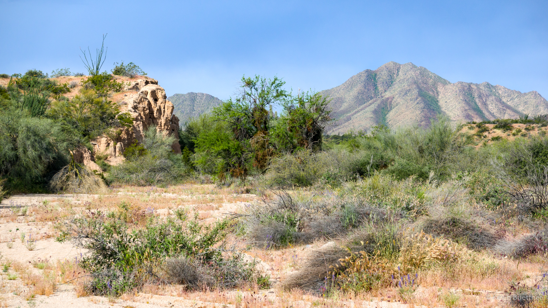
A view of the McDowells from the Dixie Mine Trail:

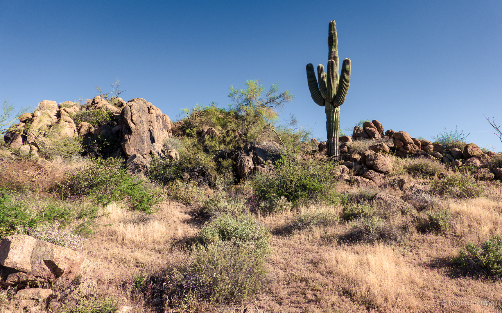
We noticed that the grass has become quite dry.

I think this is mesquite:

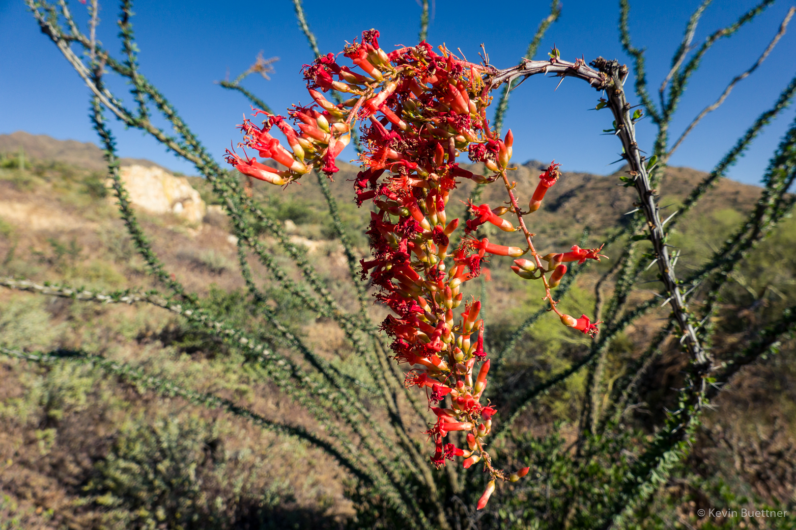
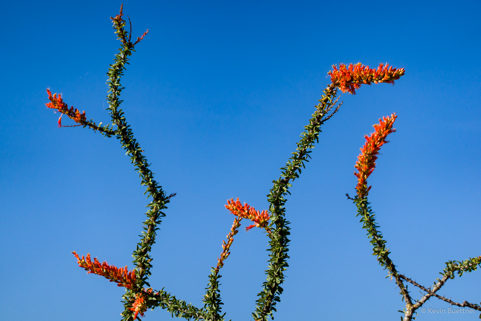
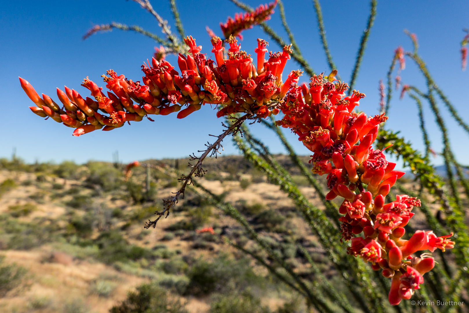
We saw some nice ocotillo blossoms.  This one was just off the trail and at a low enough height that I didn’t need to shoot upward.

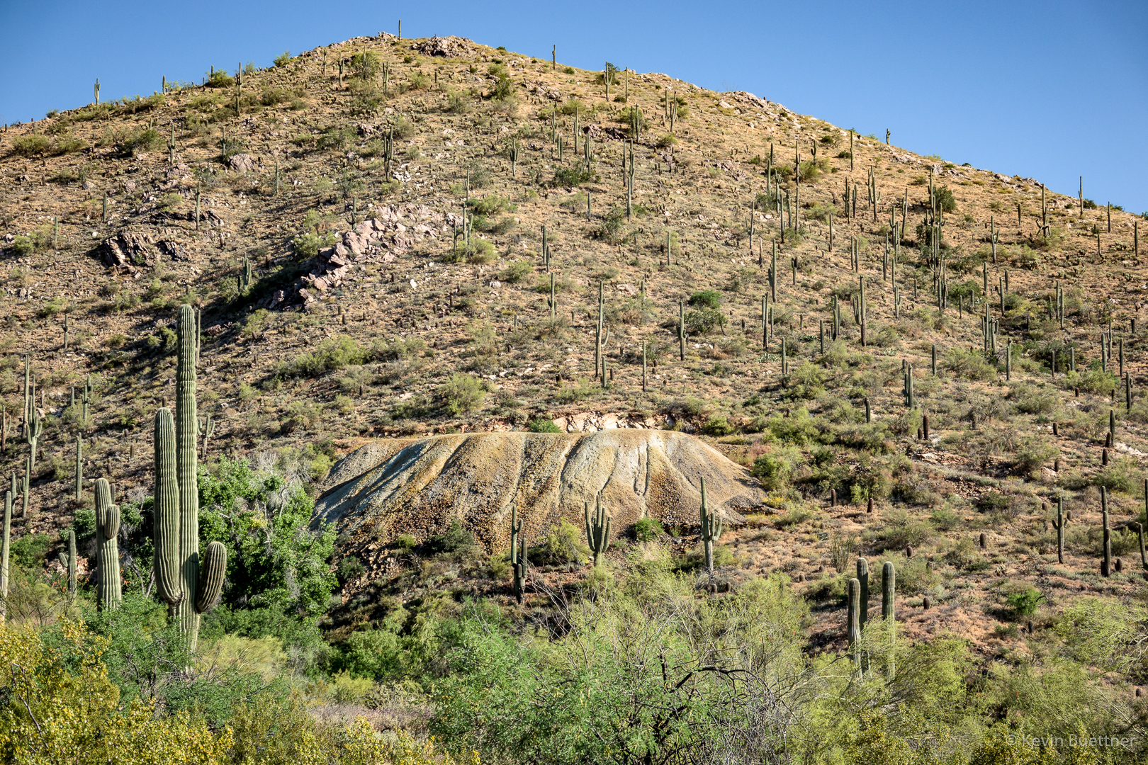
These are the mine tailings:

Flat-Top / Mojave Buckwheat:

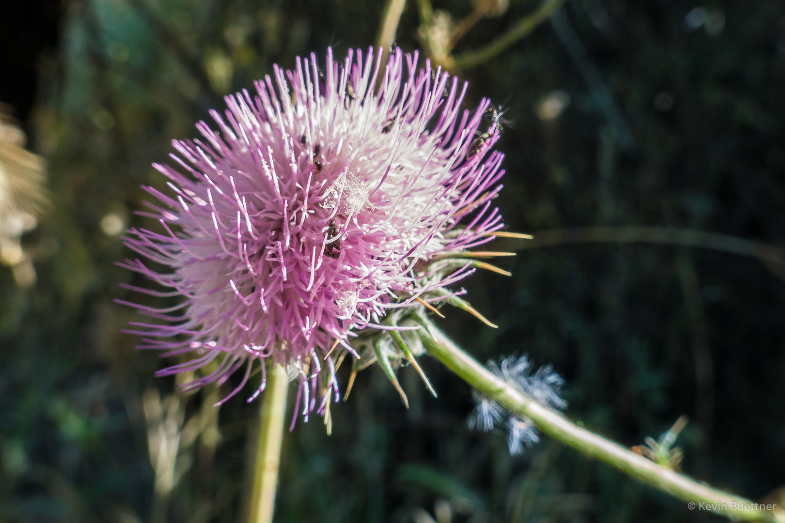
New Mexico Thistle:

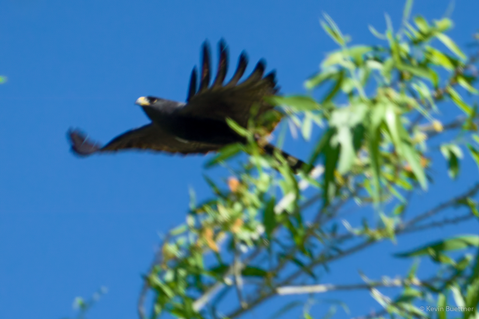
As we made our way towards the mine from the road, we saw a nest high in one of the trees.  Two birds, which we took to be hawks were flying around, alarmed at our presence. I only got this shot, though it’s definitely out of focus.

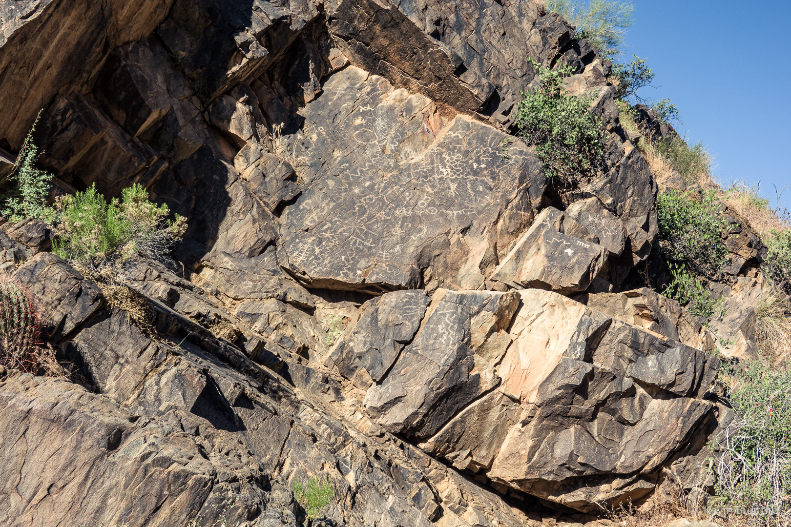
This is the petroglyph panel near the mine.

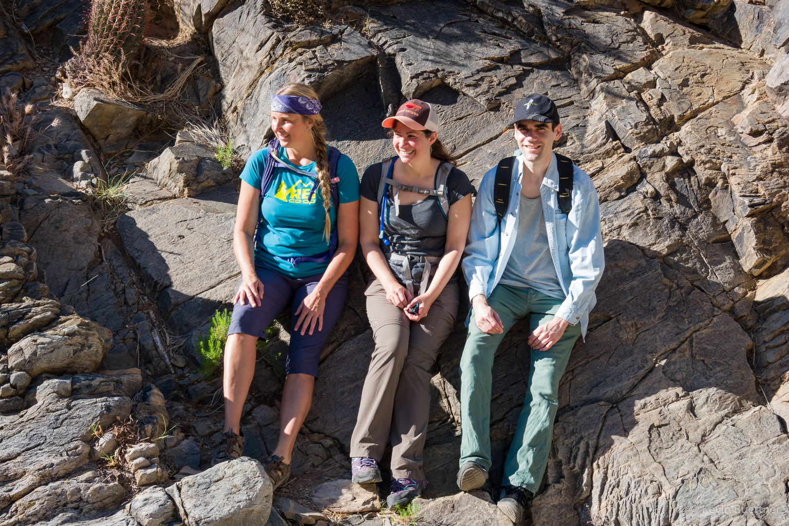
Sandra, Melissa, and Jan:

Another New Mexico Thistle:

Ascending the waterfall:

Looking down/back from the waterfall:

Continuing up the Prospector Trail…

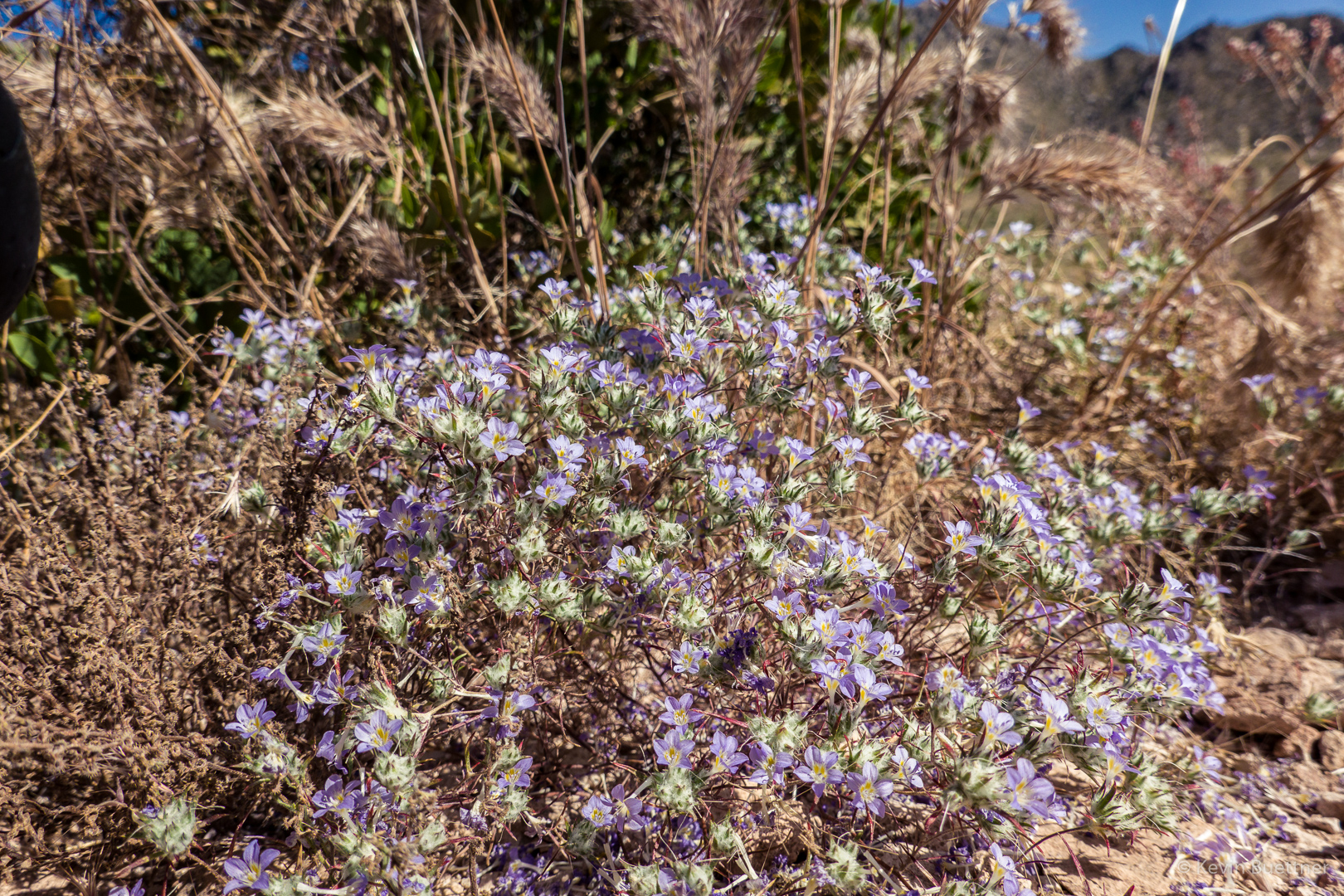
I think this might be Miniature Woollystar:

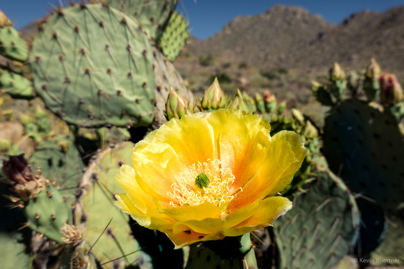
Prickly Pear:

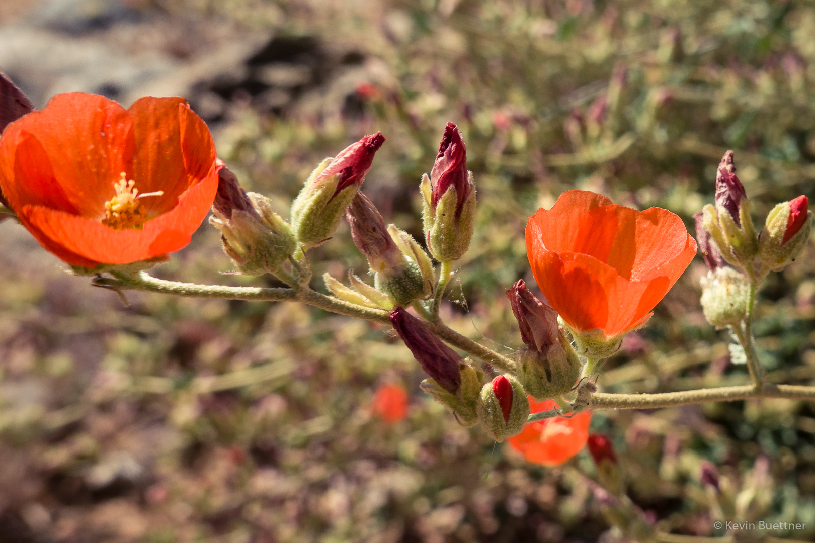
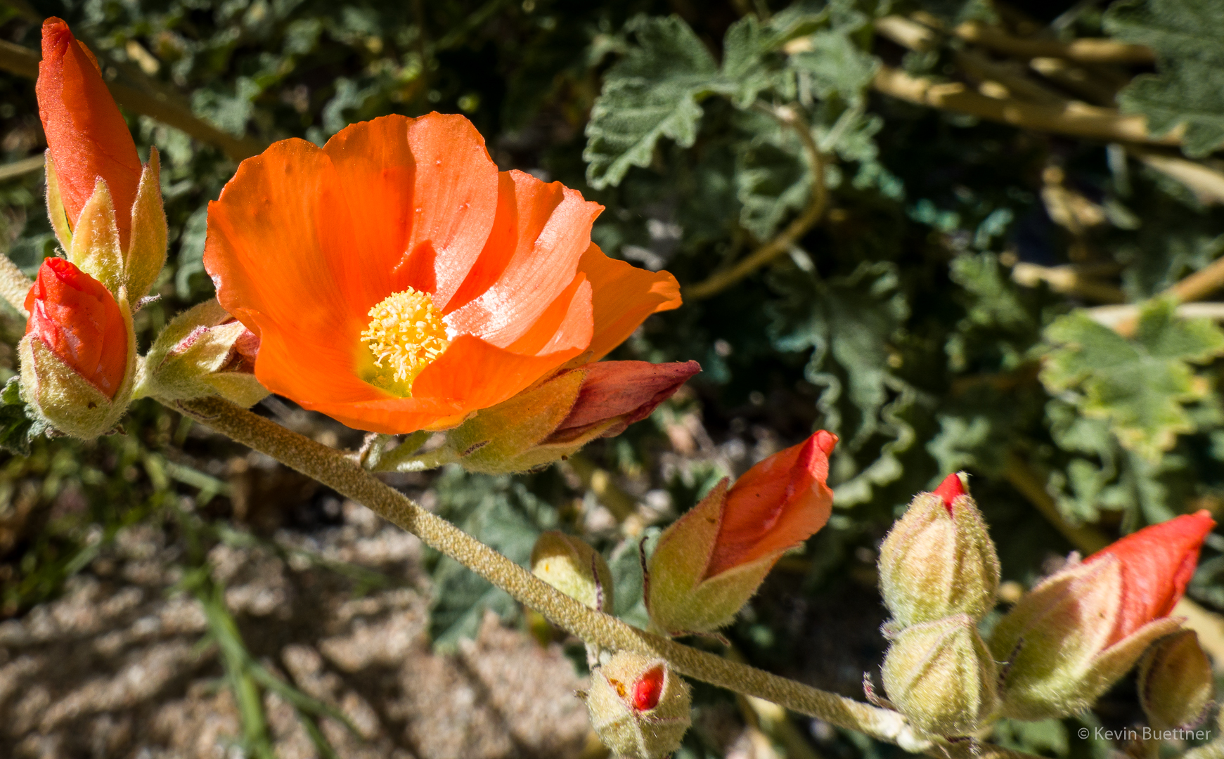
Globemallow:

Another prickly pear:

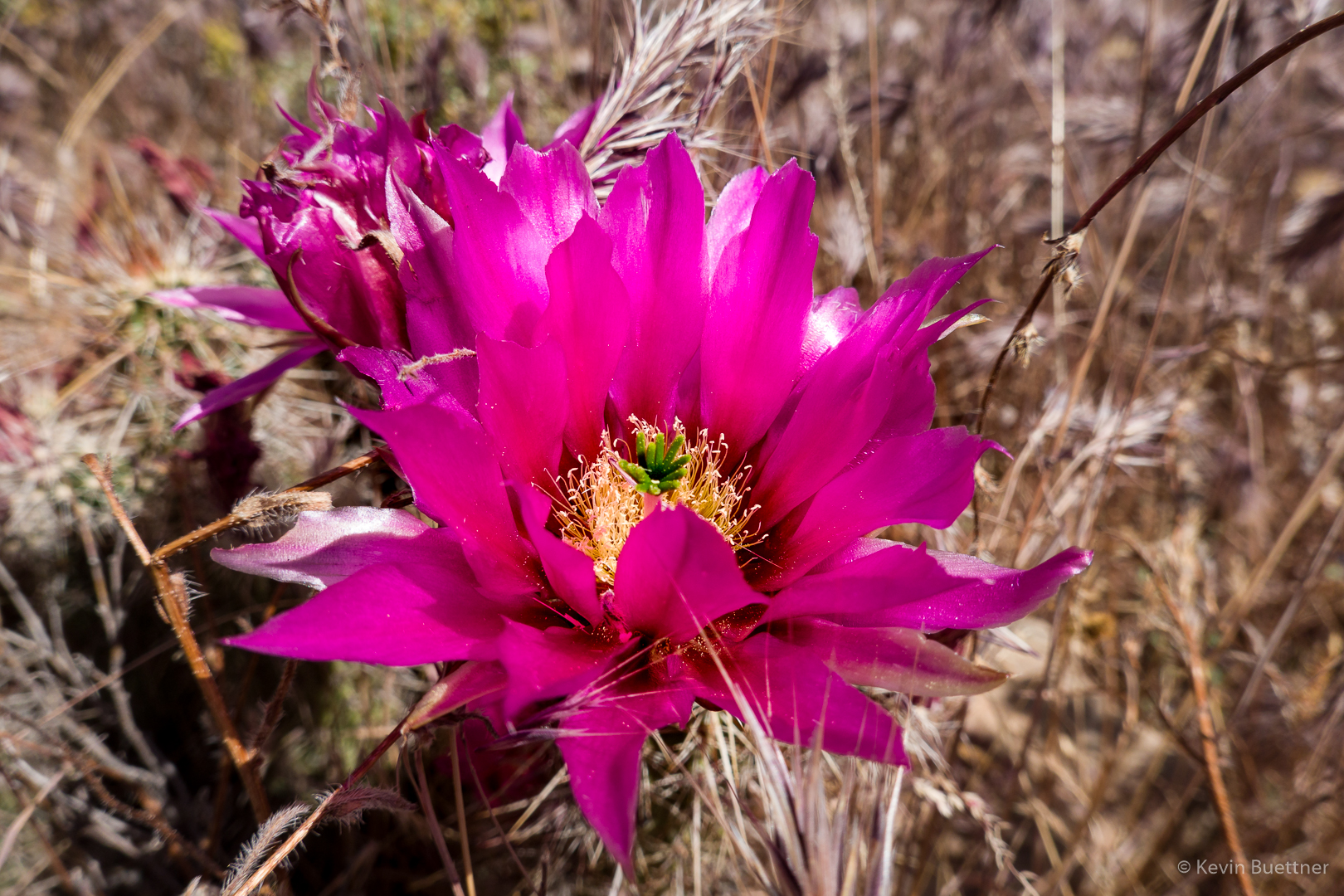
Hedgehog:

Heading down the Coachwhip Trail:

Ocotillo – I think we might have been back on Dixie Mine for this one:

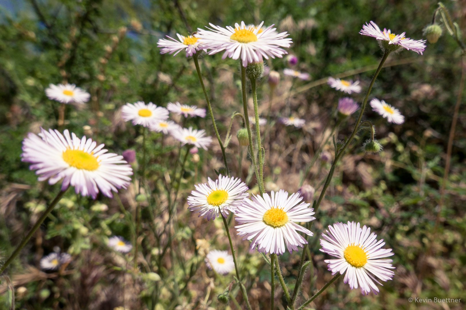
Fleabane:

Friday Fitness Hike

Linda and I hiked a 12 mile loop starting from the Wagner Trailhead. Sara hiked most of it with us, but she needed to return early.

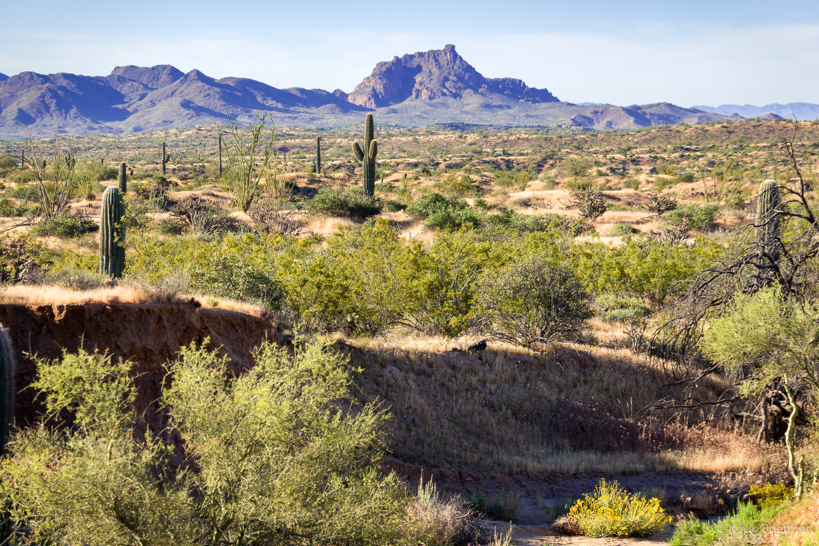
This is a view of Red Mountain from the Pemberton Trail:

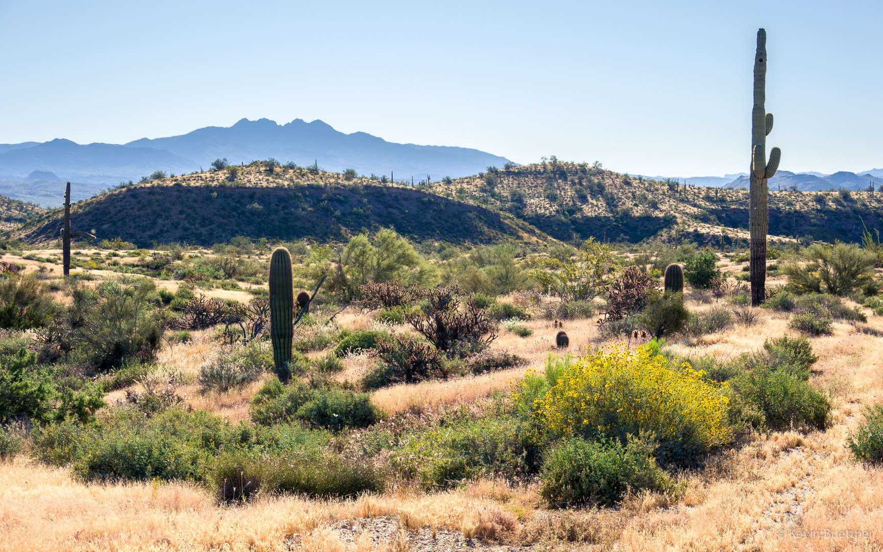
Four Peaks in the background with some hills near the Sport Loop in the foreground:

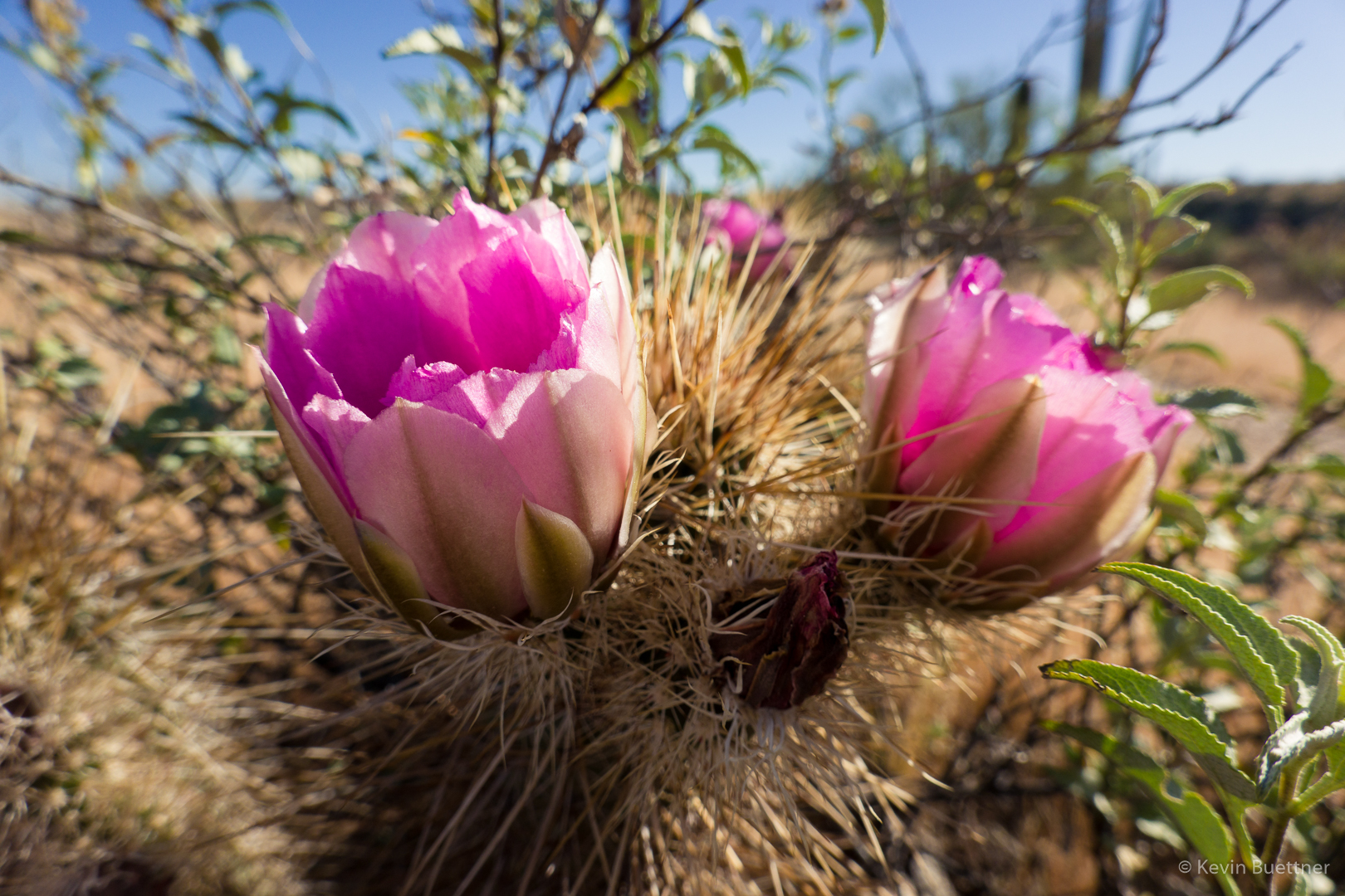
Hedgehog blossoms:

The ocotillos are in bloom too!

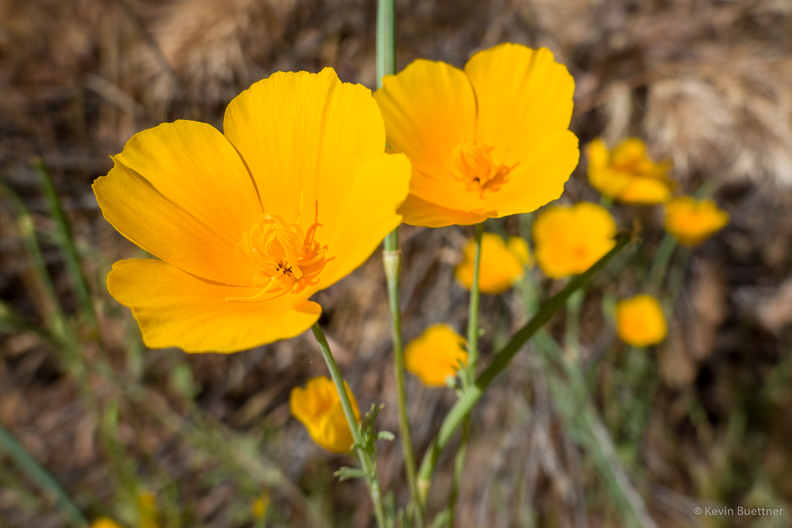
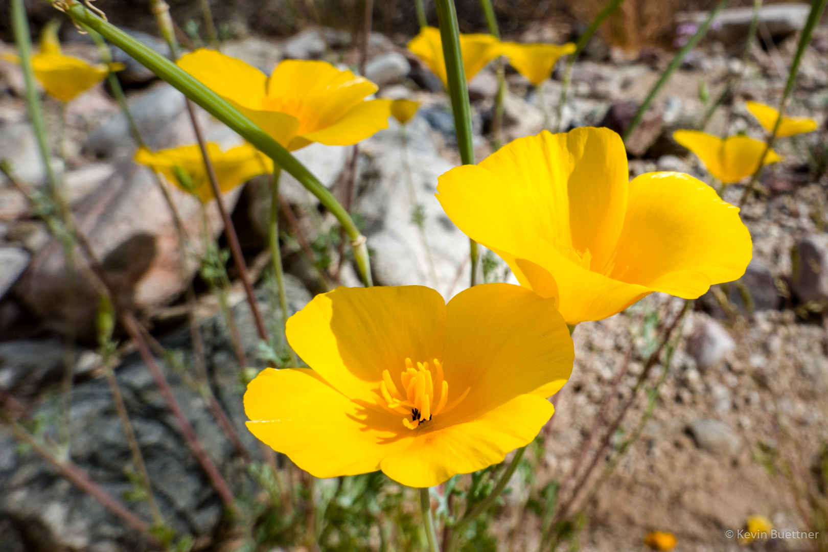
Poppies:

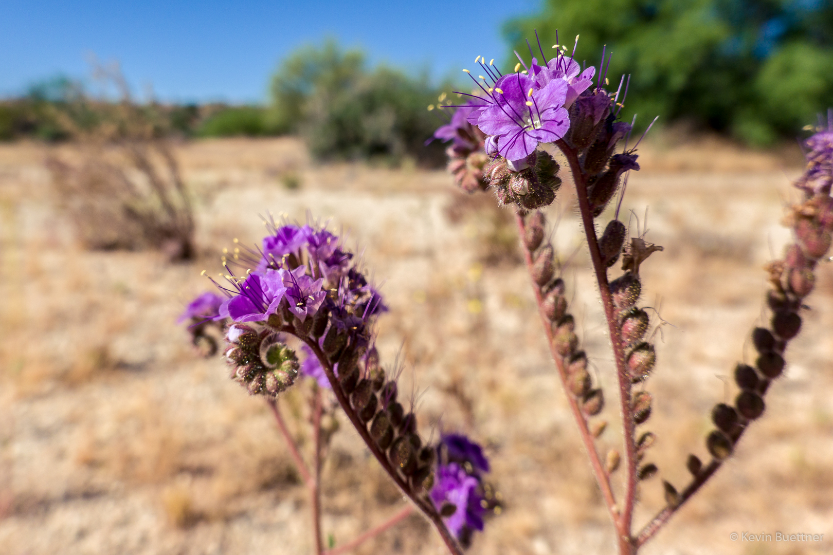
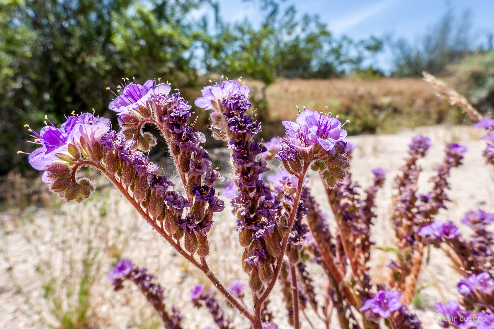
Phacelia:

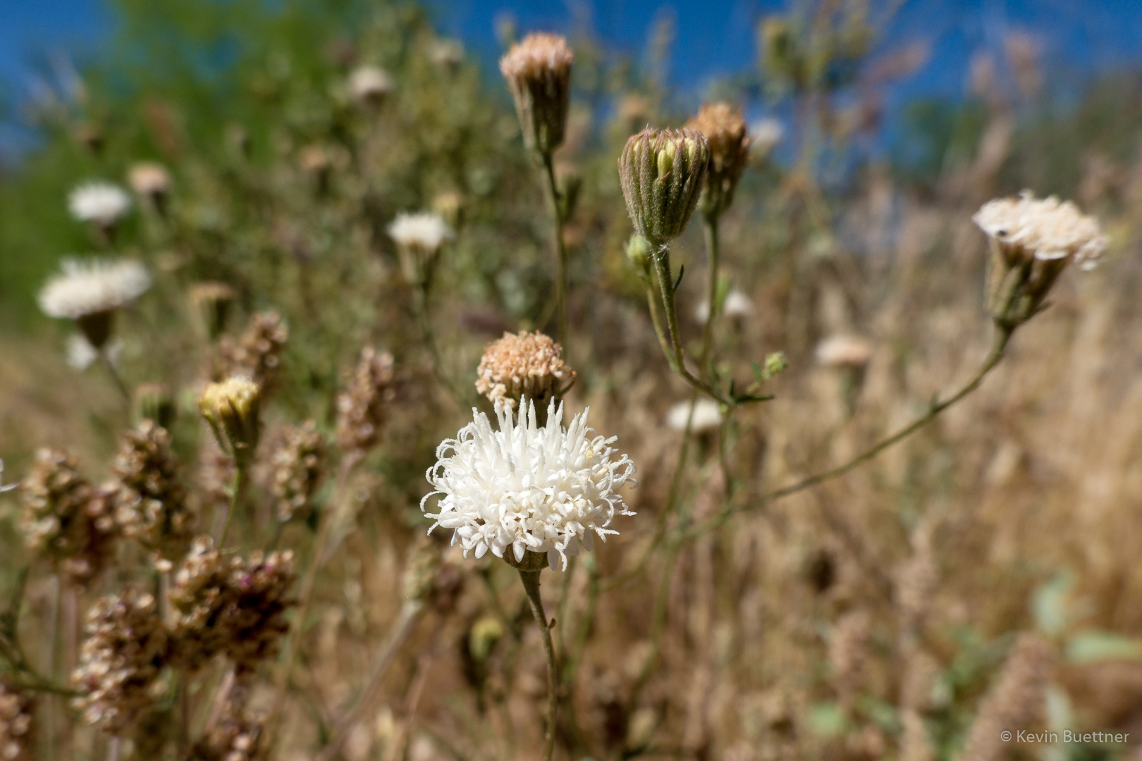
Linda identified this as a Pincushion Flower:

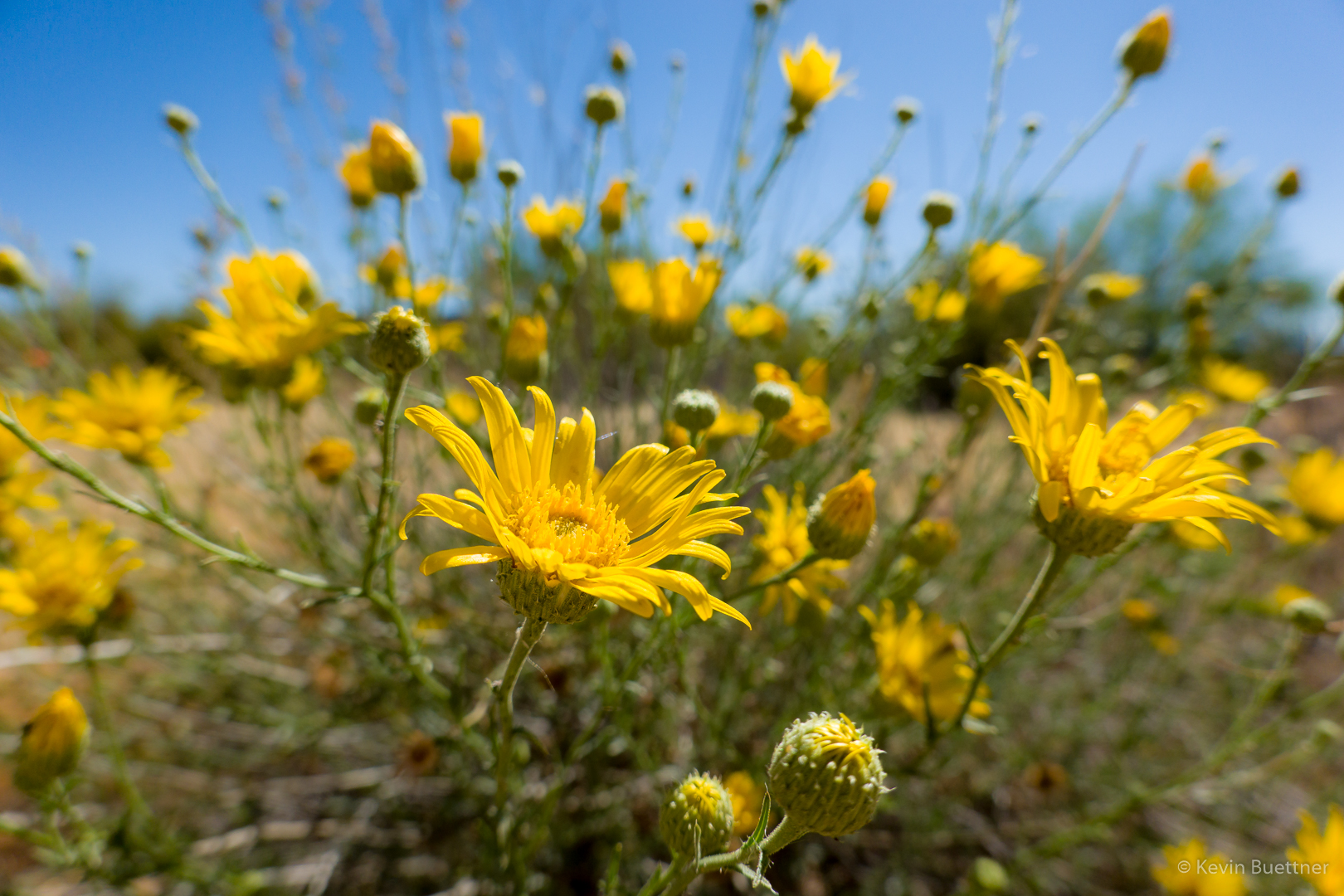
Spiny Goldenweed???

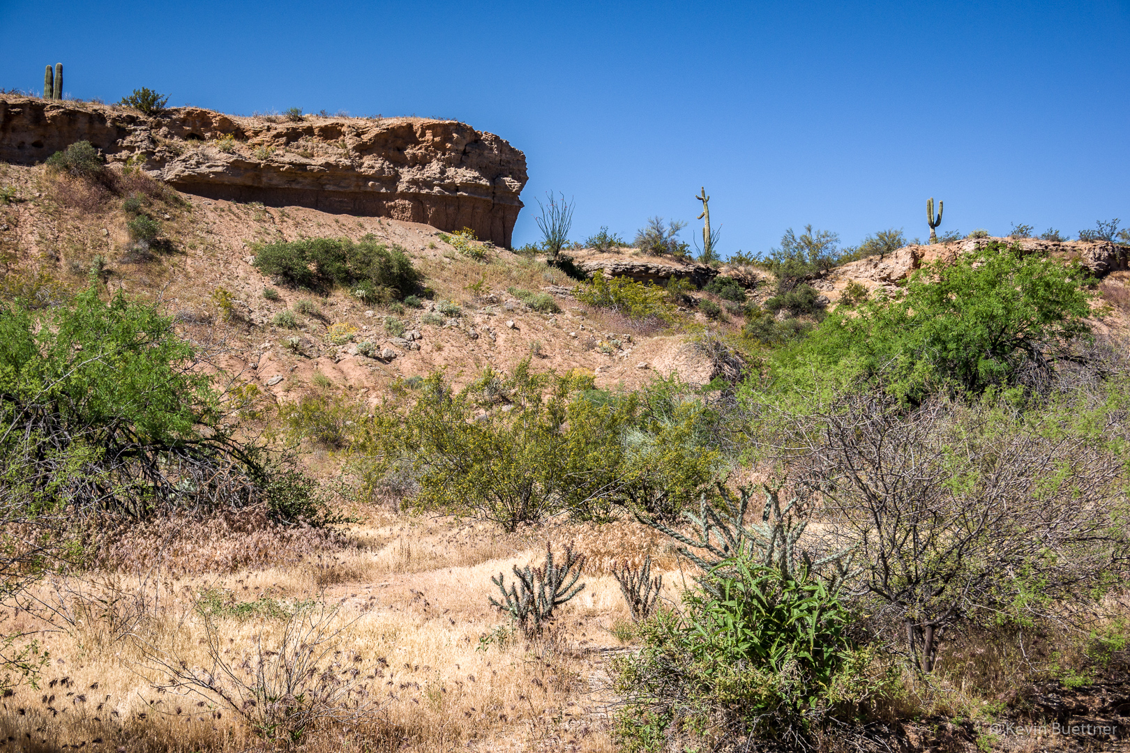
Shortly before this point, Sara hiked back via the Pemberton while Linda and I tramped through some washes…

Brittlebush:

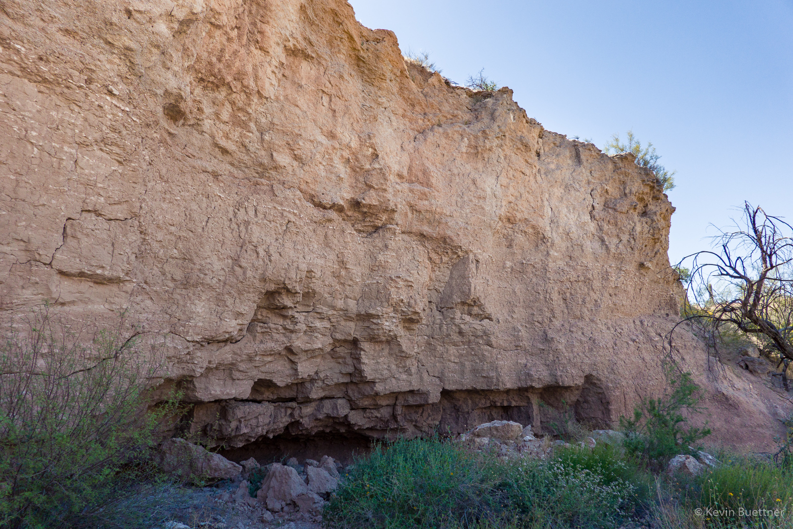
We noticed some dirt-fall in this area.  There’s a big chunk of this wall which looks like it might fall sometime soon.  I took this photo after we passed that section.  It looked worse as we approached it.

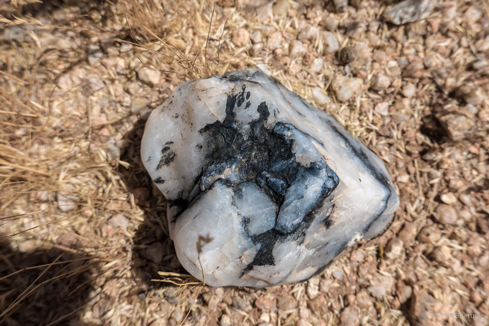
Linda noticed this rock as we continued on…

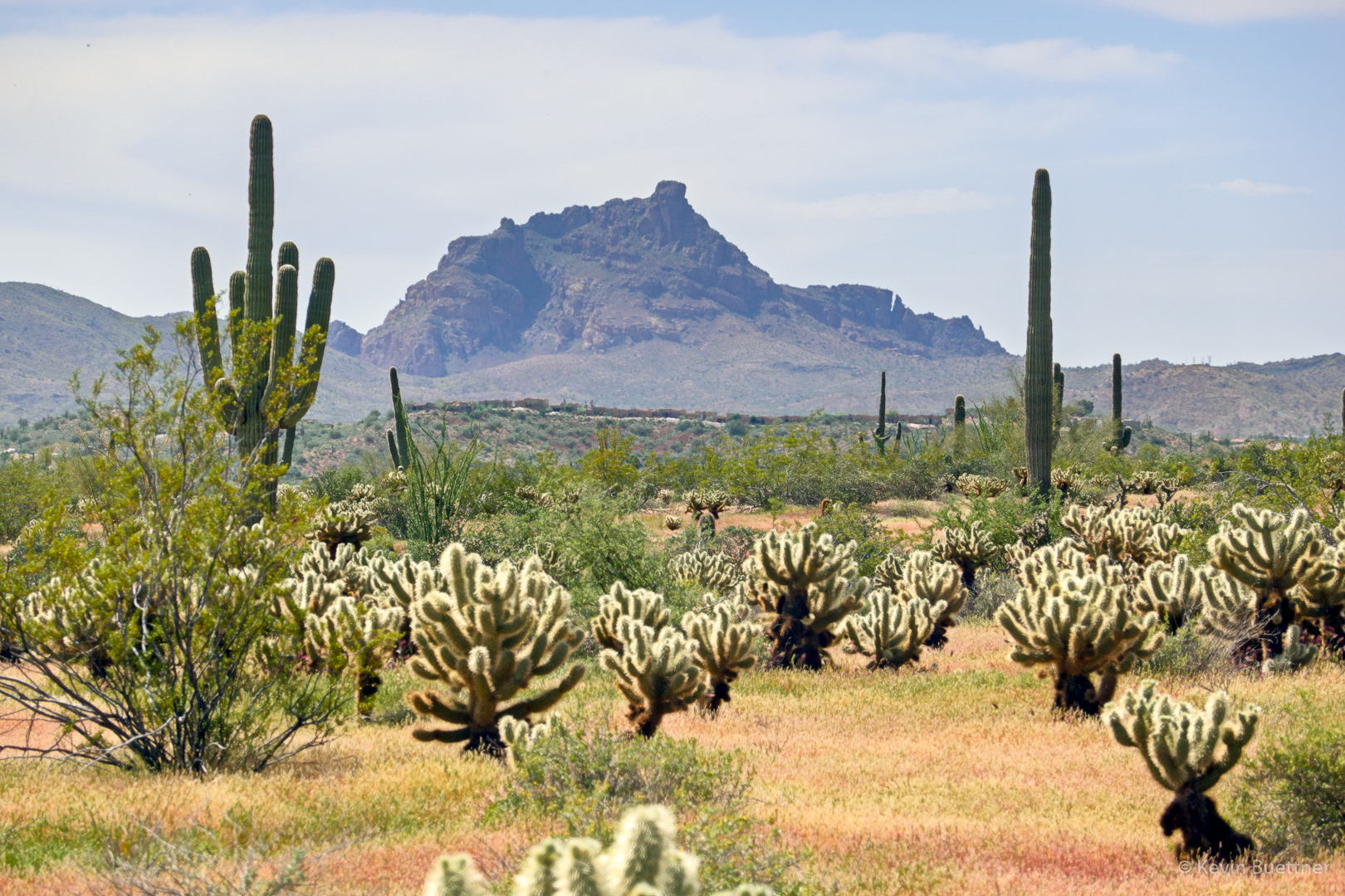
This is a view of Red Mountain from the Tonto Tank Trail:

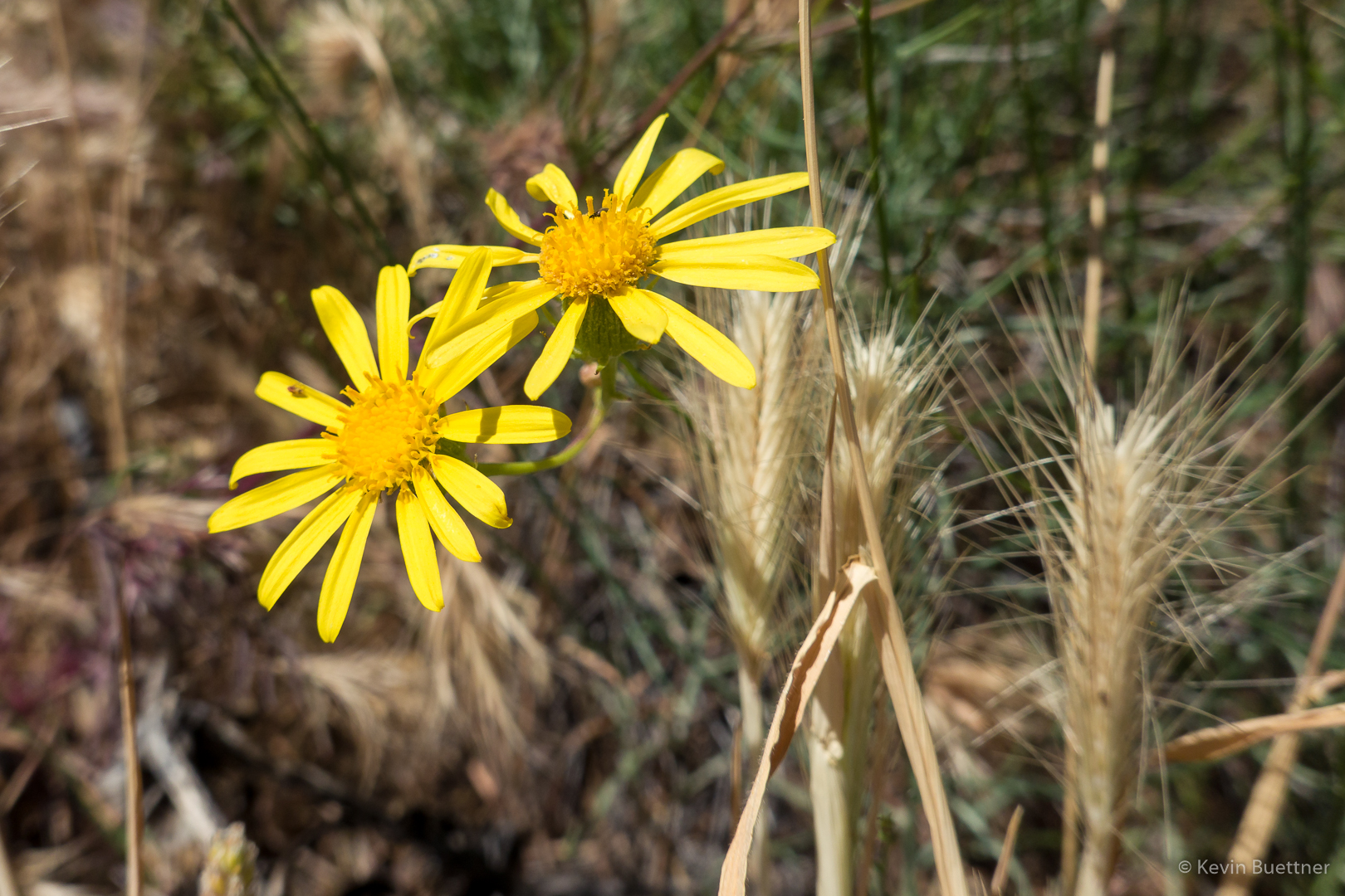
I think this is Sandwash Groundsel:

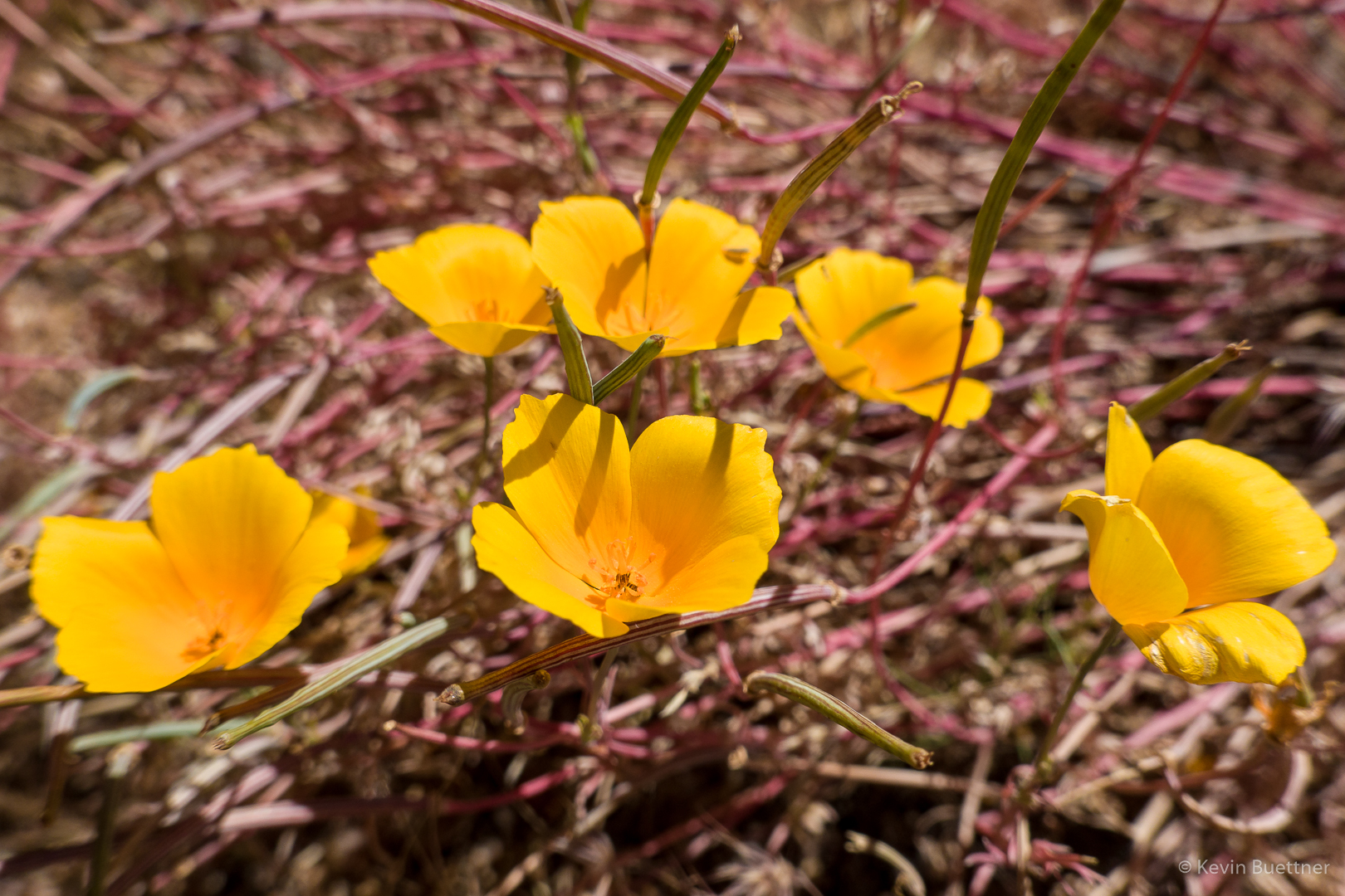
More poppies.  We weren’t sure what the magenta colored plant behind it was.

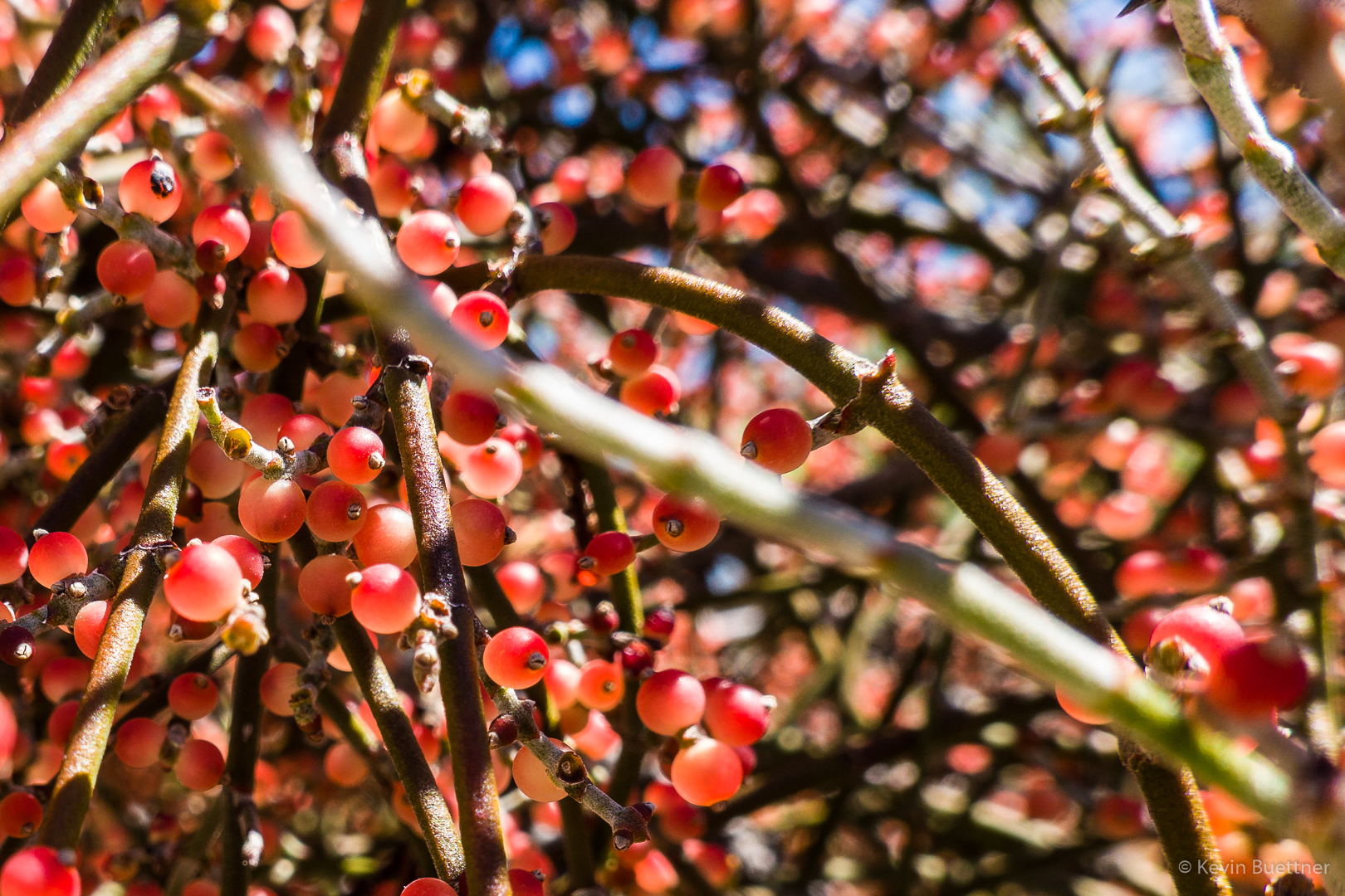
Desert Mistletoe berries:

Friday Fitness Hike

Nora, Heather, and I hiked a little over five miles starting from Tom’s Thumb Trailhead. We did a combo of the Hog Heaven Loop and the Lost Wall Loop visiting the East End, the highest point in the McDowells, along the way.  We saw a lot of flowers, perhaps more than I’ve seen on any hike so far this year.

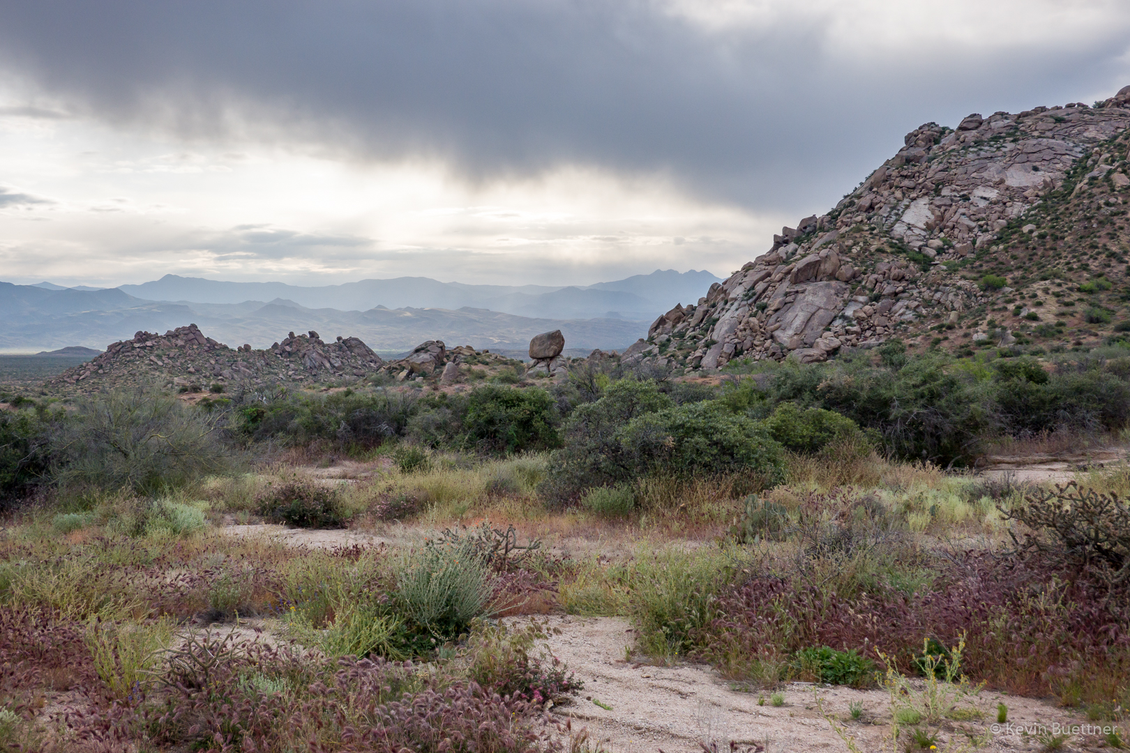
Early in the hike, on the Mesquite Trail:
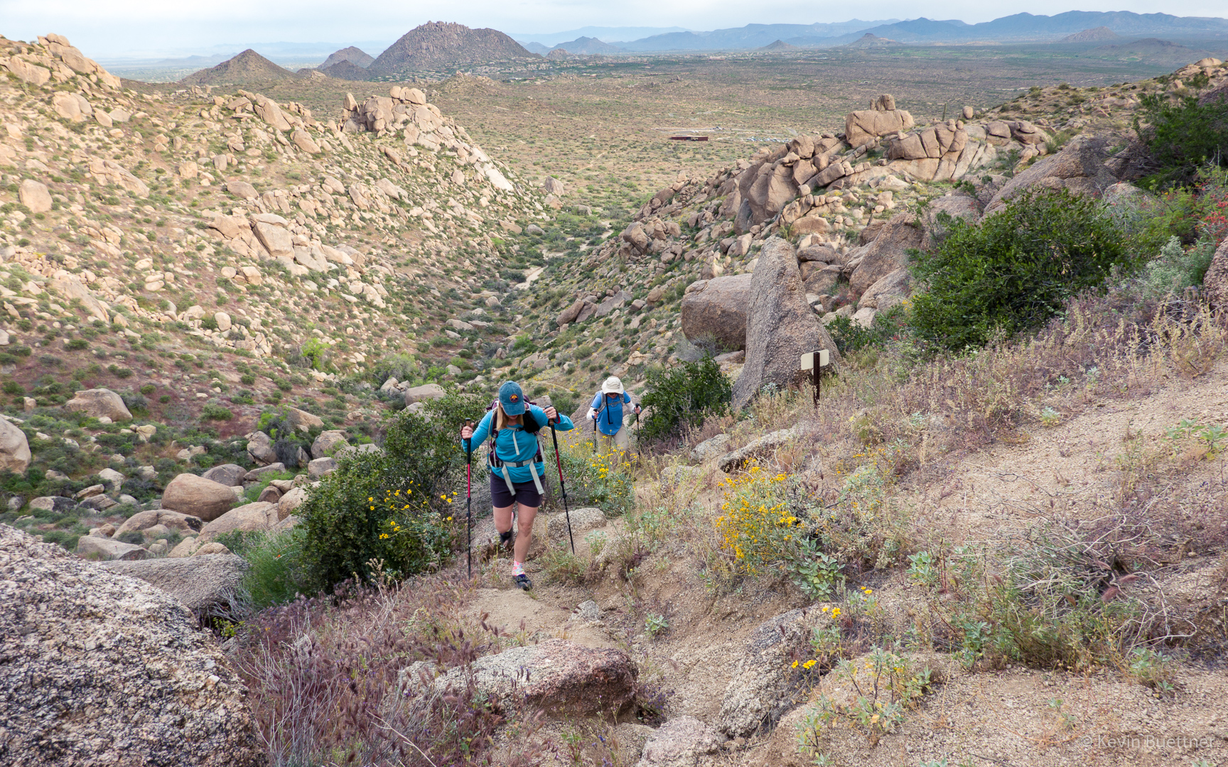
Heading up to the pass at the top of Mesquite Canyon:
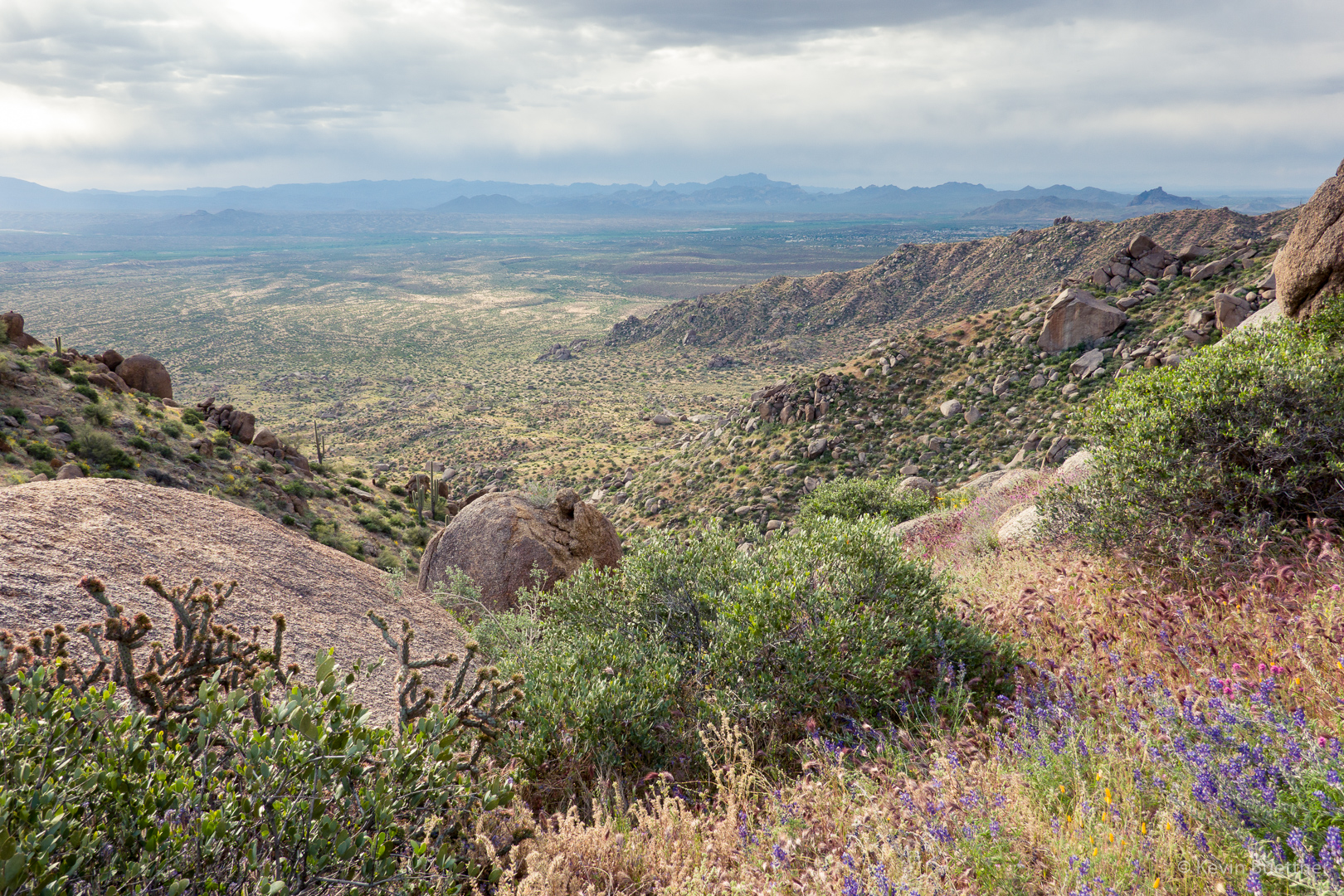
At the pass now; looking toward the Superstitions:
Continuing on the way to Hog Heaven…
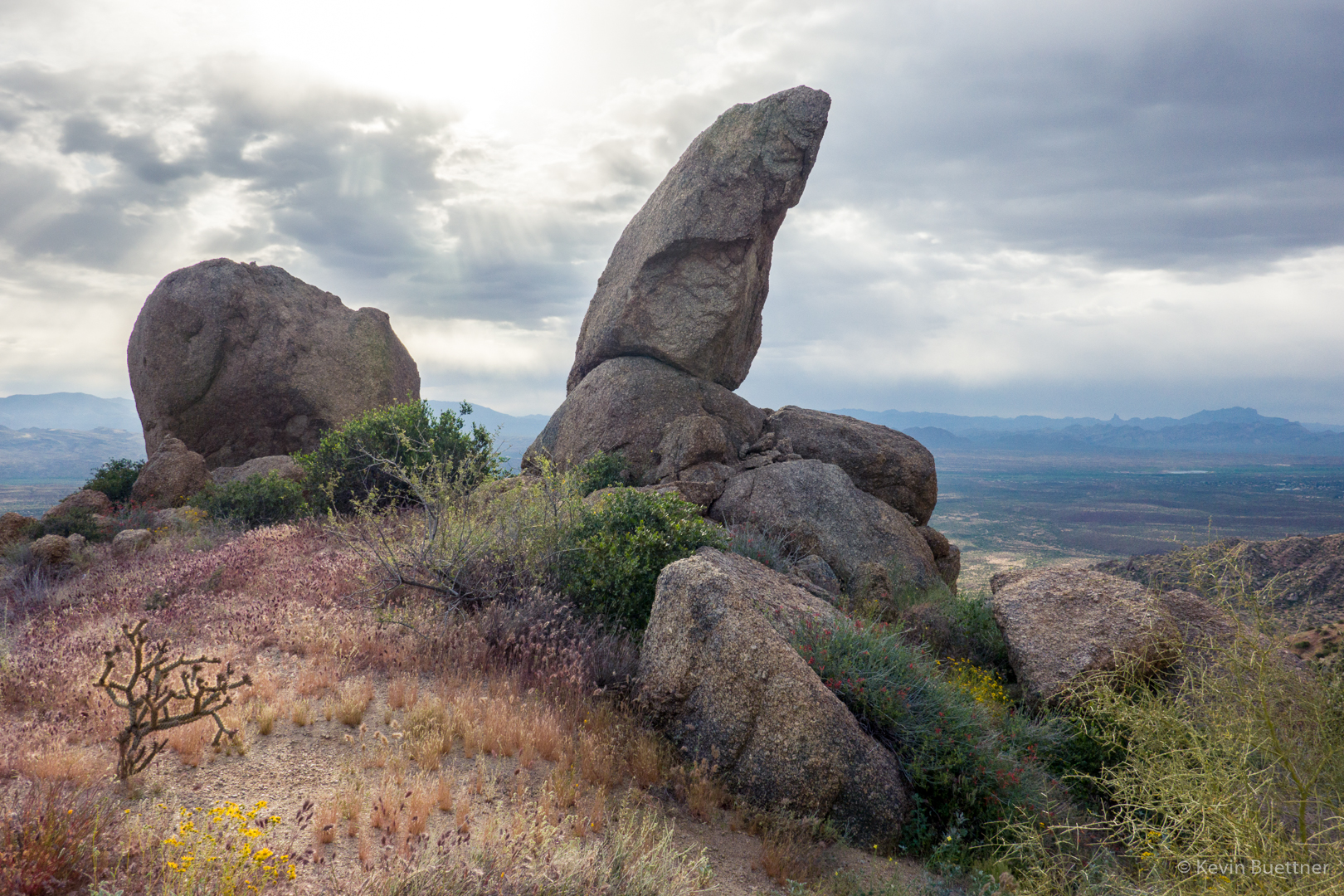
The small but prominent pinnacle is the Thumbnail Pinnacle. Below it and to the left is the main wall of Hog Heaven.
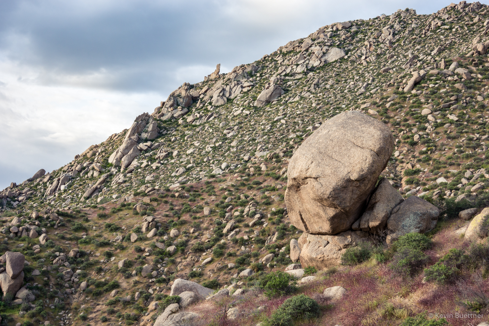
Lupine:

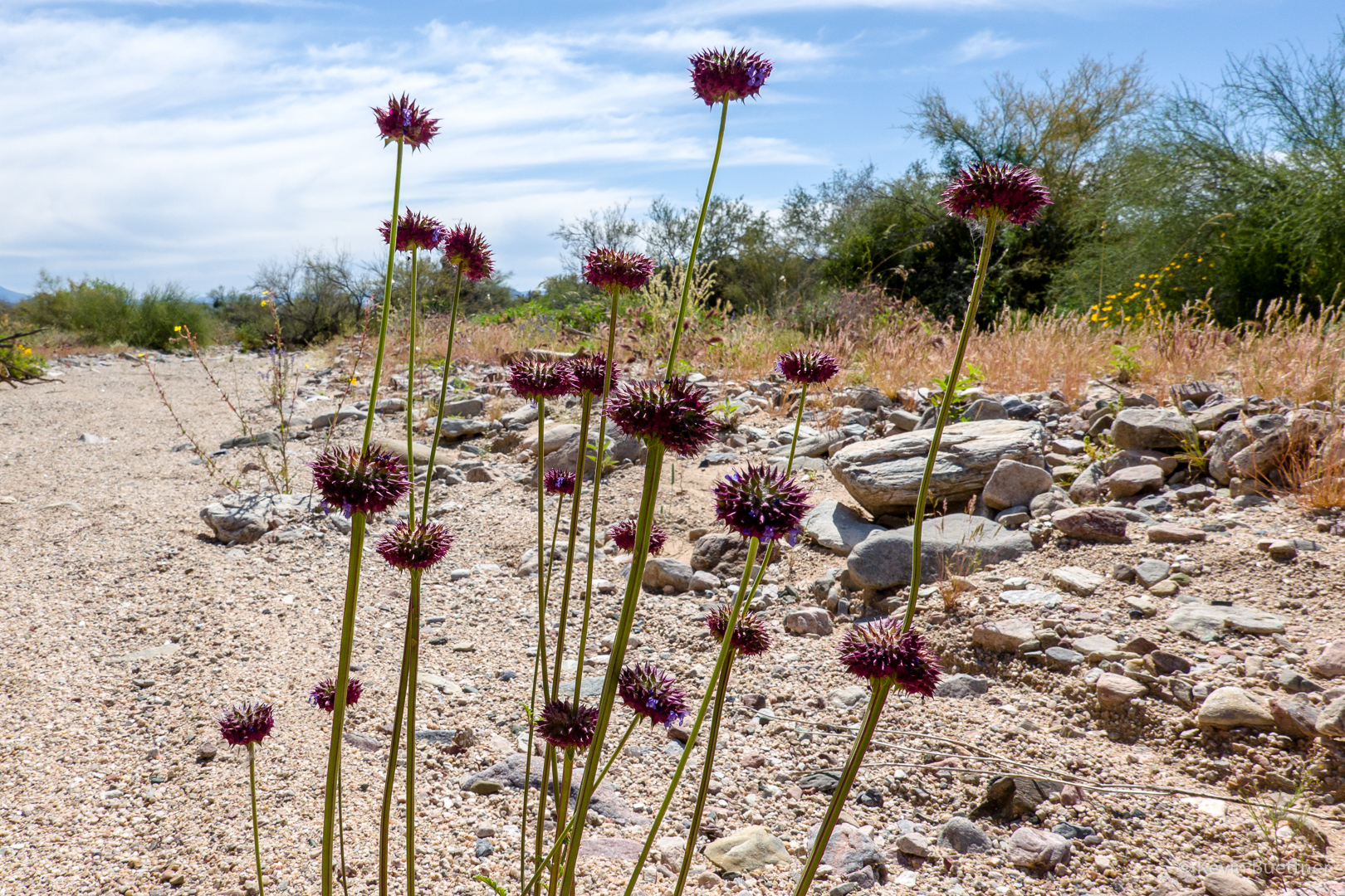
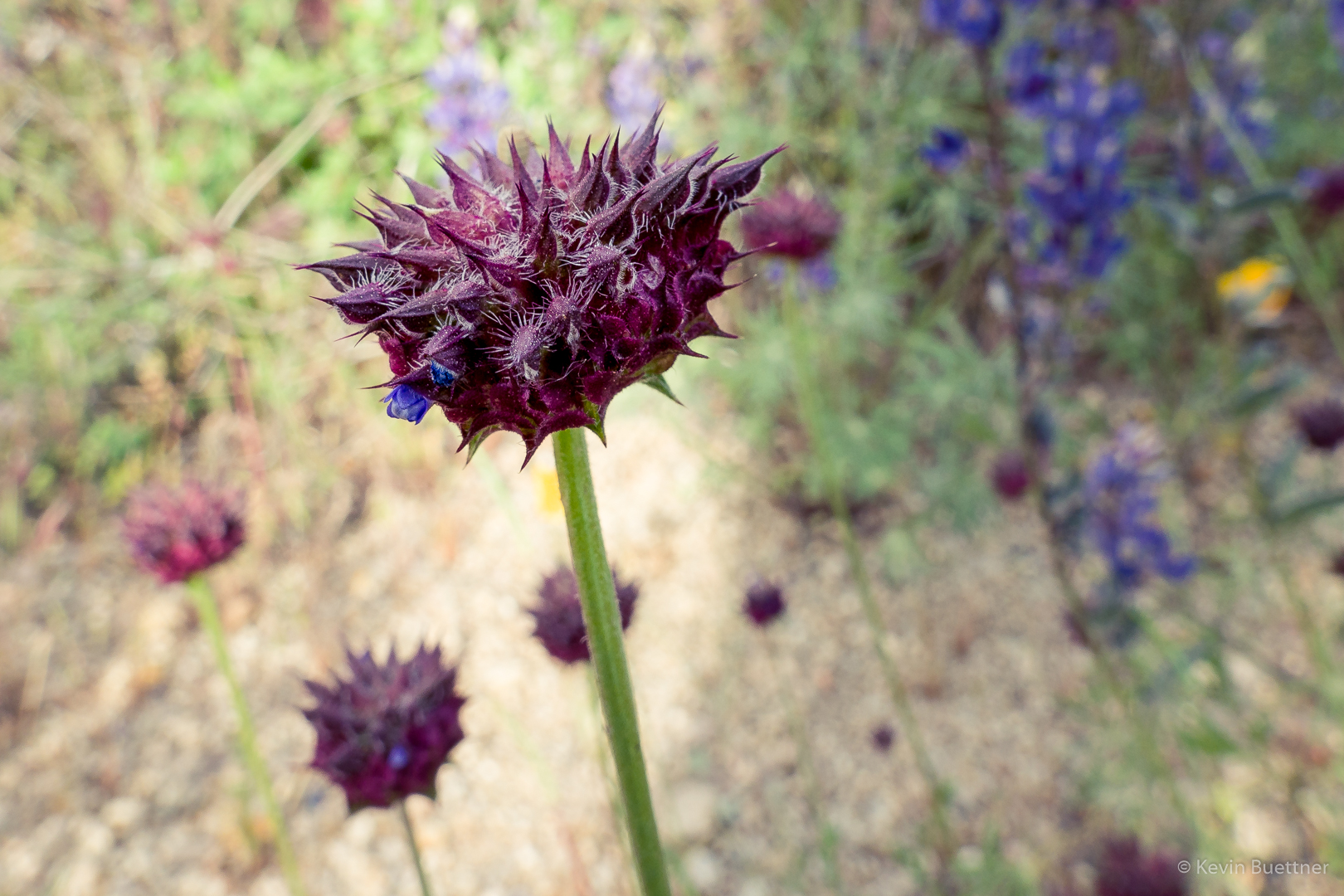
Chia:
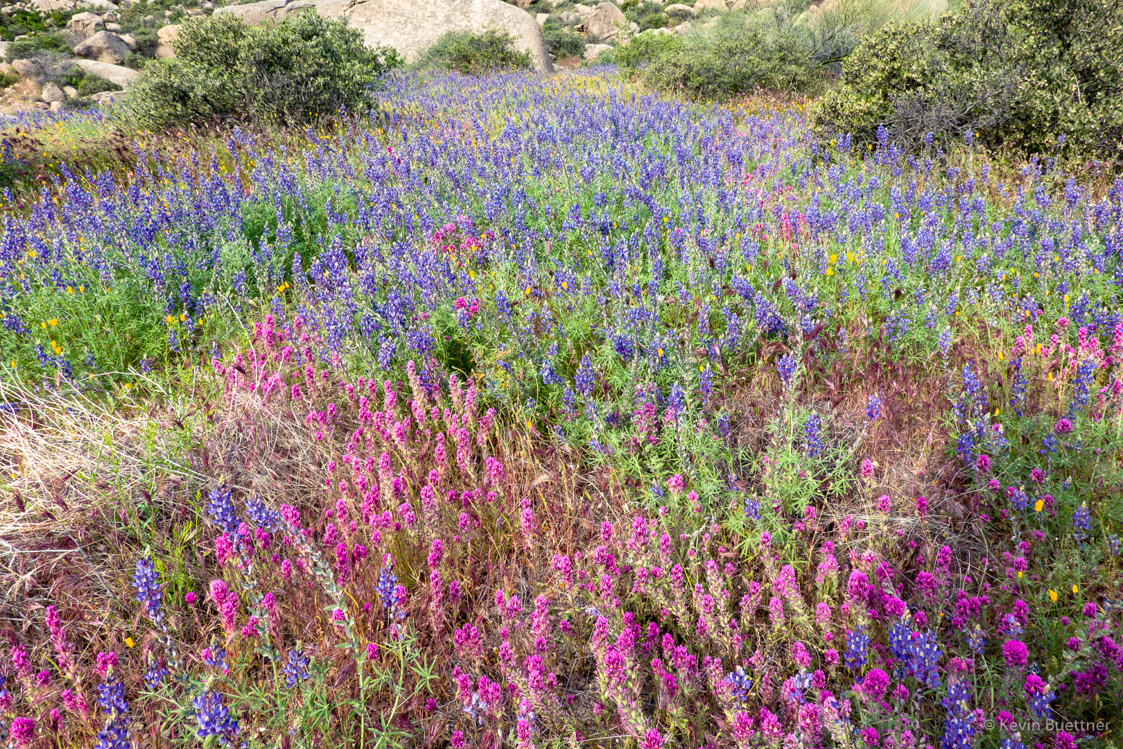
One of the many patches of owl clover, lupine, and poppies:
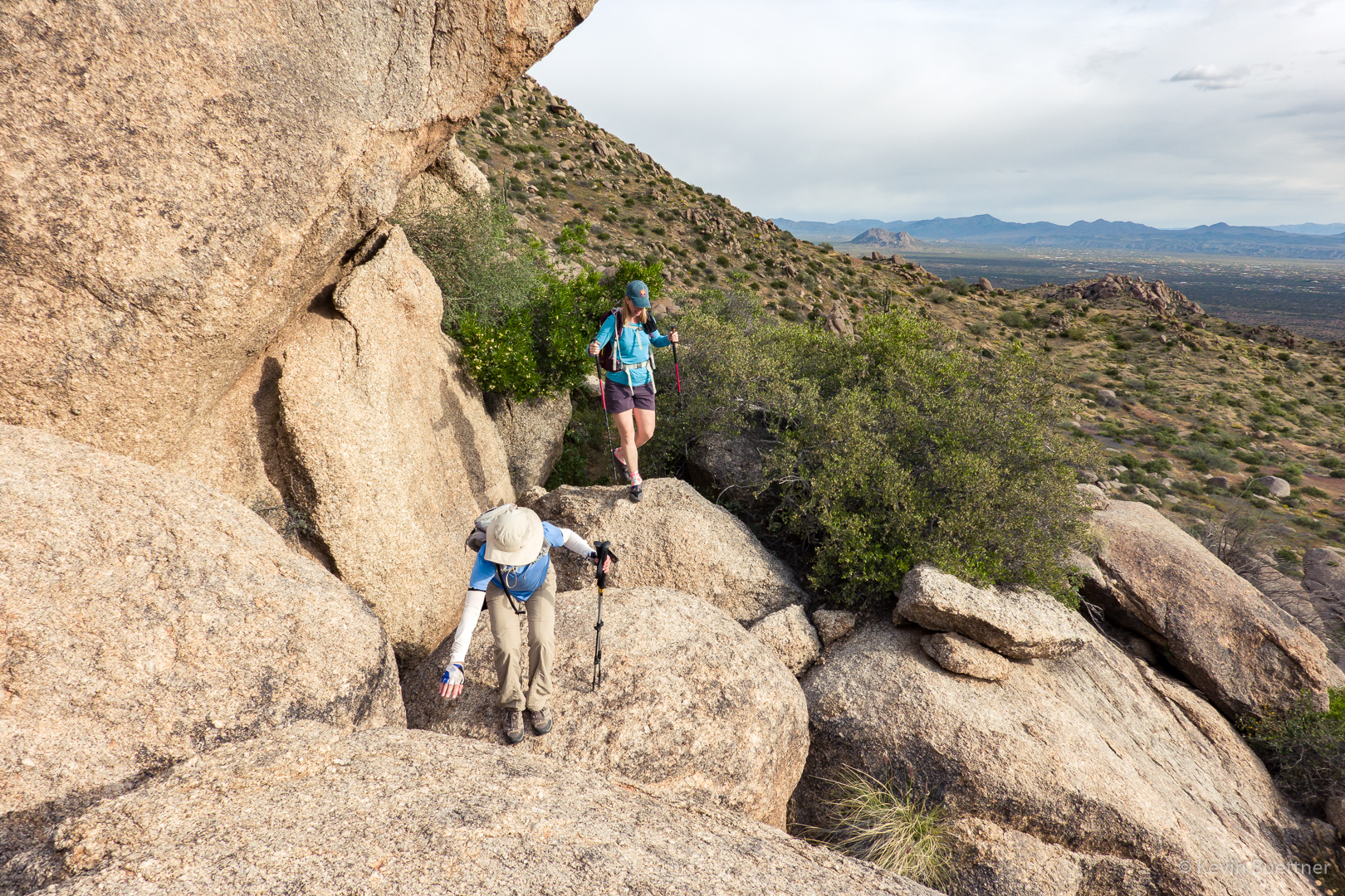
(Big) Boulder hopping:
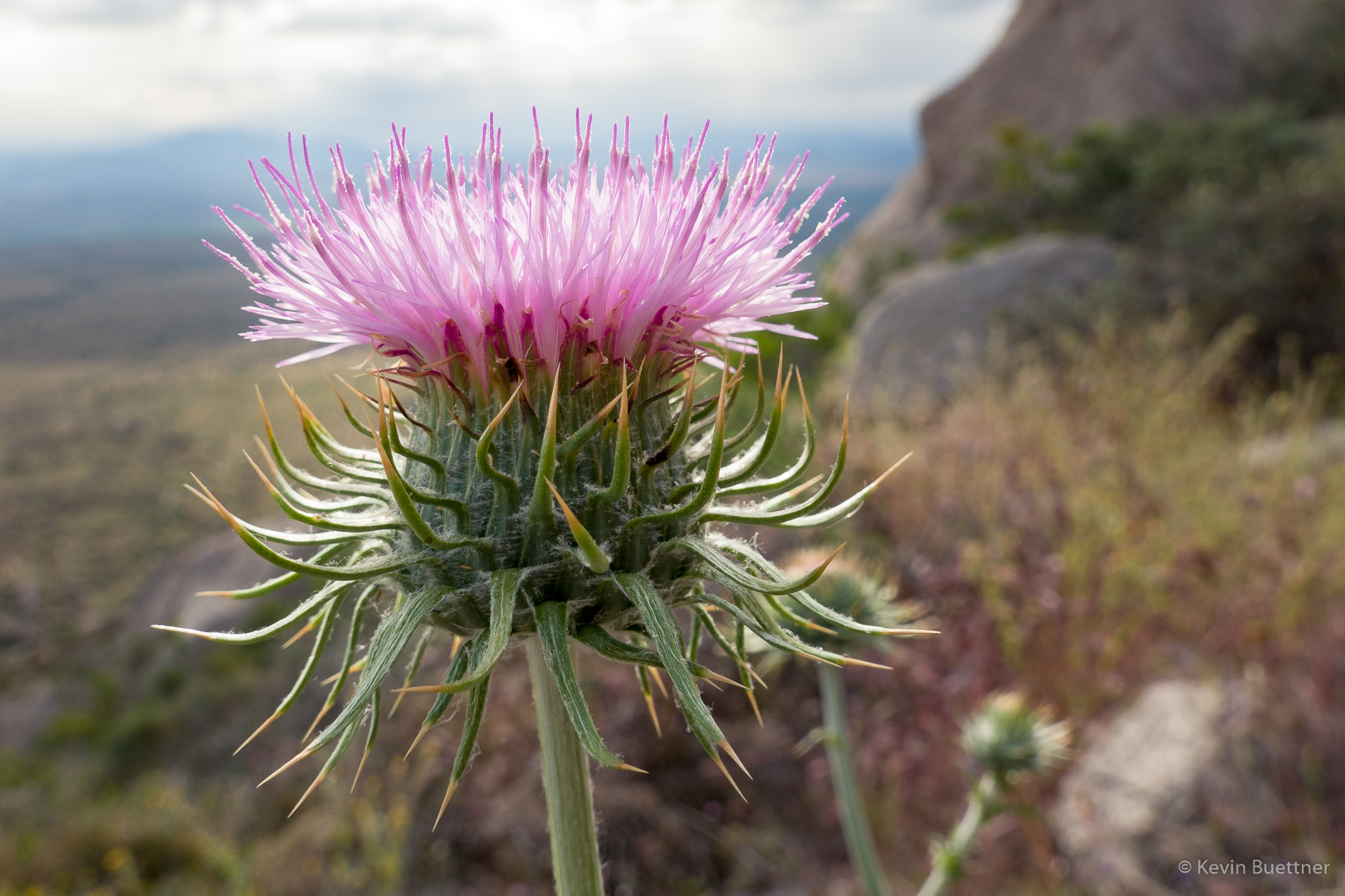
Thistle:
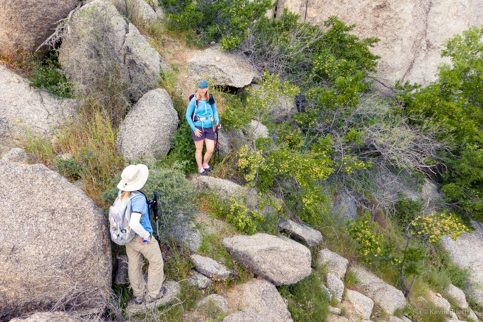
Nora and Heather, below the main wall at Hog Heaven:
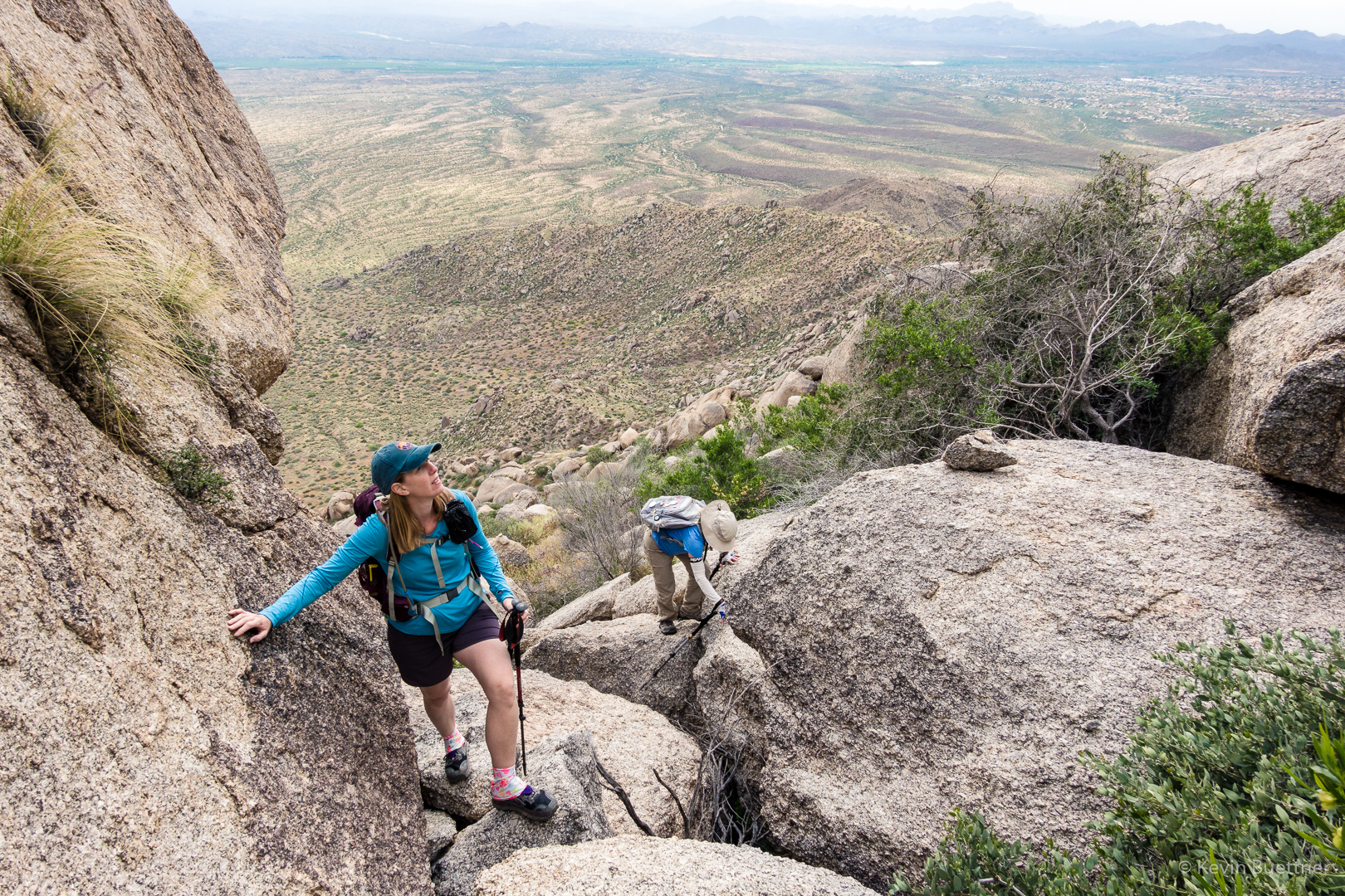
Heather and Nora, making their way up some steep terrain below the Thumbnail Pinnacle:
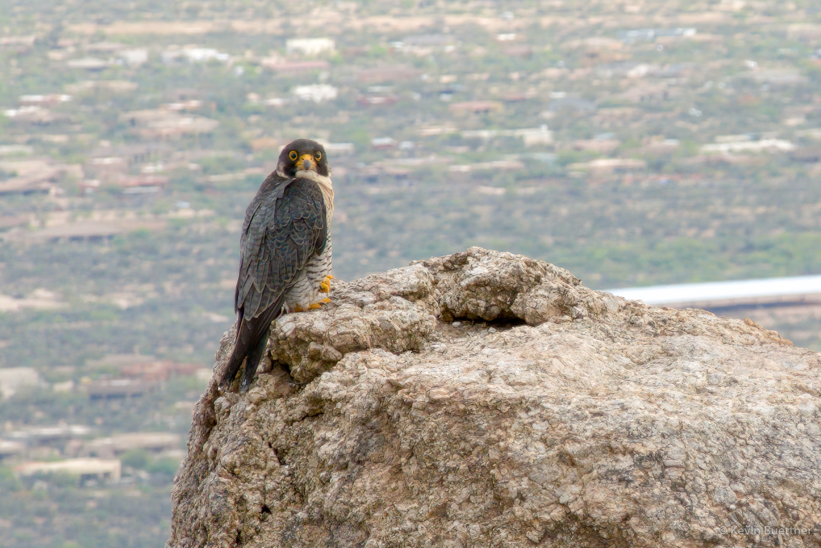
I originally thought that this was a hawk, but in the comments, Cathy says that she thinks it’s a Peregrine Falcon.  I think she’s right.  In any case, we saw this bird as we continued to make our way up to the Thumbnail Pinnacle.  It hung around on that pinnacle as we passed it.  We weren’t especially close to it – once again, I used Topaz Gigapixel AI to enhance the detail.  (I also used this software on the owl photo from last week.)
We’re near or above the Thumbnail Pinnacle now, looking towards Scottsdale:
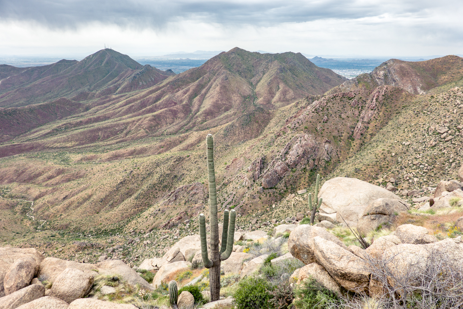
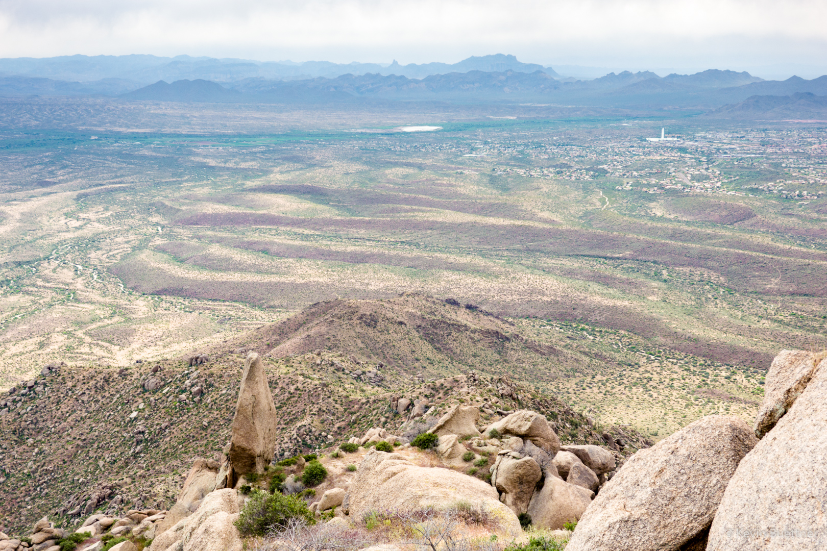
We continued up to the ridge leading over to the East End.  The Thumbnail Pinnacle is well below us here, looking more like a spire.  In the distance is Weaver’s Needle and the Flatiron. Towards the right and somewhat closer is Fountain Hills with the Fountain.
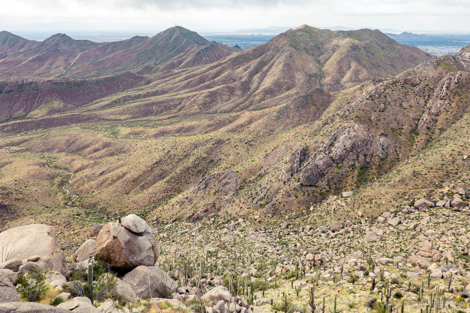
Another view looking toward Scottsdale.  Thompson Peak is the one with the antennas. Also visible is the East End Trail, far below us.
Blister beetle – thanks to Linda for the ID:

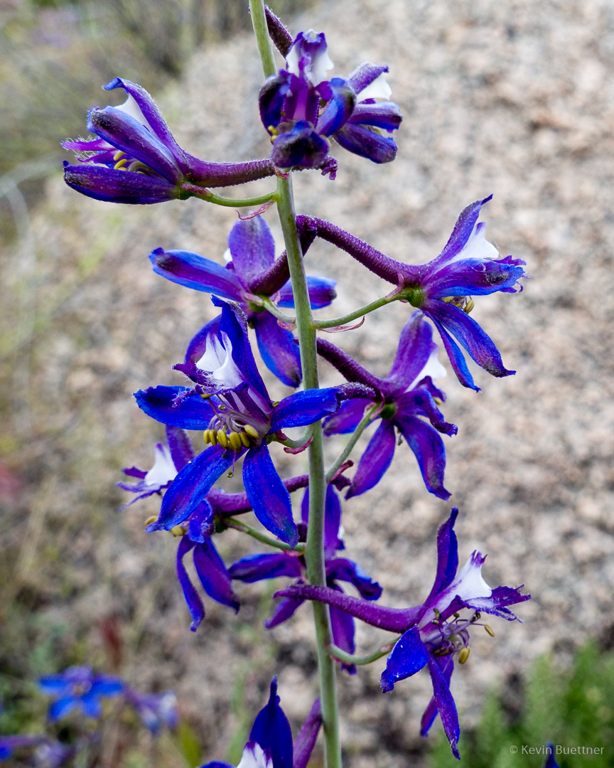
I’m not sure what this flower is; it was incredibly blue/purple though.  (Update: Linda identified it as Larkspur / Delphinium.)
Tom’s Thumb with the edge of Gardener’s Wall below it and slightly to the right.
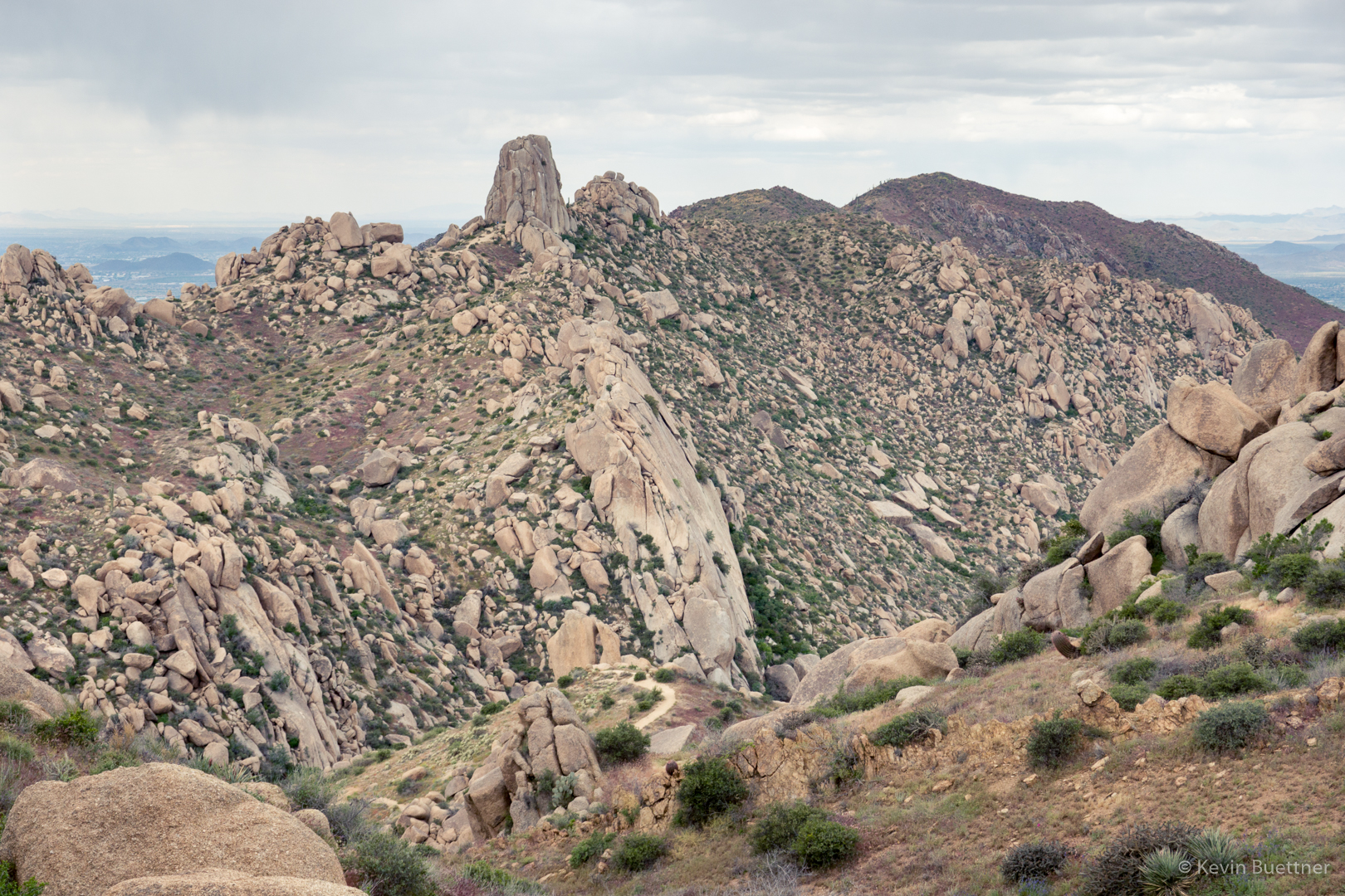
Another view of that ridge; also visible in this photo is Glass Dome at the left.
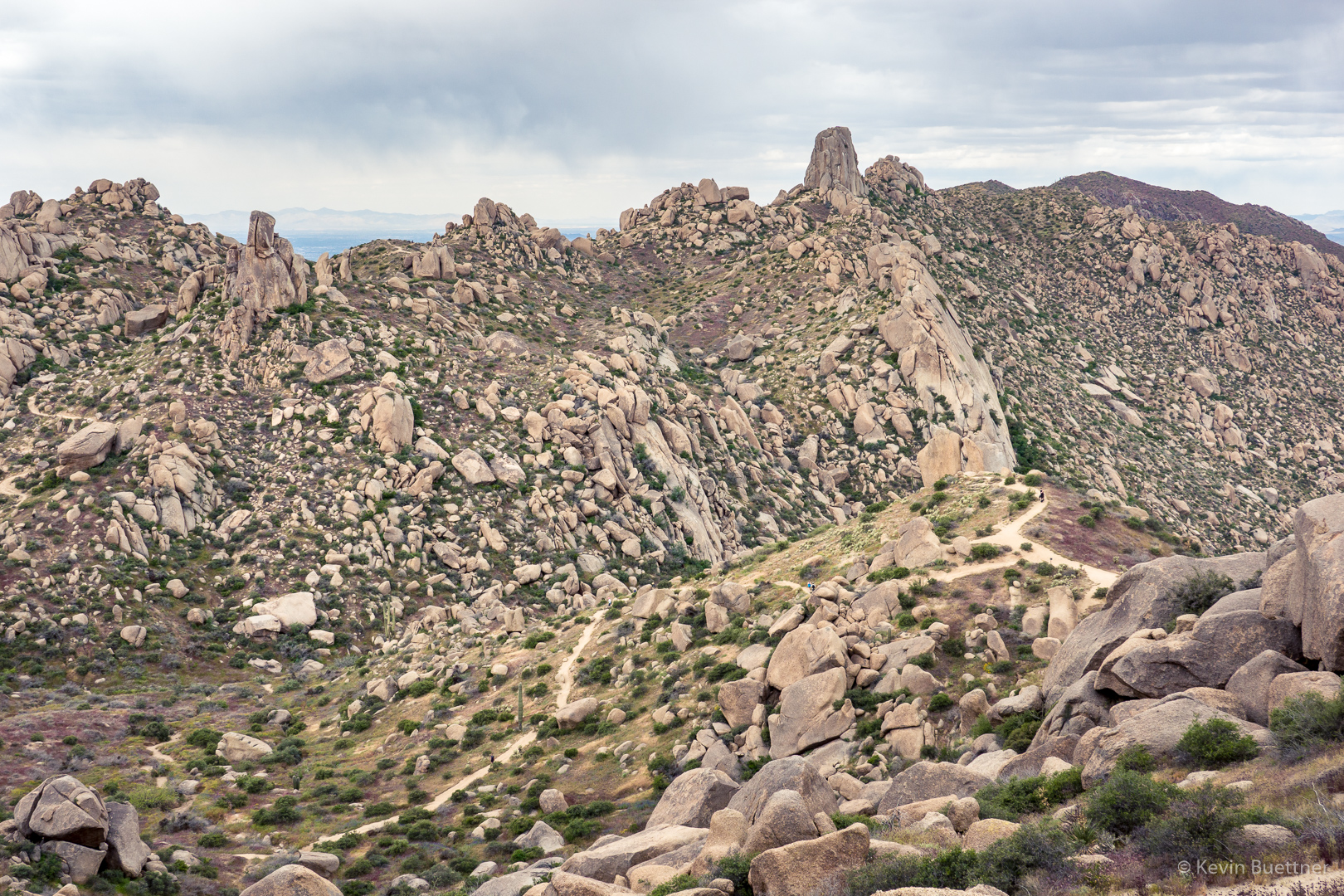
A view of Pinnacle Peak (center) and Troon Mountain at the right:
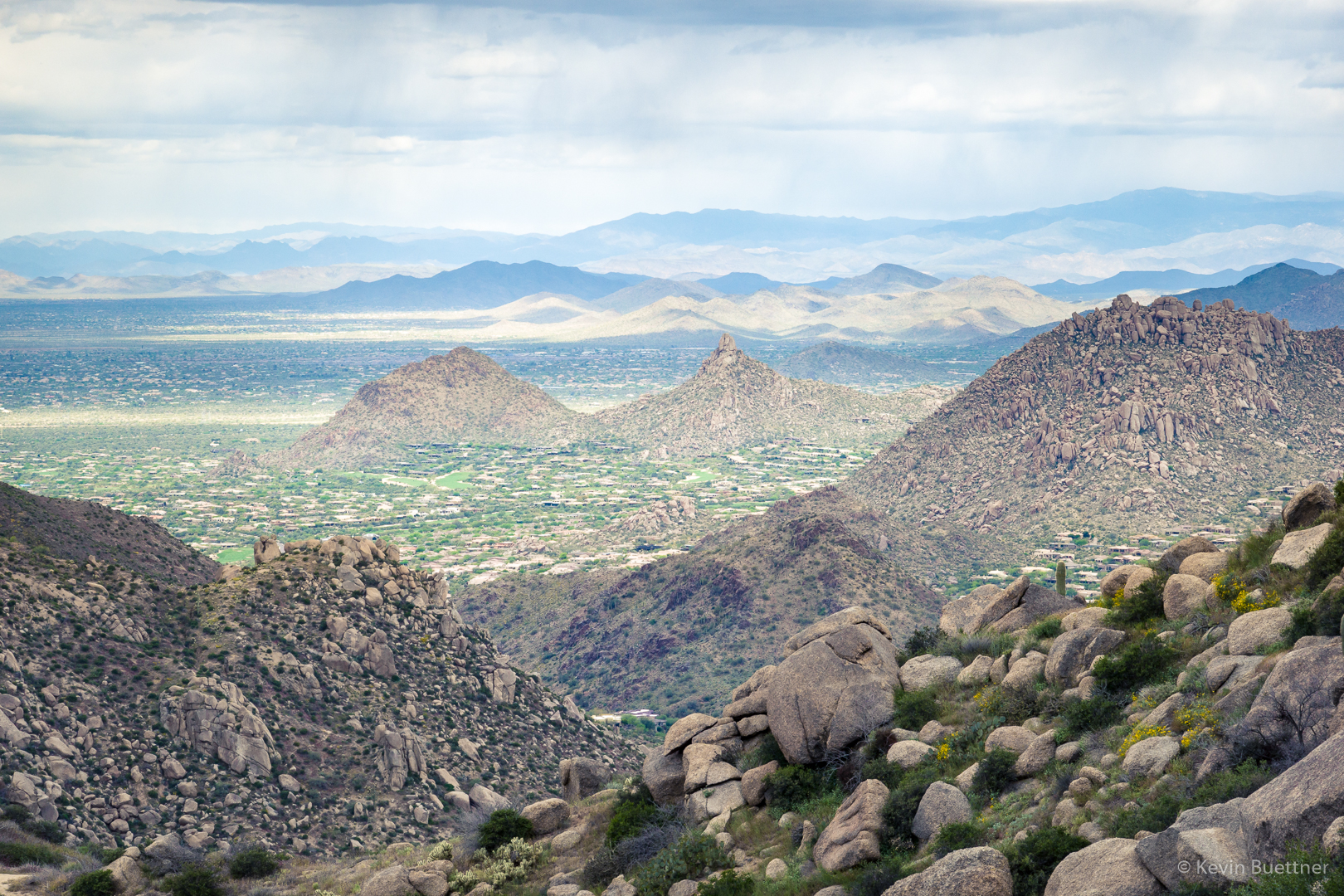
We’re nearly down to Tom’s Thumb Trail now. The two prominent pinnacles in this photo are Glass Dome on the left and Tom’s Thumb on the right.  Again, the edge of Gardener’s wall can be seen at the far right.
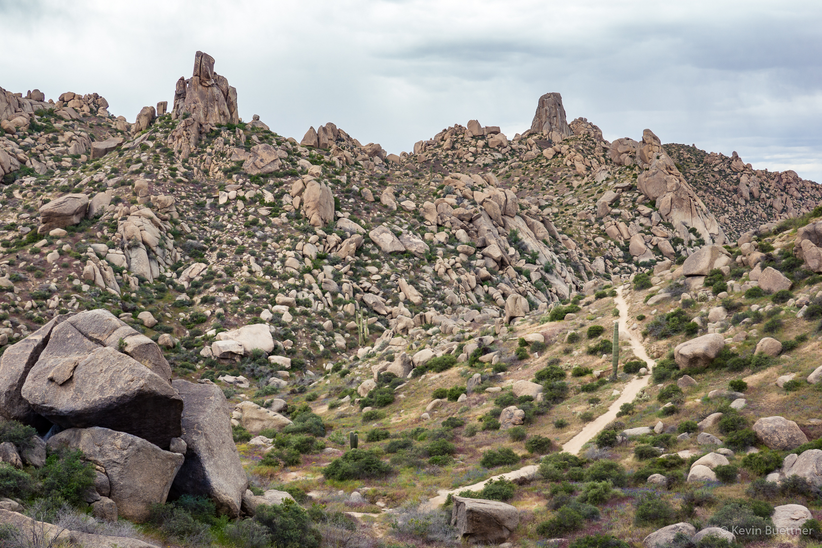
Another patch of dry grasses and flowers:
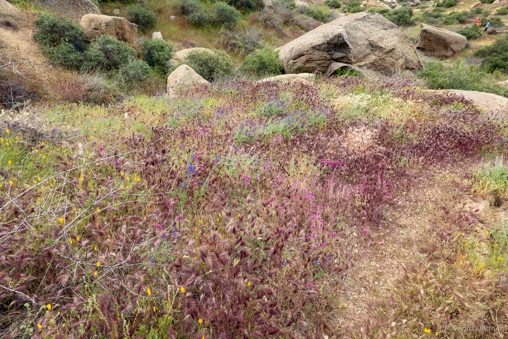
Tom’s Thumb:
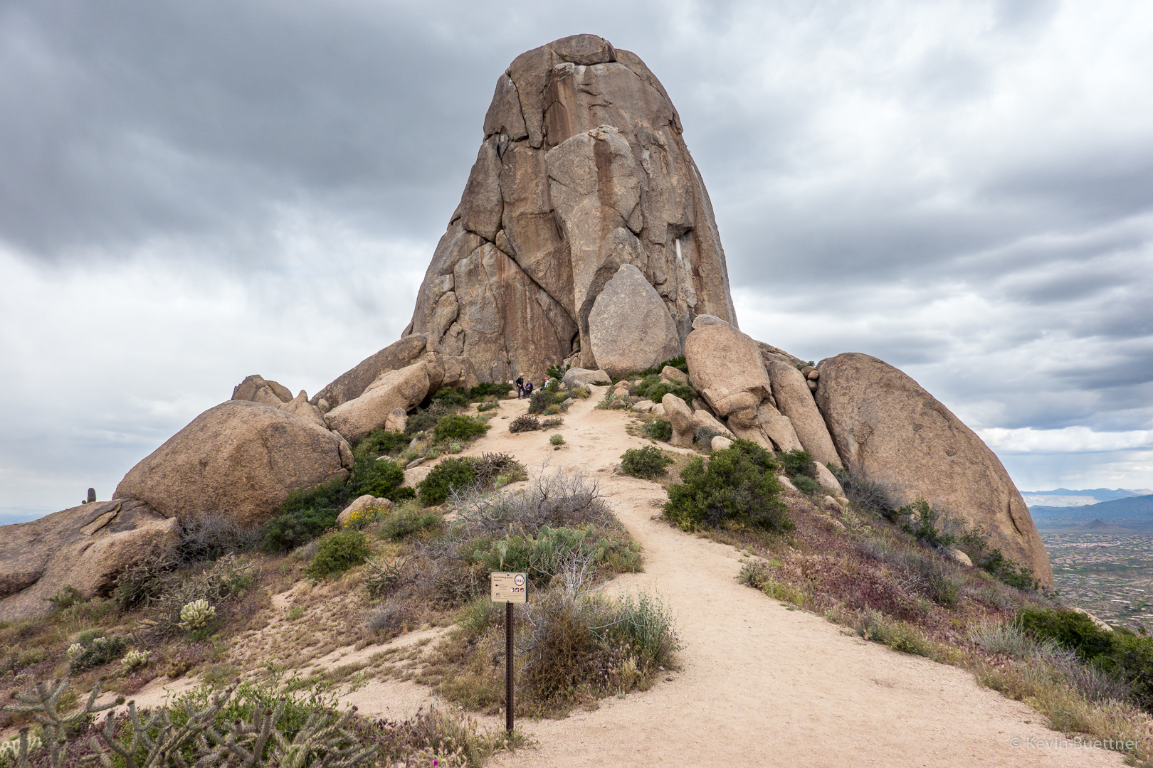
A view of Tom’s Thumb from the other side. The Class 4 West Corner route can be seen in this photo.  (Mountain Project has it rated at 5.2.) This was my first climb way back before there were “easy” trails leading to Tom’s Thumb.
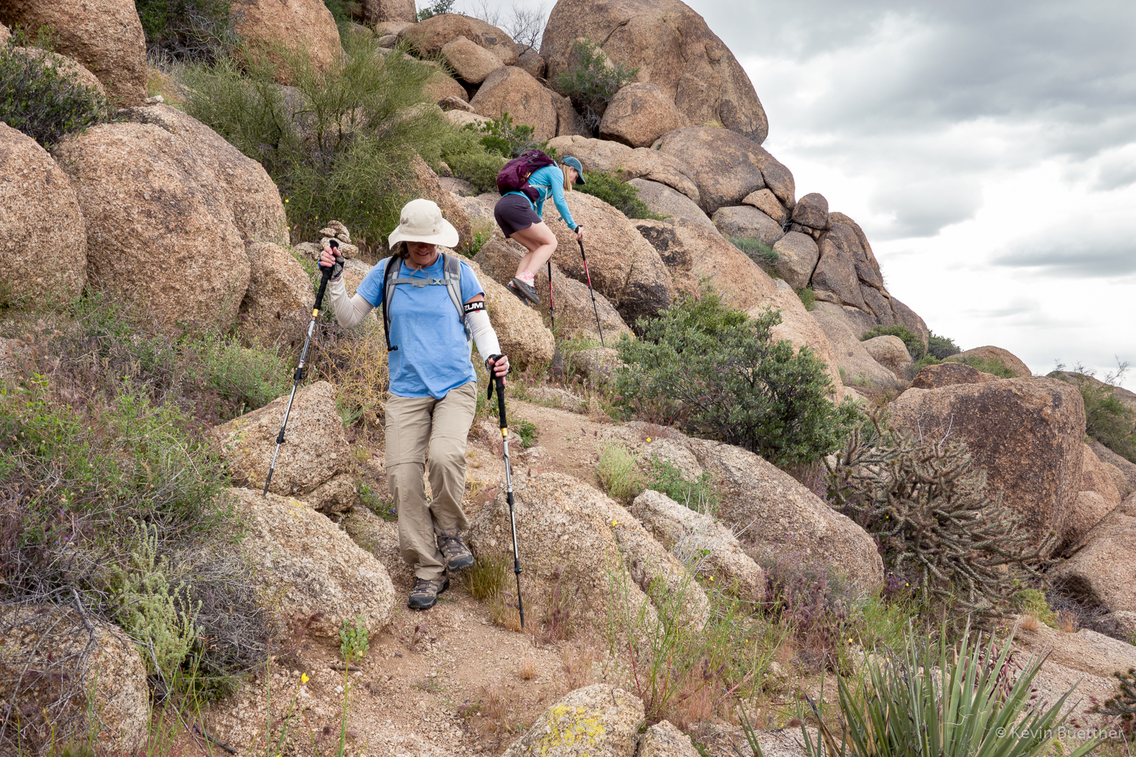
Nora and Heather, descending part of the Lost Wall Loop.  (It was pretty much all descent, much of it loose and/or rocky, after we left Tom’s Thumb.)
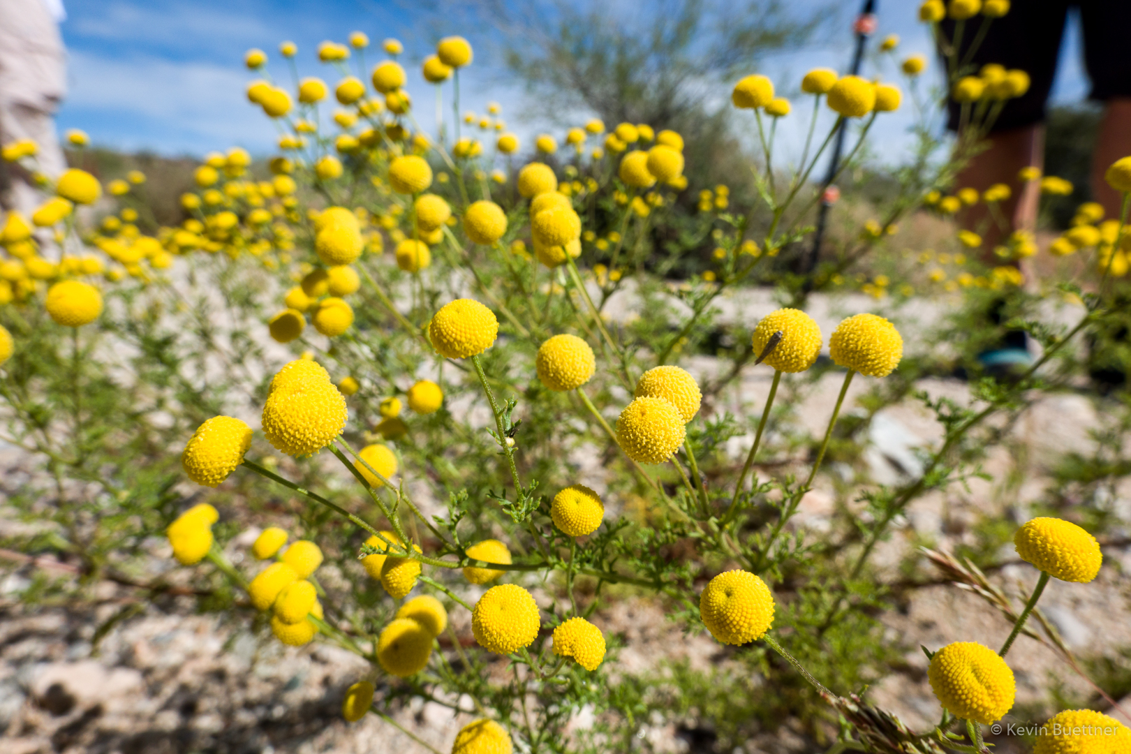
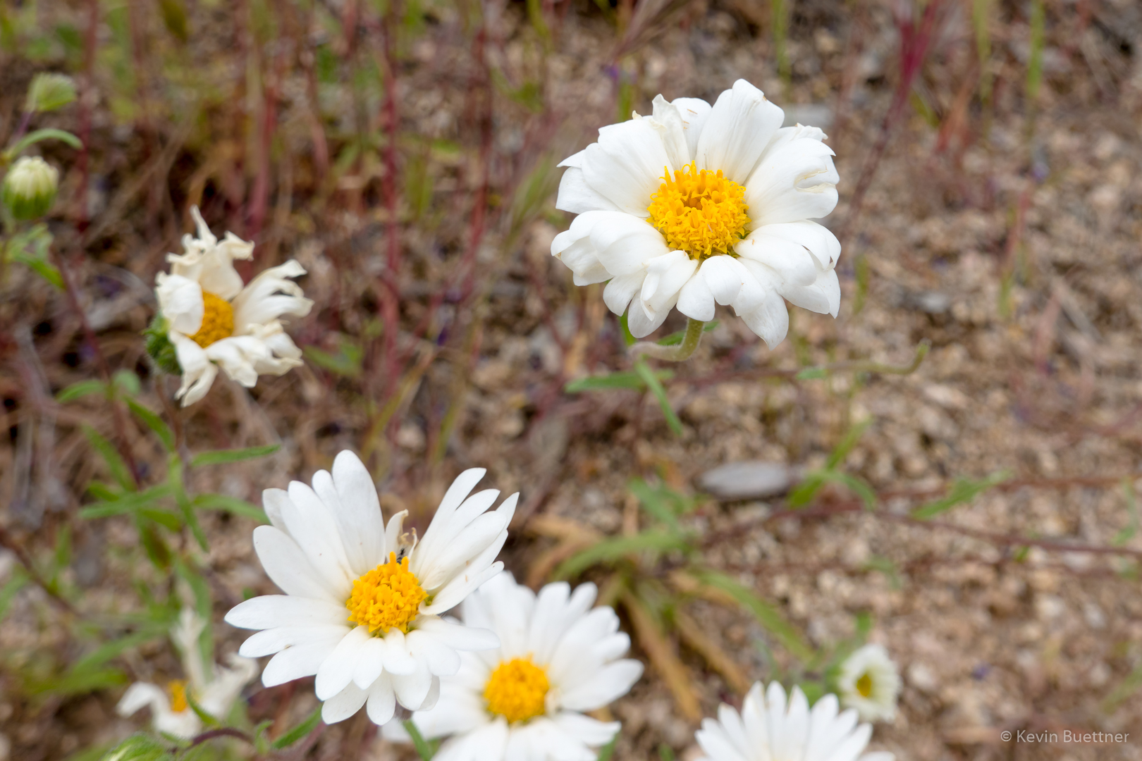
Globe Chamomile:
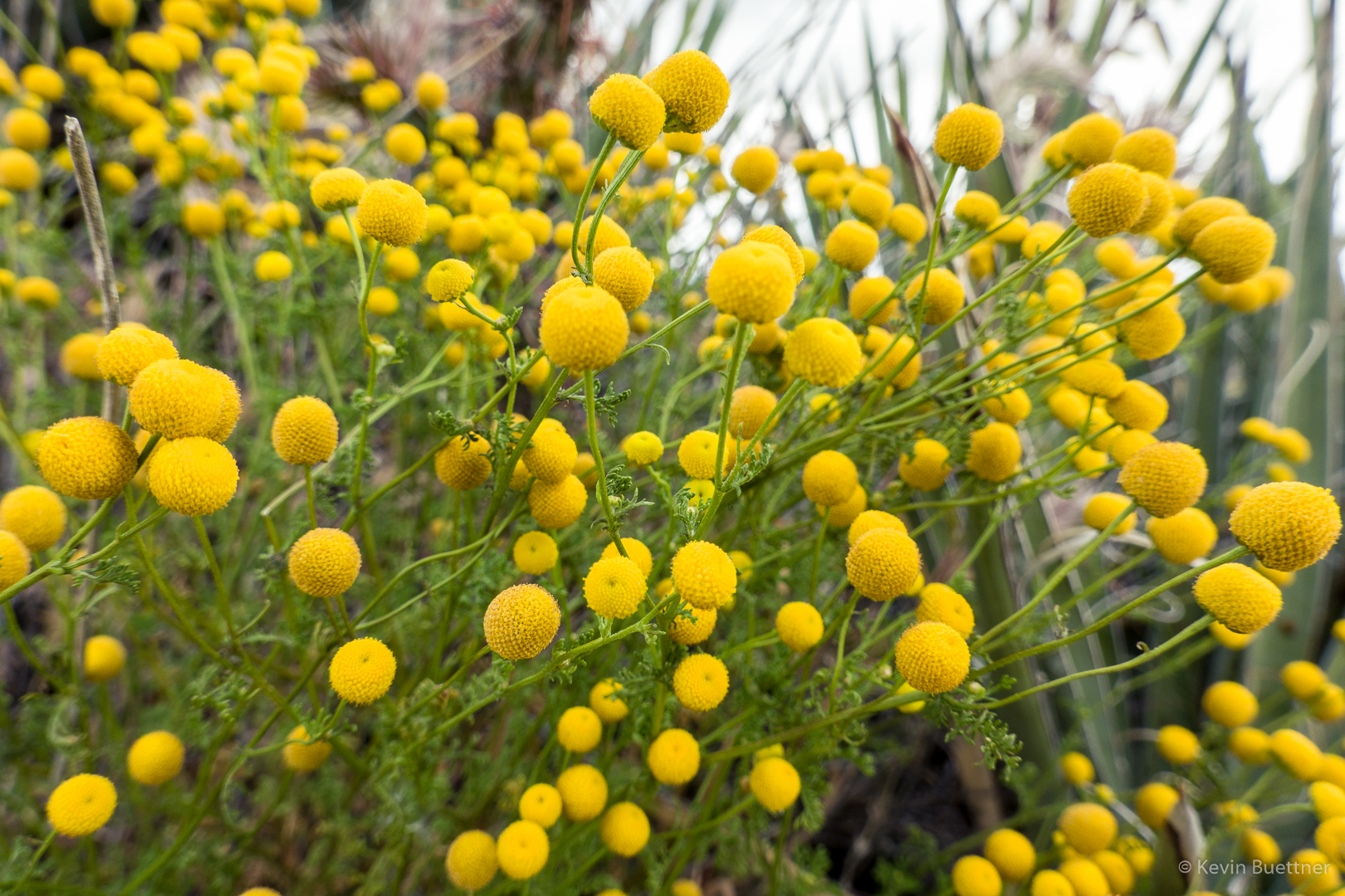
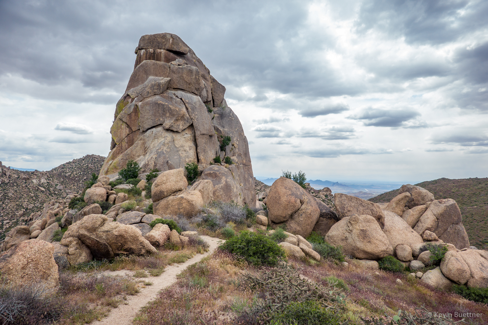
Another view of Tom’s Thumb – this is one of my favorite spots for getting a photo of Tom’s Thumb.
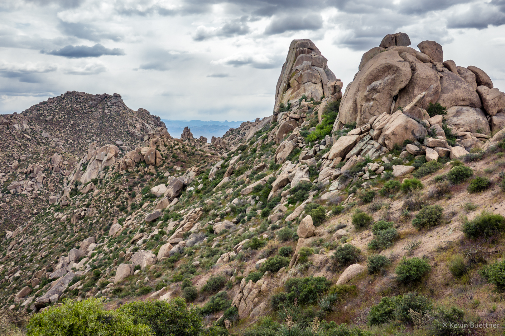
Hedgehog Blossom; we saw quite a few of them on the ridge prior to resuming our descent.

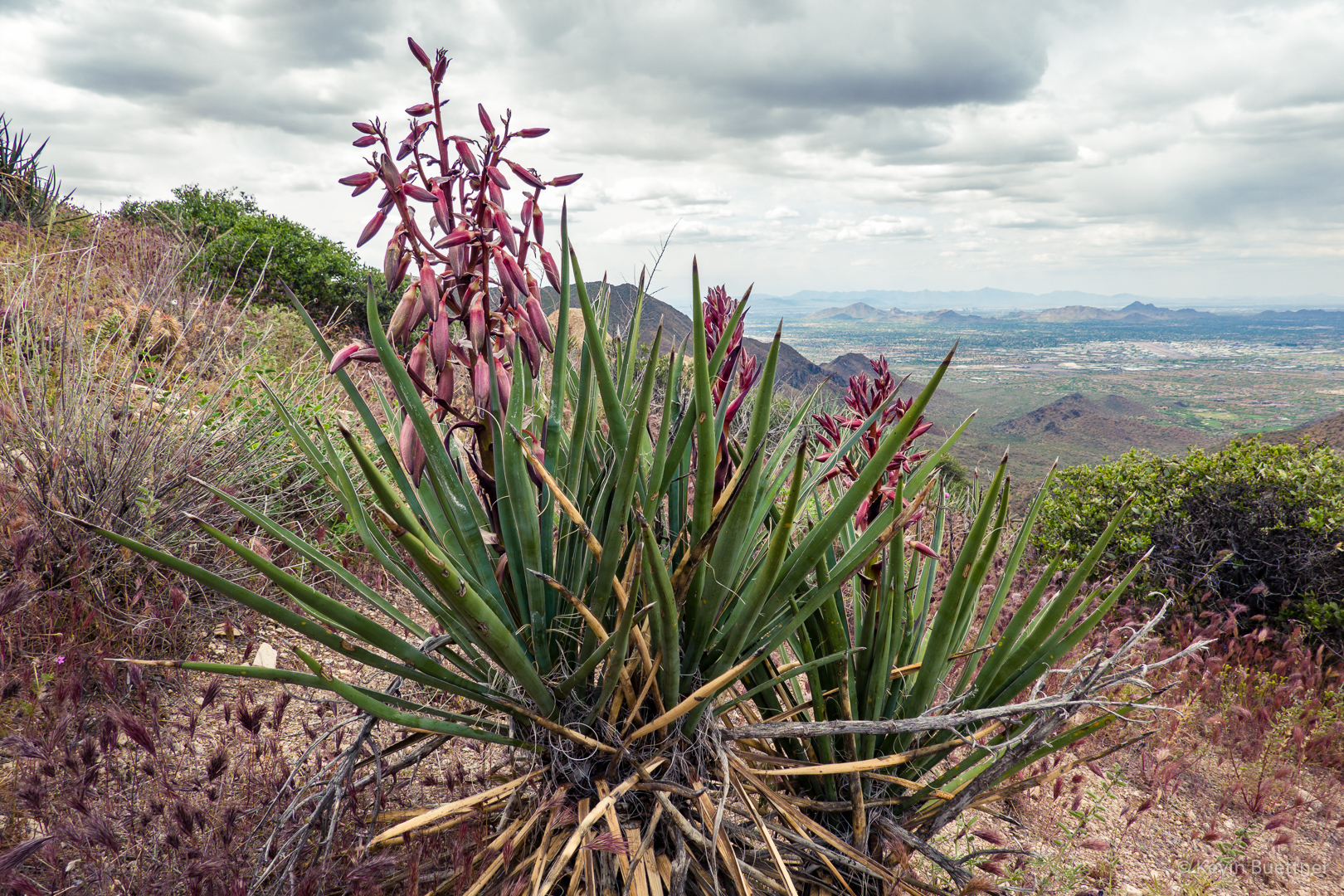
Chicory:
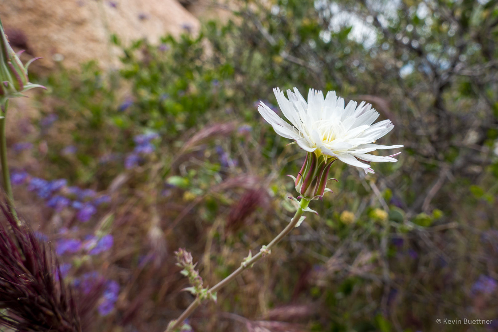
Blackfoot Daisy? (Not sure about this one.)
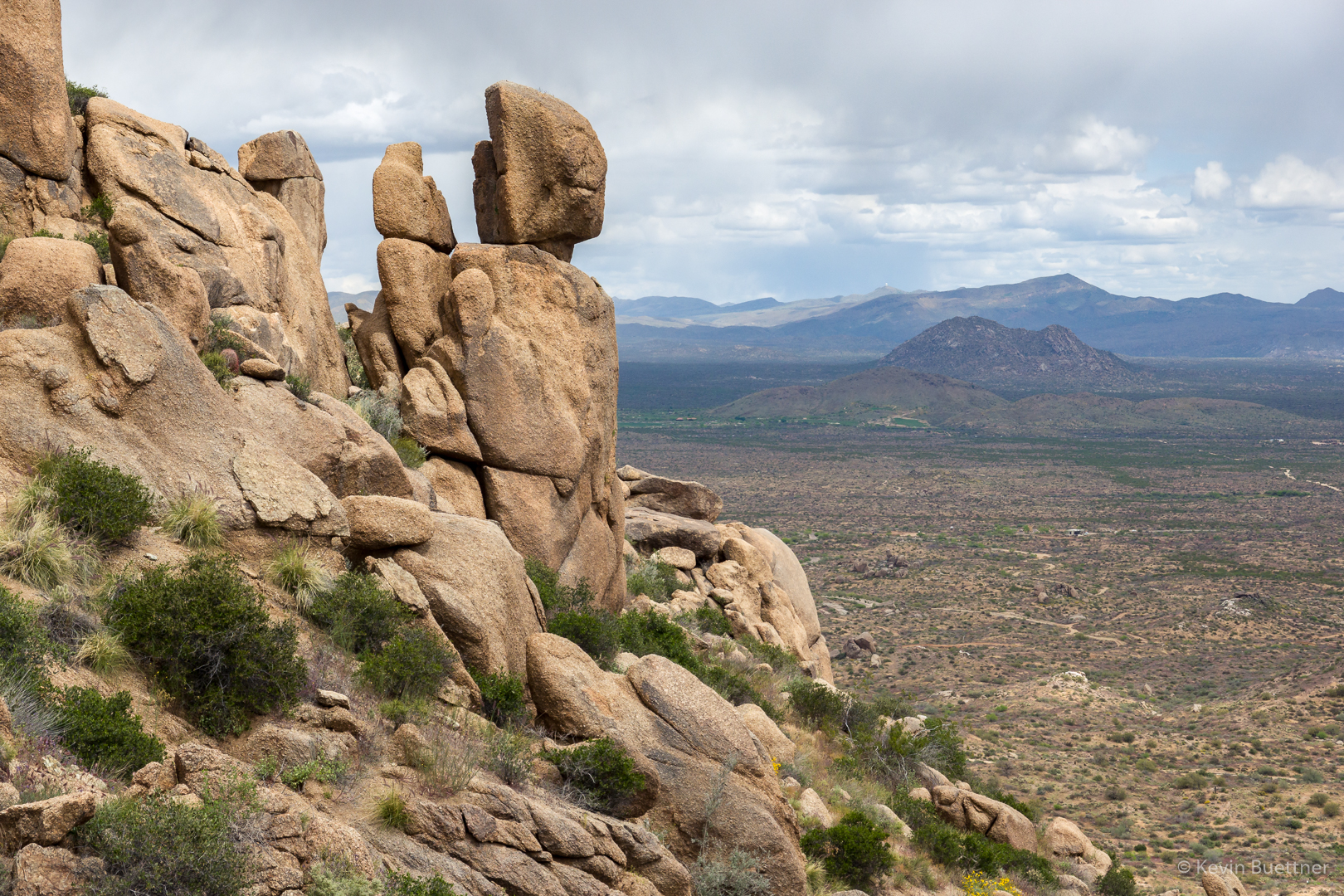
Another interesting rock formation on the Lost Wall Loop:
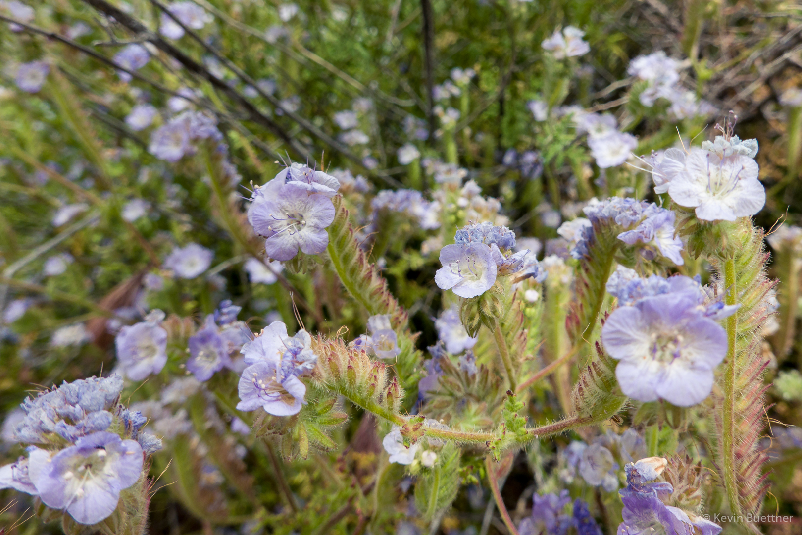
Phacelia (I thought it was Fiddleneck, but Linda corrected me on the ID). What was remarkable about this bunch of flowers was how high they were growing.  They’re usually no more than a foot or two off the ground.  Other nearby vegetation allowed this clump of it to reach up to perhaps four feet in height.
Friday Fitness Hike

Mike, Cathy, Ro (short for Rosemary), and I hiked 12.6 miles starting from the Four Peaks parking lot at MMRP. We hiked a big loop which incorporated the South Wash and a significant portion of the Long Loop, which is one of the competitive track loops.
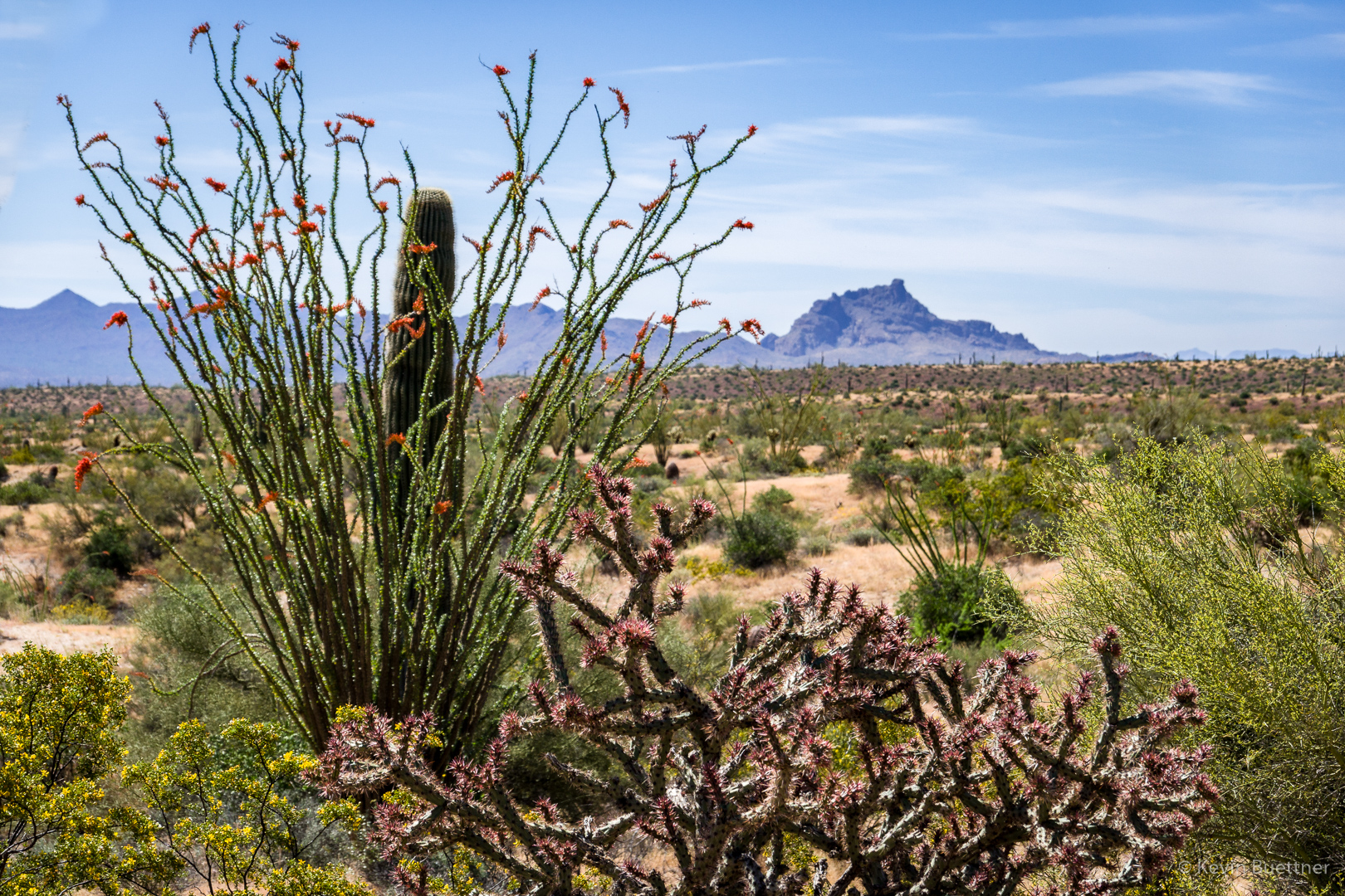
The desert grasses are definitely drying out; we saw a lot of tan, brown, and even red grasses.  But we also saw a lot of flowers, both cactus flowers and wildflowers.  We saw a surprising amount of brittlebush blooms.  We also saw poppies, fiddleneck, chia, globemallow, owl clover, and even thistle.

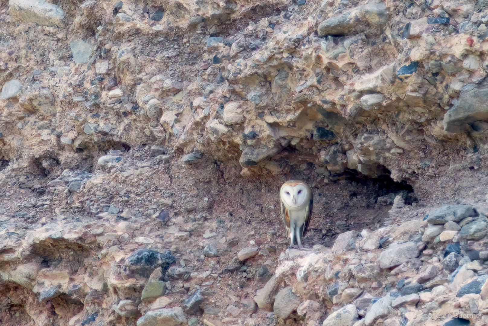
We saw a deer and an owl while hiking the South Wash. I got a photo of the owl (enhanced with Topaz Gigapixel AI), but was not quick enough to get a photo of the deer despite the fact that it was only about 20 yards away.

A view from the parking lot:

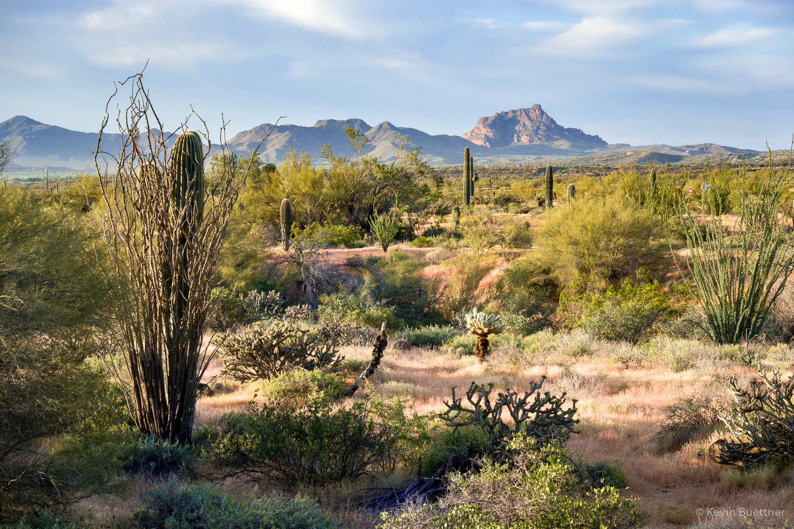
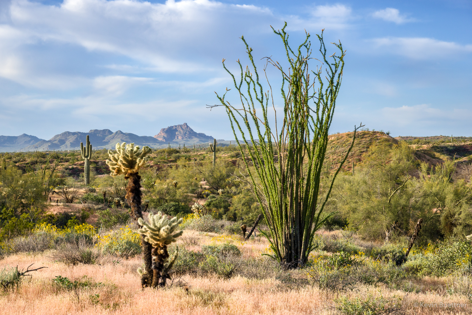
Views of Red Mountain from the Technical Loop…

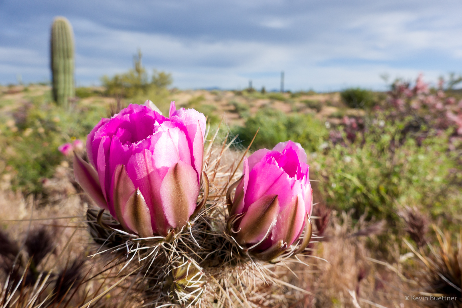
Hedgehog  Blossoms:

Another view of Red Mountain, also from the Technical Loop, while descending T-Bone Ridge:

This is one of the feeder washes for Stoneman Wash.  It led us to the Pemberton Trail.

Prickly Pear Blossom:

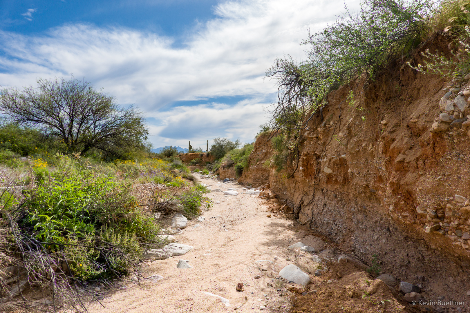
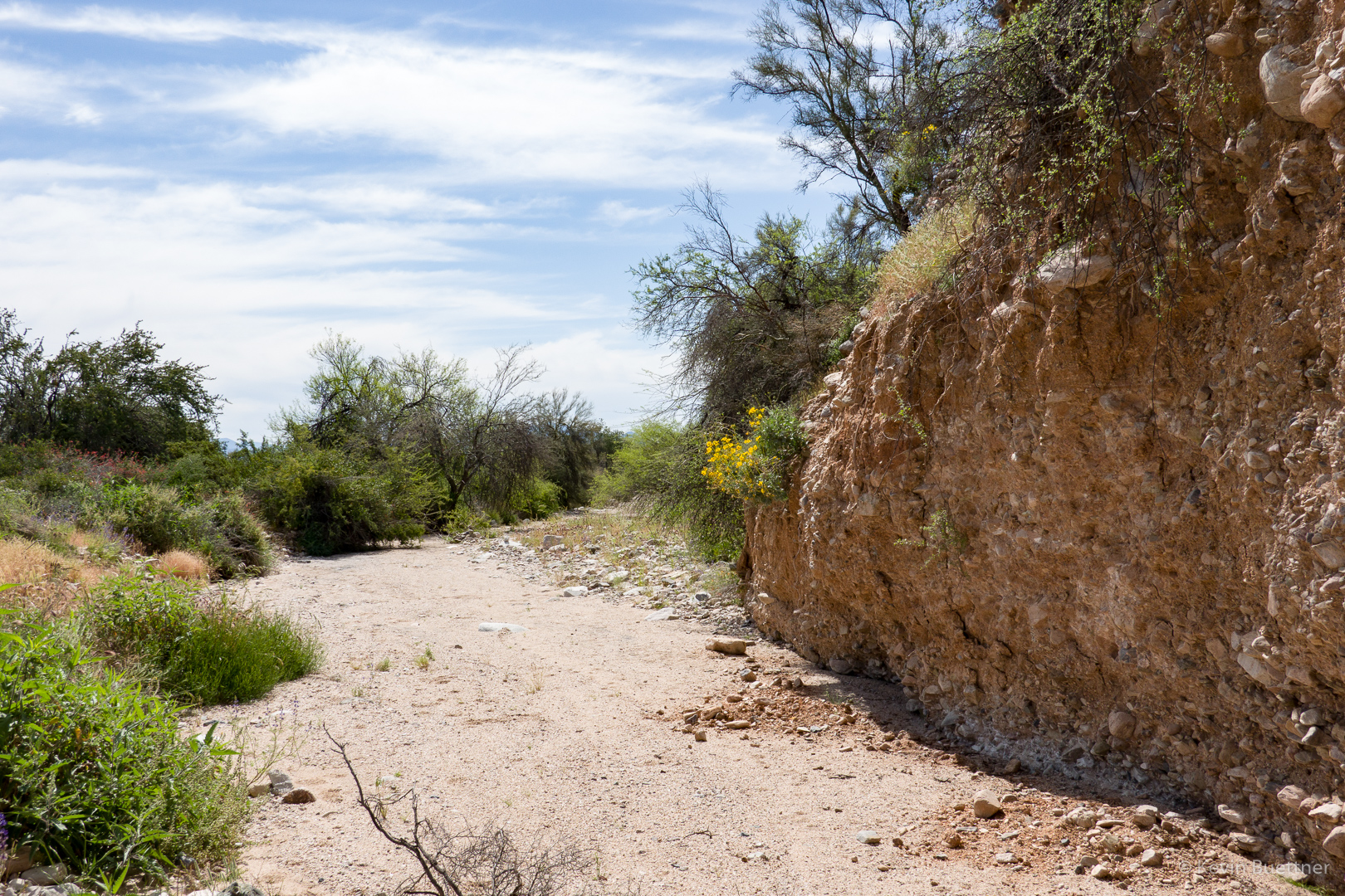
This is the South Wash. Note the brittlebush on the left bank.

Mexican Poppies:

Globemallow:

The South Wash has some very high mostly vertical banks.  We saw this owl three quarters of the way up in a small “cave”  on one of the 50-80 foot banks.

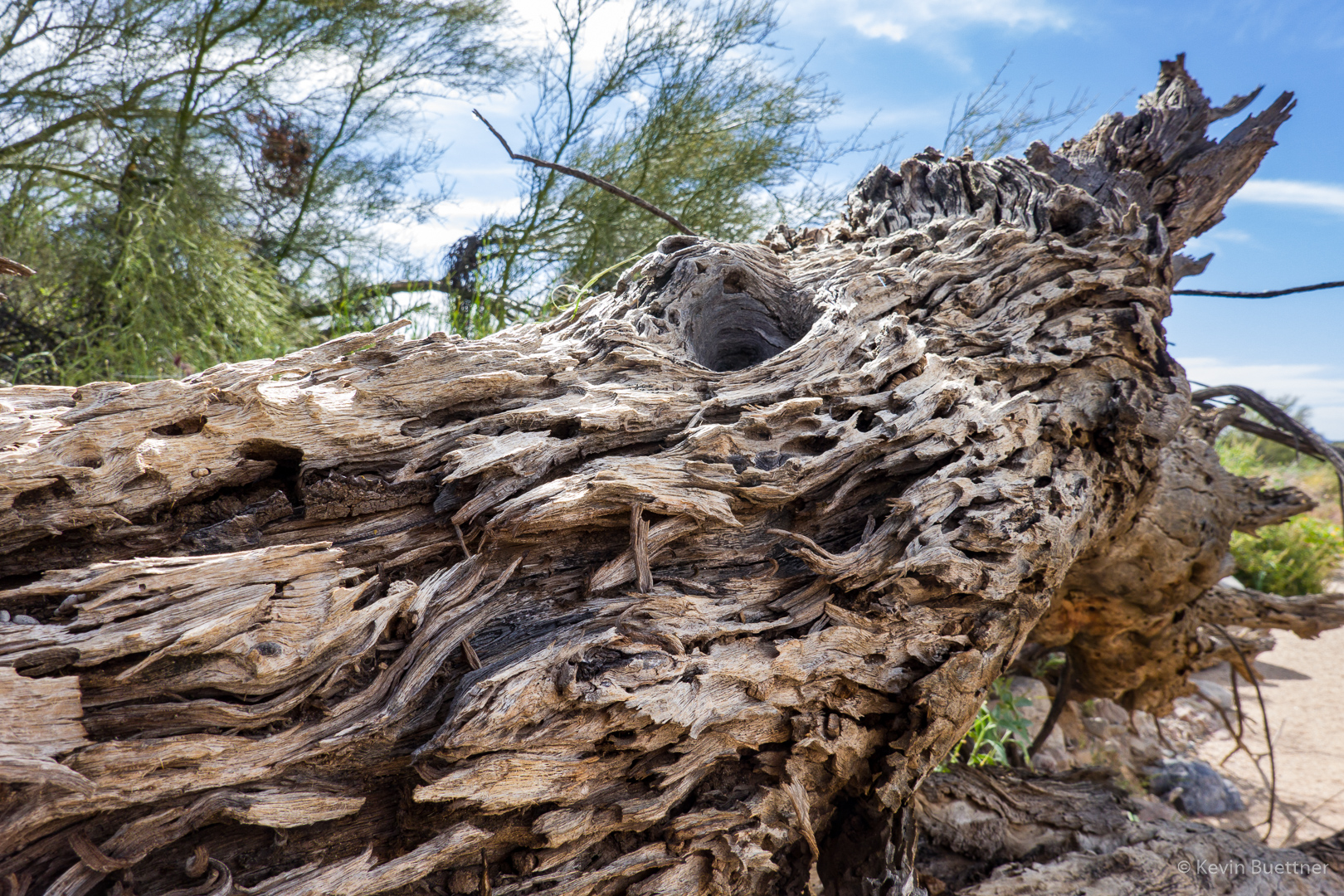
A dead tree with character:

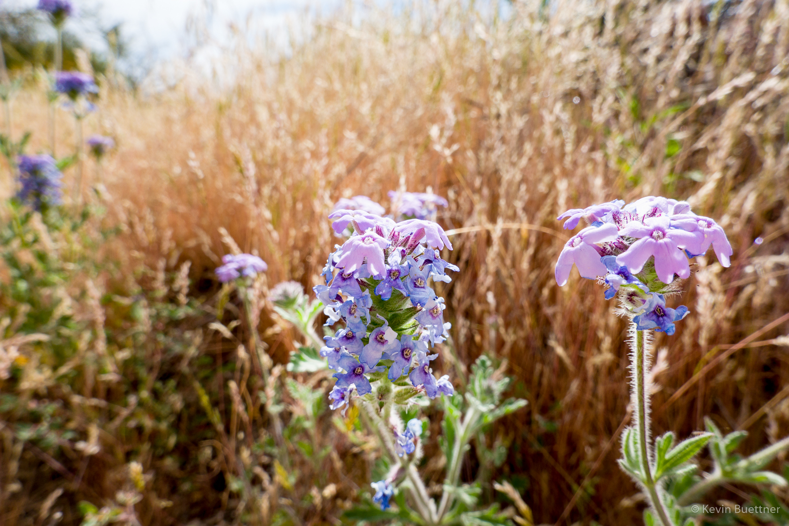
Verbena:

Brittlebush growing out of the side of the bank:

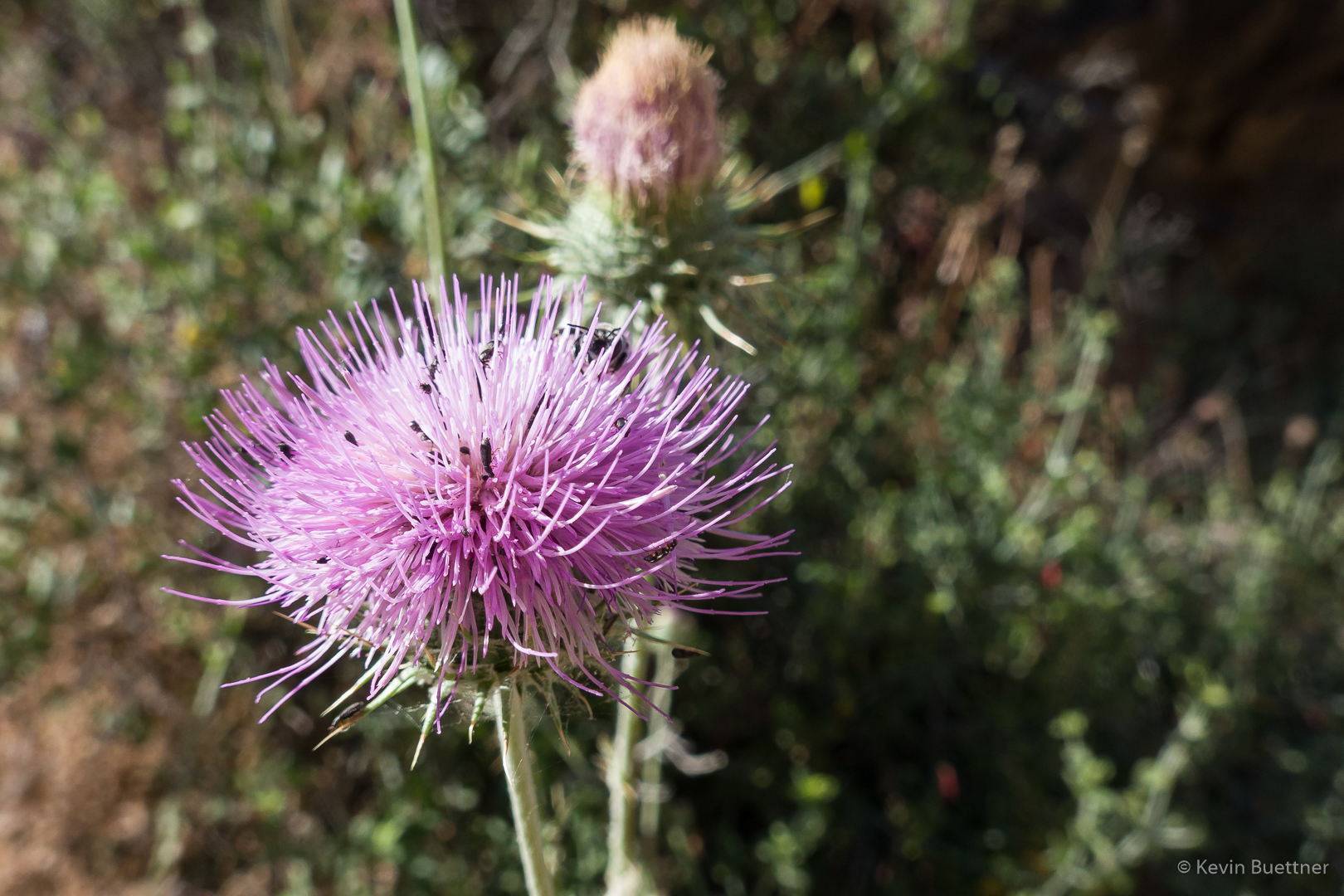
New Mexico Thistle (with bees):

Globe Chamomile – thanks to Cathy for identifying this:

Chia:

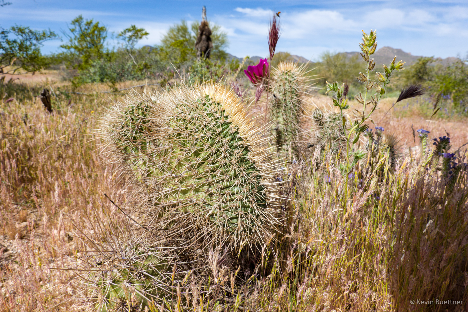
This is a crested (fasciated) hedghog cactus.

After hiking the South Wash, we left the wash by hiking up the Long Loop to the South Ridge.  This is another view of Red Mountain from that section of the Long Loop.

Hedgehog blossoms:

Views from the South Ridge:

Fiddleneck:

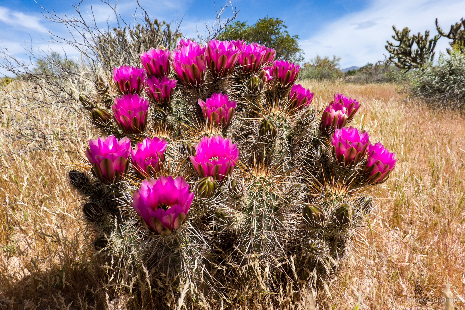
Hedgehog cactus and blossoms. Note the dry grass!