Marilyn, Marie, and I hiked the Dixie Mine Trail, out to the gravel road and back. Near the intersection with the Sonoran Trail, we saw three deer!

Marilyn, Marie, and I hiked the Dixie Mine Trail, out to the gravel road and back. Near the intersection with the Sonoran Trail, we saw three deer!
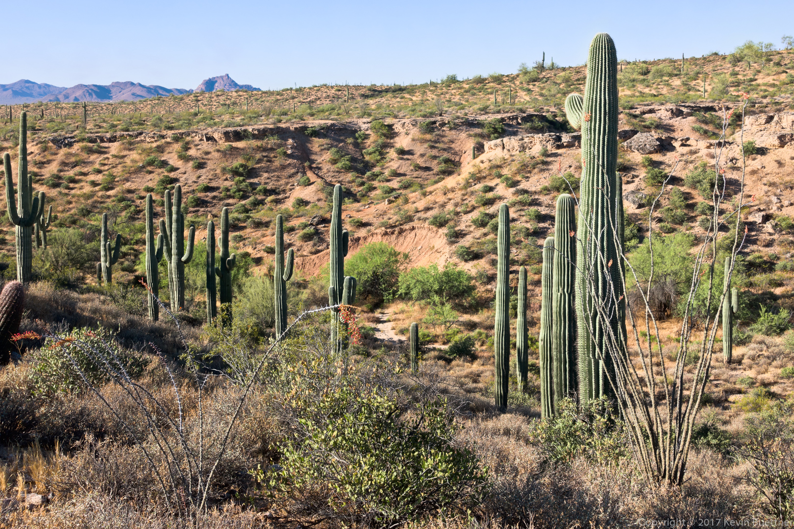
Mike, Bob, Linda, Sara, Dorinda, and I hiked 10.6 miles on the Dixie Mine, Prospector, Bell Pass, Windmill, Coachwhip, and Dixie Mine (again, for the return) trails. Our total ascent on this hike was a bit over 1500 feet.
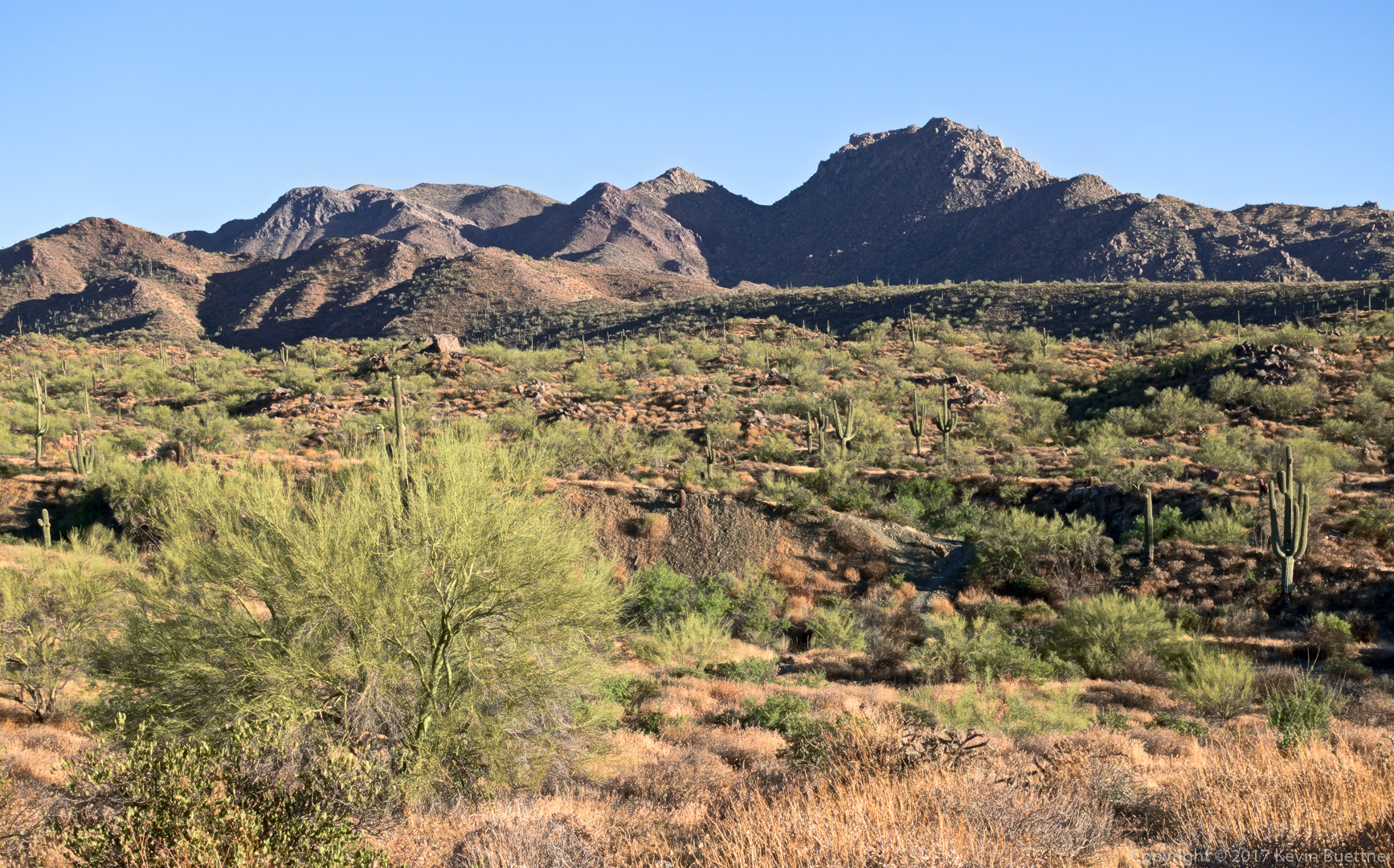
A view of the McDowells from the Dixie Mine Trail:
This is the adit (horizontal entrance) for the Dixie Mine.

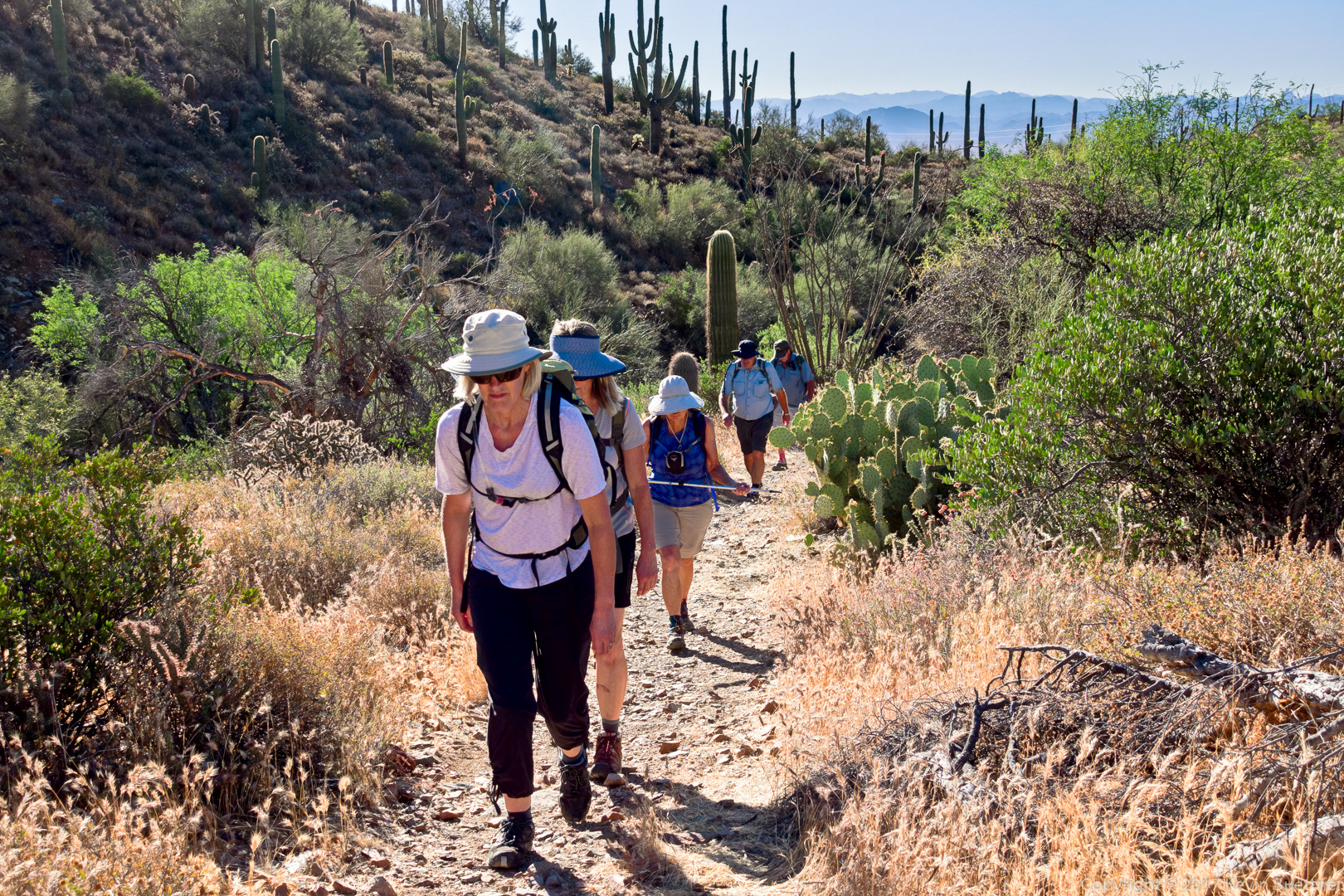
Sara, Dorinda, Linda, Mike, and Bob hiking up the Prospector Trail.
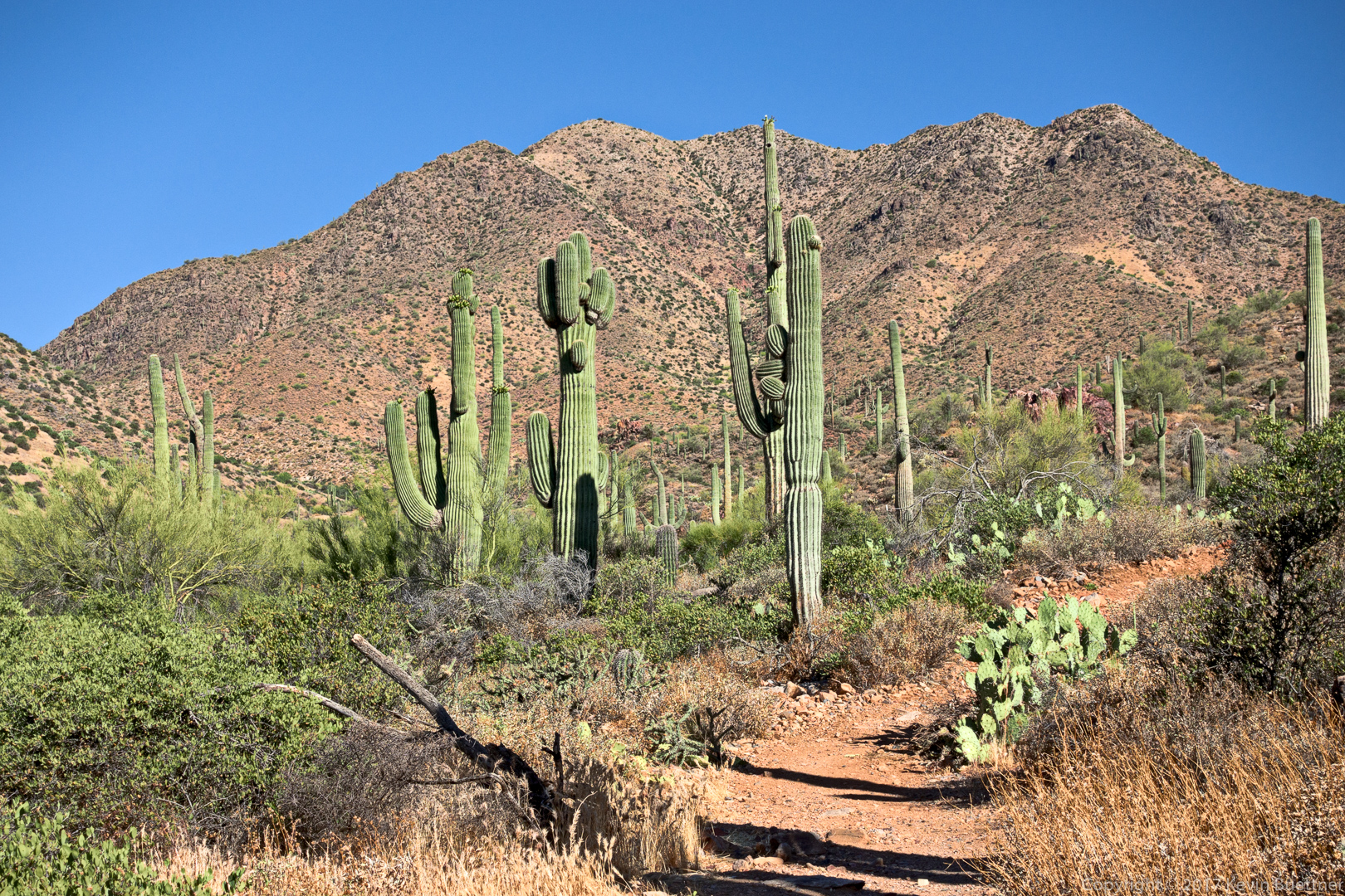
Looking up from the Prospector Trail:
Kevin, Dorinda, Bob, Mike, Sara, and Linda.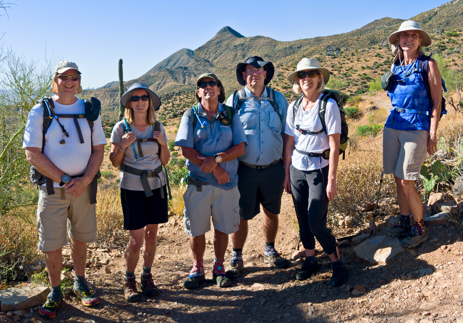
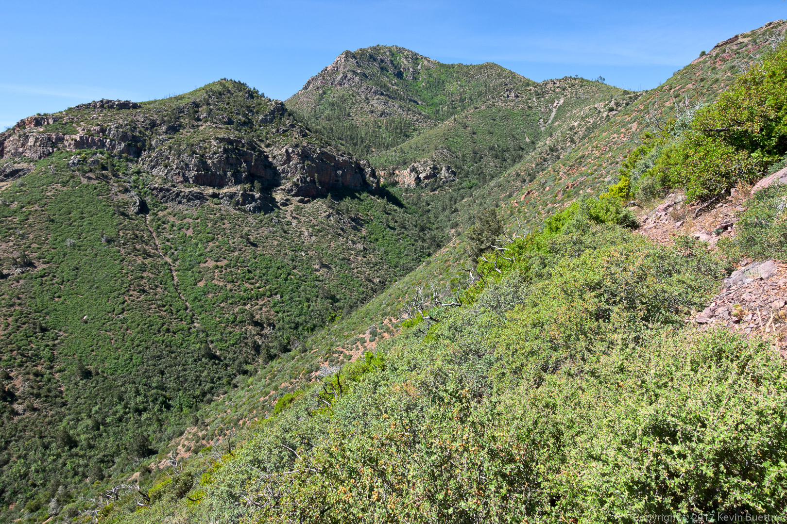
A view from the Bell Pass Trail:
Views of Weaver’s Needle and the Flatiron from the Coachwhip Trail:

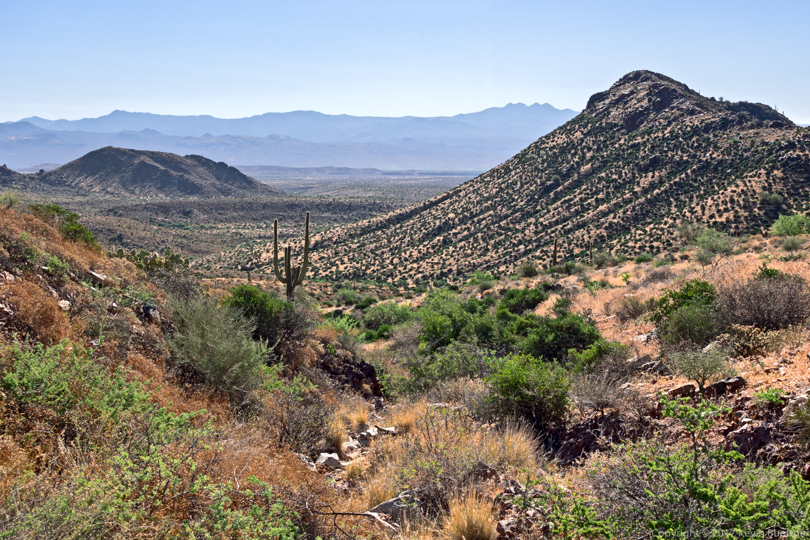
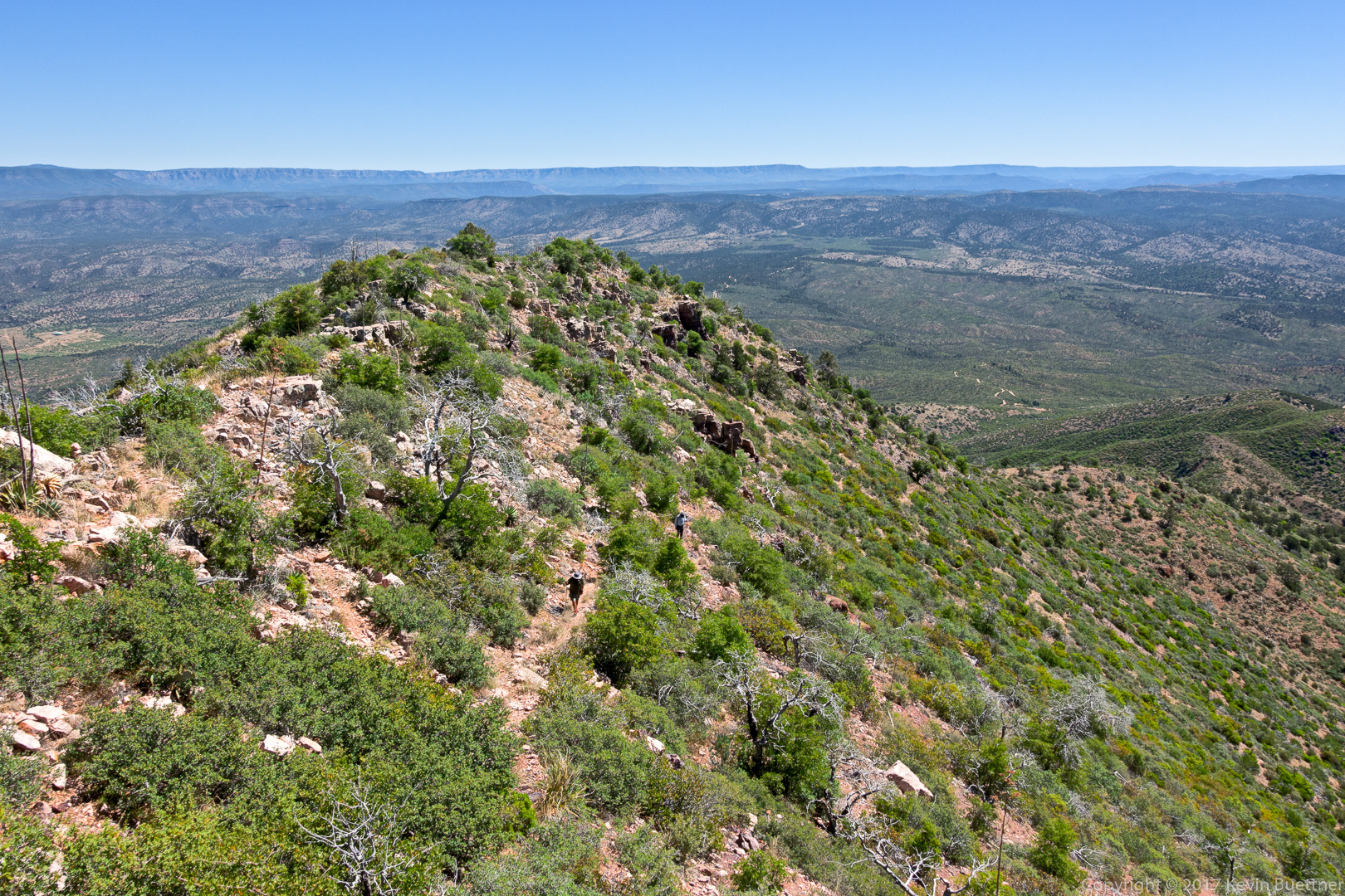
On Sunday, I hiked the North Peak Trail with a visit to the North Peak in the Mazatzals. Hike distance was nearly 11 miles with around 4,000 feet of total ascent.
Bob and Mike, who accompanied me for part of the hike, can be see in this photo.
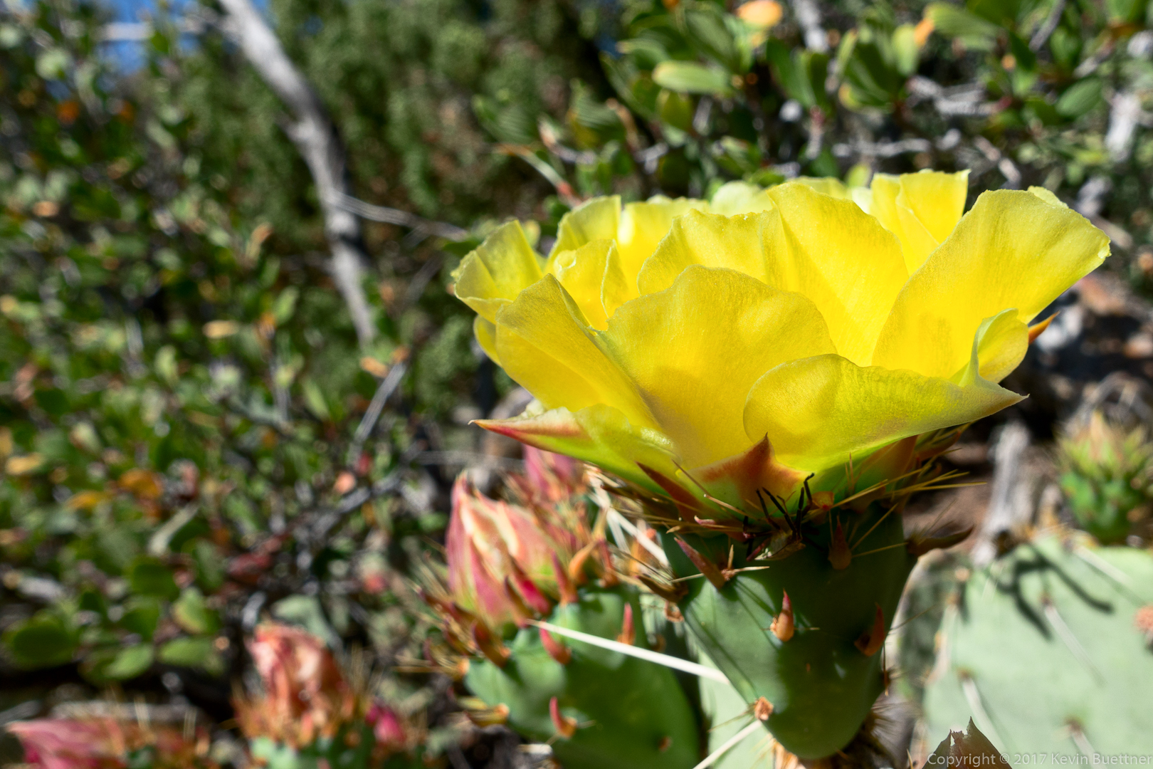
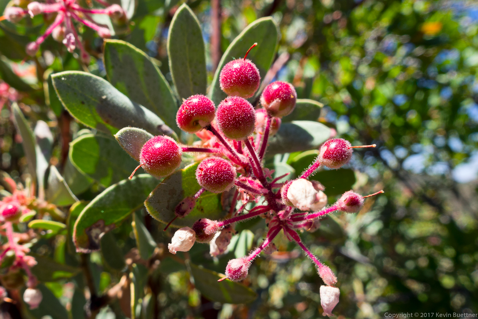
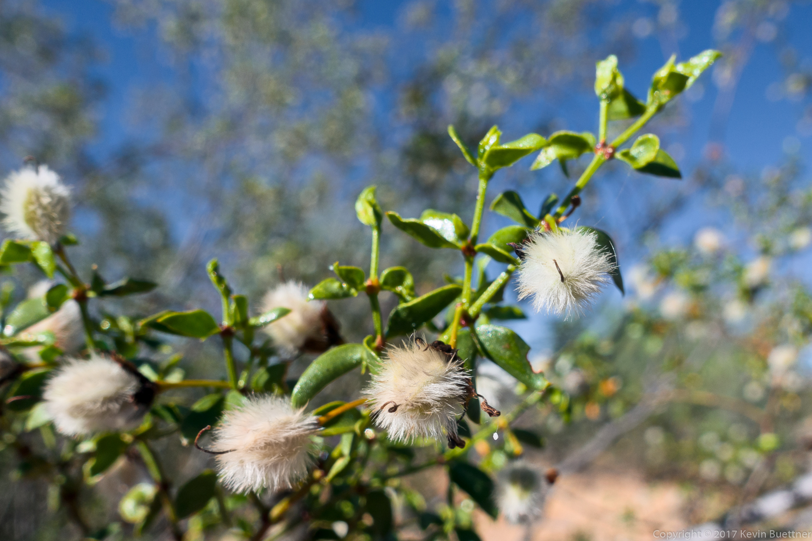
I think this is Manzanita fruit:
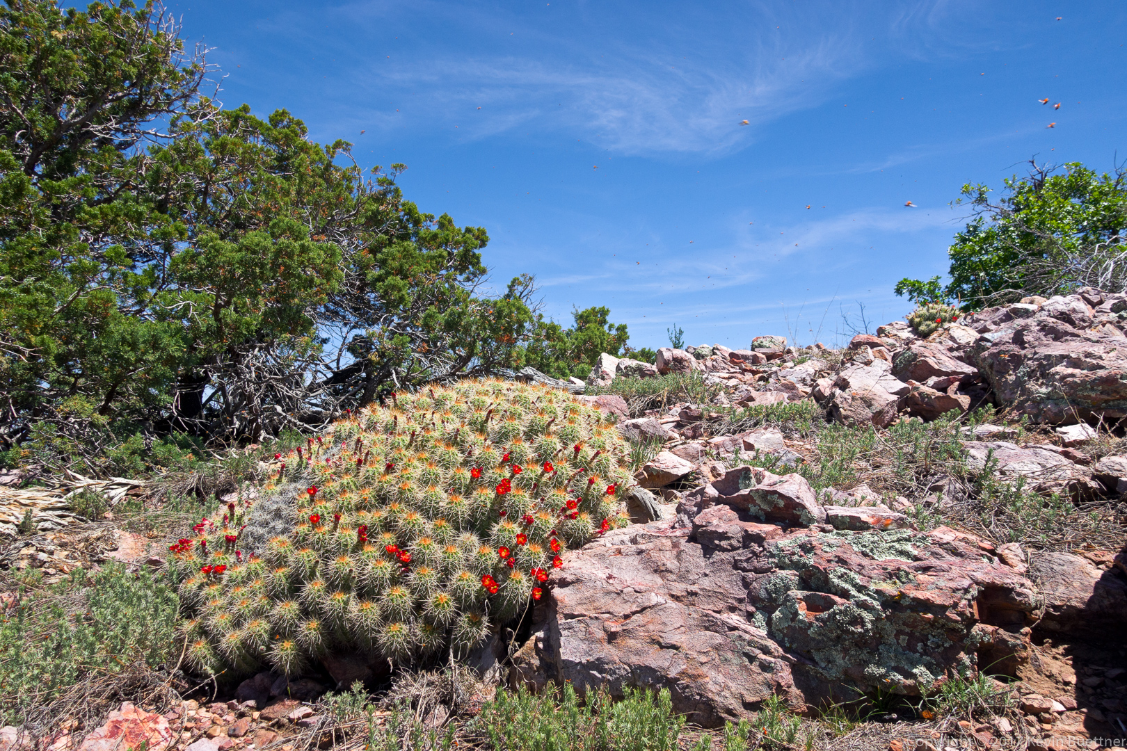
This was a photo from the summit. If you look closely, you’ll see a lot of flying ladybugs. I didn’t spend much time at the summit because I was in a hurry to start back down.
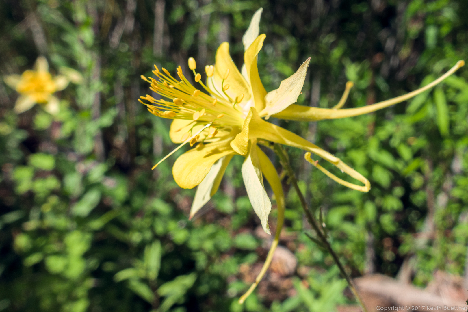
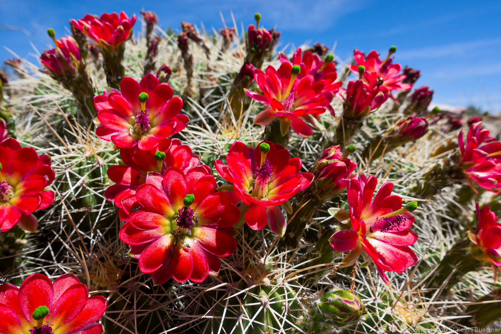
This is a close-up of the flowers from the above photo.
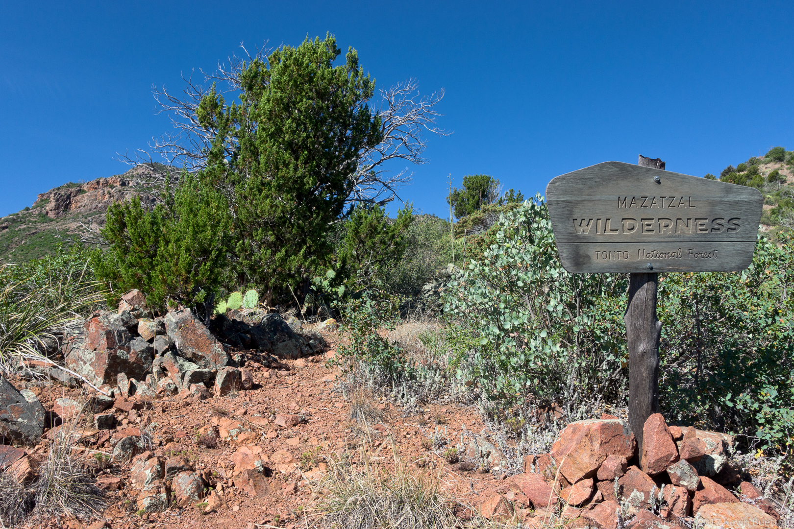
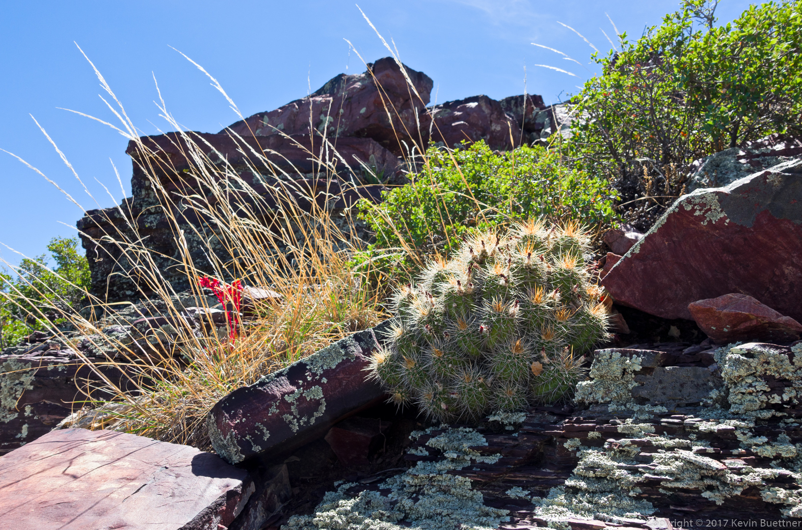
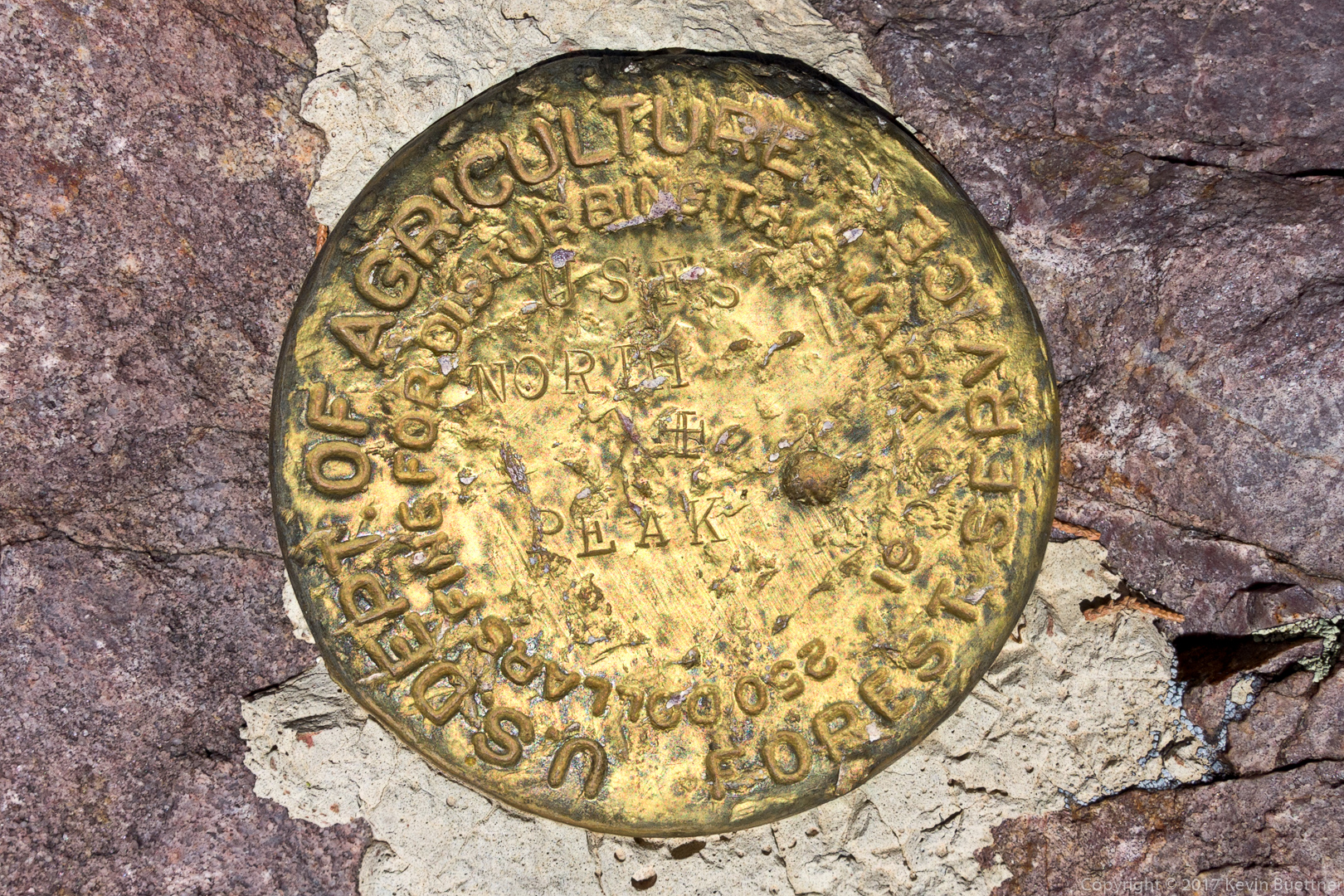
Not too far away from the cacti with the flowers, I found this marker. I was hoping that it would state the elevation, but I don’t see it on this marker. There may be another nearby marker with that information. I don’t think that this was actually the highest point.
This flower reminds me of a Mariposa Lily, accept that it’s purple instead of orange.

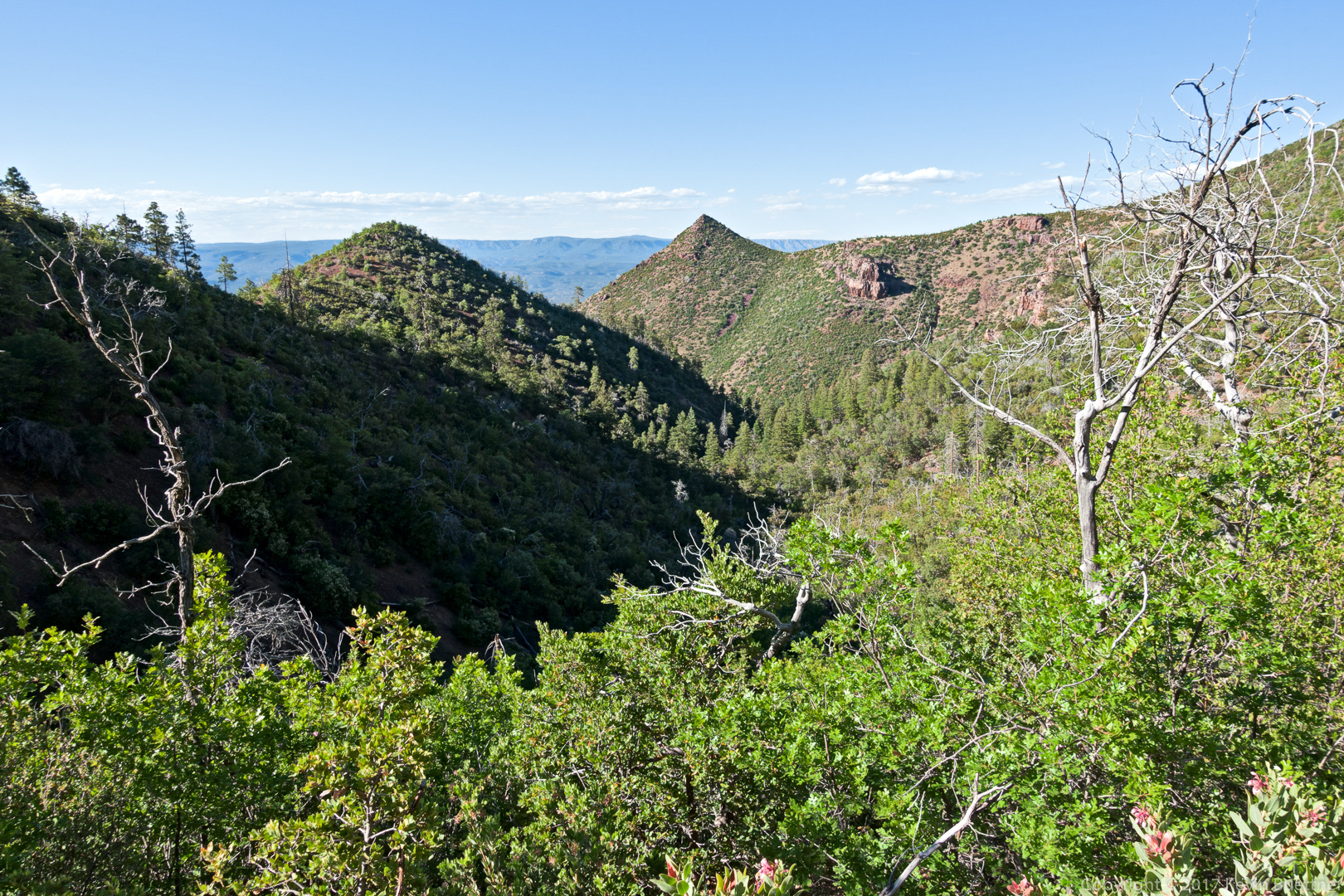
I got this shot in late afternoon on my way back to the trailhead.
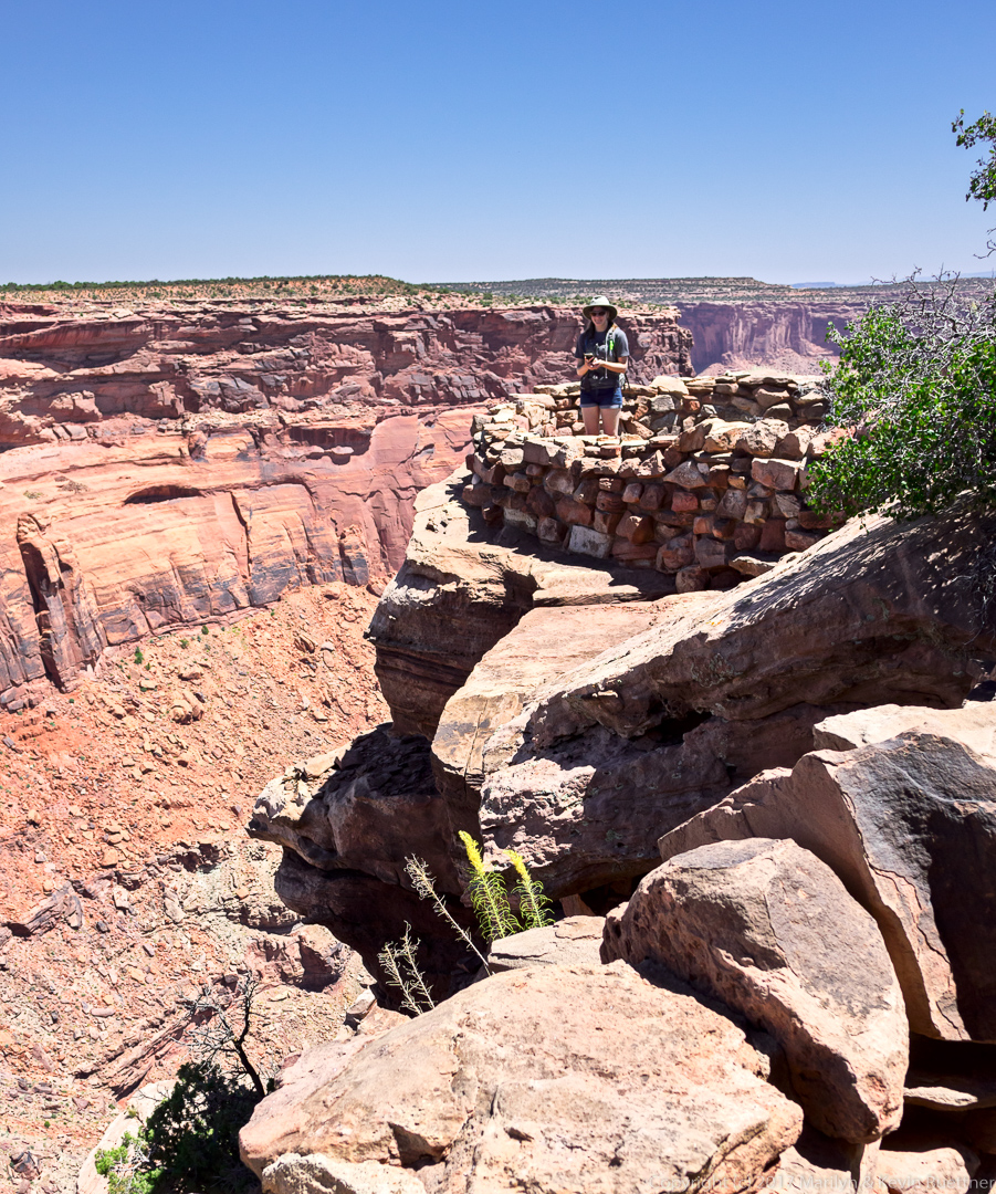
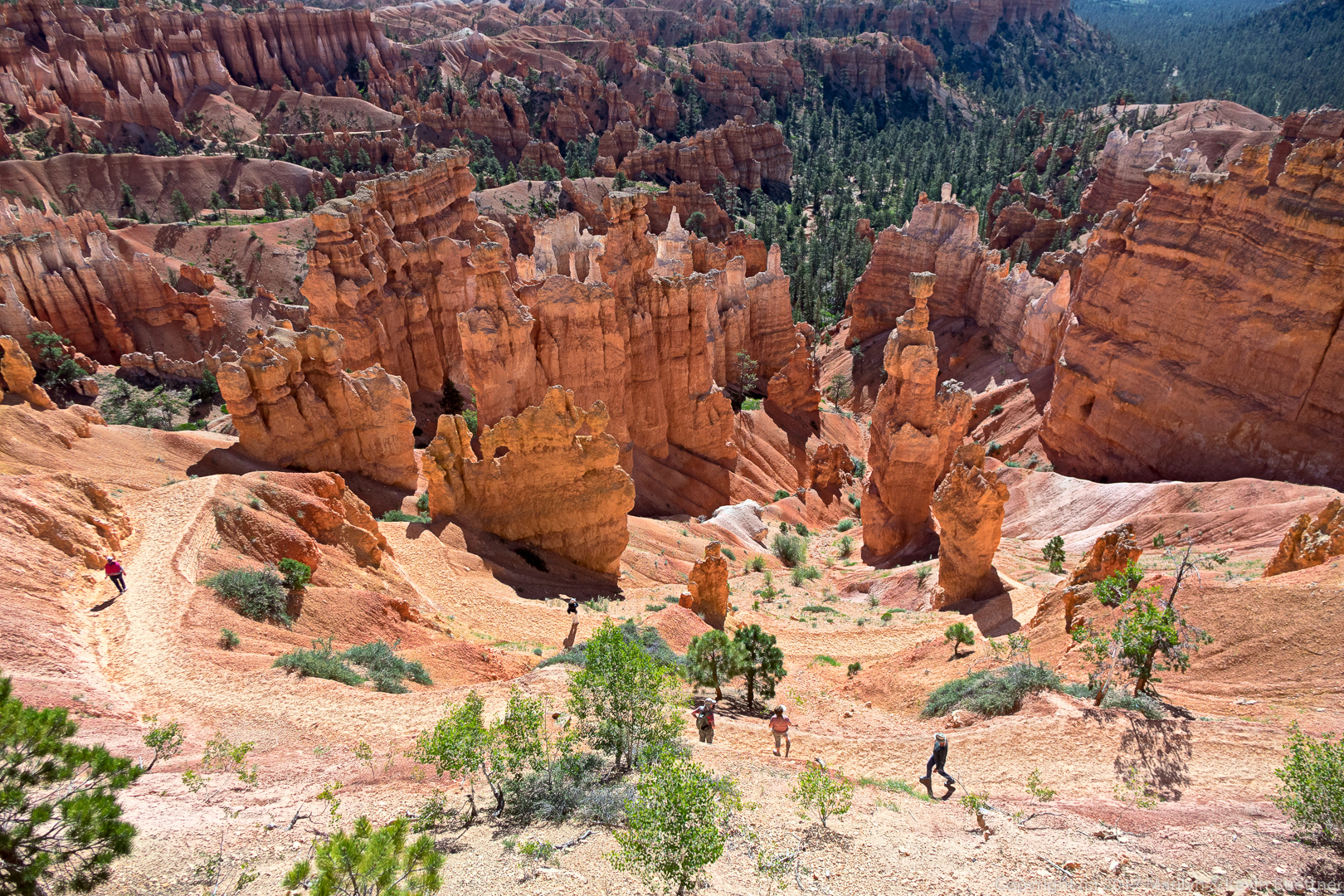
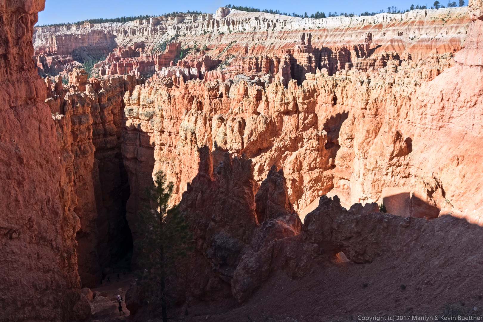
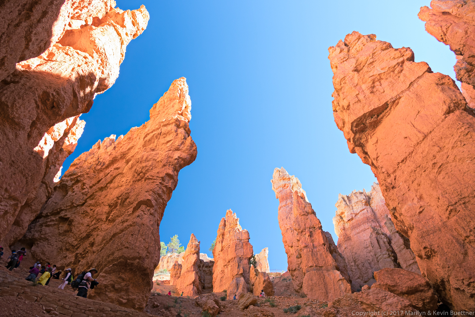
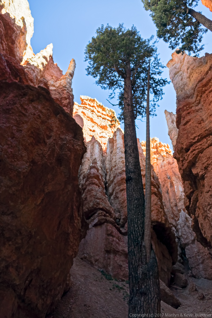
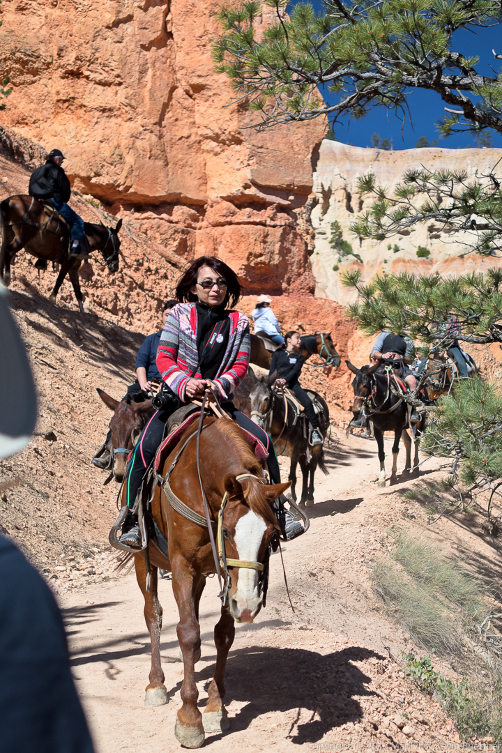
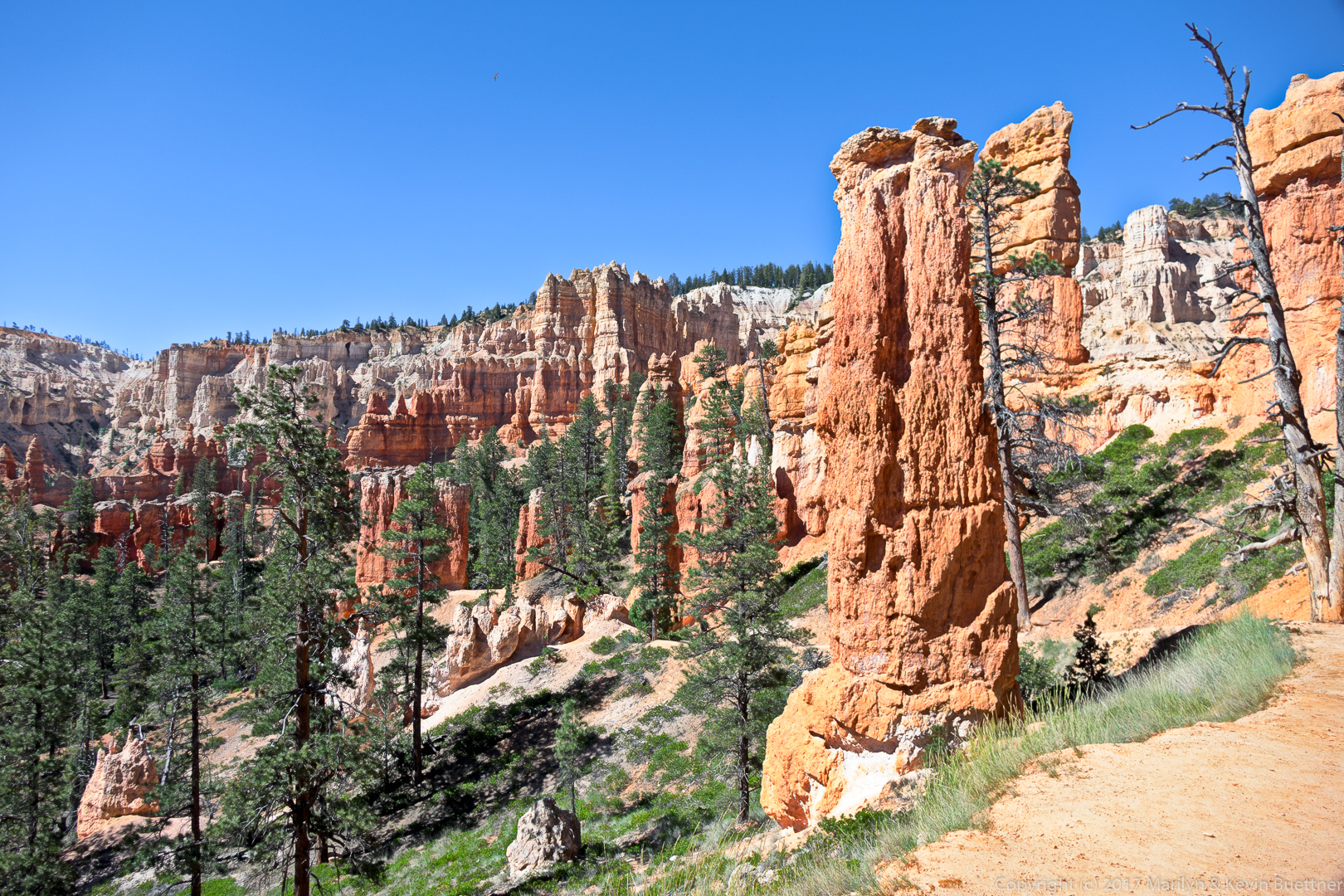
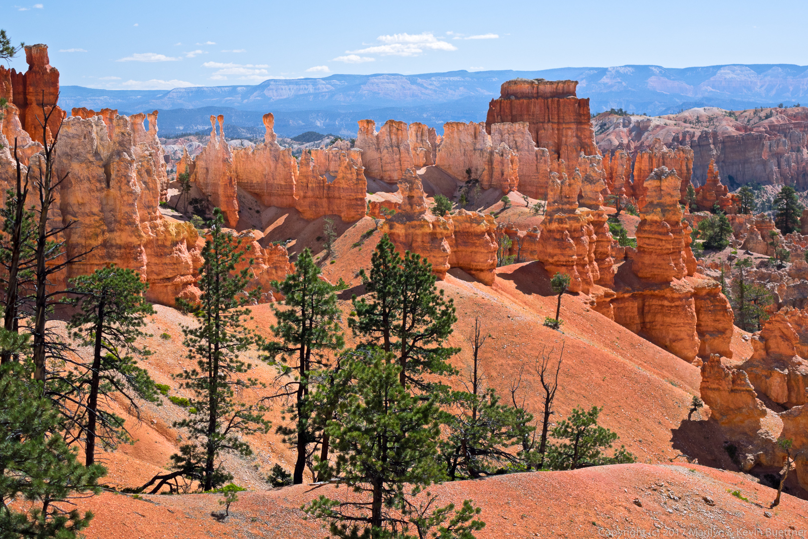
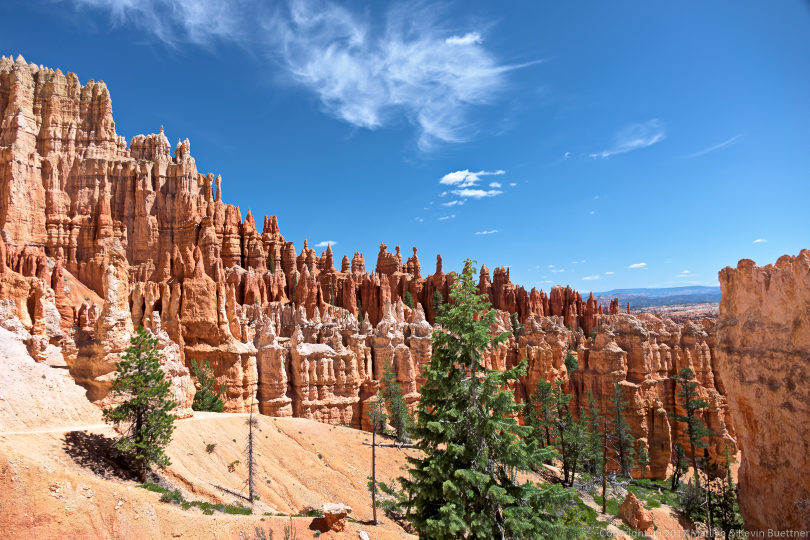
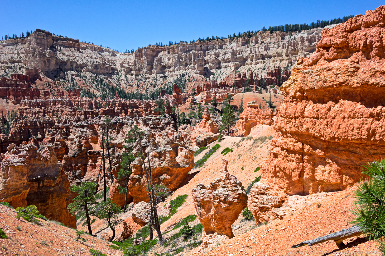
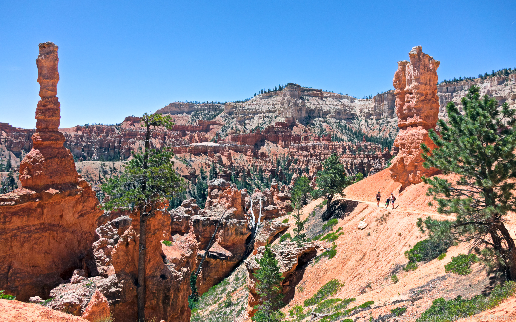
Marilyn’s photos of Bryce Canyon…


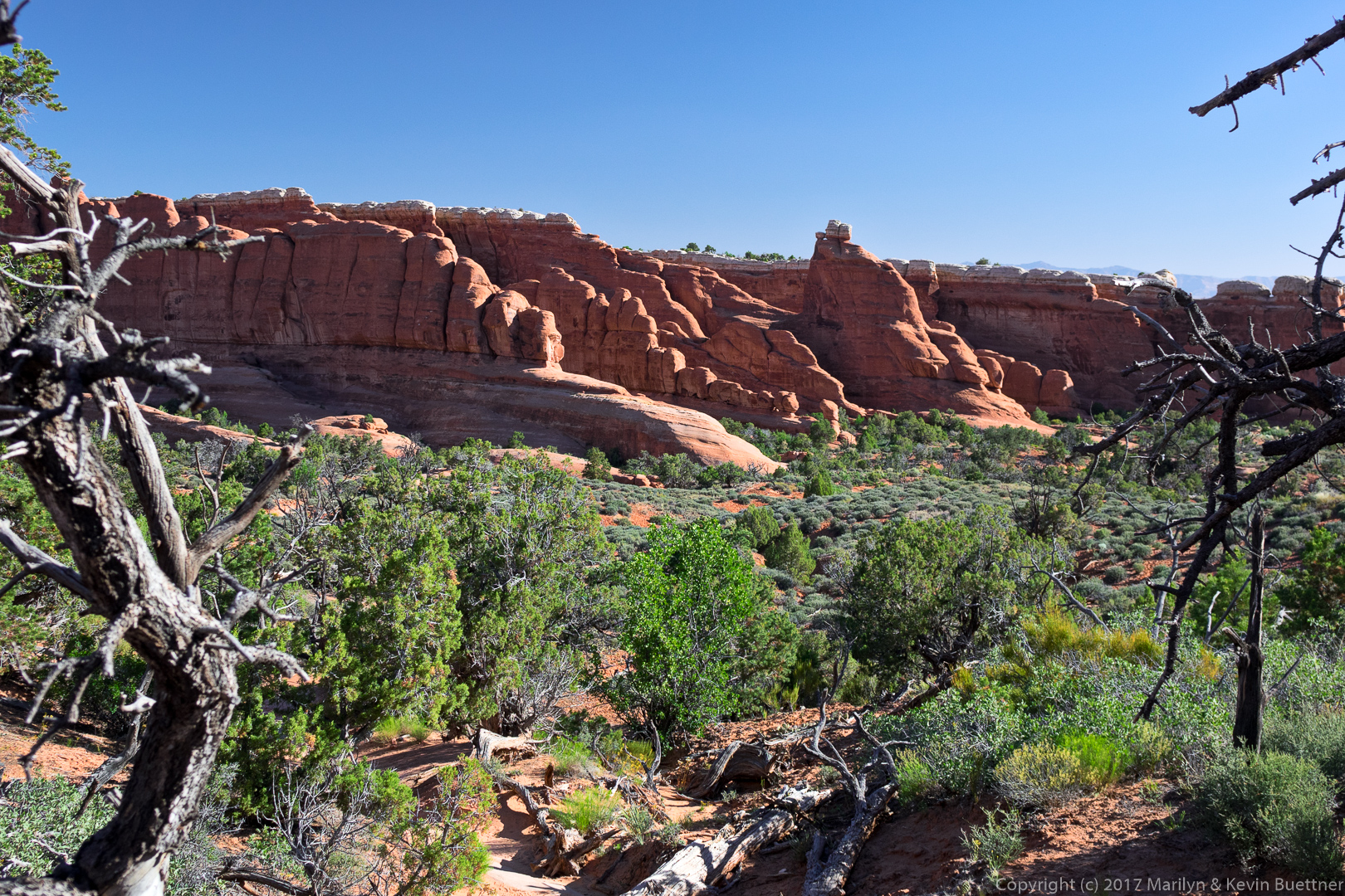
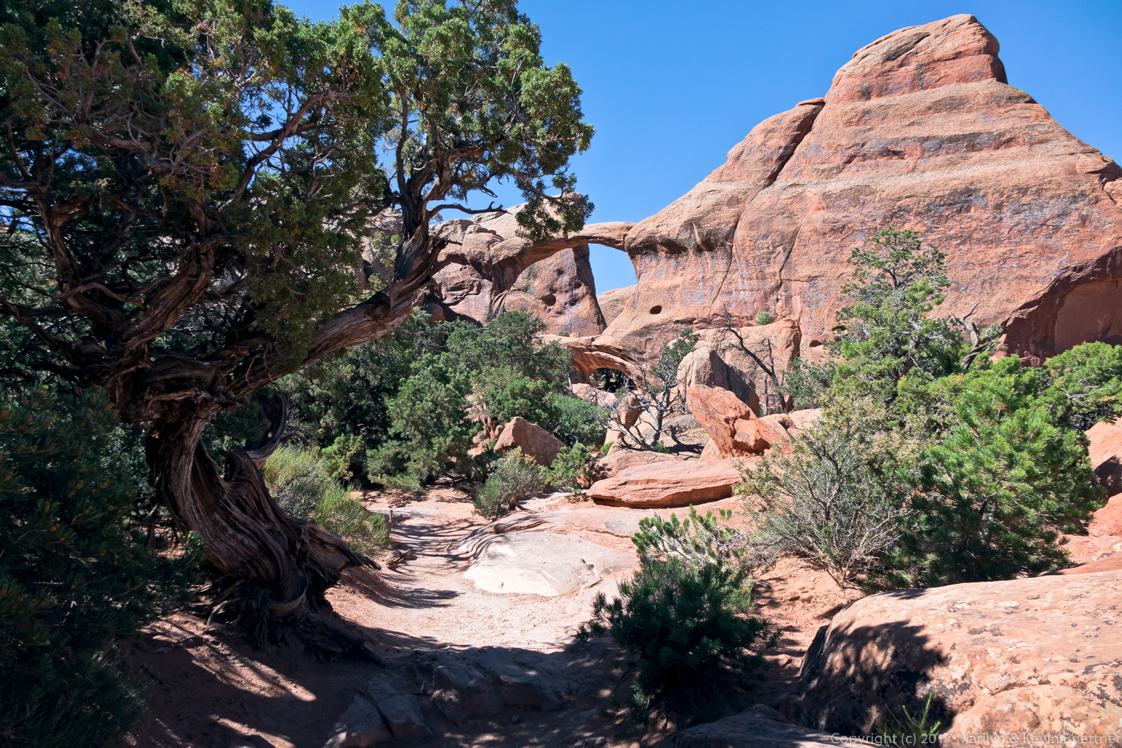
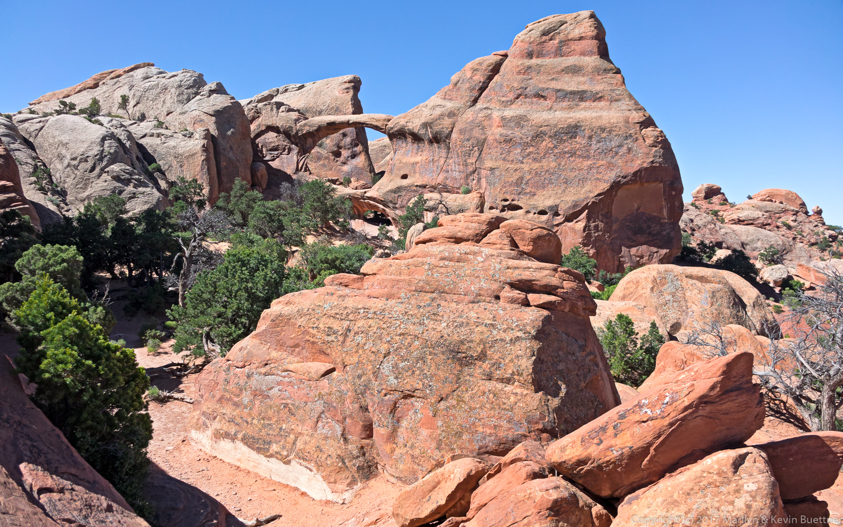
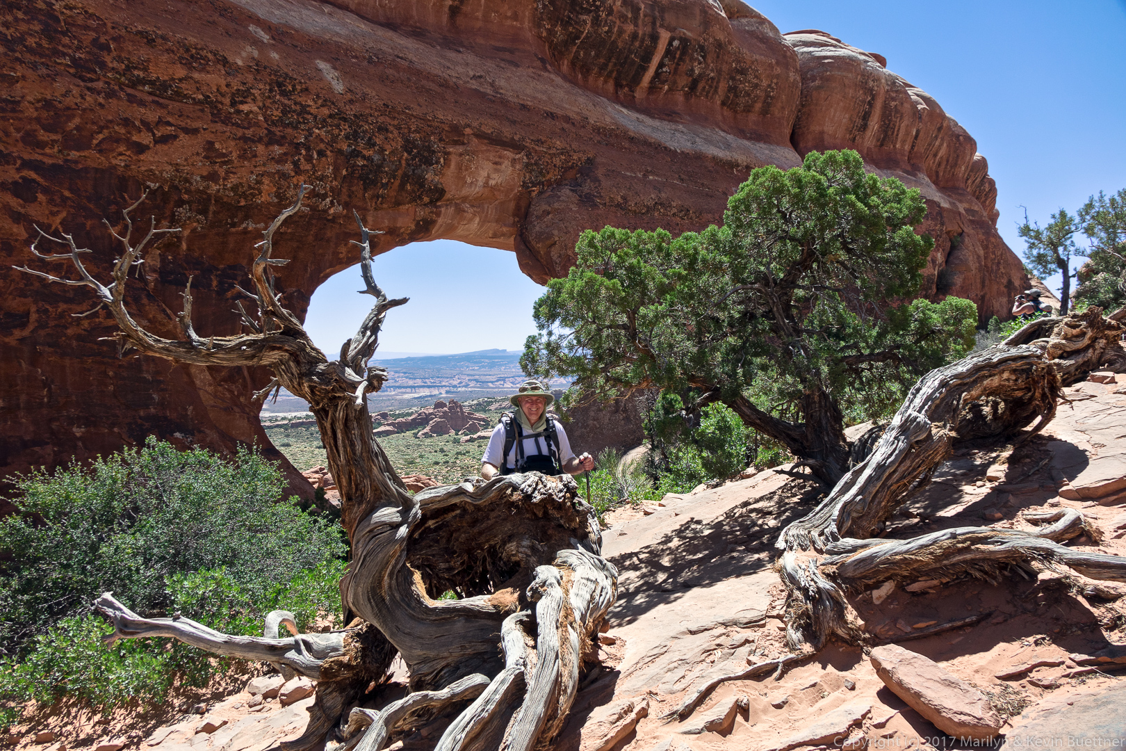
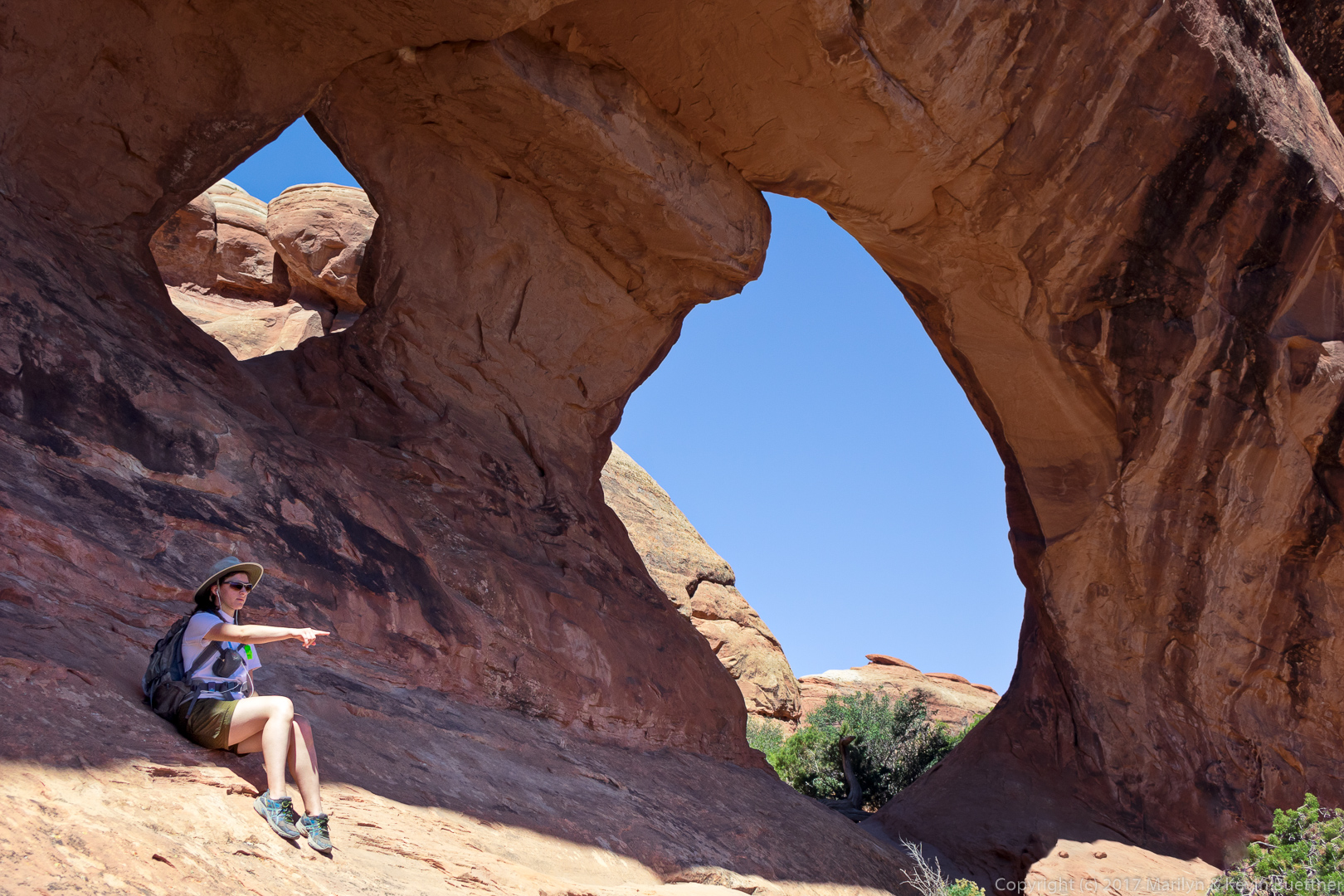
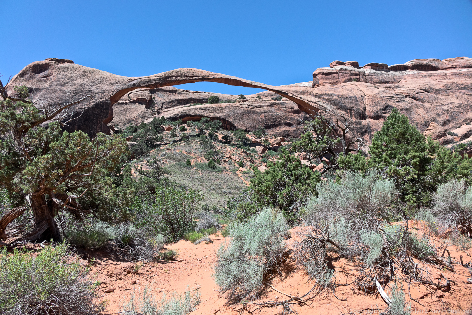
Marilyn took these photos during our hike at Devil’s Garden last year.

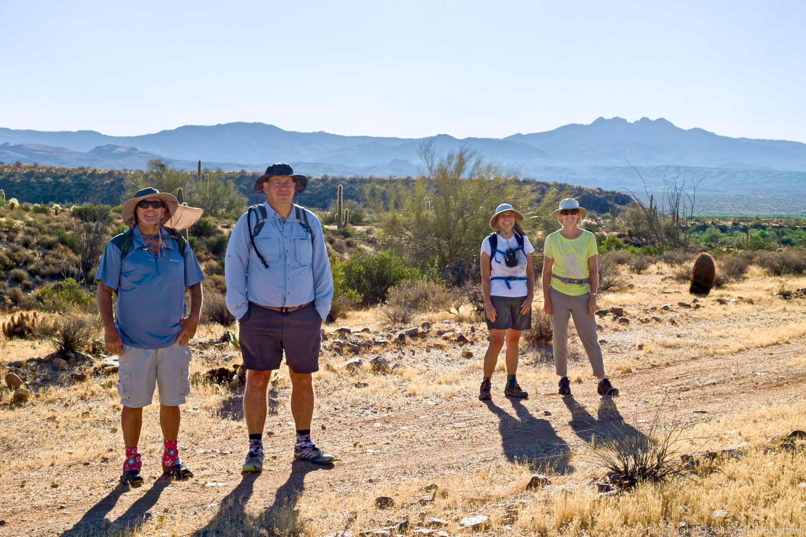
Bob, Mike, Linda, Sara, and I hiked a 8.25 mile loop starting from the Horse Staging Area. The morning was surprisingly cool for mid to late May. I was cold when we started and added a layer that I wore throughout the entire hike.
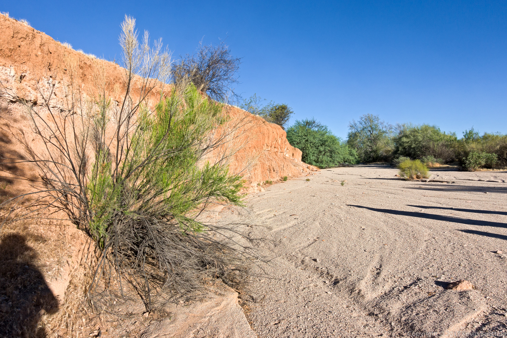
This is a look at one of the vertical banks in Stoneman/Pemberton Wash.
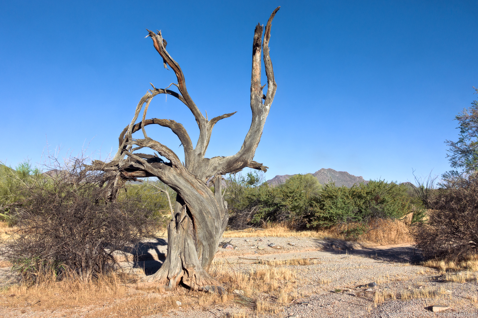
A dead tree in Stoneman Wash:
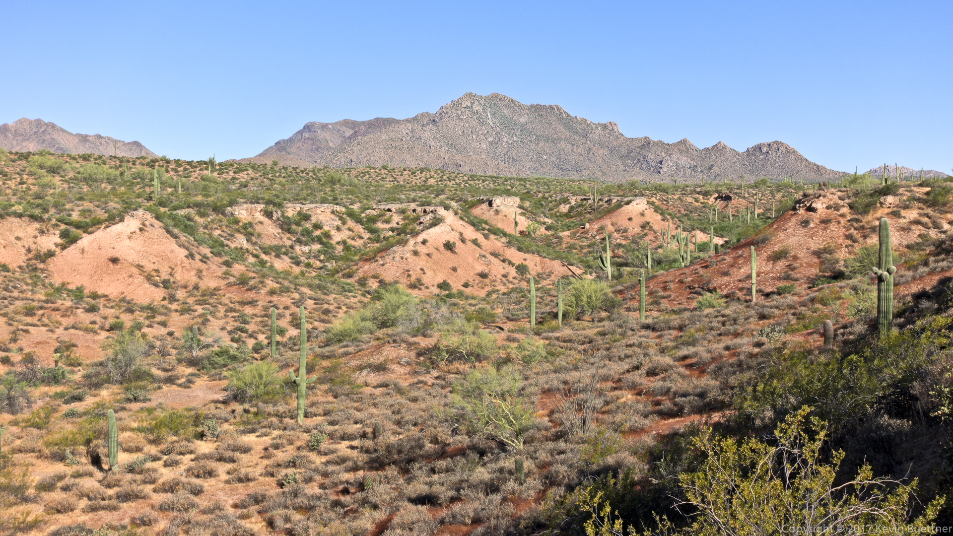
This textured region of desert is just south of the service road that connects the Long Loop to the Pemberton.
Bob, Mike, Linda, and Sara. This was a tricky shot to post-process due to shooting into the sun.
Another view from the service road…
Creosote:
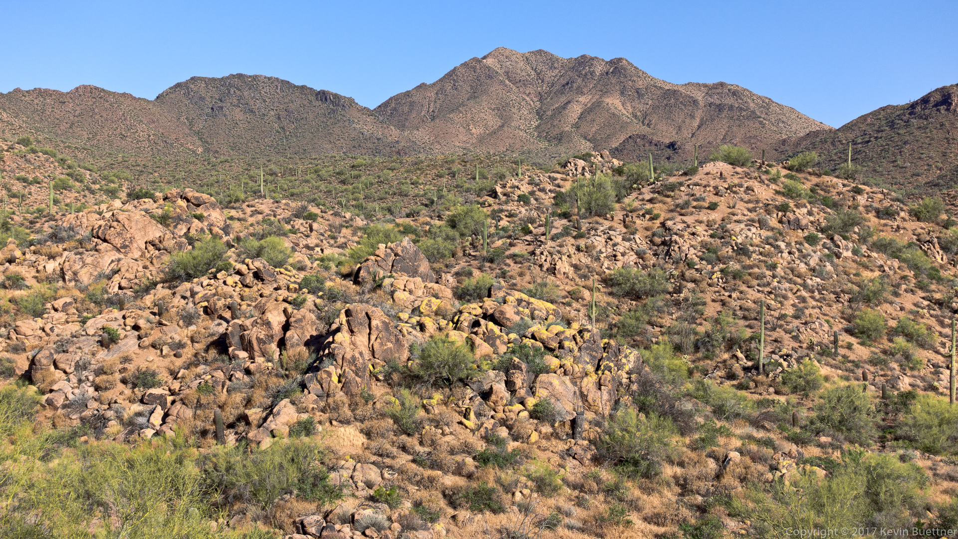
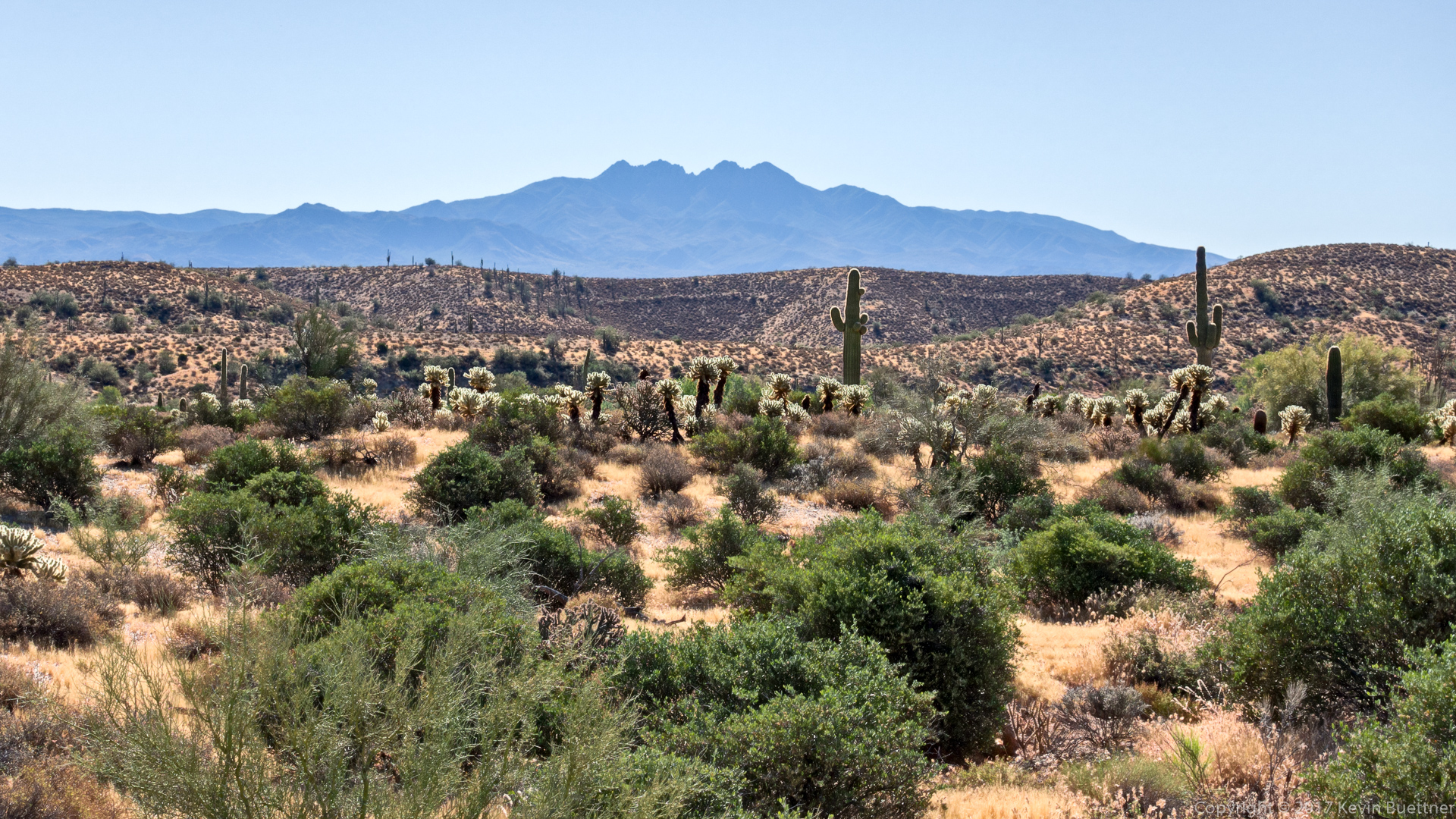
A view of Four Peaks from the Pemberton Trail:
A view from the Cinch Trail. Weaver’s Needle and the Flatiron can both be seen in the distance.
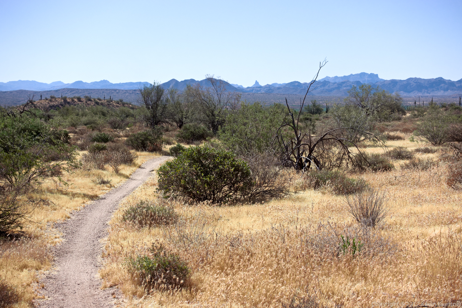
Two shots from my Wednesday evening hike on Shallmo Wash, Pemberton, Scenic, Cinch, and Escondido. These photos were taken from the Shallmo Wash Trail.


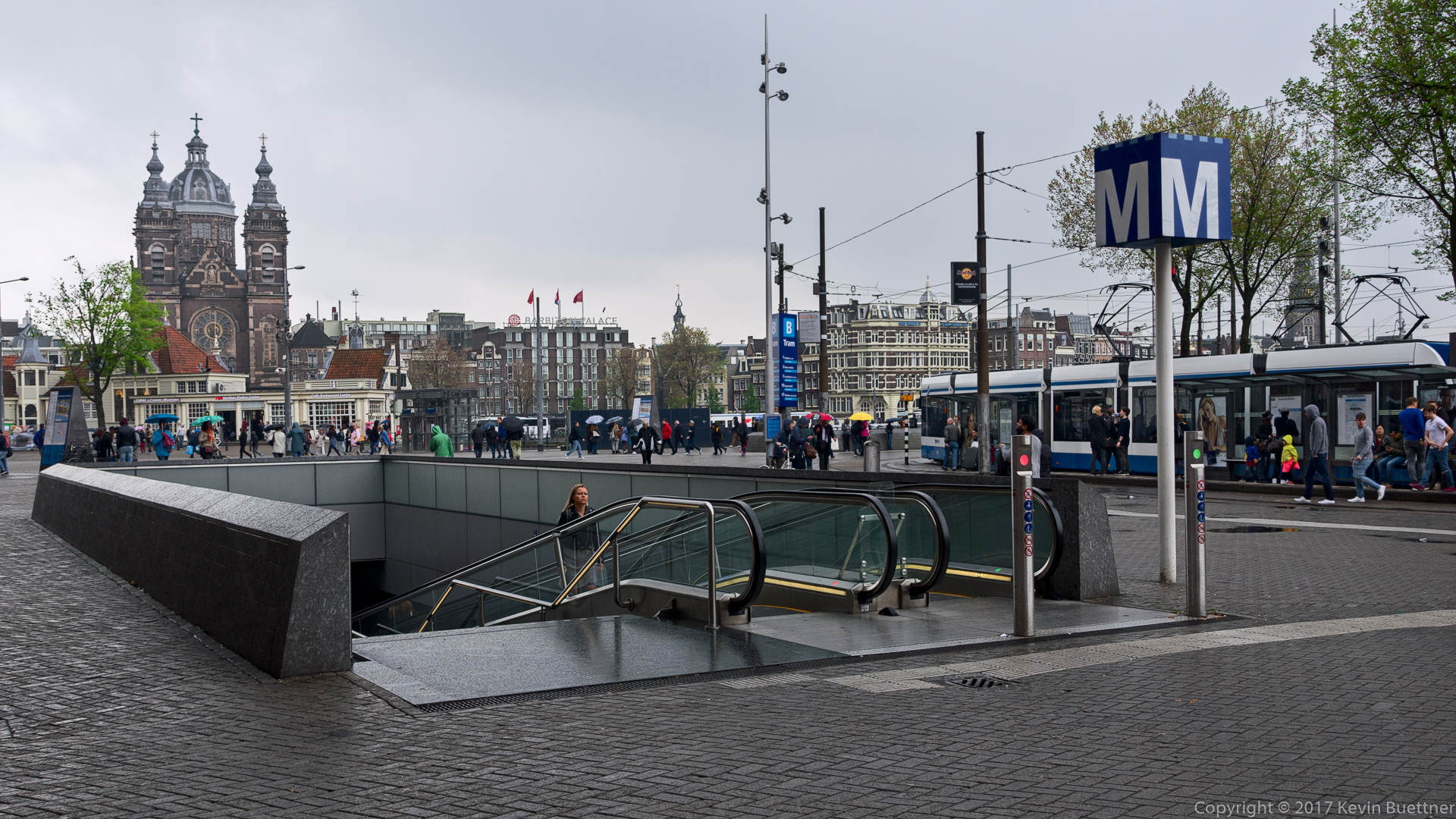
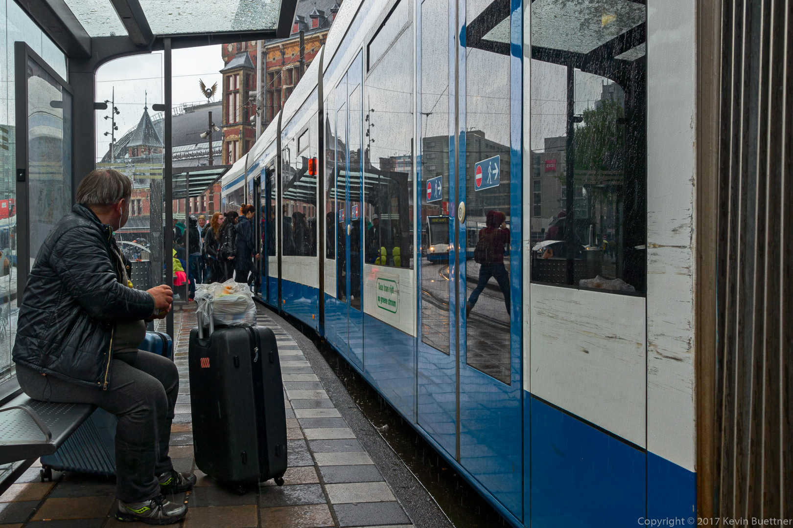
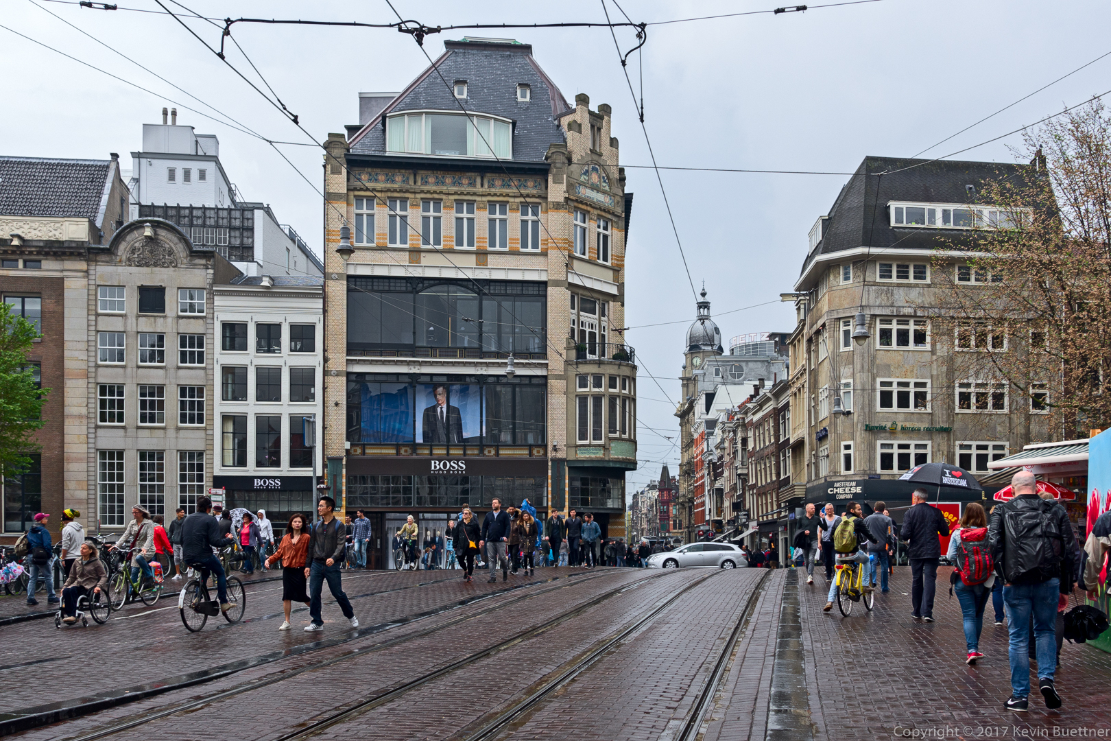
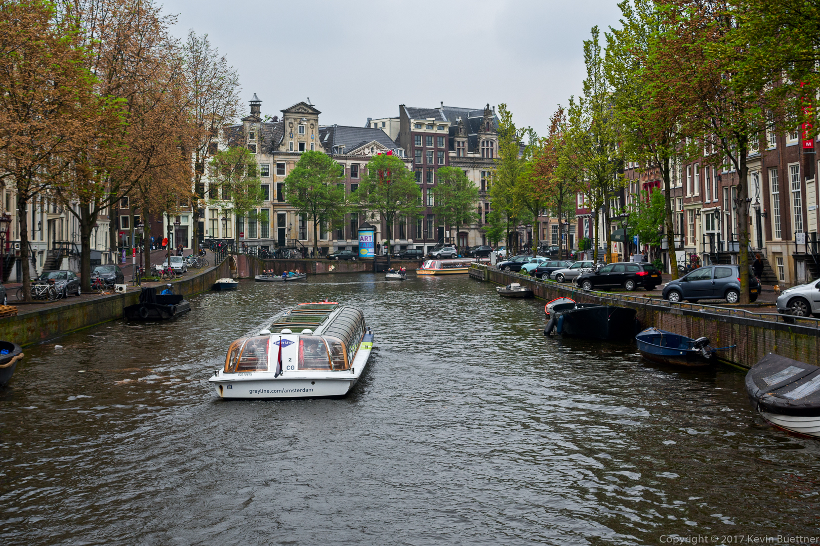
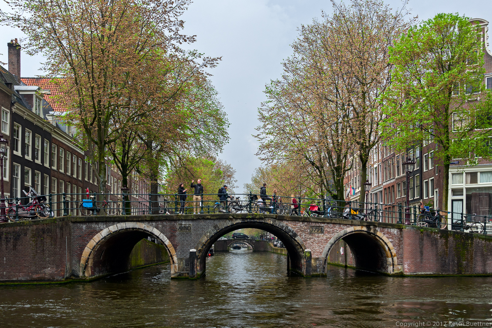
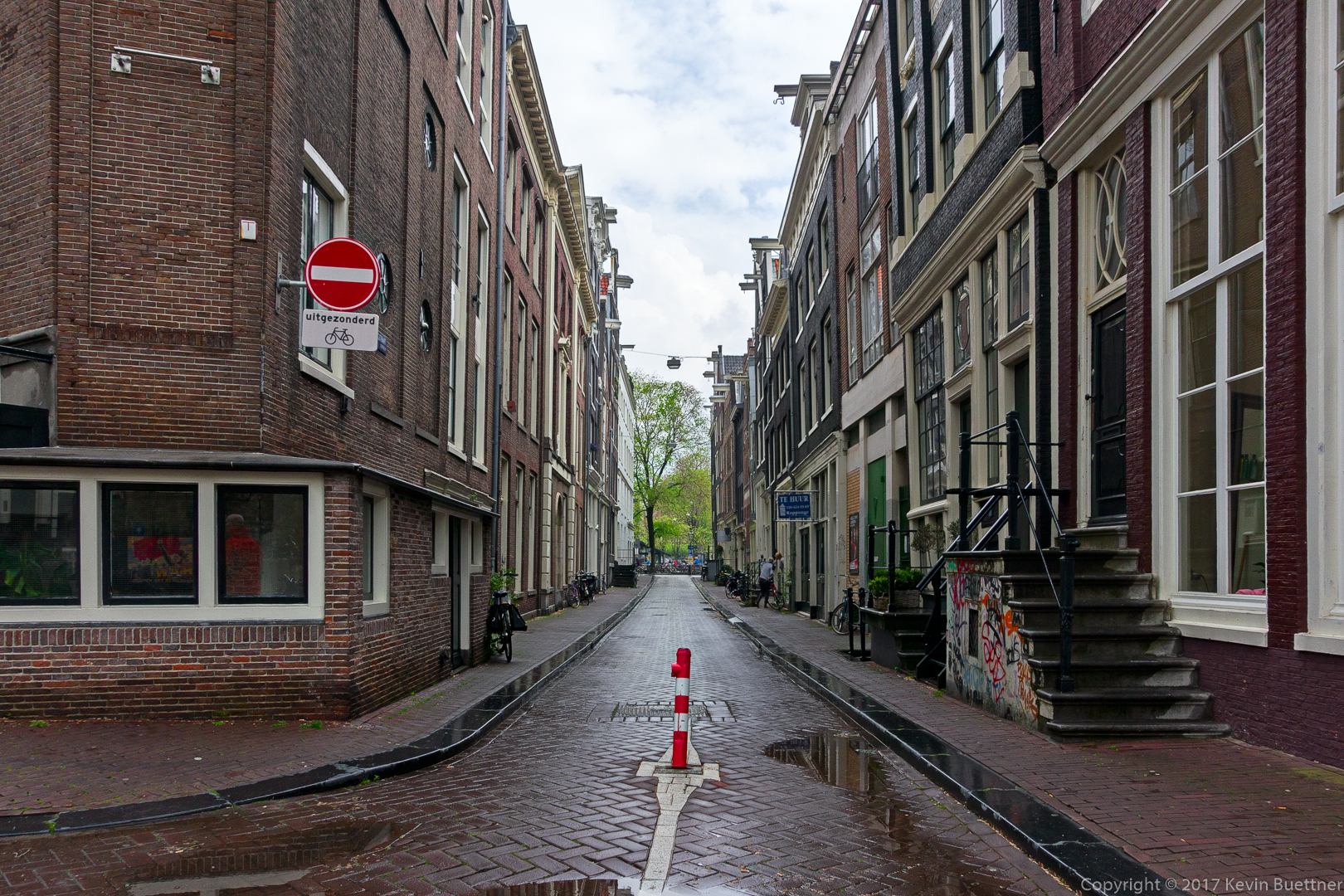
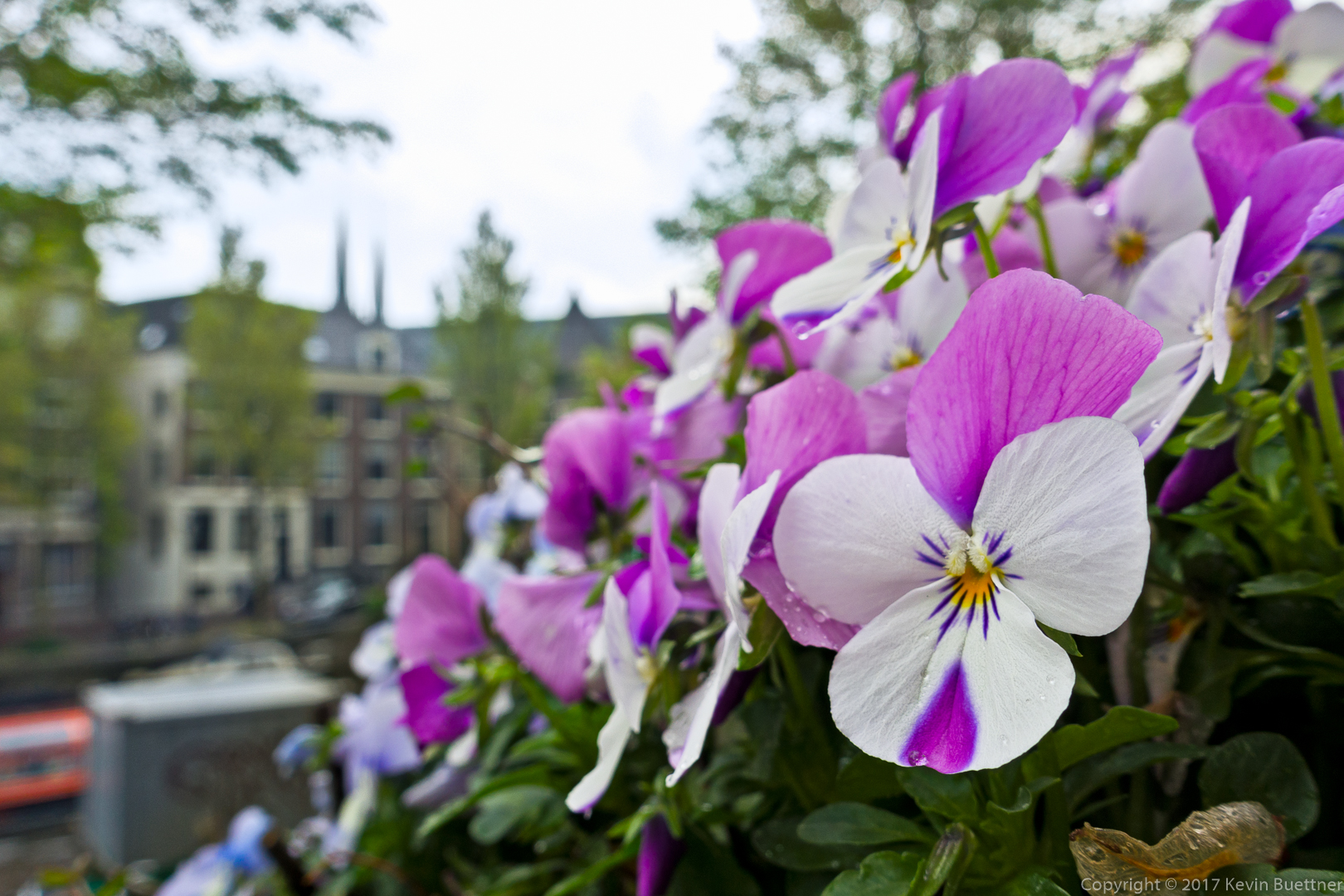
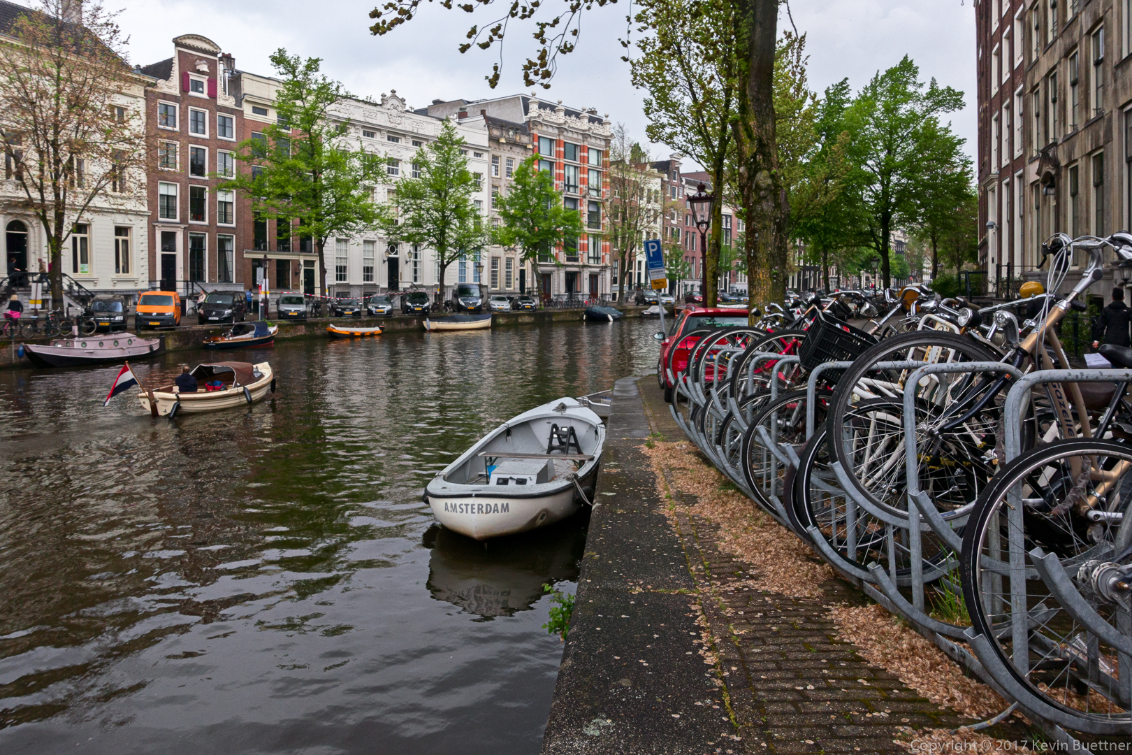
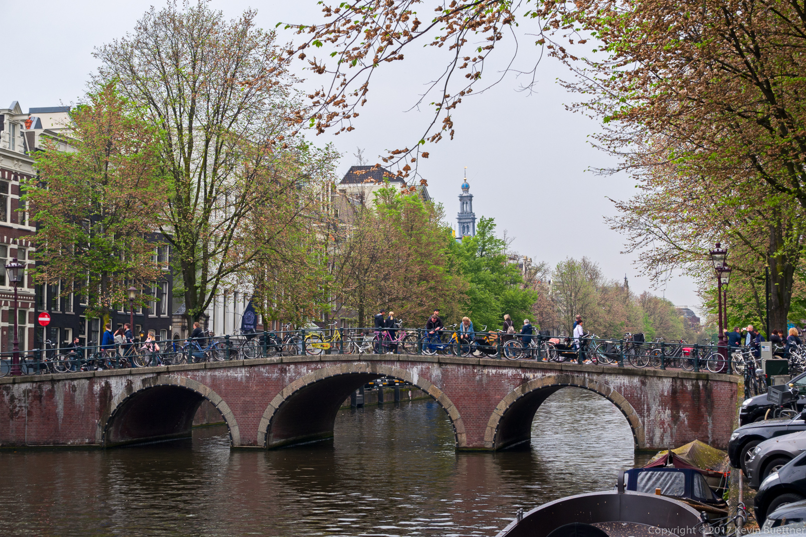
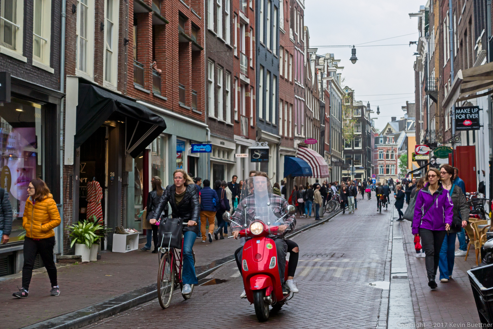
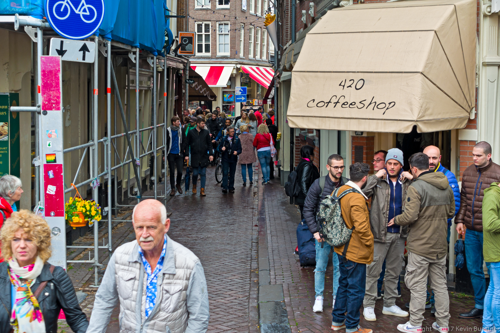
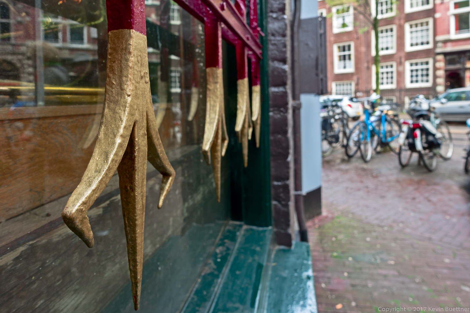
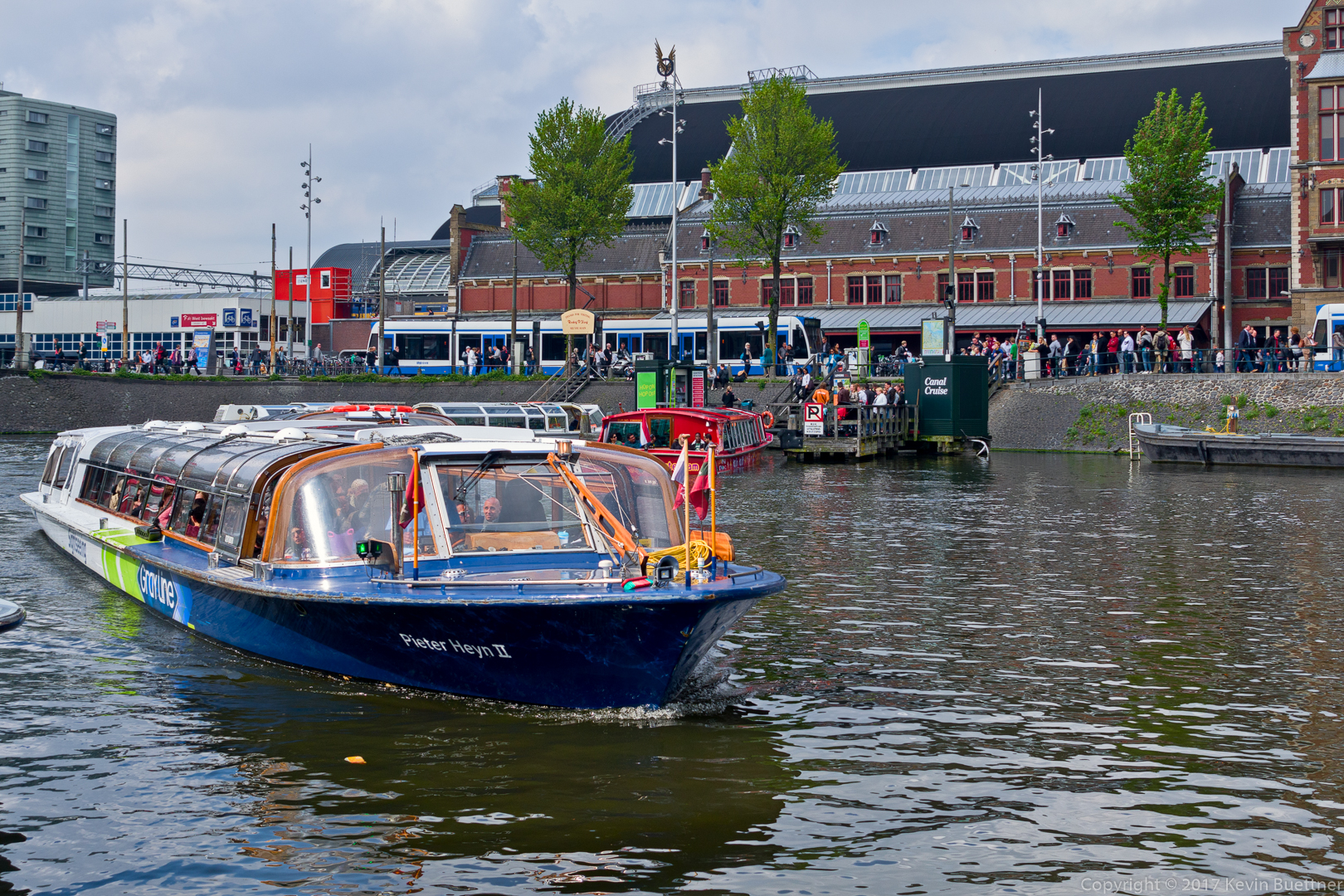
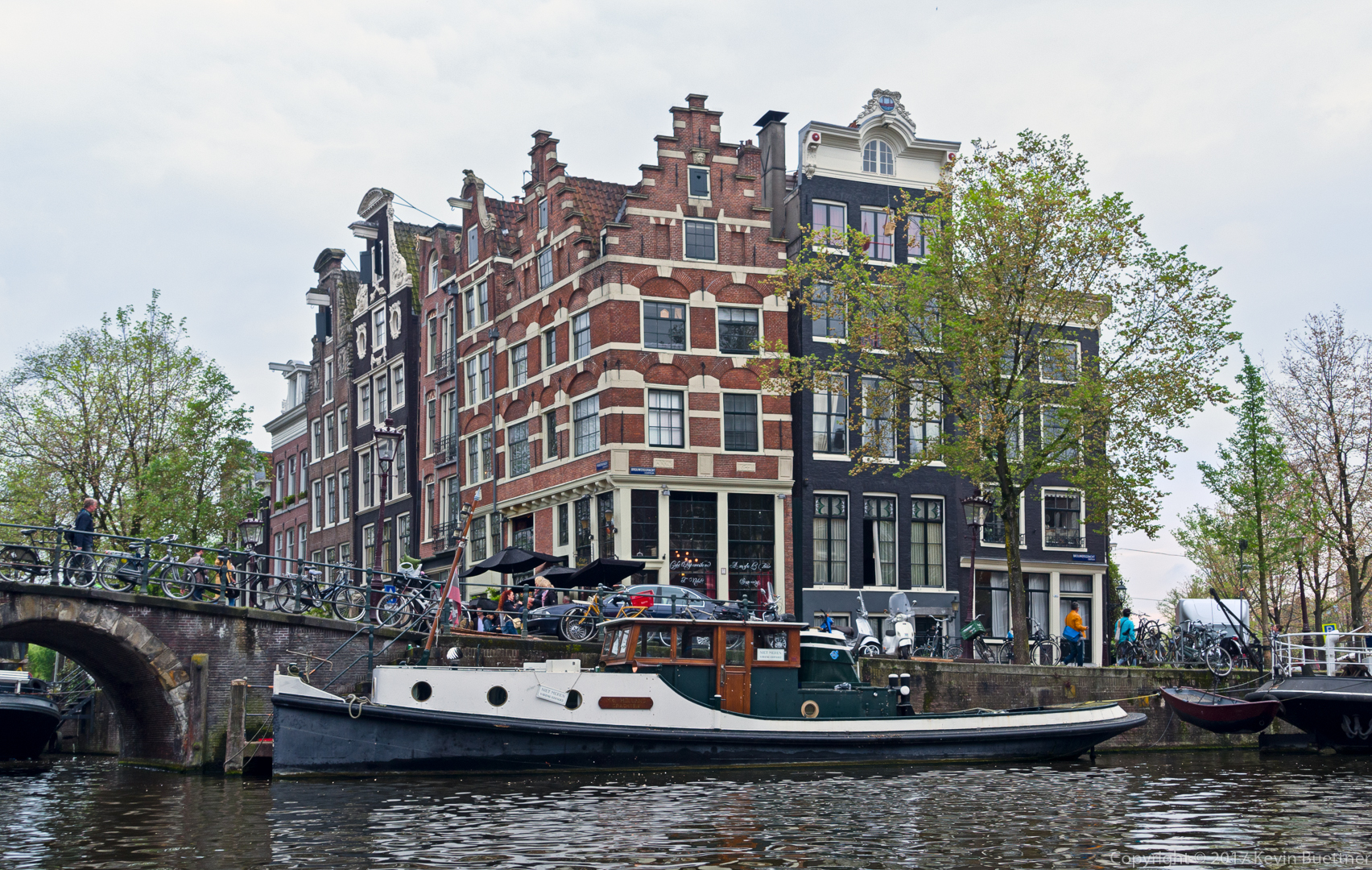
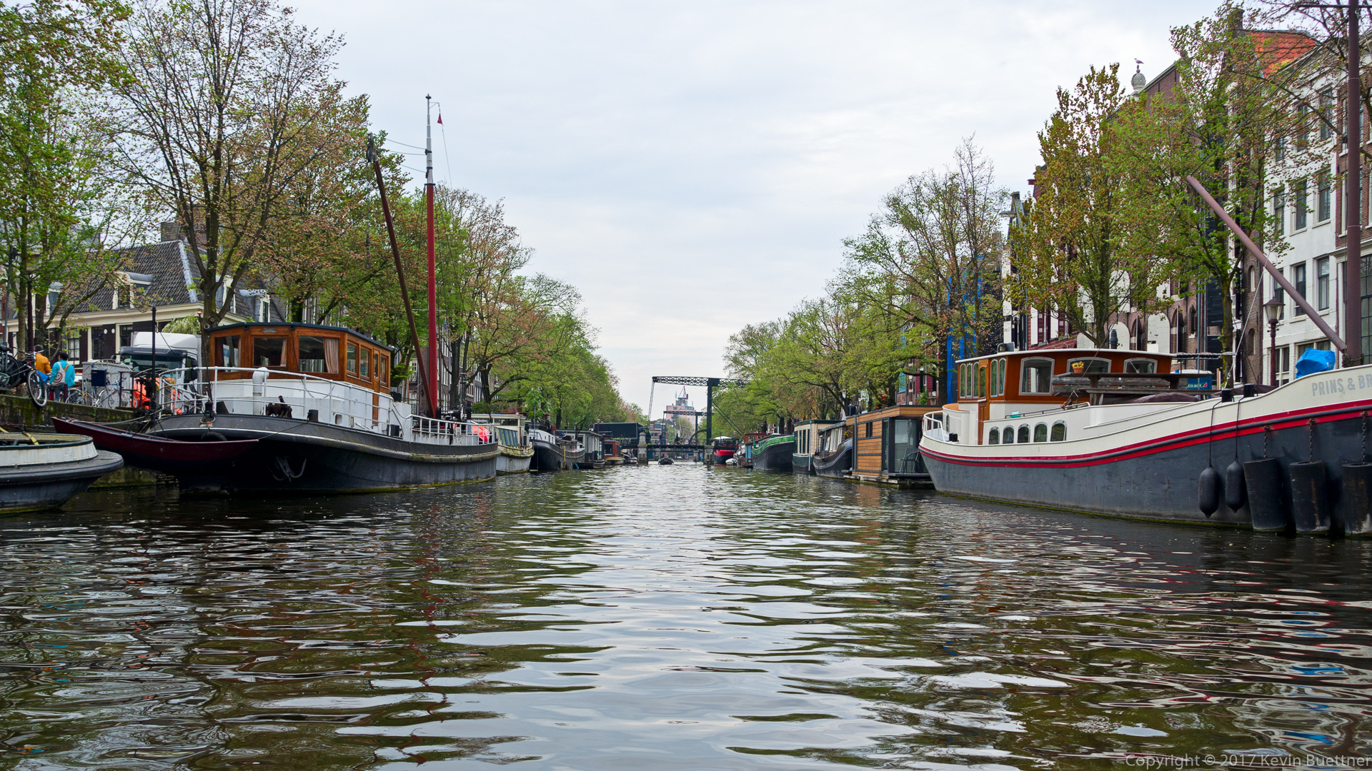
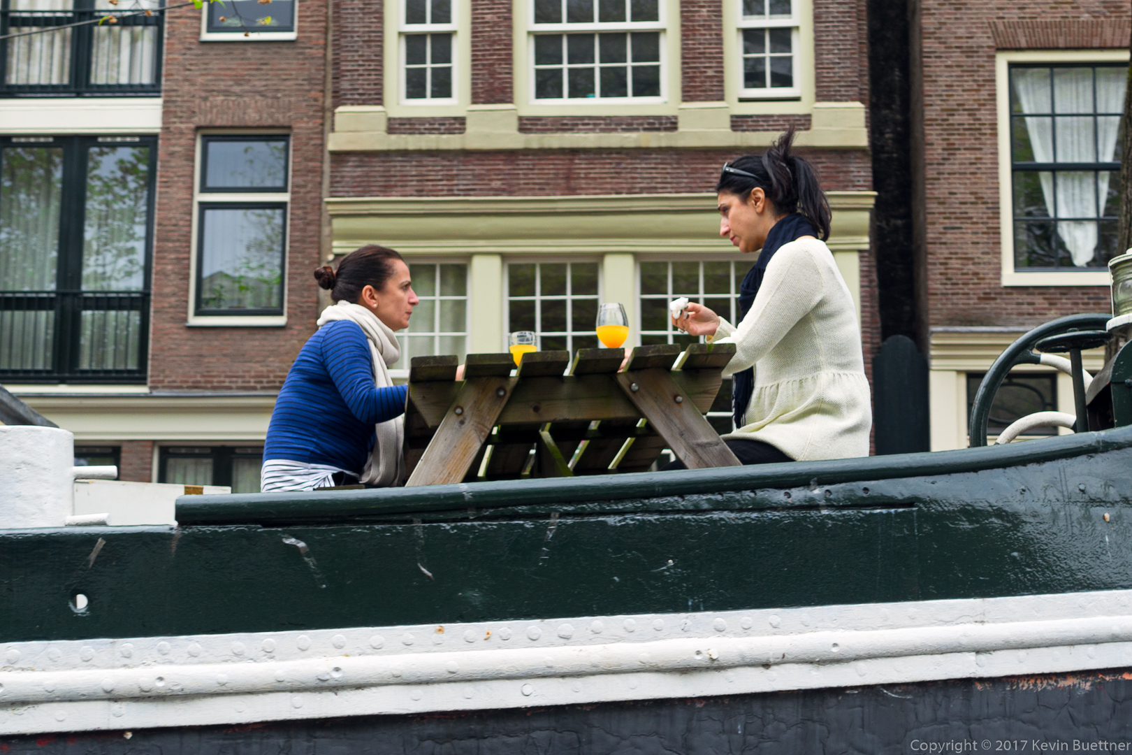
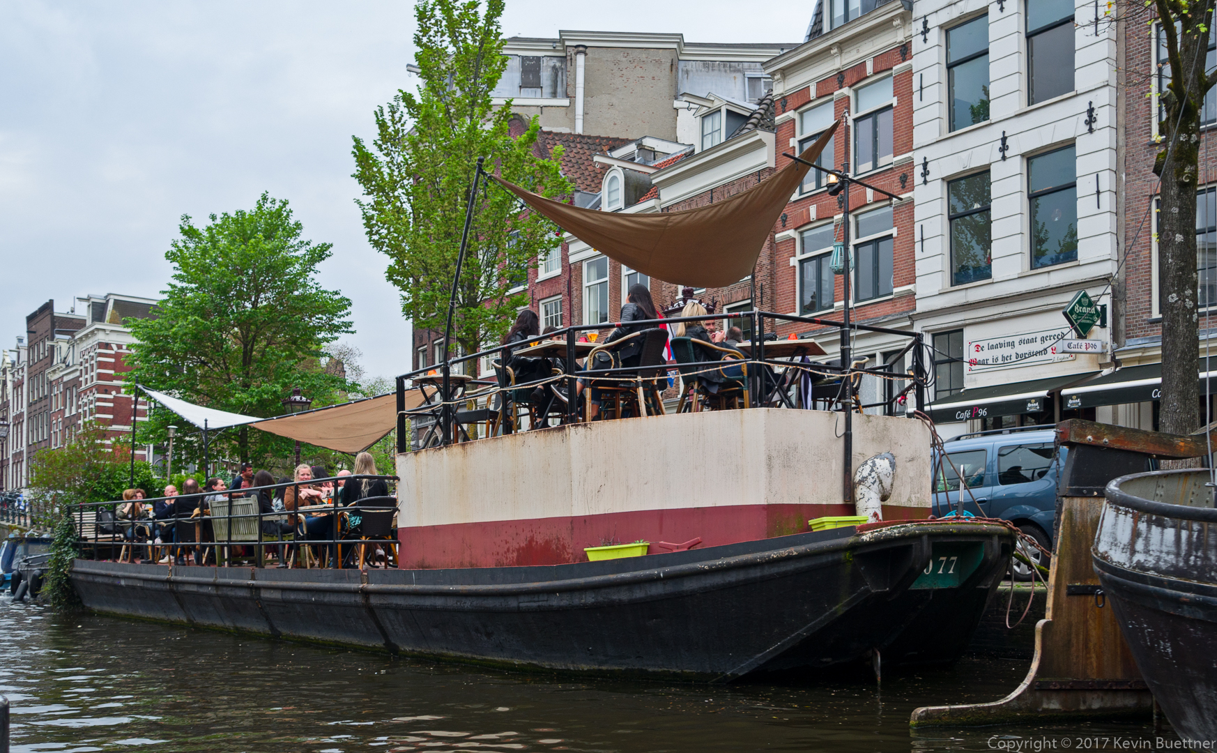
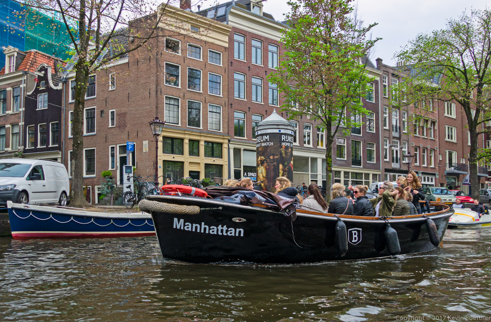
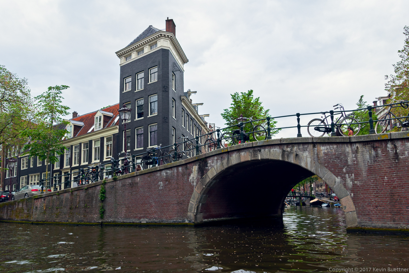
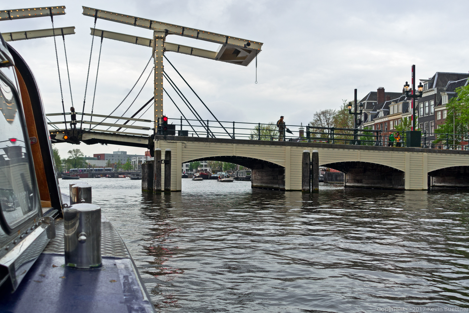
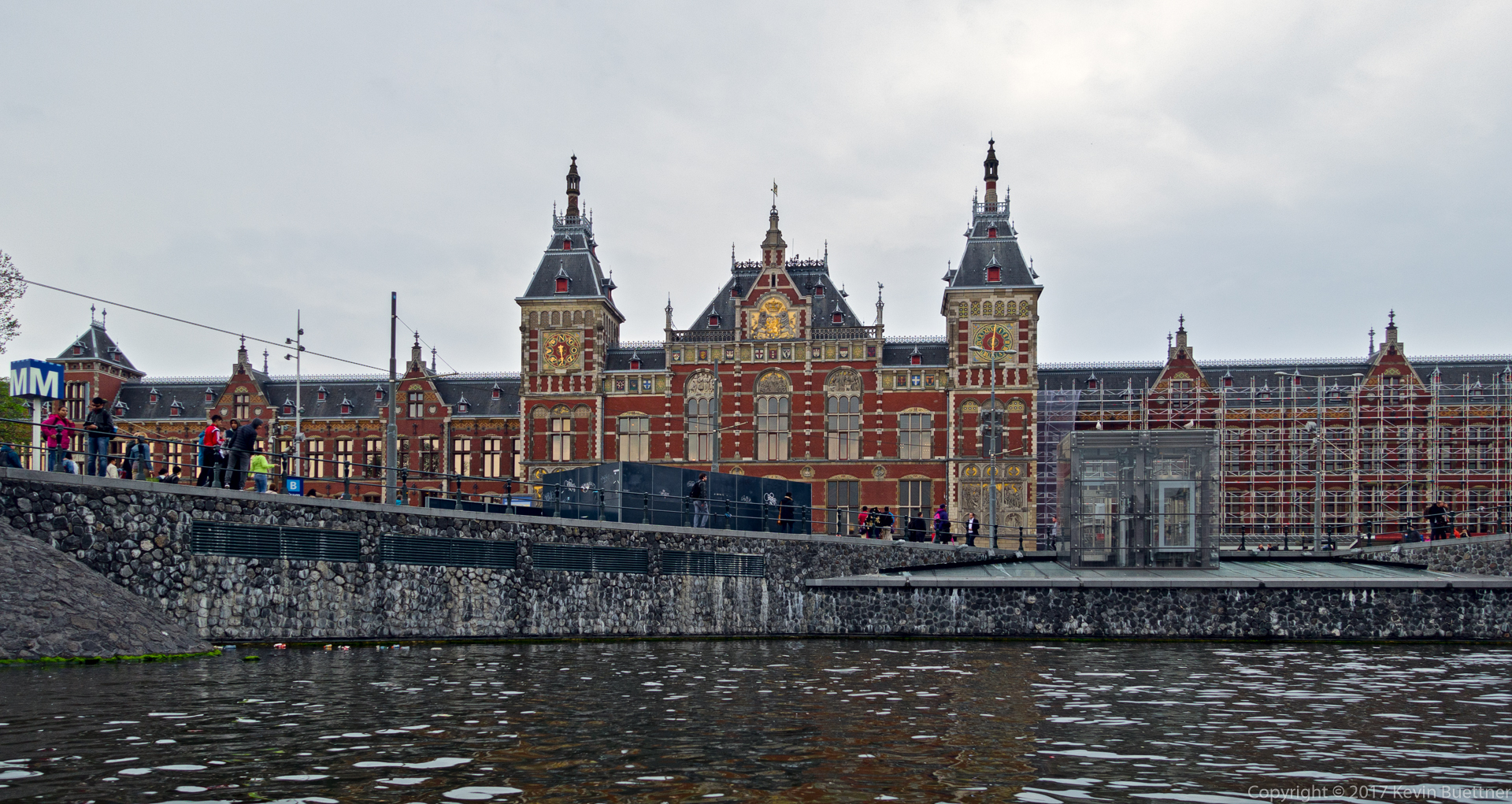
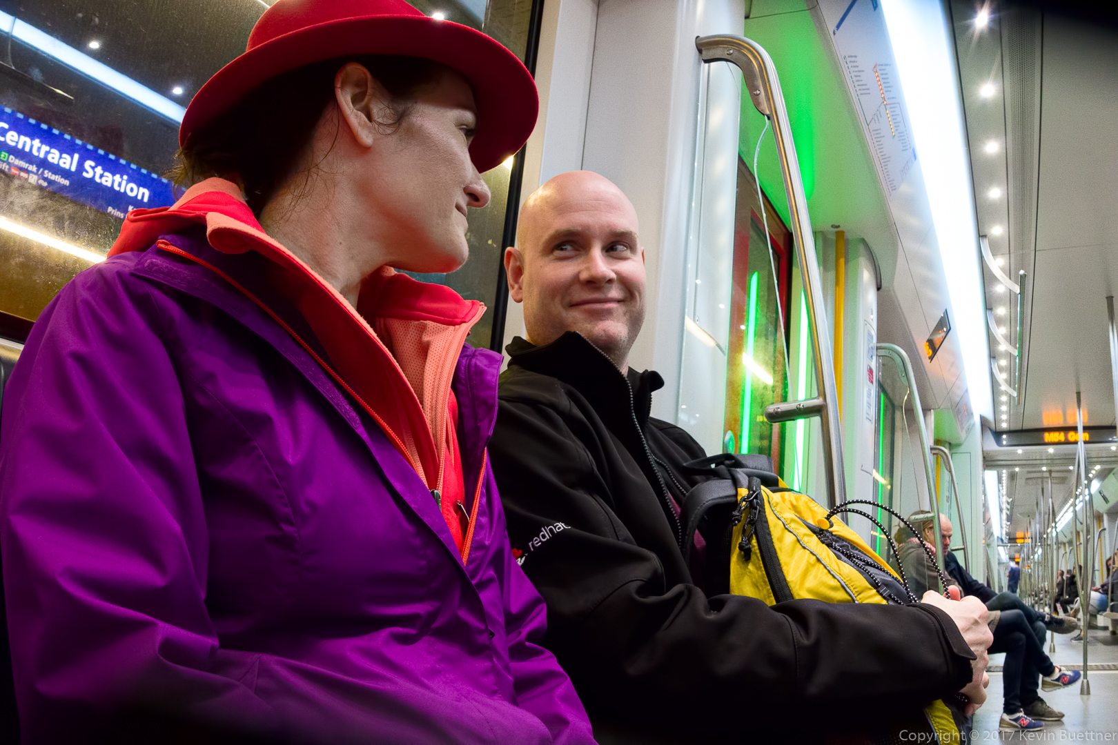
Keith, Teri, and I wandered about Amsterdam on Saturday…