Tag: Spur Cross (page 1 of 2)

Sunday Hike – Spur Cross Limestone Loop

Marilyn and I went out to Spur Cross Ranch Conservation Area on Sunday. Marilyn hiked the Elephant Mountain Loop. I hiked out on Spur Cross and then hiked the Limestone Trail. At the end of it, we met up and hiked most of the way back together, first on Elephant Mountain, then Tortuga, and Spur Cross.  I ended up hiking Metate and Towhee before returning.  Total distance for my hike was about 9.5 miles. Marilyn hiked 7 miles.

Friday Hike – Black Mesa

Heather, Ben, and I hiked from the Spur Cross Trailhead to Black Mesa on Friday. From there we hiked over to New River Mesa and then returned the way we came. Total distance was nearly 13 miles with over 3400 feet of ascent.

Black Mesa on the left; Sugarloaf Mountain on the right. Sugarloaf looks higher in this photo, but we were looking down on it when we got to the top of Black Mesa. Black Mesa is about 800 feet taller.

This is the Fortress Pinnacle next to Elephant Mountain.

We followed the Rondo Spring Trail, even though it seems like it’s going in the wrong direction.

Ben and Heather:

The grass was less of a problem than when we did this hike in December of 2014. Much of it was matted down as shown here. On the section before this spot, it had broken off and was fairly short allowing us to see the cairns.

For some reason there’s a yellow tire in a tree at the top of Black Mesa. I haven’t a clue about how it got there. We made it to the top of Black Mesa in good time and with such relative ease that I suggested going over to New River Mesa, which is the formation well beyond the tree. There’s a fairly narrow isthmus which connects the two mesas.

Looking at Skull Mesa from that connector strip of land between Black Mesa and New River Mesa:

Heather and Ben make their way down some rocks:

We didn’t see many flowers on our hike which is kind of unusual for Spring.

Looking back at Black Mesa, on the right, from New River Mesa. The formation to the left is Sugarloaf Mountain.

Another look at Skull Mesa, this time from New River Mesa:

We encountered this dead tree on our way back across Black Mesa.

Some of the ocotillos are in bloom:

We saw this young Mule Deer as we returned on the Elephant Mountain Trail. You can see its mom’s ears poking up above the bush on the right.

Friday Hike – Seven Springs to Spur Cross

On Friday, the 29th, Linda, DeAnn, Sandy, Sarah, and I hiked 12.5 miles from the Cave Creek Trailhead (in the Seven Springs Recreation Area) to the Spur Cross Trailhead. We stayed on Cave Creek Trail #4 for all but the last couple of miles.

Starting out at the Cave Creek Trailhead:

After crossing the road, the trail passed through a shaded area next to the creek:

Linda spotted this hollow fallen tree…


A crested saguaro; there were supposed to be two on this hike, but this is the only one we saw.

From back to front are DeAnn, Sandy, Linda, and Sarah:

We had to cross the creek several times. We managed to do it without getting too wet.

This is the intersection with the Skunk Tank Trail:

A view of the creek with New River Mesa in the distance:

We entered a lush and colorful area…

We saw this painted stone atop one of the cairns along the way:

I think this is Black Mesa in the distance:

Black Mesa on the left; New River Mesa on the right:

Sandy, DeAnn, Linda, and Sarah:

Skull Mesa:

I thought it would be cool to explore this wash / canyon below the trail – maybe some other day…

Crossing the creek again, though it’s dry at this point:

And again; this was the last crossing, I think.

Friday Hike – Cottonwood Spring Loop w/ Skull Mesa Summit

Gayle, Sunaree, Mitra, Marilyn, and I hiked a variation of the Cottonwood Spring Loop. Midway through the loop, when we got to intersection with the Skull Mesa Trail, we hiked to the top and then returned to finish the loop.

Mitra spotted these deer at the trailhead; behind the deer is Elephant Mountain and the fortress pinnacle below it to the right.

This is Cottonwood Creek:

An early view of Skull Mesa; there is a prominent wash / drainage here, but it is not named on any of the maps that I’ve consulted.

Another view of Skull Mesa, this time from well along Trail #247:

A crested saguaro:

Looking down as we start to make our way up the Skull Mesa Trail:

Gayle, Mitra, and Sunaree make their way up the Skull Mesa Trail:

Mitra poses for a photo at the edge of the mesa:

Mitra, Gayle, and Sunaree:

A dead / alive tree atop the mesa:

Making our way back down the Skull Mesa Trail…

This is one of the views from Trail #247 beyond the Skull Mesa intersection. If you look closely, you can see another crested saguaro below.

We’re just above Cottonwood Spring in this photo…

We came across this gate on 247A; I thought the dry grass made for an interesting contrast to the vegetation beyond the gate.

Another wash crossing; this one had a lot of cairns showing the correct way to go.

Sunday Hike – Cottonwood Spring Loop

Nick, Bob, Mike, and I did a lollipop-loop hike starting from the Spur Cross Ranch Conservation Area. The interesting part of the loop was on Trail 247A in the Tonto National Forest. On the way back, we came across a recently built trail that led from 247 back to 247A.

This is a view of Skull Mesa from 247A:

Another view of Skull Mesa:

Looking back toward Sugarloaf Mountain:

Nick found a dead Gila Monster to munch on as an appetizer before lunch…

This is a view of the spring area. We saw some water here, enough to filter if we would’ve had to.

Nick, Bob, and Mike on 247 after leaving the spring.

This is the view along the section of 247 between 247A and the intersection with the Skull Mesa Trail.

This petroglyph is on the Skull Mesa Trail. Bob and I hiked a ways up this trail why Nick and Mike ate lunch.

Another awesome view on the hike back…

Friday Hike – Spur Cross / Limestone Trail

On Friday, the 23rd, Mike, Andrea, Mark, Laurie (and their dogs, Zig and Phil), Doug, Leslie, DeAnn, Sandy, Heather, Marilyn, and I hiked at Spur Cross.  It was my intention to hike from west to east on the Limestone Trail; we did part of it, but I made a wrong turn which returned to the park early.  Our total distance was still around 7.8 miles with roughly 1500 feet of total ascent.  It had rained earlier in the day; the trails were wet and the clay sections, which we had underfoot for much of the hike, grabbed at our footwear making the hike more difficult than normal.

20161223-_dsc1570-edit-medium

Heather, DeAnn, Sandy, Leslie, Andrea, Mike, Laurie, Mark, Doug, and Marilyn (with dogs Phil and Zig) on the Spur Cross Trail.

20161223-_dsc1594-edit-medium

Though the day was overcast, it didn’t rain while we were hiking.

20161223-_dsc1597-edit-medium

A view of the fortress pinnacle from the southern section of the Elephant Mountain Trail.

20161223-_dsc1600-edit-medium

Another view from the Elephant Mountain Trail.

20161223-_dsc1609-edit-medium

Still on the Elephant Mountain Trail: Nearing the saddle between the main part of Elephant Mountain and the fortress.

20161223-_dsc1630-edit-medium

A view of the fortress from the Limestone Trail.

20161223-_dsc1654-edit-medium

Marilyn, Mike, Laurie, Andrea, Heather, DeAnn, Leslie, Doug, Sandy, and Kevin on the Limestone Trail. (The top of Mark’s hat can be seen behind Doug; Heather and I took turns with the camera so that I’d be in the picture too.)

20161223-_dsc1679-edit-medium

A view of Elephant Mountain and the fortress from the connector trail between the Limestone Trail and the east end of the Elephant Mountain Trail

20161223-_dsc1705-edit-medium

Muddy footwear in the trunk of the car.

Friday Hike – Spur Cross to Skull Mesa

Linda, Nancy, Marilyn, Bob, Mike, and I hiked from Spur Cross to the top of Skull Mesa on the Friday after Thanksgiving.  (Not all of us went to the summit.)  The hike was 12 miles long with over 3200 feet of total elevation gain.

This is a view of Cave Creek (which was dry on the day we hiked) from the Spur Cross Trail.

20161125-_dsc0420-edit-medium

Skull Mesa, in the distance:
20161125-_dsc0474-edit-medium

Another view of Skull Mesa from Cottonwood Trail #247:

20161125-_dsc0498-edit-medium

This petroglyph is on the Skull Mesa Trail, shortly after leaving the Cottonwood Trail – though you have to hike about five miles just to get to that intersection.
20161125-_dsc0537-edit-medium

A view to the west from the Skull Mesa Trail:

20161125-_dsc0543-edit-medium

Ruins (of perhaps an ancient dwelling) can be found on the ascent to the top of Skull Mesa:
20161125-_dsc0561-edit-medium

A view to the east from the Skull Mesa Trail:

20161125-_dsc0579-edit-medium

Looking west again, further up the trail:

20161125-_dsc0588-edit-medium

Nancy, Linda, and Bob:

20161125-_dsc0597-edit-medium

We saw a young tarantula on our way up…

20161125-_dsc0612-edit-medium

Climbing higher on the Skull Mesa Trail – roughly 1000 feet are gained in the mile to the top:

20161125-_dsc0621-edit-2-medium

Looking east from the summit of Skull Mesa:

20161125-_dsc0668-pano-edit-medium

Looking southwest from the top of Skull Mesa…

20161125-_dsc0680-edit-medium

Looking west from the western-most edge…

20161125-_dsc0698-edit-medium

Nancy and Linda descending the Skull Mesa Trail.  In some respects, the descent was more treacherous than the ascent.

20161125-_dsc0710-edit-medium

Looking west on the descent:

20161125-_dsc0728-edit-medium

Another view to the west:

20161125-_dsc0746-edit-medium


New Year’s Day Hike

On January 1, Bob, Janet, Allen, Nick, DeAnn, Sandy, Marilyn, and I hiked from Spur Cross to Skull Mesa.  (Not all of us went to the top.) My GPS watch tells me that I hiked 12.6 miles with over 3100 feet of total ascent.

The mile to the top of the mesa has approximately 1,000 feet of elevation gain, which is quite a lot for just one mile. It was not as difficult as I expected, however, since the trail was both easy to follow and in good condition with numerous switchbacks.

Views from early in the hike…
20160101-_DSC8500-Edit-medium

20160101-_DSC8512-Edit-medium

Marilyn, Bob, Allen, Sandy, Nick, Janet, and DeAnn:

20160101-_DSC8542-Edit-medium

A view of Skull Mesa:

20160101-_DSC8548-Edit-medium

Another view of Skull Mesa:

20160101-_DSC8587-Edit-medium

DeAnn, nearing the summit:

20160101-_DSC8675-Edit-medium

The top of Skull Mesa is grassy and expansive.20160101-_DSC8677-Edit-medium

Views from the top of Skull Mesa…

20160101-_DSC8686-Edit-medium

20160101-_DSC8701-Edit-medium

Sandy and DeAnn descending the trail from the top of Skull Mesa:

20160101-_DSC8725-Edit-medium

I saw these saguaros on the way down.

20160101-_DSC8764-Edit-medium

We saw this petroglyph on the way down too:
20160101-_DSC8776-Edit-medium

A semi-crested (?) saugaro:
20160101-_DSC8803-Edit-medium

A late afternoon view. (We started our hike at about 8:30am and got back somewhat before 5pm.)

20160101-_DSC8869-Edit-medium

20160101-_DSC8890-Edit-medium

Marilyn at the end of the Cottonwood Trail:

20160101-_DSC8903-Edit-medium

DeAnn, Sandy, and Marilyn by the Skull Mesa Trailhead sign.  Note the skull at the top of the sign.

20160101-_DSC8908-Edit-medium

Saturday Hike – Spur Cross


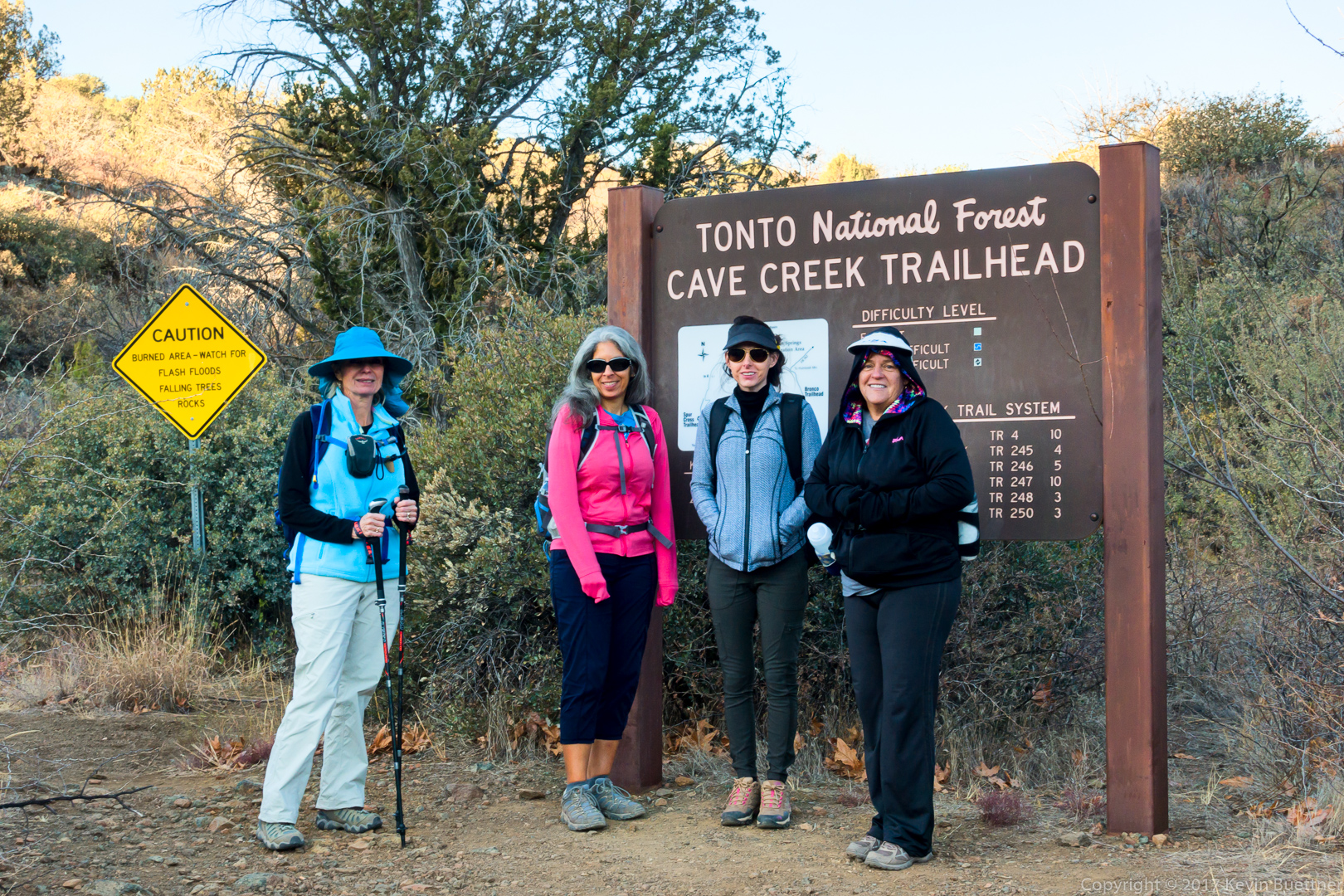
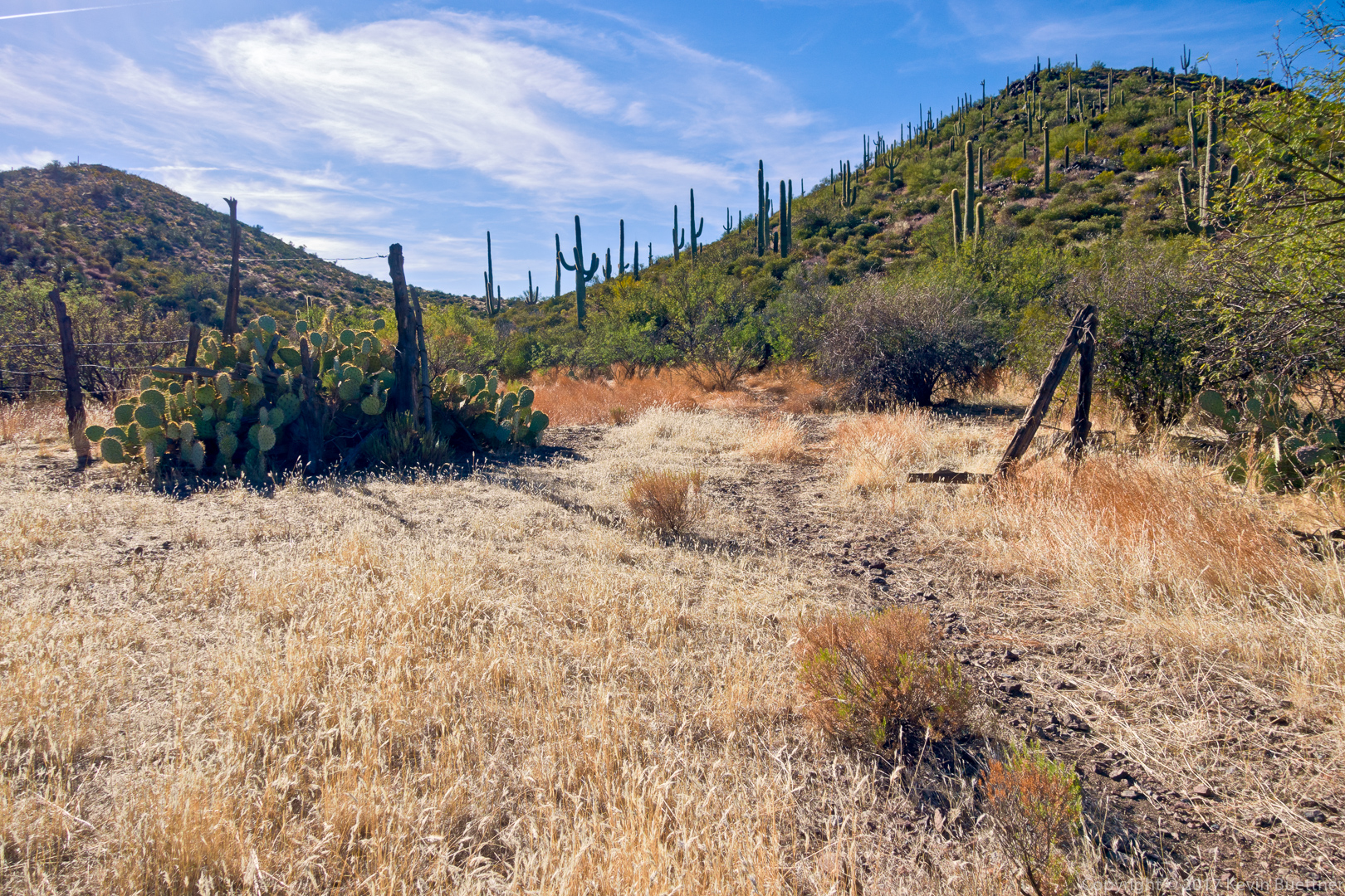
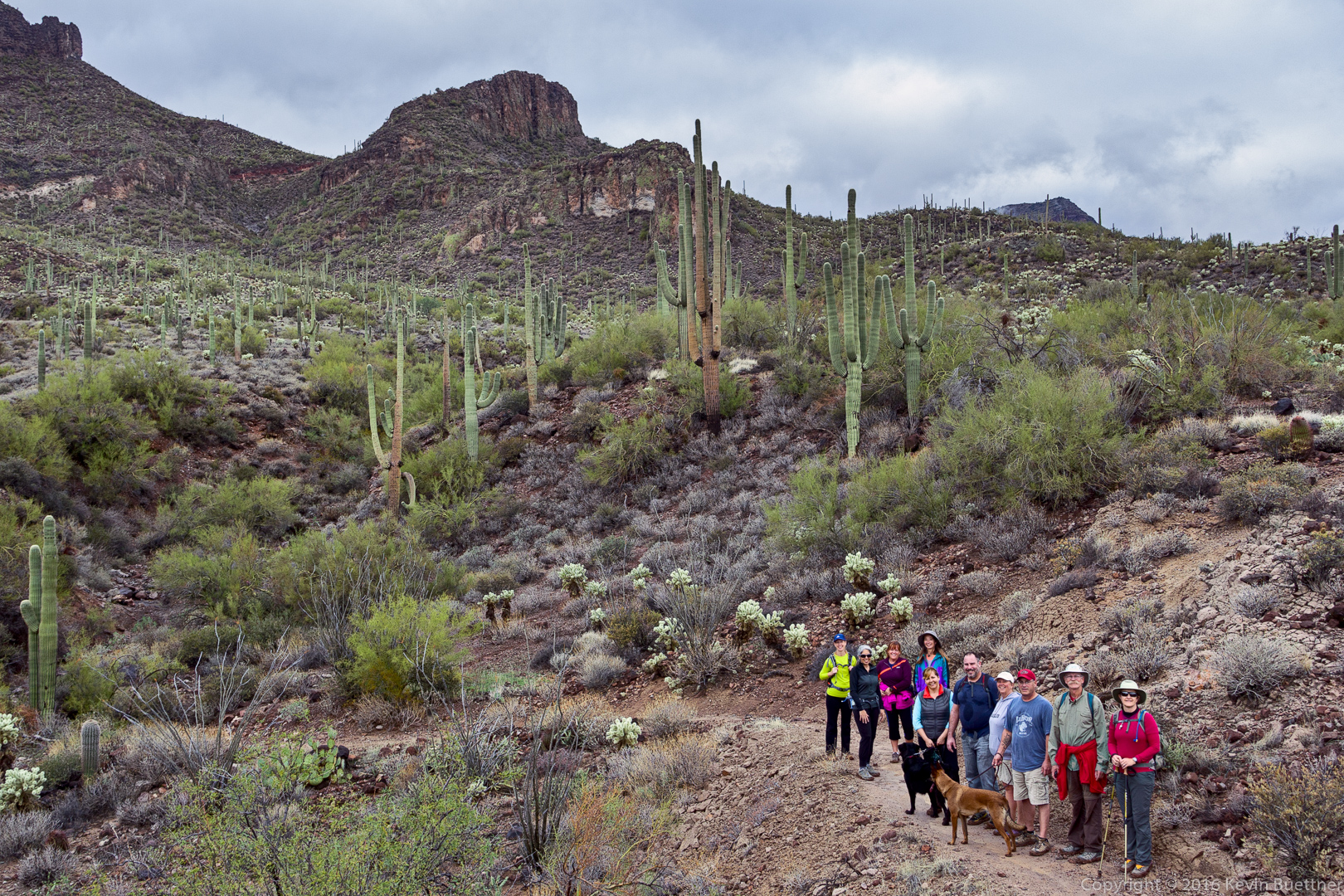
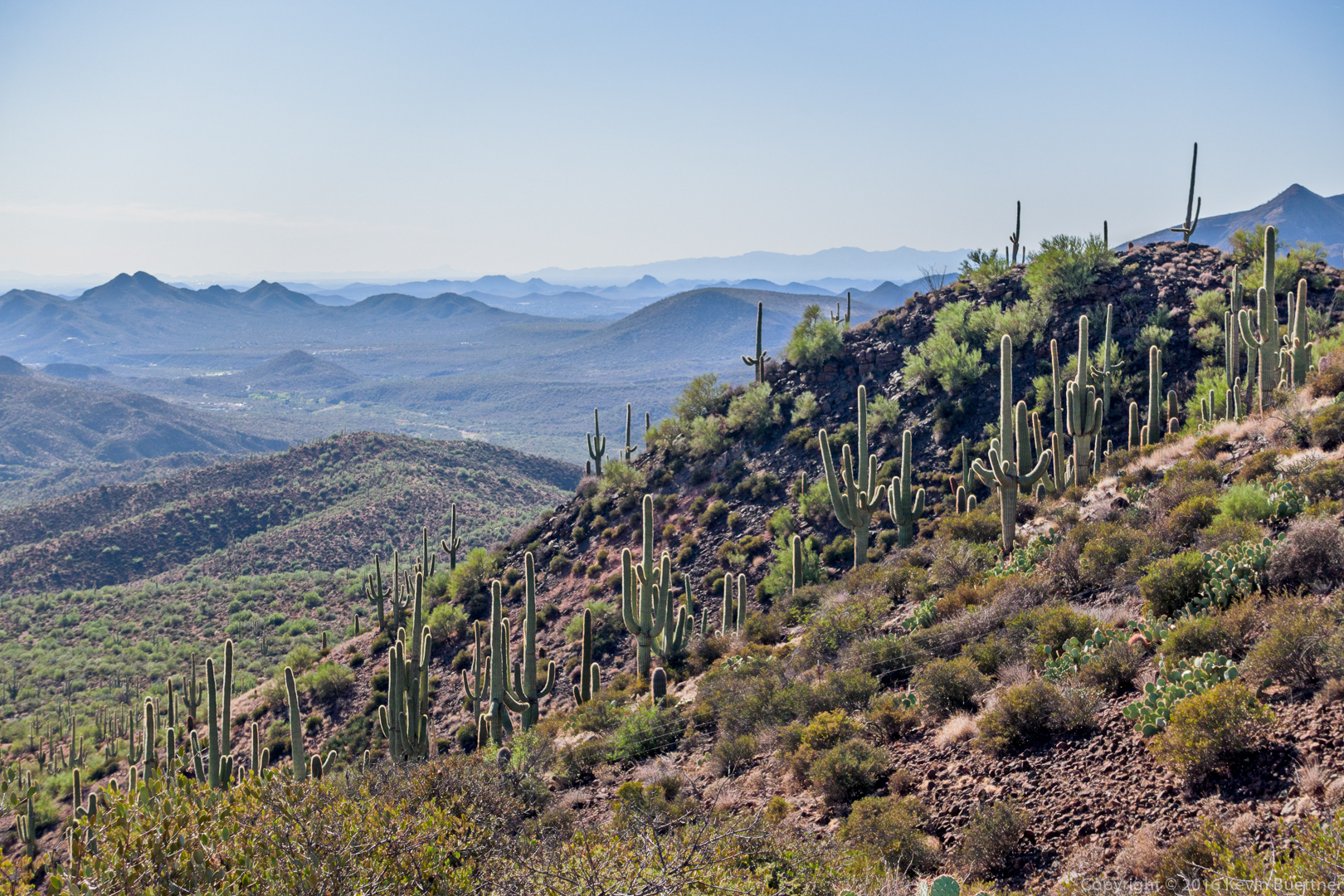
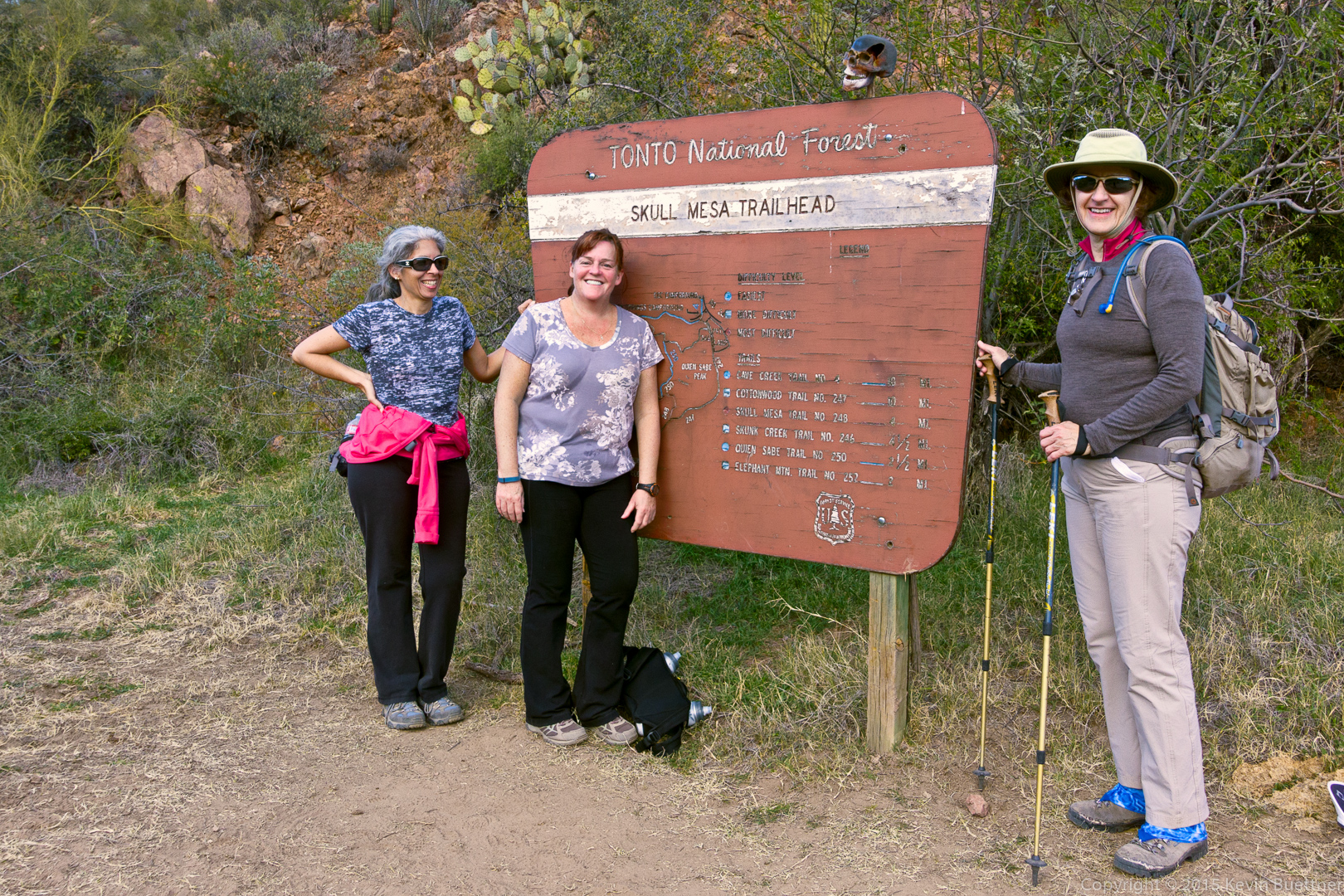
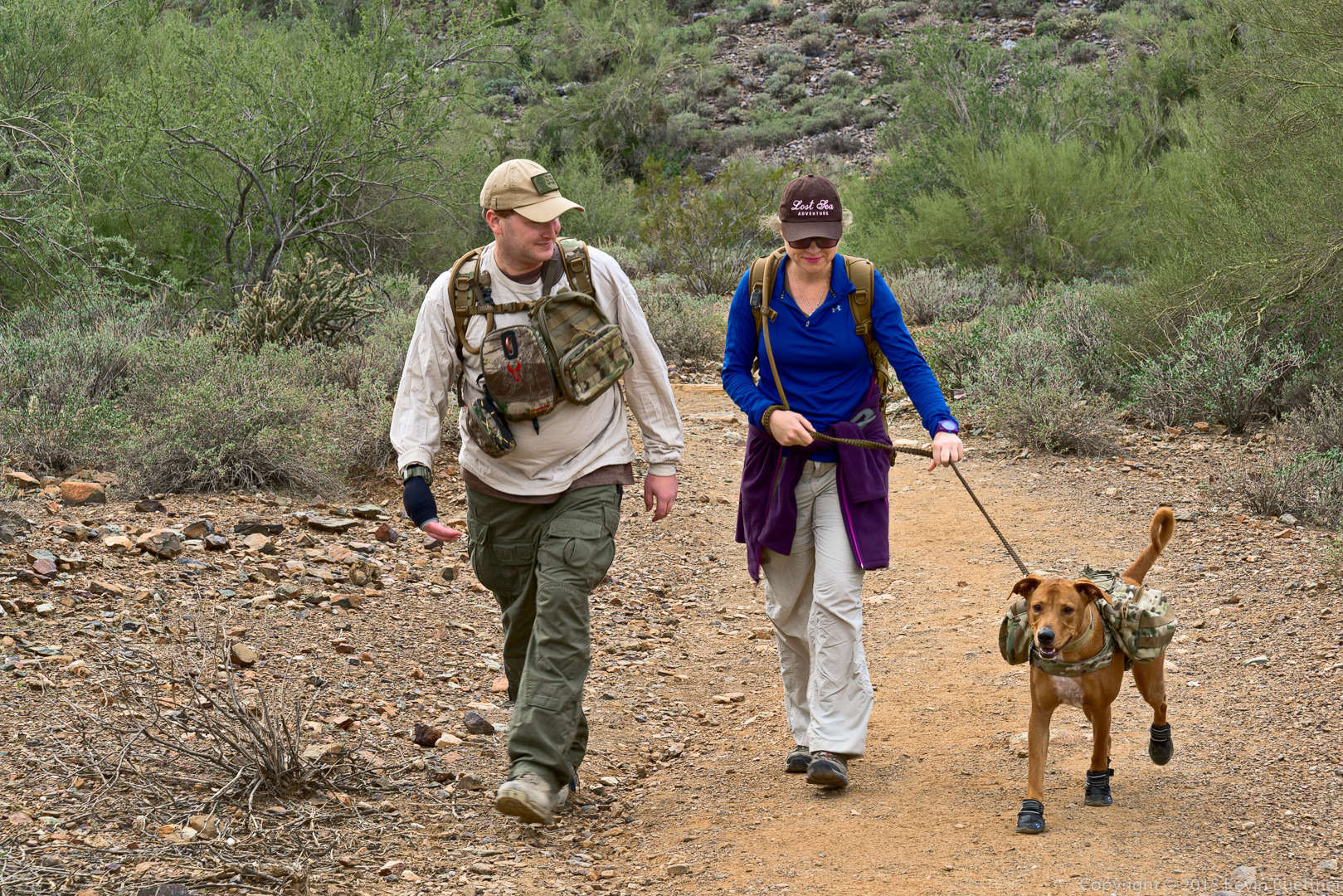
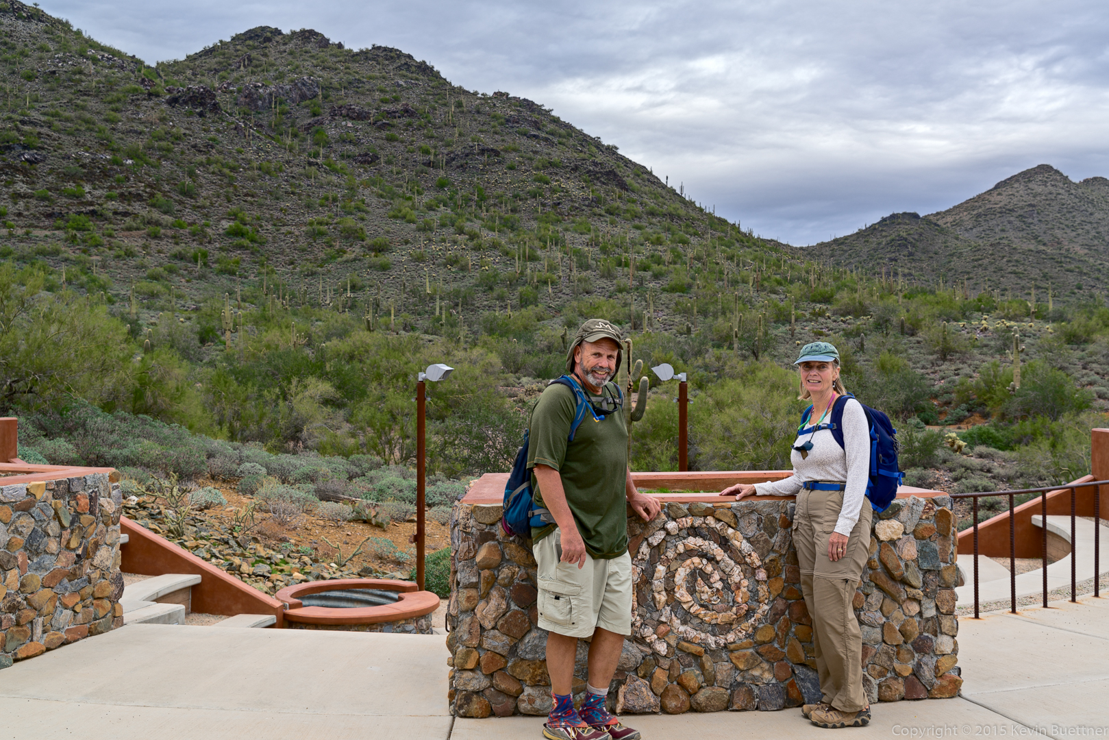
Nancy, Marilyn, and I hiked at the Spur Cross Ranch Conservation Area on Saturday, the 26th.  It was a cold and windy day; we had hoped to hike to the top of Skull Mesa, but we abandoned that plan and did a somewhat easier hike instead. We hiked the following trails for an 8.5 mile hike with 2200 feet of total ascent: Spur Cross, FS 48, unnamed wash / canyon, FS 48, TR 252 (Limestone), Elephant Mountain, Tortuga, Spur Cross.

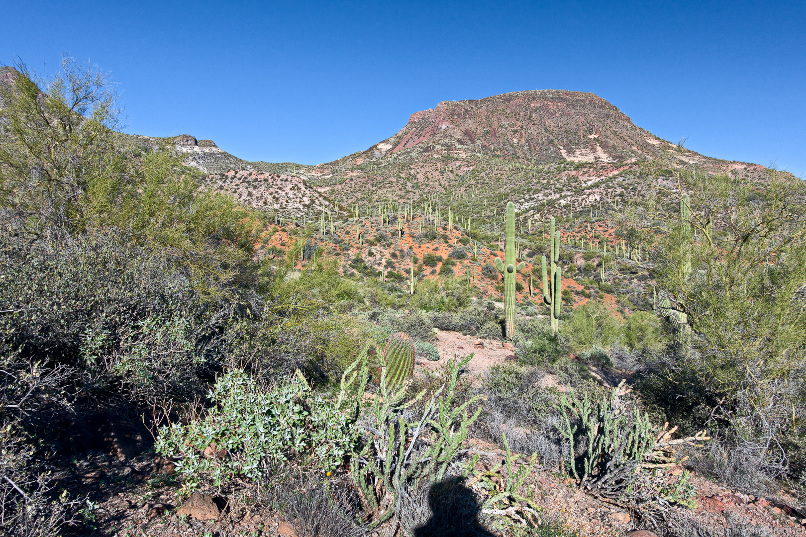
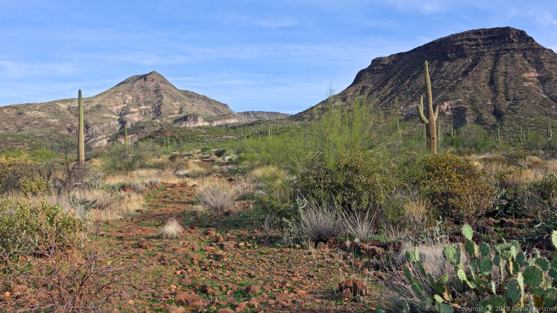
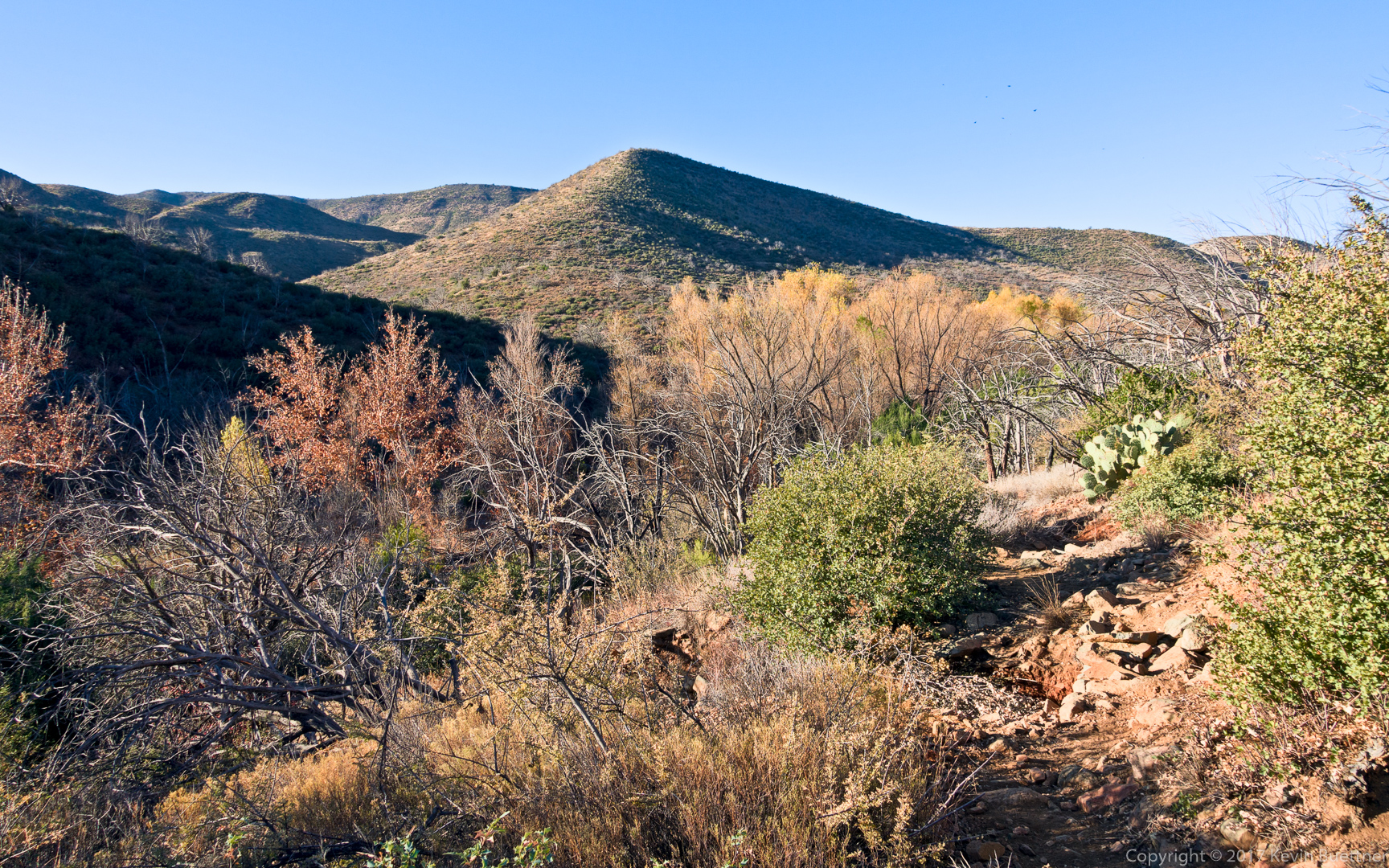
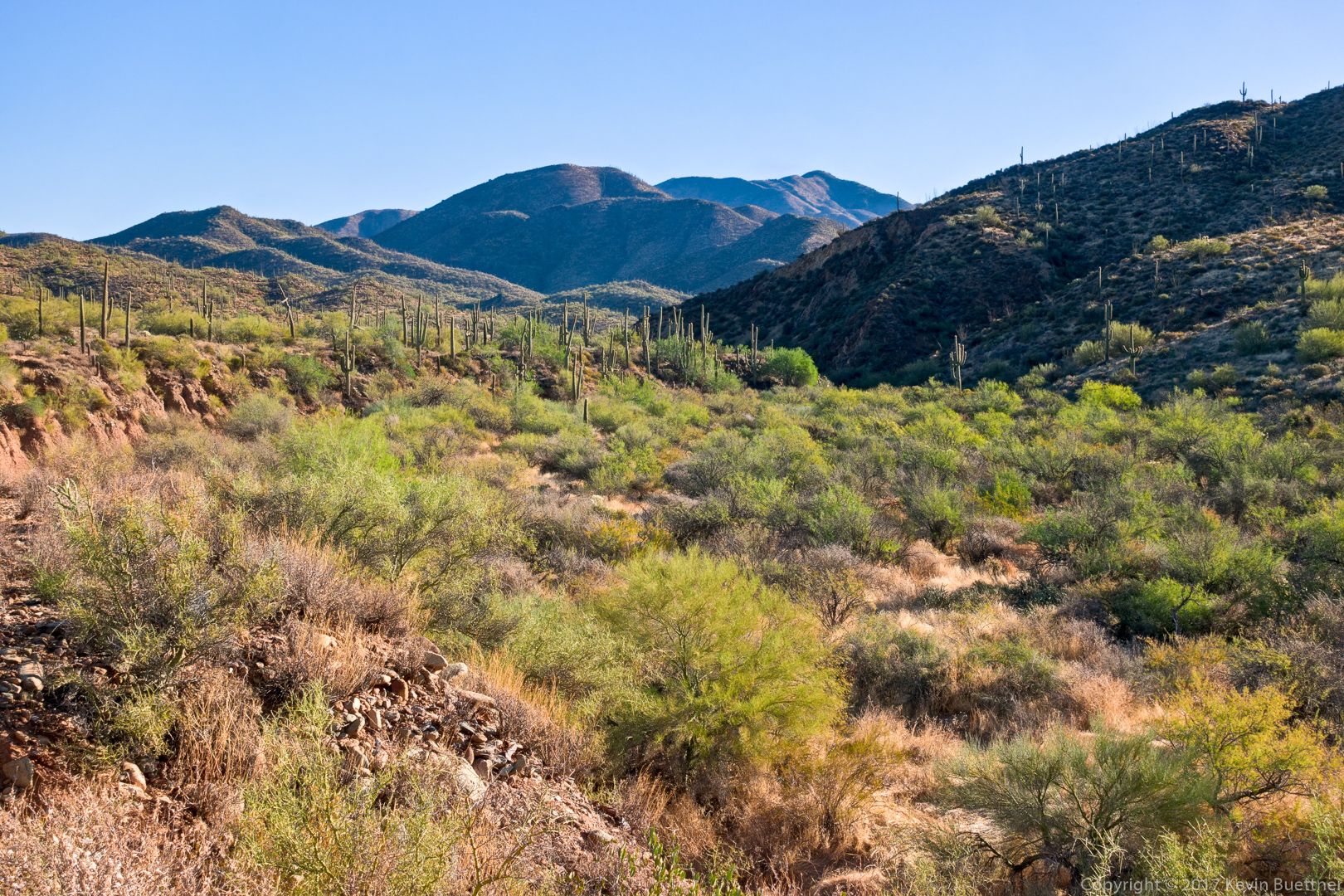
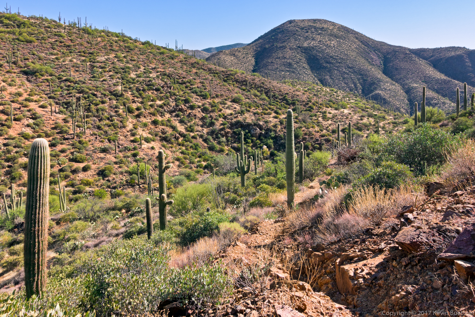
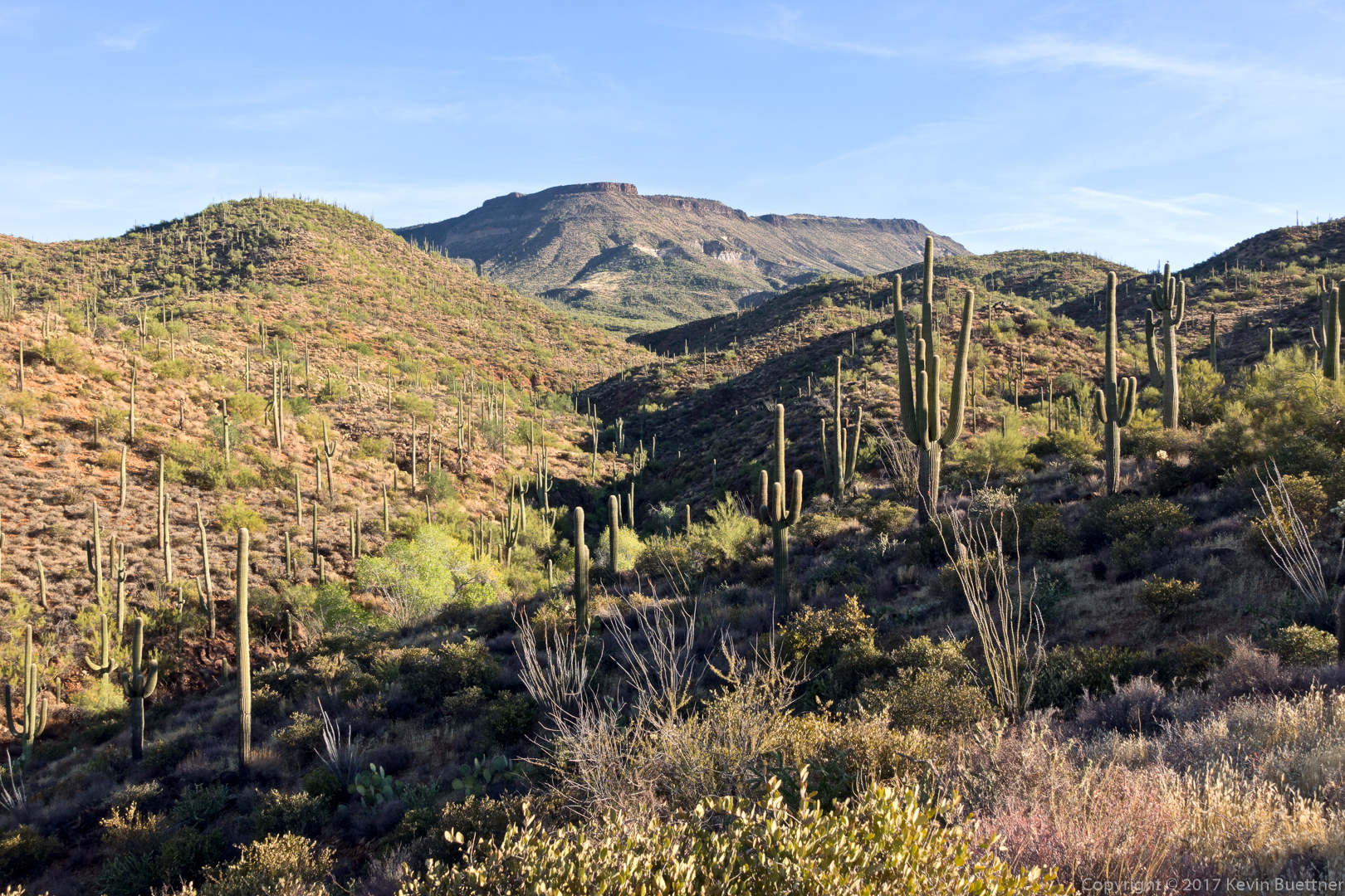
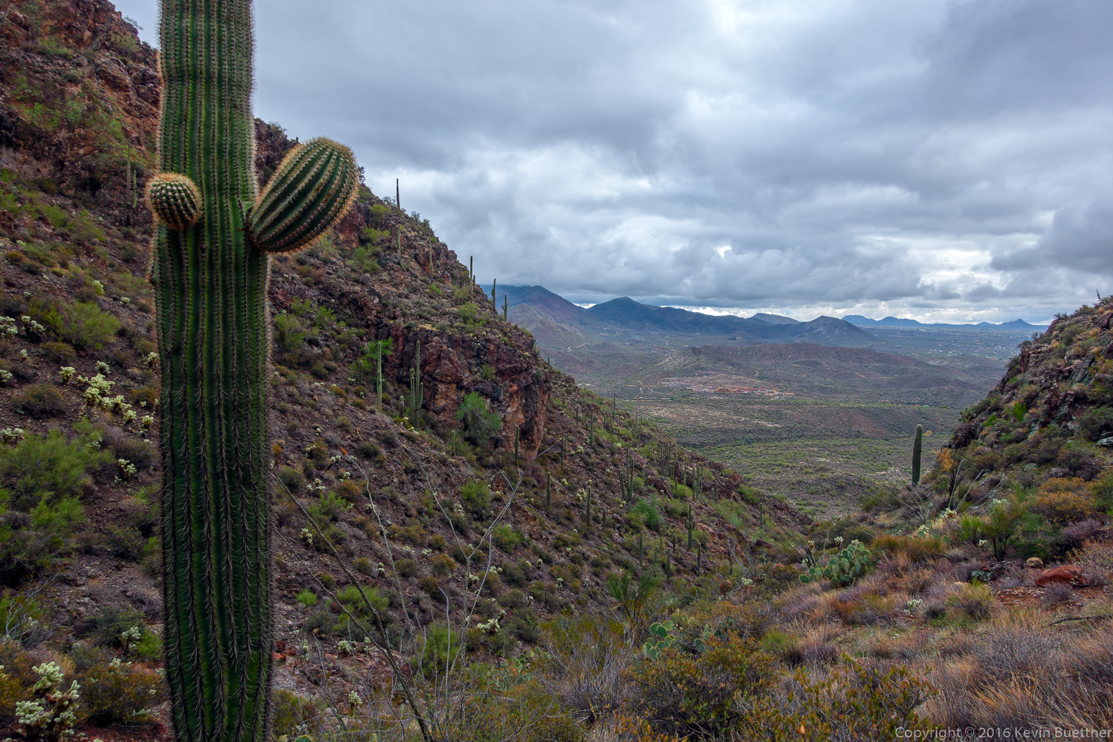
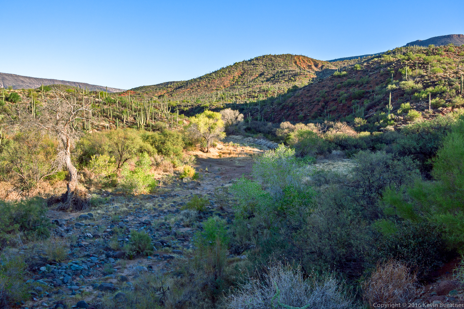
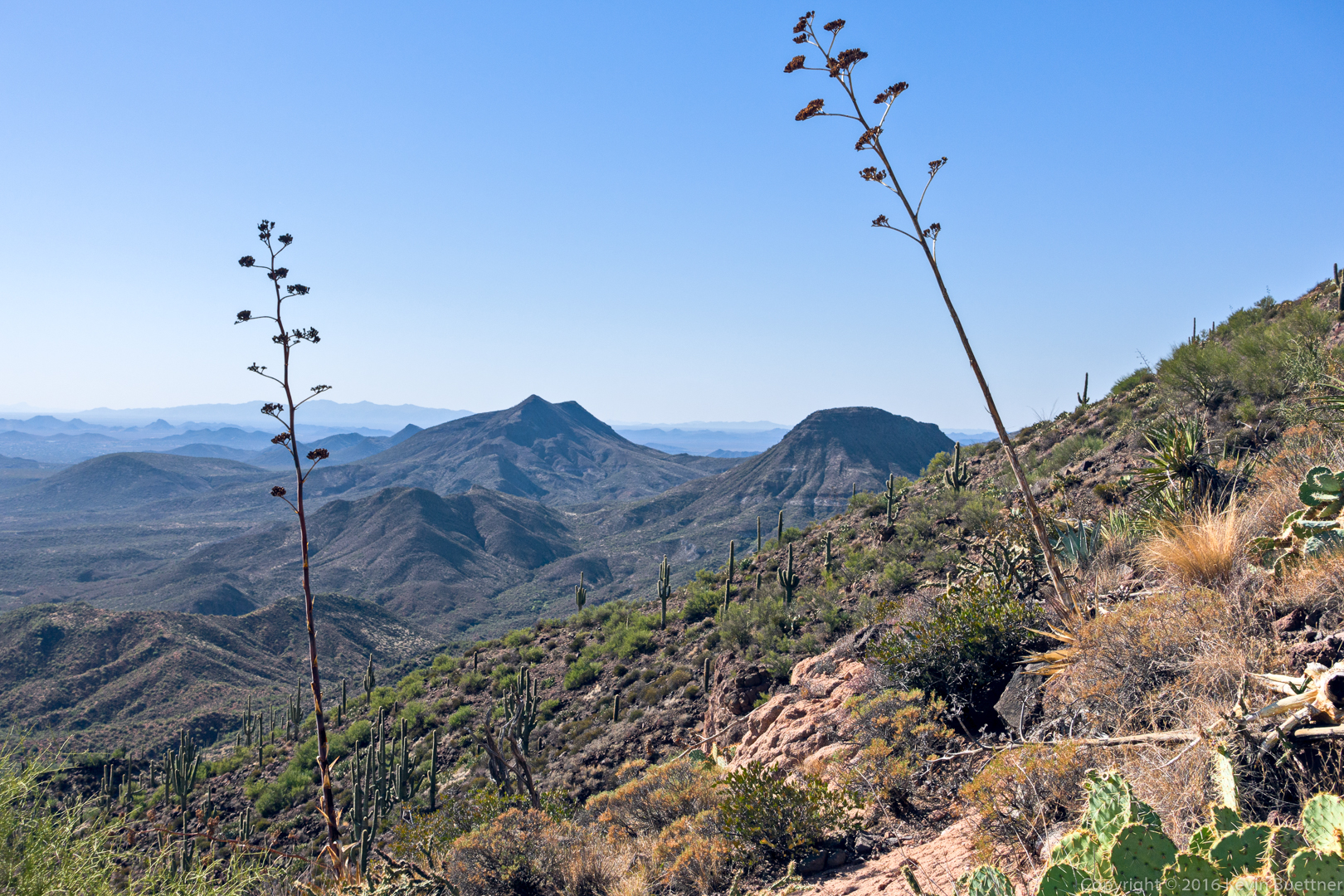
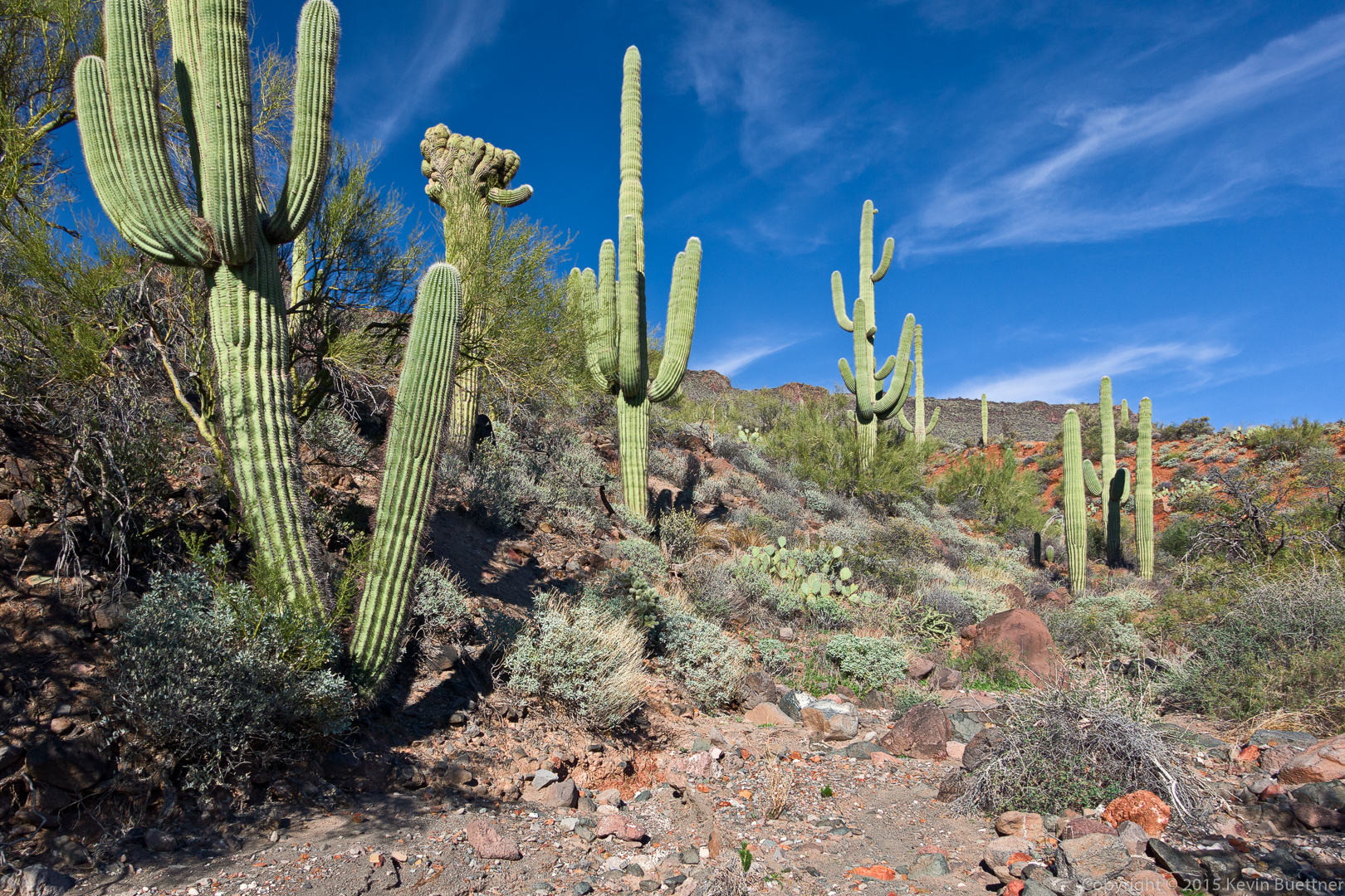
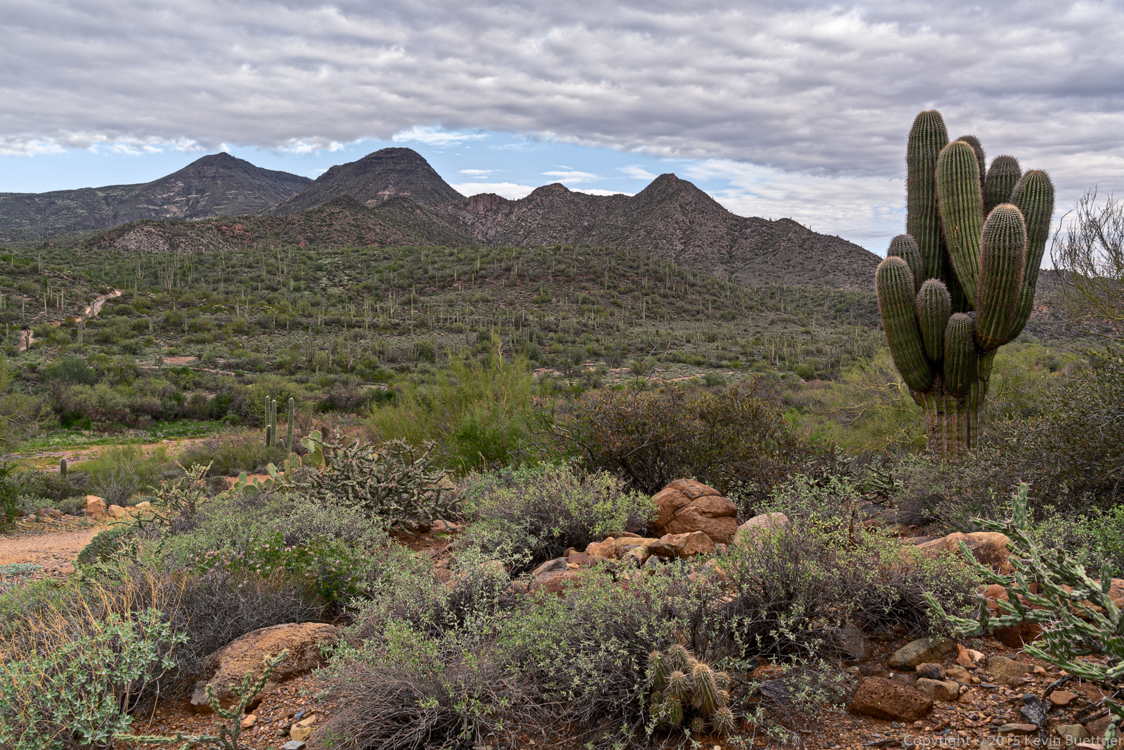
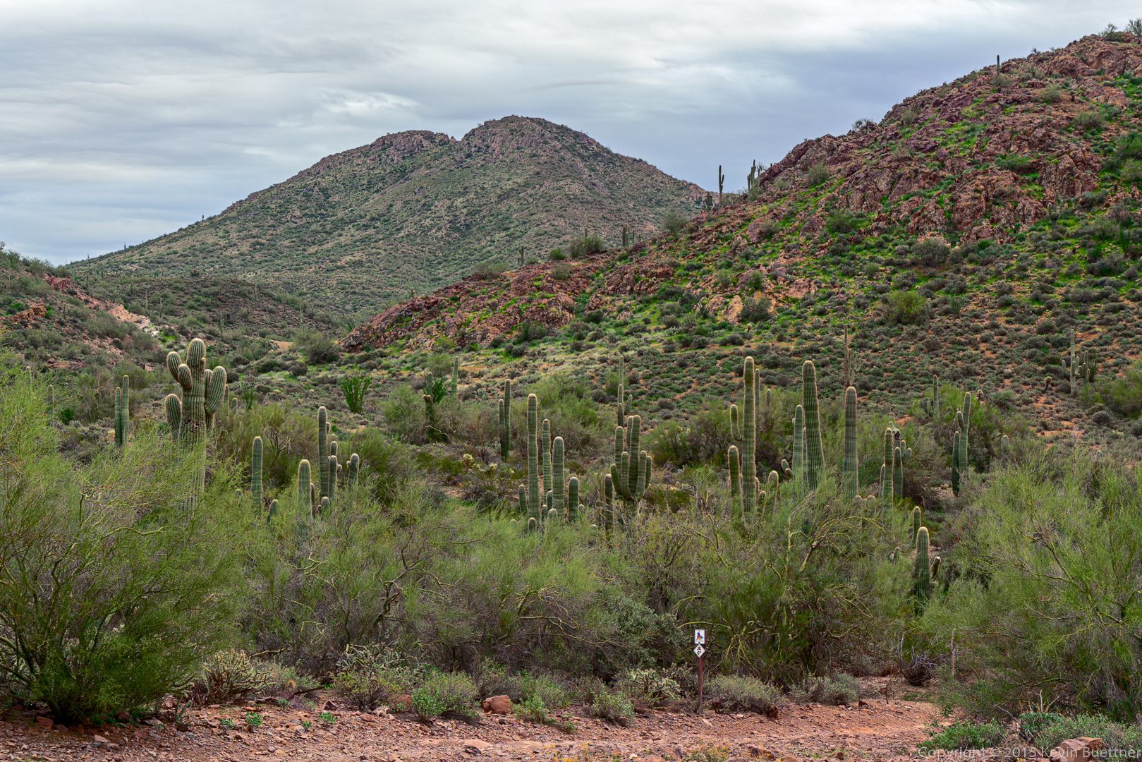
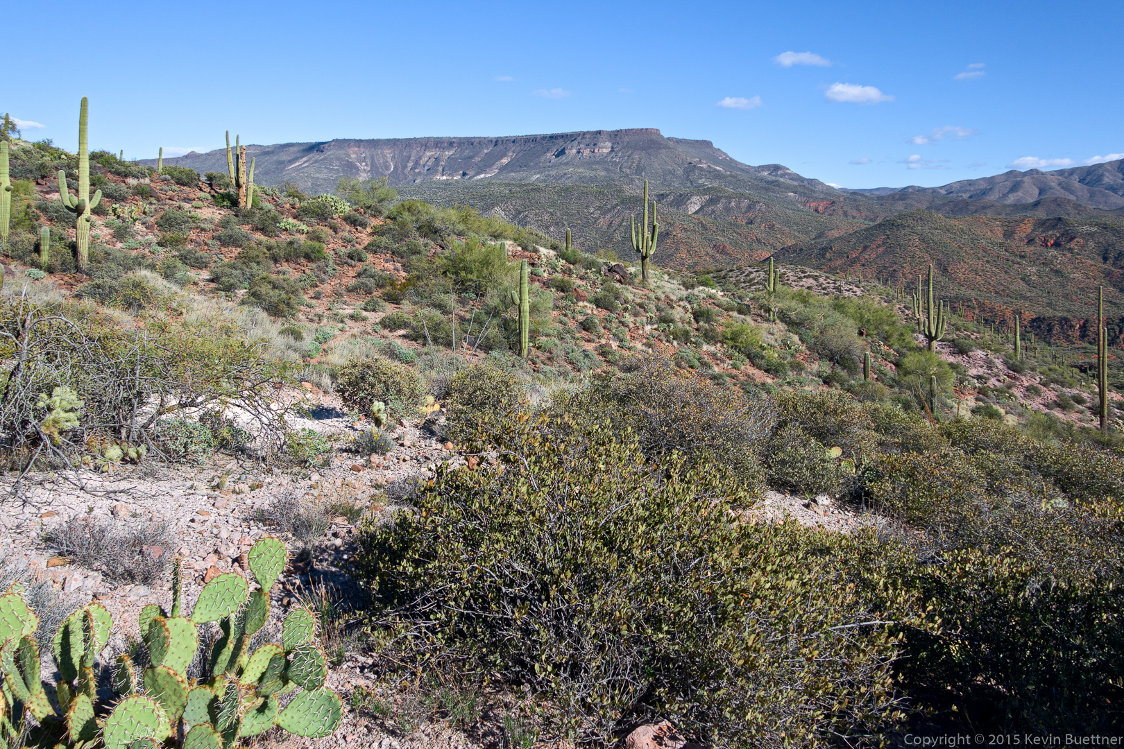
An early view from the Spur Cross Trail:

20151226-_DSC8215-Edit-medium

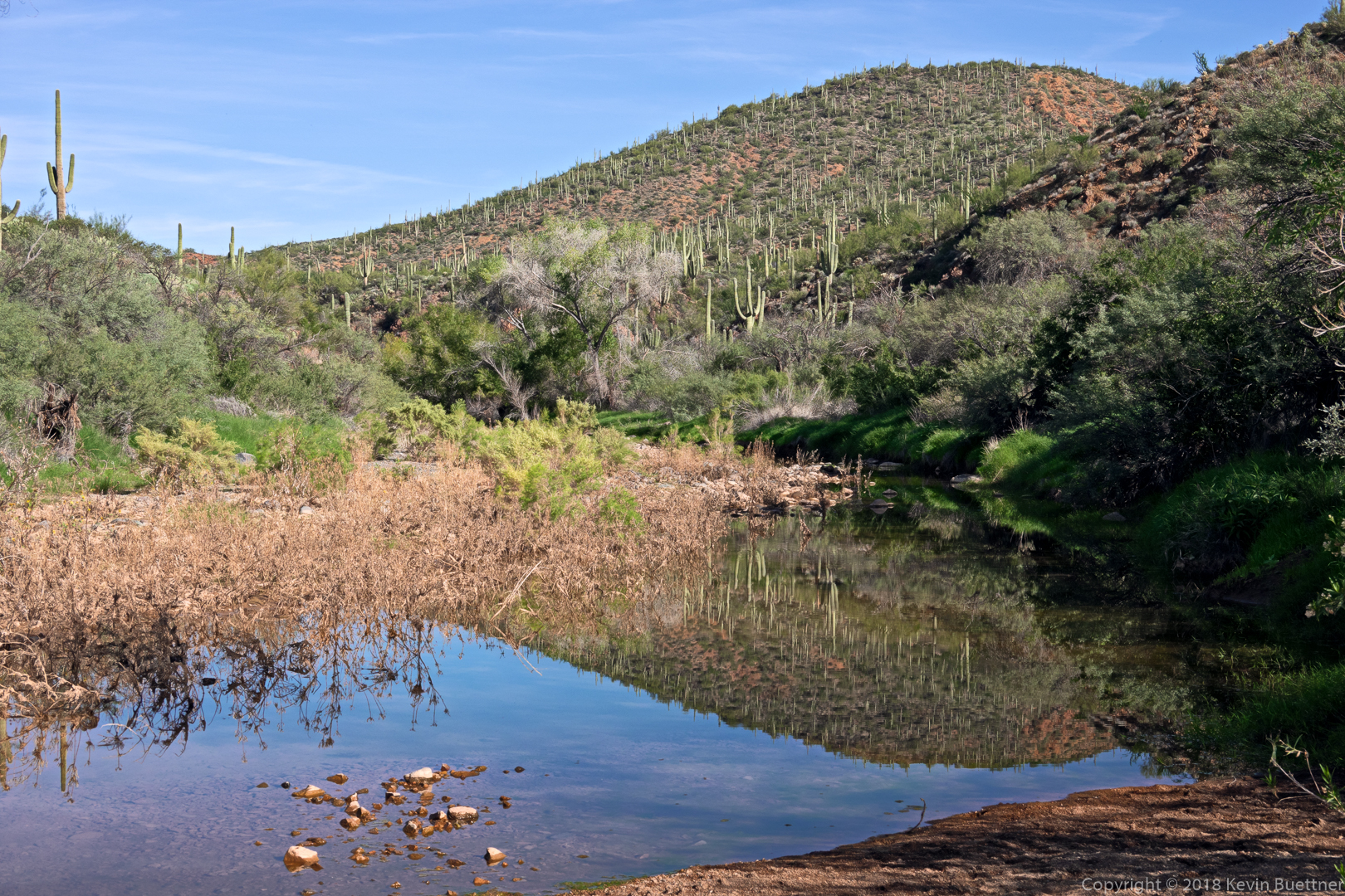
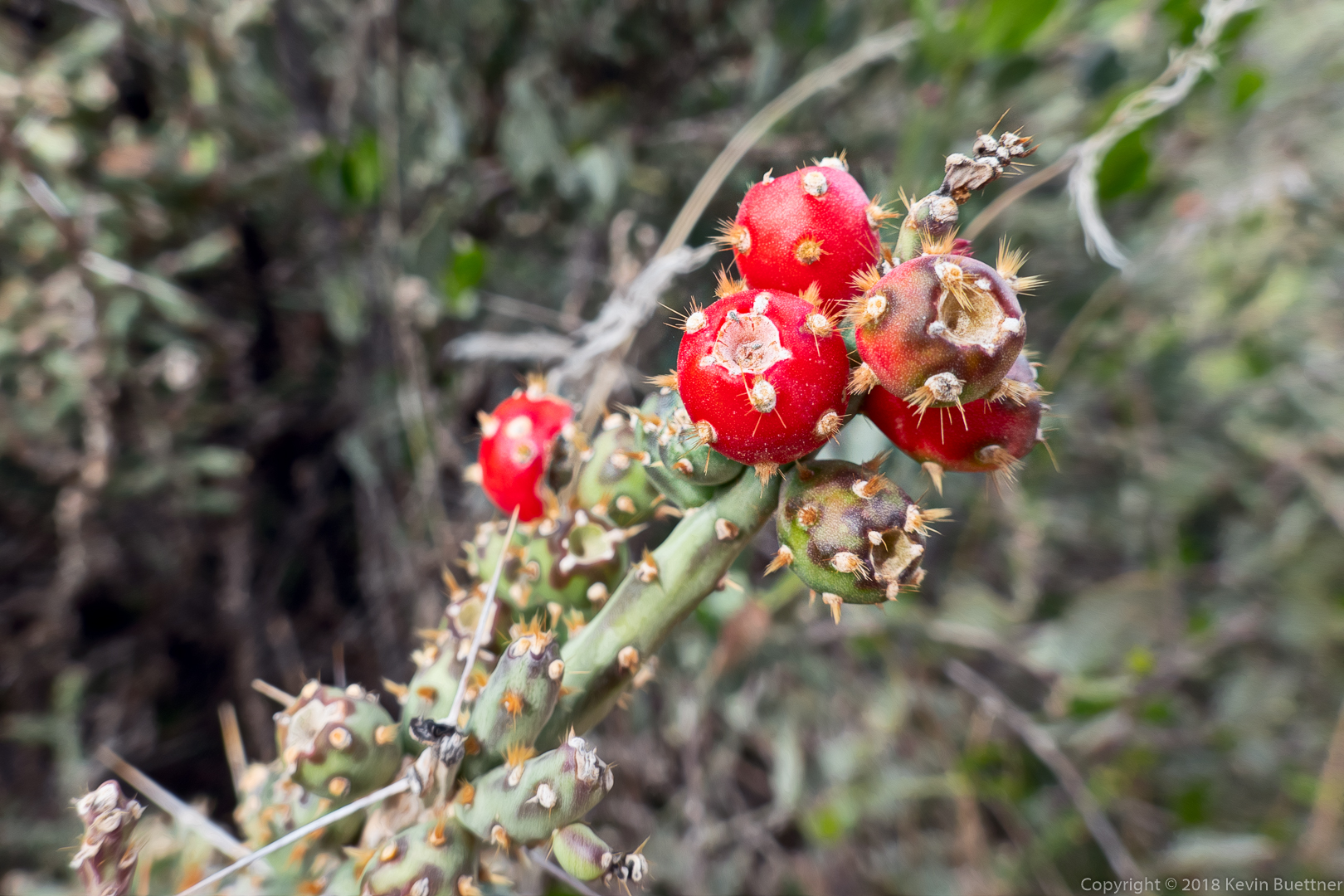
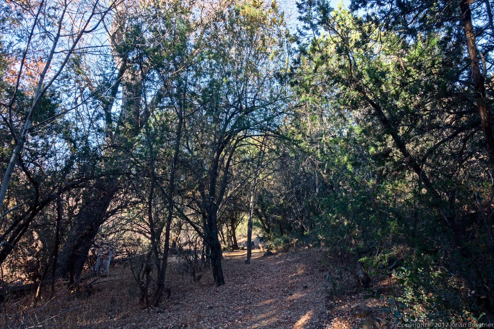
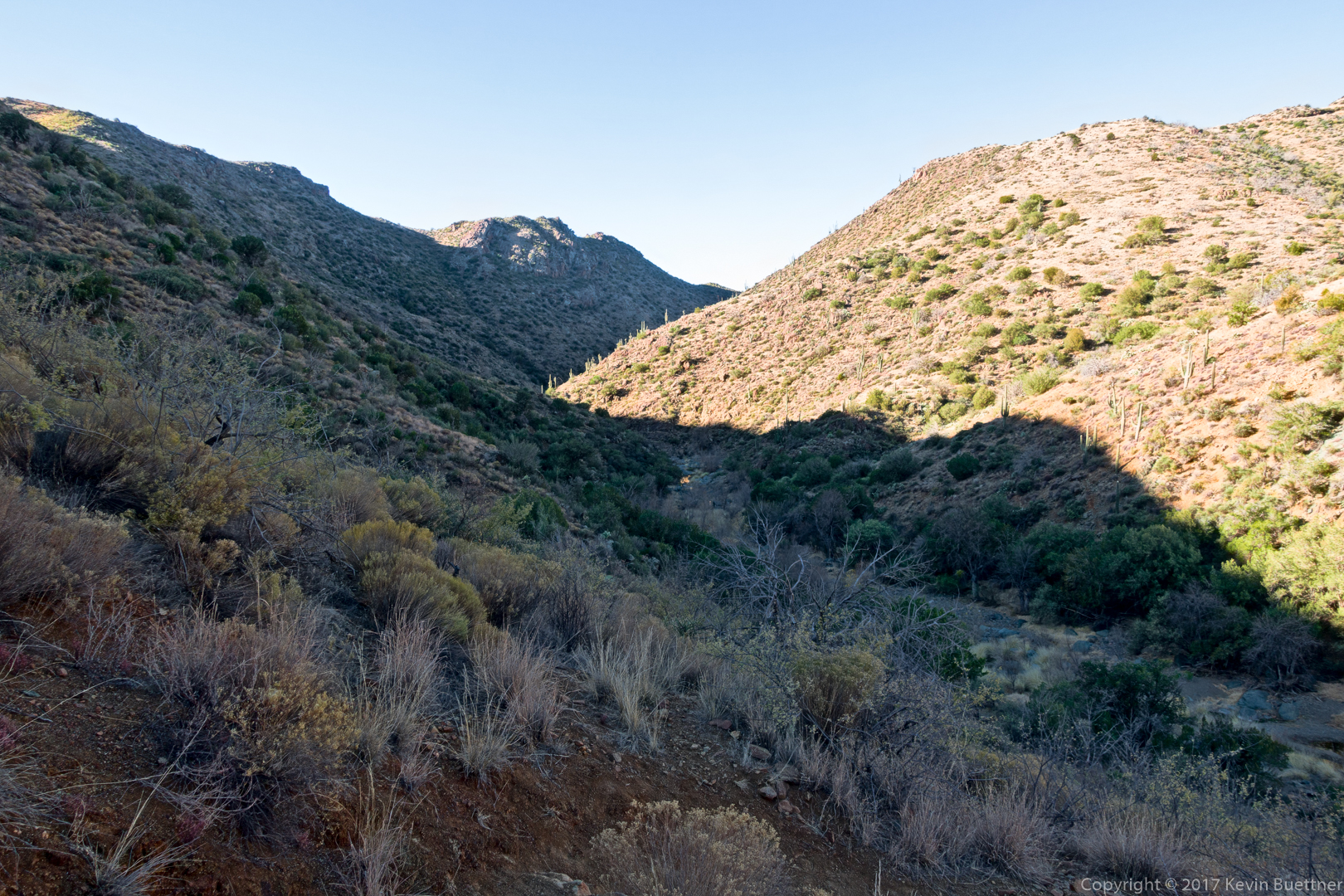
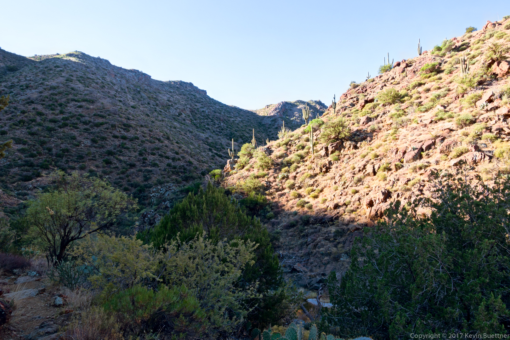
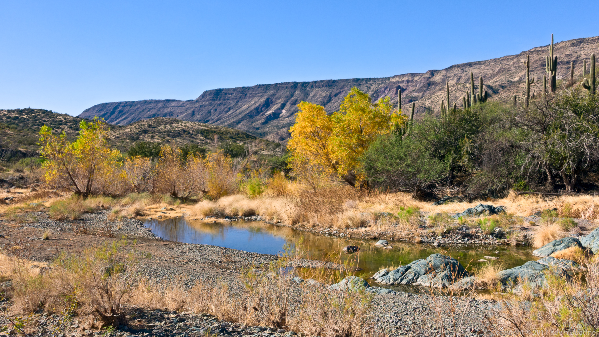
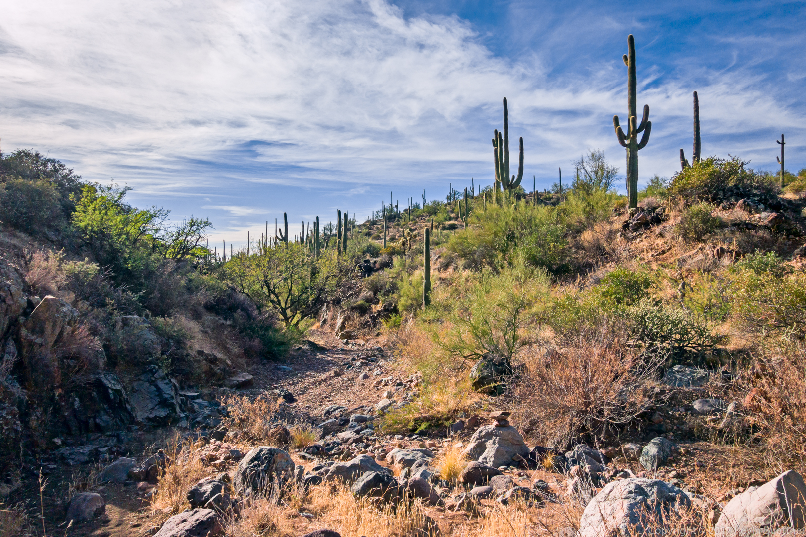
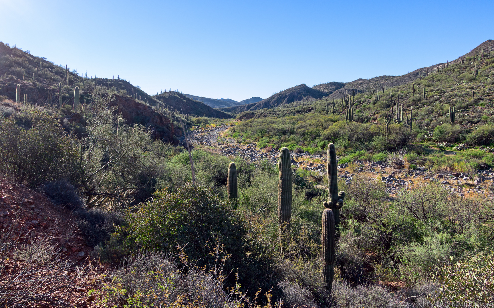
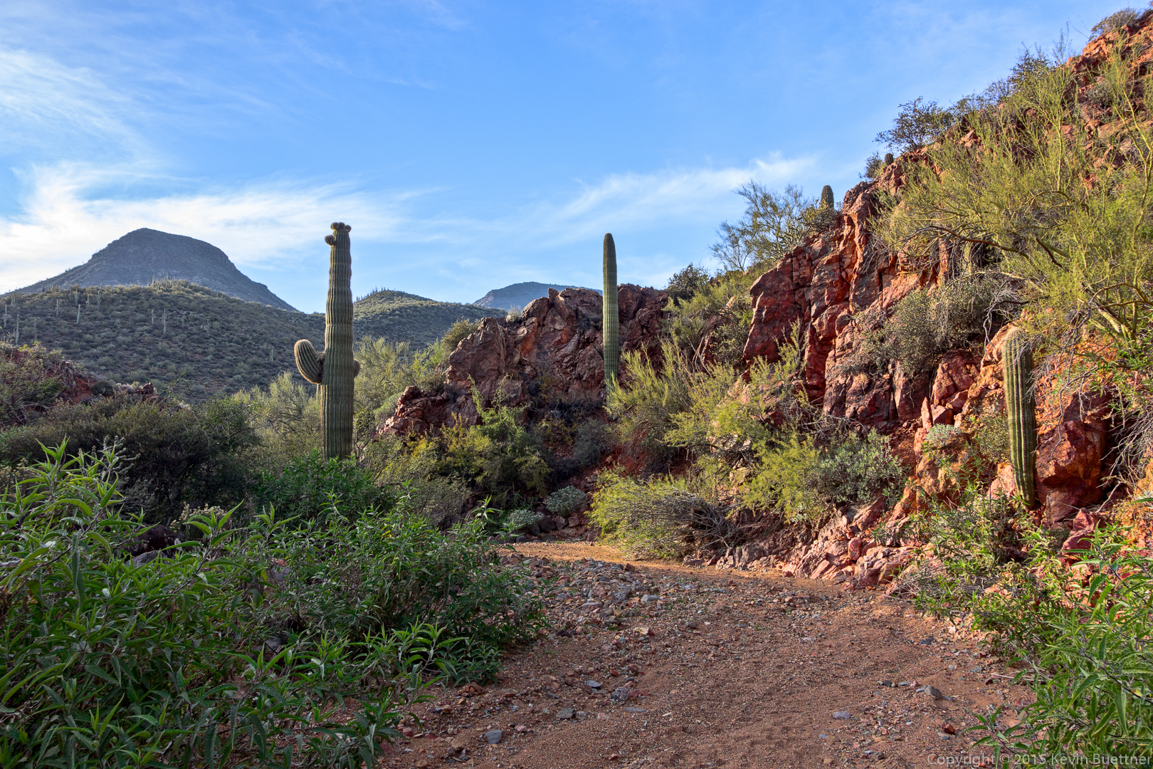
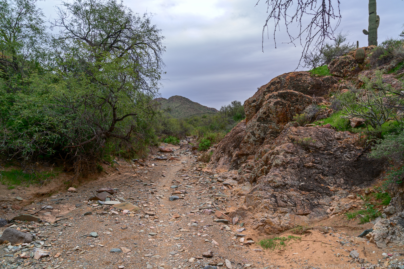
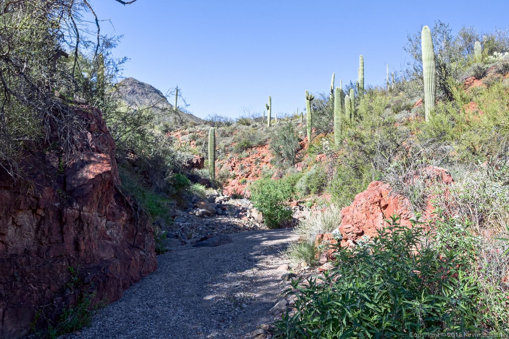
I think this is entrance to the wash / canyon.  We thought this might be TR 252 at first, but after a short ways in, it became clear that it was not.  We were happy to enter this canyon, however, as it was sheltered from the wind and allowed us to warm up.

20151226-_DSC8218-Edit-medium

20151226-_DSC8227-HDR-Edit-medium

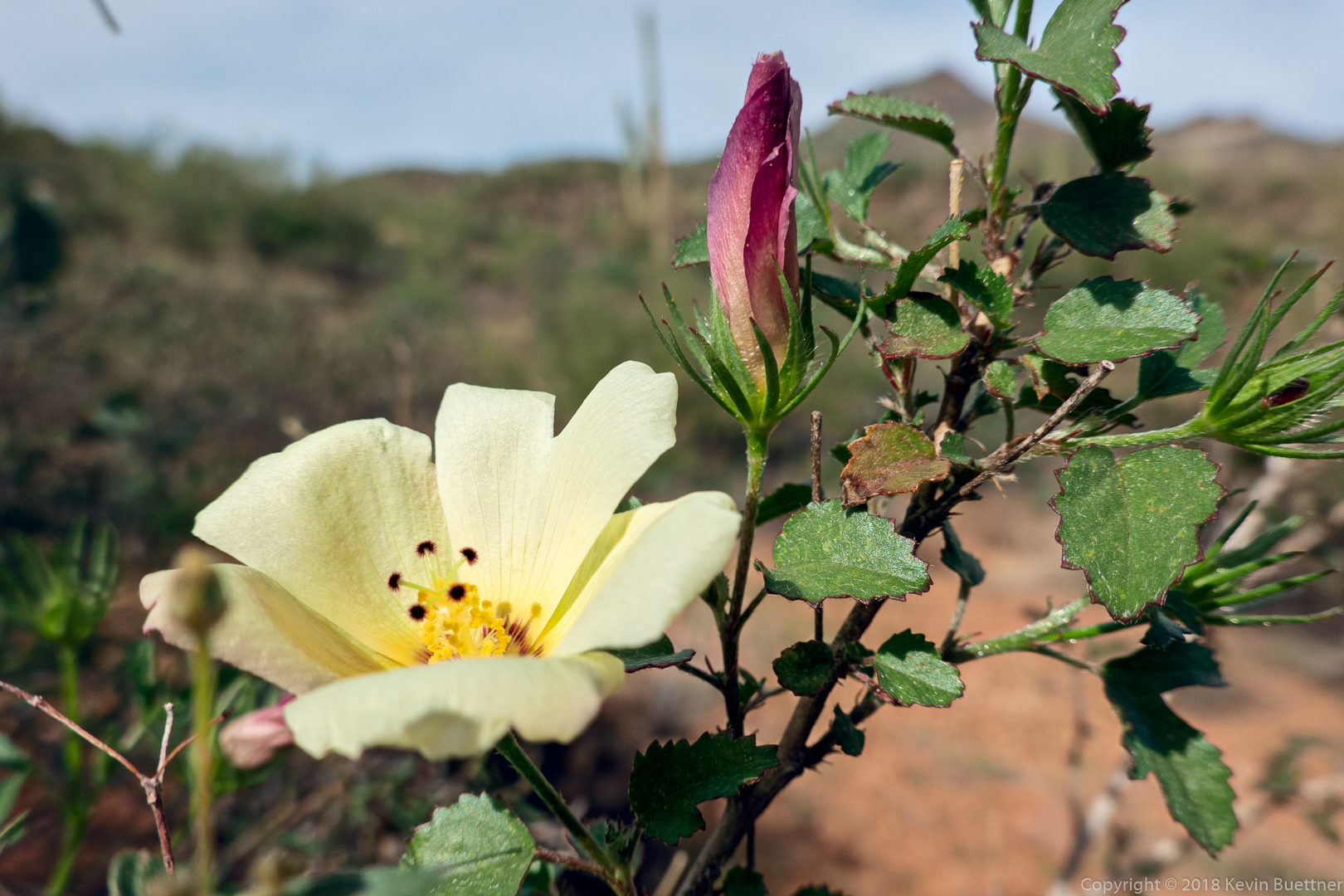
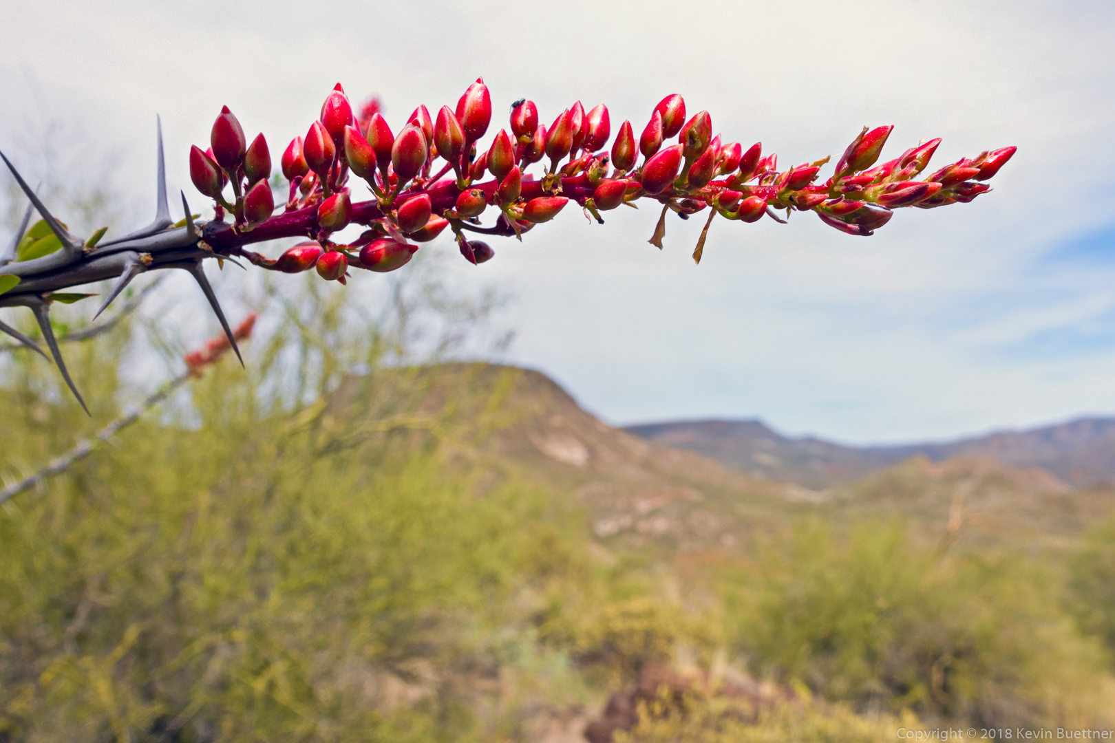
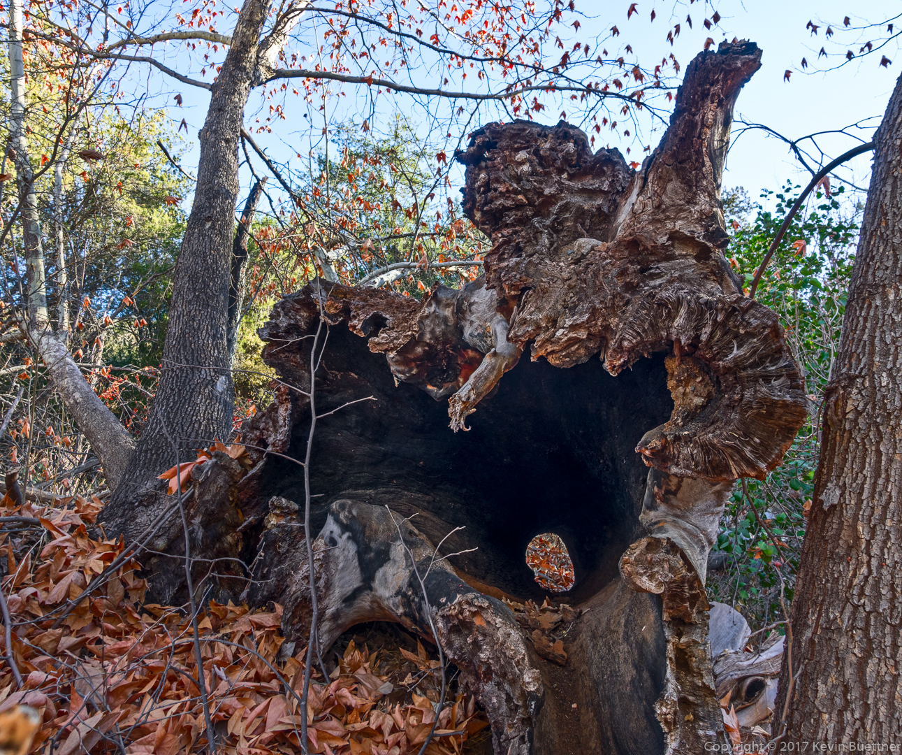
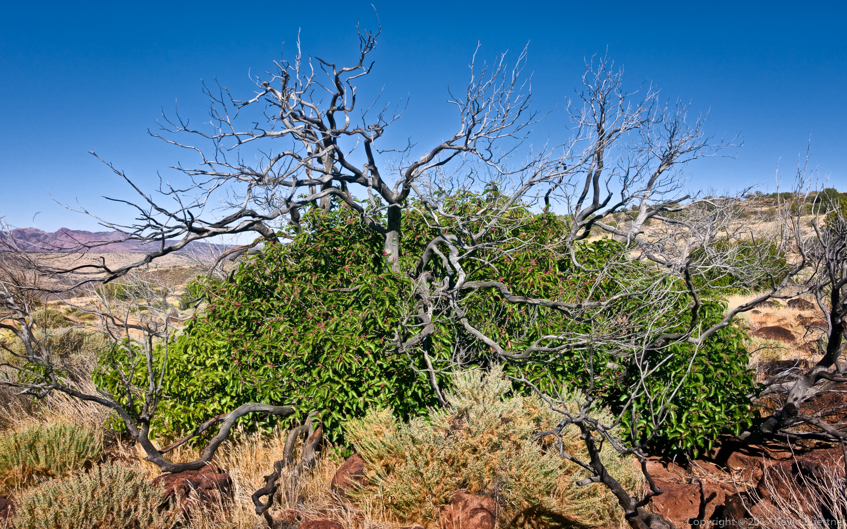
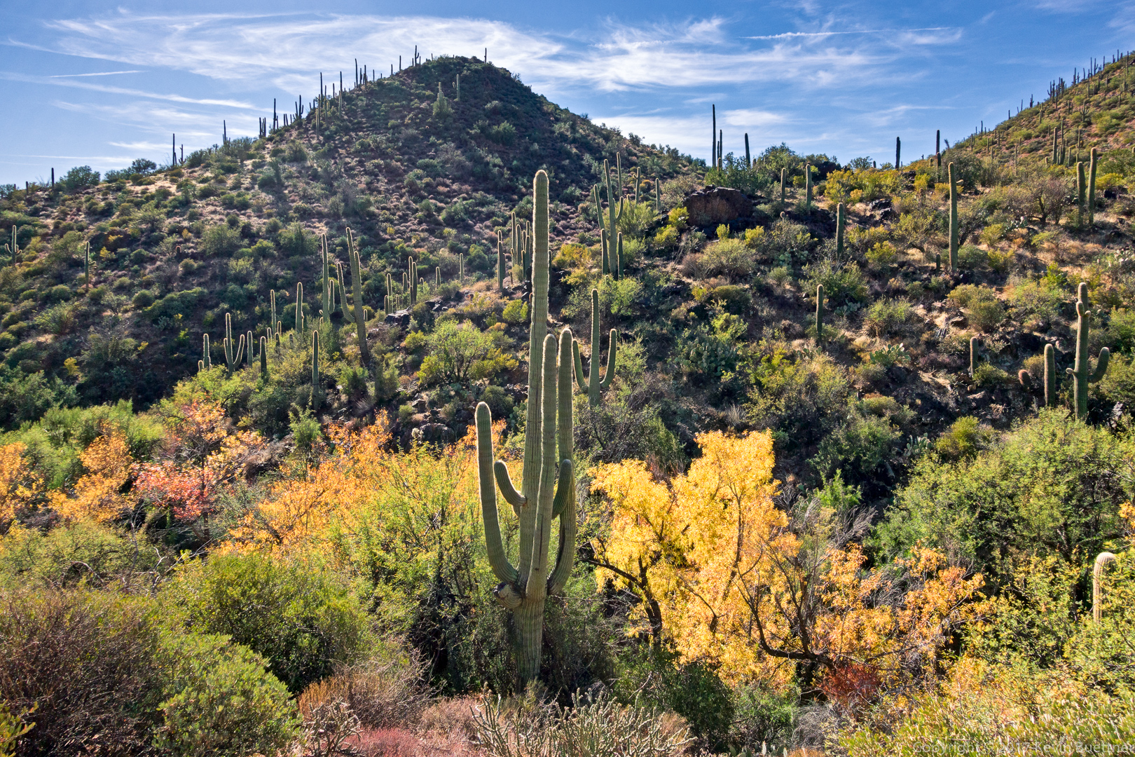
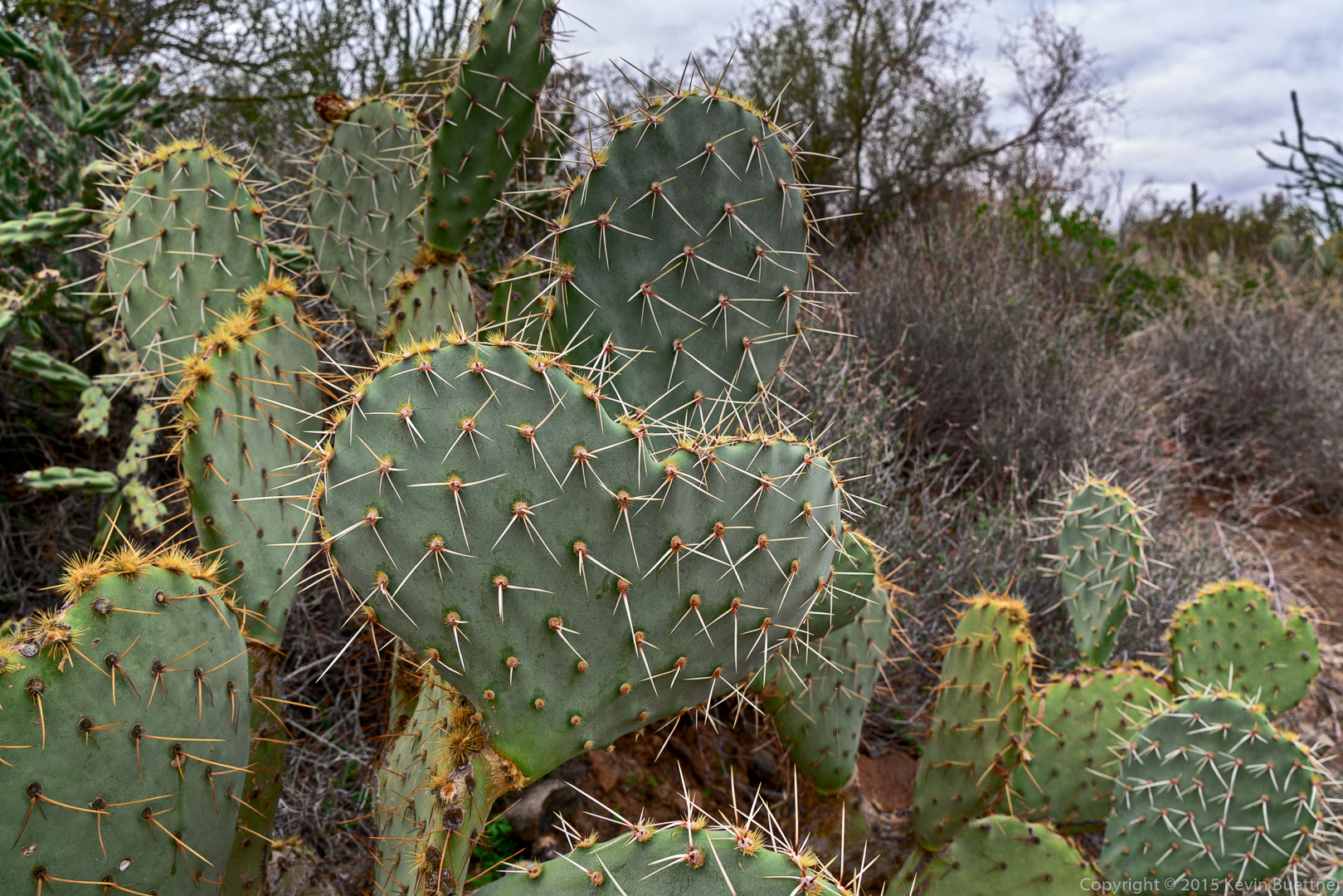
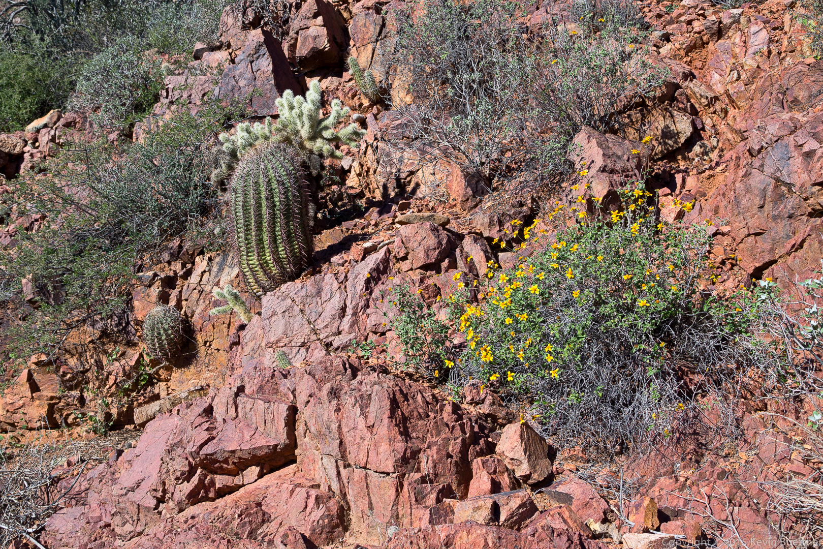
We even saw flowers growing on one of the walls of the wash.

20151226-_DSC8230-Edit-medium

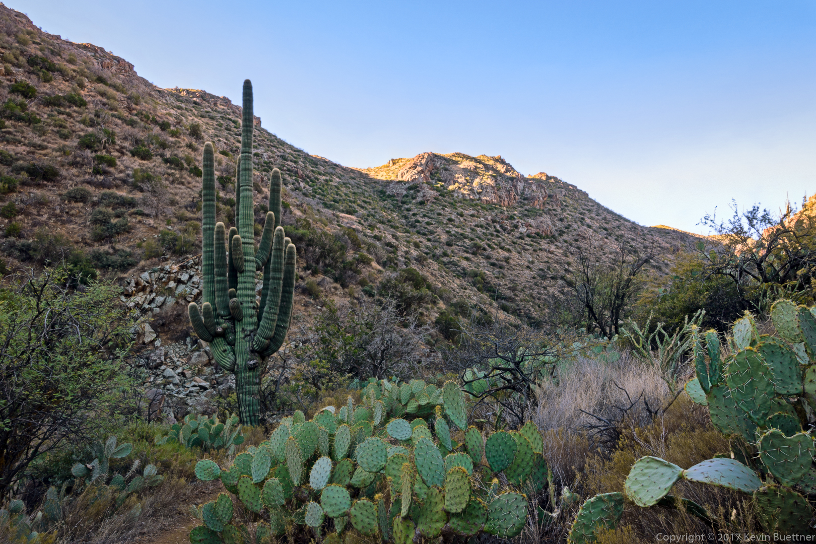
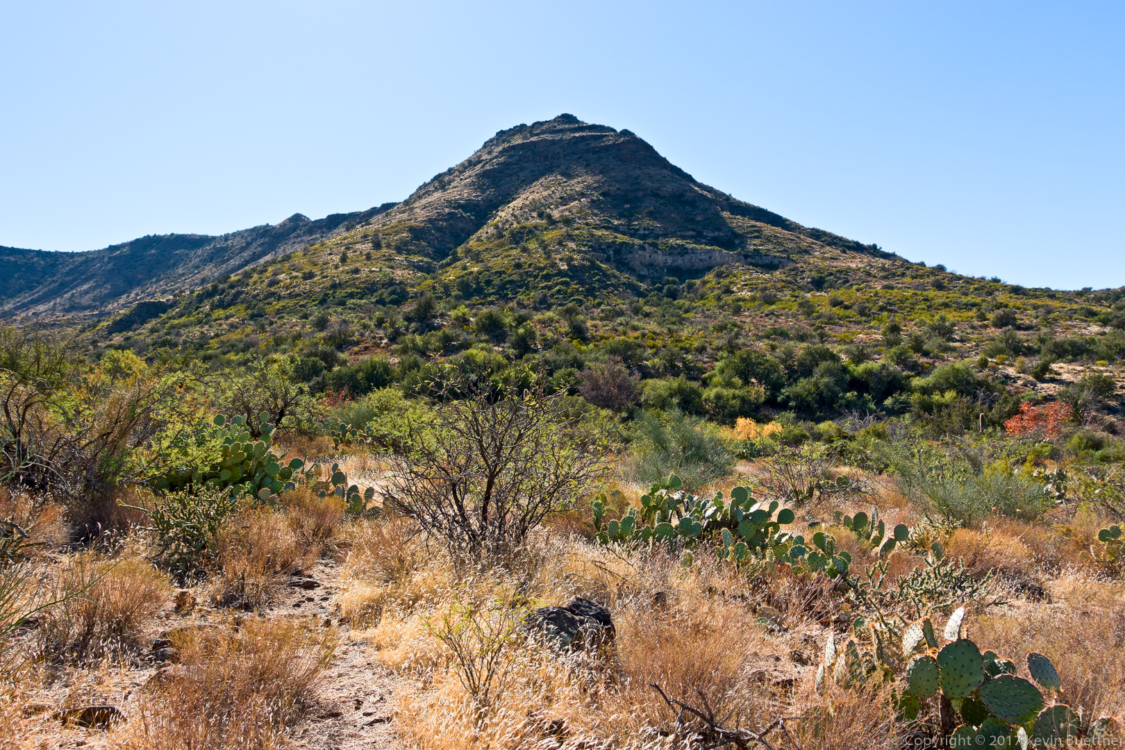
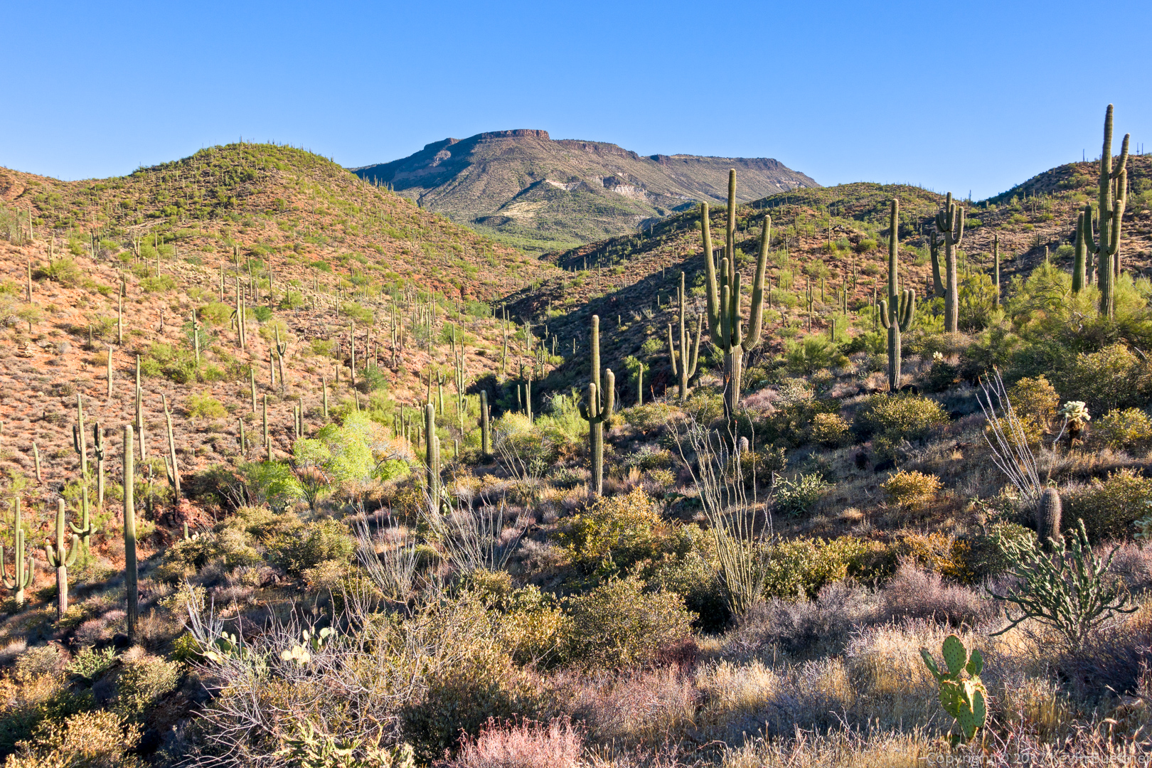
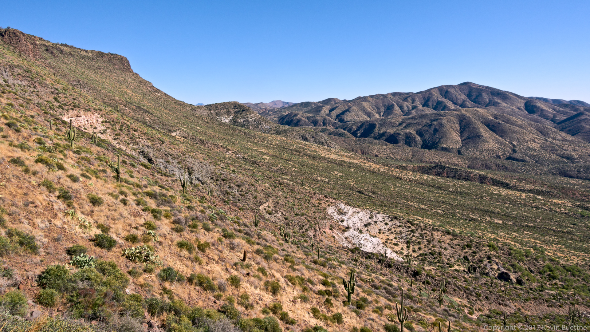
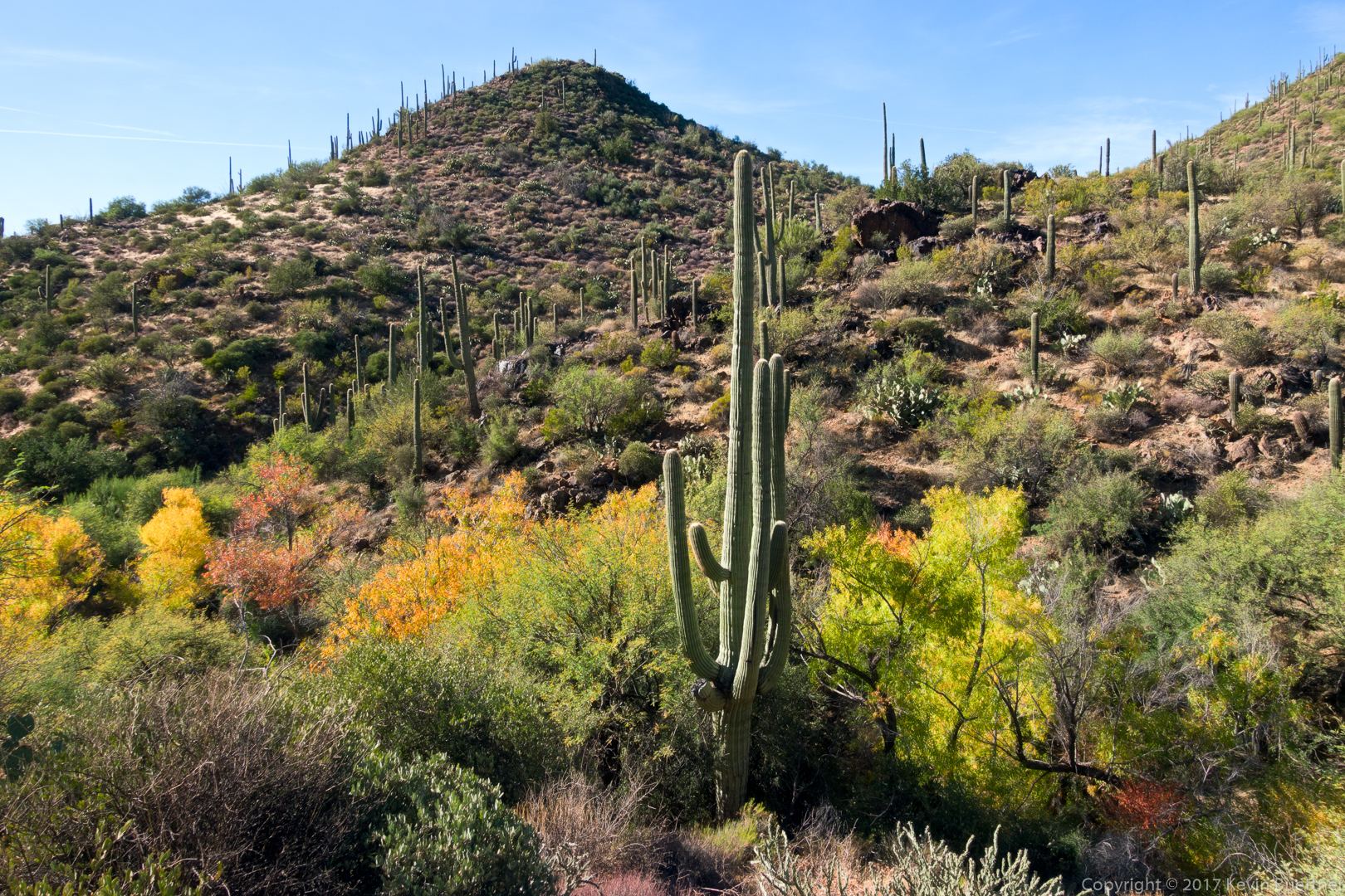
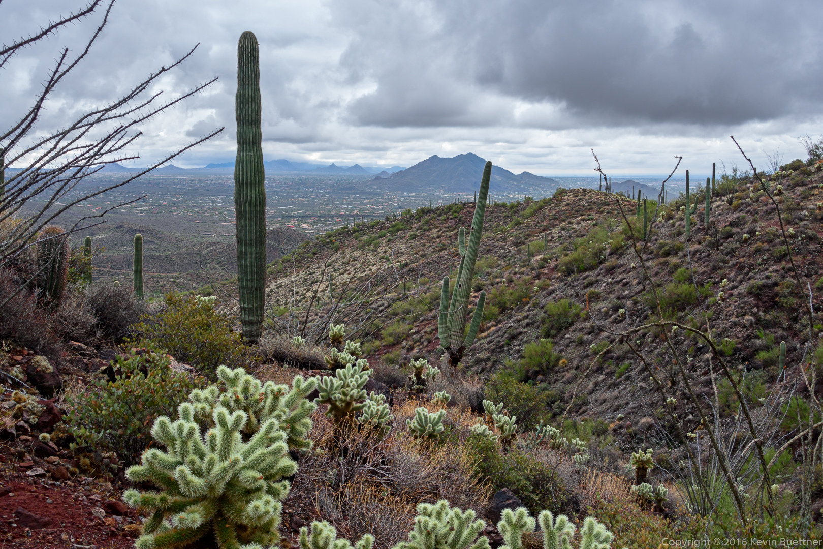
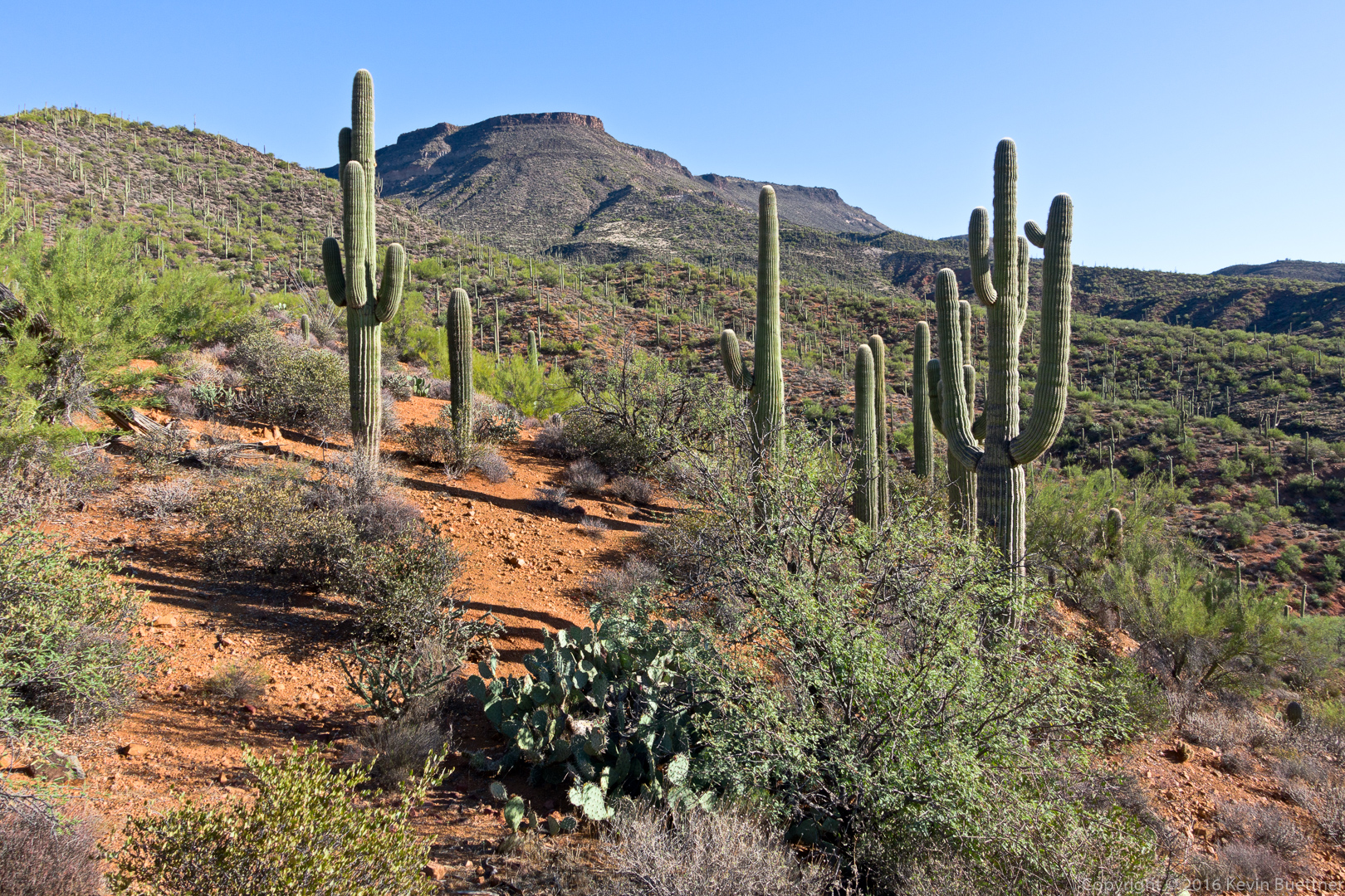
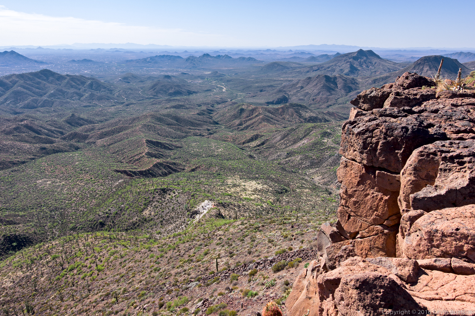
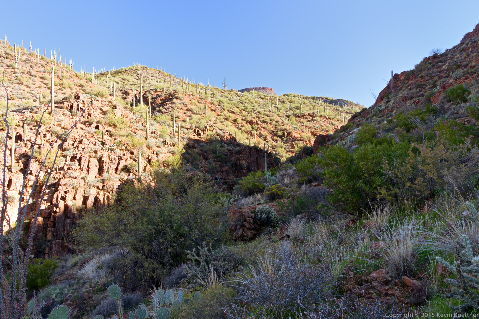
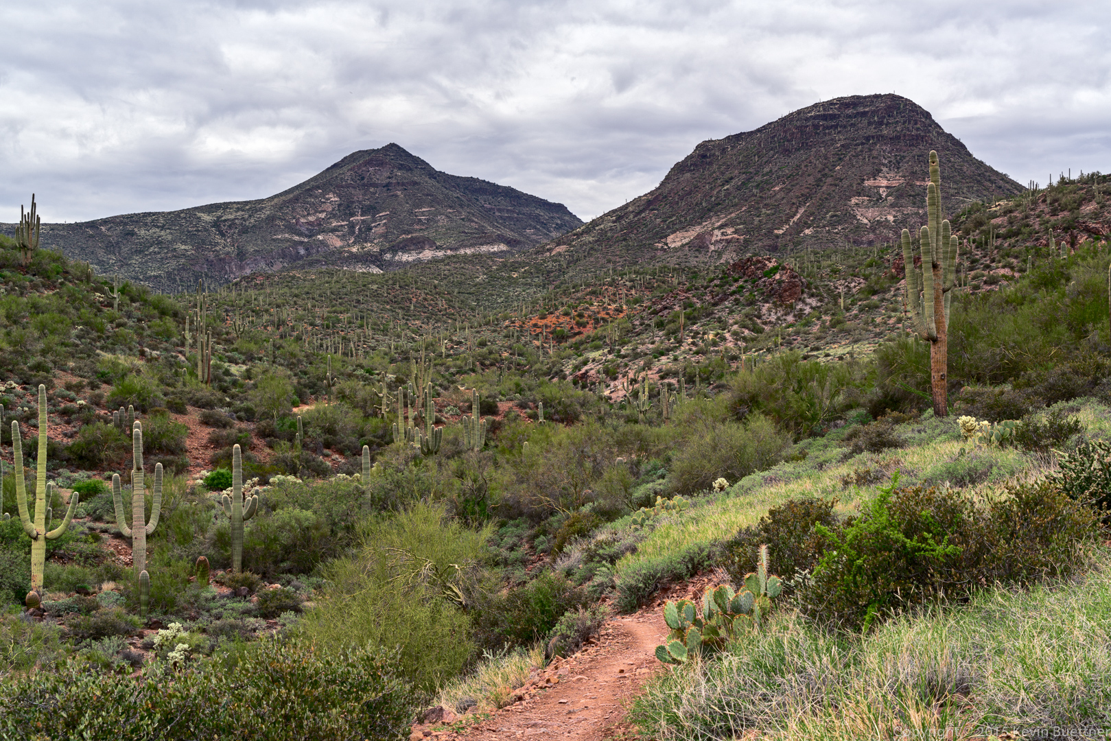
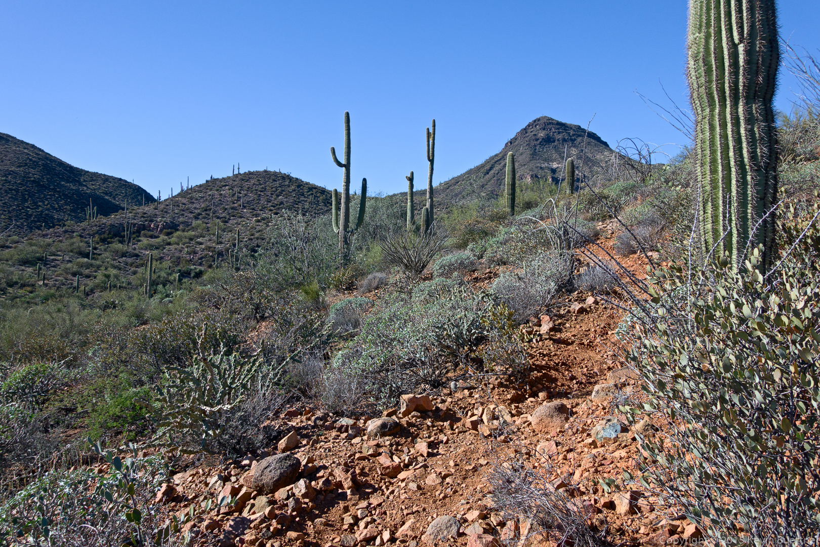
We retraced our steps and hiked further up FS 48 until we got to the corral.  We found TR 252 at the back of the corral.  The trail climbed steadily upward, passing the south side of Sugarloaf Mountain. This is a view from early in the hike after the trail turned eastward.

20151226-_DSC8245-Edit-medium

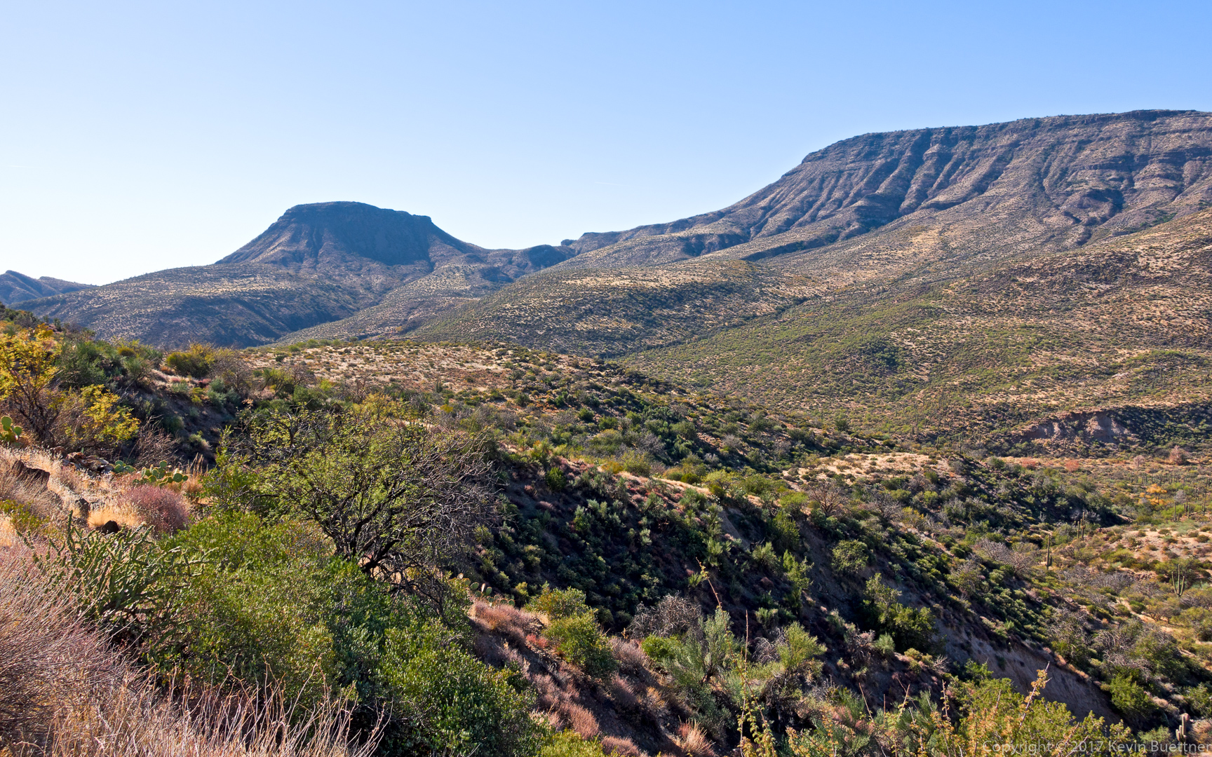
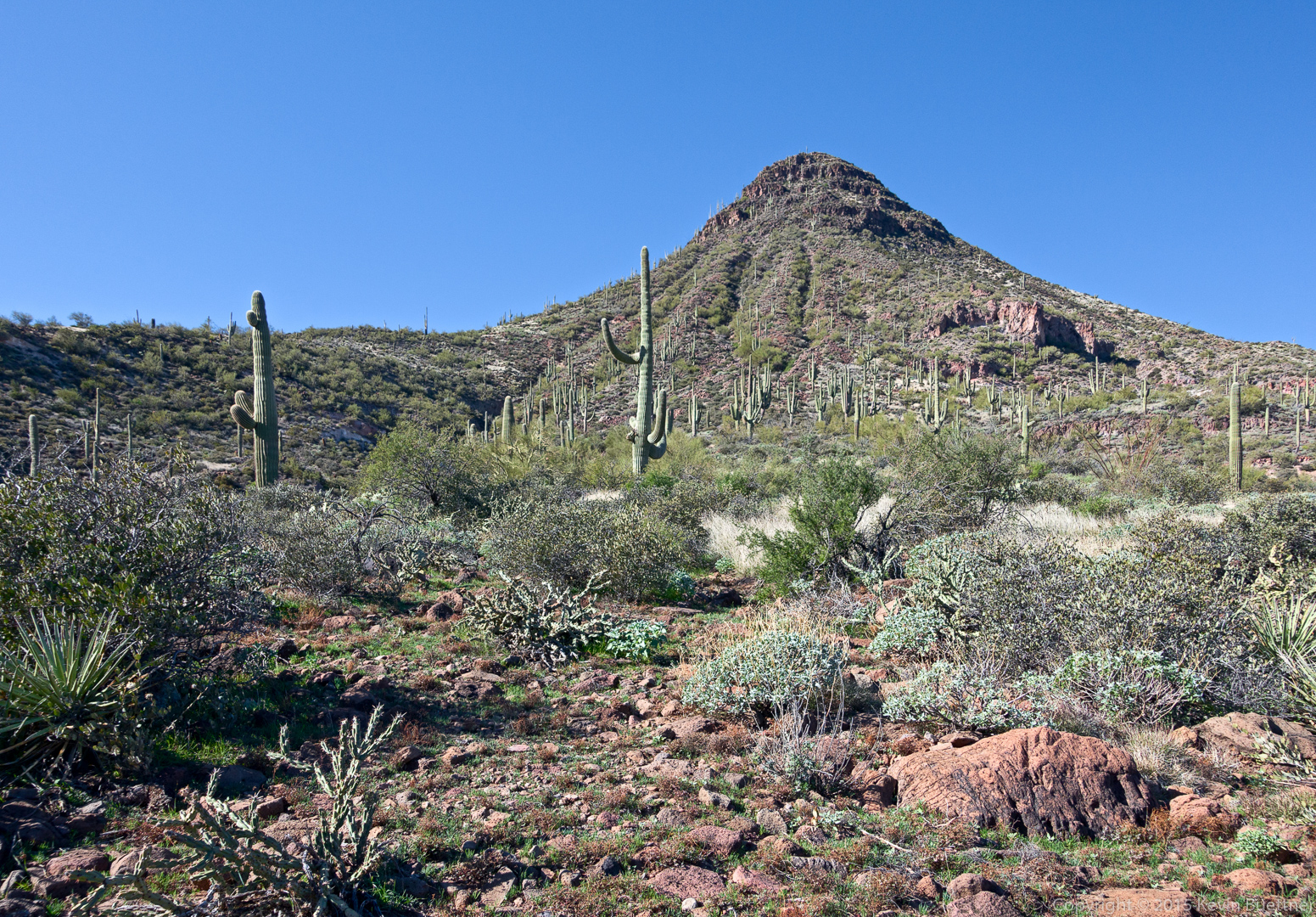
Another view of Sugarloaf Mountain:

20151226-_DSC8257-Edit-medium

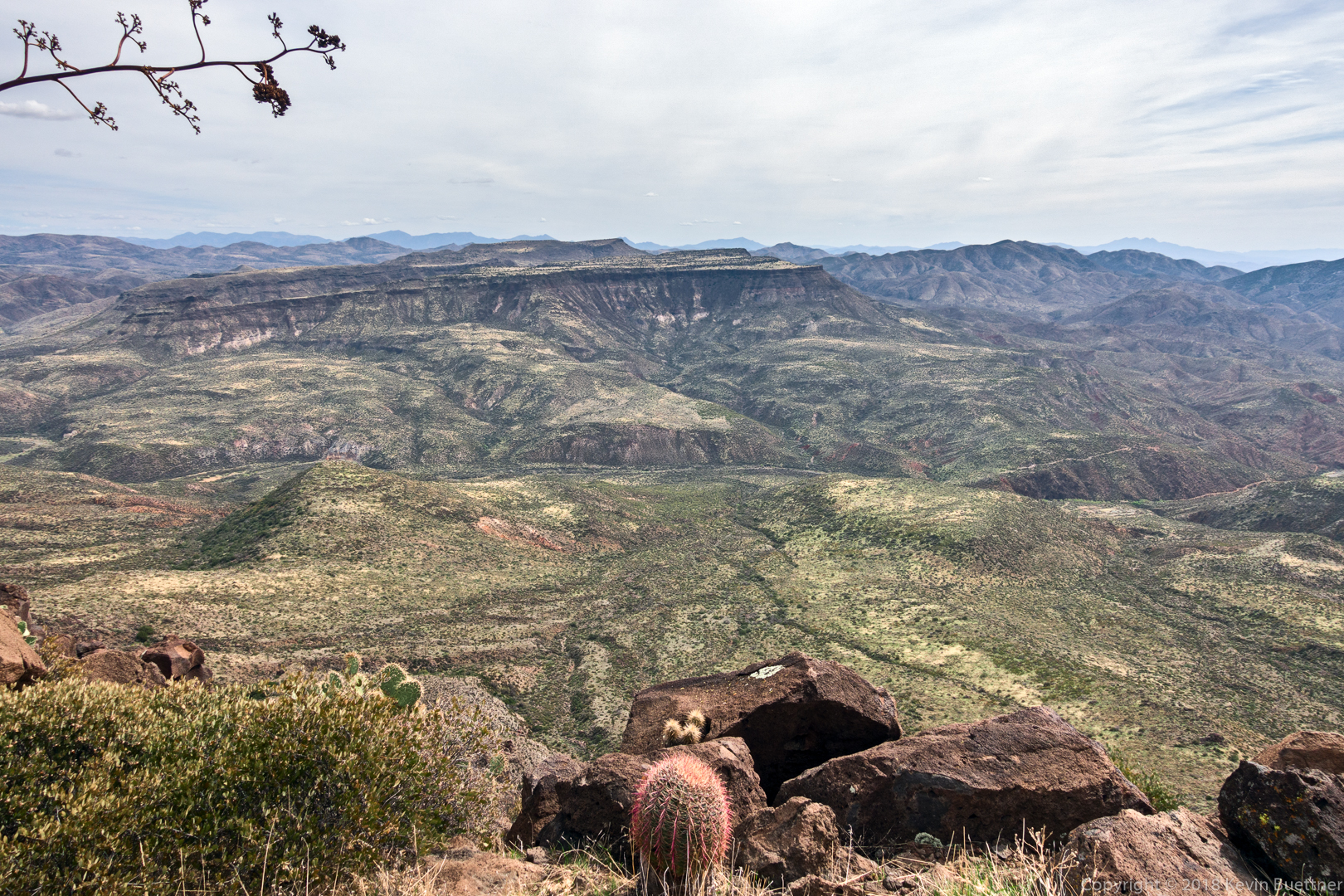
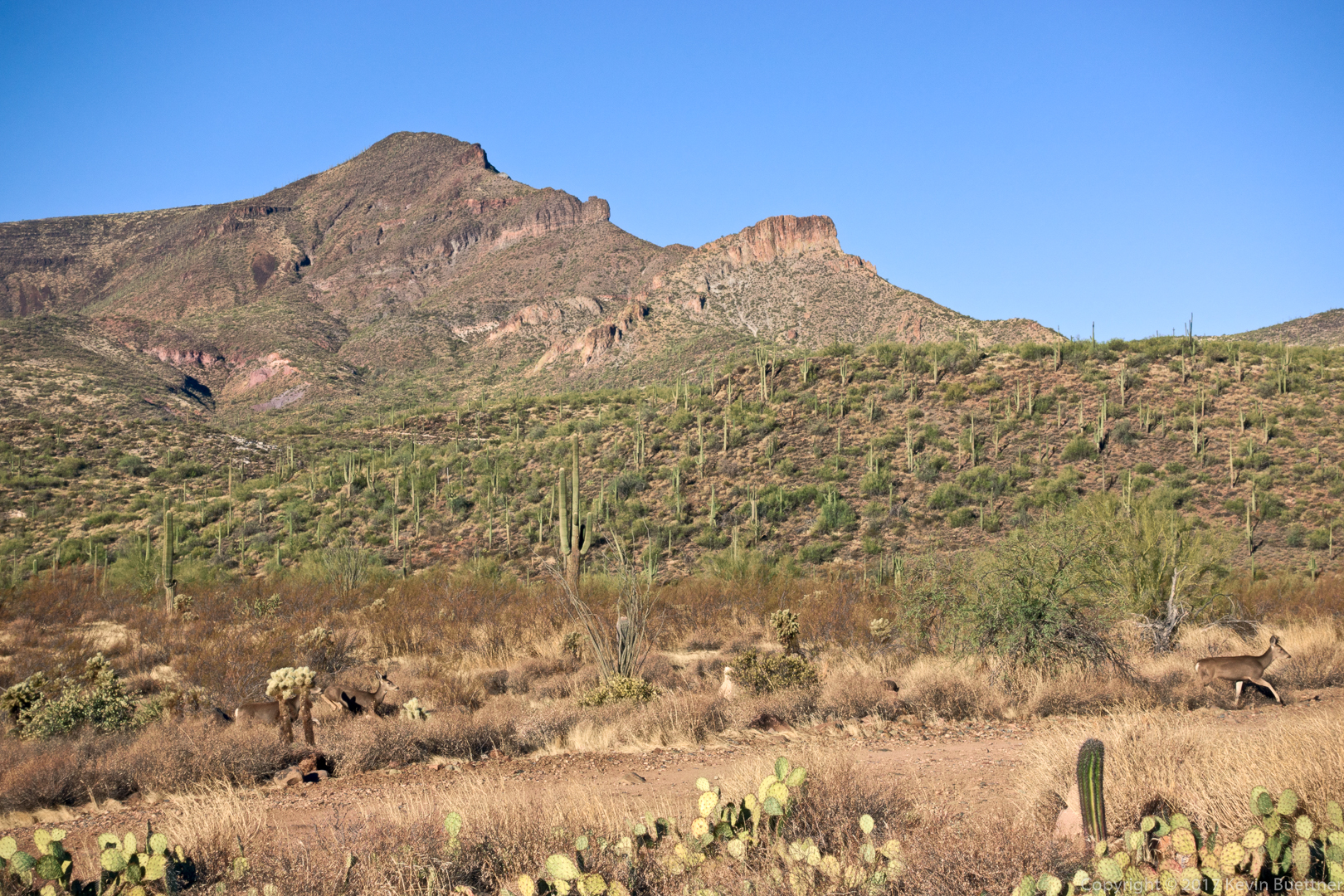
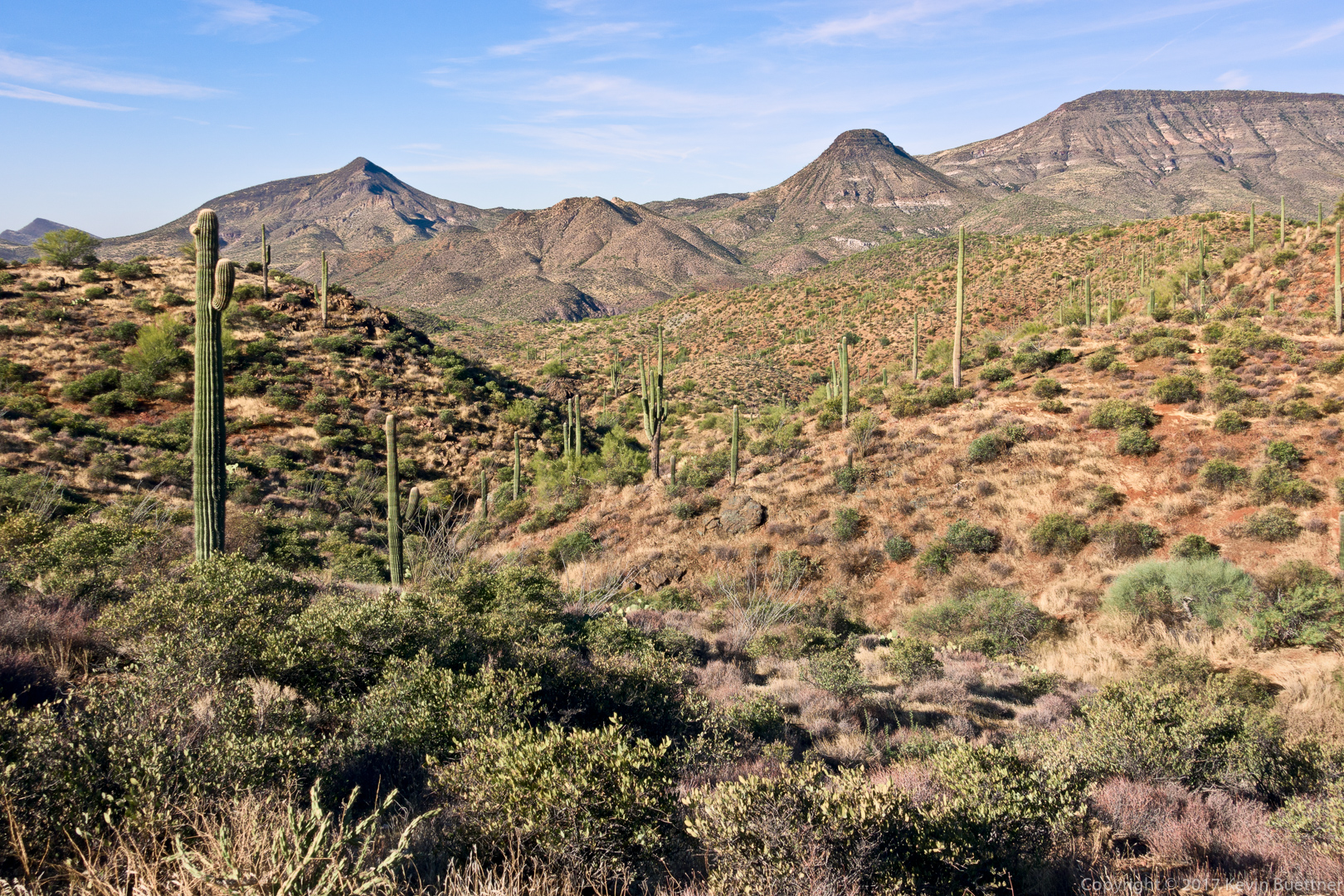
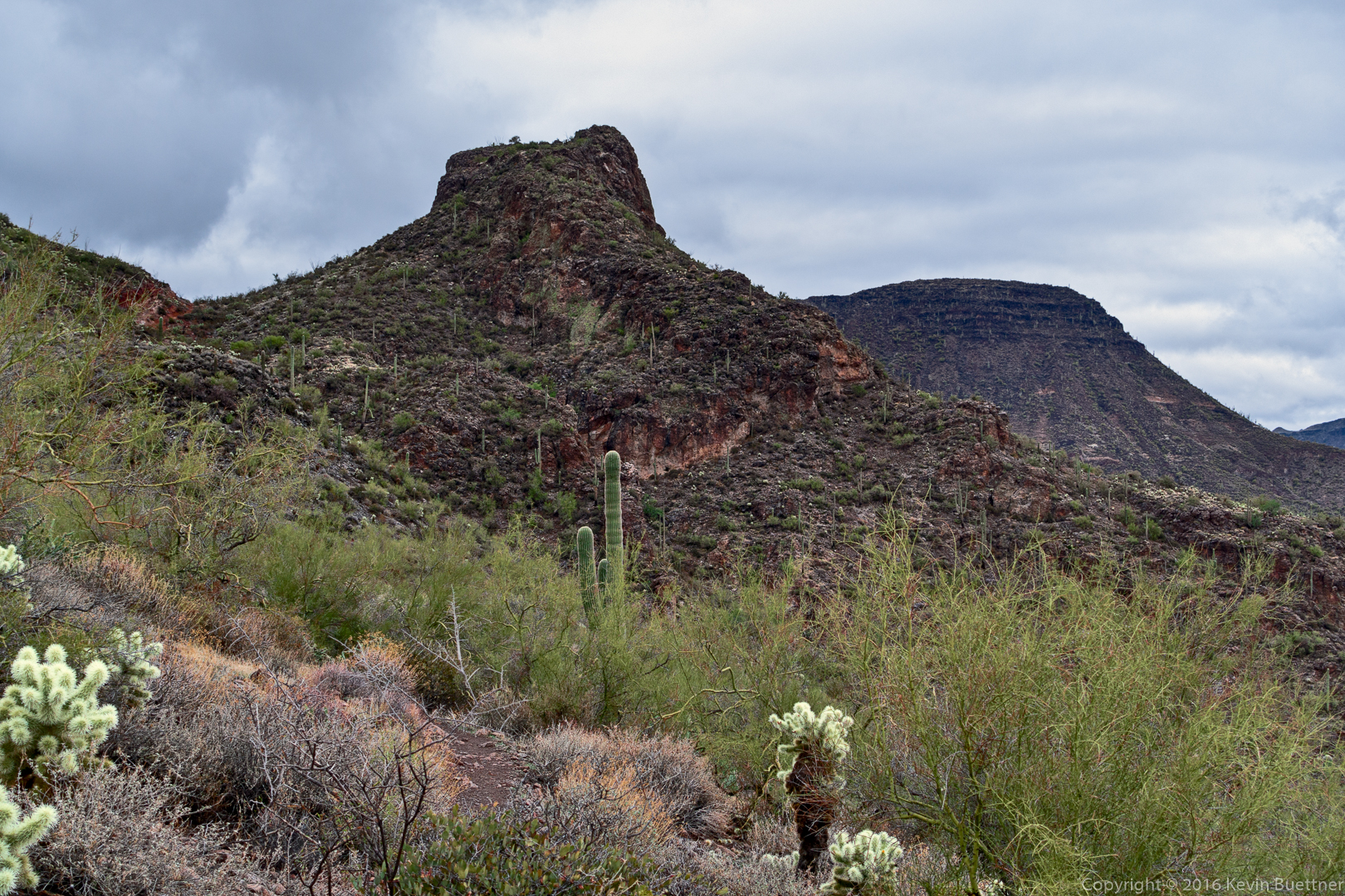
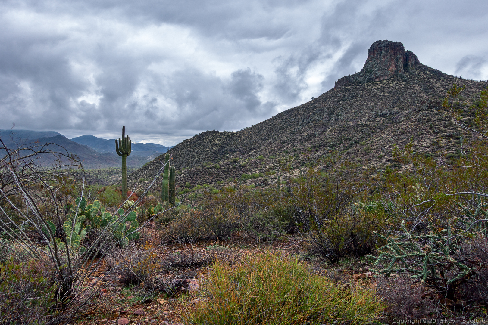
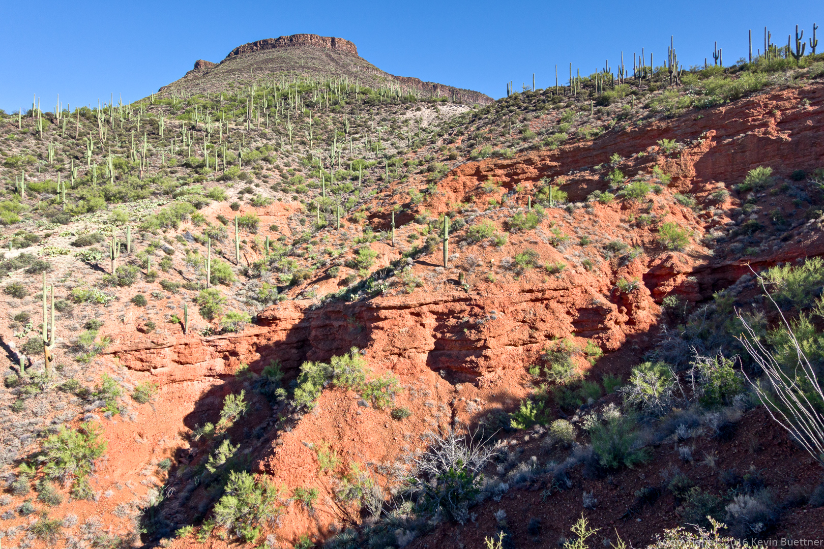
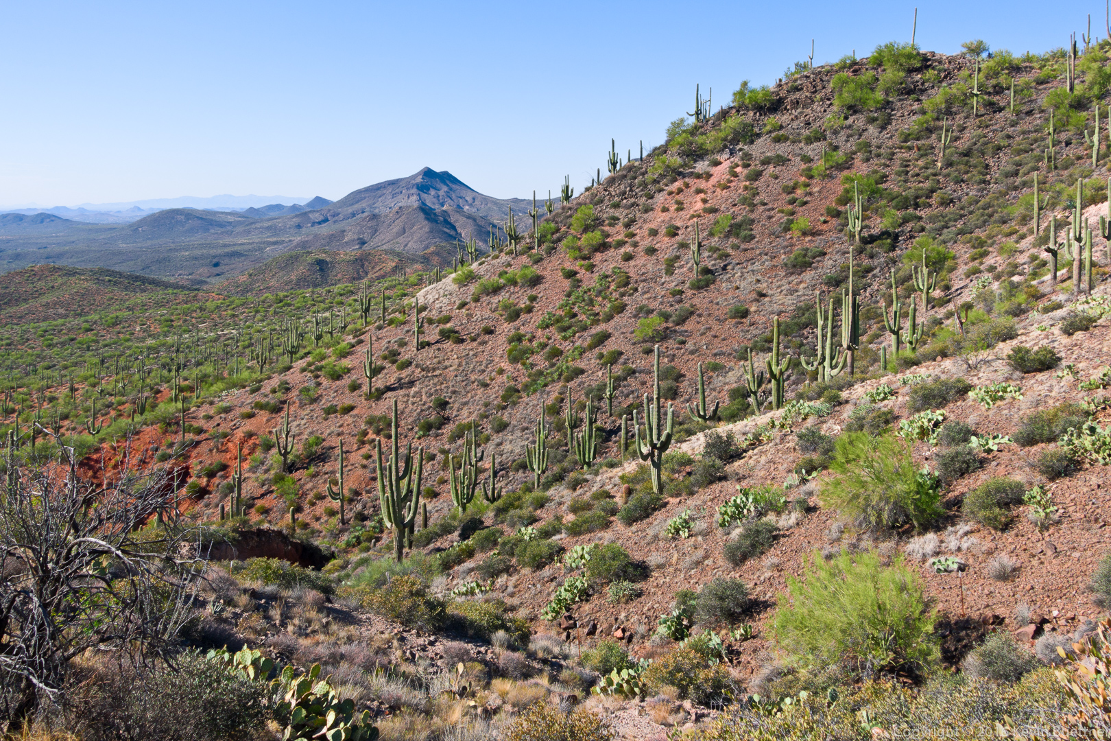
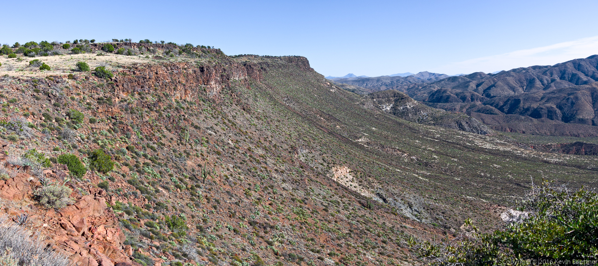
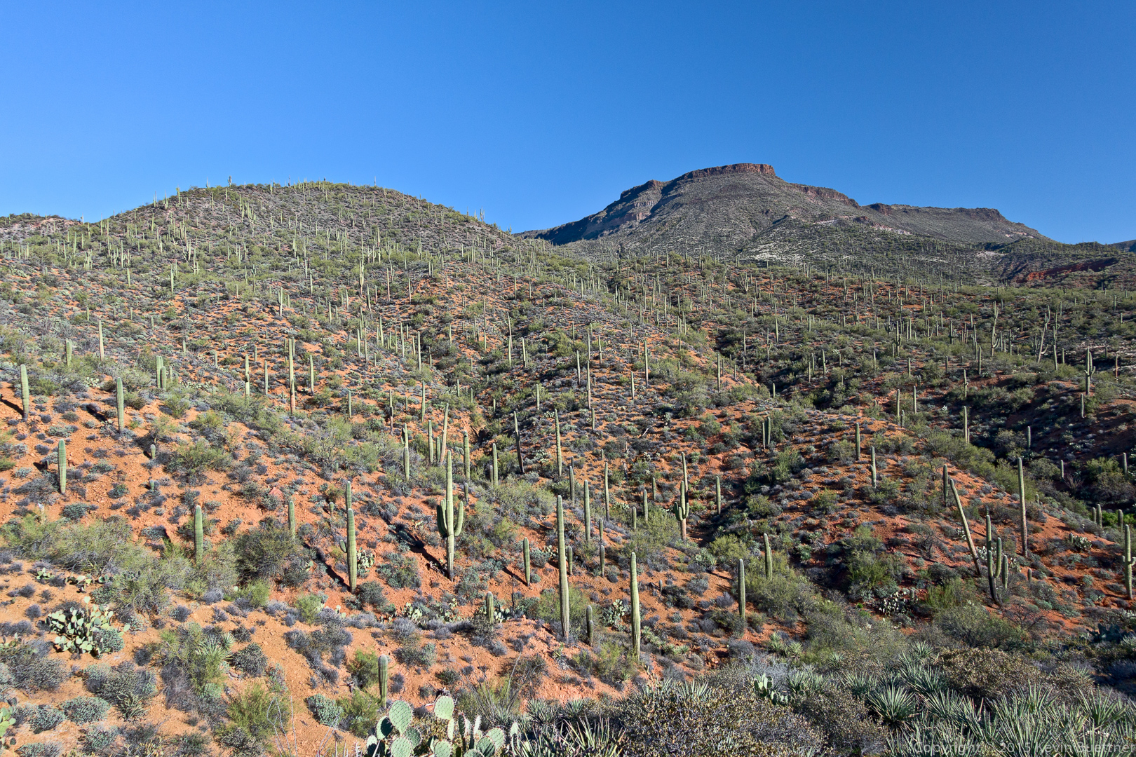
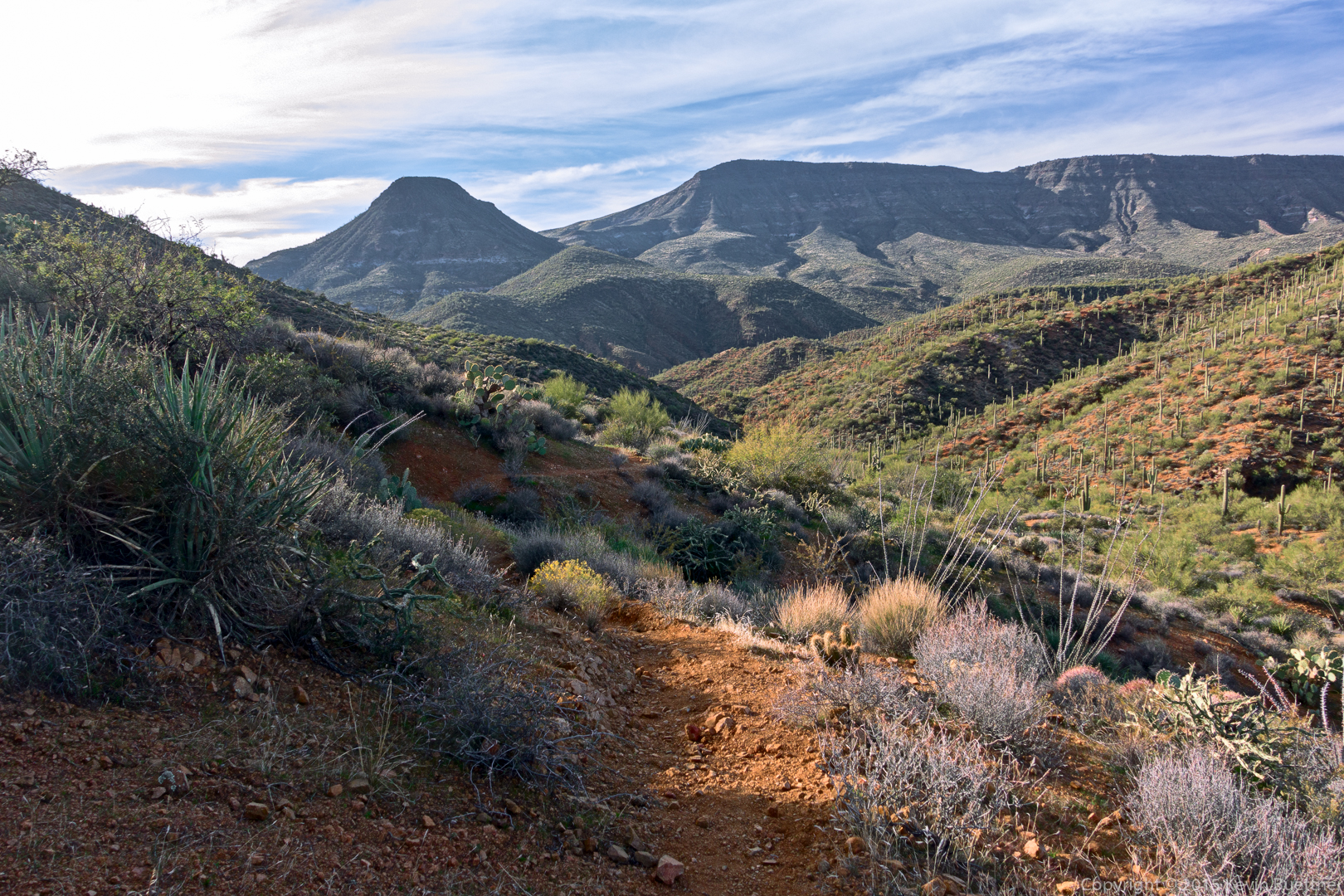
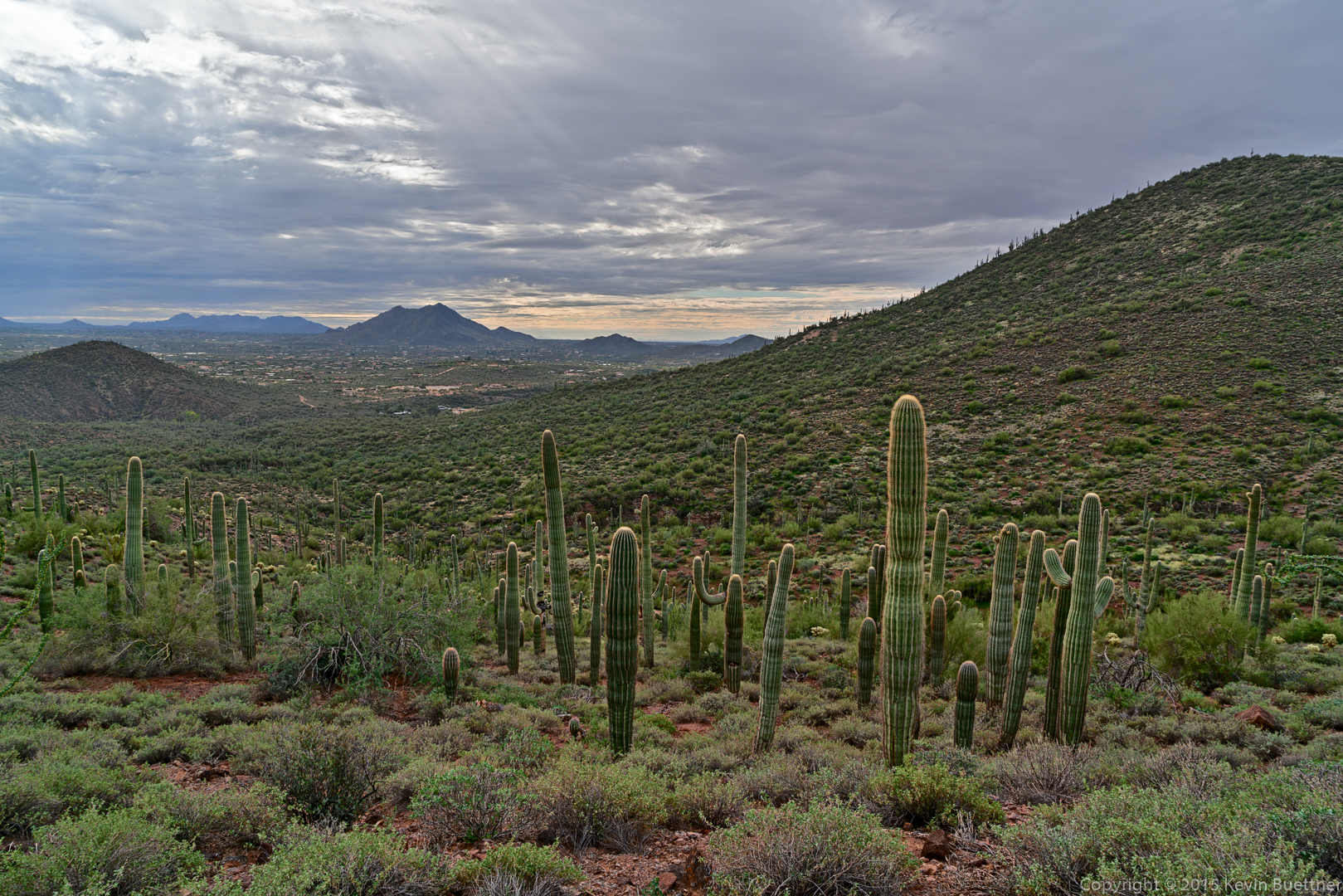
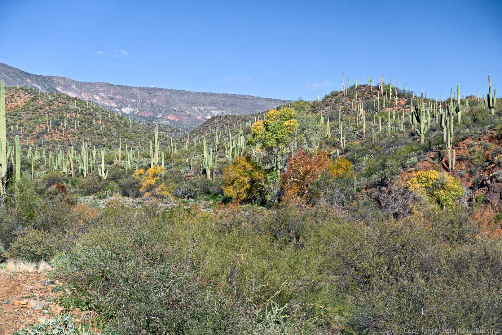
A view of Skull Mesa, which was our initial goal for the day. Given the conditions that day, we were happy that we chose this easier hike instead. (It was still fairly challenging.)

20151226-_DSC8272-Edit-medium

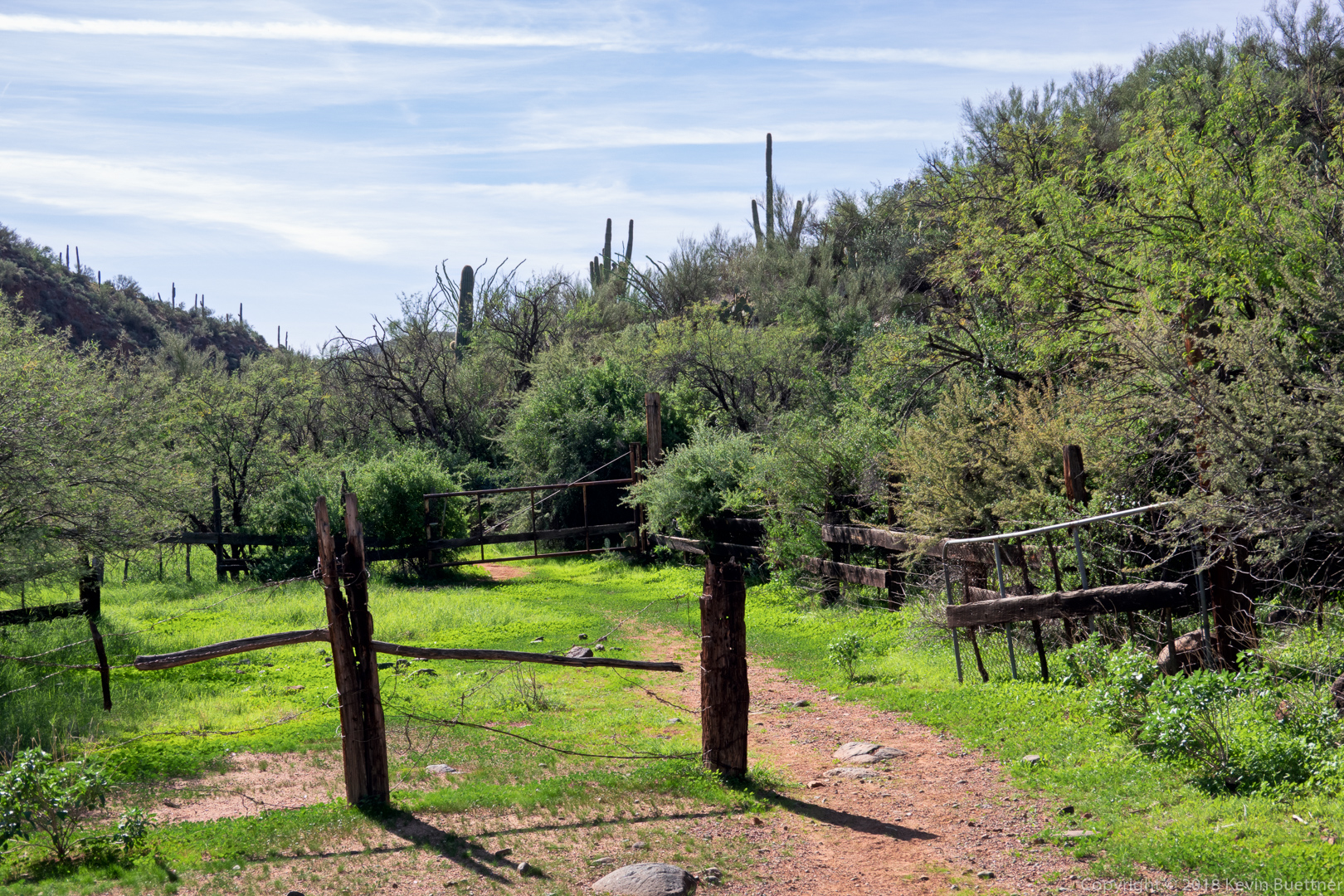
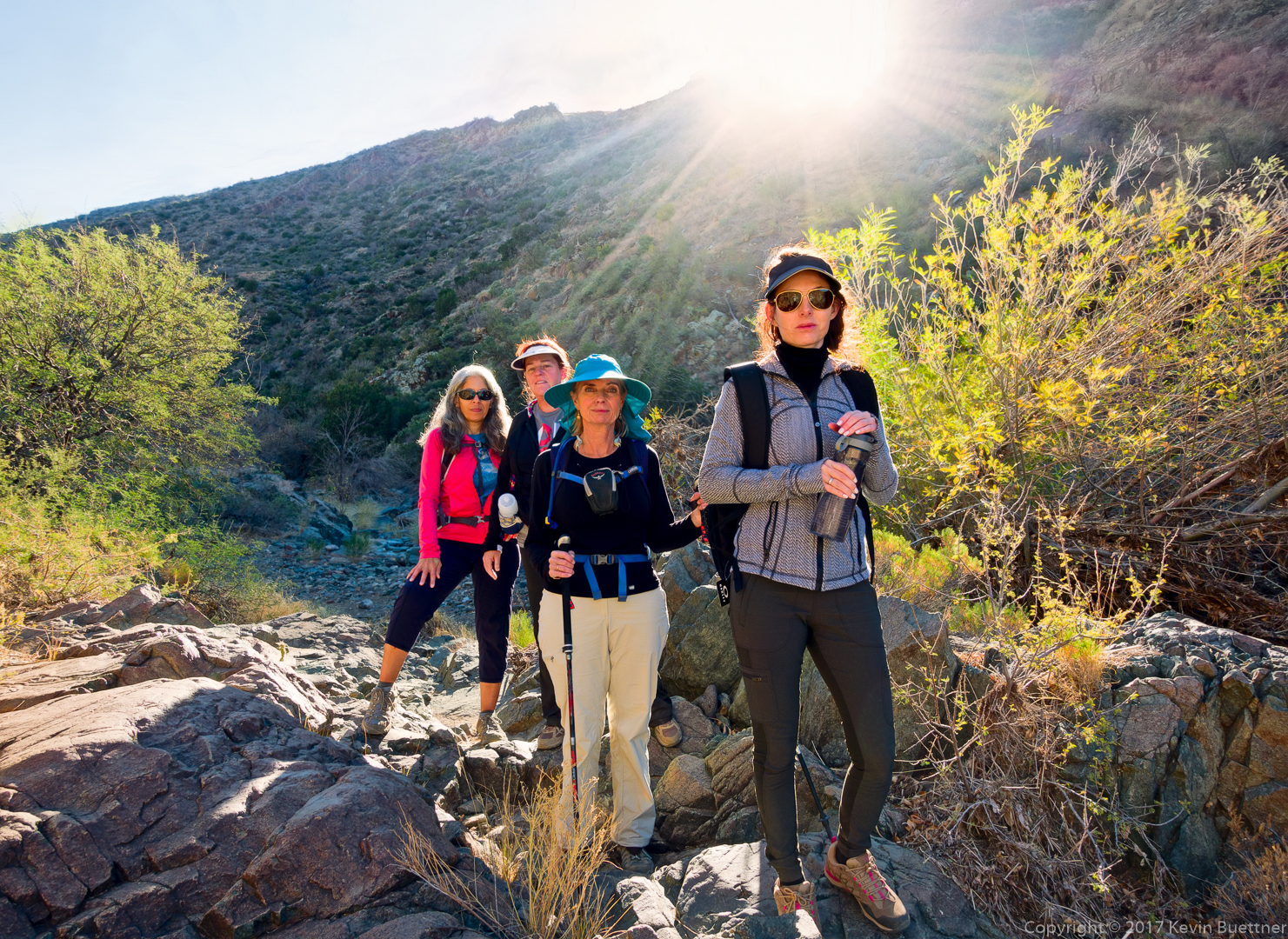
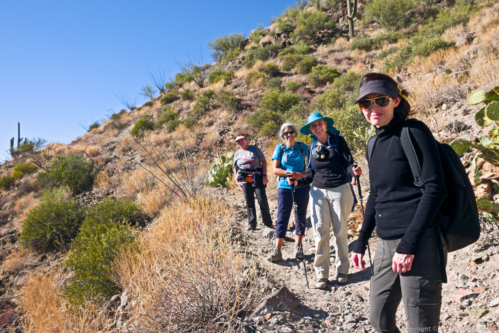
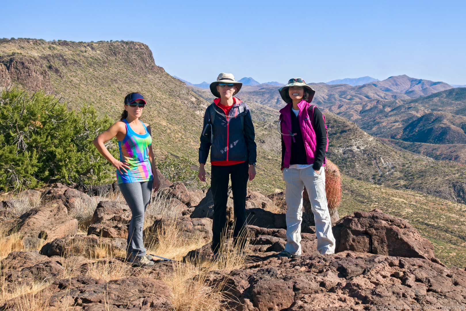
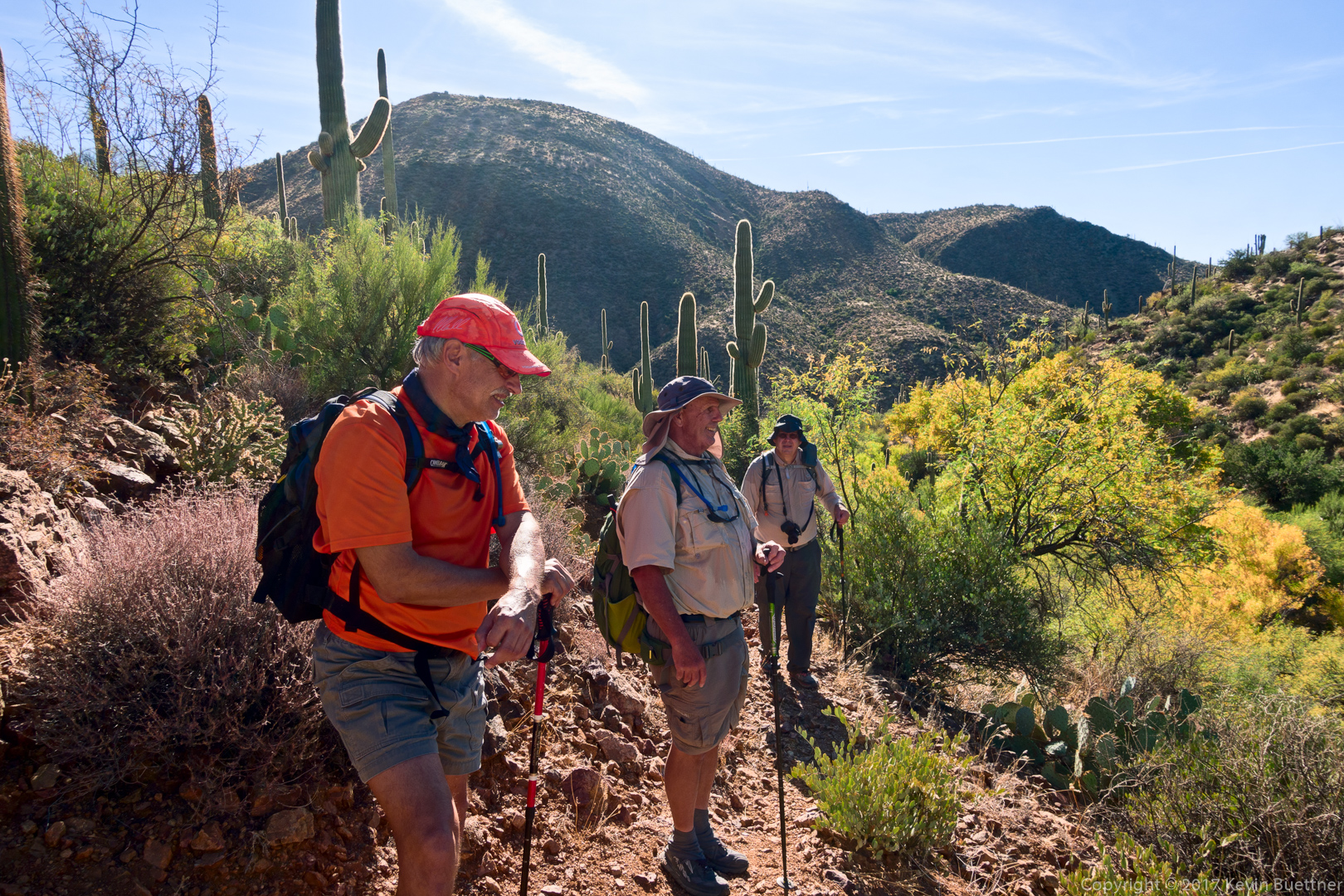
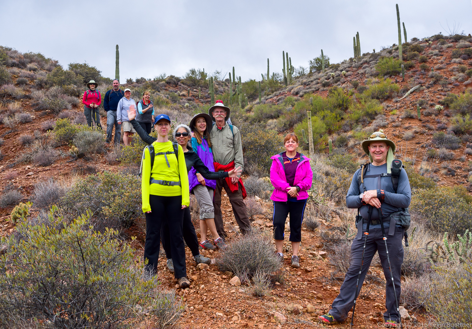
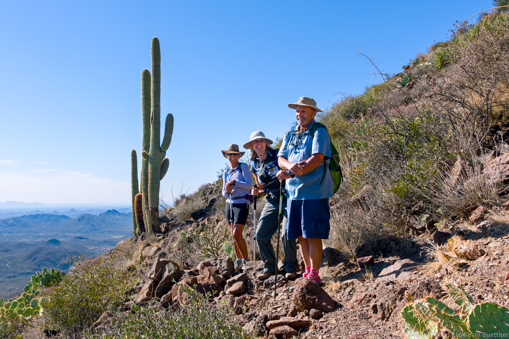
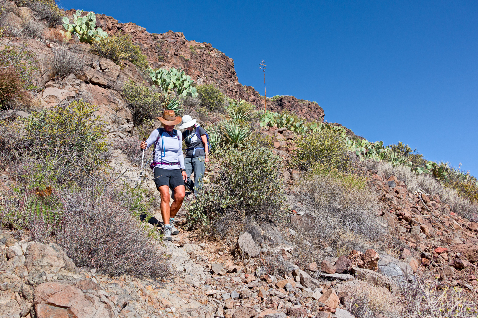
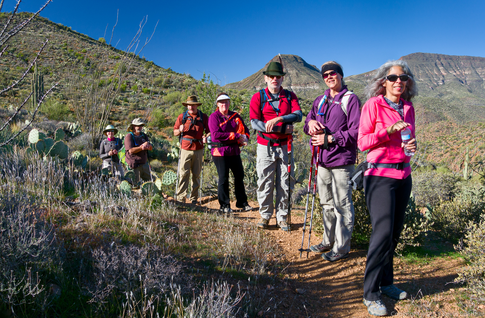
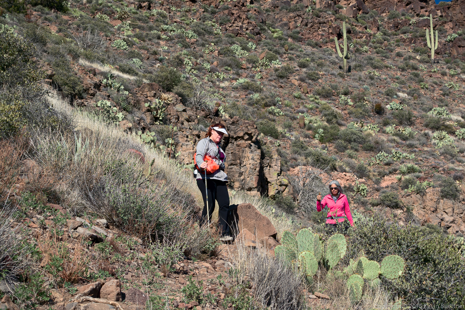
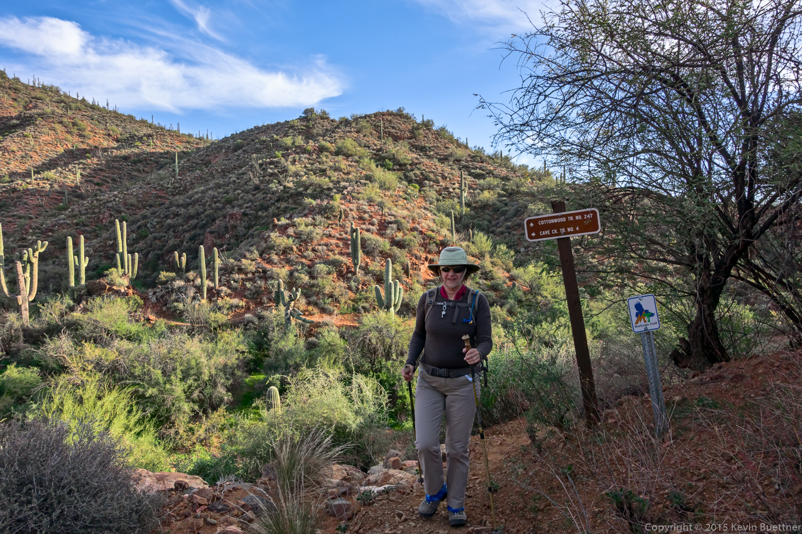
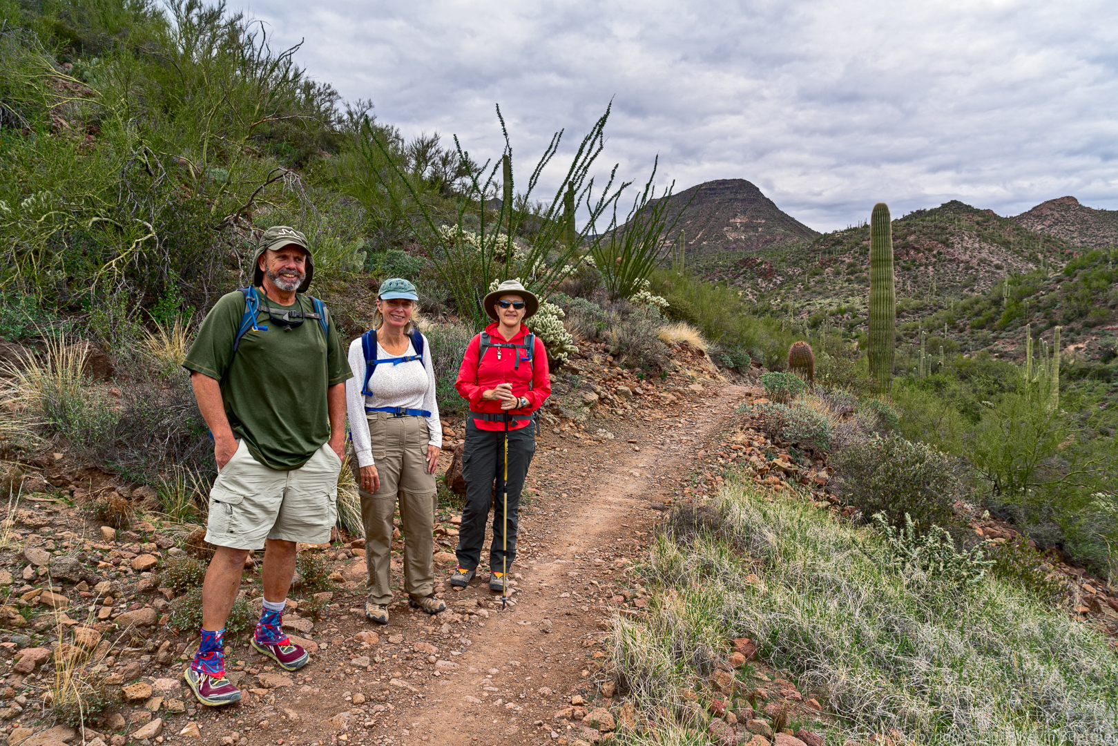
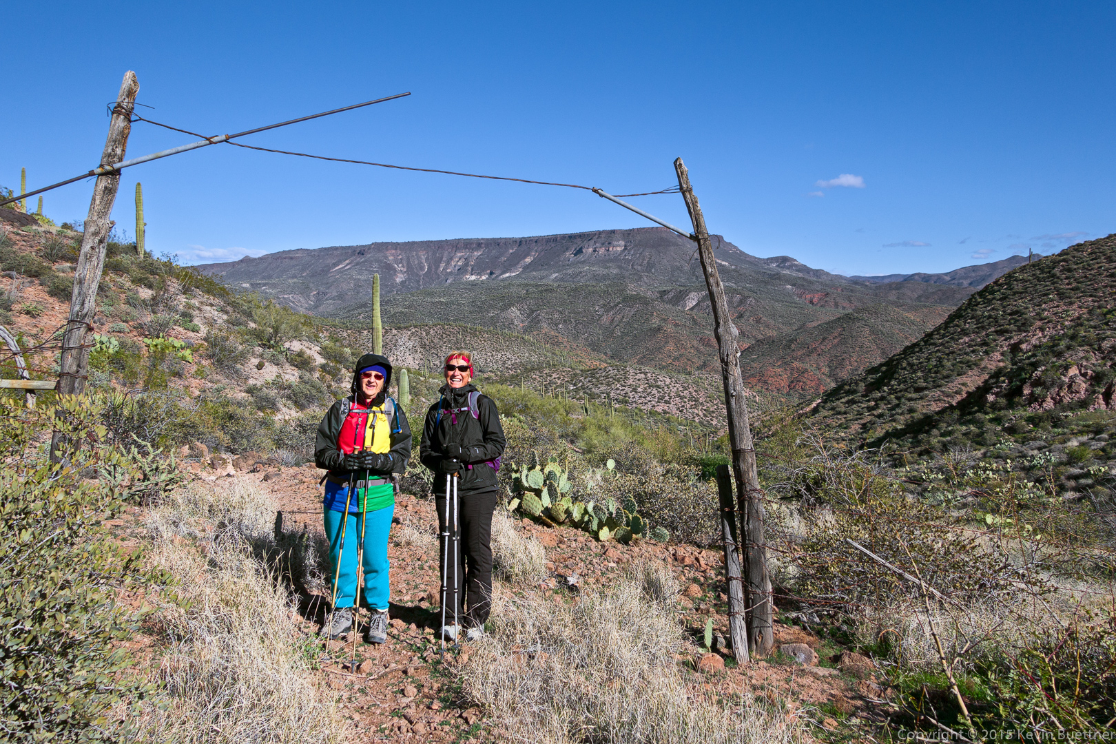
Marilyn and Nancy at a gate in the fence.  We’re near the high point on TR 252 here.  It was especially windy and cold at this point.  Both Marilyn and Nancy were eager for me to finish my photography so that we could proceed.

20151226-_DSC8290-Edit-medium

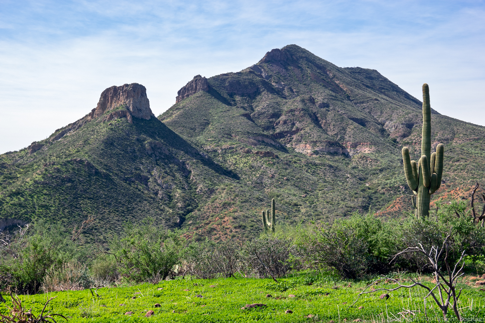
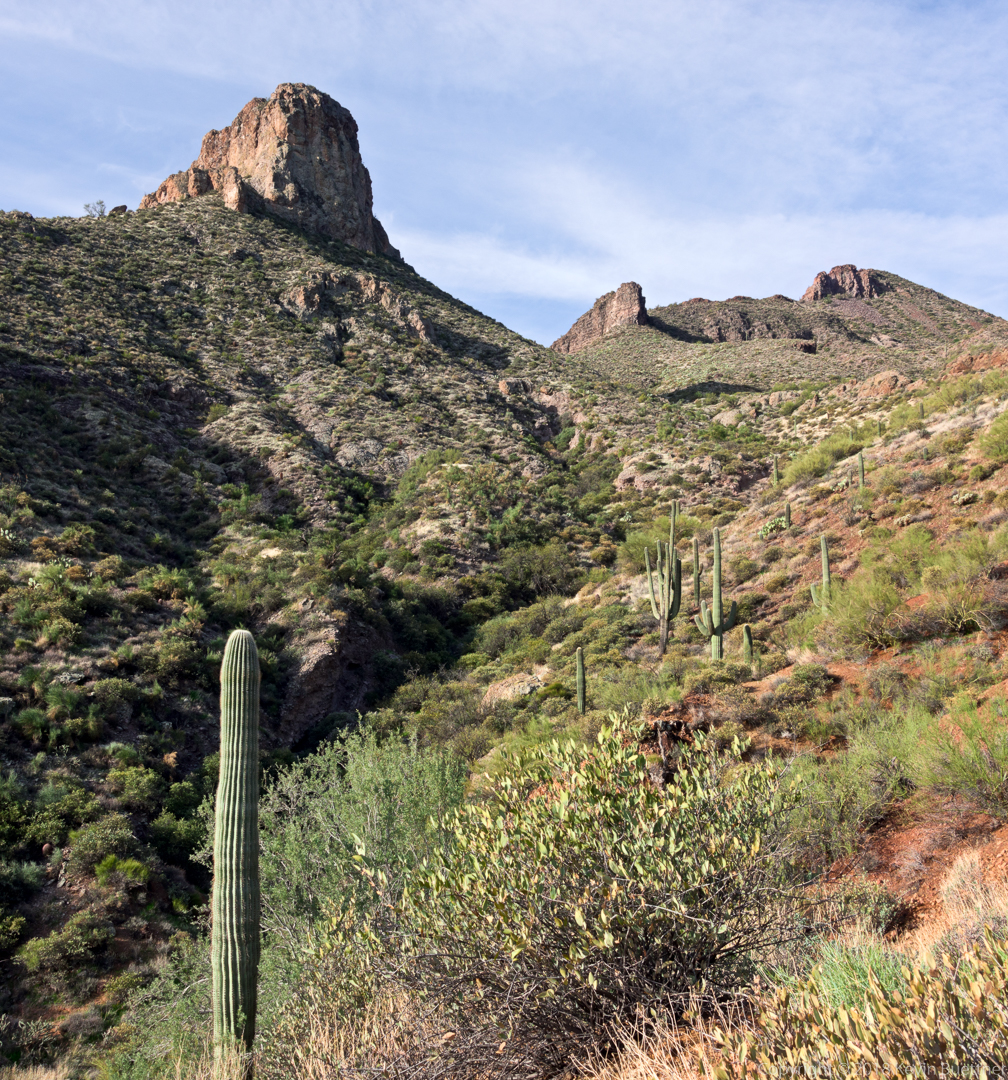
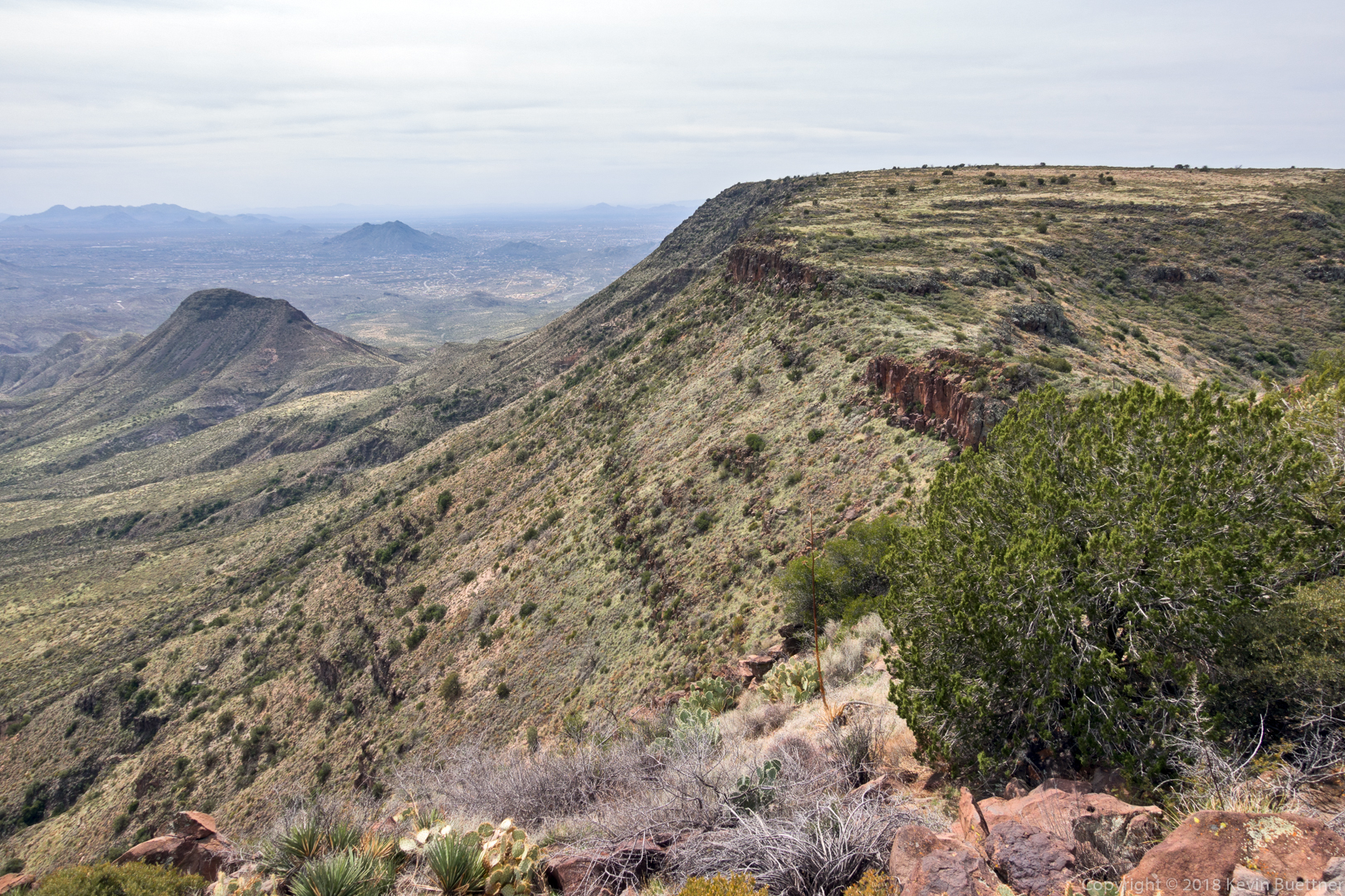
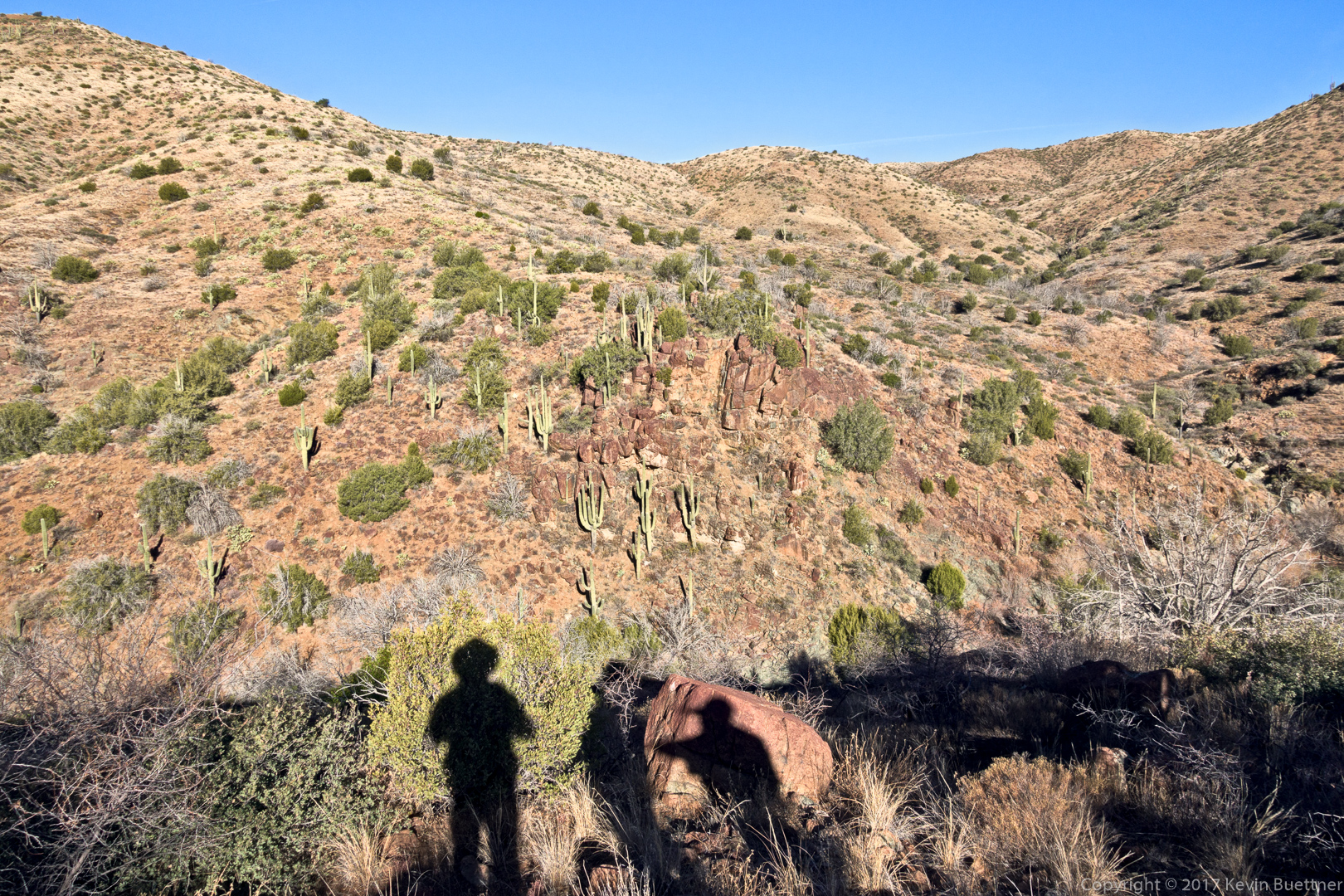
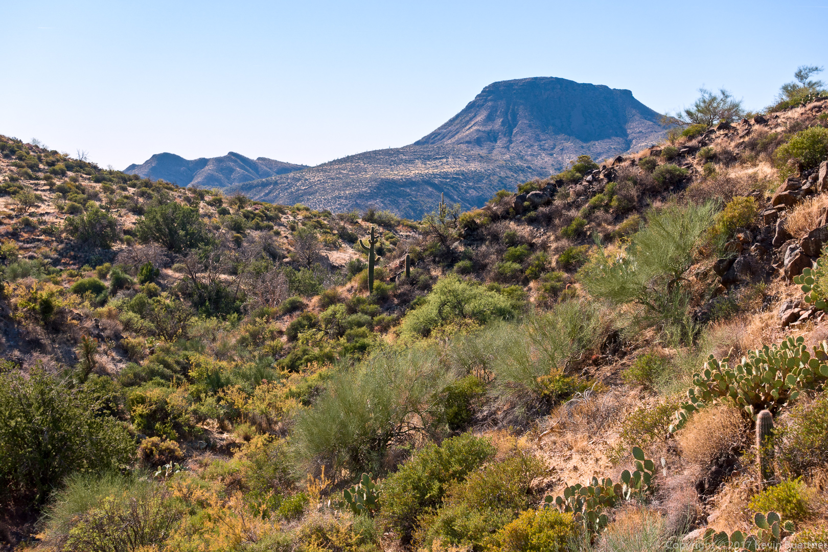
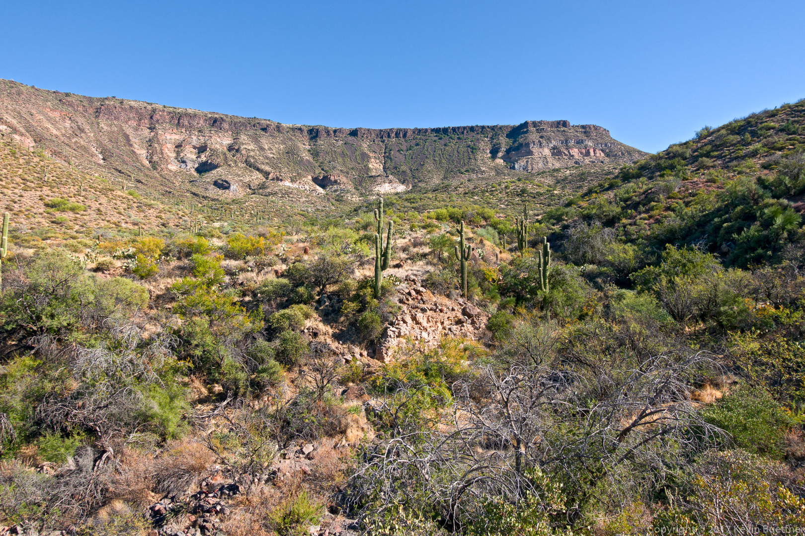
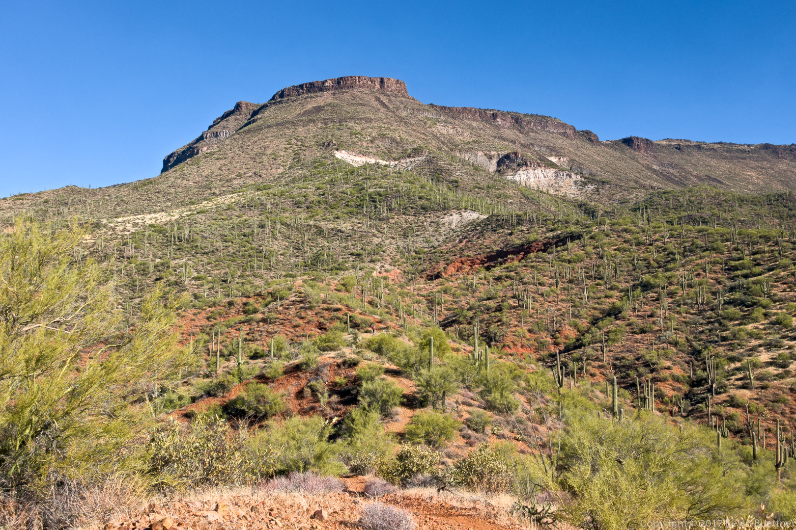
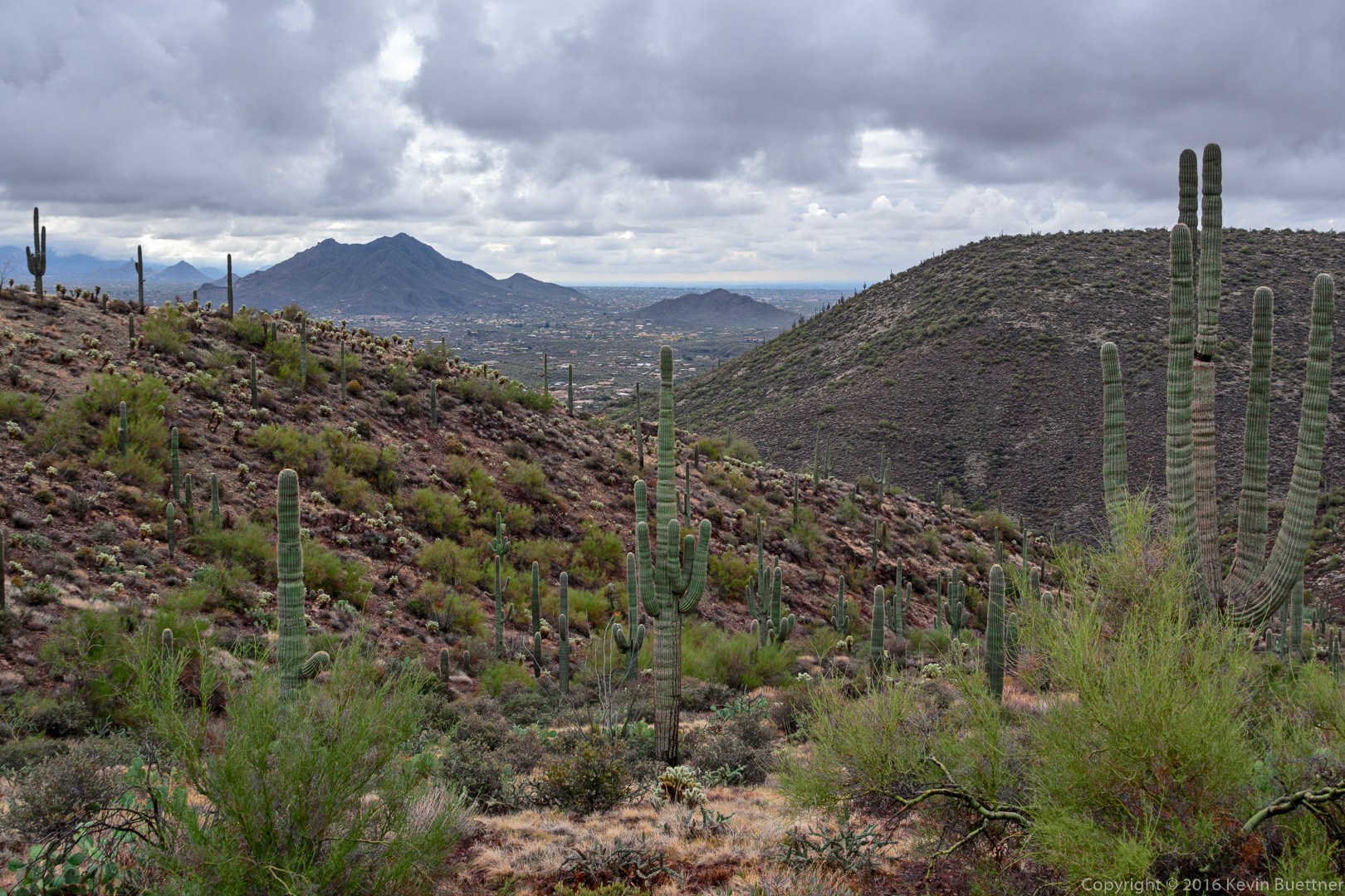
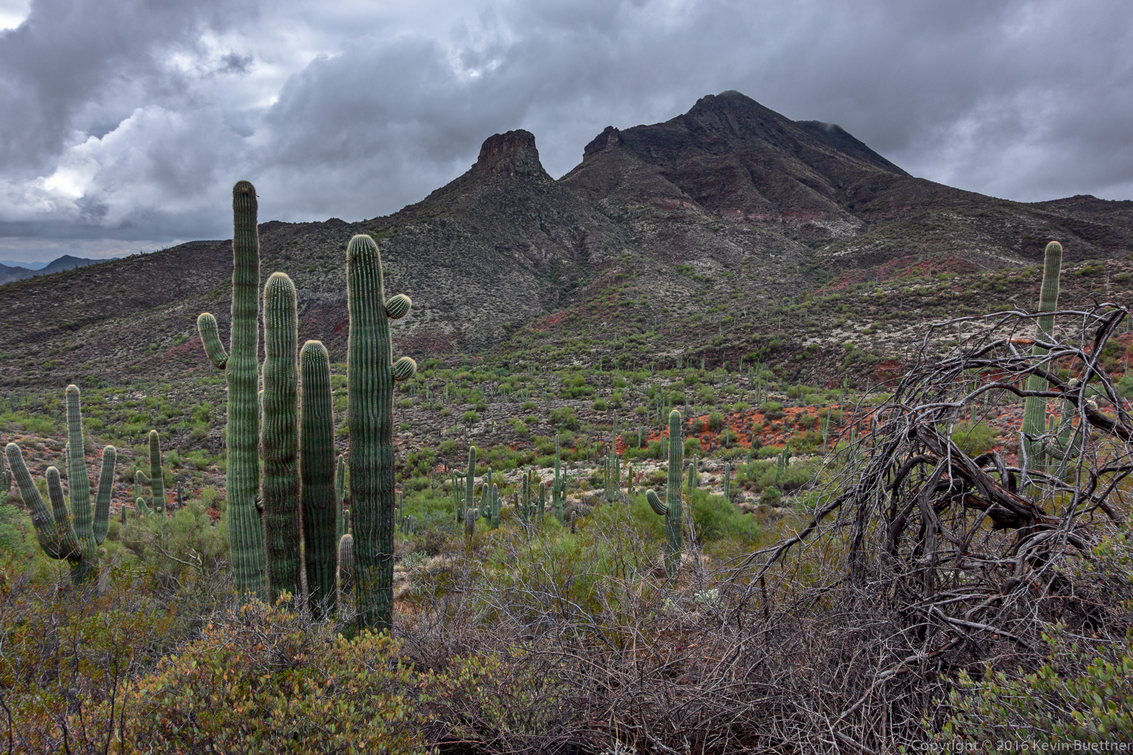
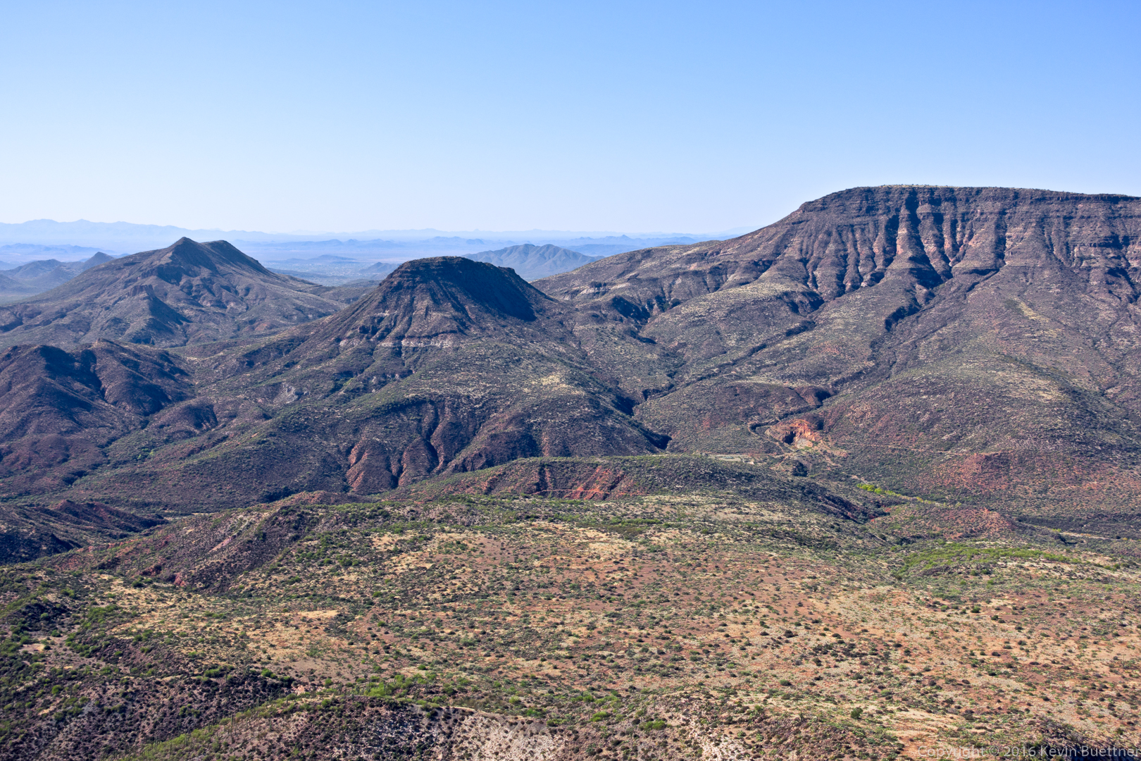
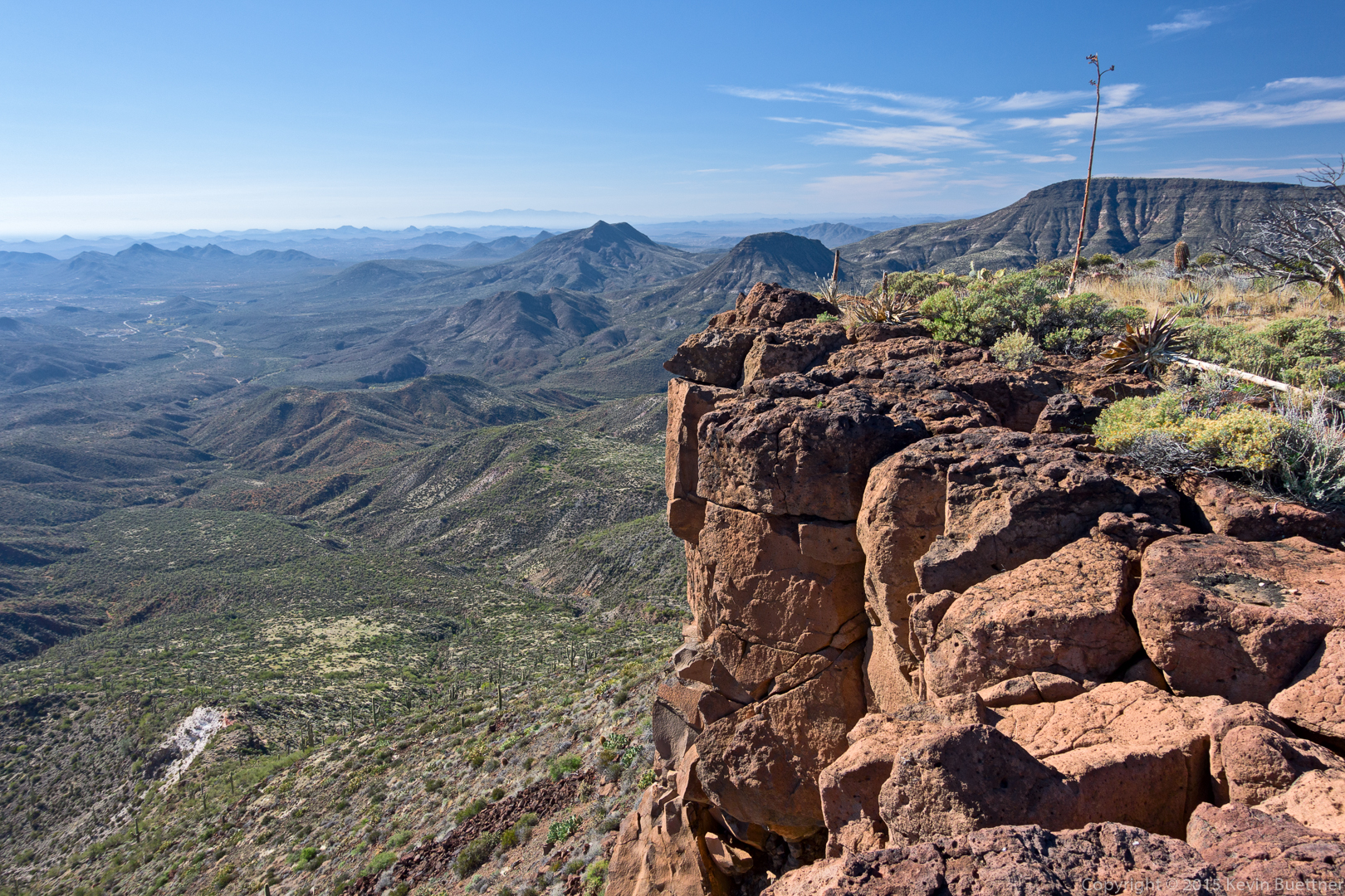
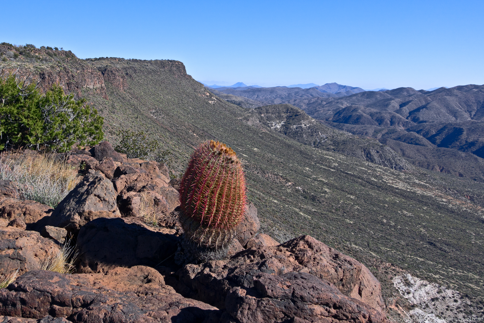
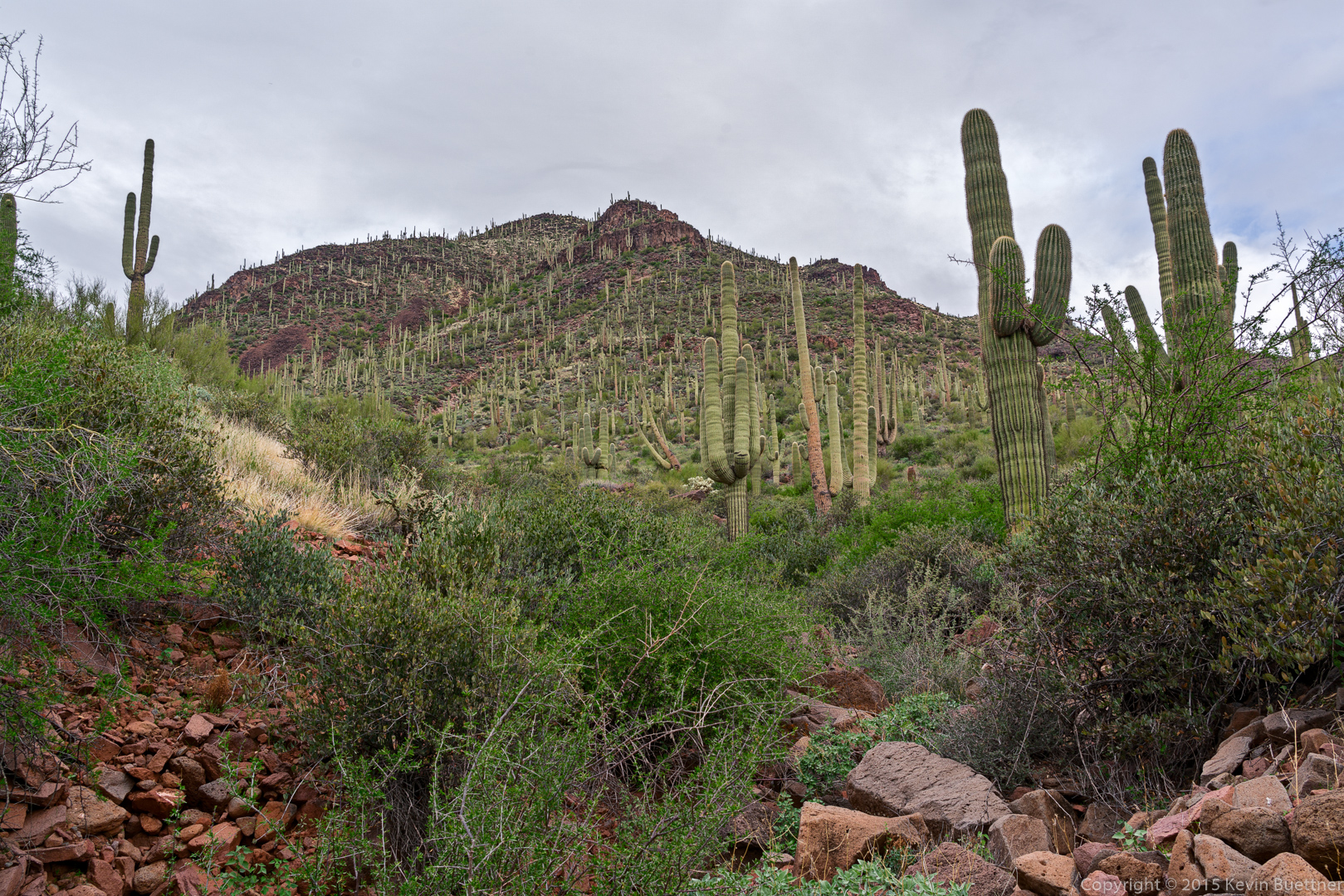
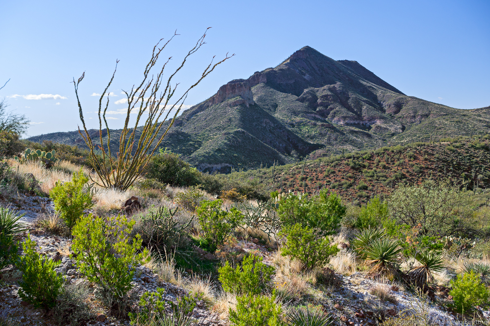
A view of Elephant Mountain. The Fortress pinnacle can be seen in front of Elephant Mountain.

20151226-_DSC8308-Edit-medium

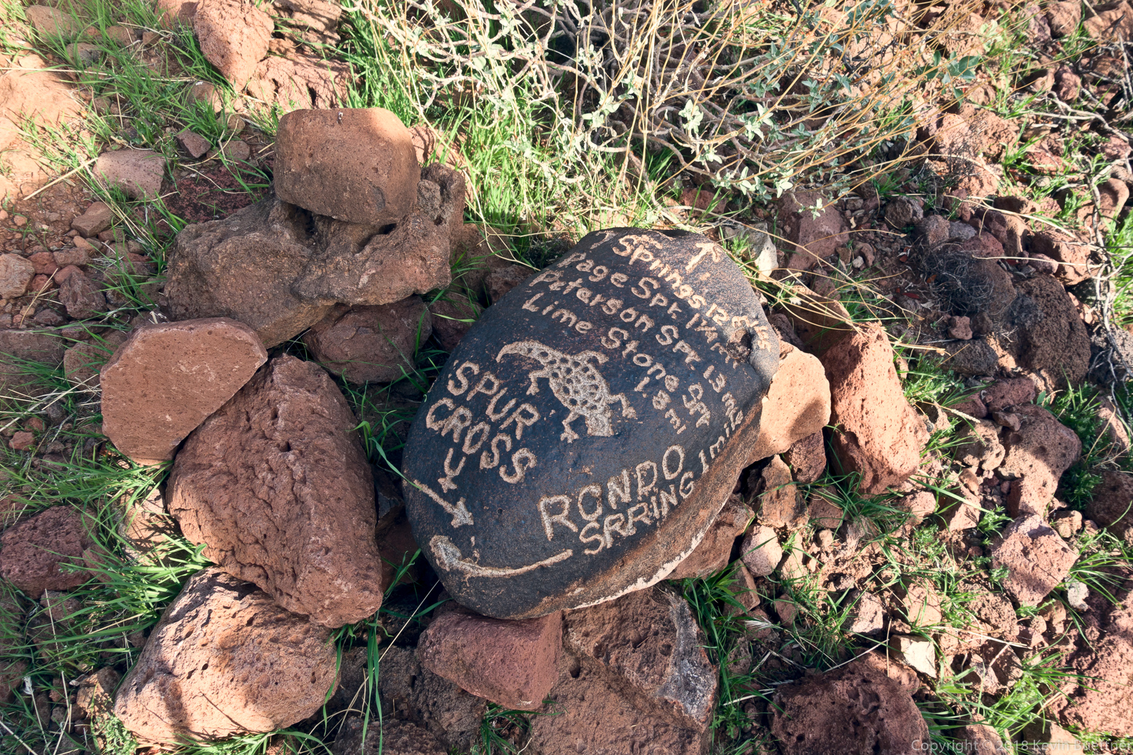
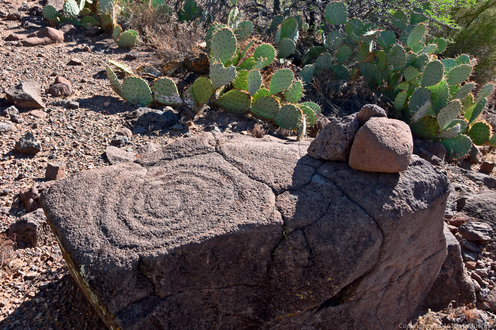
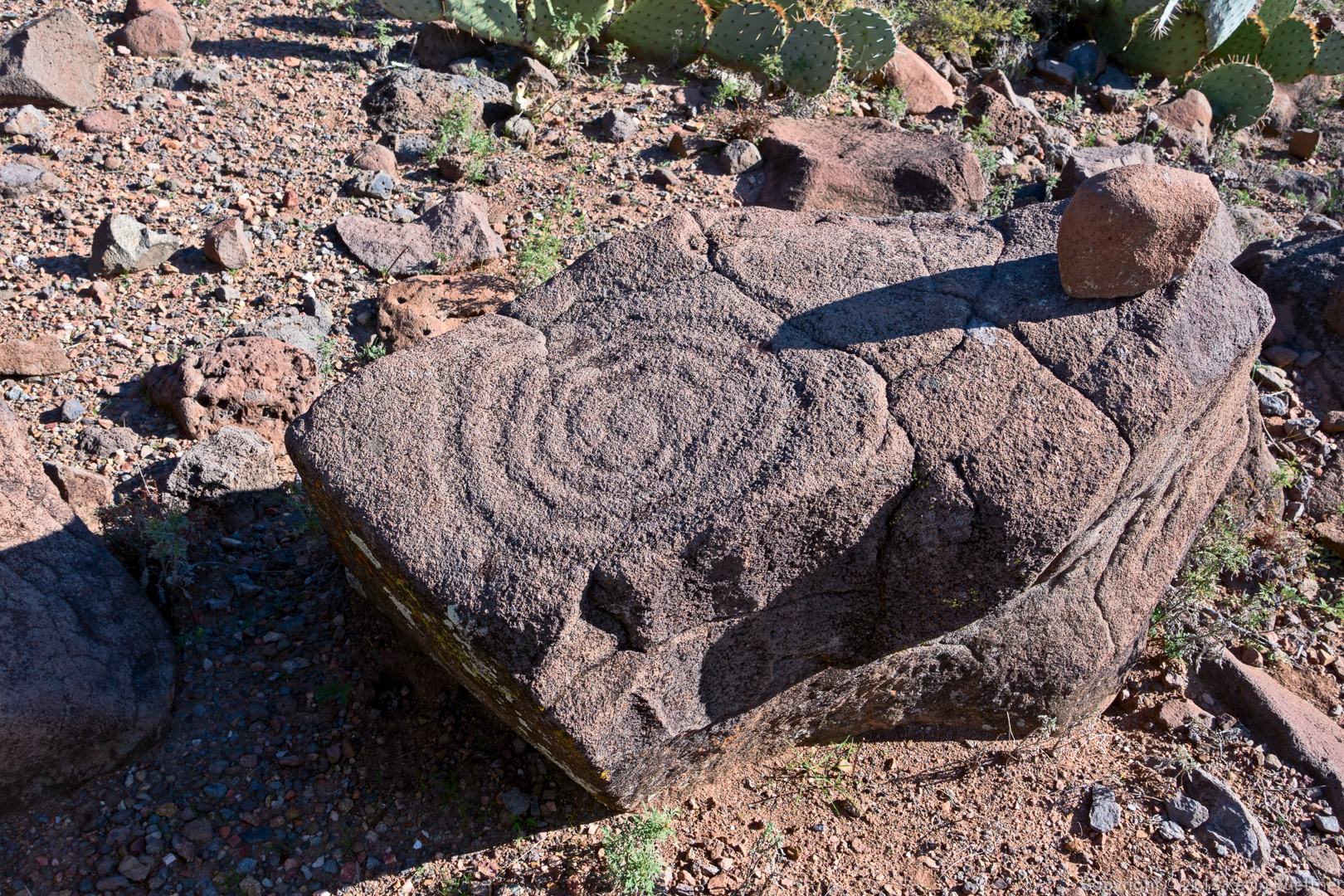
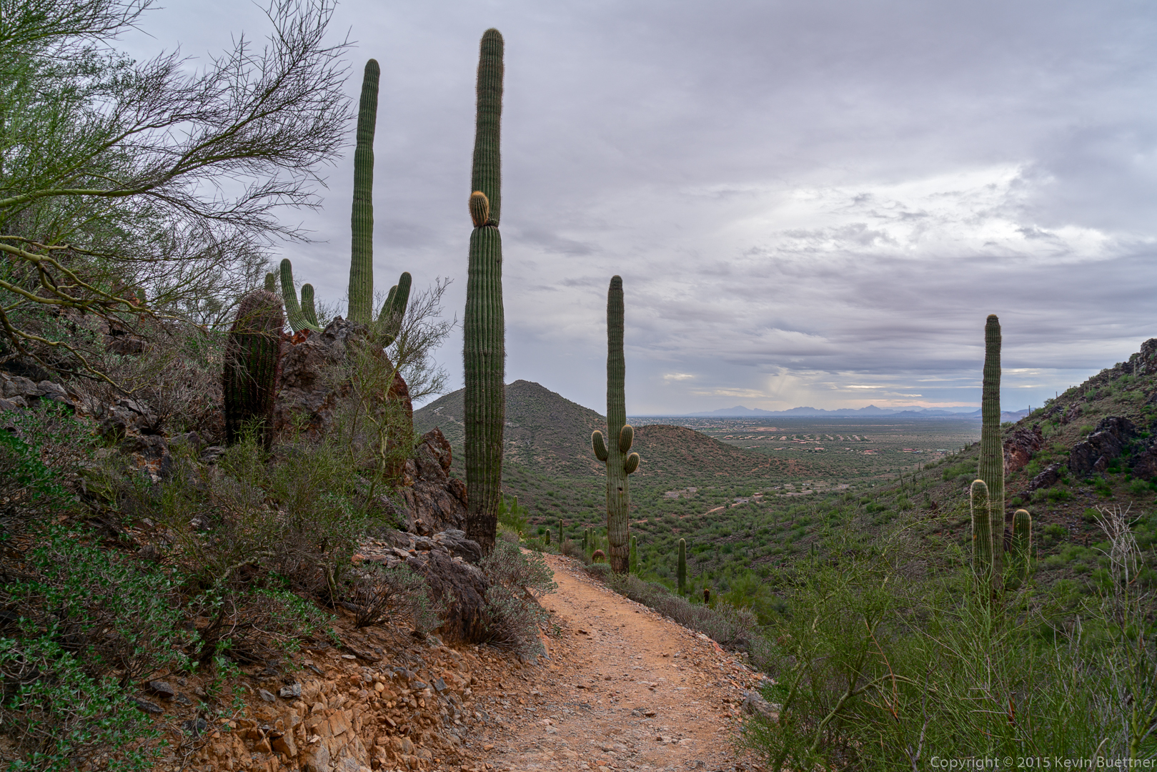
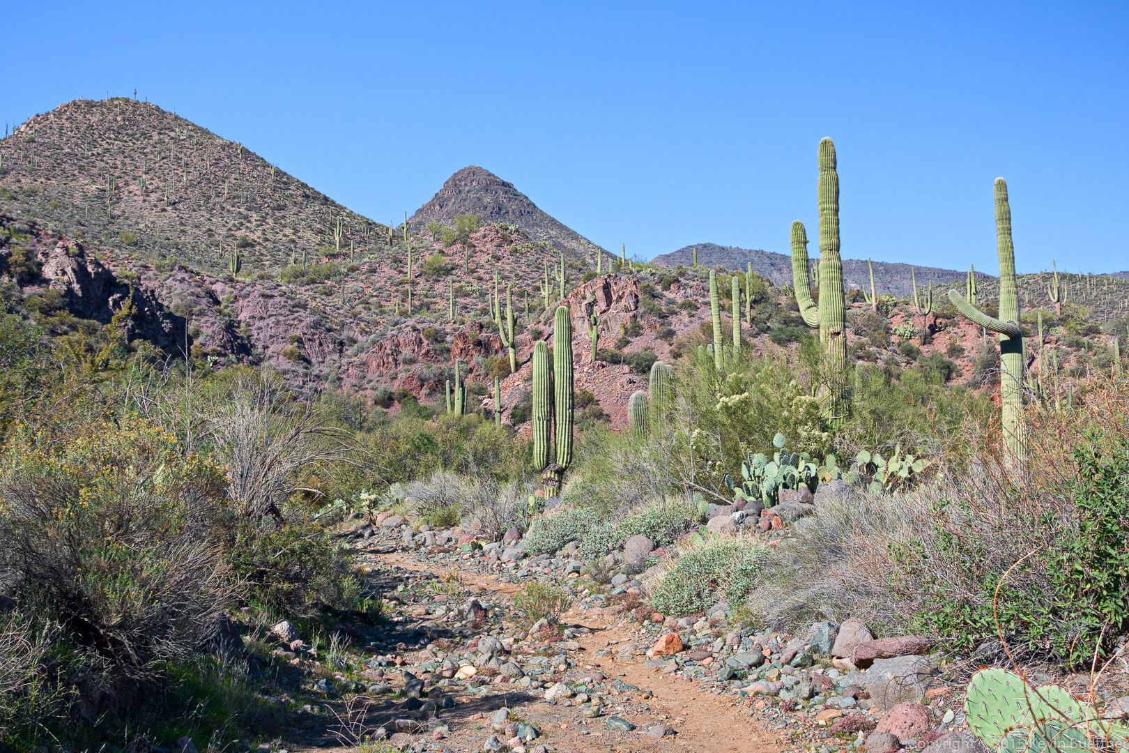
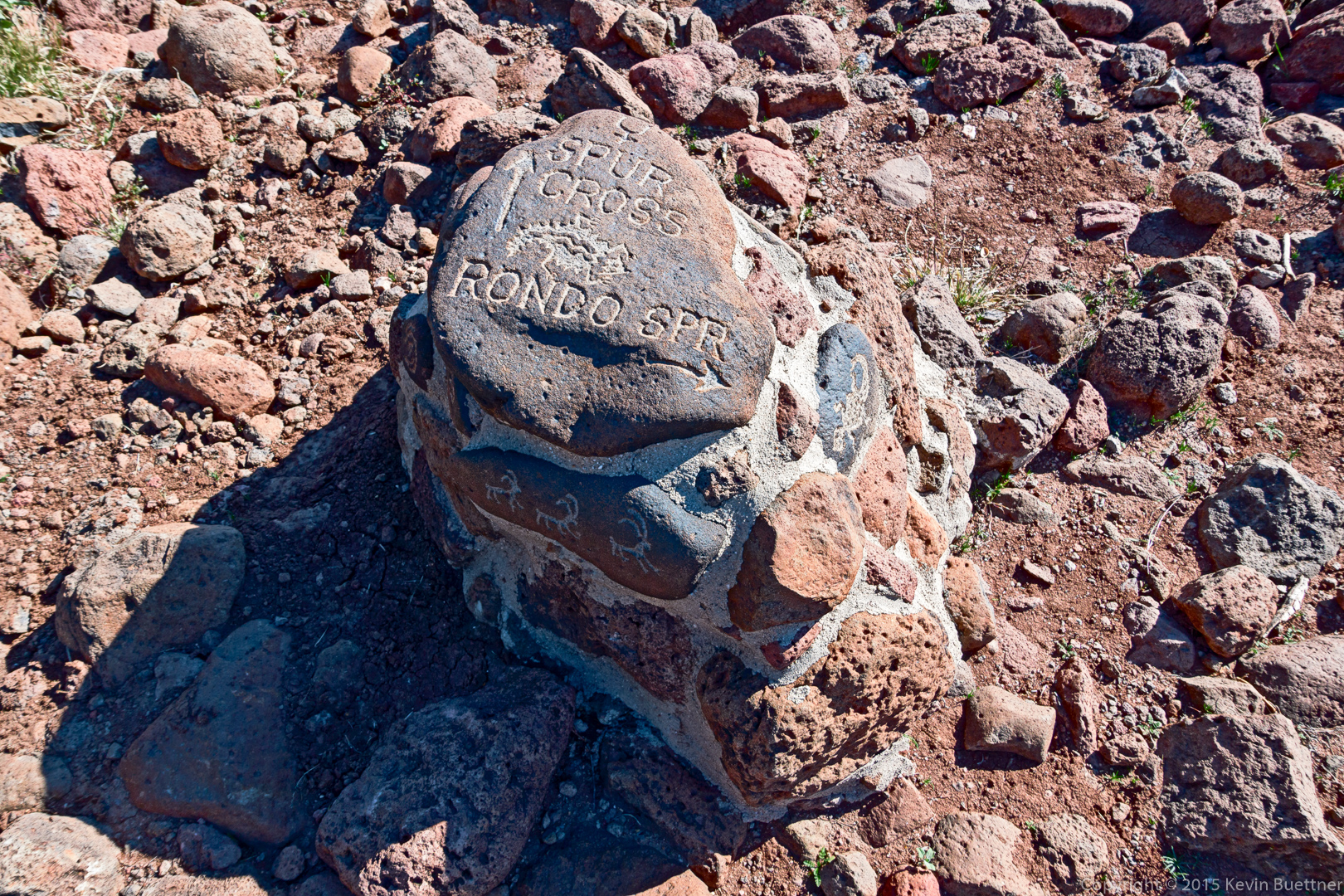
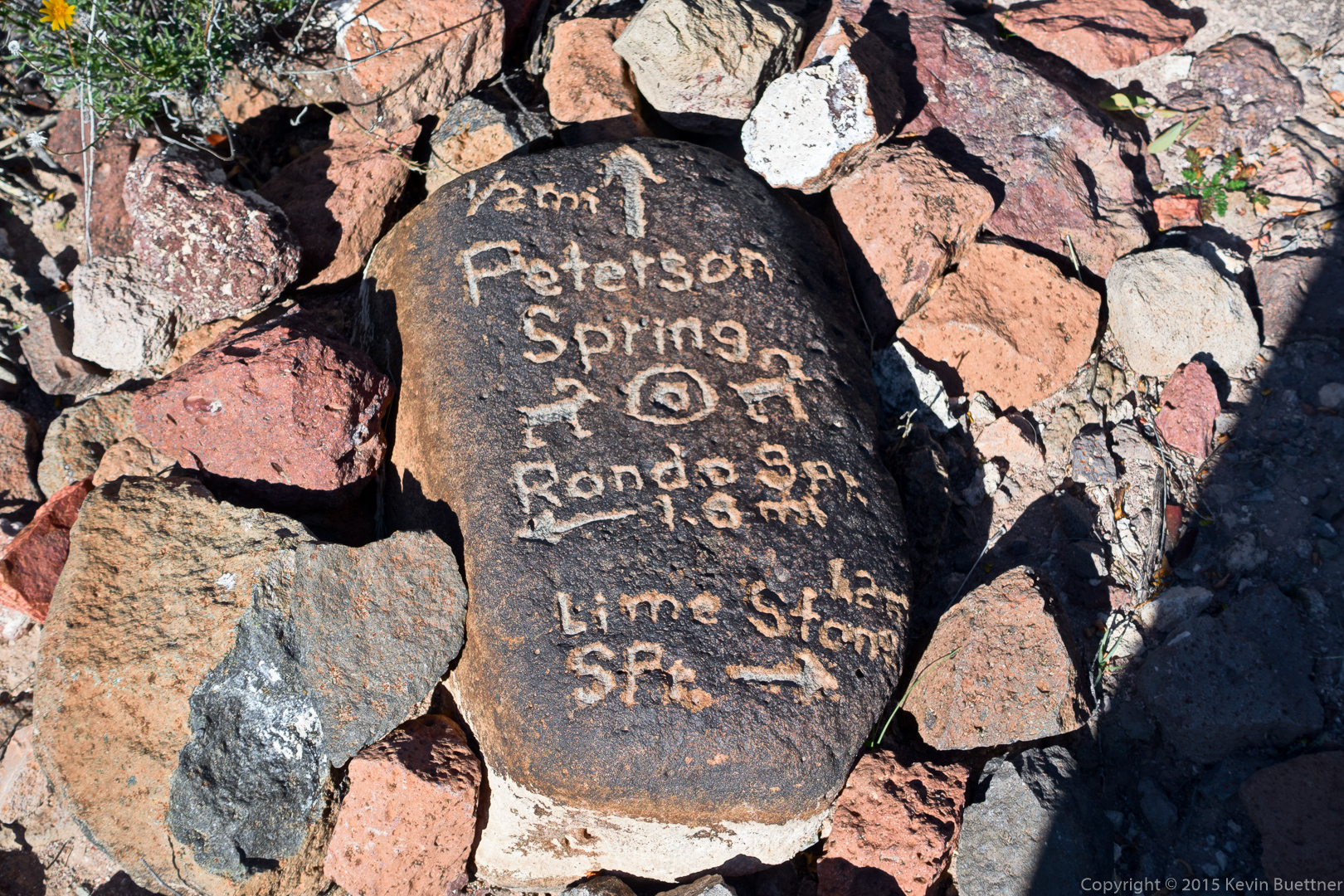
There were some interesting cairns / trail markers along the Limestone Trail (TR 252).  We could have shortened our hike by following the arrow back to Spur Cross, but I wanted to proceed onward towards Rondo Spring.

20151226-_DSC8329-Edit-medium

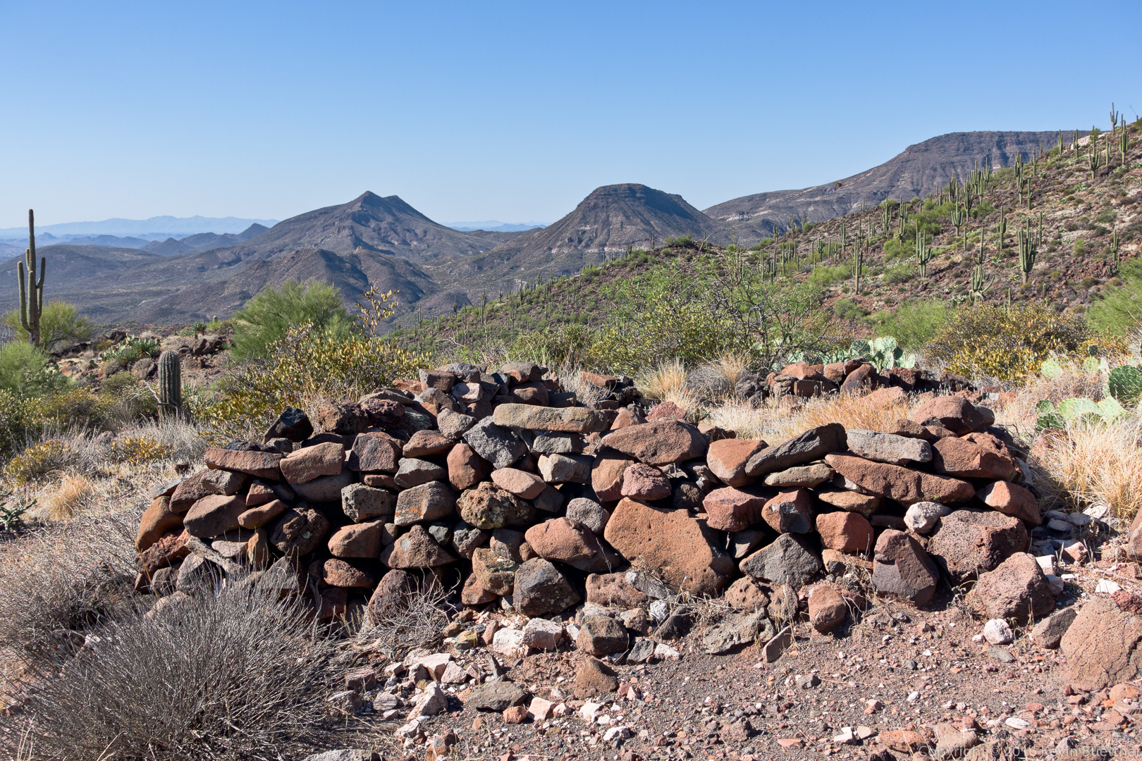
Another trail marker on TR 252:

20151226-_DSC8332-Edit-medium

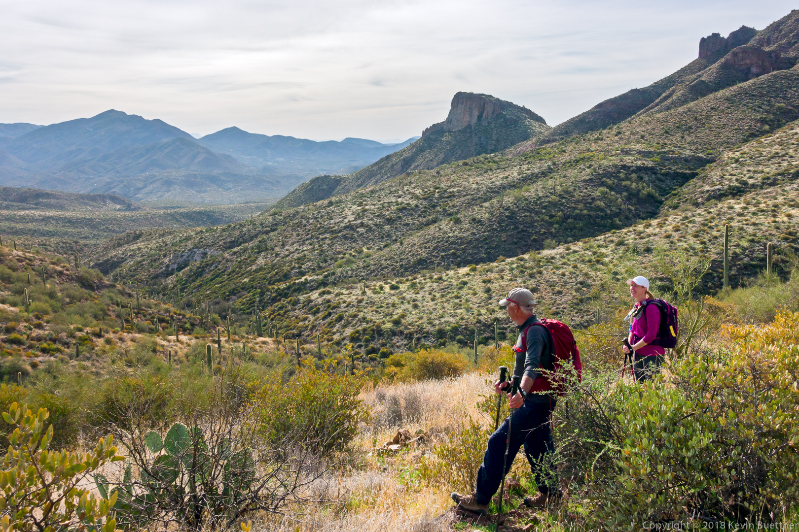
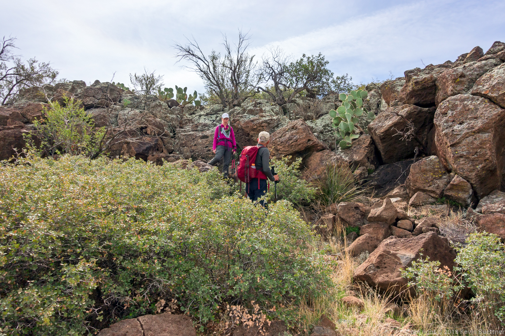
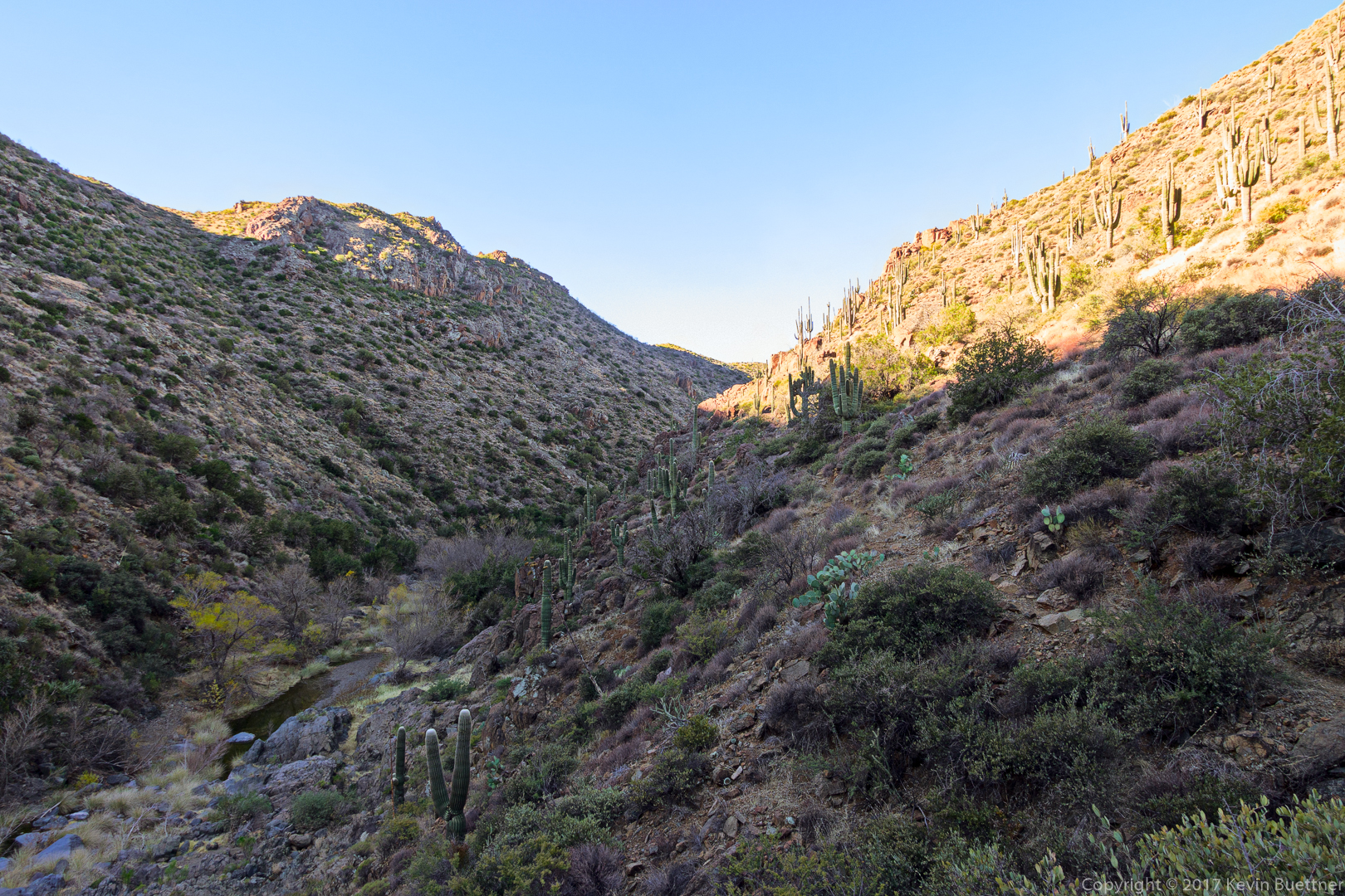
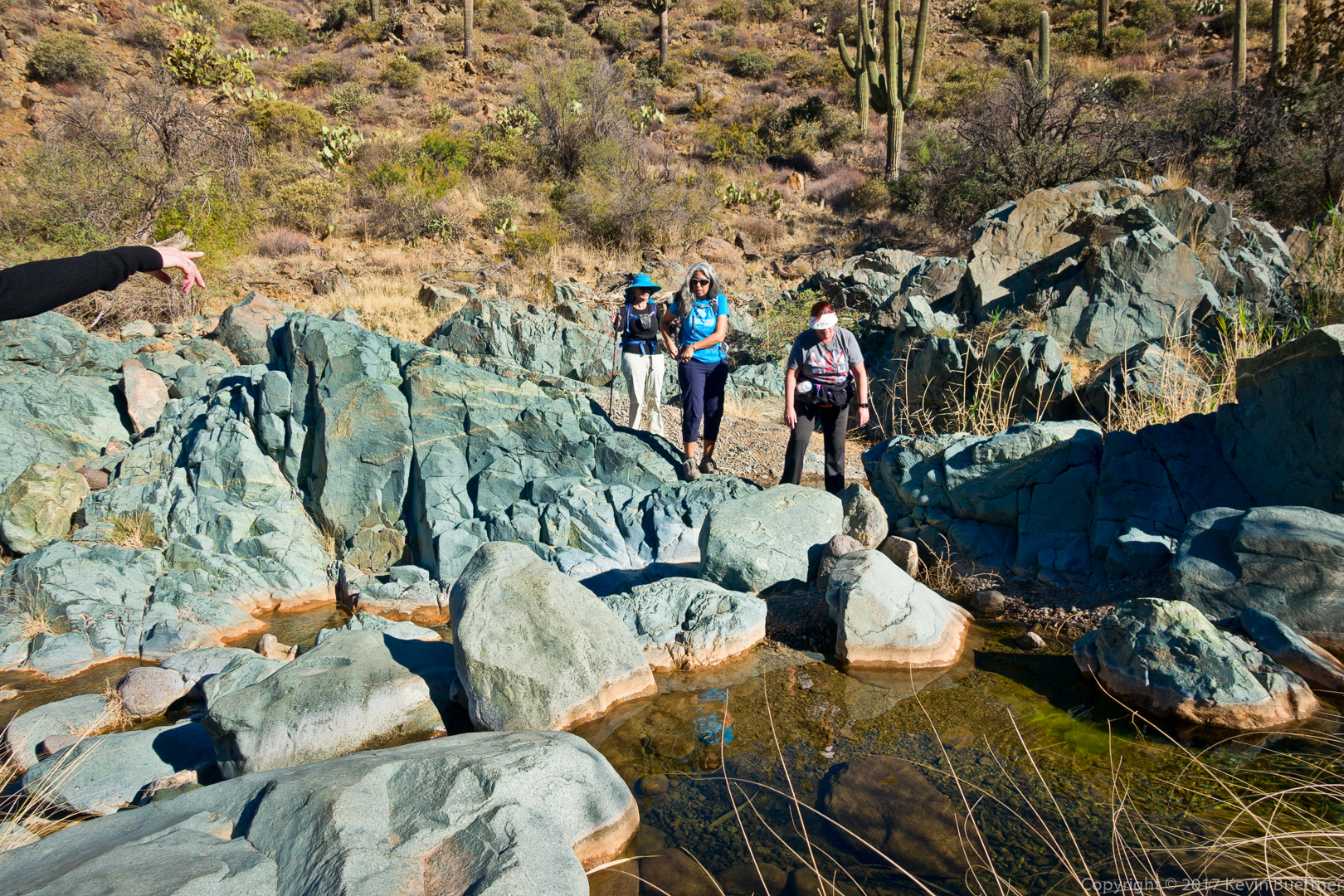
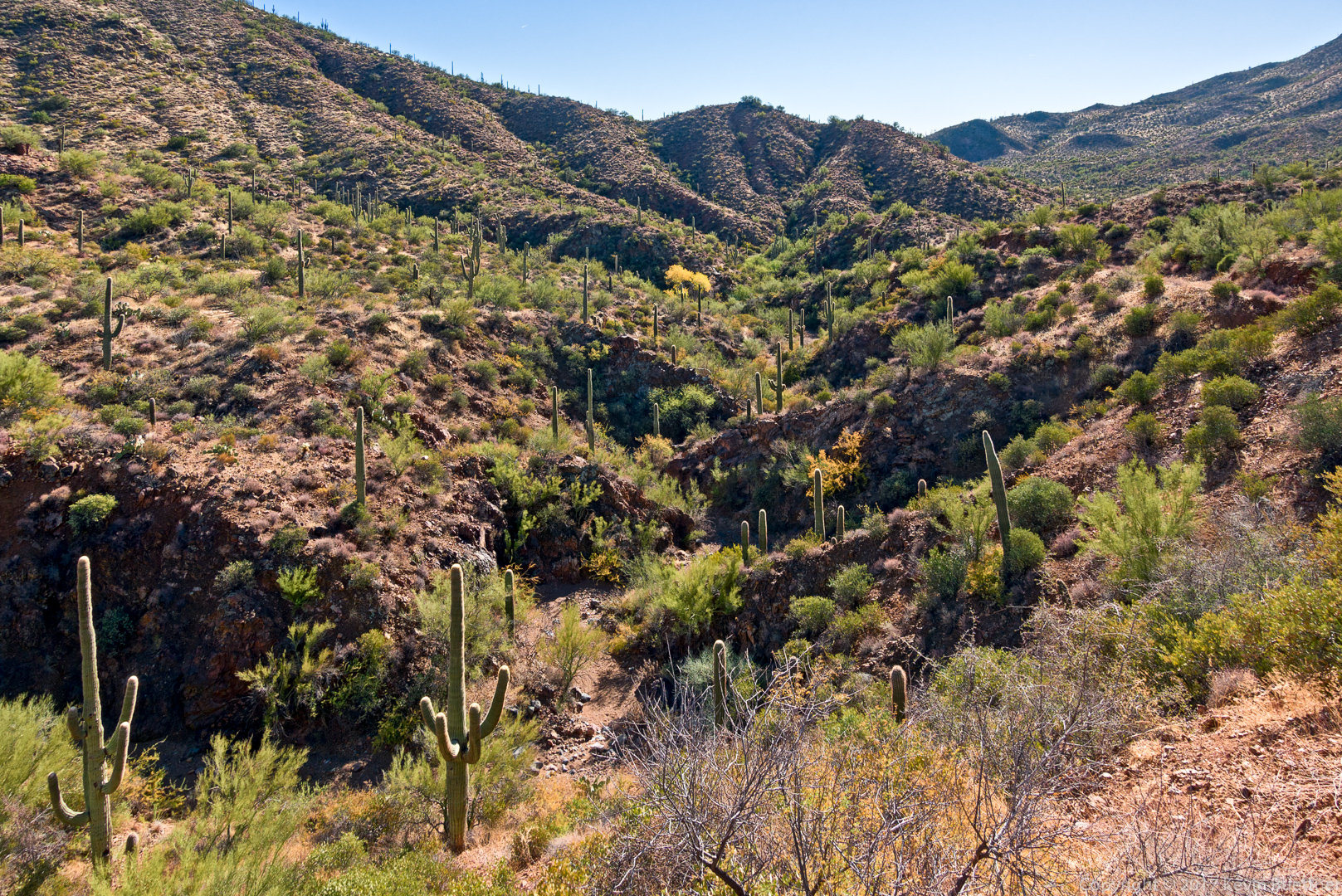
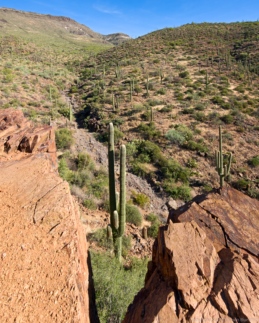
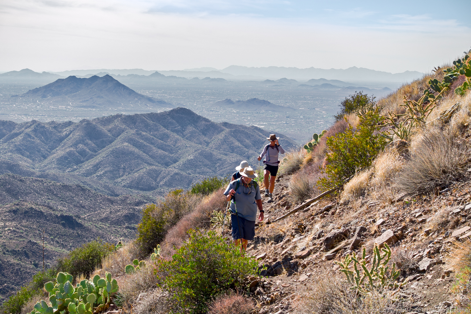
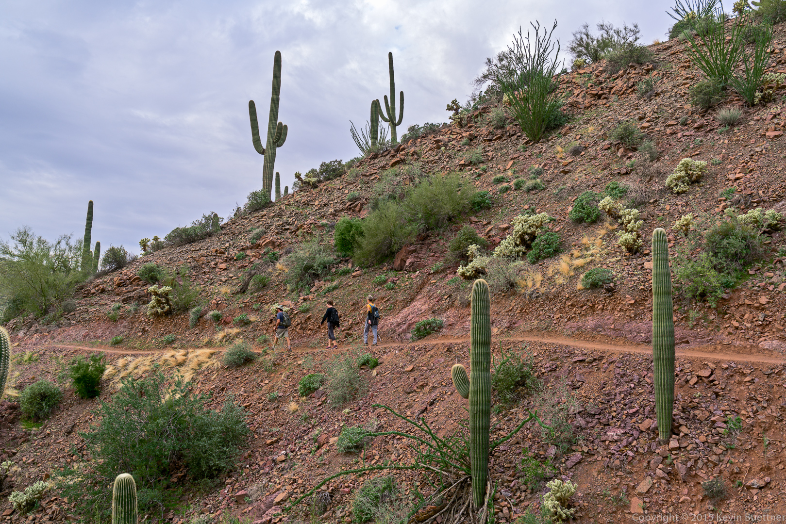
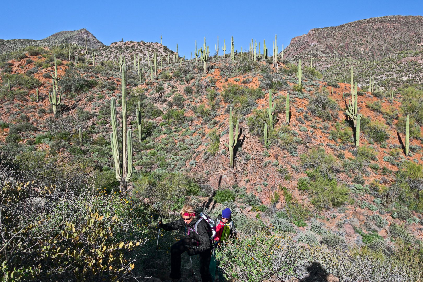
The crossed several substantial washes and then proceeded upward.  Route finding became somewhat more difficult; at one point, I thought we had gone too far and had missed the trail back into the park (from the Tonto National Forest), but we still had further to go. In this photo, below, Nancy and Marilyn make their way up from the trail from one of several wash crossings.

20151226-_DSC8341-Edit-medium

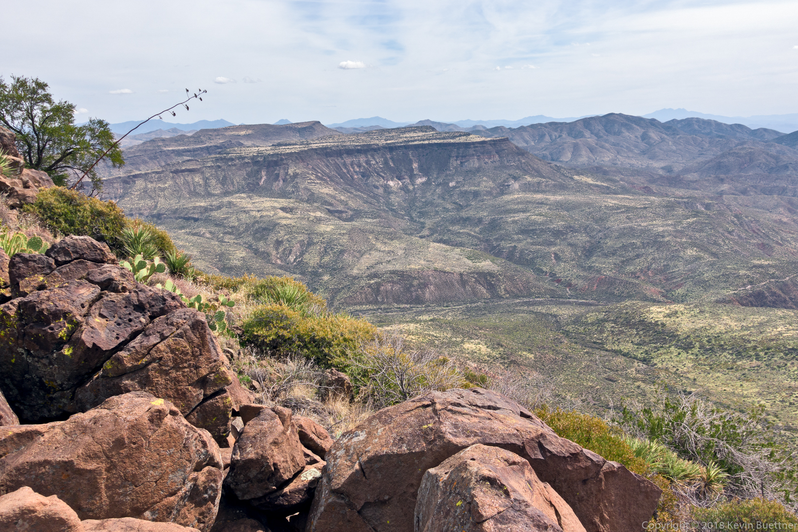
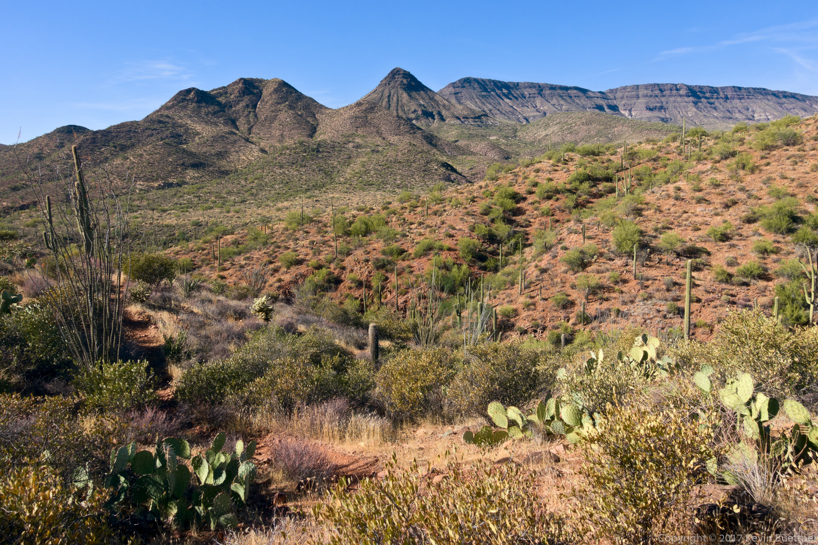
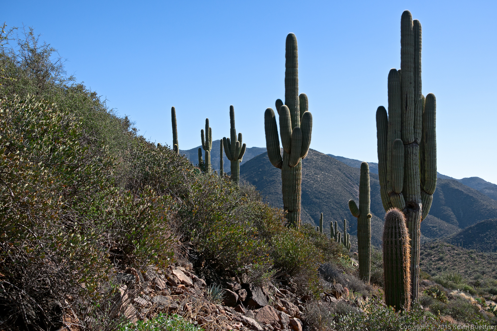
I think this is a look back at Sugarloaf Mountain. When we hiked to Black Mesa last year, we thought we’d summit on that formation, but we were mistaken. Black Mesa is mostly out of the frame to the left.

20151226-_DSC8347-Edit-medium

Sunday Hike: Spur Cross to Cave Creek

On Sunday, Linda, Bob, and I hiked 11.6 miles between the Spur Cross Ranch Conservation Area and the Cave Creek Recreation Area. Marilyn hiked out 4.5 miles with us and then returned to the car for a 9 mile hike. According to my GPS watch, we ended up with 1,070 feet of total ascent and 1335 feet of total descent.

A view from near the beginning of the Spur Cross Trail:

20151115-_DSC5602-Edit-medium

Linda spotted this heart shaped prickly pear:

20151115-_DSC5629-Edit-medium

Another view from the Spur Cross Trail:
20151115-_DSC5653-Edit-medium

Bob, Linda, and Marilyn:

20151115-_DSC5659-Edit-medium

Brief periods of light rain made for interesting views:
20151115-_DSC5734-Edit-medium

Another group ahead of us – they hiked to the park boundary and then returned.

20151115-_DSC5755-Edit-medium

Looking up at Elephant Mountain:

20151115-_DSC5782-Edit-medium

We encountered a watering hole shortly after leaving the park.  Marilyn told us that she saw cows on the way back.

20151115-_DSC5818-Edit-Edit-medium

Views from the Maricopa Trail…

20151115-_DSC5911-Edit-medium

20151115-_DSC5929-Edit-medium

This is a view from the Go John Trail in the Cave Creek Recreation Area:

20151115-_DSC6055-Edit-medium

This dog has its own pack and boots, too!

20151115-_DSC6085-Edit-medium

We’re done! This is a view from above the amphitheater outside of the Nature Center at the Cave Creek Recreation Area.

20151115-_DSC6088-Edit-medium