Month: January 2016 (page 1 of 1)

Friday Fitness Hike

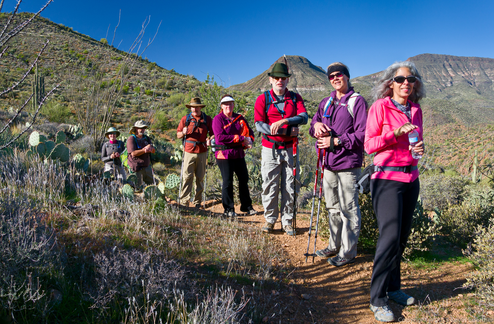
Nancy, Linda, Mike, and I hiked 12.1 miles on Friday.  The highlight of our hike was the South Wash between the Dixie Mine Trail and the Long Loop (in the competitive track area).

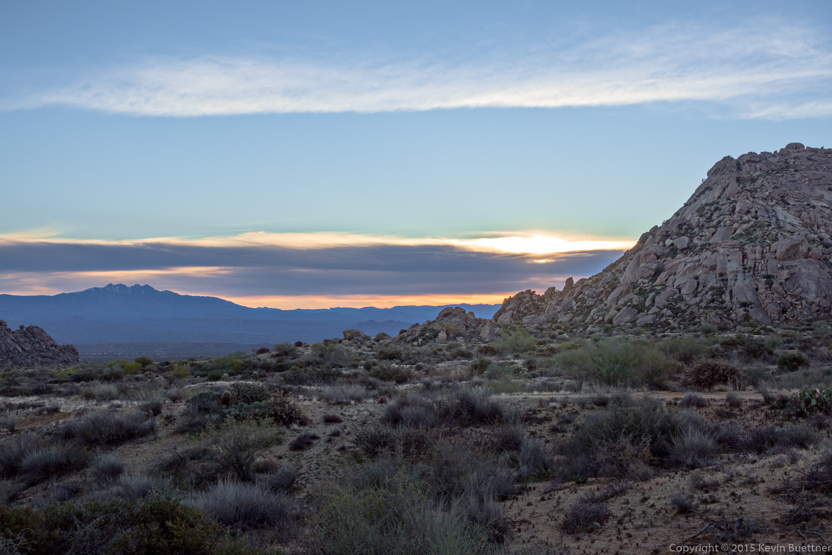
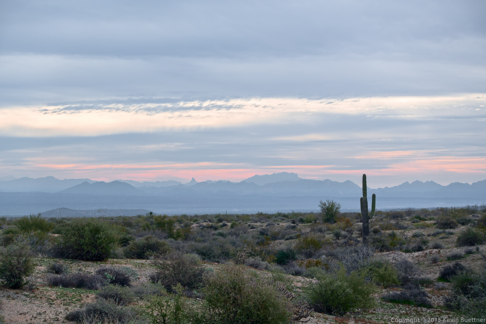
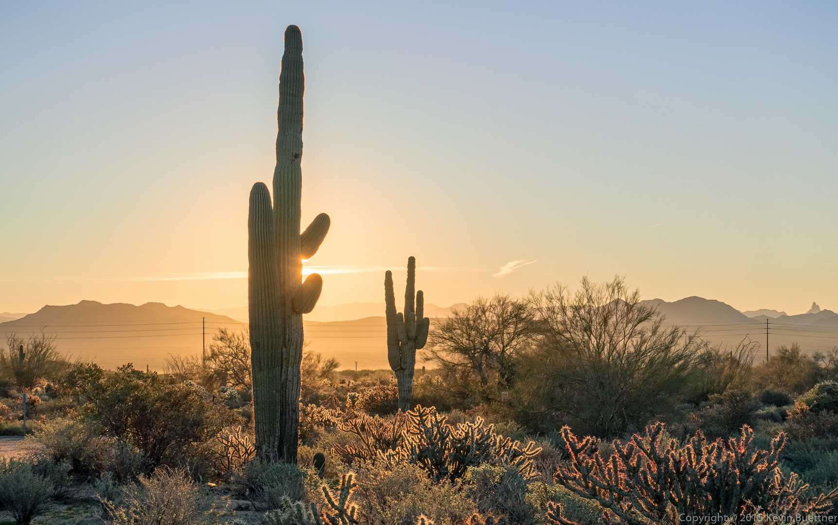
An early morning view from the Horse Staging Area:

20160129-_DSC9779-HDR-Edit-medium

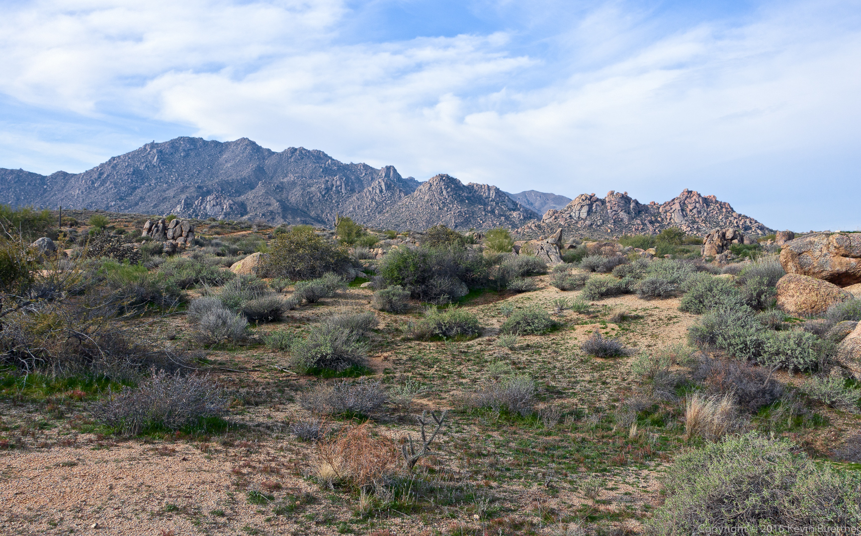
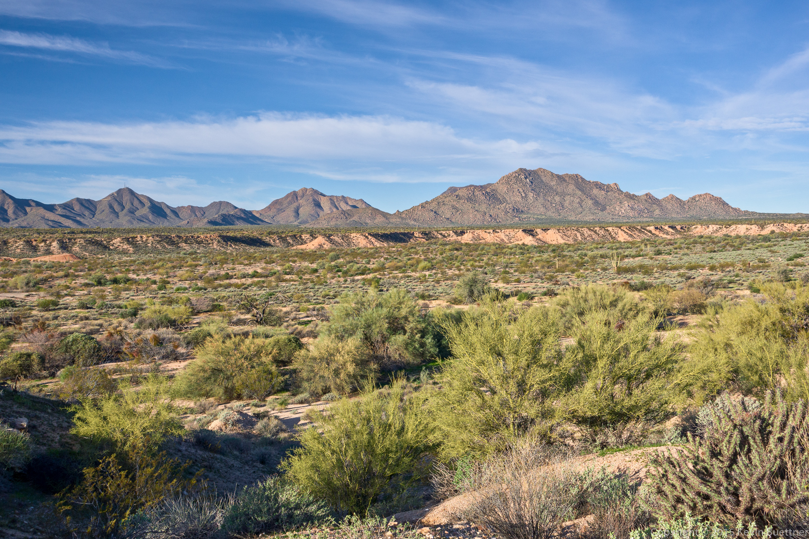
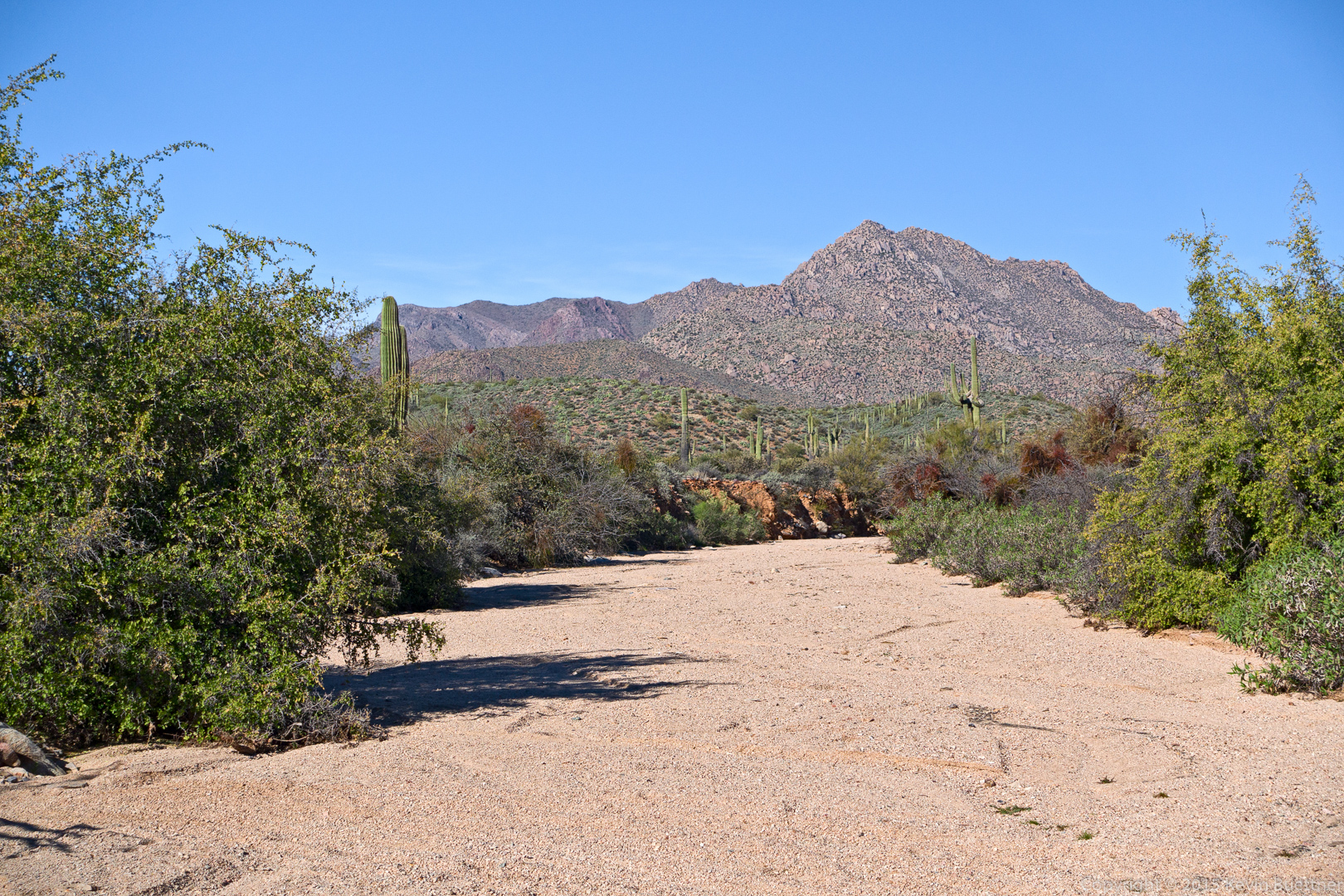
A view of the McDowells from above Stoneman Wash:

20160129-_DSC9790-Edit-medium

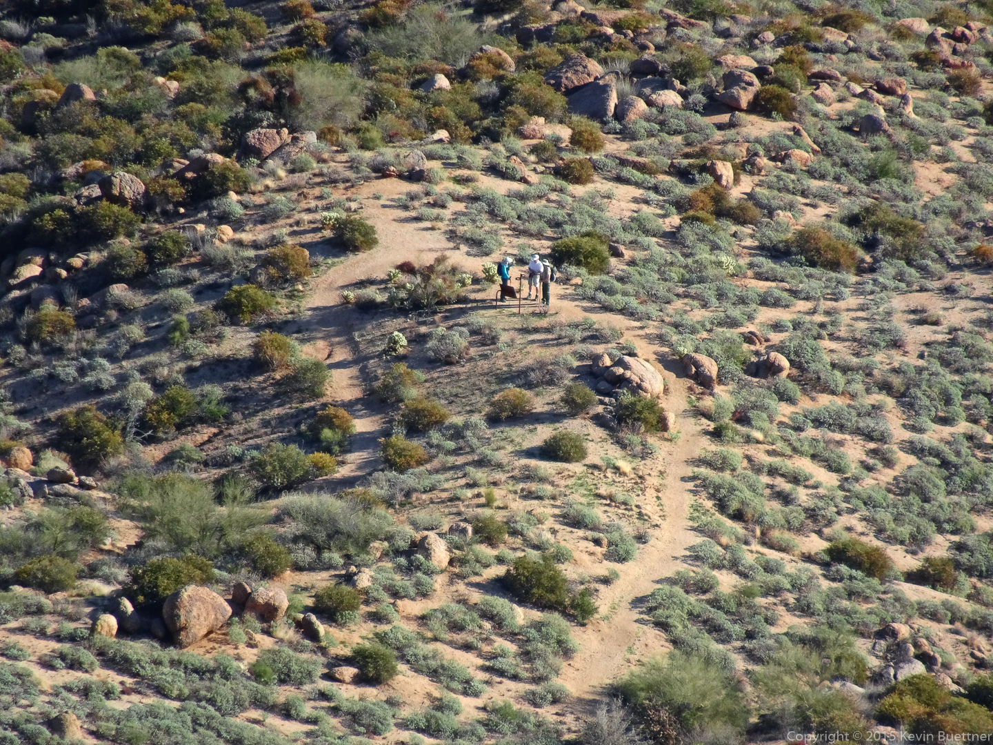
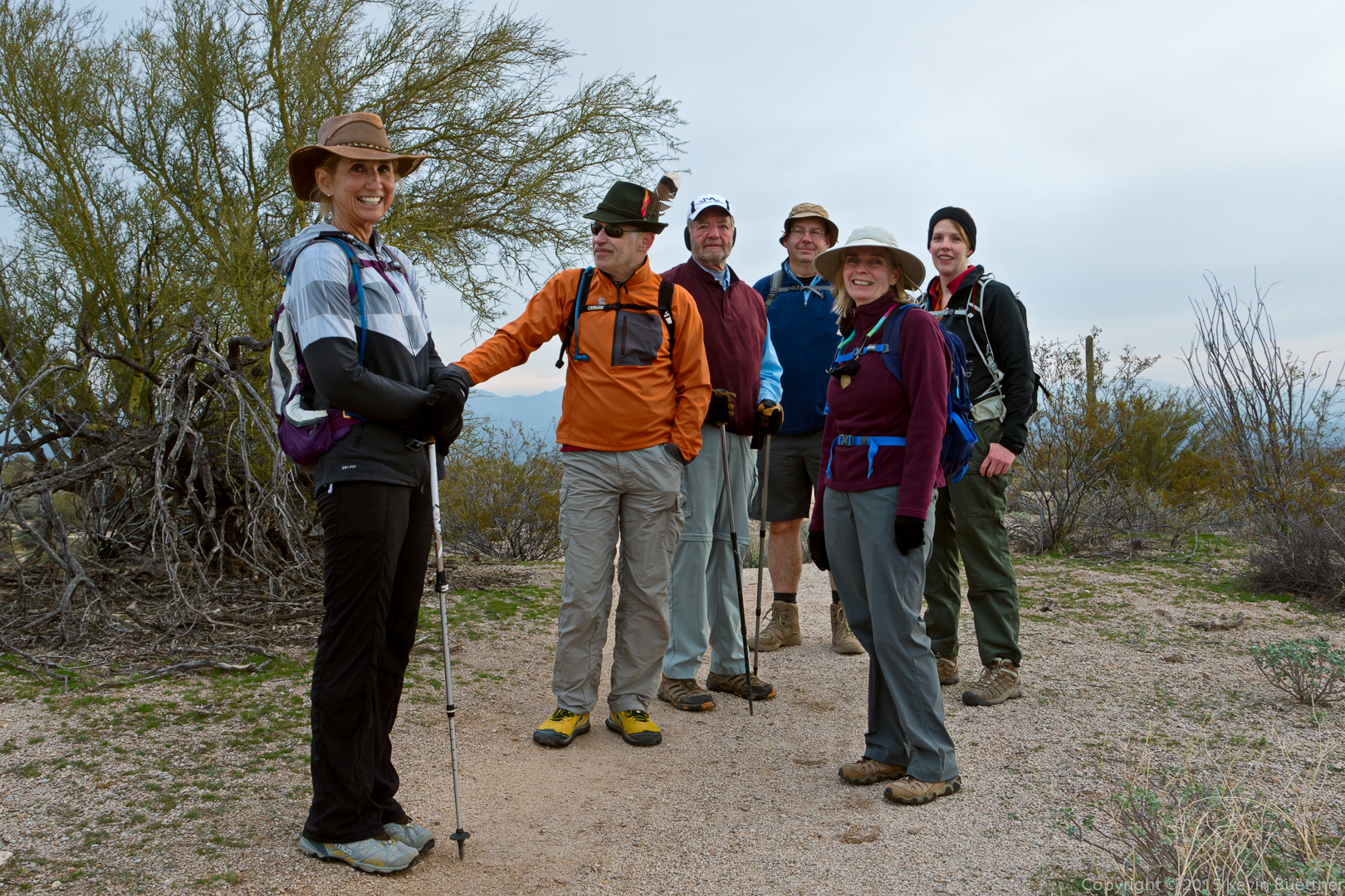
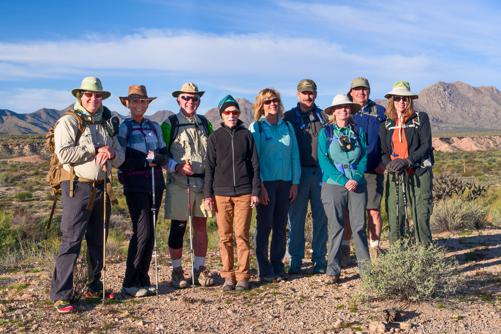
Kevin, Nancy, George, Jill, Janet, Allen, Linda, Mike, and Amy:

20160129-_DSC9805-Edit-medium

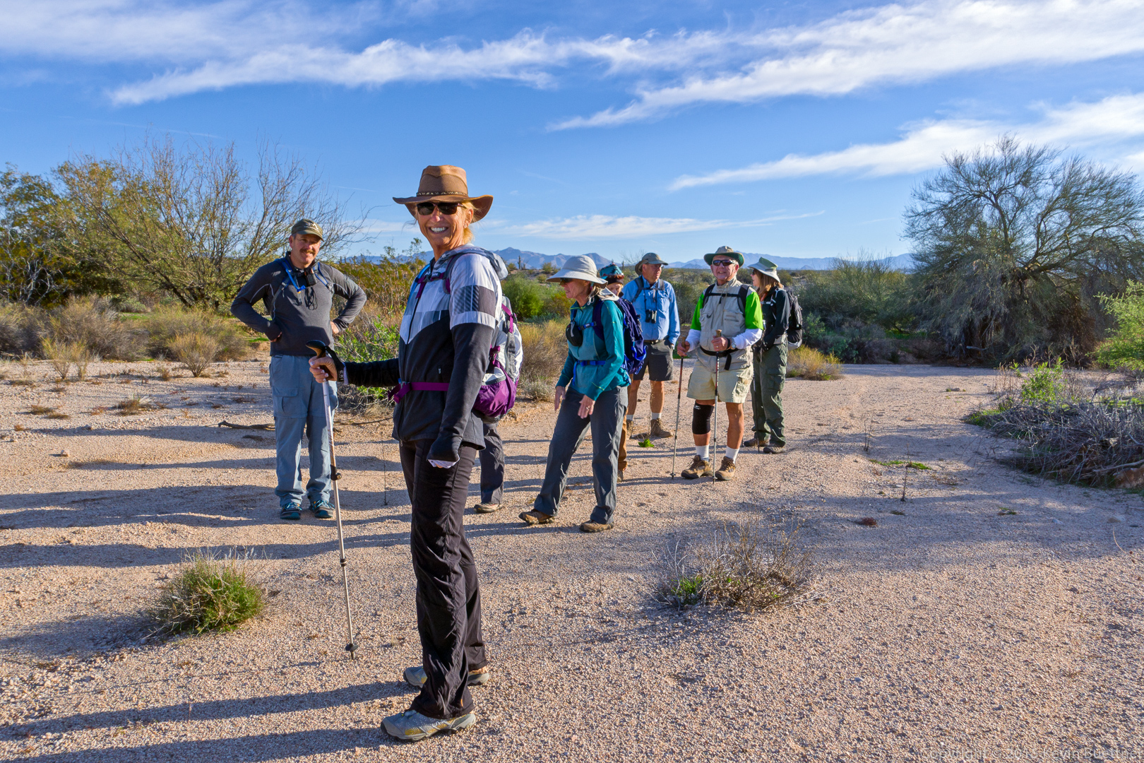
The group in one of Stoneman’s feeder washes.

20160129-_DSC9841-Edit-medium

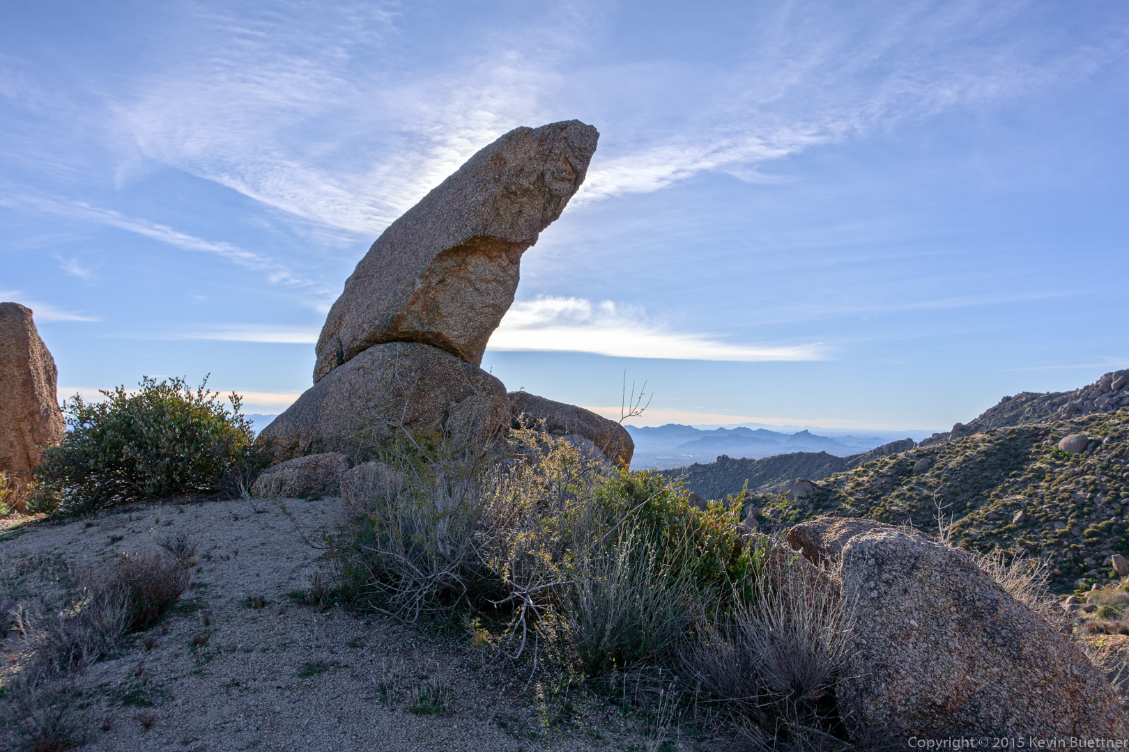
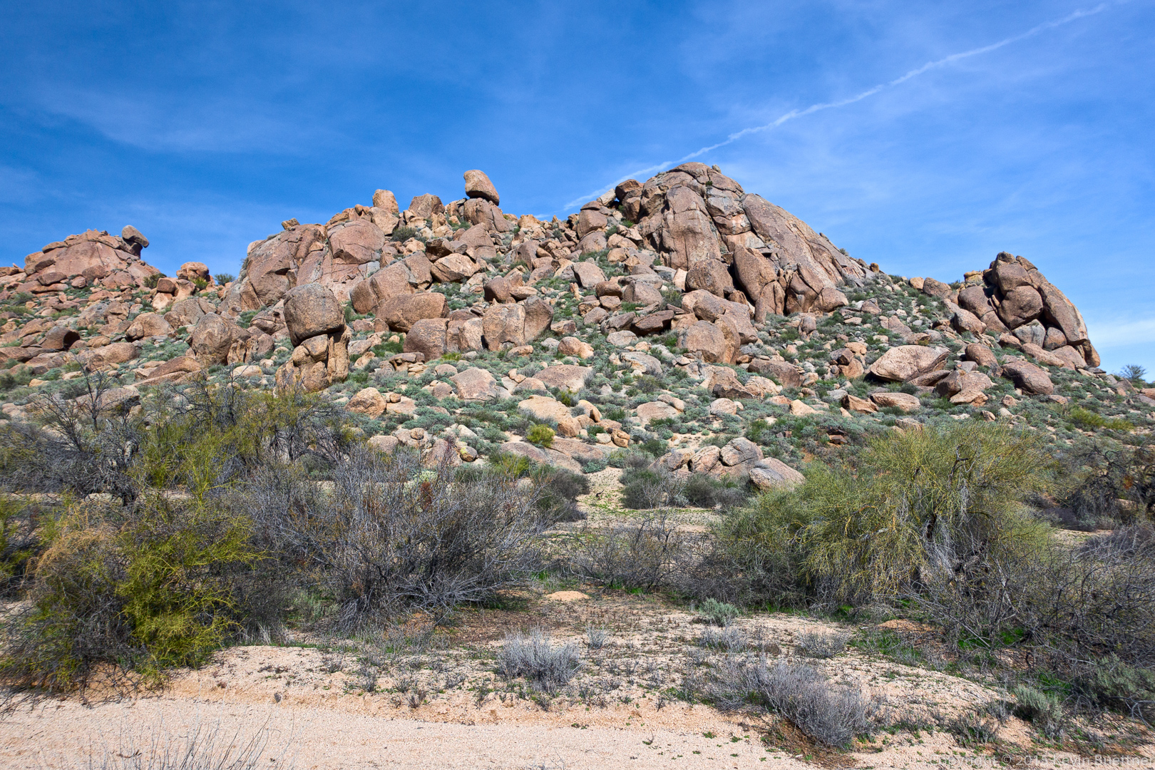
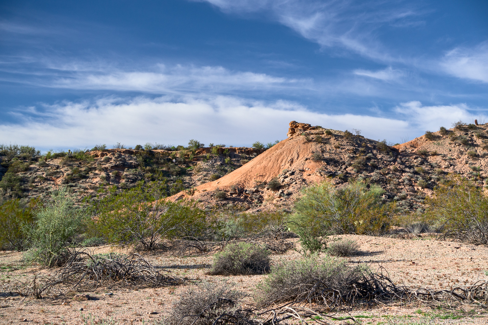
This formation can be seen from the Pemberton Trail just after passing the pond / former ranch homestead:
20160129-_DSC9856-Edit-medium

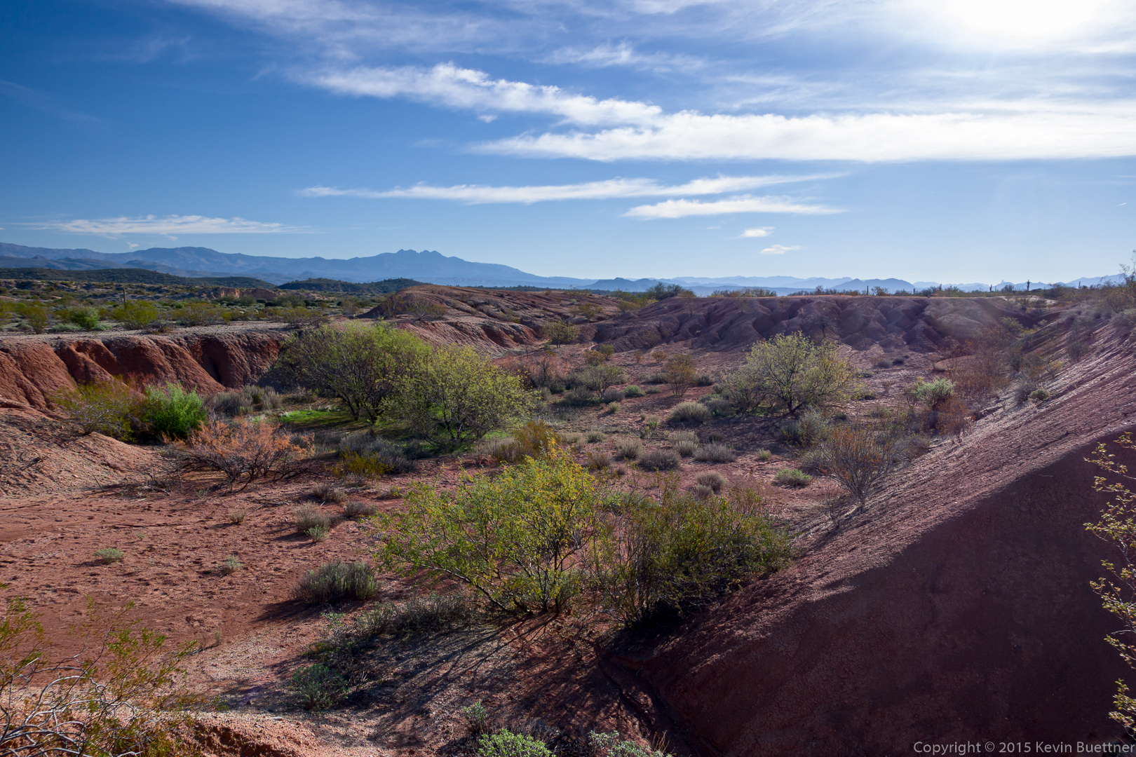
A view of the clay pit just off of the Pemberton:
20160129-_DSC9871-Edit-medium

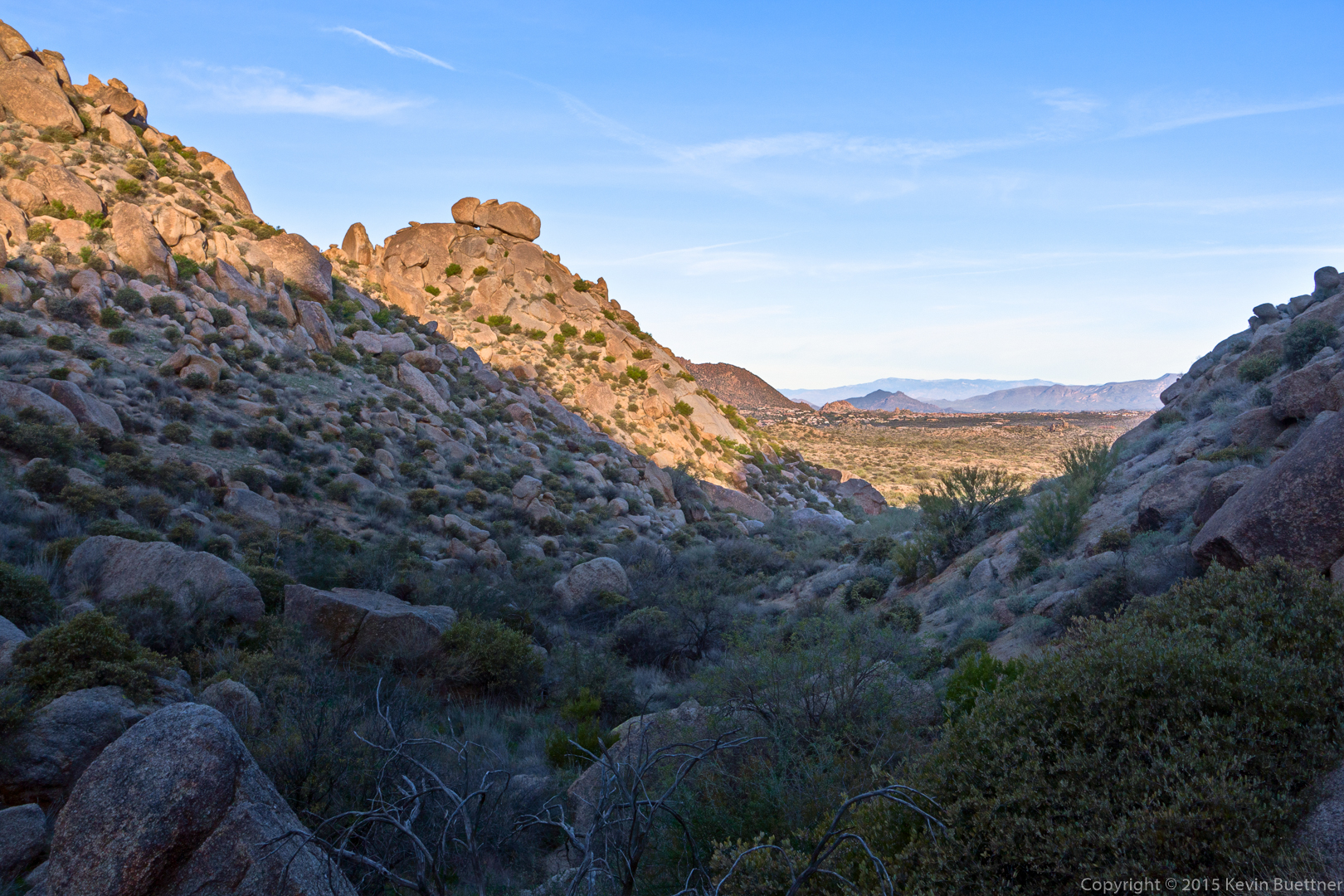
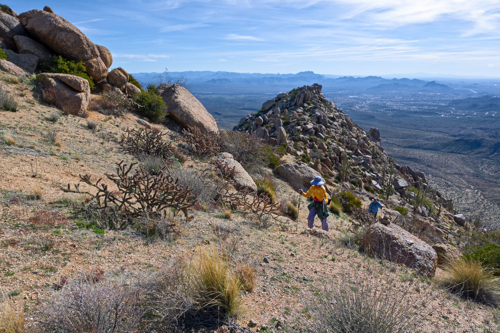
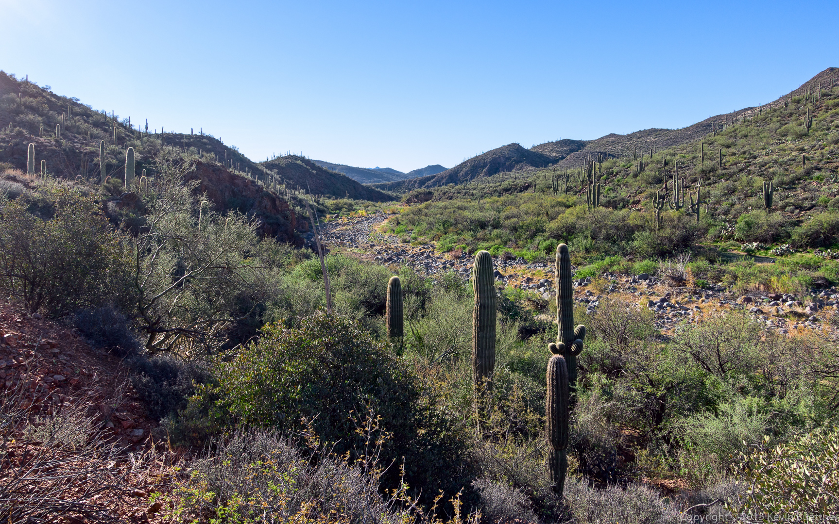
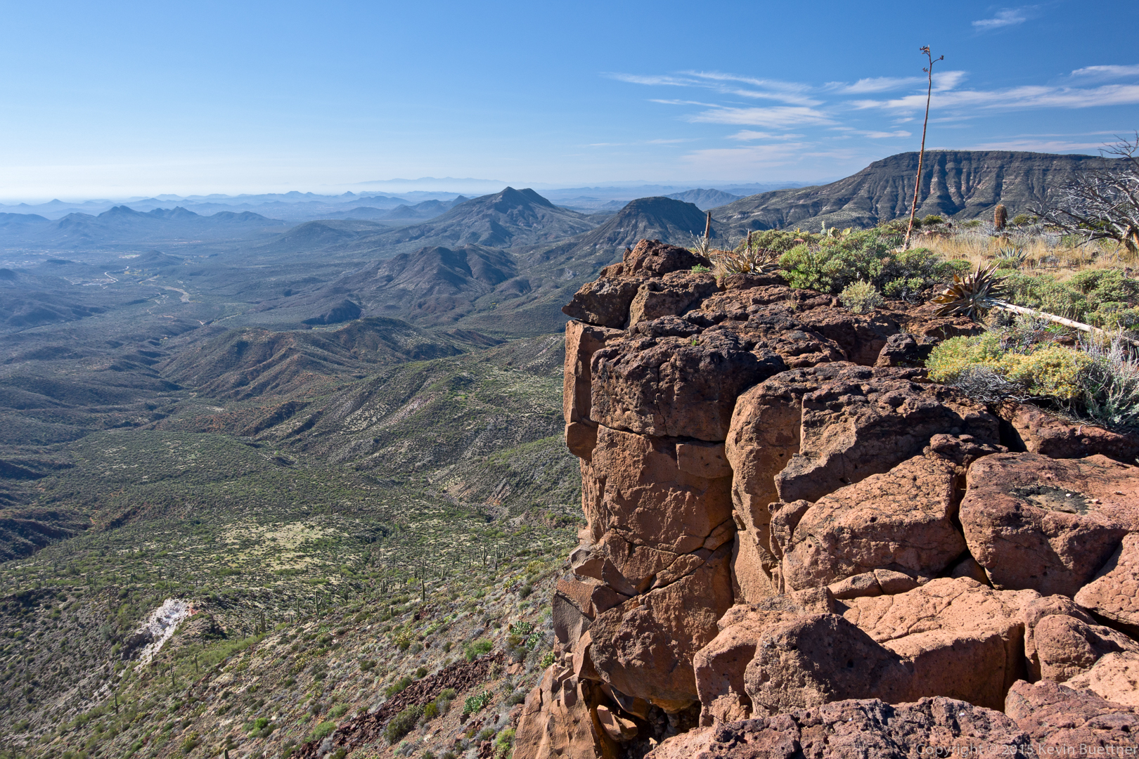
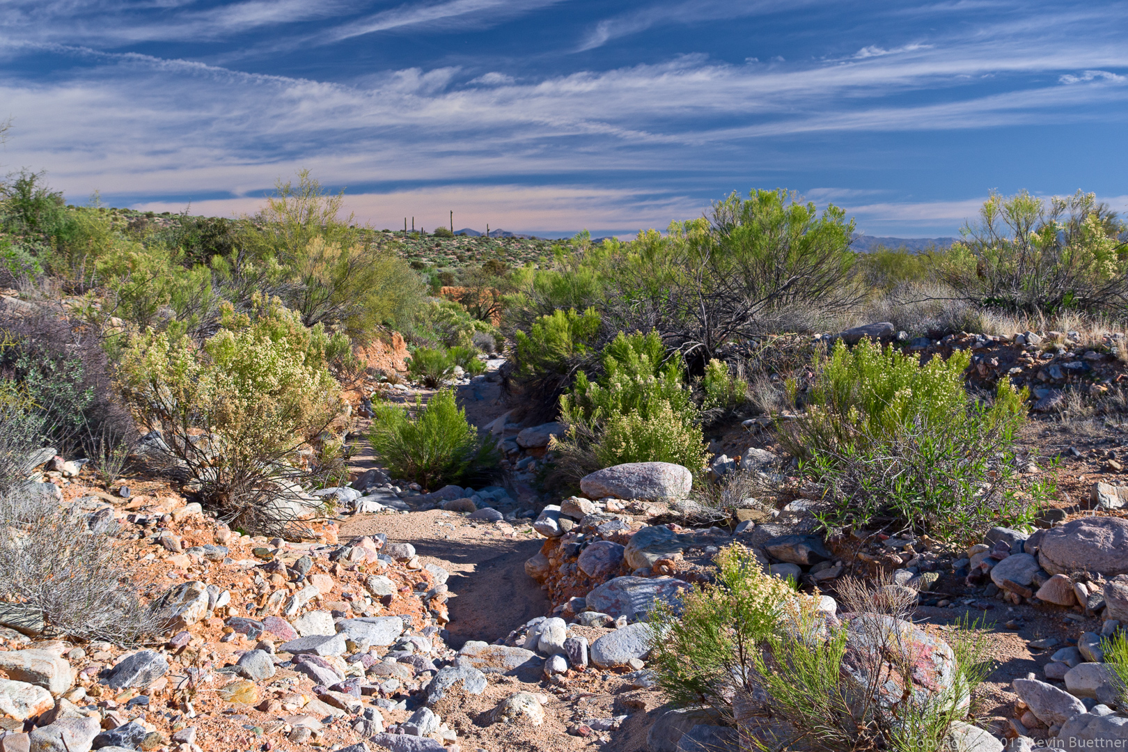
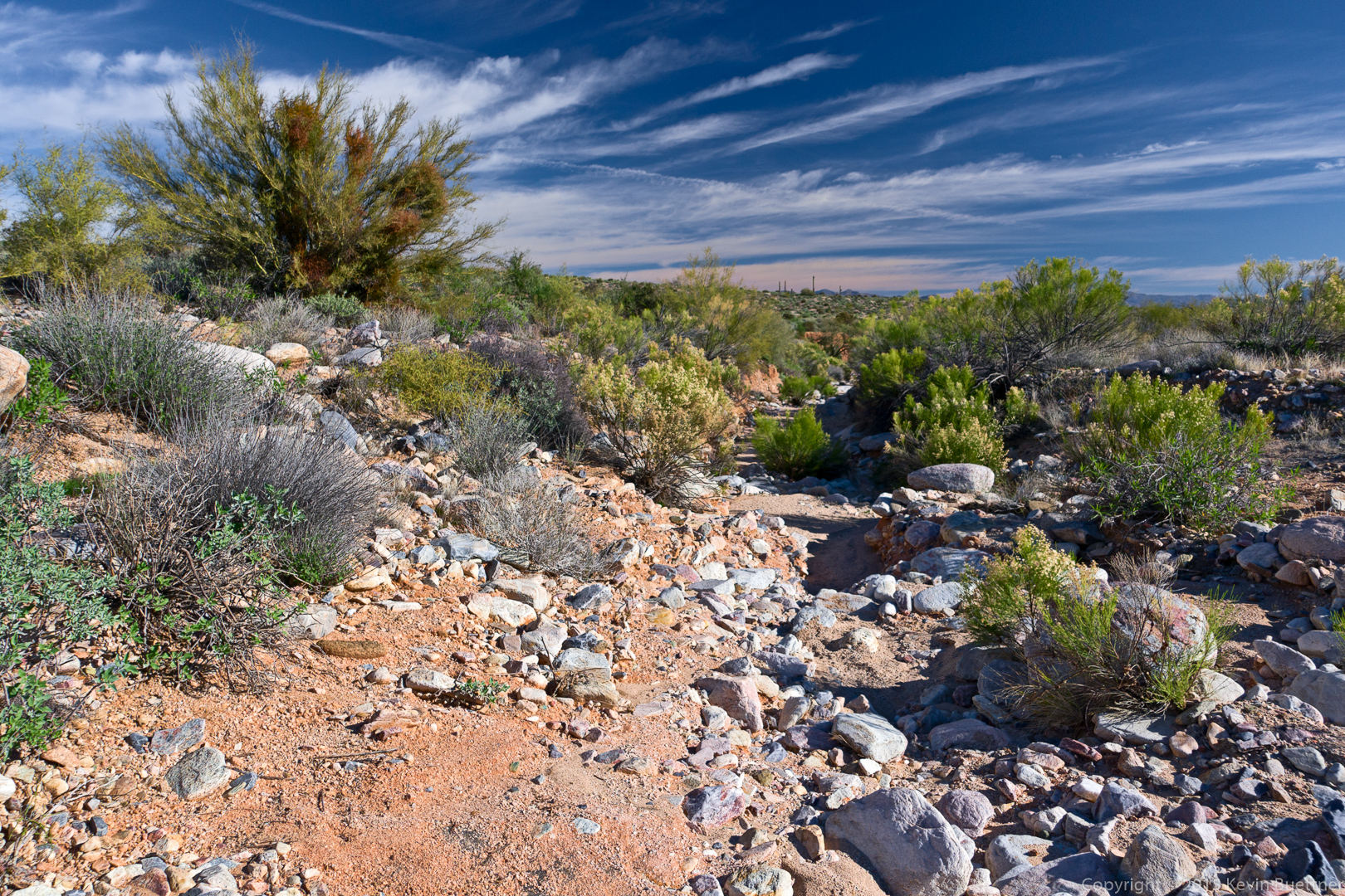
Looking west from the intersection of the Dixie Mine Trail and the South Wash:

20160129-_DSC9895-Edit-medium

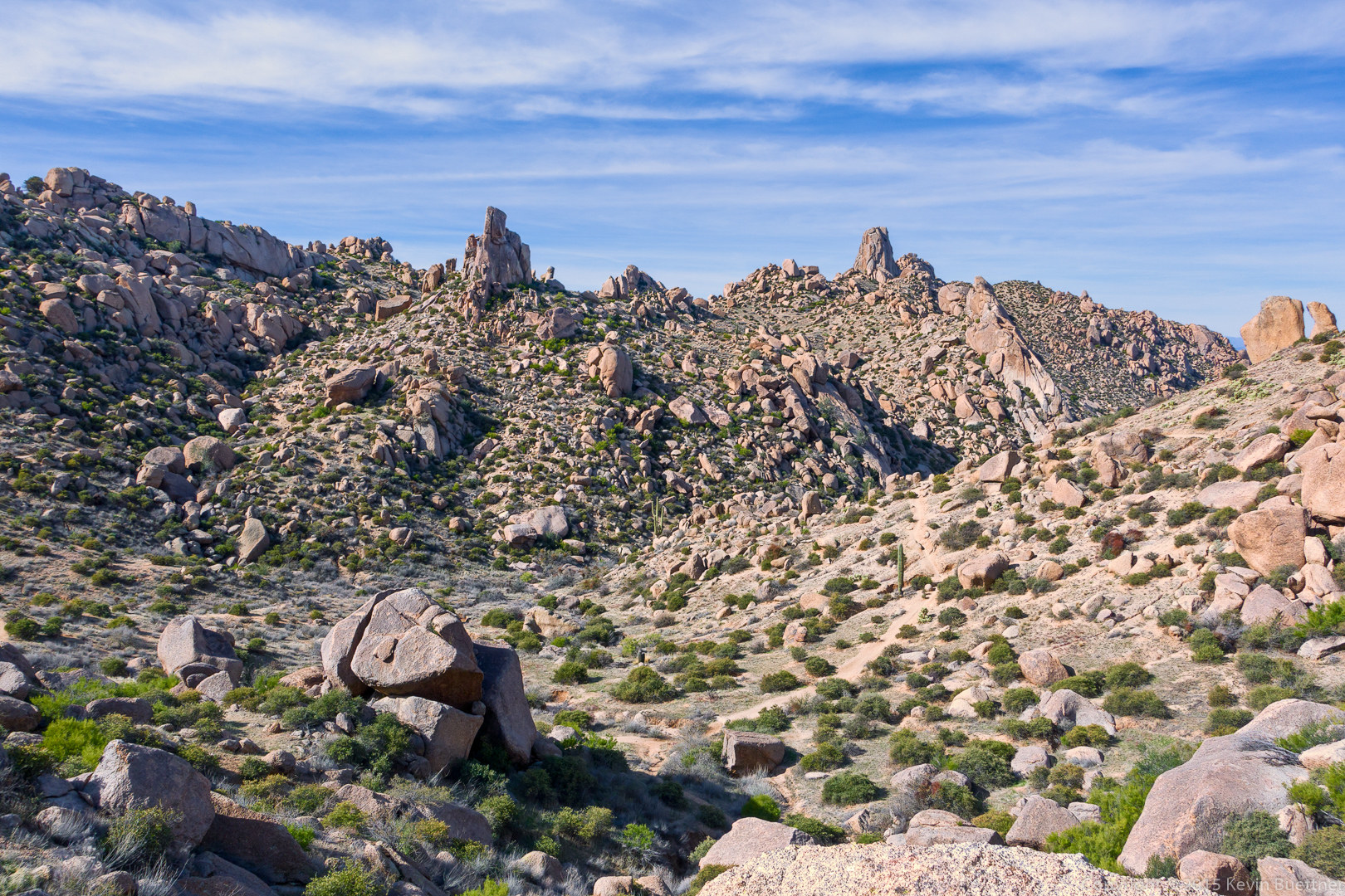
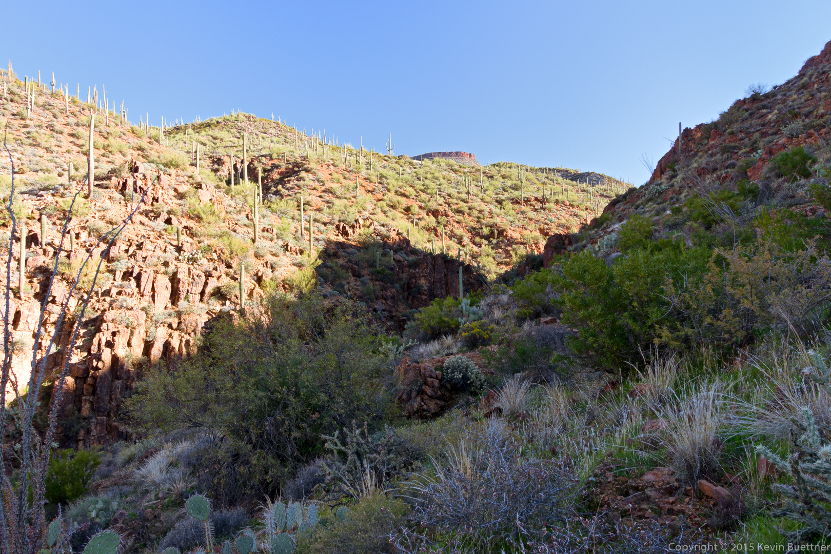
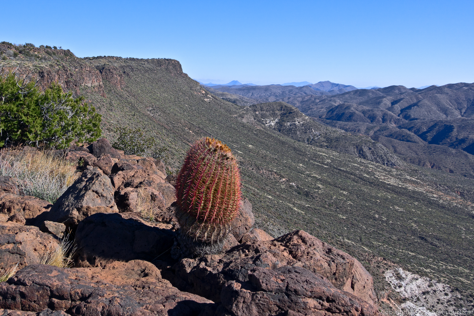
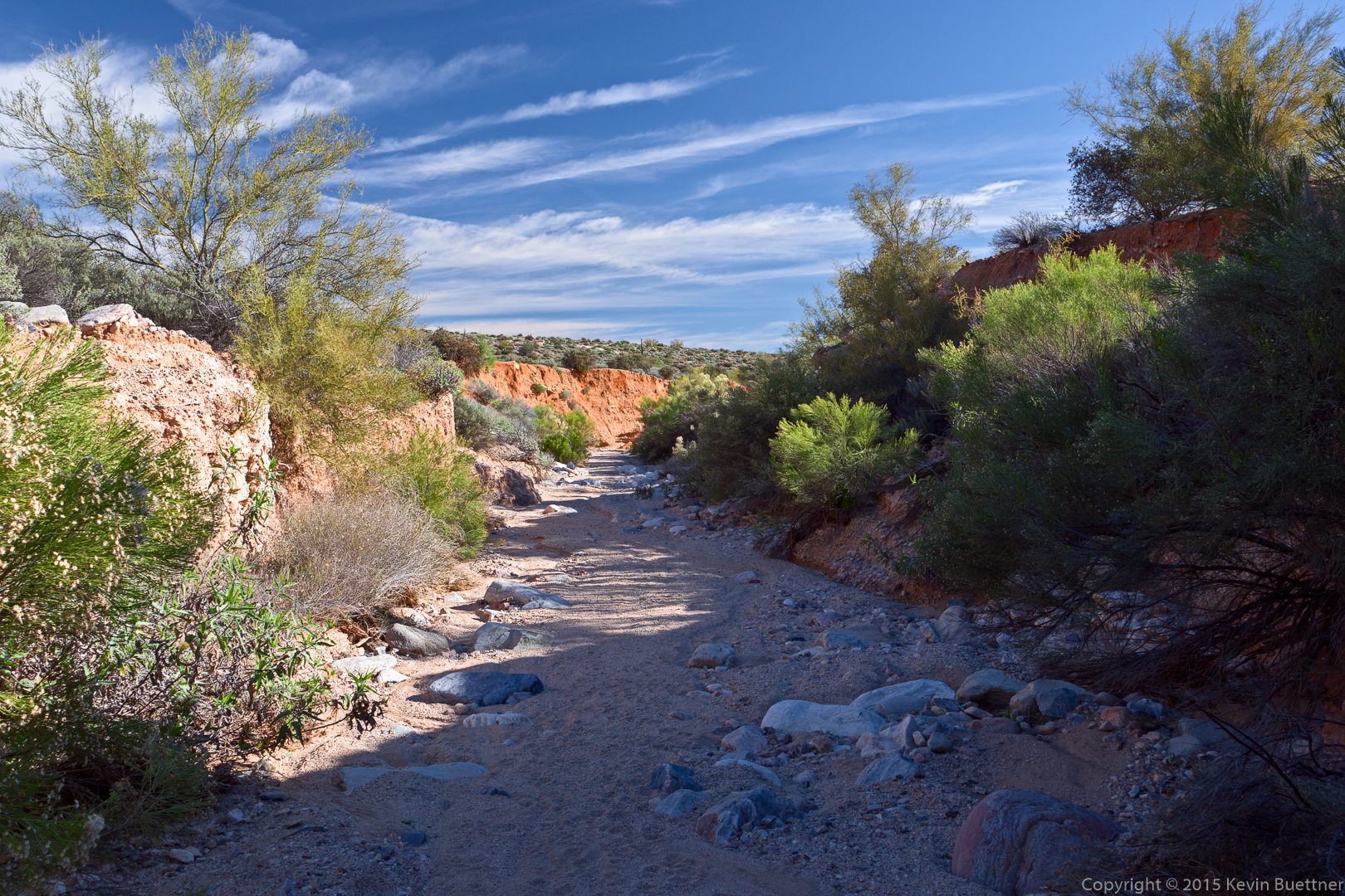
Looking east just shortly after leaving the Dixie Mine Trail:

20160129-_DSC9904-Edit-medium

20160129-_DSC9913-Edit-medium

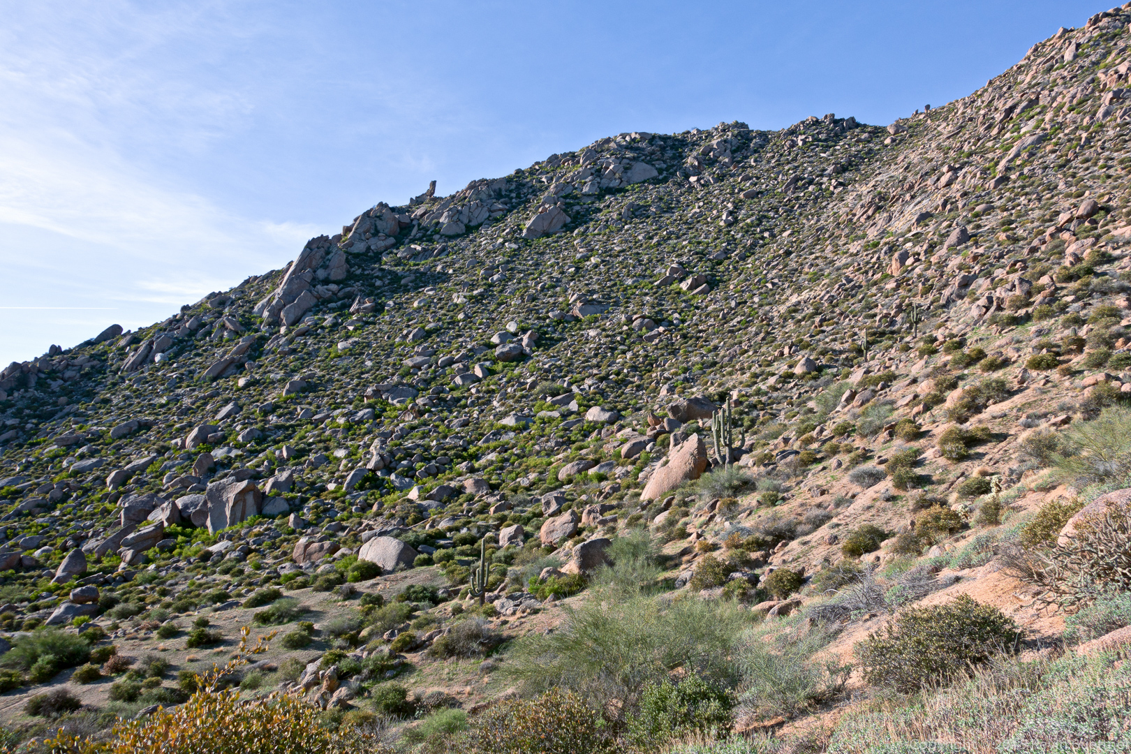
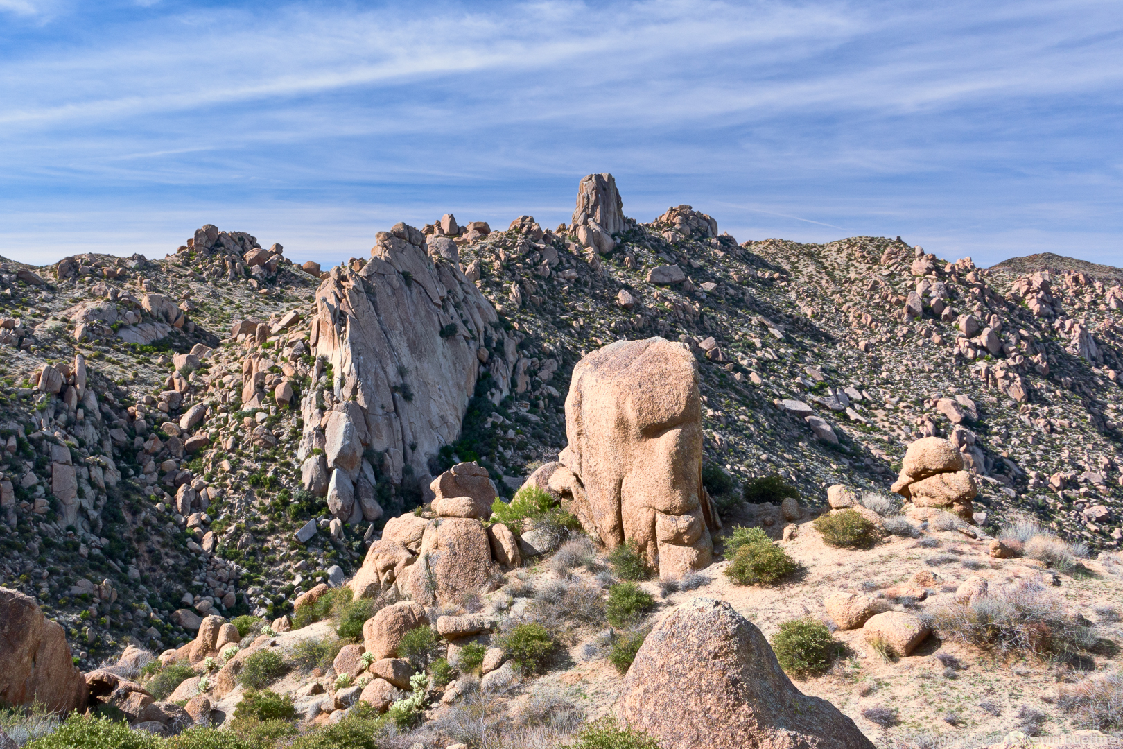
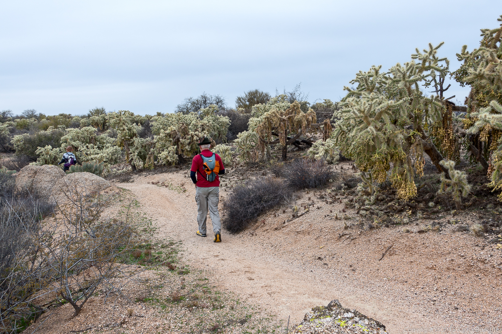
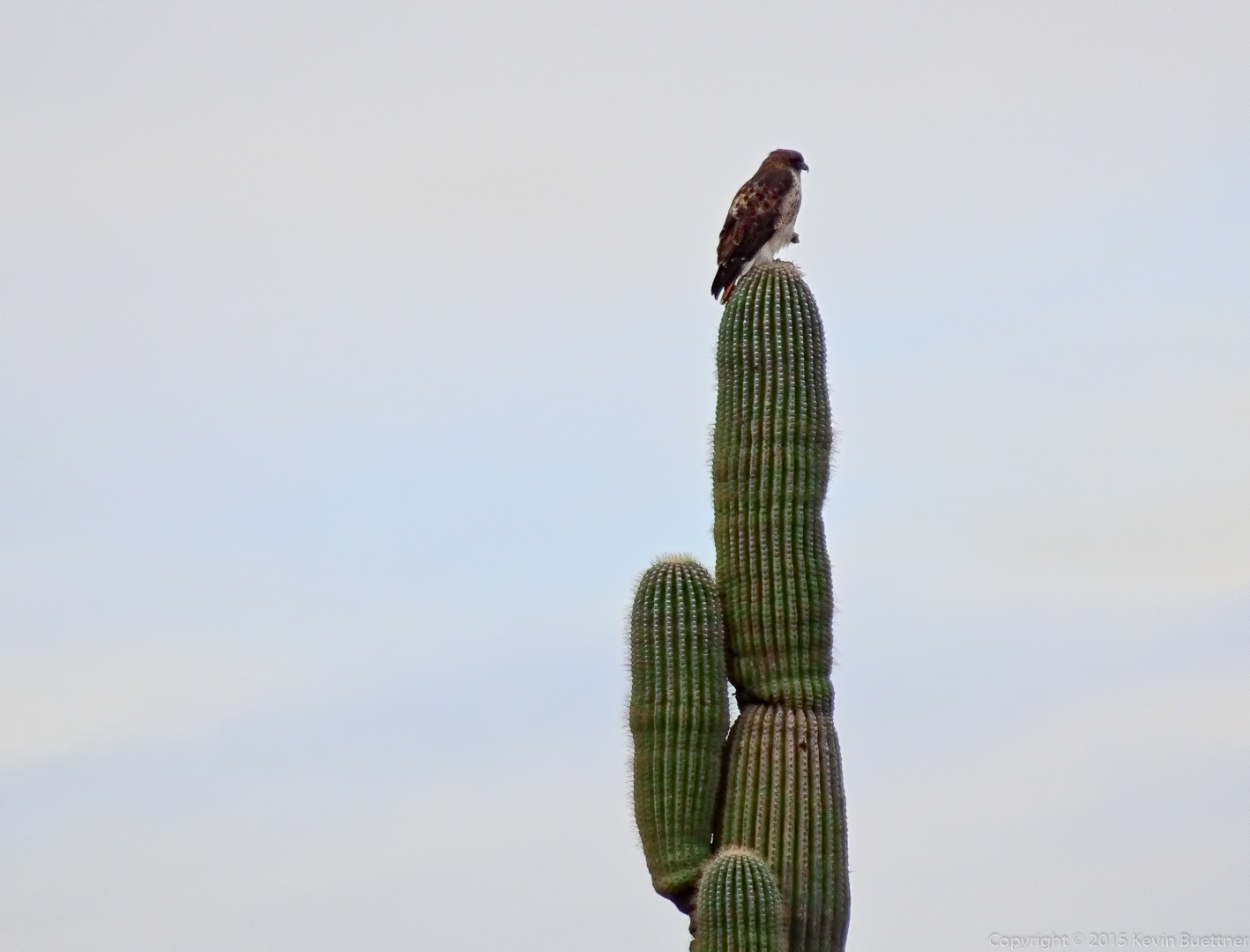
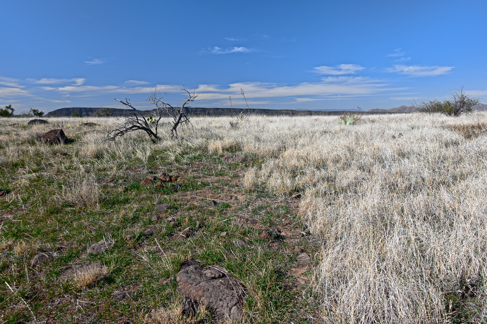
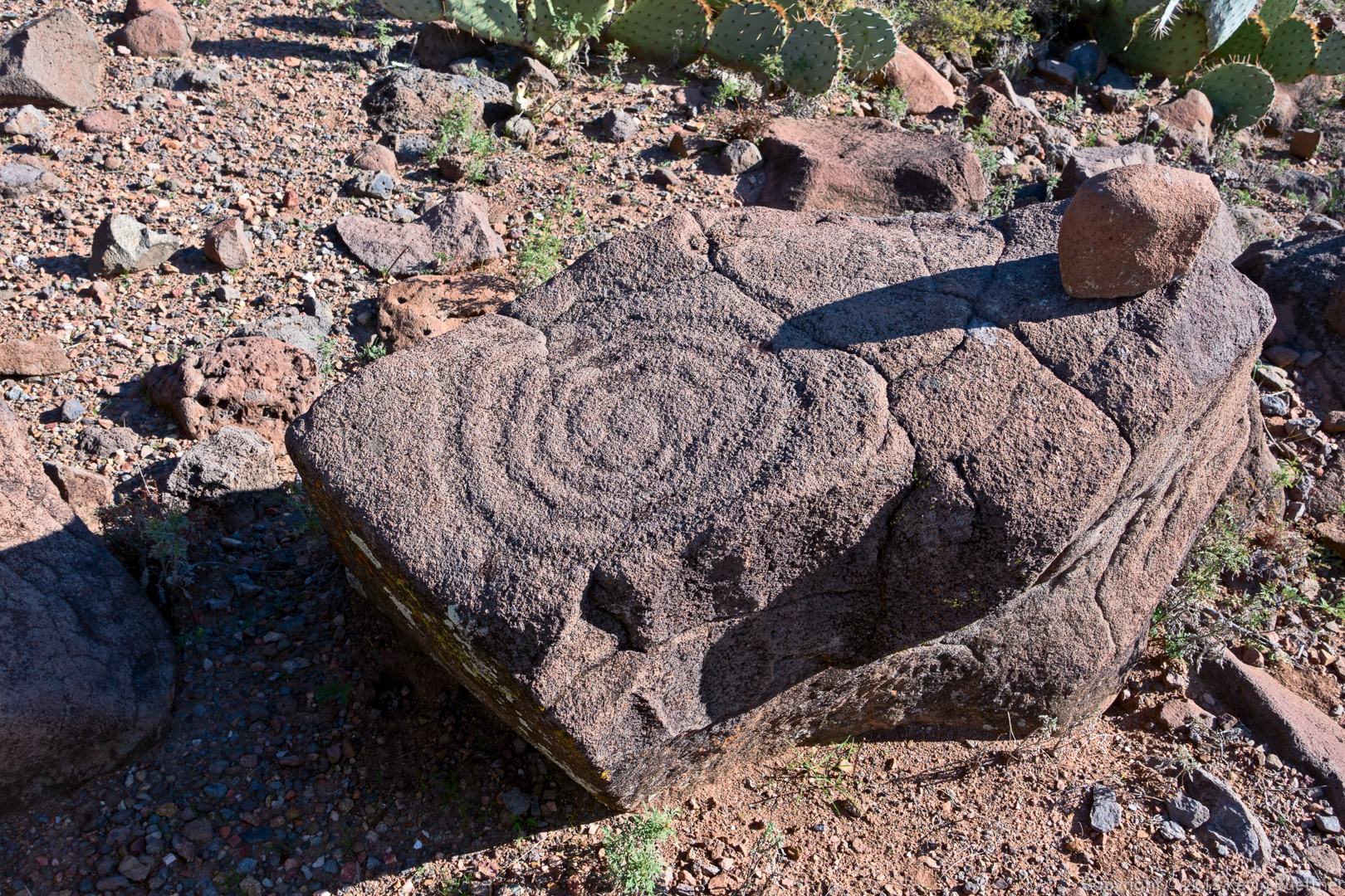
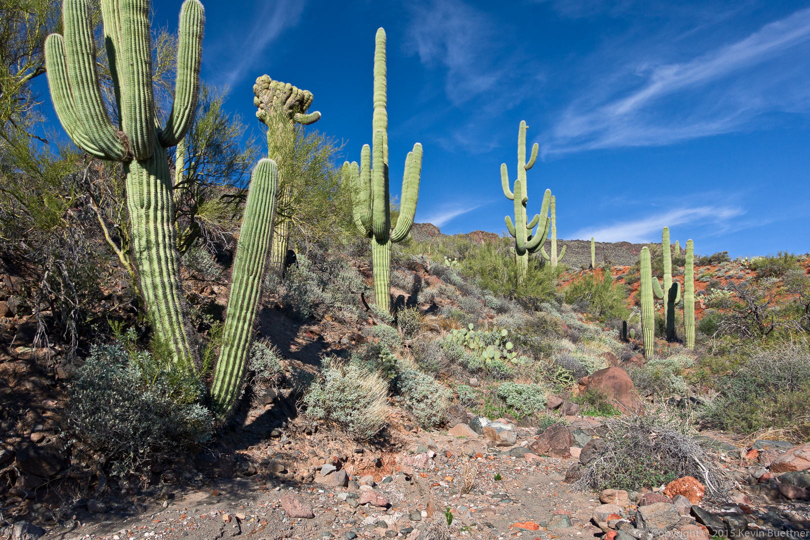
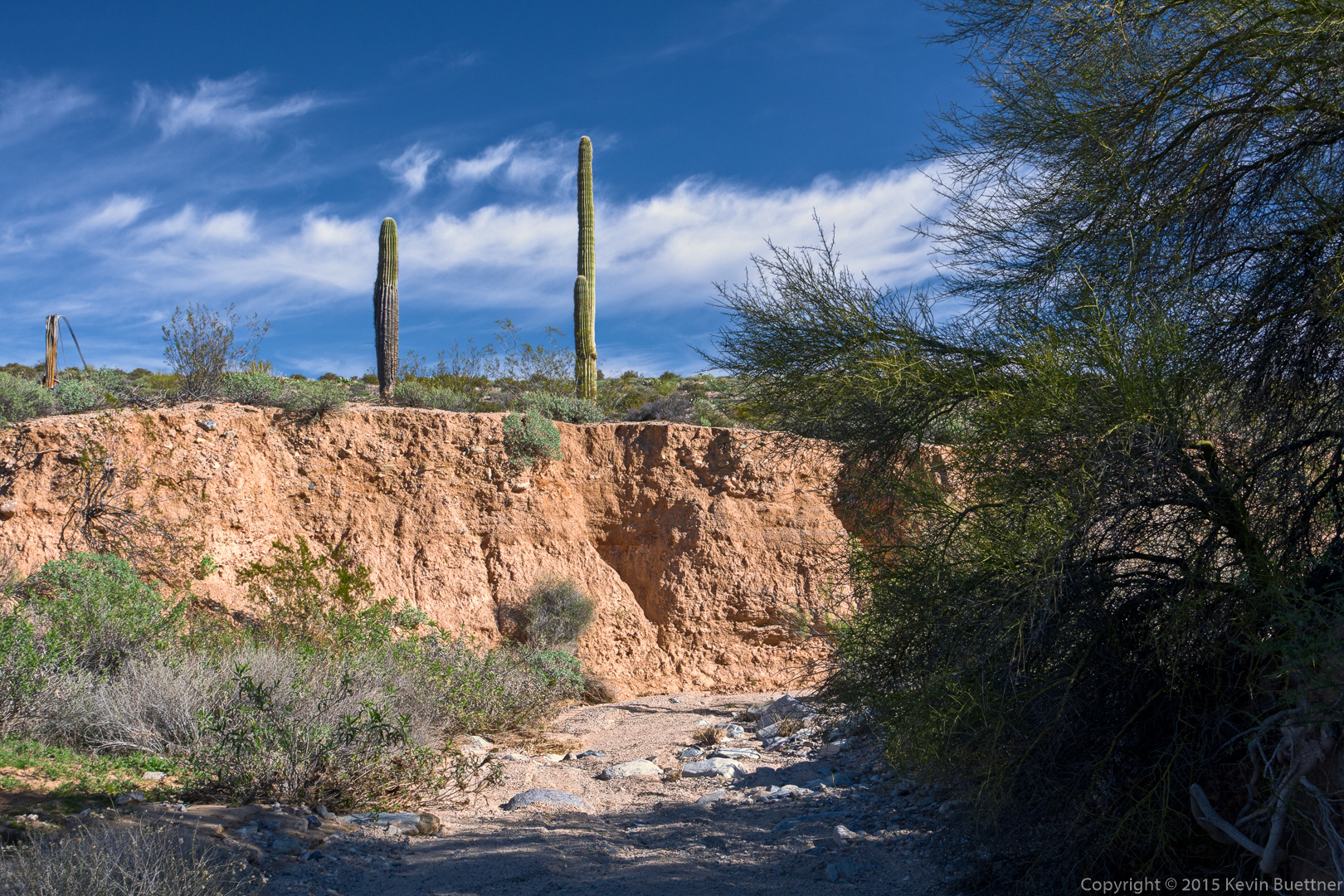
More views from the wash…

20160129-_DSC9919-Edit-medium

20160129-_DSC9946-Edit-medium

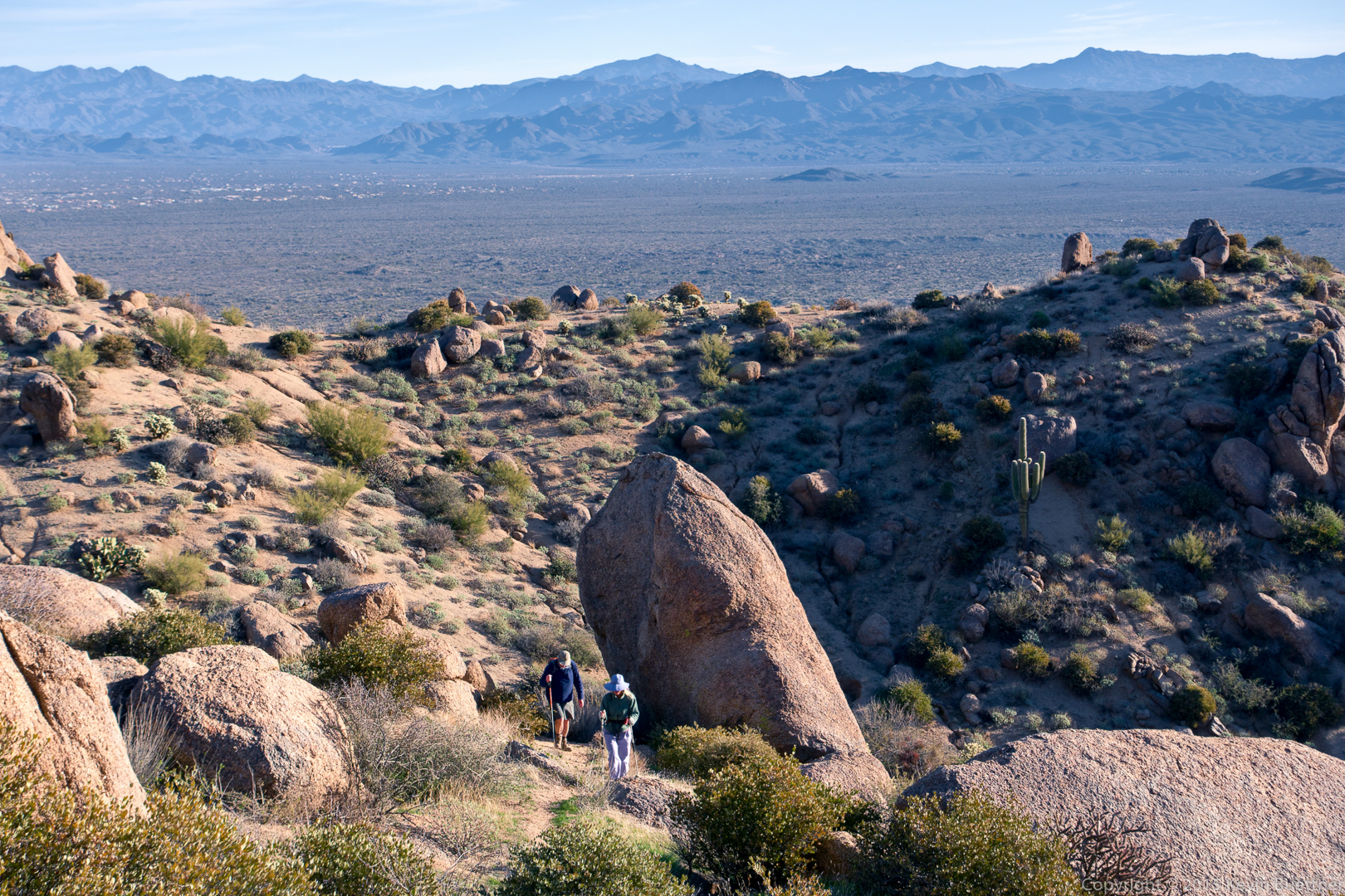
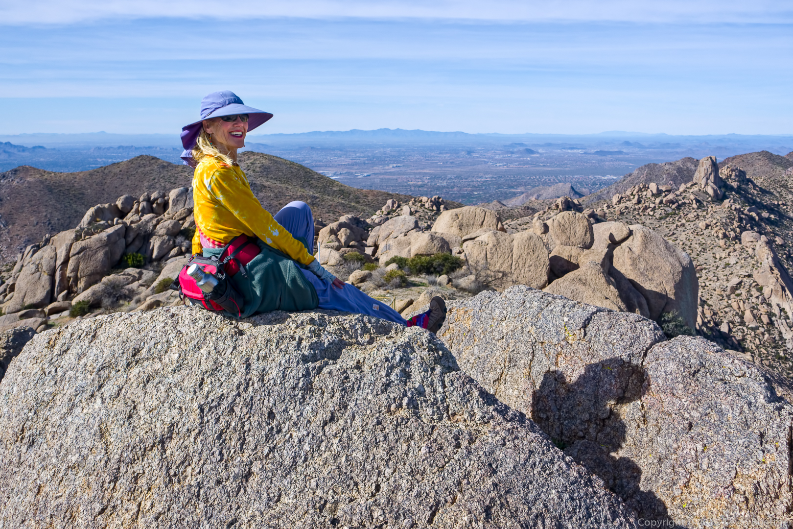
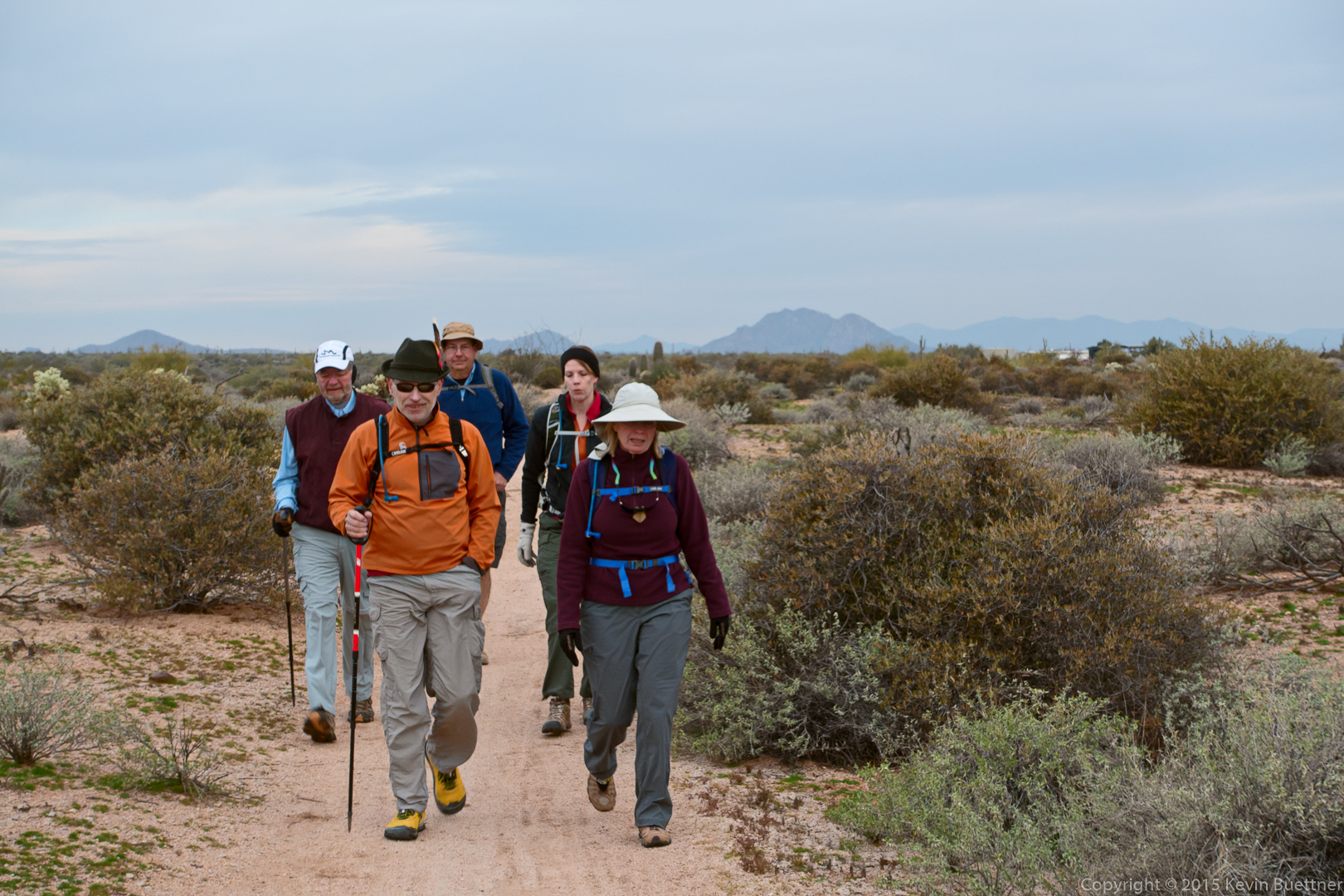
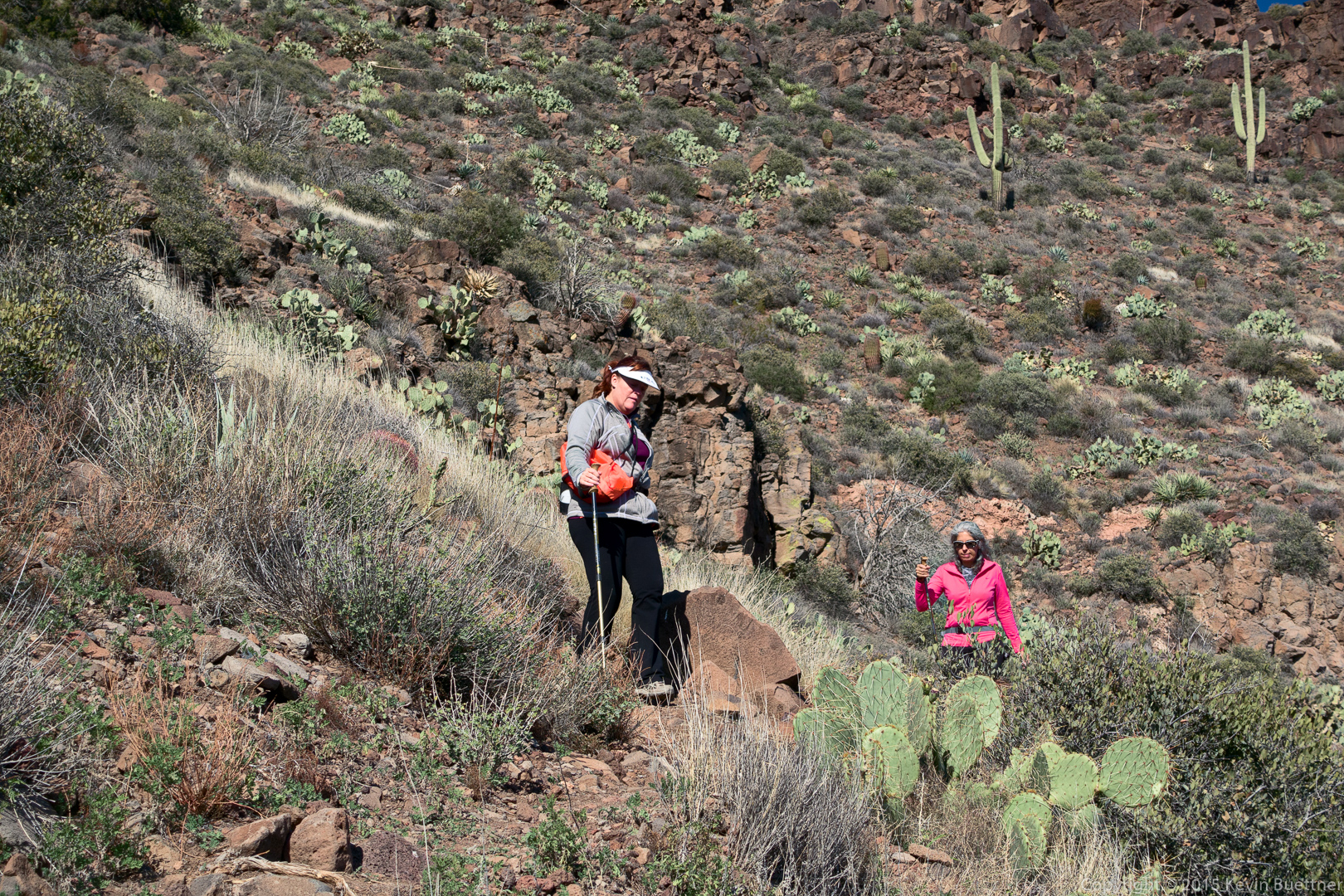
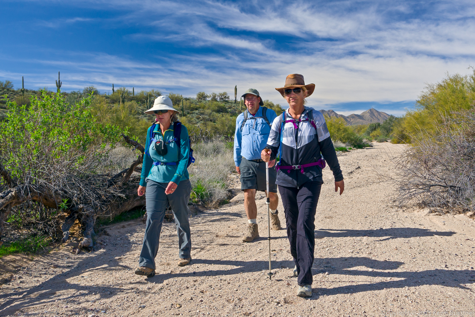
Linda, Mike, and Nancy:

20160129-_DSC0013-Edit-medium

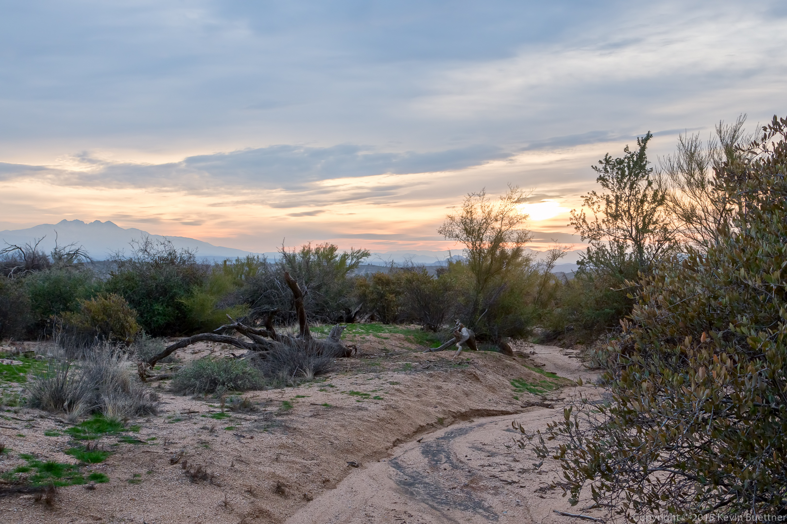
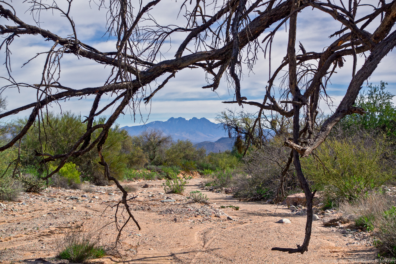
Four Peaks framed by tree branches:

20160129-_DSC0028-Edit-medium

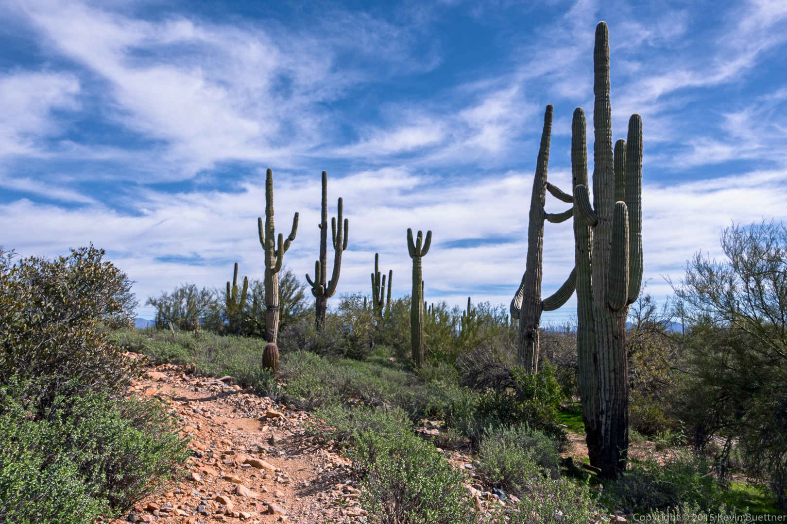
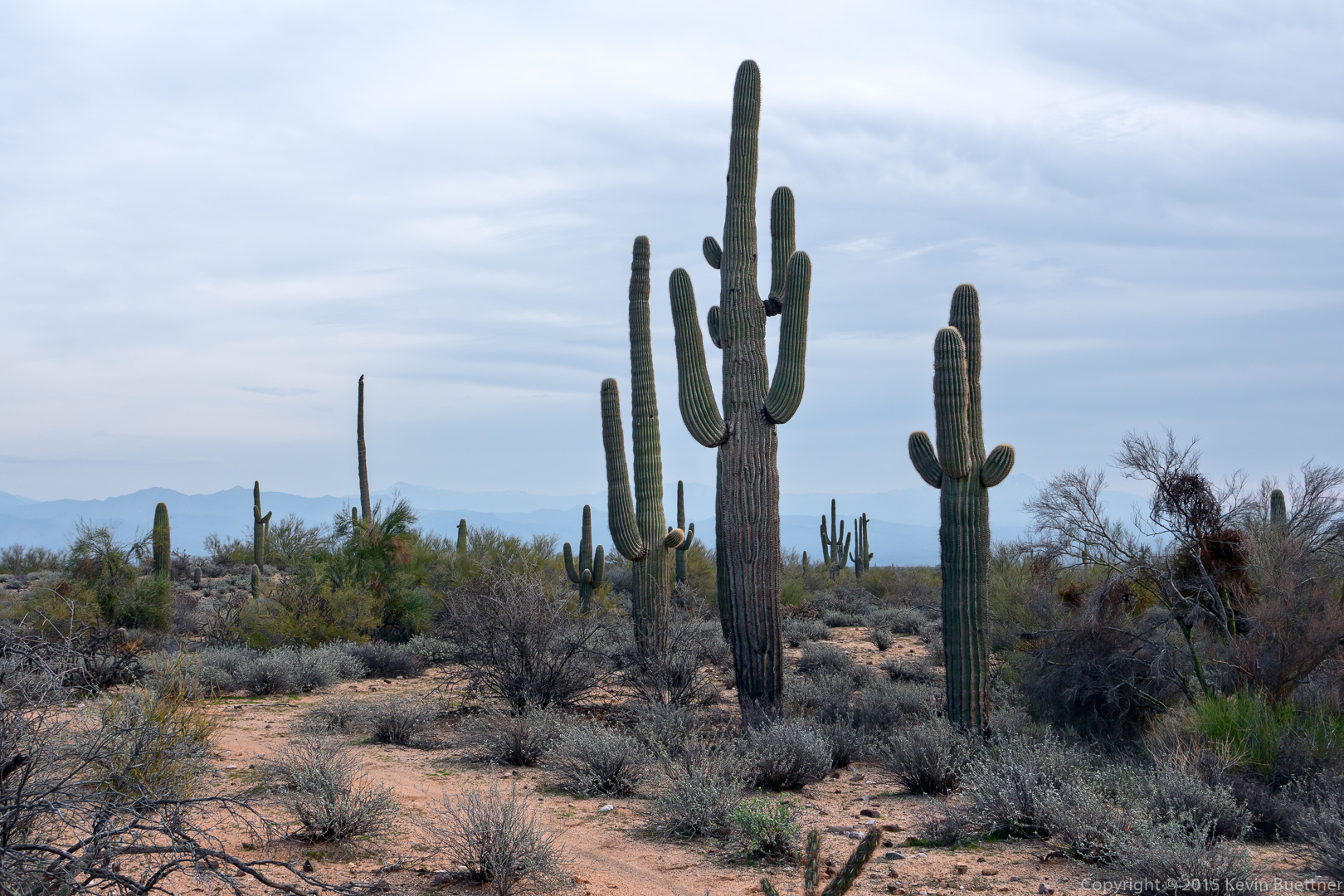
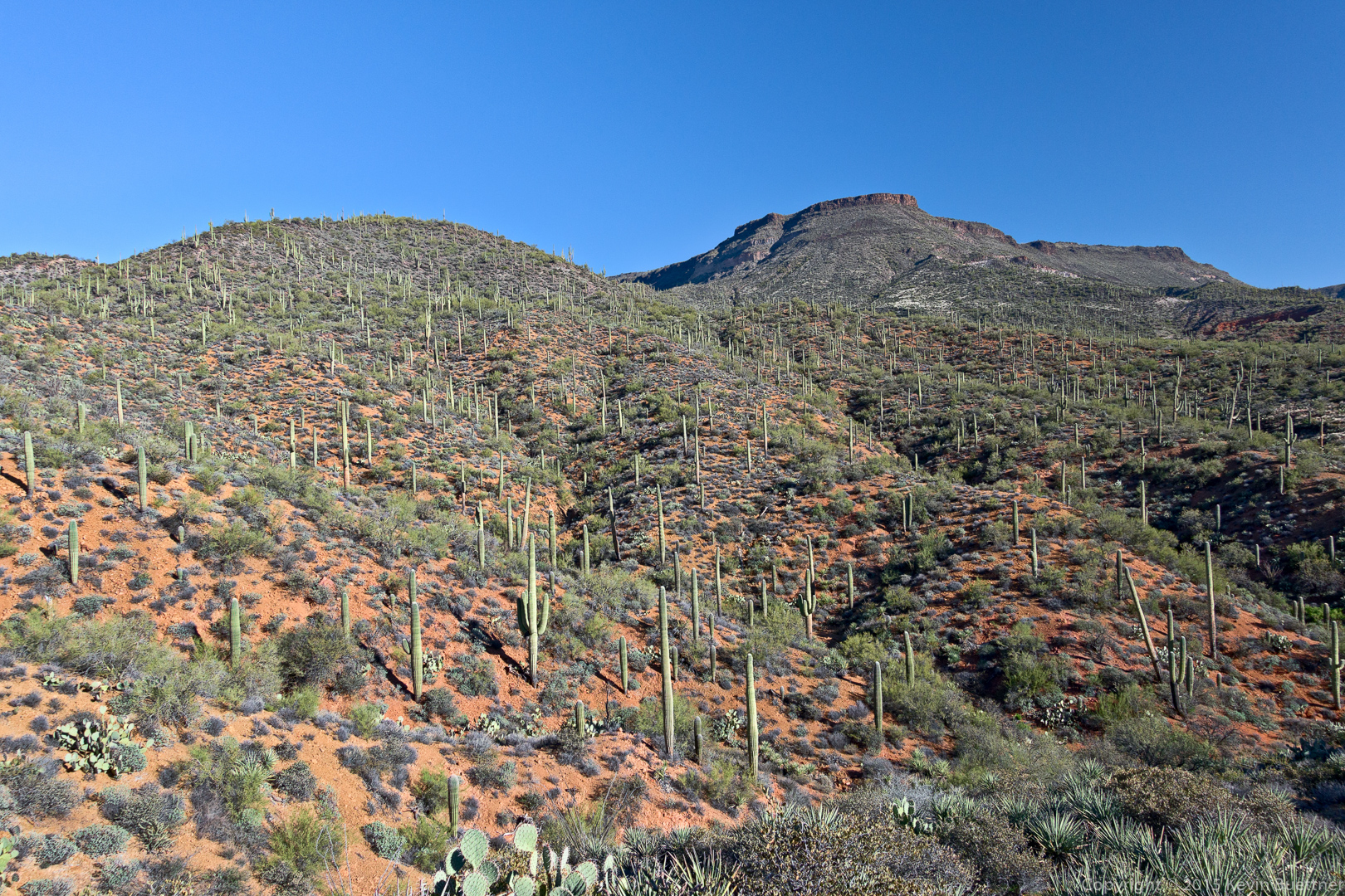
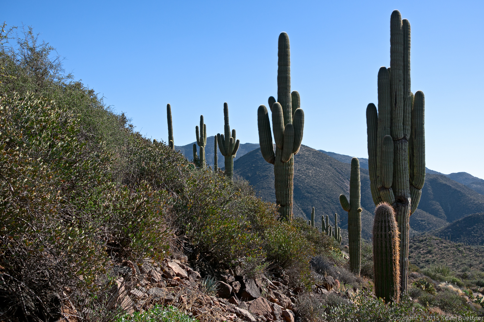
Saguaros on the latter part of the Long Loop:

20160129-_DSC0037-Edit-medium

Friday Fitness Hike

Friday’s hike started from the Tom’s Thumb Trailhead.  Mike, Denise, and I hiked to the highest point in the McDowells. Amy, Linda, and Jon hiked the Mesquite Canyon and the Feldspar trails with us, and then continued on to the Marcus Landslide Trail. Linda told me that her group hiked 6.4 miles.  Mike and I hiked about the same distance; we added a few extra miles to our hike when we hiked down the Rock Knob Trail into McDowell Mountain Park. (Denise went on ahead after reaching the summit.)

Linda sent me this photo of a white goat on a boulder. She told me that she called to it and that it started coming down, but then disappeared behind a boulder.

20160122-003-Edit-medium

I took this photo from the parking area just after I arrived.  This is well after sunrise, but some color was present in the sky from the sun being partially behind a dense bank of clouds.

20160122-_DSC9400-Edit-medium

Looking back down Mesquite Canyon during an early part of our hike:

20160122-_DSC9427-Edit-medium

20160122-_DSC9457-Edit-medium

20160122-_DSC9466-Edit-medium

A view of the Thumbnail Pinnacle on the ridge line.  Our route took us below and the left of the large rock formation below and to the left of the Thumbnail Pinnacle.  This is the Hog Heaven climbing area.

20160122-_DSC9490-Edit-medium

Denise spotted Linda, Jon, and Amy stopped at one of the many signs on the Marcus Landslide Trail:

20160122-DSC01042-Edit-medium

Denise looks to see what’s ahead of us:

20160122-_DSC9532-Edit-medium

Mike on a steep section of our route up to the Thumbnail Pinnacle:

20160122-_DSC9538-Edit-medium

Denise and Mike, next to the Thumbnail Pinnacle:

20160122-_DSC9568-Edit-medium

A view of Thompson Peak:
20160122-_DSC9577-Edit-medium

Another view of the Thumbnail Pinnacle; when viewed from where I took this photo, it appears to be a slender and dramatic pinnacle.20160122-_DSC9604-Edit-medium

Approaching the East End…

20160122-_DSC9646-Edit-medium

Densie, sitting atop the summit at the East End.  This is the highest point in the McDowells.  Tom’s Thumb is visible below us at the far right in this photo.20160122-_DSC9658-Edit-medium

Glass Dome and Tom’s Thumb – and a lot of other boulders too!

20160122-_DSC9736-Edit-medium

Gardener’s Wall and Tom’s Thumb:

20160122-_DSC9754-Edit-medium

A view of the Rock Knob area as seen from the Rock Knob Trail just inside of McDowell Mountain Park:

20160122-_DSC9763-Edit-medium

Racers

These were the leaders at the time that we encountered the “Marathon” mountain bike racers during our hike of the Scenic Trail on Saturday.

20160116-_DSC9332-Edit-medium

Friday Fitness Hike

On Friday, the 15th, several of us hiked a bit over 12 miles on the following trails: Wagner, Granite, Bluff, Pemberton, Rock Knob, Gooseneck, Delsie, Granite, Stoneman Wash, Bluff, Granite, and Wagner.

(We also hiked 12 miles on Friday, the 8th, but it was raining that day, so I don’t have any photos.)

This is a shot from the Granite Trail, prior to the hike:

20160115-_DSC9058-HDR-Edit-medium

20160115-_DSC9097-Edit-medium

Nancy, Nick, Bill, Mike, Linda, and Amy:

20160115-_DSC9142-Edit-medium

I think this is a view from the Bluff Trail:

20160115-_DSC9172-Edit-medium

A view of the McDowells from the Pemberton Trail:

20160115-_DSC9193-Edit-medium

Chain fruit cholla on the Rock Knob Trail:

20160115-_DSC9220-Edit-medium

20160115-_DSC9280-Edit-medium

20160115-DSC01020-Edit-medium

New Year’s Day Hike

On January 1, Bob, Janet, Allen, Nick, DeAnn, Sandy, Marilyn, and I hiked from Spur Cross to Skull Mesa.  (Not all of us went to the top.) My GPS watch tells me that I hiked 12.6 miles with over 3100 feet of total ascent.

The mile to the top of the mesa has approximately 1,000 feet of elevation gain, which is quite a lot for just one mile. It was not as difficult as I expected, however, since the trail was both easy to follow and in good condition with numerous switchbacks.

Views from early in the hike…
20160101-_DSC8500-Edit-medium

20160101-_DSC8512-Edit-medium

Marilyn, Bob, Allen, Sandy, Nick, Janet, and DeAnn:

20160101-_DSC8542-Edit-medium

A view of Skull Mesa:

20160101-_DSC8548-Edit-medium

Another view of Skull Mesa:

20160101-_DSC8587-Edit-medium

DeAnn, nearing the summit:

20160101-_DSC8675-Edit-medium

The top of Skull Mesa is grassy and expansive.20160101-_DSC8677-Edit-medium

Views from the top of Skull Mesa…

20160101-_DSC8686-Edit-medium

20160101-_DSC8701-Edit-medium

Sandy and DeAnn descending the trail from the top of Skull Mesa:

20160101-_DSC8725-Edit-medium

I saw these saguaros on the way down.

20160101-_DSC8764-Edit-medium

We saw this petroglyph on the way down too:
20160101-_DSC8776-Edit-medium

A semi-crested (?) saugaro:
20160101-_DSC8803-Edit-medium

A late afternoon view. (We started our hike at about 8:30am and got back somewhat before 5pm.)

20160101-_DSC8869-Edit-medium

20160101-_DSC8890-Edit-medium

Marilyn at the end of the Cottonwood Trail:

20160101-_DSC8903-Edit-medium

DeAnn, Sandy, and Marilyn by the Skull Mesa Trailhead sign.  Note the skull at the top of the sign.

20160101-_DSC8908-Edit-medium