Tag: McDowell Sonoran Preserve (page 1 of 11)

Friday Fitness Hike

Laura, Mike, Nora, Heather, Gayle, Bob, Ben, and Marilyn joined me for a nearly eleven mile hike in the McDowells. We visited the Dixie Mine and then continued onto Prospector, making a loop additionally comprised of the Bell Pass, Windmill, and Coachwhip trails.

Looking toward the McDowells from early in the hike:

Affectionate saguaros:

Dixie Mine adit:

Petroglyphs:

More petroglyphs:

Hiking up the waterfall:

A cool slab along the way up-canyon:

Laura, Mike, Nora, Heather, Gayle, Bob, Ben, and Marilyn:

Looking towards Fountain Hills and the Superstitions from the Prospector Trail overlook:

Continuing on the Prospector Trail…

Looking towards Four Peaks from the Bell Pass Trail:

Brittlebush blossoms along the Windmill Trail:

Friday Fitness Hike

Marilyn, Mike, Sara, Jerry, and Julie joined me for a ten mile hike in the Tom’s Thumb area.  Marilyn hiked out Marcus Landslide, then took Pemberton and Coachwhip to Windmill.  There, she waited for the rest of us to meet up with her after hiking past Tom’s Thumb and down East End.

A view of Troon Mountain from early in the hike:

This small pinnacle is encountered while hiking the access trail leading to the ridge on which Tom’s Thumb is situated.

Looking down at Pinnacle Peak and Troon:

A view of Tom’s Thumb from the ridge:

Looking toward Phoenix:

Mike, Sara, Julie, and Jerry in front of Tom’s Thumb:

Heading down the East End Trail…

Jerry, Julie, and Mike descending one of many switchbacks on the East End Trail:

Mike spotted this chain fruit cholla with fasciation, or cresting:

Marilyn and Sara on the Boulder Trail:

Friday Fitness Hike

Gayle, Mike, Dan, Marilyn, and Bob joined me for a hike starting from the Wagner Trailhead. We hiked out on Wagner, Granite, and Bluff. We turned onto Granite and then hiked a short ways up Bluff Wash. Several of us tried the “boulder problem” for continuing up the wash. Marilyn and Bob continued on the Granite Trail (and returned on the Wagner) for a 5.5 mile hike. The rest of us hiked up Bluff Wash and eventually took Rock Knob up to Gooseneck, returning on Delsie, Granite, and Wagner for a 12.6 mile hike.

This was the view looking toward the Superstitions from the Granite Trail, just after turning off of Wagner…

Sandwash Groundsel:

A view from Bluff Wash:

Looking toward the McDowells:

I think we may have been on the Rock Knob Trail for this photo:

Sven Slab at the right; we saw a climber top-roping I Sinkso, 5.8 as we neared the intersection with the Gooseneck Trail.

Looking toward the Superstitions from the Delsie Trail:

Saturday Hike – Granite Mountain

On Saturday, Nov 30, Marilyn and I did a hike at Granite Mountain.  It was our first time there since the new trailhead facilities went in. The parking area is much larger and there are bathrooms now.

As we started out on the Bootlegger Trail, we got a good view of one of the areas at which we used to climb. I was wondering what the best approach might be.  (We used hike there from the Lost Bandanna Area, but there might be a better route now.) We used to climb at The Loaf and Bobcat Boulder which are located towards the left but below the ridge line.

The Bootlegger Trail passes between some large boulders along the way.

A view of snow covered peaks from the Saddle-horn Trail…

We proceeded around Granite Mountain Loop where we caught sight of another of the climbing areas that we used to frequent, this time the Lost Bandanna Area. We’ve done climbs on the prominent wall right of center (Lost Bandanna Wall) and also the relatively easy slab (The Cone) to the left.

We took the Balanced Rock Trail to, well, this large rock for which the trail is named.

A view of Brown’s Mountain and Cone Mountain from the Cholla Mountain Loop Trail:

I think this is some kind of hawk; we saw it as we were approaching the intersection with the Branding Iron Trail.

I saw this Christmas Cholla on the Stagecoach Trail. Marilyn and I had split up at this point. We eventually met up again on the South Diablo Trail.

Signs for the Diablo Trails…

I zoomed in a lot and got a shot of some rock formations in the distance.  I think that the Stagecoach trail goes around this formation.

This is one of the moderate obstacles on the Diablo Trail.  I doubt that I could ride up it, though I might be able to make it down. That said, there was a tricky bit at the top (out of view in this photo) which I might not make were I riding it in that direction.  There are some much more difficult obstacles in other locations, but I forgot to photograph them.

This is a view from the Bootlegger Trail, somewhat after turning off of Granite Mountain Loop.

Friday Fitness Hike

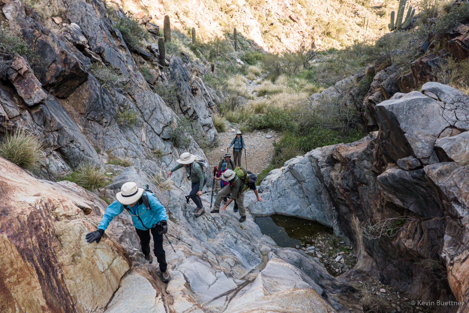
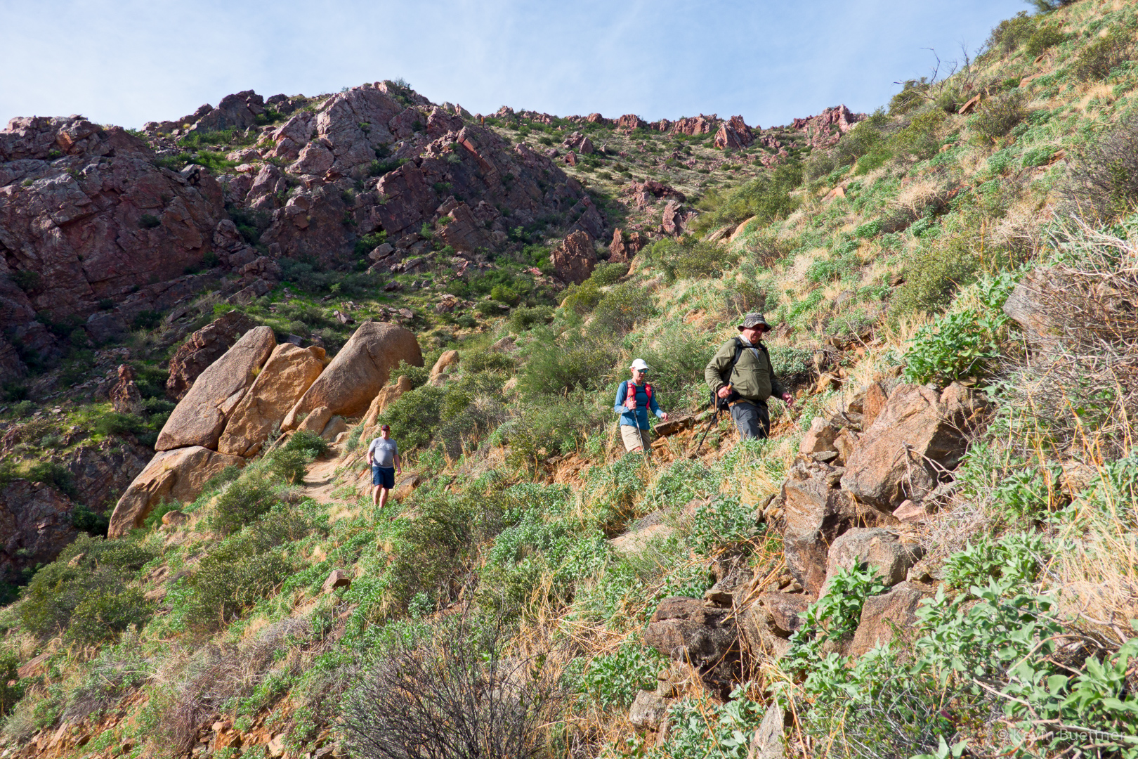
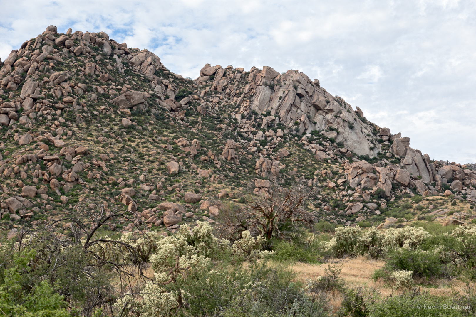
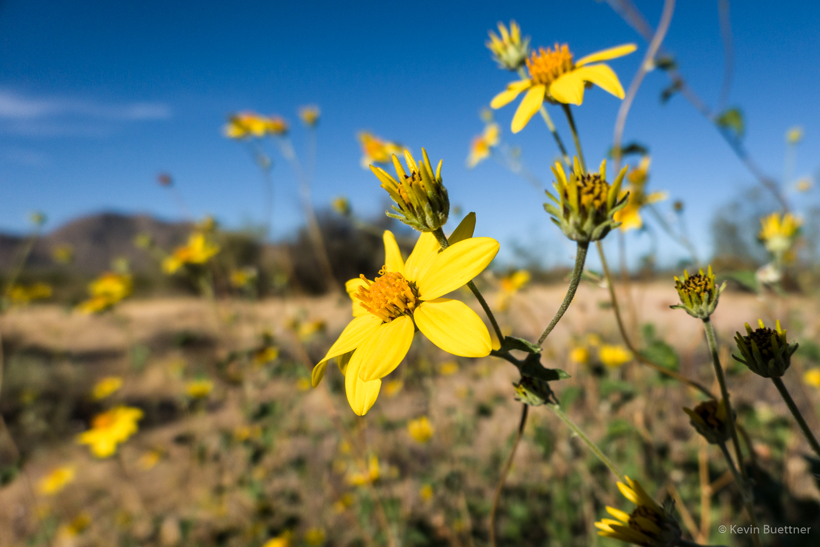
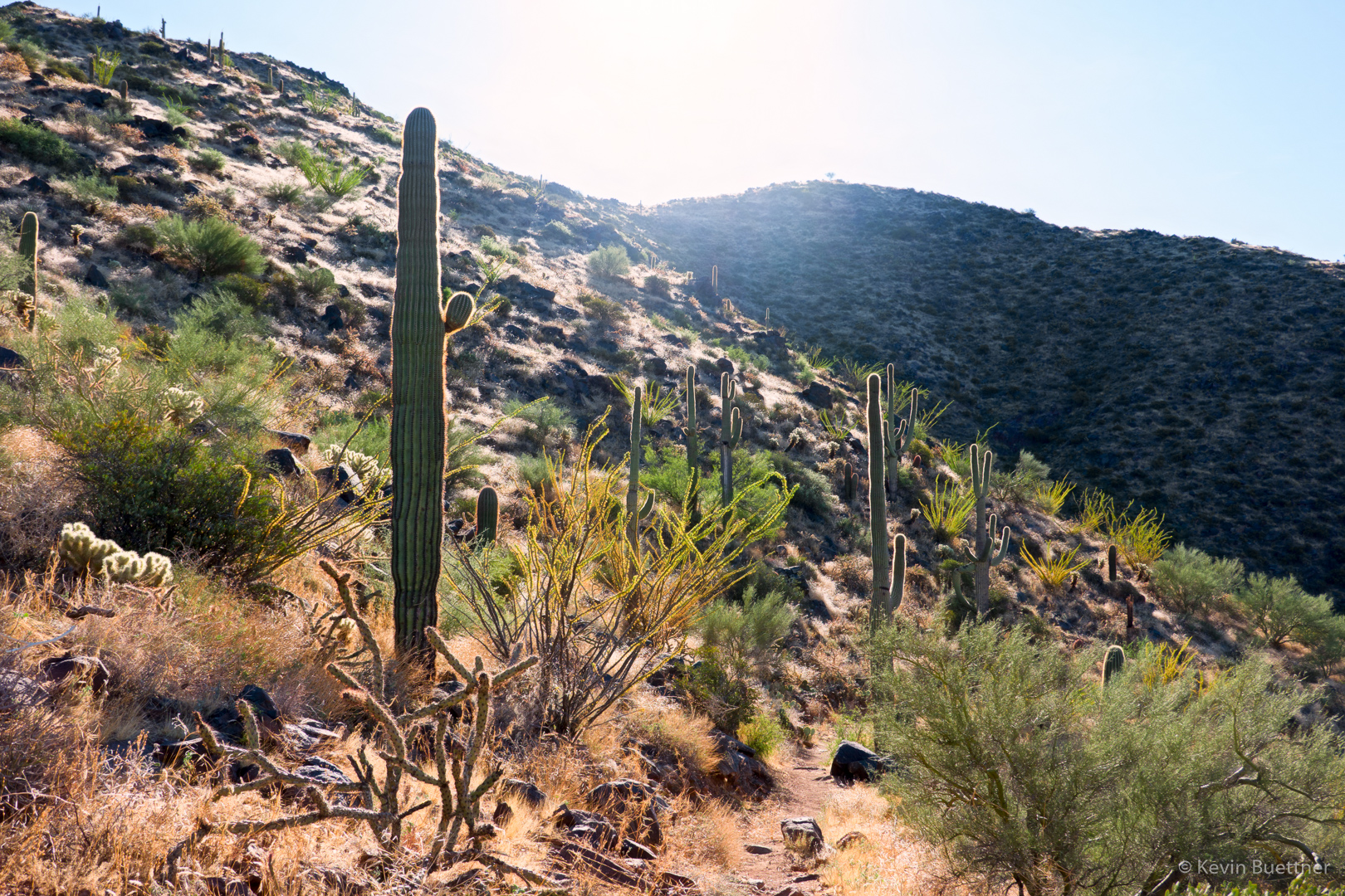
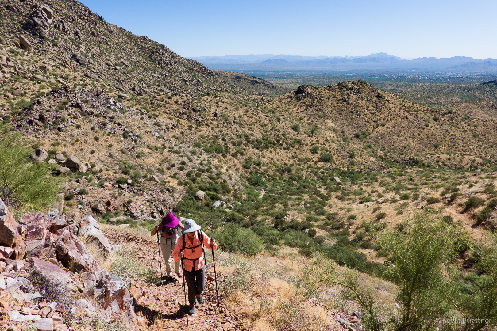
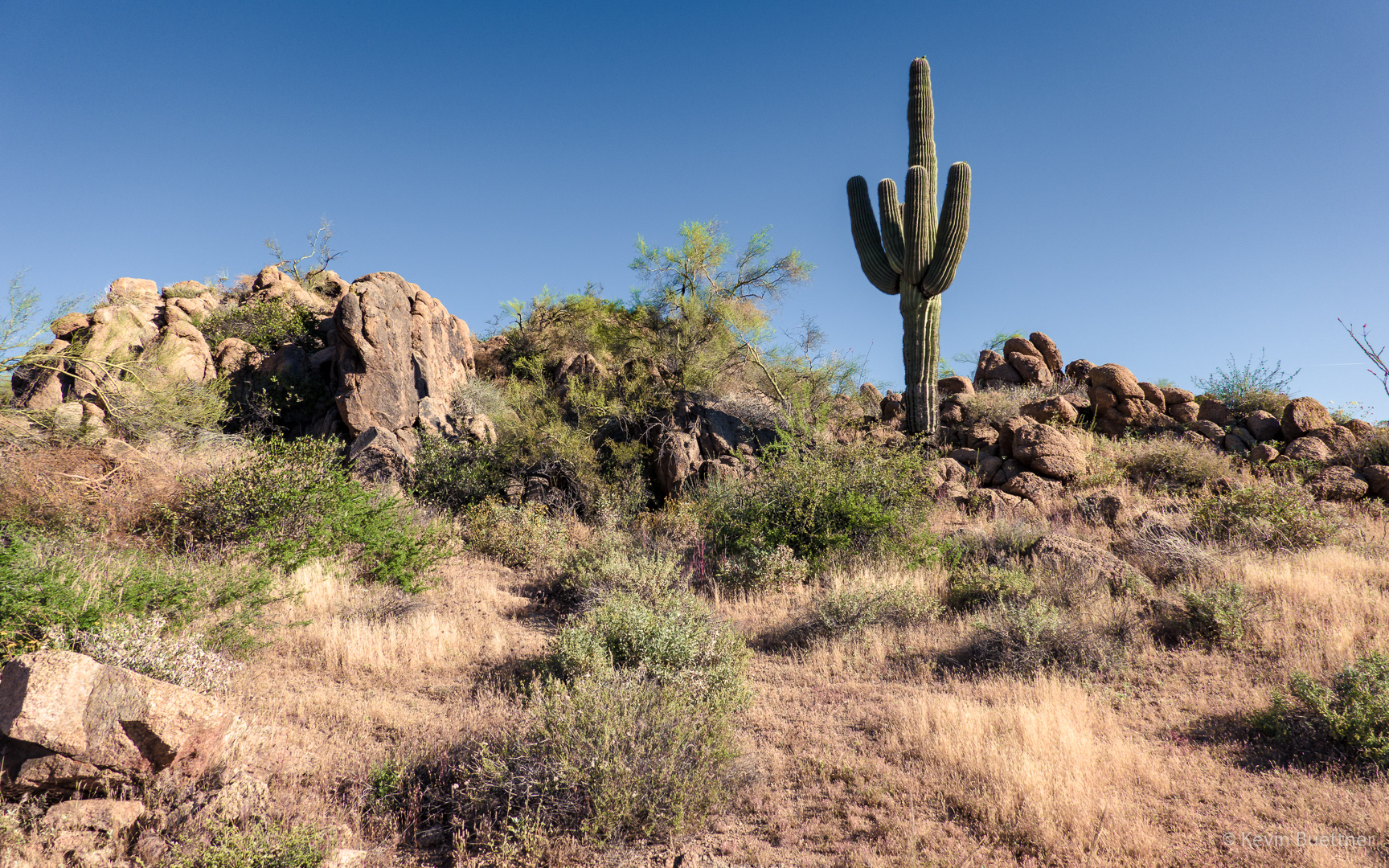
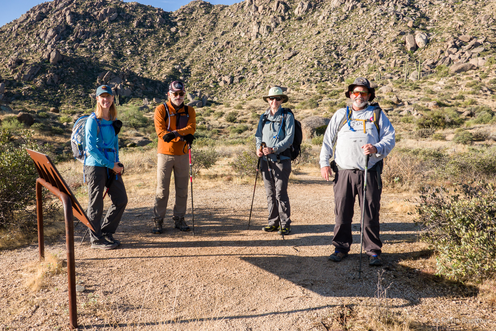
On Friday, the 22nd, Marilyn, Nick, Bob, Heather, and I hiked the Marcus Landslide Trail starting from Tom’s Thumb Trailhead. After completing the little loop at the end of the Marcus Landslide Trail, we went East on the Boulder Trail into McDowell Mountain Regional Park. When we reached Pemberton, Marilyn, Nick, and Bob turned north on Pemberton and then returned via Rock Knob and then Marcus Landslide.

Heather and I turned south on Pemberton and then took Coachwhip, Windmill, and East End to reach Tom’s Thumb Trail. We headed back down towards the Trailhead, but turned SE onto Feldspar as we neared the Trailhead. We visited Sven Slab where I showed her the Energizer/Hawk Boulder that Marilyn and I used to warm up on when we climbed at Sven Slab. I also showed her a really easy boulder problem that I could do in my hiking shoes. We inadvertently hiked part of the Rock Knob Trail (down to the Gooseneck intersection), retraced our steps back to Marcus Landslide, and then returned via the Caballo Trail. My GPS watch showed that we had hike a little over 12.5 miles. Heather’s phone reported over 13 miles.

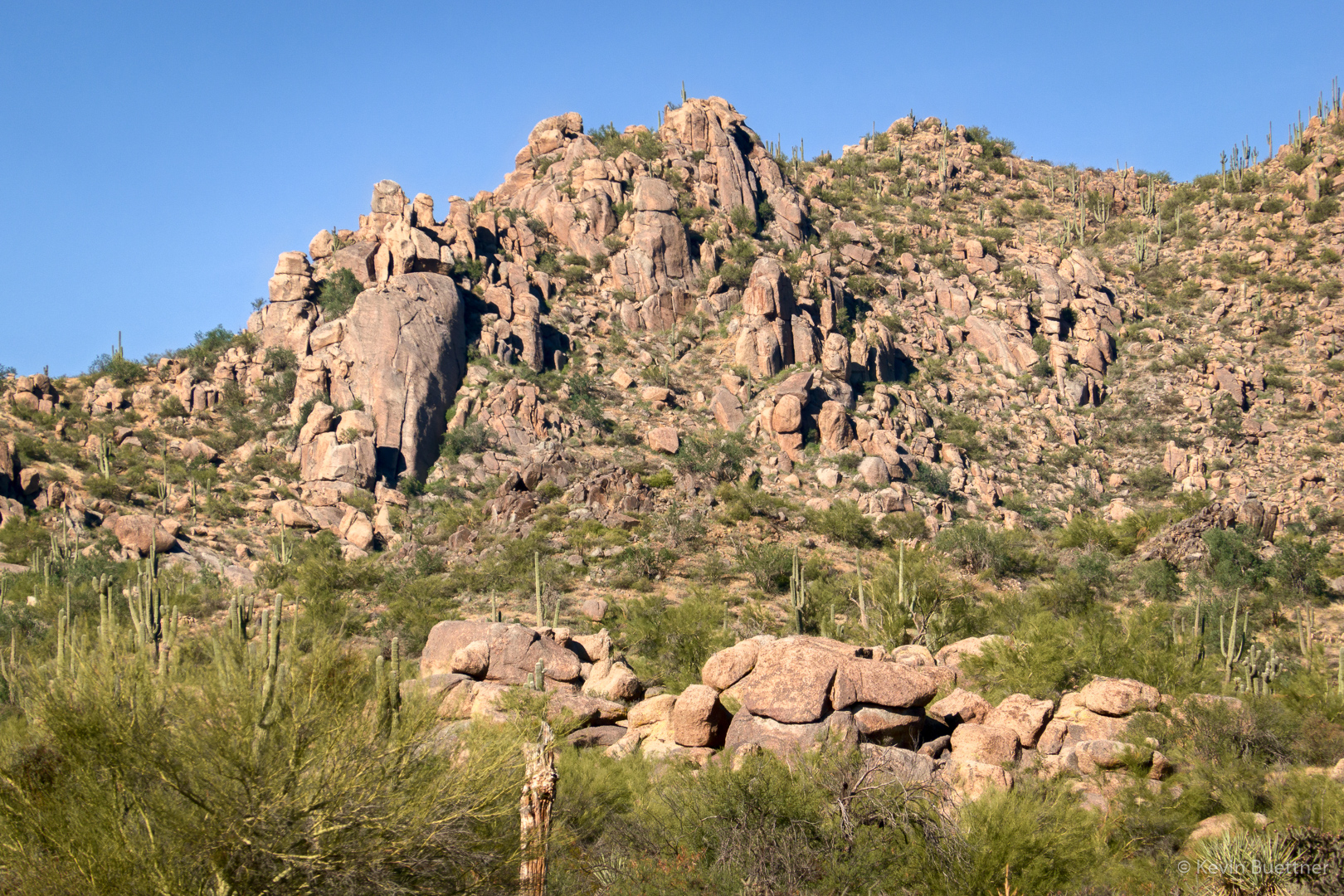
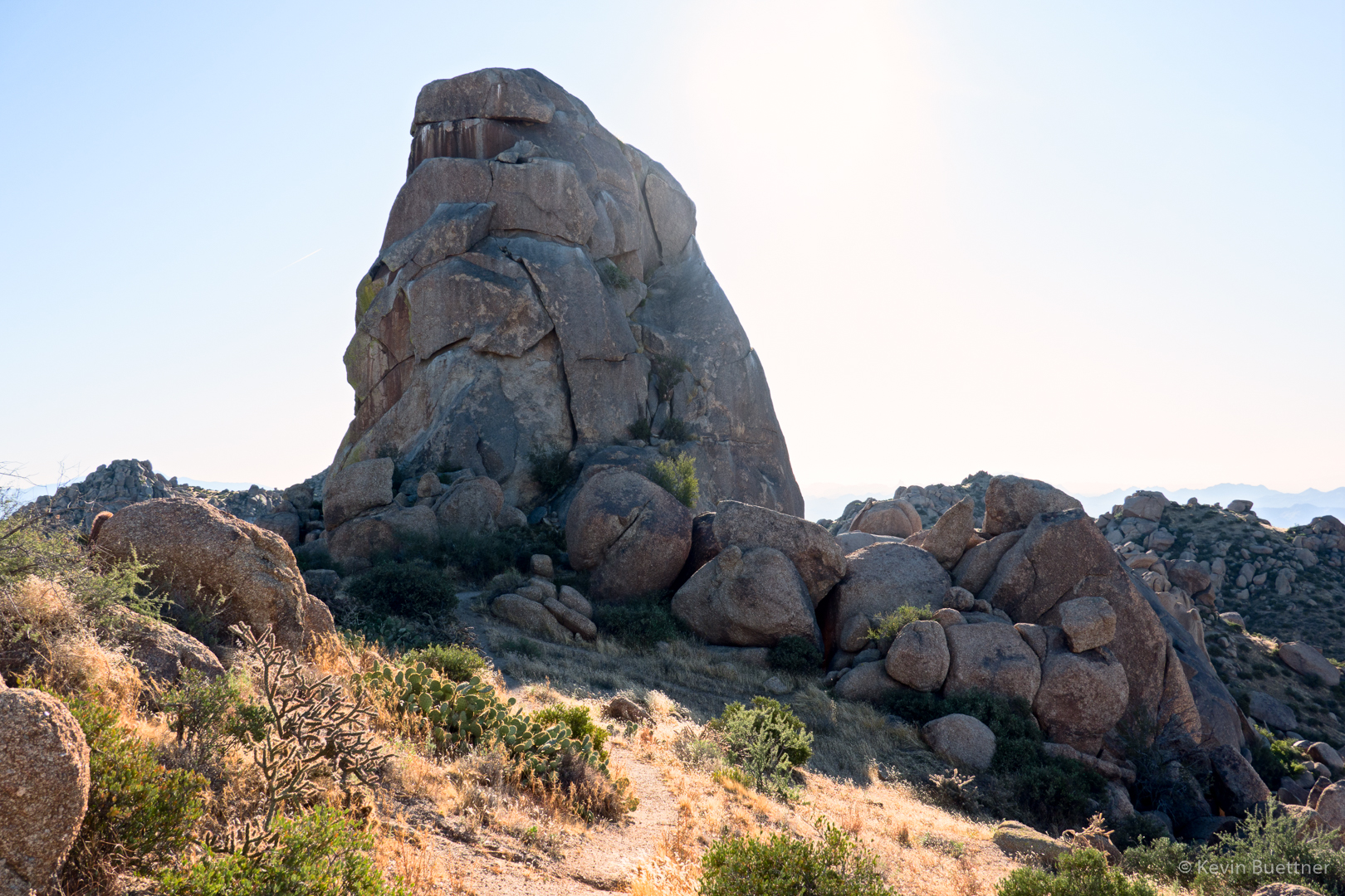
Morrell’s Wall is on the left; Tom’s Thumb is at the far right. The boulder pile beneath Morrell’s Wall is known as “Morrell’s Wall Parking Lot Area”.  Prior to the construction of the current trailhead, it was possible to park near this boulder pile; a short approach led to some (mostly) moderate climbs. The approach to Morrell’s wall was much more difficult.  It’s still not easy, but it’s easier than it used to be due to the climber’s access trail which now exists for accessing this area.

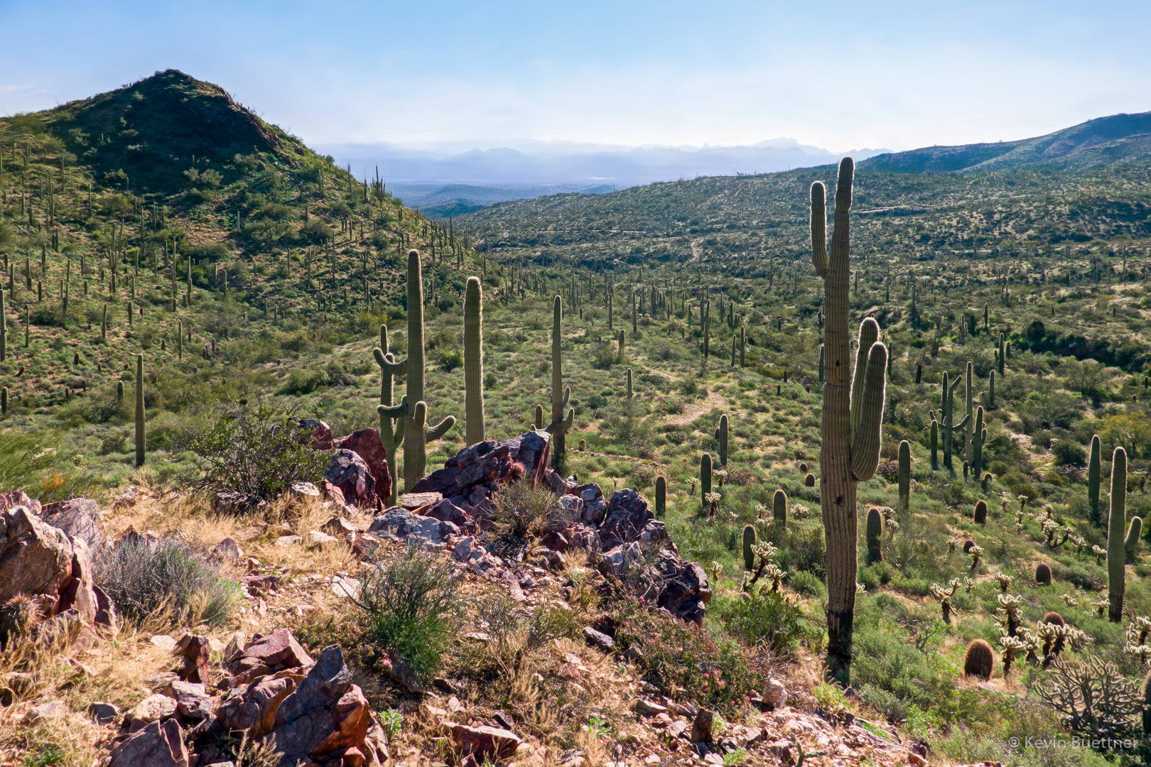
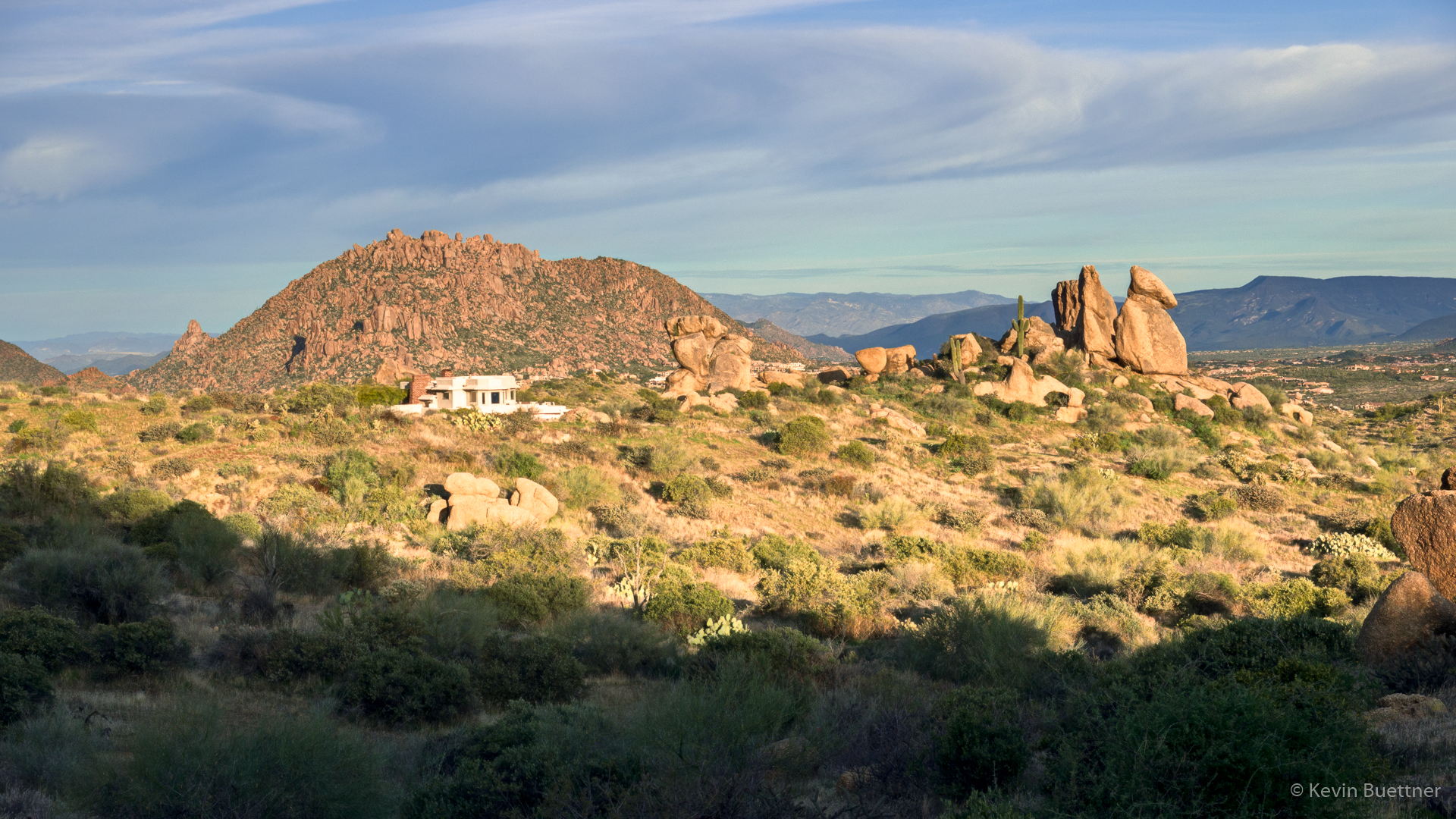
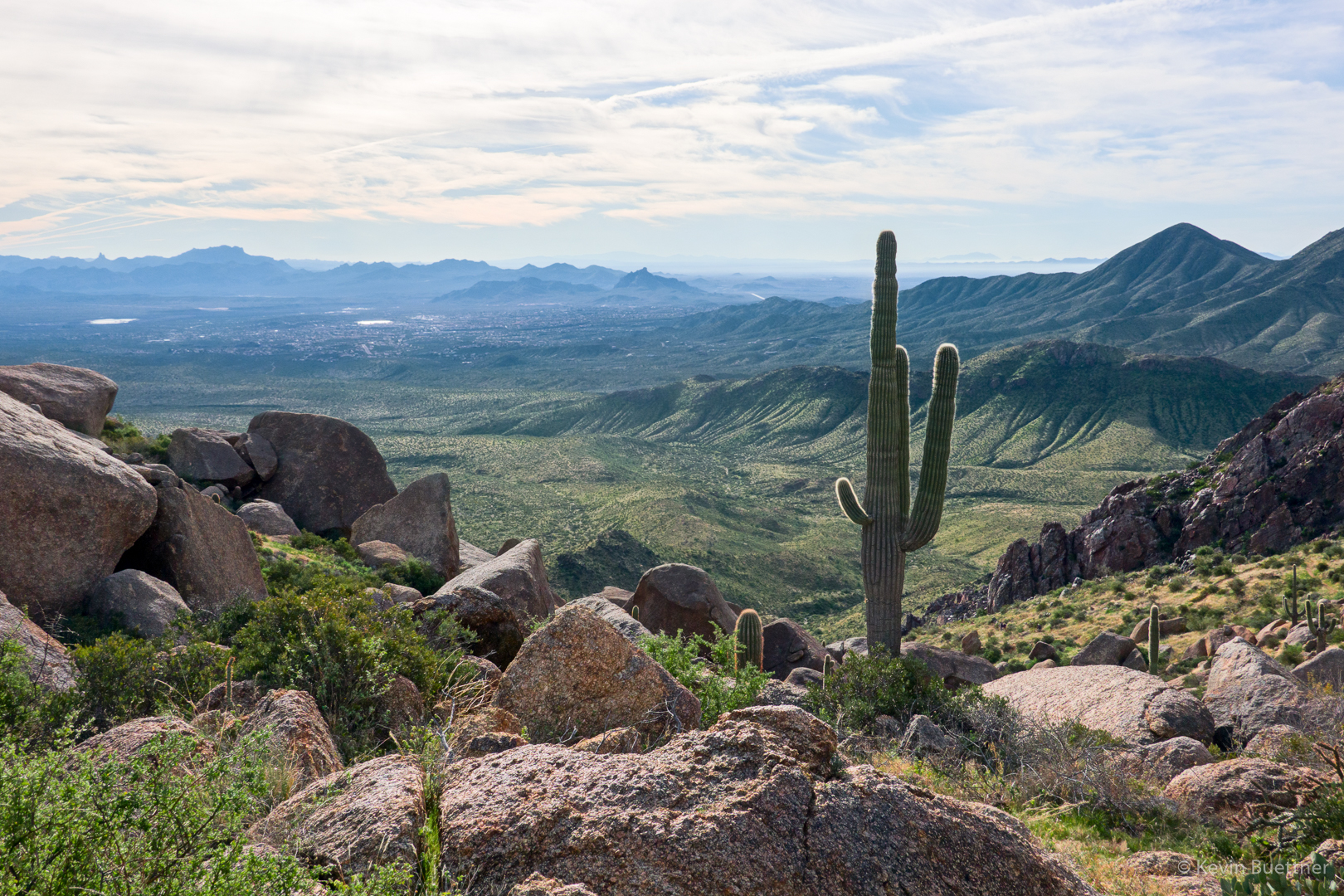
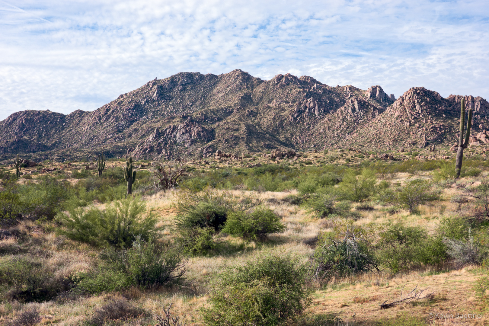
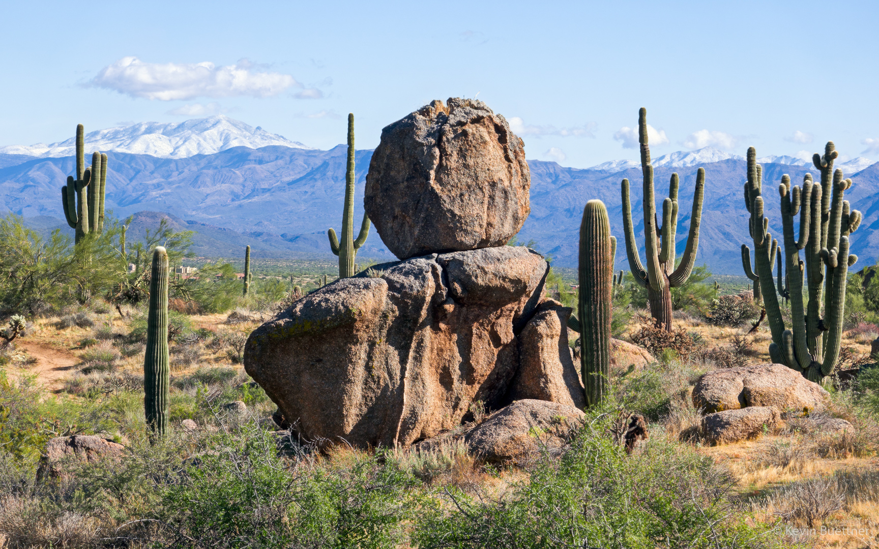
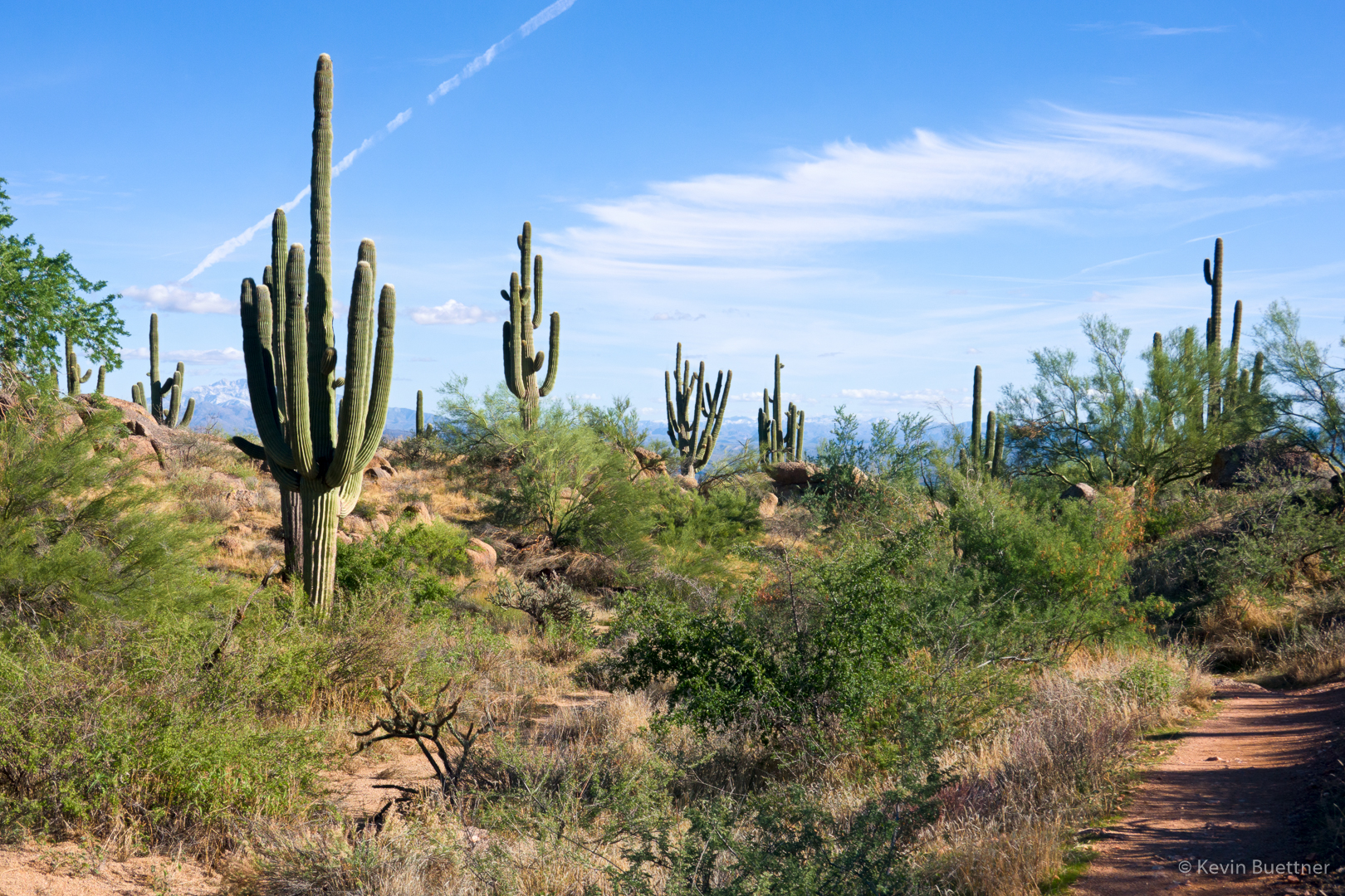
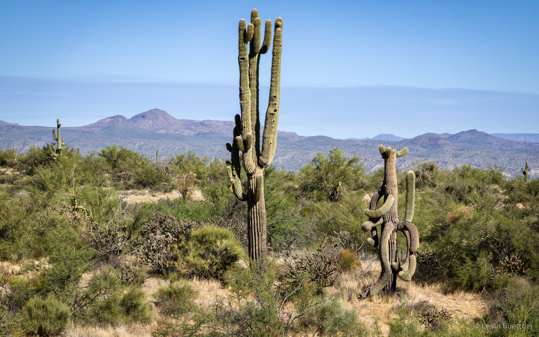
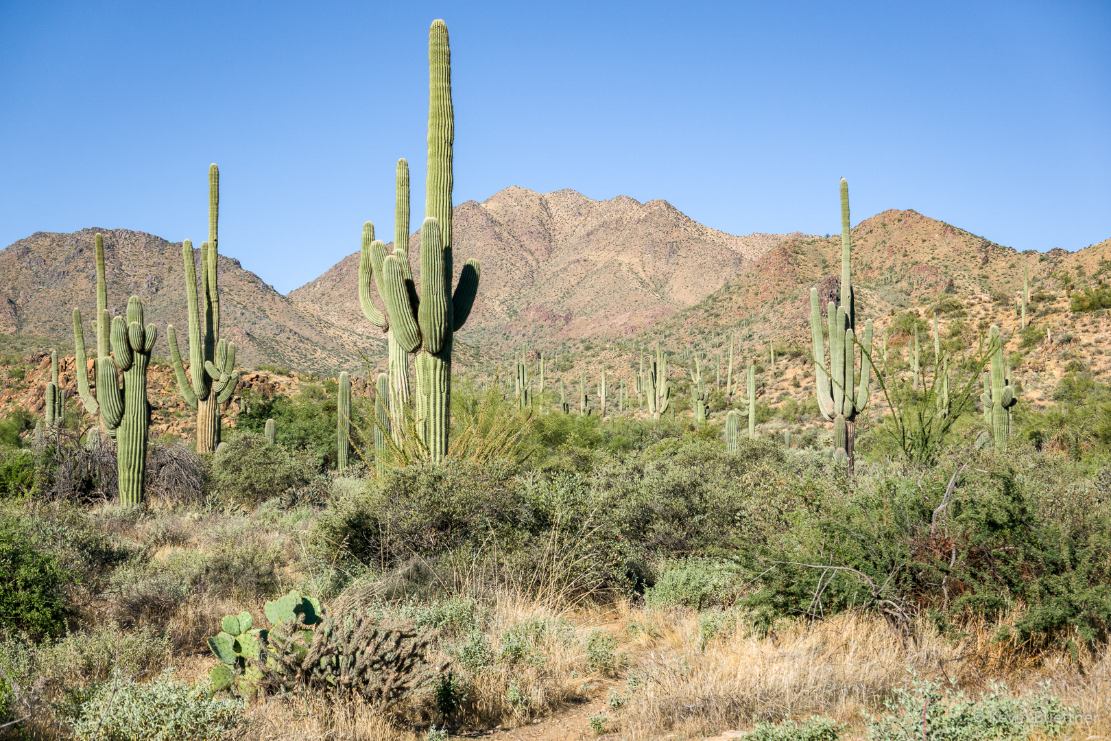
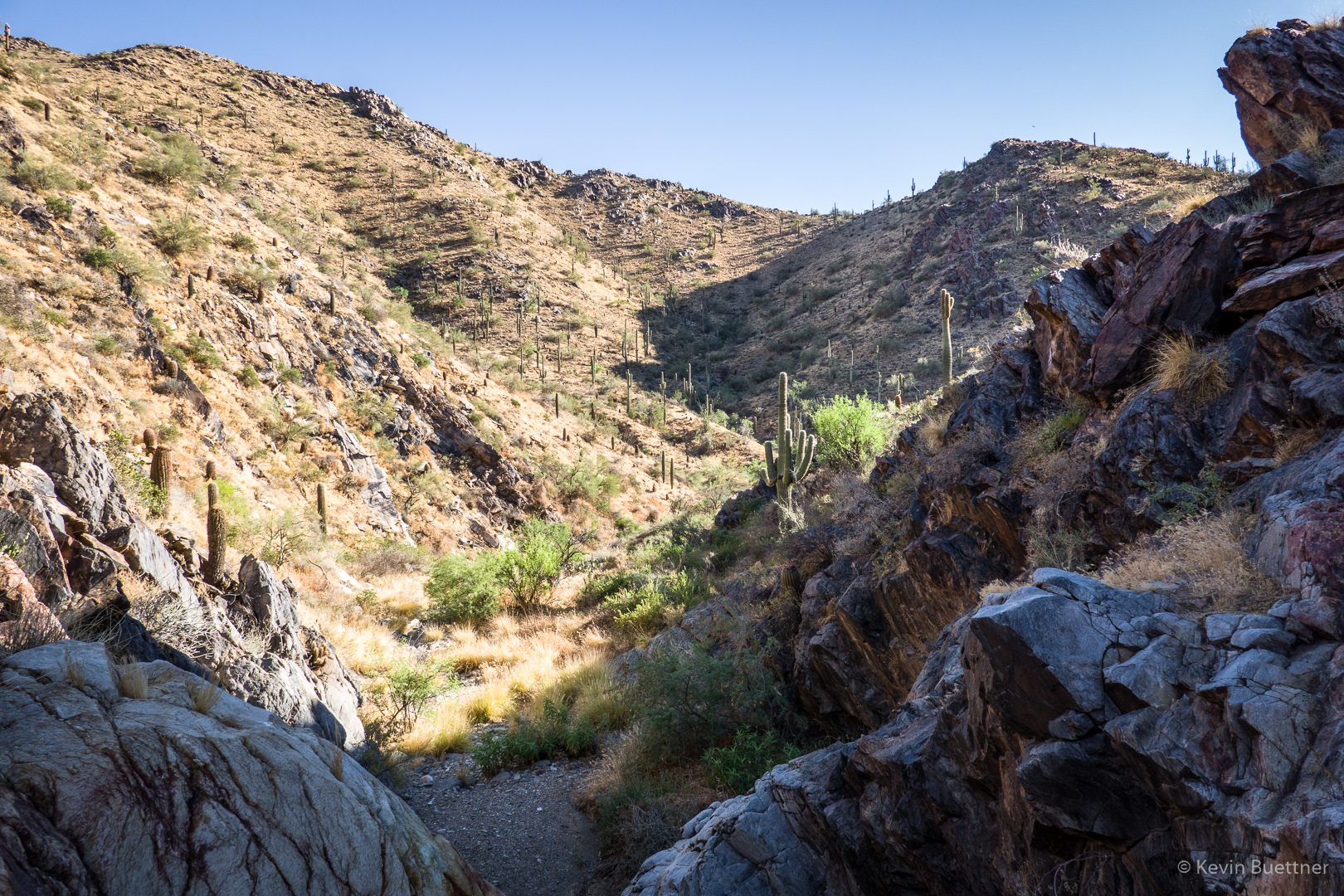
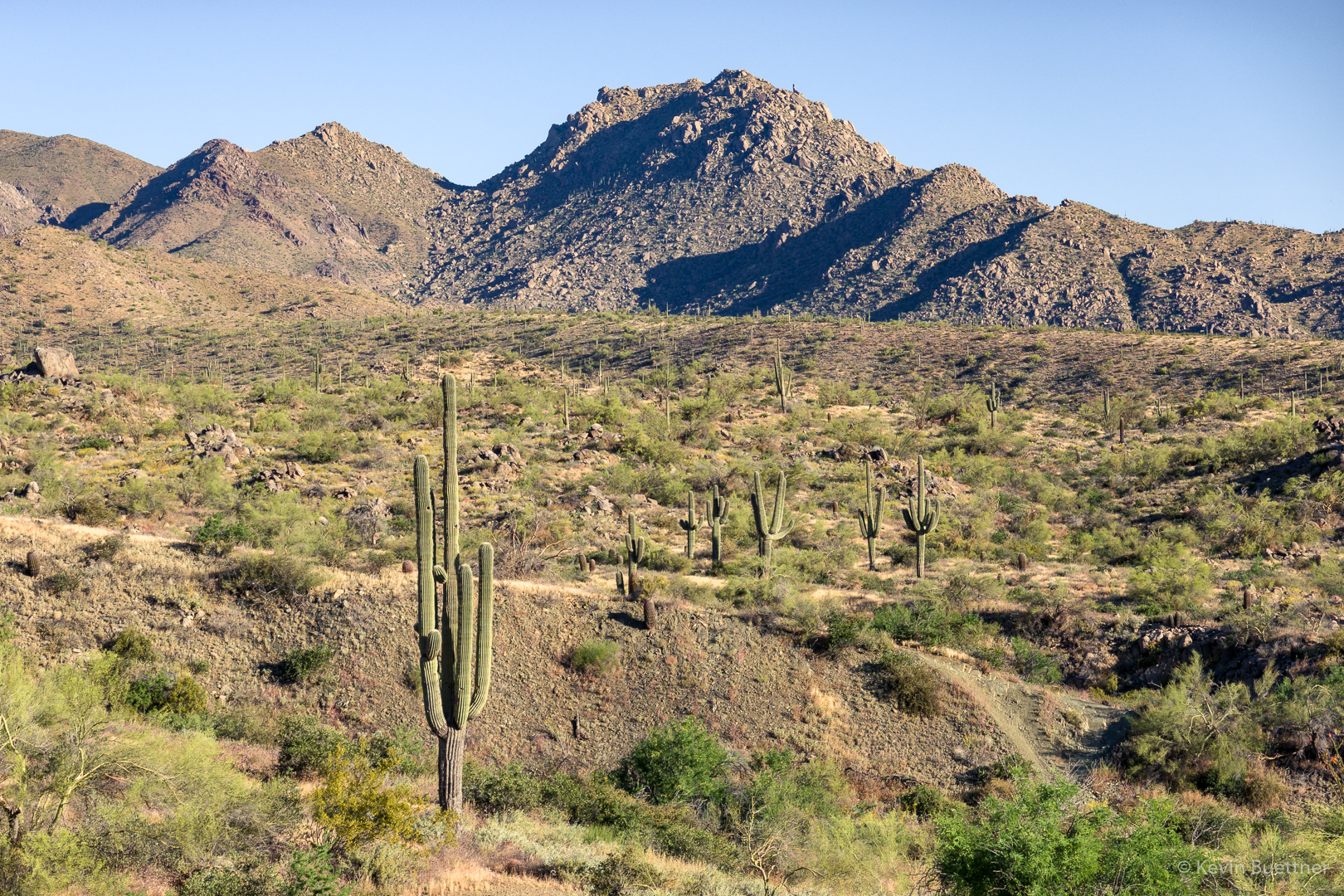
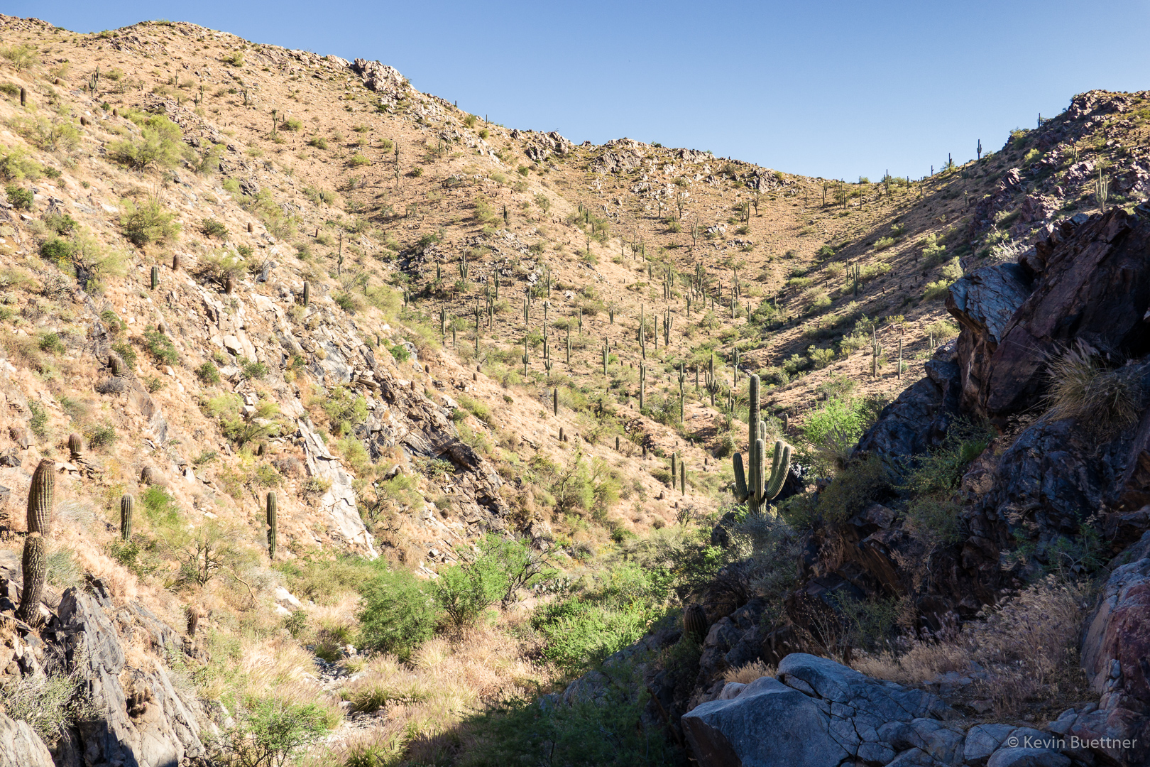
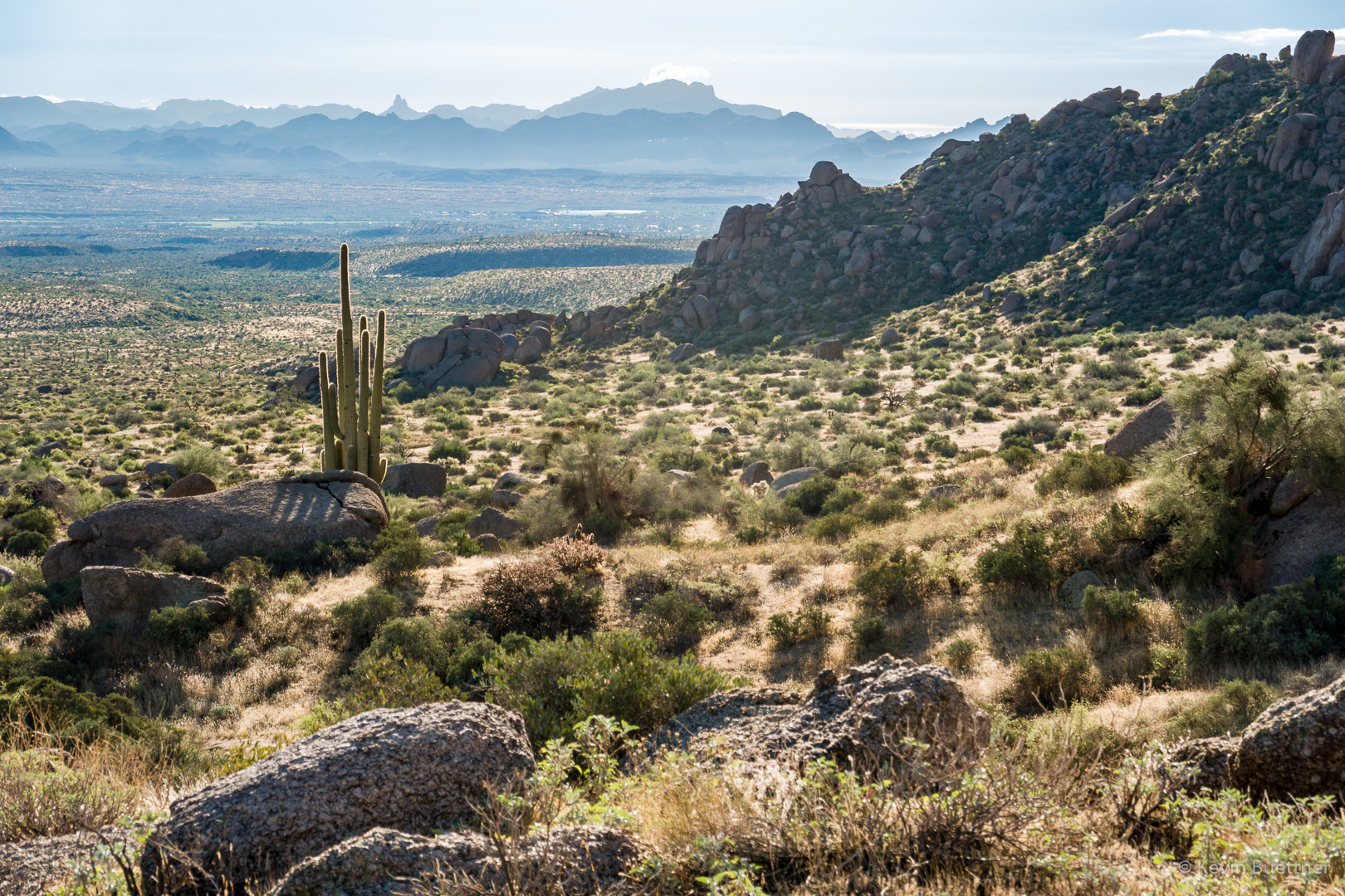
Looking towards the Superstitions from the little loop on the Marcus Landslide Trail:

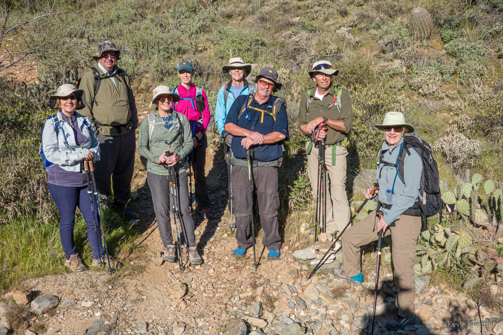
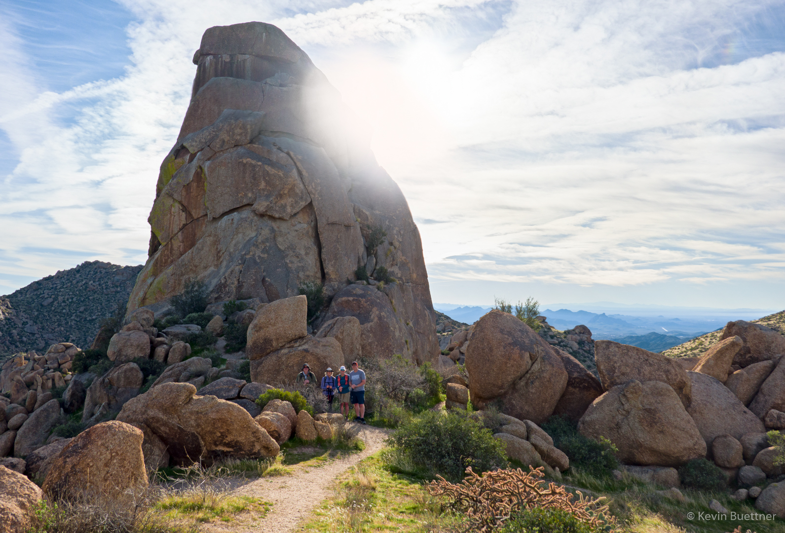
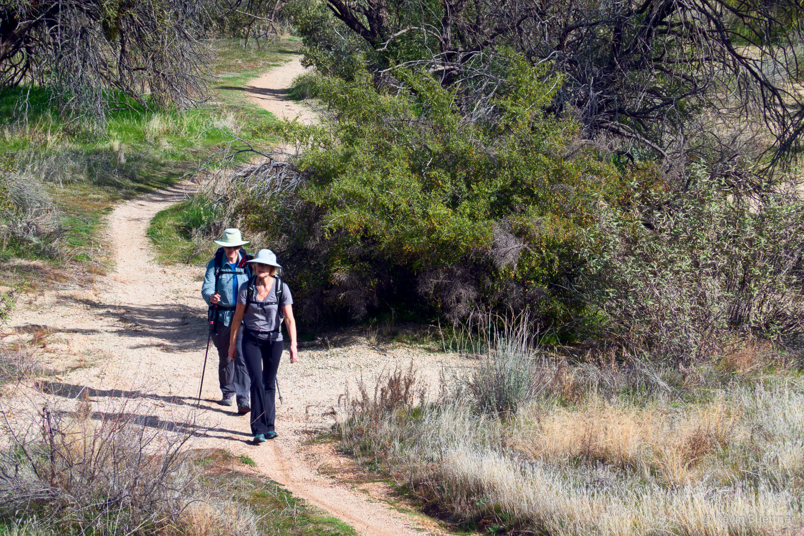
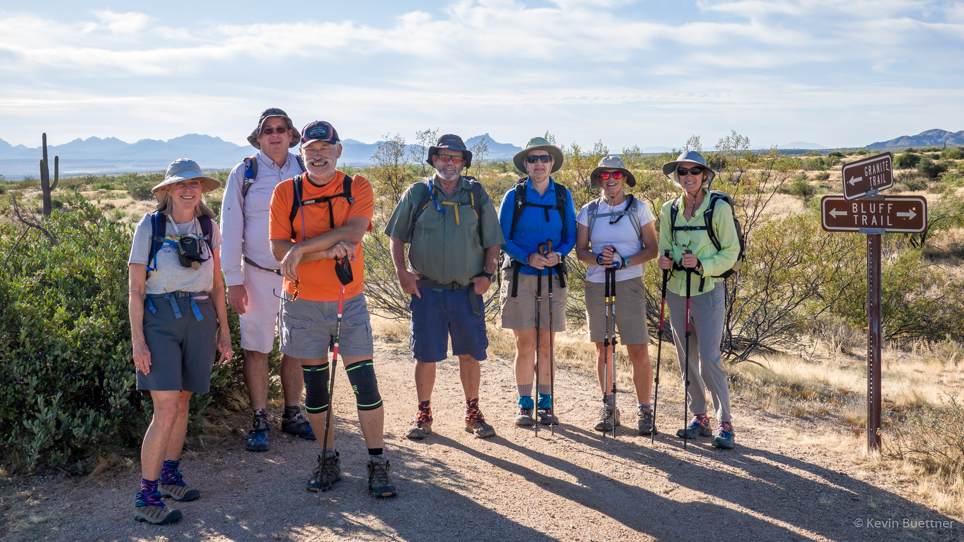
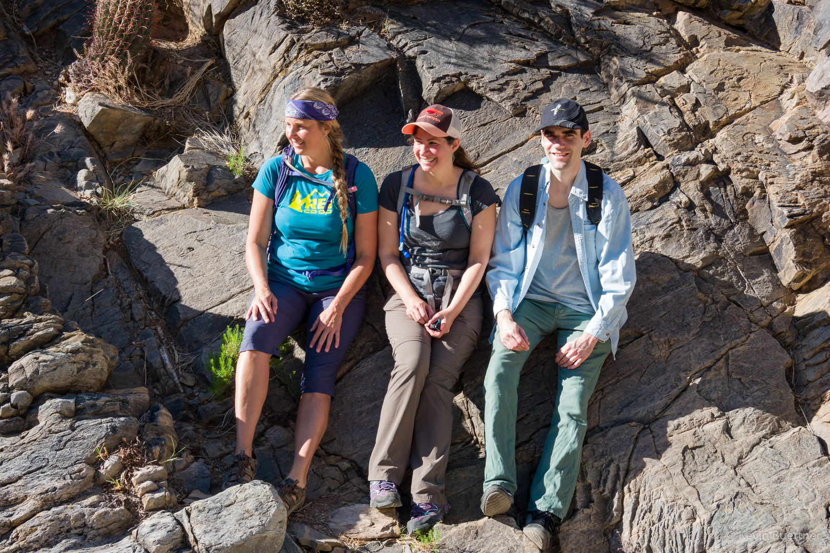
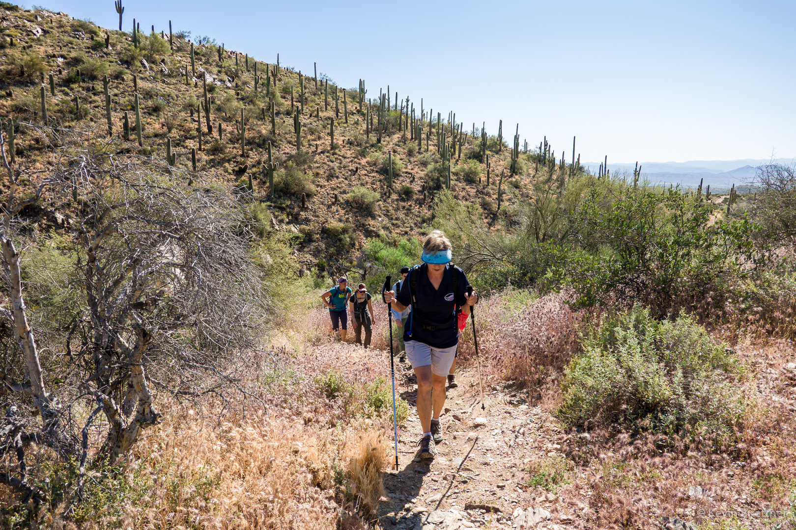
Heather, Nick, Marilyn, and Bob:

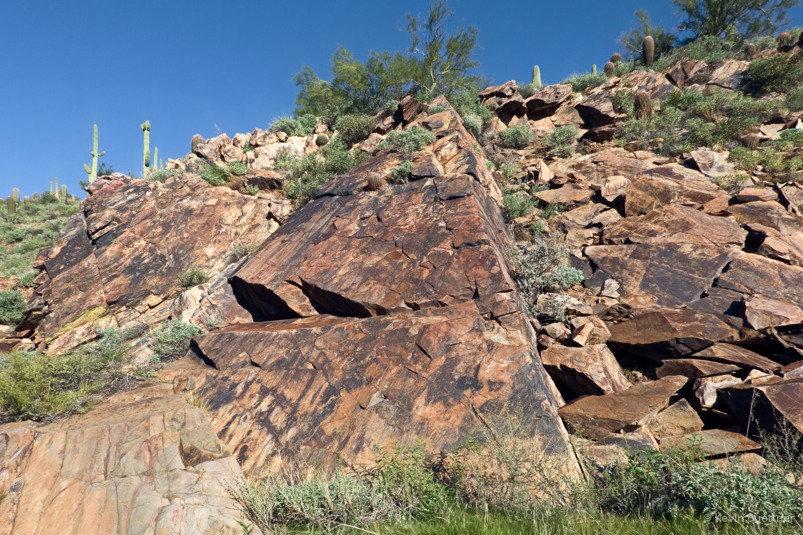
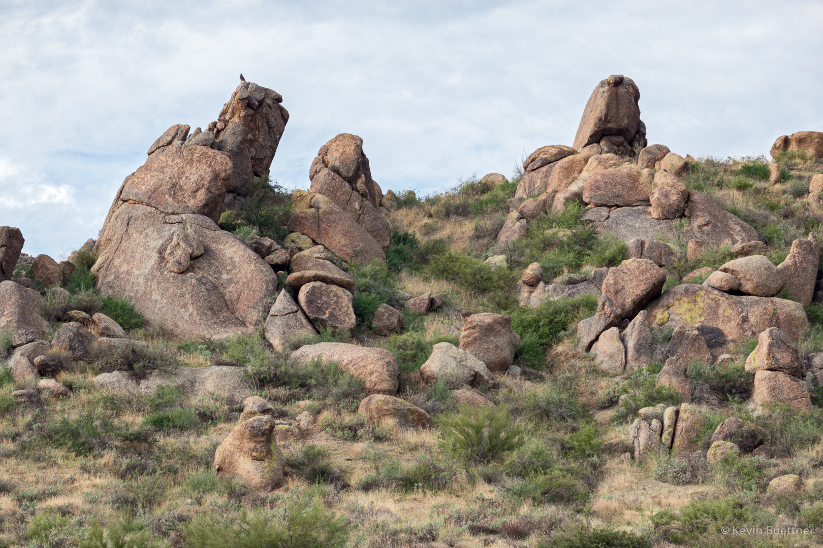
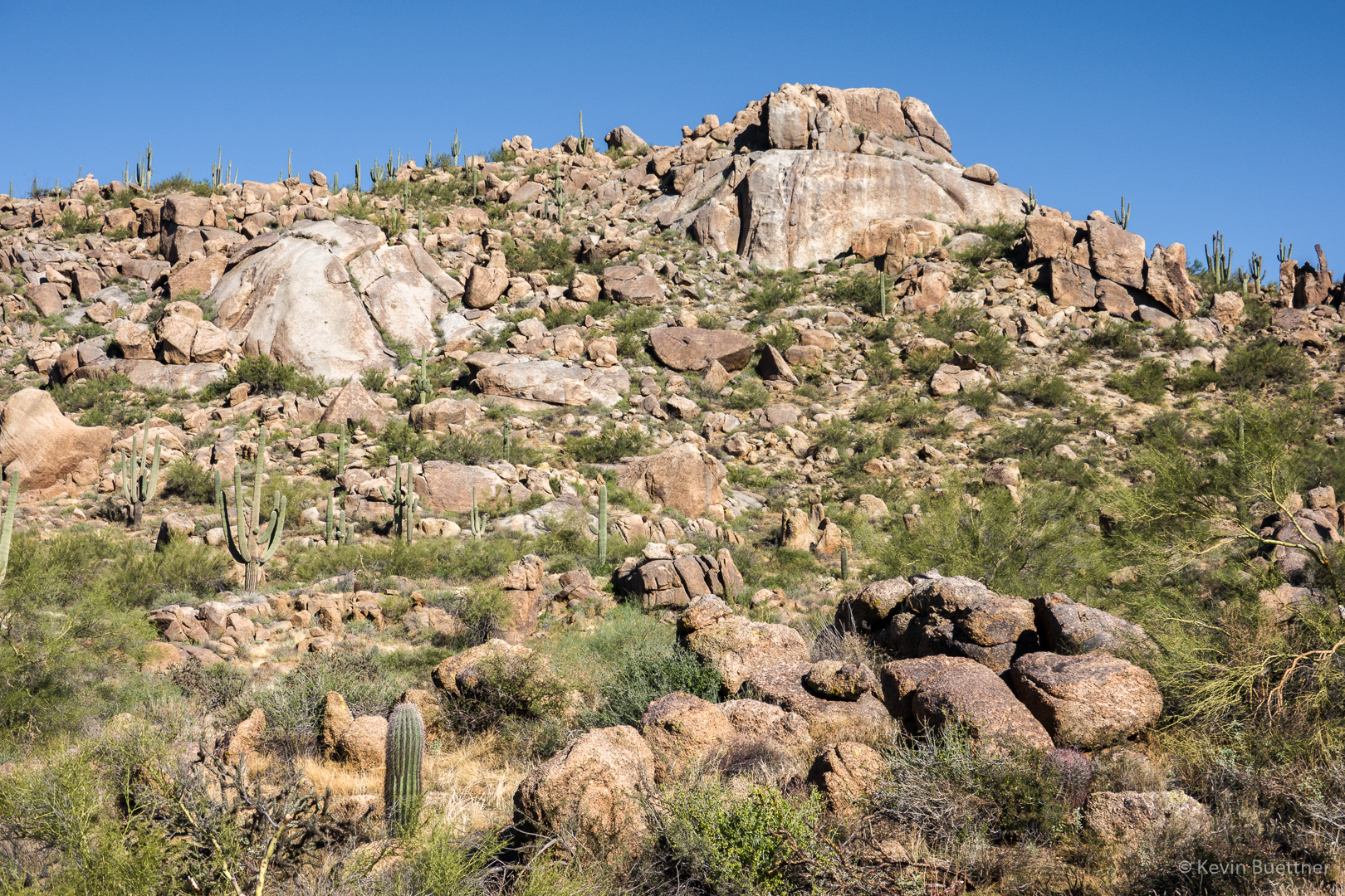
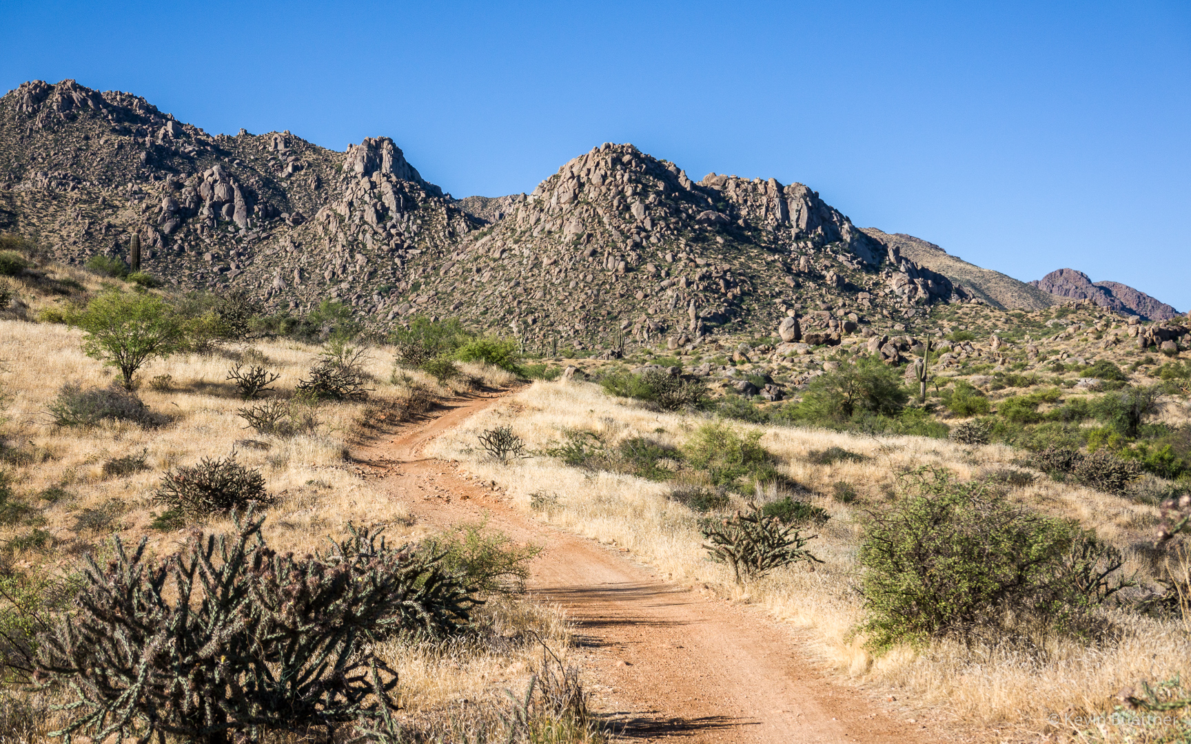
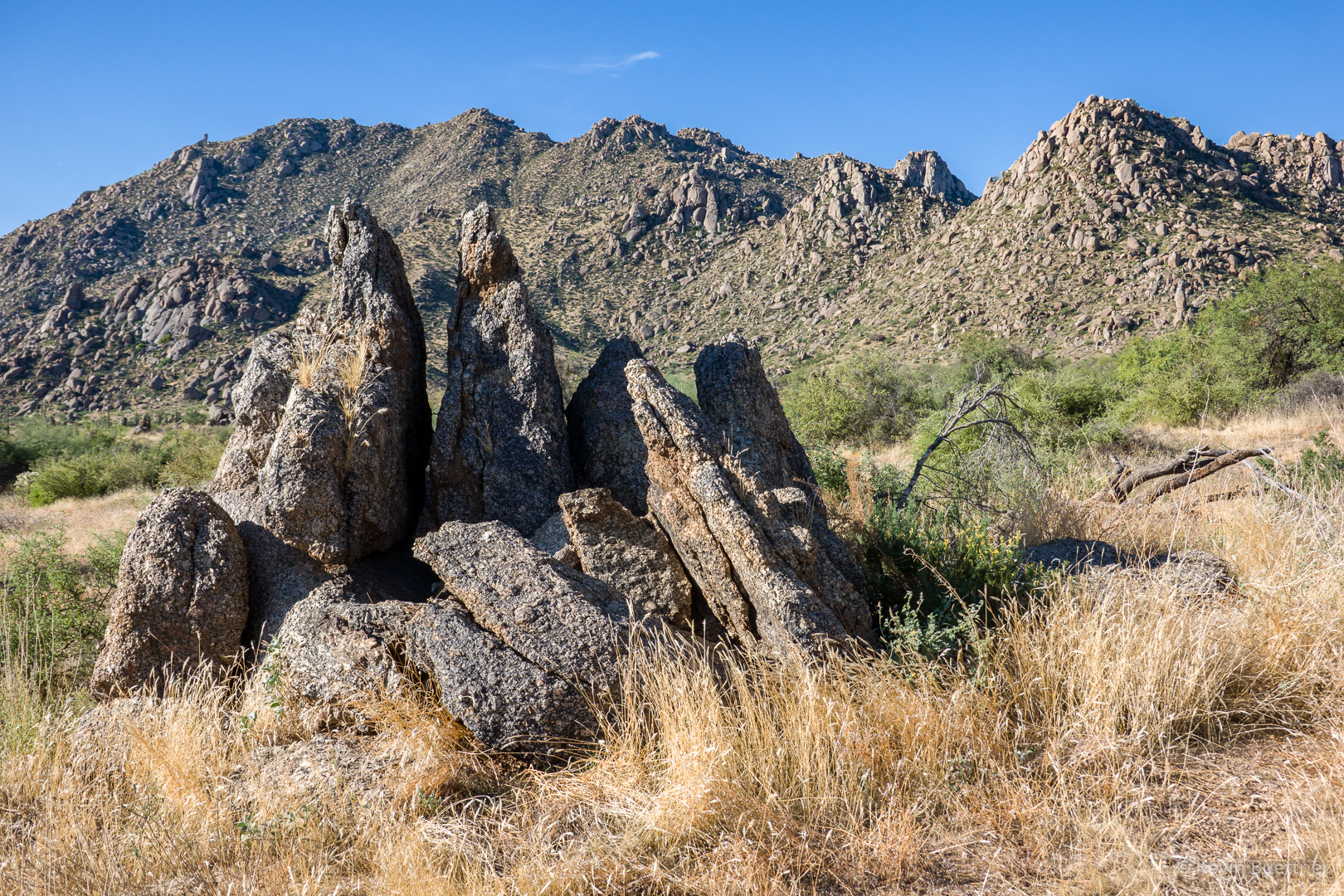
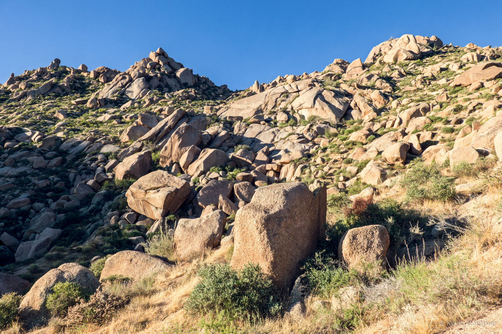
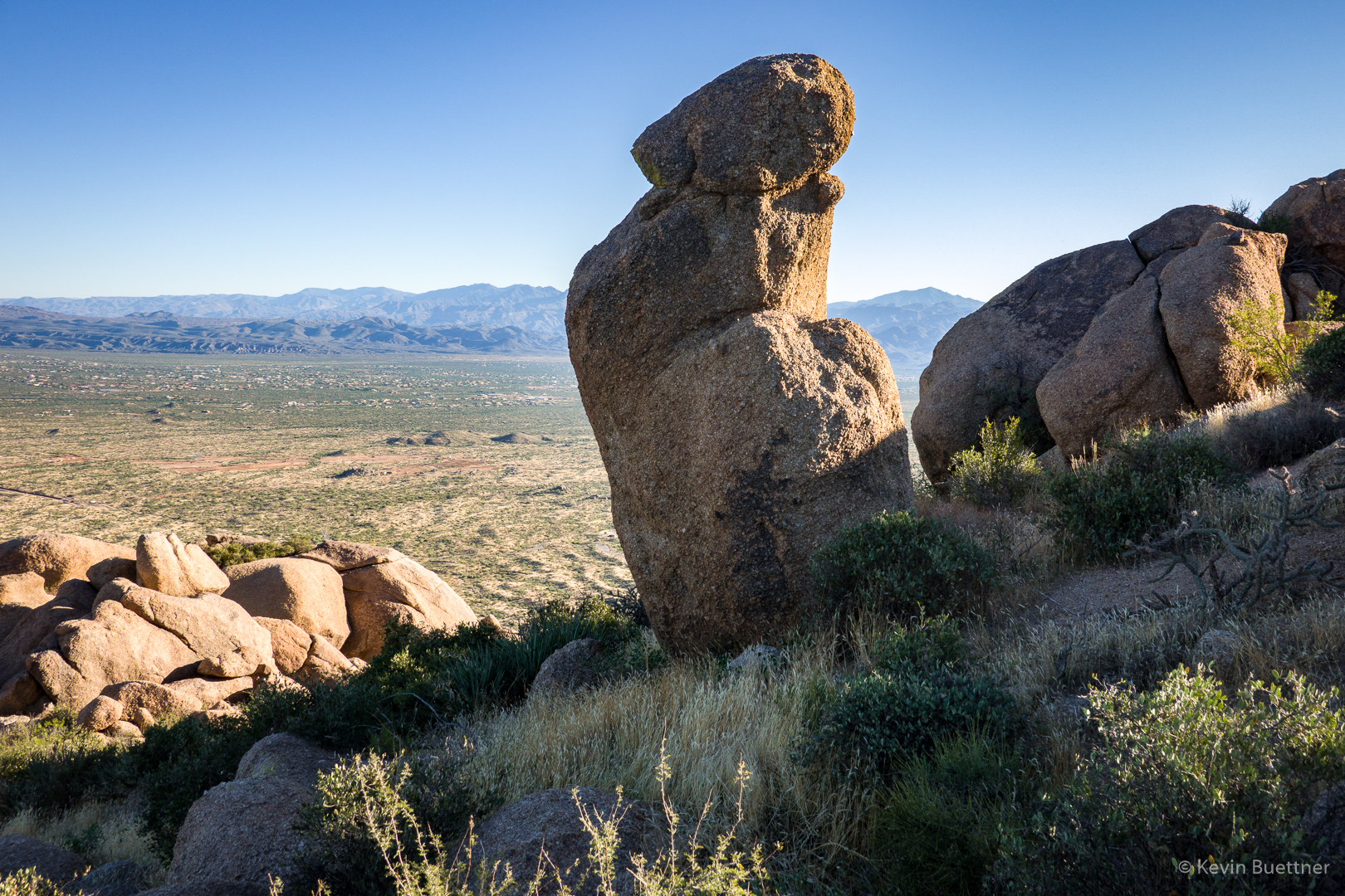
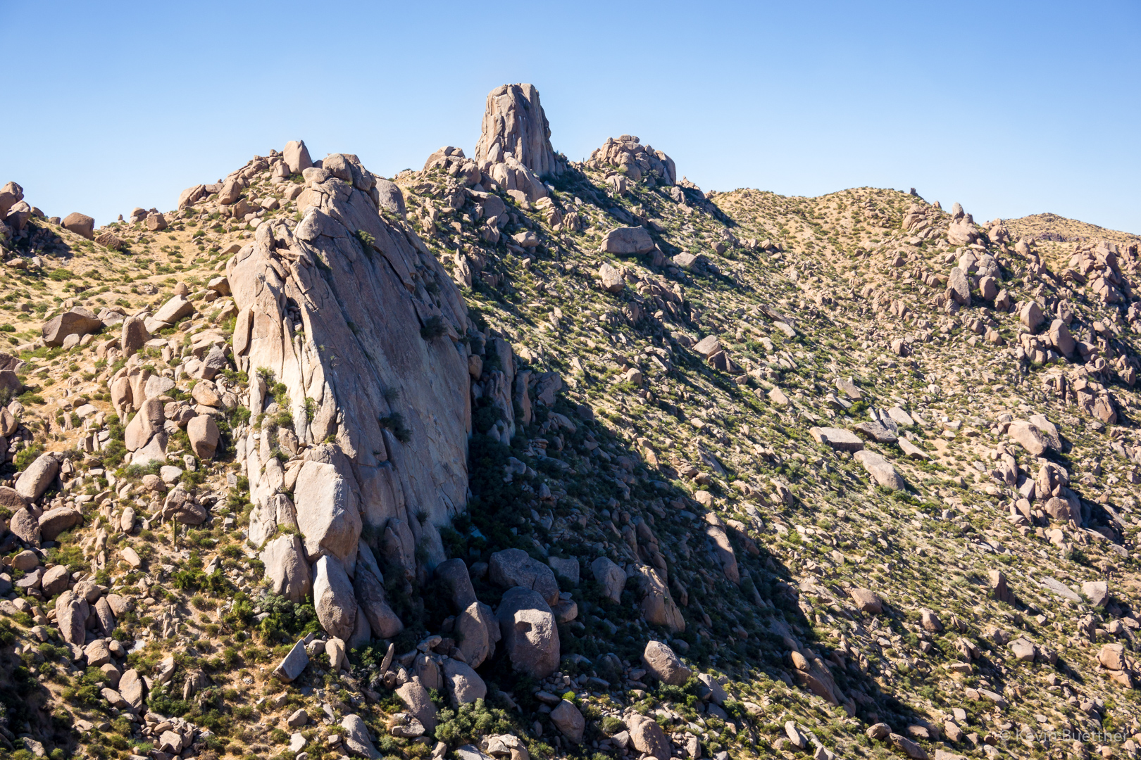
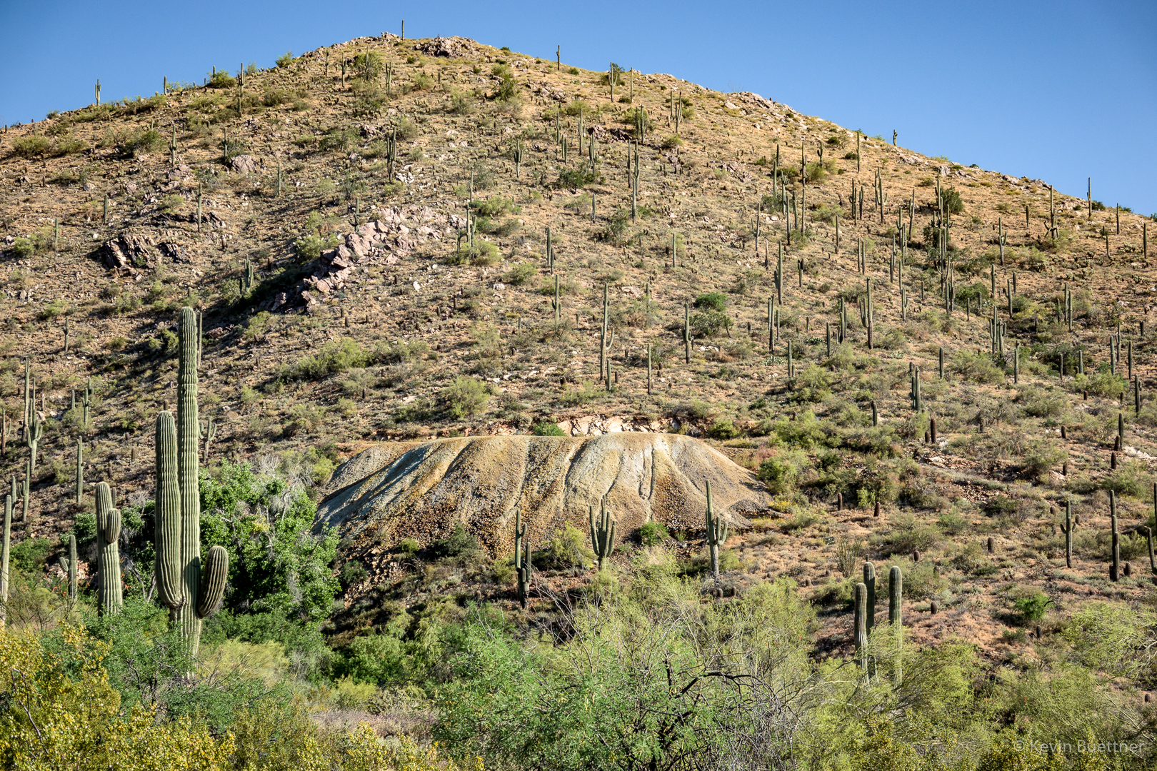
Part of the landslide, this is Submarine Rock:

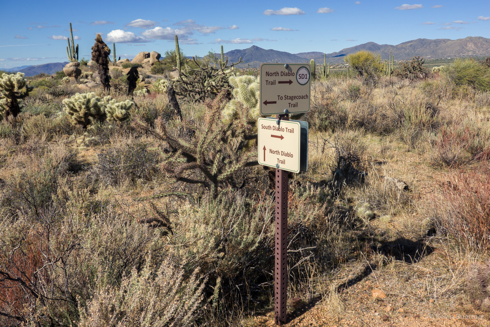
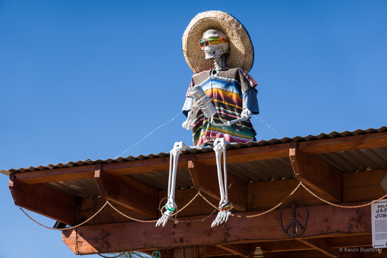
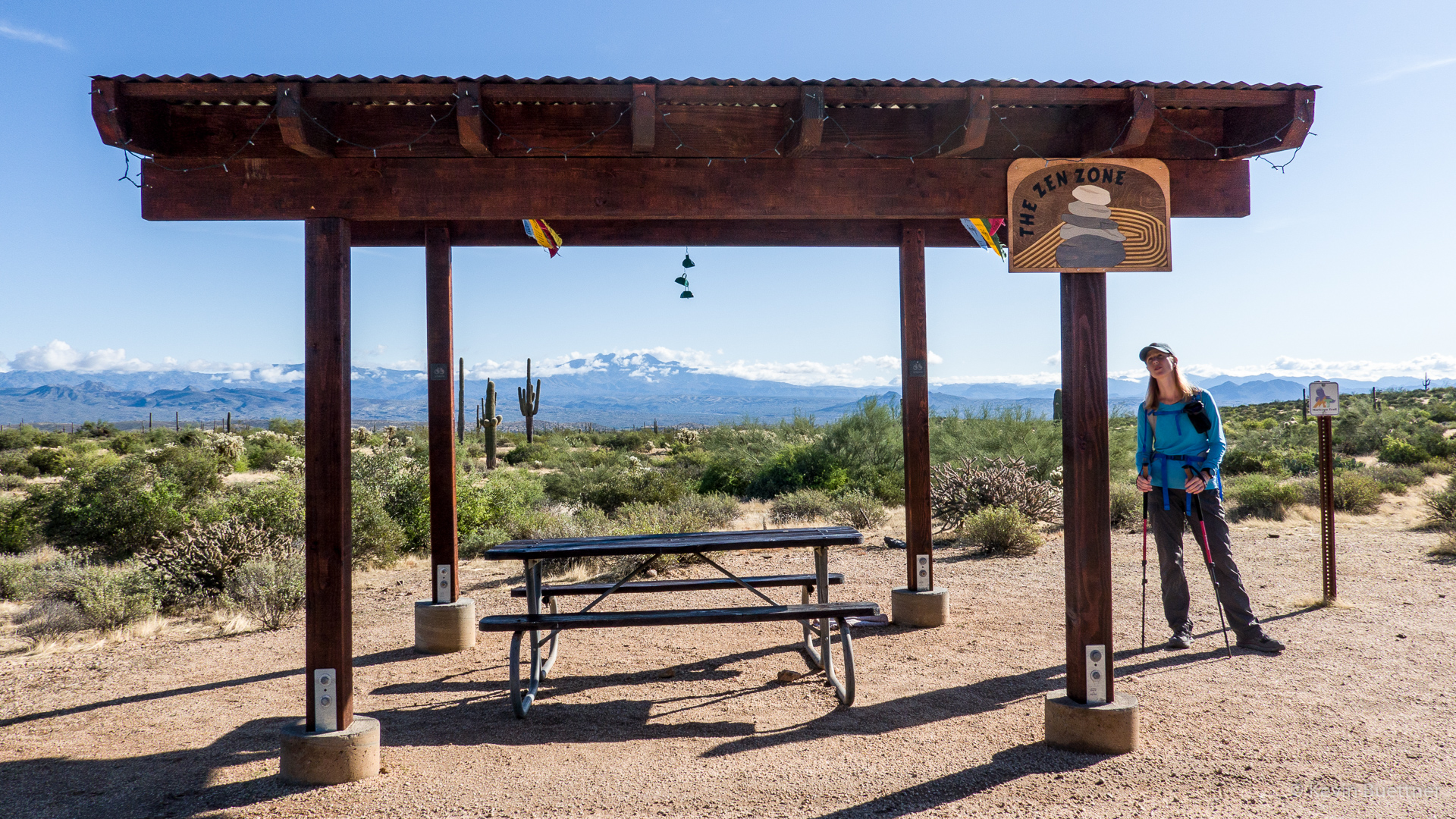
Heather, looking at the new(ish) structure at the intersection of Pemberton and Coachwhip:

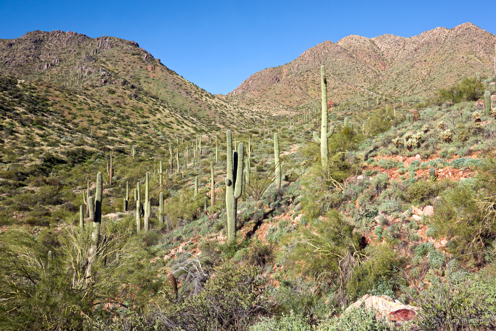
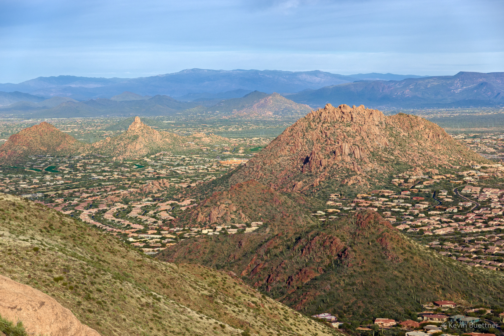
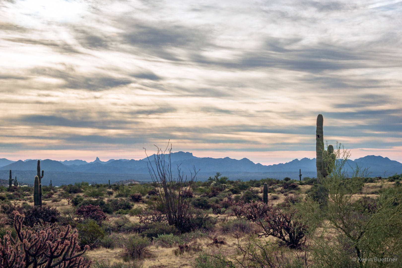
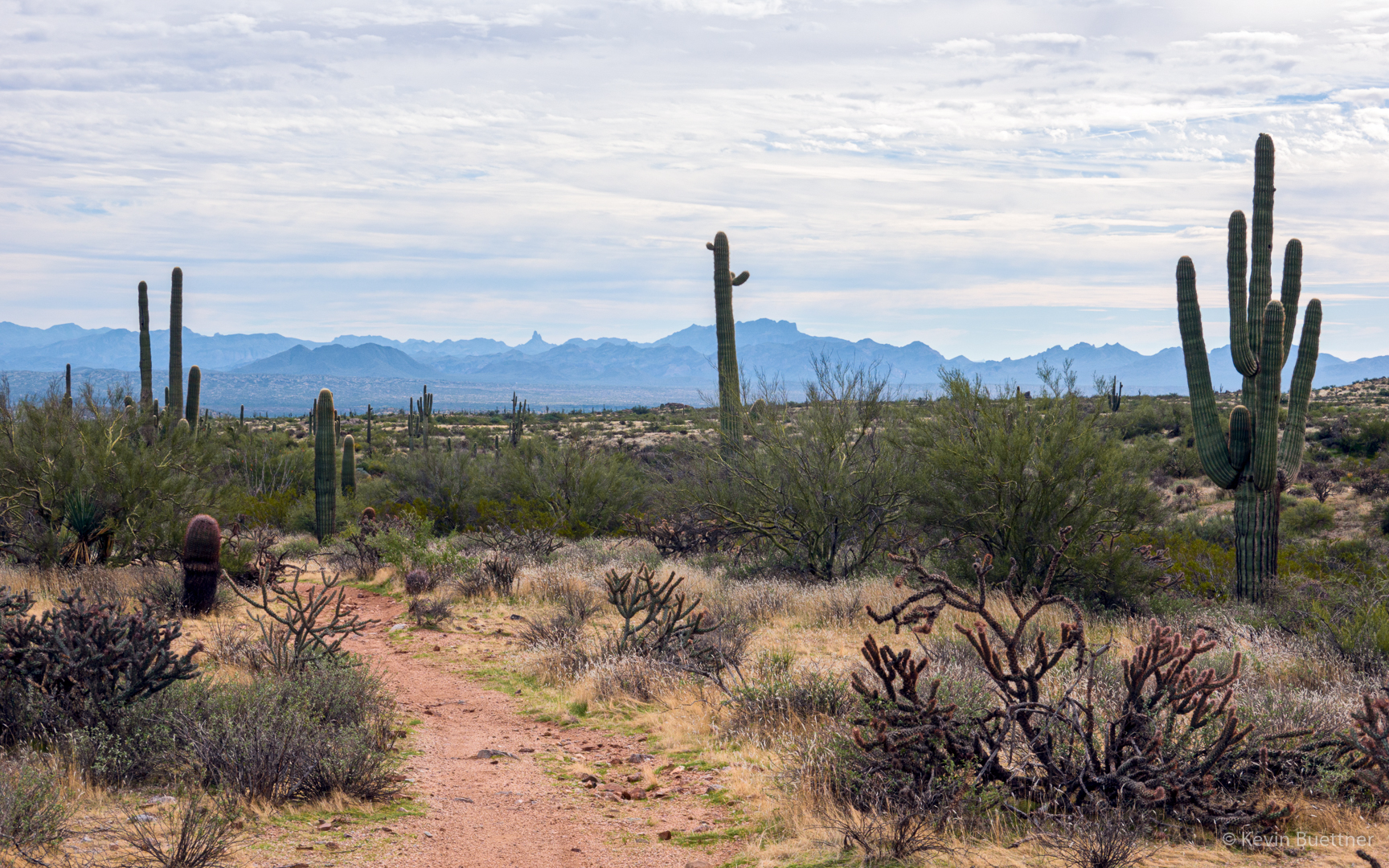
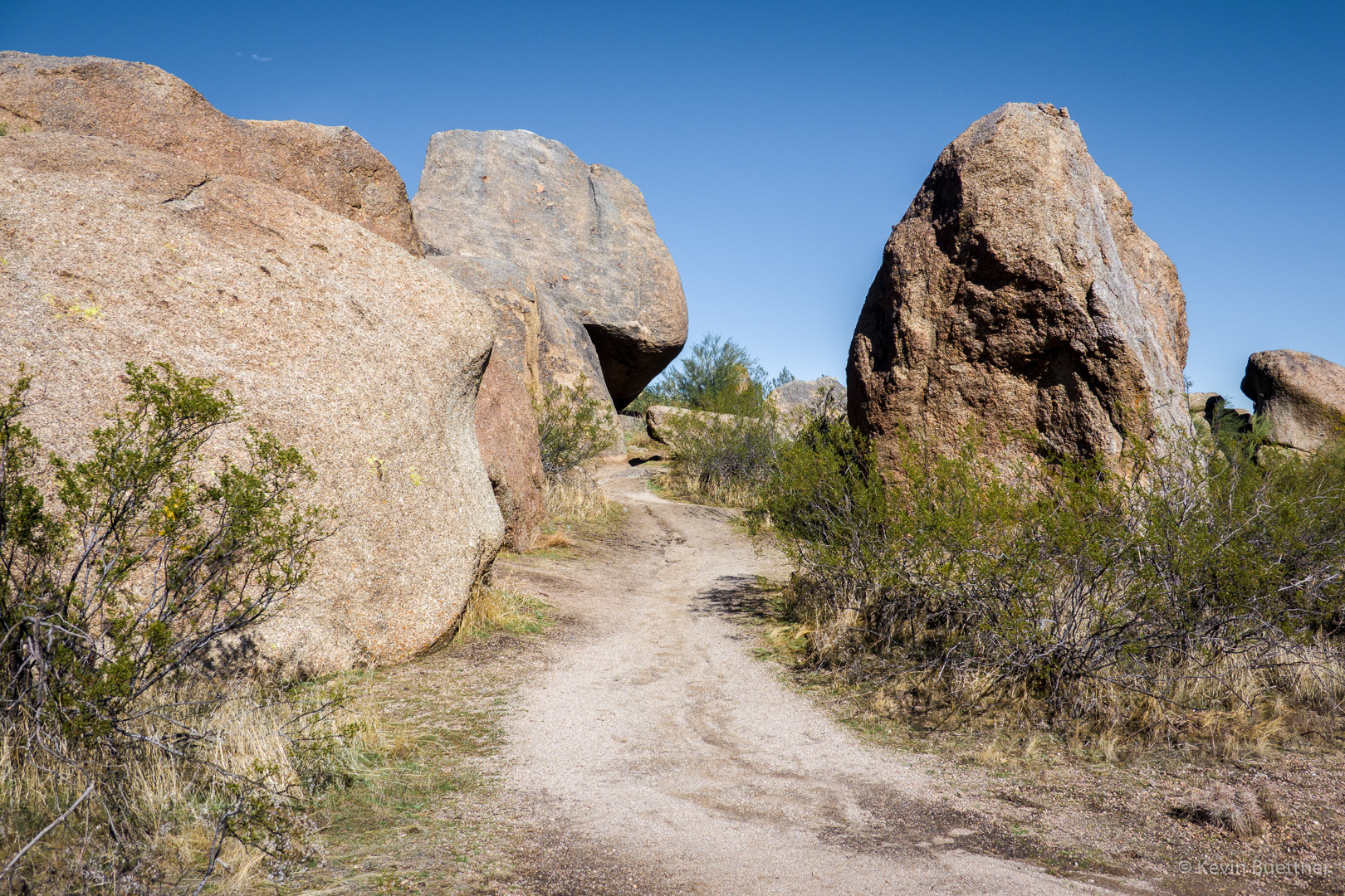
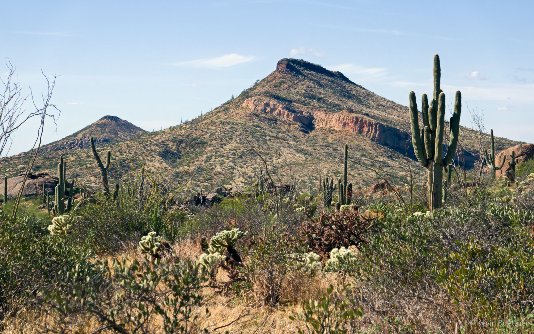
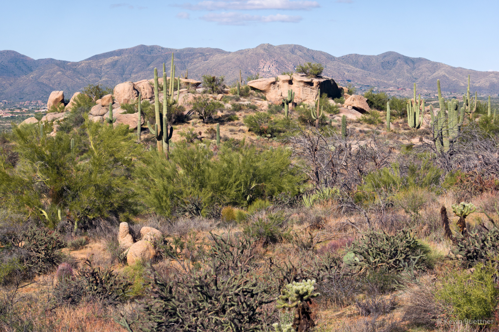
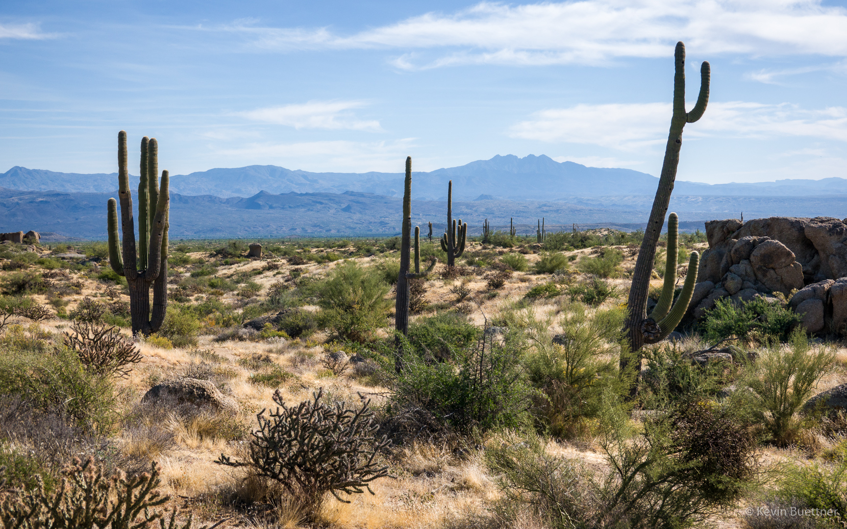
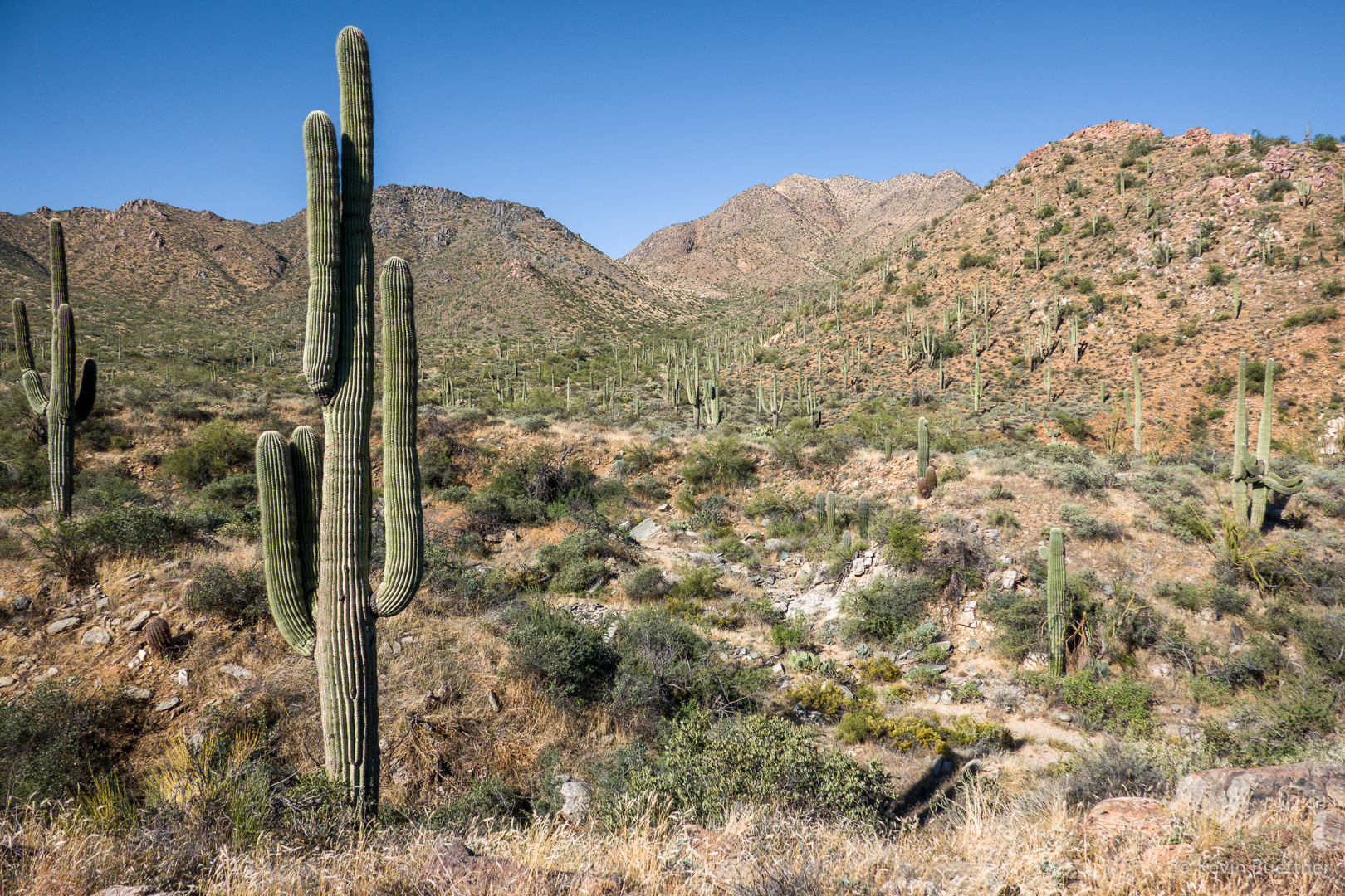
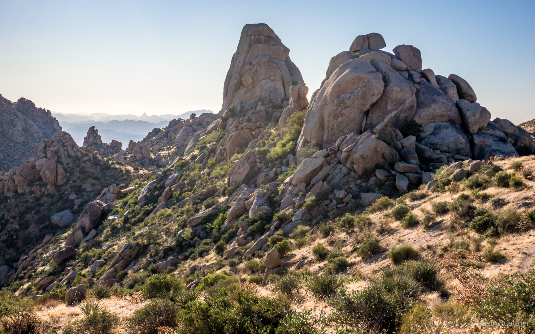
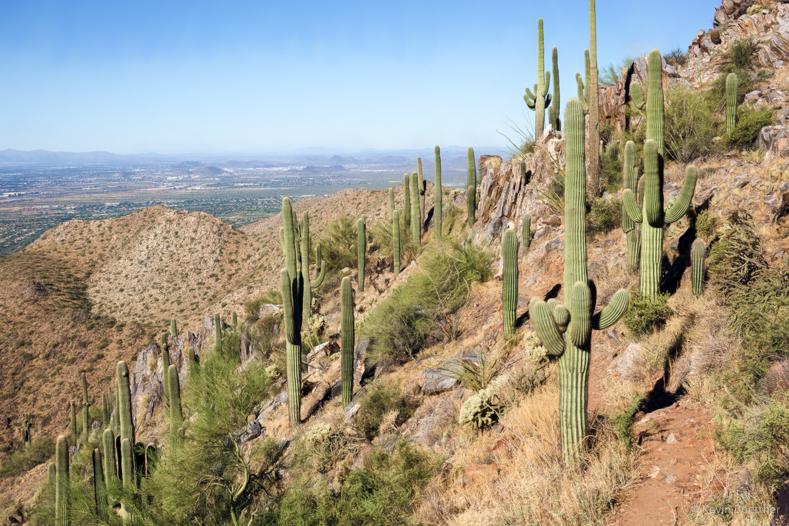
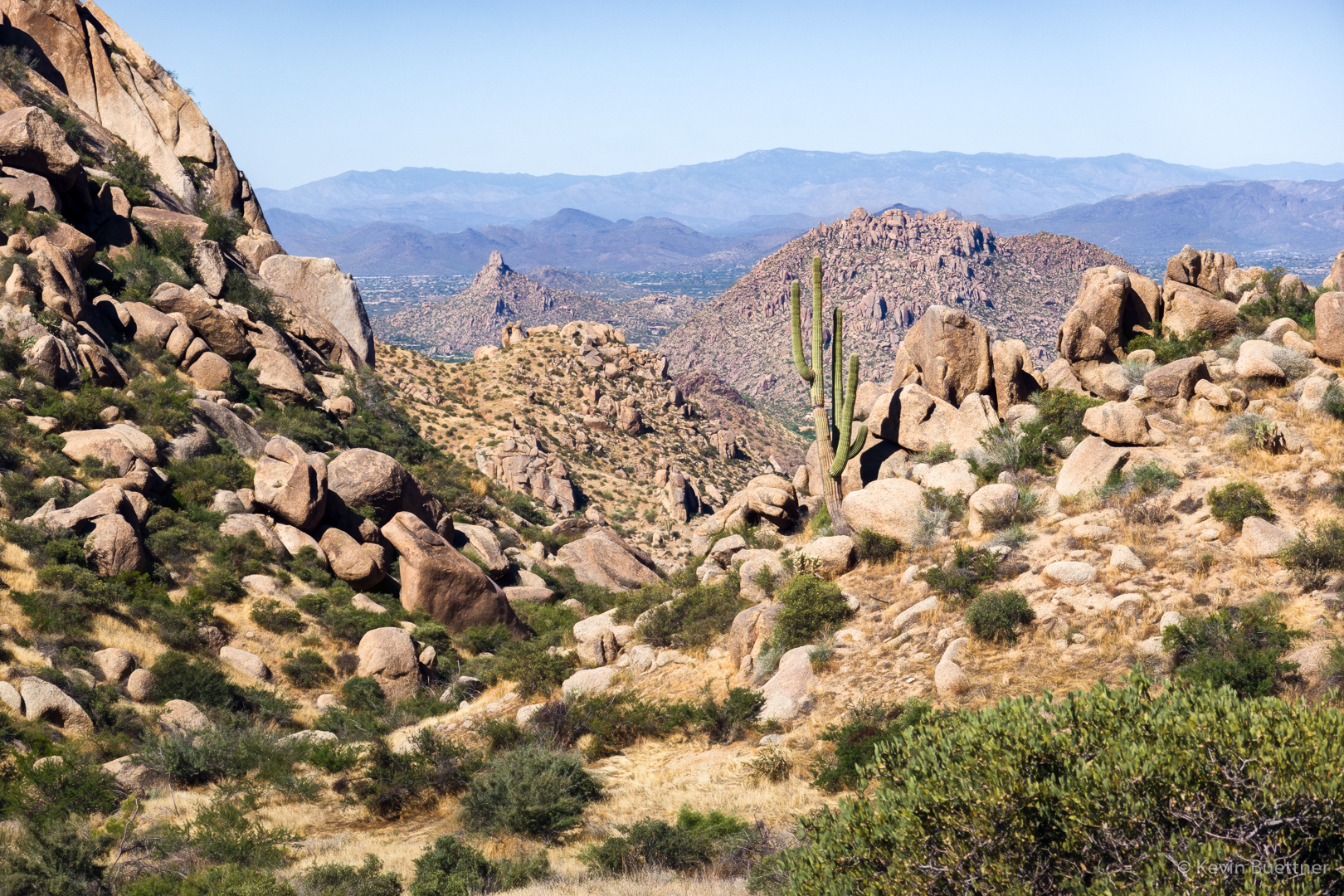
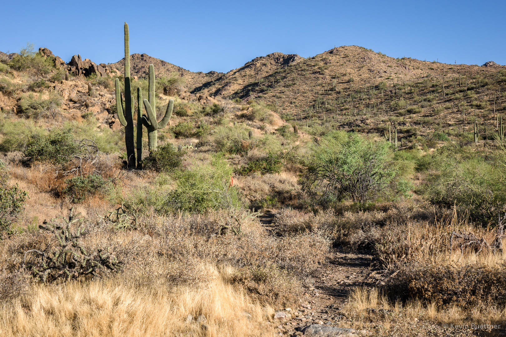
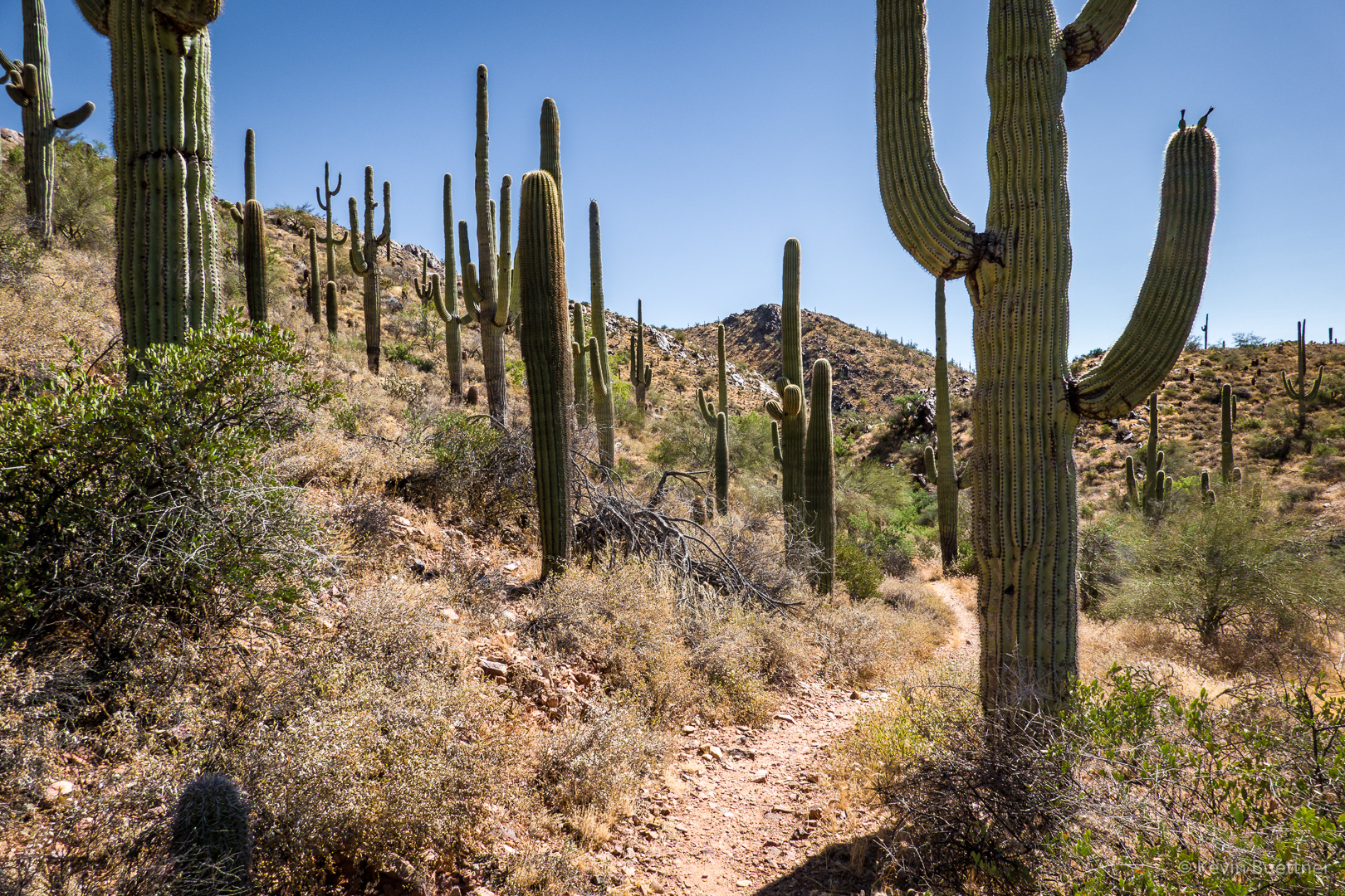
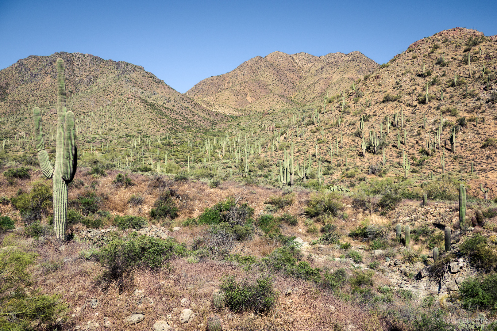
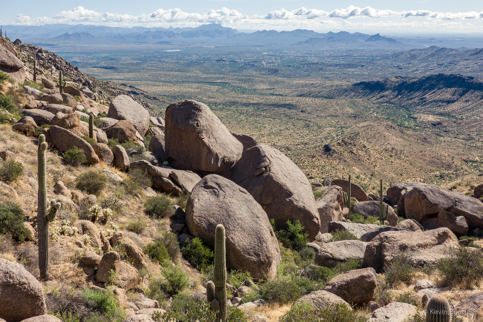
A view from the East End Trail:

Sven Slab is on the right. It’s hard to see them, but there are two climbers on a ledge near Black Death, 5.8. We saw a climber high above them (out of sight in this photo). It might be that they were on Student Cracks, 5.3.

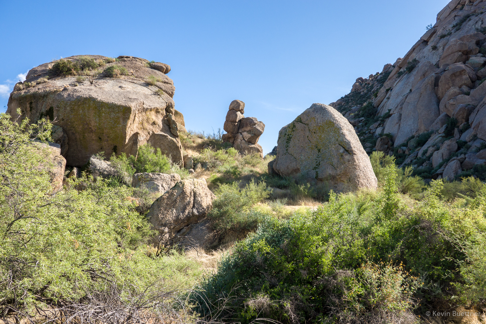
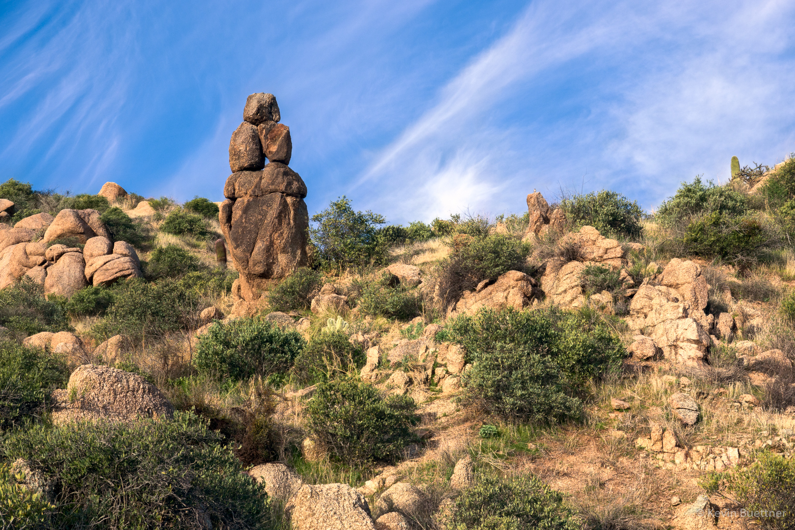
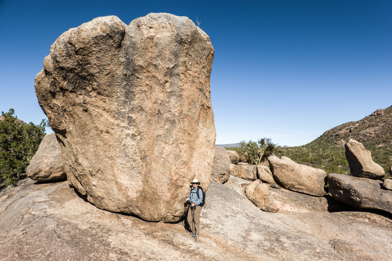
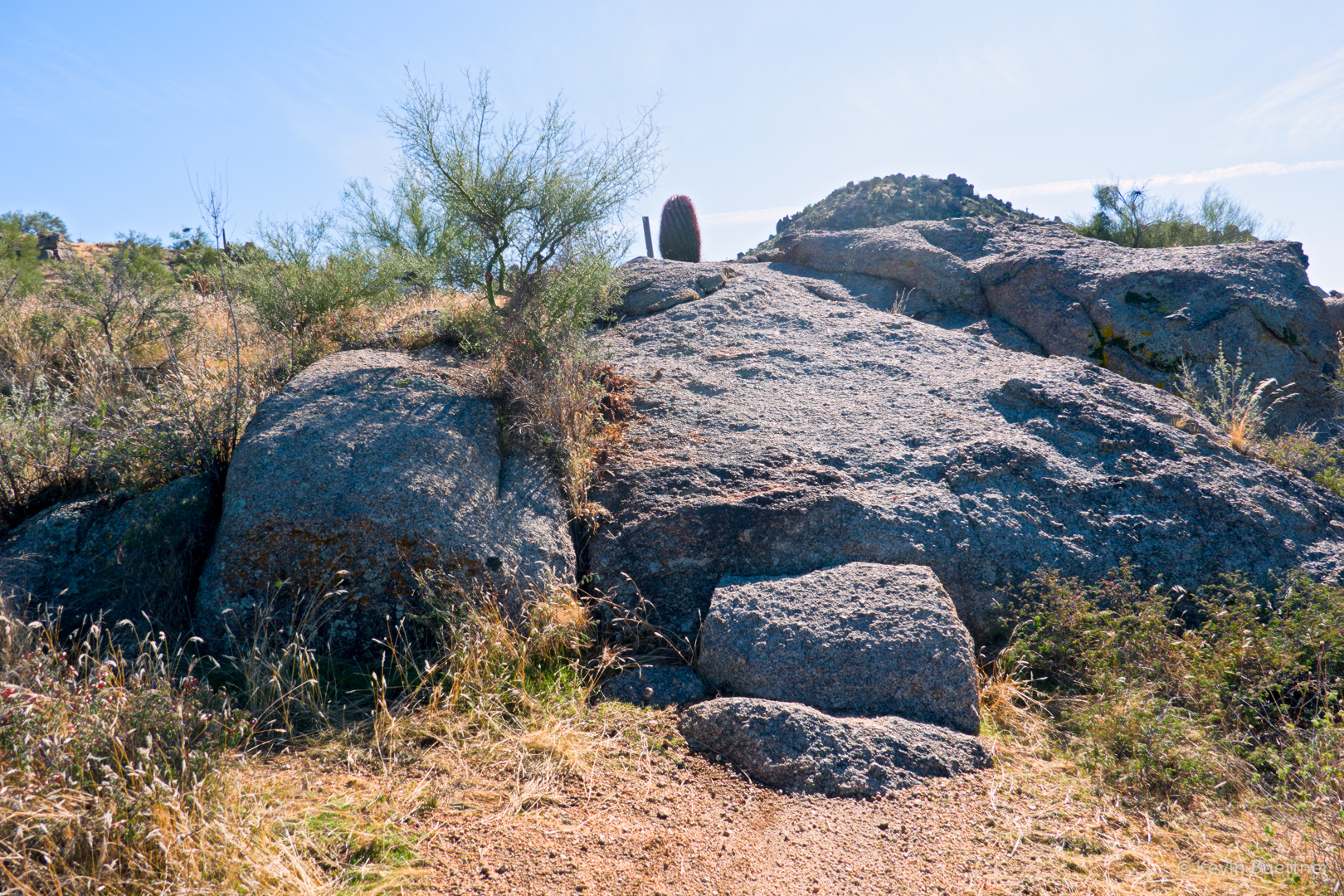
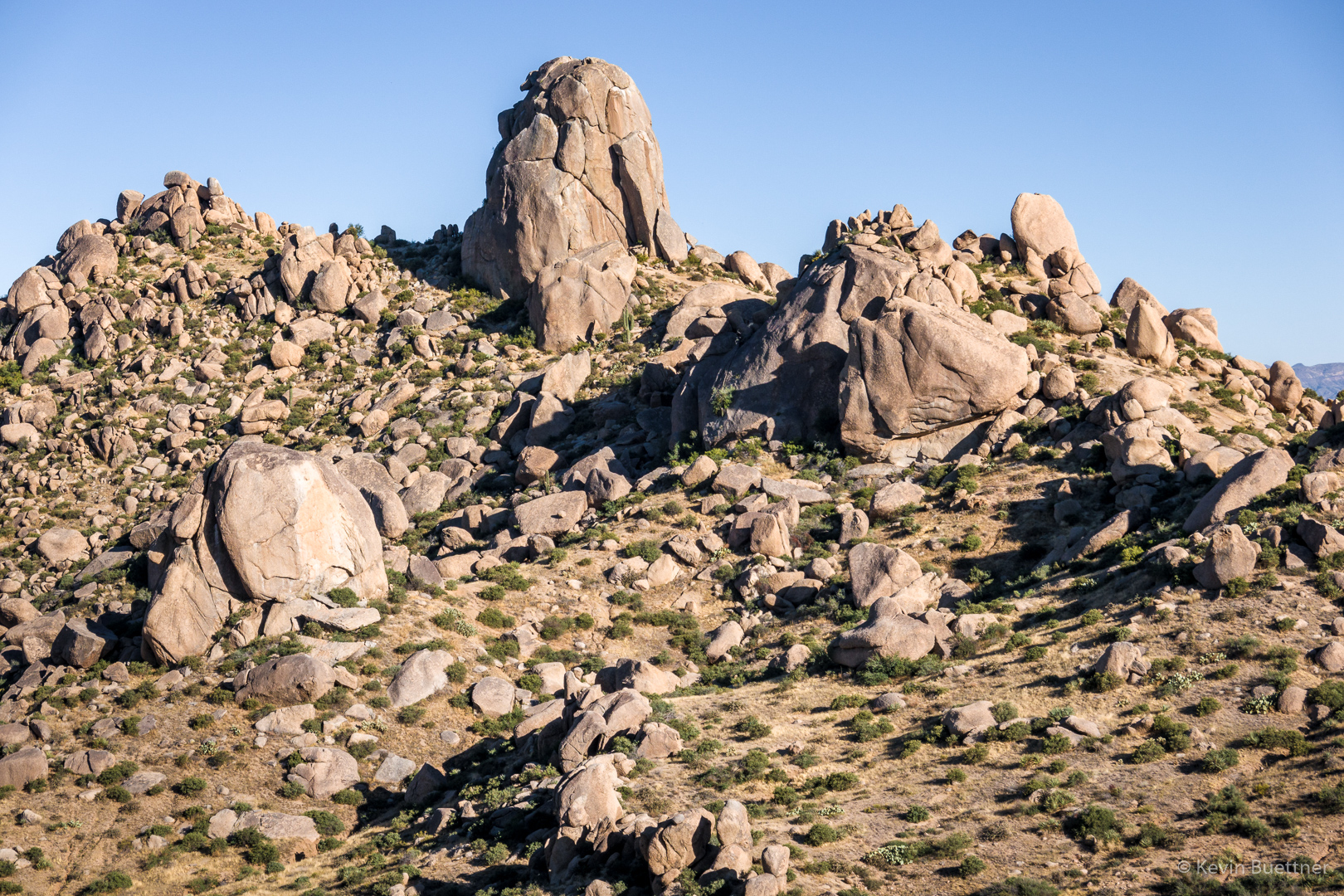
This is one of the prominent mushroom boulders in the Sven Slab area:

Friday Fitness Hike

On Friday, the 8th, Linda, Mike, Nick, Bob, Marilyn, Nora, Sara, and  I hiked the Wagner, Granite, and Bluff trails.  At the next intersection with the Granite Trail, Marilyn, Nick, Linda, and Bob returned via Granite and Wagner for a 5+ mile hike. Mike, Nora, Sara, and I continued up the Bluff Trail and then hiked Pemberton, Rock Knob, Gooseneck, Delsie, Granite, and Wagner for an 11.5 mile hike.

Mesquite seed pods (along the Bluff Trail):

Goldeneye:

Linda, Mike, Nick, Bob, Marilyn, Nora, and Sara:

Views of the McDowells…

Looking toward Four Peaks from the Gooseneck Trail:

The skeleton atop the ramada at the intersection of Pemberton and Delsie:

A view from the Delsie Trail:

Friday Fitness Hike

Nick, Sara, Mike Heather, Nora, Bob, Marilyn, and Yasmina joined me for a hike in the Dixie Mine area.  After visiting the mine, Nick, Bob, and Marilyn returned while the rest of us went on to hike Prospector, Bell Pass, Windmill, and Coachwhip back to the Dixie Mine Trail. Those of us doing the longer hike went about 10.7 miles.

Mine entrance:

Main petroglyph panel:

A smaller petroglyph further up the canyon:

Kevin, Nick, Sara, Mike, Heather, Nora, Bob, Marilyn, and Yasmina:

View from the Prospector Trail:

We saw this tarantula along the Prospector Trail:

Another view from the Prospector Trail:

A view from the overlook which is midway up the Prospector Trail. We were speculating that the haze obscuring the Superstitions might be smoke blown in from California.

A view of Four Peaks from the Bell Pass Trail:


Friday Fitness Hike

Linda, Sara, and I hiked a little over 10 miles starting from Tom’s Thumb Trailhead. After hiking along the ridge to and past Tom’s Thumb, we returned to Tom’s Thumb Trail and then turned west to the Scottsdale side of the mountain range. On the Scottsdale side, we hiked all the way to the end of Tom’s Thumb Trail and then turn left (east) onto Windgate Trail. We hiked up Windgate and over Windgate Pass, then down Windgate and Windmill to East End Trail. We hiked up (and up) East End and then back down Tom’s Thumb Trail back to the parking lot. My GPS watch recorded slightly over 3200 feet of elevation gain.

This is a view from the climber’s access trail leading to the ridge. The low angle wall in the upper center of the photo is Half and Half Wall. According to Mountain Project, there are 5 routes on this wall rated from 5.3 to 5.8.

I think this is Desert Four O’Clock:

Looking NW from the ridge:

A view of Tom’s Thumb from the ridge:

Looking toward Scottsdale and Phoenix:

Nearing Tom’s Thumb…

At this point, we’re back on Tom’s Thumb Trail, hiking towards Scottsdale. There are some good views of Tom’s Thumb from this section of the trail too.

Descending Tom’s Thumb Trail on the west side.  There are some good views on this side of the mountain too!

Linda and Sara, hiking up the East End Trail:

Looking toward Pinnacle Peak from near the intersection of Tom’s Thumb Trail & East End Trail:

Gardener’s Wall (left) and Tom’s Thumb:

Friday Fitness Hike

Linda and I hiked nearly 9 miles on July 5.

A view from the Dixie Mine Trail:

A mammillaria cactus – it was right beside the trail we were hiking:

Rocks have been piled up on either side of the fallen saguaro making it possible to ride a mountain bike over the saguaro.

Nearing Dixie Mine – the mine tailings can be seen at the upper left.

The path from the road to the mine is getting overgrown, but the area in front of the mine entrance is as clear as I’ve ever seen it. In the past, you’d have to push your way past tamarisk plants to get to the adit.

Petroglyphs:

Look for the owl!  (I had a hard time with the shot.  I was unable to see the owl when looking through the viewfinder.  I zoomed all the way in and ended up taking a photo where I thought the owl was.  When I looked at it on my computer, I still had a hard time finding it.  I’ve cropped the image significantly, making it easier to find it now.)

A view from the top of the waterfall:

Saguaros on the Prospector Trail; Linda and I hiked all of Prospector to Bell Pass and then returned via Prospector and Dixie Mine.

Back on the Dixie Mine Trail for this shot…

Friday Fitness Hike

Mike, Sandra, Jan, Melissa, Joelyne, Kristin, and I hiked 10.8 miles in the Dixie Mine area.  (I’m not sure of the spelling of some of the names, though I did check with Jan on the spelling of his name.)

A view of the McDowells from the Dixie Mine Trail:

We noticed that the grass has become quite dry.

I think this is mesquite:

We saw some nice ocotillo blossoms.  This one was just off the trail and at a low enough height that I didn’t need to shoot upward.

These are the mine tailings:

Flat-Top / Mojave Buckwheat:

New Mexico Thistle:

As we made our way towards the mine from the road, we saw a nest high in one of the trees.  Two birds, which we took to be hawks were flying around, alarmed at our presence. I only got this shot, though it’s definitely out of focus.

This is the petroglyph panel near the mine.

Sandra, Melissa, and Jan:

Another New Mexico Thistle:

Ascending the waterfall:

Looking down/back from the waterfall:

Continuing up the Prospector Trail…

I think this might be Miniature Woollystar:

Prickly Pear:

Globemallow:

Another prickly pear:

Hedgehog:

Heading down the Coachwhip Trail:

Ocotillo – I think we might have been back on Dixie Mine for this one:

Fleabane: