Month: November 2017 (page 1 of 1)

Sunday Hike – Cottonwood Spring Loop

Nick, Bob, Mike, and I did a lollipop-loop hike starting from the Spur Cross Ranch Conservation Area. The interesting part of the loop was on Trail 247A in the Tonto National Forest. On the way back, we came across a recently built trail that led from 247 back to 247A.

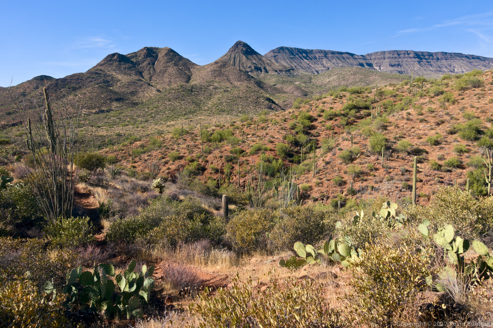
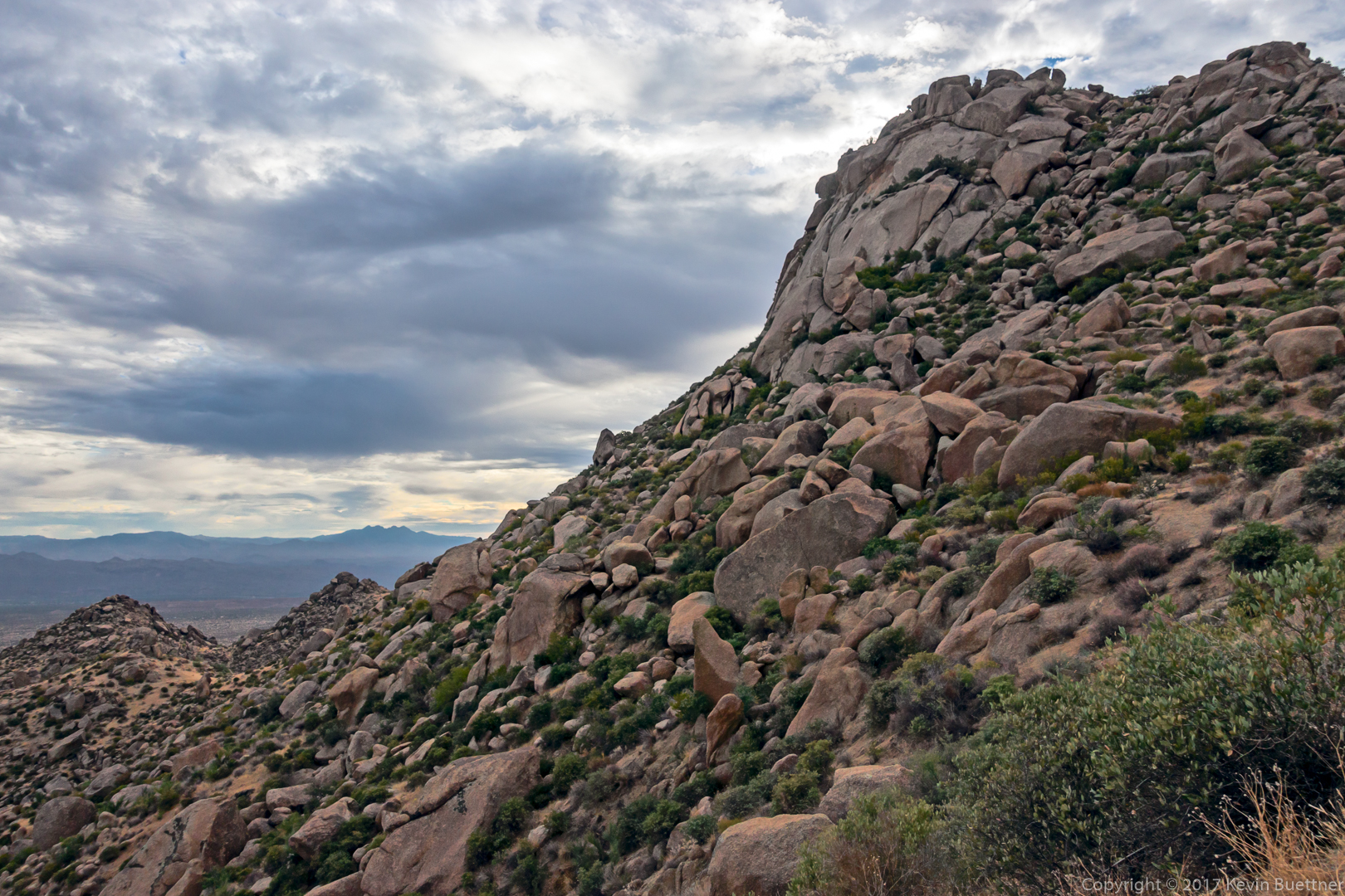
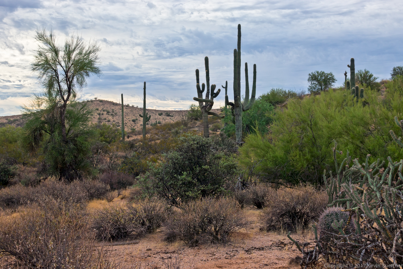
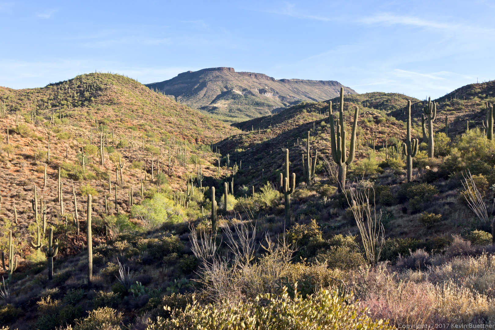
This is a view of Skull Mesa from 247A:

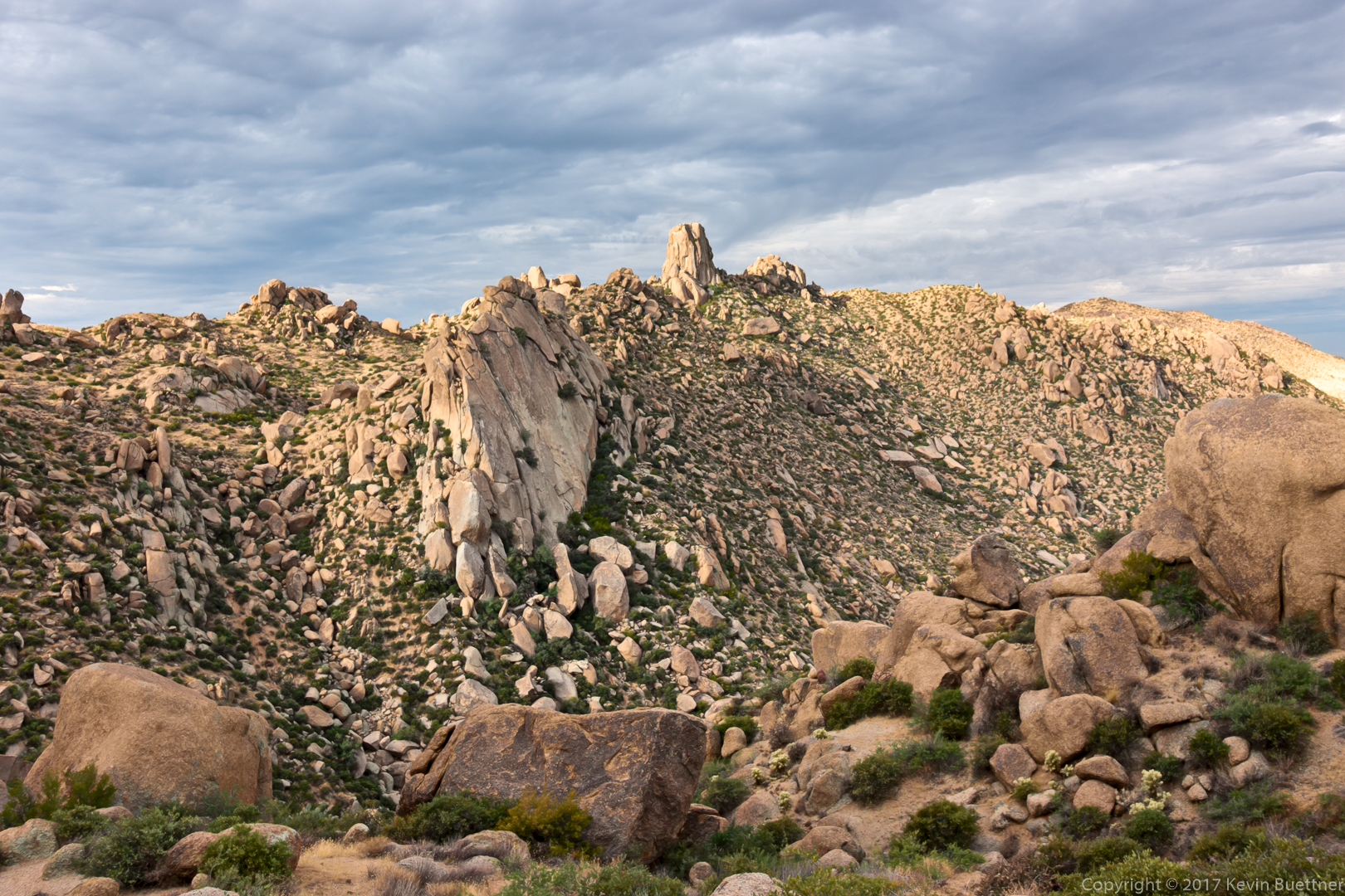
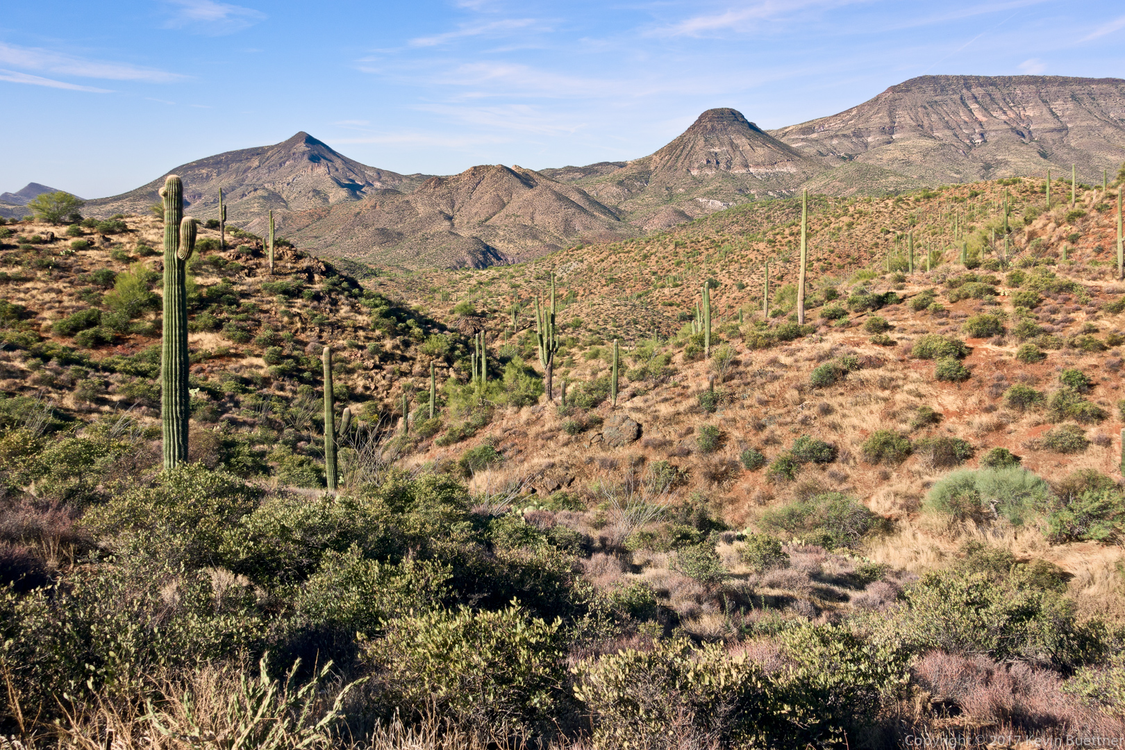
Another view of Skull Mesa:

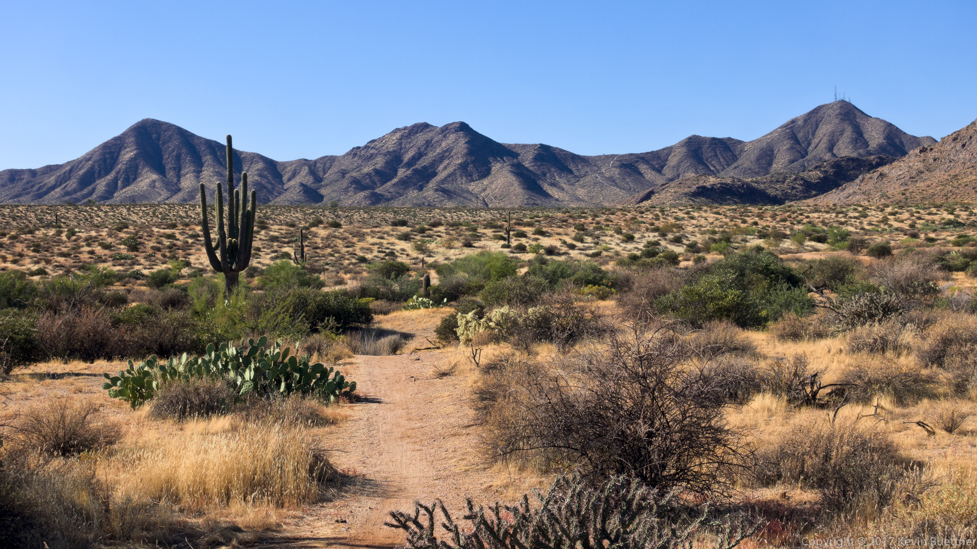
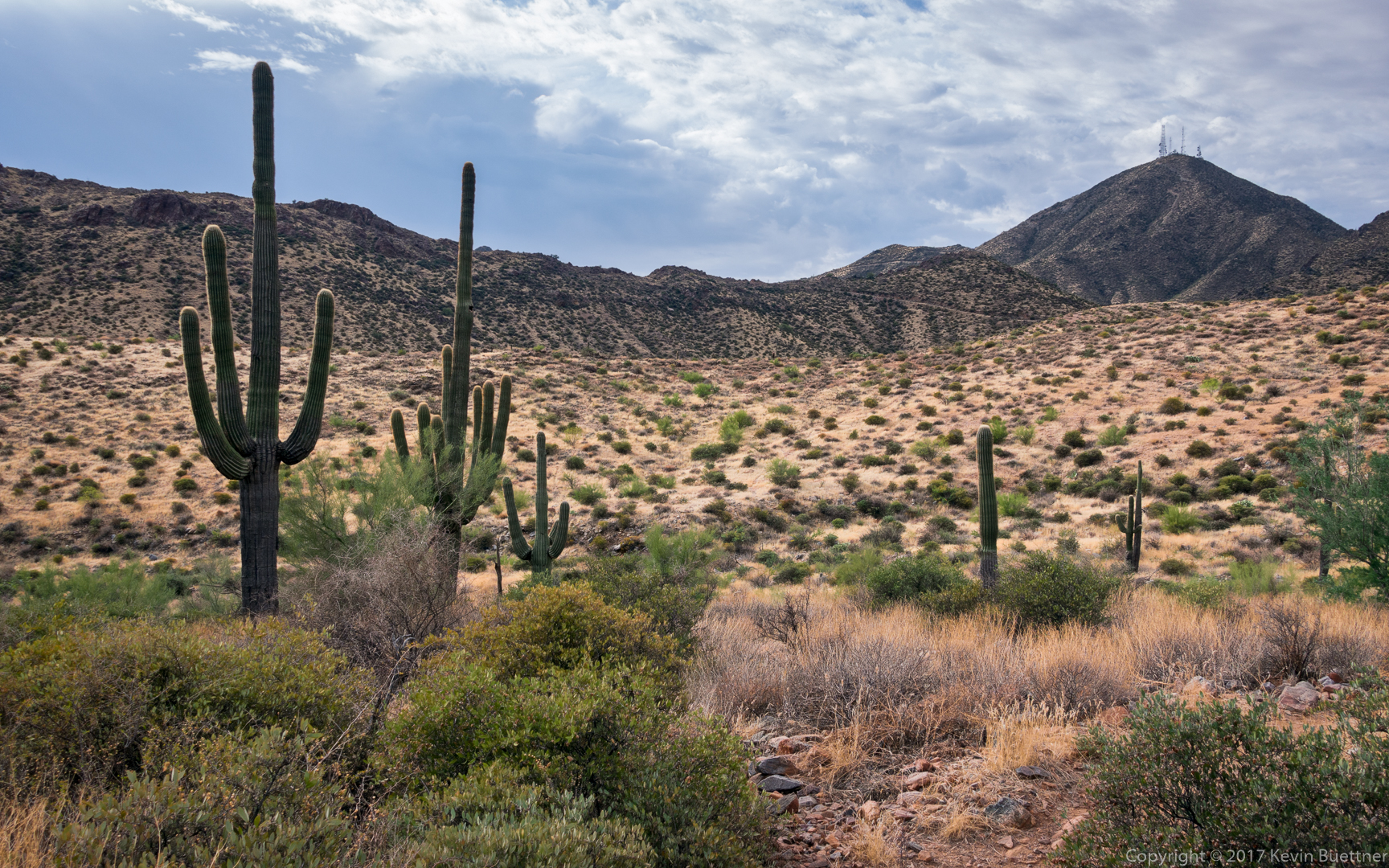
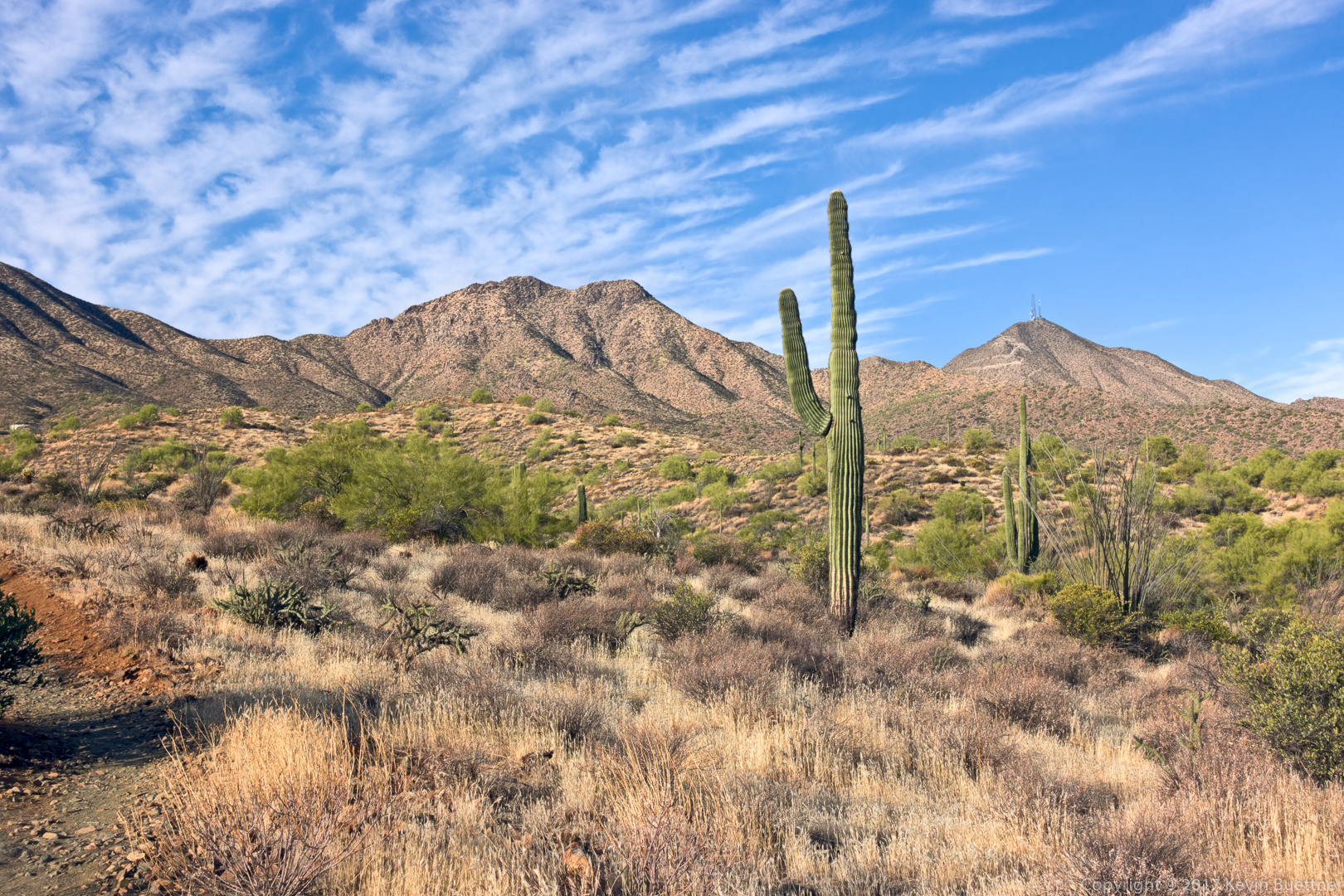
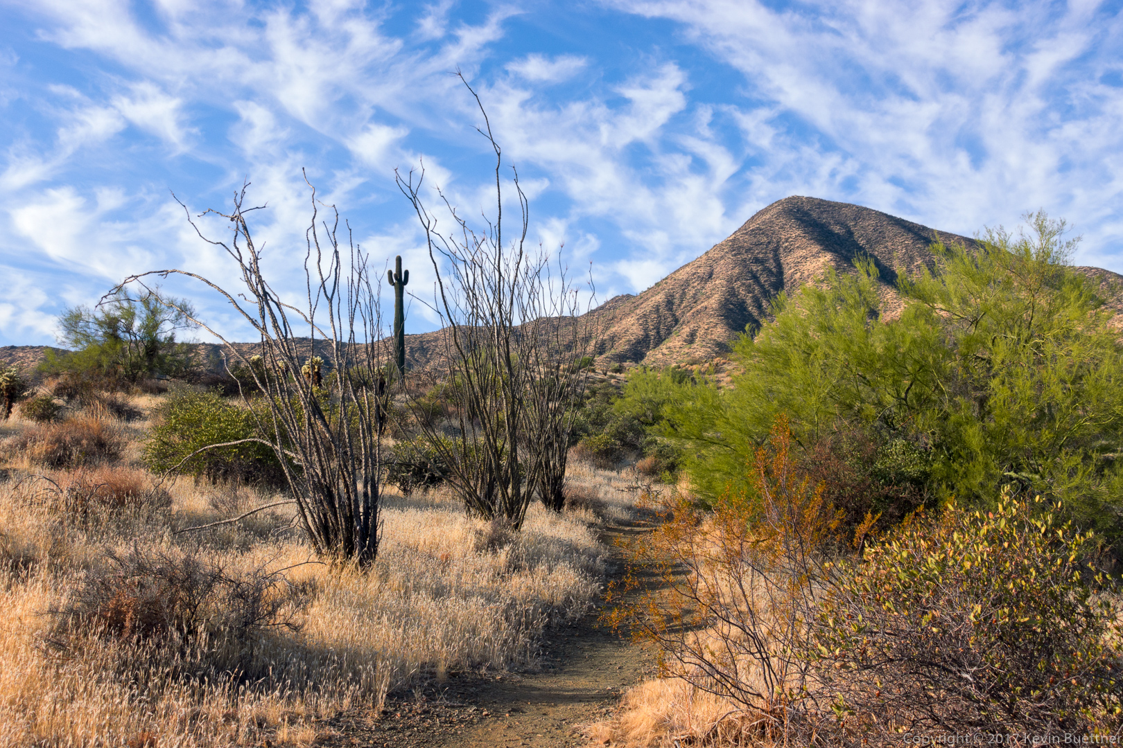
Looking back toward Sugarloaf Mountain:

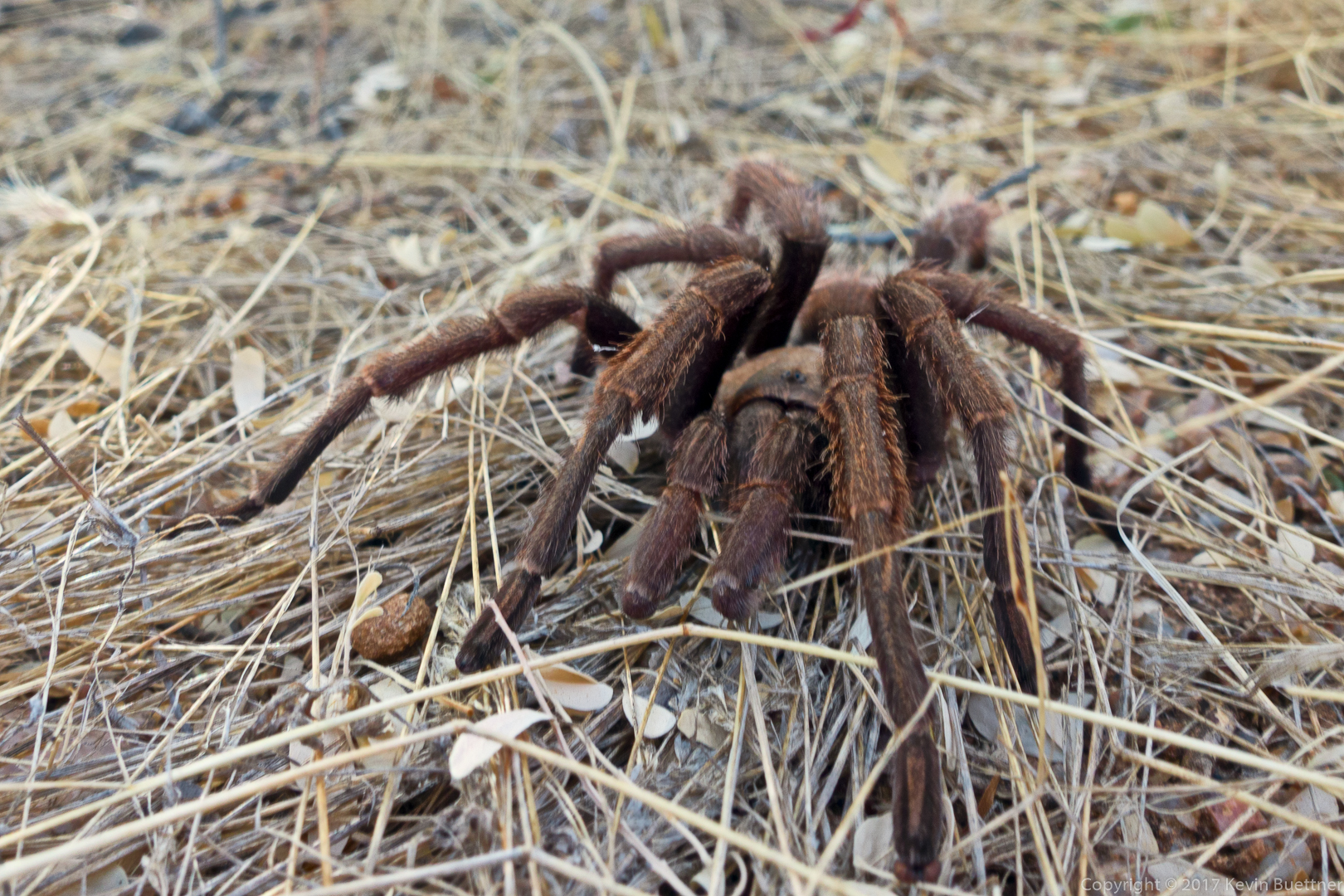
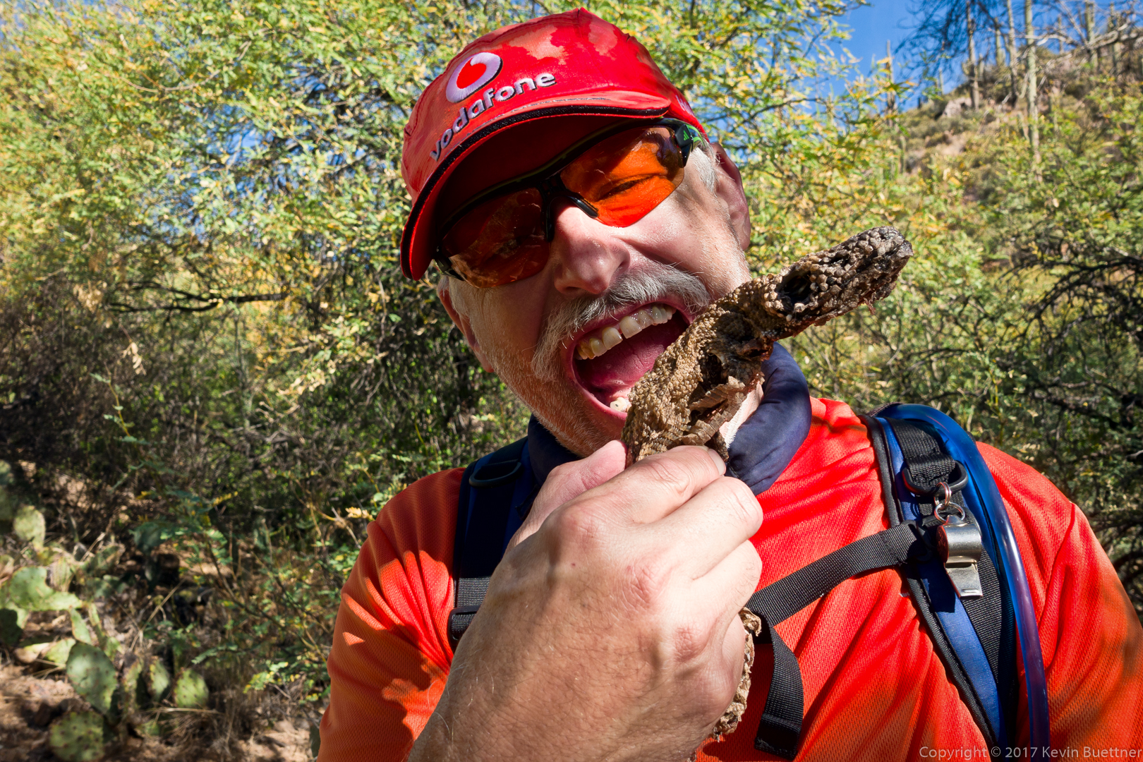
Nick found a dead Gila Monster to munch on as an appetizer before lunch…

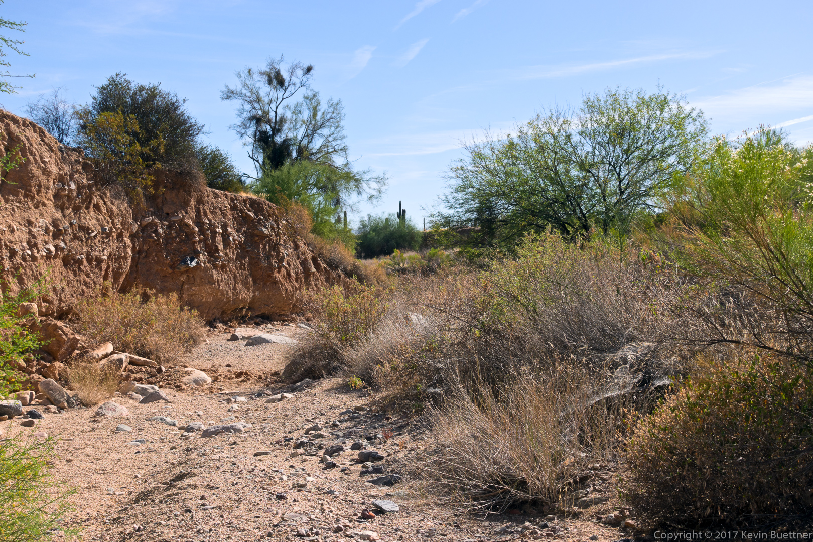
This is a view of the spring area. We saw some water here, enough to filter if we would’ve had to.

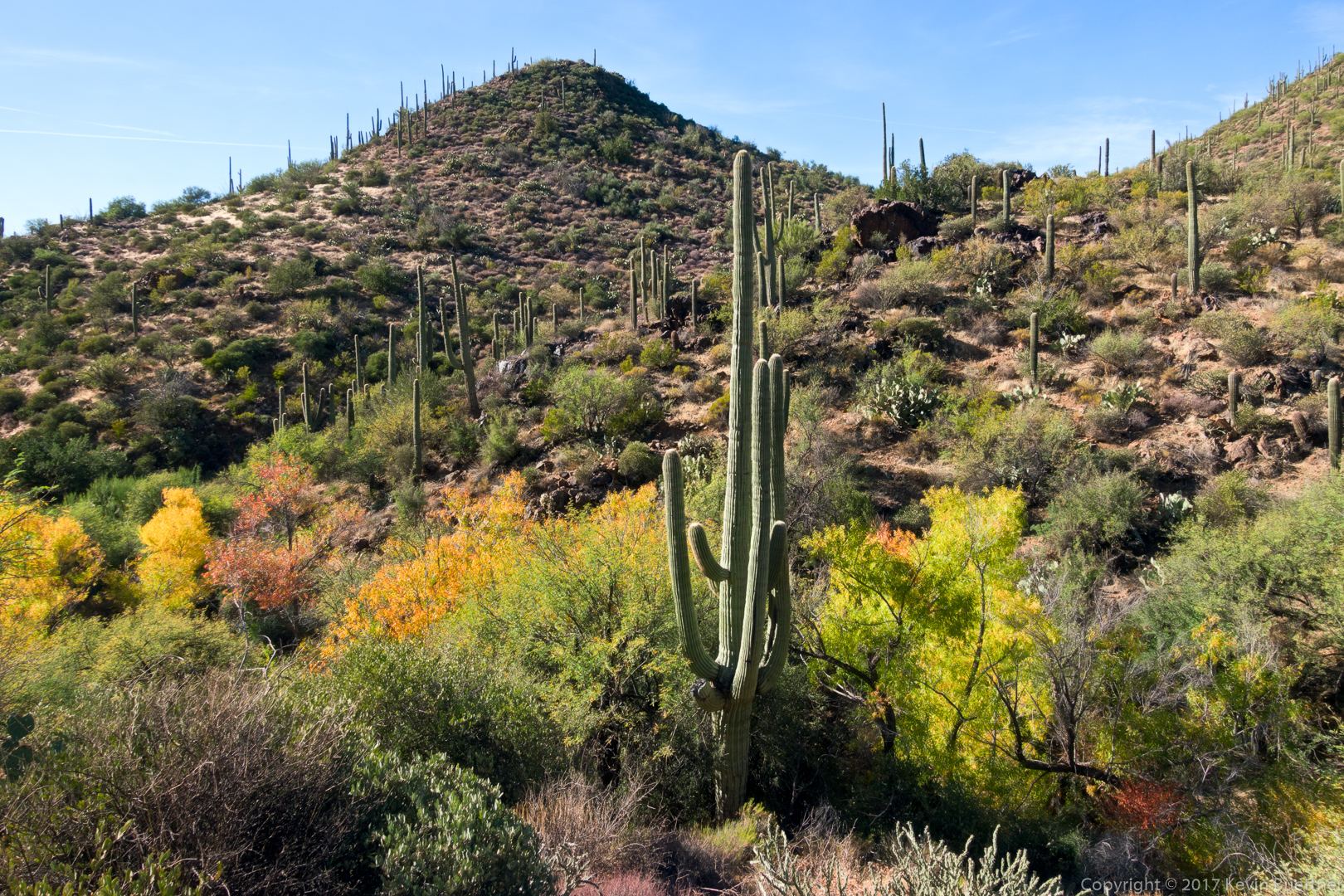
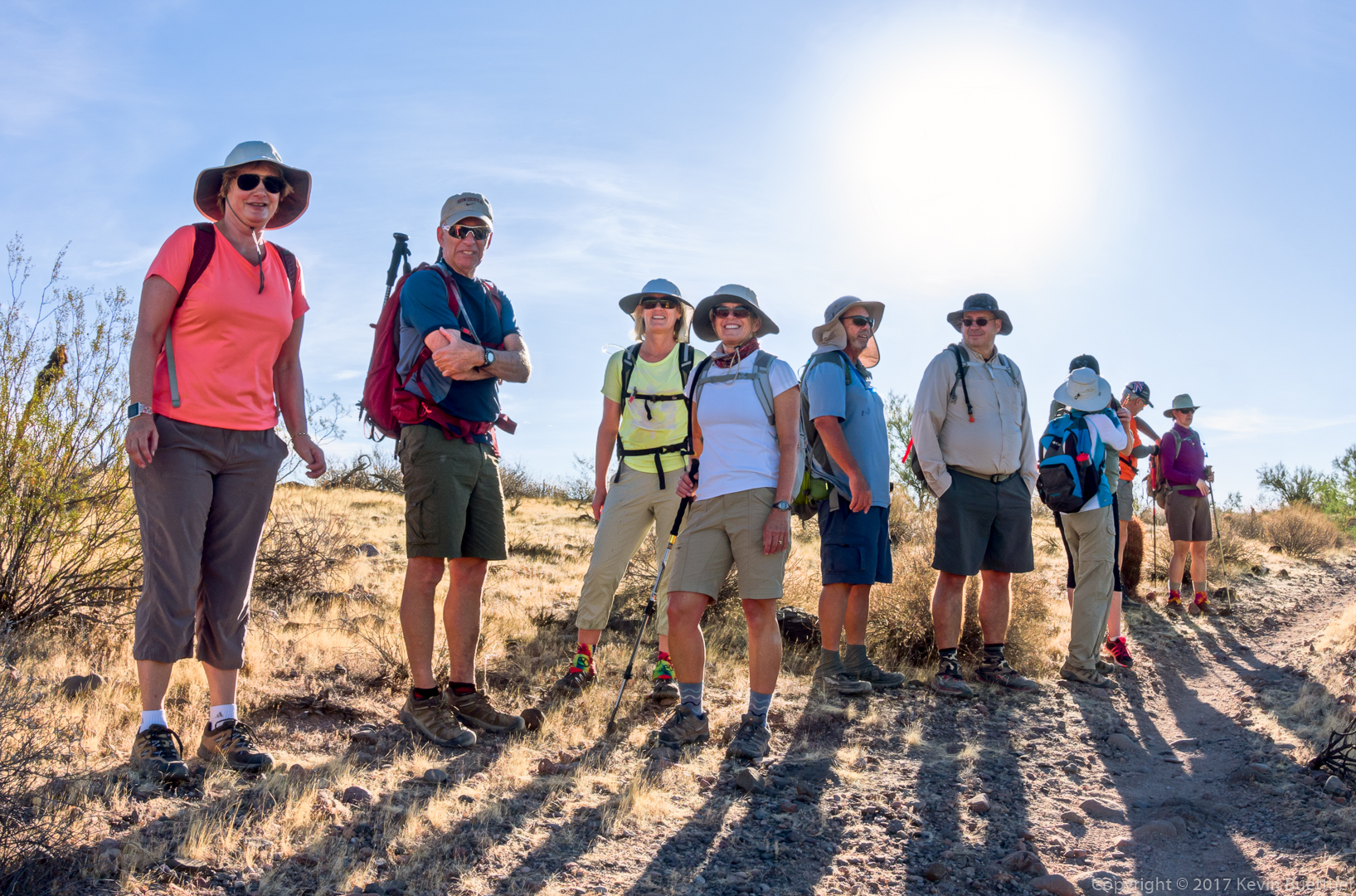
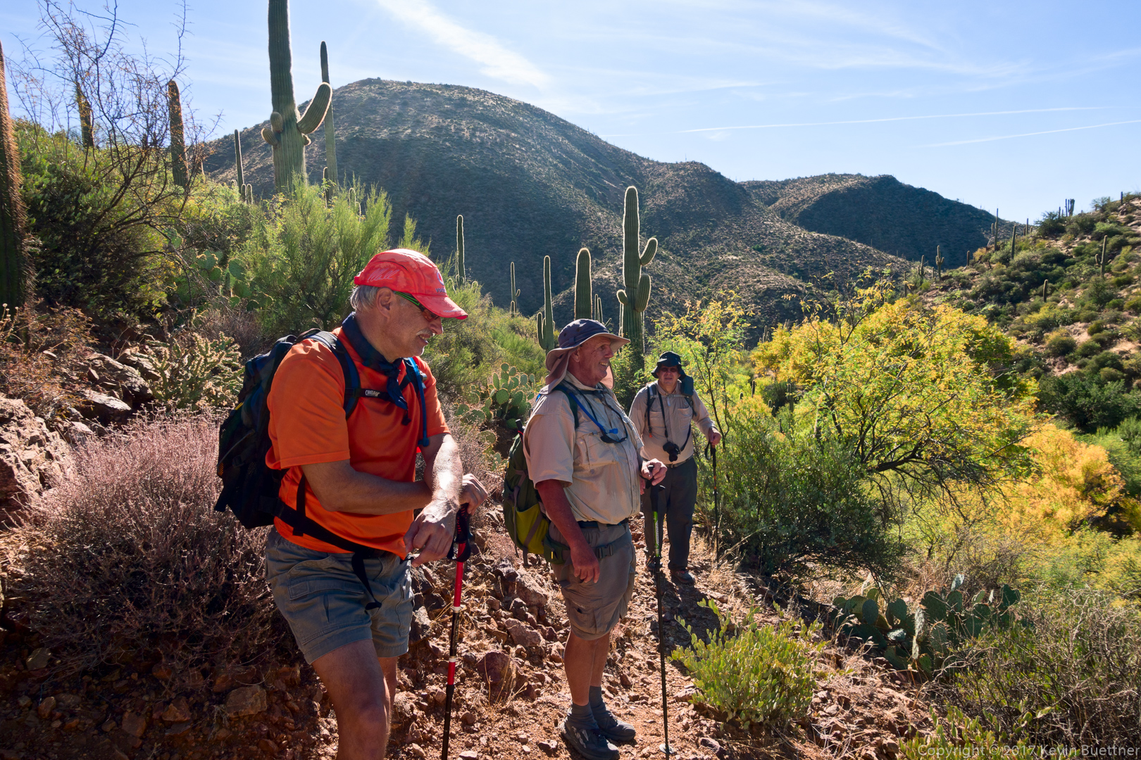
Nick, Bob, and Mike on 247 after leaving the spring.

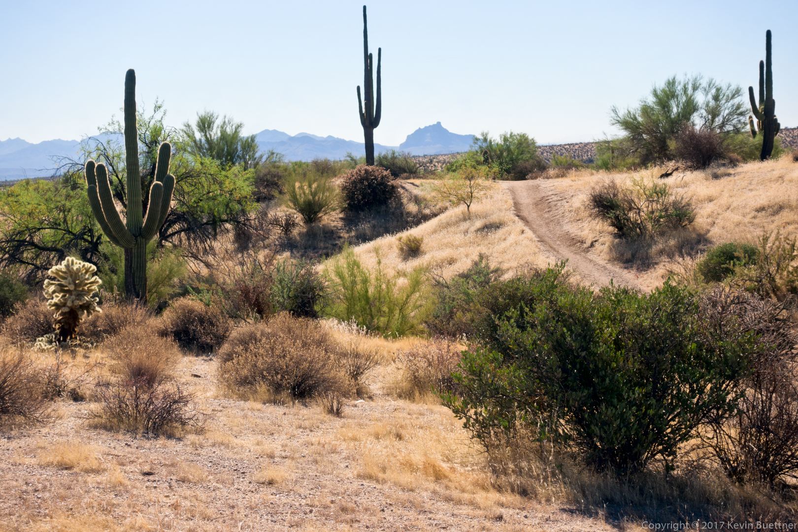
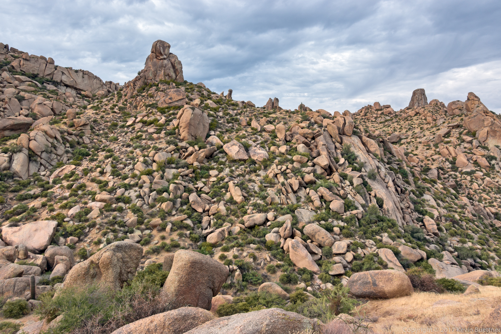
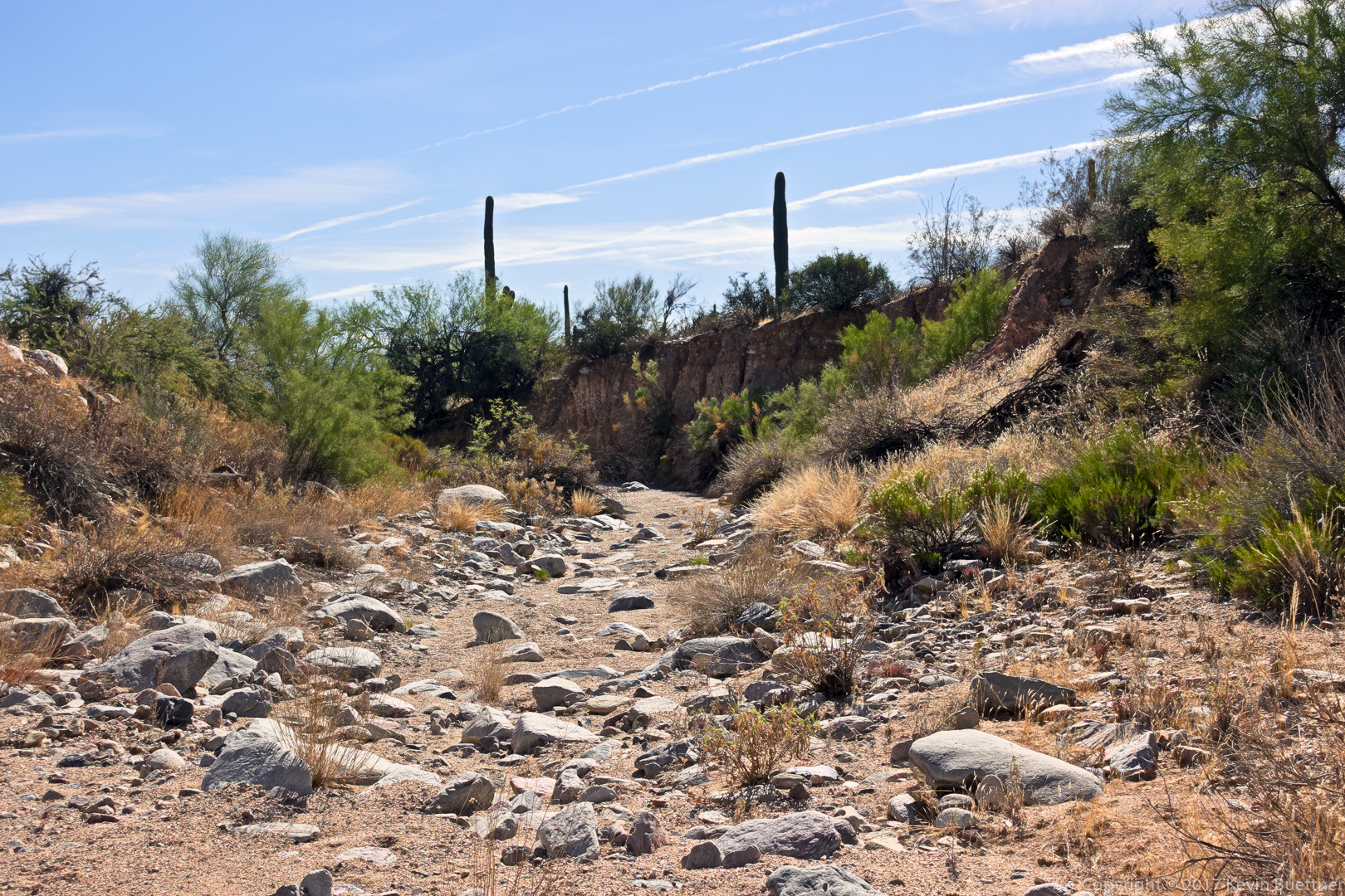
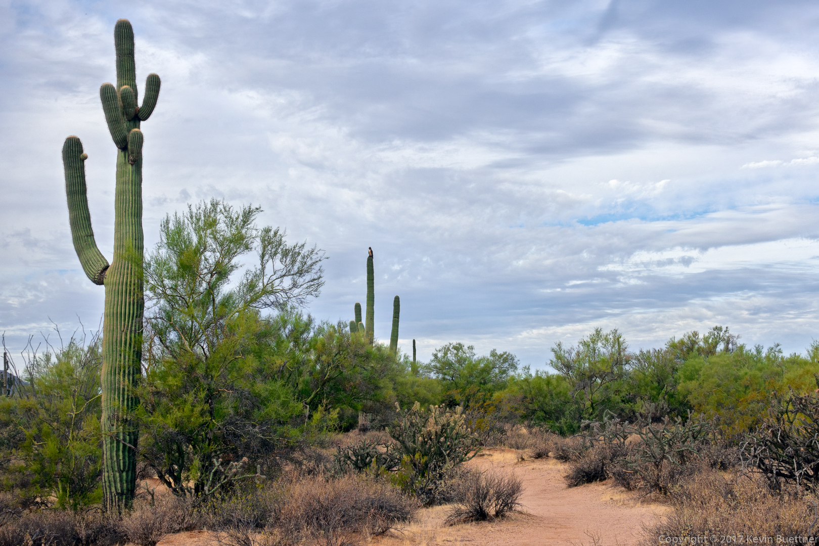
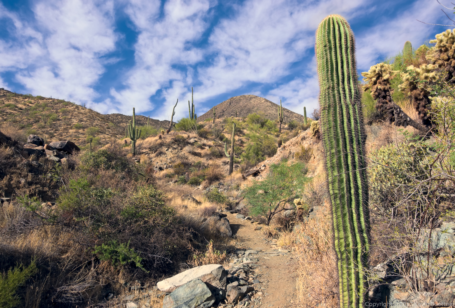
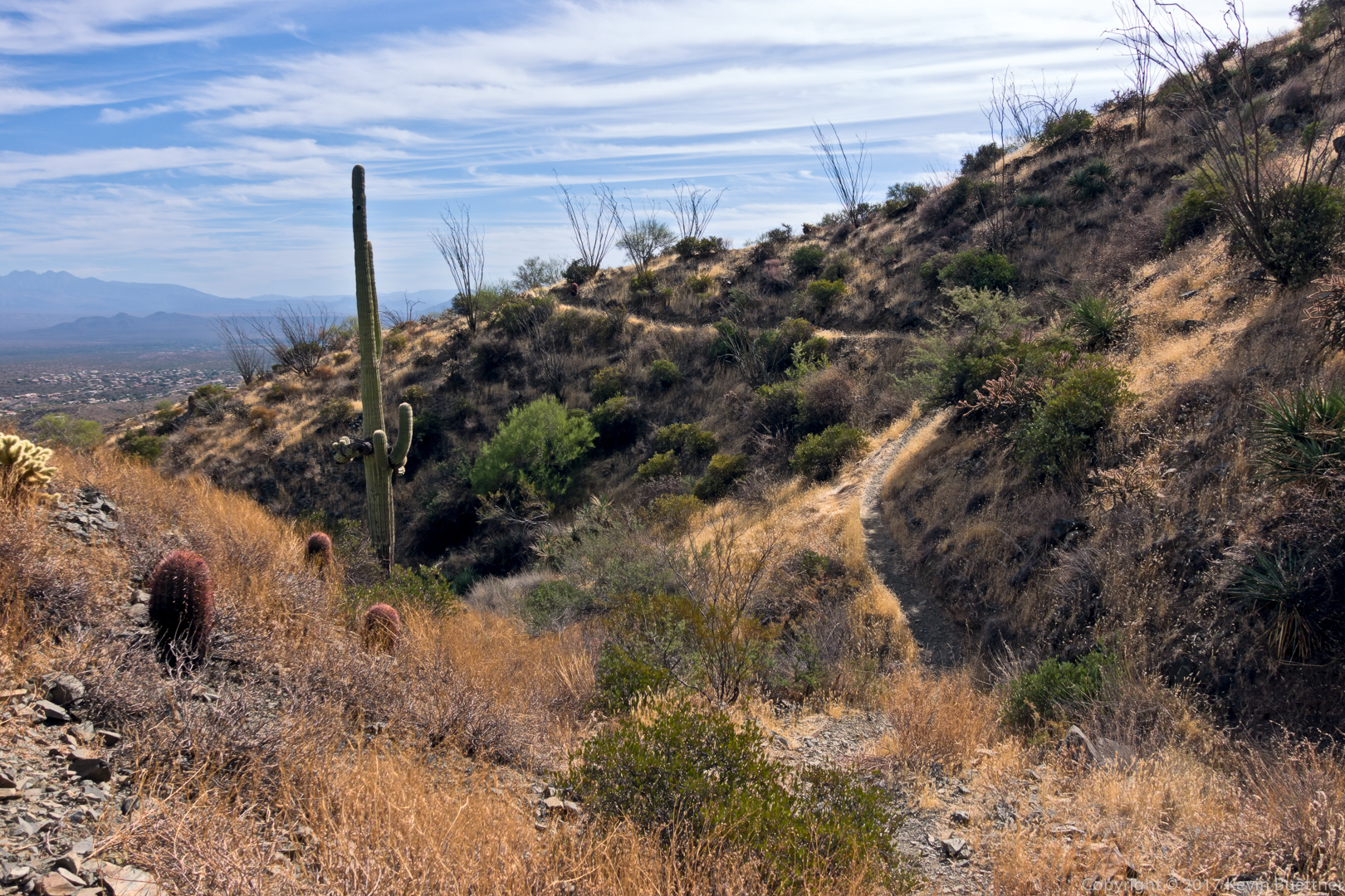
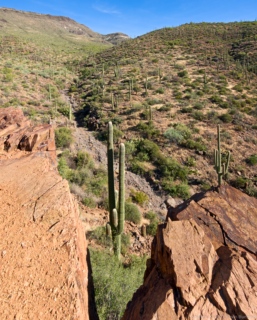
This is the view along the section of 247 between 247A and the intersection with the Skull Mesa Trail.

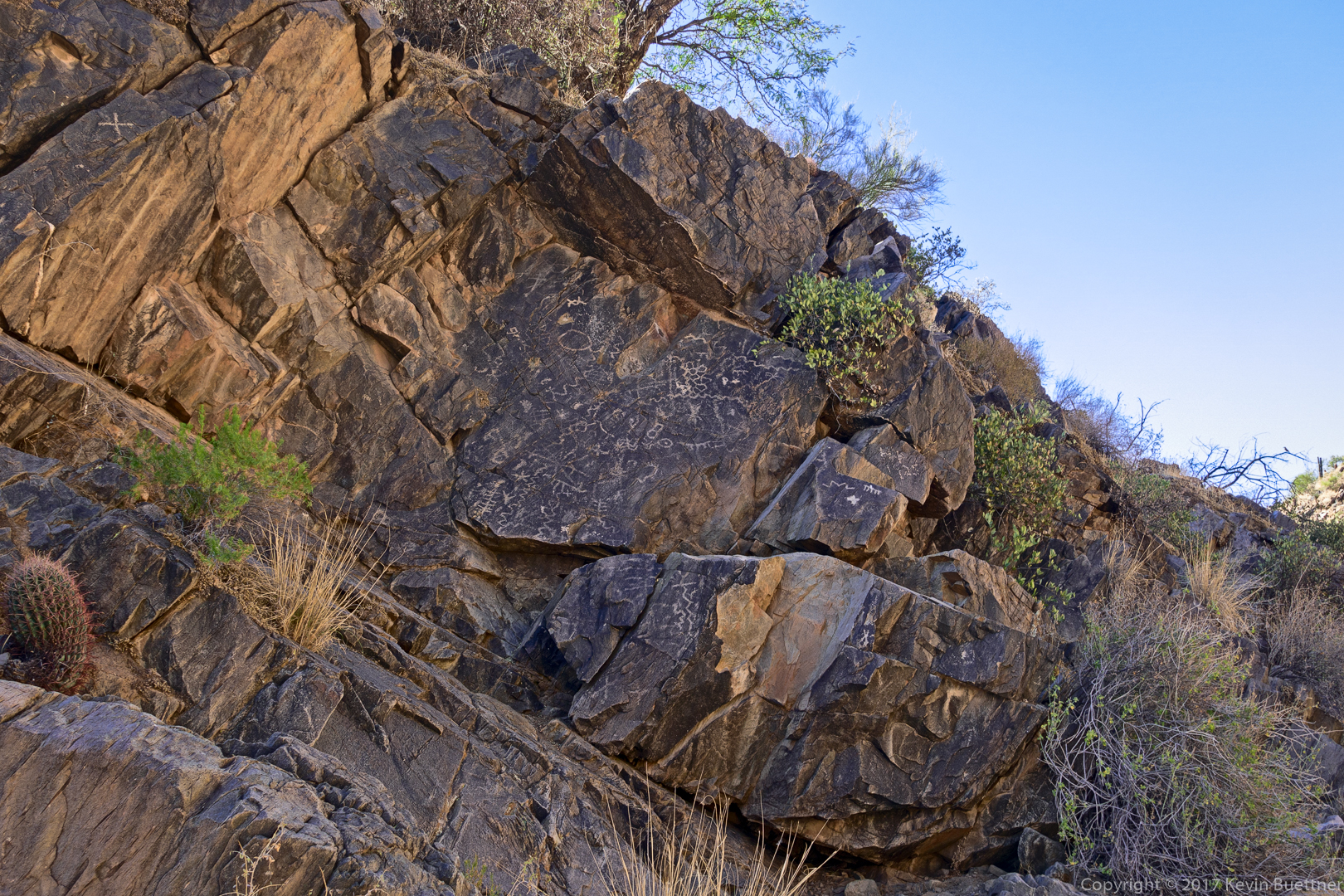
This petroglyph is on the Skull Mesa Trail. Bob and I hiked a ways up this trail why Nick and Mike ate lunch.

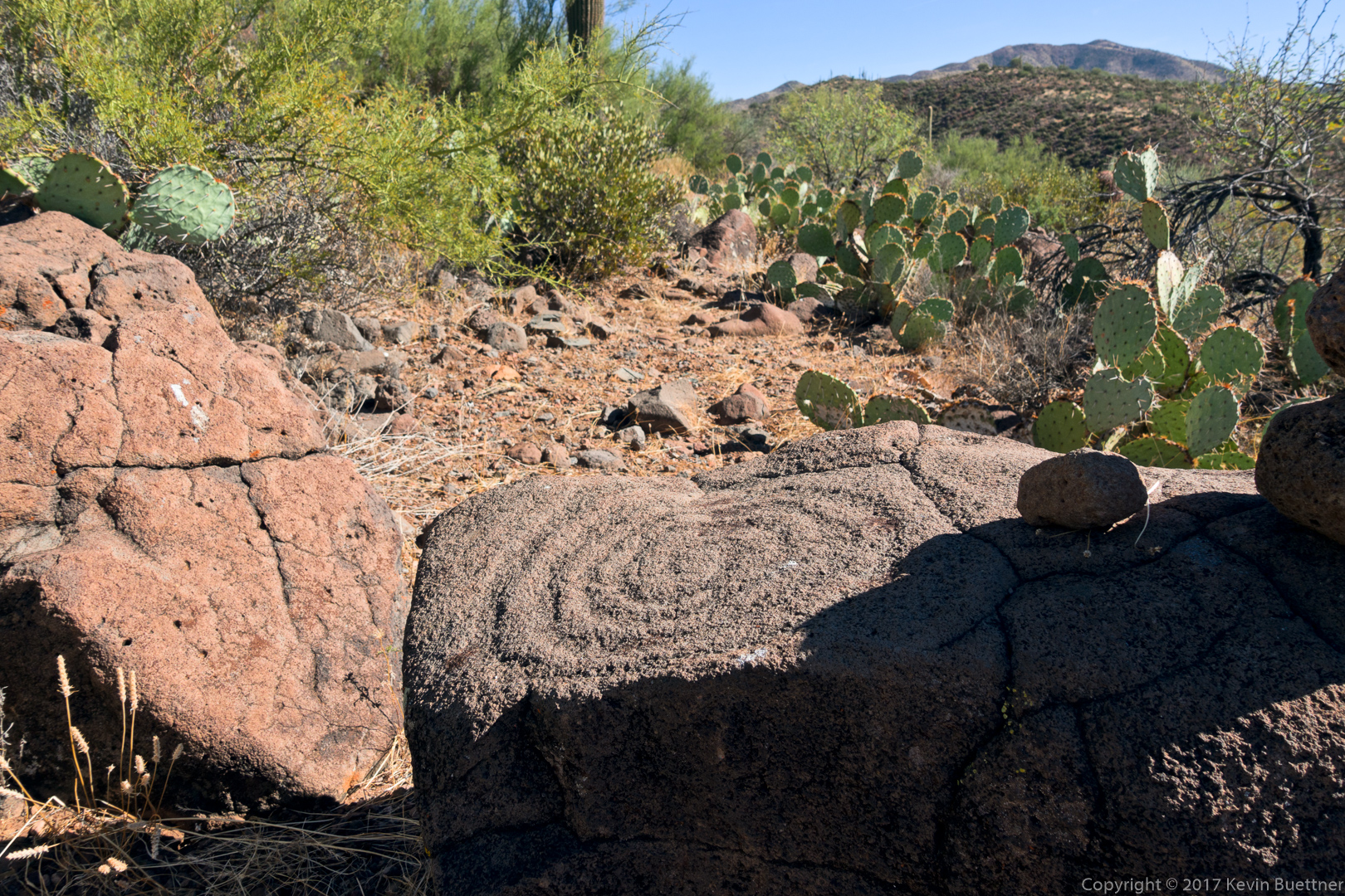
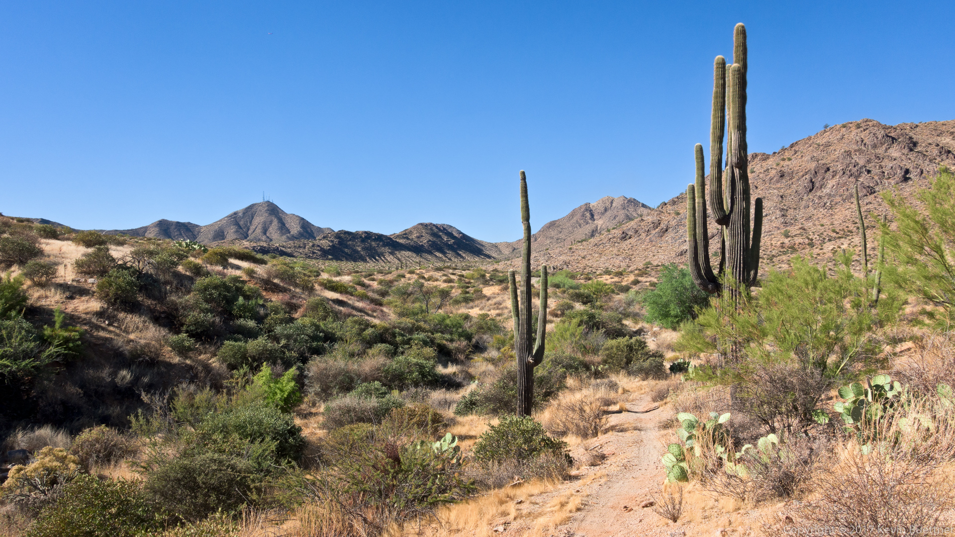
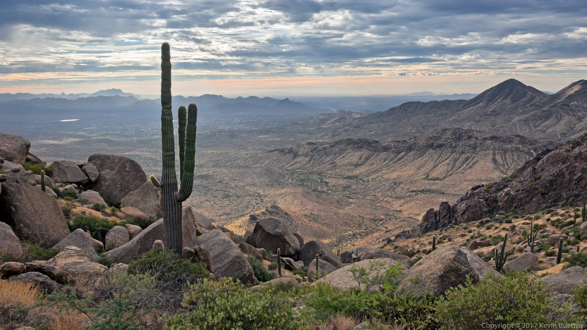
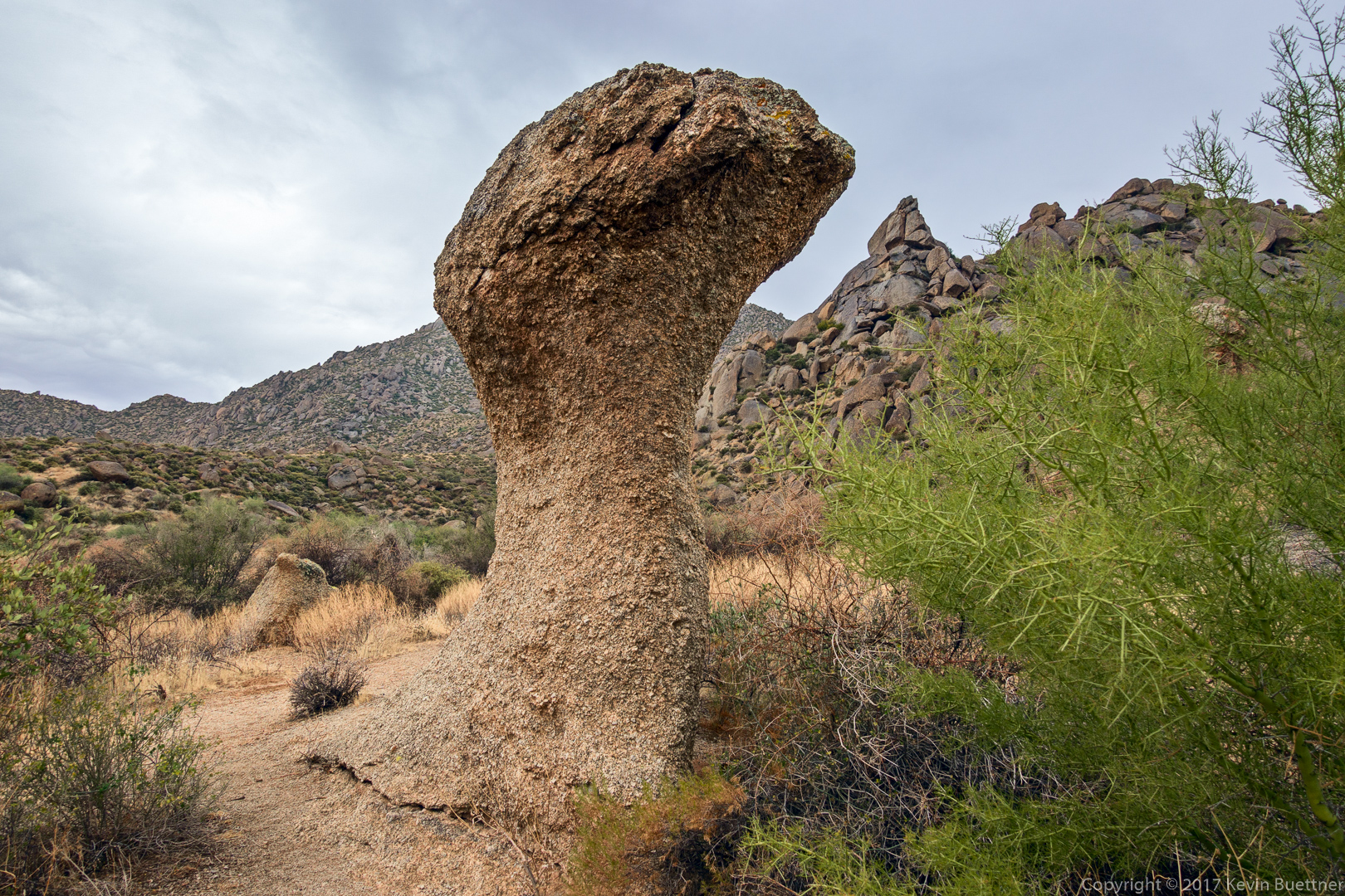
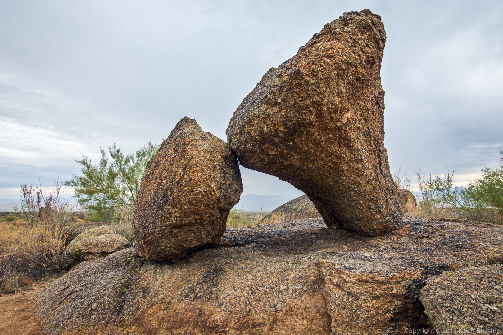
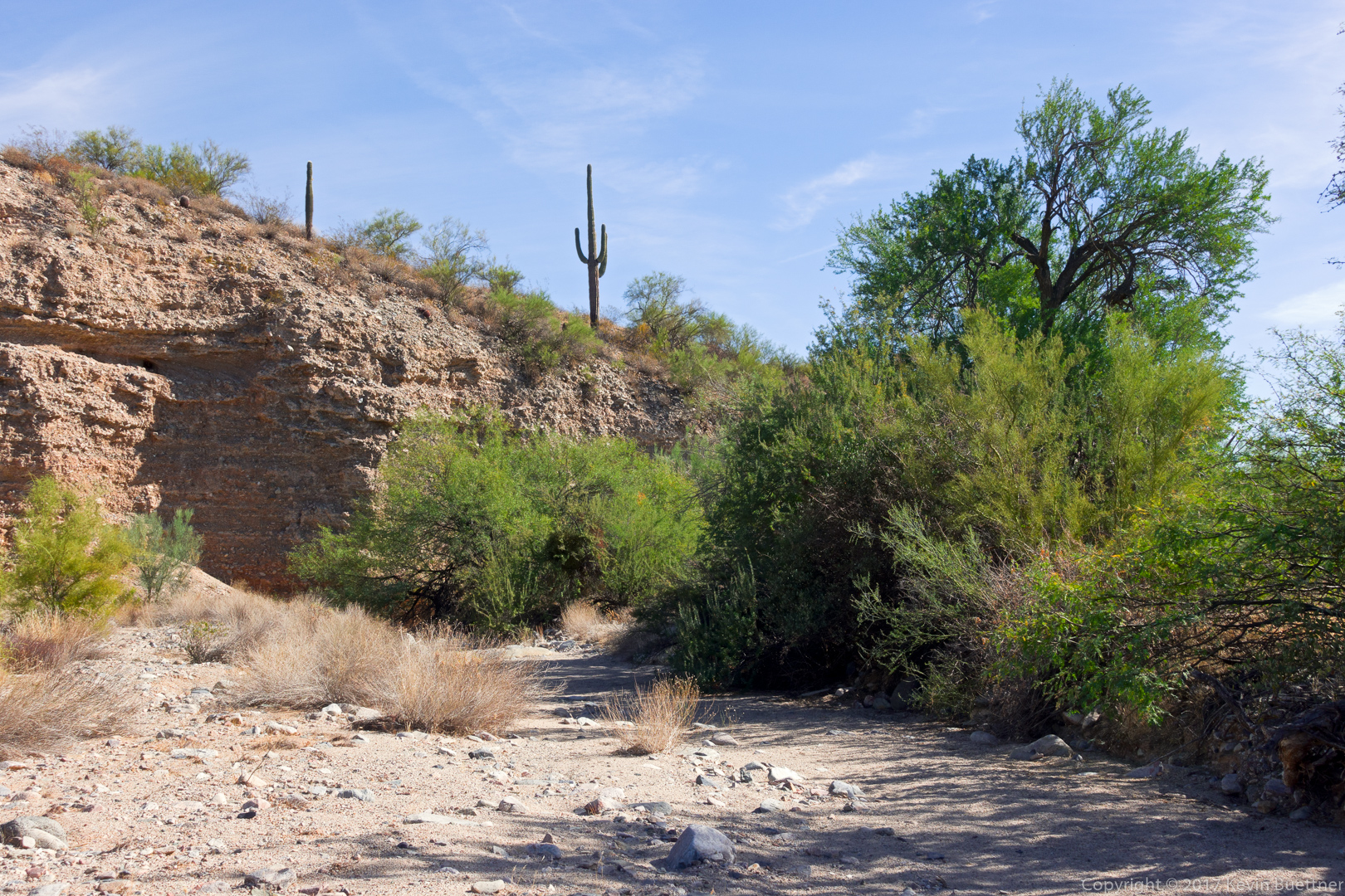
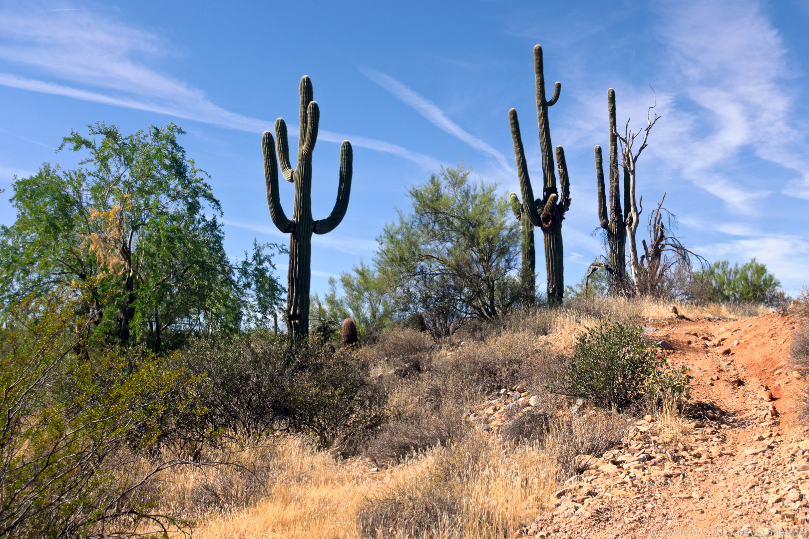
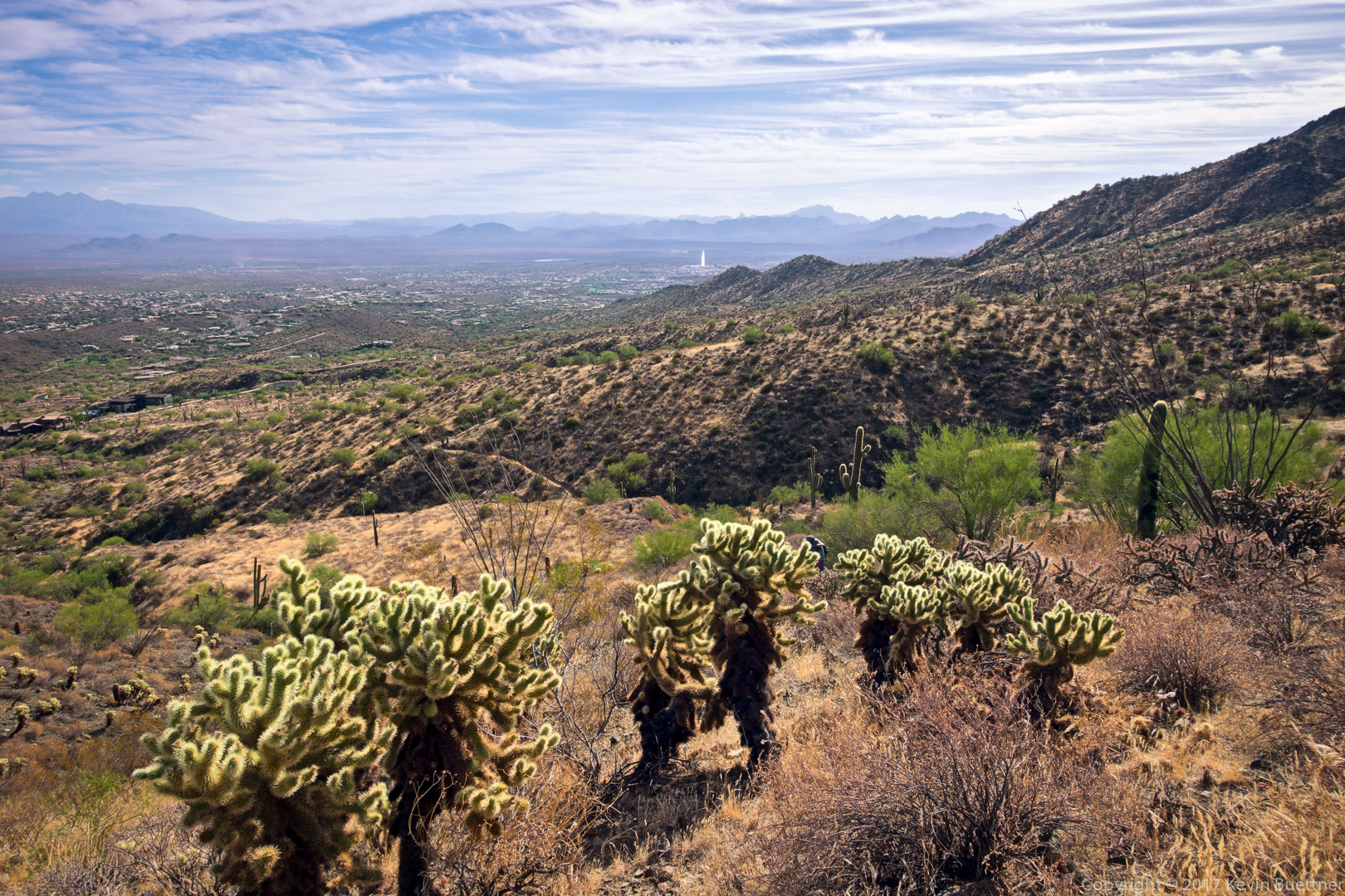
Another awesome view on the hike back…

Walk Off the Turkey Fitness Hike

On Friday, the day after Thanksgiving, 18 of us hiked from the Trailhead Staging Area to the parking lot for the Dixie Mine Trail. The Sonoran Conservancy of Fountain Hills organized and provided volunteers for this hike. (They even had all of the participants sign waivers!) It was supposedly a 9.3 mile hike, but my GPS watch showed that we had hiked 11.1 miles at the end.  Total ascent was over 1100 feet.

We hiked Pemberton, Tonto Tank, Pemberton, Coachwhip, and Dixie Mine. A few of us took a slight (0.2 mile) diversion near the end to visit the mine and the petroglyphs.

Hiking up the Tonto Tank Trail…

This is the short section of the Pemberton between the top of Tonto Tank and the bottom of Coachwhip:

Starting on the Coachwhip Trail…

Taking a break on the Coachwhip Trail:

A view of Weaver’s Needle and the Flatiron from the Coachwhip Trail:

A view of Four Peaks from the Coachwhip Trail:

A view of Thompson Peak from the Dixie Mine Trail, just before passing the side trail to Dixie Mine and the petroglyphs:

This is the main petroglyph panel:

Rappel Practice

Friday Fitness Hike

Linda, Linda, Susan, and Ben joined me for a 10.75 mile hike (with nearly 2200 feet of total ascent) starting from Tom’s Thumb Trailhead. We hiked up Tom’s Thumb, down East End, turned left on Windmill, left on Coachwhip, left on Pemberton, left on Boulder, and then right on Marcus Landslide. When we got to the intersection with Feldspar, Linda K joined me for a short scouting trip for my rappelling session on Saturday. The rest returned to the trailhead via Marcus Landslide.

(Our scouting trip revealed no bees for the scramble up to the top of the boulder pile from which we would rappel on Saturday. When Marilyn and I had climbed there in the past, bees were sometimes a minor problem.)

A view of Pinnacle Peak and Troon Mountain from the Tom’s Thumb Trail:

Looking toward Four Peaks…

A break in the clouds lit up part of Troon Mountain as we continued our hike up Tom’s Thumb Trail.

A view of Gardener’s Wall and Tom’s Thumb:

Glass Dome on the left; Tom’s Thumb partly hidden at the right.

Looking towards Red Mountain from near the top of the East End Trail:

This is a view from near the bottom of the East End Trail:

We saw this raven on a saguaro as we neared the intersection of Coachwhip & Pemberton:

Kevin, Linda, Linda, Susan, and Ben on the Pemberton Trail:

One of the mushroom boulders on the Marcus Landslide Trail:

This is the broken mushroom boulder that can be seen on a short spur trail off of the Marcus Landslide Trail:

Friday Fitness Hike

Susan, Ben, Sara, Nora, Bob, Mike, Marilyn, Joanne, Nick, and Marilyn joined me for a 12.1 mile hike that started in the Competitive Track area, made it’s way over to the Dixie Mine Trail, and then used the South Wash to return to the Competitive Track Area.

We’ve reached the top of the major hill on the Technical Loop and are waiting for three bikes to finish coming up the hill.  (Shooting into the sun made for an interesting photographic challenge.)

Views of the South Wash…

Ben, Nora, Marilyn, Joanne, Mike, Sara, Nick, and Susan. (Bob and the other Marilyn can’t be seen in this photo.)

This is a view from the Long Loop.

Sunday Bike Ride – Granite / Cholla Mountain Area

Marilyn, Joe, and I rode at Granite Mountain on Sunday.

Saturday Hike – North Trail

On Saturday morning, I hiked the North Trail with Bob and his dogs. (I hiked part way with Sandra and her friends too.)

One of the ladies spotted this tarantula early in the hike:

The twisty-armed saguaro caught my attention:

Look for the (Harris ?) hawk atop the saguaro in the distance…

Friday Fitness Hike

Jude, Nora, Sara, Marilyn, Bob, and I hiked 8 miles on the Dixie Mine and Sonoran Trails. Total ascent was just over 1400 feet.

All of the photos below were taken from the Sonoran Trail.

We were most impressed by this mountain biker. The terrain here is steeper than it looks; plus, she had just negotiated a fairly tight switchback. She managed to pass us on this narrow trail without dismounting.

Looking towards Fountain Hills and the Superstition Wilderness…