Tag: Bryce Canyon National Park (page 1 of 1)

Snow / Bryce Canyon

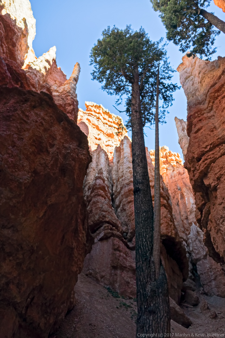
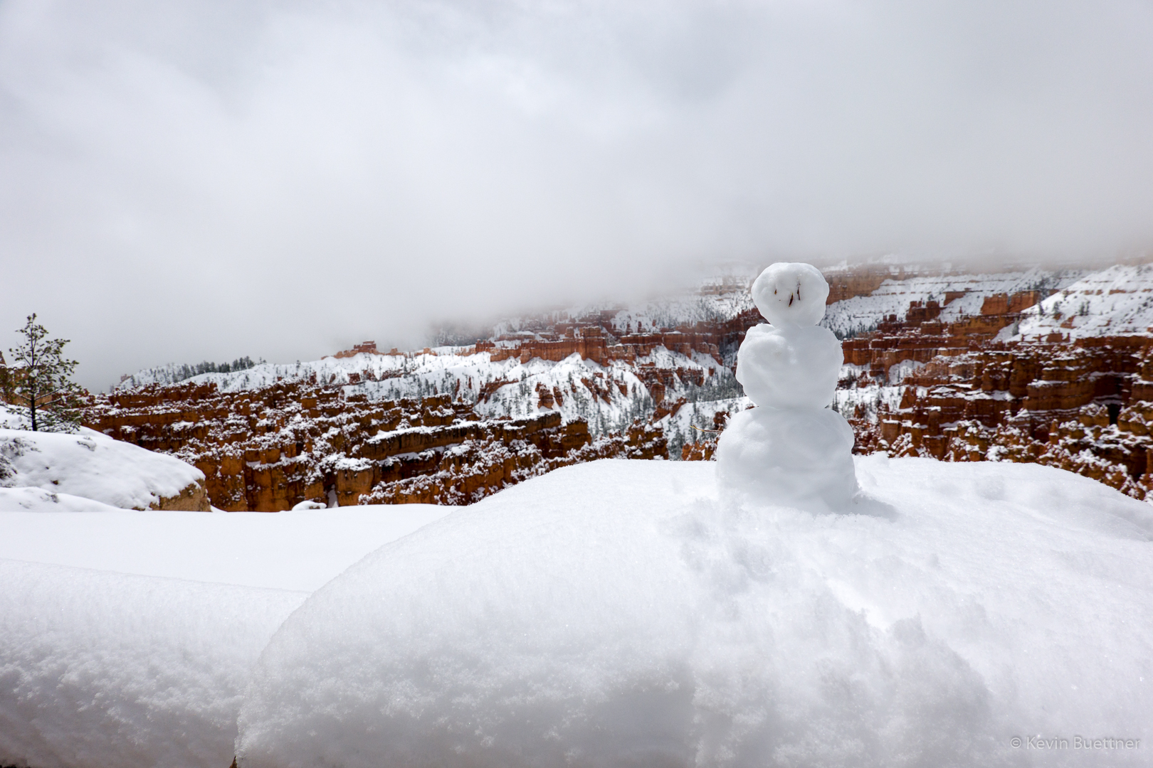
May 20 was one of our travel days.  Our four days in Torrey / Capitol Reef had been cold and occasionally slightly wet. On the 20th, we woke up to find our truck (and pretty much everything else) covered with snow. When we arrived at Bryce Canyon, we found even more snow along with poor visibility. We didn’t stay long.

This was the view from the parking area of the Broken Spur. In addition to standard motel rooms, guests are also lodged in the covered wagons; it provides a “glamping” experience. We spoke with a fellow who was in one during the evening snowstorm. He said that they worked very well at keeping the weather out. I had hoped to see what they looked like inside, but when I walked around, I saw that they were locked up.  (As I recall, the canvas at the end of the wagon unzips.  Beefy looking padlocks keep them secure.)

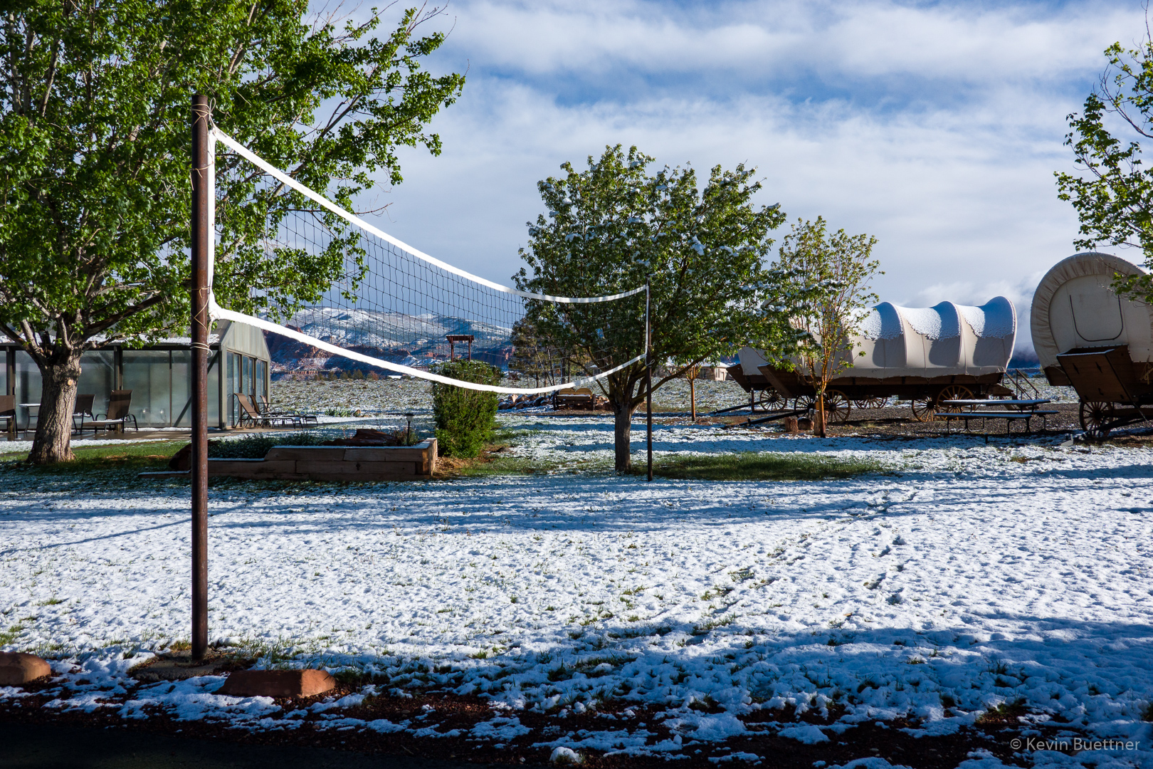
Another view from the Broken Spur in Torrey:

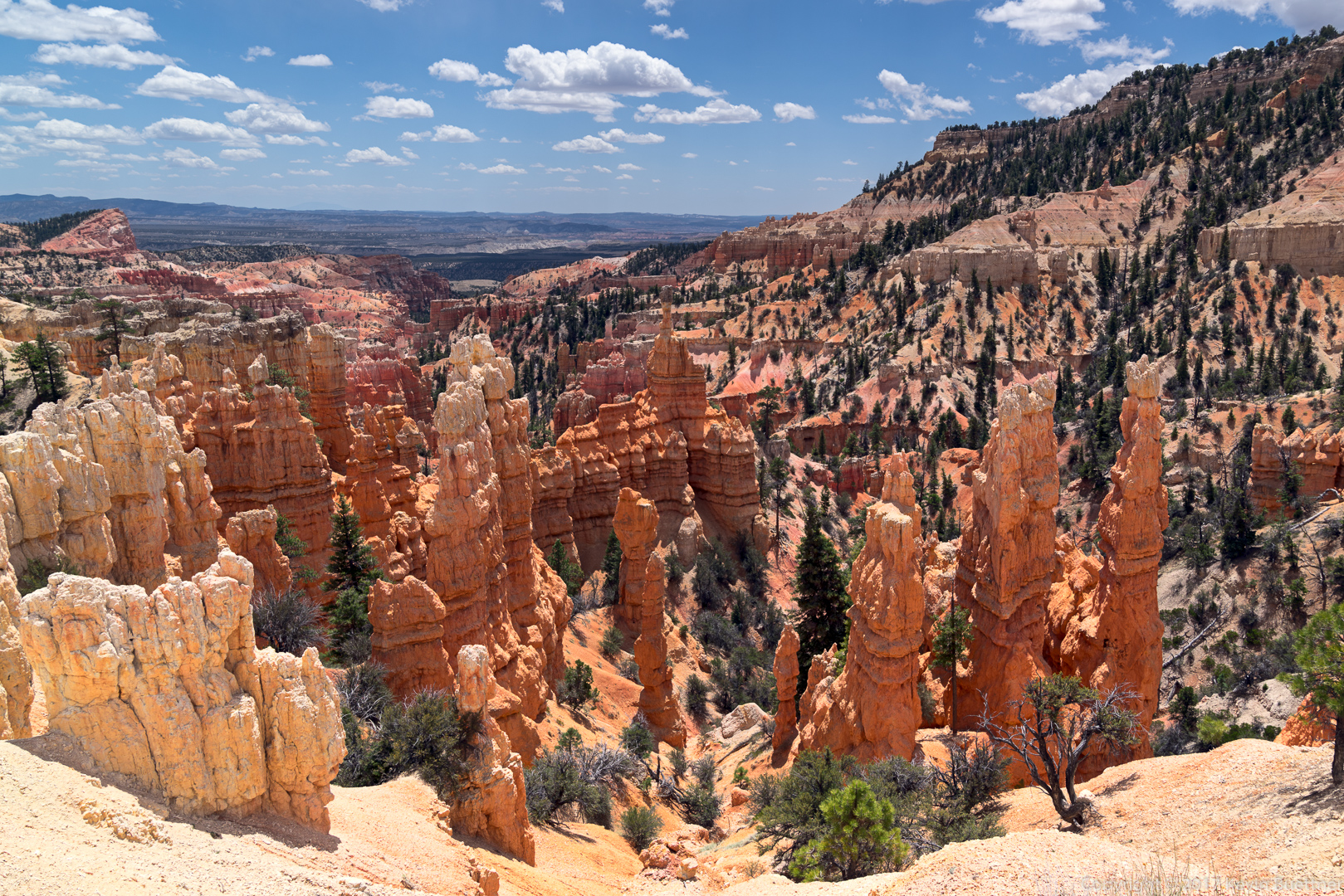
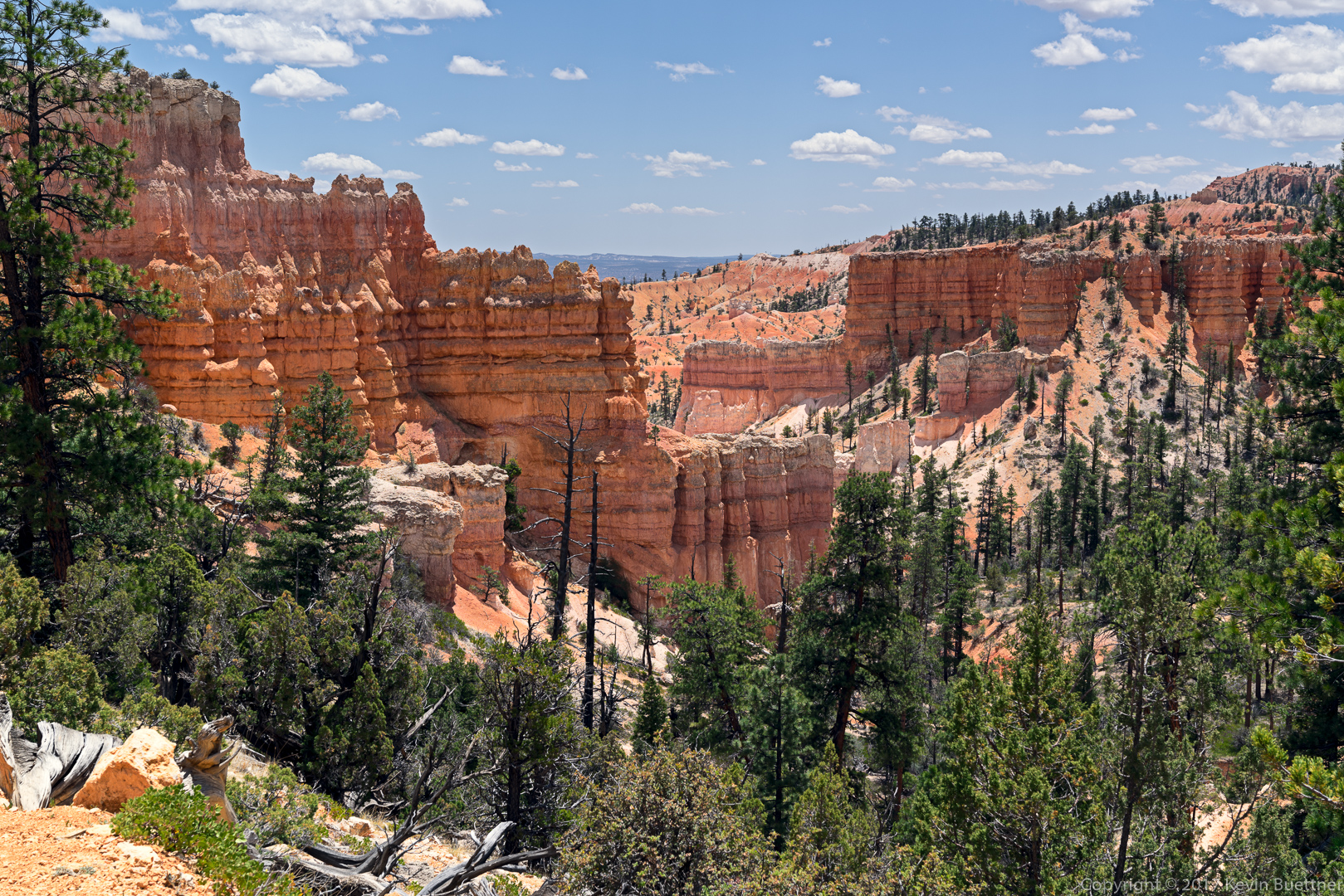
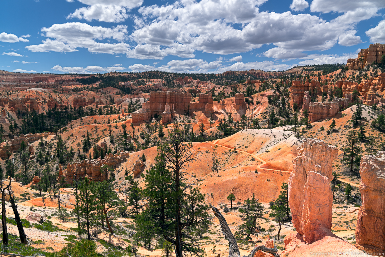
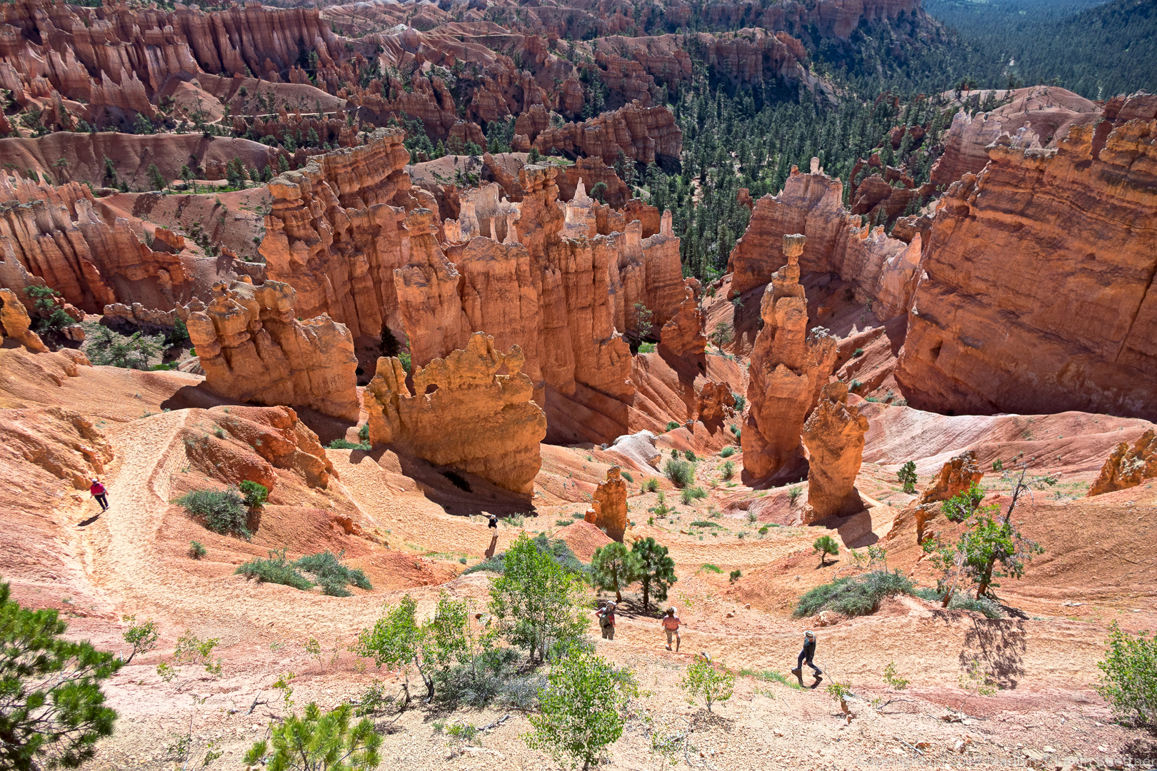
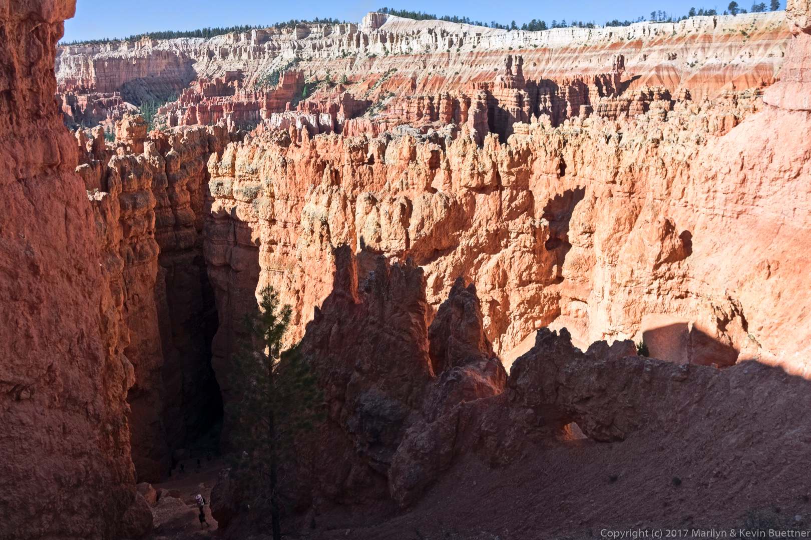
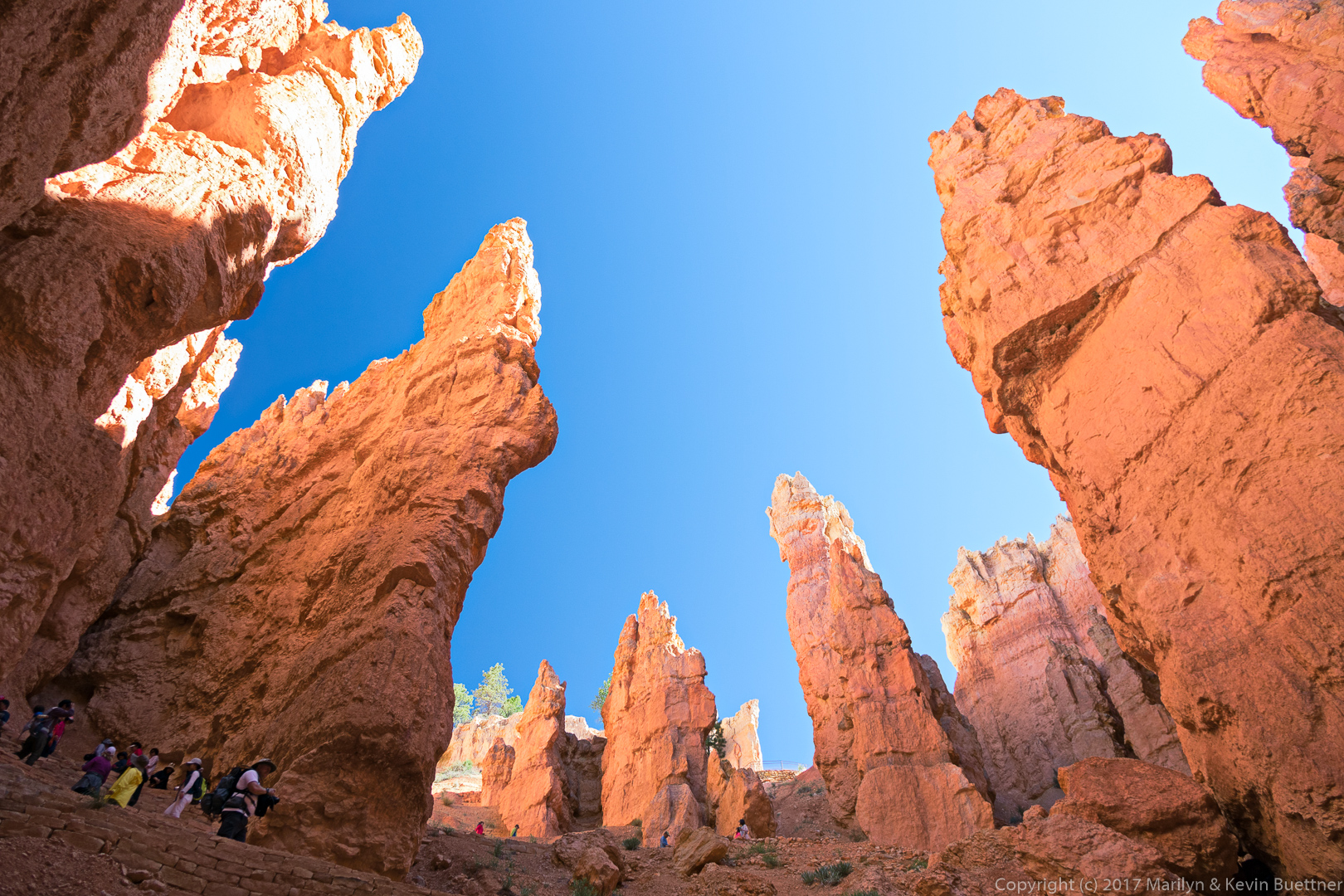
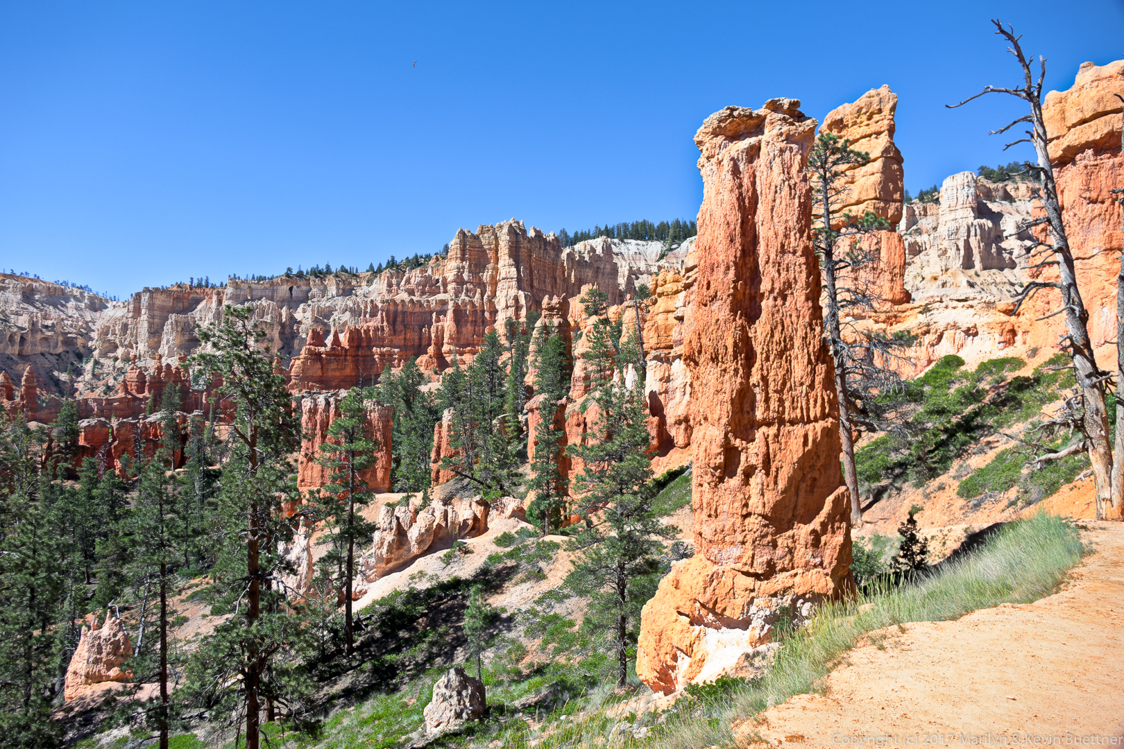
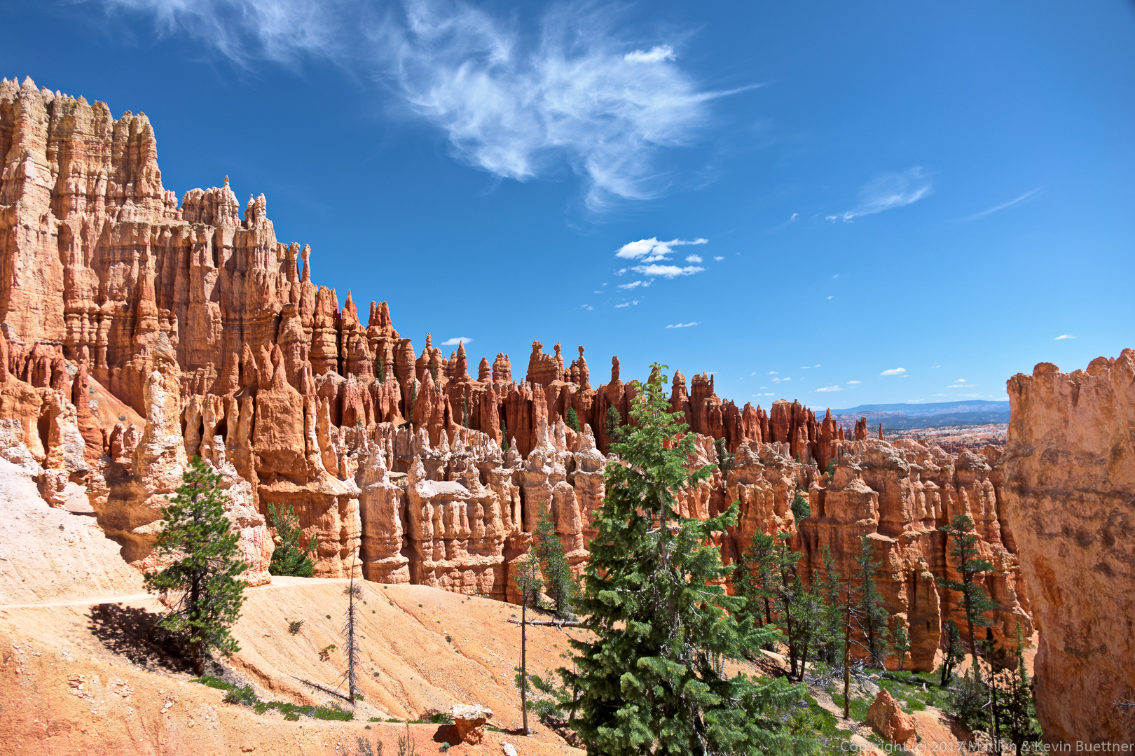
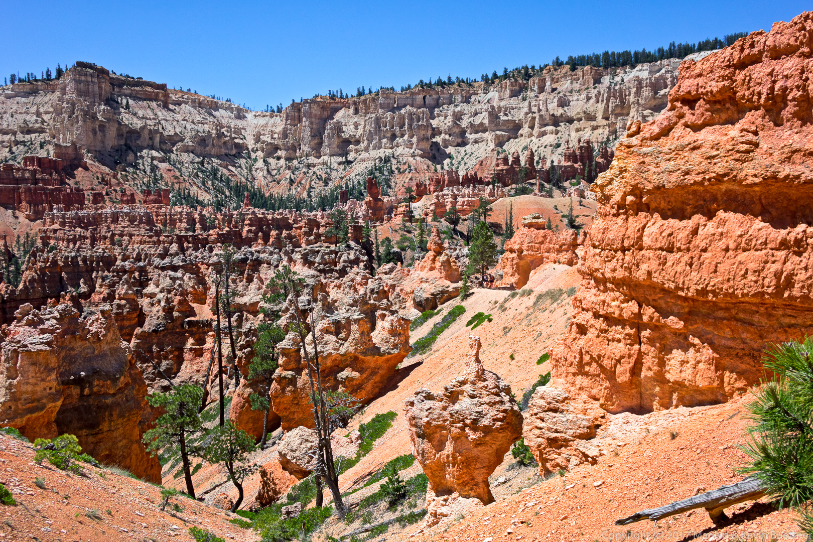
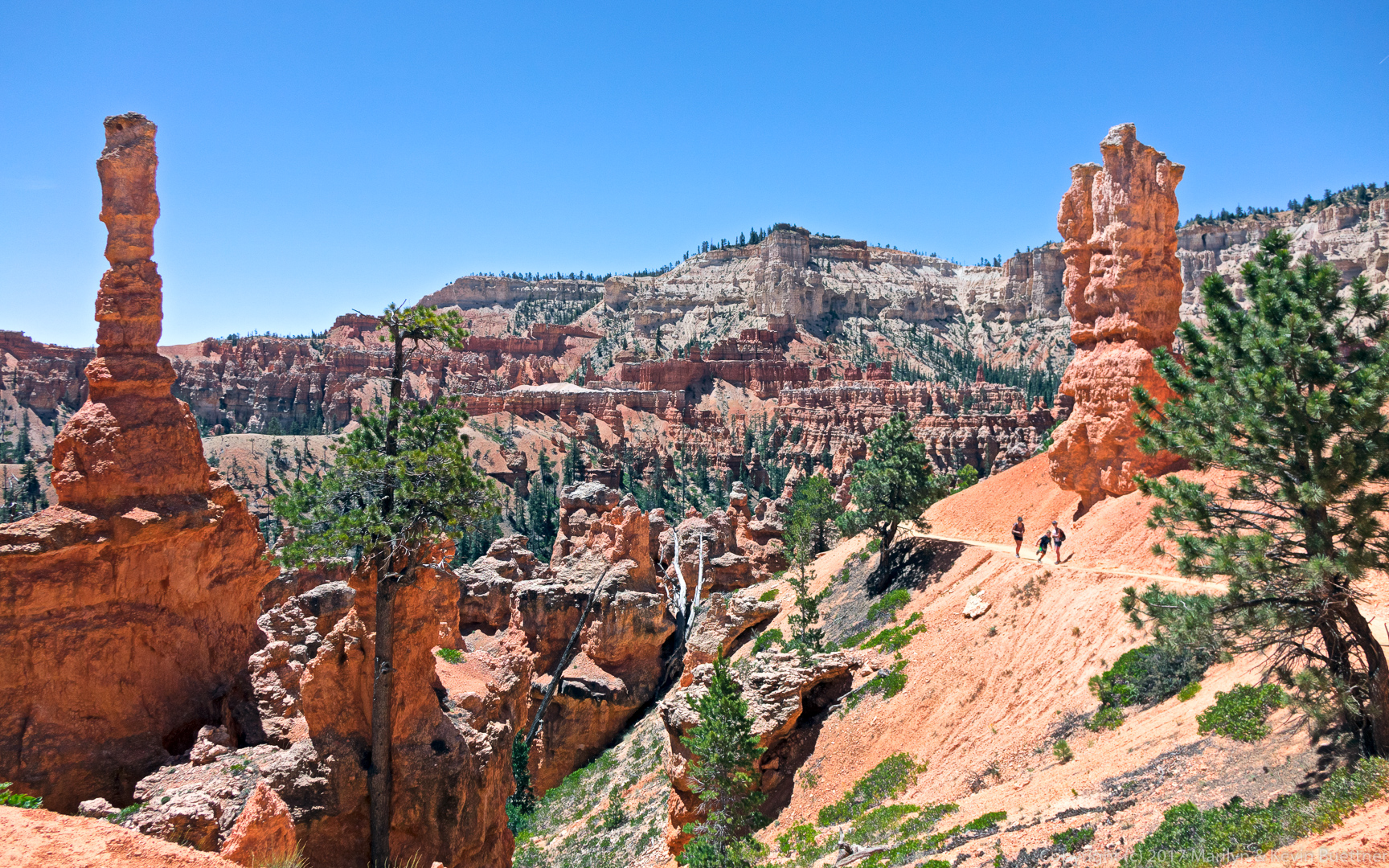
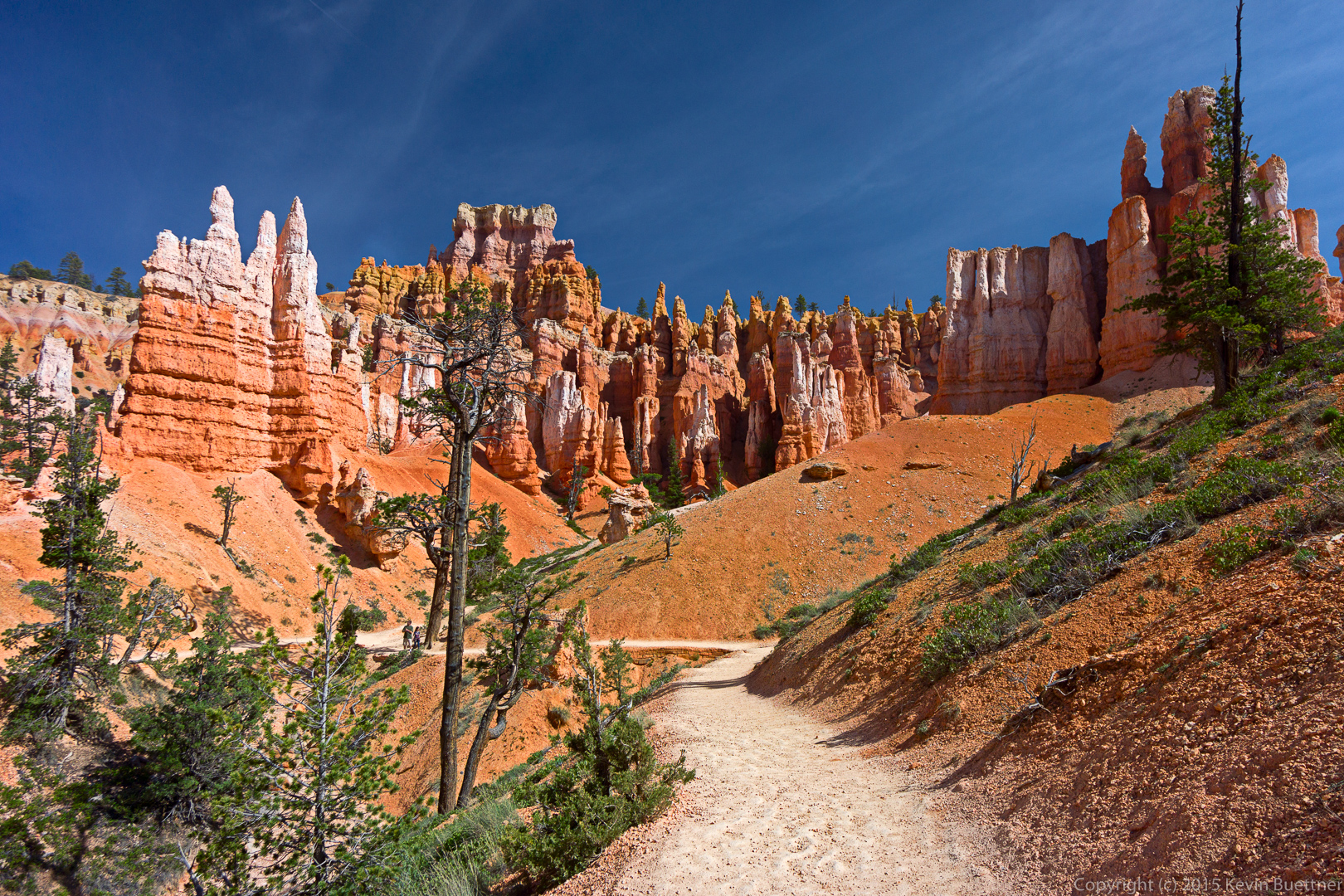
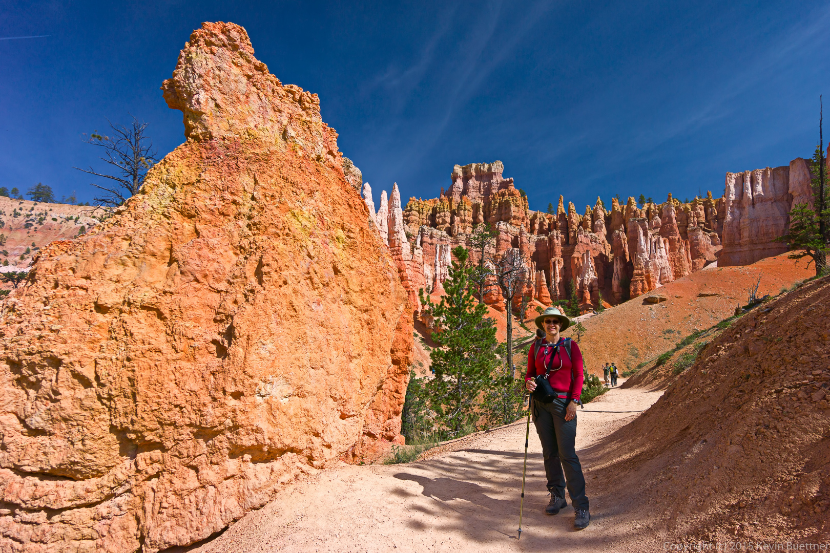
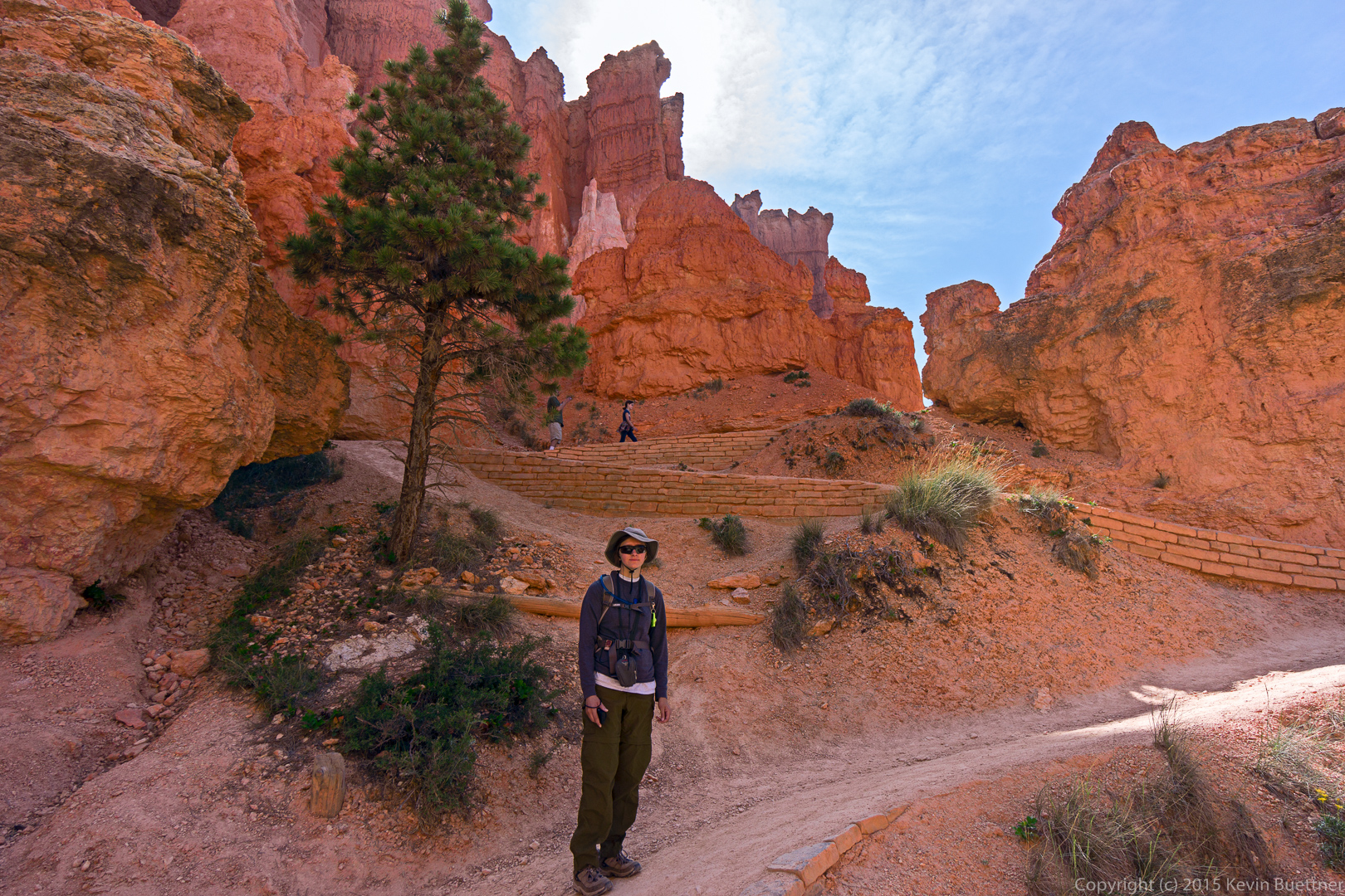
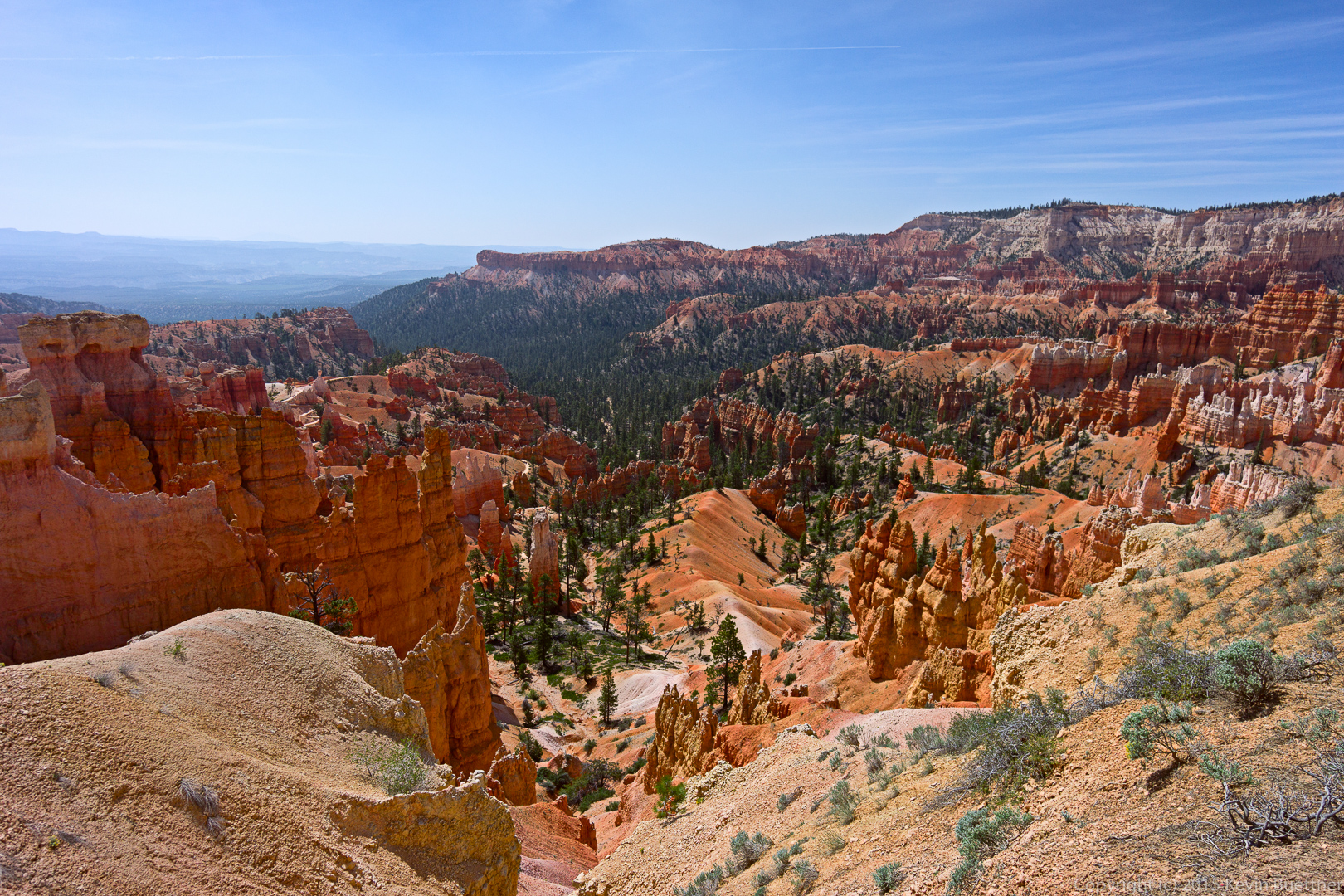
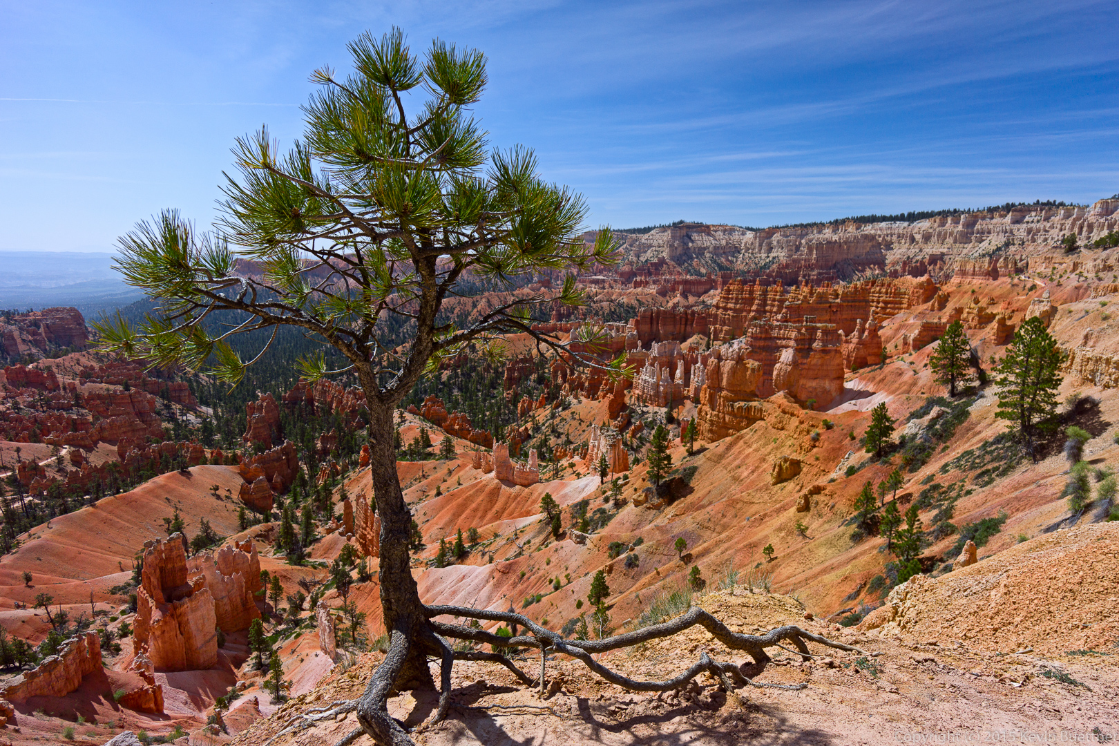
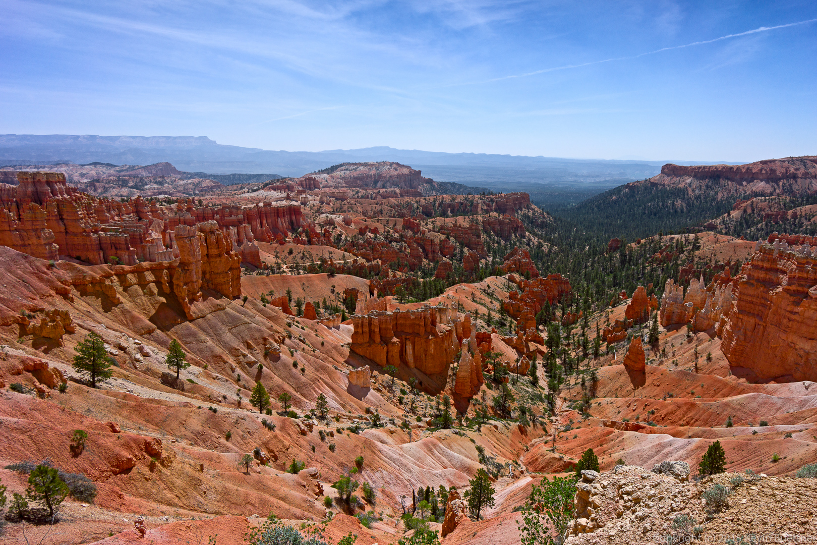
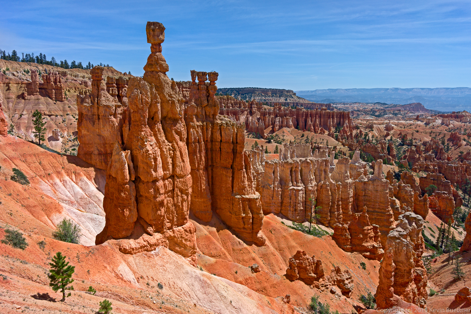
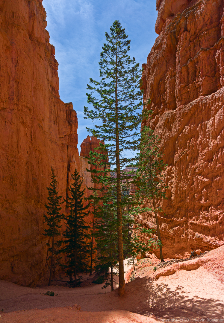
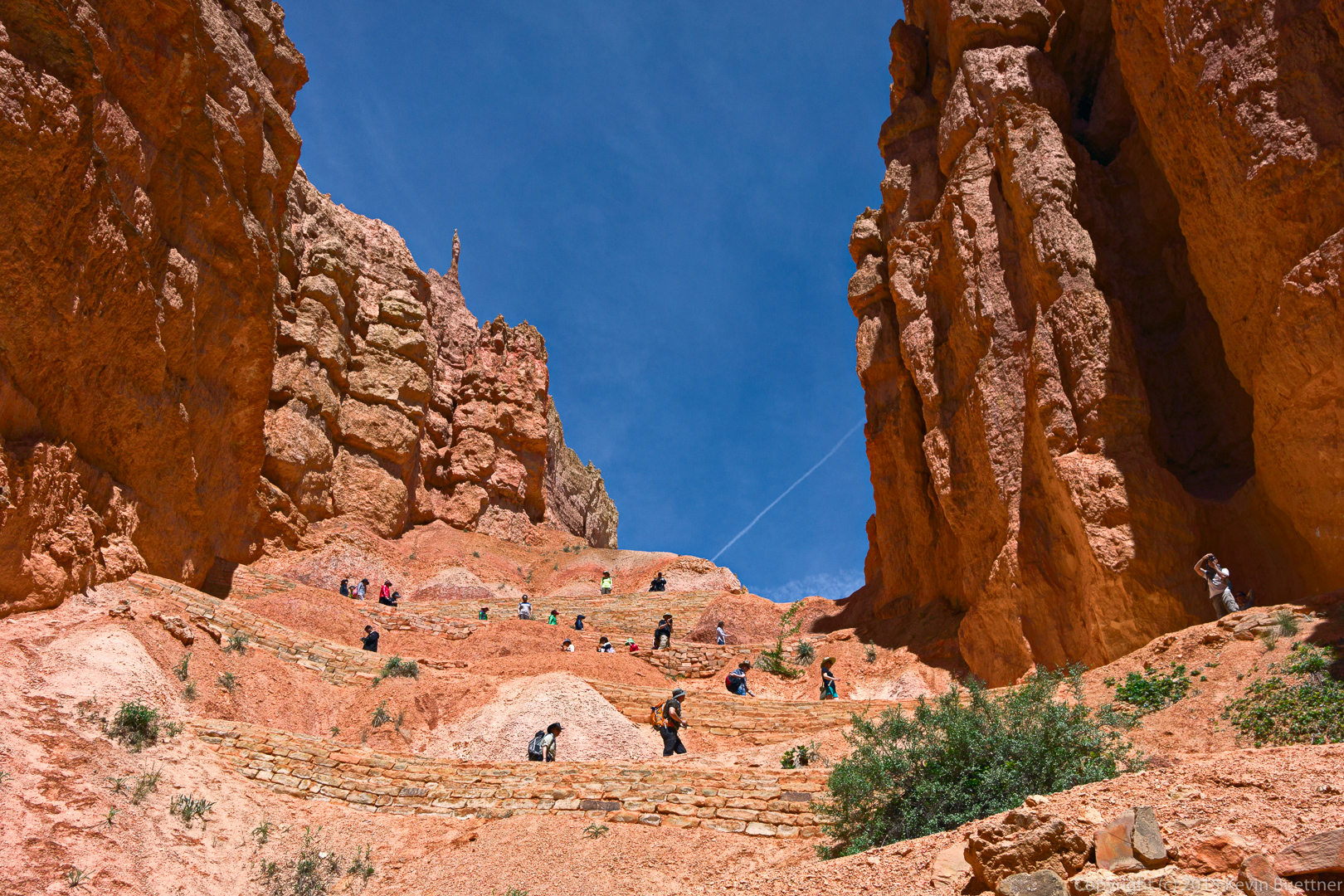
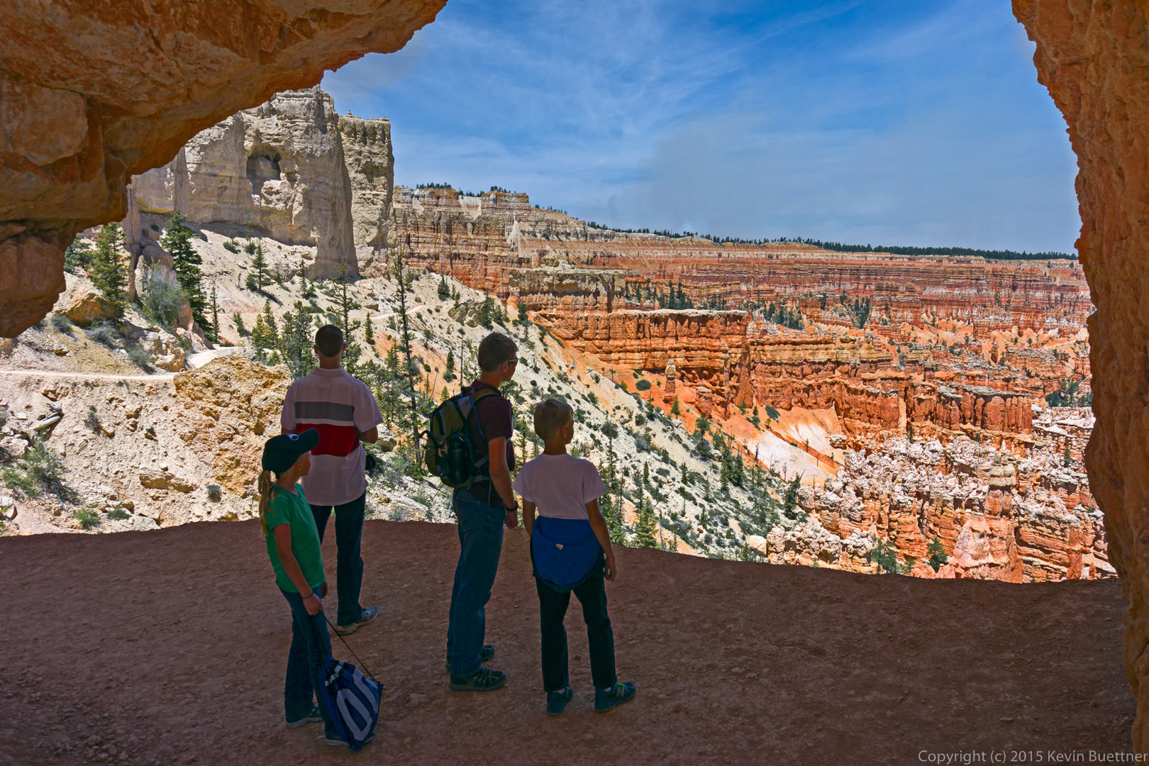
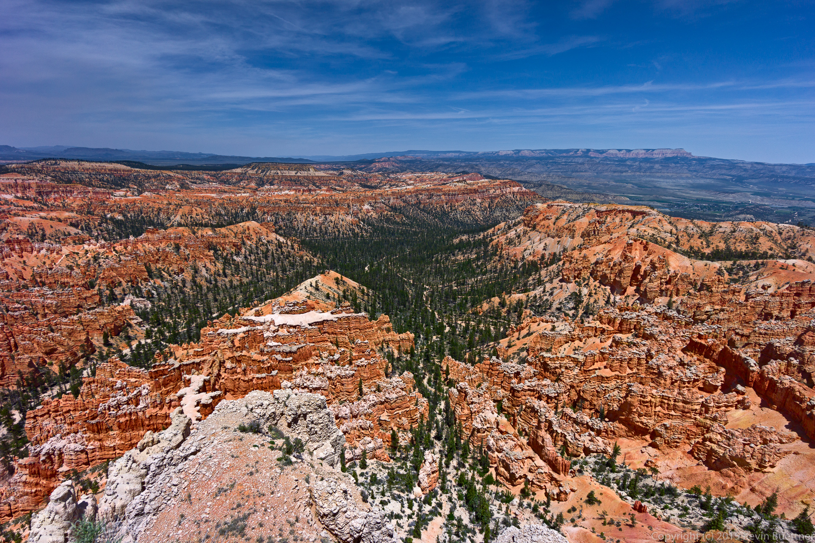
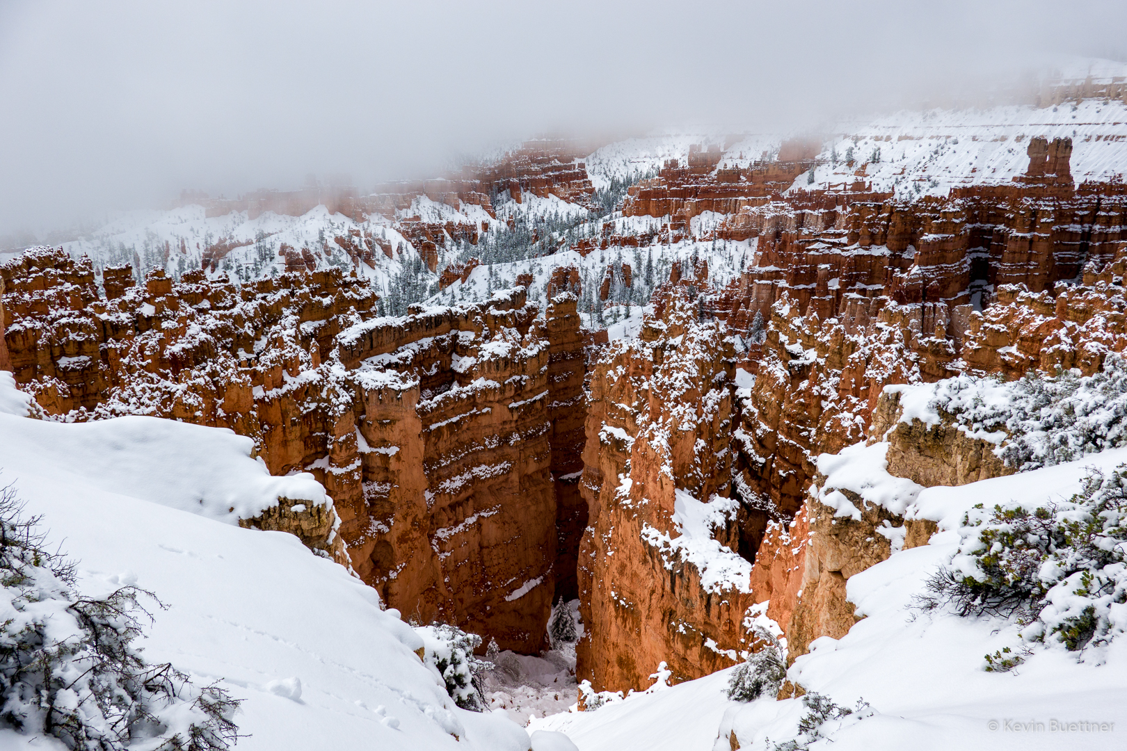
Views from Sunset Point in Bryce Canyon National Park:

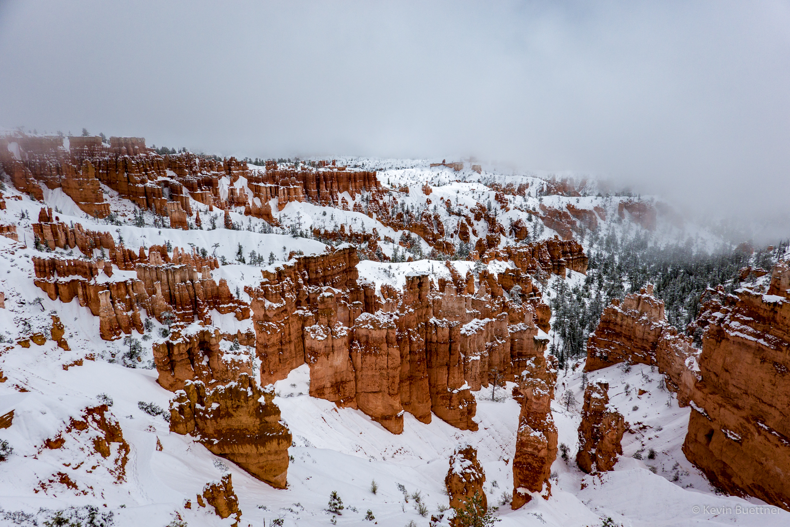
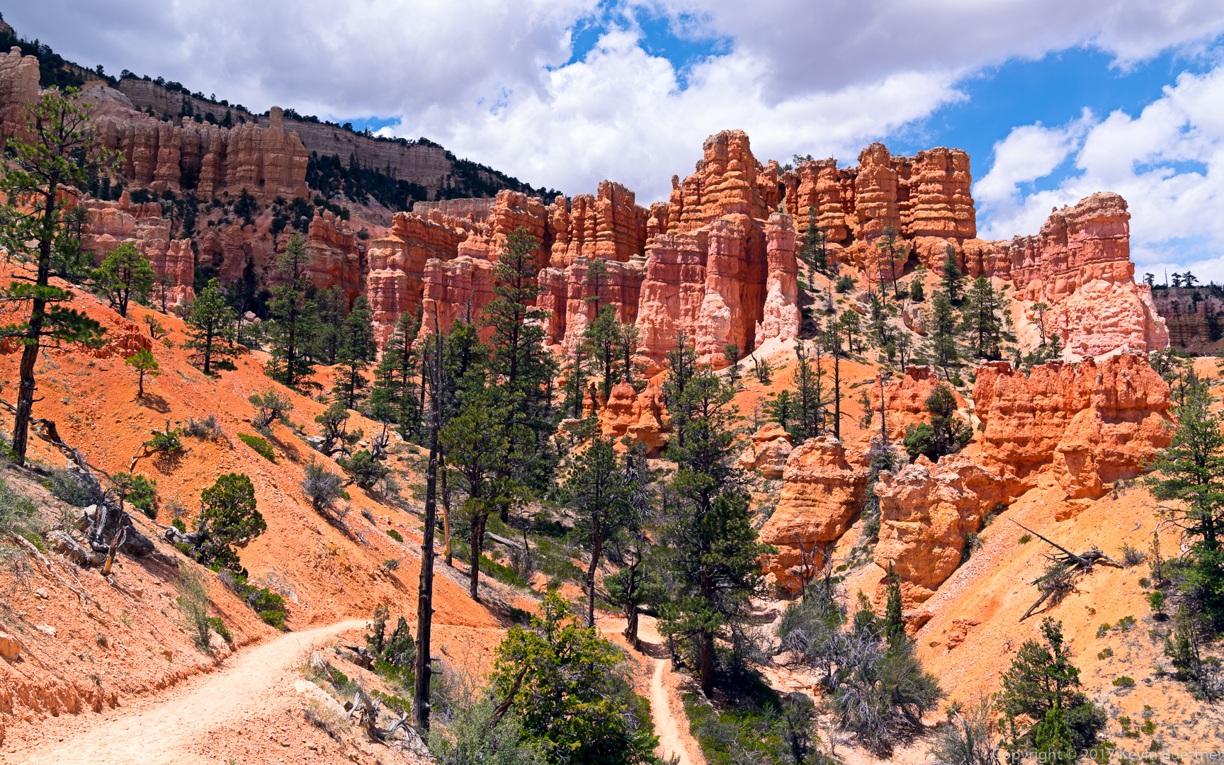
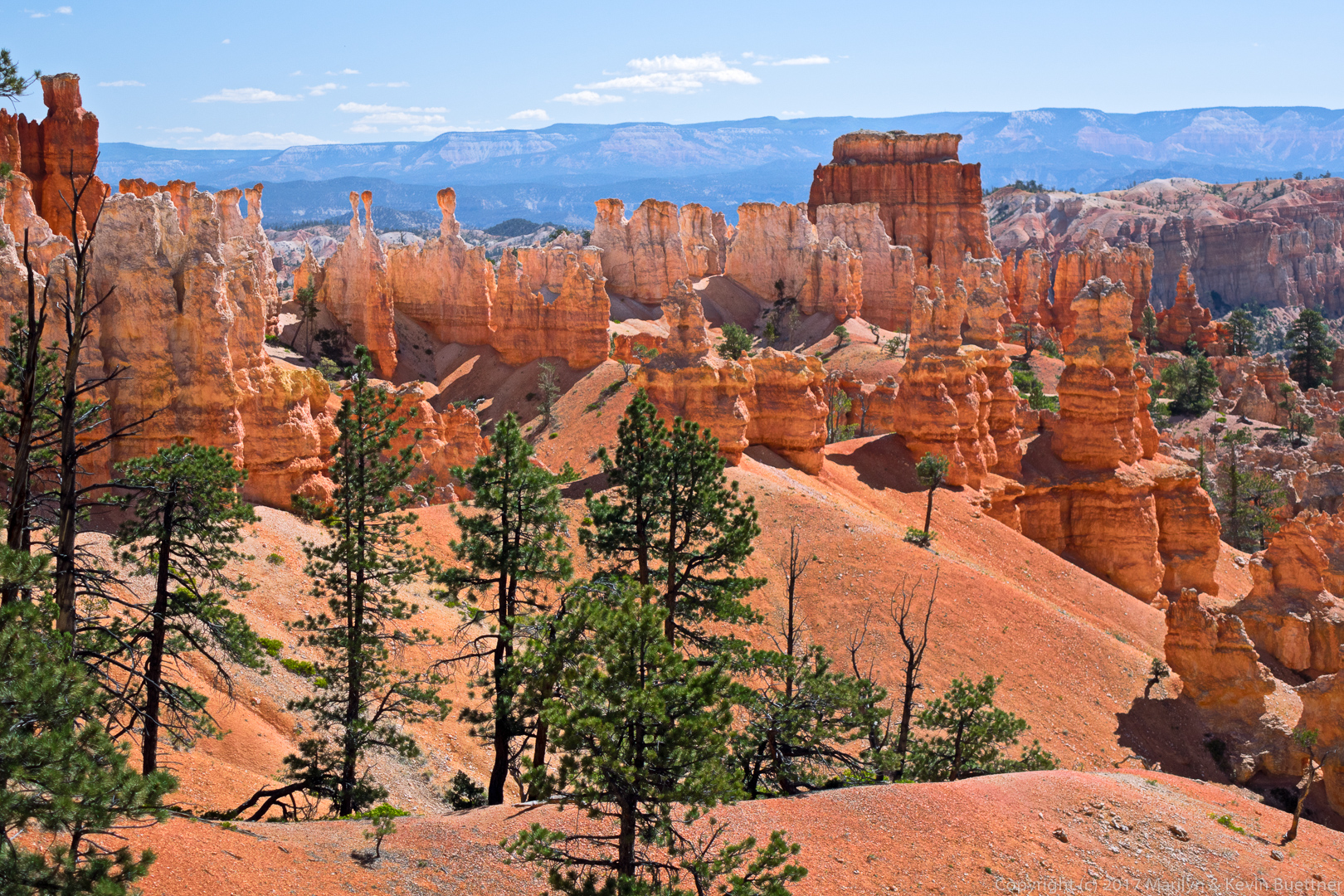
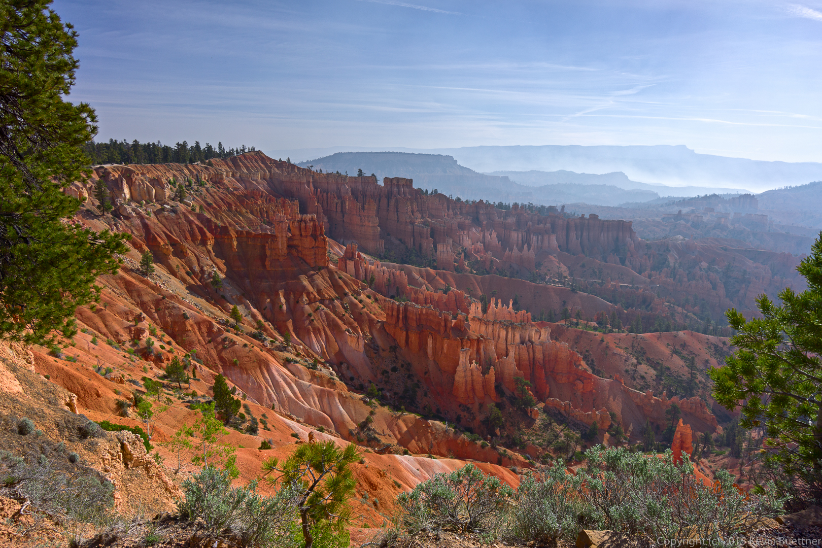
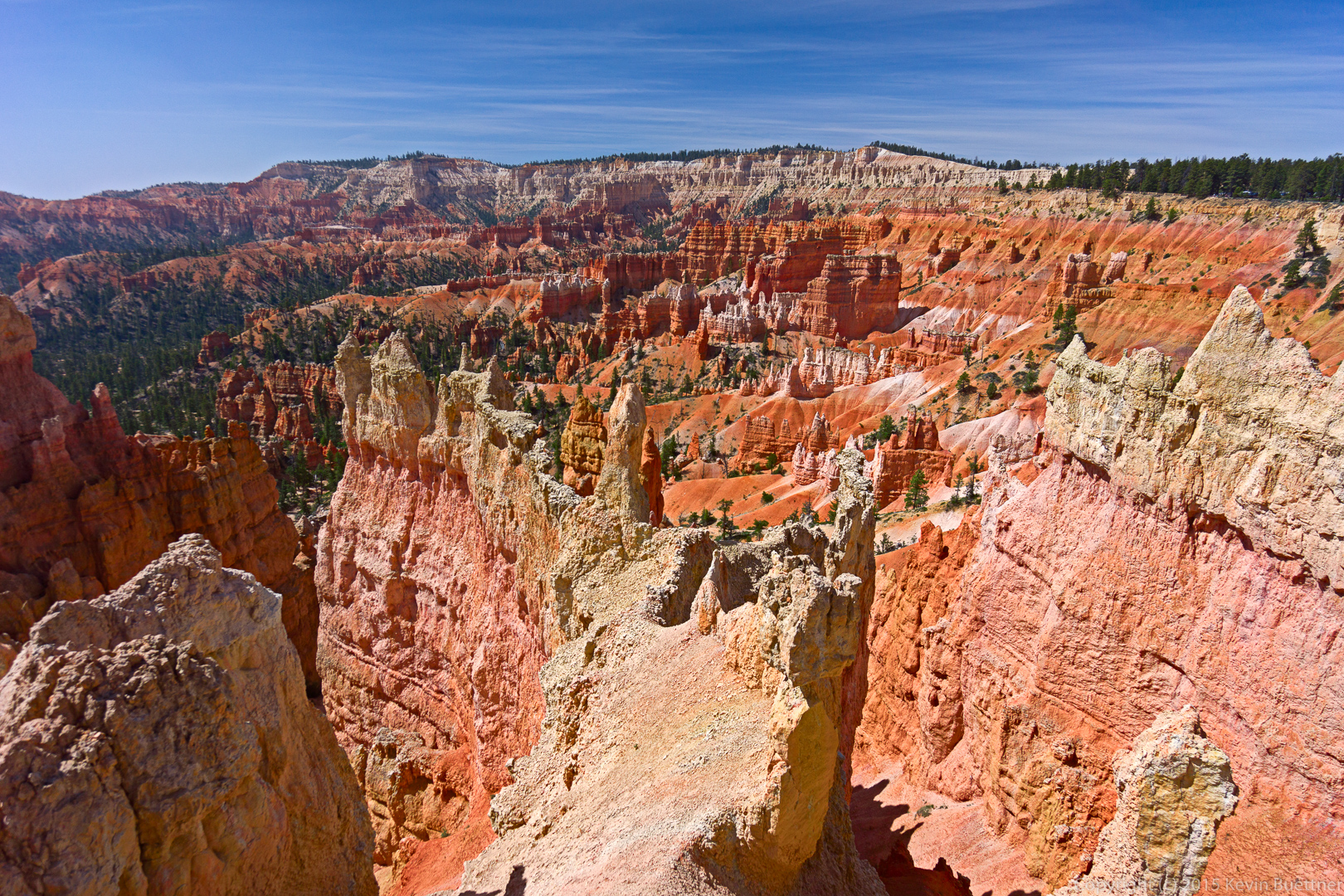
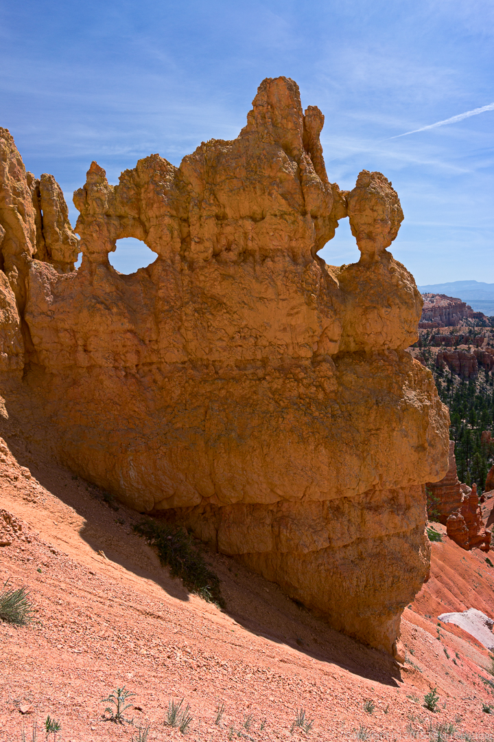
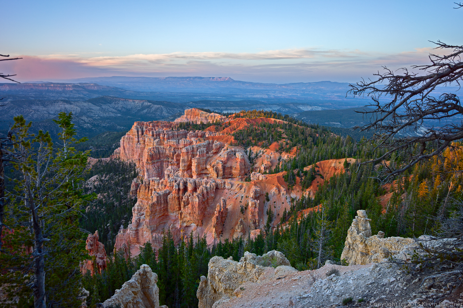
Visibility was somewhat better from the parking lot / overlook for Fairyland Canyon (also within Bryce).

Fairyland Canyon – Bryce Canyon National Park

Bryce Canyon – 2016-06-14

Marilyn’s photos of Bryce Canyon…

Bryce Canyon

We visited Bryce Canyon on Thursday.

The forest service started a controlled burn on Wednesday, the day that we arrived. Bryce Canyon City was smoky when we arrived, though the smoke dissipated some during the late afternoon and early evening. But when we woke up the next morning, the smoke was much worse than the evening before. Visibility was poor. Fortunately, visibility was better at Bryce Canyon, only a few miles away.

This first shot (and perhaps a few others) show the smoke from that (controlled) forest fire.

20150604-_DSC5954-Edit-medium

A view from Navajo Loop:20150604-_DSC6062-Edit-medium

Marilyn:20150604-_DSC6065-Edit-medium

Marie:

20150604-_DSC6095-Edit-medium

Views as we hiked up to Sunrise Point:

20150604-_DSC6217-Edit-medium

20150604-_DSC6223-Edit-medium

This is a view from the rim as we hiked back to Sunset Point.
20150604-_DSC6226-Edit-medium

When we got back to Sunset Point, I hiked down the other branch of Navajo Loop.

20150604-_DSC6252-Edit-medium

20150604-_DSC6264-Edit-medium I think that the tall formation here is Thor’s Hammer.20150604-_DSC6288-Edit-medium

A tall tree in the canyon of Navajo Loop:

20150604-_DSC6306-Edit_-medium

There are many switchbacks on these canyon trails.

20150604-_DSC6336-Edit-medium

This is a view of the canyon from the trail that connects Bryce Point to the Peekaboo Loop Trail. A family was making their way down the trail at the same time that I hiked down. I asked them to pause just beyond a hole cut into the rock for this photo.

20150604-_DSC6393-Edit-mediumThis is a view up that connector trail (to the right) and down a portion of Peekaboo Loop Trail. I hiked back up at this point as Marilyn and Marie were waiting for me at the top.
20150604-_DSC6465-Edit-medium

This is the view from the top of Bryce Point.

20150604-_DSC6531-Edit-medium

Bryce Canyon, Rainbow Point

20150603-_DSC5827-Edit-medium