Month: October 2019 (page 1 of 1)

Friday Fitness Hike

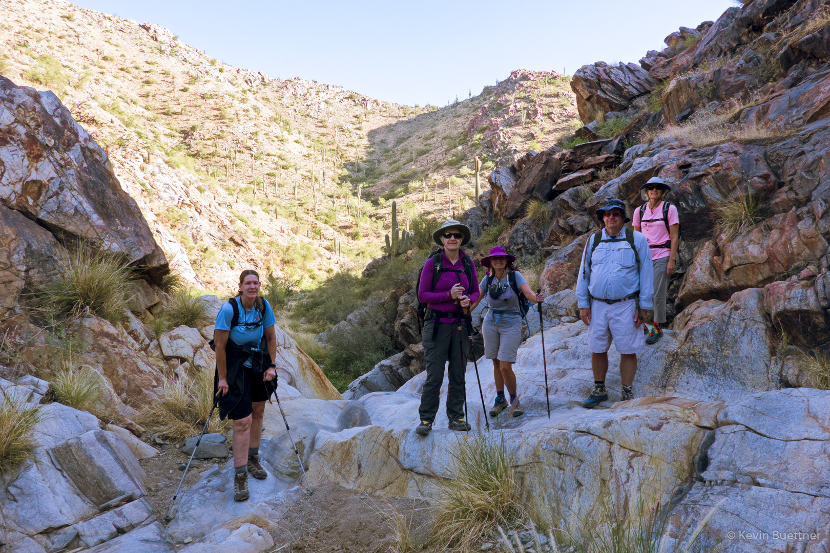
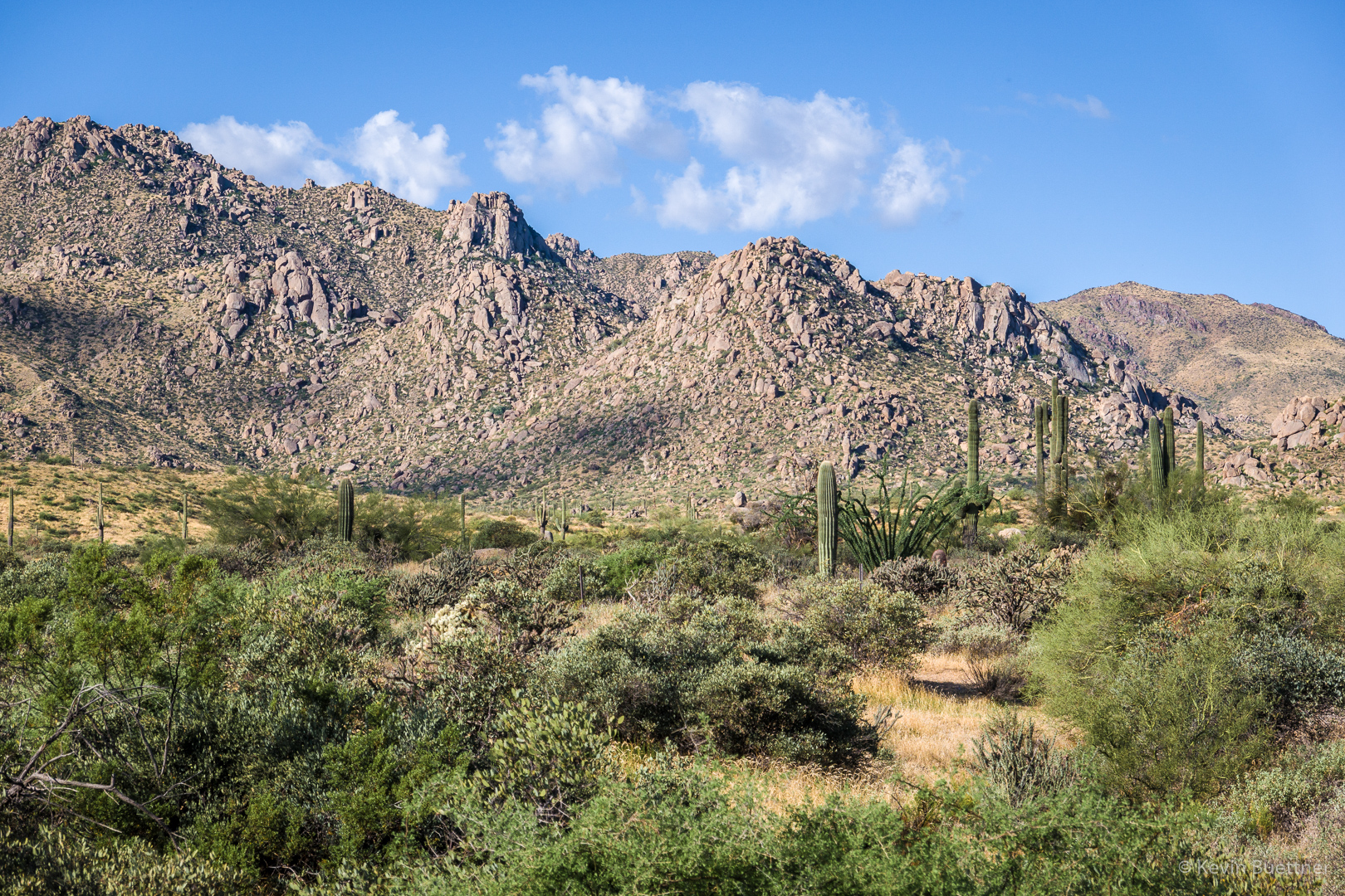
Linda, Sara, and I hiked a little over 10 miles starting from Tom’s Thumb Trailhead. After hiking along the ridge to and past Tom’s Thumb, we returned to Tom’s Thumb Trail and then turned west to the Scottsdale side of the mountain range. On the Scottsdale side, we hiked all the way to the end of Tom’s Thumb Trail and then turn left (east) onto Windgate Trail. We hiked up Windgate and over Windgate Pass, then down Windgate and Windmill to East End Trail. We hiked up (and up) East End and then back down Tom’s Thumb Trail back to the parking lot. My GPS watch recorded slightly over 3200 feet of elevation gain.

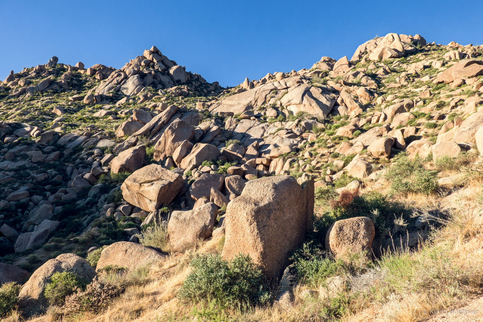
This is a view from the climber’s access trail leading to the ridge. The low angle wall in the upper center of the photo is Half and Half Wall. According to Mountain Project, there are 5 routes on this wall rated from 5.3 to 5.8.

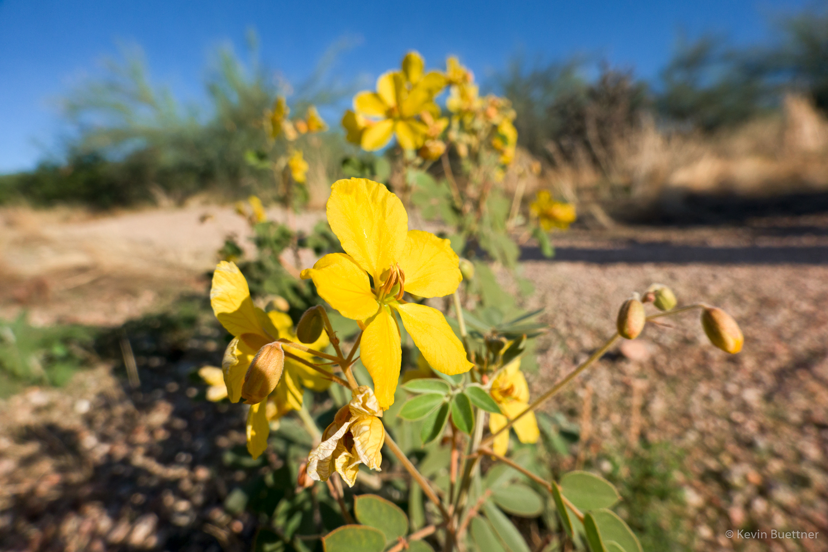
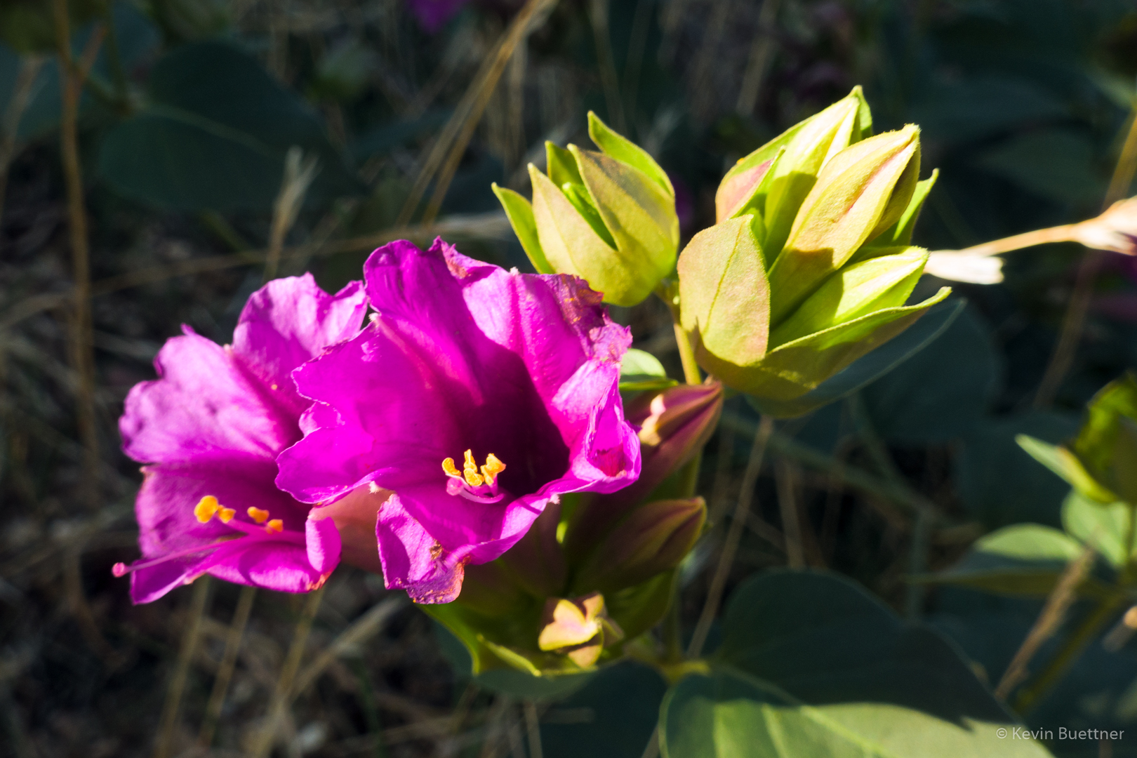
I think this is Desert Four O’Clock:

Looking NW from the ridge:

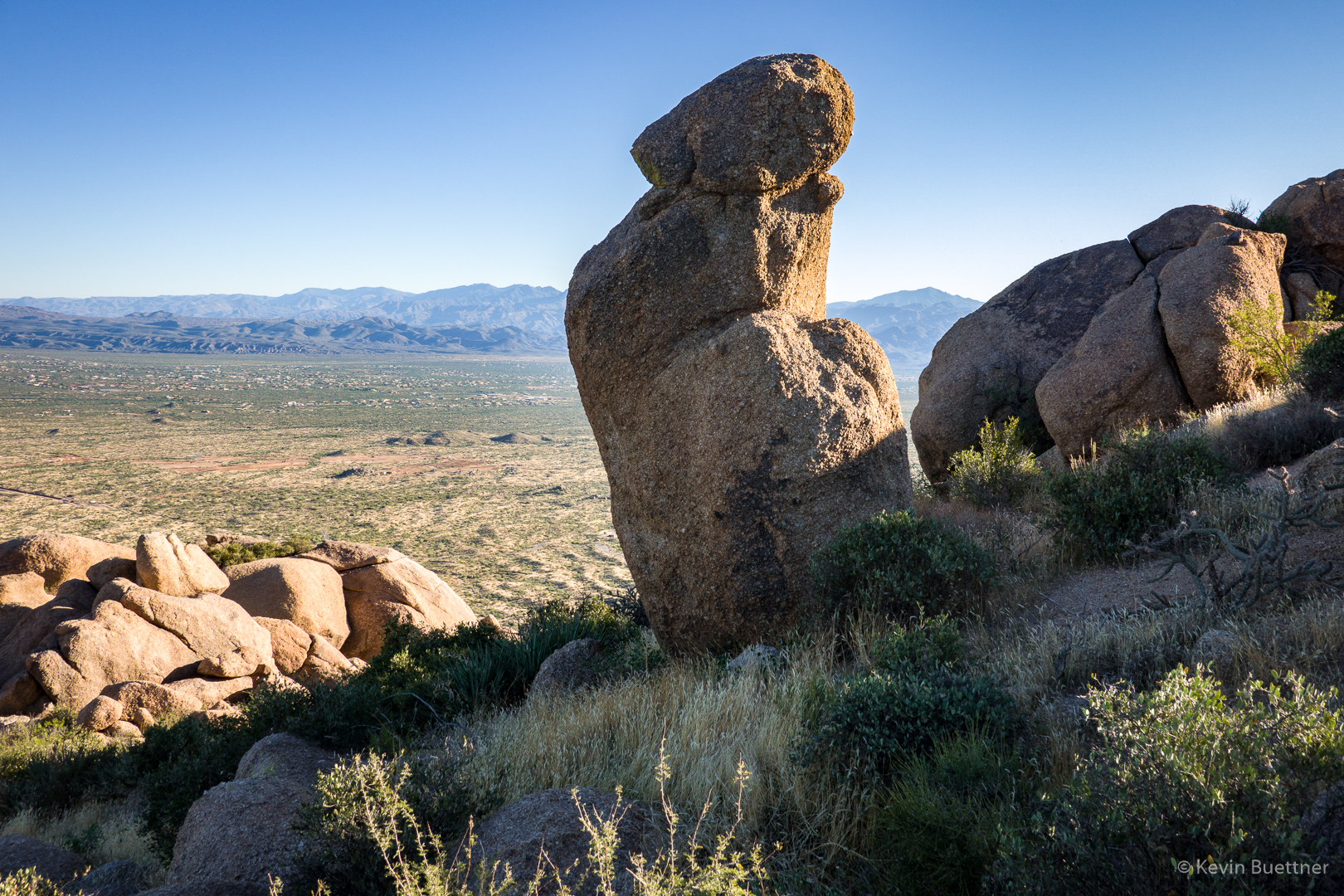
A view of Tom’s Thumb from the ridge:

Looking toward Scottsdale and Phoenix:

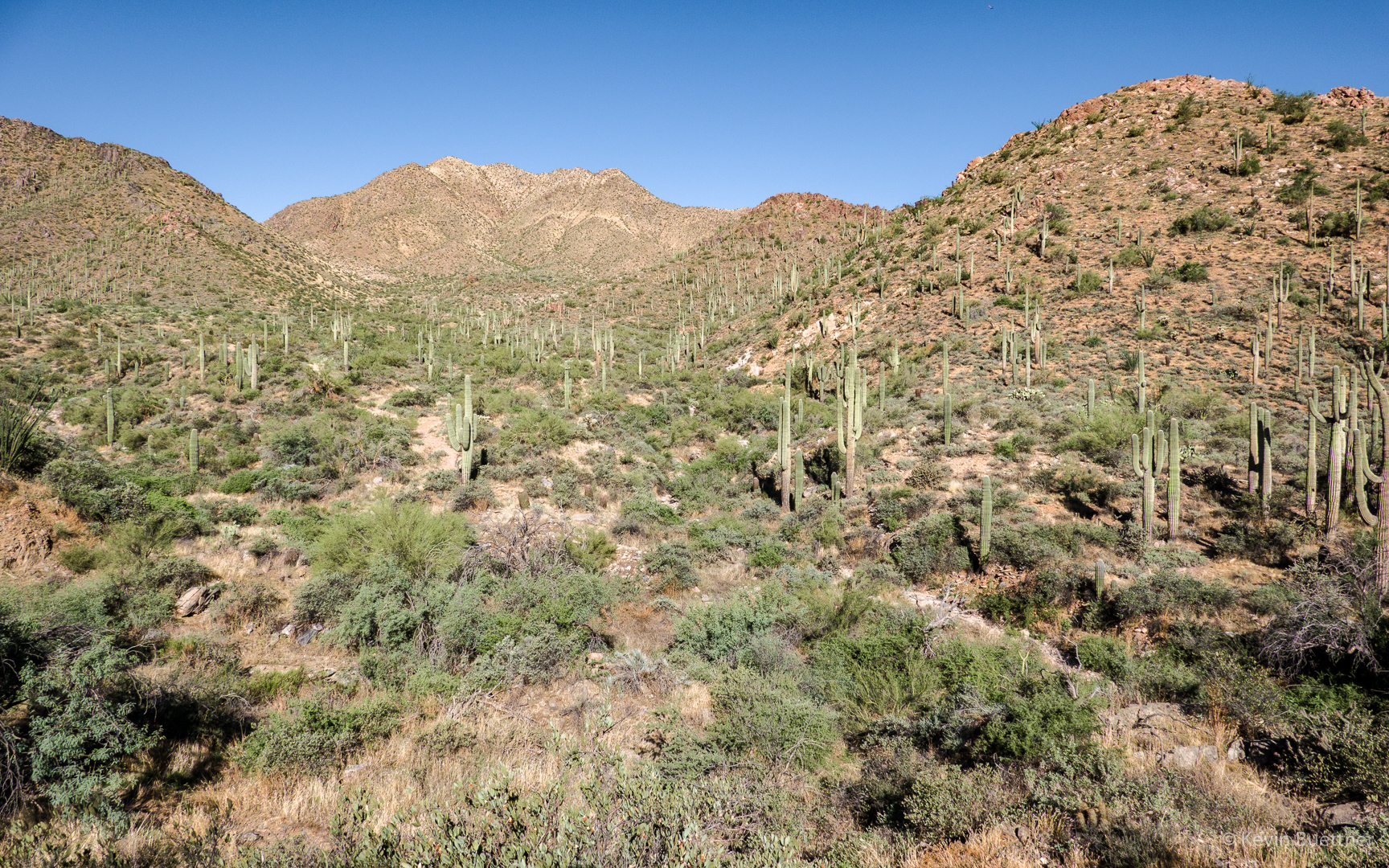
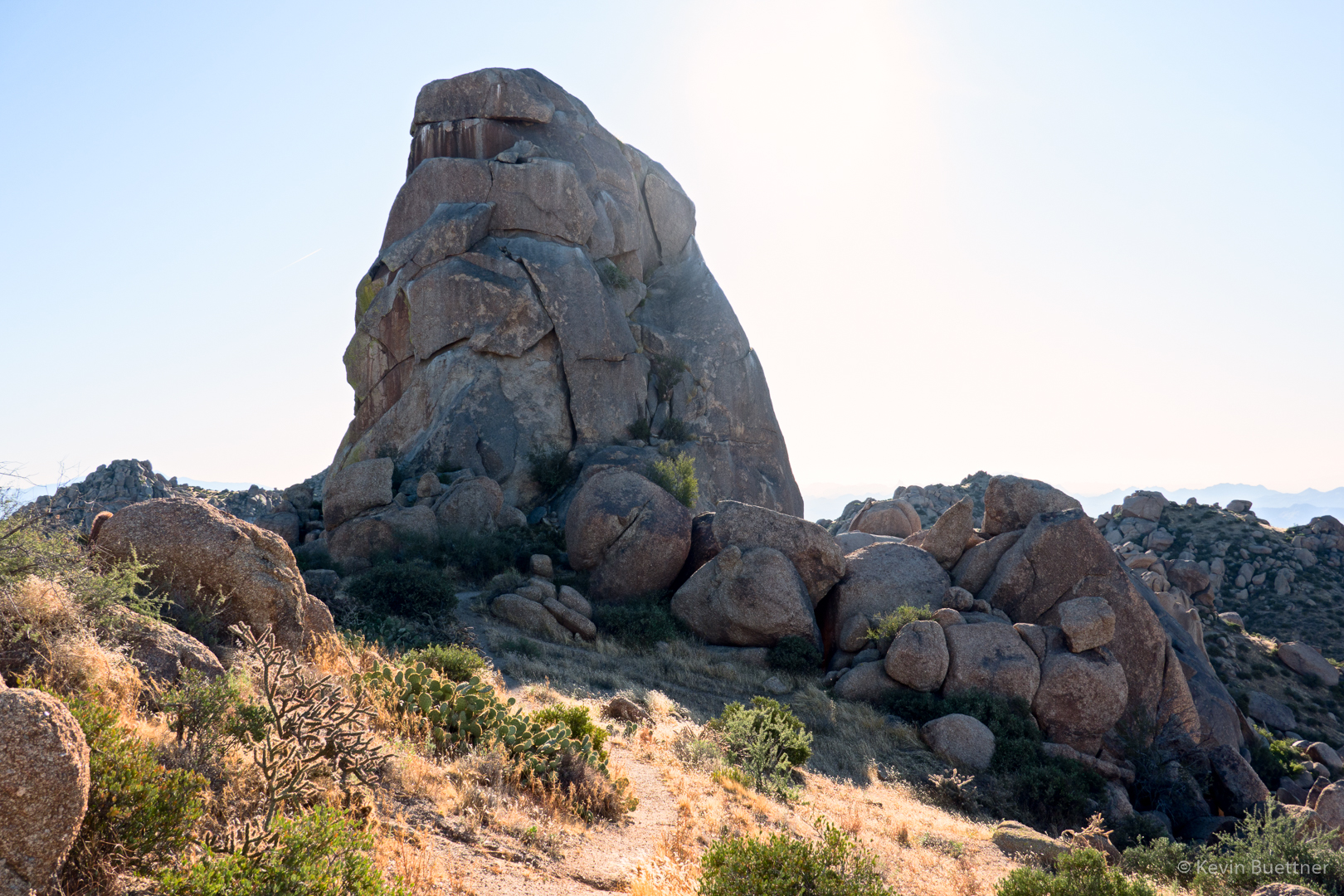
Nearing Tom’s Thumb…

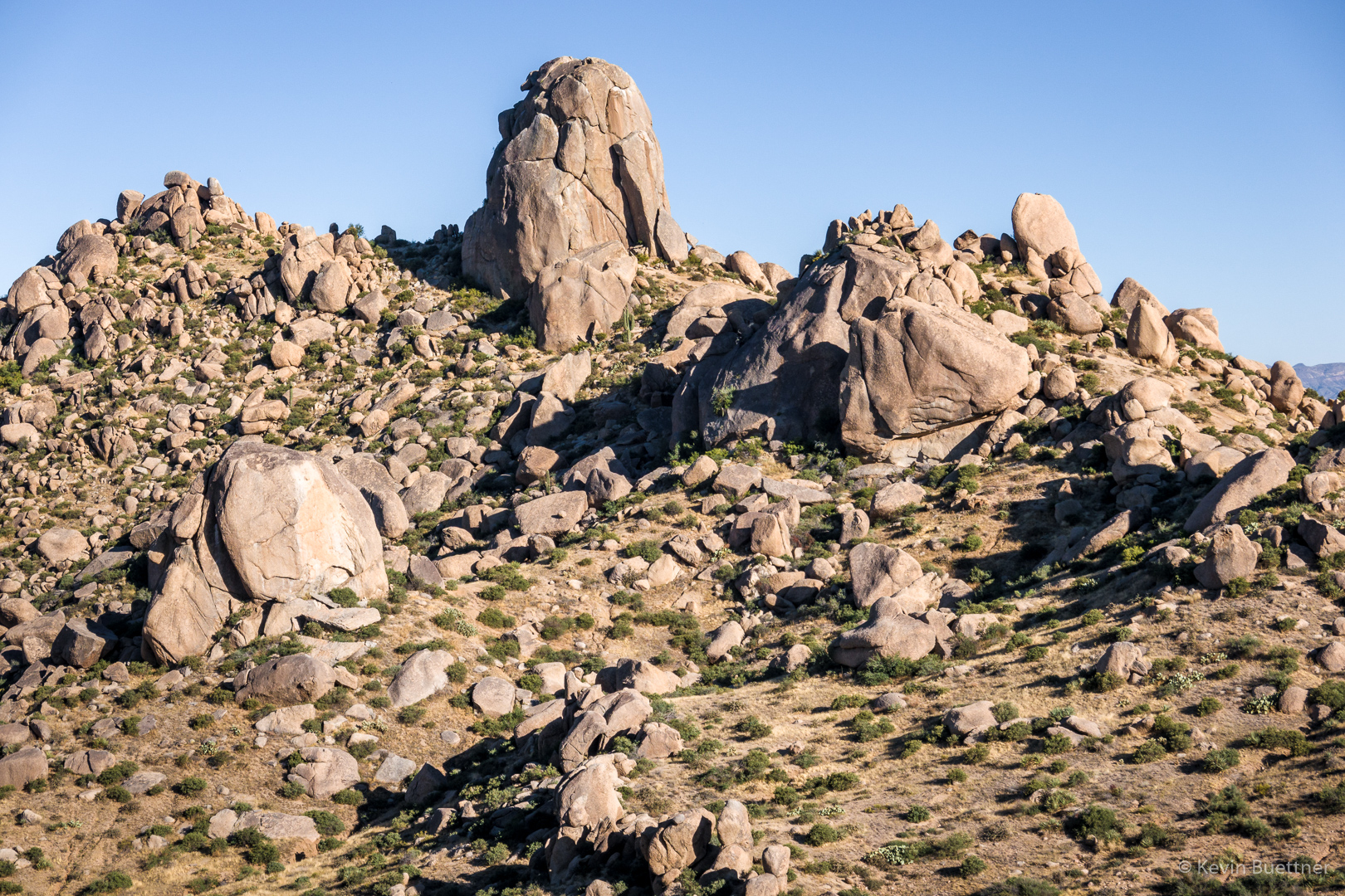
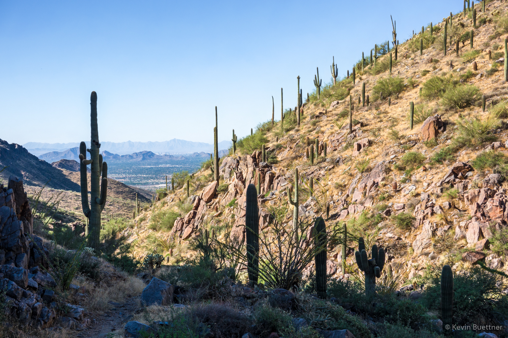
At this point, we’re back on Tom’s Thumb Trail, hiking towards Scottsdale. There are some good views of Tom’s Thumb from this section of the trail too.

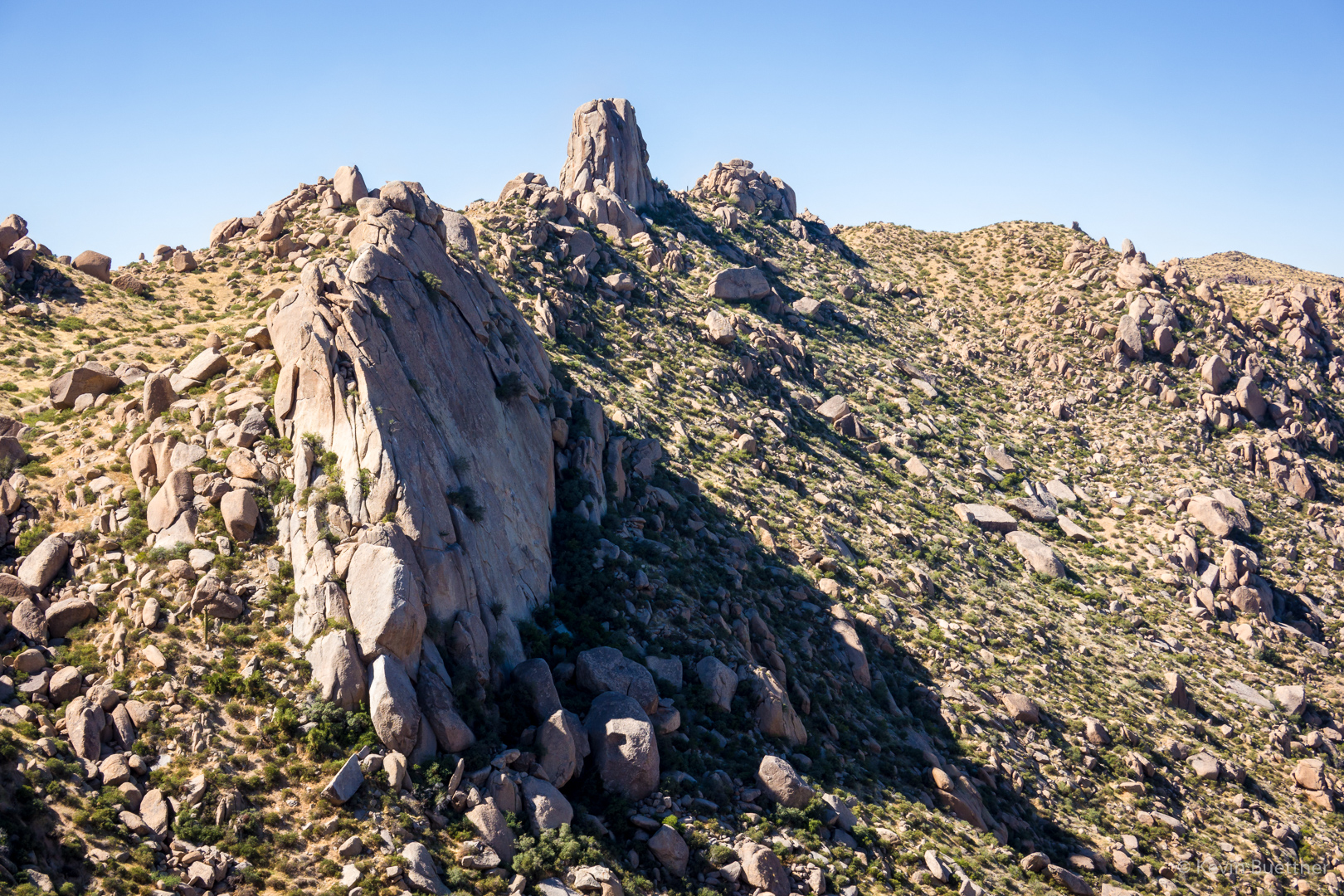
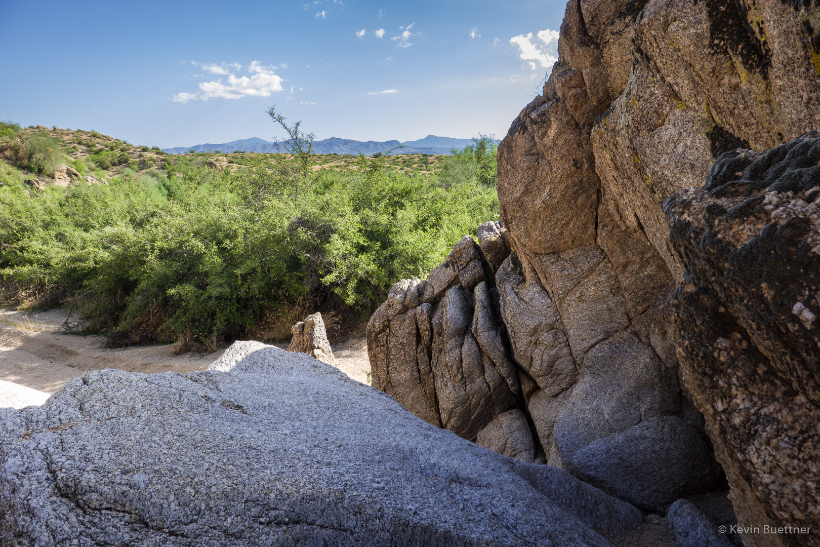
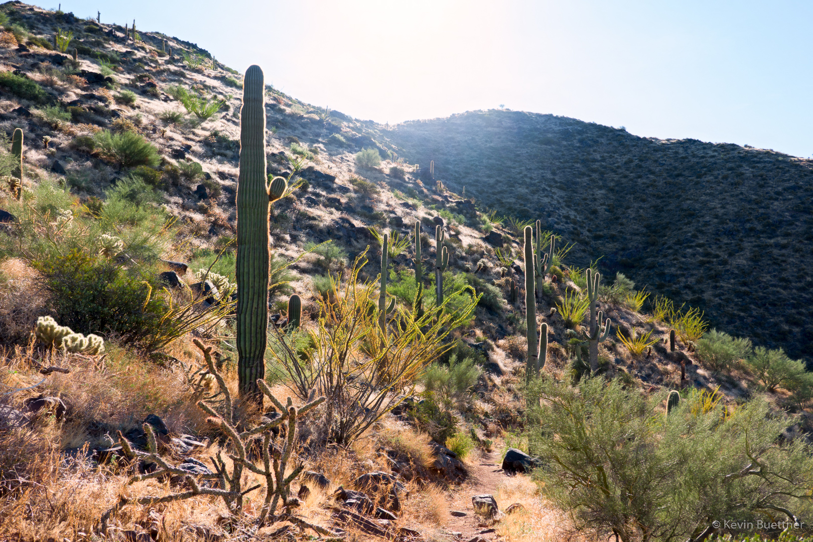
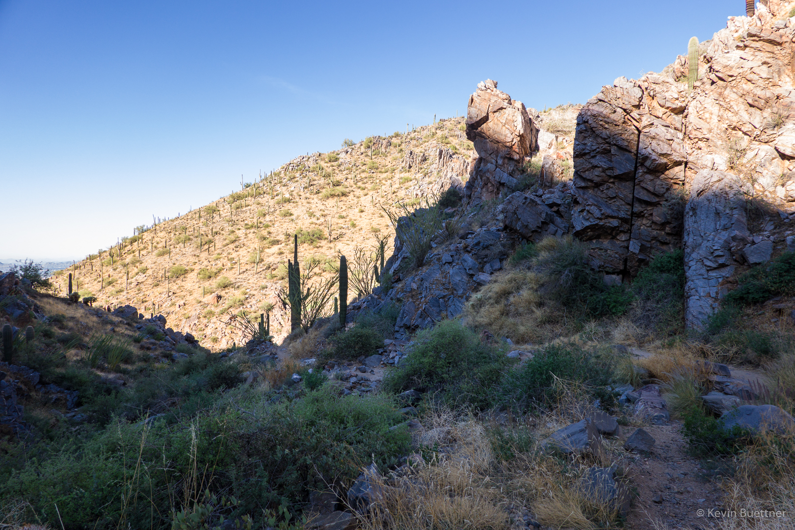
Descending Tom’s Thumb Trail on the west side.  There are some good views on this side of the mountain too!

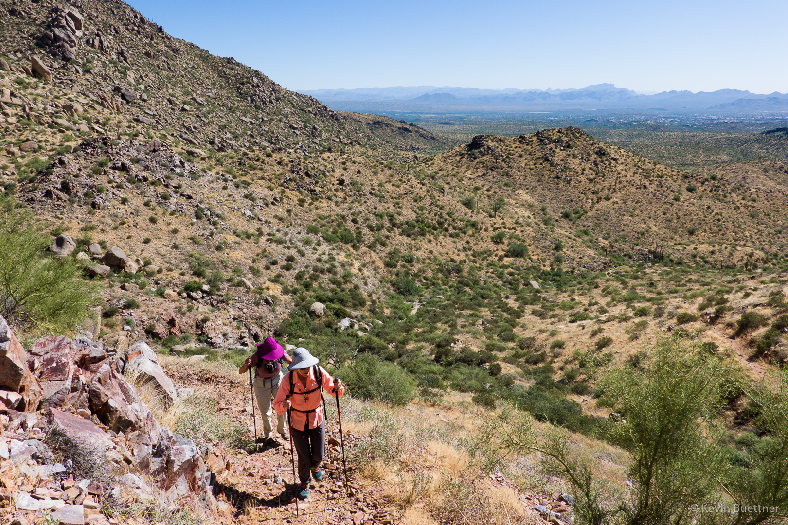
Linda and Sara, hiking up the East End Trail:

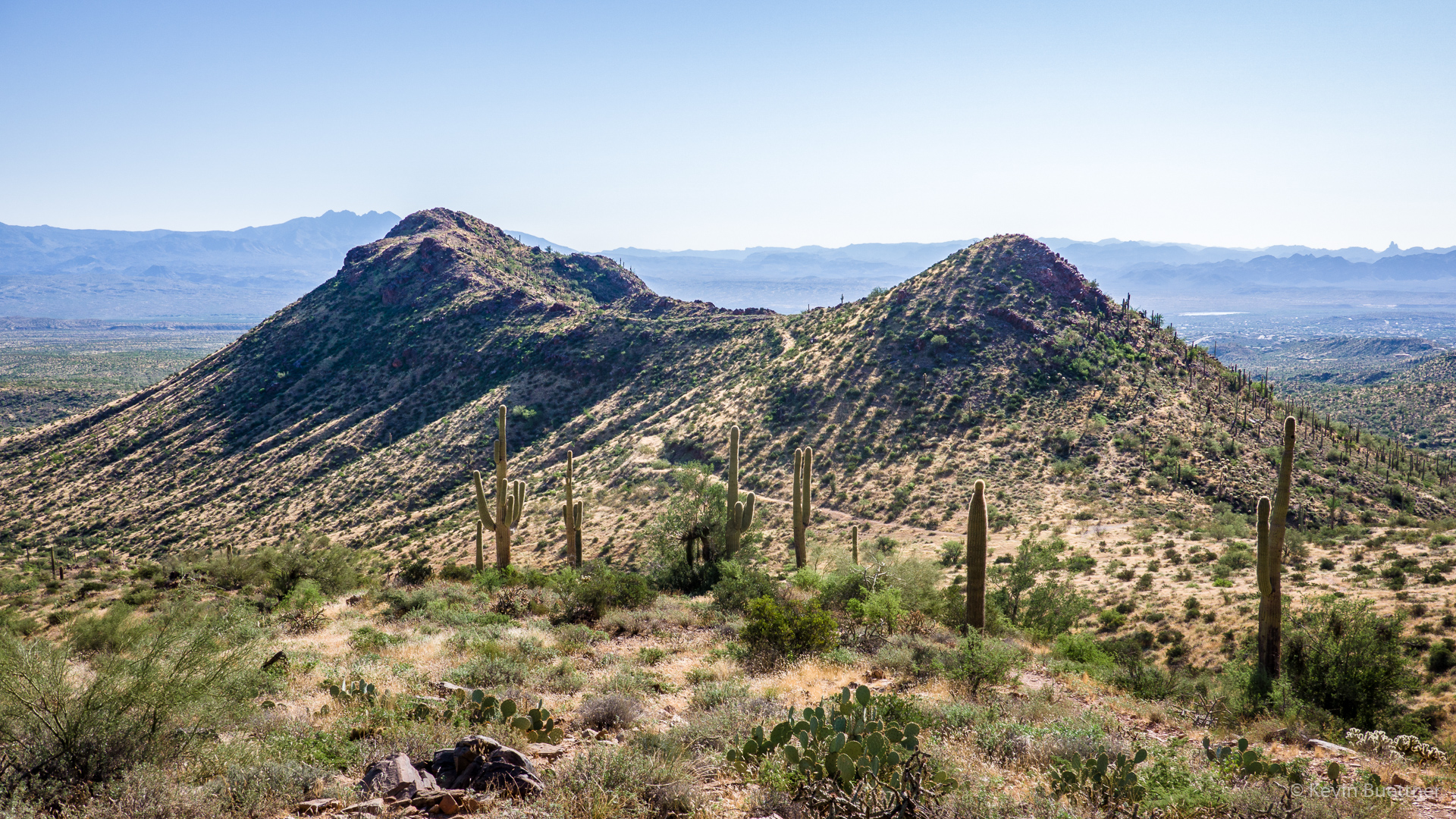
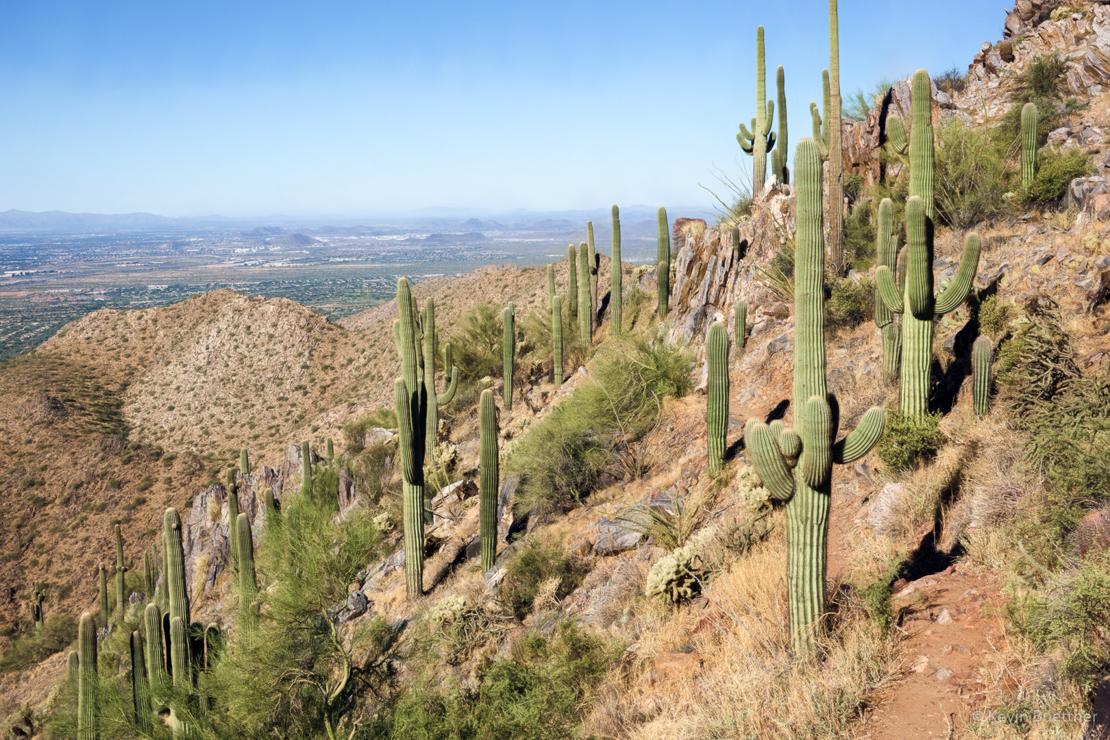
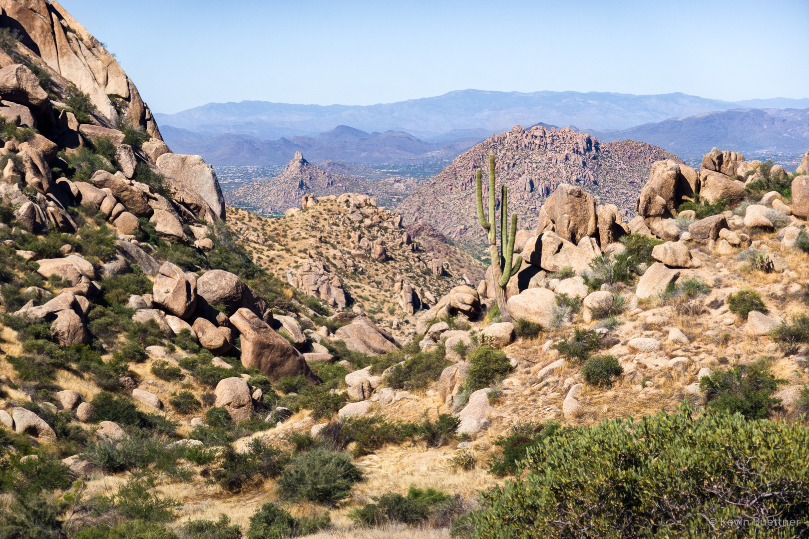
Looking toward Pinnacle Peak from near the intersection of Tom’s Thumb Trail & East End Trail:

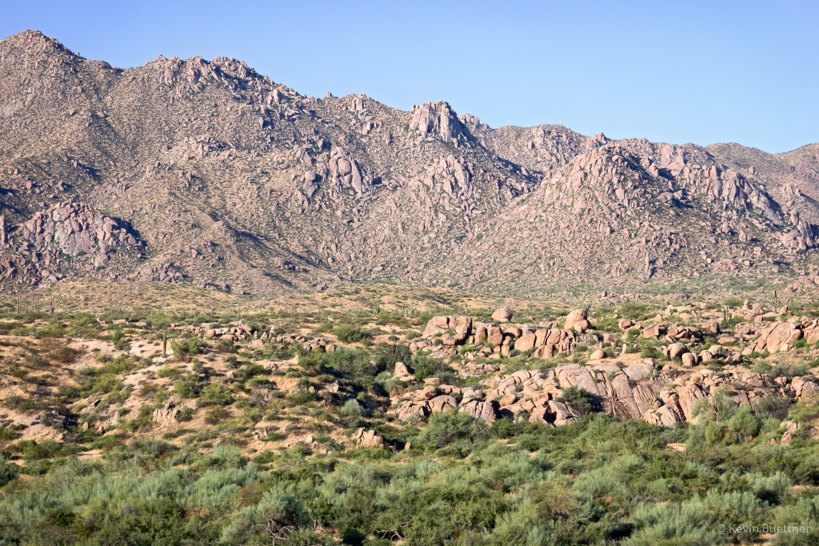
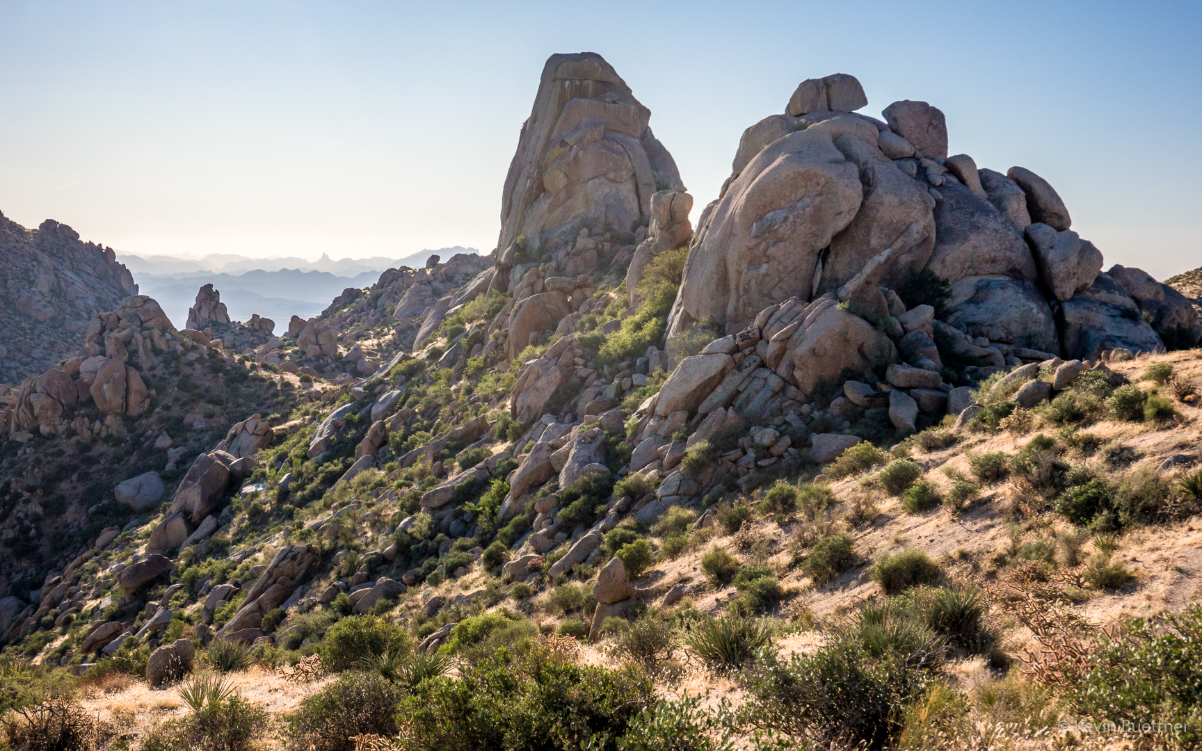
Gardener’s Wall (left) and Tom’s Thumb:

Friday Fitness Hike

Mike, Sandra, and I hiked nearly 12 miles starting from the Four Peaks Trailhead (which is in McDowell Mountain Regional Park, but nowhere near Four Peaks). We hiked through the competitive track area to the South Wash, taking it northwest to the Dixie Mine Trail. We returned via Pemberton and some roads through the competitive track area.

A view from the parking area. The dead saguaro at the right used to be alive just a few years ago.

A view of Red Mountain from the Long Loop:

We were puzzled by these catchments on the South Ridge. The water that they catch empties out onto the ground nearby. Why bother?

Tarantula in the South Wash:

Sandra gets a closer look at one of the holes in the wall.  She and Mike saw spooky tooth-like formations in the hole…

…which turned out to be a beehive.

Further westward in the wash, we saw butterflies:

Sandra:

There is a corral with some old ranching structures just off of the Dixie Mine Trail. Sandra hadn’t seen them before, so we stopped to take a look. There are some initials carved into the concrete of the watering trough. I think that’s “H.P.”, at the far right for (likely) Henry Pemberton. I don’t have any guesses about the names associated with the other initials.

There’s also a largish water tank in the corral. Just left of the tank is an entrance, choked with vegetation, to a second smaller corral.

This is the smaller corral.  I hadn’t noticed it before.

Friday Fitness Hike

Sara, Mike, Linda, Marilyn, and Laura joined me for a 10.7 mile hike in the Dixie Mine Area.  (Marilyn and Laura turned back after visiting the mine for a 6.5 mile hike.)

This is the Dixie Mine entrance (though you can’t go in):

Petroglyphs…

Laura, Marilyn, Linda, Mike, and Sara:

Heading up the Prospector Trail:

This is the view shortly after turning onto the Bell Pass Trail from the Prospector Trail:

Friday Fitness Hike

Linda and I hiked nearly nine miles on a hike starting from the Wagner Trailhead. Marilyn joined us for much of it, hiking perhaps seven miles.

This is a view of the McDowells from the Granite Trail.  I had hoped to hike up the wash through the boulders at the lower right, but erosion has made an already high step to a crucial ledge even higher than it used to be.  (It’s been that way for several years now, but seems to get periodically worse.)

Senna:

I haven’t seen an ant hill this large in quite some time!

Another view of the McDowells; I think we were on the Bluff Trail at this point.

Four Peaks behind the dead tree and boulders…

At this point Linda and I are at the top of the section which has become more difficult to scramble up.  It’s still easy to slide down though.