Bob and I did some scouting for our upcoming Robber’s Roost hike…

Bob and I did some scouting for our upcoming Robber’s Roost hike…
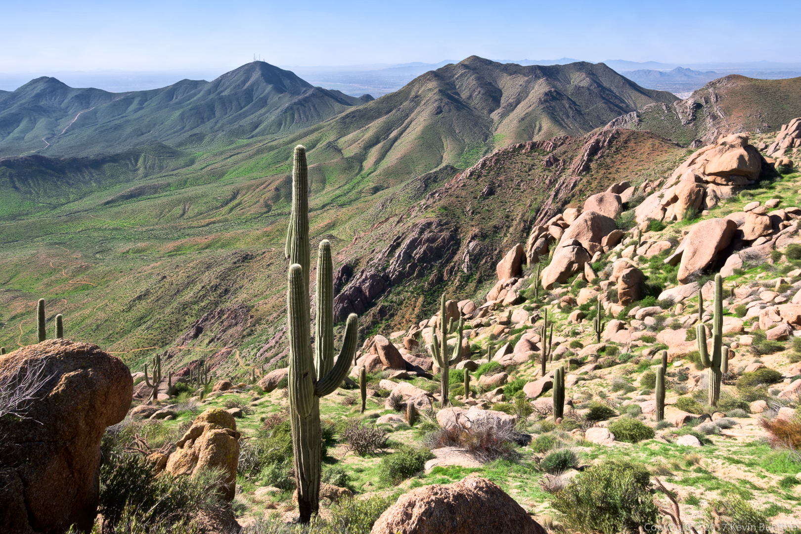
Nora, Bob, and I hiked a loop of about 5 miles in the Tom’s Thumb area. Following mostly climber’s access trails, we visited Hog Heaven, the Thumbnail Pinnacle, the East End (which is the highest point in the McDowells), and Tom’s Thumb.

We’ve climbed out of Mesquite Canyon at this point and can see one of our intermediate destinations, Hog Heaven and the Thumbnail Pinnacle ahead.

Weaver’s Needle, the Flatiron, and Red Mountain are far off in the distance.
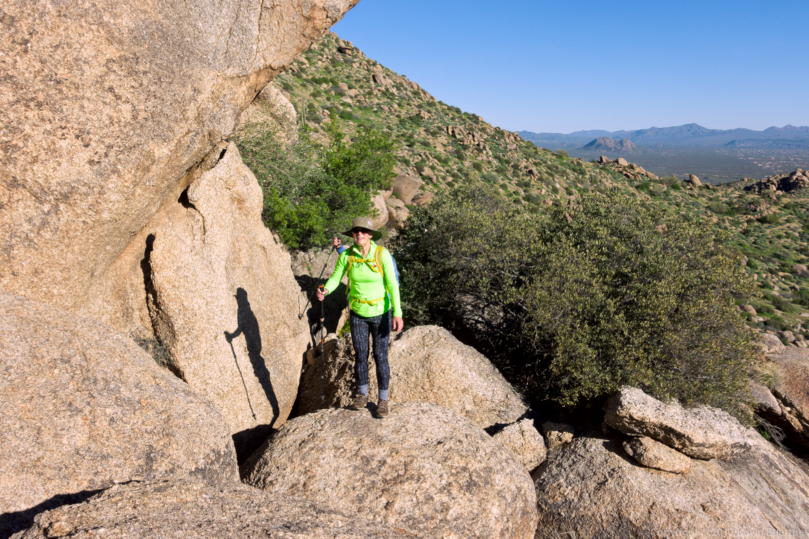
Nora pauses on a large boulder on our way to Hog Heaven.
We’re very close to Hog Heaven now. It’s up and to the left (out of the frame).
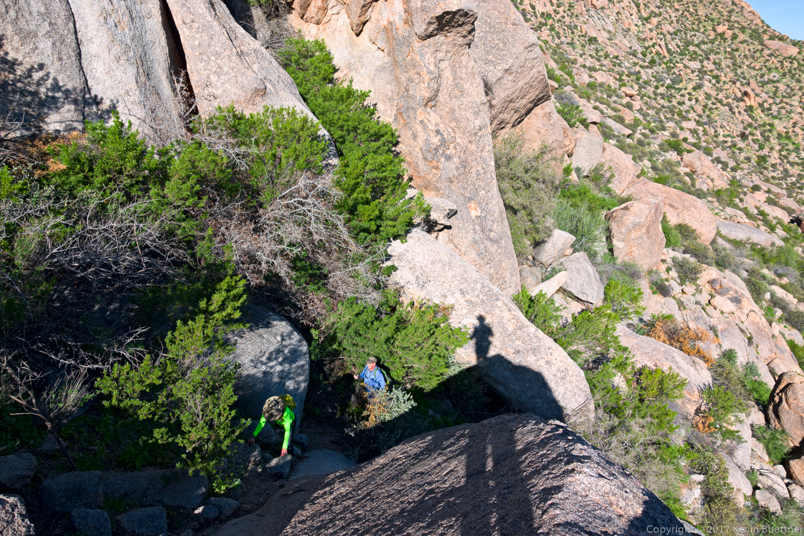
Nora and Bob make their way up past Hog Heaven, now on the way to the Thumbnail Pinnacle.
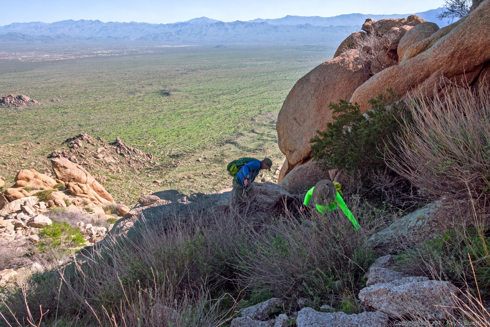
We tried to hike on solid rock, avoiding the loose gravel, for better footing. There are more cairns on this trail now, making it easier to stay off of the really loose stuff.

This is the Thumbnail Pinnacle from the bottom.
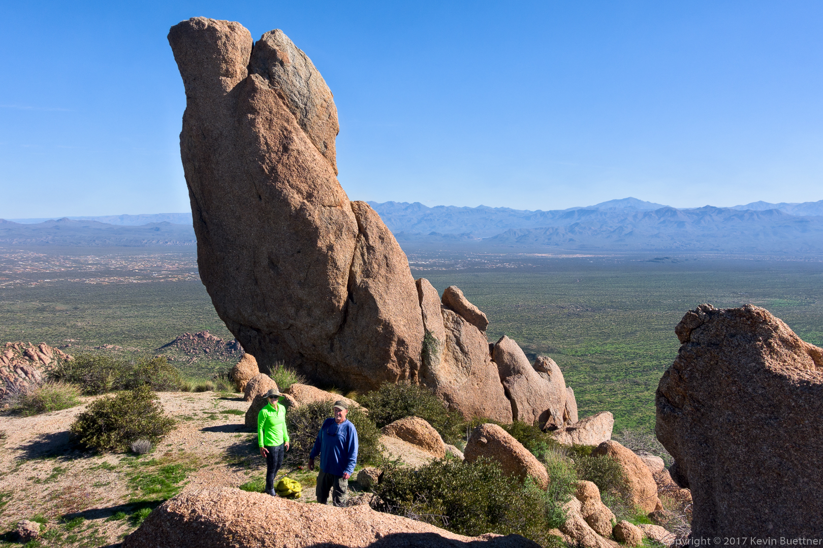
Nora and Bob pose in front of the Thumbnail Pinnacle.
This is the view looking towards Scottsdale.
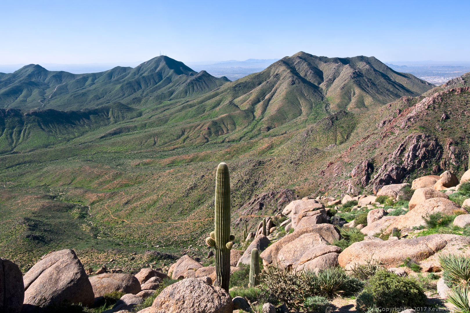
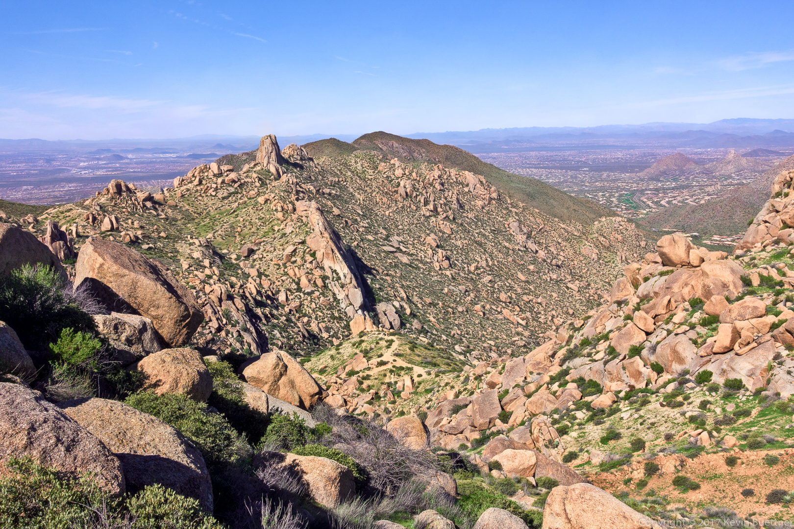
Looking southwest, we can see Thompson Peak. The East End Trail is also visible in this photo.
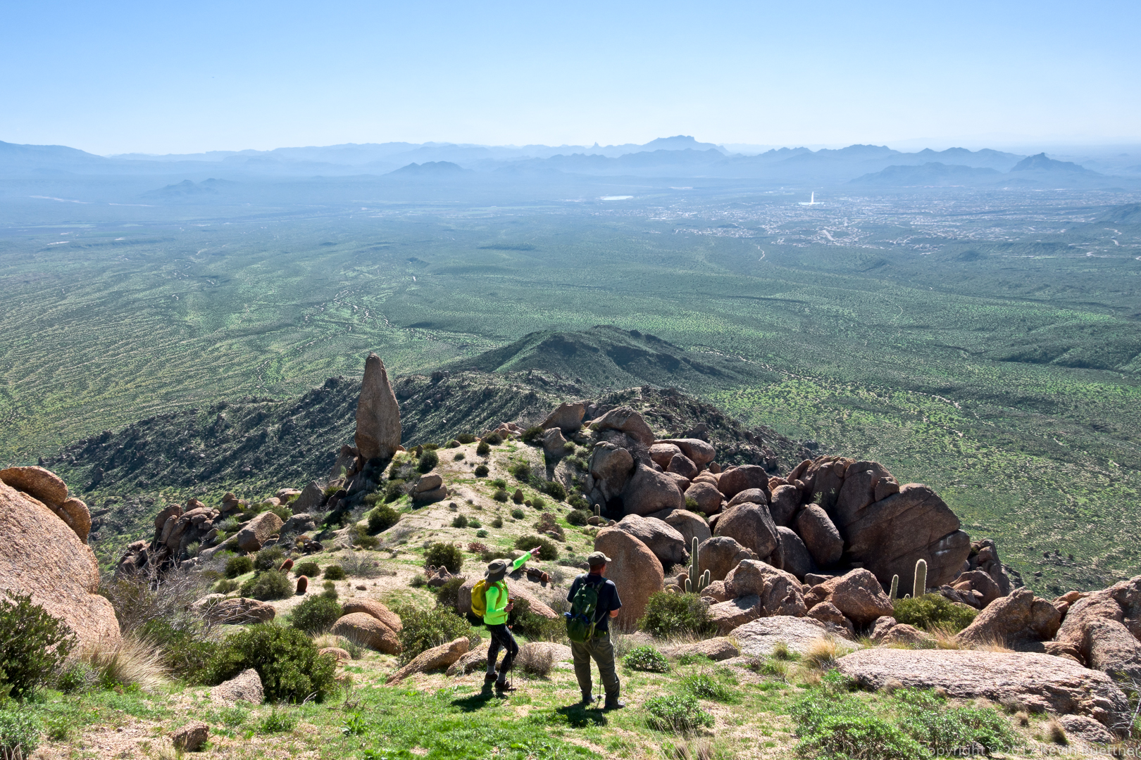
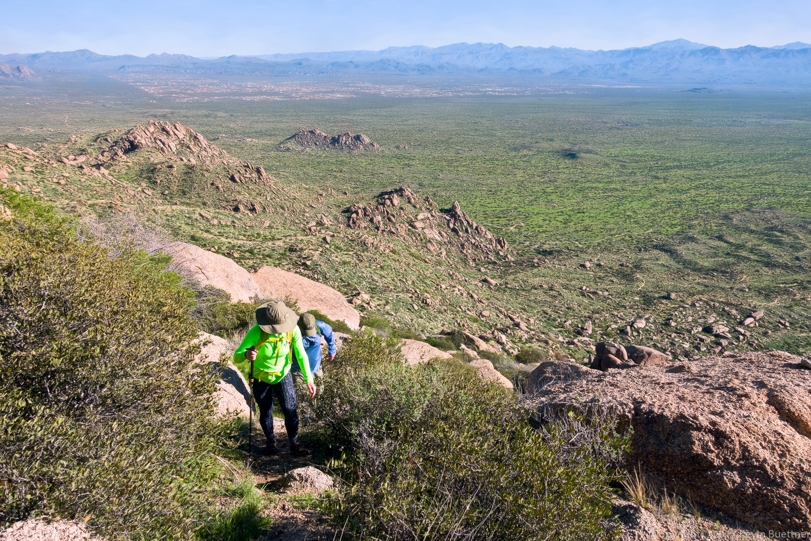
Nora and Bob taking in the views. Notice that the Fountain is up and that the Thumbnail Pinnacle looks very different from this vantage point.
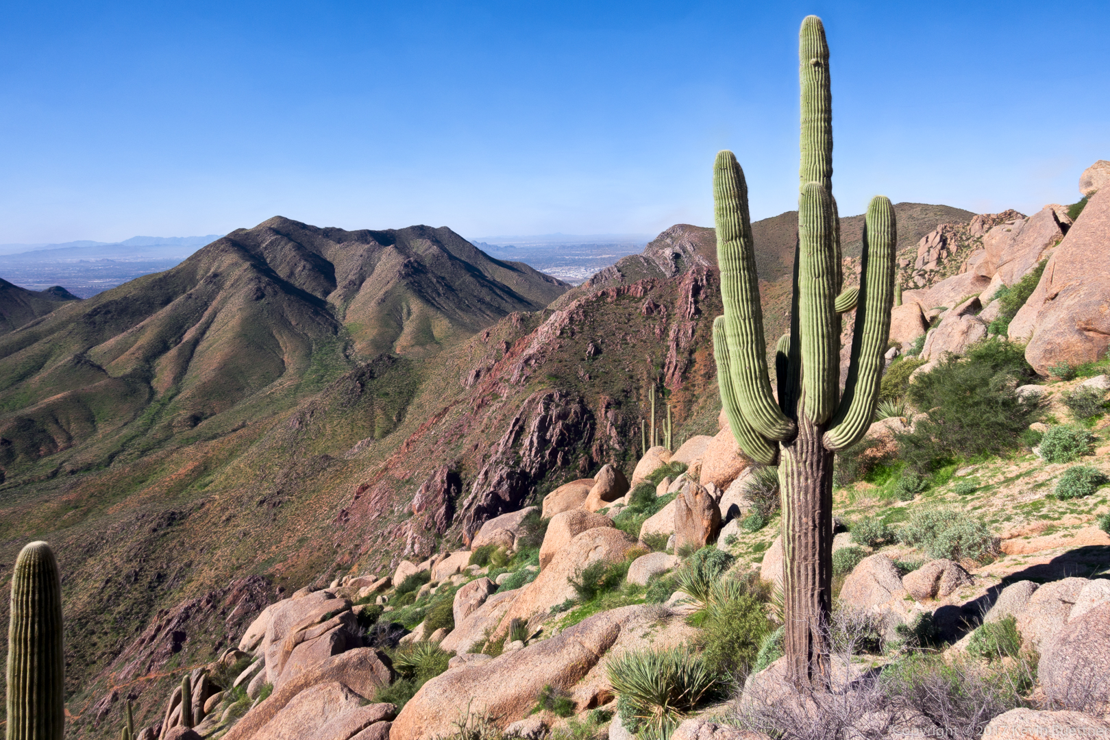
Another view towards the southwest as we hike the ridge line over to the East End (summit).

Nora, at the summit. Note that Tom’s Thumb can be seen in the background.
A view of Tom’s Thumb, Gardener’s Wall below it, and Pinnacle Peak at the far right.
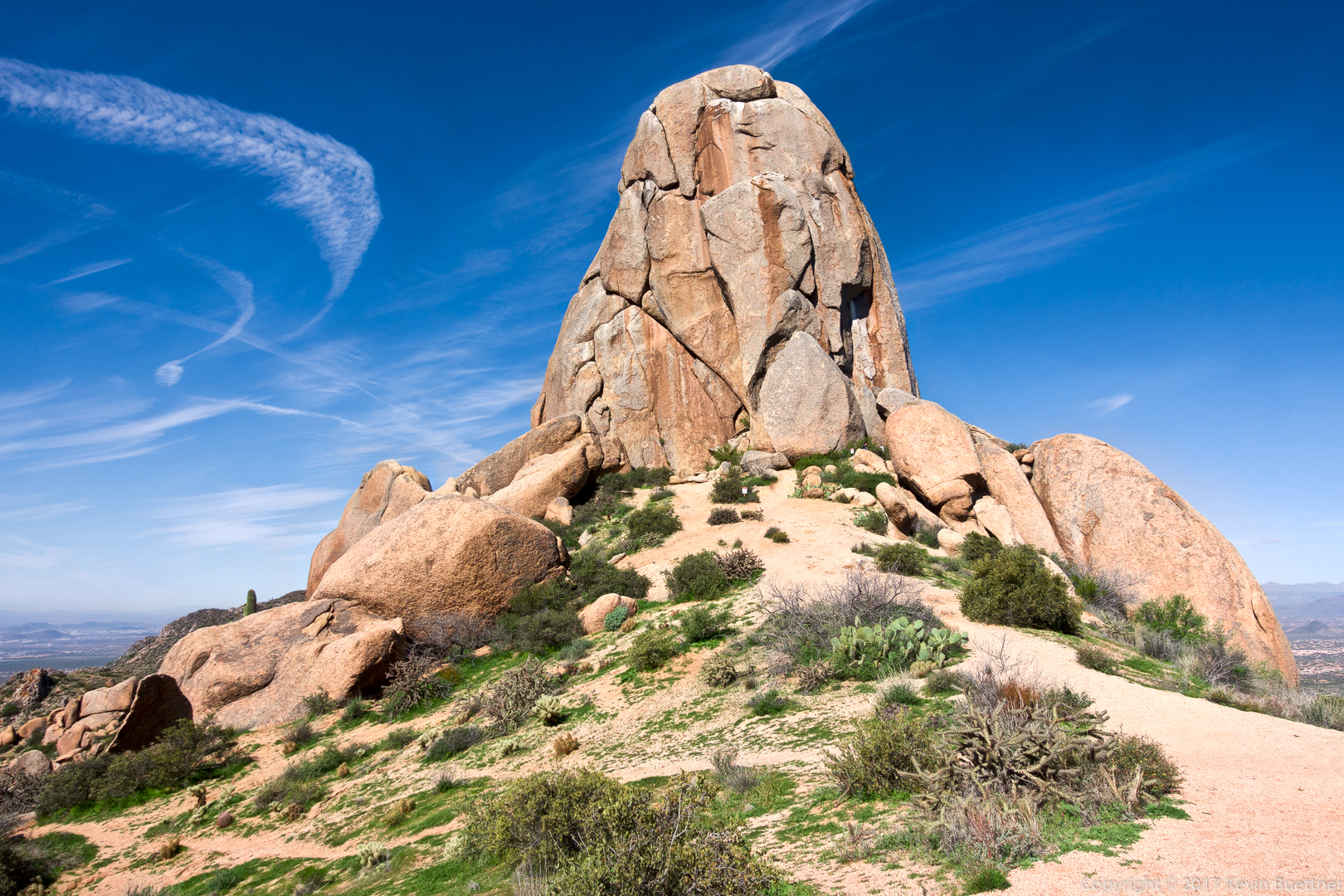
Tom’s Thumb.

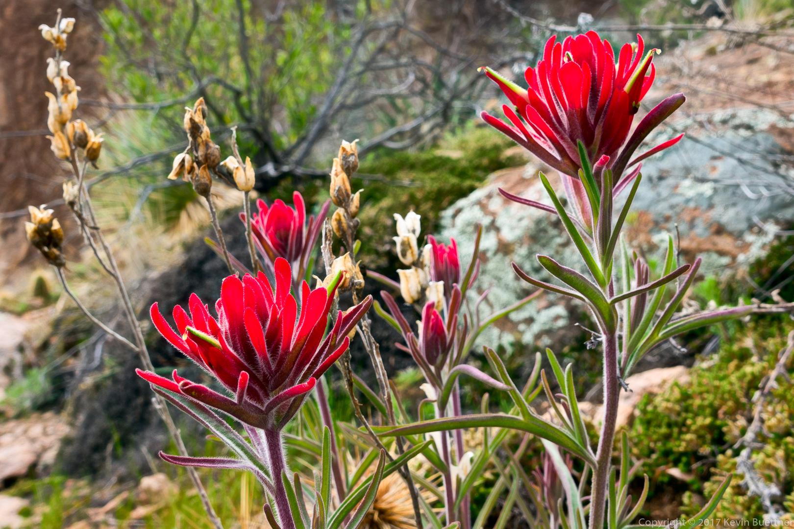
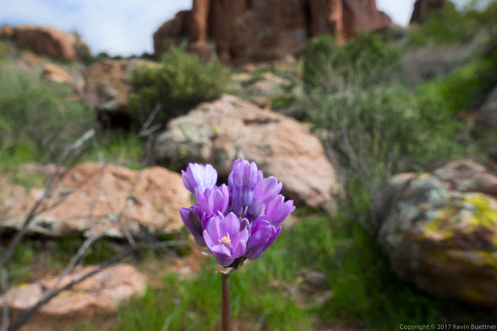
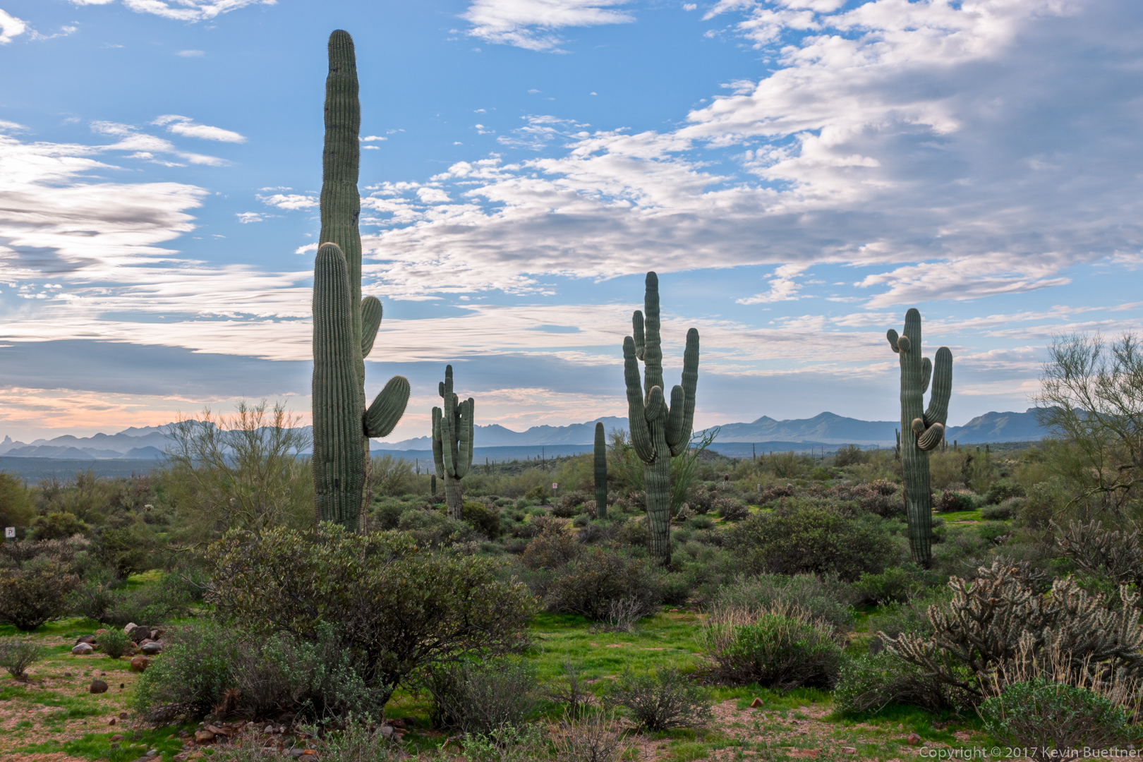
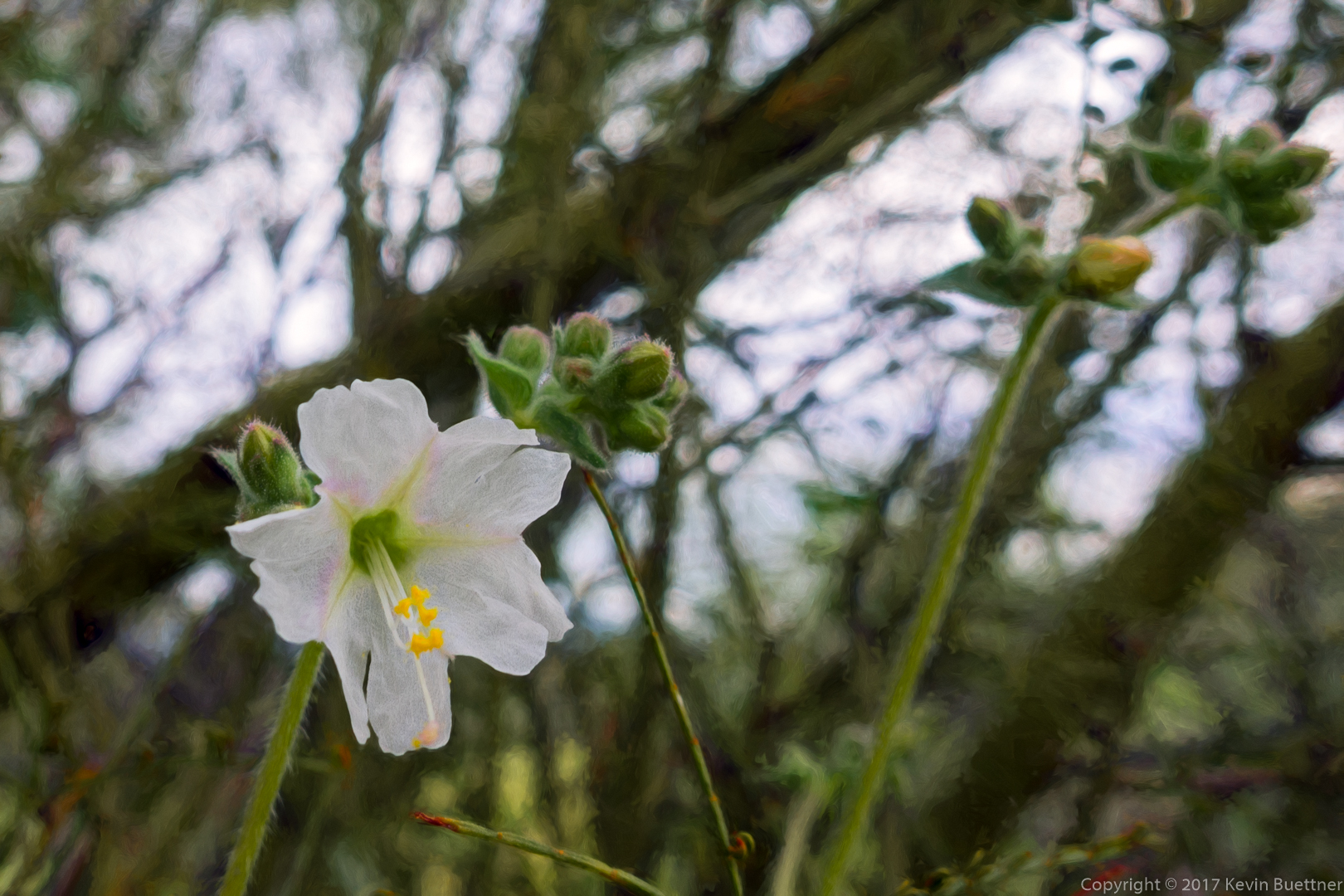
Linda, Bill, Mike, Bob, and I hiked a little over seven miles starting from the Horse Staging Area. It was a cool morning, but winter rain has brought us some early flowers!
A view from the parking lot (Horse Staging Area):
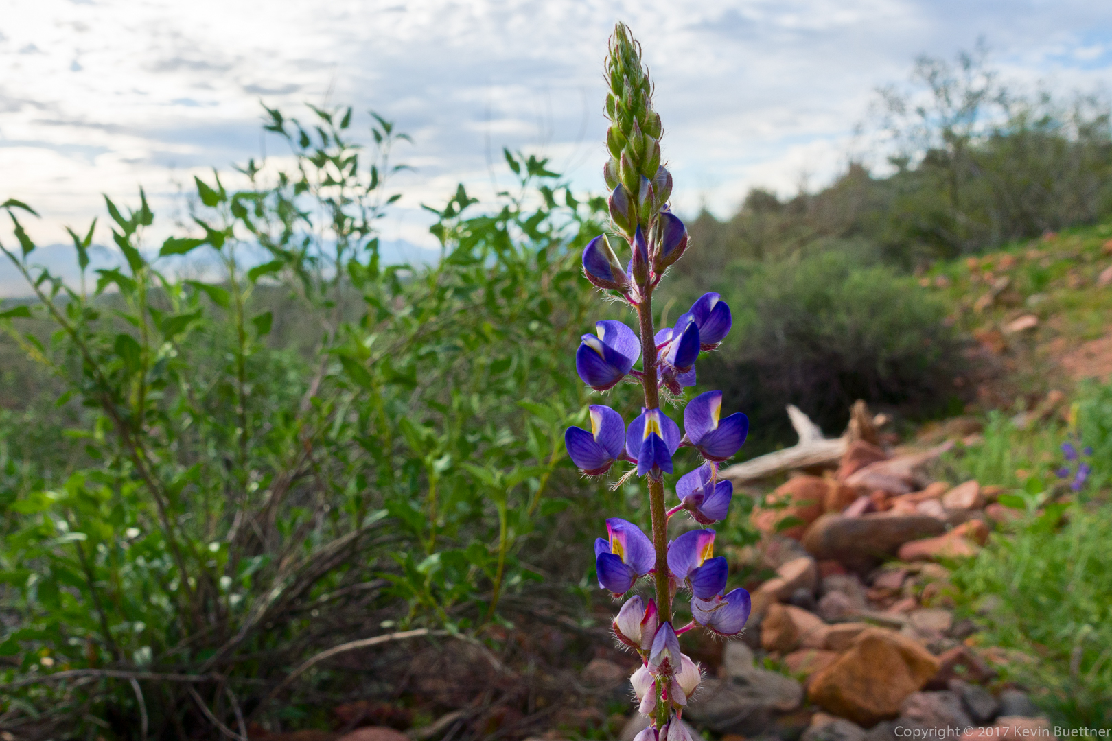
Lupine:
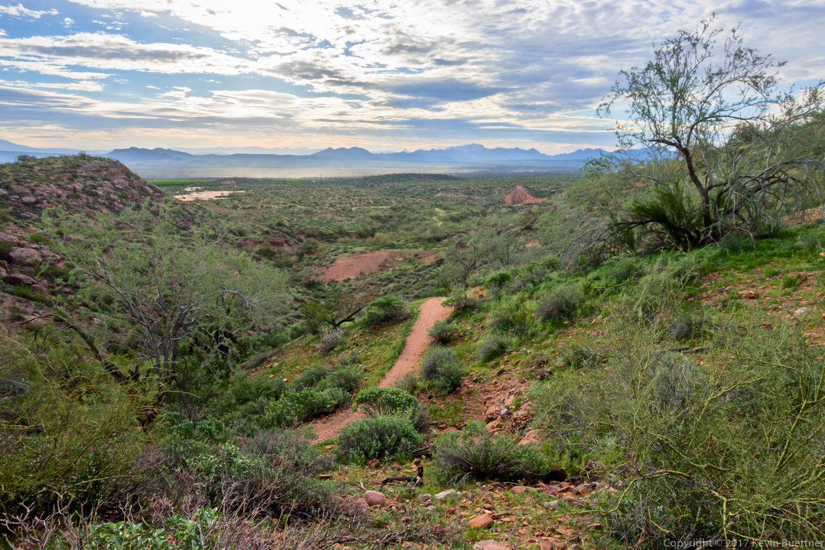
A view from the Technical Loop:
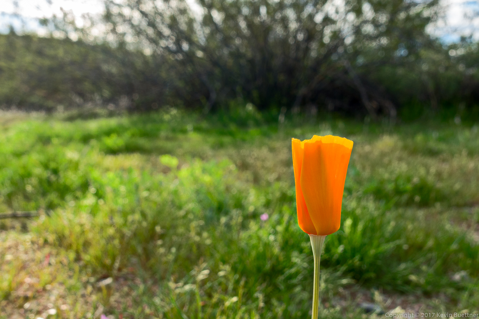
Mexican Poppy:
Thompson Peak and the McDowells:

A view of Four Peaks:
A young saguaro with its nurse plant:

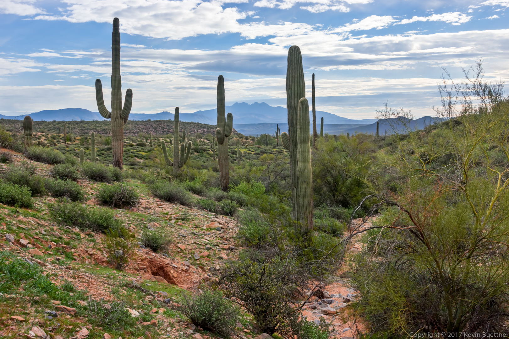
Weaver’s Needle and the Flatiron can be seen in the distance:
A view from the service road connecting the Long Loop (which is one of the competitive tracks) with the Pemberton.
Creosote: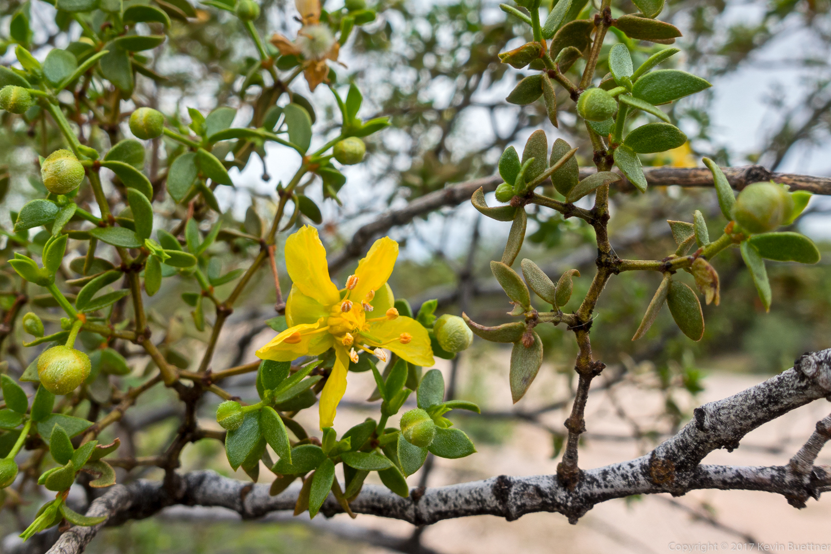
A view from the Pemberton Trail:
Wishbone:
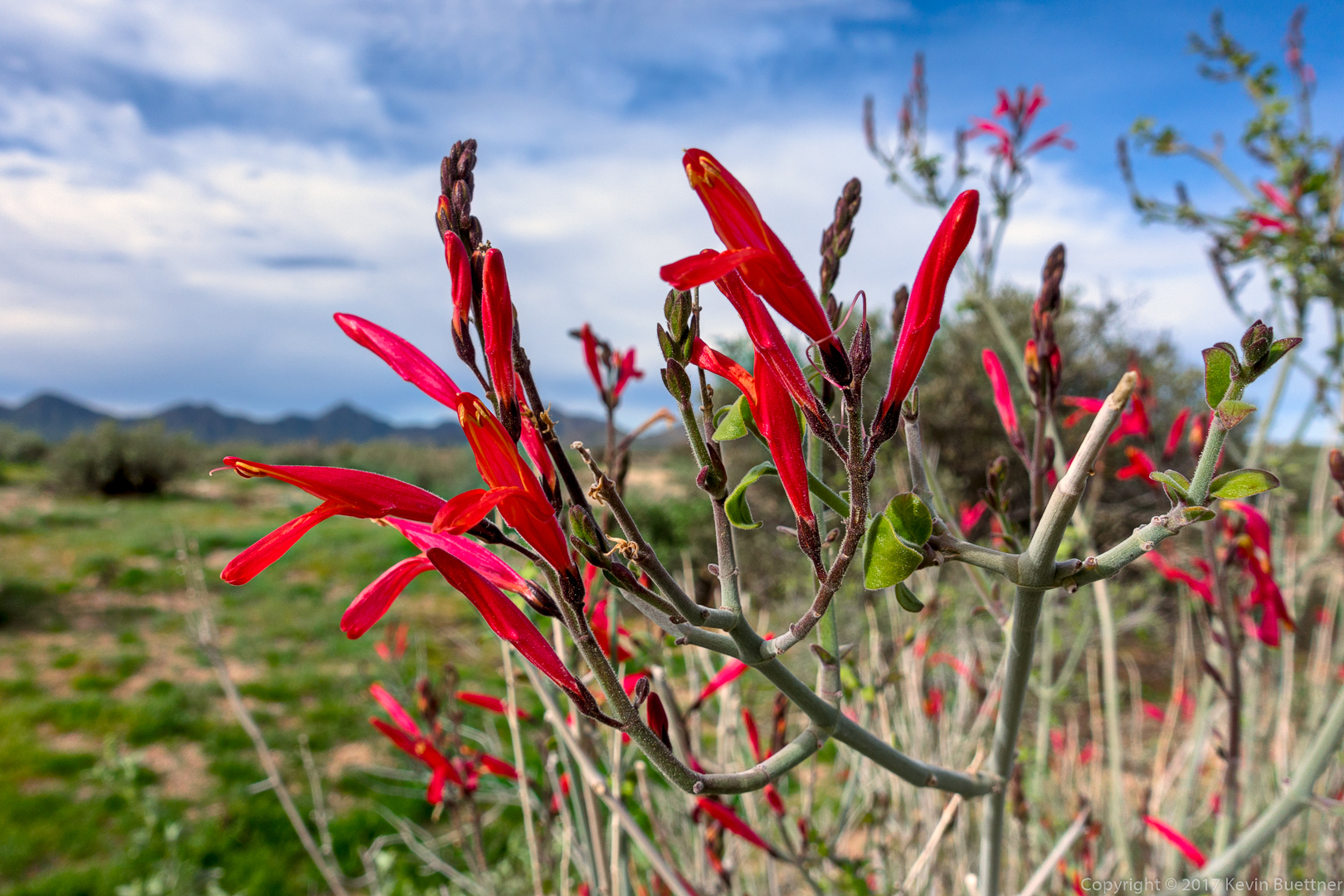
Chuparosa:
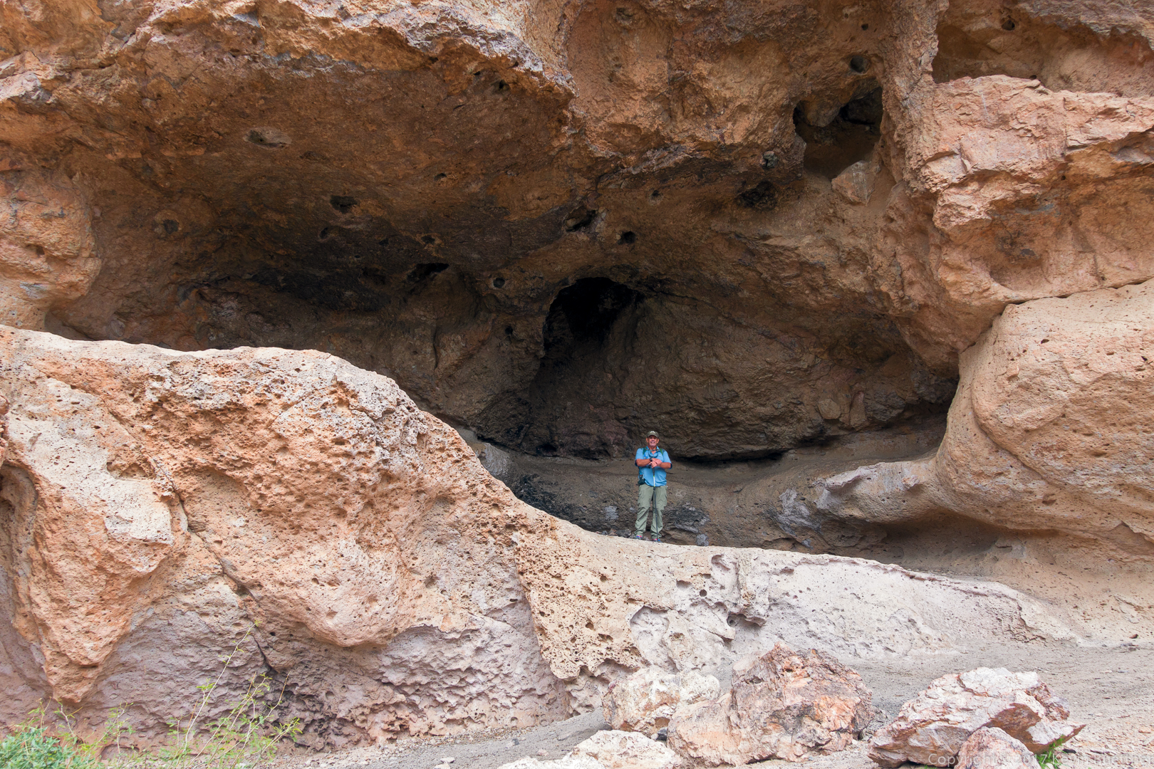
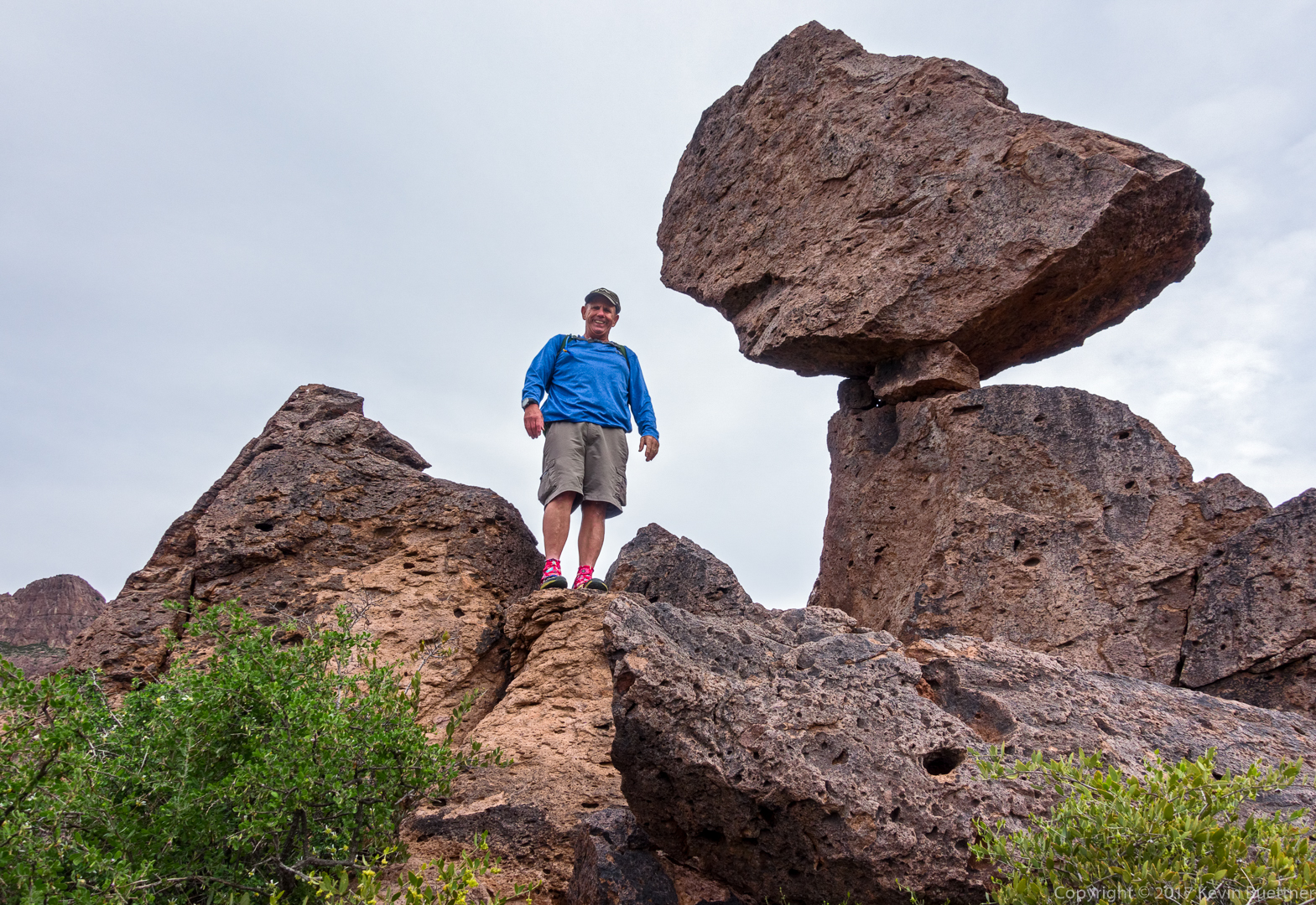
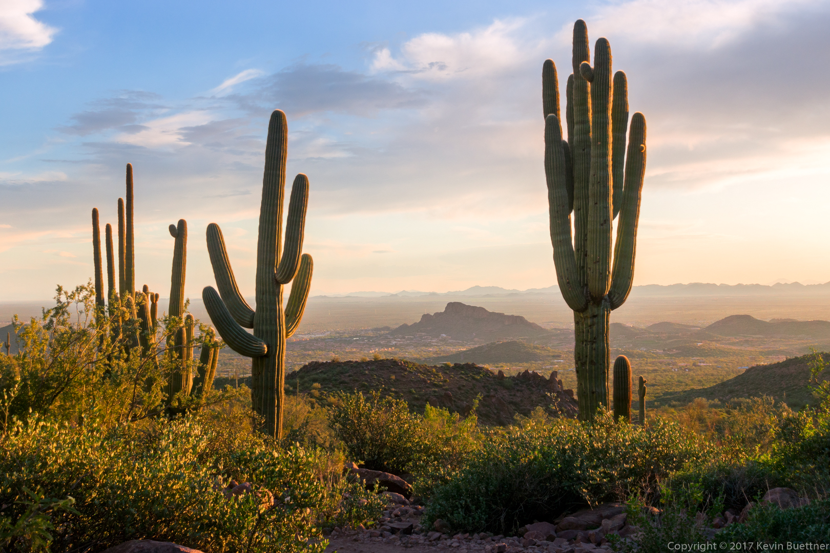
Bob and I hiked a loop which took us past a cool balanced rock and then took us to the highest peak in the western Superstitions. We returned by by hiking back through Hieroglyphic Canyon as the sun was setting. We hiked somewhat less than eight miles in nearly ten hours. We took two 10-20 min breaks during our hike (so that we could pull thorns out of our feet). We took other, shorter, breaks to figure out where the route went. We got off track several times, mostly due to following a well defined path (which often had cairns) which didn’t correspond to the GPS track – we probably wouldn’t have figured it out without the GPS track. Aside from those few breaks, we were on the move all day long.
The area is very scenic and well worth hiking. It’s not an easy hike though; we both wished that we had gotten an earlier start – we were only about halfway around the loop at around 3:00 in the afternoon. At that point I thought that we’d eventually have to get our headlamps out, but we got back just as it was getting really dark.
This is a view of the balanced rock from a distance:
We’re getting closer here. As we got even nearer, we ended up below it and lost sight of it for a while.

Bob, next to the balanced rock:
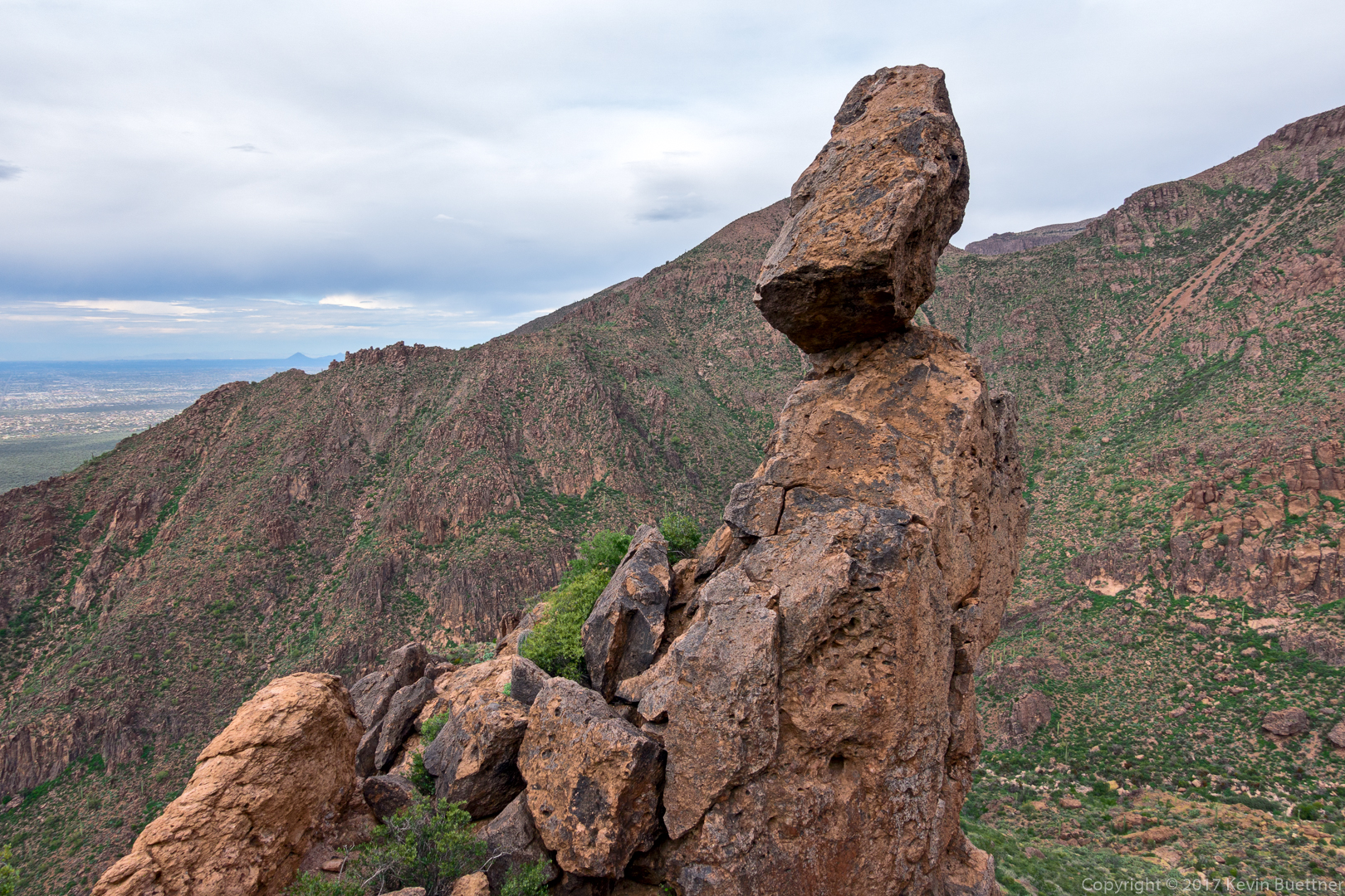
Another view of the balanced rock. At this point, we had climbed a short ways up the ridge to the right of the rock from the earlier photo.
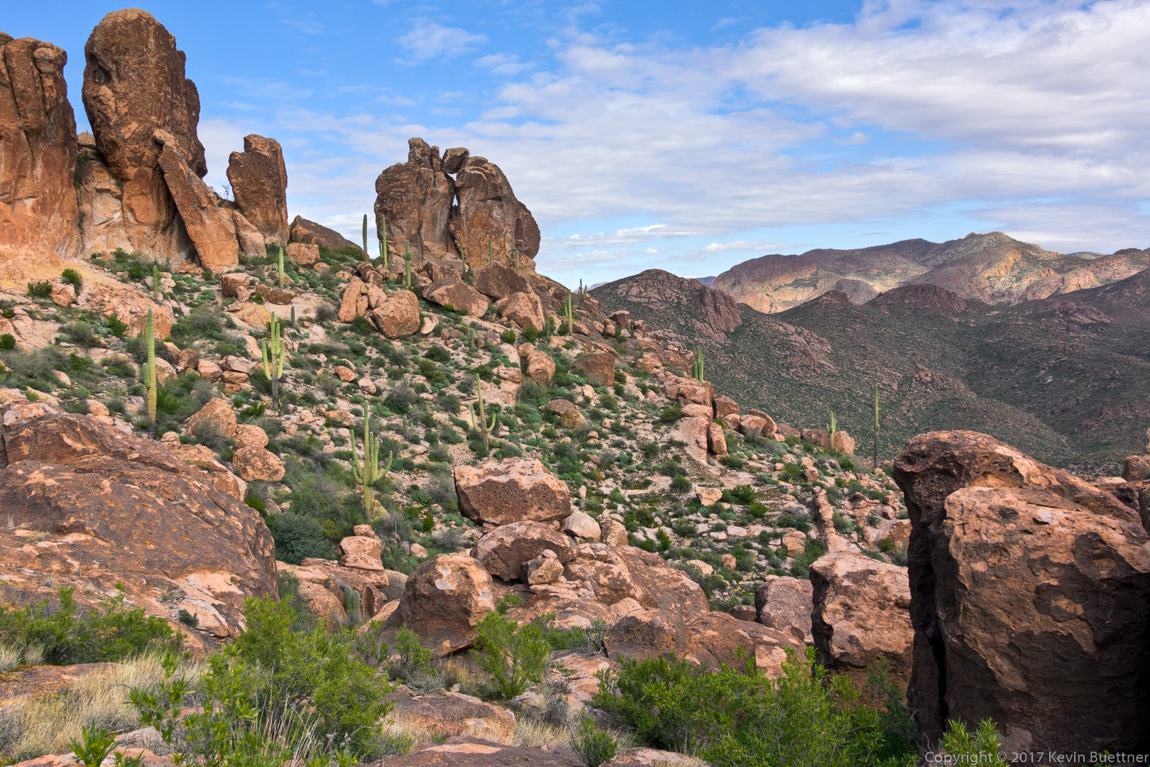
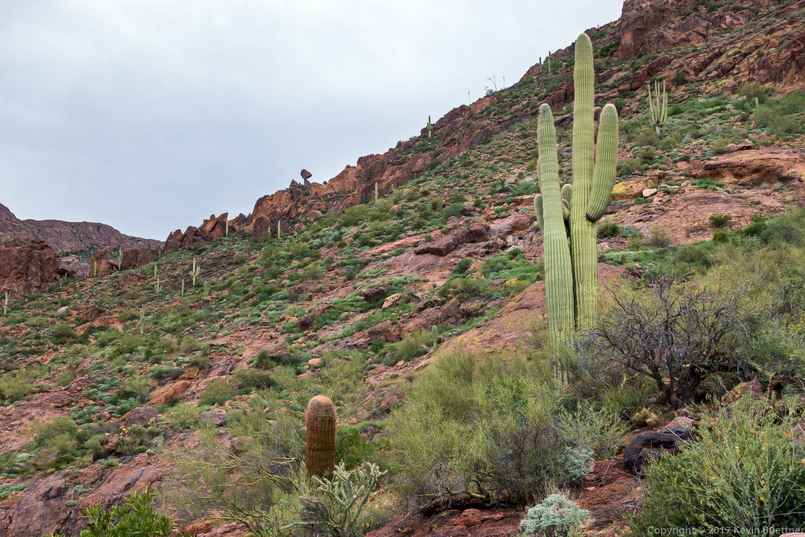
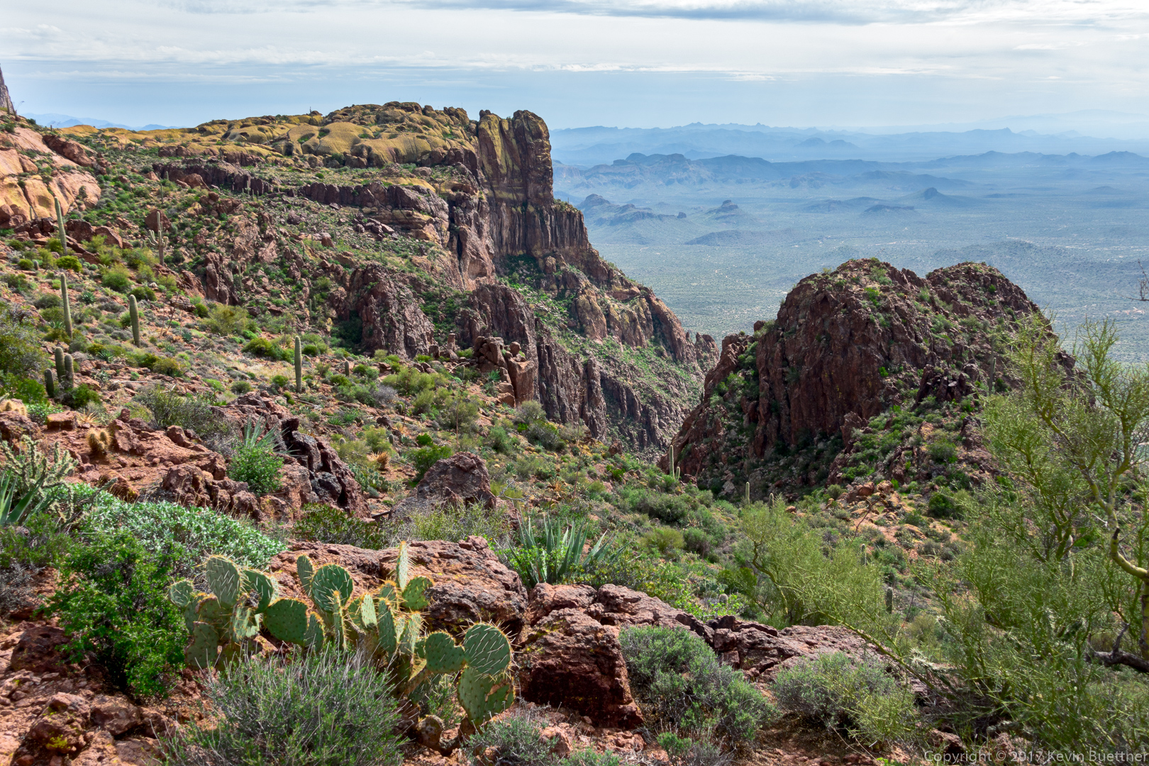
The views got even better as we got higher!

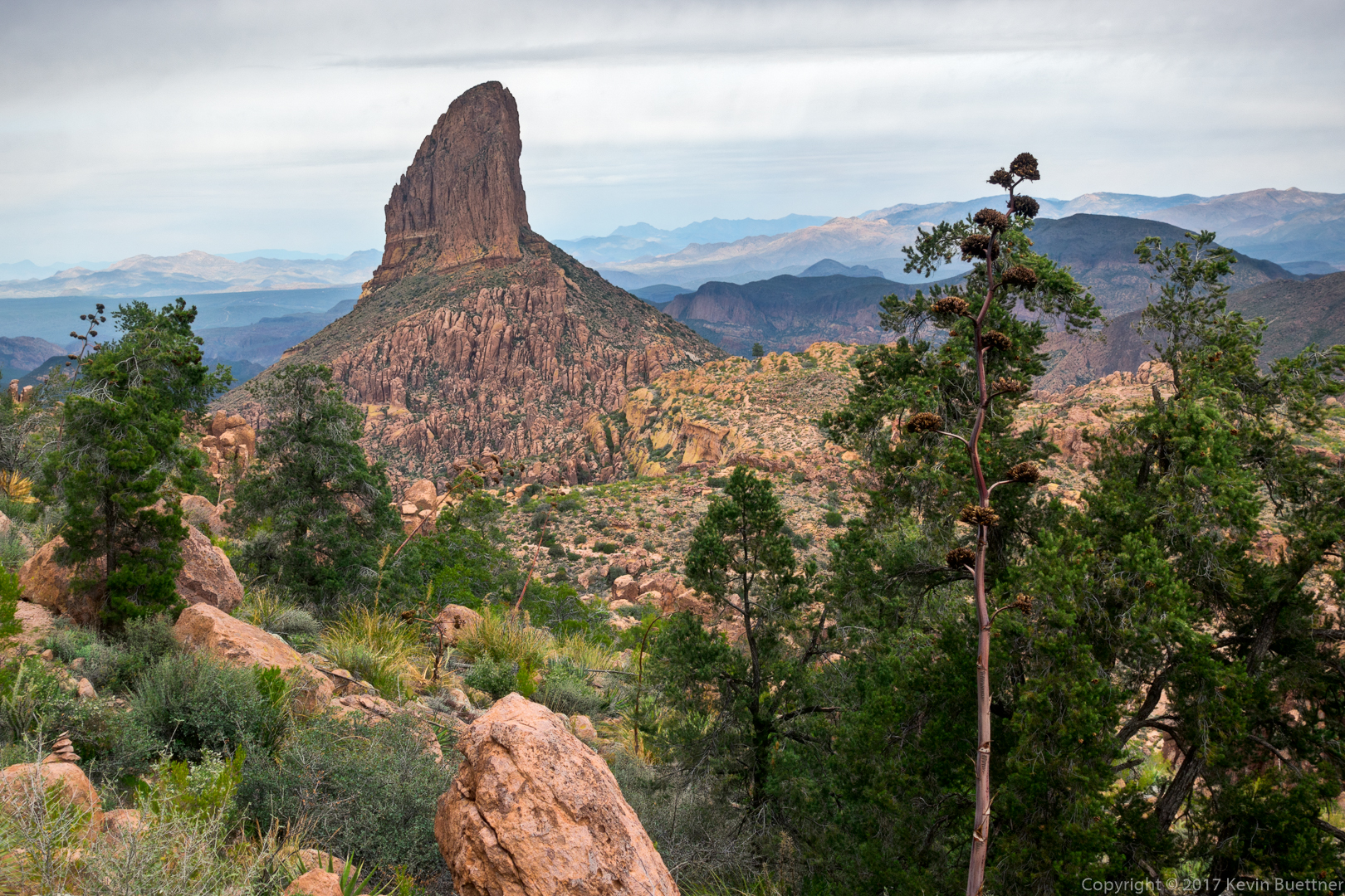
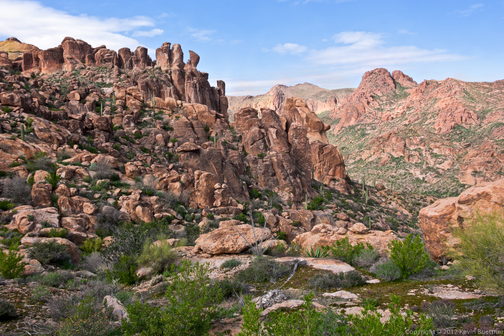
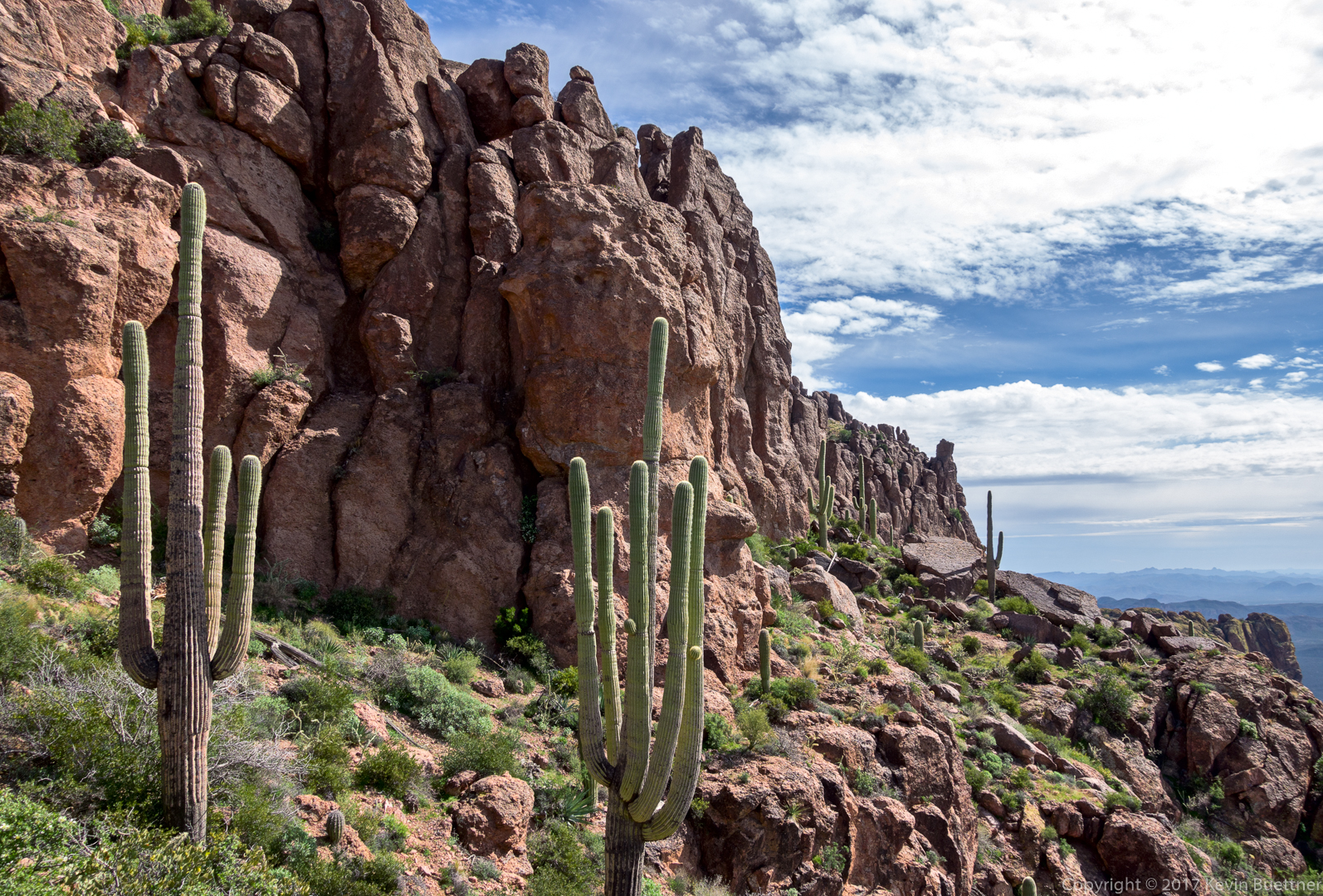
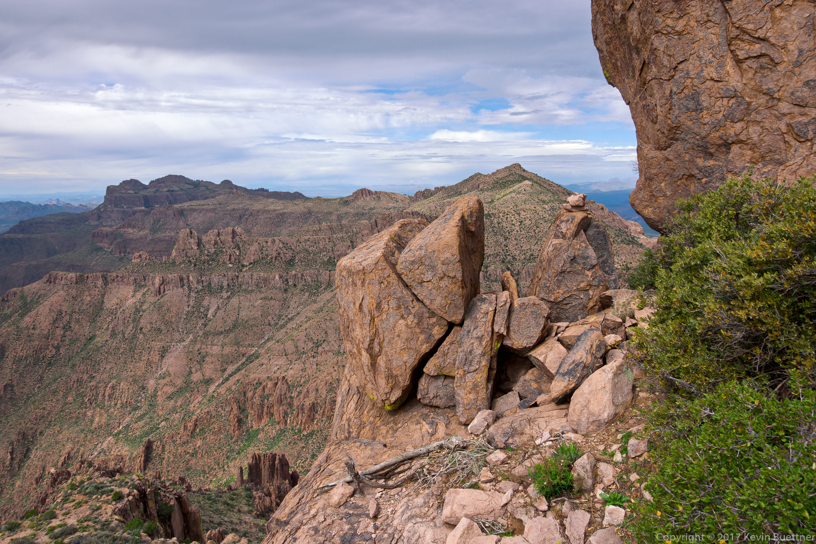
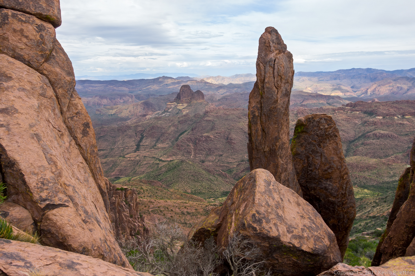
The route took us along the base of this formation and then up through something of a gap.
When I first saw the cairn in this picture, I thought that our path went past through those boulders. But, when we looked, we saw there was nothing there – it dropped off (somewhat) precipitously. Our route actually made a sharp turn, going uphill in front of the large rock at the right edge of this photo. We packed away our hiking poles for this section so that we could more easily use our hands for the climbing.
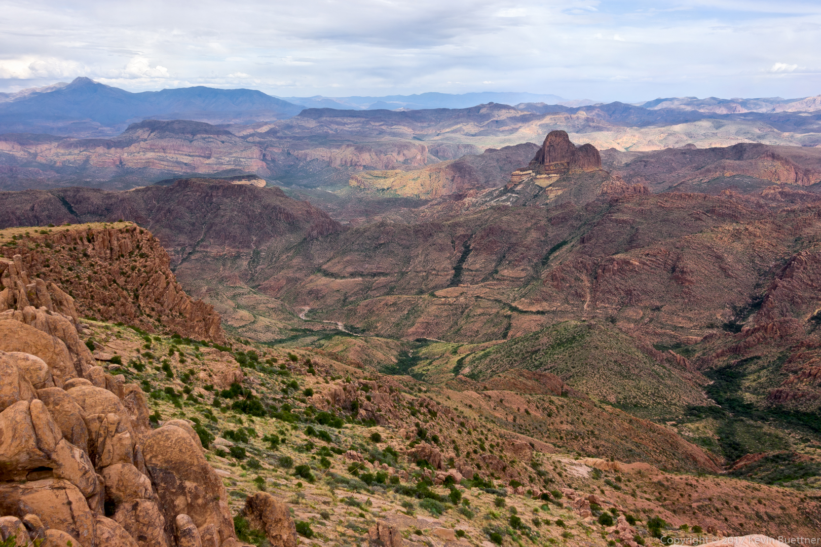
More hiking and a fair amount of scrambling eventually led us to the summit of Peak 5057. We were higher than Weaver’s Needle!
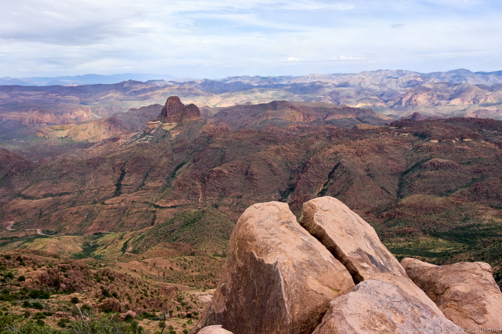
Another shot of Weaver’s Needle from Peak 5057:
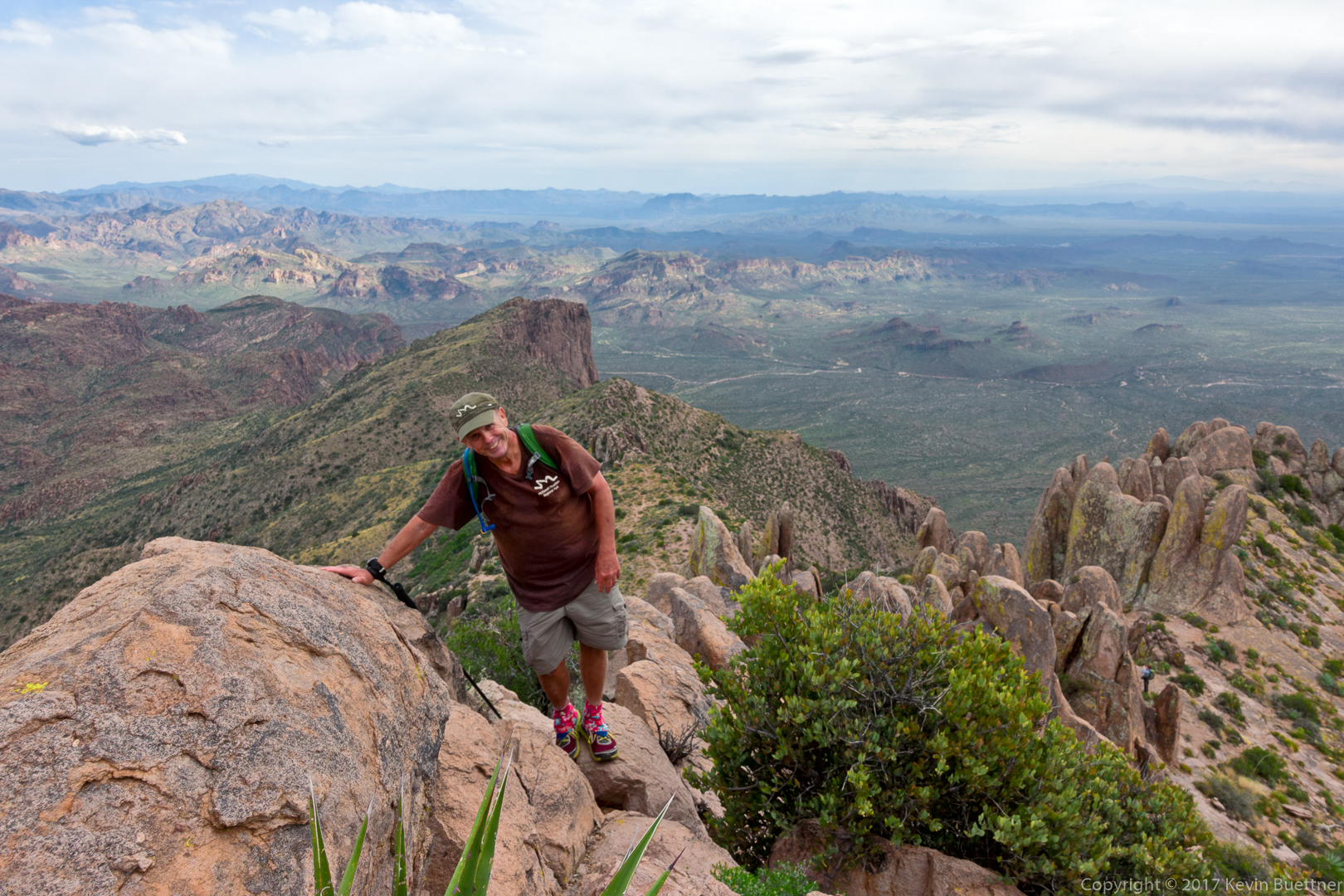
Bob makes his way to the summit. If you look closely, you can see another hiker in this photo. We passed him as he made his way to the summit a short while later.
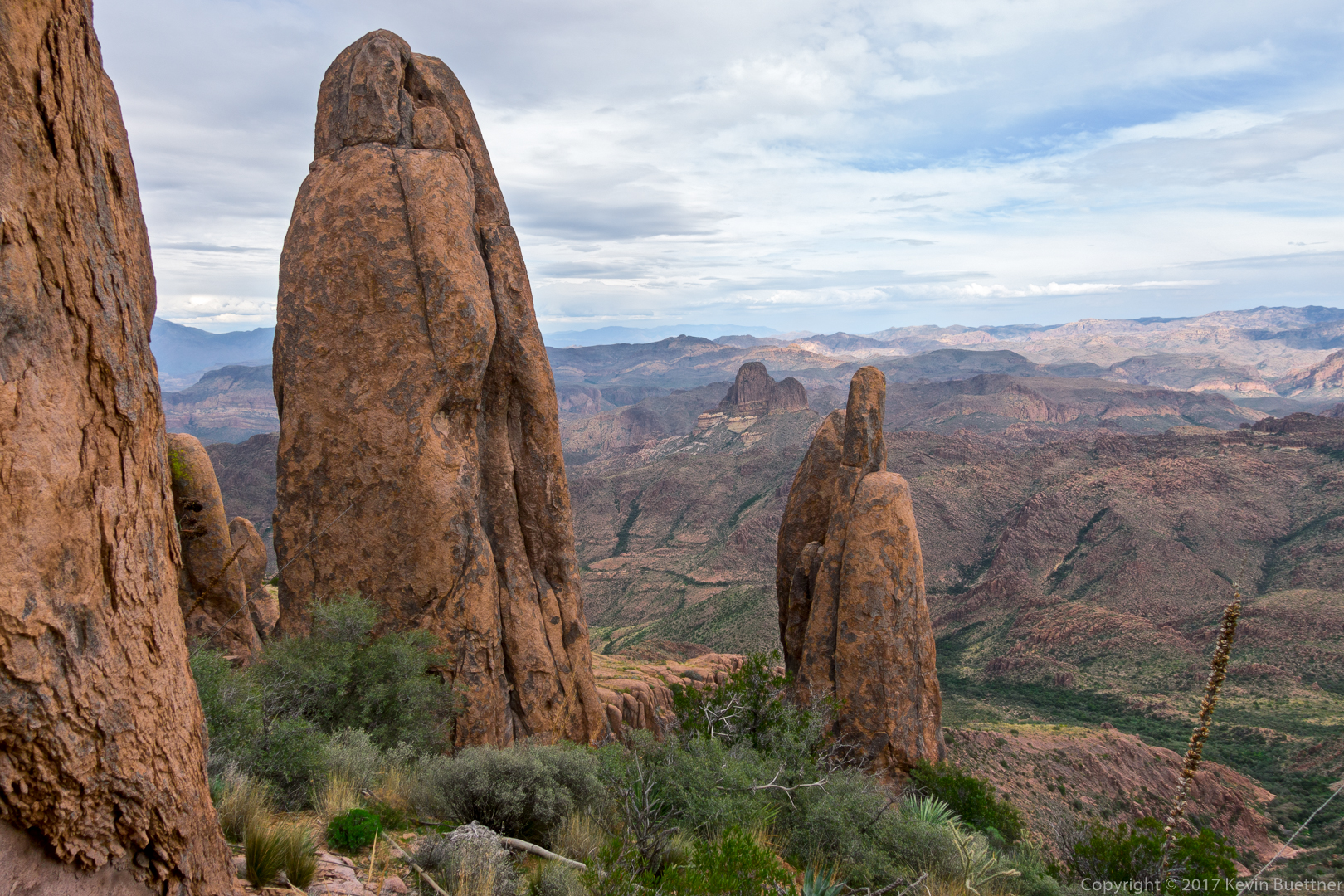
When we got down from the summit of 5057, we saw a number of hoodoos as we continued on our loop.

Two shots of Weaver’s Needle through some hoodoos…
This shot was taken a good time later after we had negotiated several obstacles (and a few wrong turns) on the Ridgeline Trail. We’re starting to make our way down into Hieroglyphic Canyon here:
Looking back at where we had been:

Another shot of the canyon:
And, again, looking back:
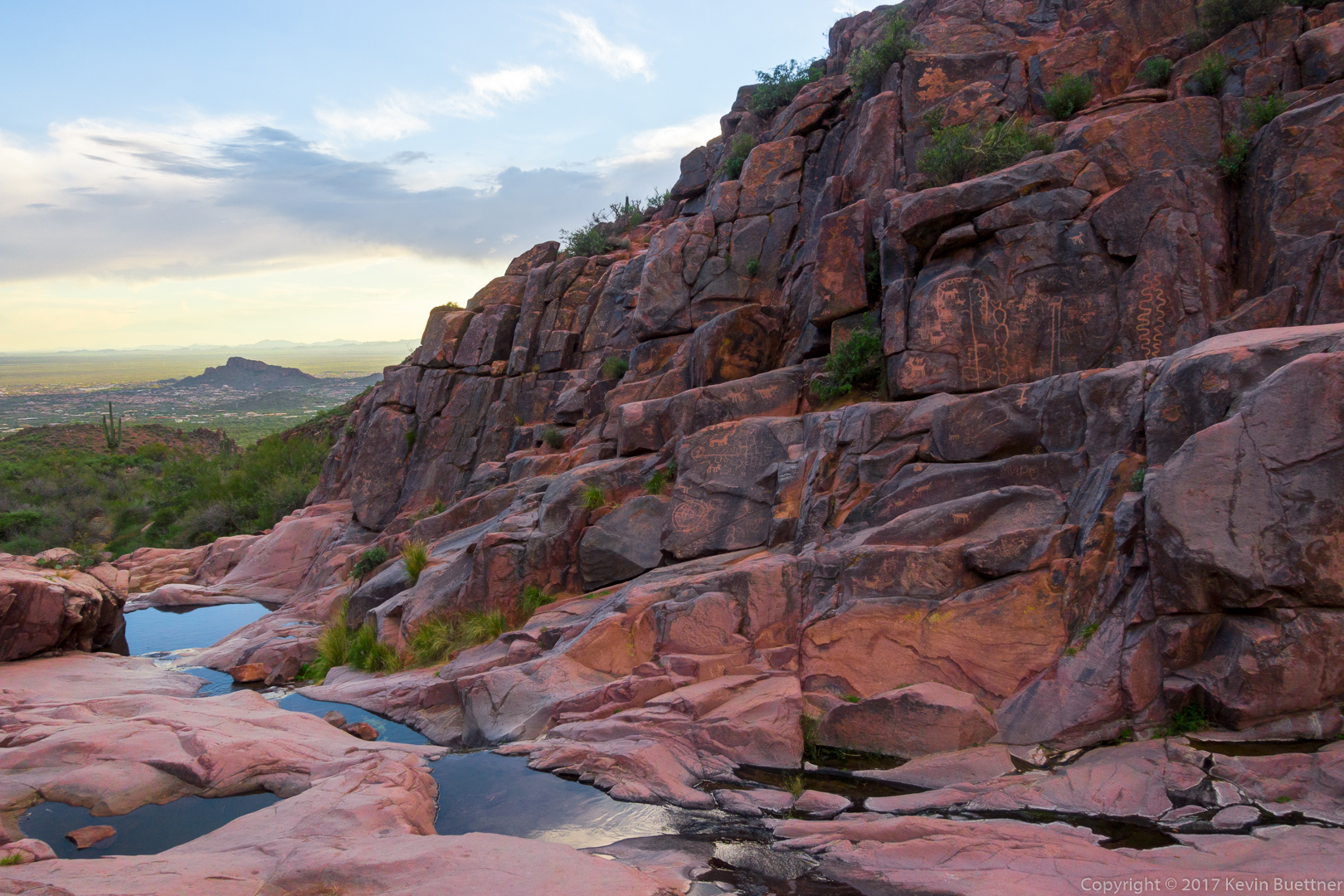
Finally! We arrive at the pools and the petroglyphs. Just in time, too, as it was starting to get dark. The rock was slick from being polished by water. I fell on my back when both of my feet simultaneously slid out from under me. Luckily though, my backpack absorbed the fall. My only injury was a bruised elbow.
A view as we exited Hieroglyphic Canyon:
The sunset produced an intense orange glow on the rock. Off to the left in this photo is where we began our off-trail portion of the hike earlier in the day.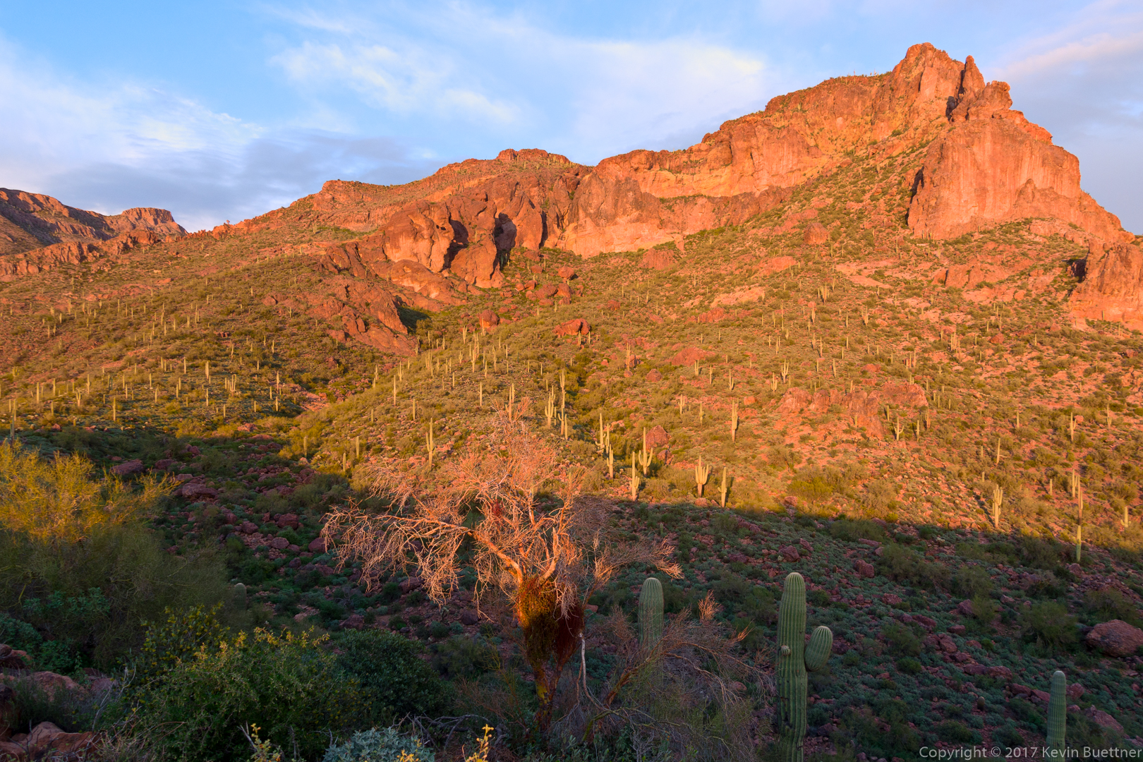
Nearly back here, but we still had a great view!

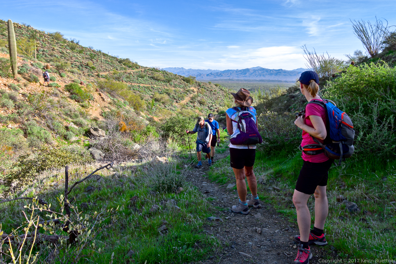
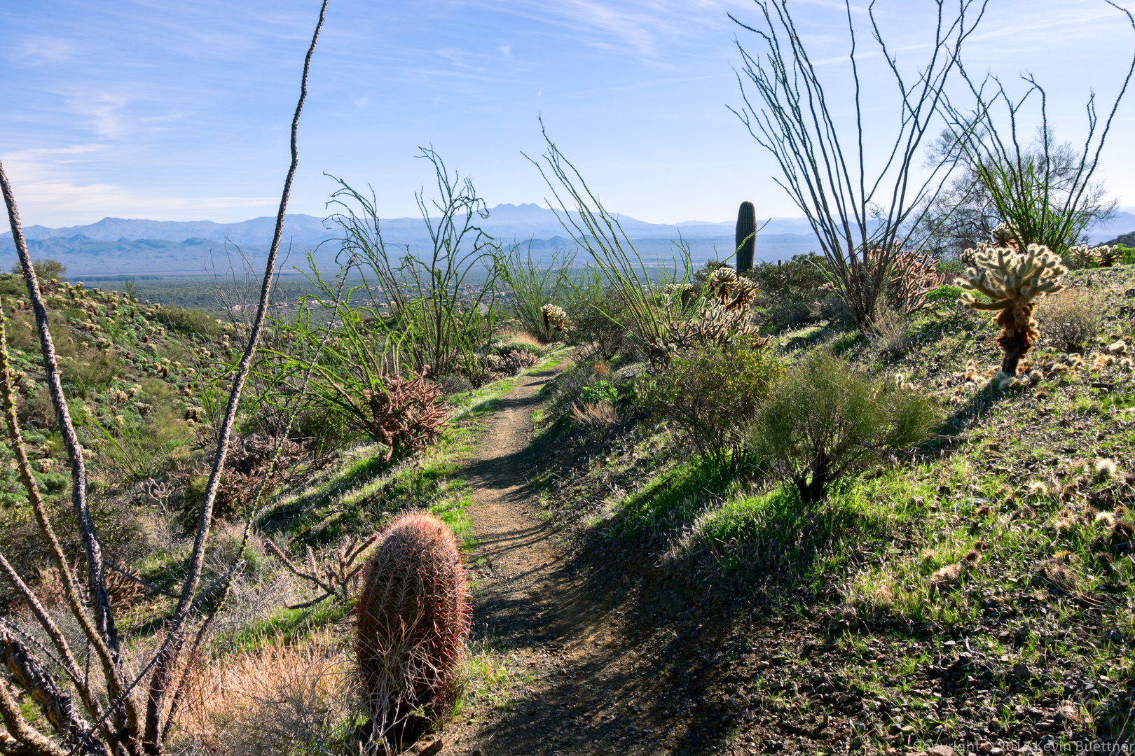
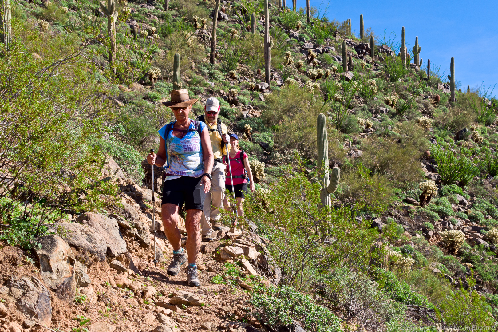
Kathy, Jerry, Mike, Nancy, Bill, Heather, Bob, and I did a 10.2 mile hike on Friday. We hiked Dixie Mine to Sonoran and then did a loop on the Western Loop Trail. On the way back, Bill showed us the trail that he and his crew have been building. Tentatively called the Lower Sonoran Trail, it uses some of the lower portions of the slope below the current Sonoran Trail, running from the Promenade Trail to Sonoran Trail at the boundary between the park and the preserve. Bill told me that the current Sonoran Trail between those two points is 1.8 miles in length; the new section of trail is 2.1 miles long. In most instances, I prefer hiking a loop instead of a pure out-and-back, so having a new and scenic option in the area is much appreciated.
Mike (far left), Bob, Jerry, Nancy, and Heather on the Sonoran Trail:
Ocotillos on the Sonoran Trail:
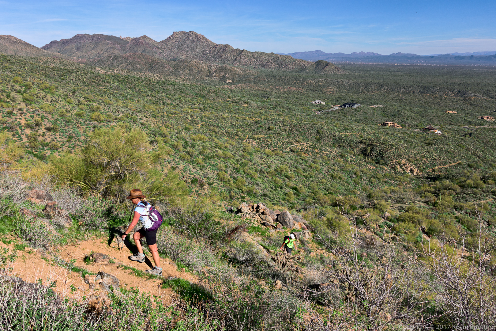
Nancy and Kathy hiking up the Western Loop Trail:
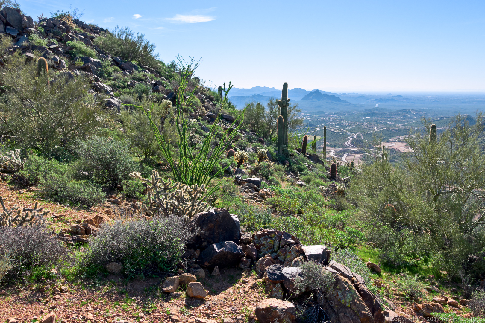
A view from just below the overlook:
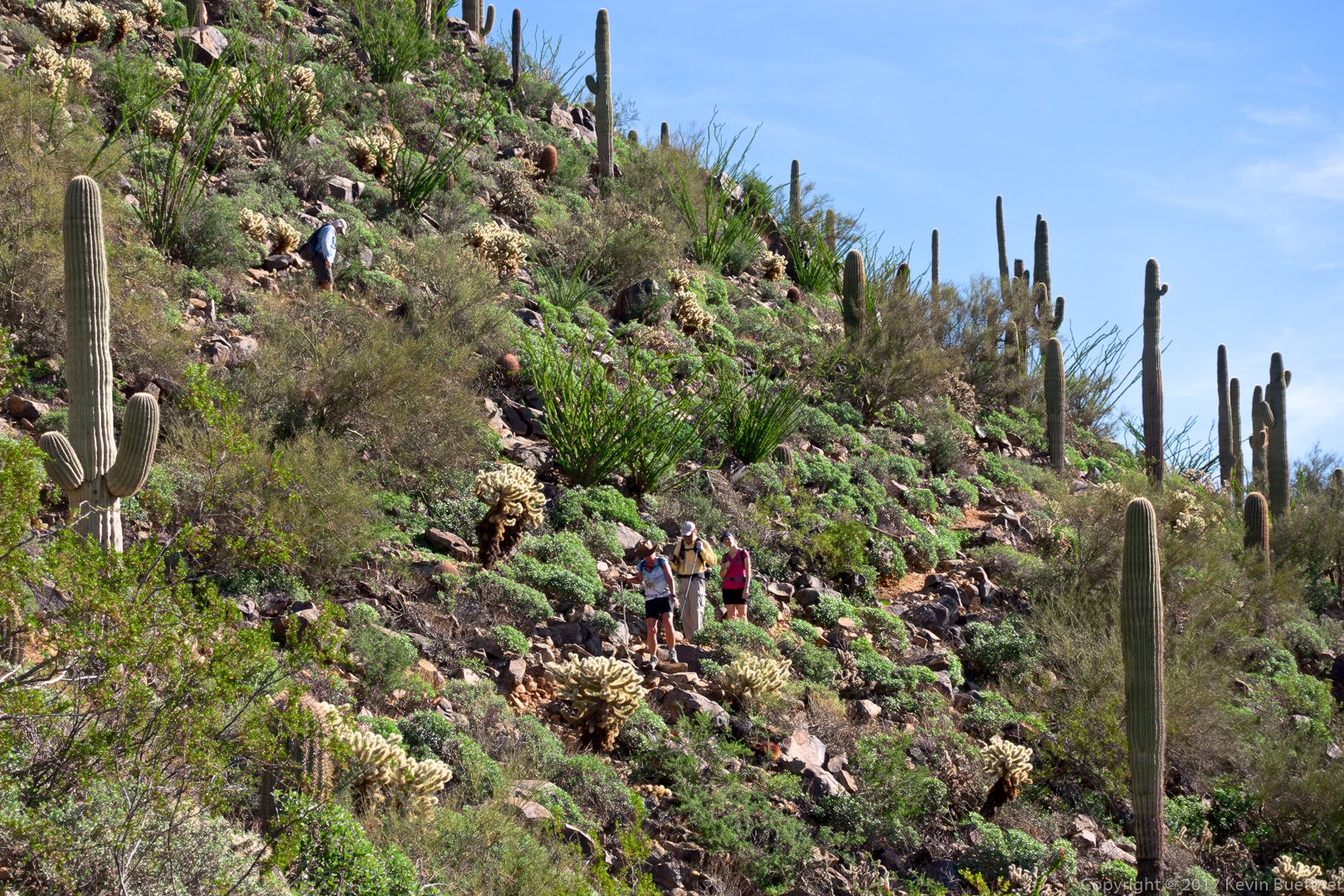
Heather at the top of the overlook just off the Western Loop Trail:

Mike (above left), Nancy, Bill, and Heather descending the Western Loop Trail:
Nancy, Bill, and Heather:
The new section of trail has lots of ocotillos too!

Bill on the new section of trail:
Heather and Nancy taking a break…
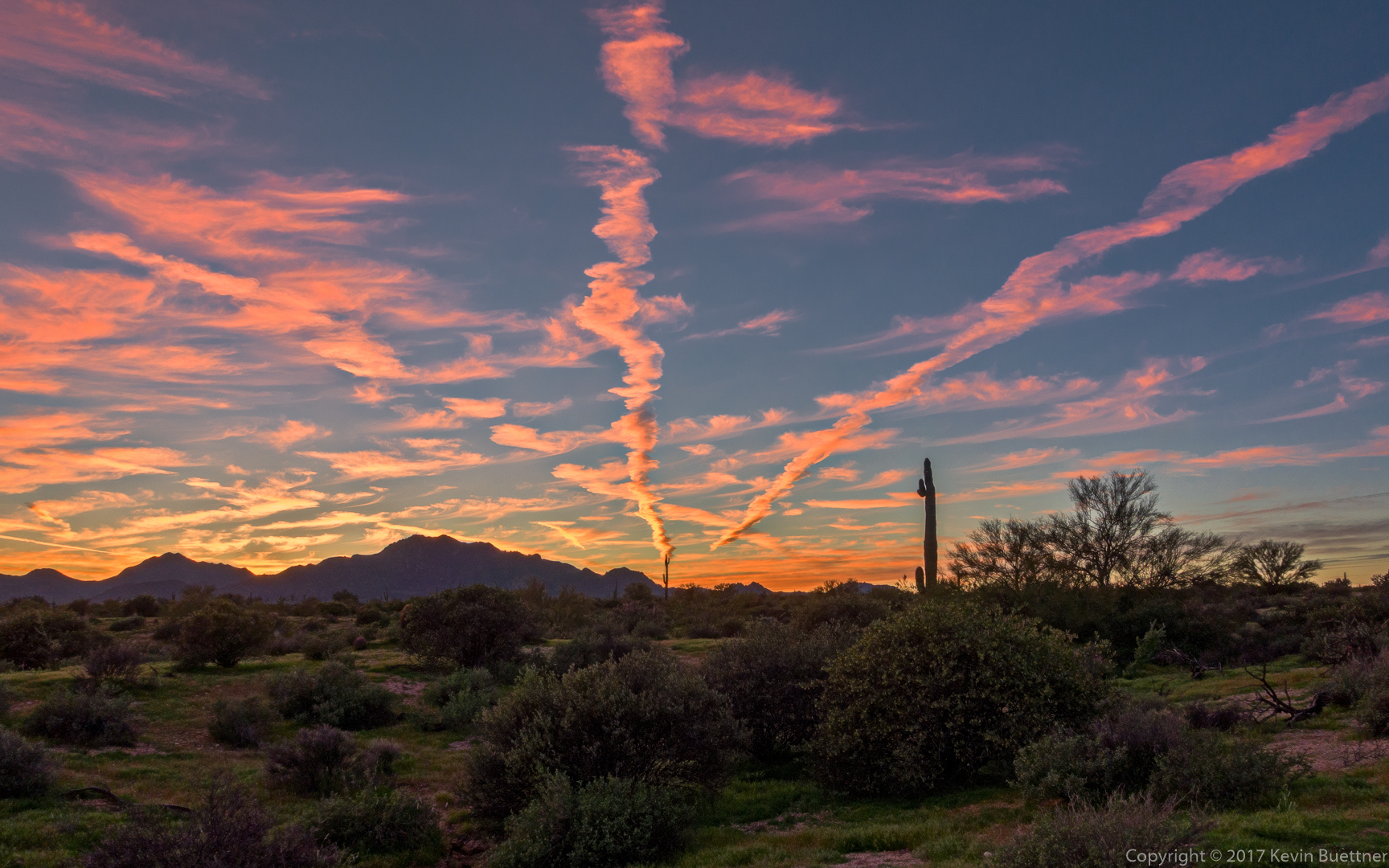
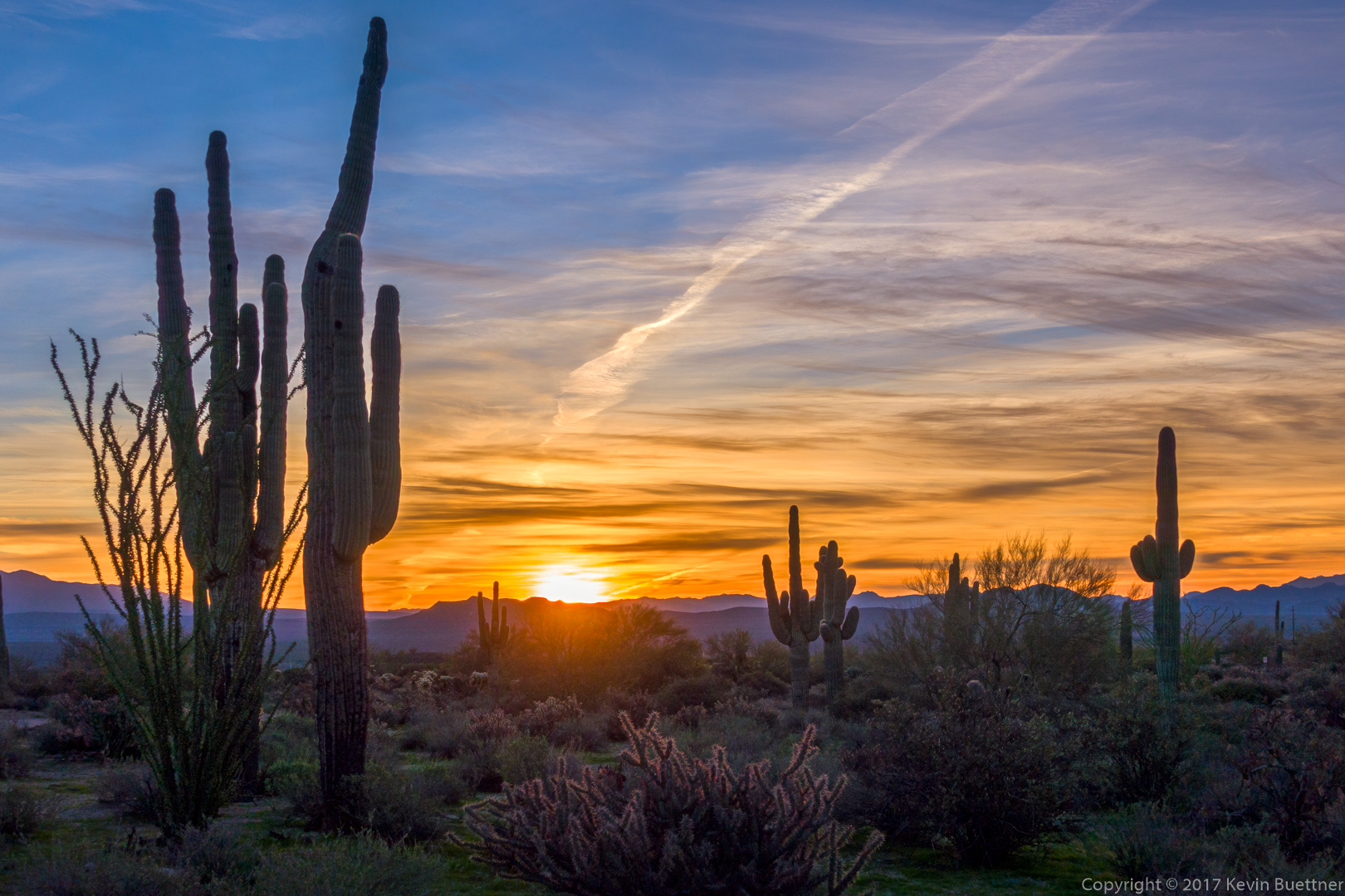
I got this photo of Tuesday evening’s sunset from the Scenic Trail:

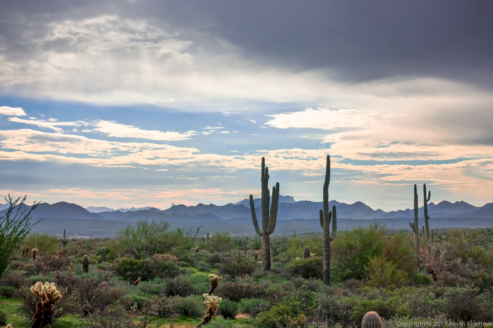
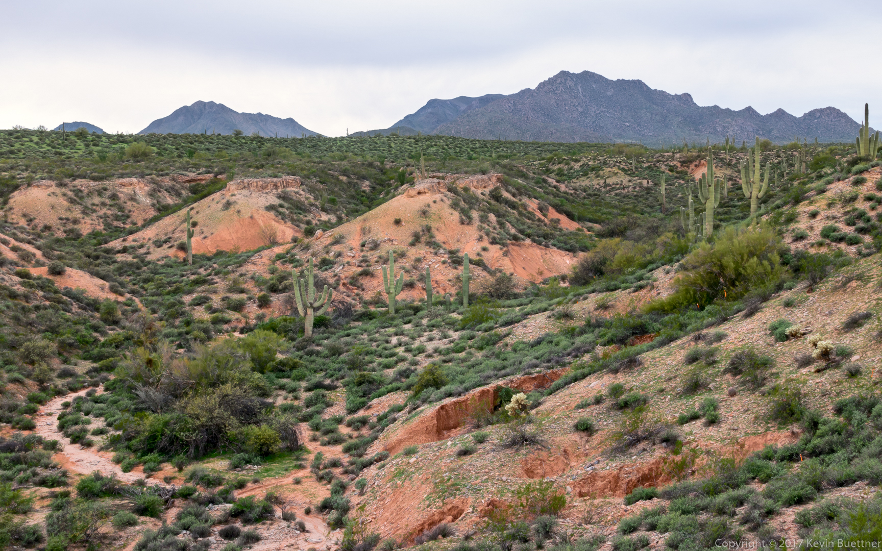
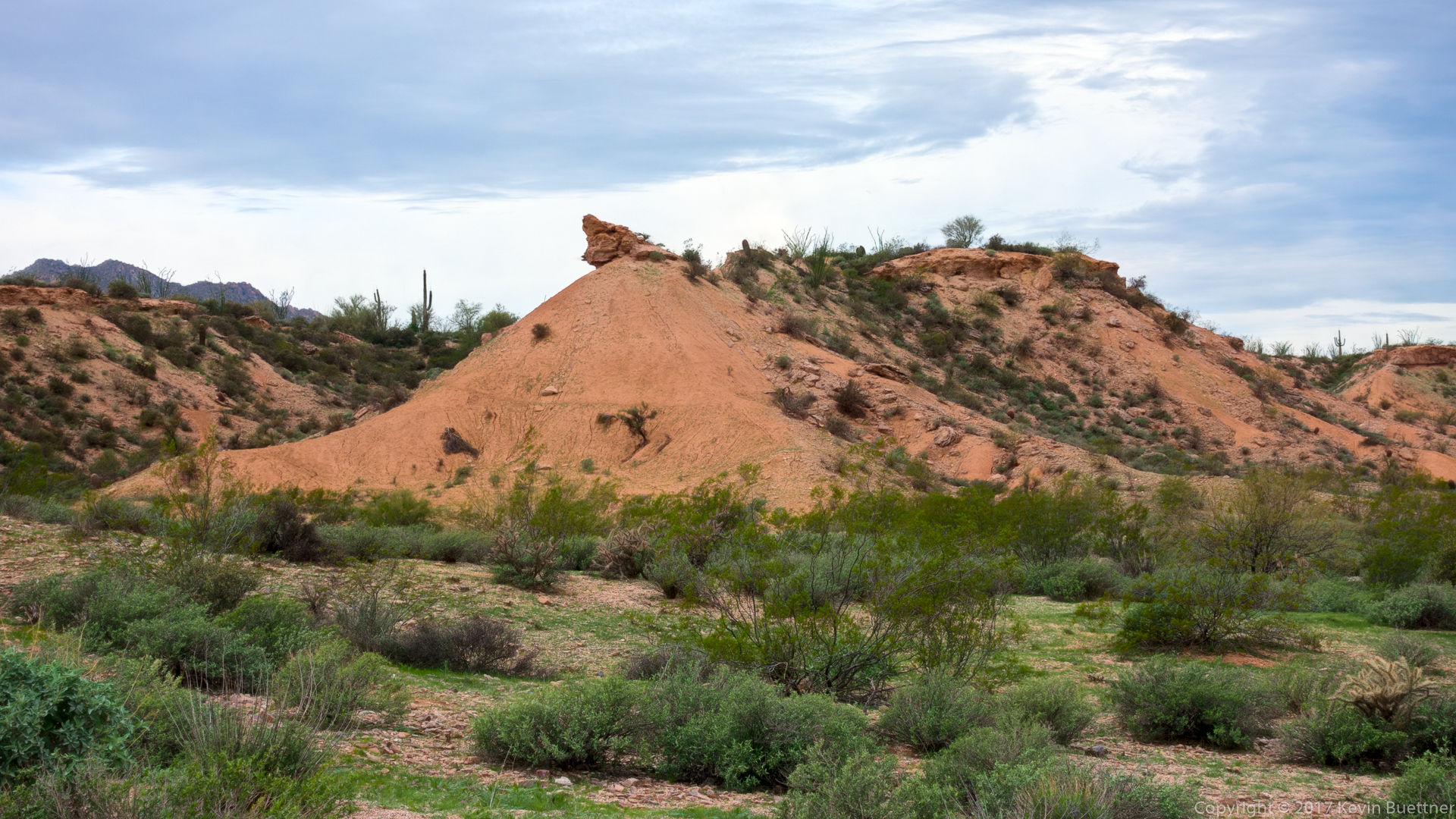
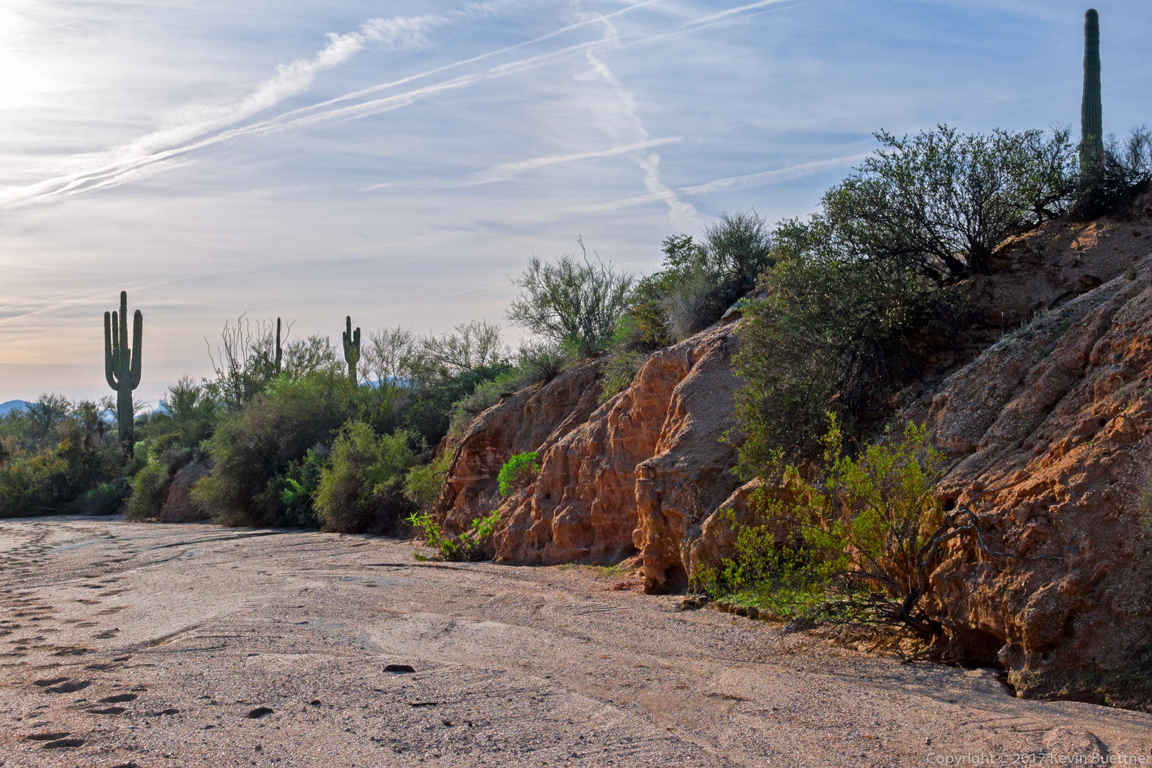
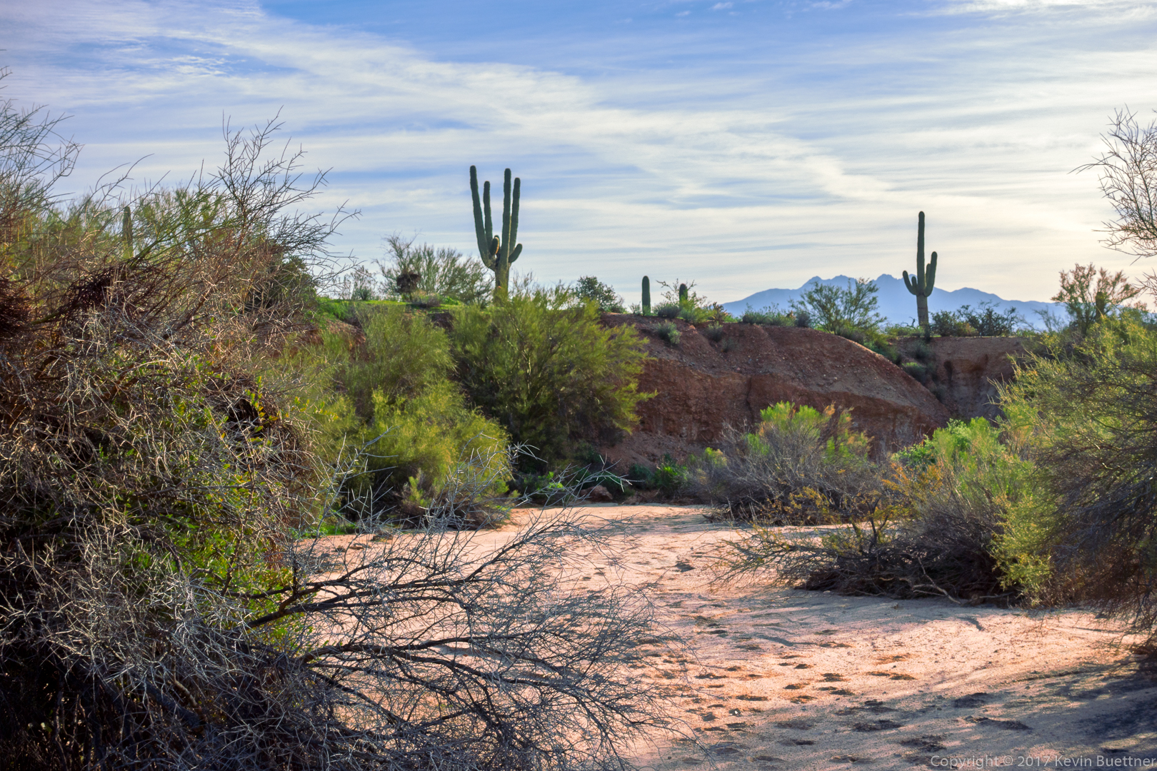
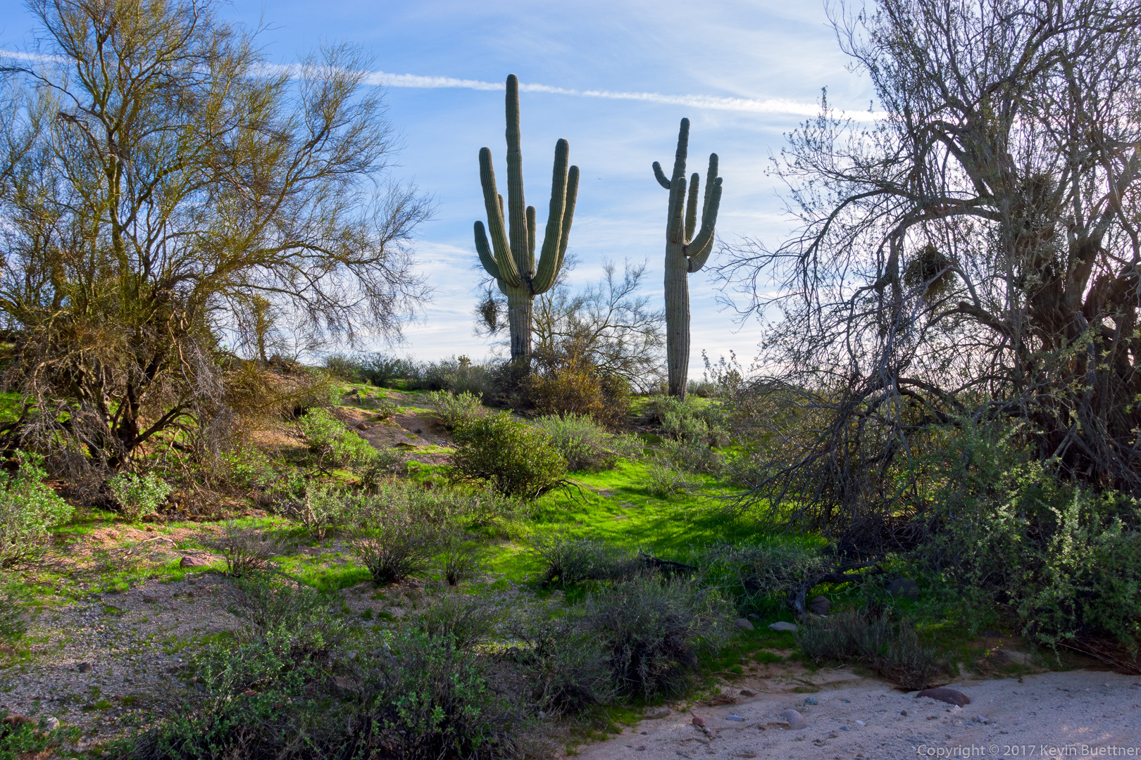
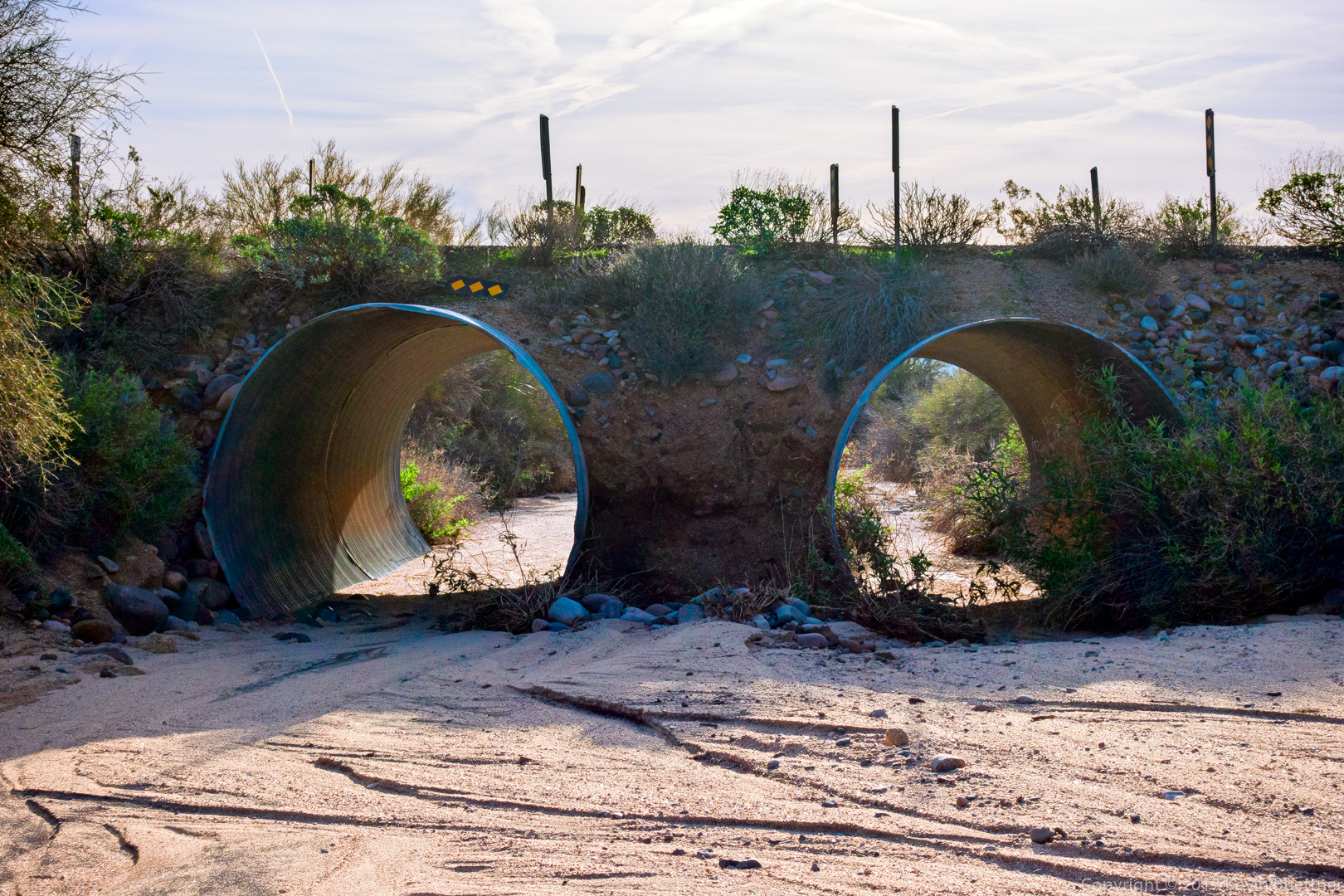
Nancy, Linda, Mike, Bob, Jody, Heather, and I hiked a loop of 11 miles starting from the Trailhead Staging Area. It was “Wash Day”; we hiked Shallmo Wash – the wash, not the trail – and a good portion of Stoneman Wash (along with a few other non-wash trails to get us to and from these washes).
This was the sunrise, taken from the Horse Staging Area. I got to the park early and stopped there first, before driving to the Trailhead Staging Area.
Shallmo Wash…
A view from the beginning of the Long Loop.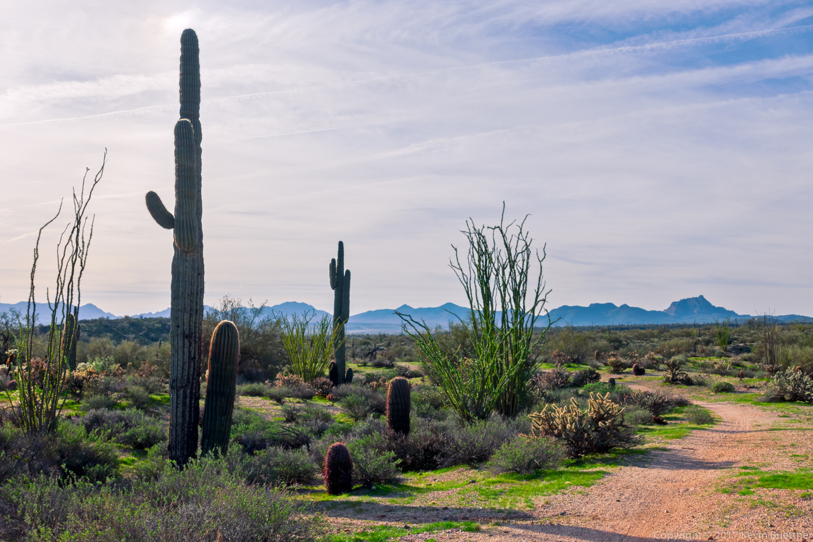
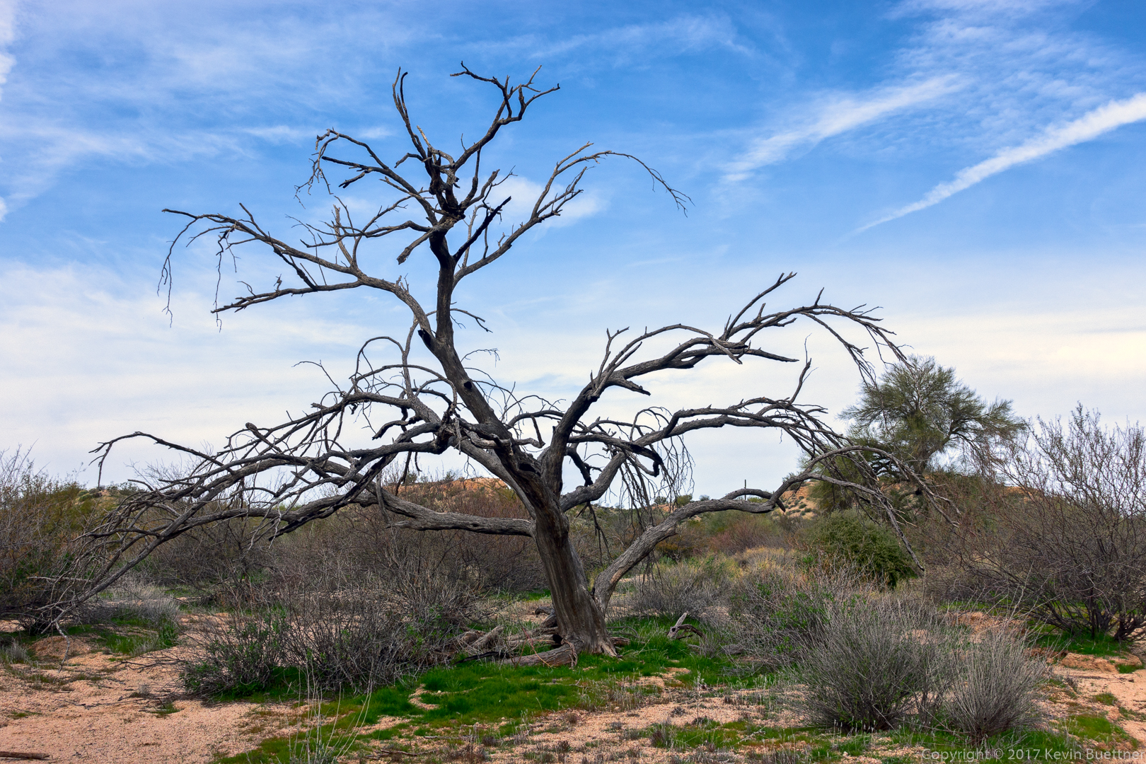
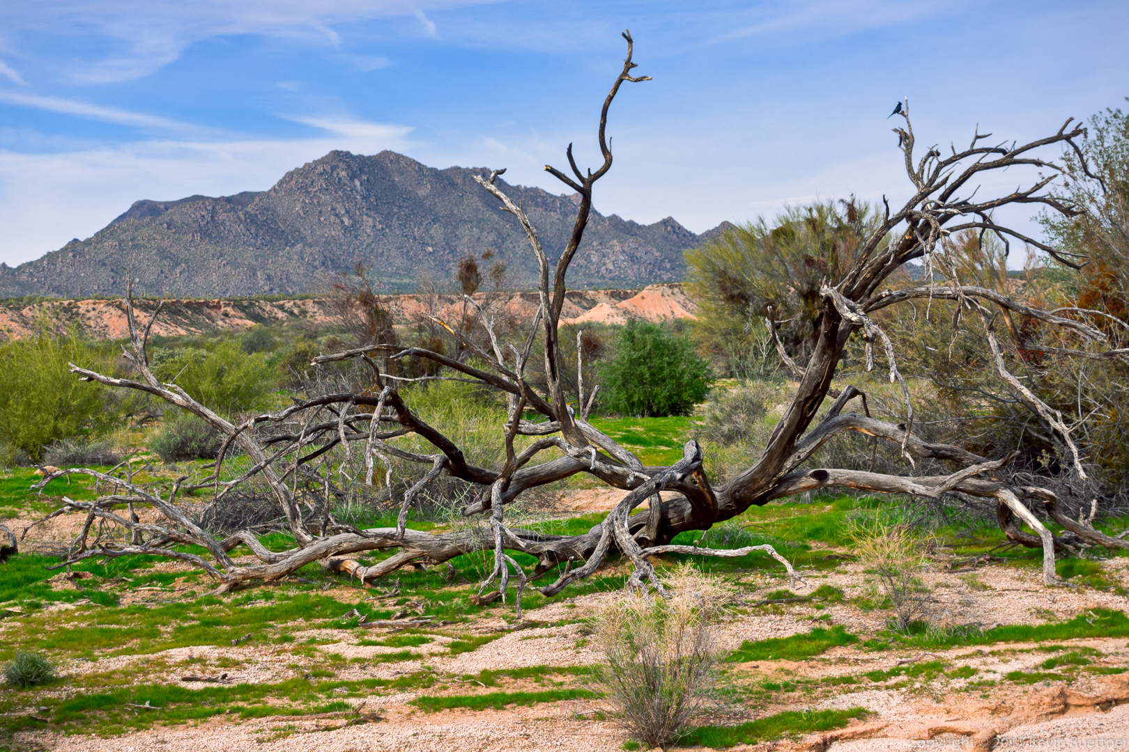
A phainopepla on a large (and very dead) tree branch:
Nancy, Linda, Mike, Bob, Jody, Heather, and Kevin:

Another dead tree: