Month: December 2016 (page 1 of 1)

Thursday Hike – White Tank Mountain Regional Park

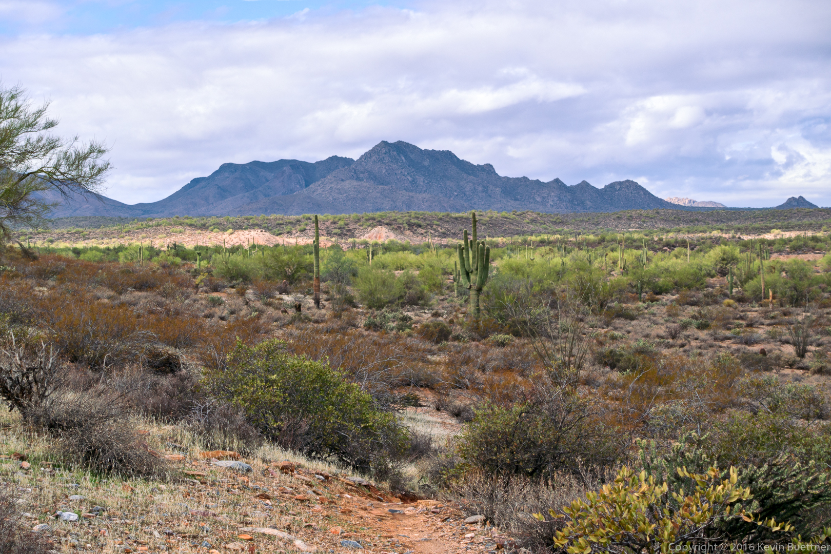
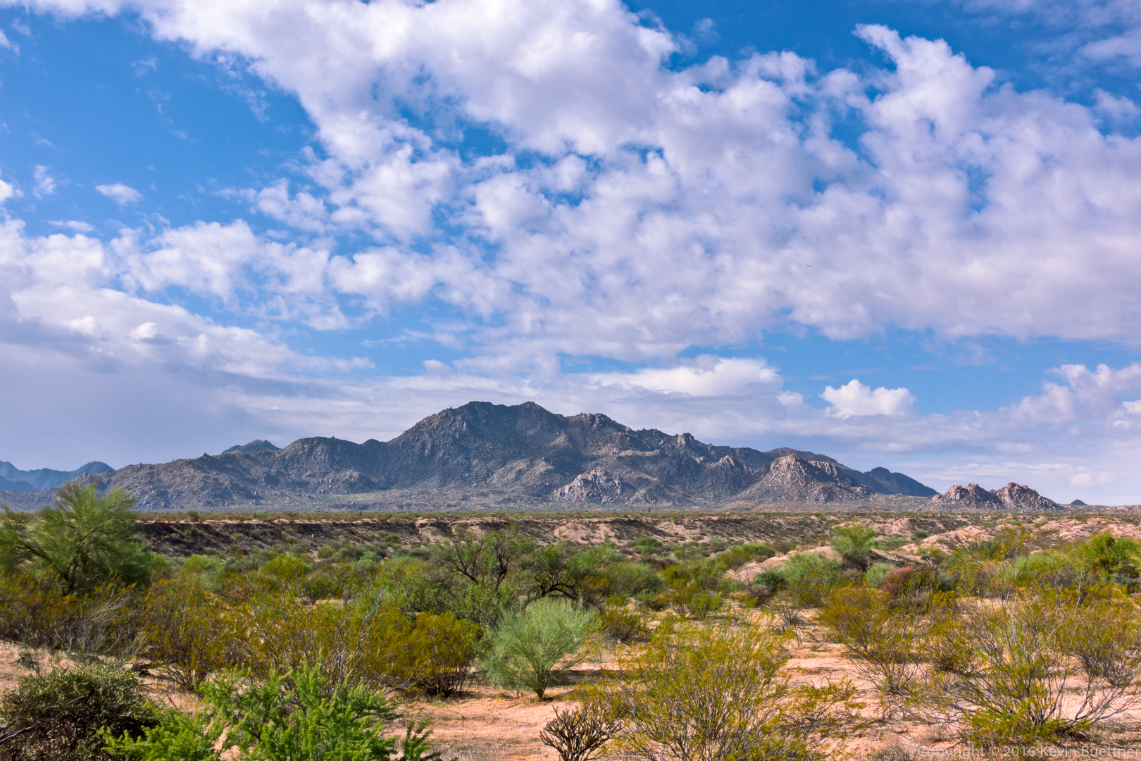
Linda, Bill, Bob, and I hiked a little over 12 miles at White Tank Mountain Regional Park.  We did a loop consisting of the Waddell Trail, up Ford Canyon, continuing on the Ford Canyon Trail, and then returning on the Mesquite Canyon and Waddell trails. We missed our turn out of the canyon while hiking up Ford Canyon; we backtracked and found the turn, but it added a bit over a mile to our hike.

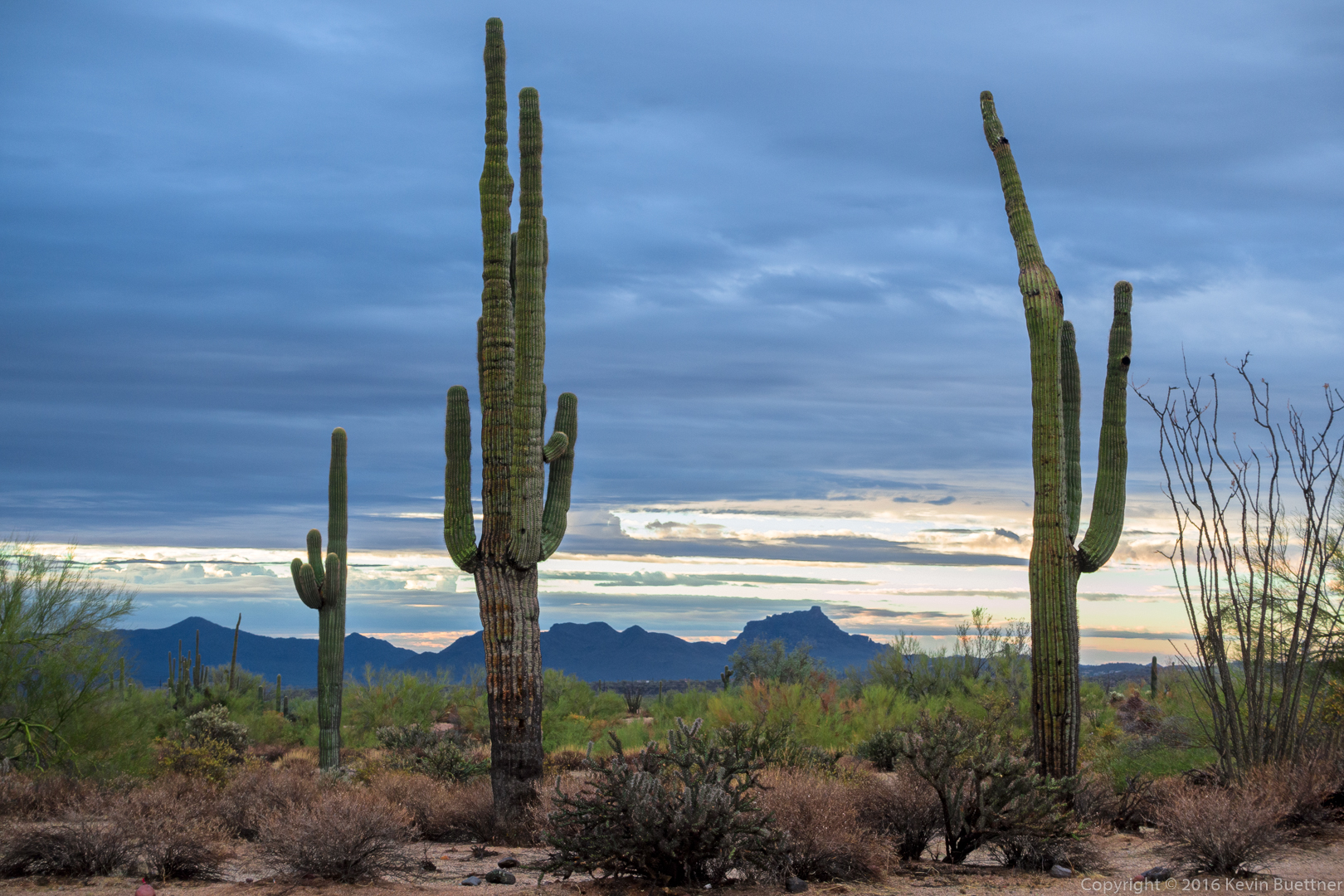
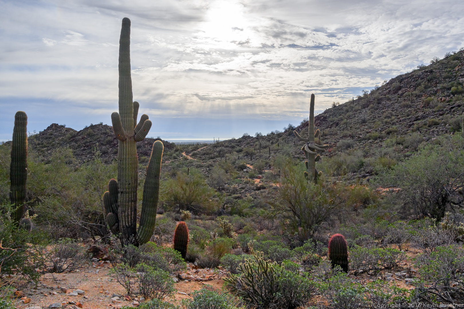
This is a view of the morning sun from the Ford Canyon Trail:

20161229-_dsc1739-edit-medium

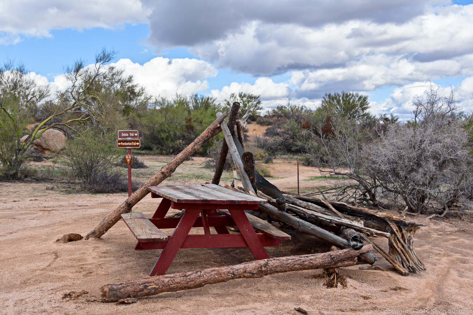
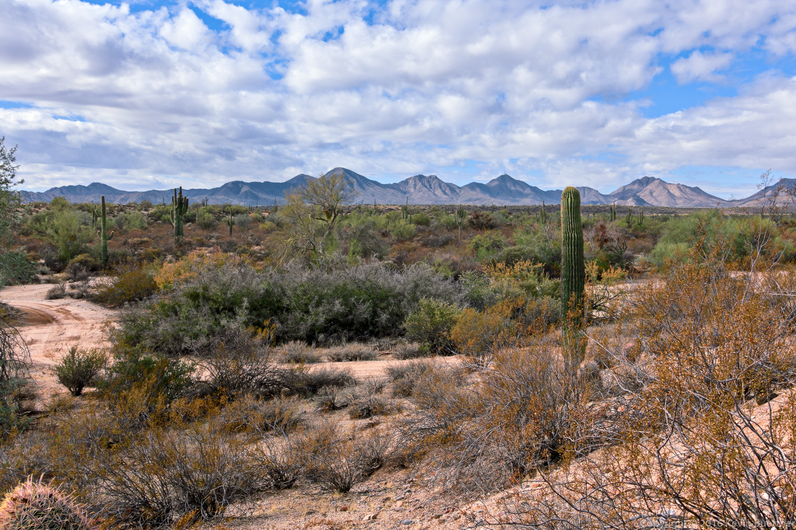
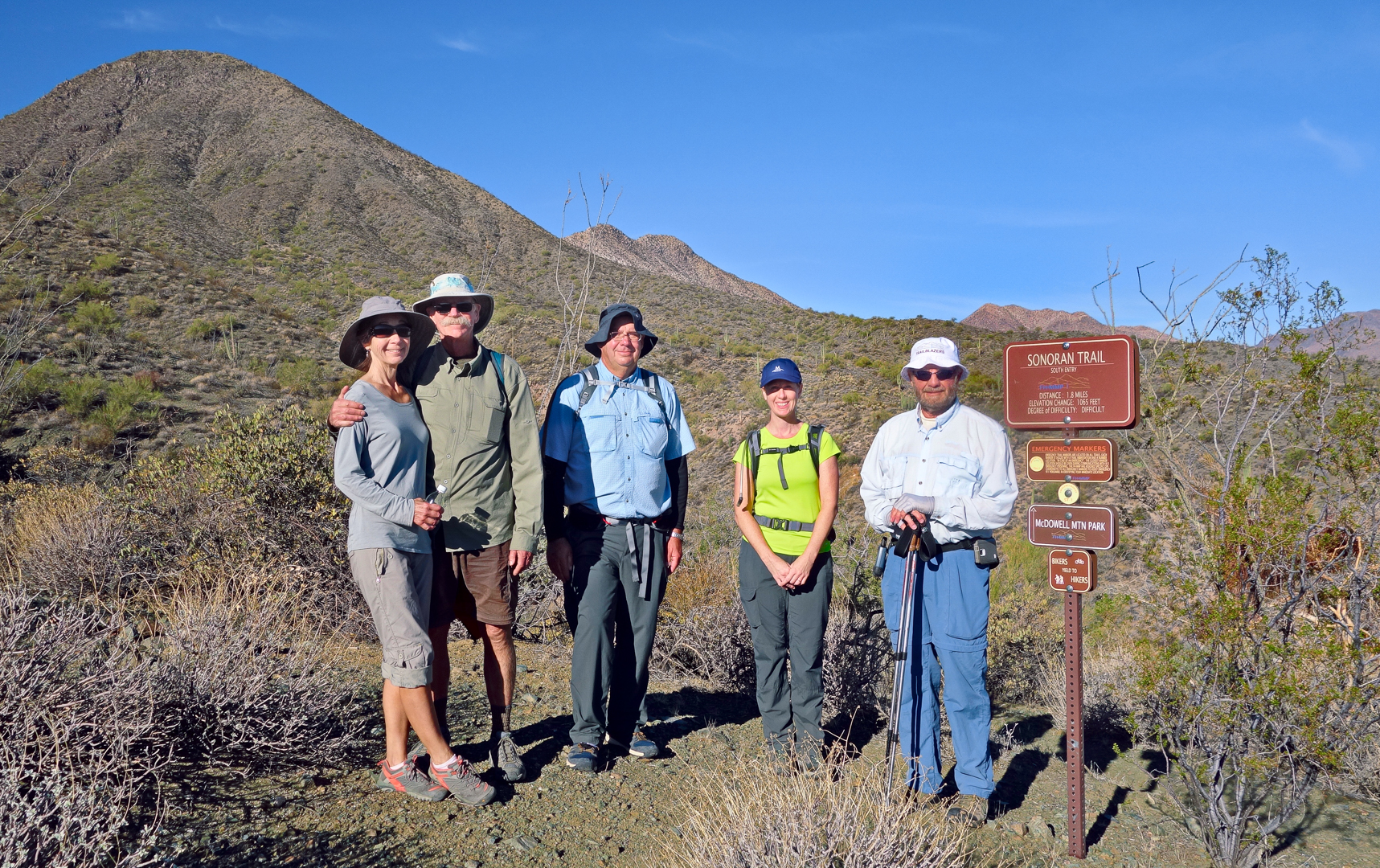
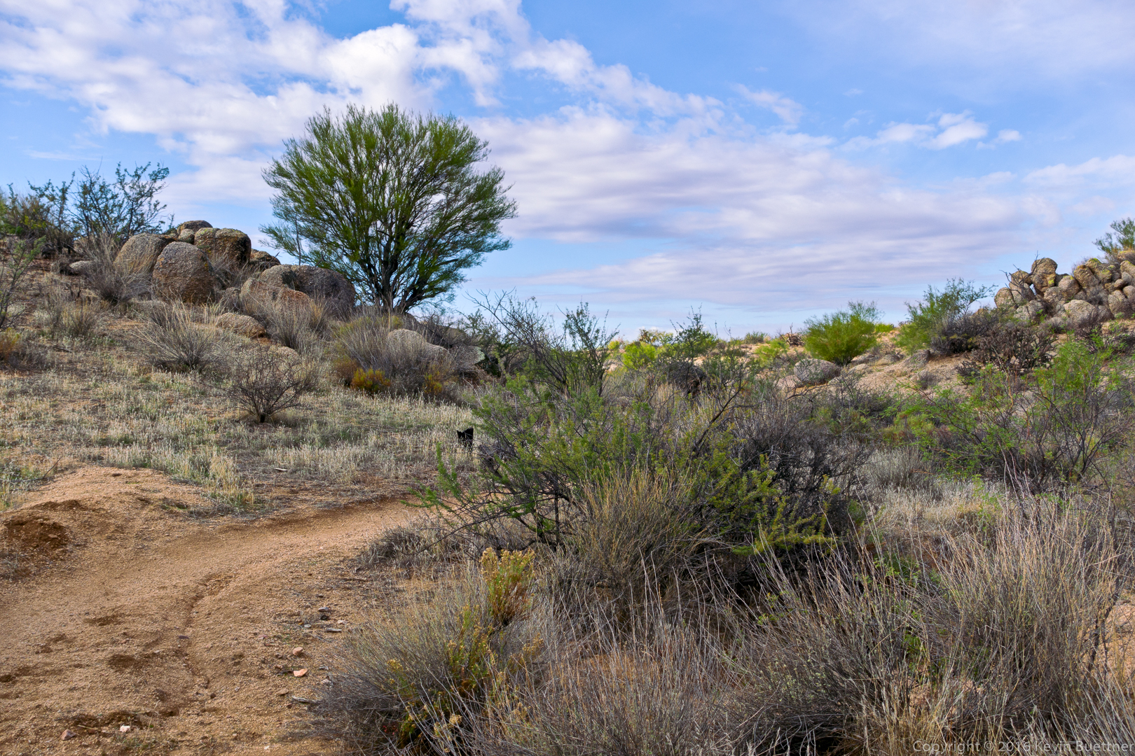
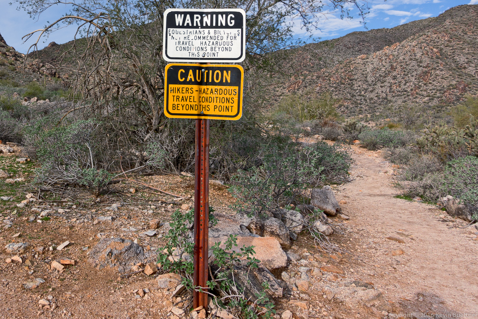
The first part of the Ford Canyon Trail is easy.  Hiking gets somewhat harder after these signs:

20161229-_dsc1747-edit-medium

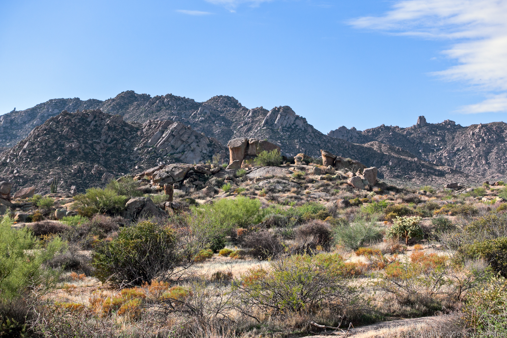
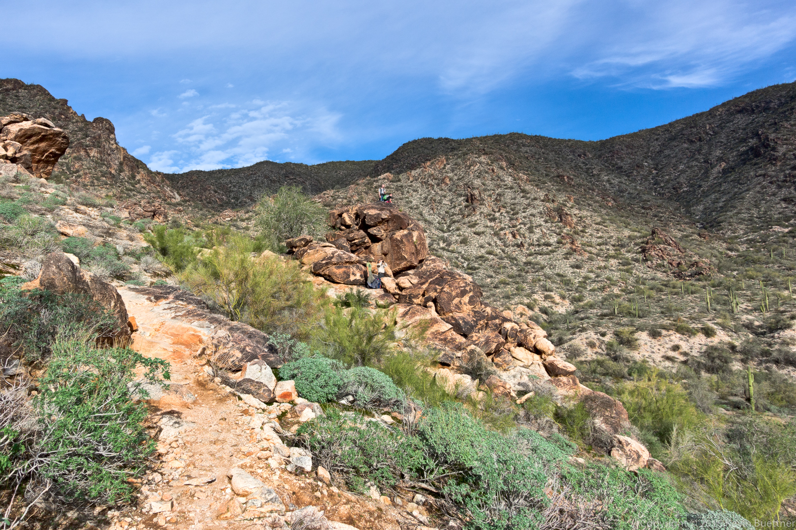
Other hikers enjoying views (of the city?) from some large boulders just off the trail:

20161229-_dsc1750-edit-medium

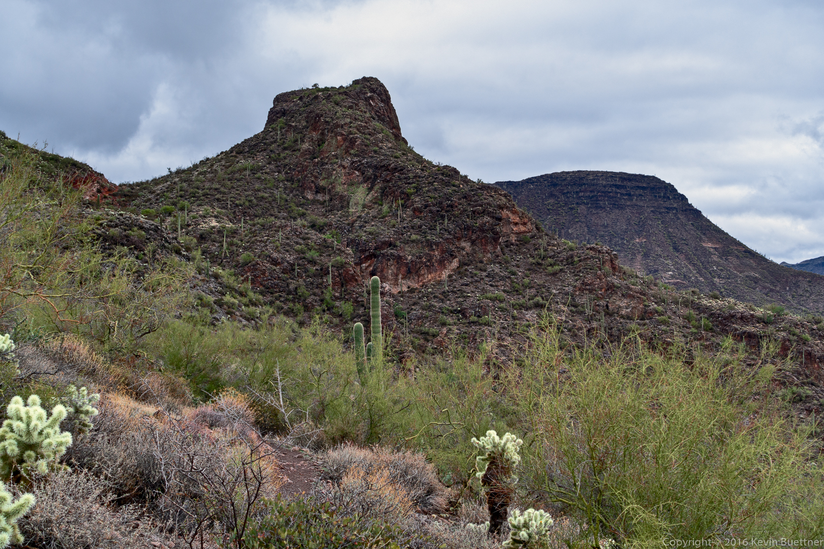
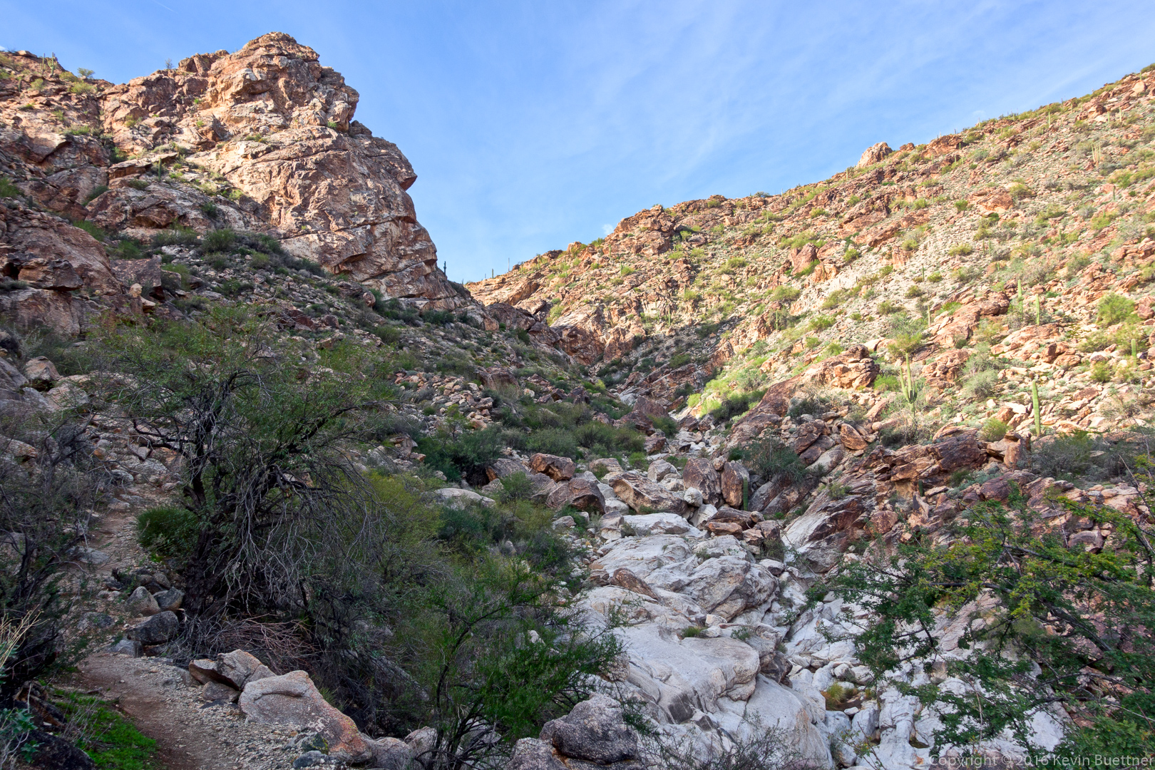
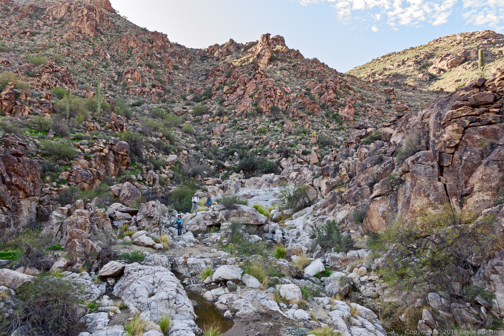
This is where Ford Canyon starts to get fun!

20161229-_dsc1768-edit-medium

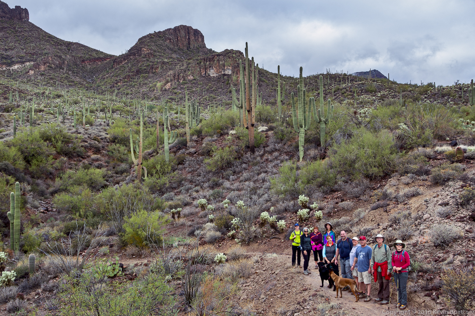
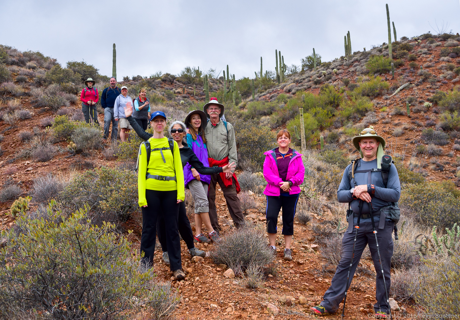
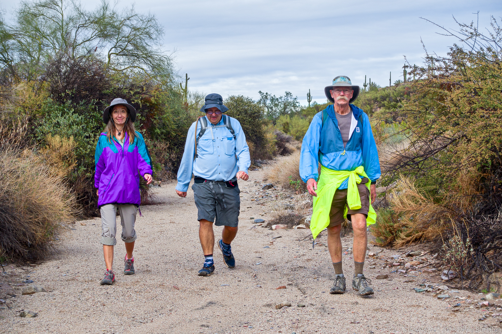
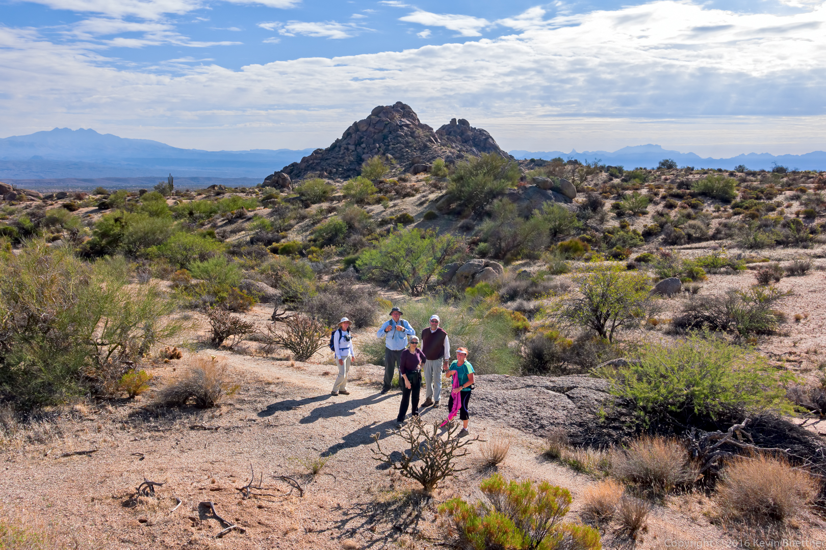
Linda, Bob, and Bill:

20161229-_dsc1777-edit-medium

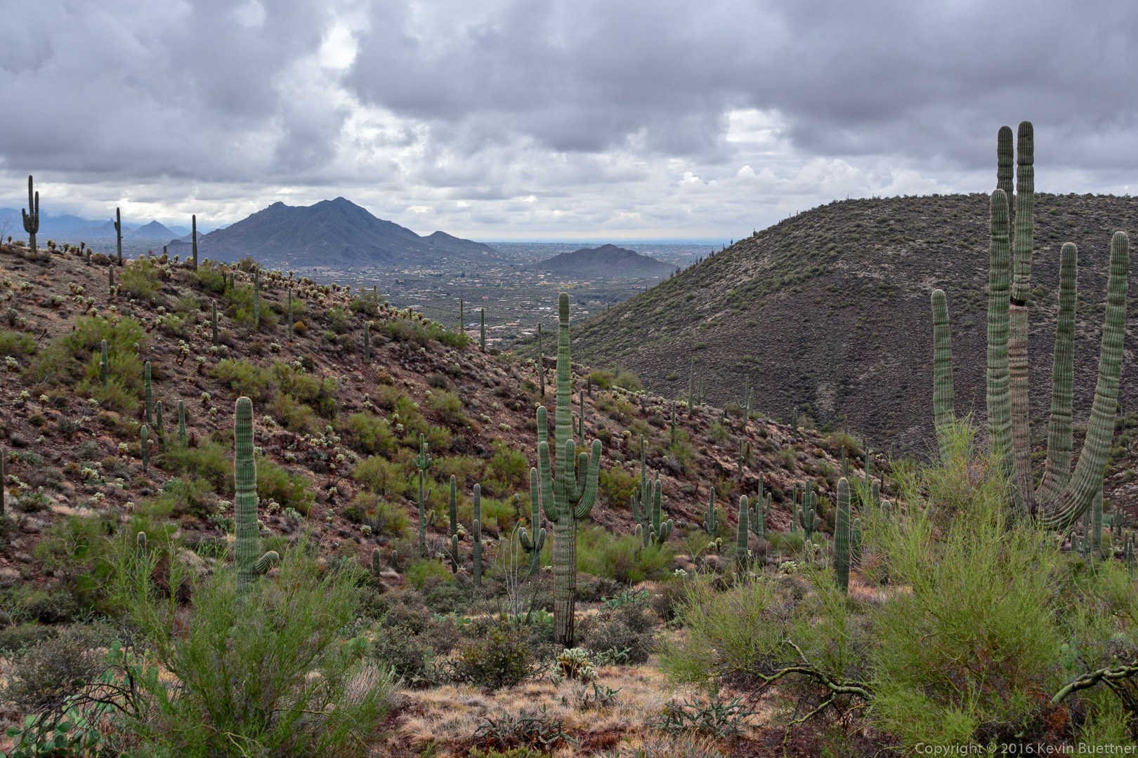
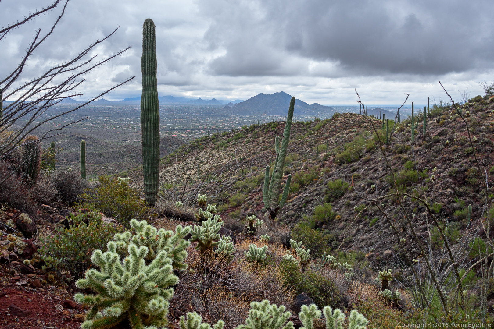
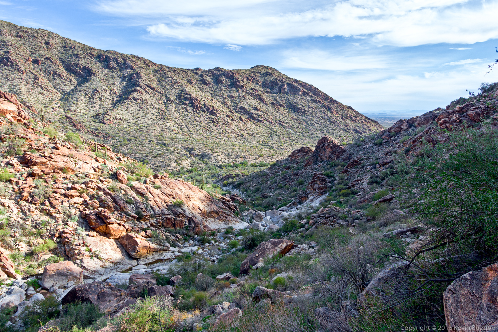
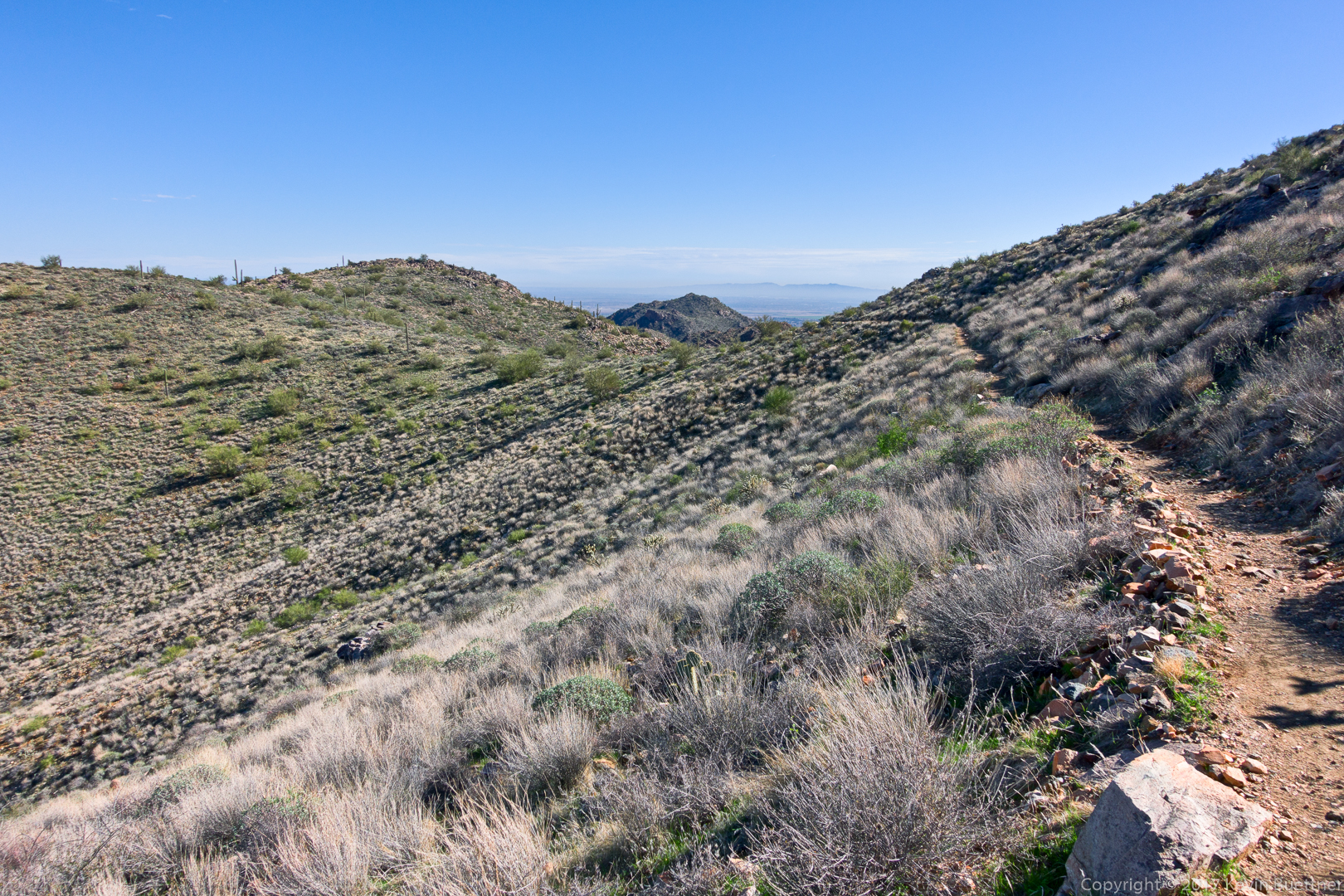
Looking back the way we came.  Notice that the city is barely visible at this point.

20161229-_dsc1789-edit-medium

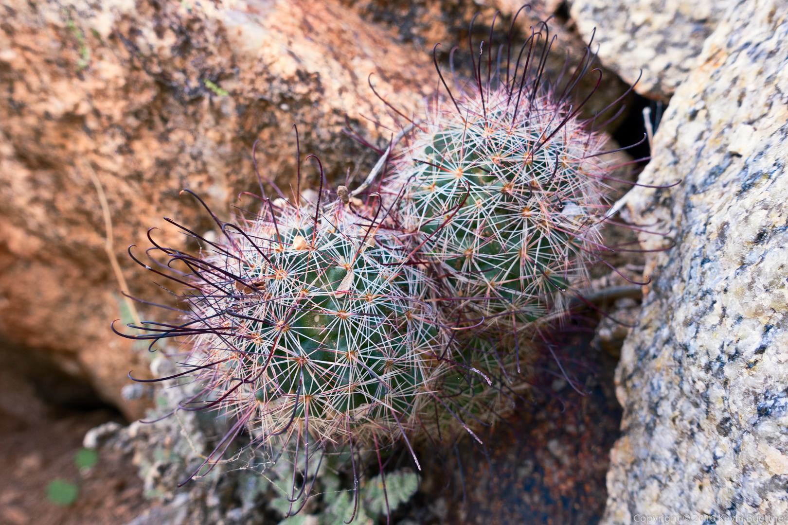
Small cacti (mammillaria) nestled in the granite:

20161229-_dsc1795-edit-medium

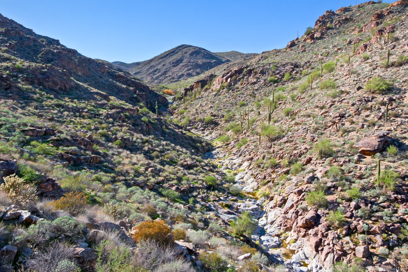
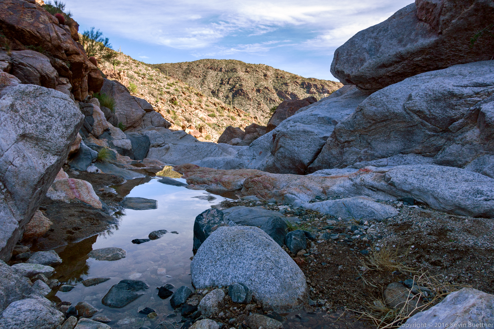
We encountered small pools of water along the way…

20161229-_dsc1831-edit-medium

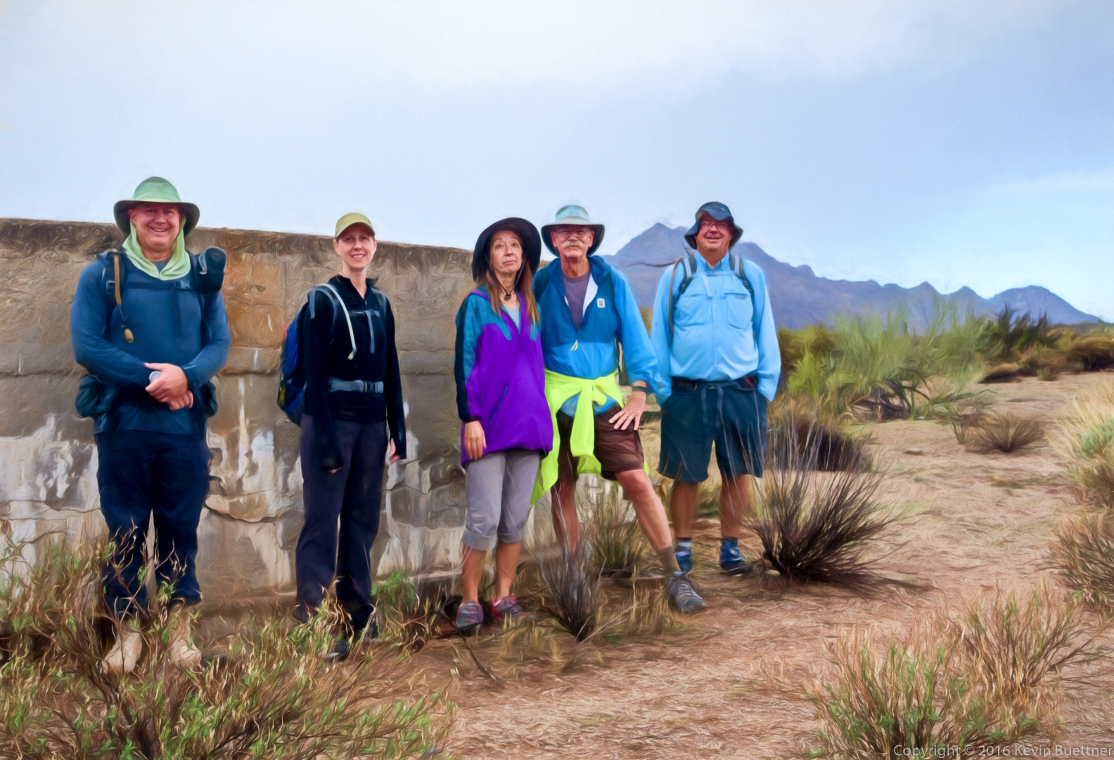
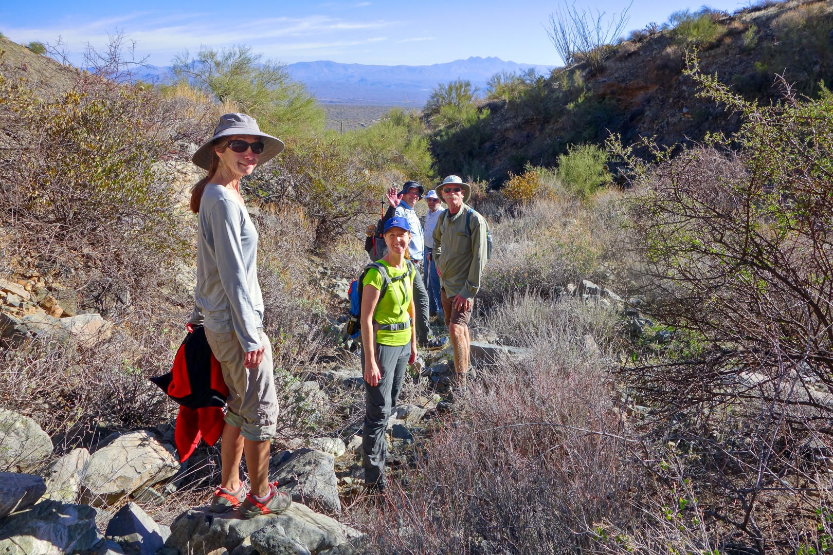
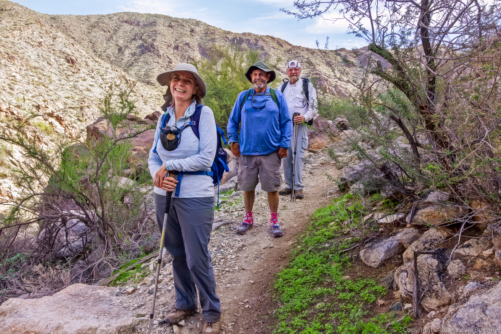
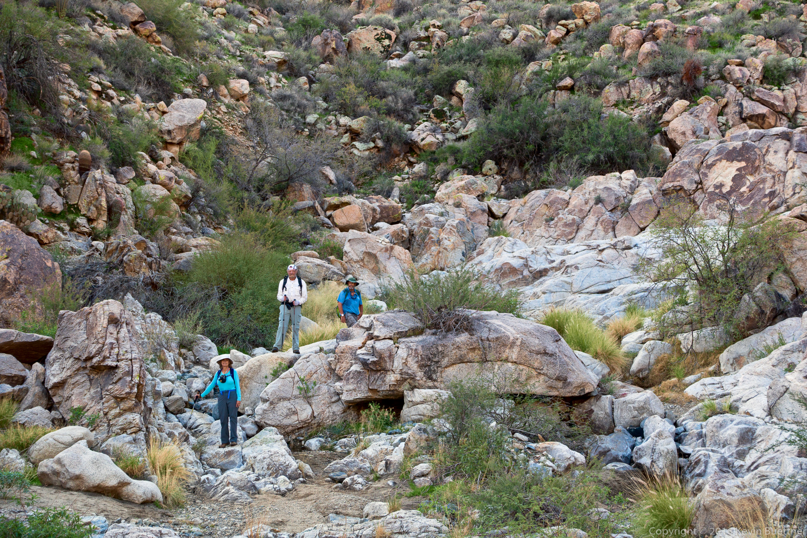
Linda, Bill, and Bob:

20161229-_dsc1846-edit-medium

I took this shot from the same vantage point as the previous photo, but zoomed in on this one:
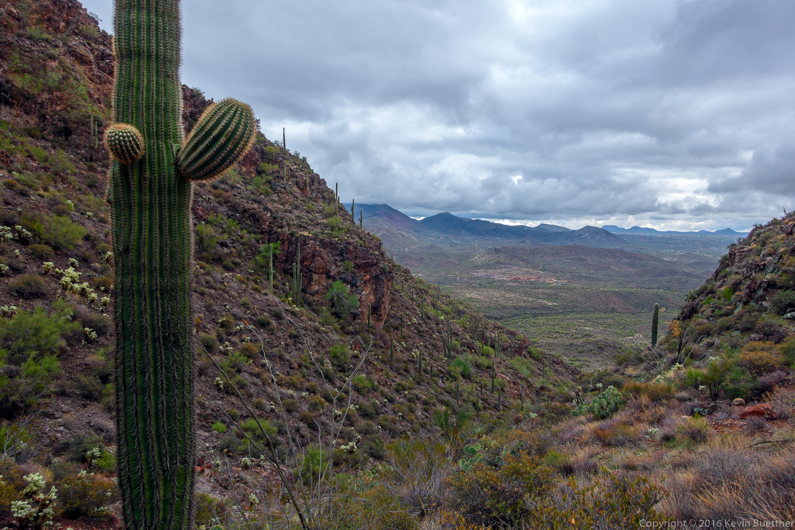
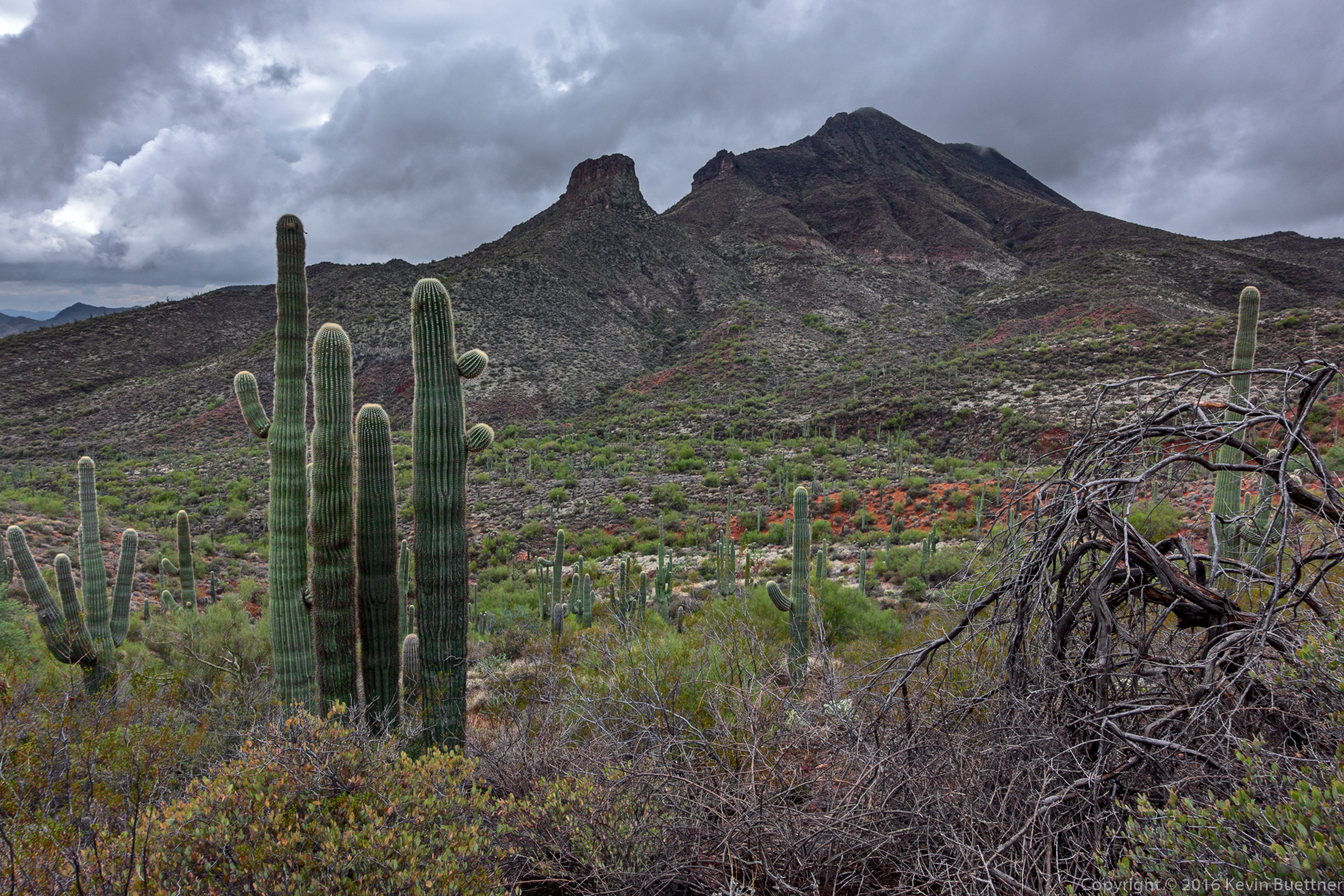
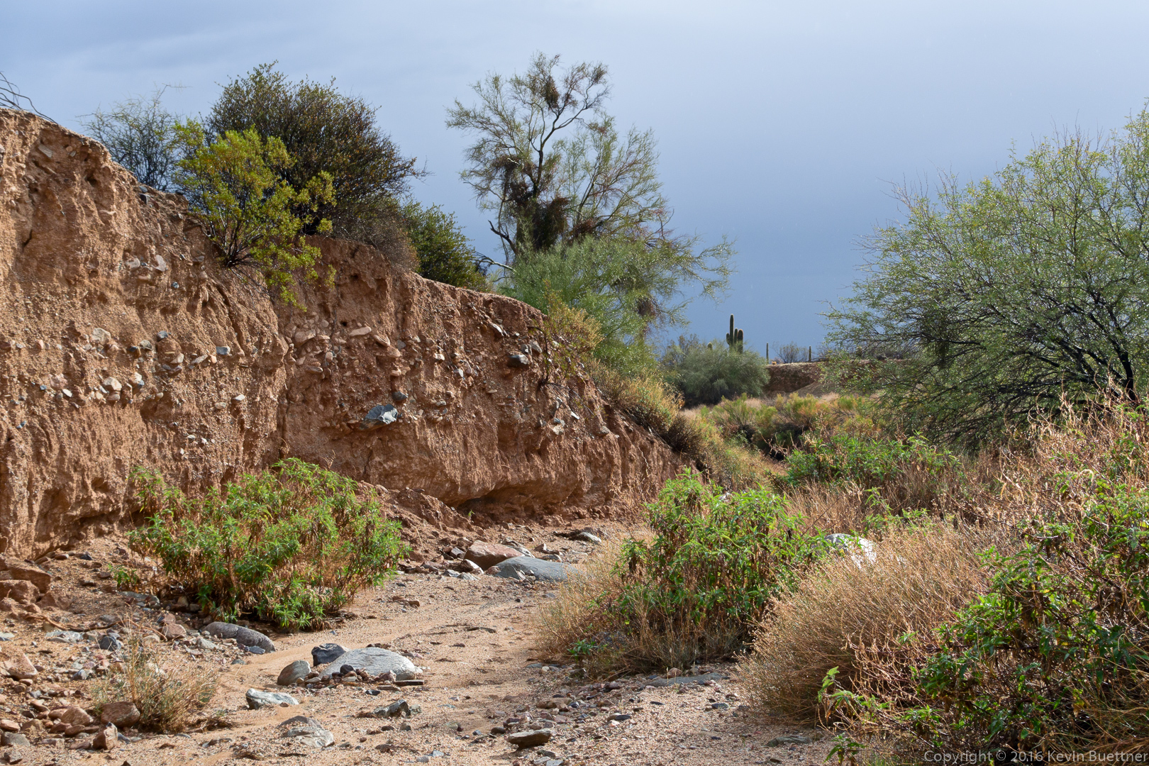
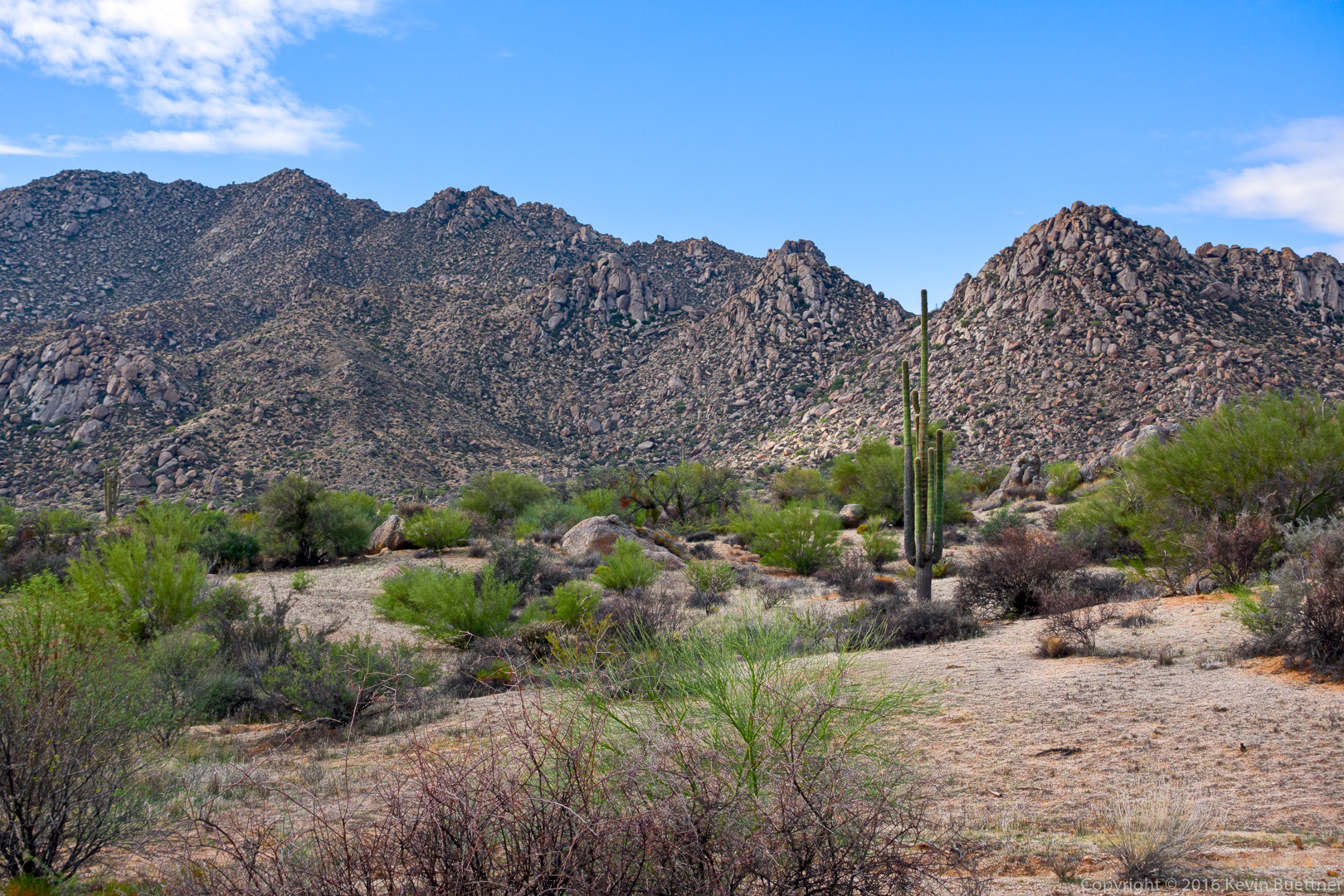
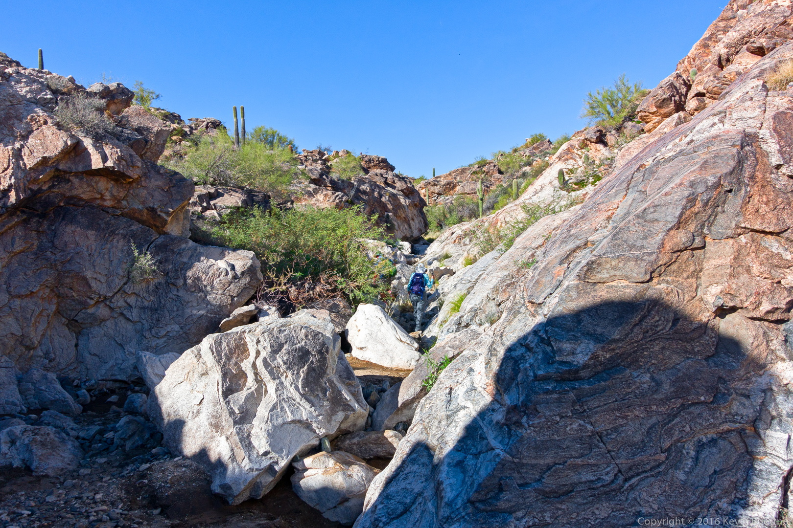
20161229-_dsc1852-edit-medium

More canyon views…

20161229-_dsc1861-edit-medium

20161229-_dsc1873-edit-medium

Approaching a small dam:

20161229-_dsc1882-edit-medium

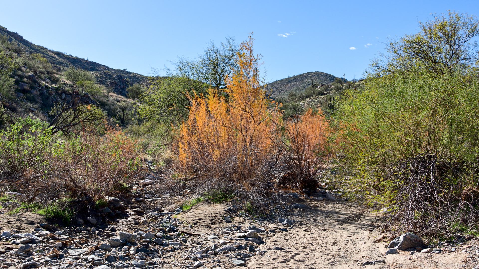
The bright orange plant is tamarisk – it’s a non-native plant which consumes large amounts of water and frequently kills off the native vegetation.

20161229-_dsc1912-edit-medium

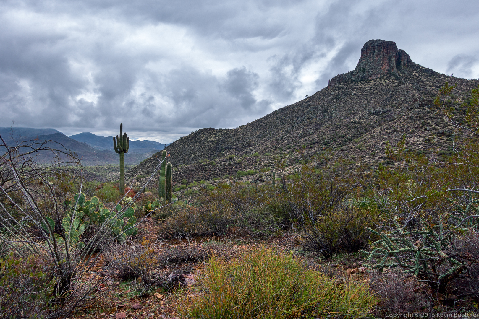
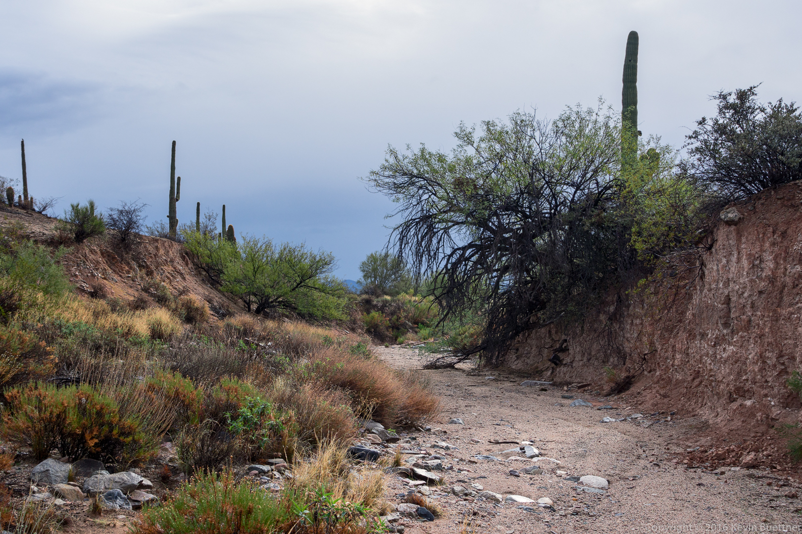
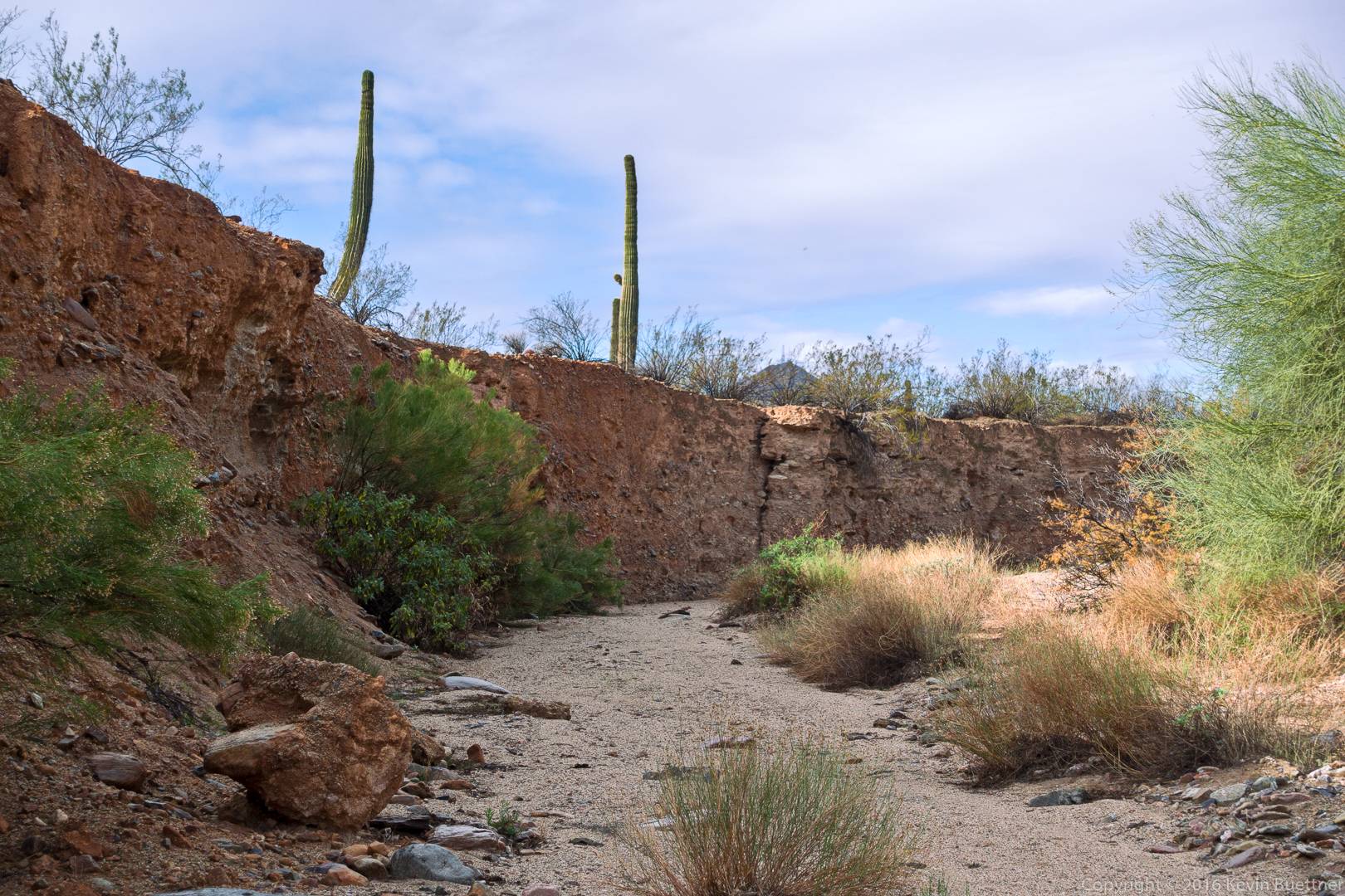
We’ve (long) exited the canyon at this point. I think this is a view from the Mesquite Canyon Trail:
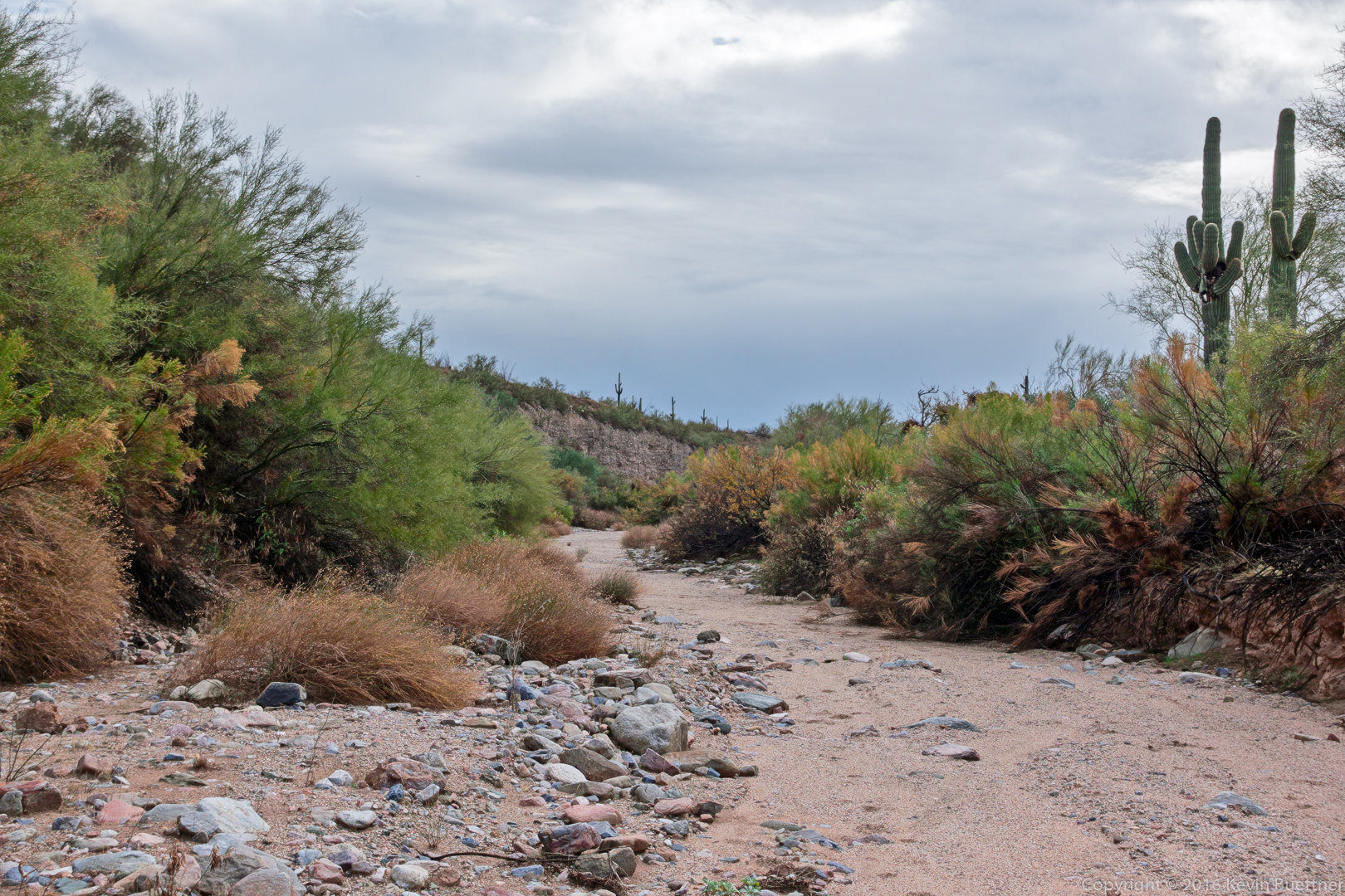
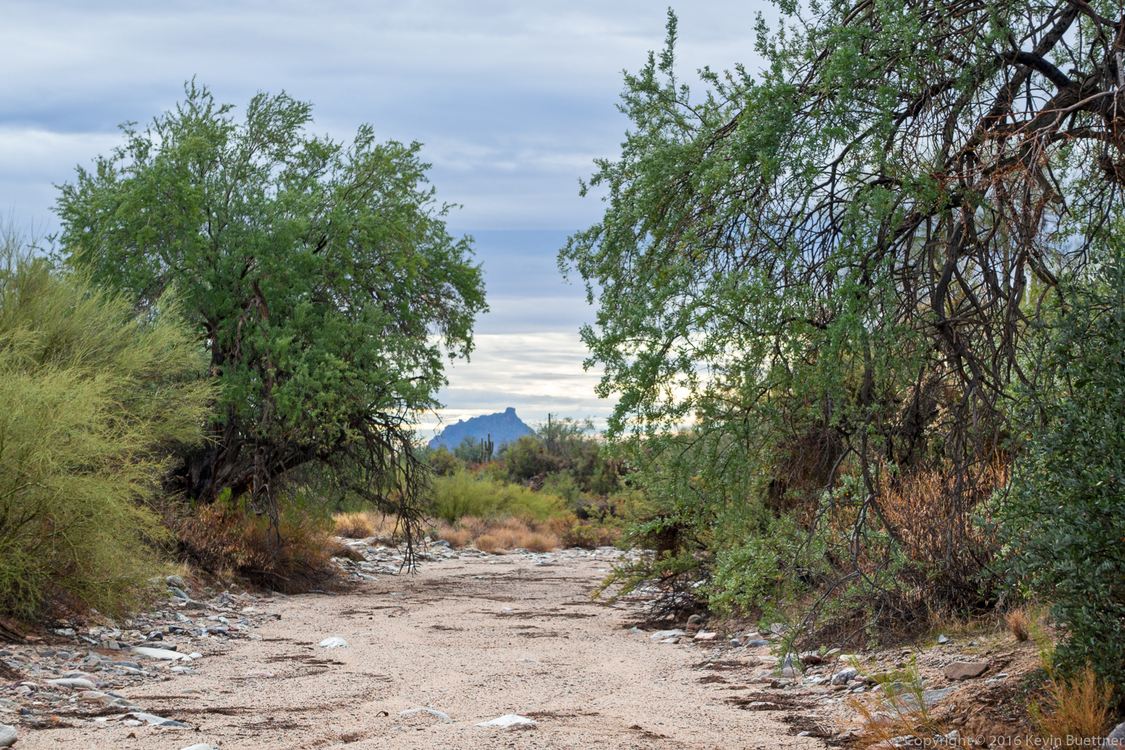
20161229-_dsc1942-edit-medium

Mesquite Canyon:

20161229-_dsc1969-edit-edit-medium

Storm Damage…

…at the intersection of Pemberton and Delsie.  There used to be a shading shelter over the picnic table.

20161225-_dsc1708-edit-medium

Friday Hike – Spur Cross / Limestone Trail

On Friday, the 23rd, Mike, Andrea, Mark, Laurie (and their dogs, Zig and Phil), Doug, Leslie, DeAnn, Sandy, Heather, Marilyn, and I hiked at Spur Cross.  It was my intention to hike from west to east on the Limestone Trail; we did part of it, but I made a wrong turn which returned to the park early.  Our total distance was still around 7.8 miles with roughly 1500 feet of total ascent.  It had rained earlier in the day; the trails were wet and the clay sections, which we had underfoot for much of the hike, grabbed at our footwear making the hike more difficult than normal.

20161223-_dsc1570-edit-medium

Heather, DeAnn, Sandy, Leslie, Andrea, Mike, Laurie, Mark, Doug, and Marilyn (with dogs Phil and Zig) on the Spur Cross Trail.

20161223-_dsc1594-edit-medium

Though the day was overcast, it didn’t rain while we were hiking.

20161223-_dsc1597-edit-medium

A view of the fortress pinnacle from the southern section of the Elephant Mountain Trail.

20161223-_dsc1600-edit-medium

Another view from the Elephant Mountain Trail.

20161223-_dsc1609-edit-medium

Still on the Elephant Mountain Trail: Nearing the saddle between the main part of Elephant Mountain and the fortress.

20161223-_dsc1630-edit-medium

A view of the fortress from the Limestone Trail.

20161223-_dsc1654-edit-medium

Marilyn, Mike, Laurie, Andrea, Heather, DeAnn, Leslie, Doug, Sandy, and Kevin on the Limestone Trail. (The top of Mark’s hat can be seen behind Doug; Heather and I took turns with the camera so that I’d be in the picture too.)

20161223-_dsc1679-edit-medium

A view of Elephant Mountain and the fortress from the connector trail between the Limestone Trail and the east end of the Elephant Mountain Trail

20161223-_dsc1705-edit-medium

Muddy footwear in the trunk of the car.

Friday Fitness Hike

Heather, Leslie, Doug, Mike, and I hiked a 12.1 mile loop starting from (and finishing at) the Horse Staging Area.  We made our way over to the Pemberton by hiking part of the Technical Loop, a service road, Stoneman Wash, and one of its feeders.  Pemberton took us up to Dixie Mine which took us down to the South Wash.  The bulk of our hike was down the South Wash.  We returned via the latter part of the Long Loop in the Competitive track area. It rained early in the hike, but then became occasionally sunny later on.  We saw several owls along the way, but I didn’t manage to get photos of any of them.

A view from the parking lot, prior to starting:

20161216-_dsc1385-edit-medium

Kevin, Heather, Leslie, Doug, and Mike – we’re standing in front of a water tank which was used back when the area was a ranch.  There is also a corral and a watering trough nearby. (I used Topaz Impression to give this one more of a painted look.)

20161216-_dsc1409-edit-edit-medium

Photos of the South Wash…

20161216-_dsc1436-edit-medium

20161216-_dsc1445-edit-medium

20161216-_dsc1454-edit-medium Leslie, Mike, and Doug:

20161216-_dsc1466-edit-medium

I think this is still part of the South Wash. At this point, we had joined another prominent fork of the wash and it became wider still. This photo is looking back “upstream” at the other fork of the wash.

20161216-_dsc1472-edit-medium

A view of Red Mountain through a gap in the trees:

20161216-_dsc1478-edit-medium

A phainopepla (bird) in a palo verde tree:

20161216-_dsc1481-edit-medium

Views of the McDowells from the Long Loop…
20161216-_dsc1490-edit-medium

20161216-_dsc1505-edit-medium

Tuesday Night Sunset

20161213-_dsc1382-edit-medium

Friday Fitness Hike

Linda, Doug, Leslie, Heather, Bill, and Mike hiked Dixie Mine, Sonoran, and part of the Promenade Trail on Friday.  On the way back, Bill showed the group a new trail that he’s building in the area. Total hike distance was just over eight miles.

Thanks to Linda for leading the hike and for sending me photos!

20161209-dsc03090-edit-medium

Leslie, Doug, Mike, Heather, and Bill

20161209-dsc03094-edit-medium

Heading out to find the new trail…

20161209-dsc03097-edit-medium

The new trail comes close to a water tank.

Sandy and Chaco

After our Friday Hike, a number of us stopped by the visitor’s center.  There, we found Ranger Amy talking to (and taking photos of) Sandy and her eclectus parrot, Chaco.  Sandy rides long distances on her mountain bike with Chaco perched on her shoulder.

20161202-_dsc0998-edit-medium

20161202-_dsc1010-edit-medium

After taking the photos of Sandy riding with Chaco, she passed Chaco over to Linda to hold…

20161202-_dsc1160-edit-medium

20161202-_dsc1199-edit-medium


Friday Fitness Hike

Linda, Mike, Bill, Sandy, and DeAnn joined me for an 11.4 mile hike starting at the Wagner Trailhead.  We hiked, in order, Wagner, Granite, Delsie, Gooseneck, Rock Knob, Pemberton, Bluff, and Wagner.  The day started out chilly, but we warmed up during periods of sunshine.

20161202-_dsc0815-edit-medium

Saguaros on the Delsie Trail

20161202-_dsc0842-edit-medium

Another view from the Delsie Trail

20161202-_dsc0872-edit-medium

A view of the McDowells from the Gooseneck Trail

20161202-_dsc0887-edit-medium

Linda, Mike DeAnn, Bill, and Sandy with Rock Knob directly behind them

20161202-_dsc0905-edit-medium

A somewhat closer view of the McDowells from the Rock Knob Trail

20161202-_dsc0914-edit-medium

Another view of the McDowells, this time from the Granite Trail