Month: January 2018 (page 1 of 2)
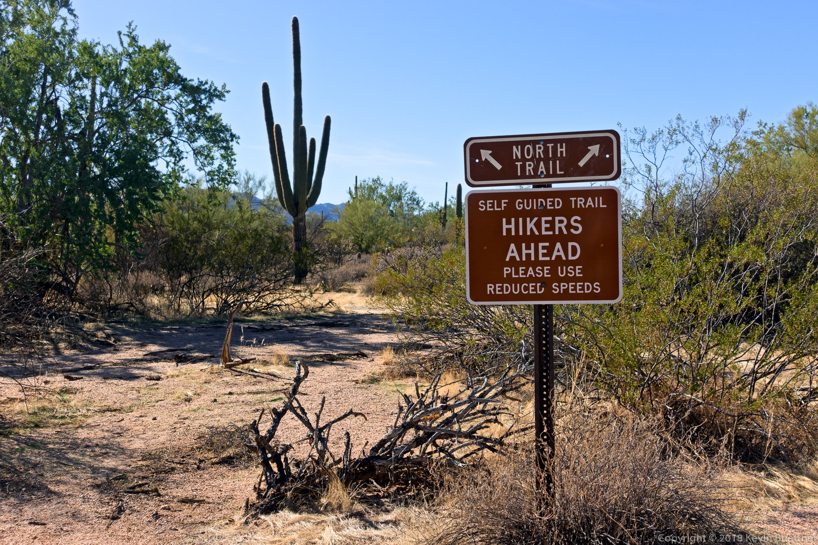
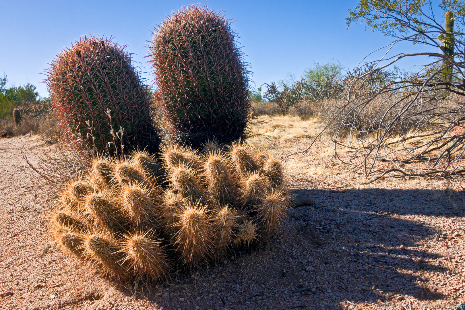
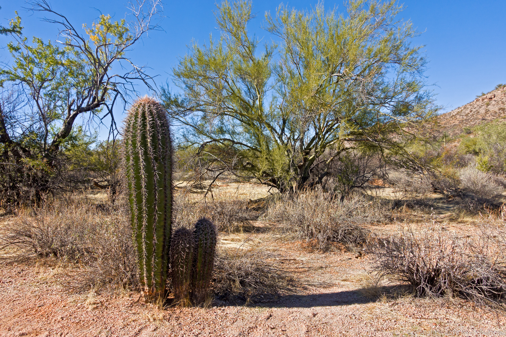
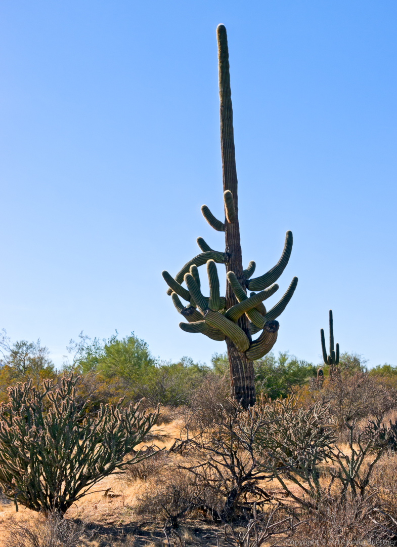
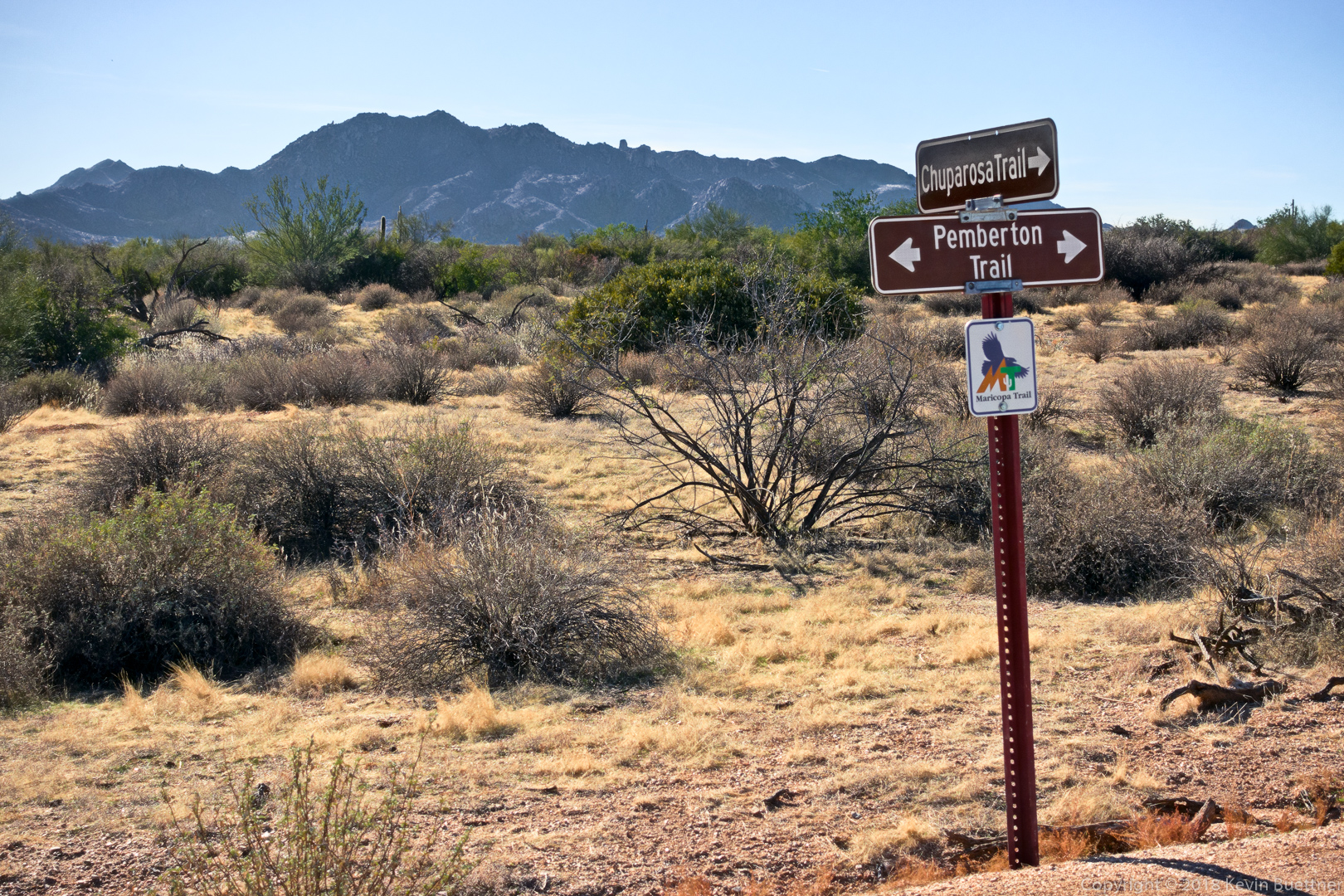
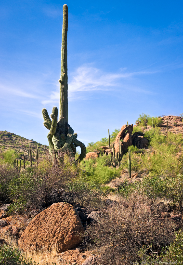
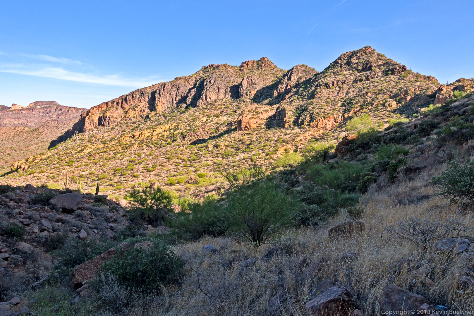
Marilyn and I hiked the North and Chuparosa Trails on Sunday afternoon:

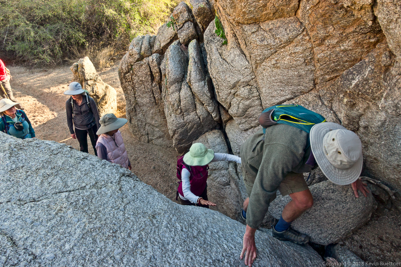
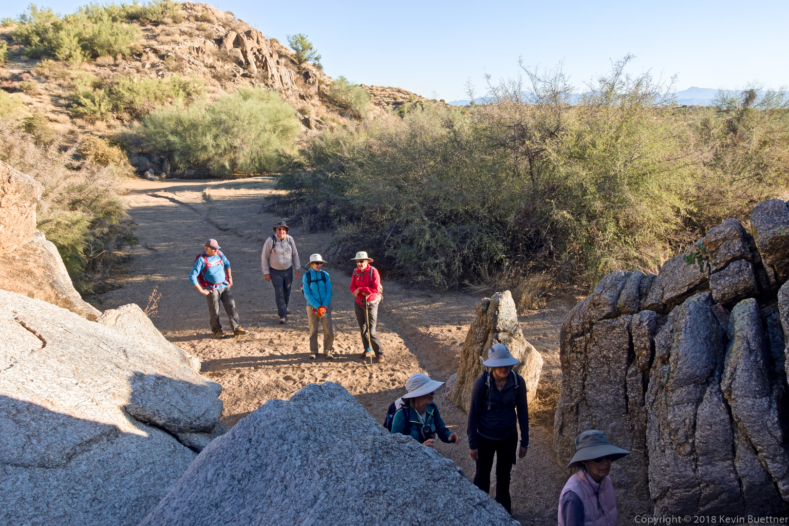
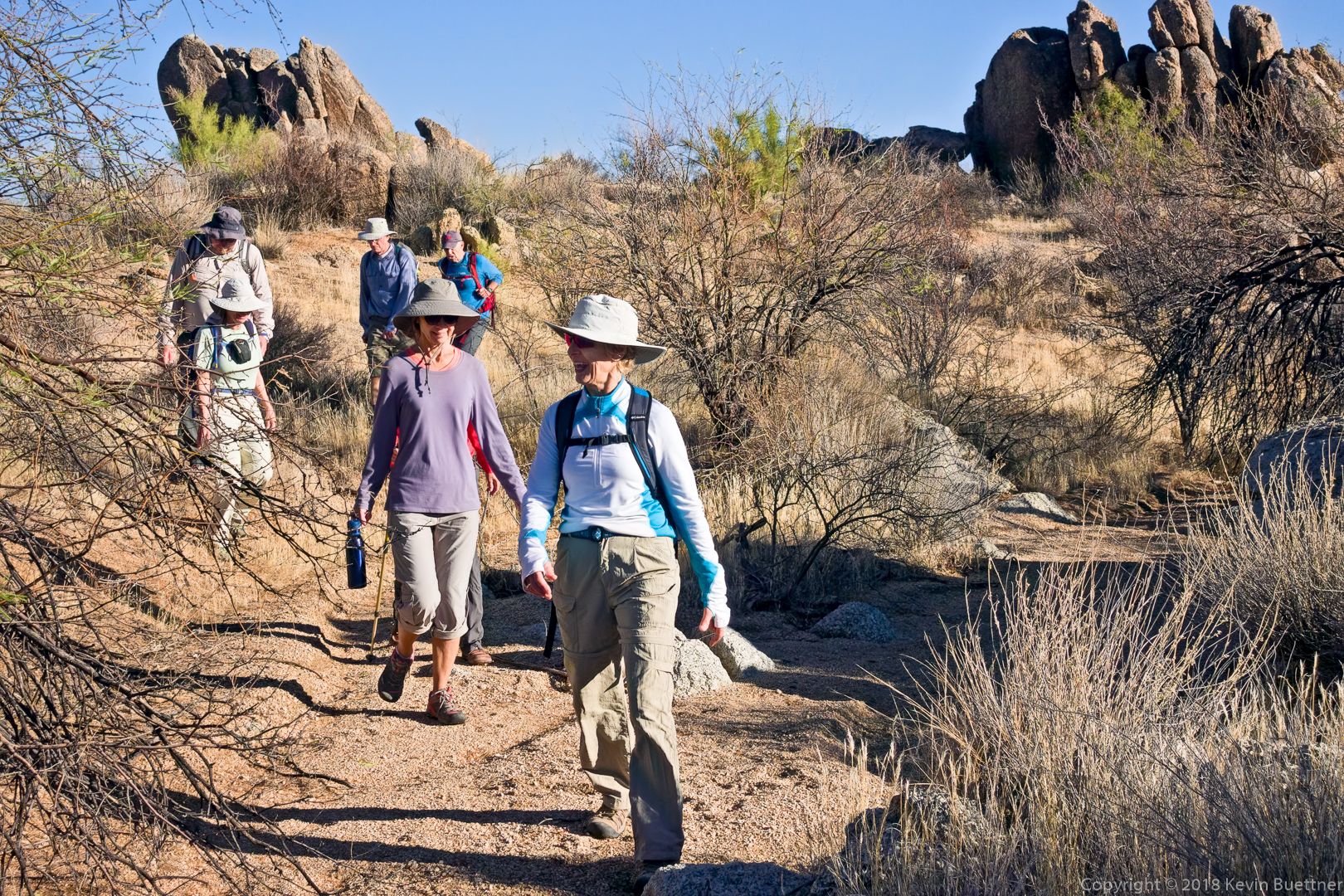
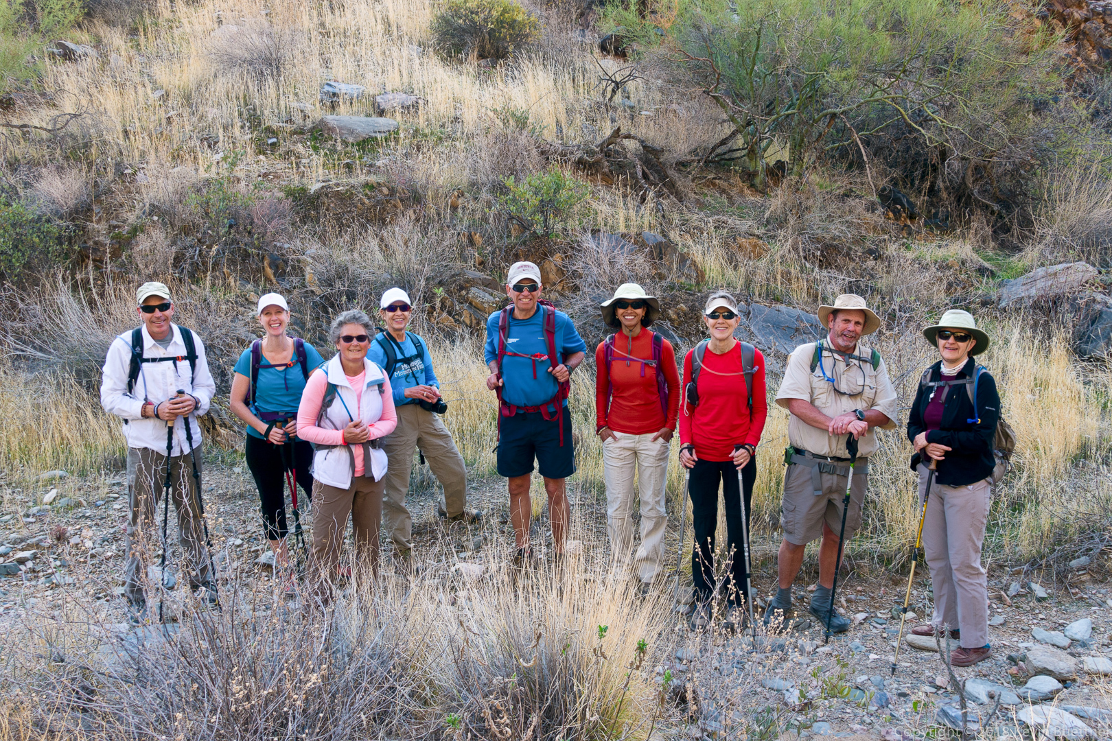
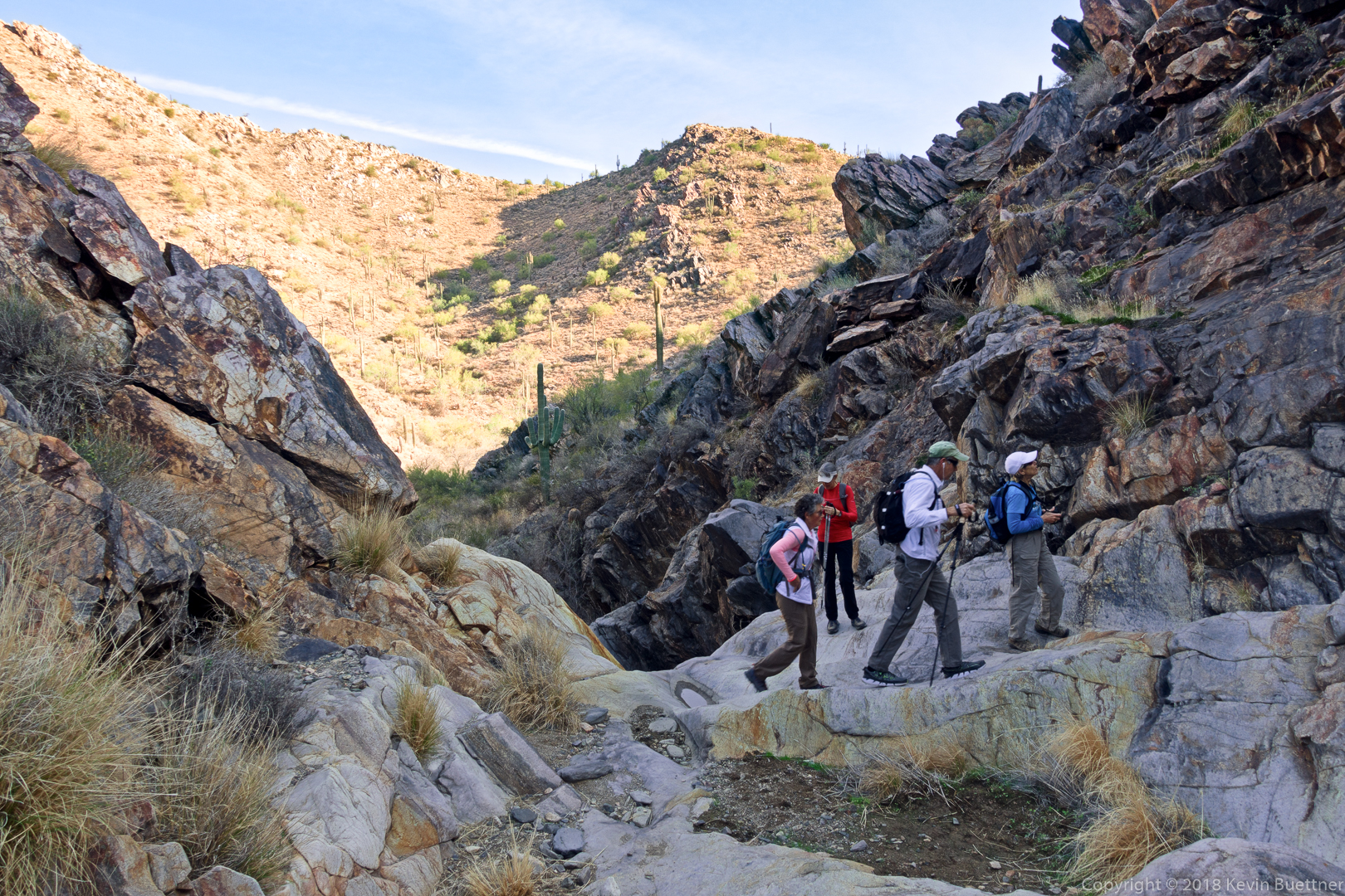
Randy, Heather, Kay, Marilyn, Ben, Sunaree, Gayle, Bob, and Marilyn joined me for a short (6.4 mile) hike out to the mine, up the wash past the mine and then back via the Prospector Trail, the service road, and the Dixie Mine Trail.
We also went to the top of the tailings to look down into the mine’s vertical shaft.
This is a view from the top of the tailings:
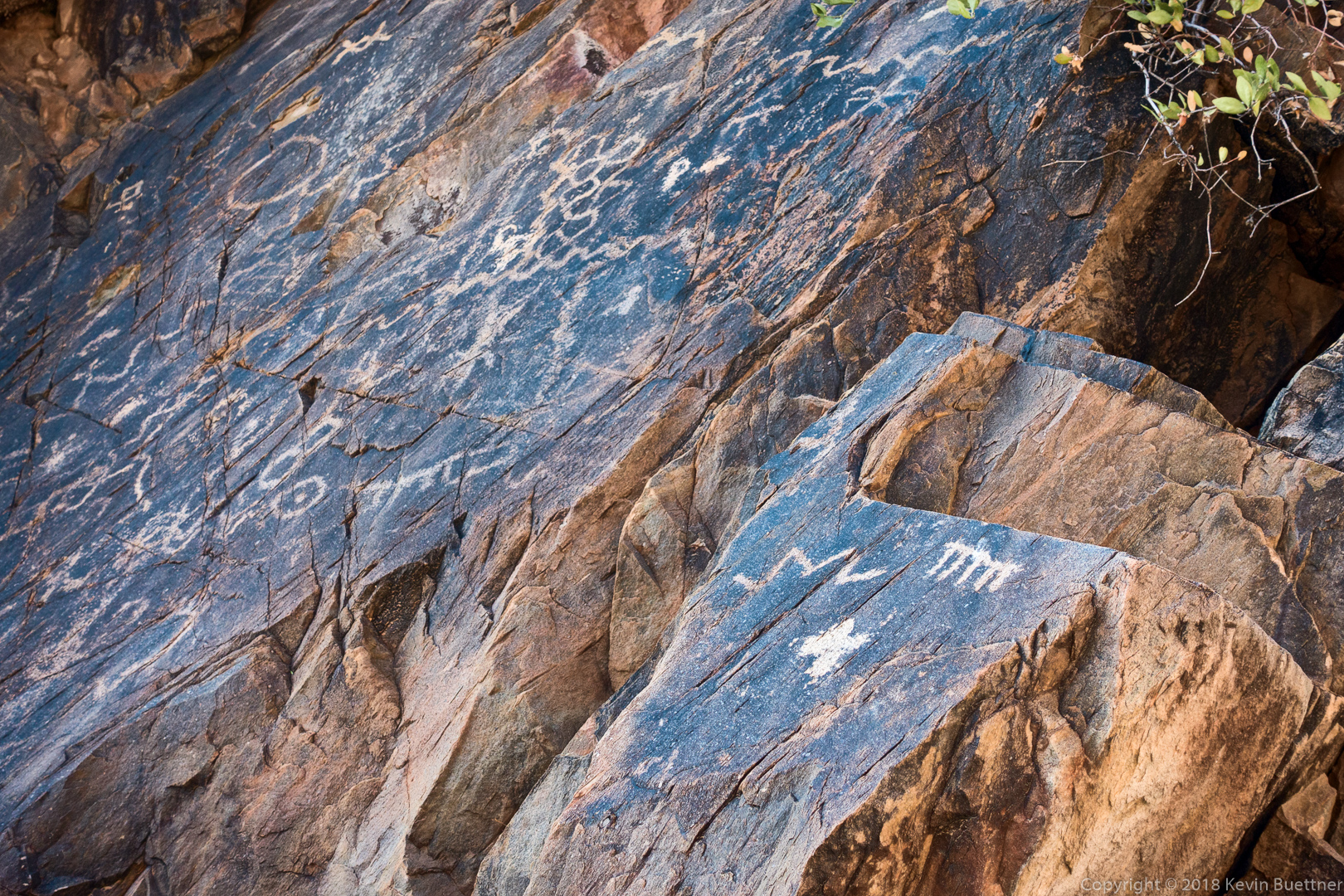
Petroglyphs:
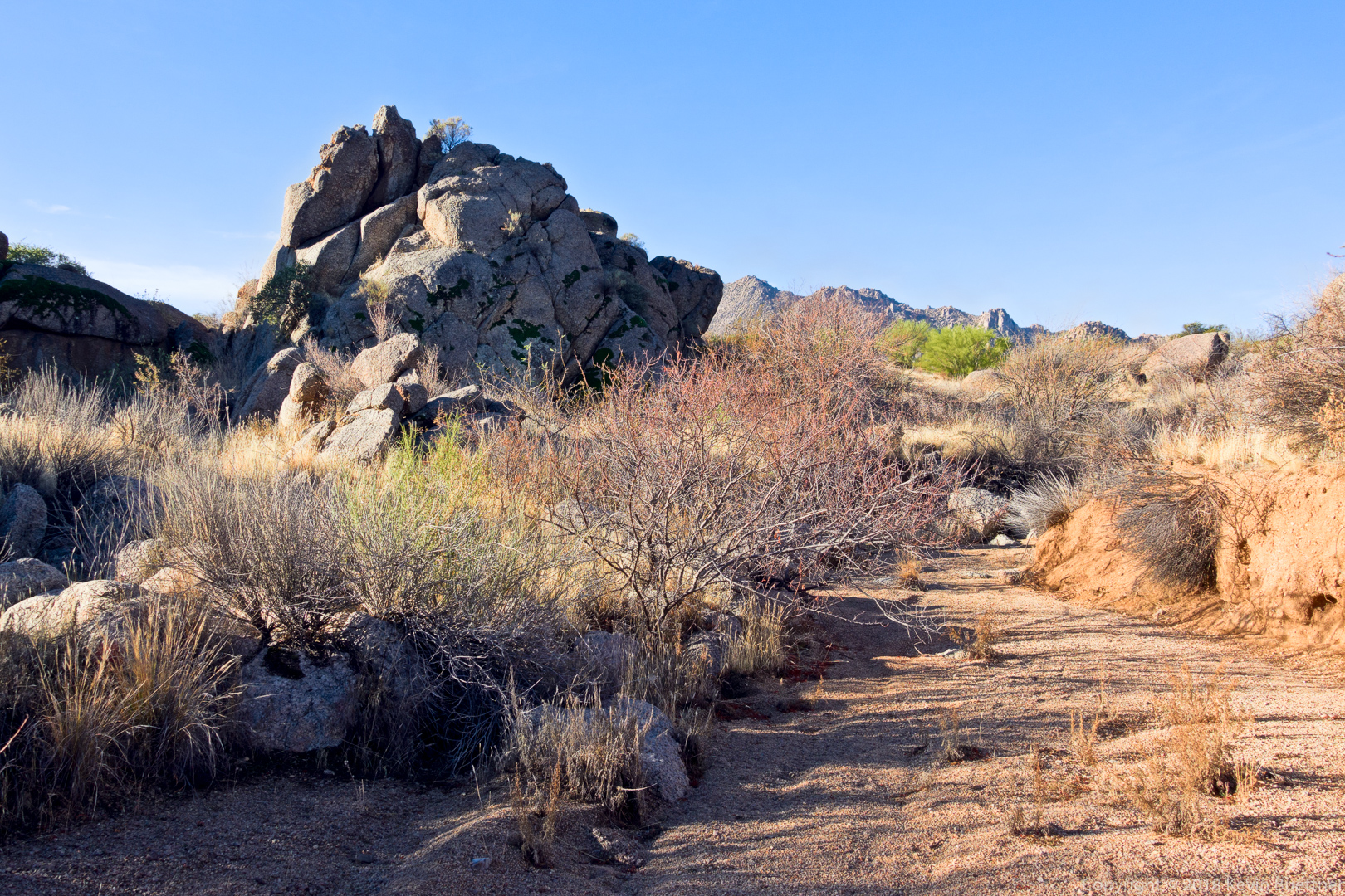
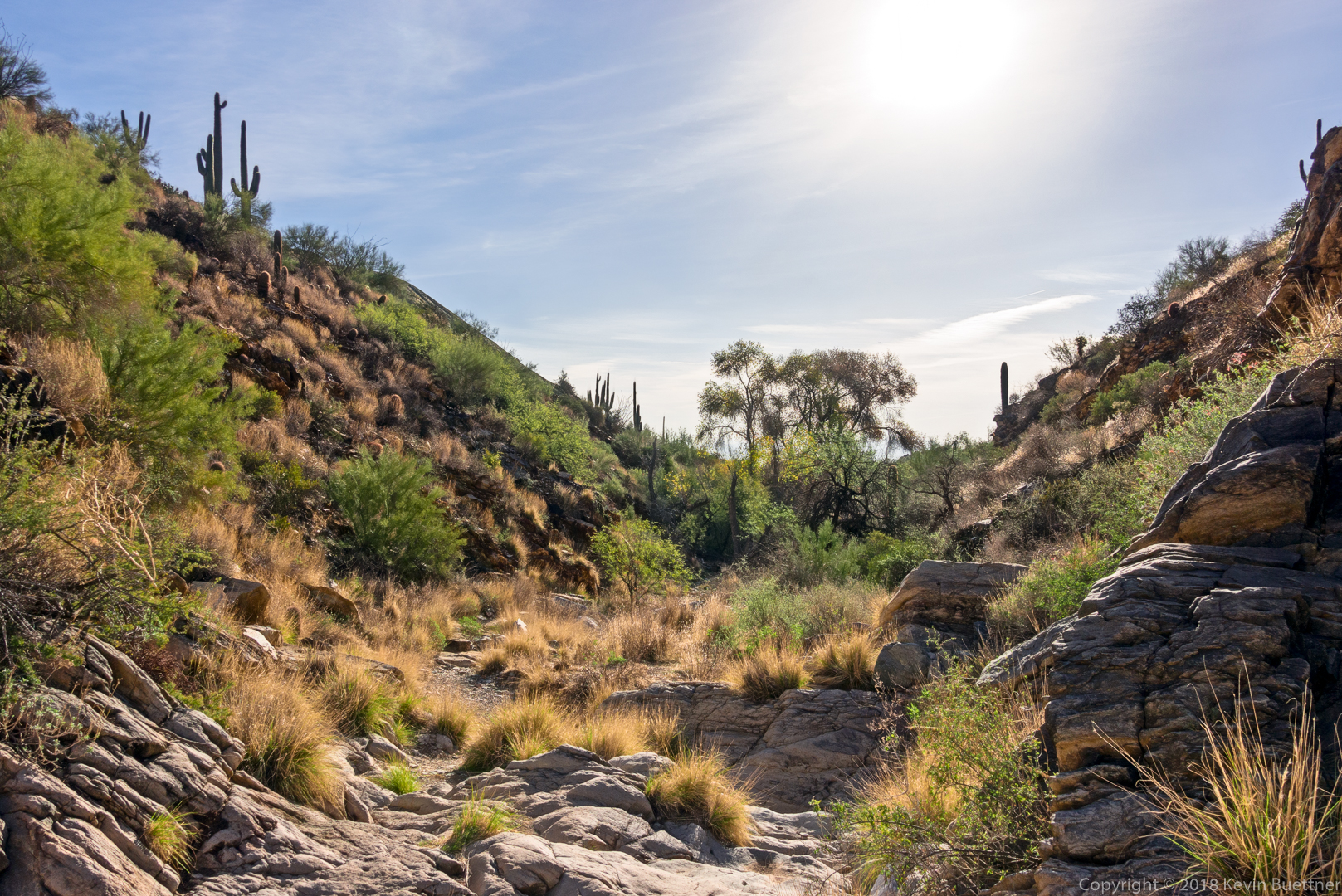
Looking back down the wash from a spot near the petroglyphs:
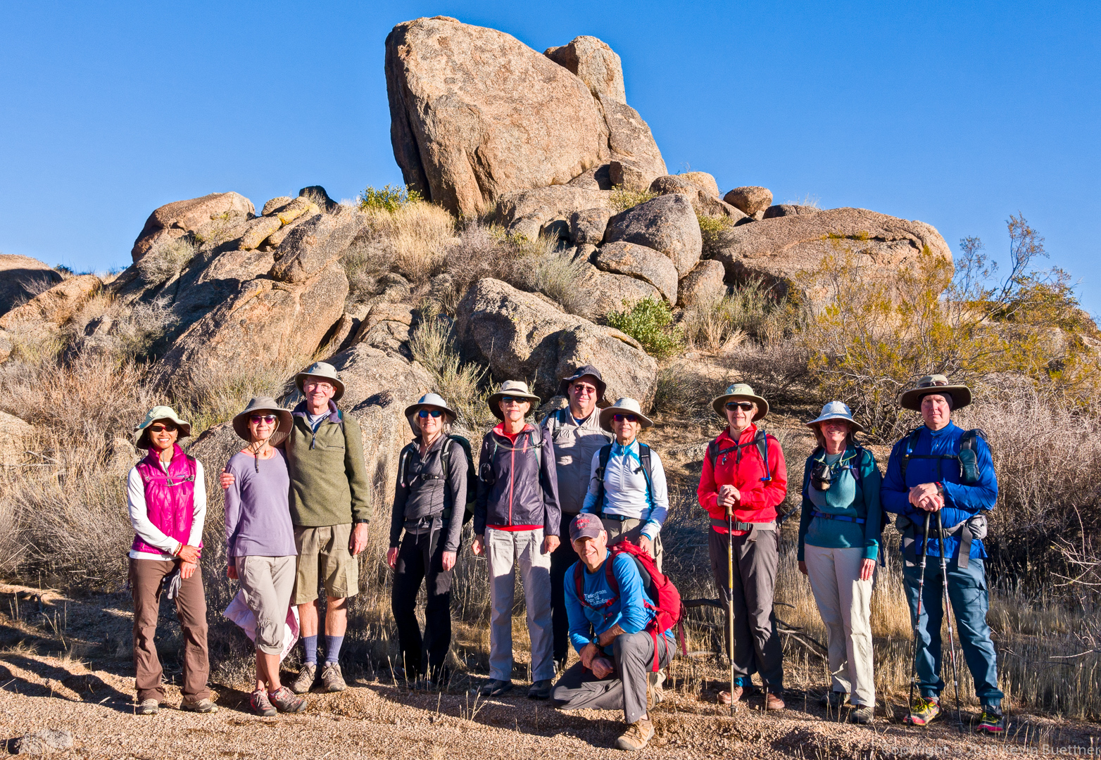
Randy, Heather, Kay, Marilyn, Ben, Sunaree, Gayle, Bob, and Marilyn:
A view from above the “waterfall”:
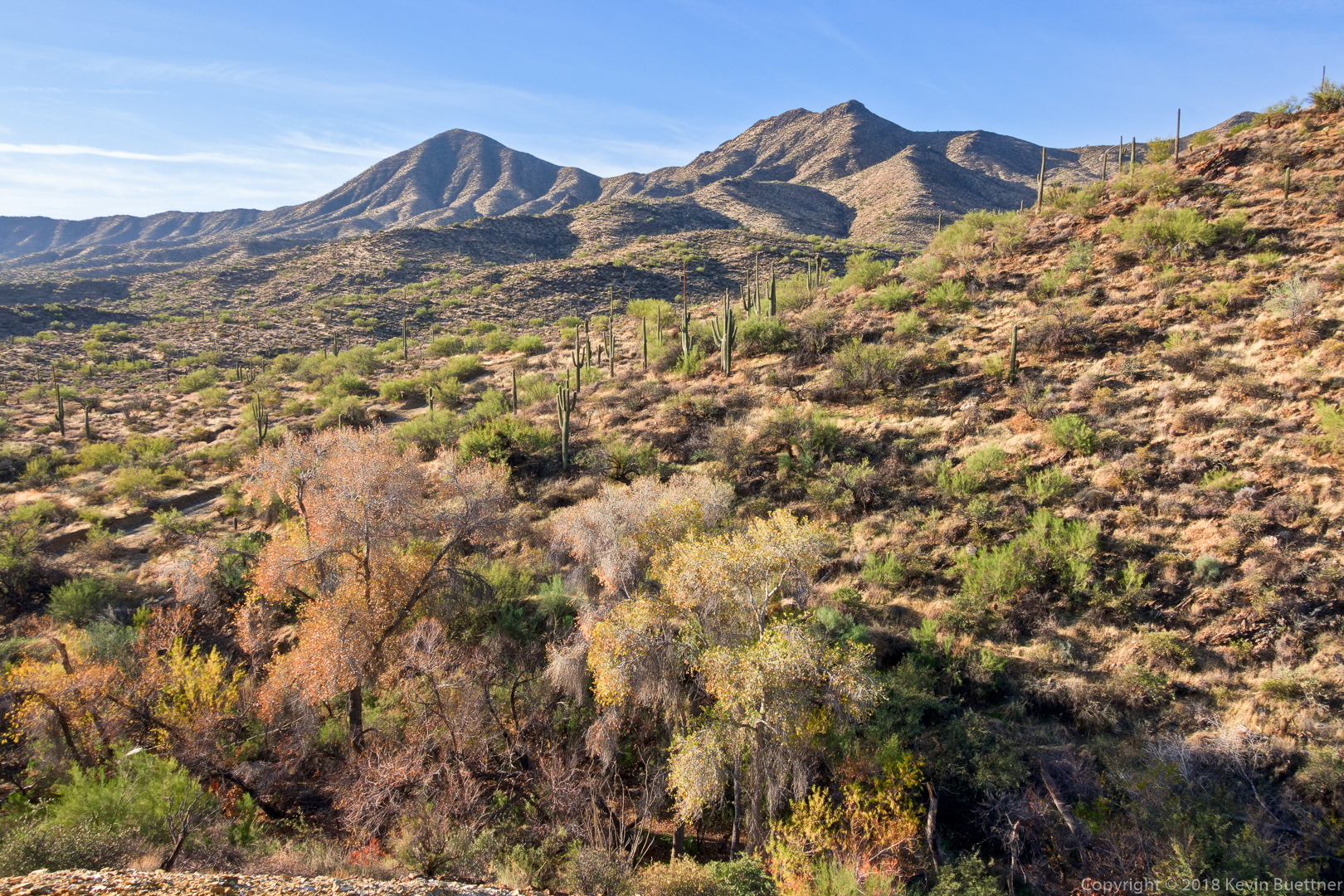
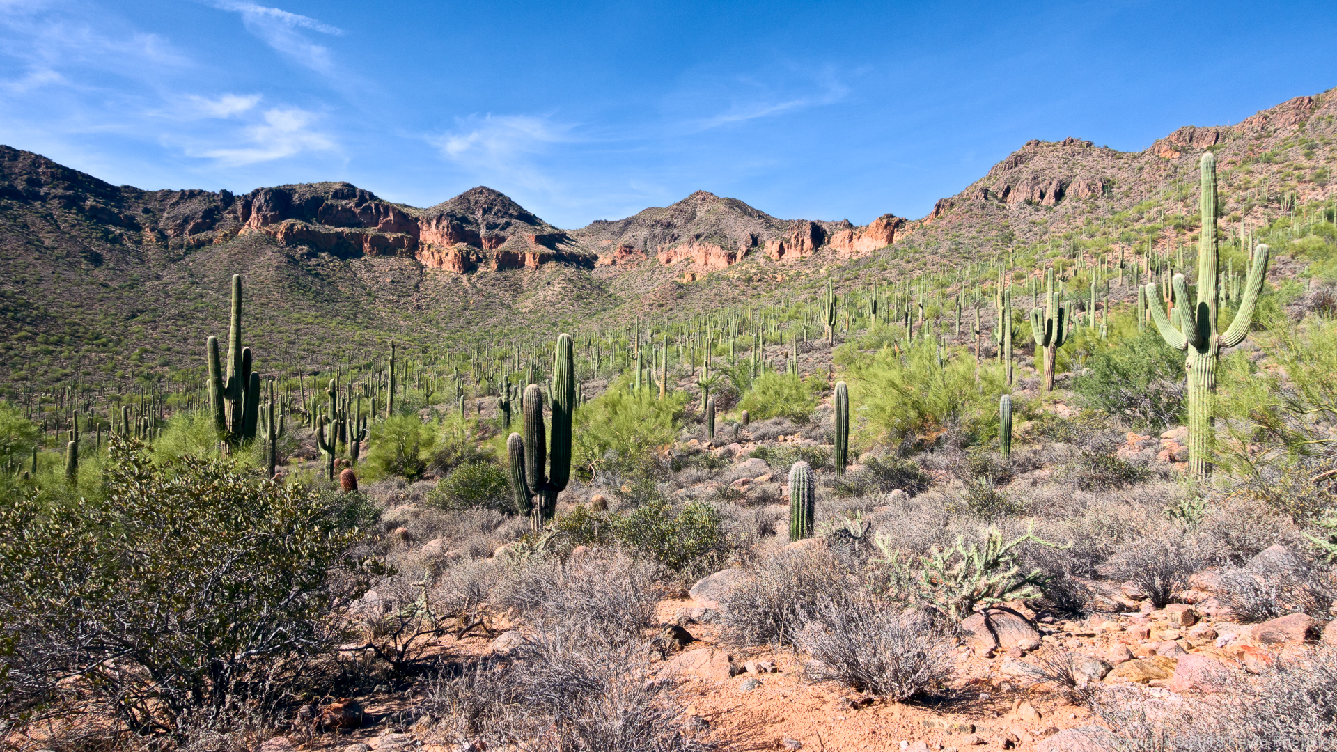
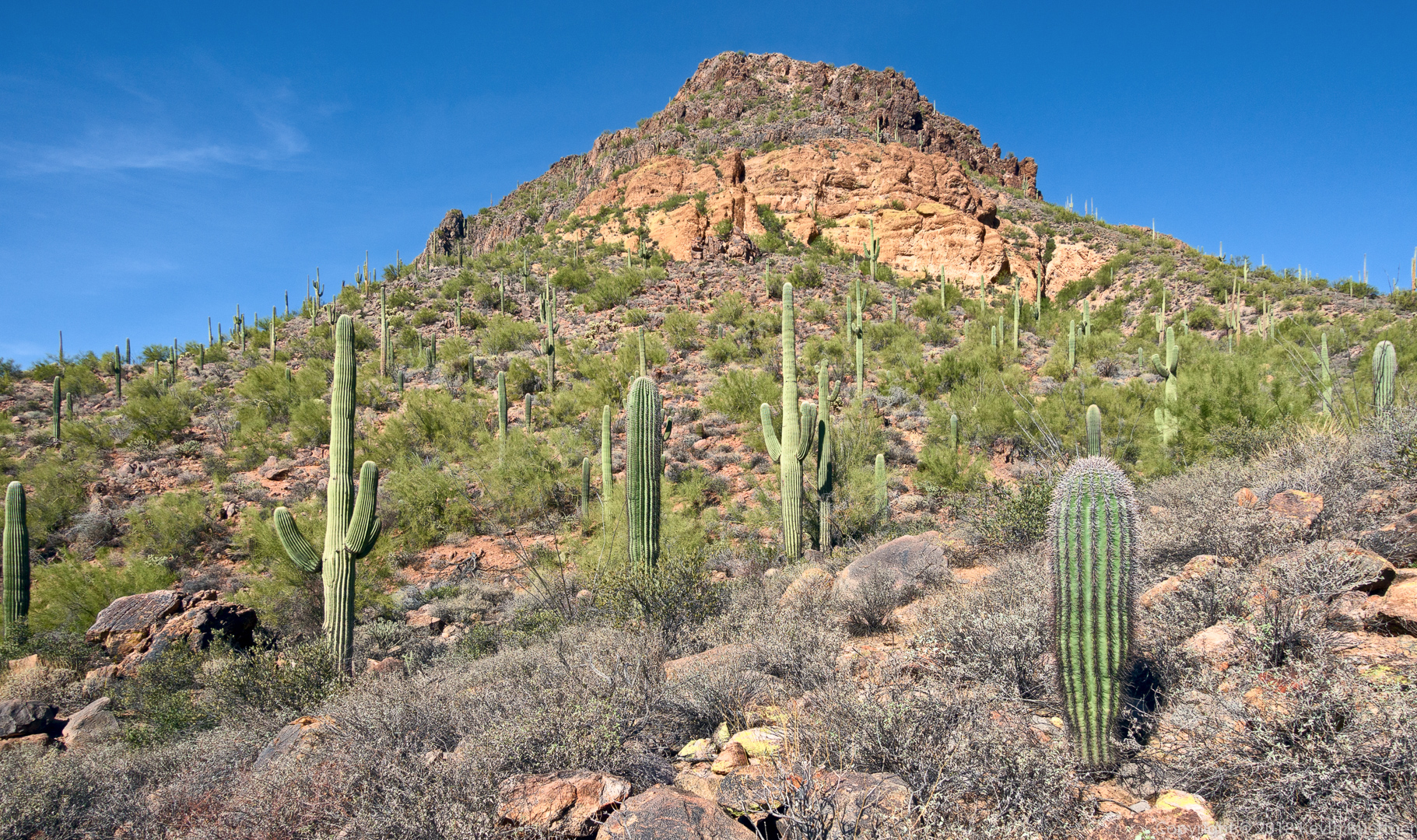
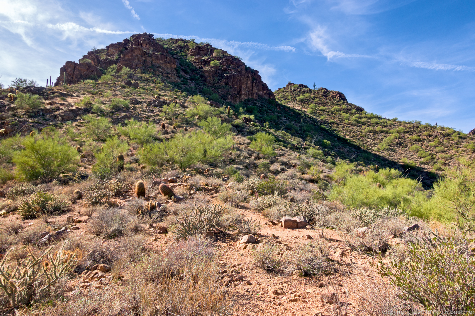
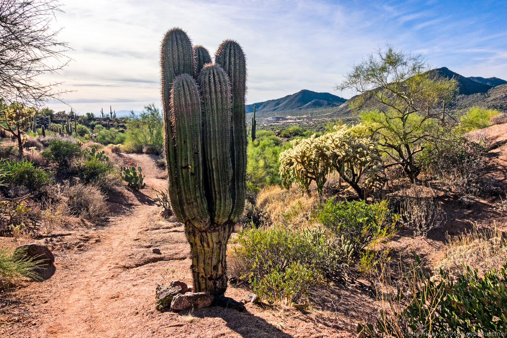
Shallmo Wash, Pemberton, Scenic, Cinch, Escondido – about 6.4 miles…
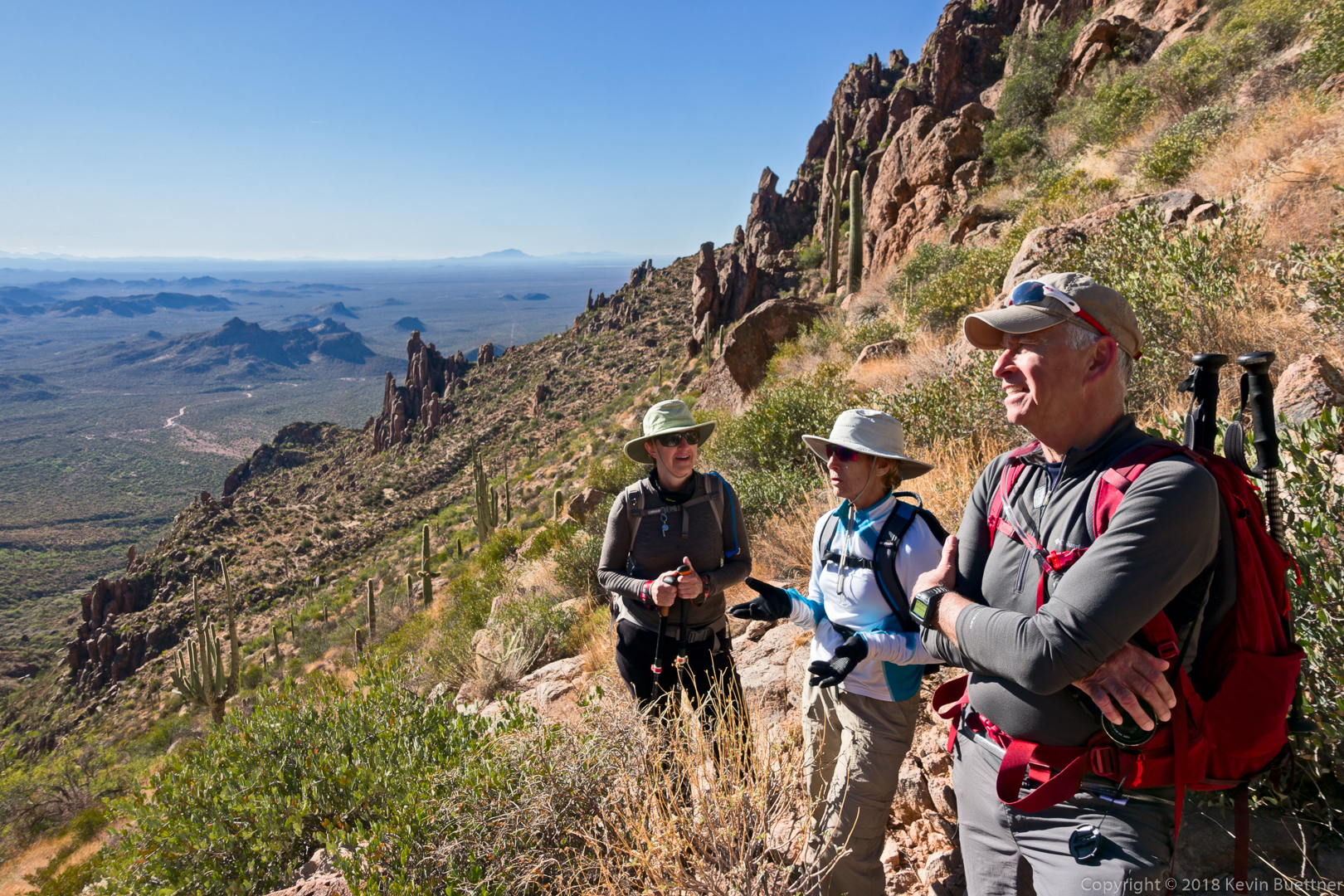
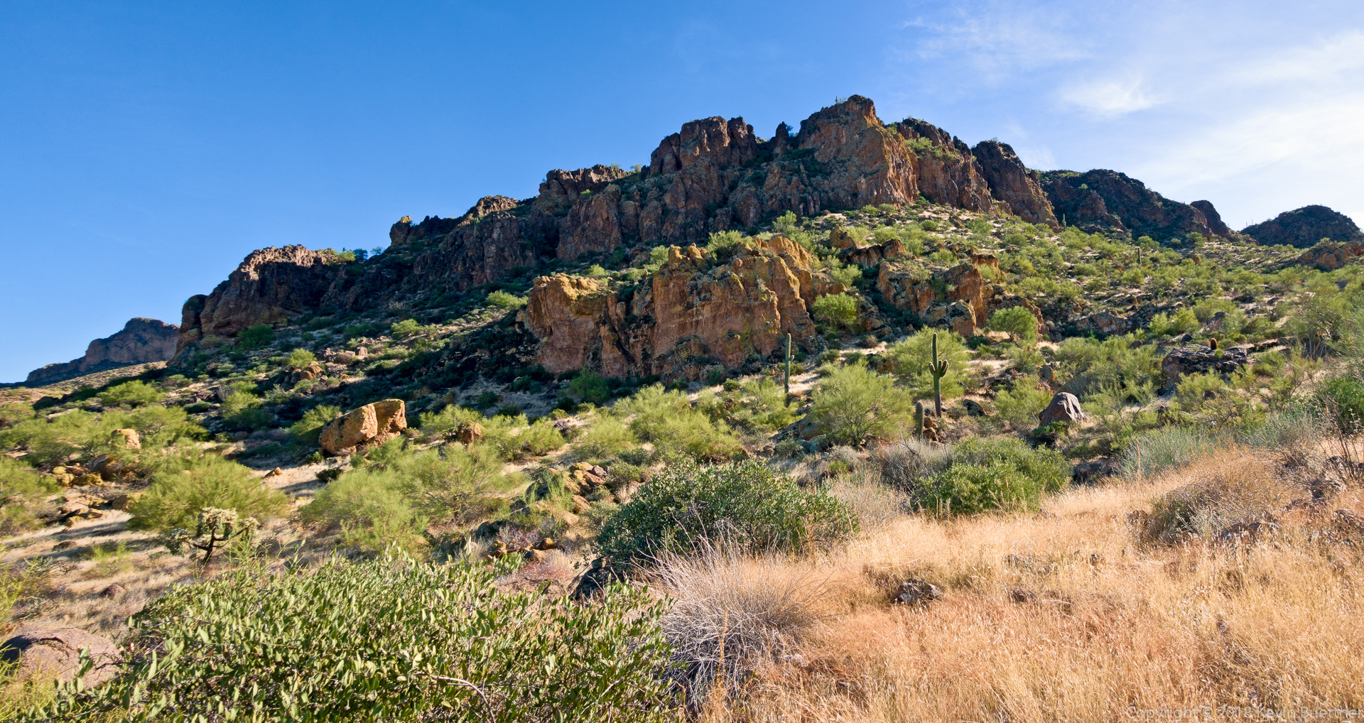
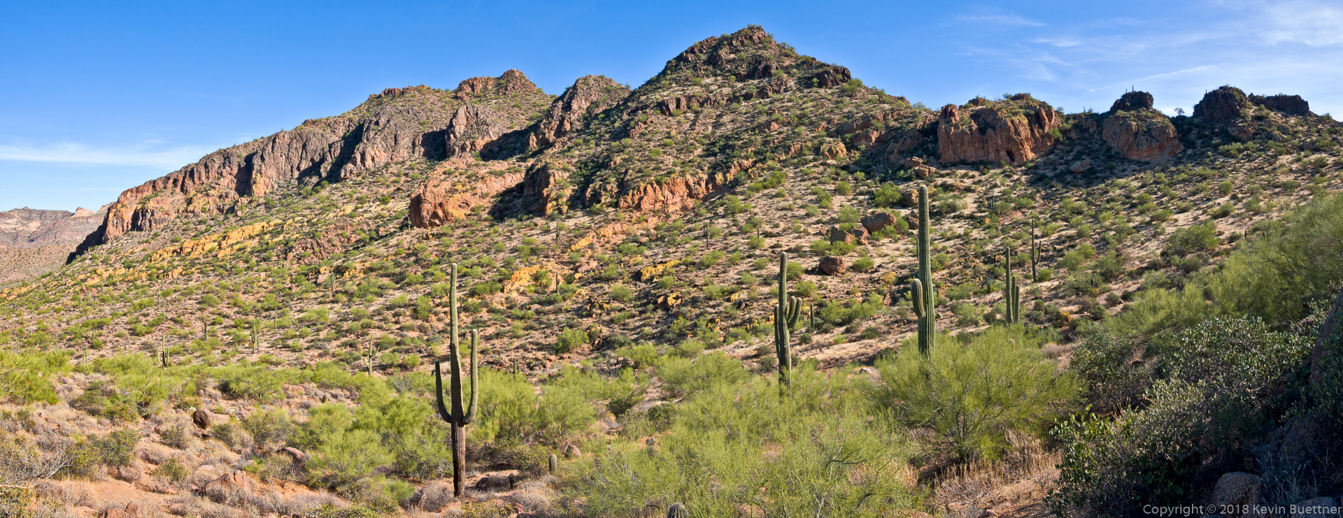
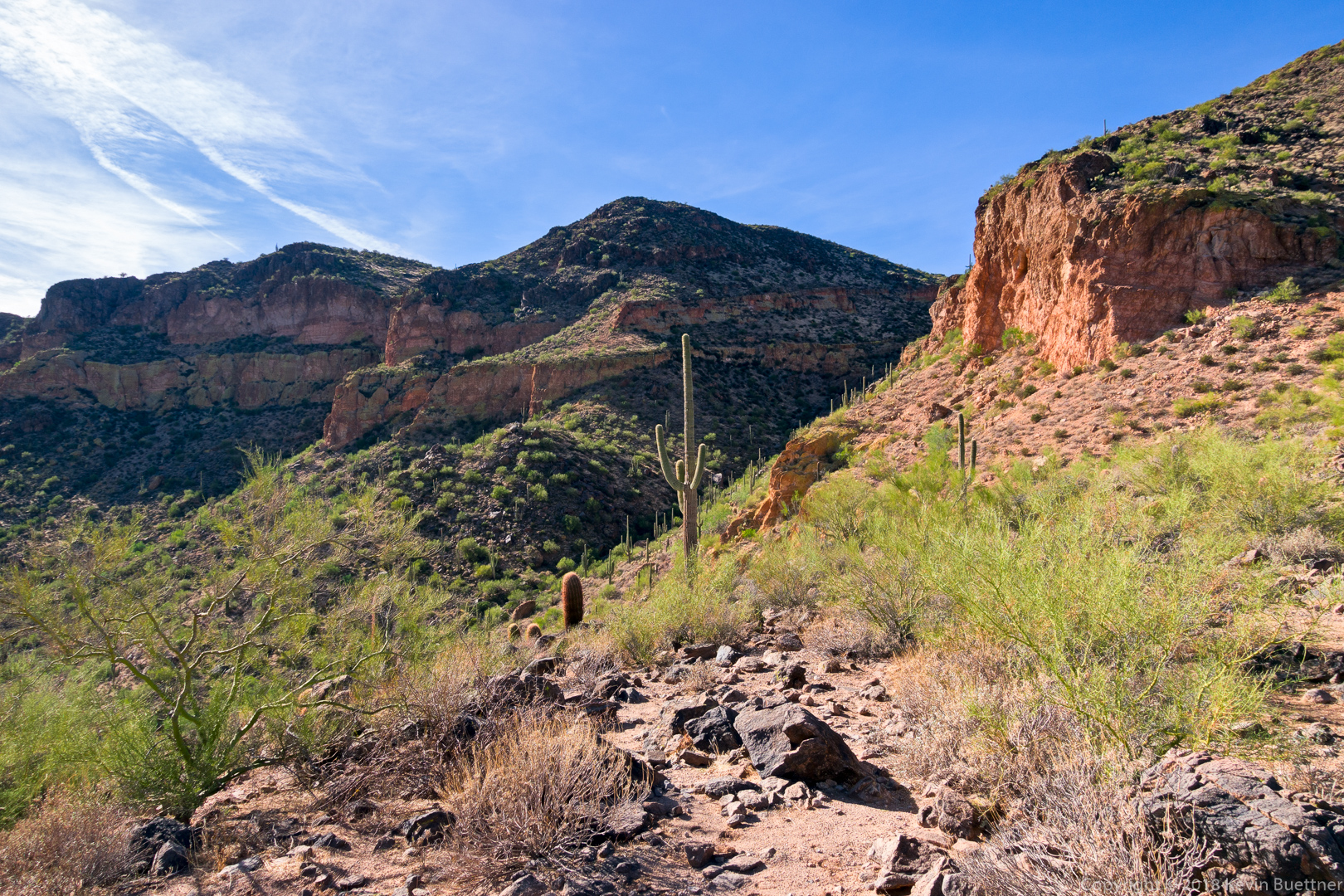
Marilyn, Ben, Marilyn, and I hiked the Dacite Super Loop in the Superstitions.
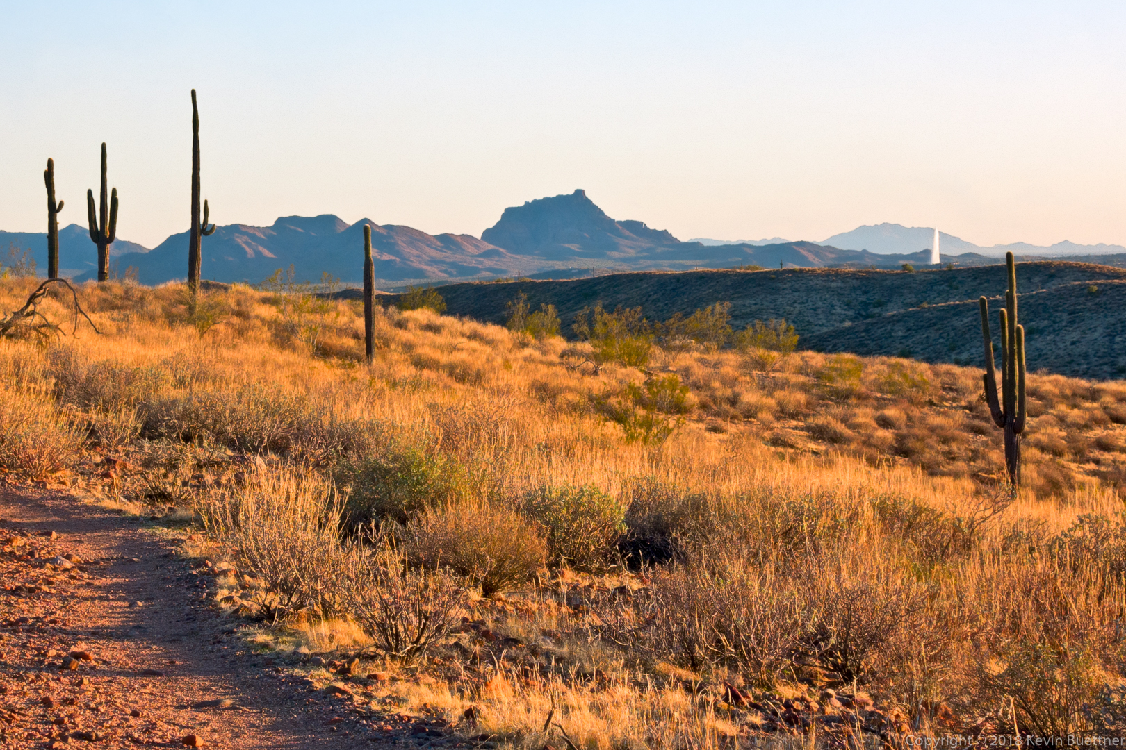
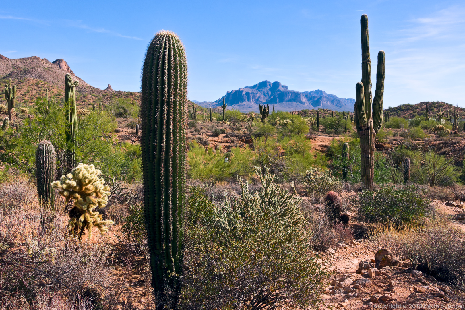
This was an early view from the Lost Goldmine Trail:
Marilyn, Marilyn, and Ben on the Carney Springs Trail:
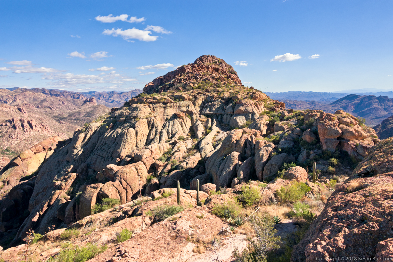
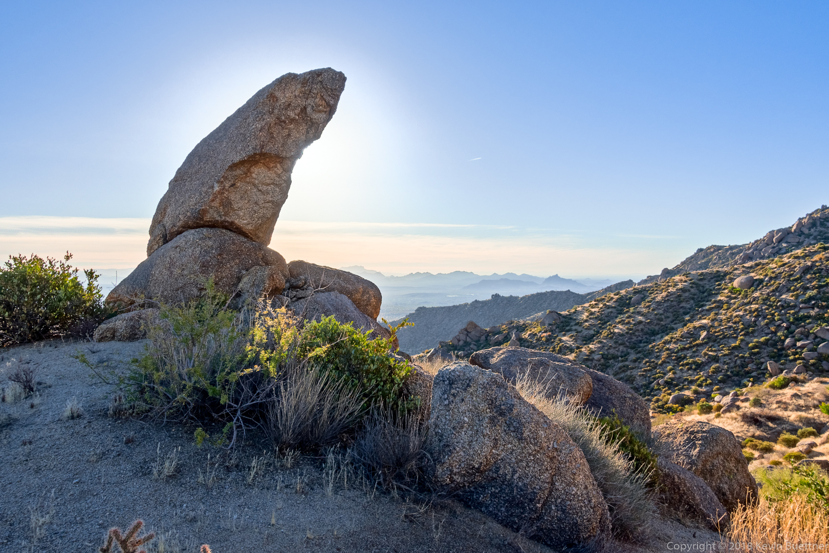
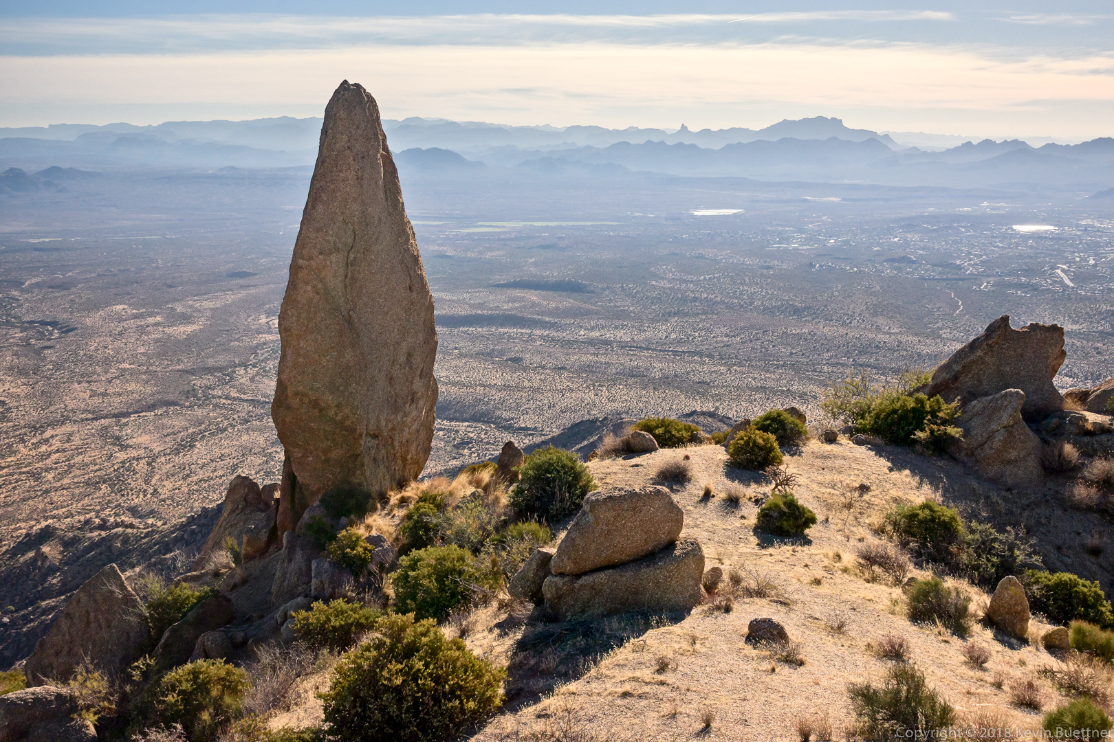
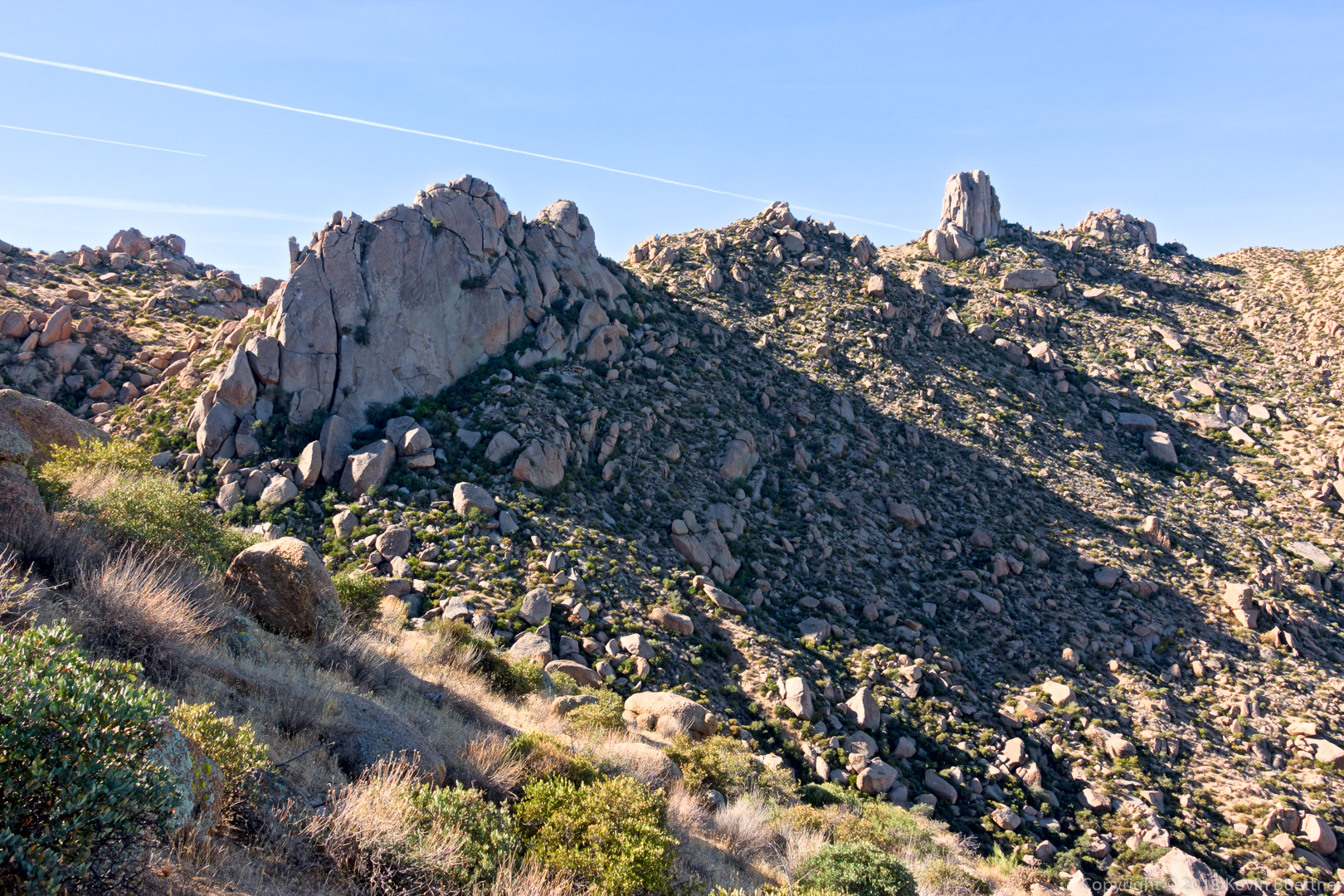
After leaving the Carney Springs Trail, we went the wrong way by following some prominent cairns. I hiked to the top of a ridge to see if there was a shortcut to get back to our trail. There didn’t appear to be anything easy, but I noticed this really cool rock formation while I was looking around. 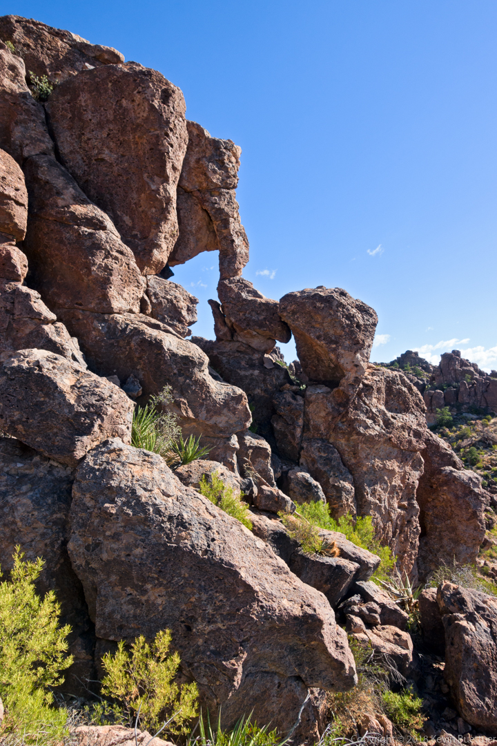
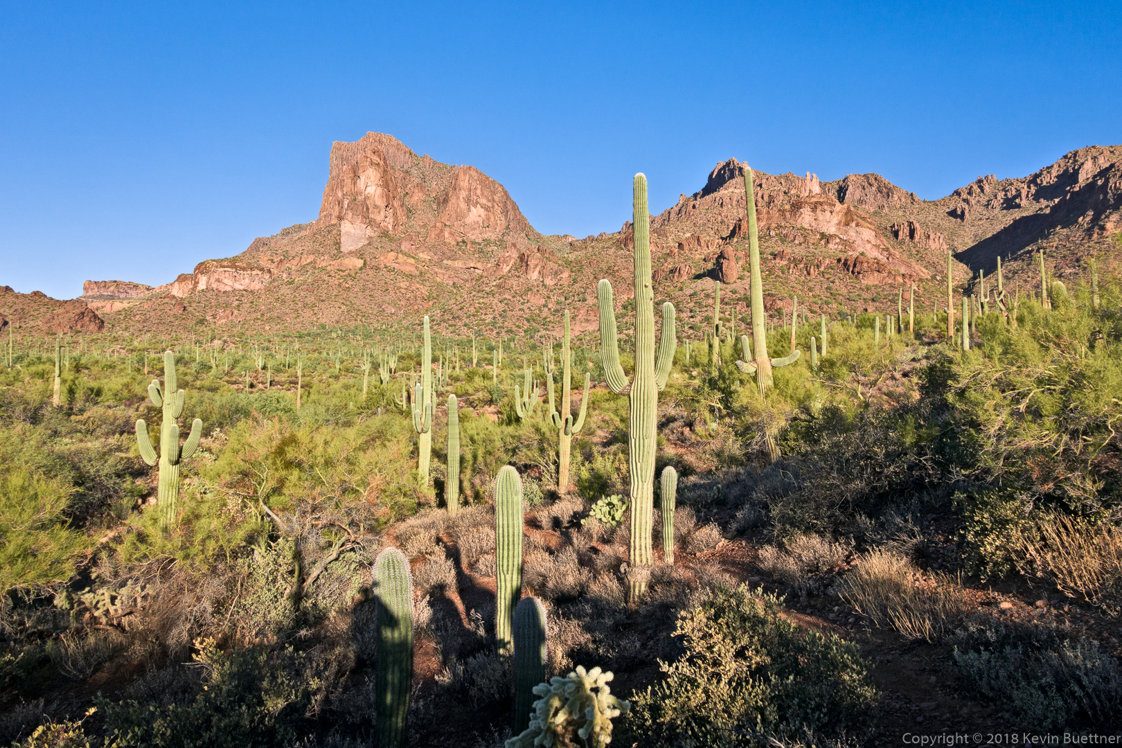
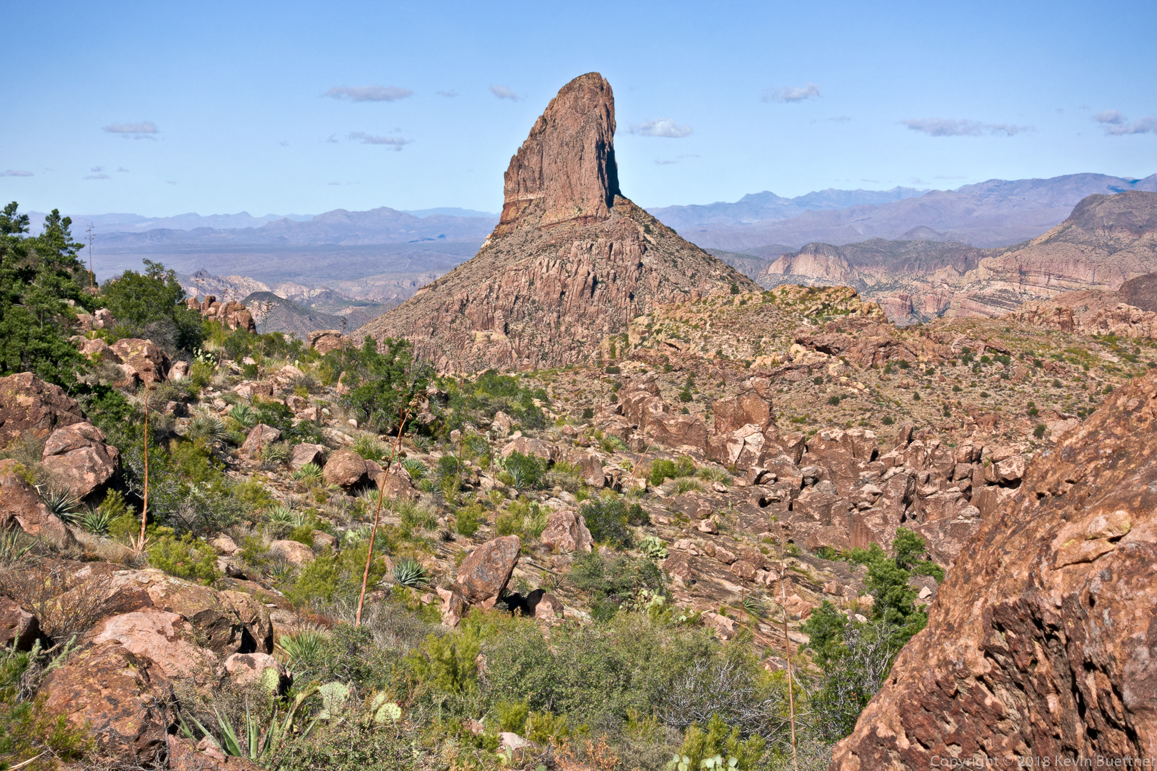
Weaver’s Needle:
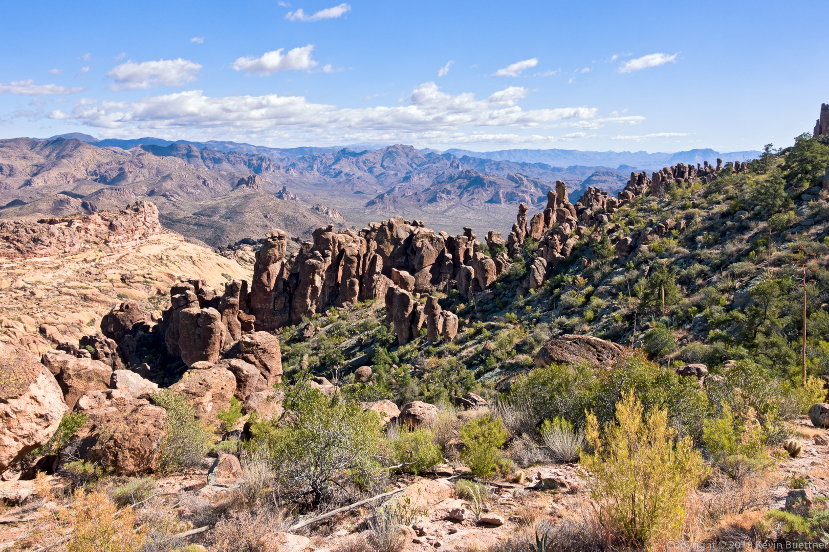
One of the views as we descended to Fremont Saddle:
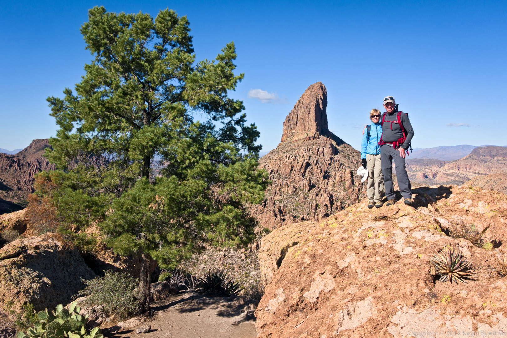
Ben and Marilyn with the famous pine tree & Weaver’s Needle in the background:
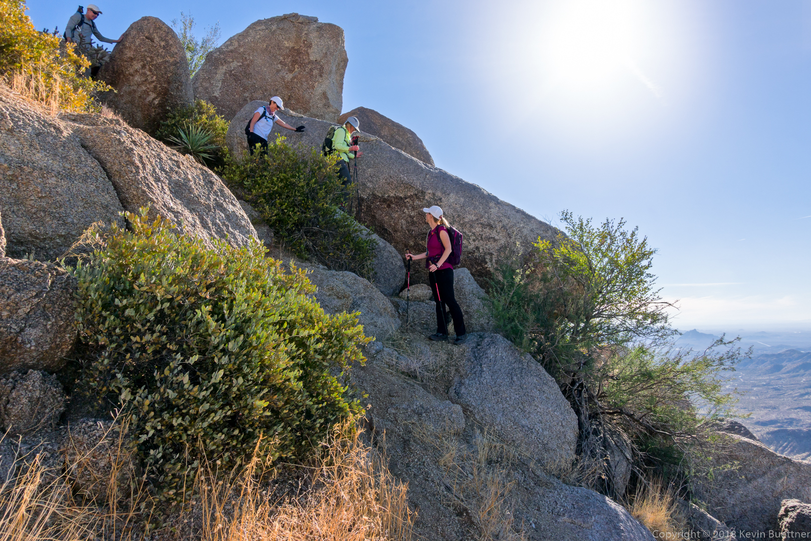
One of the many great views from the Cave Trail:
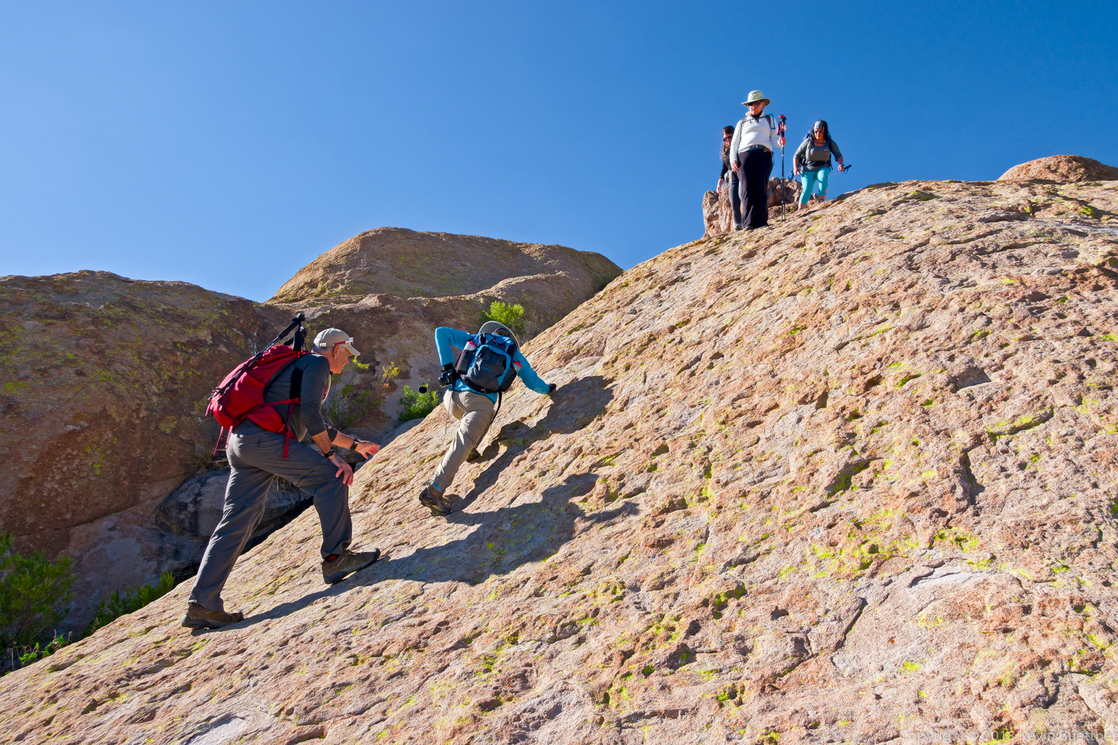
Ben spots Marilyn as she makes her way down one of the steeper sections of the Cave Trail.
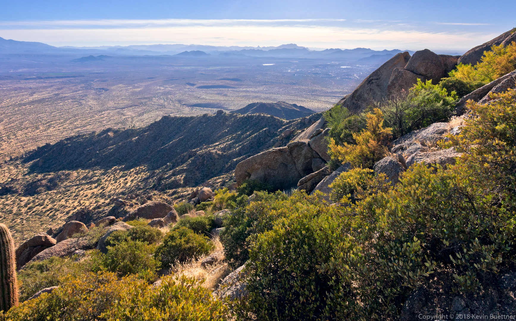
Mona, Sara, Gayle, Heather, Sunaree, Randy, and I hiked the Hog Heaven Loop. Total distance was only about four and quarter miles, but we gained over 1600 feet of elevation along the way.
We encountered this view shortly after topping out at the saddle at the top of Mesquite Canyon. (I took photos of Mesquite Canyon, but it was mostly in the shade, so the photos weren’t especially compelling.)
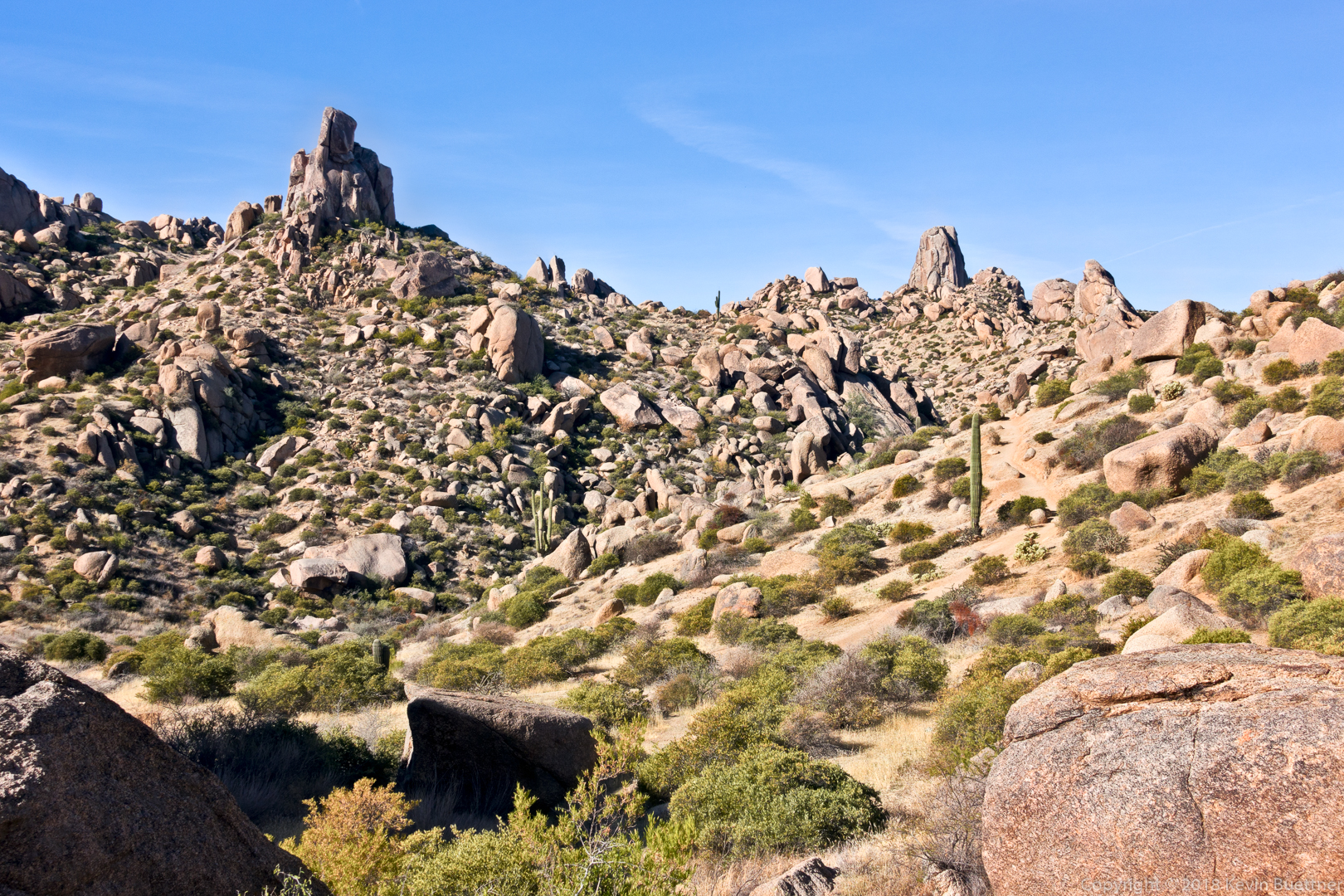
We saw this small hook-shaped pinnacle a short while later:
Mona completes the hop boulder hop…
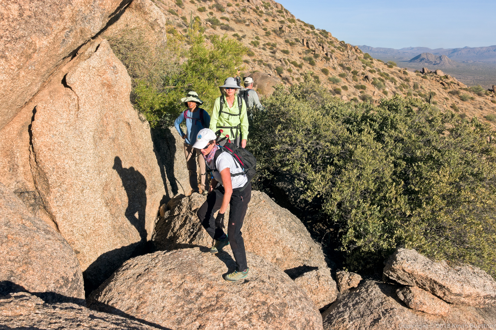
The group makes their way up to the base of Hog Heaven (which is out of view above Heather):
The rock wall behind the group is the main wall of the Hog Heaven climbing area:
Heather and Sara make their way up a section of granite while Gayle and Mona look on:
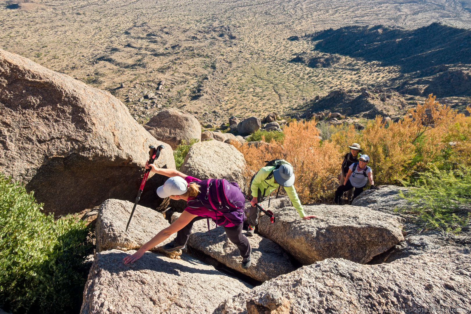
This is one of the scrambles between Hog Heaven and the Thumbnail Pinnacle. We’re definitely on the right route – note the cairn:
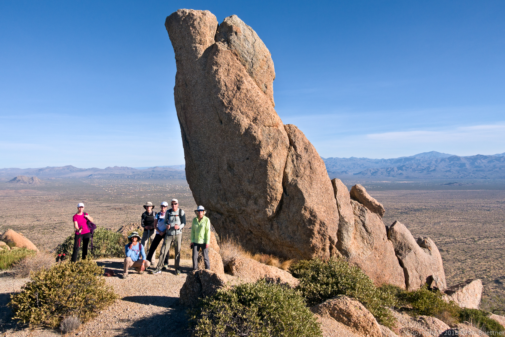
Heather, Sunaree, Gayle, Mona, Andy, and Sara posing by the Thumbnail Pinnacle:
Looking back down at the Thumbnail Pinnacle: from nearly every other vantage point, the hooked shape is clearly evident. But at this point it looks like a straight up and down spire.
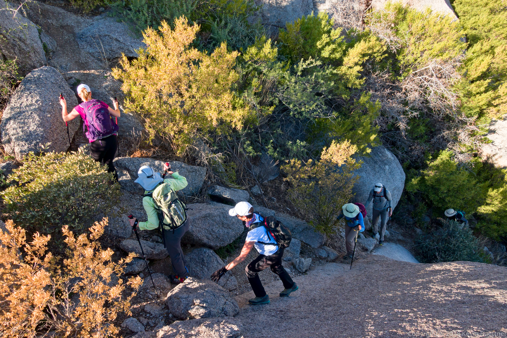
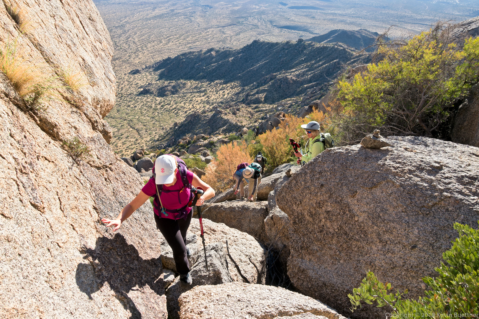
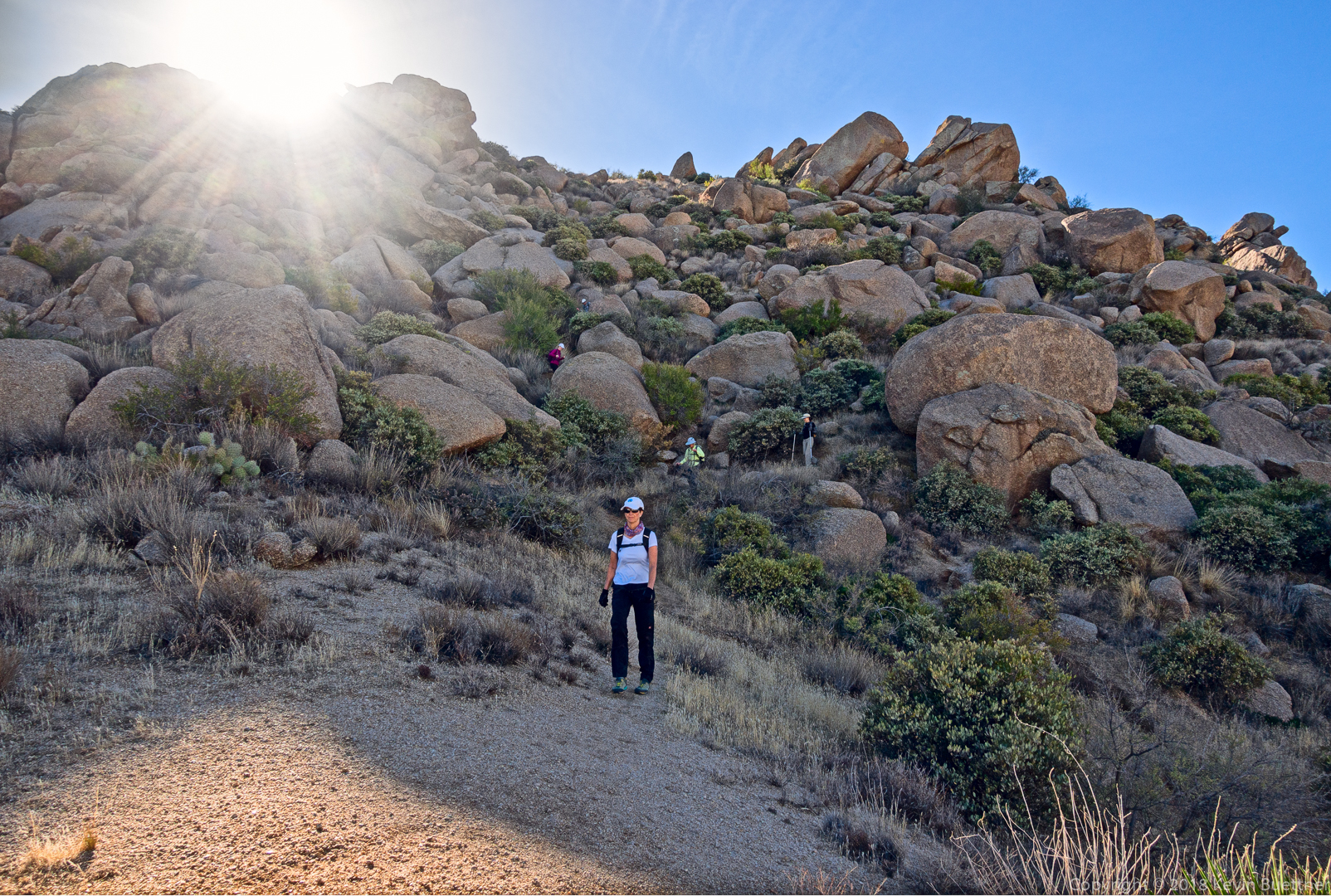
Sara and Heather make their way along the northeast side of the ridge.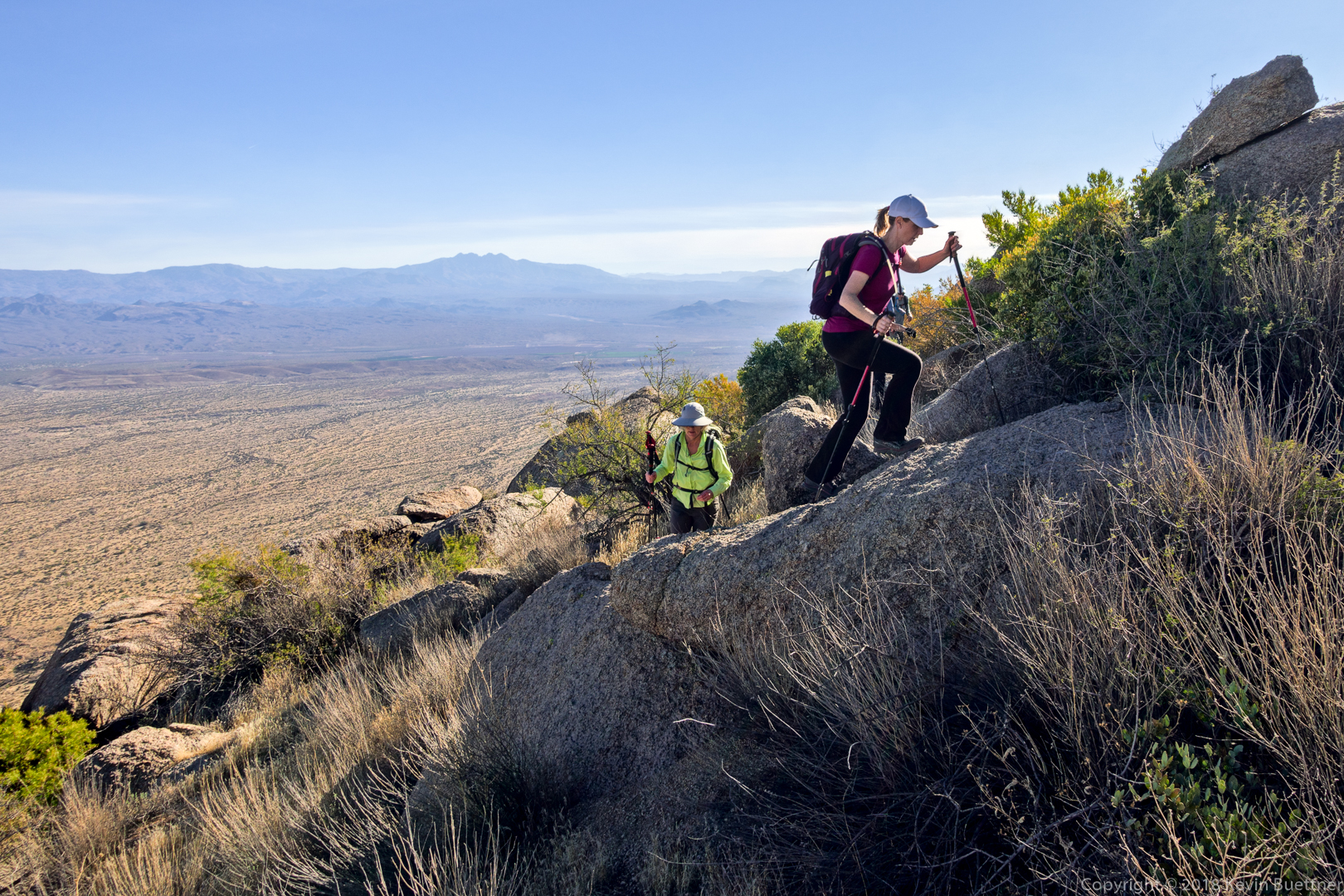
This the part of the loop that I like the least. The section from where Randy is standing down to where Mona has made it is steep and loose. Thankfully, there’s a bush to stop you if you should slip. It’s probably easier if you slide down it on your butt, but I never do it that way.
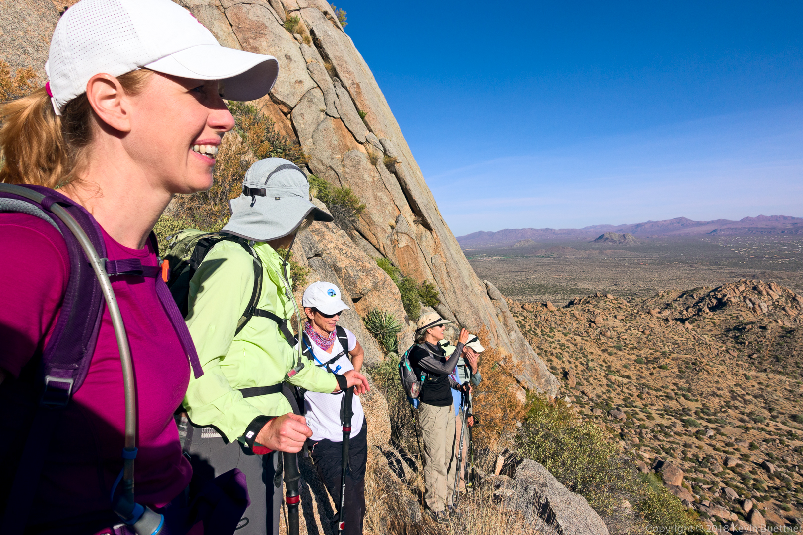
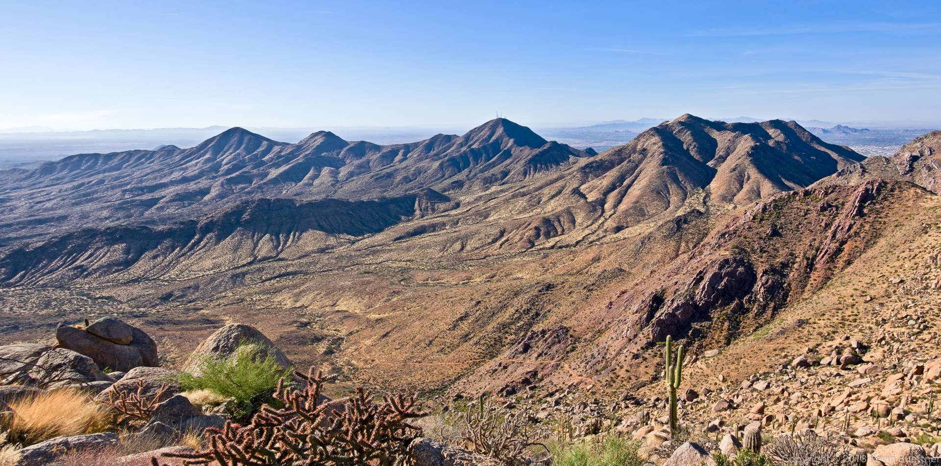
We had some great views as we made our way along the southwest side of the ridge leading over to the East End (peak)…
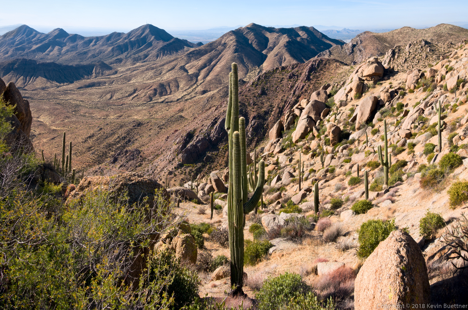
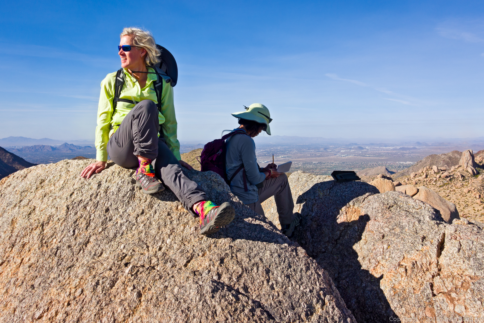
Sara and Sunaree at the highest point in the McDowells. Sunaree is signing the summit register.
Descending the climber’s access Trail from the East End:
Glass Dome (left) and Tom’s Thumb:
Gardener’s Wall and Tom’s Thumb:
When the hike was done, I added on nearly seven more miles by hiking into McDowell Mountain Regional Park. If you look closely at the photo below, you can see the Thumbnail Pinnacle. It looks very small from here.
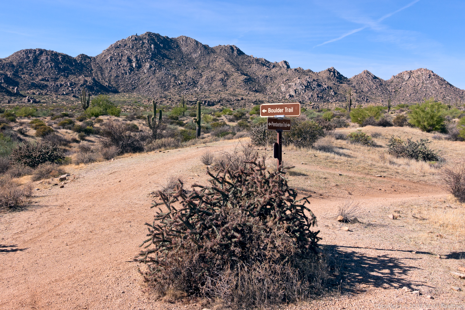
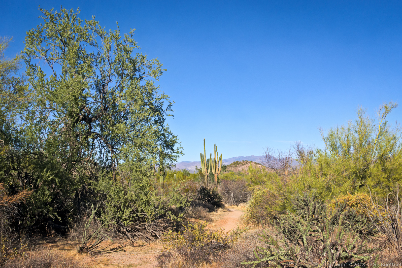
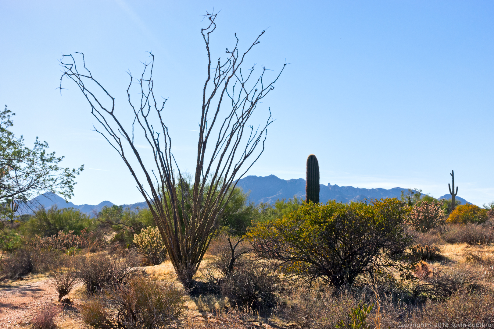
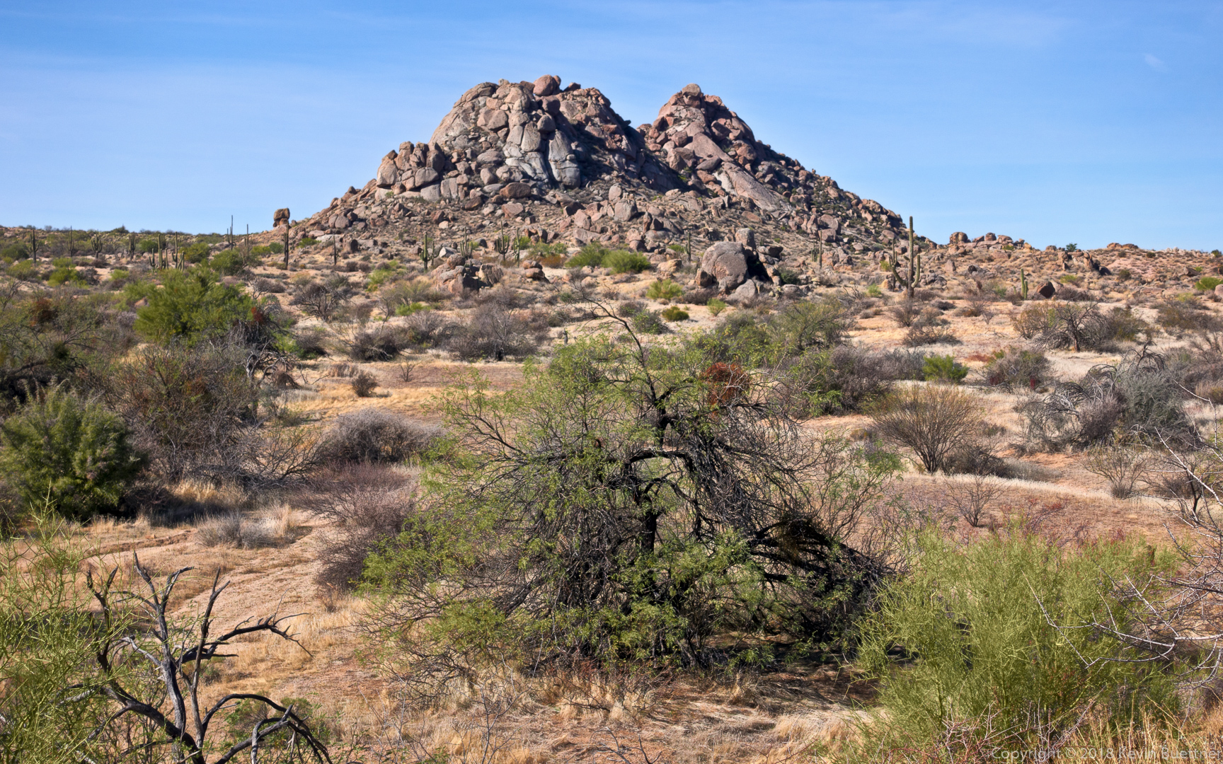
This is a view of Rock Knob from the Pemberton Trail:
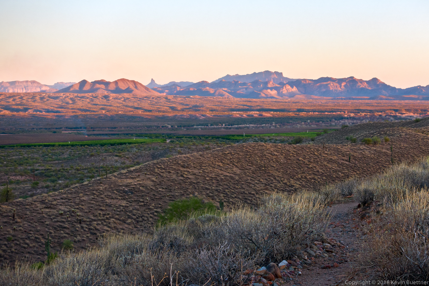
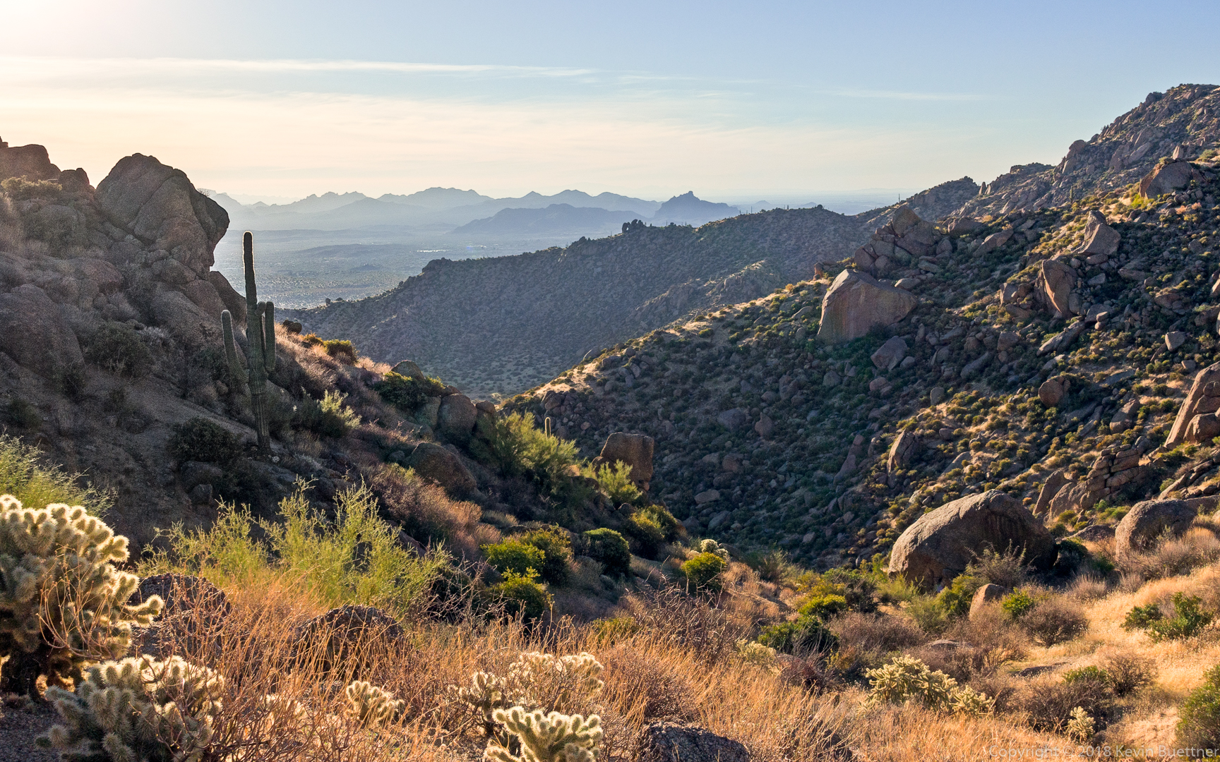
Marilyn and I hiked the Pass Mountain Trail on Sunday. She waited for me at the pass while I extended my hike a bit by hiking the Bulldog Saddle Trail. On past hikes of Pass Mountain, I had seen this trail to the east as we were hiking up to the pass and wanted to hike it – well, on Sunday I got my chance. It turned out to be a very well trodden and well defined trail; I was hoping for more of a route finding challenge. But the views were still good though.


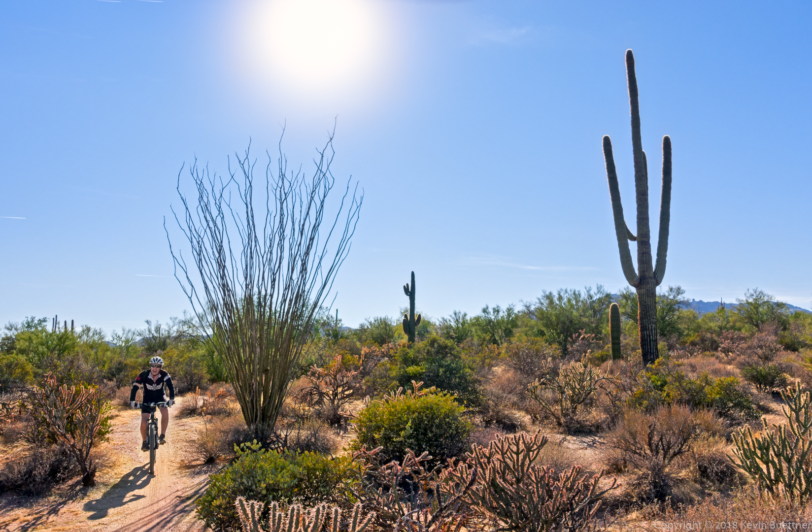
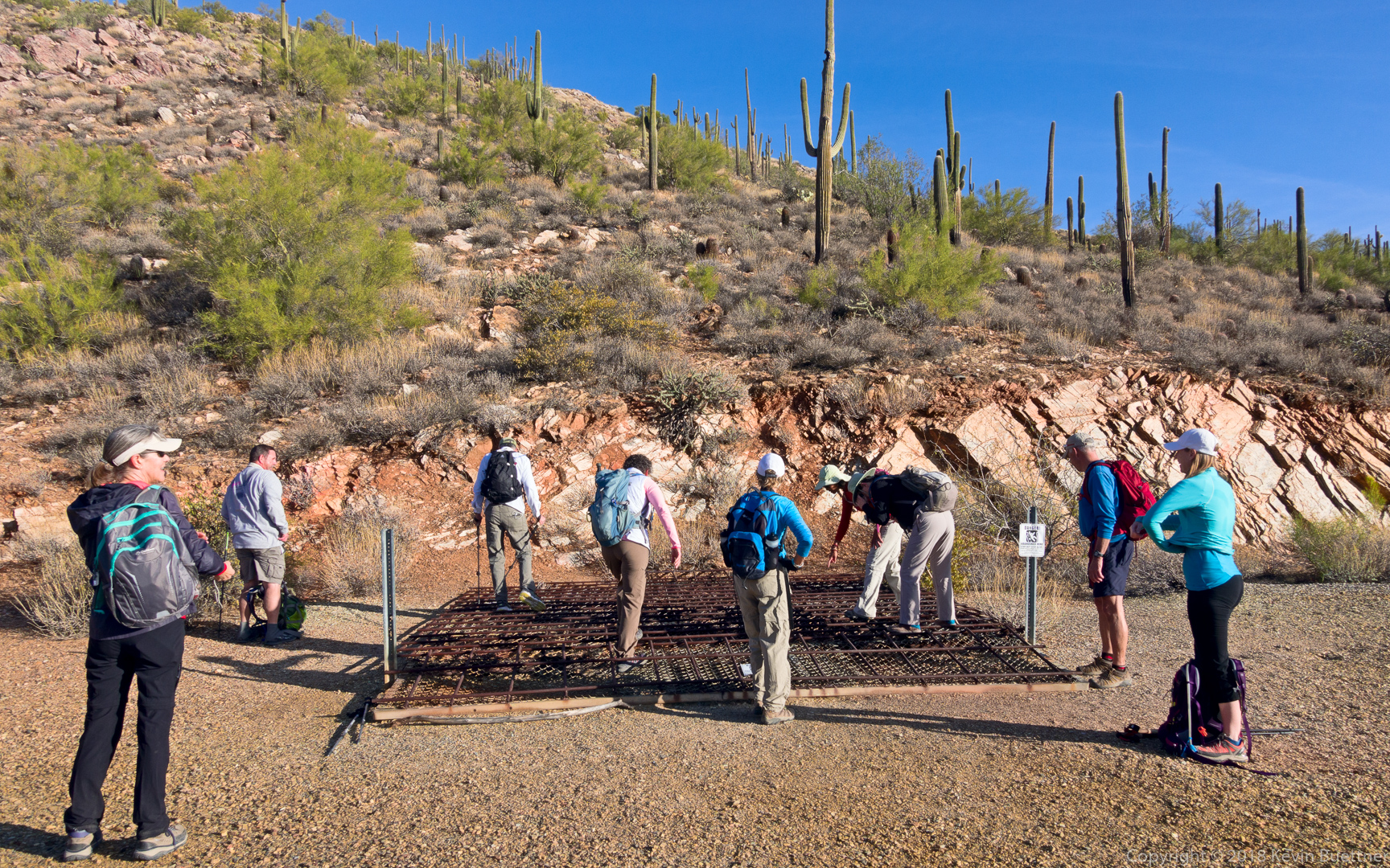
Sunaree, Leslie, Doug, Sara, Gayle, Mike, Ben, Marilyn, Marilyn, Linda, and I hiked a lollipop-loop of 11.6 miles starting from the Wagner Trailhead. We hiked Wagner, Granite, Bluff Wash, Pemberton, Rock Knob, Gooseneck, Delsie, Granite, and Wagner. It had been a while since we had hiked the wash paralleling the Bluff Trail – it was good to see it again.