Tag: Zion National Park (page 1 of 2)

Kolob Canyons in the Fog and Rain

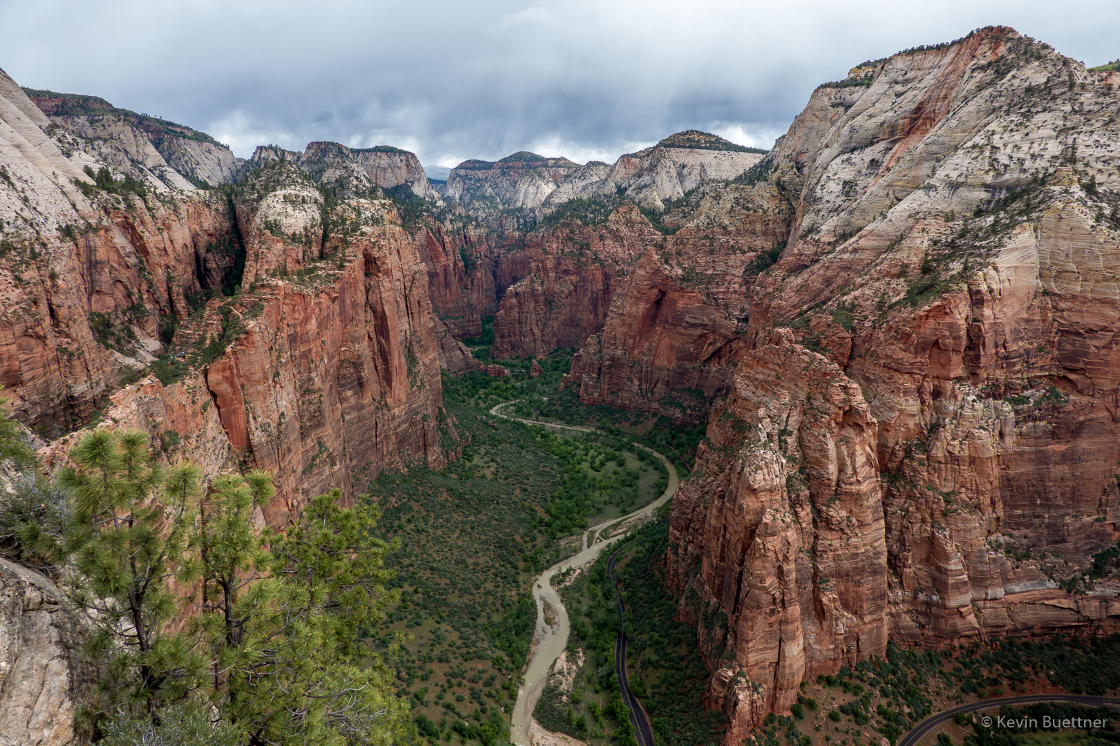
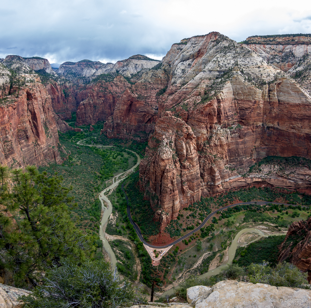
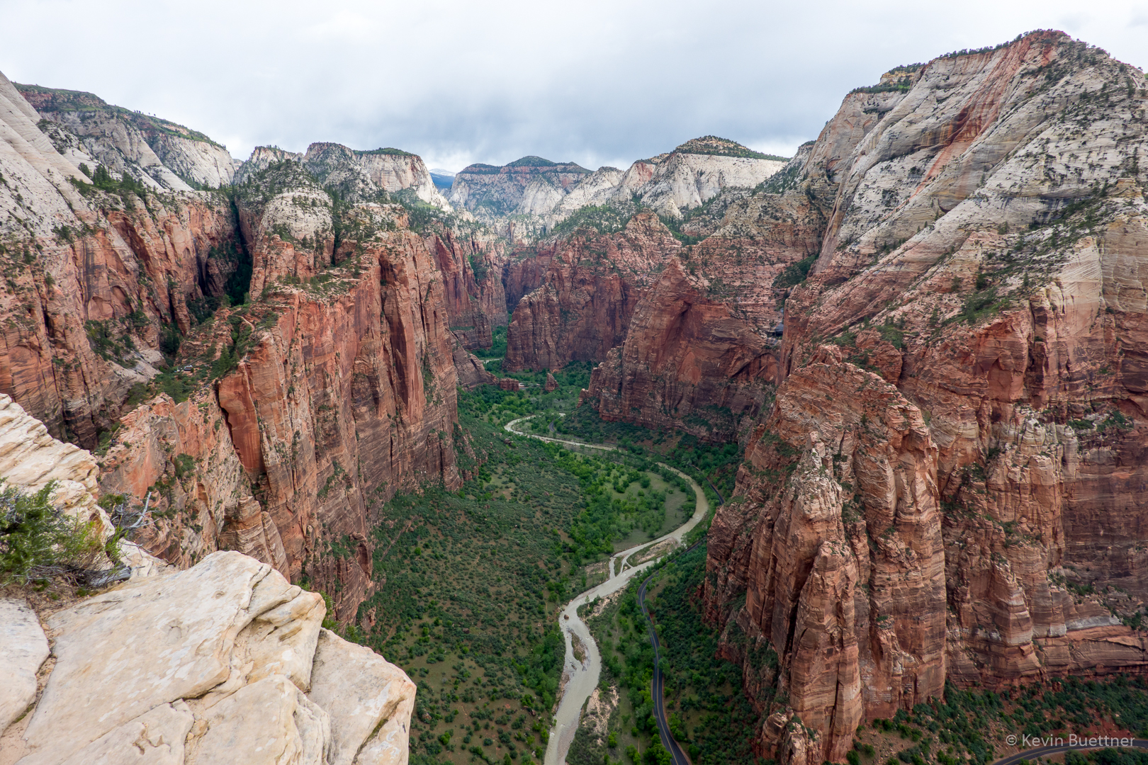
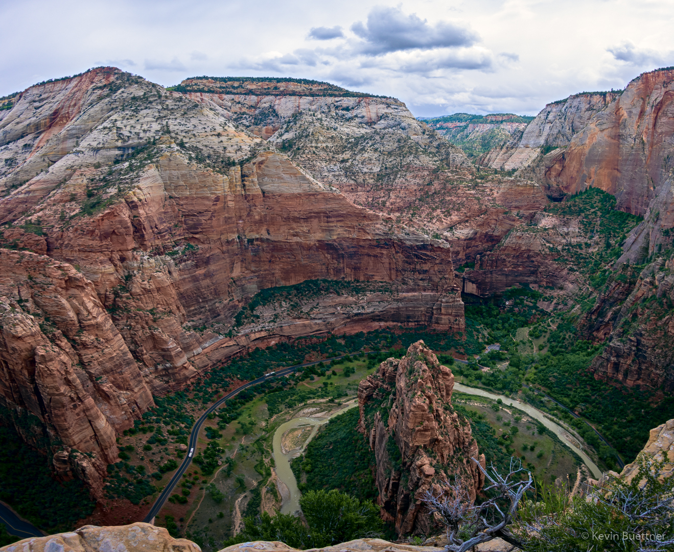
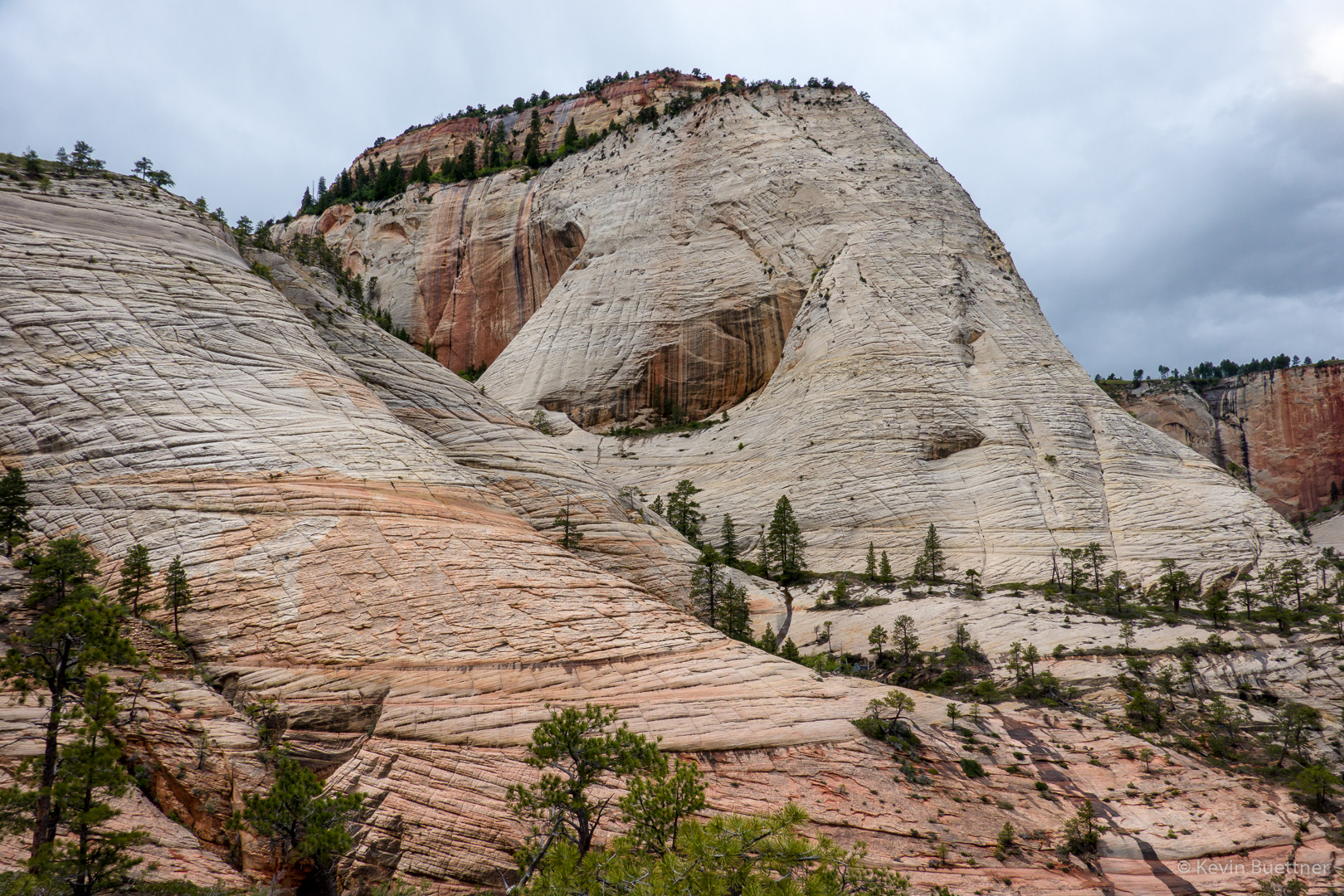
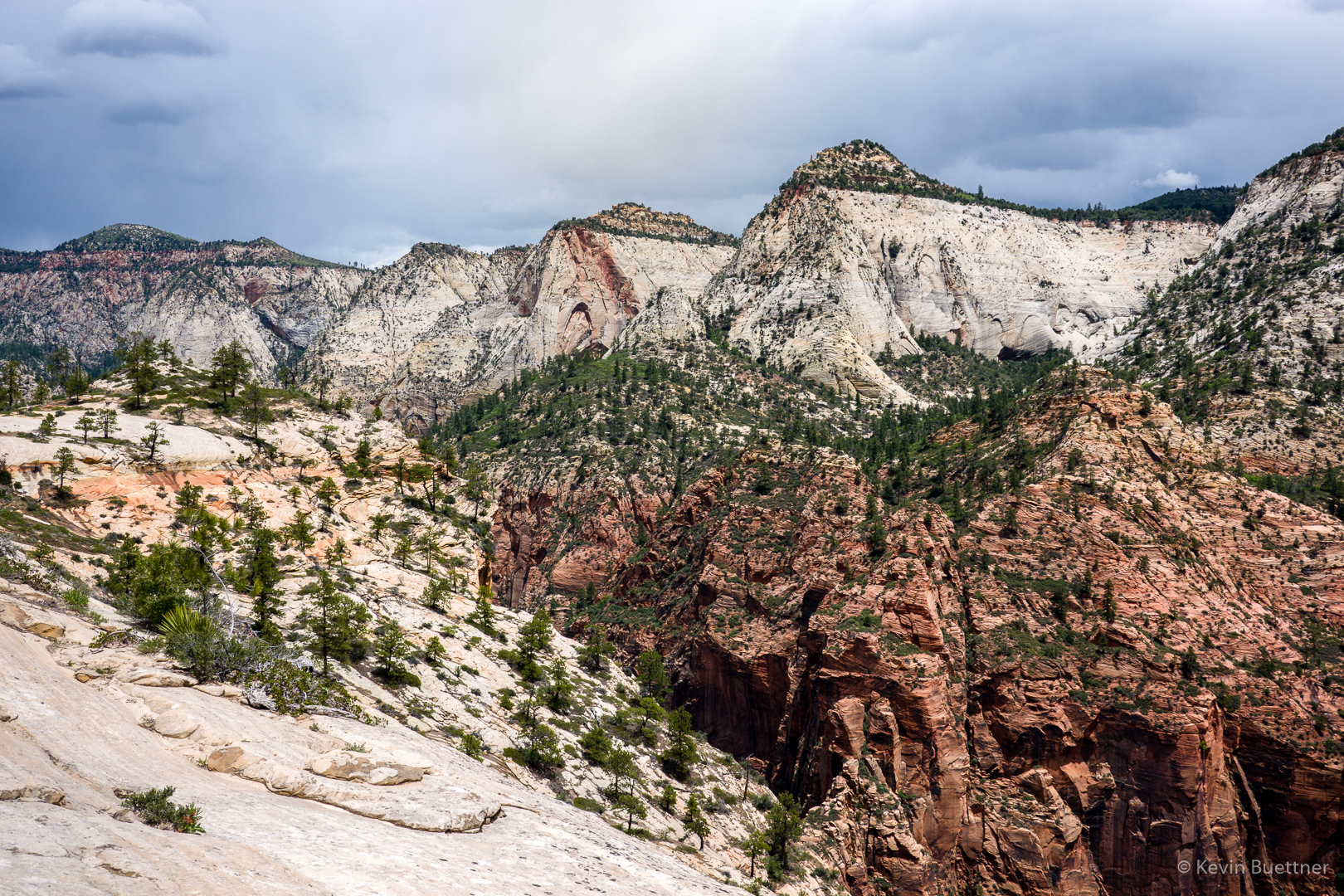
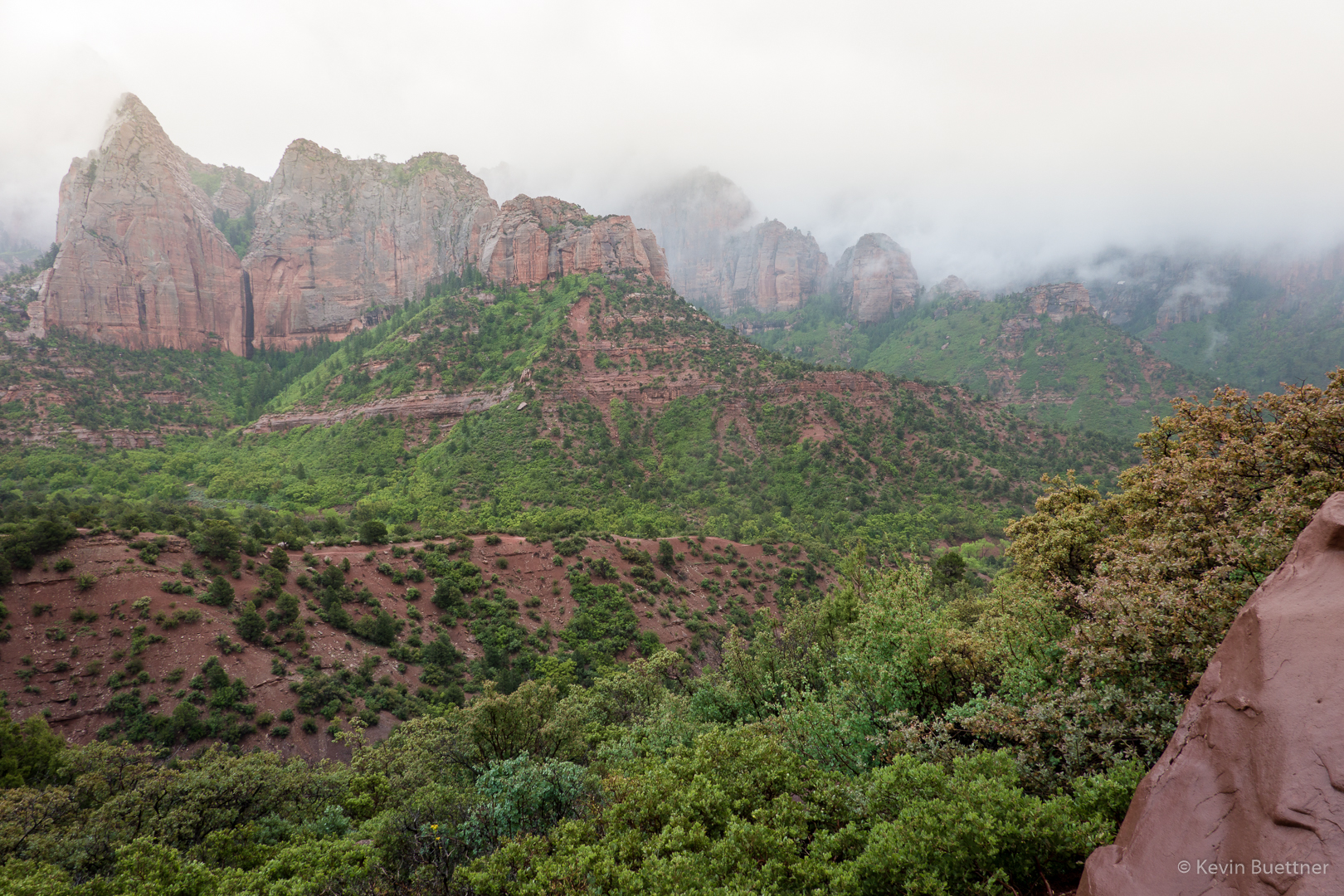
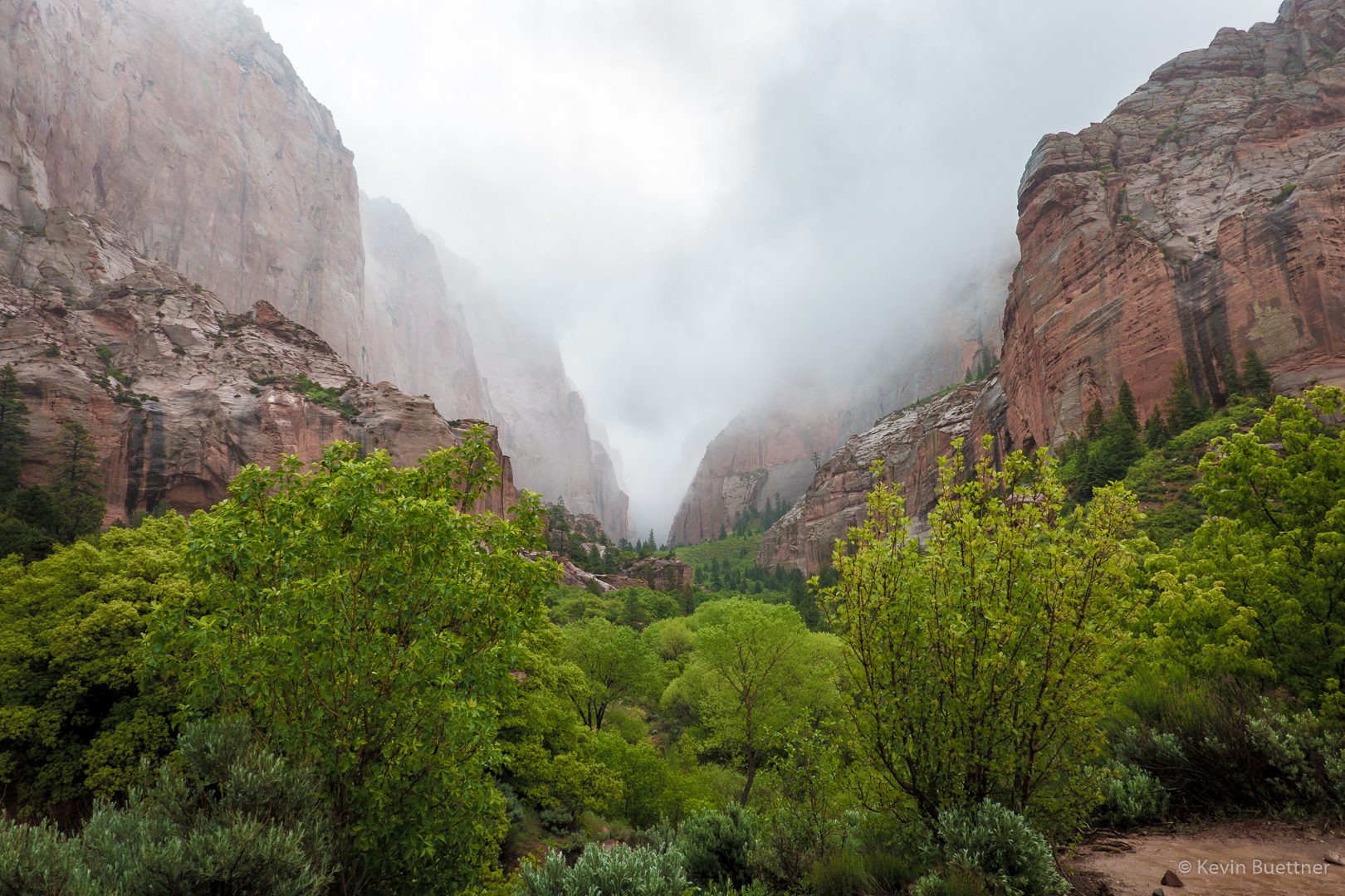
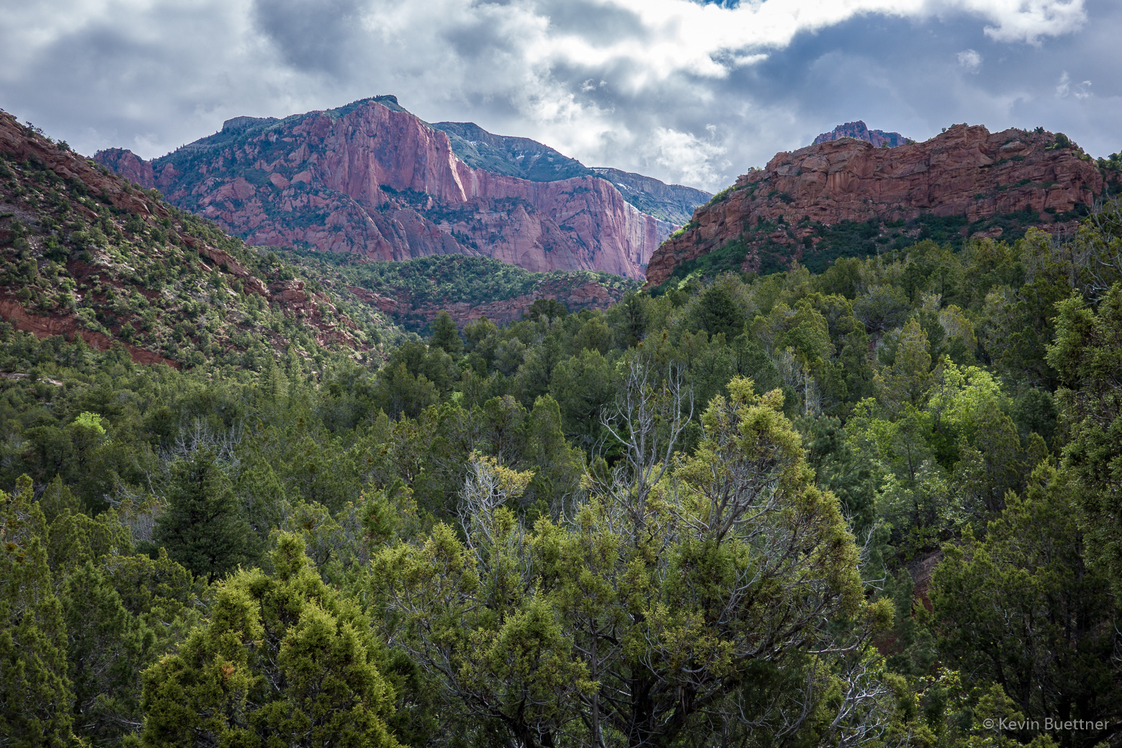
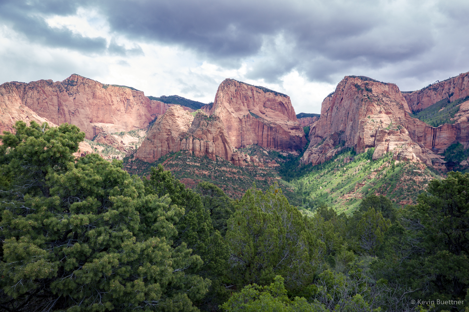
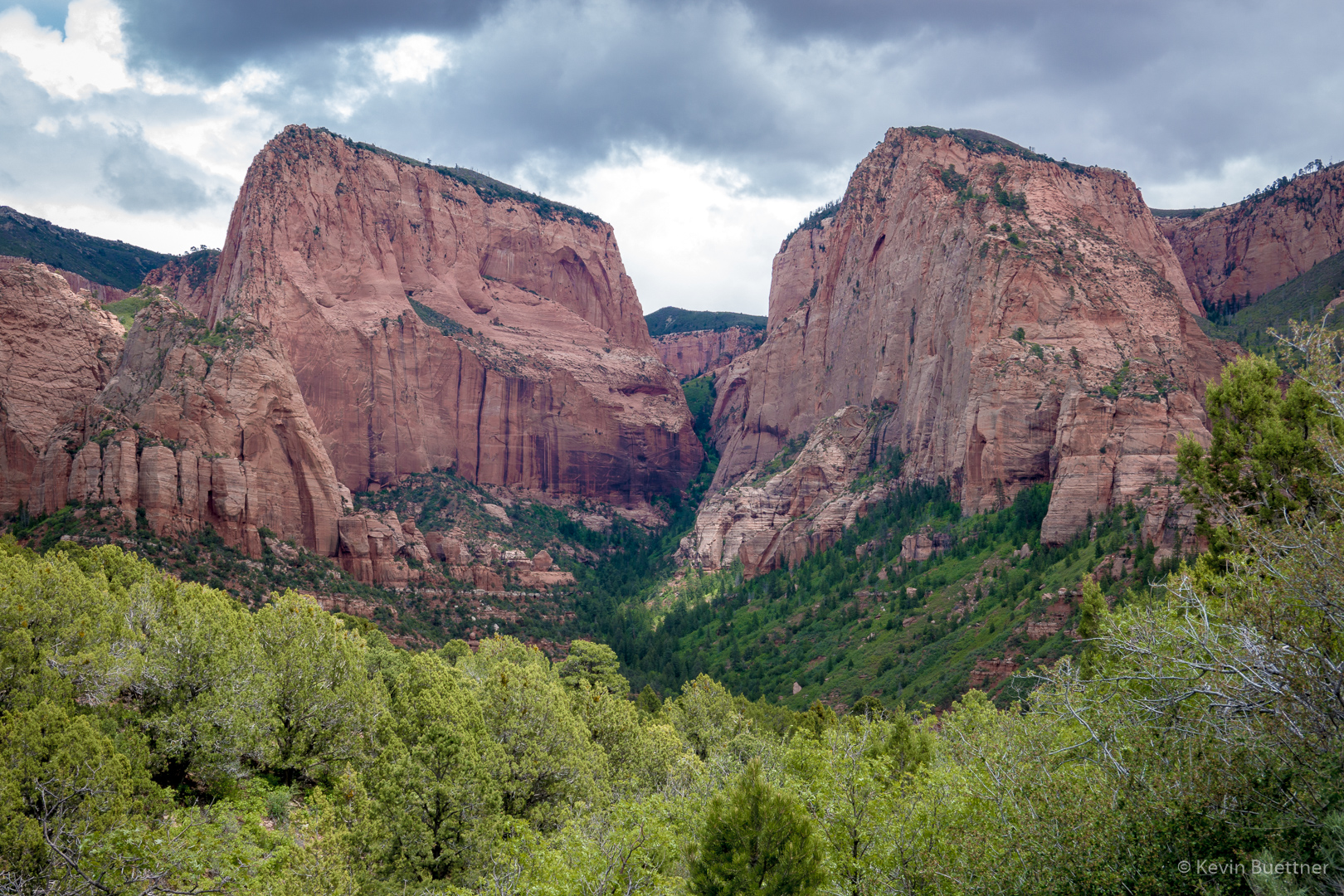
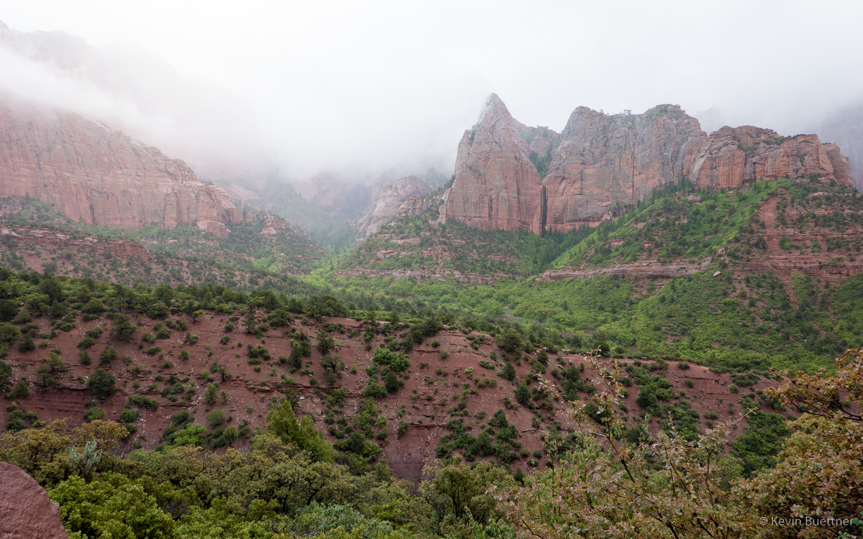
On Thursday, the 23rd, we had hoped to hike the La Verkin Creek Trail in the Kolob Canyons area of Zion National Park. The morning started sunny, but by the time we arrived at the Kolob Canyons area, it was raining on and off, mostly on. The trails were wet and muddy; visibility was poor; we decided to take a few pictures and take a rest day.

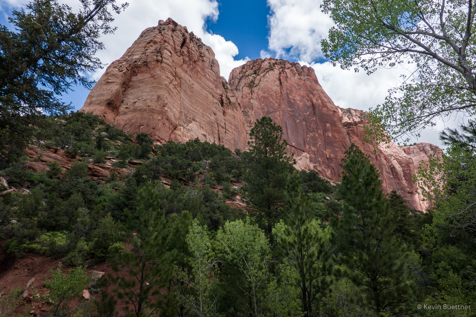
The first two photos were taken from the same overlook that Marilyn and I had visited on the day before. The final photo was taken from a switchback on the road back down to the park entrance.

Taylor Creek

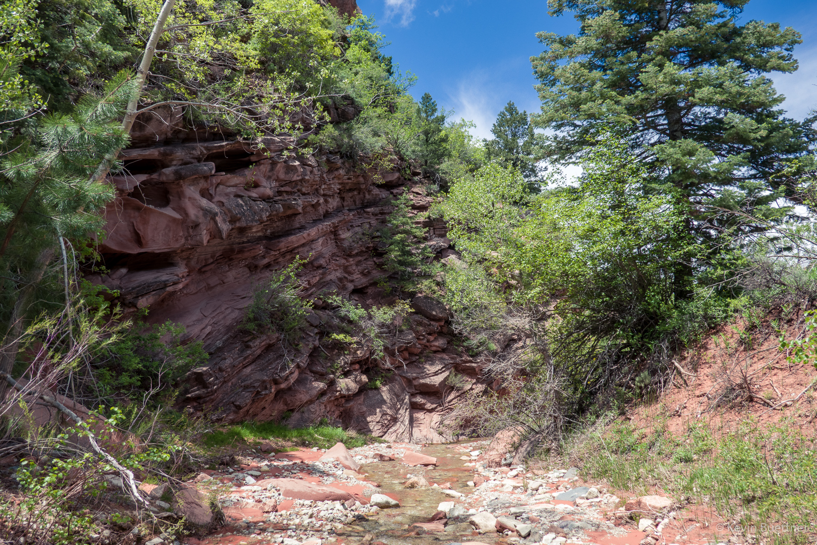
On the 22nd, Marilyn and I hiked Taylor Creek, which is in the Kolob Canyons section of Zion National Park. This is well away from the main canyon in Zion where we had hiked the day before. We found Taylor Creek to be considerably less crowded than the main section of the park.

Larson Cabin:

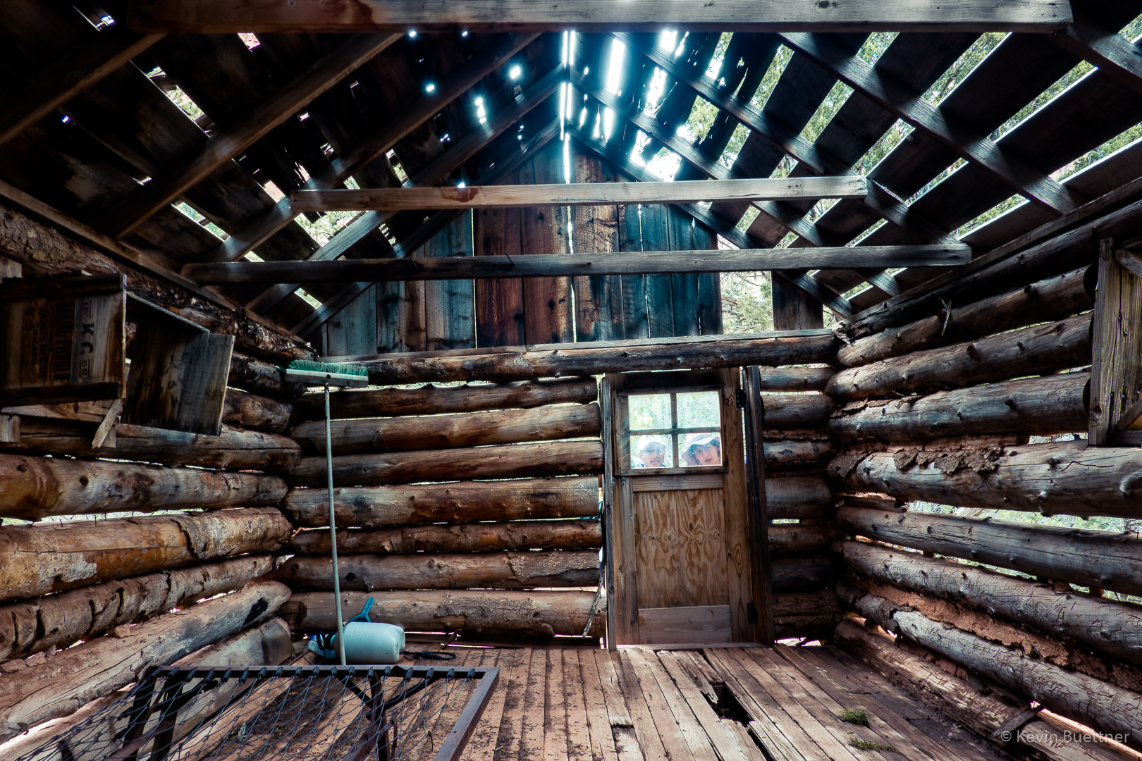
Larson Cabin interior:

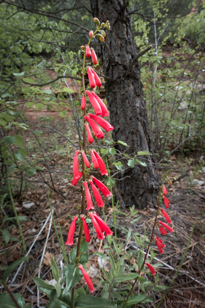
Penstemon:

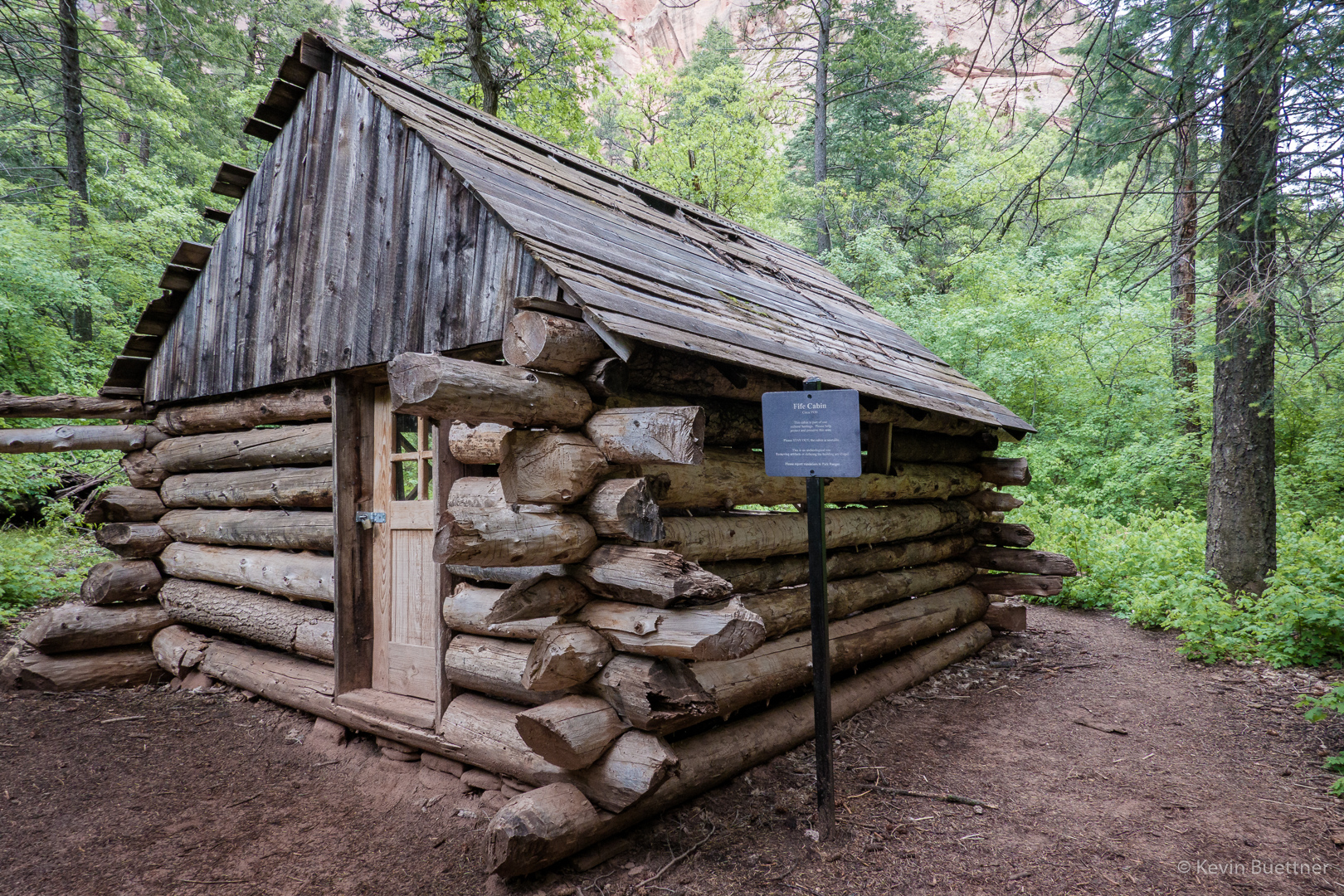
Fife Cabin:

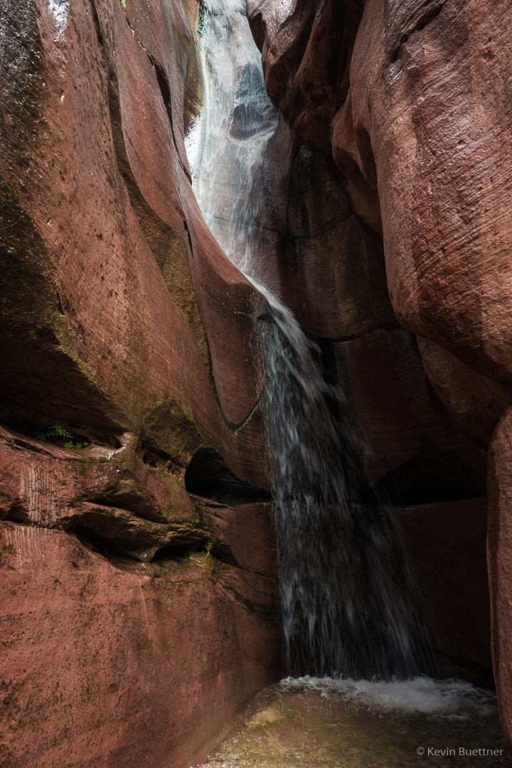
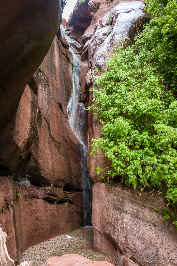
There was a waterfall at the end of the trail!

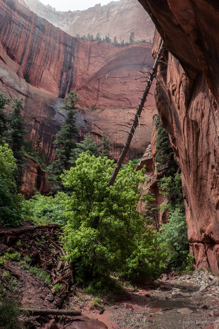
Some of the Double Arch Alcove is visible in this photo. Earlier in the hike, we stood in the alcove. It was raining then, so I didn’t take any pictures from the alcove. The “arches” that we saw weren’t the kind of arches that you see elsewhere in Utah, e.g. in Arches National Park.

Another Look at Fife Cabin:

The trail crosses Taylor Creek many times. On the way back, I decided to hike in the creek for a ways.

When we were finished with hiking Taylor Creek, we drove the rest of the Scenic Drive to the overlook.

Zion – Angel’s Landing

On Tuesday, the 21st, Marilyn, Joe, and I hiked Angel’s Landing in Zion National Park. Tuesday’s forecast was the best for the days that we were scheduled to be there – it was supposed to be mostly rain-free in the morning with light rain forecast for the afternoon. The remaining days in the Zion area were forecast to be considerably more wet.

Also, the only significant hike that was open in the main canyon was Angel’s Landing. The Narrows was closed due to snow melt. Other trails of consequence were closed due to damage from rock fall. So, we picked the one good weather day to do Angel’s Landing.

I had hiked Angel’s Landing several years ago. On the day that I did it, the route was very dry and the footing was good. On the 21st, it wasn’t entirely dry and there was often wet sand underfoot. When I had done the route earlier, I found the chains to be optional; in dry conditions, they aren’t necessary to safely ascend and descend the route. In less than optimal conditions, however, I was very happy that the chains were there.

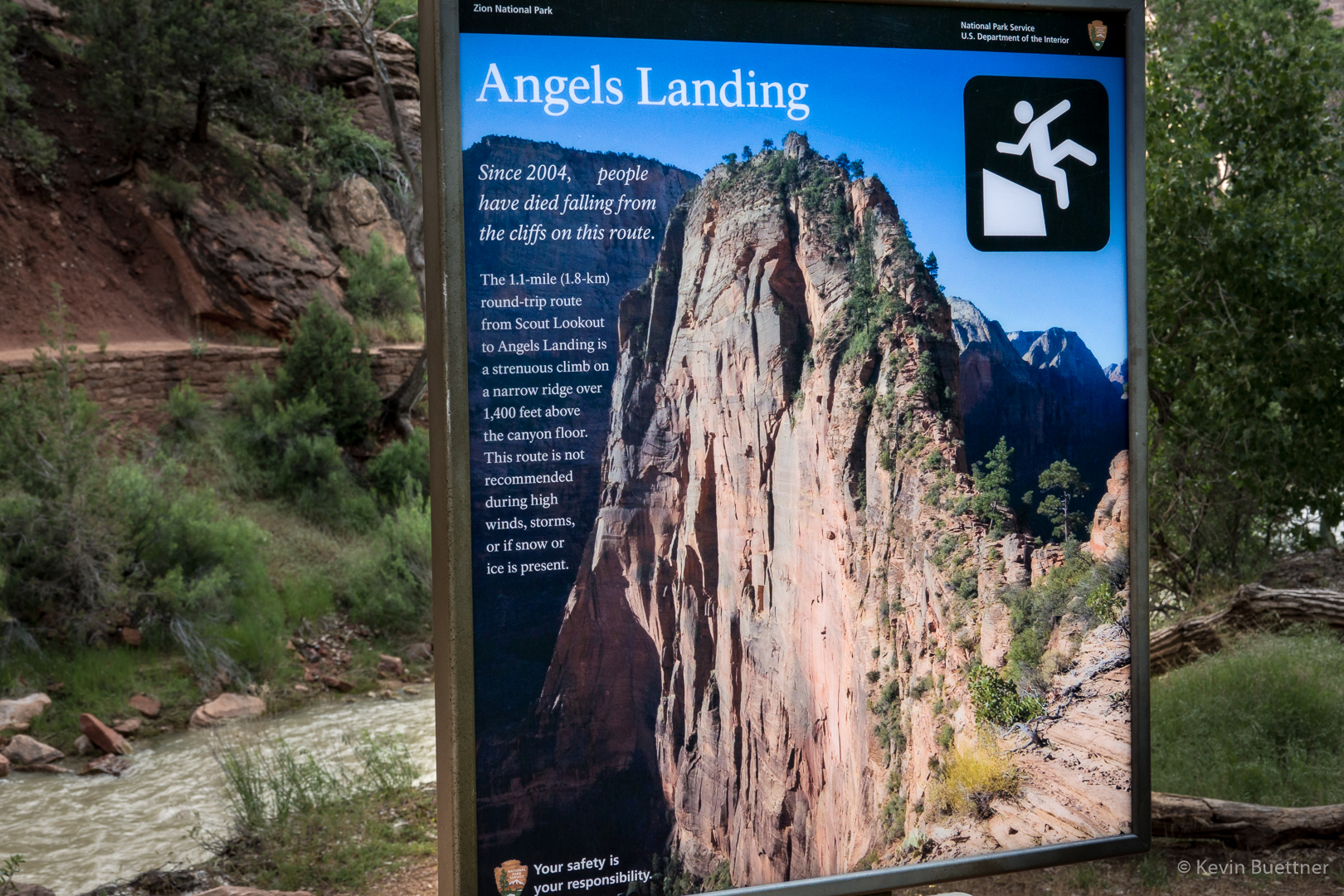
The hike to Angel’s Landing starts at The Grotto, ascends the West Rim Trail to Scout Lookout, and then ascends a steep section to the top of Angel’s Landing. This sign appears early in the hike on the West Rim Trail.
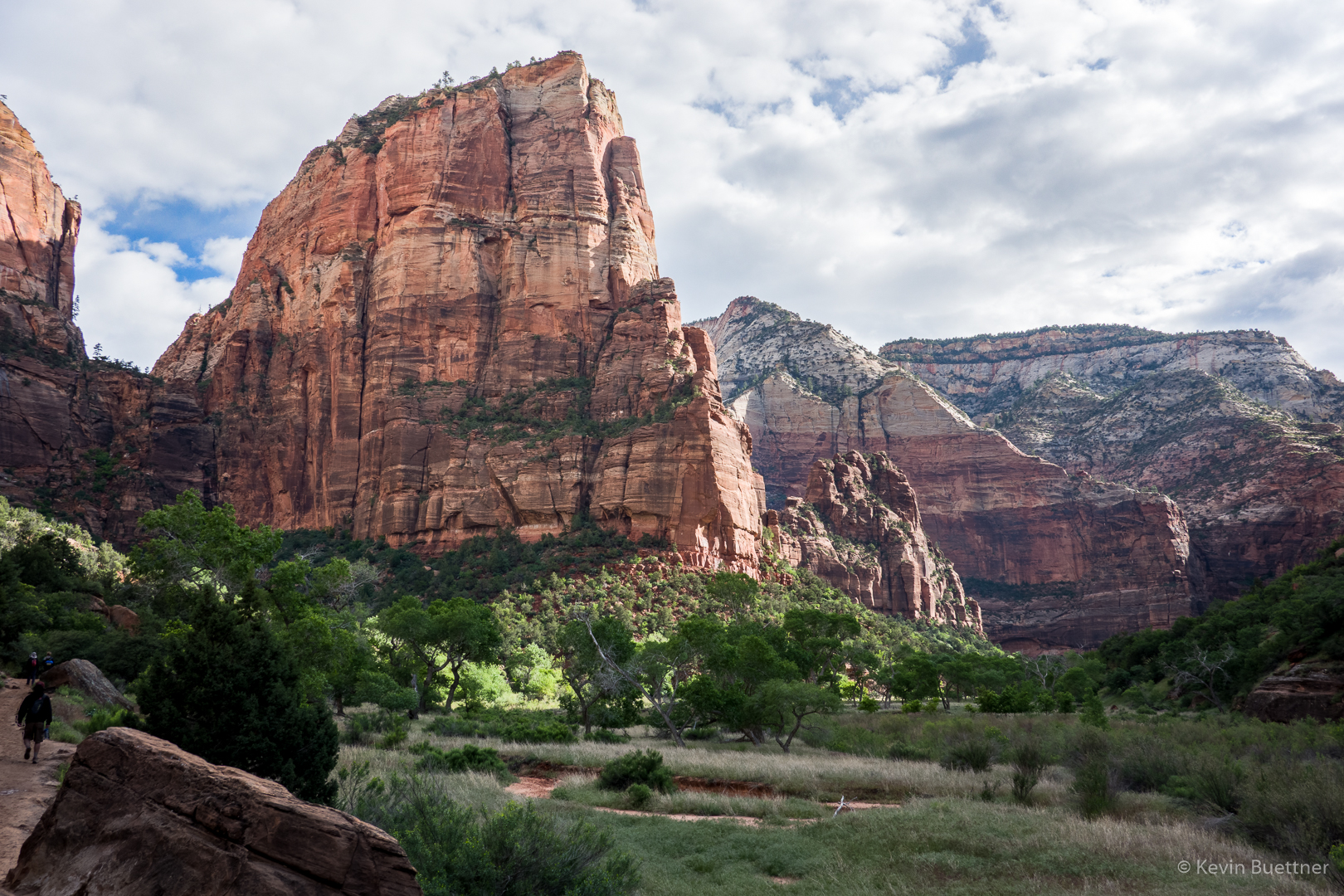
A view of Angel’s Landing from the lower (and flatter) section of the West Rim Trail.
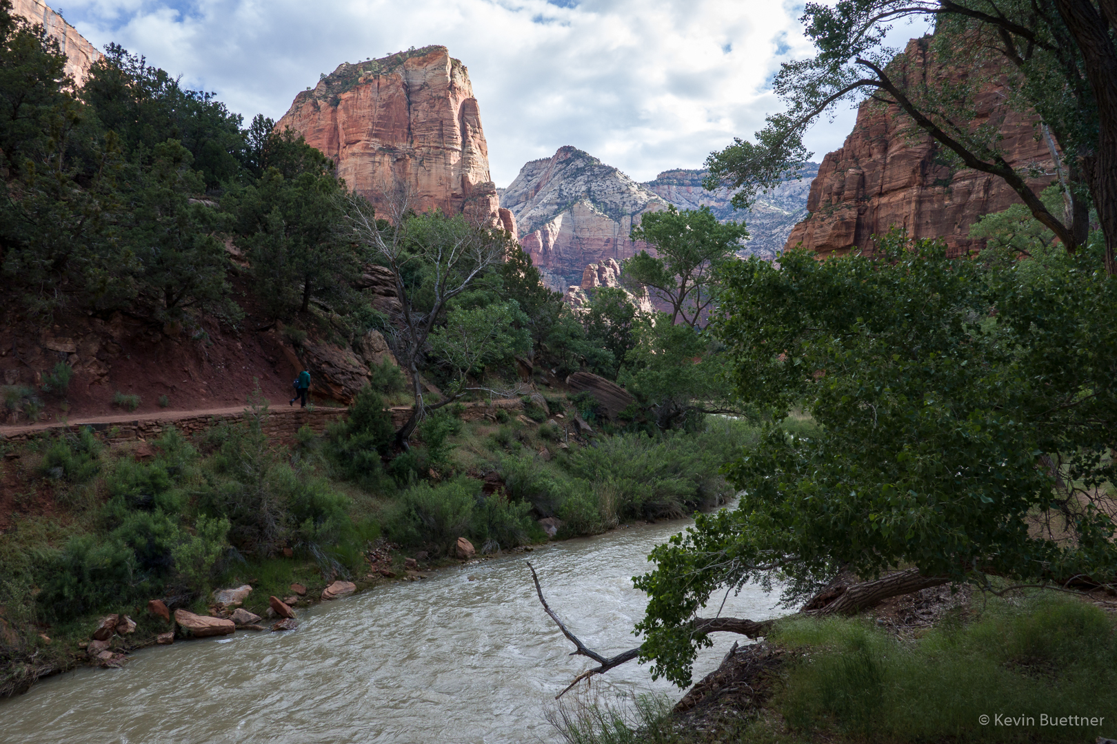
Another early look at Angel’s Landing:
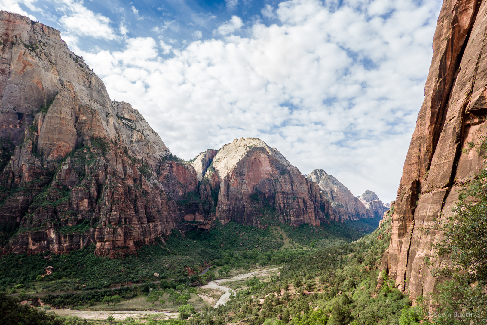
Looking back down canyon:
This was one of the easier sections on the West Rim Trail. It was relatively flat here with some interesting views.
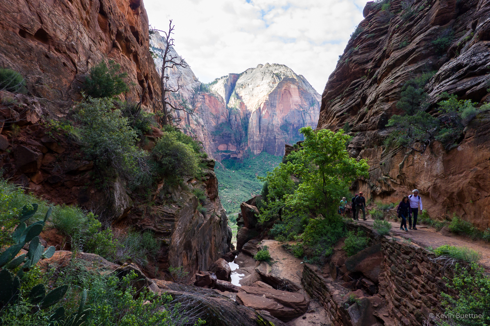
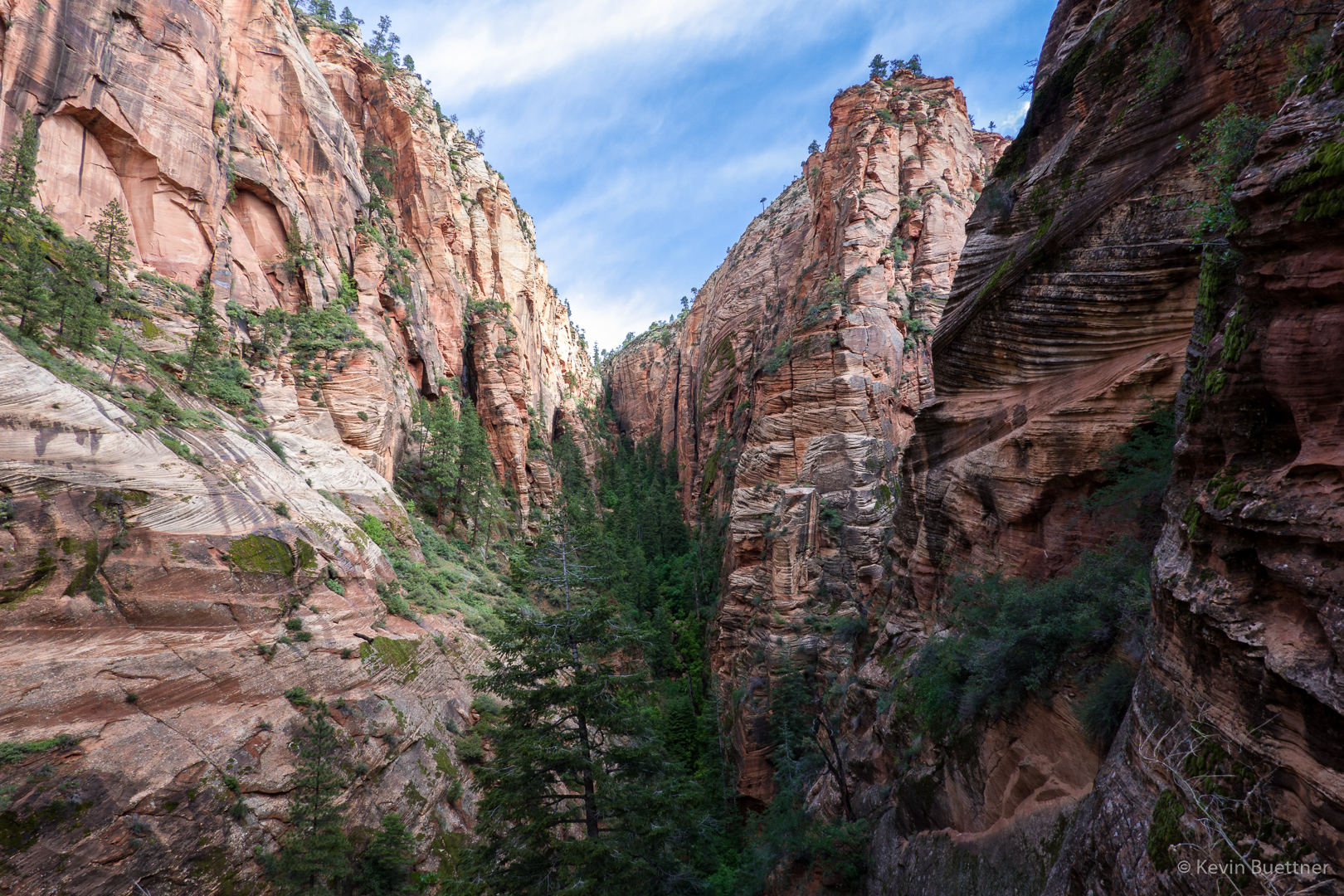
Looking up-canyon (below) from near the point where the above photo was taken:
Walter’s Wiggles:
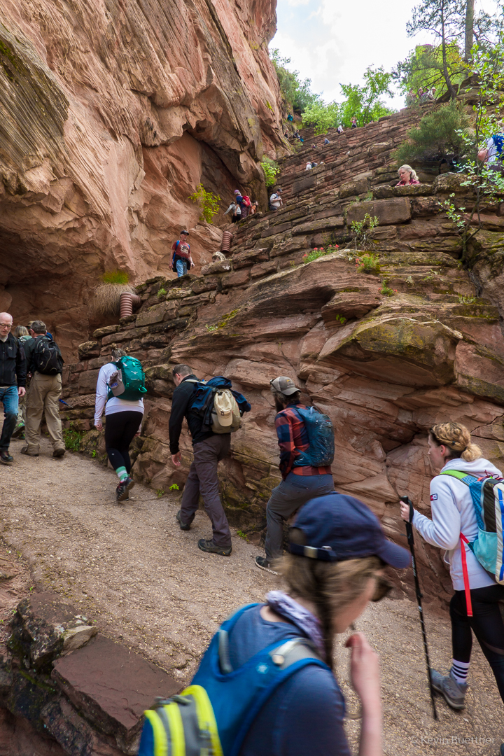
Scout Lookout had some nearby bathrooms and a mass of humanity milling about. This photo is from near the start of Angel’s Landing. The route was crowded that day; groups of (often) ten to twenty people were self organized to travel up or down together. Groups going in one direction would find a landing at which to wait while a group going in the other direction would negotiate a steep and narrow section. At this particular spot, I remember there being a steep drop off to my left. We waited there for perhaps ten minutes for a group coming down. I got separated from Joe and Marilyn at this point. (Joe found some younger folks that he chose to hike with.)  After stopping a few few times on the next section, I reached another really big landing where I waited for Marilyn. Marilyn had hurt her knee earlier during our trip and opted to wait for me at this large landing. I think she made the right choice; the descent from the top is very steep and would have been hard on her knee(s).
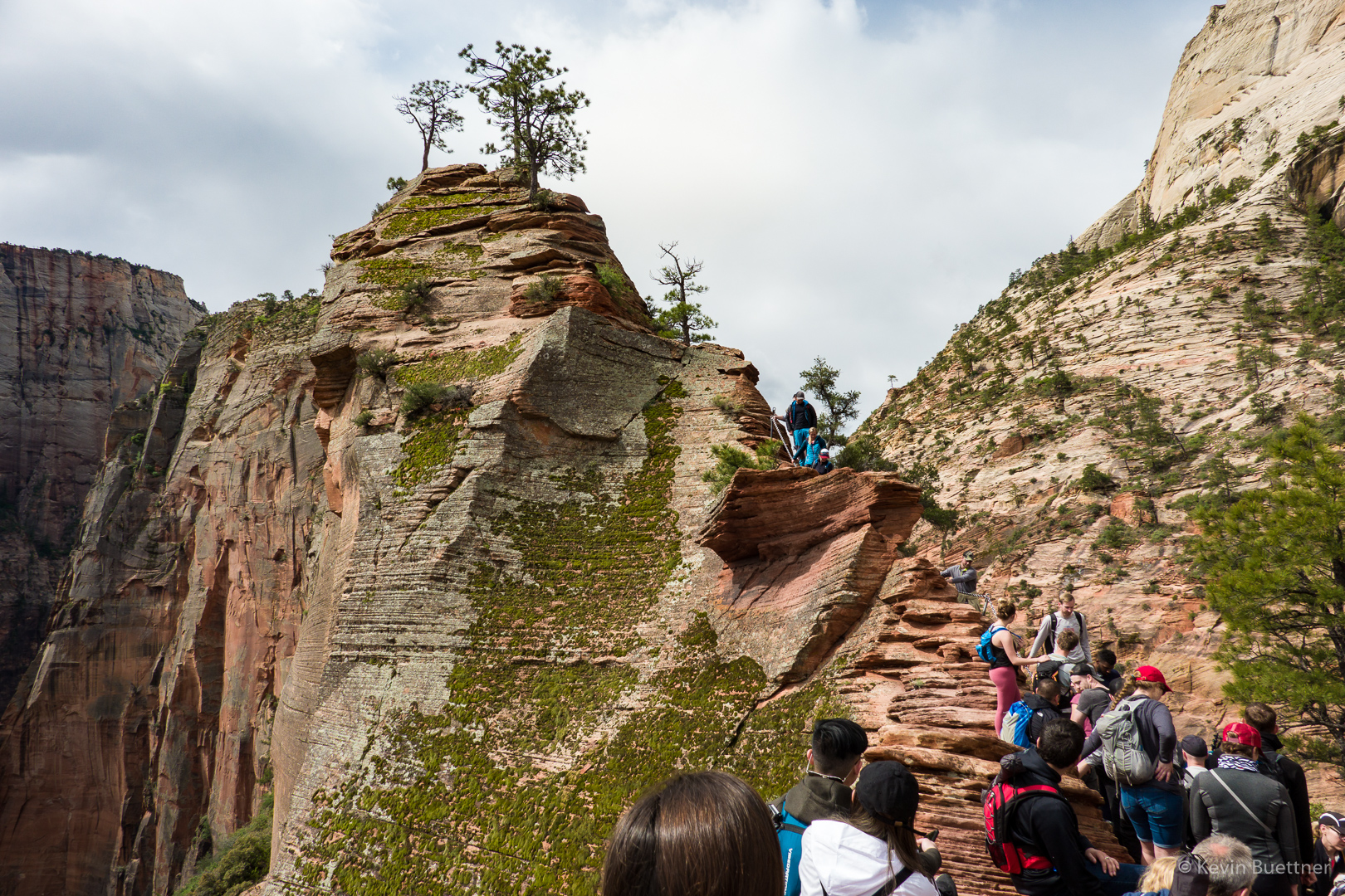
These next photos are either from the top or near the top of Angel’s Landing…
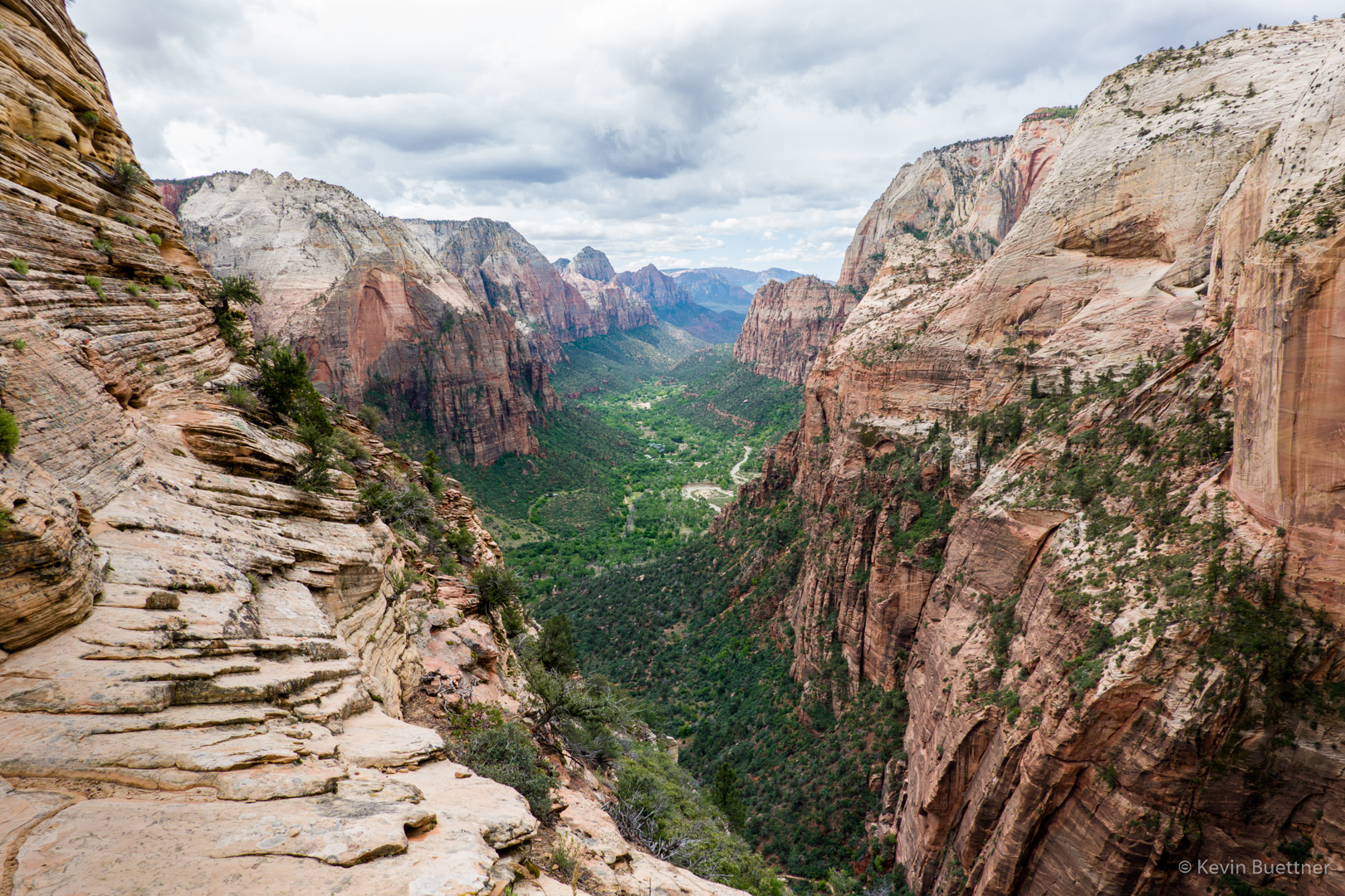
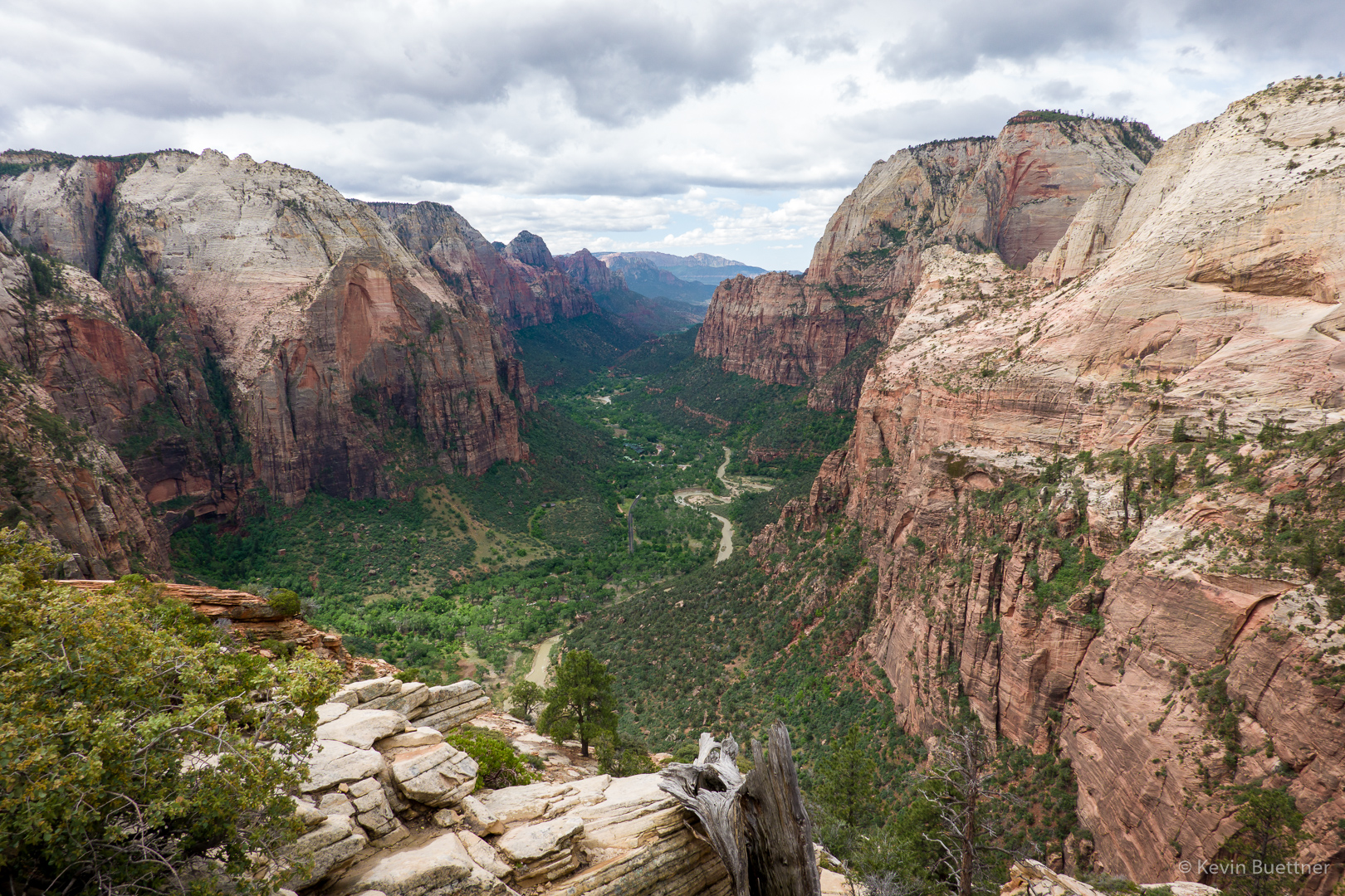
I’m on my way back down at this point. A little while earlier, I encountered Joe and his group finishing their ascent.
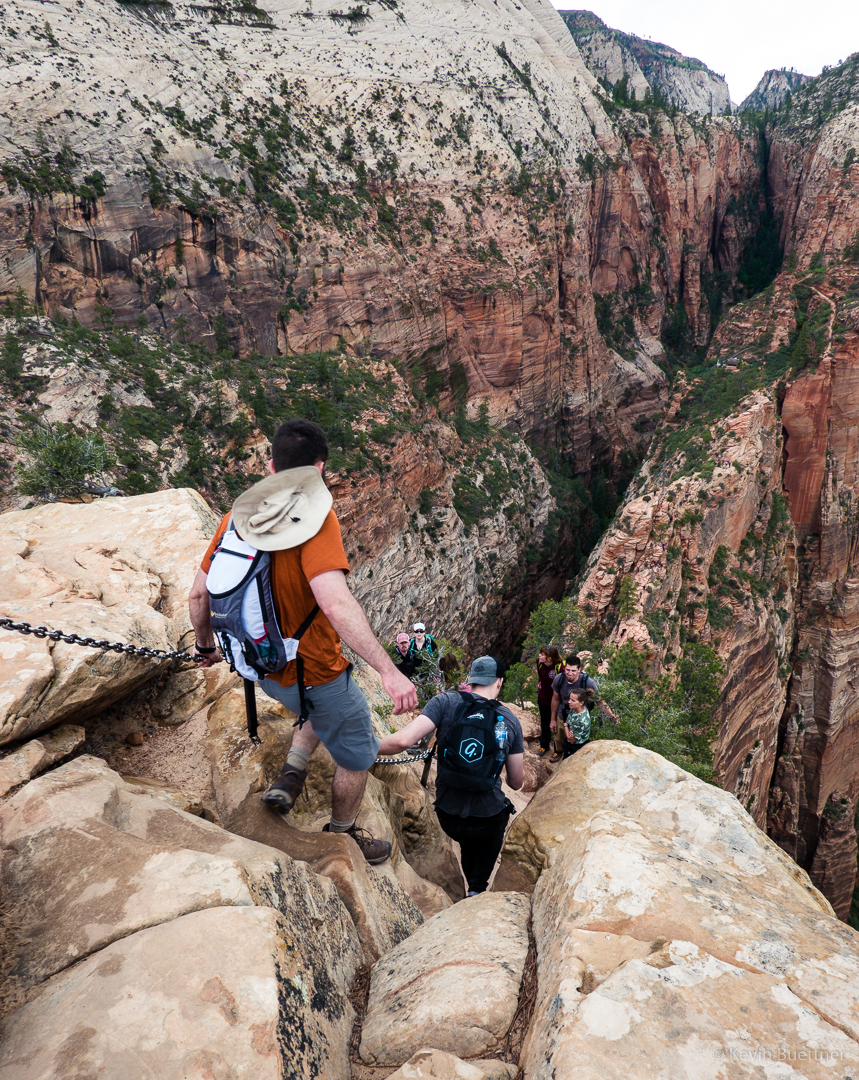
After finishing the descent to Scout Camp, the last part with Marilyn, I proceeded hike further up the West Rim Trail. There were some overlooks from which good views of Angel’s Landing could be found.
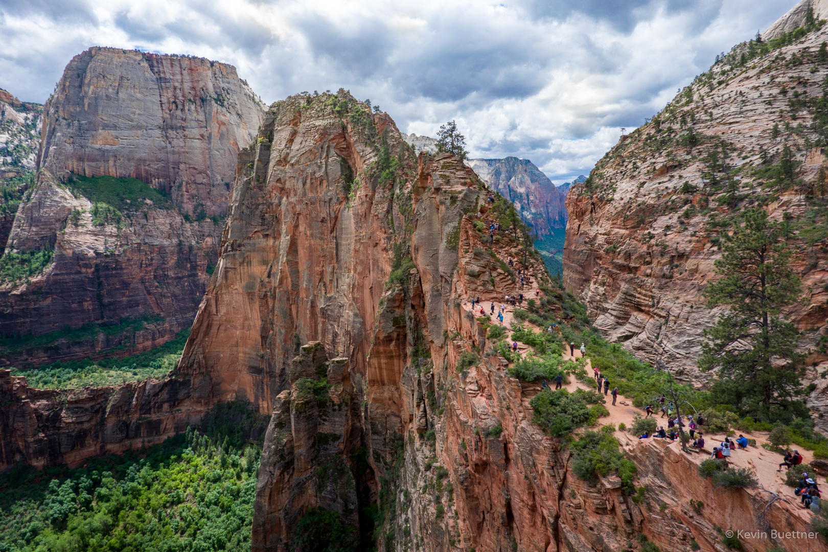
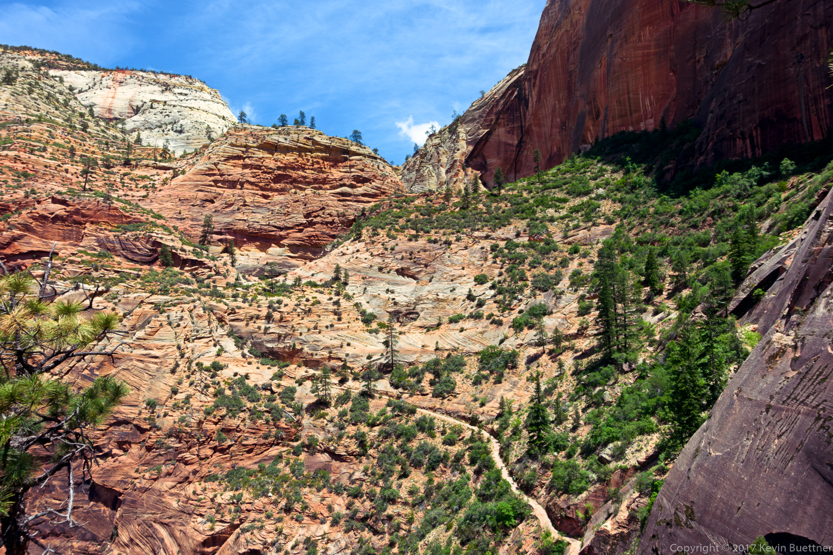
I really liked the upper parts of the West Rim Trail. It was considerably less crowded. The views were different too…

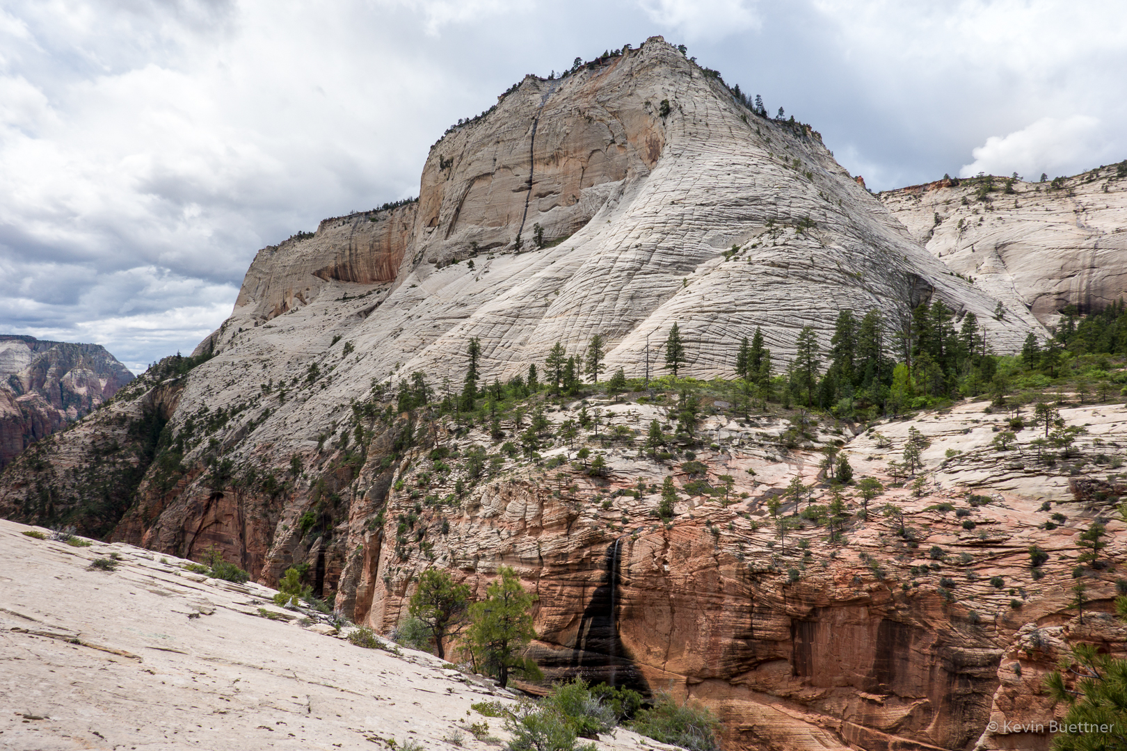
I hit a high point on the West Rim Trail and then proceeded perhaps a quarter of a mile further. Had I kept going, the trail would have descended a lot more before going up again. Instead of losing even more elevation which I’d have to reascend on the way back, I chose to turn around at that point. Along the way, I met Marilyn who, after meeting Joe, started up the West Rim Trail. It was at around this point that I took this photo. We’re still high above Scout Lookout at this point.
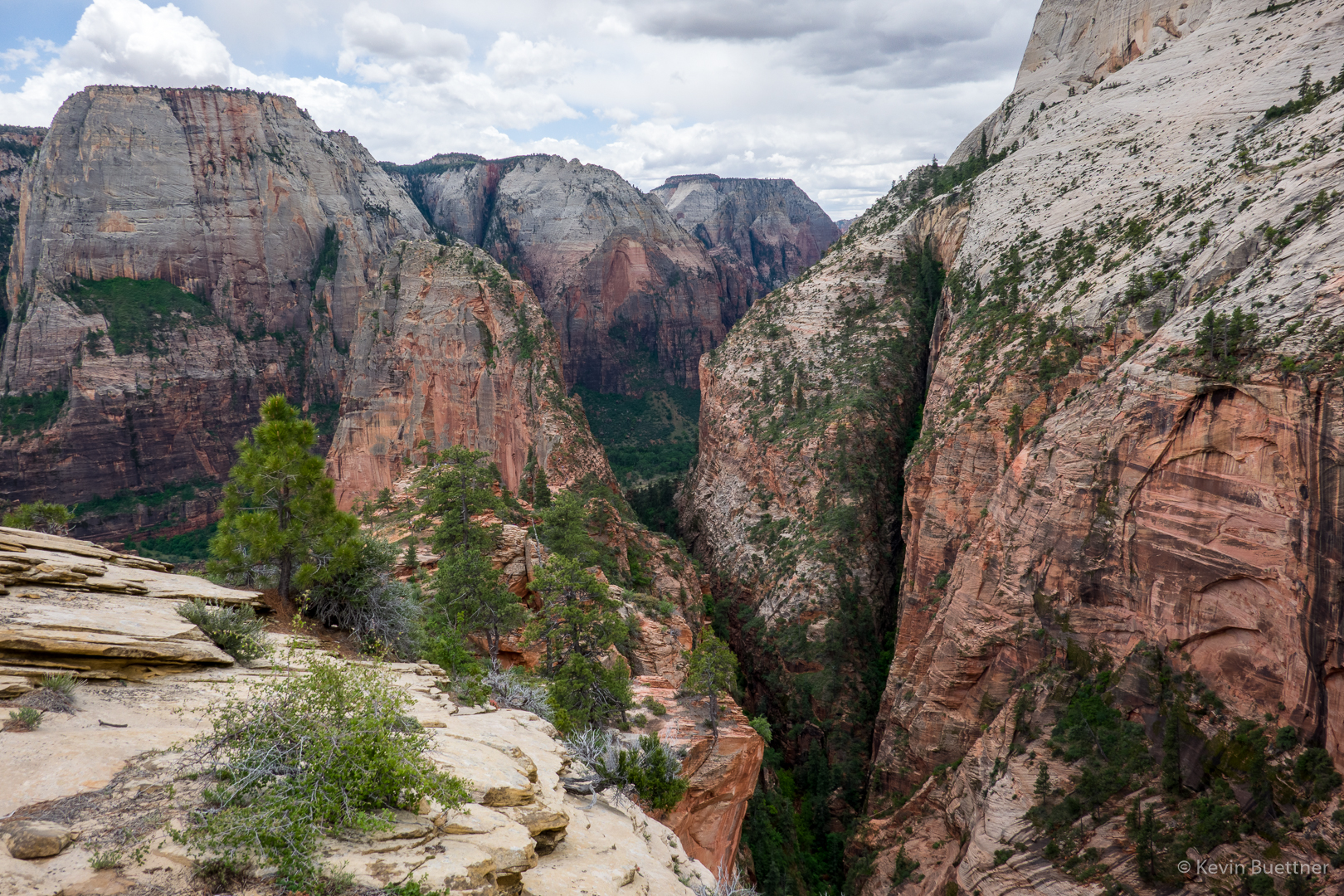
On the way back down to Scout Lookout, I zoomed in on a steep section of Angel’s Landing. Although it had been raining – hard enough for me to put on my rain jacket – there were still people going up and down the route!
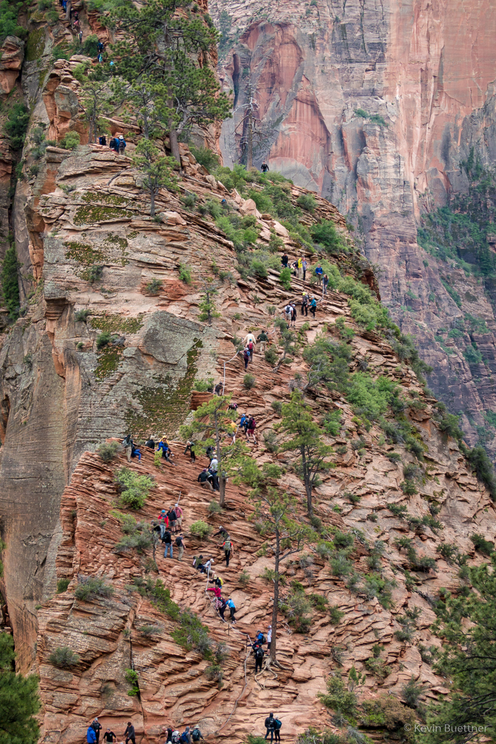
I took this photo from the West Rim Trail below Scout Lookout:
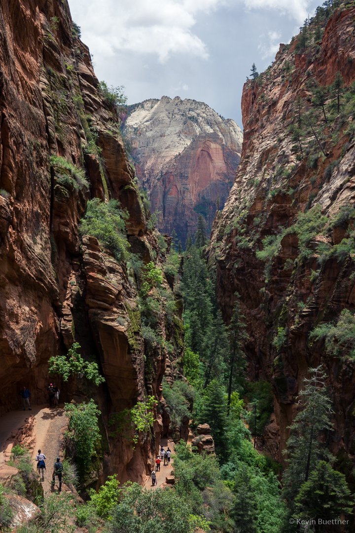
Hidden Canyon Hike

Zion Narrows

View from the Springdale La Quinta

Zion Narrows

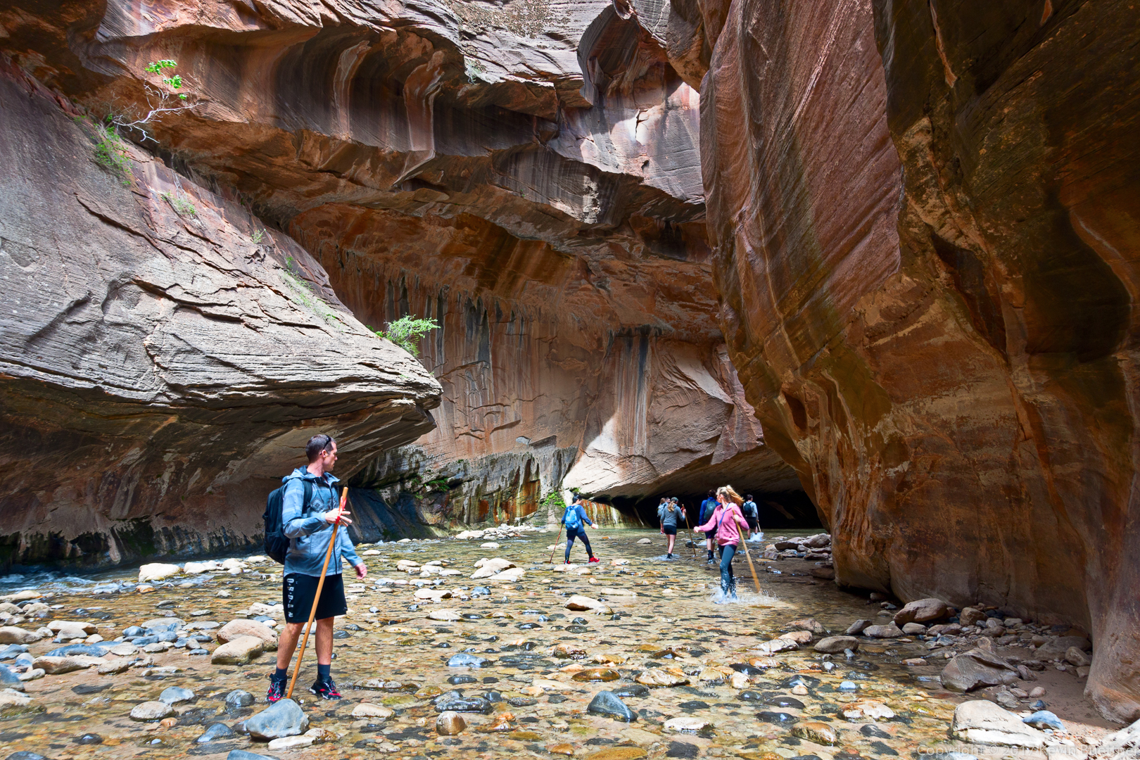
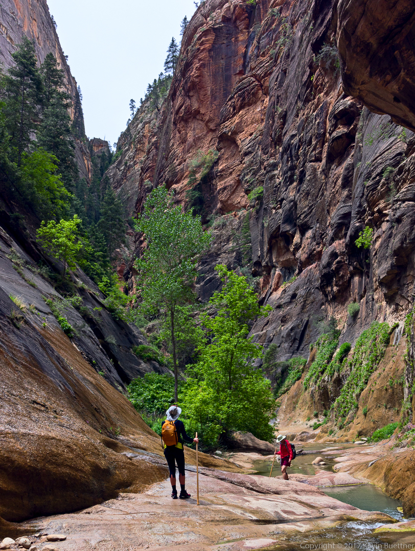
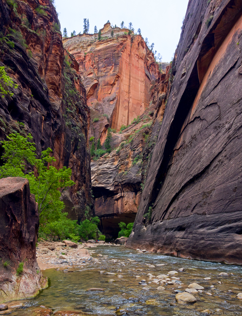
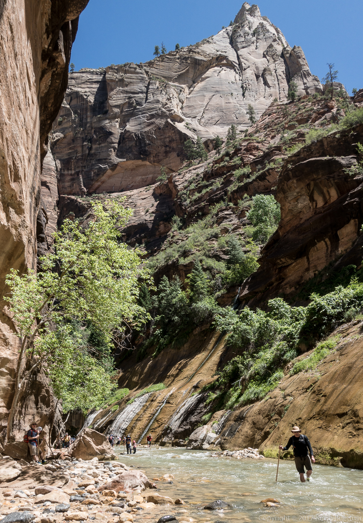
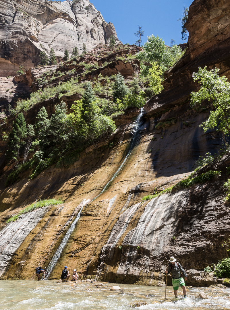
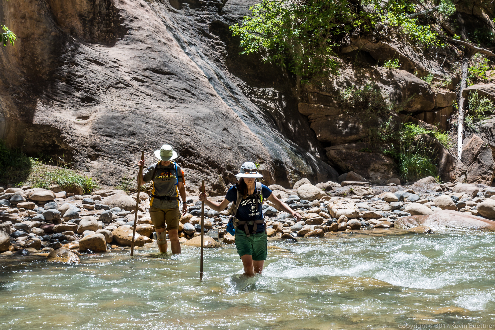
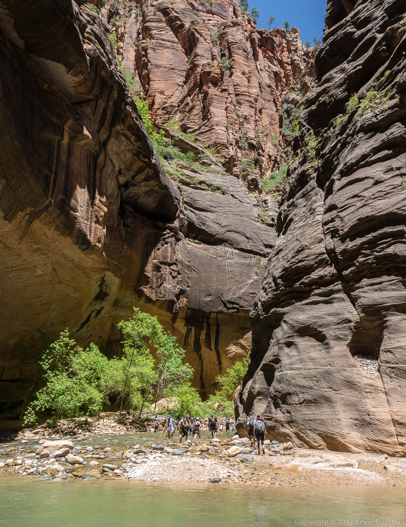
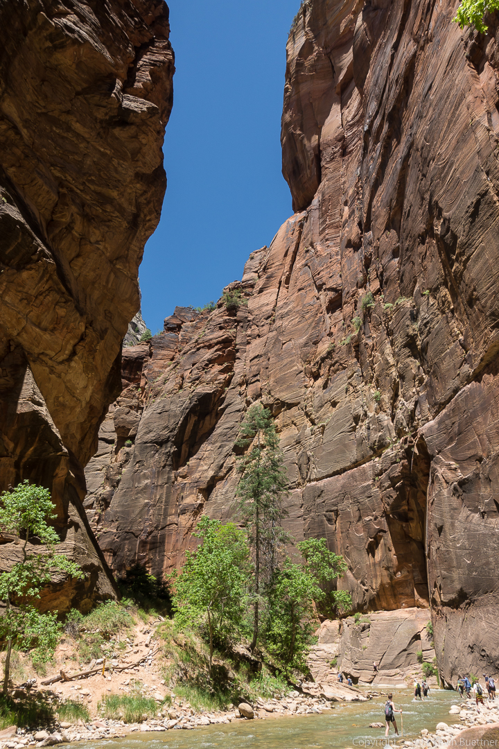
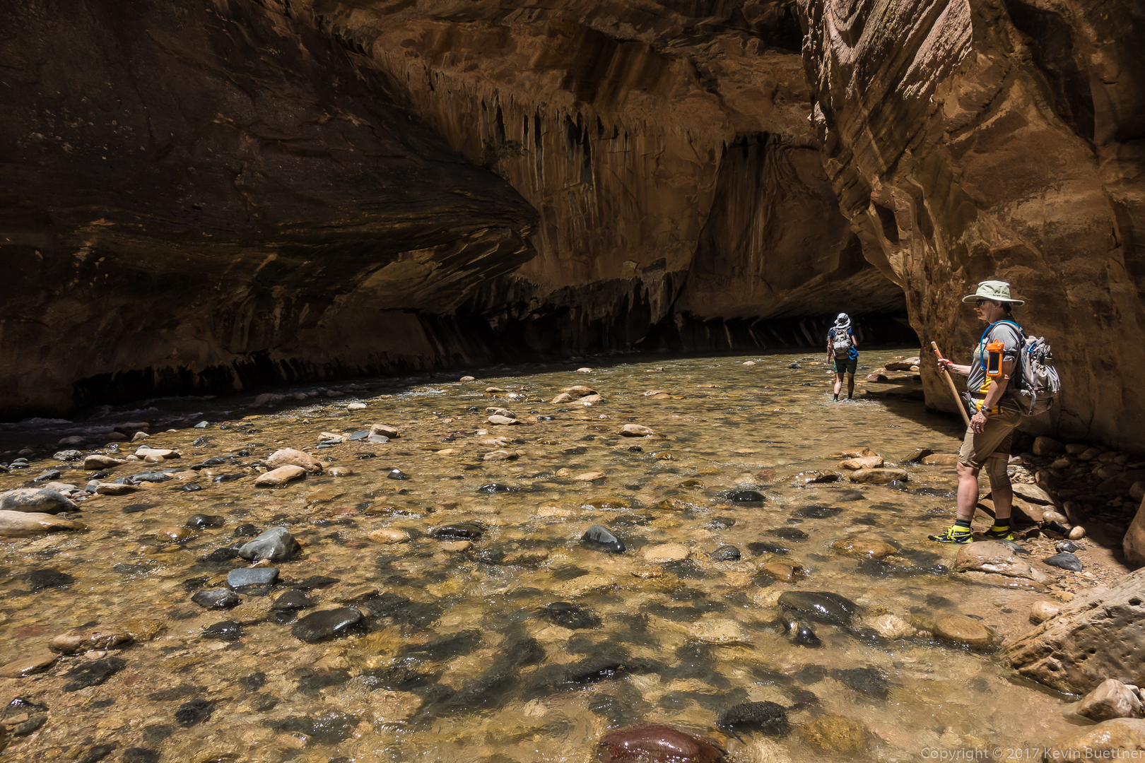
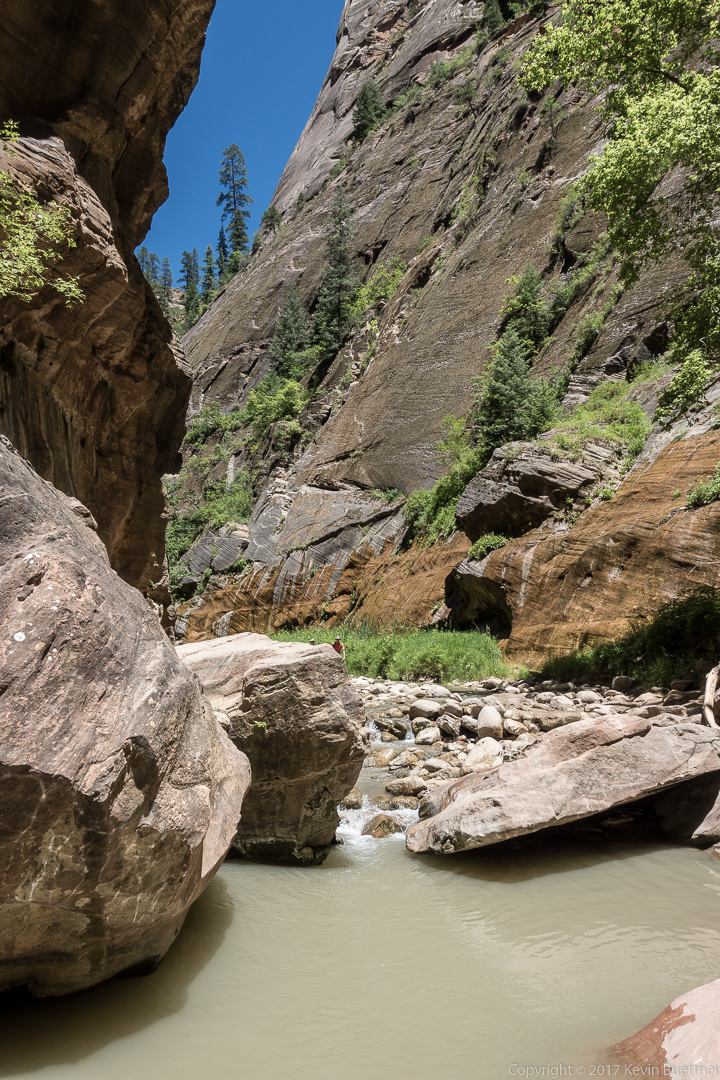
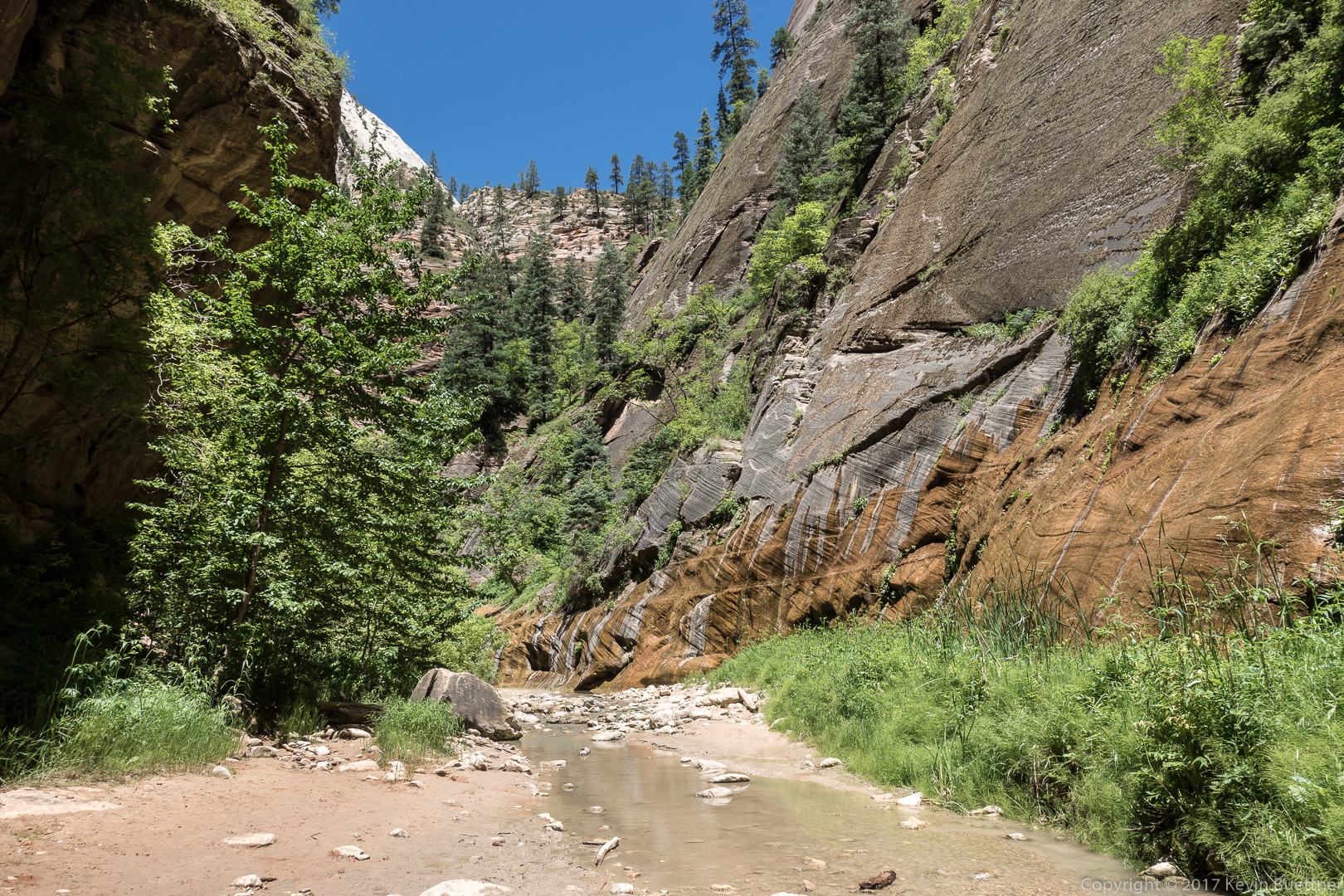
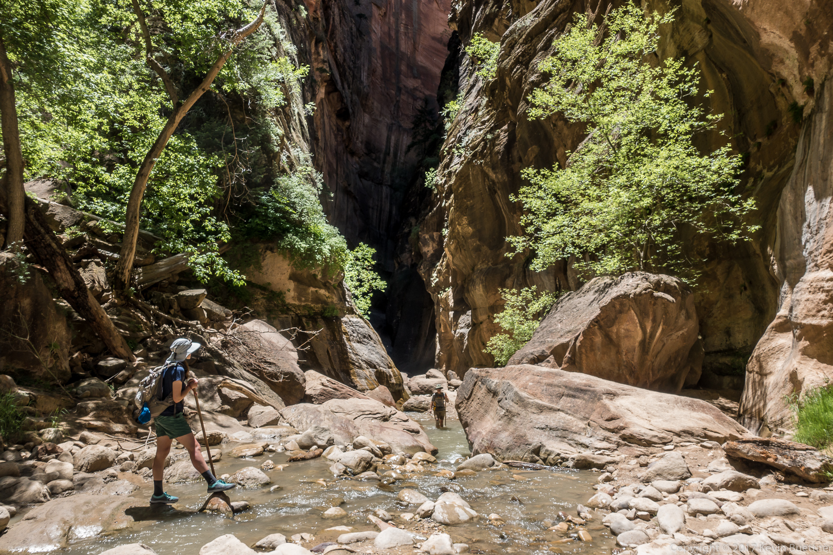
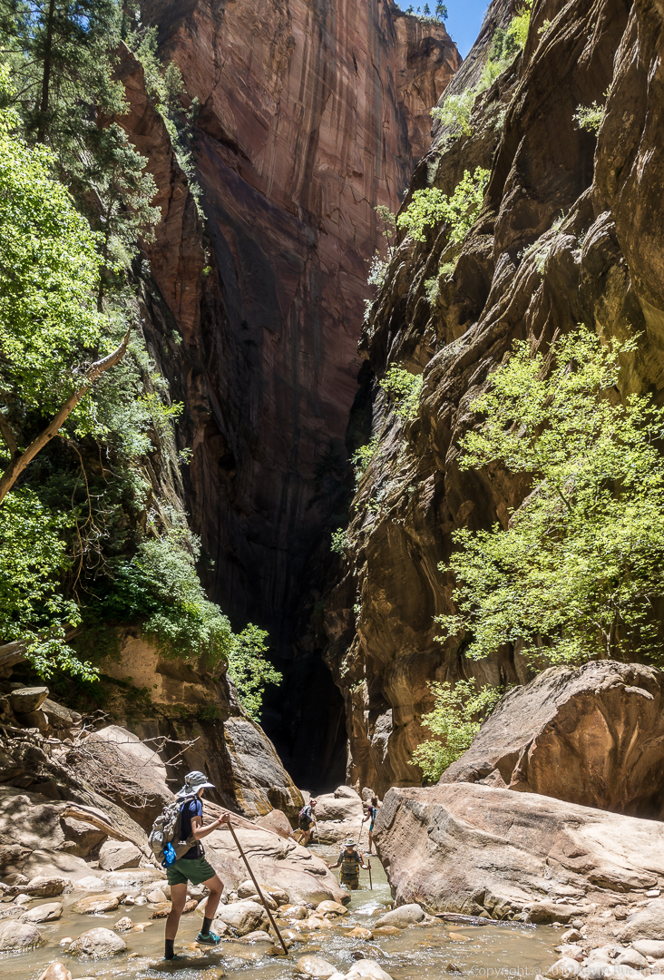
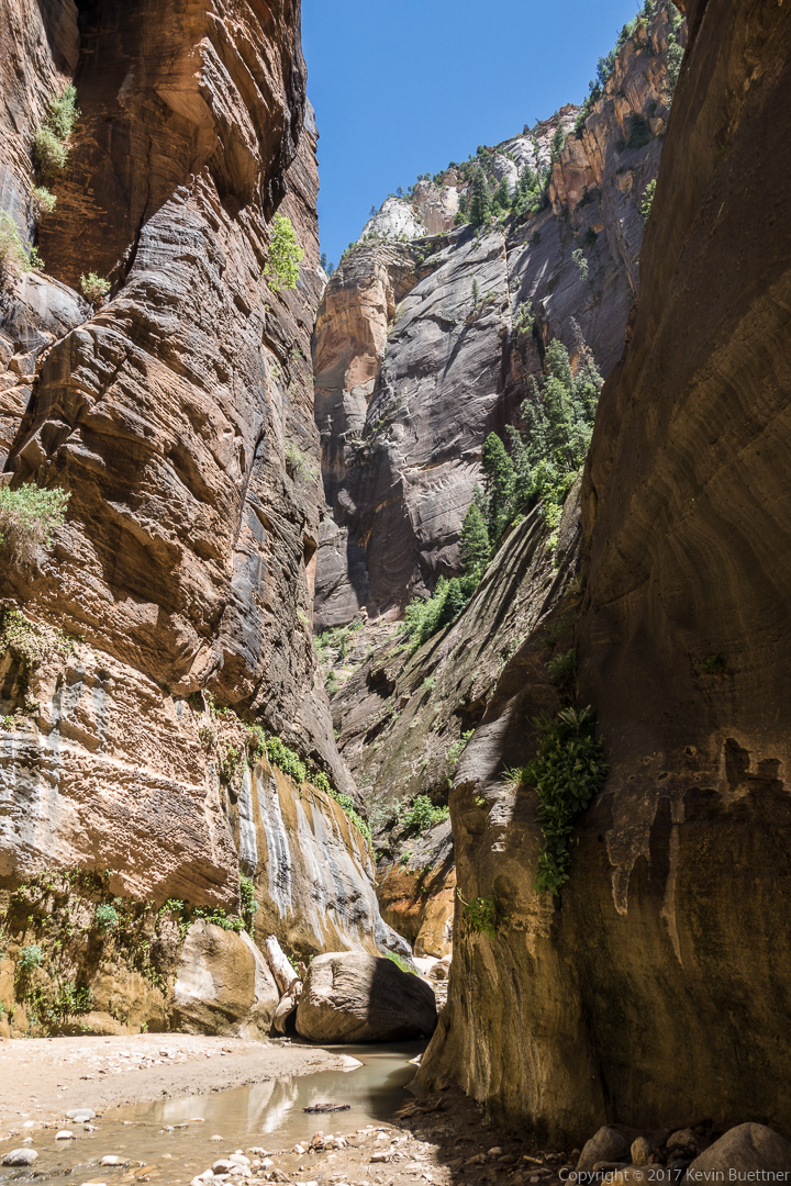
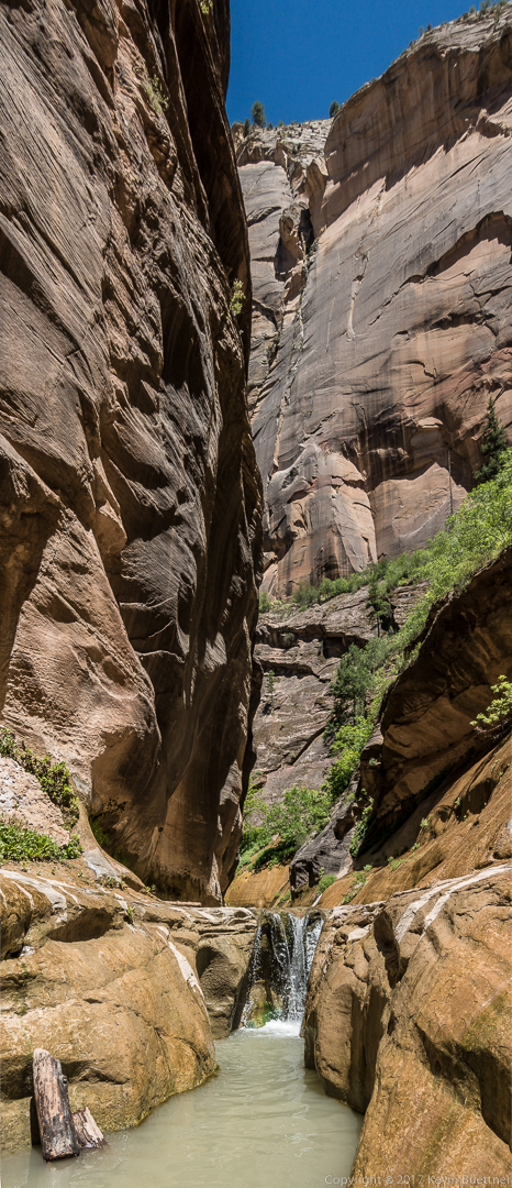
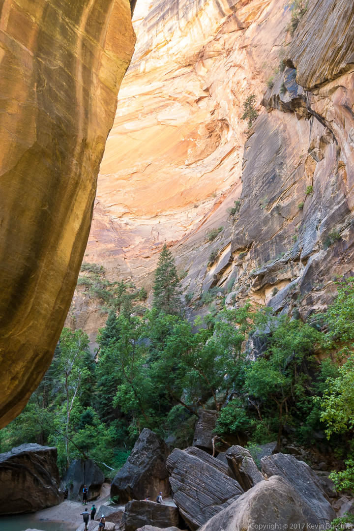
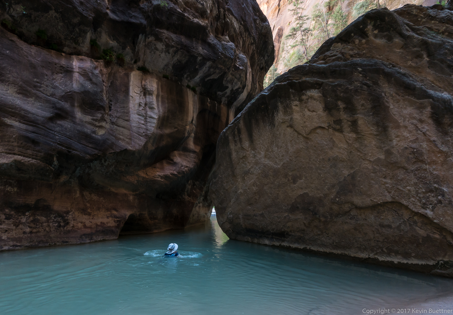
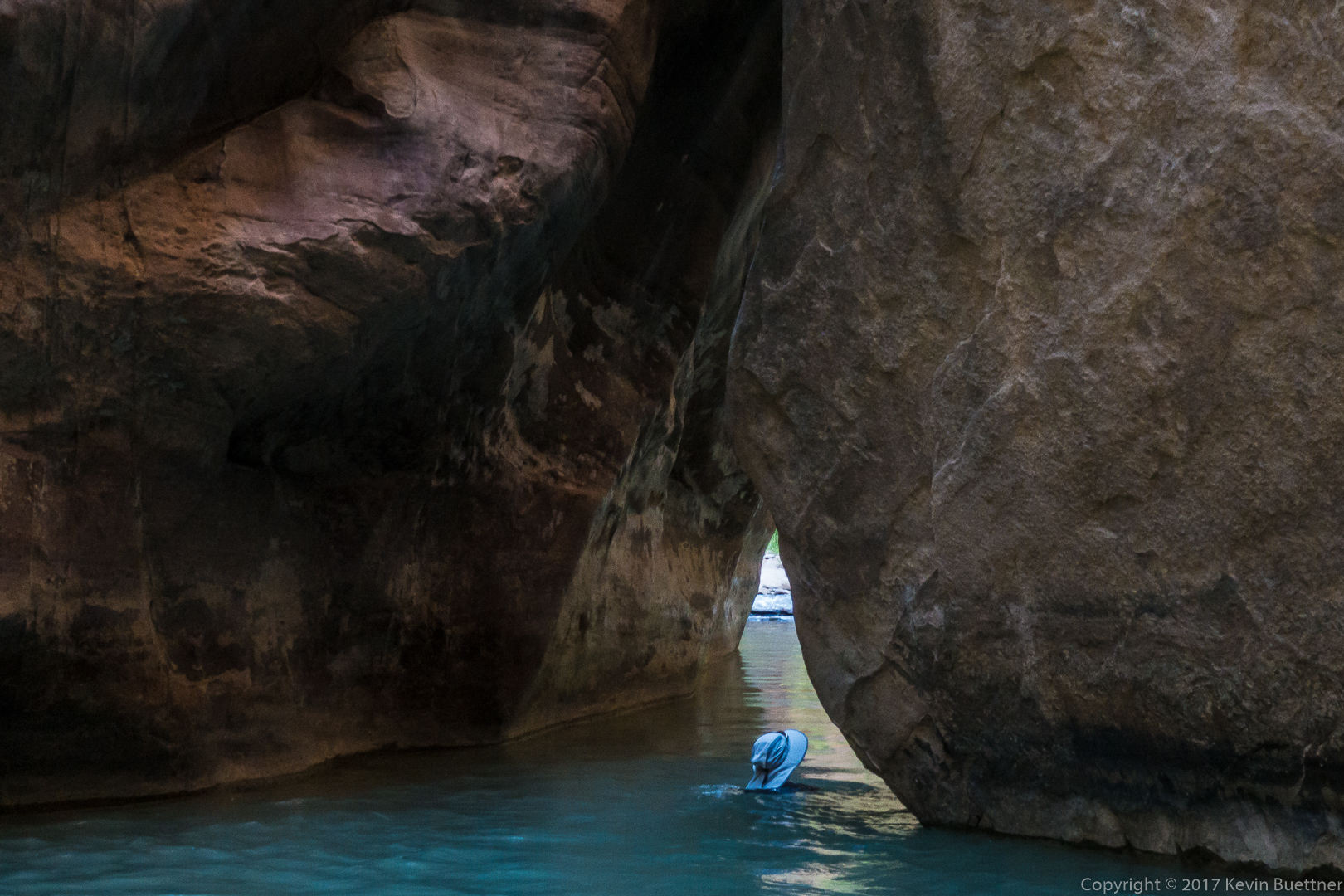
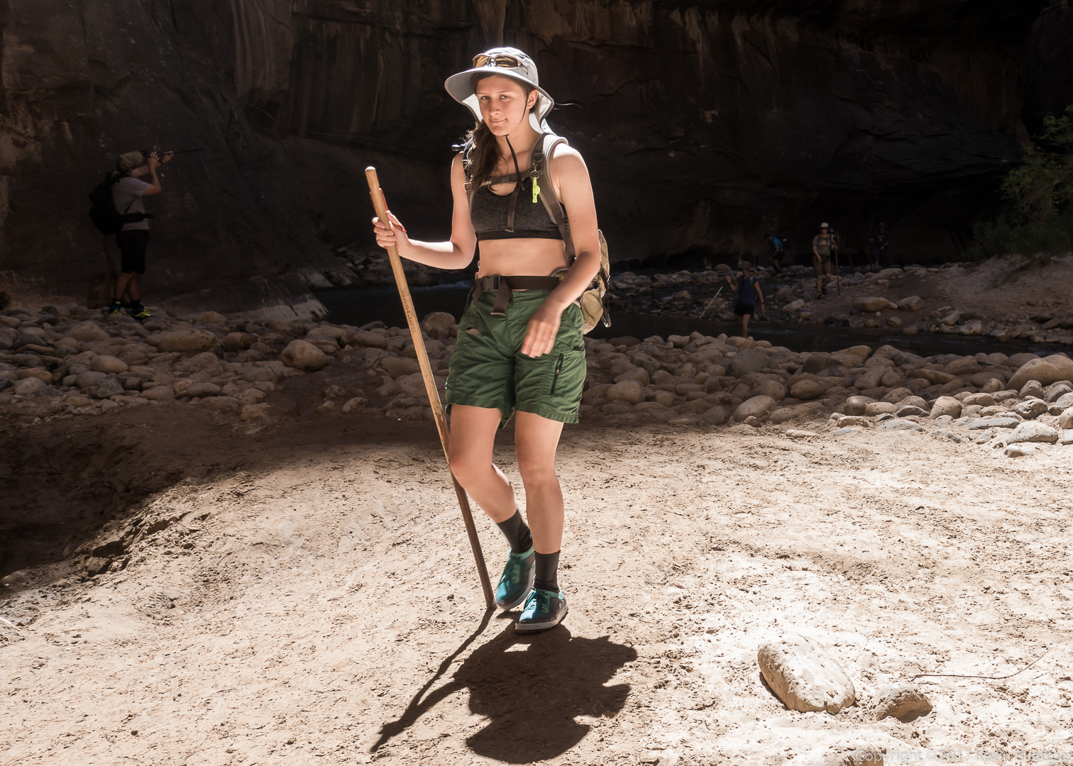
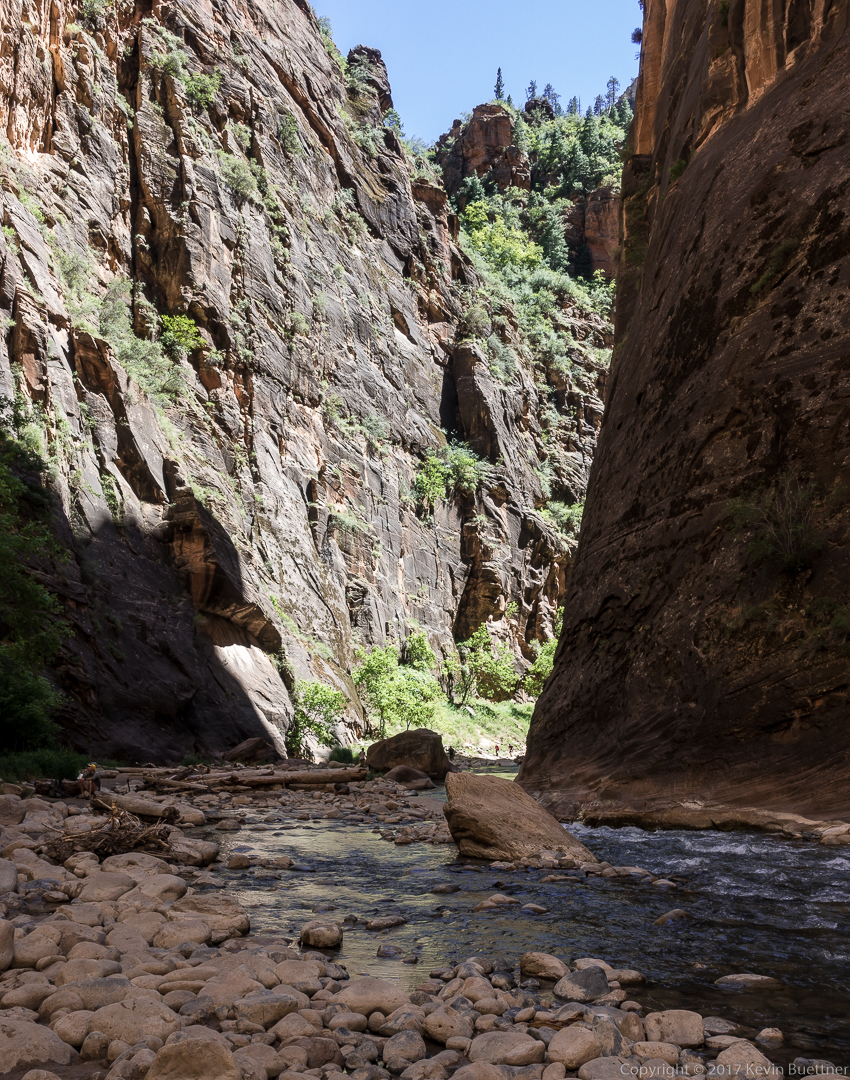
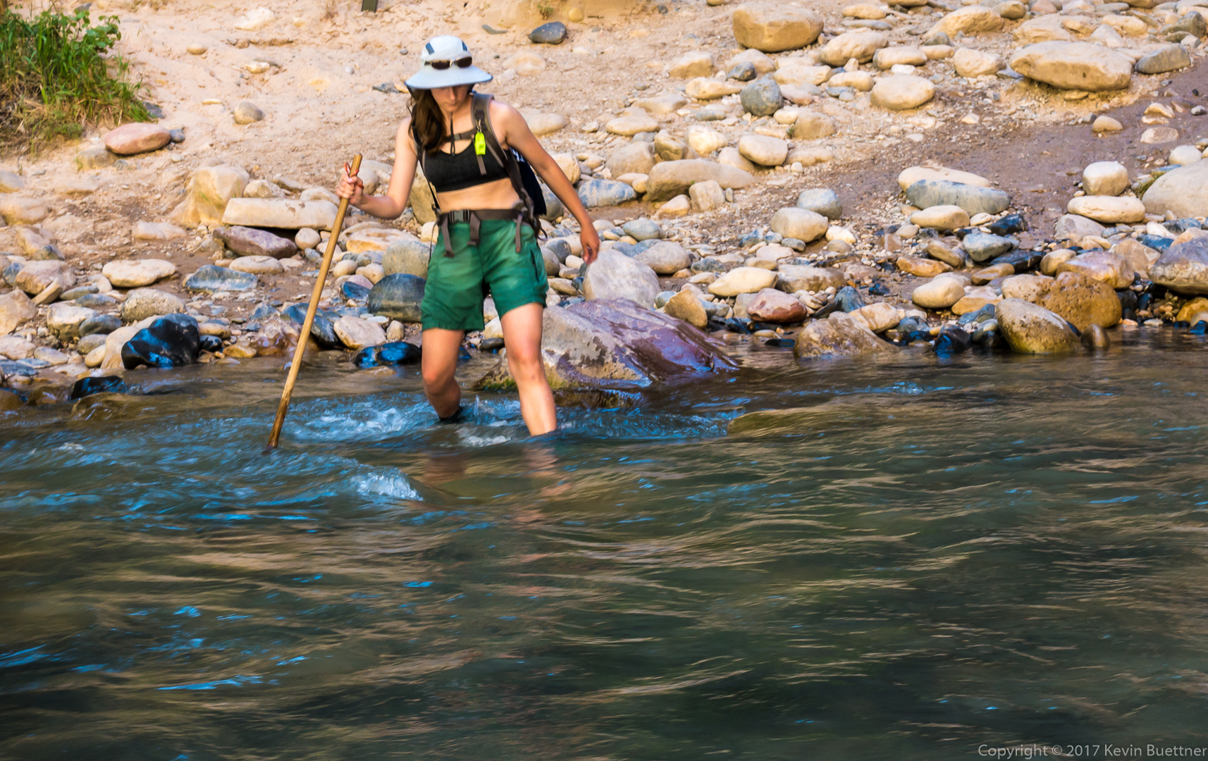
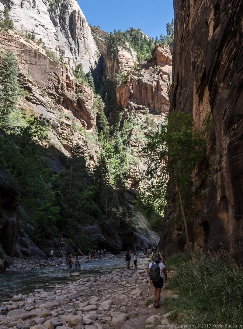
Marilyn, Marie, and I spent over five hours in the Zion Narrows.

Zion – Angel’s Landing

During our visit to Zion National Park, I hiked to the summit of Angel’s Landing while Marilyn and Marie hiked the Narrows. I found it to be challenging – it had a significant amount of elevation gain combined with some steep and exposed sections.  The steepest portions had chains that you could grab if you were freaked out by the exposure. I saw more than a few folks using them to pull themselves up or lower themselves down. This is not necessary – none of the moves are that (technically) difficult.

While I was going up one of the early (steep) sections of Angel’s Landing proper (the first two miles is the West Rim Trail – it’s steep, but it’s also wide and paved most of the way),  I saw a woman hugging one of the metal poles for dear life. She was clearly freaked out by the exposure.

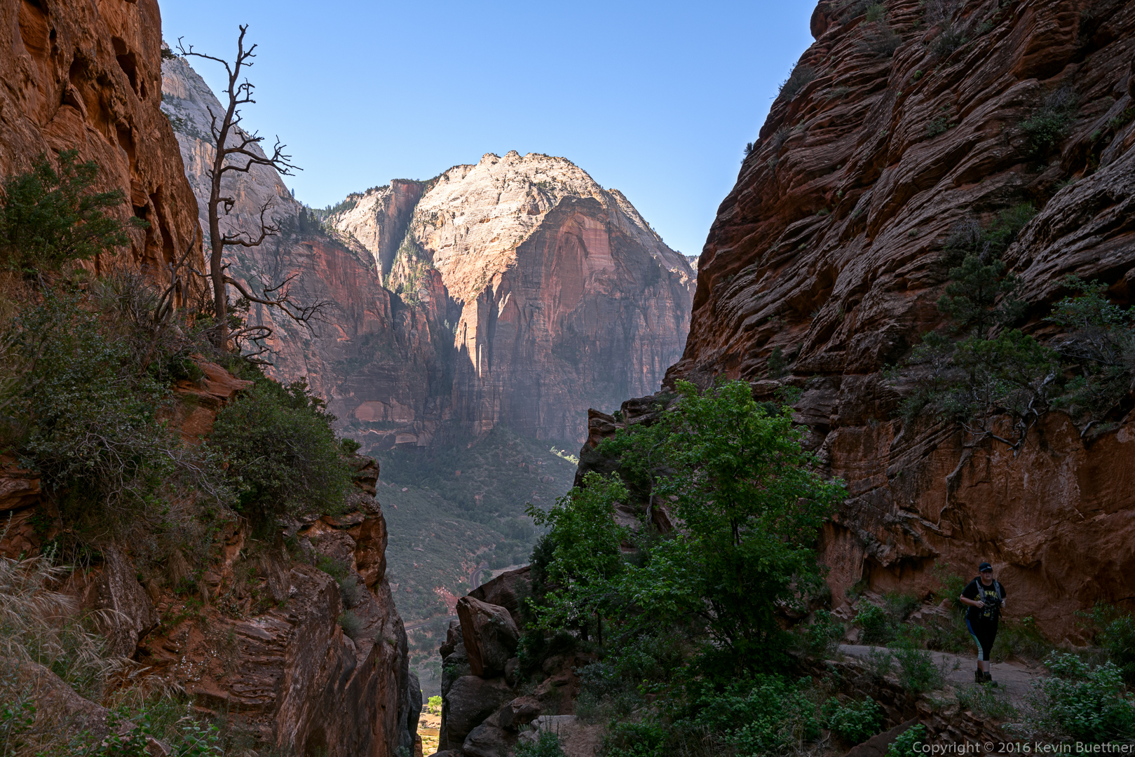
This is a view from the West Rim Trail:

20160612-_DSC3685-Edit-medium

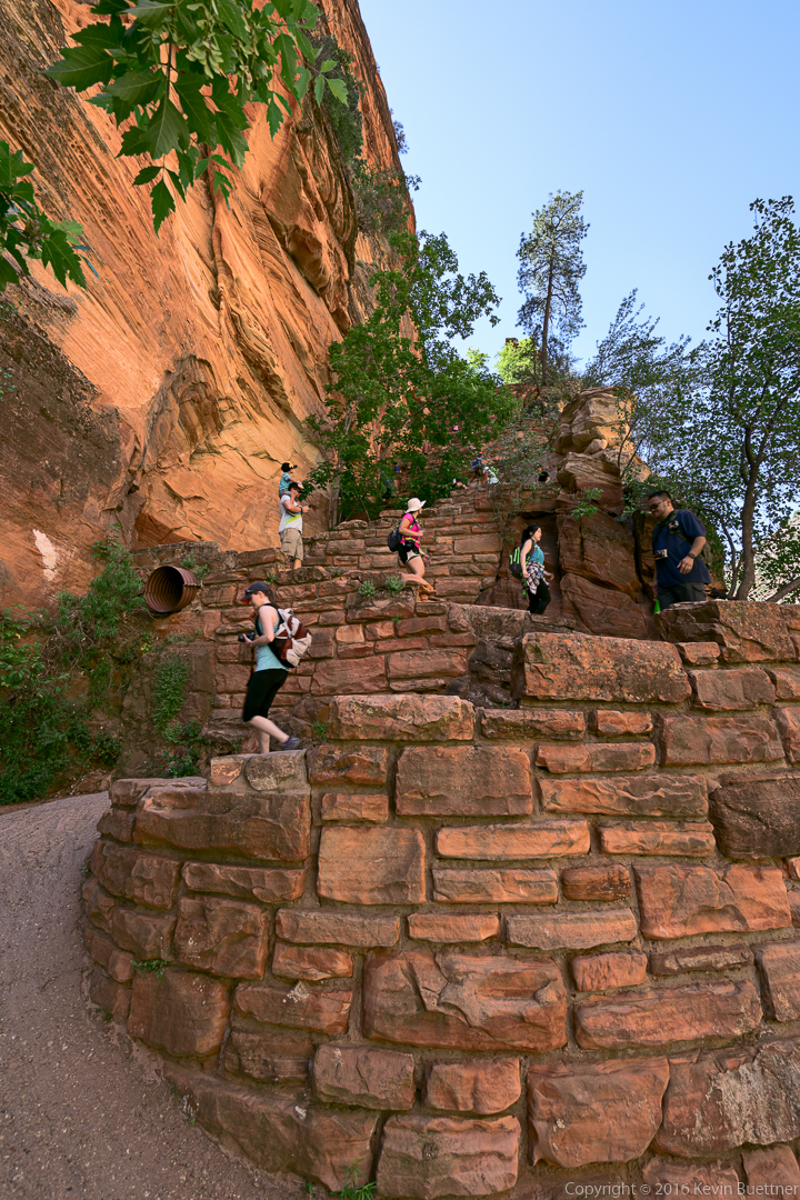
Walter’s Wiggles – a steep switchback section on the West Rim Trail.  Once you reach the top of Walter’s Wiggles, Angel’s Landing becomes visible.  The path along the Walter’s Wiggles section is paved and is roughly six feet in width.

20160612-_DSC3702-Edit-medium

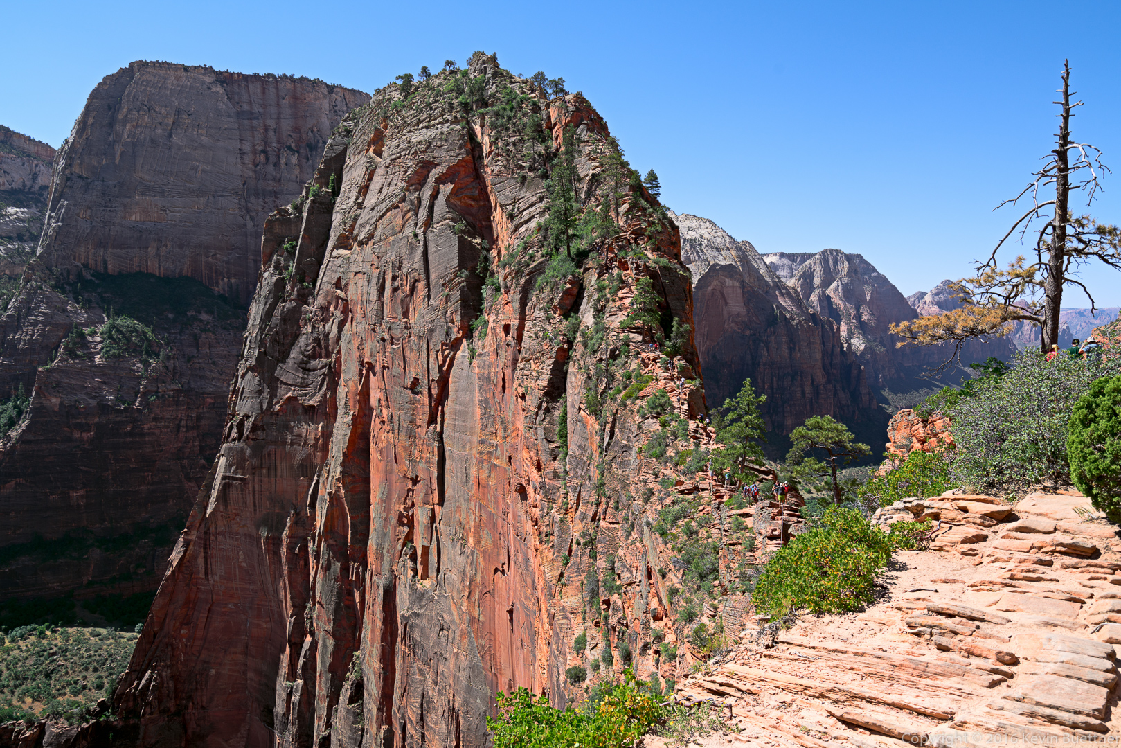
This is Angel’s Landing. Look closely – you’ll be able to see a stream of humanity going both up and down the path to (or from) the summit of this formation.

20160612-_DSC3719-Edit-medium

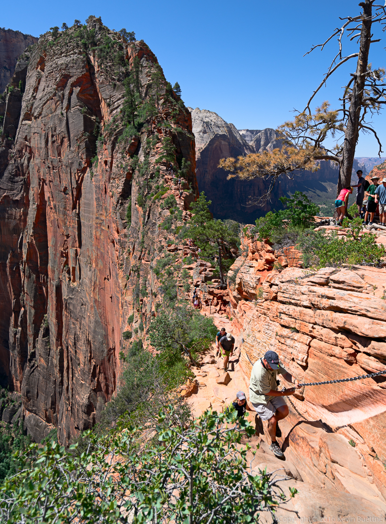
A hiker in this photo uses a chain to pull himself up the path. As mentioned earlier, the moves in this section are actually fairly easy.  The chain is not needed.

20160612-_DSC3722-Edit-medium

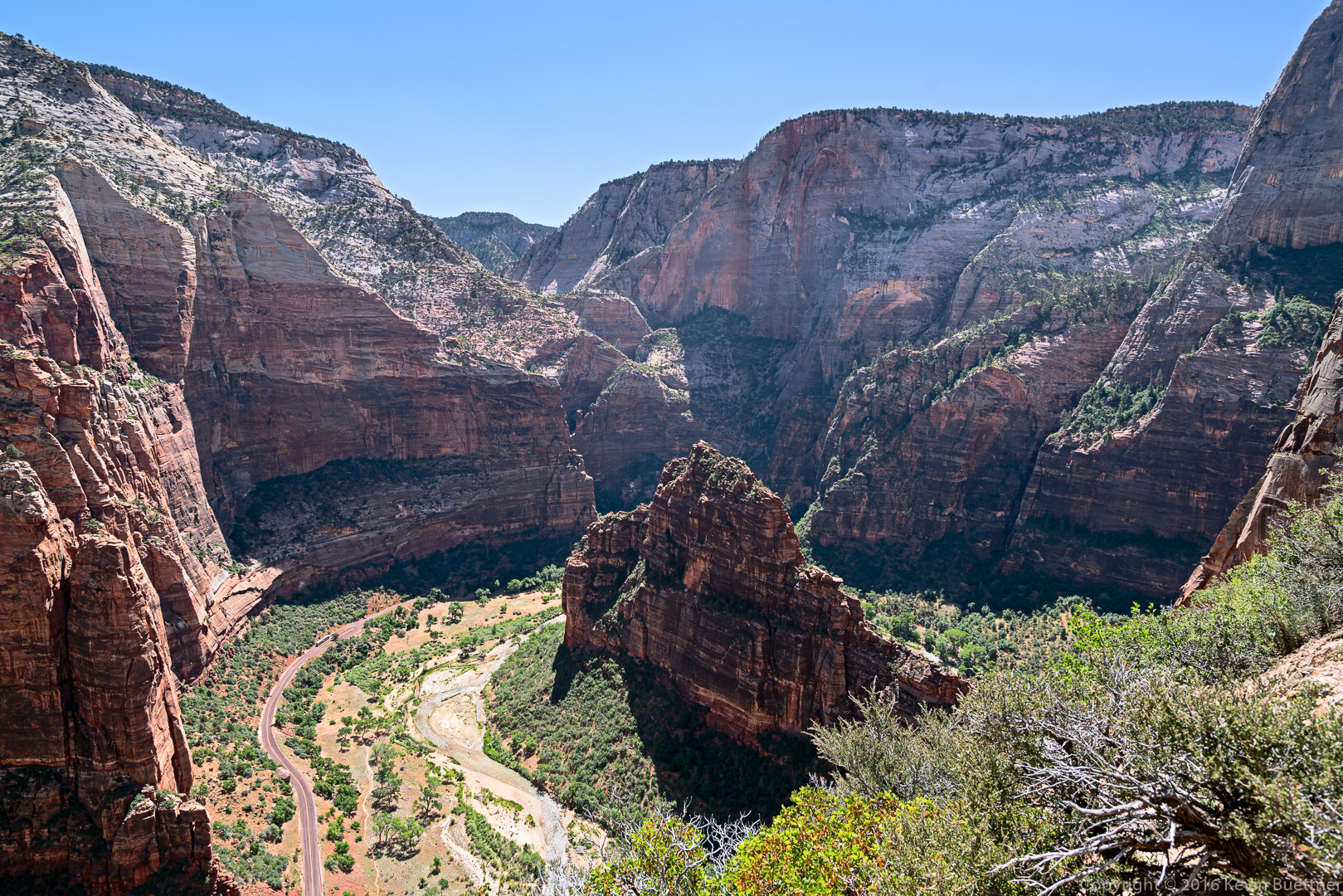
A view from high on Angel’s Landing. (I wasn’t at the summit yet when I took this shot.)

20160612-_DSC3731-Edit-medium

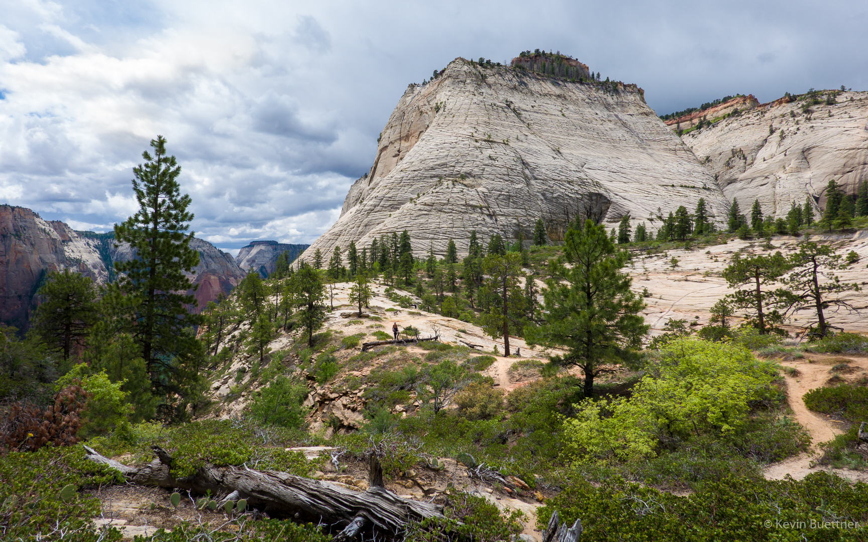
A woman hiking along one of the ledges leading to the summit:
20160612-_DSC3740-Edit-medium

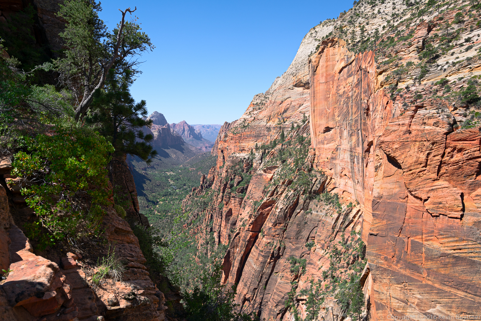
Another view from the Angel’s Landing trail:

20160612-_DSC3743-Edit-medium

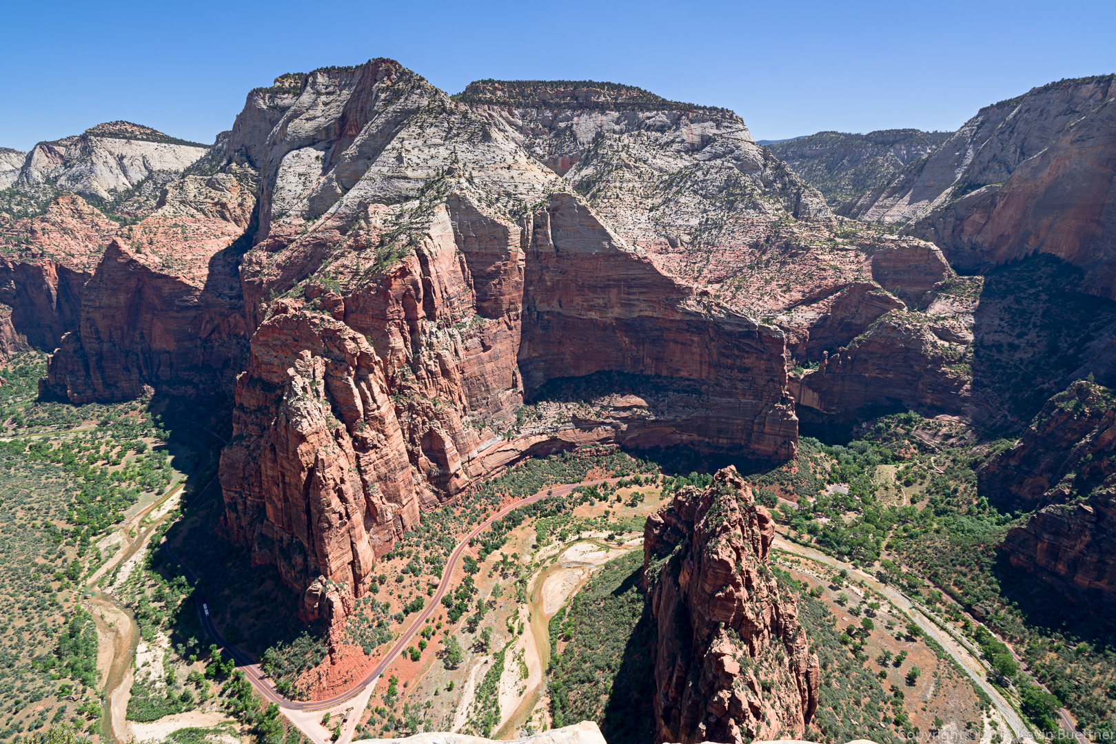
Looking down from the summit:

20160612-_DSC3788-Edit-medium

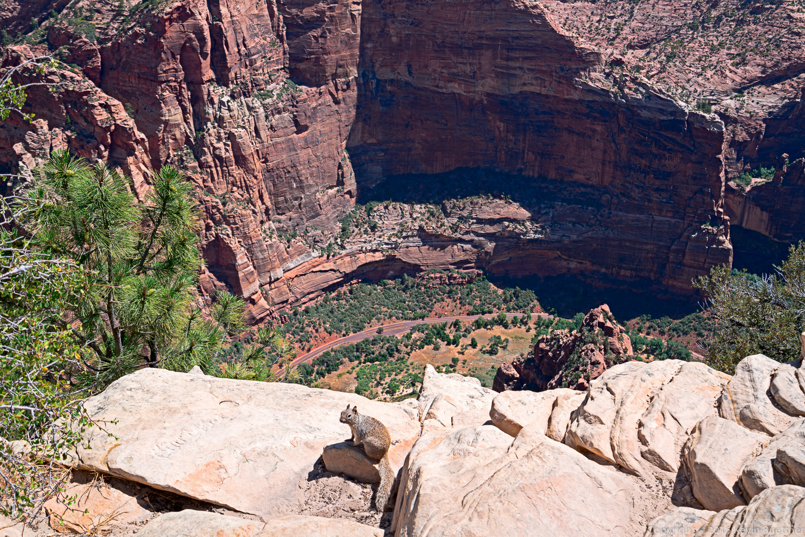
The squirrels and chipmunks at the top were aggressively friendly, probably from being fed by hikers resting at the top.

20160612-_DSC3806-Edit-medium

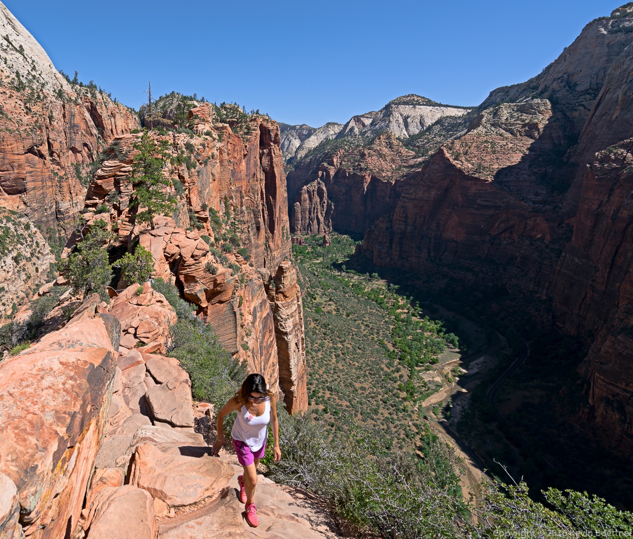
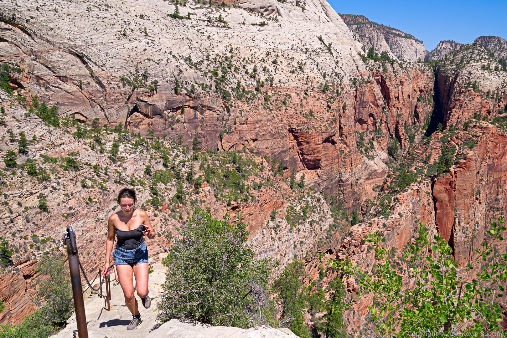
This woman was jogging up the path!
20160612-_DSC3818-Edit-medium

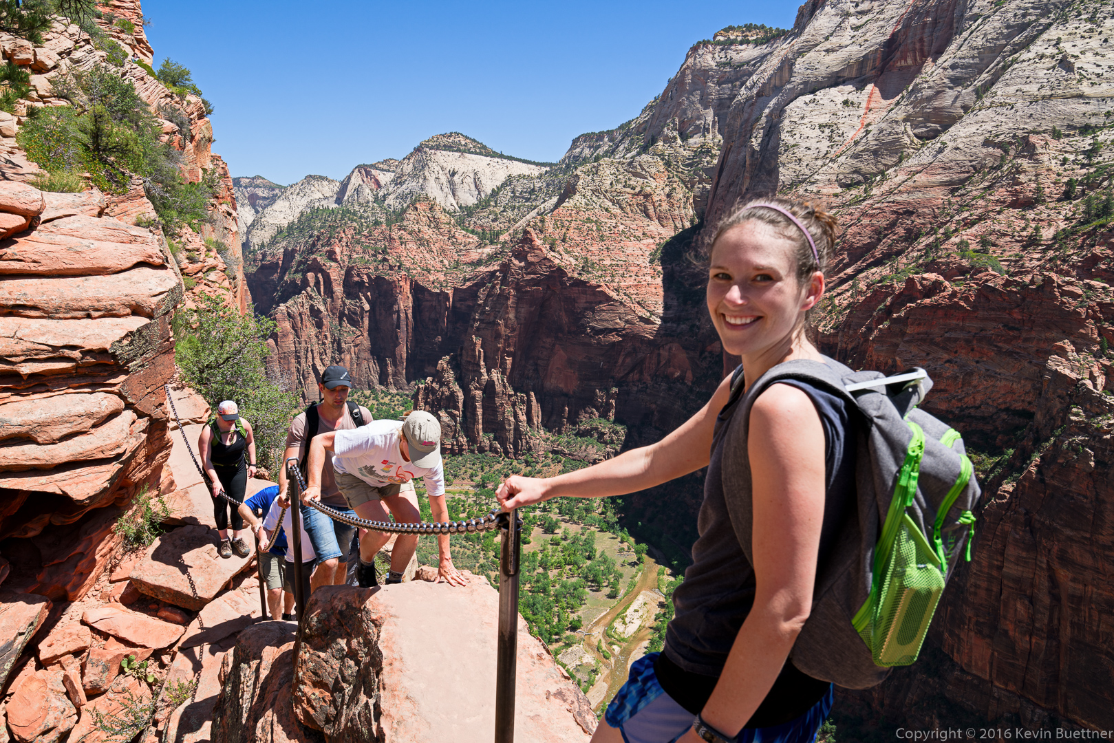
I took this photo on my way back. The woman in the white T-shirt is crossing a narrow, exposed section. After making it across, she asked, “This is the scariest section, right?” I told her it was in the top ten.

20160612-_DSC3836-Edit-medium


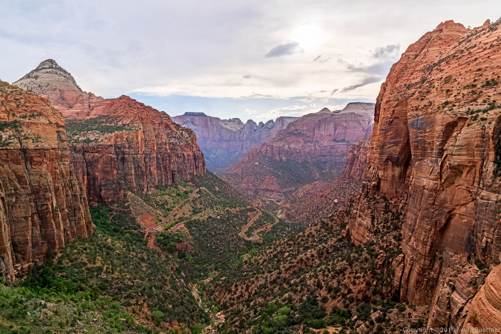
Zion Canyon – Canyon Overlook Trail

20160611-_DSC3633-HDR-Edit-Edit-medium

20160611-_DSC3642-HDR-Edit-medium

Abraham, Isaac, and Jacob

Marilyn took this photo during our visit to Zion National Park.

20150601-DSC02832-Pano-Edit-medium