Tag: Mazatzal Wilderness (page 1 of 3)

Sunday Hike – Sunflower Trail

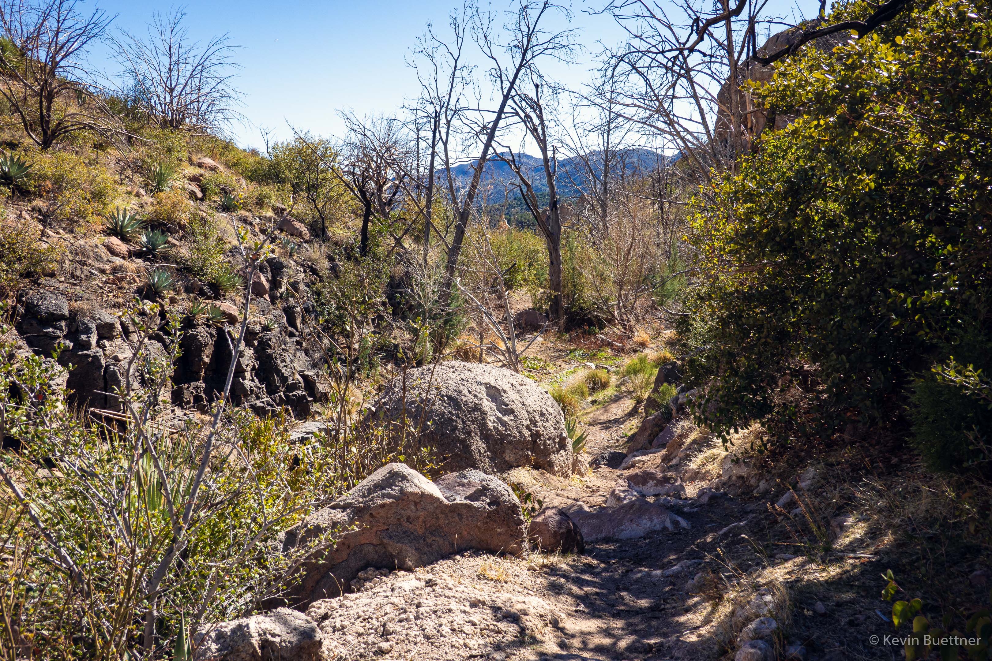
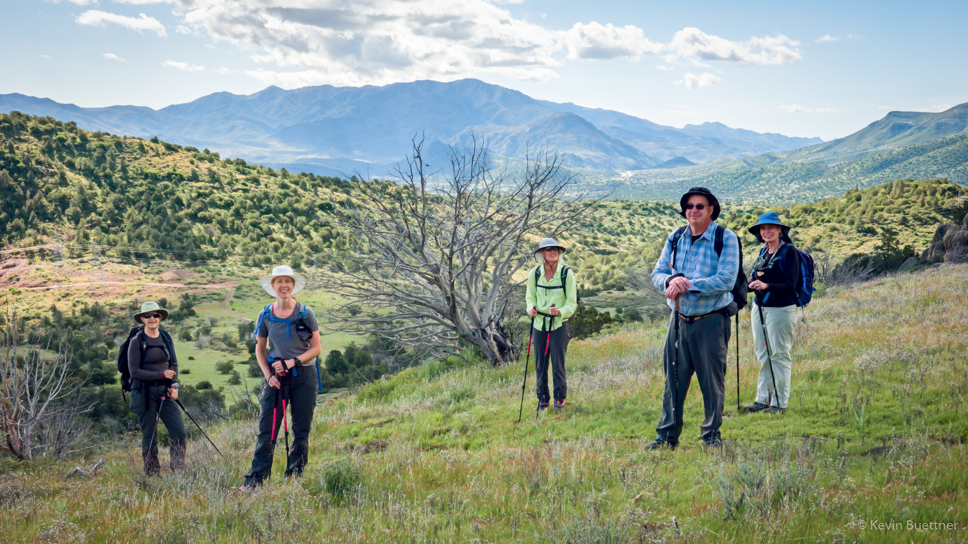
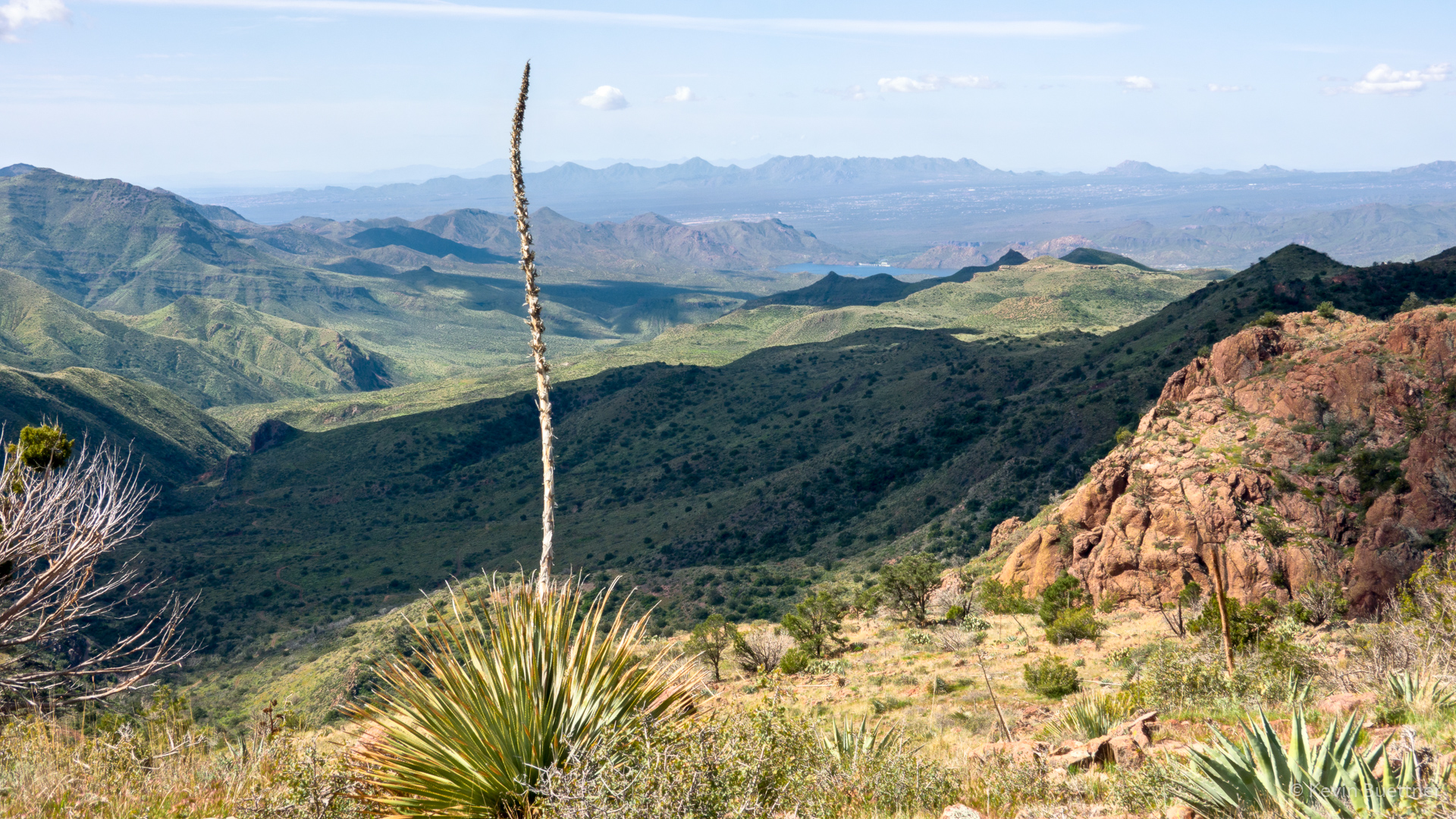
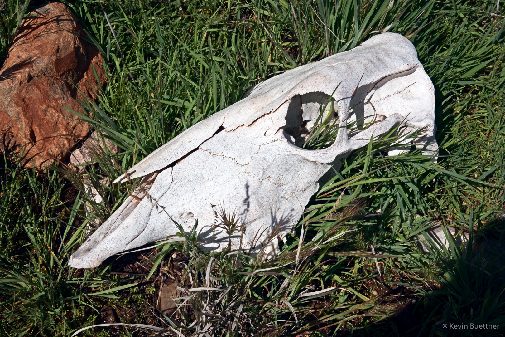
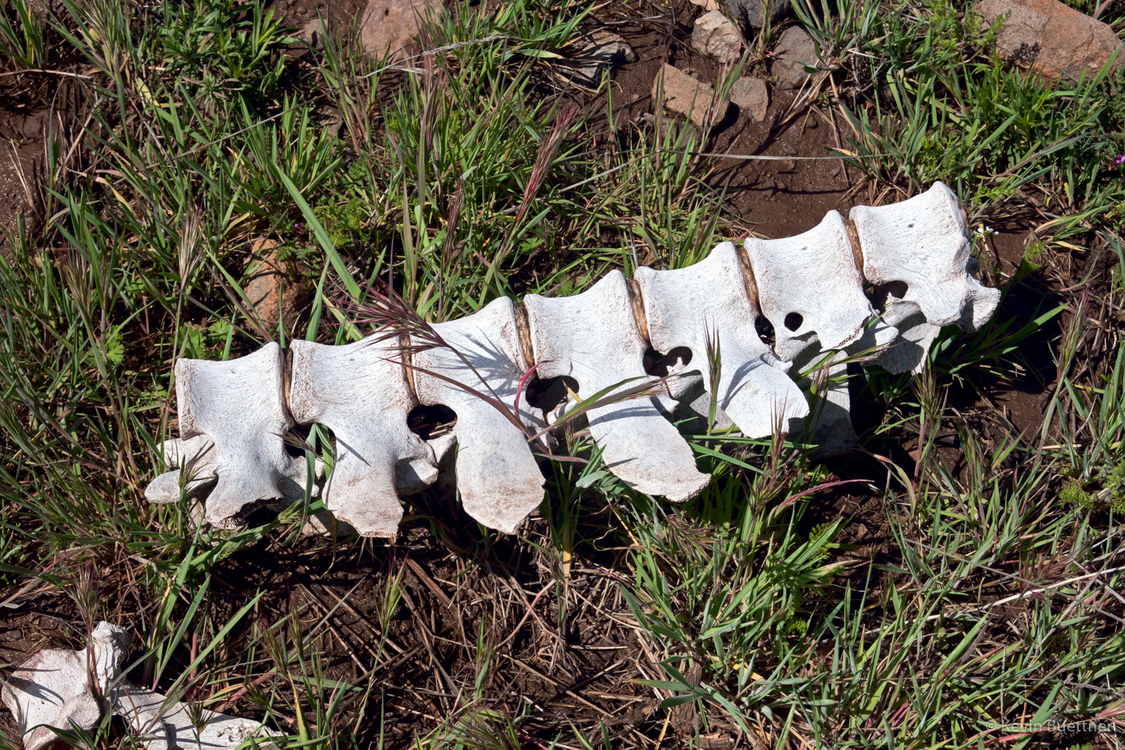
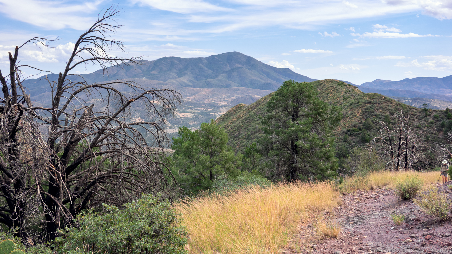
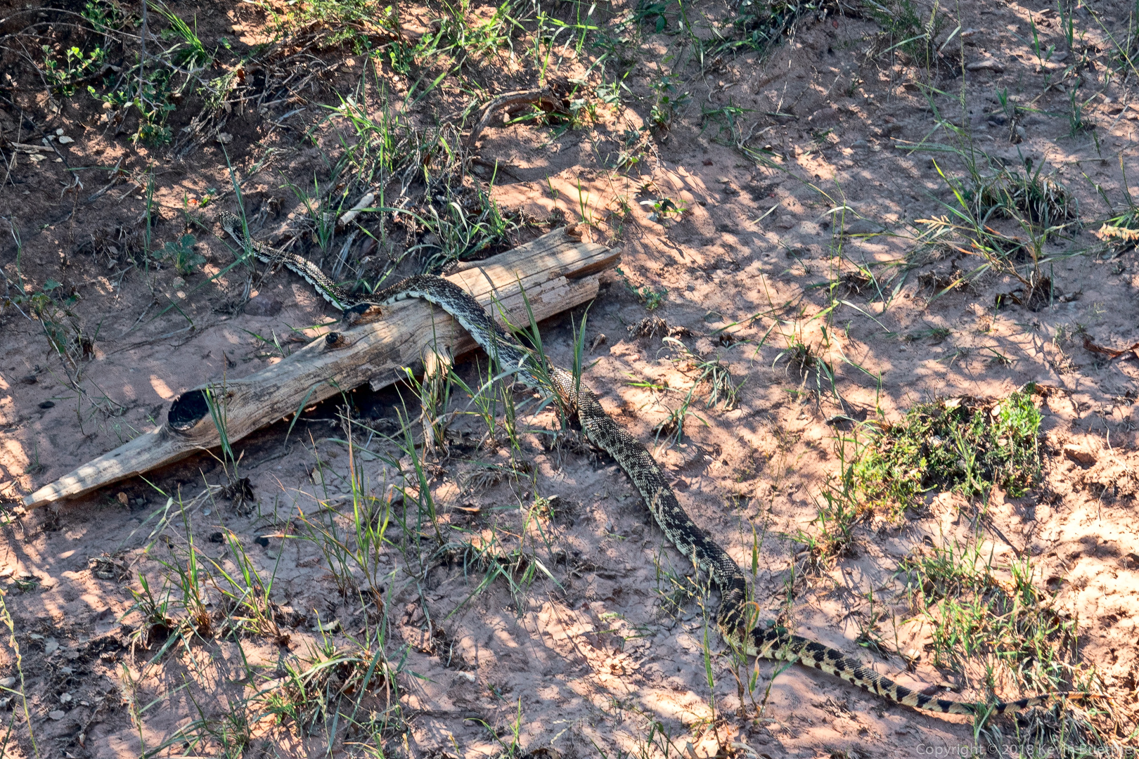
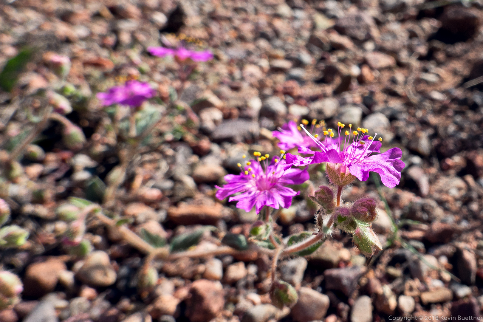
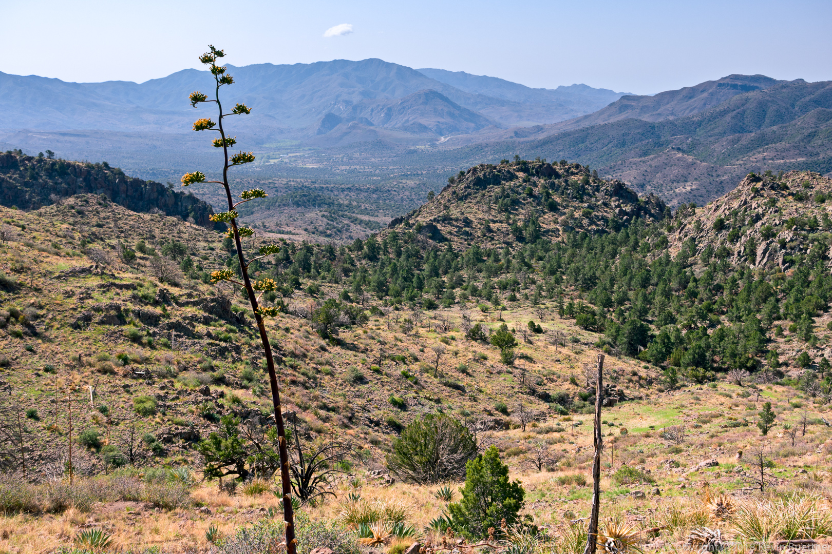
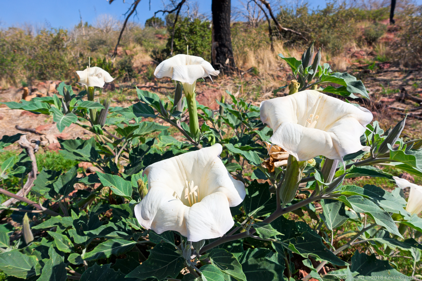
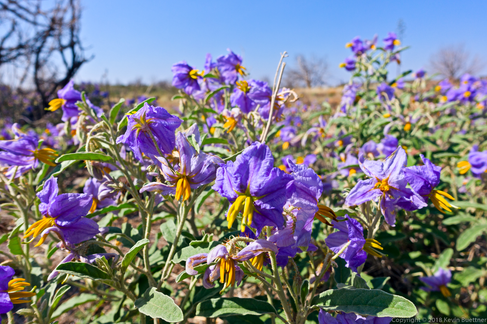
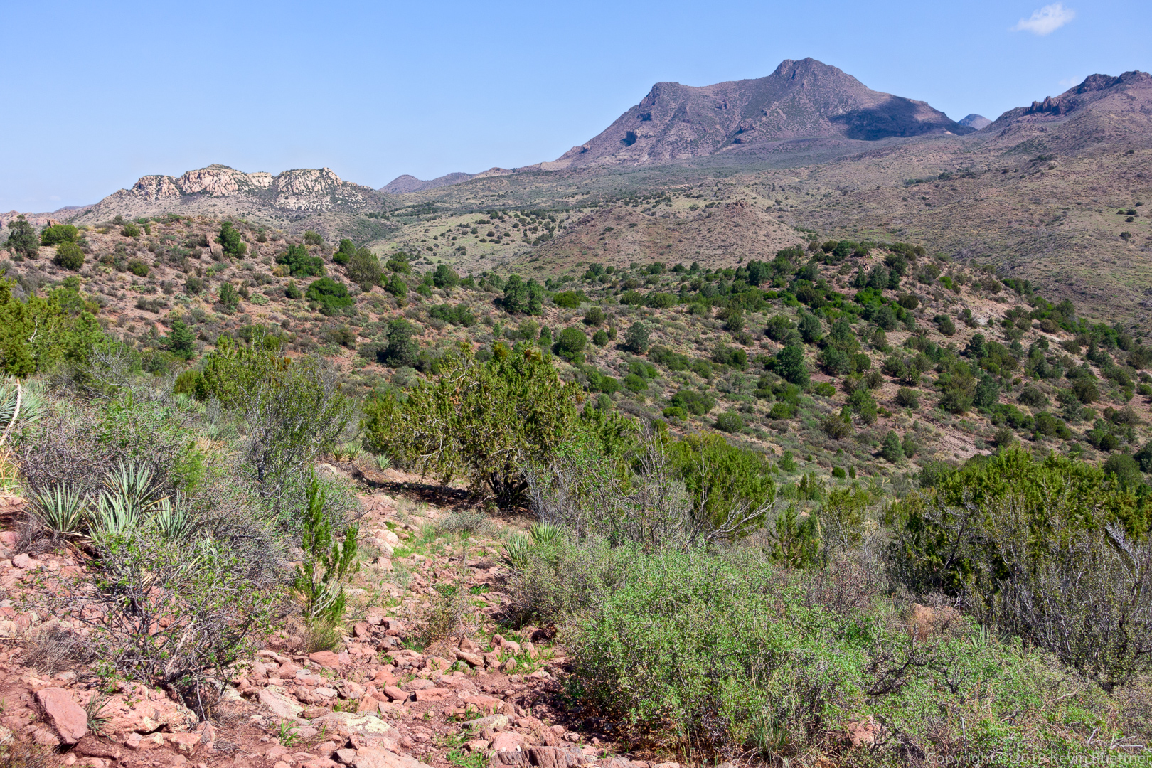
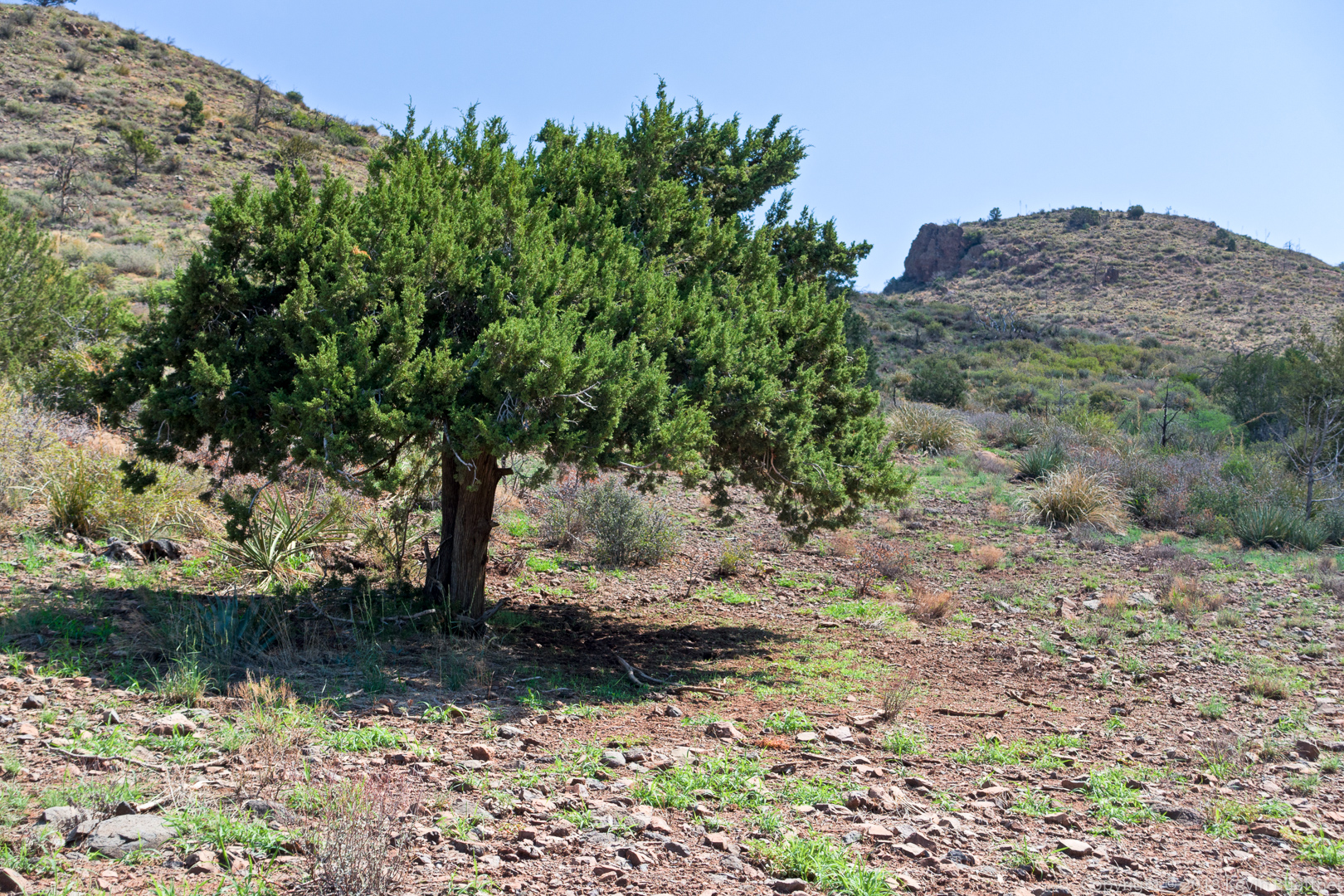
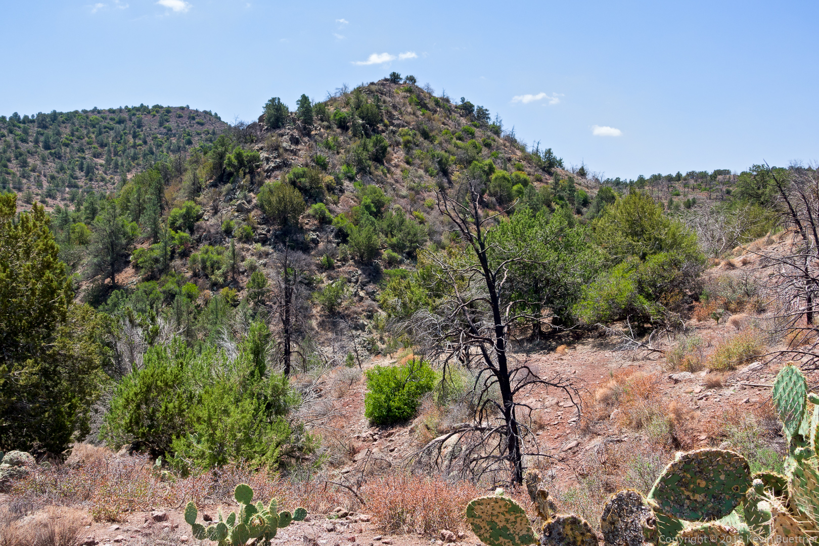
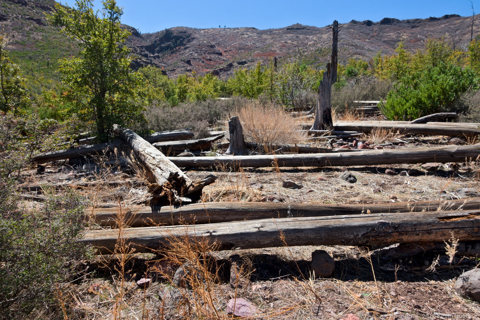
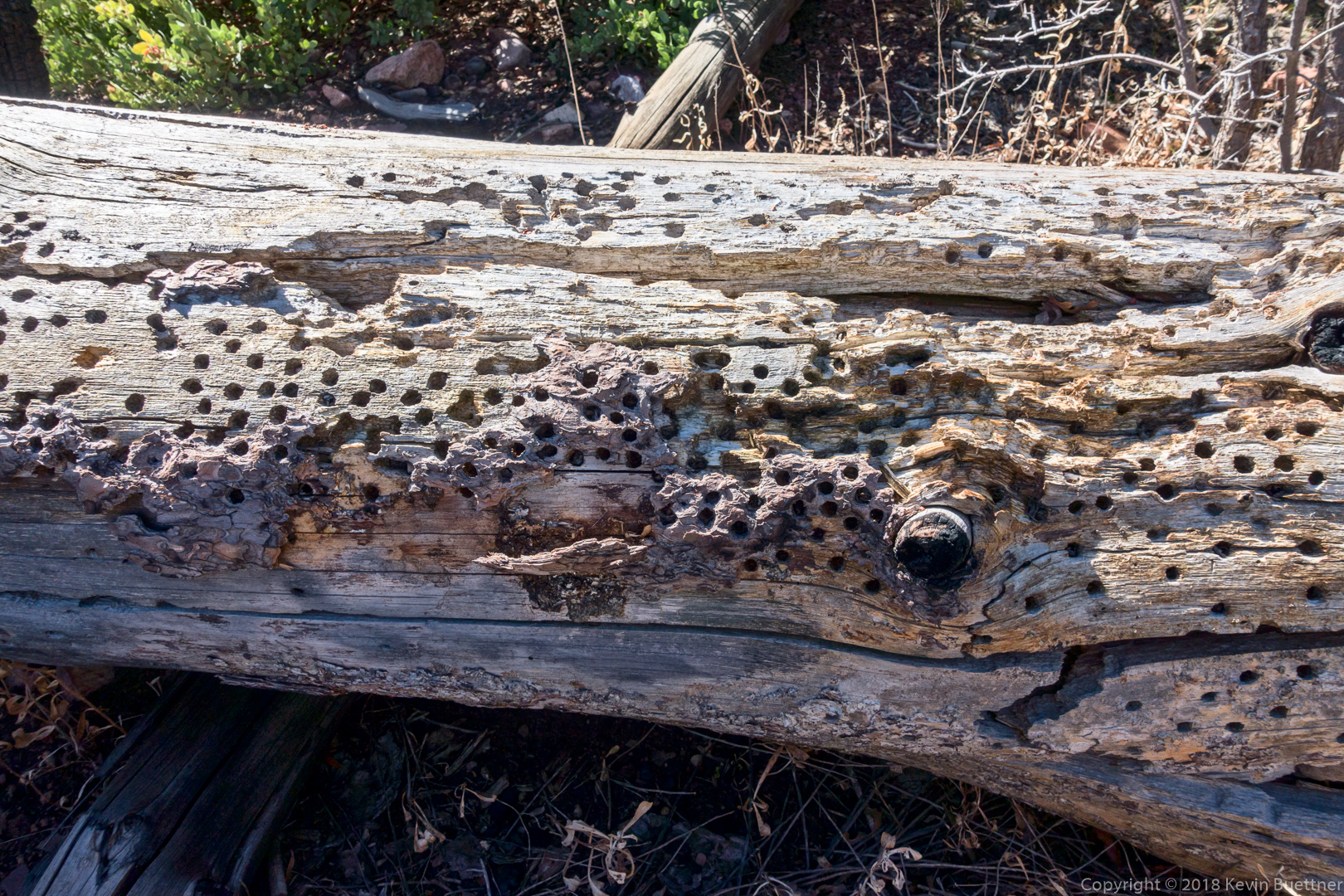
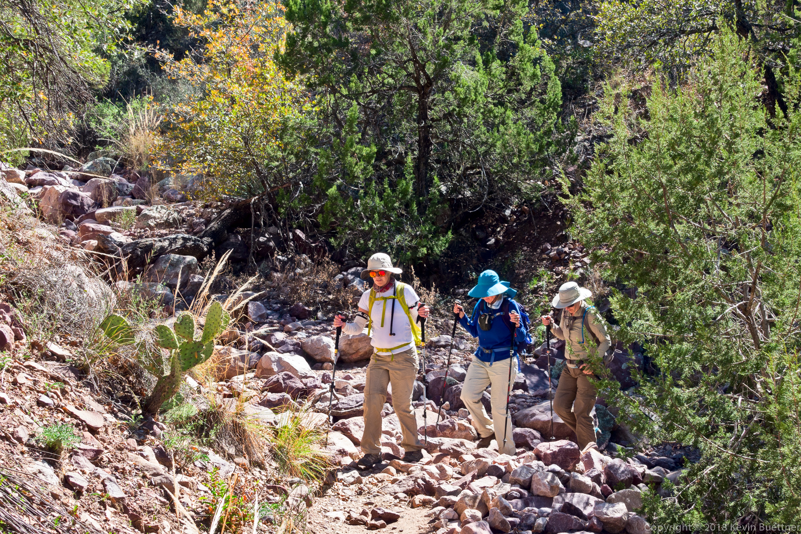
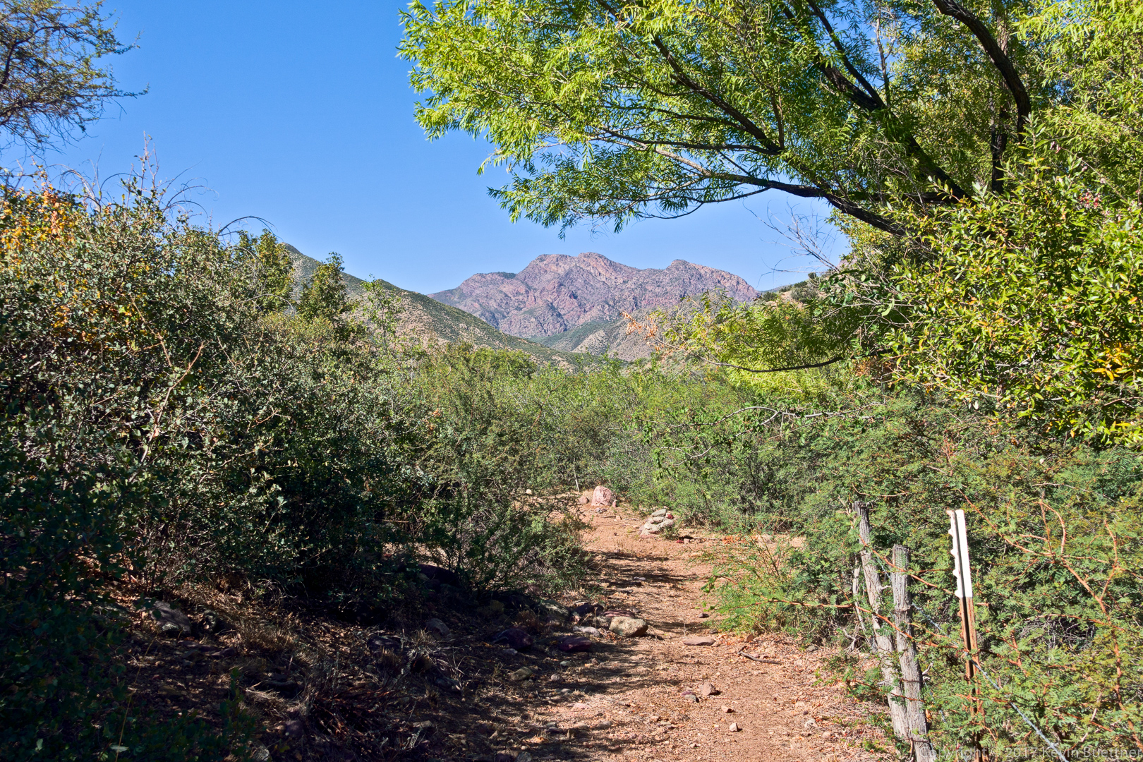
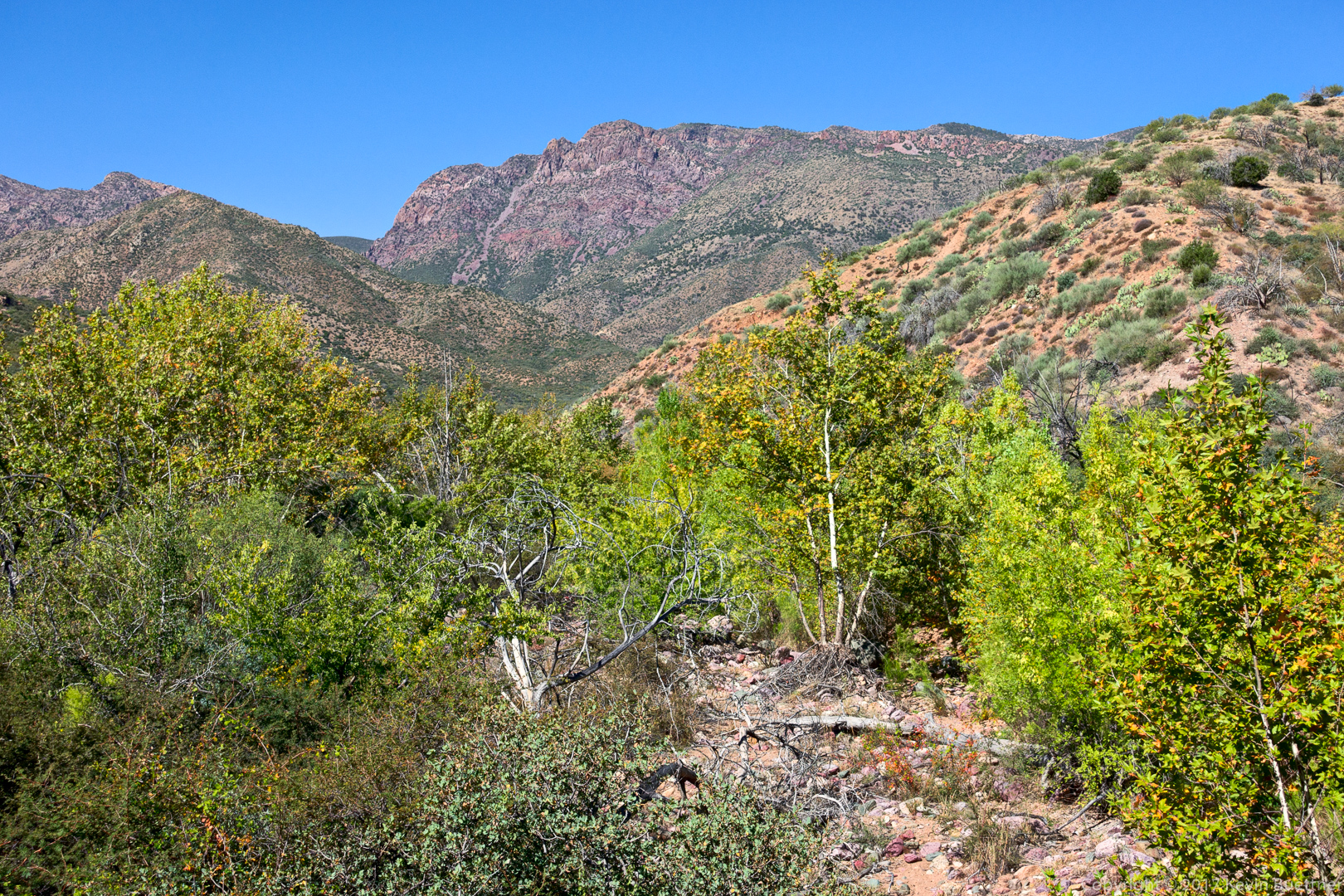
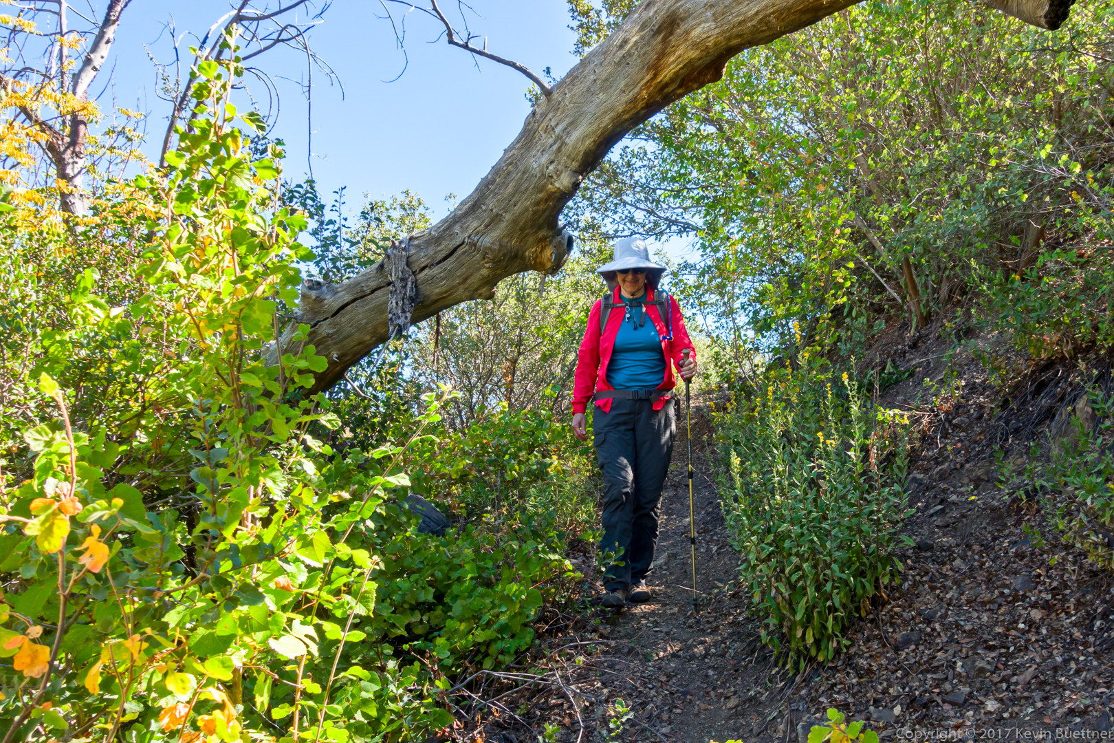
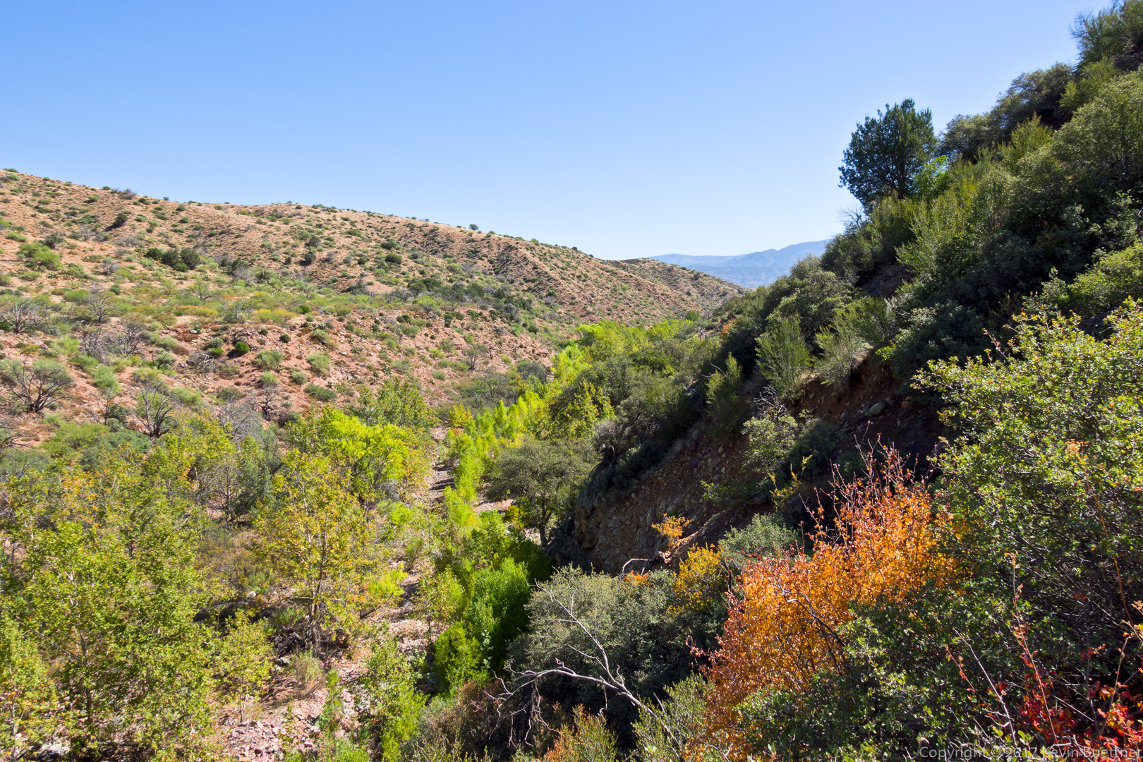
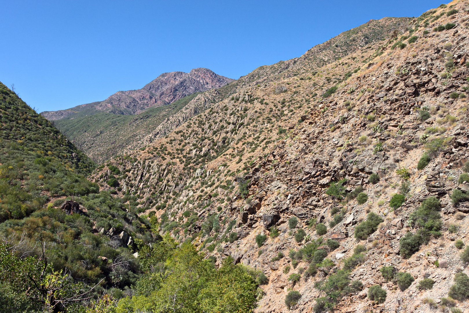
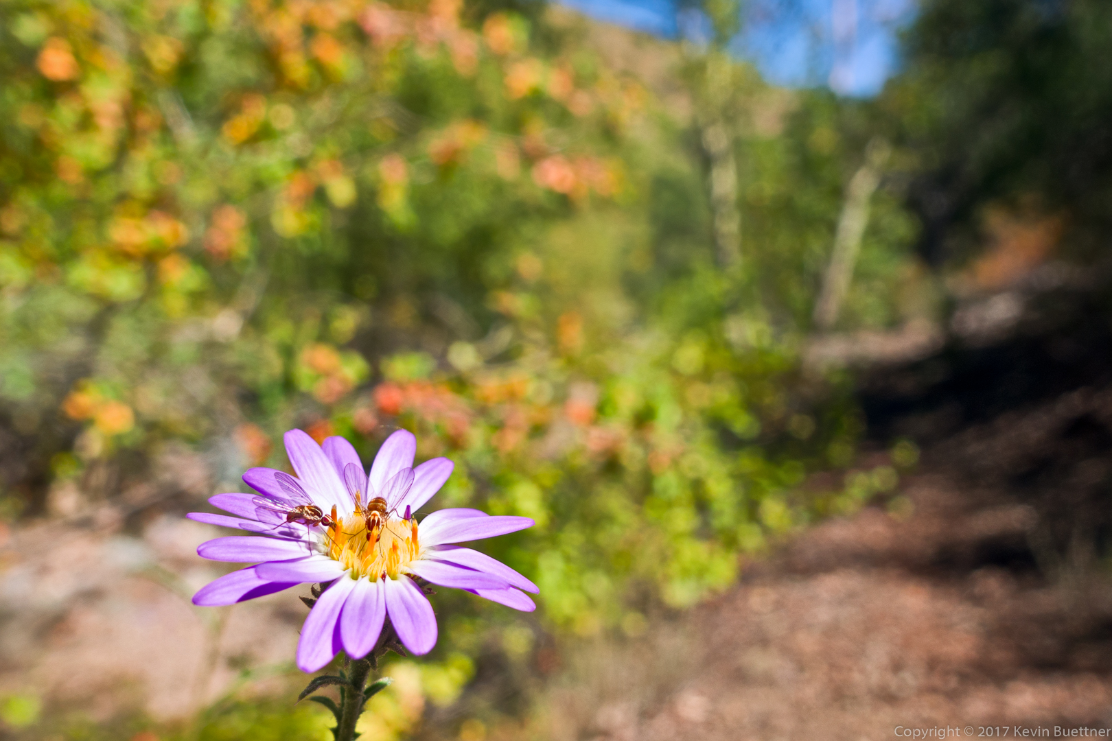
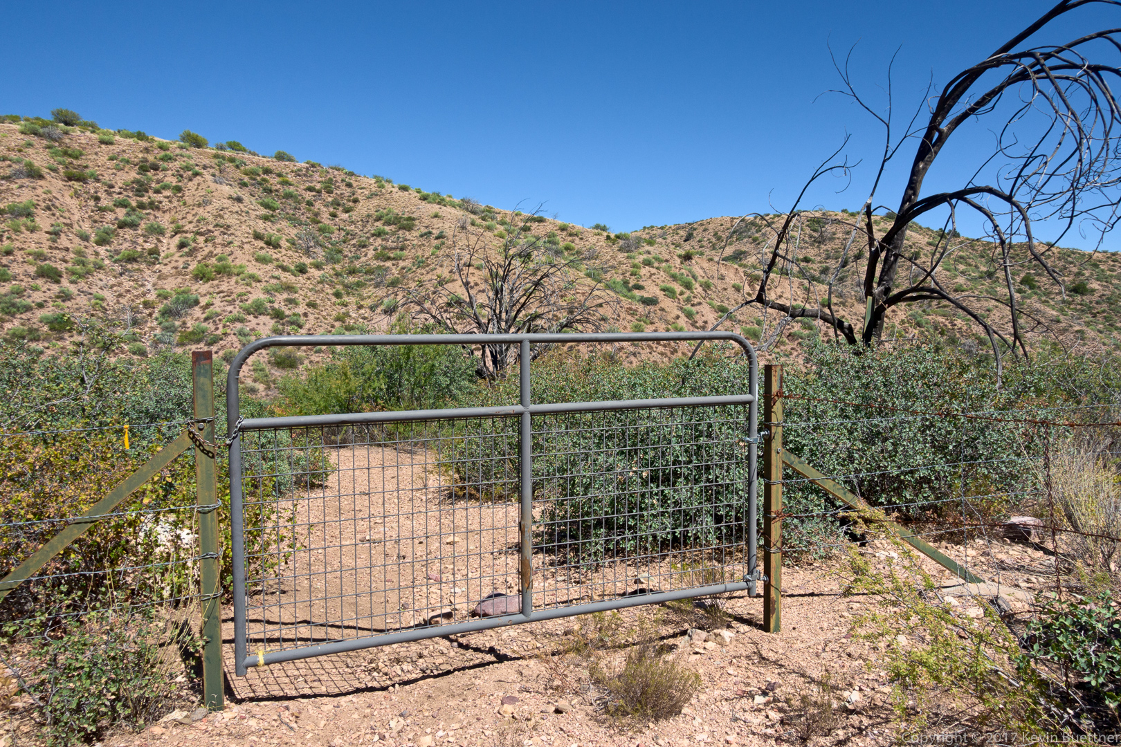
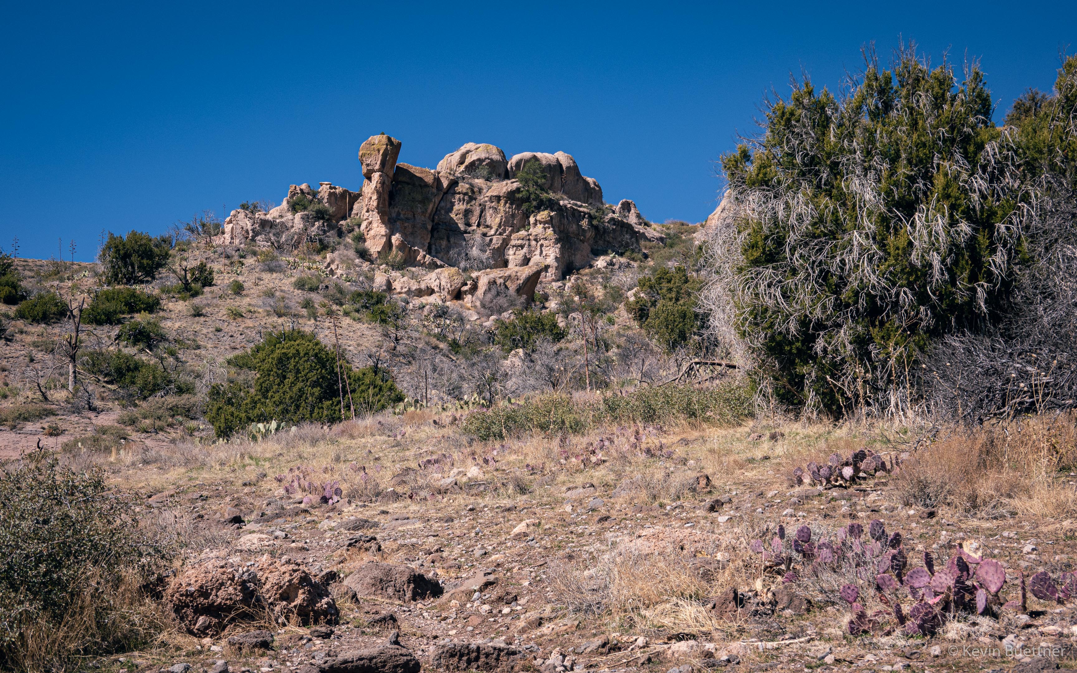
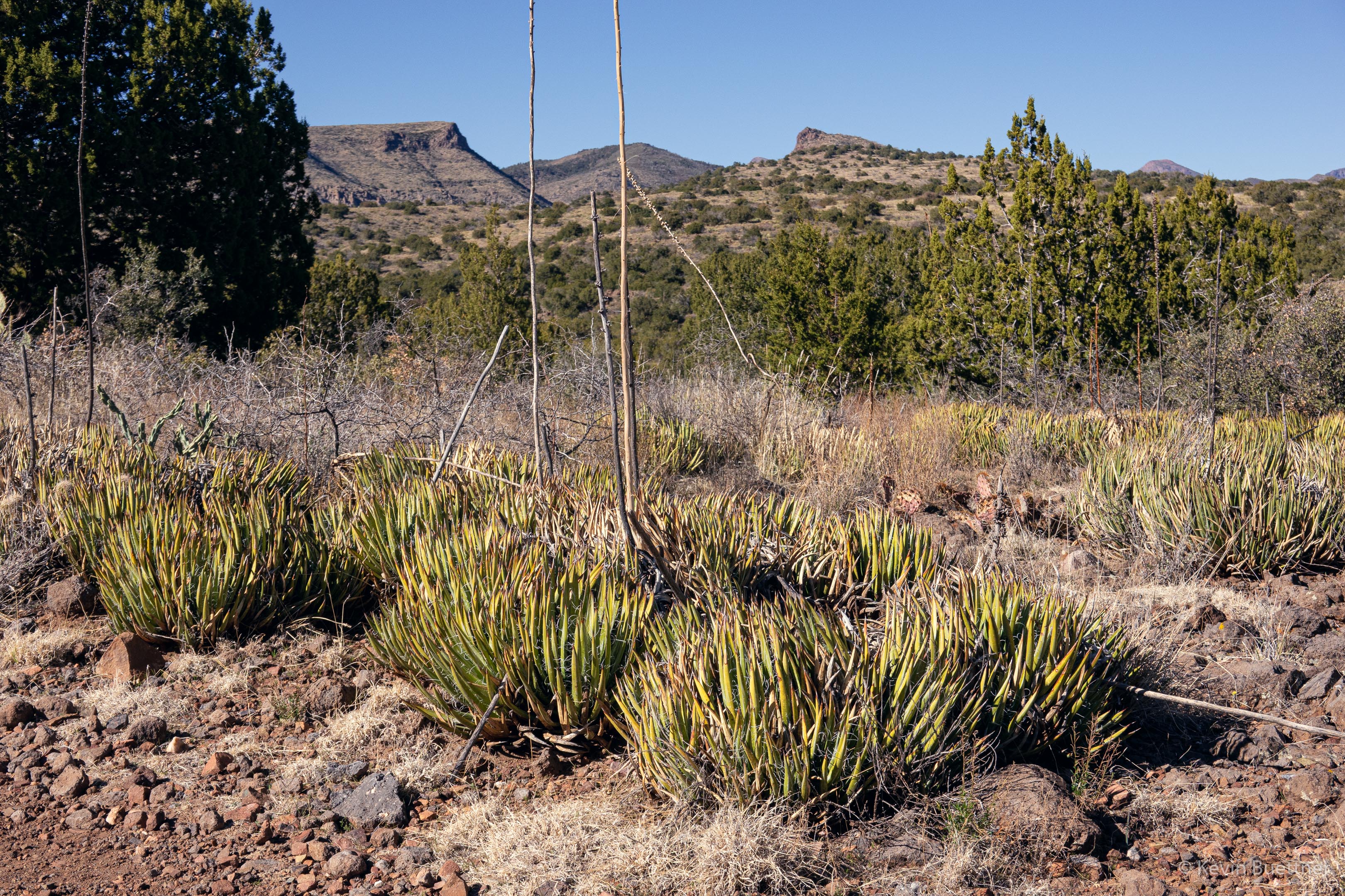
On Sunday, Feb 20, Marilyn and I hiked the Sunflower Trail. Starting from the Cross F Trailhead, we hiked the connector to the Arizona Trail and then followed the Arizona Trail south for a little over four miles. We returned via the same trail, but took FR393 back to Old Beeline Hwy, where we had parked. We had views of Mt Ord along the way; that area had been badly burnt by the Bush Fire of 2020, but we saw no recent fire damage along the Sunflower Trail. However, we did not hike all of the Sunflower Trail; there was still perhaps 3/4 mile (near Beeline Hwy) that we did not see.

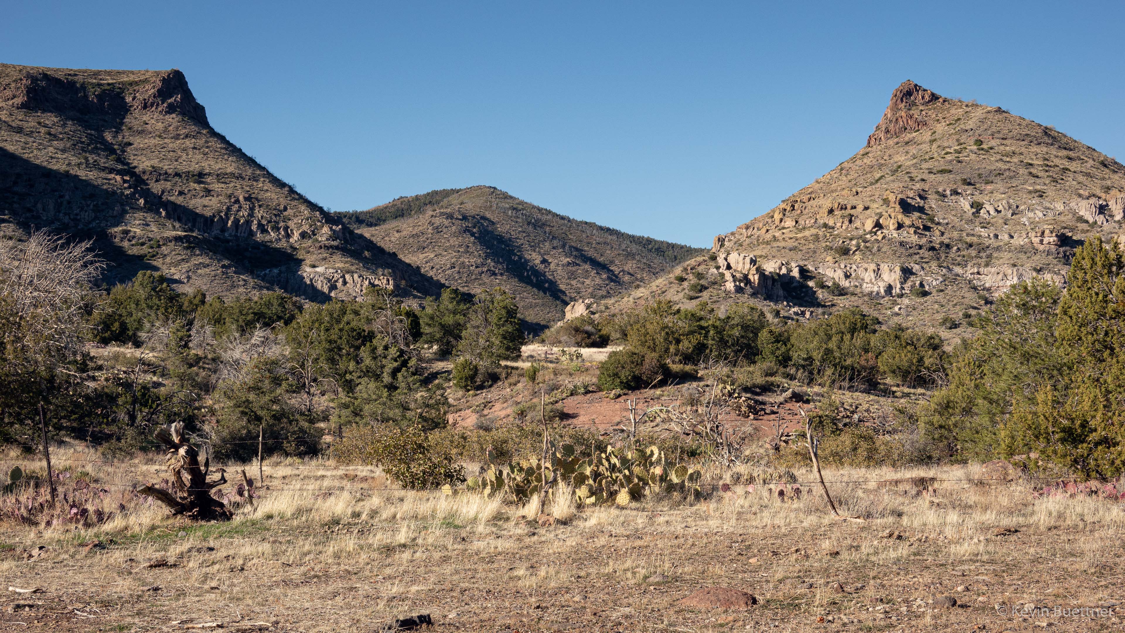
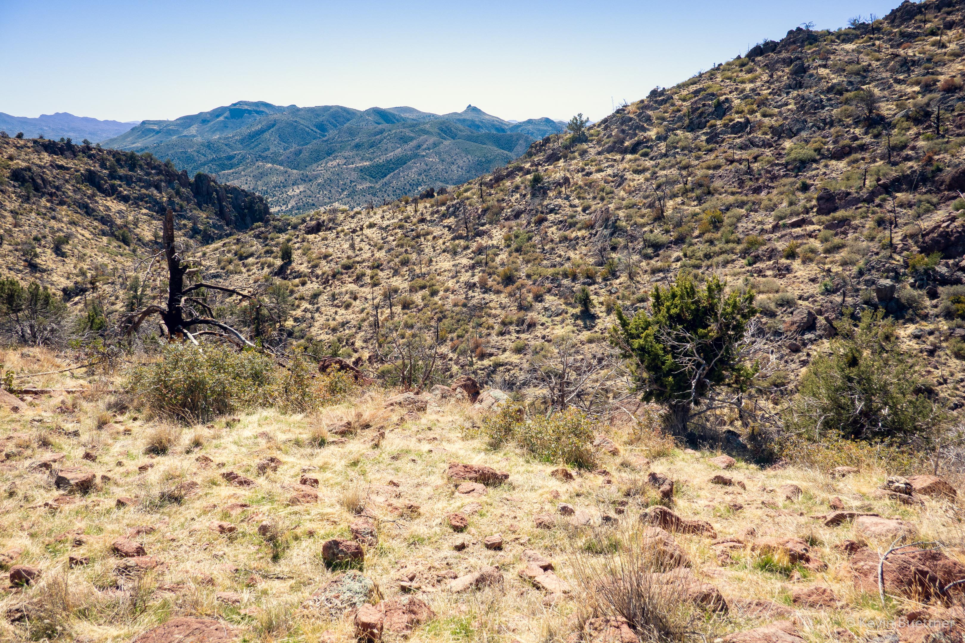
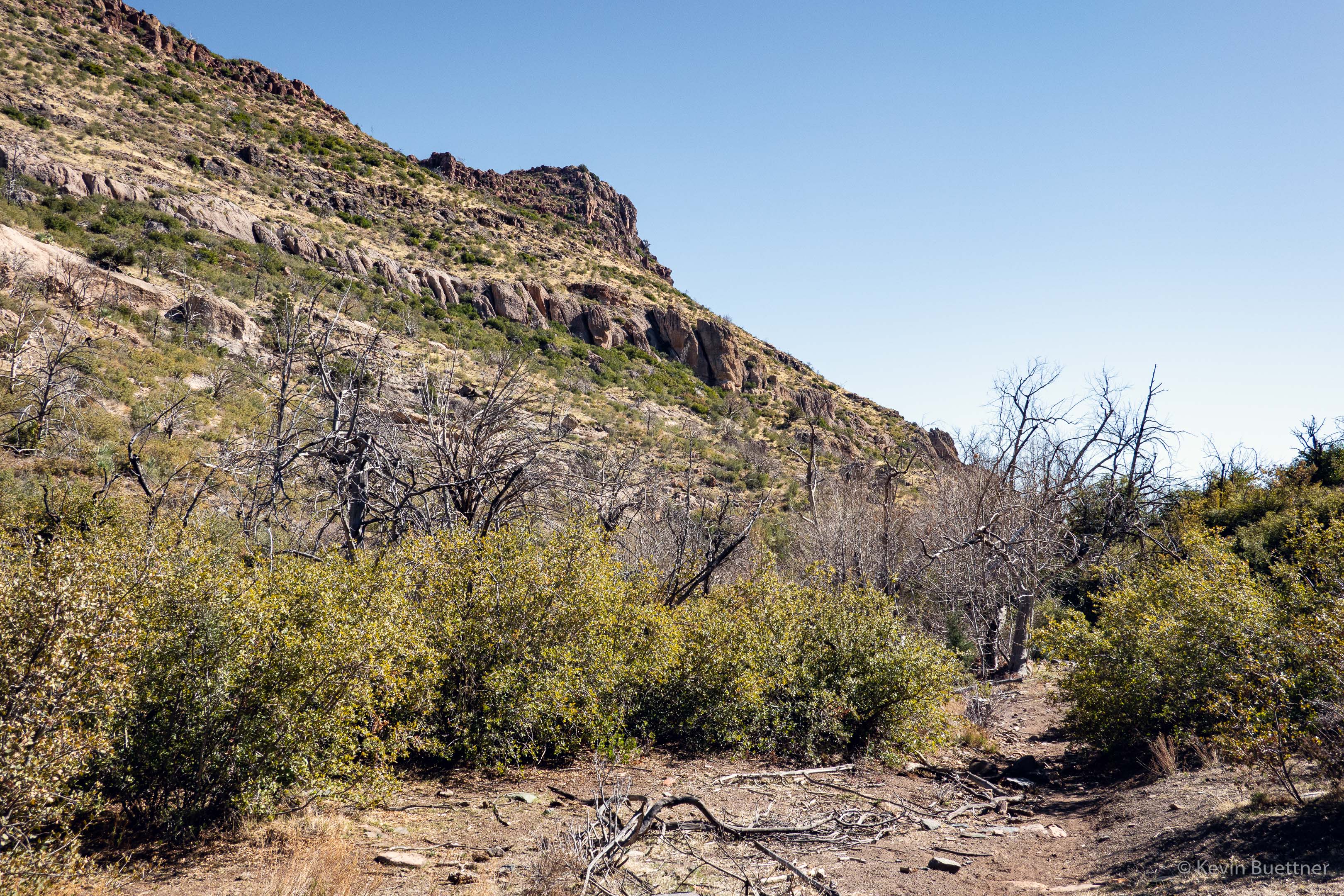
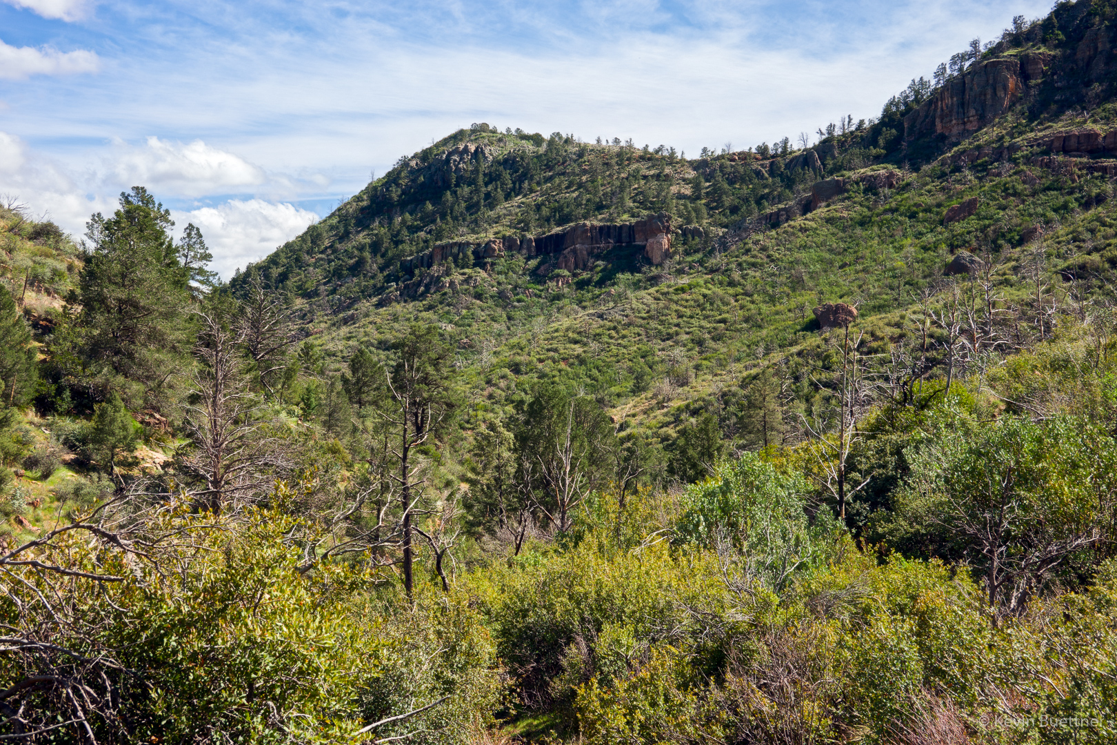
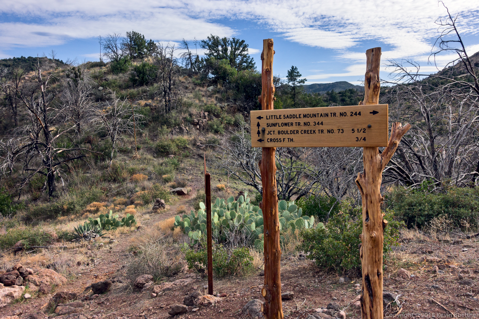
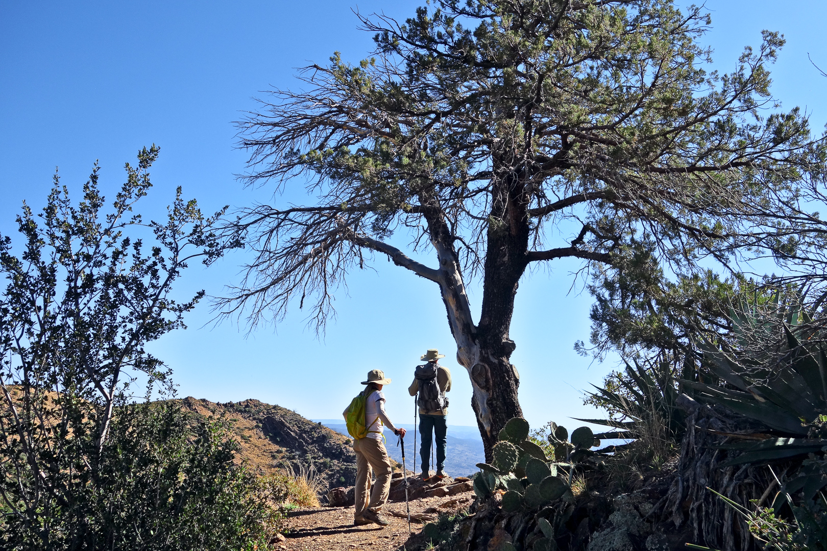
This is a view at the junction of the Cross F connector, Little Saddle Mountain Trail, and the Sunflower Trail:

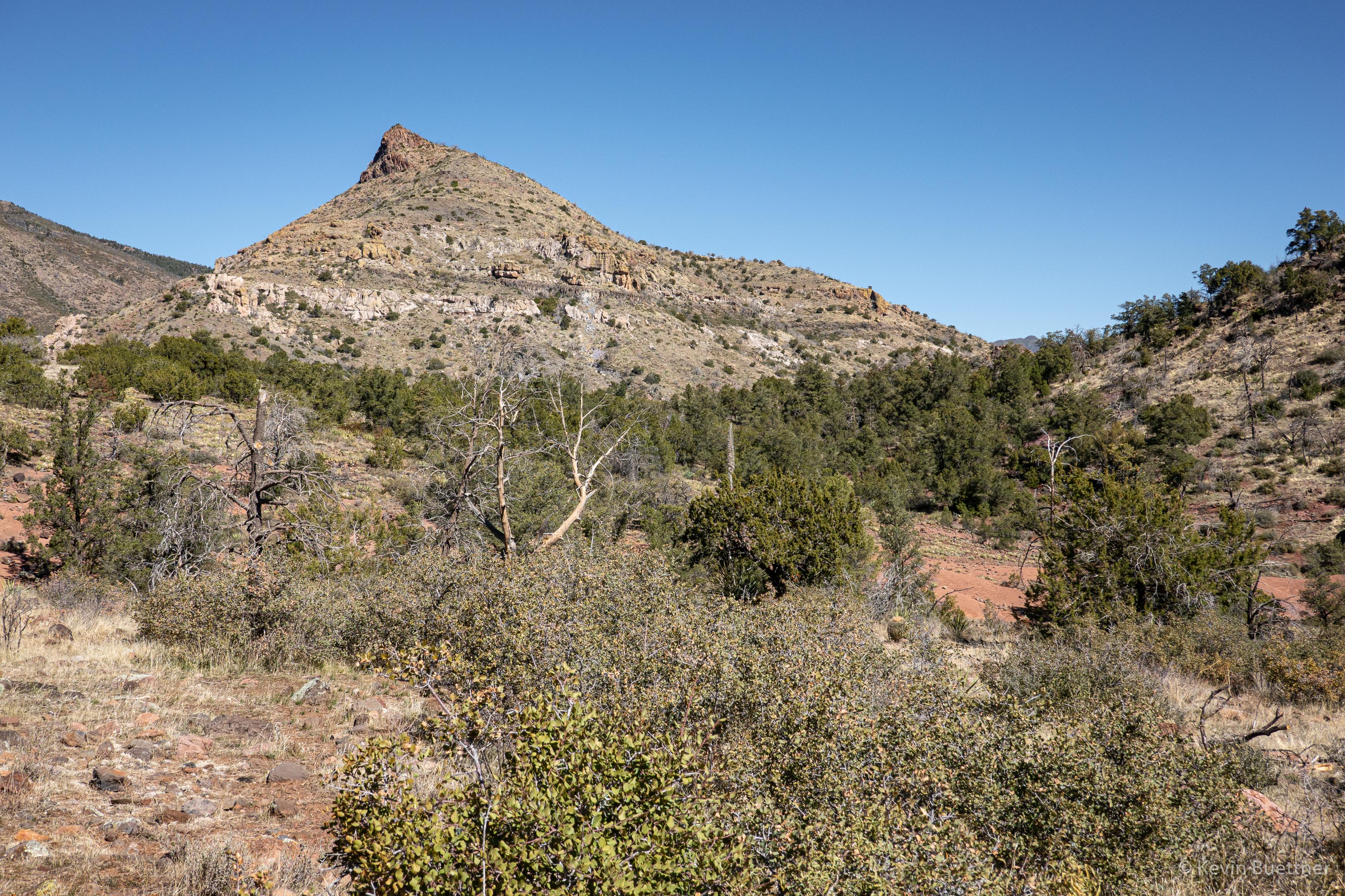
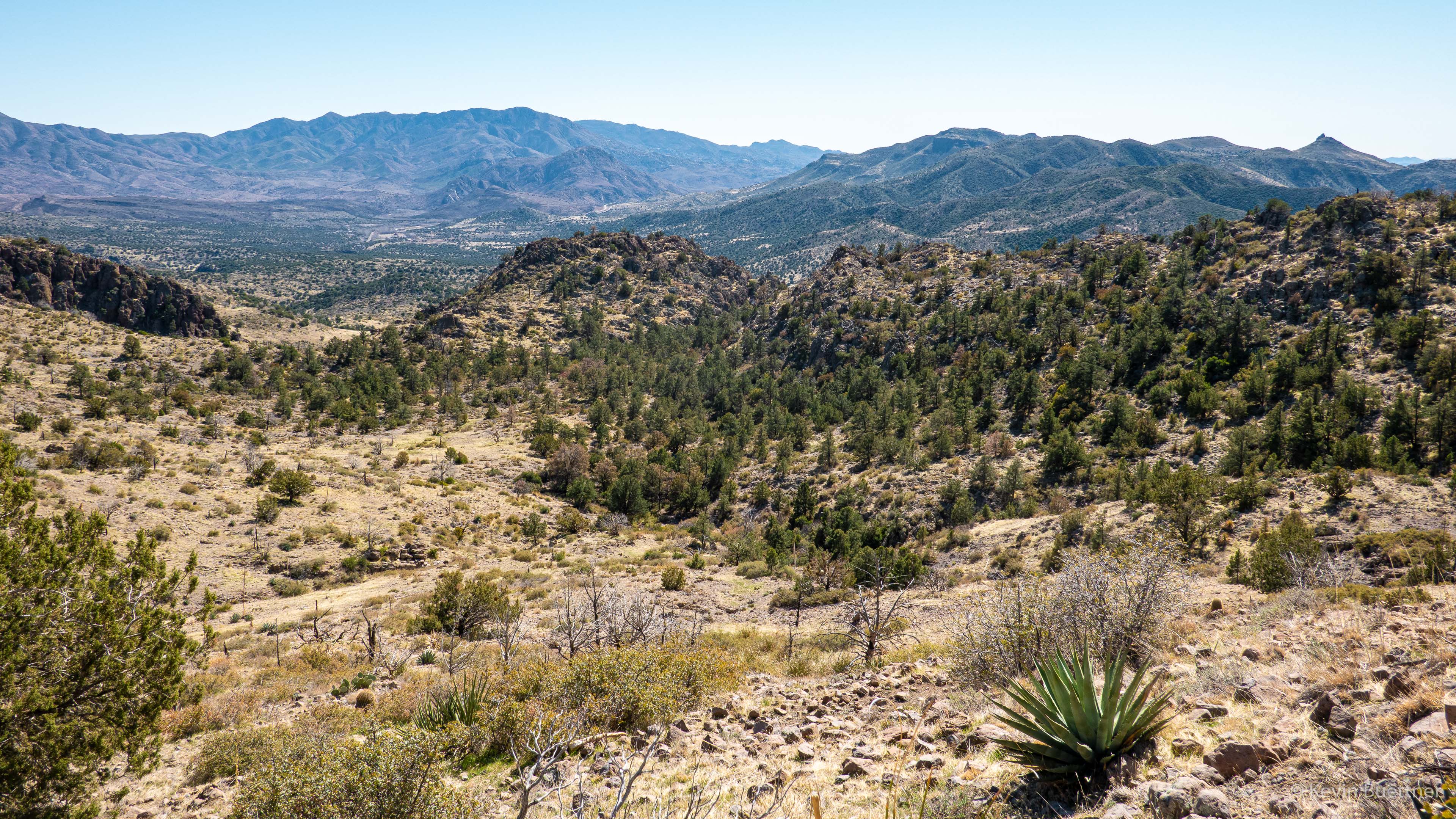
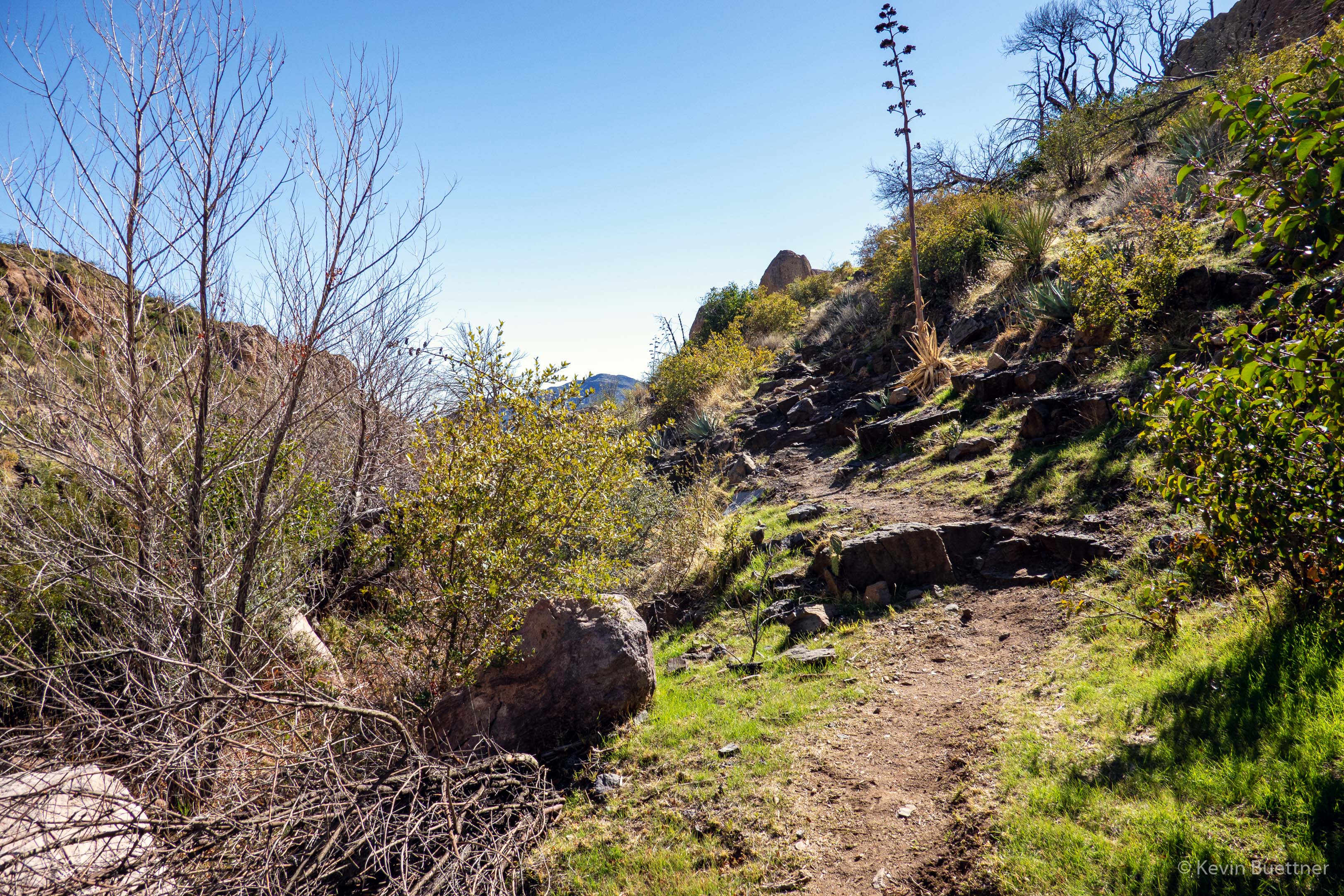
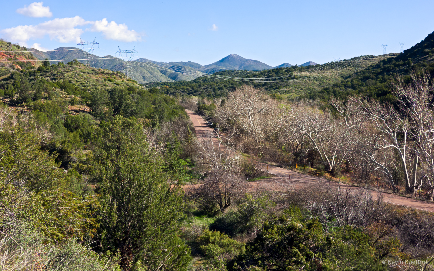
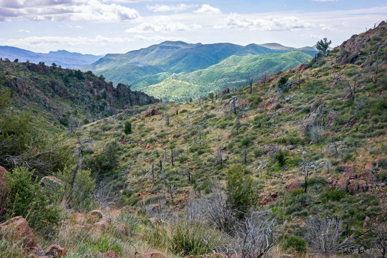
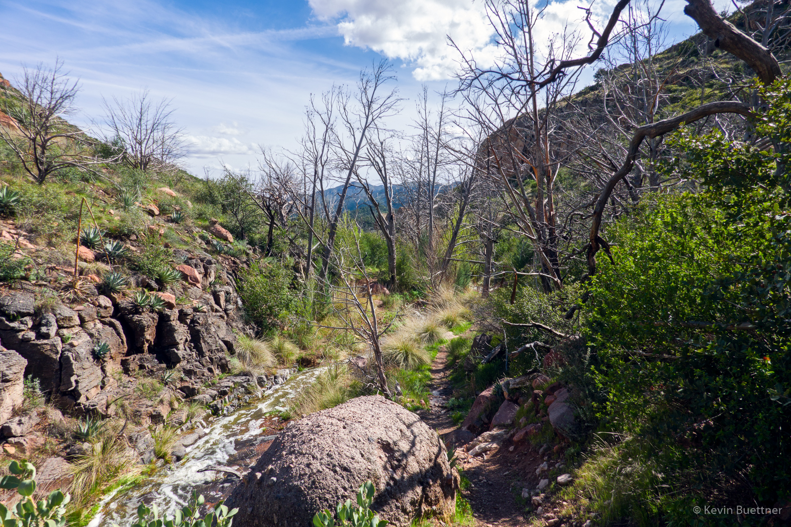
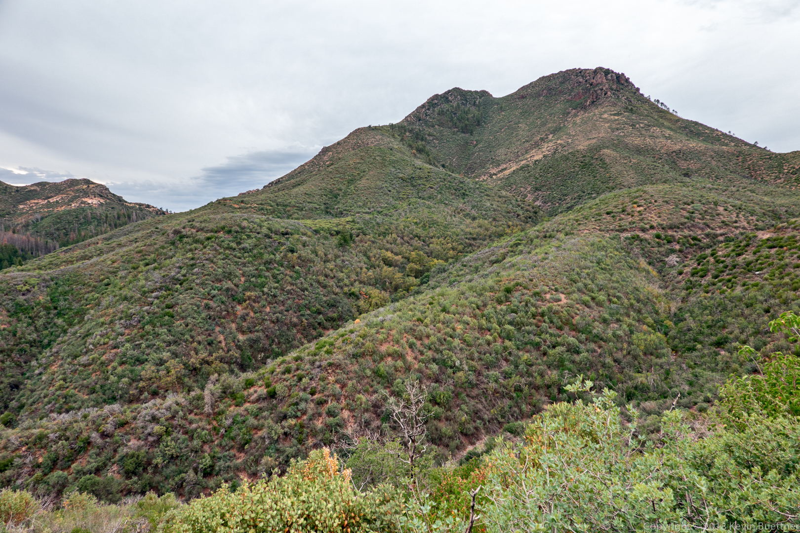
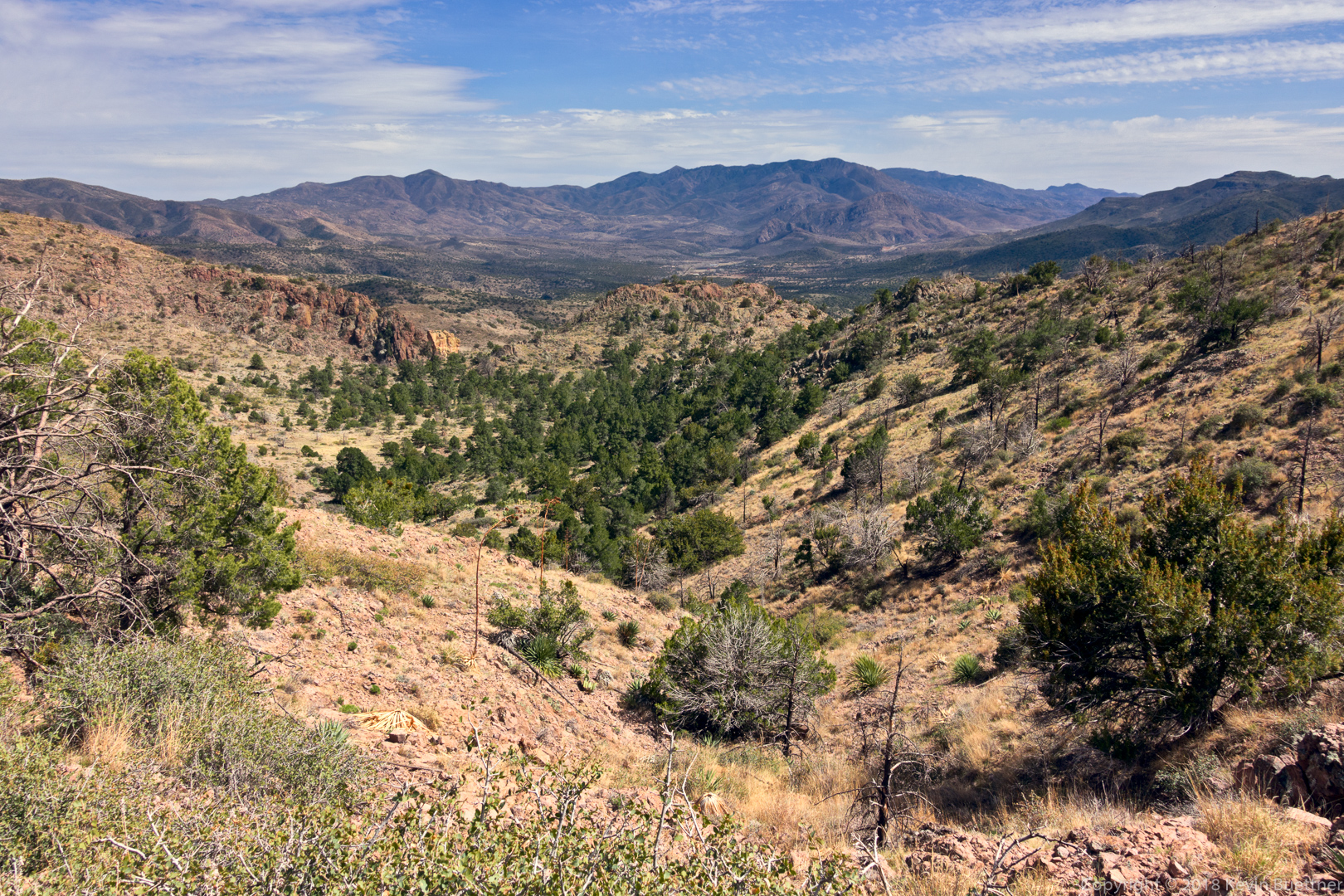
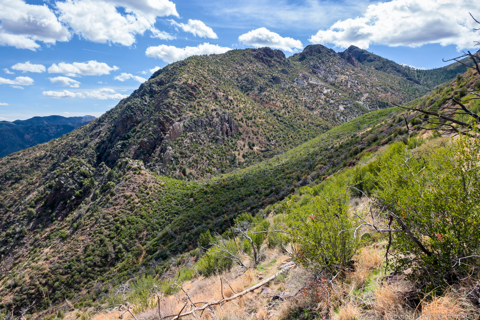
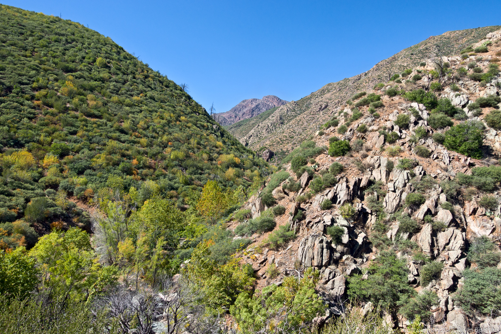
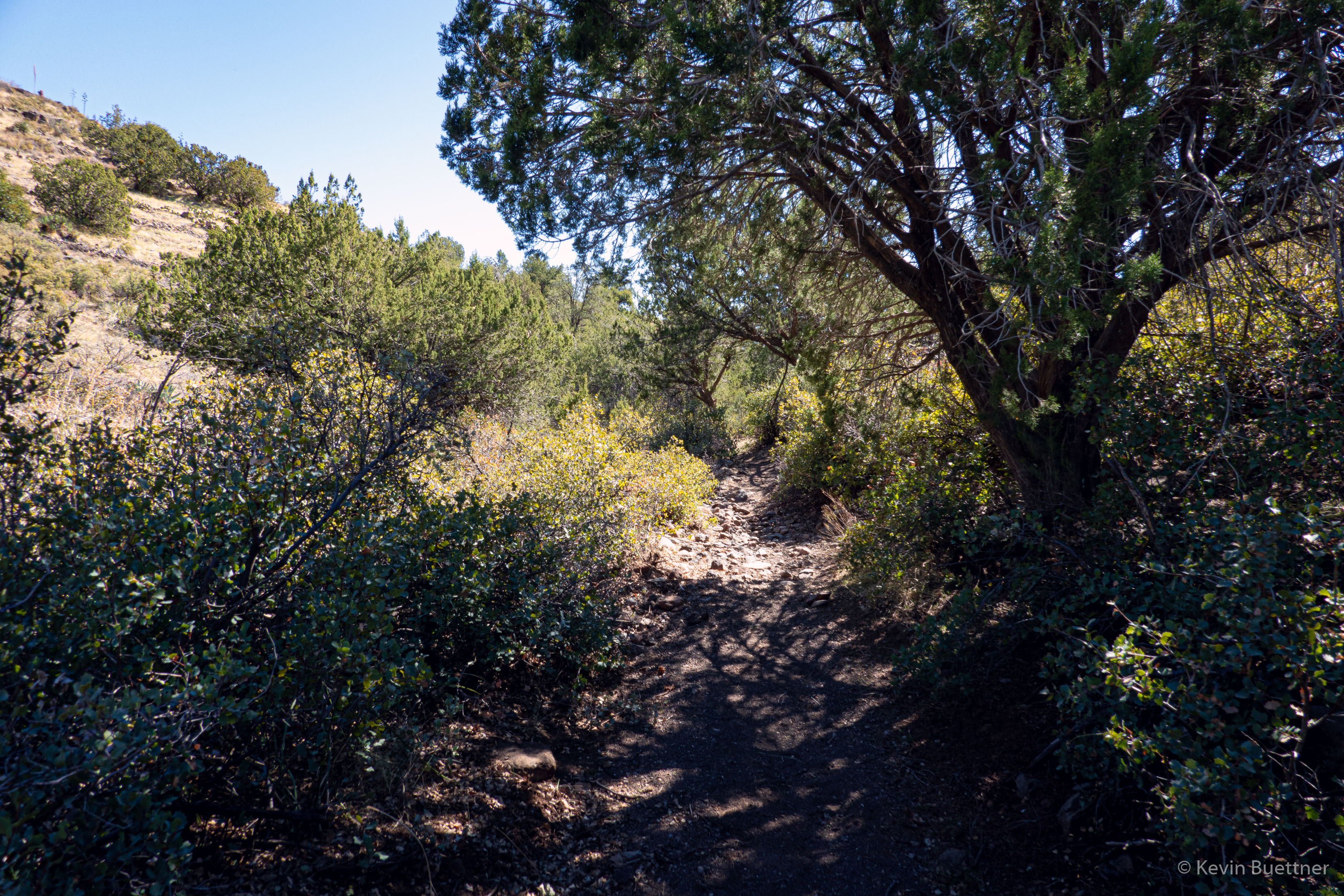
Looking back along the Sunflower Trail; we are approaching FR393 here:

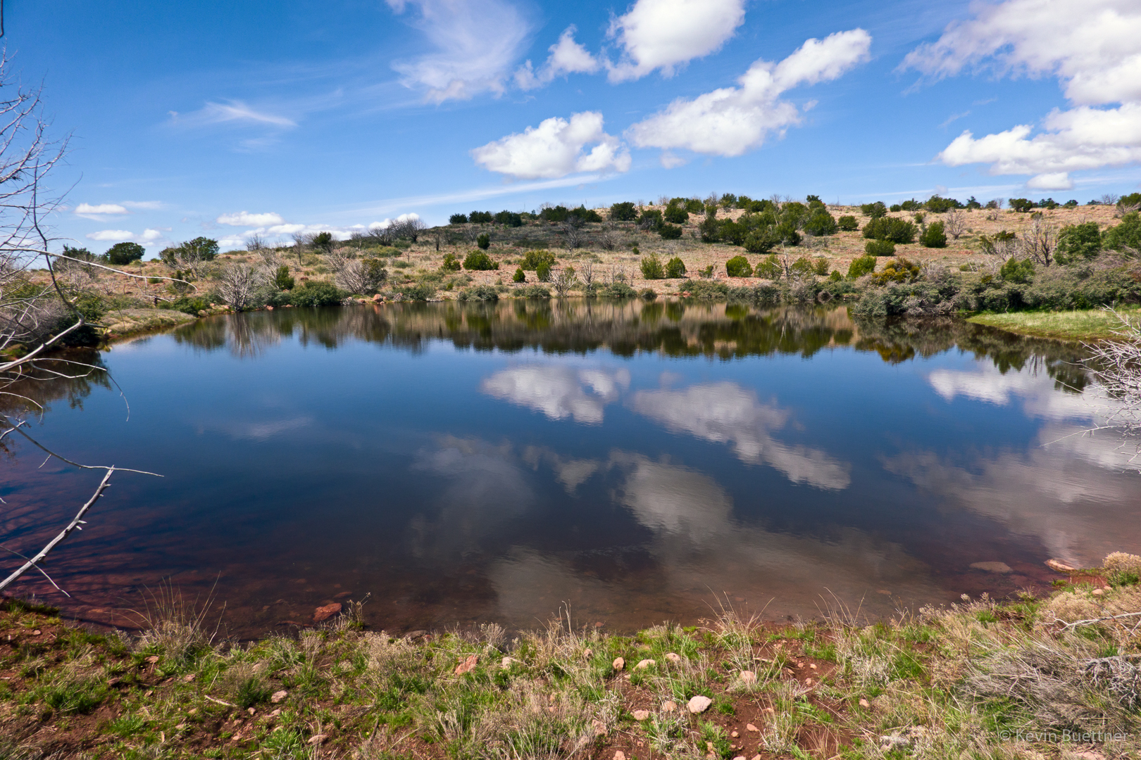
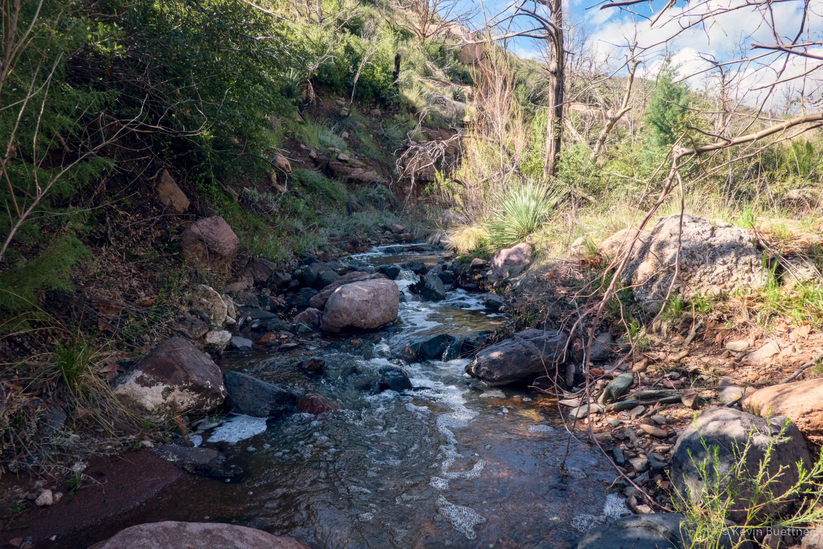
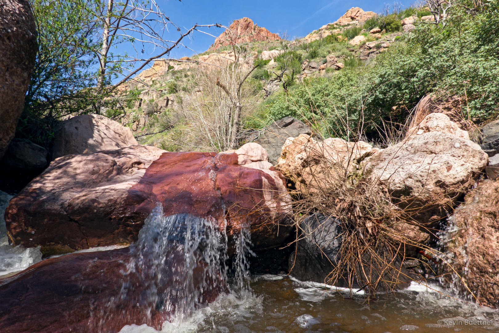
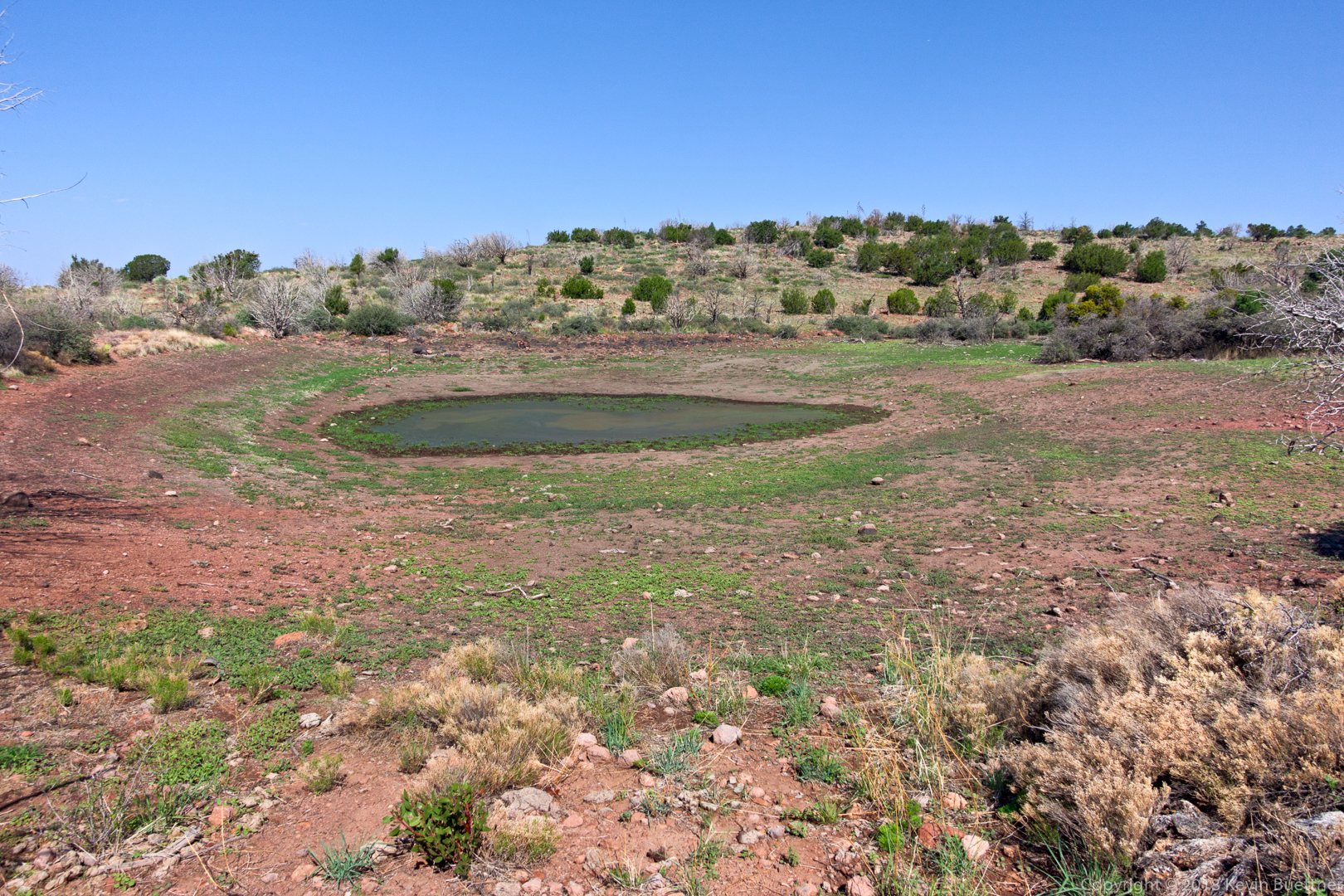
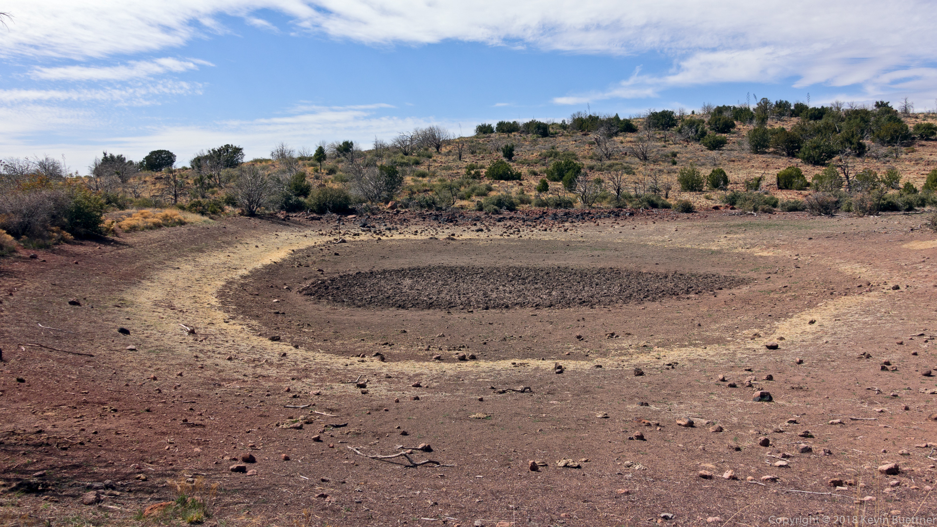
A tank (water hole) along the way…

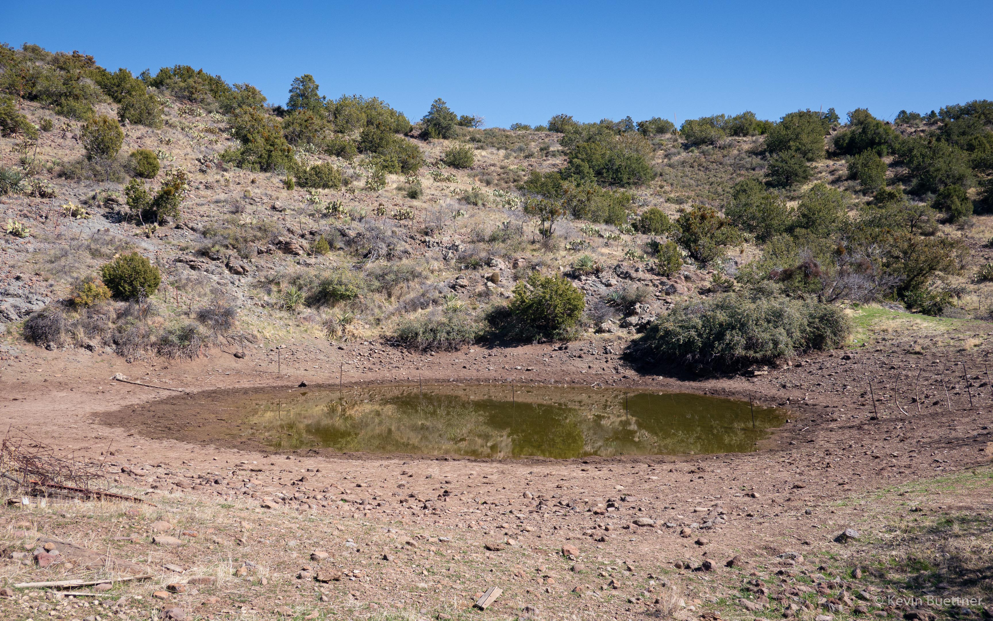
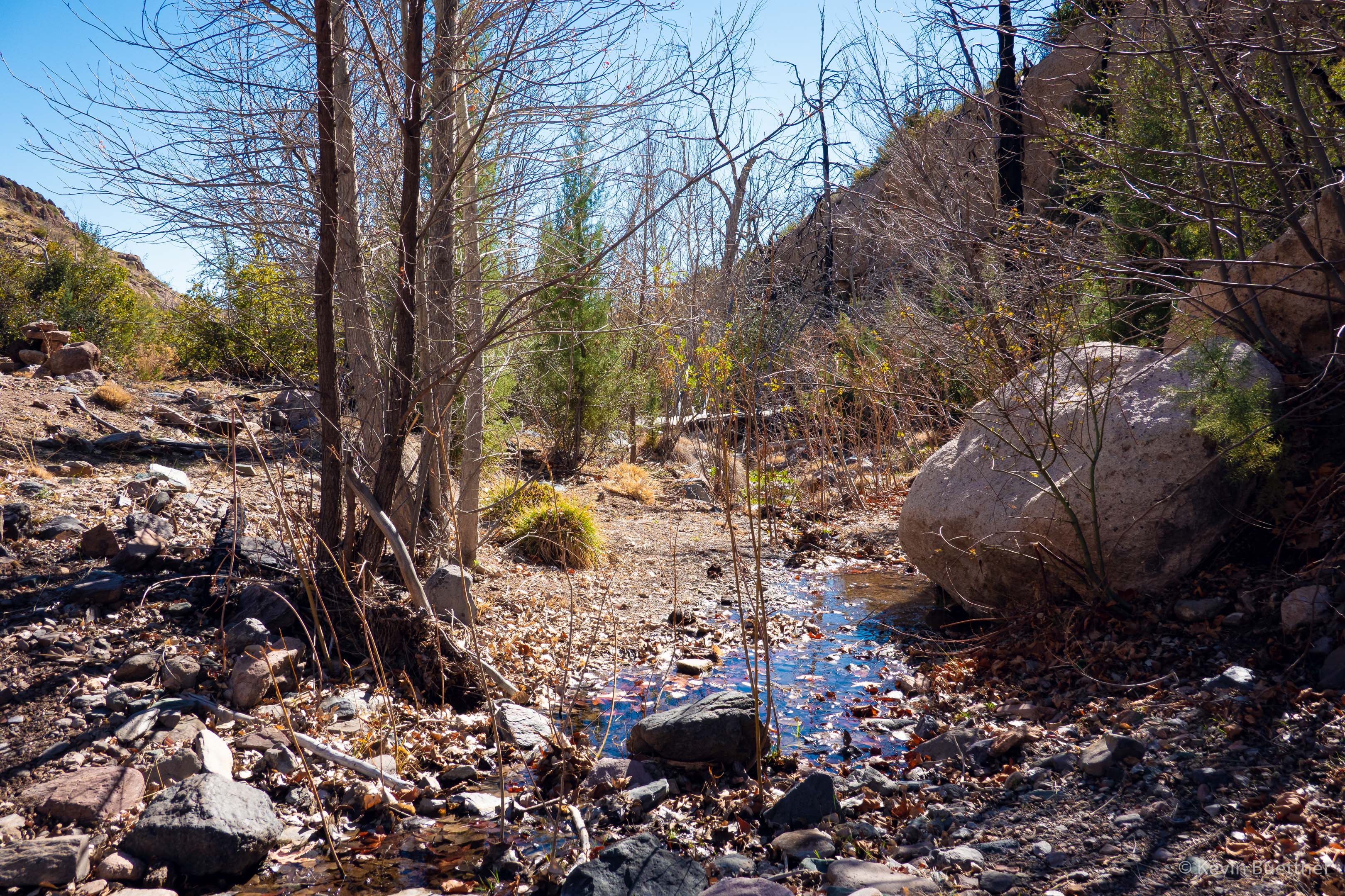
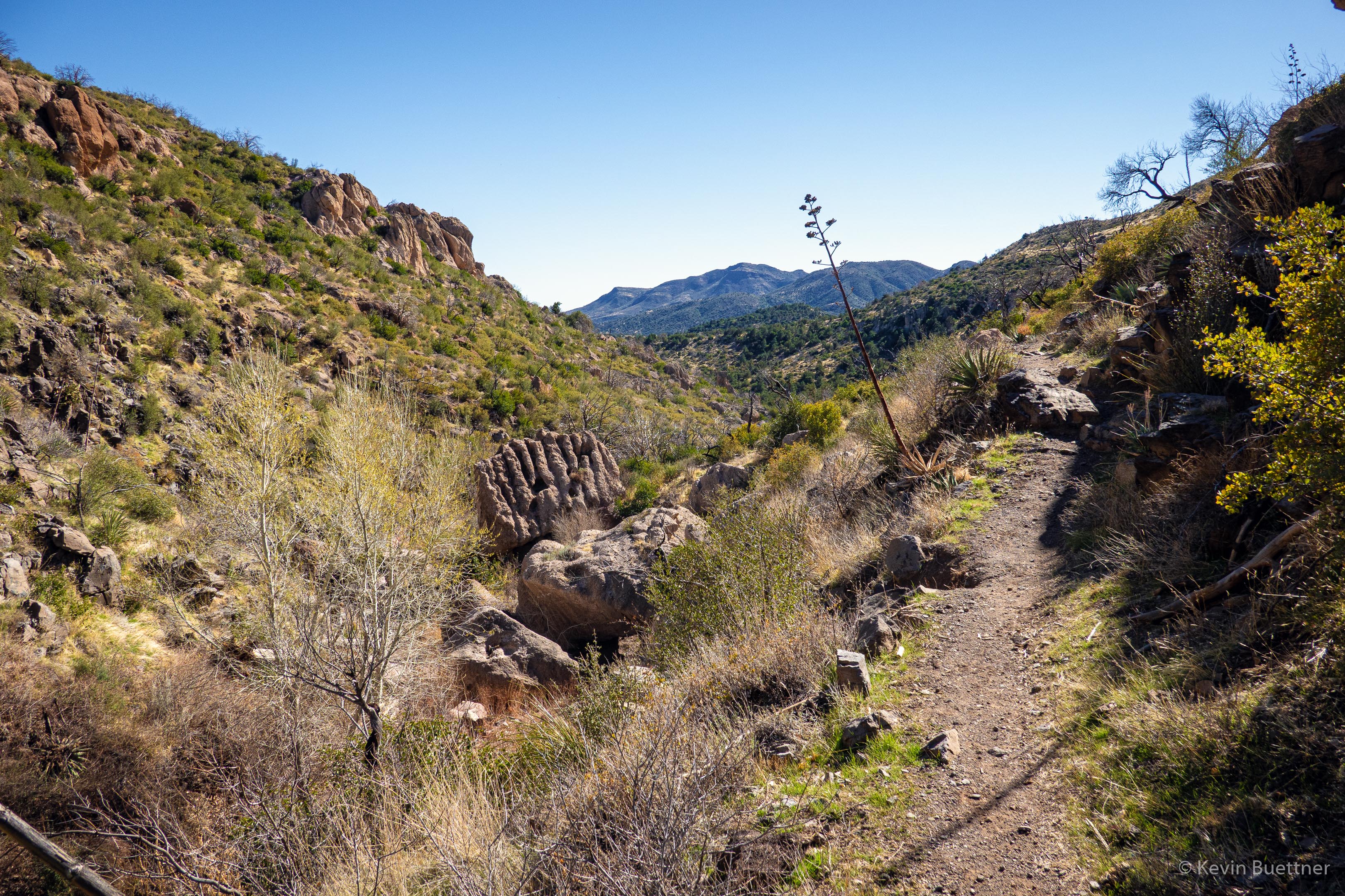
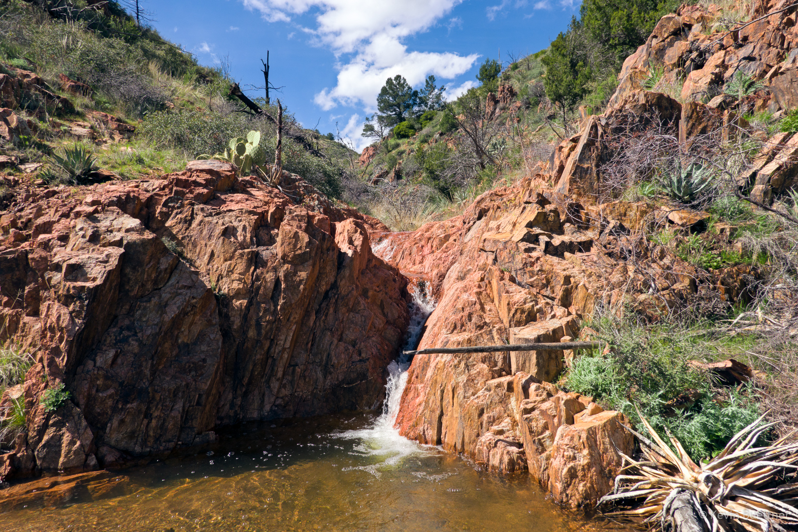
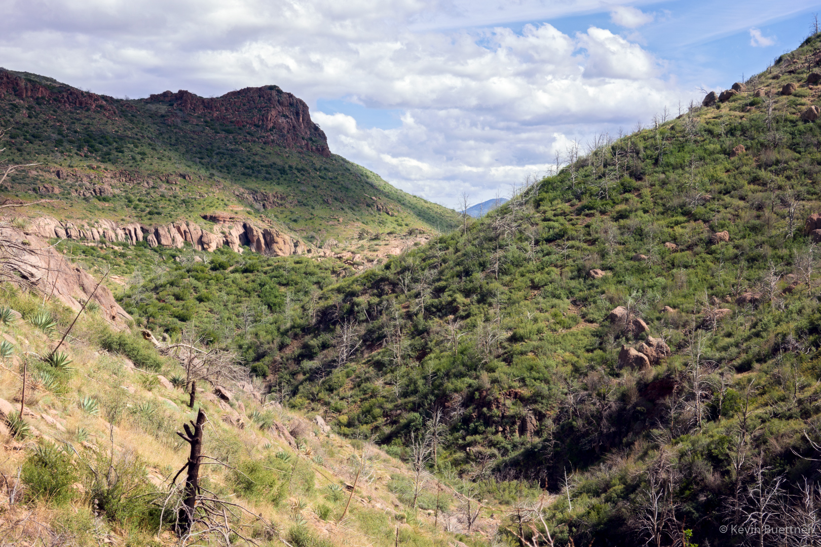
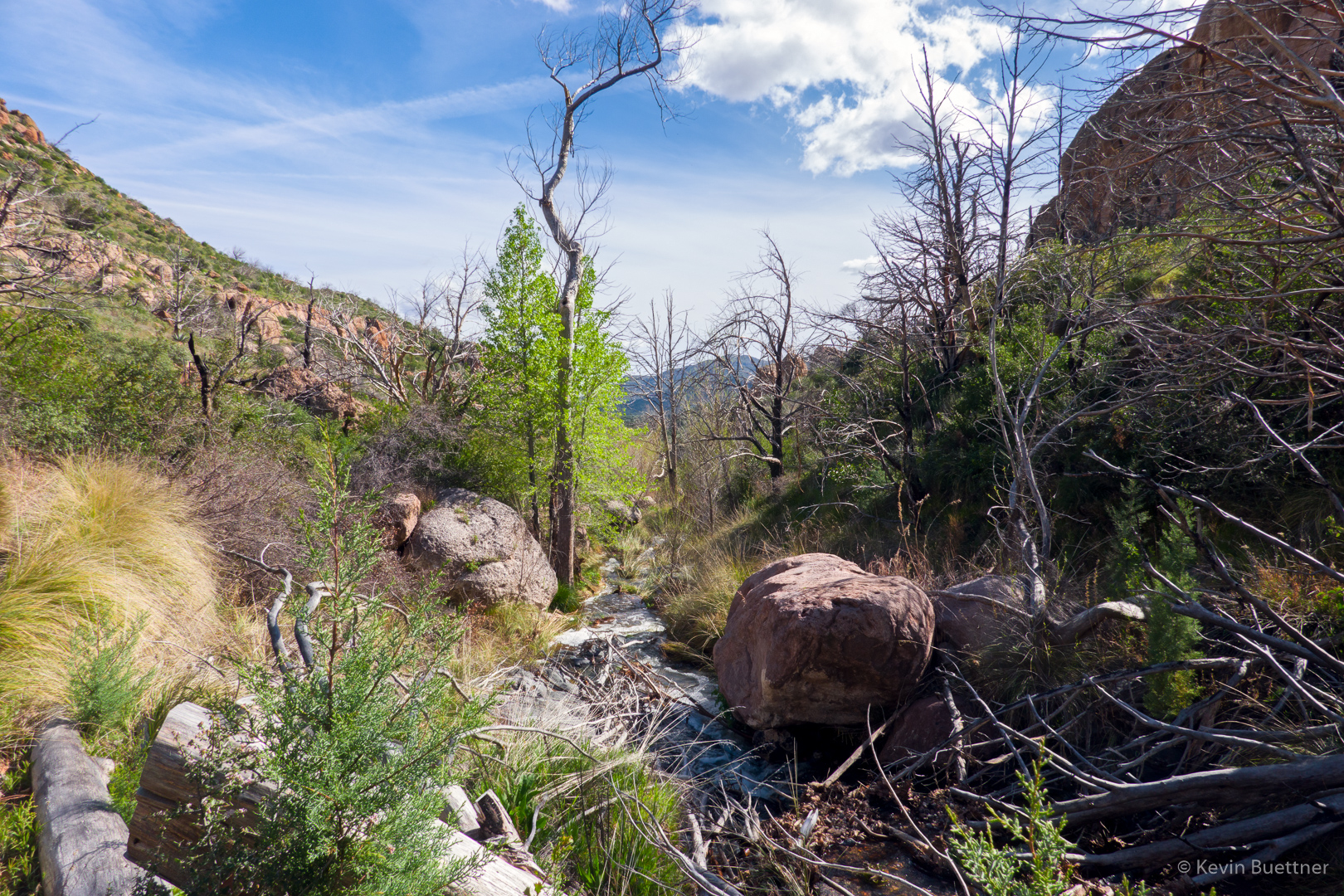
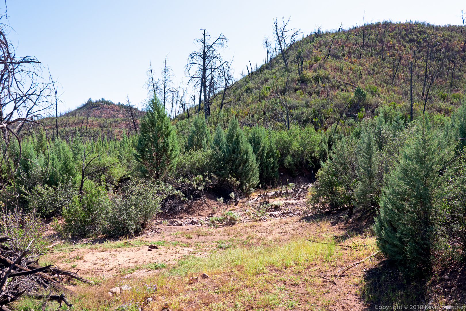
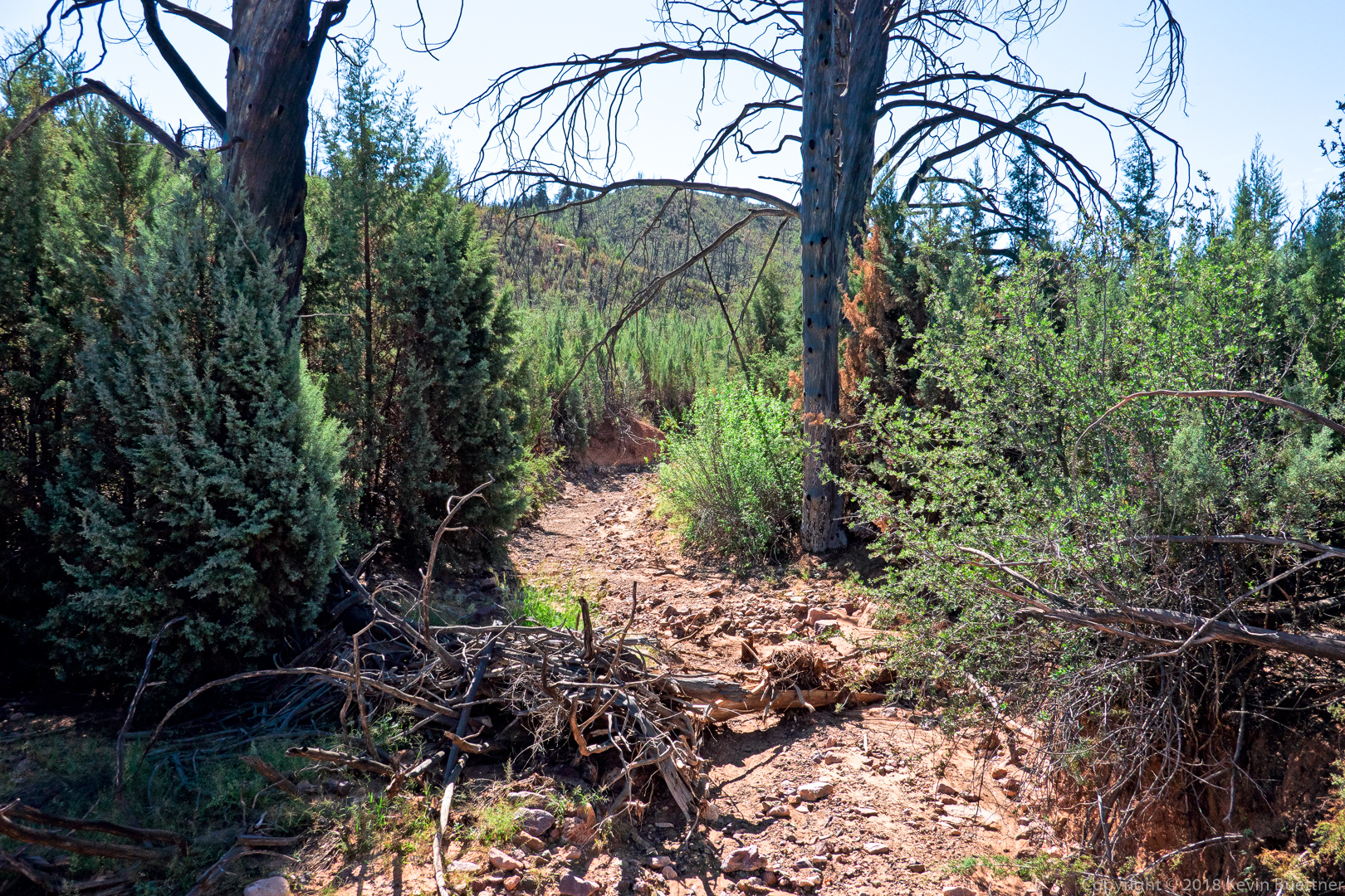
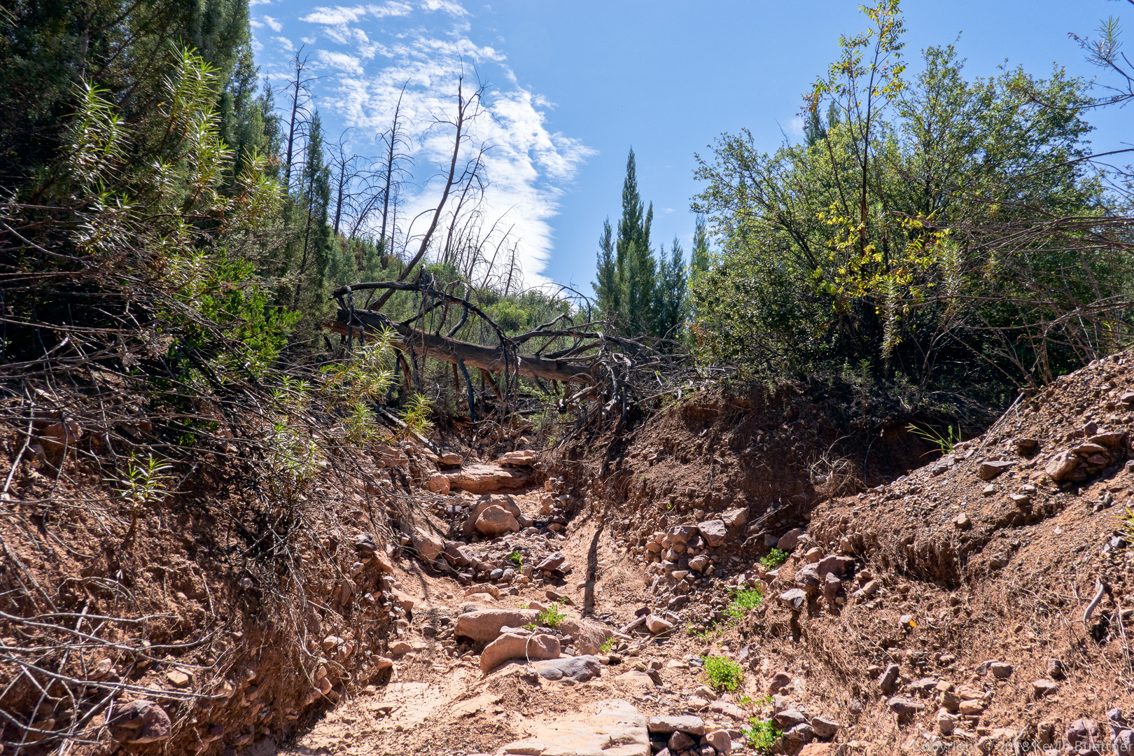
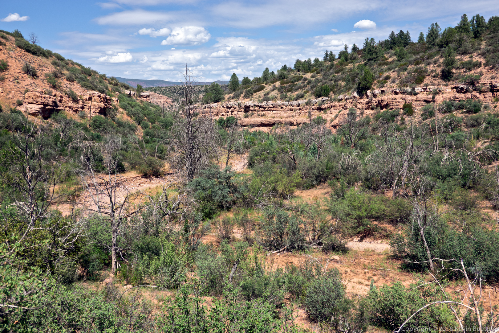
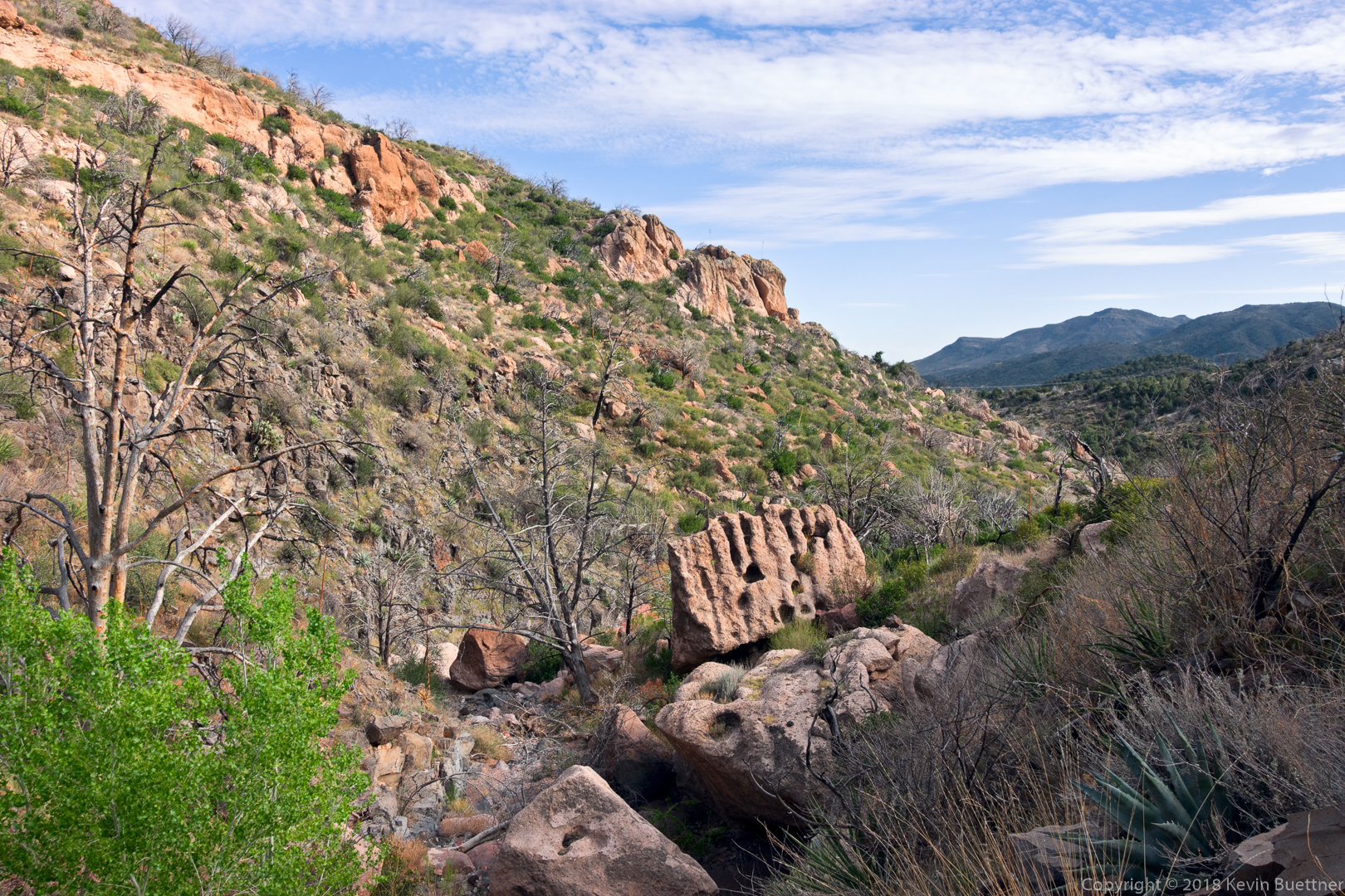
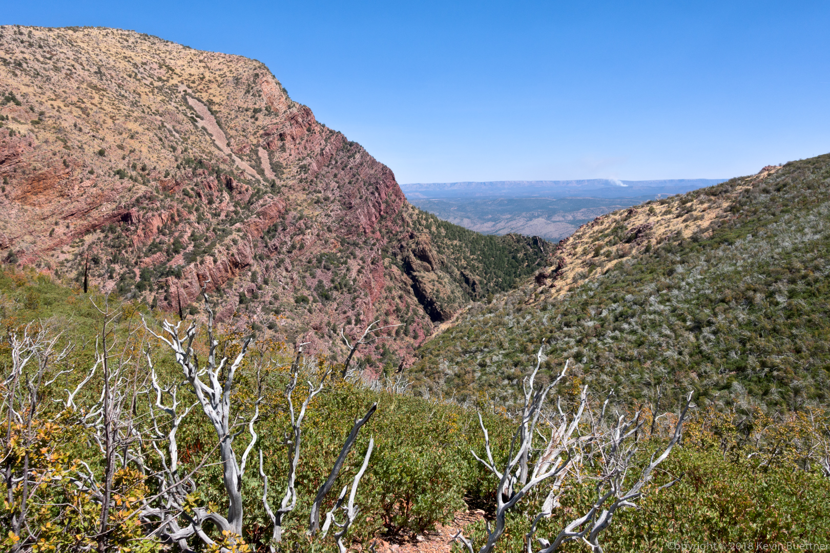
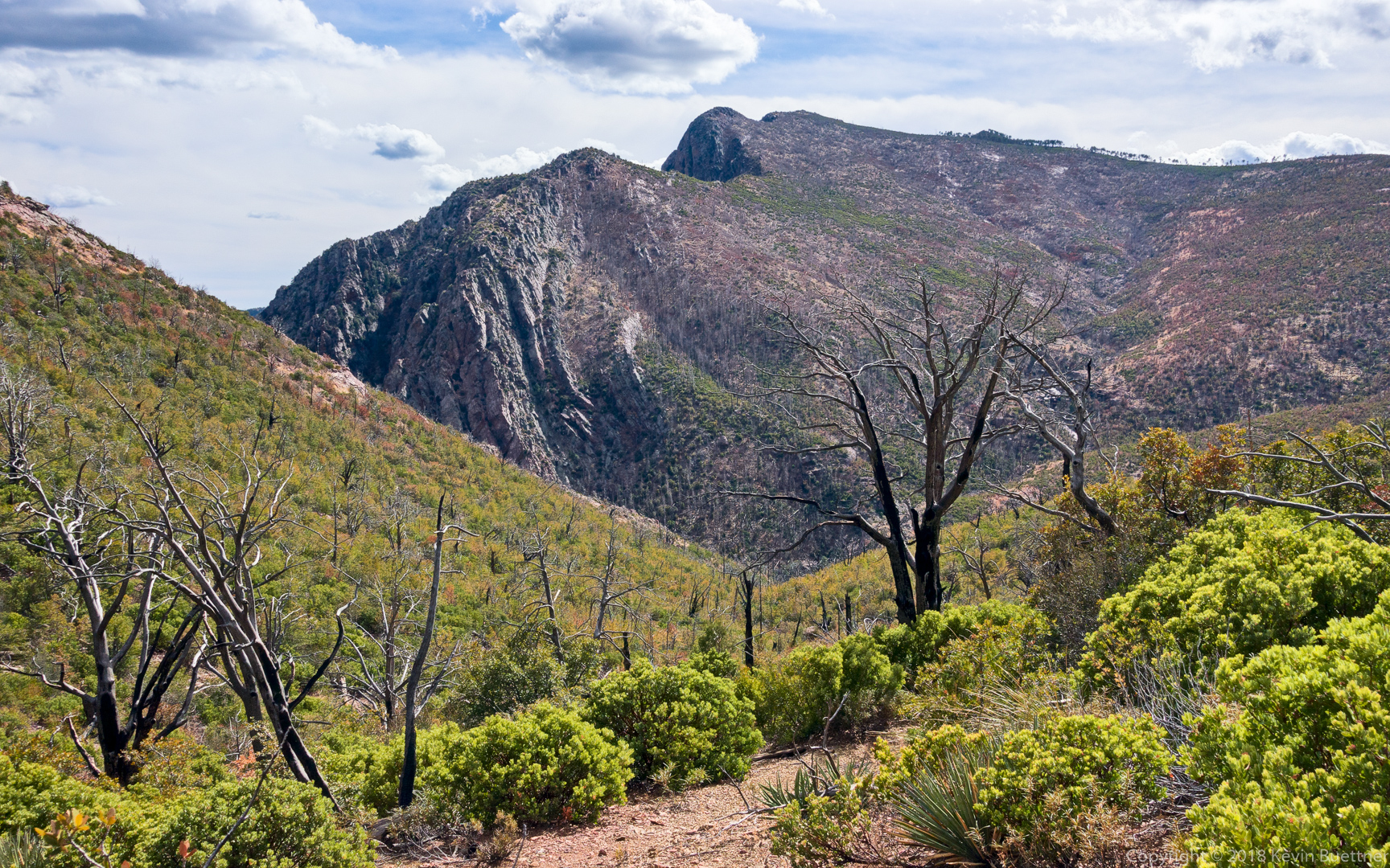
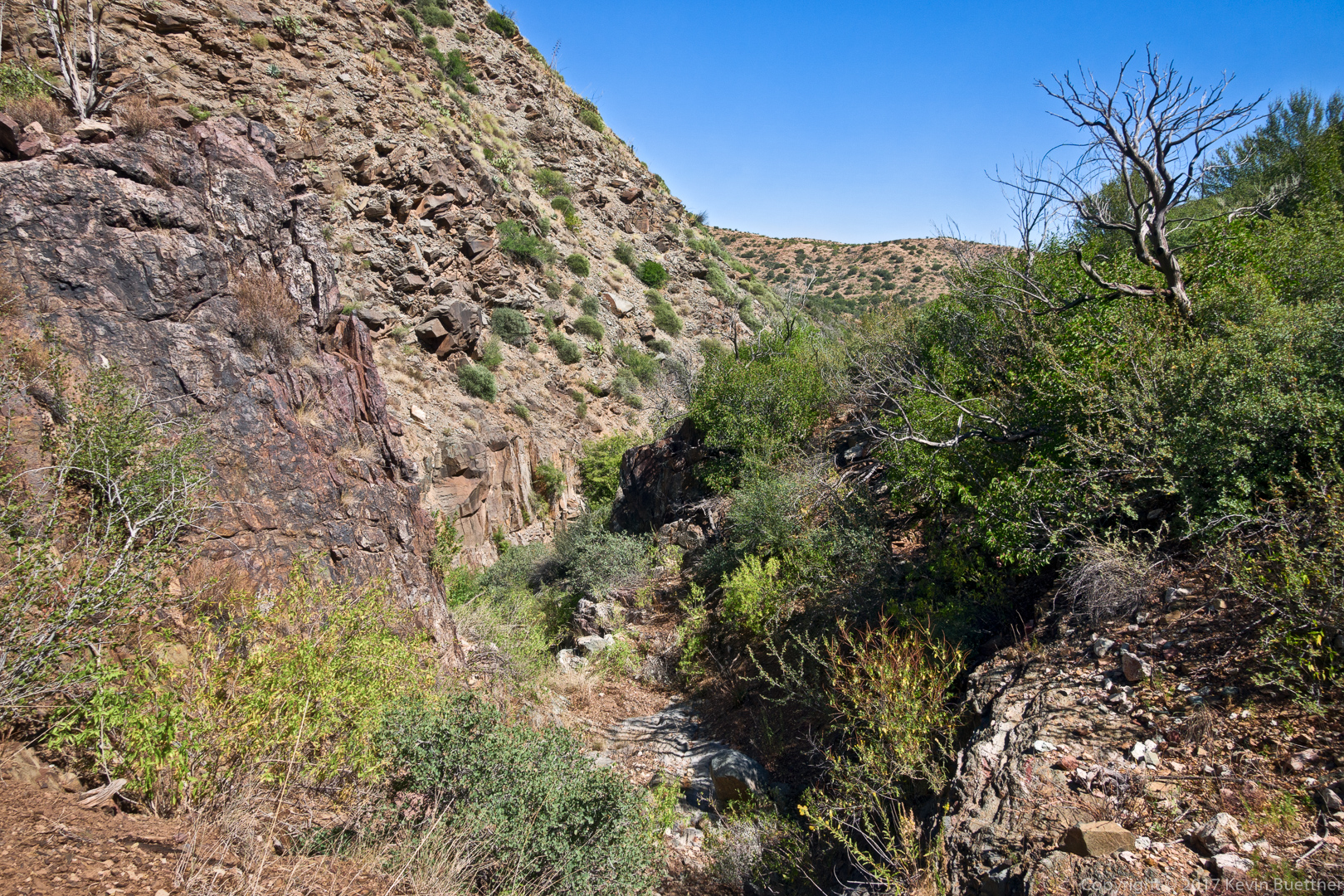
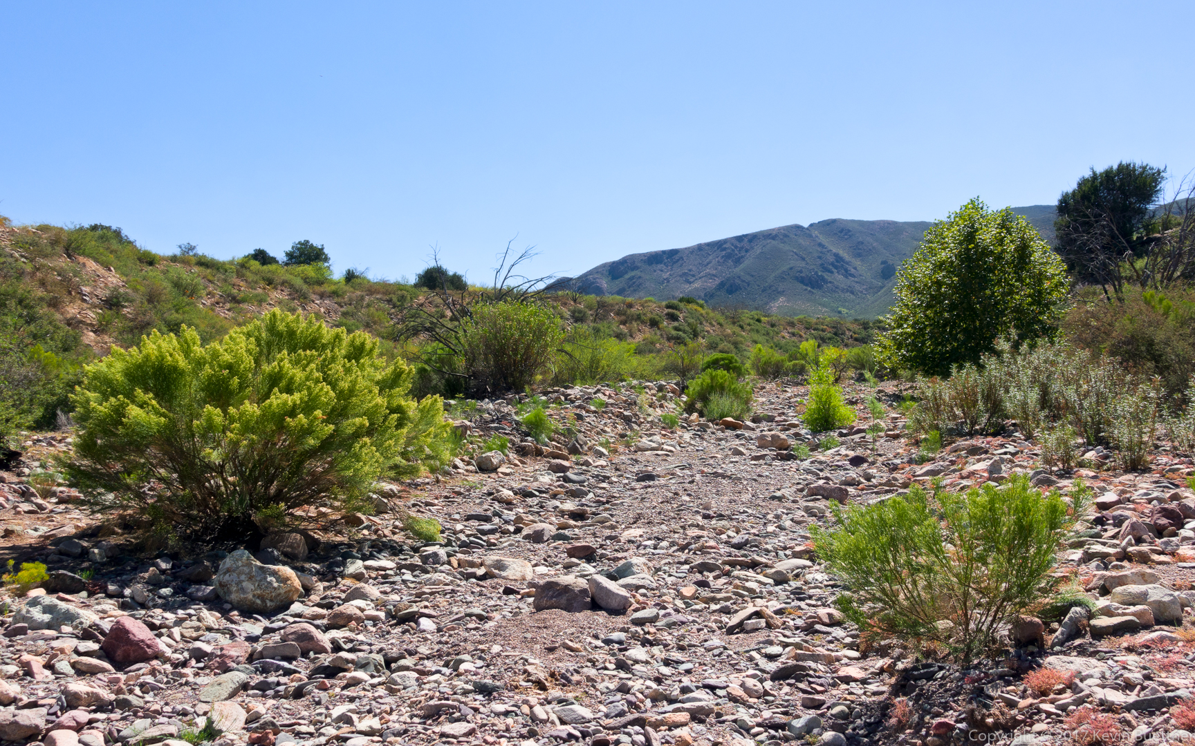
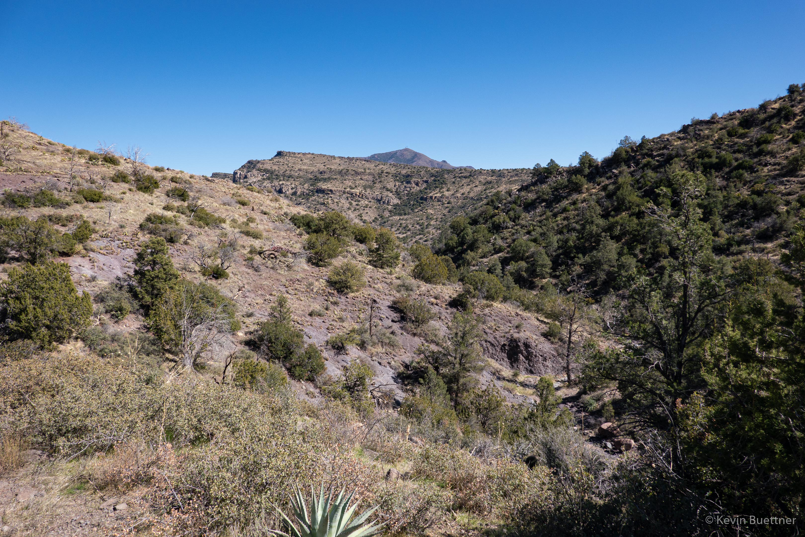
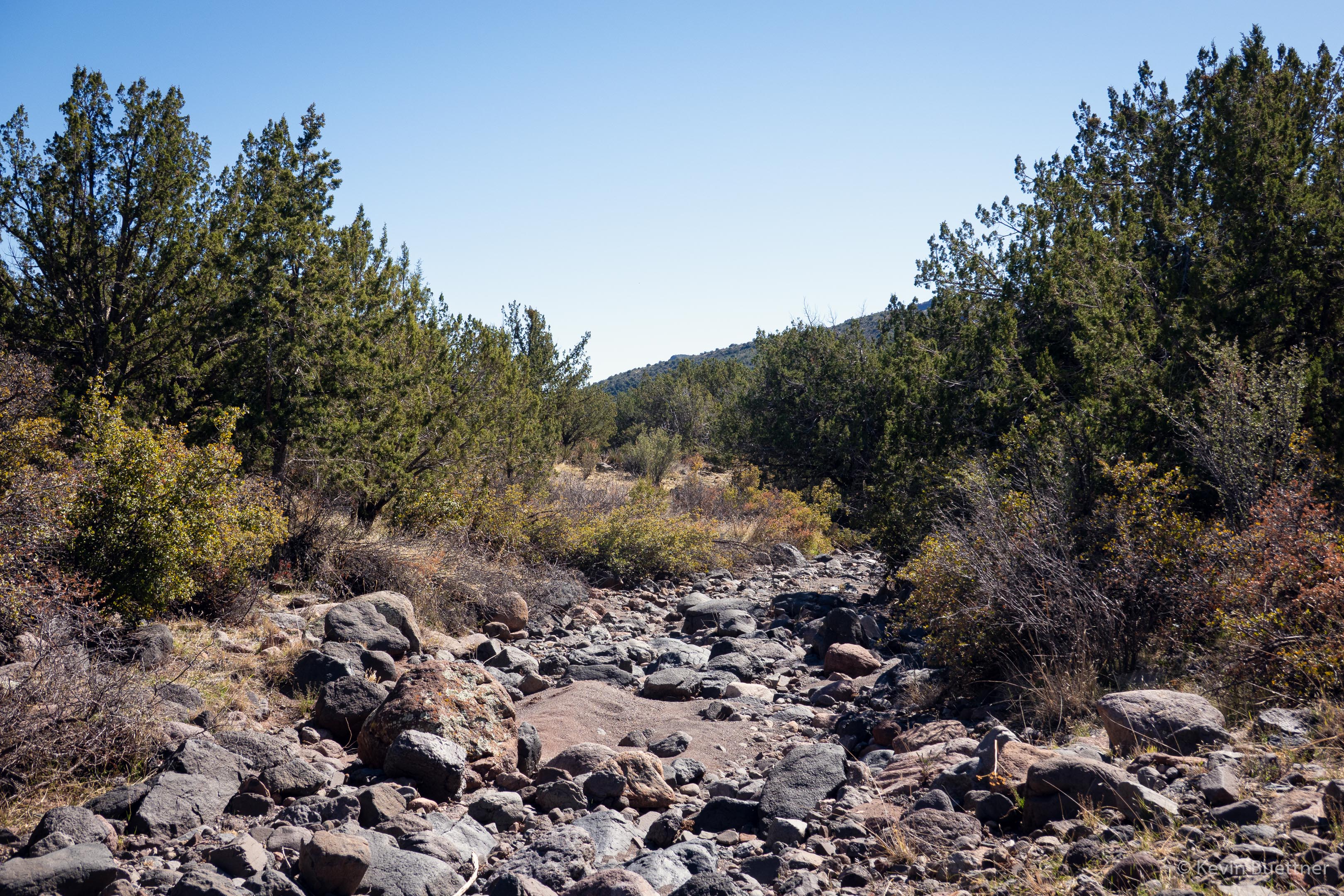
I’ve checked some maps, but could not find a name for this drainage:
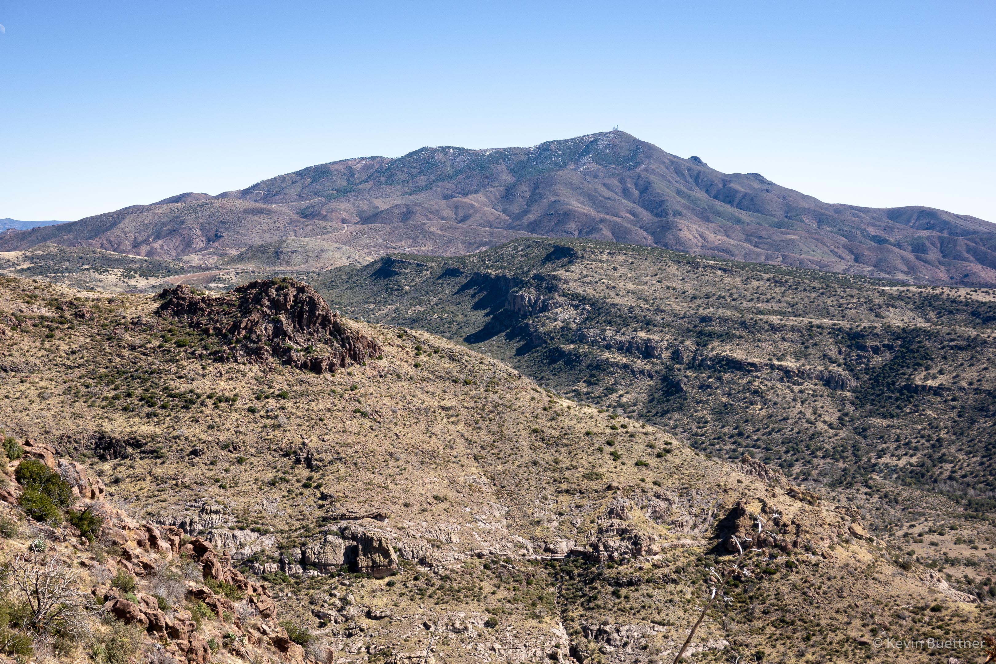
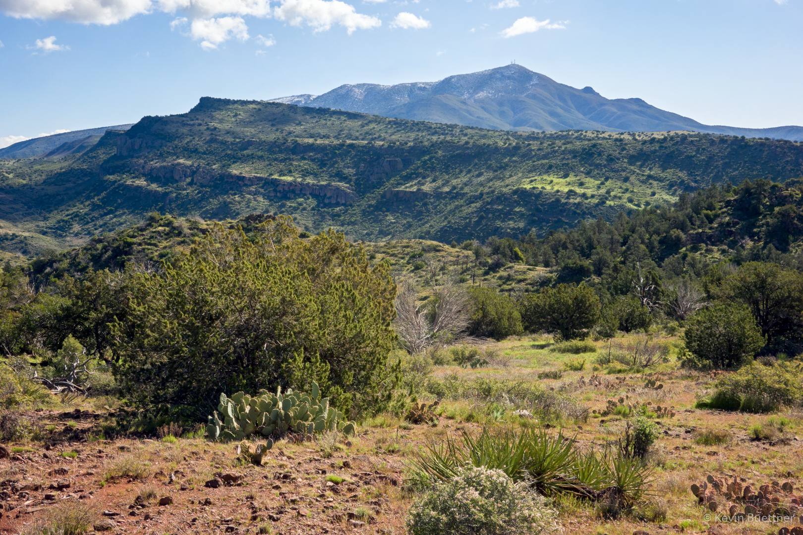
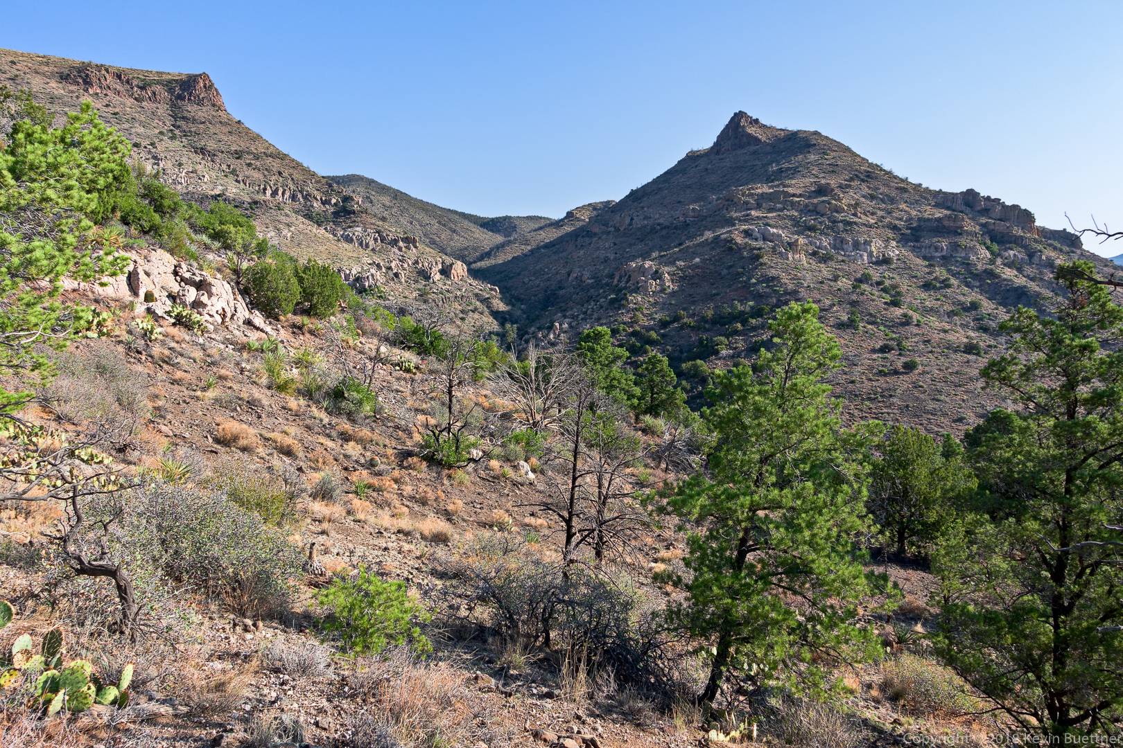
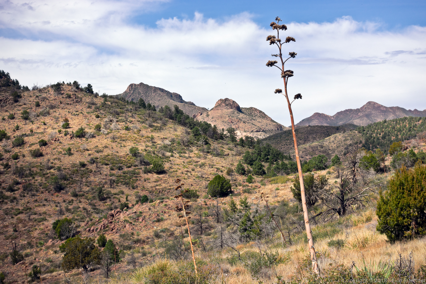
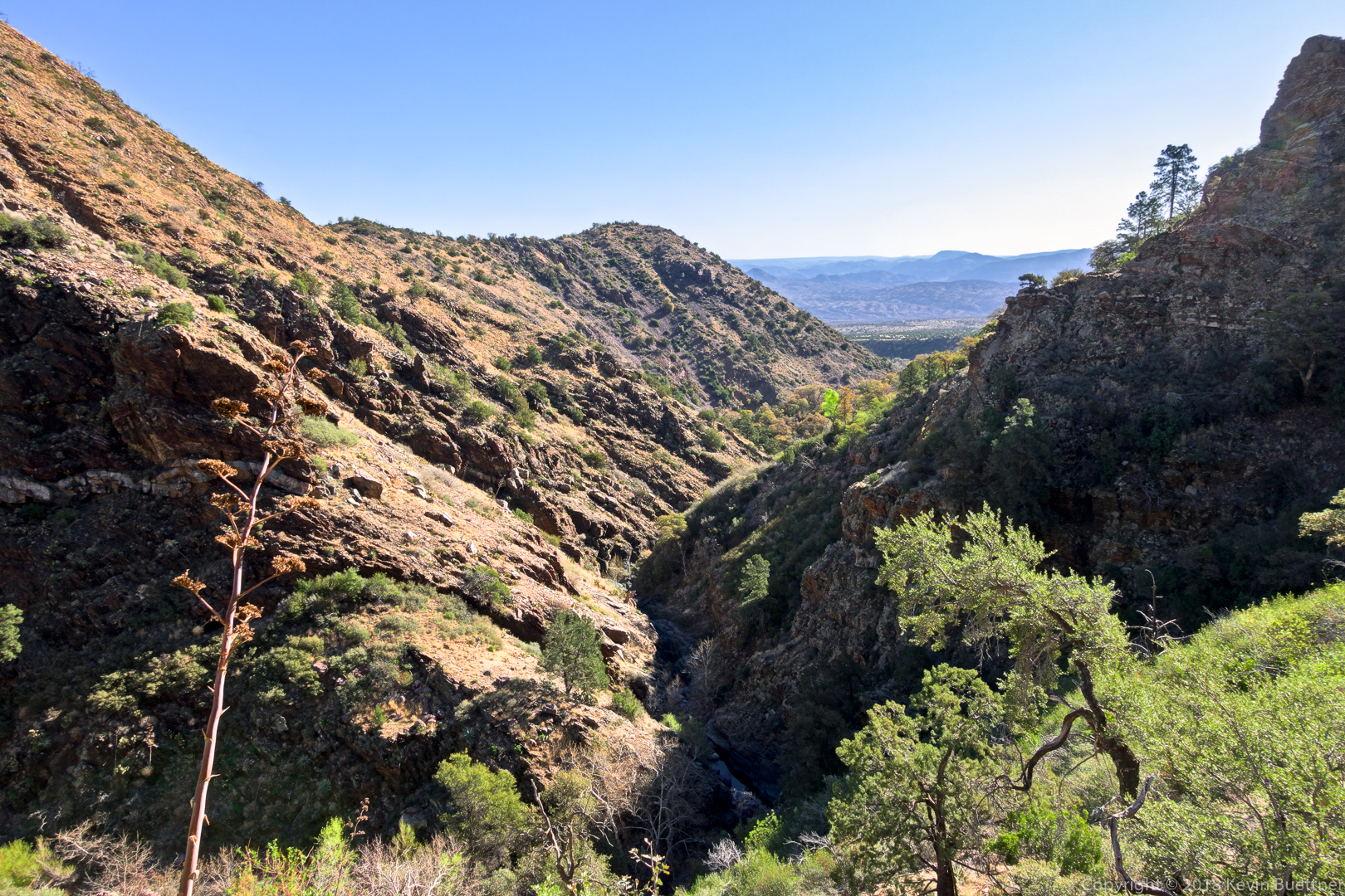
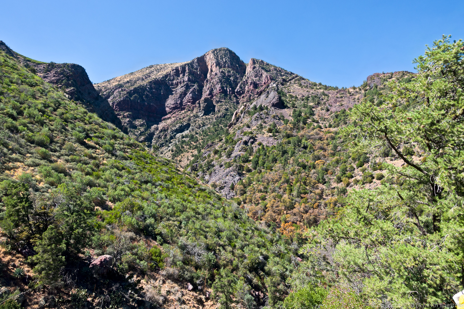
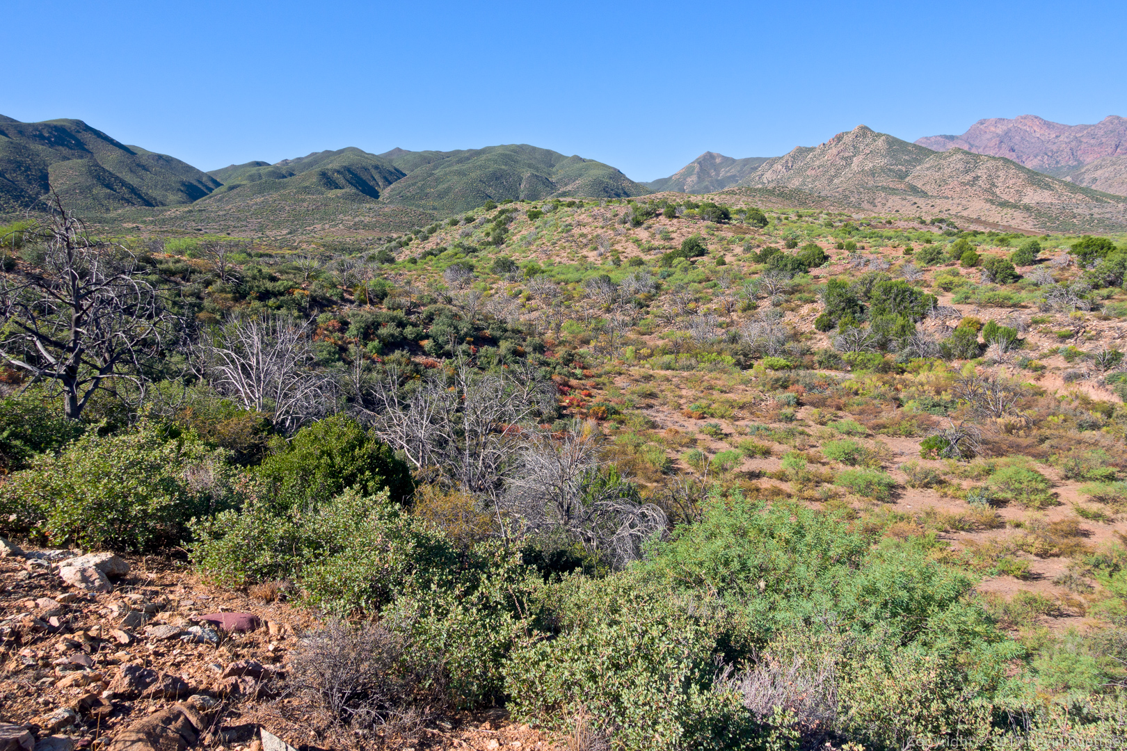
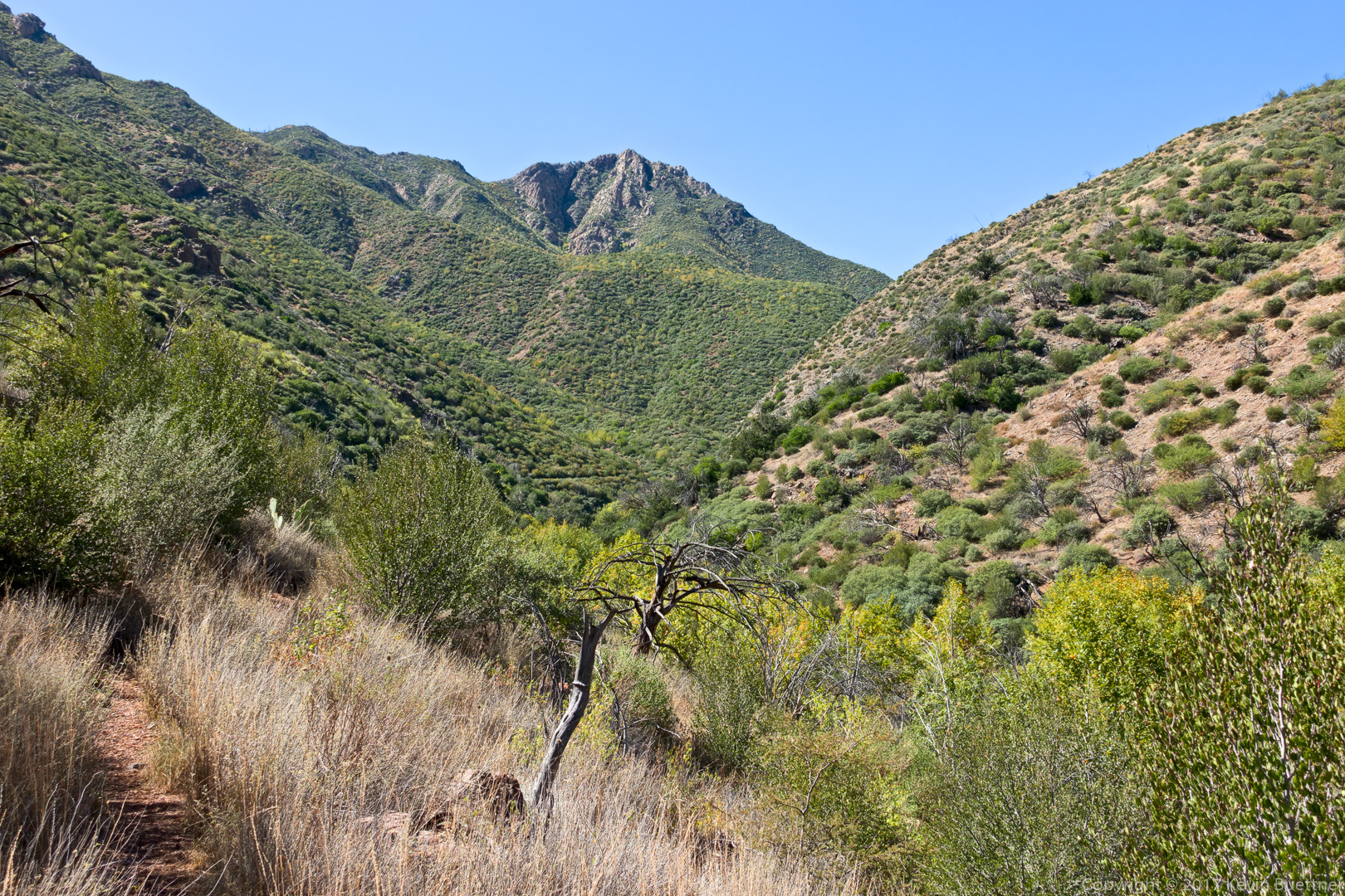
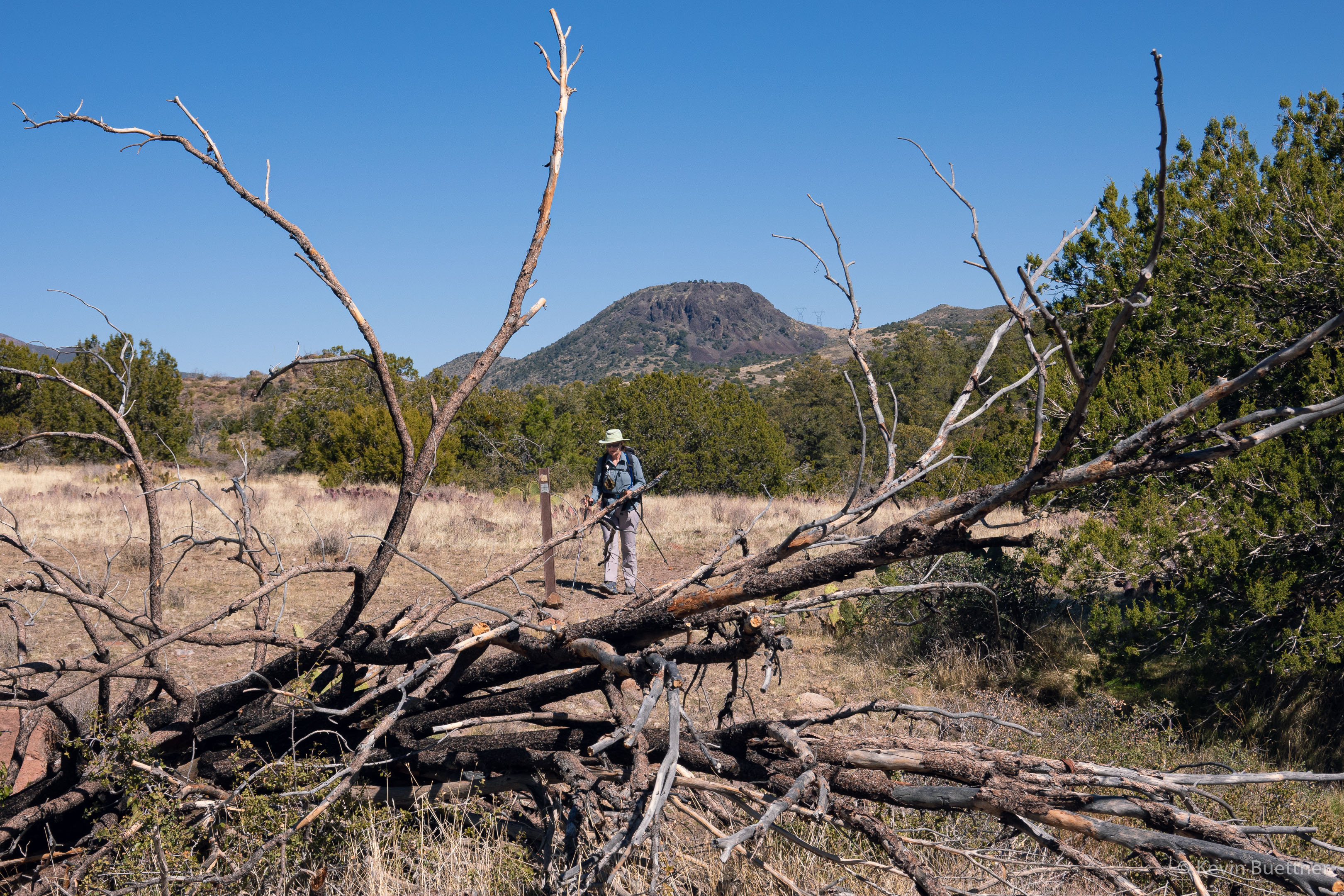
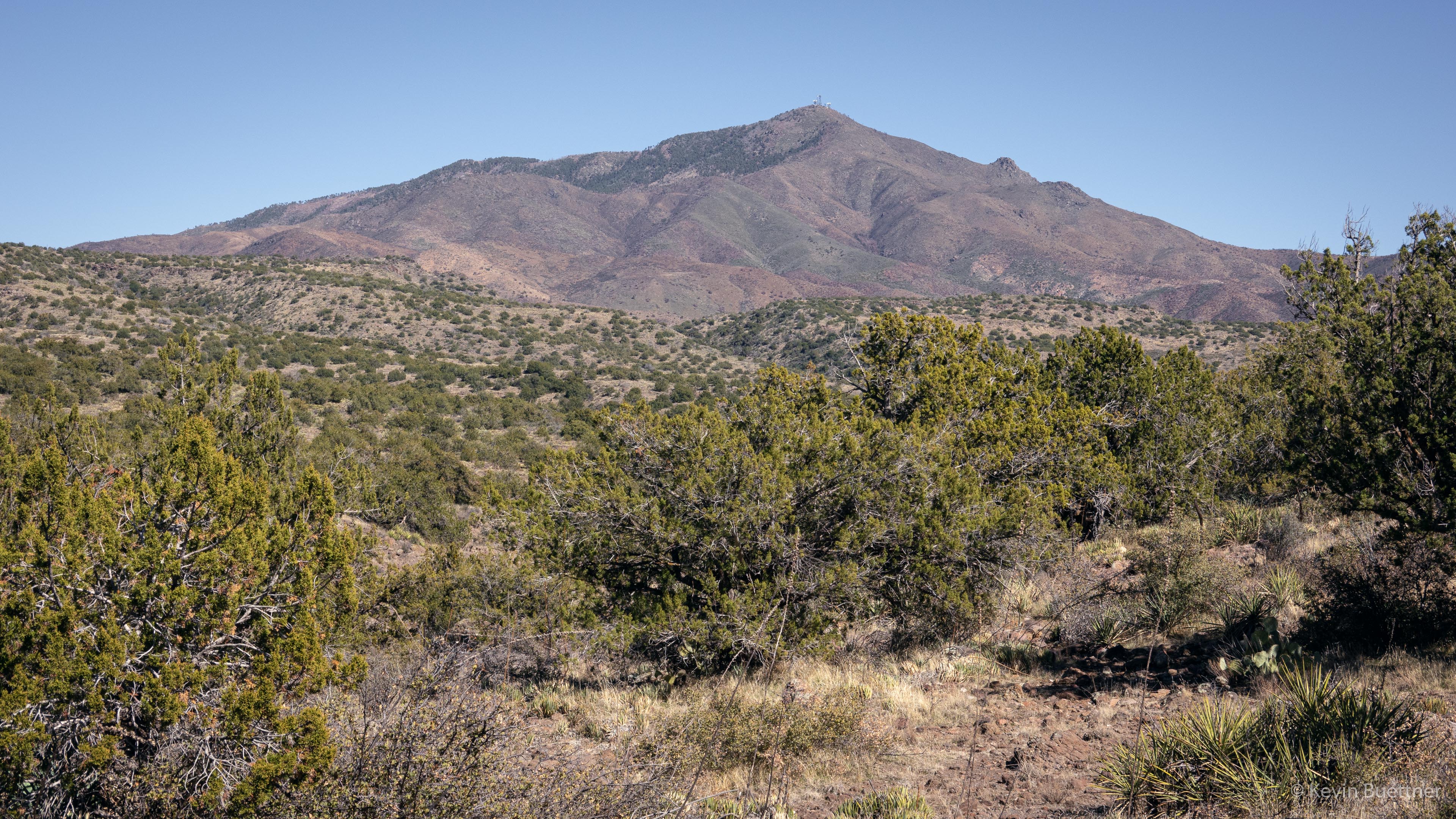
Mount Ord:

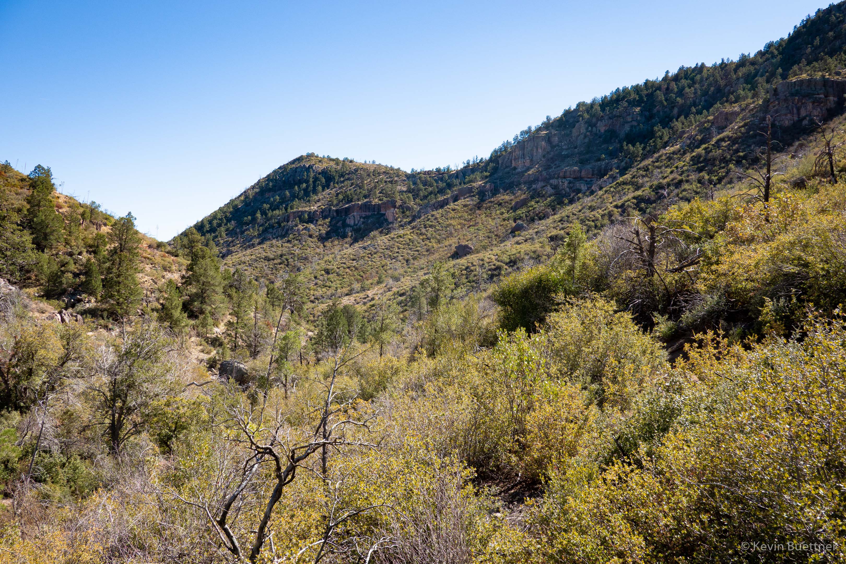
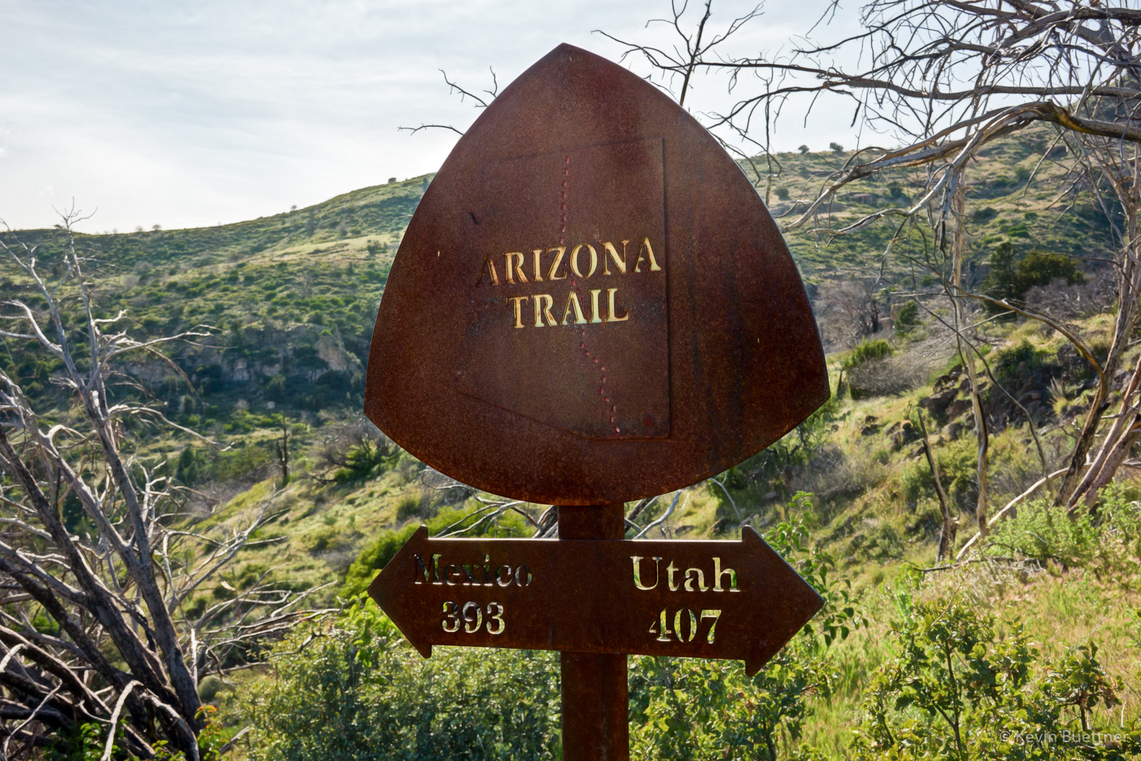
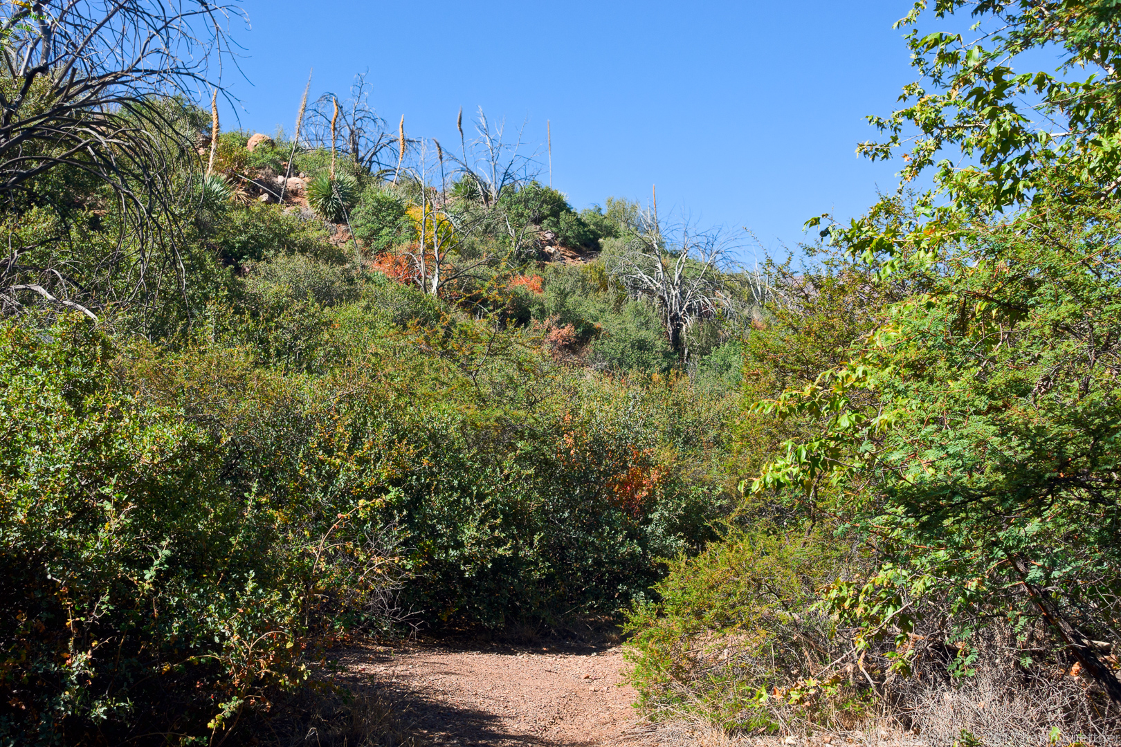
It turns out that 344 is the Forest Services number given to the Sunflower Trail. At this point, we’re following the trail back to FR393. This section, as well as the section behind (south) of us is a double track. There was some evidence of motorized traffic, but not as much as I thought there might be. About 0.4 miles from this marker, the trail forks left from this road. I consulted a map to see where the road goes; it seems that it might be an older routing of the Sunflower Trail. The road appears to lead to the tank shown in an earlier photo.

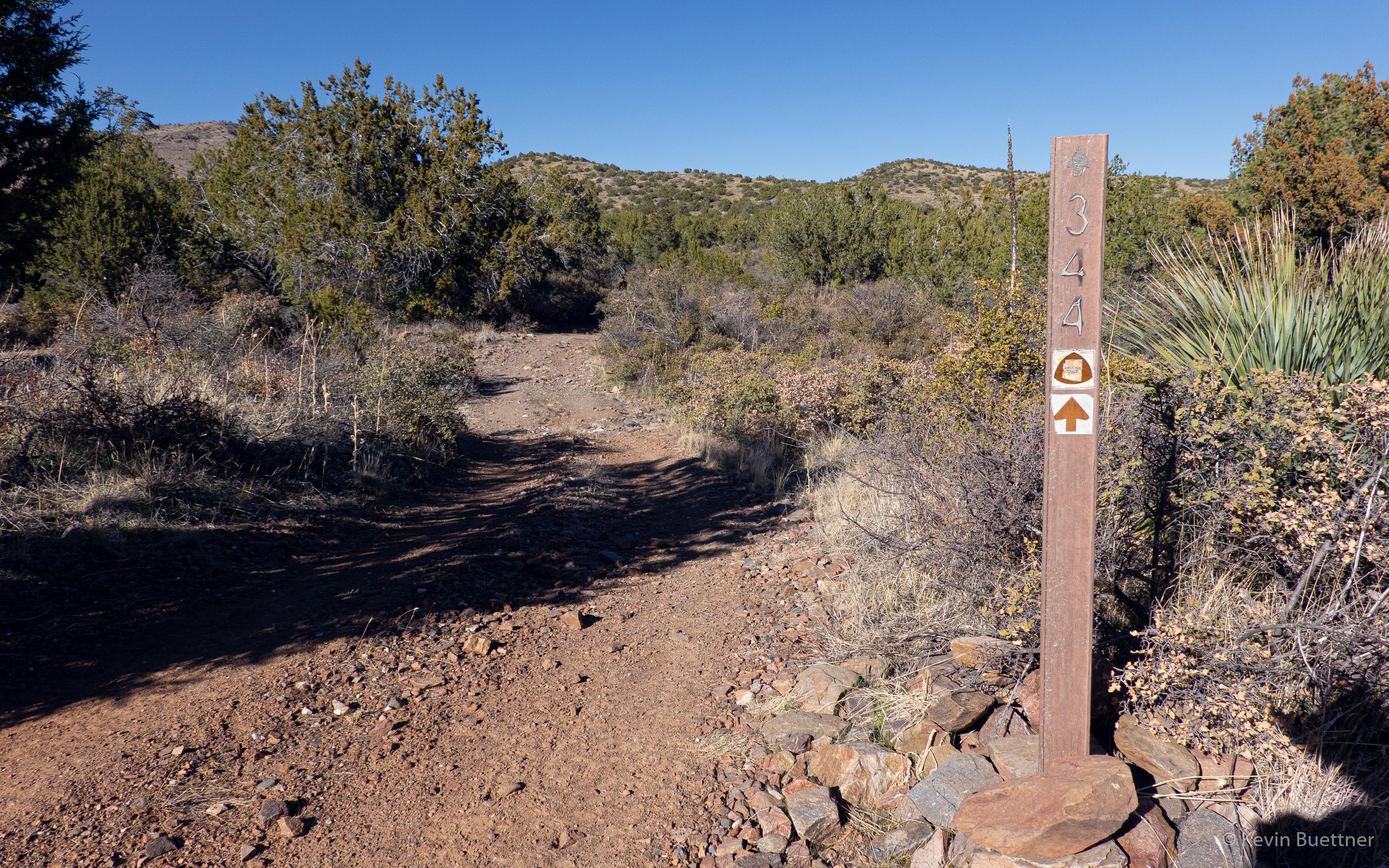
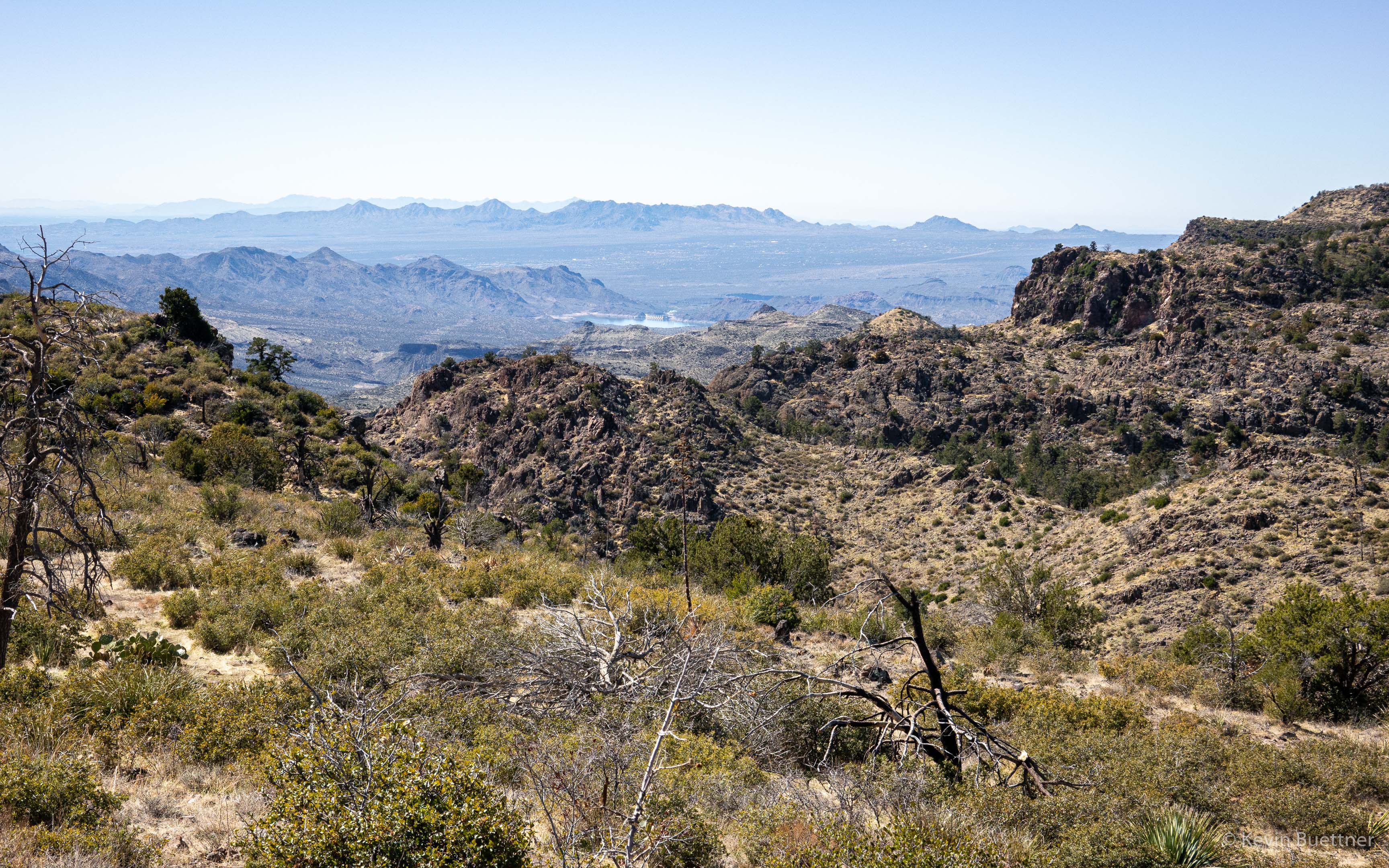
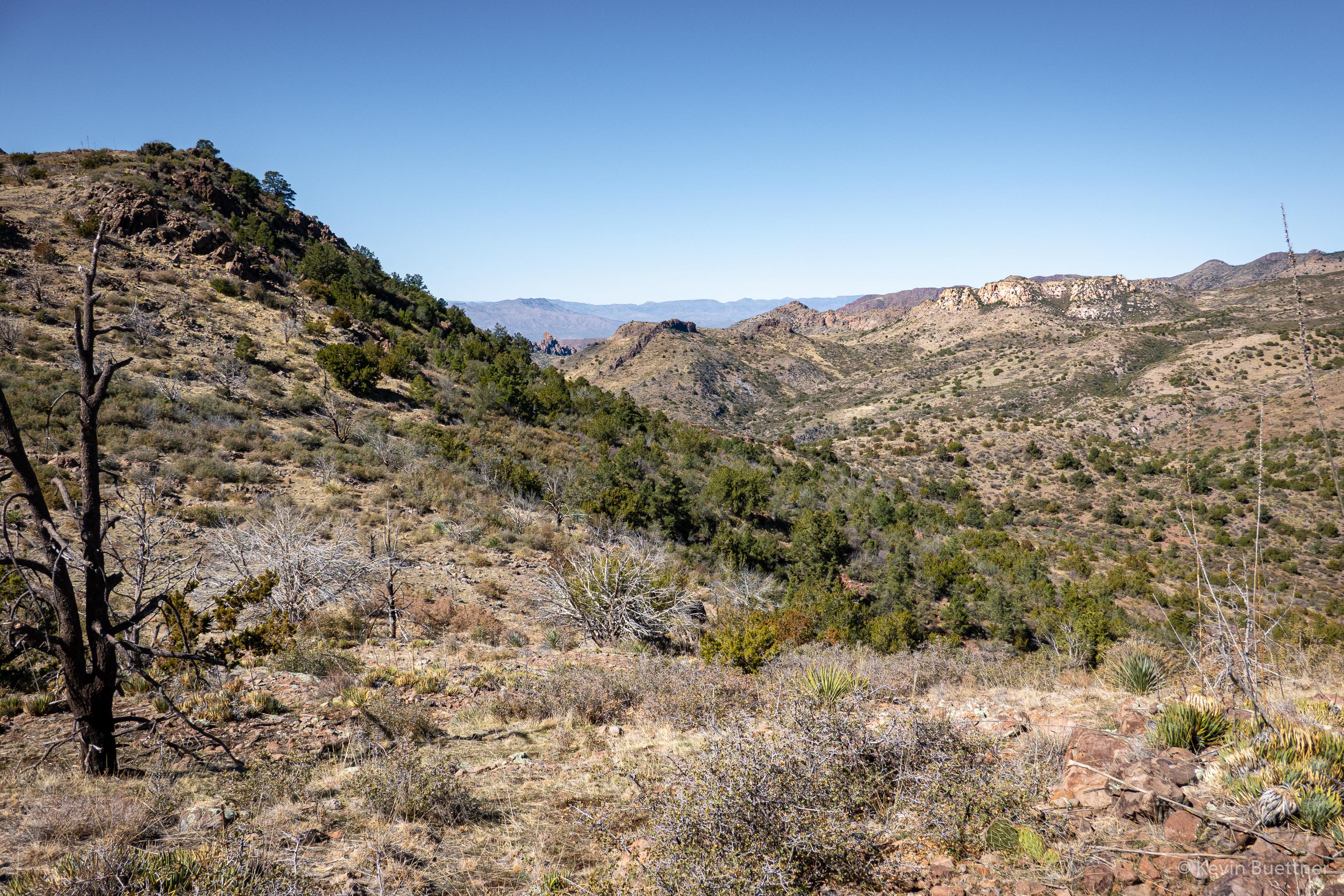
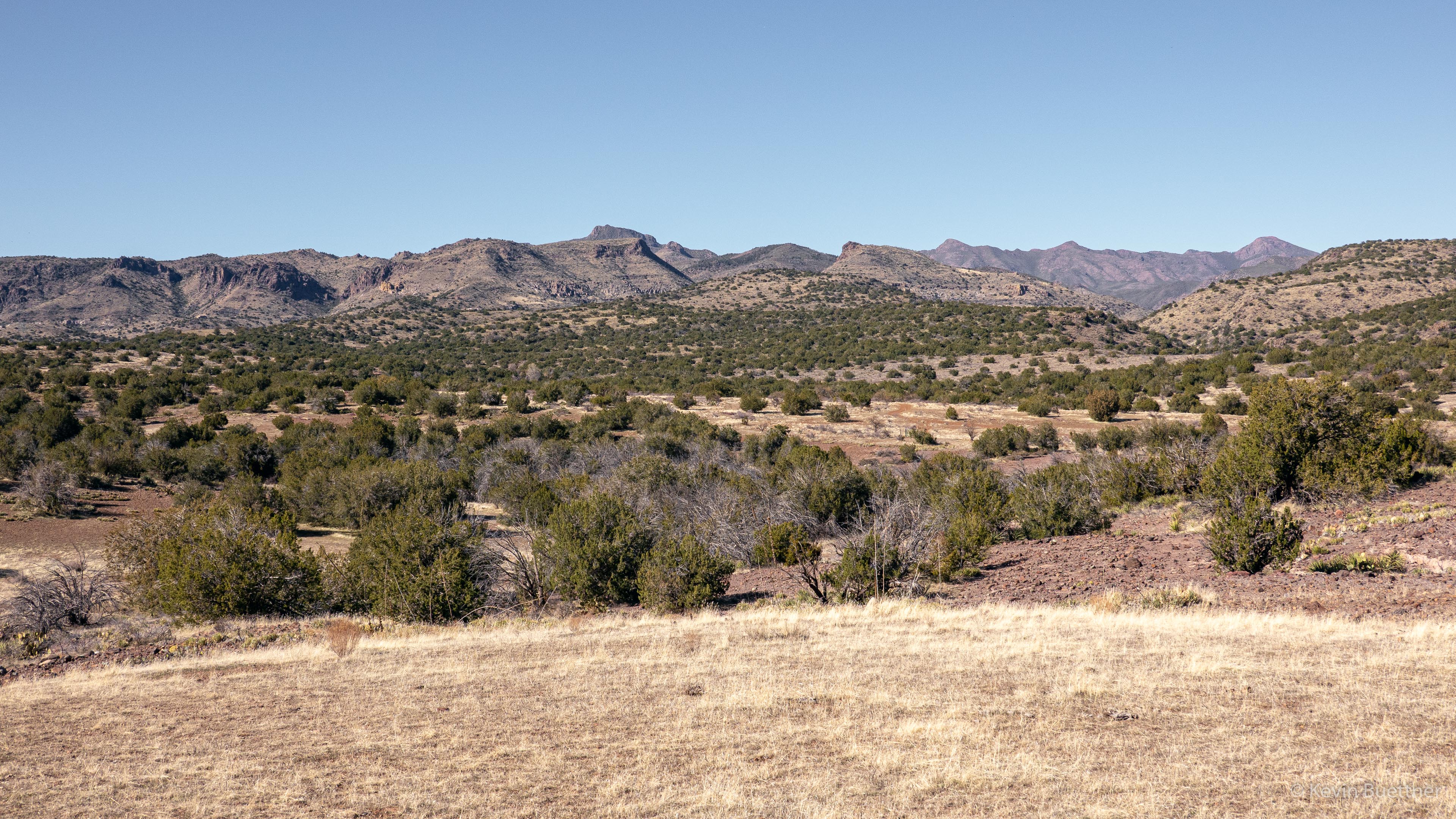
This photo was taken near the junction of 344 (Sunflower Trail) and FR393.

Black Ridge Loop

I hiked the Black Ridge Loop on Friday, Feb 19. I had last hiked it nearly a year ago. This hike was very different – not only did I do it alone, but it was considerably drier than last year. Route finding was also easier; it appears that this route is now getting a lot of horse traffic.


Friday Hike – Black Ridge Loop

Marilyn, Linda, Heather, Sara, Mike, and I hiked eight miles on the Black Ridge Loop in the Mazatzal Wilderness.

This is the view of old SR 87 at the start of the hike.

Mount Ord had patchy snow!

These might be Goldfields:

Indian Paintbrush:

Marilyn, Heather, Sara, Mike, and Linda – practicing “social distancing” while hiking!

Linda tells me that these pink flowers are in the Evening Primrose family.

Mexican Poppy:

Linda thinks that these yellow flowers are Western Wallflowers.

We think that’s Horseshoe Dam / Reservoir in the distance. (Thanks to Heather for looking this up.)

Small cacti – I don’t know what they are.

Other peaks in the area had a dusting of snow too.

You can see evidence here of the Sunflower Fire. There’s a lot of new growth though…

Brunson Tank – the fullest that I’ve seen it:

We saw these bones as we neared Upper Sheep Creek:

It was a muddy hike; this is Sara’s boot.

We’re on (or near) the Little Saddle Mountain Trail now.  The creek / drainage next to the trail had more water in it than I had ever seen before.  We had to cross it a number of times. On one occasion, the trail was in the stream; I think we all got our feet wet.

This was near one of the many crossings; it wasn’t the biggest crossing though.

Fleabane:

This sign is at the end of the connector trail coming from the Cross F Trailhead.

Sunday Hike – Saddle Mountain Trail #91

Marilyn and I hiked the Saddle Mountain Trail from the Mormon Grove Trailhead. I hiked the entire trail, including the small loop at the end. On the way back, I hiked a bit of Sheep Creek Trail. The loop at the end is not worth doing – there was a lot of bushwhacking and it was slow going. Sheep Creek Trail was easier to hike and very pretty too – I wish I would have spent my time on that trail instead of doing the short (but long in terms of time) loop at the end of Saddle Mountain.

I ended up with 8.9 miles for this hike.

This flower looks like globe mallow, but is somewhat smaller and redder than the globe mallow flowers that I’m accustomed to seeing at lower elevations. It was identified by someone on HAZ as a Trans-Pecos Morning Glory.

That’s Mount Ord in the distance. We had views of Mount Ord throughout our hike. Marilyn also found that she had a cellphone signal when Mount Ord was in view.

Indian Paintbrush:

Both Marilyn and I liked the small mountain with the exposed rock.

This is Saddle Mountain after which the trail is named.

We encountered this snake on our way back. It’s not a rattlesnake – I’ve been told that it’s a Western Patch-nosed Snake. Marilyn observed it’s tongue flicking in and out of its mouth, but beyond that we didn’t observe any movement.

Sunday Hike – Pole Hollow Canyon

Marilyn and I hiked a little over seven miles on our out-and-back hike of Pole Hollow Canyon. This hike, near Payson, starts at the City Creek Trailhead on Doll Baby Ranch Rd.

We encountered this snake early in our hike. It’s not a rattlesnake – it’s probably some type of Bull Snake.

The hike was mostly on trail, but it had significant deadfall to either cross or go around.

Sunday Hike – Black Ridge Loop

I did 8.1 miles on this loop hike in the Mazatzals.

This is Brunson Tank. Not much water, but more than there was when I did the same hike in March.

This is a flower on the side of an agave stalk. (It may even be a Century Plant.)  The leaves at the bottom of the plant were dead. I would guess that the main blooms were at the top of the stock a season ago.

Almost done with the hike – I liked the shape of this cone shaped hill.

Sunday Hike – Black Ridge Loop

I hiked the Black Ridge Loop in the Mazatzals on Sunday. Total distance was about 7.6 miles with over 1900 feet of total ascent.

Indian Paintbrush:

This is Brunson Tank.  When I visited it at about this time of year in 2016 and 2017, it was full of water – I had to skirt the edge to avoid getting my feet wet. No such problem today. I did encounter some water when I got to the drainage that runs along Little Saddle Mountain Trail. It seems to be spring fed.

Heading down the Little Saddle Mountain Trail…

New sign!

Friday Hike – Barnhardt Trail

Marilyn, Nora, Linda, and I hiked part of the Barnhardt Trail on Friday. We went out about five miles on the Barnhardt Trail. We had planned to also hike the Sandy Saddle Trail to Casterson Seep and then hike down to the first waterfall in Barnhardt Canyon, but the manzanita not only obscured the trail but also greatly slowed us down. We hiked perhaps a quarter of a mile of Sandy Saddle before turning back.

Looking into Barnhardt Canyon from midway up the trail:

We’re much higher on the trail now, perhaps even on the Sandy Saddle Trail – I don’t remember exactly.

As we continued on, we saw greater evidence of damage from the 2004 Willow Fire. It’s my understanding that there used to be a forest of Ponderosa Pines in this area.

We were intrigued by the fallen tree. It looked like someone had drilled a bunch of 7/16″ holes in the wood.

Looking into “Big Kahuna” falls from the trail. I also got a shot from further into the canyon on the way up, but I decided that I liked this shot better.

One of the blocky rock walls along the trail.

This was a well shaded area – it doesn’t appear to ever get much direct sun.

Another secluded spot for cacti to grow:

Some kind of toad…

Looking back…

Some interesting veins of zig-zaggy rock.

Mona, Linda, and Marilyn:

Linda provided this photo of Nora and me looking over one of the edges.

Sunday Hike – Y Bar Trail #44

For Sunday’s hike, I hiked the Y Bar Trail, which starts at the Barnhardt Trailhead. I hiked out a little over four miles and turned around at the saddle / ridge that separates Shake Tree Canyon from Y Bar Basin. I ended up with 8.6 miles and a total ascent of  2460 feet.

Sunday Hike – Deer Creek

Marilyn and I hiked about eight miles on the Deer Creek Trail (four out and four back).

I noticed a prickly pear cactus with a lot of really ripe fruit. As I looked closer, I noticed a rather messy spider web covering a lot of the plant. Looking closer still, I noticed a spider with what I guess is an egg sack on the bottom of one of the fruit. It wasn’t until I got home and started processing the image that I noticed what an unusual looking spider it is.

I think that this is the South Fork of Deer Creek.

At this point we had crossed over the creek / wash feeding into Deer Creek and were hiking along the fence line.

In this spot, I noticed some agave stalks on the hill.

Looking into Deer Creek and one of the mountain behind.

I thought at first that these were fruit on this scrub oak, but have since learned that they are oak galls which are sometimes called oak apples.  They are growths which are caused by the secretions of gall wasp larvae. In any case, the one in front was slightly larger than a golf ball.

These berries were smaller and a lot more abundant. I think that these are actual fruit instead of galls.

Marilyn, approaching an overhanging branch…

Another view of Deer Creek. We didn’t see any water in the creek.

This is Davey Gowan’s gravesite. Gowan was a Scottish immigrant and pioneer who discovered Tonto Natural Bridge while hiding from Apache. From the accounts that I read of him, he was buried very close to where he died while traveling from a cabin that he had in this area.

A picture of Gowan’s headstone:

After proceeding on from Gowan’s gravesite, we started out seeing one peak in the distance, the steep terrain eventually block our view of that peak, …

…revealing a different peak instead.

Eventually our views of that peak disappeared too; here’s another look at it just before I lost sight of it too.

At about four miles in, I came across the Mazatzal Wilderness sign.

And, only a short way beyond the sign, I encountered a large gully, water flow through which had washed away the trail.  I think that the trail continues in the slight gap in vegetation at the left of this photo, but am not certain as I saw a similar gap somewhat lower down to the right (which is not in this photo). Marilyn had stopped to wait for me about half a mile back, so I decided that this would be a good spot to turn around.

A view of one of the smaller washes I crossed on the way back to where Marilyn was waiting:

I didn’t notice the insects on this flower until I chimped the photo to make sure that I has the flower in focus.

We encountered these yellow flowers a short ways later.

Neither Marilyn nor I recalled seeing this gate before. If it was there on past hikes, we either didn’t go far enough or we’ve just don’t remember it.

This is the south fork of Deer Creek, just before it feeds into the main branch of Deer Creek.