Month: May 2013 (page 1 of 2)

Friday Hike – Scenic Trail

Bob, Sarge, Linda, Janet, Marilyn, and I hiked the Scenic Trail today.  We all noticed that the desert has gotten brown again…

2013-05-31-DSC09928-medium


Linda, Janet, and Marilyn nearing the top of the ridge on the Scenic Trail:

2013-05-31-DSC09933-mediumSarge!

2013-05-31-DSC09942-medium


We noticed a lot of haze off in the distance today.  I think the hills near the water tower are known as Asher Hills.2013-05-31-DSC09949-medium


Molly, Reaching Out of the Tube

I took this shot earlier tonight while testing out a new memory card.  We have a four foot (or so) long tube that the cats can crawl through.  There’s a hole in the middle at which Molly likes to stop and look out.

2013-05-28-DSC07153-medium

It looks better than I expected for ISO 6400.  If you look closely, you can see some noise on the left hand side towards the bottom.  At 1:1, there’s even more noise almost everywhere.  But I purposely held back on the noise reduction because it tends to make the image too soft.

I just realized that I could’ve used a lower ISO or perhaps a smaller aperture had I taken off the polarizing filter… ah well.


Saguaro Blossoms on the Boulder Trail


This is one of the saguaros I saw today while riding the Boulder Trail to the Marcus Landslide Trail.
2013-05-26-DSC09904-mediumBelow is a 1:1 crop of the flowers from the above photo.  I used my Sony RX100 for these photos.  ISO 125, f/9, 1/250 sec with a (35mm) equivalent focal length of 100mm.  (Camera focal length was 37mm.)

2013-05-26-DSC09904-cropped


Friday Hike – Little Granite Mountain

Friday’s hike was around Little Granite Mountain.  We had gone to the top in December, but this time, we hiked a mostly flat trail around the base of Little Granite Mountain.  Total elevation gain was only around 500 feet for a little over eight miles of hiking.   If we had started from a lot on the Preserve and not made any wrong turns, my guess is that the route would be around 6.5 miles.

Below is a map showing where we went.  We were hoping that the spur that we took at the eastern part of the loop would take us further east.  When it became clear that it was heading south,  probably leading to a parking area on Lone Mountain Road, we turned around and ended up going back (mostly) the way we came.


View Hike around Little Granite Mountain – 2013-05-24 in a larger map

This is a photo of Little Granite Mountain from early in the hike:

2013-05-24-DSC06430-medium

Linda and Doug watch as Bob tells Sarge to lie down.  Sarge did in fact lie down and got a treat for his efforts.  Bob says that Sarge is making good progress at dog obedience school.

2013-05-24-DSC06379-1-medium


We passed a shaded area with a rock outcropping at the top of a small hill.  It looked interesting because of the way the sun was striking the rocks at the top of the hill.

2013-05-24-DSC06457-medium


I got this photo a while later as Sarge was being given water.  I’ve noticed that the polarizing filter that I’m using is giving some nicely saturated results.

2013-05-24-DSC06482-mediumAround the time that Sarge was finishing up with his water, this cyclist rode by.  She is wearing a McDowell Sonoran Conservancy Steward’s jersey.  I’ve seen a number of stewards hiking while riding my bike.  This is the first one I’ve seen on a bike.

2013-05-24-DSC06491-medium


We saw this large saguaro shortly before entering the early morning shade from the mountain.

2013-05-24-DSC06518-medium

I thought it was interesting to see a granite fin as we made our way around the mountain.

2013-05-24-DSC06532-mediumThe sun started peeking over the mountain as we continued our way around in the cool shade

2013-05-24-DSC06553-mediumLinda took this photo of me taking my own photo as we exited the shade:

2013-05-24-From_Linda-188-medium


Linda also took this photo of me, Bob, Sarge, and Doug.

2013-05-24-From_Linda-193-mediumI took this photo of a nearby rock outcropping while perched on that rock:

2013-05-24-DSC06614-medium


The upper wall in the photo below is Lost Bandanna Wall. The smaller wall down and to the left is known as the Cone.  Marilyn, Joe, and I have done climbs on both of these walls.  The prominent crack near the left edge of the wall is Spectrum.  It’s rated 5.7, but it’s the hardest 5.7 I’ve ever done.  There’s an easy climb (5.4) on the Cone called Three Dopes on a Rope.

2013-05-24-DSC06626-medium


This hill is near the Lost Bandanna-Cone area.  The small pinnacle at the top right is known as the Pasta Pinnacle.  There’s a 5.8 on it called Pasta Man Unchained.  Craig Thornley and I looked at it once or twice, but I don’t think we ever climbed it.  One of my early leads was Dueling Hammers (5.6) located on a wall on the other side of this hill.

2013-05-24-DSC06644-medium


As we continued around, we came upon this really big saguaro.  Doug encouraged me to hurry up and take this photo because the bugs were bad whenever we stopped.

2013-05-24-DSC06674-medium

A view of the trail and vegetation as we continued our way around the mountain:

2013-05-24-DSC06713-mediumFlowers on a saguaro with a drooping arm:

2013-05-24-DSC06730-mediumThe trail was scenic in more than a few places…

2013-05-24-DSC06764-medium


2013-05-24-DSC06775-mediumA view of Four Peaks off in the distance:

2013-05-24-DSC06779-mediumSarge got some more water as I took the next two photos.  It worked out perfectly because by the time he was done, I too was done taking photos of this barrel cactus next to a small boulder.

2013-05-24-DSC06785-mediumI spent more than a few shots focusing on different portions of the top of the barrel cactus. Several bees were buzzing around the cactus.  I was hoping to get a photo of a bee on the cactus; this is the closest I got though.  The bee was moving too fast for the 1/100 sec shutter speed.  But even if I had been using a faster shutter speed, it still probably would’ve been fuzzy due to inadequate depth of field.

2013-05-24-DSC06809-medium


Marie at 8th Grade Graduation

Marie, entering the gymnasium, on her way to taking her seat.

2013-05-23-DSC03475-medium


Marie received an award for having a 4.0 average this year.  She is receiving the award from Principal Anita Gomez.   Marie’s art teacher, Tracy Perry, is at the far right in this photo.  Marie also received an award for her excellence in art.

2013-05-23-DSC03530-mediumMarie, in the courtyard, after the graduation ceremony was over:

2013-05-23-DSC03651-medium


Masks

Three masks from last month’s Arts in the Courtyard event.

2013-04-25-DSC04404-medium


Two other photos from the same event…

2013-04-25-DSC04400-medium

2013-04-25-DSC04367-medium

WordPress Update to 3.5.1

I’ve upgraded to WordPress 3.5.1.  I noticed that the interface for inserting photos and other media is different.  This is a test…

2013-05-17-DSC06195-medium

This photo is from Friday’s Hike in the Tom’s Thumb Area.  (It’s a new photo not shown in that post.)

Another View from the “Cave” below Gardener’s Wall

I’m trying to get better at post-processing this type of shot.  See Friday Hike – Tom’s Thumb for more information about this area.

Friday Hike – Tom’s Thumb

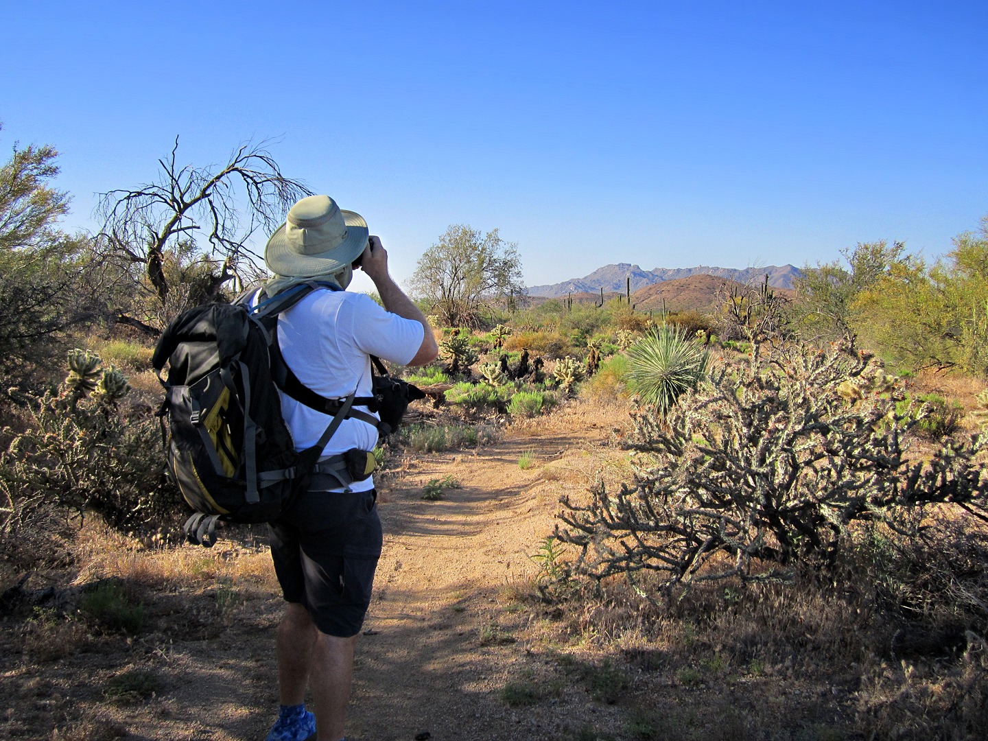
Janet, Bob, and I hiked up to Tom’s Thumb for Friday’s hike.  The route we took is a bit different than that used by most folks to get there.  We started off on the Tom’s Thumb Trail, but…

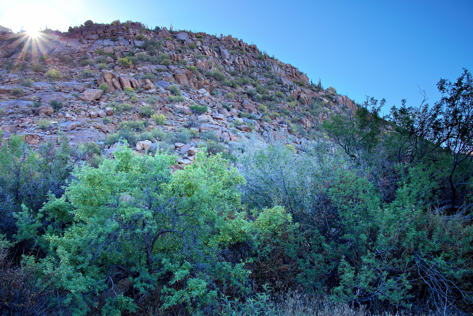
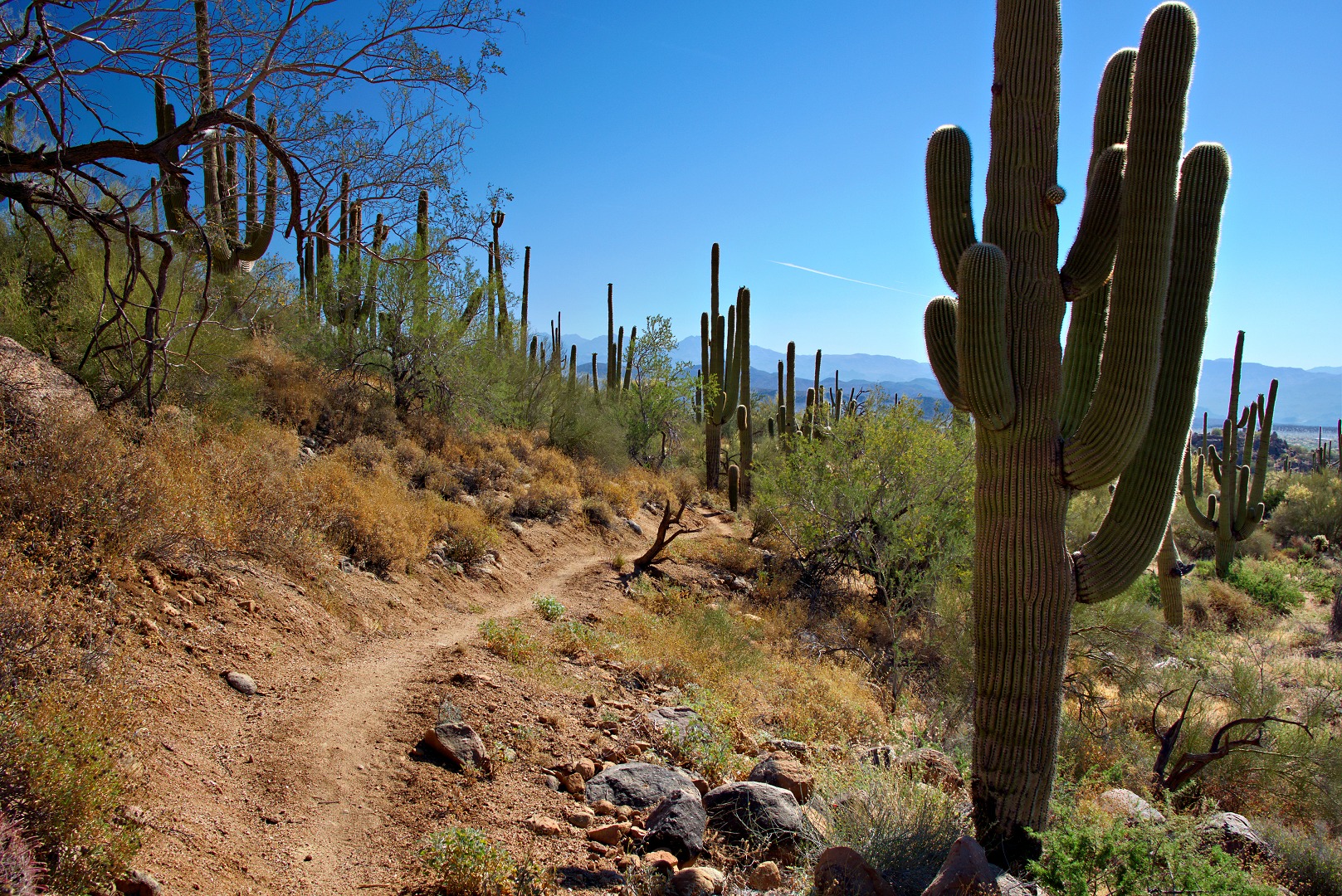
After half a mile, we turned off onto the climber’s access trail leading to Fort McDowell, Half and Half Wall, and the Lost Wall.

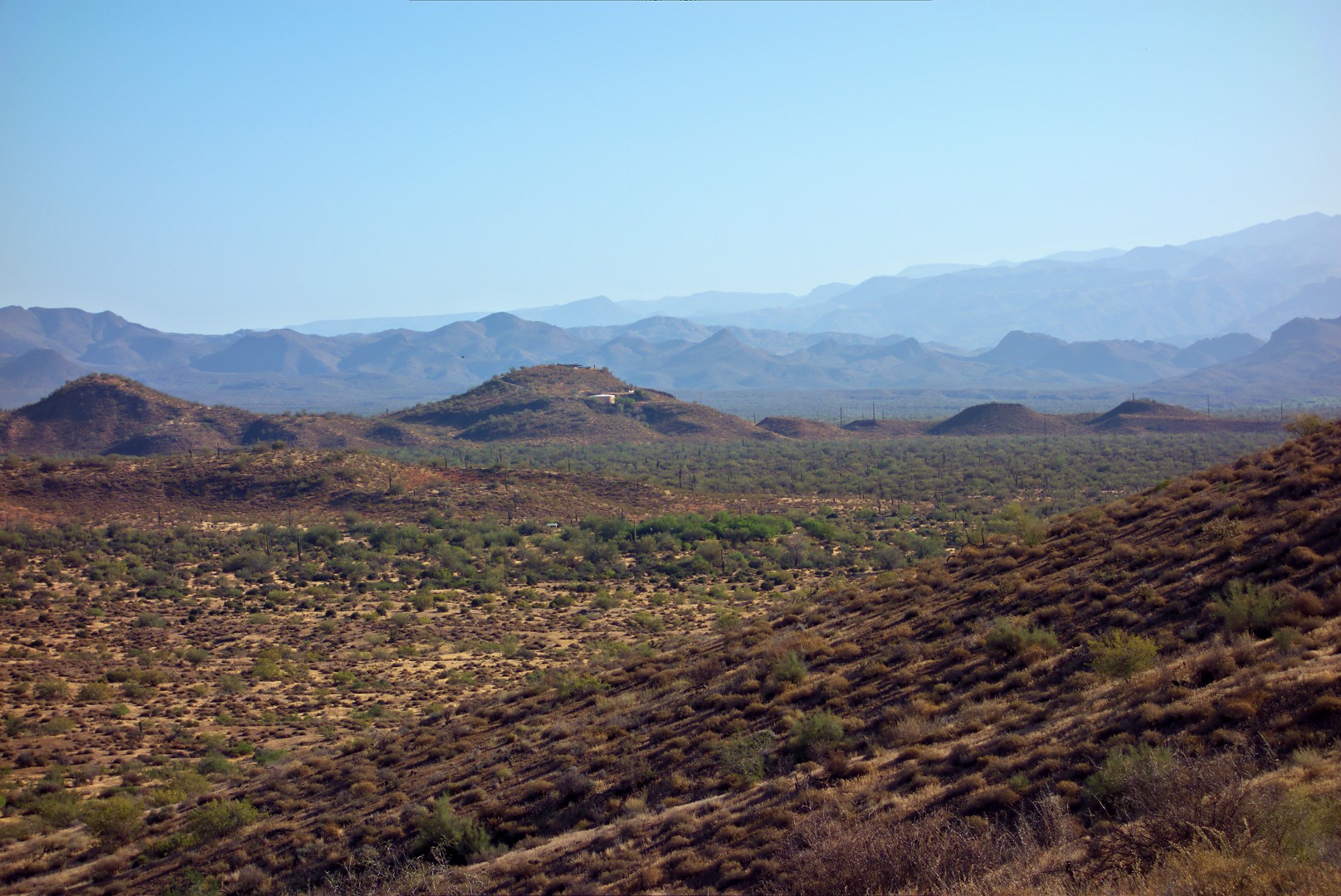
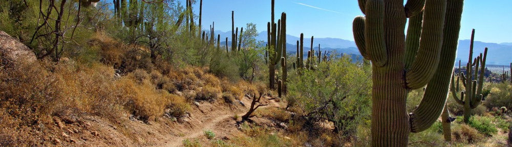
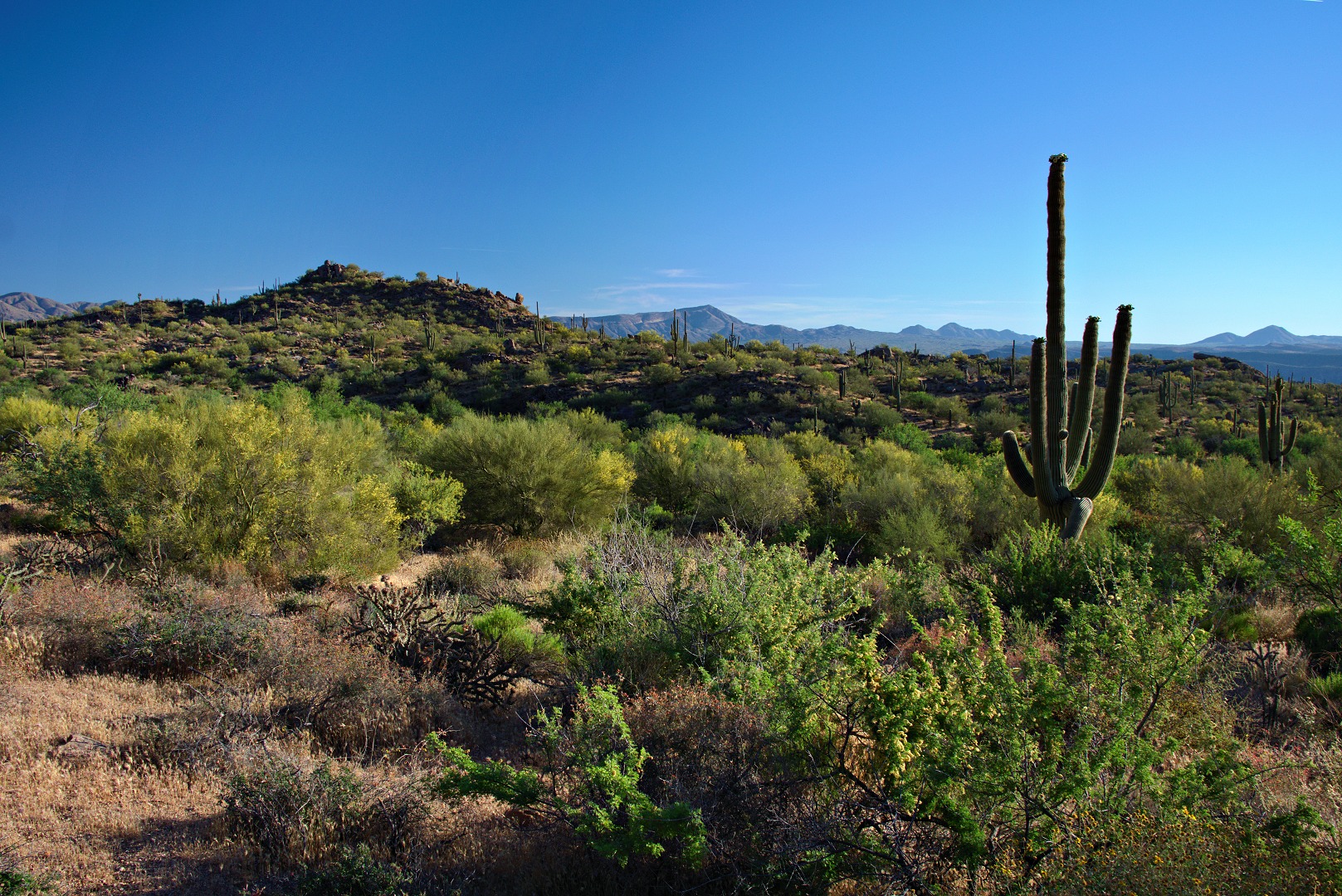
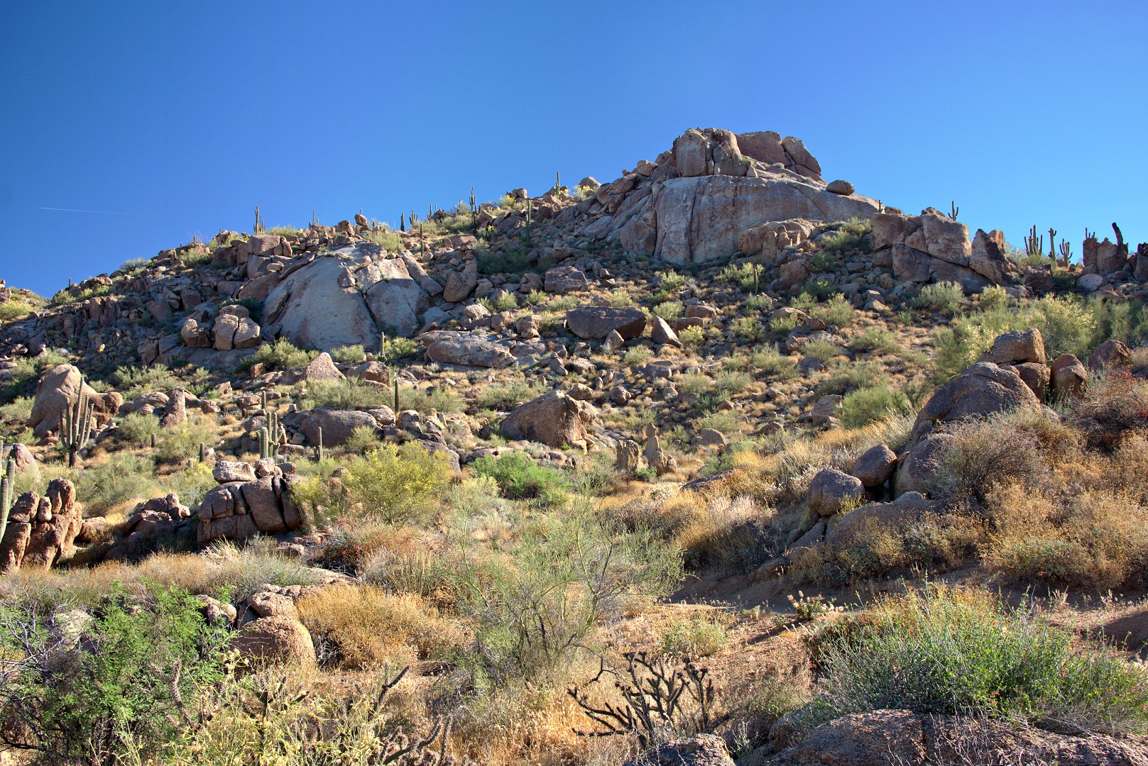
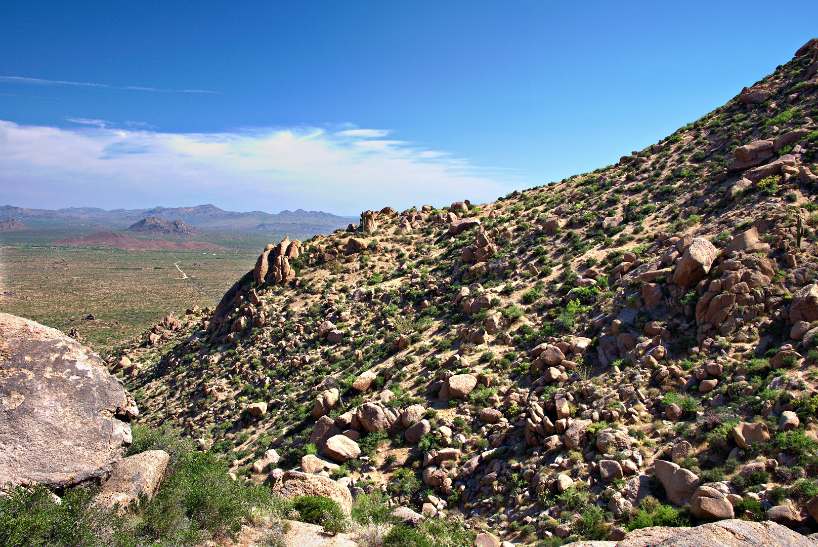
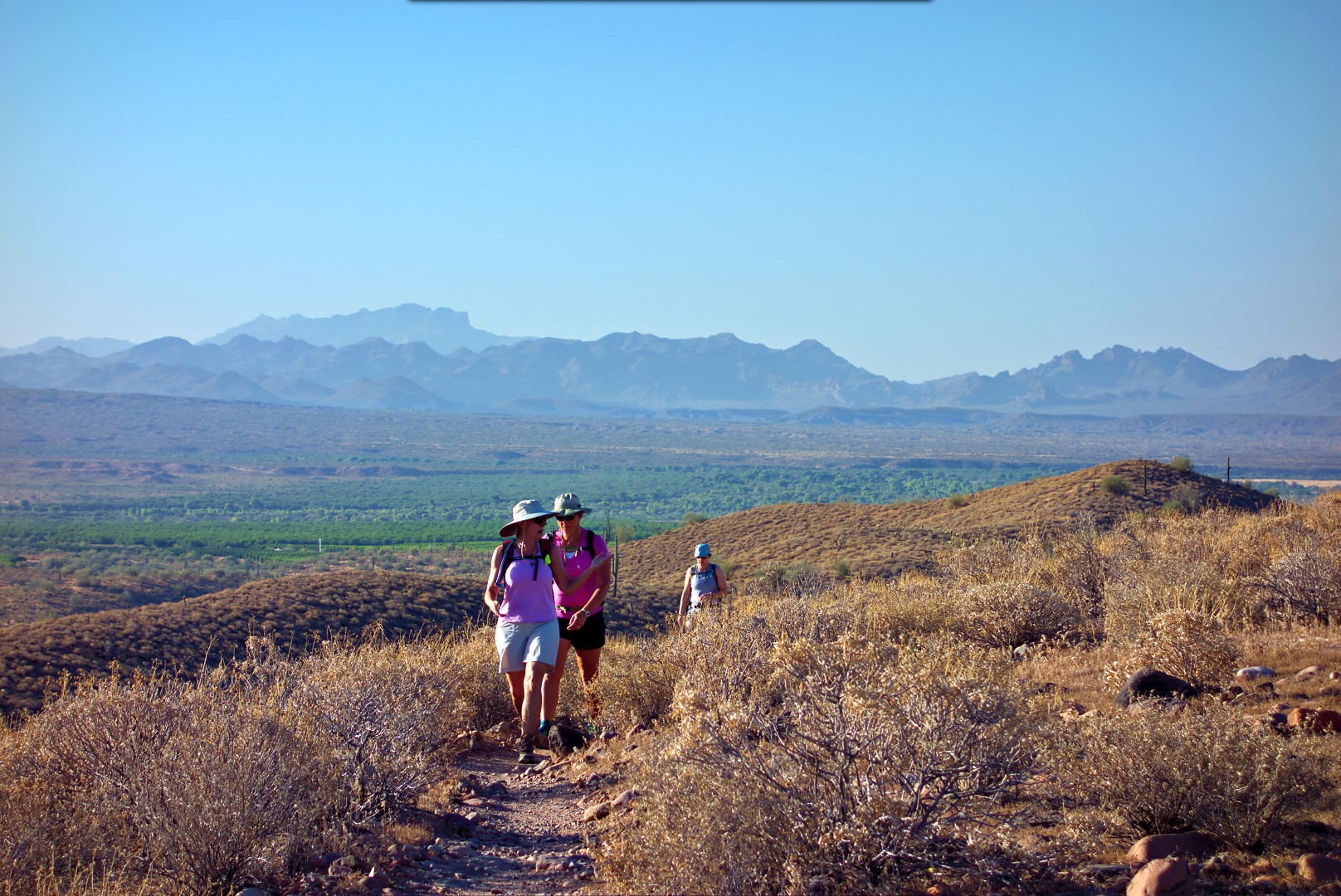
This access trail starts out flat and, for a short while, is easier than the Tom’s Thumb Trail.  Here is a view from this trail shortly after leaving the Tom’s Thumb Trail.

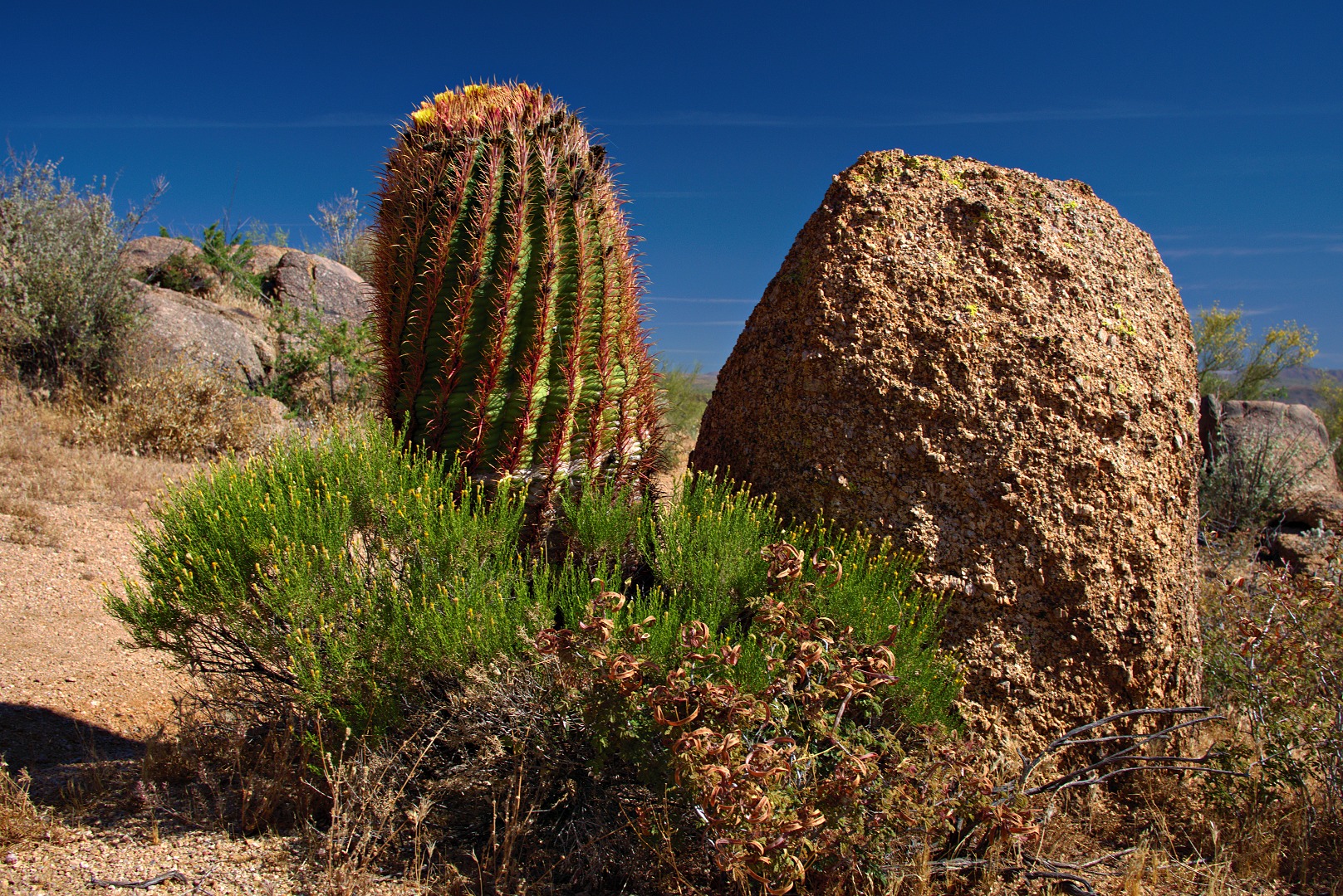
We passed this structure along the way.  It’s not clear what it was used for.  I don’t recall there being an opening in it and it’s too tall for cattle to be able to feed from it.

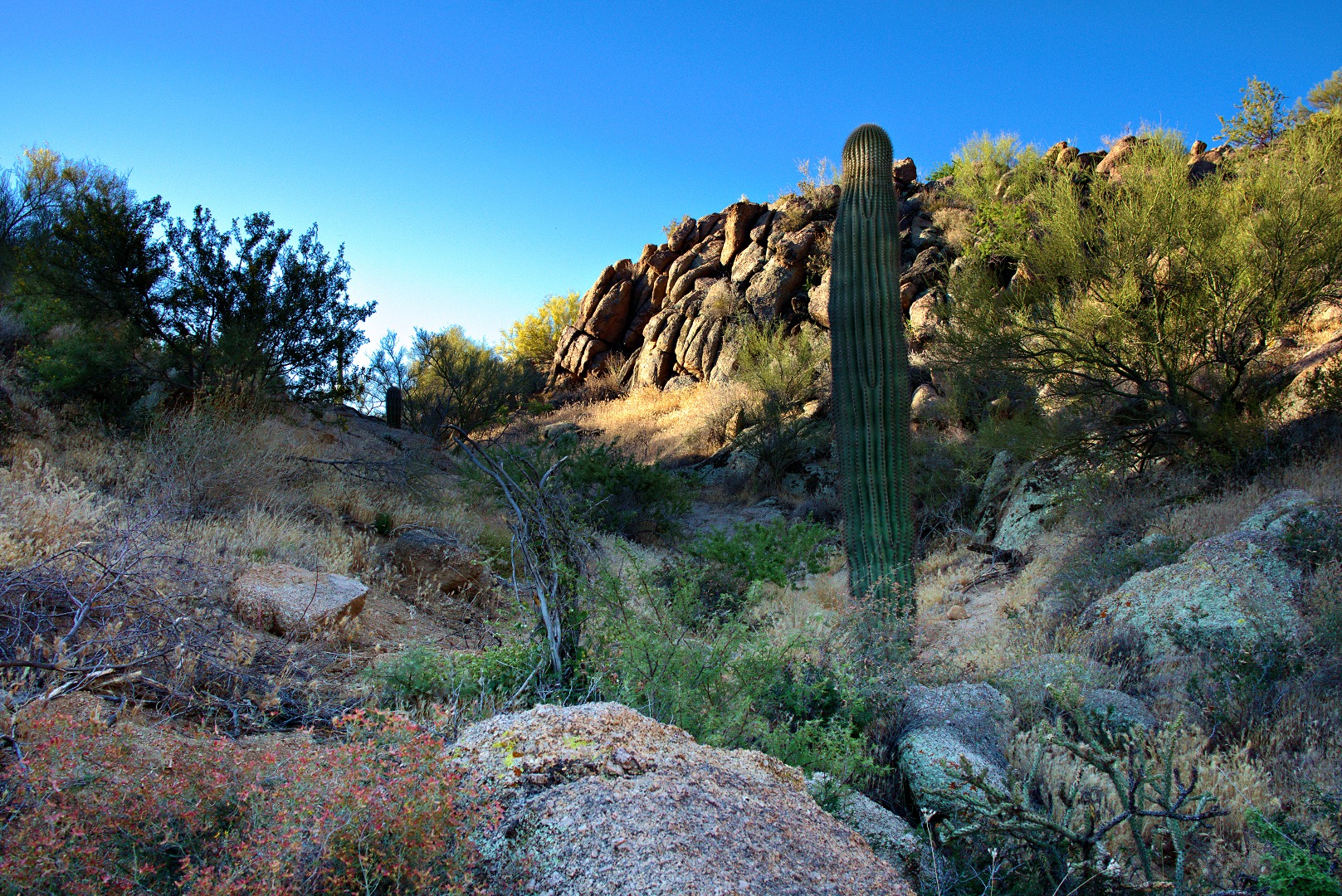
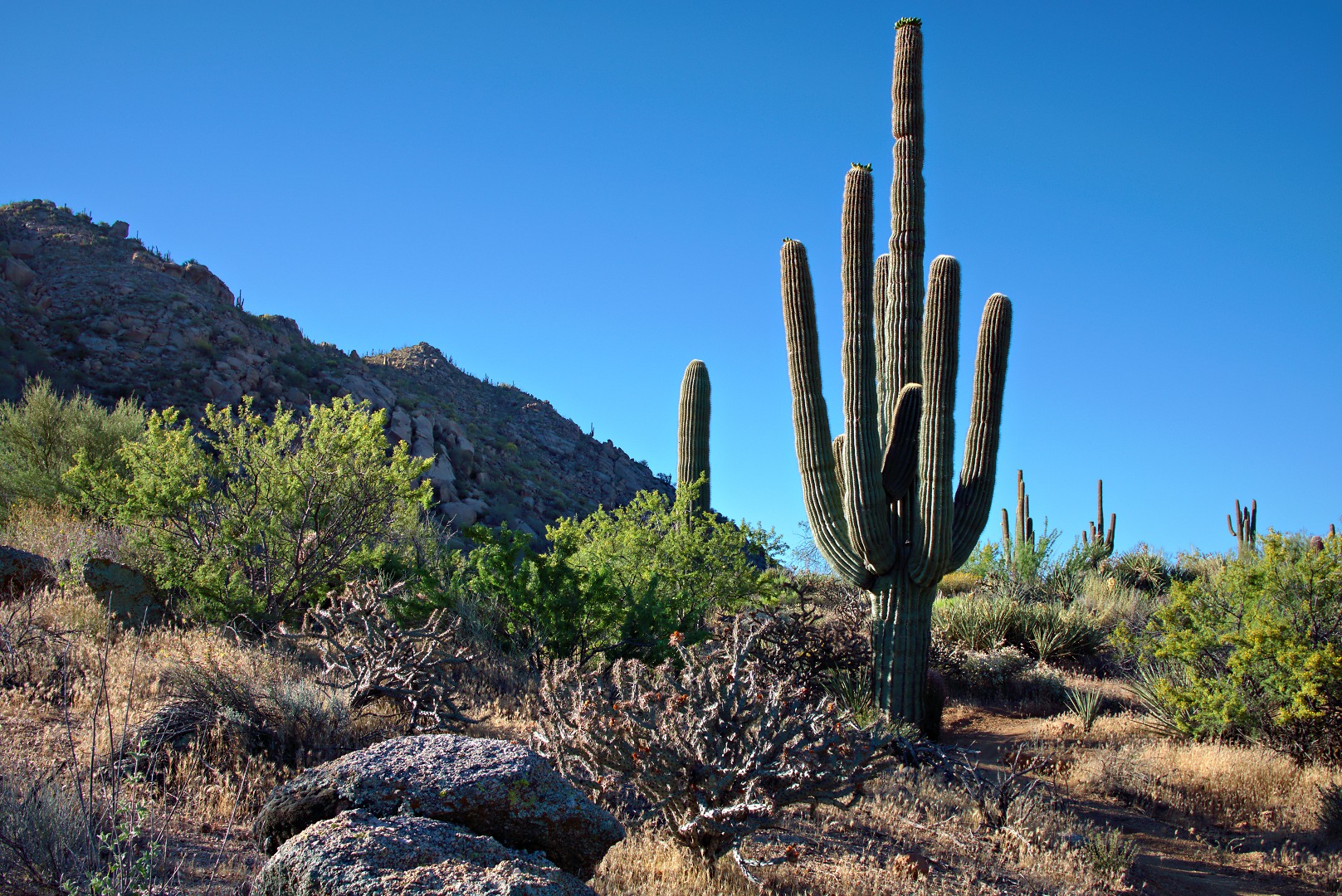
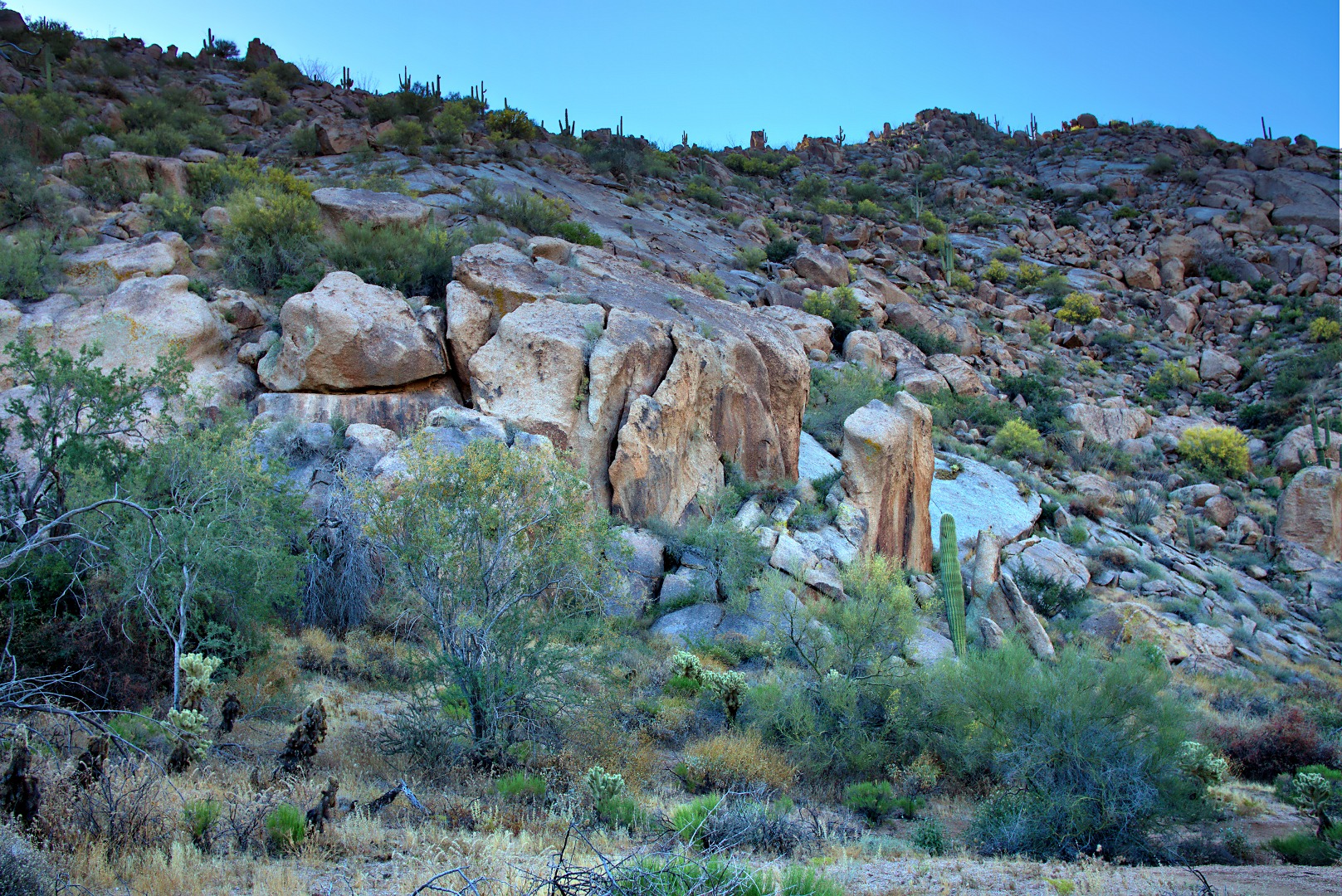
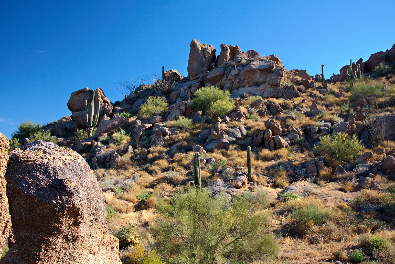
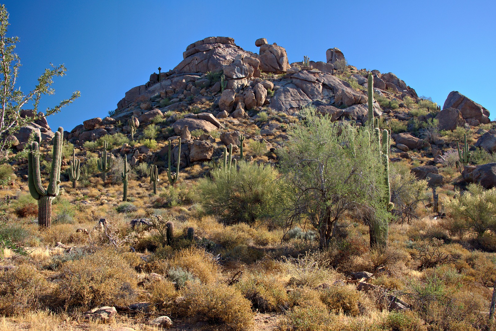
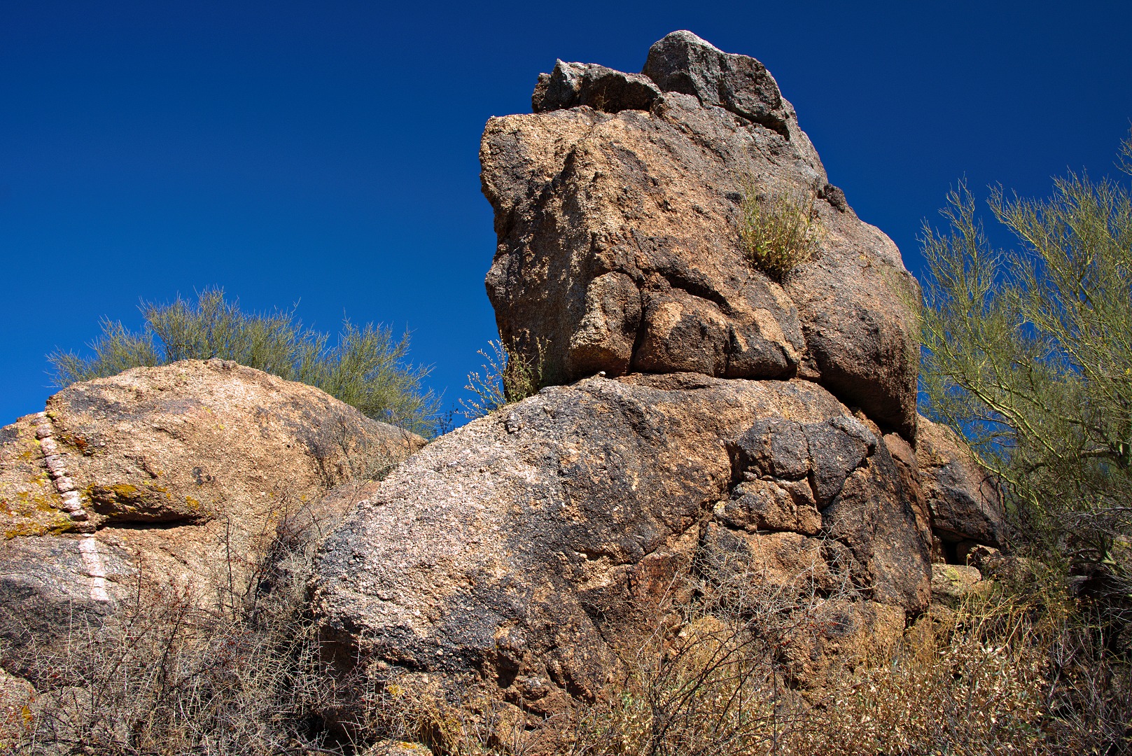
We passed some interesting rock formations, both small and large on the way up.  I like the one to the left with the hole in the top.

I like this one too:

We saw an old trail leading up to the pass just left of this small hill, but we did not explore it.  (The portion of the path in the photo looks good, but getting to it isn’t especially easy.)

Bob and Janet waited for me while I scrambled up to take a look at the Lost Wall.  From that higher vantage point, I got this photo of Troon and Pinnacle Peak.  I got a photo of the Lost Wall too, but it wasn’t especially scenic from where I stood well above it.  Marilyn and I tried finding the Lost Wall and the Half and Half Wall many years ago, but I don’t think we ever found them.

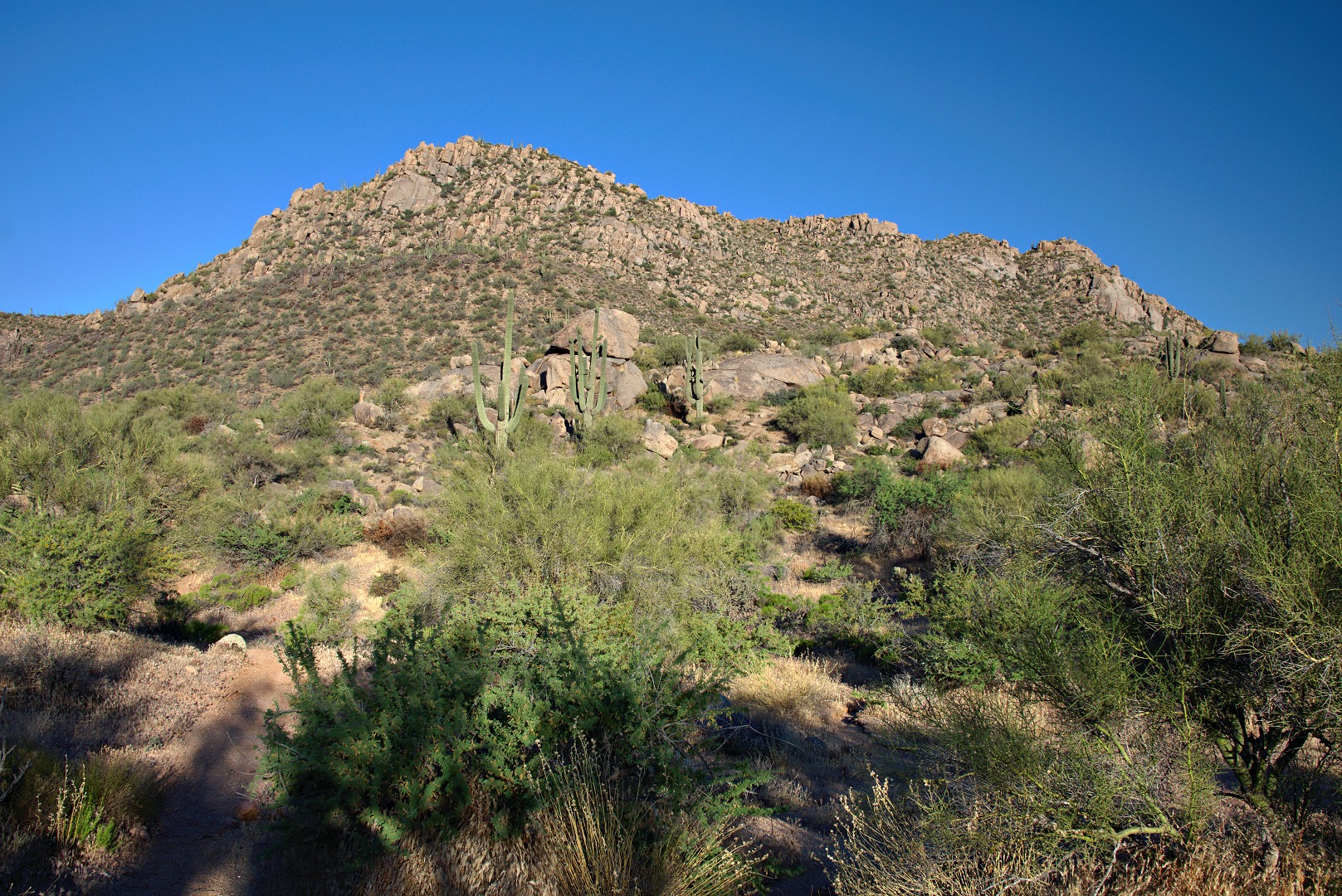
We finally got up to the ridge.  The trail to the ridge is very steep, loose in spots, and occasionally difficult to follow.  I had hiked it before and knew which ways not to go this time.

We found this interesting rock formation on the west side of the ridge:

A view to the north:

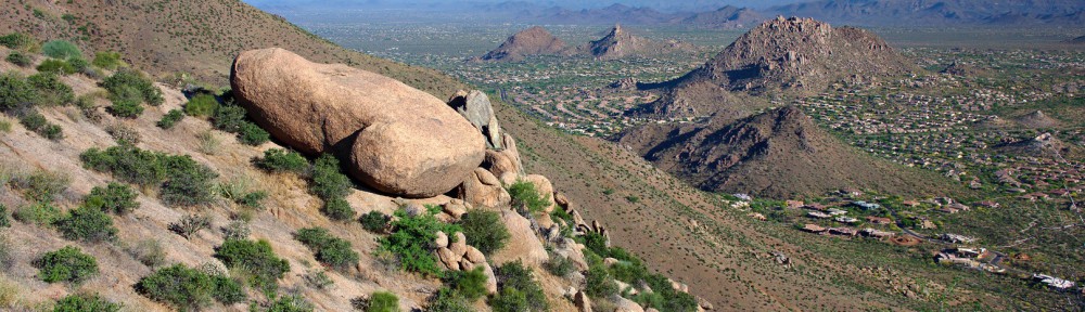
The East End, the top of Gardener’s Wall, Weaver’s Needle, Glass Dome, Tom’s Thumb, and the Rist are all visible in this photo.  The Rist is the large pile of rocks at the far right in this photo.

A closer view of Tom’s Thumb and The Rist:

The trail continues along the ridge and then descends somewhat on the west side of The Rist.  The trail then gets confusing, but Bob did some exploration and found a good trail that lead us to the northwest side of Tom’s Thumb.  The class 4 route aptly named West Corner can be seen in this photo.  It’s the easy looking ramp up leading up and rightward in this photo.  This was my very first climb in Arizona back in the late eighties  It was also my second time rappelling.  (My first time rappelling was off of a railroad trestle in Iowa.   We were getting set up to rappel of the bridge when we heard a train coming.  We ran towards the train and jumped off the bridge only slightly before it got to the bridge!)

A rock formation to the north of Tom’s Thumb:

Another view of the north (or maybe still northwest?) side of Tom’s Thumb.  My vantage point is northeast of where it was in the earlier photo.

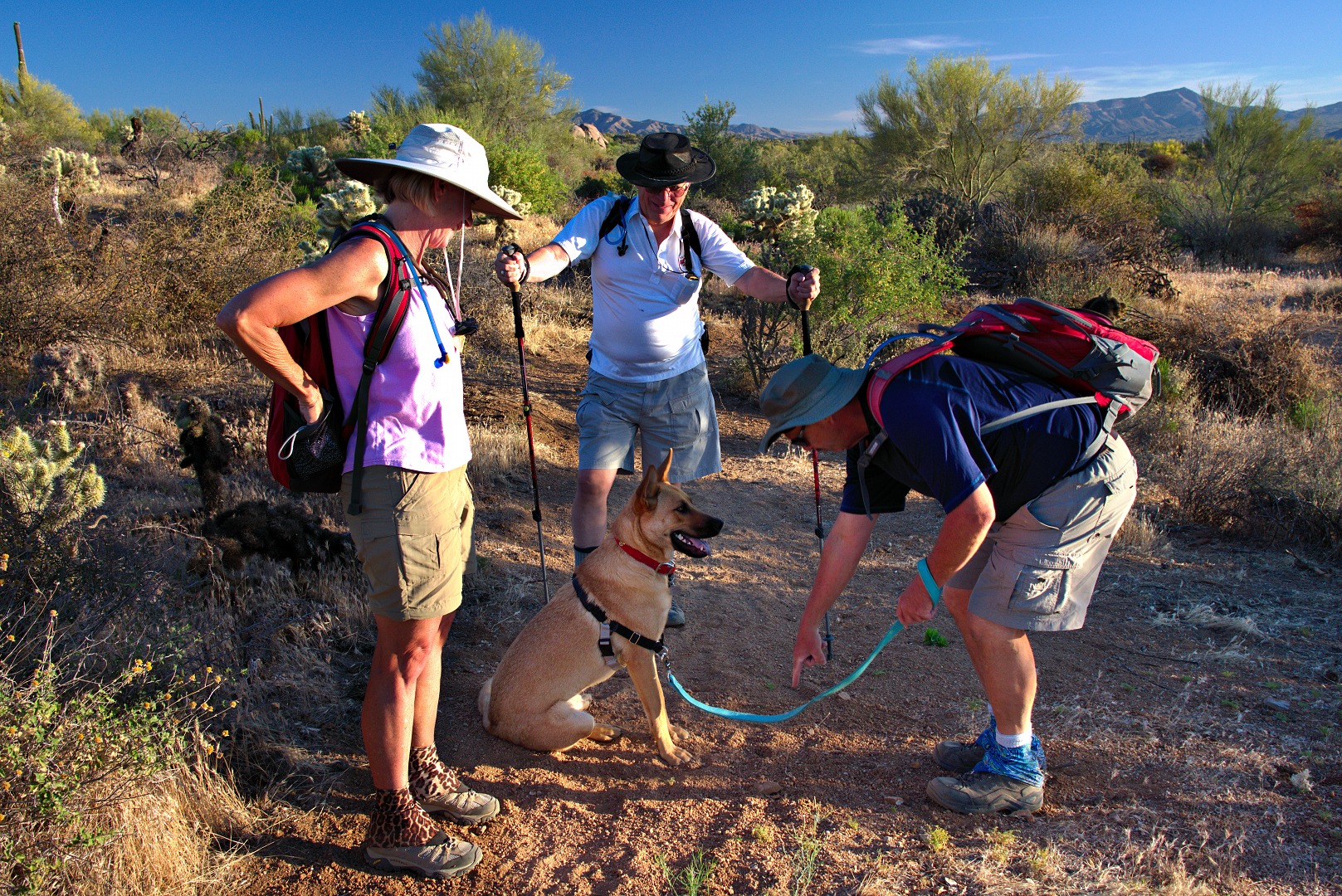
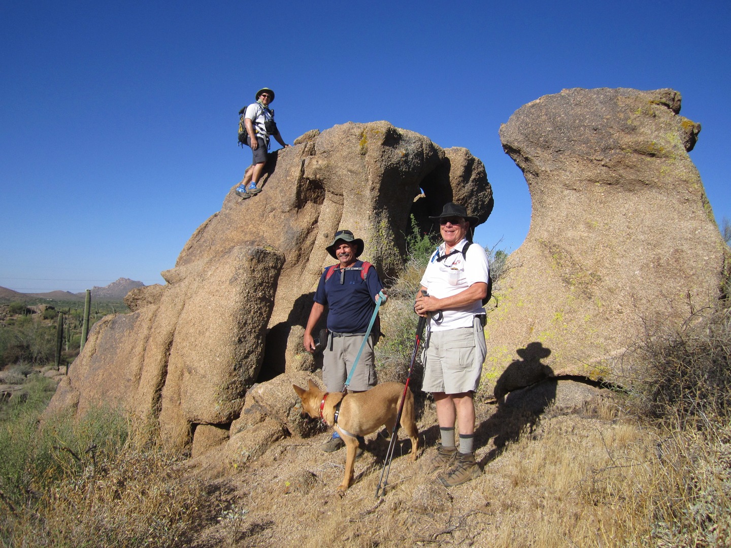
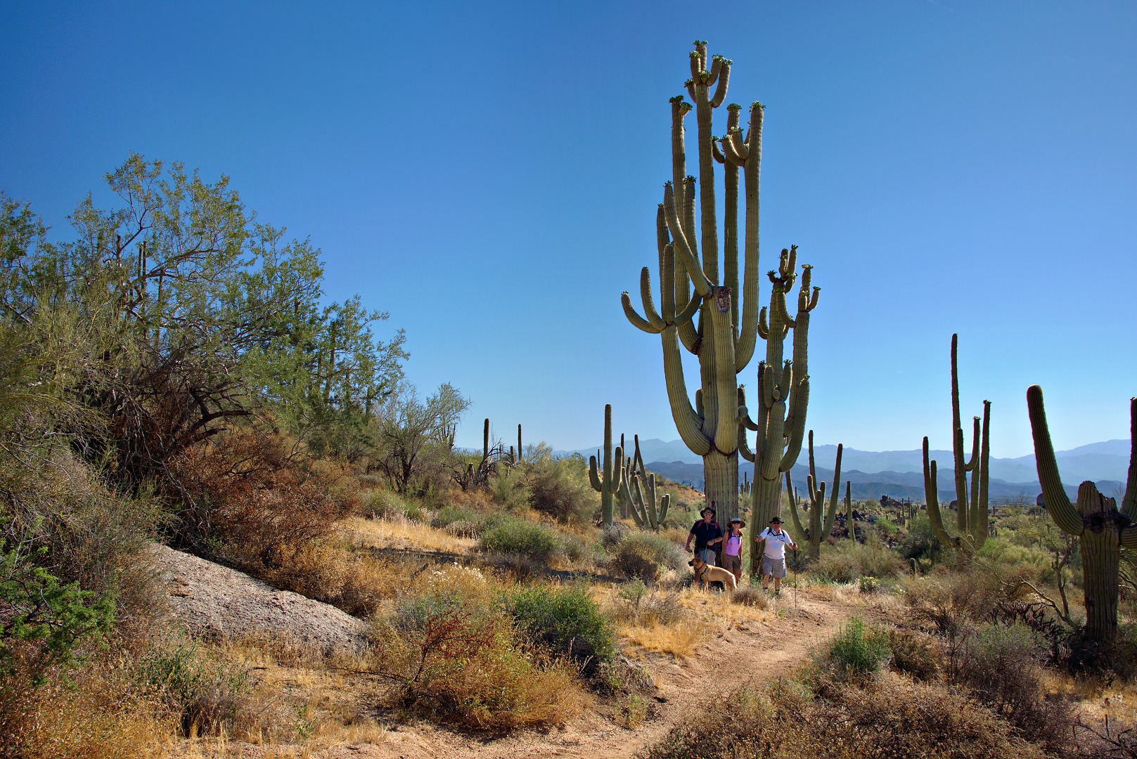
We met two other hikers coming up the Tom’s Thumb access trail used by most folks who want to visit Tom’s Thumb.  They took this photo of the three of us in front of Tom’s Thumb.  We returned the favor and took a photo of them.

We ended up hiking the trail off to the left in the photo below.  It’s another access trail that leads to the top of Gardener’s Wall.

A look back at Tom’s Thumb from the trail leading over to Gardener’s Wall:

We encountered a sign which showed us the way to get to the bottom of Gardener’s Wall. On the way down, we passed this large overhanging rock:

This is (part of) the base of Gardener’s Wall.

To descend from the base of Gardener’s Wall, you have to crawl down into a “cave”.  It’s not a real cave, but is actually an area covered with some large boulders.  It’s cool and out of the sun though.  The crack with daylight in the photo below is the way out.

Further scrambling is required after exiting the “cave”:

I took this photo of the opposite side of the valley as we were descending from Gardener’s Wall.

We came to a fork in the trail.  I picked the right fork which lead to this area shown in the photo below.  My recollection is that the left path leads to an even steeper rock to climb up, over, and back down again.

Another view of Troon and Pinnacle Peak:

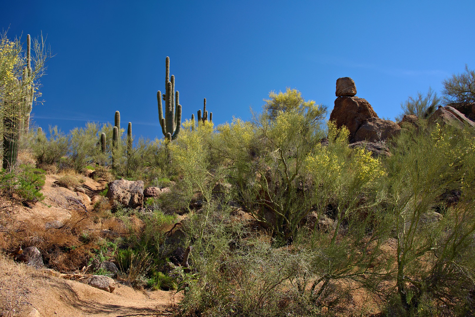
We got back to the Tom’s Thumb Trail, hiked down, and discovered that our total distance was still under four miles.  We bumped it up a bit further by hiking out to take a look at the trail leading up to Morrell’s Wall.  This a rock formation in the Morrell’s Wall Parking Lot Area.  There’s no parking lot next to this area any longer, but it still retains the name.

A more expansive view of the Morrell’s Wall Parking Lot Area.  There are good climbs both to the left and right of the pair of stacked boulders about three fifths of the way from the left edge of the photo.  One is Back to the Wall, 5.7, to the left of the stacked boulders.  To the right is Seven Up, also 5.7.  Joe and I have done a bolted route on the stacked boulders which might be a 5.6.  There are some even easier routes off to the right.

I considered going all the way up to Morrell’s Wall, but we decided to save that for another day.  We ended up hiking only 4.67 miles with 1500 feet of total ascent.
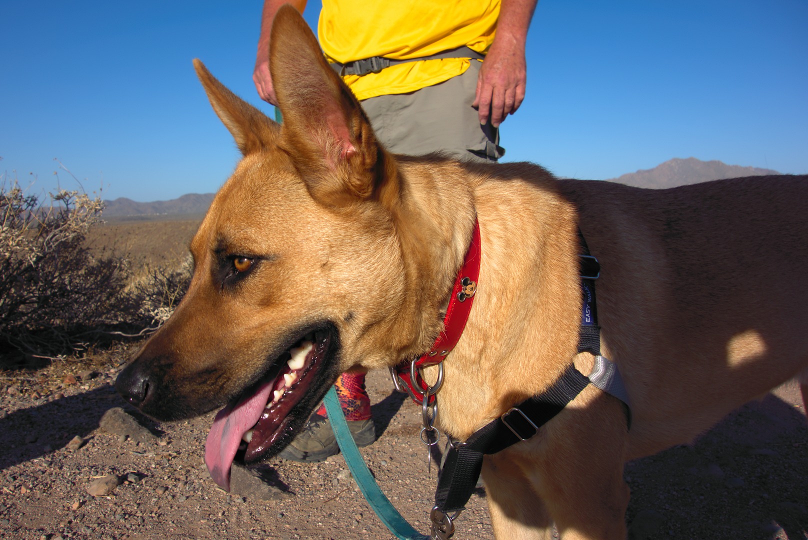
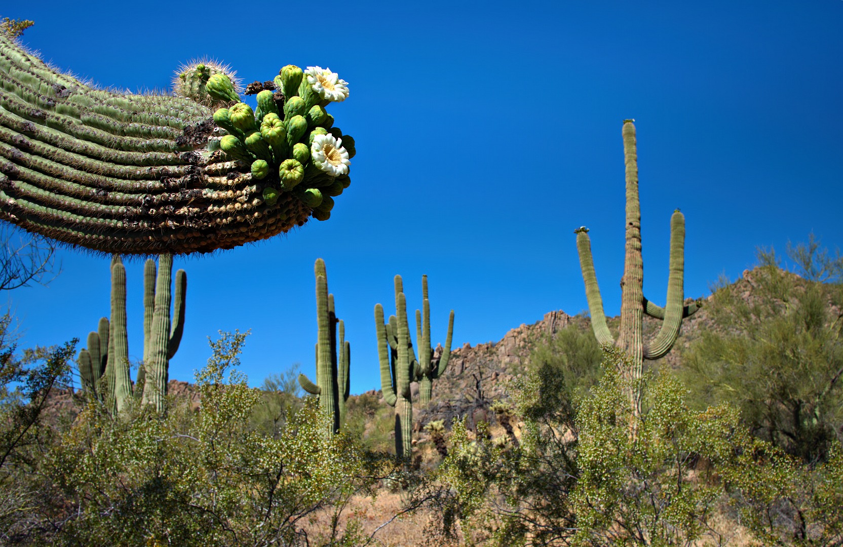