Month: March 2017 (page 1 of 1)

Friday Hike – Granite Mountain Trail #261

Ben, Marilyn, Linda, DeAnn, and I hiked the Granite Mountain Trail on Friday.  Near Prescott, this was a new trail to all of us. We hiked nearly nine miles with over 1800 feet of total ascent.

We saw this prominent rock formation throughout the beginning and end of our hike, while we were at the lower elevations.  We eventually ended up just below the summit rocks in the photo. (I made it part way to the top, but I stopped when I became unsure of the downclimb.)

Signing in at the register…

(Photo Credit: Linda Kalbach)

The trail was flat at the beginning. The trail crossed this small stream at several points.

From back to front, Ben, Marilyn, Linda, and DeAnn:

A dead tree; the San Francisco Peaks are in the distance at the far right in this photo.

Another view to the northeast:

A burned tree:

The trail led us to a sort of bowl-like area ringed with these small peaks.

DeAnn, Marilyn, Linda, and Ben:

More burned / dead trees:

We saw these tall stalks at various points along the way – none of us knew what they are though.

Linda, looking through a hole in another burned tree:

We stopped for lunch near this spot.

Kevin, near the peak:

I climbed a bit higher and took this photo of the rest of the group:

Linda took this photo of me as I tried to make my way to the summit:

(Photo Credit: Linda Kalbach)

I made it up only 20 more feet beyond this point.

This is some sort of dead flower.

On the way down, we walked out on this large flat boulder beside the trail:

(Photo Credit: Linda Kalbach)

On the way back down, I photographed another of the talk stalks in front of a small waterfall.

A close-up view of the top of the stalk:

An unknown red flower:

Verbena:

Another unknown flower:

A view of the forest near the end:

On the way back, we saw a dam (?) that we missed earlier in the day.

Sunday Hike – Pine Creek Loop / Ballantine Trail

Friday Hike – Vineyard Trail

Bill, Bill, Jim, Walt, Bob, Ben, Linda, Marilyn, and I hiked ten miles on the Vineyard Trail. Part of AZT #20, the Vineyard Trail is very scenic with expansive views along its entire length. (The rest of AZT #20 continues to the west on Four Peaks Trail #130.) Though the trail runs for six miles, we turned around at the five mile point, which was the point at which we crossed a ridge, providing an excellent view of Roosevelt Dam.

This is the view from Mills Ridge Trailhead:

Even from early in the hike, we could see Roosevelt Lake:

Blackfoot Daisy:

Blackfoot Daisies:

A view with multiple flowers…

Mexican Poppy:

A small cactus (hedgehog?), blackfoot daisies, and deer vetch:

I think this is might be Desert Chicory:

A view to the south:

Walt, Jim, Bill, Bill, Bob, Marilyn, Linda, and Ben at the intersection with Forest Service Road 336.  The trail followed this road for perhaps a quarter mile in a northerly direction before splitting off from the road to the east.

A view of a prominent bluff with Roosevelt Lake behind it:

The Vineyard Trail was easy to follow.  There were cairns along the way, but we didn’t need them to find our way.  (The trickiest part was to know to follow FS Road 336 instead of crossing the road to what looked like a continuation of the trail.)

This might be Bluedick / Desert Hyancinth ?:

White Flower Borage?? :

The saguaros became more numerous as we lost some elevation:

A very healthy saguaro:

Linda identified this as an Arizona Mariposa Tulip:

More saguaros. At several points in during our hike, we noticed the sheer cliff in the distance (that’s on the horizon halfway across in this photo).  Ben thought it might be one of the cliffs near Tortilla Flats.

Blackfoot daisies sheltered by and agave:

Another view of Roosevelt Lake:

Ben examined the structure in this photo with his field glasses. He told us that the outer sections that he could see were corrugated metal. We don’t know it’s purpose, nor did we see any roads or trails leading to it.

A small section of the Apache Trail (AZ 88) can be seen in this photo:

Hedgehog cactus blossom:

Another view to the south – more of AZ 88 can be seen in this photo:

An even more expansive view of the Apache Trail. The Salt River is also visible in this photo.

Another view of Theodore Roosevelt Lake:

Jim spotted this plane flying low above the lake.  Someone on the hike identified it as a C-130.

Two views of the bridge and dam:

Bob and I hiked to a point where we got a better view of the dam. (The rest of the group finished their lunch while we were doing this.)

Dudleya / Rock Live-Forever (alongside a small cactus) – we saw these as we were hiking back to join the rest of the group.

Linda sent me a better photo of a Rock Live-Forever:

(Photo Credit: Linda Kalbach)

This is the “other” side of Four Peaks.  Brown’s Peak is the right-most peak in this photo.

Fleabane:

This is the group hiking back…

Another view of the Salt River and the Apache Trail:

Lots of saguaros above the Salt River:

An insect on a Chicory blossom:

Deer Vetch (in front of a prickly pear cactus):

Phacelia:

Mexican Poppies:

I got a photo of this small cactus just before the final ascent up to the trailhead:

Friday Hike – Robber’s Roost

Heather, Mitra, Ben, Nora, and I hiked the Robber’s Roost route in the Superstition.  Starting from the Lost Goldmine Trailhead, this route goes west on the Lost Goldmine Trail, then north and up, up, up on the Carney Springs Trail. At the top, a somewhat less defined trail heads first east, visiting the “roost” area from which the Robber’s Roost area gets its name, then heads northwest and then somewhat east, descending to Fremont Saddle. From there, it follows the Cave Trail, returning on Bluff Springs to the Peralta Trailhead.  A short hike on the road leads back to the Lost Goldmine Trailhead.  When we did this route, we took a detour to an overlook with a good view of Weaver’s Needle. Our hike was 8.5 miles long with over 2400 feet of total ascent, most of which occurred early on while hiking up the Carney Springs Trail.

We saw a turkey vulture while hiking the Lost Goldmine Trail:

The Carney Springs Trail goes up the side of the canyon below the prominent rock formation in this photo:

I think this is brittlebush.  (But I thought it was goldeneye when I encountered it on the hike.)

An interesting rock formation on the Carney Springs Trail:

Mitra, Ben, Nora, and Heather on the Carney Springs Trail:

Mitra at the top of the Carney Springs Trail:

(Photo Credit: Heather Sestili)

Deer Vetch around a small (hedgehog?) cactus:

Indian Paintbrush (?) :

A view of Peralta Canyon:

Desert Penstemon:

A view of Weaver’s Needle from the trail down to Fremont Saddle:

Another view of Weaver’s Needle, this time from the overlook by the pine tree:

One of the formations that can be seen from the Cave Trail.  I think we went around this formation to the right on the way to the caves:

Another view from the Cave Trail:

I think this is Hackberry Beardtongue / Arizona Scarlet Bugler:

Gilia:

Another view from the Cave Trail:

Kevin, Nora, Heather, Ben, and Mitra:

Mexican Poppy:

More poppies just before the first shallow cave on the Cave Trail:

Someone got carried away with making cairns!

This is the larger cave on the Cave Trail:

Starting down the Devil’s Slide…

(Photo Credit: Heather Sestili)

Descending the “Devil’s Slide”:

Below the Devil’s Slide. There is another, somewhat steeper section below this, named the “Bald Man’s Forehead”.

Nora and Mitra descending the lower portion of the “Bald Man’s Forehead”:

(Photo Credit: Heather Sestili)

The Cave Trail took us around the upper part of the formation on the right. To the left is Peralta Canyon. We hiked down from the other side of the canyon earlier in the day.

Globemallow:

Nearing the end of the Cave Trail…

(Photo Credit: Heather Sestili)

Nearing the end of our hike – this photo was taken from the Bluff Springs Trail:

Friday Hike – Hog Canyon, Hog Ridge, Superstition Ridge, and Hieroglyphic Canyon

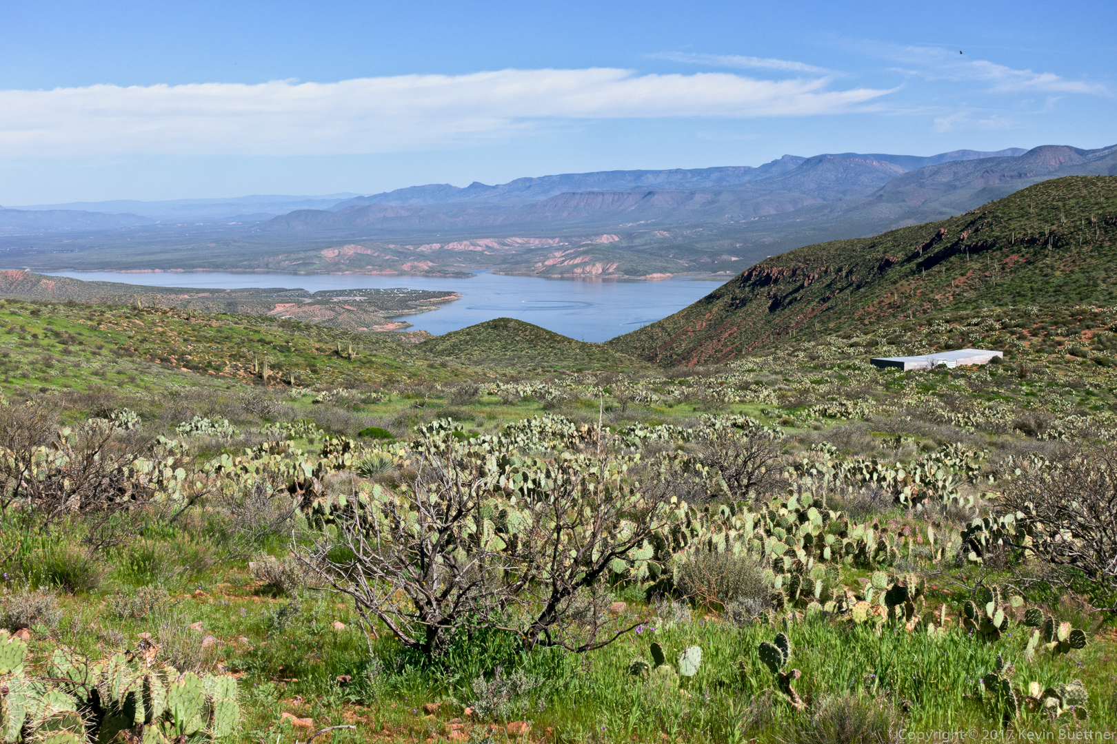
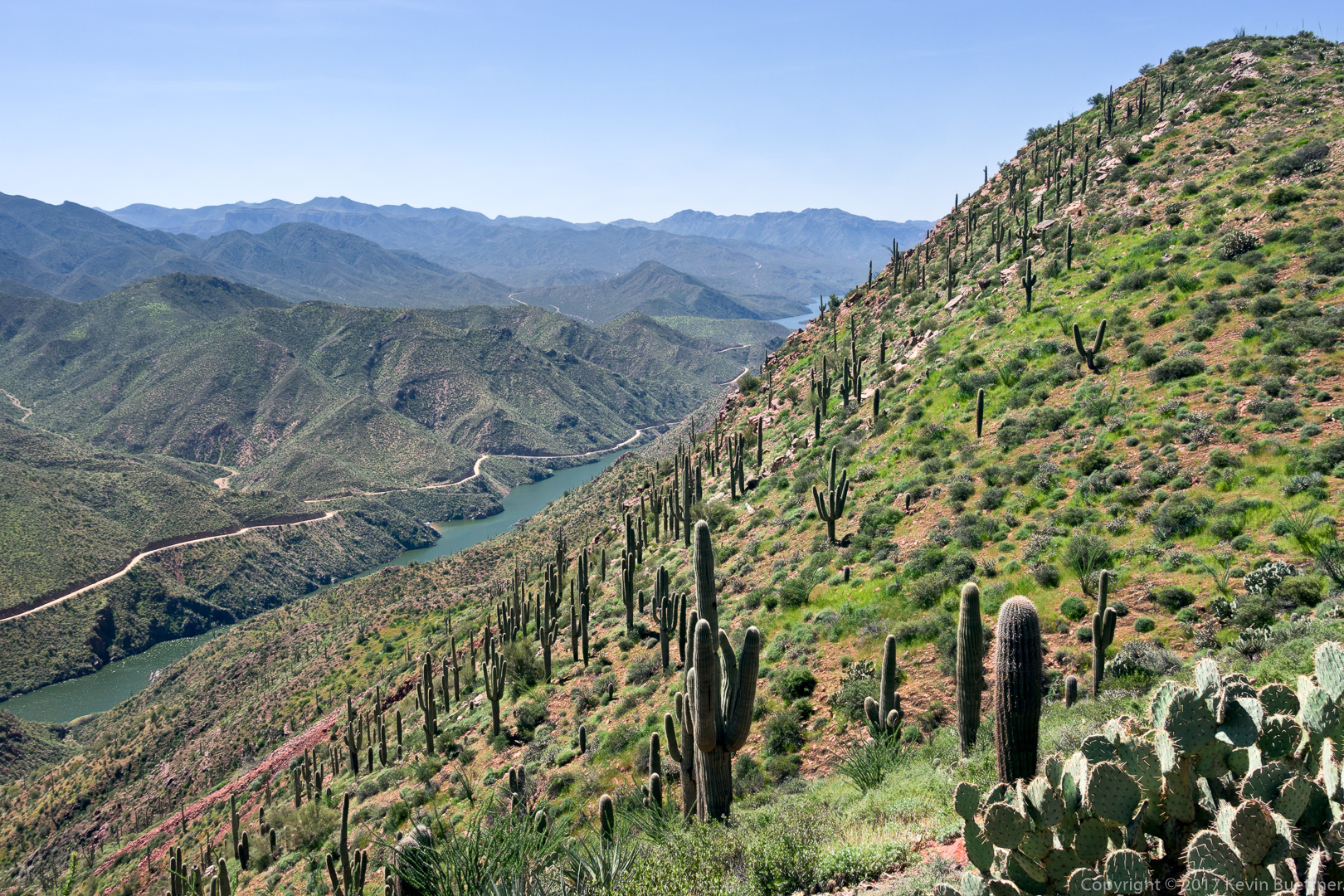
Linda, Denise, Bob, Bill, Bill, and I did an epic day hike in the Superstitions on Friday.  We hiked 10.5 miles with over 3100 feet of total ascent over challenging terrain, some of which was off-trail.

Starting at the west end of Cloudview Ave, we hiked north on the Lost Goldmine Trail. We then crossed through a gate and entered the Hog Canyon drainage.  We hiked up Hog Canyon until we reached a fork leading to a series of waterfalls with pools. We saw a number of petroglyphs in this area. We continued up the drainage feeding these waterfalls – this is the next canyon north of Hog Canyon. We encountered a lot of brush in this canyon, which encouraged us to get out of the canyon and onto the ridge to the south – which was between Hog Canyon and the canyon which feeds the waterfalls. We followed Hog Ridge east (and slightly north) until it turned into a plateau just below the Superstition Ridgeline.  From there, we climbed even more to gain the ridgeline upon which we found the Superstition Ridgeline Trail.  We took this trail southeast until we reached the head of hieroglyphic canyon. The Hieroglyphic Canyon Trail led us back to the east end of Cloudview Ave which, in turn led us back to our vehicles at the west end.

Our hike took nearly 13 hours – we used our headlamps for hiking out of the lower portion of Hieroglyphic Canyon.

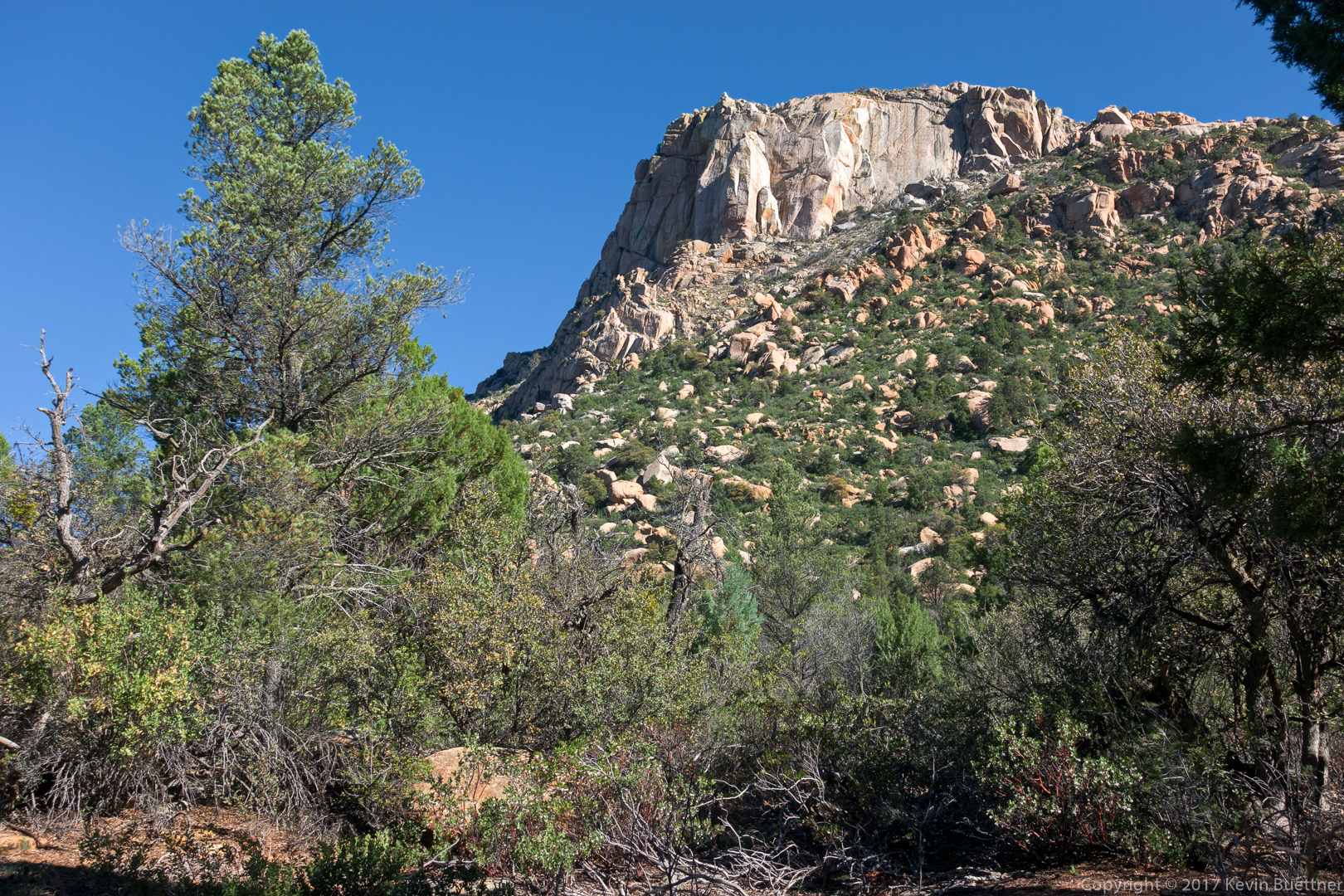
An early morning view of the Flatiron from the Lost Goldmine Trail:

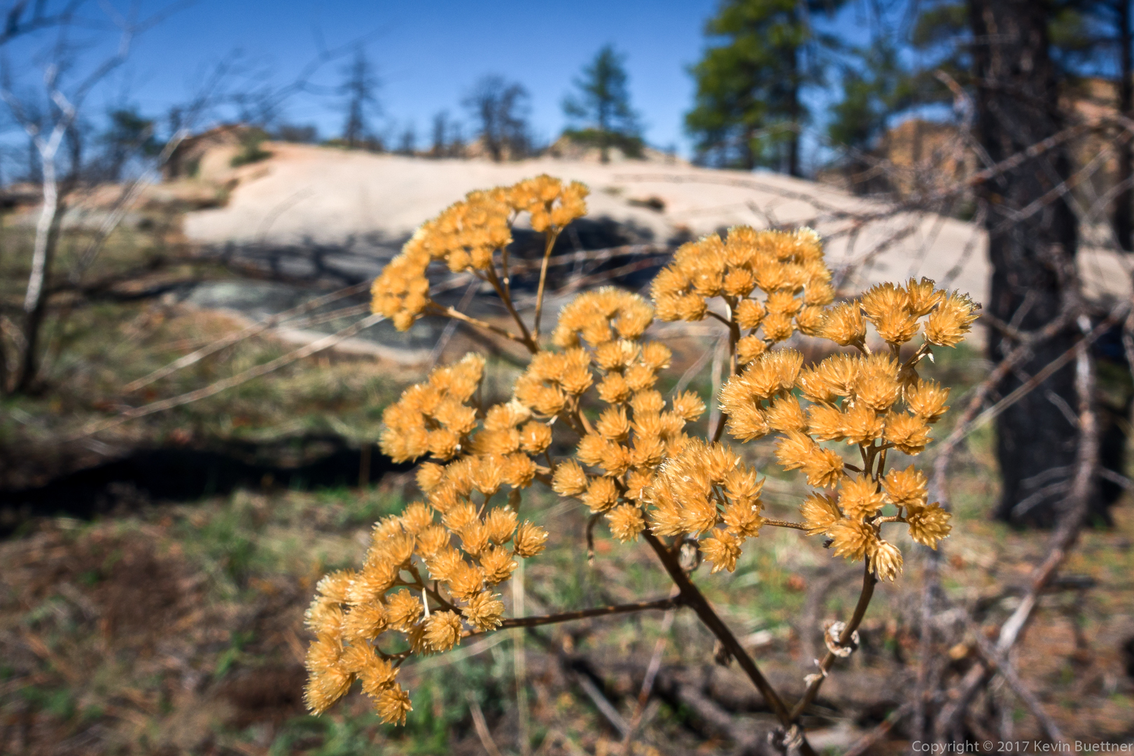
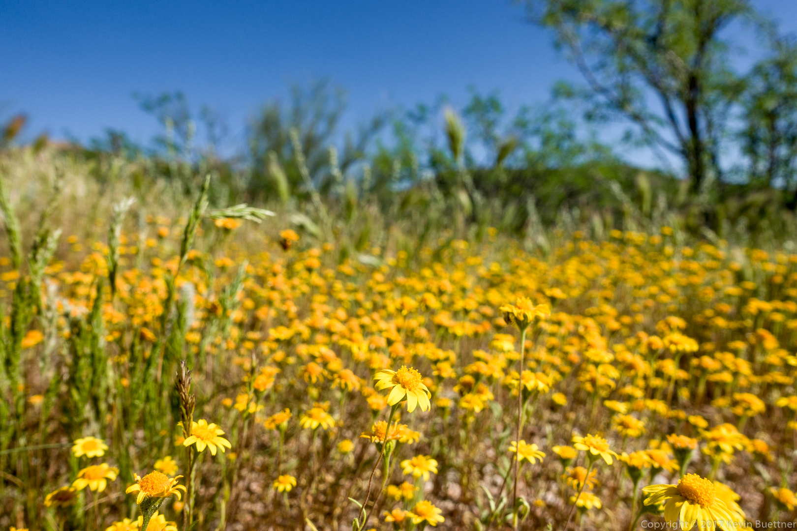
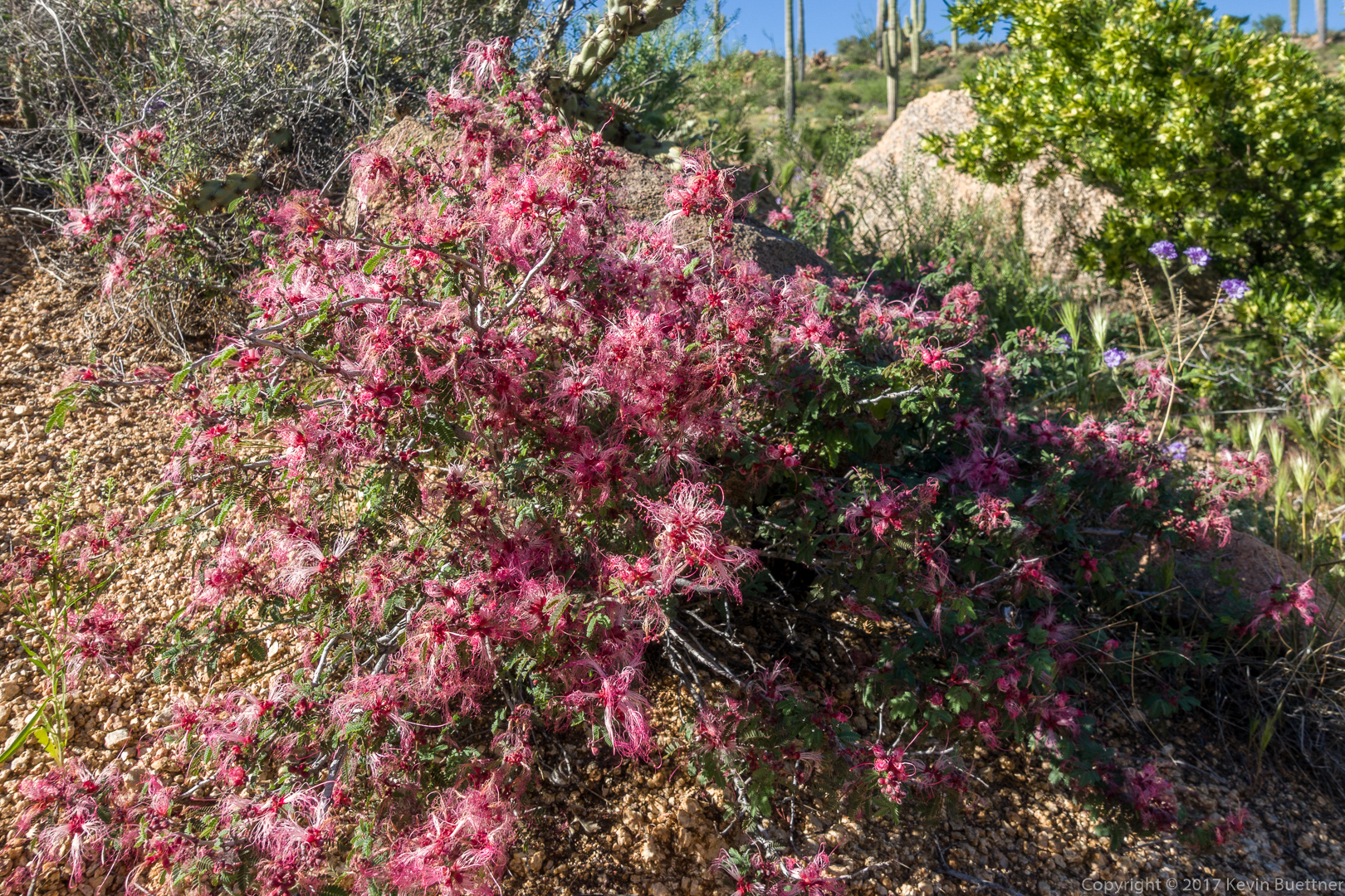
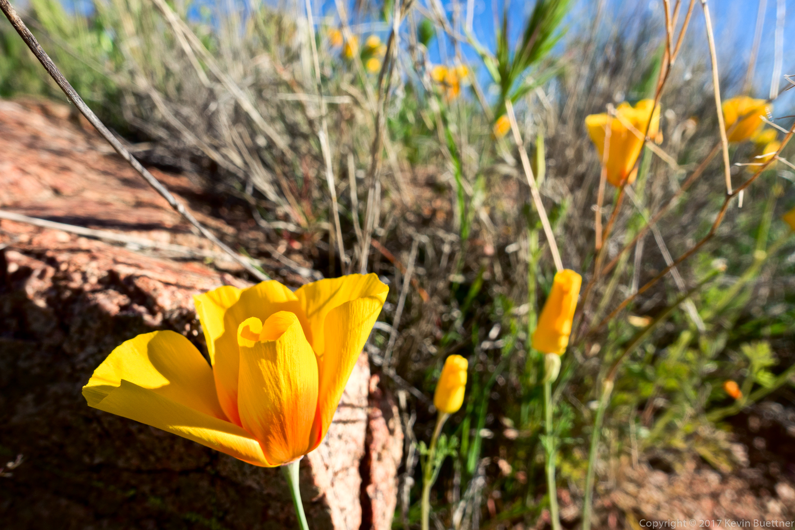
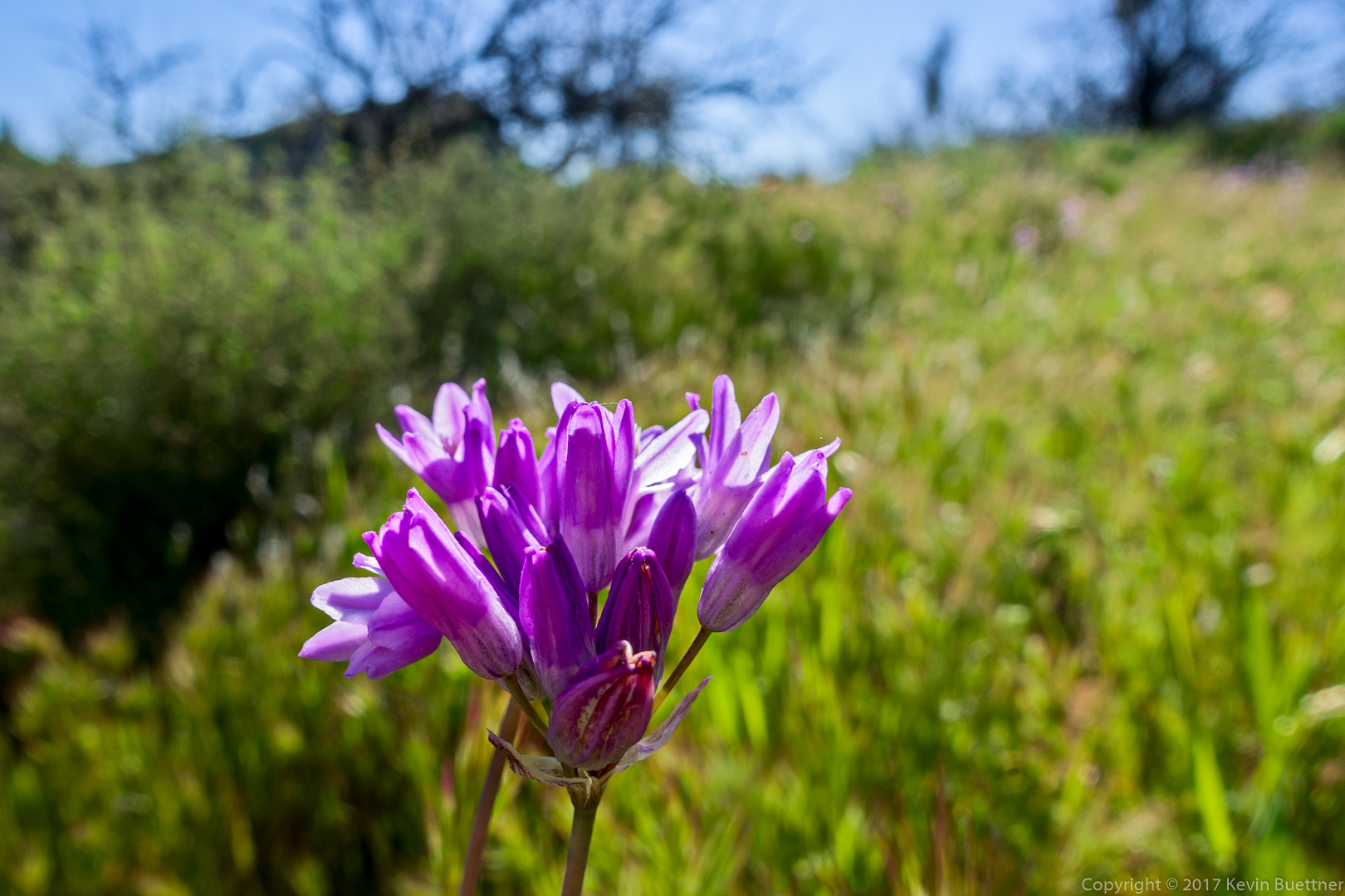
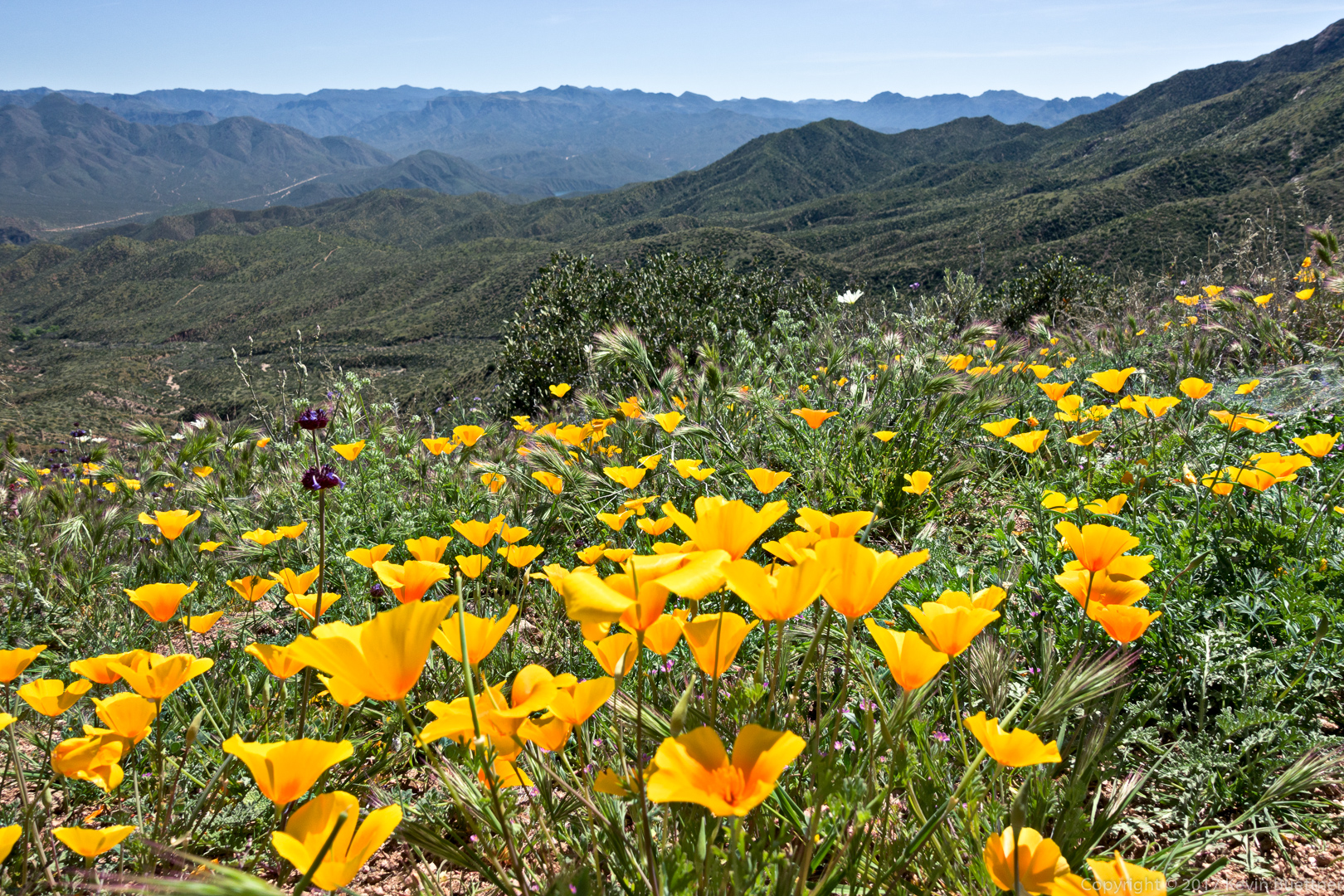
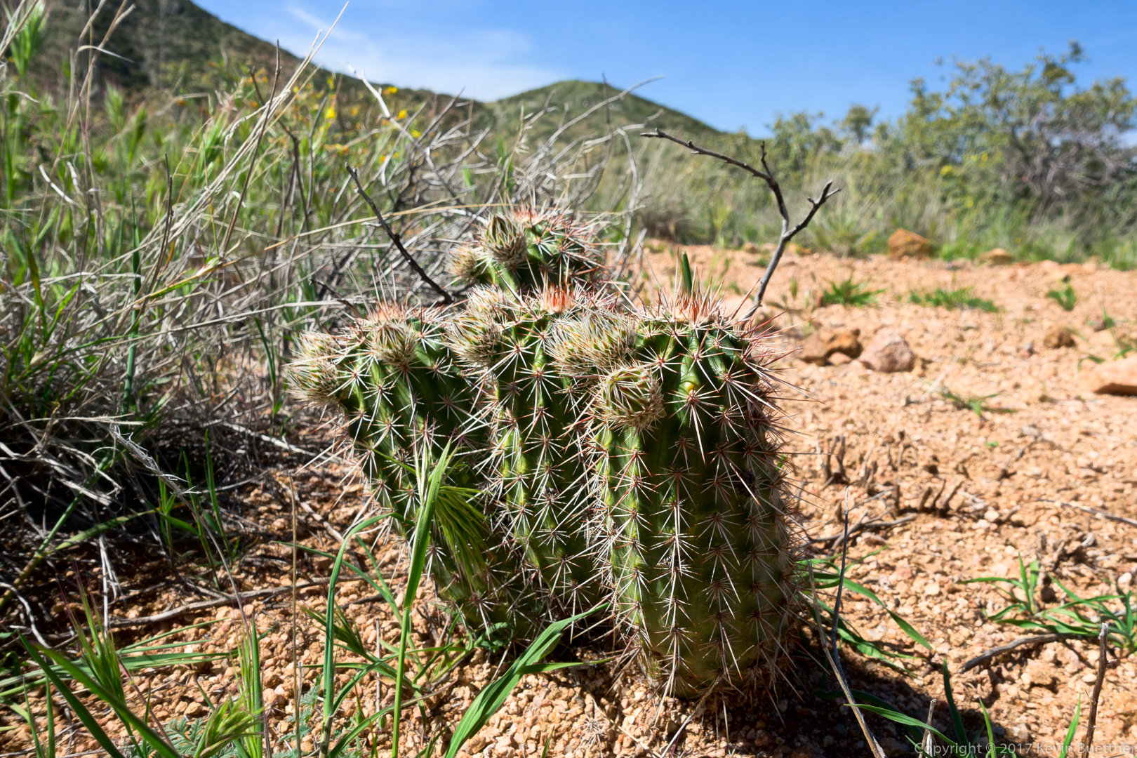
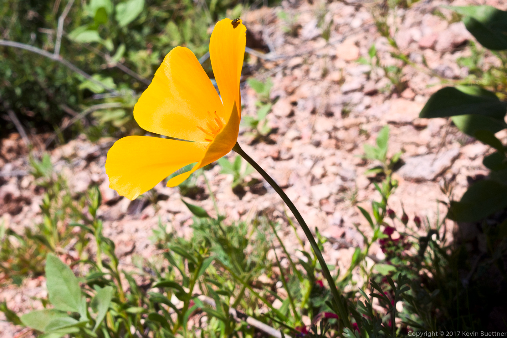
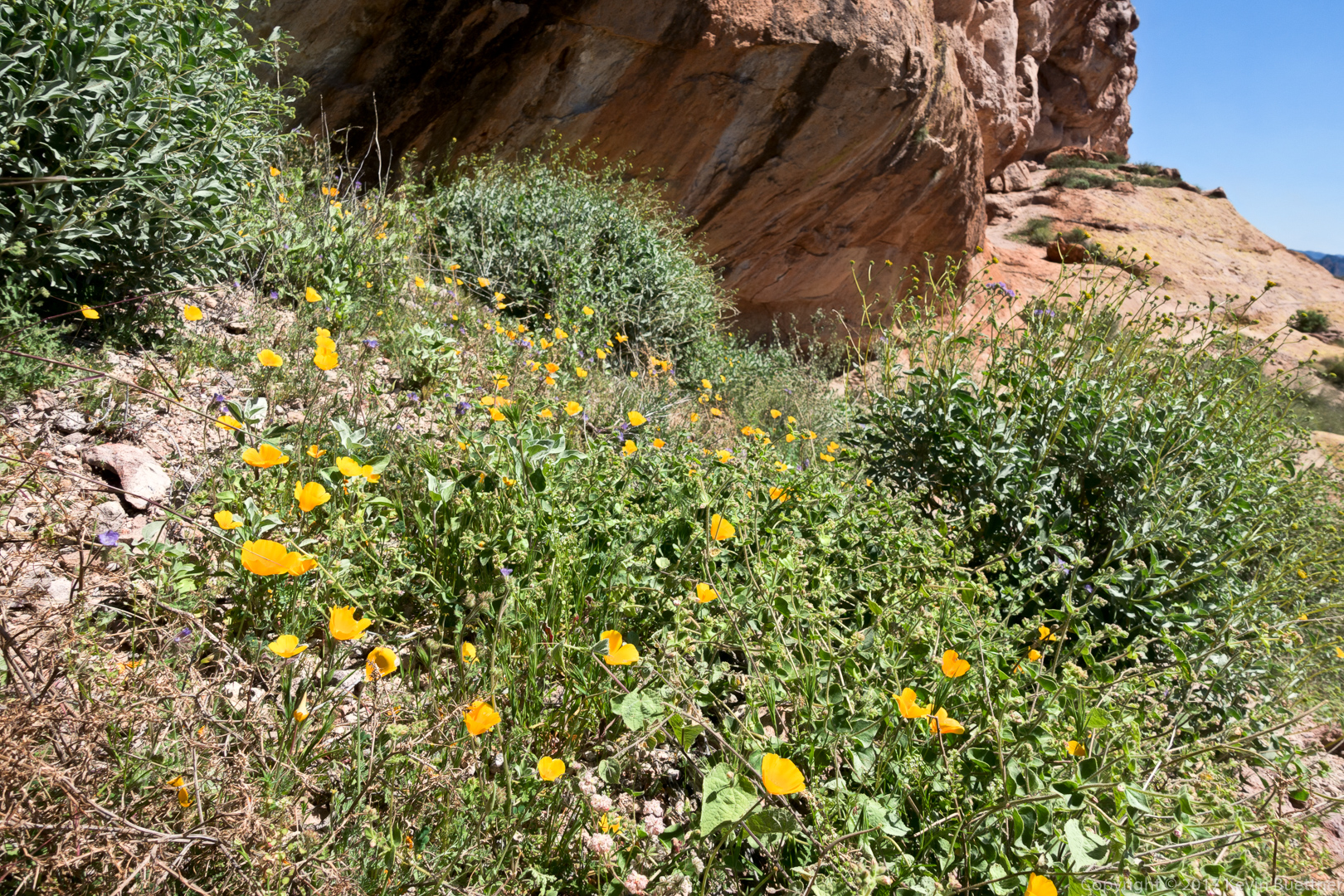
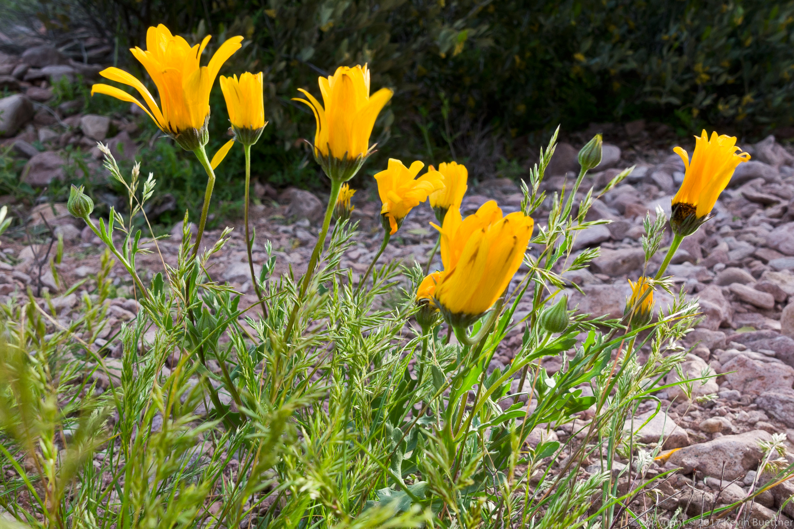
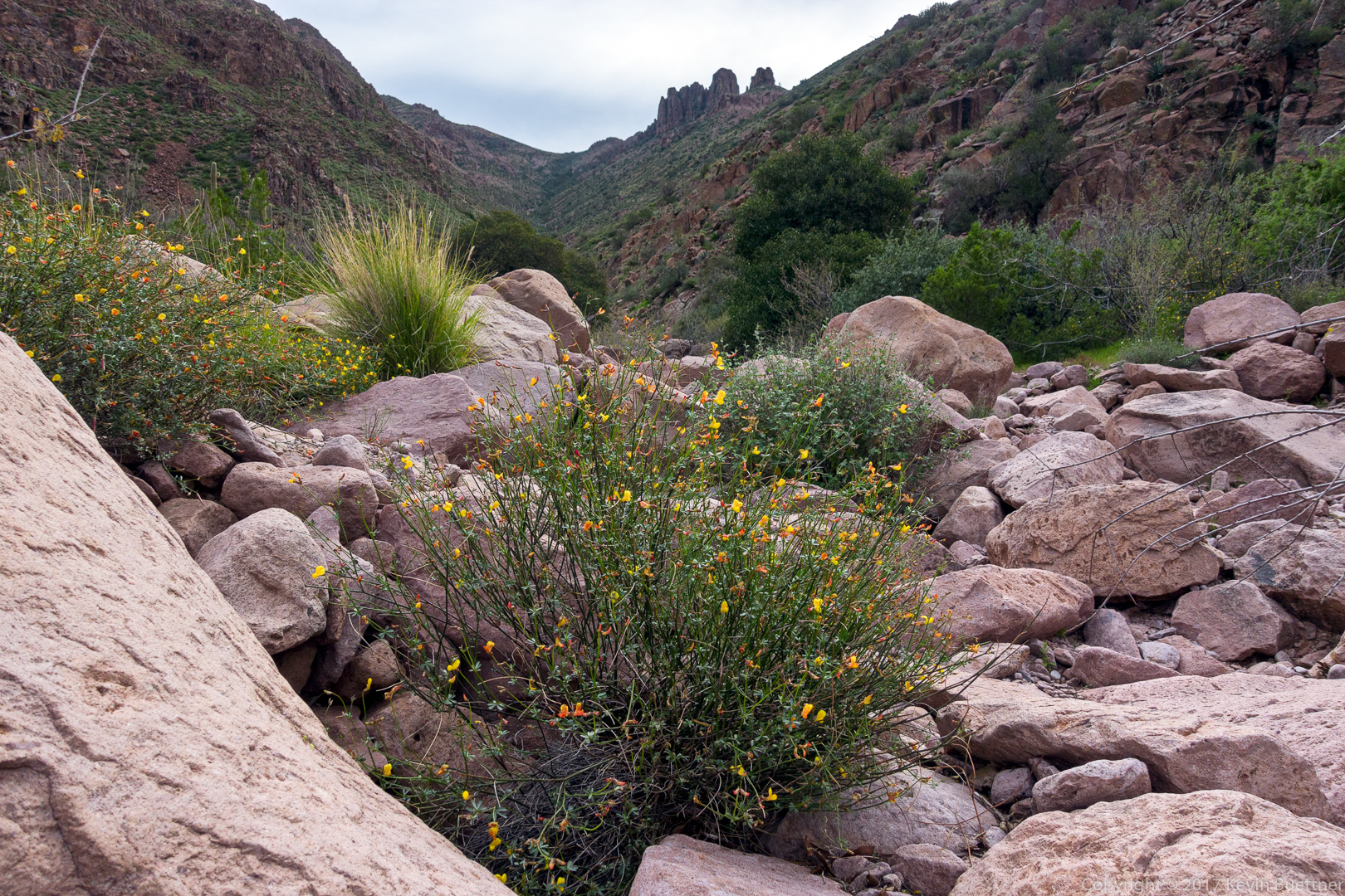
Yellow flowers in the Hog Canyon Drainage – these might be poppies, but we weren’t certain.

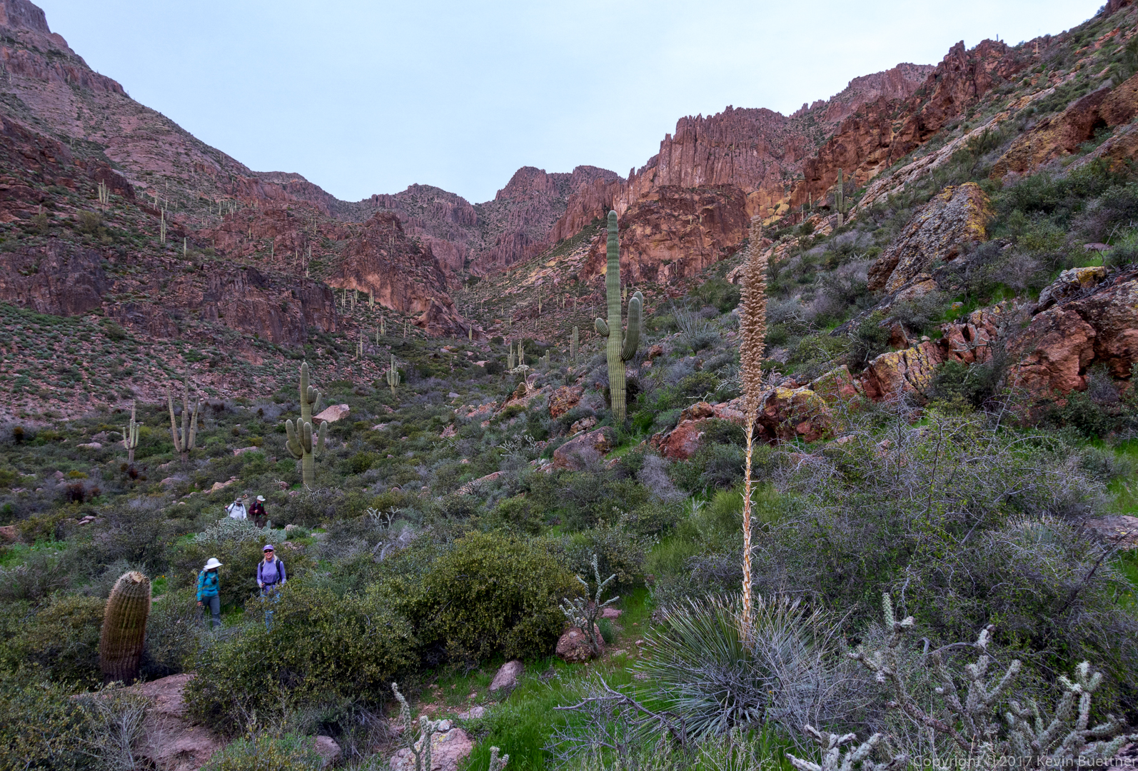
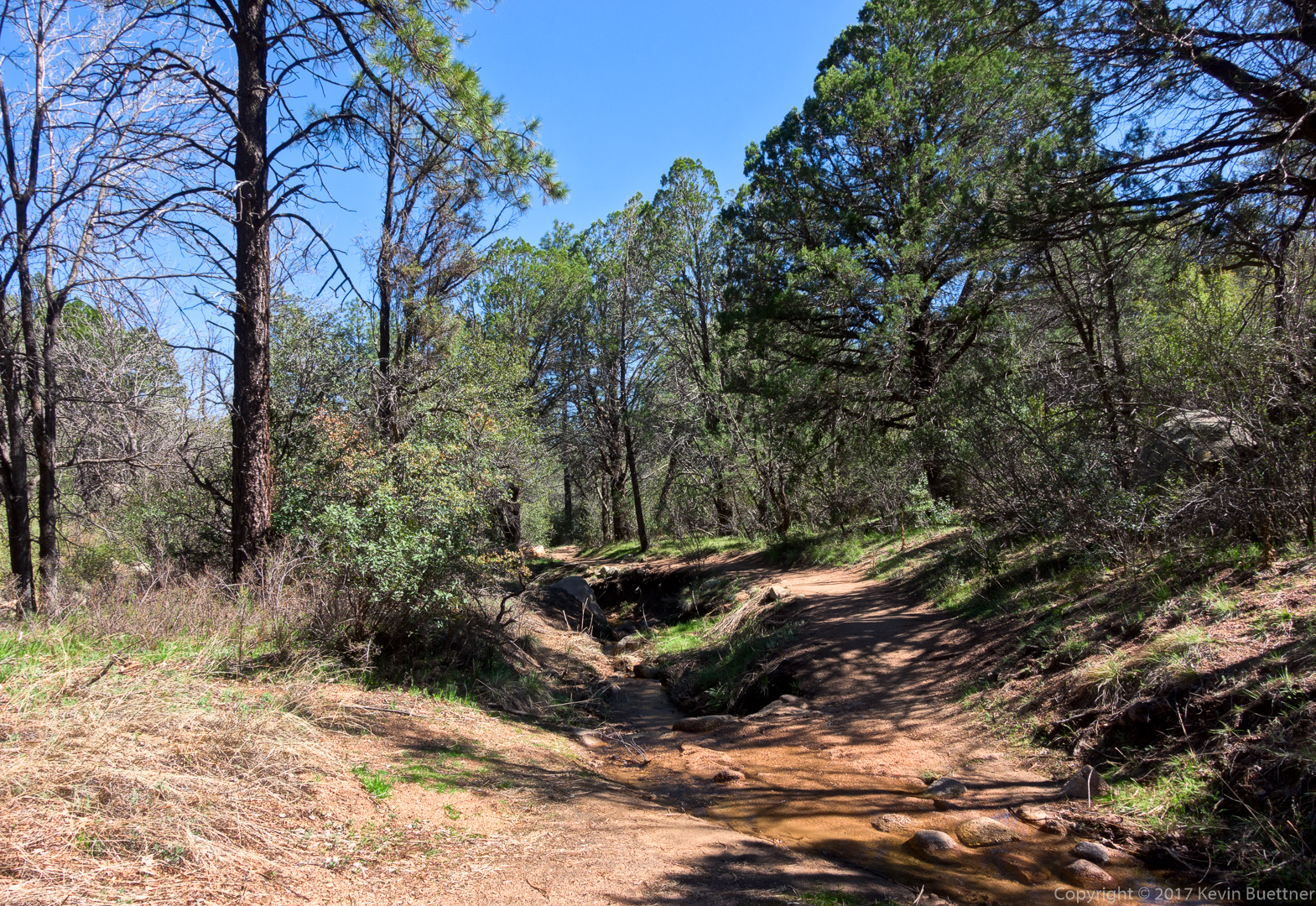
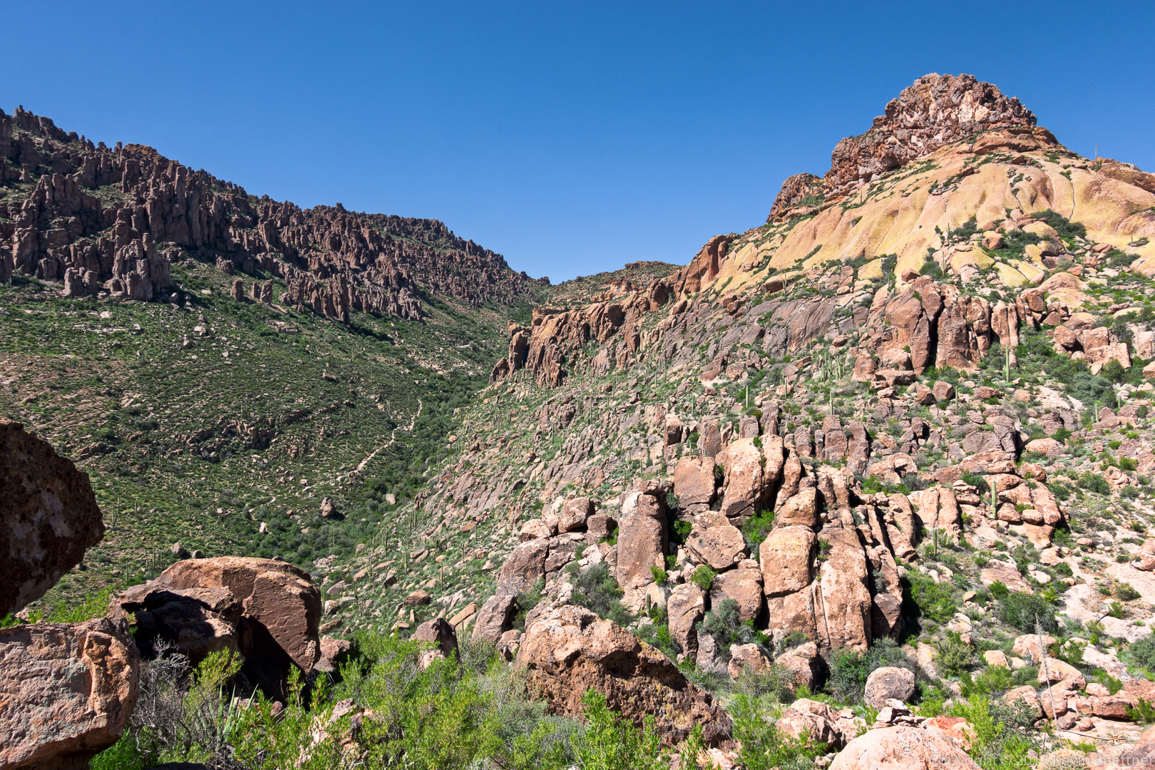
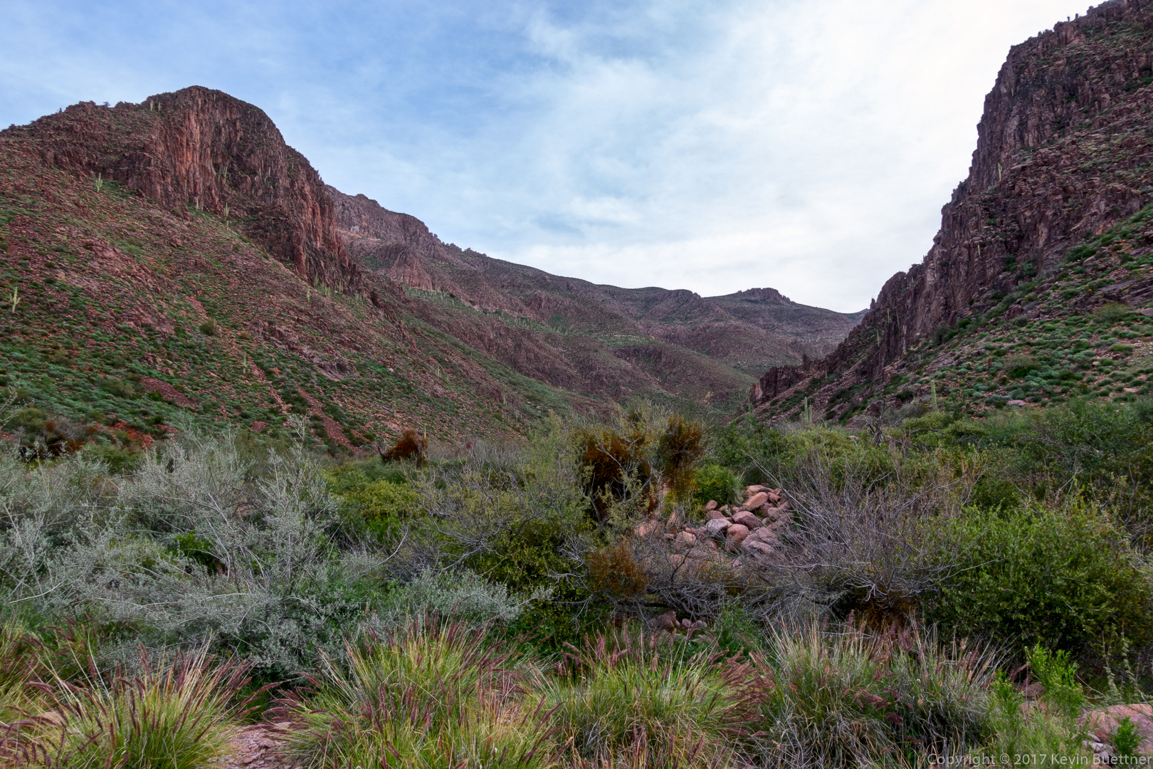
An early look at Hog Canyon:

We noticed a small hole (arch) in one of the formations forming the south wall of Hog Canyon:

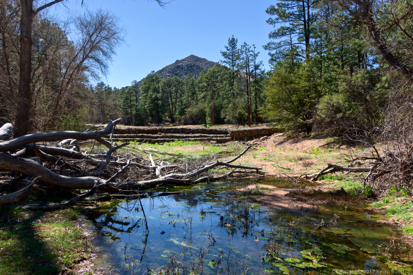
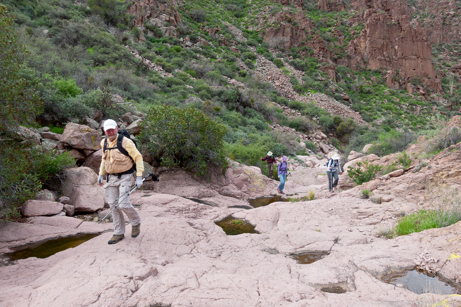
We encountered running water, with occasional pools, in parts of the canyon.

Kevin, Bob, and Bill hiking up Hog Canyon. (Thanks to Linda for this photo!)
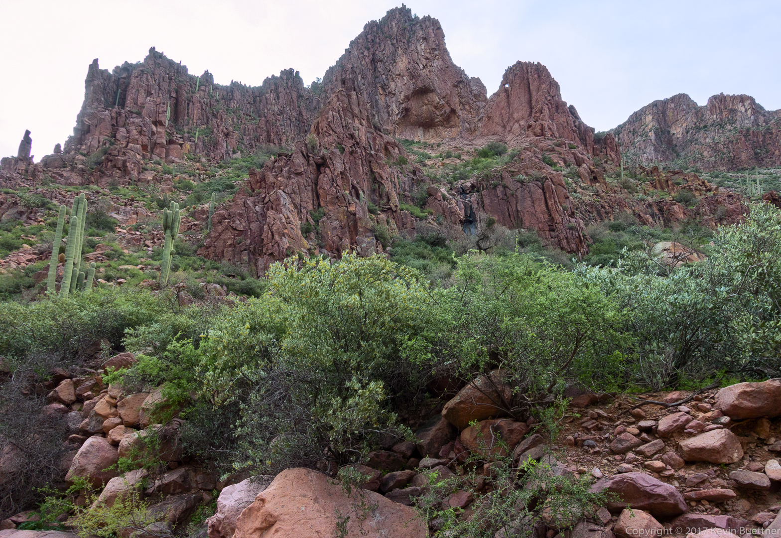
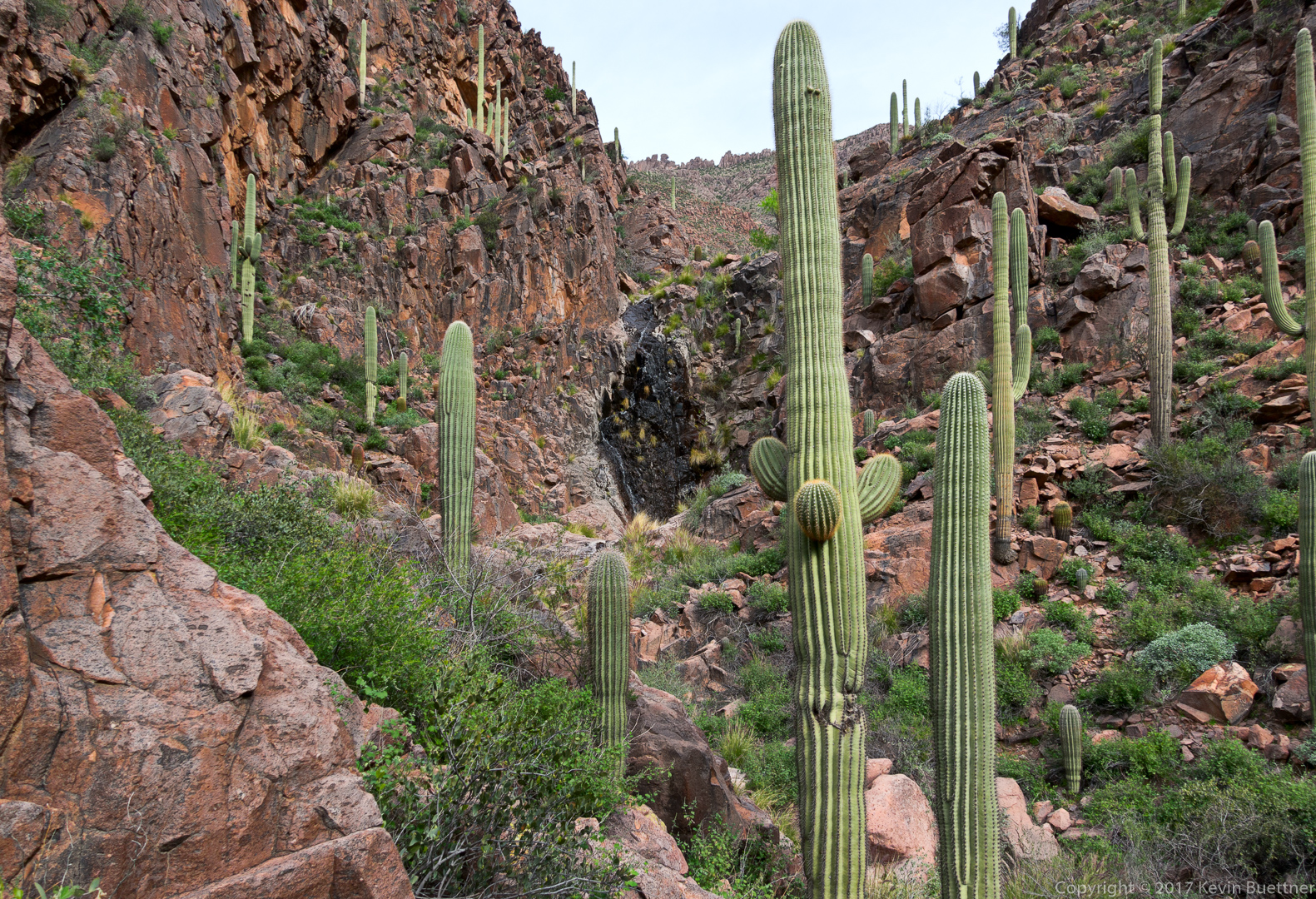
Looking up-canyon:

Bill, Bill, Denise, and Linda hike a slickrock section of the canyon:

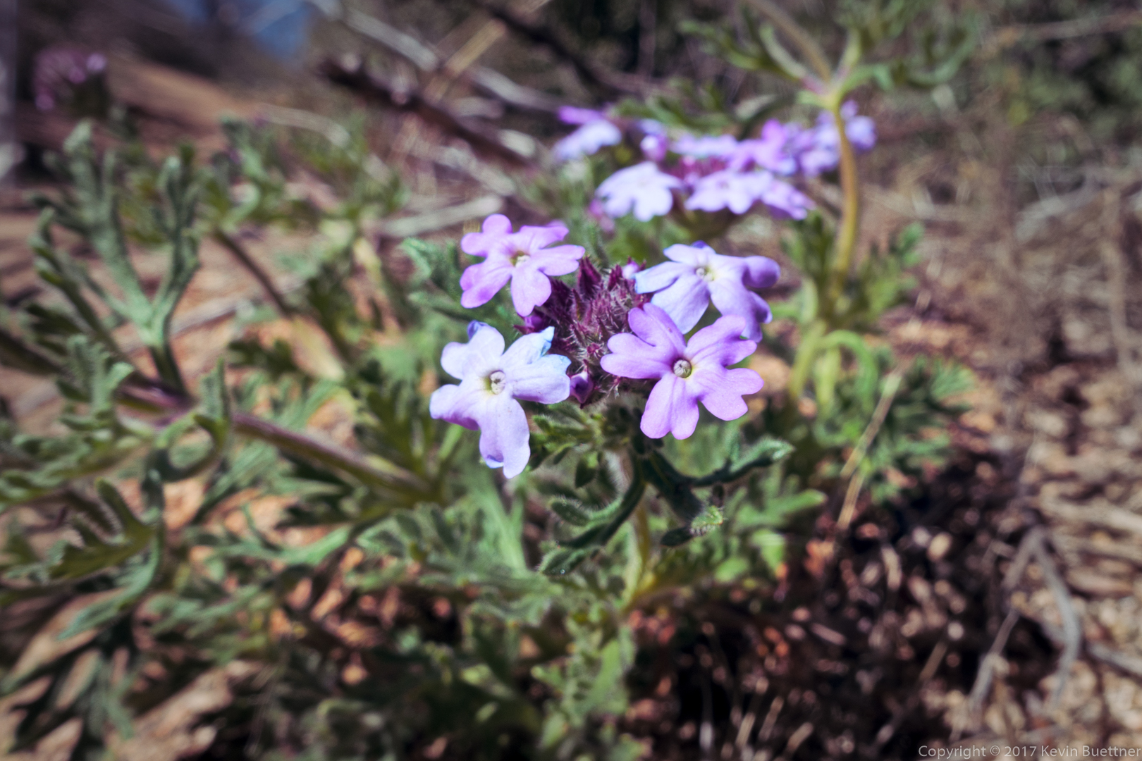
Deer Vetch and fountain grass in Hog Canyon:

This was our first view of the waterfall area (which is normally the destination for the Hog Canyon hike):

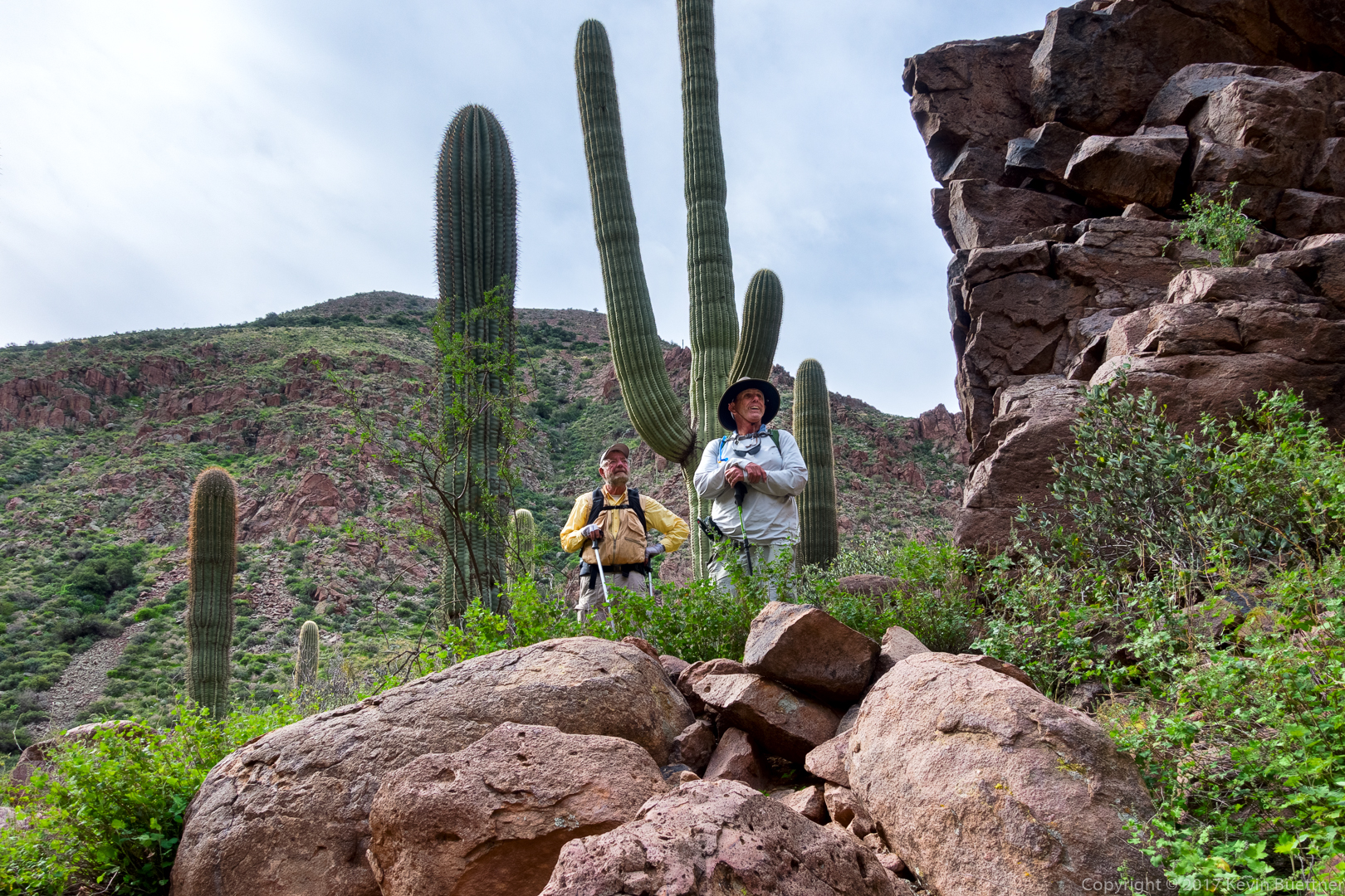
Bill and Bob look at the waterfall:

Another view of the waterfall:

Looking back from the waterfall – the rest of the group are still making their way up to the waterfall:

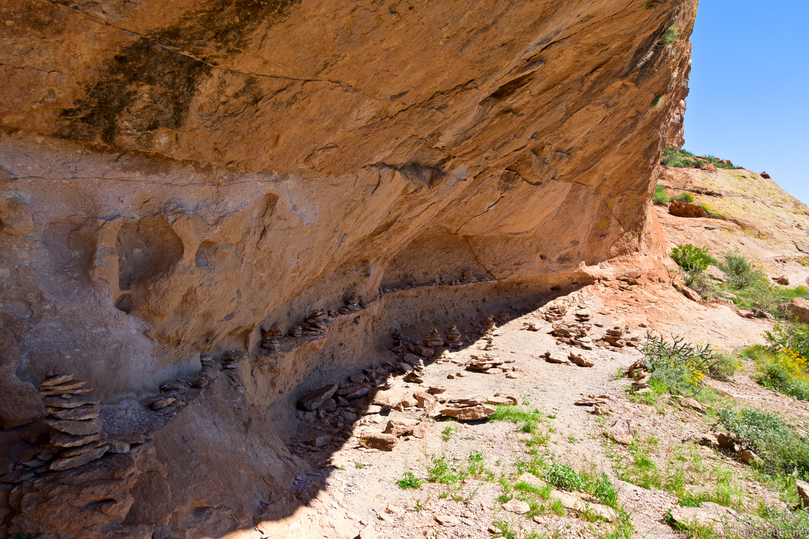
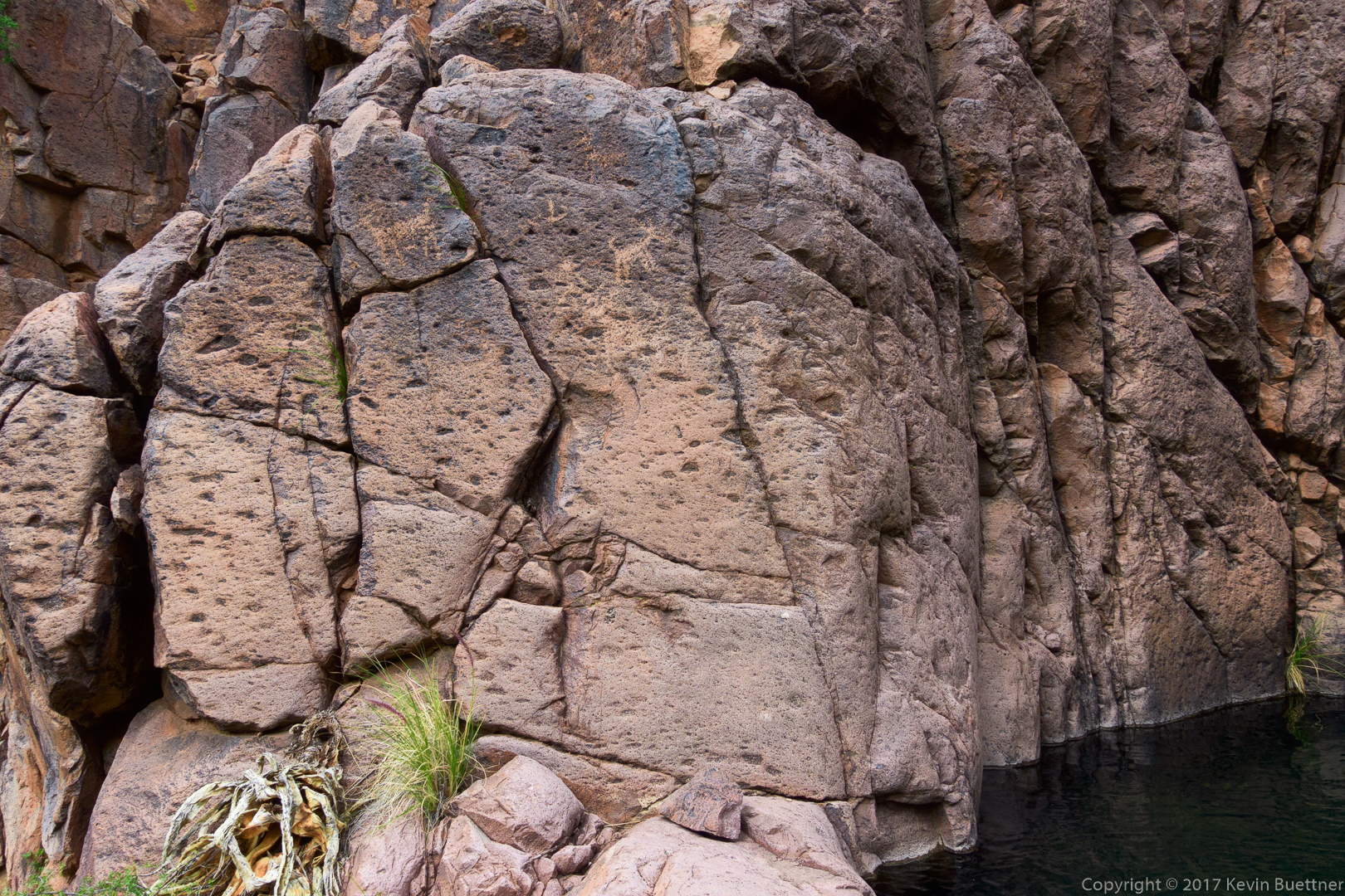
Petroglyphs on the east wall in the waterfall grotto:

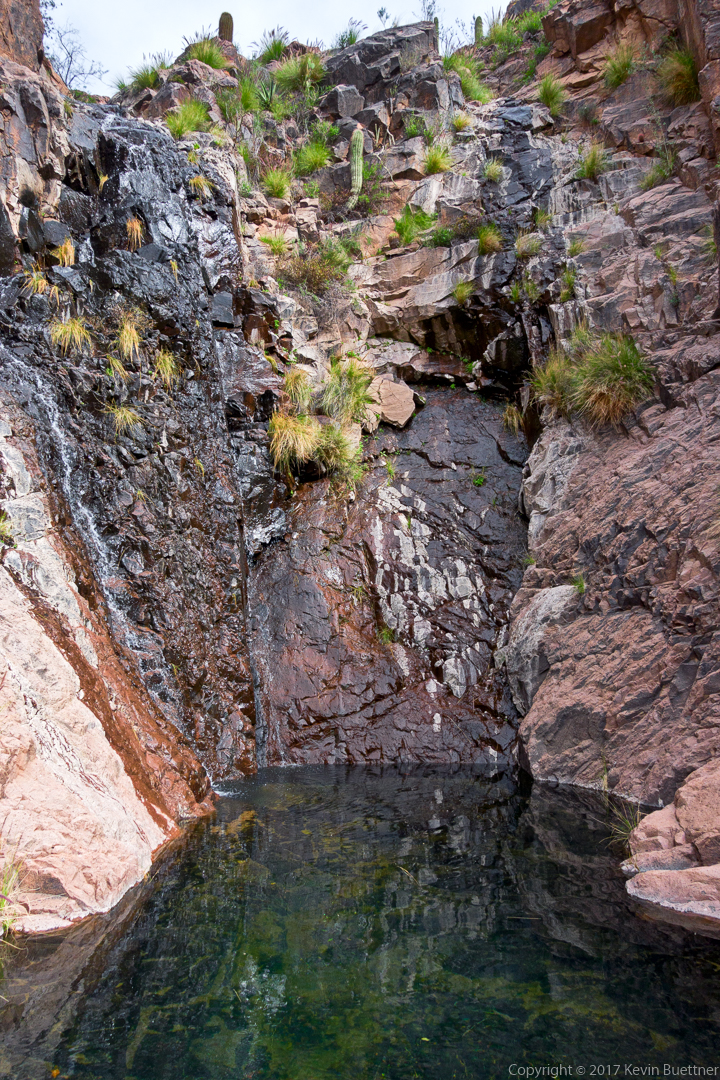
Another look at the waterfall and the pool below it:

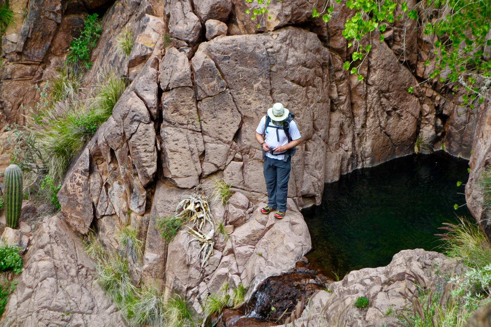
I took this photo as I was scouting a route to get to the next level up – where there was another waterfall and more petroglyphs…

This is the view looking out from the second waterfall.  Note the petroglyphs on several rocks in this photo:

A close-up of several of the glyphs near the pool:

Even more glyphs:

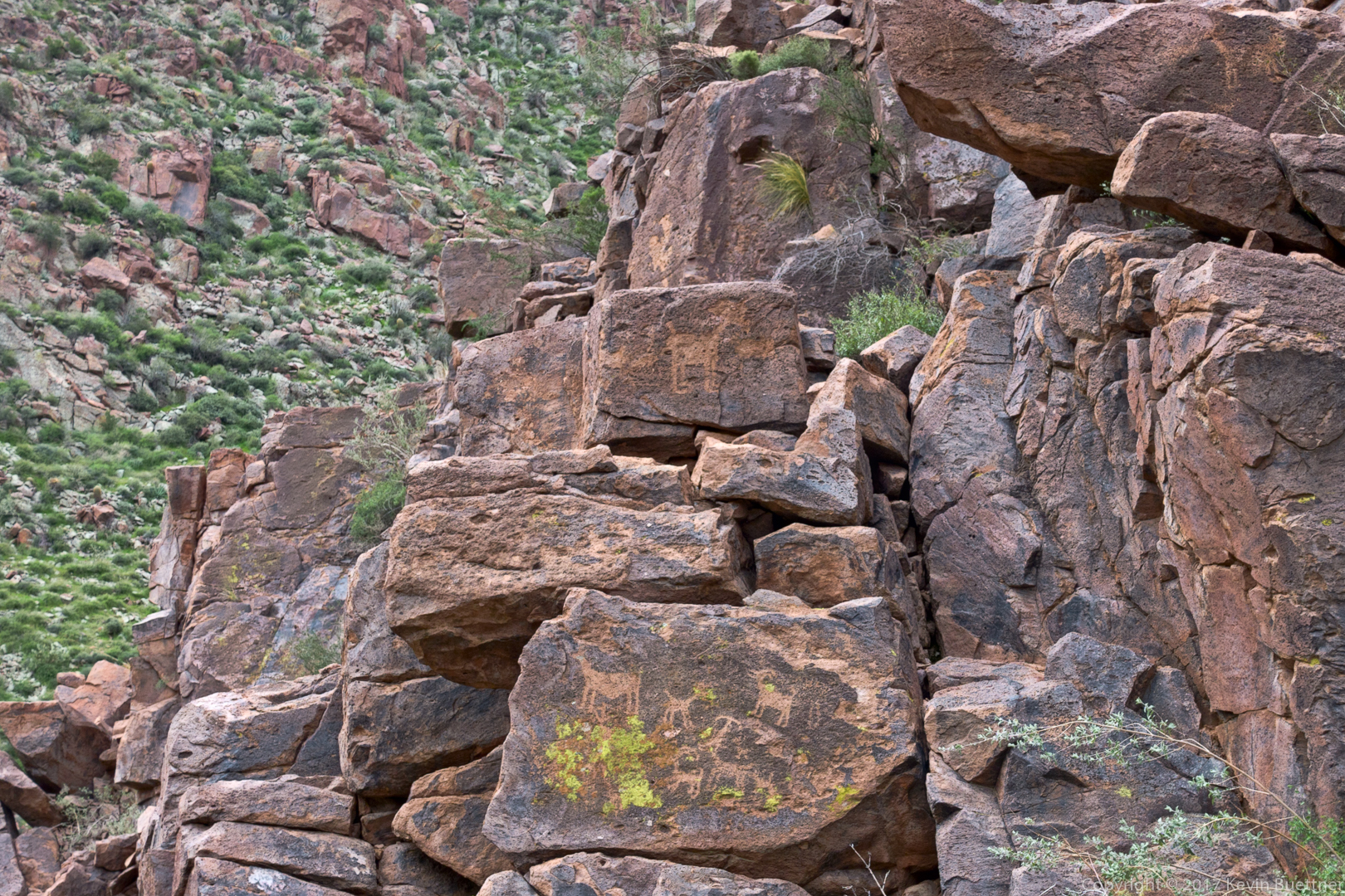
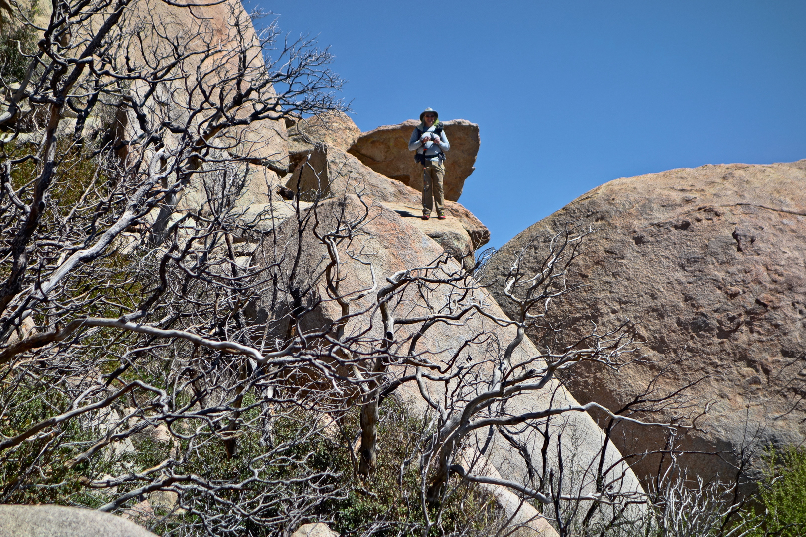
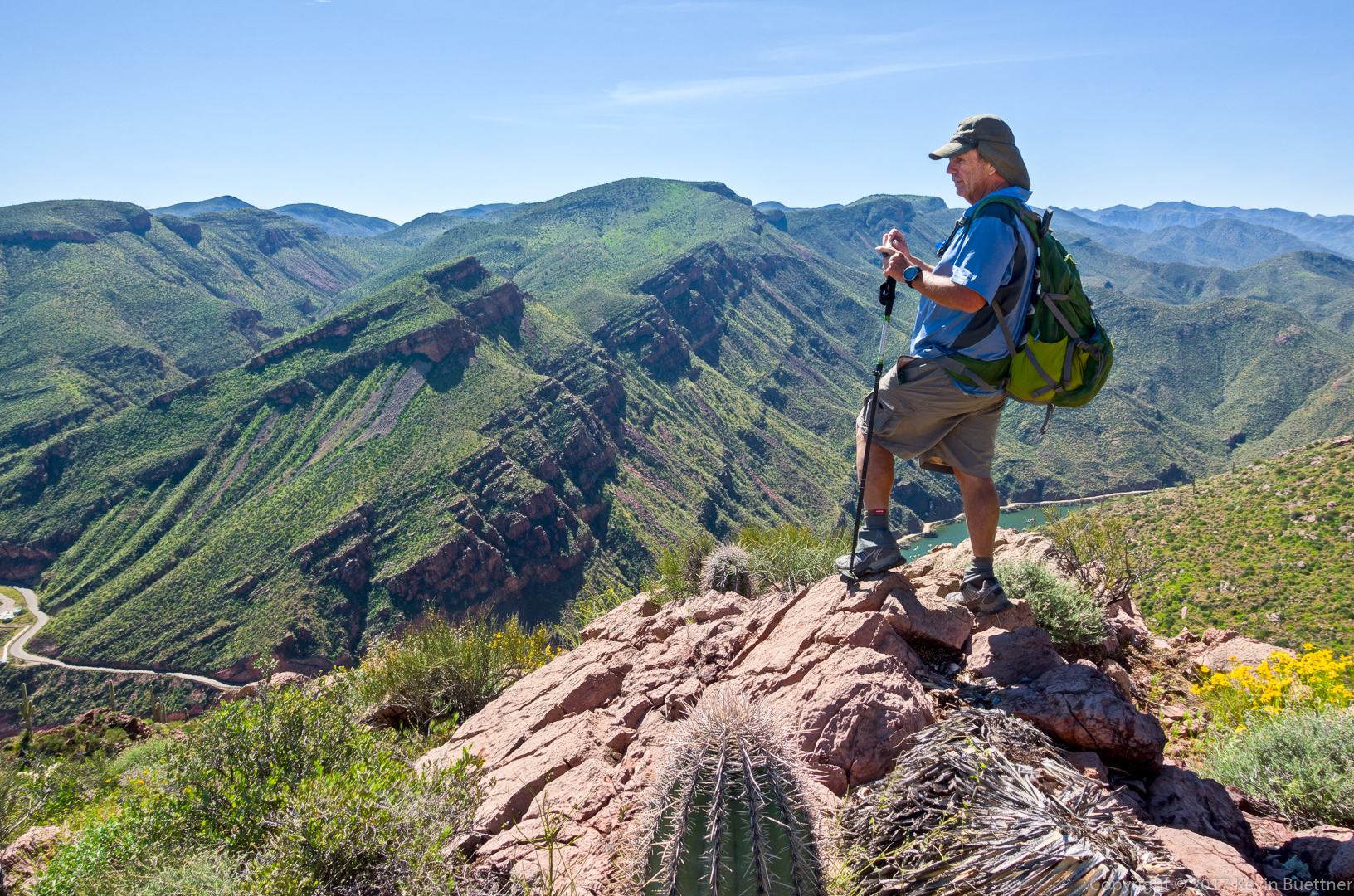
Linda took this photo of me chimping my shots by the second pool. There are petroglyphs behind me, above my right shoulder. There are more, which I didn’t notice while I was there to the right of the saguaro at the far left edge of the photo. (Thanks to Linda for sending me this photo.)

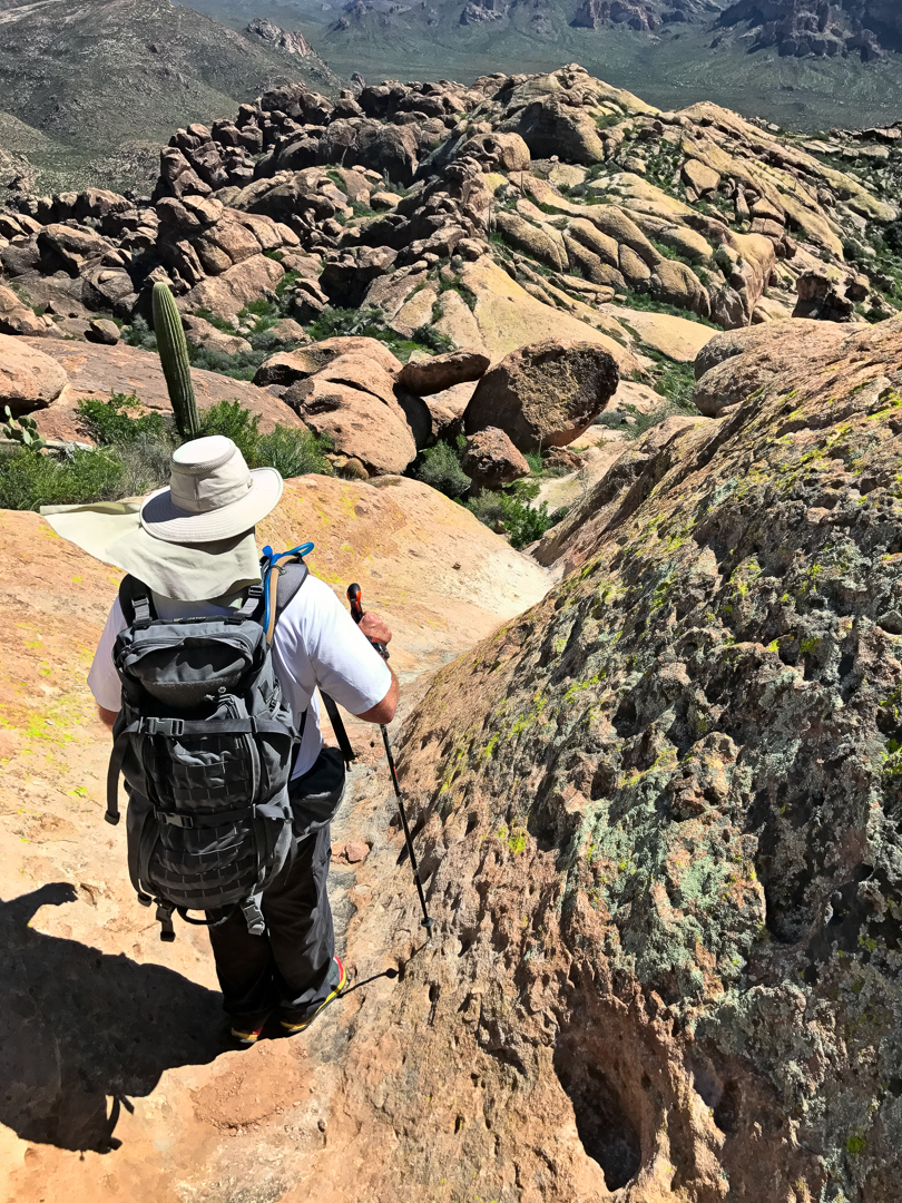
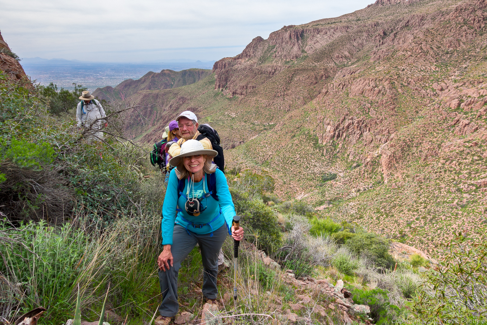
Making our way up to Hog Ridge…

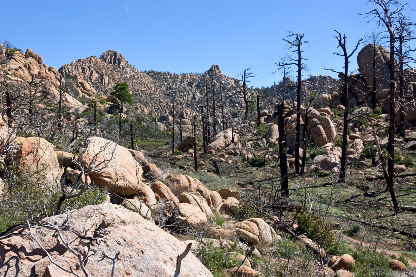
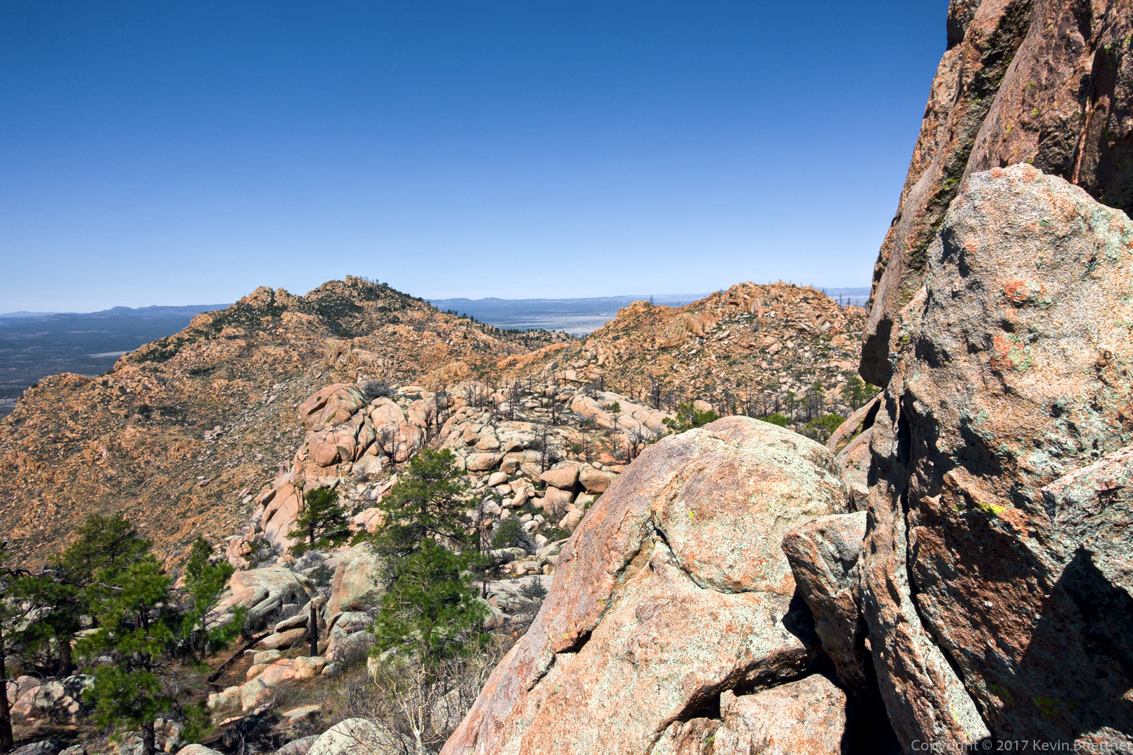
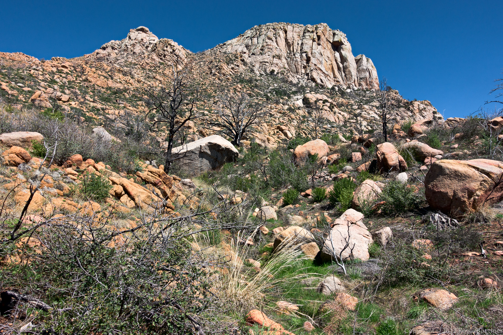
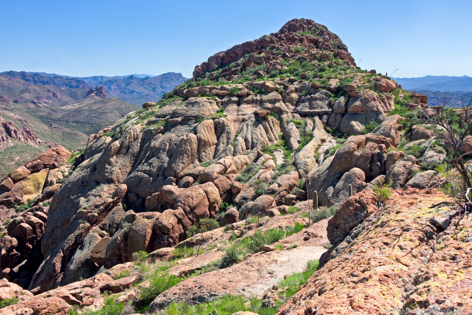
Finally, we’re on Hog Ridge! But, although it’s a ridge, it’s not a flat ridge, and we’re not at the top yet. Following the ridge to the east was still really steep.  Thankfully, the ridge didn’t have as much brush (as either the canyon or the sides of the ridge) and the footing was (mostly) very good.

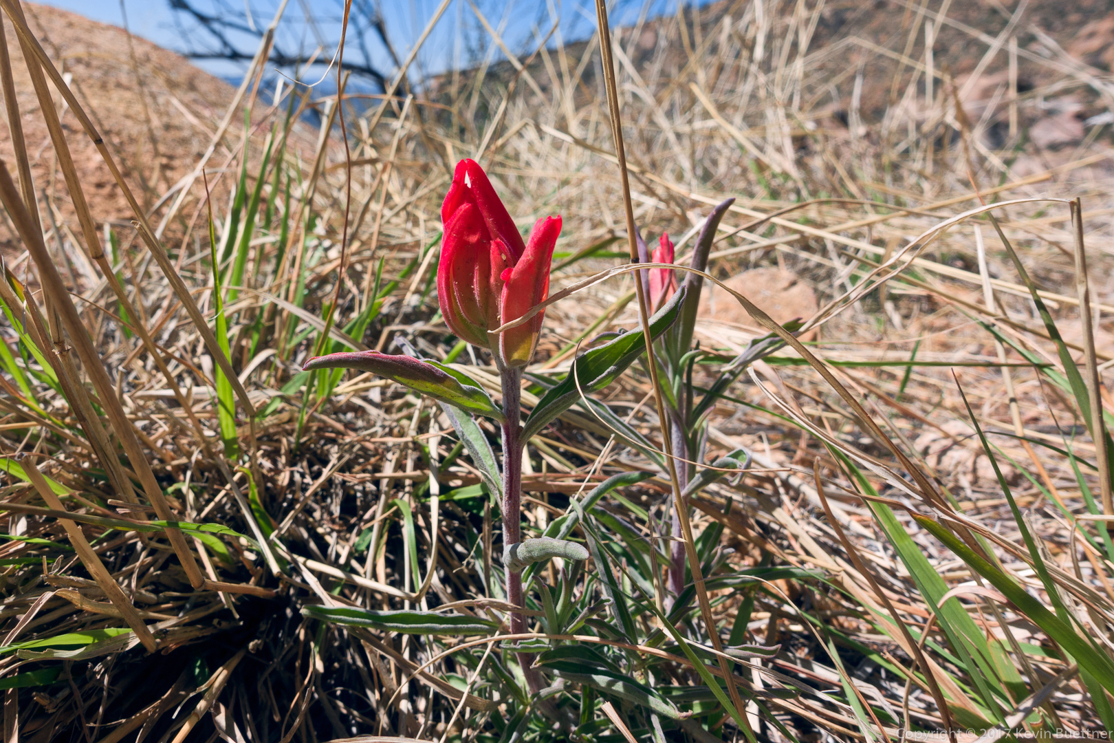
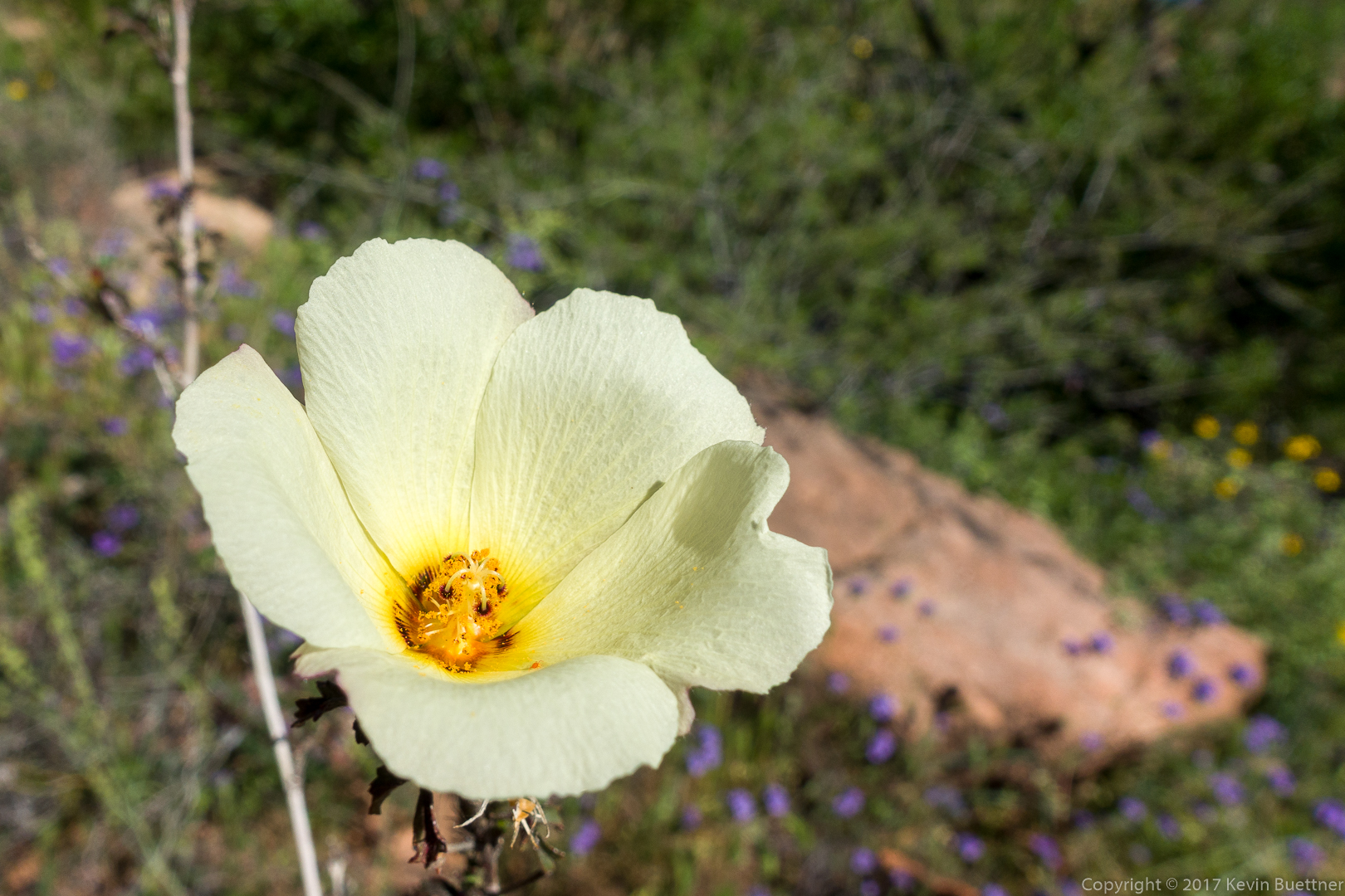
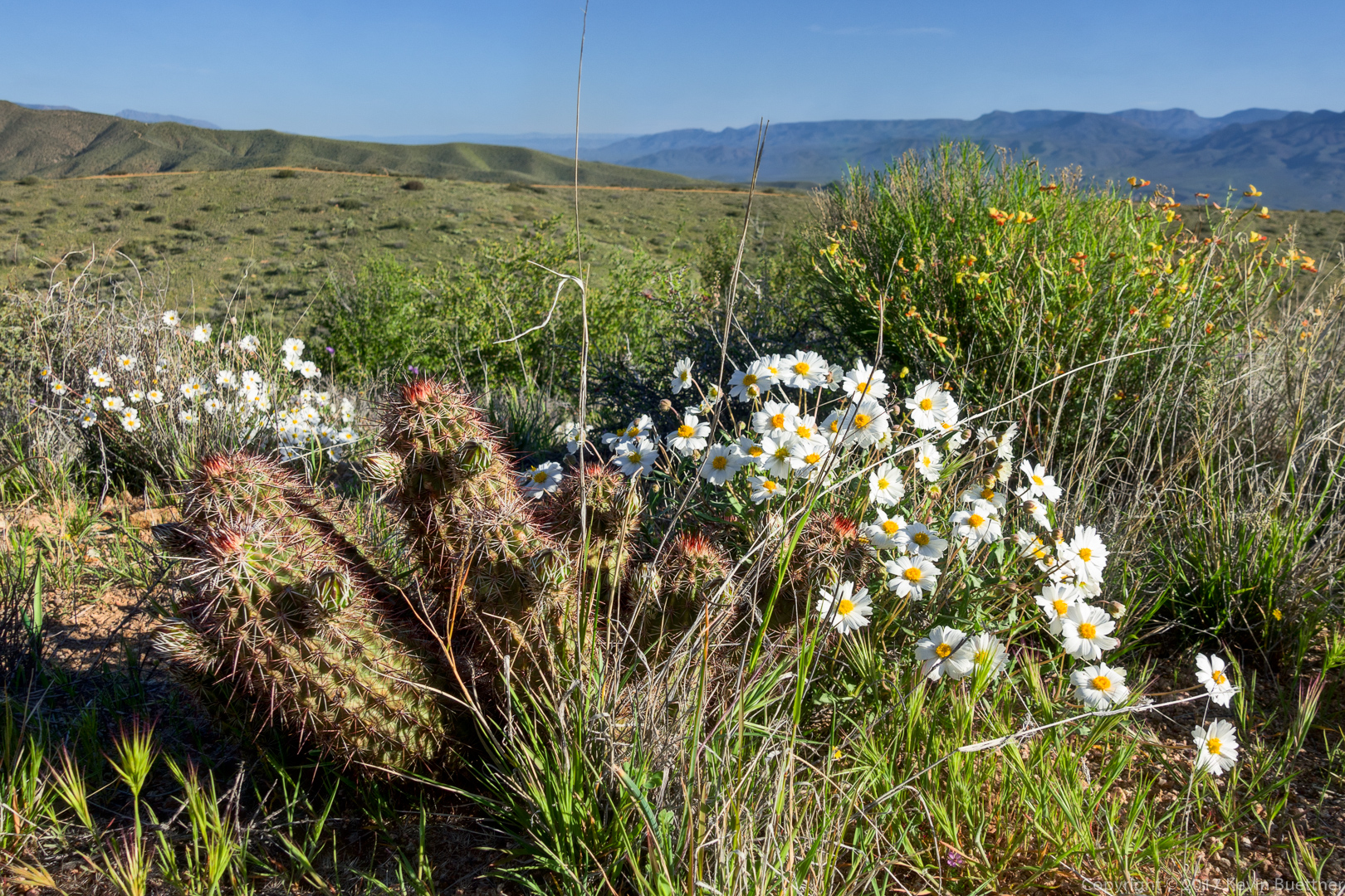
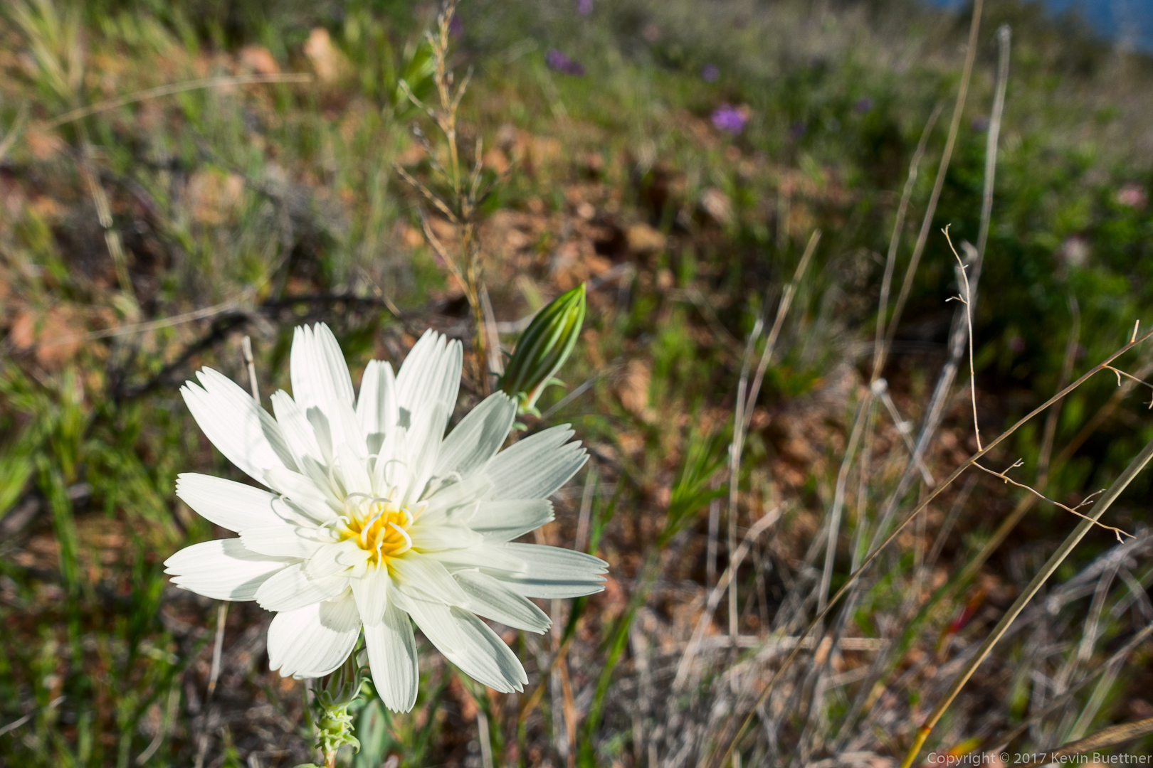
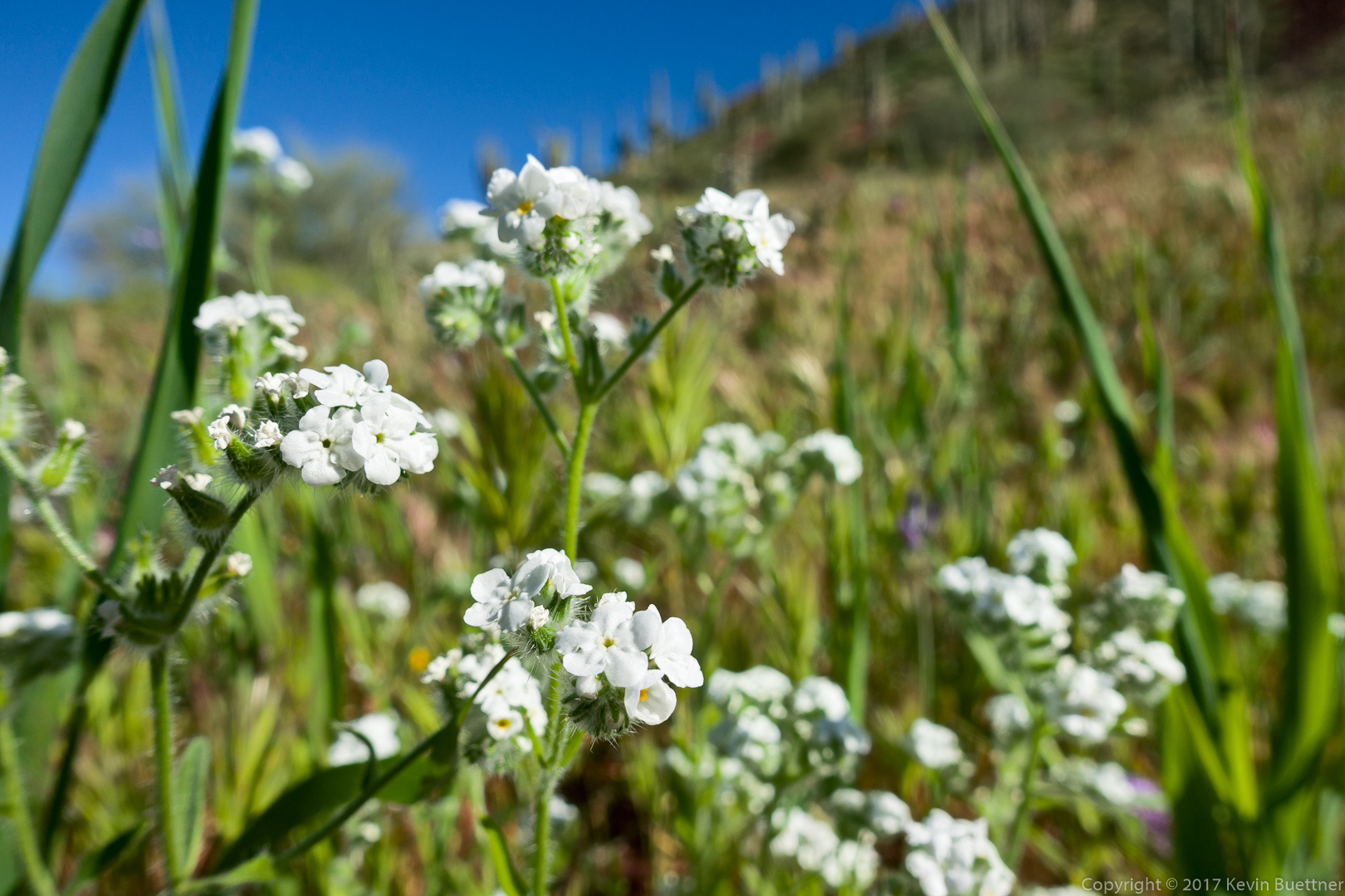
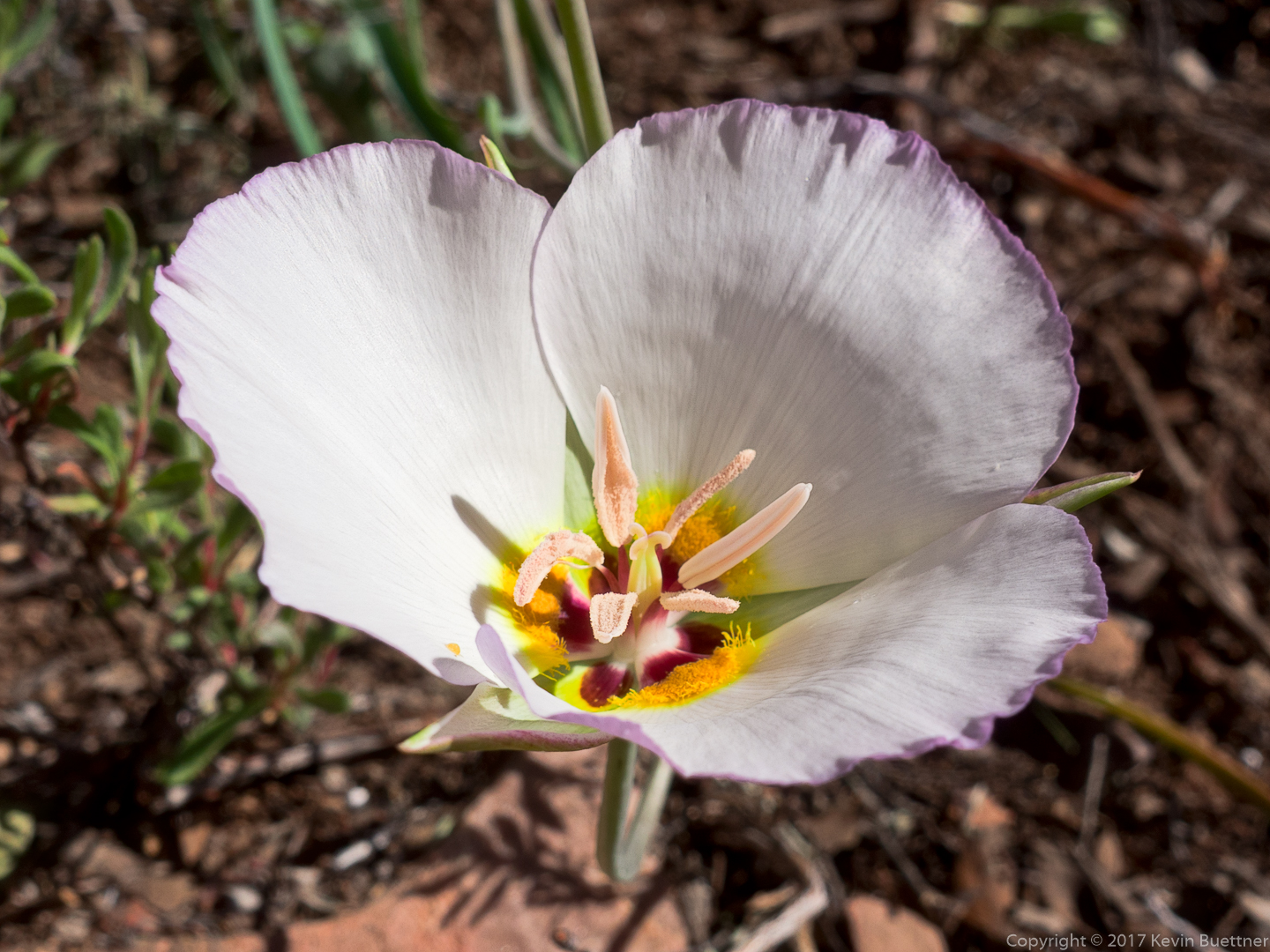
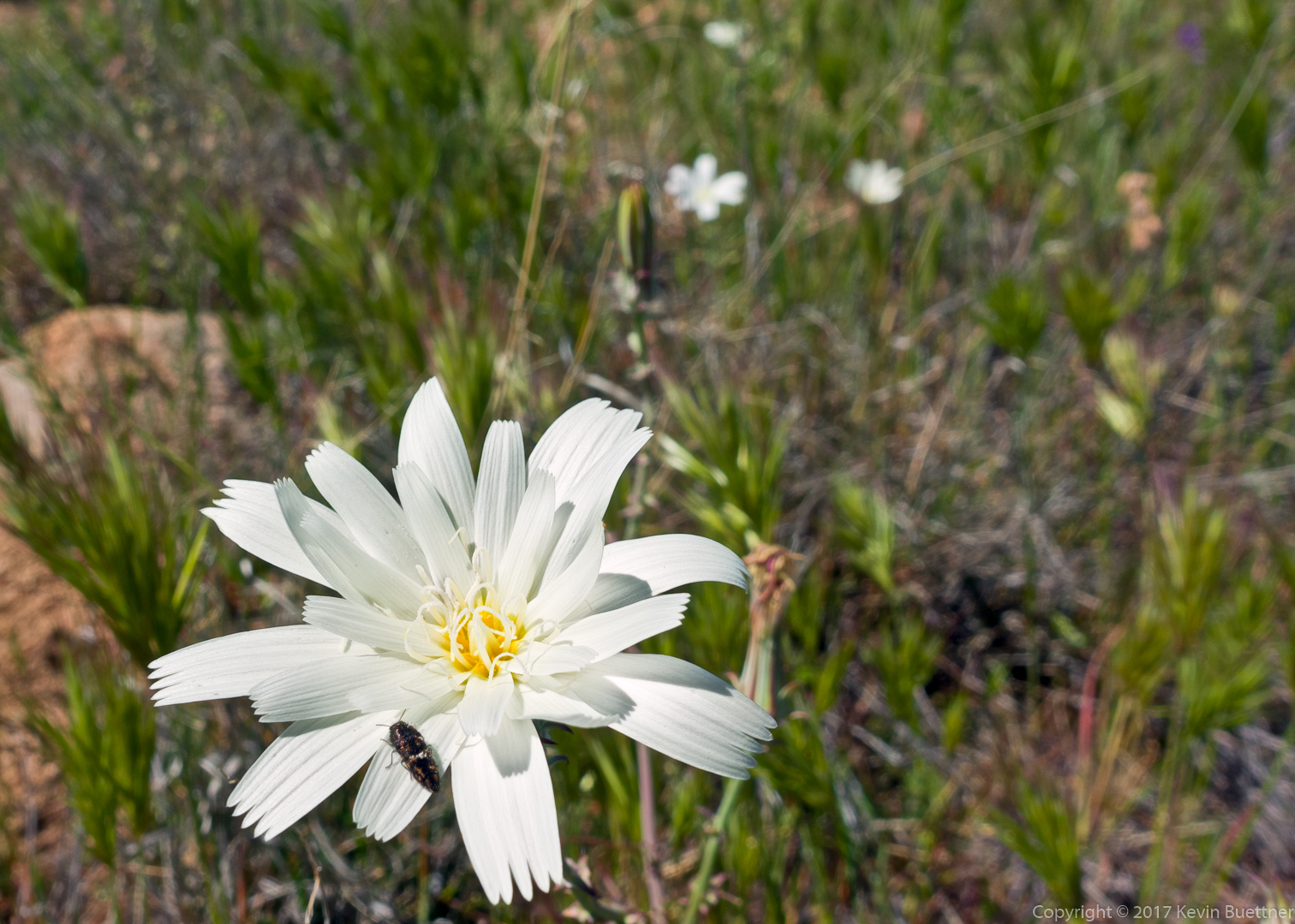
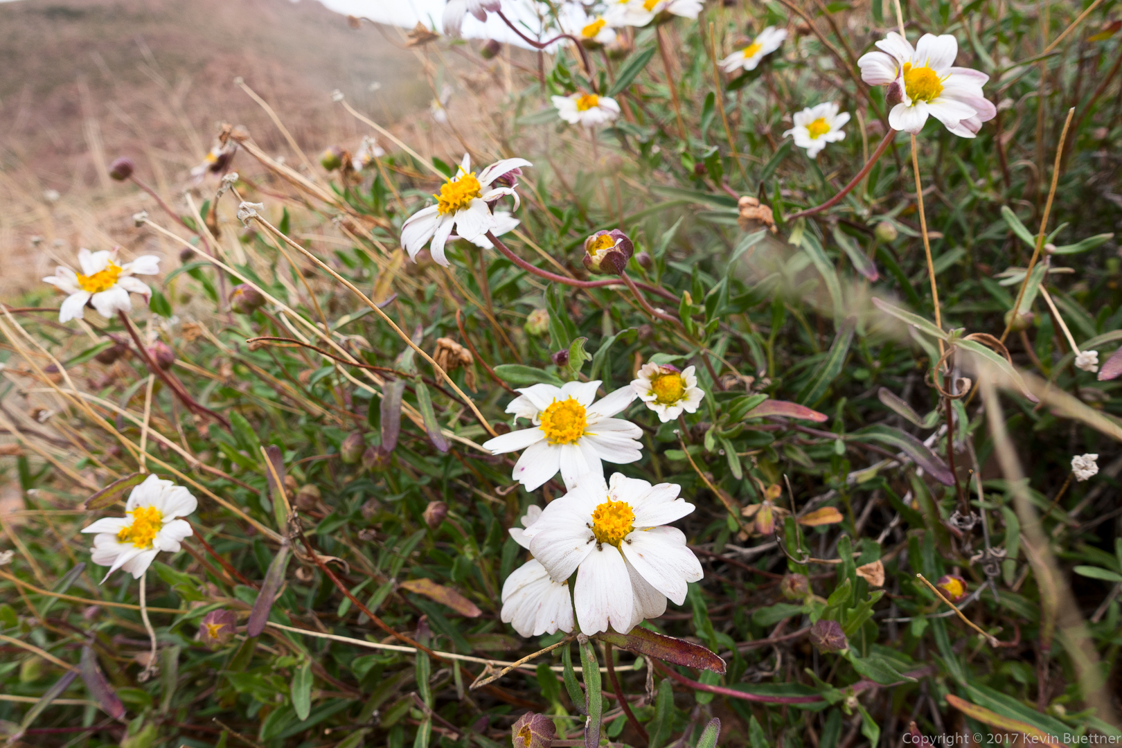
This might be Blackfoot Daisy:

Bill makes his way towards an obstacle on the ridge. We didn’t have to climb that prominence – we went to the left and then climbed back up to the ridge after passing it.
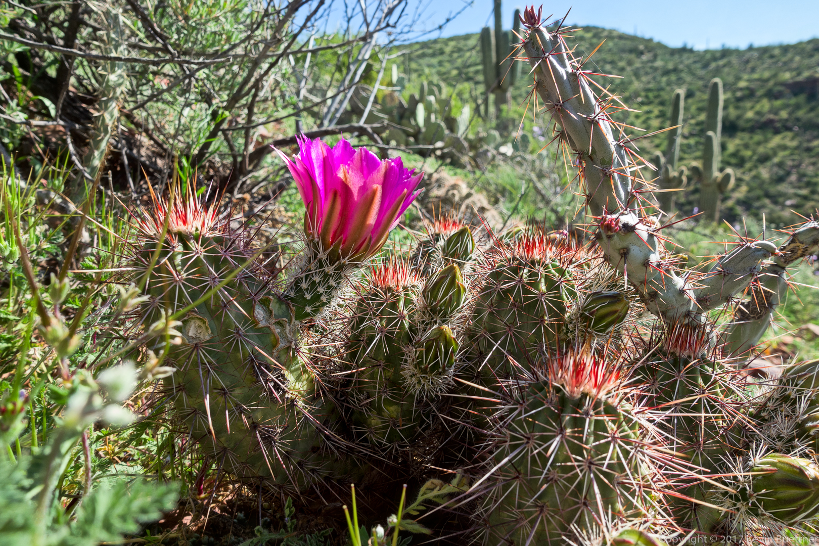
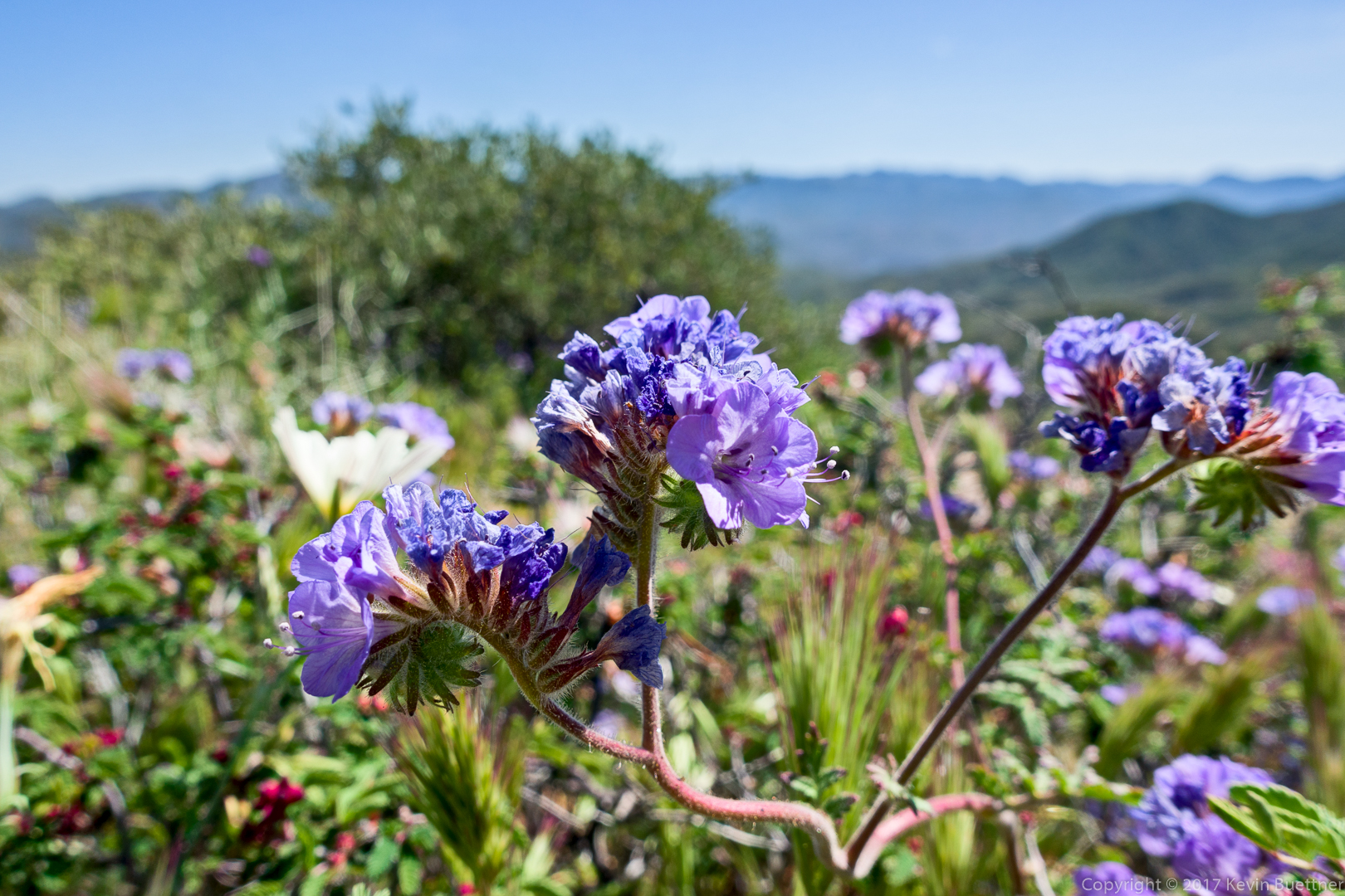
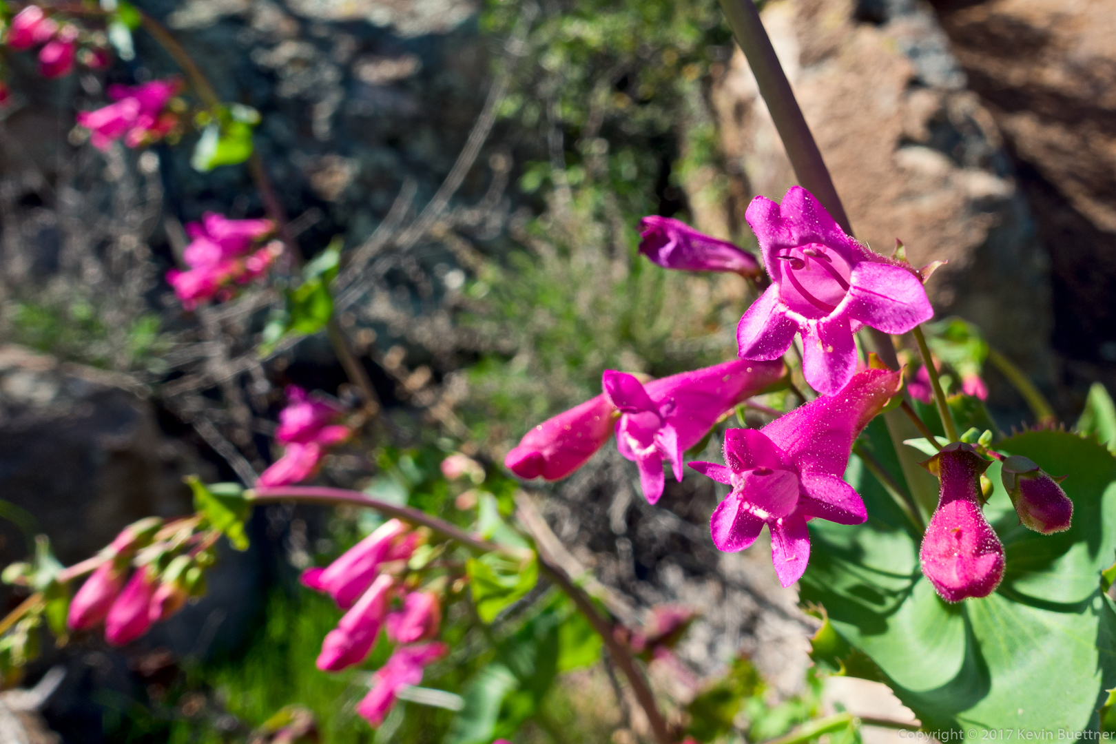
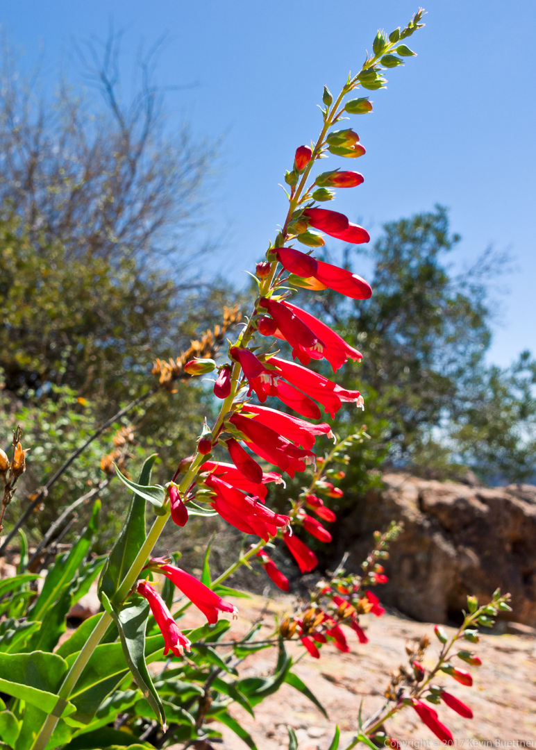
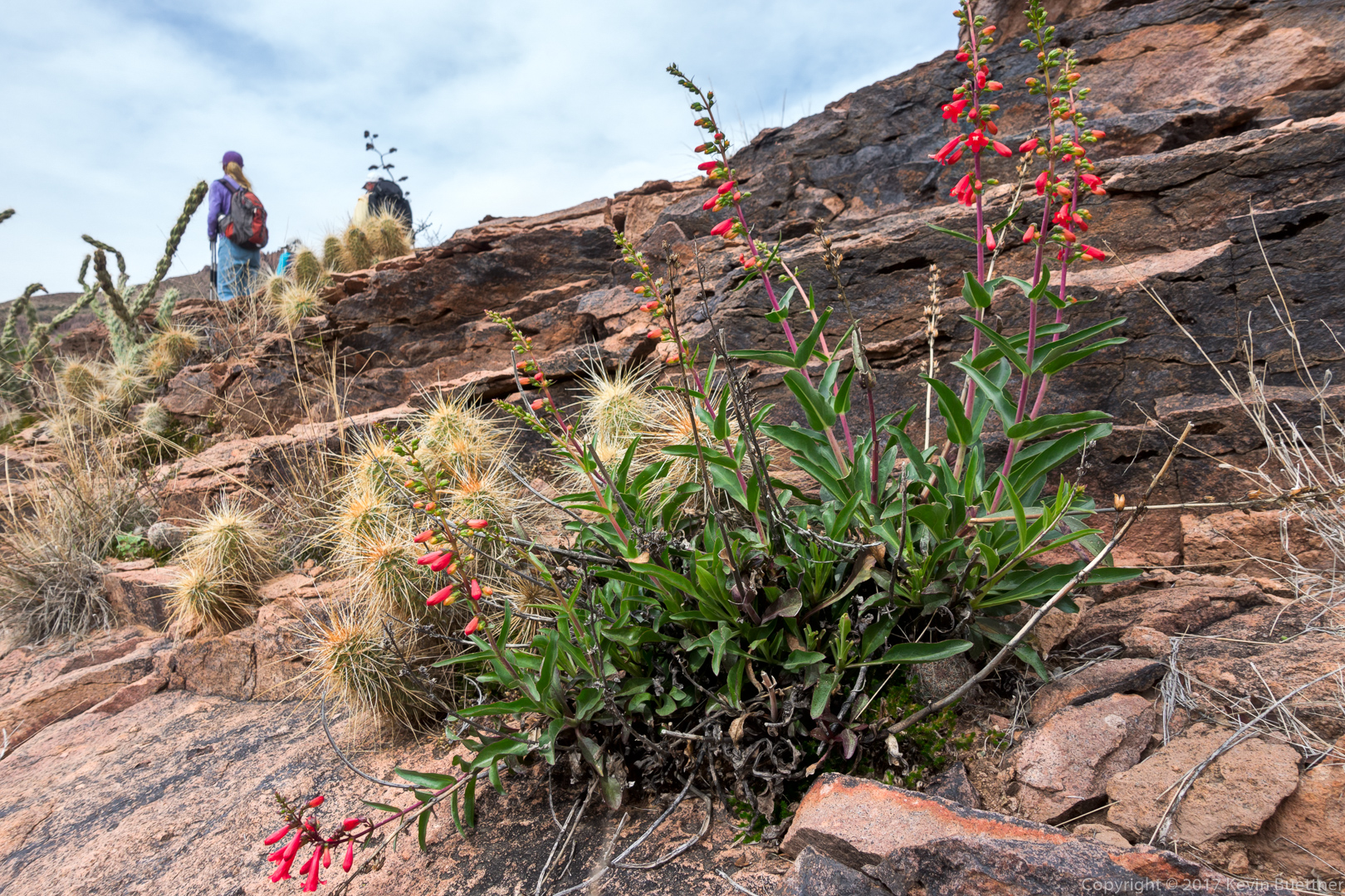
Penstemon:

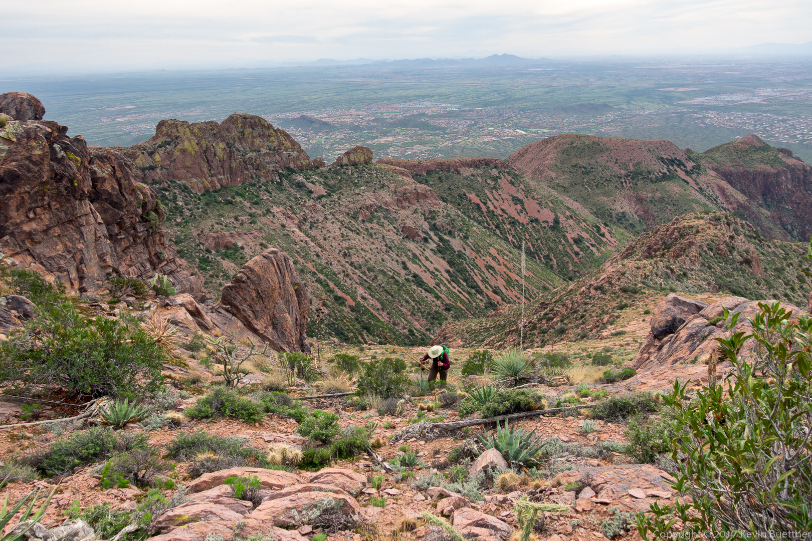
This is where we descended slightly so that we could bypass that steep prominence blocking our way atop the ridge:

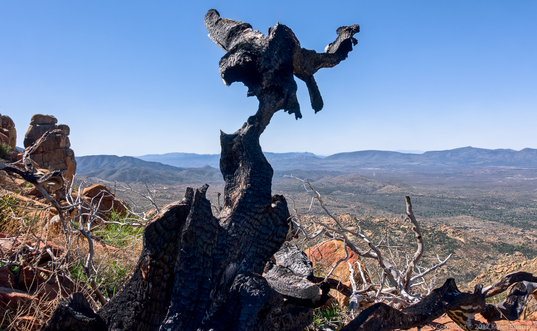
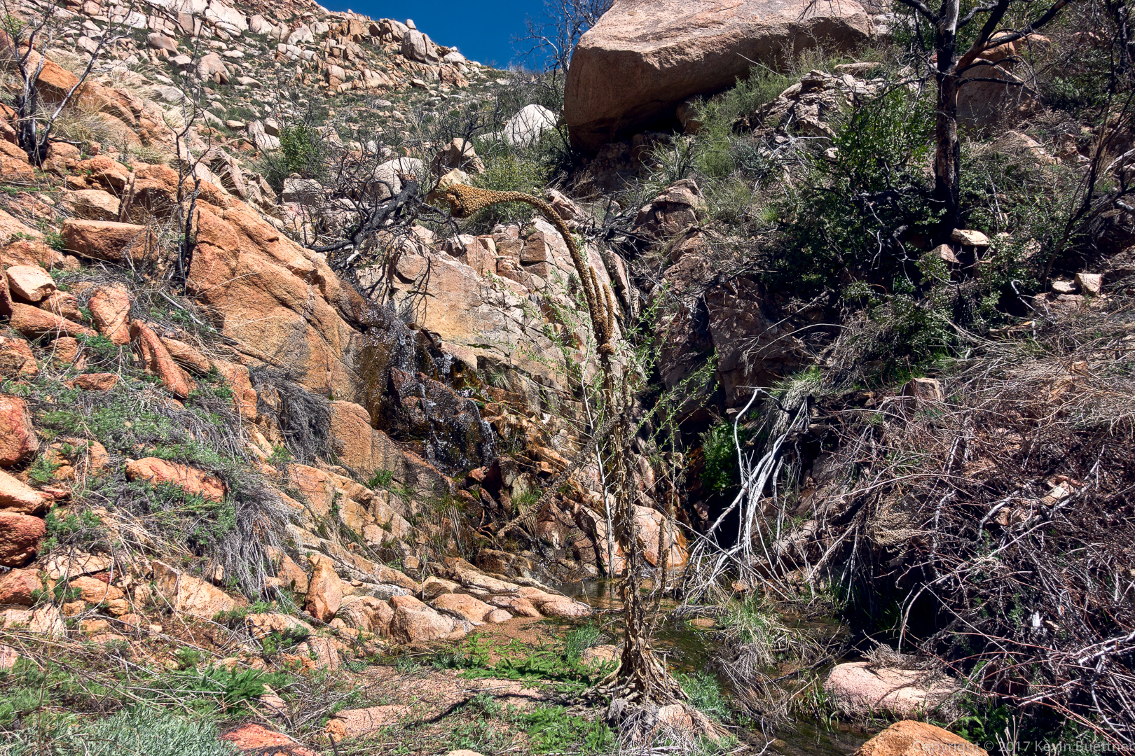
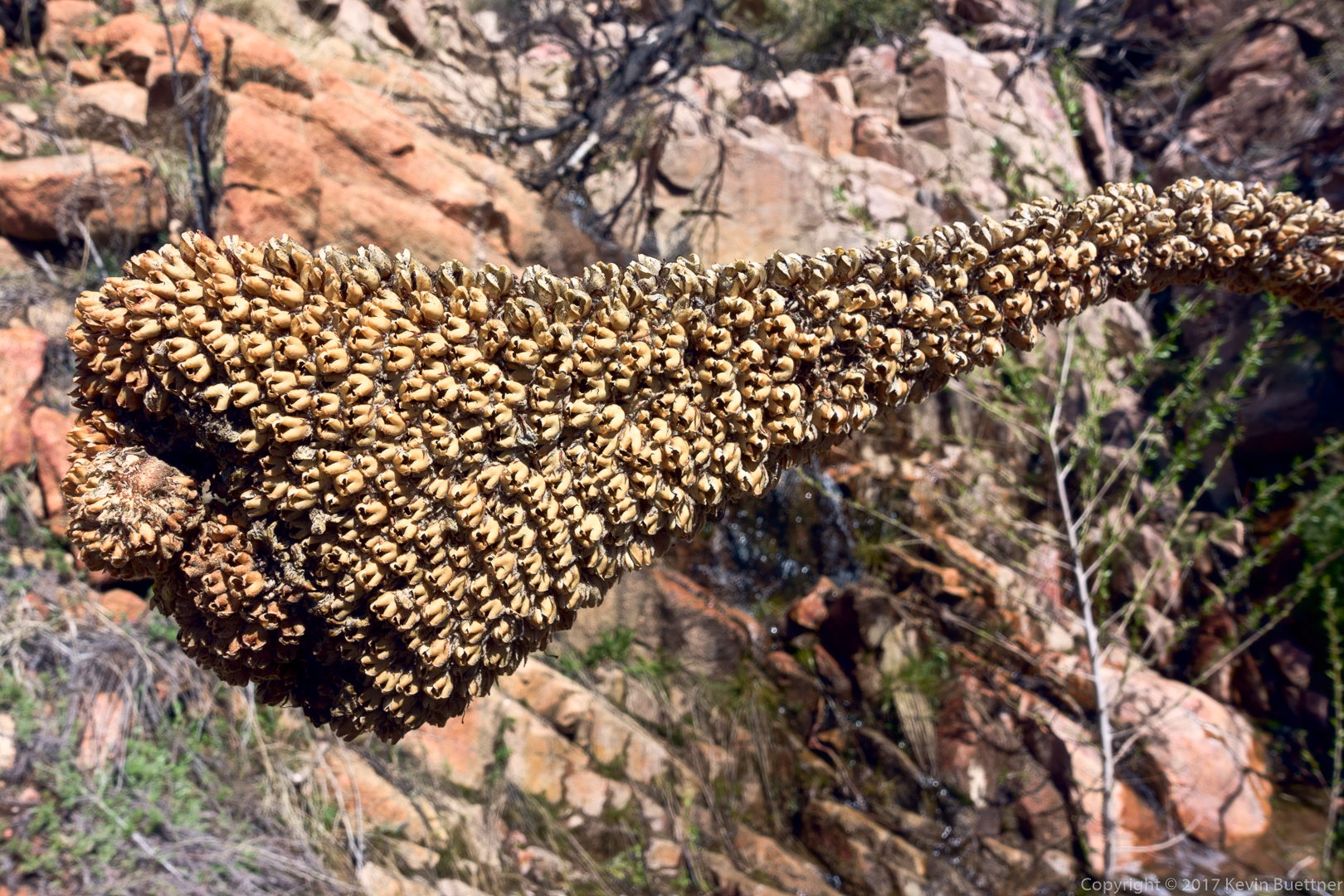
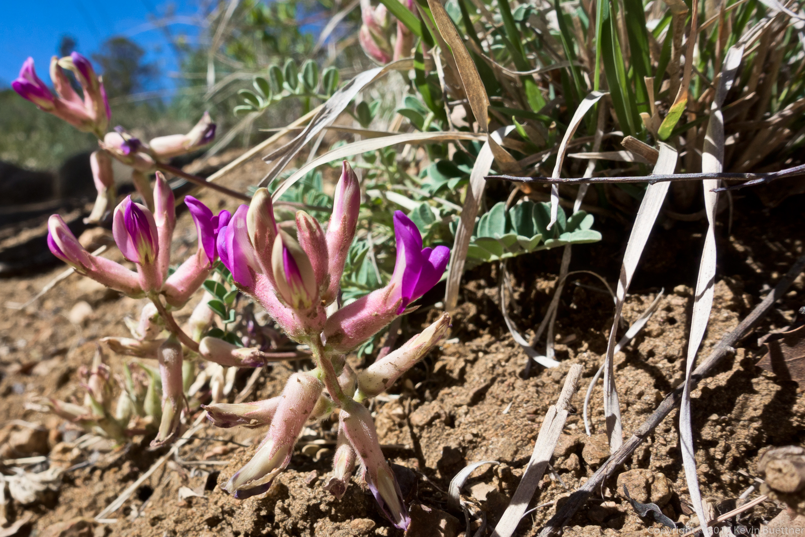
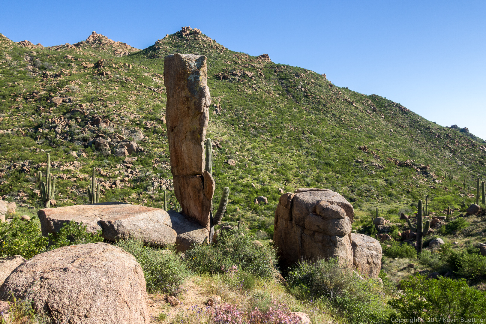
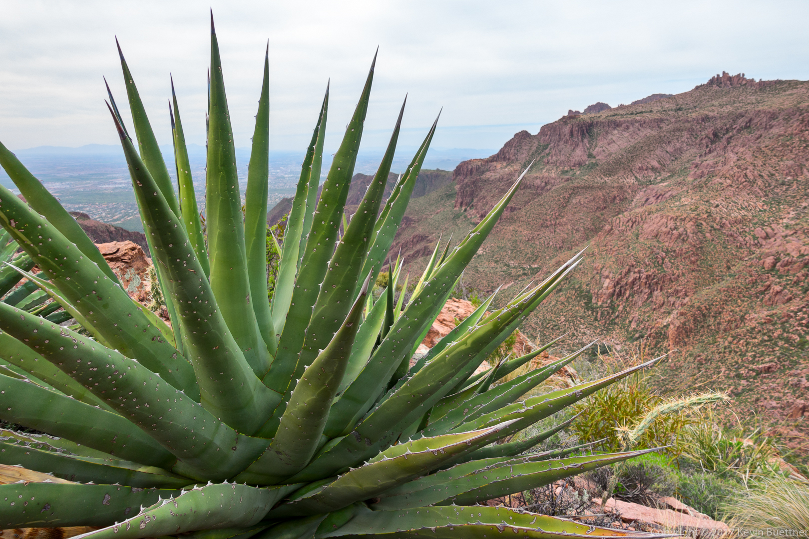
I sat down next to this agave during one of our breaks while climbing up the ridge:

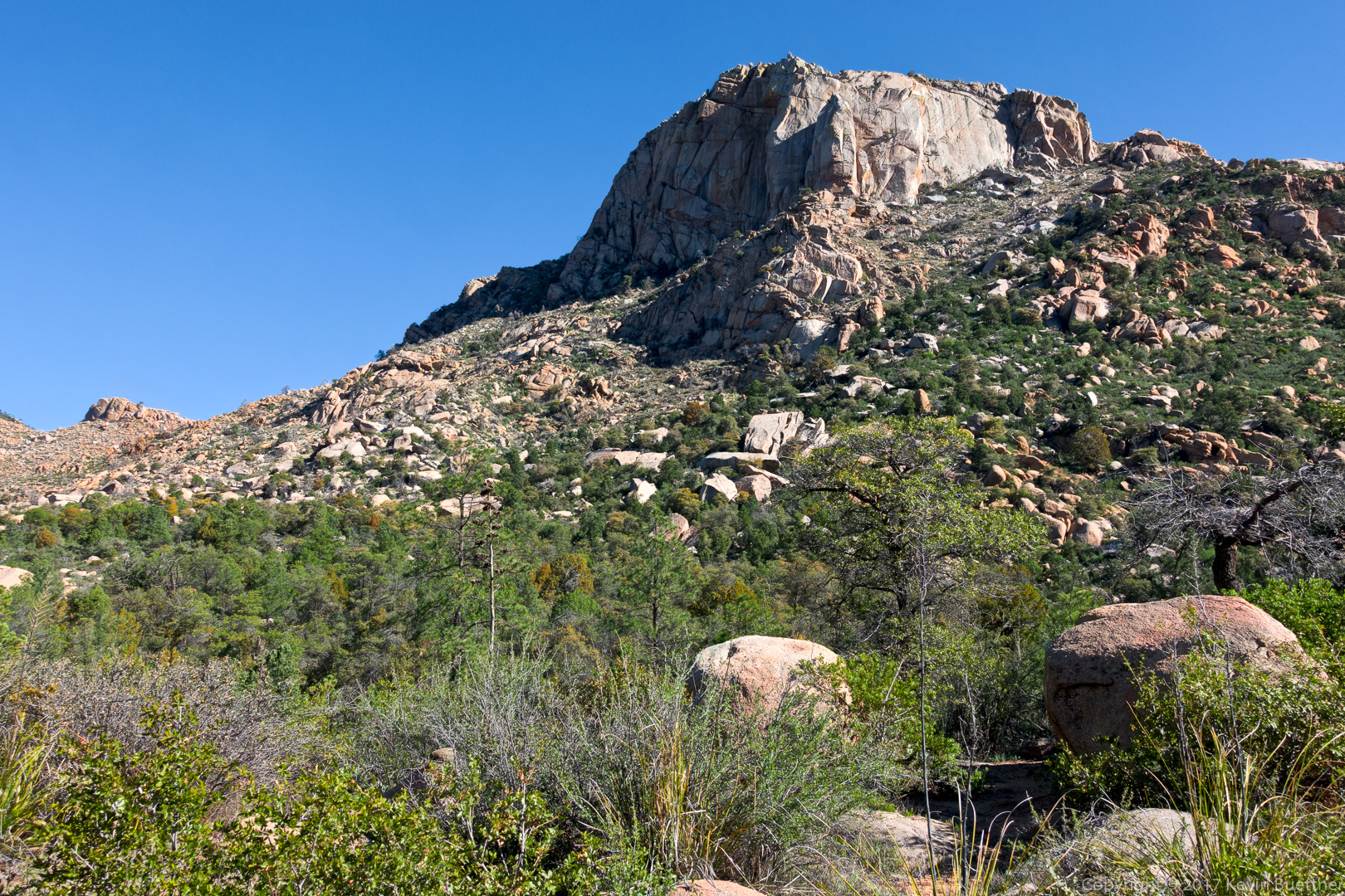
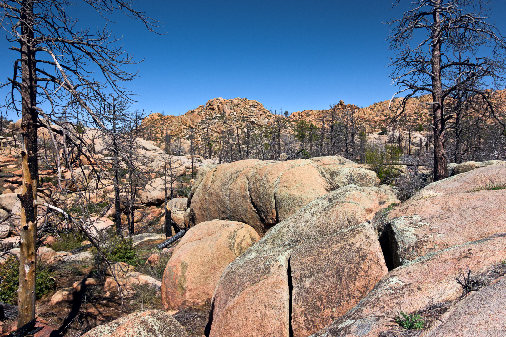
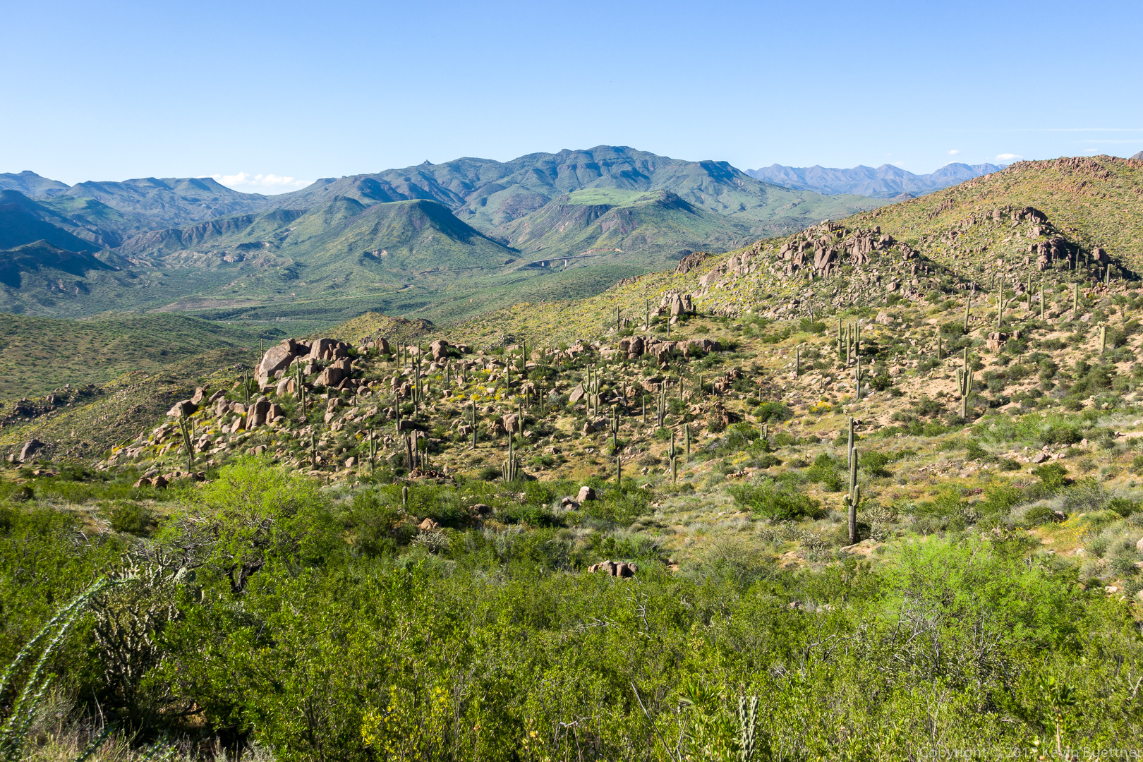
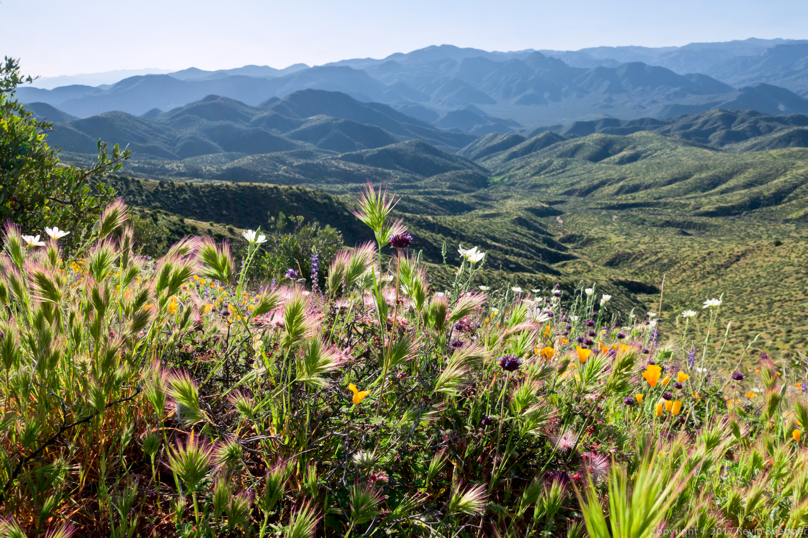
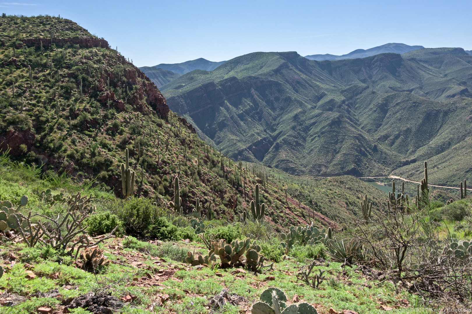
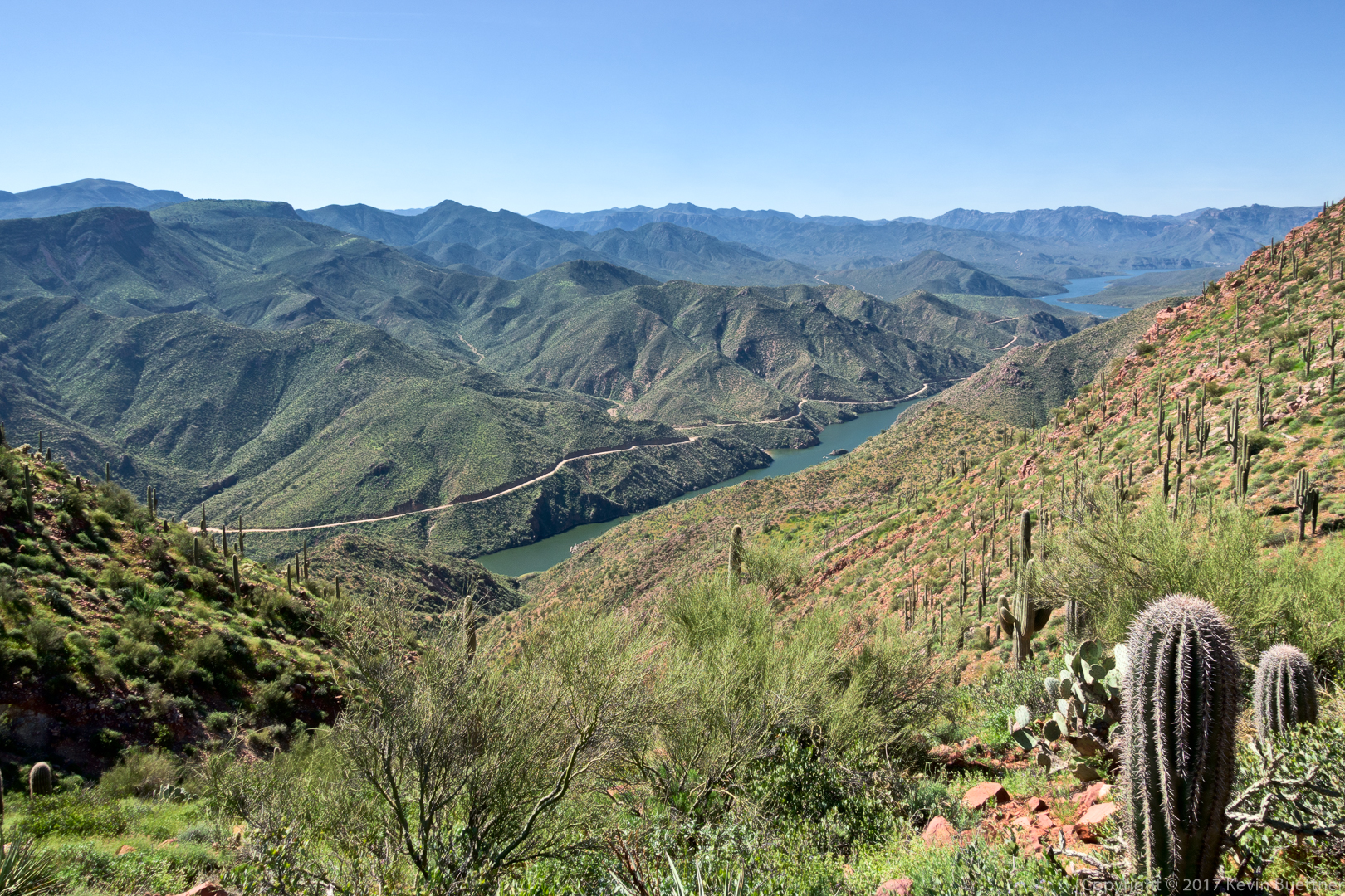
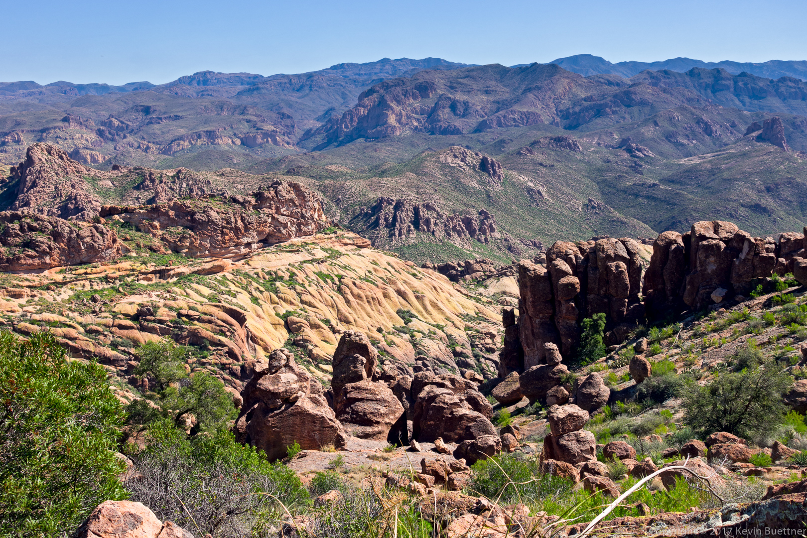
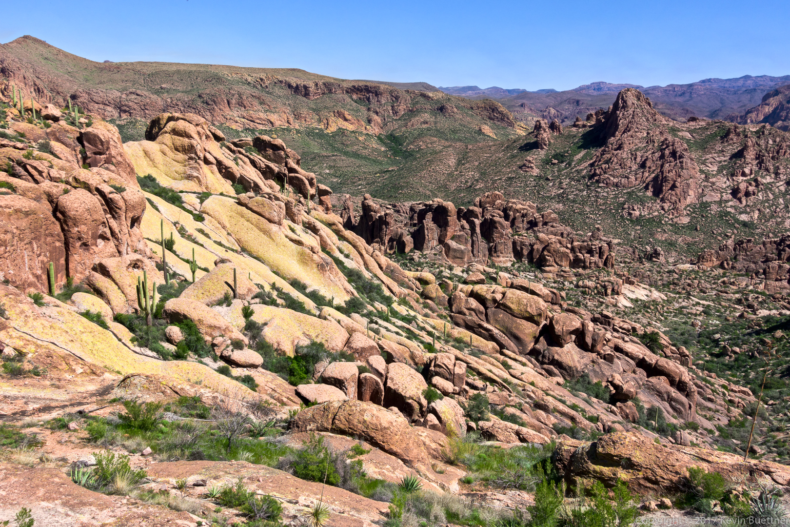
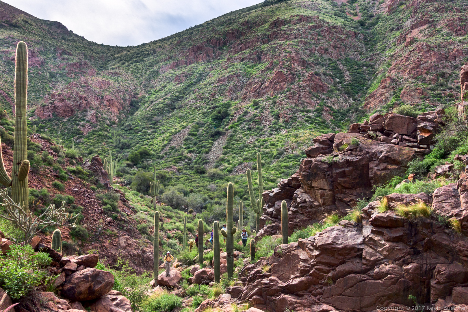
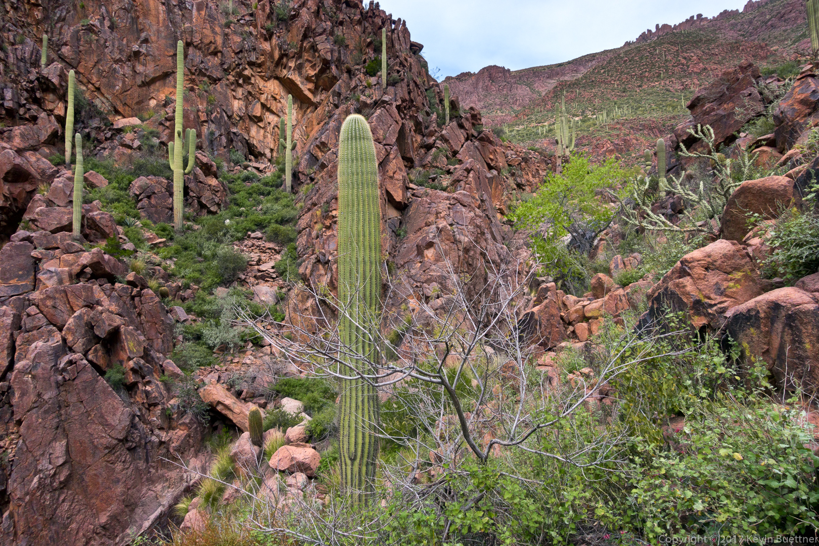
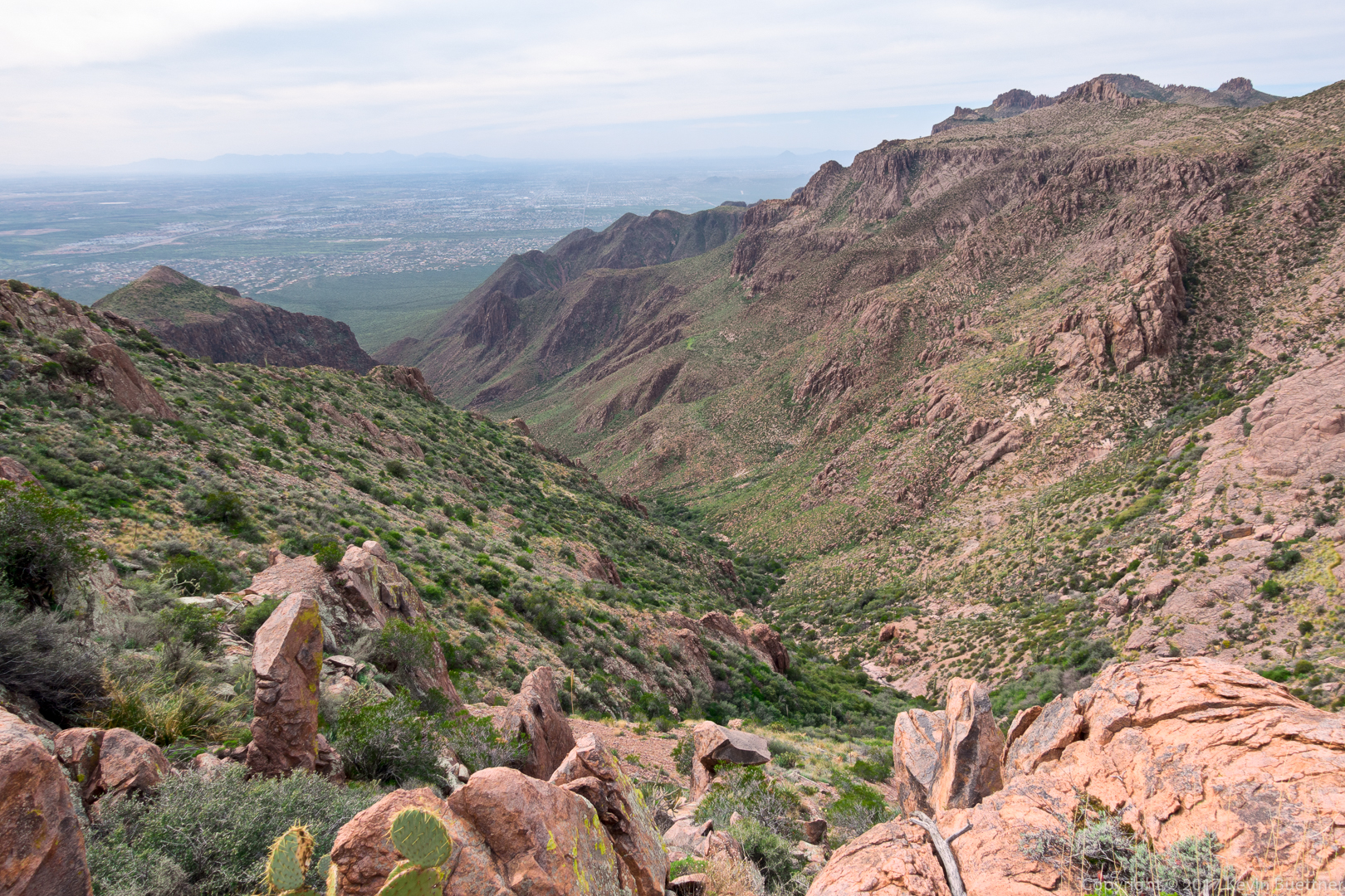
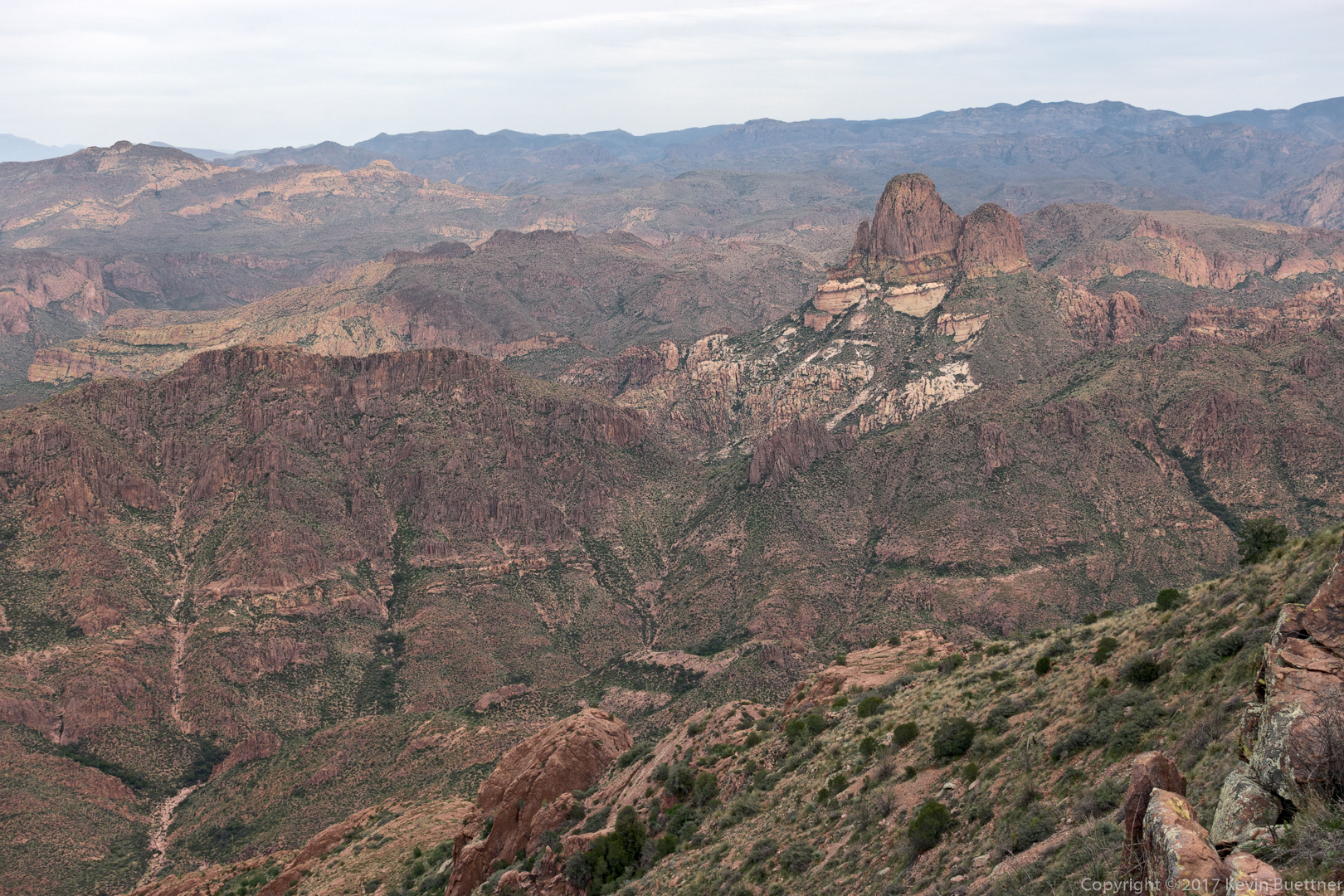
A view of the canyon which feeds the waterfalls that we had passed (much) earlier in the day:

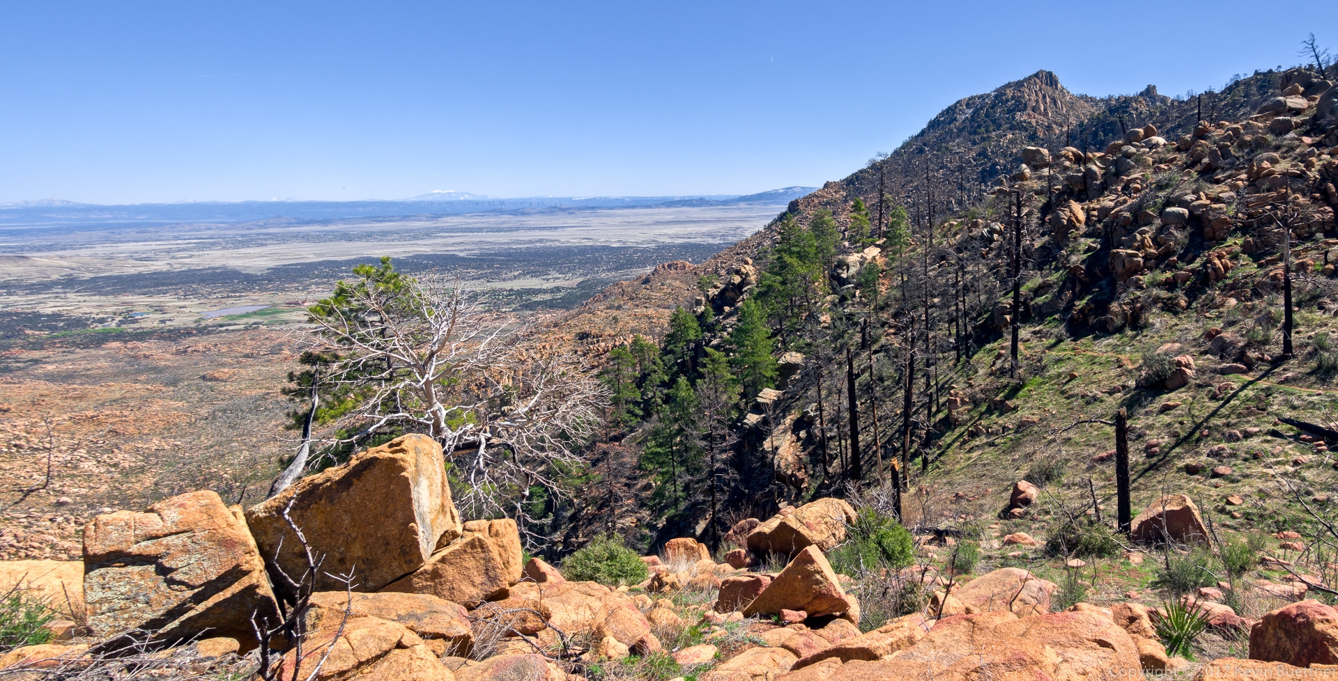
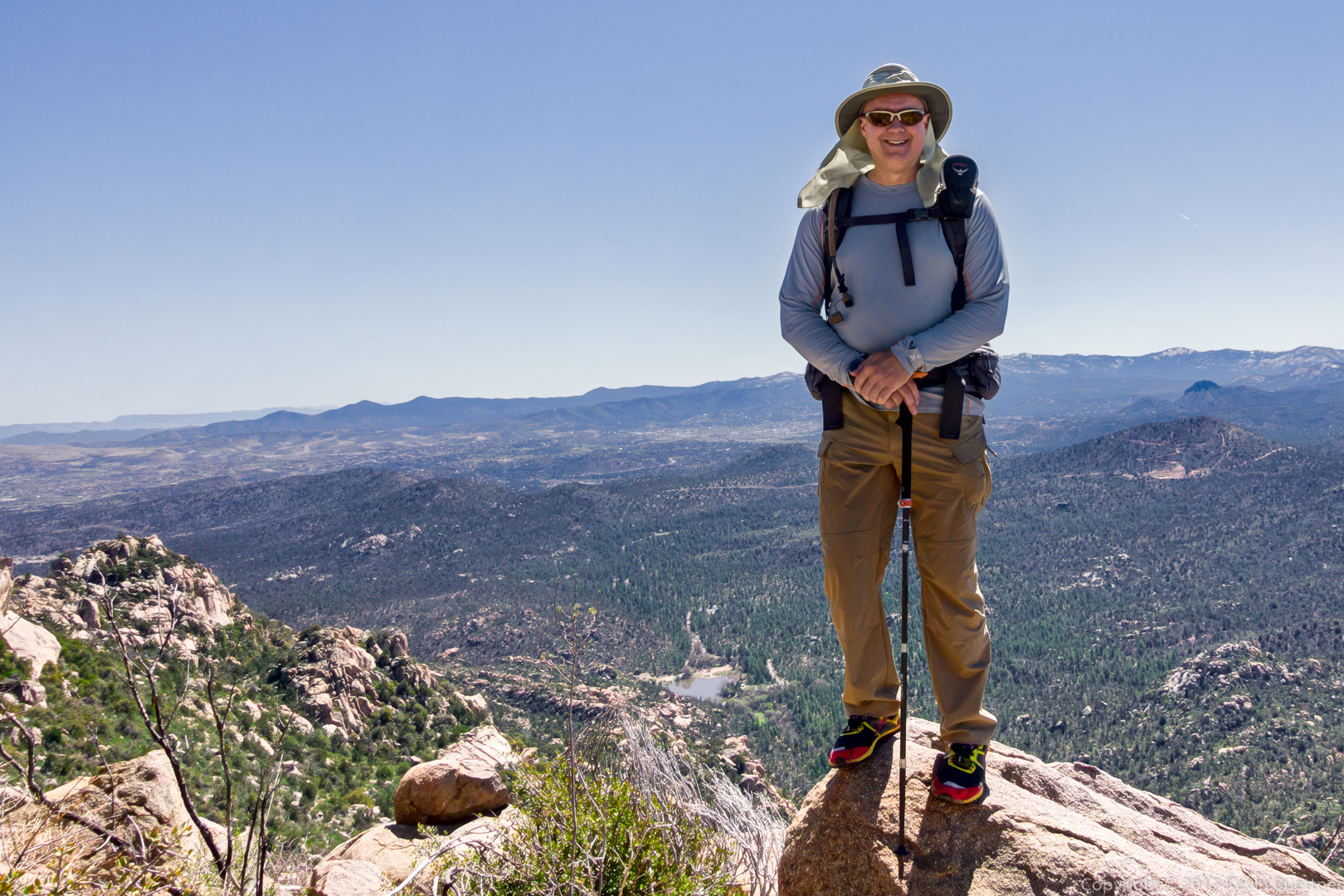
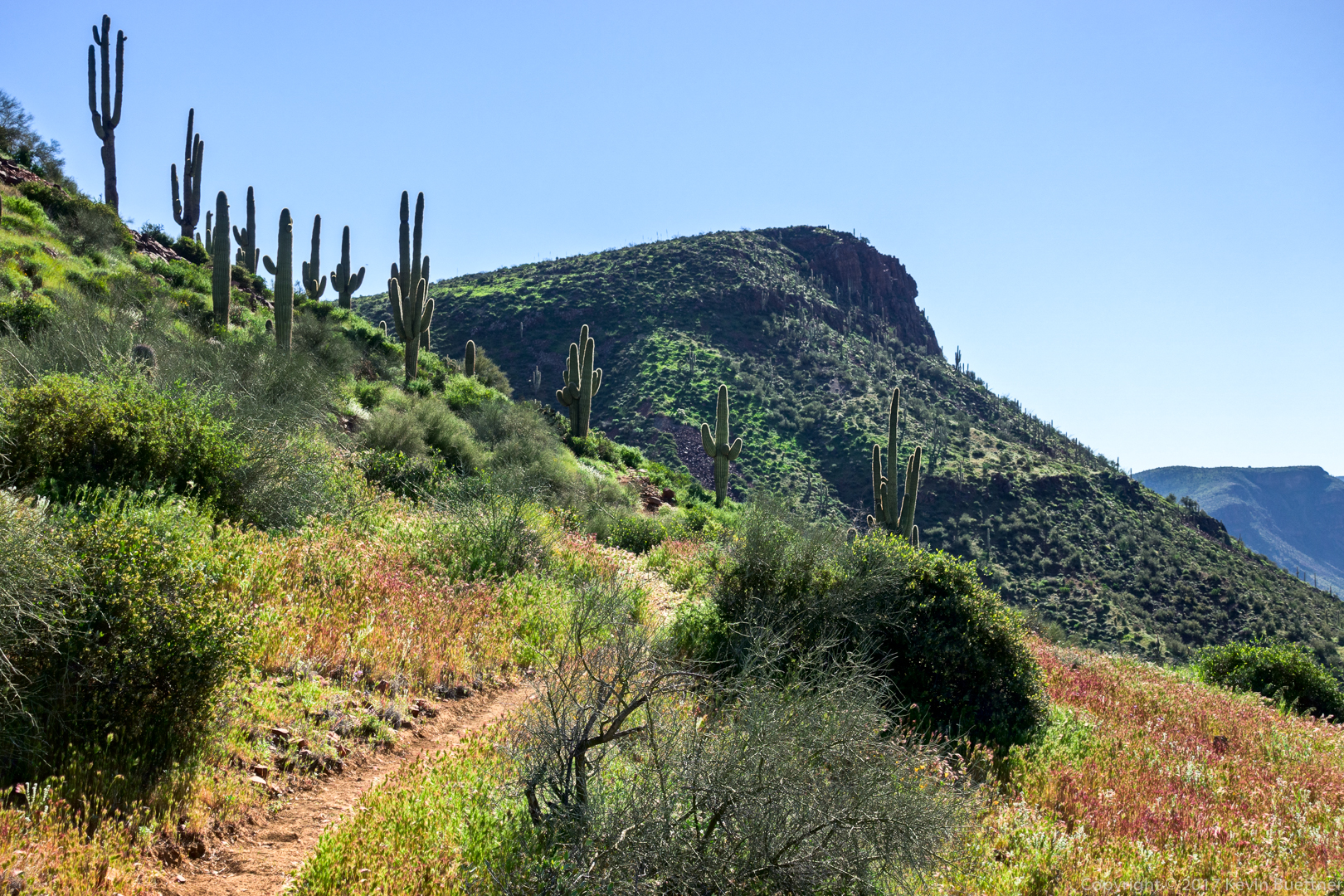
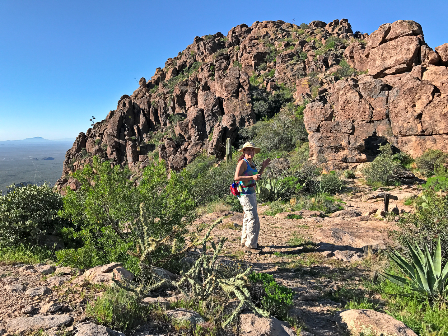
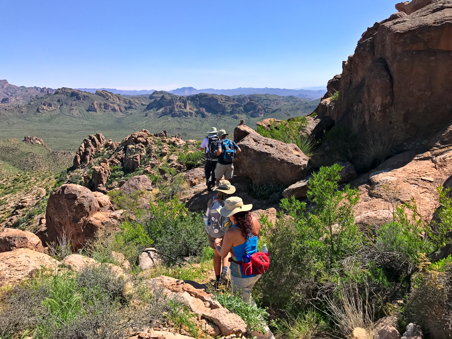
Bill makes his way up to the Ridgeline Trail.  The ridge that we had spent several hours ascending earlier in the day can be seen to the right.

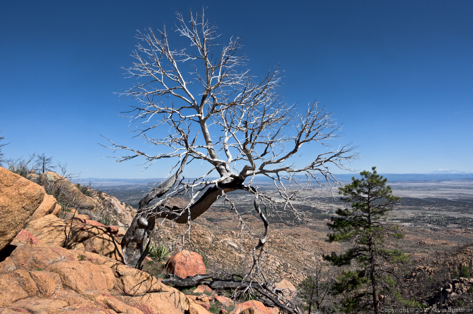
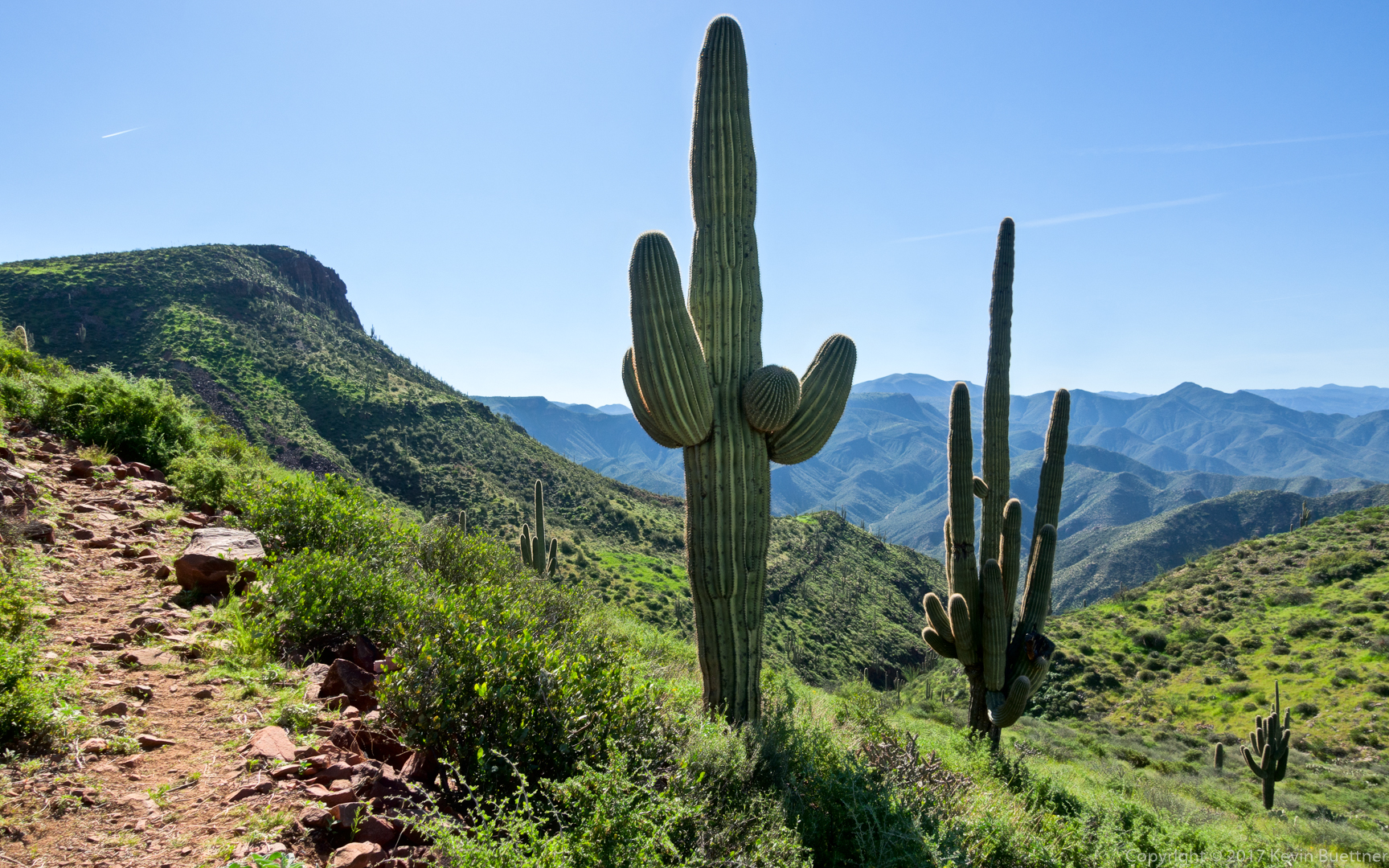
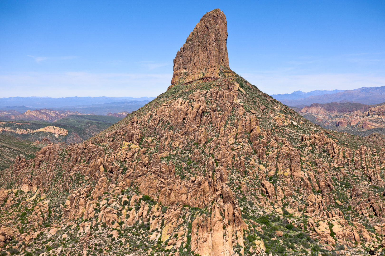
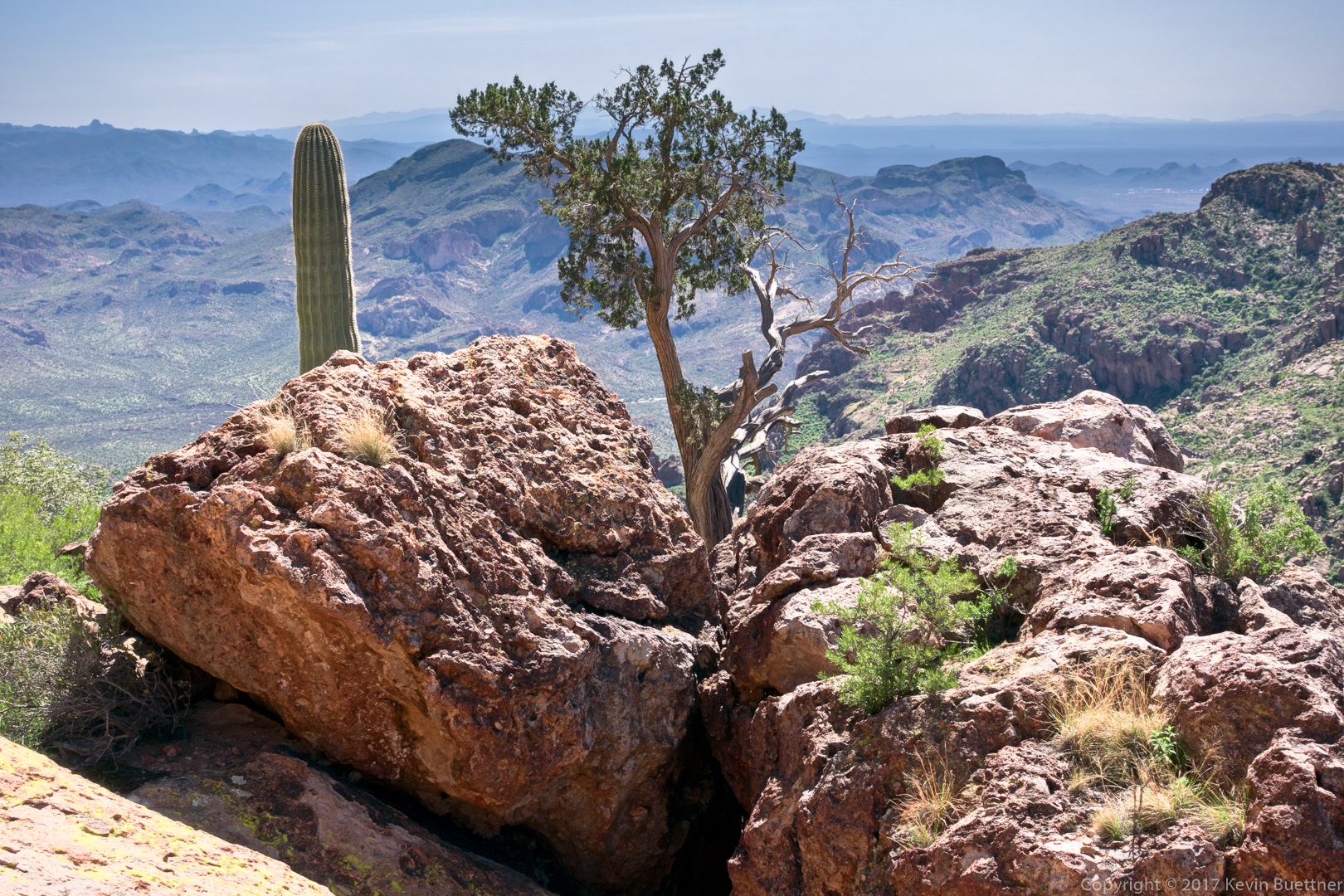
This was an early view of Weaver’s Needle after making it to the Ridgeline Trail.  (It was something of a relief to be back on a trail again!)

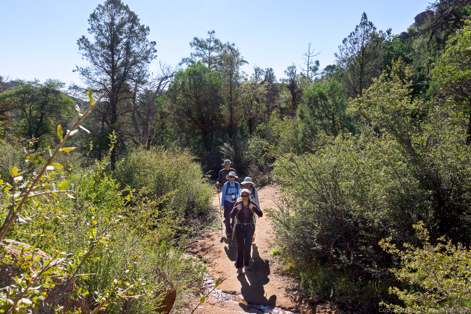
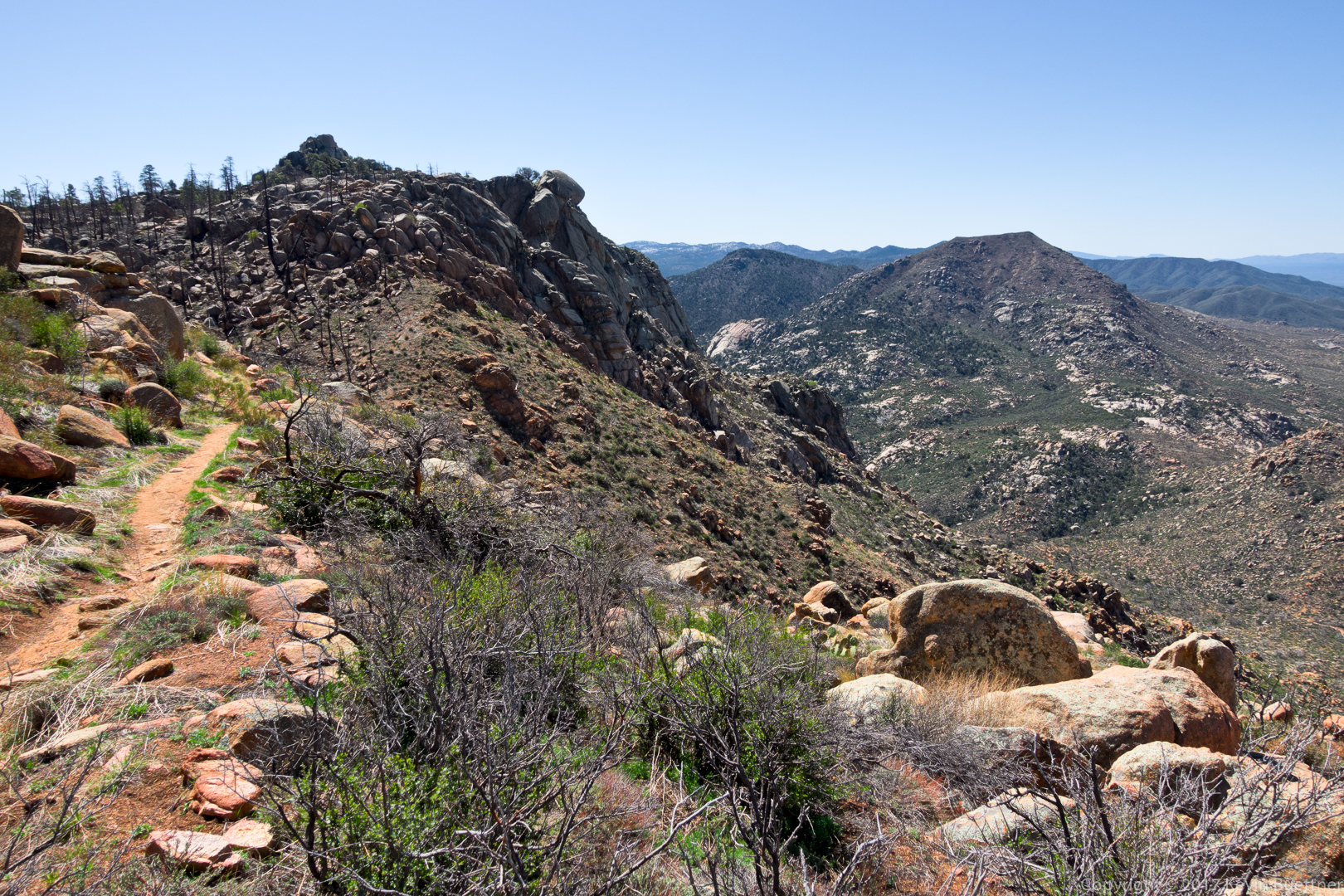
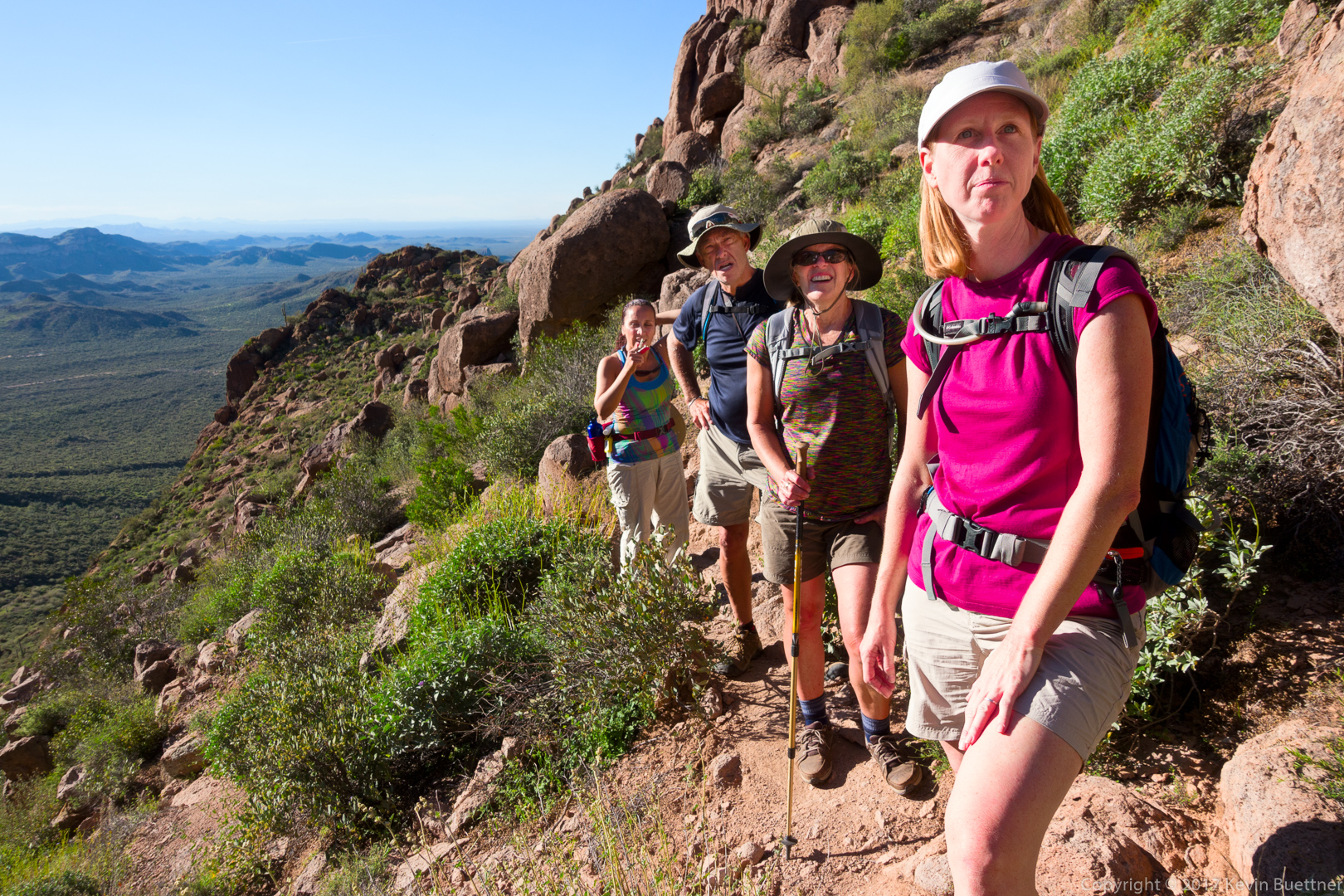
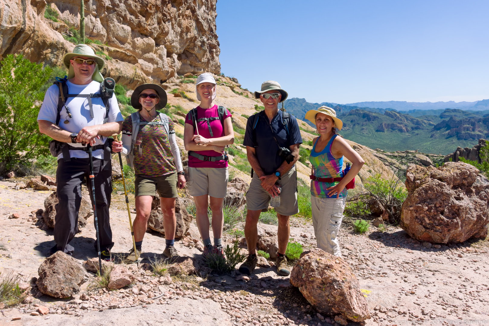
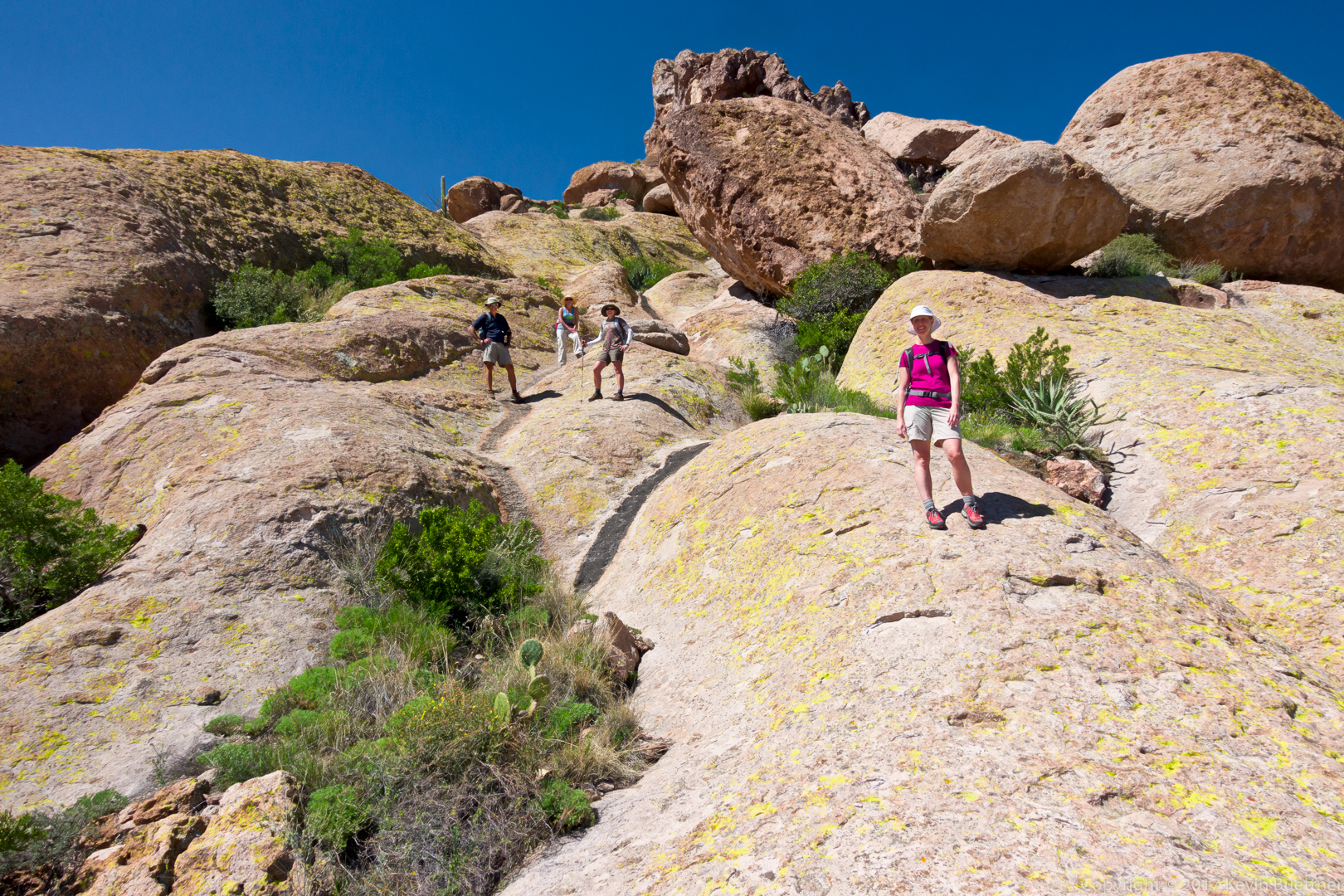
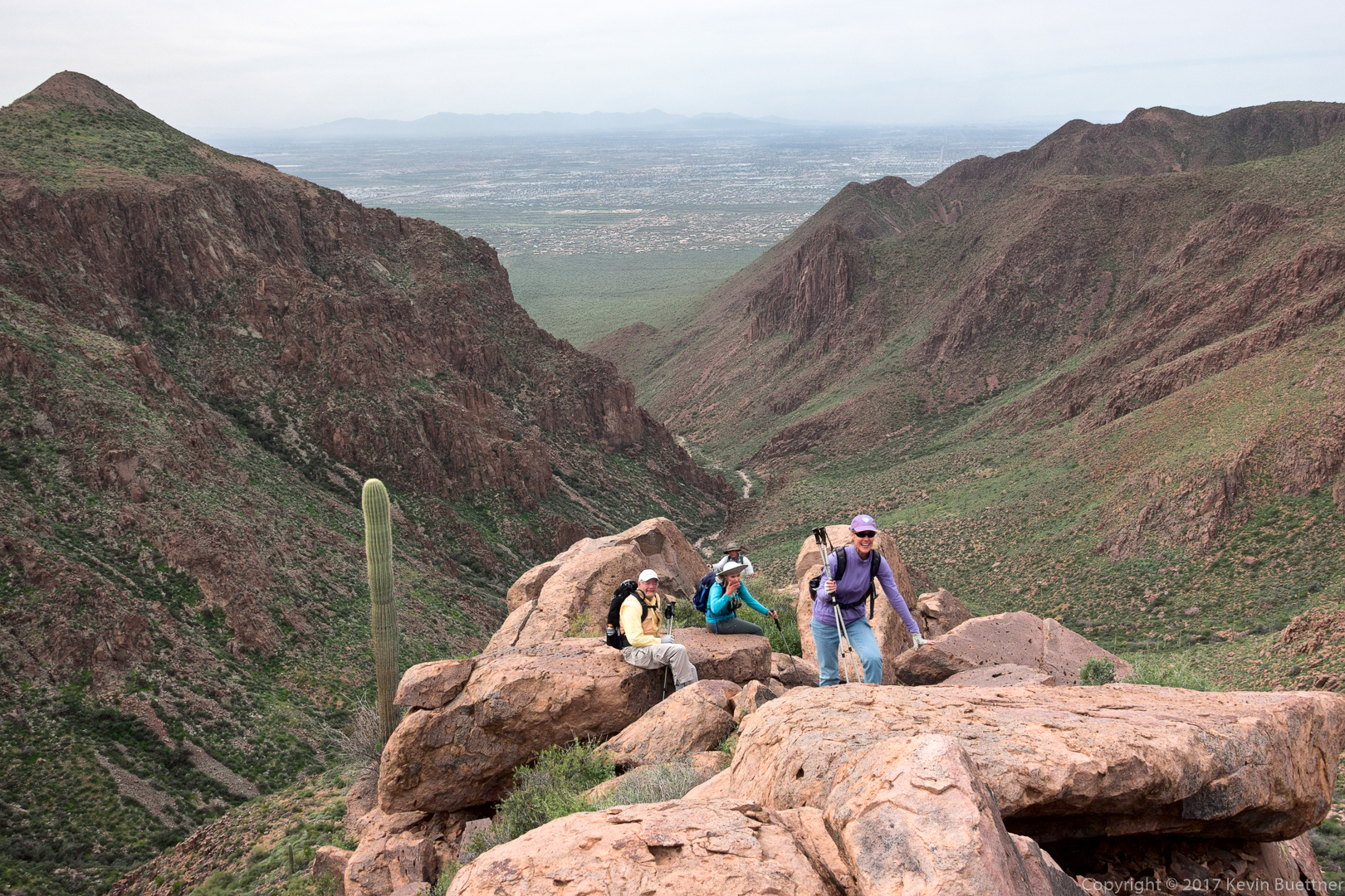
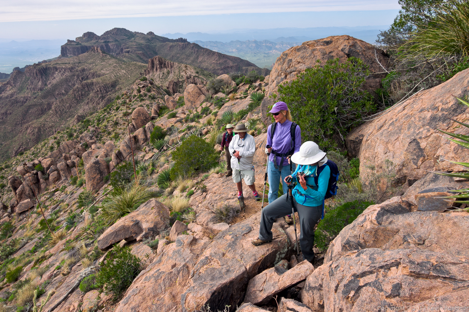
Bill, Bob, Denise, and Linda on the Superstition Ridgeline Trail:

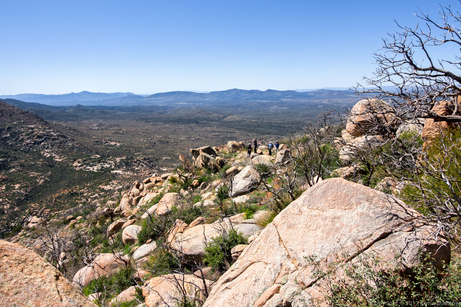
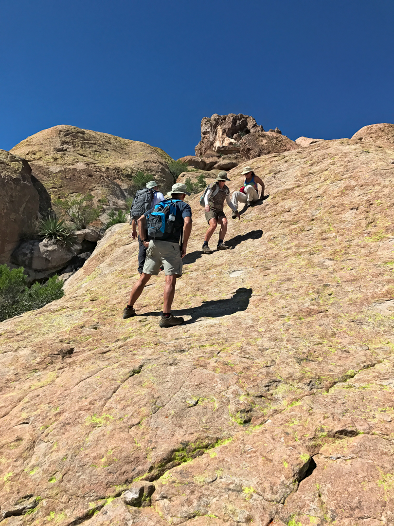
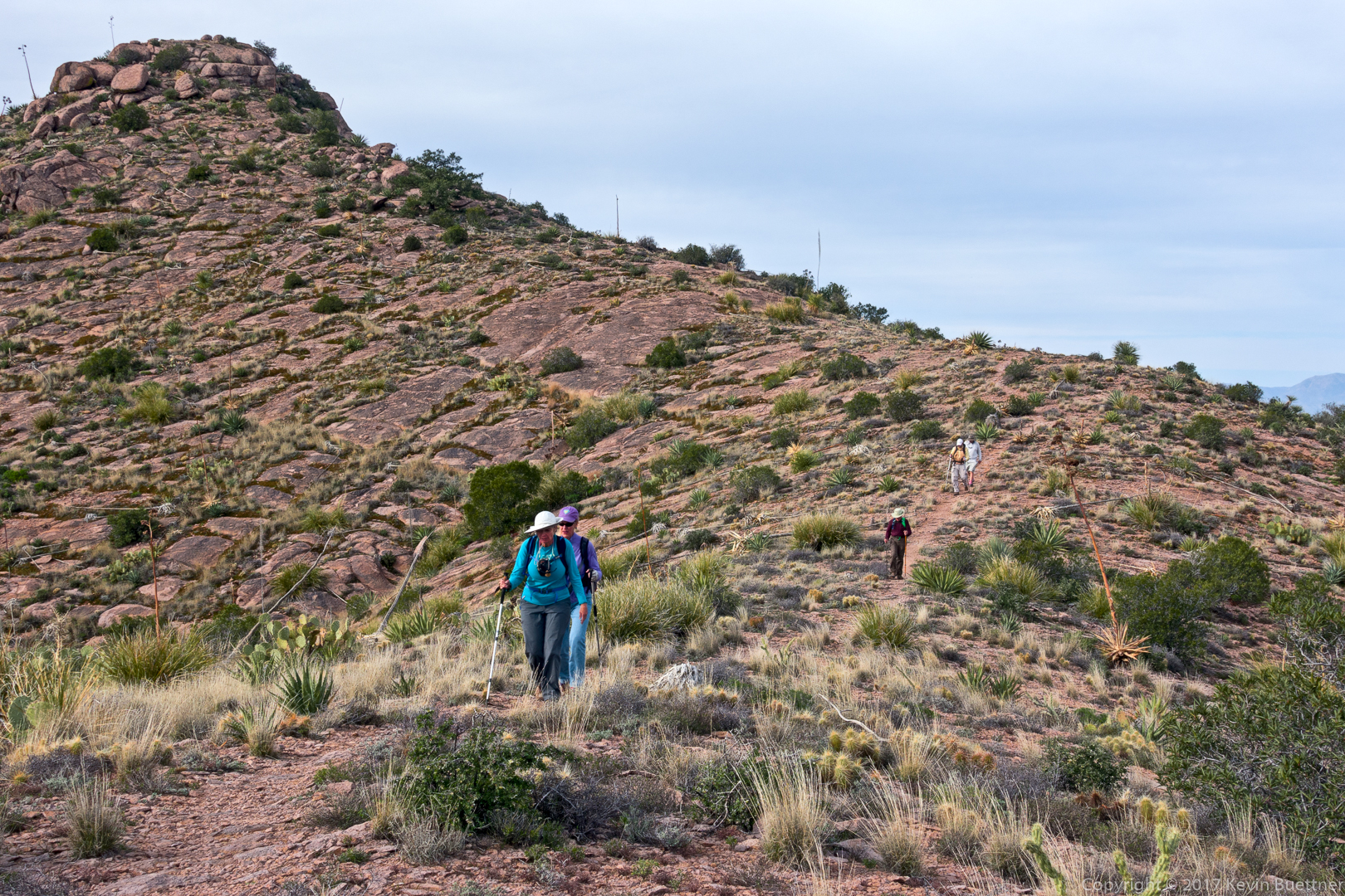
Making our way down the Ridgeline Trail:

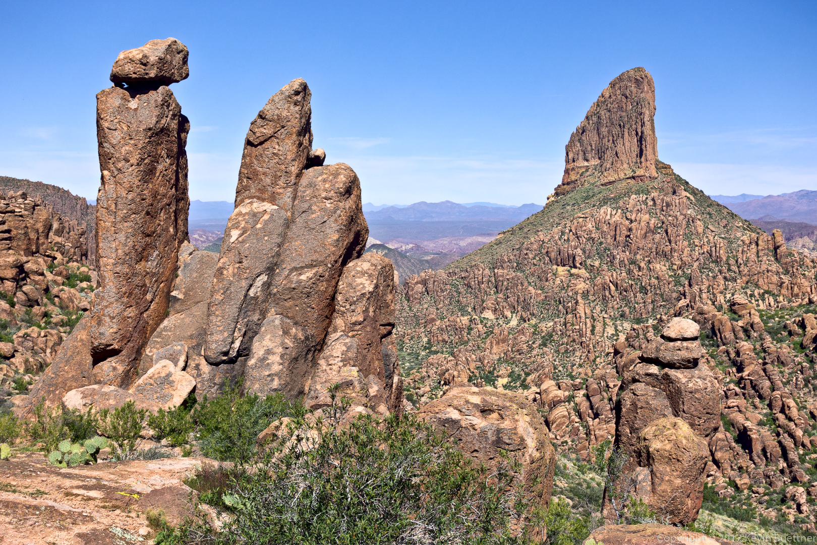
Another view of Weaver’s Needle:

Linda, Denise, Bill, Bill, and Bob pose for a photo while descending Hieroglyphic Canyon:

Sunset in Hieroglyphic Canyon – we still have a long way to descend!

We’re much lower in hieroglyphic canyon now; I’m looking back at where we had been…