Month: September 2017 (page 1 of 1)

Friday Fitness Hike

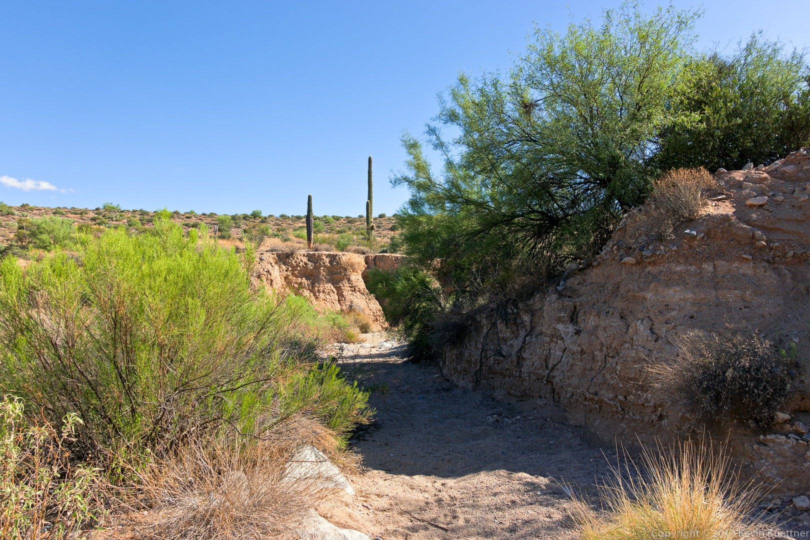
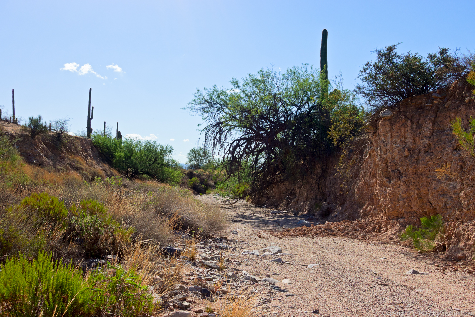
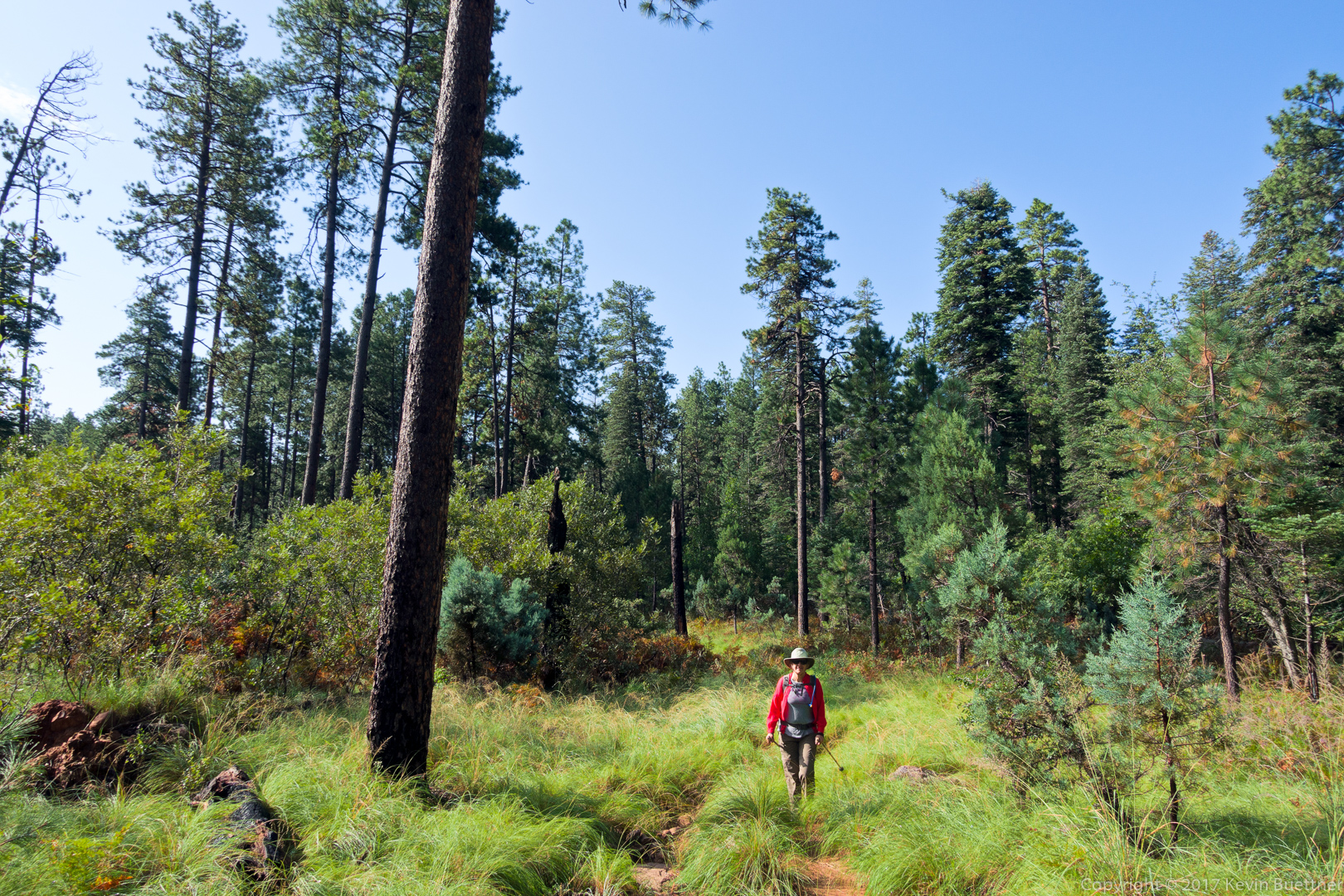
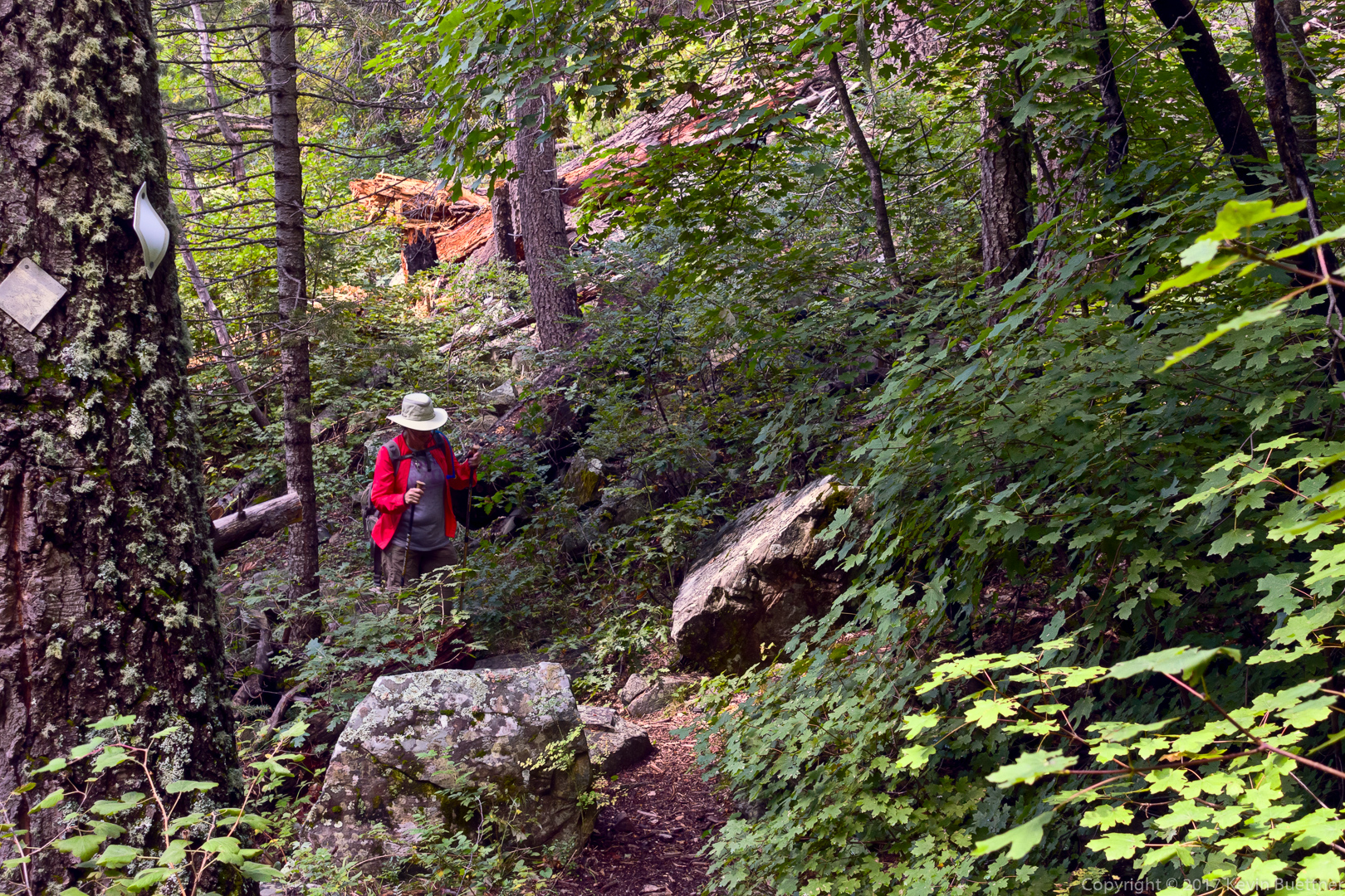
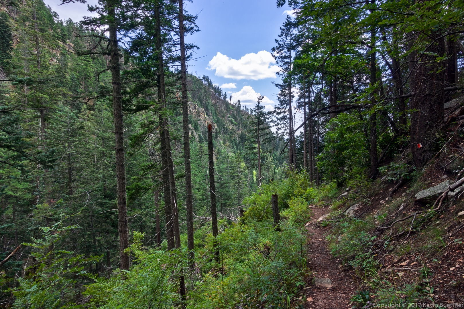
Heather and I hiked a ten mile loop starting from the Tom’s Thumb Trailhead. Total elevation gain was slightly over 1900 feet. We hiked the Tom’s Thumb Trailhead until the first climber’s access trail to the right. From there, we hiked up to the ridge upon which Tom’s Thumb is situated. We hiked the ridge past Tom’s Thumb and then continued on the heavily used access trail down to Tom’s Thumb Trail. From there, we hiked down East End Trail, then took Windmill, Coachwhip, Pemberton, Boulder, and Marcus Landslide to return.

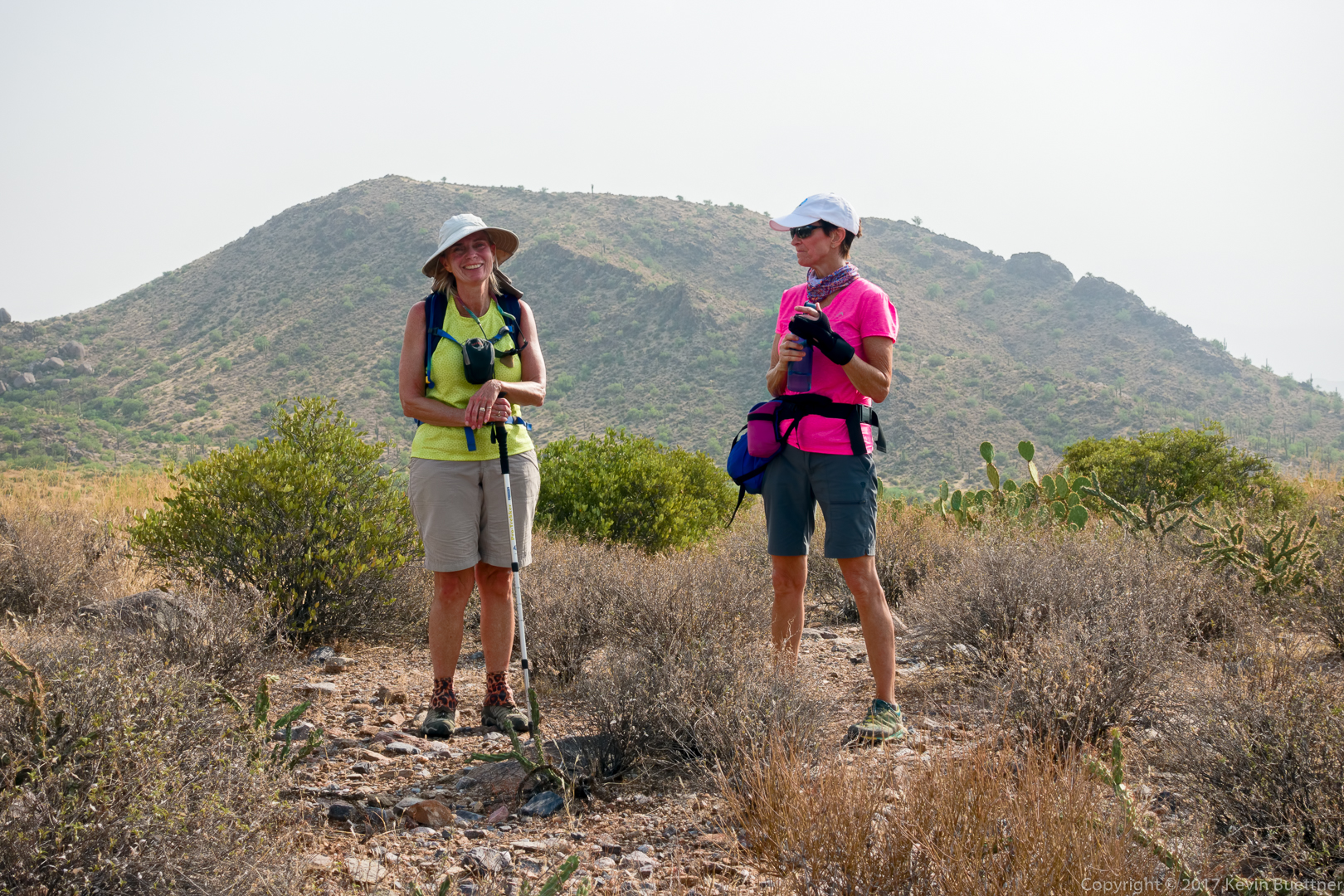
Along the way we encountered Anika, who we’ve seen trail running in various parts of the Preserve. I usually see her on the Bell Pass Trail, but today we met her as she was running up the East End Trail. She was running a seventeen mile route on Friday which had a lot more elevation gain than what Heather and I did. And she was doing it with just one small water bottle tucked into the elastic waistband of her running shorts!

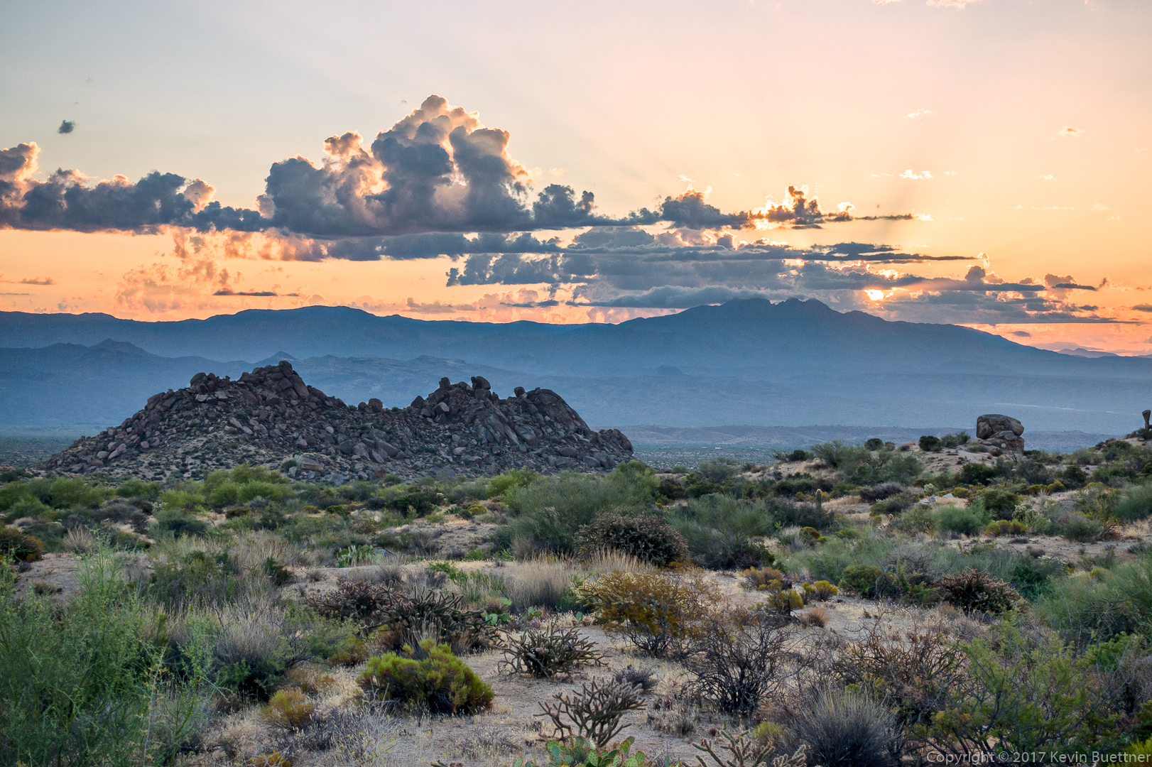
This is a sunrise shot from the parking lot:

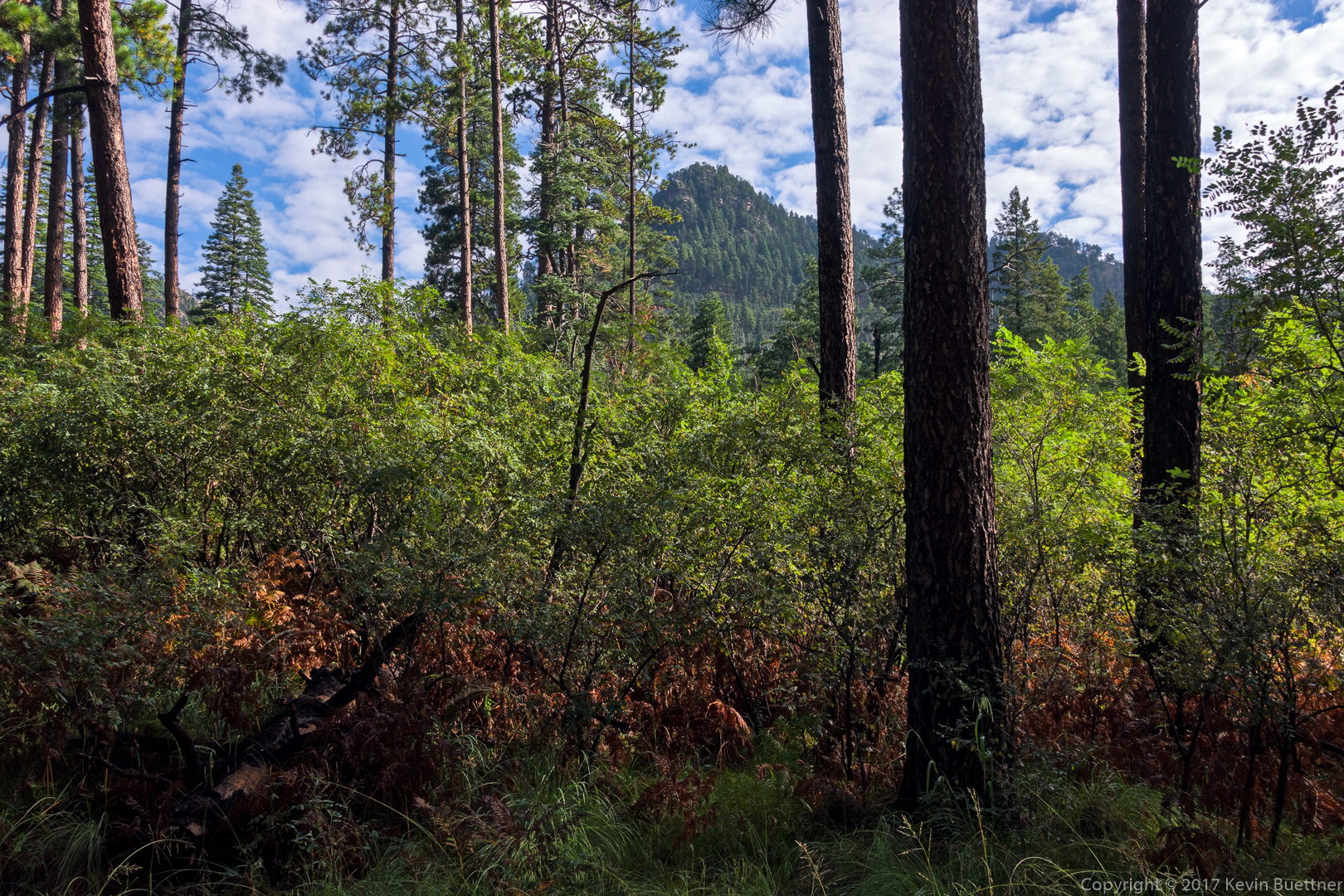
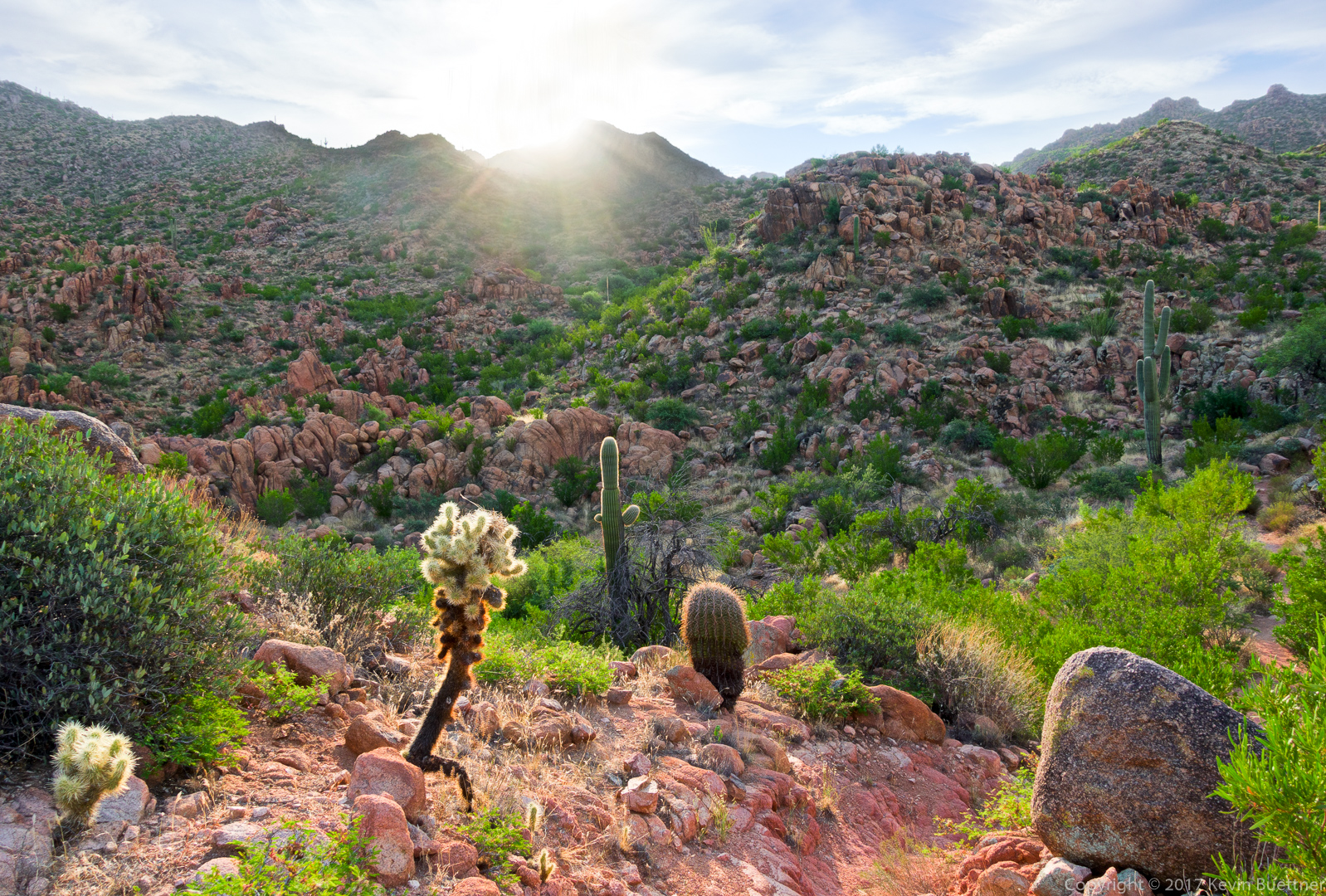
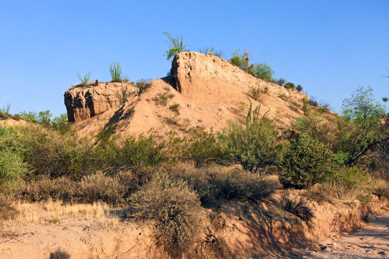
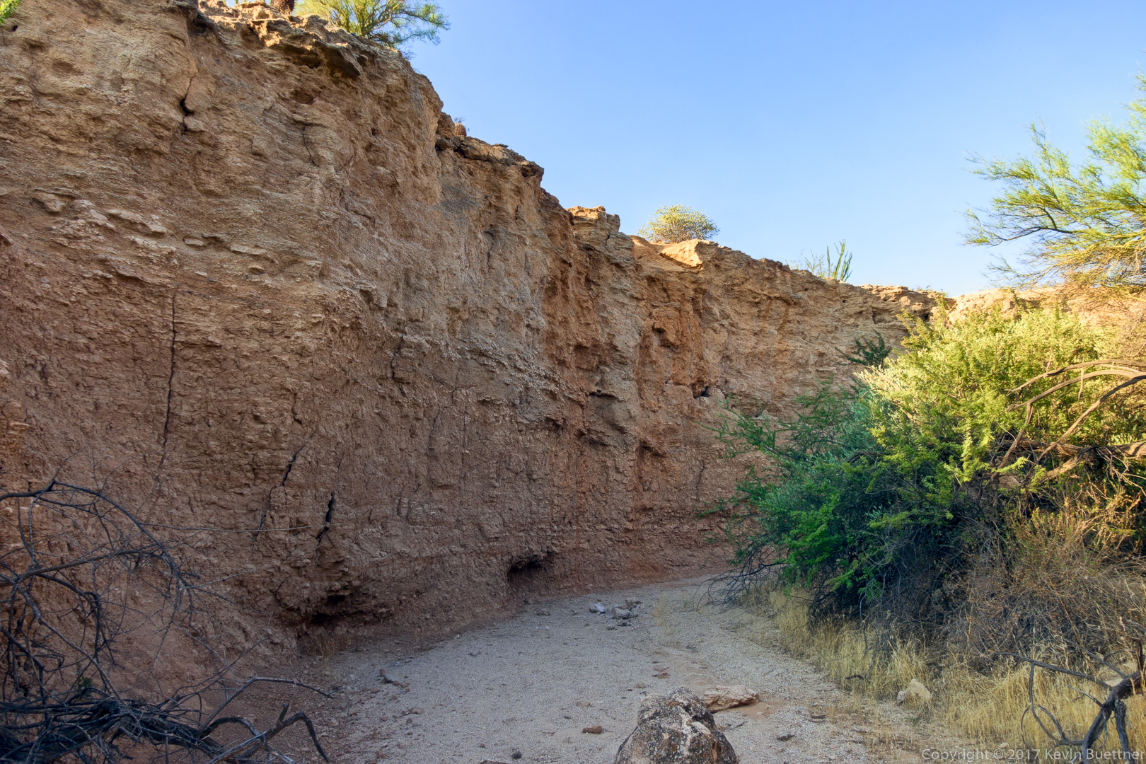
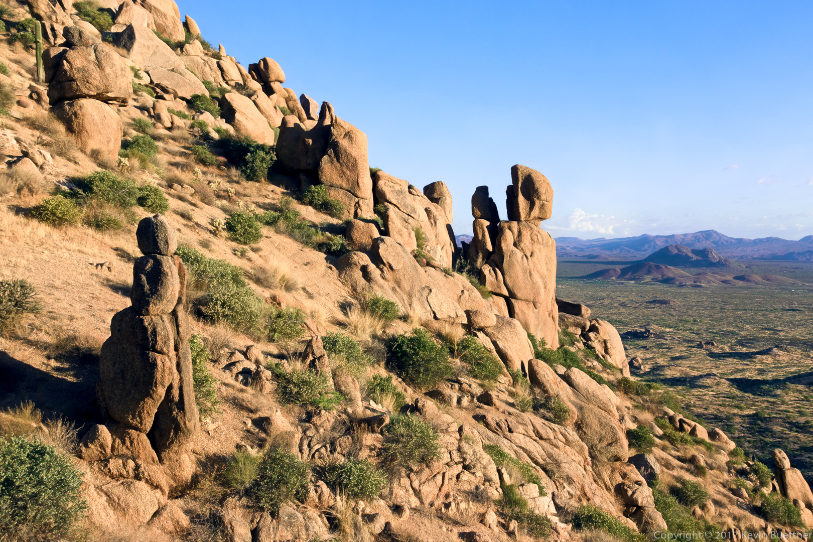
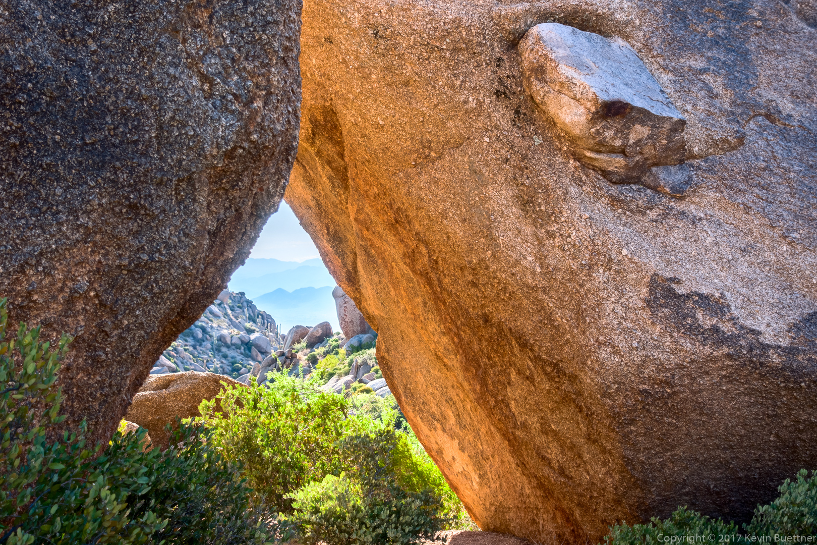
There are many interesting rock formations on the way up to the ridge.

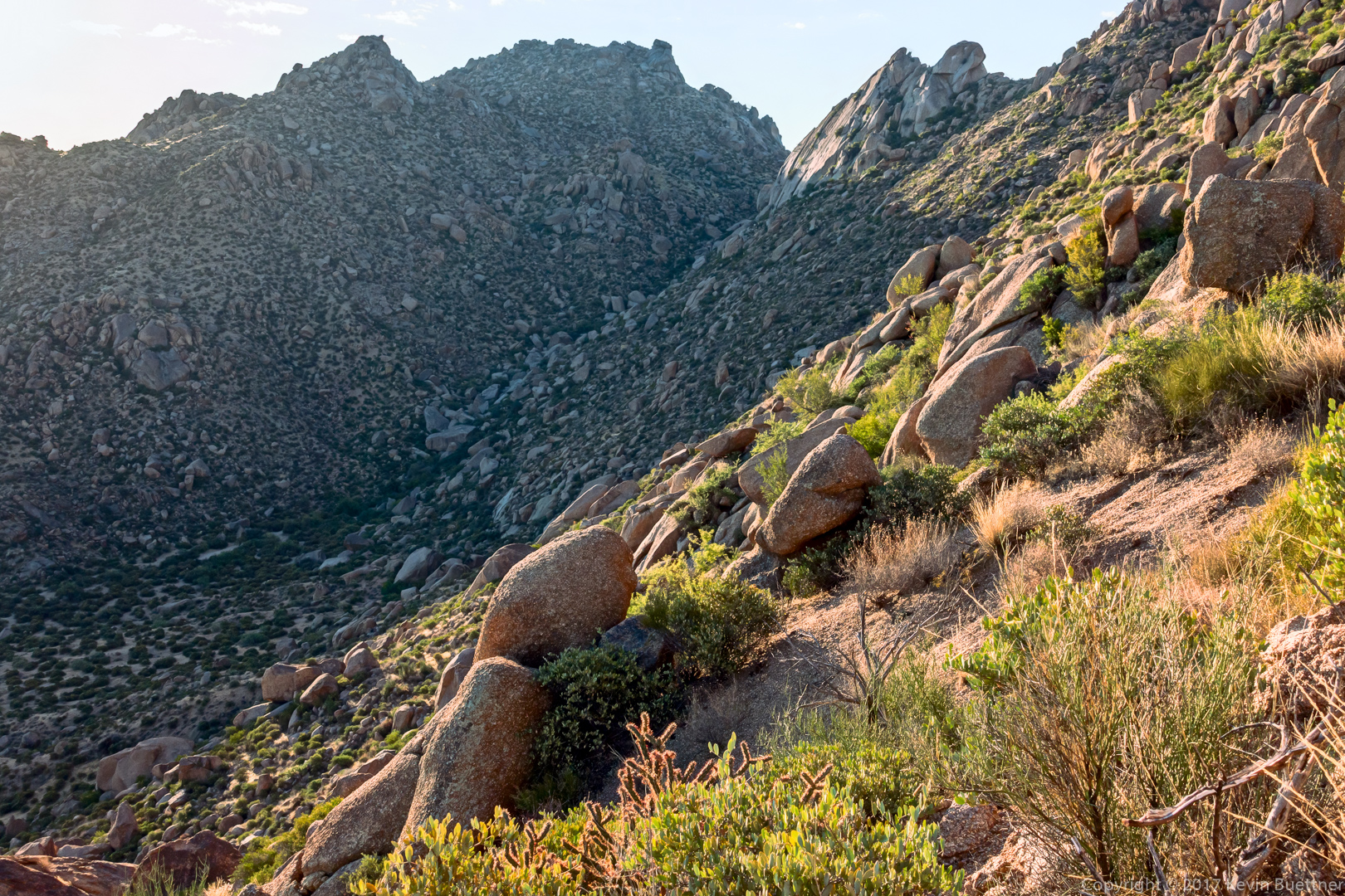
A view of Gardener’s Wall from the side. The East End (summit) is on the left.

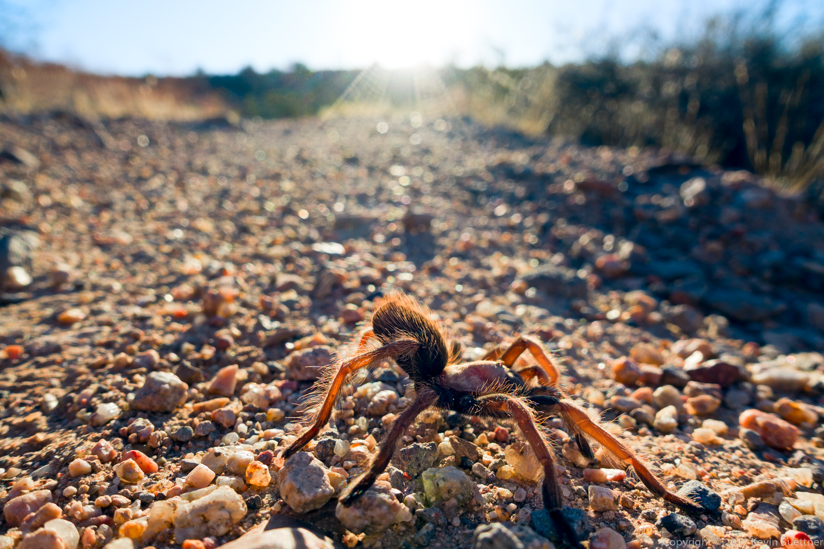
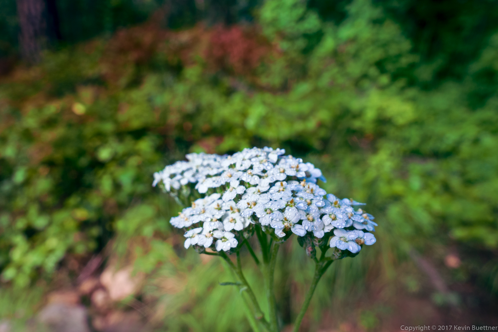
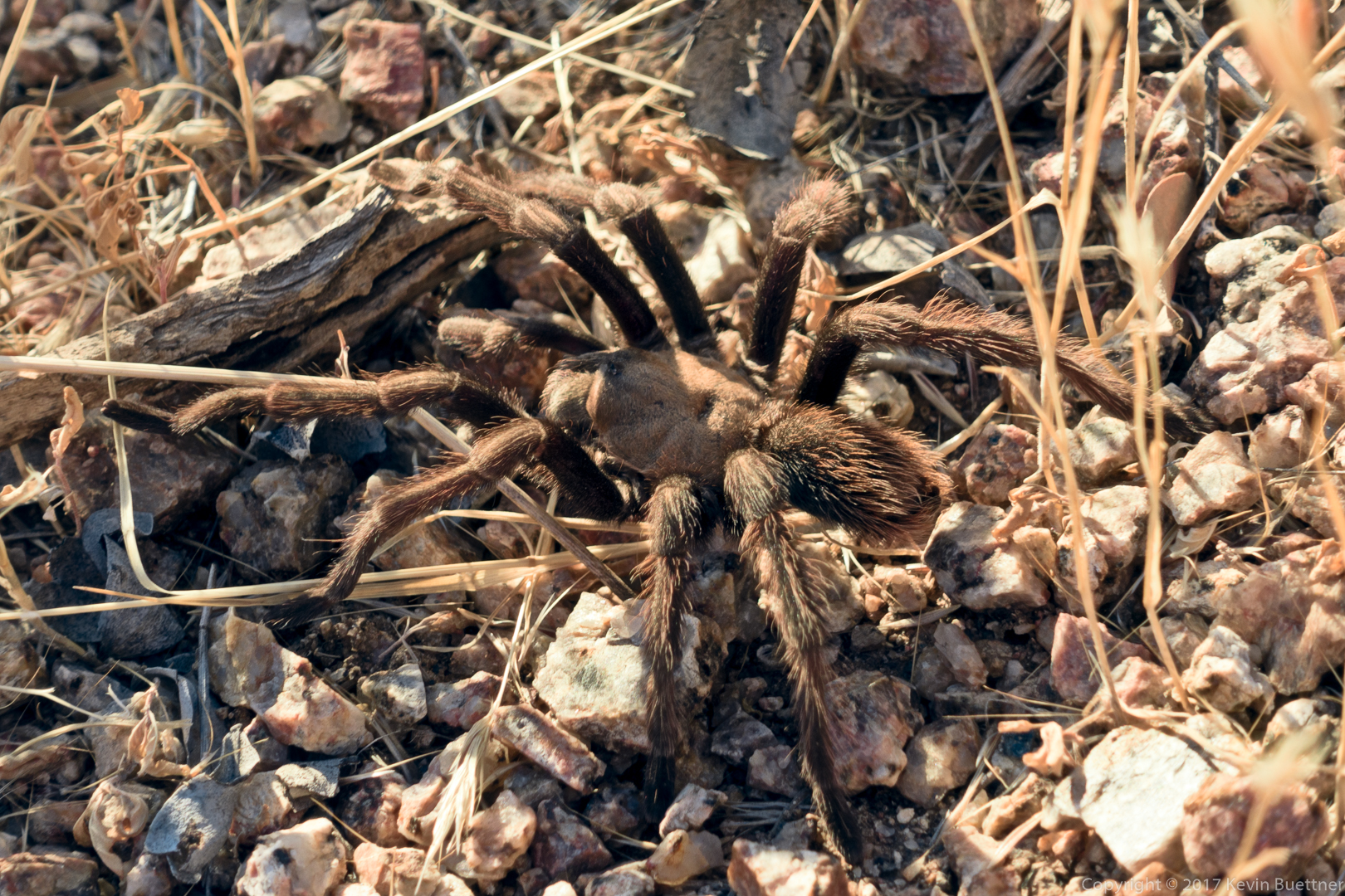
Heather spotted this Tarantula as we were hiking up to the ridge:

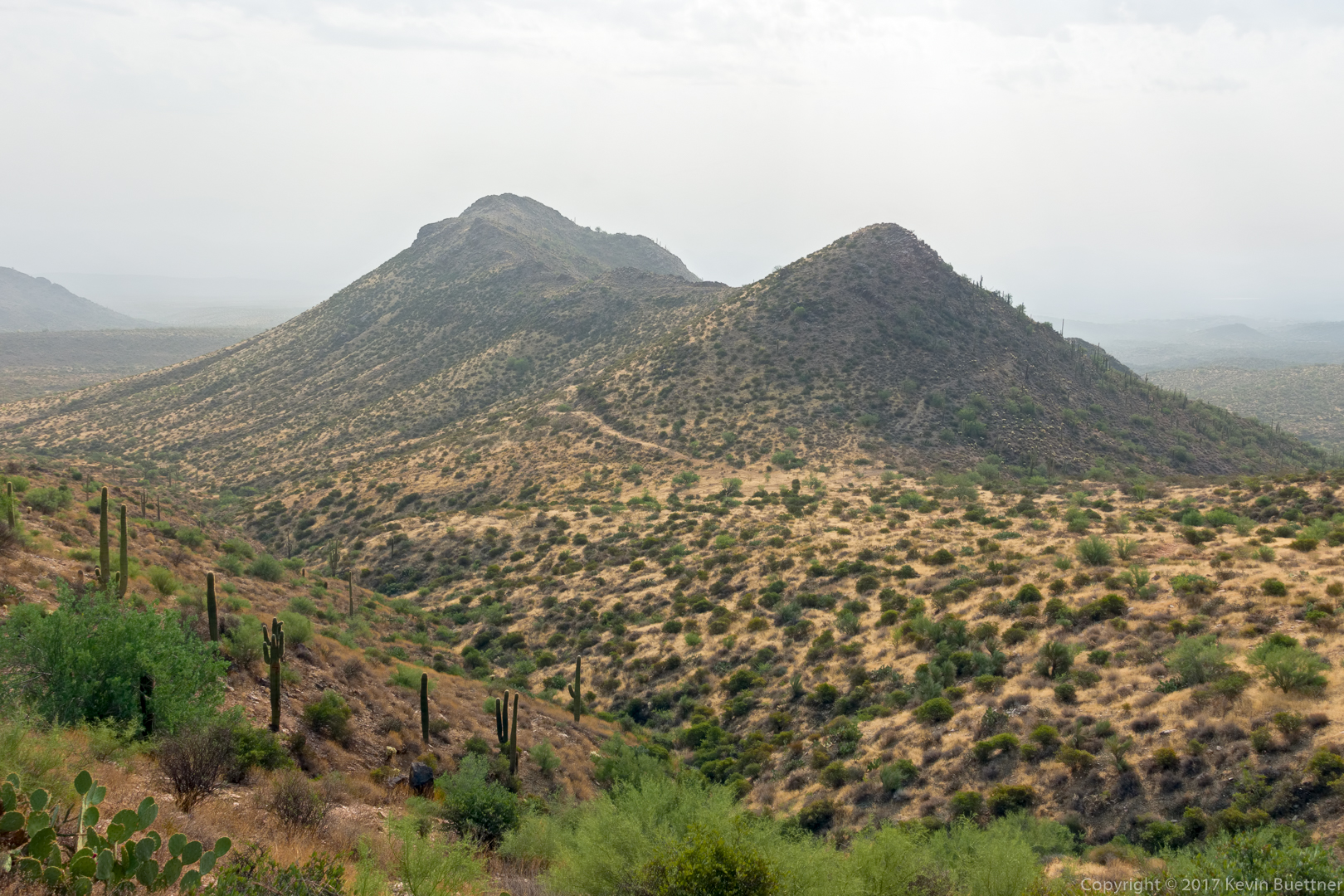
Pinnacle Peak and Troon Mountain(s):

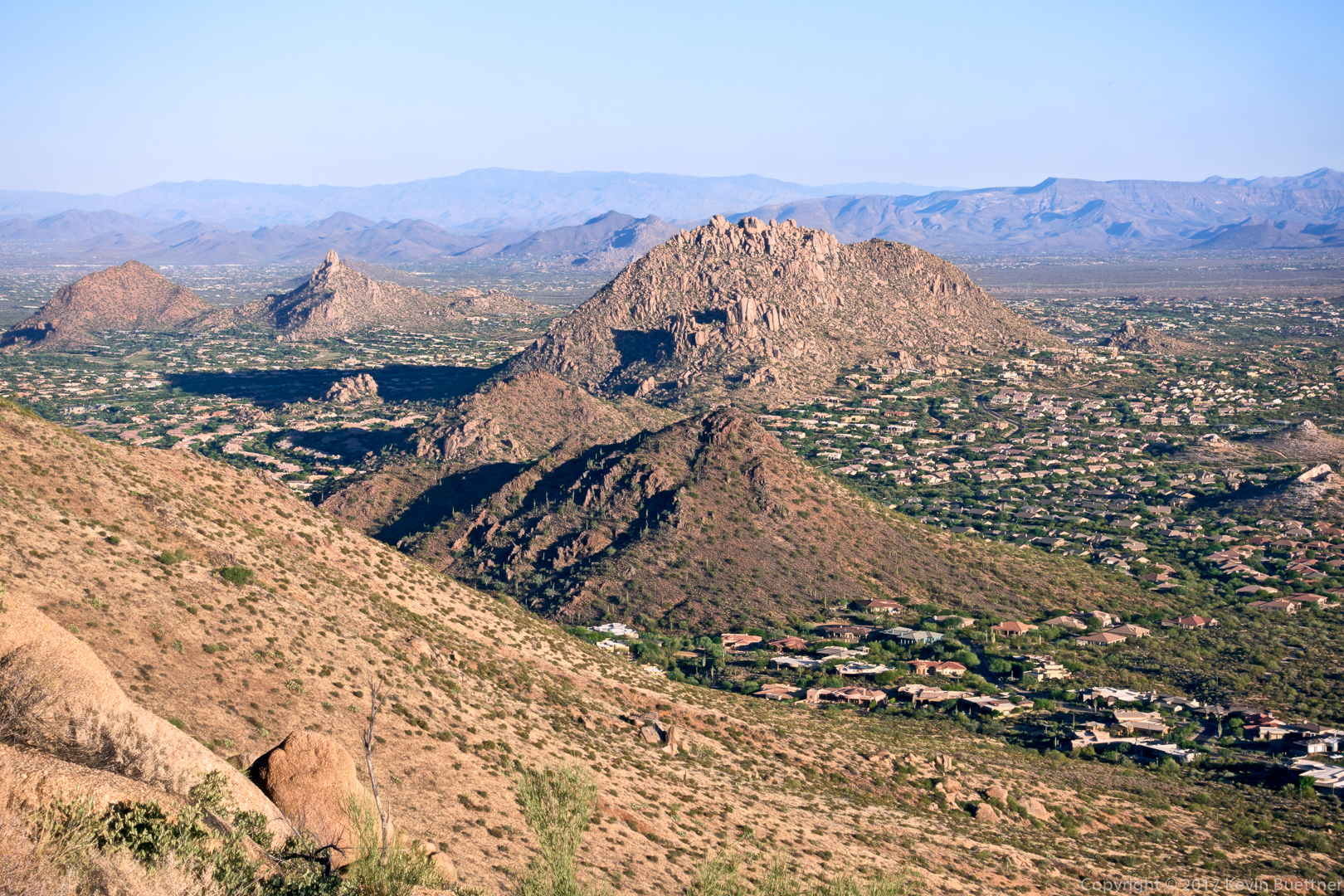
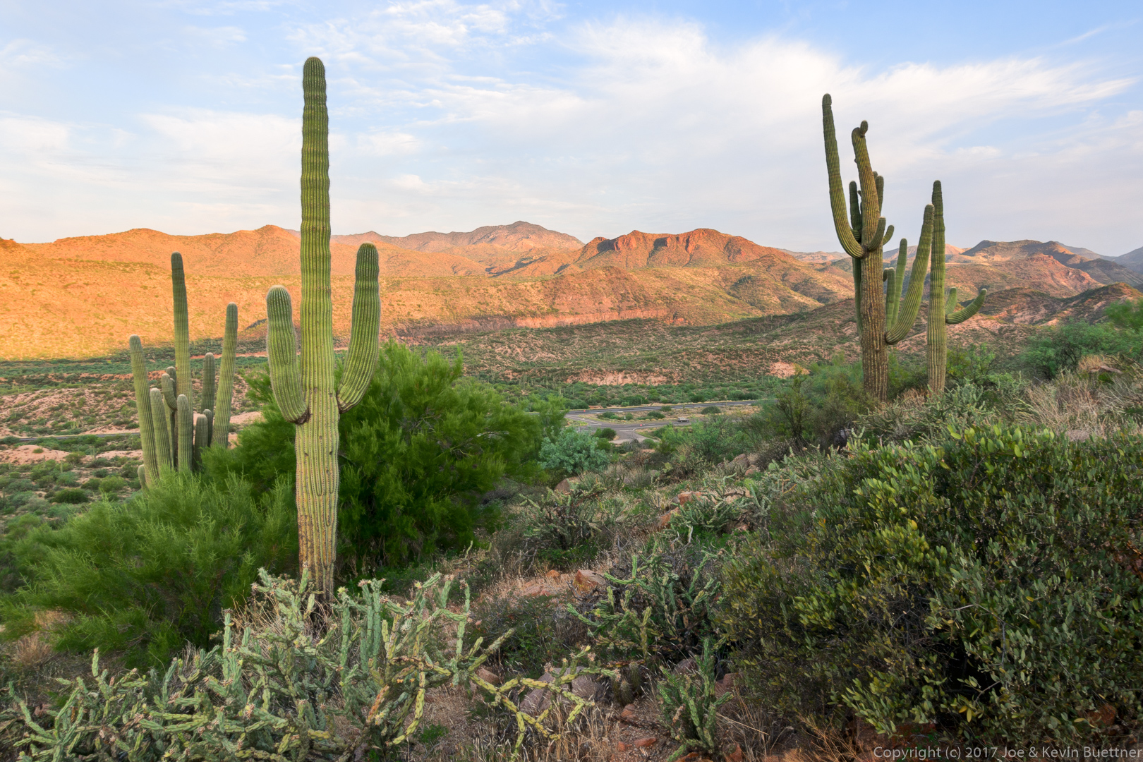
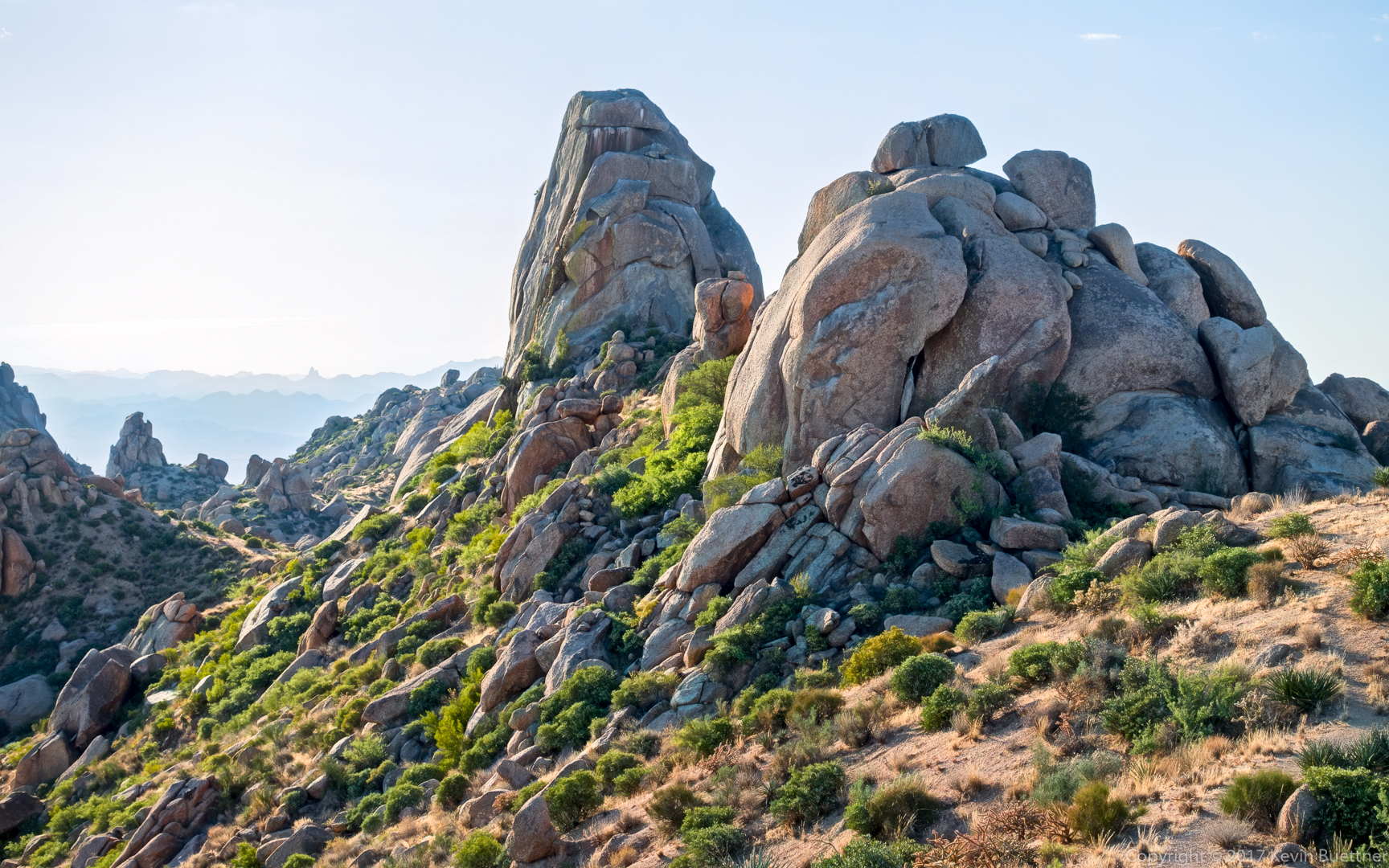
Approaching Tom’s Thumb:

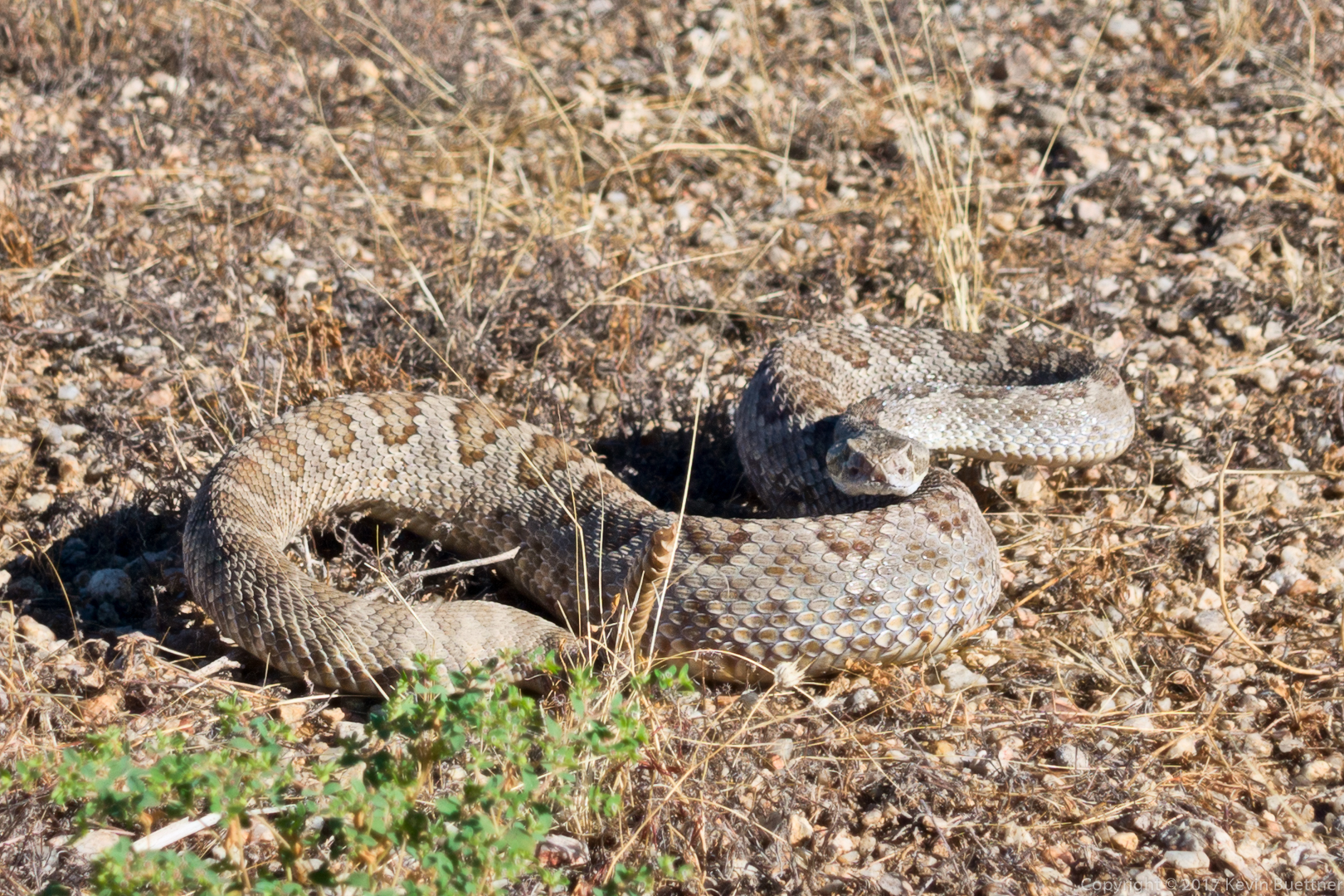
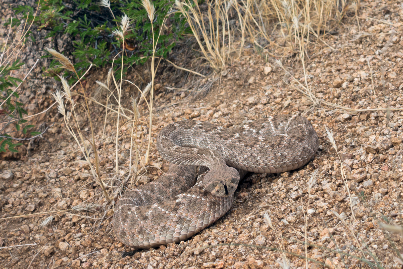
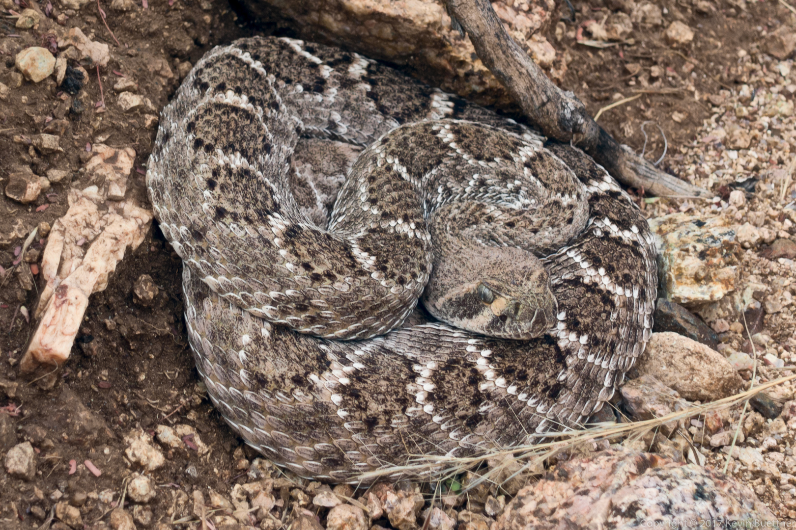
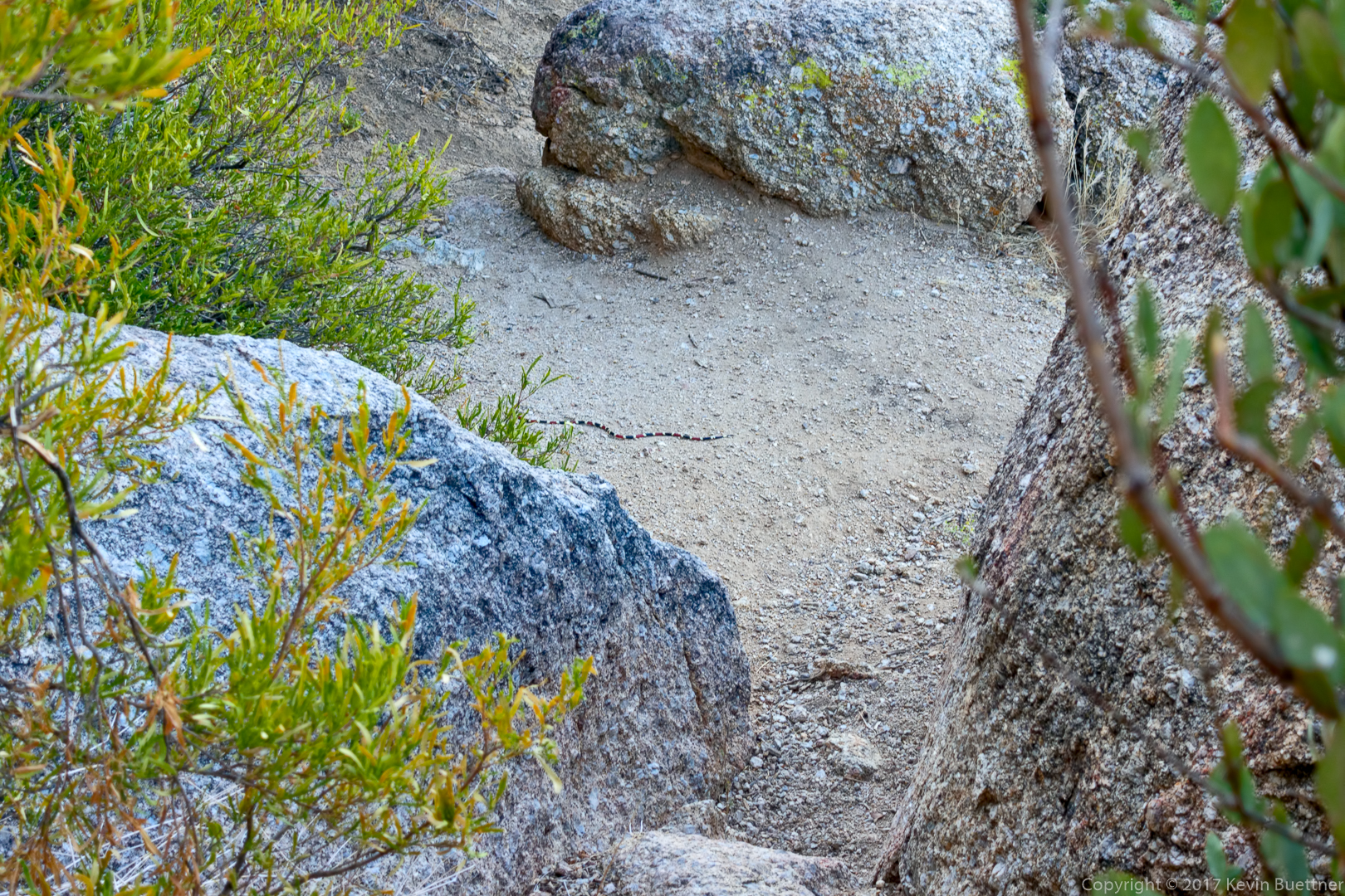
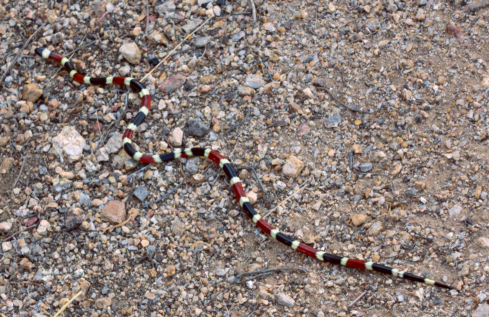
As we were making our way over to Tom’s Thumb, we saw a snake ahead!

We she got home, Heather’s husband, Dave, identified it as a Sonoran Coral Snake.

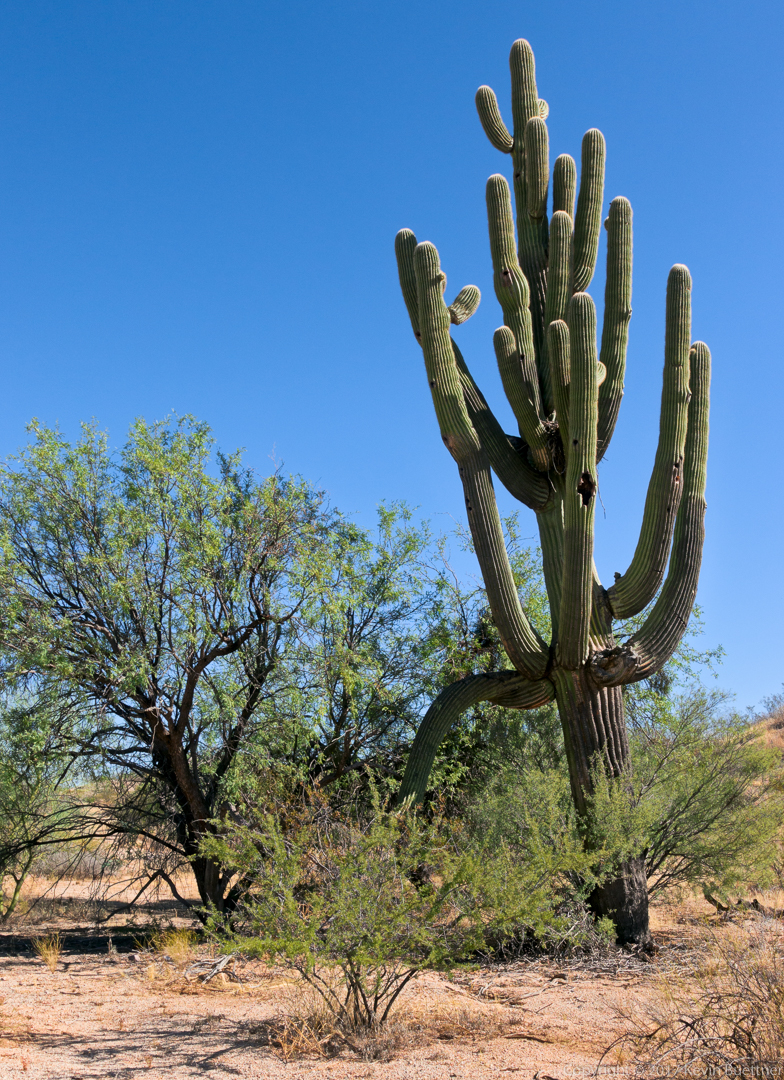
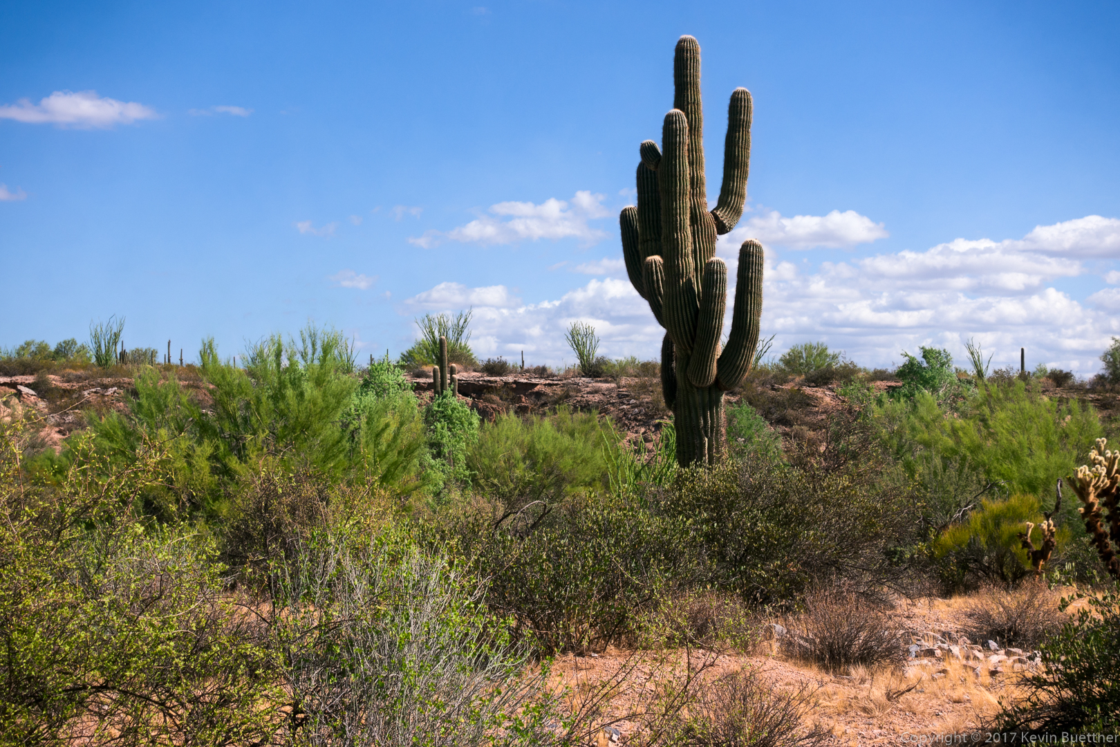
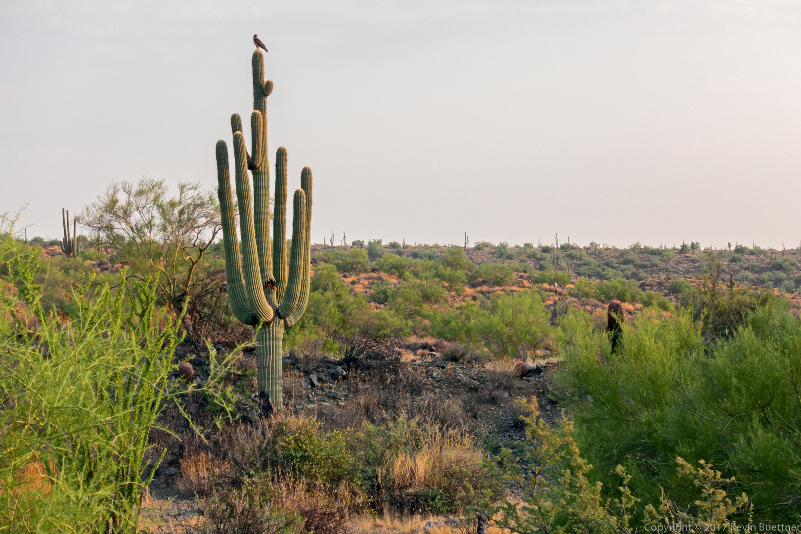
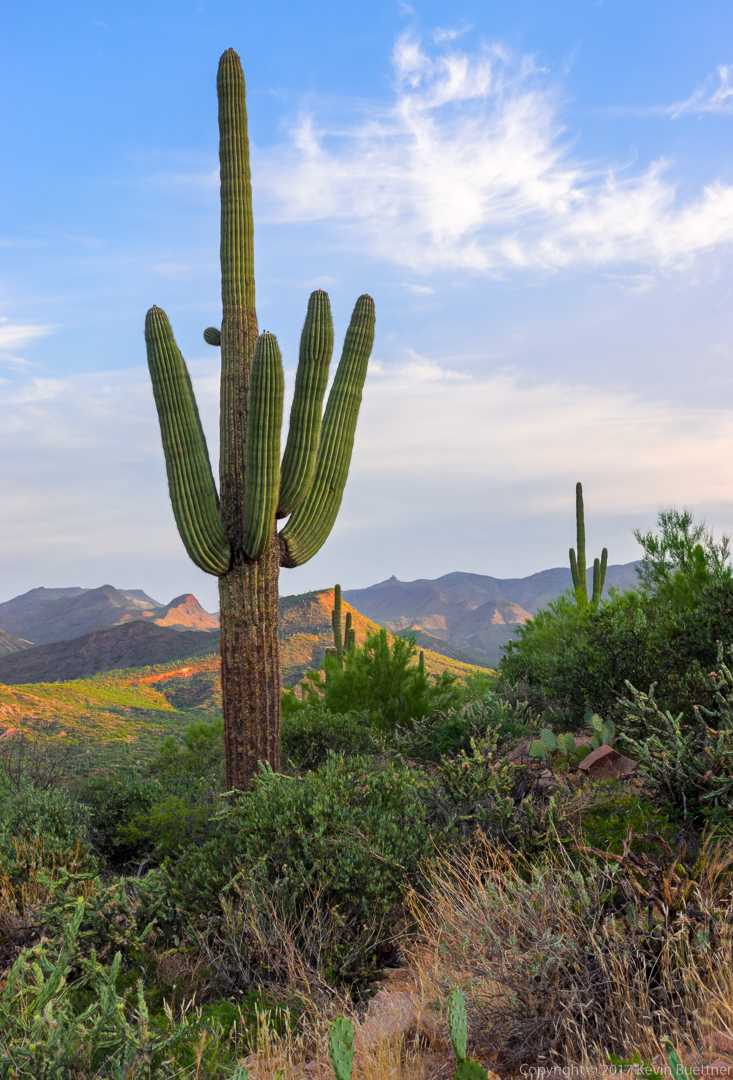
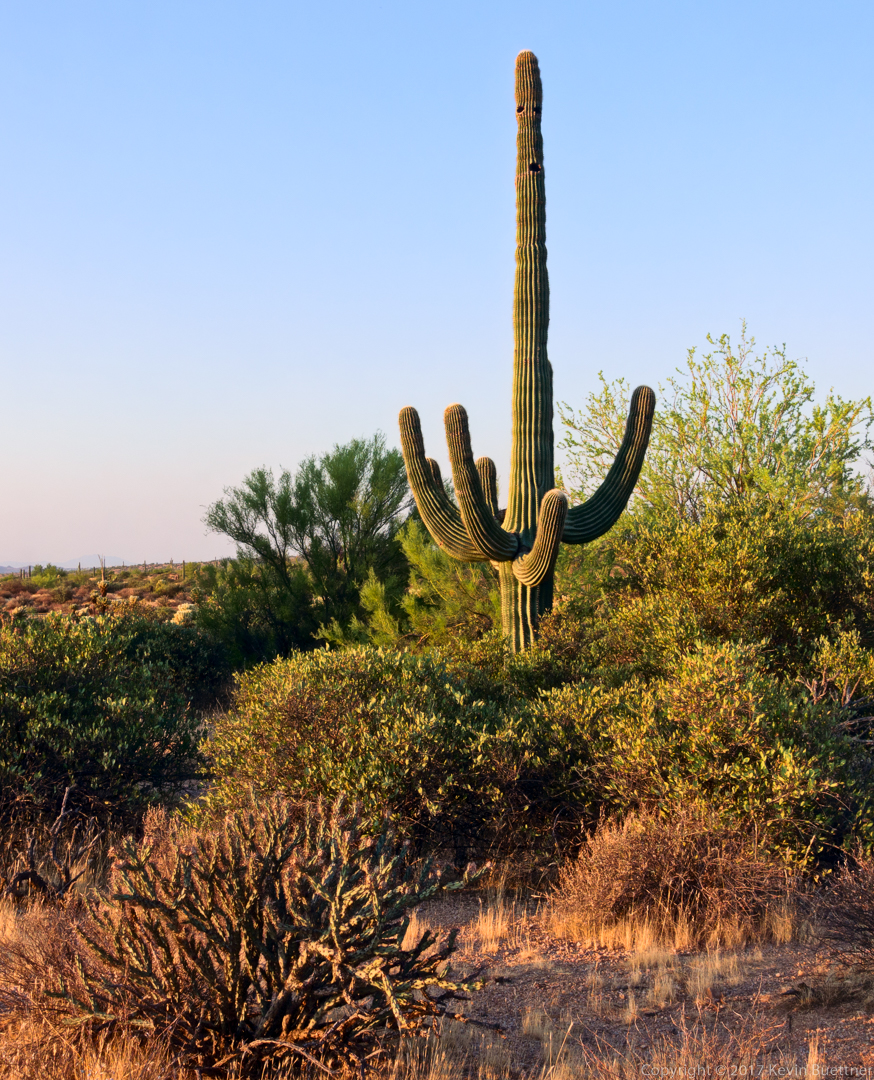
We encountered this saguaro as we were making our way from the south side of Tom’s Thumb to the east side.

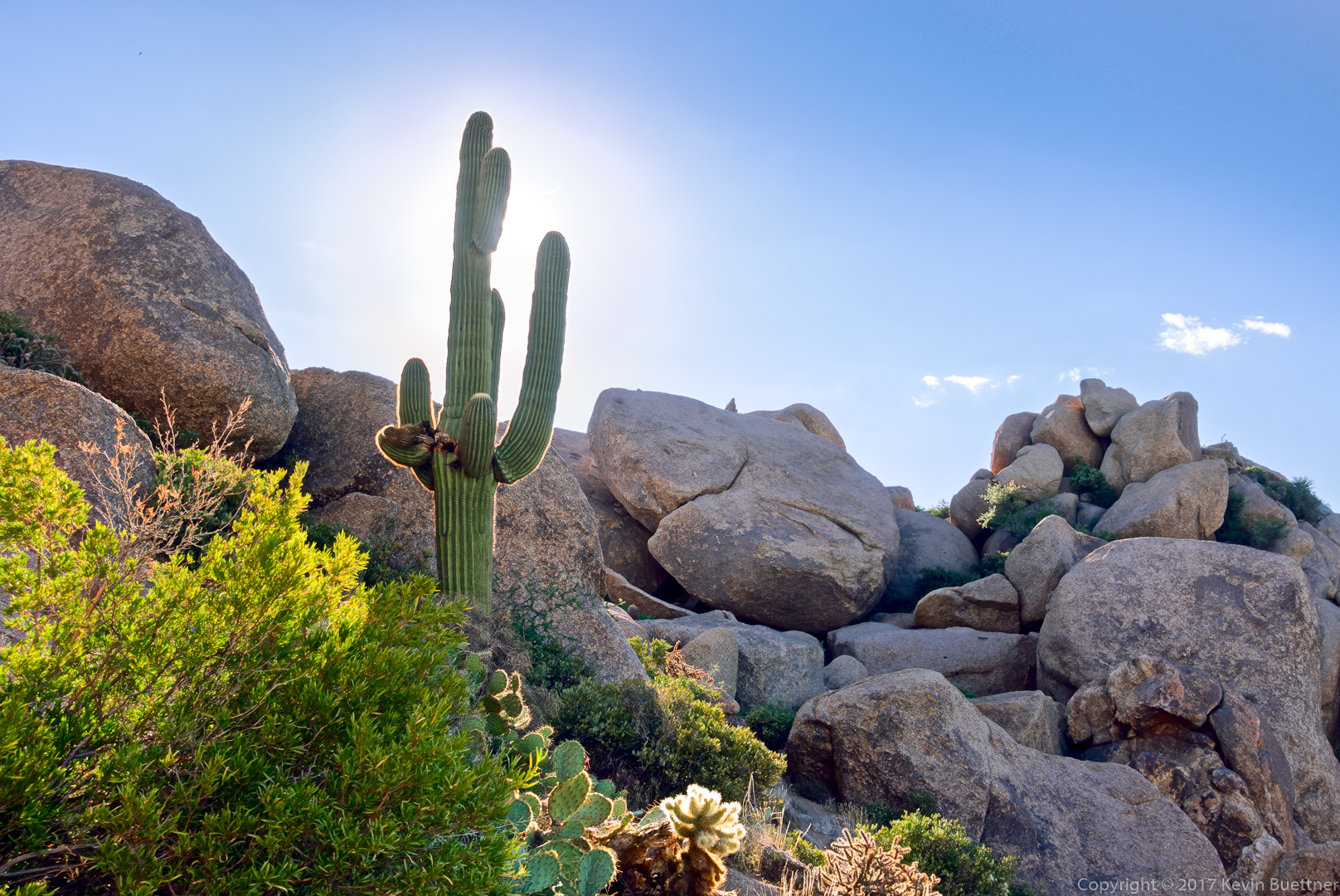
Heading down Tom’s Thumb Trail towards the East End Trail…

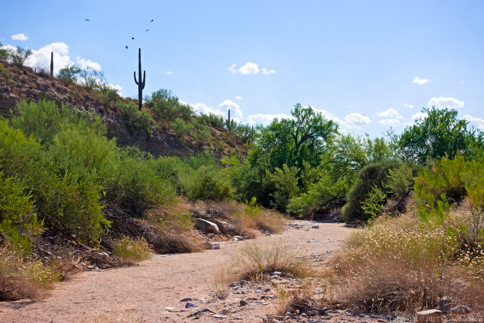
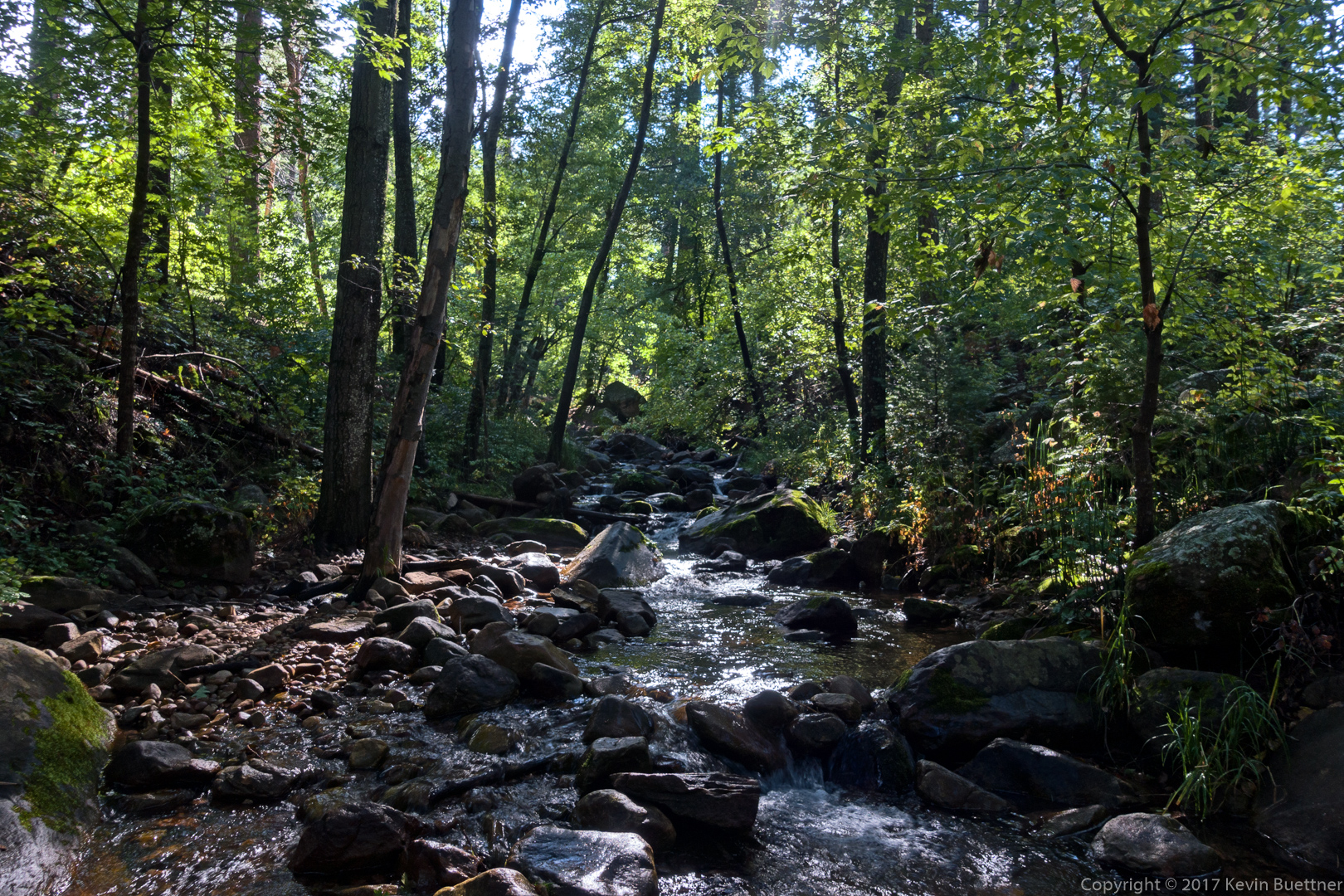
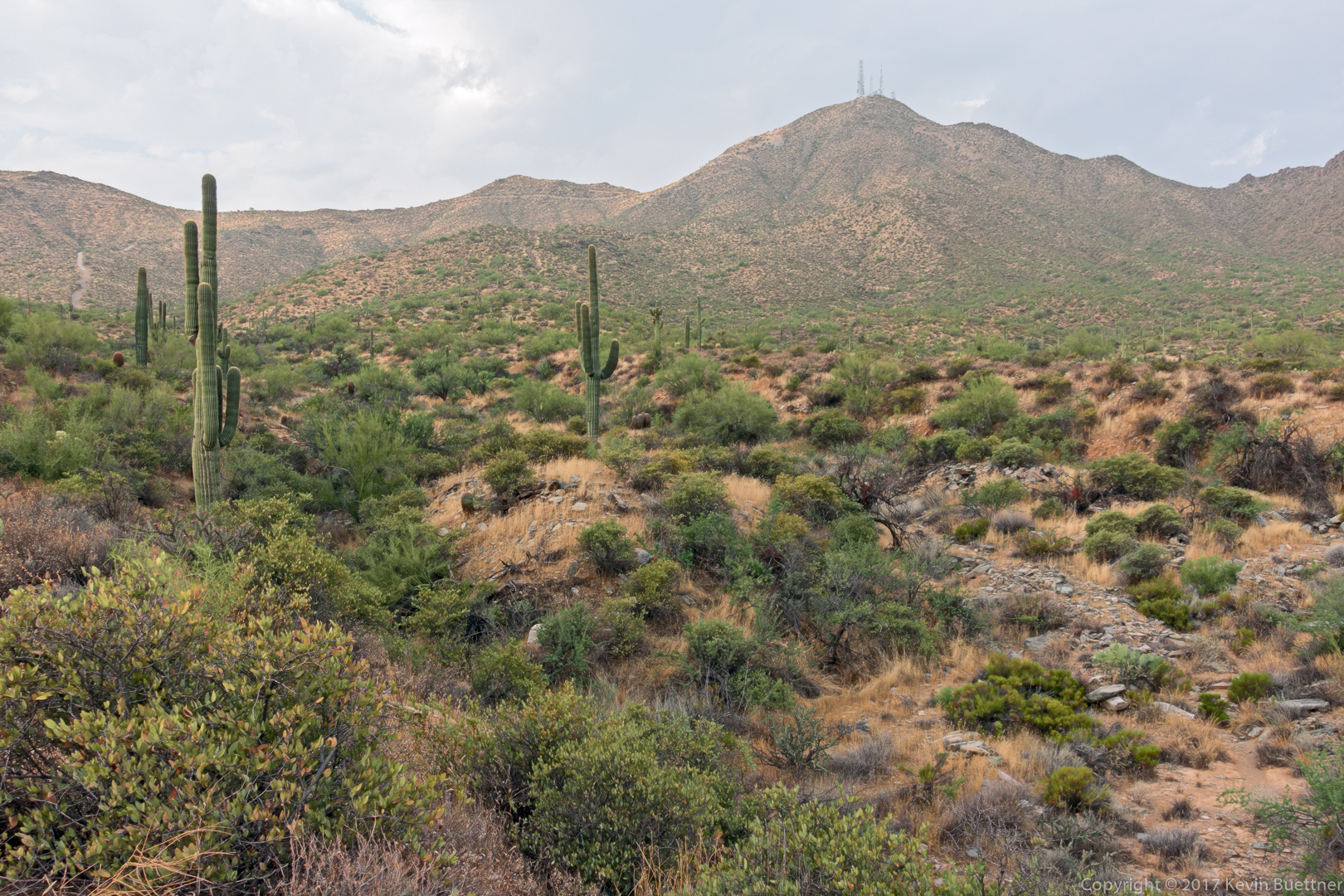
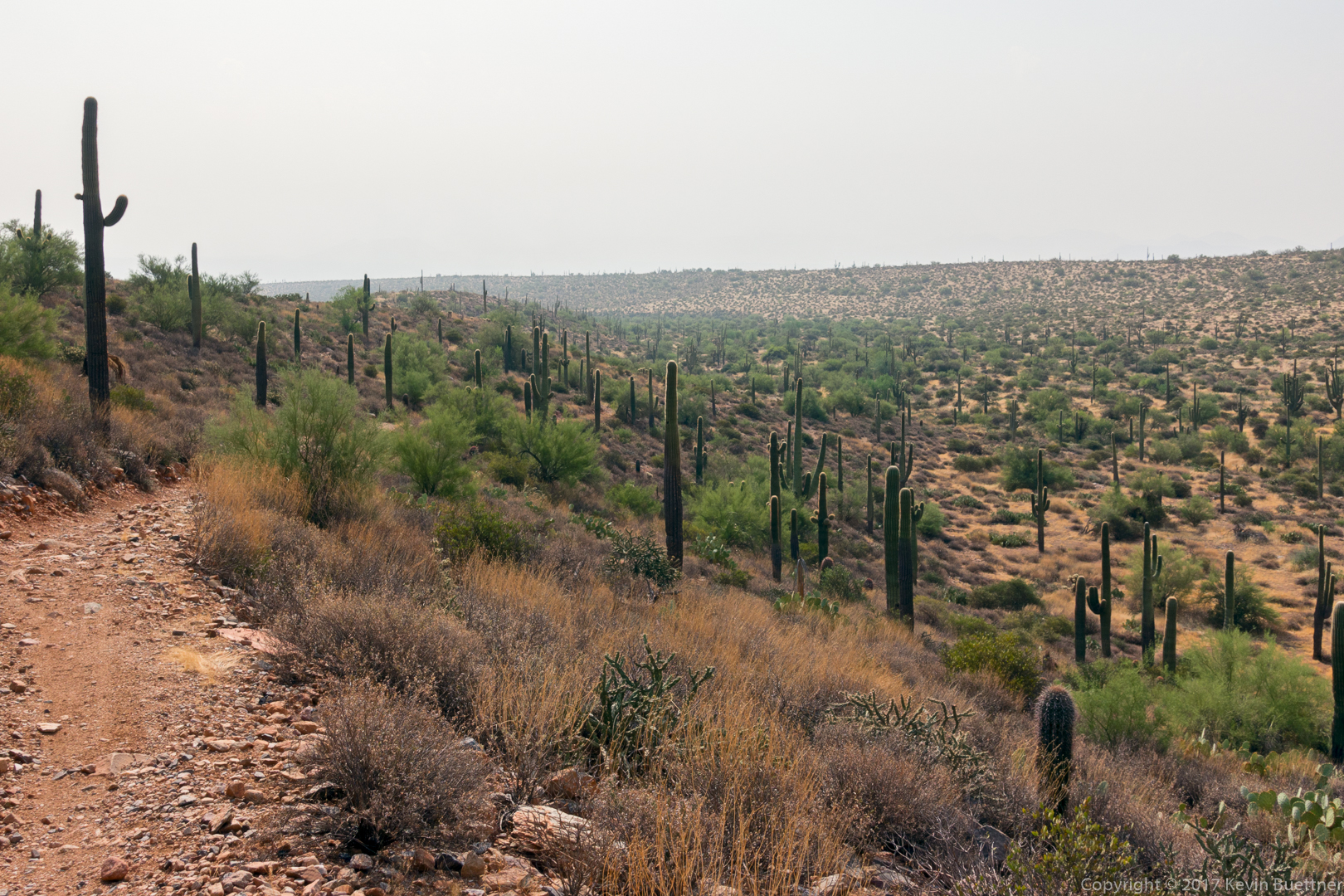
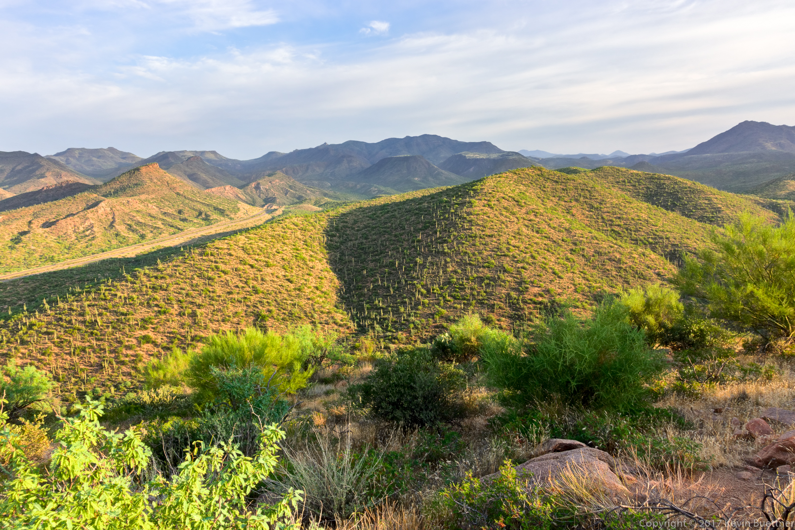
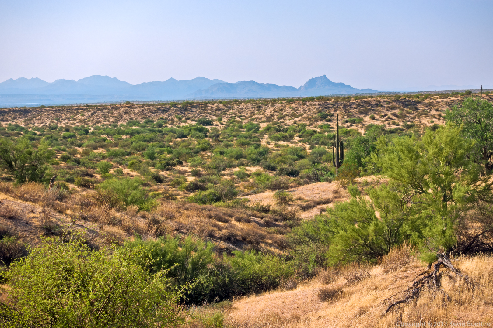
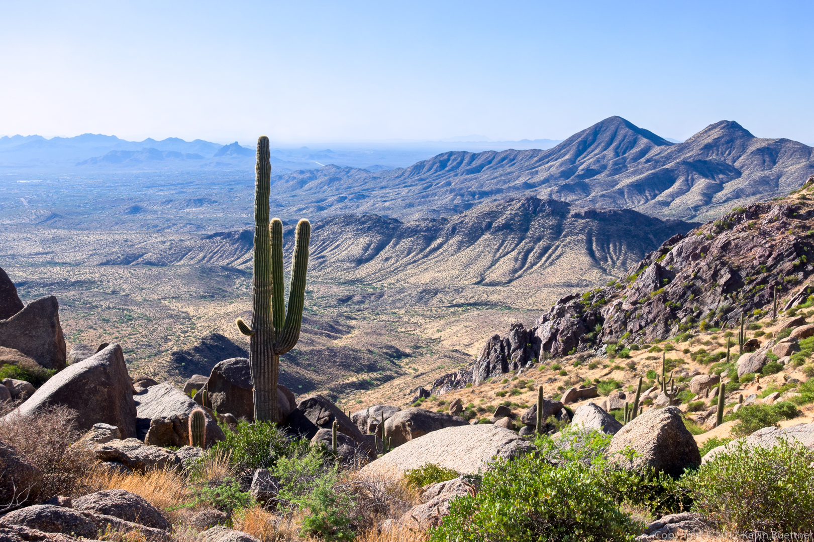
A view from the East End Trail:

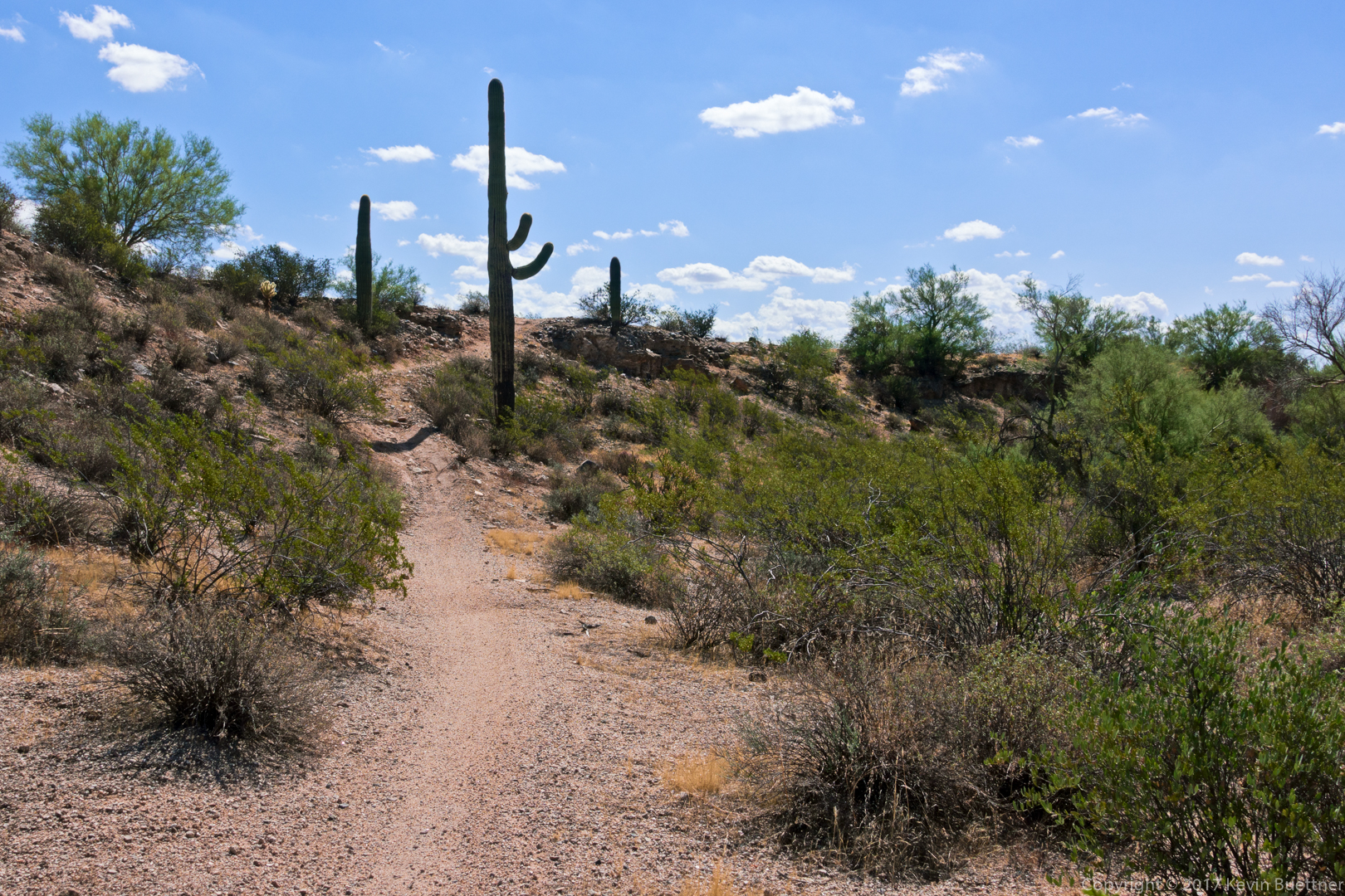
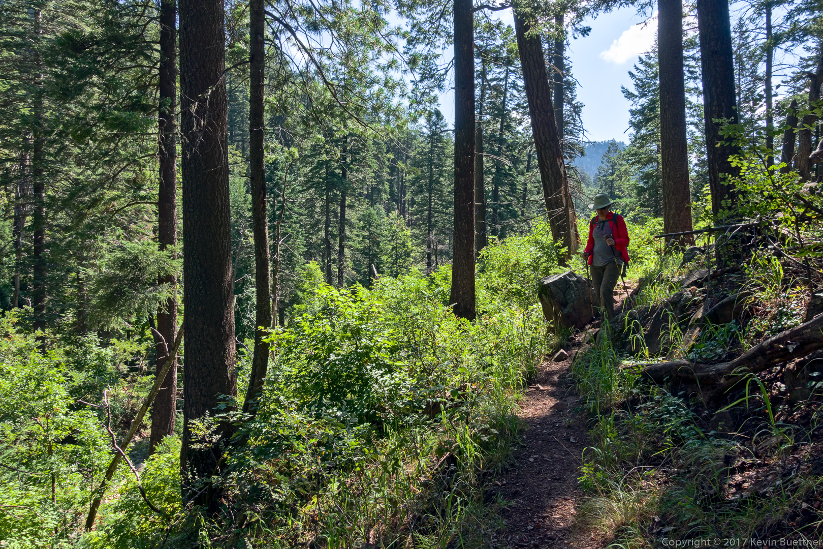
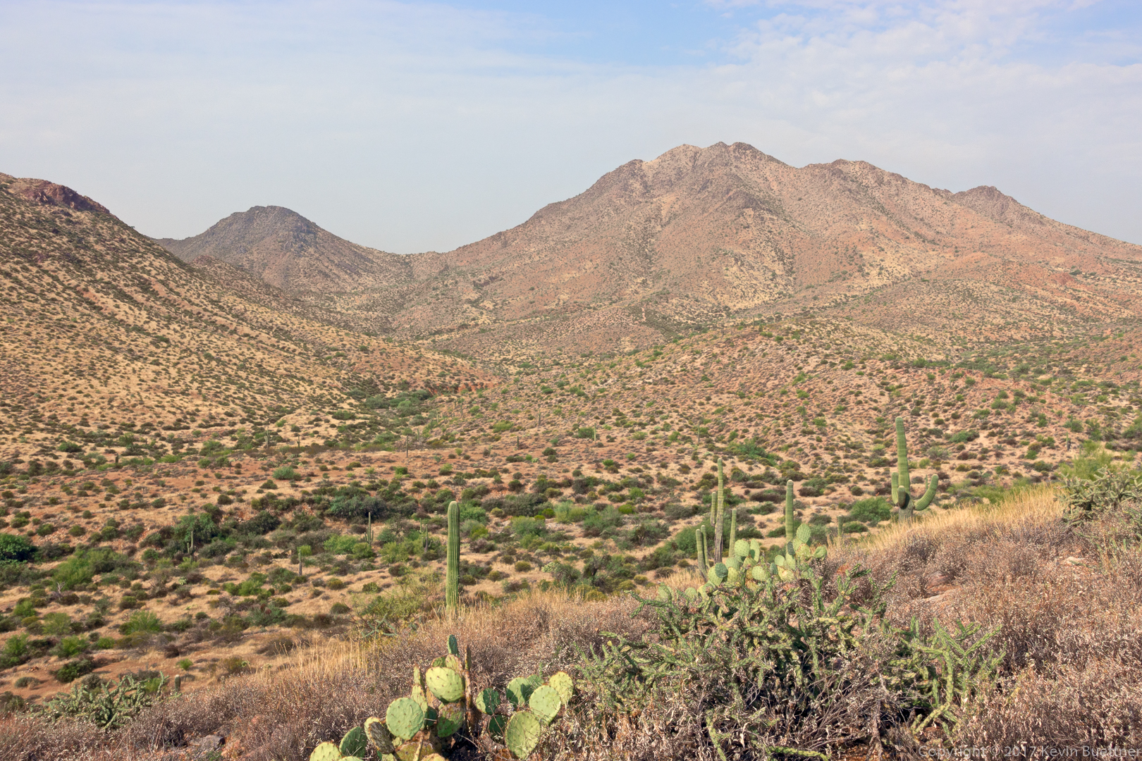
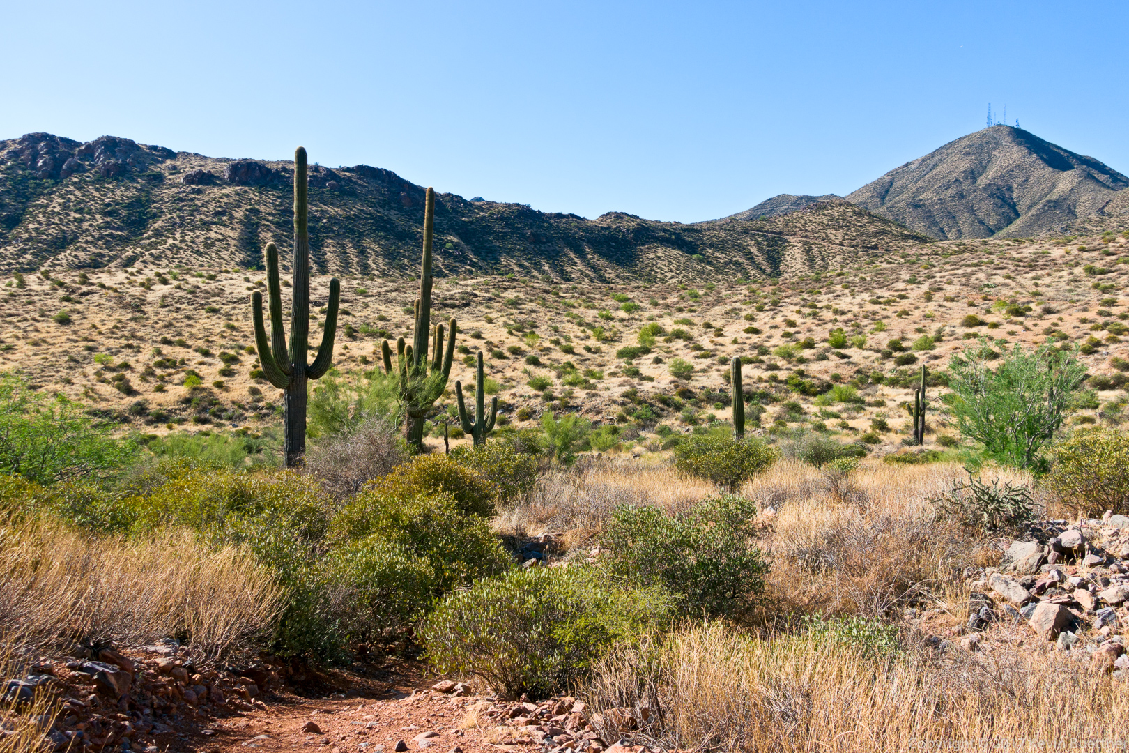
Nearing the Windmill Trail…

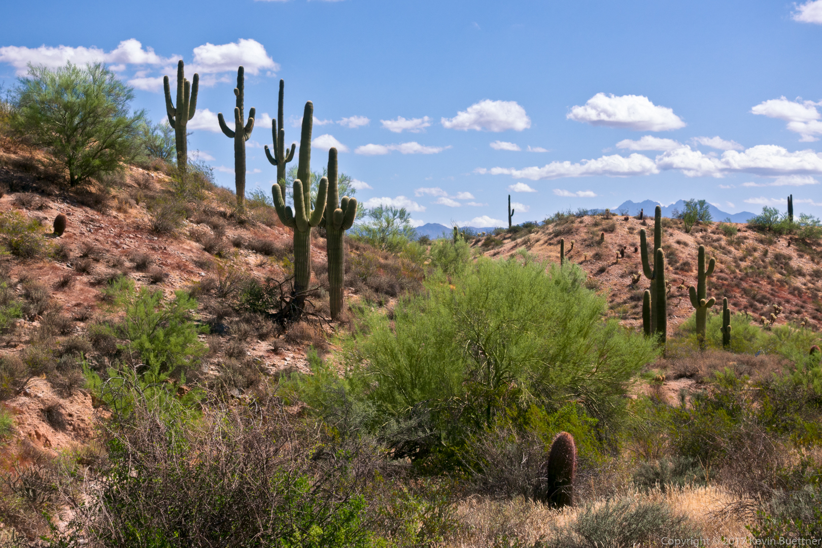
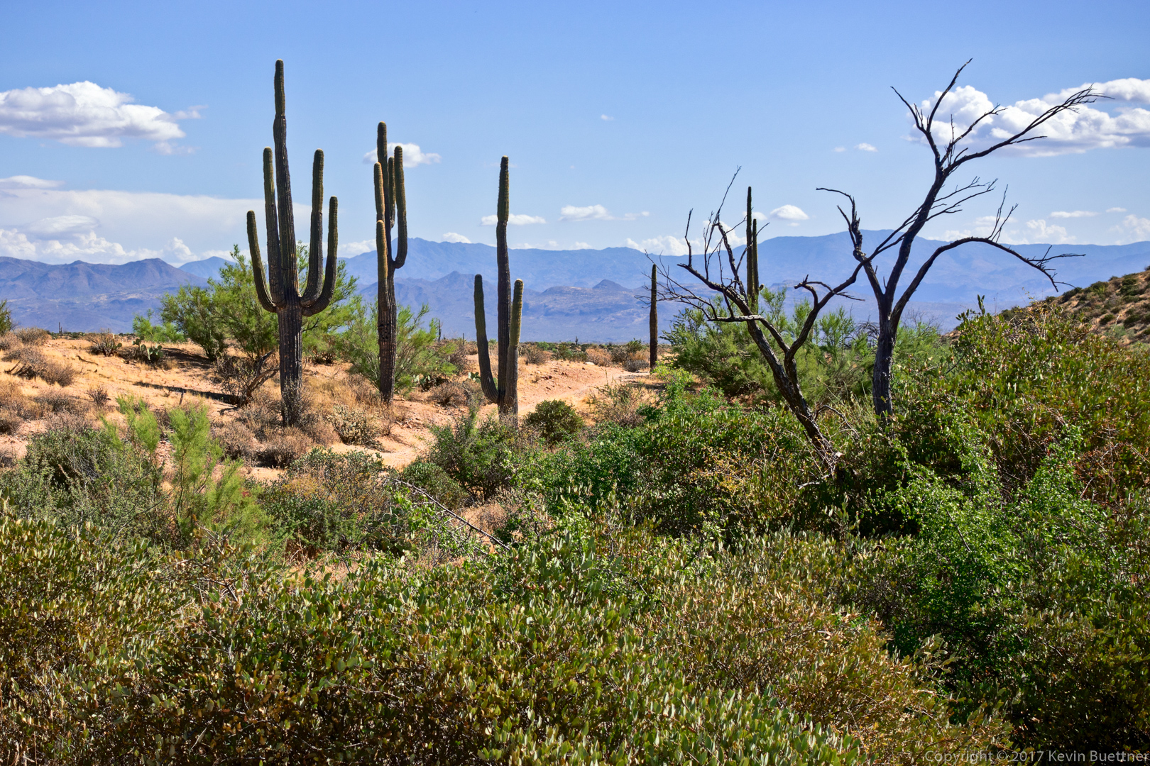
This collection of saguaros is on the Coachwhip Trail:

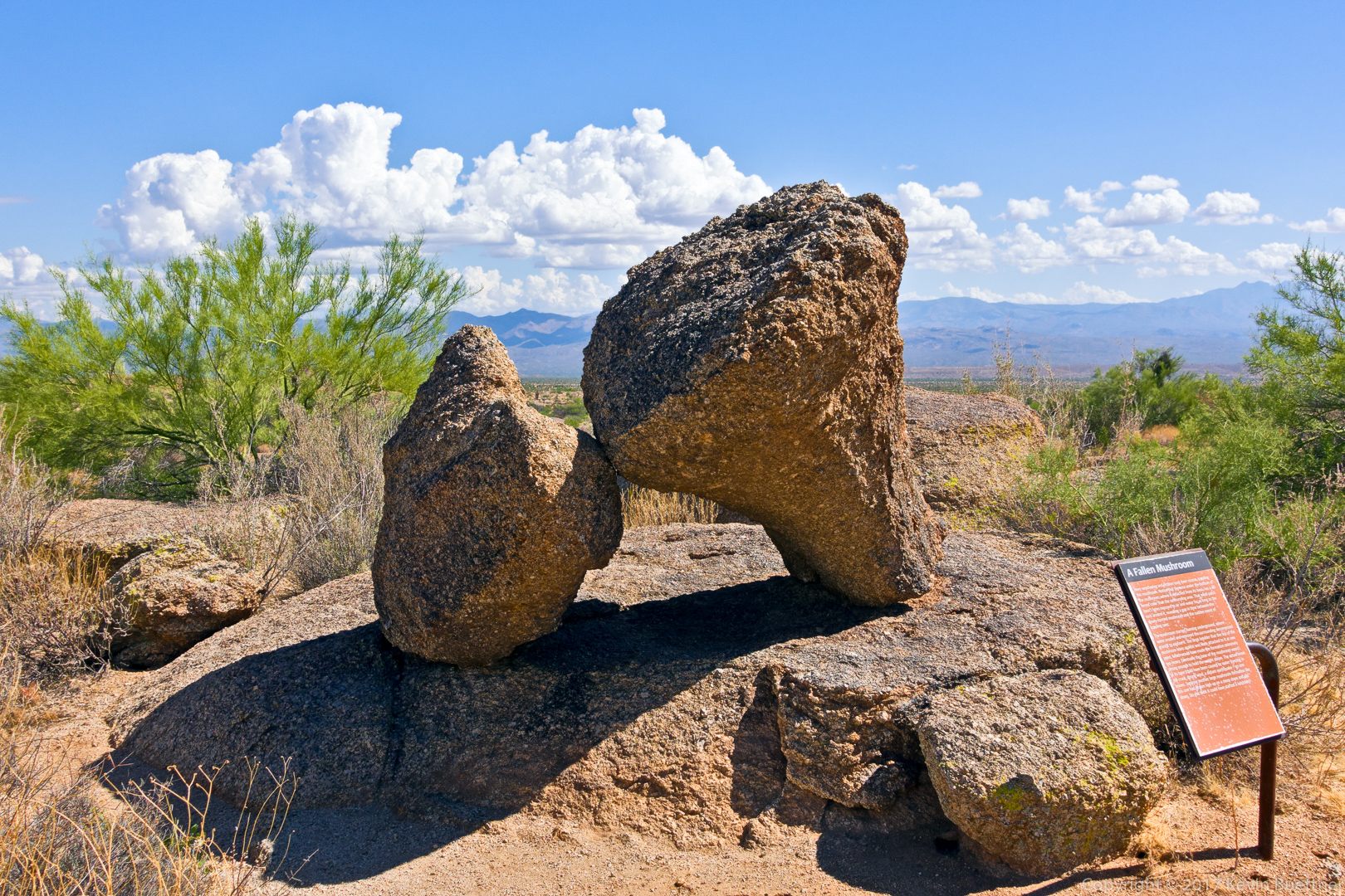
A side trail off of Marcus Landslide leads to this fallen mushroom rock:

Friday Fitness Hike

Bob, Mike, Mona, Marilyn, and I did a 9.1 mile hike starting from the Wagner Trailhead. We hiked Tortoise to Pemberton, and then took Pemberton to Stoneman Wash where we turned south down the wash. We hiked back to the Pemberton via one of the many feeder washes and then went northwest on Pemberton. We hiked into an arroyo west of the pond (where the homestead once was). Exiting the arroyo area, we hiked Tonto Tank back to Pemberton, continuing north back to Stoneman Wash. This time, we took the wash WNW until we got to the Bluff Trail. From there, we returned via Granite and Wagner.

We saw an eagle, at least two owls, other smaller birds, several rabbits, and one (western diamondback) rattlesnake on our hike.  The only critter which cooperated in my photographic pursuits was the snake.

A view of Four Peaks just before the start of the hike:


Dead tree on the Tortoise Trail:

A view of the Superstitions (in the distance) from the Tortoise Trail:

A view of Red Mountain from Stoneman Wash:

Heading into one of the arroyos…

Mona, Mike, Bob, Marilyn, and Kevin:

Another view of Four Peaks, this time from the Tonto Tank Trail:

We saw this rattlesnake just off of the Tonto Tank Trail. We heard it before we saw it as it started rattling as we walked past.

Fresh growth on Teddy Bear Cholla in Stoneman Wash:

Looking up at the branches of a dead tree…

Another dead tree:

A large saguaro in Stoneman Wash:

Saturday Hike – Scenic Trail

Friday Fitness Hike

Linda, Bob, and I hiked a 13.5 mile loop utilizing the Technical Loop, Stoneman Wash, Pemberton, Dixie Mine, the South Wash, portions of the Long Loop, and several other smaller washes along the way.


Sunday Hike – See Canyon Trail #184

Marilyn and I hiked out and back on See Canyon Trail #184.  The round trip distance is only about seven miles, but it has an elevation gain of over 1800 feet.

Conditions were cool and wet when we started. Foliage encroaching upon the trail made our legs and feet wet. Brushing up against small trees or brush would cause localized rainfall as leaves shed their moisture.

There were no expansive views on this hike, only views of forest with occasional glimpses of the rim or sides of the canyon through the trees.  But, even so, there were some interesting things to see along the way.

Friday Fitness Hike

Linda, Mona, and I hiked 10.4 miles starting from the end of Golden Eagle Blvd. We hiked out Dixie Mine, went left on the service road, right on Prospector, right on the Bell Pass Trail, right on Windmill (past the windmill), right on Coachwhip, and then right on Dixie Mine, which eventually led us back to where we started.

It felt warmer to me today than it did last week, but I think that was mostly due to the humidity being somewhat higher.  Visibility was very poor.  Mona told me that smoke from the wildfires in California and Oregon has been blown into the Phoenix area.  Prominent landmarks such as Four Peaks, Weaver’s Needle, and the Flatiron were totally obscured by the smoke. Even Red Mountain, which is not that far away, was partially obscured by the haze. The air smelled somewhat smoky too, but I really had to breathe it in in order to detect it.  The pictures below reflect this fact – missing are the distant mountain vistas which are normally in my photos.

We saw this hawk atop a saguaro early in our hike along the Dixie Mine Trail:

Even looking towards Thompson Peak looked hazy.

We’re near the intersection of Prospector and Bell Pass for this photo.

If you look closely, you can see the windmill for which the Windmill Trail is named.

Looking back toward Bell Pass – we can actually see a patch of blue sky!

But looking back in the other direction, toward Linda and Mona who were waiting for me, it’s very hazy.

Heading down the Coachwhip Trail – Weaver’s Needle and other landmarks in the Superstition Wilderness are normally visible from this vantage point. On this day, the haze obscured it all.

This was the large saguaro that used to stand at the bottom of the hill.

Returning now on the Dixie Mine Trail…


Sunday Hike – Ballantine Trail

Marilyn and I hiked six miles on the Ballantine Trail / Pine Creek Loop…

I was fortunate enough to see two rattlesnakes on my way back!


Friday Fitness Hike

Bob, Heather, and I hiked 8.75 miles starting from the Trailhead Staging Area.

An early morning view of a saguaro on the Pemberton Trail:

Views from one of the washes off of the Pemberton:


A view of Stoneman Wash from the Granite Trail:

The remains of a dead tree in Stoneman Wash:

1960 Chevy Impala – check out that chrome!

That old car provides a home to this spider.  (I missed the focus on the spider, but at least got the web in focus.)