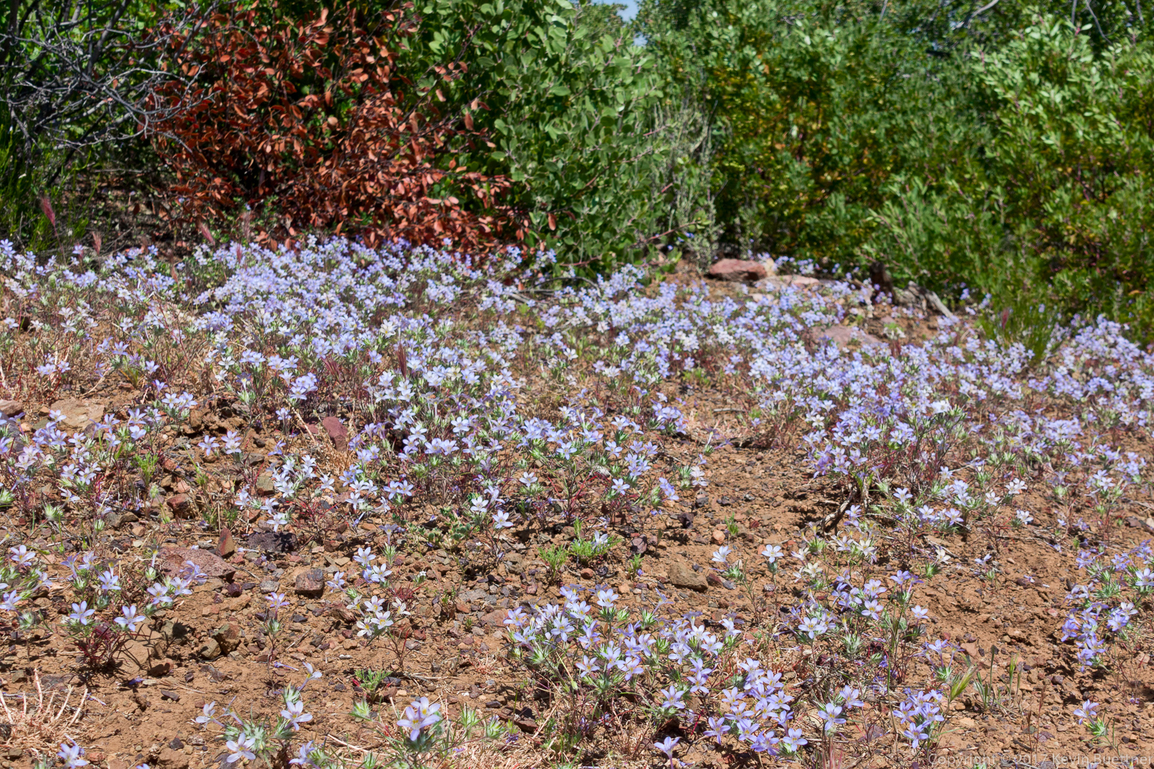
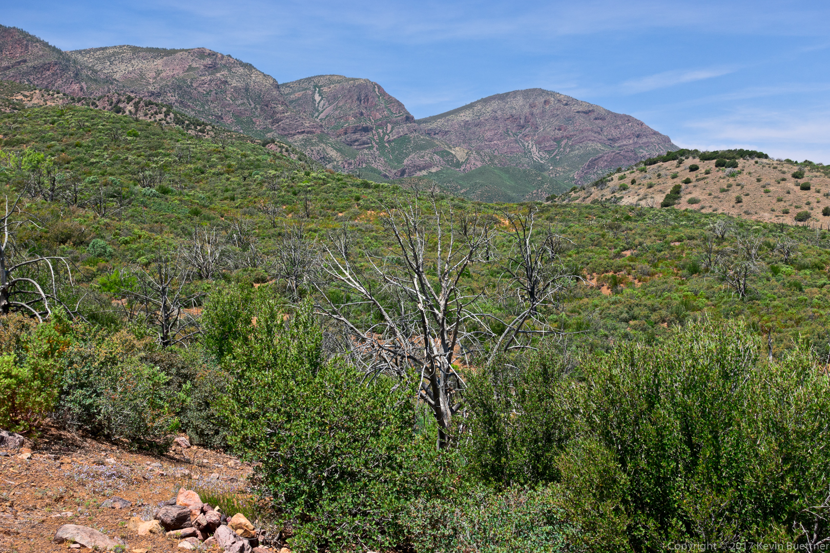
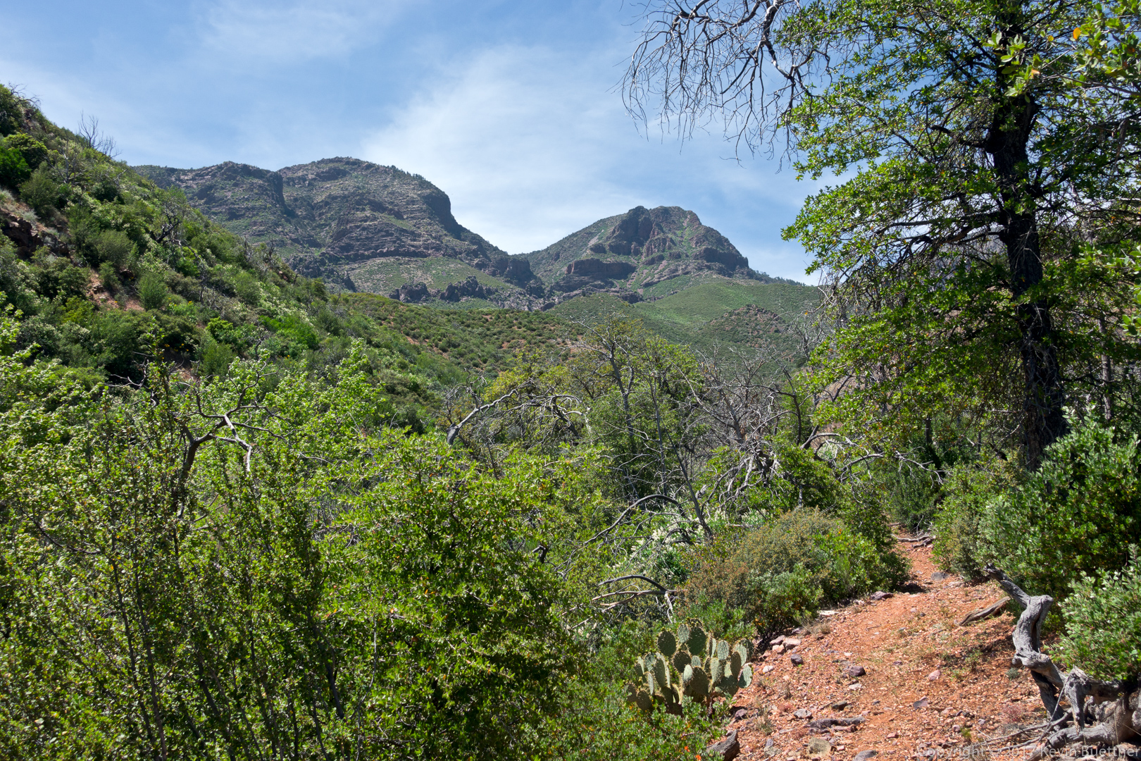
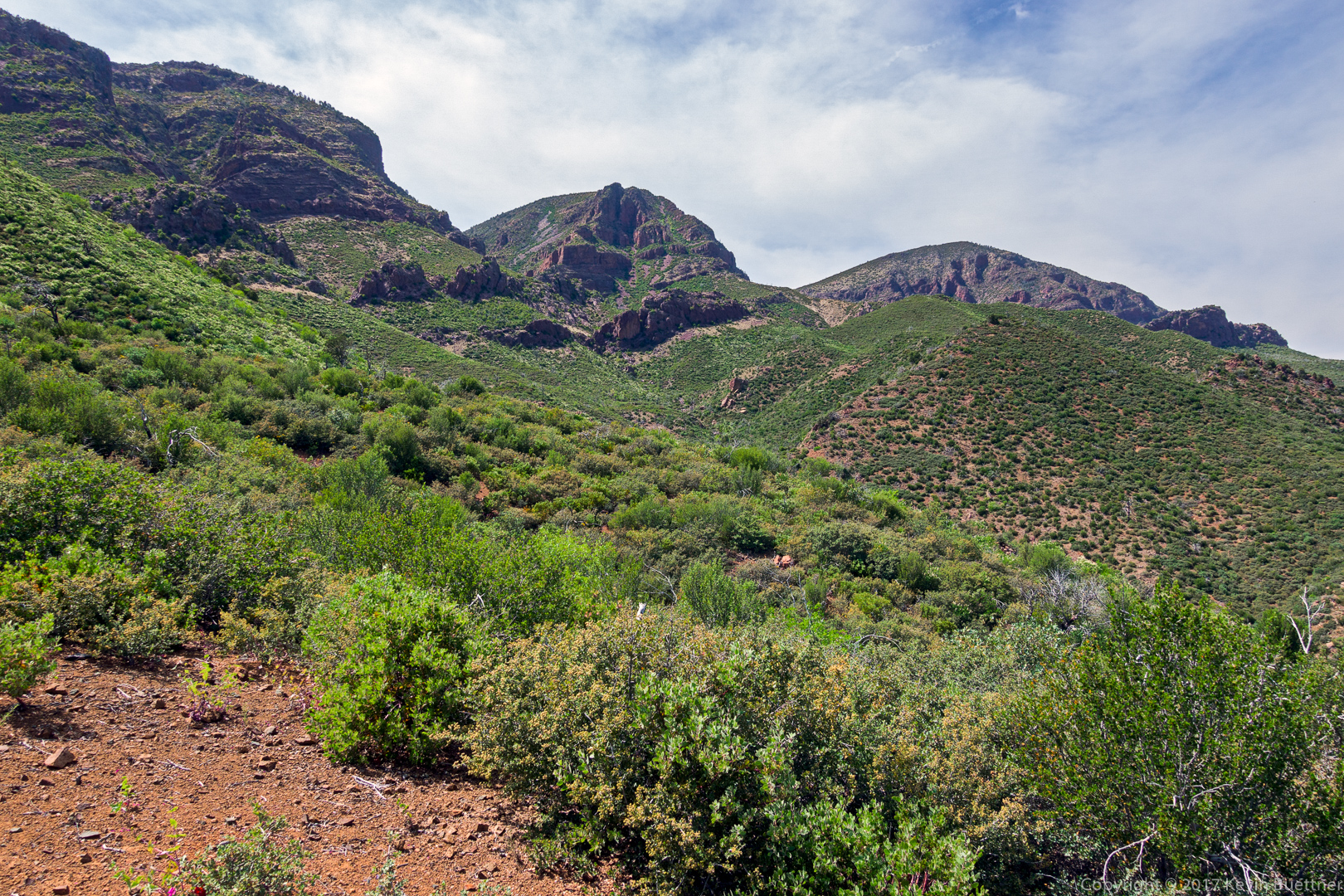
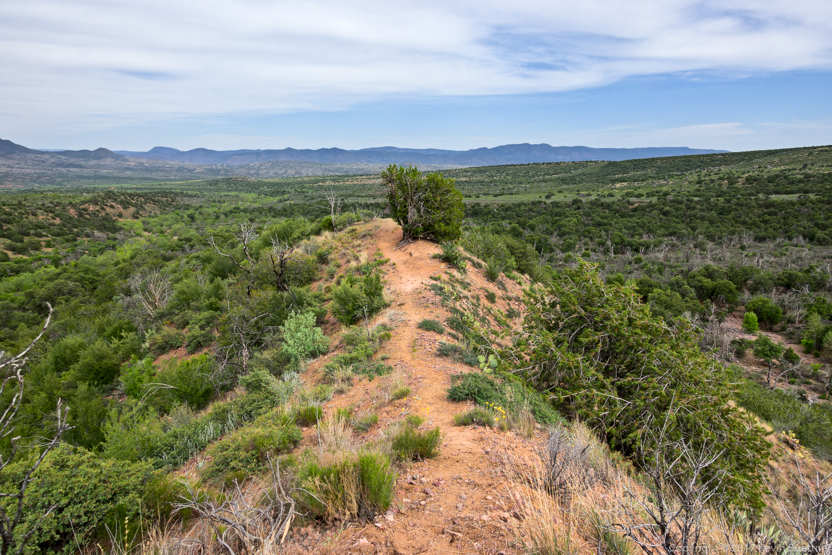
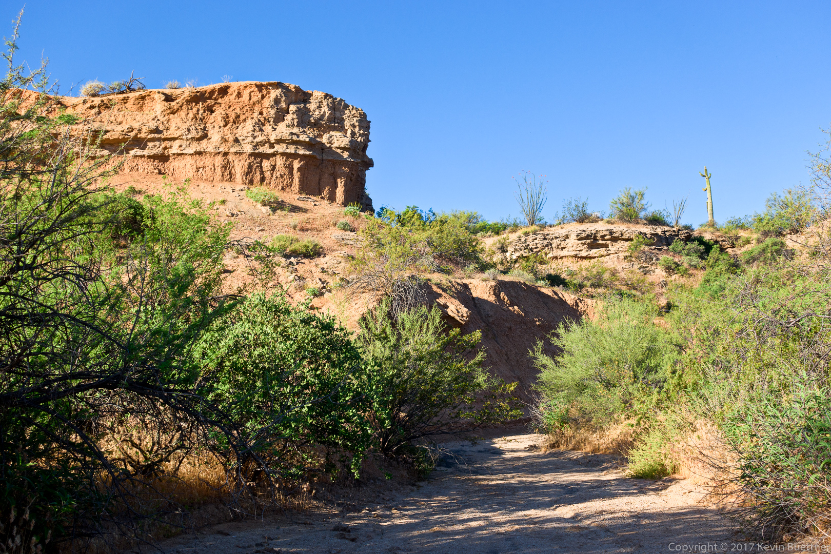
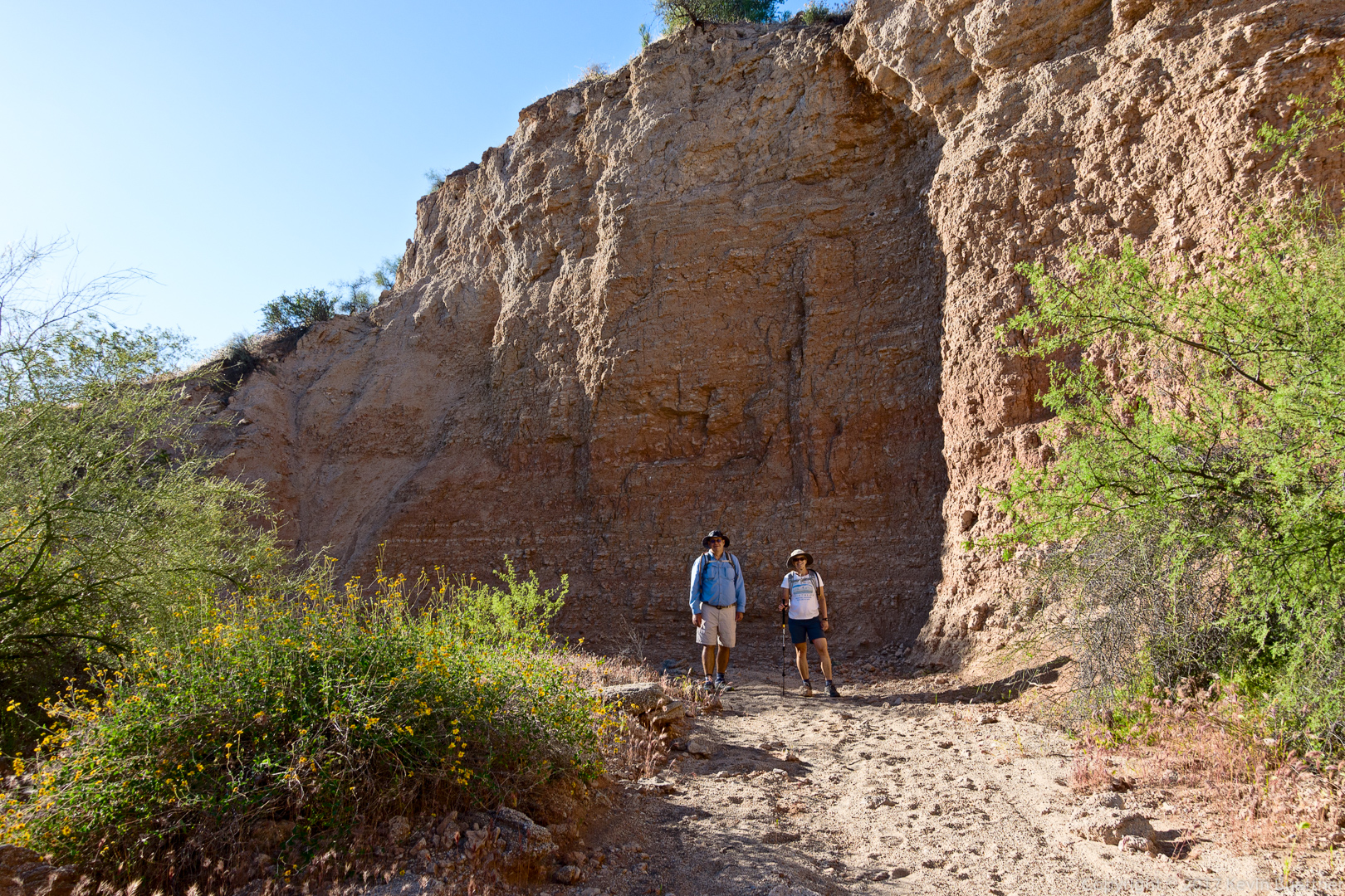
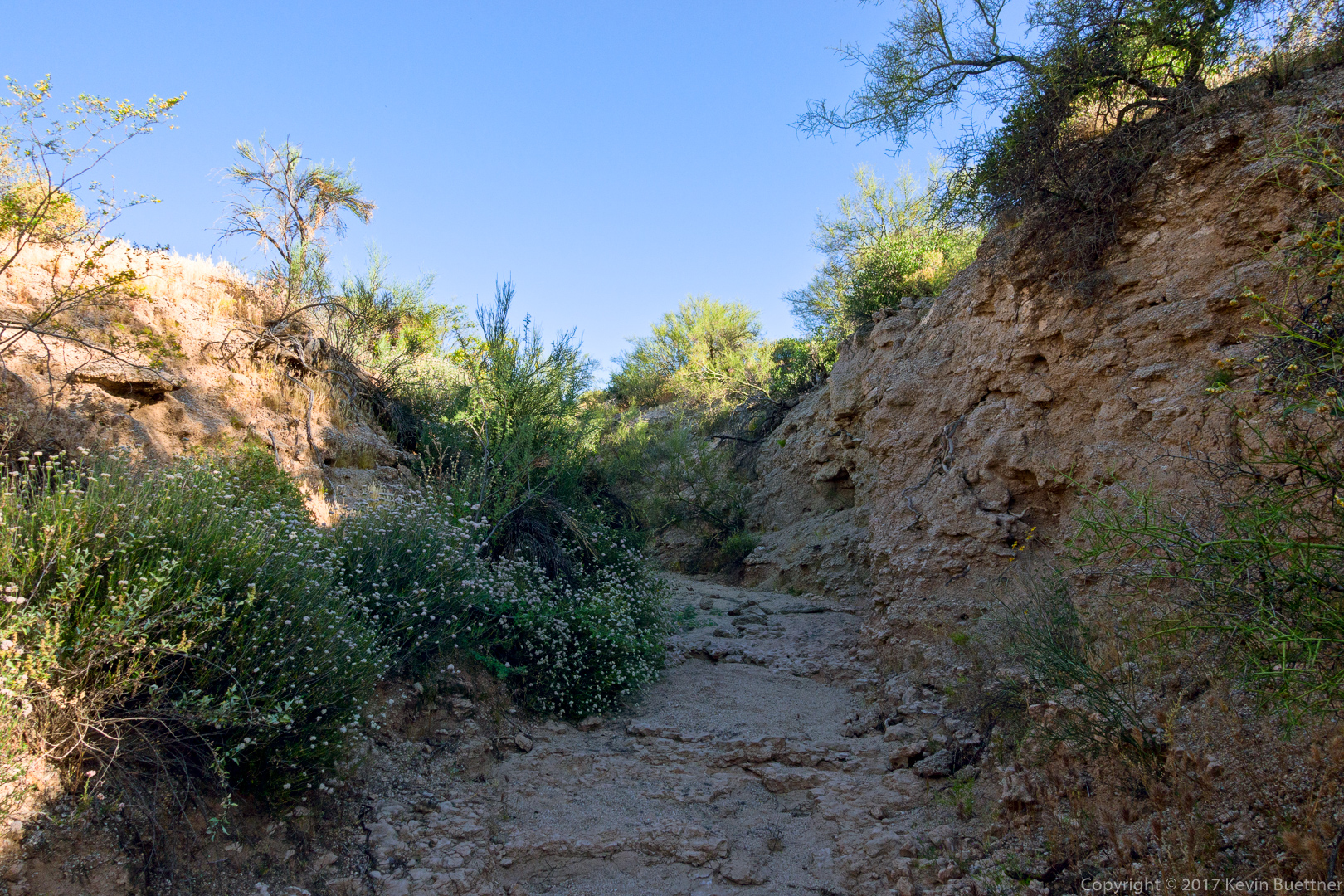
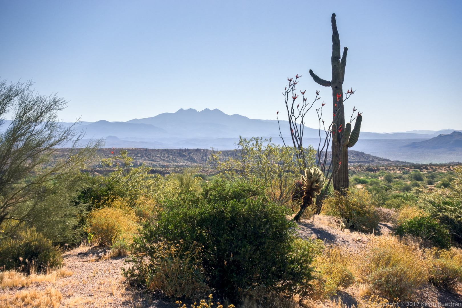
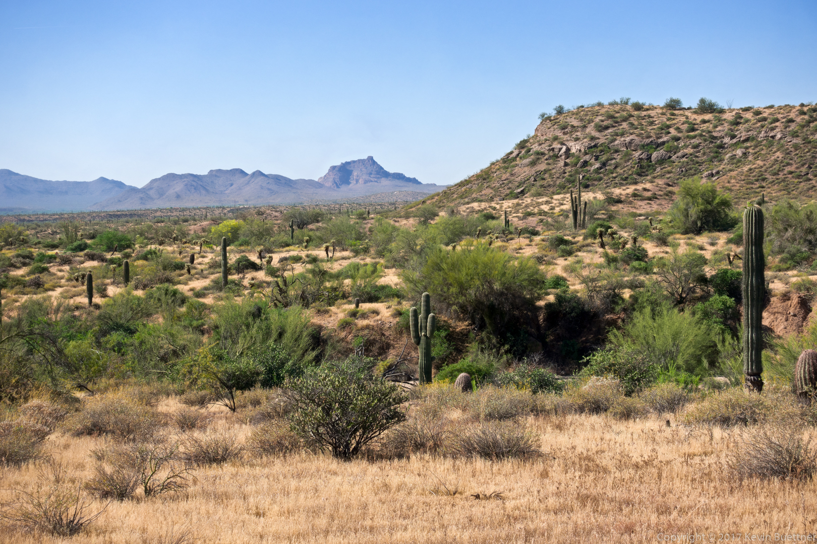
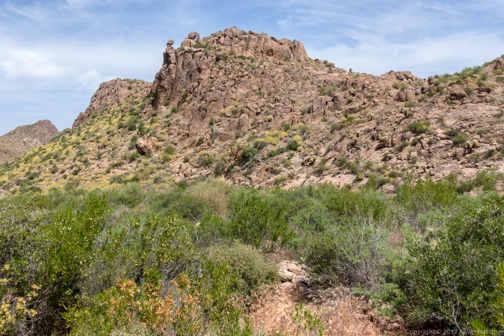
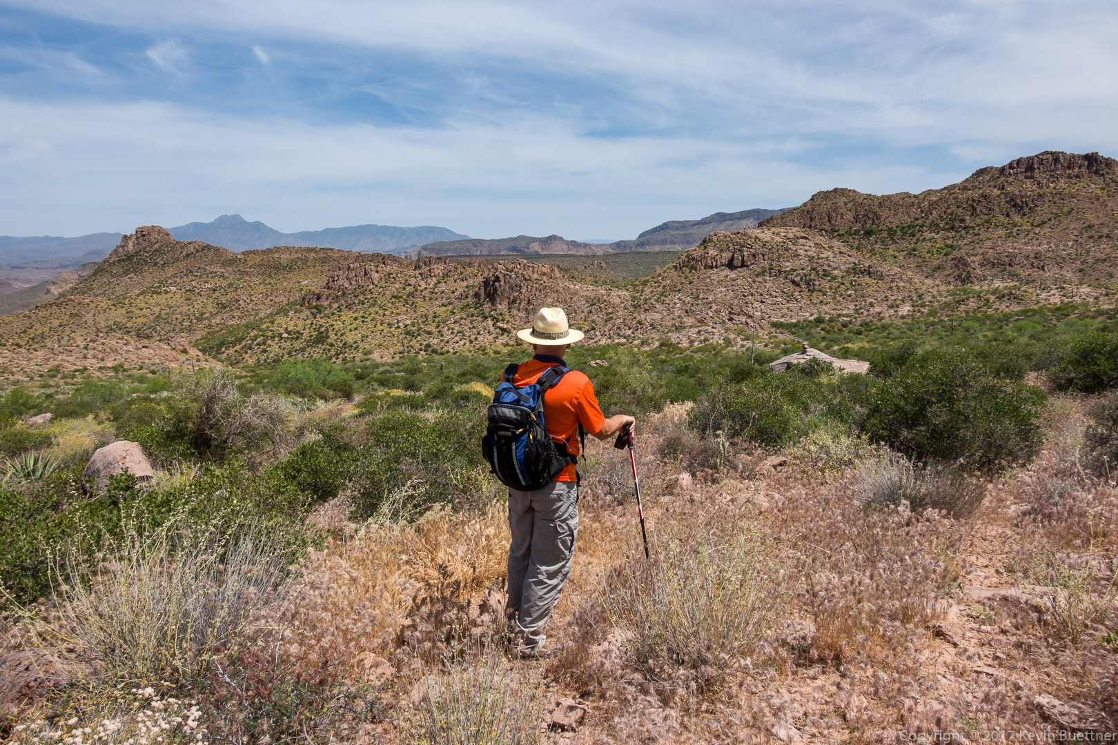
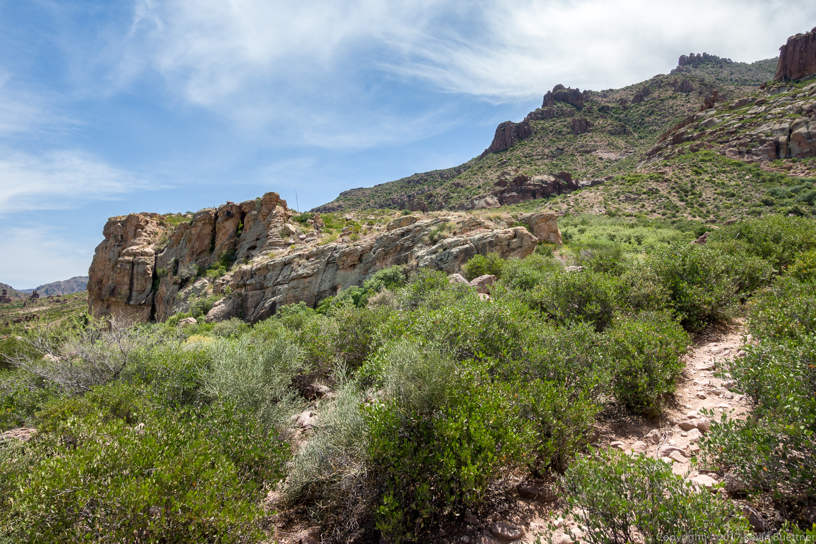
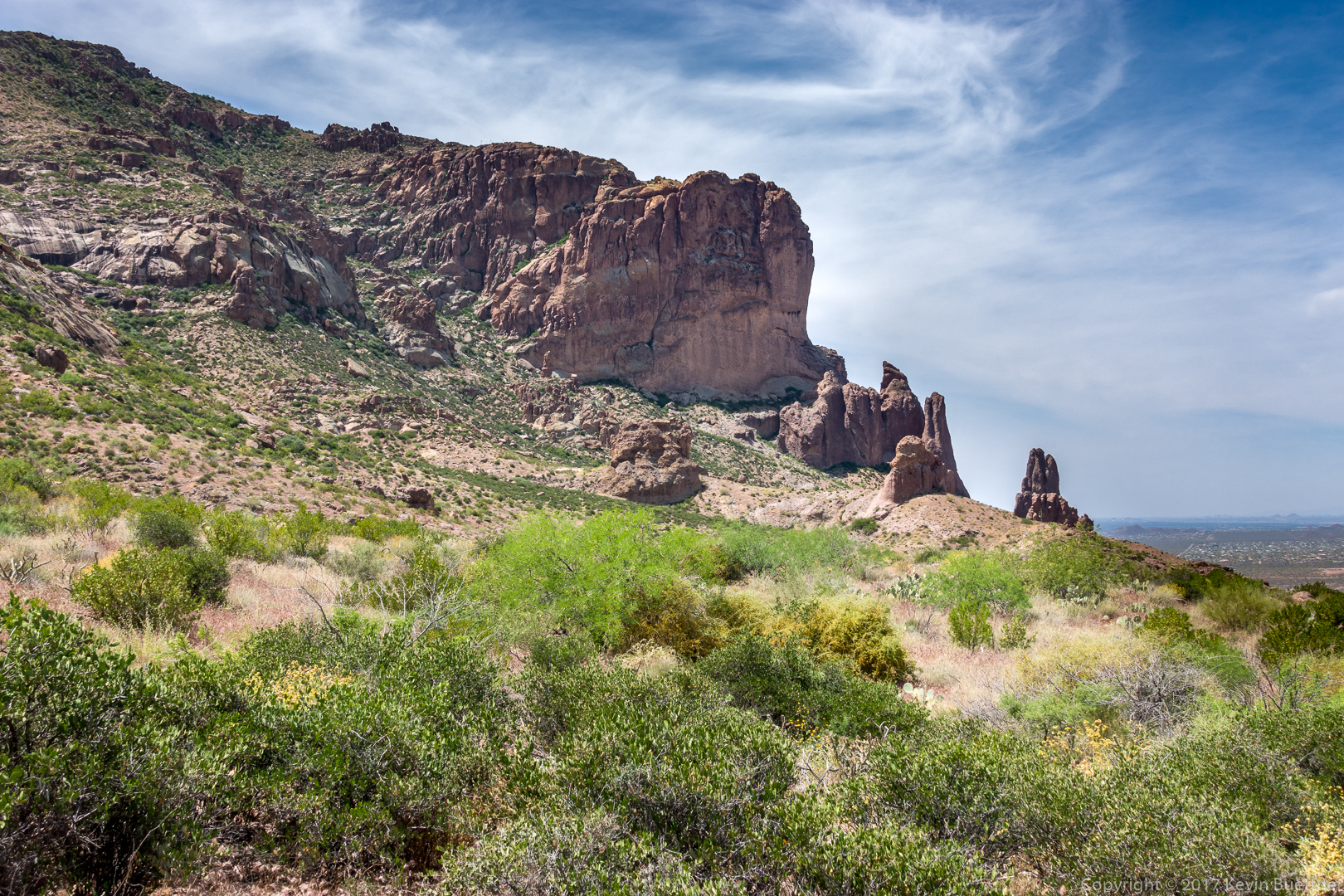
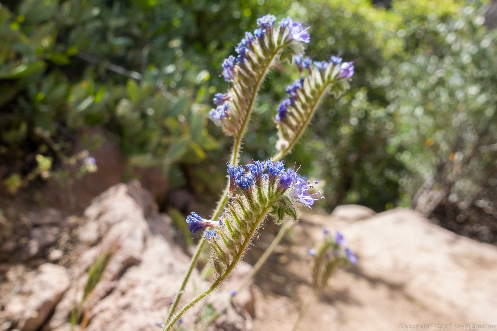
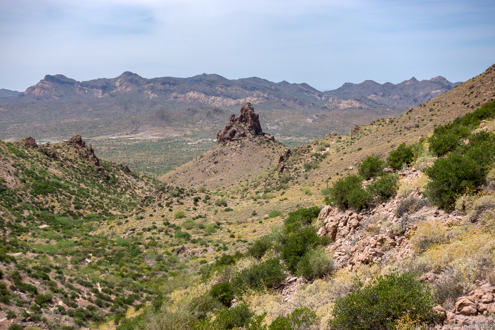
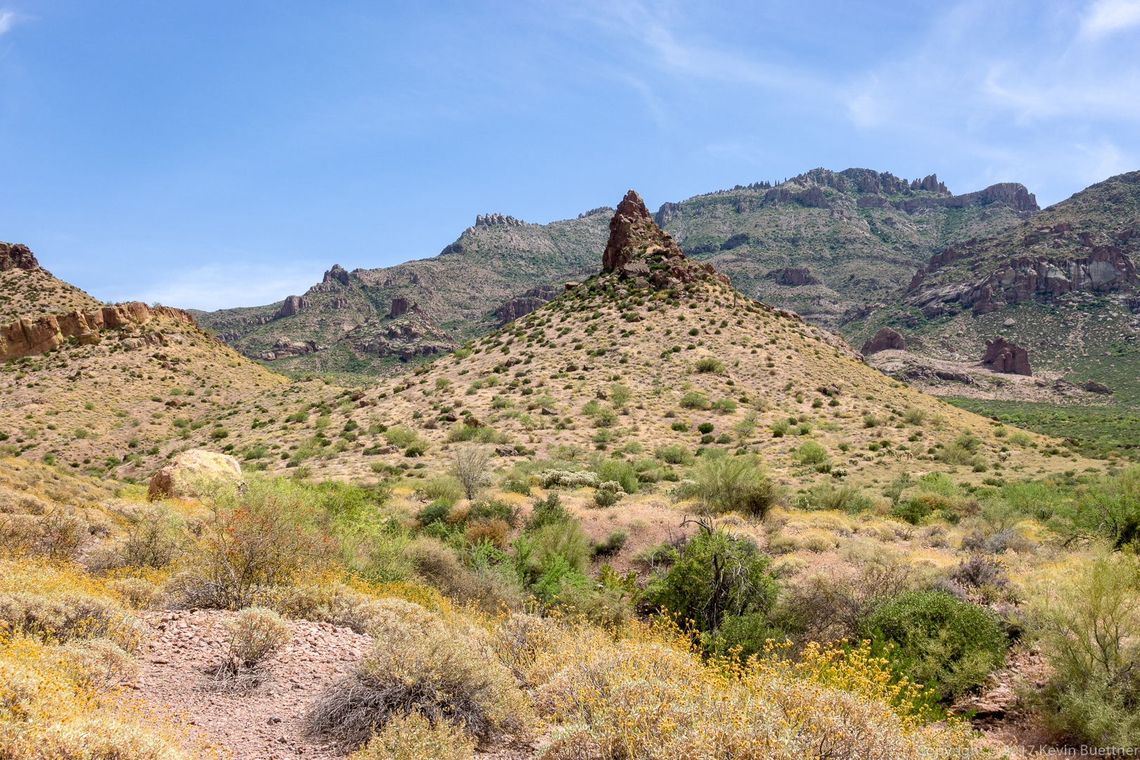
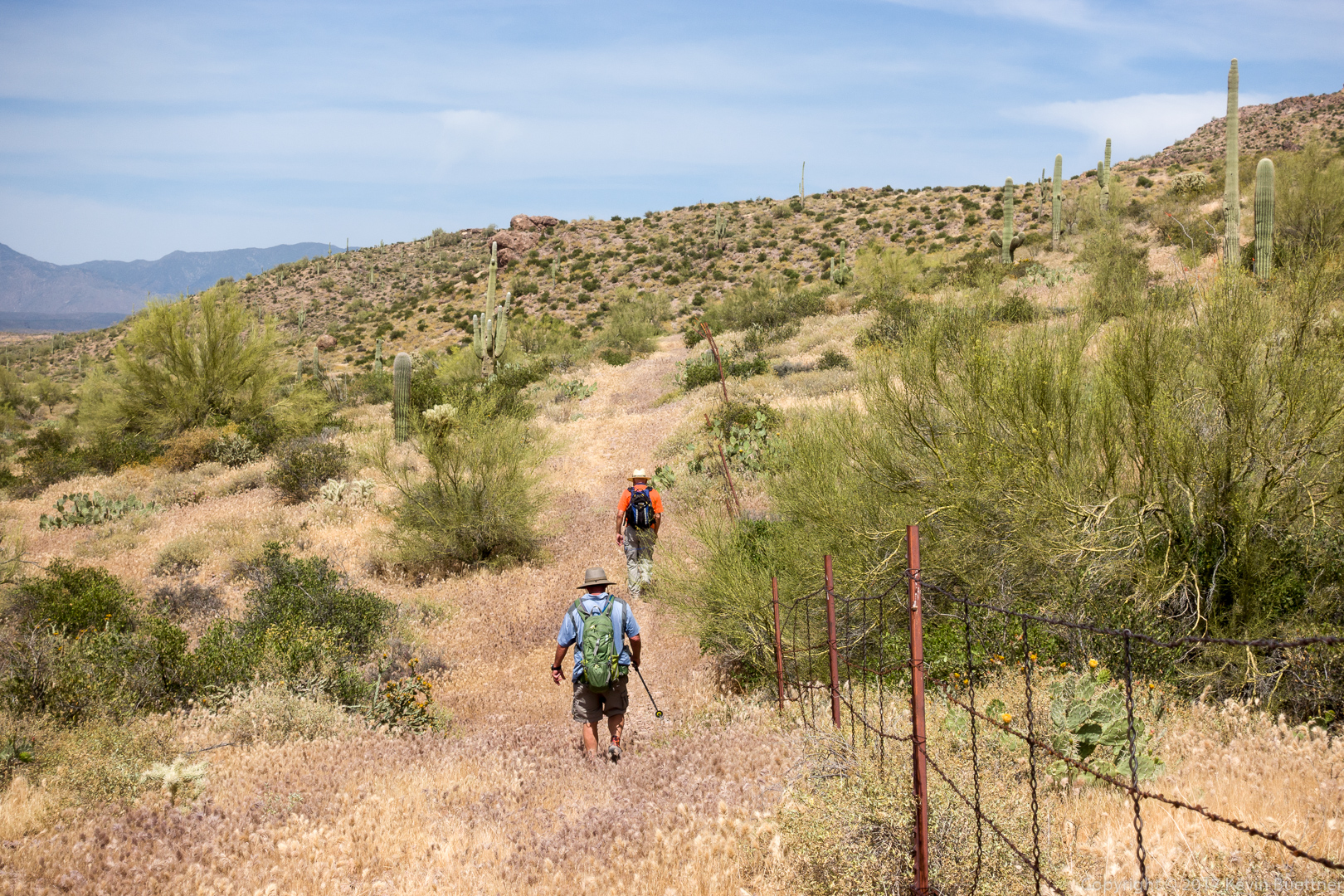
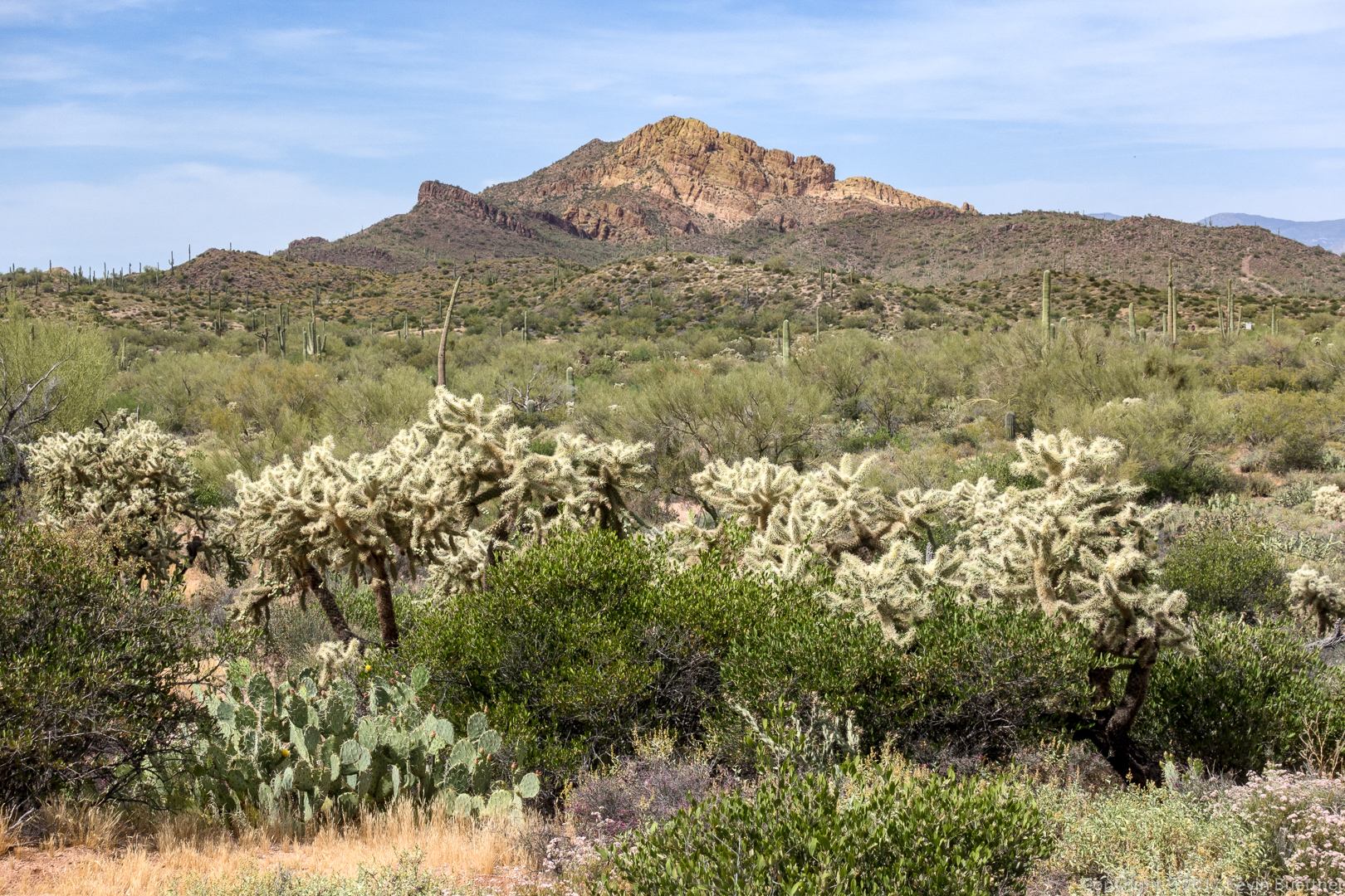
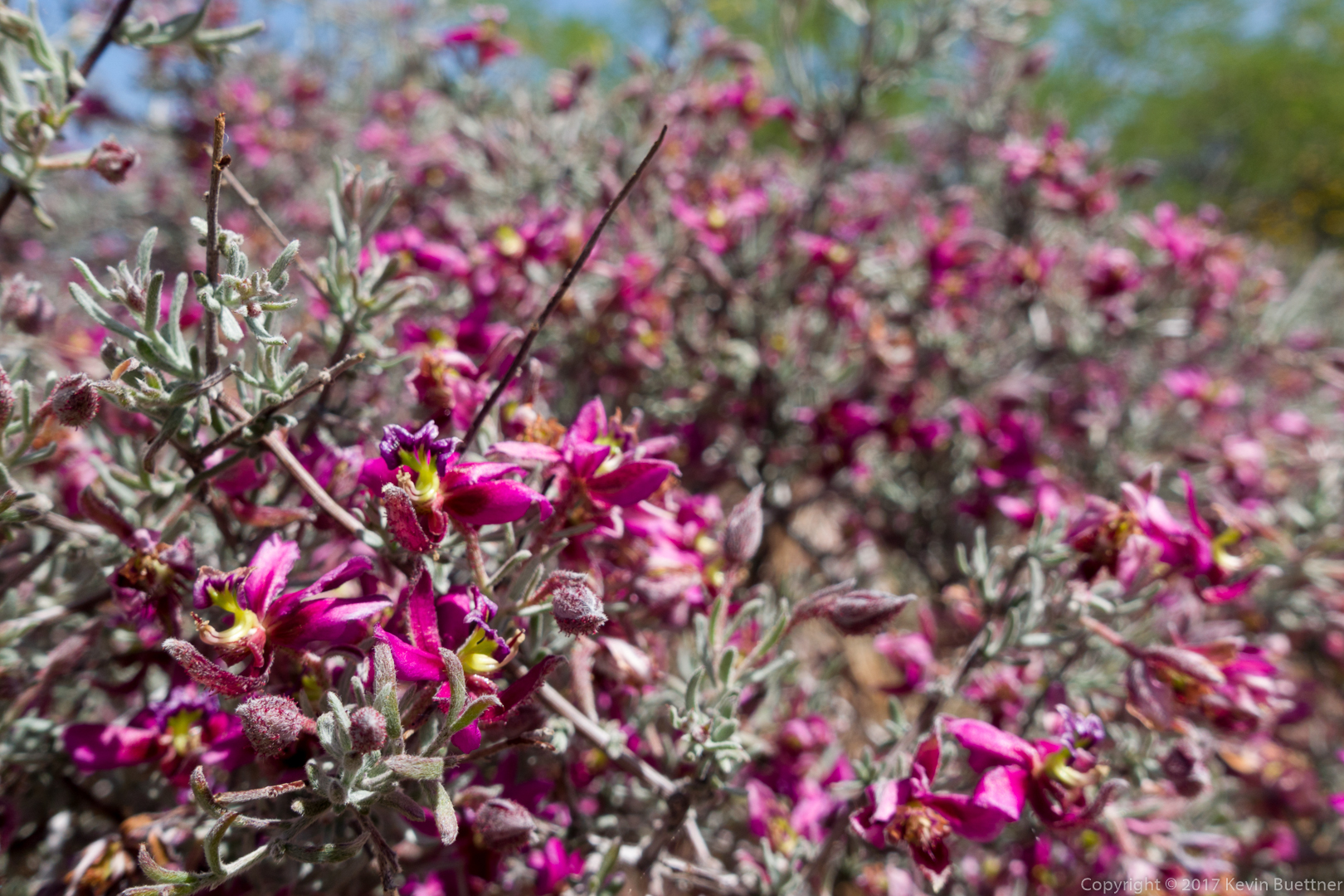
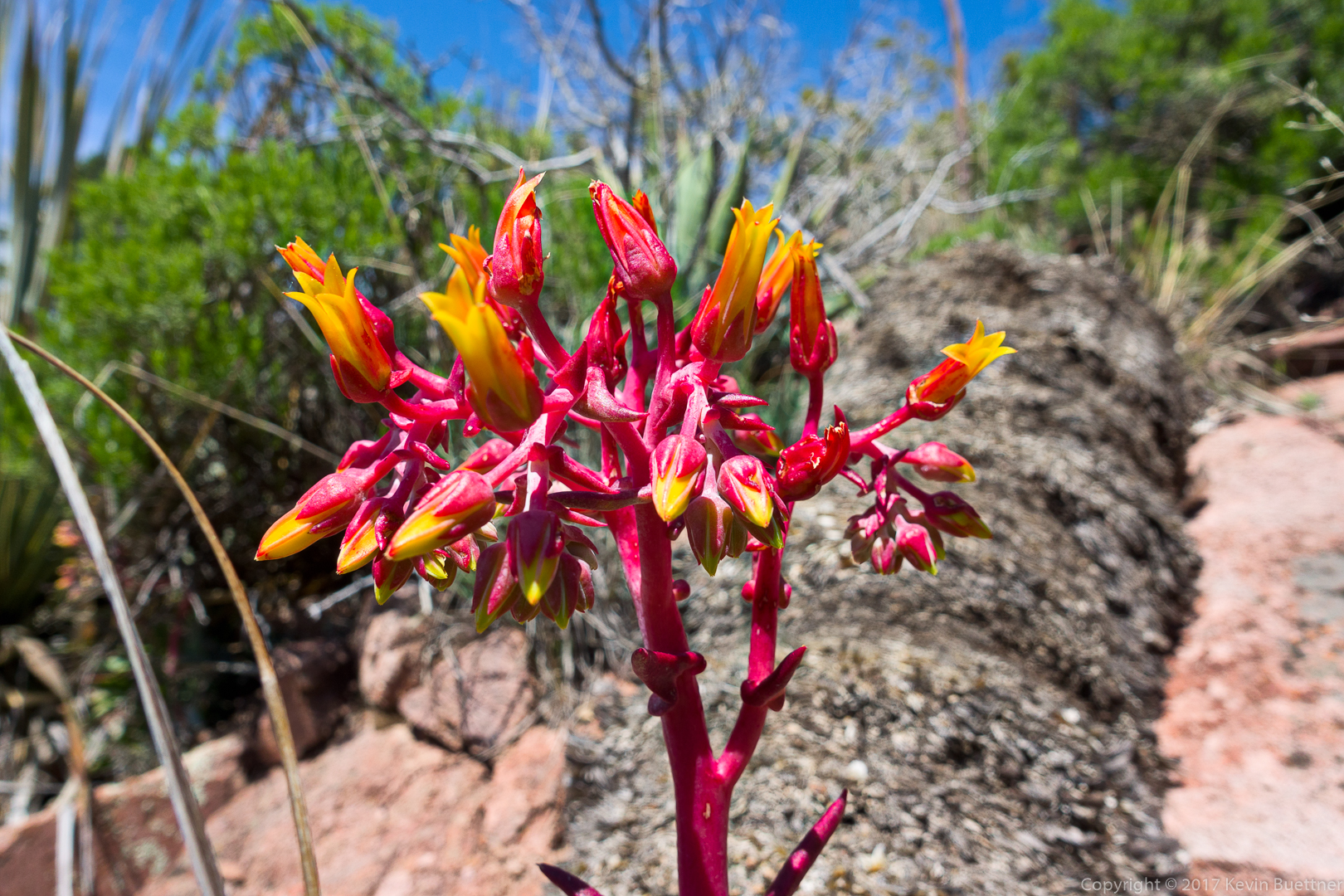
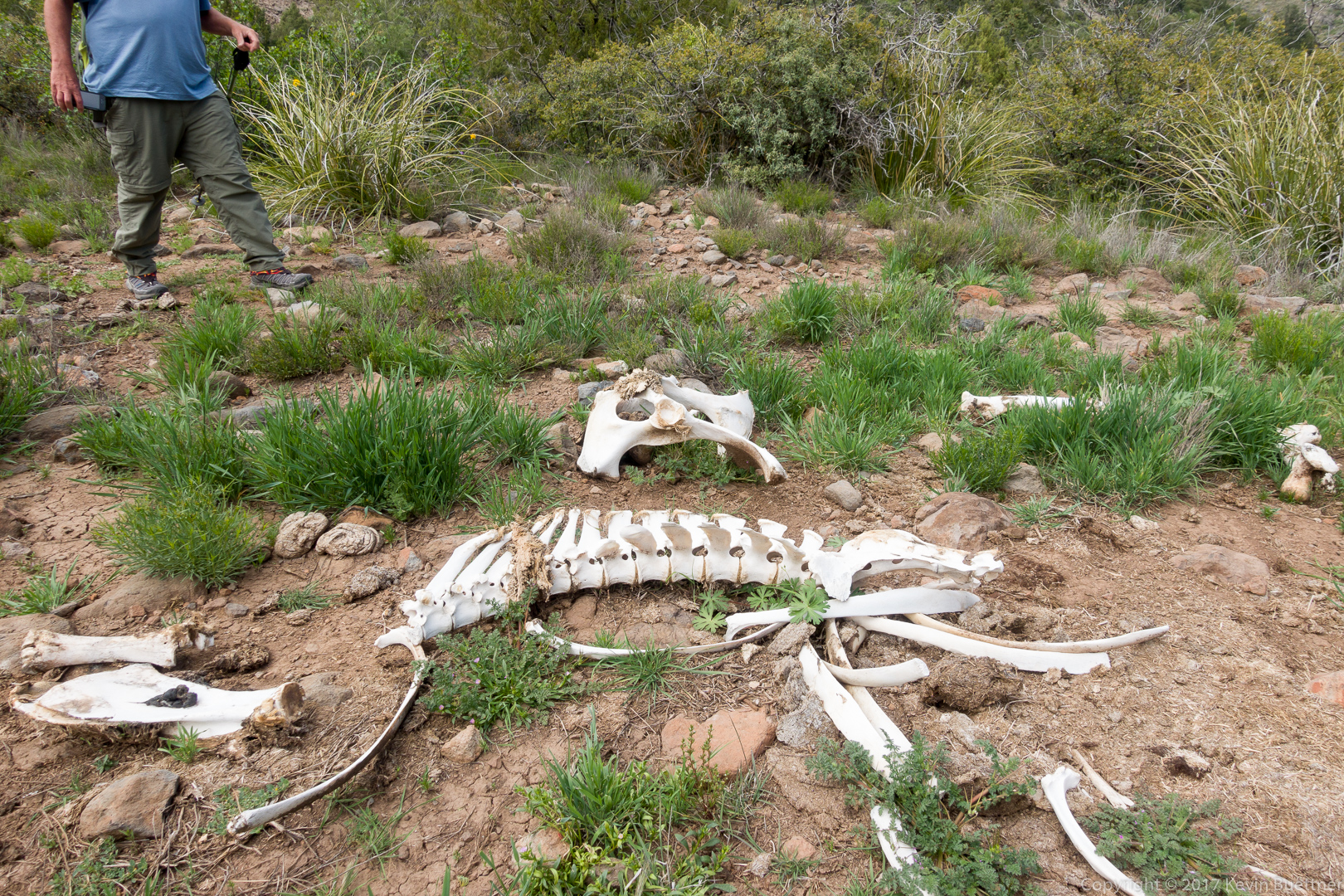
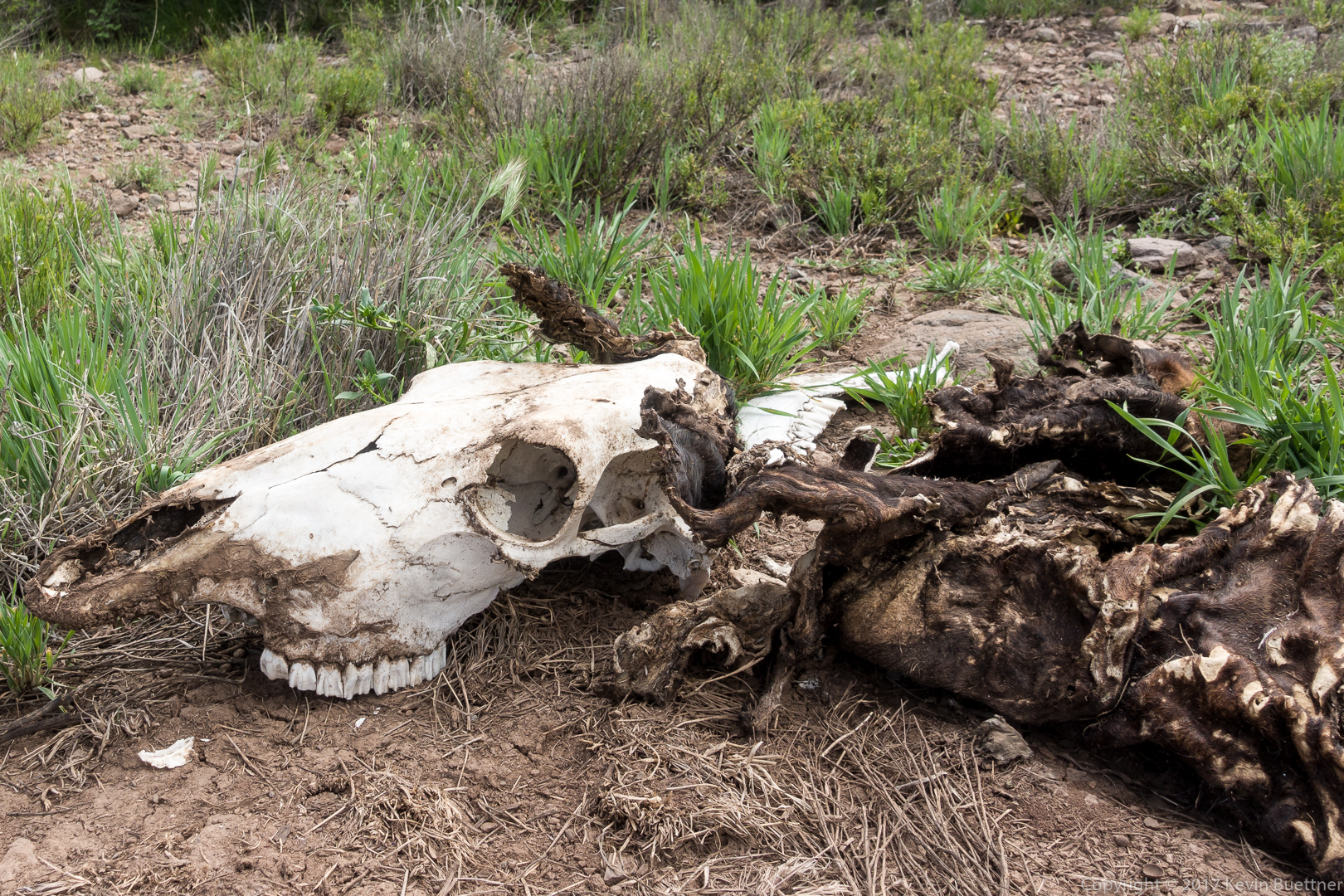
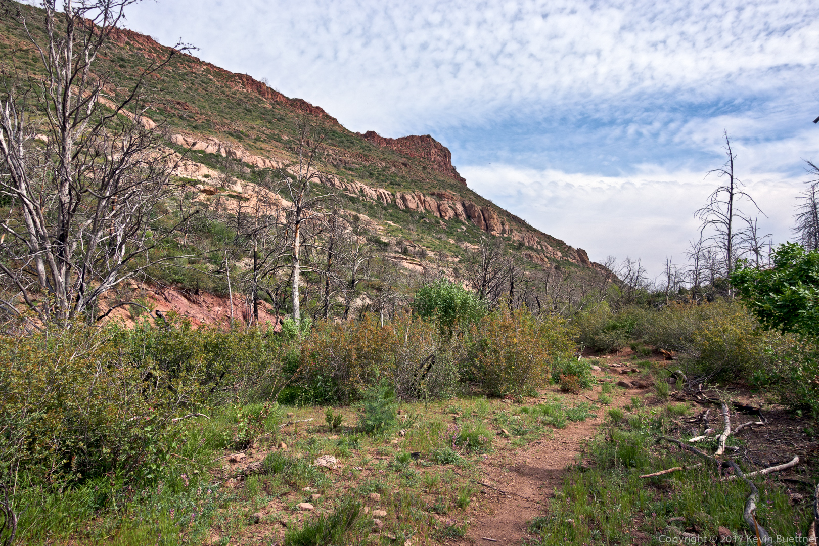
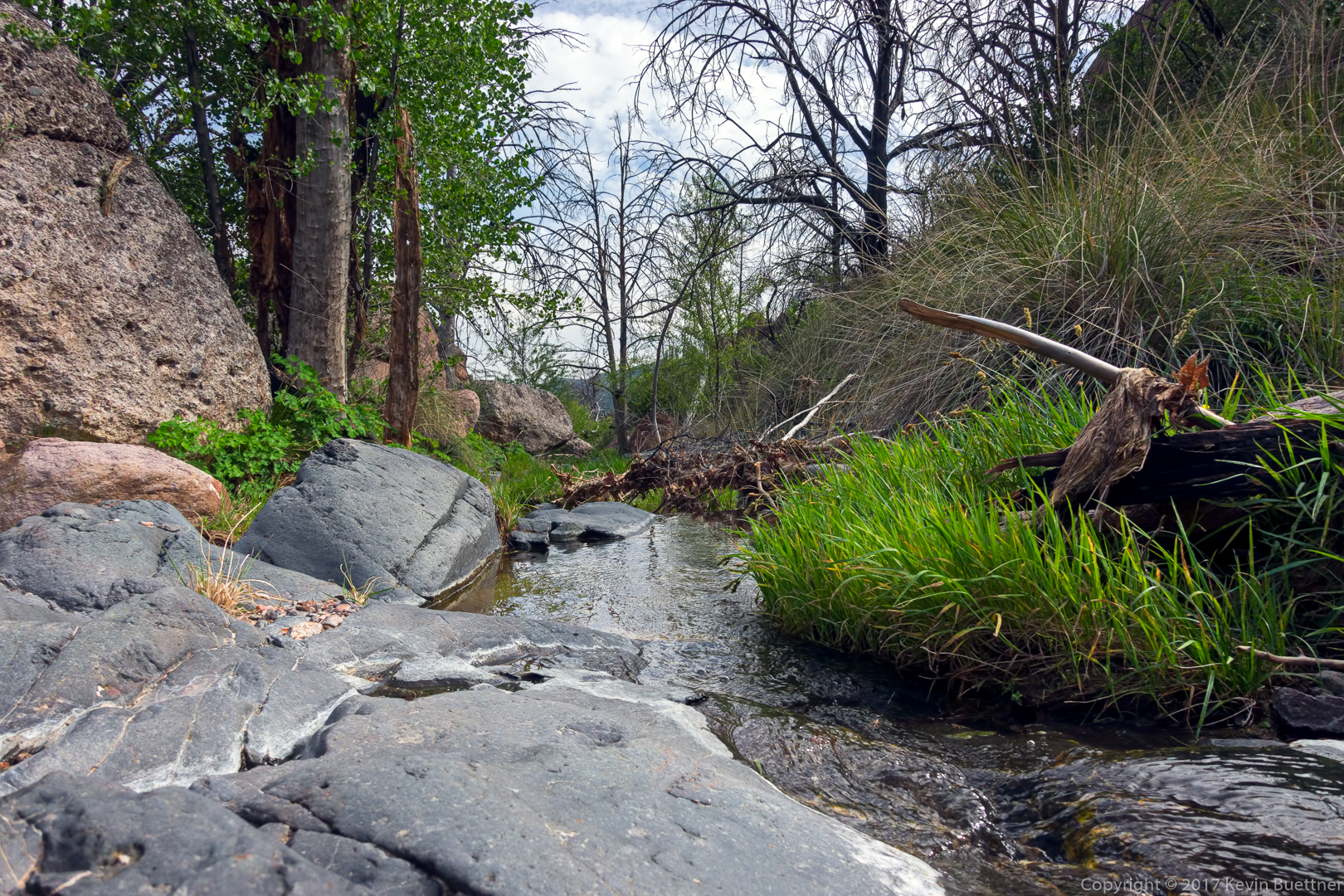
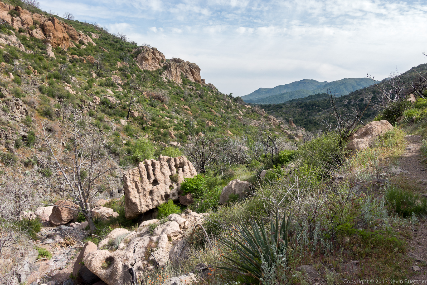
Joe, Bob, Mike, and I hiked a portion of the Dixie Mine Trail on Friday.
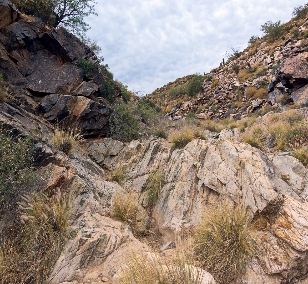
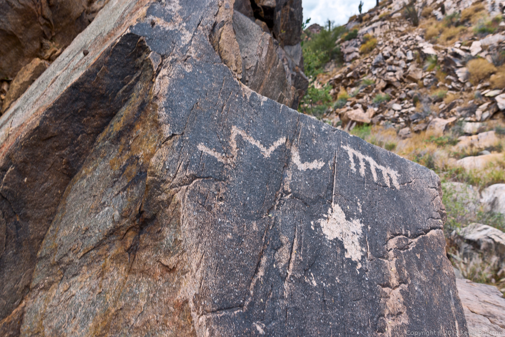
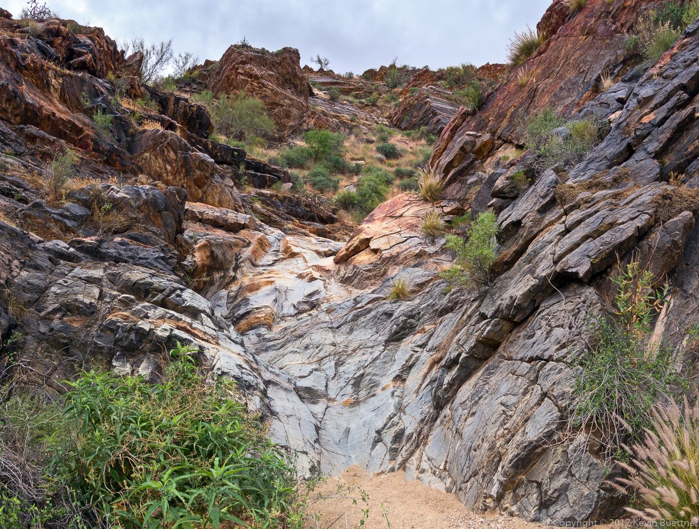
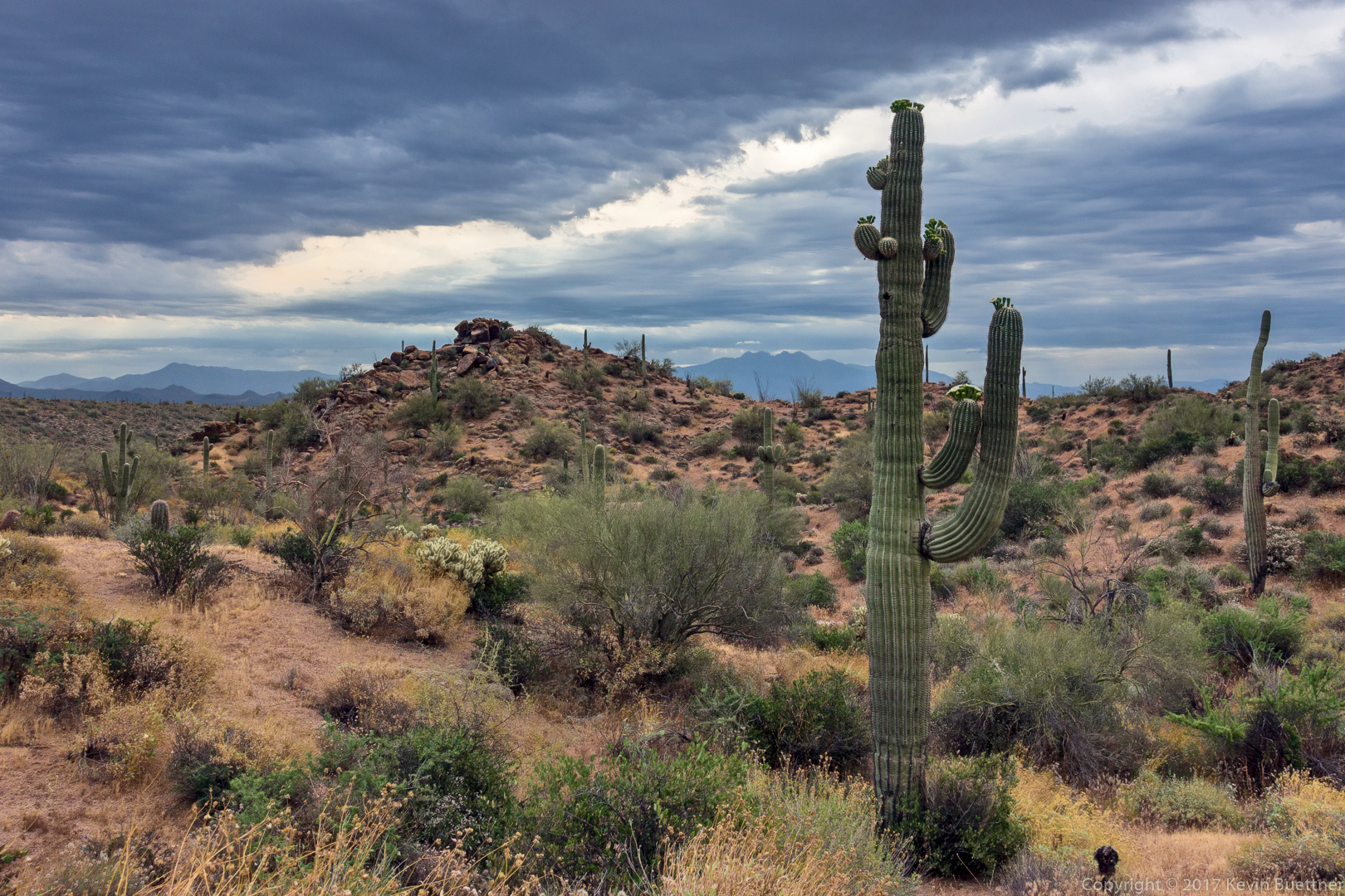
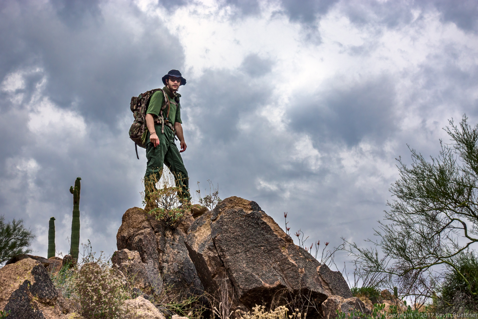

Joe, Bob, Mike, and I hiked a portion of the Dixie Mine Trail on Friday.
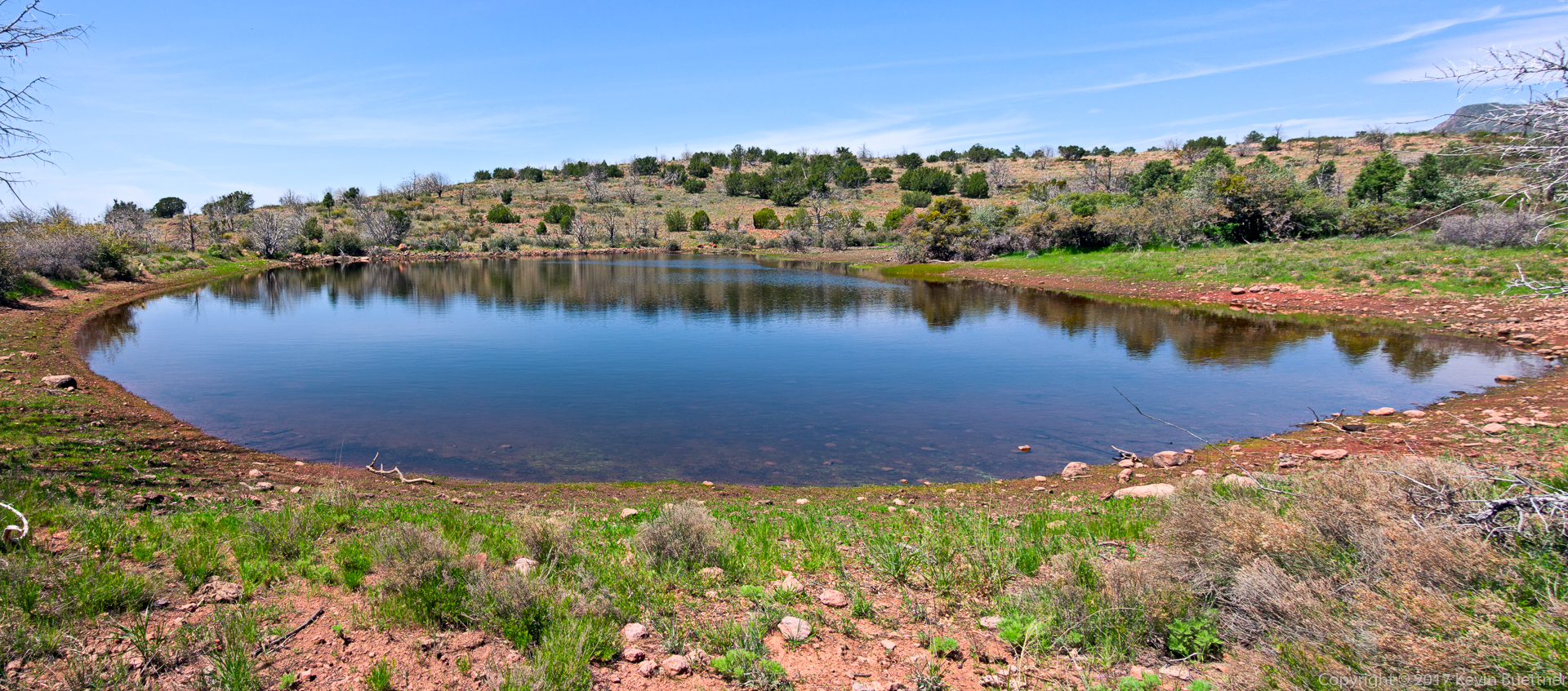
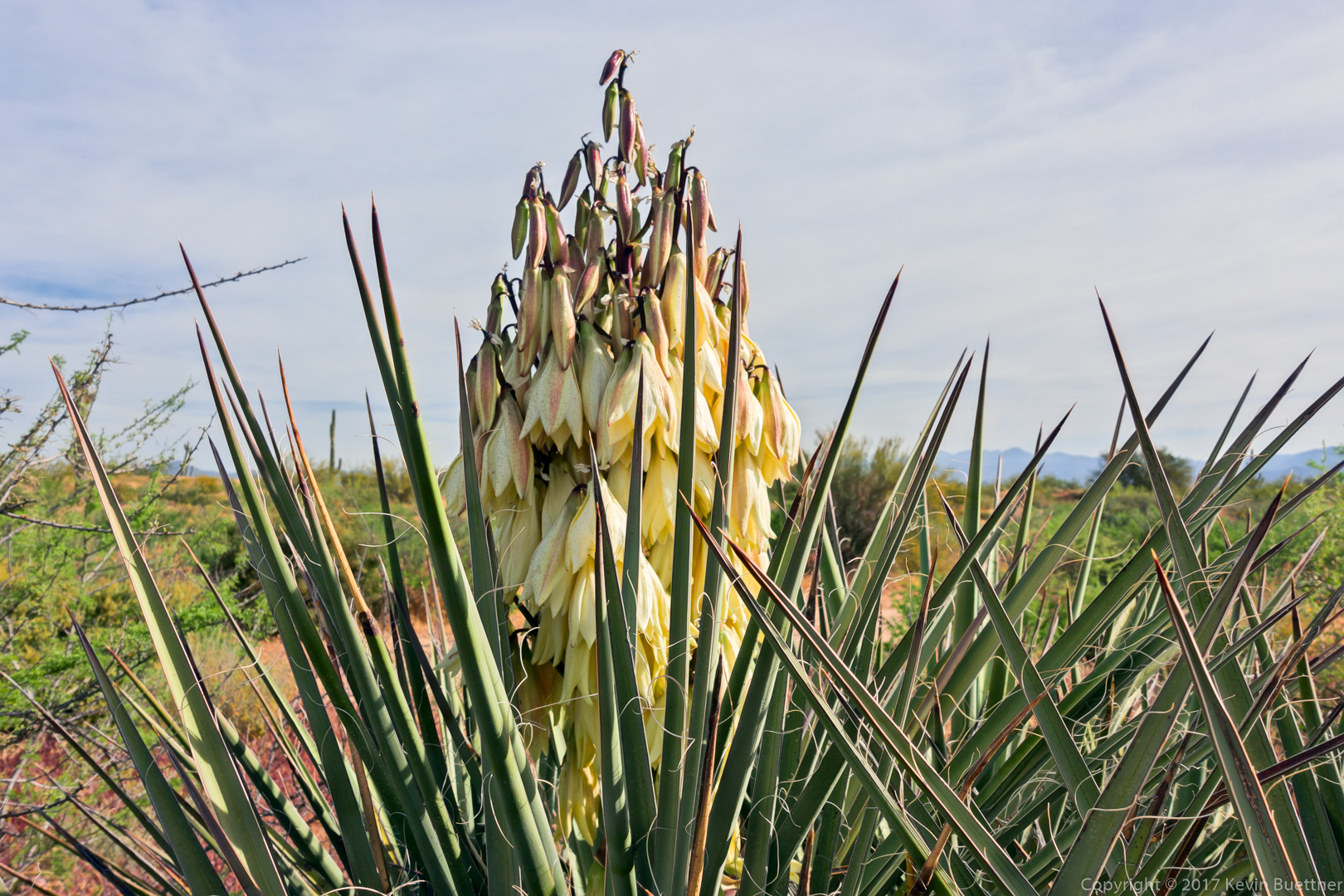
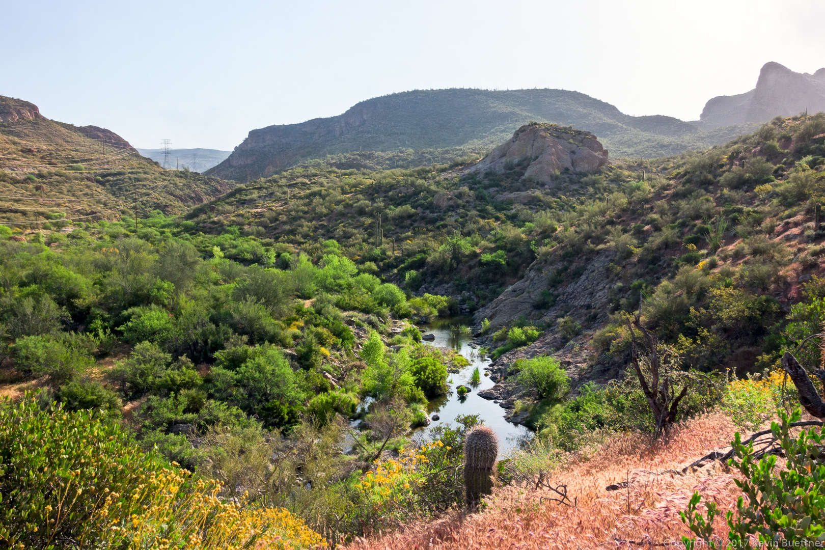
I hiked about 12 miles round trip on the Half Moon and Rock Creek Trails beginning from the Barnhardt Trailhead.
Back in 2002 (or maybe 2001), I had first scouted these trails and then hiked them as part of a loop.
Later, after the Willow Fire of 2004, Marilyn, Nick, and I hiked the Half Moon Trail. It was miserable after the fire – some of our clothing was torn to shreds by catclaw and other thorny bushes.
I’ve become interested in perhaps doing a loop in this area again, so I decided to hike the Half Moon Trail to assess it’s condition. A lane of eight feet or wider has been cut through the thorny brush for most of the trail. The same is true for sections of the Rock Creek trail as well. I’ve posted a complete triplog at hikearizona.com.


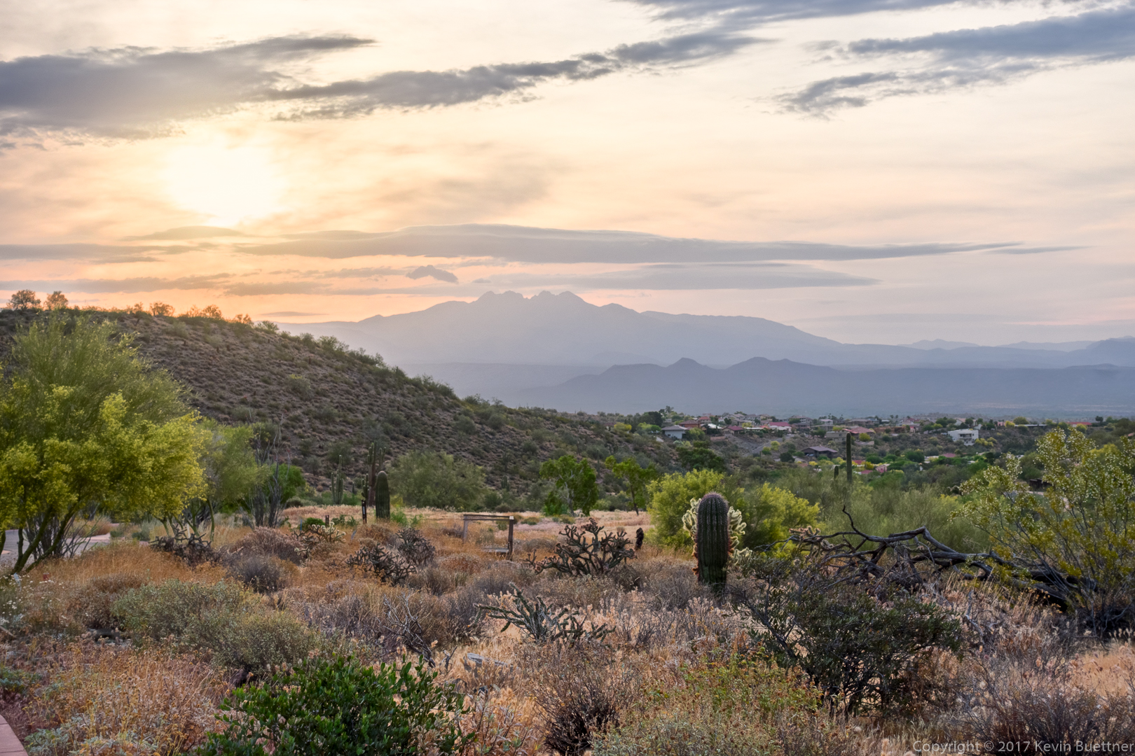
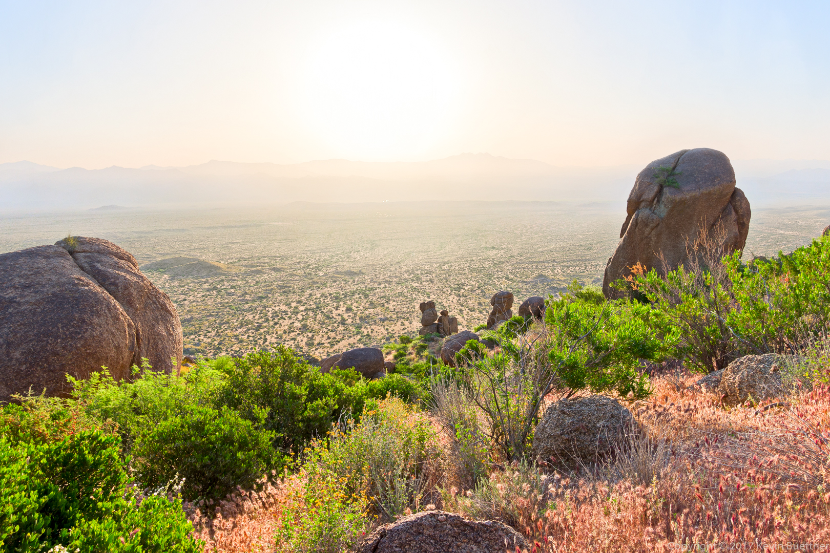
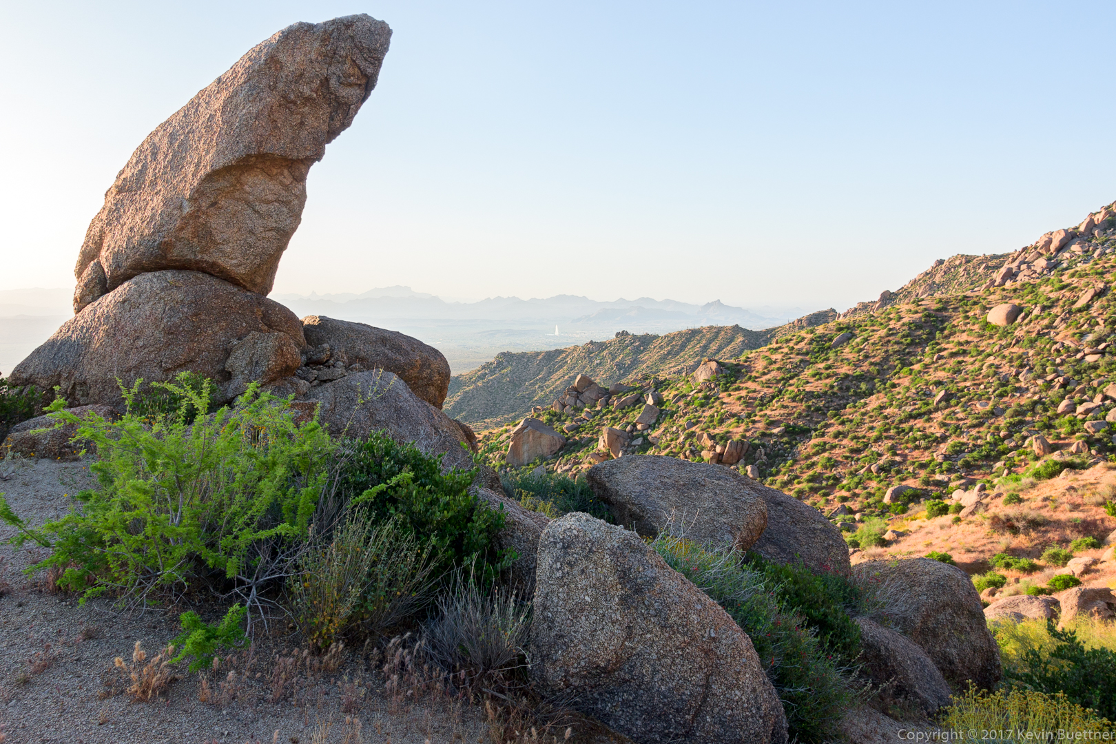
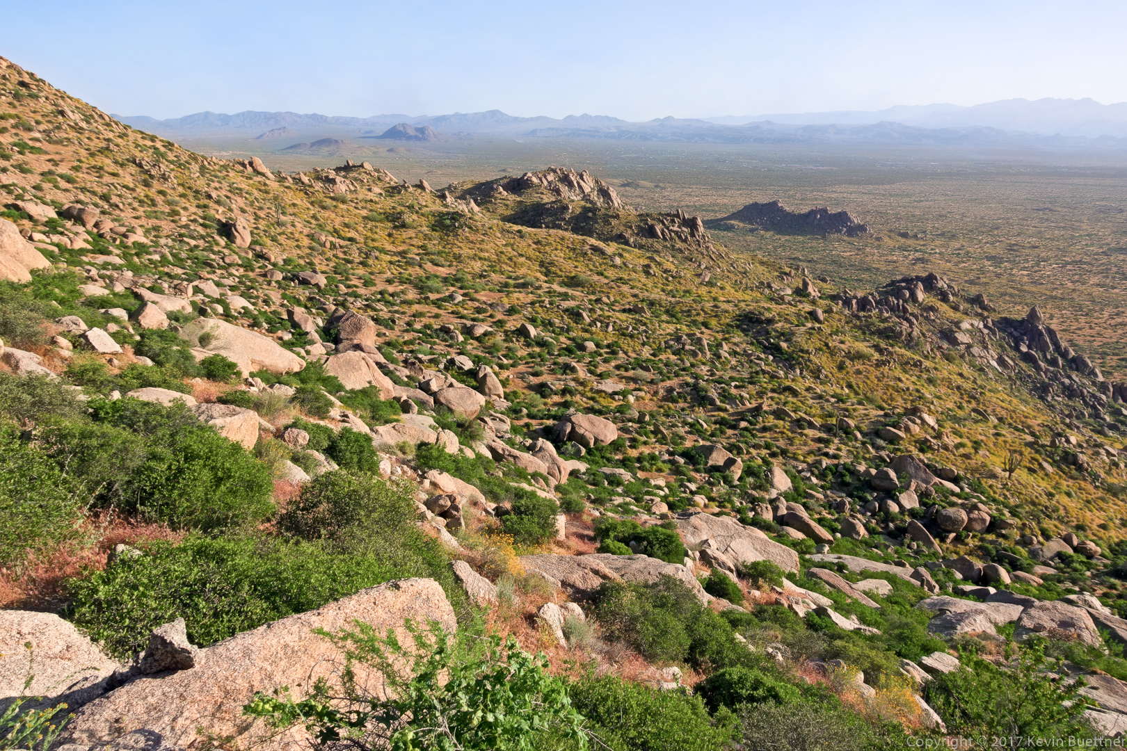
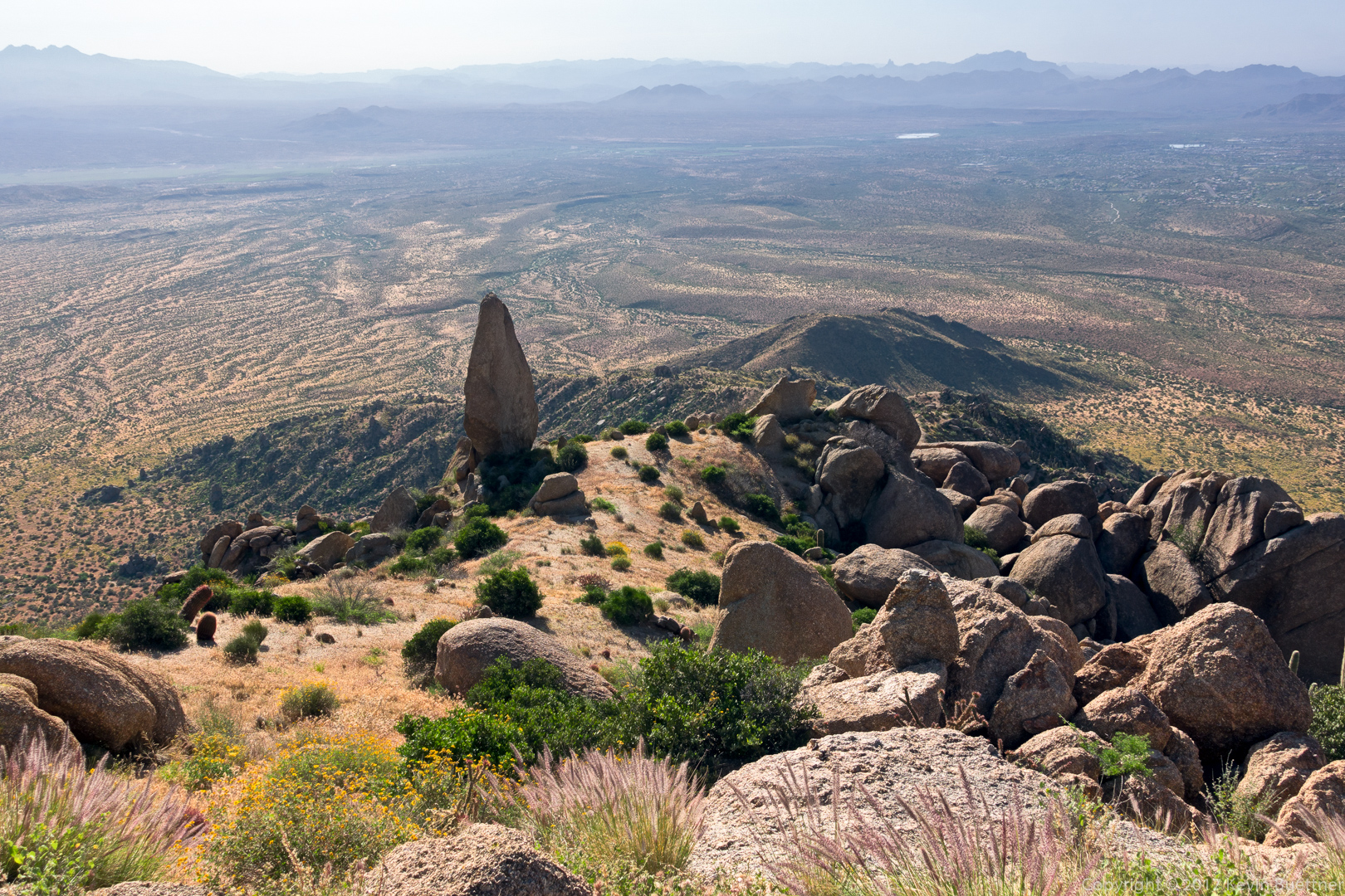
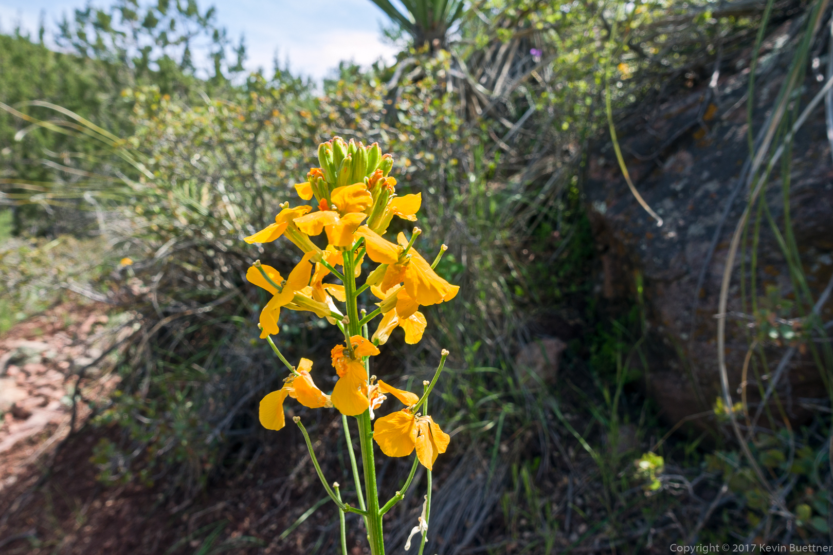
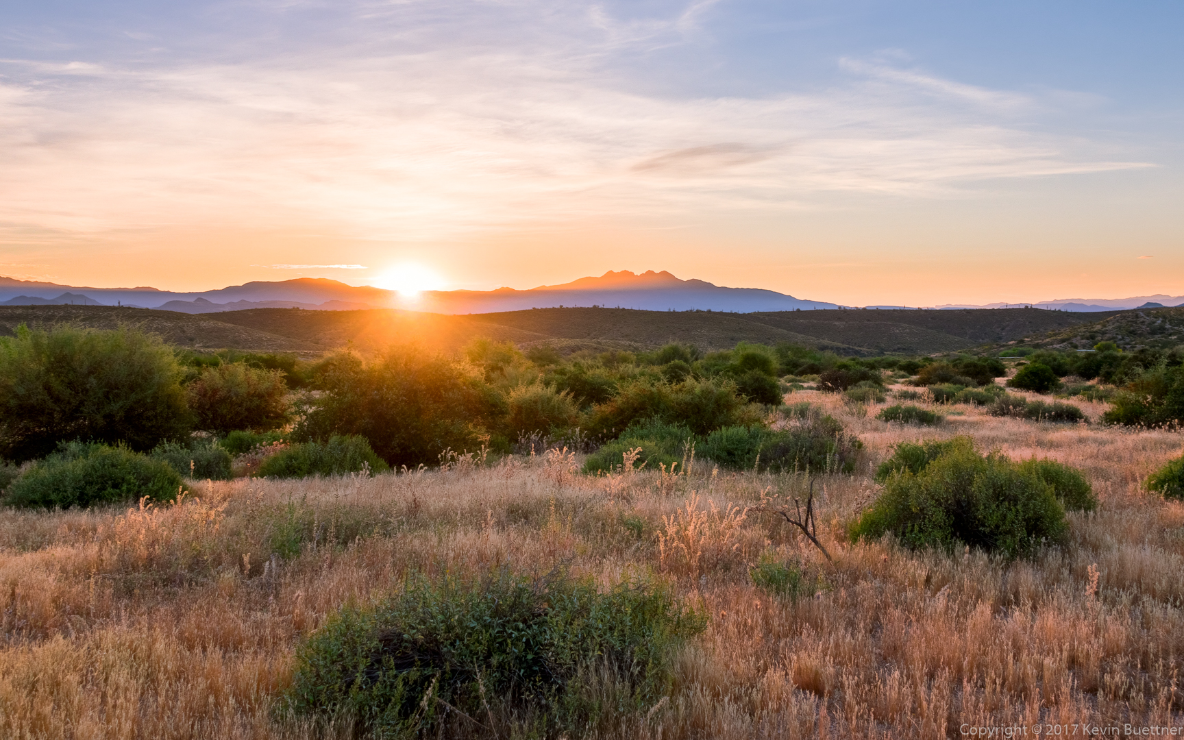
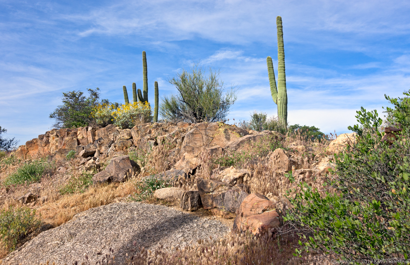
Nora, Mike, and I hiked 8.3 miles starting from the Horse Staging Area.
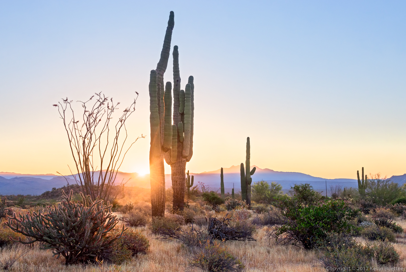
Sunrise at the Horse Staging Area:
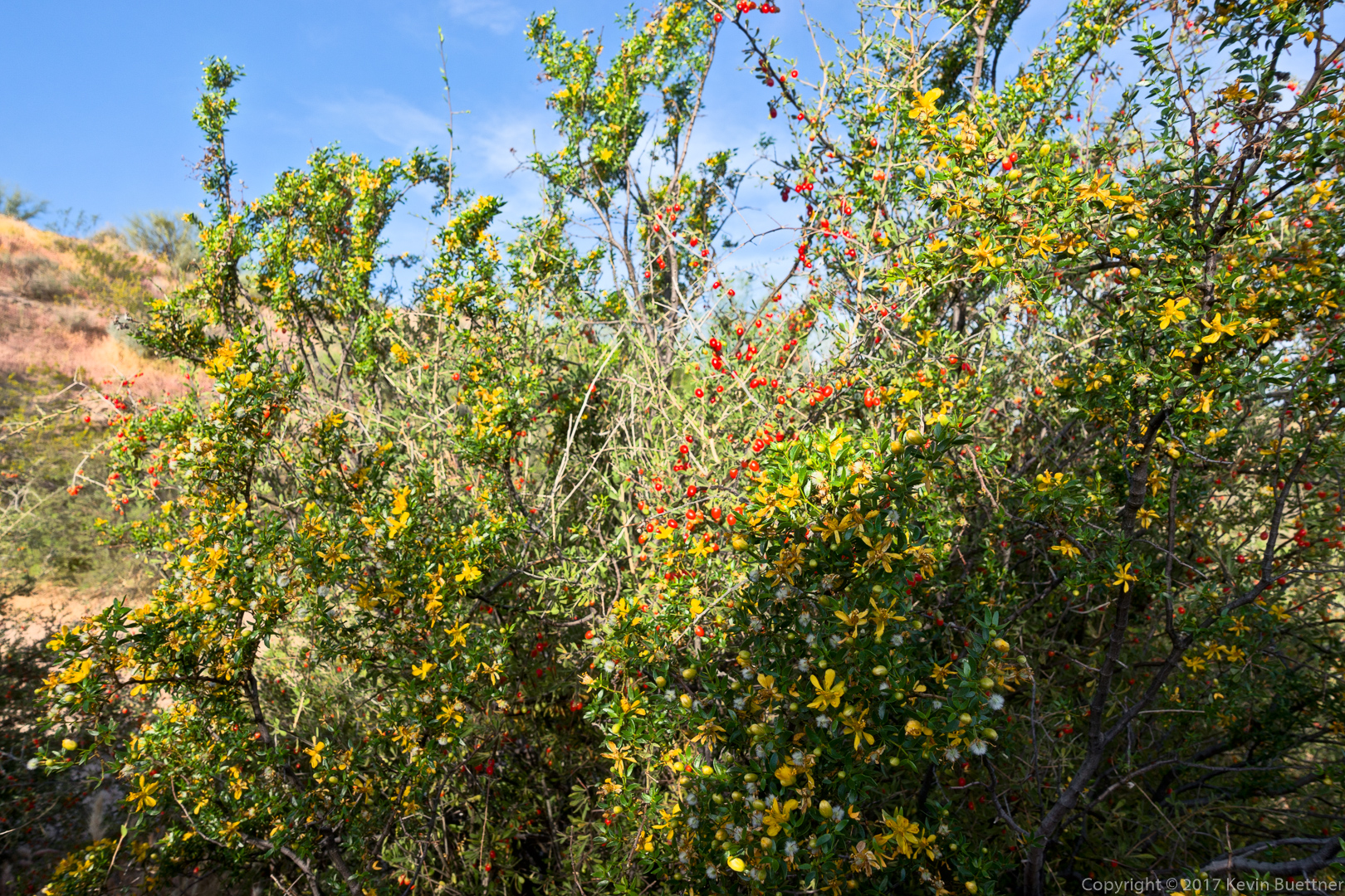
Creosote:

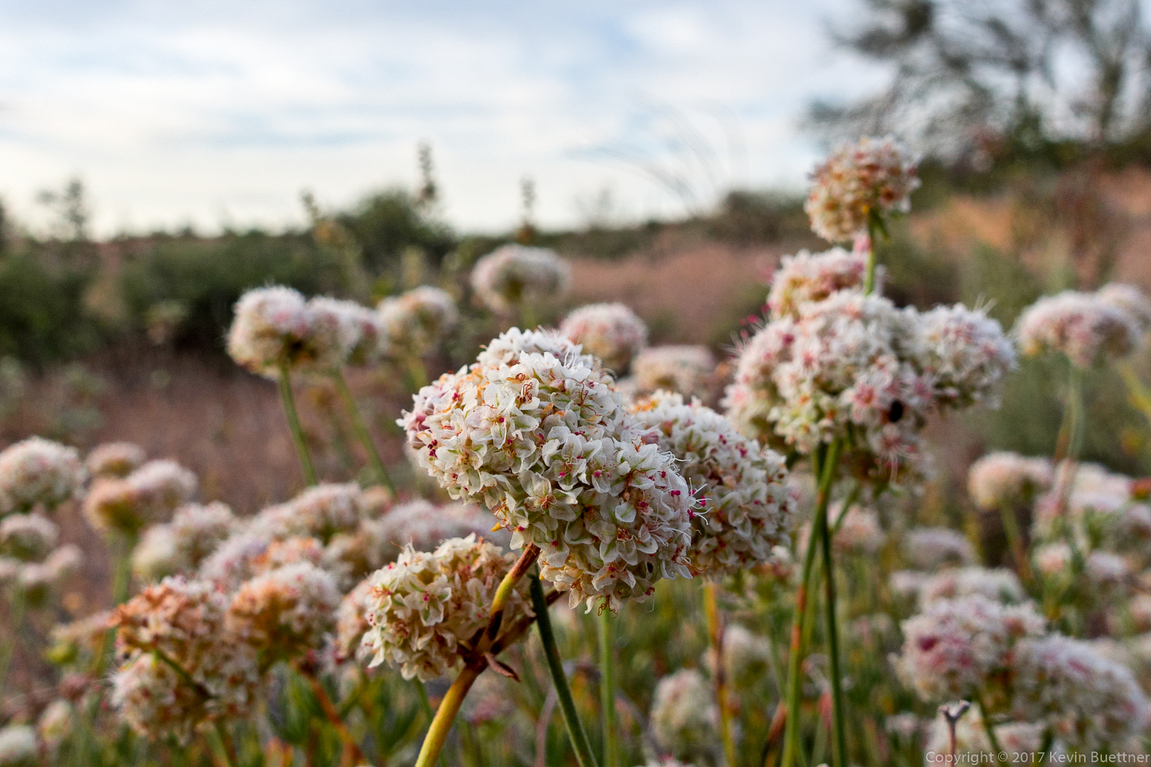
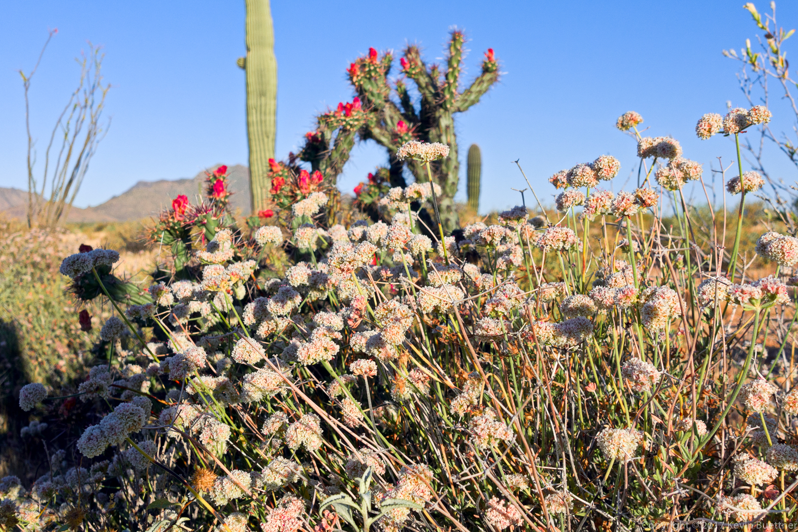
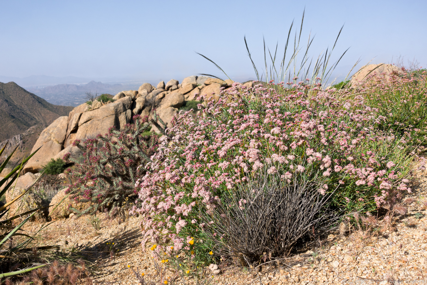
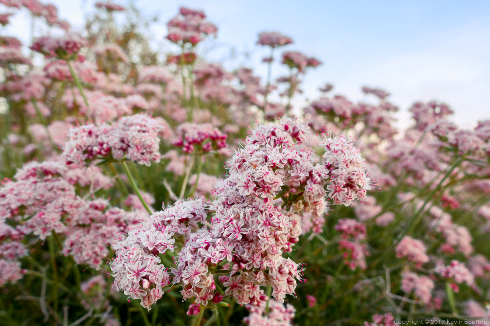
Buckwheat in front of buckhorn cholla:
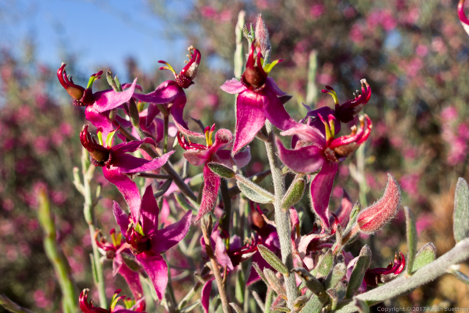
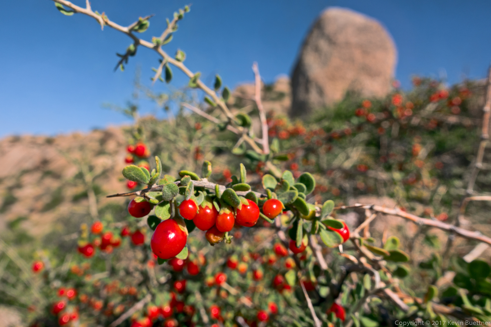
Ratany:
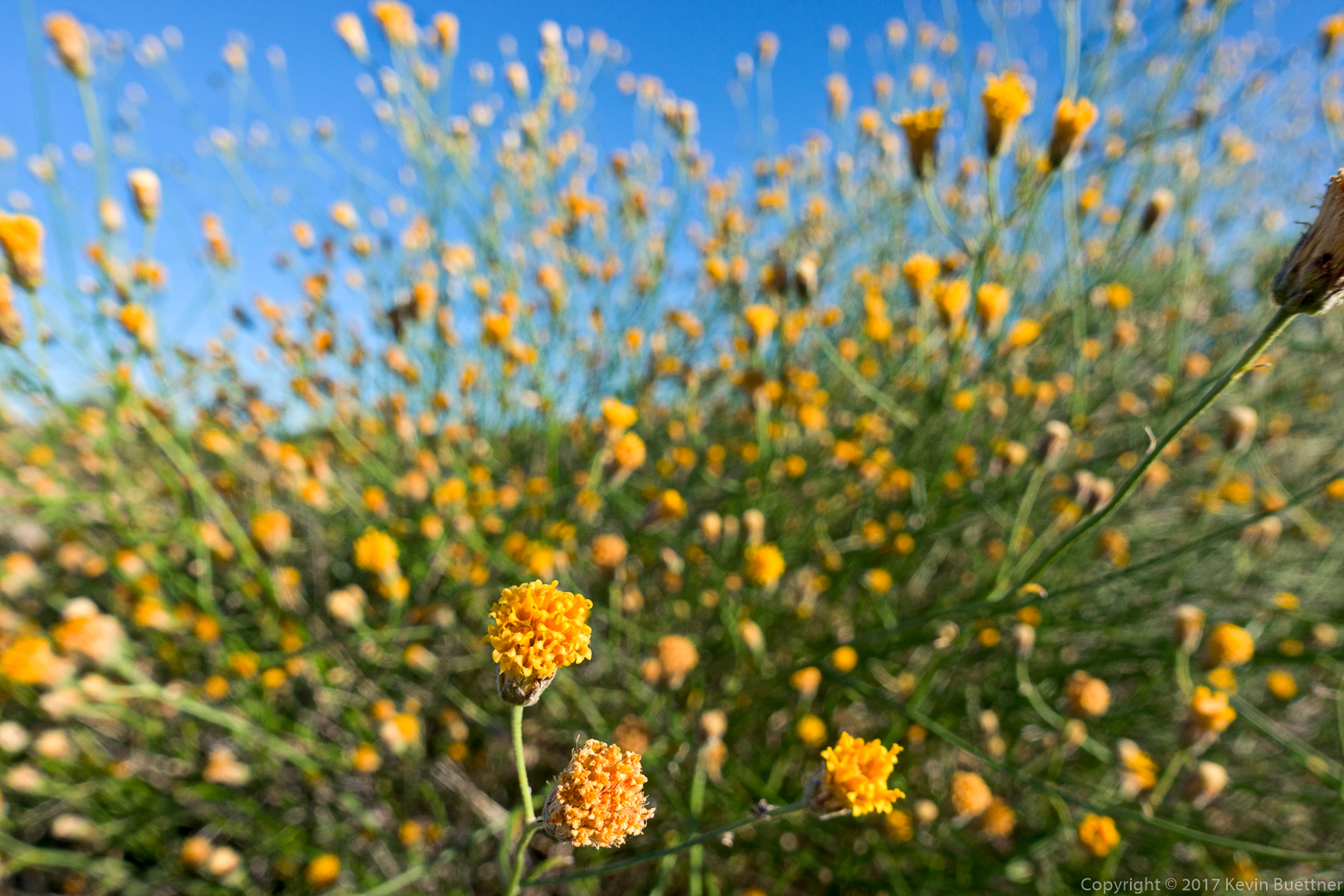
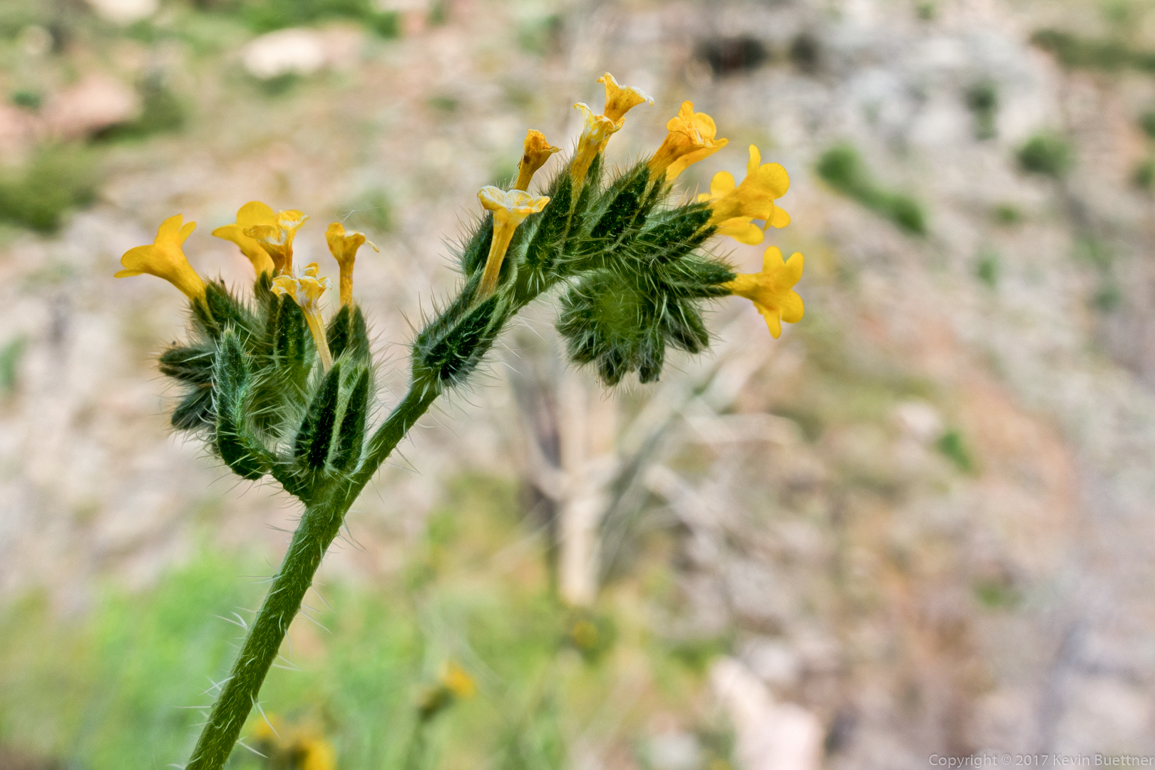
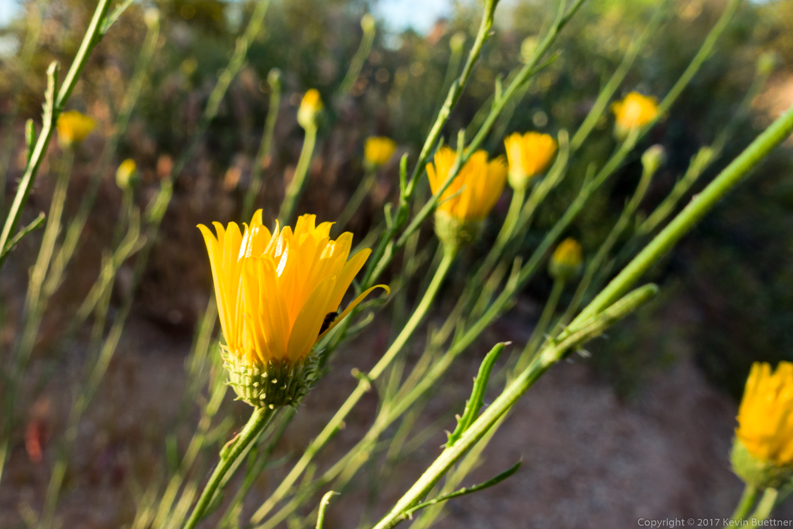
San Filipe Dogweed:
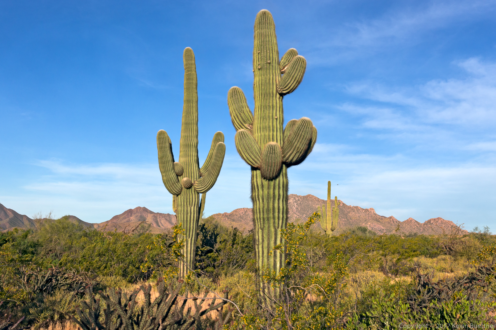
Buckhorn cholla:
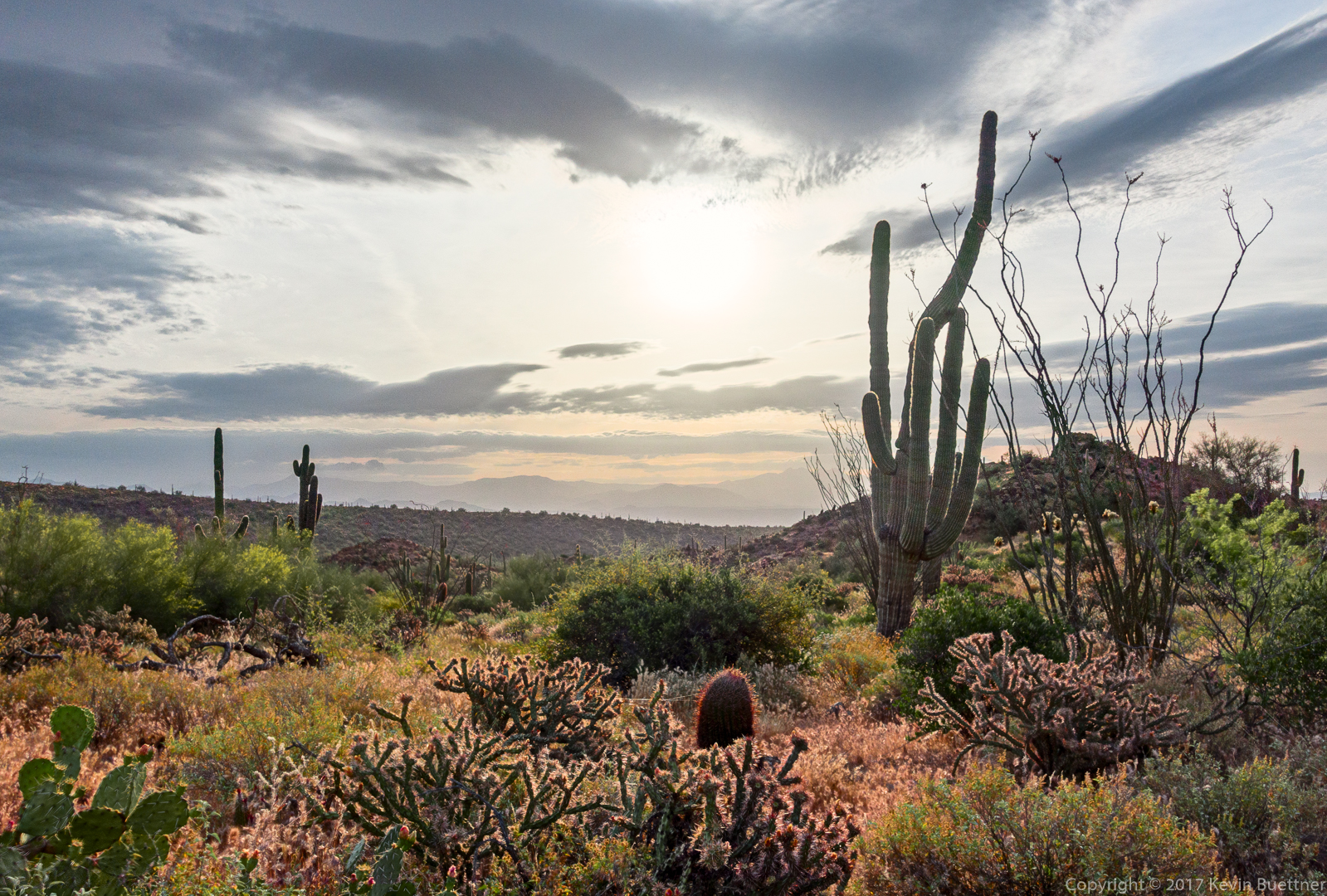
A view from the Pemberton Trail:
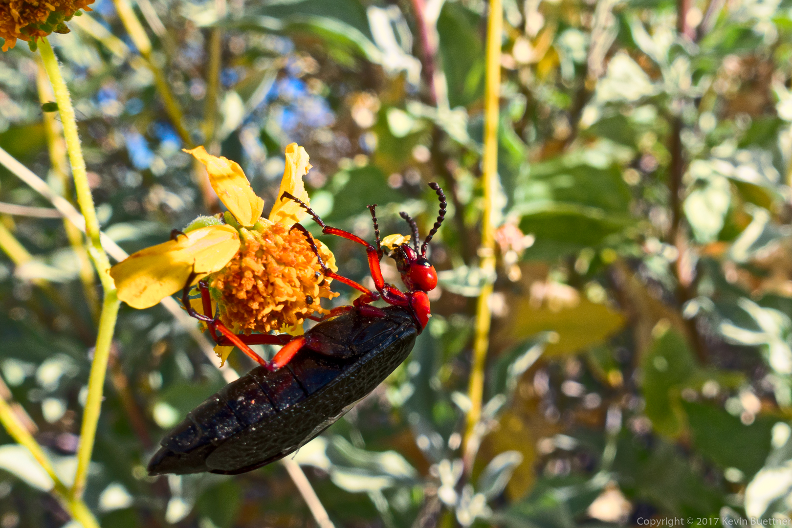
Arizona Blister Beetle:
Mike and Nora:
A view of Four Peaks from the Tonto Tank Trail:
A view of Red Mountain from the Shallmo Wash Trail:
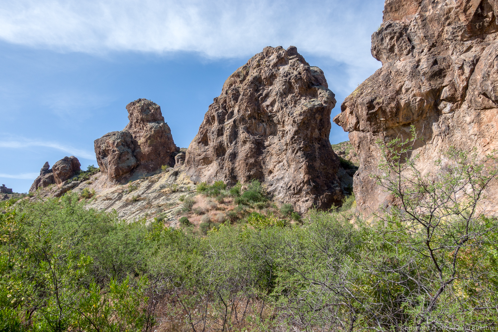
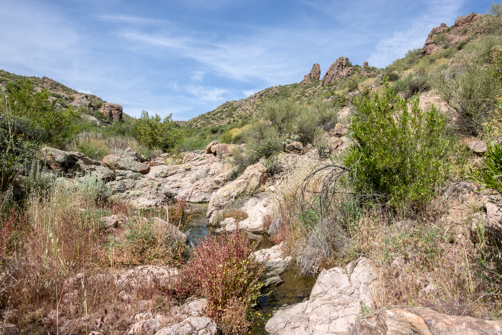
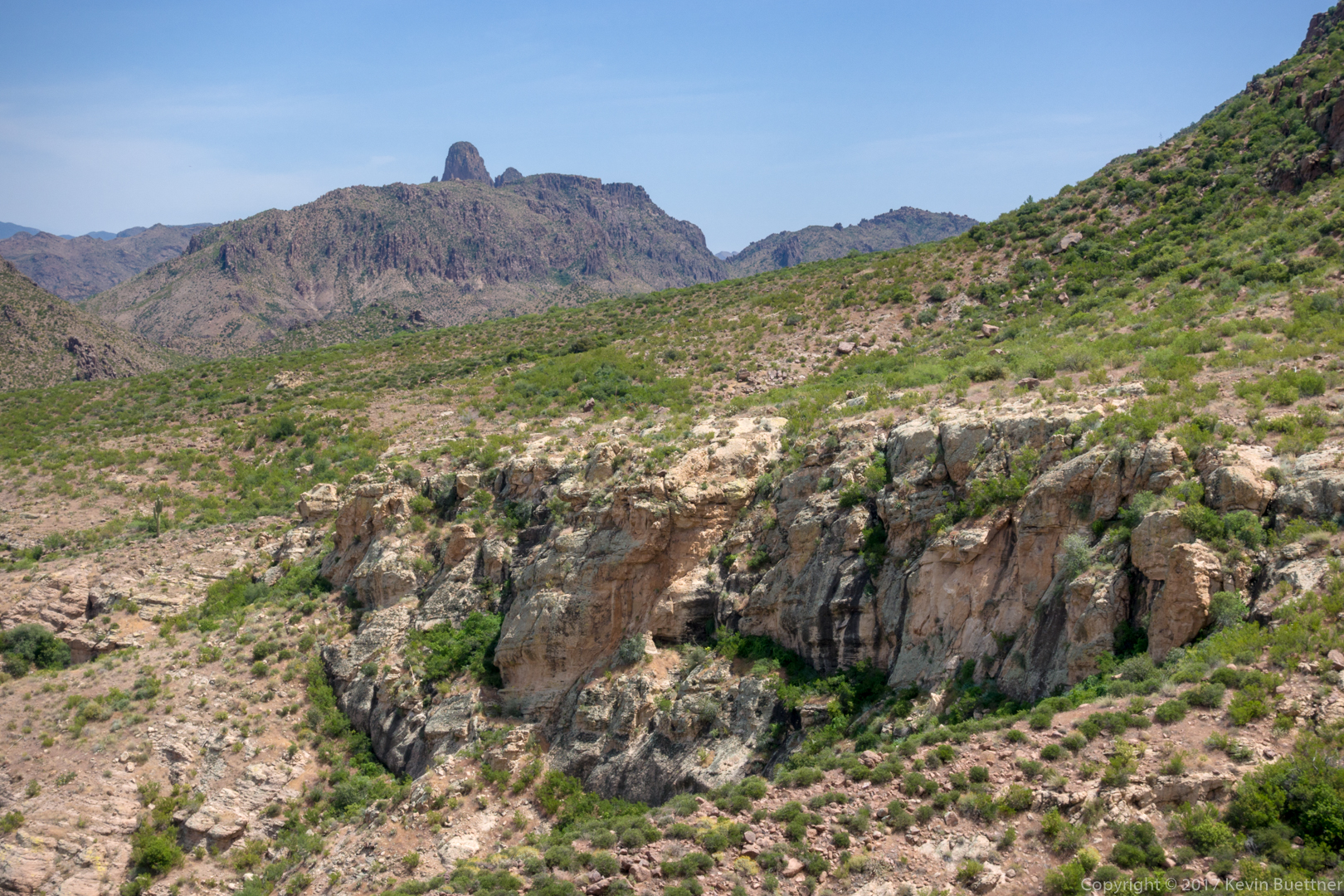
Bob, Nick, and I hiked the Massacre Falls Loop on Sunday. Starting from First Water Trailhead, we hiked a loop of a little over eight miles with nearly 1300 feet of elevation gain.


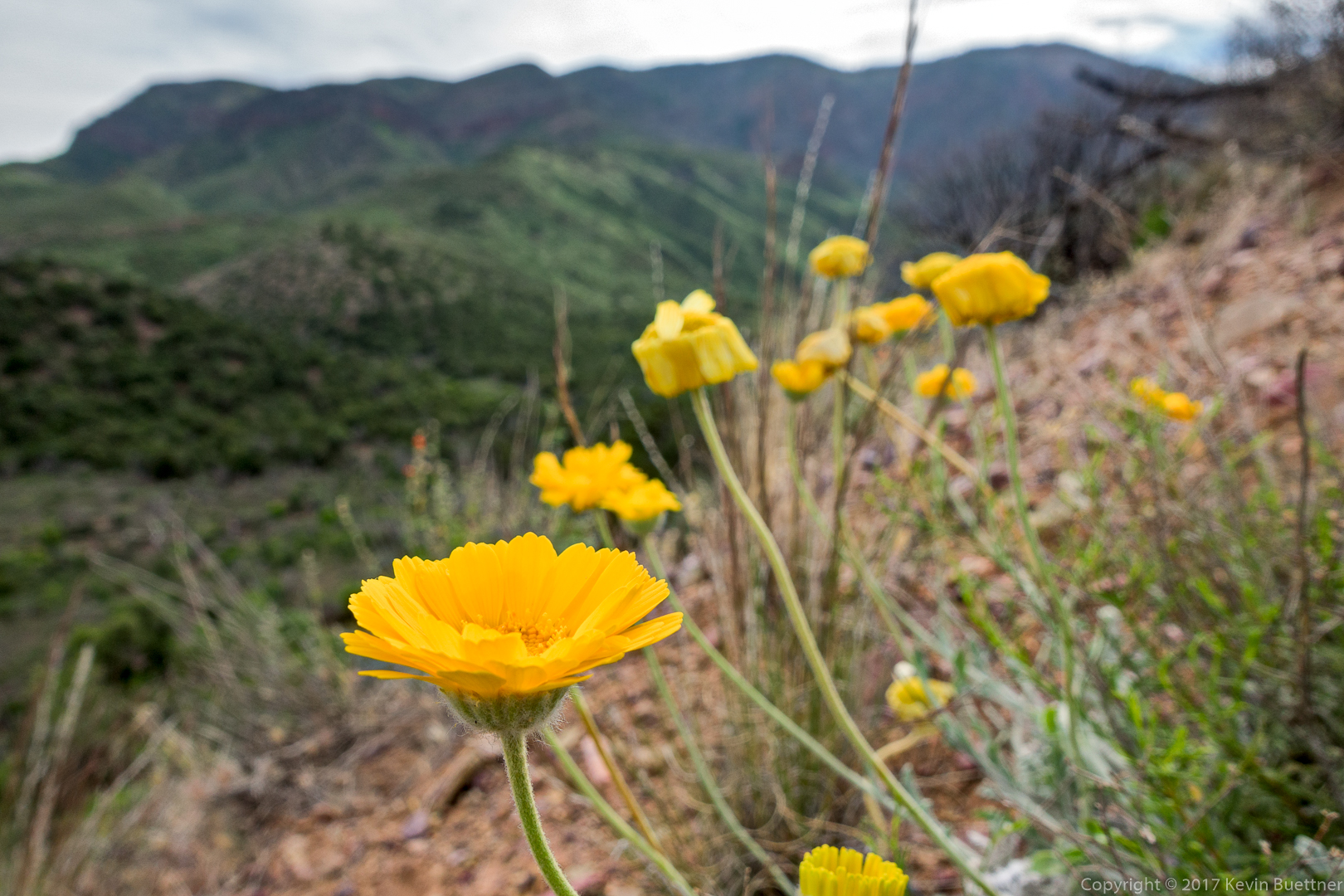
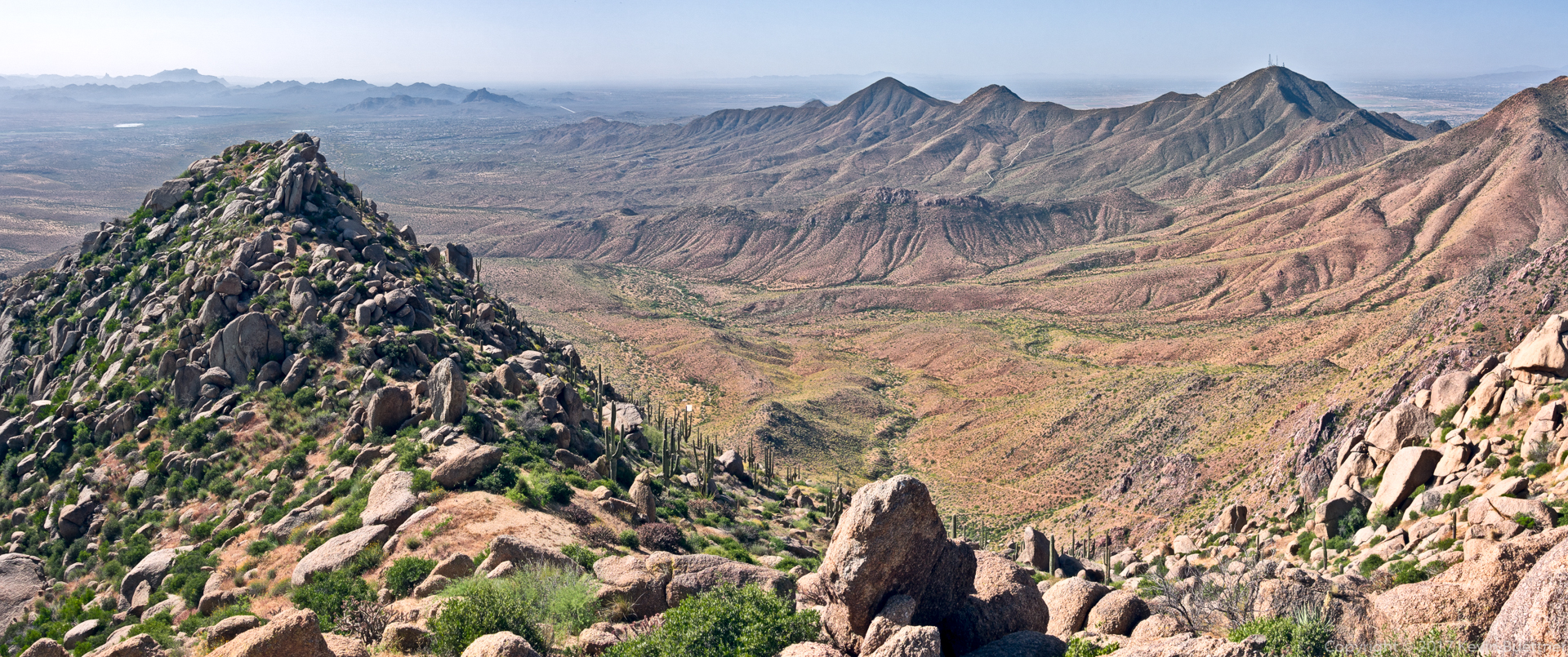
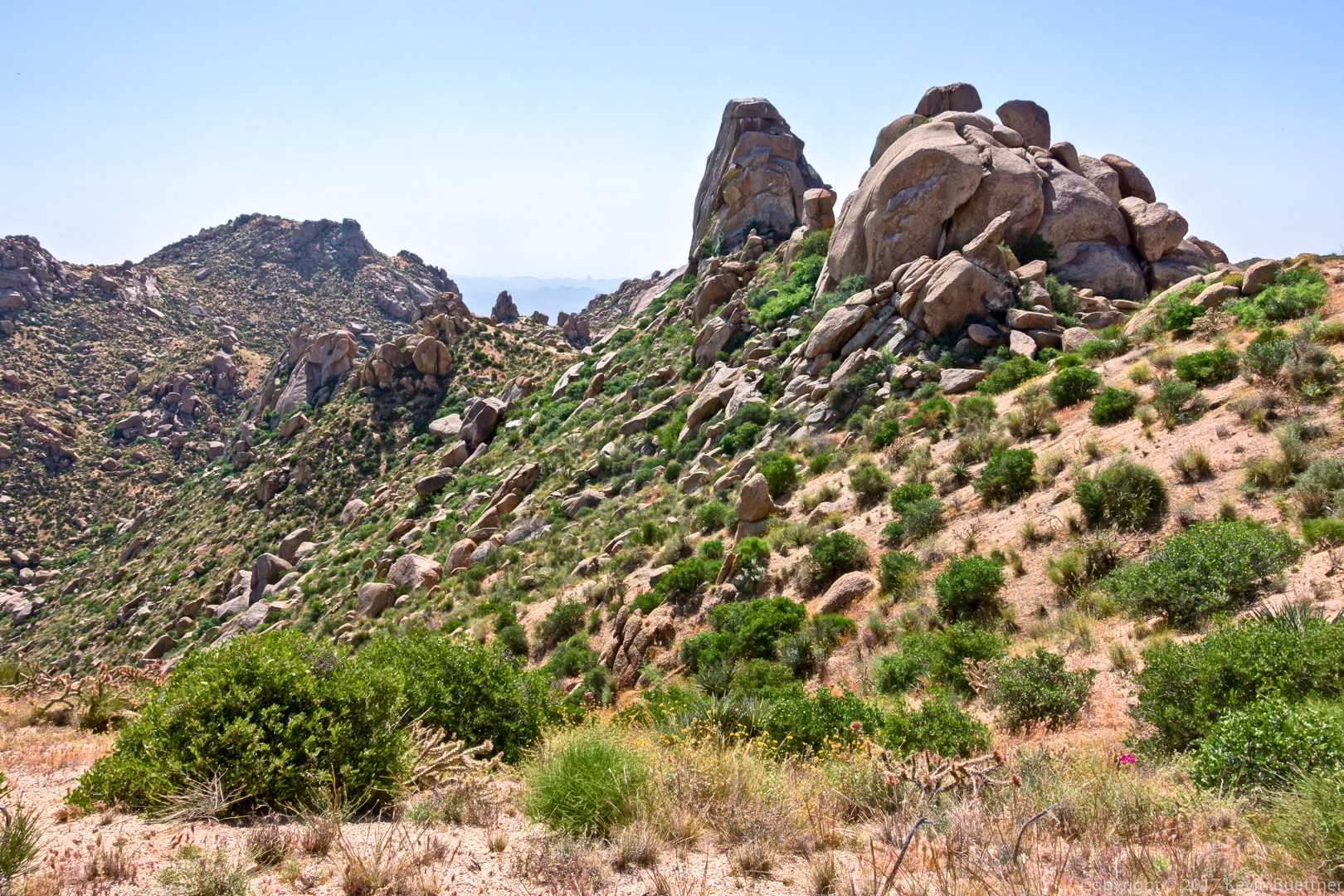
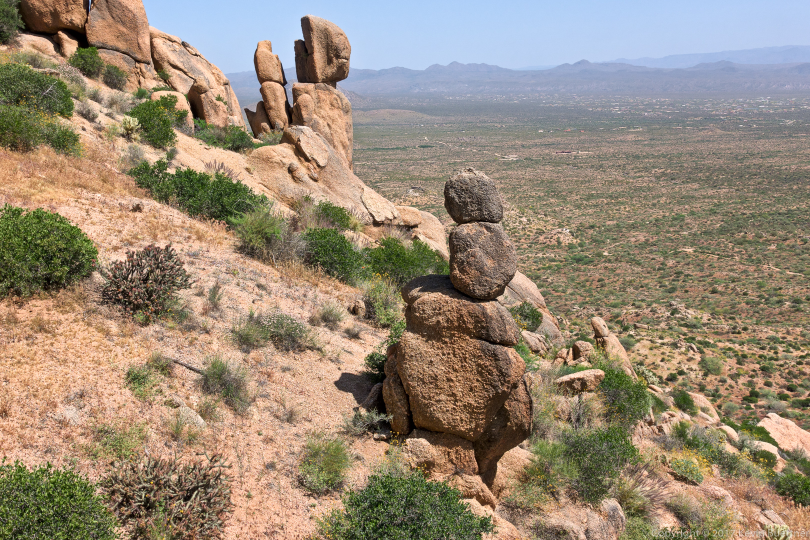
Marilyn and I hiked in the Tom’s Thumb area on Friday. Marilyn hiked up Tom’s Thumb Trail and waited for me at the intersection with the East End Trail. I hiked up Mesquite Canyon and then hiked up past Hog Heaven, the Thumbnail Pinnacle, and then followed the ridge line to the summit (East End), after which I hiked down to meet Marilyn. We both continued up to Tom’s Thumb and then looped around back to Tom’s Thumb Trail. I hiked just over five miles with a bit over 1900 feet of total ascent. Lack of recent rain has made steep, gravelly sections of the trails loose and slippery.
This is sunrise from the top of Mesquite Canyon:
Continuing a short ways further brought me to this interesting rock, which also provided a view of the Fountain.
Looking towards the northeast:
This is the main wall of the Hog Heaven climbing area:
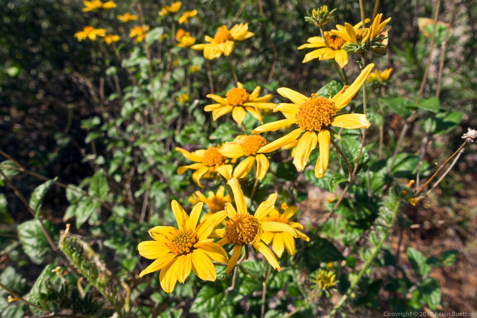
I think this is Goldeneye:
Looking towards Four Peaks:
Chickory:

I don’t know what this is, but it’s a small red flower that I saw just beyond the chickory on my way up to the Thumbnail Pinnacle.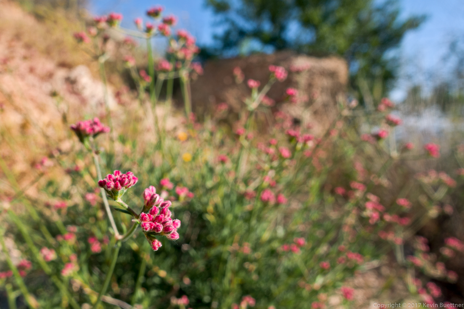
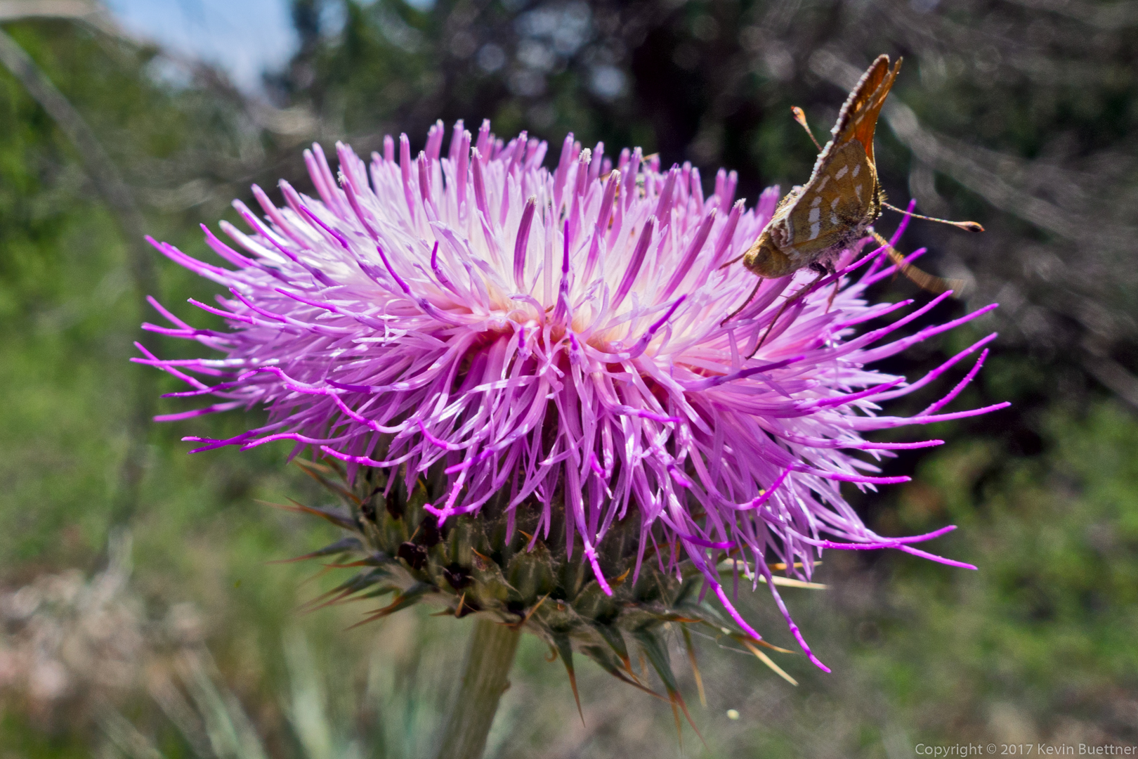
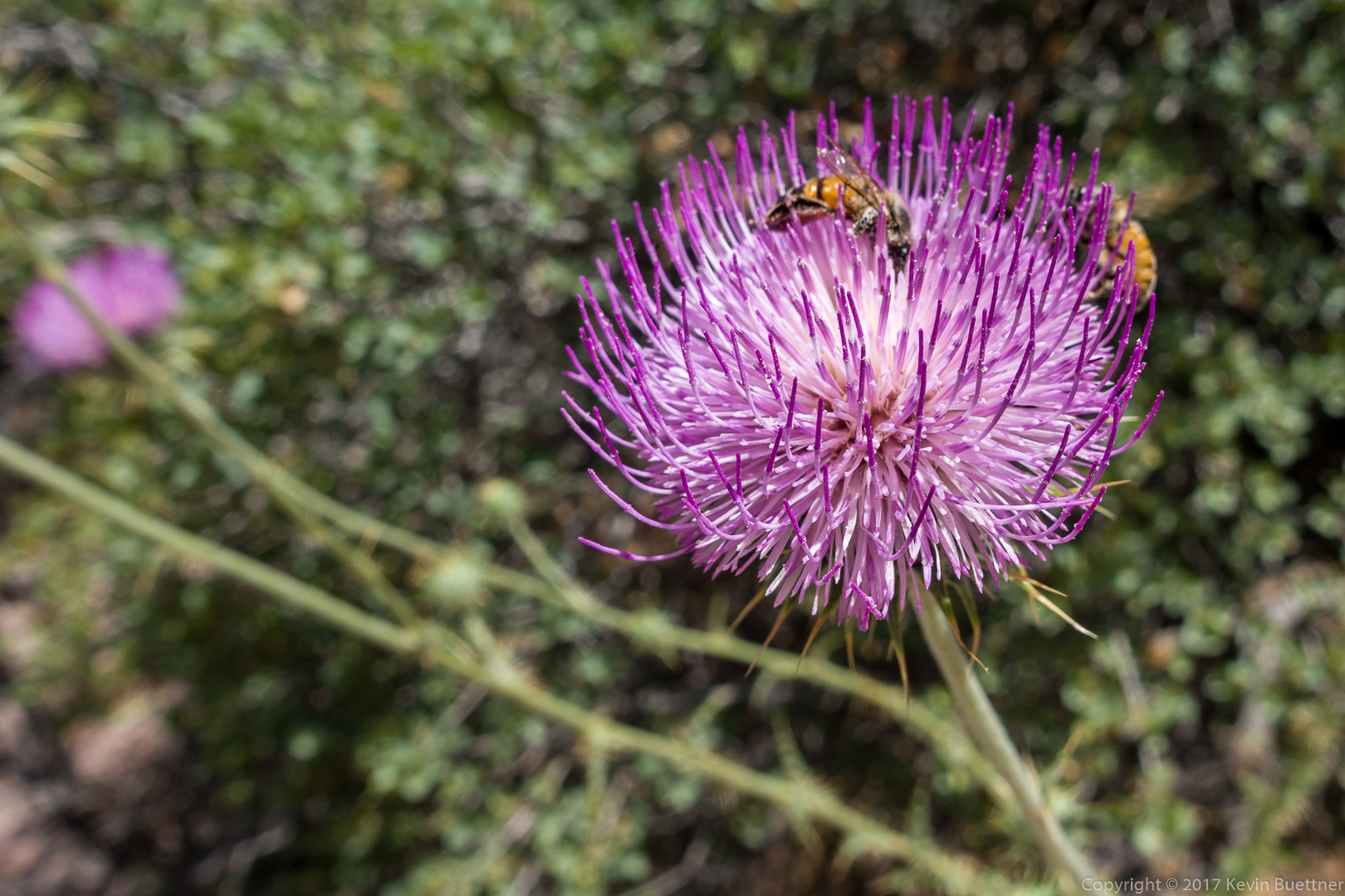
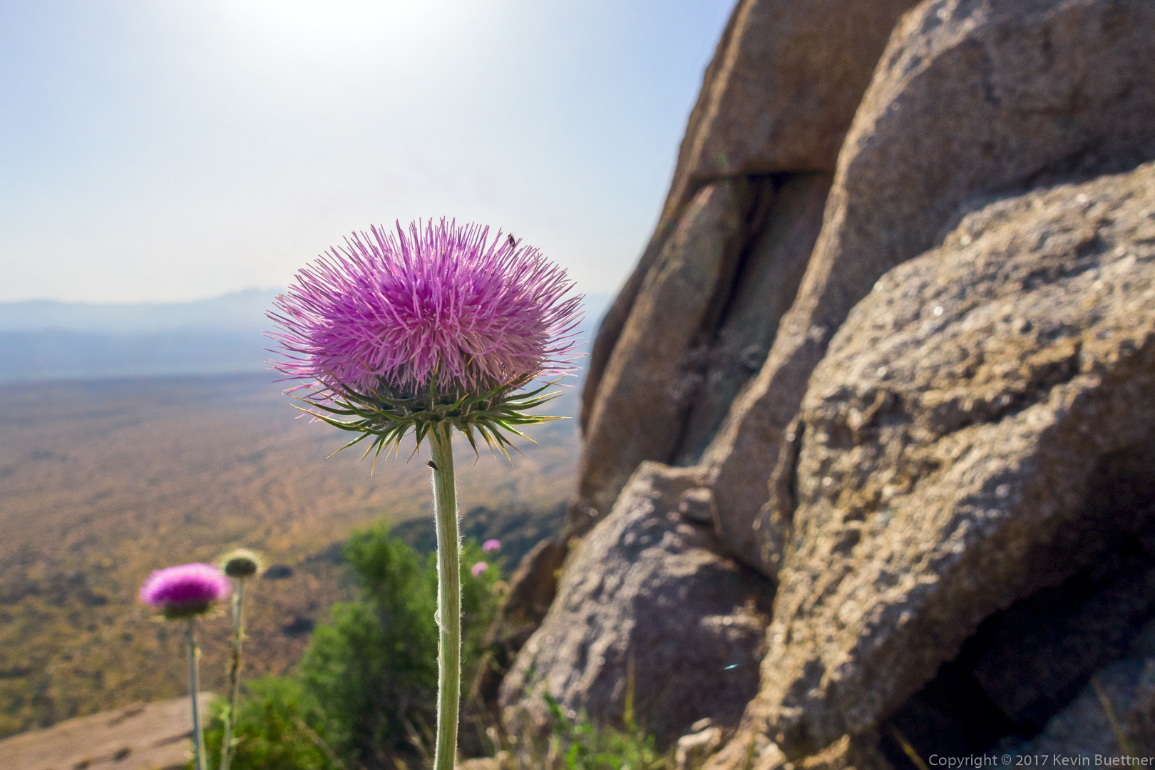
New Mexico Thistle:
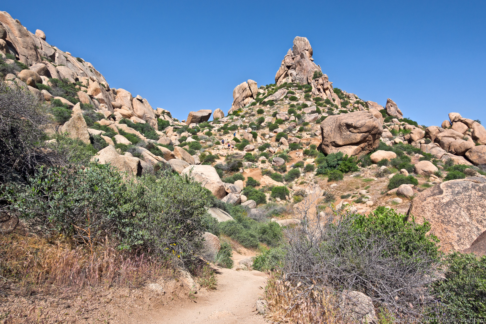
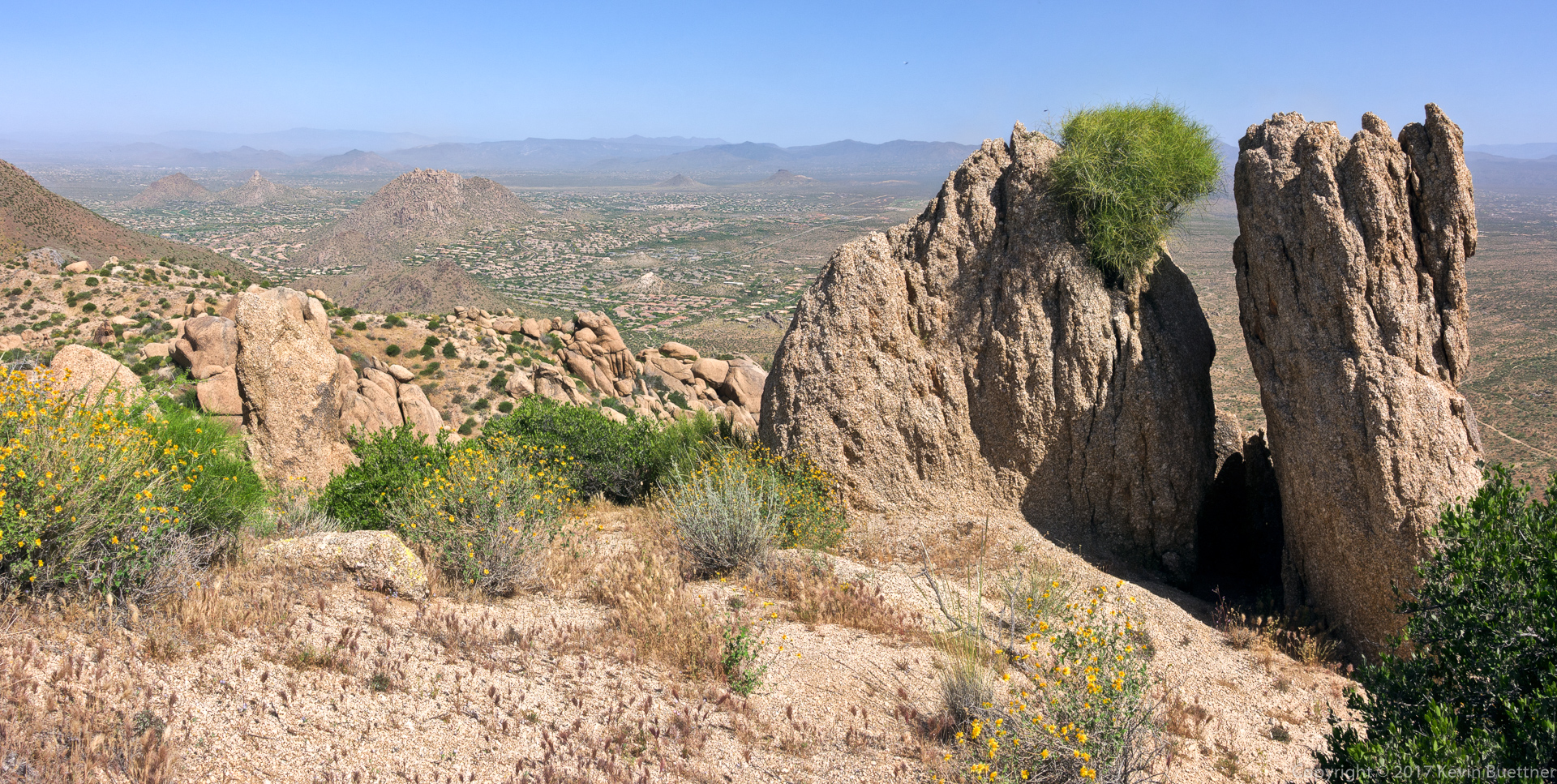
The Thumbnail Pinnacle looks very different depending upon from where you view it.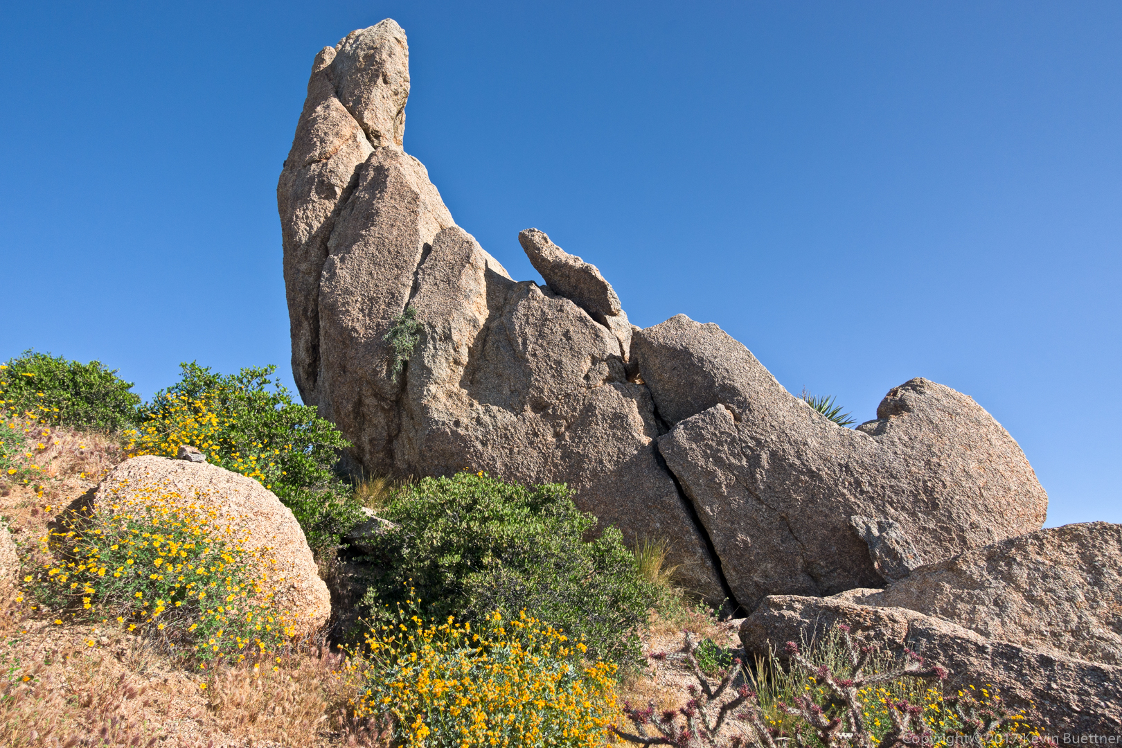
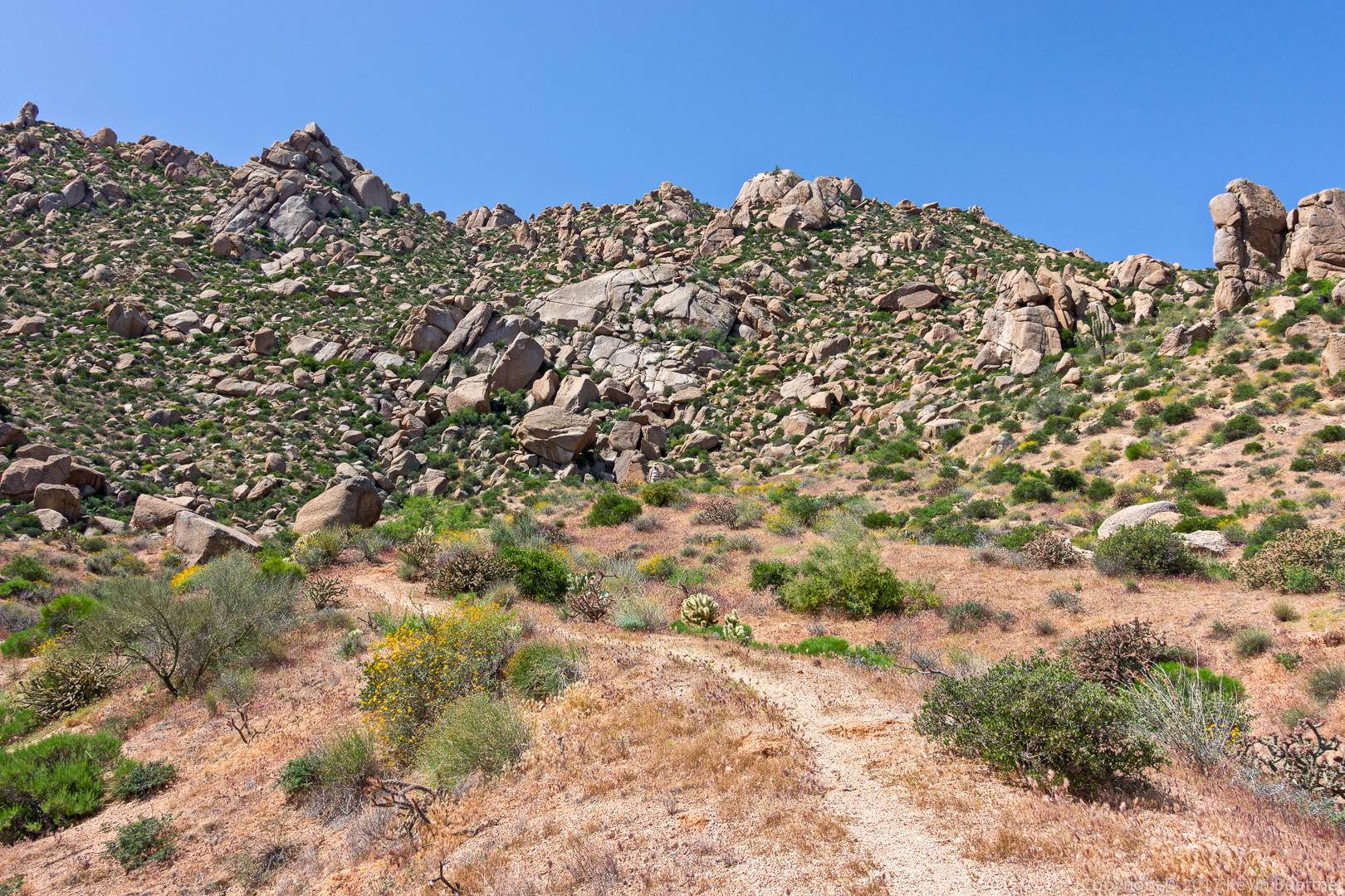
The route goes up the hill / ridge to the right:
Another shot of the Thumbnail Pinnacle, taken while standing in its shadow.
Looking towards Thompson Peak:
Looking back downhill towards the Thumbnail Pinnacle:
I took this shot from the ridge line as I made my way over to the East End (summit). The East End Trail can be seen in this photo.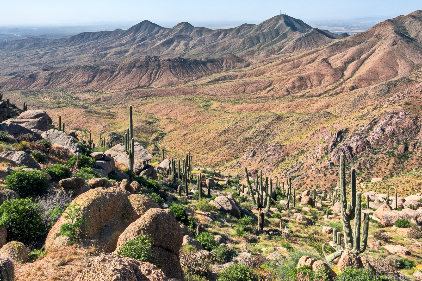
Wolfberry:
Looking towards Four Peaks from the ridge line:

Buckwheat:
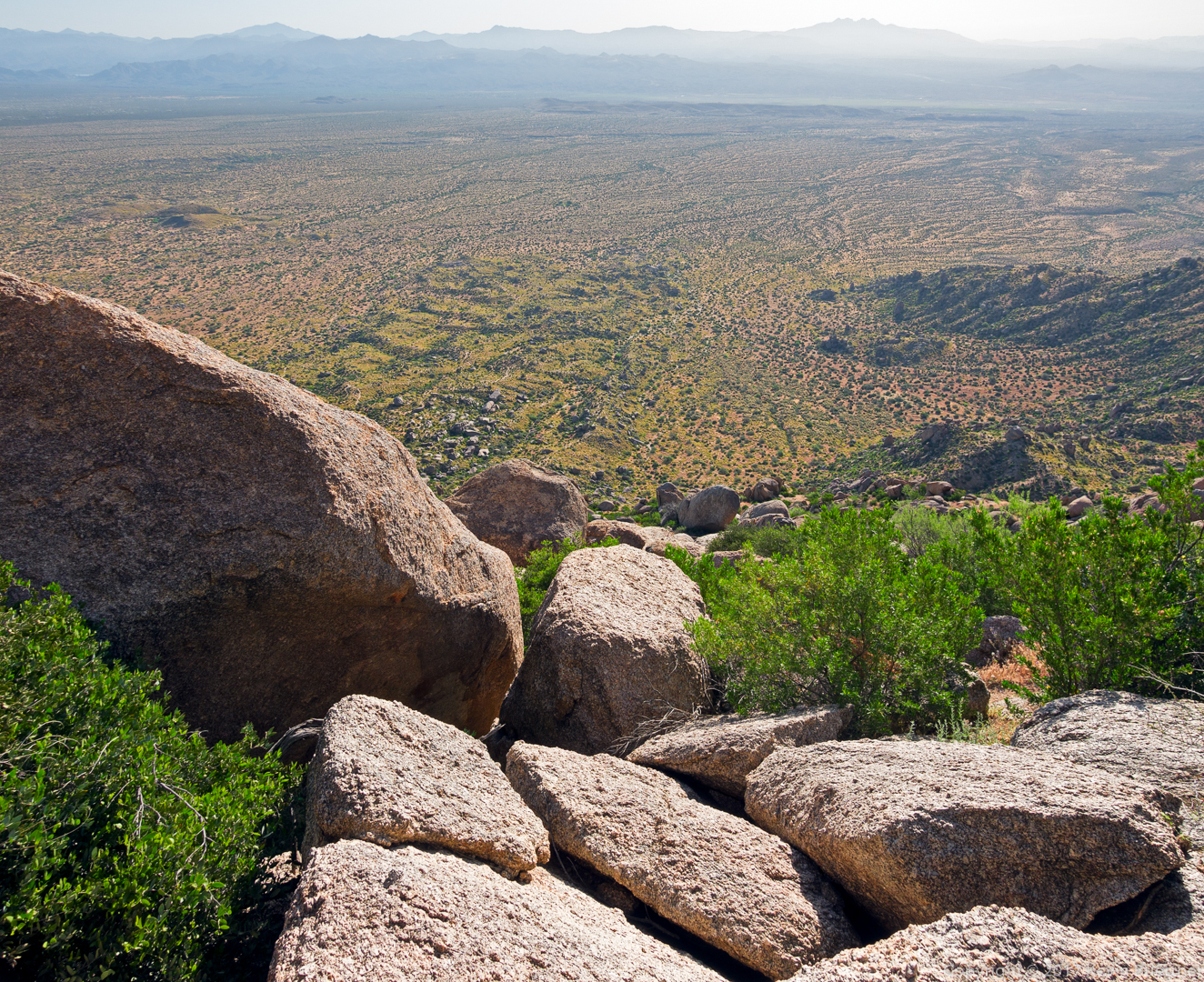
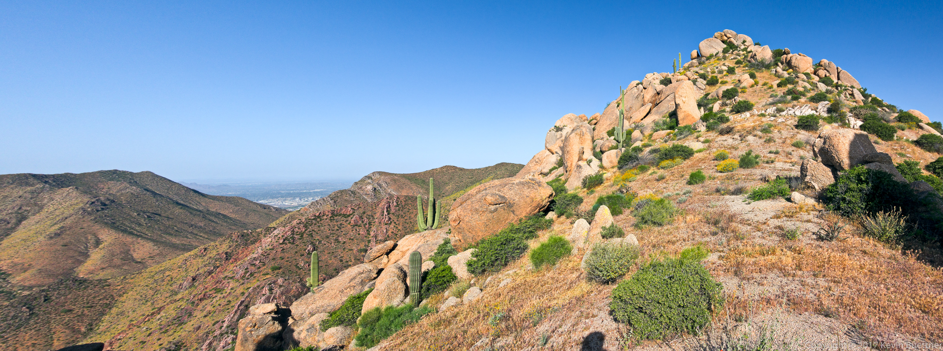
This is a view from the summit. My route took me across the boulder encrusted ridge line at the left in this photo.
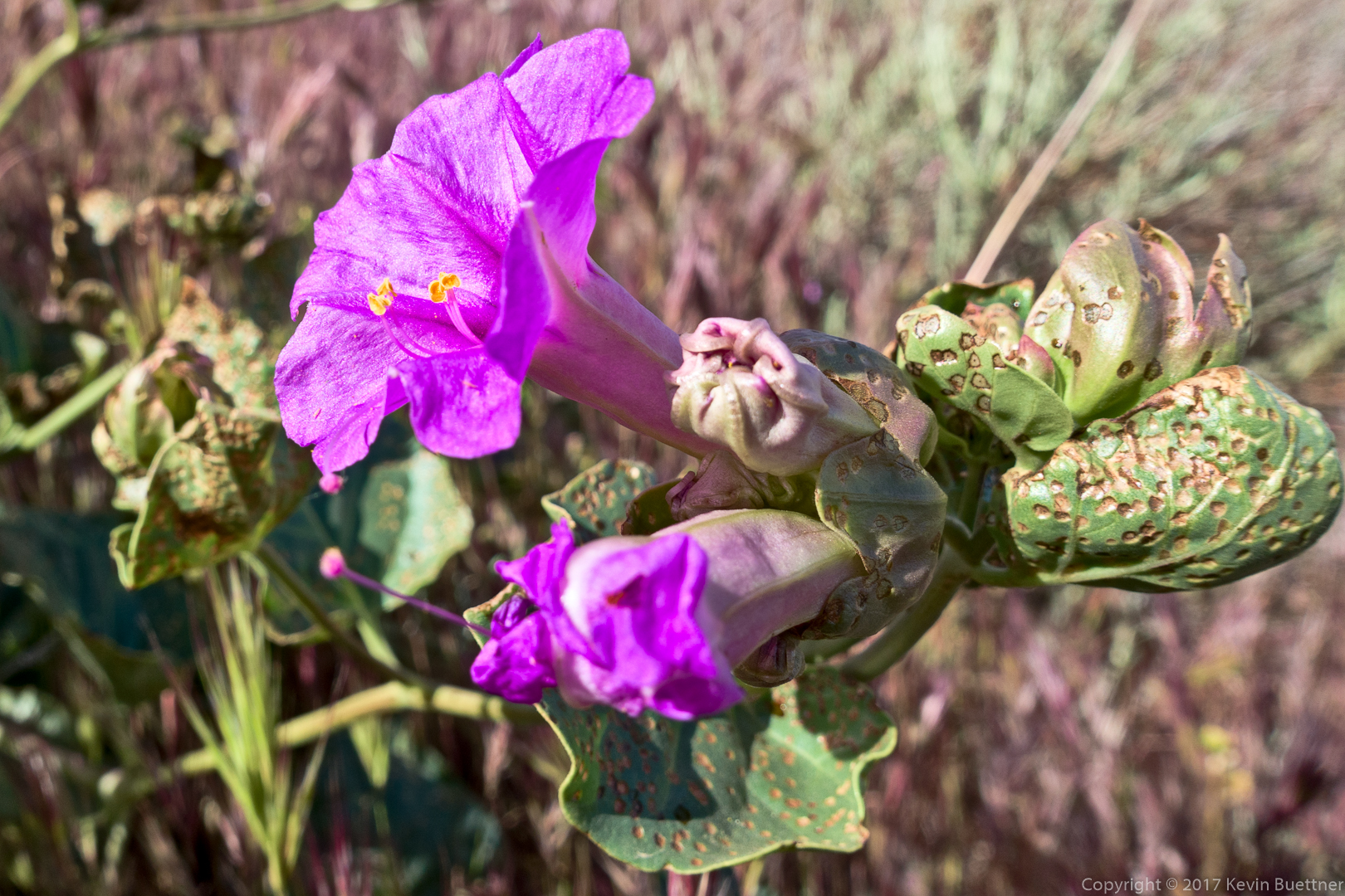
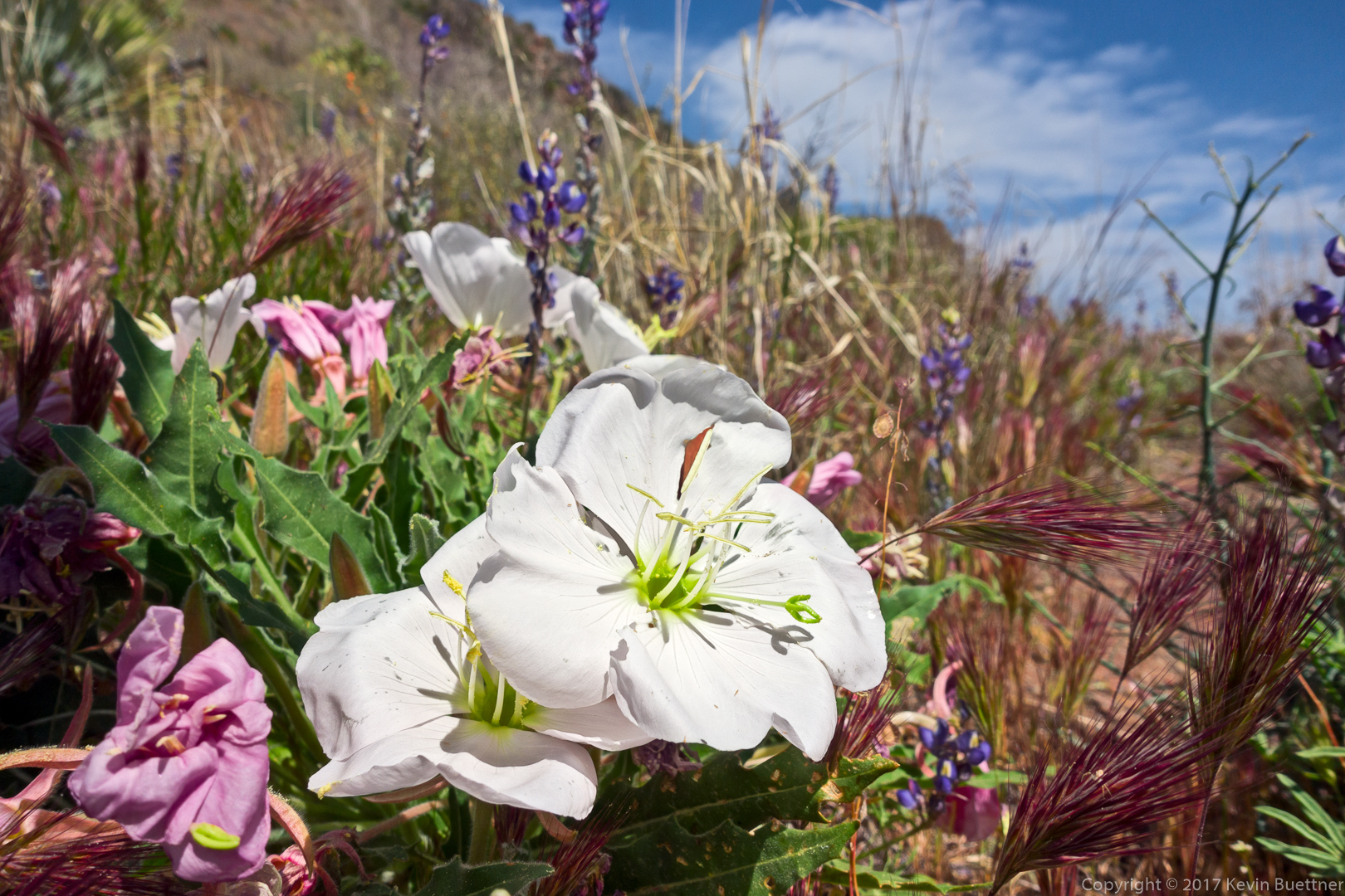
I saw this Desert Four O’Clock just as I was beginning my descent.
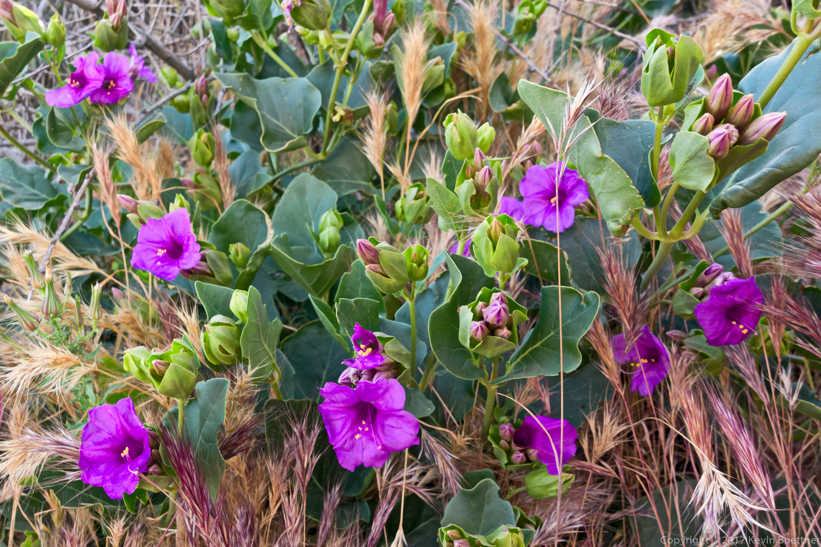
A short while later, I saw some other one in the shade that seemed to be fairing better.
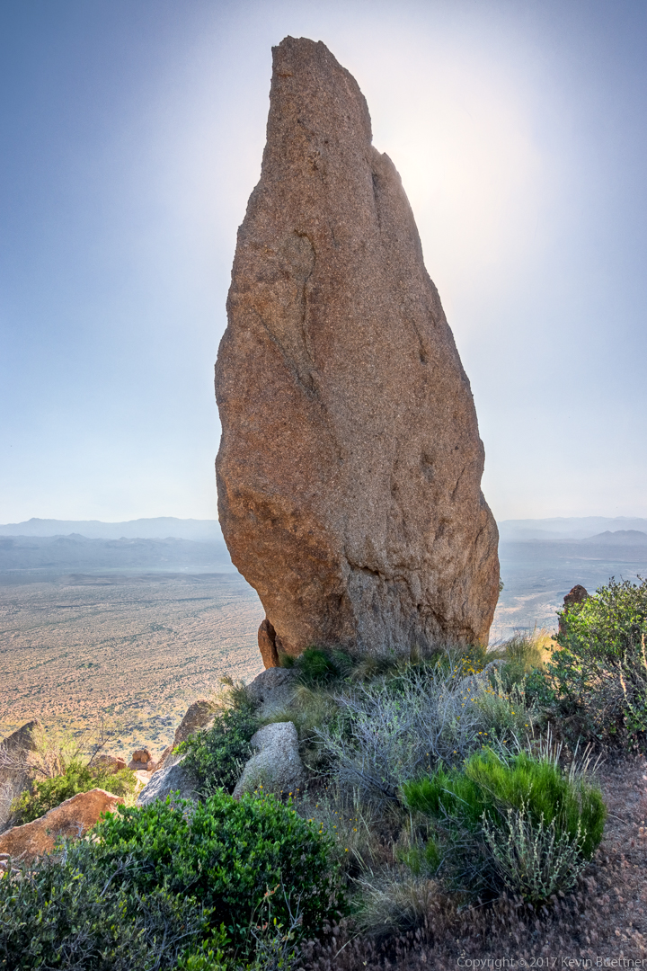
The two prominent pinnacles in this photo are Glass Dome on the left and Tom’s Thumb on the right. The edge of Gardener’s Wall can be seen below and to the right of Tom’s Thumb.

Another view of Glass Dome from the Tom’s Thumb Trail.
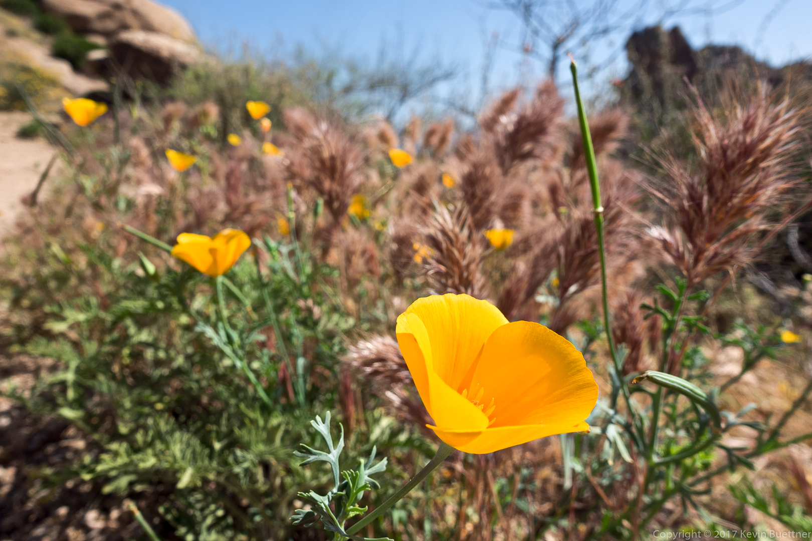
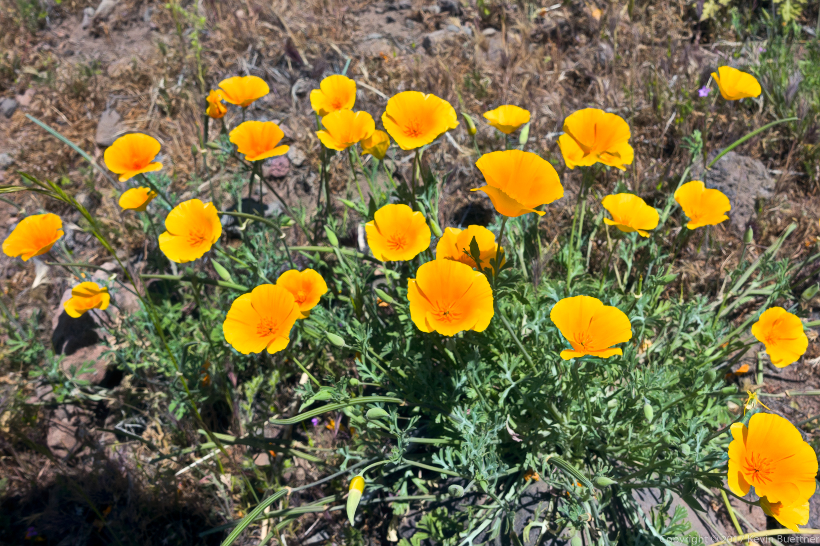
Poppies:
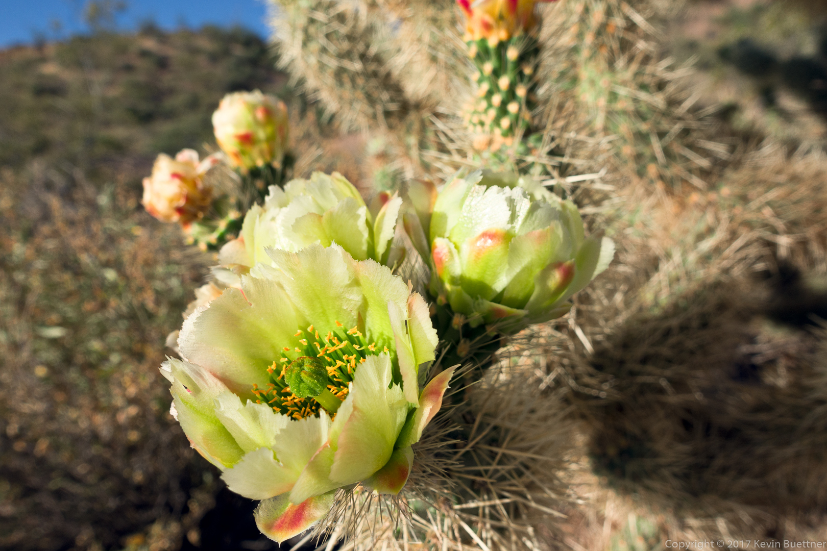
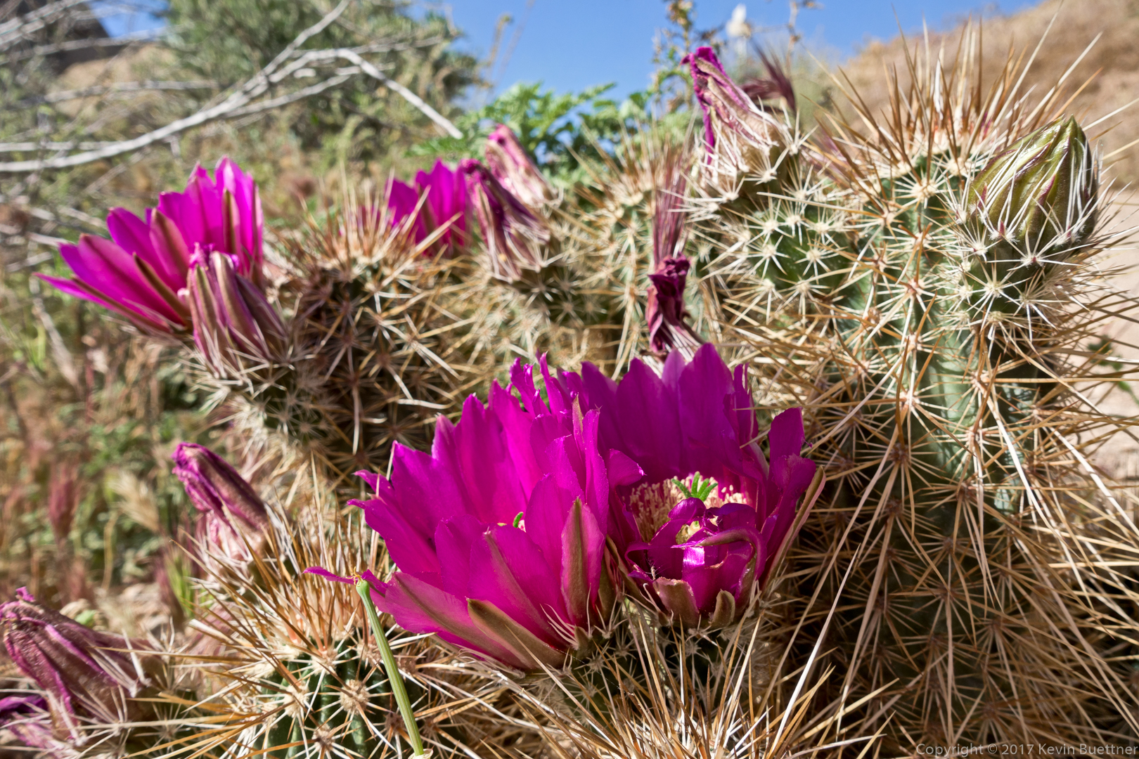
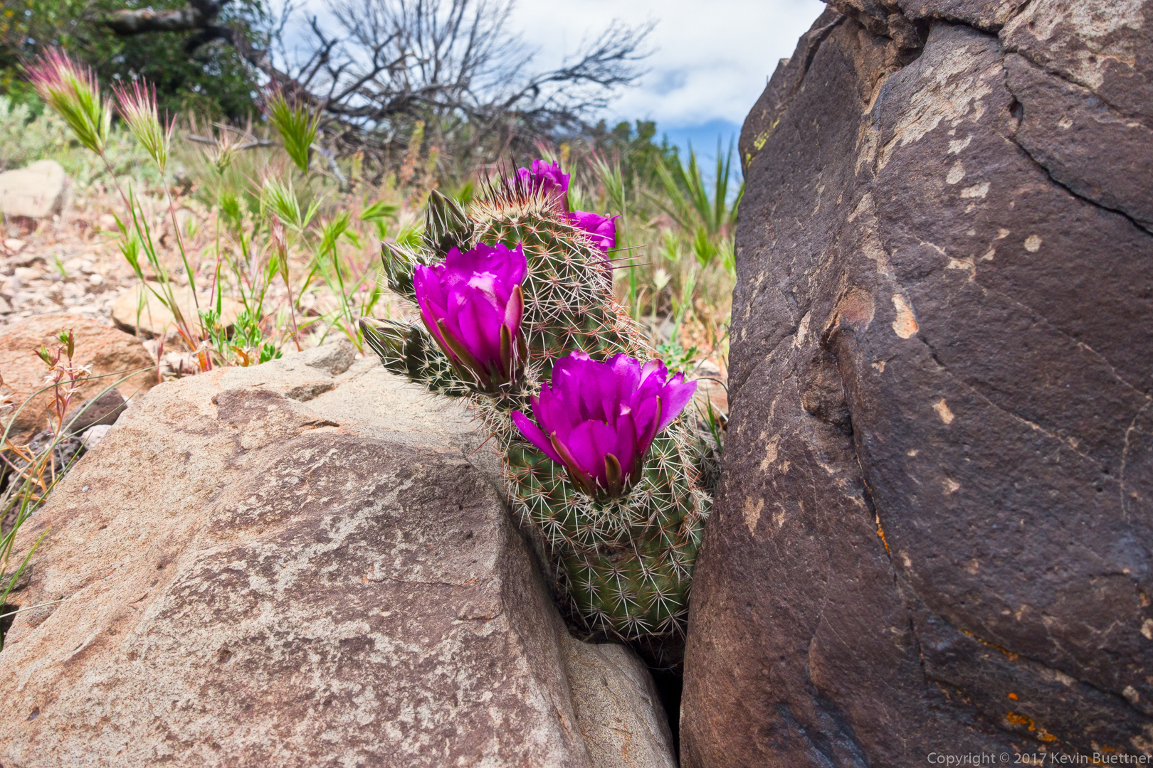
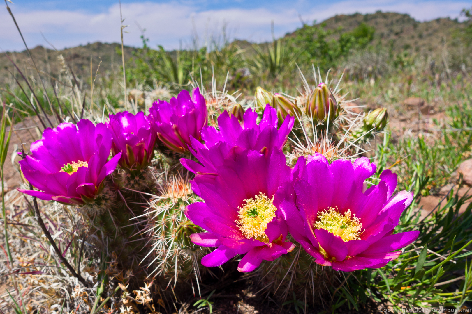
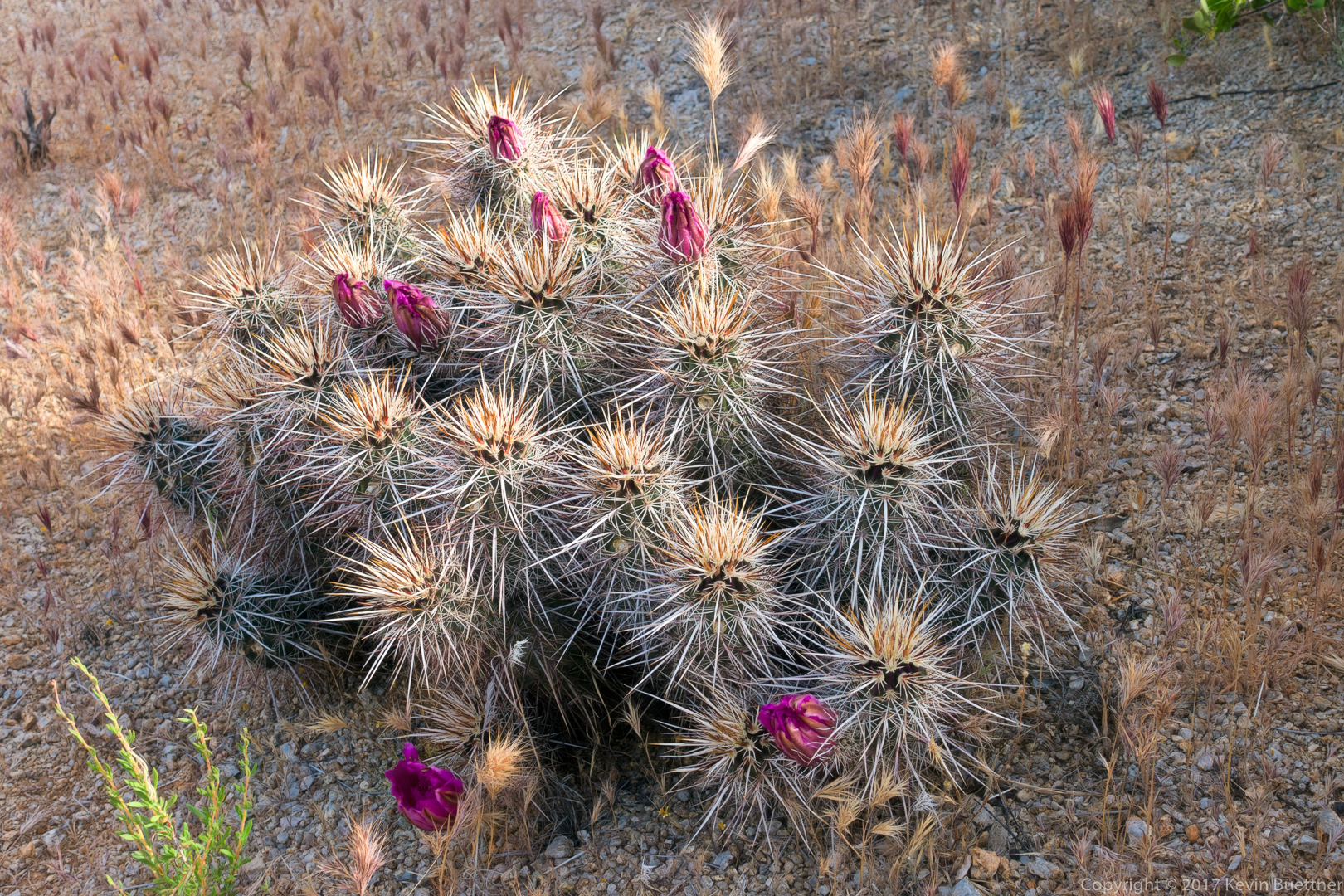
Hedgehog blossoms:
This is a view of the west (and slightly north) side of Tom’s Thumb:
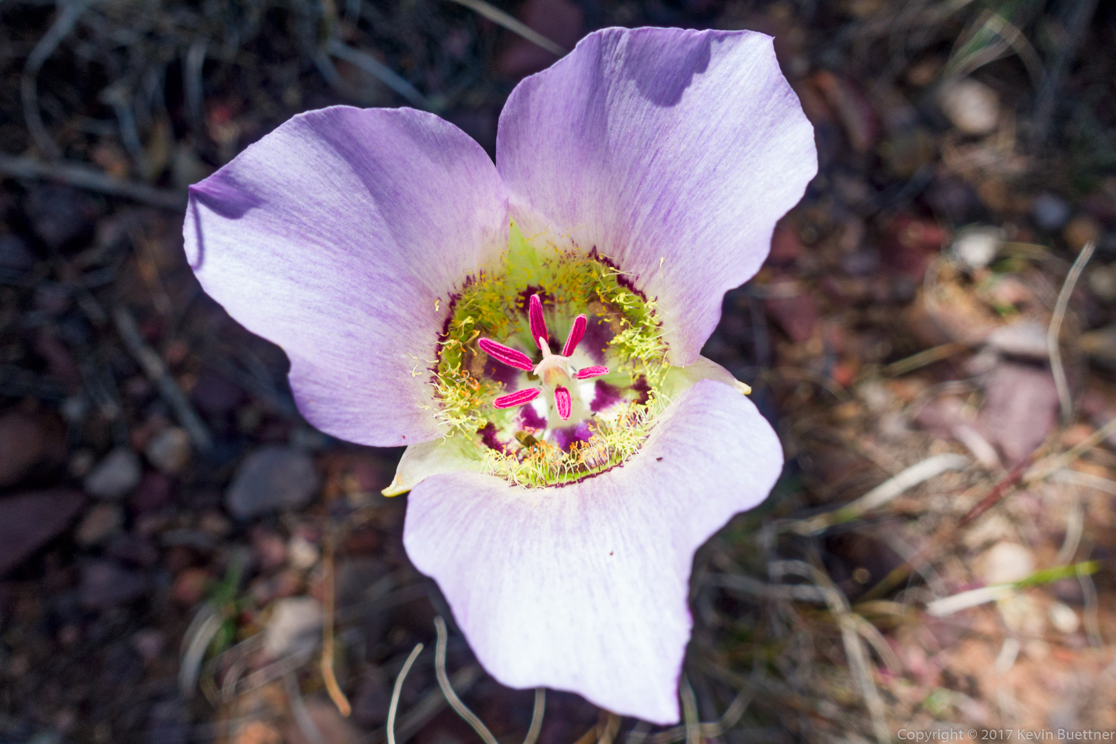
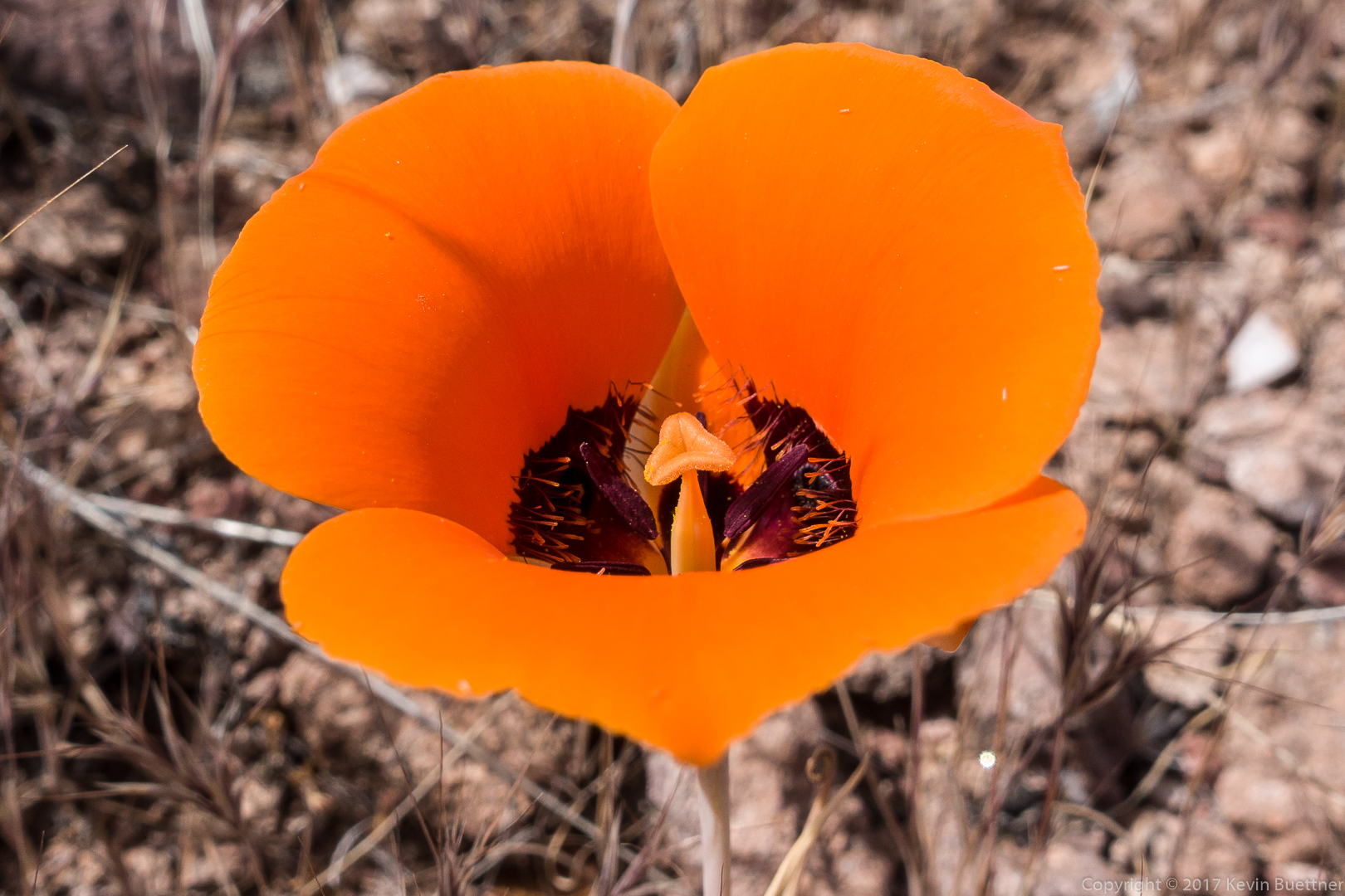
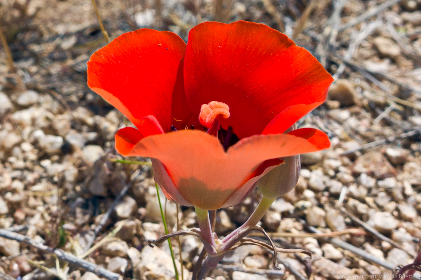
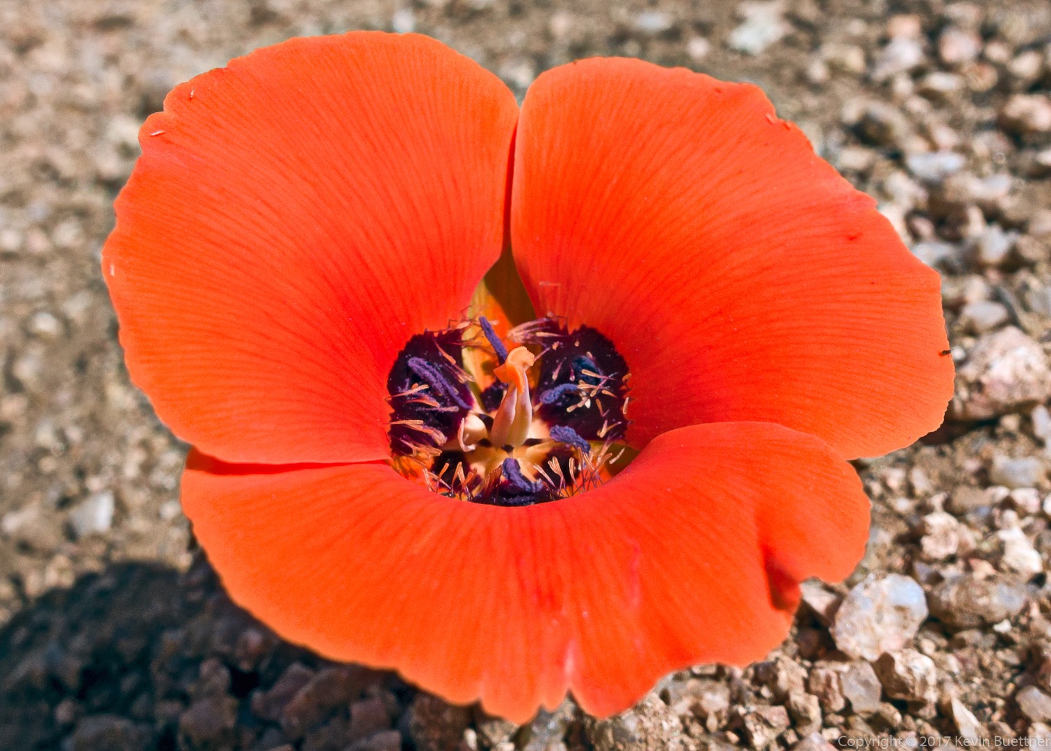
Mariposa Lily:
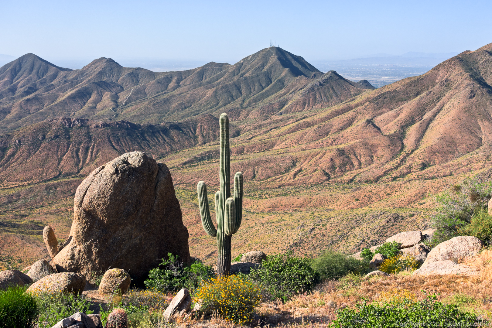
A view of Tom’s Thumb and the Rist (which is the big rock pile to the right of Tom’s Thumb in this photo). Glass Dome and Weaver’s Needle can also be seen in this photo.
Pinnacle Peak and Troon Mountain are at the left:
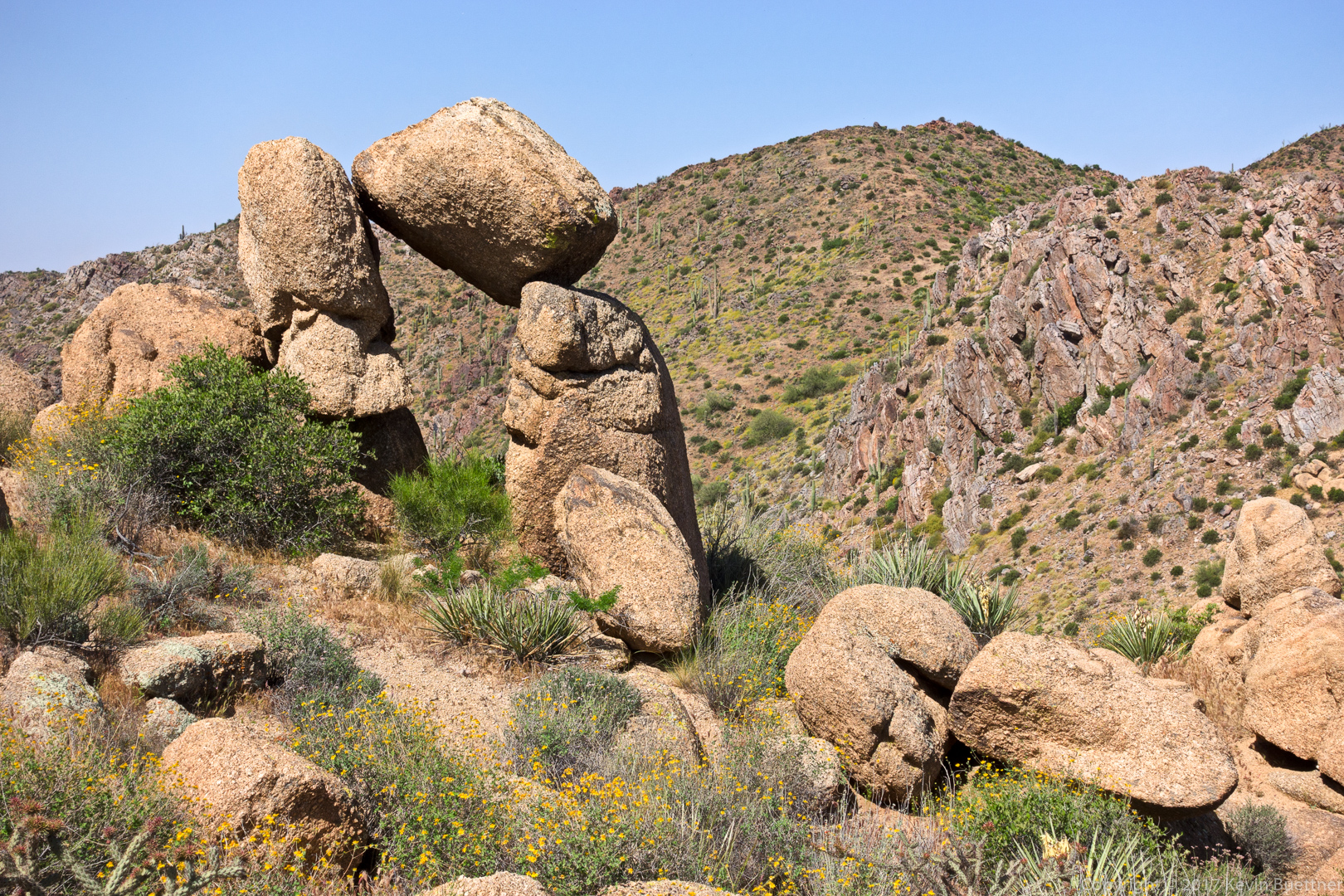
This rock formation is on the southwest side of the ridge line.
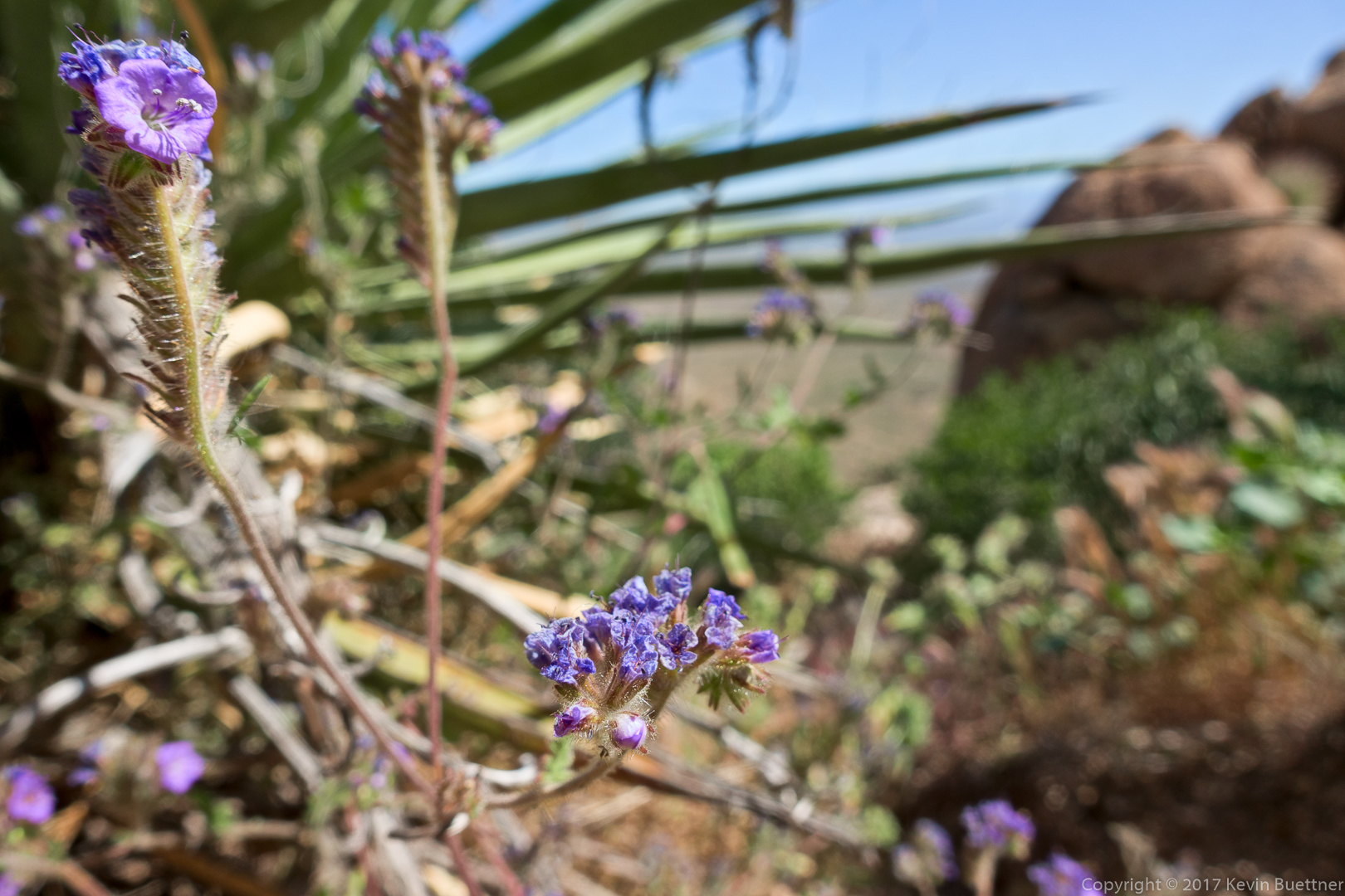
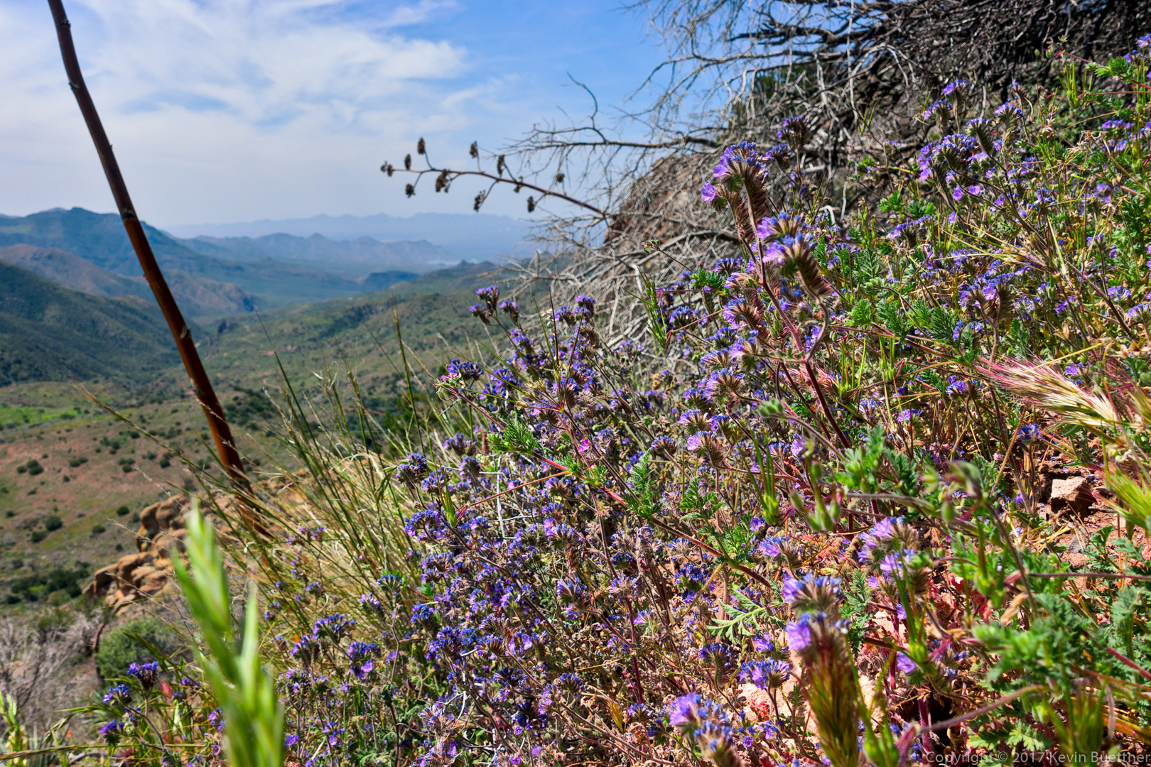
I think this is Phacelia:
Mariposa Lily:
Looking back up hill…
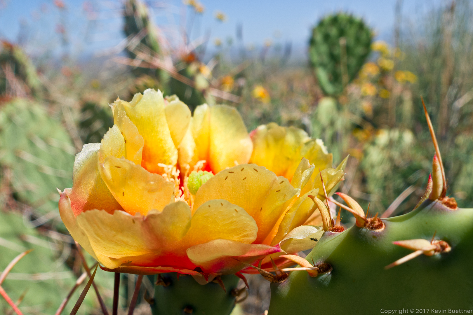
Prickly Pear:
White Ratany:
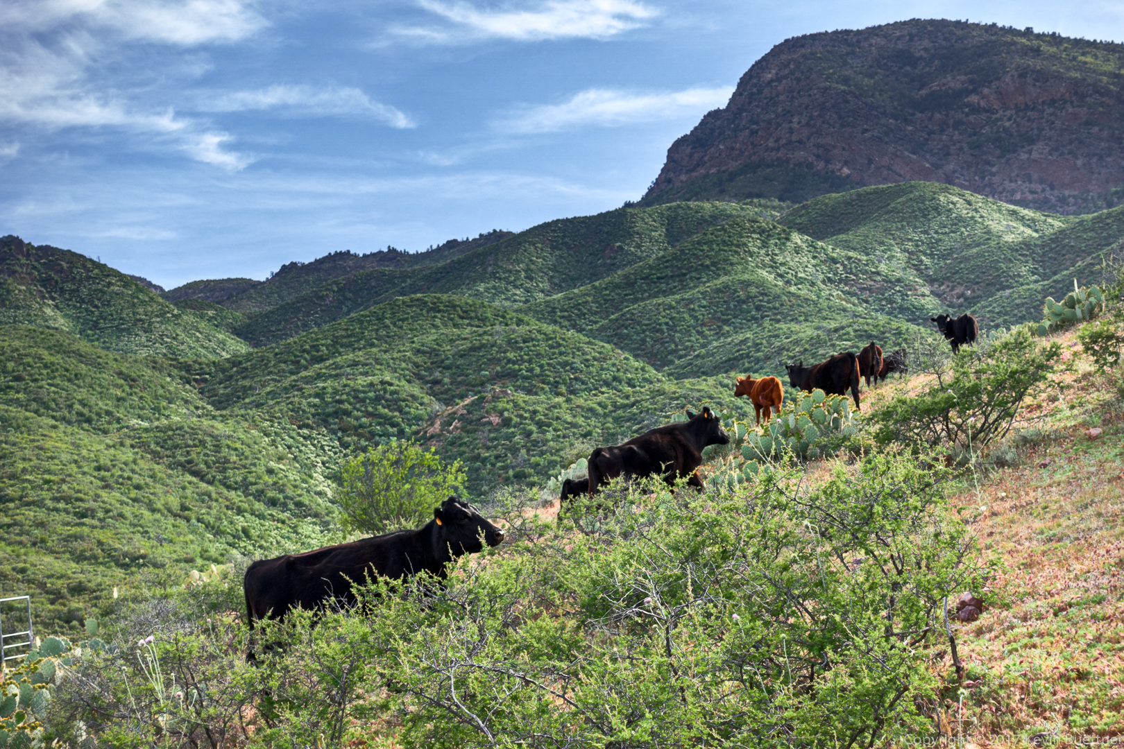
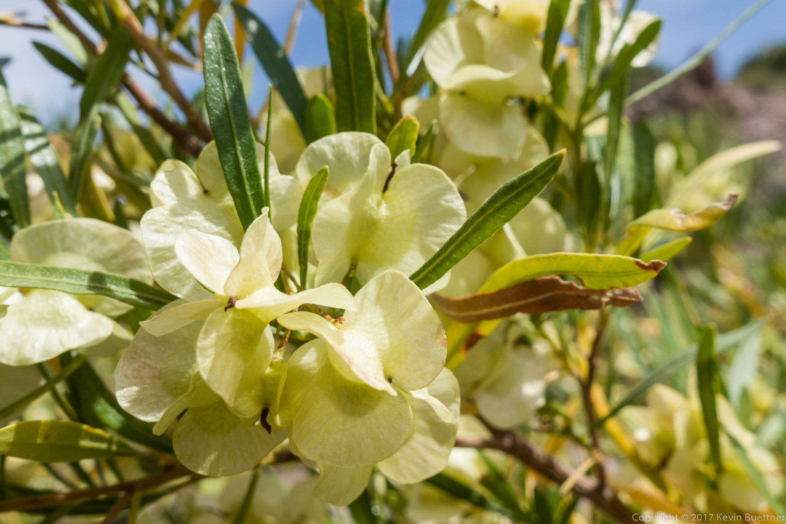
Marilyn, Nick, Bob, and I hiked the Black Ridge Loop on Sunday…


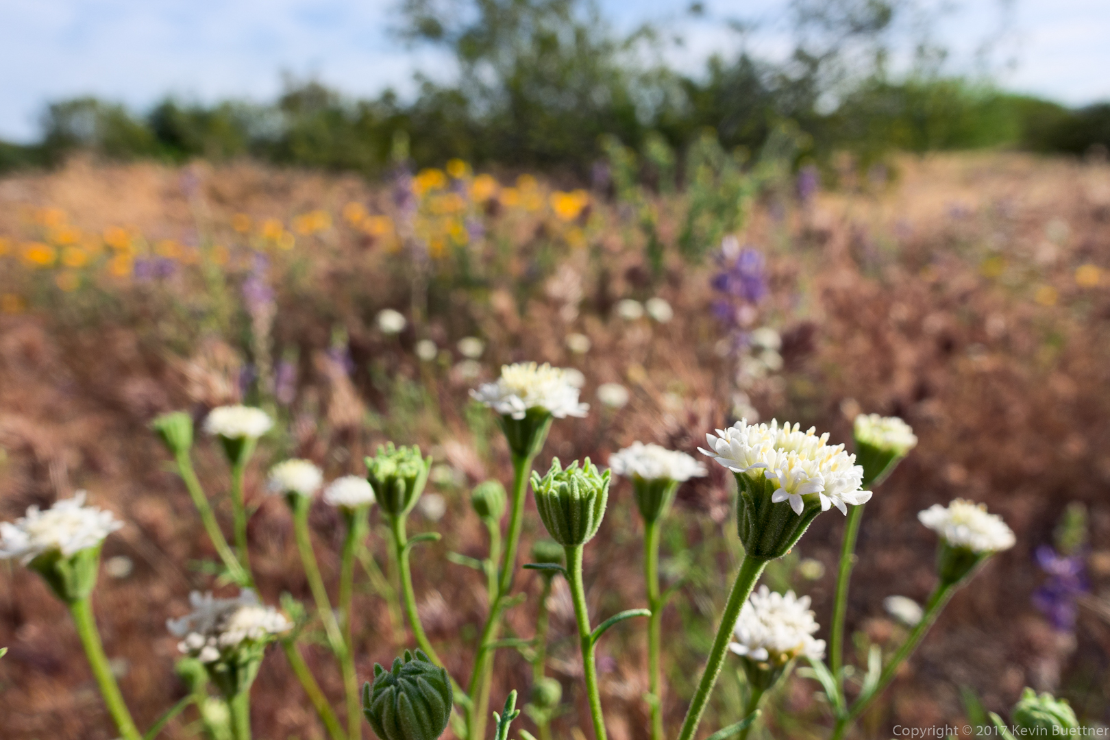
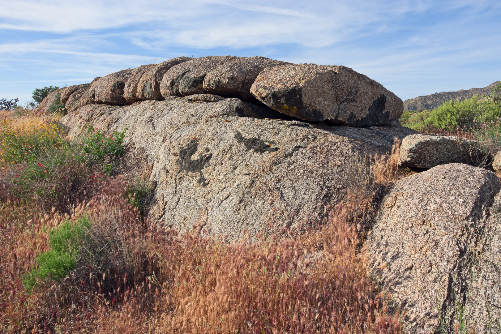
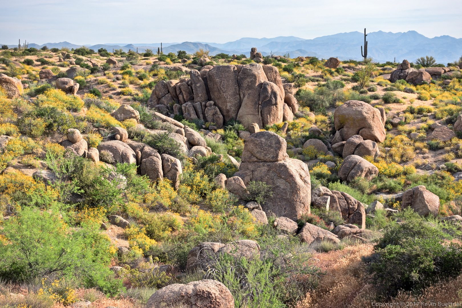
Mike and I hiked 8.5 miles starting from the Wagner Trailhead. The desert is drying out, but there is still an abundance of flowers.
We started early – just before sunrise. I got this shot from the Wagner Trail prior to the start of the hike.

Buckwheat:
Senna:
Sunrise on the Tortoise Trail:
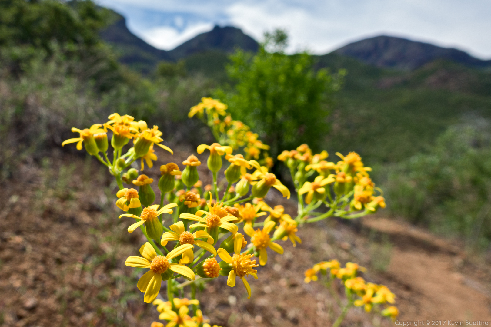
I think this is Goldeneye:

At around the time that I photographed this bunny, I learned that the soles of my new shoes (Xero Prio) were not impervious to thorns.

This might be Sweetbush:
Saguaros in Stoneman Wash:
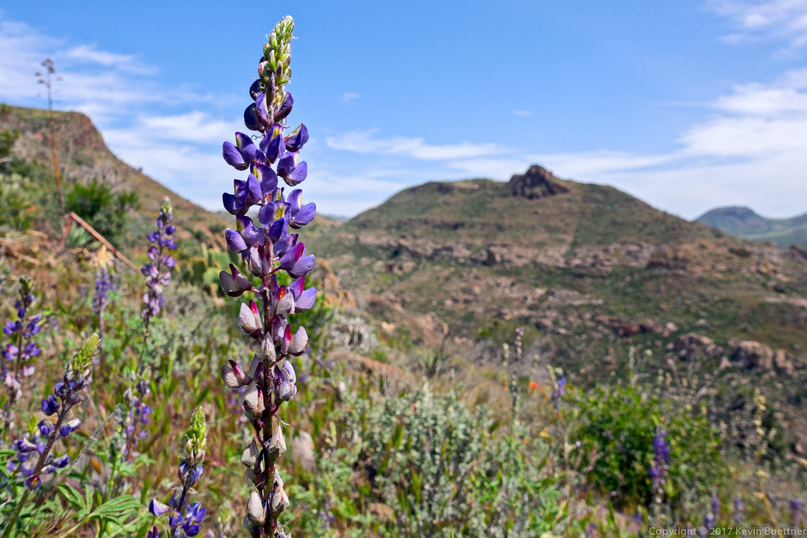
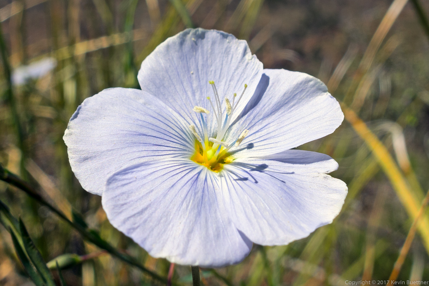
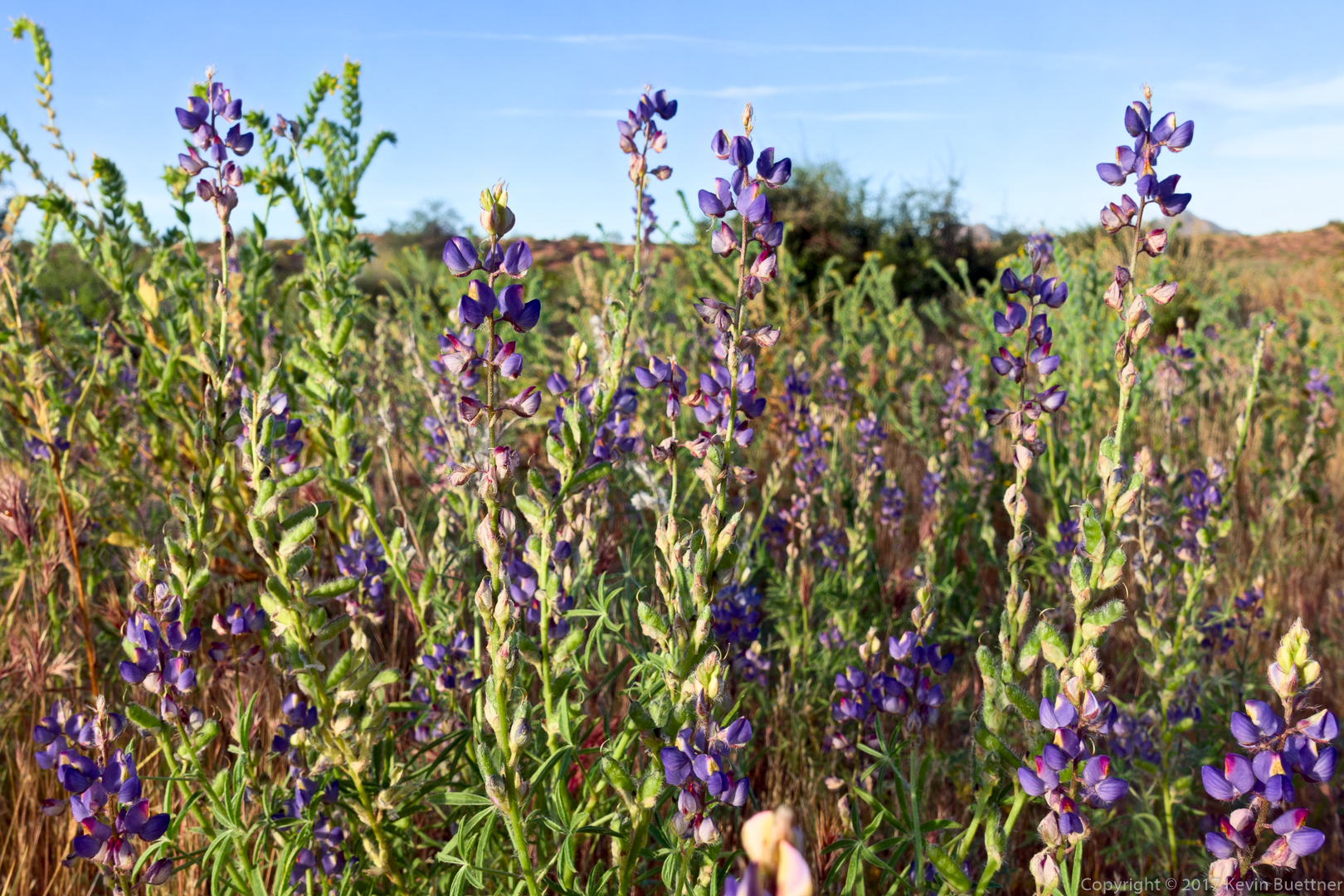
Lupine:
Palo Verde:

We saw this very green plant in Stoneman Wash – Mike told me what he thought it was, but I’ve now forgotten:

Wolfberry (or maybe Hackberry) mixed in with some other plants:
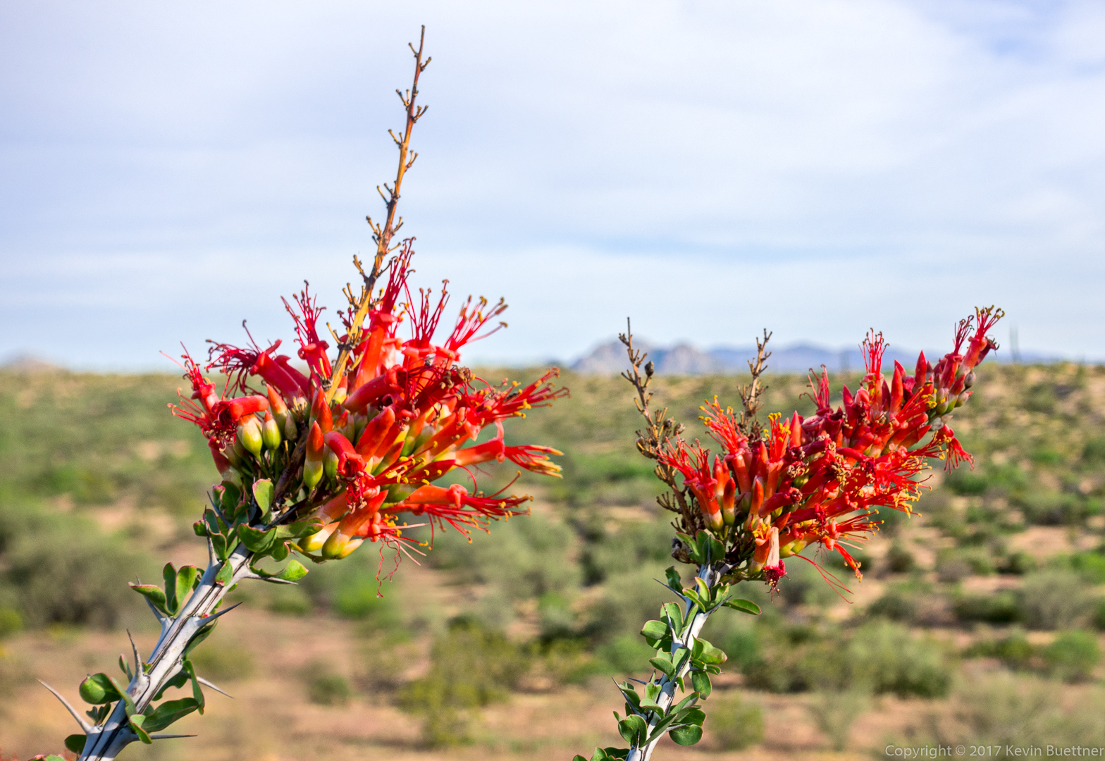
Ocotillo:
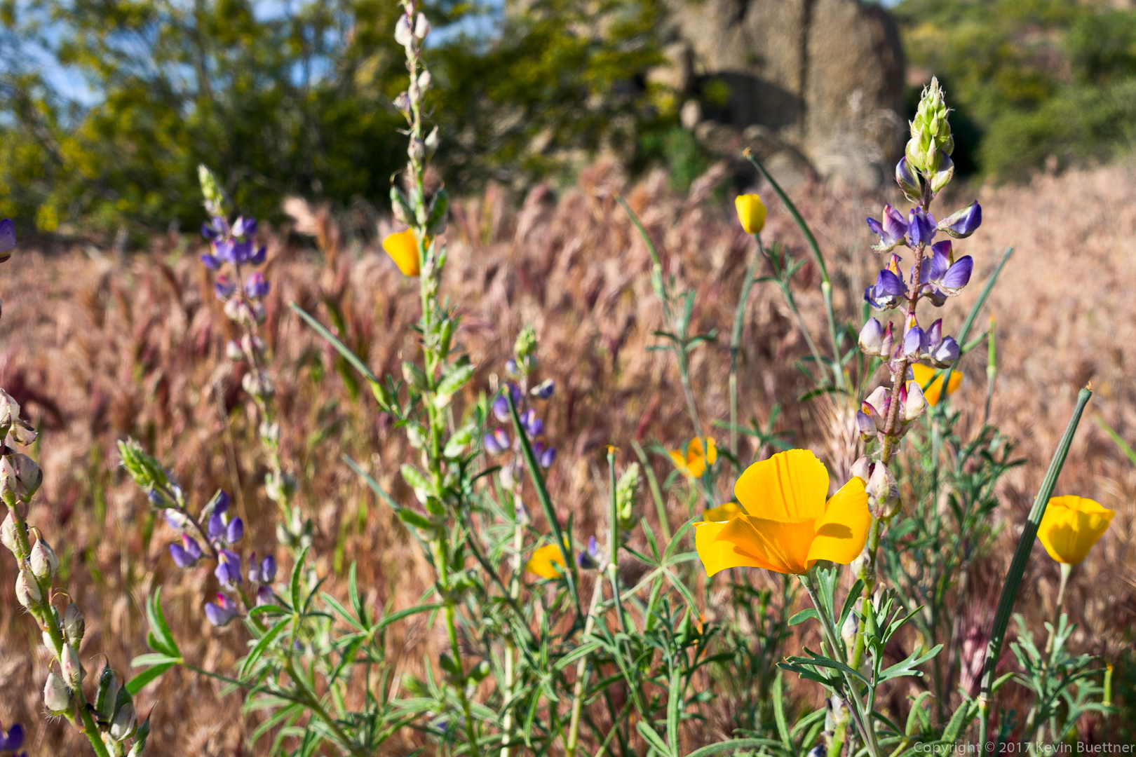
Lupine and Poppies:
We saw this plant on the Granite Trail, right next to the lupine and poppies. We didn’t know what it was at the time, but Mike has since identified it as a Fiddleneck.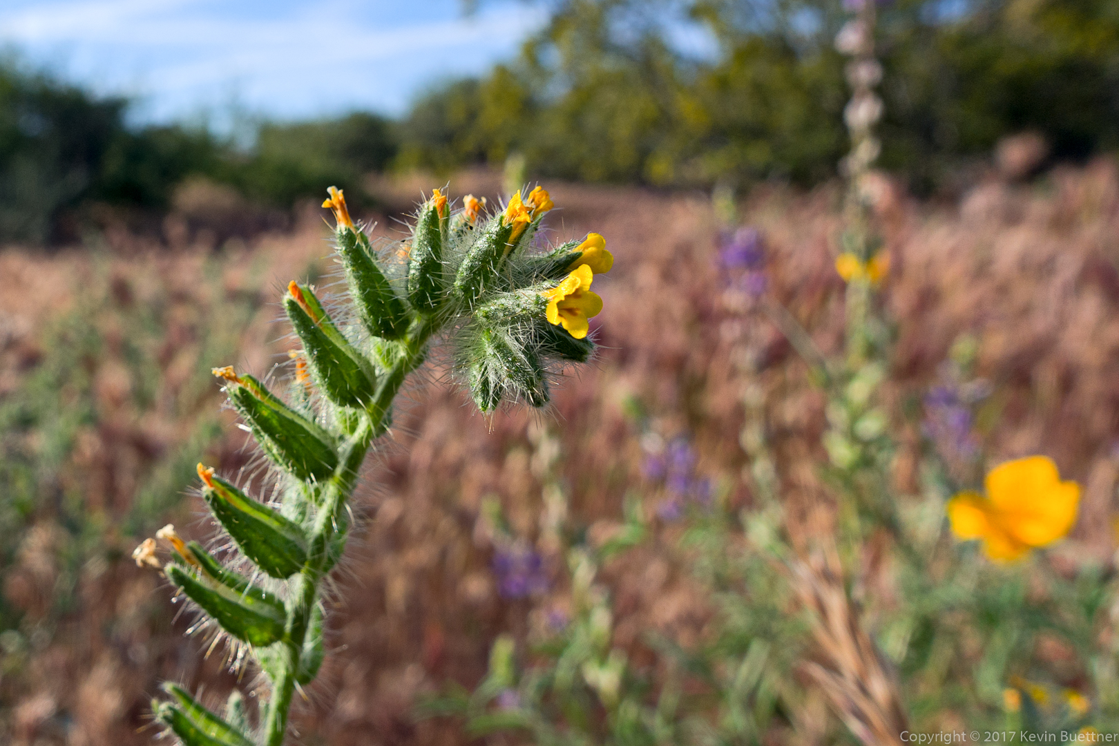
Desert Pincushion:
This is the wash below the Bluff Trail:

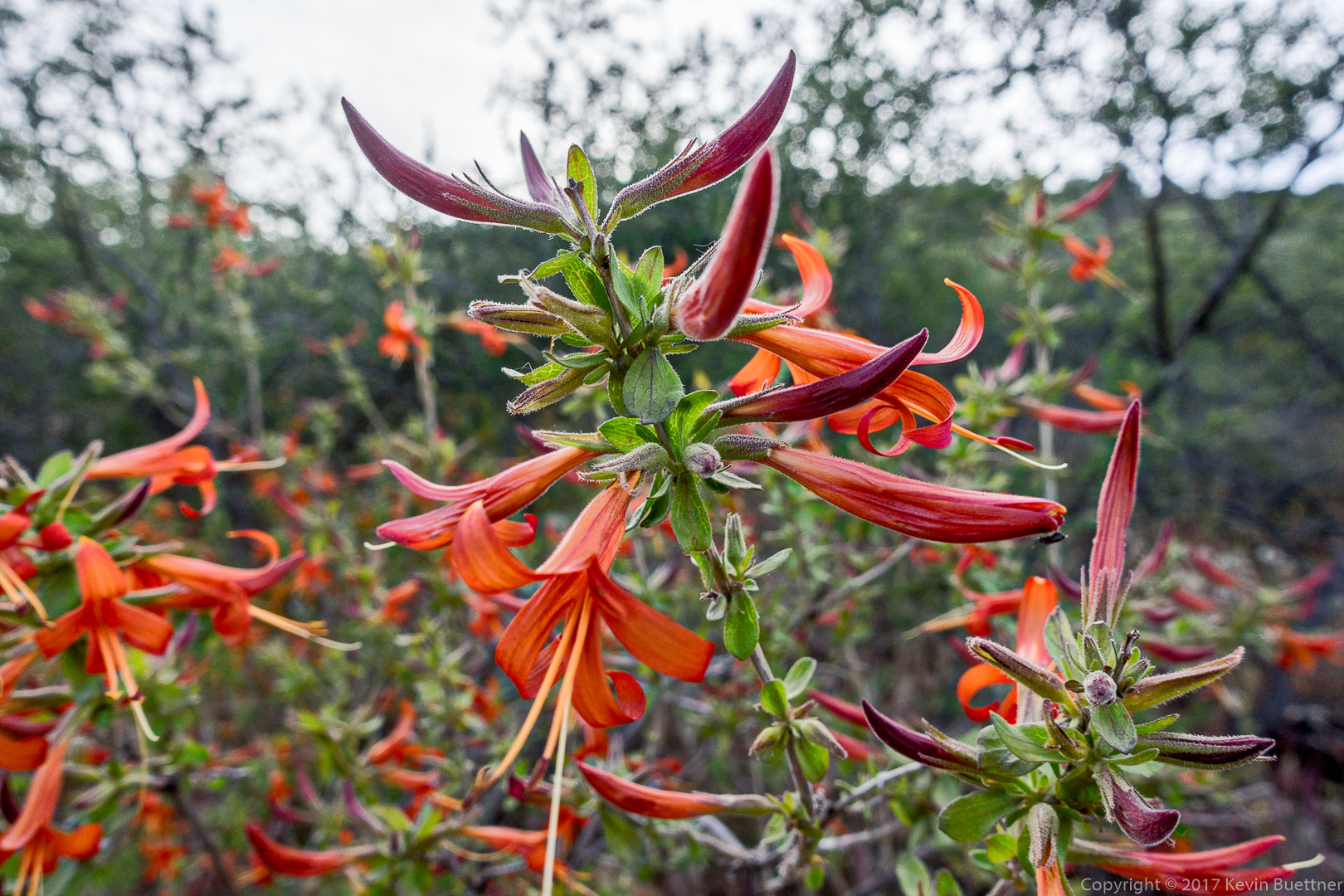
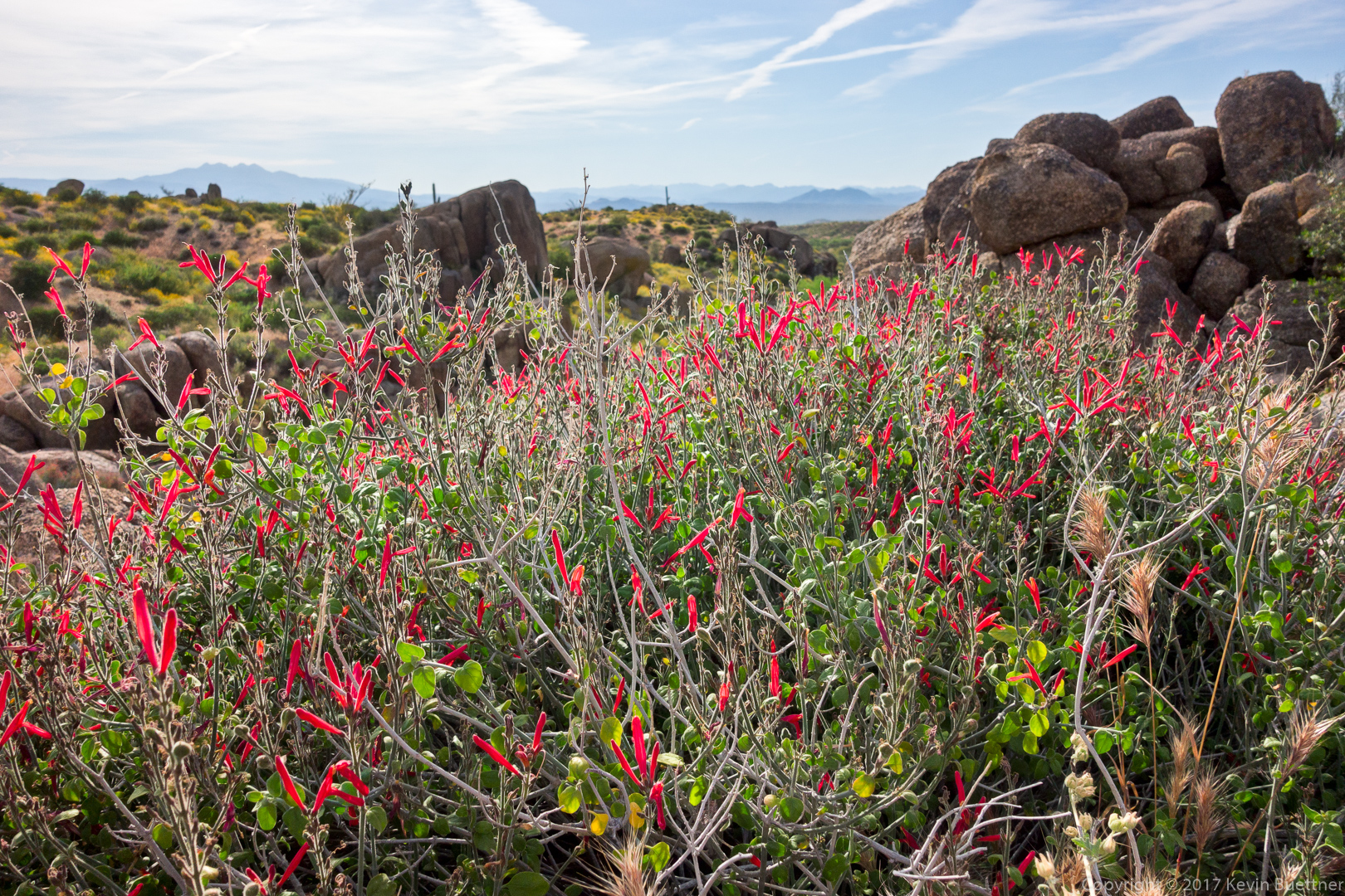
Chuparosa:
Miniature Woollystar: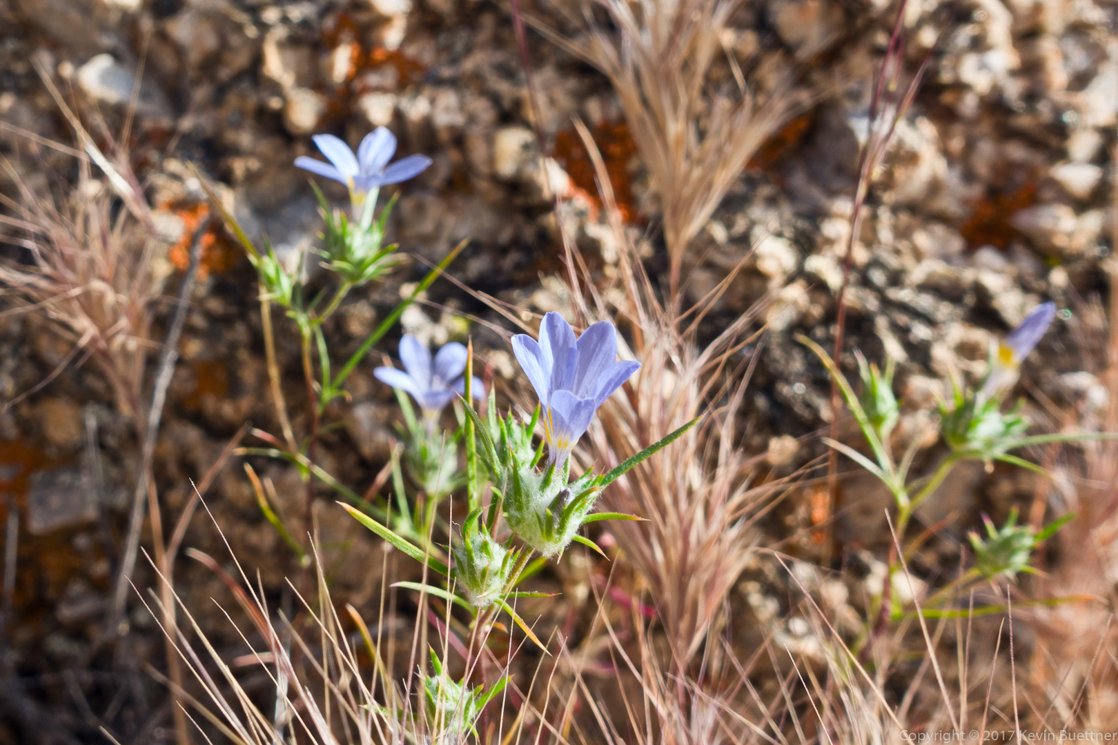
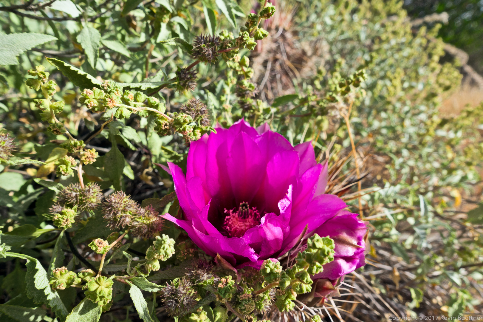
Hedgehog cactus:
Hedgehog blossom surrounded by other plants:
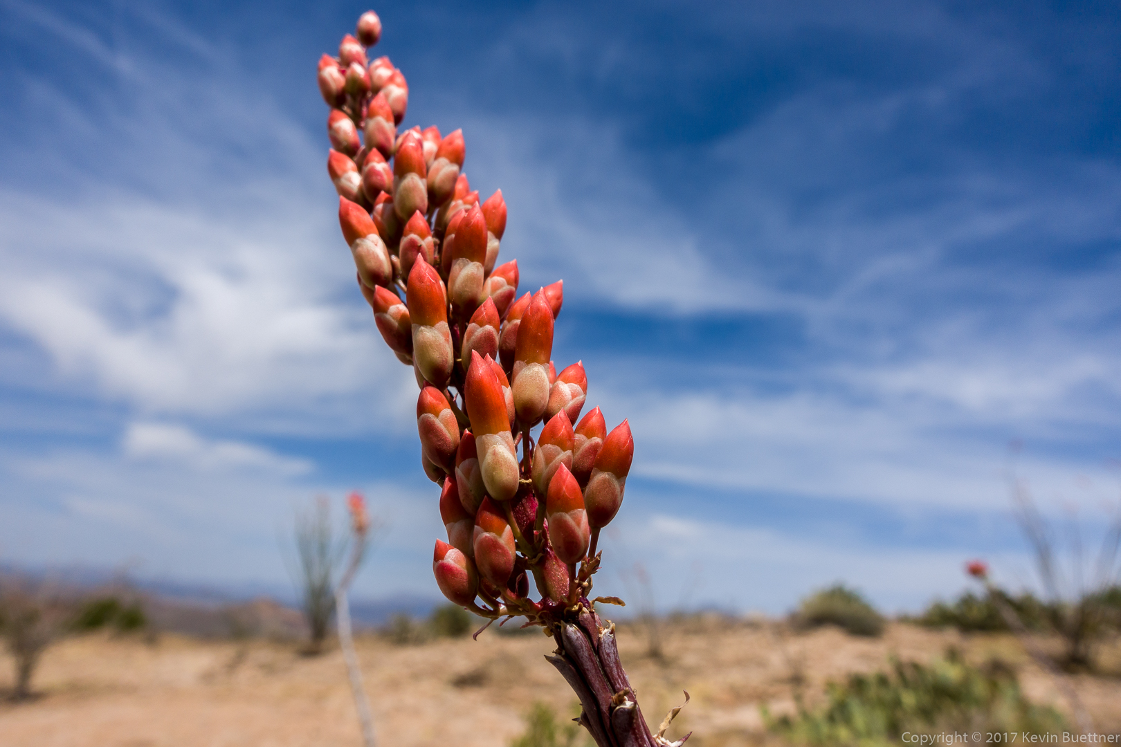
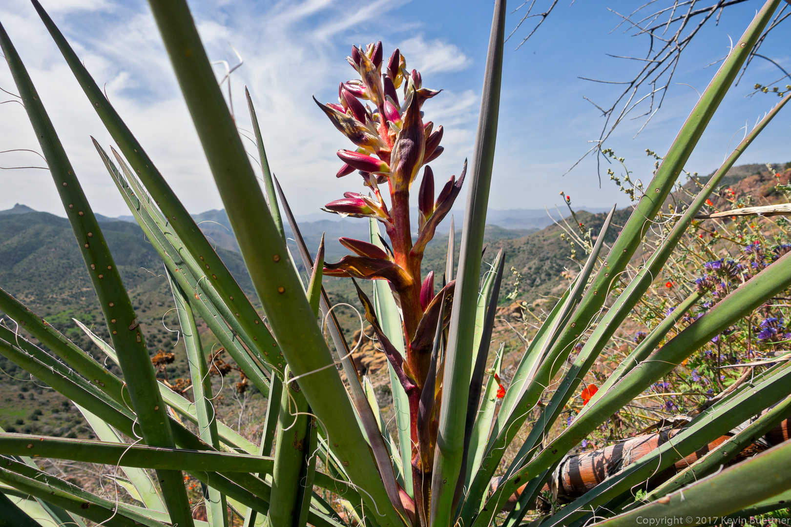
Banana Yucca:
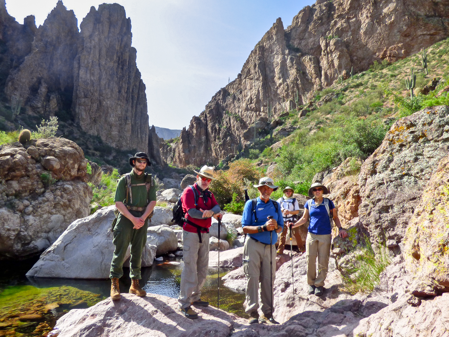
Ben, Marilyn, Nick, Joe, Nora, and I hiked Peter’s Canyon on Friday.
We had planned to hike at the Mogollon Rim, but the forecast high for the day there was only 36 degrees F with winds between 20-30mph, with gusts of up to 40mph. So, instead, we did a canyon hike in the Superstition Wilderness where it was still forecast to be pretty windy, but the forecast high was 65. However, for much of the hike, the canyon walls blocked nearly all of the wind, providing us with relatively calm conditions during our hike. The only time when we noticed significant wind was when we climbed up to Peter’s Cave, which was the destination for our hike. I think we were all happy that we changed our plans for the day.
Joe and I had hiked Peter’s Canyon about a year ago. On this year’s hike, we encountered deeper pools with a lot more flowing water.
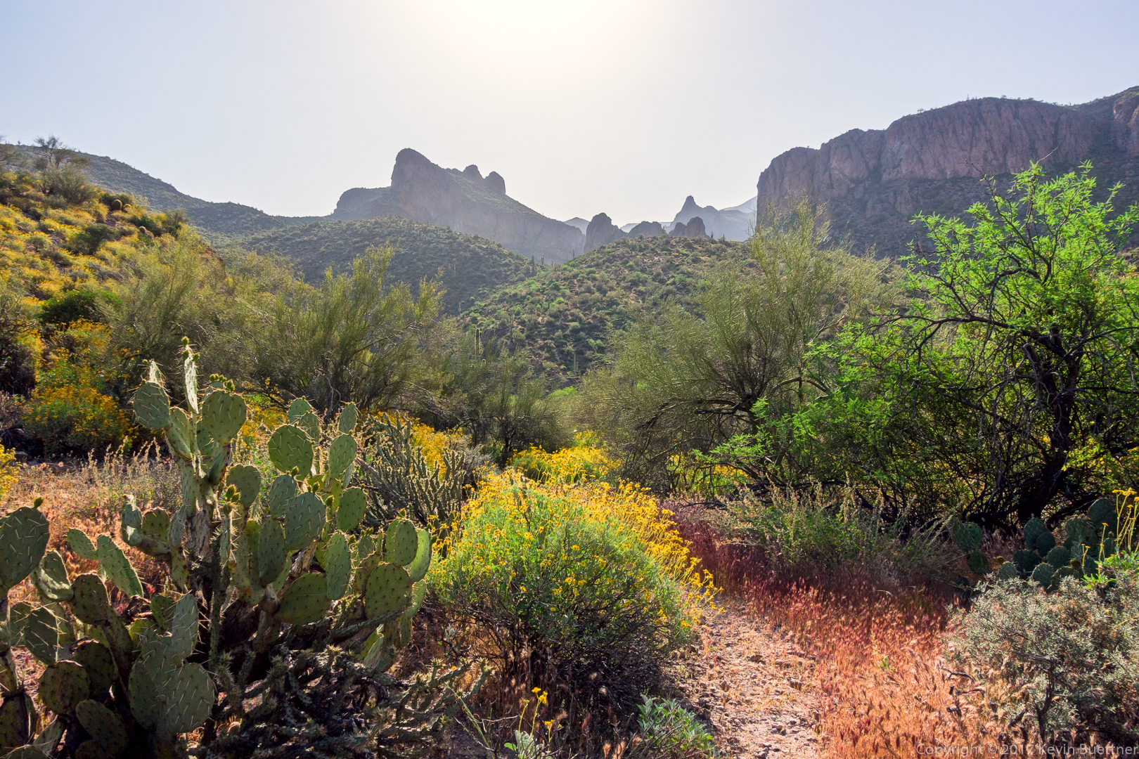
This is a view from near the trailhead at Tortilla Flat:

Another view from early in the hike:
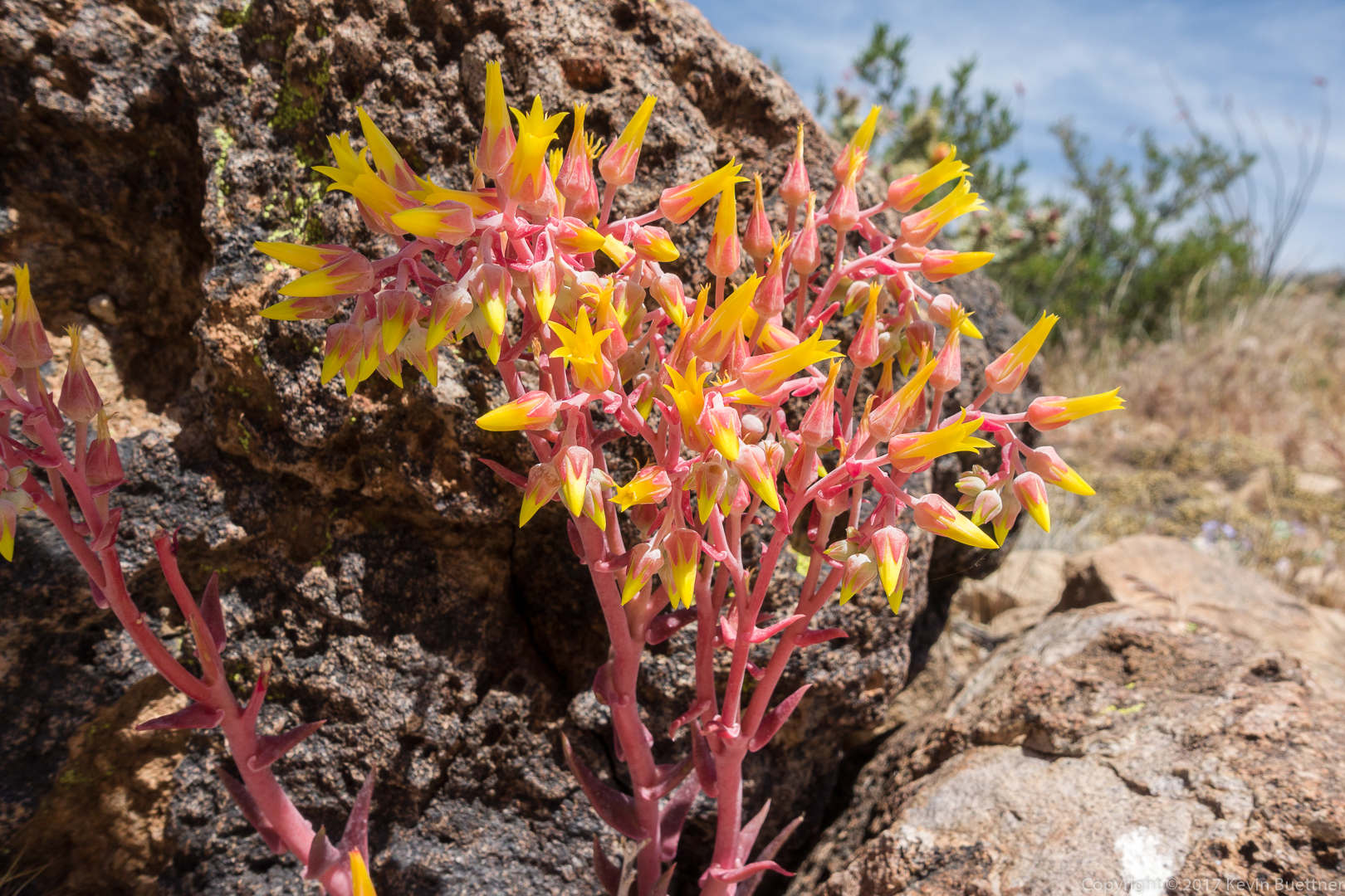
This is a Rock Live-Forever plant. We saw several of them on our hike.
Brittlebush:
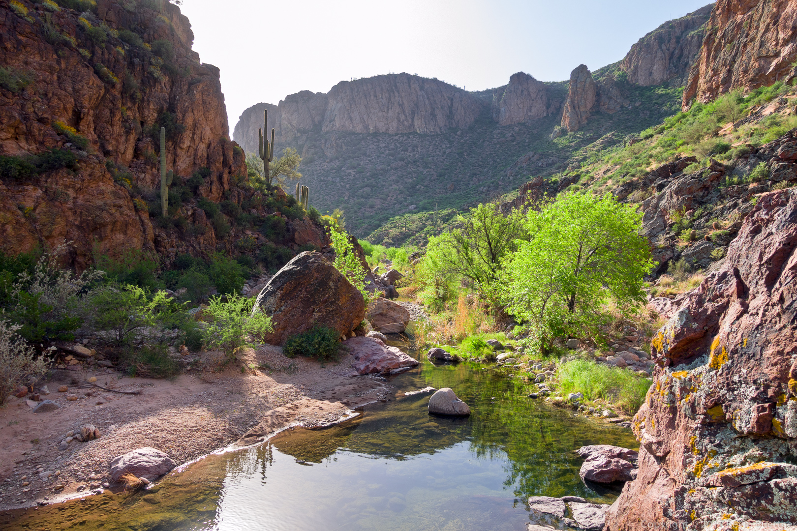
The trail led our down towards Tortilla Creek:
Early views of Tortilla Creek / Canyon:

Nick and the others examine tracks by the creek. On the way back, Ben pointed out a large paw print with three widely spaced claw / toe impressions. We have no idea what it was.
Joe climbs a large boulder in the creek:
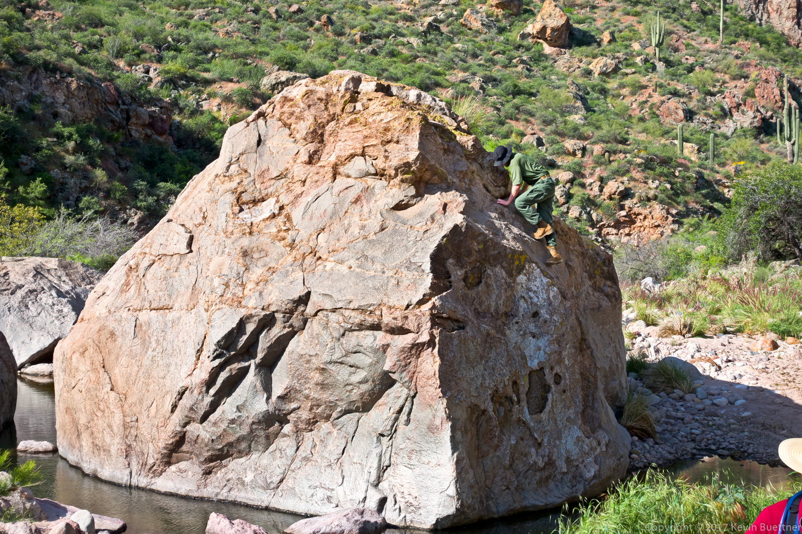
Joe took photos of his own from atop the boulder.
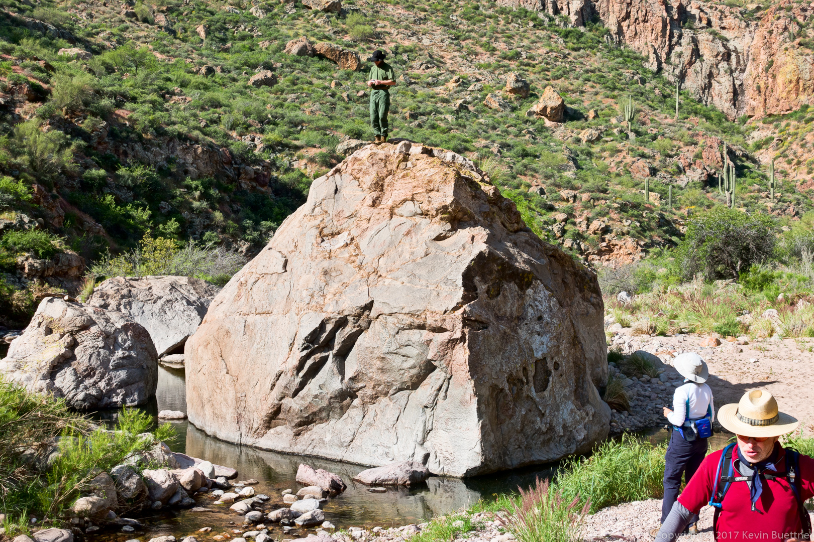
Marilyn Huot provided this photo of Joe atop the boulder:
(Photo Credit: Marilyn Huot)
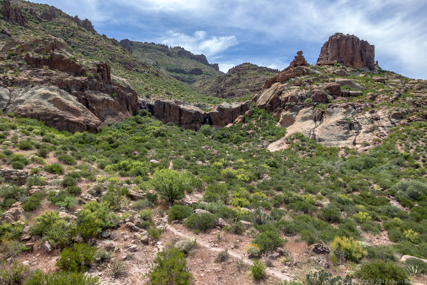
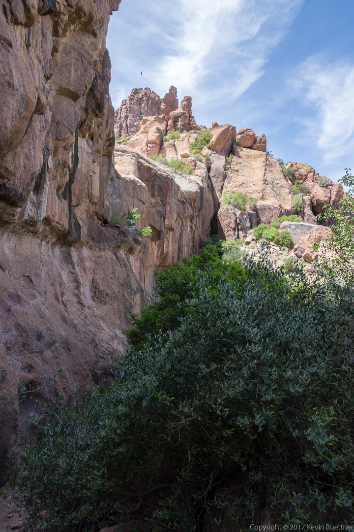
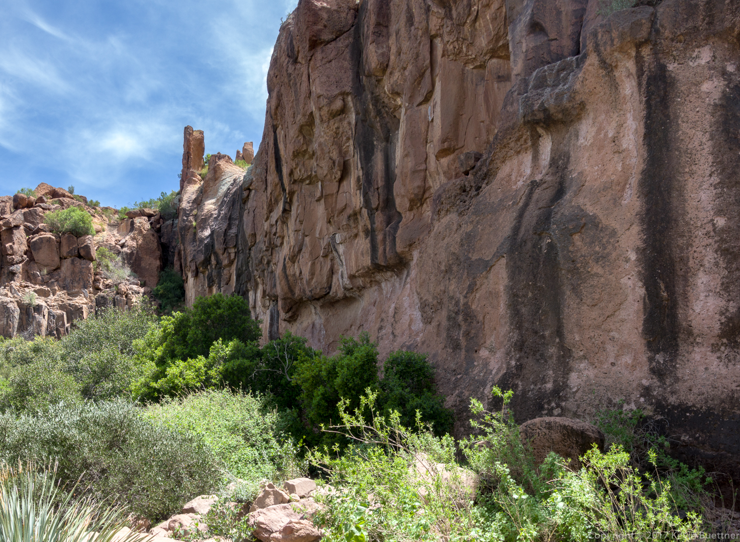
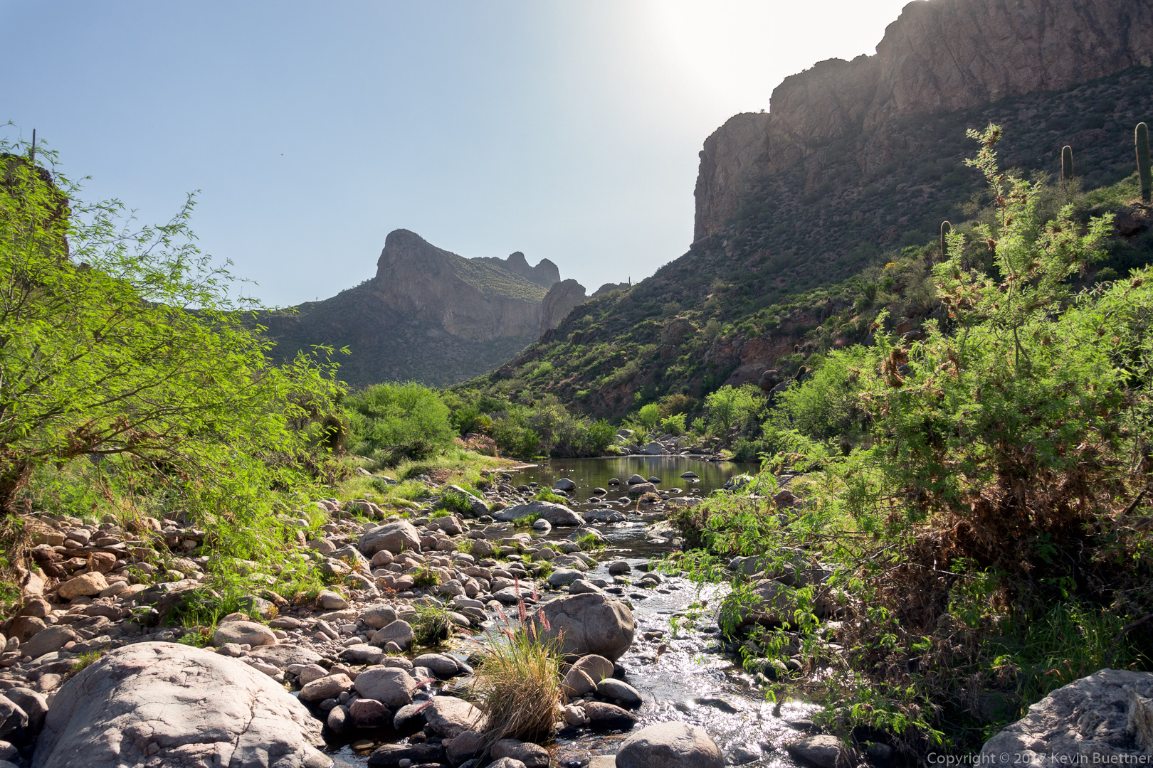
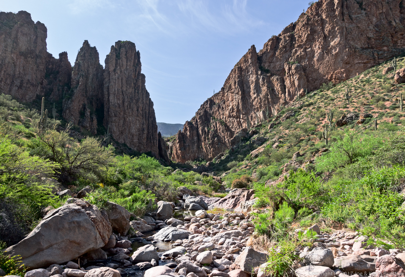
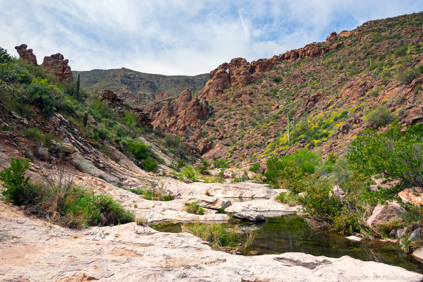
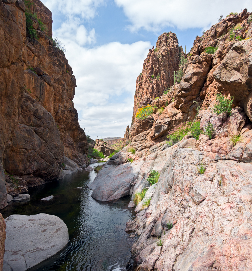
This is the entrance to Peter’s Canyon – it drains into Tortilla Creek.
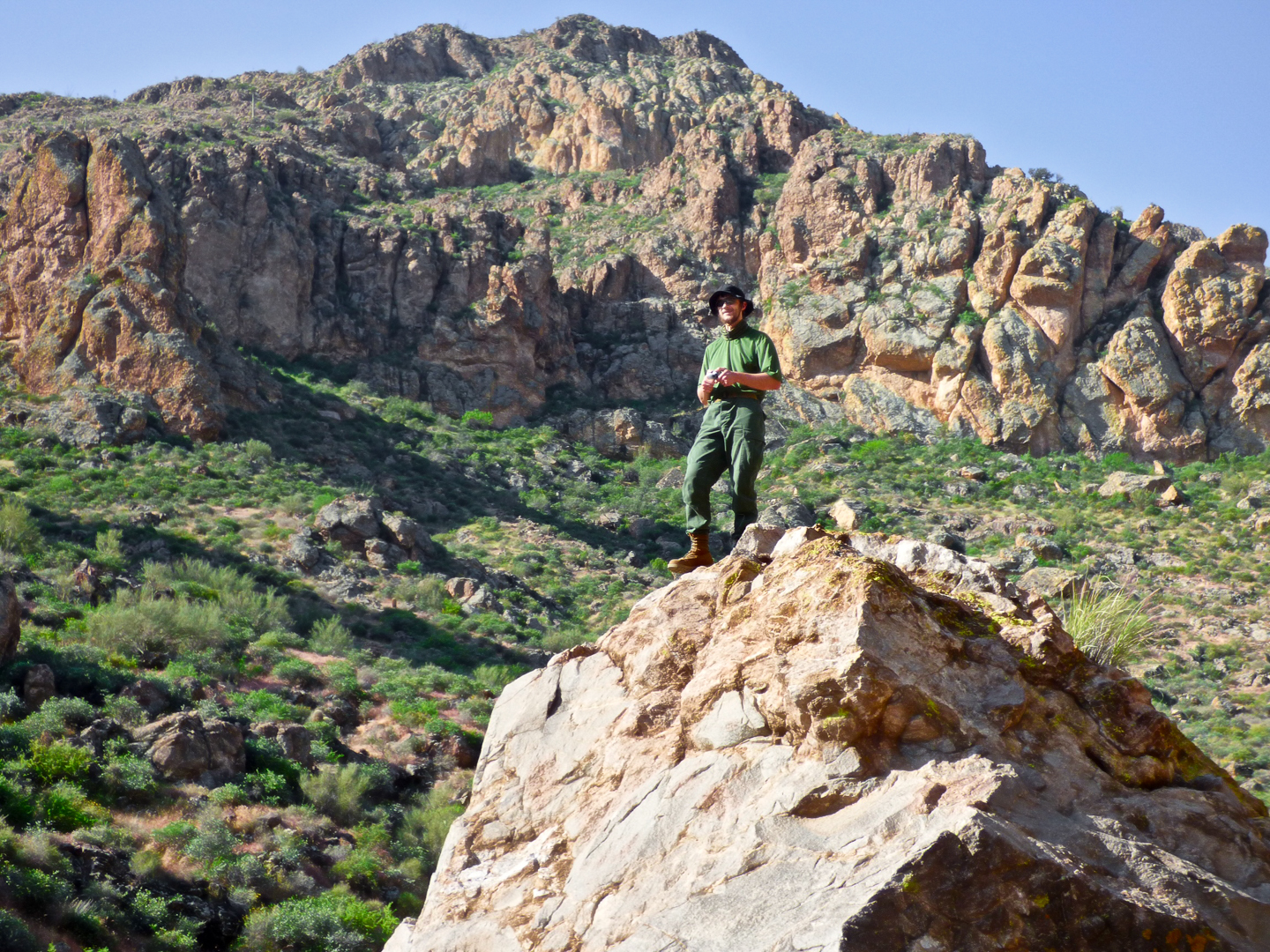
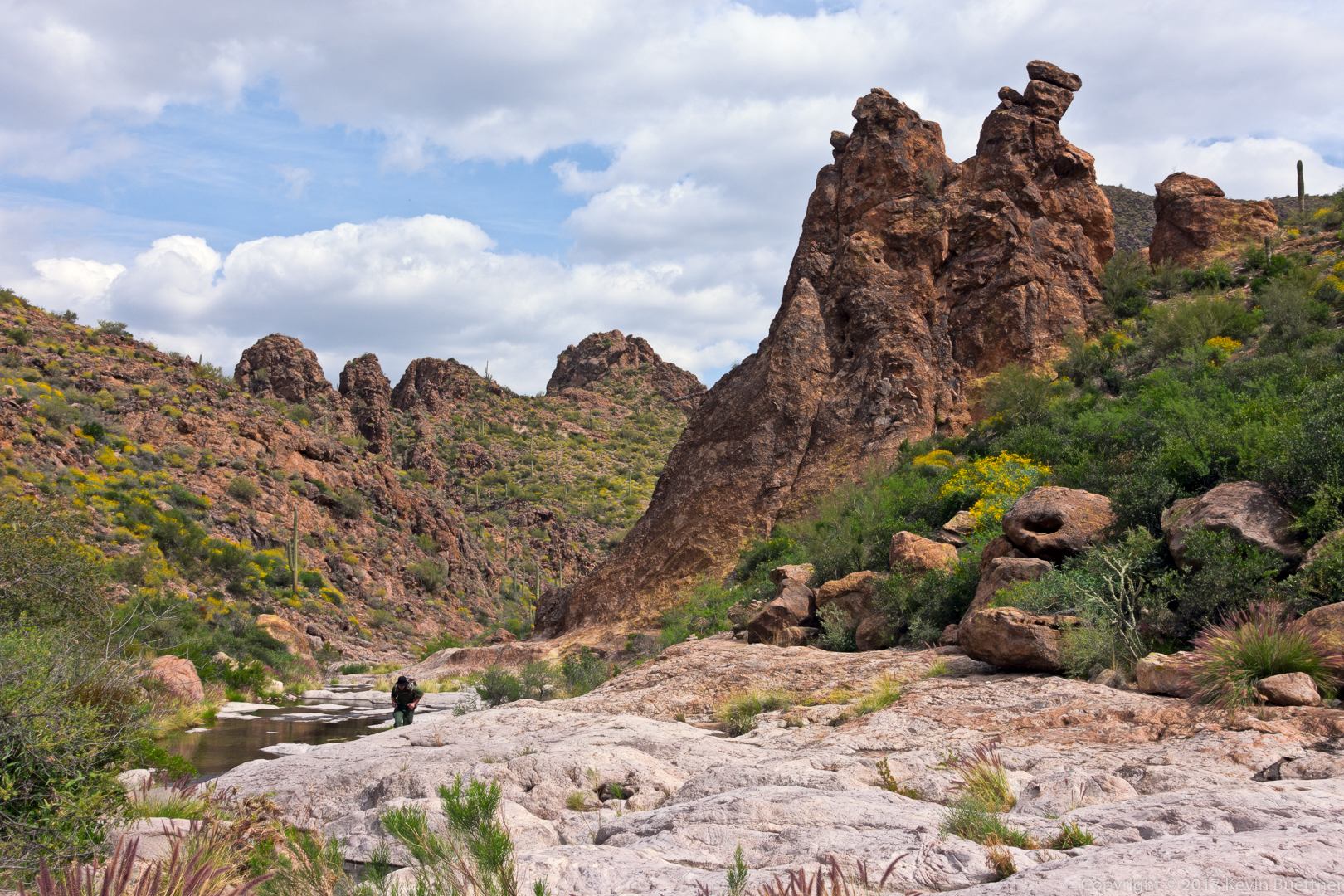
There are a number of large boulders at the entrance to Peter’s Canyon. This entire section can be bypassed if desired by following a trail on the side of the canyon to the right. A pair of backpackers quickly passed us by going that way. But we had more fun scrambling up and down boulders.
These saguaros are above the narrow tunnel / chimney that Marilyn, Ben, and I went up to get to this point. On the way back, we all went through this hole in the rocks. (It can’t be seen in this photo – I forgot to take a photo of it.)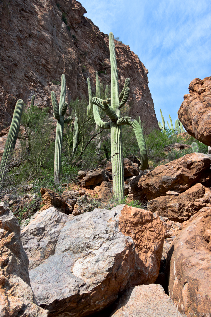
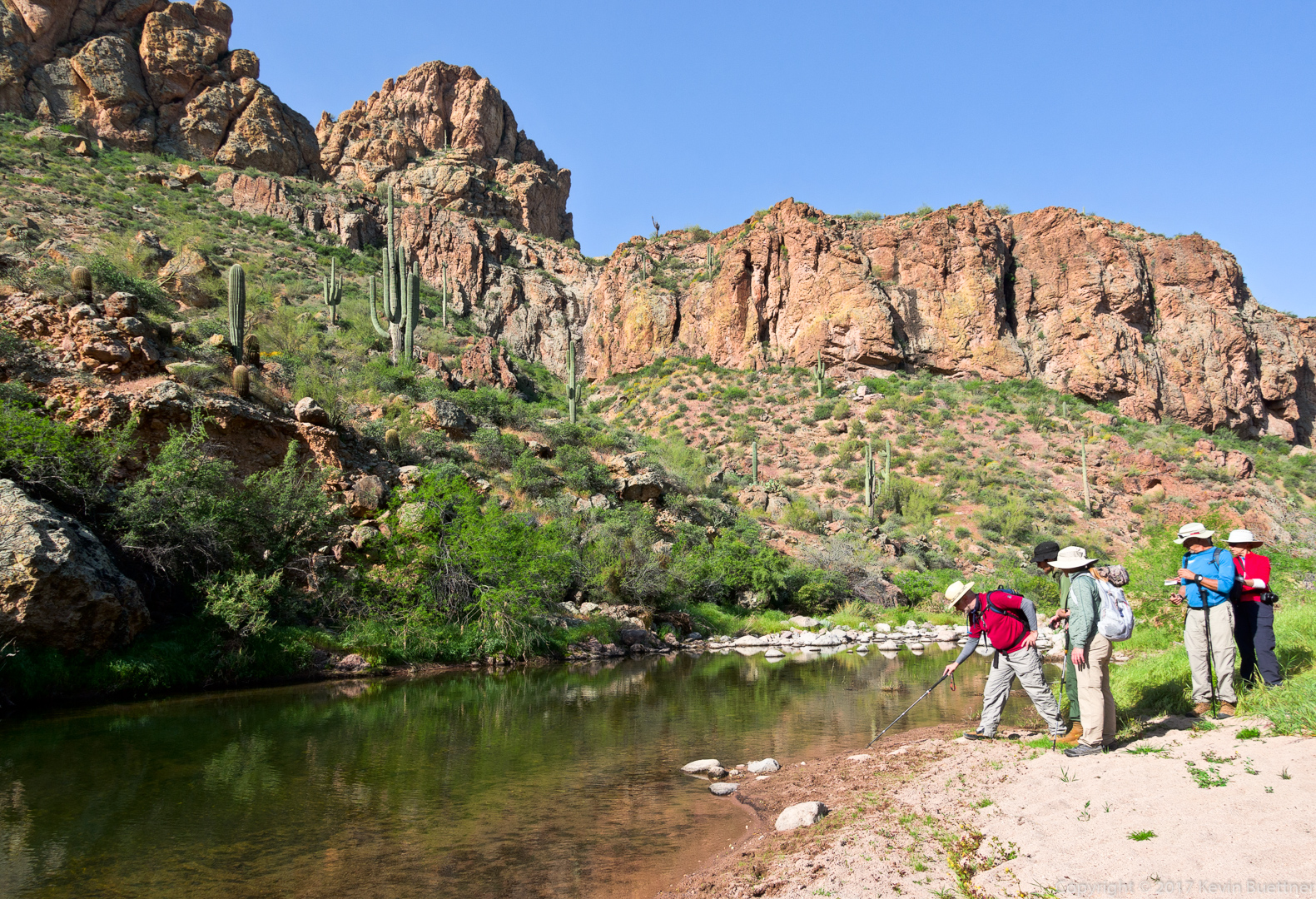
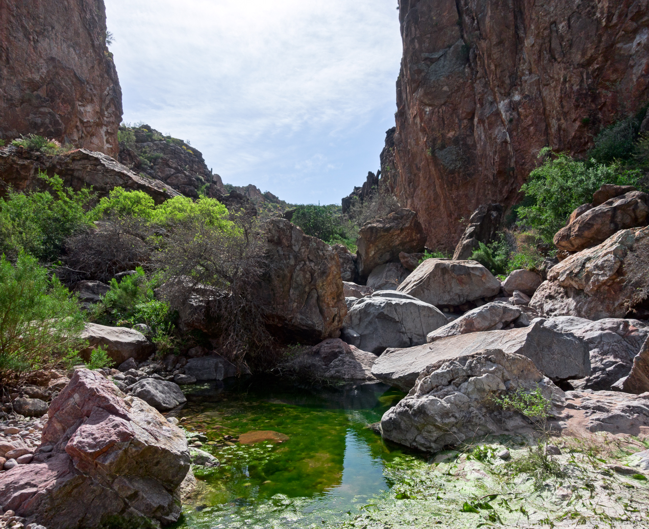
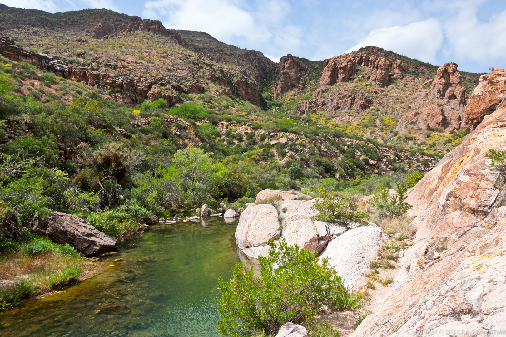
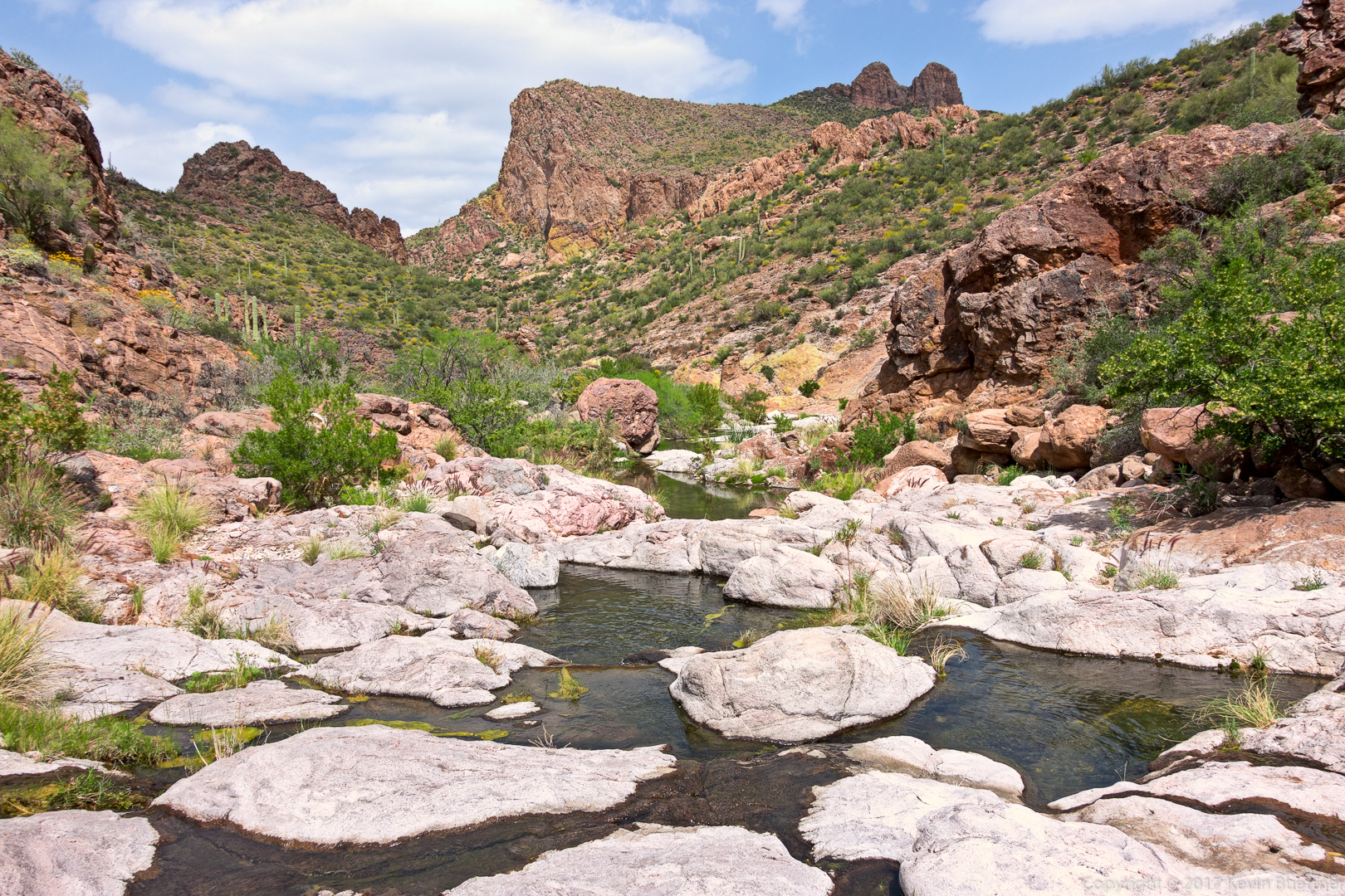
This is one of many pools that we encountered along the way. It really was that green.
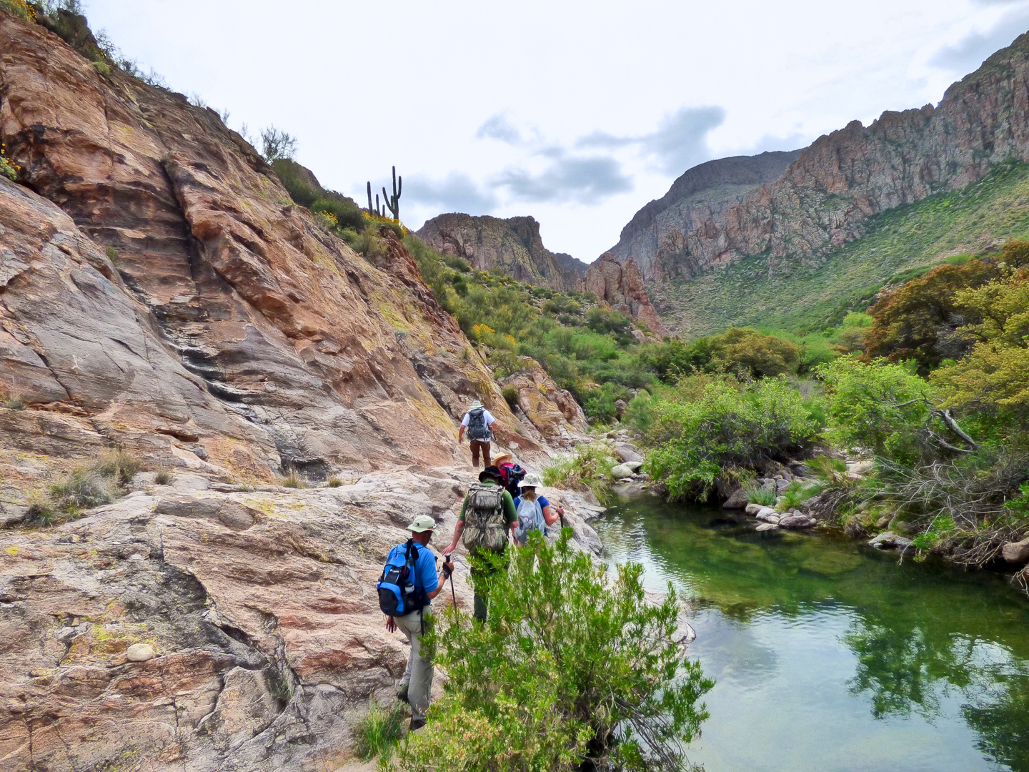
In order to keep our feet (mostly) dry, we frequently had to do a bit of scrambling to go around and above the water.
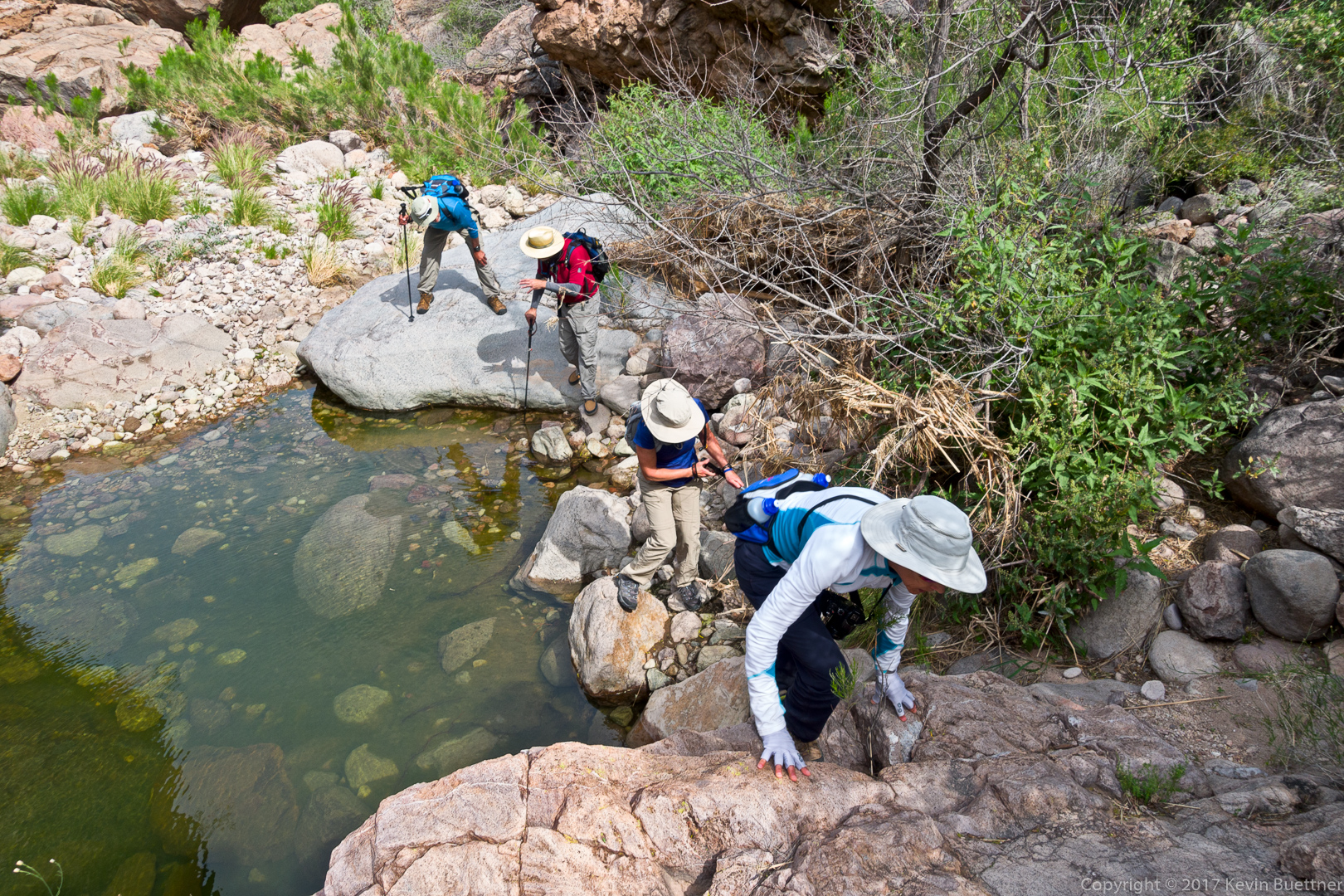
We’re about to turn a corner (to the right) here, at which point the going got considerably easier.

But first, we had to do some more rock hopping and scrambling:
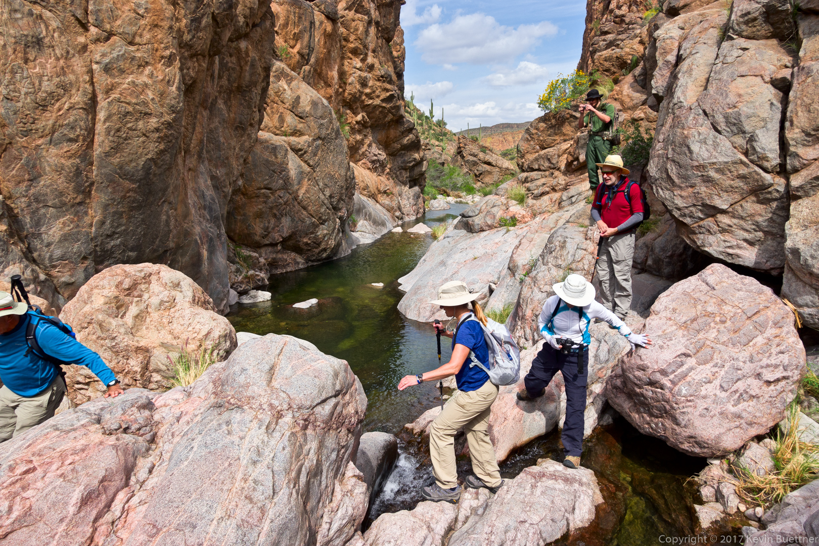
Joe, Nick, Nora, Marilyn, and Ben:

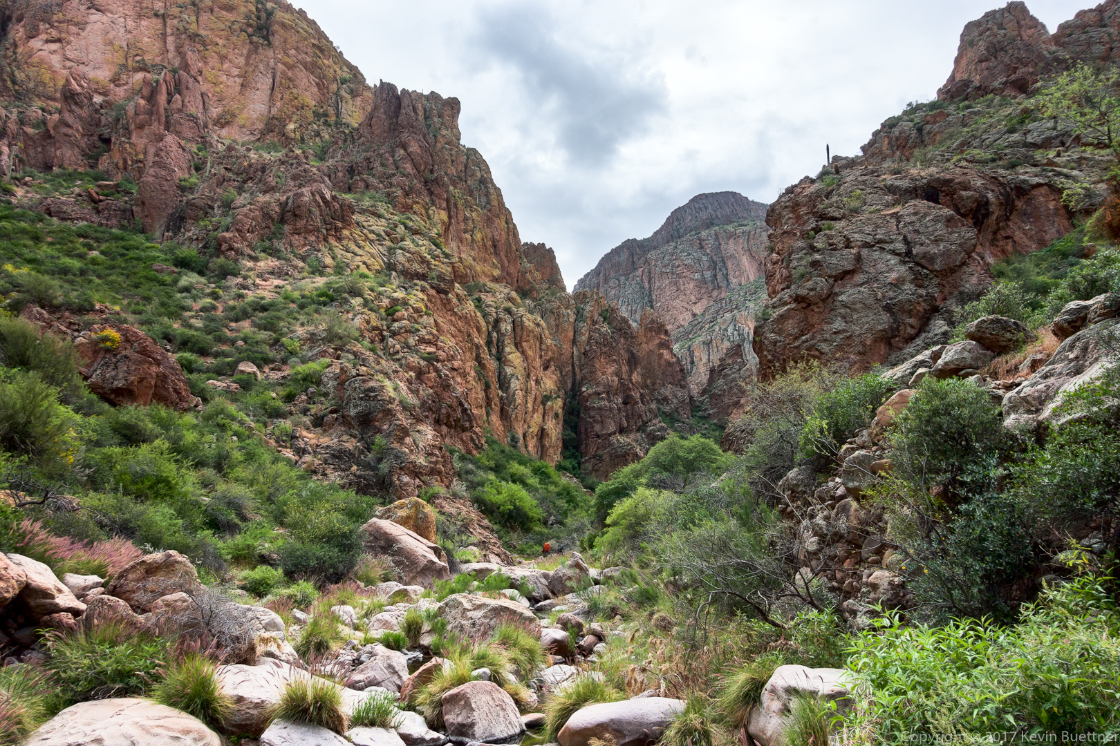
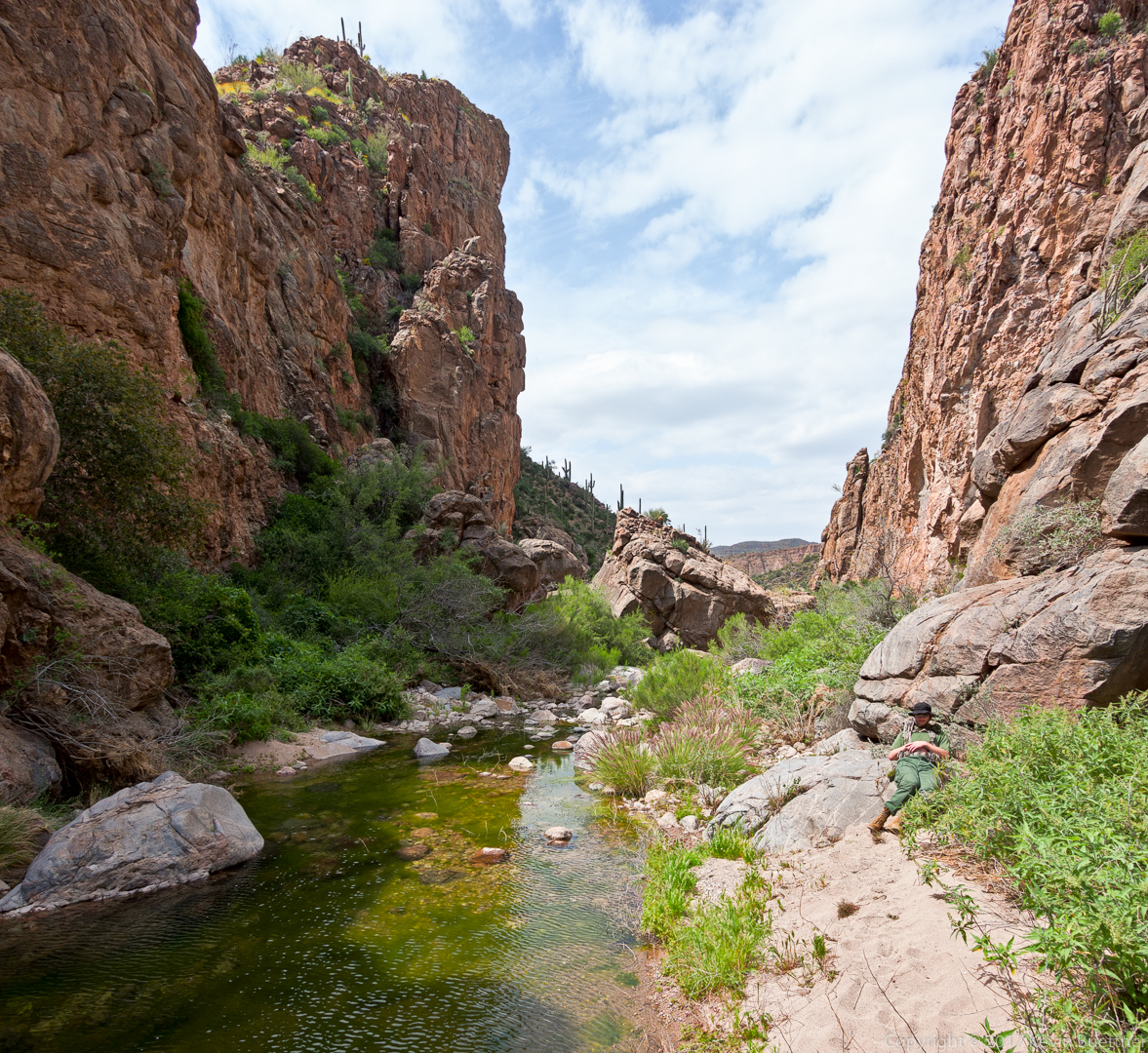
The hiking got considerably easier for perhaps the next quarter mile. Nick noticed the hole in the rock formation near the center of this photo. I don’t recall seeing it on my past visits to this canyon.
Looking back down-canyon:
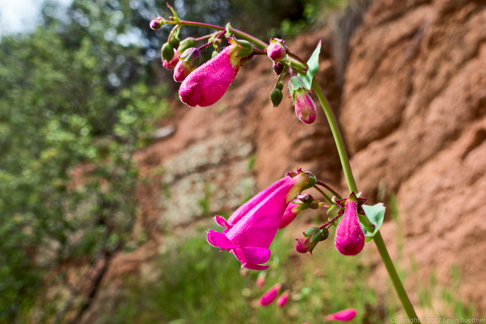
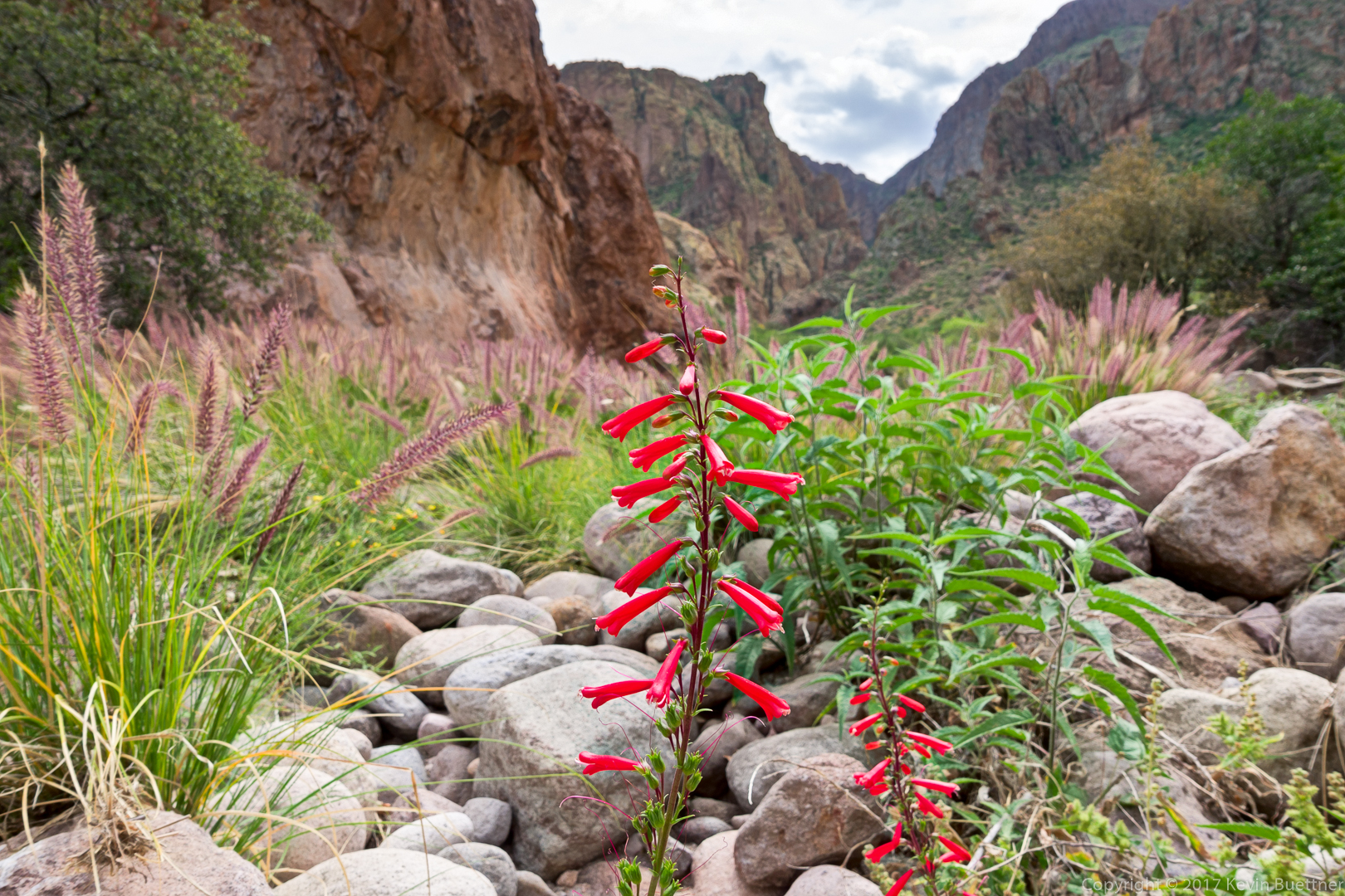
This is a Hackberry Beardtongue, a type of penstemon:
We’re getting closer to our destination. You can see one of the backpackers (with the orange pack) ahead of us.
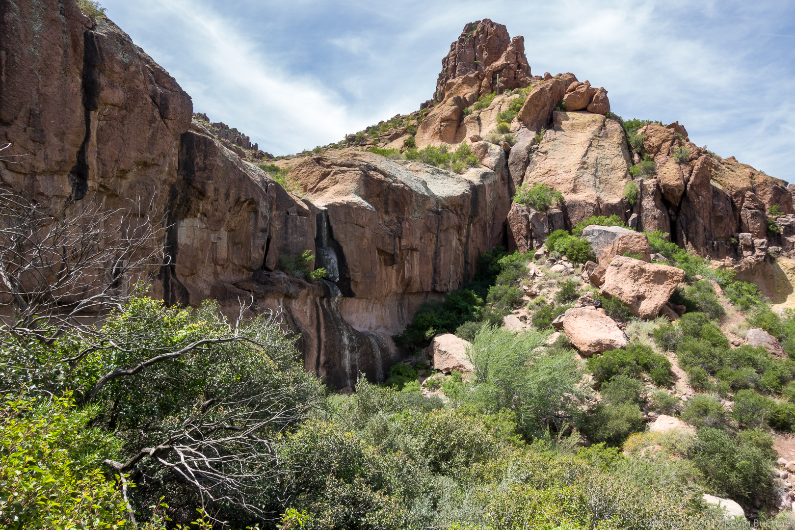
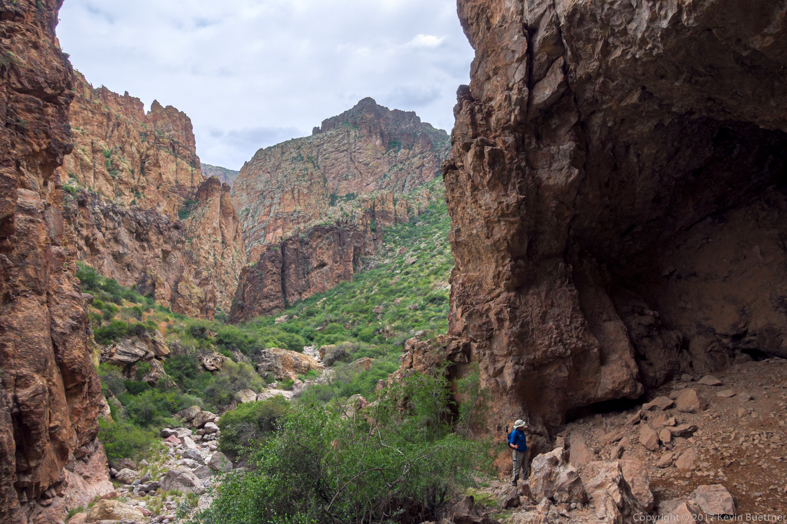
This is Peter’s Cave. We all climbed up to the cave and ate lunch. The ascent to the cave was easier than I remember it being last year. I think the path was better defined this year.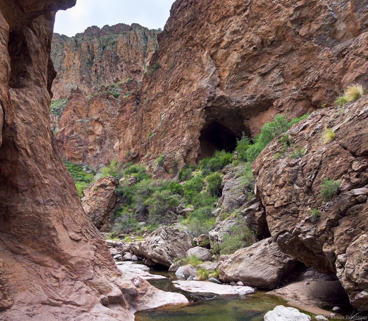
Ben looks back at the cave prior descending back to the canyon floor:
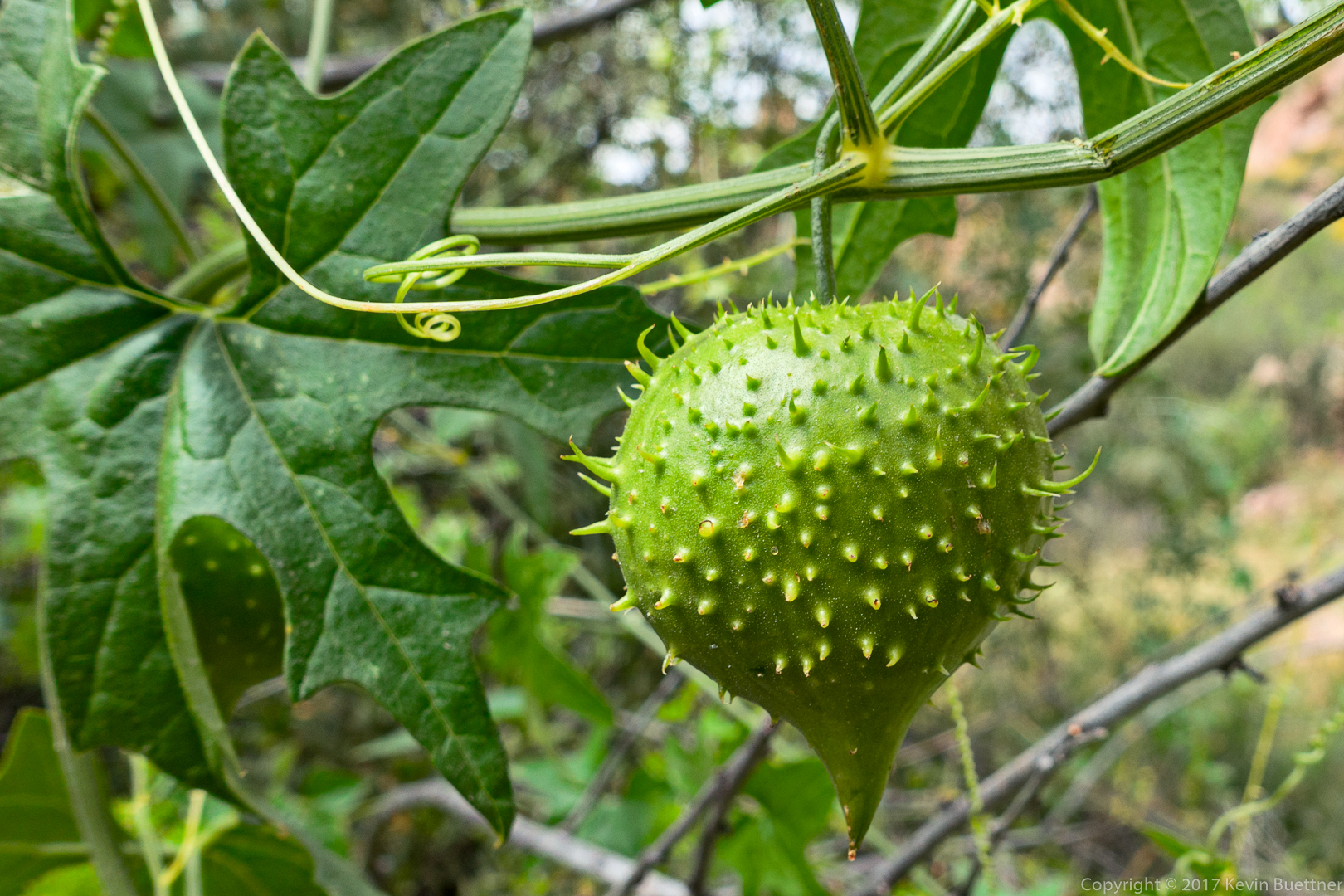
We saw this spiky fruit on the way back. None of us knew what it was. (Denise, in a comment to this post, has identified it as wild cucumber.)
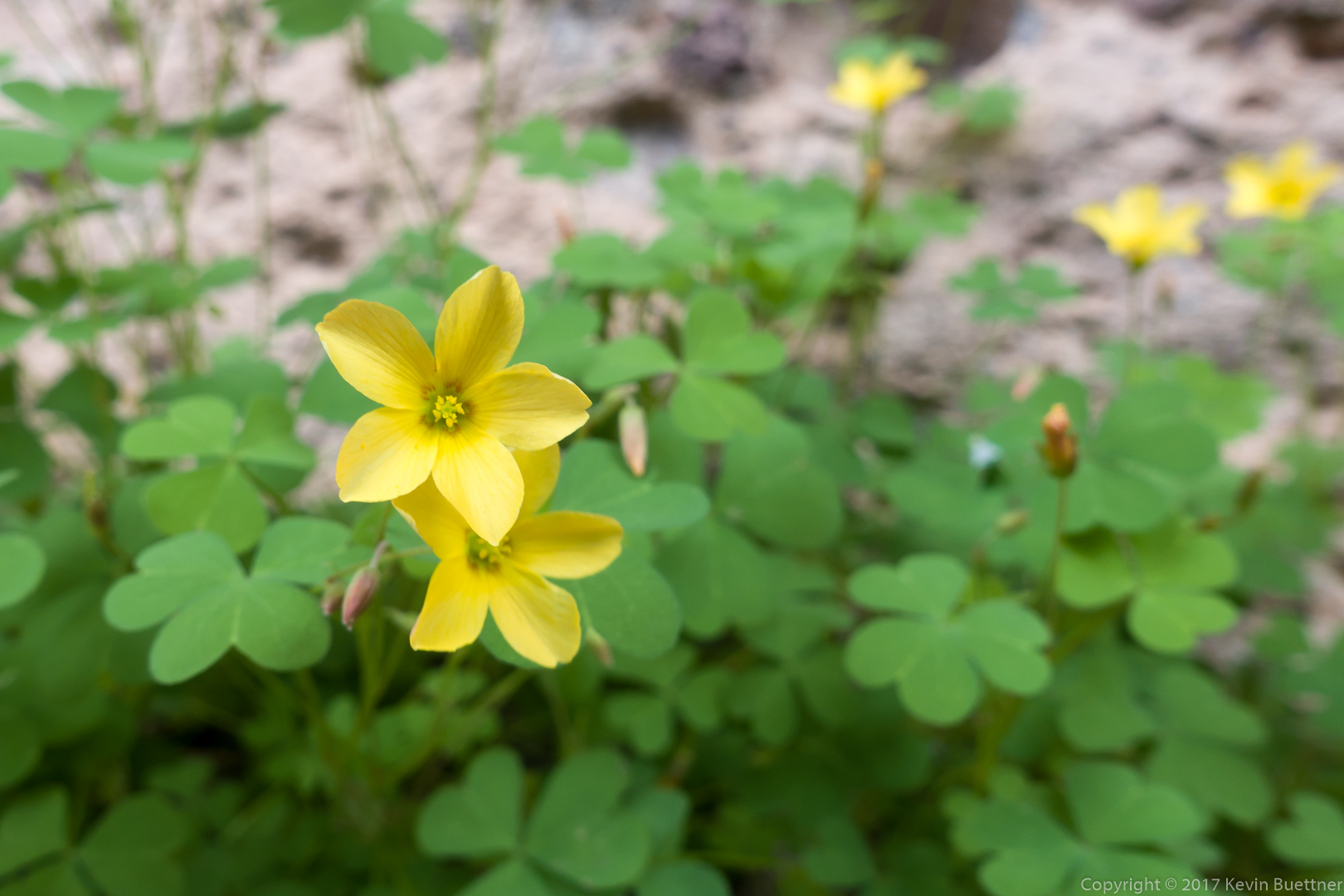
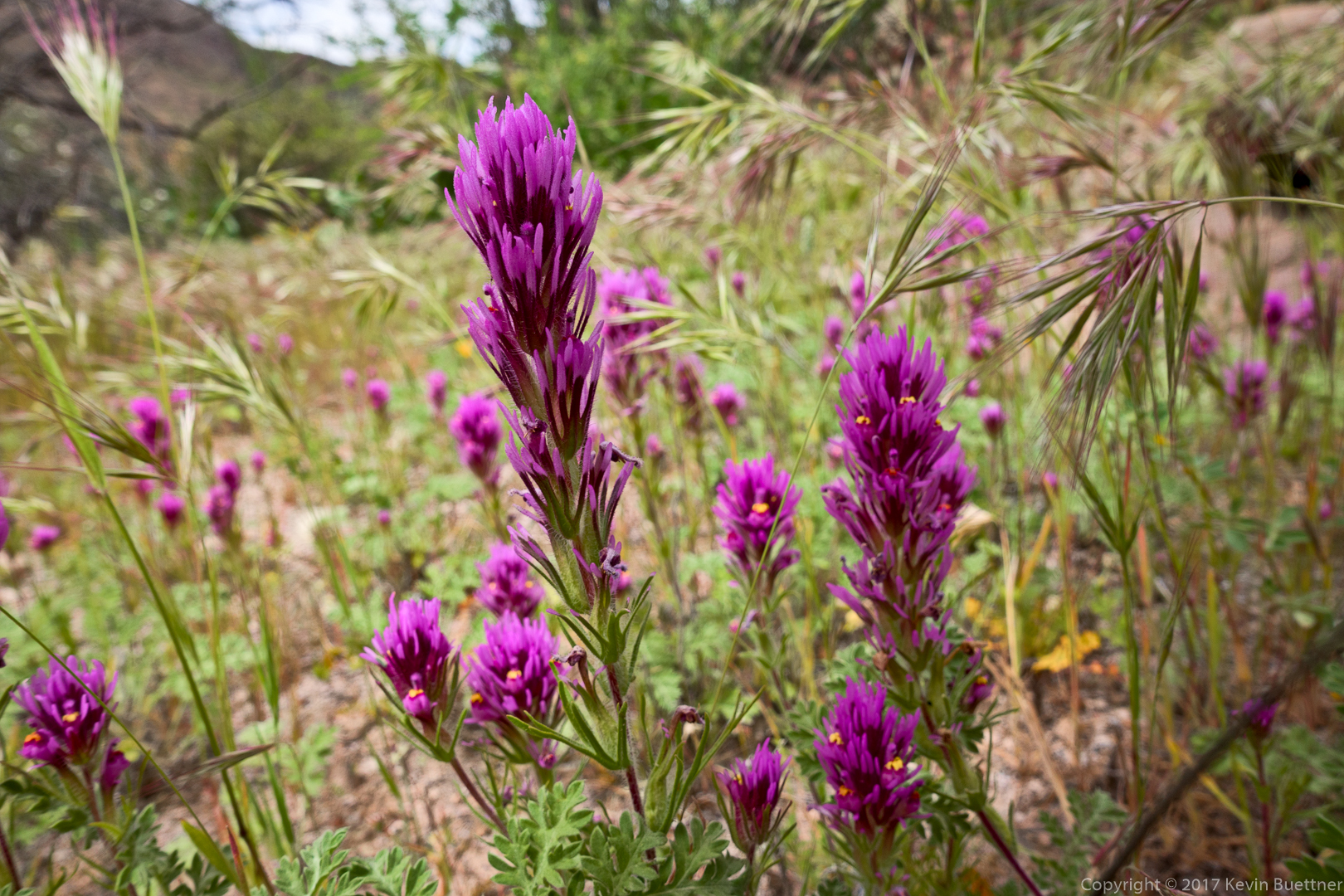
This is Owl Clover / Exserted Indian Paintbrush. We found it growing near the spiky fruit shown in the photo above.
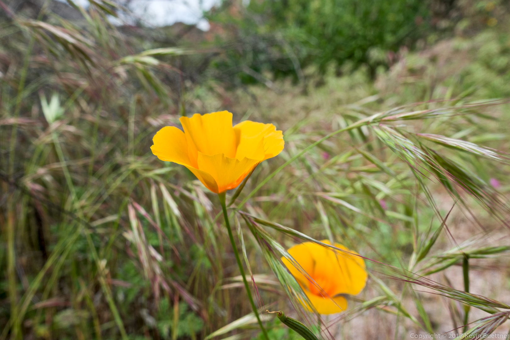
Mexican Poppy:
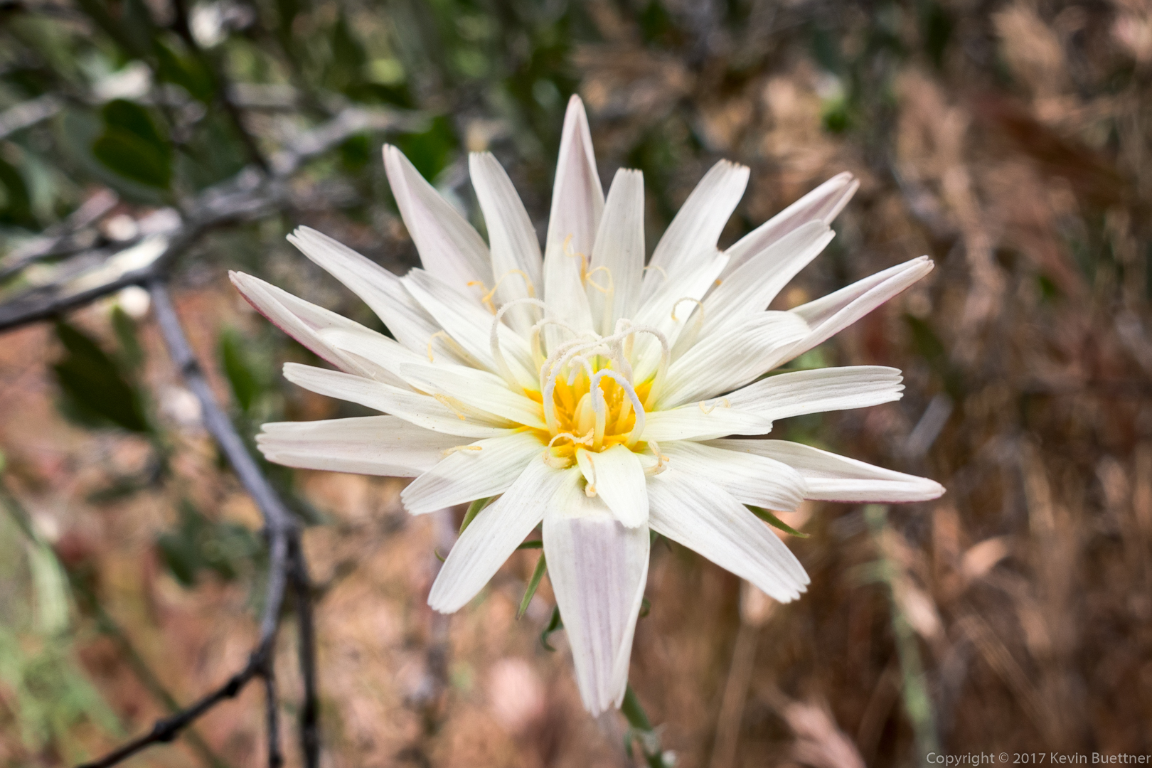
Desert Chicory:
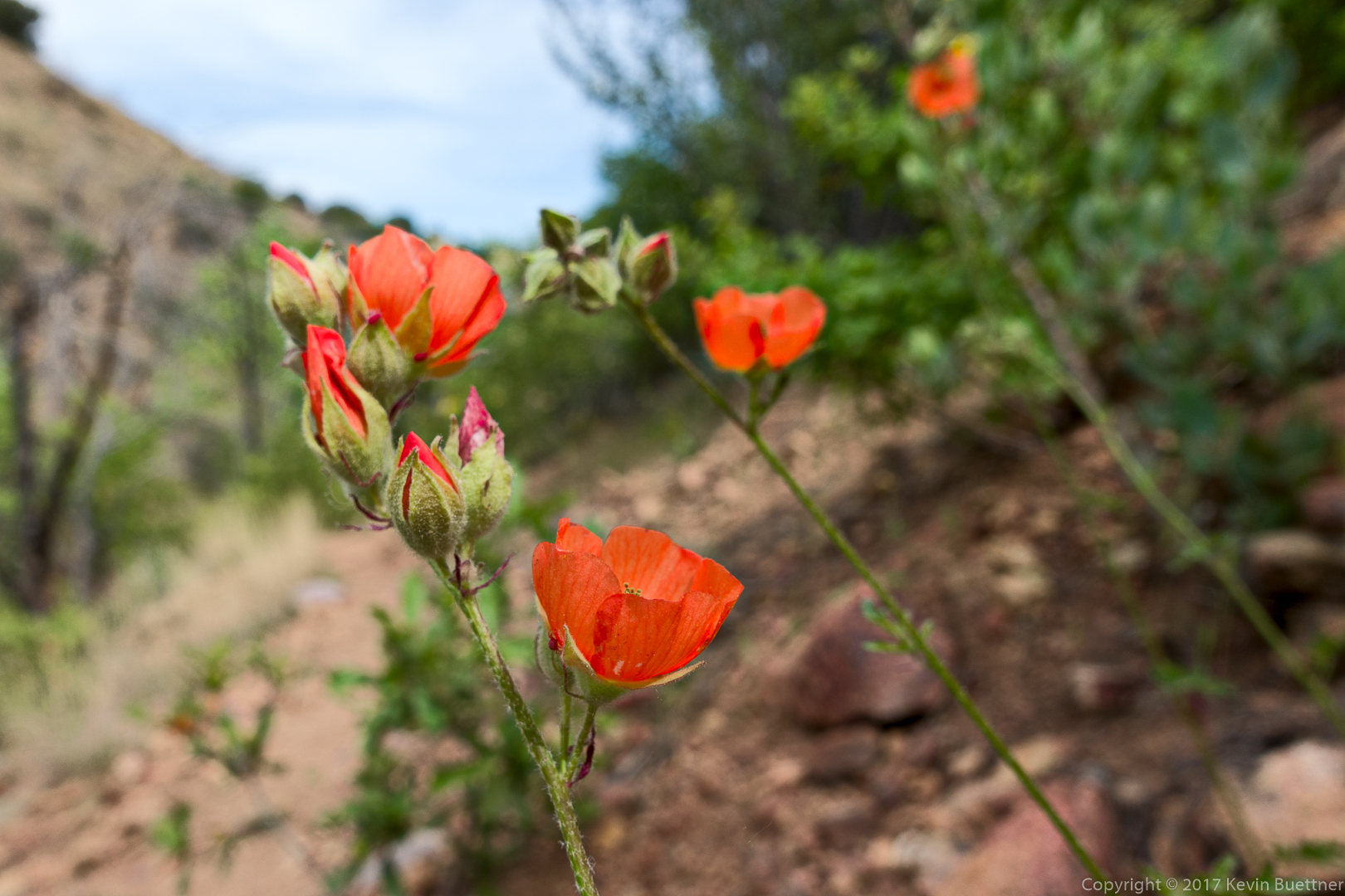
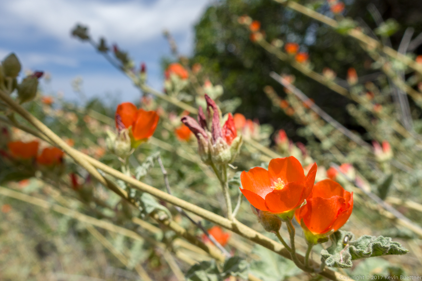
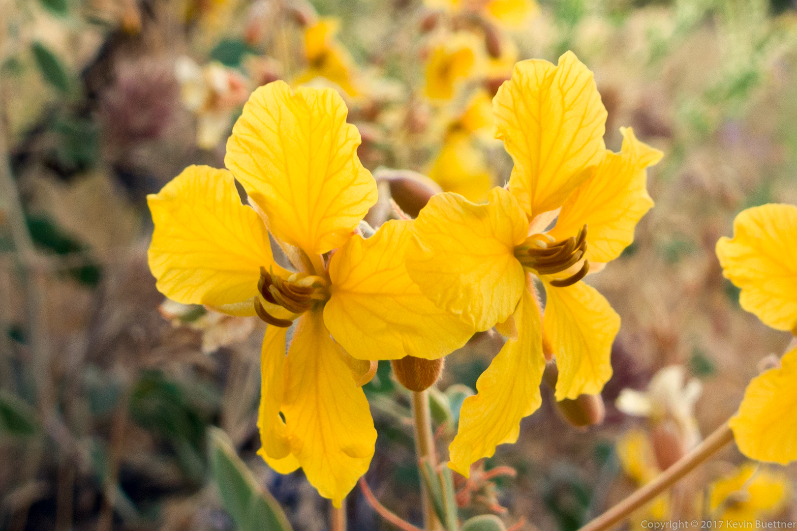
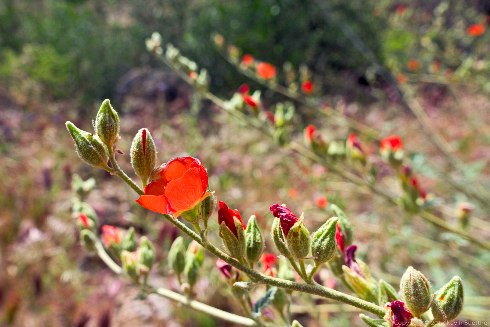
Globemallow:
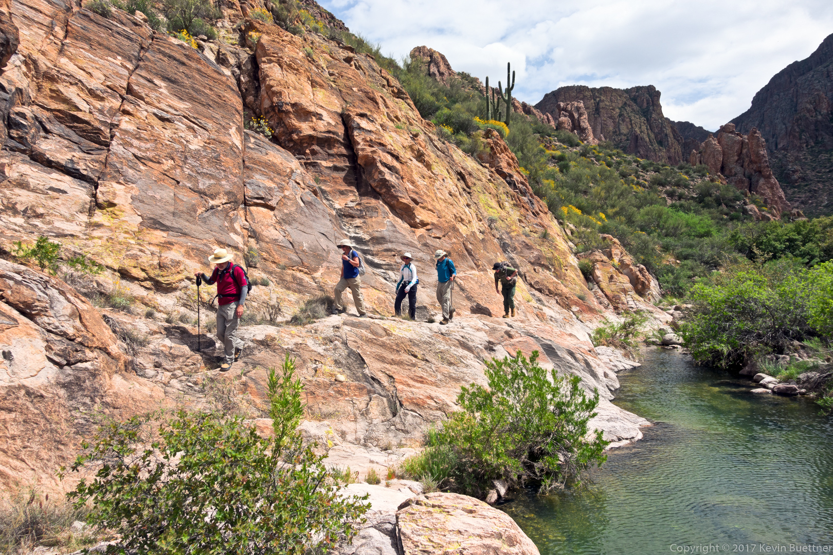
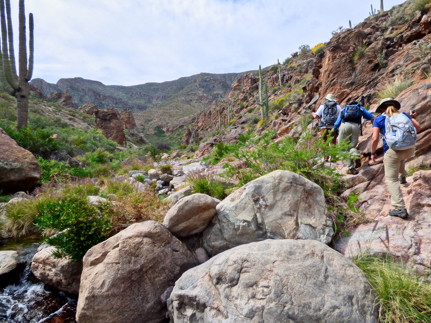
We avoided the water in some areas by hiking high on the banks. It was less wet and less rocky than hiking near the water.
Nick, Nora, Marilyn, Ben, and Joe hiking along a rock ledge above the water.
I was fascinated by the little islands of white rock.
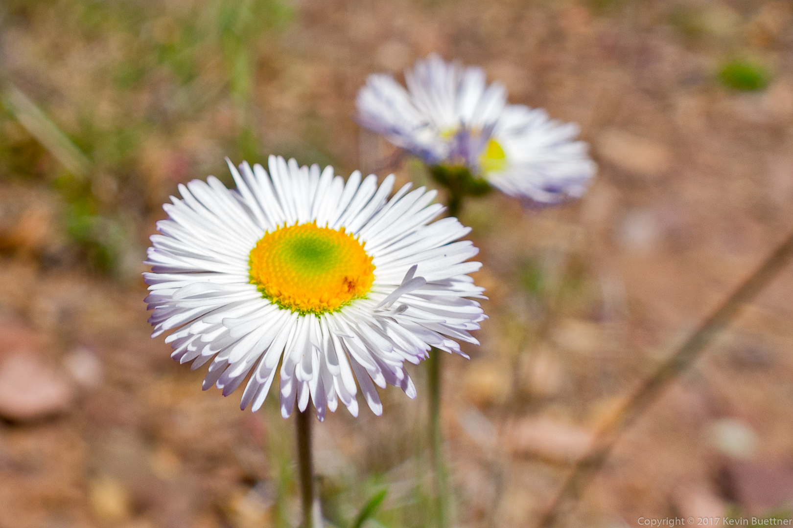
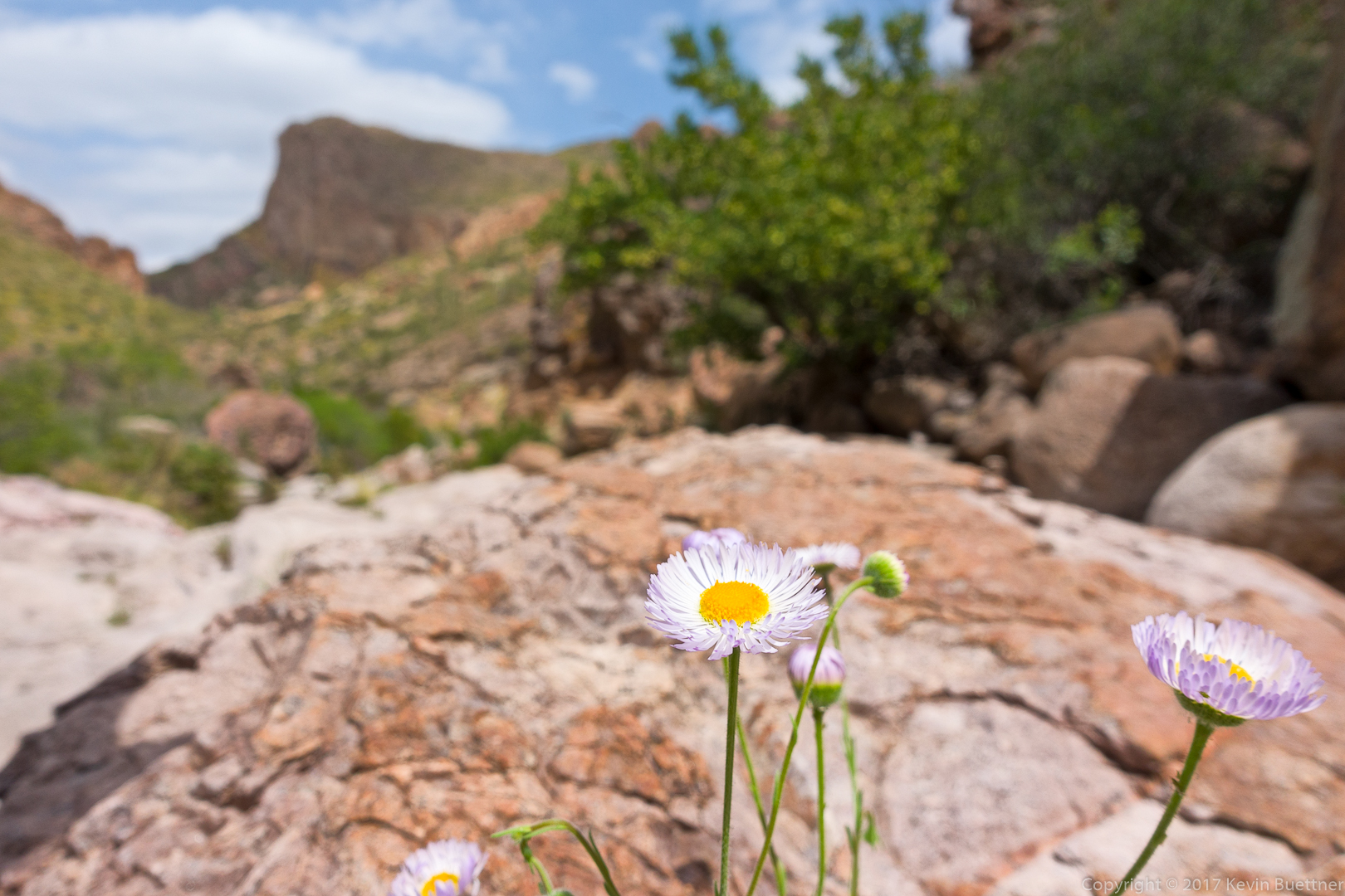
Fleabane:
Nora and Nick:
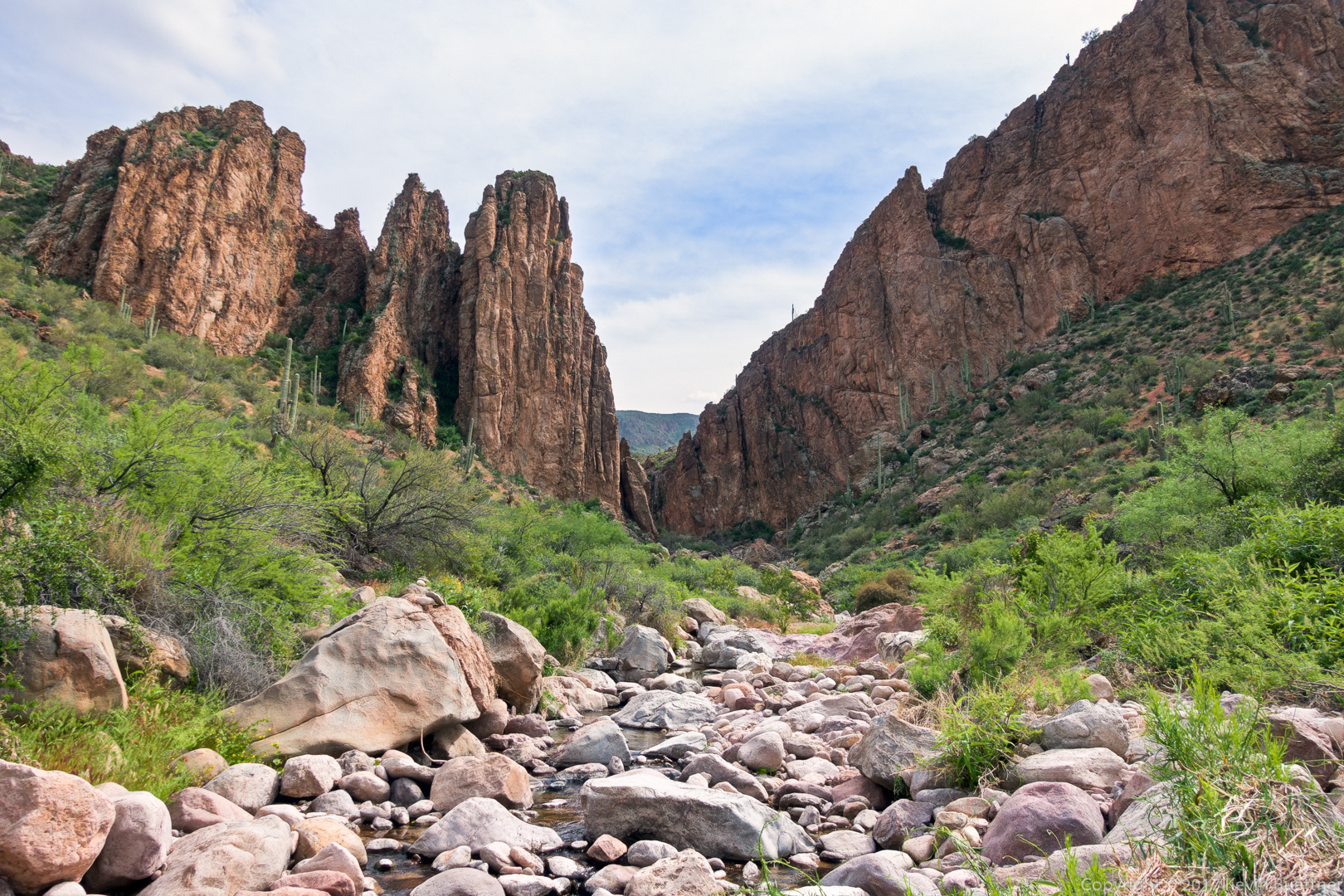
We’ve turned the corner now and have reentered a very entertaining part of the canyon.
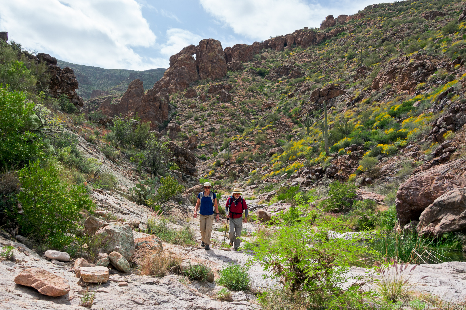
Joe takes a break while the rest of us catch up.
We’ve exited Peter’s Canyon now. This is a look back at the entrance.
Mariposa Lily:

This might be Perezia / Brownfoot:

Globemallow with yellow brittlebush beyond the prickly pear cacti:

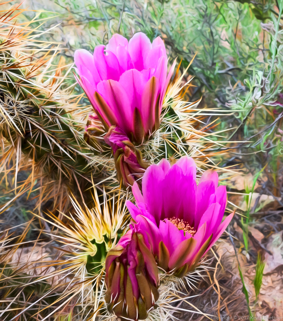
Hedgehog blossoms:
Marilyn Huot sent me additional photos of the group:
(Photo Credit: Marilyn Huot)
This is me standing beside a small waterfall.

(Photo Credit: Marilyn Huot)
Joe, Nick, Ben, Kevin, and Nora:
(Photo Credit: Marilyn Huot)
Ben, Joe, Nora, Nick, and Kevin (from back to front):
(Photo Credit: Marilyn Huot)