Month: October 2016 (page 1 of 1)

Friday Fitness Hike

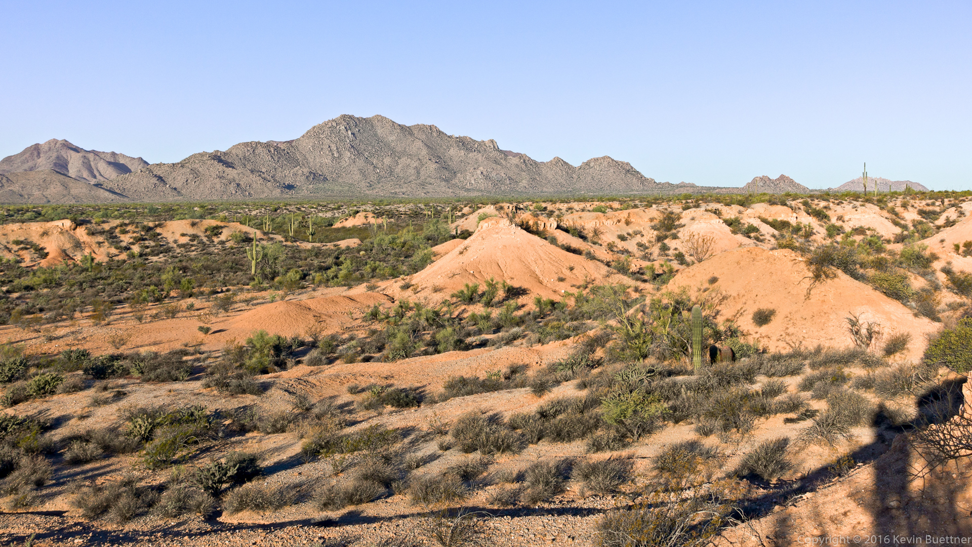
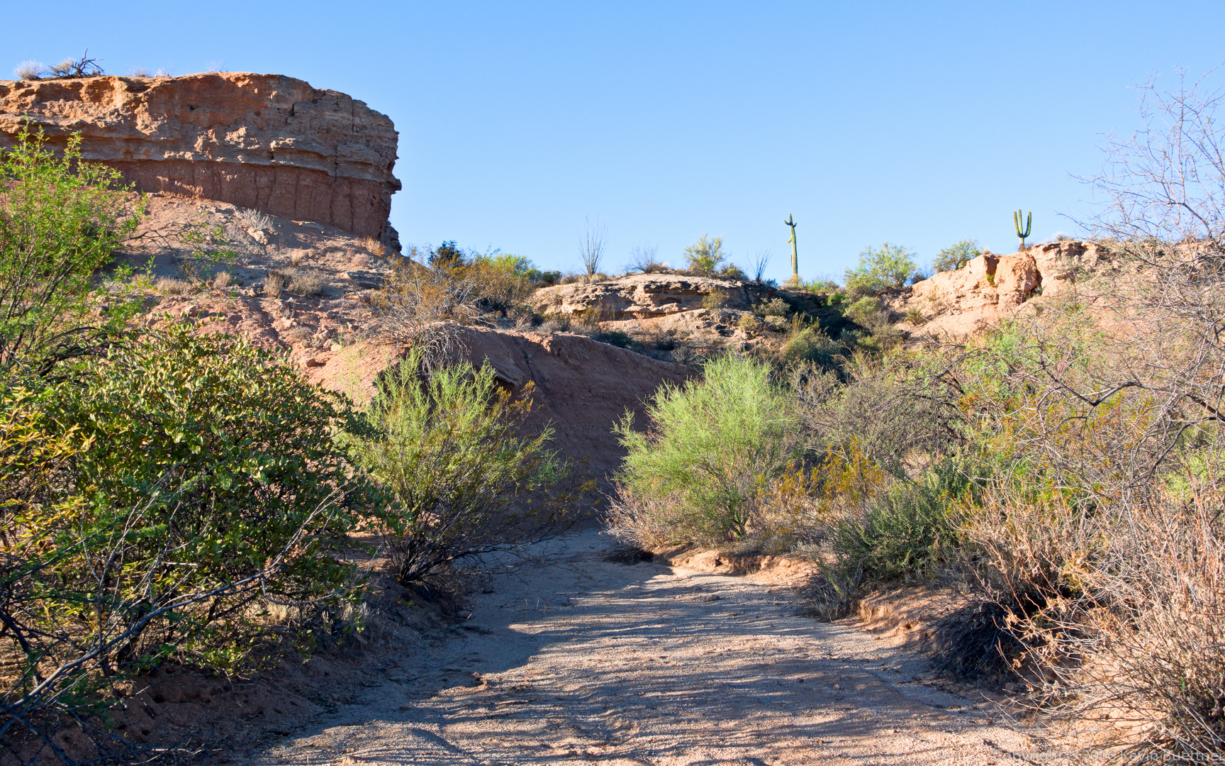
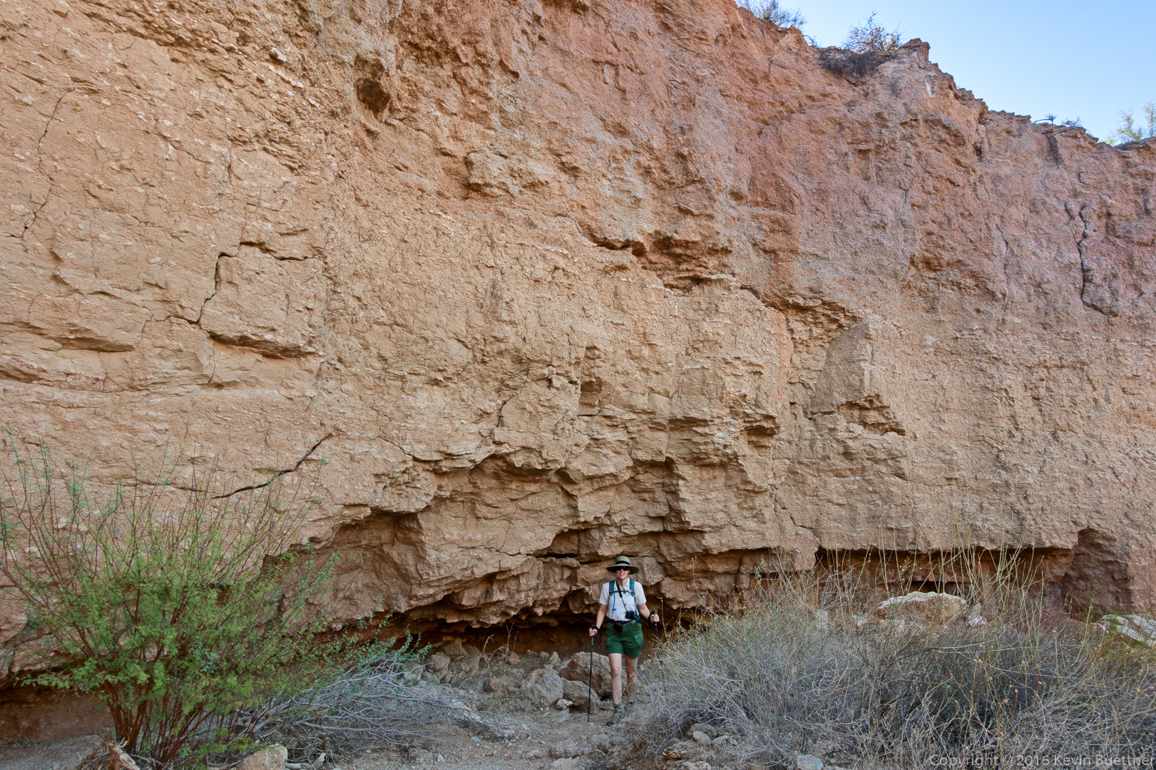
Mike, Janet, Nancy, Heather, and Sue joined me for a 10.5 mile hike out to the Dixie Mine.  We continued on up the wash until we got to the Prospector Trail. From there we hiked up to the Bell Pass Trail, over to the Windmill Trail, then to Coachwhip, and back on Dixie Mine.

20161028-_dsc9402-edit-medium

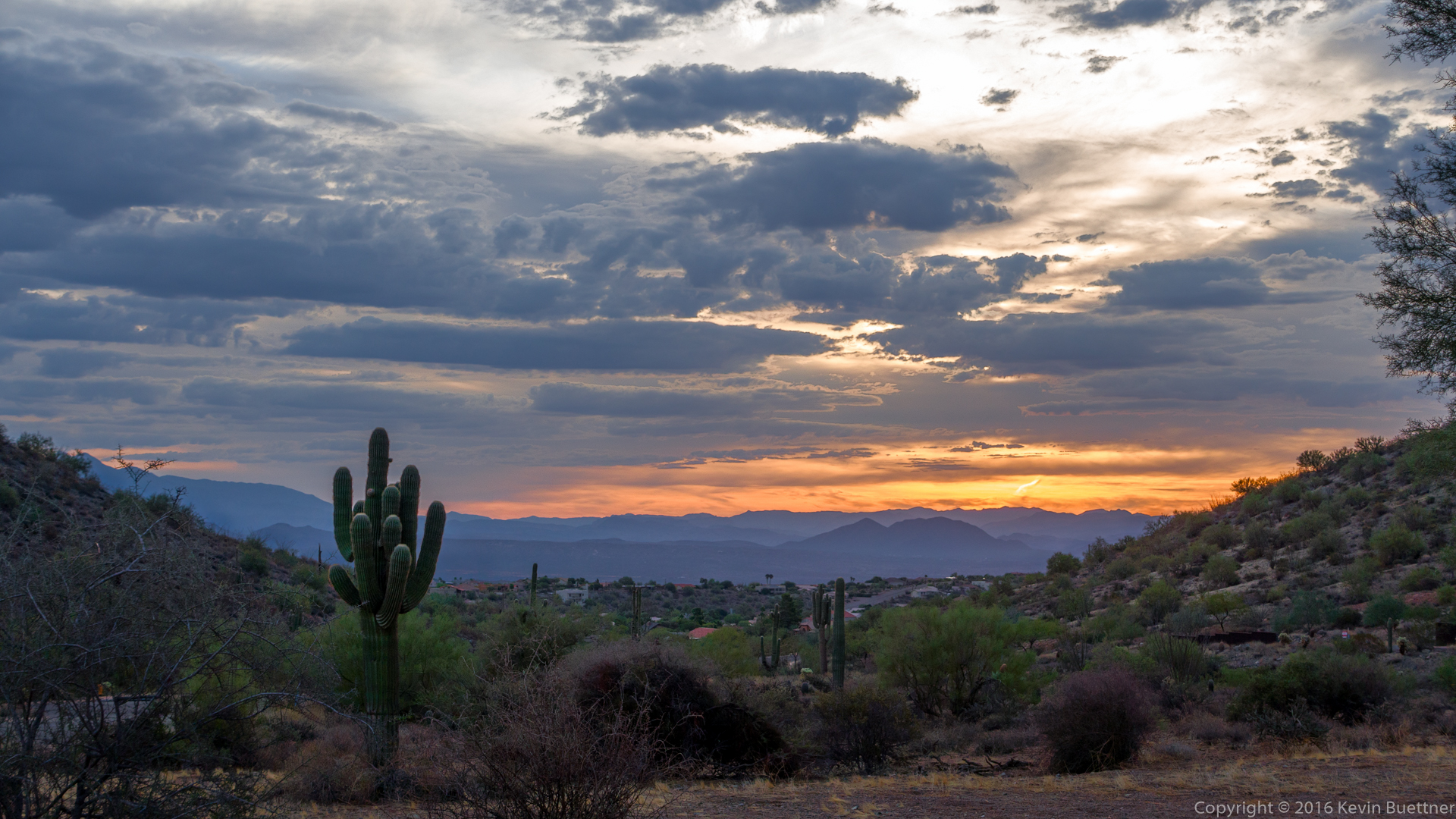
A view from the sidewalk, through the gated community, as we neared the trailhead.

20161028-_dsc9444-edit-medium-3

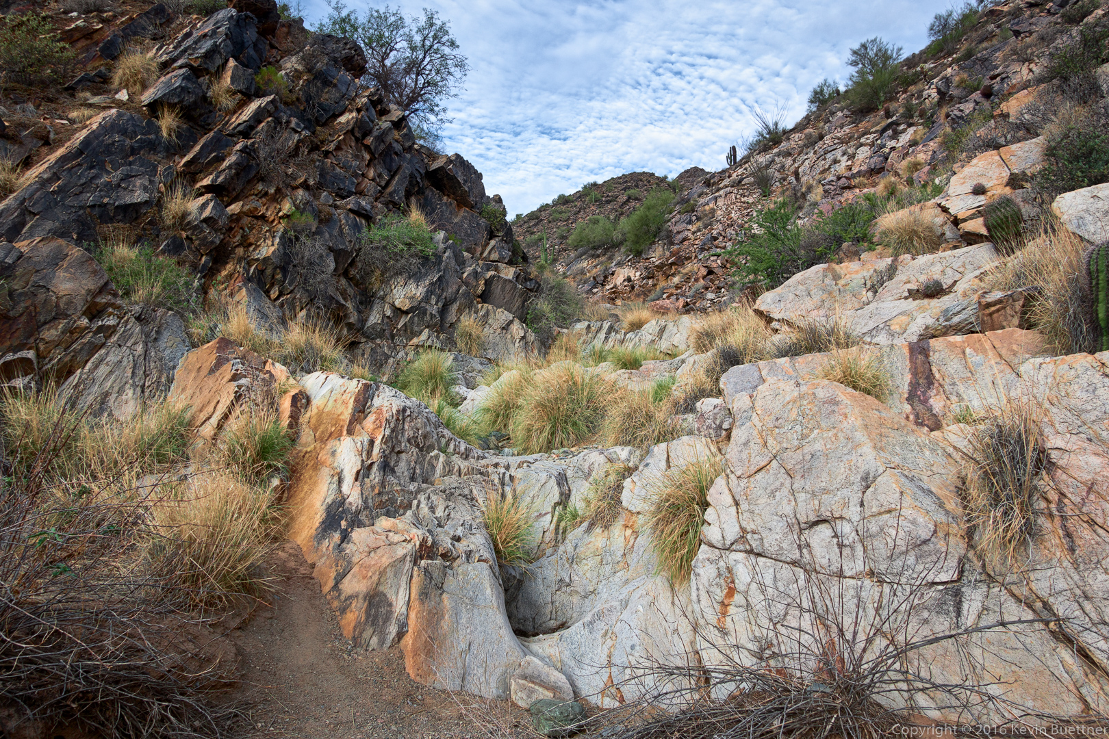
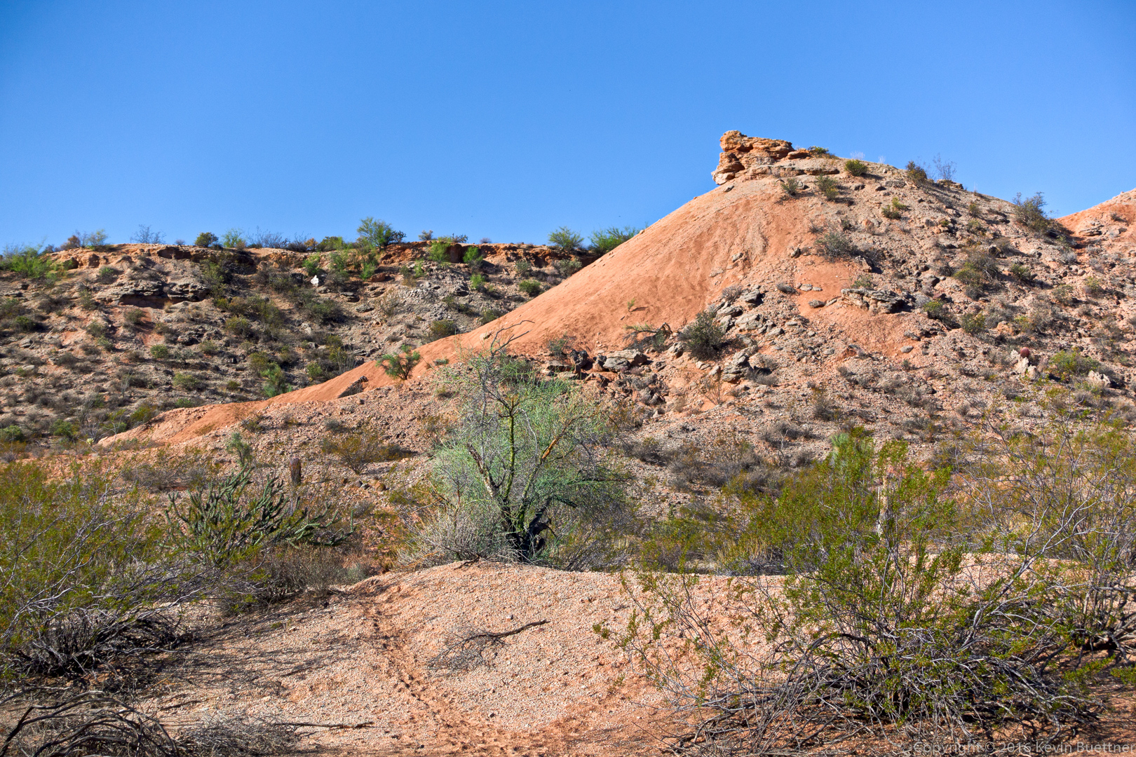
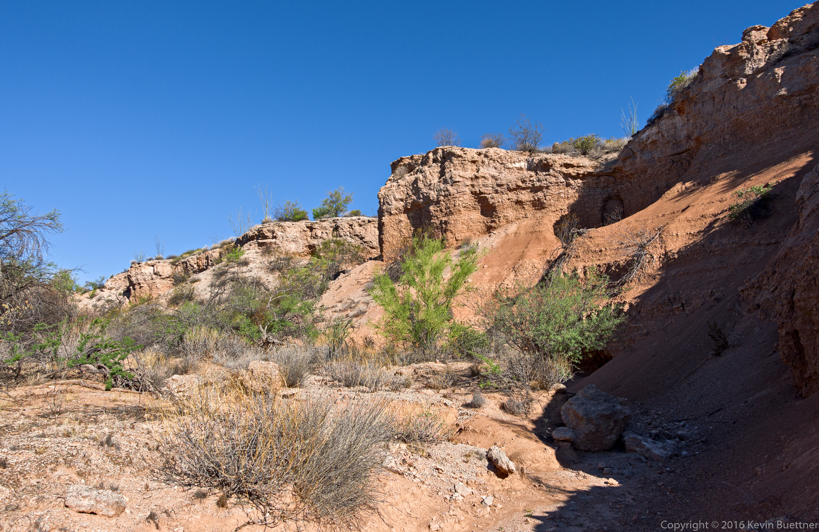
The view from the wash as we approached the panel of petroglyphs.

20161028-_dsc9456-edit-medium

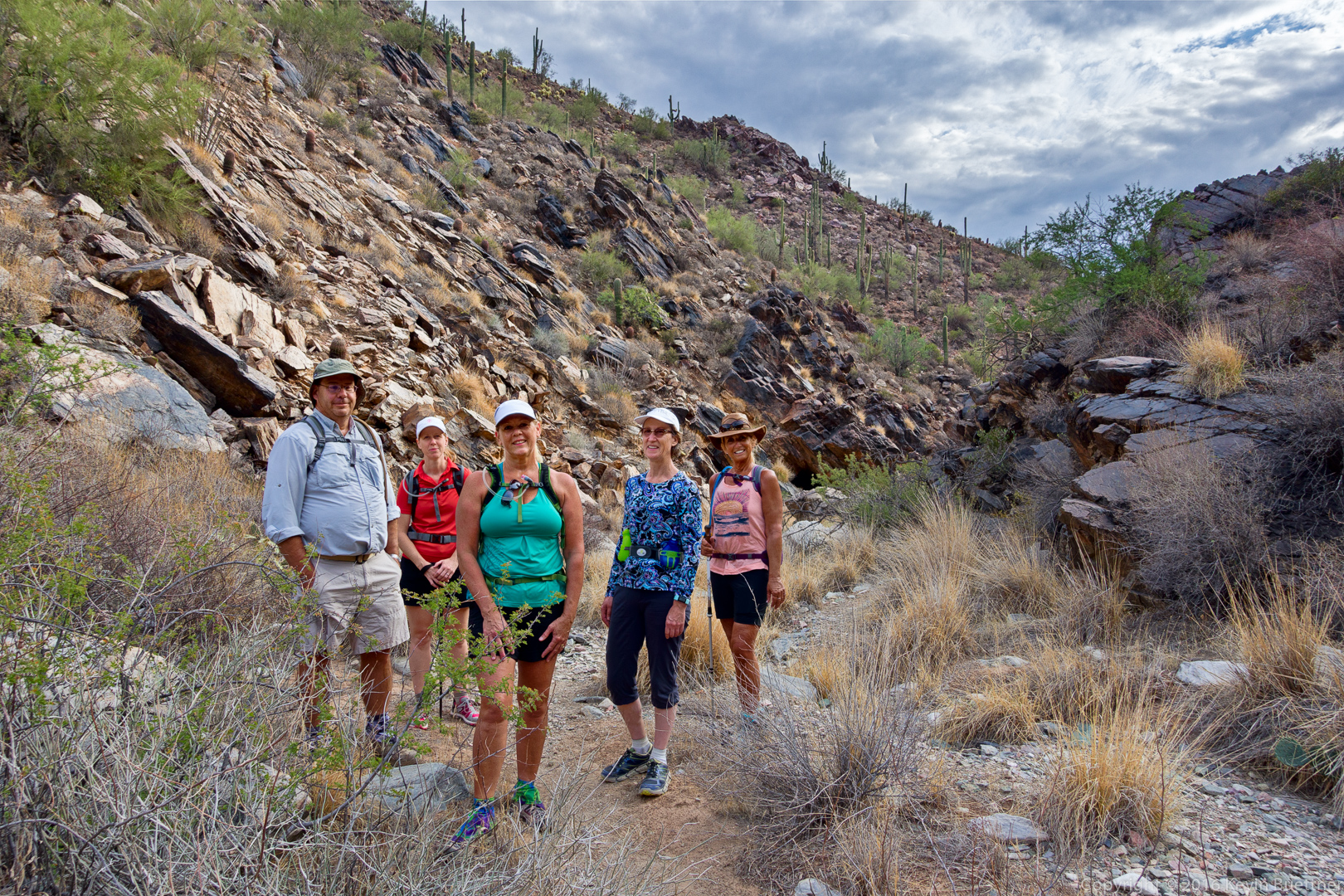
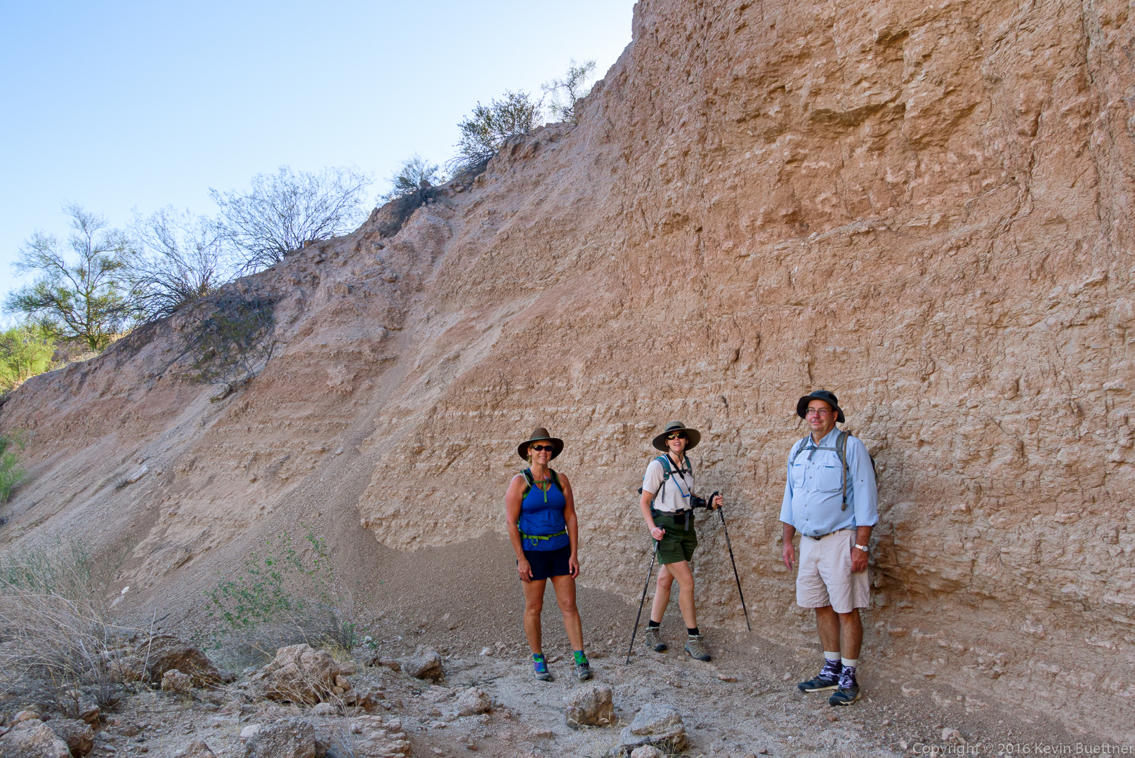
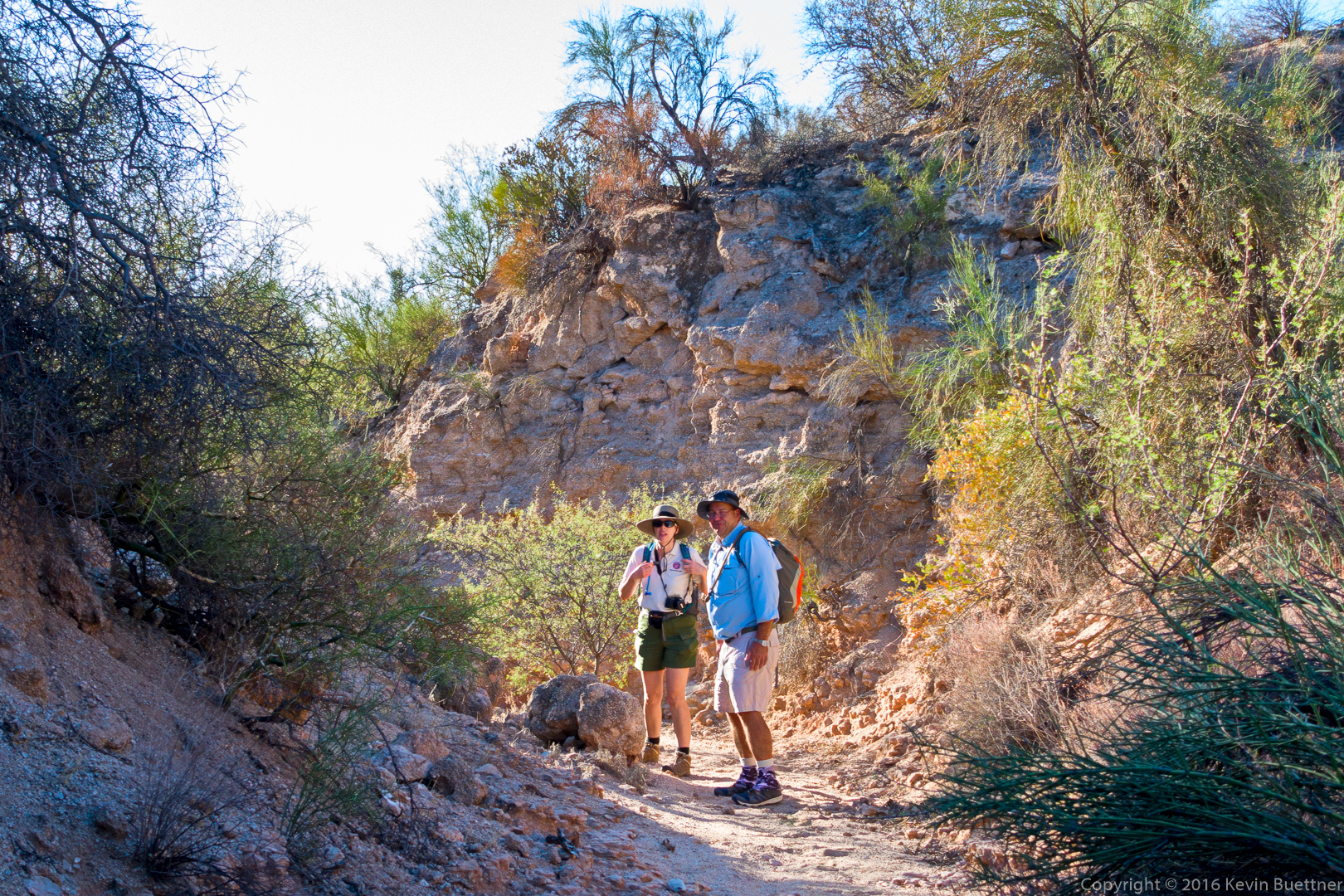
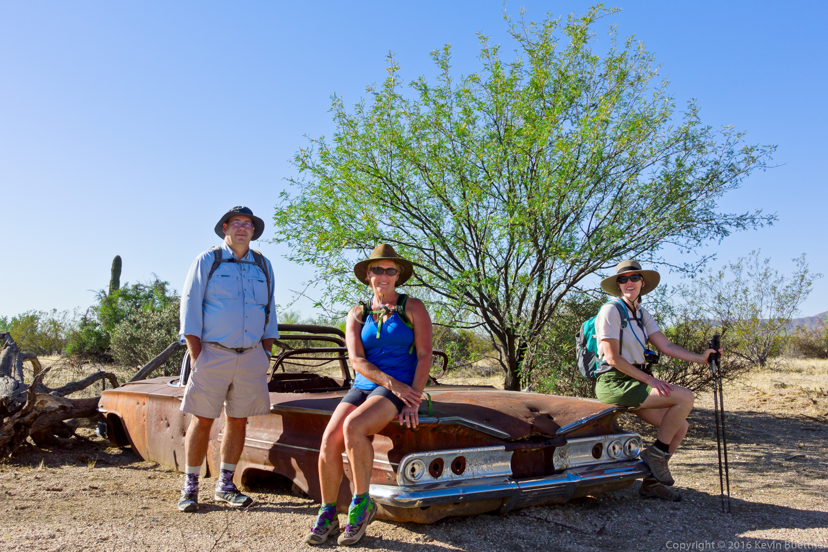
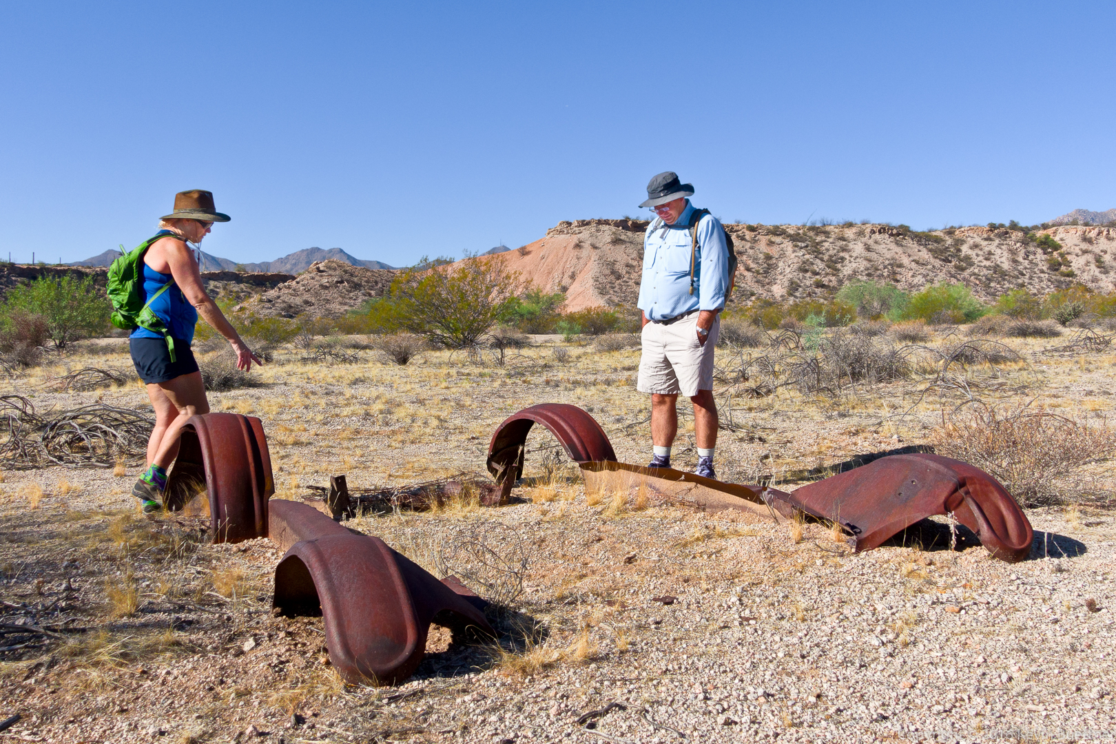
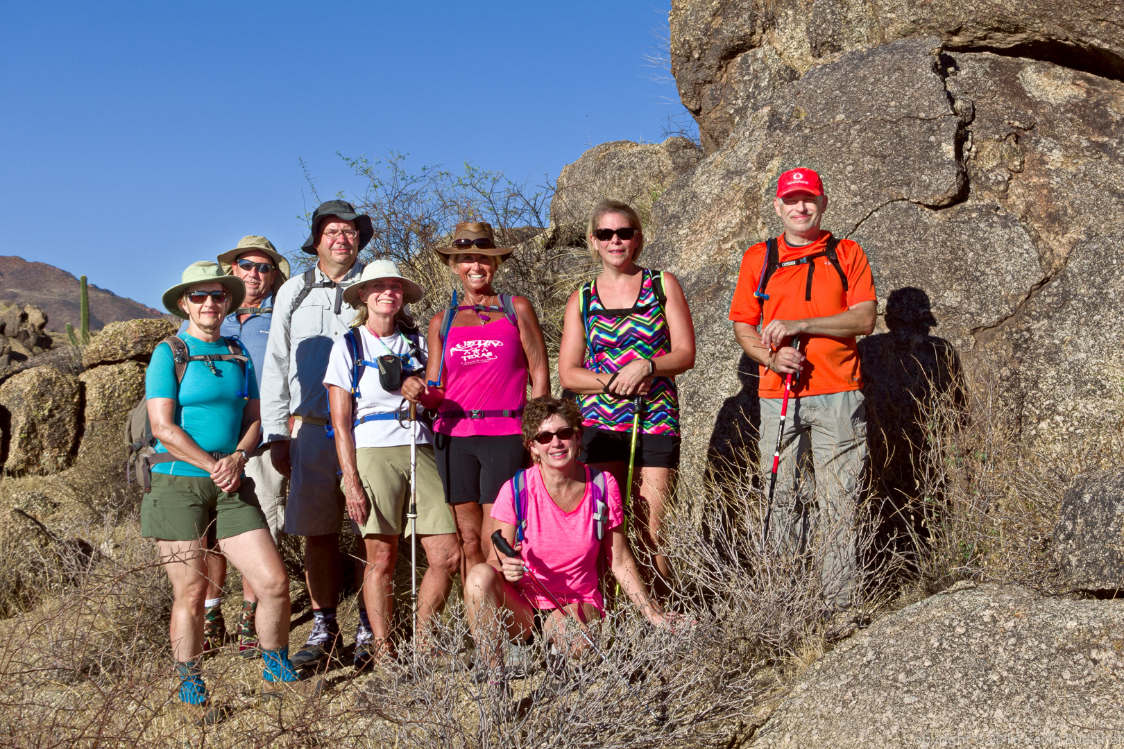
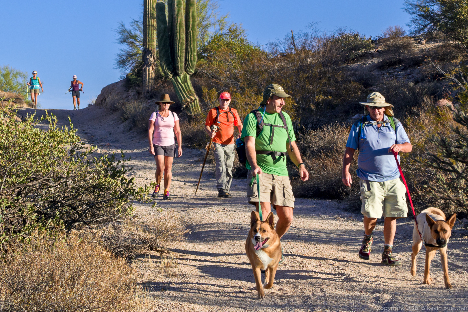
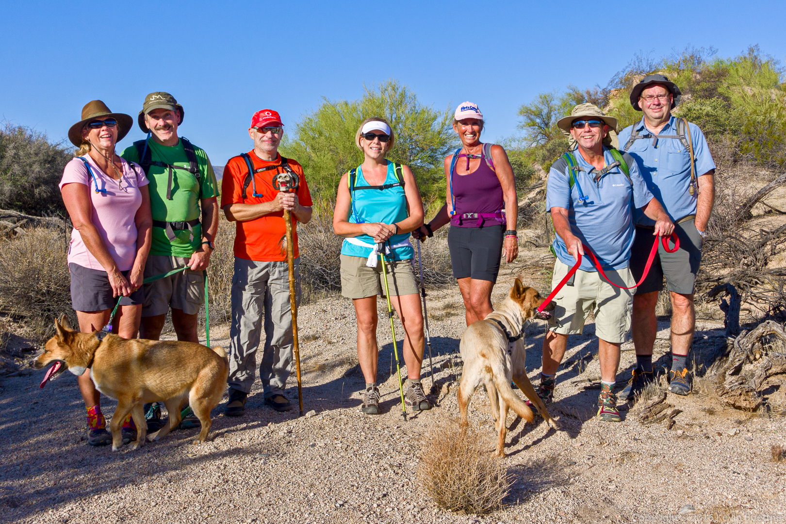
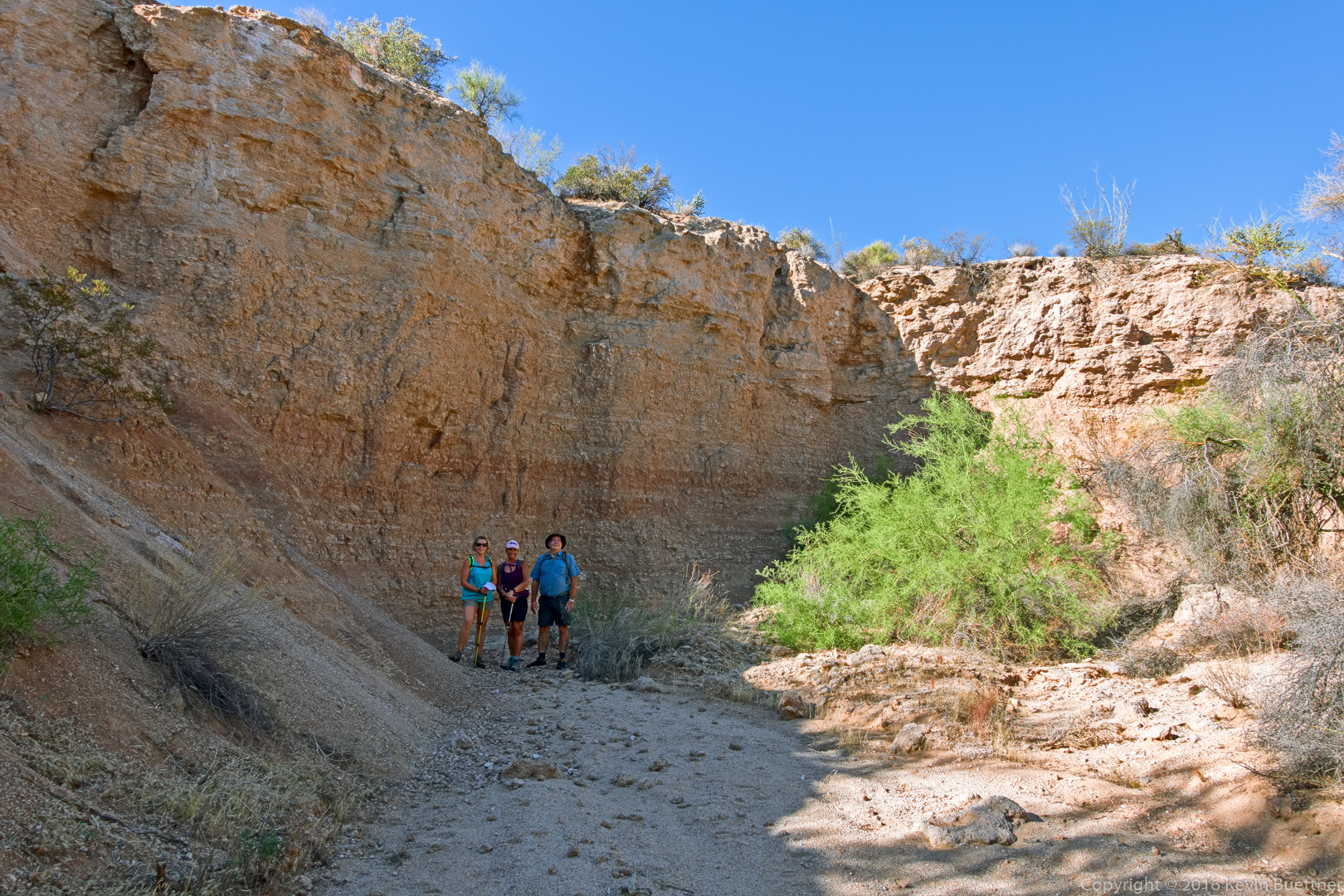
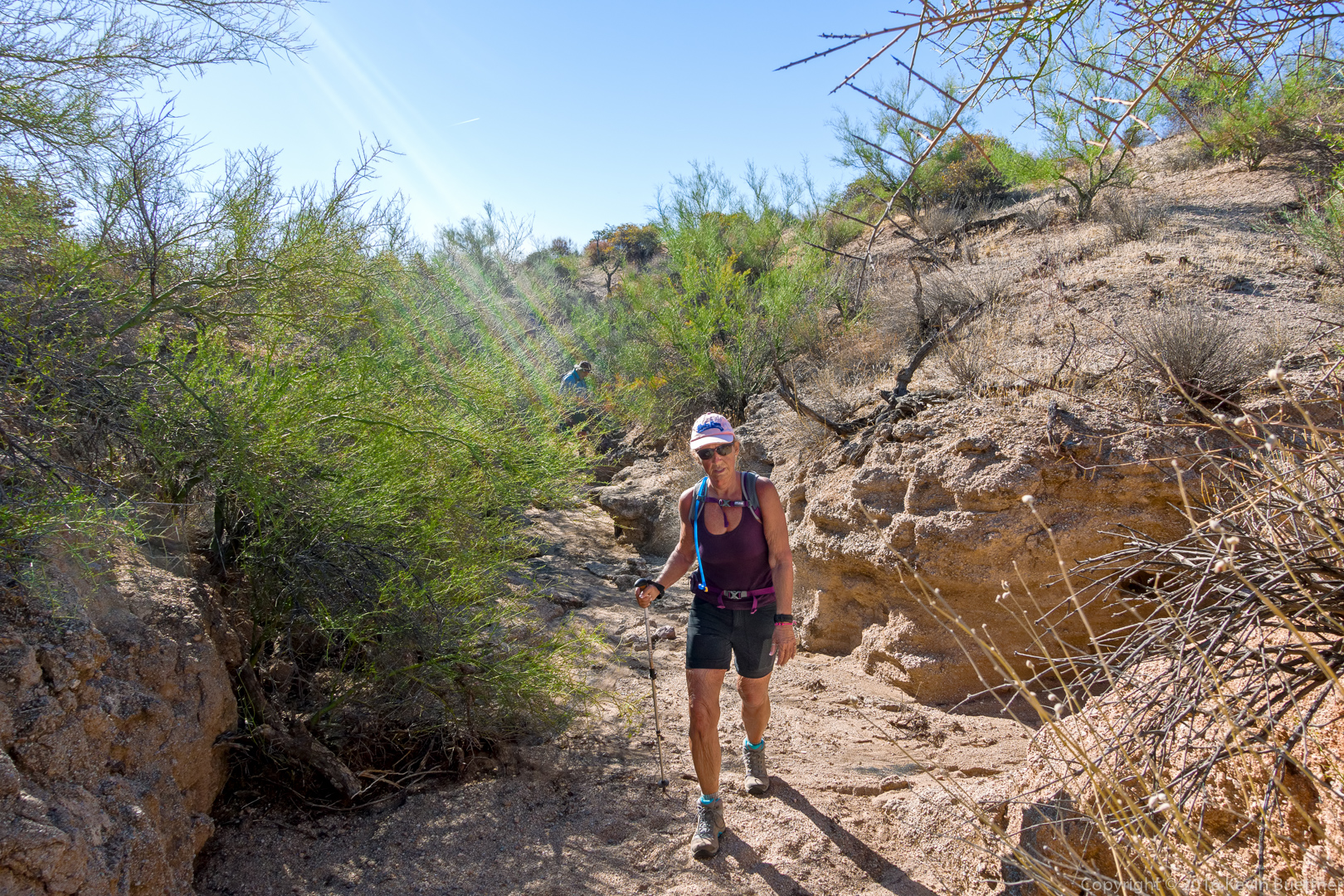
Mike, Heather, Janet, Sue, and Nancy

20161028-_dsc9463-edit-medium

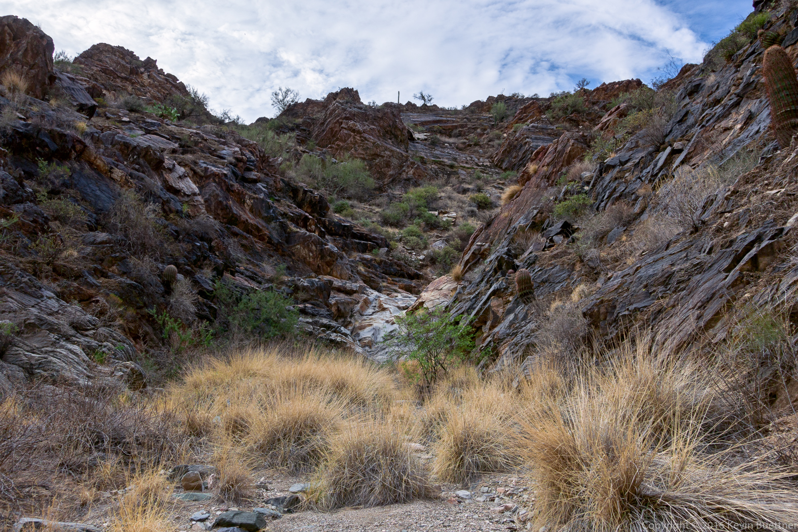
Approaching the waterfall…

20161028-_dsc9480-edit-medium

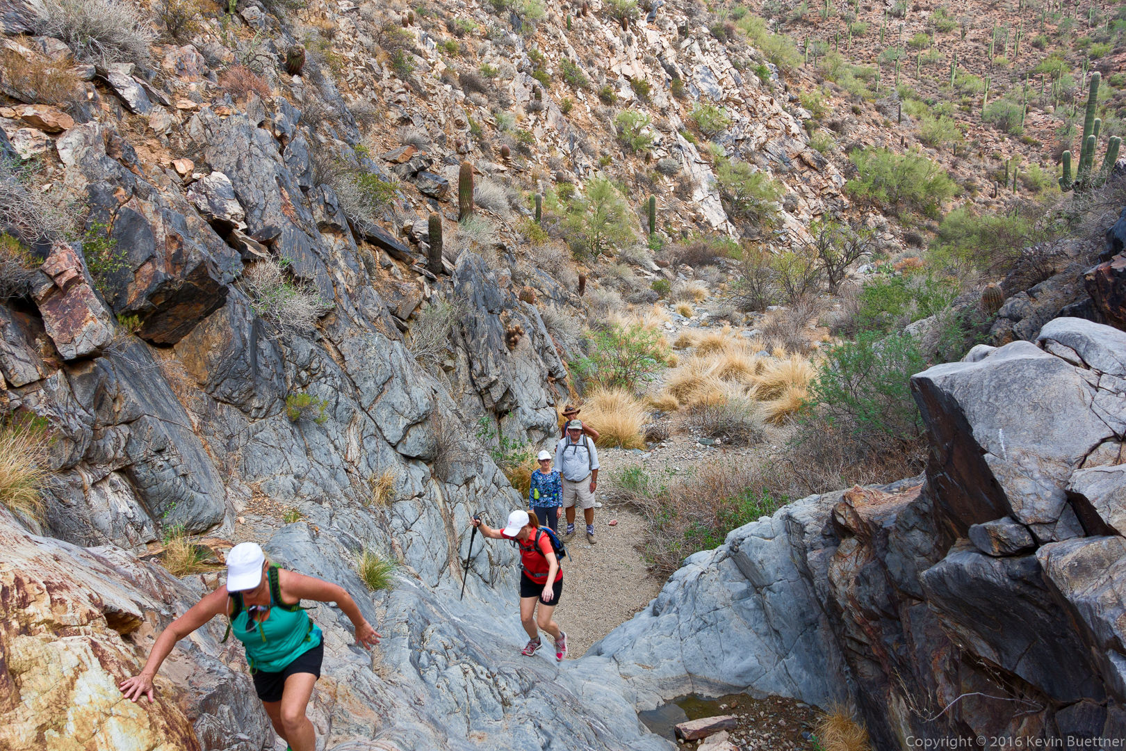
Bees were drawn to the puddle forcing us to take a somewhat steeper path than normal.

20161028-_dsc9498-edit-medium

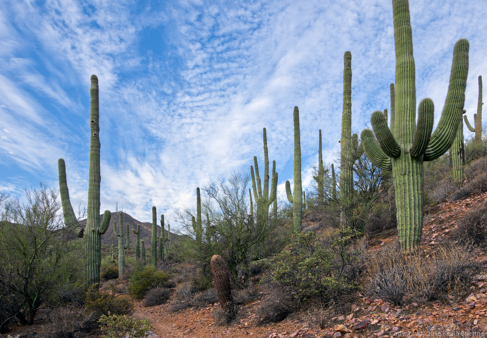
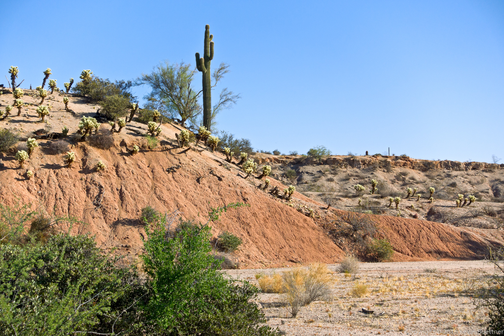
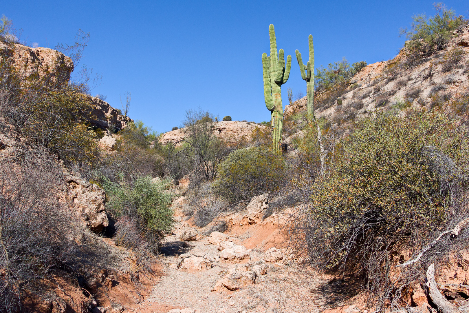
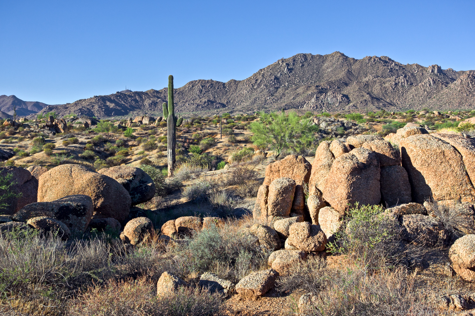
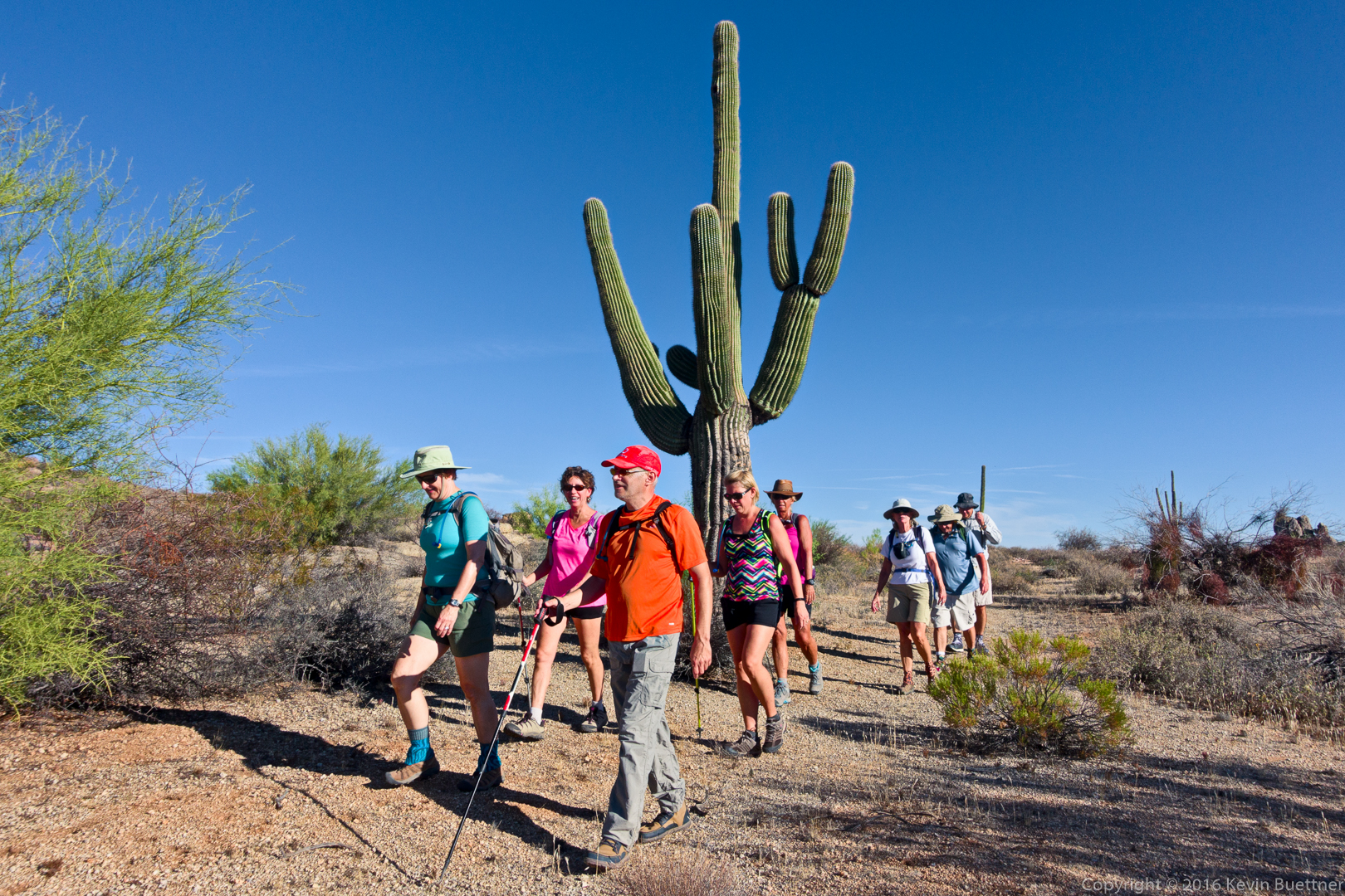
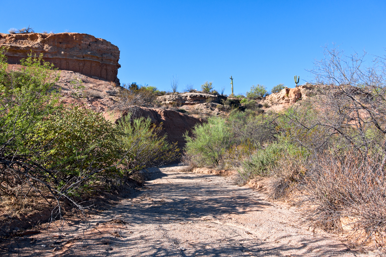
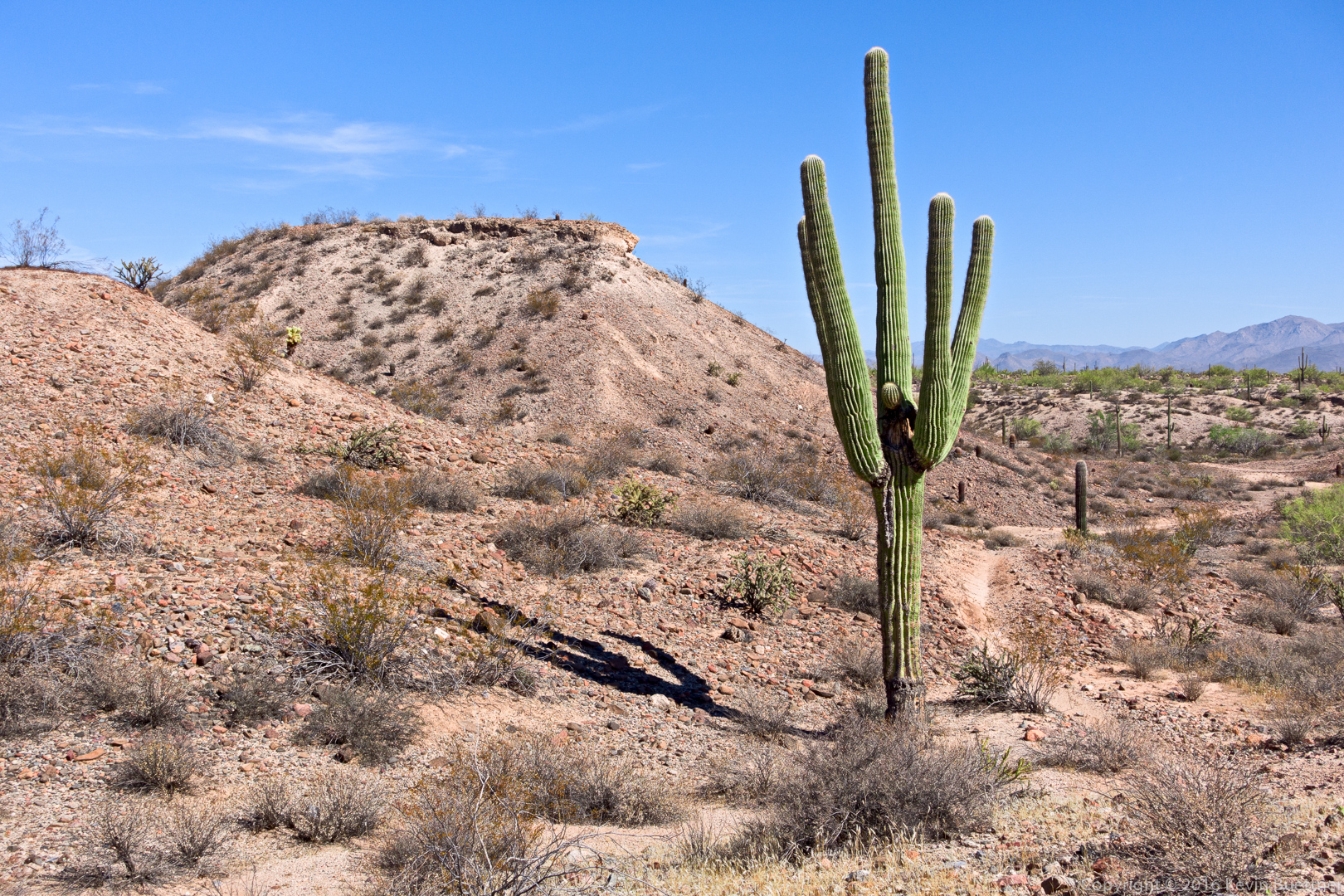
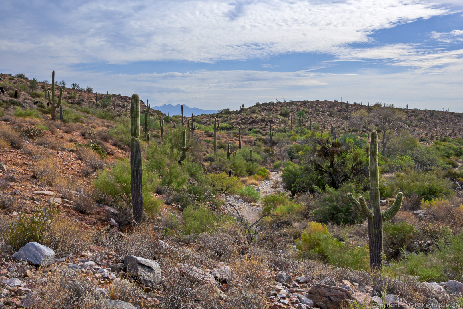
Saguaros on the Prospector Trail.

20161028-_dsc9547-edit-medium

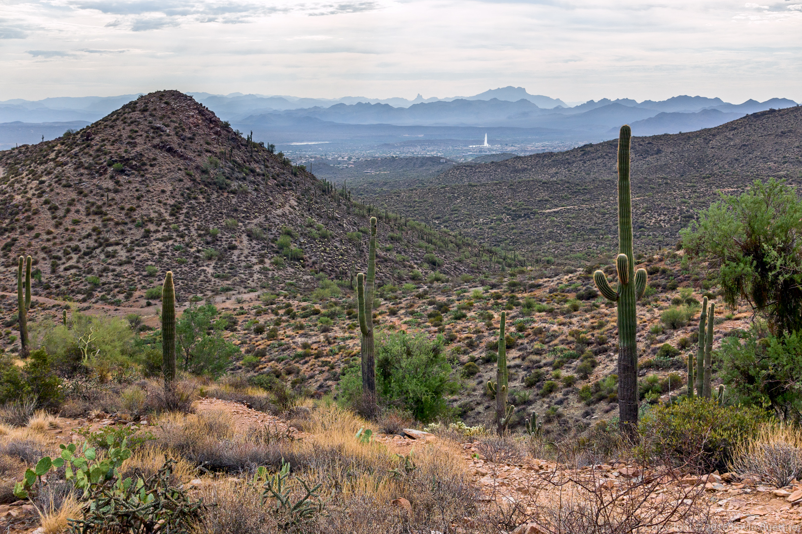
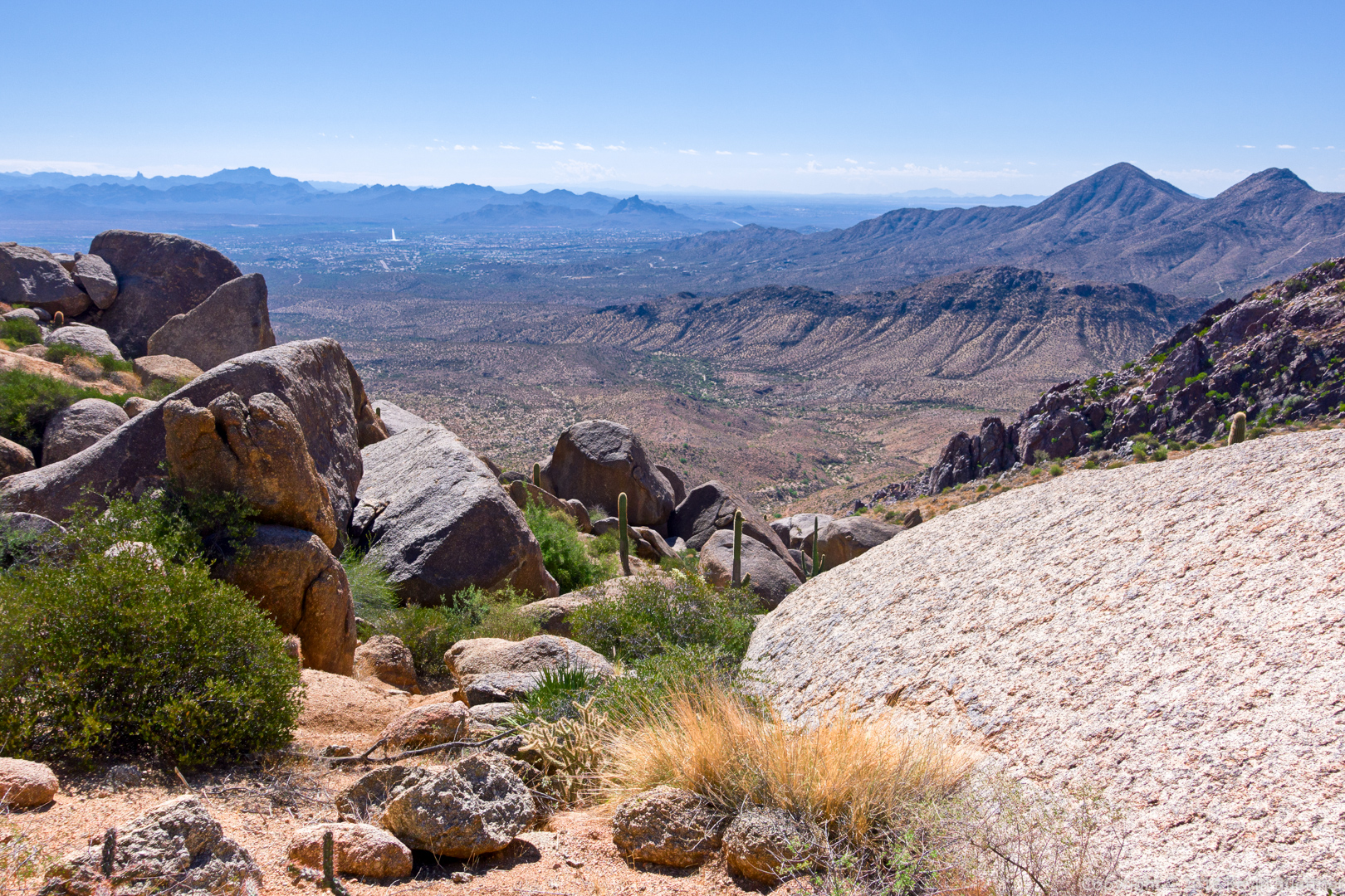
A view of the Fountain from the Bell Pass Trail.

20161028-_dsc9558-edit-medium

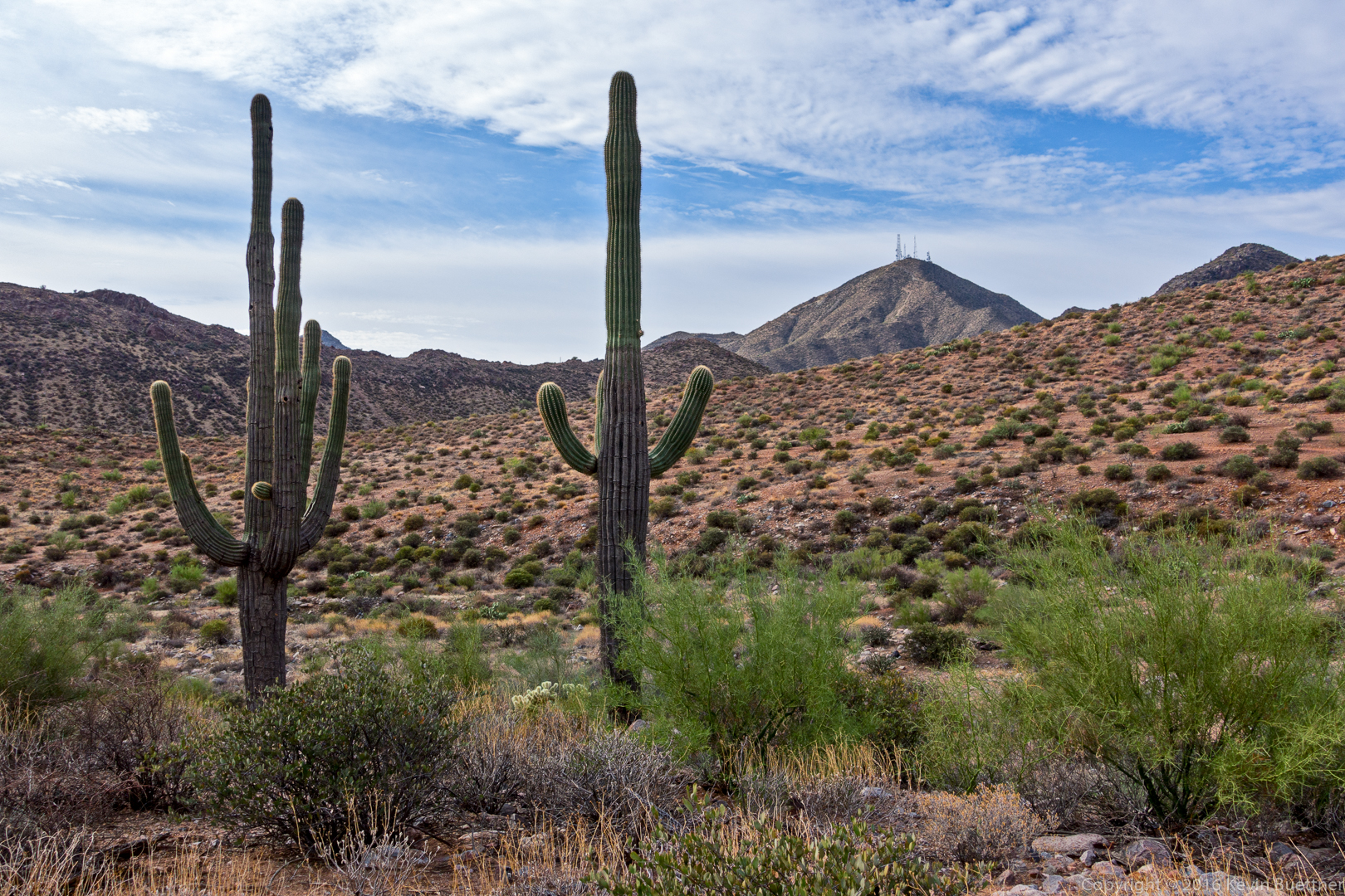
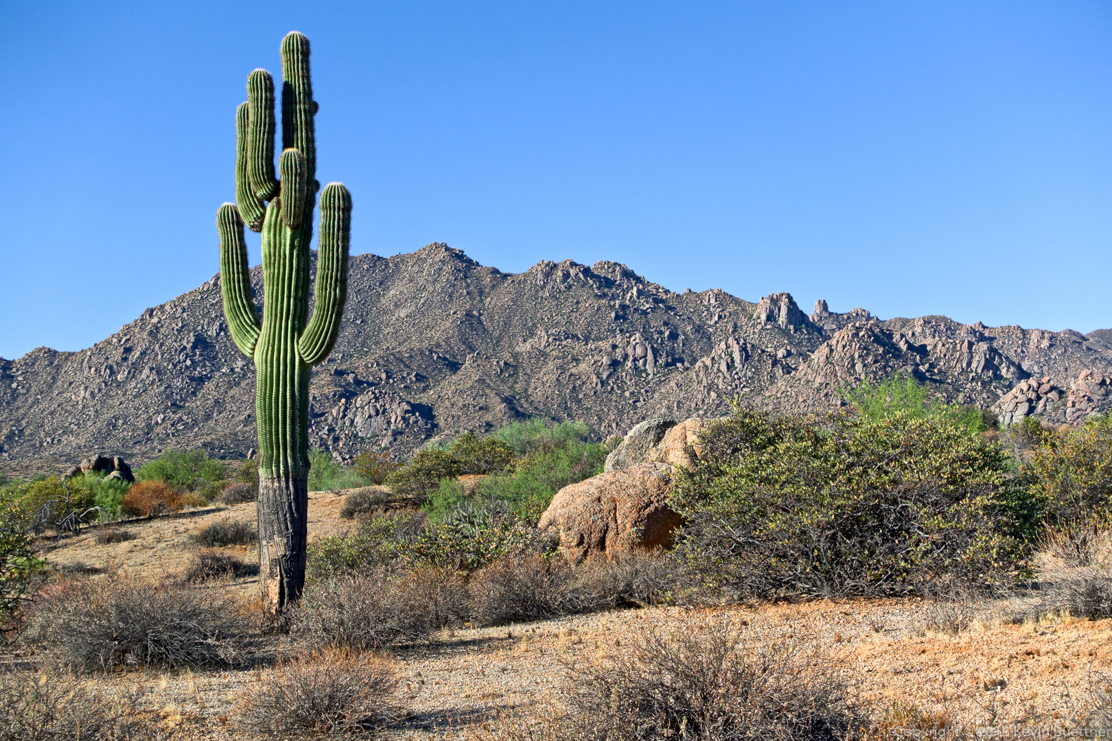
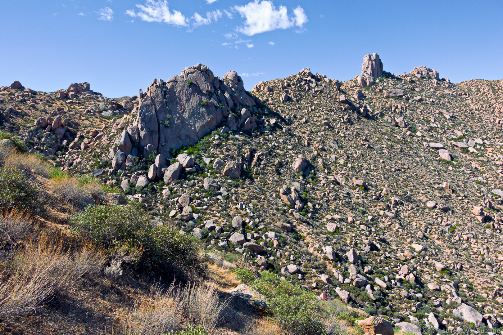
Looking back towards Thompson Peak from the Windmill Trail.

20161028-_dsc9564-edit-medium

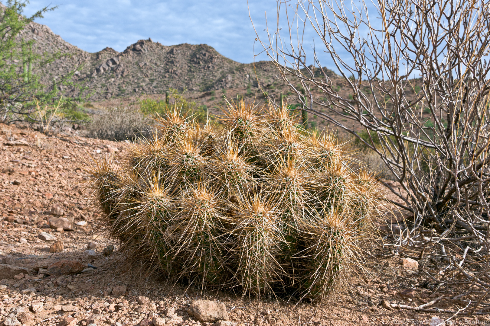
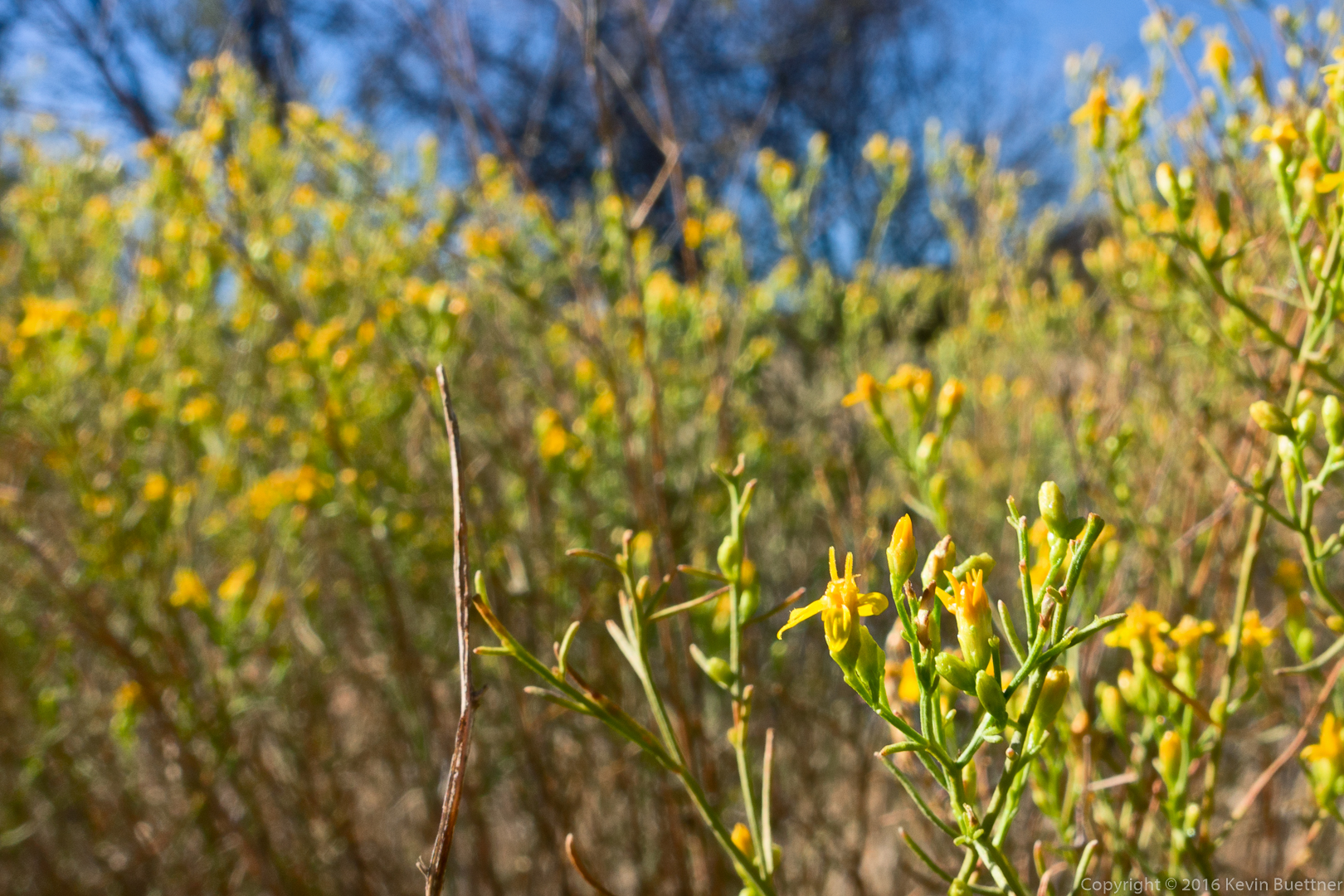
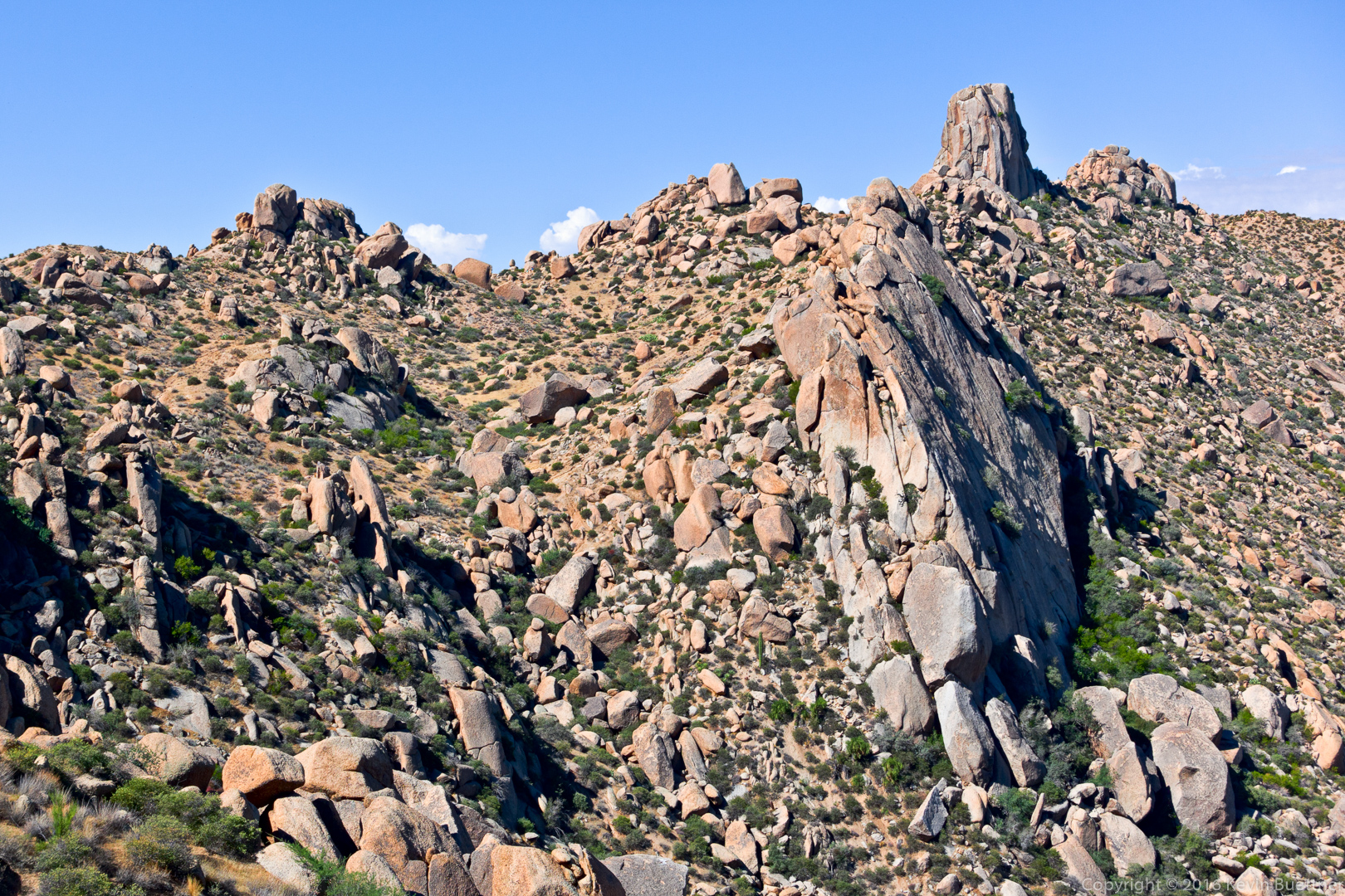
Hedgehog Cactus on the Windmill Trail.

20161028-_dsc9568-edit-medium

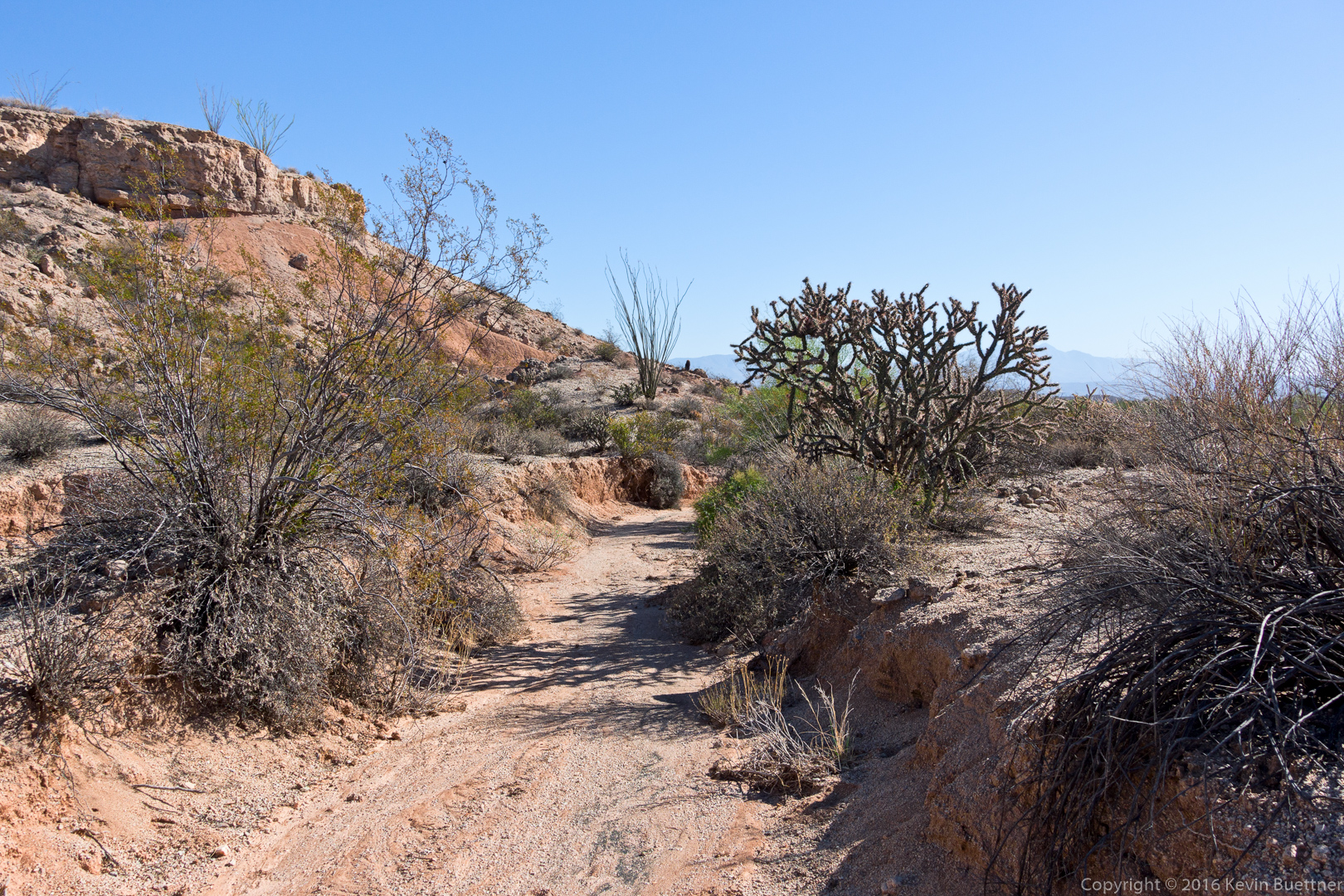
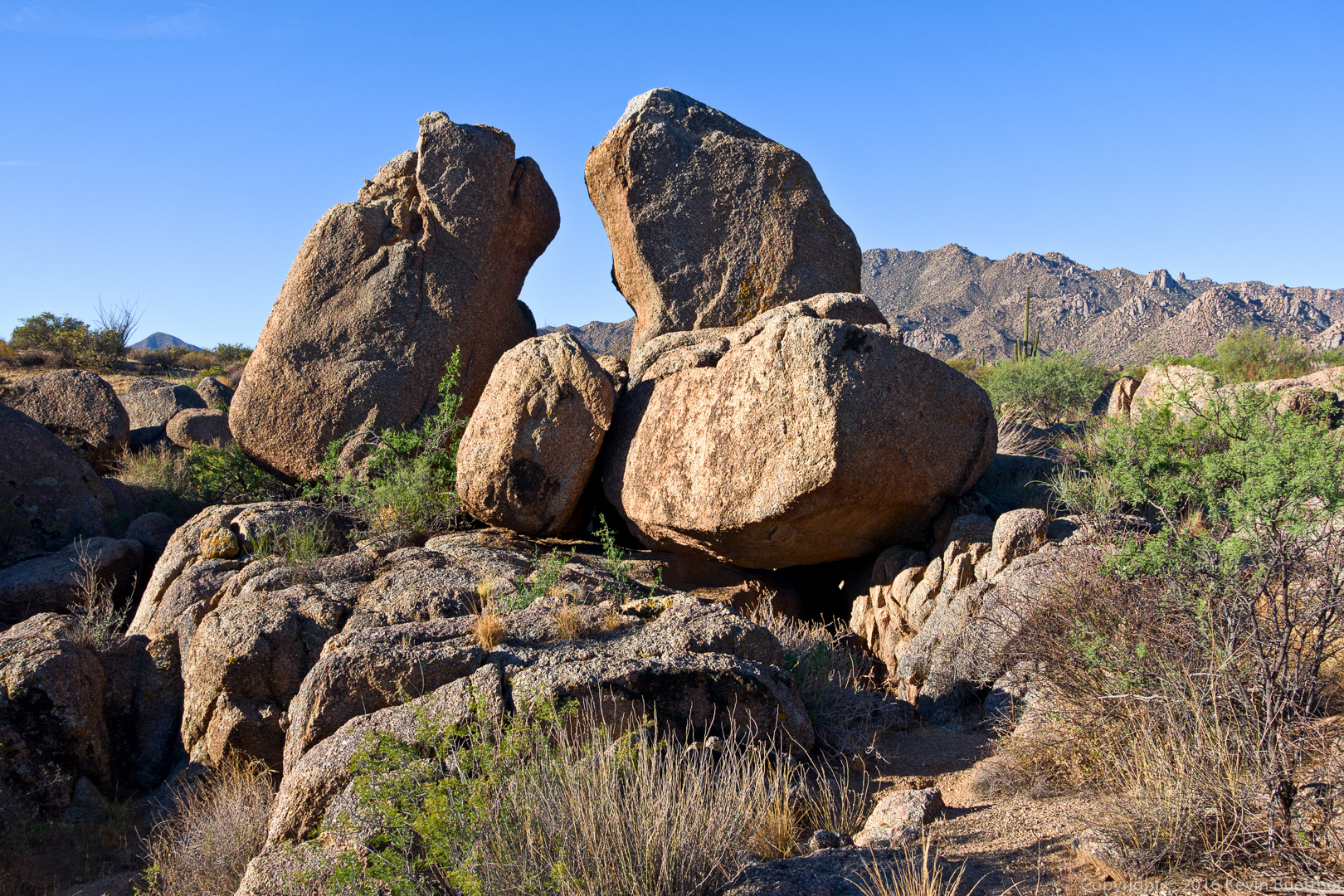
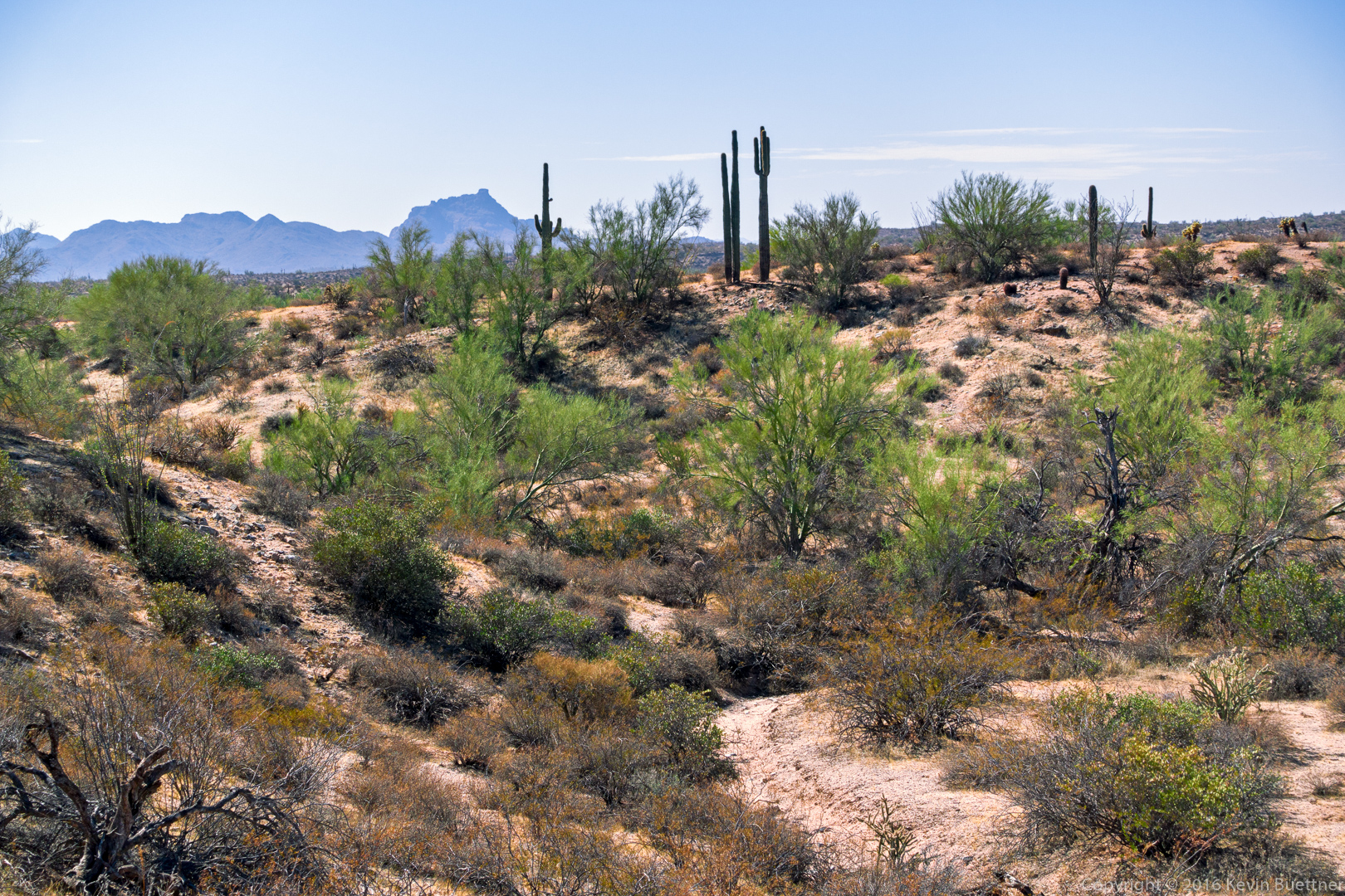
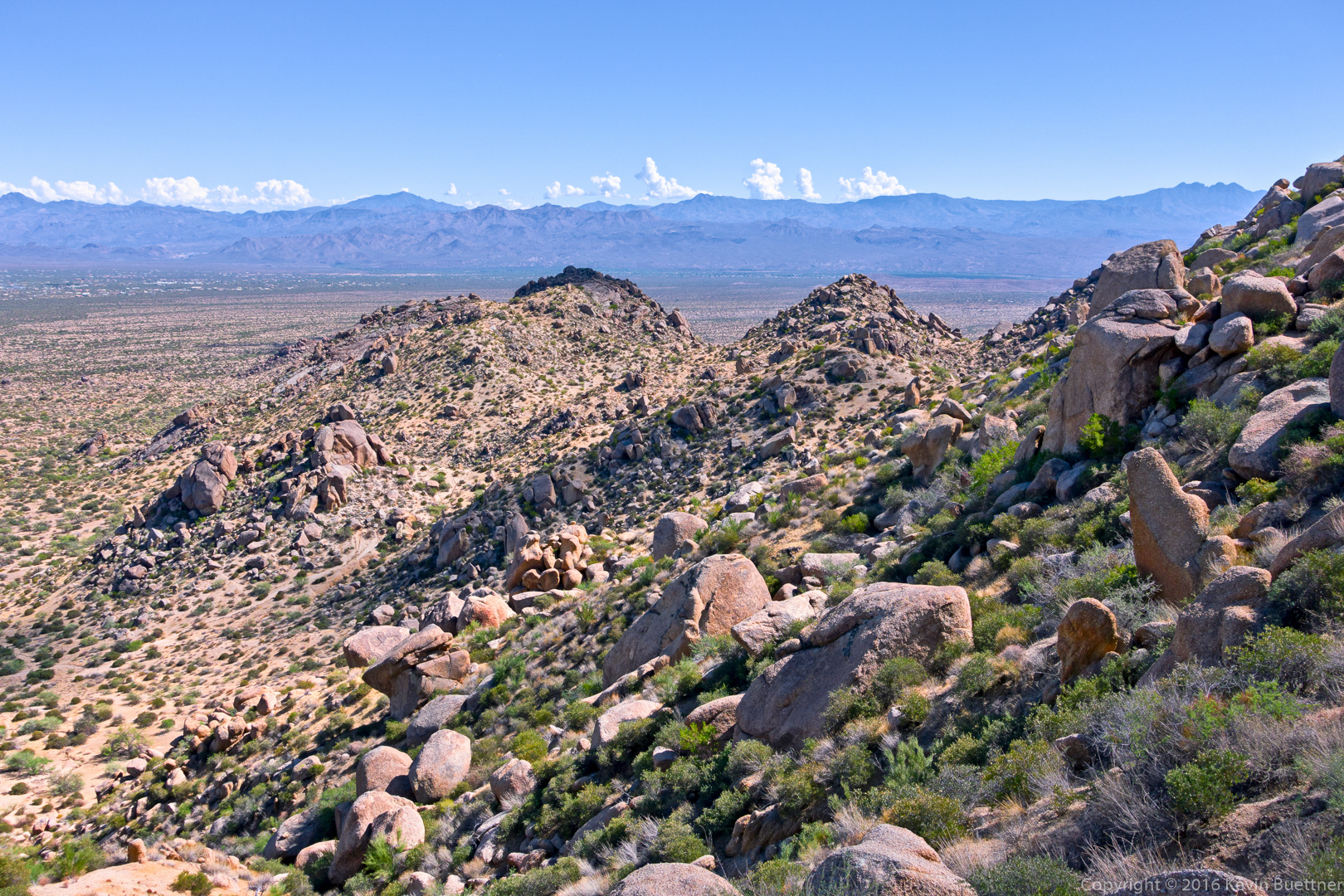
Looking down the wash from the Windmill Trail.

20161028-_dsc9576-edit-medium

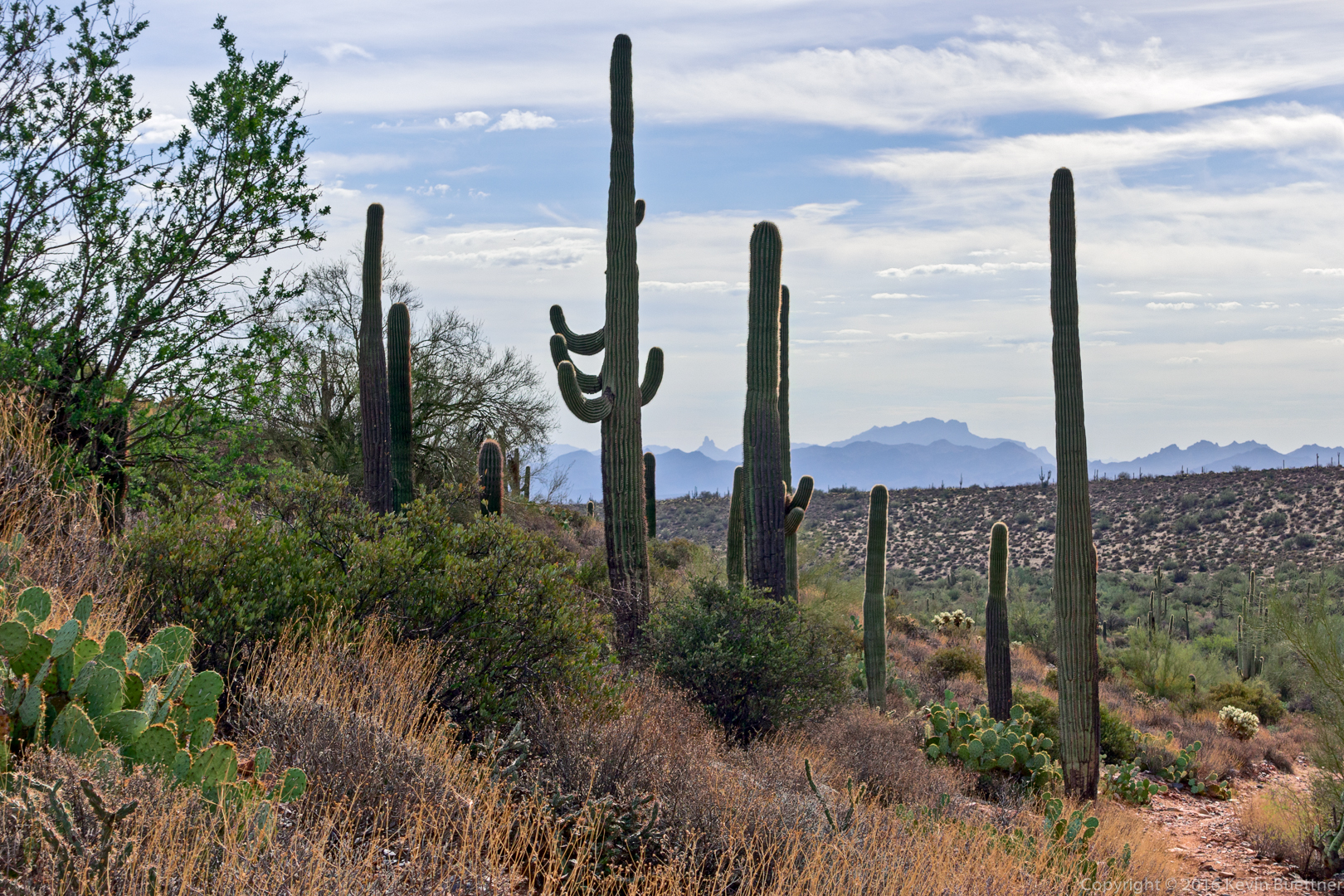
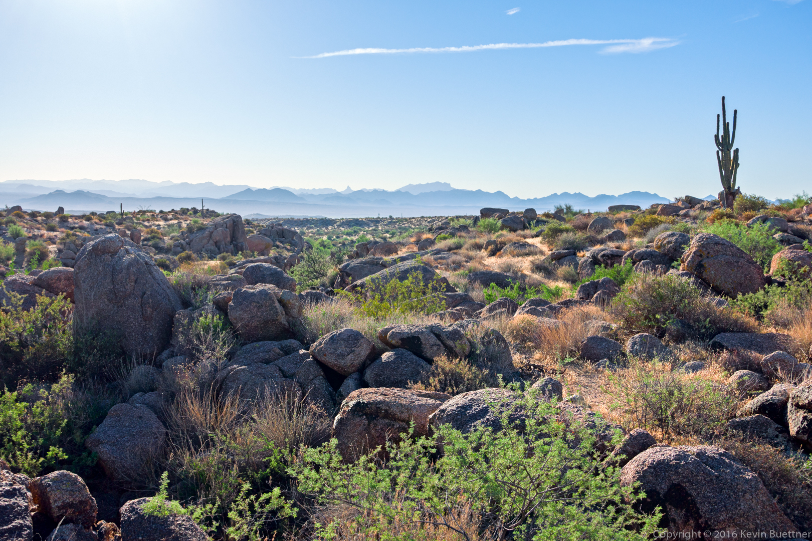
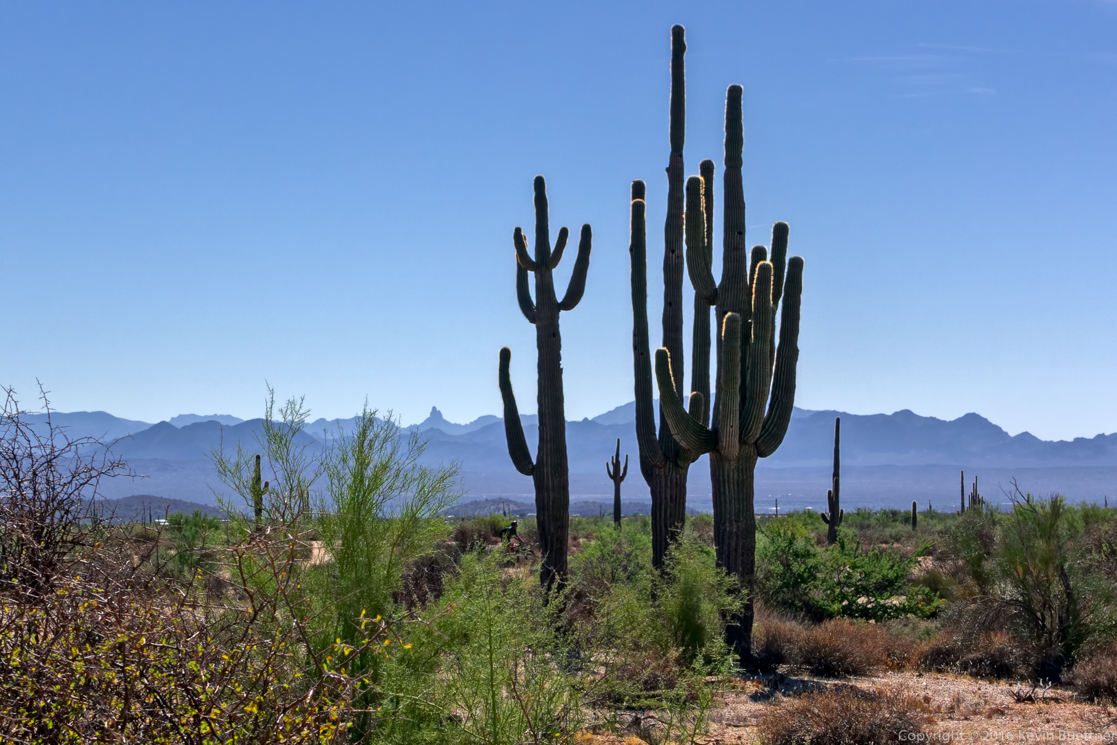
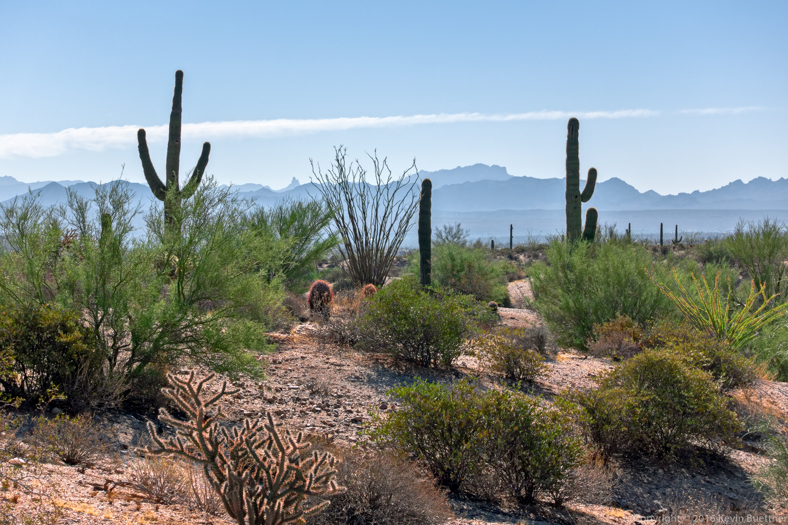
A view of Weaver’s Needle and the Flatiron through saguaros on the Coachwhip Trail.

20161028-_dsc9591-edit-medium

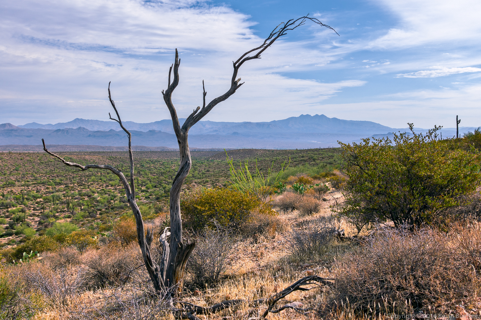
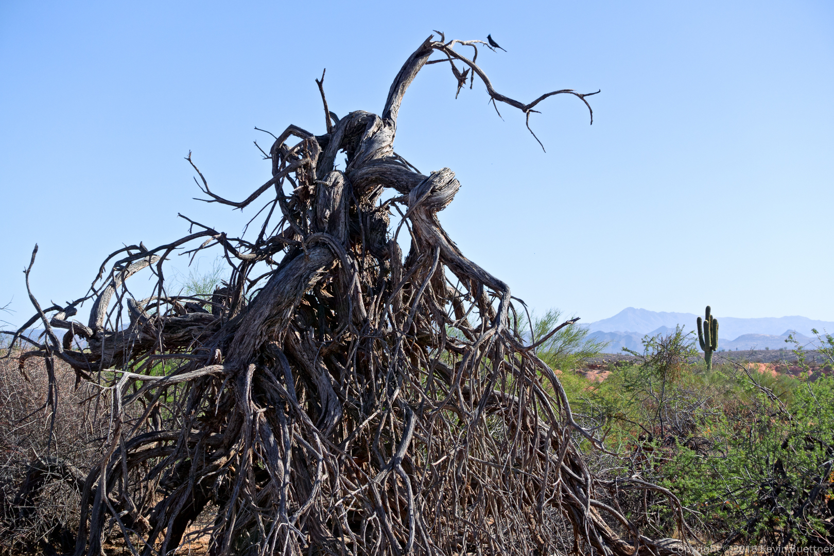
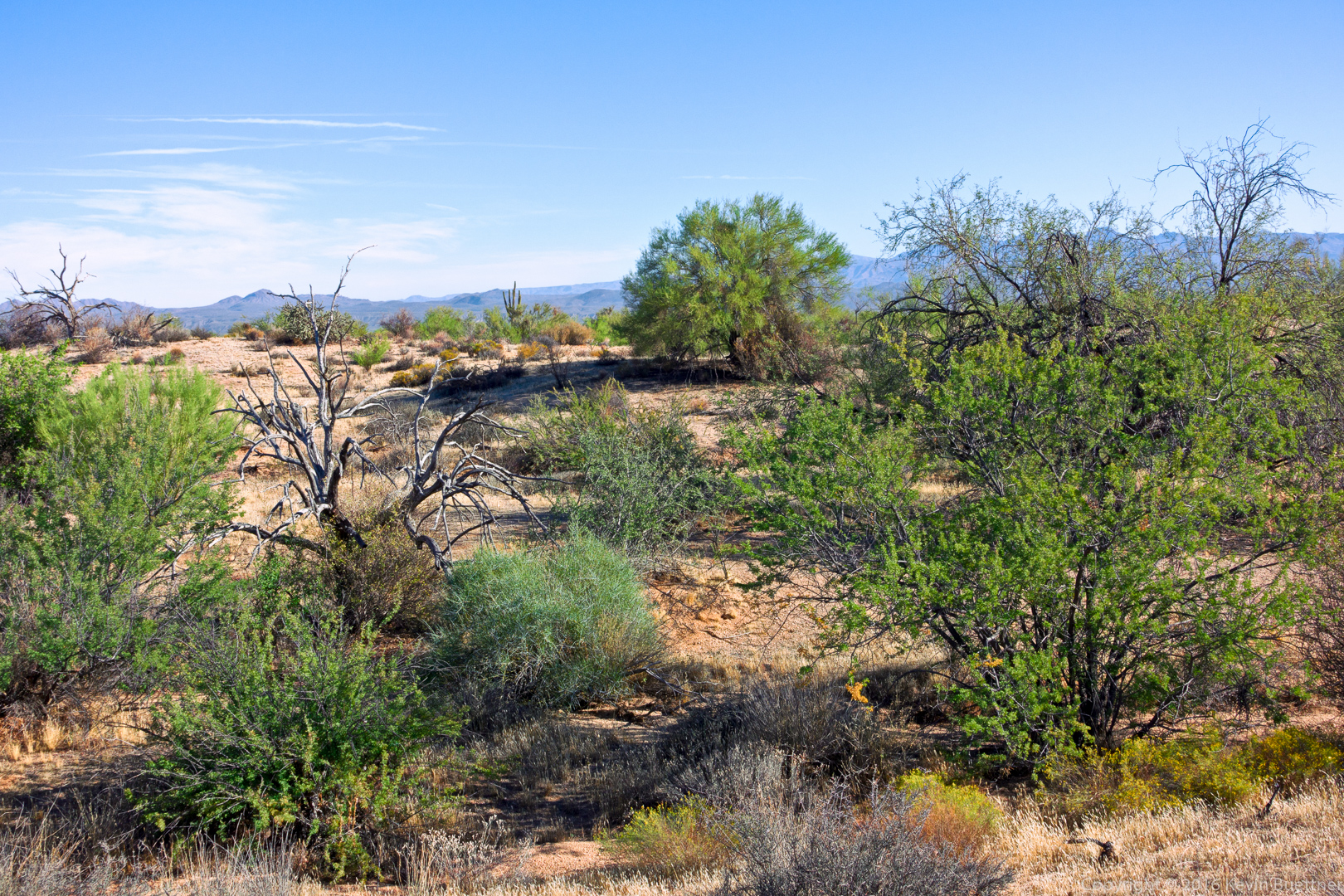
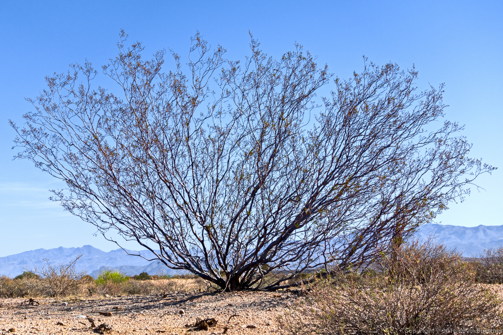
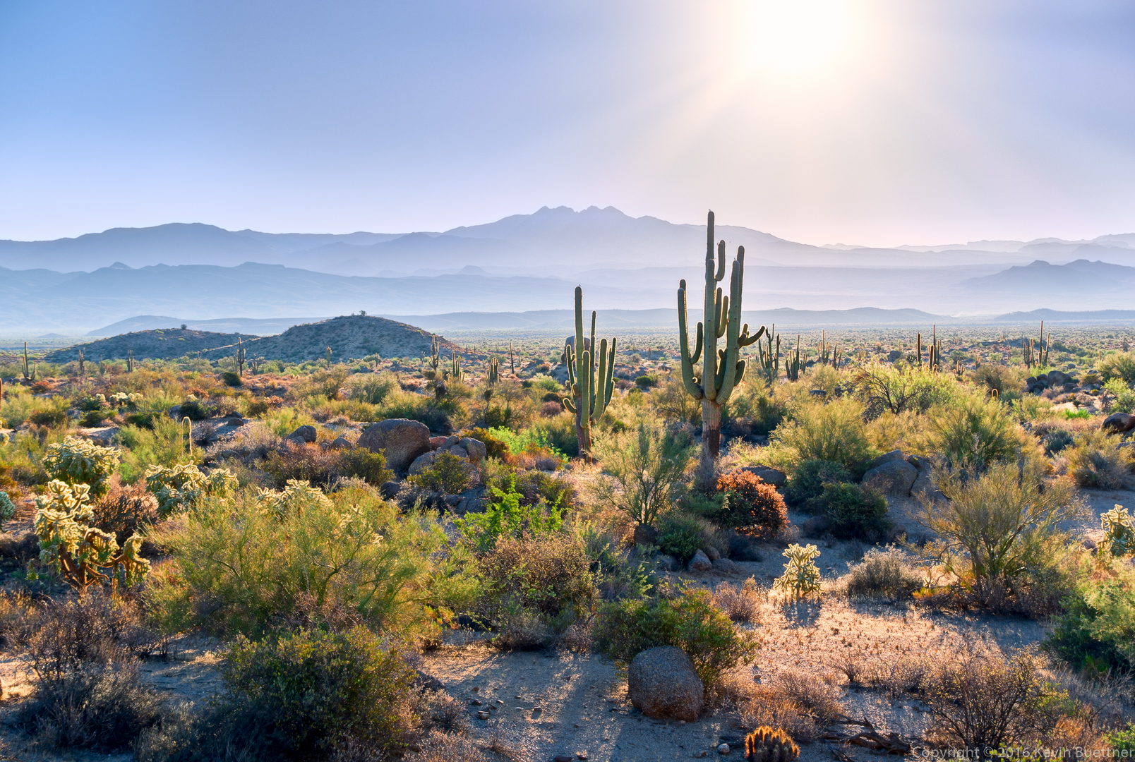
A dead tree with Four Peaks in the background.


Friday Fitness Hike

Amy, Janet, Mike, and I hiked 6.7 miles on Friday. We hiked to the pond and then explored some of the arroyos on the other side of the Pemberton Trail.

20161021-_dsc9168-edit-medium-4

View from the Pemberton just prior to dropping into Stoneman Wash

20161021-_dsc9204-edit-medium

20161021-_dsc9225-edit-medium

Janet, Amy, and Mike

20161021-_dsc9252-edit-medium

Amy, beneath a crumbly wall

20161021-_dsc9258-edit-medium

We saw the barn owl several times on our hike.

20161021-_dsc9276-edit-medium

Amy and Mike

20161021-_dsc9294-edit-medium

Banks of Stoneman Wash

20161021-_dsc9324-edit-medium

An old Chevy in Stoneman Wash

20161021-_dsc9342-edit-medium

Note the small bird, a phainopepla, on the gnarly tree.

20161021-_dsc9357-edit-medium

Janet and Mike examine the remains of what might have been a truck.

20161021-_dsc9381-edit-medium

Two saguaros on the way into a box canyon.

20161021-_dsc9387-edit-medium

Leaving the box canyon.

20161021-_dsc9390-edit-medium

A deep channel in the wash.


Friday Fitness Hike

Marilyn, Bob, Mike, Linda, Nancy, Shawn, Lisa, Nick, and I hiked 8.4 miles starting at the Wagner Trailhead.

20161014-_dsc8997-edit-medium

Large boulders leaning towards each other:

20161014-_dsc9012-edit-medium

A view of Weaver’s Needle, far far away:

20161014-_dsc9021-edit-medium

A large saguaro in front of the McDowells:

20161014-_dsc9024-edit-medium

Marilyn, Bob, Mike, Linda, Nancy, Shawn, Lisa, and Nick:

20161014-_dsc9042-edit-medium

20161014-_dsc9051-edit-medium

The desert is drying out again. I was surprised to see these flowers…20161014-_dsc9075-edit-edit-medium

A view from the Pemberton Trail:

20161014-_dsc9090-edit-medium

Mike identified this bird as a red tail hawk.20161014-_dsc9102-edit-medium

20161014-_dsc9111-edit-edit-medium

Saguaros on the Delsie Trail:

20161014-_dsc9120-edit-medium

Friday Fitness Hike

Bob, Nick, Allen, Janet, Mike, Nancy, Lisa, and I hiked in the the Competive Track / Stoneman (Pemberton) Wash are on Friday.  Bob’s dog Sarge and Allen & Janet’s dog Bella trotted along on the hike too. Nancy, Lisa, Mike, and I hiked nine miles; the rest did a somewhat shorter hike.

20161007-_dsc8754-edit-medium

Lisa, Nancy, Janet, Nick, Allen, and Bob with Bella and Sarge leading the way

20161007-_dsc8772-edit-medium

Nick with his hand-made hiking stick

20161007-_dsc8799-edit-medium

Janet, Allen, Nick, Lisa, Nancy, Bob, and Mike with Bella and Sarge in front

20161007-_dsc8811-edit-medium-2

A Dead Palo Verde Tree; Did the Desert Misletoe kill it?

20161007-_dsc8817-edit-medium-2

One of the clay pits along the Pemberton Trail

20161007-_dsc8820-edit-medium

Another view of the clay pit

20161007-_dsc8829-edit-medium

20161007-_dsc8844-edit-medium

20161007-_dsc8853-edit-medium

20161007-_dsc8868-edit-medium

Lisa, Nancy, and Mike

20161007-_dsc8889-edit-medium

Nancy hiking trhough a brushy wash

20161007-_dsc8895-edit-medium

Creosote Bush (I think)

20161007-_dsc8901-edit-medium

A view from the Tonto Tank Trail

20161007-_dsc8937-edit-medium

A view from the Technical Loop

20161007-_dsc8955-edit-medium

Another view from the Technical Loop


Callisto

20161004-_dsc7788-edit-2-edit-medium

Jo and Danny

20161001-_dsc7740-edit-medium

Friday Fitness Hike

Linda and I hiked a 9.6 mile loop starting from the Tom’s Thumb Trailhead.  We hiked: Marcus Landslide, Boulder, Pemberton, Coachwhip, Windmill, East End, and returned on the Tom’s Thumb Trail.

20160930-_dsc8584_5_5_6_6-edit-2-edit-medium

Mushroom rock and adjoining pinnacle just off of the Marcus Landslide Trail


20160930-_dsc8590-edit-medium

View of McDowell Mountain Park and Four Peaks from the Marcus Landslide Trail

20160930-_dsc8668-edit-medium-4

East End Trail

20160930-_dsc8701-edit-medium

View of Fountain Hills (in distance) from the East End Trail

20160930-_dsc8716-edit-medium

Side view of Gardener’s Wall with Tom’s Thumb above and to the right.

20160930-_dsc8719-edit-medium

Gardener’s Wall (left) and Tom’s Thumb (right).

20160930-_dsc8728-edit-medium

View from Tom’s Thumb Trail