Month: November 2016 (page 1 of 1)

Friday Hike – Spur Cross to Skull Mesa

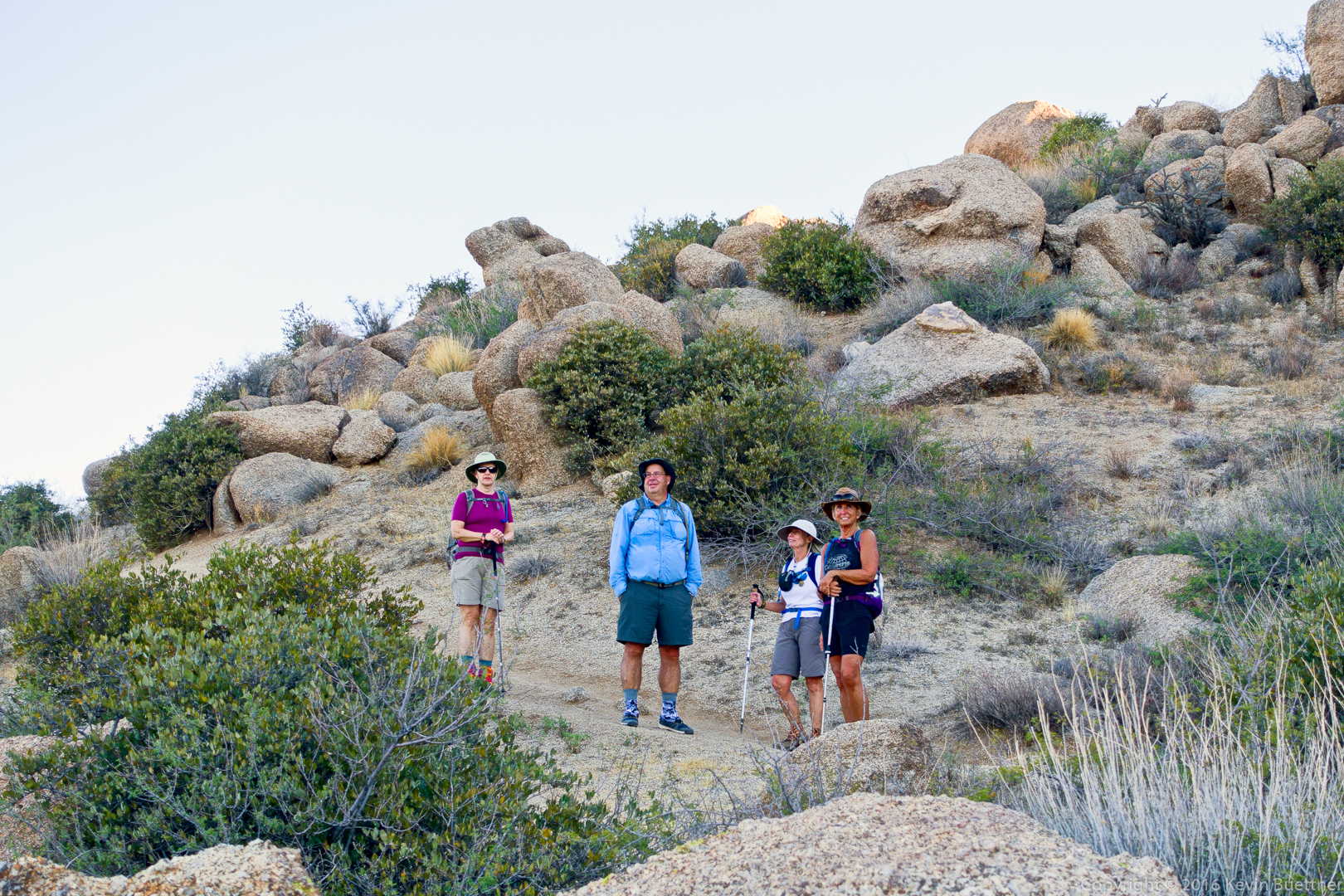
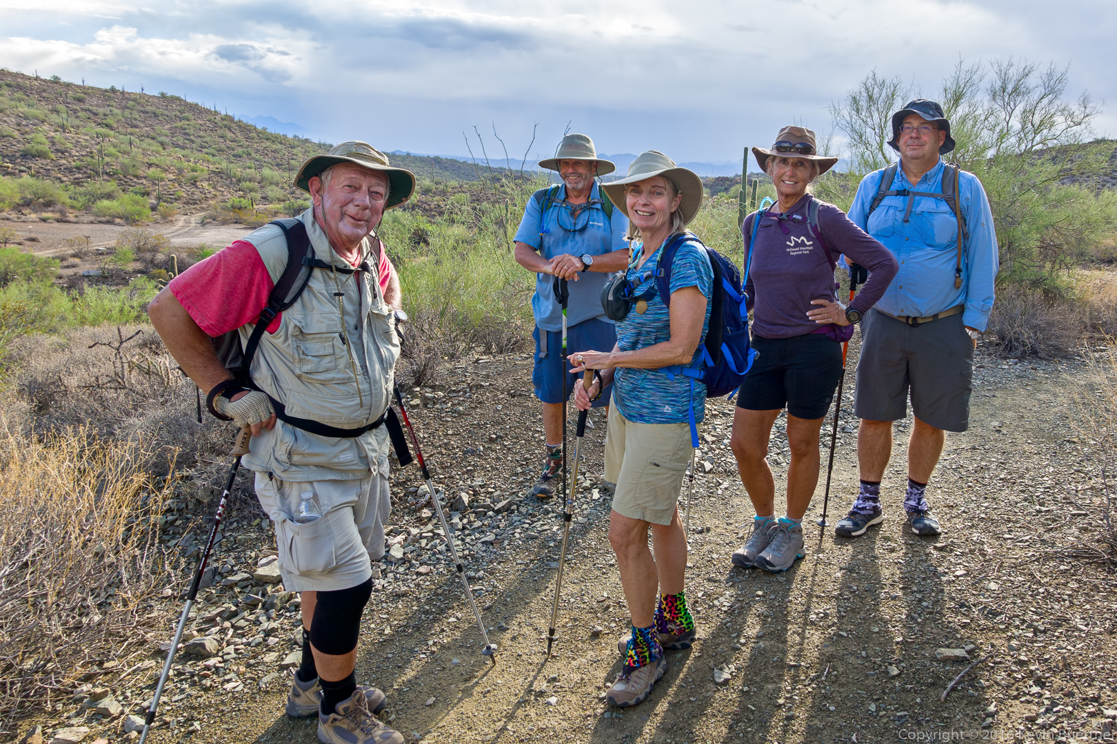
Linda, Nancy, Marilyn, Bob, Mike, and I hiked from Spur Cross to the top of Skull Mesa on the Friday after Thanksgiving.  (Not all of us went to the summit.)  The hike was 12 miles long with over 3200 feet of total elevation gain.

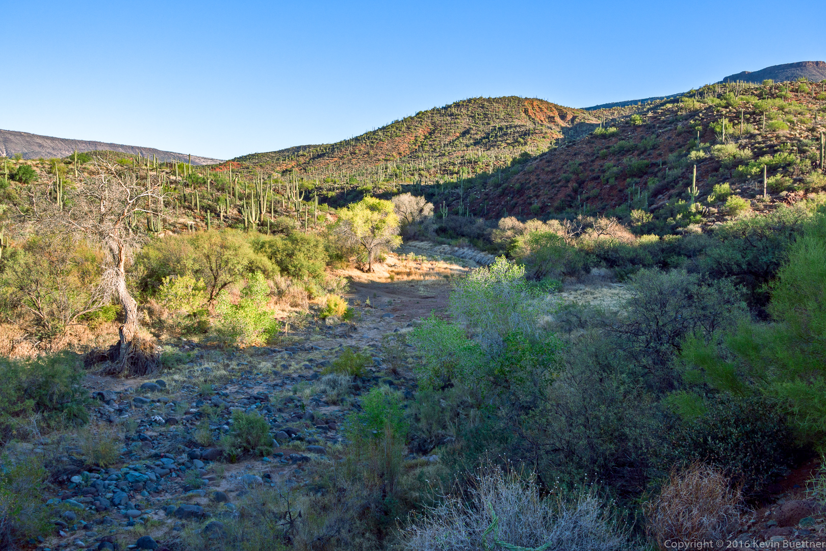
This is a view of Cave Creek (which was dry on the day we hiked) from the Spur Cross Trail.

20161125-_dsc0420-edit-medium

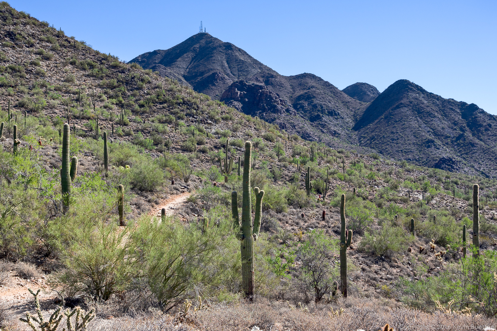
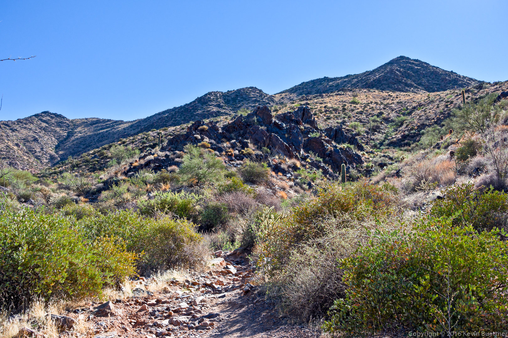
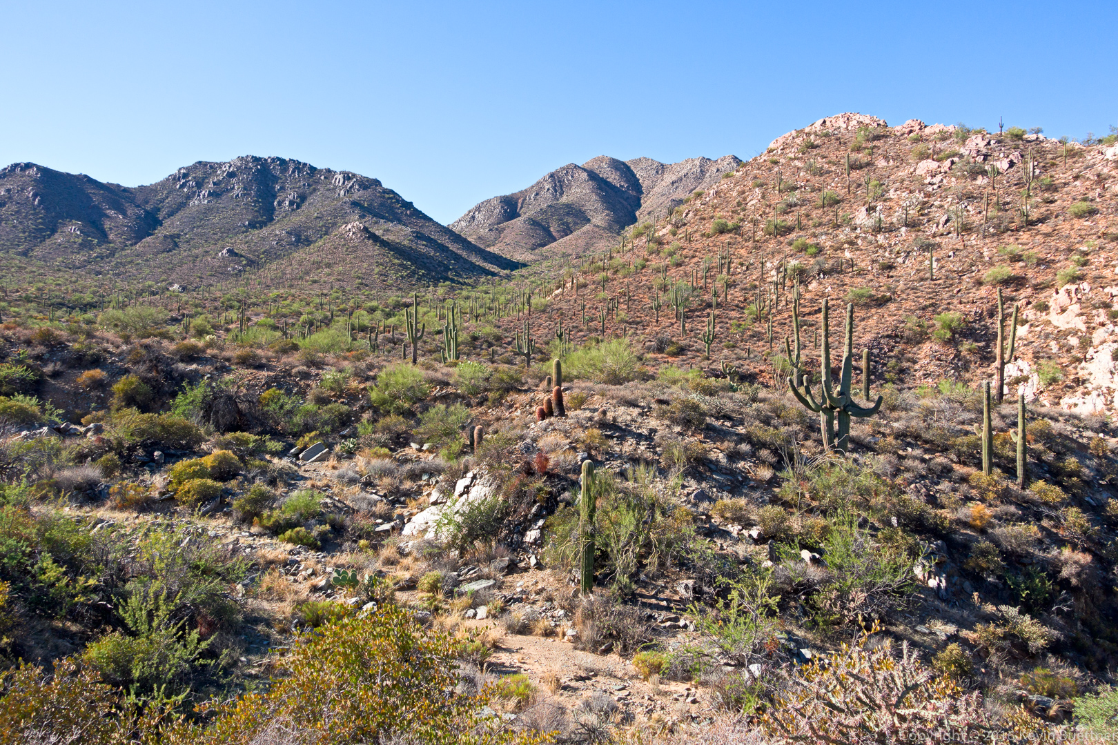
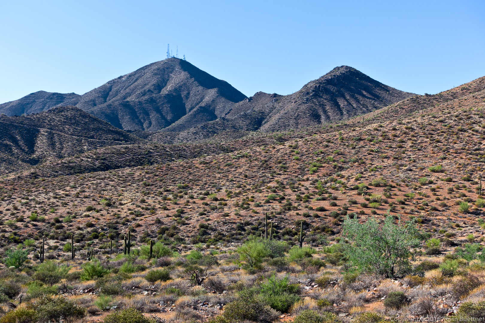
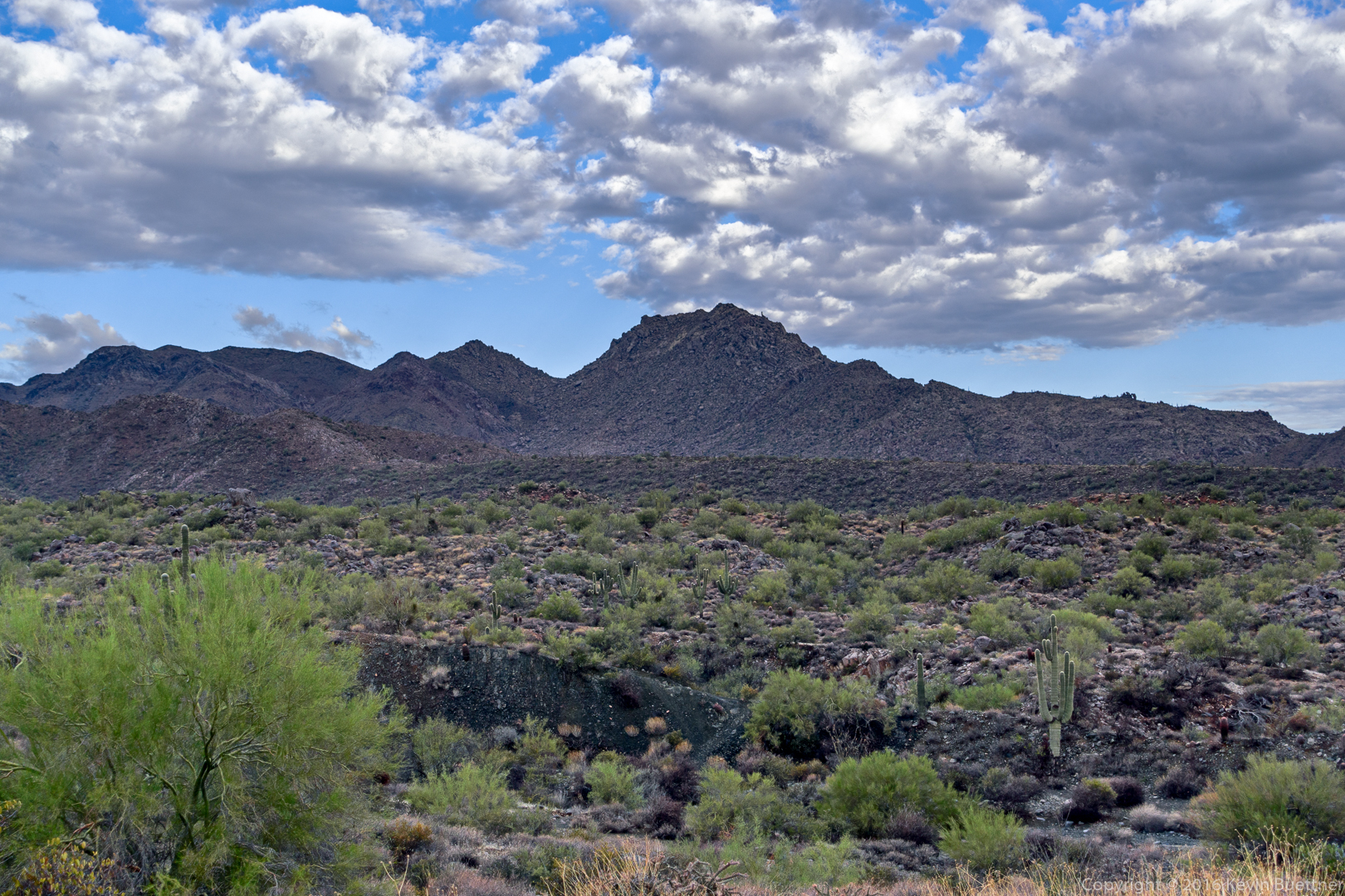
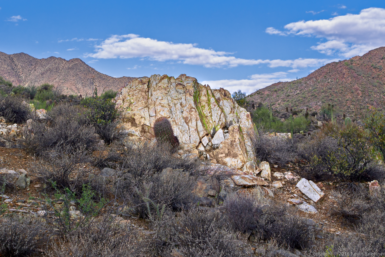
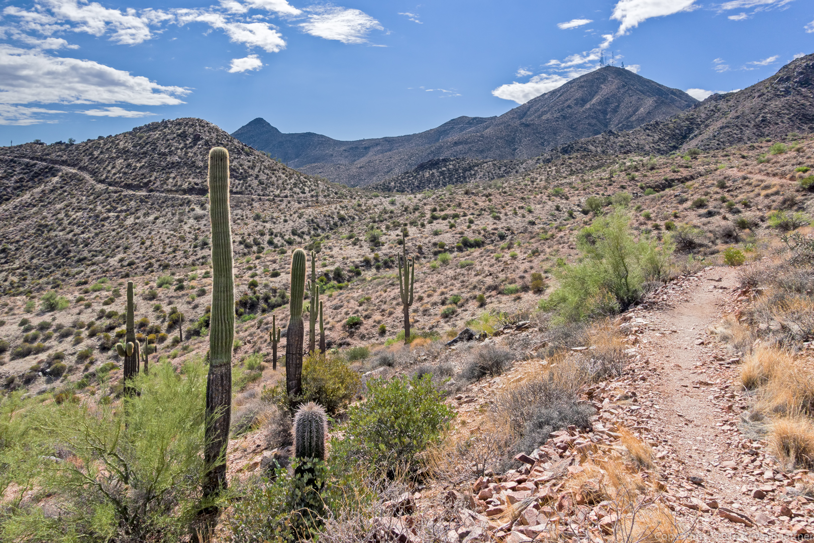
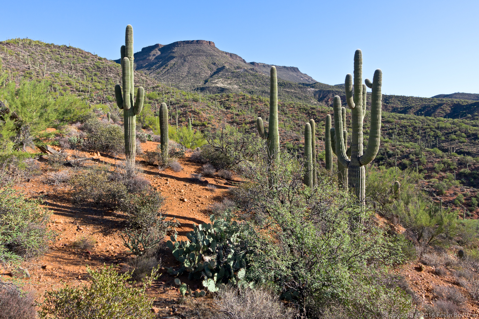
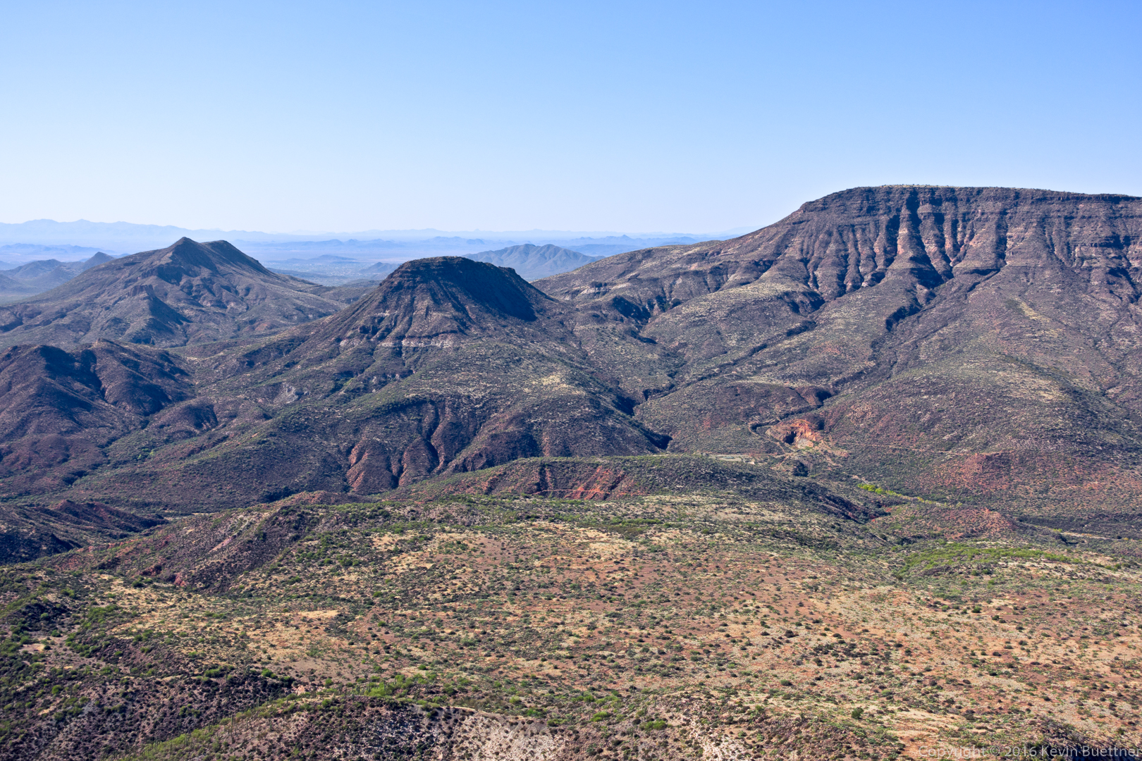
Skull Mesa, in the distance:
20161125-_dsc0474-edit-medium

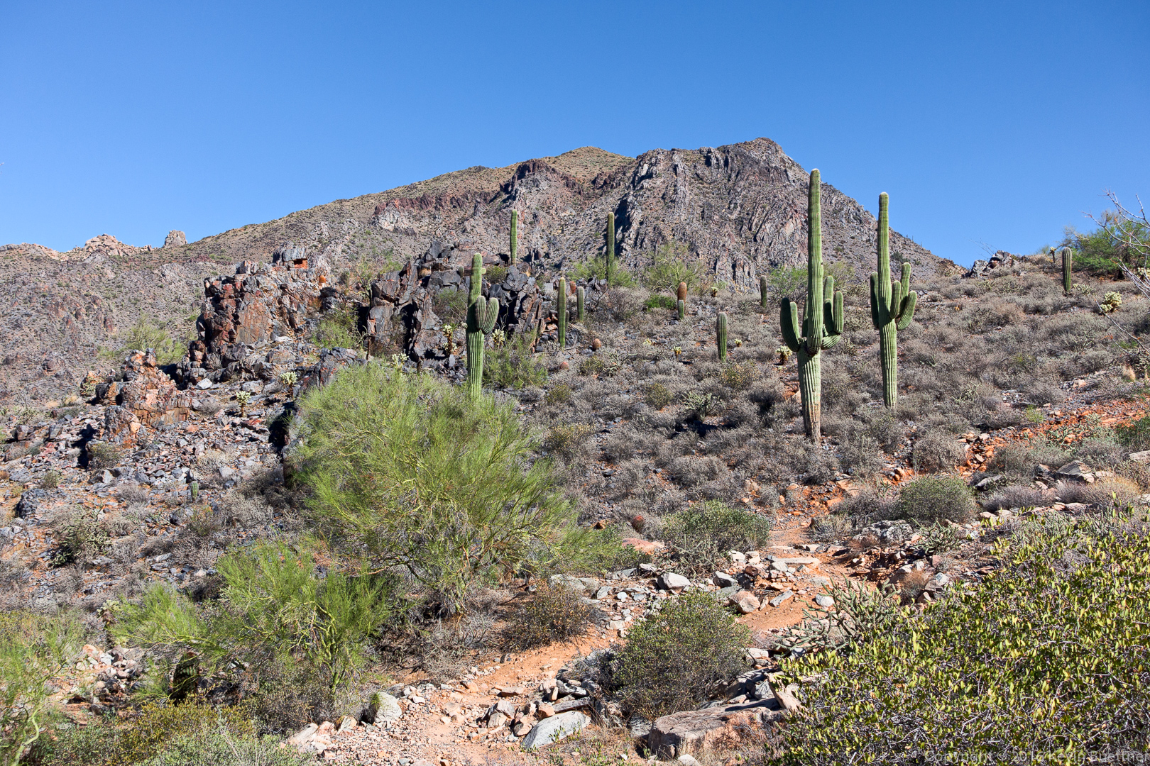
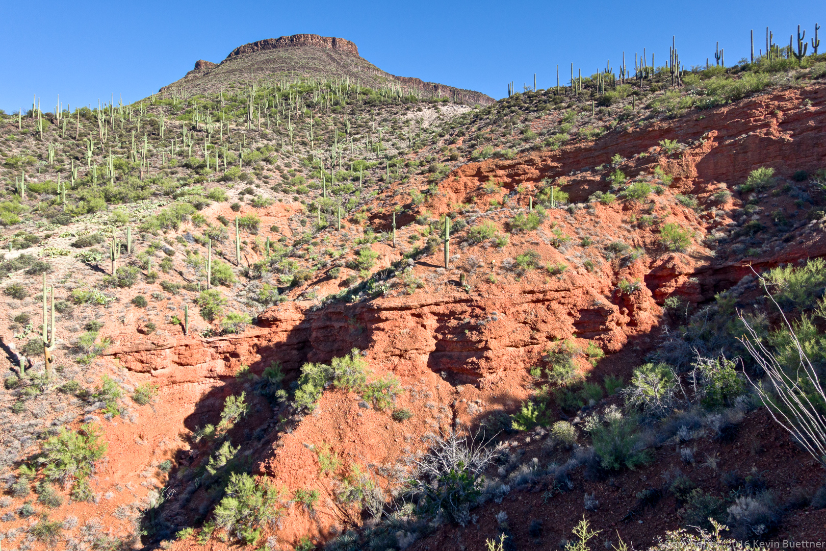
Another view of Skull Mesa from Cottonwood Trail #247:

20161125-_dsc0498-edit-medium

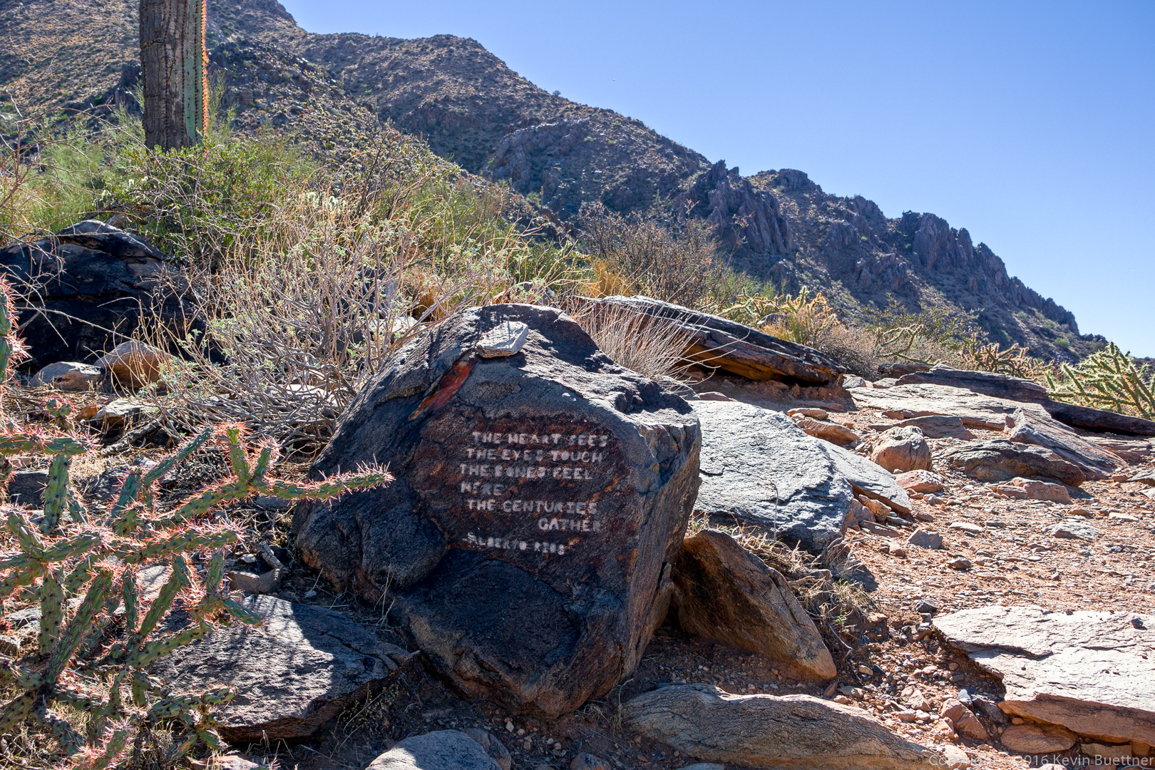
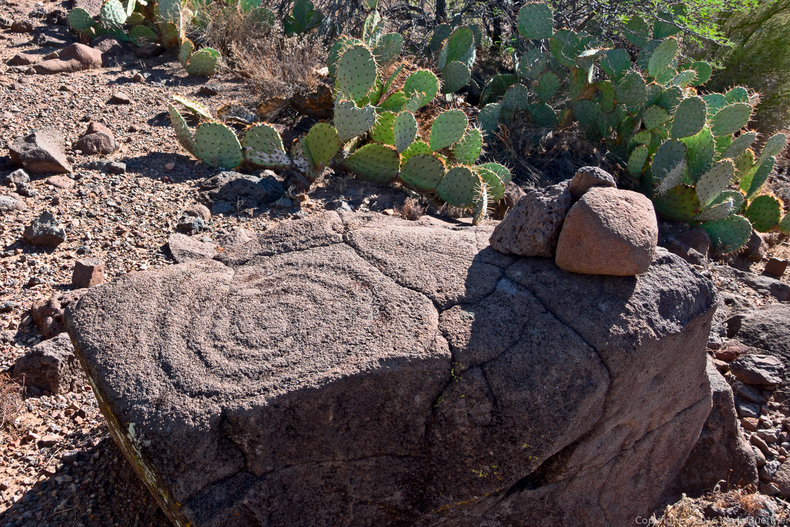
This petroglyph is on the Skull Mesa Trail, shortly after leaving the Cottonwood Trail – though you have to hike about five miles just to get to that intersection.
20161125-_dsc0537-edit-medium

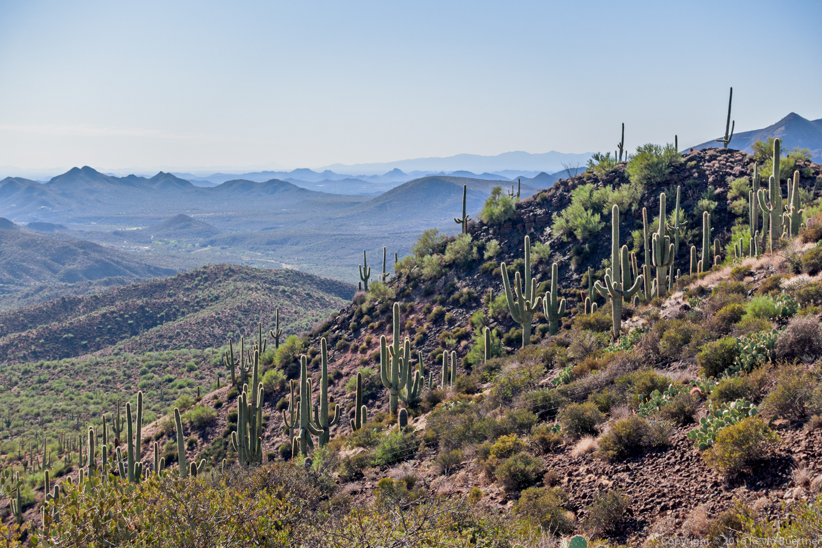
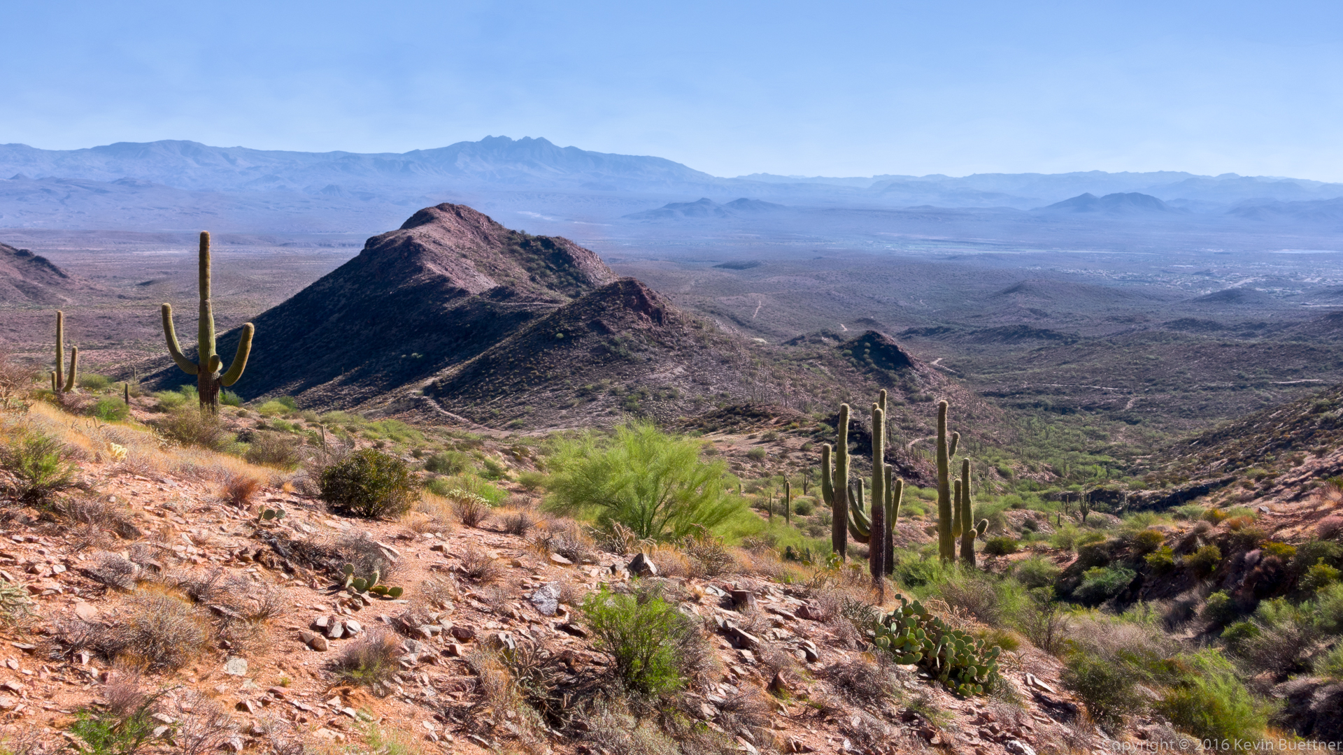
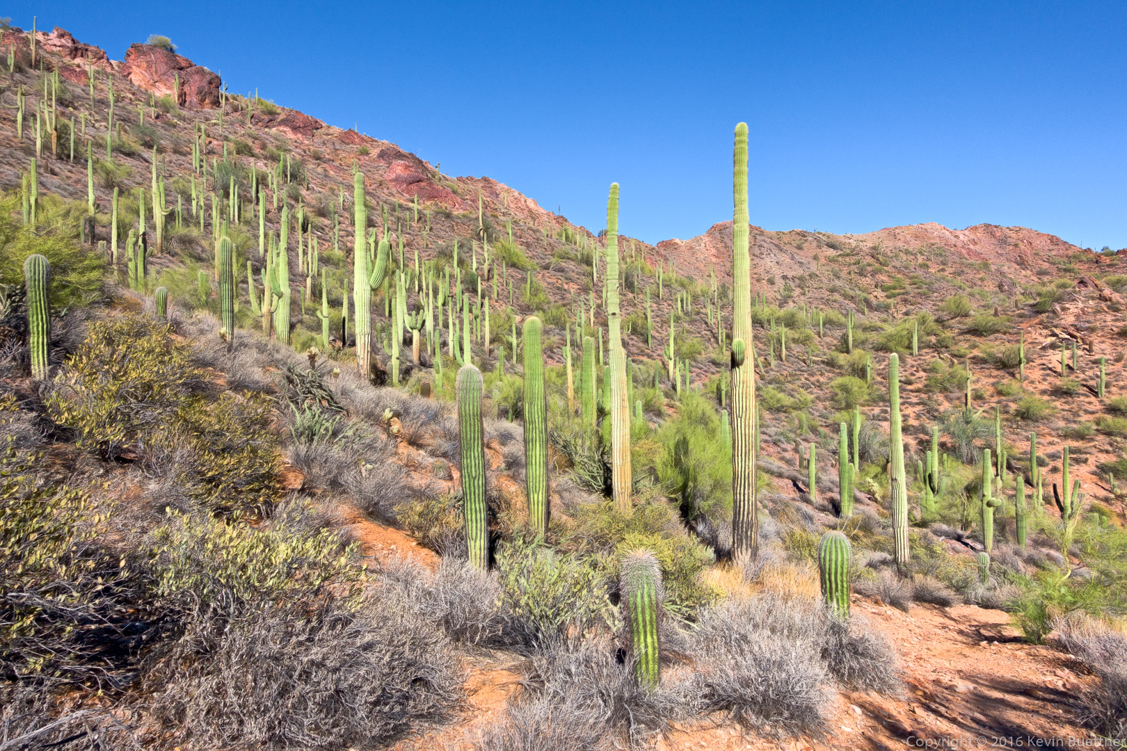
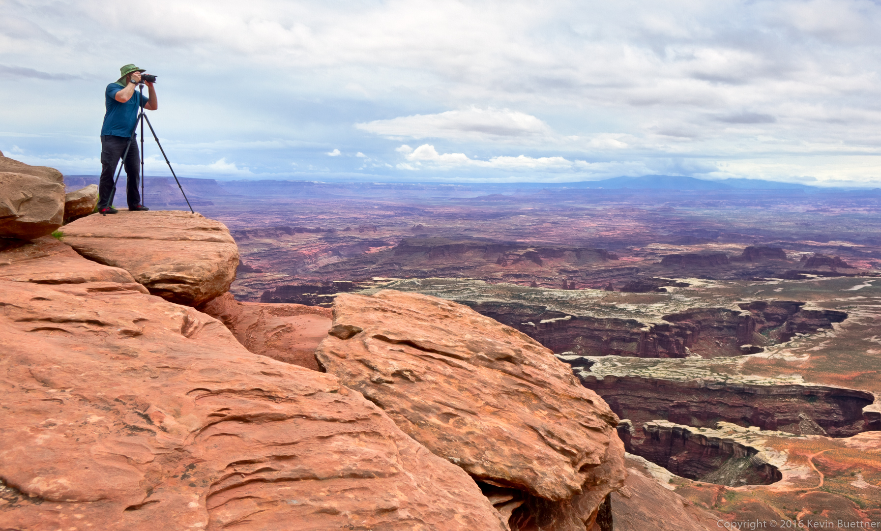
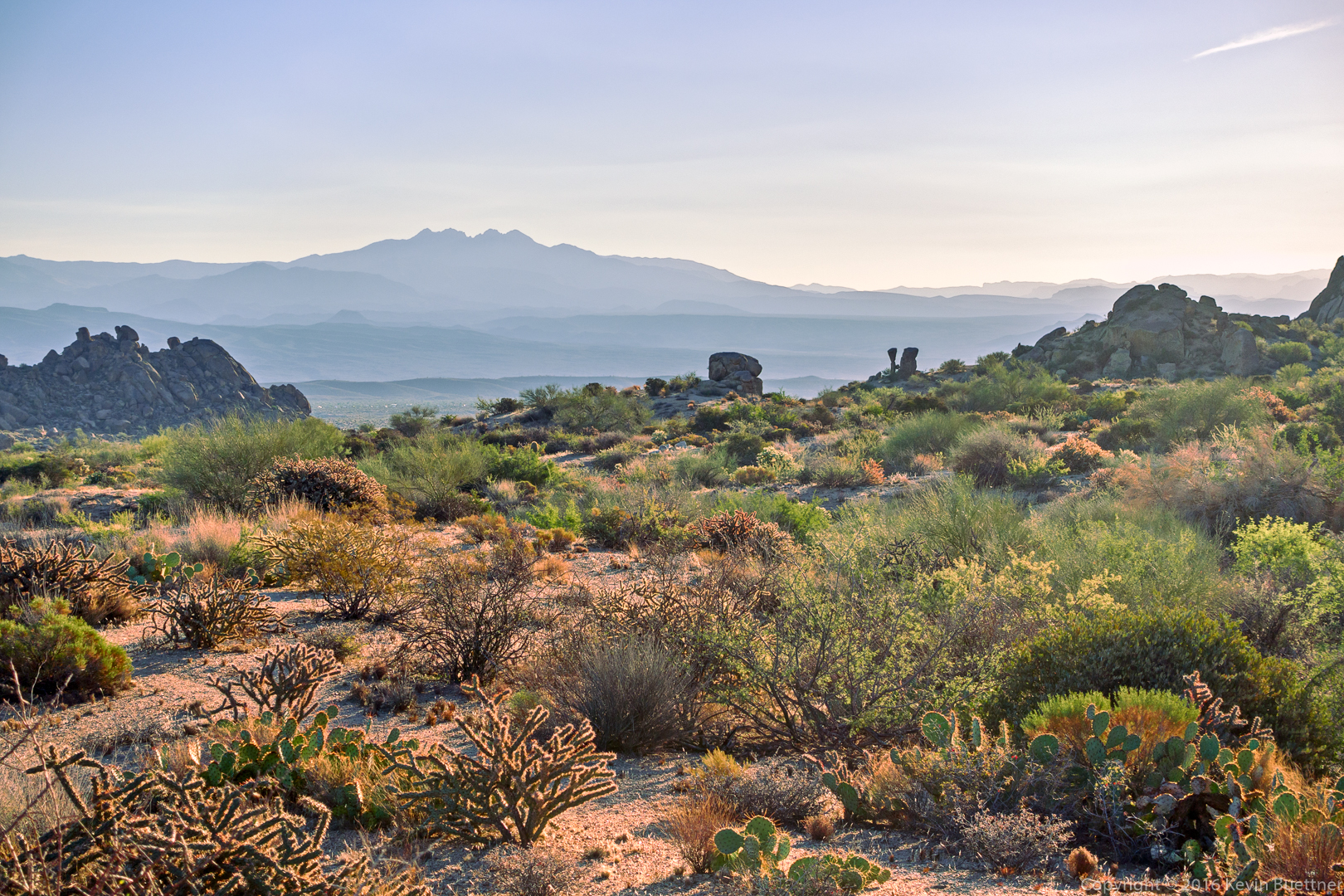
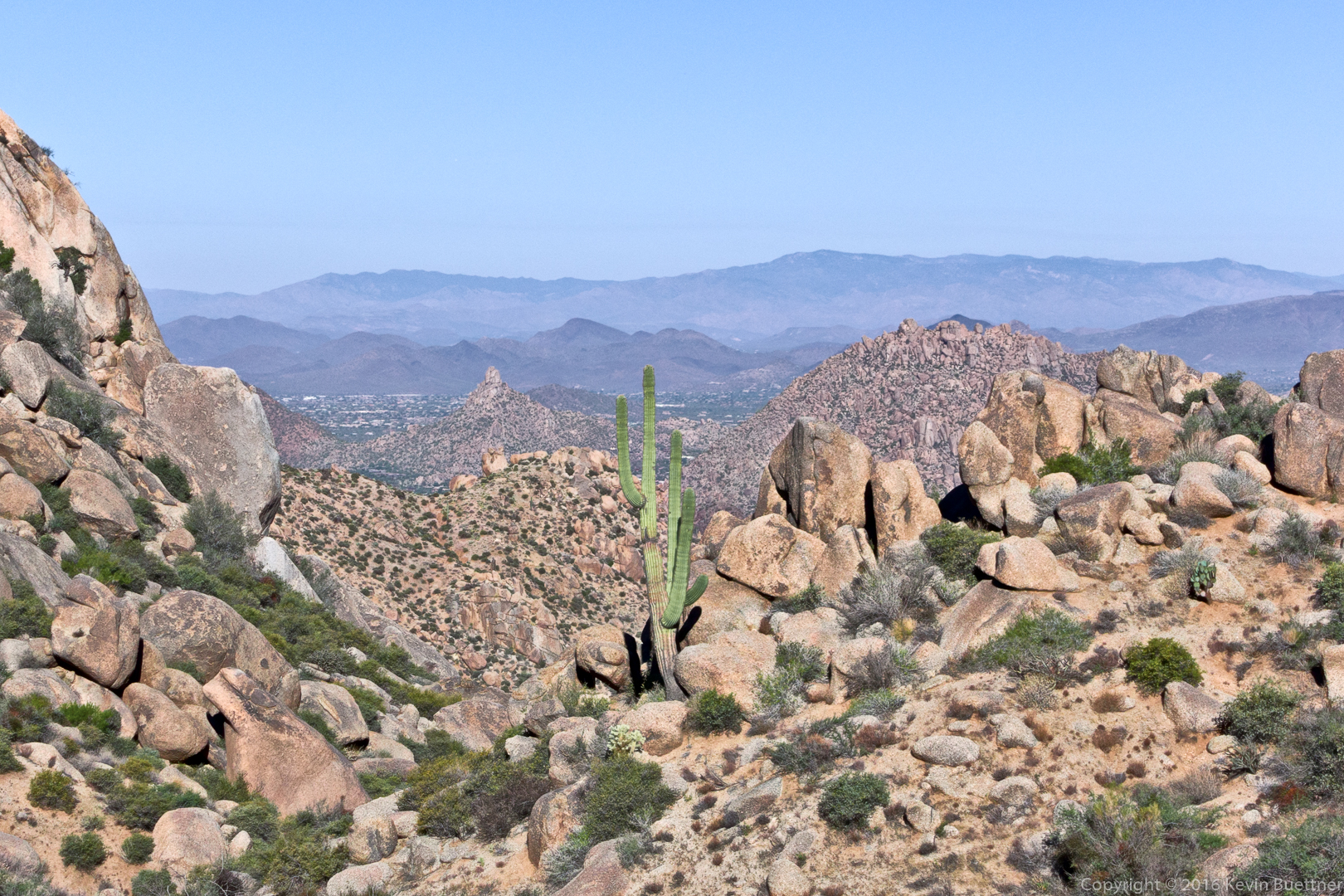
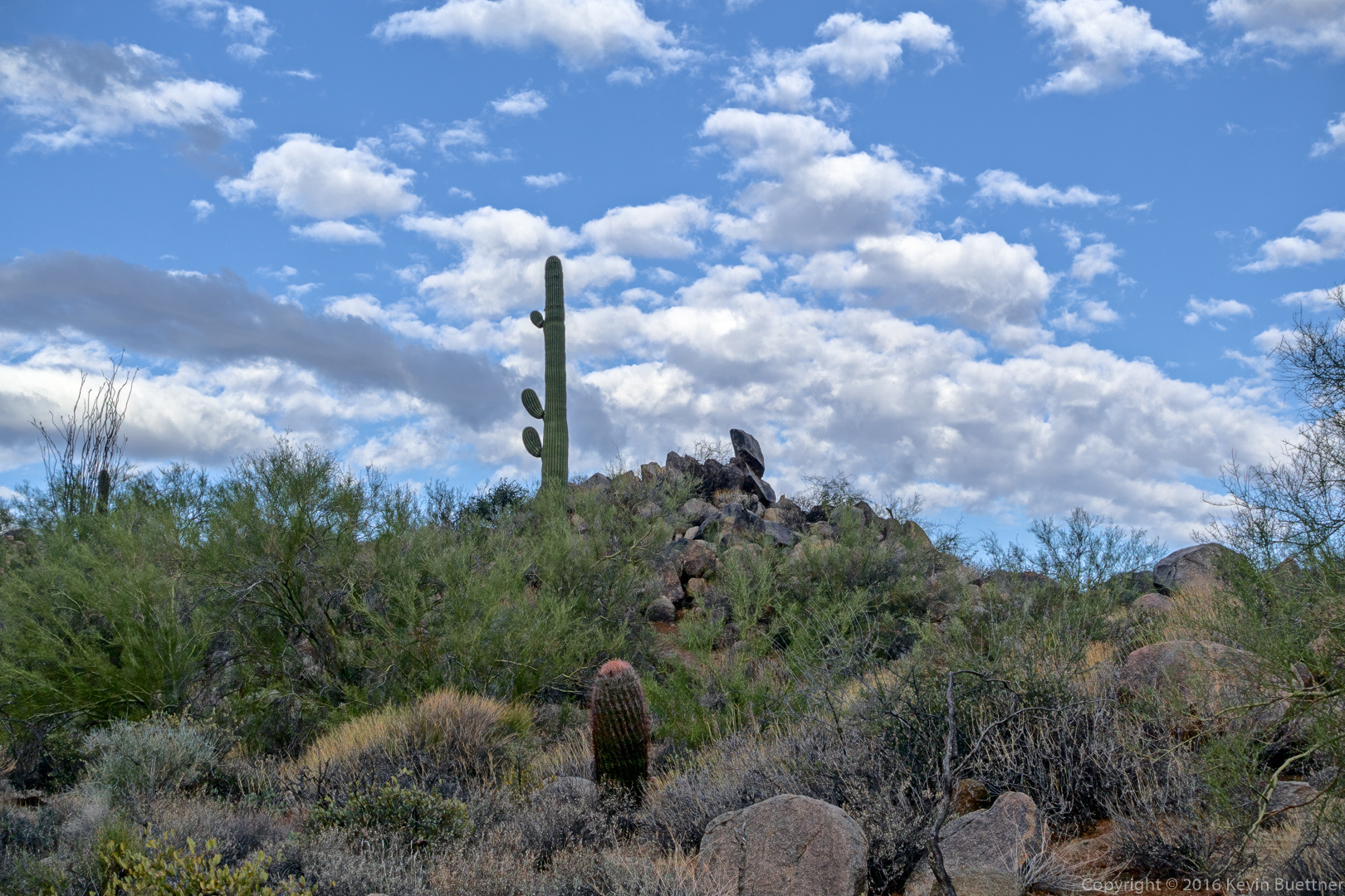
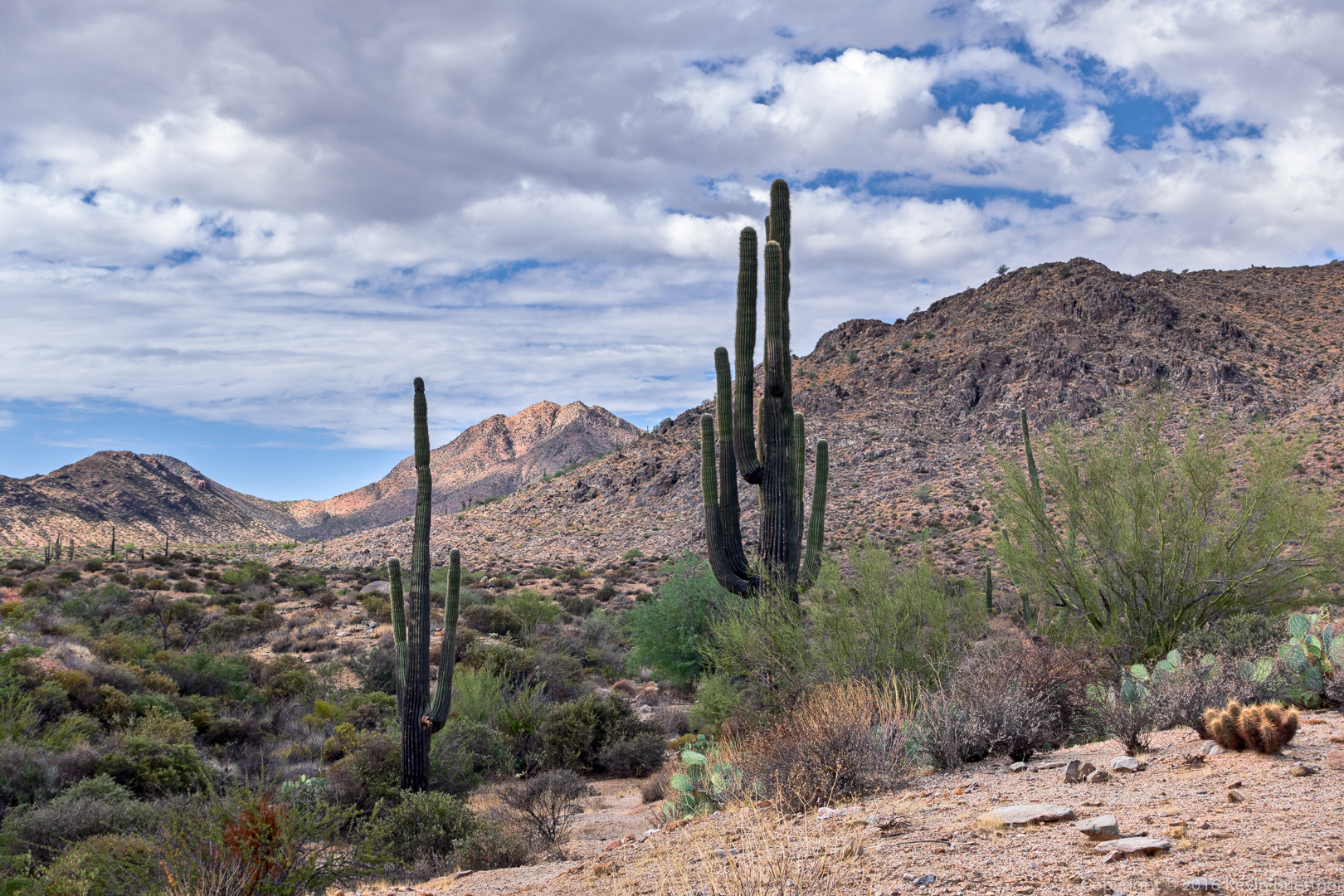
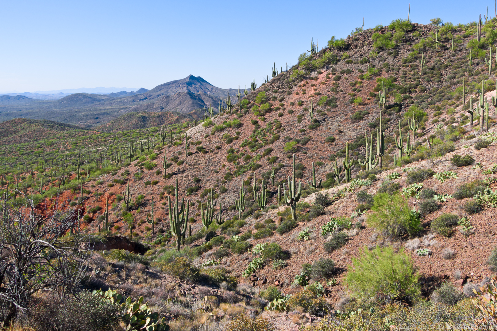
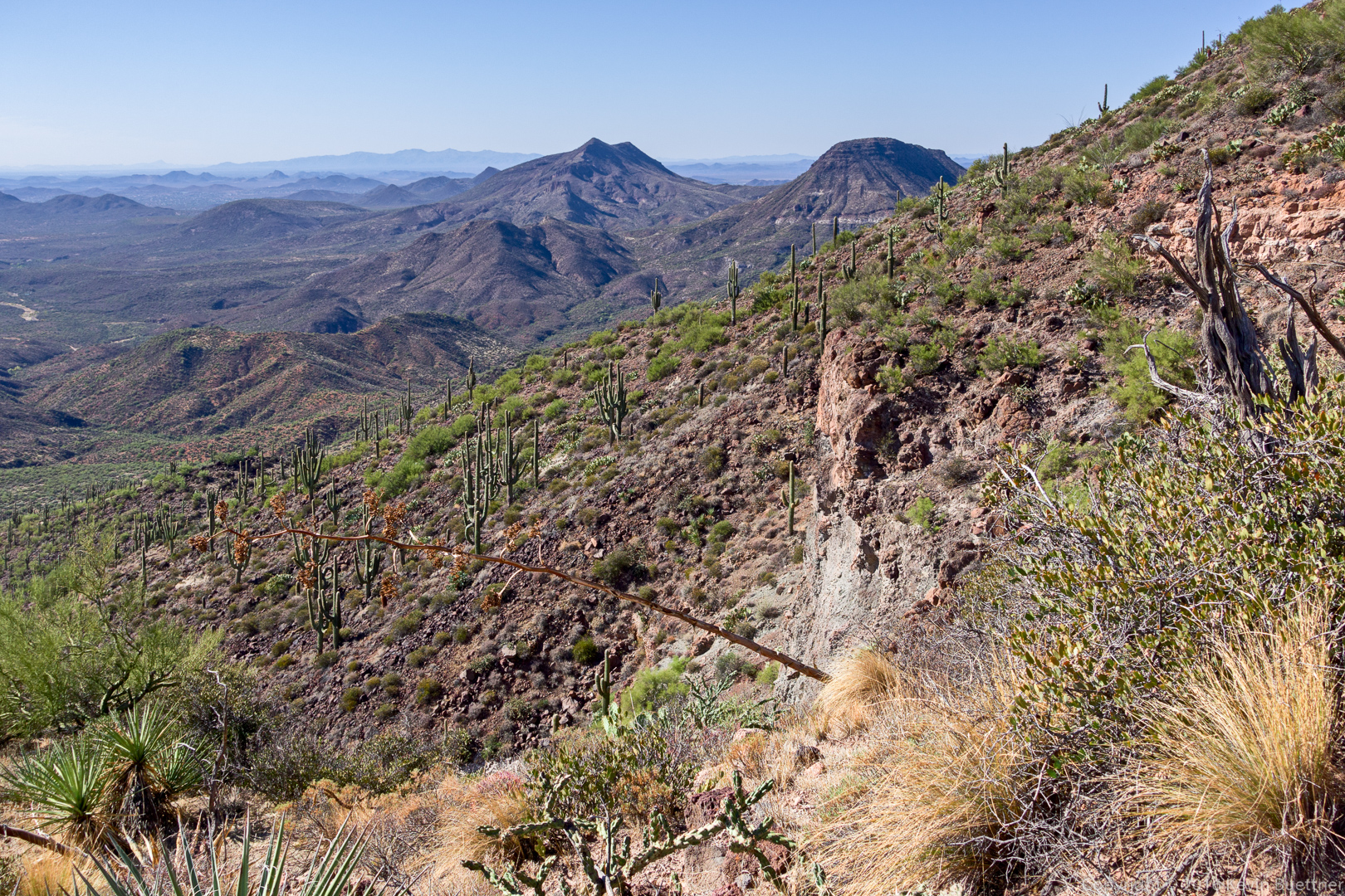
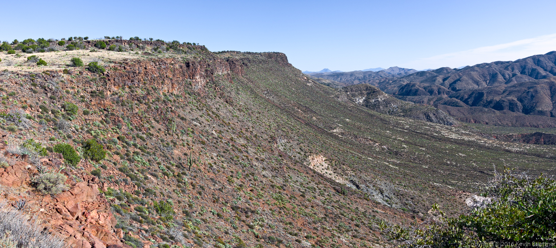
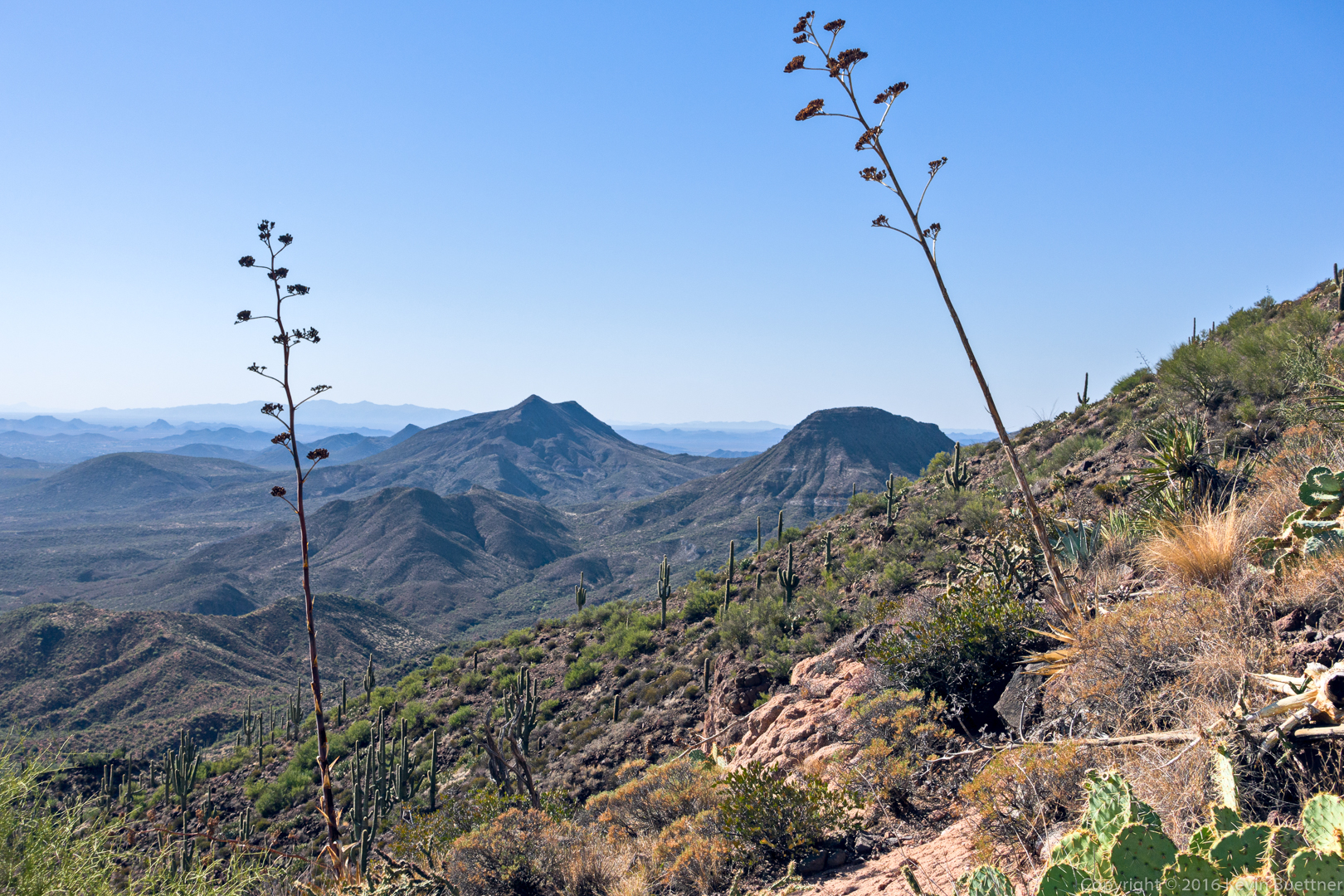
A view to the west from the Skull Mesa Trail:

20161125-_dsc0543-edit-medium

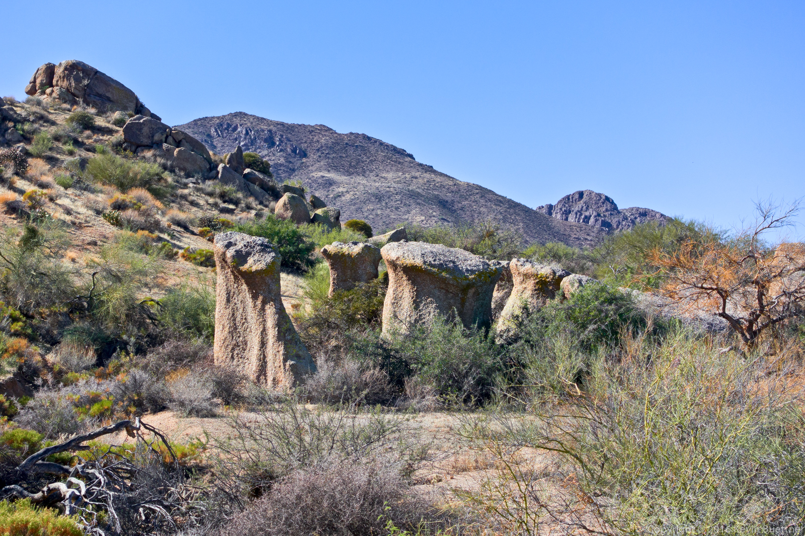
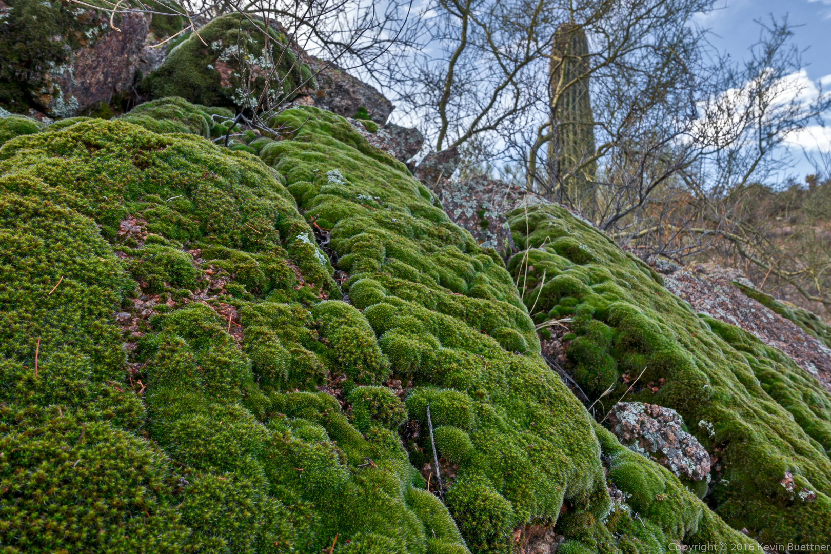
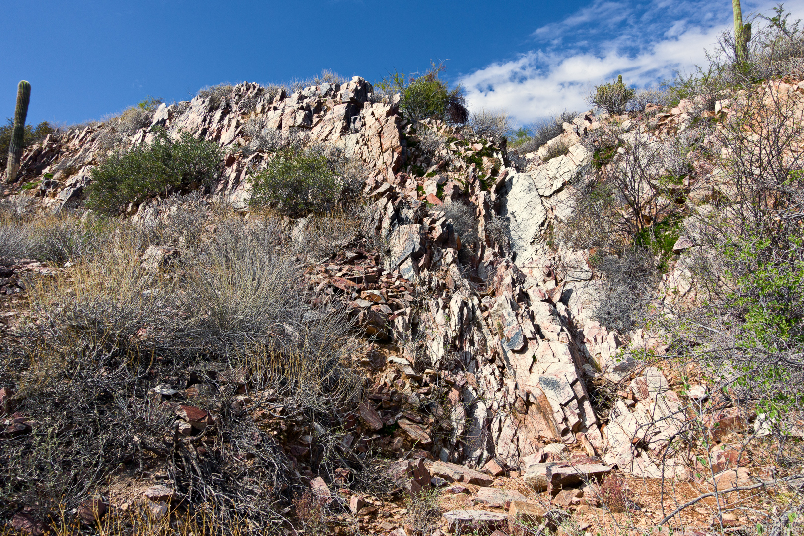
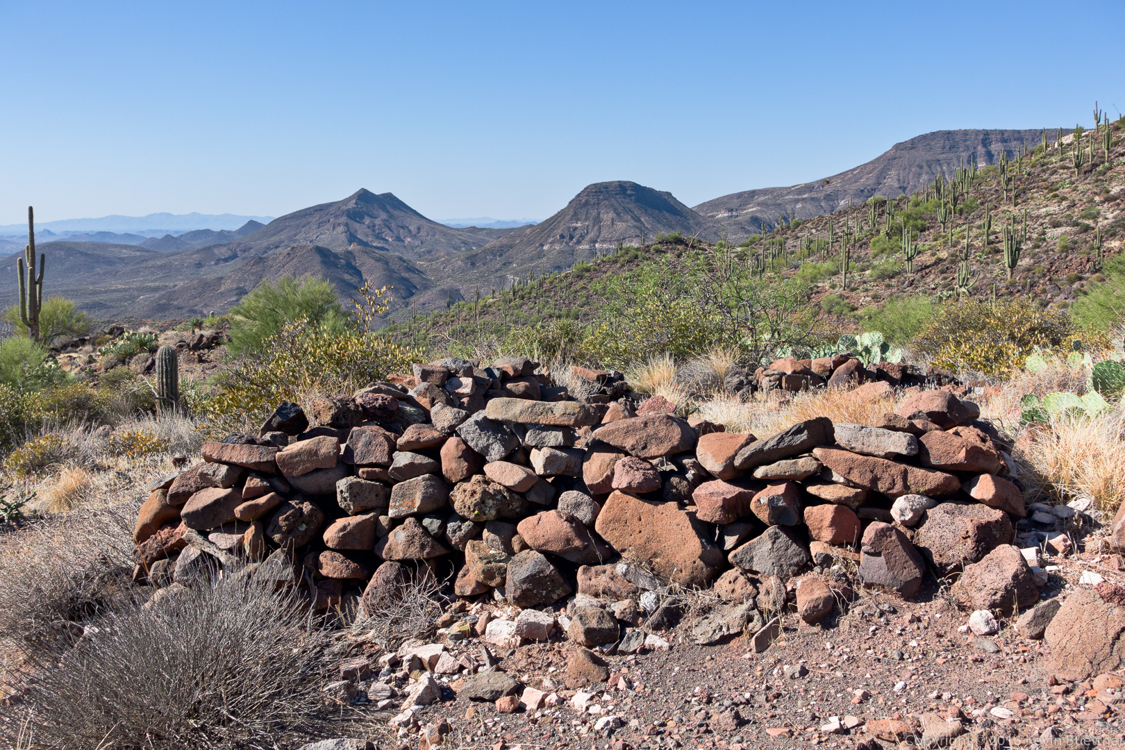
Ruins (of perhaps an ancient dwelling) can be found on the ascent to the top of Skull Mesa:
20161125-_dsc0561-edit-medium

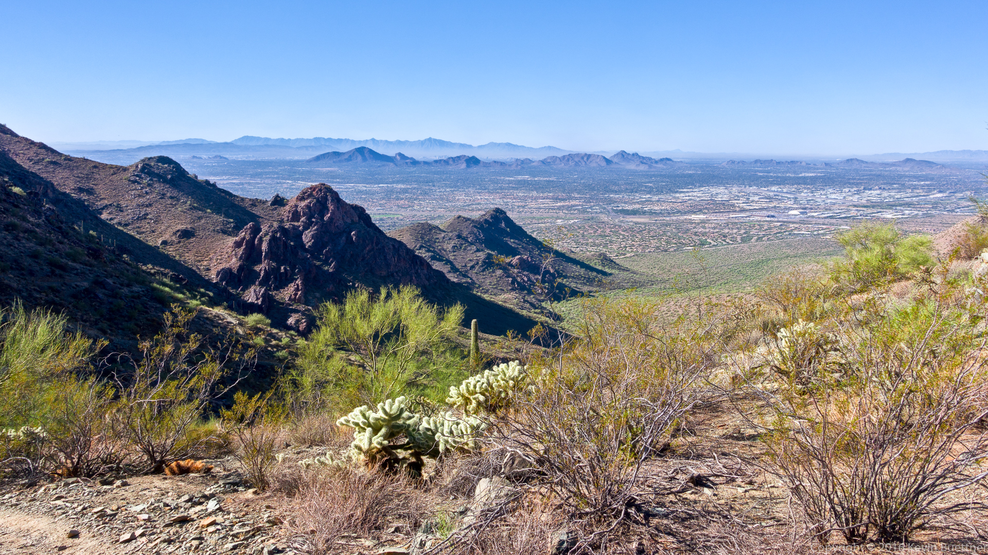
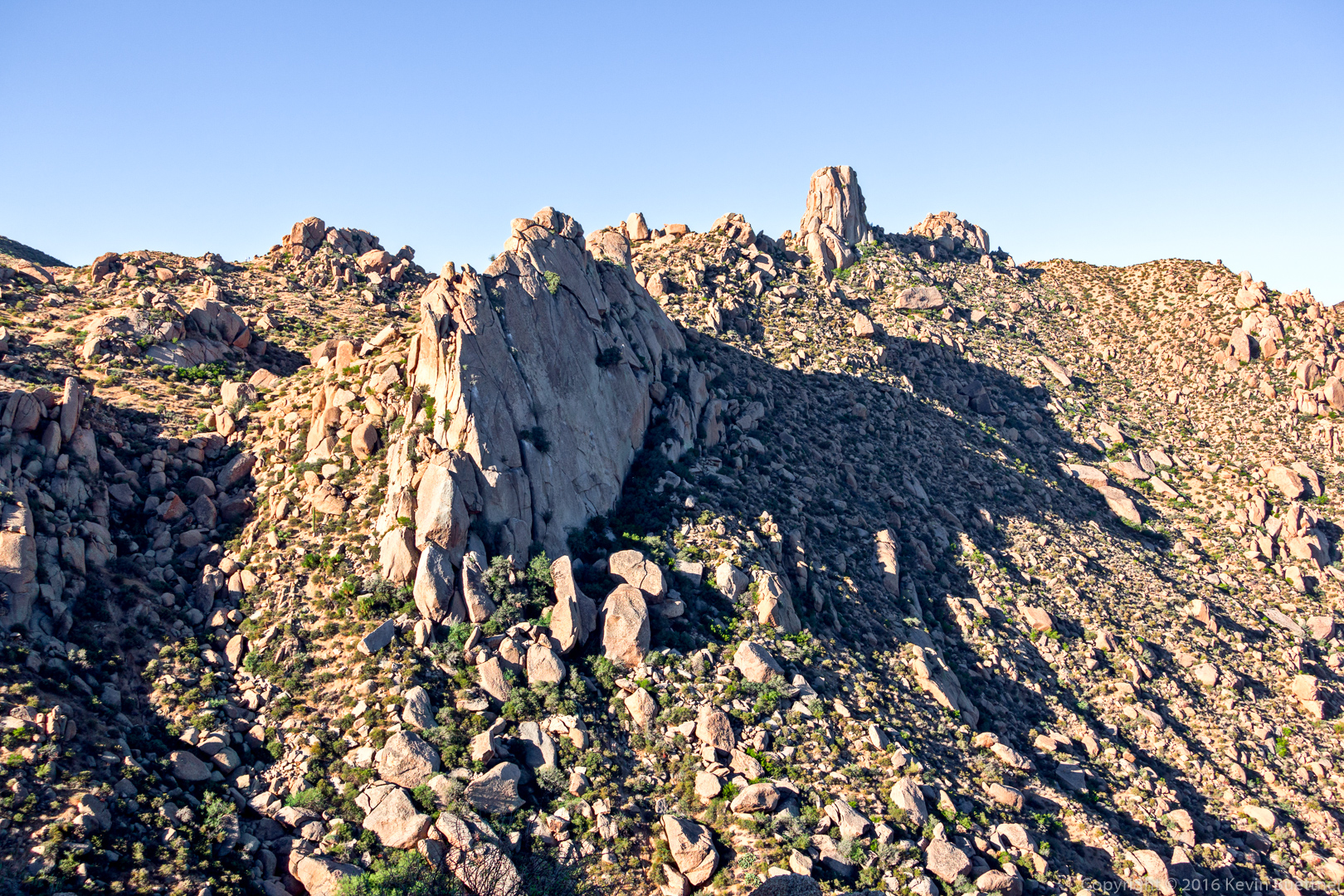
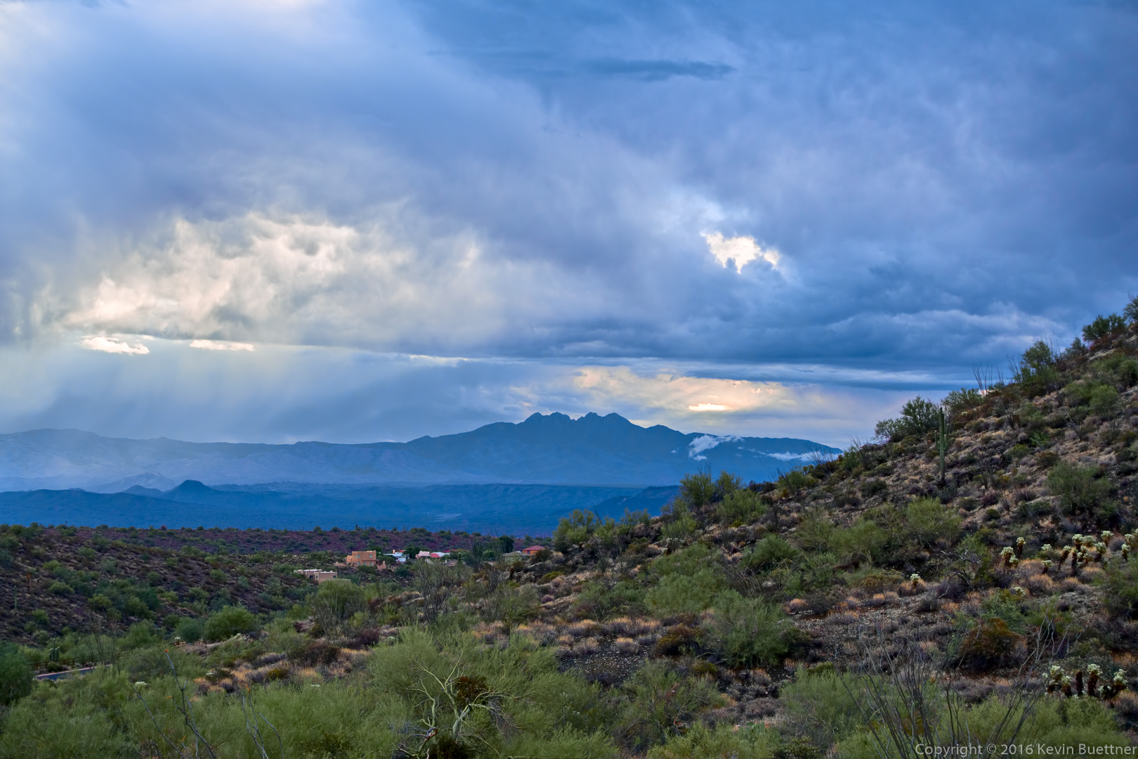
A view to the east from the Skull Mesa Trail:

20161125-_dsc0579-edit-medium

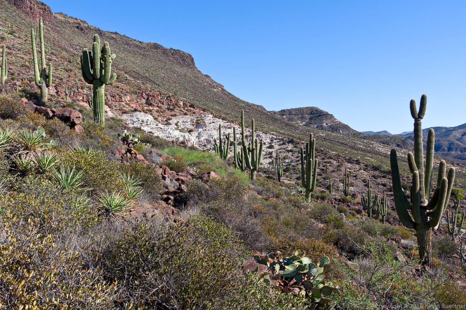
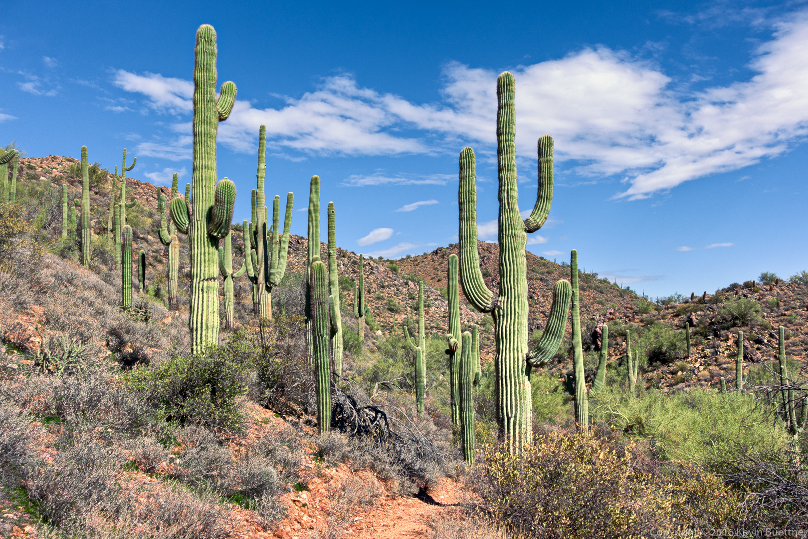
Looking west again, further up the trail:

20161125-_dsc0588-edit-medium

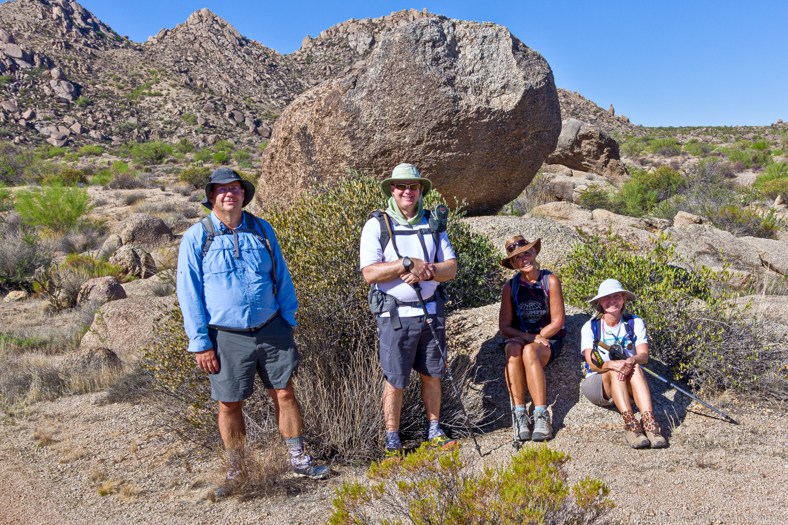
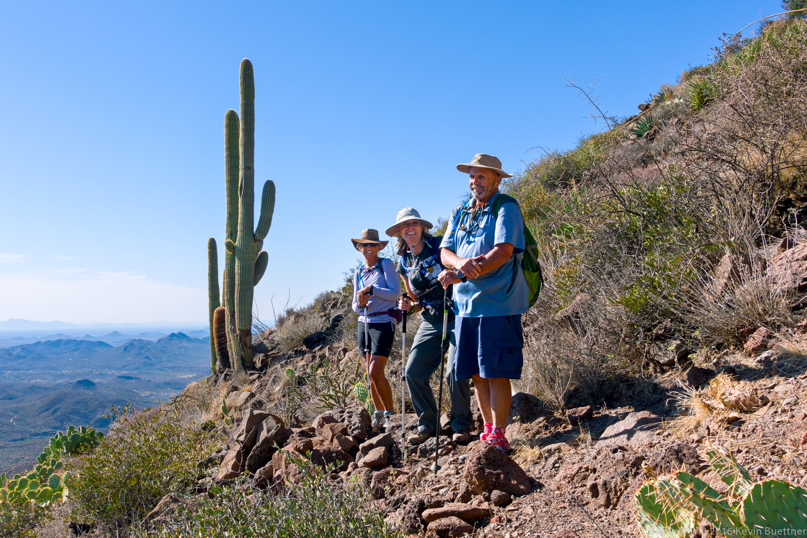
Nancy, Linda, and Bob:

20161125-_dsc0597-edit-medium

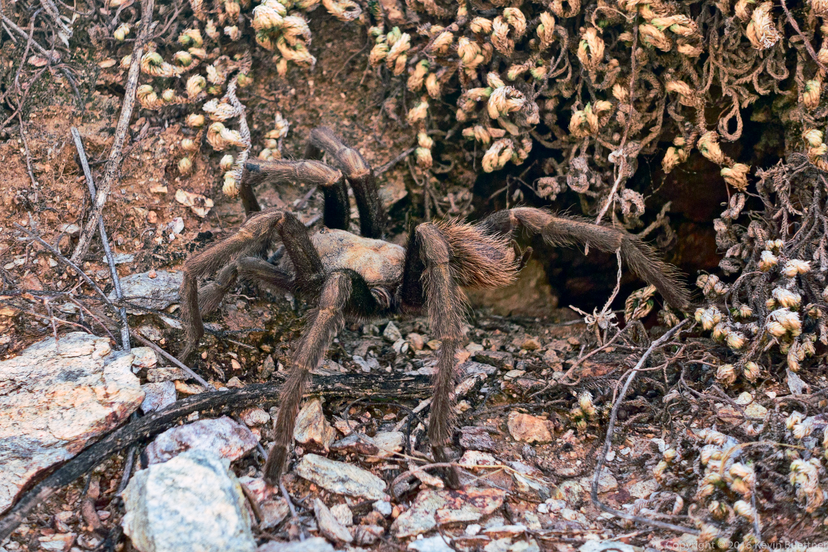
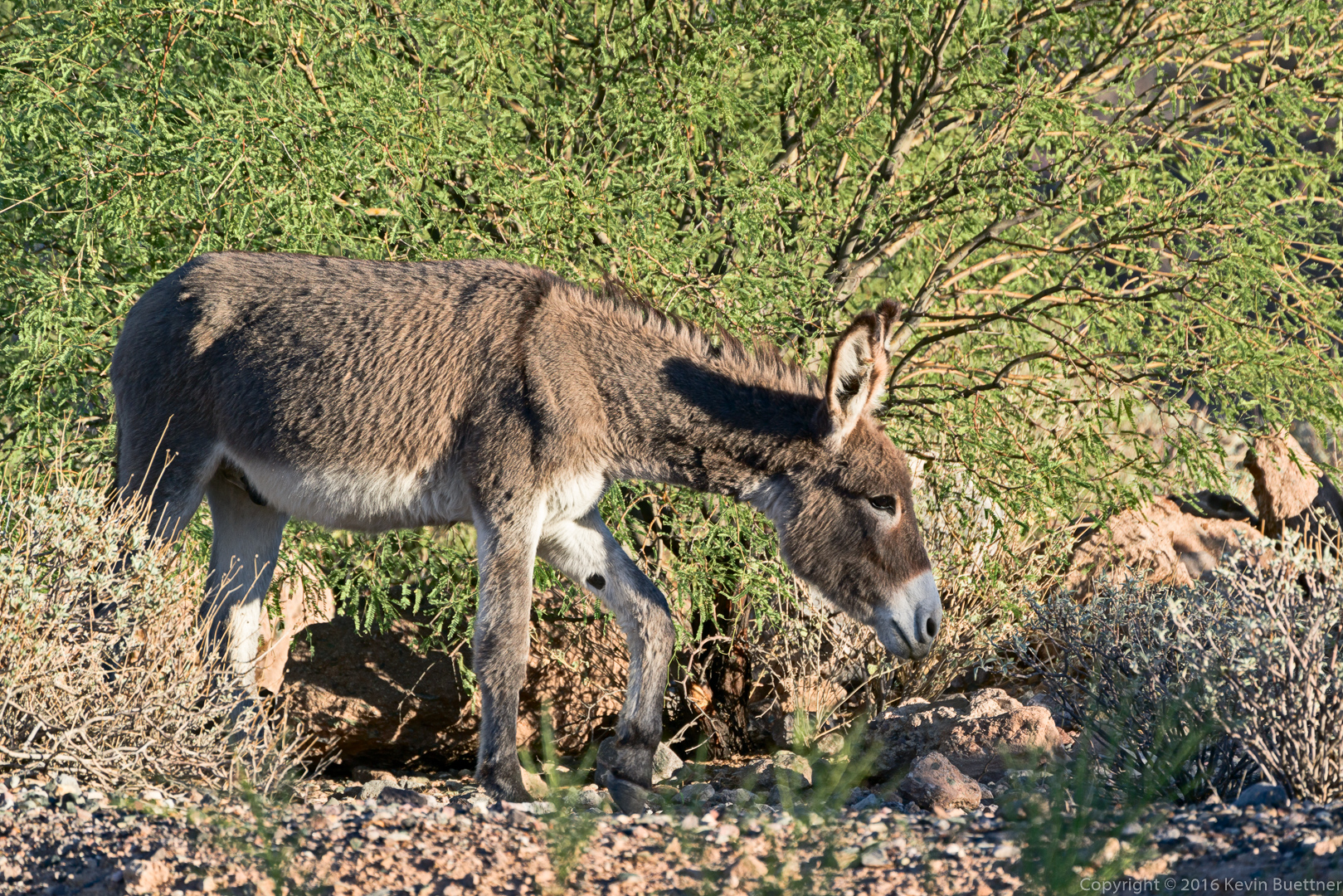
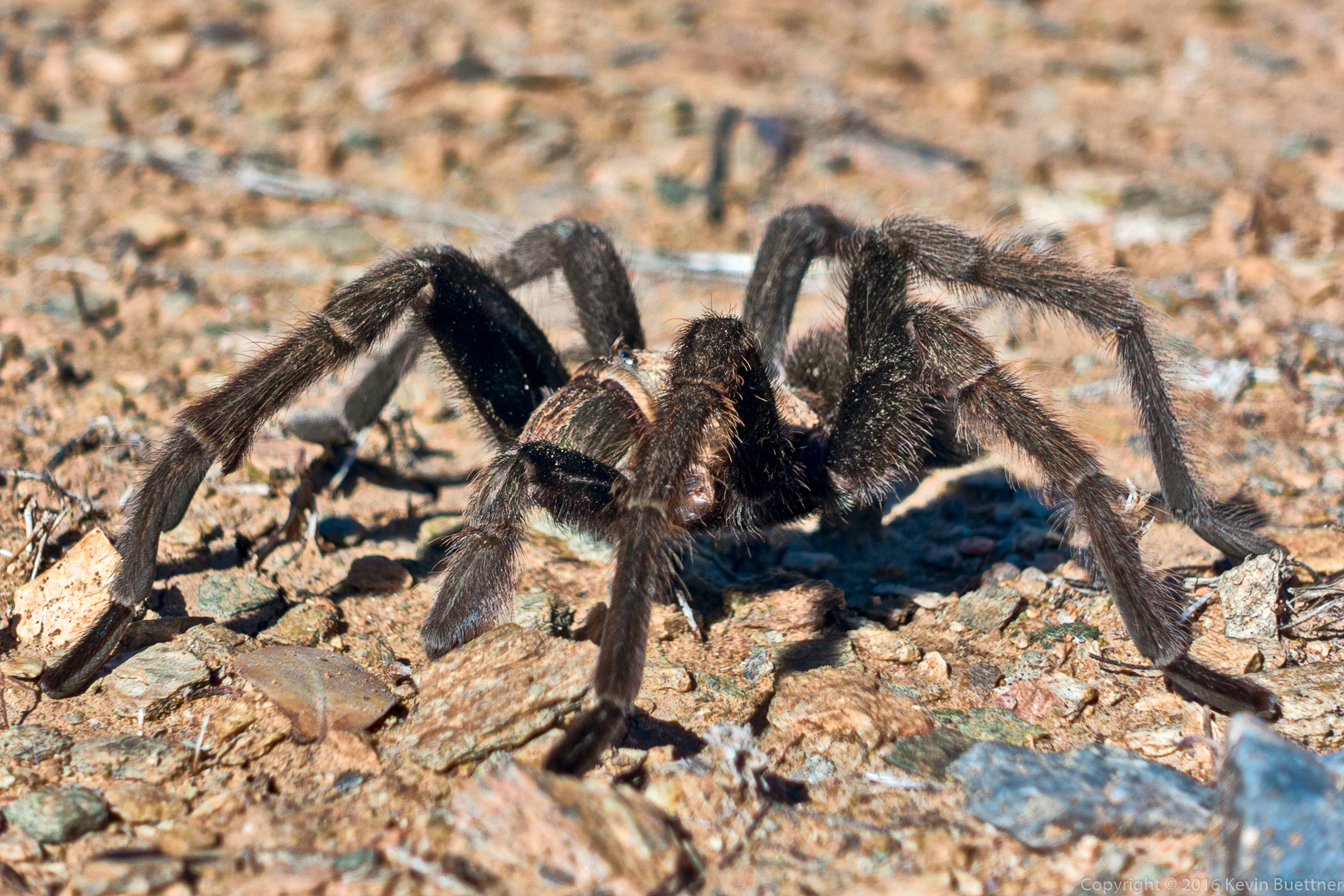
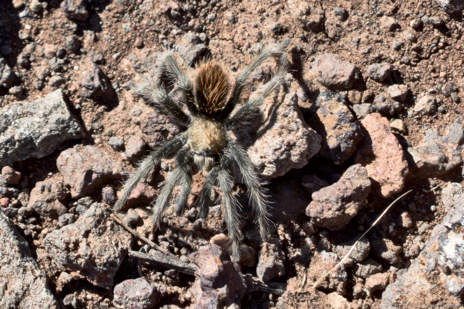
We saw a young tarantula on our way up…

20161125-_dsc0612-edit-medium

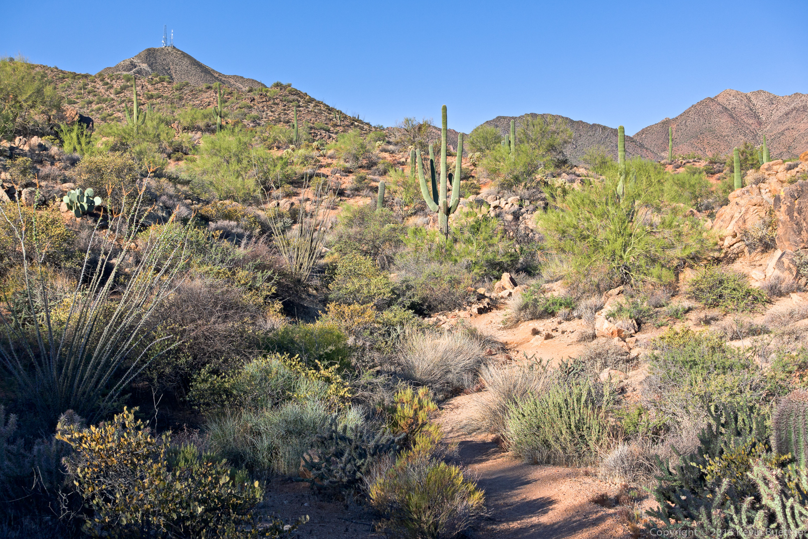
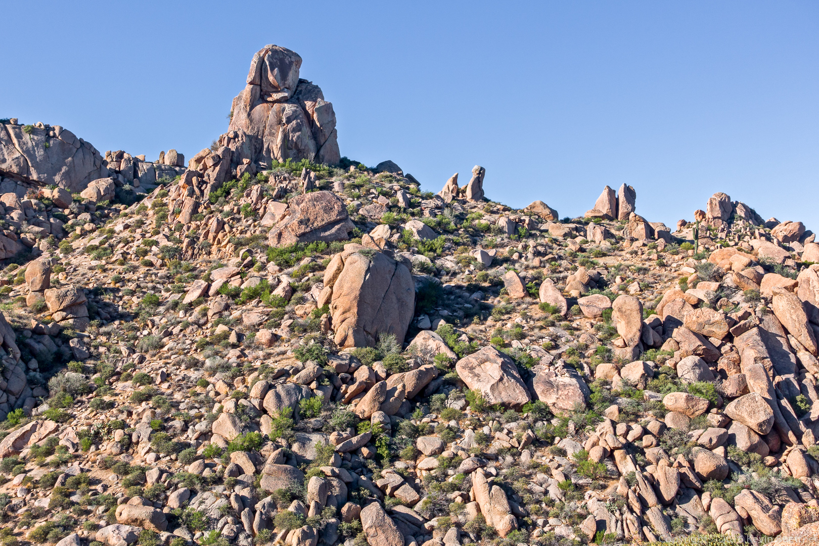
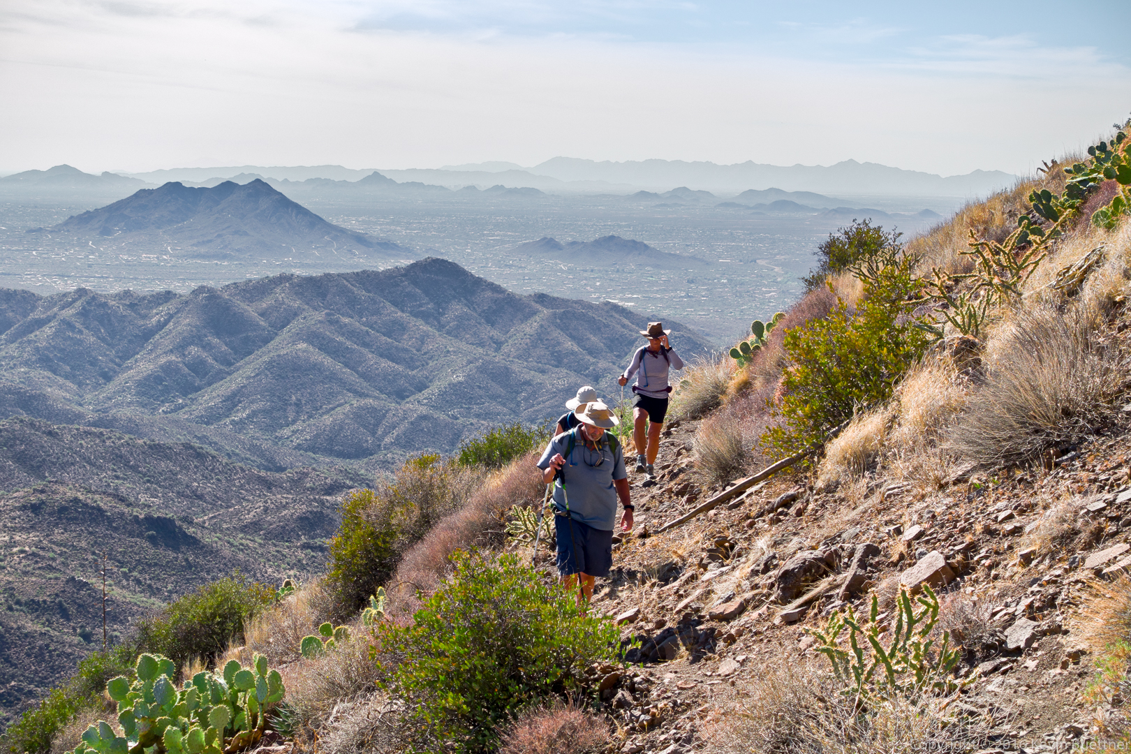
Climbing higher on the Skull Mesa Trail – roughly 1000 feet are gained in the mile to the top:

20161125-_dsc0621-edit-2-medium

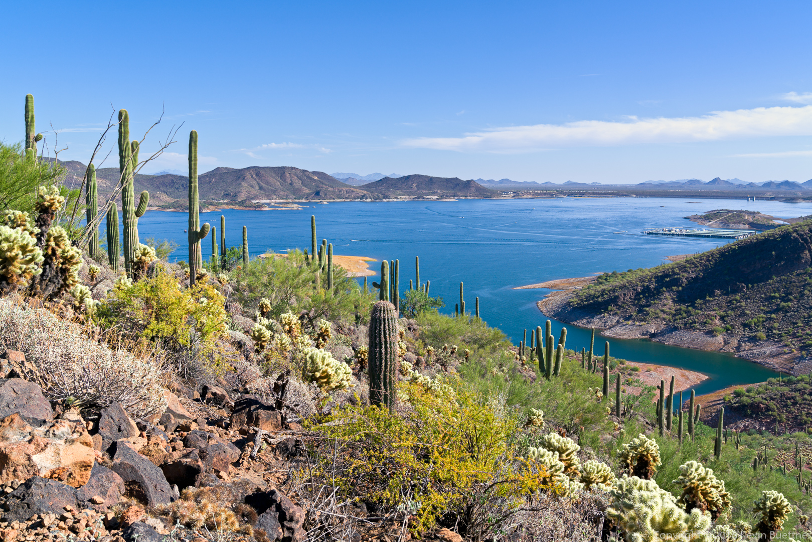
Looking east from the summit of Skull Mesa:

20161125-_dsc0668-pano-edit-medium

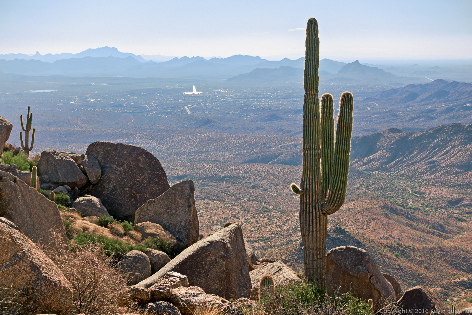
Looking southwest from the top of Skull Mesa…

20161125-_dsc0680-edit-medium

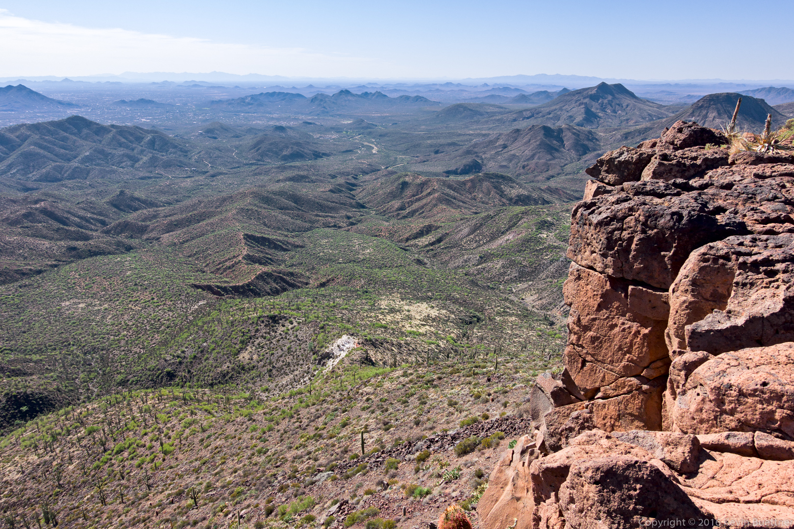
Looking west from the western-most edge…

20161125-_dsc0698-edit-medium

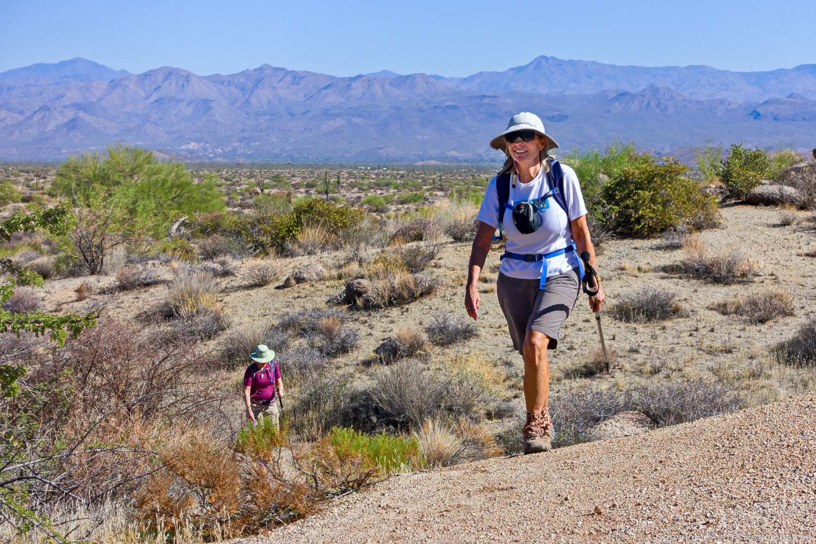
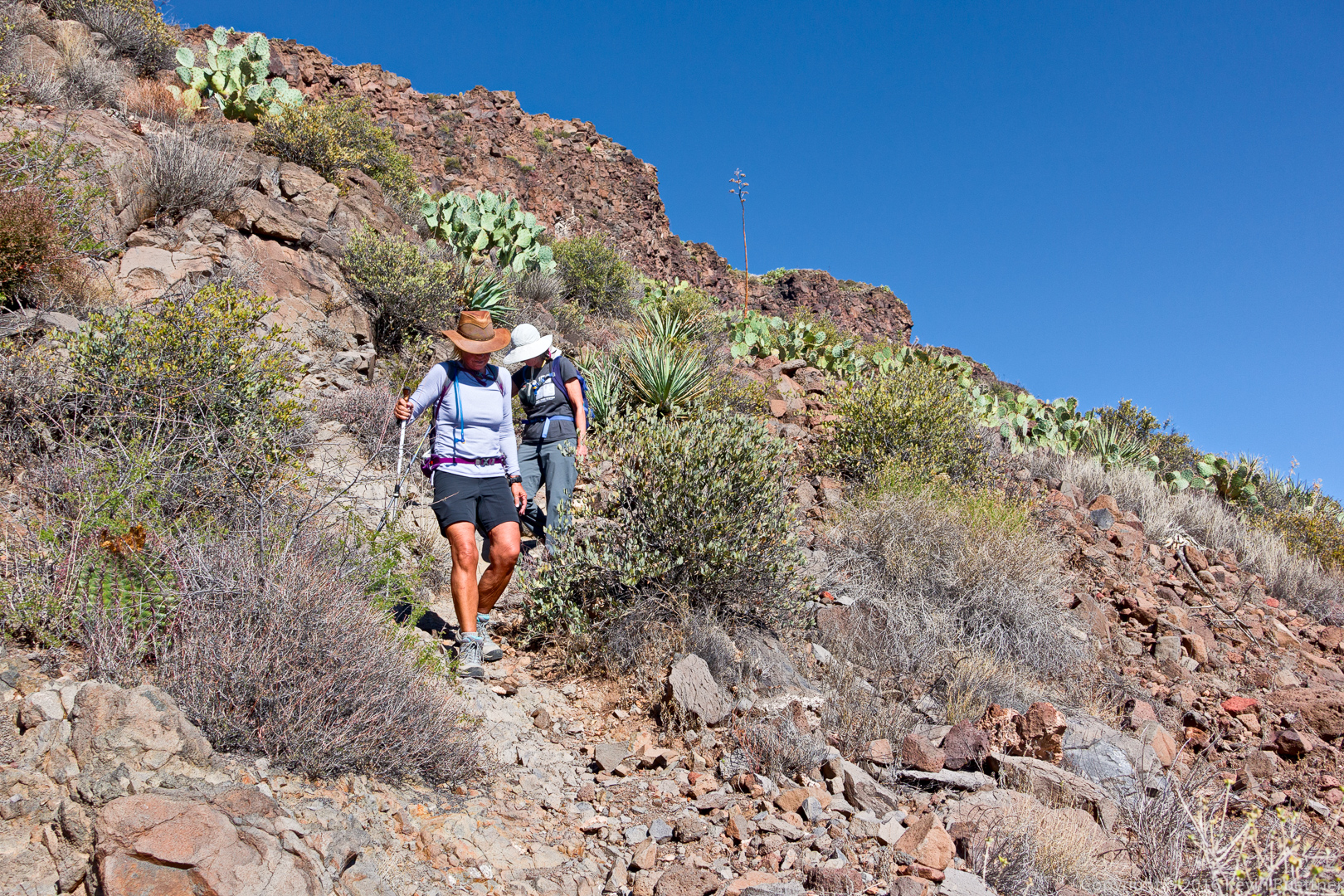
Nancy and Linda descending the Skull Mesa Trail.  In some respects, the descent was more treacherous than the ascent.

20161125-_dsc0710-edit-medium

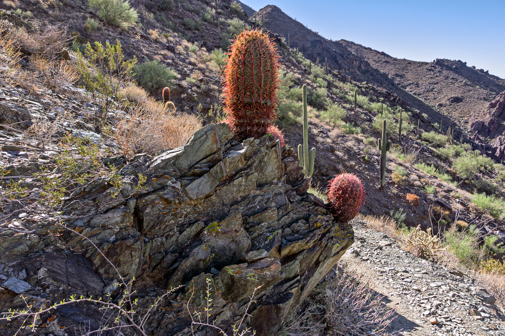
Looking west on the descent:

20161125-_dsc0728-edit-medium

Another view to the west:

20161125-_dsc0746-edit-medium


Friday Fitness Hike

Mike and I hiked 15.9 miles starting from the parking area for the Dixie Mine Trail. We hiked Dixie Mine, Prospector, Bell Pass (up and over the Pass), Gateway Loop, Windgate (up and over Windgate Pass), Bell Pass, Prospector, Dixie Mine (back to parking lot).

We saw at least half a dozen deer crossing the Dixie Mine Trail early in our hike.

20161118-_dsc0195-edit-medium

A view of Thompson Peak (with the antennas) from early in the hike.

20161118-_dsc0216-edit-medium

Despite being a cool day, I began to get warm while hiking up the Prospector Trail. We stopped near the overlook so that I could remove a layer of clothing. When I picked up my backpack, I noticed this tarantula underneath pack’s hip belt.  I think I woke it up when I set my pack down near it.

20161118-_dsc0237-edit-medium

A view from the Prospector Trail:

20161118-_dsc0243-edit-medium

Looking at Scottsdale (and other Valley cities) from Bell Pass:

20161118-_dsc0249-edit-medium

Barrel Cacti growing out of rock outcropping on the Scottsdale side of the Bell Pass Trail:

20161118-_dsc0267-edit-medium

A view of Thompson Peak from Gateway Saddle:
20161118-_dsc0291-edit-medium

We saw this inscribed rock at the intersection of the Windgate Pass Trail and the trail leading to Inspiration Viewpoint:
20161118-_dsc0309-edit-medium

Two more views from the Windgate Pass Trail:

20161118-_dsc0315-edit-medium

20161118-_dsc0318-edit-medium

Saguaros on the Prospector Trail:
20161118-_dsc0360-edit-medium

Another view from the Prospector Trail:

20161118-_dsc0369-edit-medium

Kevin at Grand Viewpoint, Island in the Sky, Canyonlands National Park

This is a new edit of a photo that Marilyn took in June 2015. I made this version warmer and brighter. I also gave it a slight painterly effect via the use of Topaz Impression.

20150606-dsc03322-edit-3-edit-medium


Wild Burros at Lake Pleasant

20161113-_dsc7897-edit-medium

20161113-_dsc7922-edit-medium

20161113-_dsc7958-edit-medium

20161113-_dsc7994-edit-medium

Friday Fitness Hike

Marilyn, Nancy, Linda, Mike, and I hiked a little over ten miles on Friday.  We did a loop which took us up the Tom’s Thumb Trail, down the East End Trail, and then into the park via the Windmill and Coachwhip Trails. We hiked the Pemberton to Boulder and then to Marcus Landslide.  Marilyn returned on the Marcus Landslide Trail, while the rest of us hiked Feldspar, returning on the Tom’s Thumb Trail.

20161111-_dsc9939-edit-medium

The view from the parking lot

20161111-_dsc9969-edit-medium

Gardener’s Wall and Tom’s Thumb

20161111-_dsc9975-edit-edit-medium

Marilyn, Mike, Linda, and Nancy on the Tom’s Thumb Trail

20161111-_dsc9990-edit-2-medium

Glass Dome

20161111-_dsc0012-edit-medium-2

A view of Pinnacle Peak in the distance

20161111-_dsc0030-edit-2-edit-medium

Weaver’s Needle, The Fountain, and Red Mountain, off in the distance

20161111-_dsc0039-edit-medium

Thompson Peak

20161111-_dsc0075-edit-medium

A “droopy armed” saguaro on the Boulder Trail

20161111-_dsc0087-edit-medium

Linda and Marilyn on the Boulder Trail

20161111-_dsc0099-edit-medium

Mike, Kevin, Nancy, and Linda

20161111-_dsc0144-edit-medium

Mushroom boulders on the Marcus Landslide Trail

Friday Fitness Hike

Nancy, Linda, Mike, Bob, and I hiked 14.5 miles on Friday. George joined us for the first 2.5 miles before turning back.

We hiked Dixie Mine to Pemberton which, due to its length, is something that we rarely do. From there, we hiked Pemberton, Coachwhip, Windmill, Bell Pass, and Prospector back to the service road. From there, we picked up Dixie Mine for the return to our vehicles.

20161104-_dsc9630-edit-medium

A view of Four Peaks from the sidewalk leading into the park

20161104-_dsc9633-edit-medium

A view of the McDowells from the Dixie Mine Trail

20161104-_dsc9645-edit-medium

20161104-_dsc9679-edit-medium

Moss along the Dixie Mine Trail

20161104-_dsc9684-edit-medium

A small rock formation along the Dixie Mine Trail

20161104-_dsc9702-edit-medium

George, Bob, Linda, Nancy, and Mike

20161104-_dsc9741-edit-medium

View from the Coachwhip Trail

20161104-_dsc9787-edit-medium

A view of Thompson Peak from the Bell Pass Trail

20161104-_dsc9795-edit-medium

Rock formation on the Bell Pass Trail

20161104-_dsc9829-edit-medium

Cyclists on the Prospector Trail

20161104-_dsc9897-edit-medium

Tarantula on the Prospector Trail

20161104-_dsc9903-edit-medium

Saguaros near the end of the Prospector Trail

20161104-_dsc9924-edit-medium

Christmas Cholla