Marilyn, Marie, and I spent over five hours in the Zion Narrows.
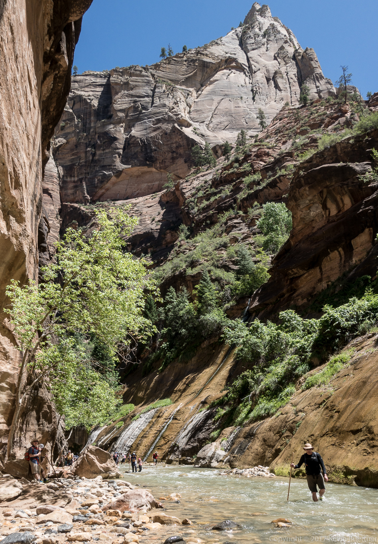
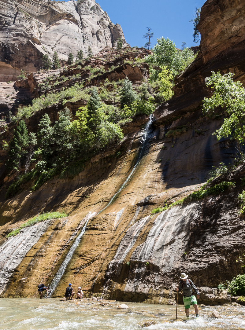
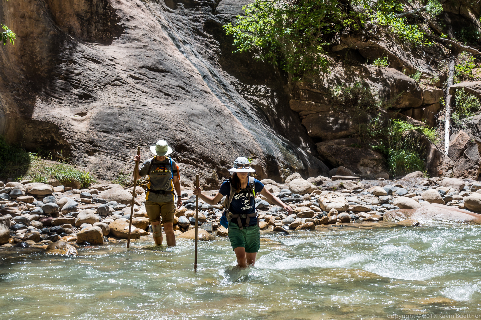
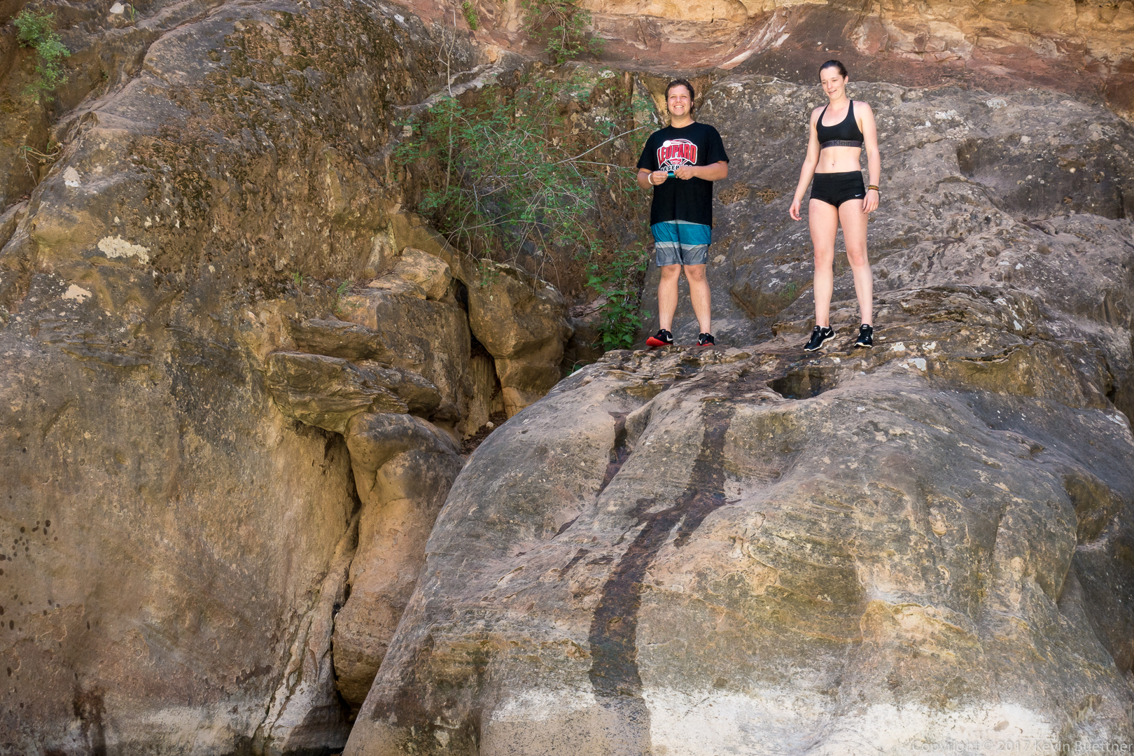
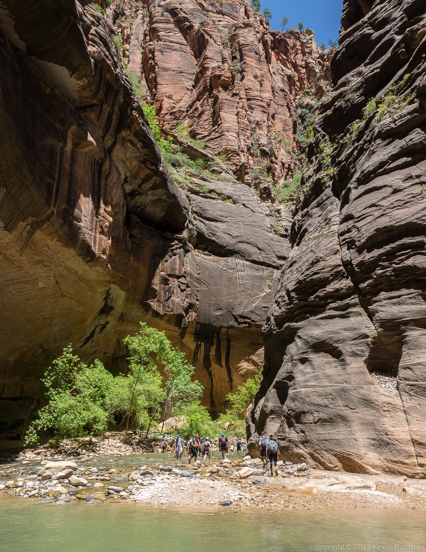

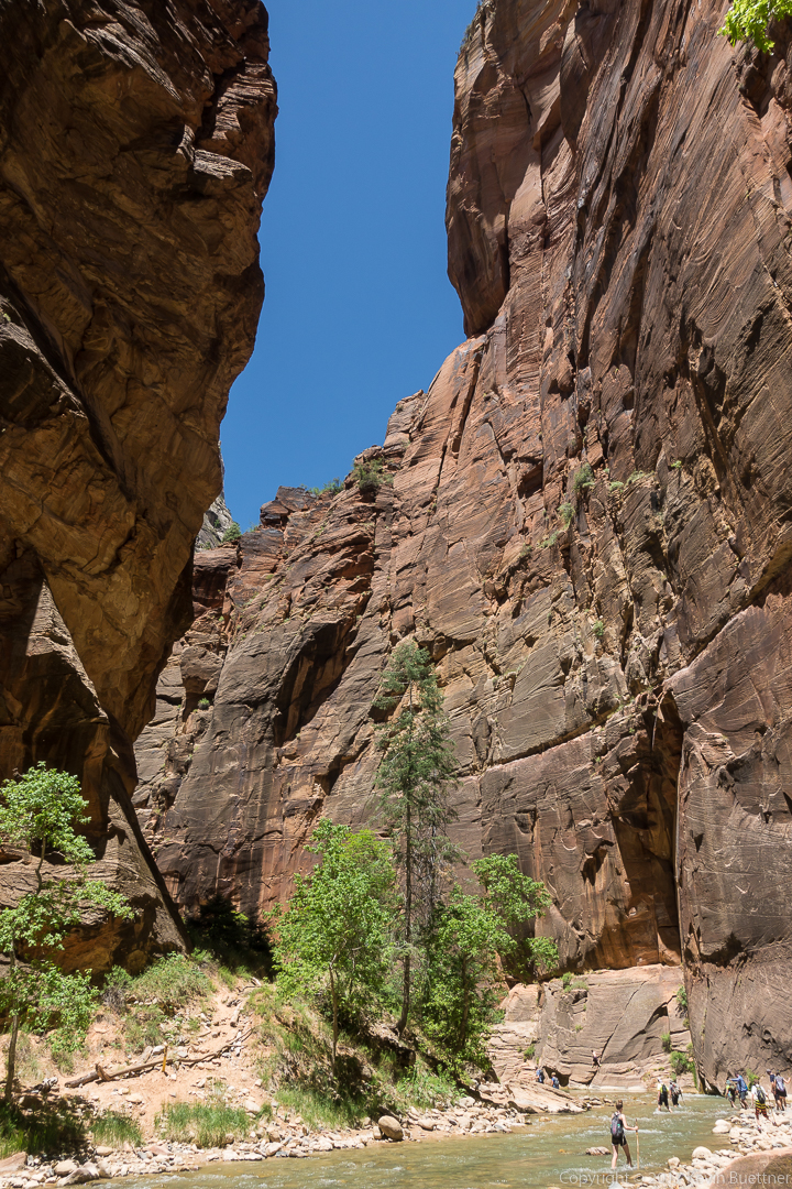

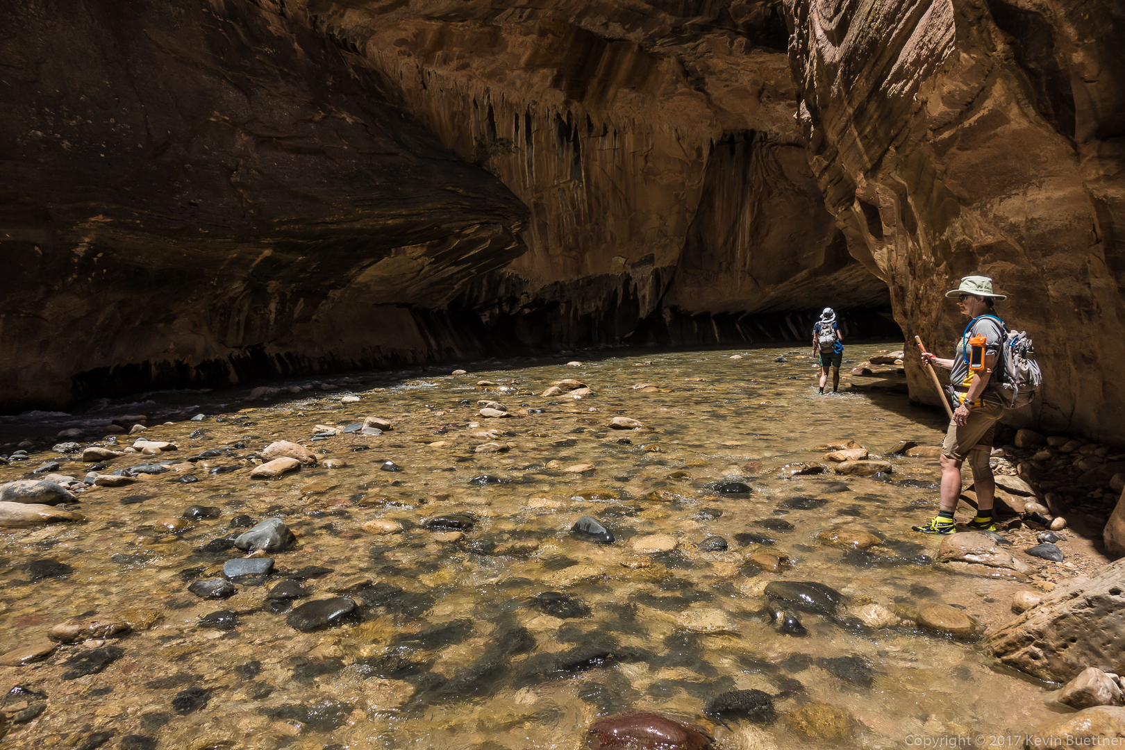

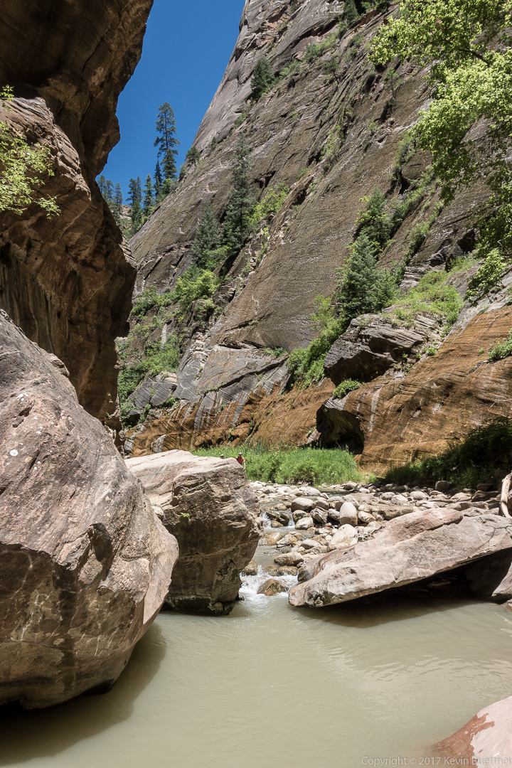
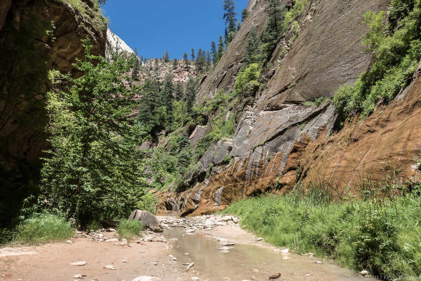
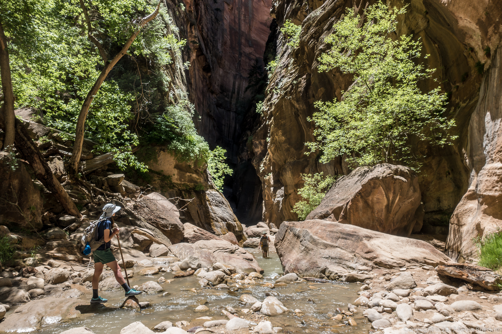
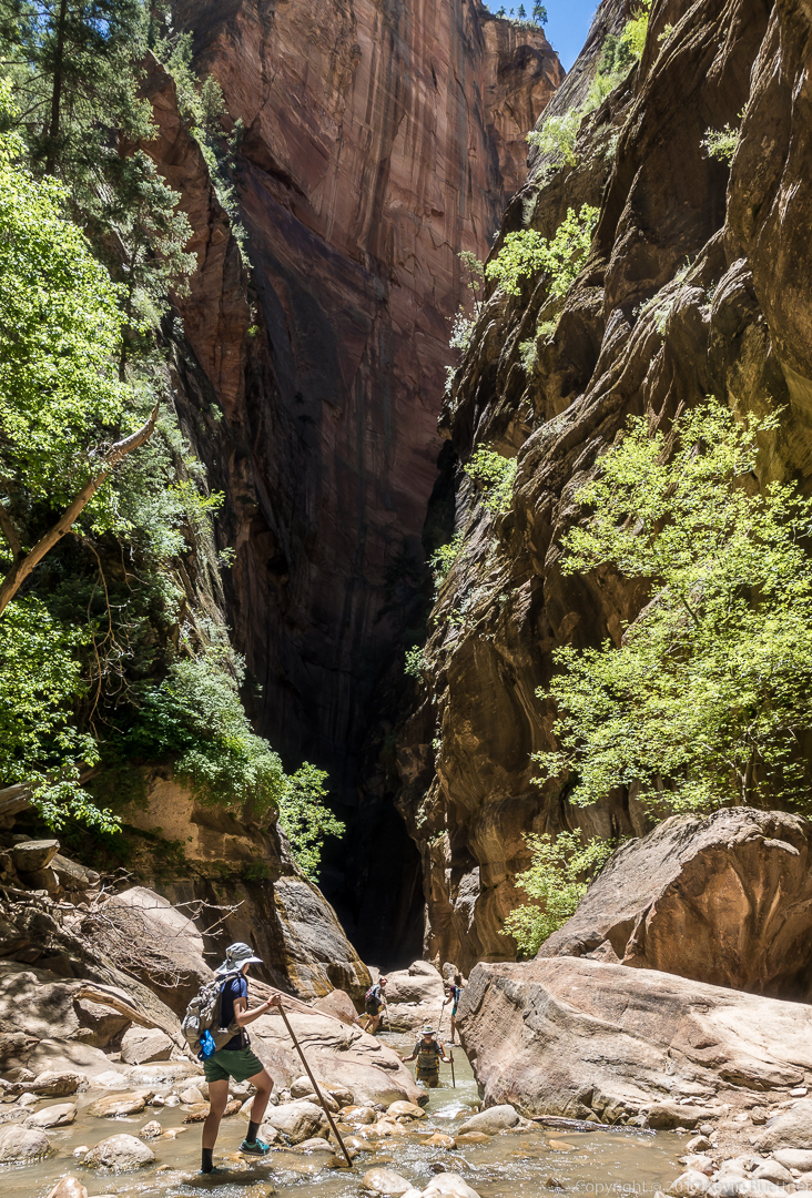
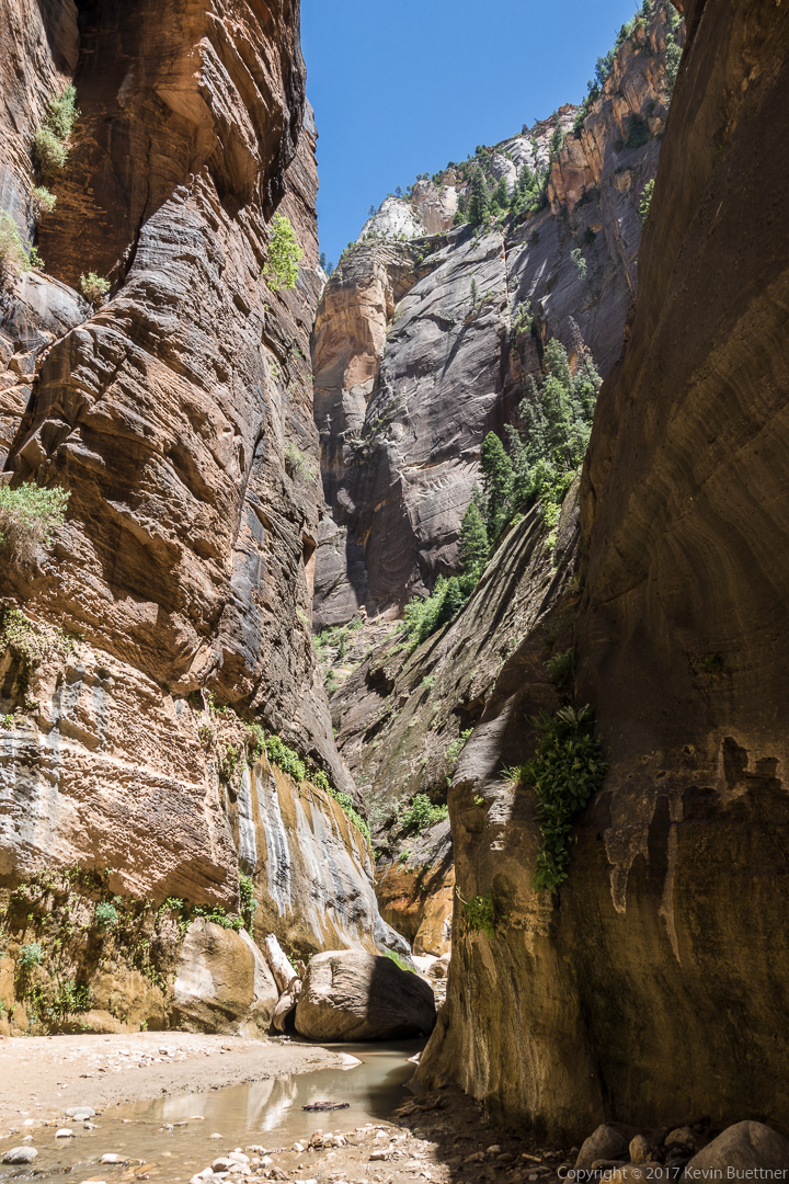
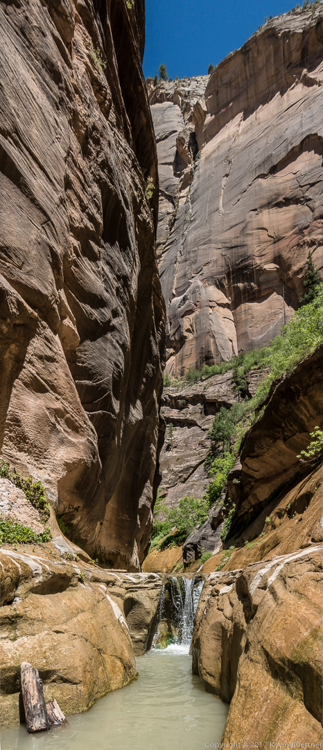
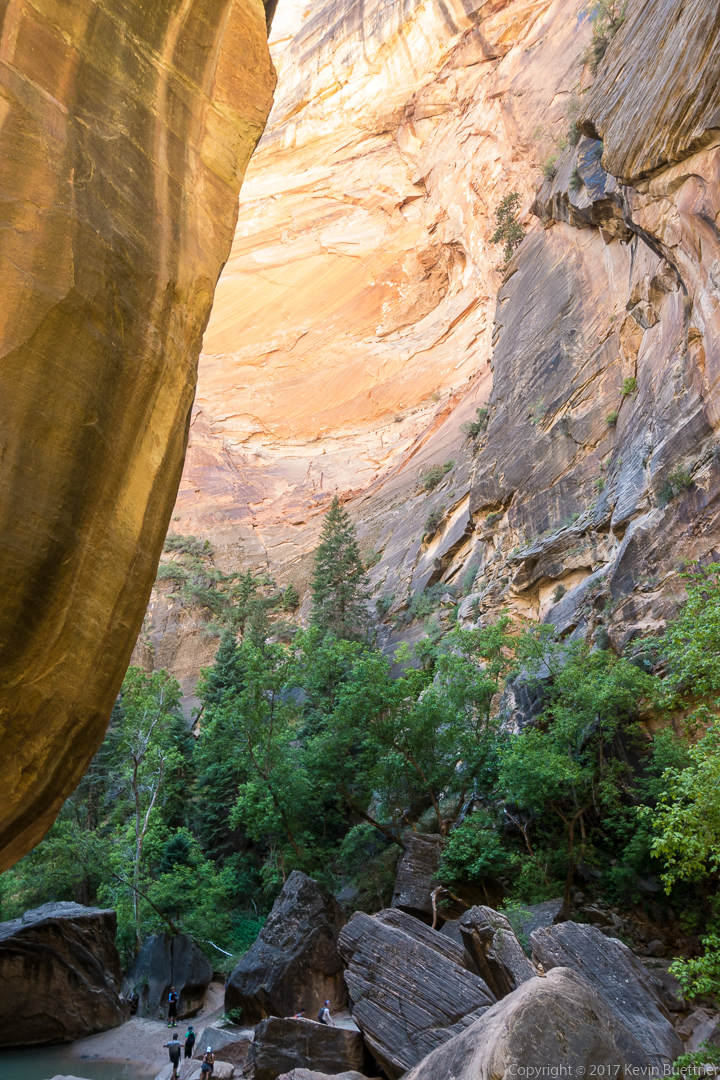
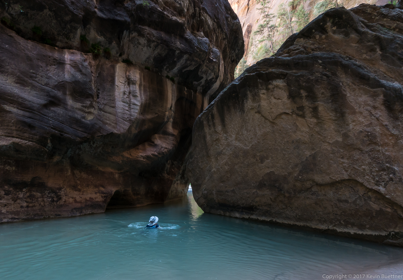
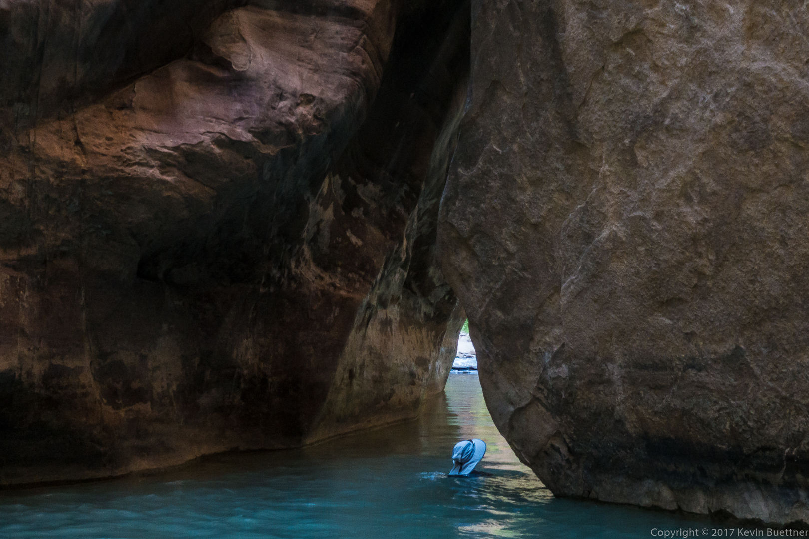

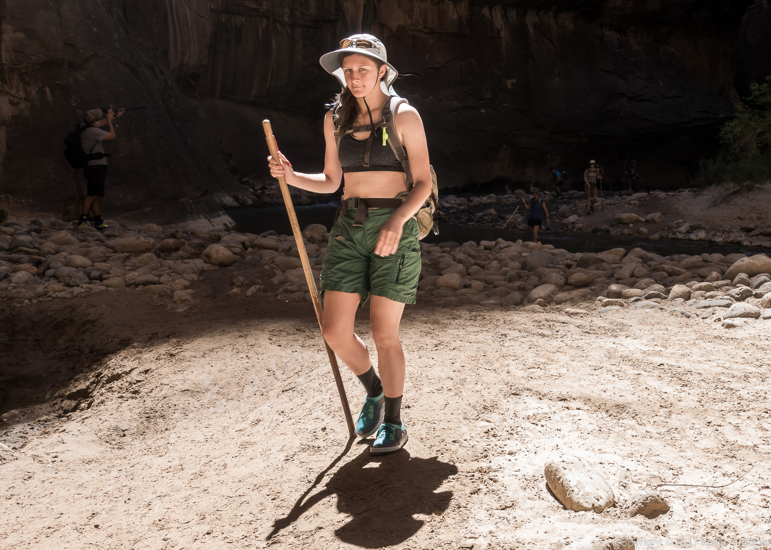
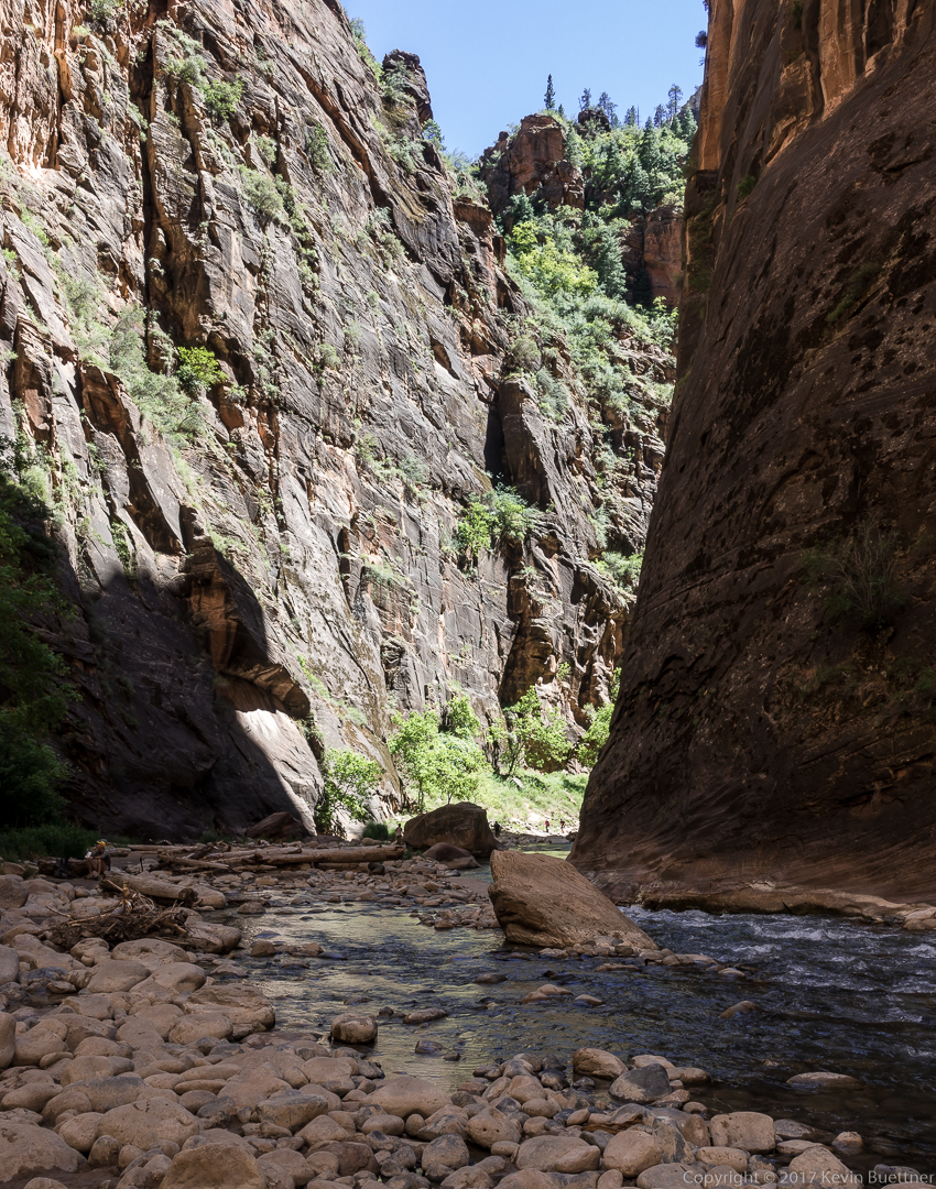
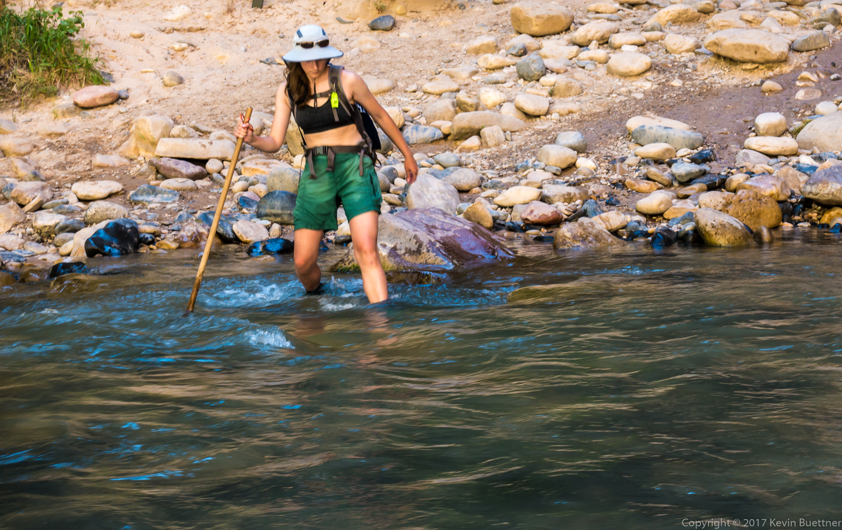
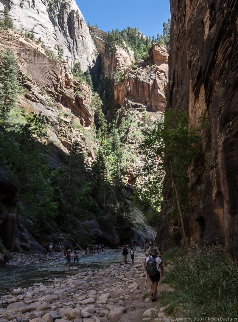
Marilyn, Marie, and I spent over five hours in the Zion Narrows.
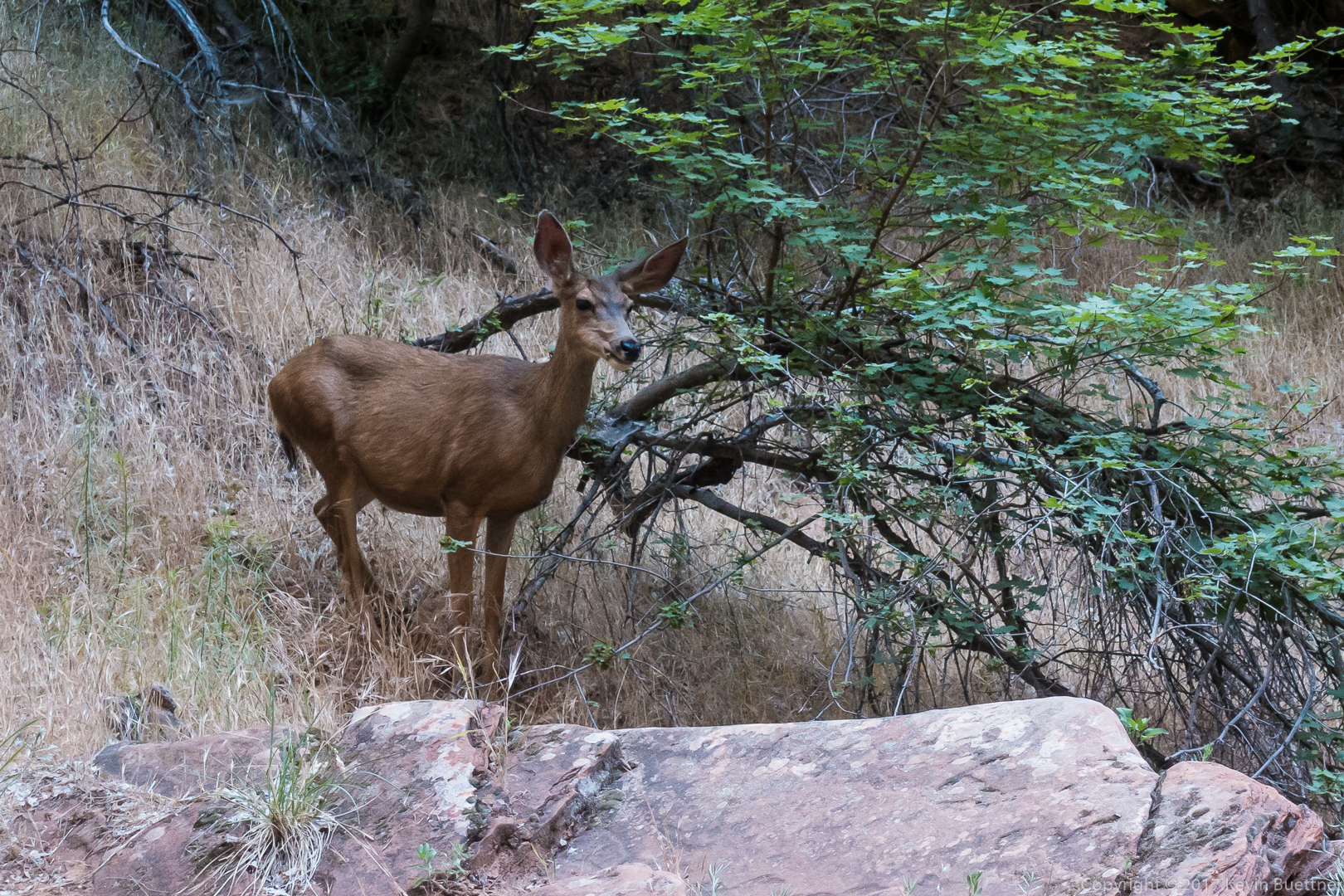
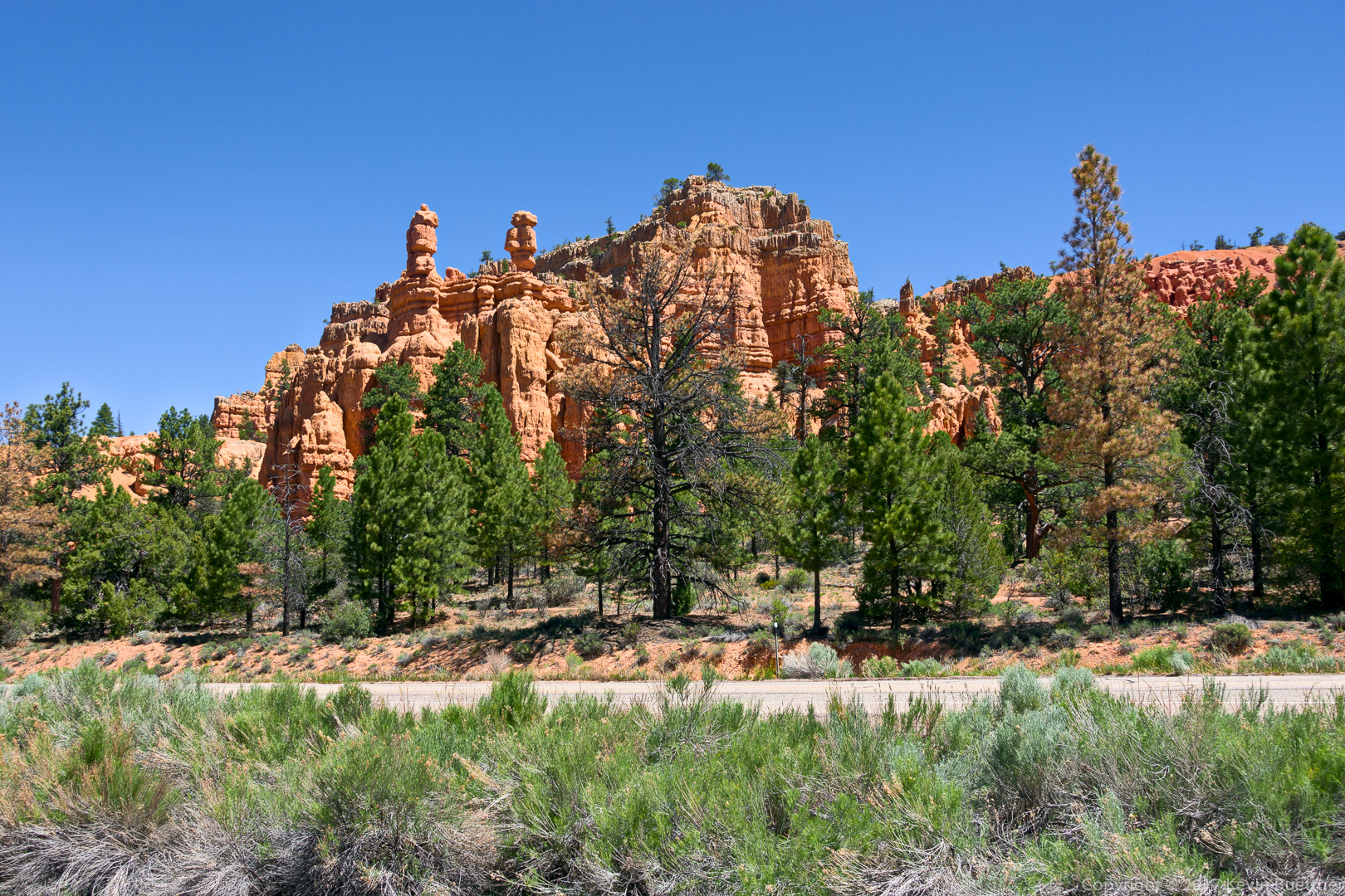
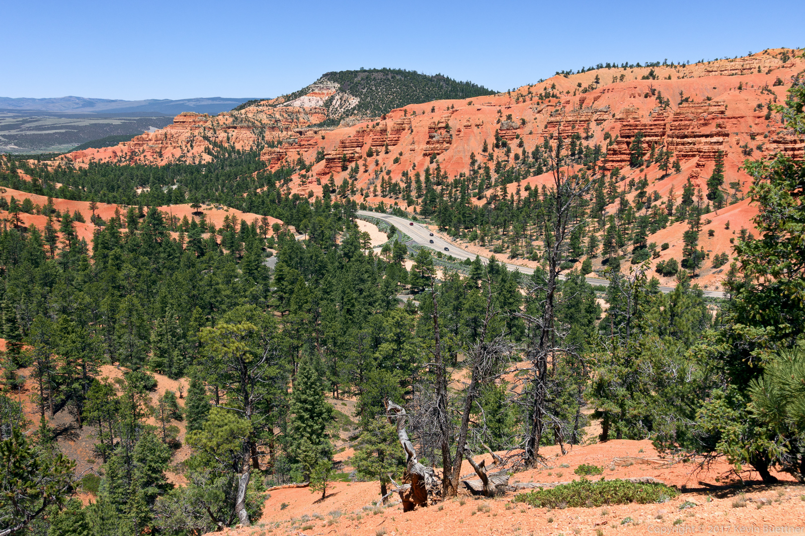
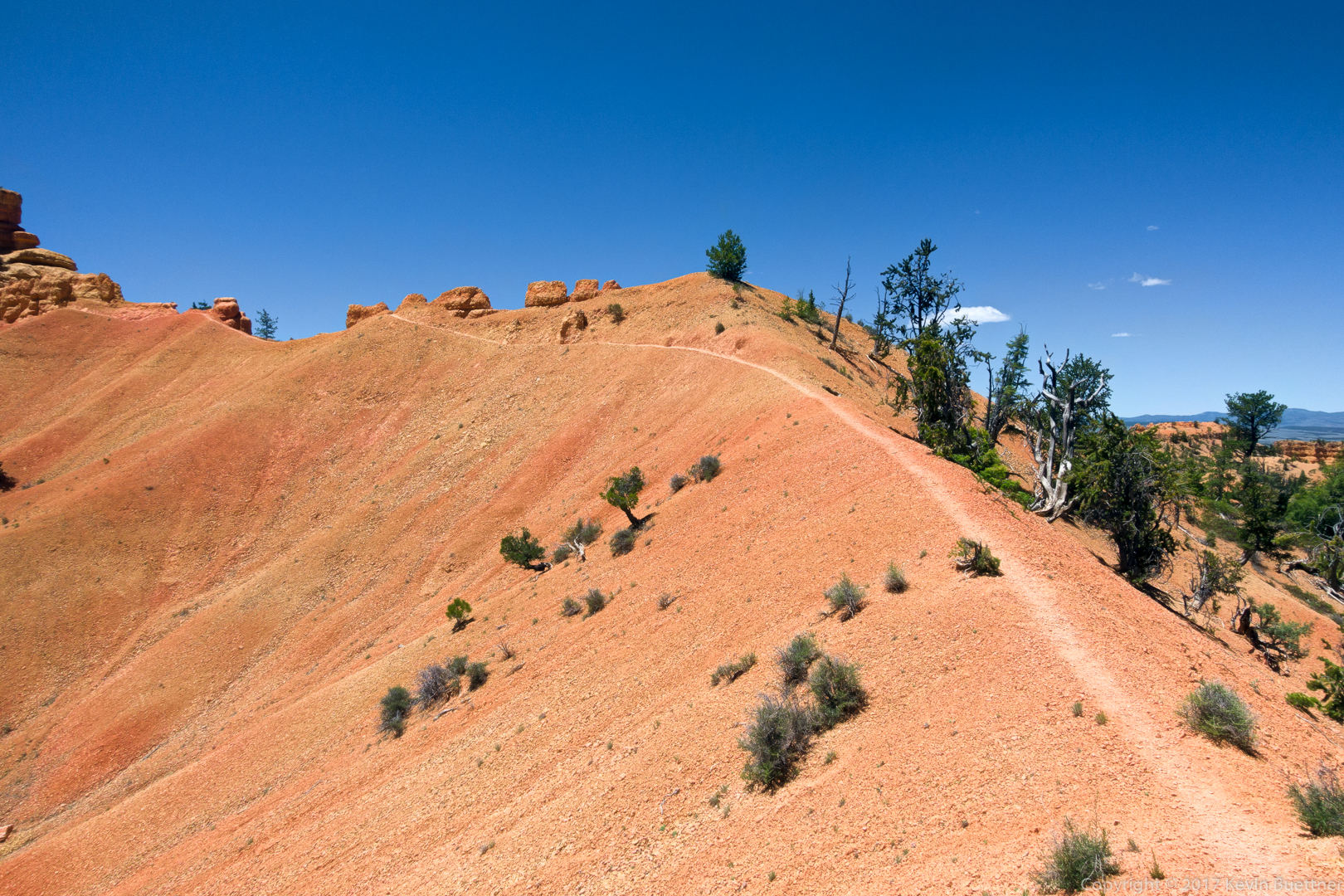
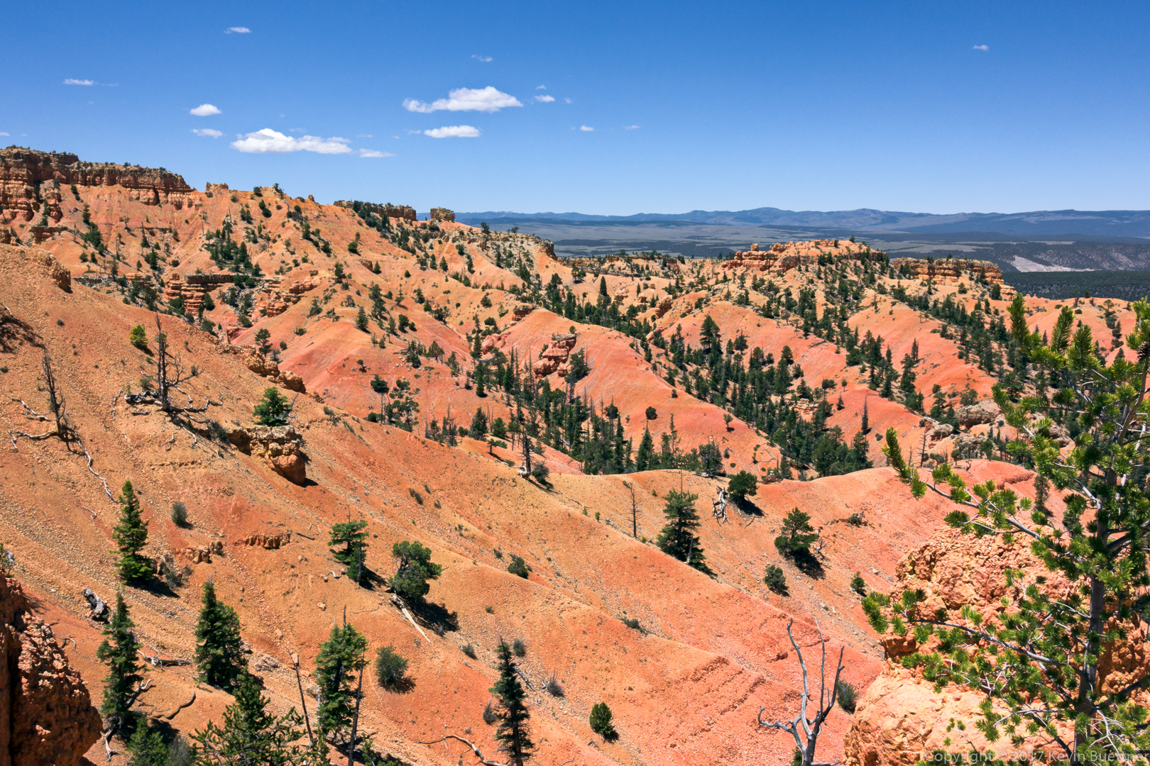
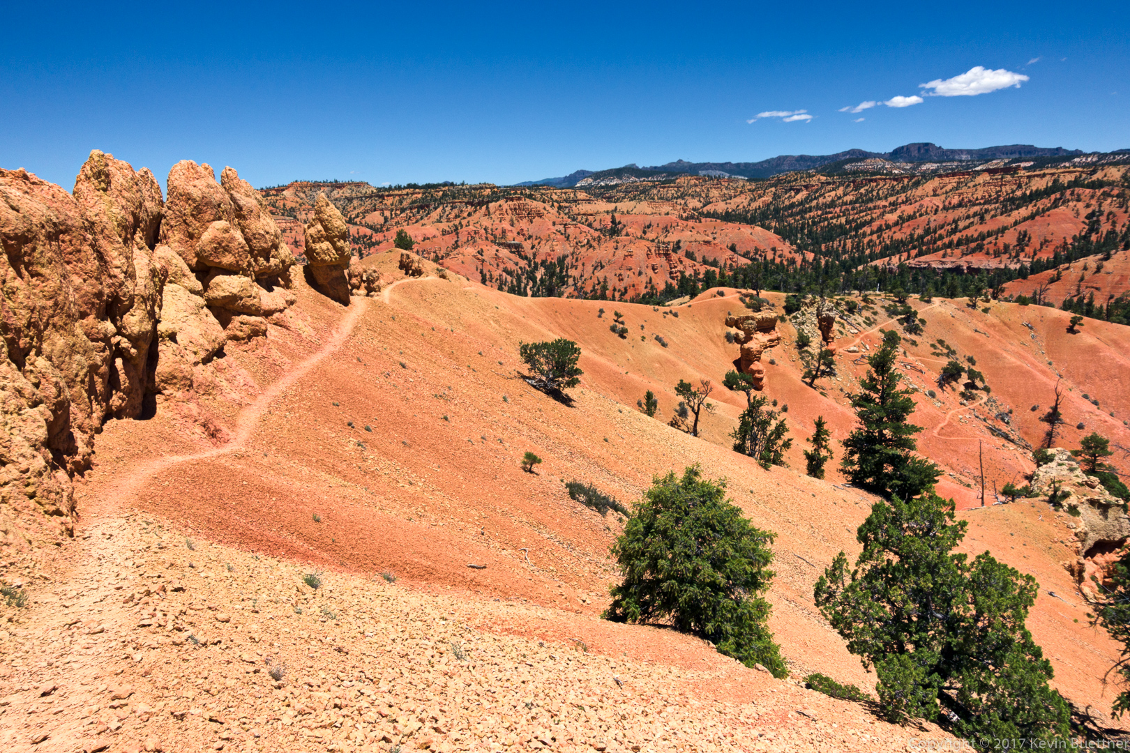
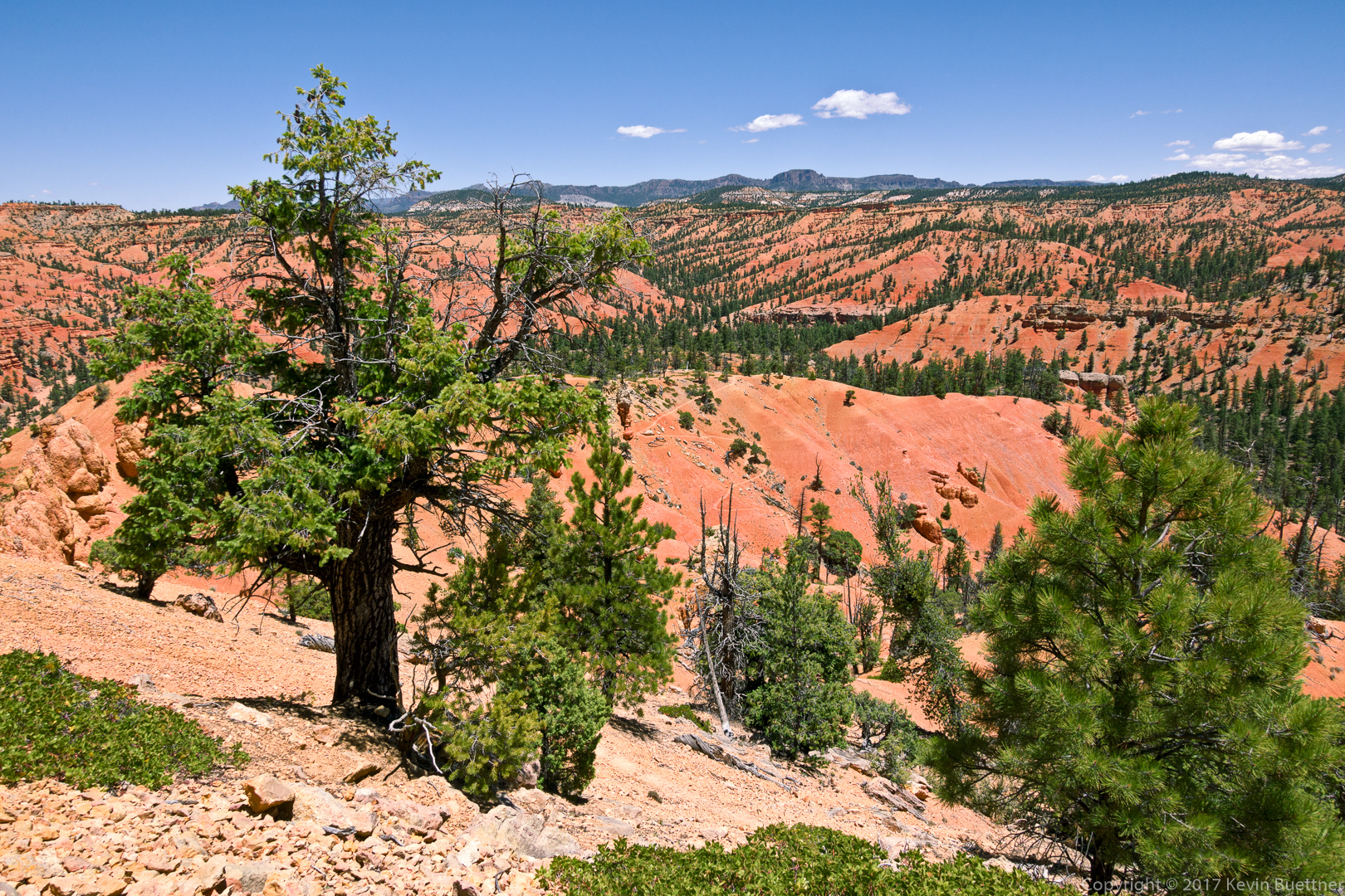
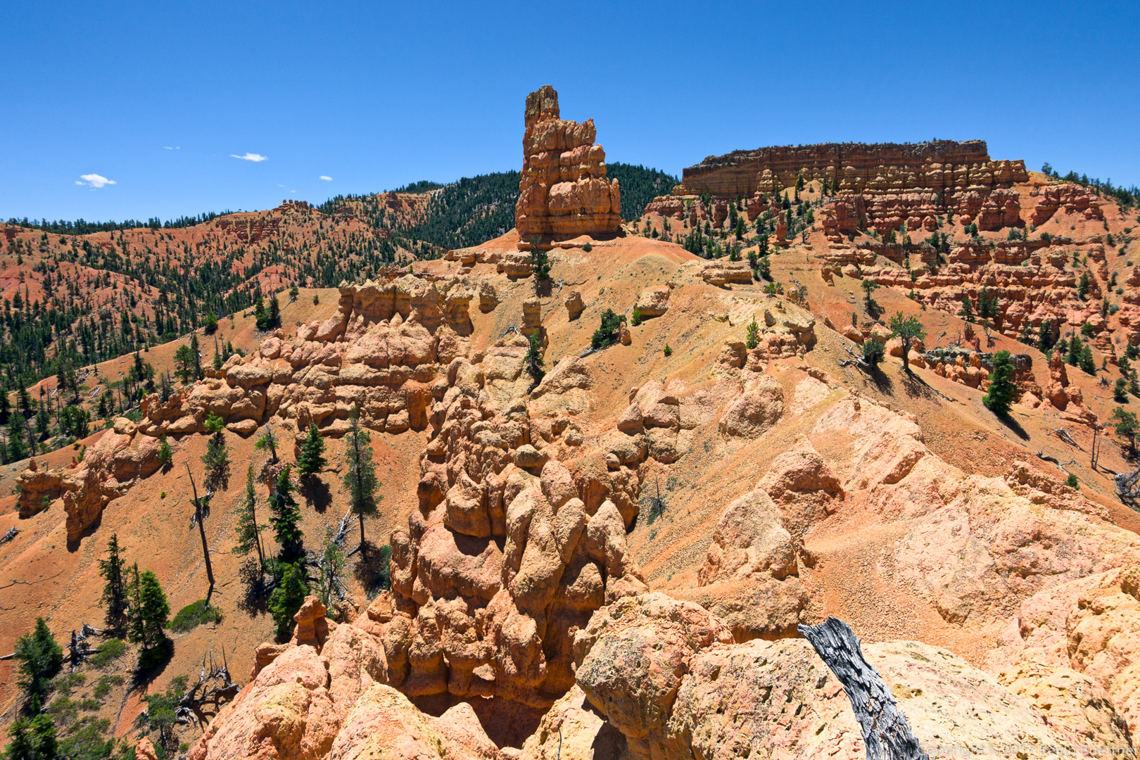
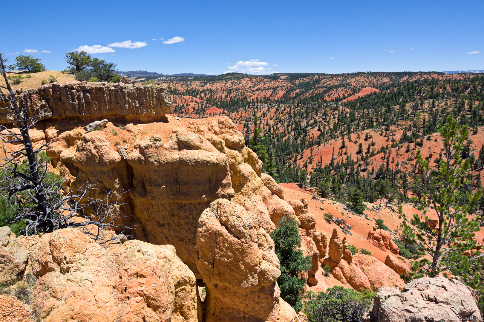
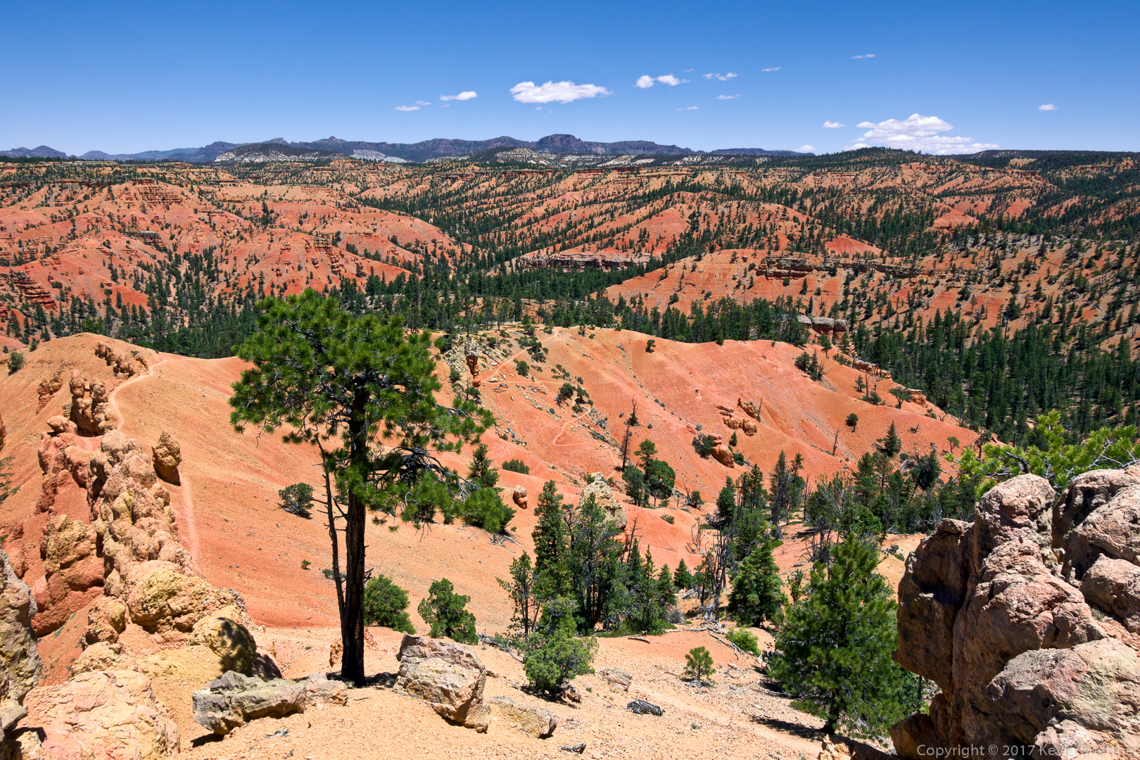
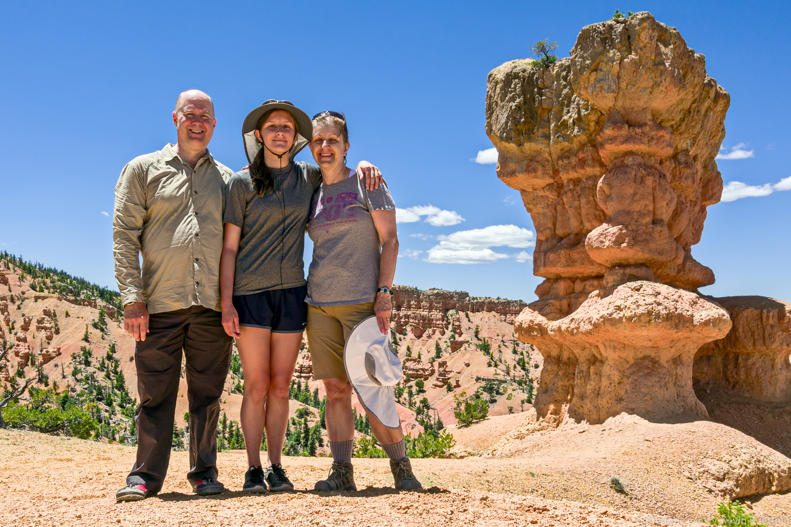
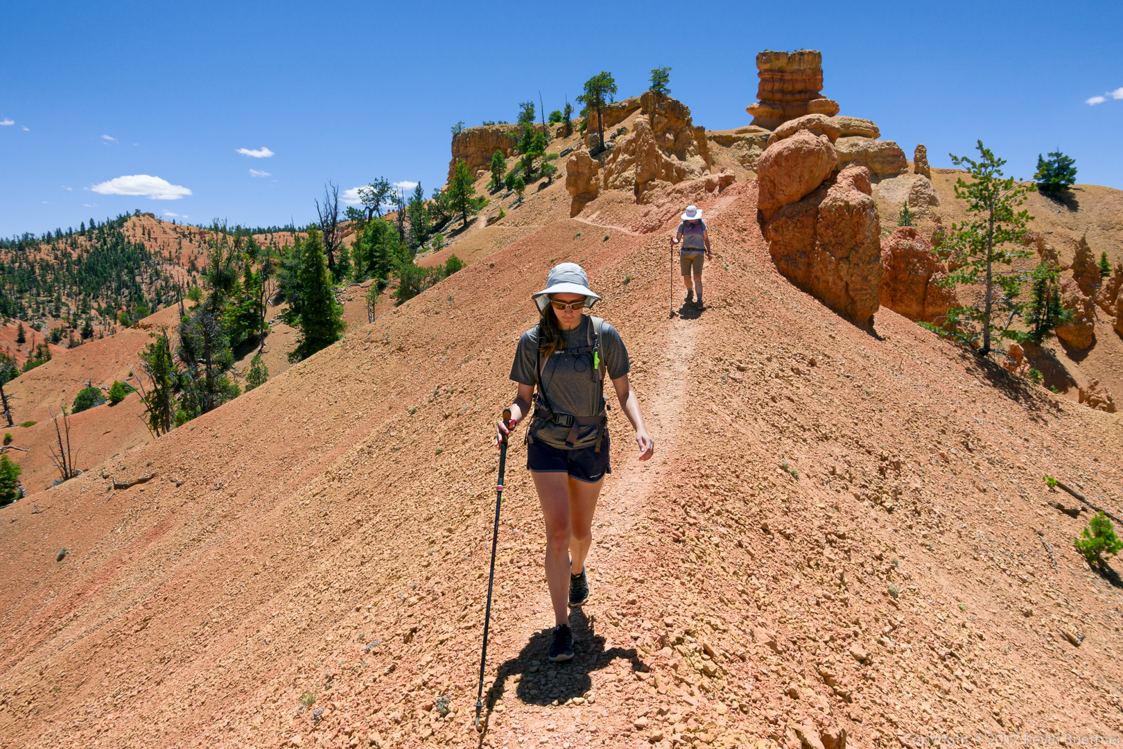
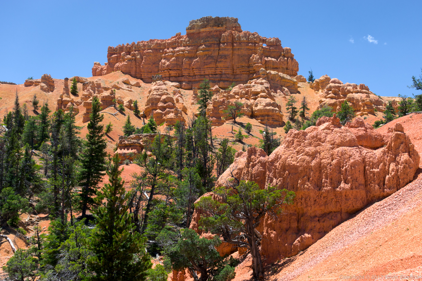
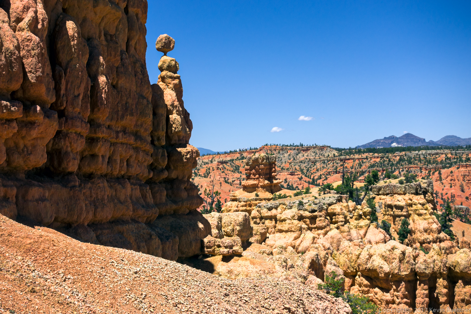
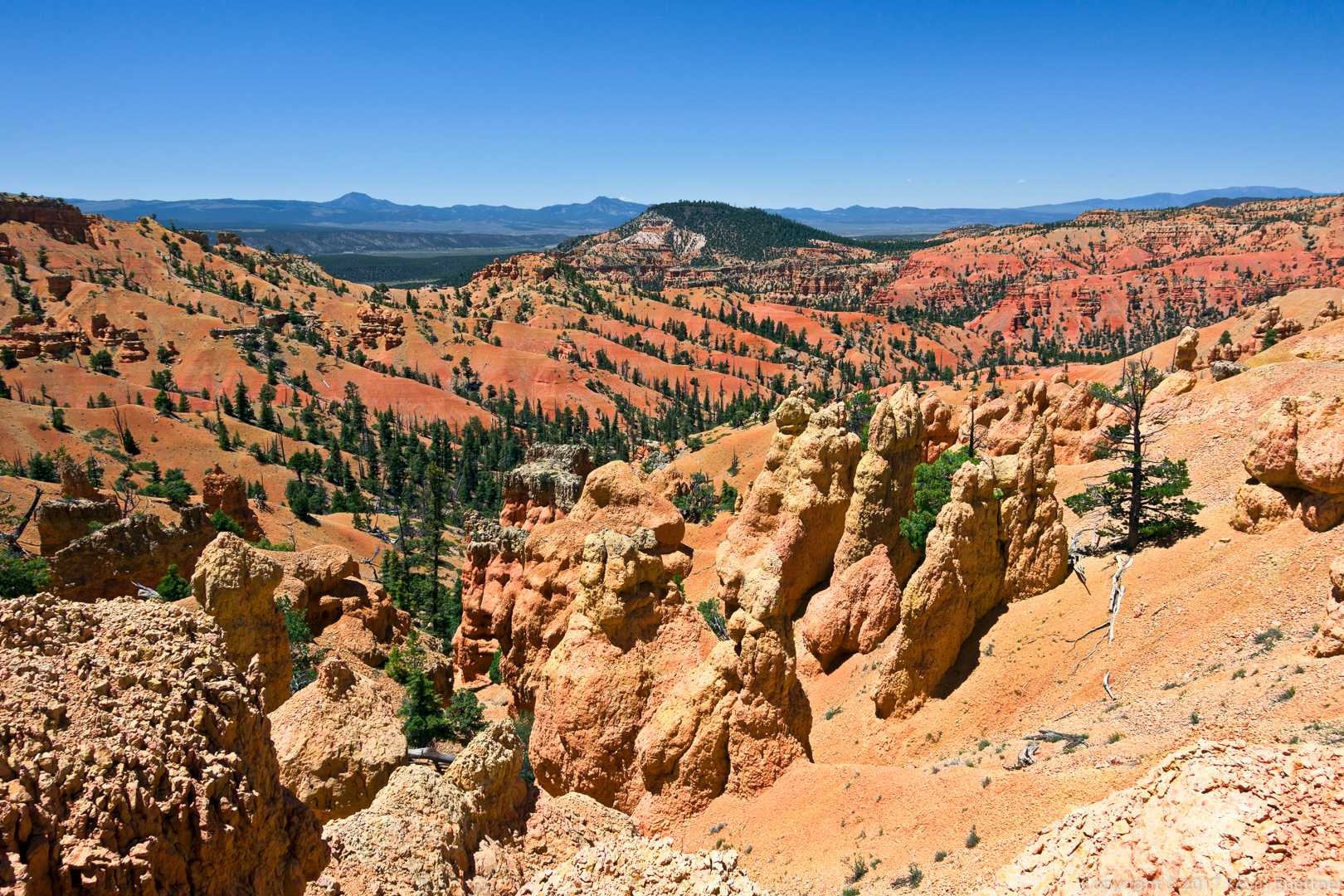
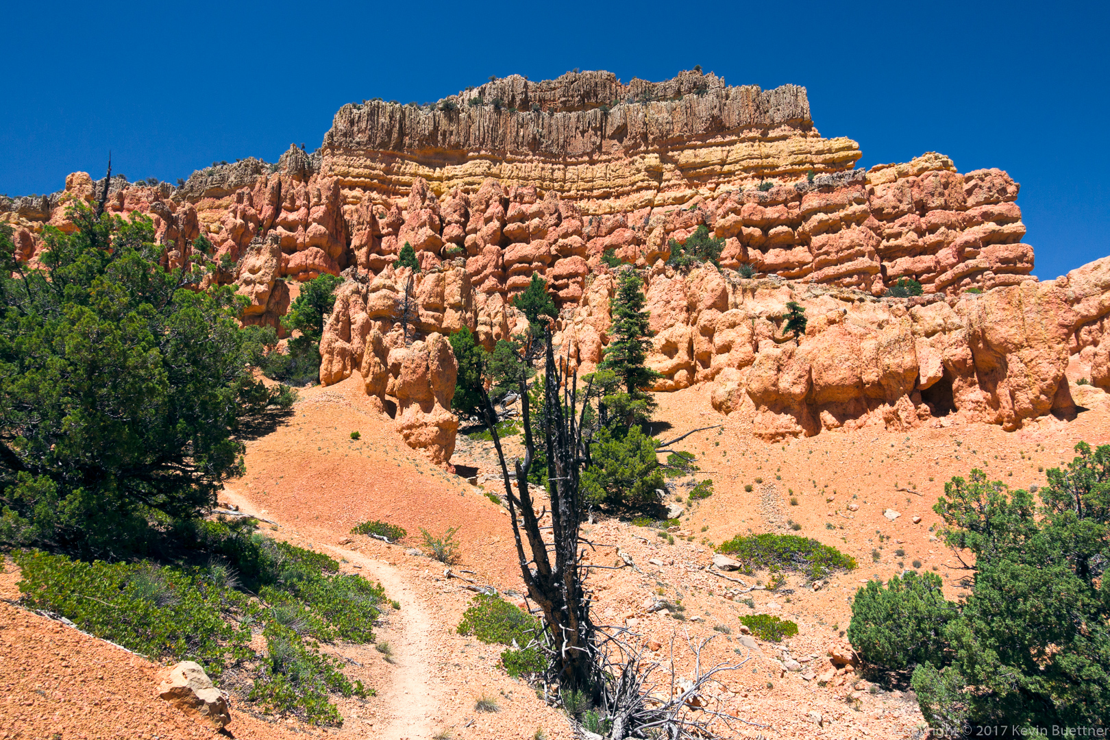
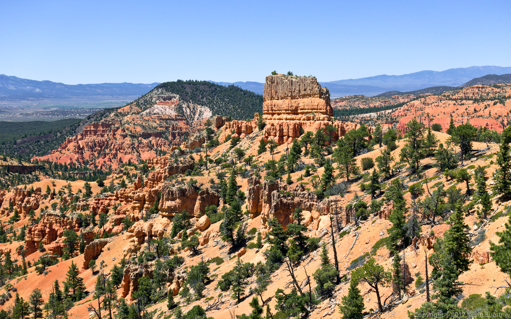
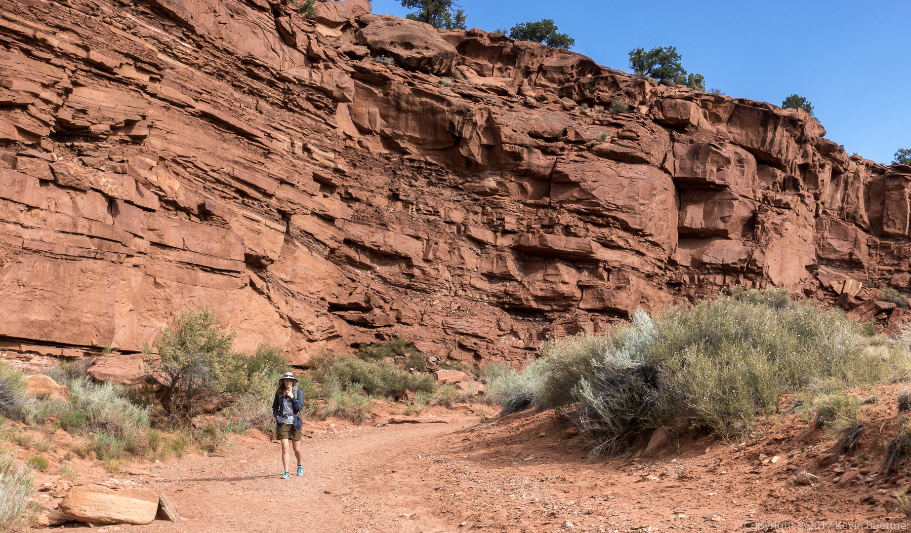
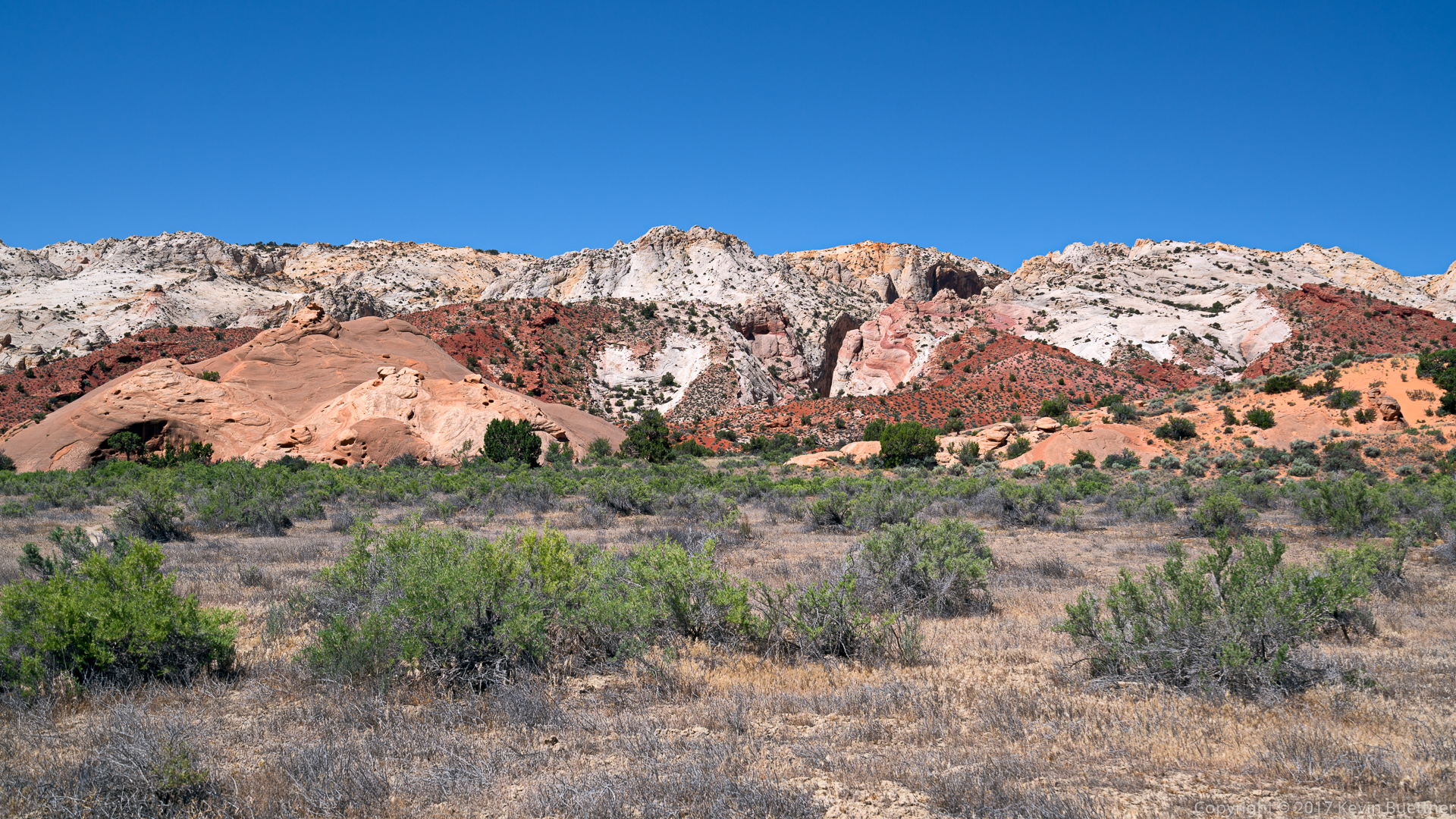
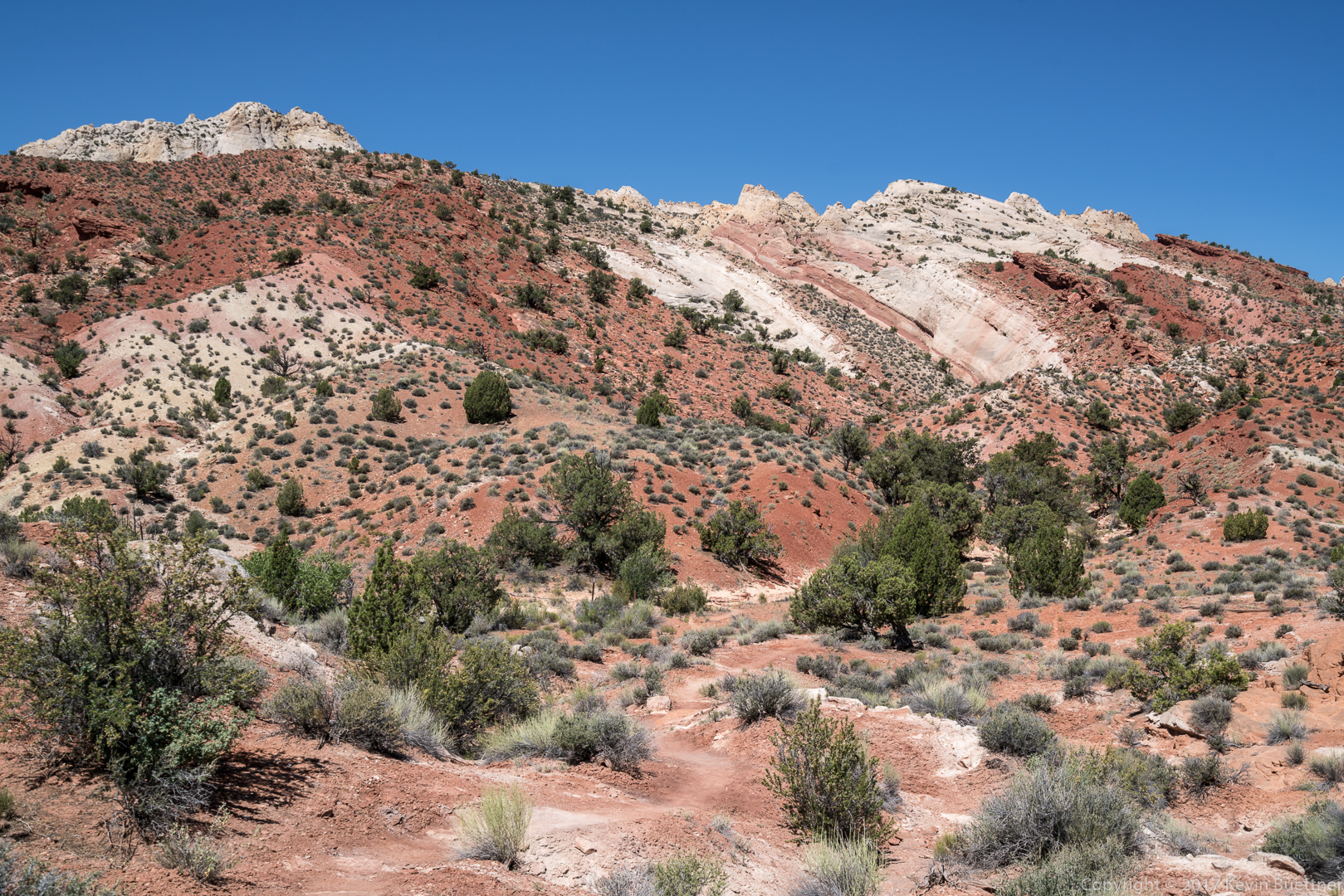
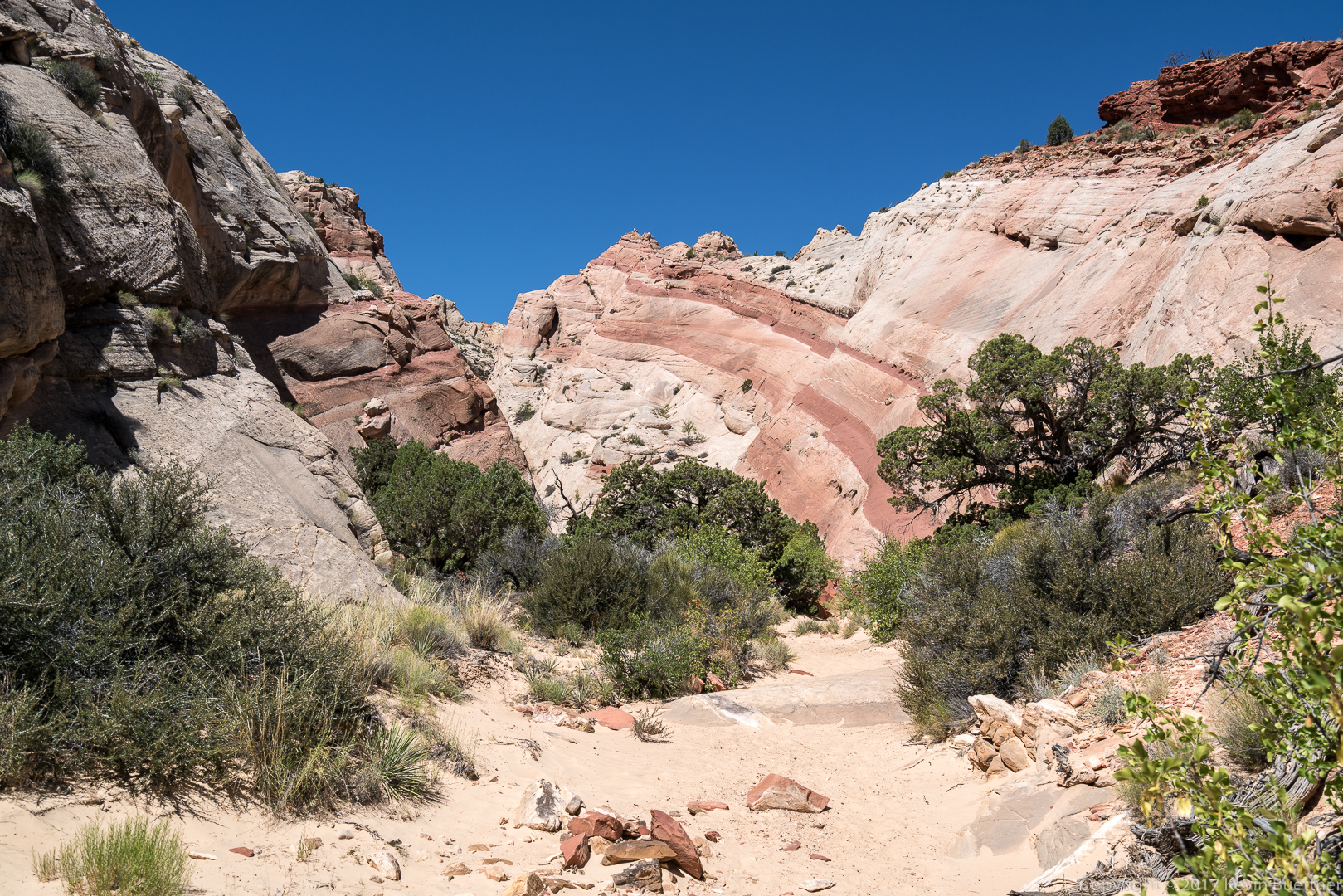
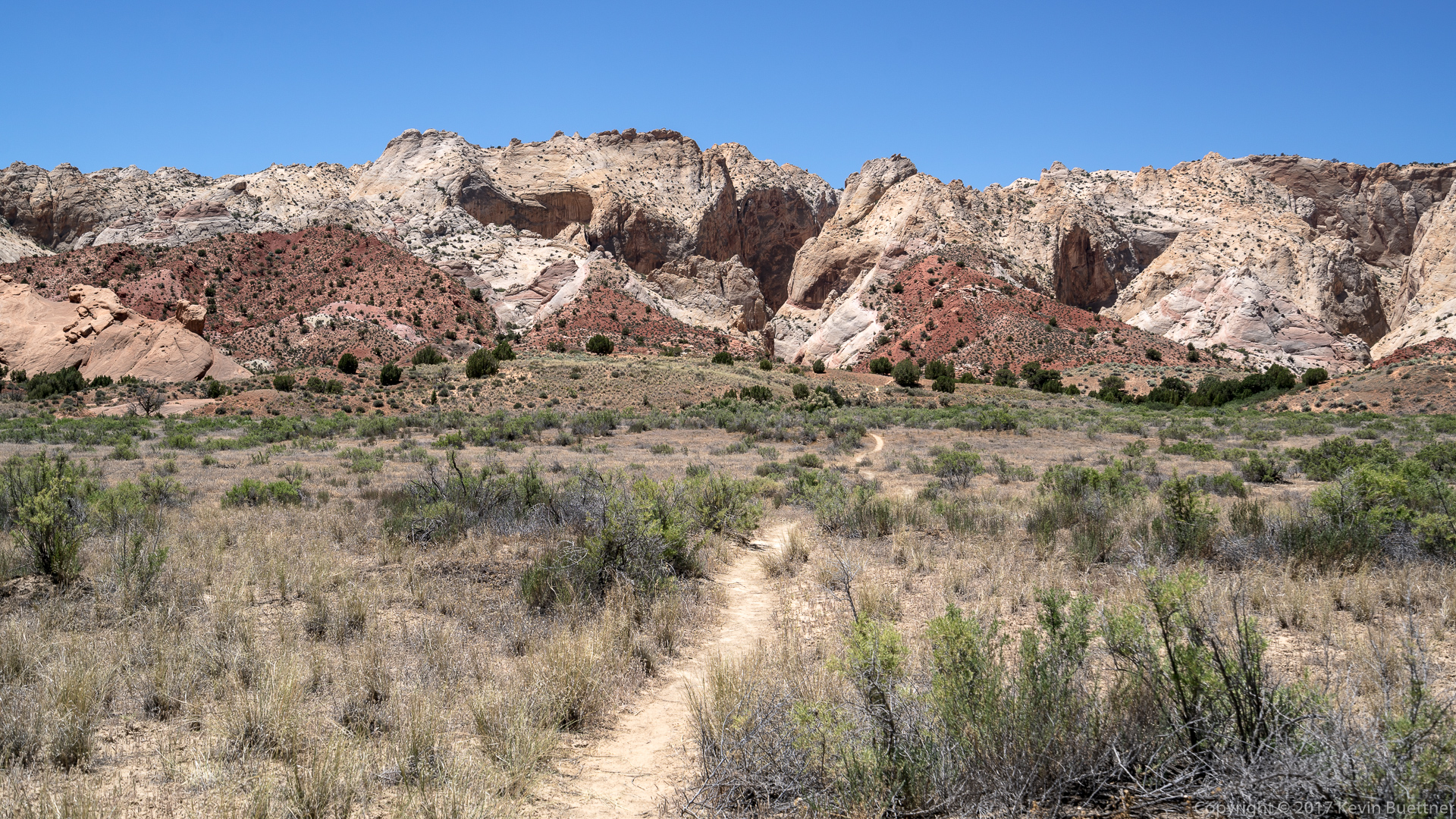
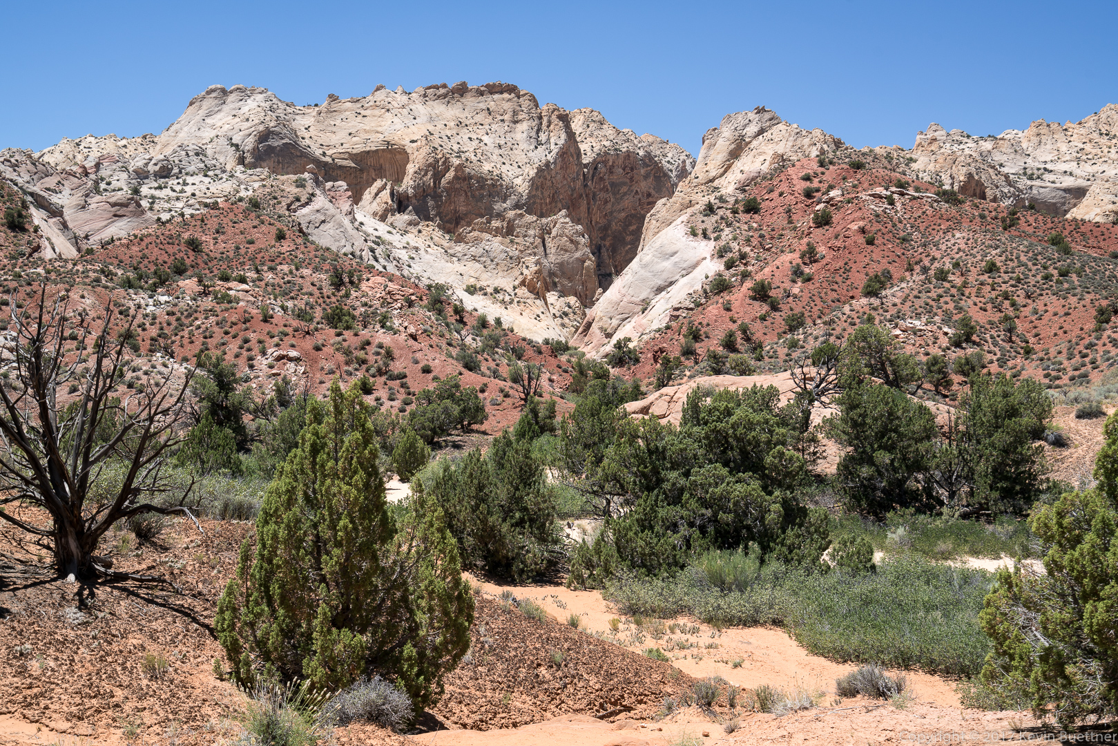
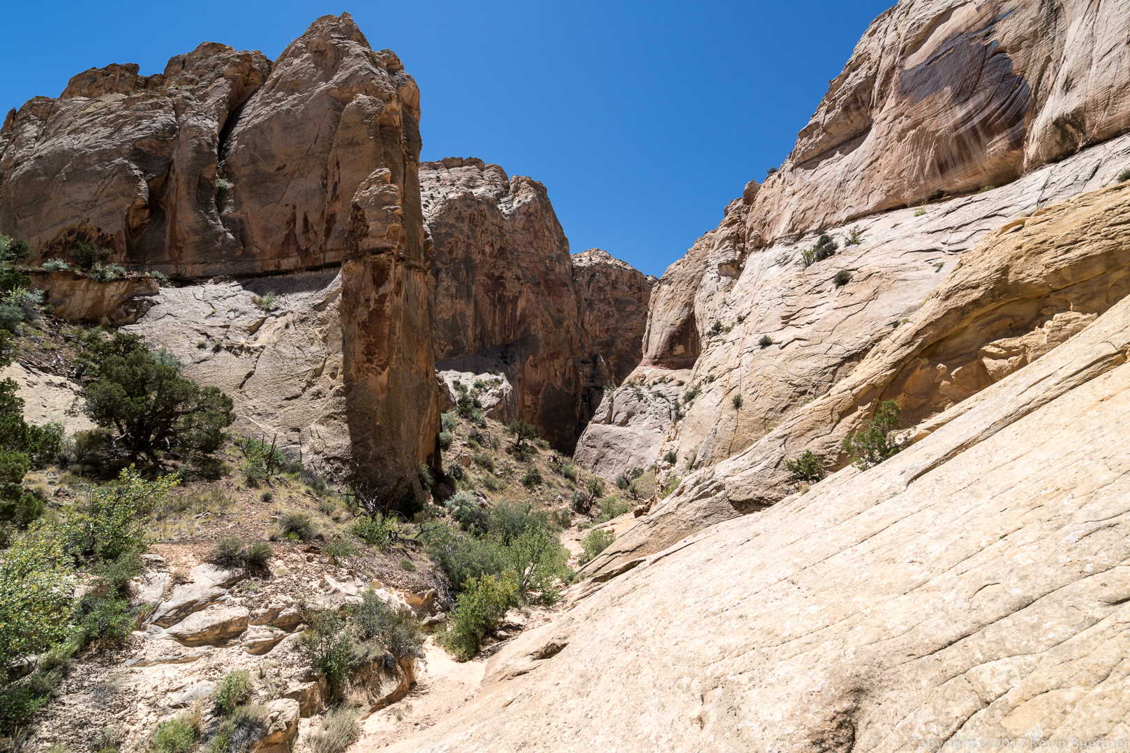
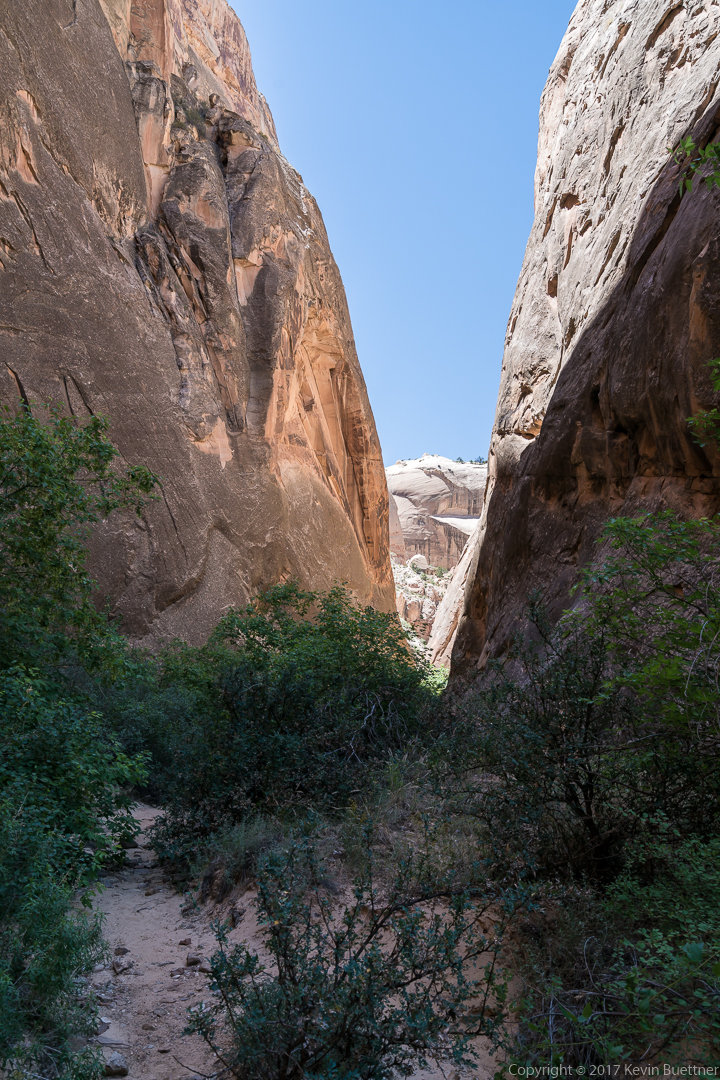
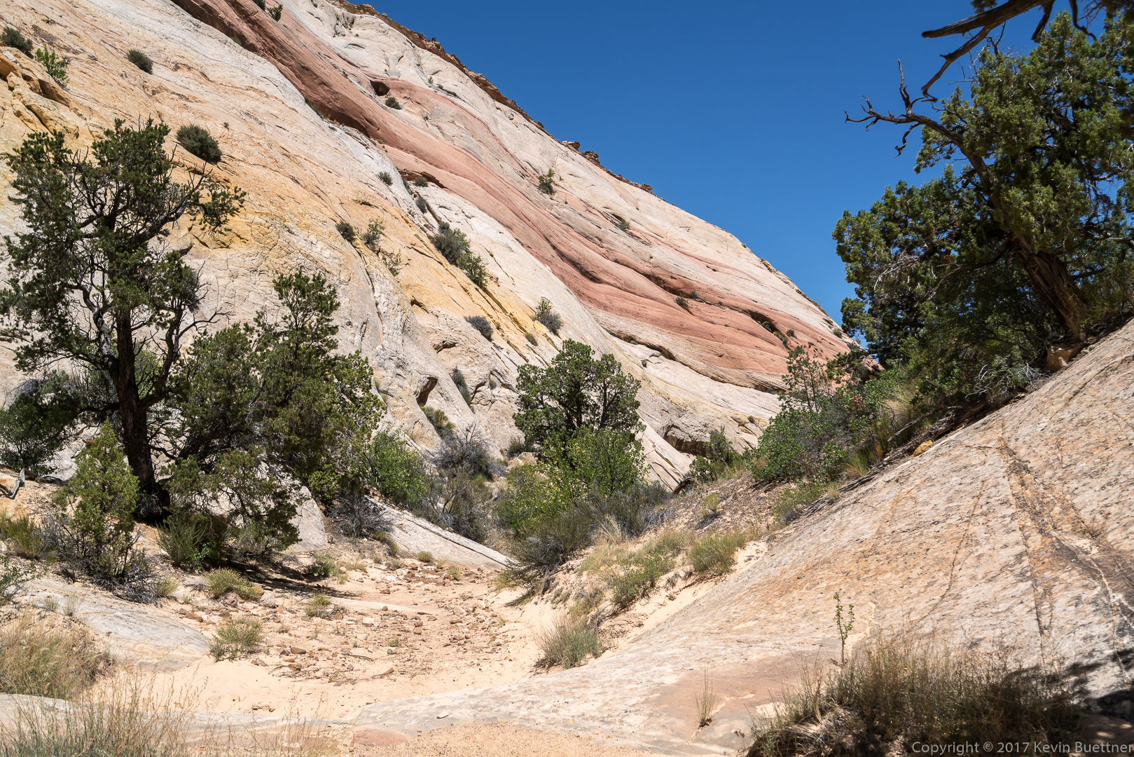
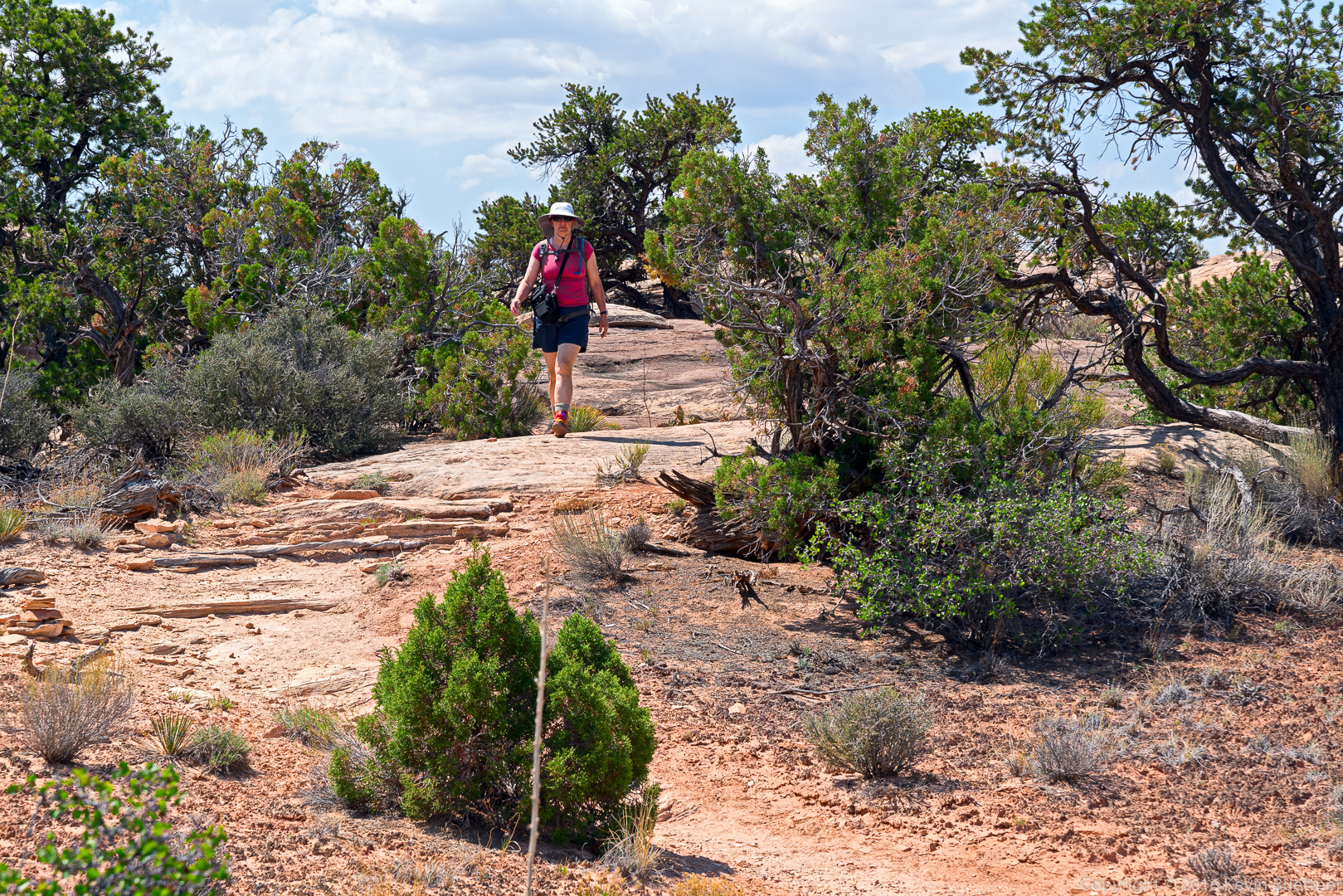
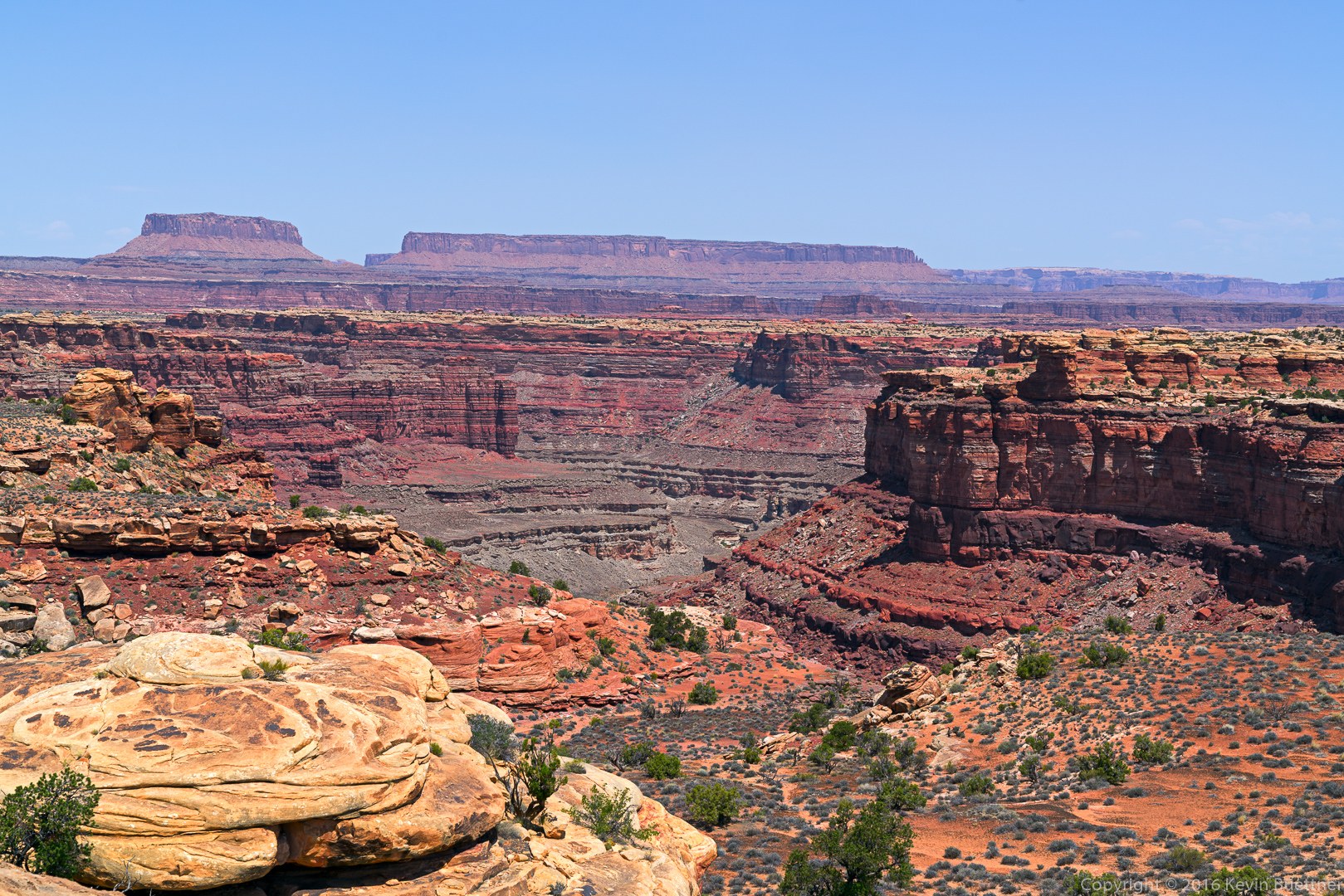
Marilyn, Marie, and I hiked over six miles on the Buckhorn and Golden Wall Trails. This area is in the Dixie National Forest just off of Highway 12. Bryce Canyon National Park is about 13 miles away.
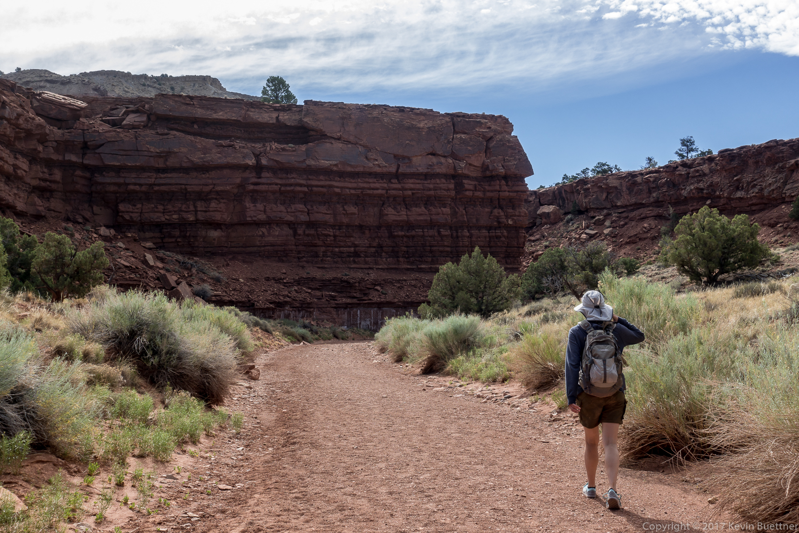
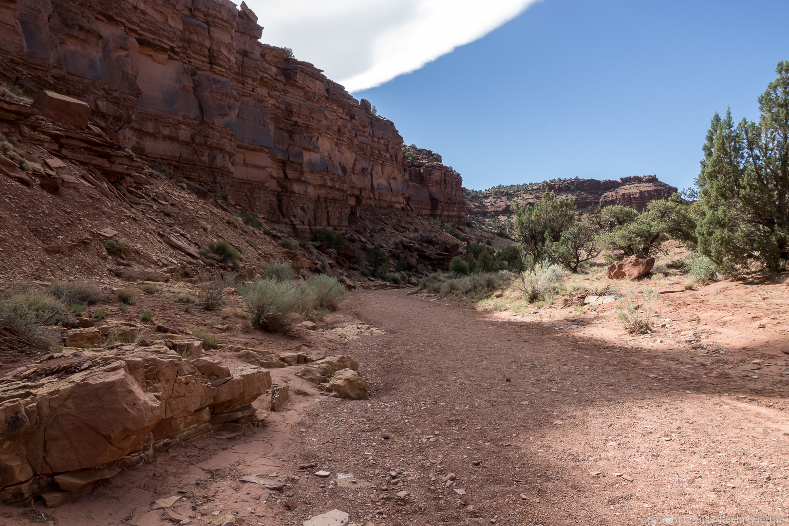
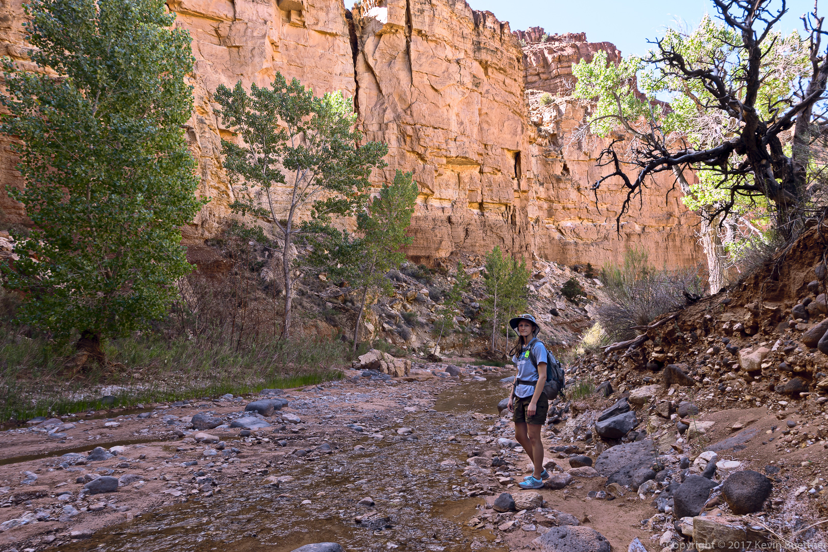
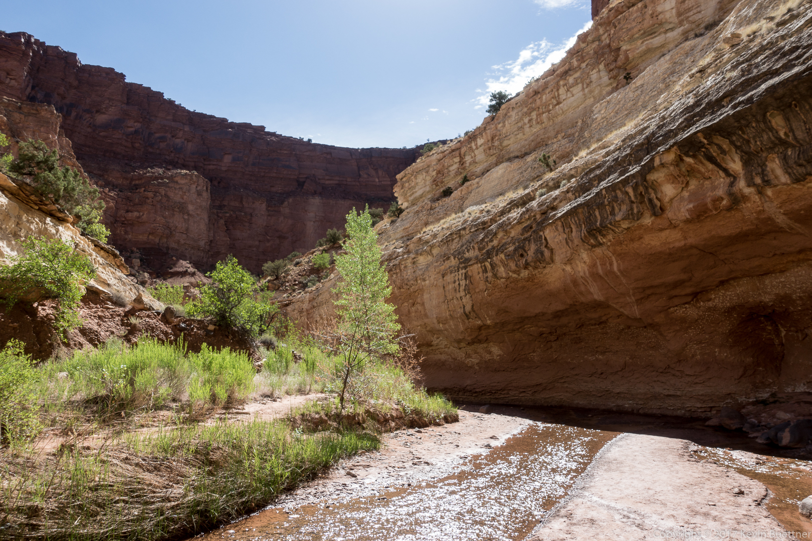
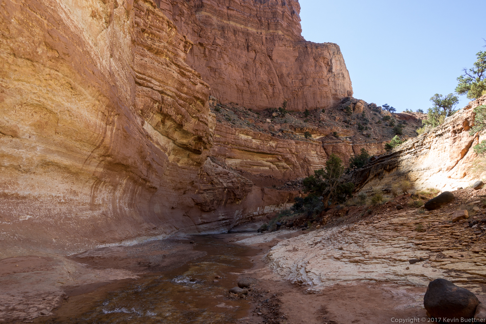
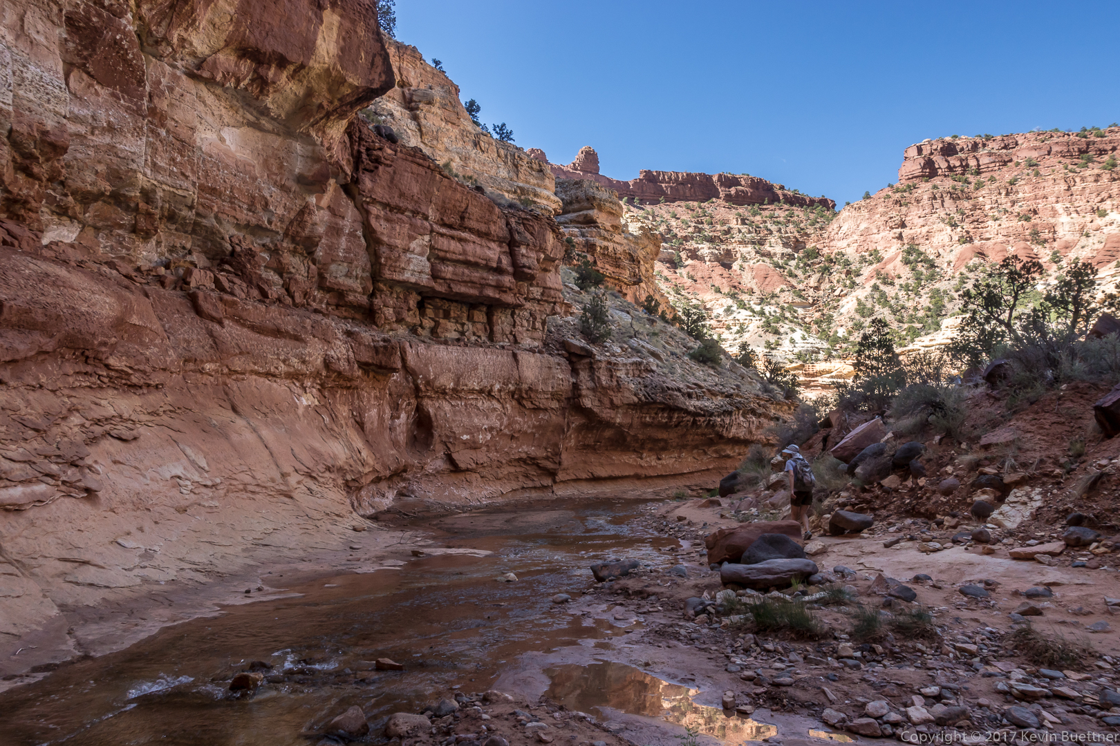
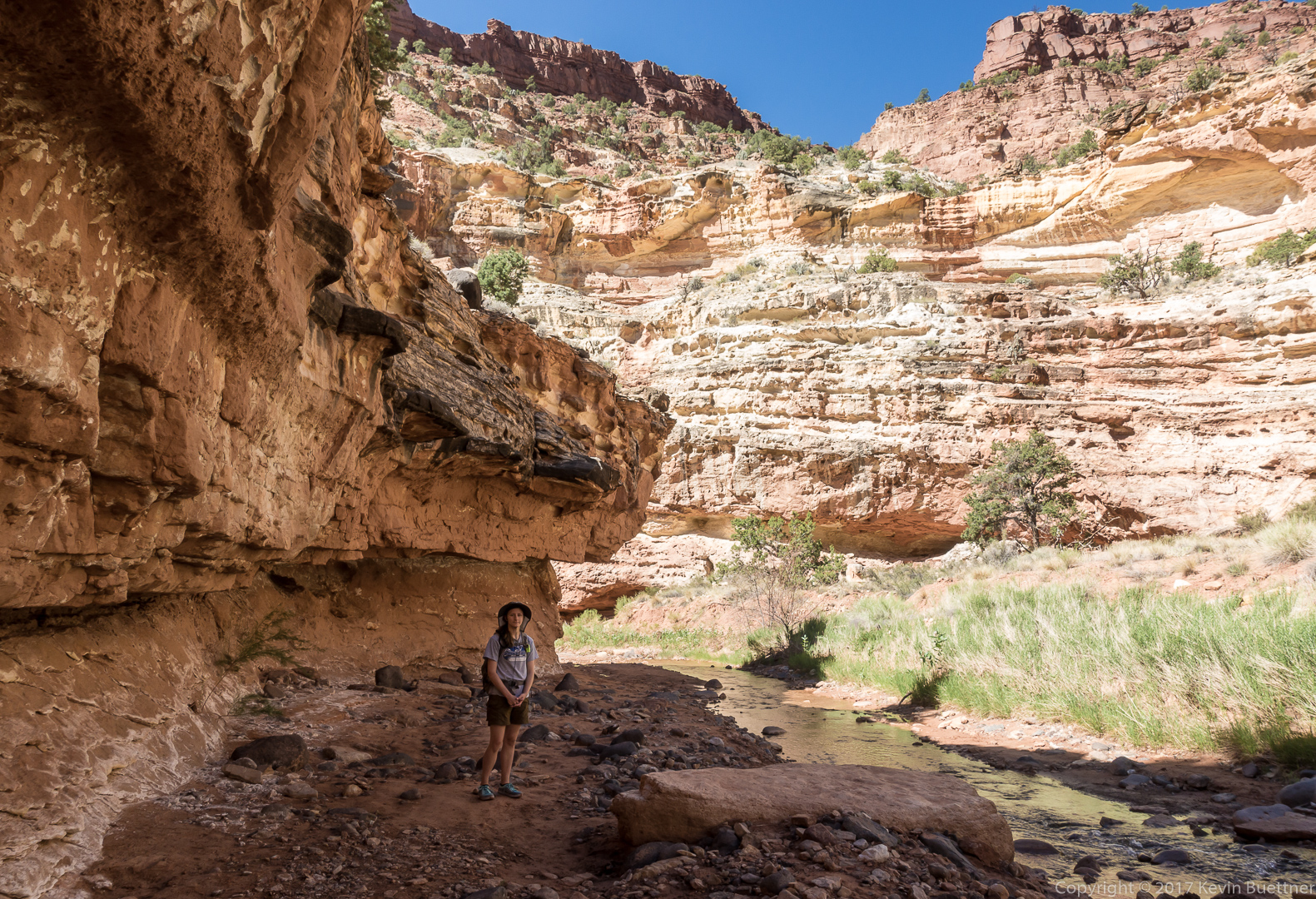
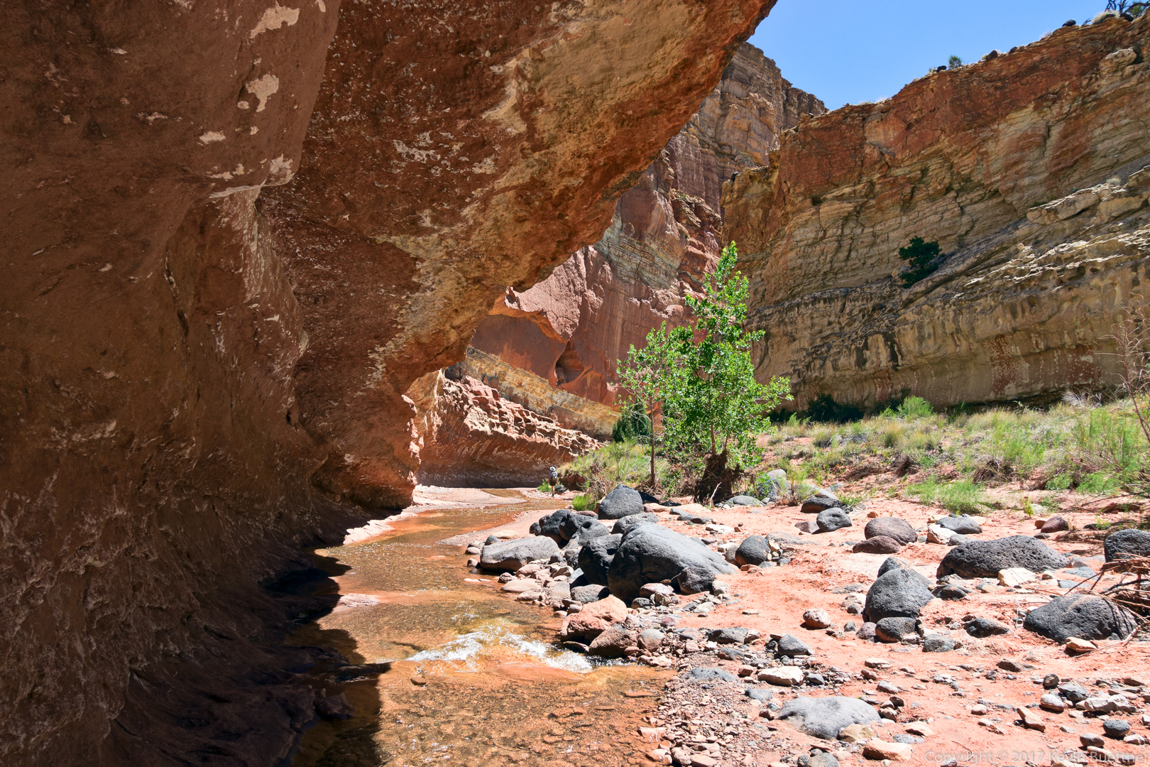
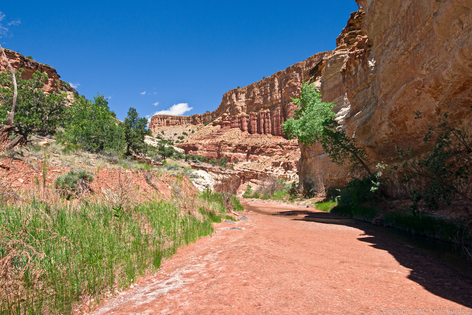
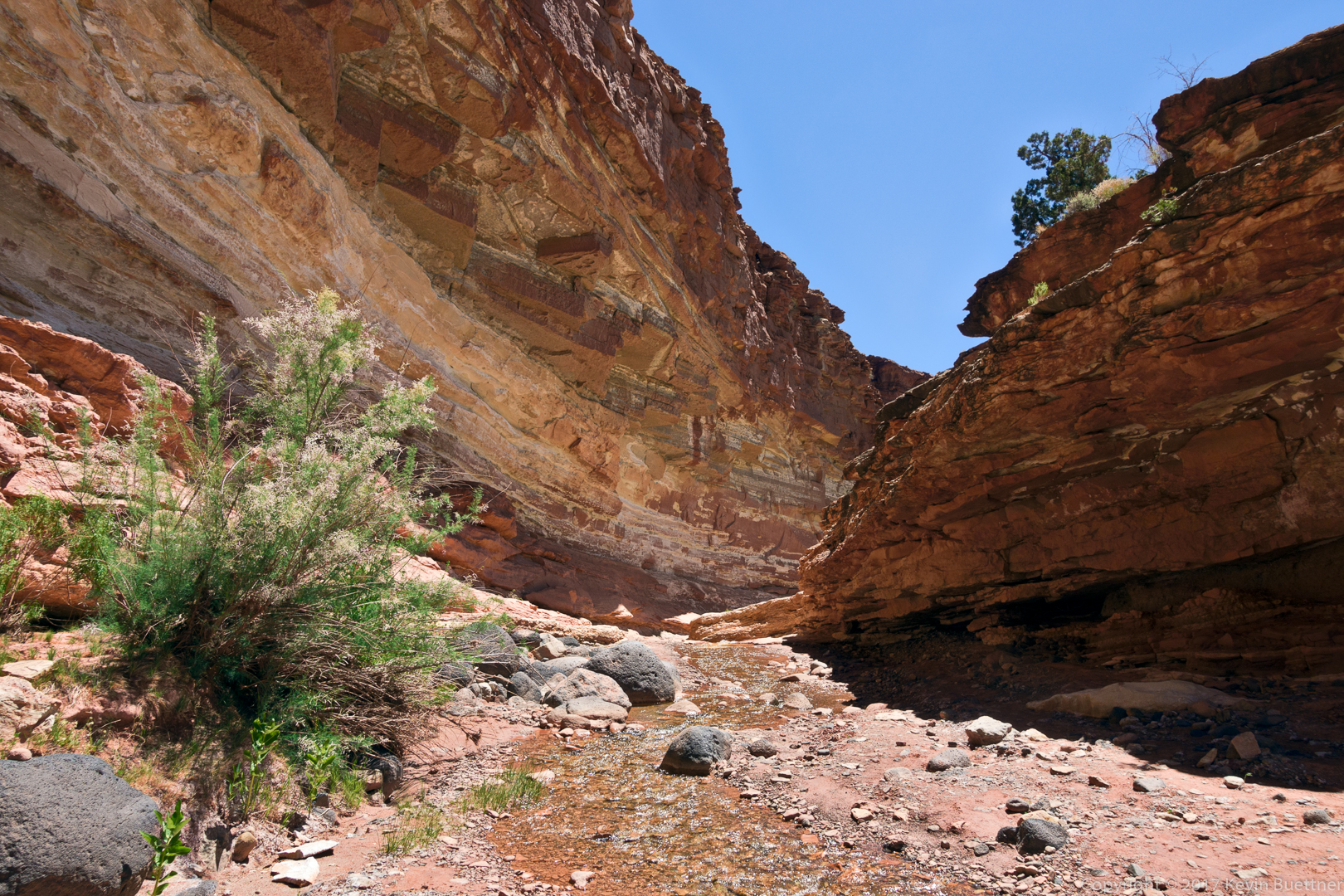
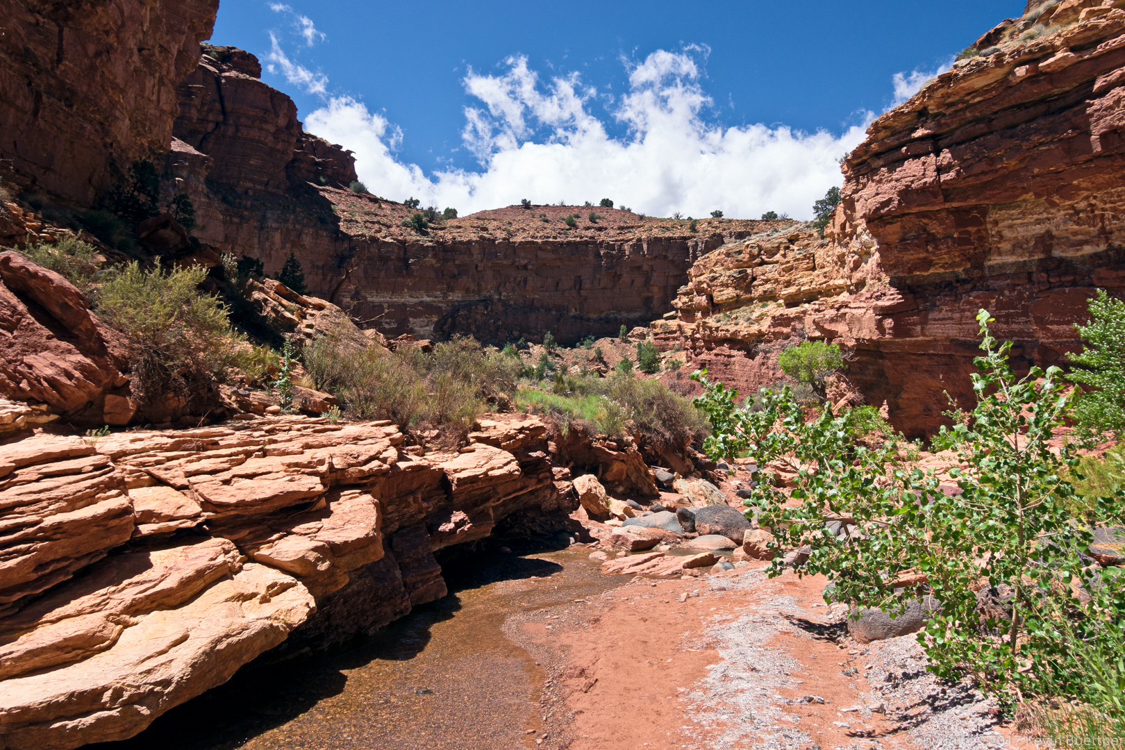
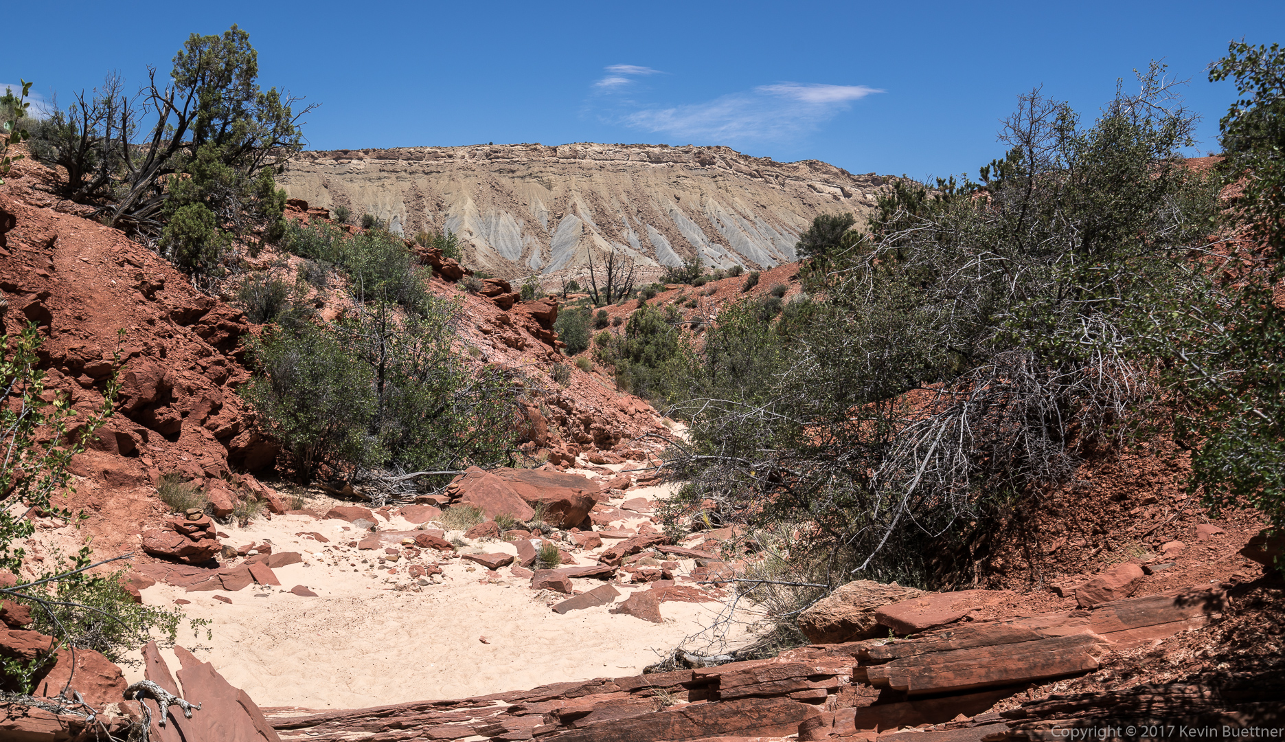
Marie and I did a point to point hike down Sulphur Creek. This was the best hike I did during our 2017 vacation. Scenery was great and the terrain was challenging at times.
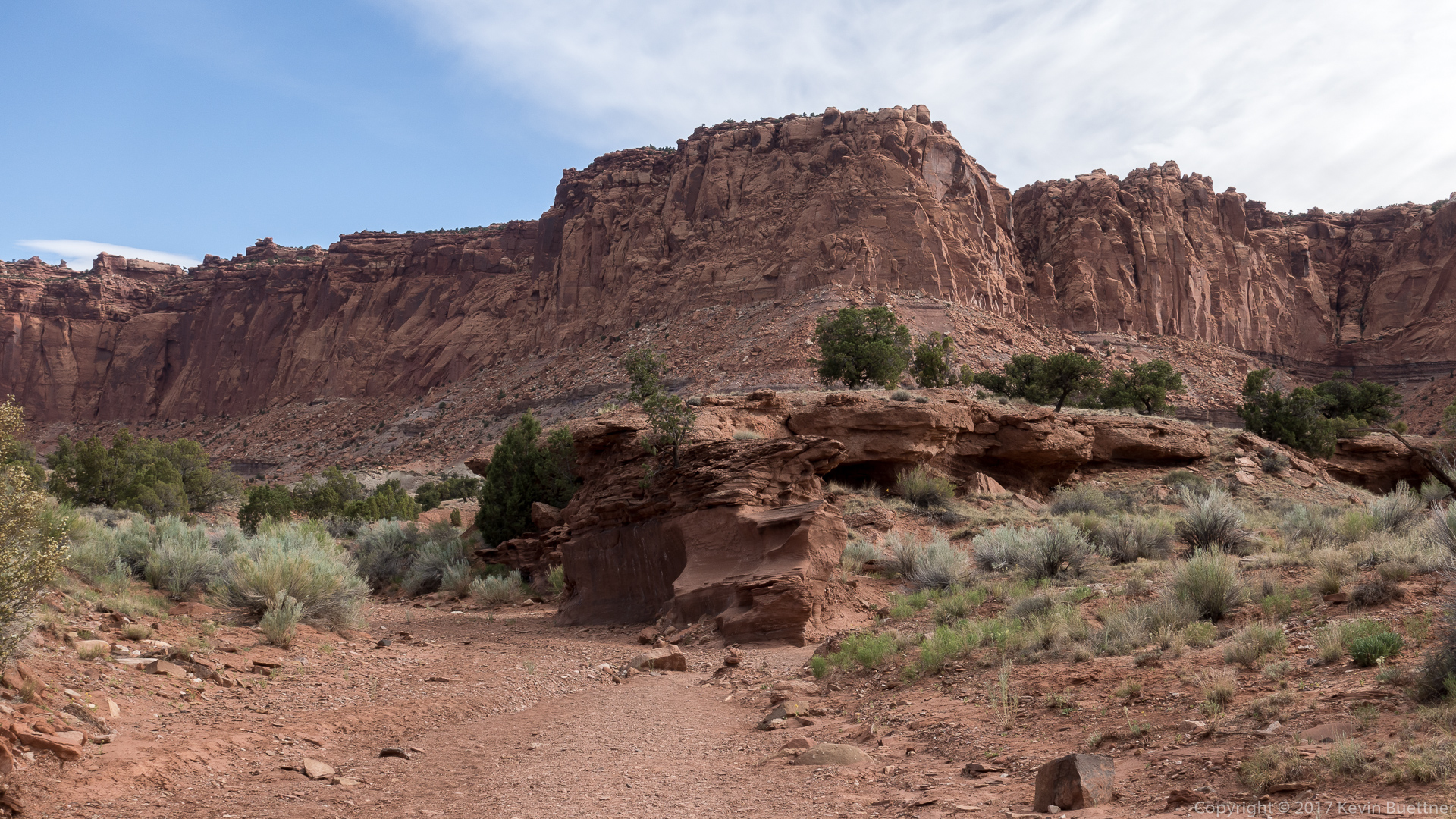


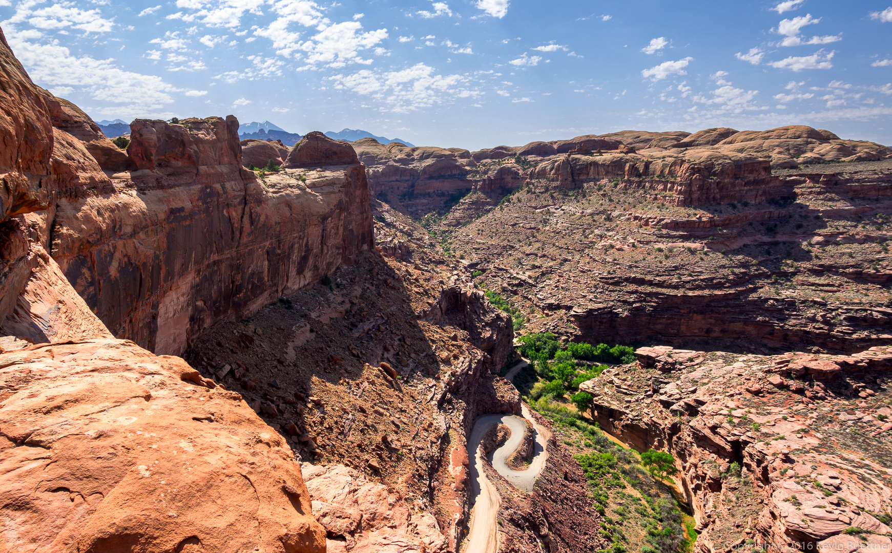
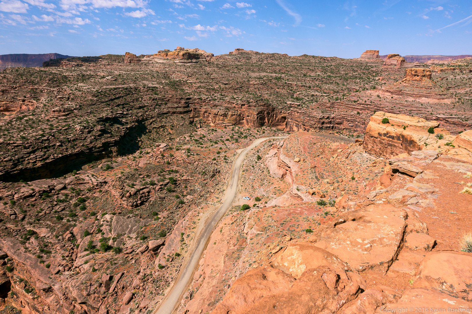
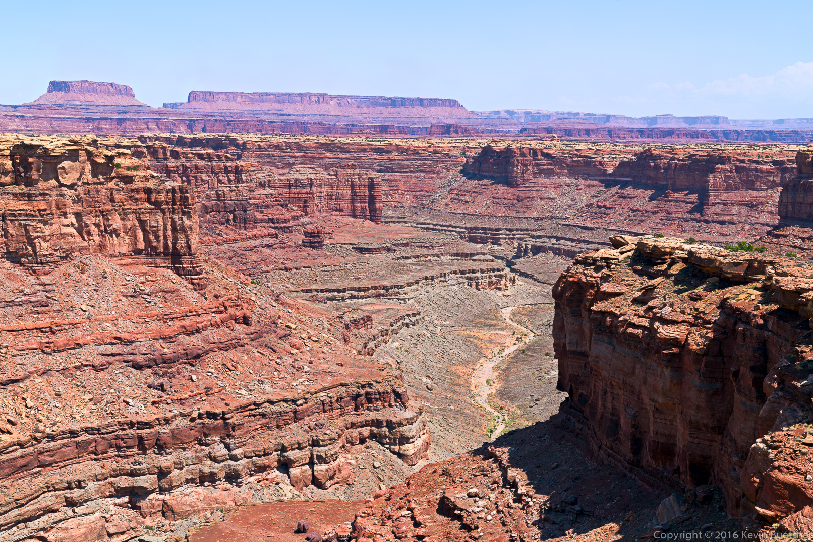
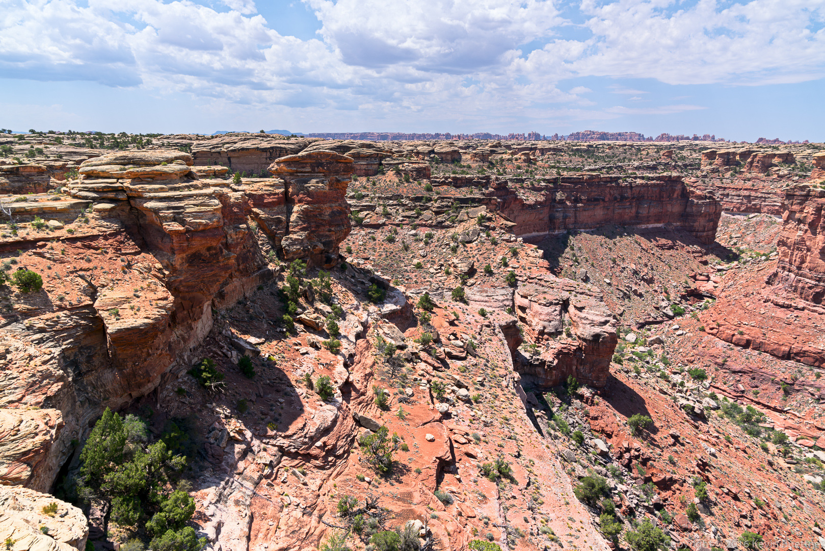
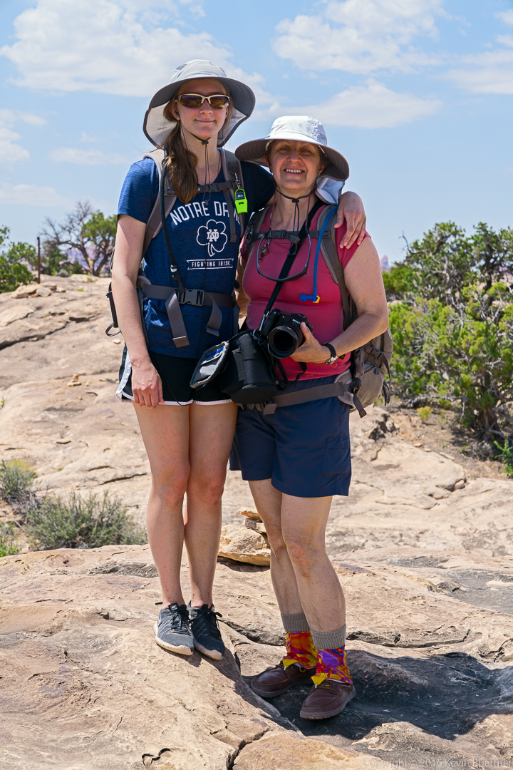
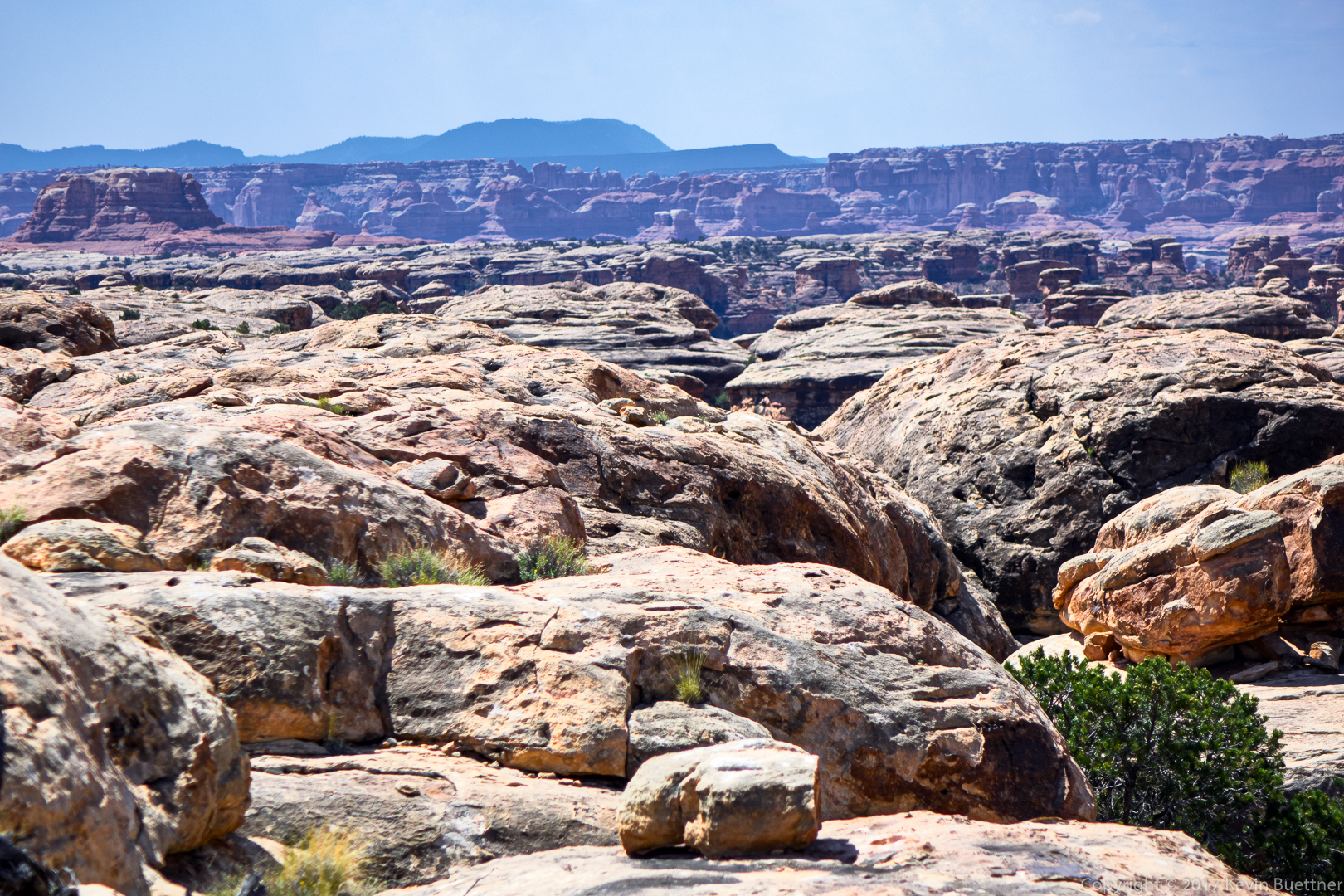
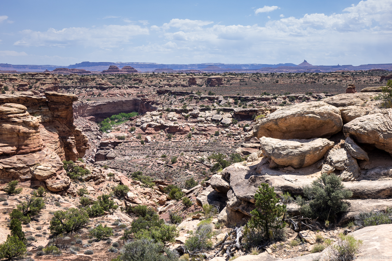
Marilyn and I visited Headquarters Canyon and Surprise Canyon. These are short and easy canyons with access several miles apart on Notom-Bullfrog Road. Getting there and returning via the washboarded road took longer than the hikes.
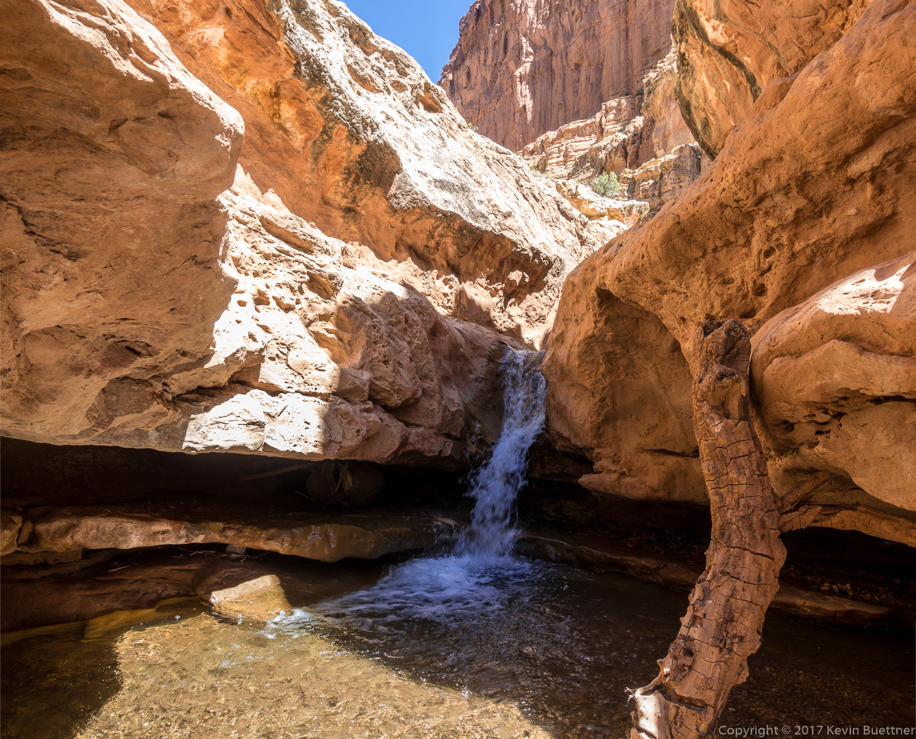
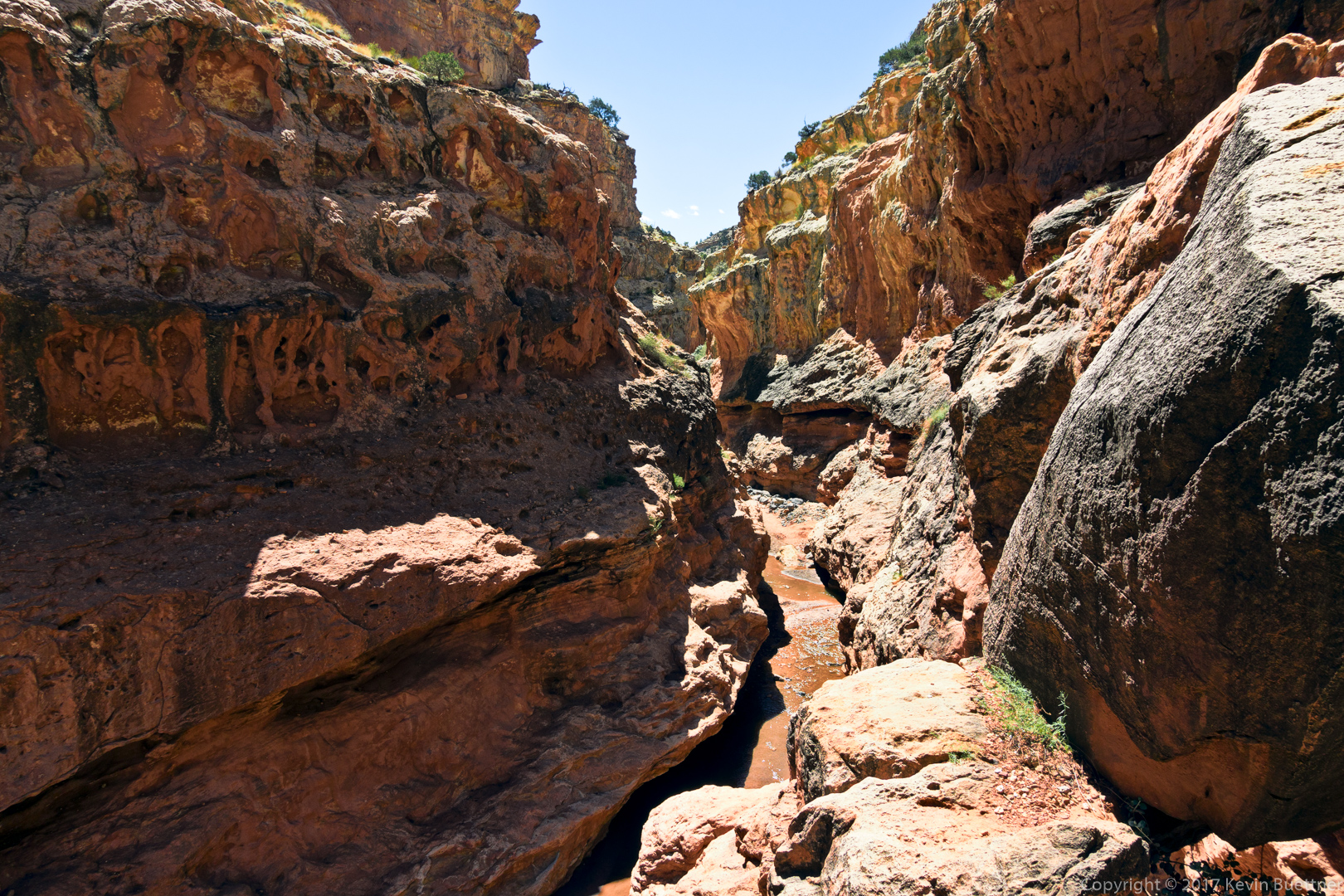
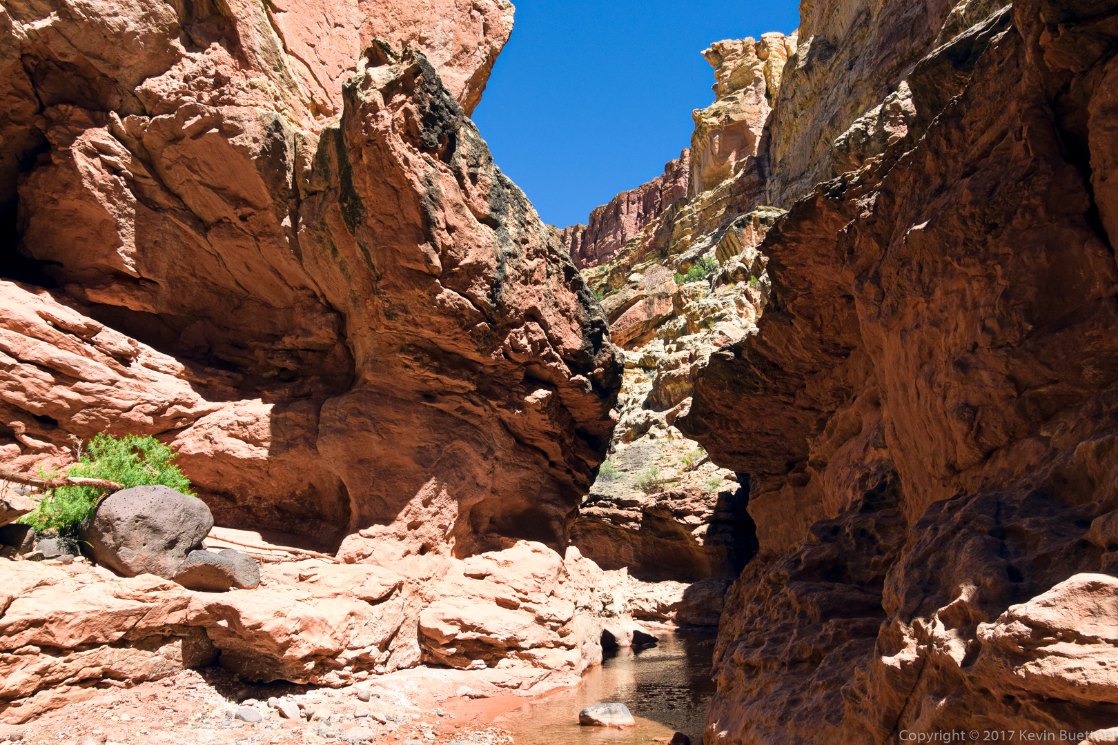
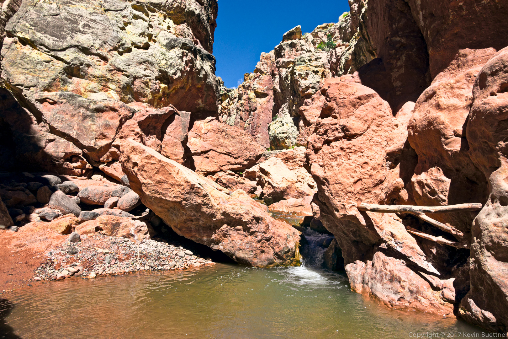
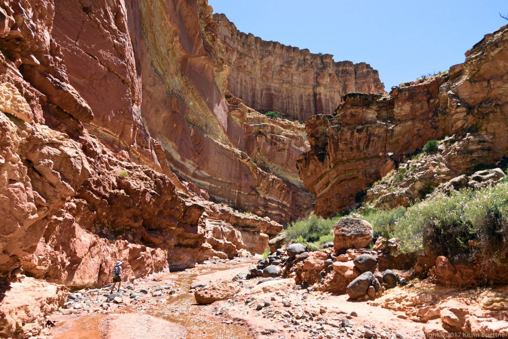
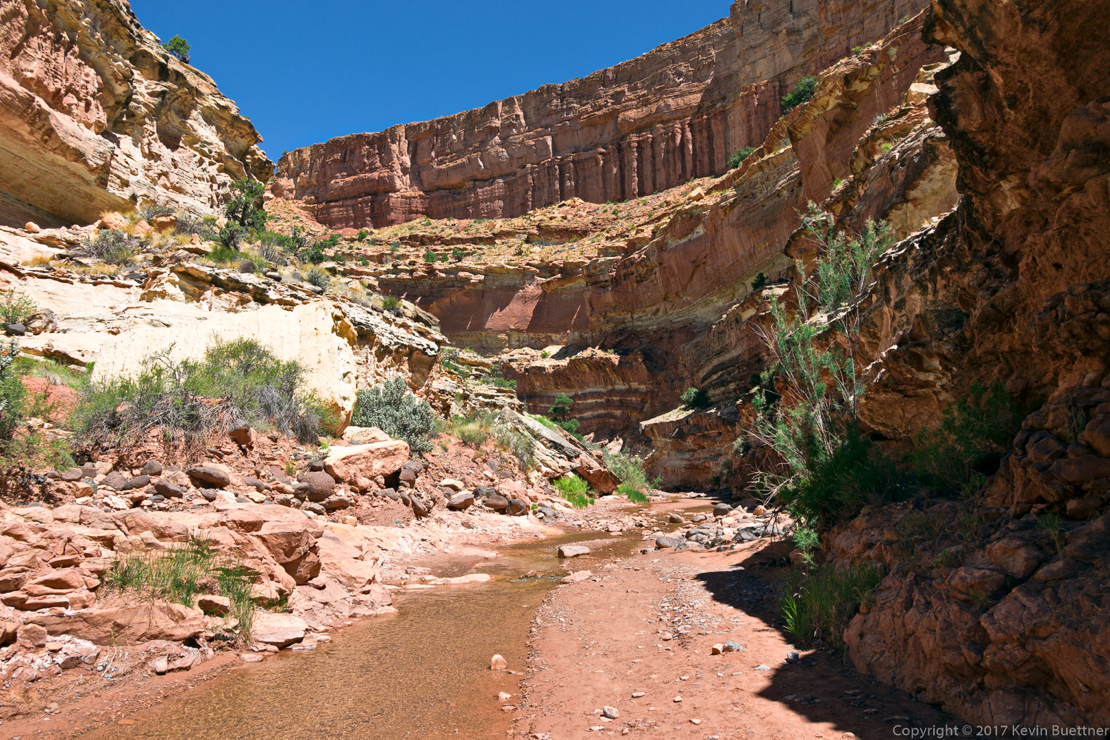
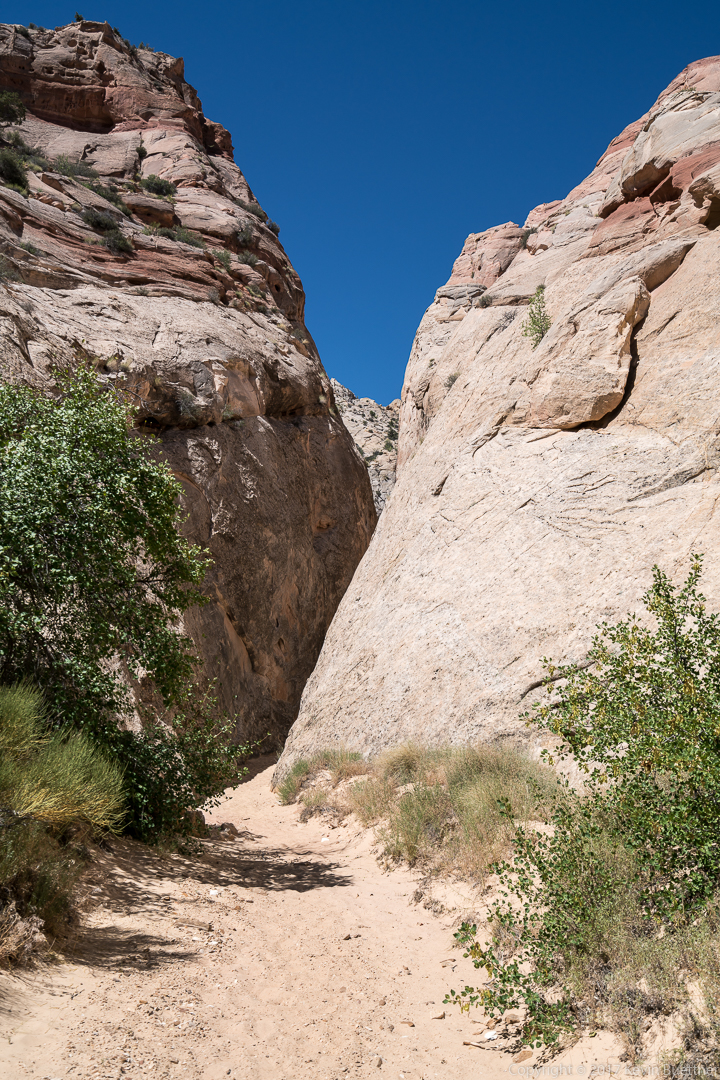
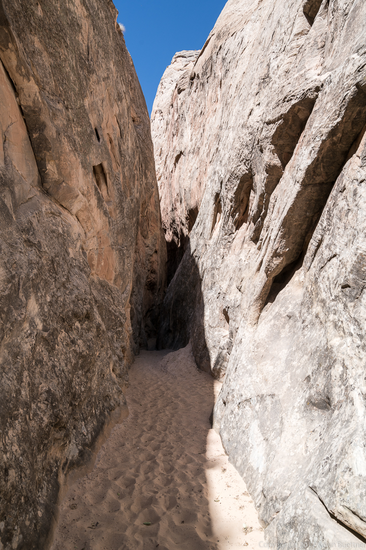
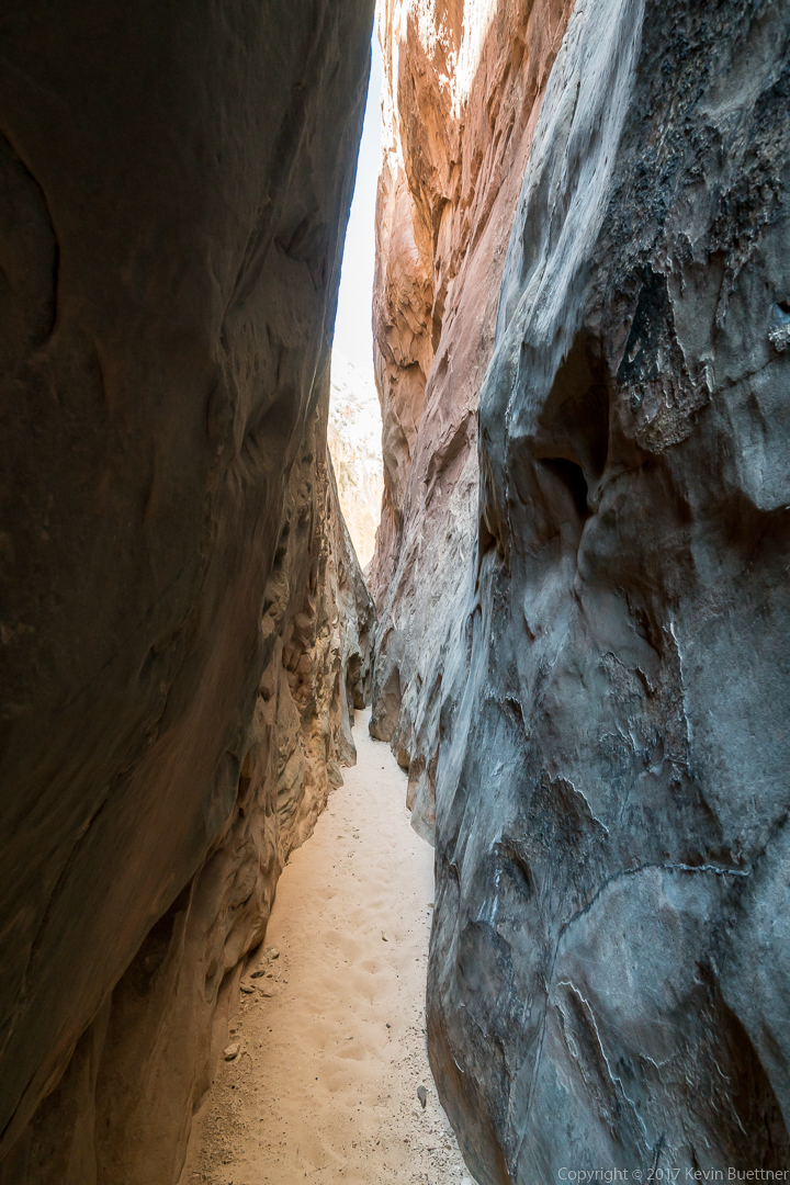
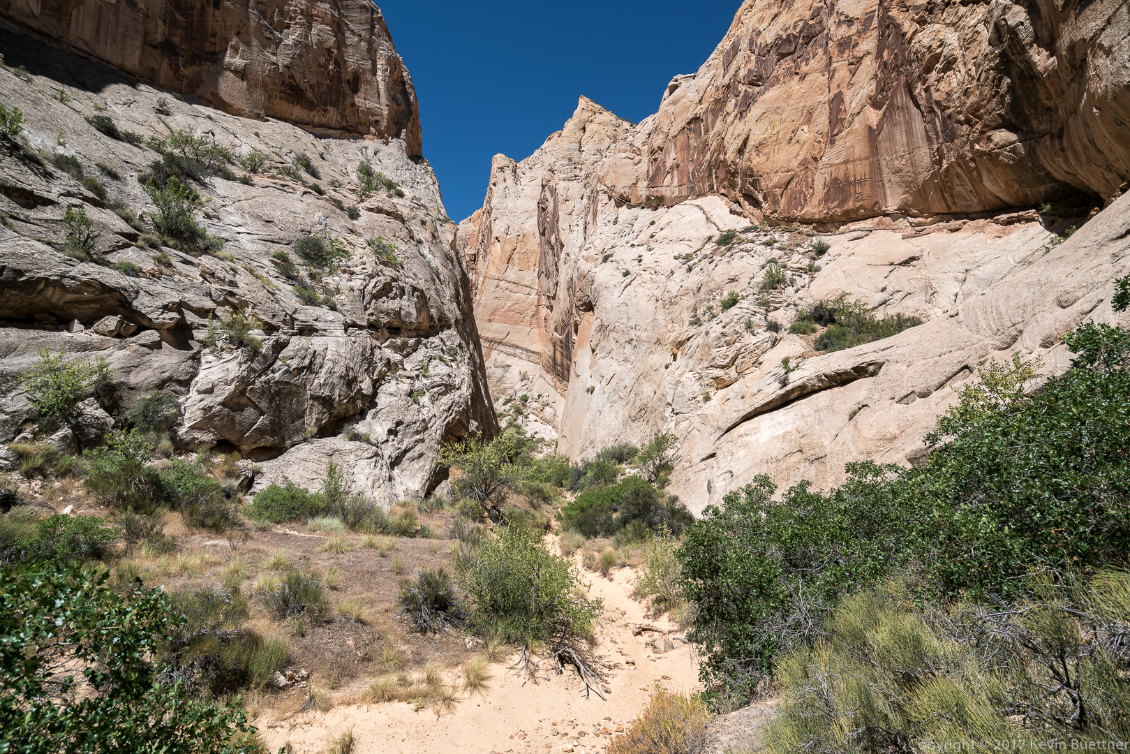
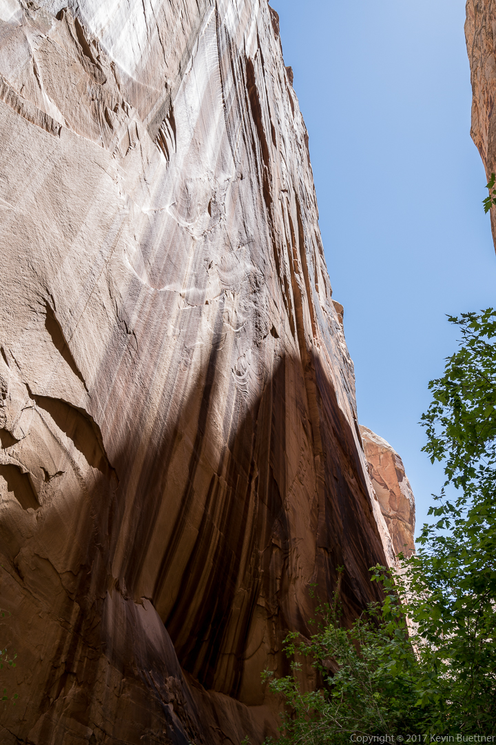
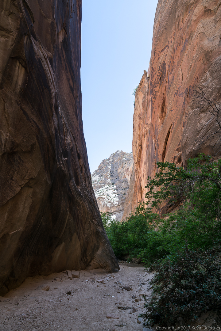
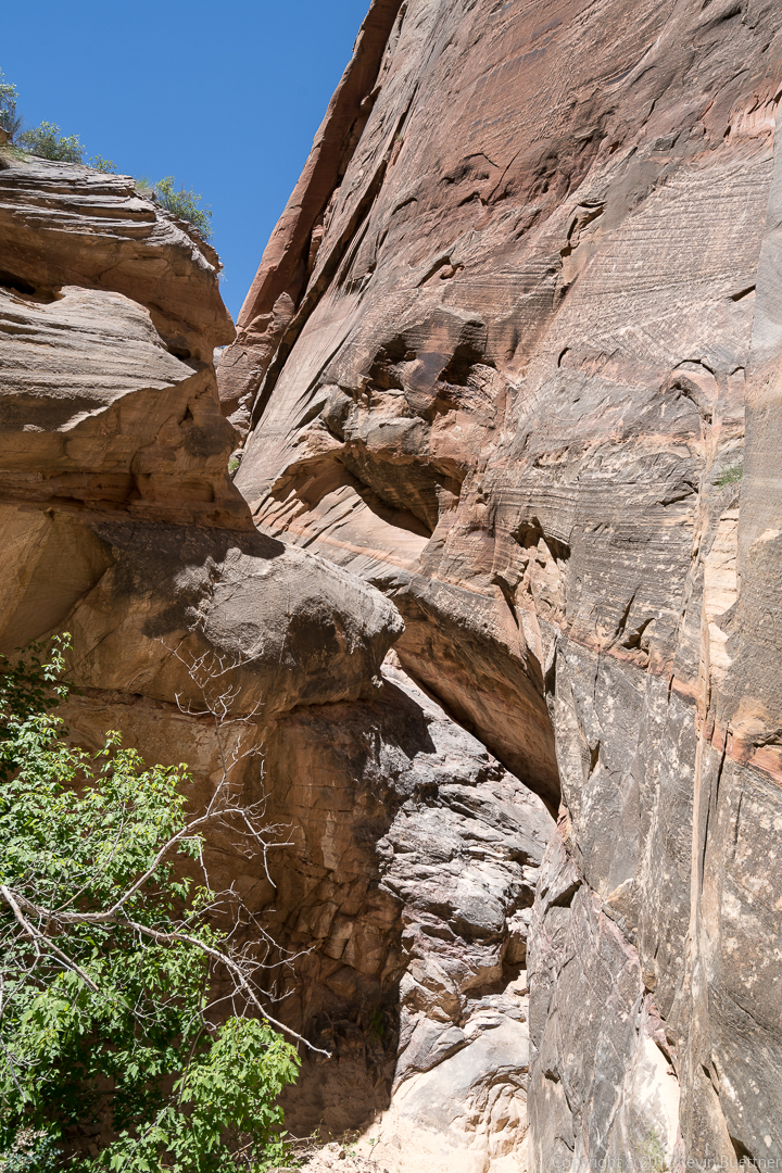
Headquarters Canyon…
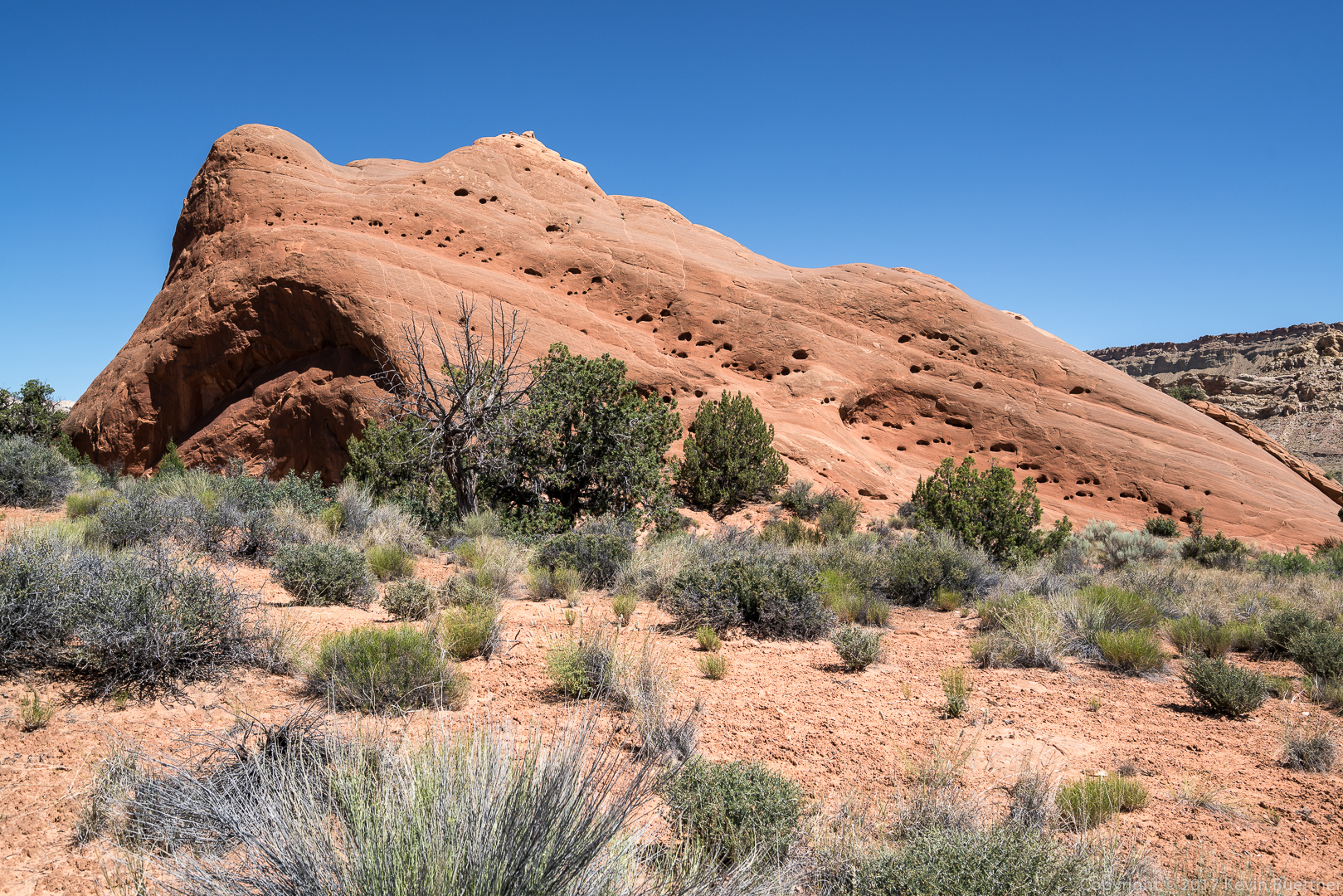
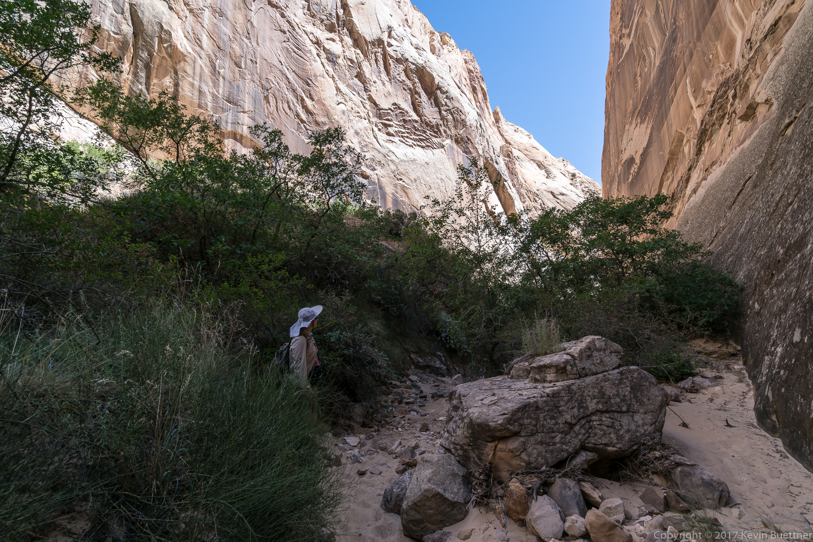

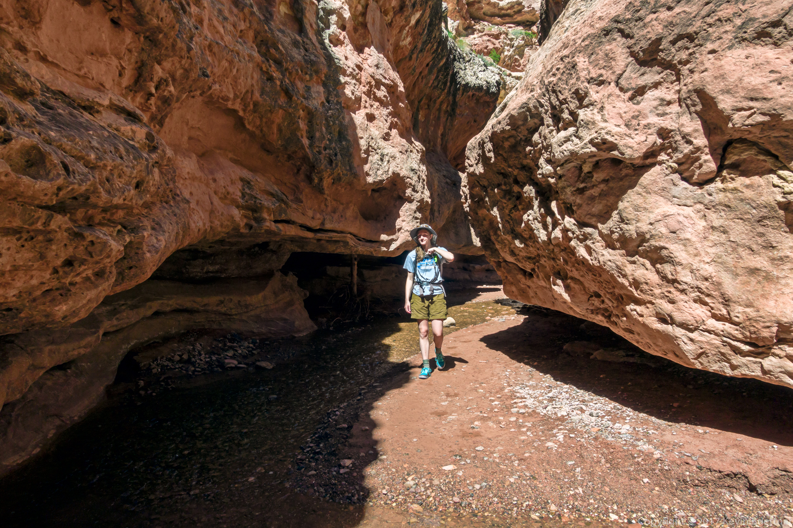
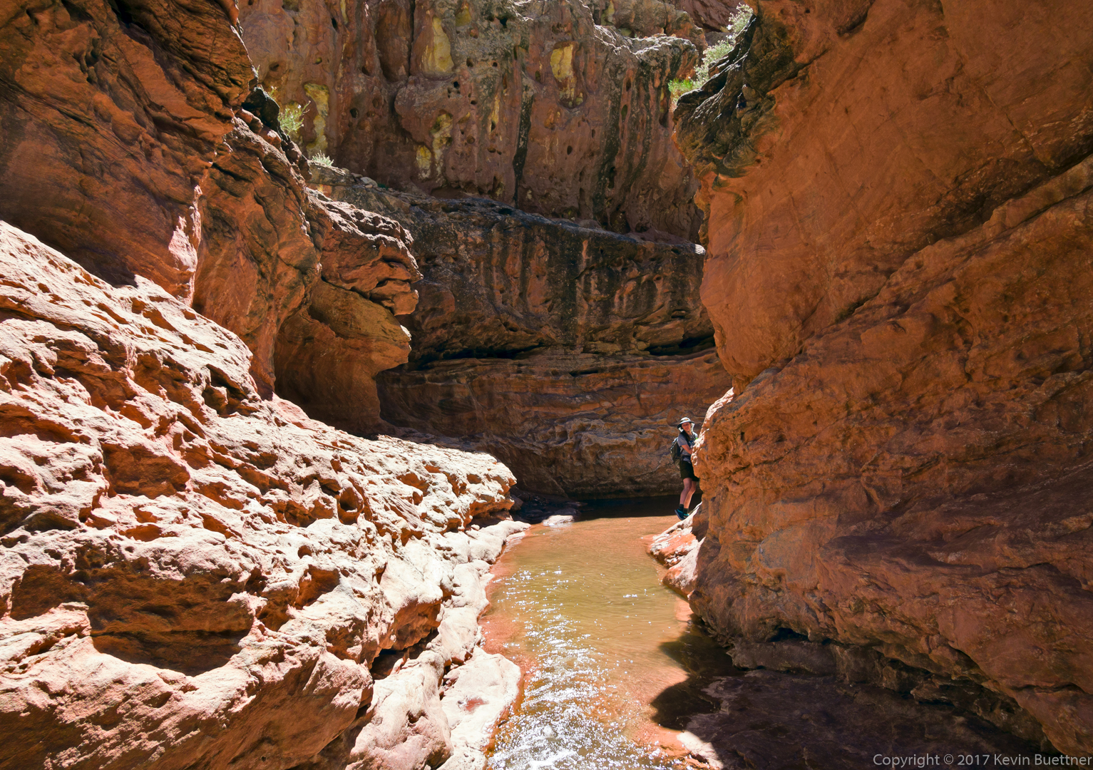
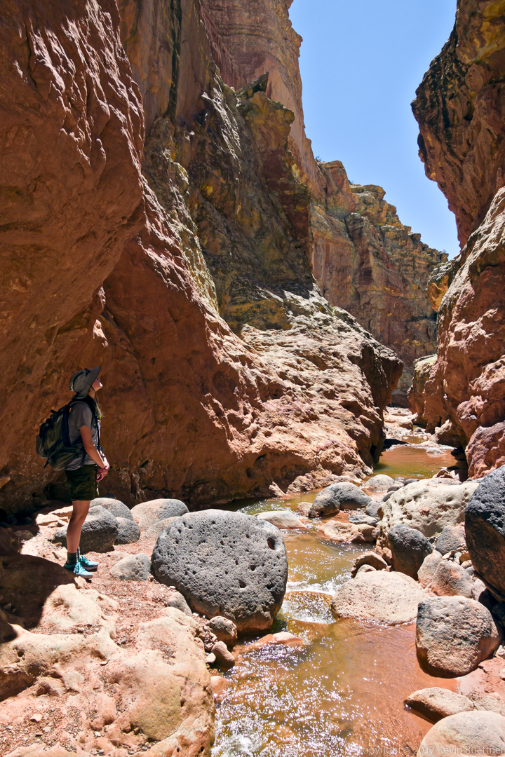
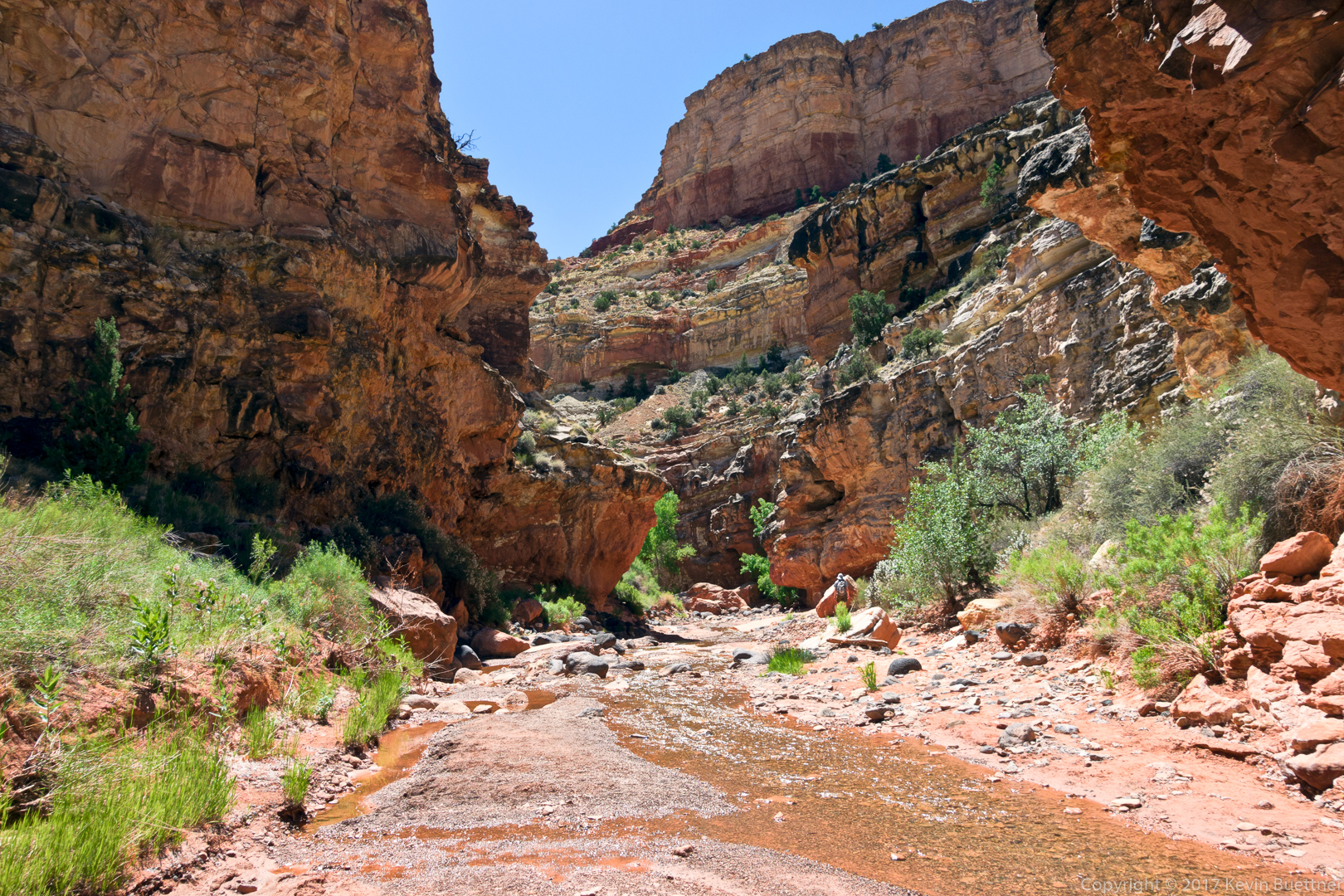
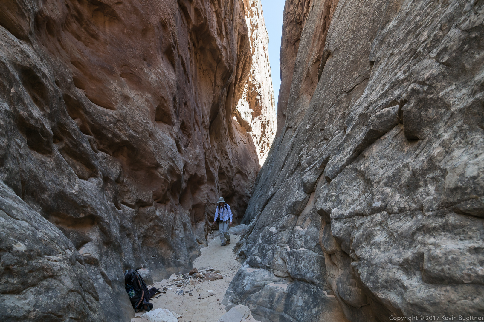
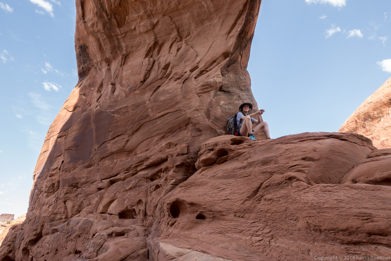
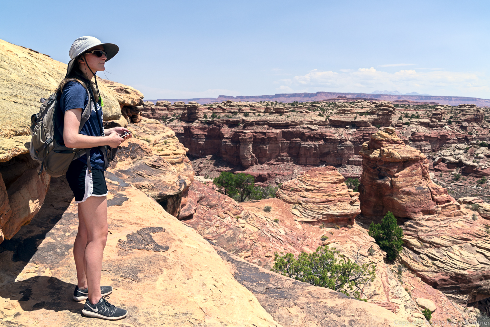
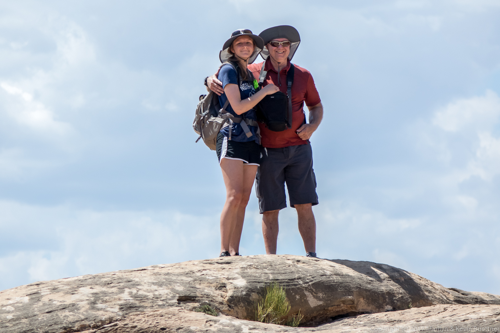
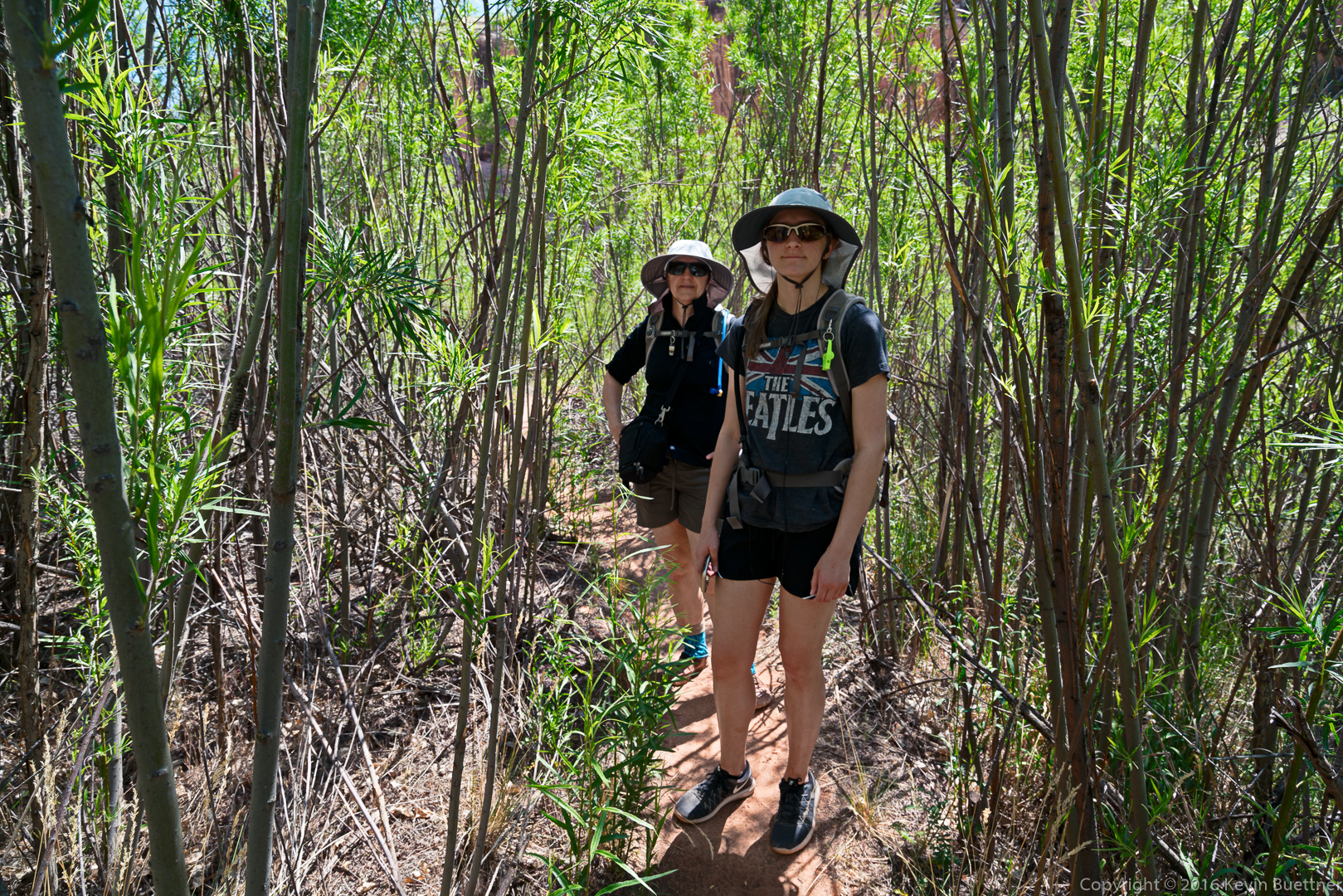
This is one of the members of a geological study group from The Ohio State University. The backpack belongs to another member of the group that we met on the way out.
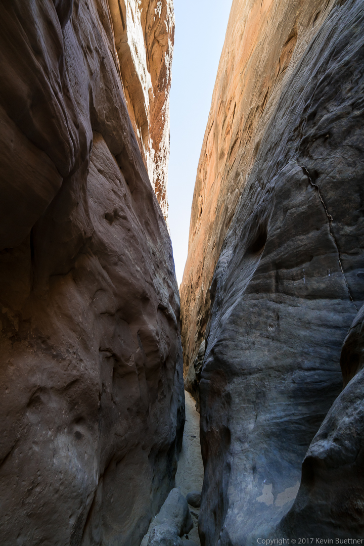

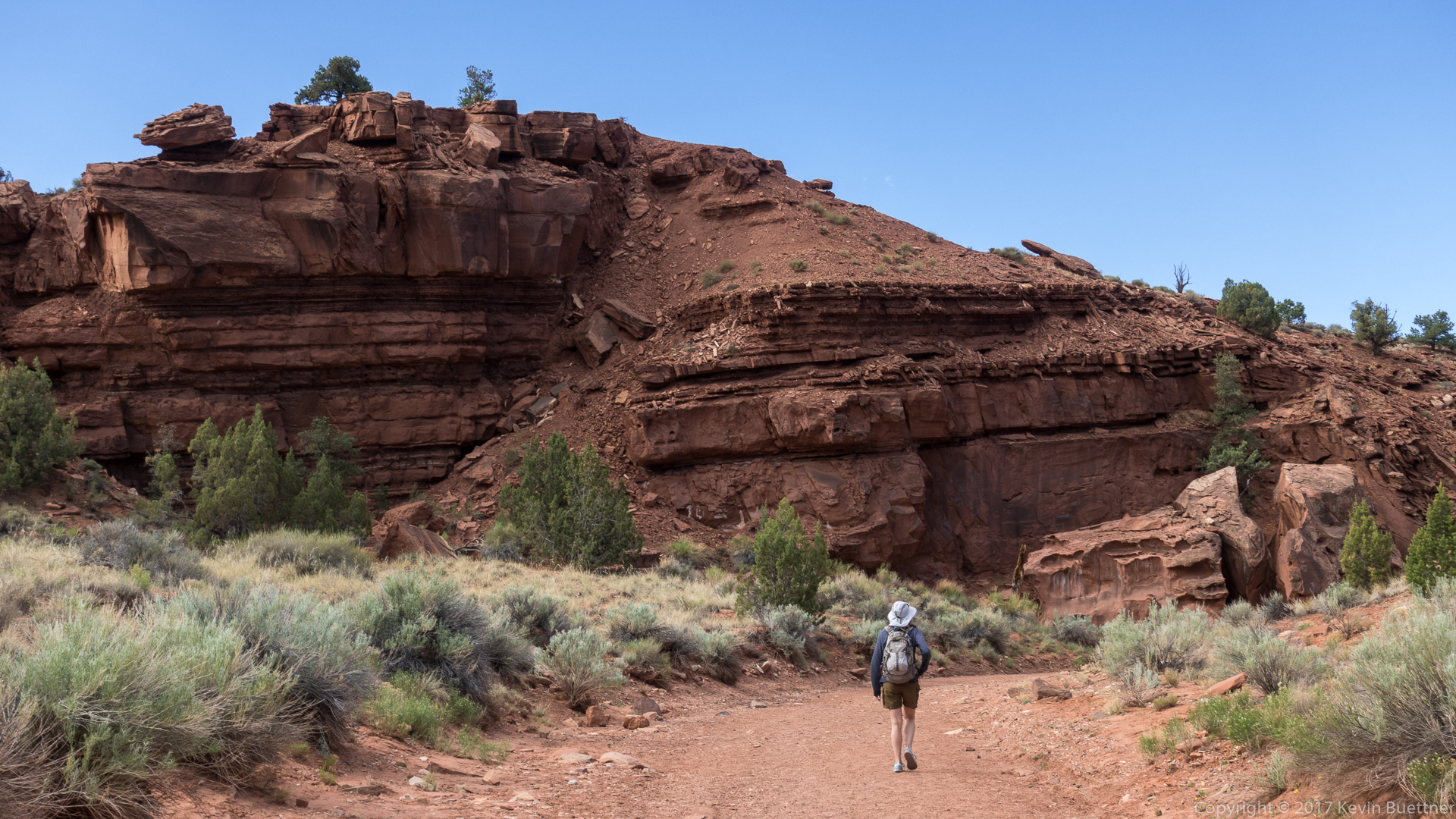
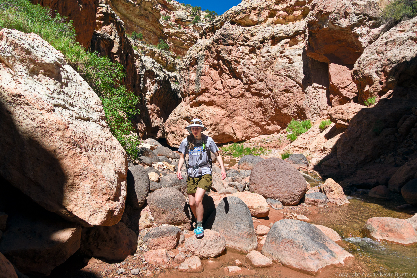
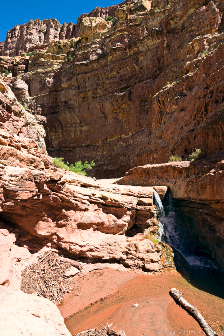
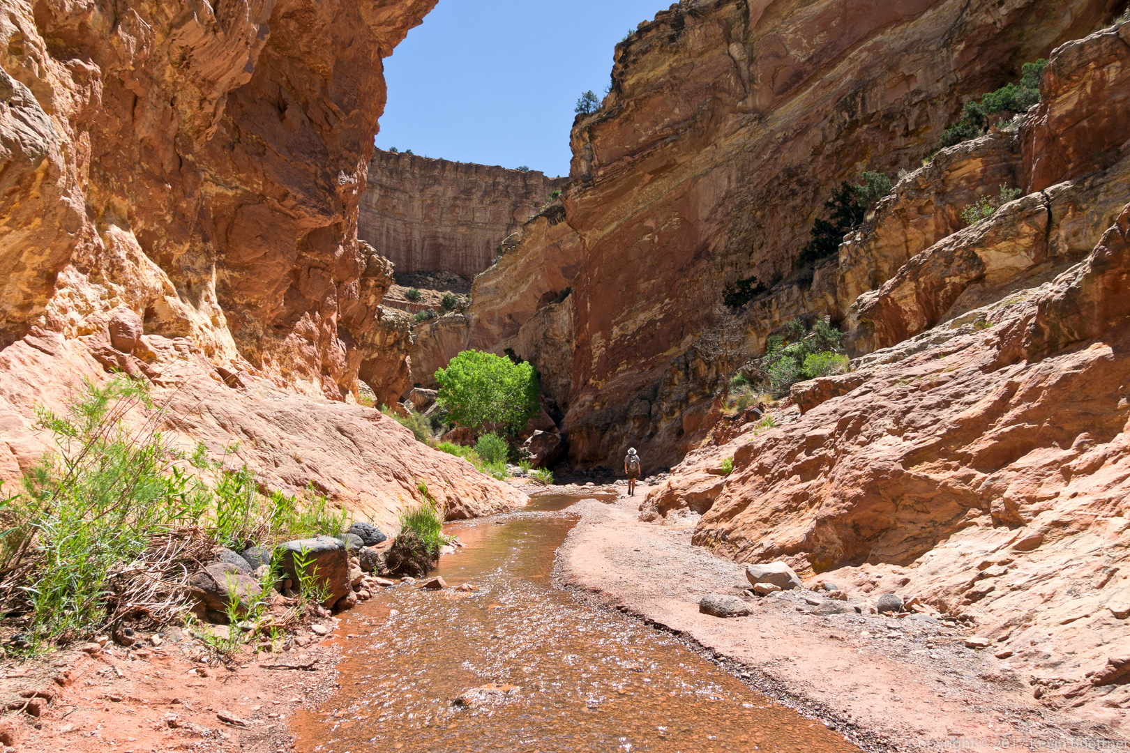
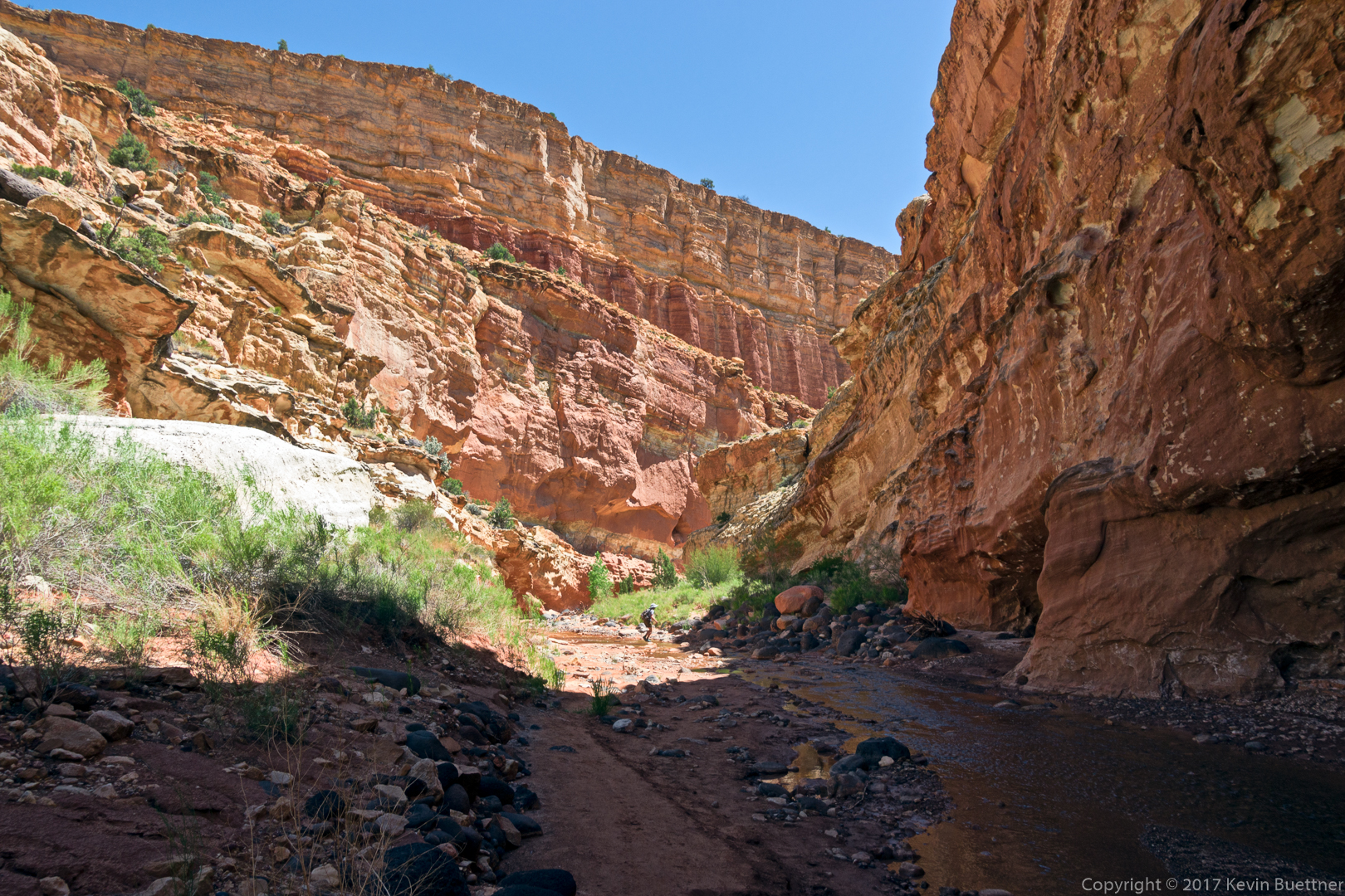
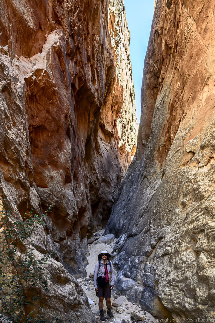
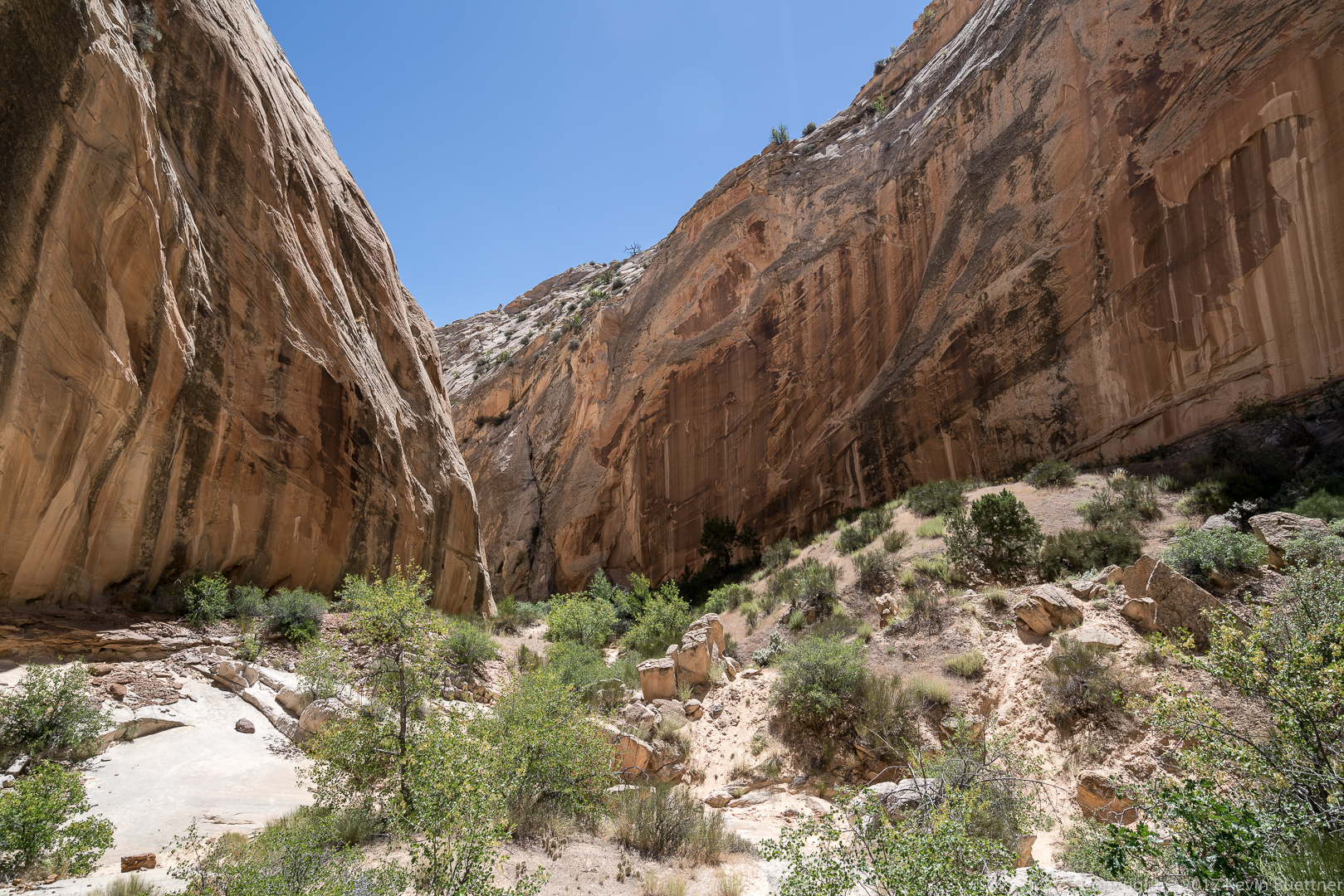
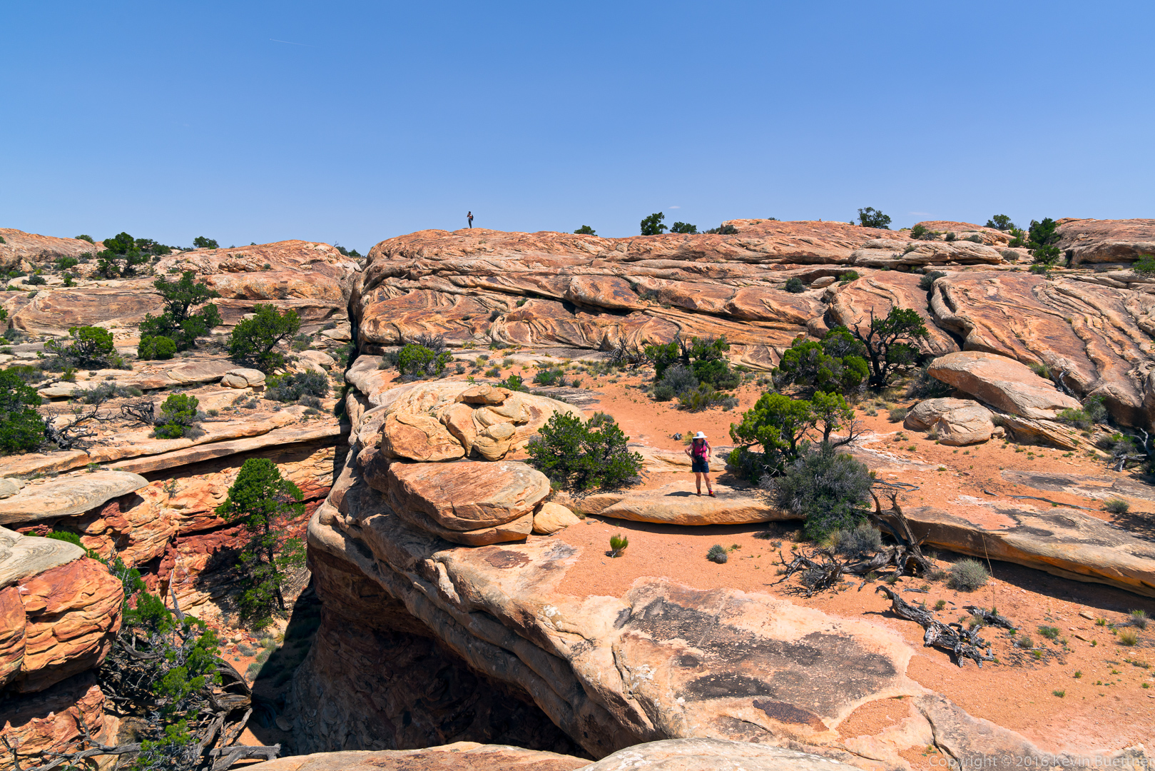
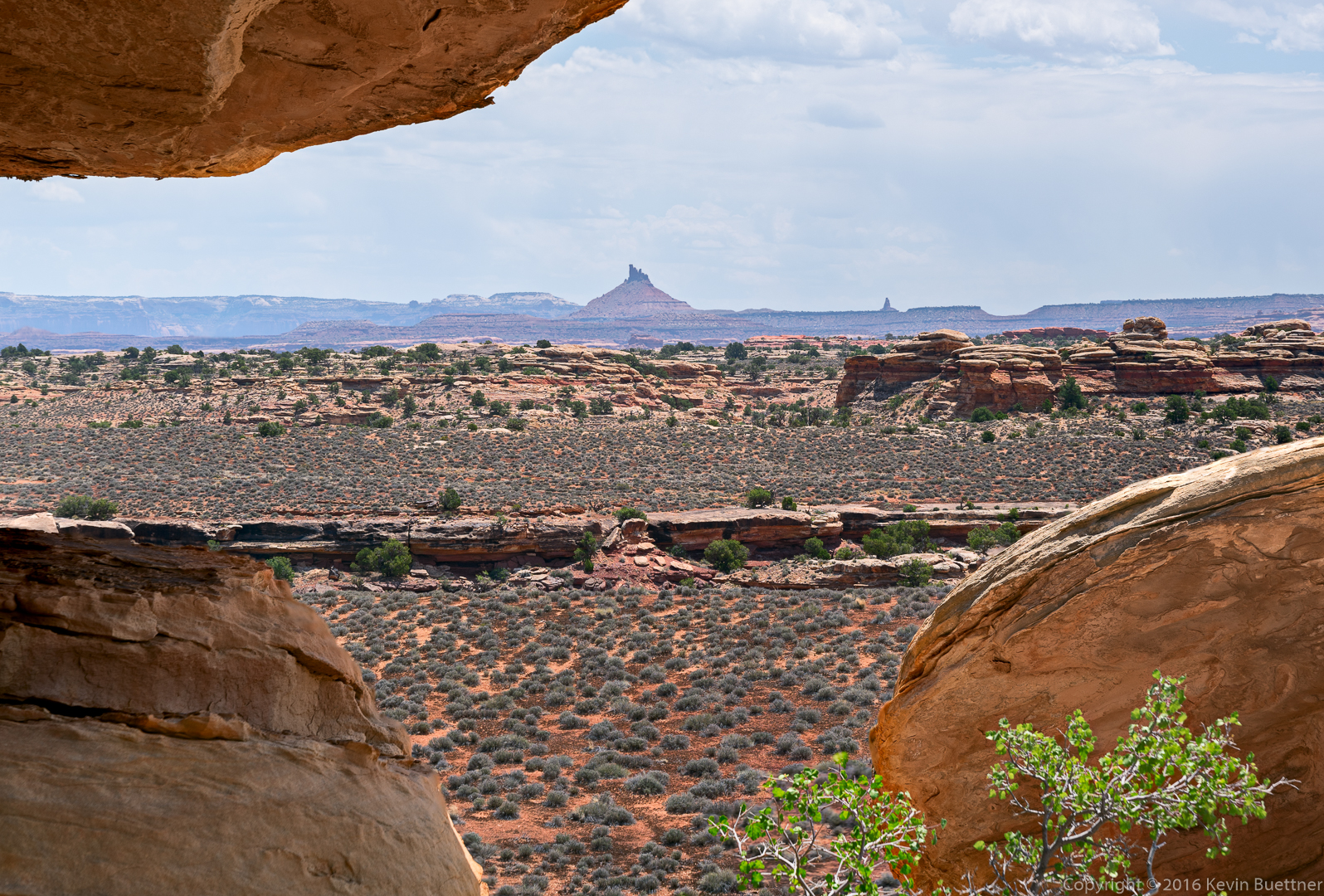
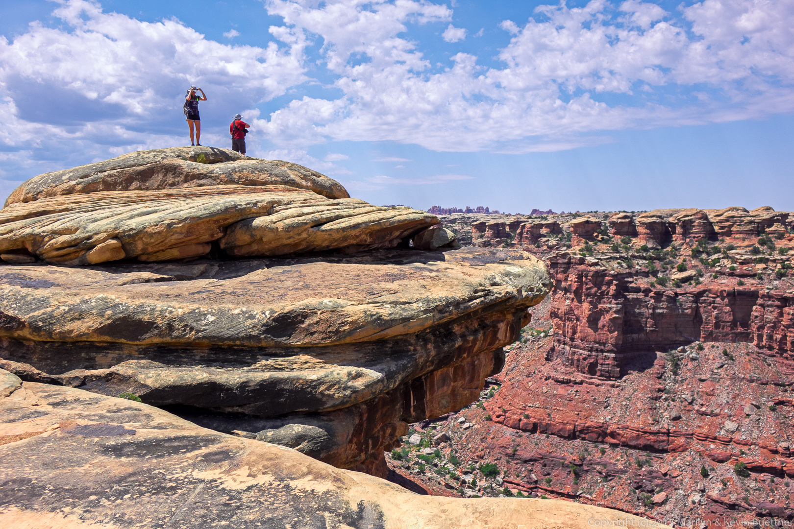
Surprise Canyon: This one was not as narrow as Headquarters Canyon, but it was still fun to visit. The obstacle at the end at the place where I turned around looked to be easy to surmount via scrambling, but Marilyn was waiting for me at the entrance to the canyon.

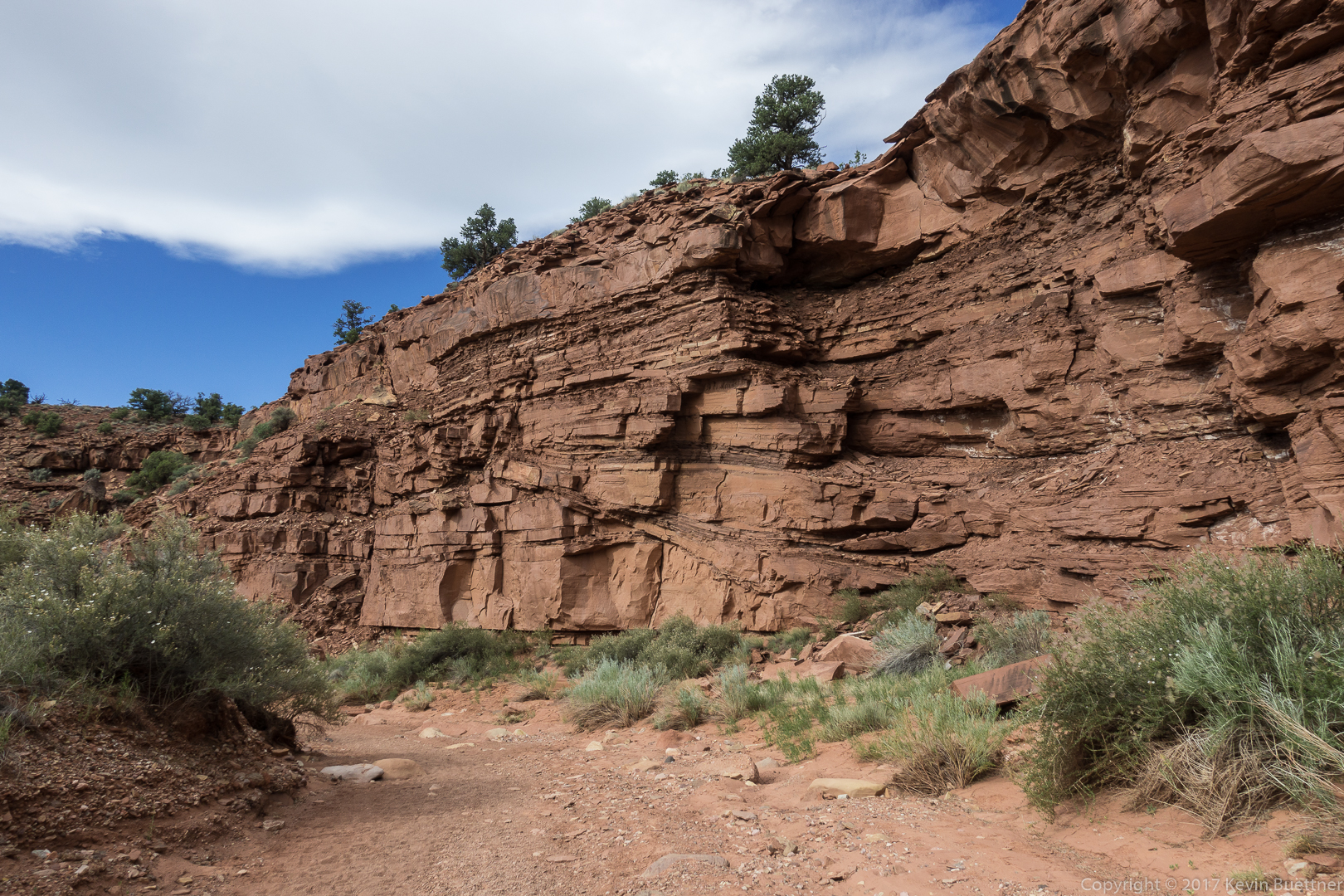
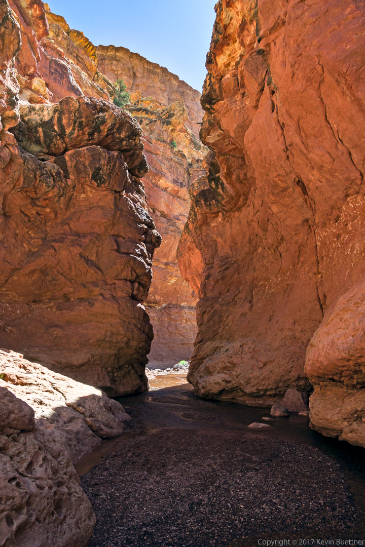
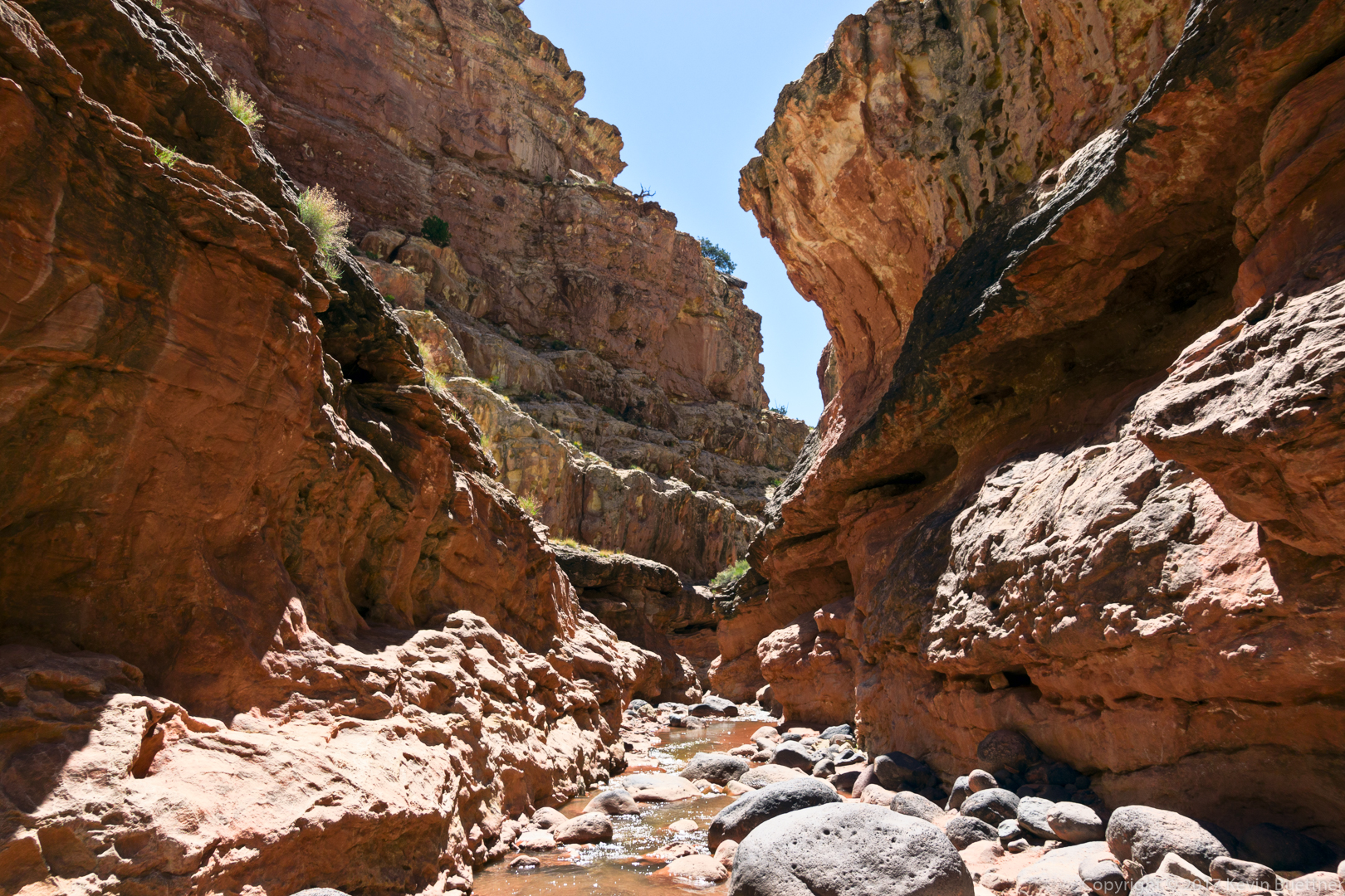
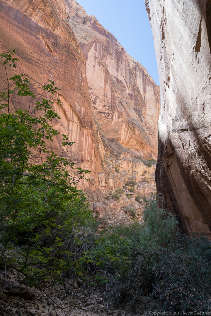
This is where the canyon narrowed. Easy climbing on the slickrock slab to the left would allow one to advance. I don’t know what’s beyond this point though.

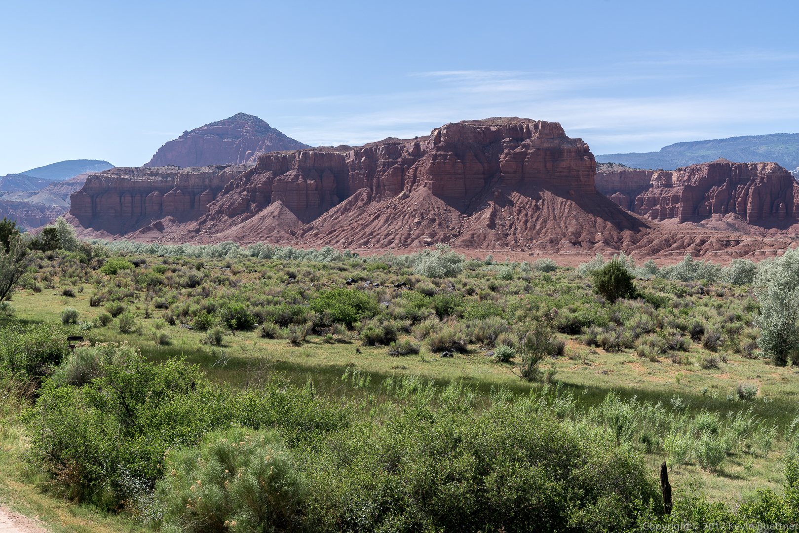
We stayed three nights at the Capitol Reef Resort just outside of Torrey, Utah. To the best of my knowledge, this motel is the closest to the Capitol Reef National Park of any in the area. That said, Torrey isn’t that far away and there are plenty of places to stay there too.
As shown below, the views are outstanding. However, there is quite a lot of nearby exposed dirt, making it very dusty on windy days. On the day we left, the parking lot seemed to be ensconced in a dust storm.
The beds were firm and comfortable. Room size was barely adequate for the three of us with all of the stuff that we bring with us.
There is no complimentary breakfast – it’s $10 per person. The breakfast buffet provided plenty of choices, but the scrambled eggs seemed a bit greasier than I was accustomed to. Marie didn’t feel well after her breakfast there and ended up staying back on that day. We bought cereal and milk from the General Store in Torrey and ate cereal on the remaining days.
When we visit again, we’ll stay somewhere else. It’s not that the Capitol Reef Resort was bad; we just want to find out what else is available.


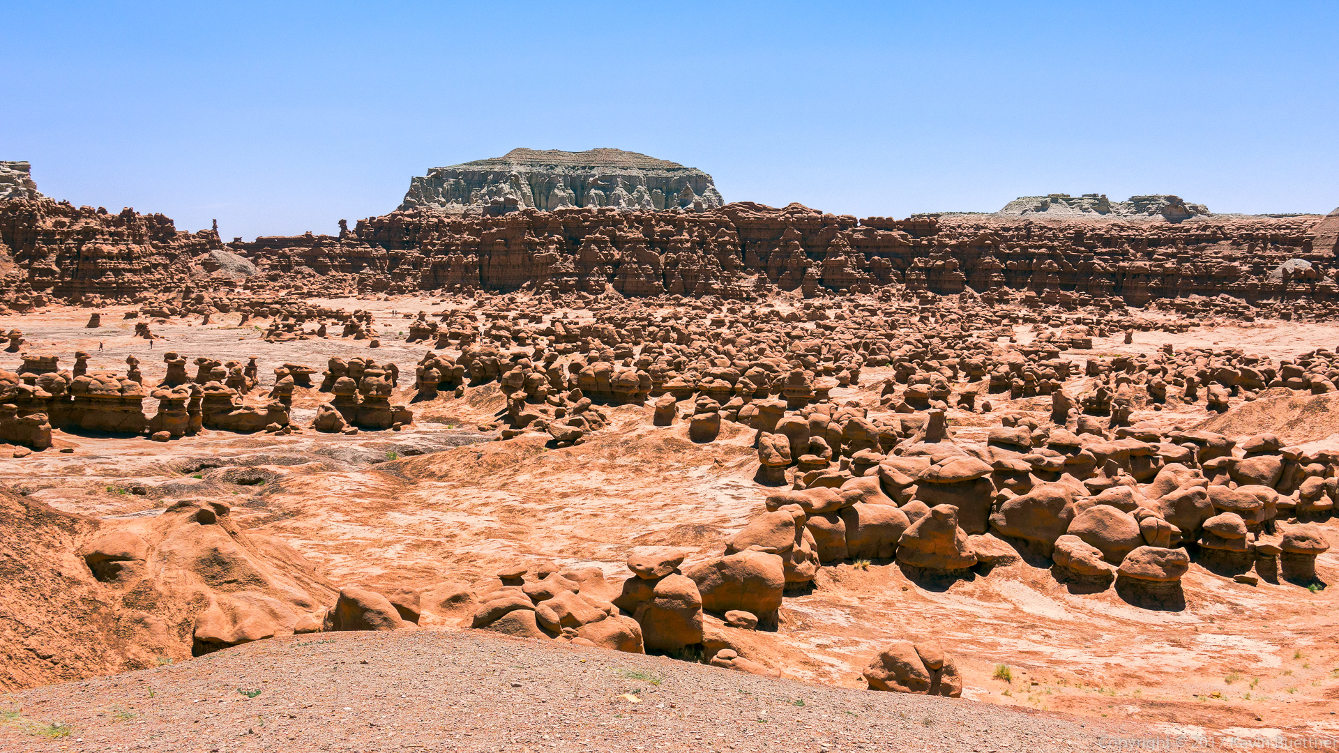
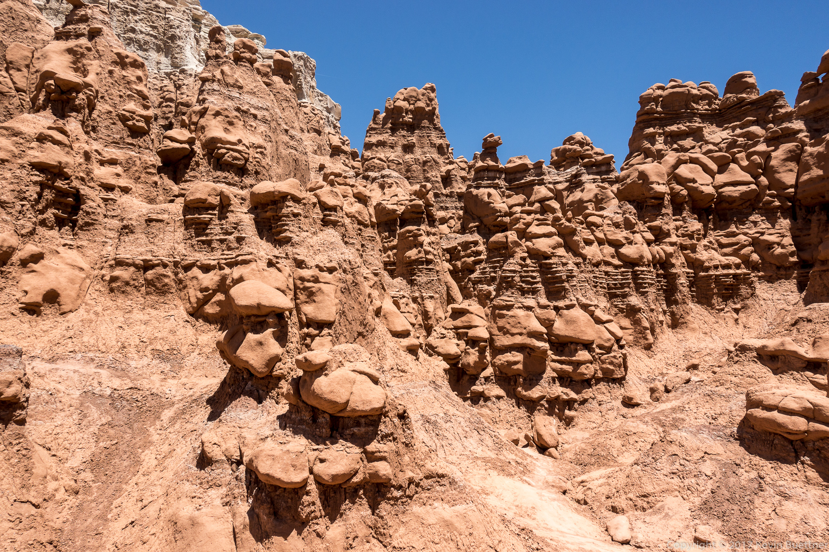
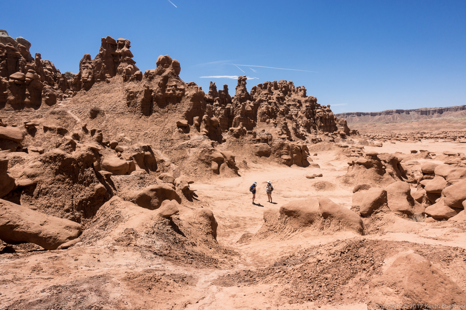
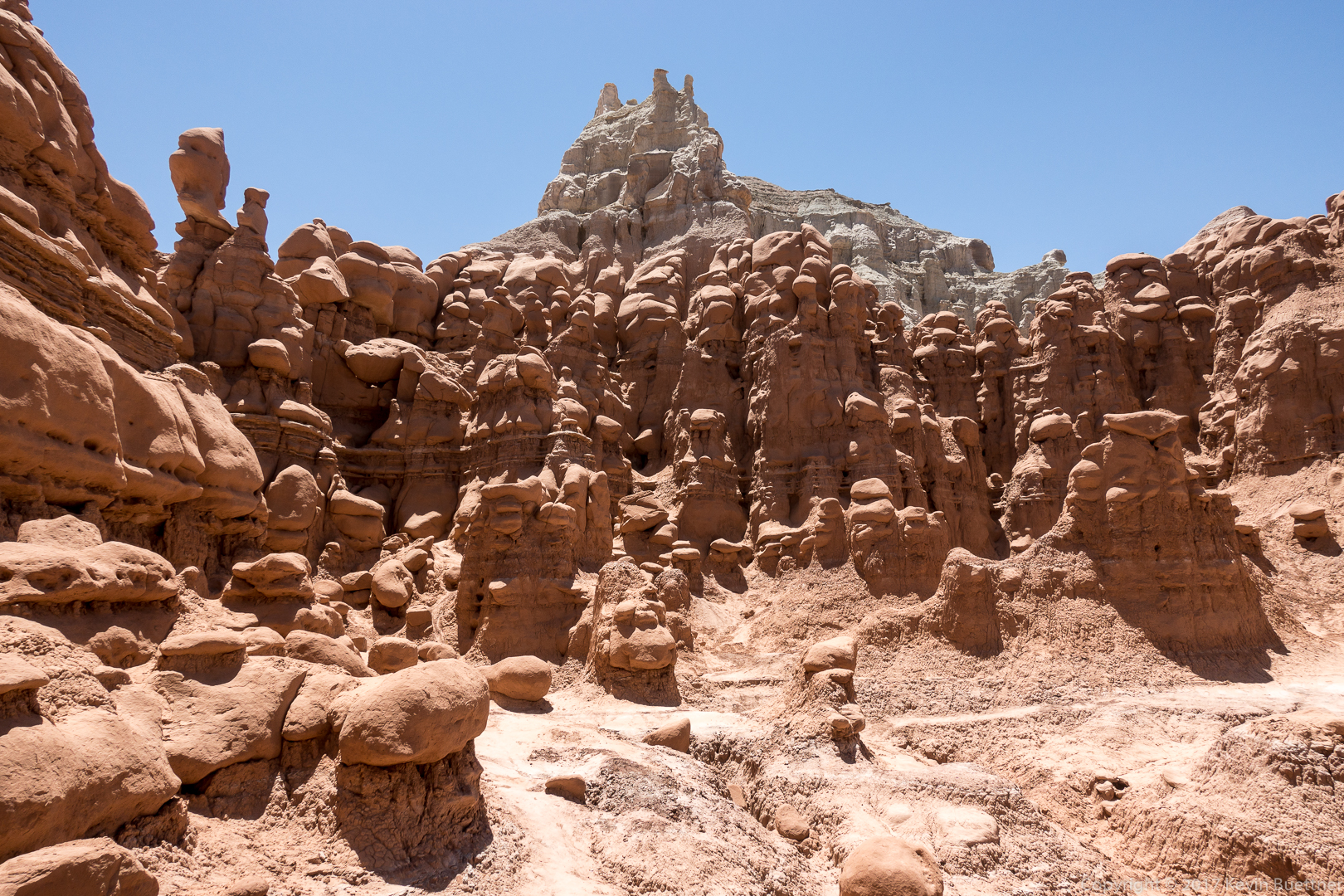
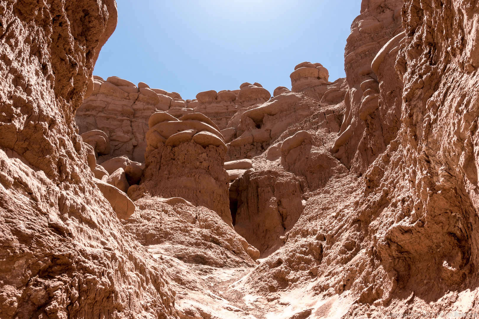
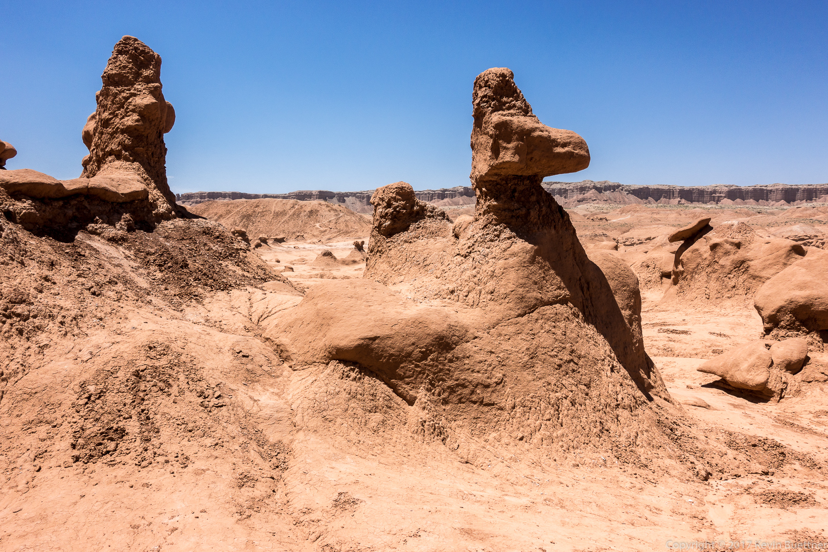
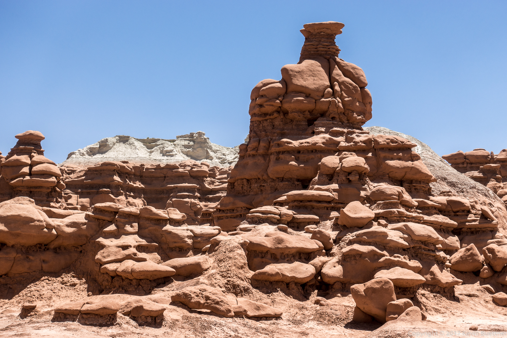
On June 9, while traveling between Moab and Torrey, we stopped by Goblin Valley State Park. We didn’t stay very long as it was extremely windy. (It stayed windy over the next several days.) Surprisingly, visibility wasn’t too bad, but there was still a lot of dust in the air. We figured that breathing it wasn’t especially good for us.
We ate a Duke’s Slickrock Grill in Hanksville after our visit to Goblin Valley. The food and service was exceptional, possibly the best of our entire trip to Utah in 2017.


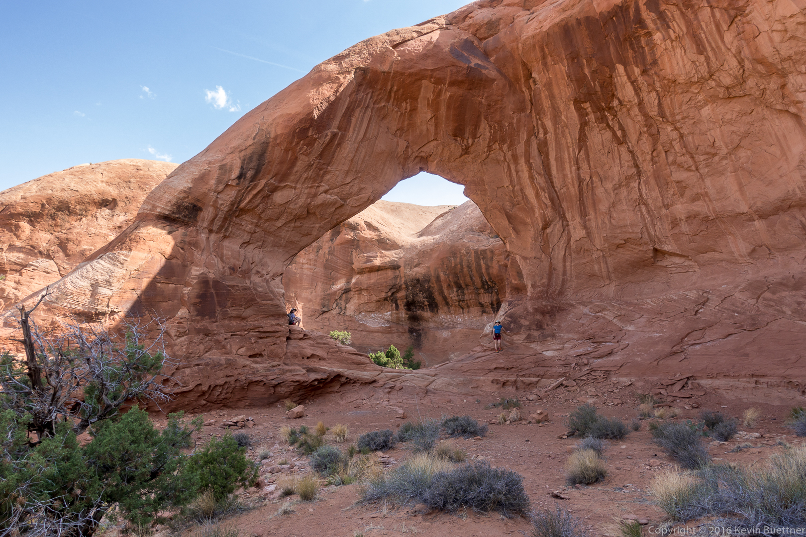
On Wednesday, Marilyn, Marie, and I visited Funnel Arch. We had tried to go there several years ago, but came to a steep section, supposedly still class 3, which we weren’t certain we could down-climb. This year, we came equipped with a rope, climbing harnesses, and gear for setting up an anchor. Marie did the moves up the tricky section and used a stout tree for an anchor. She gave me a belay, allowing me to climb get past that section safely. I belayed Marilyn and then belayed Marie up and down the route several times so that she could both practice the moves and also transport both her and her Mom’s backpacks to where Marilyn and I were waiting. After our visit to Funnel Arch, Marie rappelled down in order to get more practice with rappelling. After Marilyn and I both rappelled down, she took down the anchor and then down-climbed the route (with me spotting).
I don’t have any photos of this section – we were all to busy with rope management, etc.
Marie and Marilyn at Funnel Arch:
Marie taking a well deserved break beneath Funnel Arch:
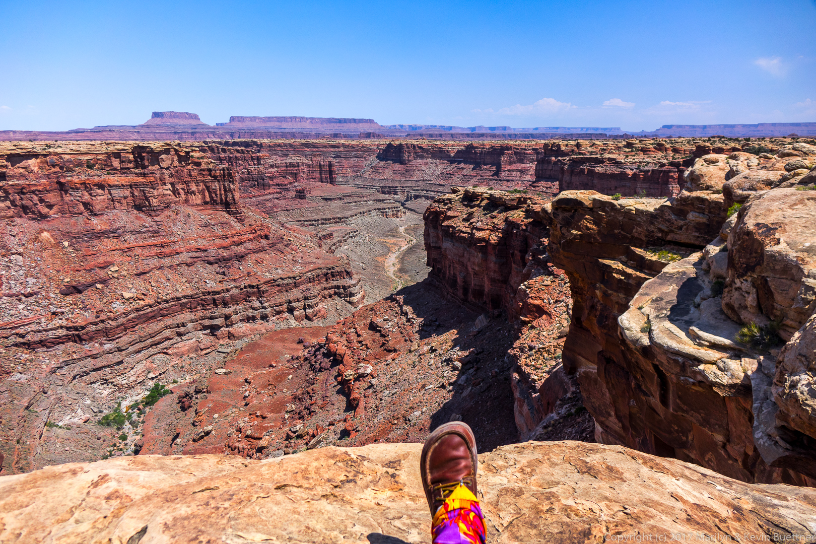
Looking down on the Colorado River and Kane Creek Road:
Our car is far below us in this photo. Marie spotted some bolted anchors for rappelling here, but neither she nor Marilyn wanted to descend via these anchors. I’m not certain that our rope would have reached to the bottom anyway – we would probably need two ropes to get down via these anchors.
Somewhat beyond the arch, I noticed a fin blocking our view of what was beyond. I scrambled up a low part of the fin to see what was on the other side. I have read that a climb up the arch – or perhaps the fin that I saw – can be used as a gateway to the “Behind the Rocks” area. This looks like a fun area to explore.
On my way back to where Marilyn and Marie were waiting, I got this photo of the other side of Funnel Arch:

On Tuesday, Marilyn, Marie, and I hiked to Delicate Arch and back. After that, we paid a visit to the Windows area.
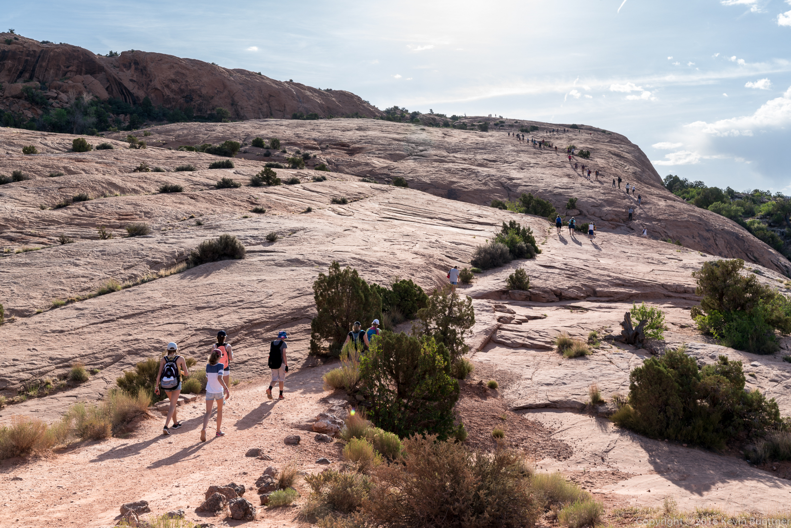
The park roads are closed between 7 pm and 7 am this year. Ours was one of hundreds of cars which showed up on that day at the 7 am opening. It seemed that most of the traffic was headed towards Delicate Arch. I’ve never seen it busier. We got there early enough to easily get parking at the newly expanded lot for the Delicate Arch Trailhead. The Windows area was extremely busy – parking there was very difficult when we visited later in the day.
This is the corral at Wolfe Ranch:

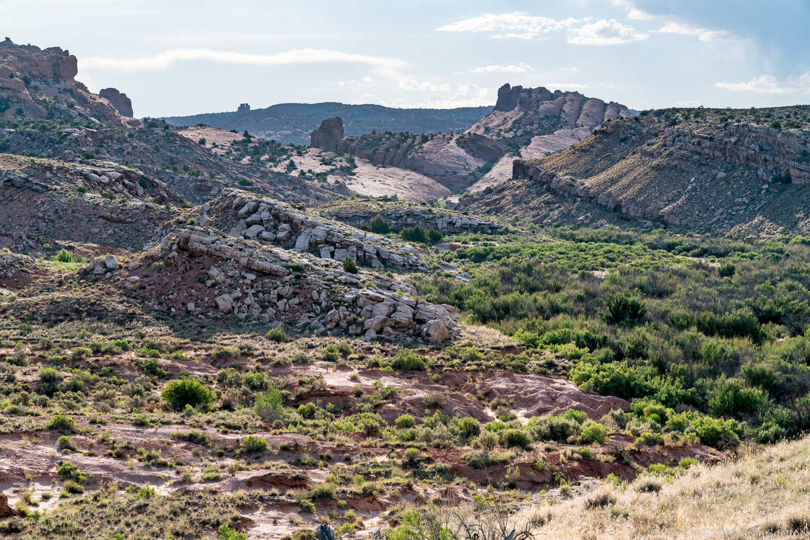
This is a view from early in the hike:
The trail goes up a massive slickrock slab:
Delicate Arch:
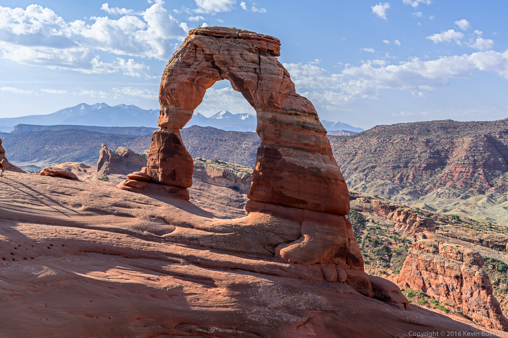
This is the crowd near the arch. In the center of the photo, there is a queue of people lined up to stand under Delicate Arch for photos.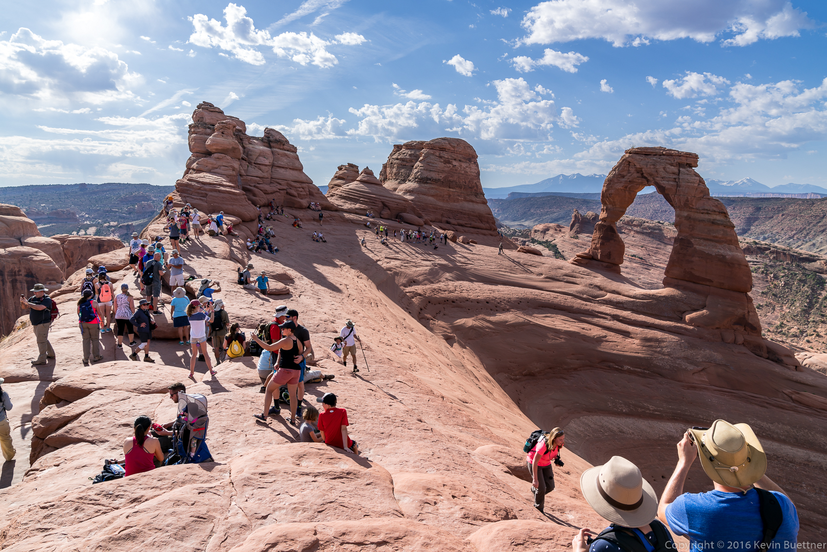
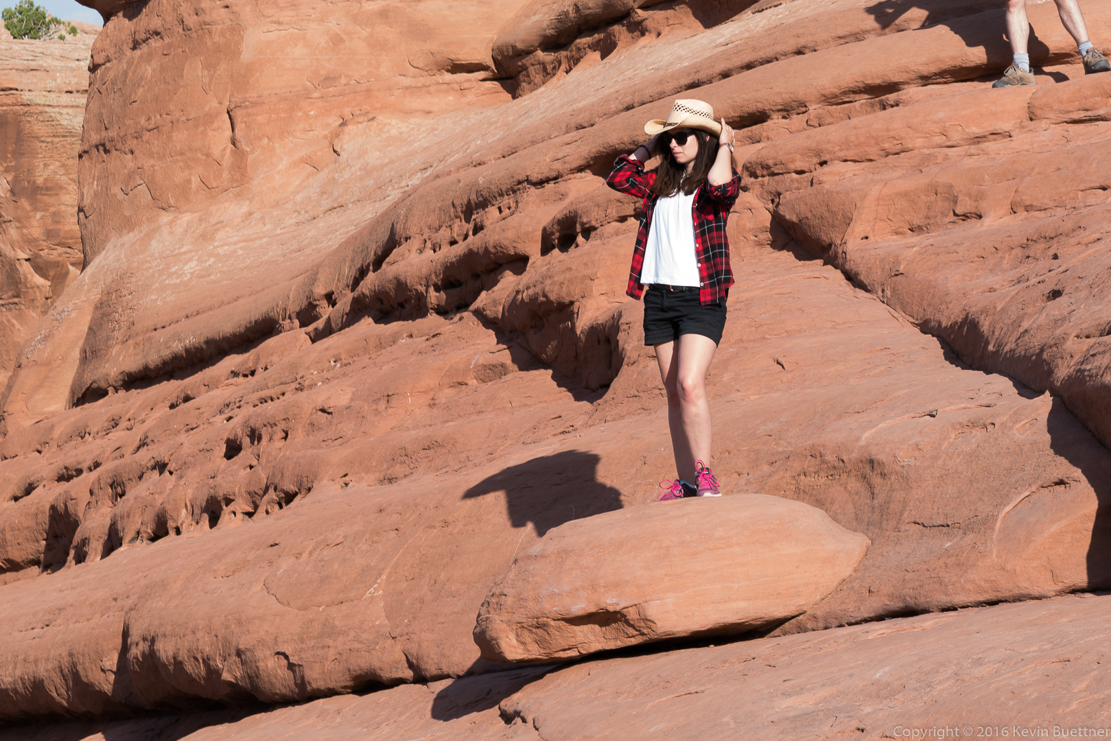
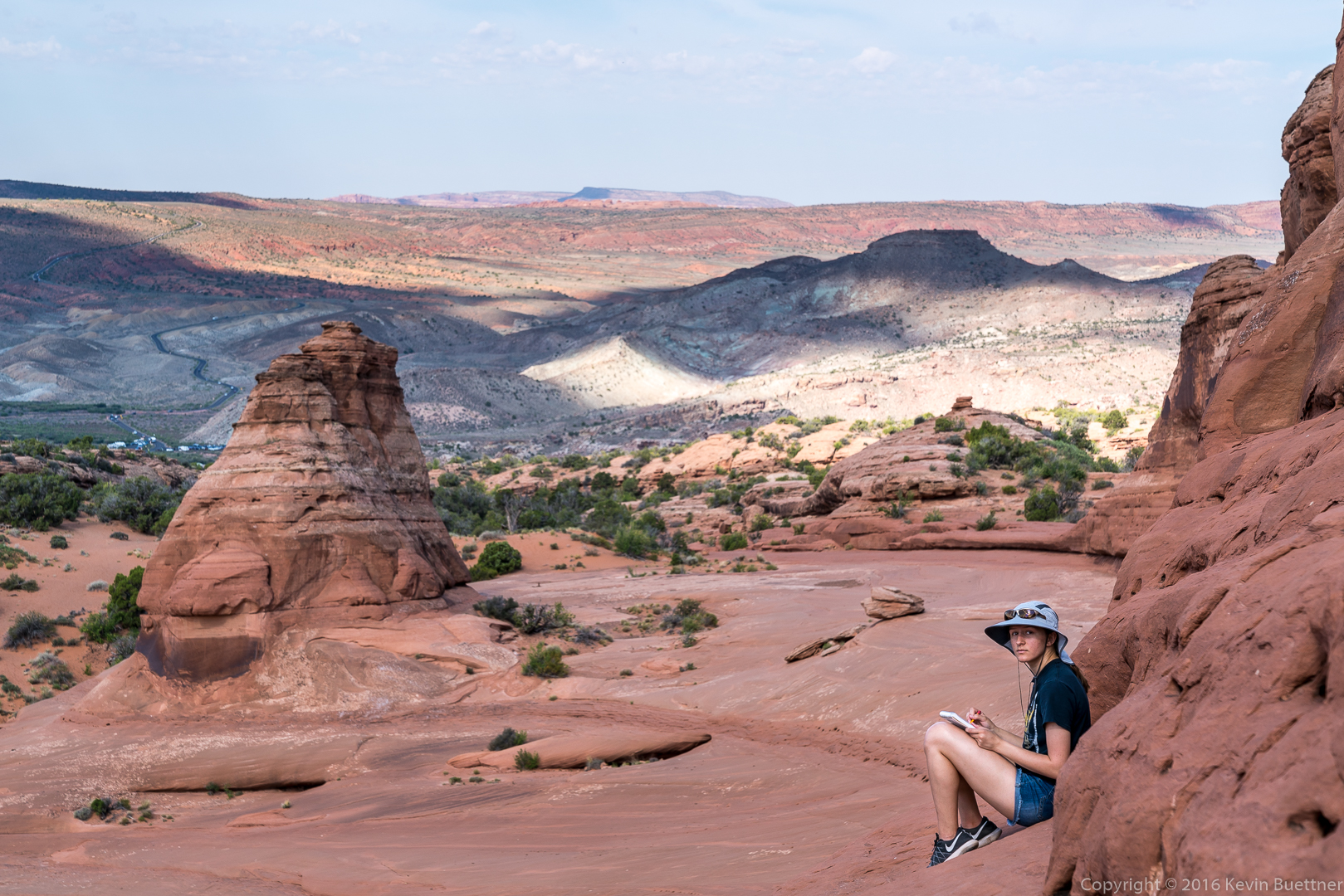
Marie sat on this ledge and did some sketching:
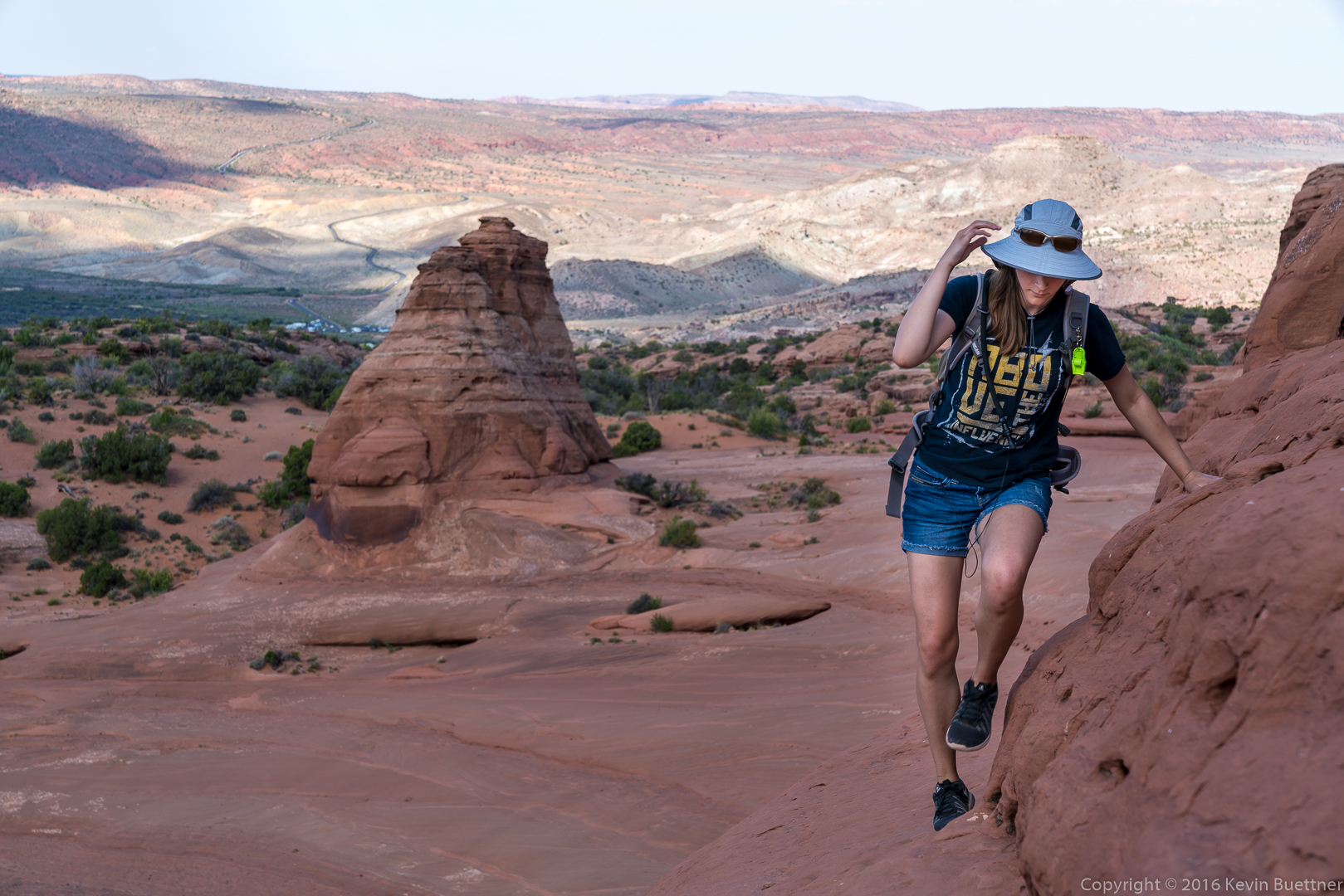
Marie, walking back along that slickrock ledge.
When we got to the Windows area, we hiked the “primitive” trail in an attempt to get away from the crowds. We were successful for perhaps five minutes. This is a view of the South Window and North Window from that trail.

This is a view of the South Window. Marie is below the arch, looking for ways to climb up into the Window. We started over towards the North Window, but she told me that she wanted to go back to make a more serious try at climbing into the Window. Her Dad spotted her, but also reminded her that whatever she climbed up, she also had to down-climb – and down-climbing is a lot harder. (Marie and the rest of her family got a chance to do some easy climbing on Wednesday.)


Here are some of Marilyn’s photos from the day:


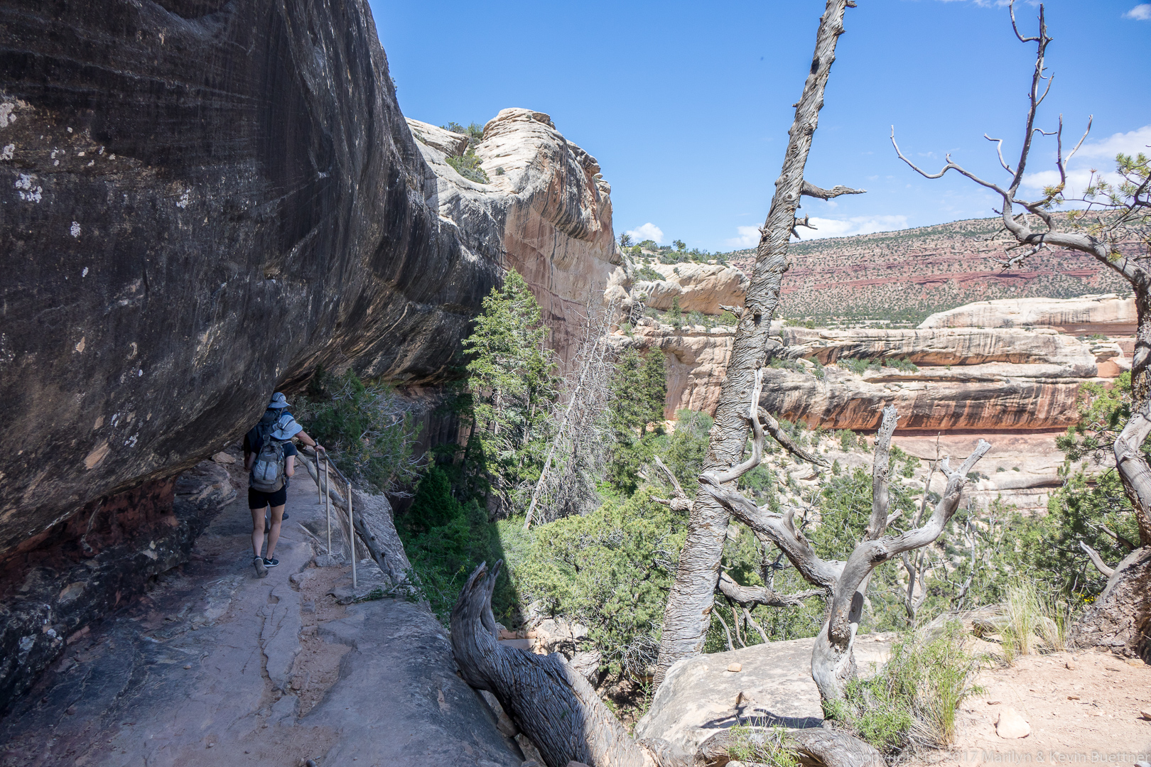
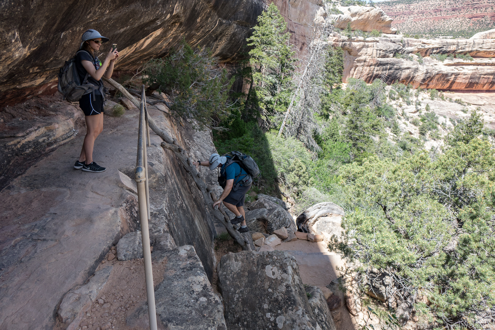
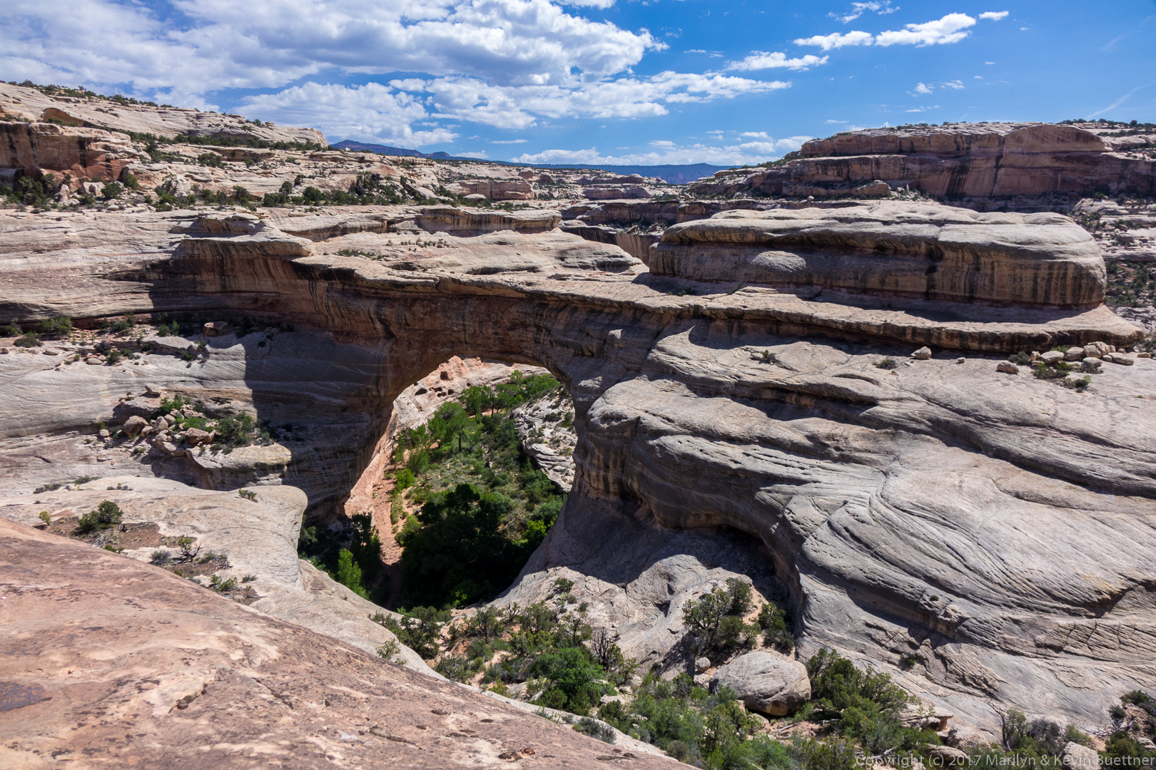
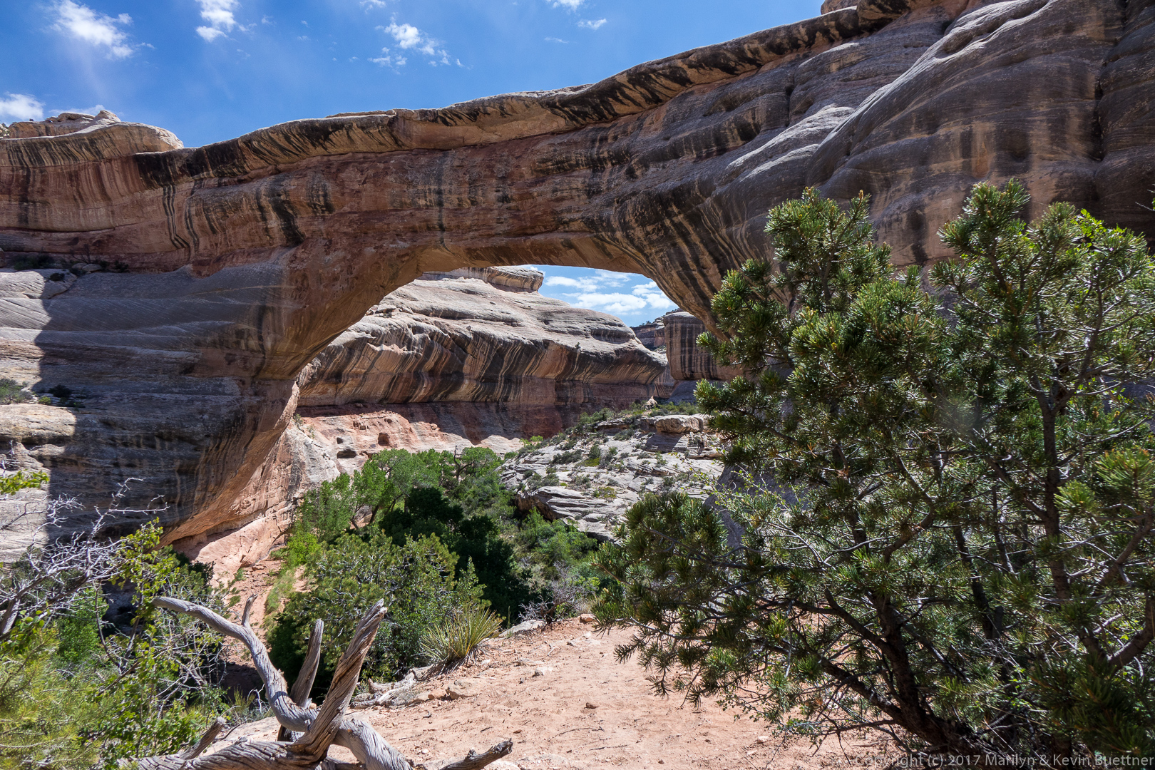
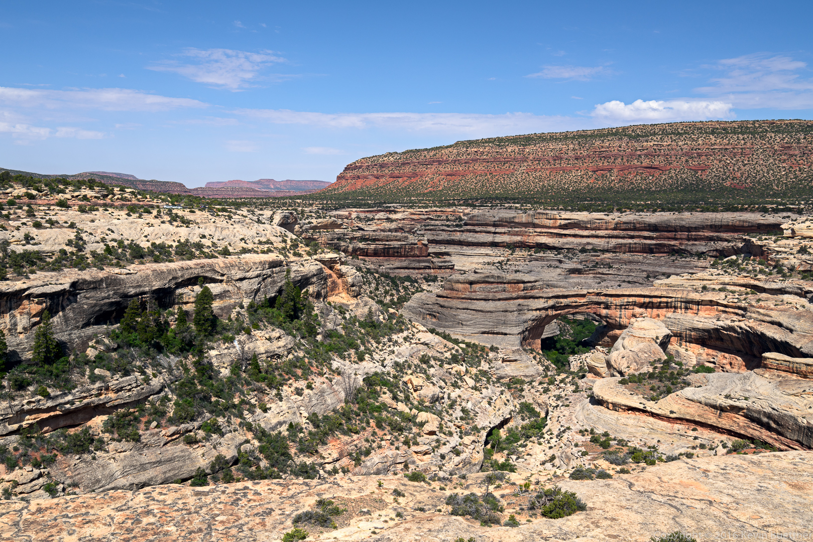
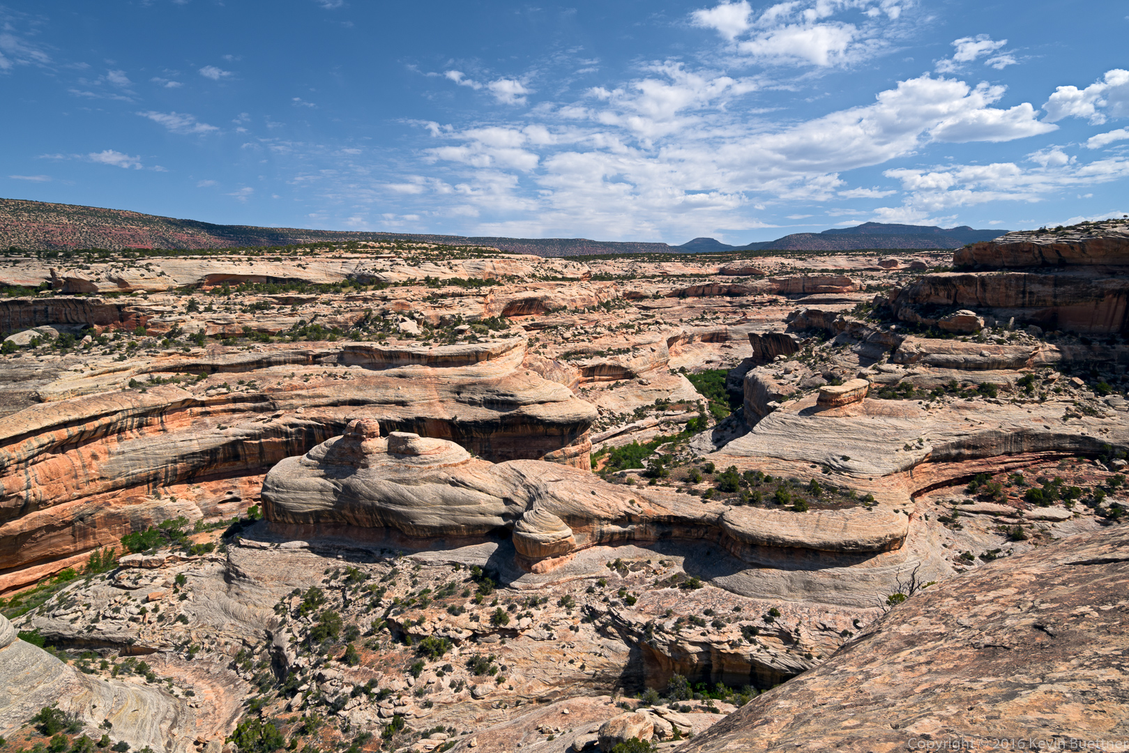
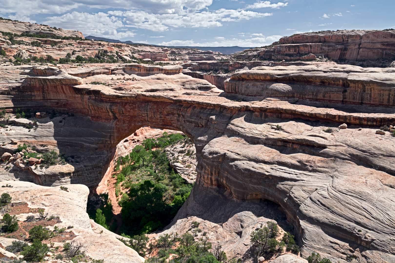
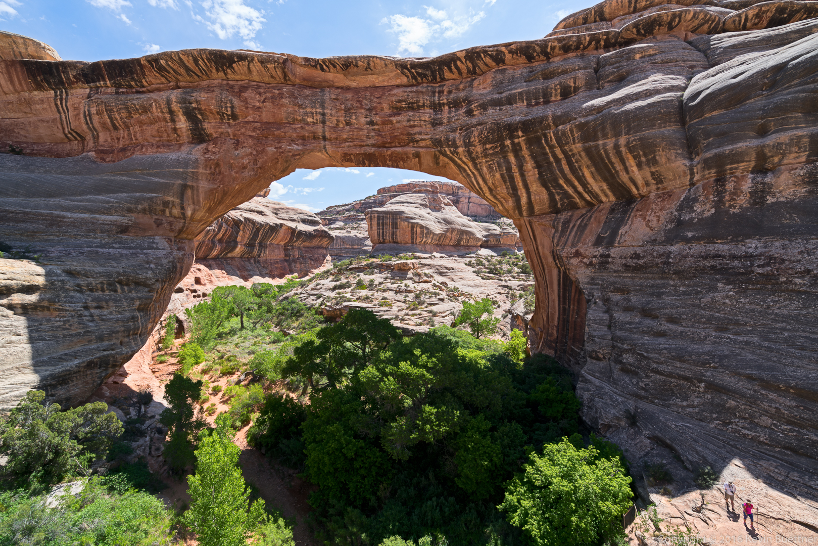
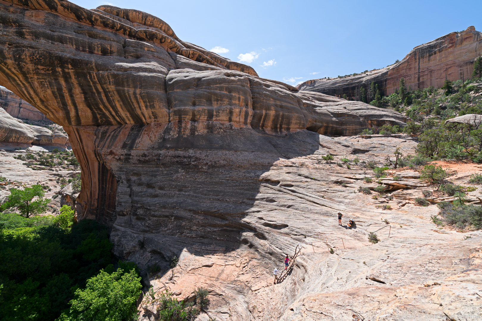
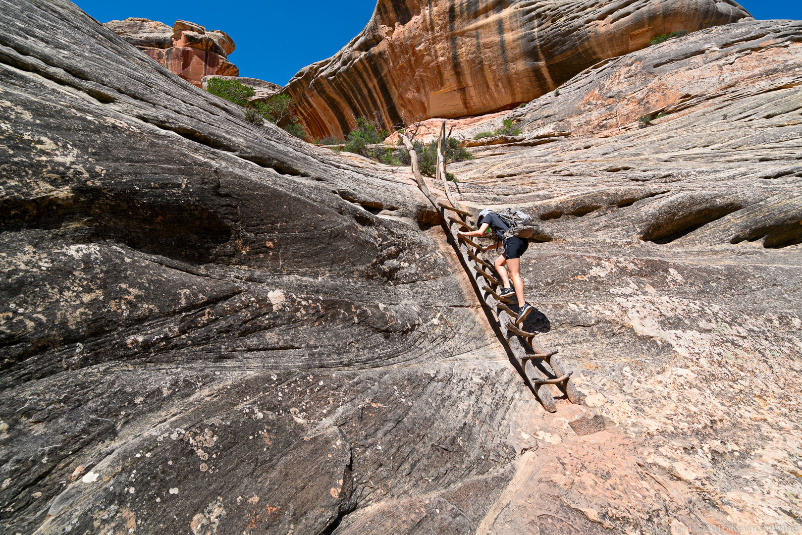
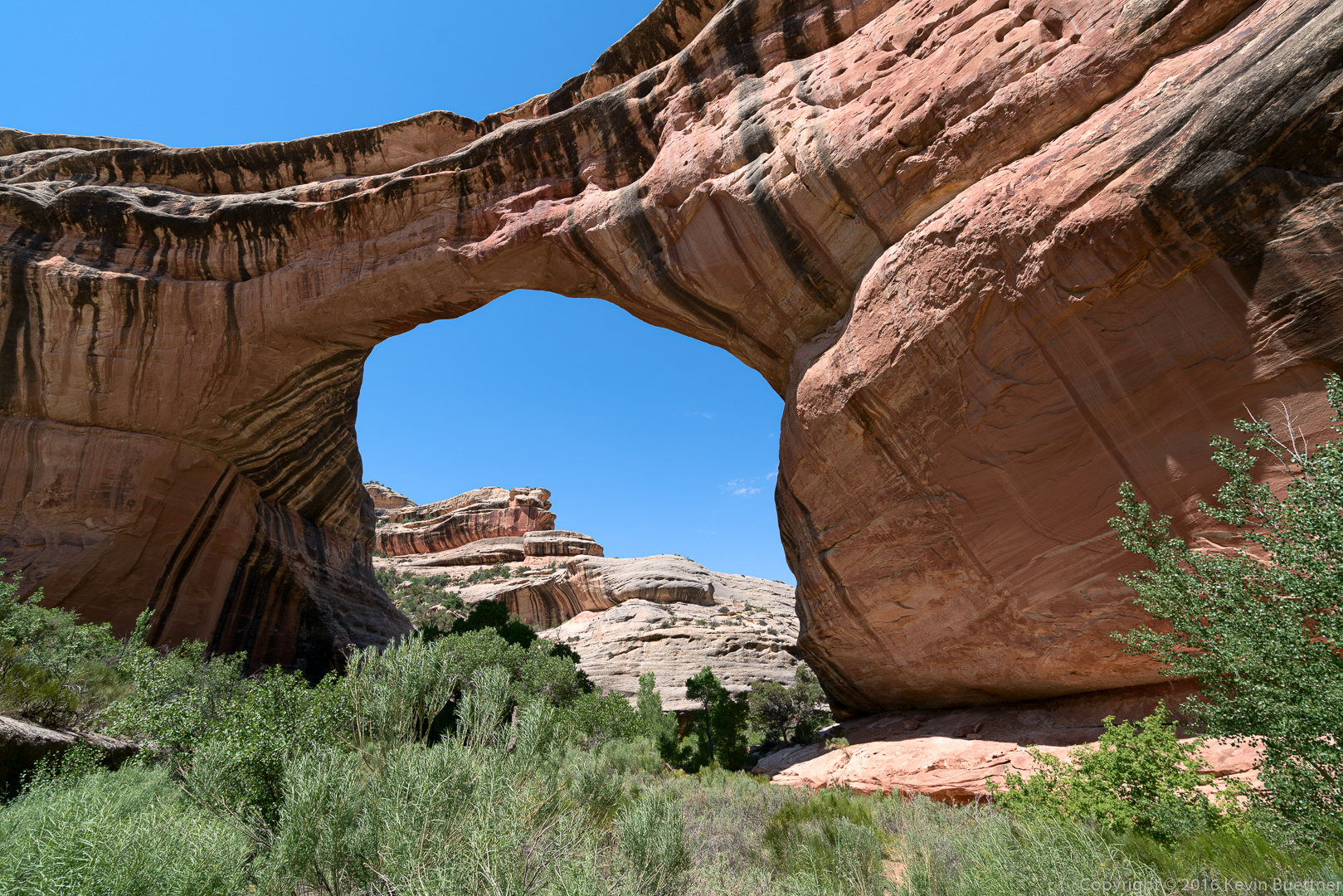
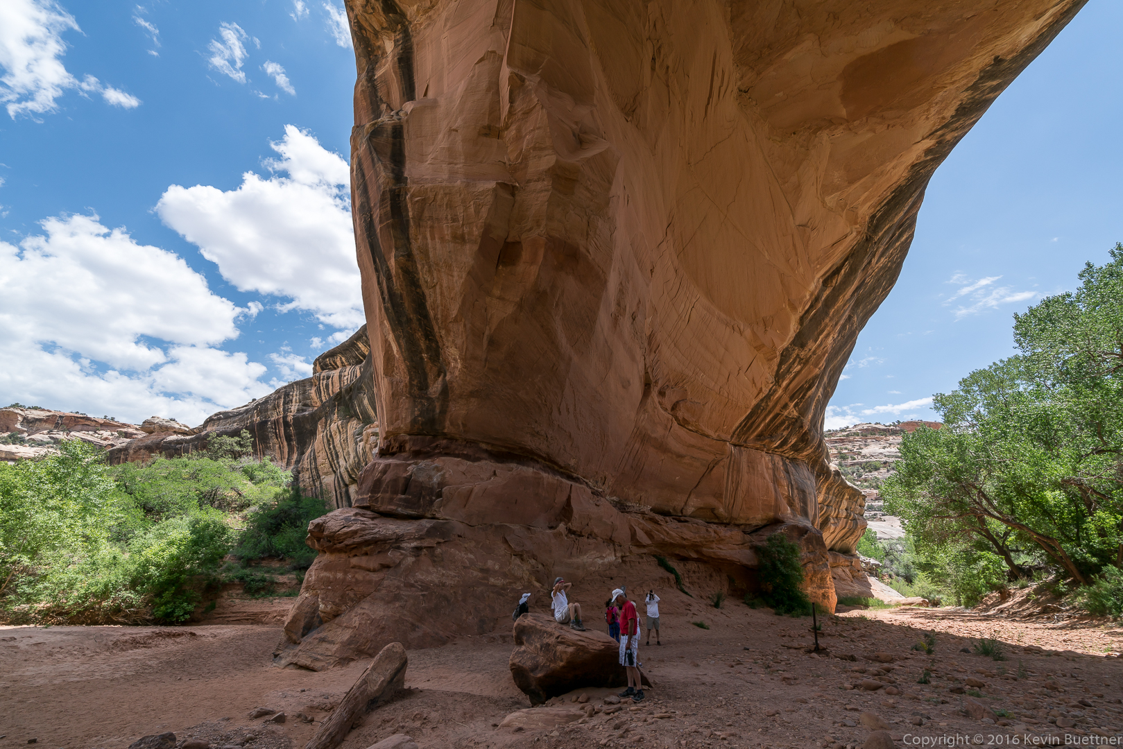
Sipapu Bridge…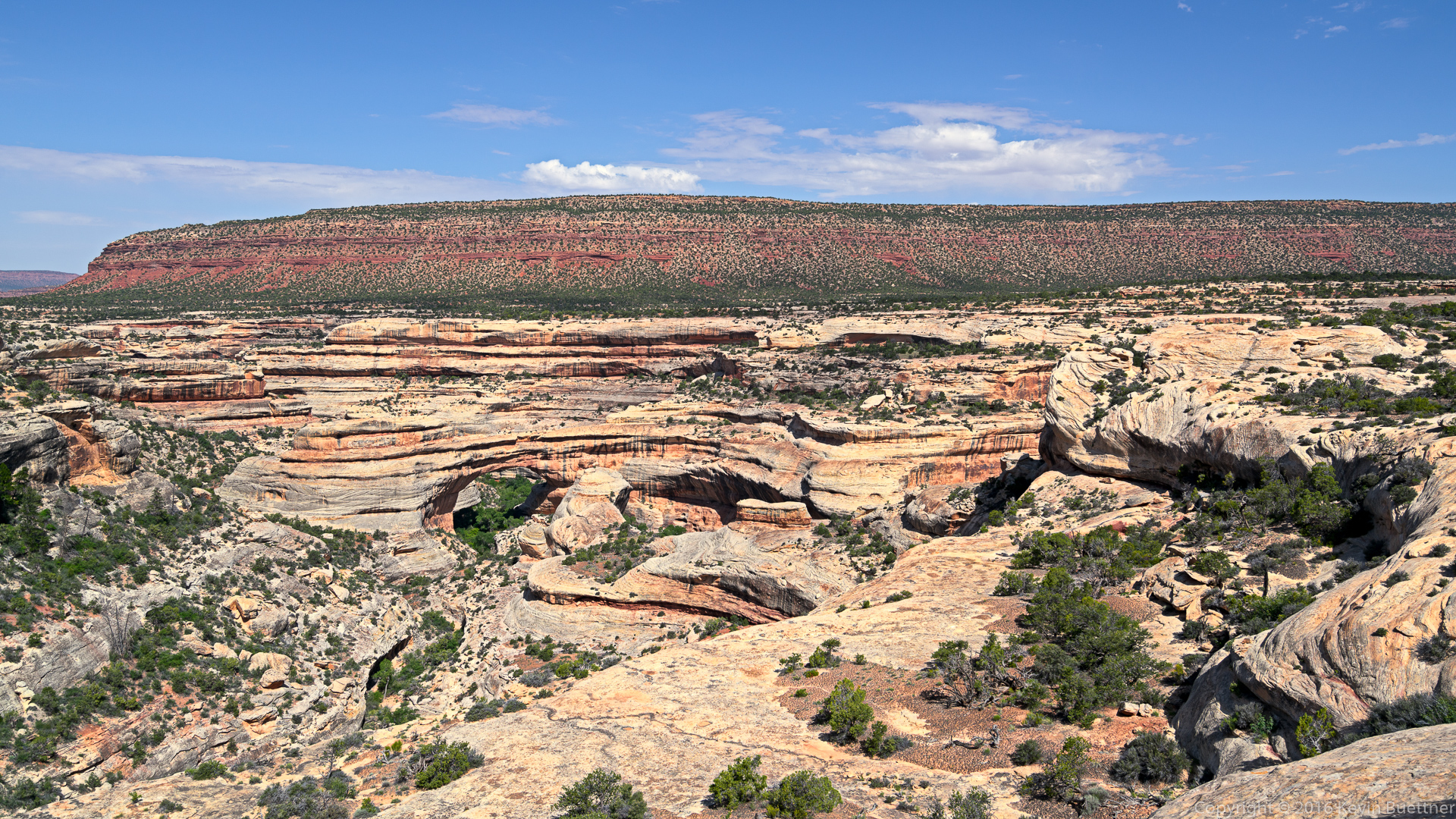
Marie, at the top of one of the ladders:


More views of Sipapu bridge:
Marilyn and Marie…

This is the underside of Kachina Bridge. I found it hard to get compelling pictures of the entire bridge due to the trees on each side of the bridge. The other bridge at the monument is named “Owachomo”. We stopped at the view area and saw the bridge. I have a few photos, but they’re nothing special. To get better photos, I should have hiked at least part way down to the bridge.
Marilyn’s photos from this hike: