Photos from our hike on Jan 18…
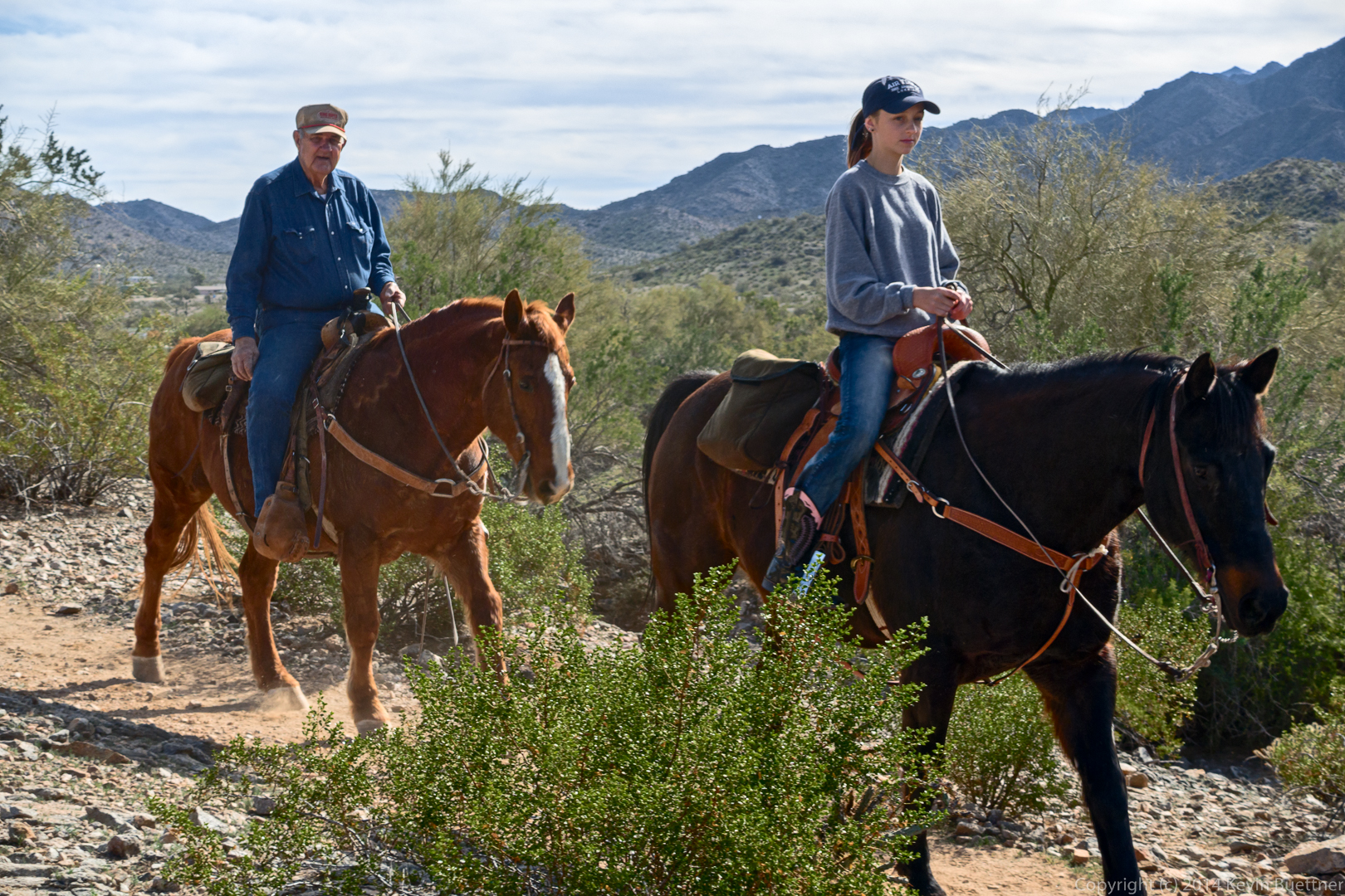
Photos from our hike on Jan 18…
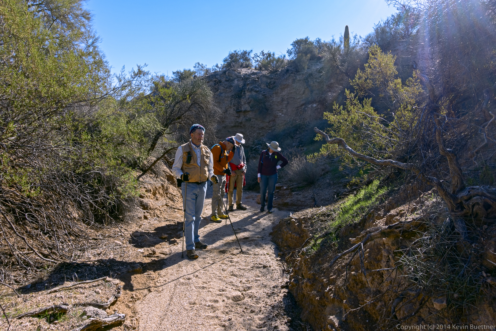
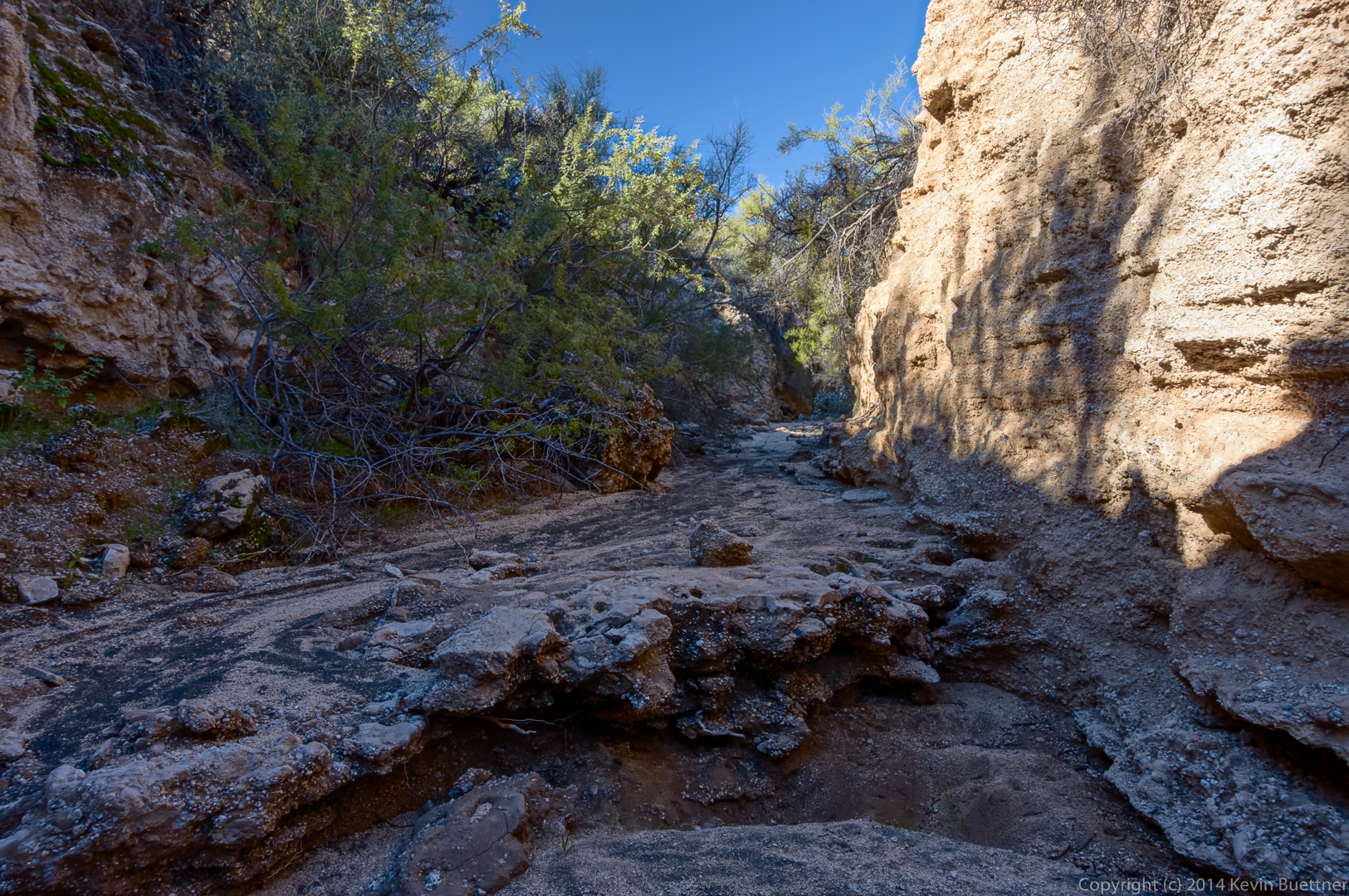
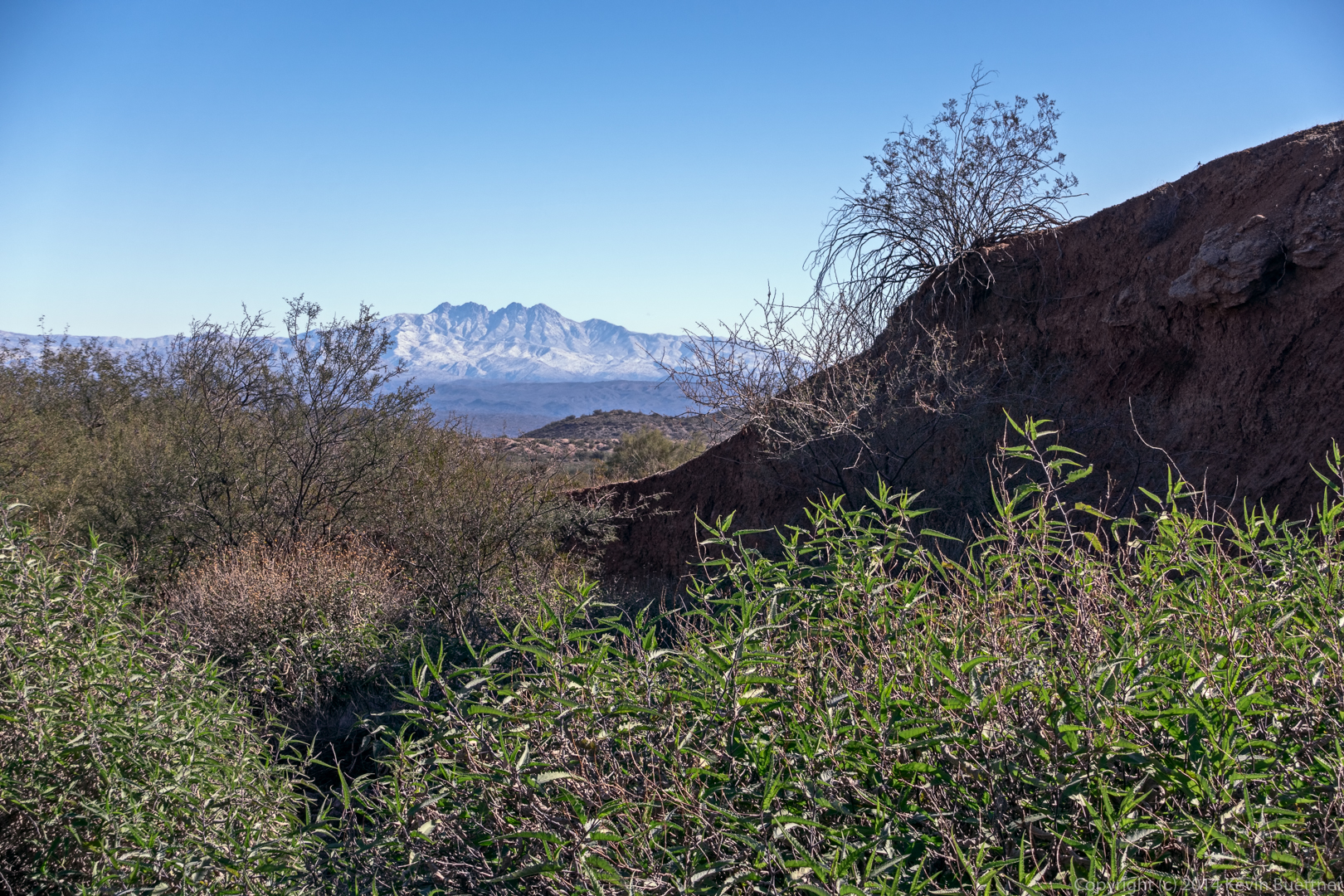
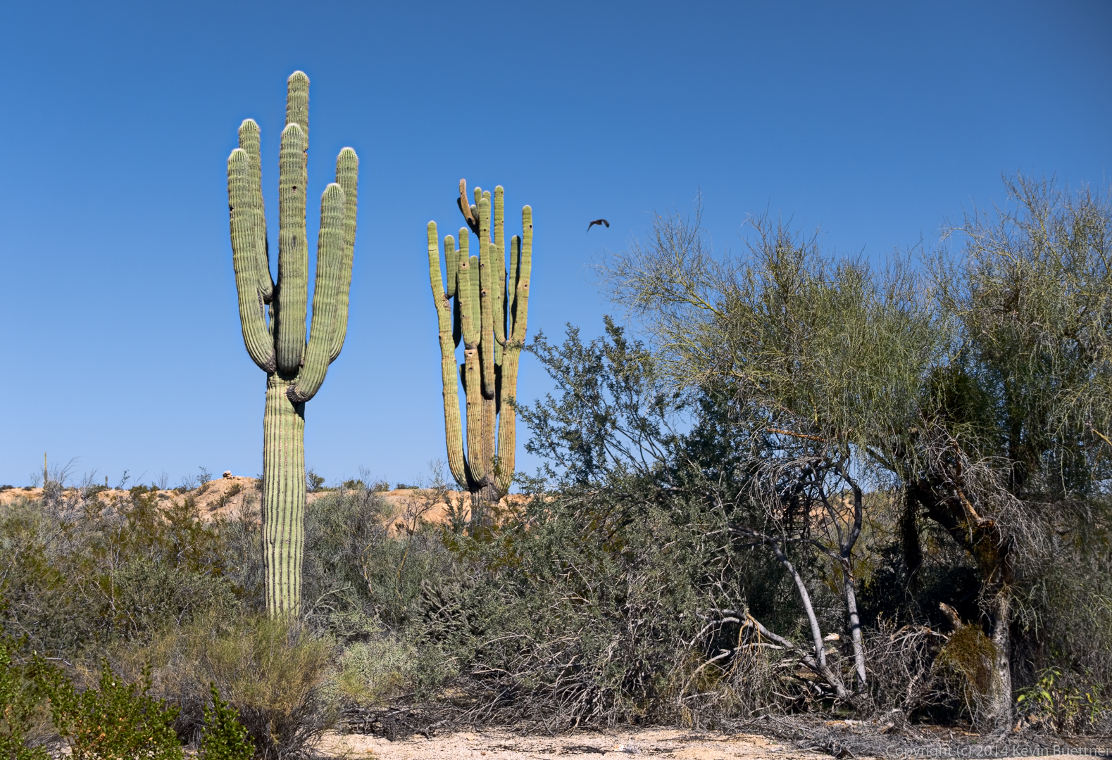
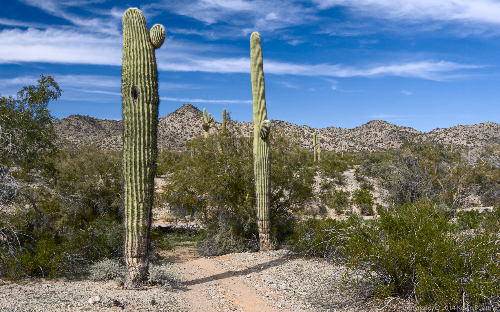
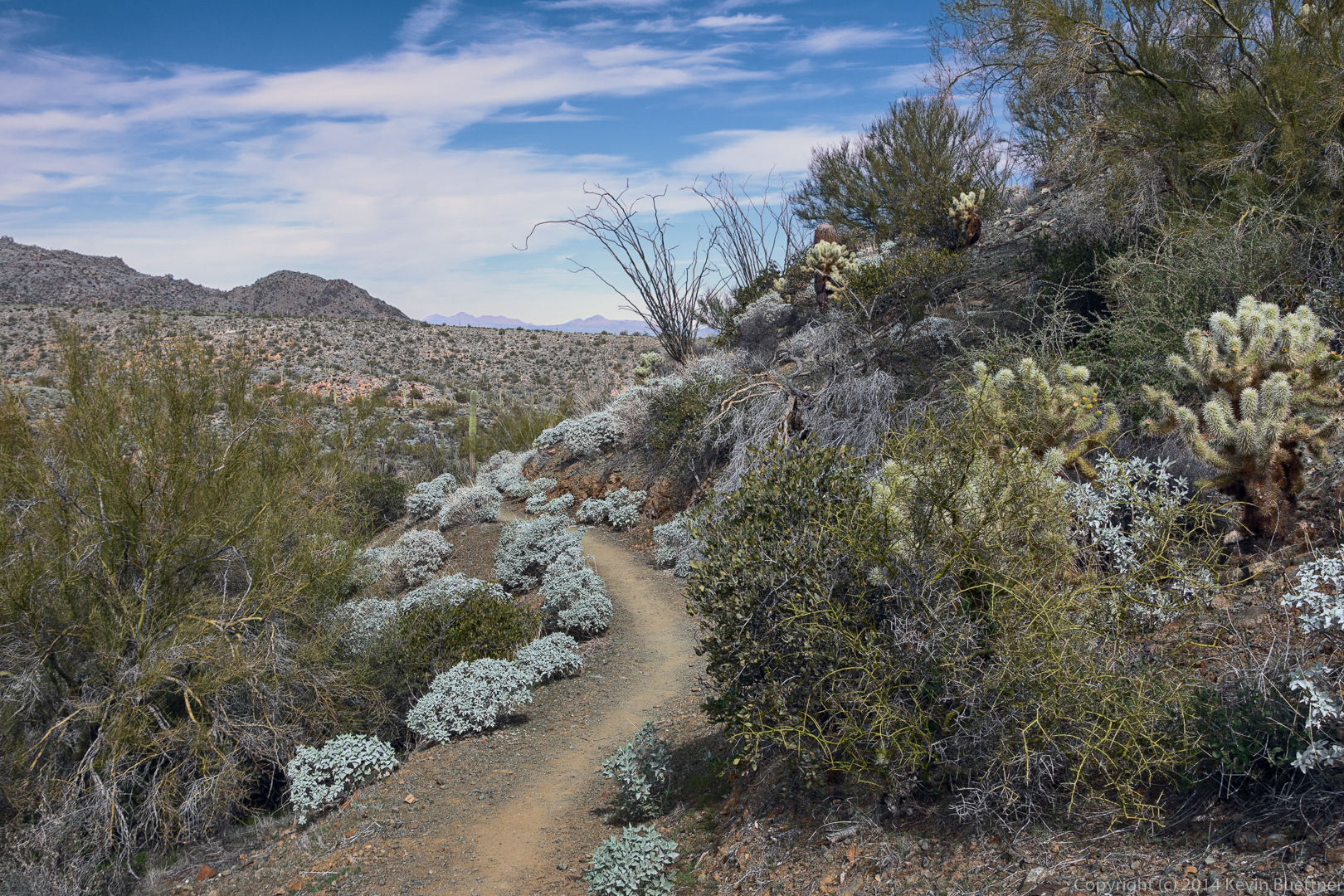
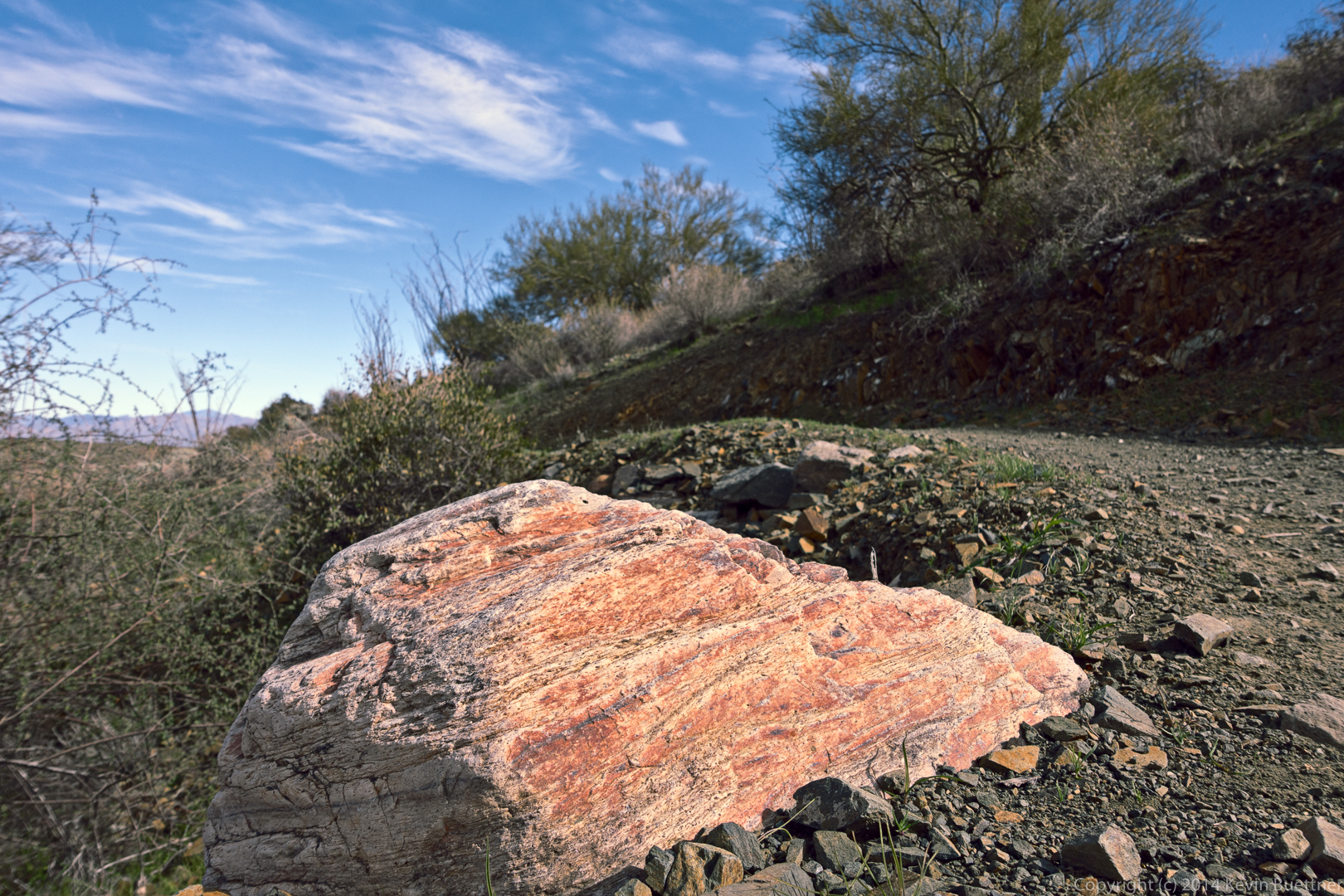
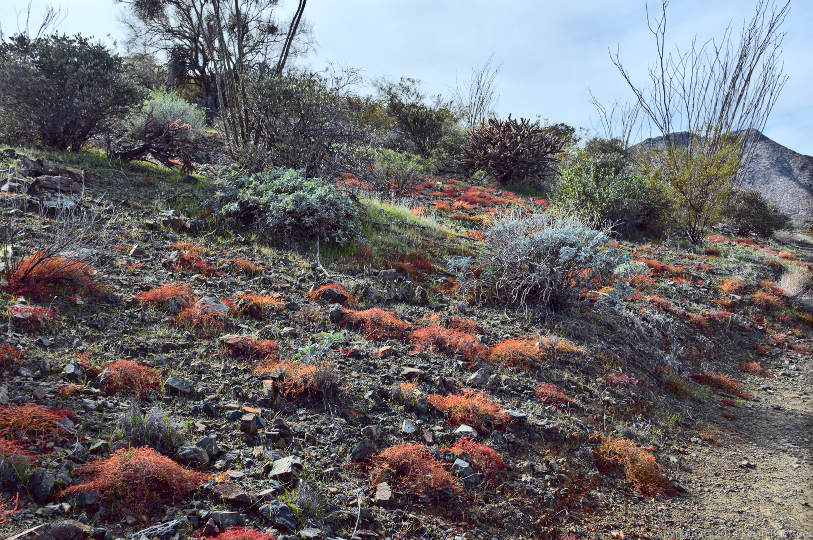
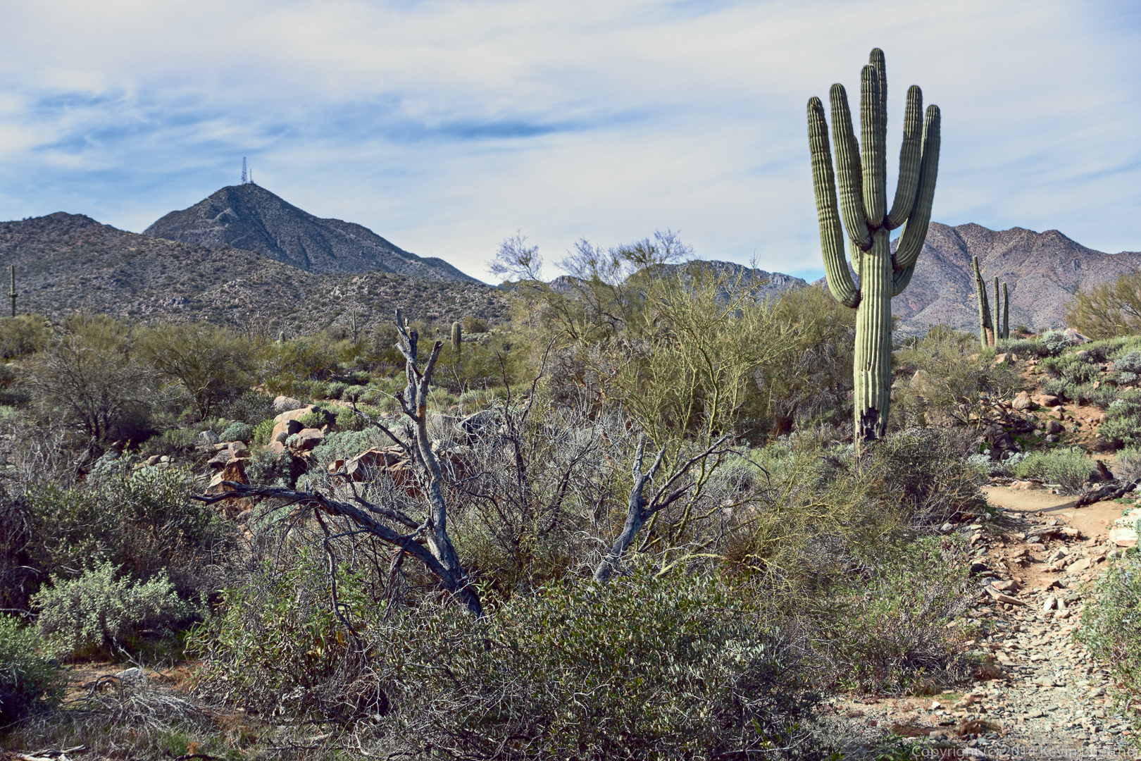
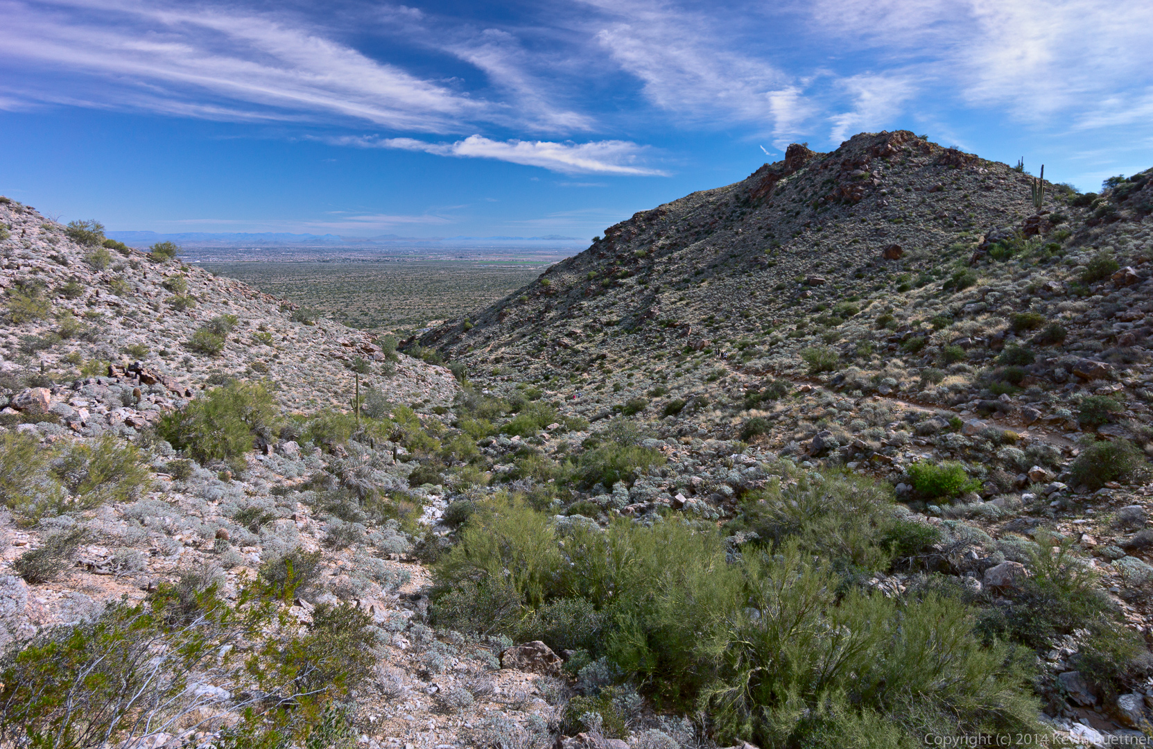
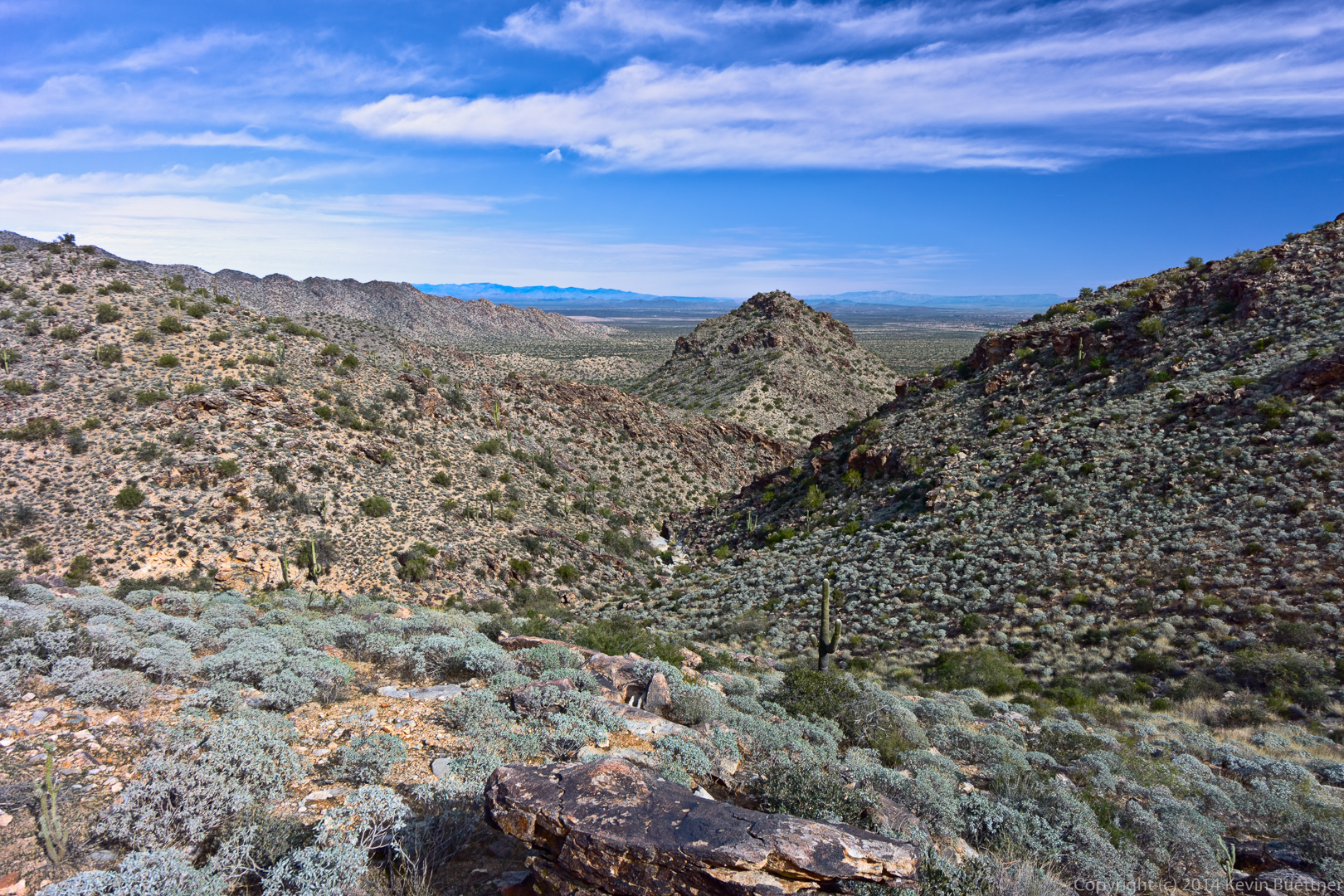
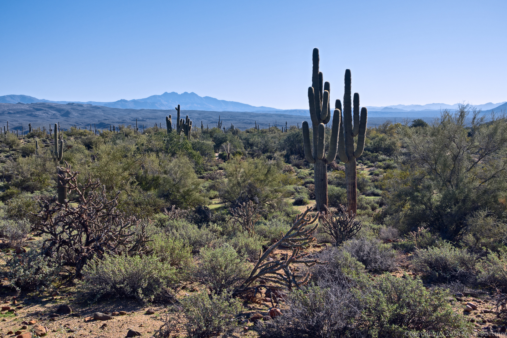
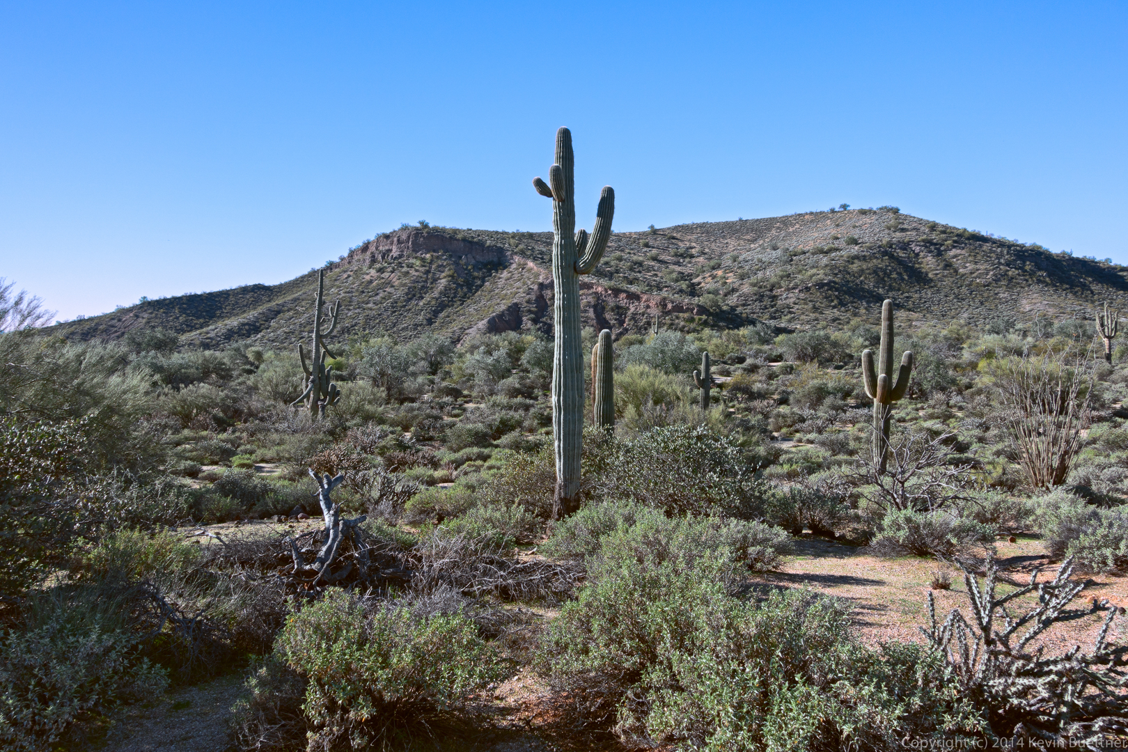
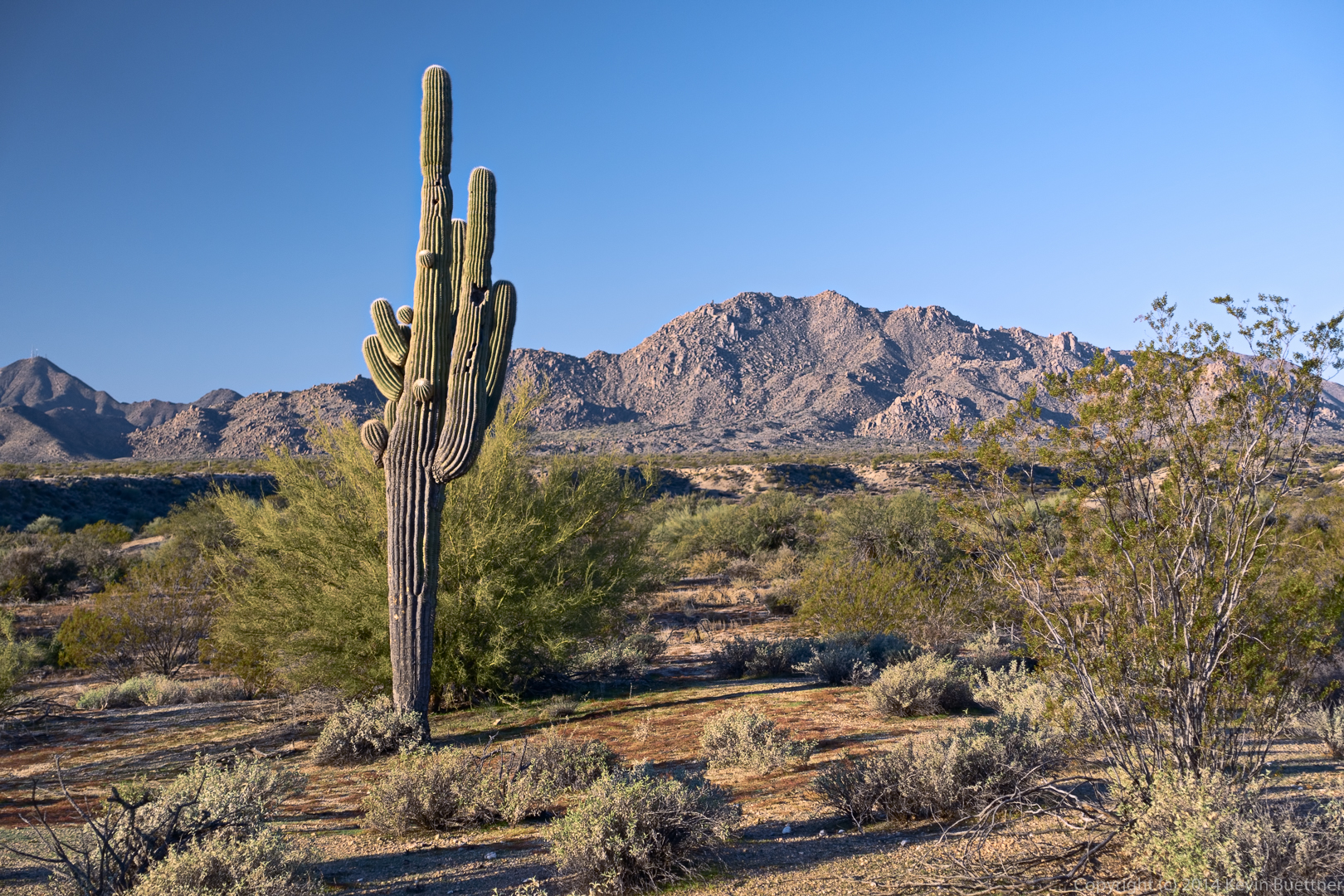
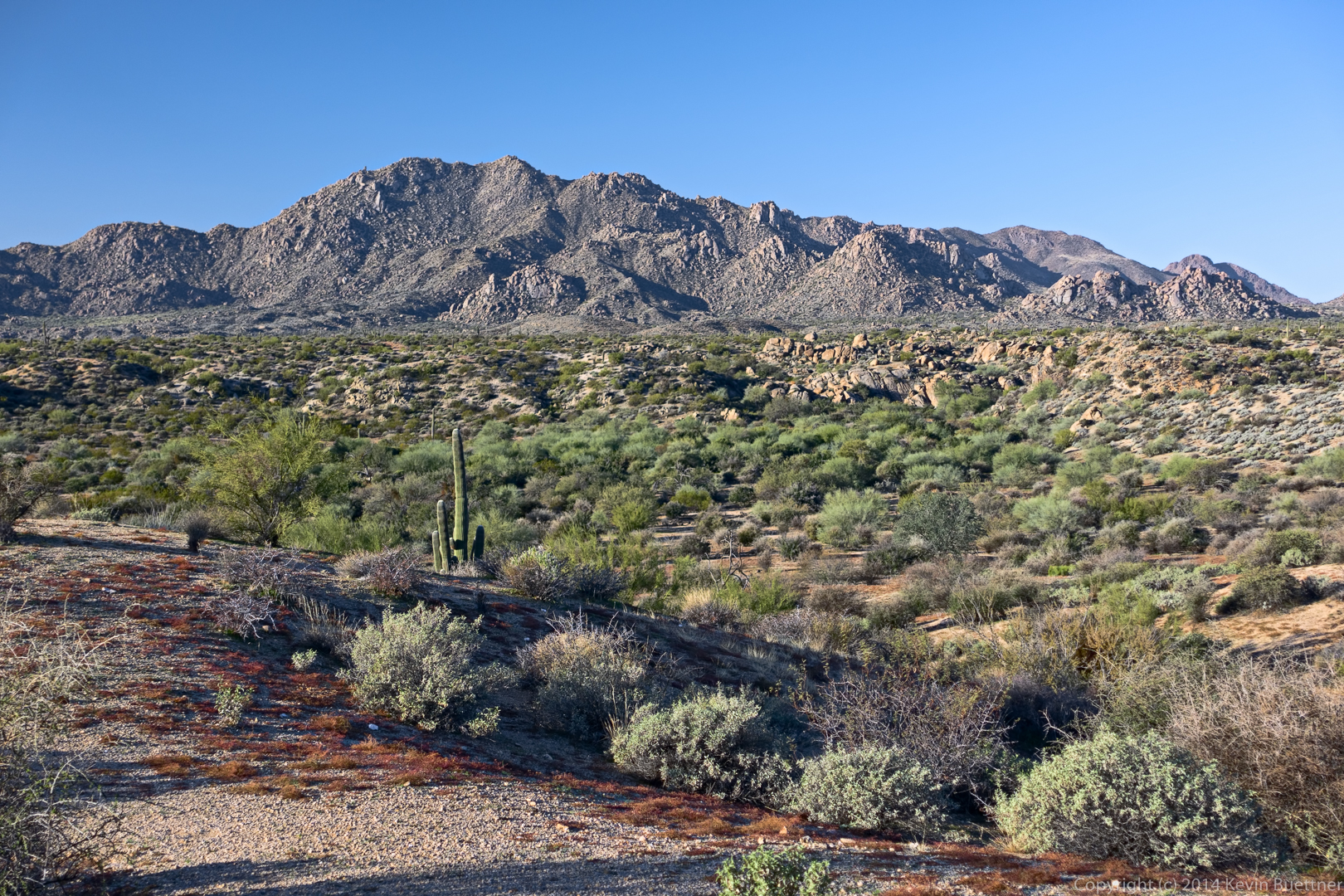
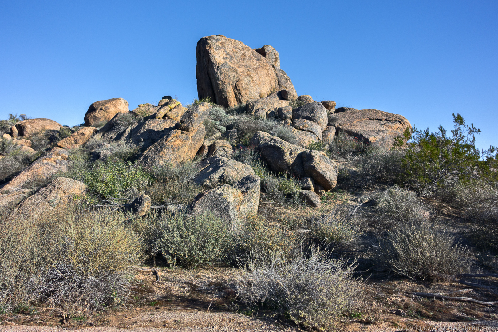
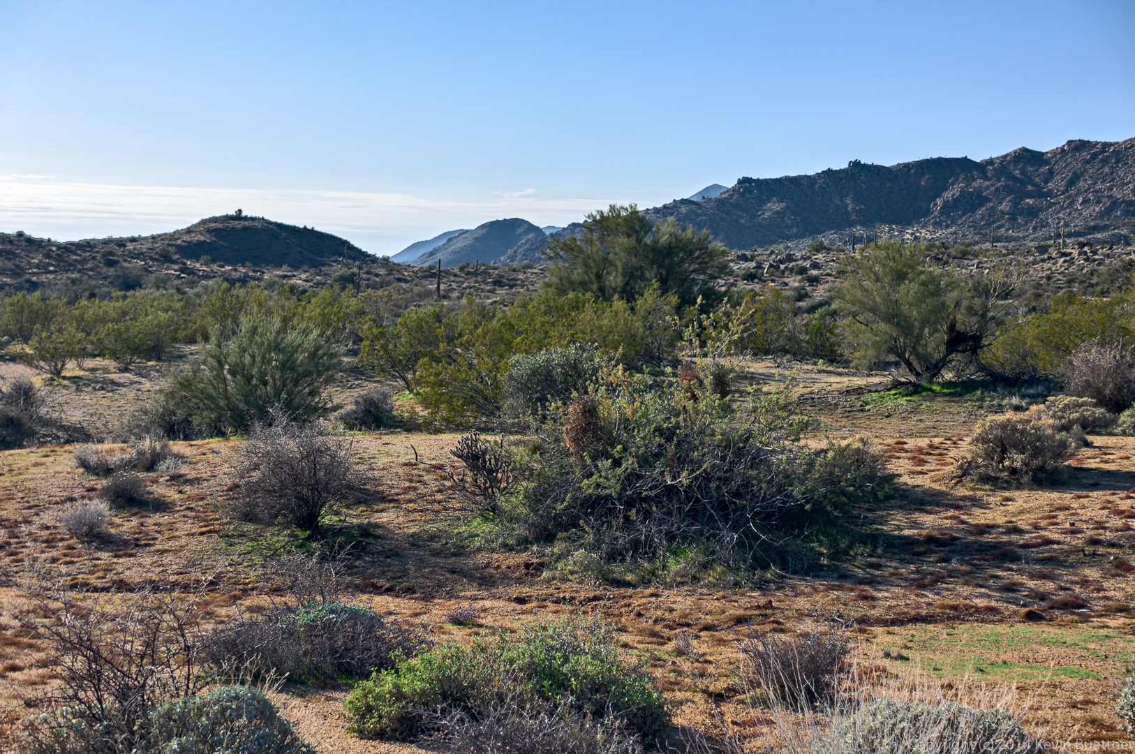
Below are photos from last week’s hike on the Dixie Mine, Sonoran, Promenade, Western Loop trails. (We also hiked a short section of the Andrews-Kinsey trail.) Linda and I hiked a little over 10 miles. The others turned back while still on the Sonoran Trail, hiking around seven miles total.
Linda suggested several of these shots. We both thought that the colors of the spurge (reddish ground cover) and brittlebush were interesting. (Note to Linda: When doing color correction on these photos, checking the values in Lab color space,I found that brittlebush leaves have a < 0 (green) and b > 0 (yellow) where b is roughly –a. This is why brittlebush looks “bluer” than a lot of other desert foliage, most of which have a b that’s significantly greater than that recommended for healthy foliage elsewhere. Note to others: Linda listened politely and patiently while I explained Lab color space.)
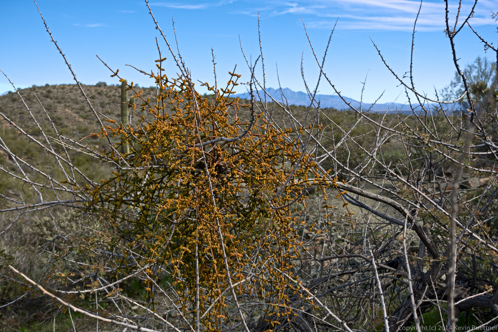
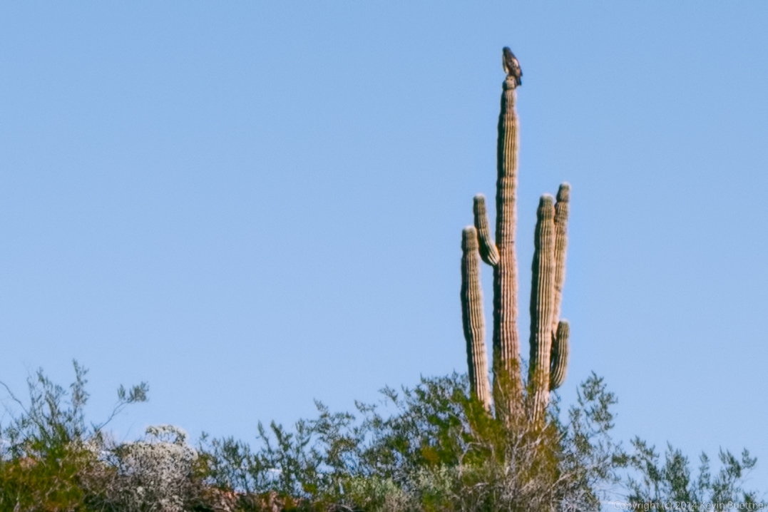
I think this is desert misletoe. Both Linda and I thought it was an unusual color, but it could be stressed either due to cold or perhaps death of the host plant.
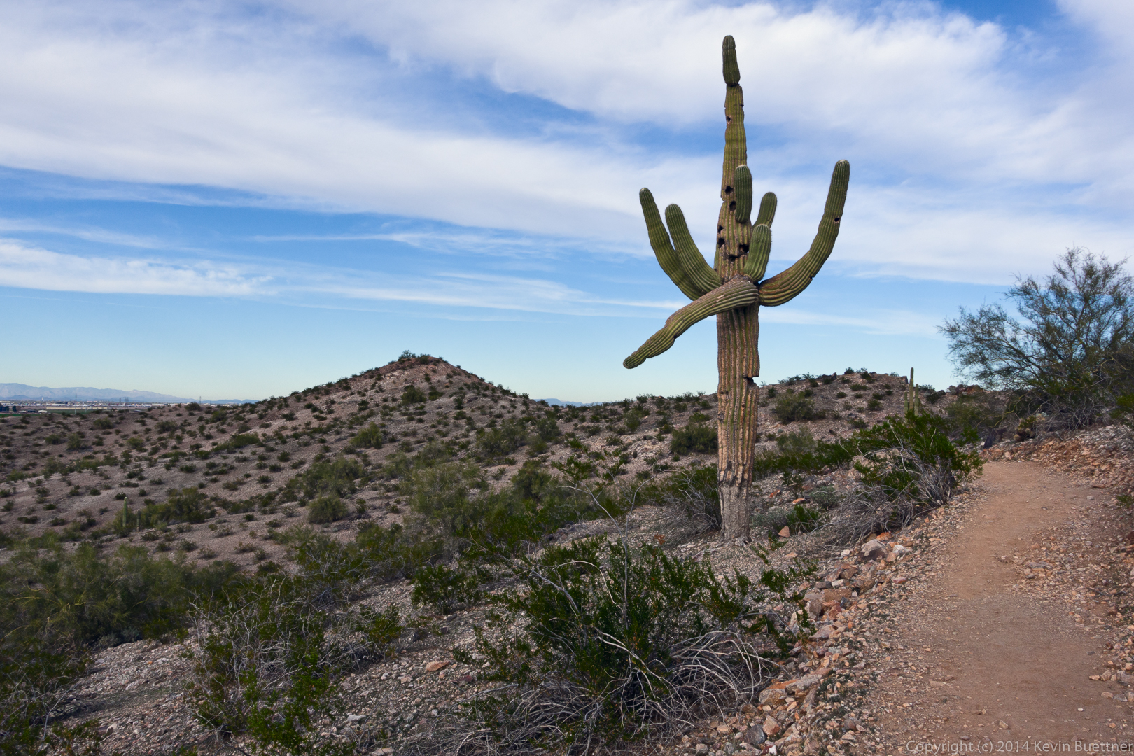
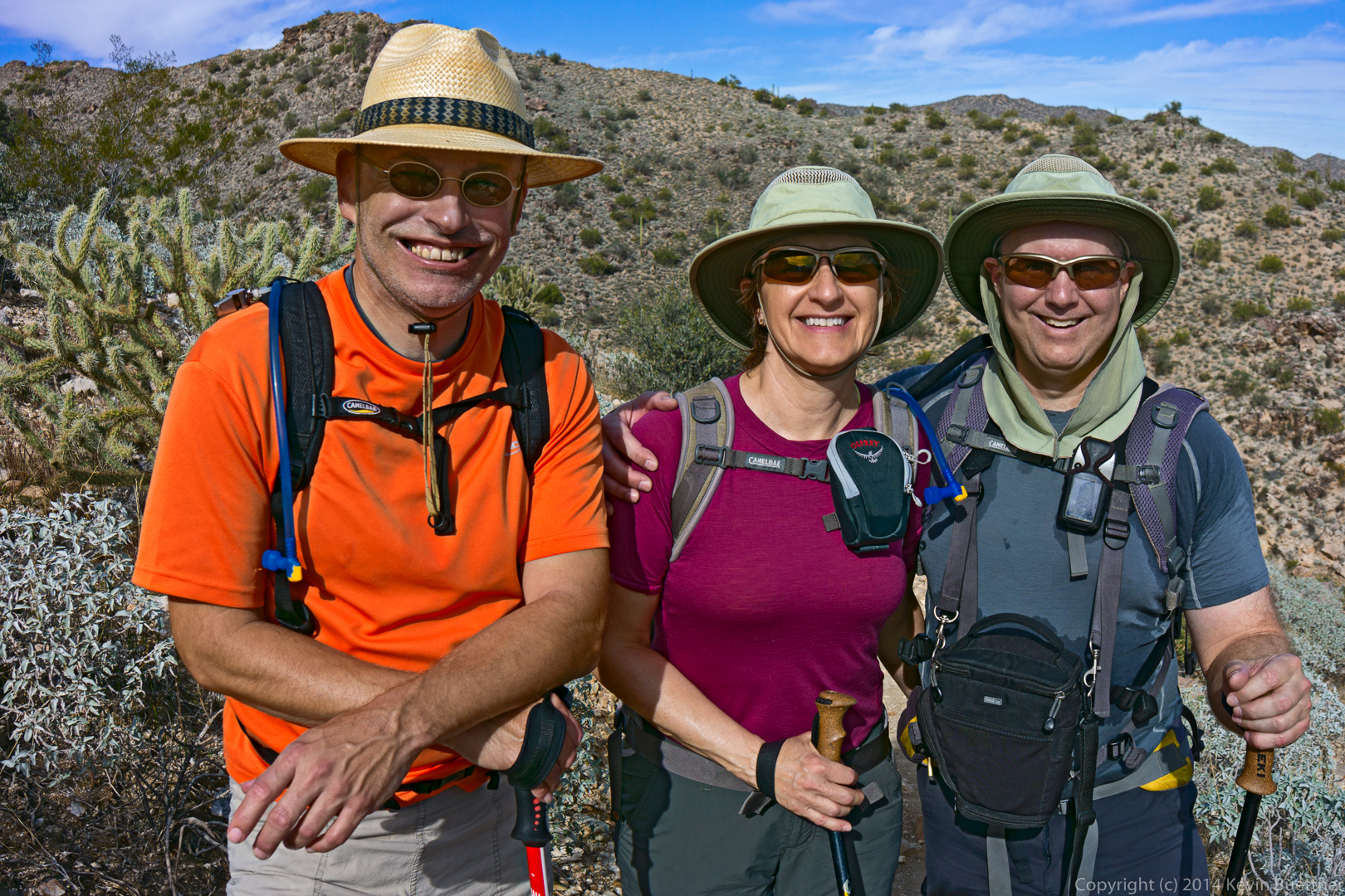
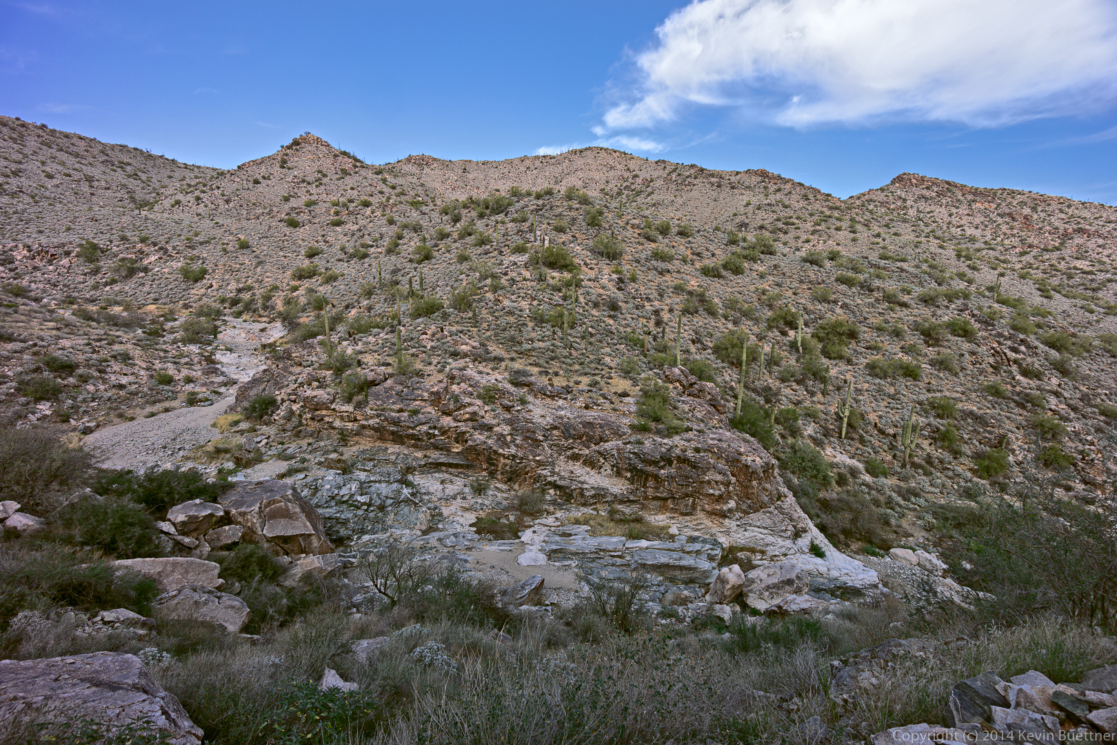
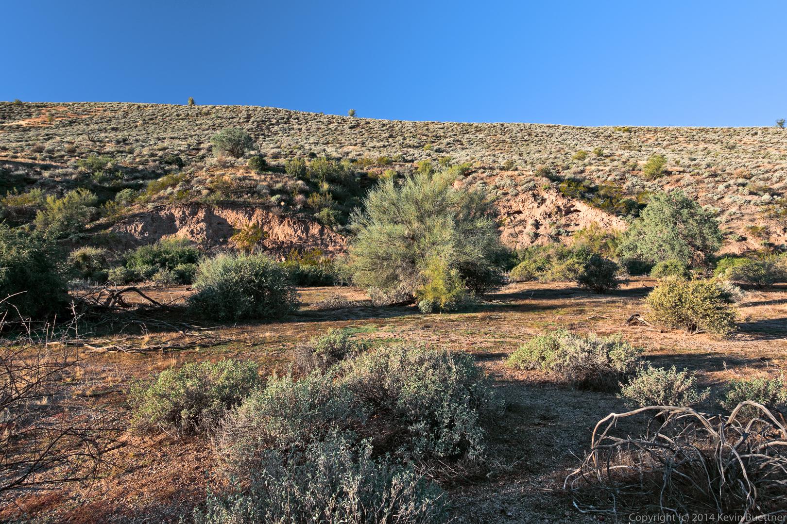
On Sunday, Bob, Nick, Marilyn, and I hiked at White Tank Mountain Regional Park, which is another of the Maricopa County parks. We started midway along the Waddell trail, and hiked a big loop consisting of the Waddell, Mesquite Canyon, Willow Canyon, Ford Canyon trails. Our total hike was just under 10 miles. Bob and I added on a bit more to get us over 10 miles with 1500 feet of total ascent.
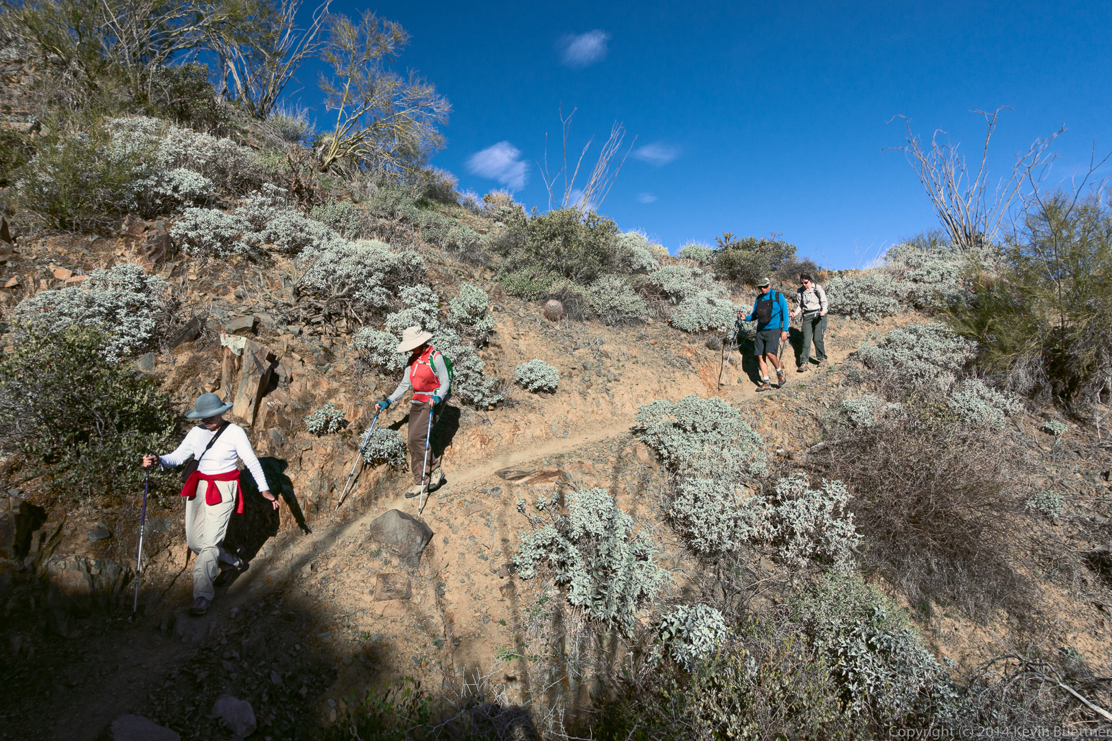
We had a good time hiking at this park. It’s very popular; we had to wait in line for at five minutes to get in. We encountered many people on the trail, probably more than I see in half a dozen hikes while hiking at McDowell Mountain Park.
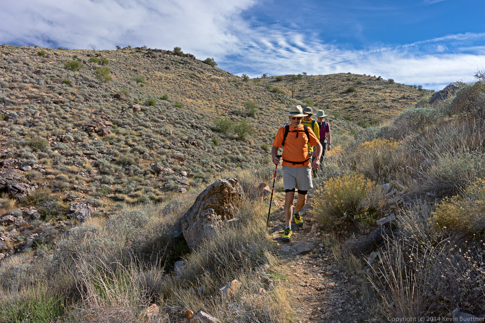
A short ways after turning onto the Ford Canyon Trail, we encountered a large group of hikers who were ill prepared for the hike. The leader of the group asked me if they were almost done; I checked my GPS and found that they still had about two thirds of the hike yet to go! A minute or two later, I encountered another member of the group. I asked her how she was doing. She told me she was really thirsty. She had brought along a small water bottle, but had drank the entire contents already. I let her drink some of the water from my reserve water bottle. I’m guessing that several other members of that group (who were lagging even further behind) were having similar issues with water, but I didn’t ask how any of them were doing; I wanted to make sure that I had enough water for the hike.

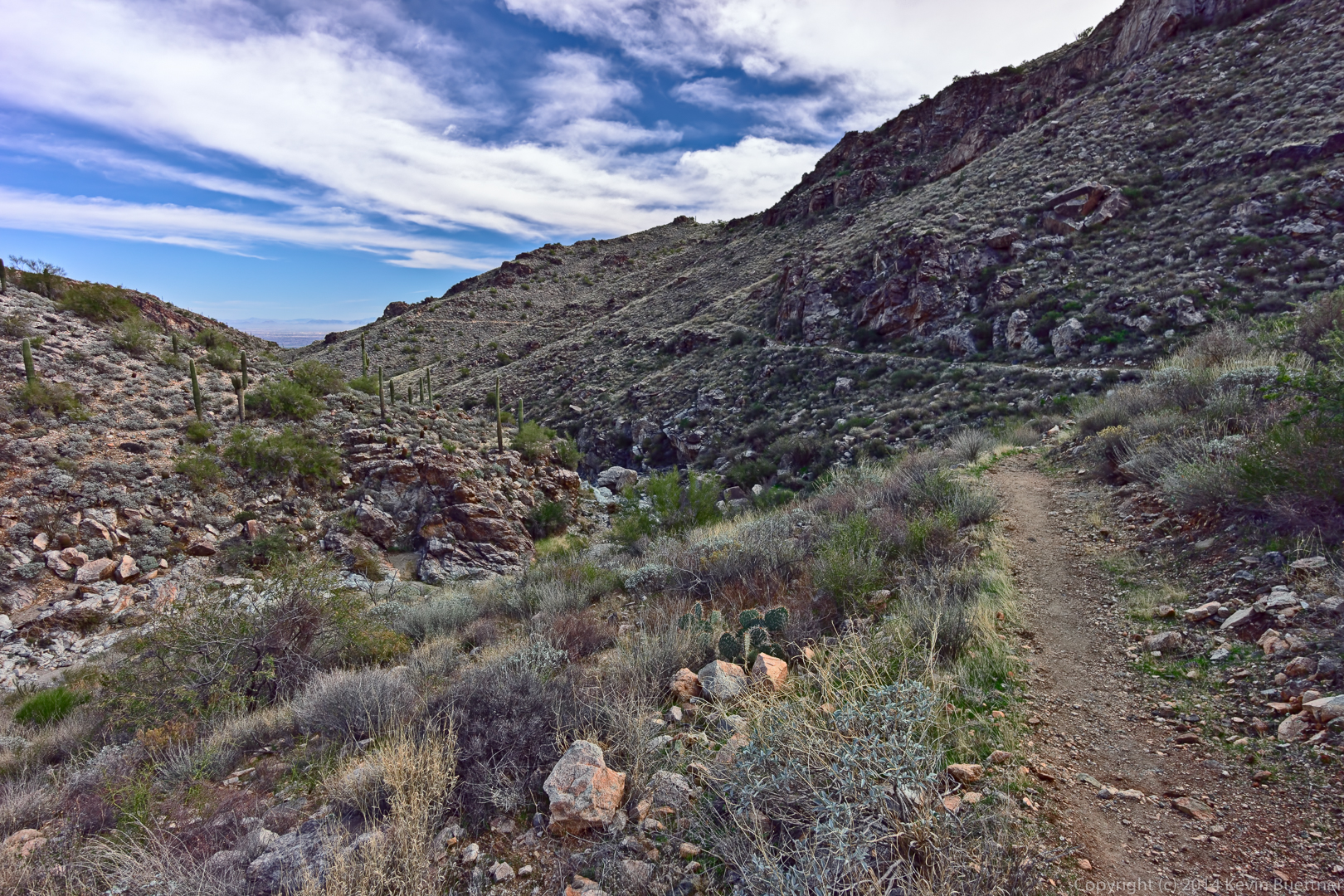
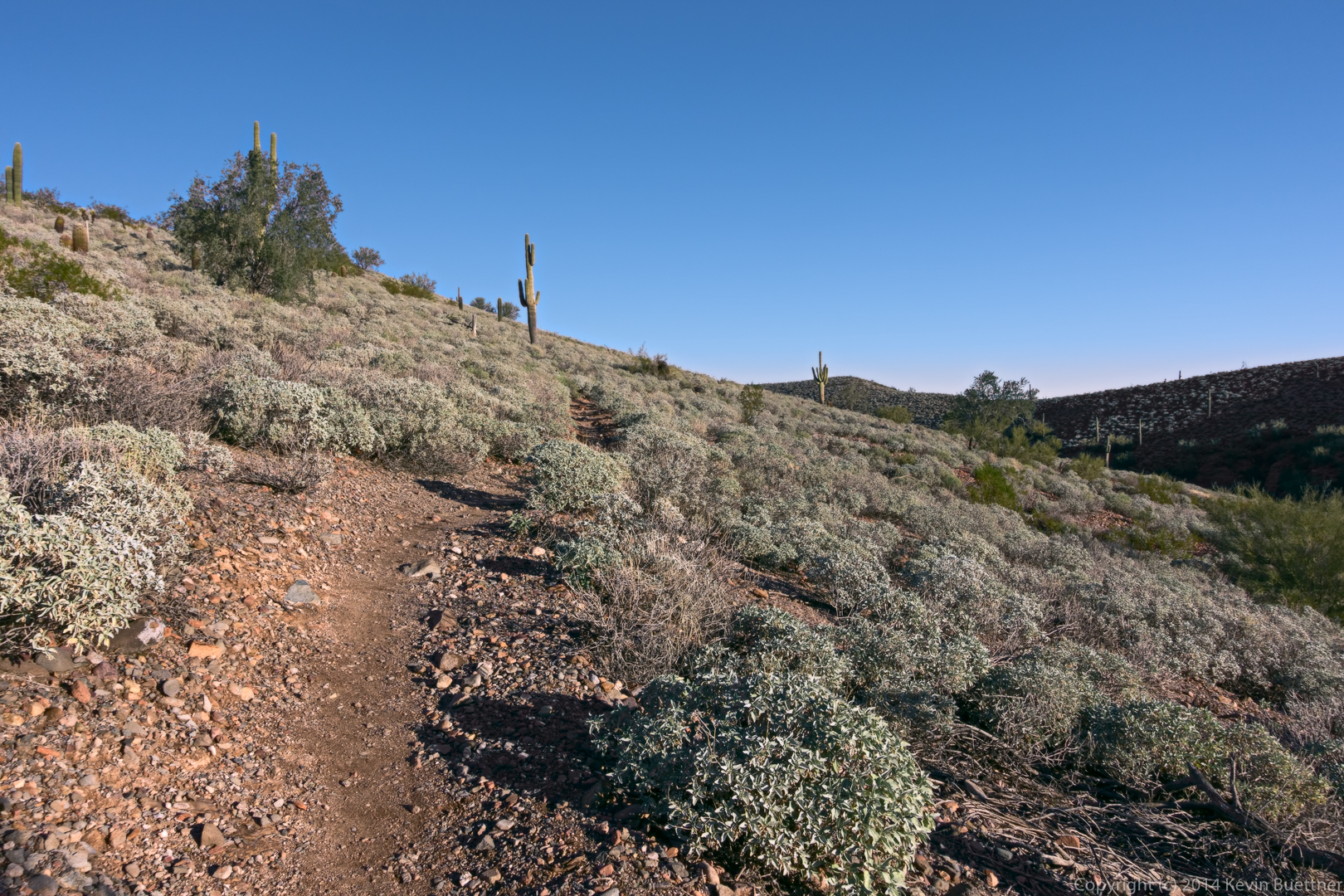
Last Friday’s hike started at the Horse Staging Area. We hiked Escondido to Cinch, and then Cinch to Scenic. We turned right on Scenic, going up the hill and hiking atop the ridge. When we got to Pemberton, Nick and I turned right onto Pemberton and then right again onto Escondido. We finished the hike on Escondido. (We actually hiked a short ways up Shallmo Wash too; I wanted to get my distance for the day over 10 miles.) Bob, Allen, Janet, Mary Lou, and the four dogs turned the other way on Pemberton for a somewhat shorter hike.
According to my GPS watch, going right onto Scenic from Cinch only adds 0.2 miles compared with going left on Scenic. That being the case, there’s not much of a reason to go the “shorter” way. Hiking atop the ridge is a much nicer hike, in my opinion.

I hiked the North Trail and part of the Verde Trail with Ranger Amy on Thursday.
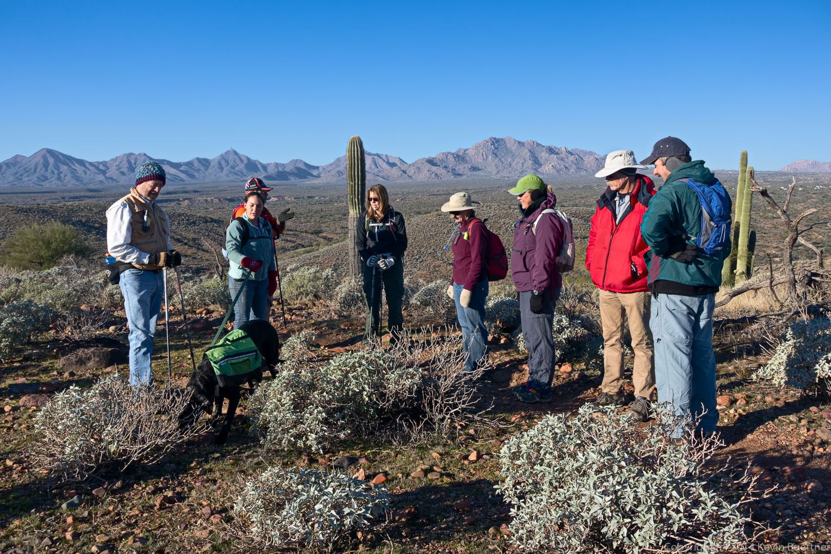
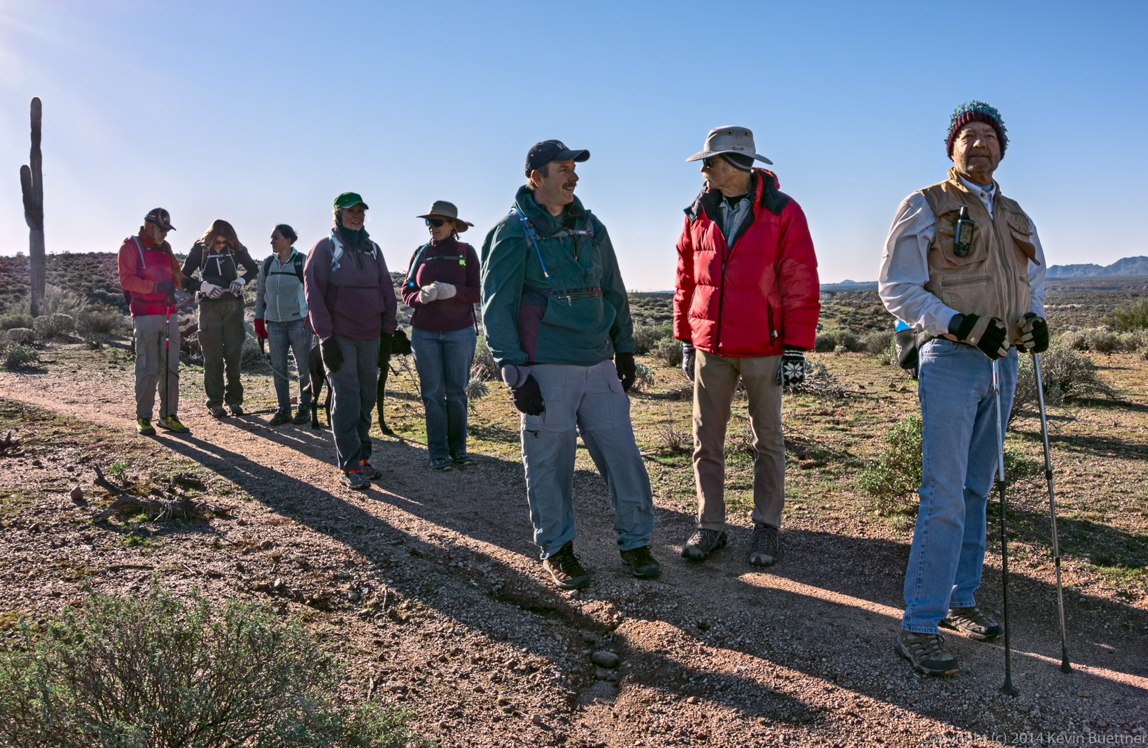
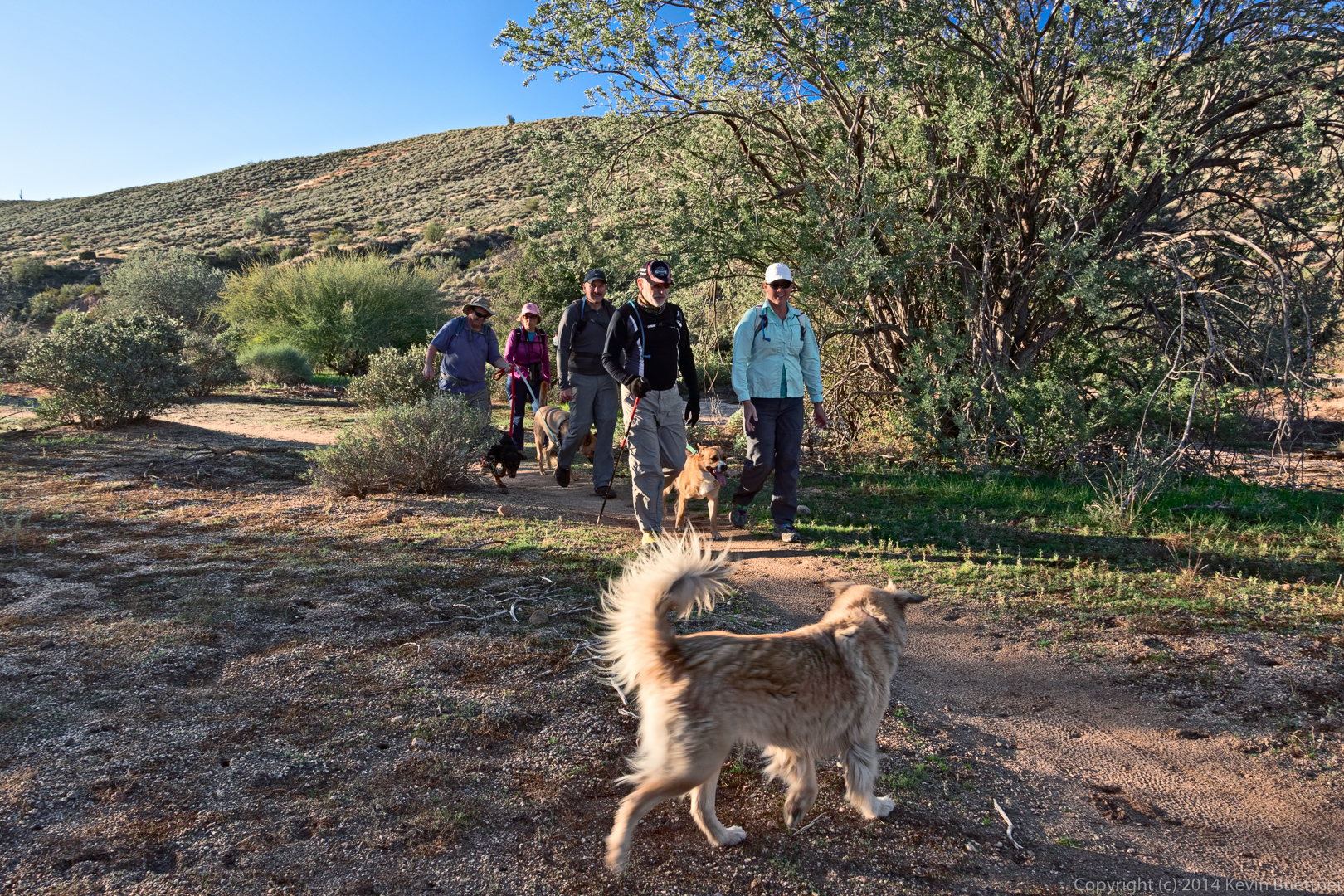
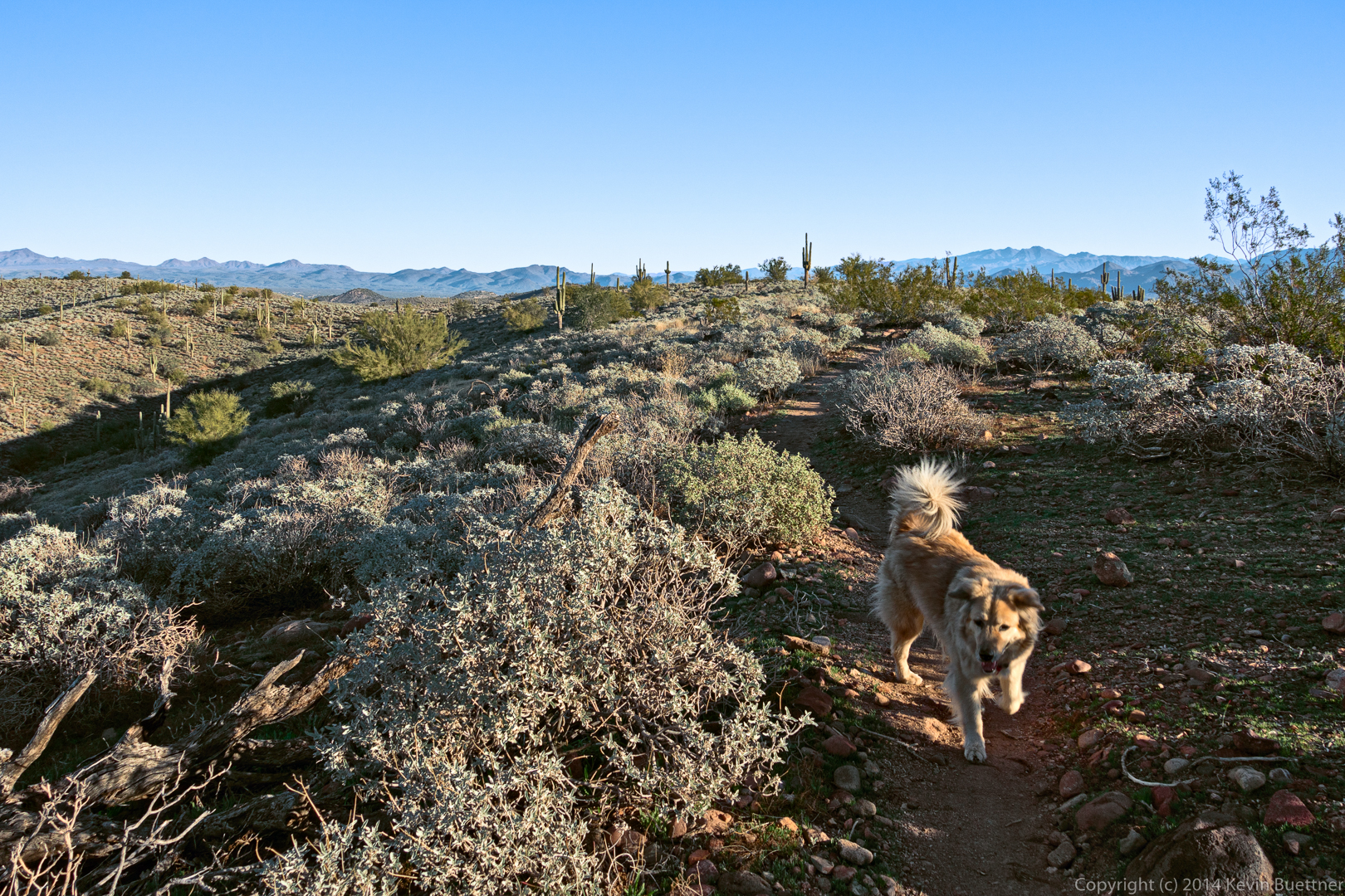
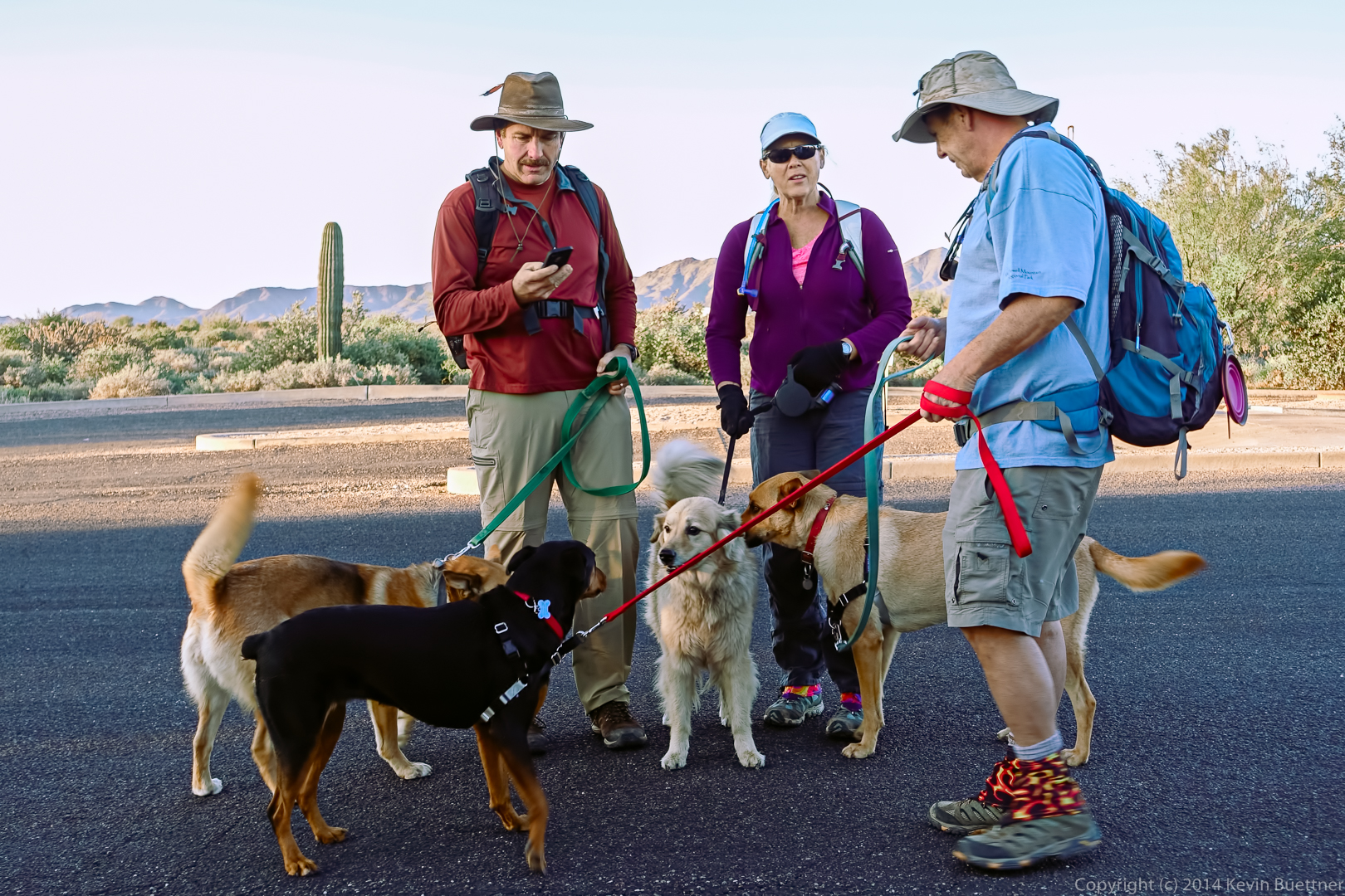
Friday’s hike started at the Wagner Trailhead. Bob brought his new dog, Keena, who is about two years old. Allen and Janet brought their dogs too. The dogs were happy to meet each other.
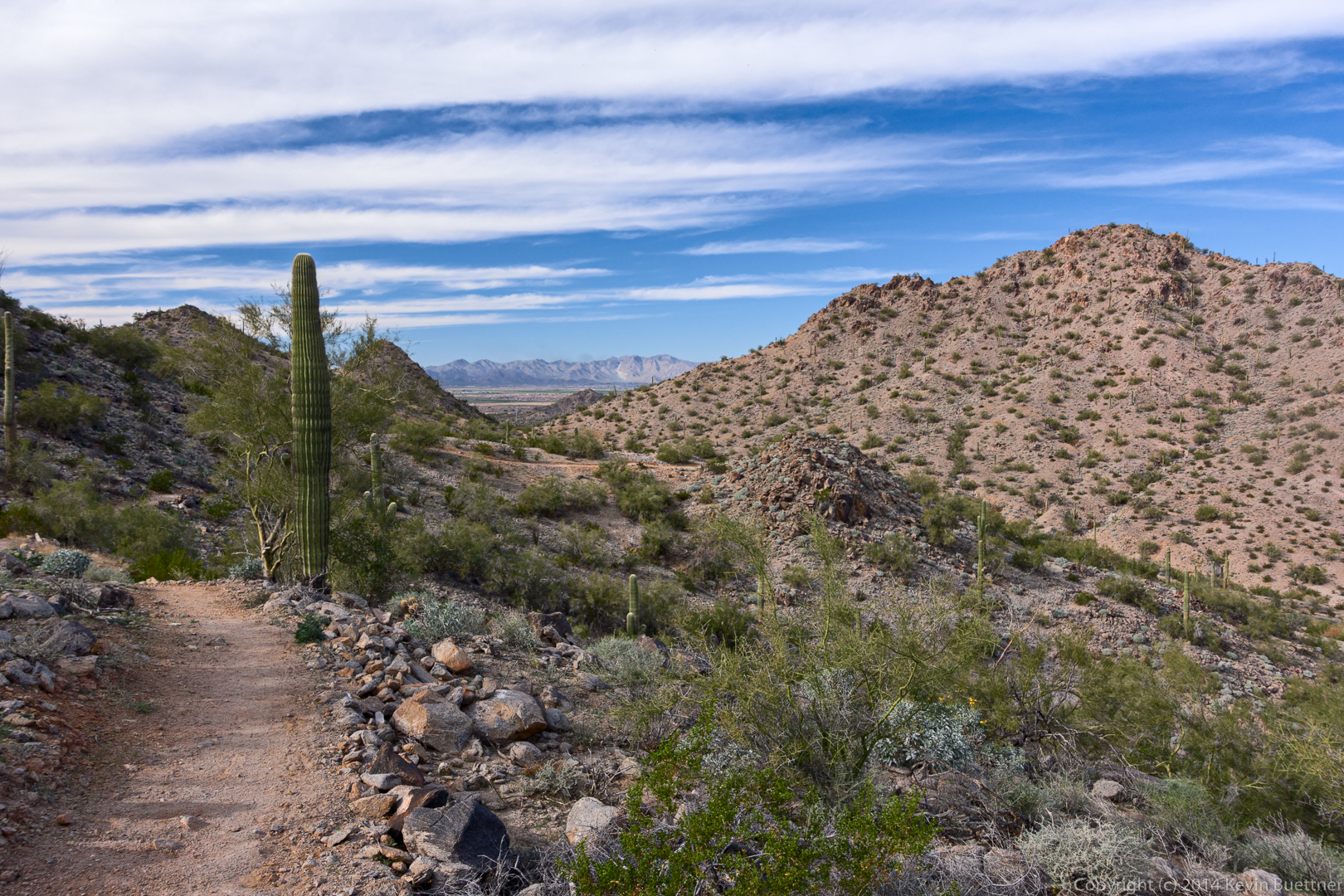
Views from the Granite Trail:
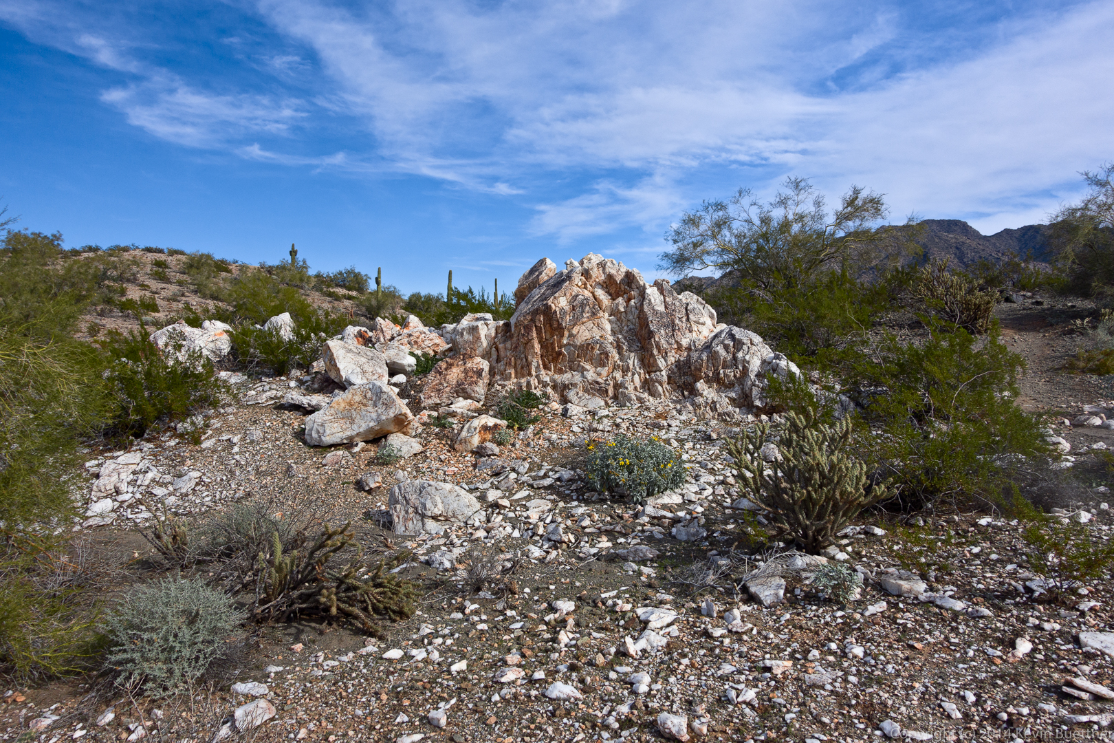
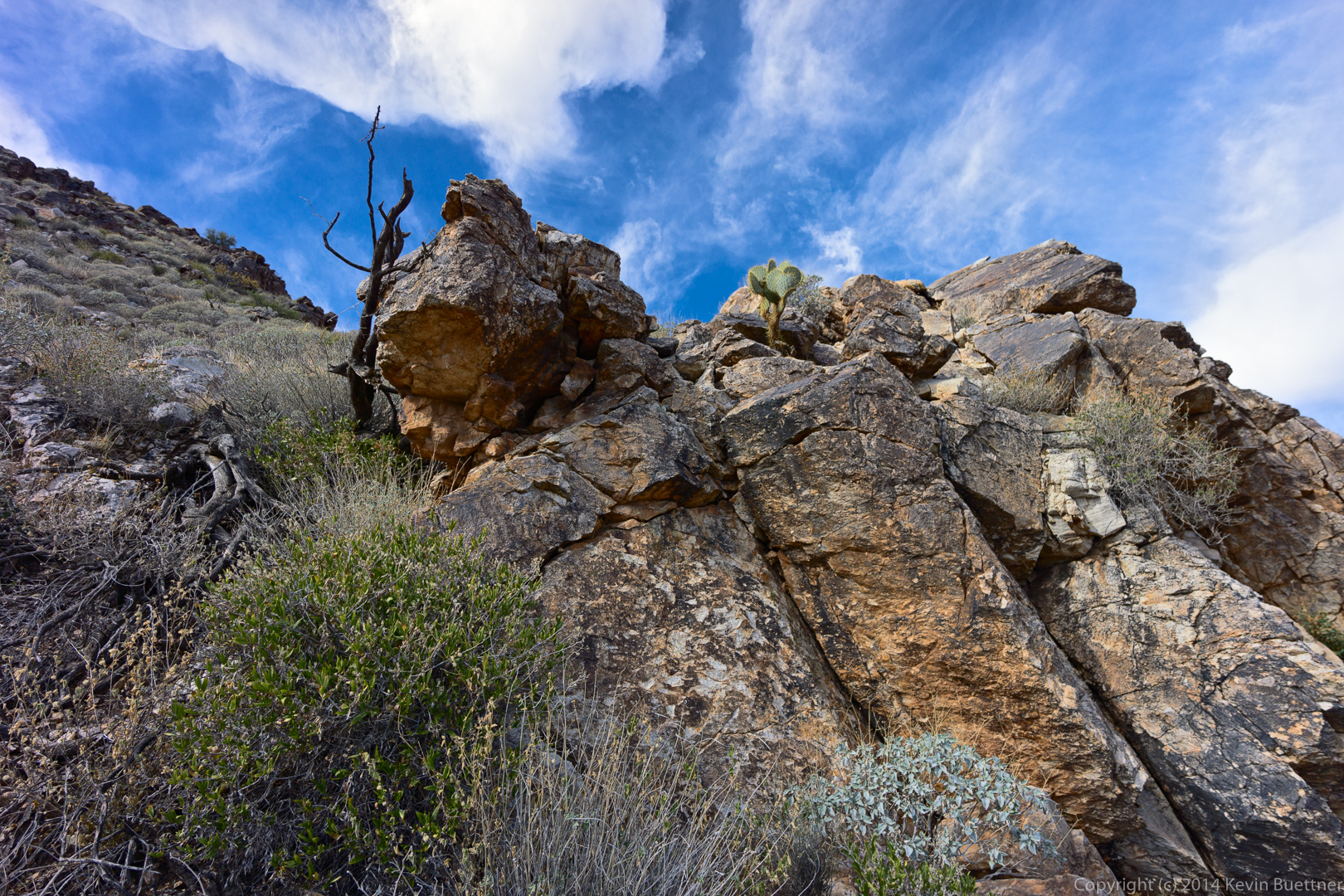
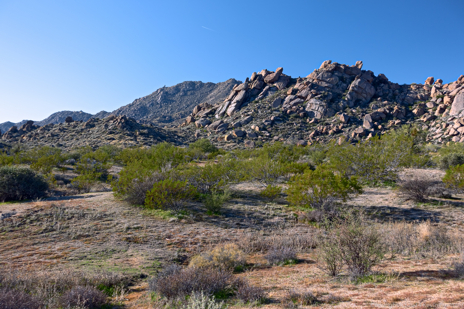
Rock formations on a bank of the wash:
 A view of the McDowells in the distance at the right. The small hill on the left is at the top of the Bluff Trail.
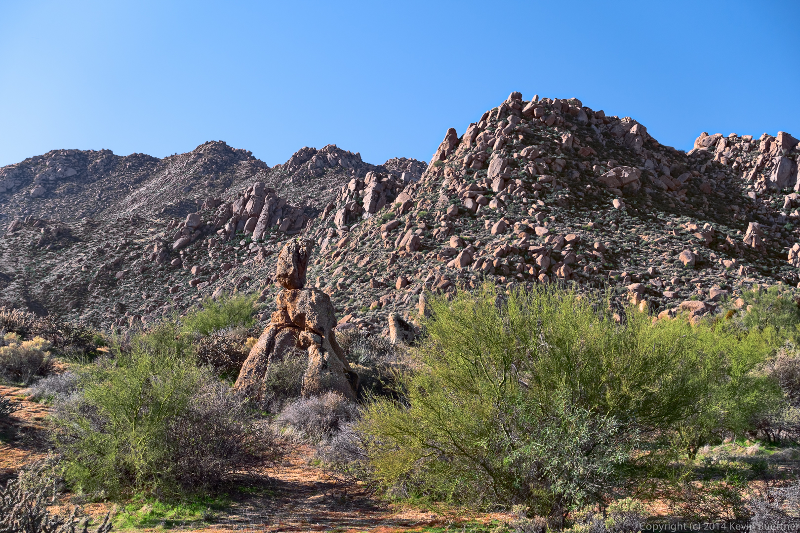
Rock Knob, on the right:
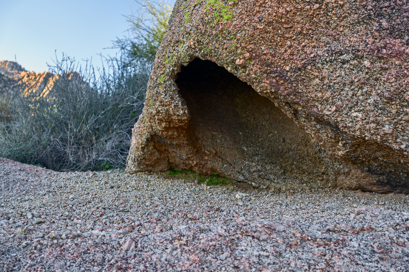
An interesting rock formation near Rock Knob:
A balancing rock that we passed on our way back from Rock Knob:
A view from the Bluff Trail:
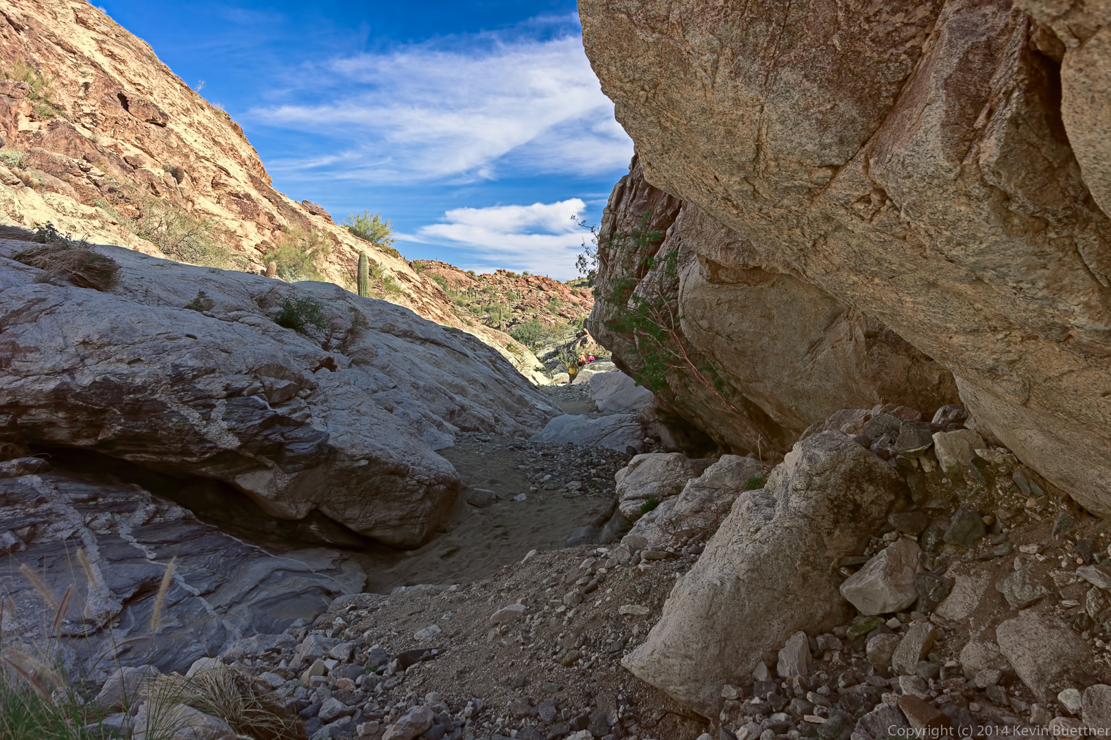
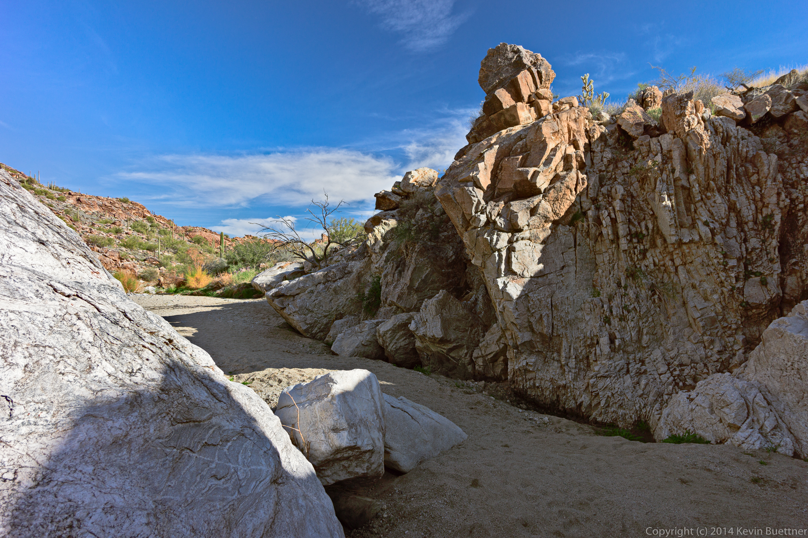
Last Friday’s hike started at the Trailhead Staging Area. We hiked the Scenic Trail for the first half of the hike. For the second half, we crossed the road and explored some arroyos.