Month: October 2017 (page 1 of 1)

Friday Fitness Hike

Sara, Linda, and I hiked a little over five miles in the Tom’s Thumb Area. Total elevation gain was only a little over 1500 feet.

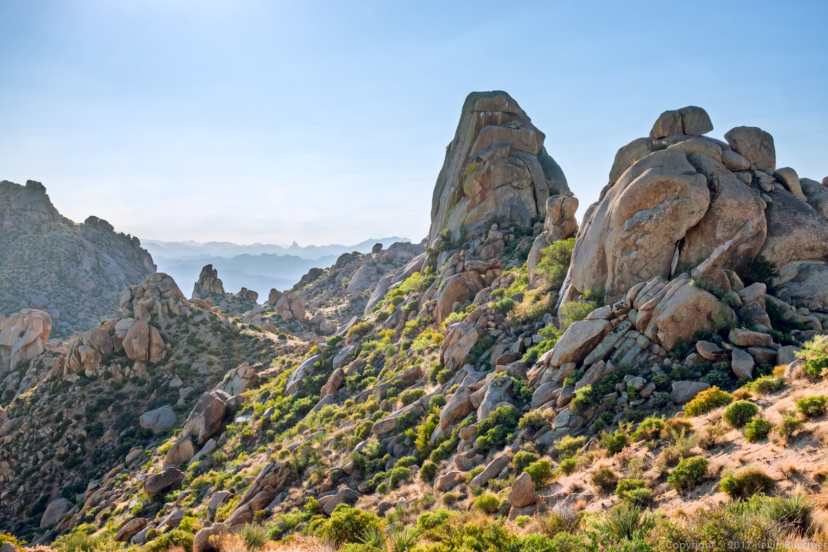
Glass Dome, in the sunlight, on the far left; Gardener’s Wall at the left (but right of Glass Dome); Tom’s Thumb, also in the sunlight, at the far right.

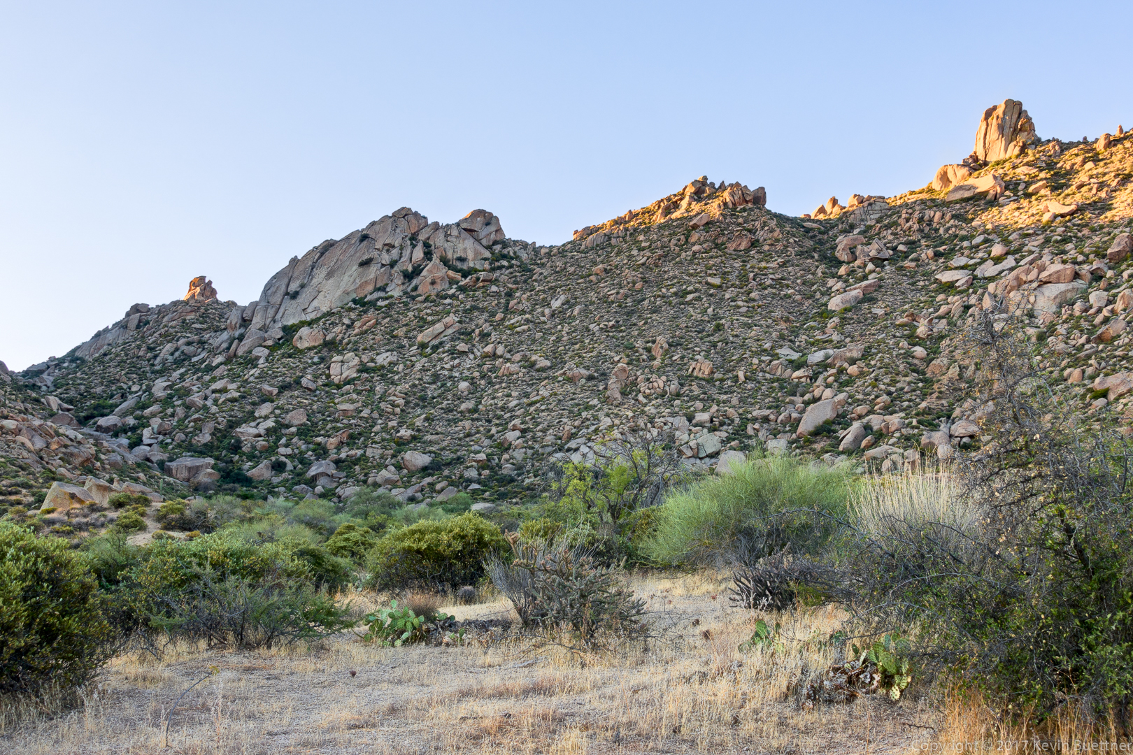
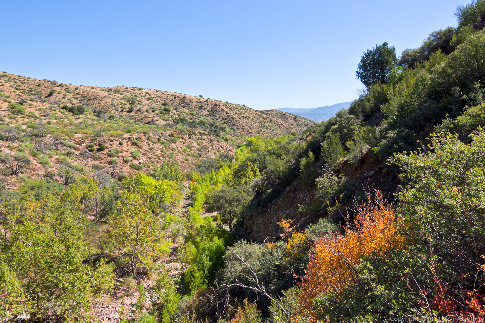
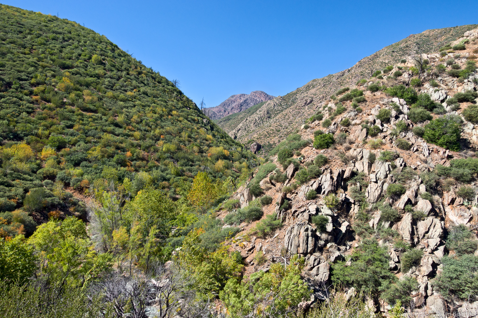
The trail goes through the rock formations on the left and right. We eventually passed that little pinnacle in the middle.

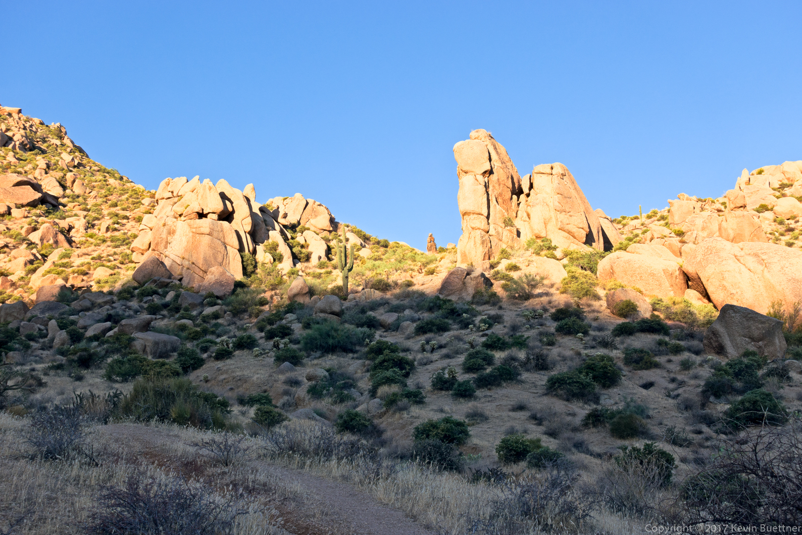
Looking at the other side of the rock formations to the middle right in the previous photo…

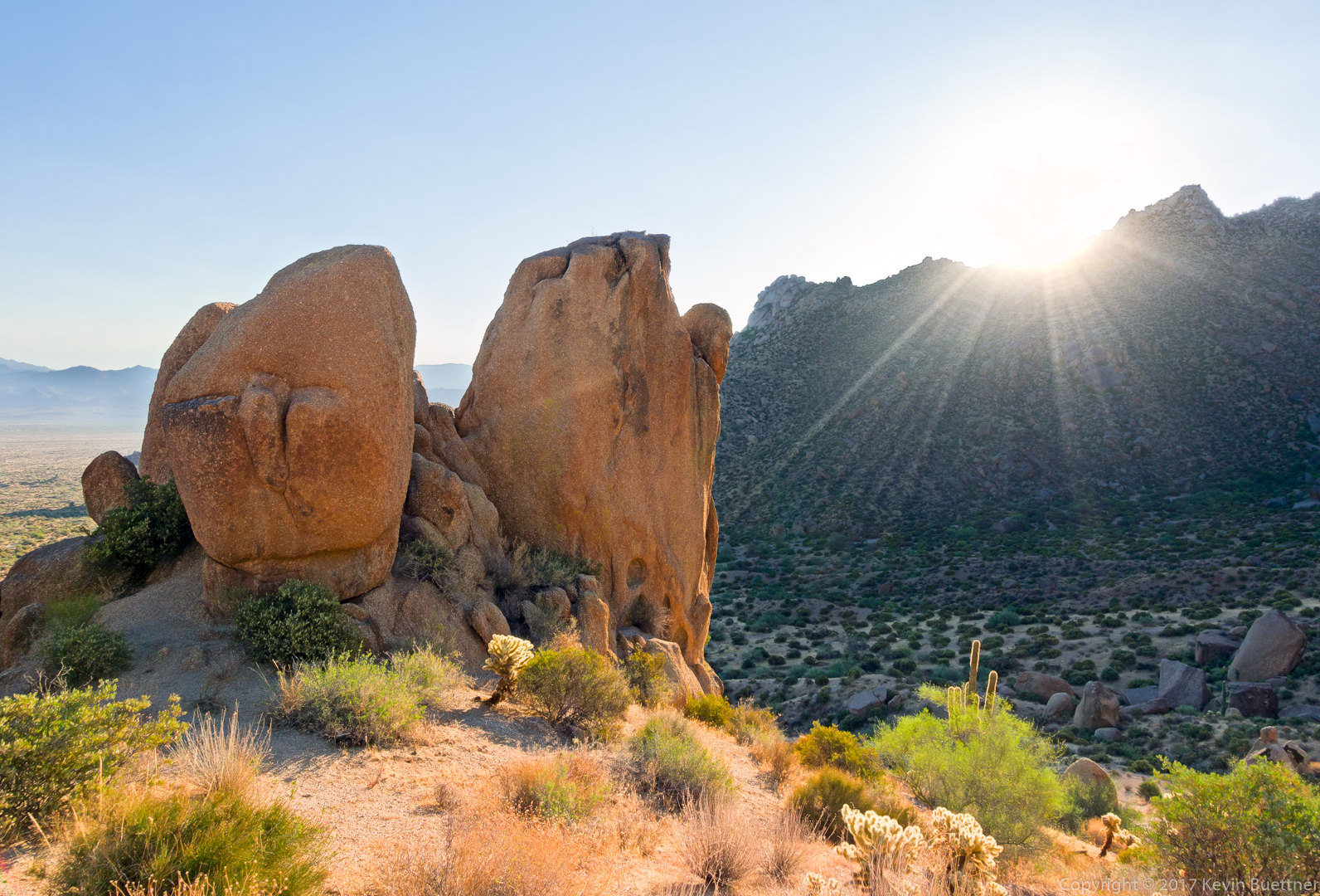
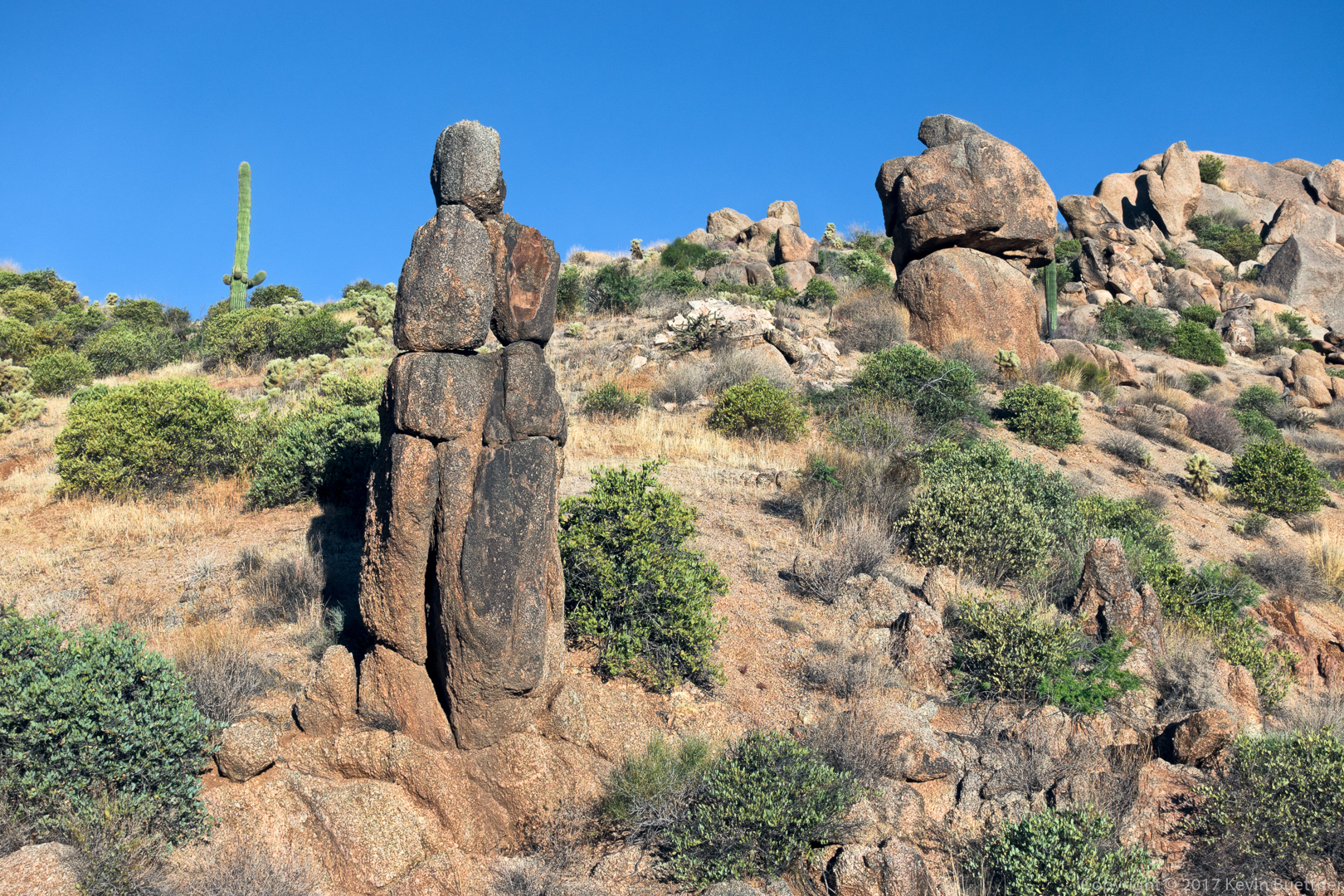
This is the small pinnacle mentioned earlier.

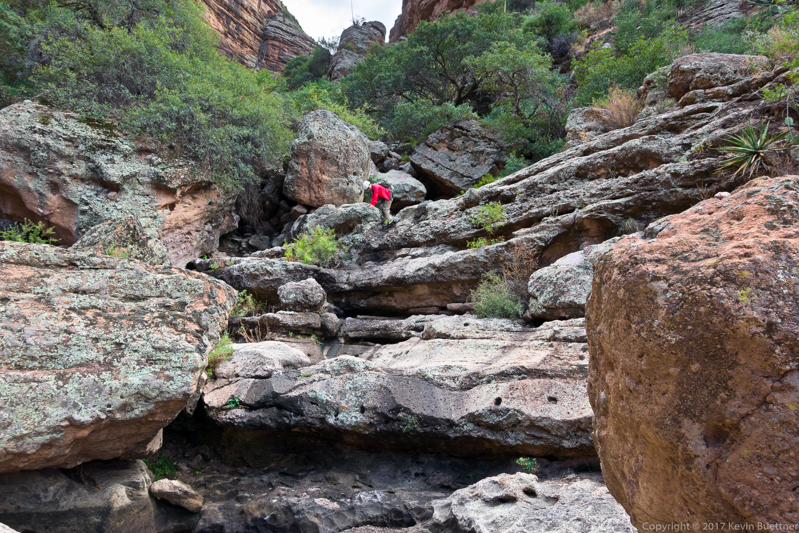
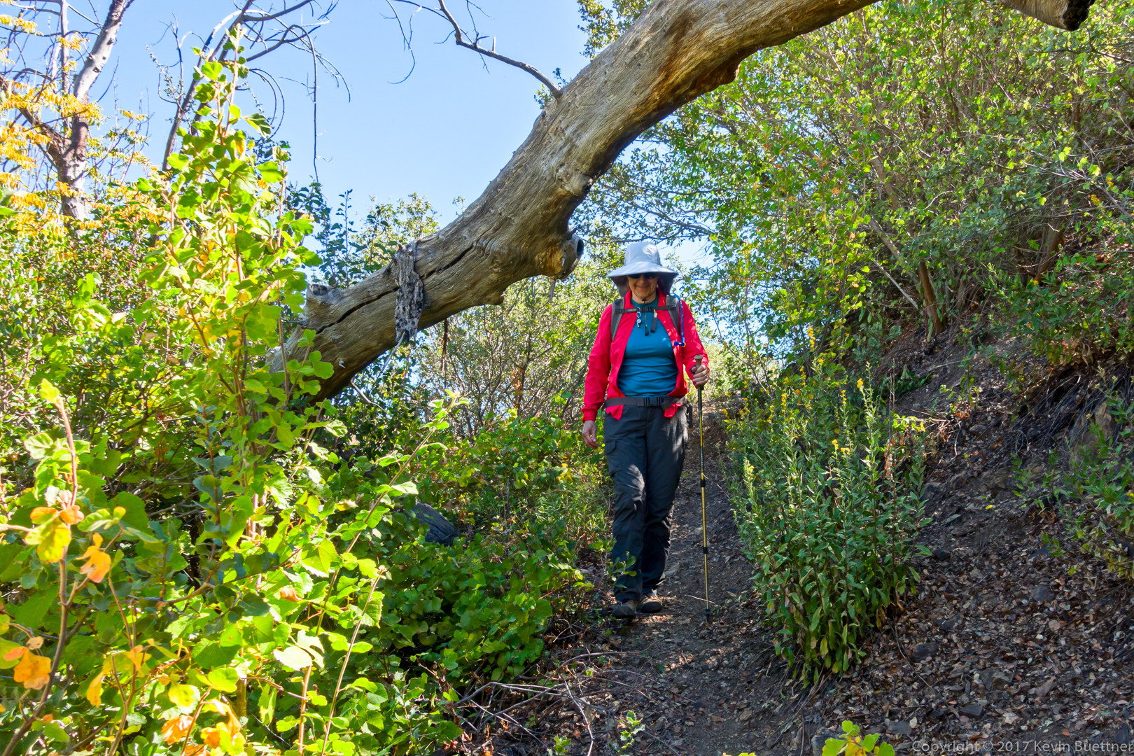
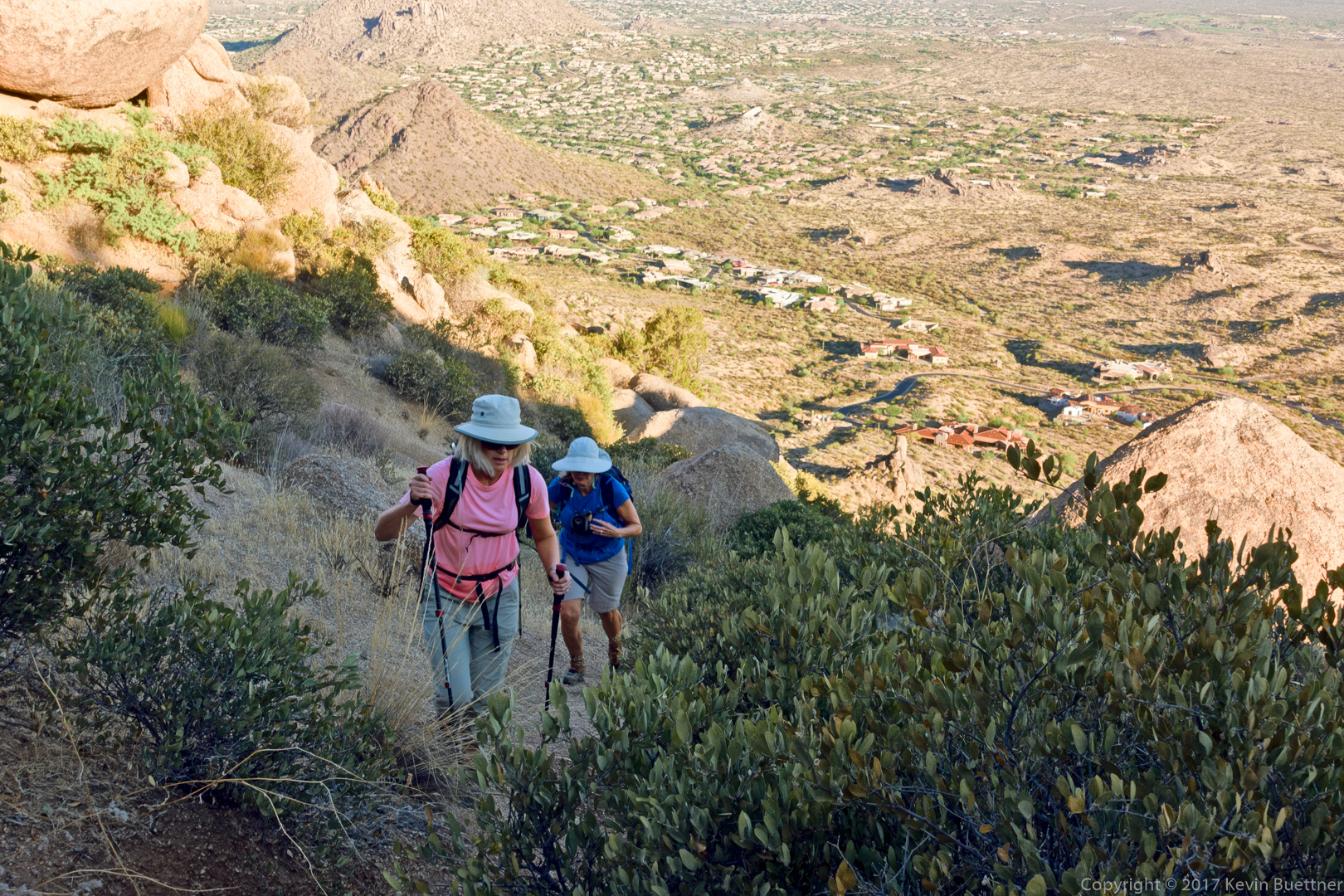
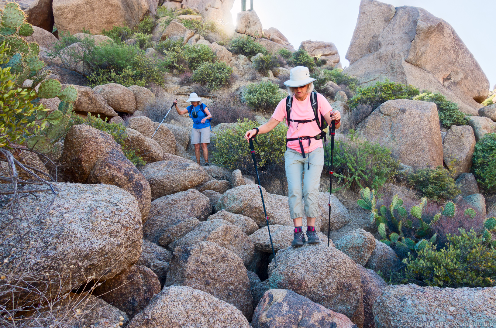
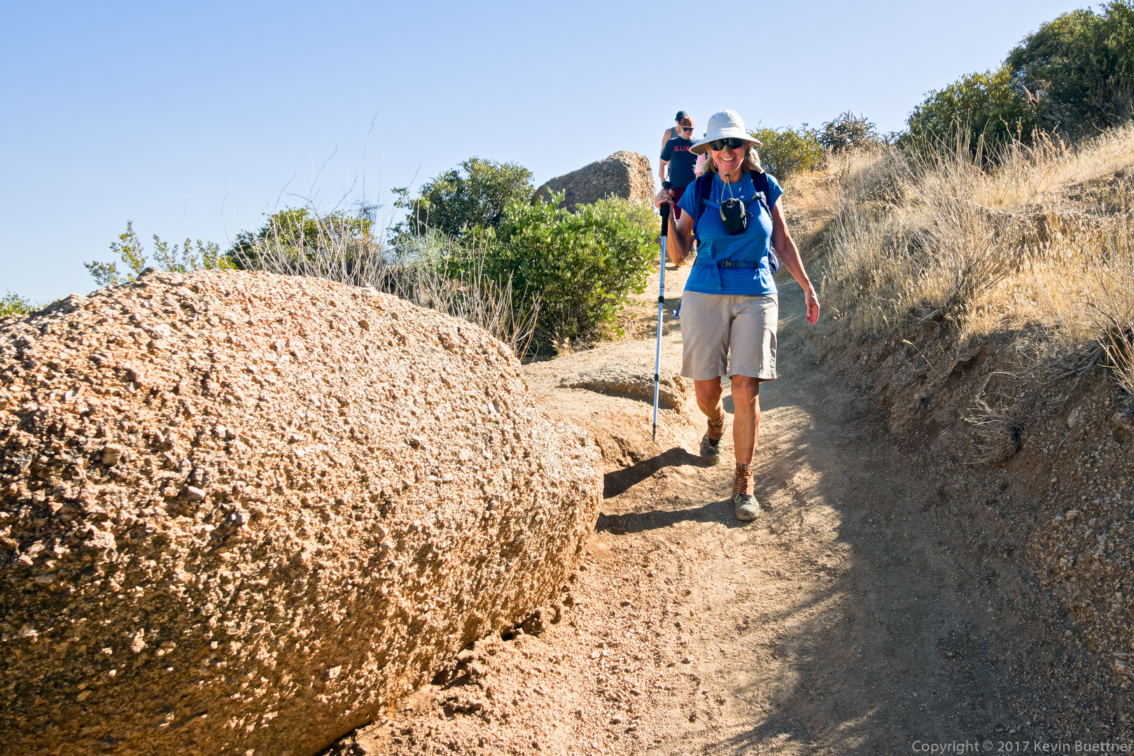
Sara and Linda, hiking up some steep terrain.

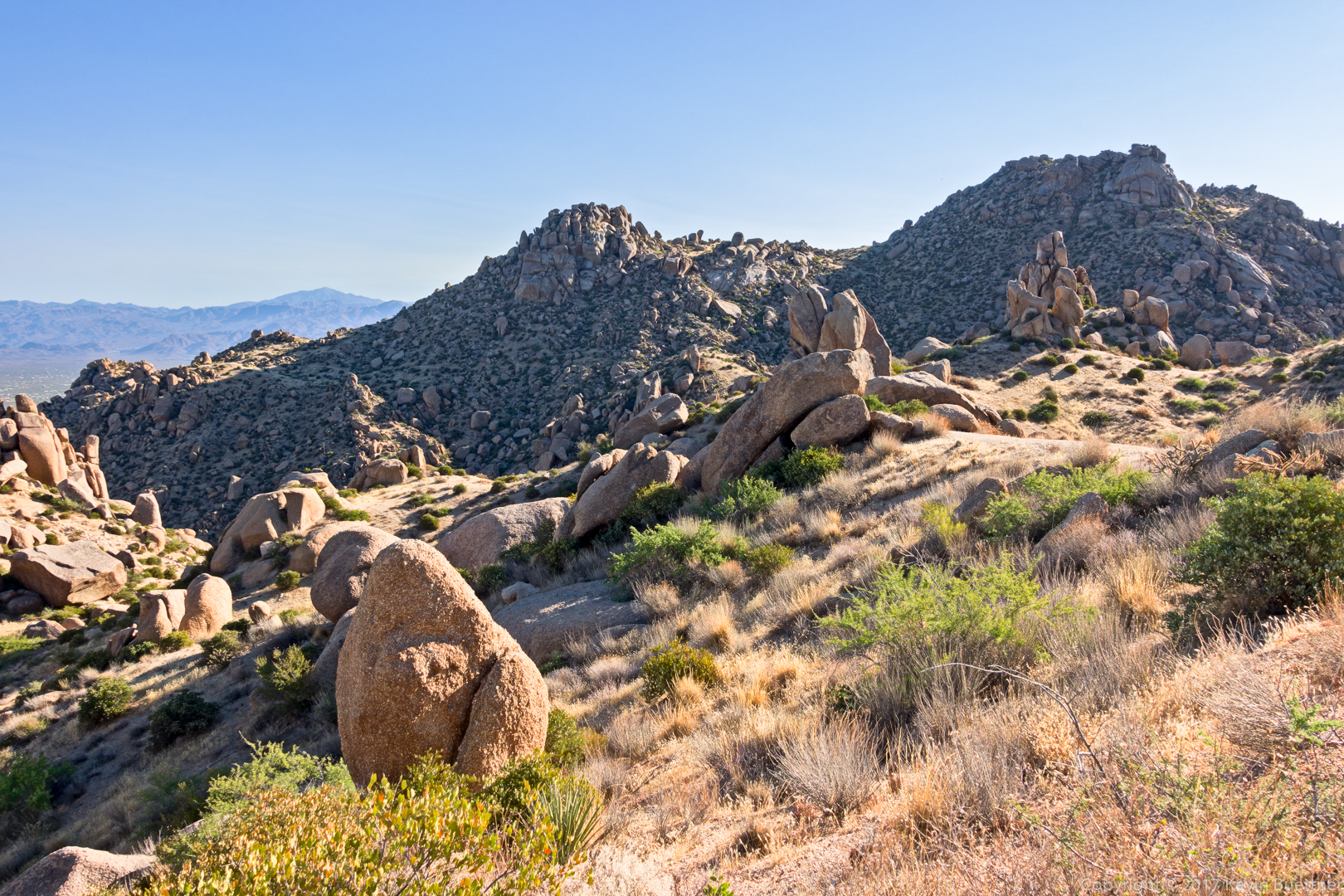
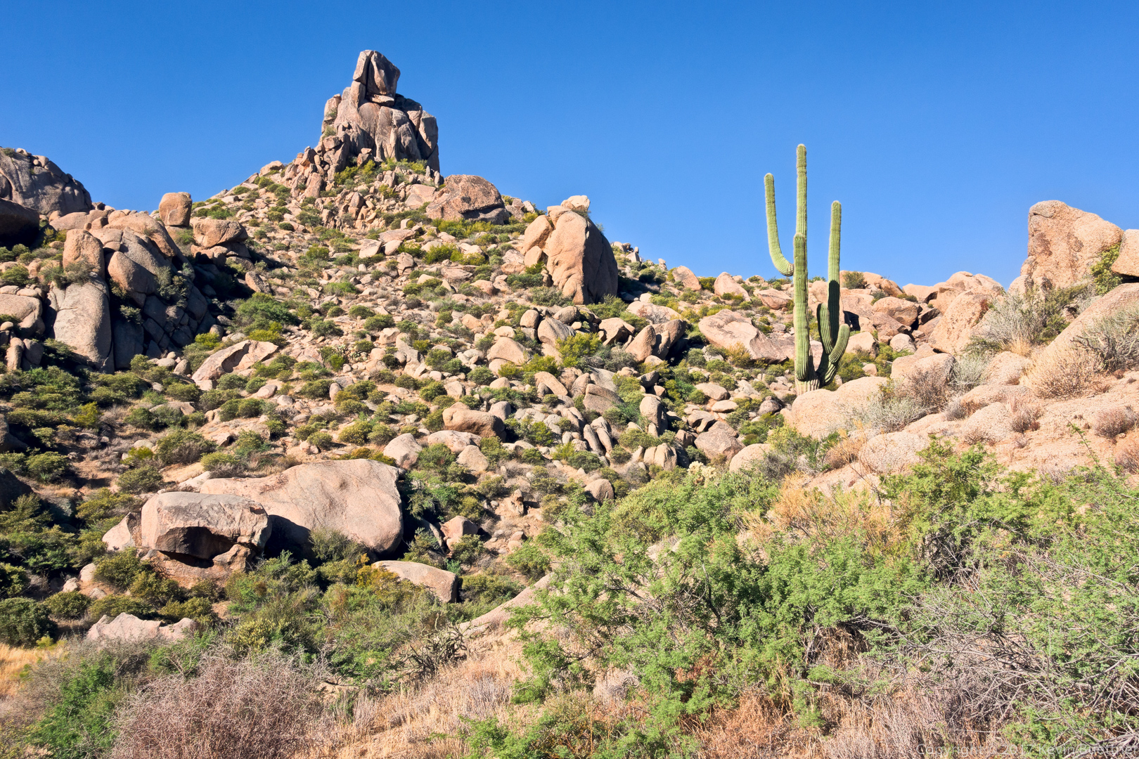
Pinnacle Peak and Troon Mountain:

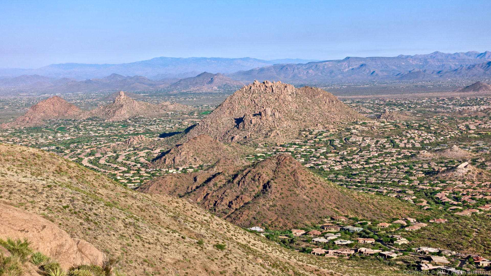
Tom’s Thumb from the ridge:

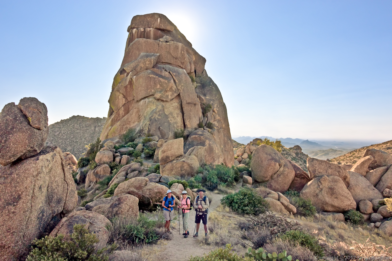
Linda, Sara, and Kevin in front of Tom’s Thumb.

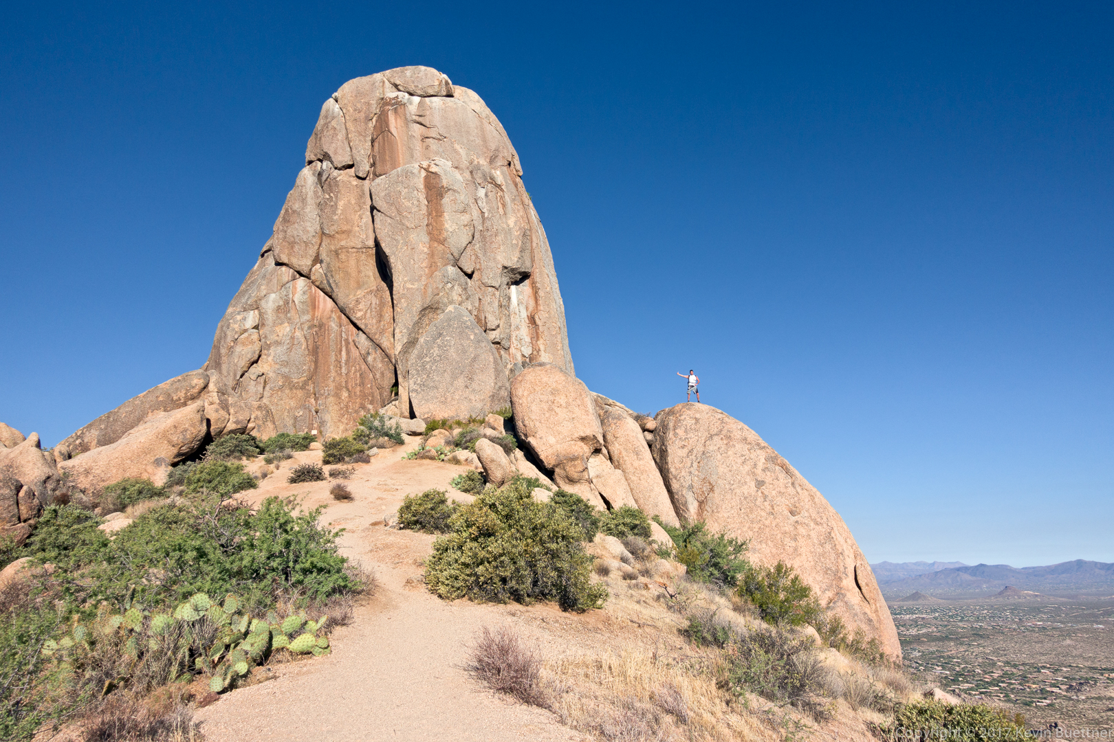
After we worked our way around to the other side of Tom’s Thumb, we met a woman who was walking back down the trail to take a picture of her male companion. I thought it was a good shot, so I took a picture too.

At the right is Glass Dome and, past that, Goat Hill.

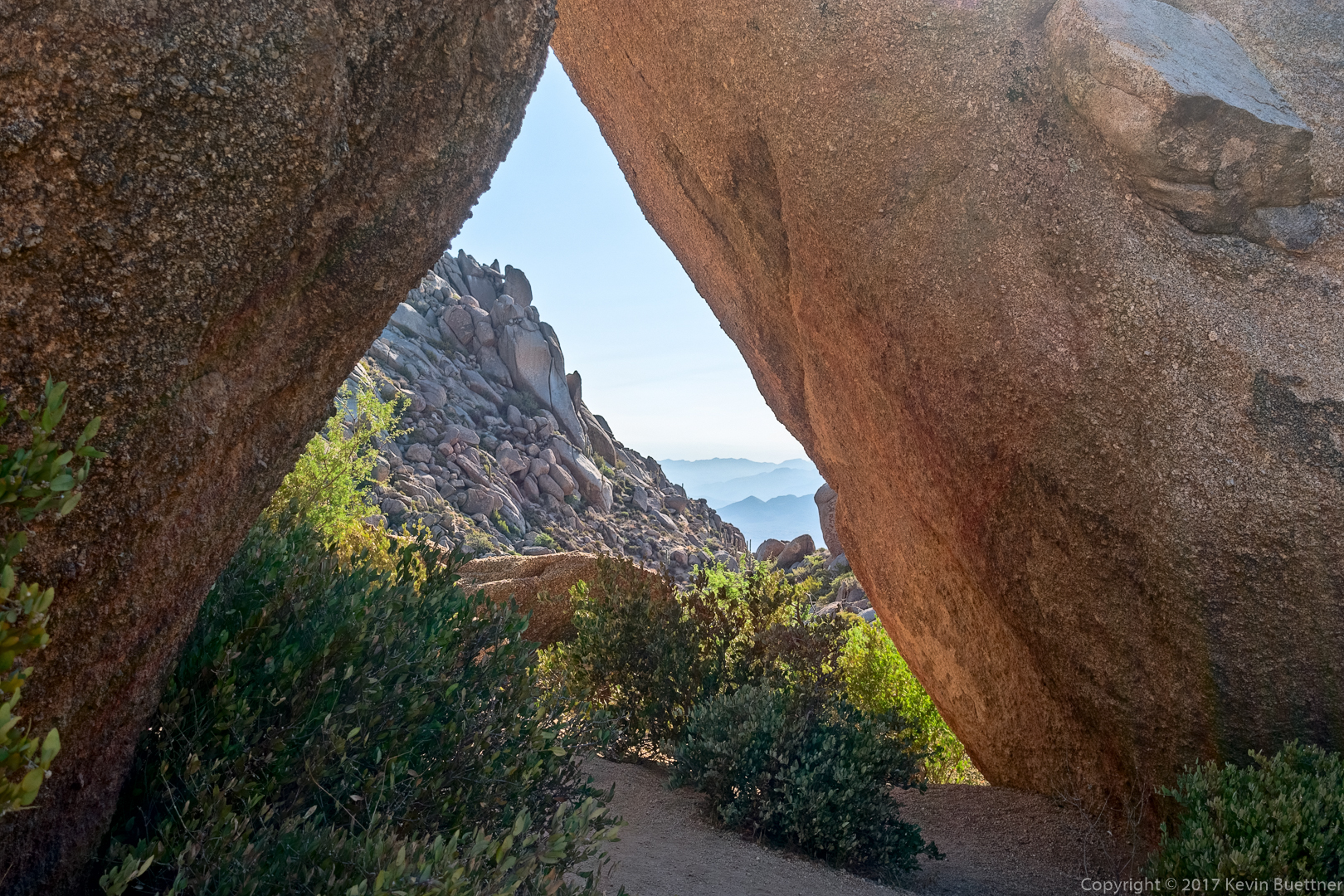
This is not really a tunnel; the large leaning rocks don’t actually touch each other, but it sort of looks like they do if you stand in the right place.

Another view of Glass Dome:

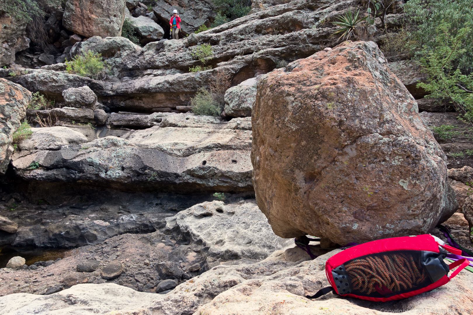
Linda and Sara making their way across the boulders:

Looking up at Gardener’s Wall; as we were making our way back, we came across two women who were hiking up to Gardener’s Wall, and then to Tom’s Thumb. It was remarkable just to come across anyone else on this particular trail.

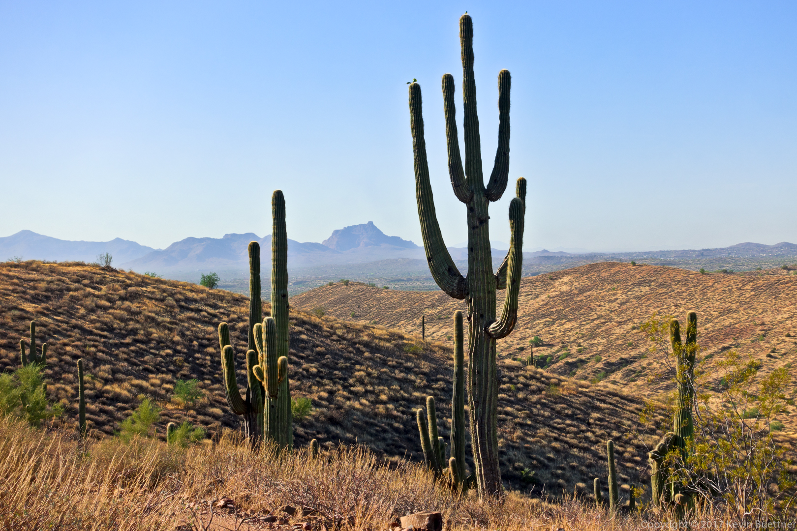
Another view of Pinnacle Peak and Troon with a picturesque saguaro and mushroom boulder in the foreground:

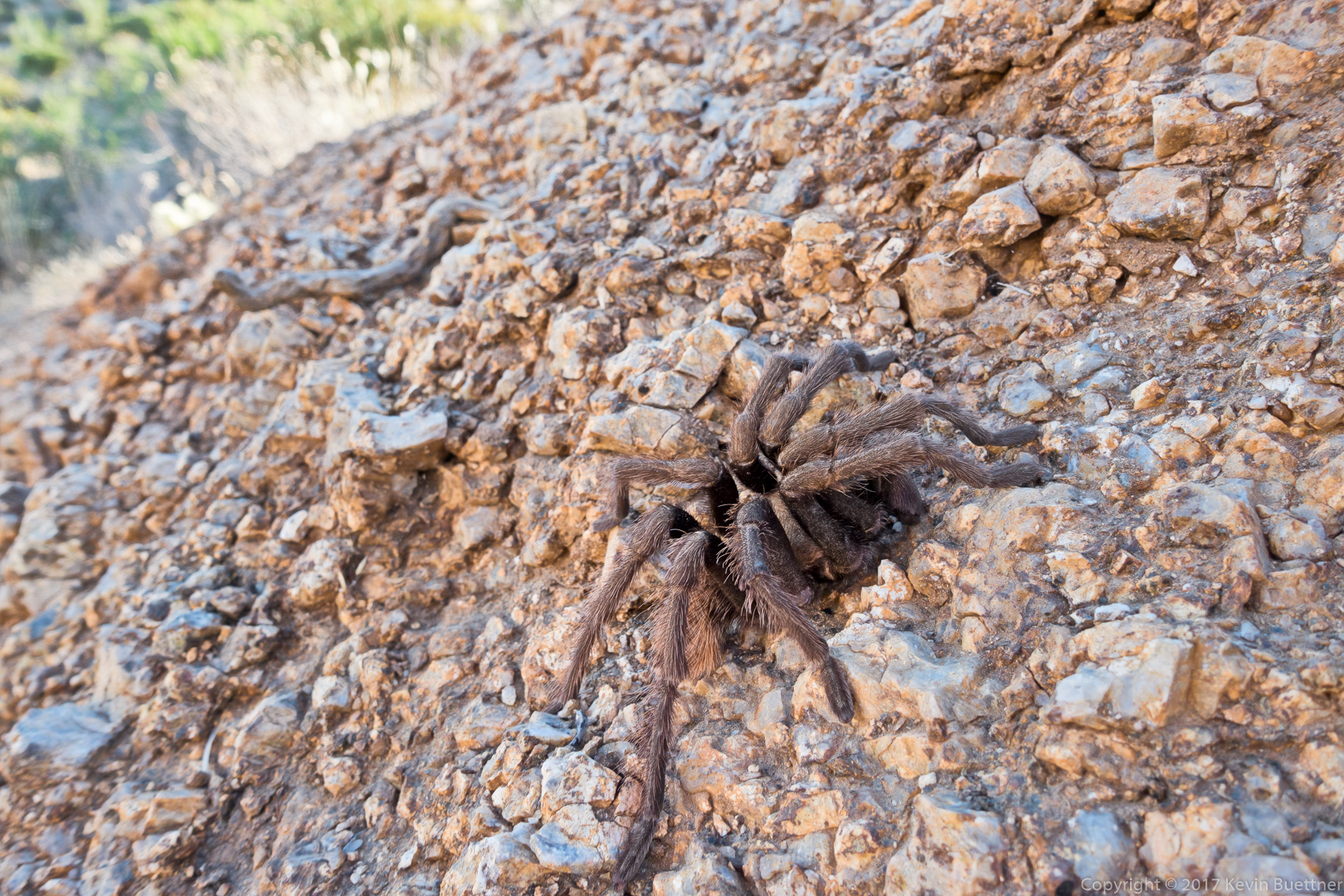
We saw this tarantula as we made our way back down Tom’s Thumb Trail:

Linda, hiking down Tom’s Thumb Trail:

We turned right on the Feldspar Trail and then right again on the Marcus Landslide Trail. Linda told me that she had helped to clear the path to this mushroom boulder on the hill near where Marilyn and I used to park for climbing at Sven Slab. After visiting this mushroom rock, we went over to look at Energizer (5.8) and the Gripple Variation (5.10a) on a boulder in the Sven Slab area.

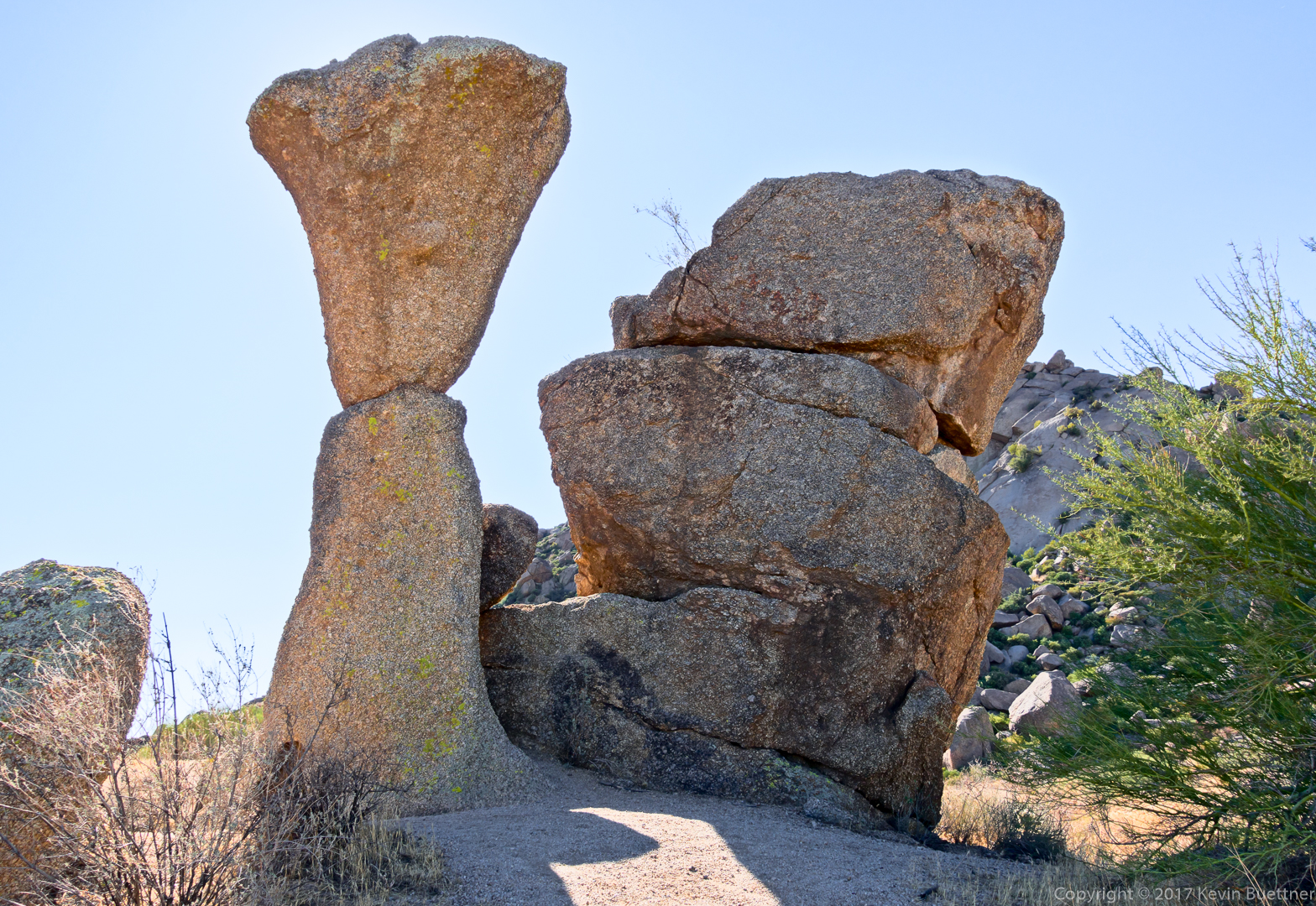
We then made are way back to the Caballo Trail where we eventually saw dos caballos with their riders.

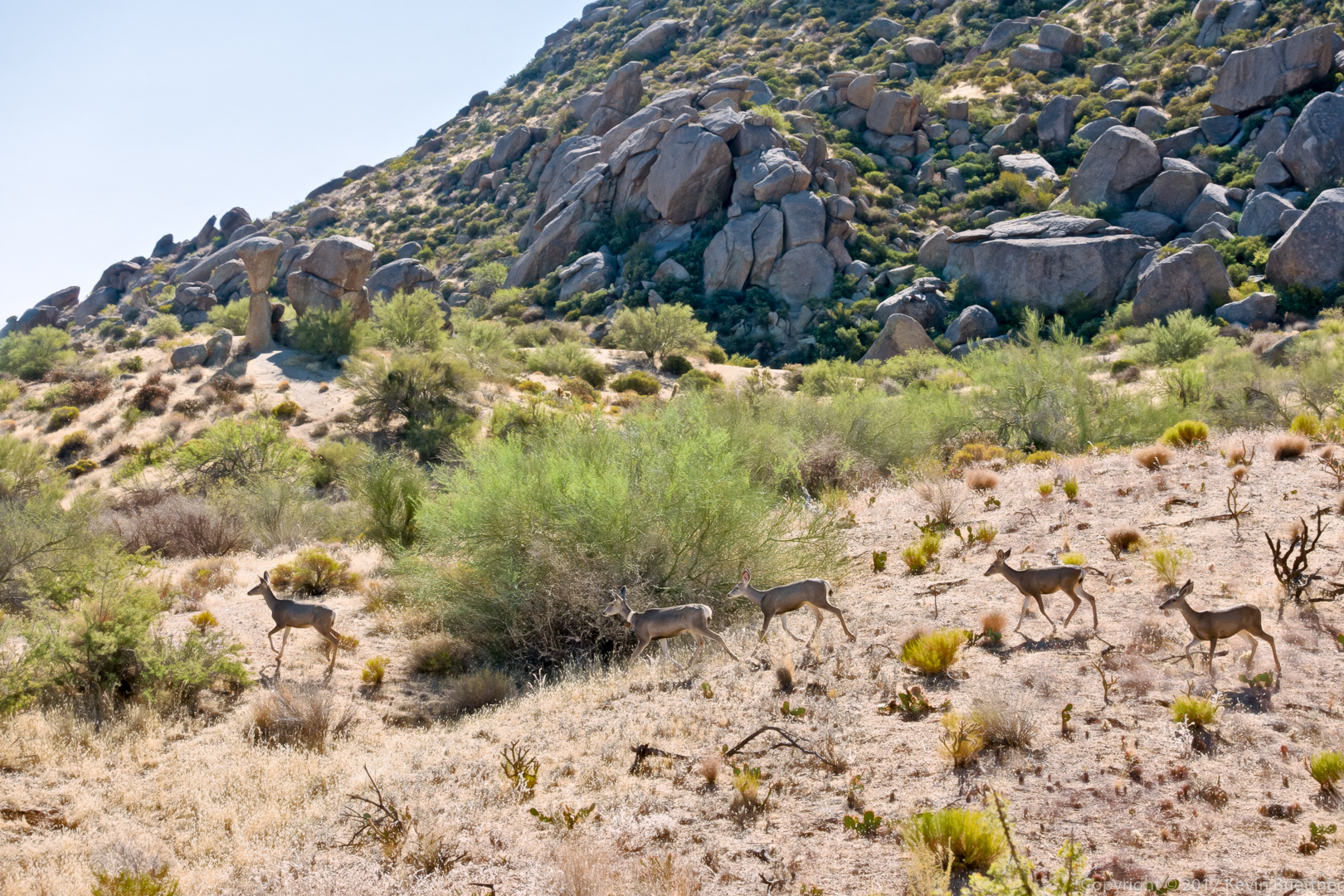
Look for four deer at the bottom left:

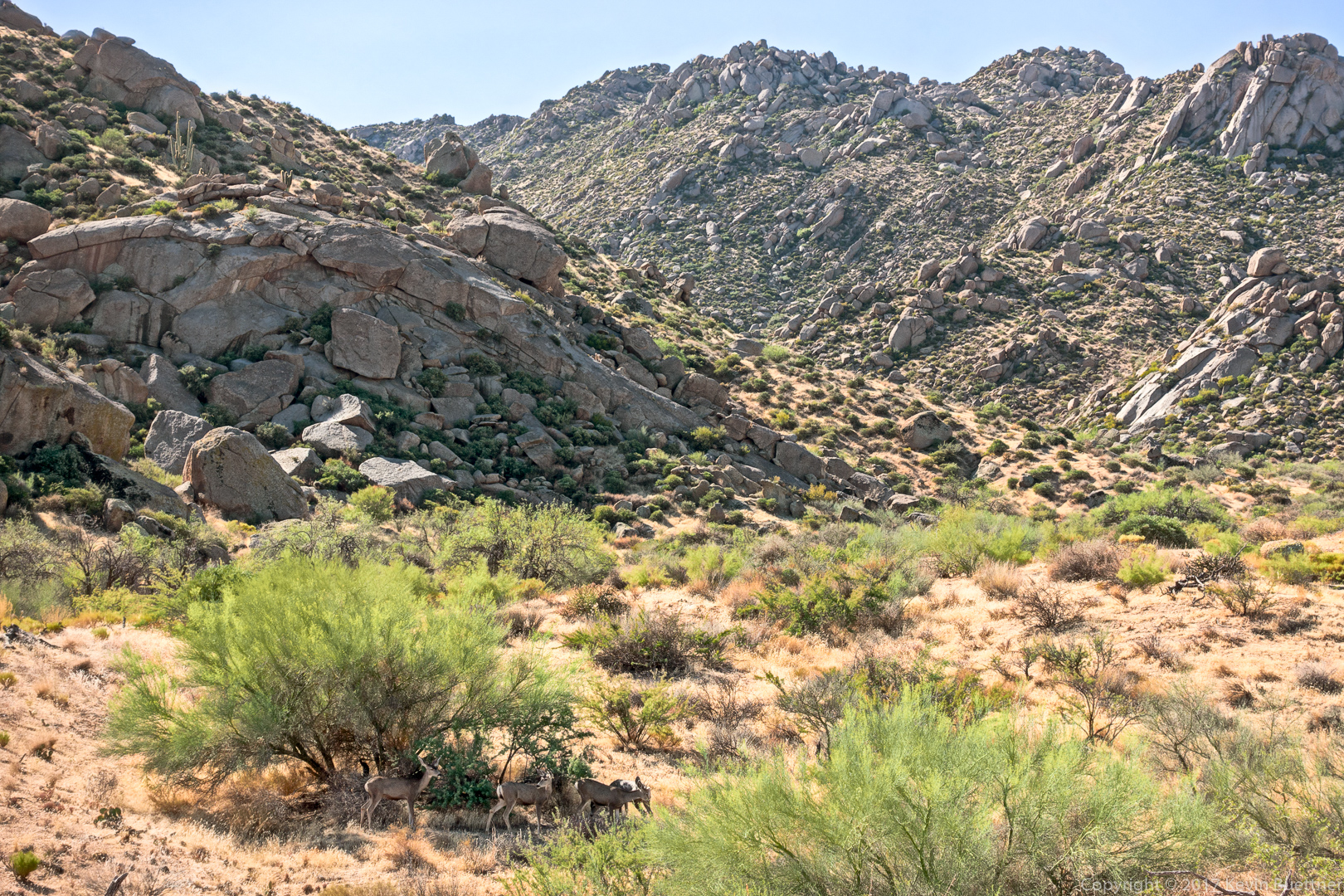
Five deer; the second one in line has a tracking collar.

Friday Fitness Hike

Susan, Mike, Bob, and I hiked a 6.4 mile loop starting from the Four Peaks / Horse Staging Area. We hiked Shallmo Wash, Pemberton, Scenic (turning at the second intersection w/ Pemberton), Cinch, and Escondido.

Sunrise from the parking lot:

A view of Four Peaks from the Scenic Trail:

A view of Red Mountain from the Scenic Trail:

Along the way is a rock with a petroglyph:

Another look at Red Mountain:

Minnow Canyon

Marilyn and I had a canyoneering adventure in Minnow Canyon on Thursday, the 19th.

The route is only 2.4 miles in length, but has some bushwhacking, down-climbing, and one rappel.  There were several spots where we lacked the skill and nerve to do the down climb. In those spots, I rigged a rappel, usually no more than 20 to 30 feet, so we could get past that point safely.

The long rappel near the end was a lot of fun. It was about 130 feet in length and an overhung section near the end, in which you can no longer touch the rock with either your hands or feet.  There’s a large boulder which can be used for an anchor at this point. There were already two slings in place, one of which still felt supple enough that I was willing to trust it.  I rerouted the second (and presumably older) one a bit so that they were equalized.  The one problem that I saw with the way that the anchor was rigged was that rapid links (rappel rings, though which you pass the rope) were set back too far from the edge.  Setting it up this way makes it easier and perhaps safer to get over the edge, but it creates a lot more friction when it comes time to pull the rope.  That proved to be the case; I had to pull very hard on the pull cord to get it to move.

It was dark when we got to Fish Creek, so we strapped on our headlamps so that we could finish the adventure.  There was water in the creek; I saw pools that appeared to be at least three feet deep.  I was able to find a way around these pools though.  The climb back to the road at the Fish Creek Bridge was challenging in the dark.

It turned out to be a 2.5 mile walk on the Apache Trail to get back to our vehicle. We left our headlamps on so that cars would see us.  It might have been safer doing this part in the dark because cars could definitely see us.

The hike starts on Forest Service Road 213. Hiking the road is easy, but there are still some pretty good views.

I left the road to photograph this view.  I got us lost for about half a mile while trying to get back to the road.

At this point, we had entered the wash which eventually led to Minnow Canyon. To get here, we had to descend a steep(ish) hill in the rain and then make our way through some catsclaw. I was happy that I chose to wear a long sleeve shirt and long pants.

Bushwhacking was not over though…

Making our way further down the wash…

As the walls started to get steeper, the way became easier for a time.

But after a while, the way down started to get steeper.

I found the striations in this wall interesting.

I took this photo when I was scouting a way down. We ended going down a short wall which had a nearby tree which helped us get down.

After taking this photo, the way got considerably harder. I was so focused on figuring out how to proceed down the canyon that I forgot to take pictures of our adventure.

I took a few more photos when we (finally) reached the 130 foot rappel. The larger boulder to the right is the anchor. The rope bag with 200 foot rope is in front of the boulder. If you look closely, you can see some purple and green webbing. The green webbing was in better shape. I used a carabiner block along with a pull cord for rope retrieval.

Marilyn down-climbs an easy section just before the rappel.

Marilyn, starting the rappel.

Marilyn is scoping out the upcoming steep section of the rappel. She was also trying to figure out whether or not she could get the rope on the other side of the tree. (She couldn’t.)

This was the view from the top of the rappel. After the rappel, there was still quite a lot of down climbing and I, again, forgot to take more pictures.

Friday Fitness Hike

Marilyn, Linda, Sara, Susan, and I hiked 10.3 miles with somewhat over 1400 feet of total ascent.  We hiked Dixie Mine, Coachwhip, Windmill, Bell Pass, Prospector, and then back down the service road to Dixie Mine, which we used to return to the parking area.

A view from the Dixie Mine Trail – at this point, we were midway up the hill just past the service road.

Continuing up the hill…

A view from the Coachwhip Trail:

Looking towards Thompson Peak from the Windmill Trail:

Looking toward Four Peaks from the Bell Pass Trail:

Views from the Prospector Trail…

Friday Fitness Hike

Bob, Mike, Heather, Linda, Susan, and Marilyn joined me for a 9.6 mile hike starting from the Wagner Trailhead. We hiked out and back on Wagner and part of Granite and, in the middle, did a loop consisting of Lariat, Pemberton, and Delsie.

One of the views from the Lariat trail. (I don’t find the views from this trail to be especially compelling. This area was badly burned by the Rio Fire of 1995.)

Bob, Marilyn, Susan, Heather, Linda, and Mike near the intersection of Lariat & Pemberton.

Marilyn, Linda, and Heather hiking westward on the Pemberton Trail.

A view of the McDowells from the Pemberton Trail. On the previous week’s hike, Heather and I hiked the ridge to the right of Tom’s Thumb (from right to left) and then continued past Tom’s Thumb.

This is the new shade shelter near the Granite Tank, at the intersection of Pemberton & Delsie. The previous shelter was blown down by a storm that occurred sometime around Christmas, 2016. This shelter looks to be a good deal stronger than the old one.

A close-up of the notice on the post.

A view from the Delsie Trail:

Sunday Hike – Deer Creek

Marilyn and I hiked about eight miles on the Deer Creek Trail (four out and four back).

I noticed a prickly pear cactus with a lot of really ripe fruit. As I looked closer, I noticed a rather messy spider web covering a lot of the plant. Looking closer still, I noticed a spider with what I guess is an egg sack on the bottom of one of the fruit. It wasn’t until I got home and started processing the image that I noticed what an unusual looking spider it is.

I think that this is the South Fork of Deer Creek.

At this point we had crossed over the creek / wash feeding into Deer Creek and were hiking along the fence line.

In this spot, I noticed some agave stalks on the hill.

Looking into Deer Creek and one of the mountain behind.

I thought at first that these were fruit on this scrub oak, but have since learned that they are oak galls which are sometimes called oak apples.  They are growths which are caused by the secretions of gall wasp larvae. In any case, the one in front was slightly larger than a golf ball.

These berries were smaller and a lot more abundant. I think that these are actual fruit instead of galls.

Marilyn, approaching an overhanging branch…

Another view of Deer Creek. We didn’t see any water in the creek.

This is Davey Gowan’s gravesite. Gowan was a Scottish immigrant and pioneer who discovered Tonto Natural Bridge while hiding from Apache. From the accounts that I read of him, he was buried very close to where he died while traveling from a cabin that he had in this area.

A picture of Gowan’s headstone:

After proceeding on from Gowan’s gravesite, we started out seeing one peak in the distance, the steep terrain eventually block our view of that peak, …

…revealing a different peak instead.

Eventually our views of that peak disappeared too; here’s another look at it just before I lost sight of it too.

At about four miles in, I came across the Mazatzal Wilderness sign.

And, only a short way beyond the sign, I encountered a large gully, water flow through which had washed away the trail.  I think that the trail continues in the slight gap in vegetation at the left of this photo, but am not certain as I saw a similar gap somewhat lower down to the right (which is not in this photo). Marilyn had stopped to wait for me about half a mile back, so I decided that this would be a good spot to turn around.

A view of one of the smaller washes I crossed on the way back to where Marilyn was waiting:

I didn’t notice the insects on this flower until I chimped the photo to make sure that I has the flower in focus.

We encountered these yellow flowers a short ways later.

Neither Marilyn nor I recalled seeing this gate before. If it was there on past hikes, we either didn’t go far enough or we’ve just don’t remember it.

This is the south fork of Deer Creek, just before it feeds into the main branch of Deer Creek.