Month: February 2018 (page 1 of 1)

Sunday Hike – Picketpost Mountain Summit

Kay, Laureen, Diane, Caroline, and Diane hiked to the top of Picketpost Mountain with me on Sunday.

The summit was sort of crowded:

A view from a point near the summit:

We eventually got the summit to ourselves; we got a photo with the famous mailbox. A placard on the door to the box describes how it came to be there.

Making our way back down…

Looking back up at where we had been!

Caroline, Diane, Diane, Laureen, Kay, and Kevin:

Friday Fitness Hike

Bob, Sara, Mike, Kay, Sunaree, Marilyn, and I hiked a loop of a little over 10 miles starting from the Horse Staging Area.

What a view!

This tree had six owls in it of which three are easily visible in this photo.  If you look very closely, it’s possible to pick out the fourth.  There’s a spot where there might be a fifth owl, but I can’t be sure. I have no idea where the sixth owl was hiding.

This was one of the owls flying down the small gorge through which we hiked. We saw these owls several more times as we made our way down the wash.

Bob, Sara, Mike, Kay, Sunaree, Marilyn, and Kevin:

A relic from the days when this land formed part of a working ranch:

This is a look back at part of the Sport Loop, one of the competitive tracks in McDowell Mountain Regional Park:

Roger’s Canyon

Sandra, Mark, Randy, Marilyn, and I hiked Roger’s Canyon on Saturday. The canyon is pretty and, at about 4 miles in, there are some 600 year (or so) old cliff dwellings.

Friday Fitness Hike

Linda, Sunaree, Gayle, John, Kay, and Ben joined me for a six and a half mile hike in the Tom’s Thumb area on Friday. Starting on the Tom’s Thumb Trail, we took the first climber’s access trail west to the ridge north of Tom’s Thumb. We followed this ridge past Tom’s Thumb to Tom’s Thumb Trail. It had been years since I last hiked the Lookout Trail, so we hiked to the end of the Lookout Trail where we could see the Windgate Pass Trail far below us. After hiking back on Lookout Trail, we hiked down Tom’s Thumb Trail, turned onto Feldspar, and then Marcus Landslide, returning via the Caballo Trail.

Midway up the climber’s access trail:

A small, but interesting pinnacle that we passed on the way up:

Gayle makes her way up the steep and sometimes loose trail:

Looking toward Scottsdale and a very hazy Phoenix:

A view of Tom’s Thumb from the ridge:

Linda, Sunaree, Kay, Ben, John, and Gayle:

A view of the west side of Tom’s Thumb:

Tom’s Thumb, again, but this time we’re seeing it from the Lookout Trail:

Heading back down Tom’s Thumb Trail:

This is one of the mushroom pinnacles near the Sven Slab area.

La Barge Battleship Saddle Loop

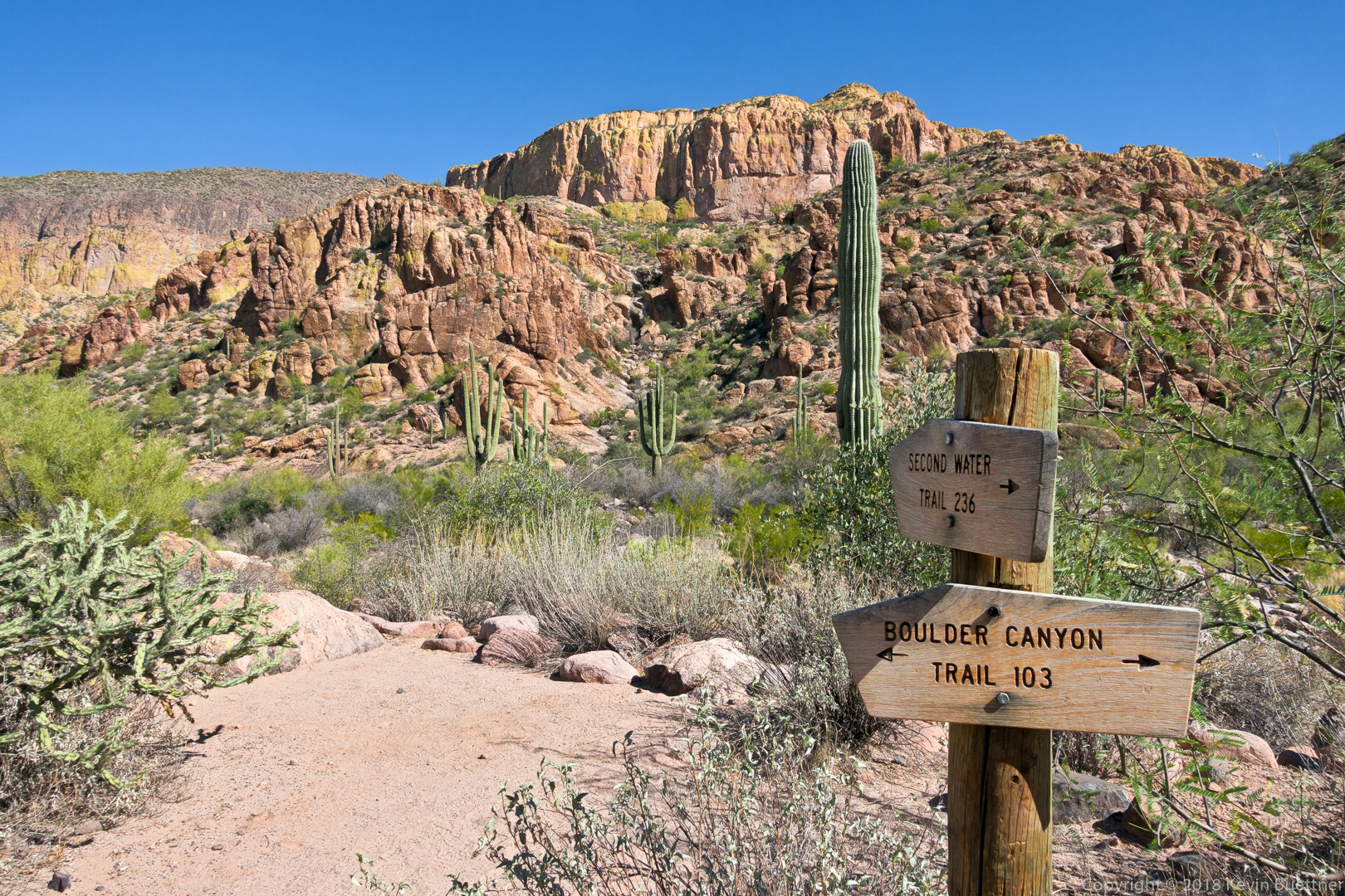
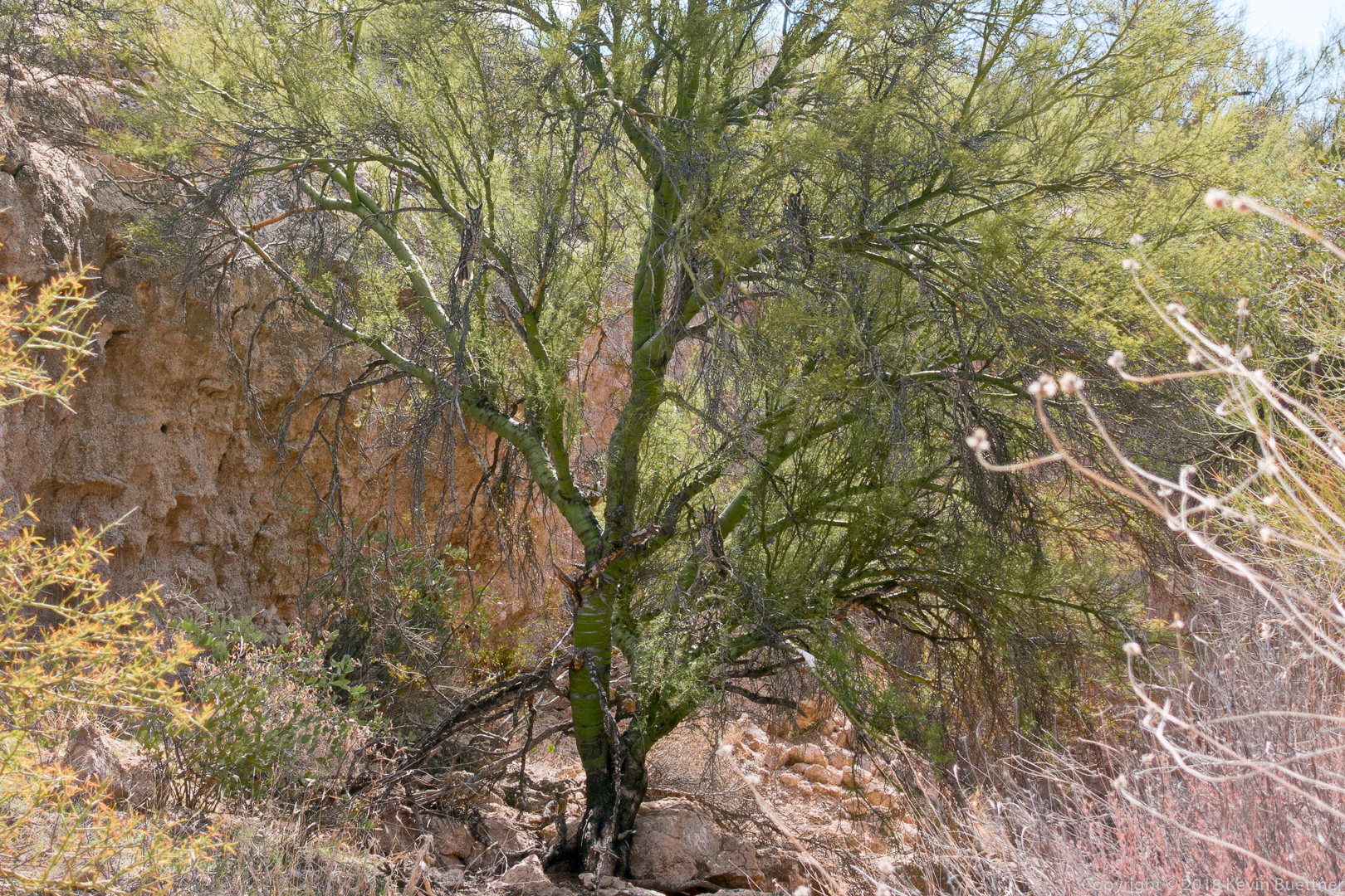
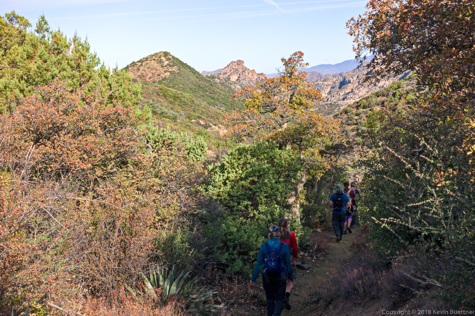
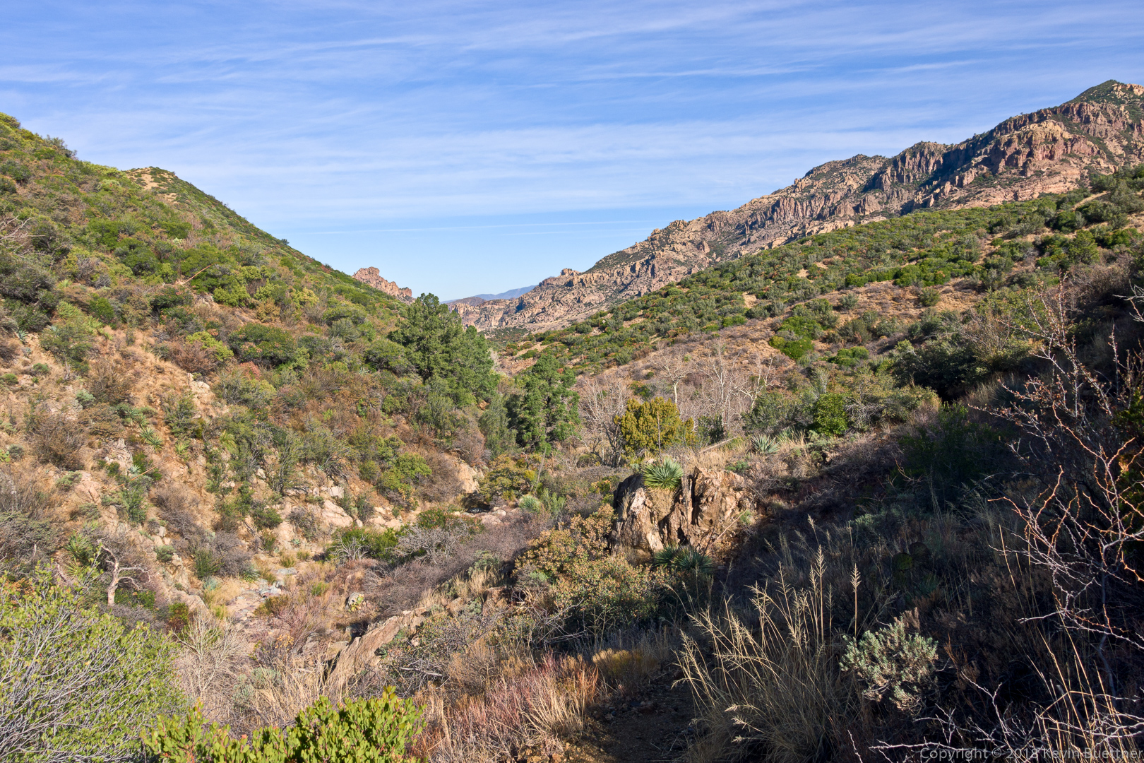
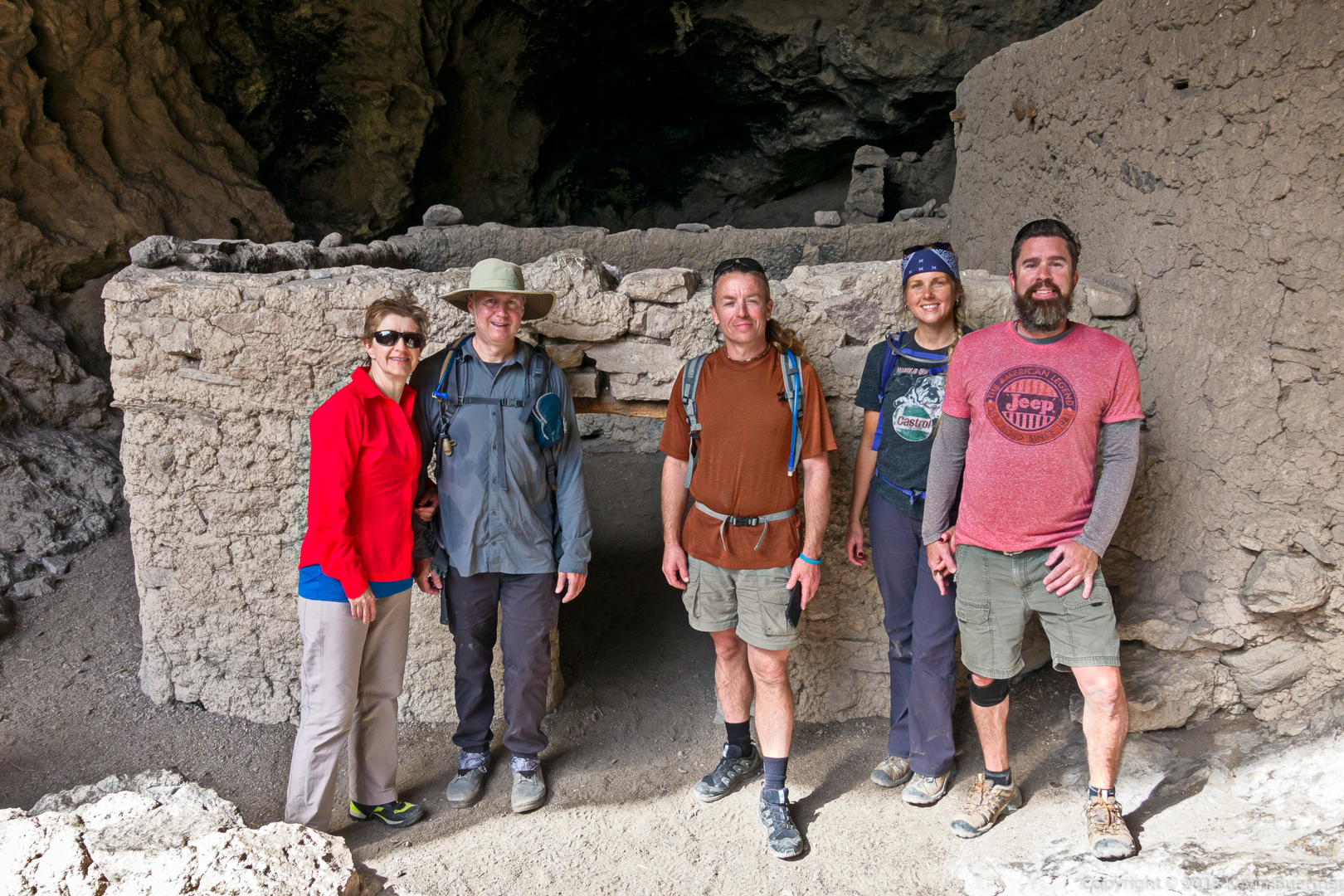
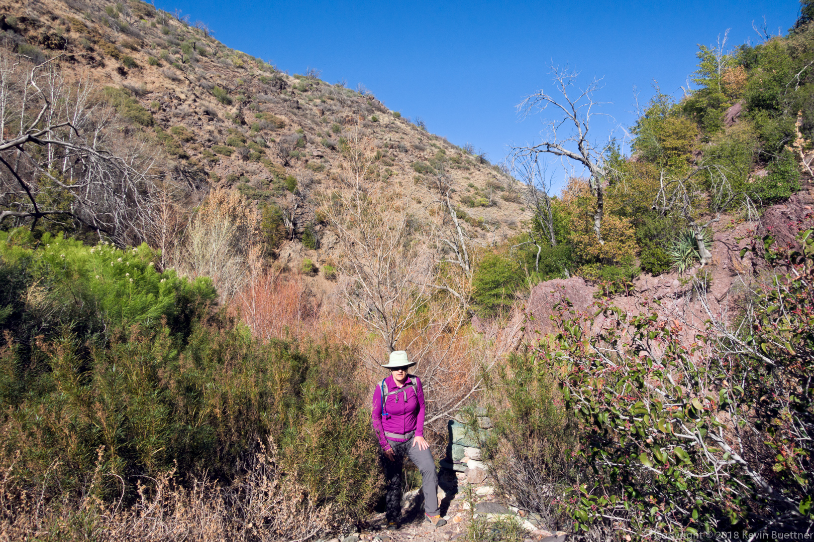
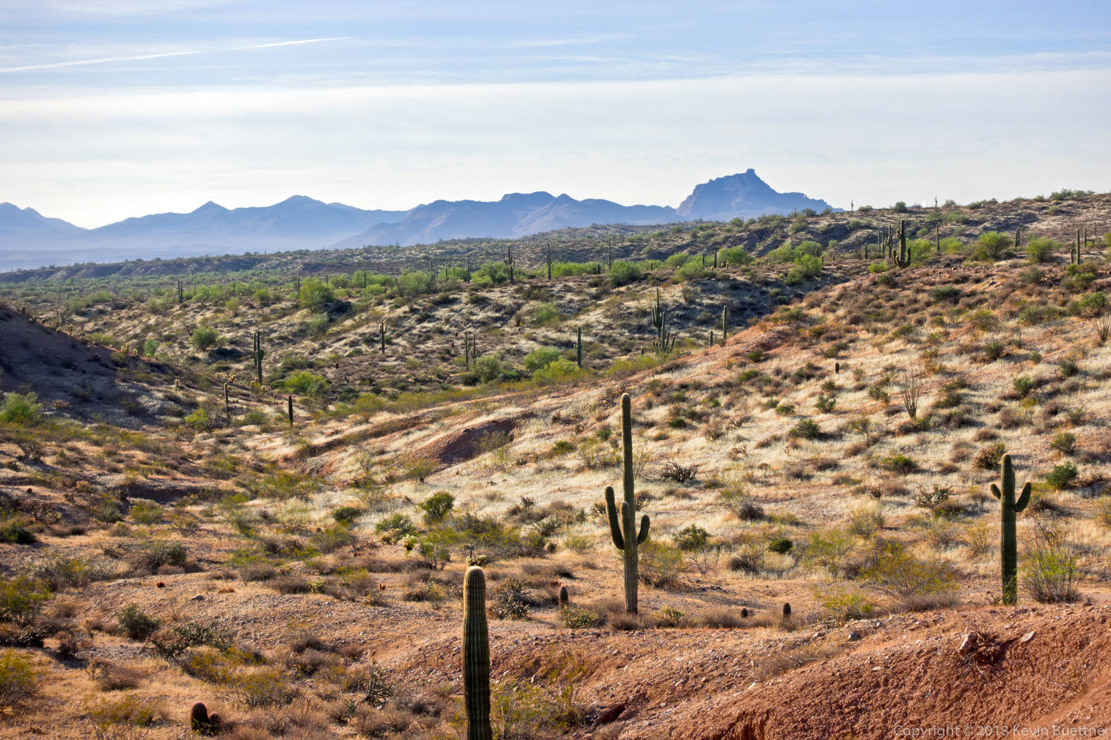
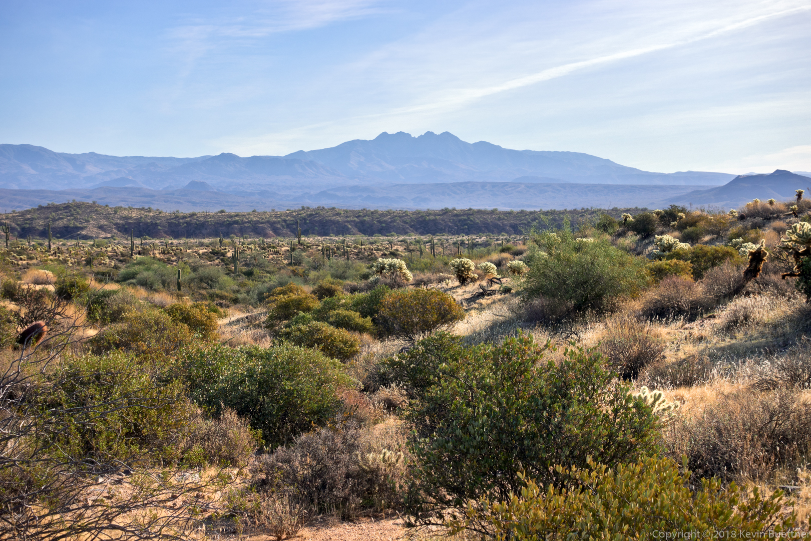
On Sunday, I did a hike in the Superstitions, the La Barge Battleship Saddle Loop.  This hike starts at the Canyon Lake Marina, following the Boulder Canyon Trail until it reaches La Barge Creek. It then heads south down the creek until it reaches a narrows with pools of water.  It then backtracks a bit and heads up to the saddle south of Battleship Mountain. I took a short side trip from the route at this point and visited the “stern” of Battleship Mountain in order to see what the opening moves of this class 3 territory look like. The route then heads to the west to Boulder Creek. From there, I rejoined the Boulder Canyon Trail which I took back to the trailhead.

A view of Battleship Mountain and Weaver’s Needle from the Boulder Canyon Trail.

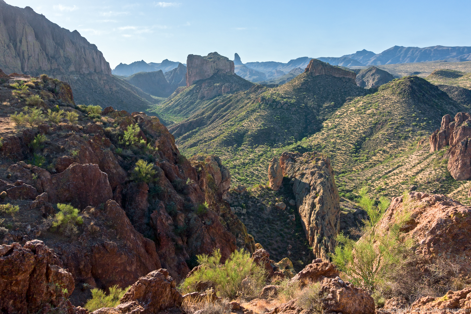
Another look at Battleship Mountain. I’m still on the Boulder Canyon Trail, but am near the turnoff into La Barge Creek at this point.

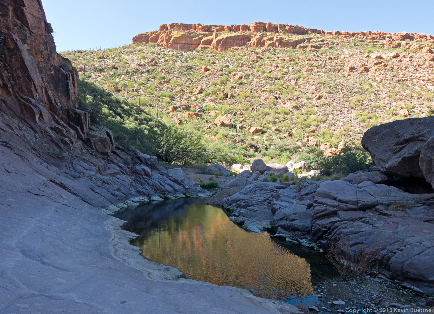
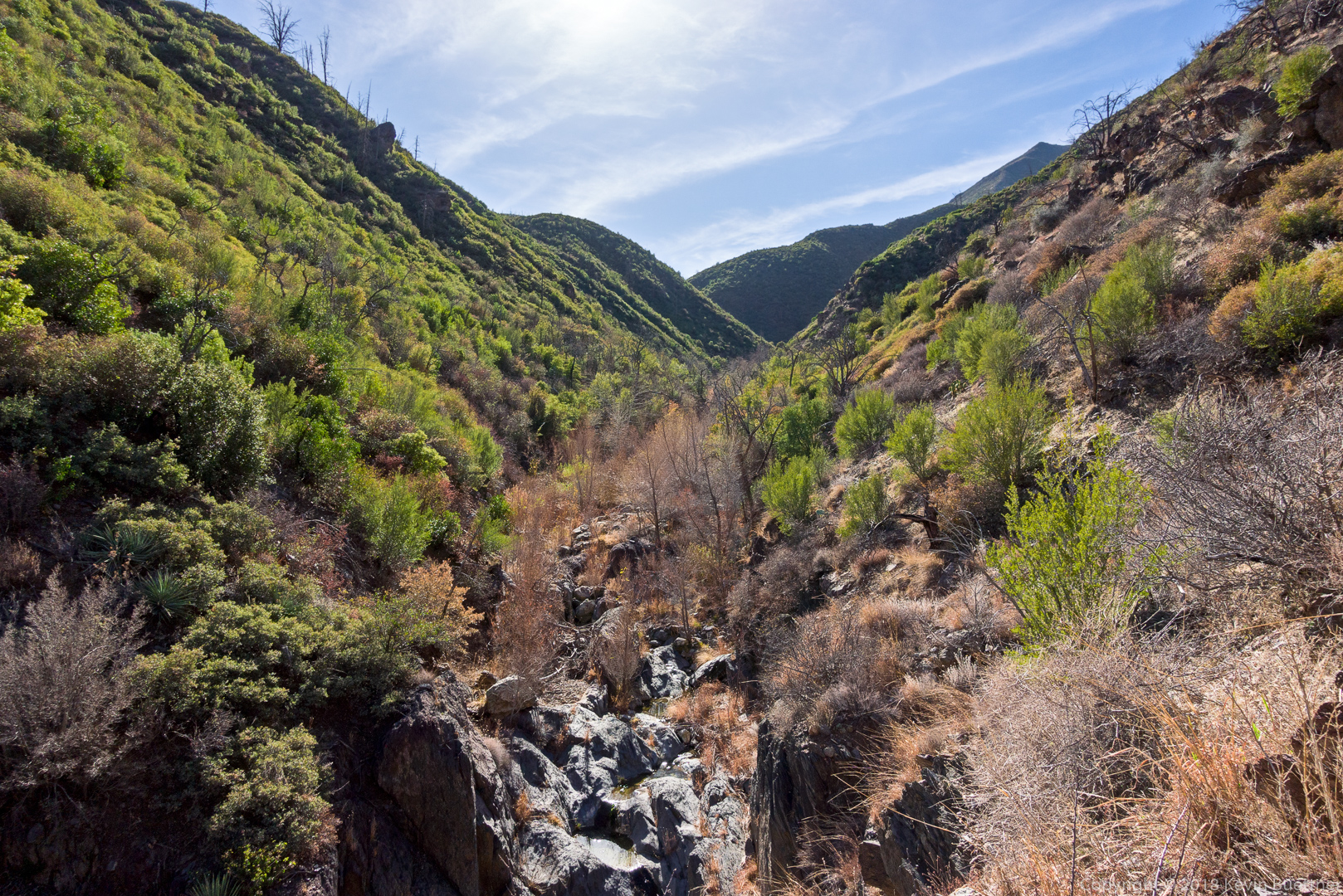
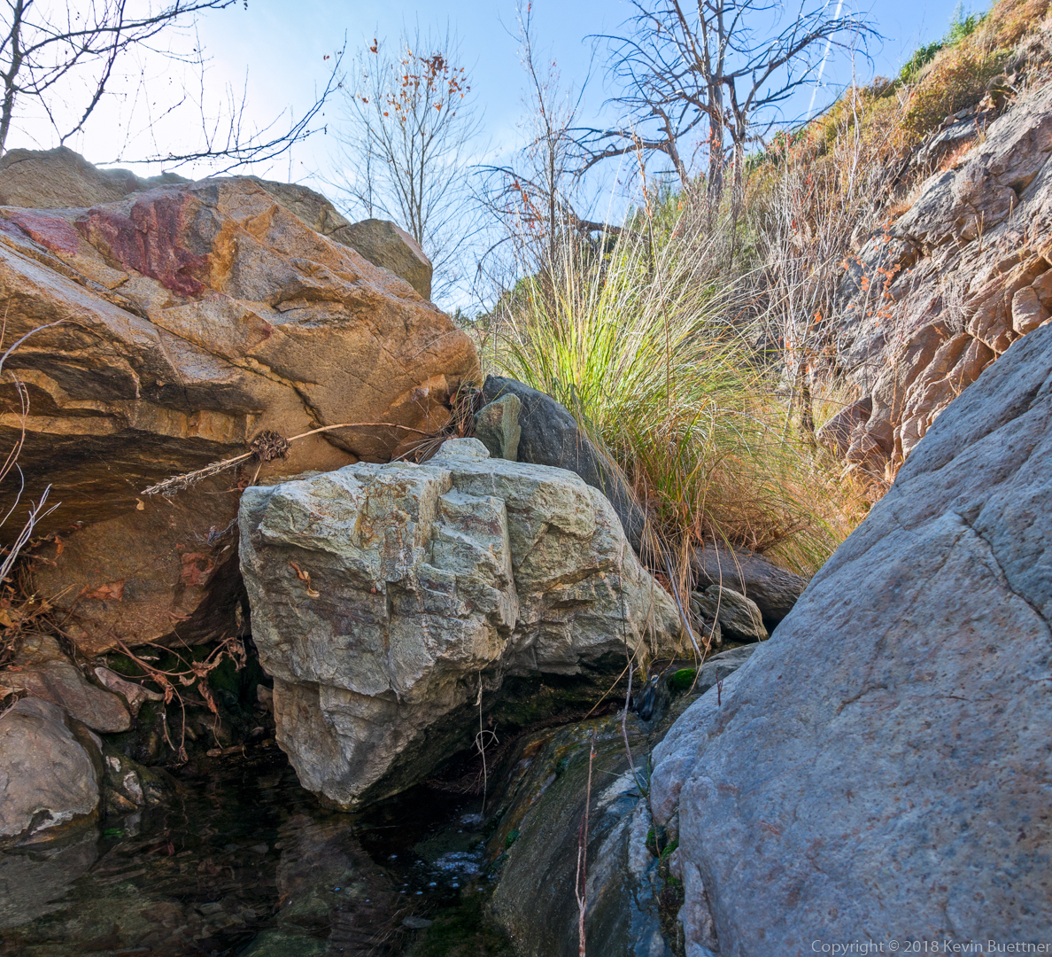
One of the pools of La Barge Canyon. Prior to this the creek had been quite rocky.

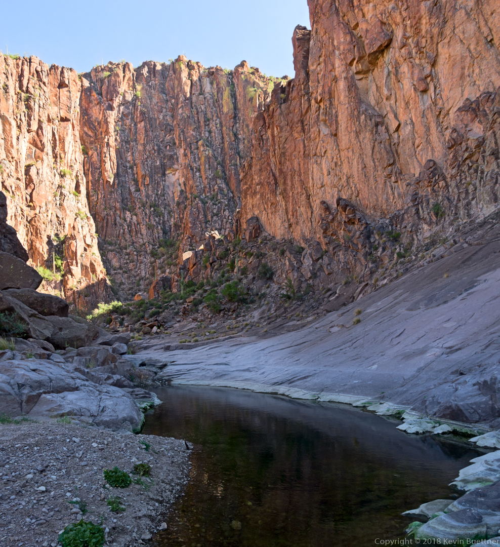
Looking back down La Barge Canyon from the way I had came.

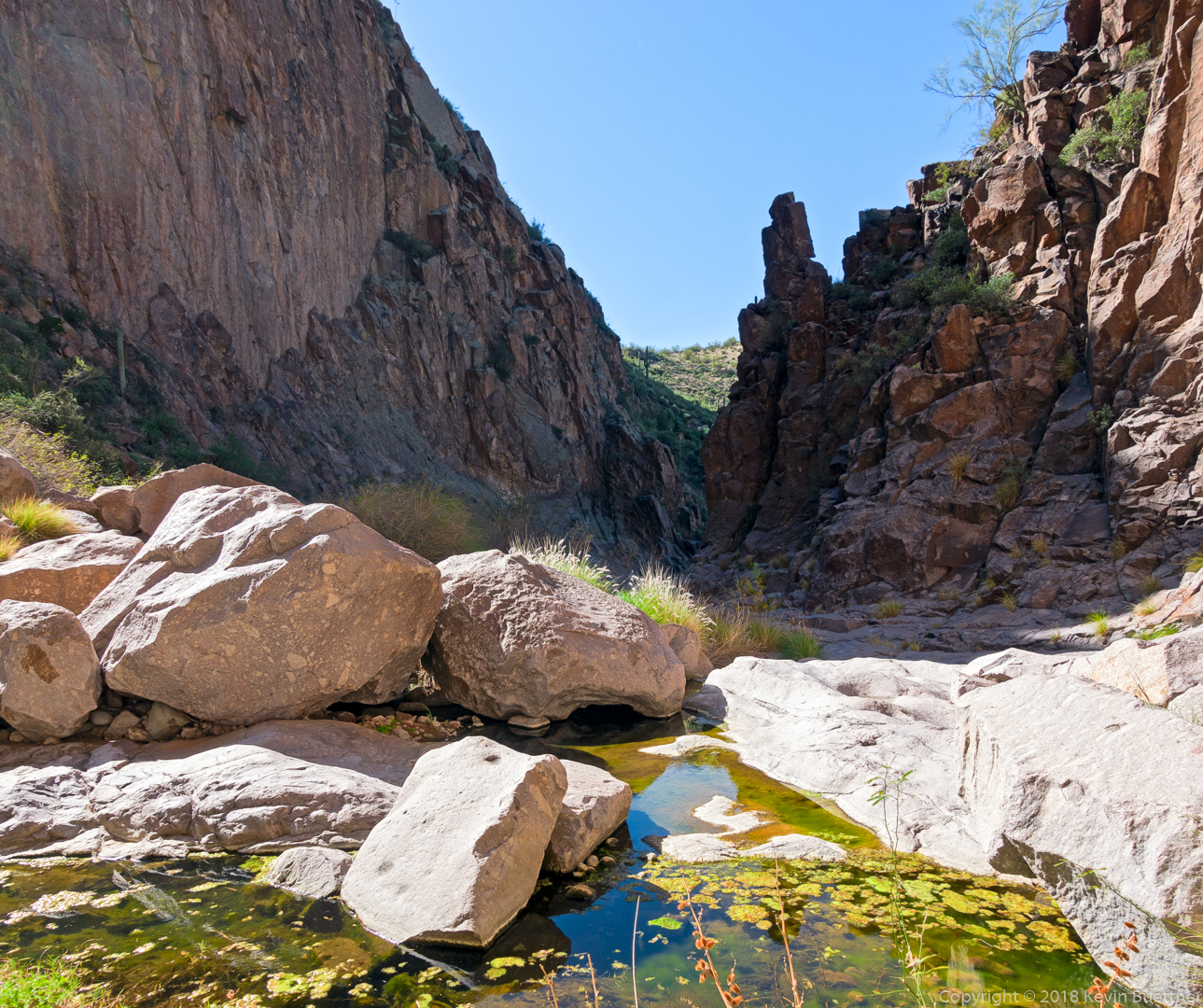
I turned around shortly after passing this pool.

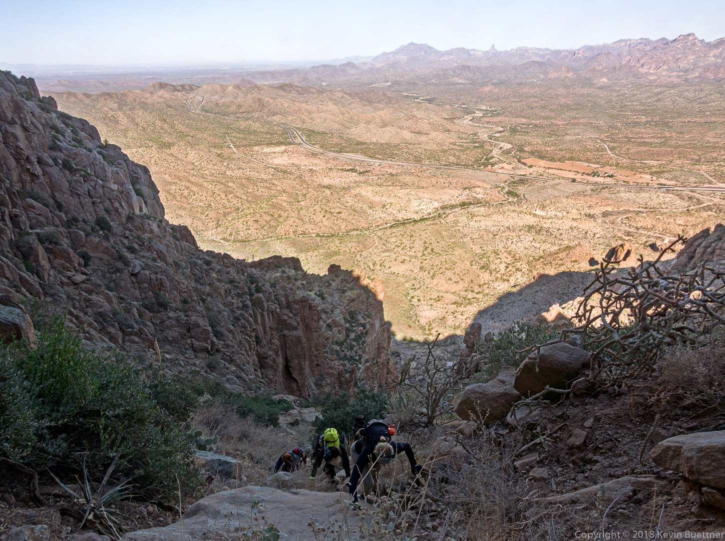
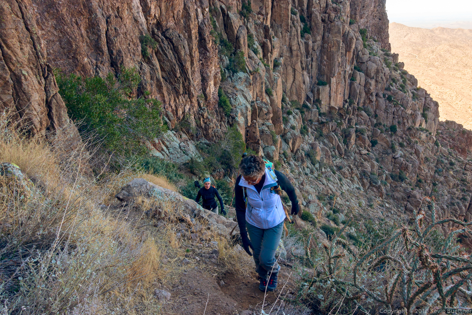
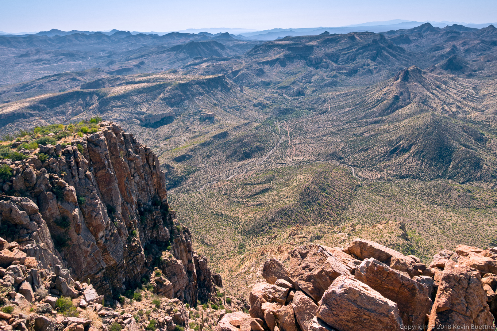
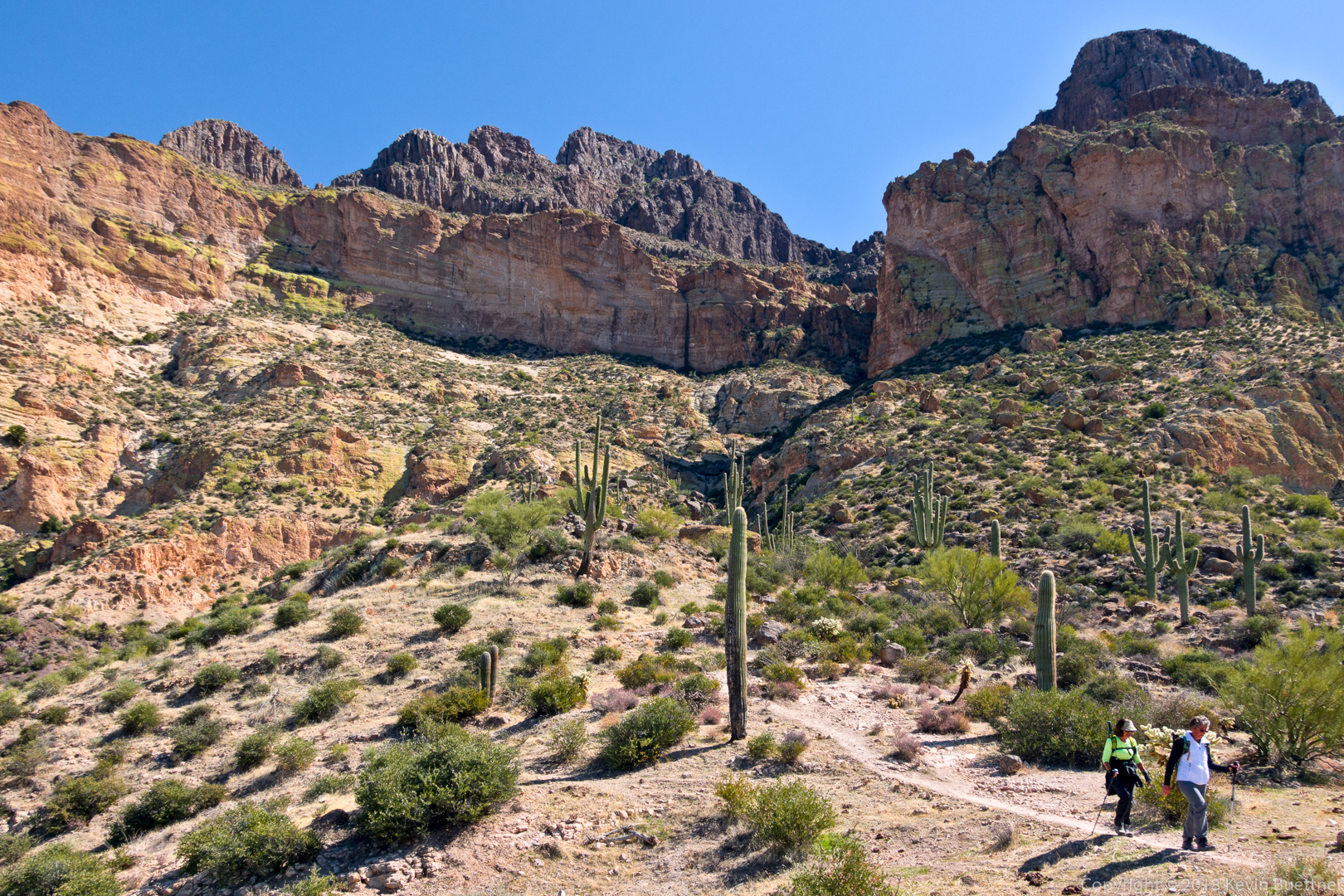
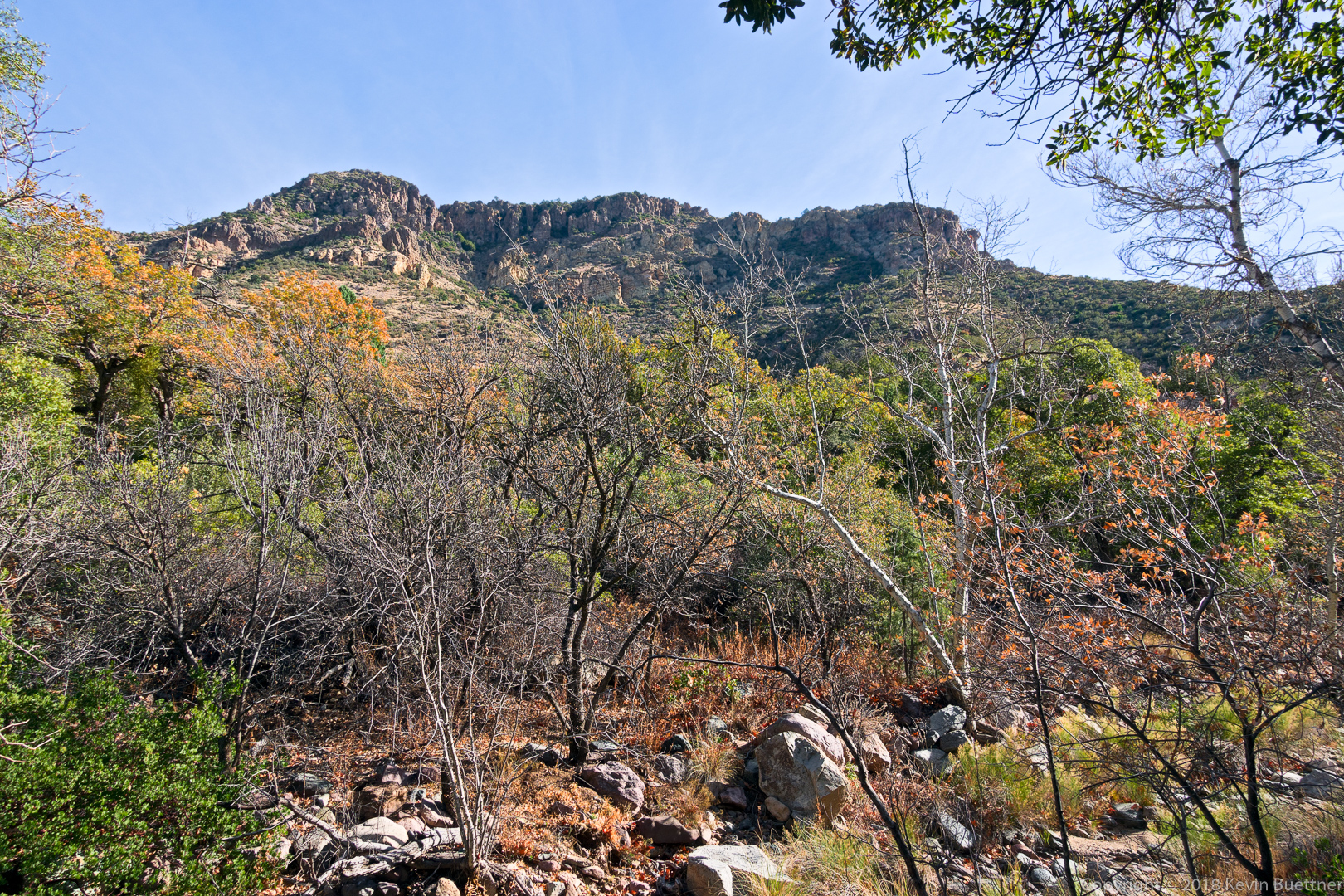
At this point, I’m returning to find the trail up to Battleship Saddle. The saddle is in the sunlit section to the left. The red rock near the top of the photo is actually the starboard side of Battleship Mountain. The part at the far left in the photo would be the stern.

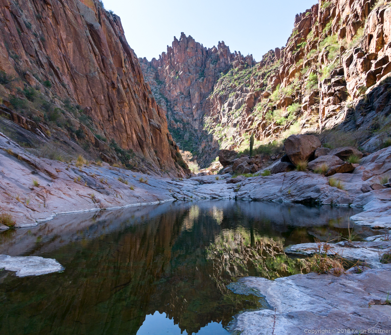
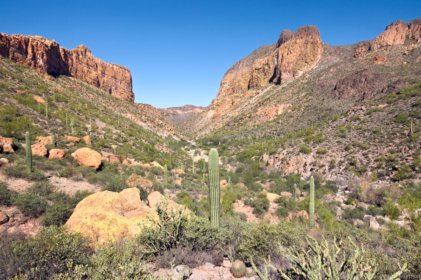
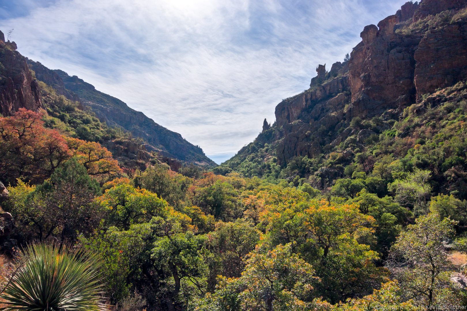
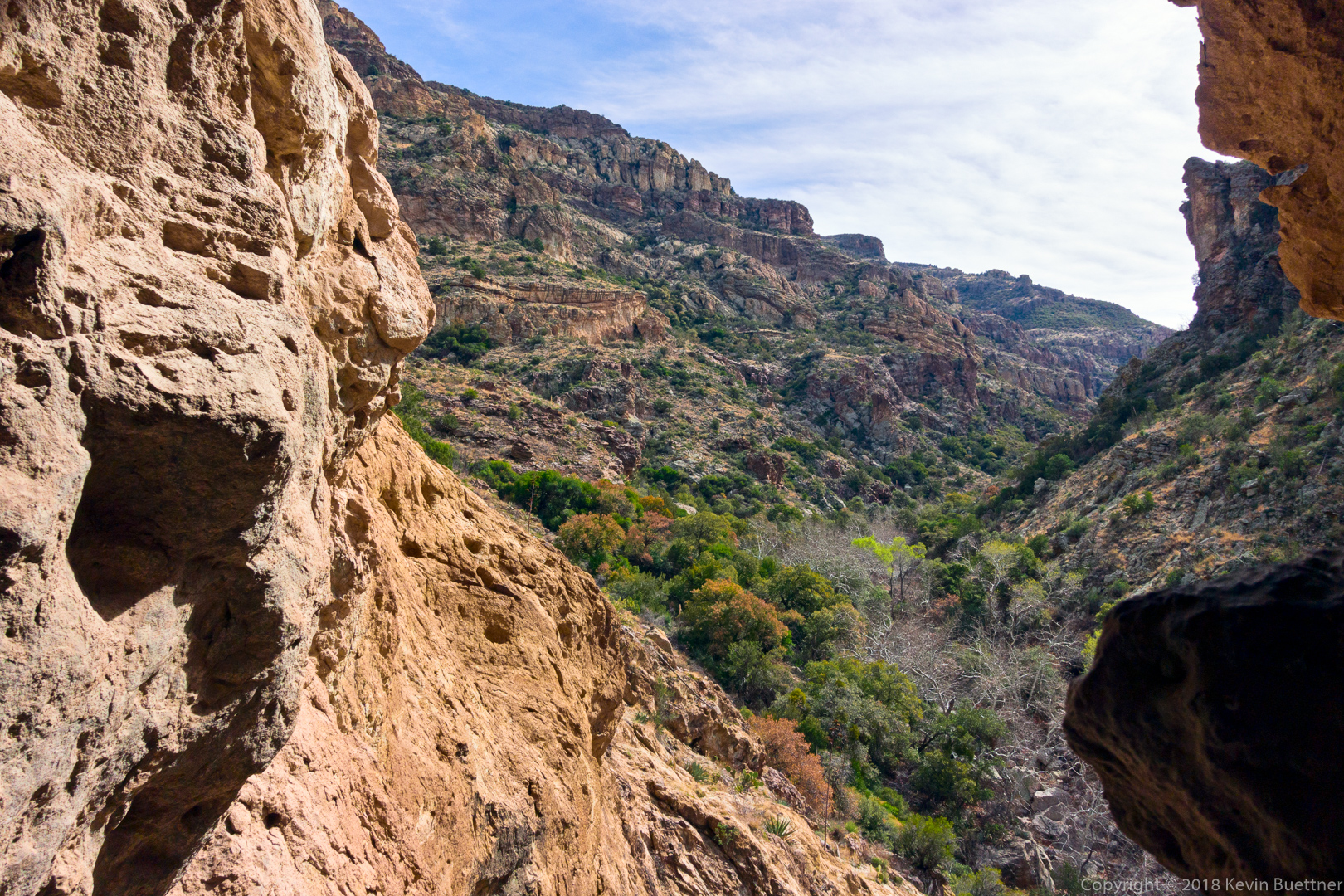
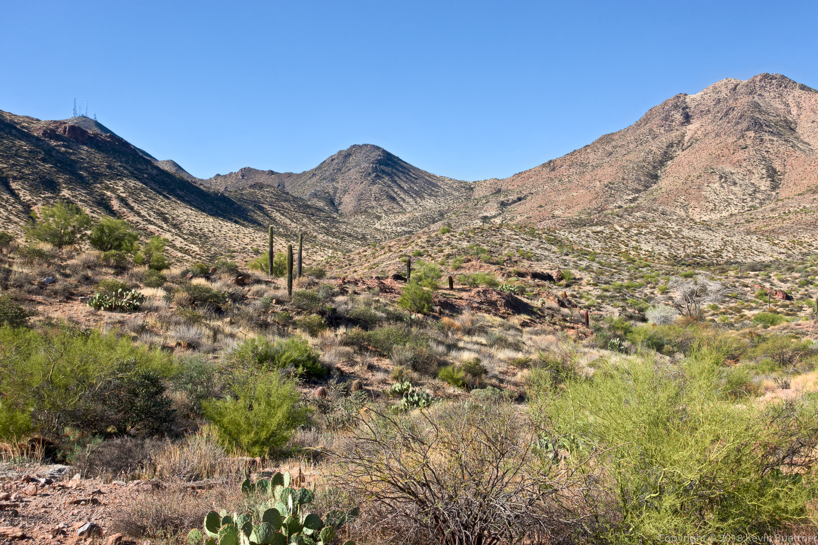
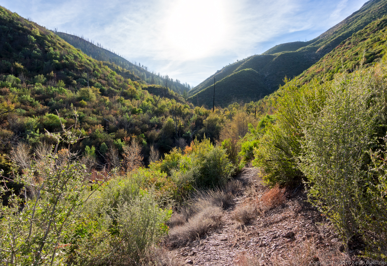
Looking north down La Barge Canyon on my way up to the saddle.  Battleship Mountain is on the left side and Geronimo Head is on the right side.

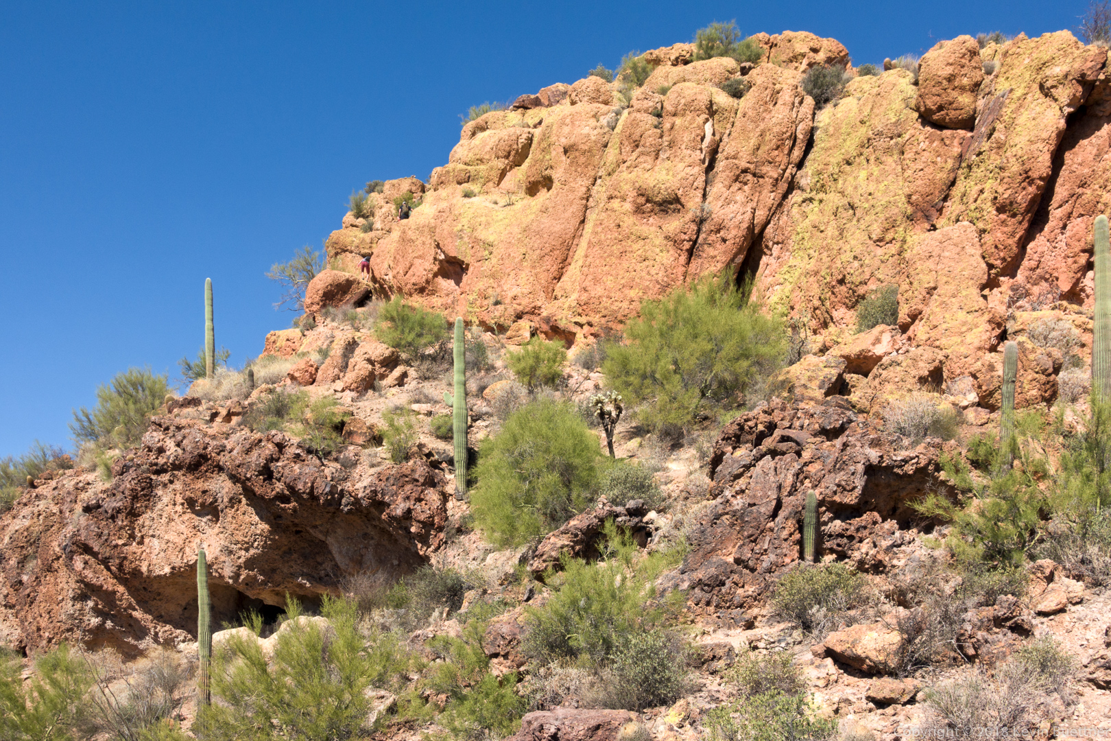
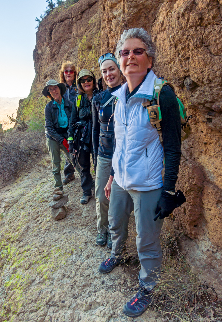
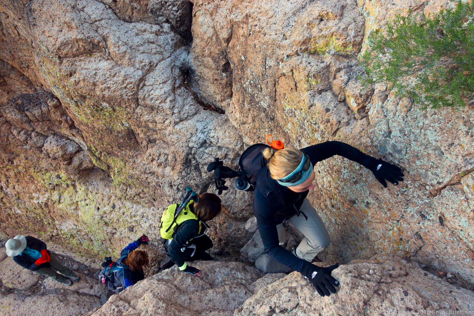
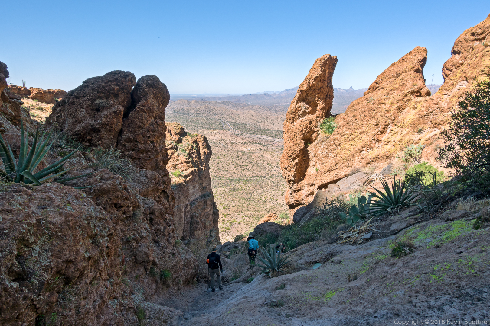
This is the “stern” of Battleship Mountain – it’s not as impressive as the “bow” which was shown in two of the earlier photos. If you look closely, you can see two hikers making their way up at the left.

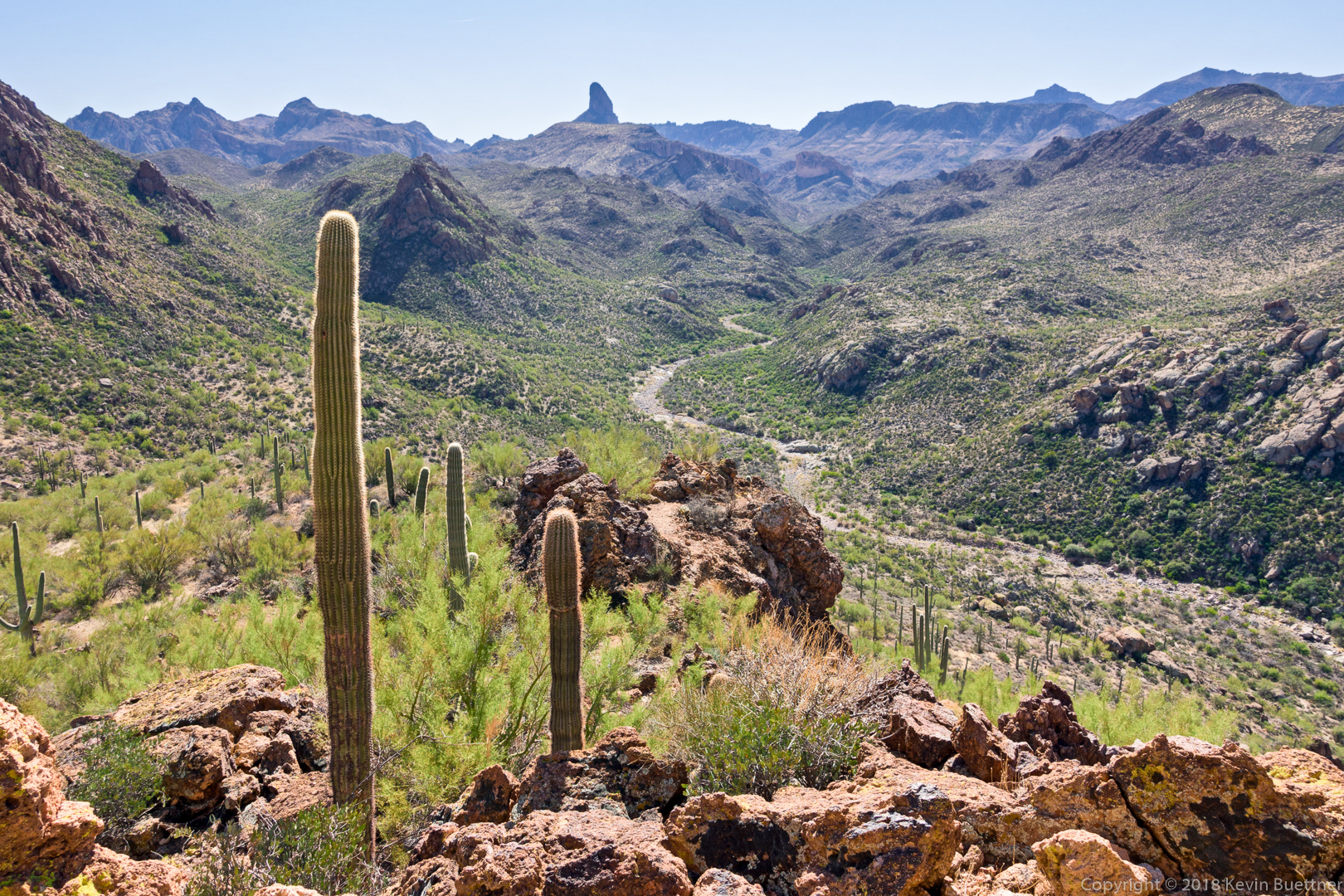
A view of Weaver’s Needle from just below the stern of Battleship Mountain.

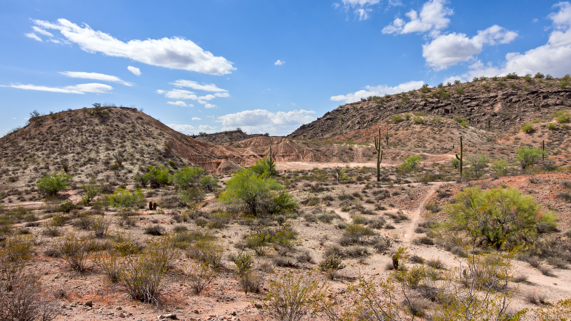
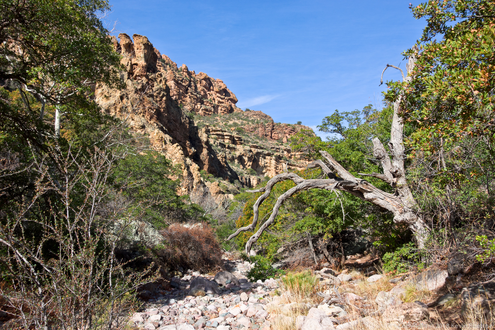
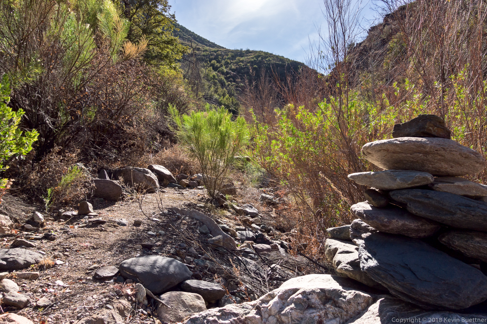
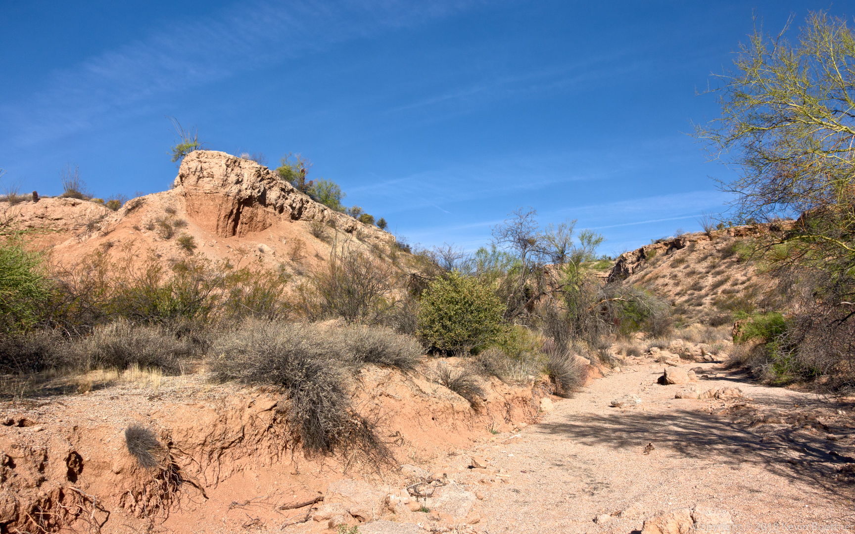
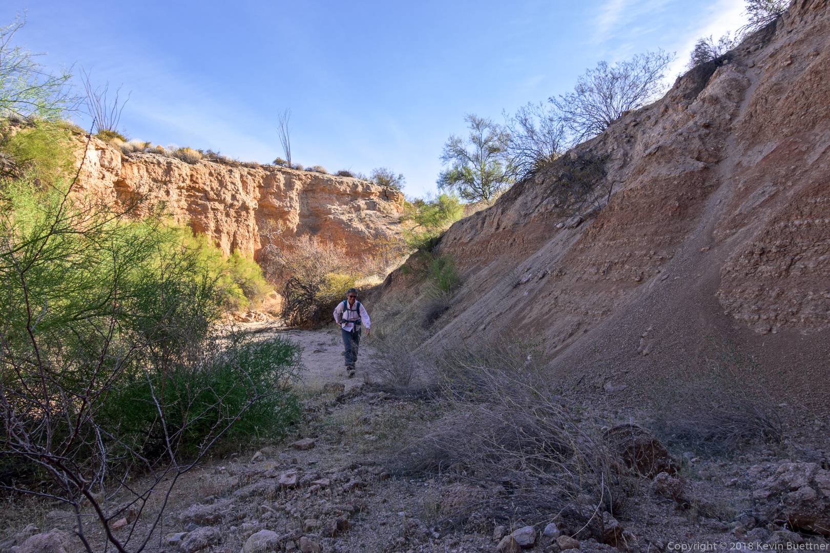
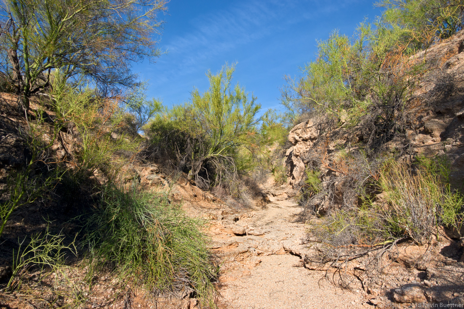
I’ve made it through the rocky part of Boulder Canyon now.  The GPS track that I was following routed me further down Boulder Canyon, but I opted to follow the trail instead.

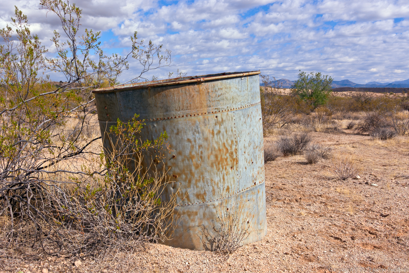
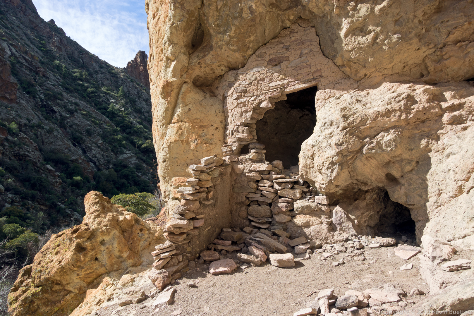
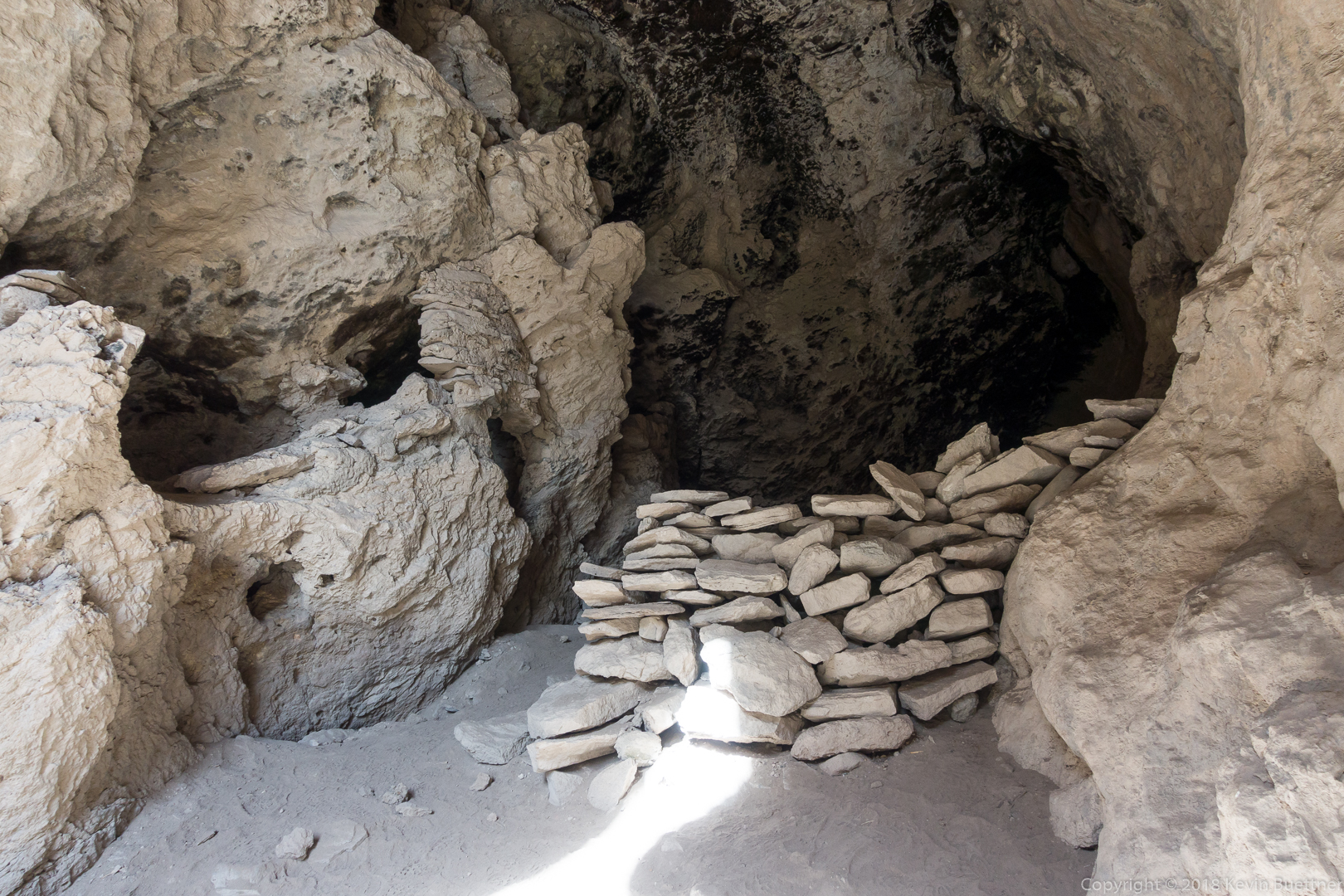
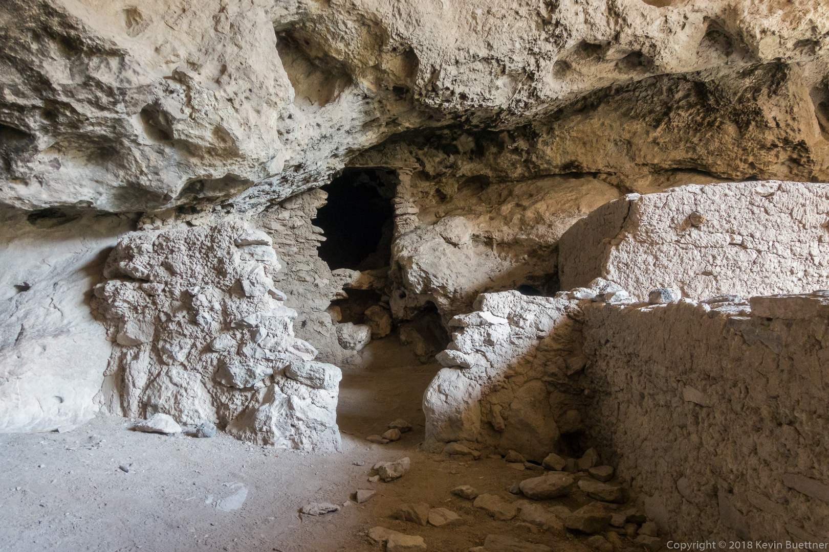
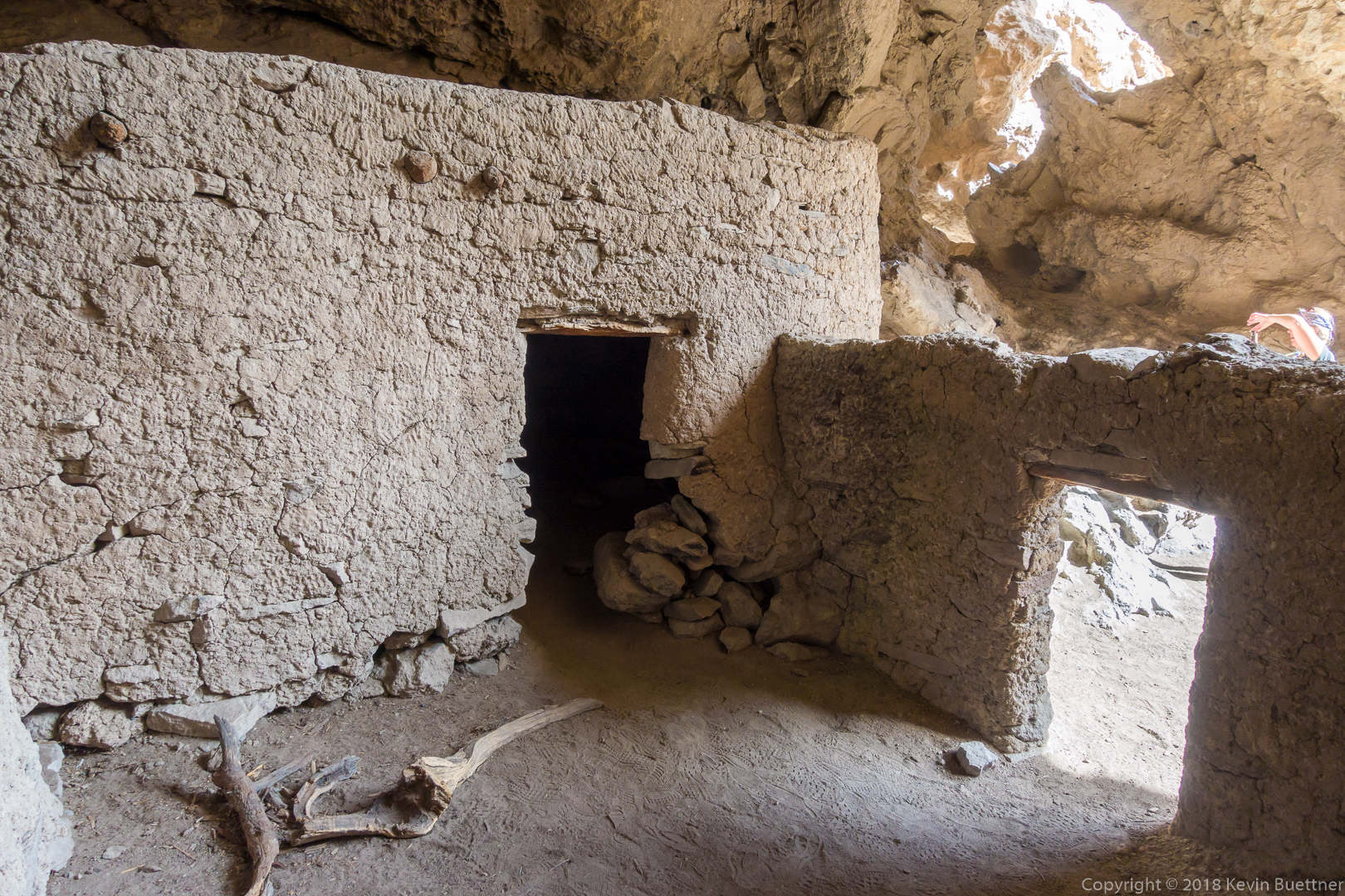
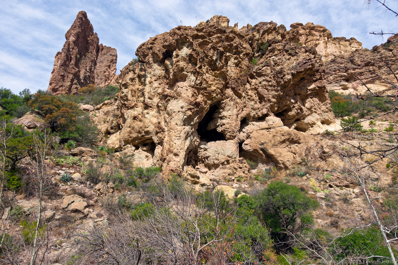
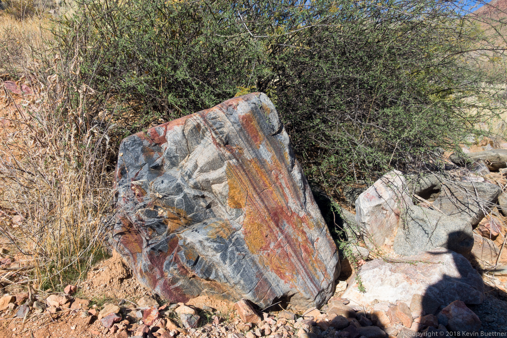
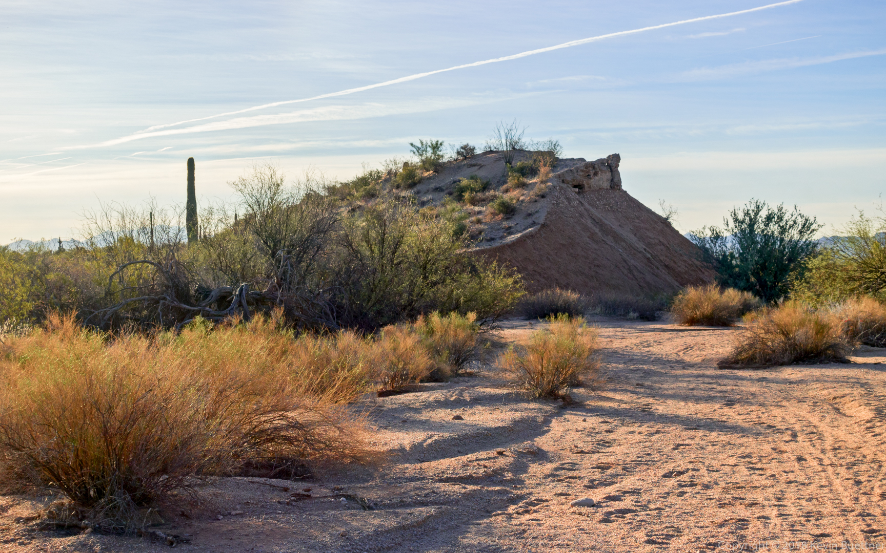
This is the site of the Indian Paint Mine.

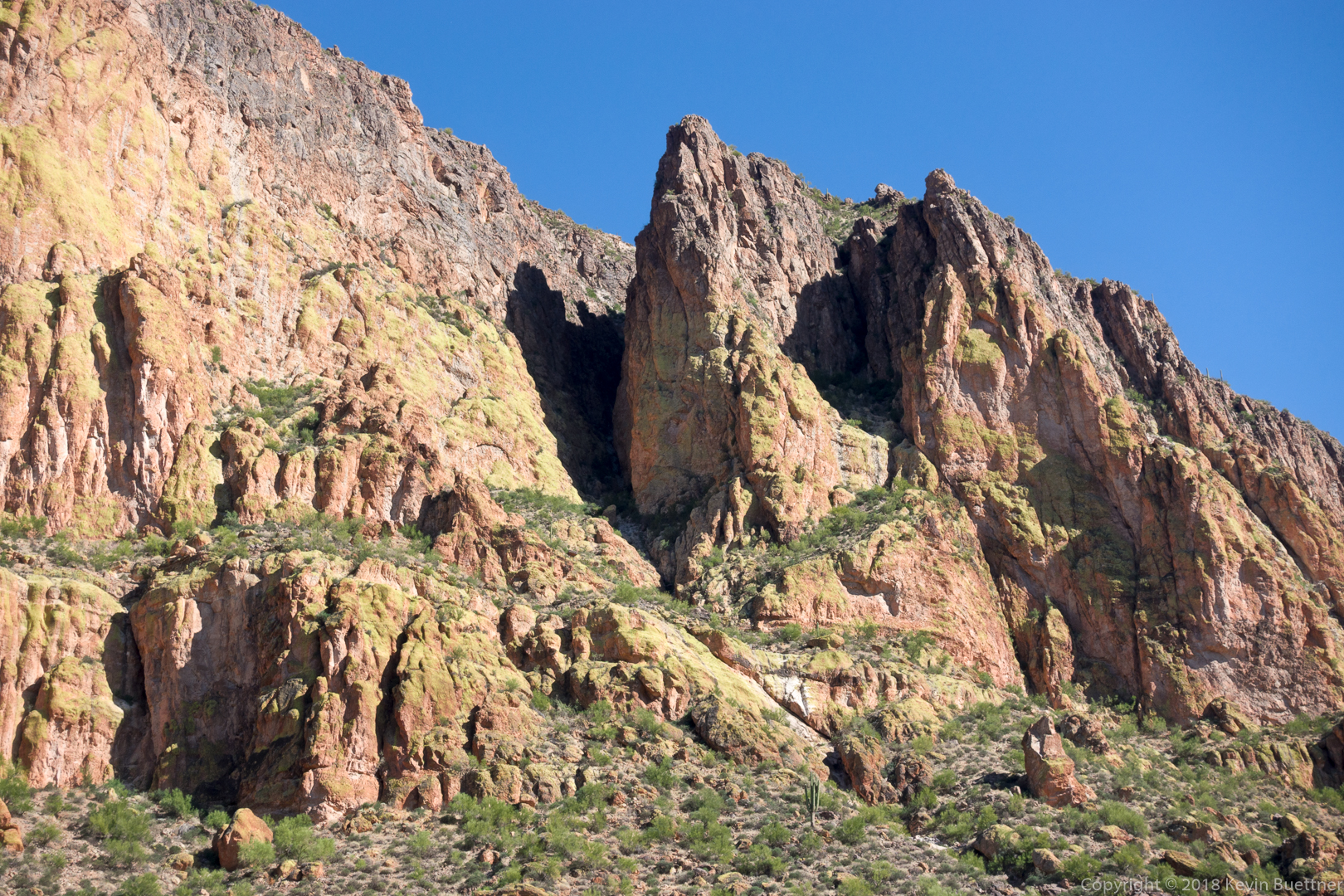
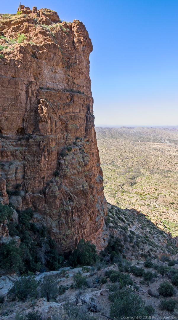
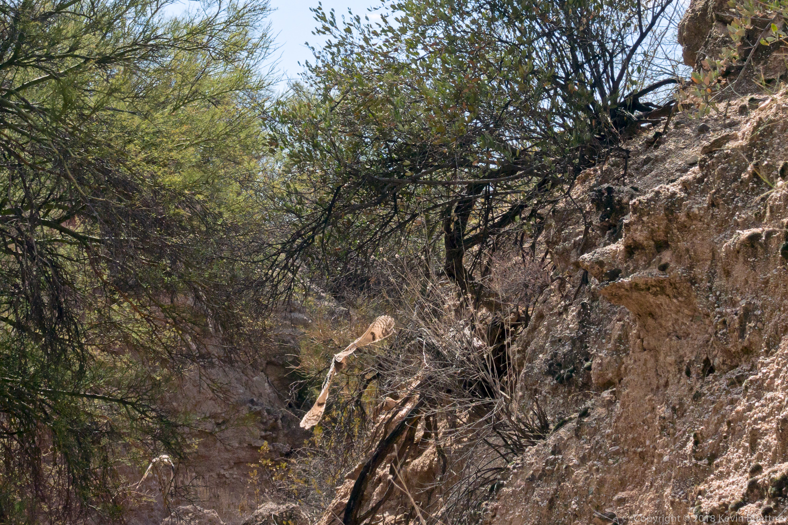
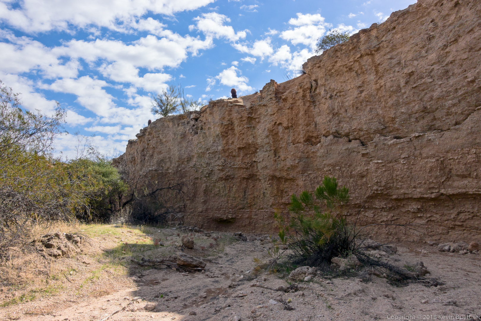
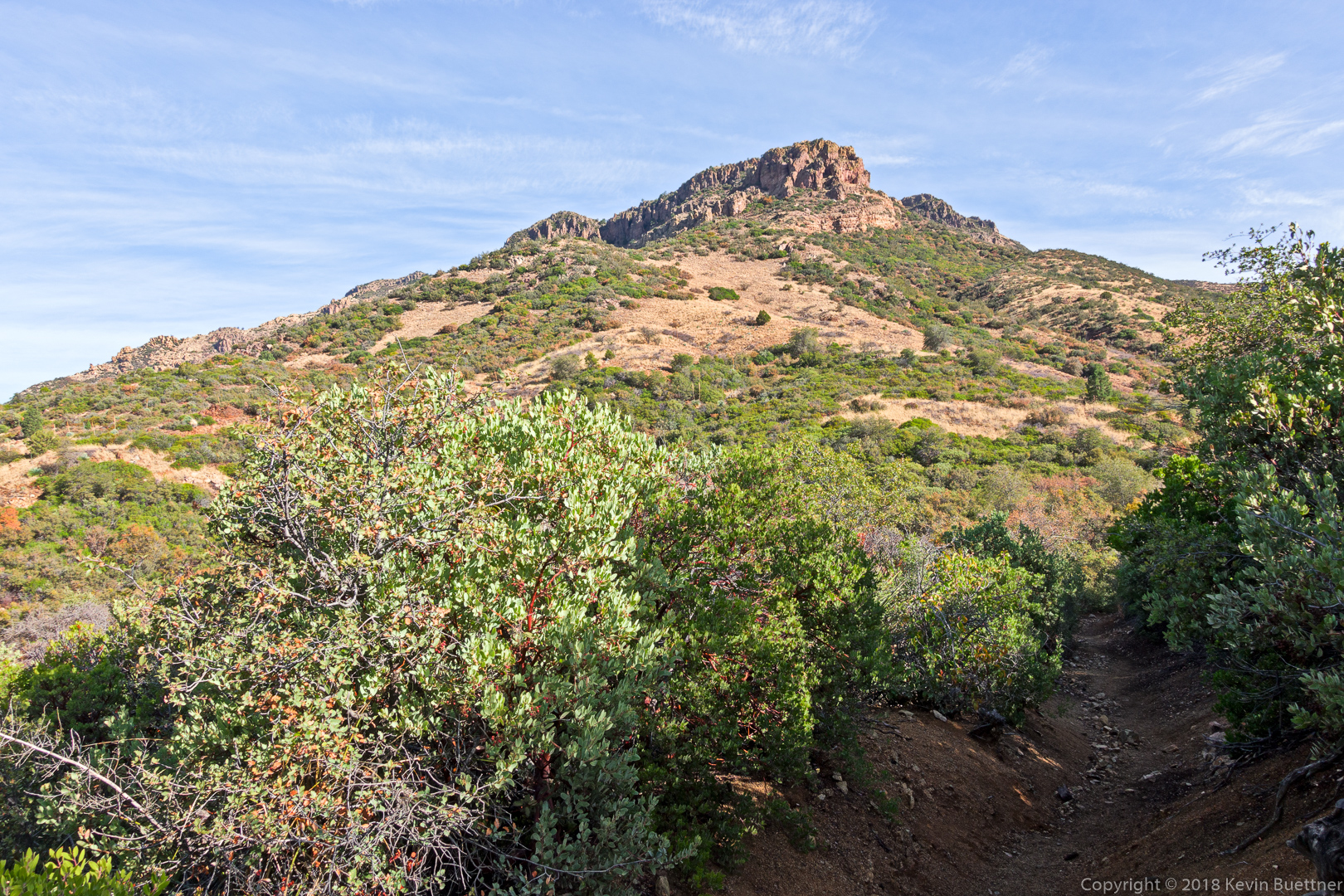
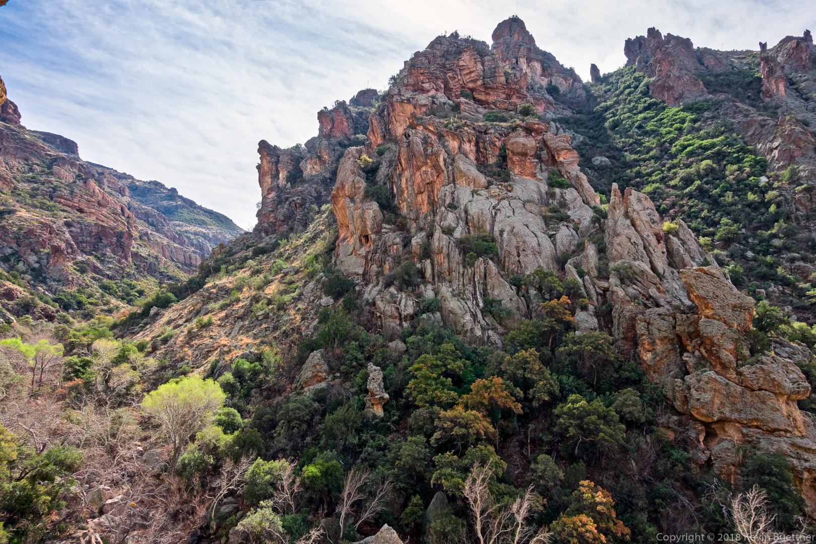
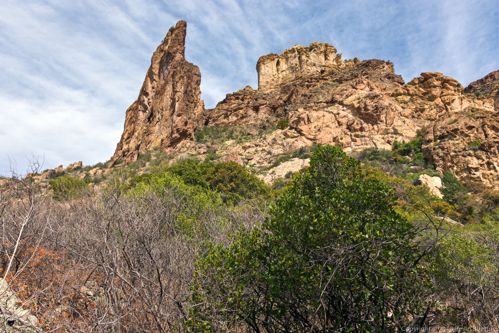
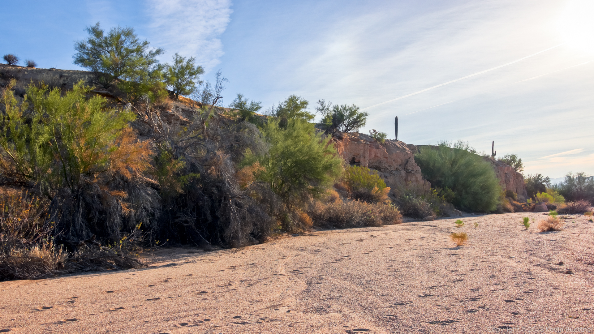
This is one of the walls of Geronimo Head.

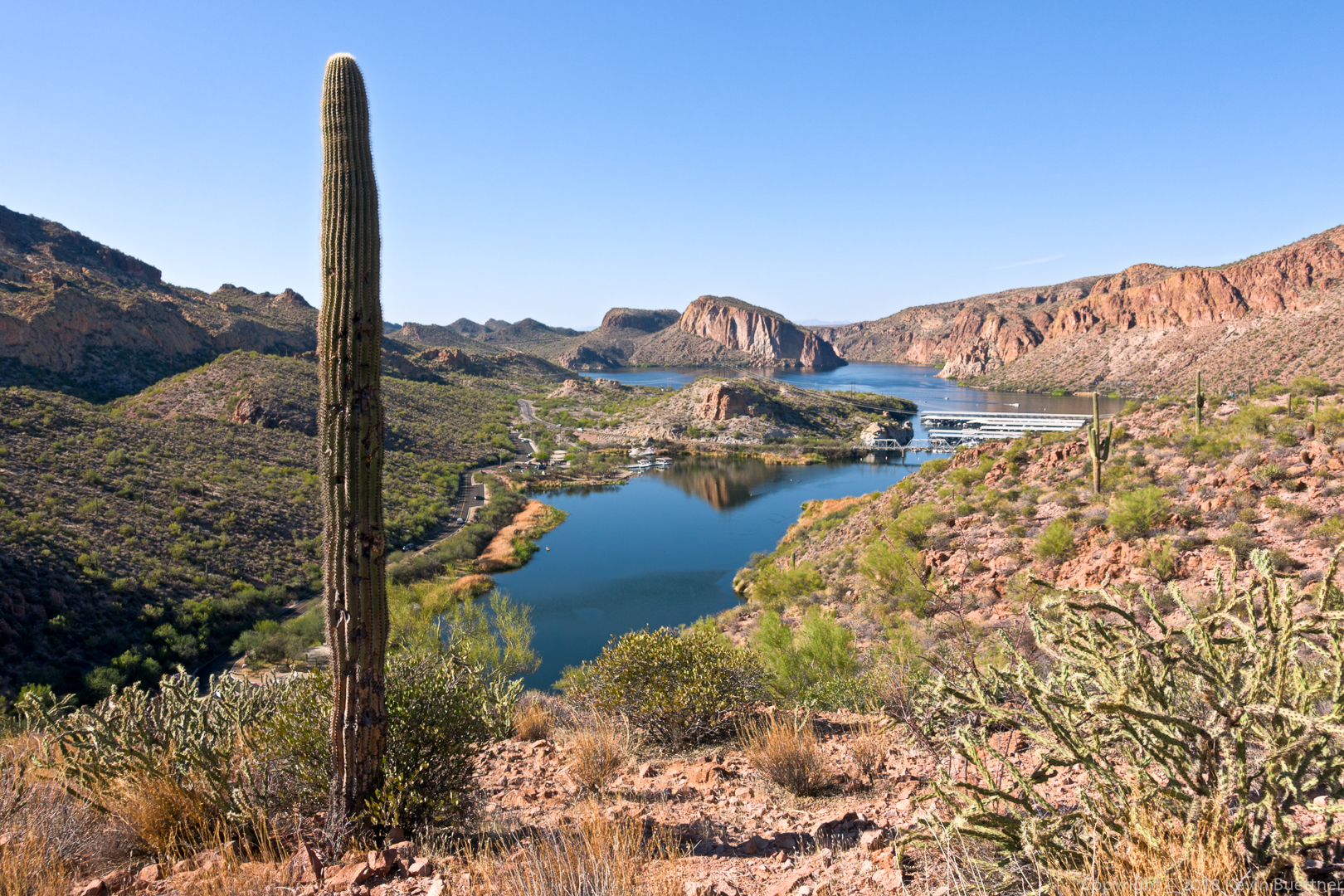
Looking toward Canyon Lake on the way back.

Friday Fitness Hike

We hiked 11.6 miles on Friday, following a familiar lasso-loop: Dixie Mine, Coachwhip, Windmill, Bell Pass, Prospector, service road, and Dixie Mine. We also made two short side trips, one to visit a water catchment for wildlife, and the other to the mine and petroglyphs.

Early morning on the Dixie Mine Trail…

A view from the Coachwhip Trail:

There was an ample amount of water in the tank – kind of surprising since we haven’t gotten much recent rain.

When rain falls on the corrugated sheets, it runs downhill to the trough at the bottom. From there it flows through the pipe into the large covered holding tank shown in the earlier photo. That large tank then feeds the smaller tank from which wildlife can drink.

Saguaros on the bank of the wash on our way back to the Windmill Trail:

I was told that I stepped over this gopher snake on our hike through the wash:

A view from the Windmill Trail:

Gayle noticed this colorful rock on the Windmill Trail:

Gayle, Mike Heather, Linda, Marilyn, Marilyn, Nora, and Ben:

Thompson Peak:

Saguaros on the Prospector Trail:

This is the main petroglyph panel:

Sunday Hike – Deer Creek, South Fork

Marilyn and I hiked parts of the Deer Creek & South Fork trails on Sunday afternoon. I hiked about 8.2 miles and Marilyn hiked a little over six miles.  I found that both the route finding and the path to be easier than when we had hiked there in December of 2012.

Friday Fitness Hike

Mike, Sunaree, Randy, Kay, Gayle, Sandra, Doug, and Leslie joined me for a 9.8 mile hike starting from the Trailhead Staging Area.  Much of our hike was either in Stoneman Wash or in washes feeding into Stoneman Wash.

This is a view from the Pemberton Trail shortly after leaving the trailhead.

Turning south into Stoneman Wash…

Hiking south in Stoneman Wash:

This is an east bank of the wash:

We’ve reached the Long Loop here; the wash continues to the southeast, but we turned west onto the Long Loop.

This was the the view at the intersection of the Long Loop and the service road that leads back to the Pemberton:

This is one of the views to the southwest as we hiked towards the Pemberton Trail.

Mike, Sunaree, Randy, Kay, Gayle, Sandra, Doug, and Leslie:

A view of Four Peaks from the Pemberton Trail:

After reaching the site of the ranch homestead, we continued our hike in another wash…

We eventually found ourselves back in Stoneman Wash:

Tiger