Marilyn, Joe, and I visited Cassidy Arch on Saturday, the 18th. After seeing the arch, I hiked over to the Hickman Bridge Trailhead via the Frying Pan Trail and the Cohab Canyon Trail.
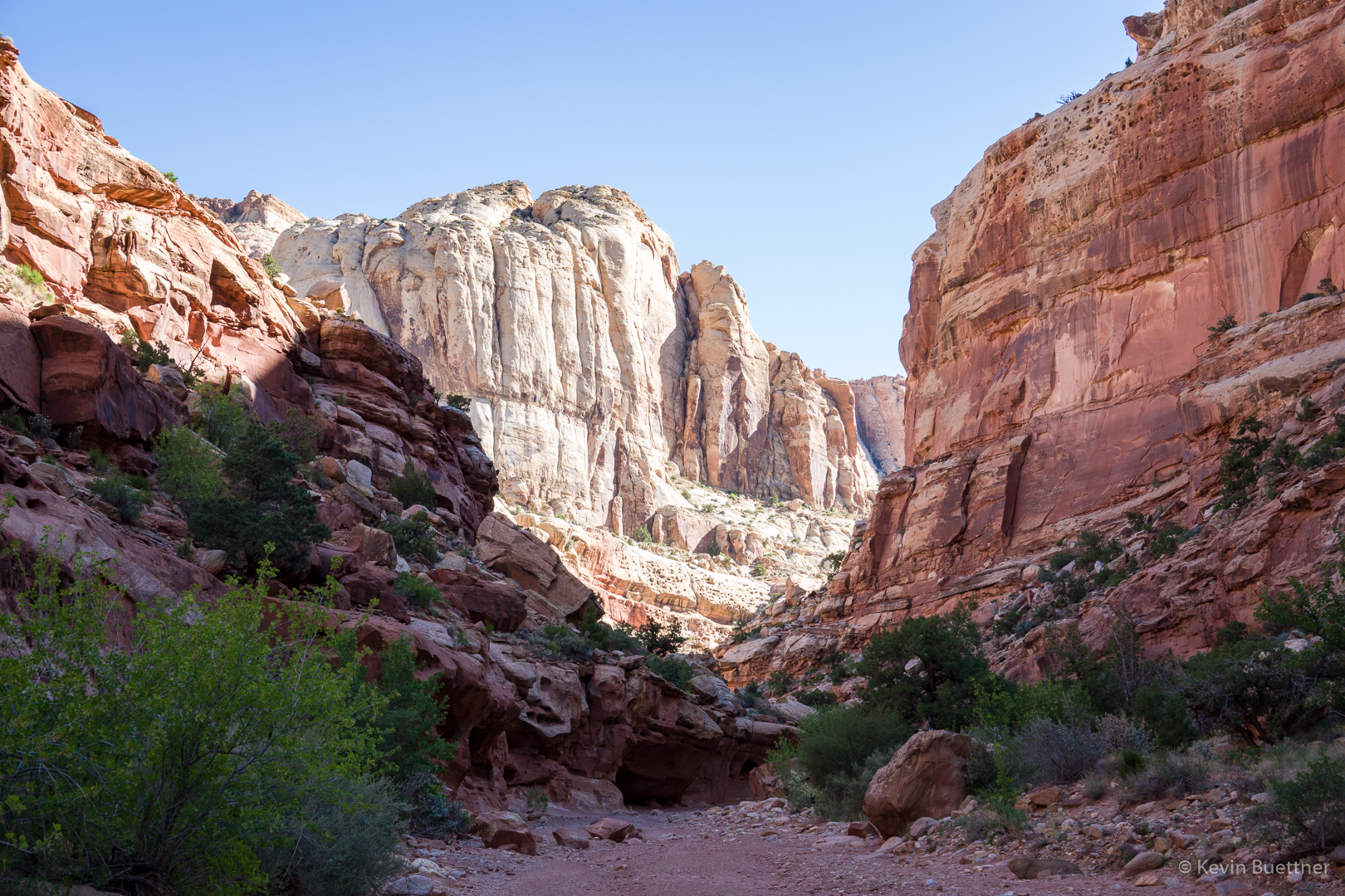
This is a view of the Grand Wash. The trail to Cassidy Arch begins shortly after entering the wash. A sign at the bottom indicates that there’s 950 feet of difference in elevation between that point of the wash and Cassidy Arch. However, my GPS watch showed only and 800+ foot difference.
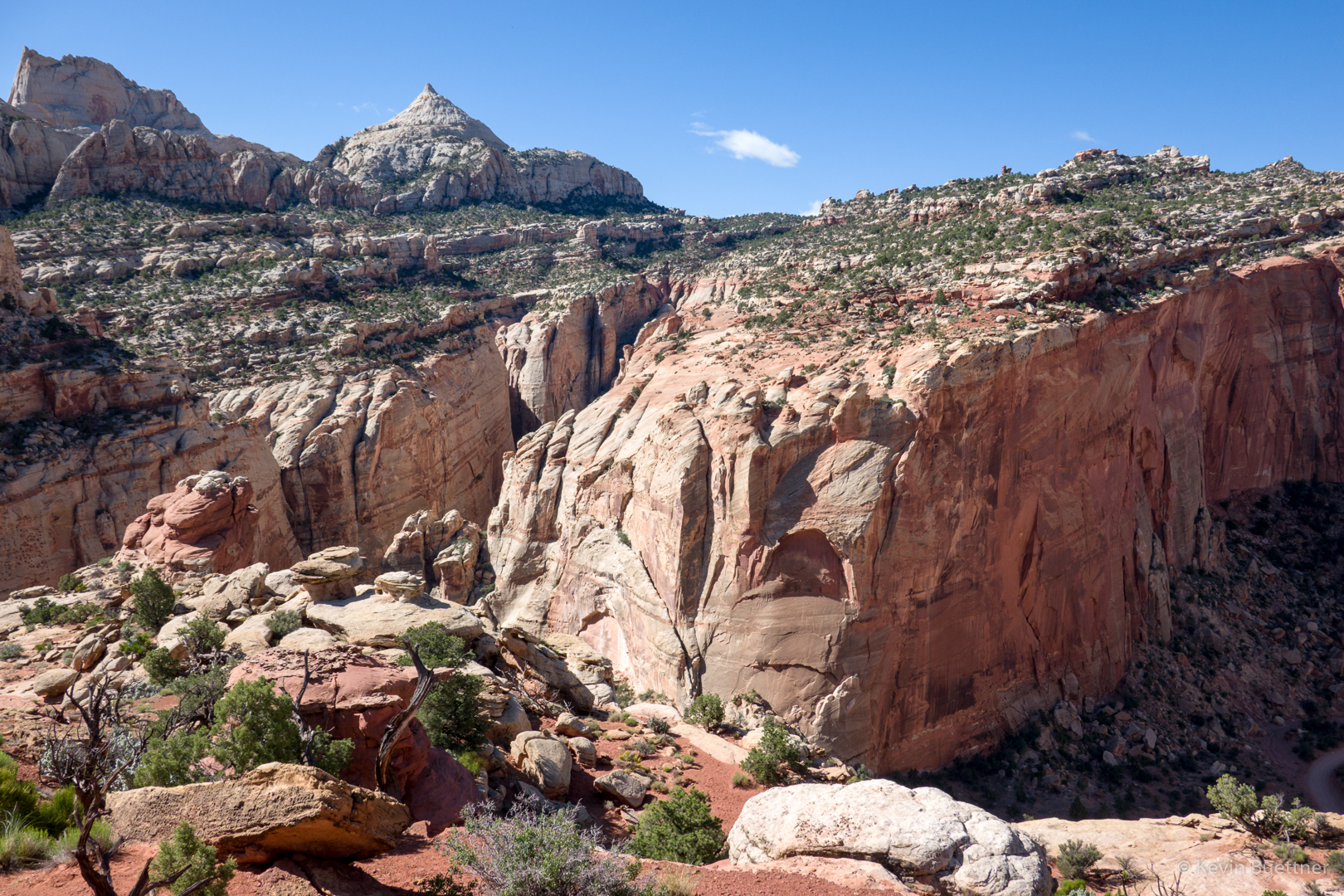
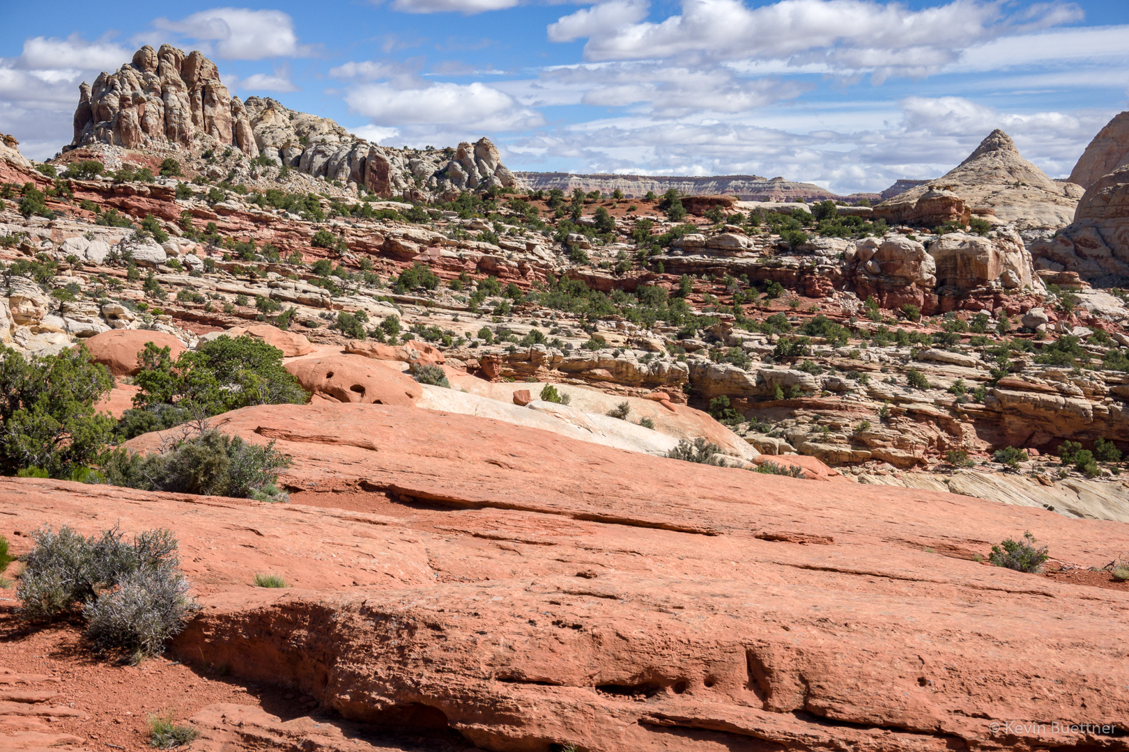
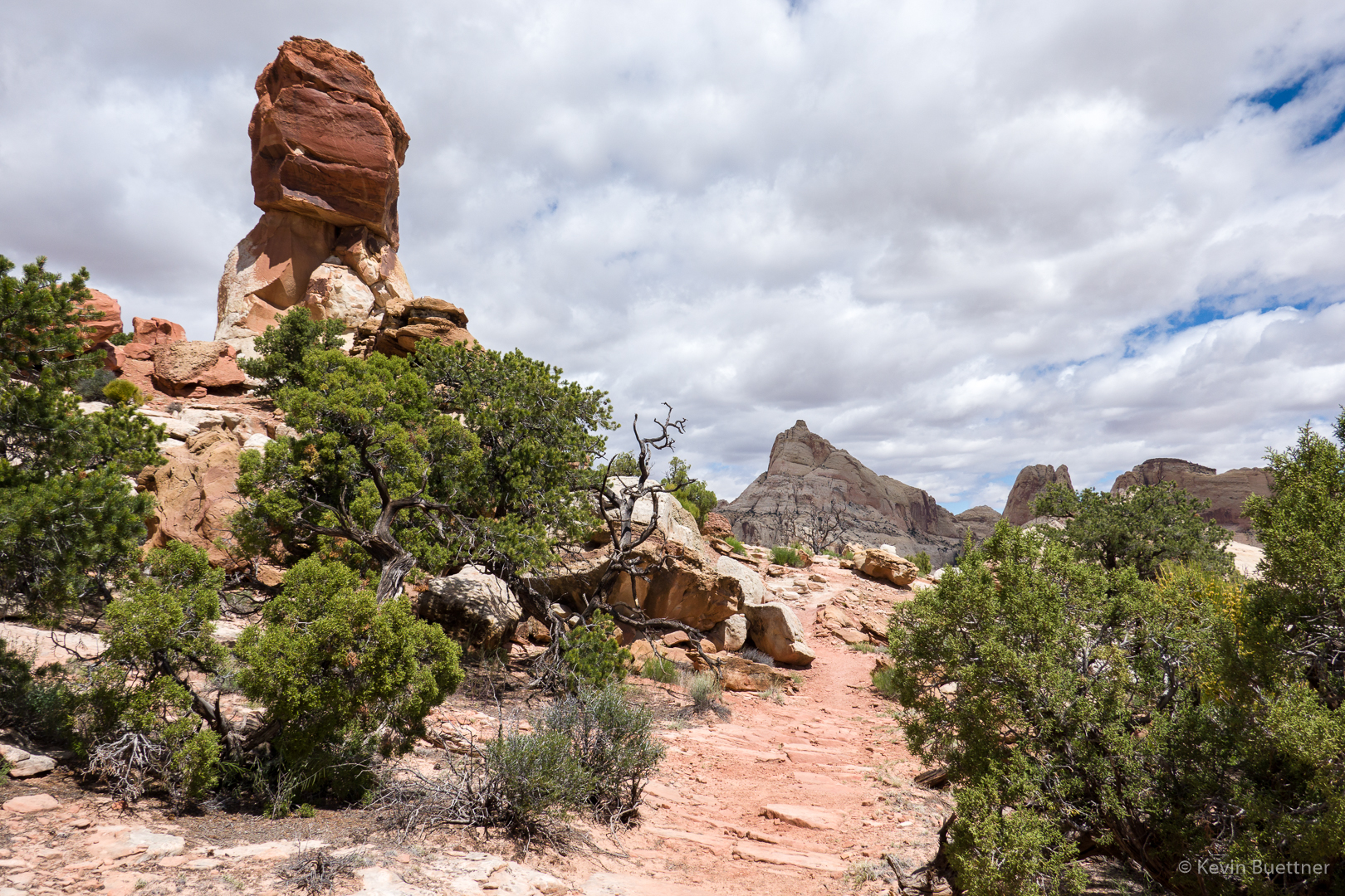
A view from near the start of the trail leading to Cassidy Arch.
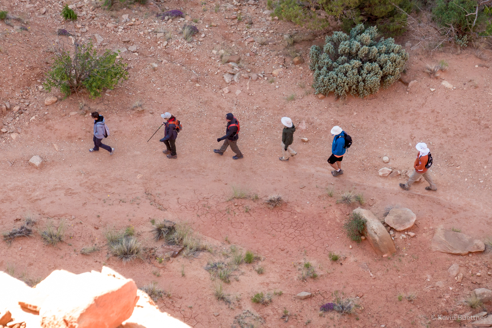
Hikers in the Grand Wash below us:
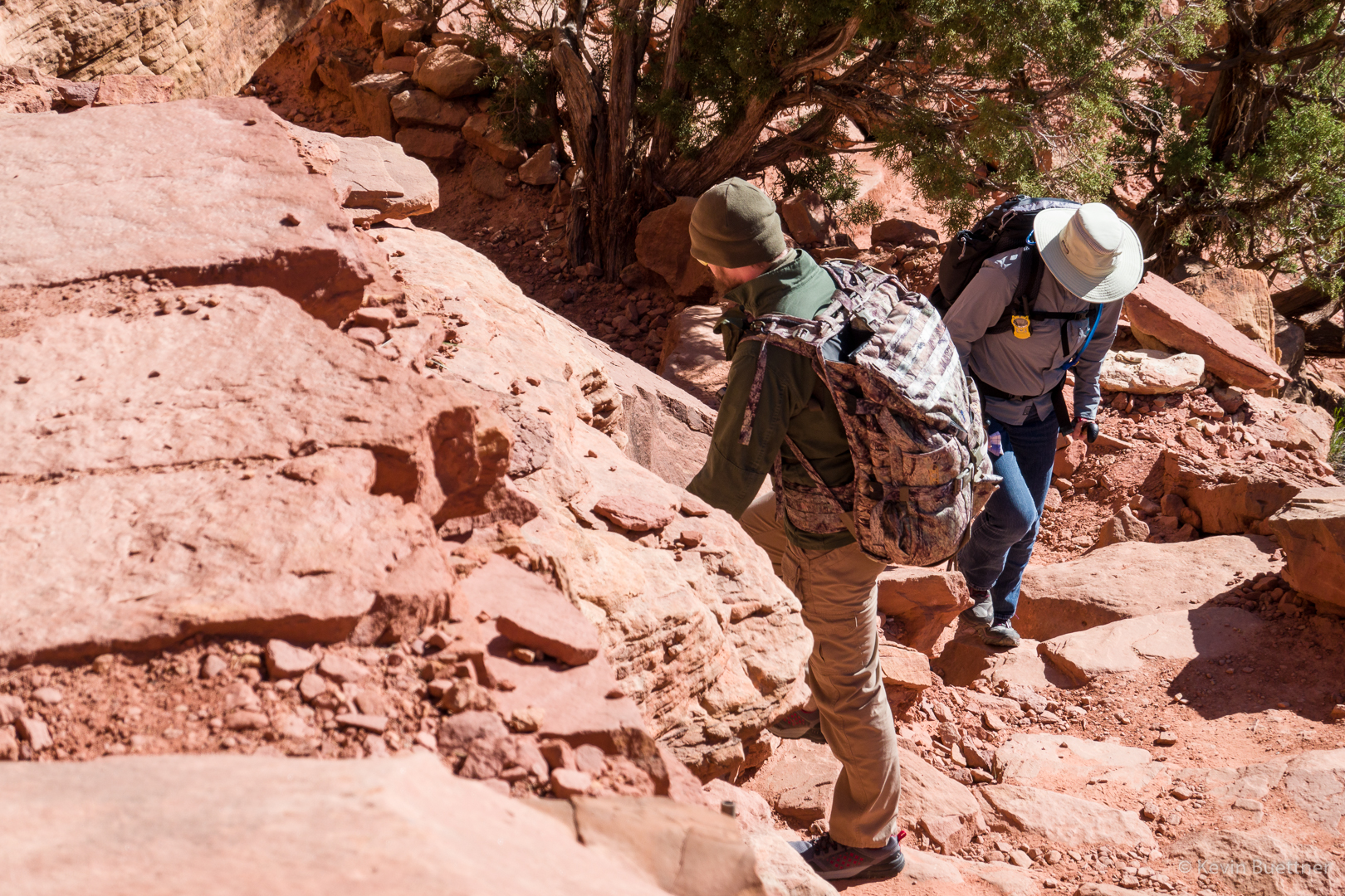
Joe and Marilyn on the trail to Cassidy Arch:
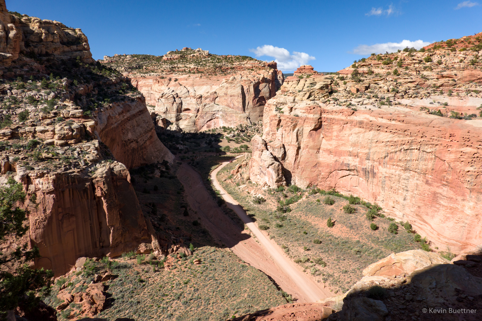
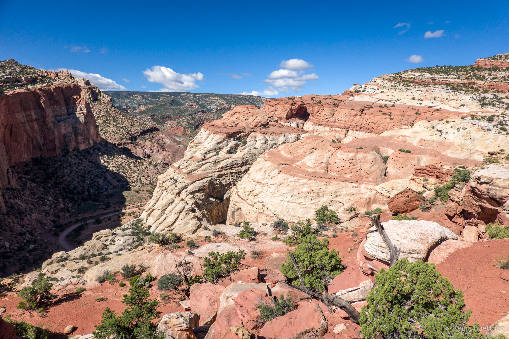
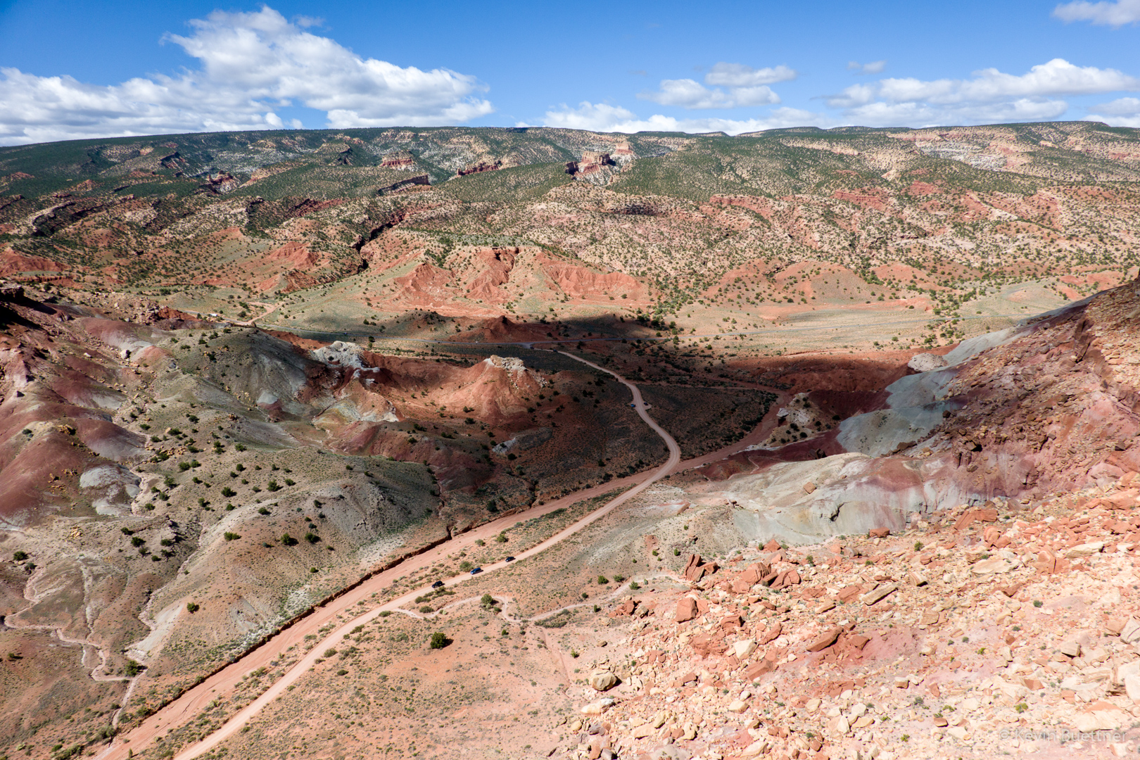
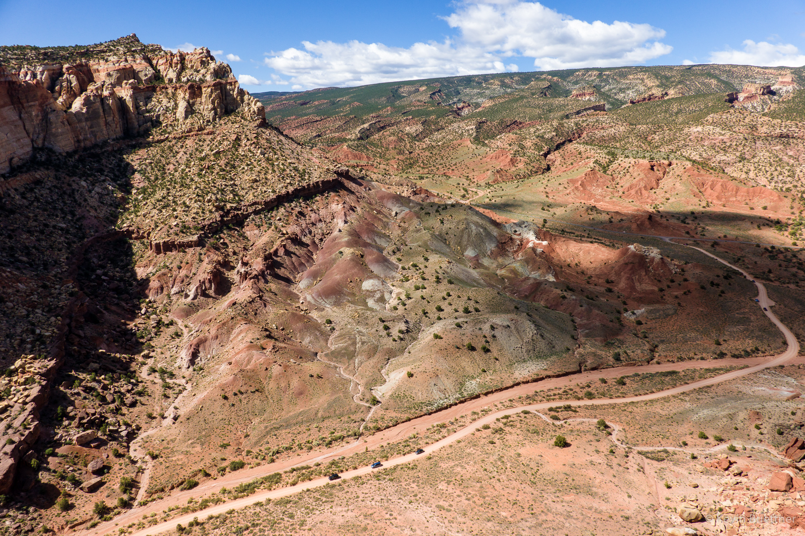
Looking down at the road through the Grand Wash which leads to the parking area for hiking the Grand Wash and Cassidy Arch…
Fern’s Nipple:

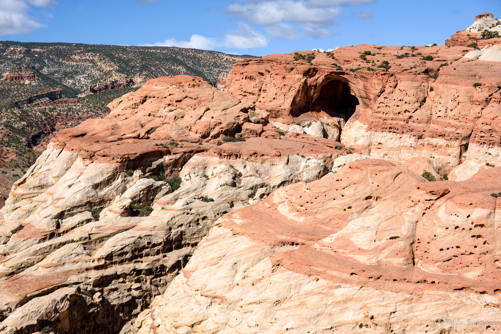
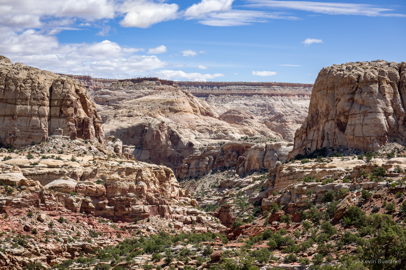
The black hole just right of center below the horizon is Cassidy Arch.
A closer view of the Arch. We still had a ways to go before reaching the arch – we might have been halfway there by that point.
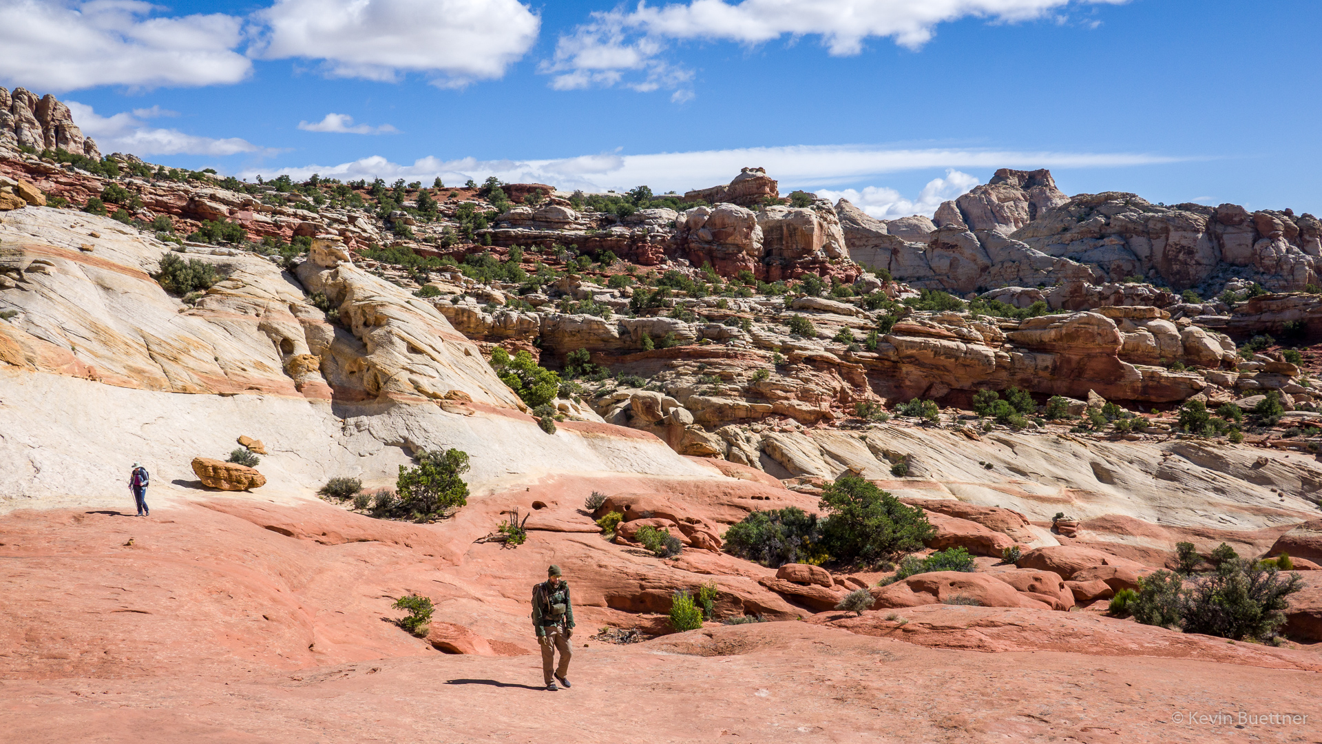
Marilyn and Joe hiking across an expanse of slickrock before reaching the arch:
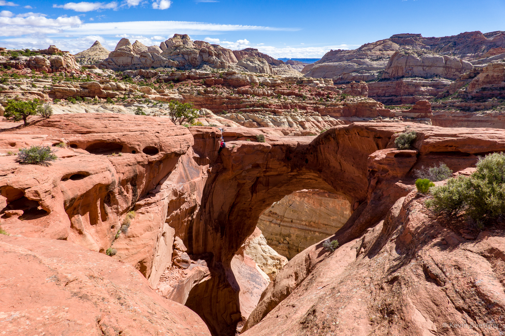
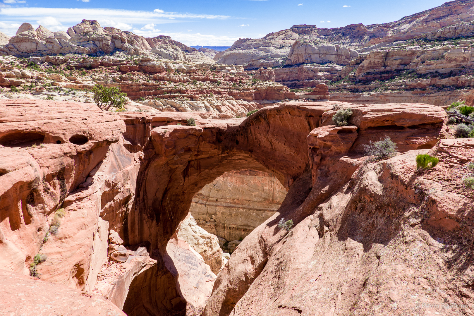
This is Cassidy Arch. There is a woman in red sitting to the right of a tree above the arch. Below her, one of her companions is rappelling. Another of her companions told me that it’s a 140′ rappel. They had another six (or seven?) rappels to do before getting all the way down.
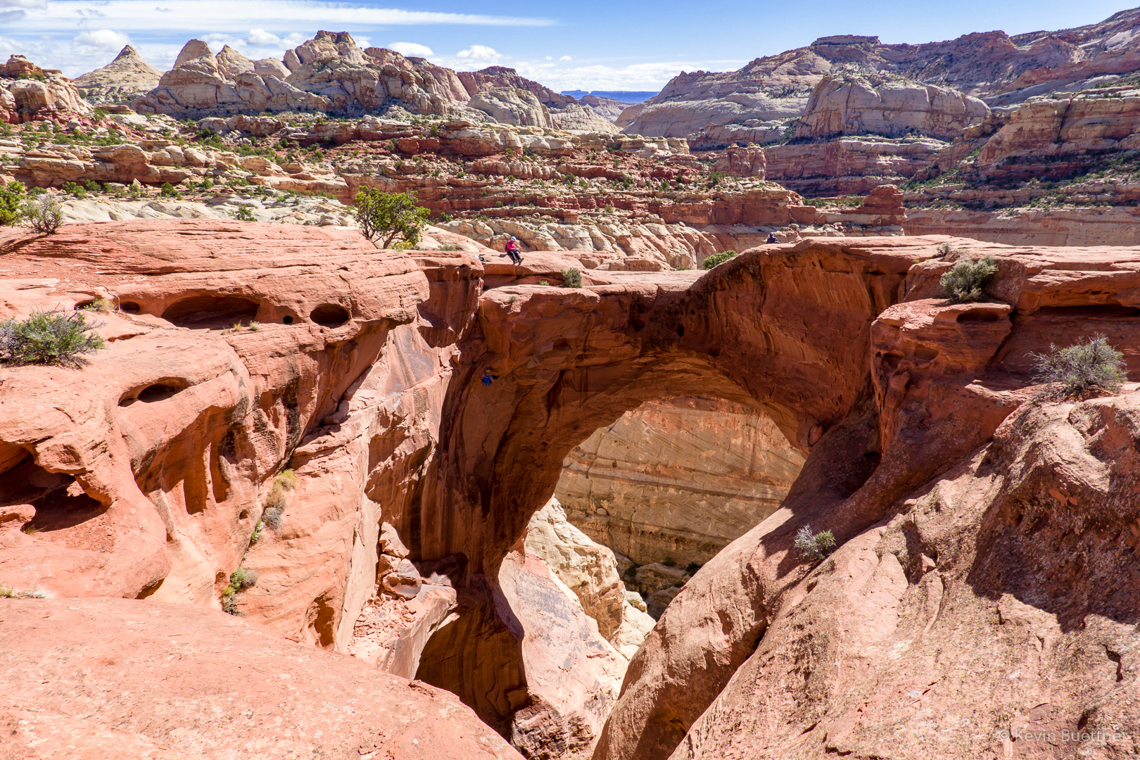
A closer look at one of the canyoneers:
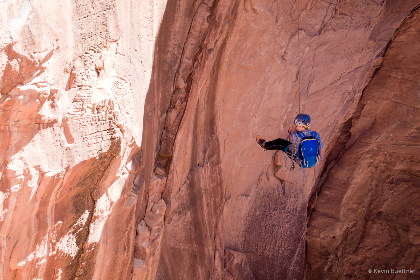
The woman in red starts her rappel:
Joe told me about good views from the slickrock above the arch…
When I got back, I found that the rappellers had descended; they were in the process of pulling their rope when I took this picture.
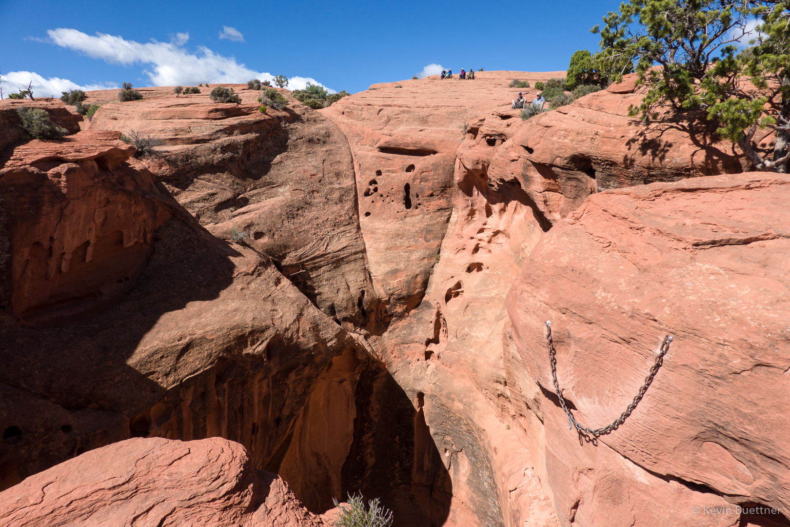
I walked around the arch to find out what the anchors looked like. I first looked at the tree. I saw indications that the tree has been used as an anchor in the past. But I’m pretty sure that the group I saw earlier used these chains for their anchor.
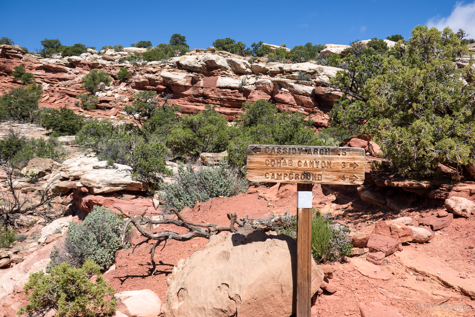
Marilyn and Joe returned to our vehicle via the Cassidy Arch Trail. I, however, took the Frying Pan Trail to Cohab Canyon.
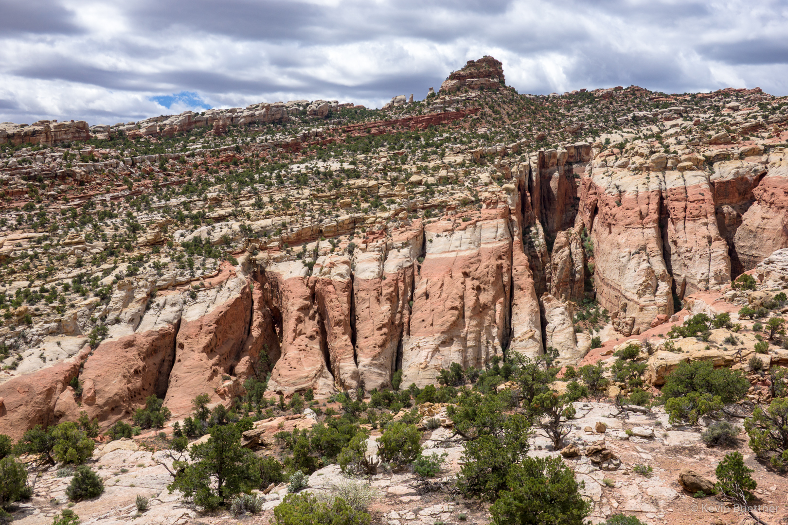
The trail gained even more elevation.
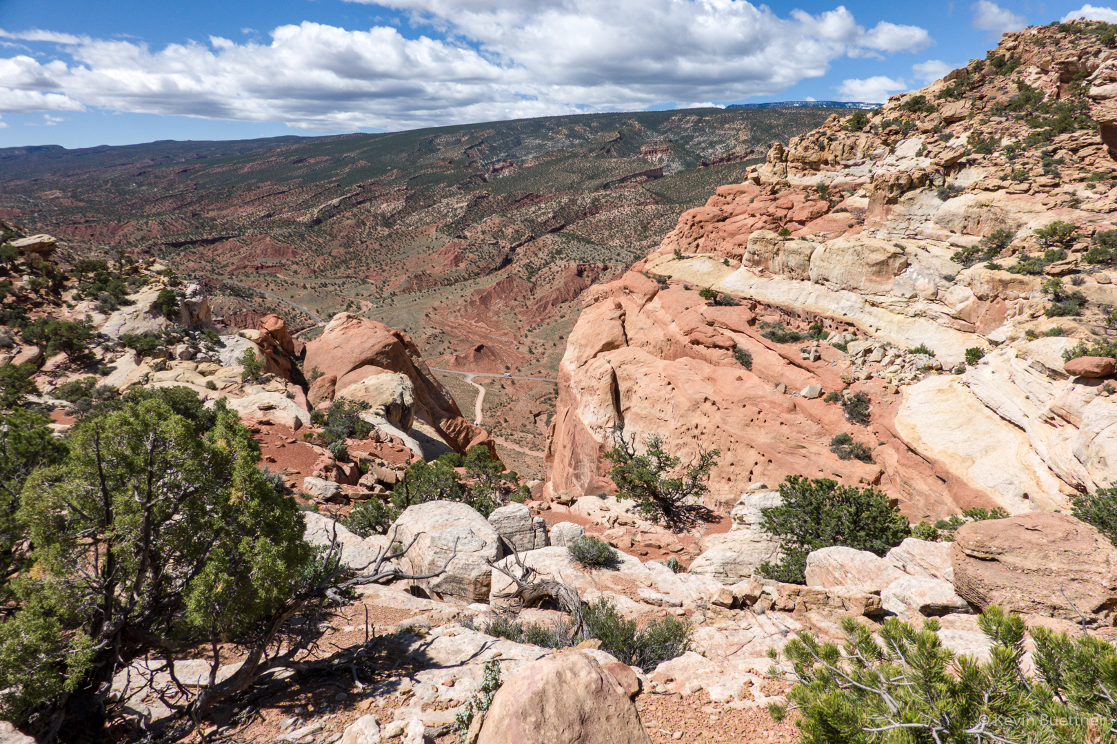
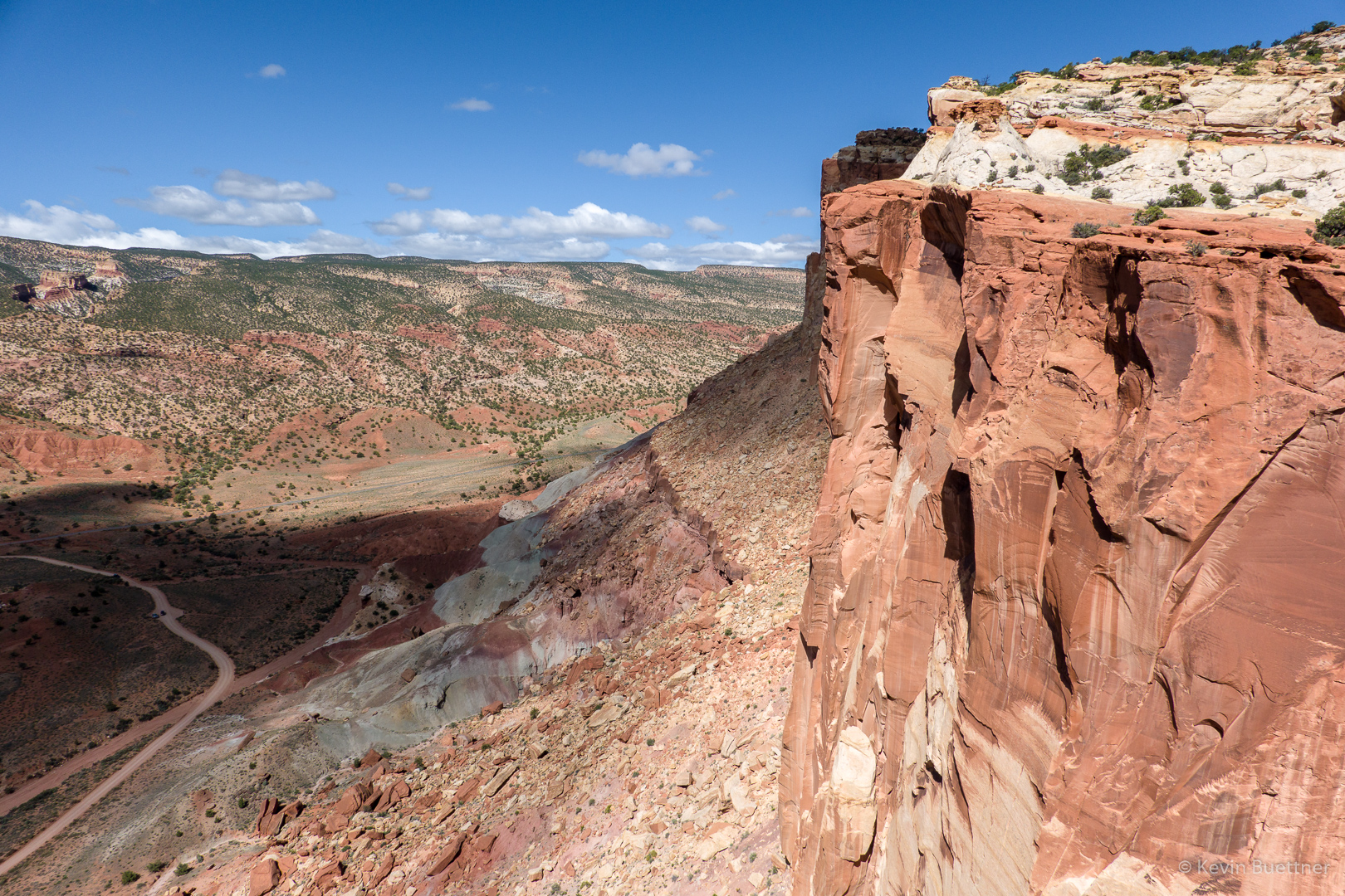
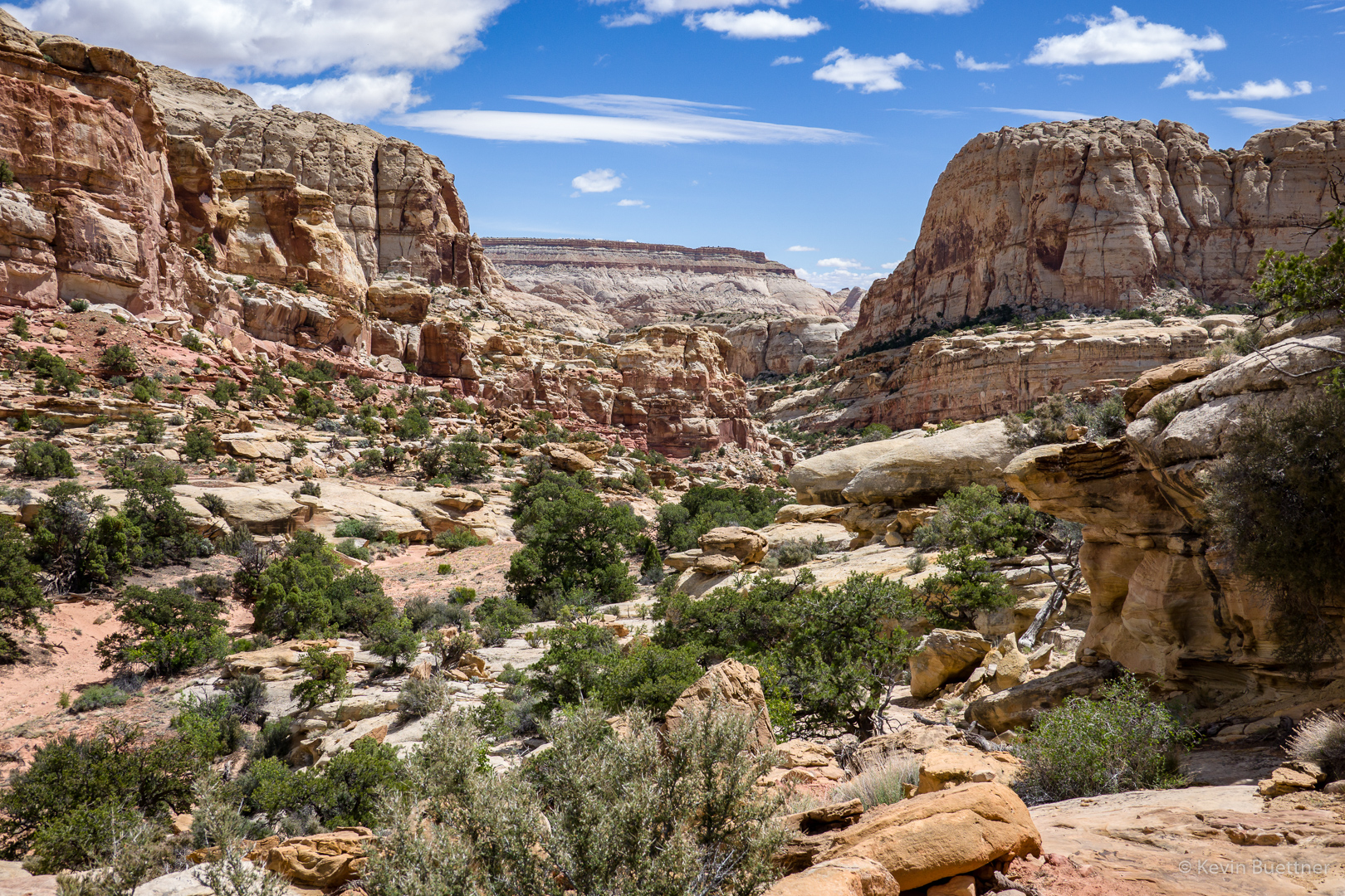
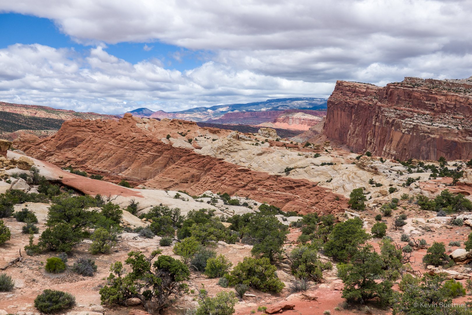
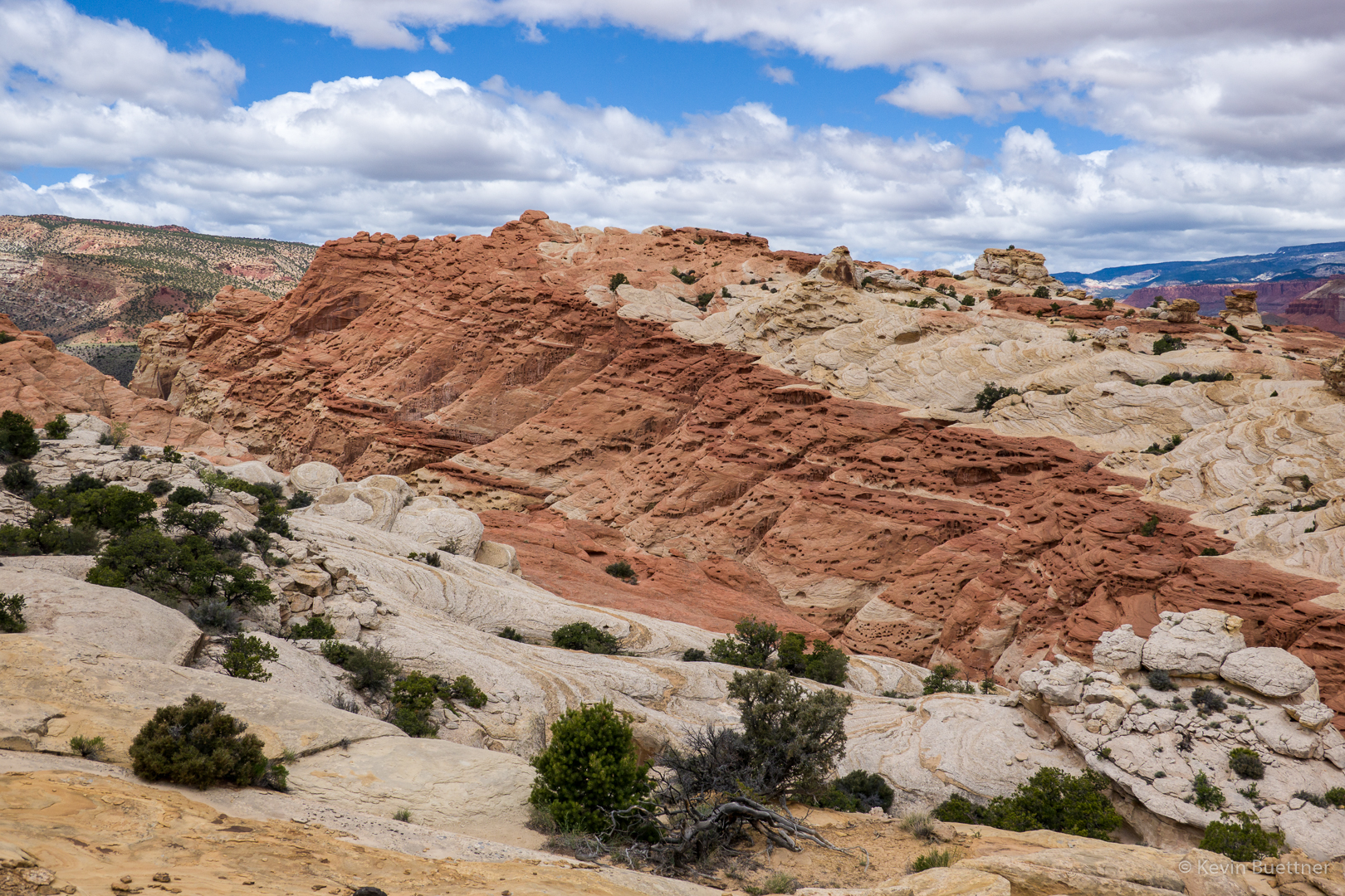
Great views…
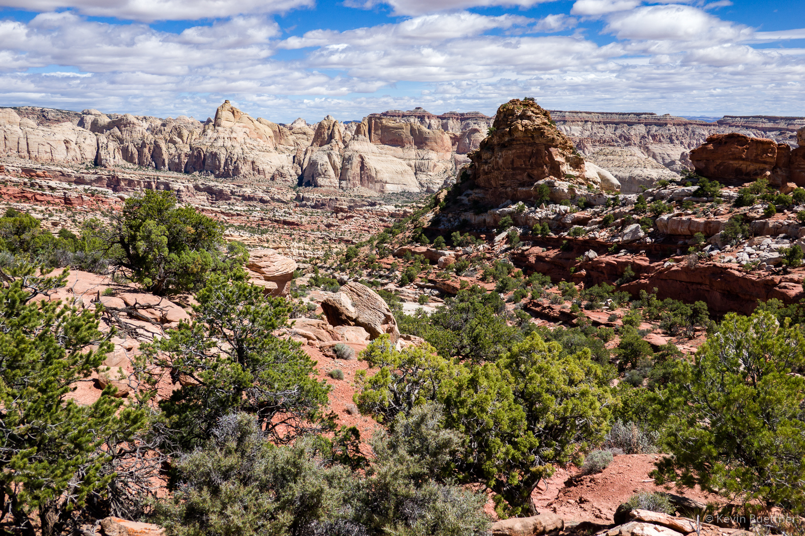
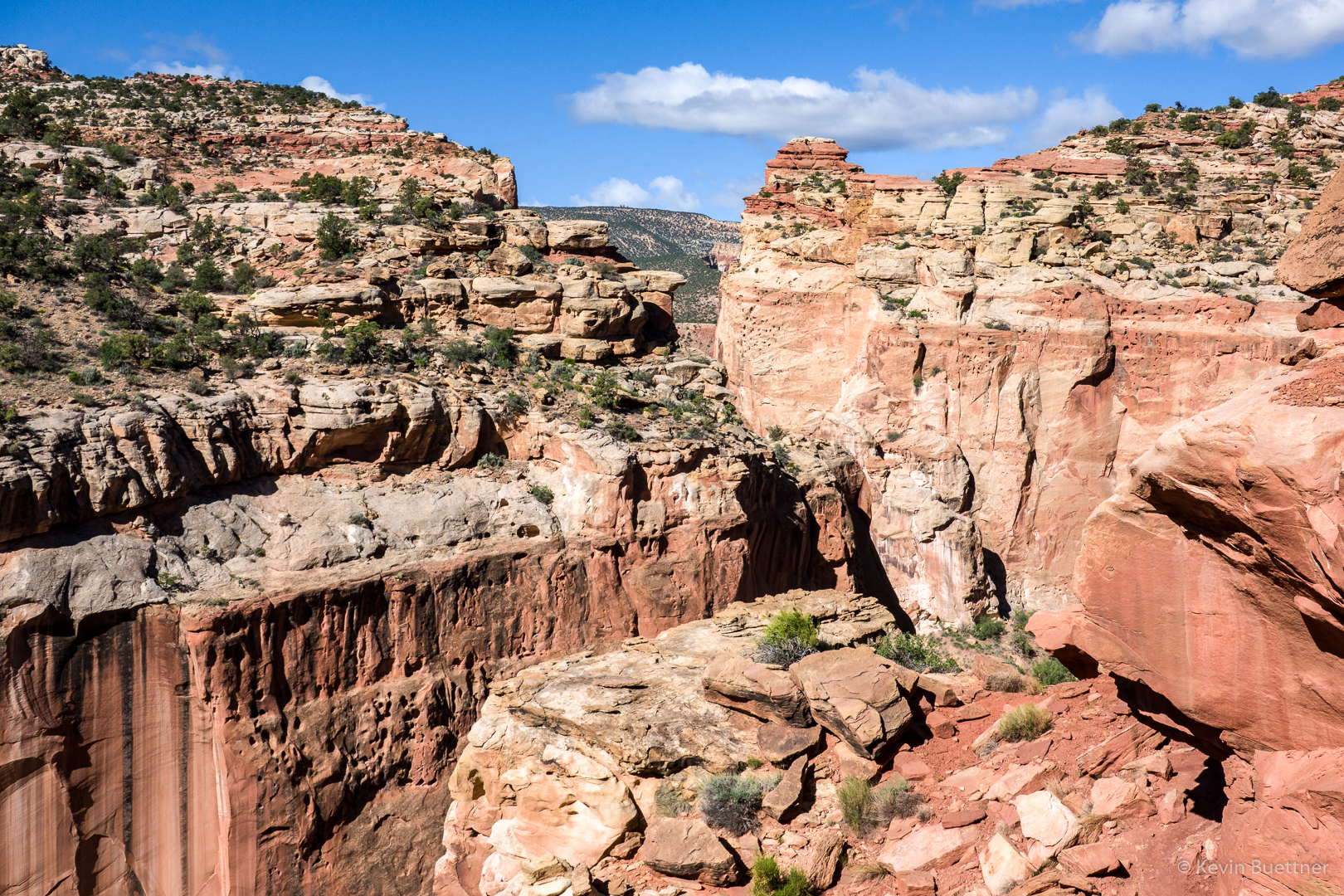
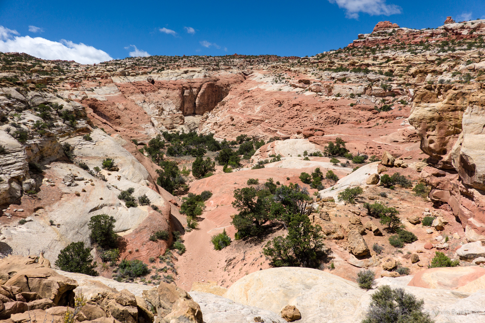
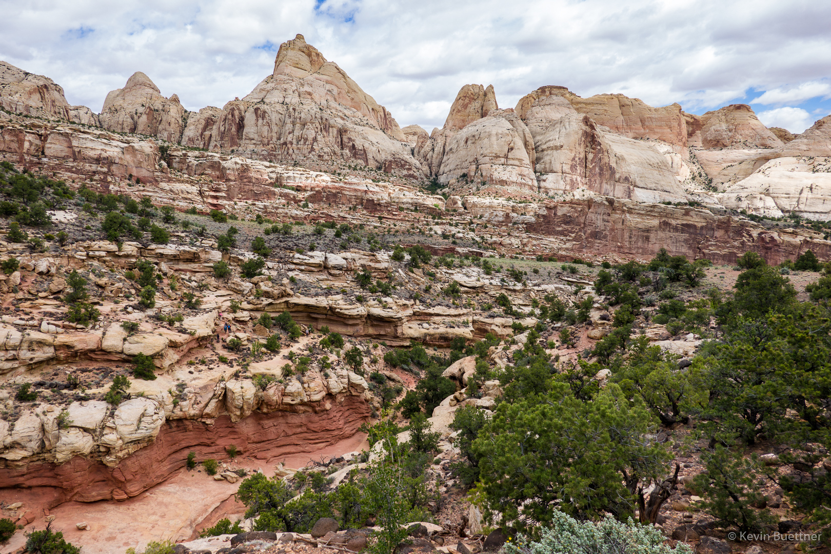
I thought I was looking at Cohab Canyon here, but I still had quite a ways to go.
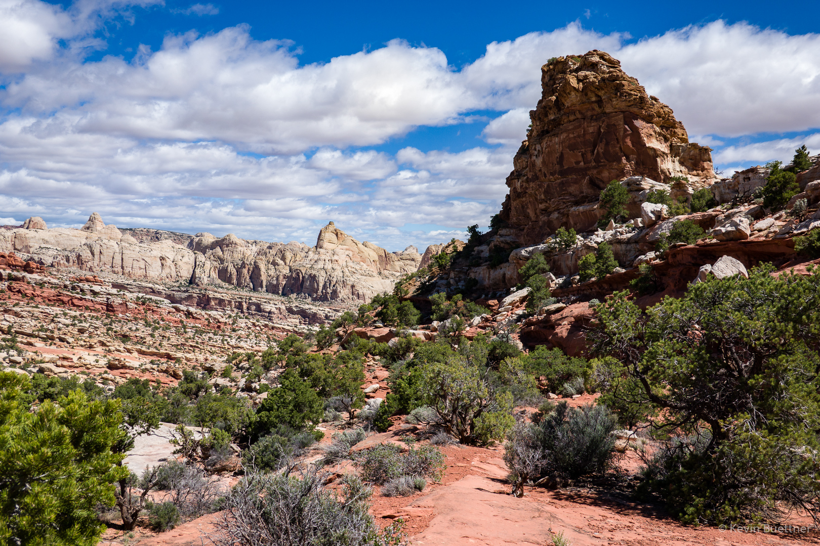
The trail led down and then back up again. At around this point, I went over a ridge after which a long descent eventually led me back to Cohab Canyon.
This, finally, is Cohab Canyon.
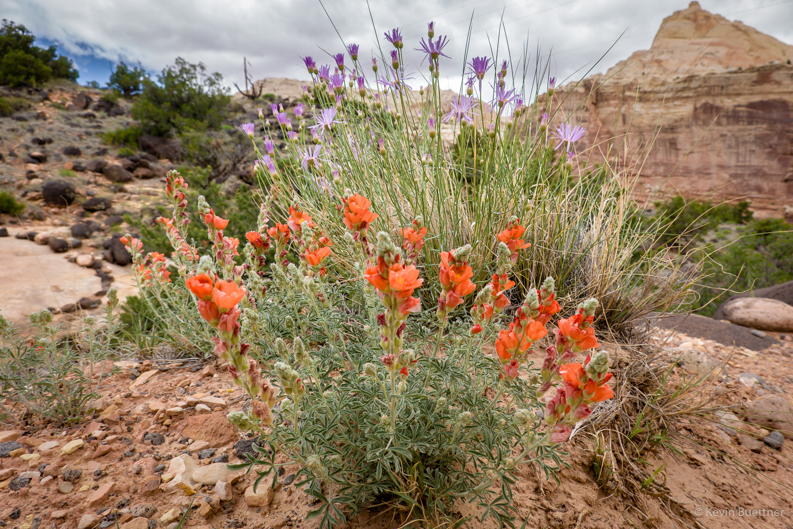
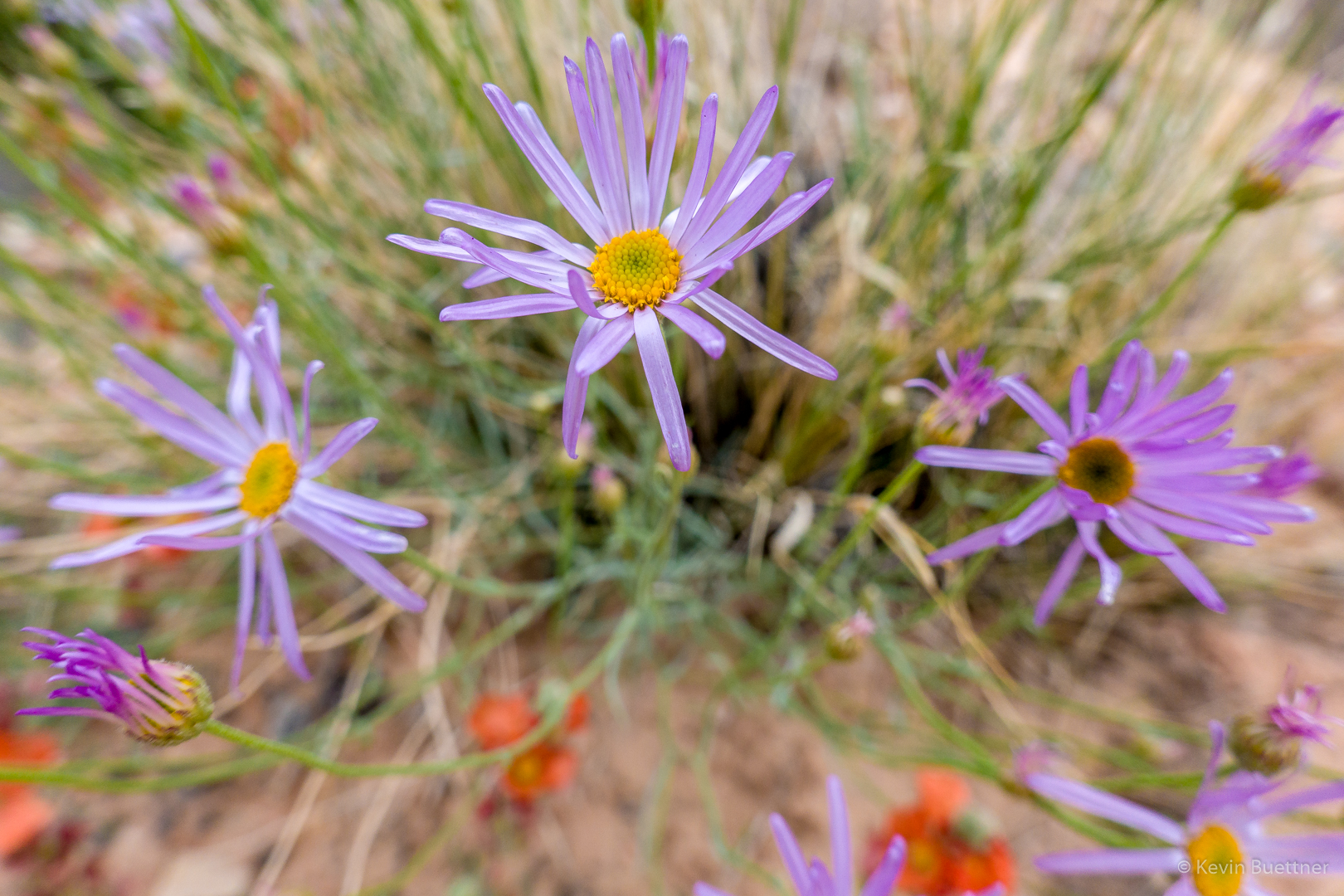
The orange flower appears to be a type of Globe Mallow. I don’t know what the purple one is.