Tag: Friday Fitness Hike (page 1 of 36)

Friday Fitness Hike

Mike, Marilyn, Diane, and Gayle joined me for a 7.5 mile hike starting from the Wagner Trailhead.

Views from Bluff Wash…

Looking toward the McDowells from the Pemberton Trail:

A very healthy saguaro along the Bluff Trail:

Looking toward the Superstitions from the Bluff Trail:

Some of the first poppies of the season…

Friday Fitness Hike

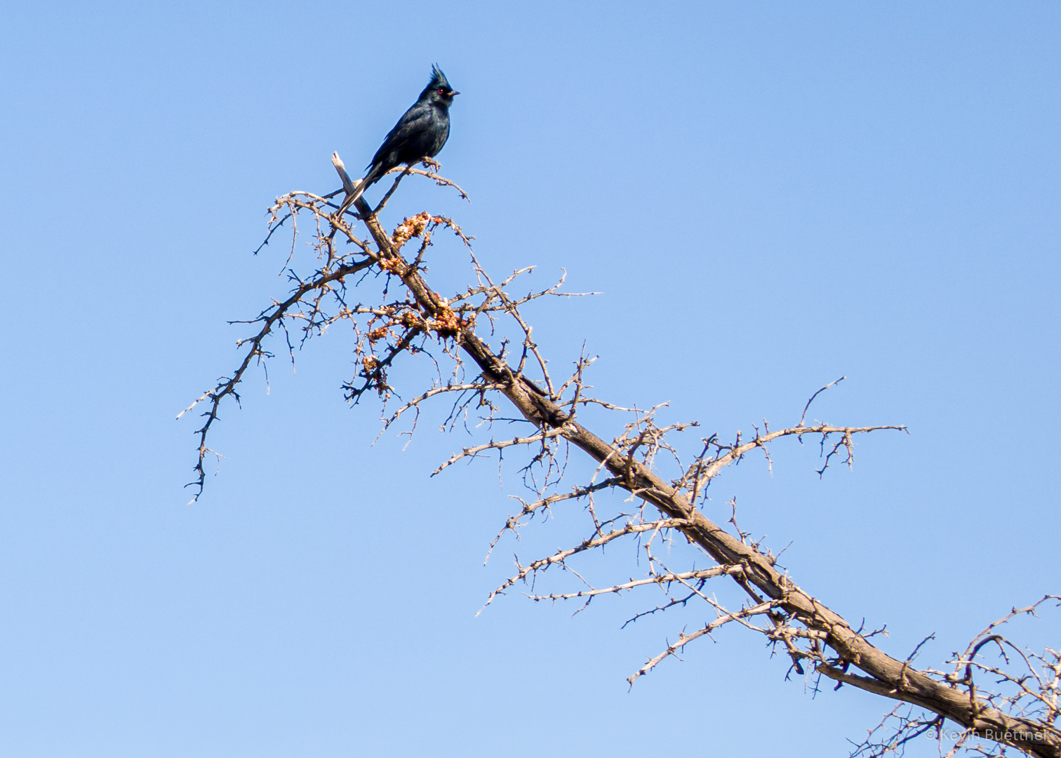
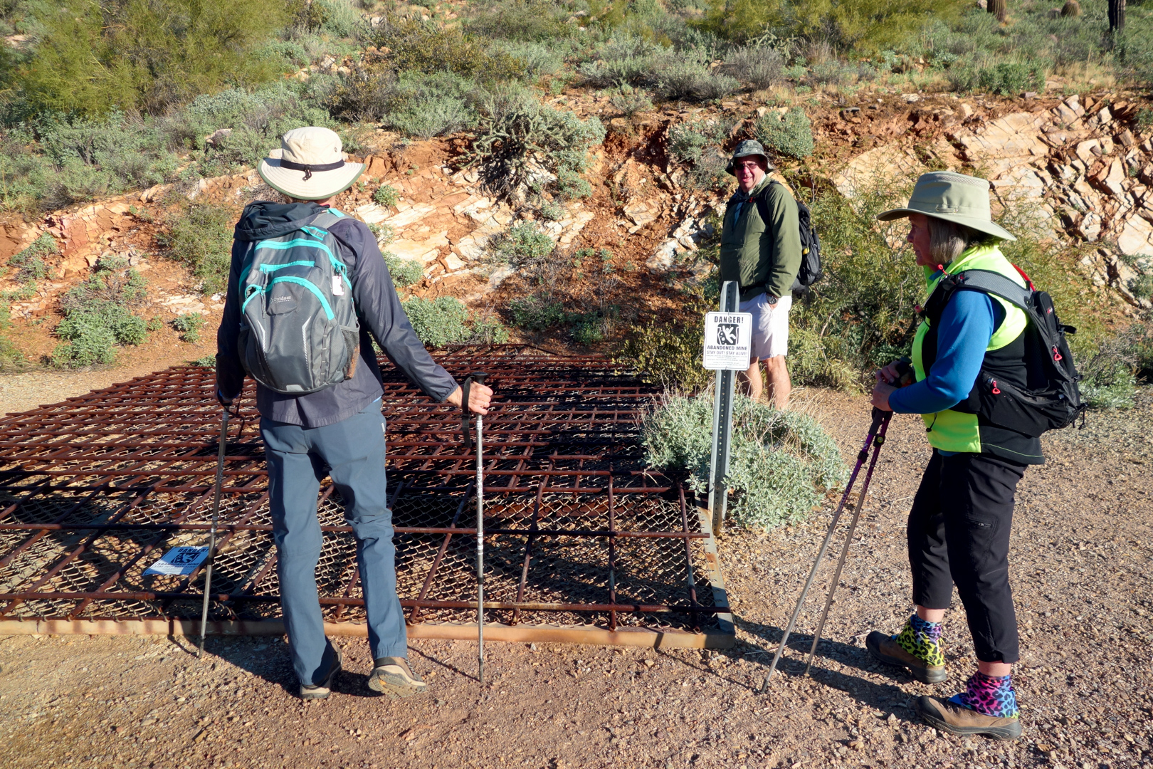
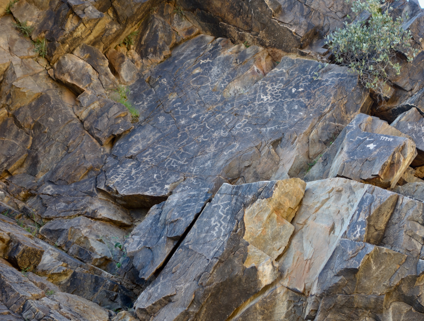
Tom, Cathy, Marilyn, Nora, Ben, and Marilyn joined me for a hike starting from Tom’s Thumb Trailhead. After visiting Tom’s Thumb, we hiked over to the intersection with the East End Trail, where Dan and Cathy returned via Tom’s Thumb Trail. The rest of us made a loop, going down East End, then returning via Windmill, Coachwhip, Pemberton, Boulder, and Marcus Landslide. We hiked 10.6 miles with over 2100 feet of elevation gain.

Marilyn and Ben hike up the trail to the ridge on which Tom’s Thumb is situated. Pinnacle Peak and Troon Mountain can be seen in the distance.

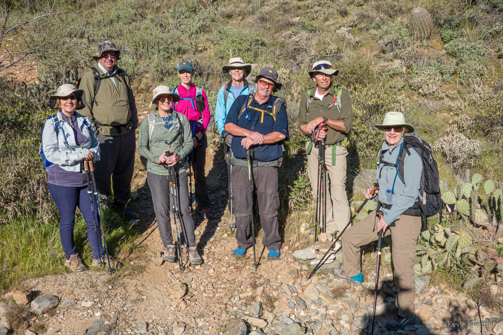
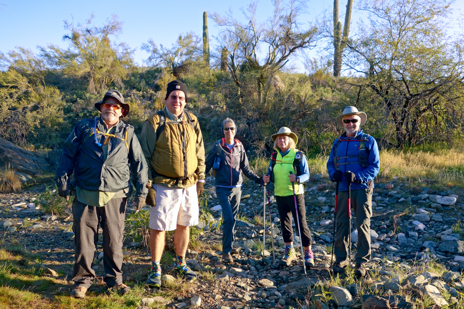
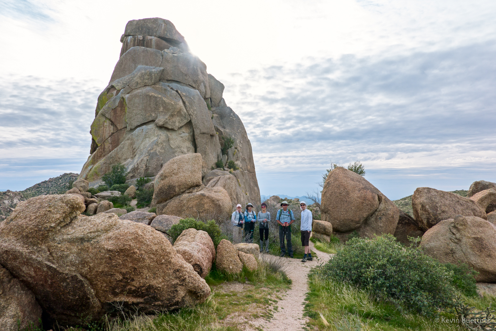
Nora, Marilyn, Cathy, Ben, and Tom in front of Tom’s Thumb:

A view from the East End Trail:

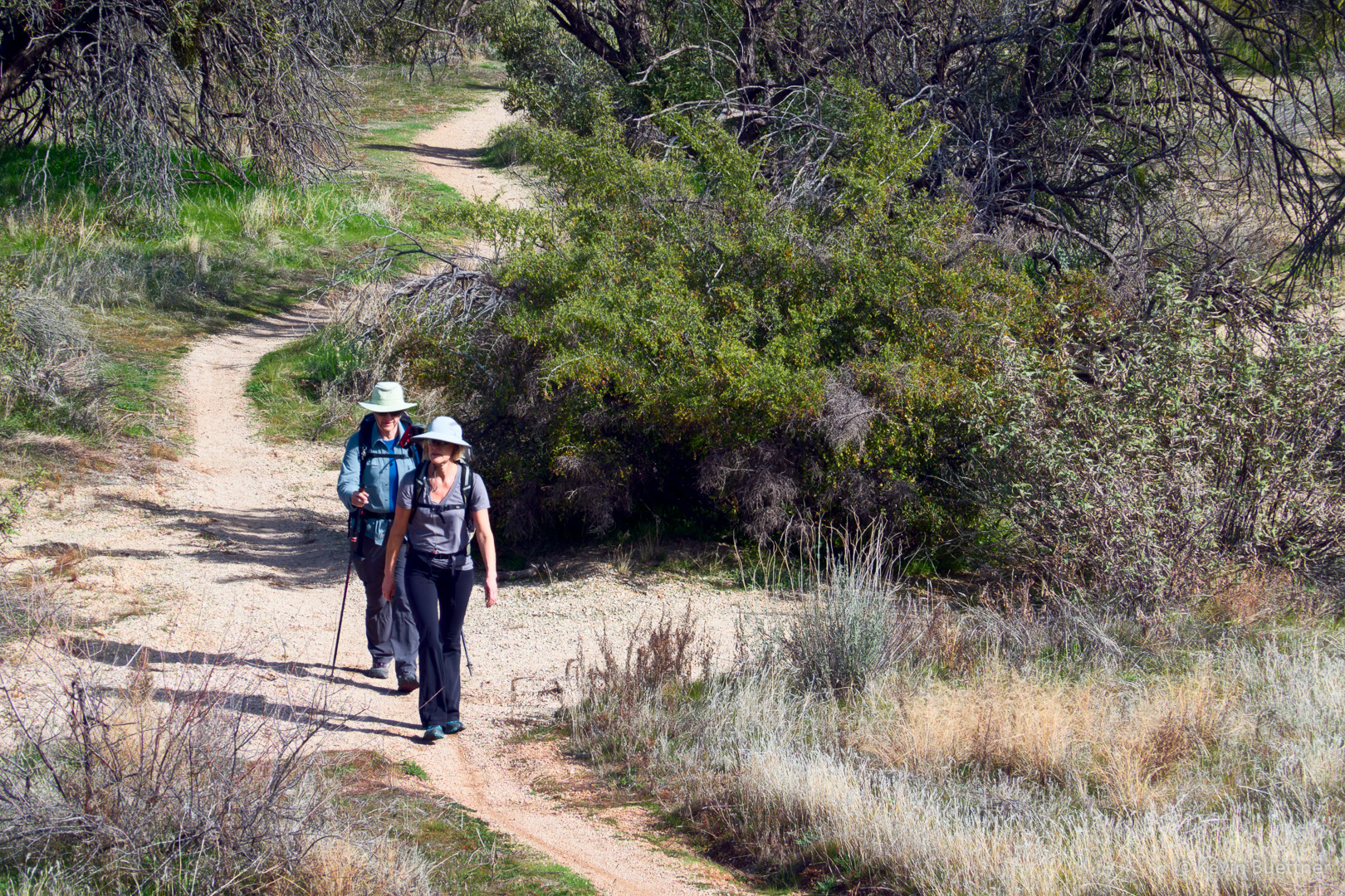
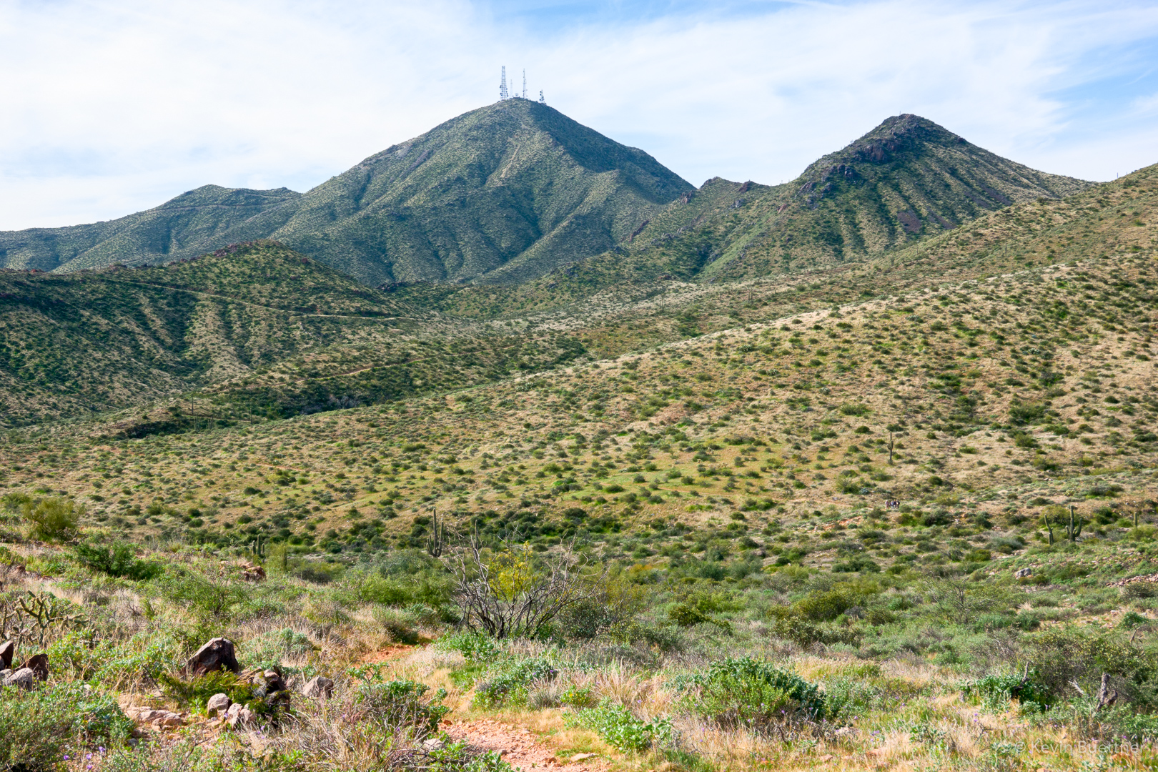
Approaching the Windmill Trail:

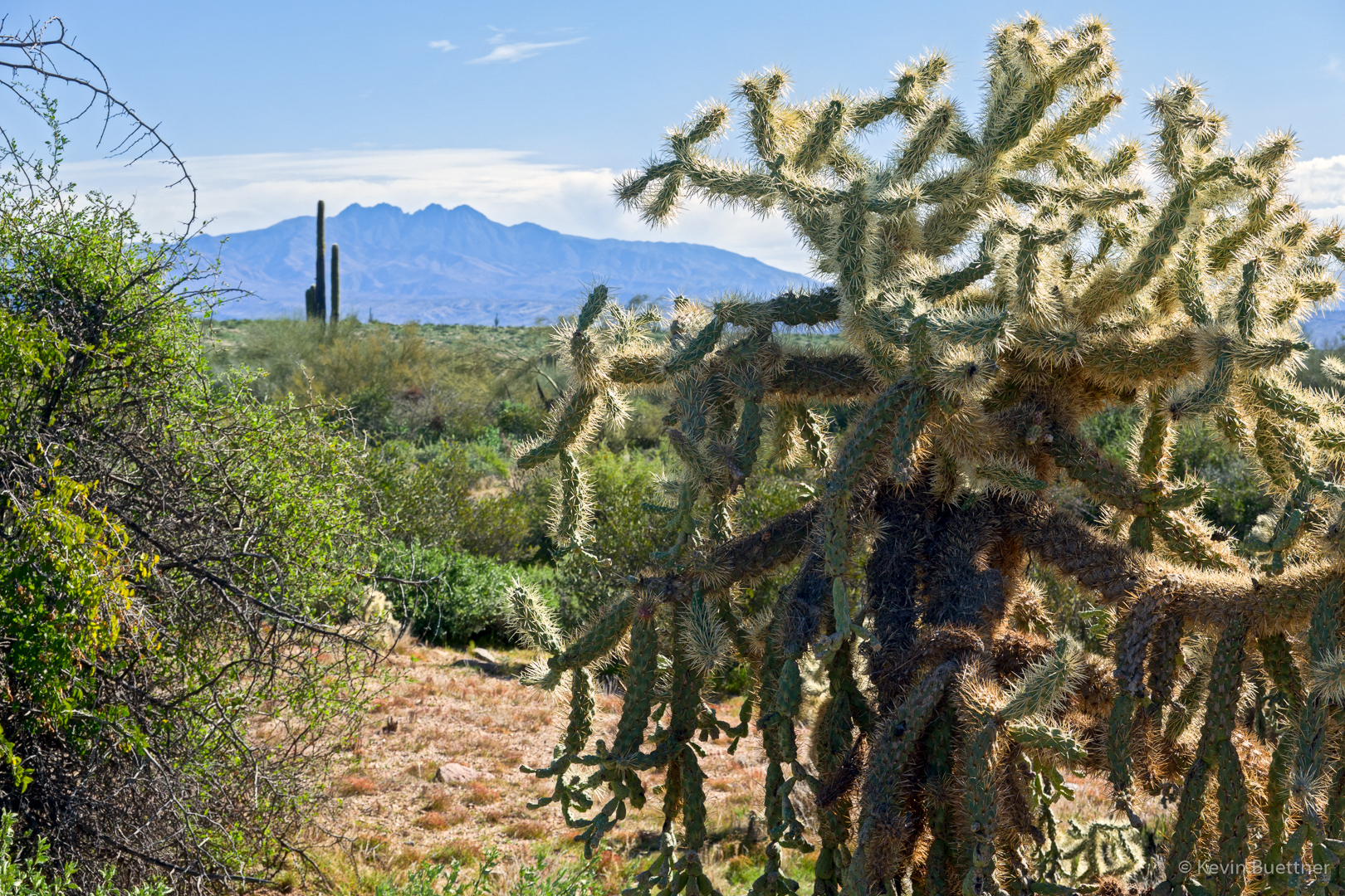
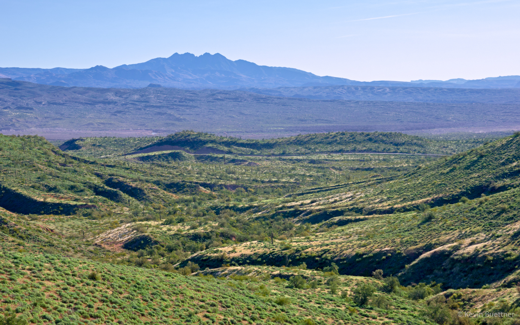
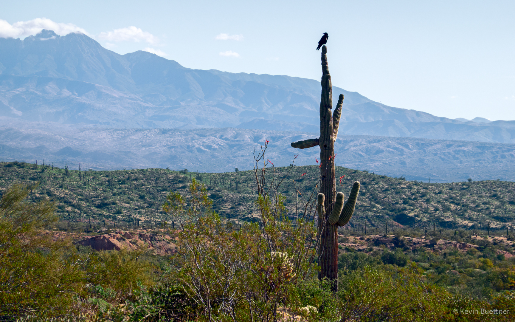
A view of Four Peaks from the Windmill Trail:

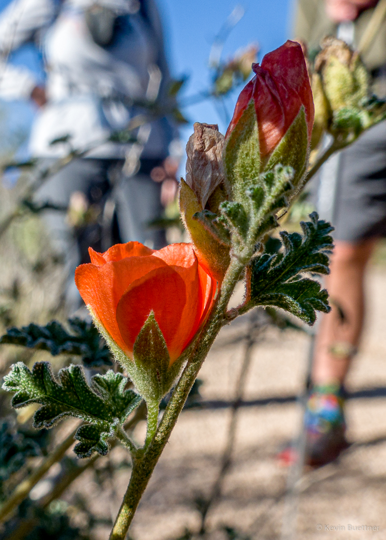
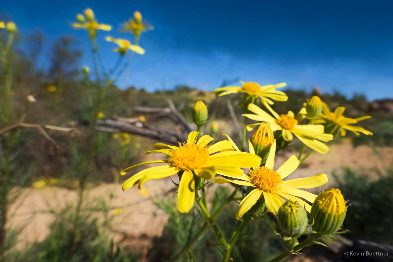
Fairy Duster along the Coachwhip Trail:

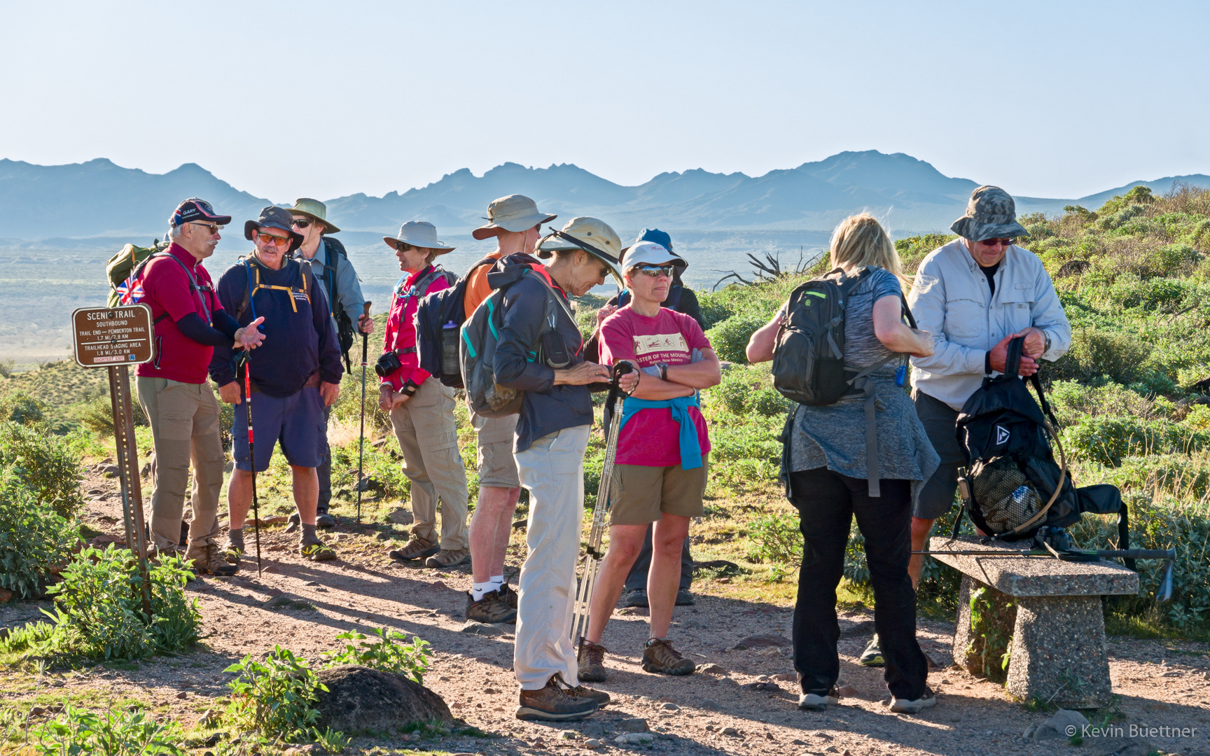
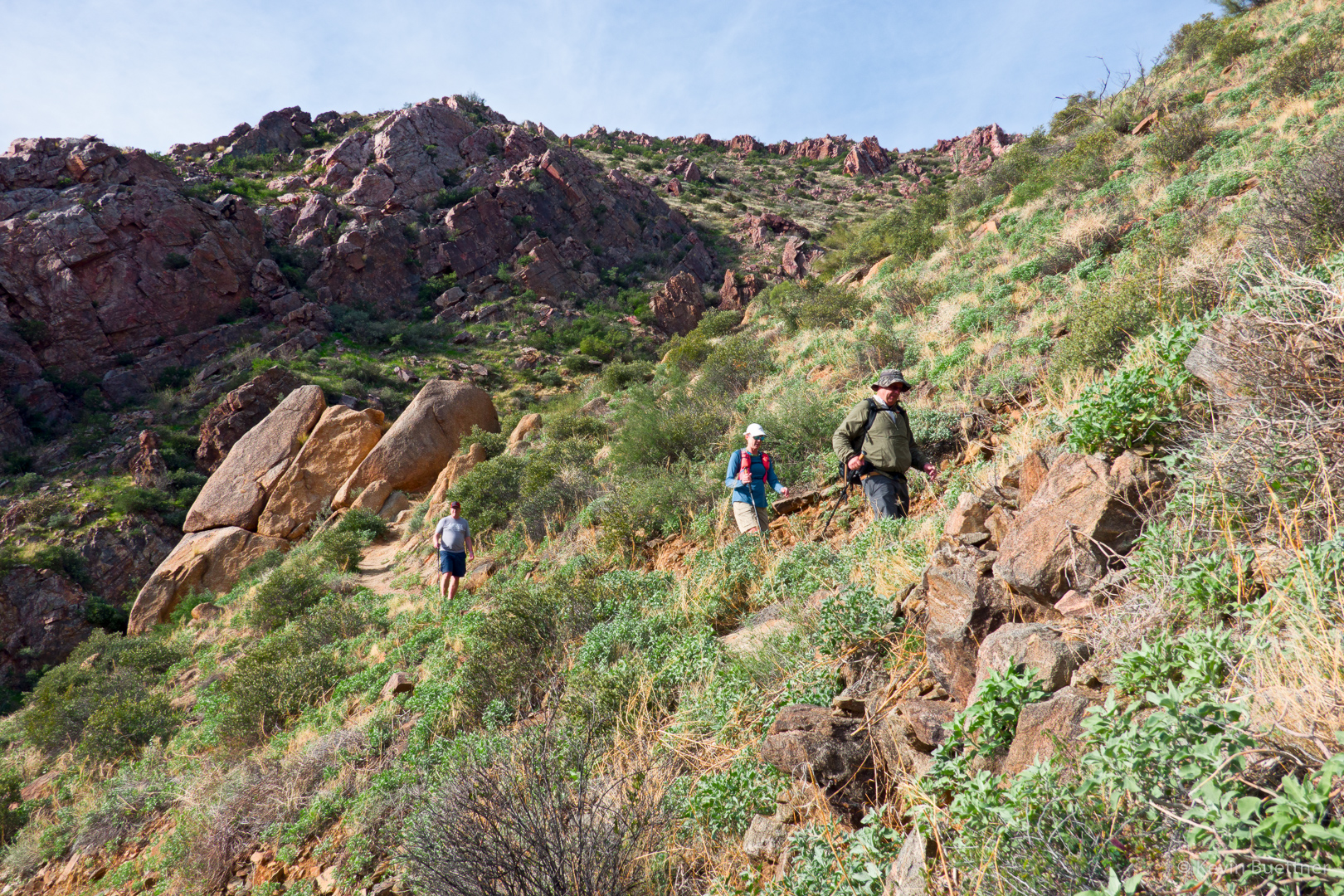
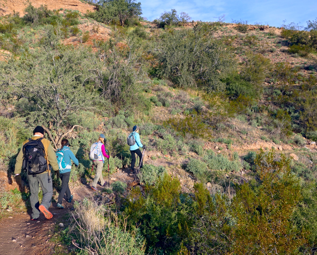
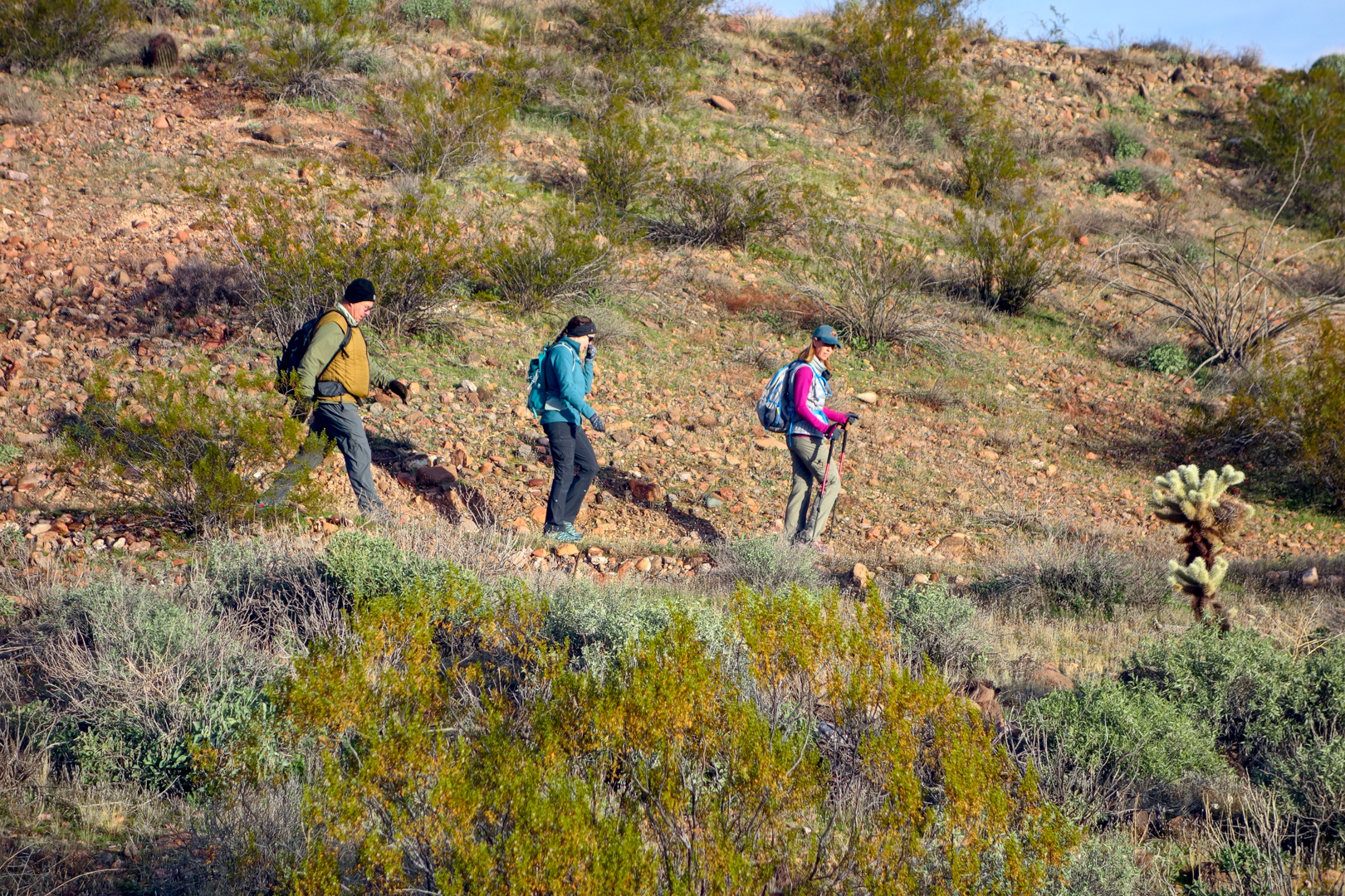
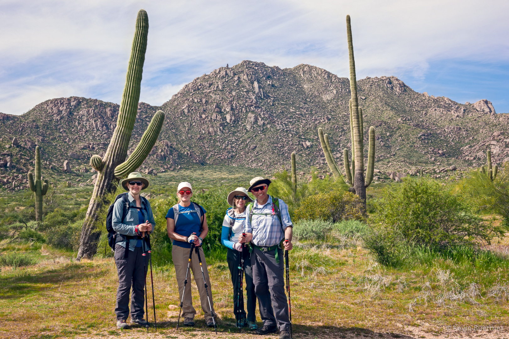
Marilyn, Nora, Marilyn, and Ben along the Pemberton Trail:

Looking toward the Granite Ballroom and the Sven Towers from the Boulder Trail:

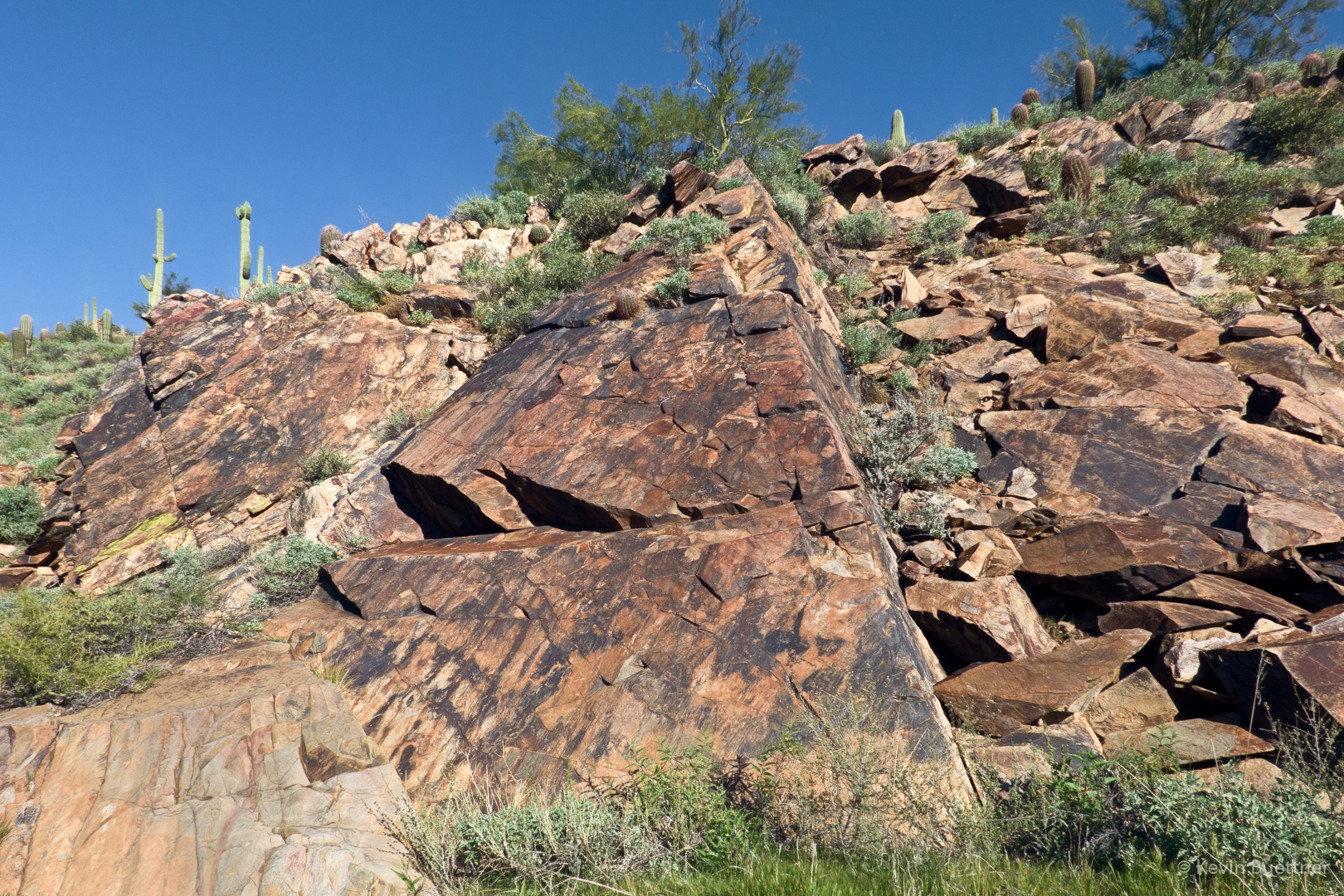
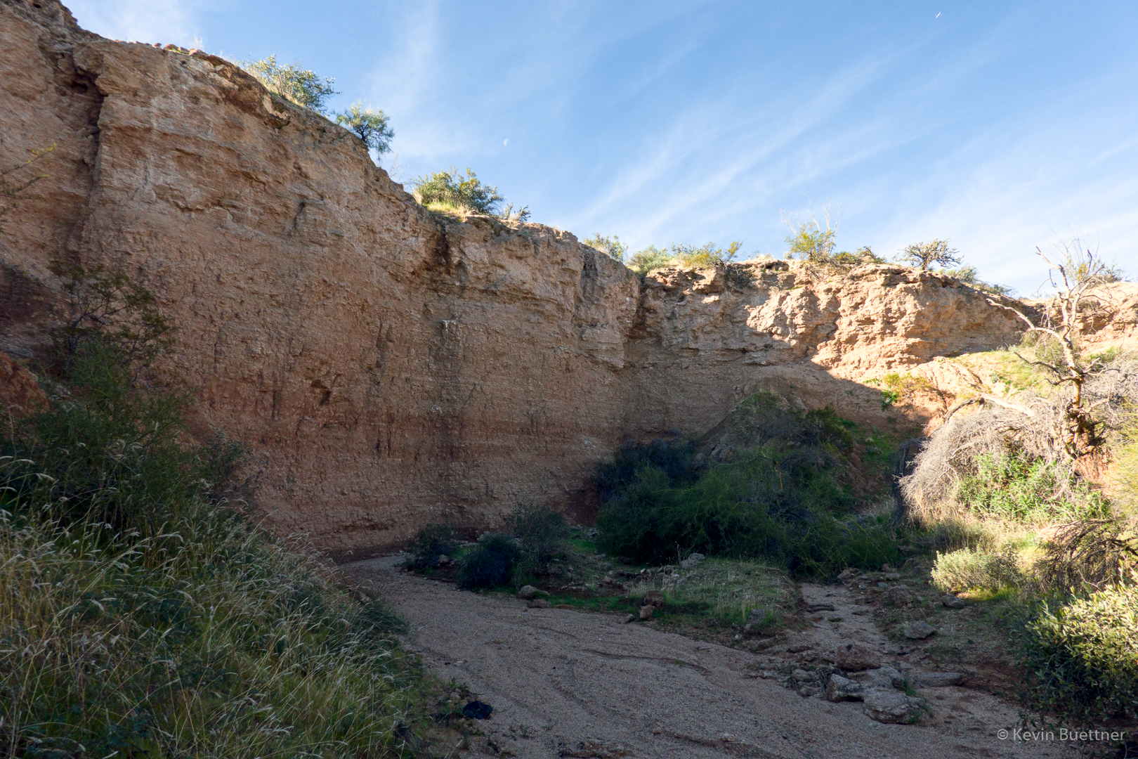
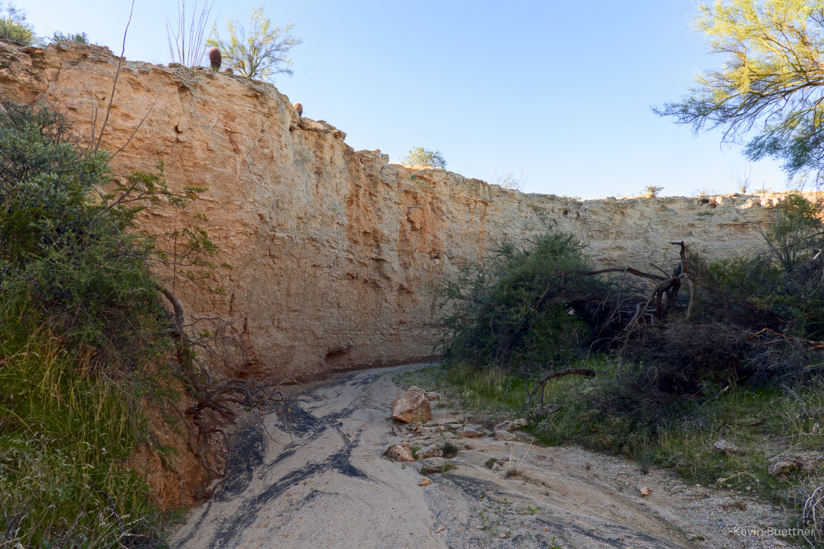
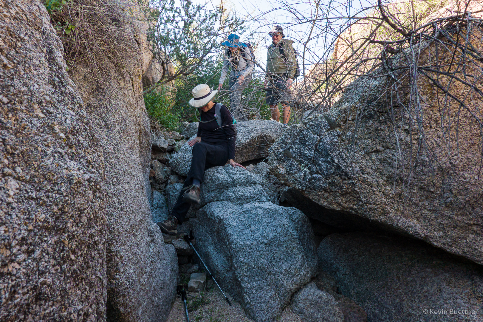
A very large boulder alongside the Marcus Landslide Trail:

Looking toward the Thumbnail Pinnacle from the Marcus Landslide Trail:

Friday Fitness Hike

Ben, Marilyn, Gayle, Laura, Mike, and Marilyn joined me for a hike of nearly 12 miles.  We hiked the South Ridge and the South Wash, returning via Dixie Mine and Pemberton.

Two views of Red Mountain…

The (Fountain Hills) fountain can be seen in this photo!

Looking over the South Wash towards Four Peaks:

This is the other direction, now looking toward the McDowells:

We’re in the wash now, albeit a narrow and shallower part:

Looking towards Four Peaks from the Dixie Mine Trail (near Pemberton). That’s a chain fruit cholla in the foreground.

Another view of Four Peaks, this time from the Pemberton Trail. A bunch of trail runners and mountain bikers had just passed us. You can still see a few of them in this photo.

Friday Fitness Hike

Laura, Mike, Nora, Heather, Gayle, Bob, Ben, and Marilyn joined me for a nearly eleven mile hike in the McDowells. We visited the Dixie Mine and then continued onto Prospector, making a loop additionally comprised of the Bell Pass, Windmill, and Coachwhip trails.

Looking toward the McDowells from early in the hike:

Affectionate saguaros:

Dixie Mine adit:

Petroglyphs:

More petroglyphs:

Hiking up the waterfall:

A cool slab along the way up-canyon:

Laura, Mike, Nora, Heather, Gayle, Bob, Ben, and Marilyn:

Looking towards Fountain Hills and the Superstitions from the Prospector Trail overlook:

Continuing on the Prospector Trail…

Looking towards Four Peaks from the Bell Pass Trail:

Brittlebush blossoms along the Windmill Trail:

Friday Fitness Hike

Roseanne, Dennis, Barb, Nick, Mike, Bob, Linda, Marilyn, Ben, Gayle, and Marilyn joined me for a hike of the Scenic Trail. After hiking the Scenic Trail, Roseanne, Dennis, Bob, Nick, and Marilyn took the short way back to the trailhead while the rest of us hiked Lousley Wash and then Lousley Hill, eventually returning via Escondido and Shallmo Wash. Total hike distance for some of us was 13 miles!

Looking toward the McDowells from the ridge along the Scenic Trail:

This is the group at the top of the hill along the Scenic Trail.

Looking toward Four Peaks from the Scenic Trail:

A view from Lousley Wash:

Looking toward Red Mountain from the top of Lousley Hill:

A Chuparosa bloom in Lousley Wash:

A view from the Escondido Trail:

I don’t know the name of this flower, but we saw several of them along the Shallmo Wash Trail as we neared Pemberton.

Friday Fitness Hike

Marilyn, Mike, Sara, Jerry, and Julie joined me for a ten mile hike in the Tom’s Thumb area.  Marilyn hiked out Marcus Landslide, then took Pemberton and Coachwhip to Windmill.  There, she waited for the rest of us to meet up with her after hiking past Tom’s Thumb and down East End.

A view of Troon Mountain from early in the hike:

This small pinnacle is encountered while hiking the access trail leading to the ridge on which Tom’s Thumb is situated.

Looking down at Pinnacle Peak and Troon:

A view of Tom’s Thumb from the ridge:

Looking toward Phoenix:

Mike, Sara, Julie, and Jerry in front of Tom’s Thumb:

Heading down the East End Trail…

Jerry, Julie, and Mike descending one of many switchbacks on the East End Trail:

Mike spotted this chain fruit cholla with fasciation, or cresting:

Marilyn and Sara on the Boulder Trail:

Friday Fitness Hike

Ben, Marilyn, Mike, Jerry, Julie, and Marilyn joined me for a hike starting from the Wagner Trailhead.  It was another “wash day” in which we spent much of the hike in washes.

This is a view of Red Mountain from Stoneman Wash. It doesn’t look especially red in this photo.

Another view of Red Mountain, this time from the Long Loop in the Competitive Track area.

Looking towards the McDowells as we hiked to the Pemberton Trail.

This is the entrance to one of the arroyos that we visited.

This wash has high vertical walls.

Julie, Mike, Jerry, and Marilyn.  (Ben and my wife took a shorter way back.)

The wash narrows at this point, but the walls are not as steep or as high.

We saw this raven atop a saguaro as we headed down the Tonto Tank Trail.

While hiking (again) through Stoneman Wash, we saw this Phainopepla.

Friday Fitness Hike

On Friday, Jan 10, Linda, Mike, Gayle, Bob, Ann, and Denny hiked out to the Dixie Mine, visiting the tailings, the adit, and the nearby petroglyphs.

Thanks again to Linda for providing me with photos!

Friday Fitness Hike

On January, the 3rd, Linda, Mike, Gayle, Heather, and Rebecca hiked a 10 mile loop consisting of the Escondido, Pemberton, Scenic, and Cinch trails.

Thanks to Linda for providing me with these photos from the hike!  (I made some color and contrast adjustments.)

Friday Fitness Hike

On Friday, the 20th, Mike, Linda, Gayle, and I hiked a 12.6 mile loop starting from the Trailhead Staging Area.

Looking toward the McDowells just before crossing Stoneman Wash on the Pemberton Trail:

We saw three hawks atop a saguaro as we crossed the wash:

This is one of the arroyos near the Pemberton Trail:

Another view of the McDowells:

Heading up the Boulder Trail to Marcus Landslide:

A view of part of Rock Knob from the Rock Knob Trail:

Looking back towards Rock Knob (far right) and the rest of the McDowells from near the intersection of Pemberton and Bluff:

This is the first Globe Mallow that I’ve seen this season:

Sandwash Groundsel:

Gayle, making her way down some rocks in Bluff Wash: