Month: June 2019 (page 1 of 1)

Friday Fitness Hike

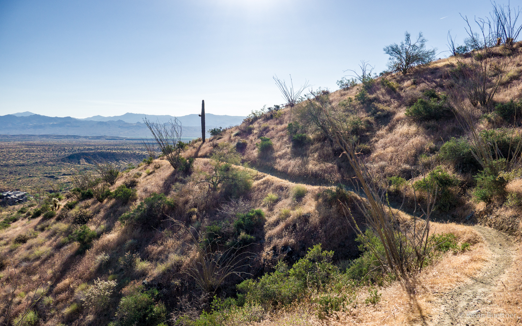
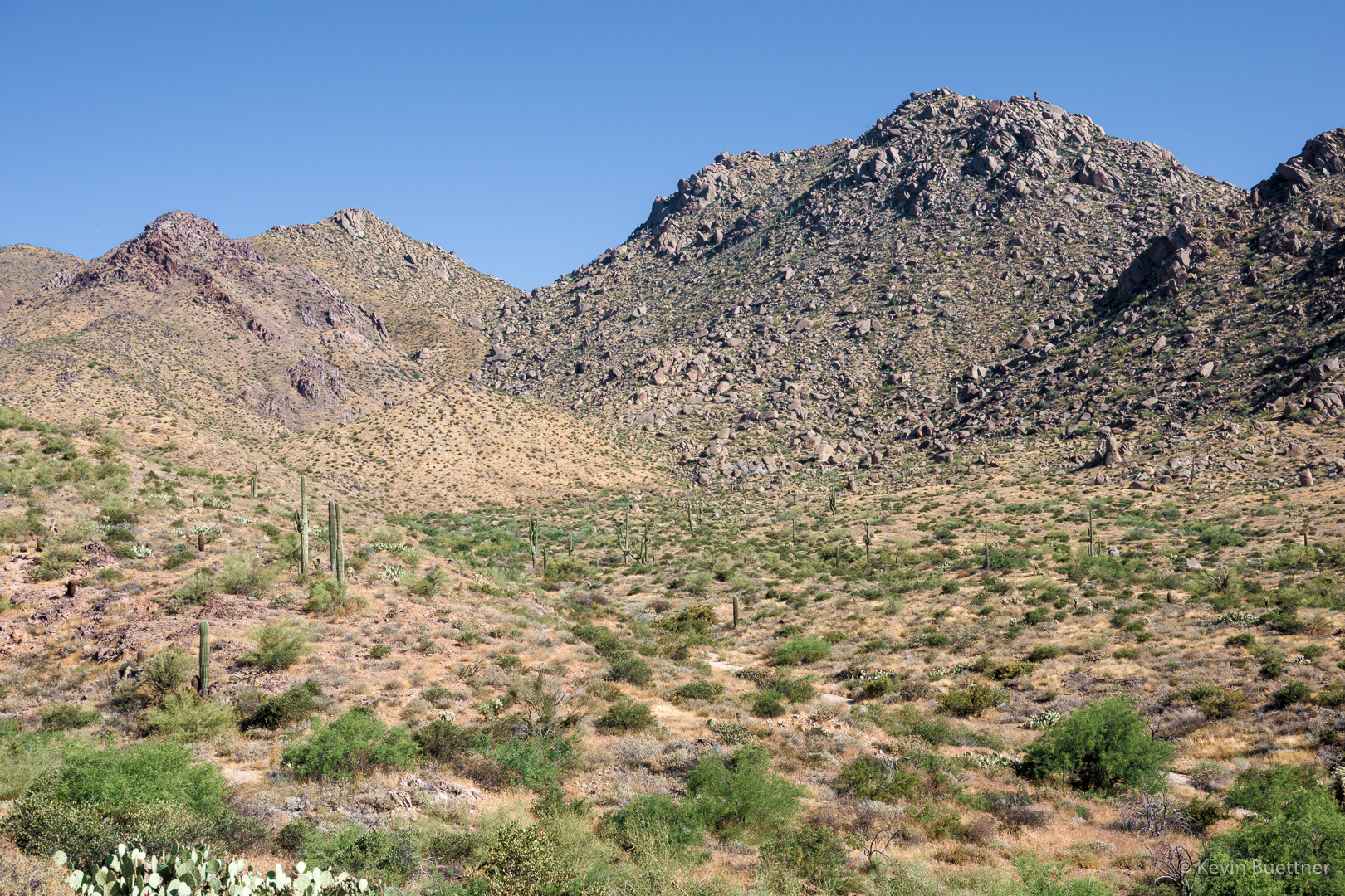
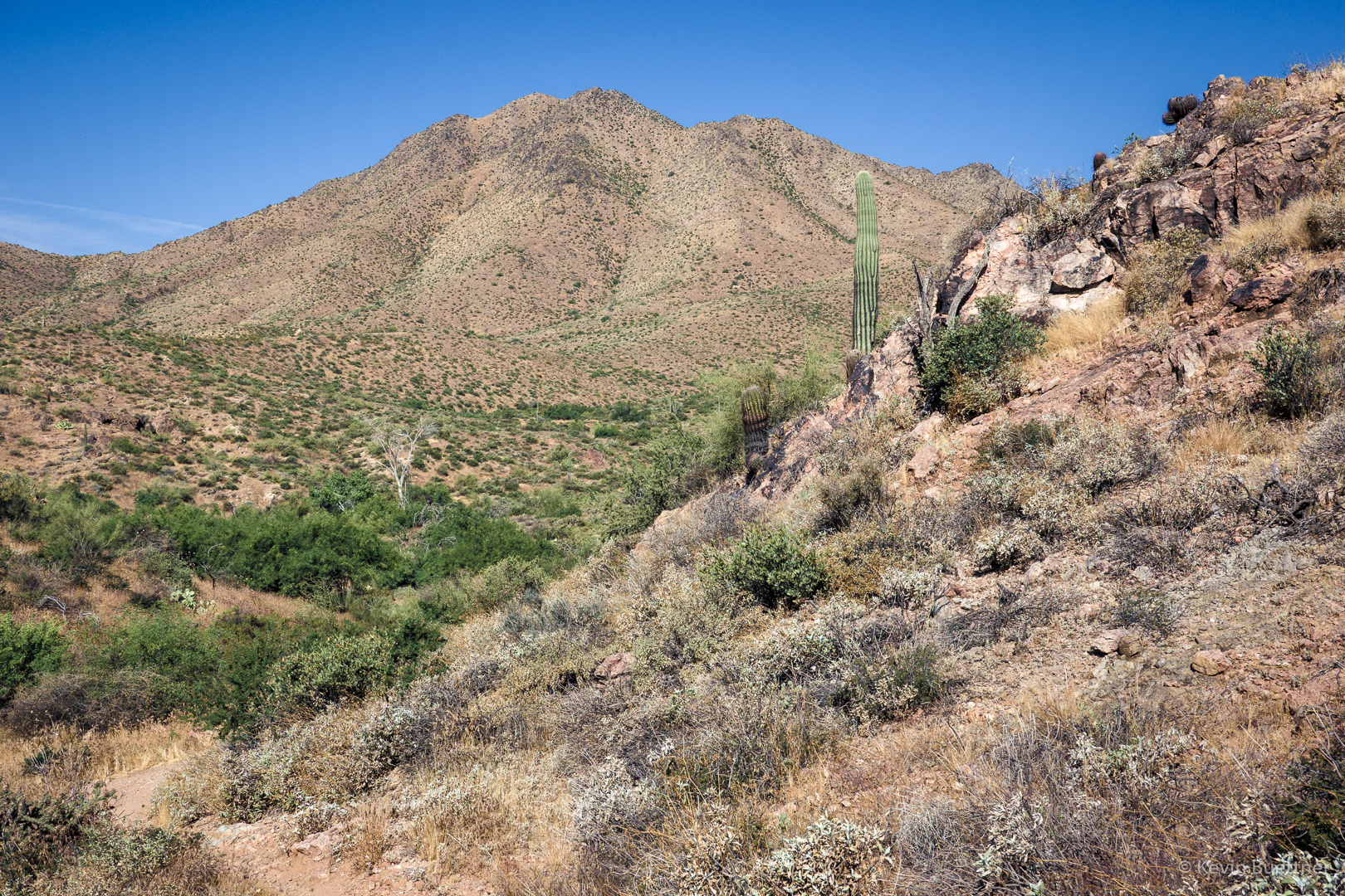
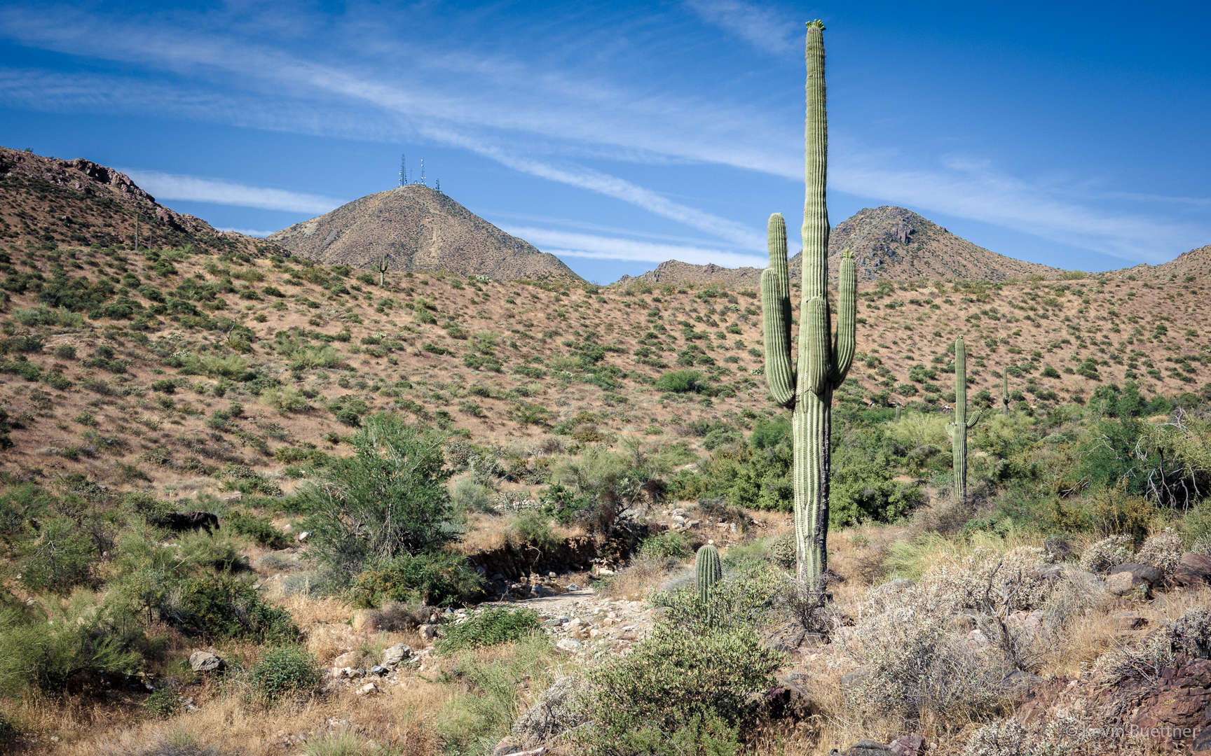
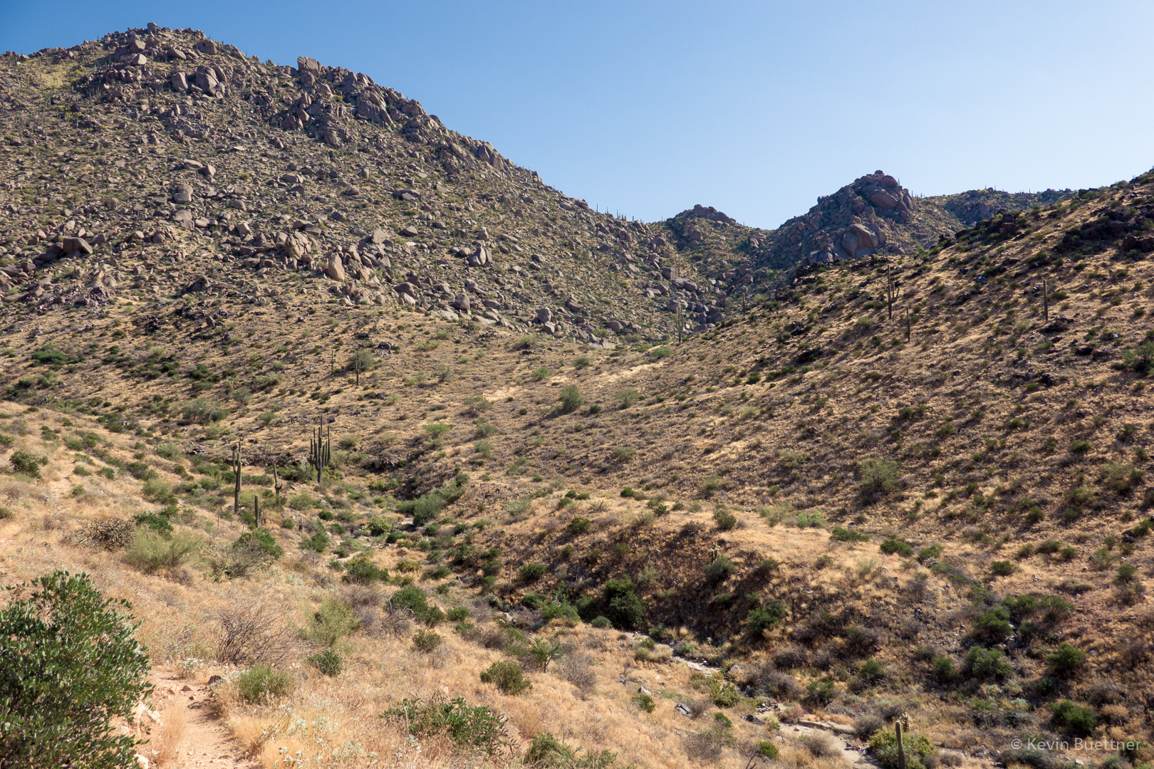
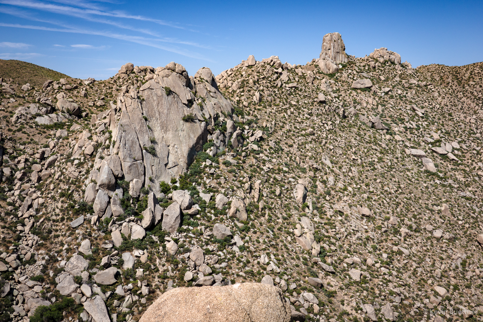
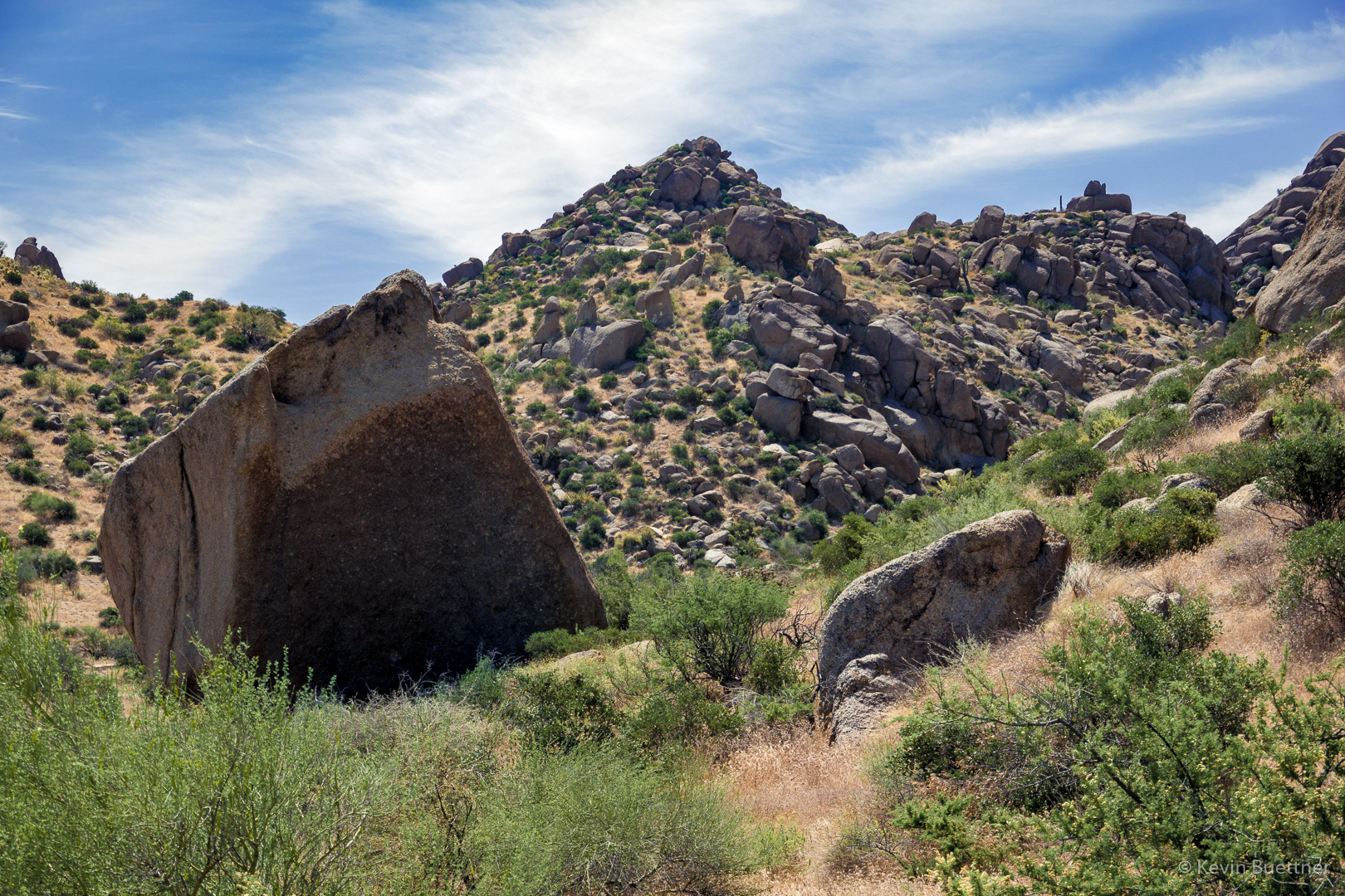
On Friday, the 28th, I hiked twelve miles starting from the Wagner Trailhead. After hiking Wagner and part of Granite, I headed up Bluff Wash until I came to the Pemberton. From there, I took the Pemberton over to Granite Tank and then crossed into the Preserve, hiking part of the Saguaro Nest Trail. I reentered the park at the northwest corner, taking service road which used to form part of the Pemberton Trail eastward; I don’t think I had been in this part of the park in over a year.  I returned via Lariat, Granite, and Wagner.

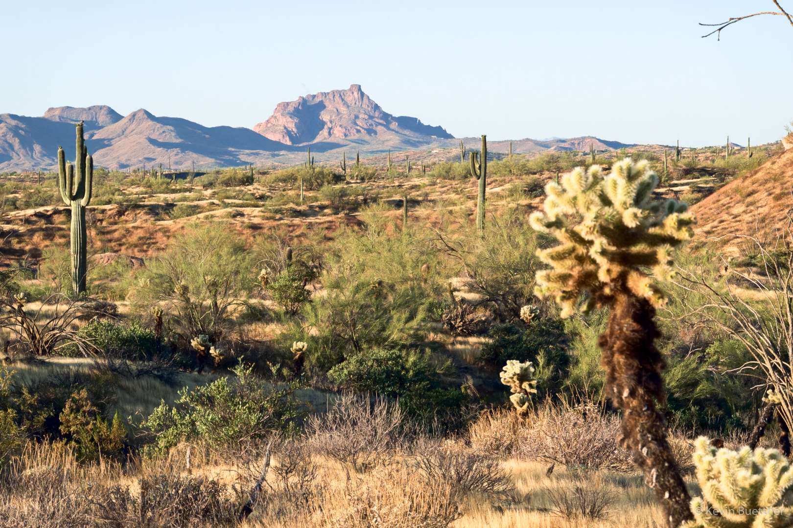
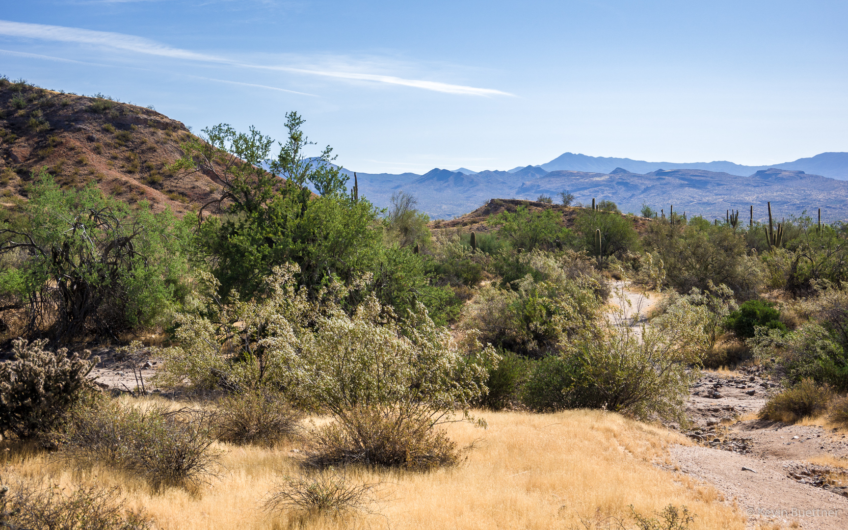
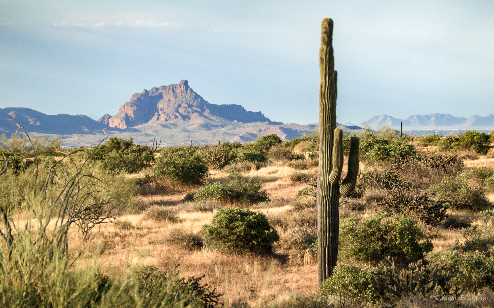
A view of Red Mountain from the Wagner Trail.

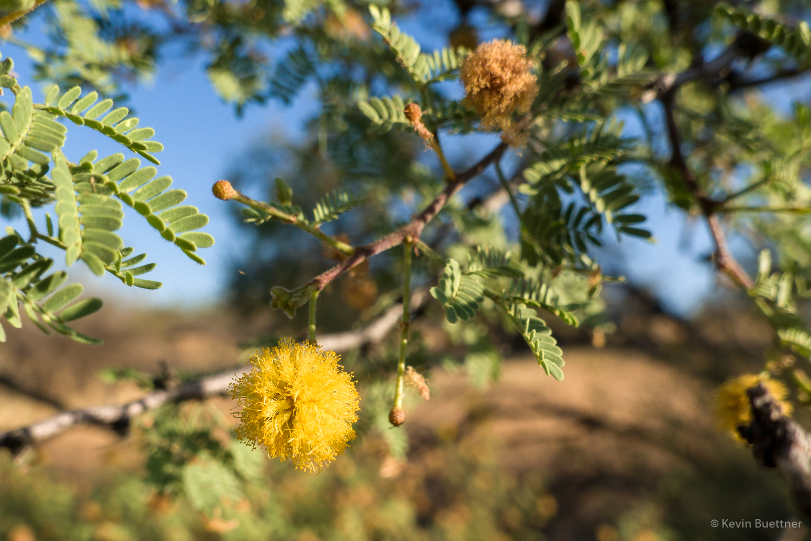
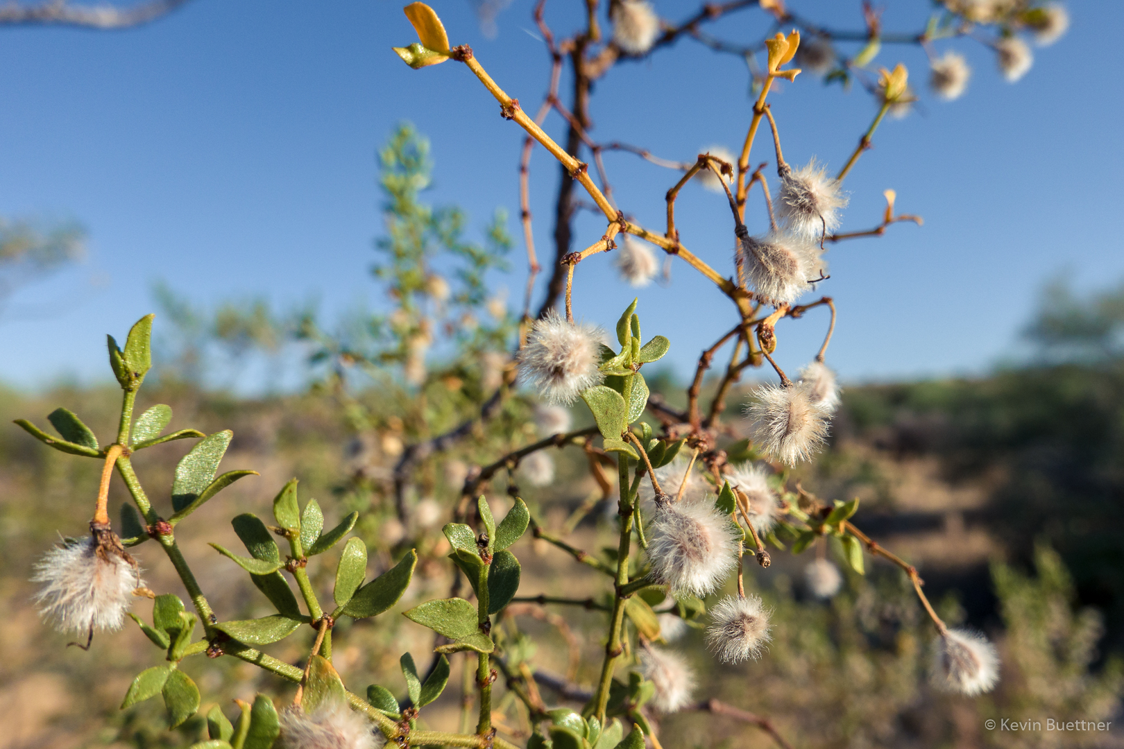
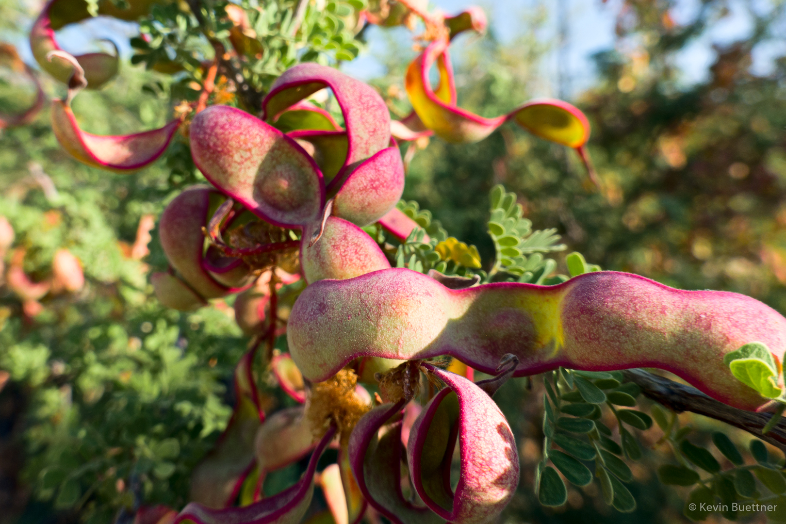
I think this might be an acacia.

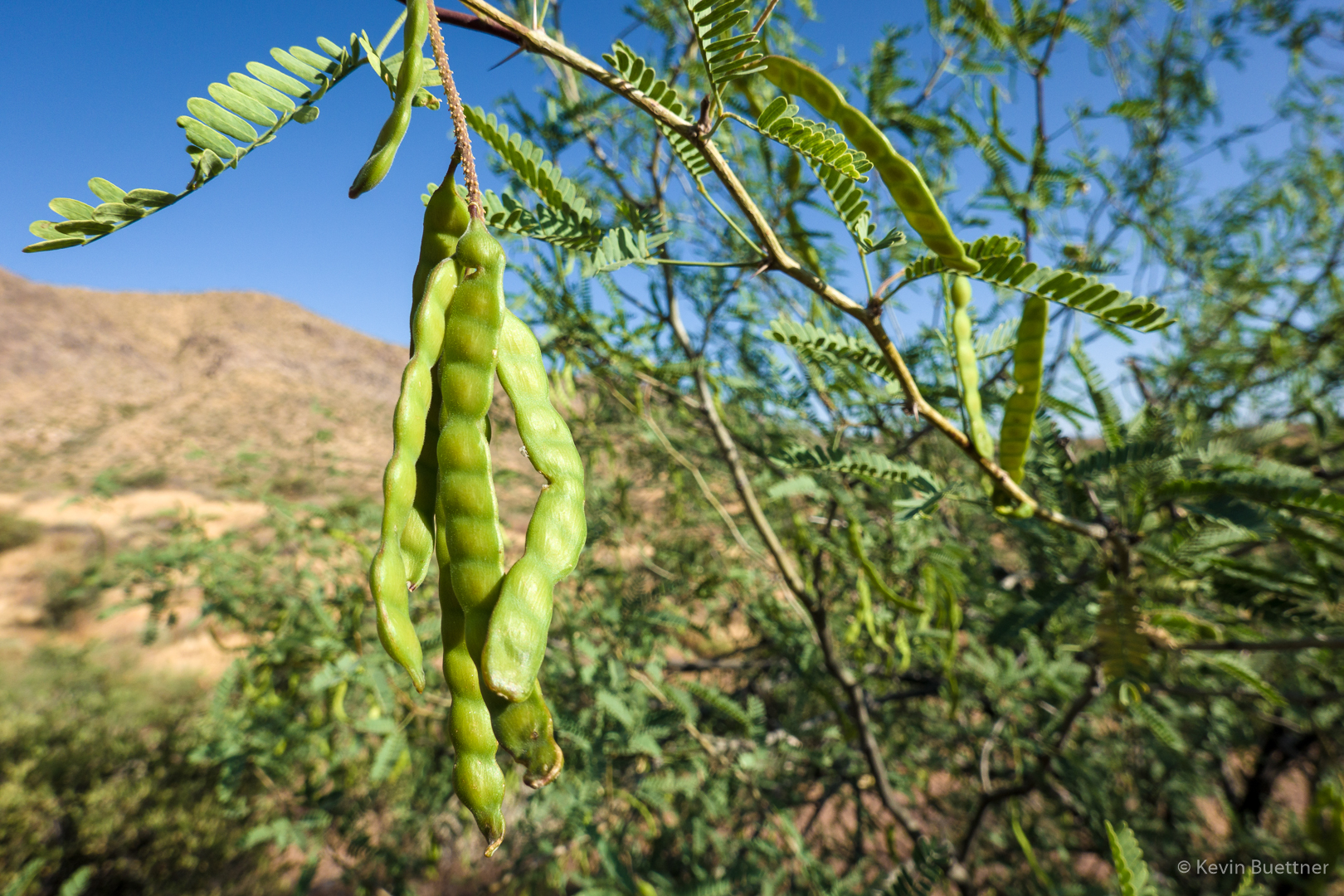
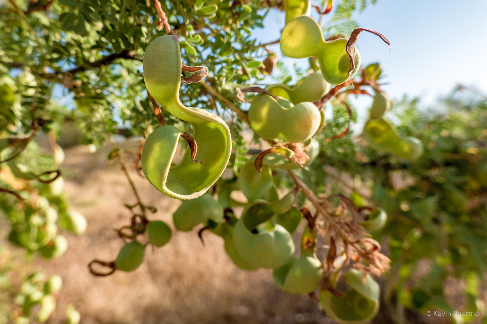
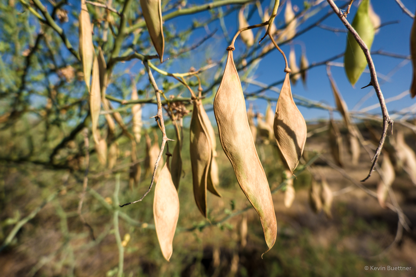
I saw a lot of different kinds of seed pods…

This is the only significant obstacle in Bluff Wash. It used to be easy to scramble up the notch just left of center.  There is a good foothold – a small ledge about two feet long and 2-3 inches deep – that is now at (perhaps) waist height.  Over the years, the sand below this foothold has washed away, effectively raising that small ledge, making it harder to use it as a foothold.  Assuming you can get your foot onto this ledge, it’s possible to push your weight on top of it using your right hand in opposition using the rock to the right. I tried that move today and found that I really had to kick my leg up to get my foot onto the ledge.  Moreover, I had to stand far enough back that I was out of position to do the next move. Noticing some handholds left of the ledge, I decided to try another way.  The handholds are good; smearing the left foot on the rock below allows you to put the right foot on the ledge.  From there, there’s a side pull (Gaston) above the ledge for the right hand.  I got both feet on the ledge and then was able to make the easy move to get into the notch.

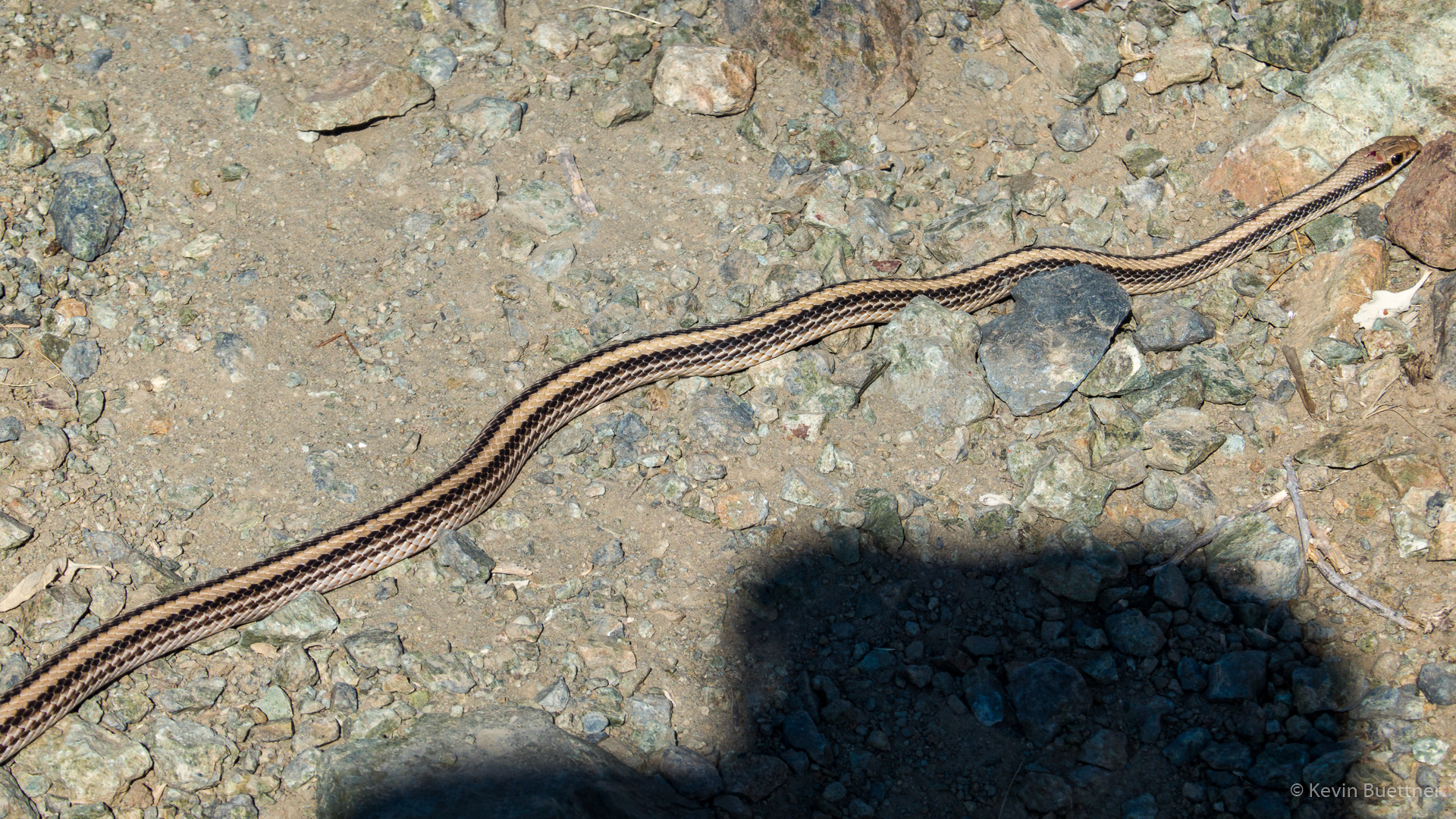
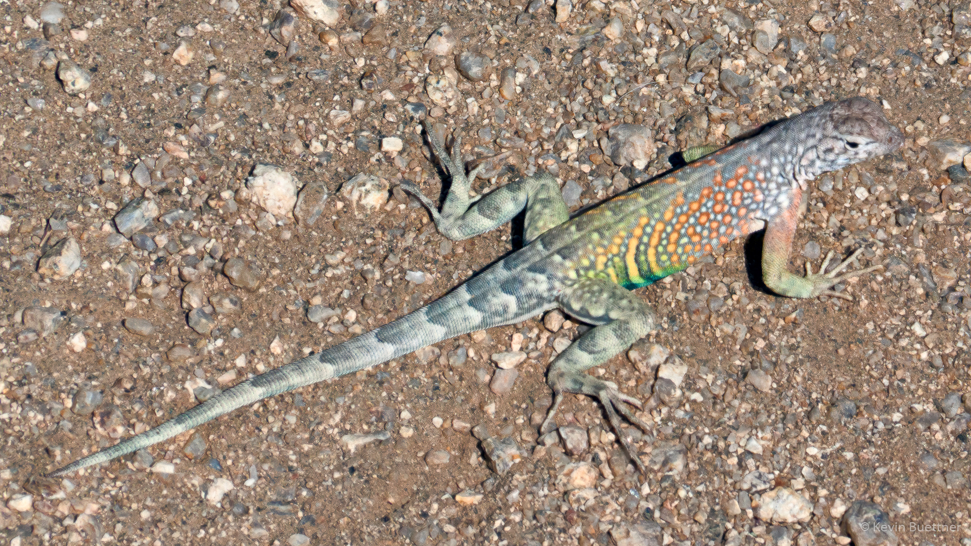
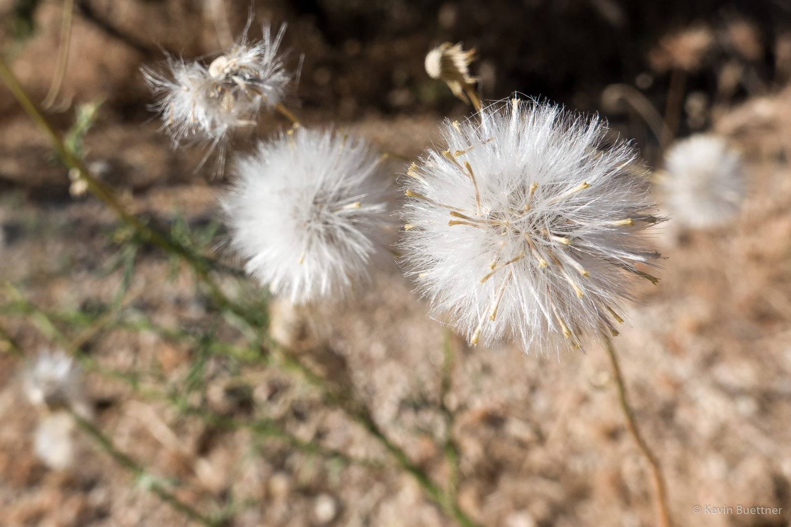
I don’t know what these are, but I saw them in the wash.

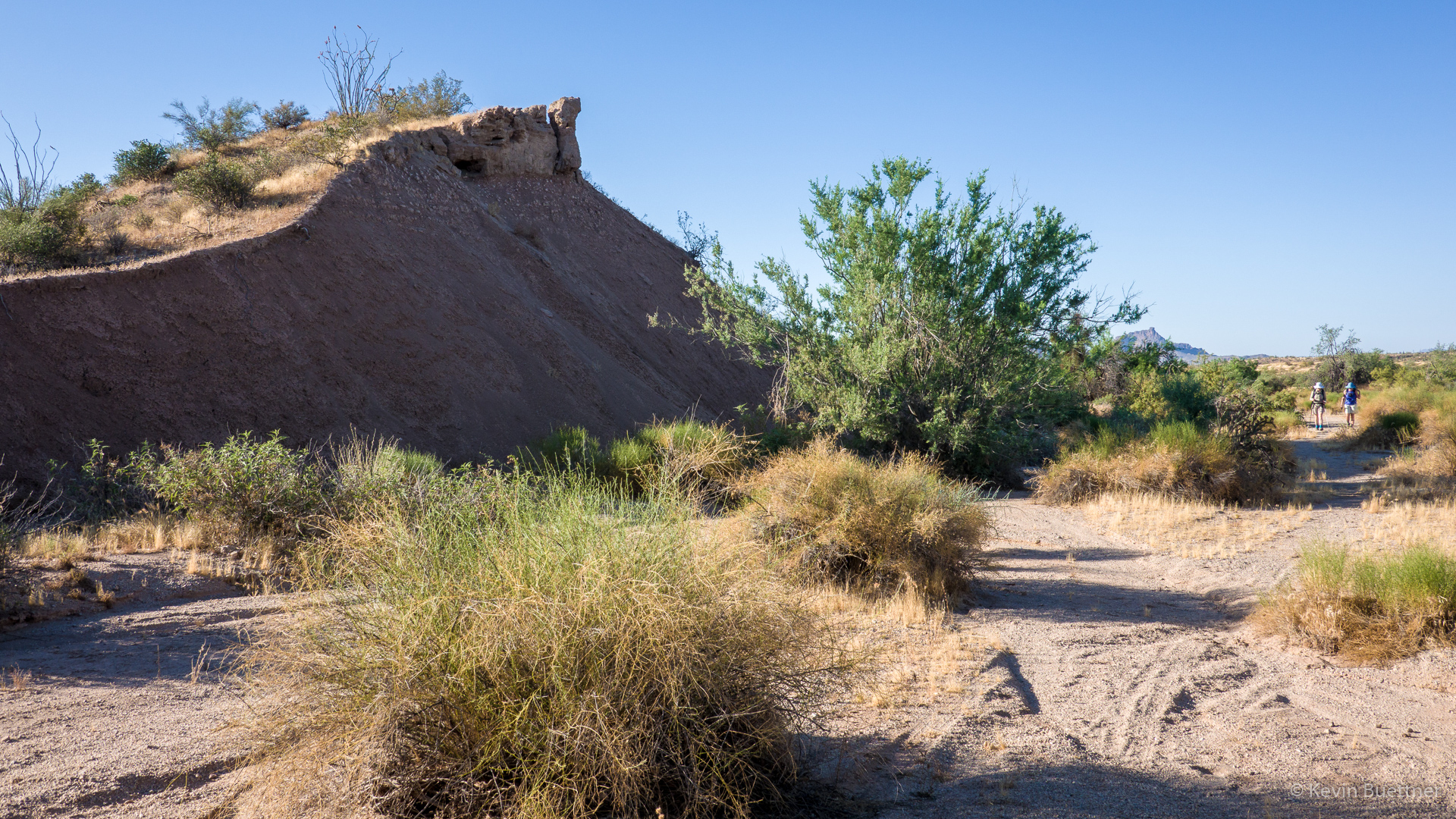
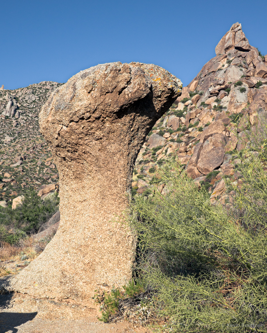
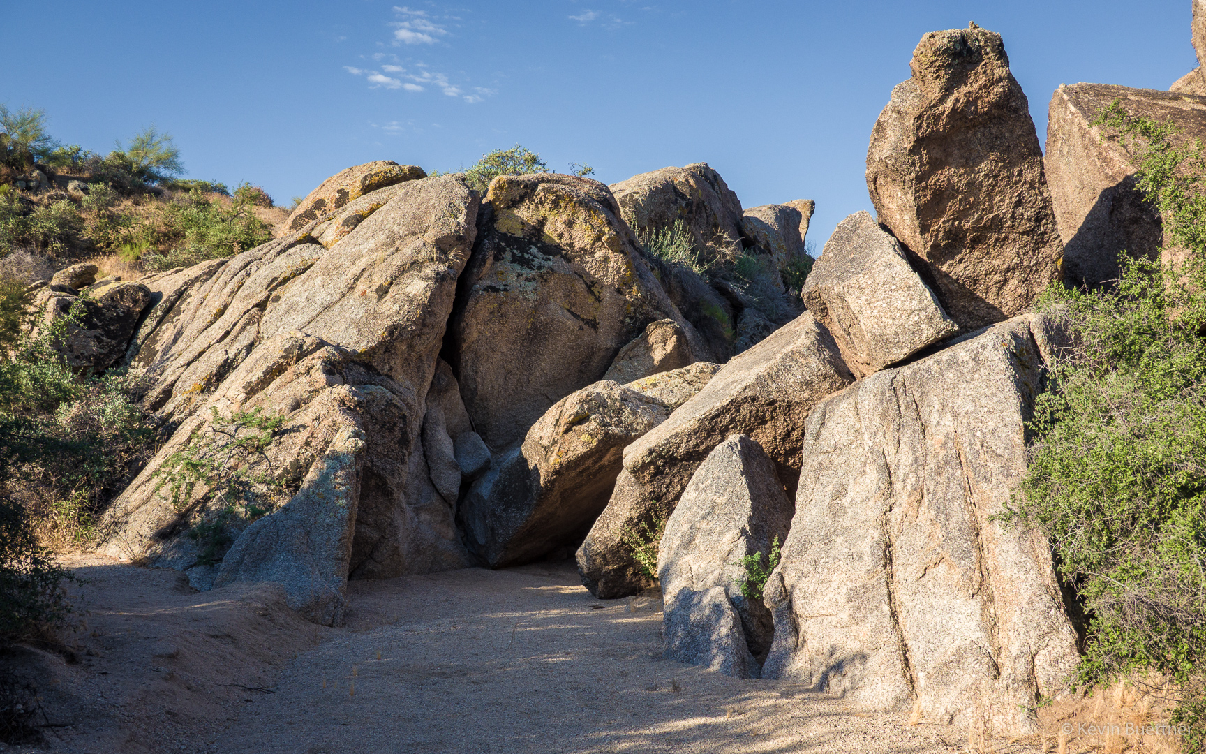
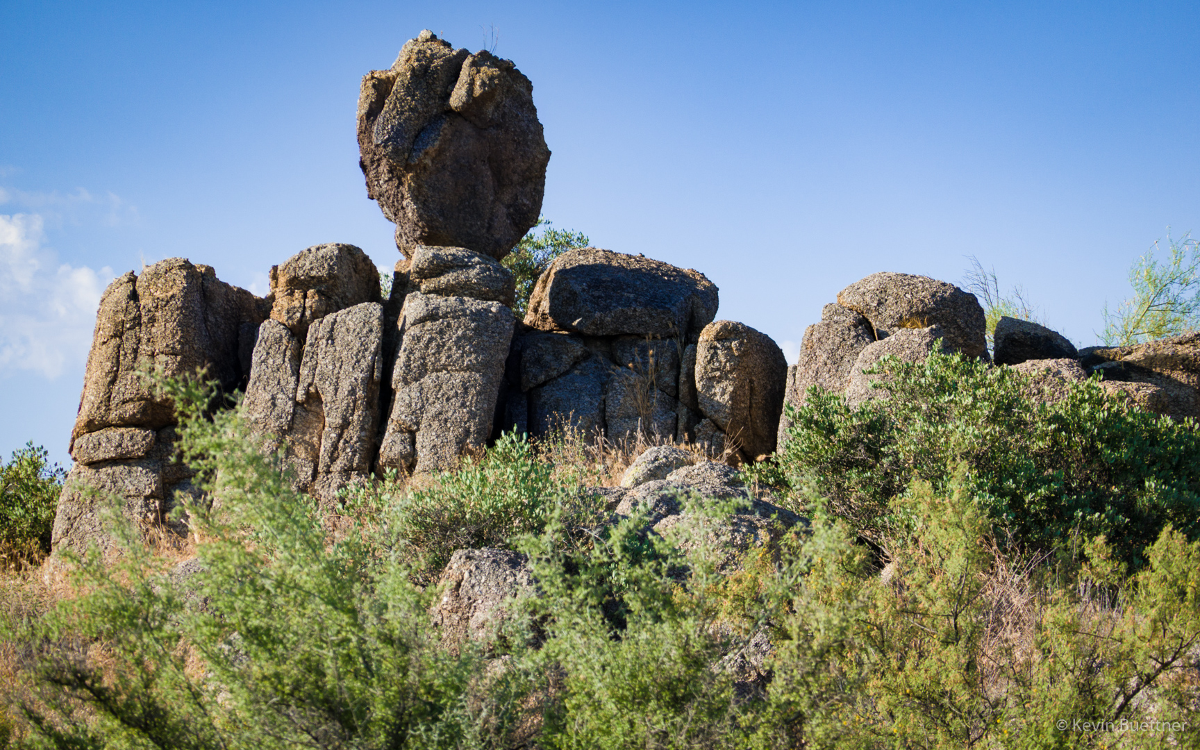
Boulders on the bank of the wash…

More seed pods; I think I was still in the wash when I saw them.

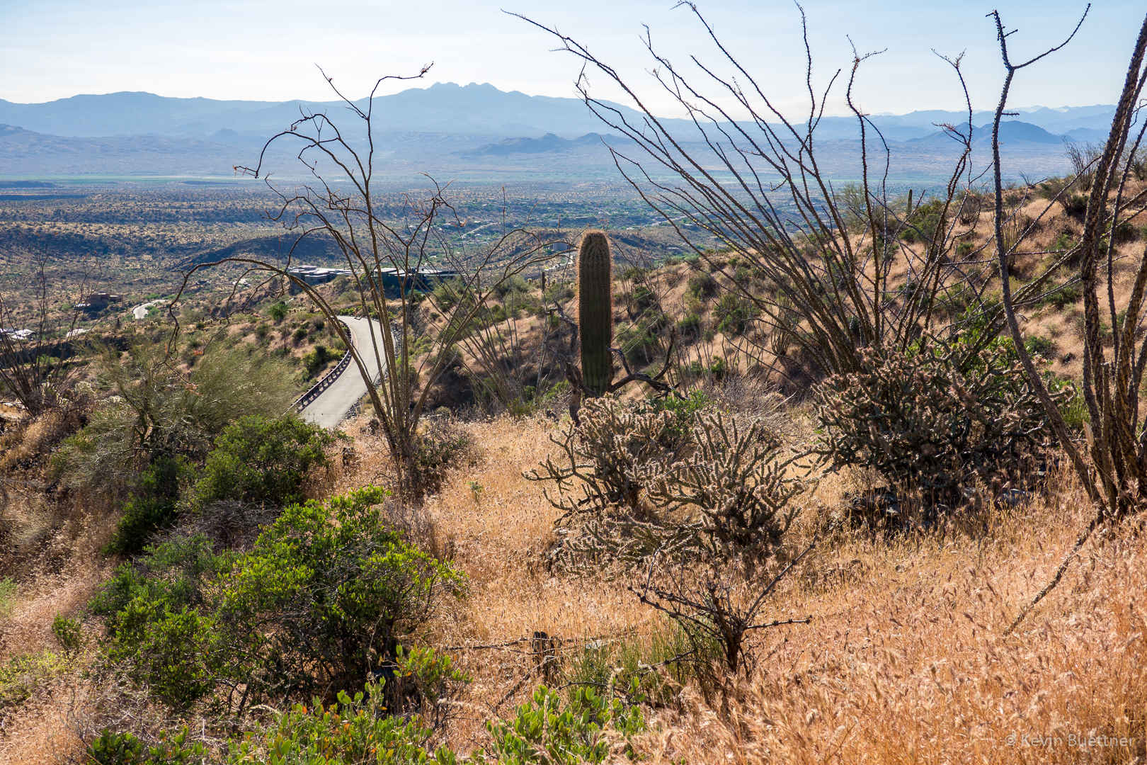
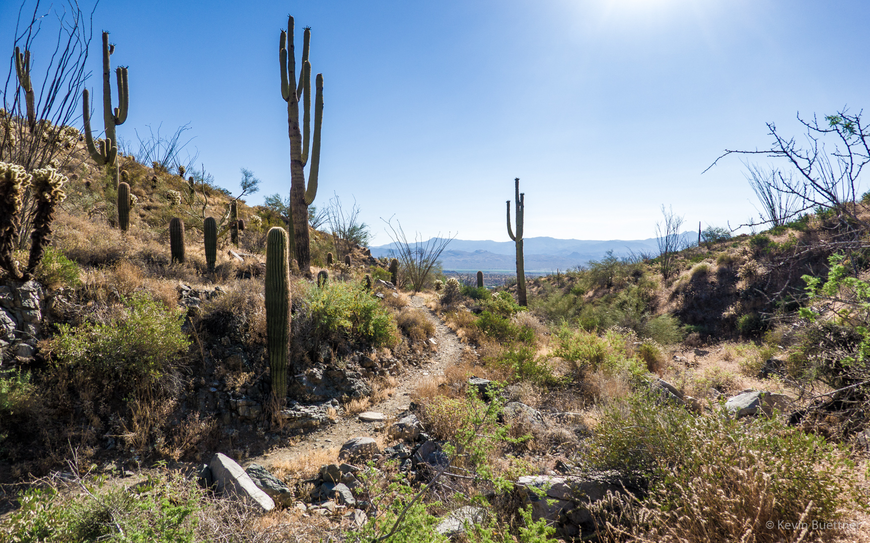
This is a view of the Pemberton just before going up the small hill just before arriving at Granite Tank.

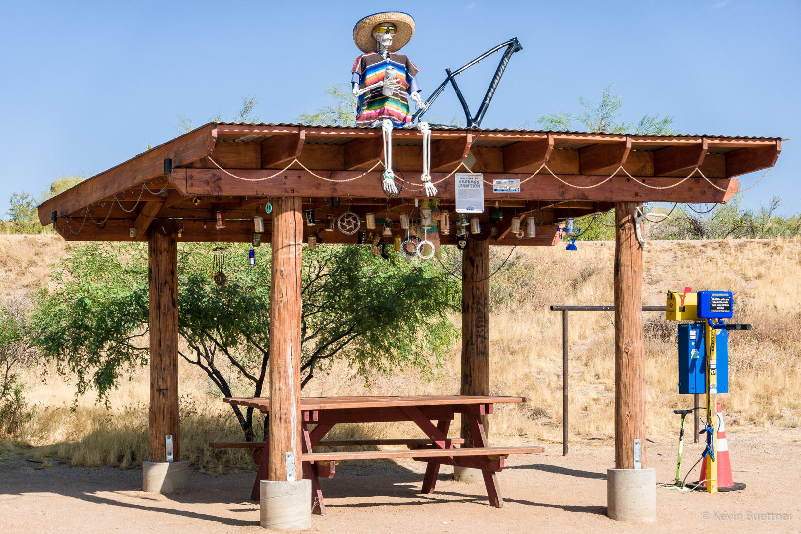
This shelter changes a little bit every time I see it.

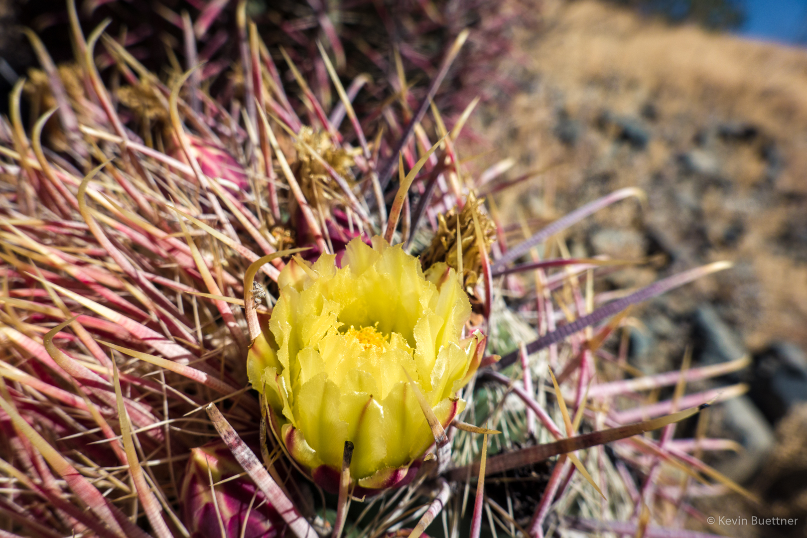
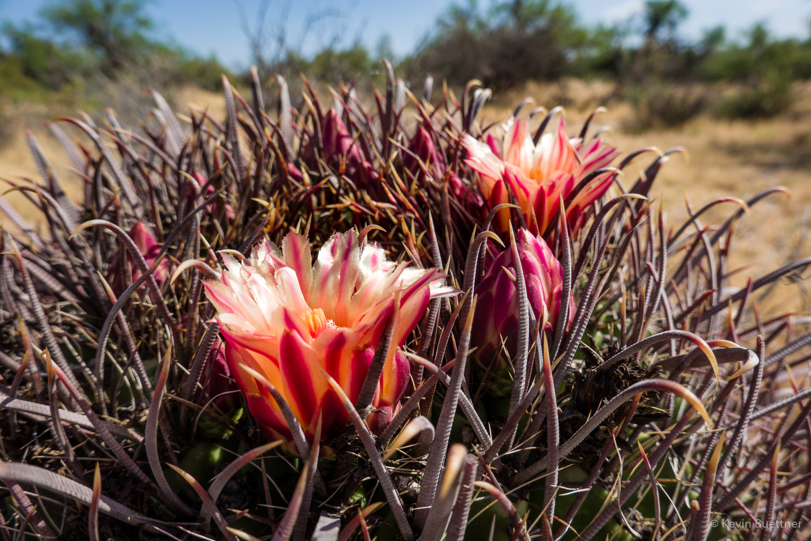
Barrel cactus blossoms:

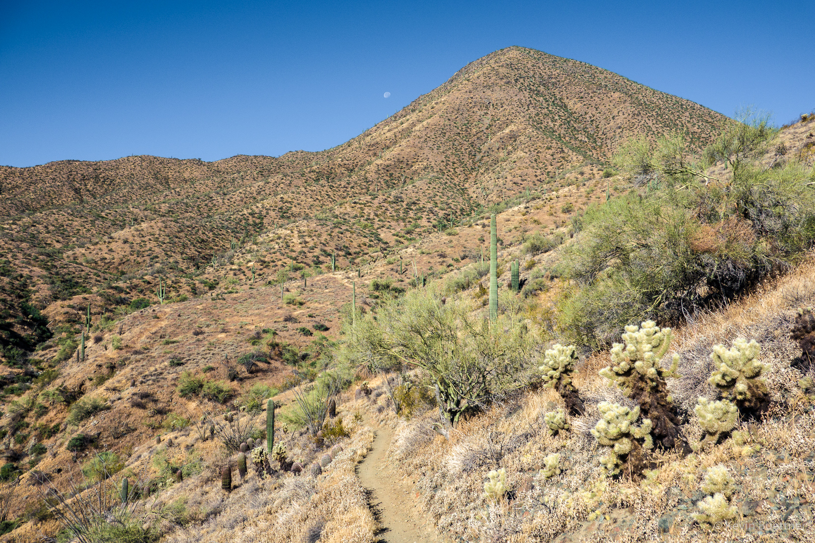
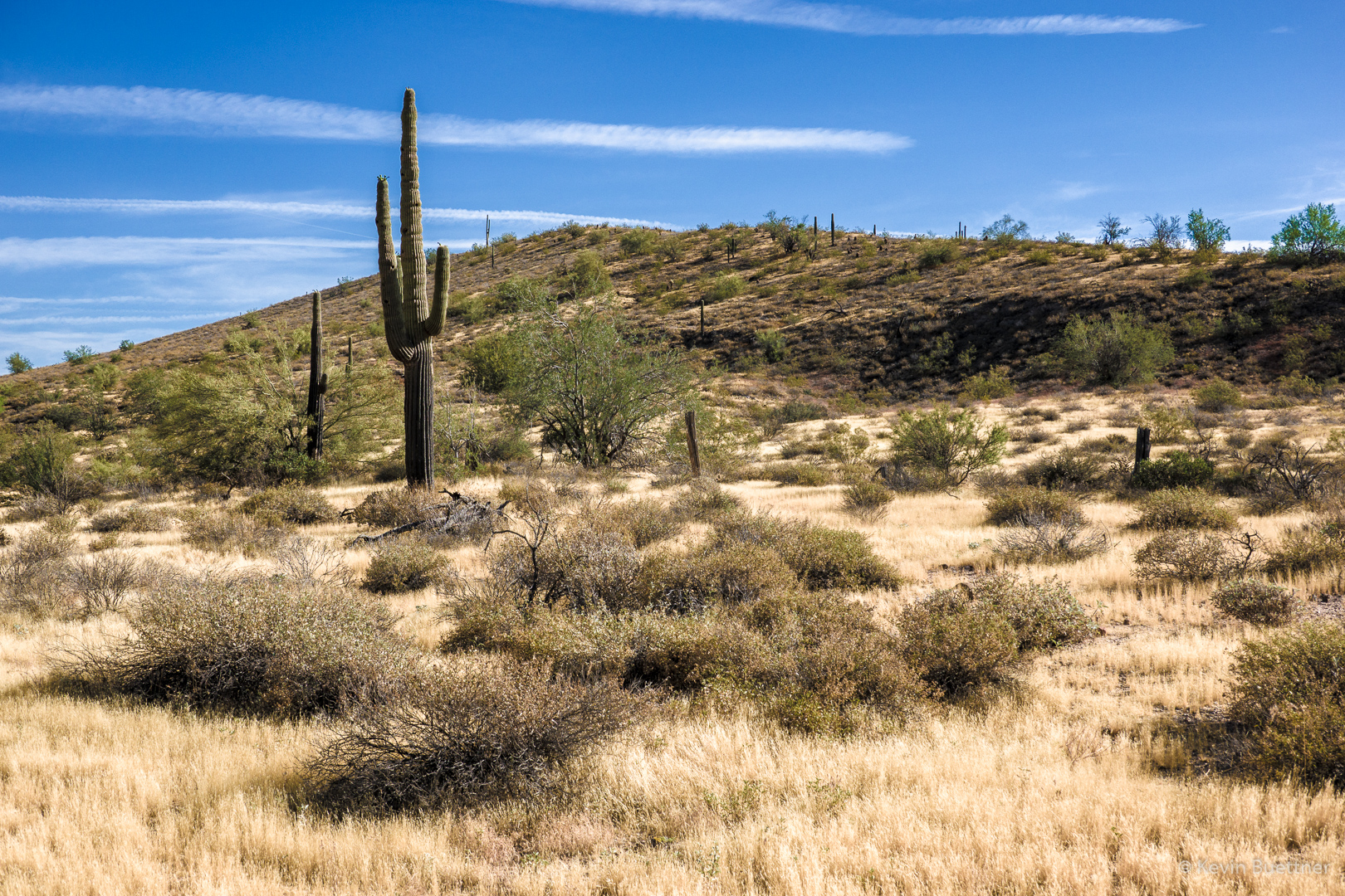
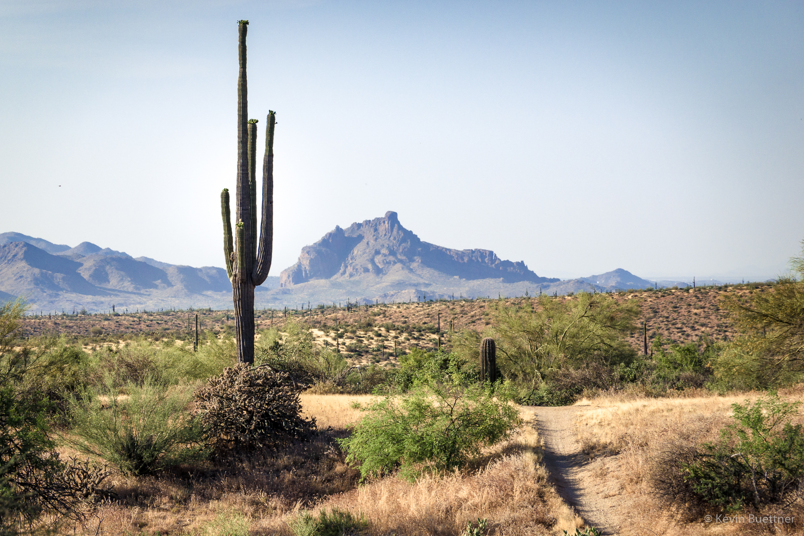
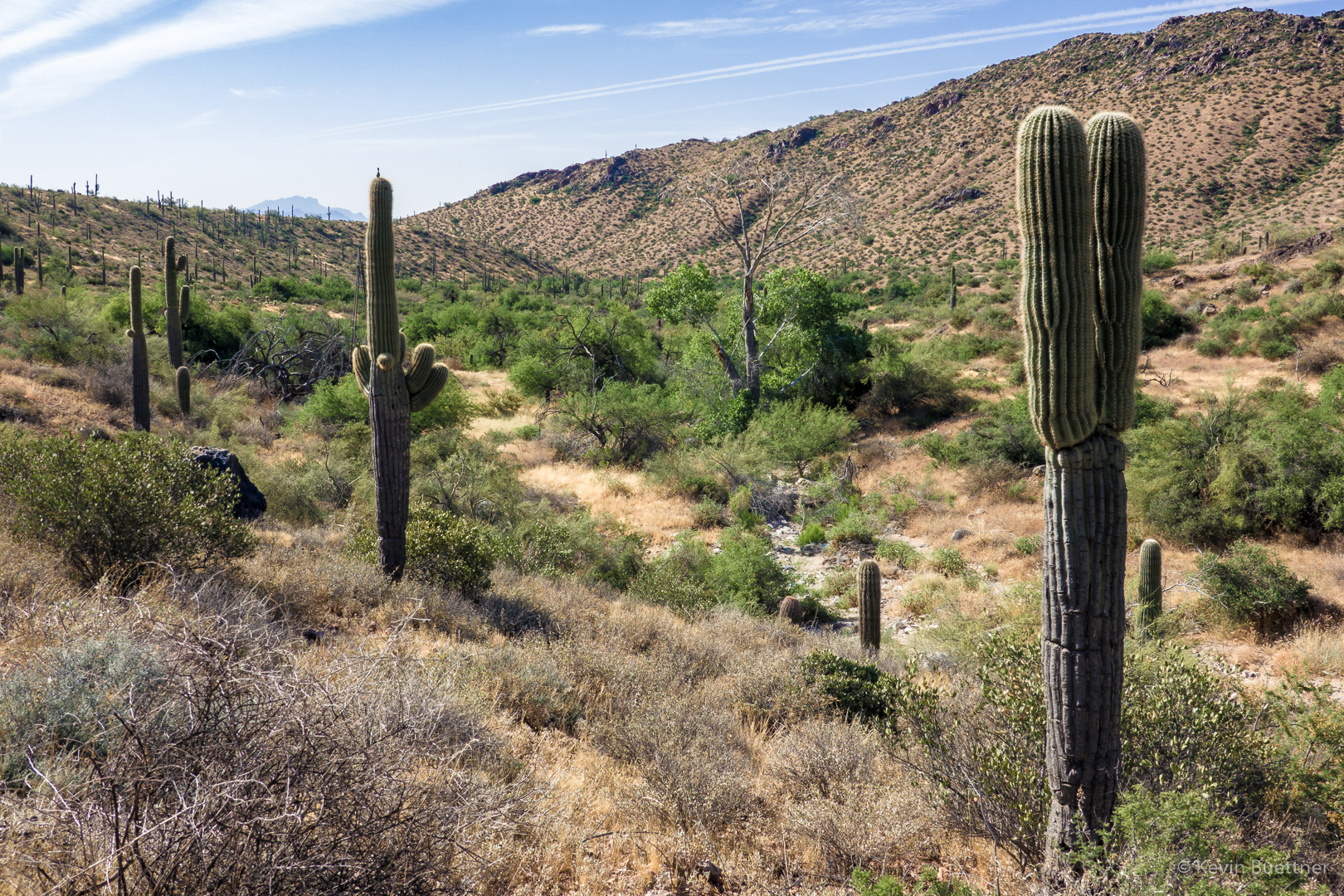
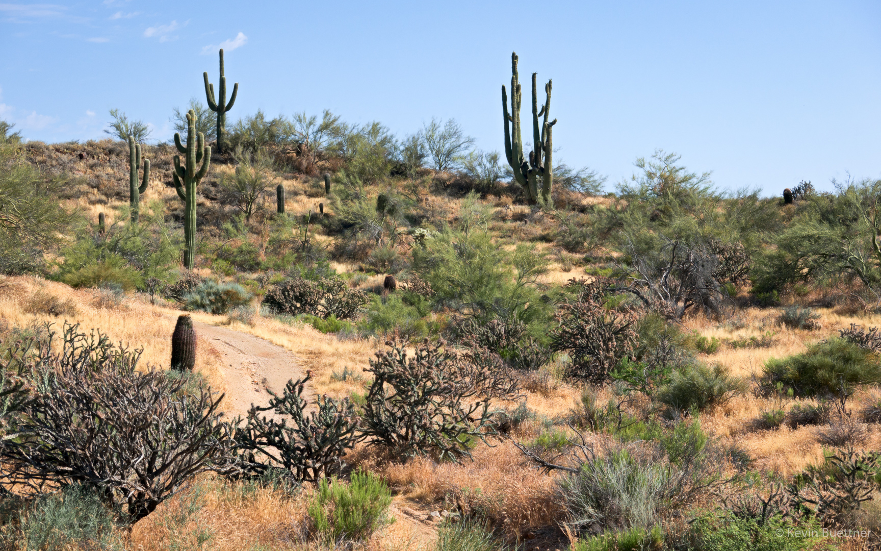
Saguaros on the Pemberton:

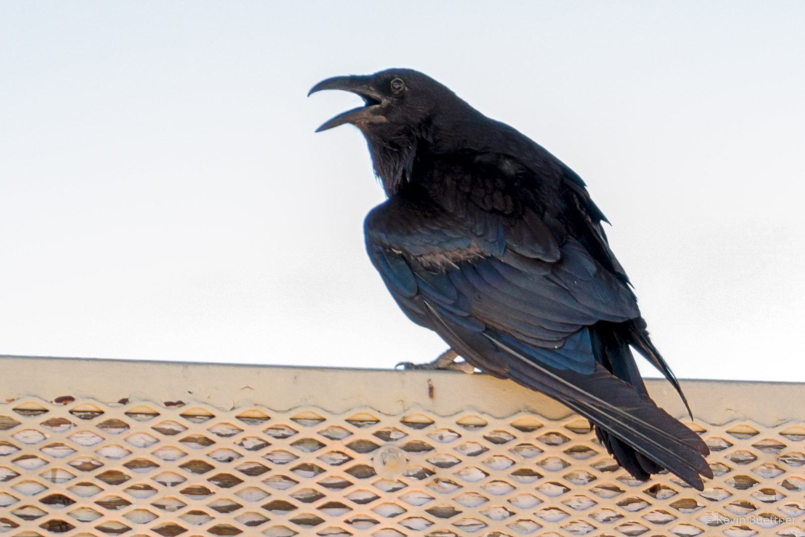
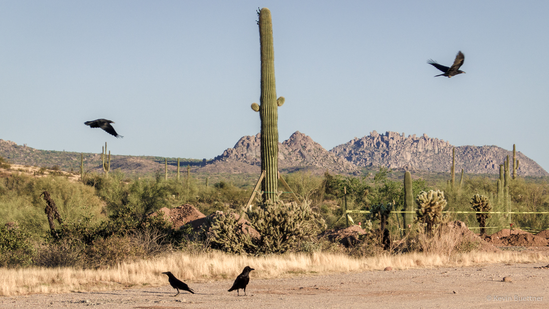
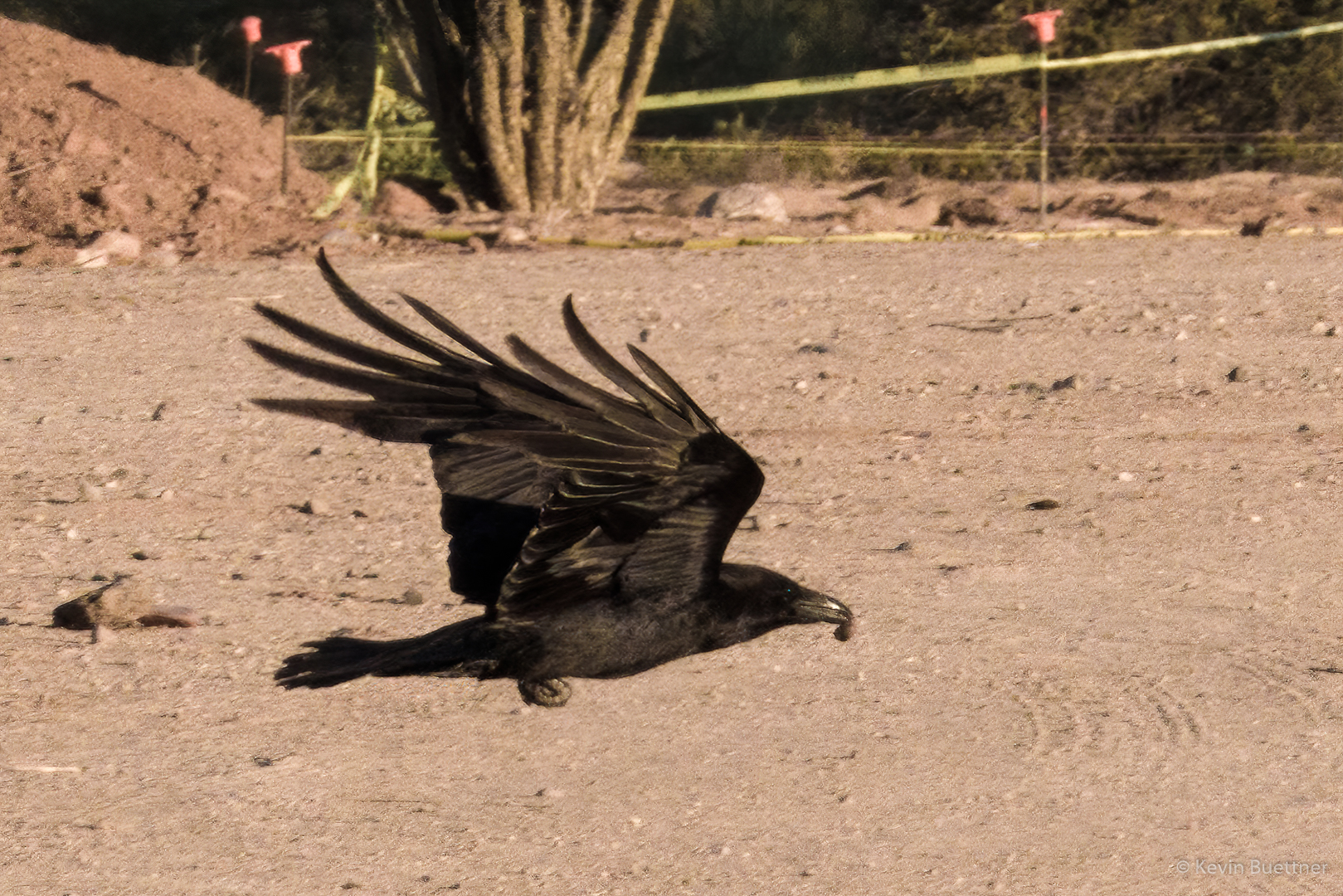
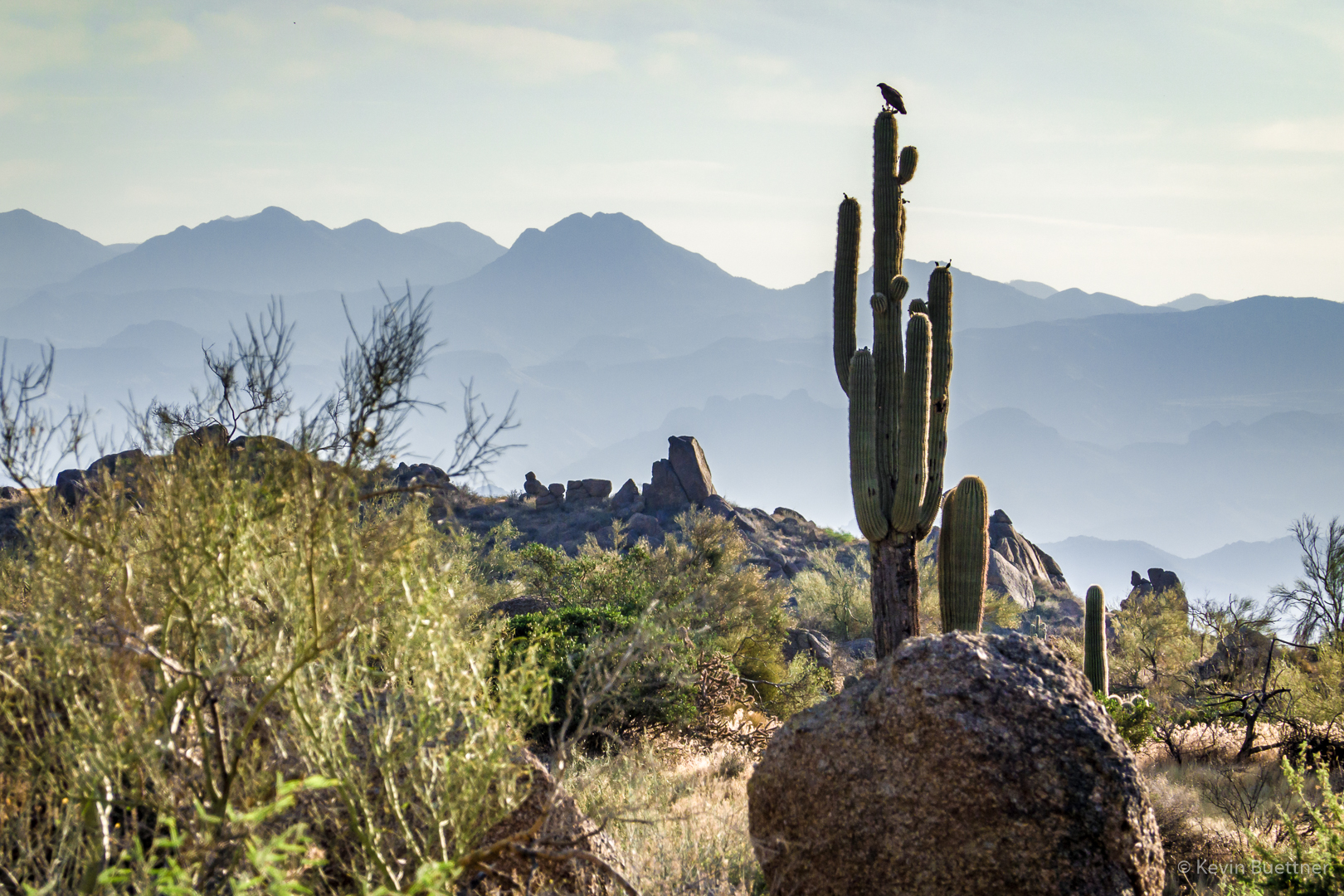
I saw this raven as I neared the trailhead at the end of my hike.

Friday Fitness Hike

Mike, Marilyn, and I hiked eight miles starting from the parking area for the Dixie Mine Trail. We hiked a short ways on Dixie Mine and then turned onto Sonoran, hiking the Lower Sonoran Trail after entering the Preserve and then returning on the (upper) Sonoran Trail on the way back.

The first of these photos is a view from the Dixie Mine Trail; the rest were taken from the Sonoran Trails.

Friday Fitness Hike

On Friday, the 14th, Marilyn, Linda, Mike, and I hiked six miles starting from the Four Peaks Trailhead.

We saw ravens in the parking lot before the hike.  They scattered as I walked toward them to get a closer picture.

This one is carrying something in its mouth!

A view of Red Mountain from the start of the Technical Loop:

This is Linda’s photo of a horned lizard that she and Marilyn saw in Stoneman Wash:

Marilyn and Linda hiking in Stoneman Wash:

A view from the Cinch Trail – lots of yellow grass now:

This is a view from the intersection of Cinch and Escondido:


Callisto

Friday Fitness Hike

For the hike on the first Friday in June, I hiked a 9.7 mile loop starting from Tom’s Thumb Trailhead. I hiked the Marcus Landslide Trail to the edge of McDowell Mountain Regional Park and then crossed the park boundary, hiking Boulder, Pemberton, Coachwhip, and Windmill, at which point I reentered the Preserve. I finished the hike by going up East End, down Tom’s Thumb, with a short diversion at the end on Feldspar and Mesquite Canyon.

Views from the Marcus Landslide Trail…

I think I’m on Pemberton at this point; that’s Red Mountain in the background.

Views from the Windmill Trail…

You can barely see the (remains of the) windmill in this photo.  It’s just left of (and partially obscured by) the saguaro that’s a third of the way from left edge of the photo.

Thompson Peak is the one with the antennae on top.

Starting up East End…

I’m a good ways down Tom’s Thumb Trail now.  Gardener’s Wall is on the left, Tom’s Thumb is on the right.

A view of Mesquite Canyon (and one of the Sven Towers) from the Feldspar Trail. The climbing on the Sven Towers is on the other side. The approach starts from this side; once at the top, the climbers will rappel down the route and then climb back up.

I saw this lizard as I neared the trailhead. I saw many other lizards that day too, but none were as colorful as this one.