Tag: Moab (page 1 of 11)

Corona Arch

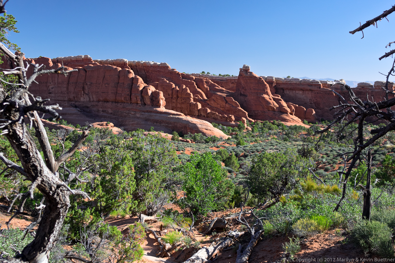
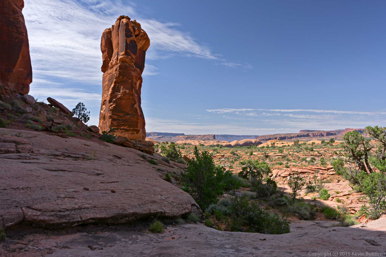
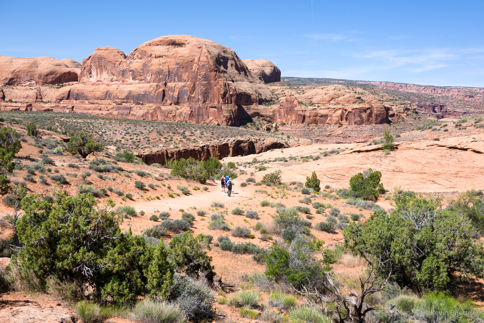
On our second full day in Utah, Joe and I hiked (out and back) to Corona Arch. The day before was hard, so we did an easy hike for our rest day.

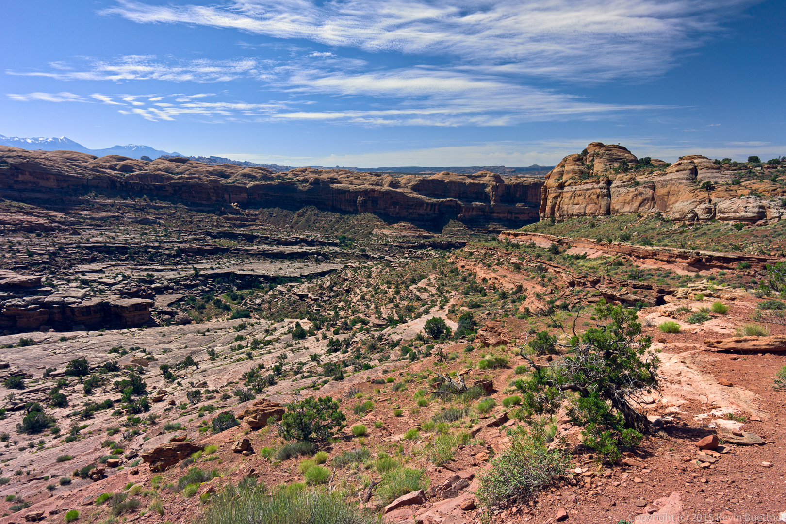
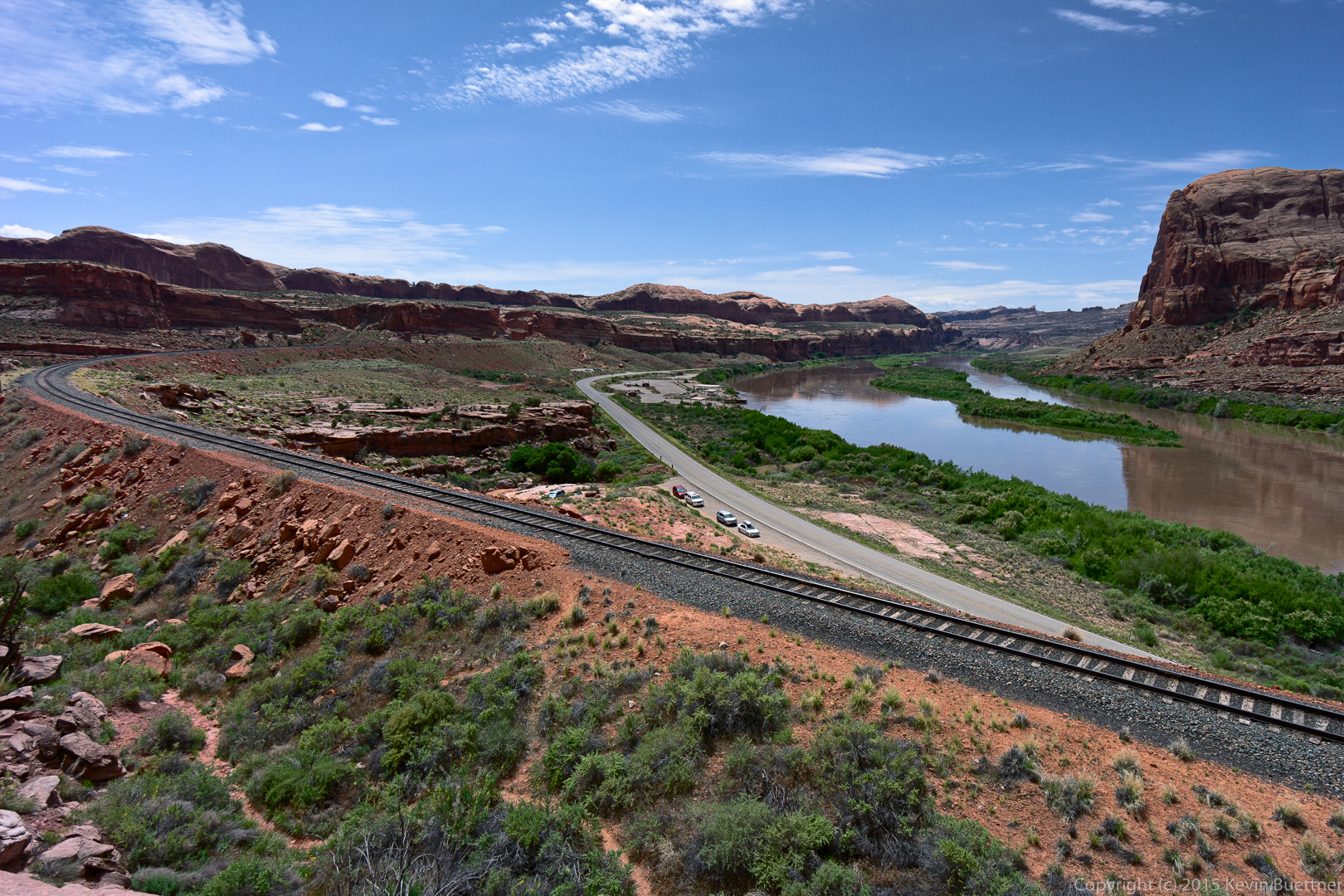
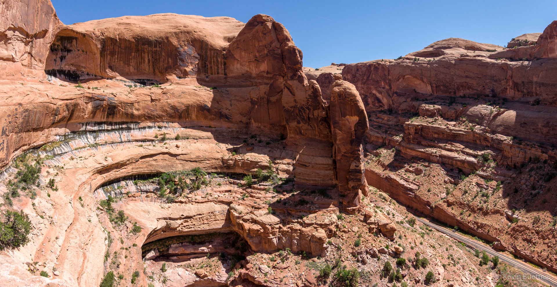
Looking back towards the road and river:

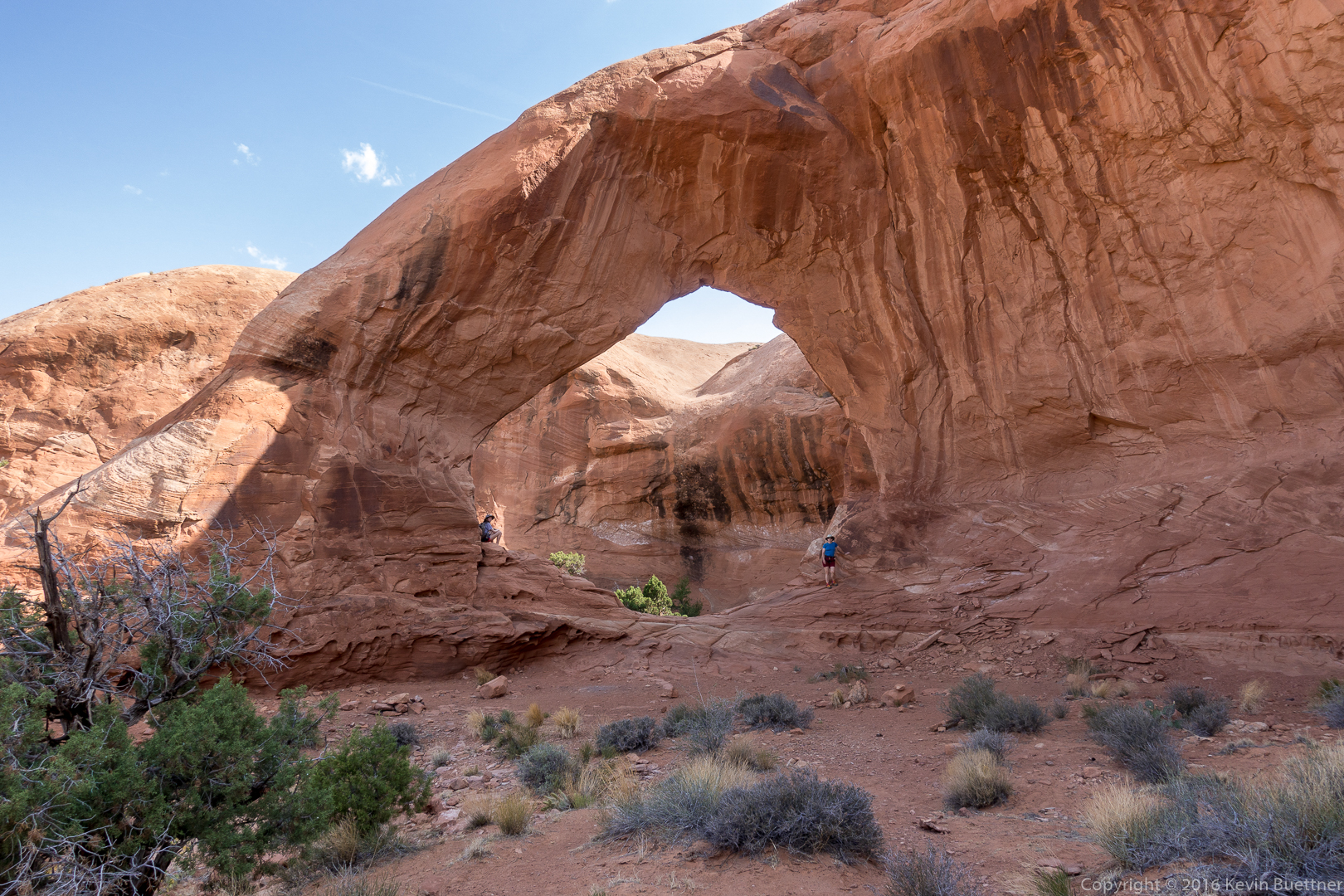
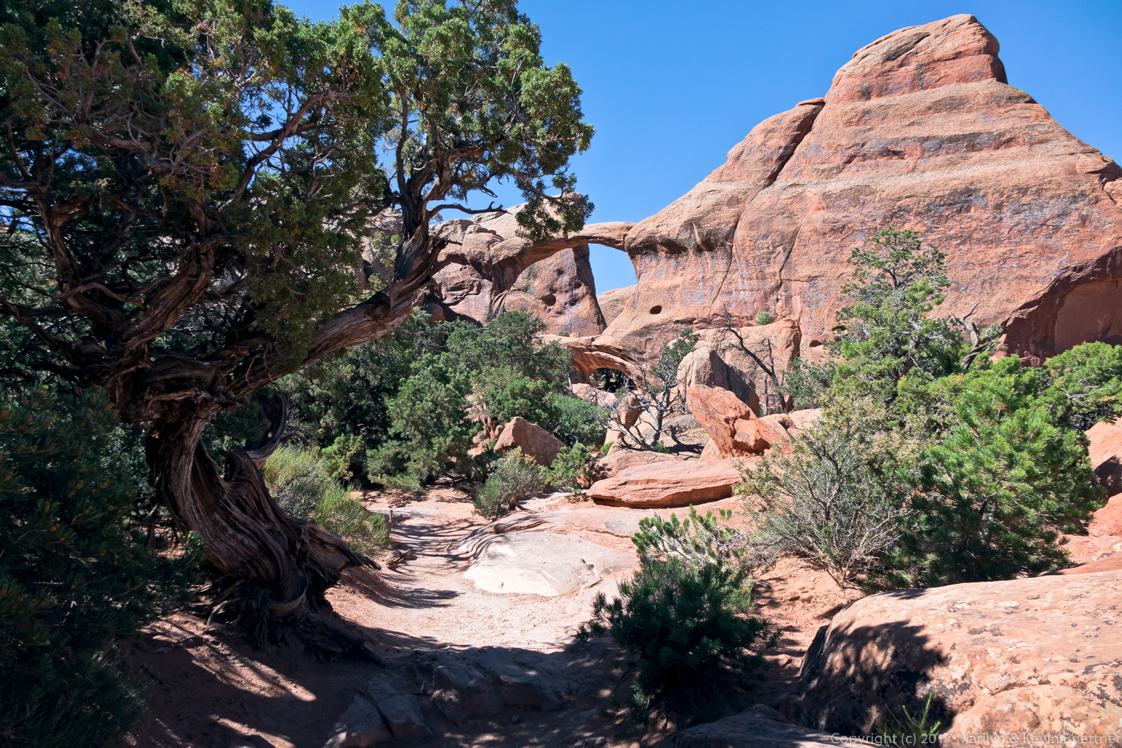
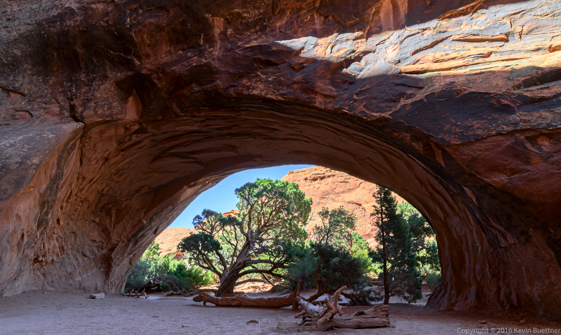
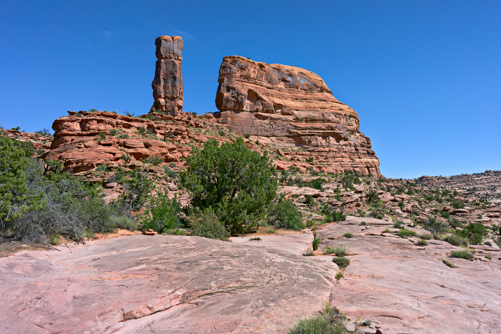
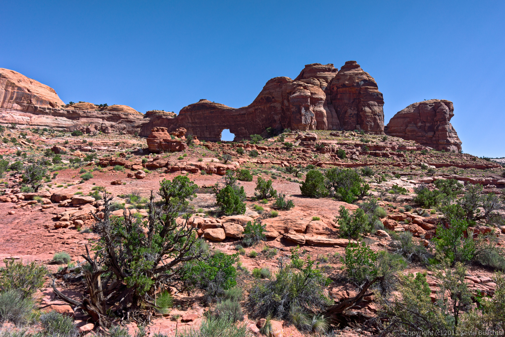
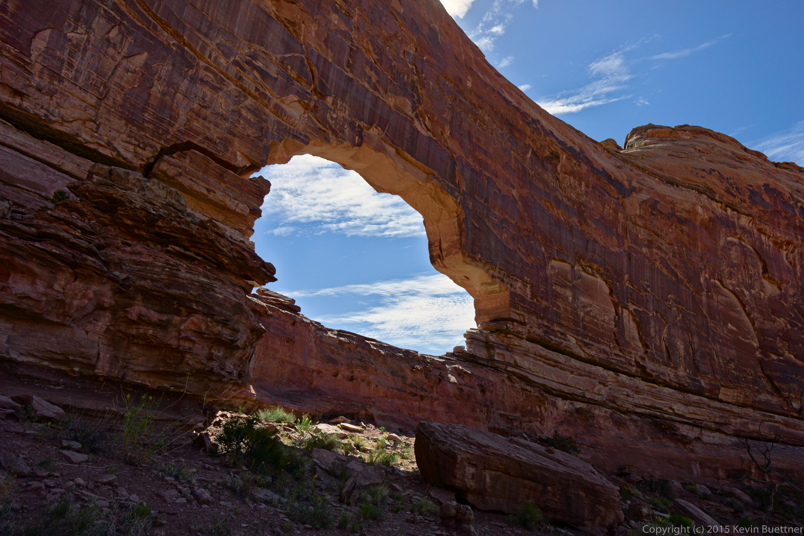
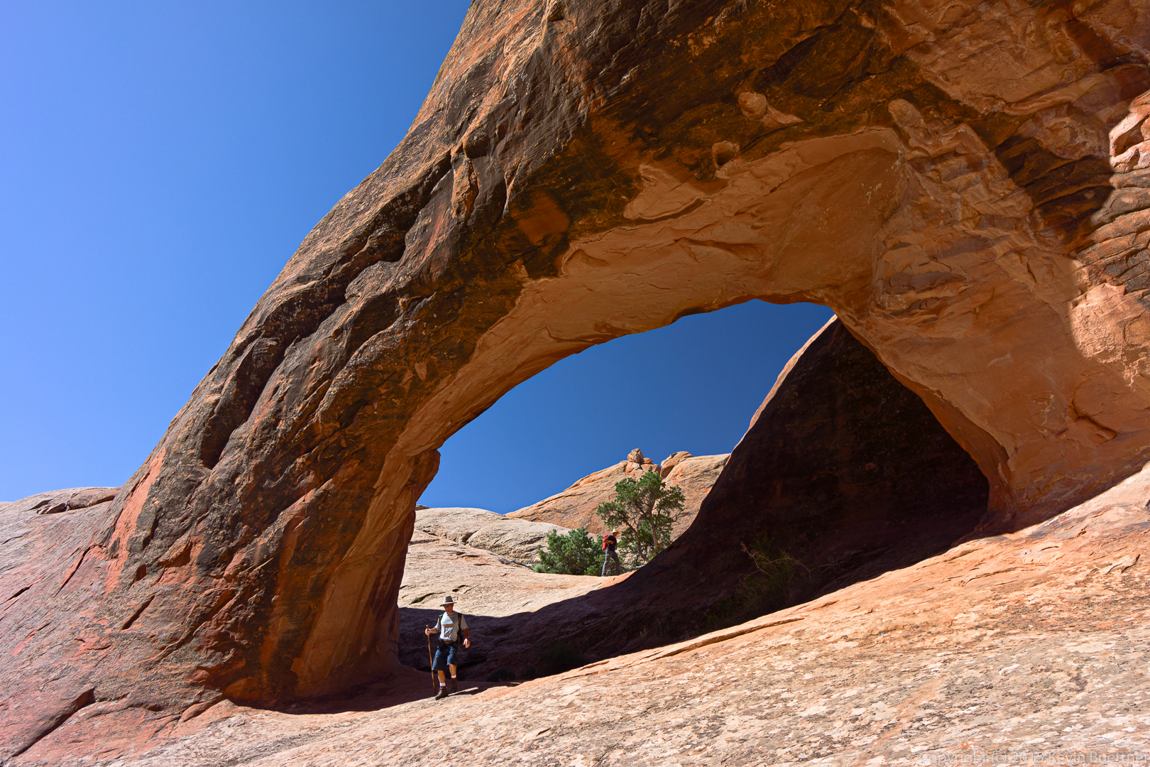
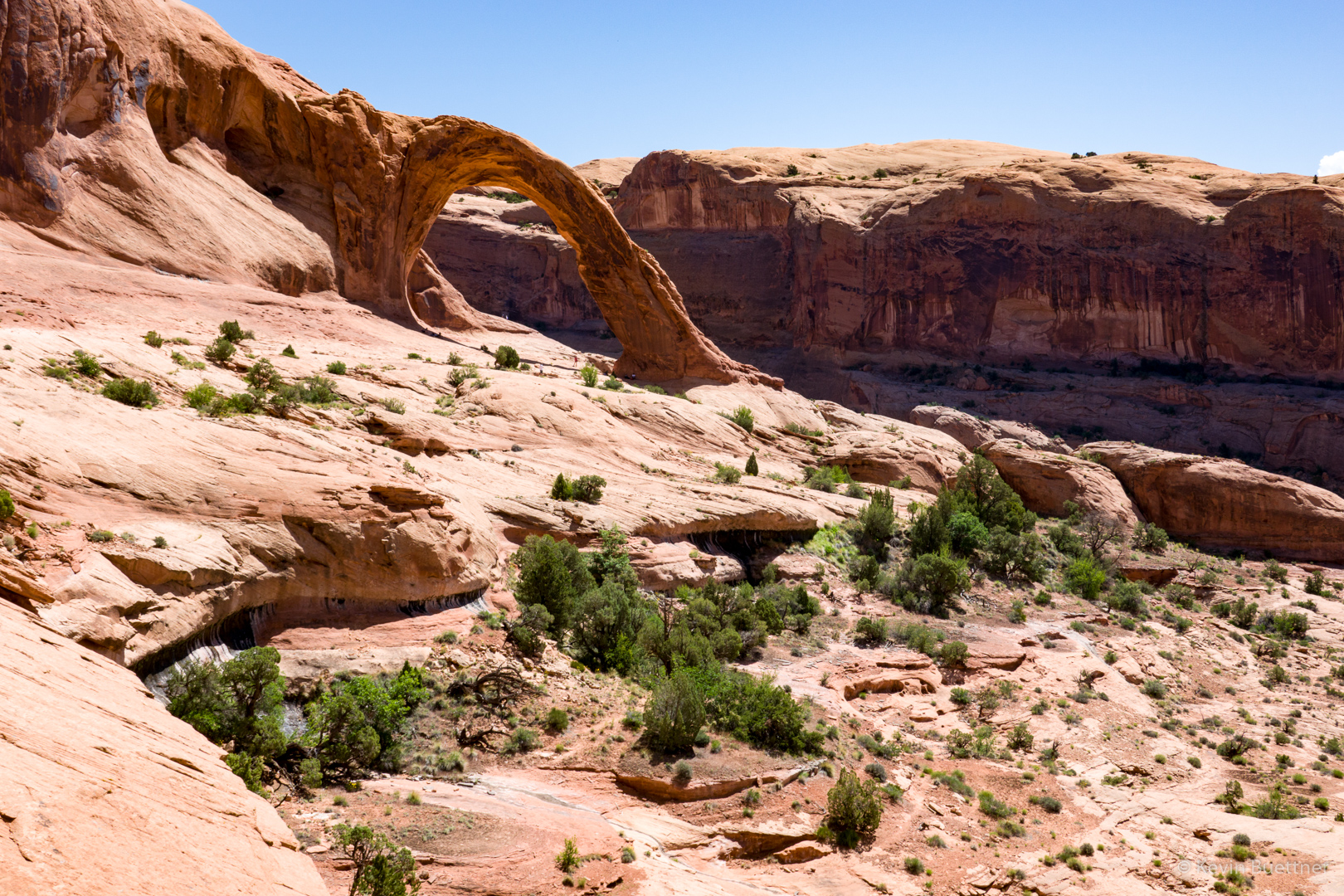
Bowtie Arch on the left and Corona Arch on the right:
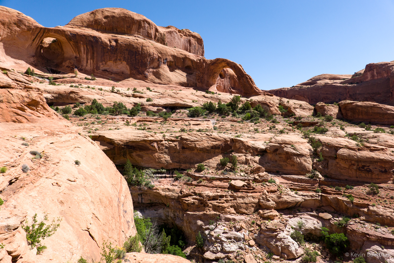
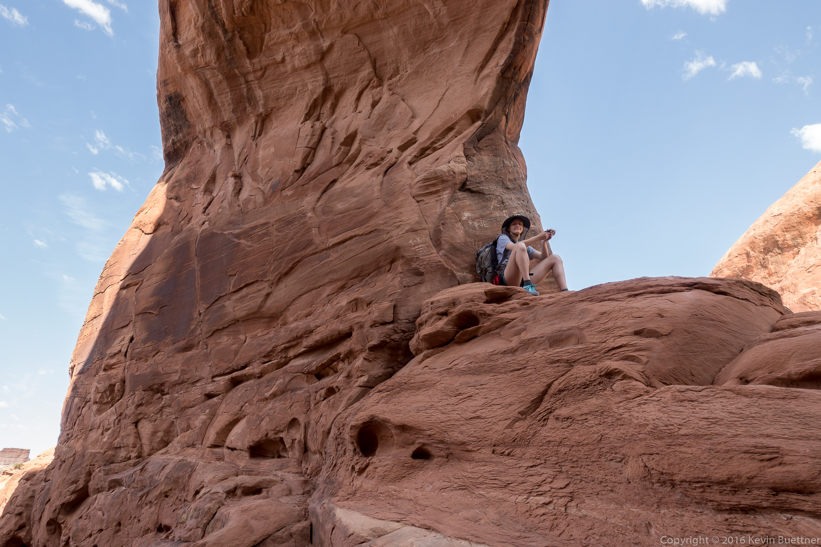
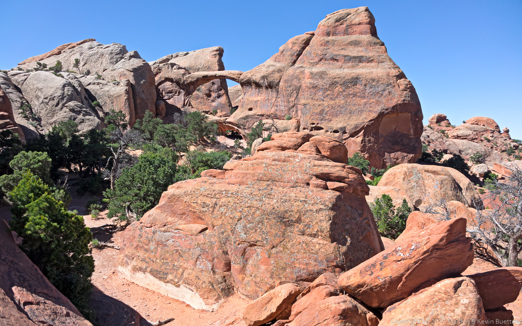
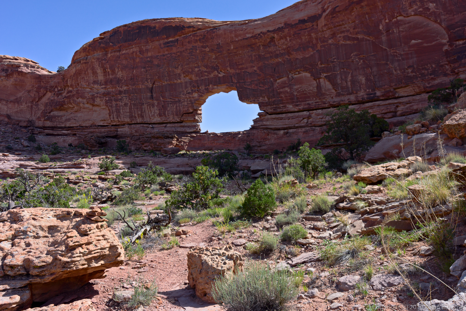
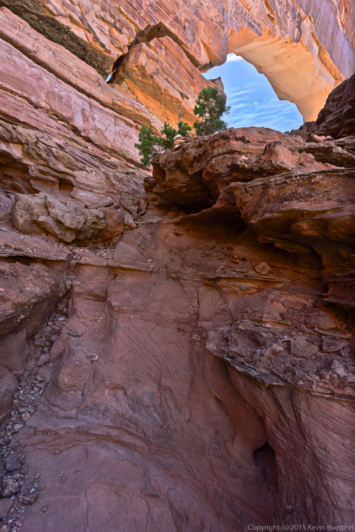
Bowtie Arch:

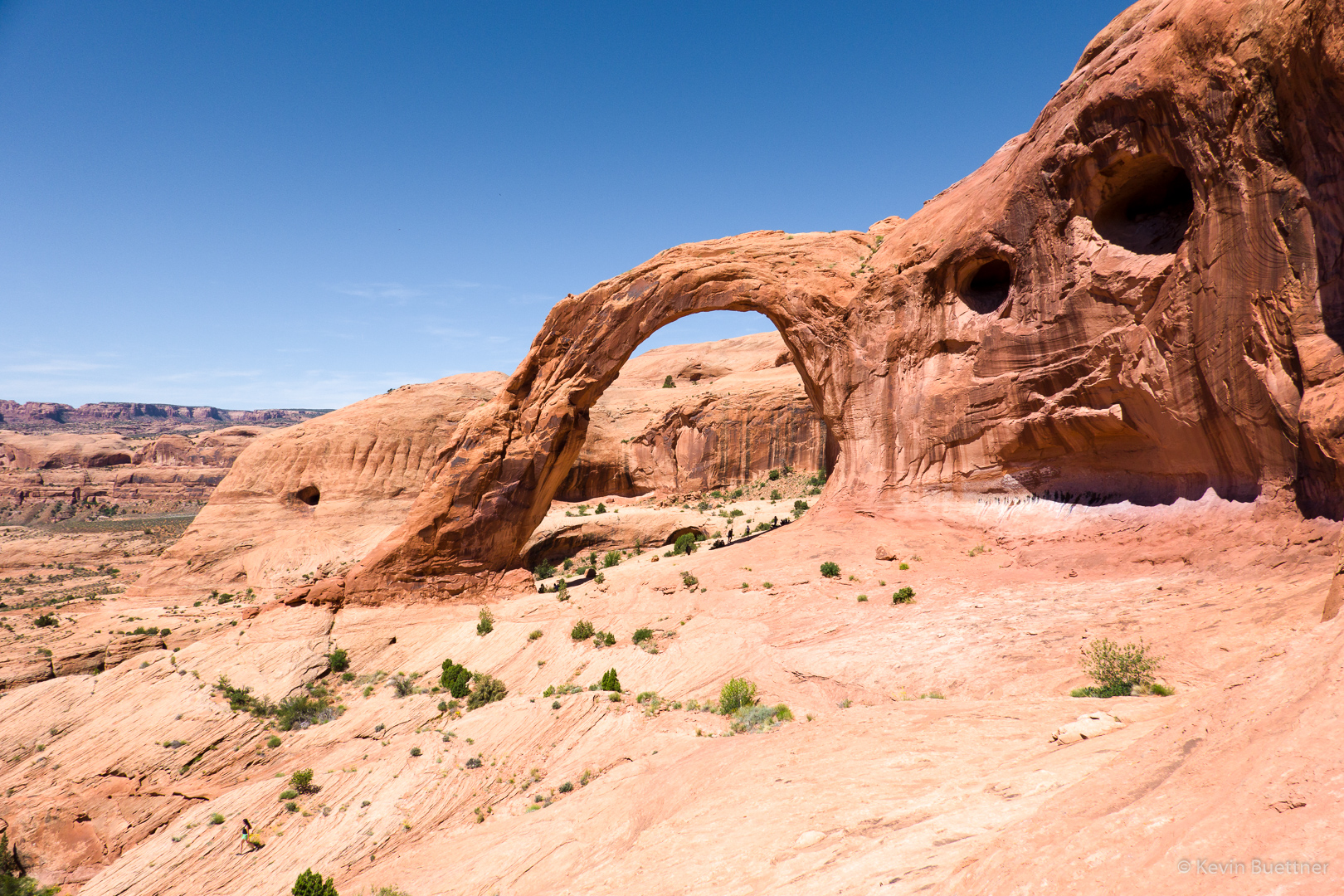
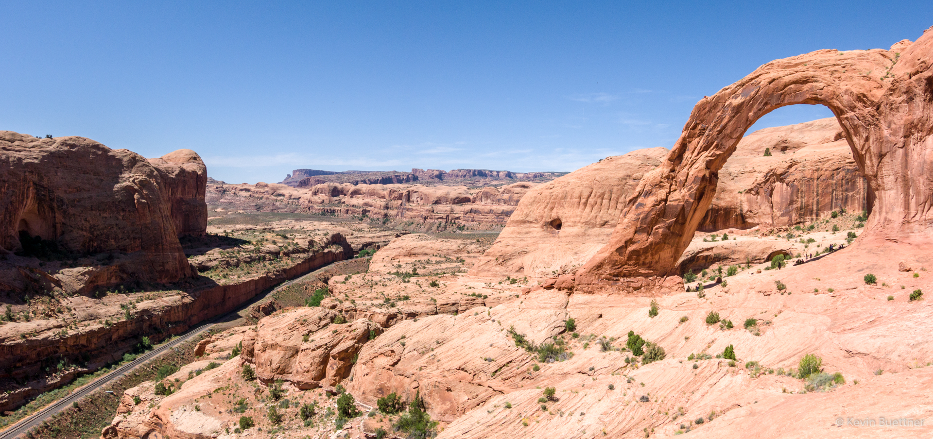
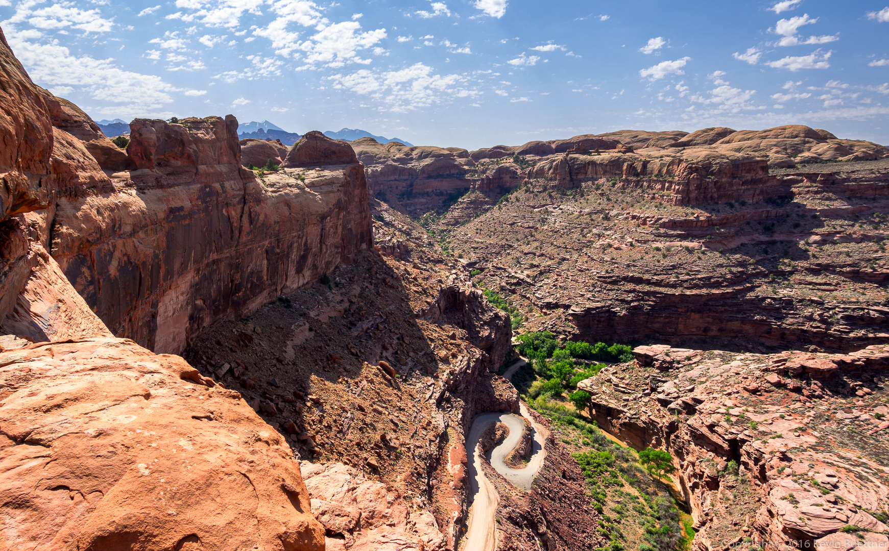
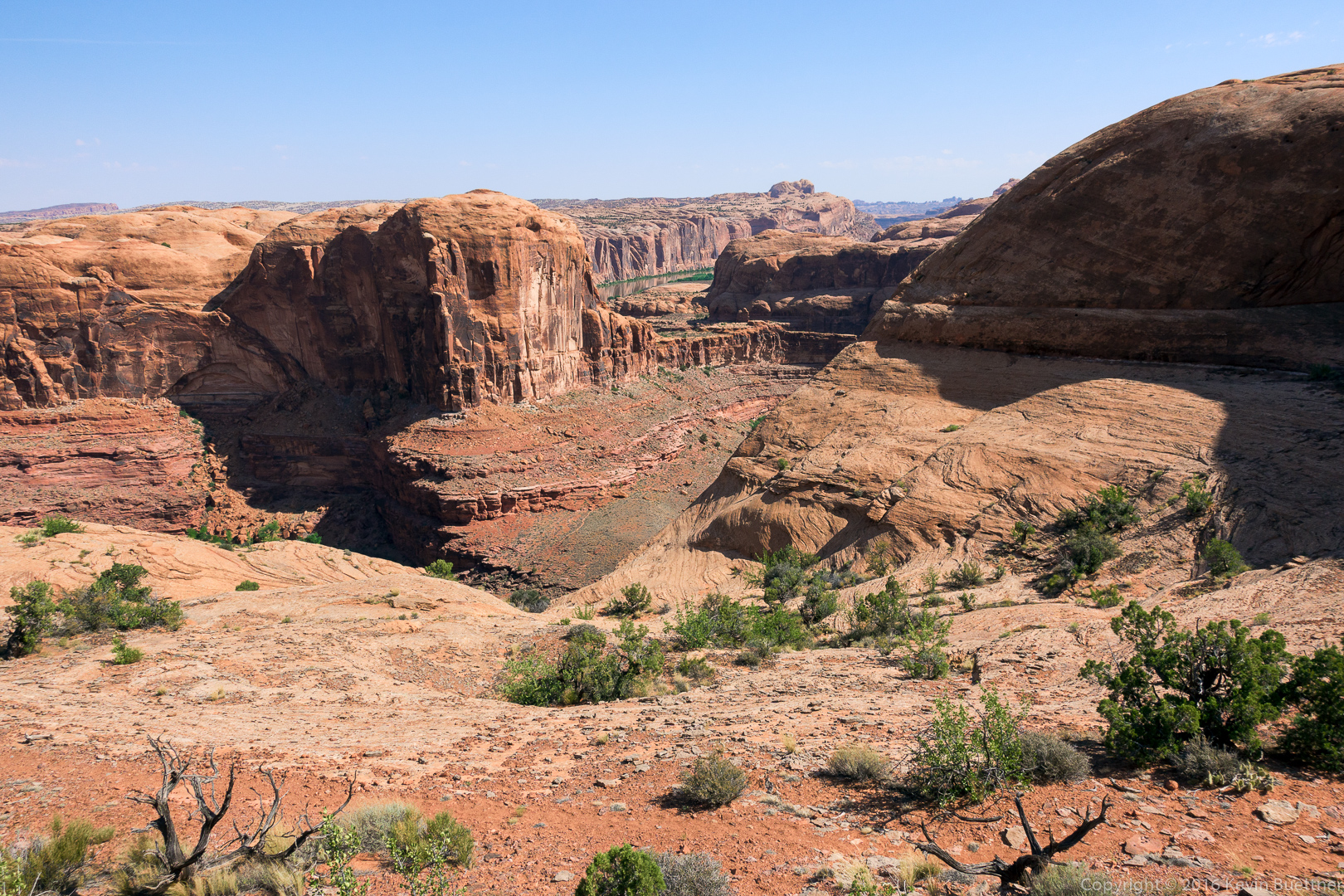
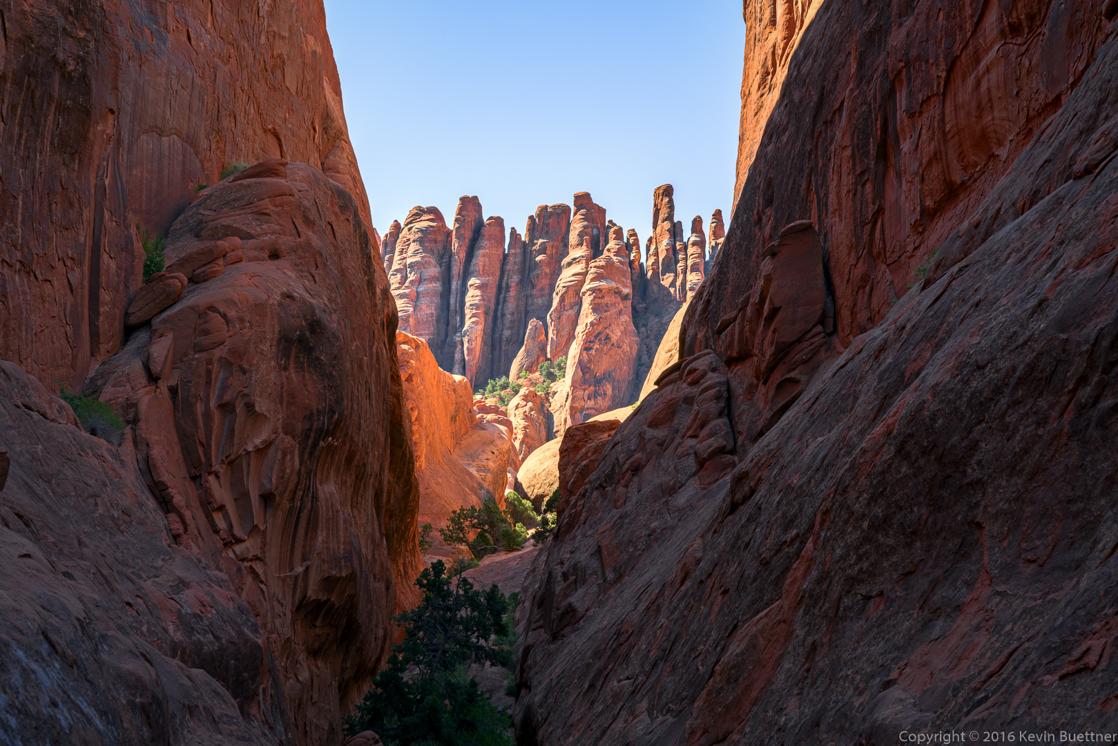
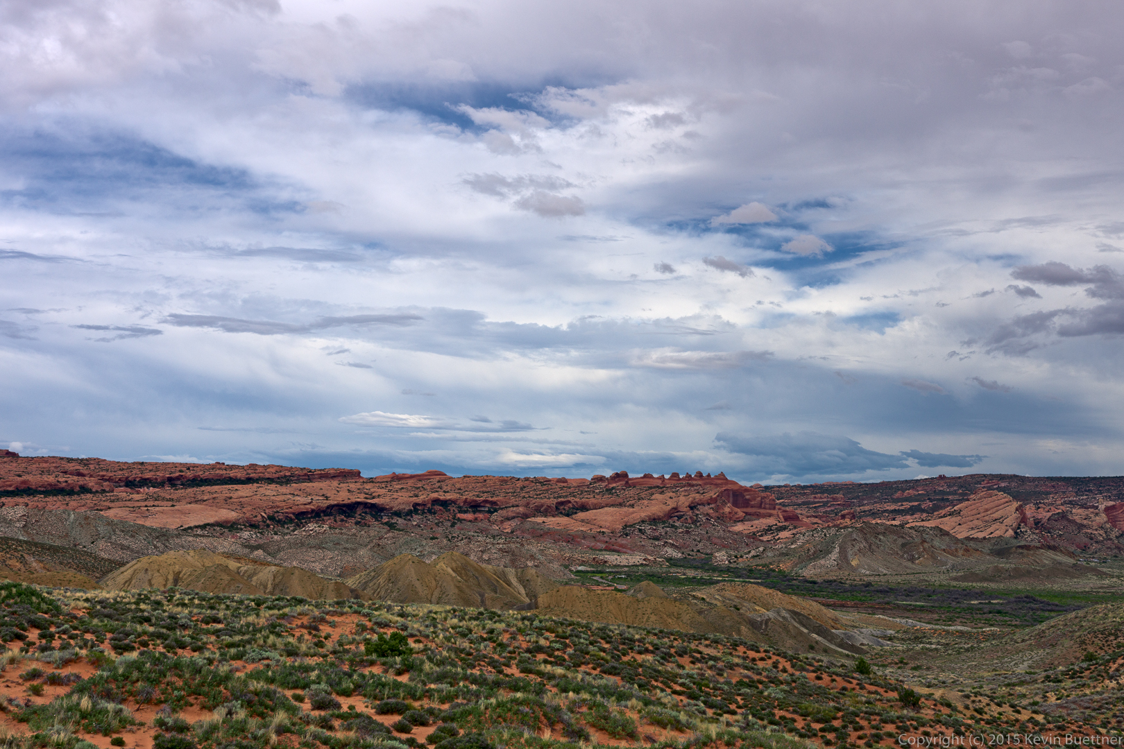
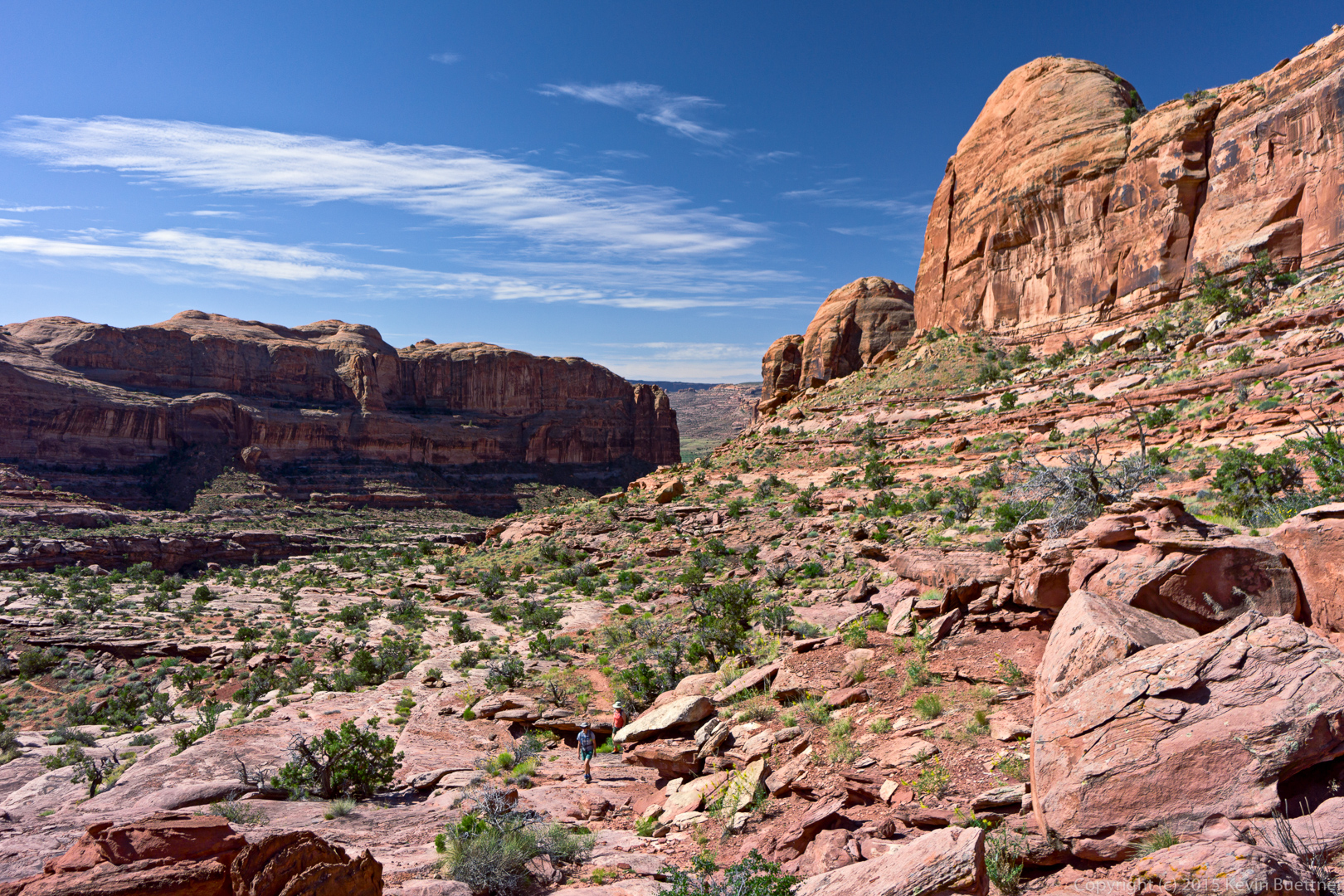
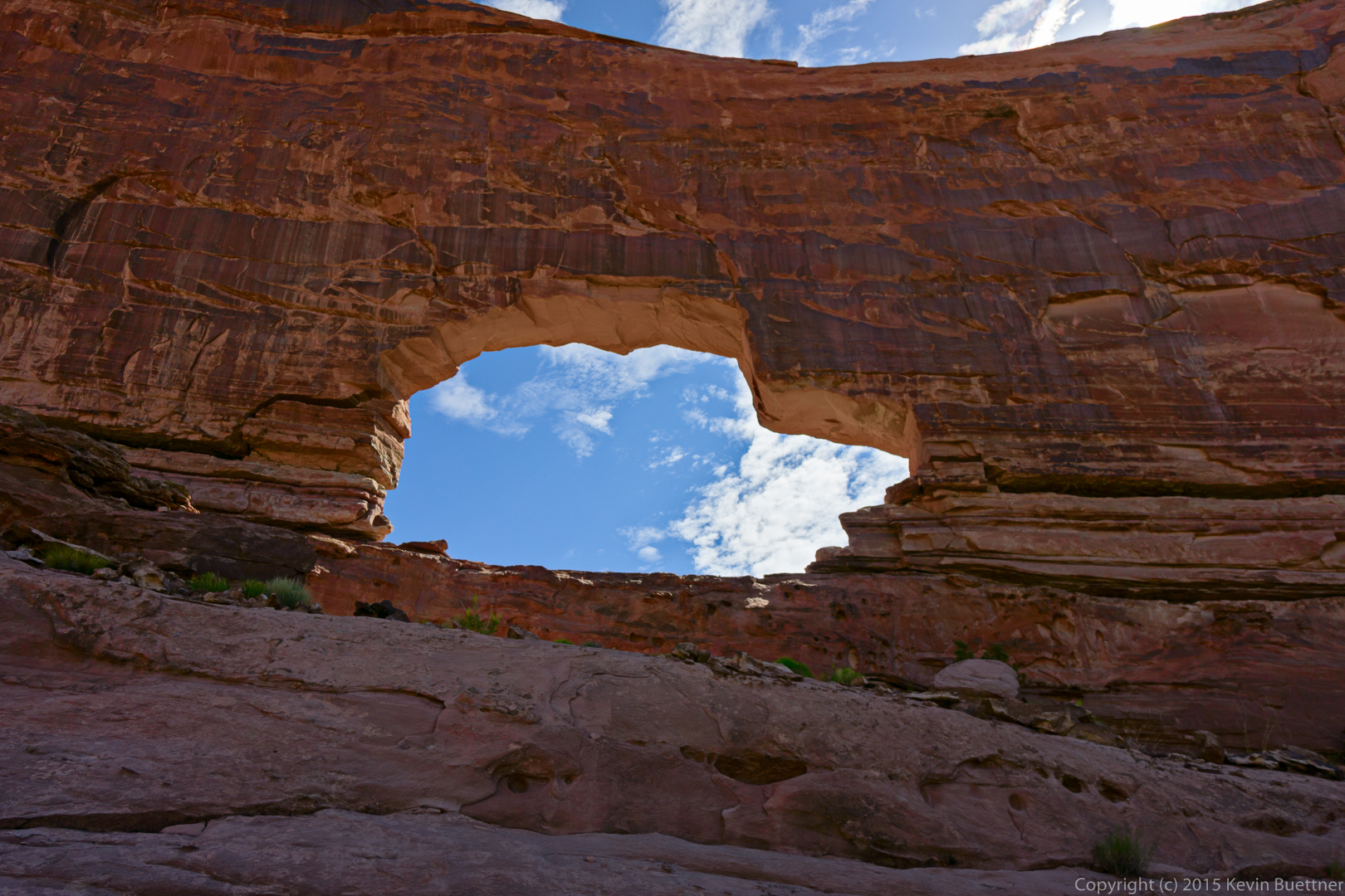
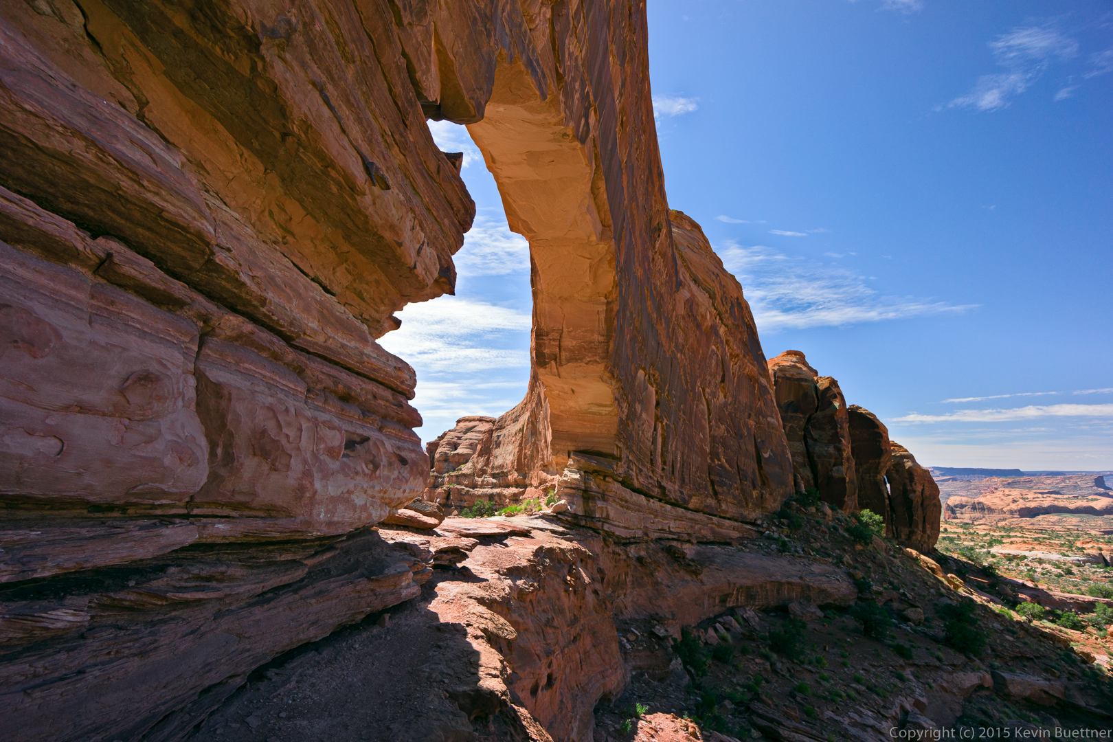
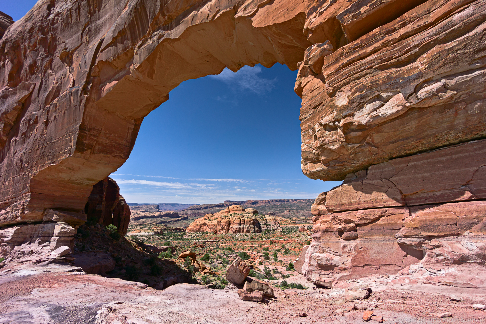
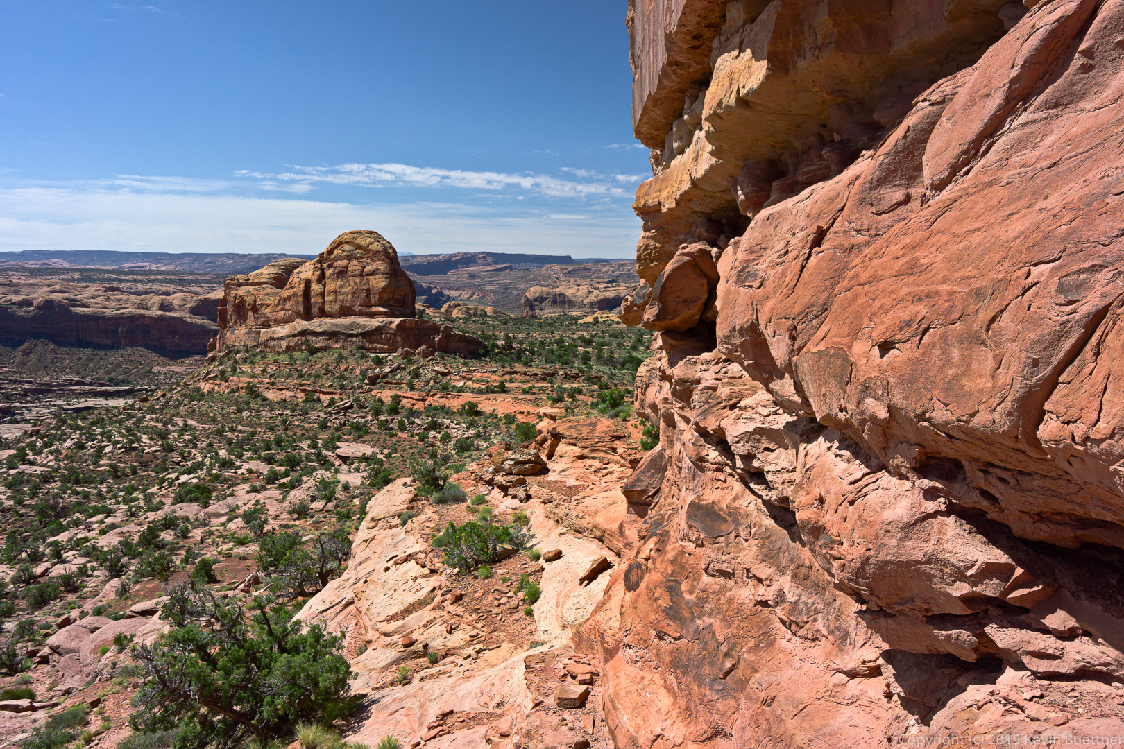
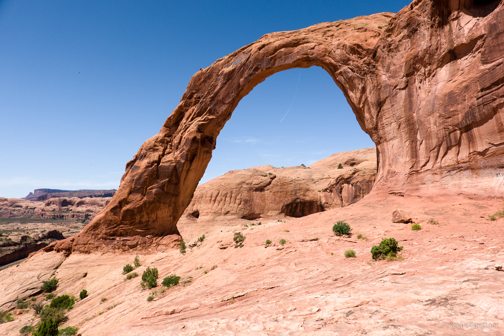
After passing beneath Corona Arch and scrambling up the ridge beyond, I took the photo of Corona Arch, above.  When I turned around, I saw this view of the canyon and other rock formations, below.

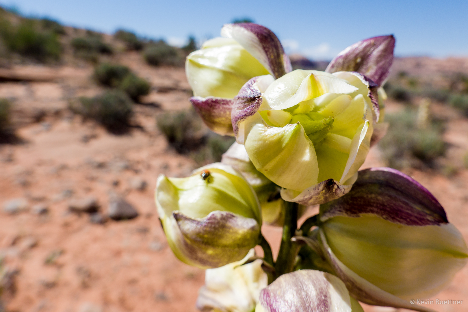
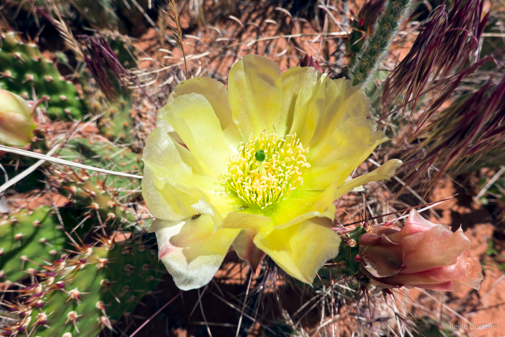
Prickly Pear blossom.  (Joe and I met a woman wearing a pink balaclava; she told us that she saw two unusual things. One was the Yucca stalk (or whatever it is) shown earlier in this post. The other was the prickly pear blossoms. For this area, I don’t think that either is that unusual. But it may be that they were unusual for wherever it was that she came from.)

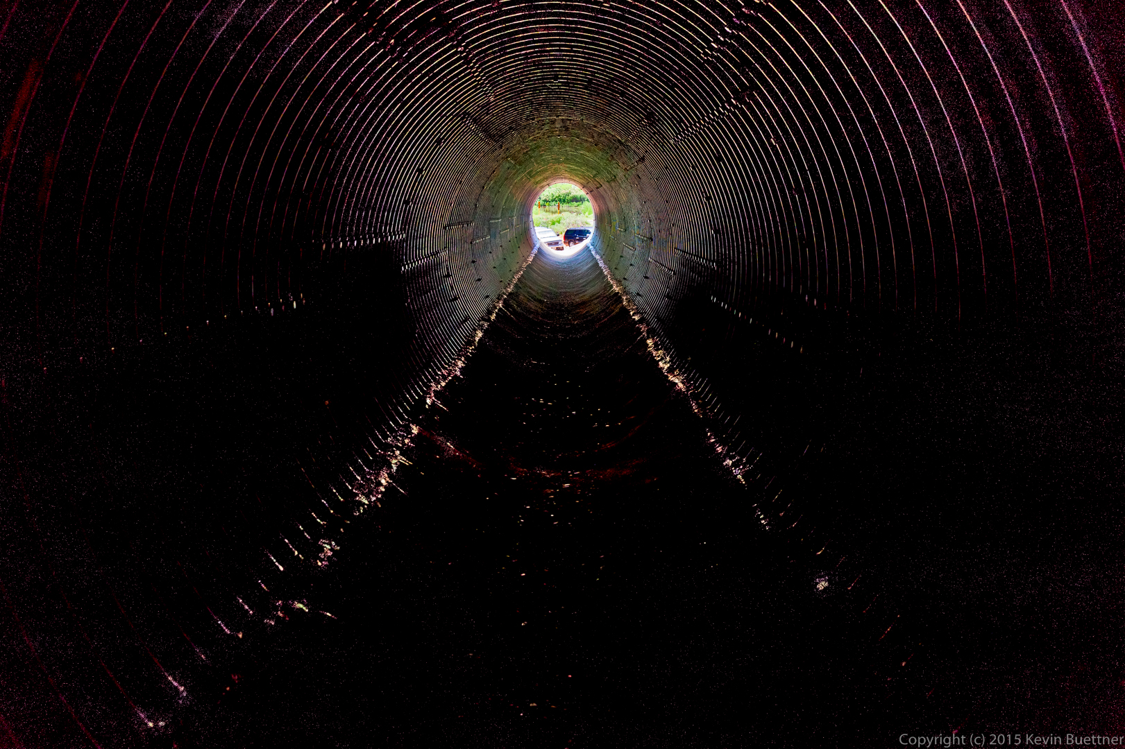
The hike crosses these train tracks near the trailhead.  To the best of my knowledge, the trains traveling these tracks carry potash.

Funnel Arch

On Wednesday, Marilyn, Marie, and I visited Funnel Arch. We had tried to go there several years ago, but came to a steep section, supposedly still class 3, which we weren’t certain we could down-climb. This year, we came equipped with a rope, climbing harnesses, and gear for setting up an anchor. Marie did the moves up the tricky section and used a stout tree for an anchor. She gave me a belay, allowing me to climb get past that section safely. I belayed Marilyn and then belayed Marie up and down the route several times so that she could both practice the moves and also transport both her and her Mom’s backpacks to where Marilyn and I were waiting. After our visit to Funnel Arch, Marie rappelled down in order to get more practice with rappelling. After Marilyn and I both rappelled down, she took down the anchor and then down-climbed the route (with me spotting).

I don’t have any photos of this section – we were all to busy with rope management, etc.

Marie and Marilyn at Funnel Arch:

Marie taking a well deserved break beneath Funnel Arch:

Looking down on the Colorado River and Kane Creek Road:

Our car is far below us in this photo. Marie spotted some bolted anchors for rappelling here, but neither she nor Marilyn wanted to descend via these anchors. I’m not certain that our rope would have reached to the bottom anyway – we would probably need two ropes to get down via these anchors.

Somewhat beyond the arch, I noticed a fin blocking our view of what was beyond. I scrambled up a low part of the fin to see what was on the other side. I have read that a climb up the arch – or perhaps the fin that I saw – can be used as a gateway to the “Behind the Rocks” area. This looks like a fun area to explore.

On my way back to where Marilyn and Marie were waiting, I got this photo of the other side of Funnel Arch:

Devil’s Garden – 2016-06-16

Marilyn took these photos during our hike at Devil’s Garden last year.

Devil’s Garden

Marilyn and Marie on the most difficult section while hiking the “primitive” loop in the Devil’s Garden area:

20160616-_DSC4885-Edit-medium

I got this photo from the small canyon near Private Arch:

20160616-_DSC4961-HDR-Edit-medium

Navajo Arch

I got this photo of Navajo Arch while hiking in the Devil’s Garden area (at Arches National Park) with Marilyn and Marie.

20160616-_DSC5044-HDR-Edit-medium


Kevin at Grand Viewpoint, Island in the Sky, Canyonlands National Park

Marilyn took this photo of me:

20150606-DSC03322-Edit-2-Edit-medium

Salt Valley Overlook – Arches National Park

Marie took these photos of me at the Salt Valley Overlook on June 5:

20150605-DSC09052-Edit-medium 20150605-DSC09053-Edit-medium 20150605-DSC09073-Edit-medium

These are a few of the photos that I took while in the area:

20150605-_DSC6611-Edit-medium 20150605-_DSC6614-Edit-medium 20150605-_DSC6629-Edit-medium 20150605-_DSC6638-Edit-medium

Sunset at Whale Rock

20150609-_DSC7937-Edit-medium 20150609-_DSC7944-Edit-medium

Jeep Arch Hike

On the last day of our vacation in Utah, we hiked out to Jeep Arch.

The hike starts by walking through a large culvert which passes beneath some railroad tracks.
20150609-_DSC7597-Edit-medium

Our guidebook seemed to indicate that we should hike up the creek. So that’s what we started with.
20150609-_DSC7603-Edit-medium

There was a lot of water and some bugs too…

20150609-_DSC7606-Edit-medium

…so we turned around and hiked up the hill near the culvert where we came in.

20150609-_DSC7609-Edit-medium

This put us on a shelf of slickrock well above the creek / canyon.  Marilyn and Marie can be seen making their way up the slickrock in the photo below.

20150609-_DSC7657-Edit-medium

Marilyn and Marie turned back at about the time we could see this spire.

20150609-_DSC7666-Edit-medium

(If you look closely, you can see them hiking back in the photo below.)

20150609-_DSC7675-Edit-medium

Two more views of the spire:

20150609-_DSC7681-Edit-medium

20150609-_DSC7687-Edit-medium

A short while later, I got my first view of Jeep Arch.

20150609-_DSC7693-Edit-medium

Getting closer…

20150609-_DSC7696-Edit-medium

…and closer.

20150609-_DSC7705-Edit-medium

I thought at first that I would have to turn back once I got to the arch, but I noticed that the trail made its way to the left…

20150609-_DSC7711-Edit-medium

…where it was possible to easily scramble up to the arch.
20150609-_DSC7714-Edit-medium

This is what it looks like after scrambling up to the arch.

20150609-_DSC7720-Edit-medium

Views from the other side:

20150609-_DSC7735-Edit-medium

20150609-_DSC7744-Edit-medium

The trail descended somewhat, heading in the general direction of the La Sals for a while.

20150609-_DSC7753-Edit-medium

The trail eventually went around the large Butte / Fin containing Jeep Arch.

20150609-_DSC7756-Edit-medium

A large boulder on the trail on the way back:
20150609-_DSC7771-Edit-medium

These are the railroad tracks, Highway 279, and the Colorado River.

20150609-_DSC7780-Edit-medium

Another look at the culvert on the way out. When we arrived, ours was the only vehicle at the pullout. When we returned there were at least six others, two of which can be (partially) seen through the end of the culvert.
20150609-_DSC7792_3_3_4_4-Edit-medium

Private Arch

Kirk, my hiking companion for that stretch is descending beneath the arch.

20150608-_DSC7552-Edit-medium