Month: March 2019 (page 1 of 1)

Friday Hike – Ballantine Trail

Marilyn, Linda, Nora, and I hiked out about four miles on the Ballantine Trail.  We saw many varieties of flowers along the way.  The landscape had more grasses than flowers, but there was more diversity than normal on hikes during the flowering seasons.

This is a view from the Pine Creek Loop.

Linda identified this as Chia:

A view from the Ballantine Trail after going uphill for quite a long time…

Two deer are running away in the photo below.  Look at the bottom of the photo, just right of center.

This rock is about 2.5 miles in.  It makes a nice turn-around point if you want a 5 mile hike.

The greenery gave this hike a different look than normal.  It’s usually very brown.

Chicory:

Owl clover:

Heading back now.  Marilyn waited for us at about the three mile mark.

Poppies on the right.  I’m not sure what the purplish-blue flowers are.

Nora, Marilyn, and Linda:

Linda researched this one.  She says it’s a Cape Marigold, a non-native plant.  We saw them just above the slickrock area in the Superstitions a week earlier too.

Friday Hike – Flatiron

Nora, Marilyn, Sara, and I hike to the top of the Flatiron and back on Friday.

Early morning photos looking up Siphon Draw towards the Flatiron were almost all back lit.  Sorting through my photos, I found that I liked the afternoon shots better. But this one was okay.  At this point, we’re nearly two miles in, close to the point where those who don’t go to the top will turn around.

At the top…

After looking over the edge of the Flatiron, we walked east for a short ways (probably less than a quarter mile) where we got this great view looking east. I took a few photos looking west from the top, but I didn’t find them to be especially compelling.

Prior to heading down, we stopped at a memorial commemorating the 2011 plane crash victims.

Continuing on, we got some great views of the Flatiron from the side. If you look closely, you can see someone near the edge.

Looking east again from the massive outcropping north of the Flatiron.

Looking ESE from this prominence.

Looking over the edge…

Nora, Sara, and Marilyn, making their way down.

Looking back up at the Flatiron. Several of the photos above were taken while making our way out to the point of the prominence left of the Flatiron.

We saw these flowers near the top of the slickrock area.

This is the slickrock area. Traction was pretty good, though care had to be taken because some of the rock has been smoothed by the water.

Slickrock area below; Flatiron above:

Globemallow:

We’re nearly done now – this is a good view of where we had been earlier in the day.

Sunday Hike – MMRP Flowers

On Sunday, I hiked Wagner, Granite, Bluff, and then back on Granite and Wagner. Nick told me that the flowers were thick along the Granite Trail near the wash. He was right.

Friday Hike – Boulder Canyon Trail

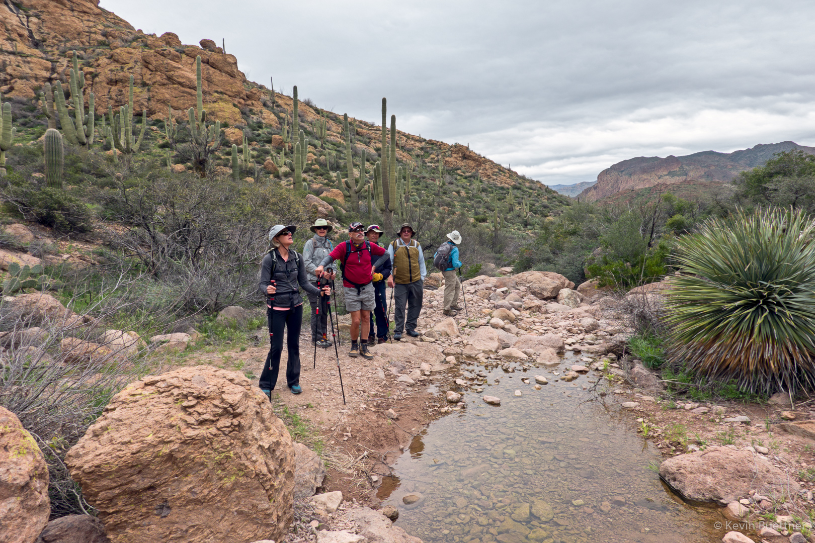
Marilyn, Ben, Mike, Sara, Kelly, Julie, Marta, and I hiked part of the Boulder Canyon Trail starting from the Canyon Lake Marina. We hiked together out to La Barge Creek; when I’ve hiked there in the past, the creek was either totally or mostly dry.  This time, however, the creek was perhaps 30 feet wide with ankle deep water through the shallowest path to the other side. (If you purposely chose a deeper path, you might have ended up in knee deep water.) In any case, Sara, Julie, Kelly, and Marta opted to go back at this point, while Ben, Marilyn, Mike, and I continued on.

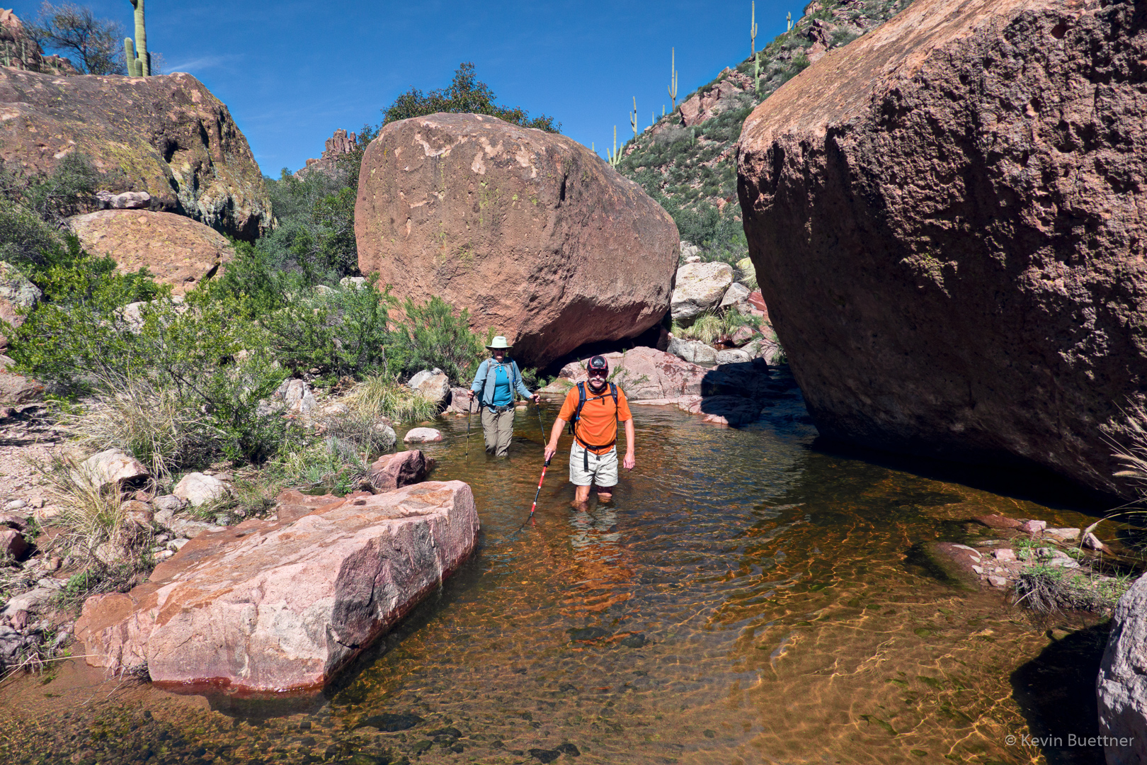
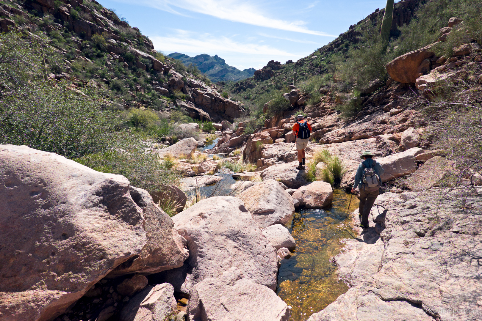
I had hoped to hike up La Barge Canyon to see the pools at the point where it starts to get hard to continue onward, but the wetness discouraged us – none of us had brought appropriate footwear for these conditions. We continued on, also crossing Boulder Creek. We found Boulder Creek to be easier to cross without getting quite as wet.  We turned around at the intersection with Second Water Trail.

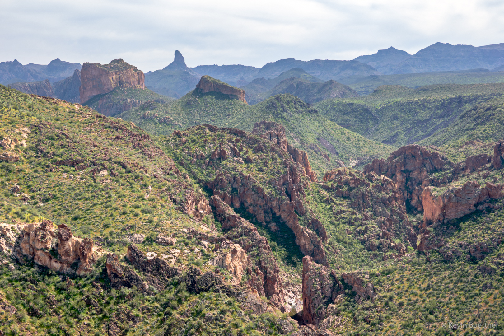
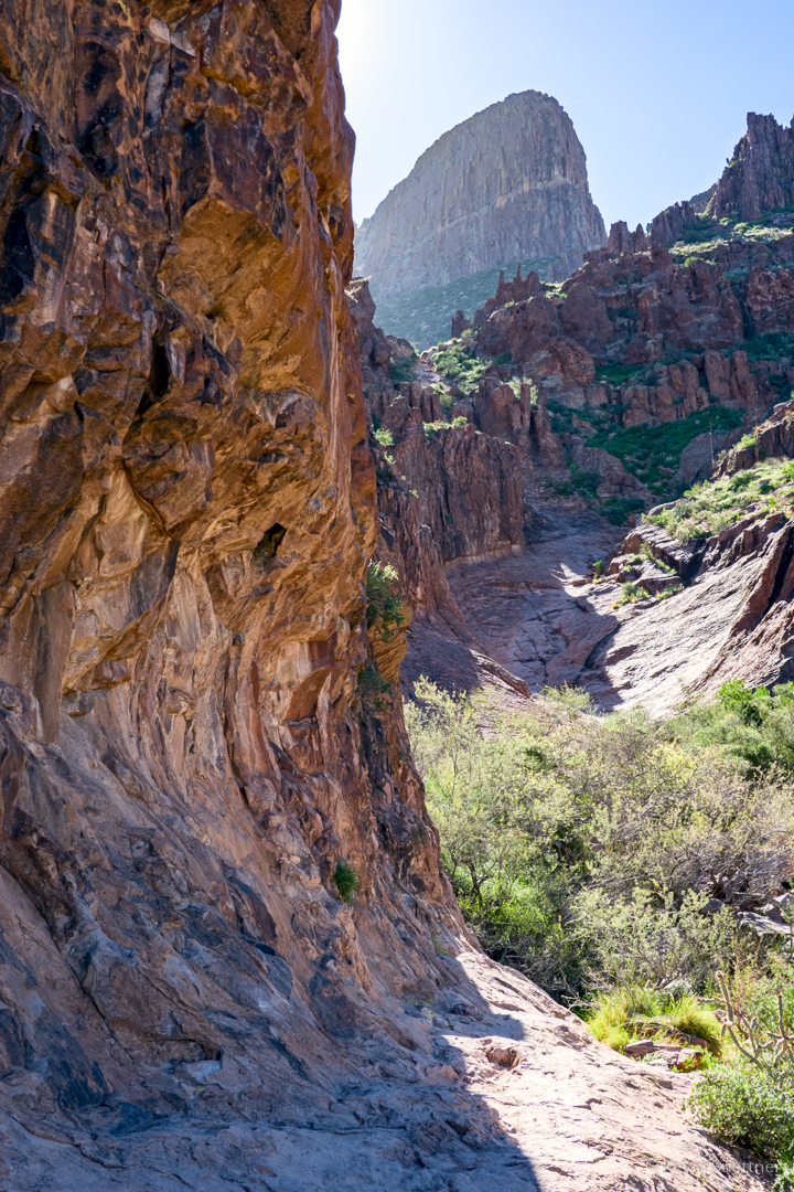
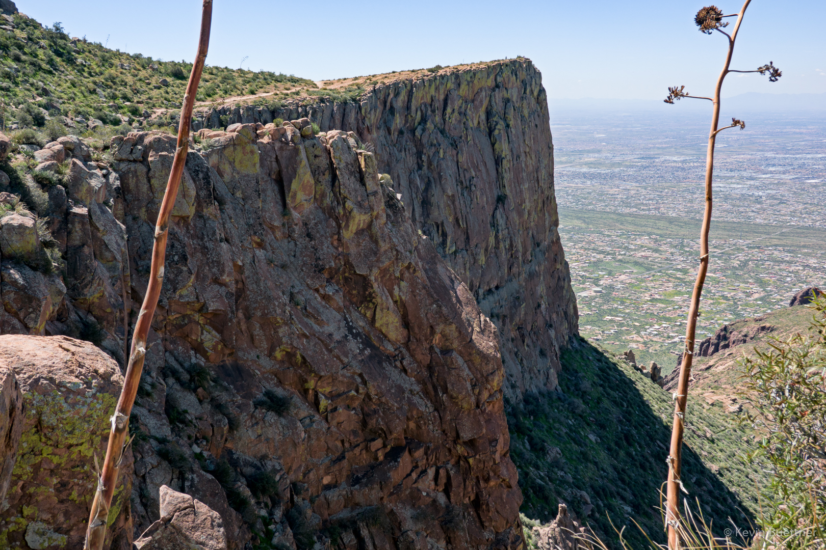
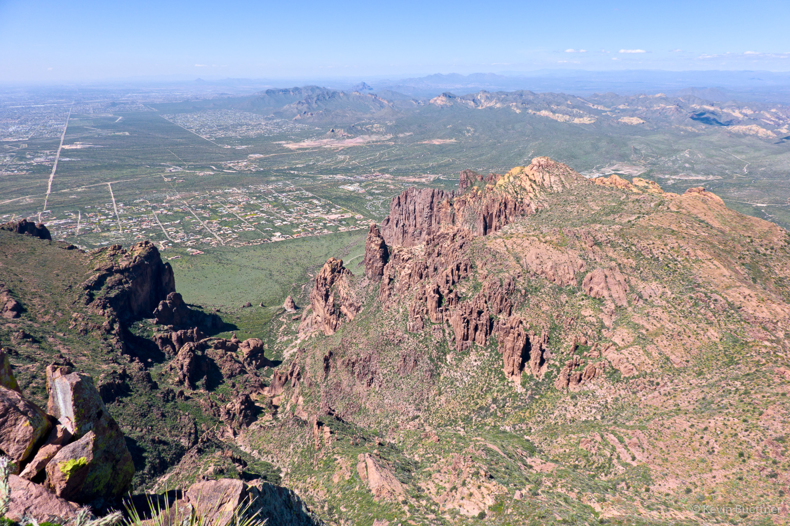
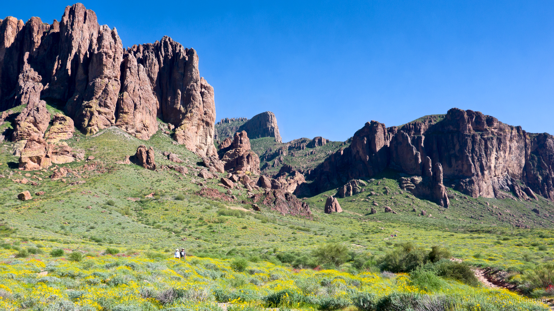
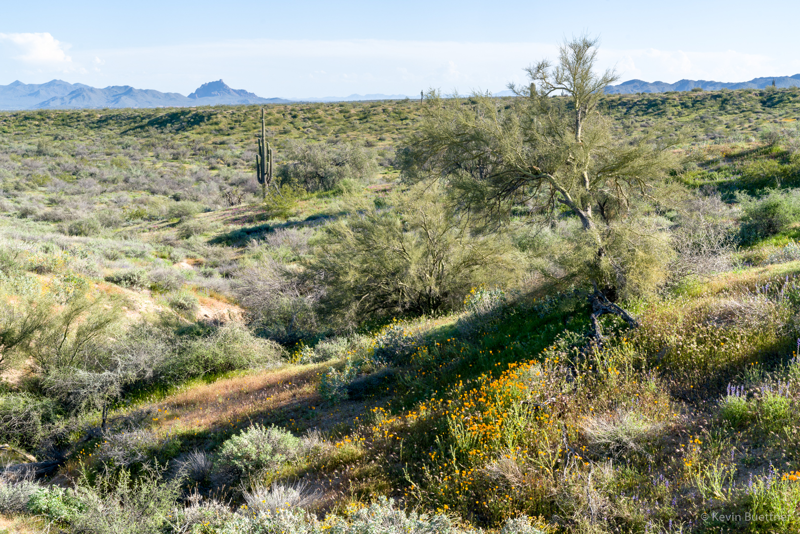
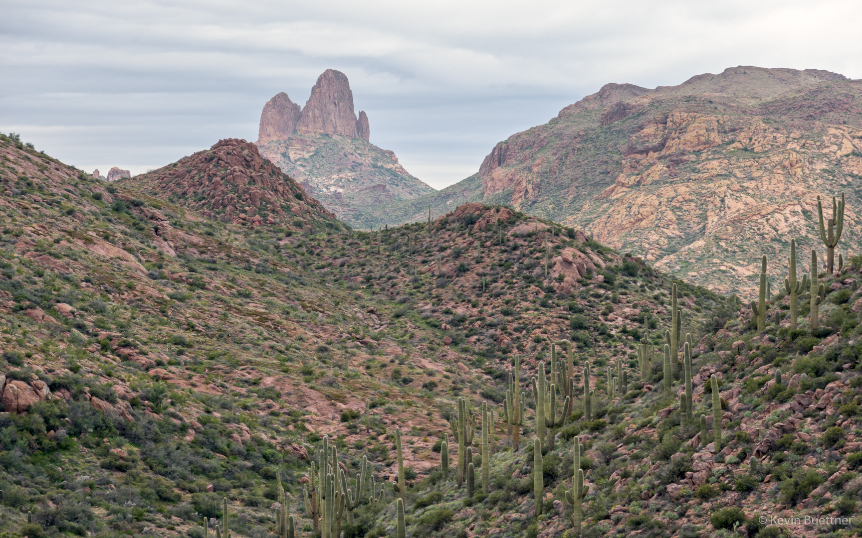
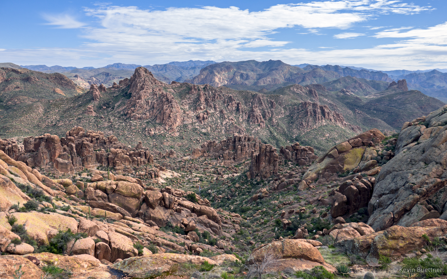
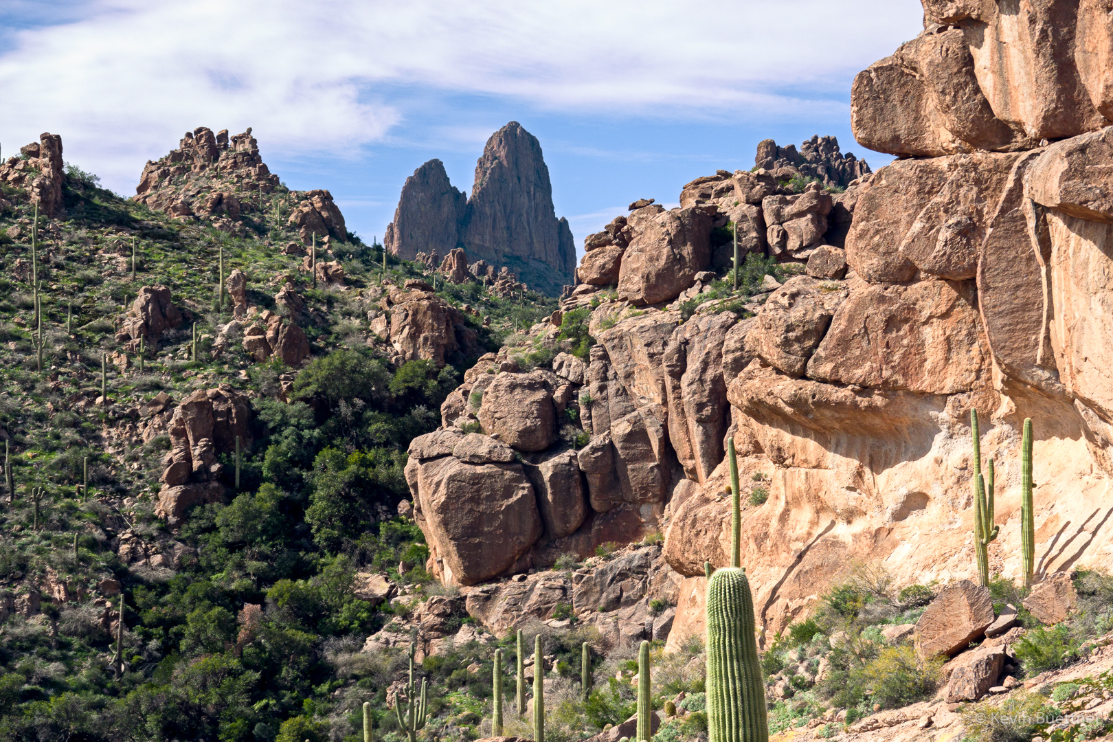
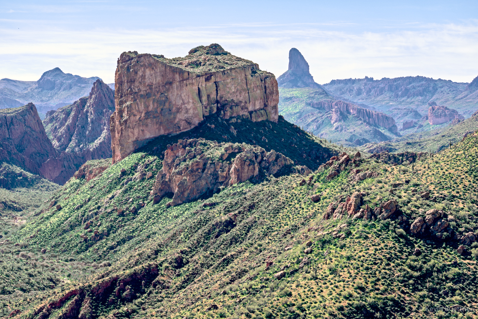
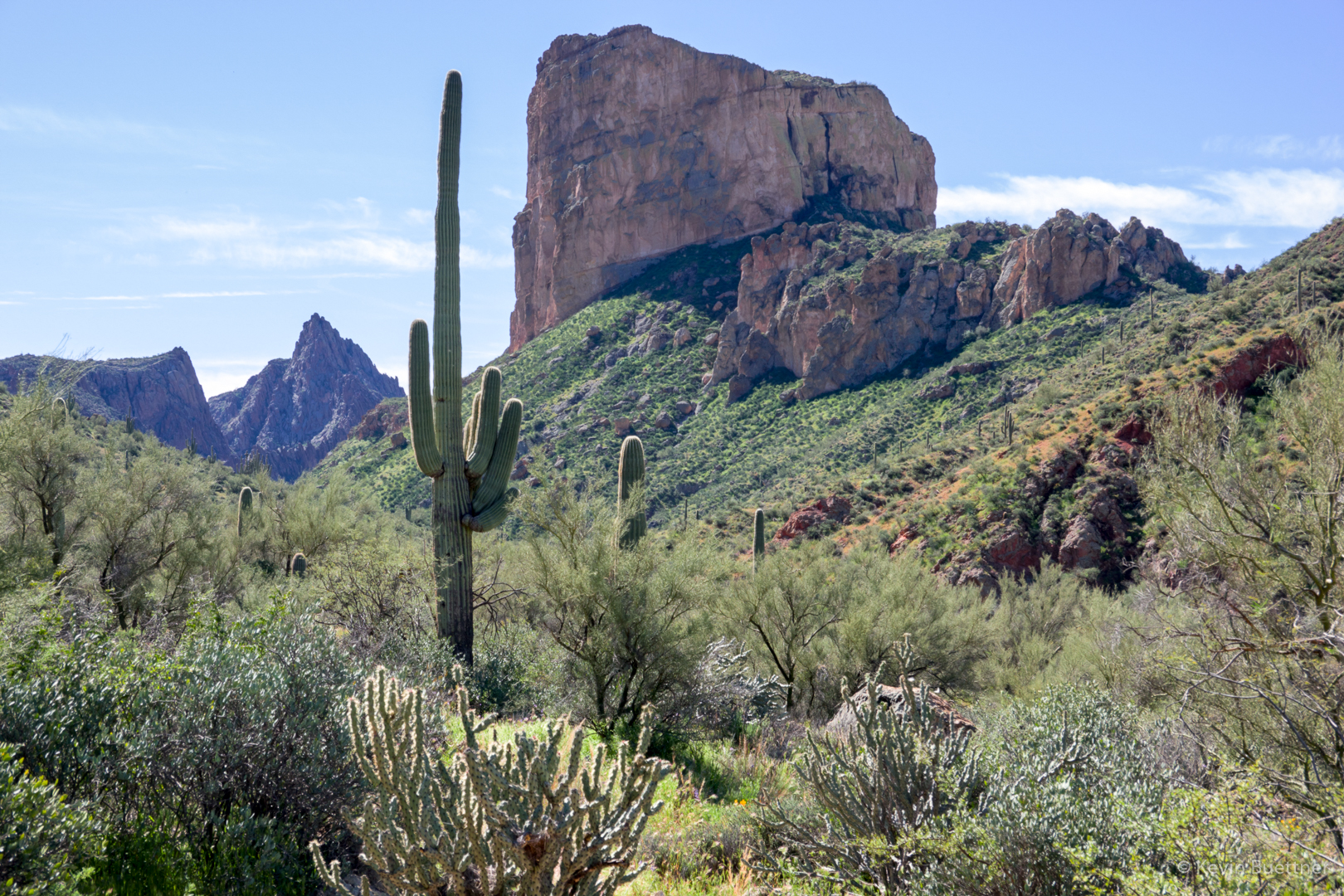
The photo below shows Battleship Mountain with Weaver’s Needle behind and to the right; some of us hiked to the top back in January. Battleship Mountain is a long skinny mountain, though it doesn’t look like it from this angle. From this vantage-point, we’re looking at the bow of the battleship. Our hike to the top involved climbing up the stern and then making our way foward towards the bow.

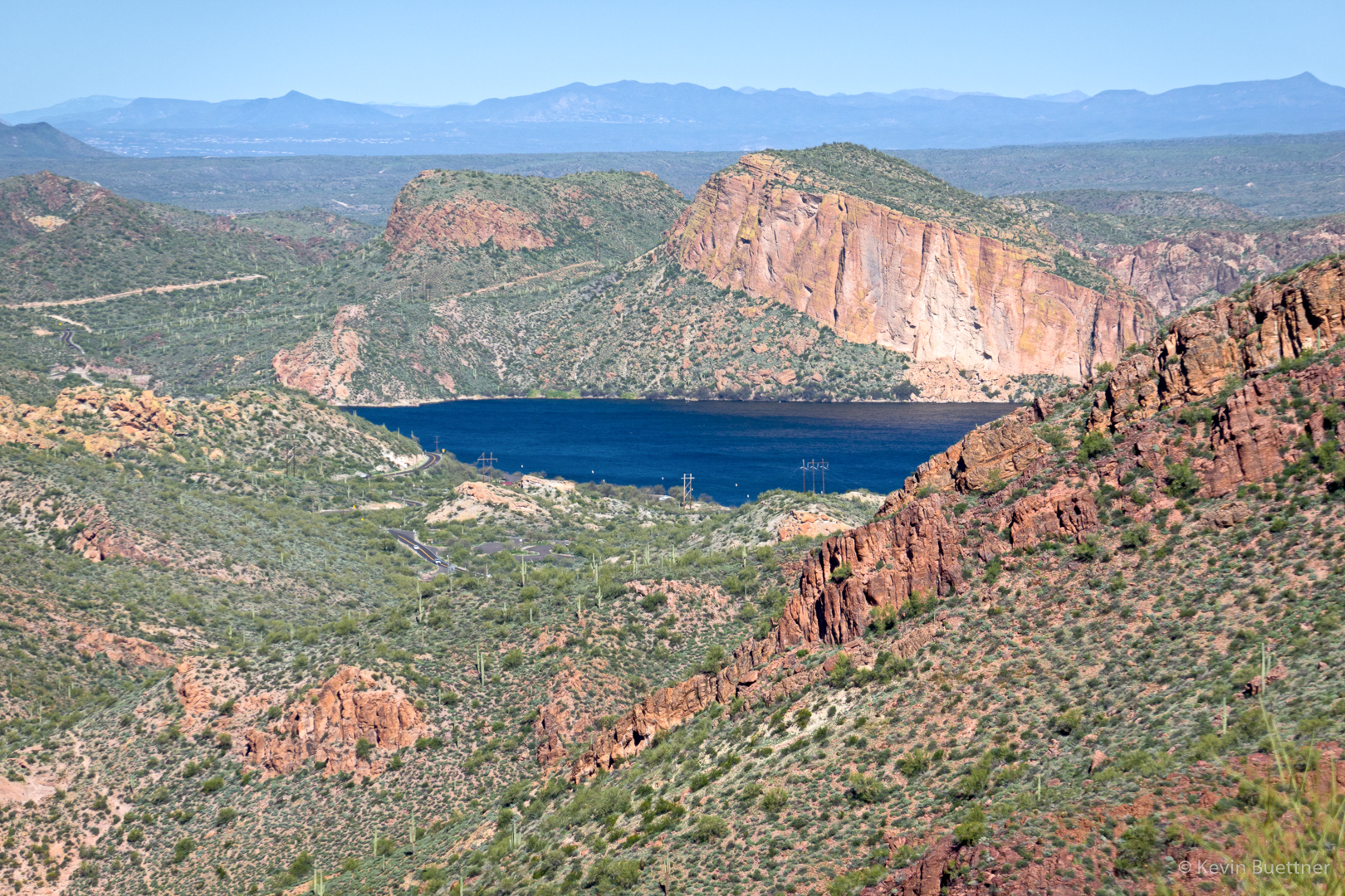
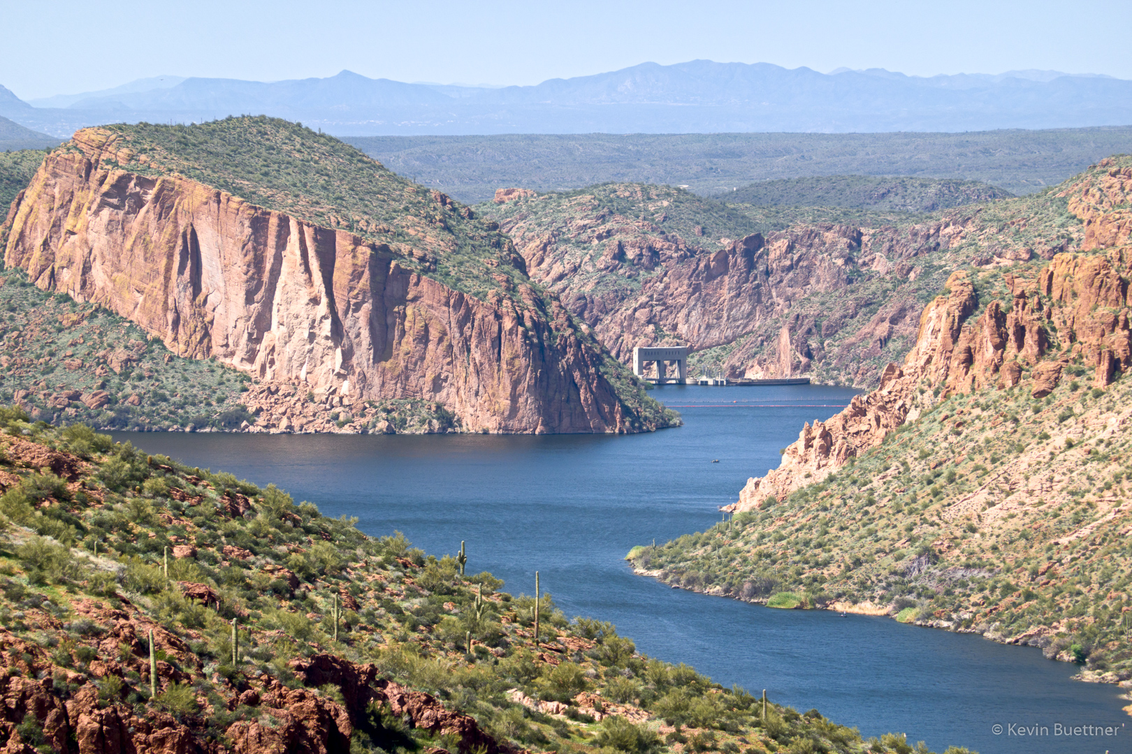
Looking back at Canyon Lake:

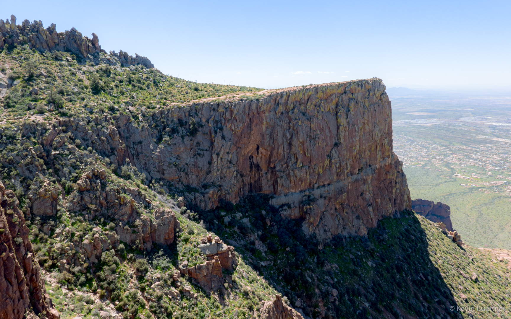
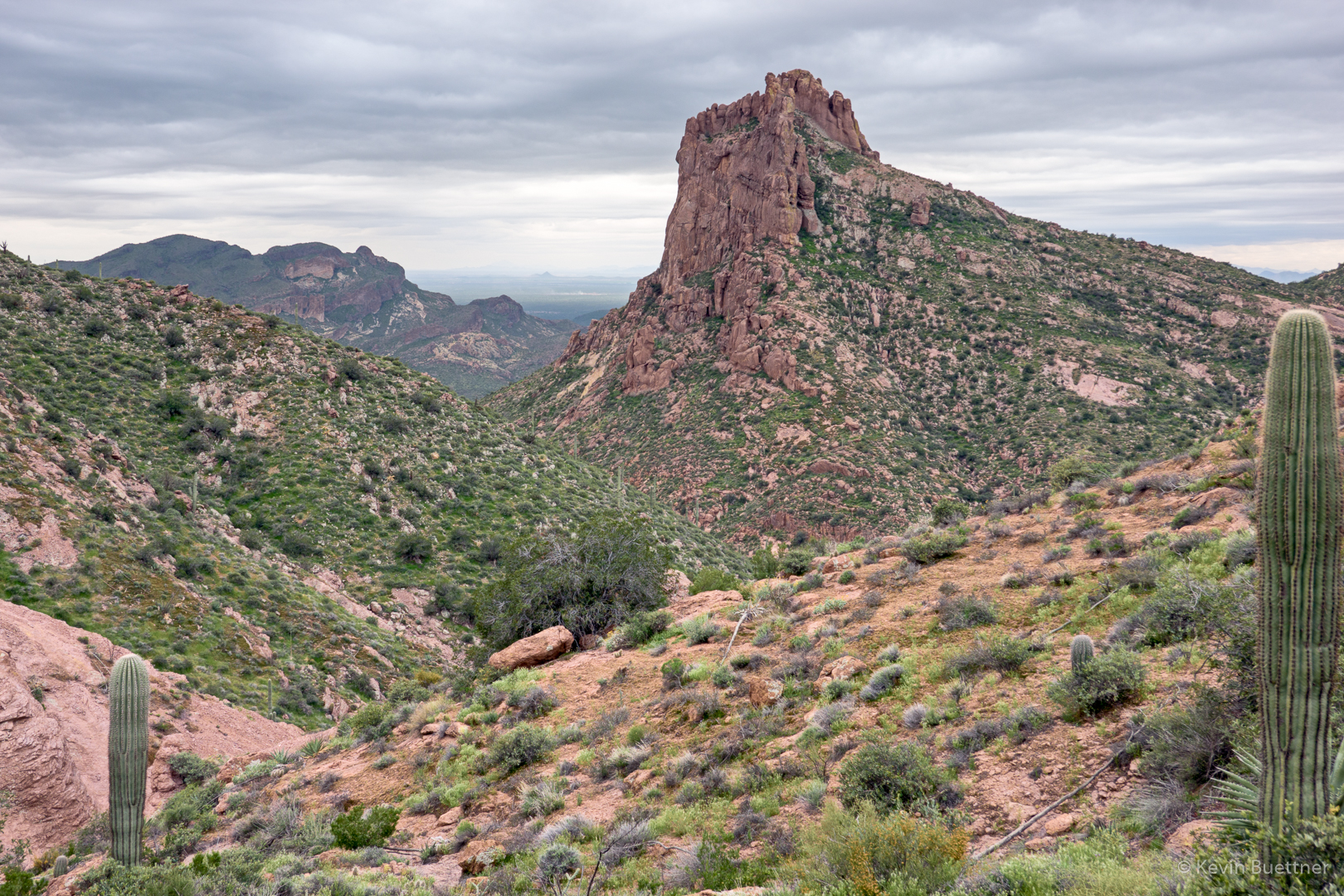
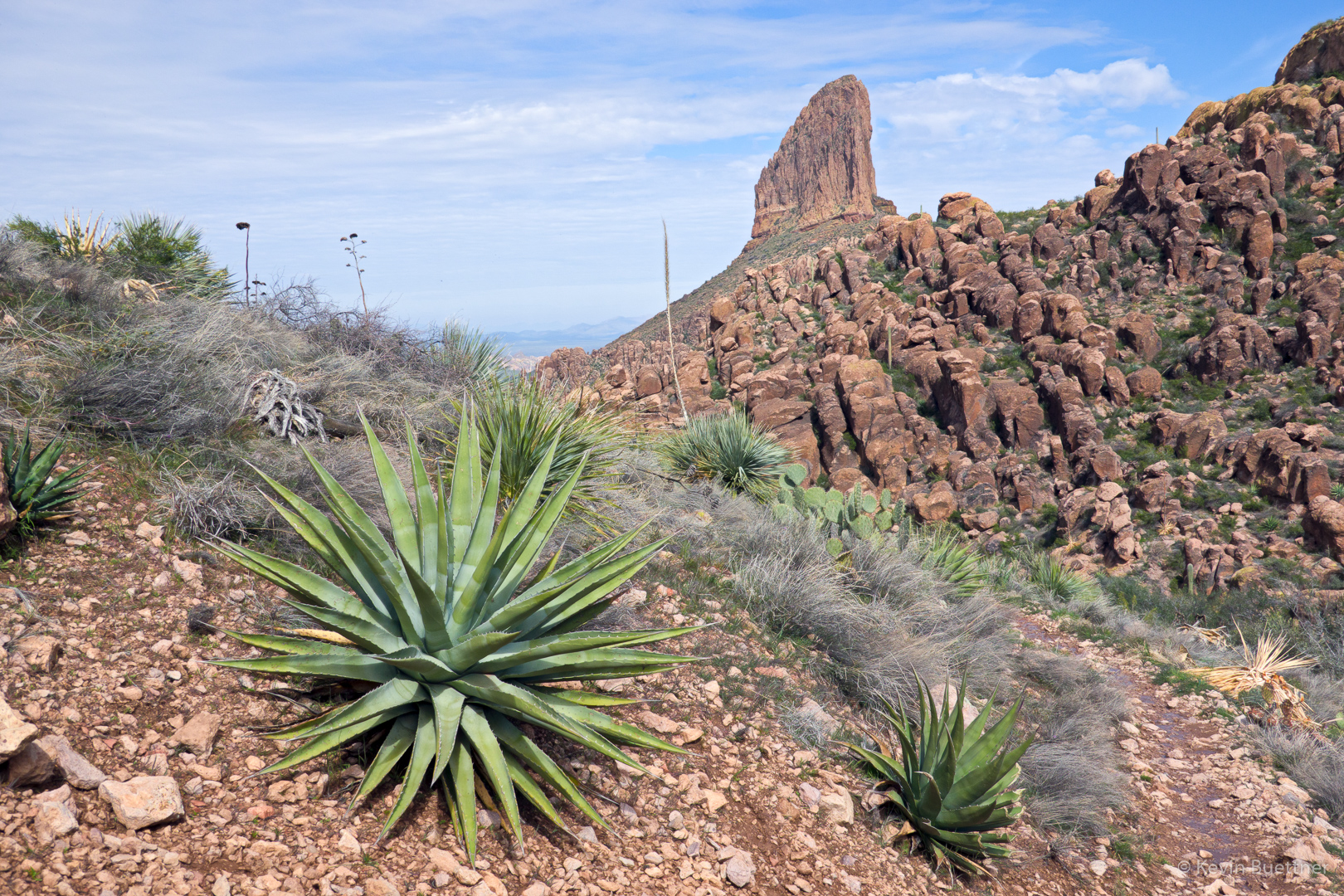
Another view of Battleship Mountain as we neared La Barge Creek:

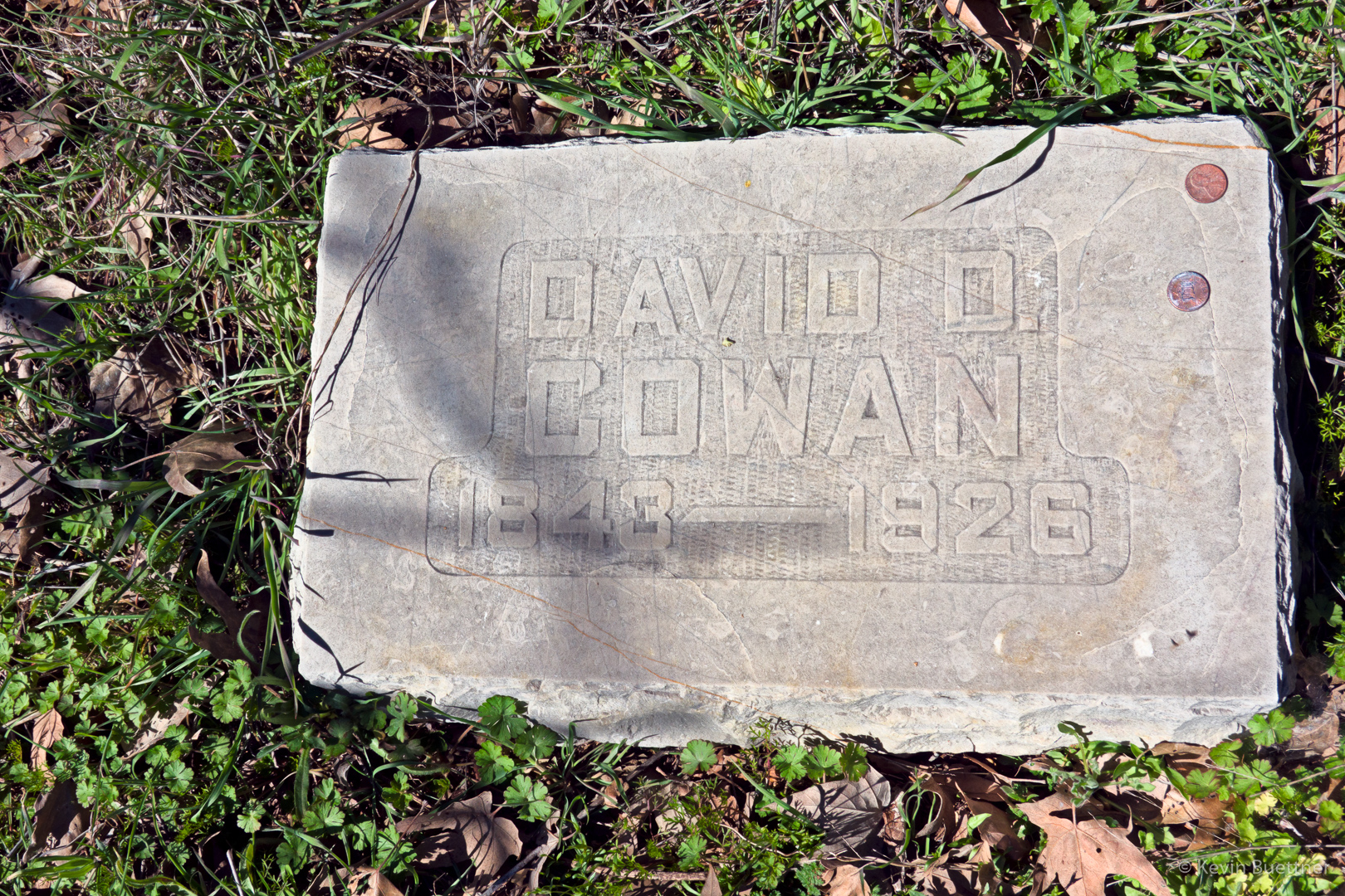
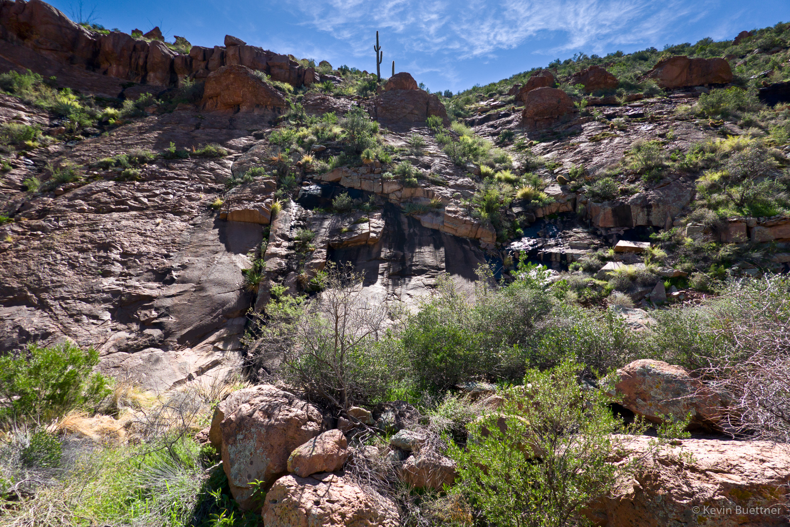
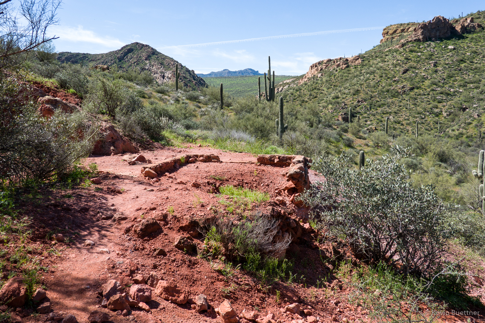
After crossing La Barge Creek, we came across some ruins known as the Indian Paint Mine.

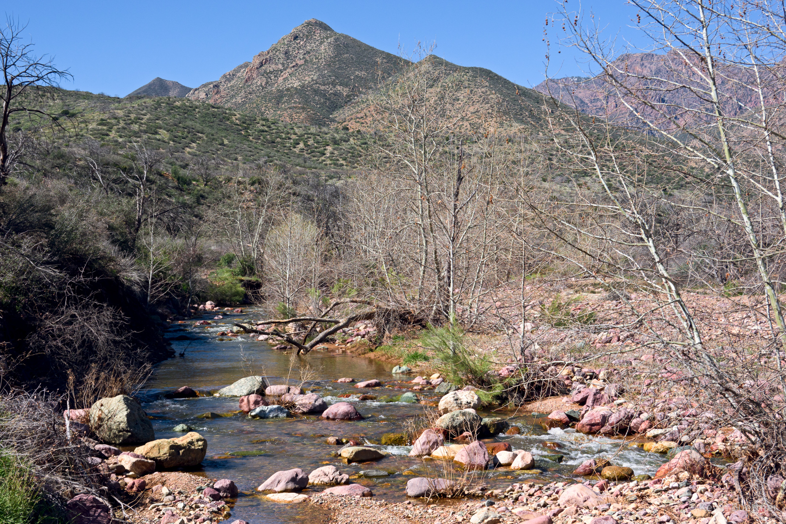
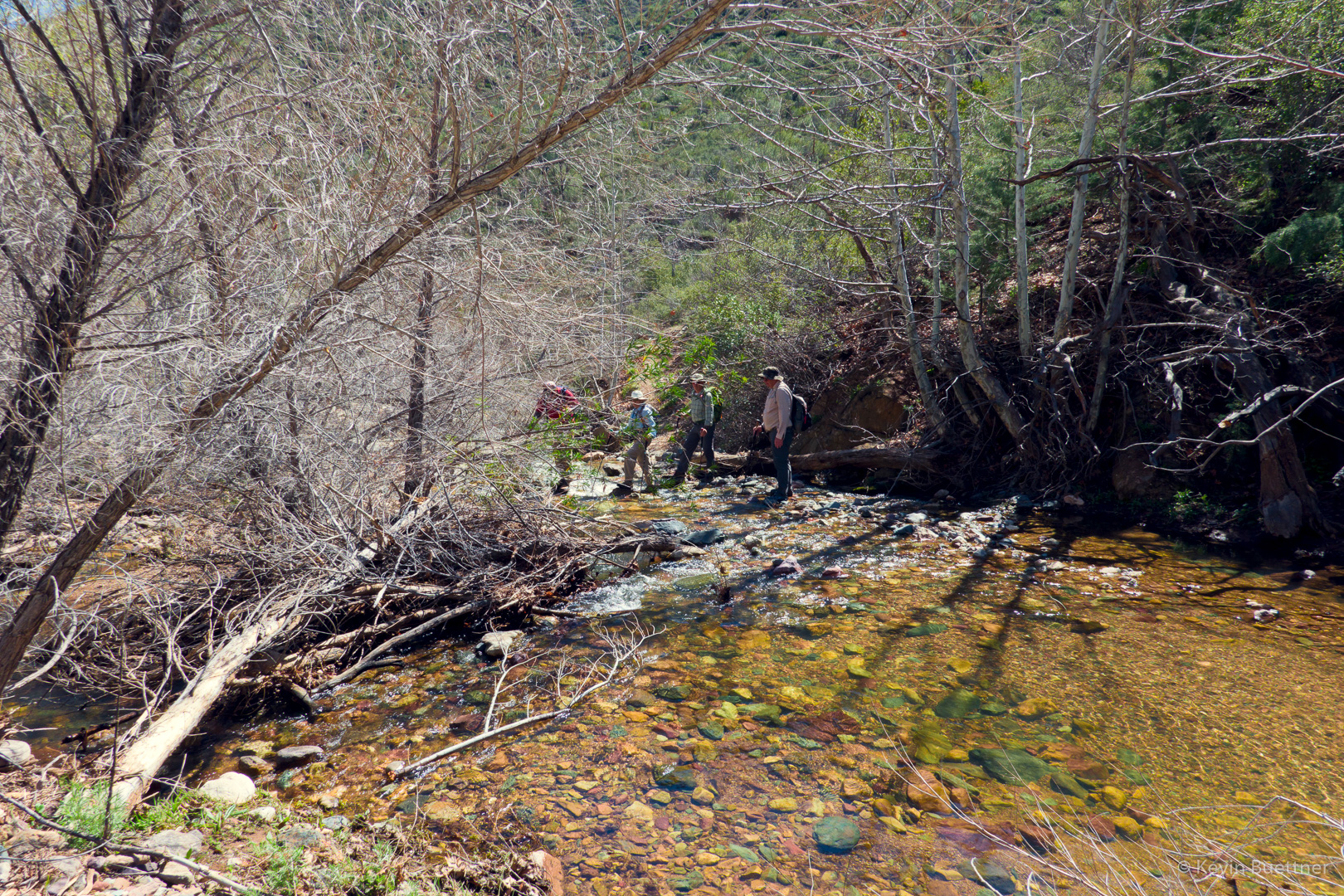
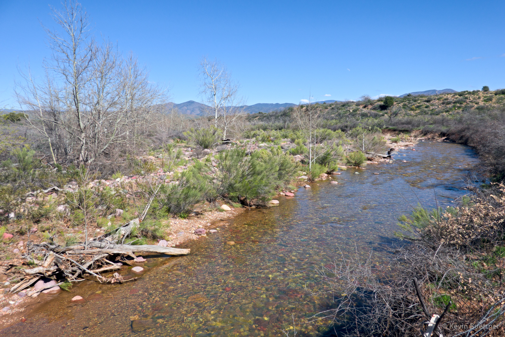
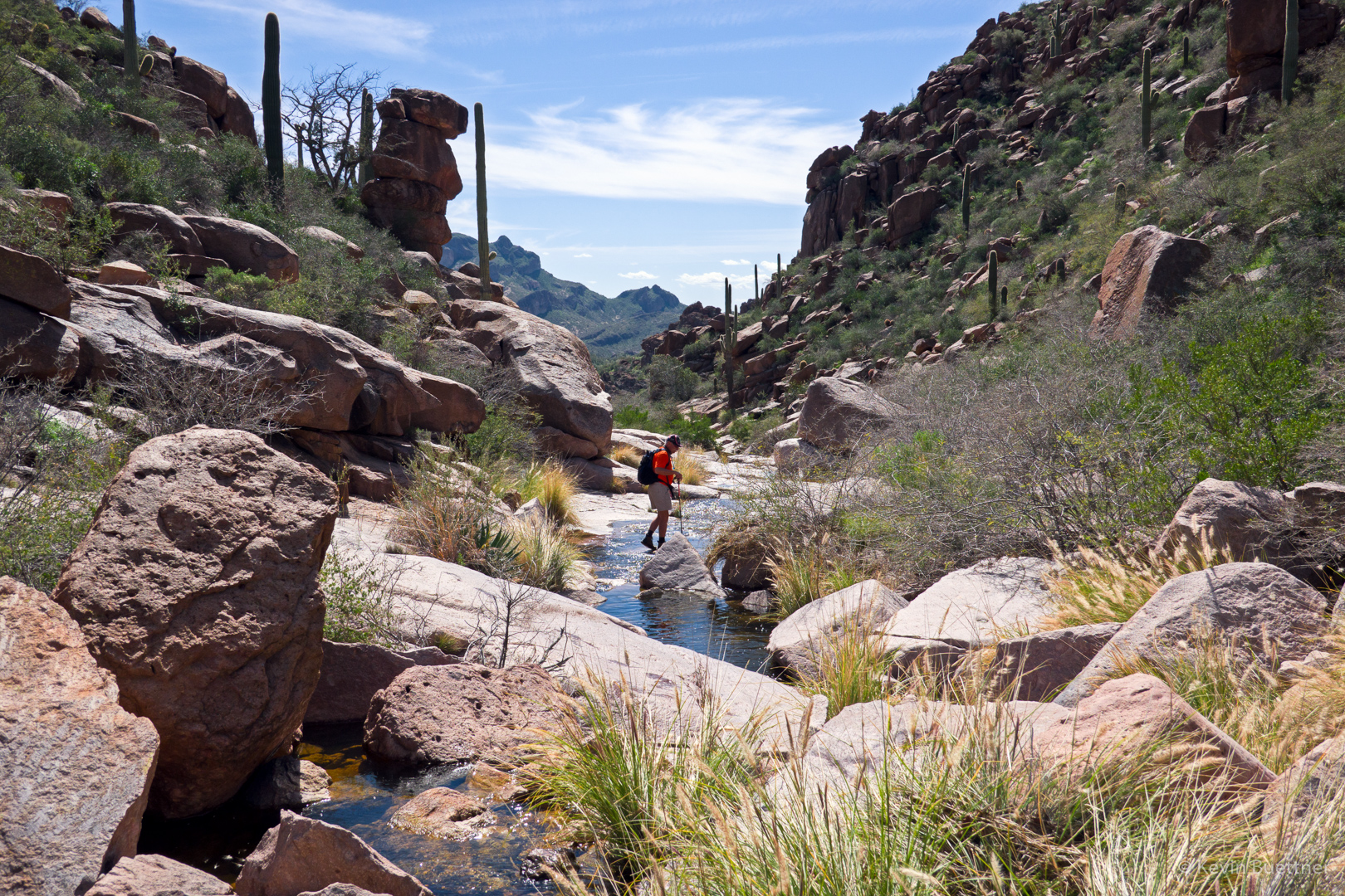
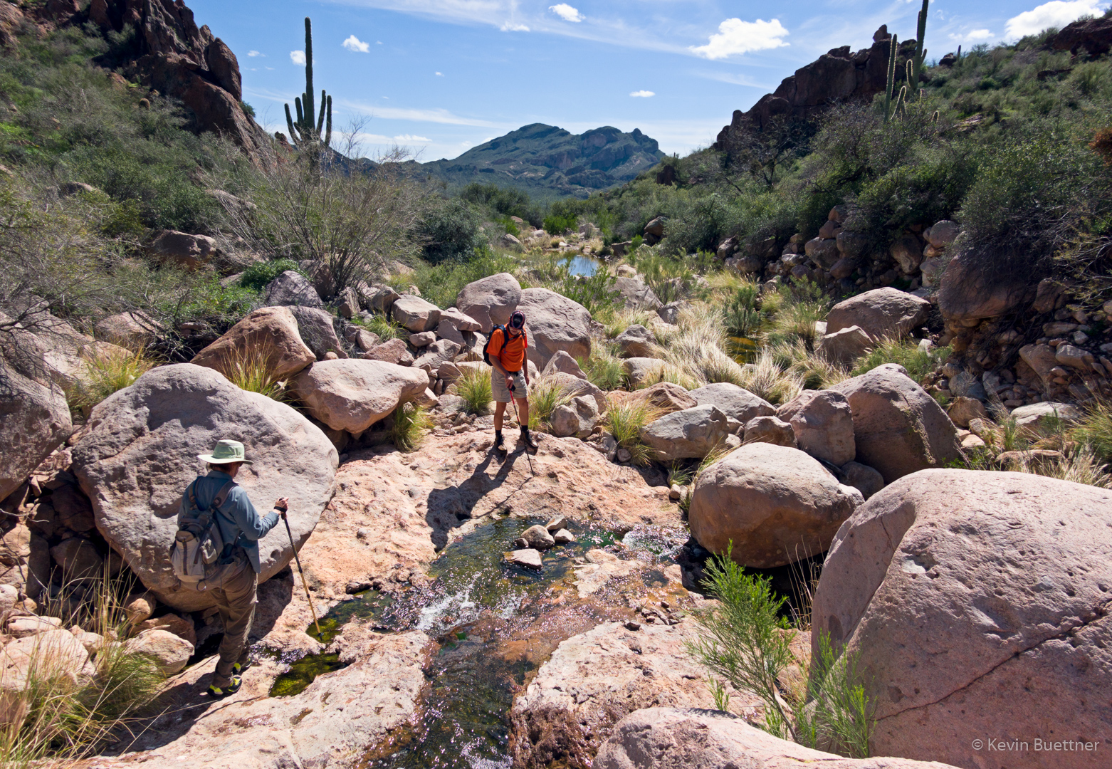
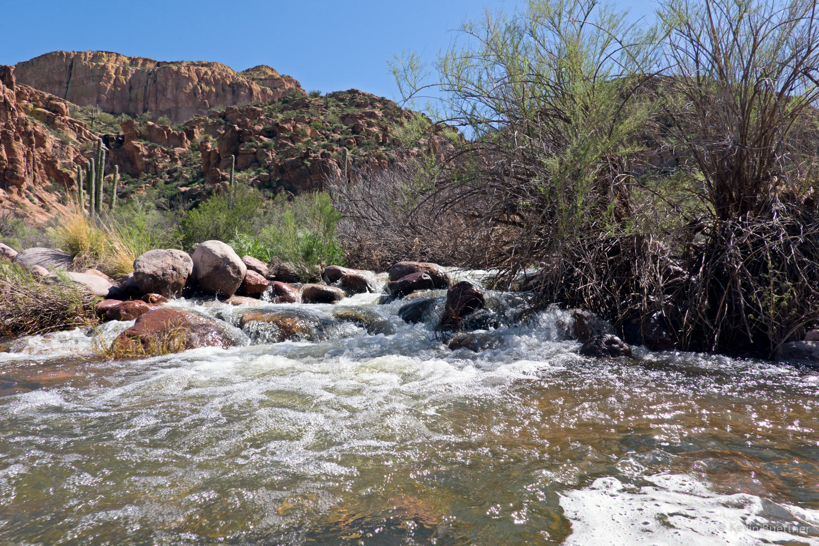
This is a section of Boulder Creek near Second Water Trail. The water was quite turbulent here. Downstream, where we crossed, the water was shallower and calmer, though we still had to do some boulder hopping to get across. Even so, at least one of my feet got wet (again) each time I crossed it.

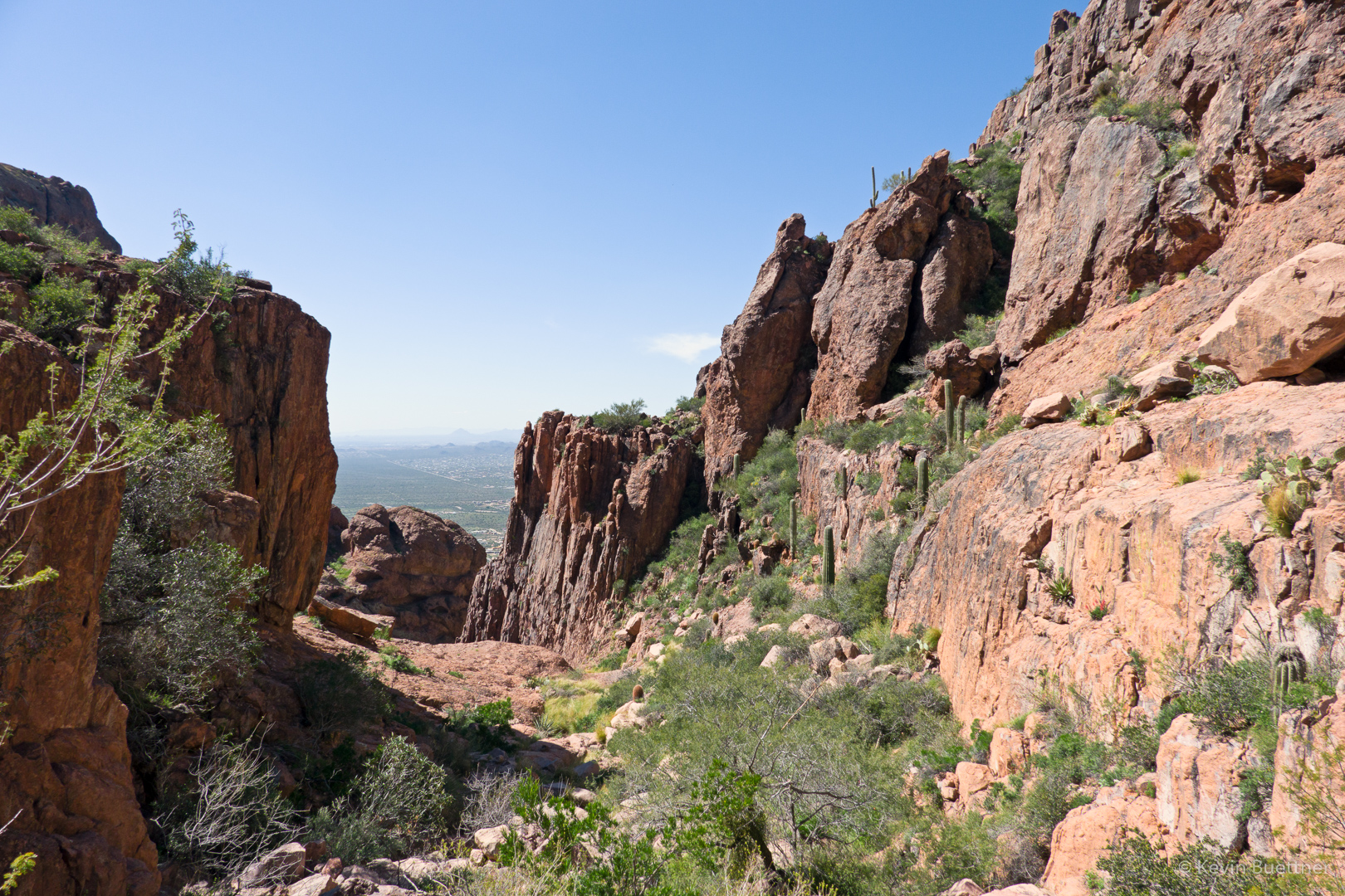
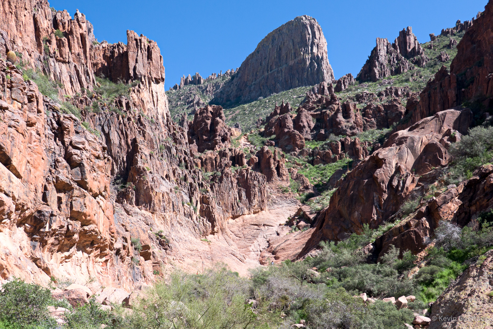
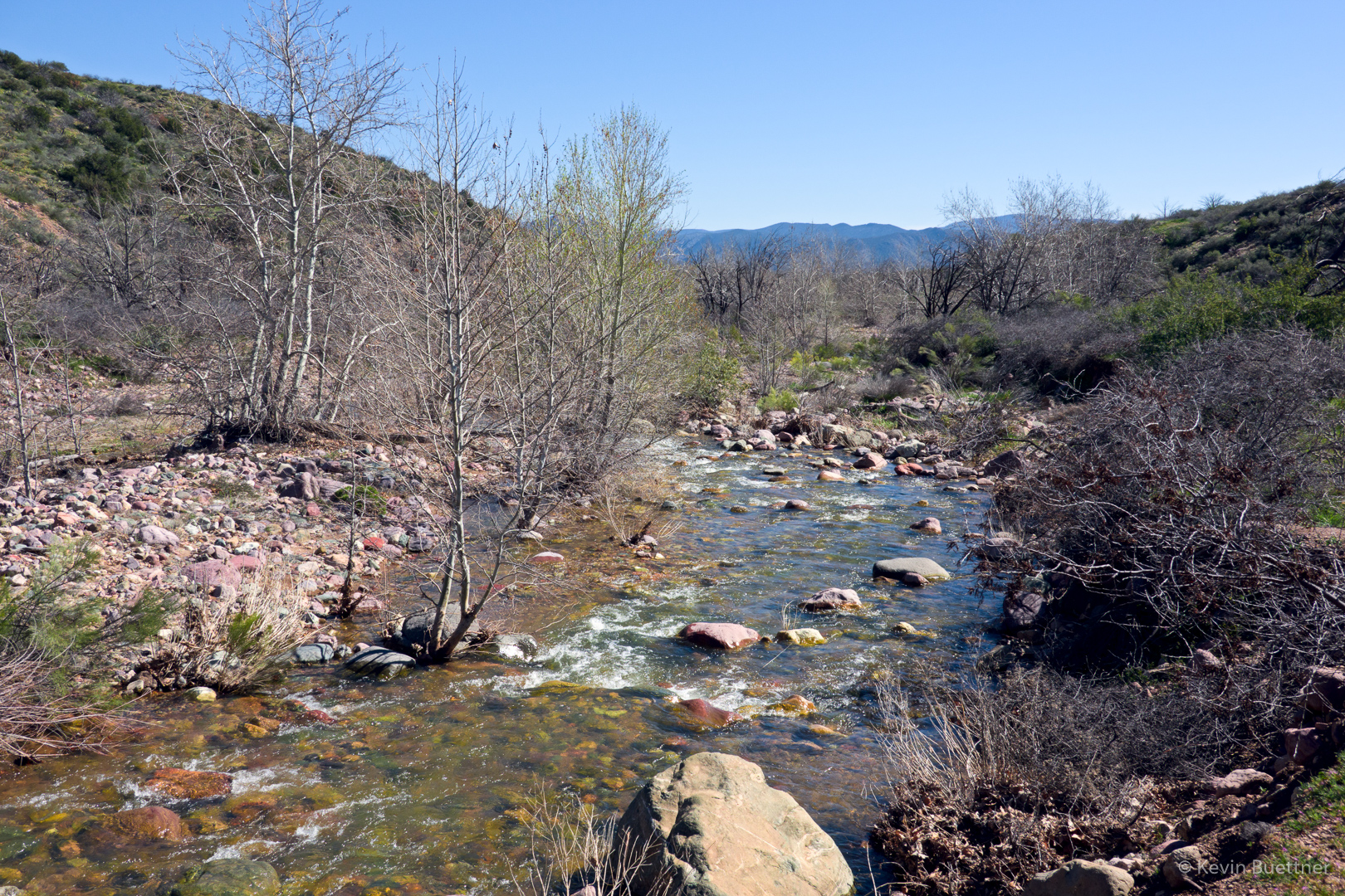
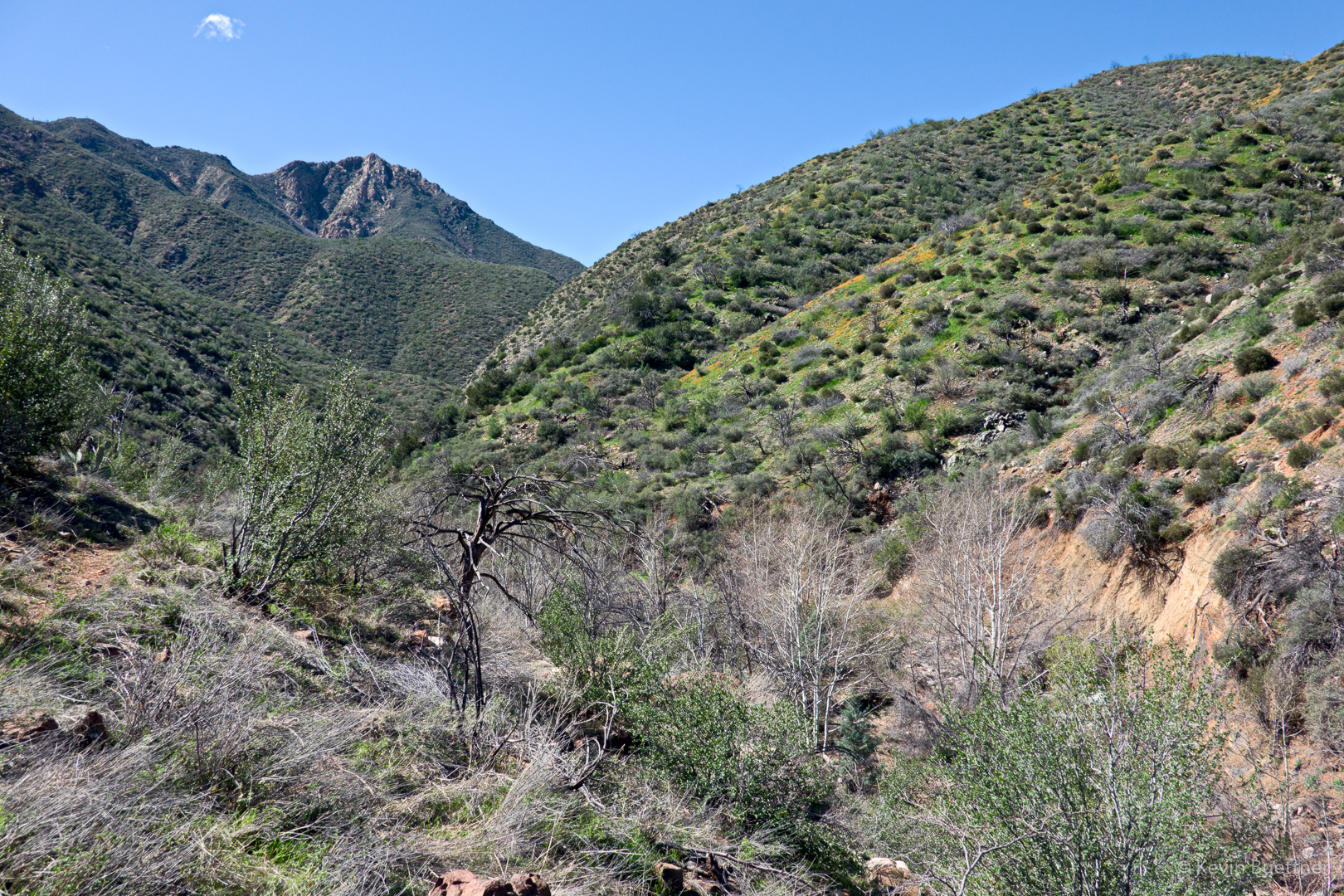
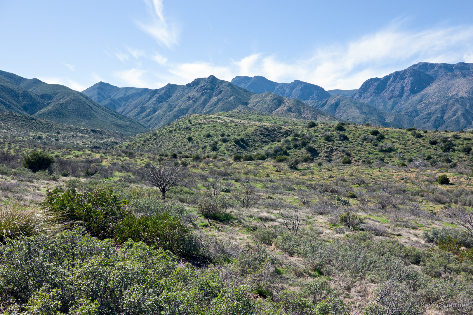
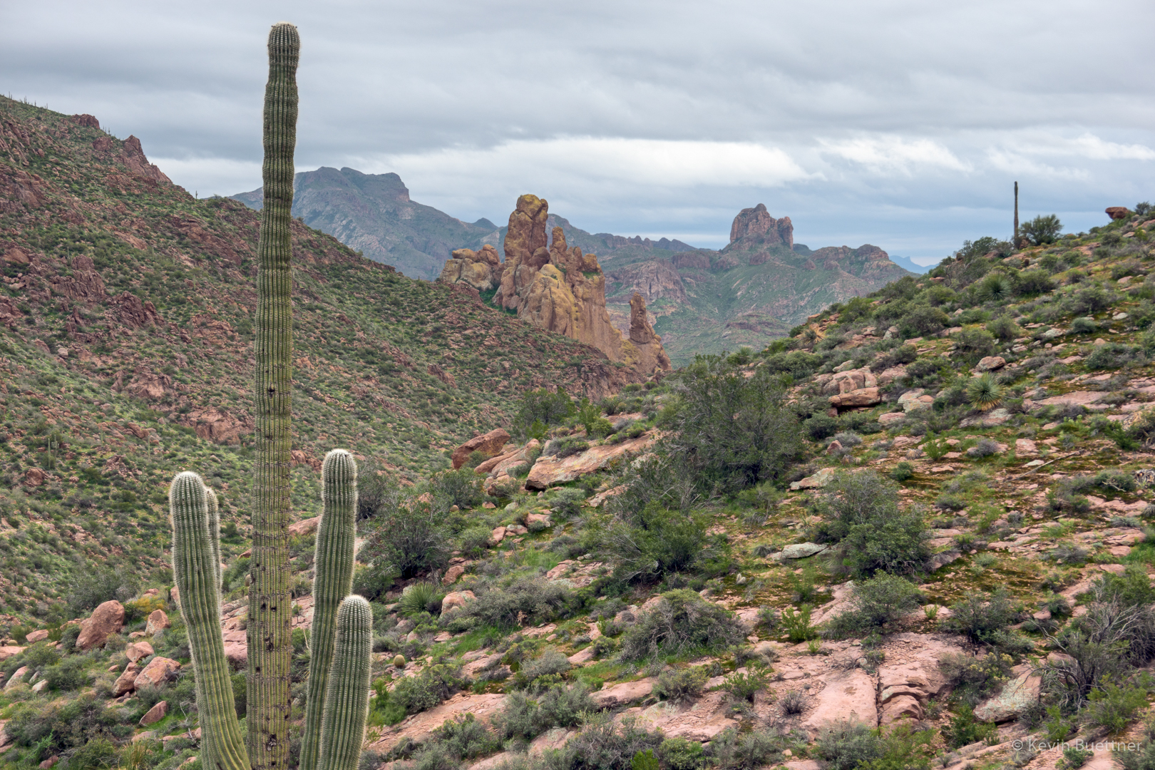
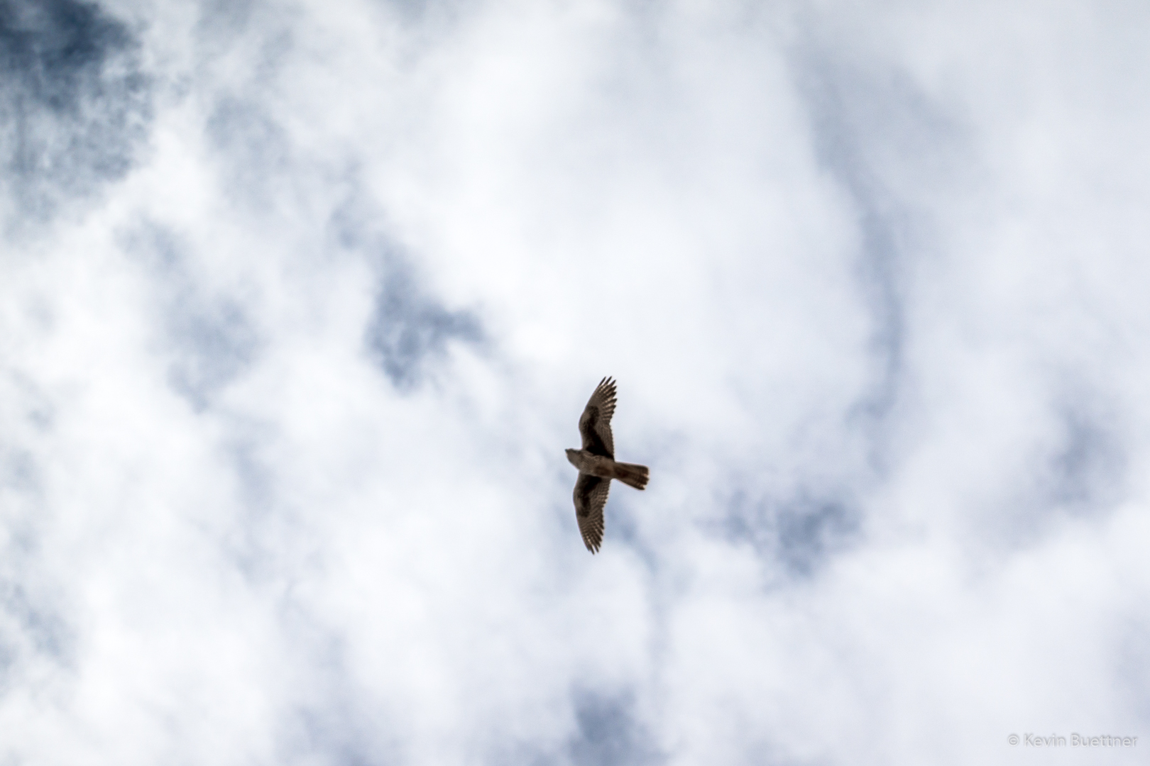
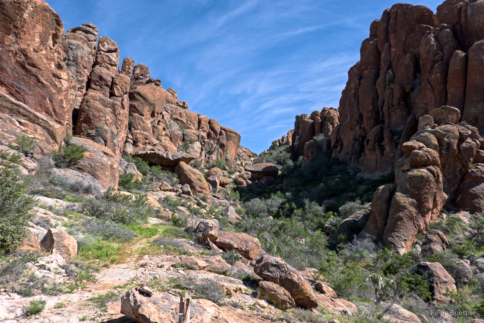
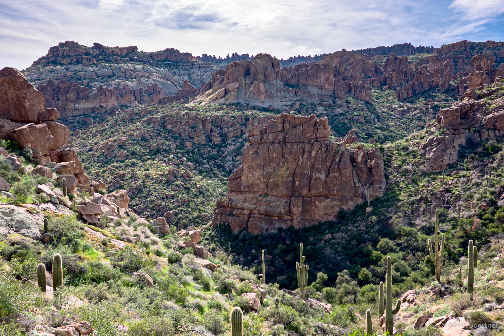
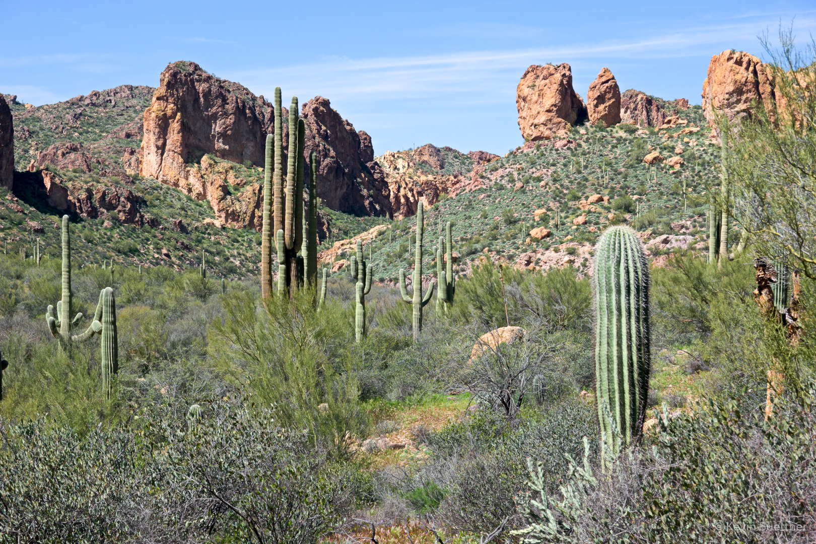
Looking up La Barge Canyon.  We noticed a large bird overhead and I quickly snapped a couple of shots.  I was surprised that one of them turned out.

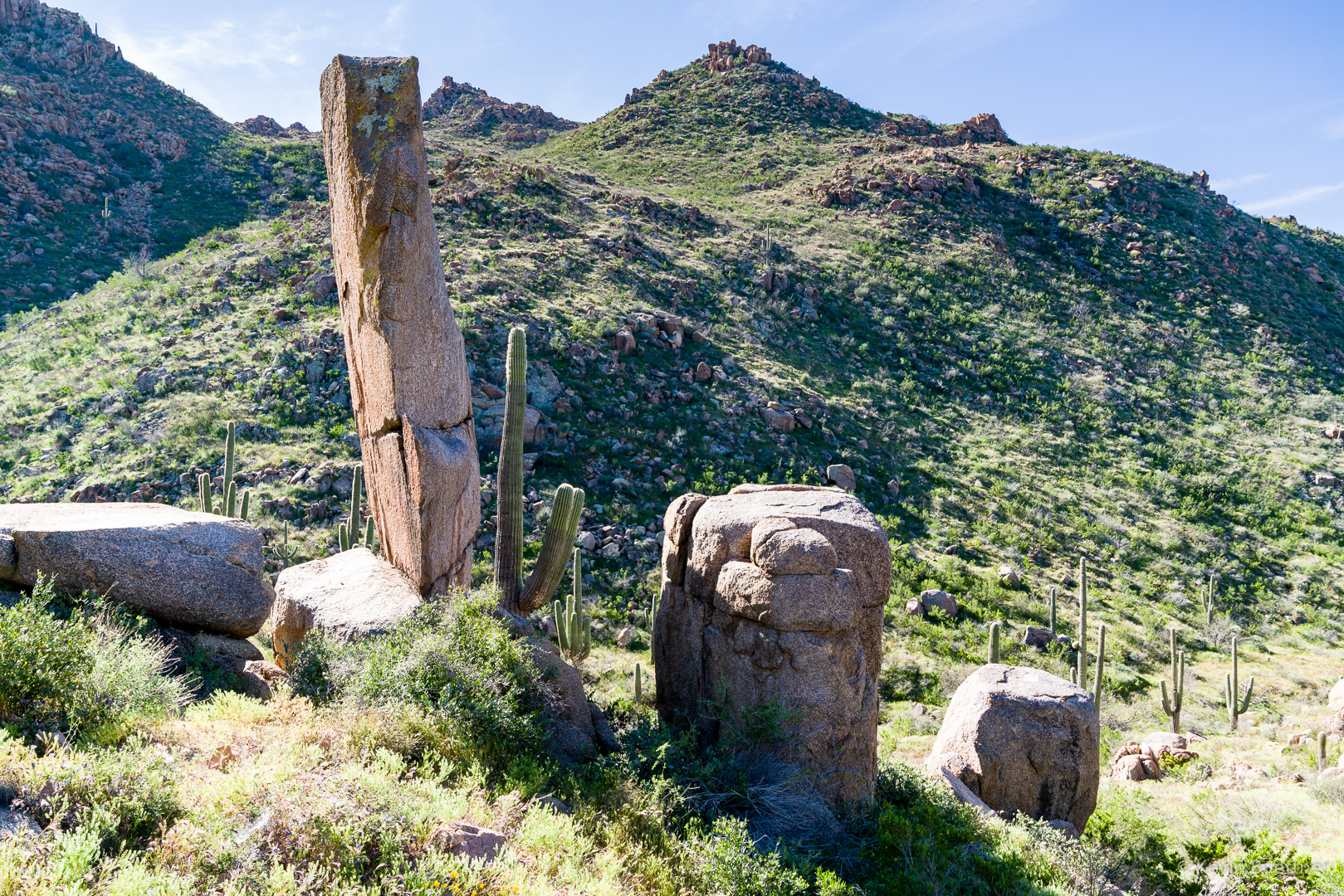
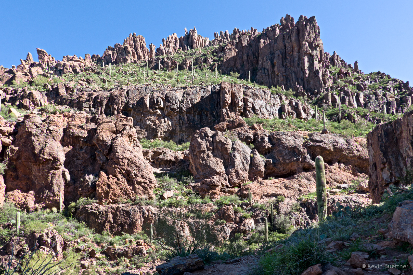
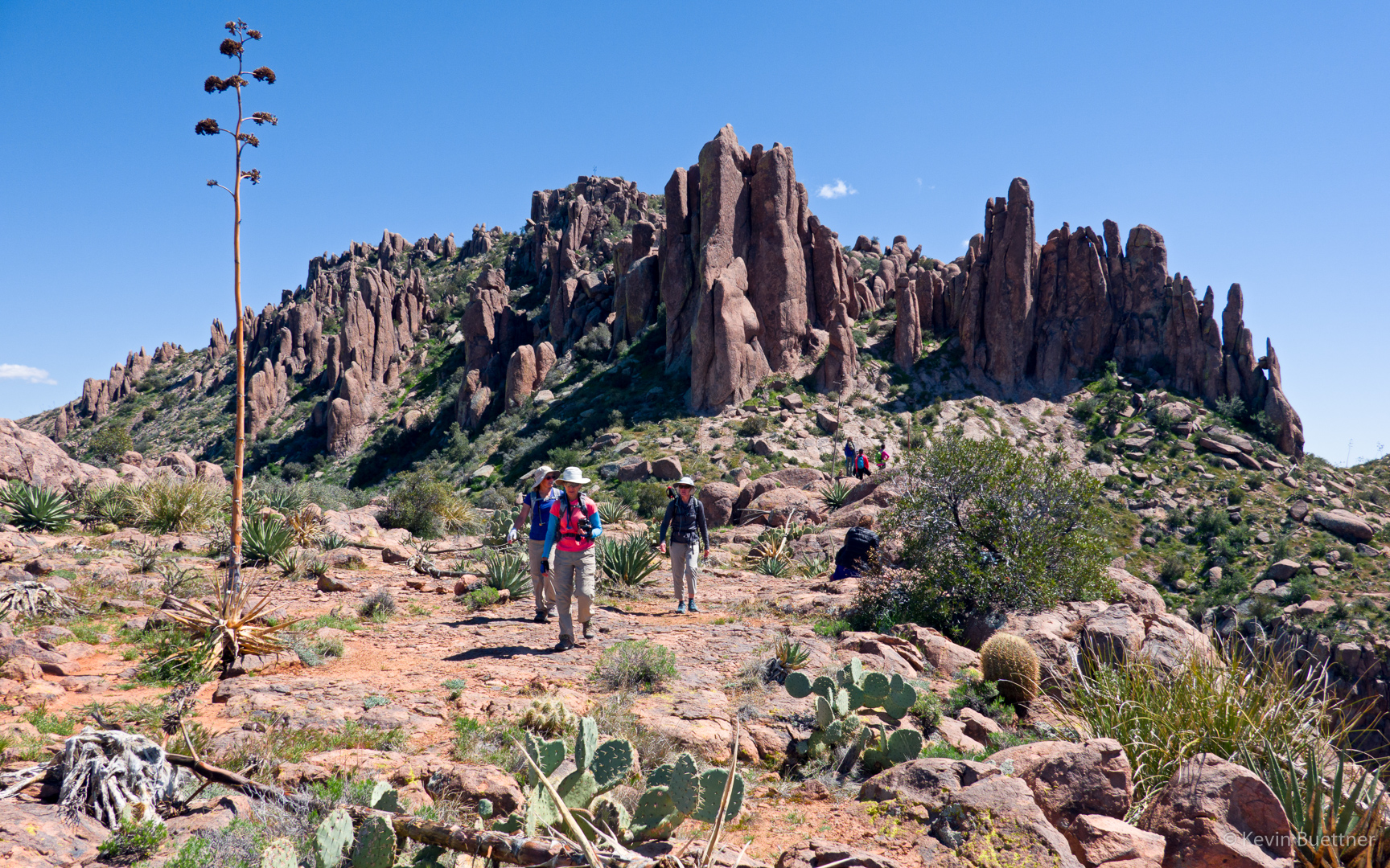
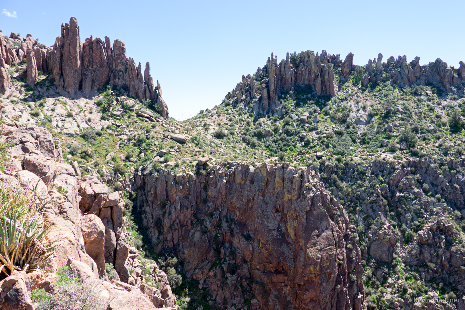
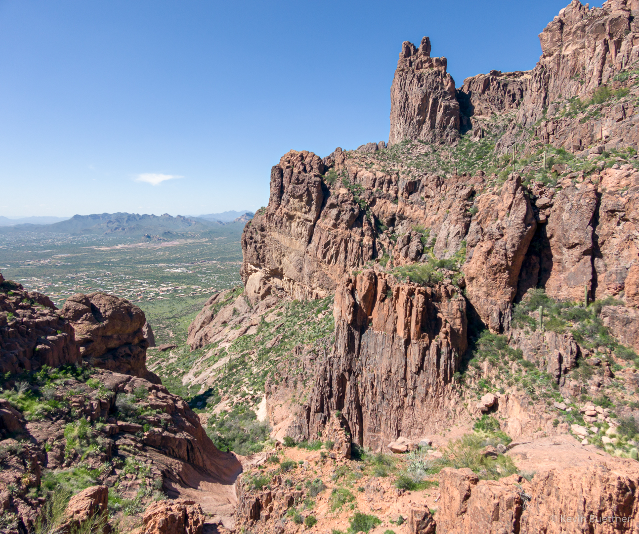
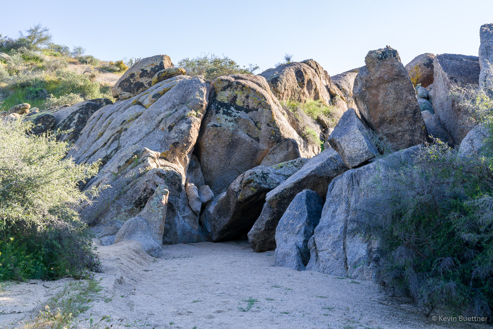
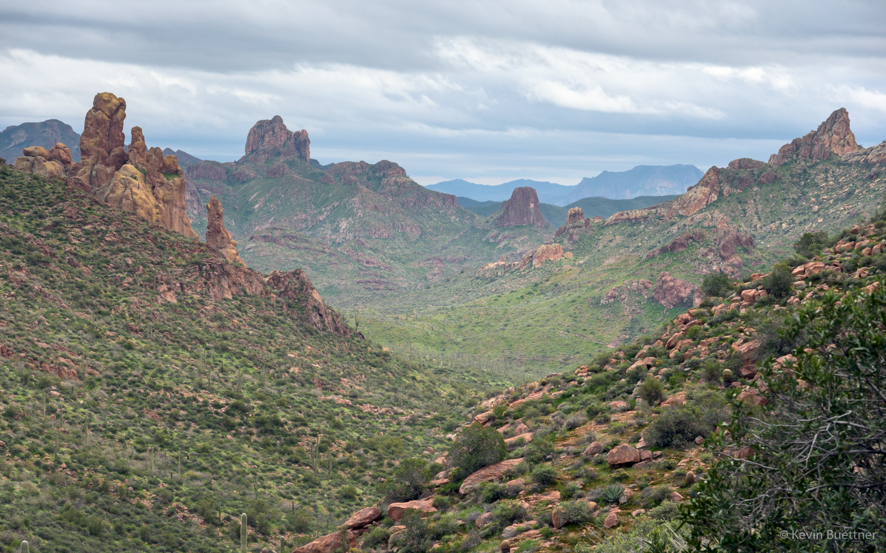
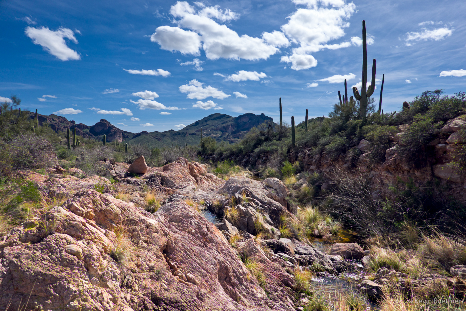
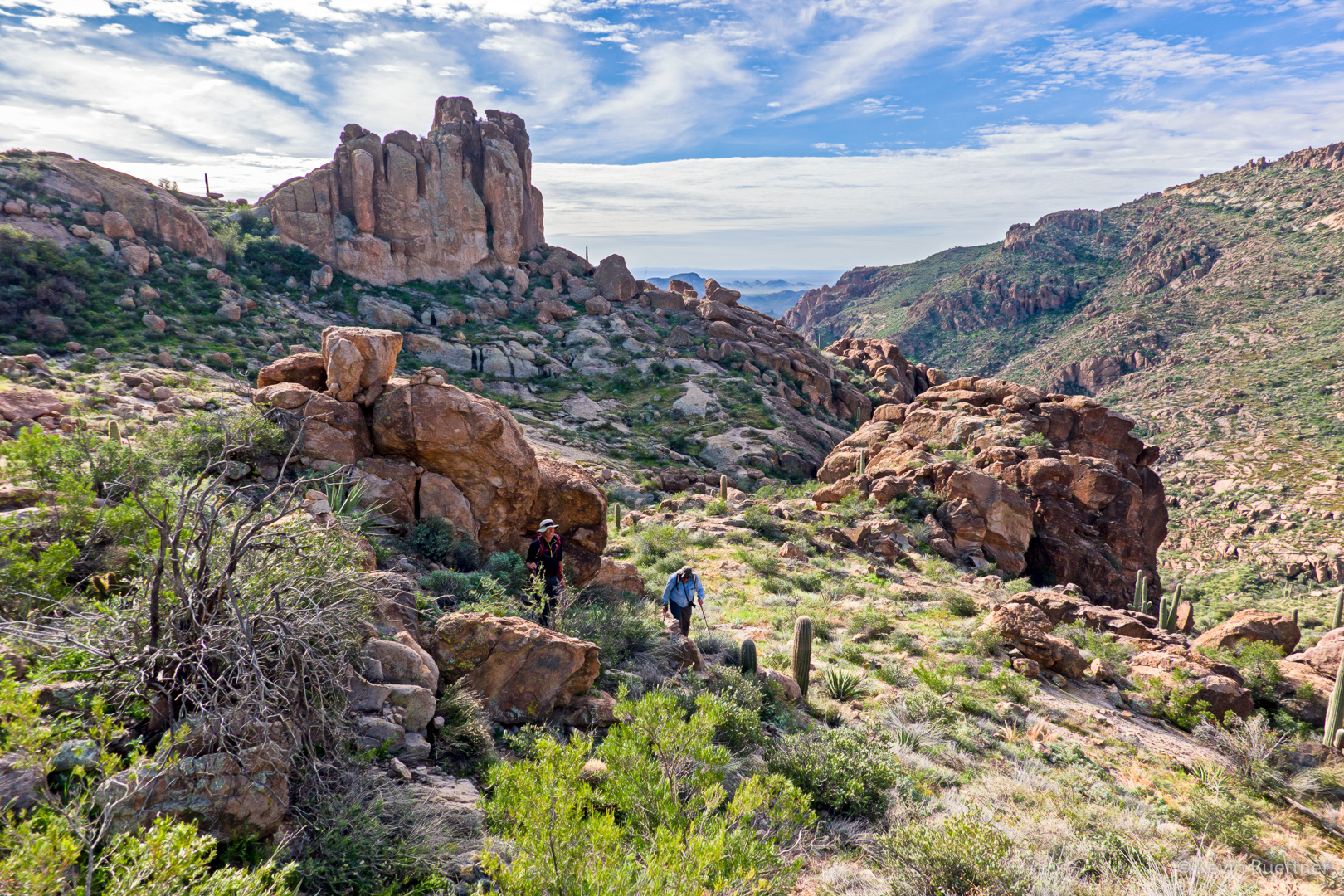
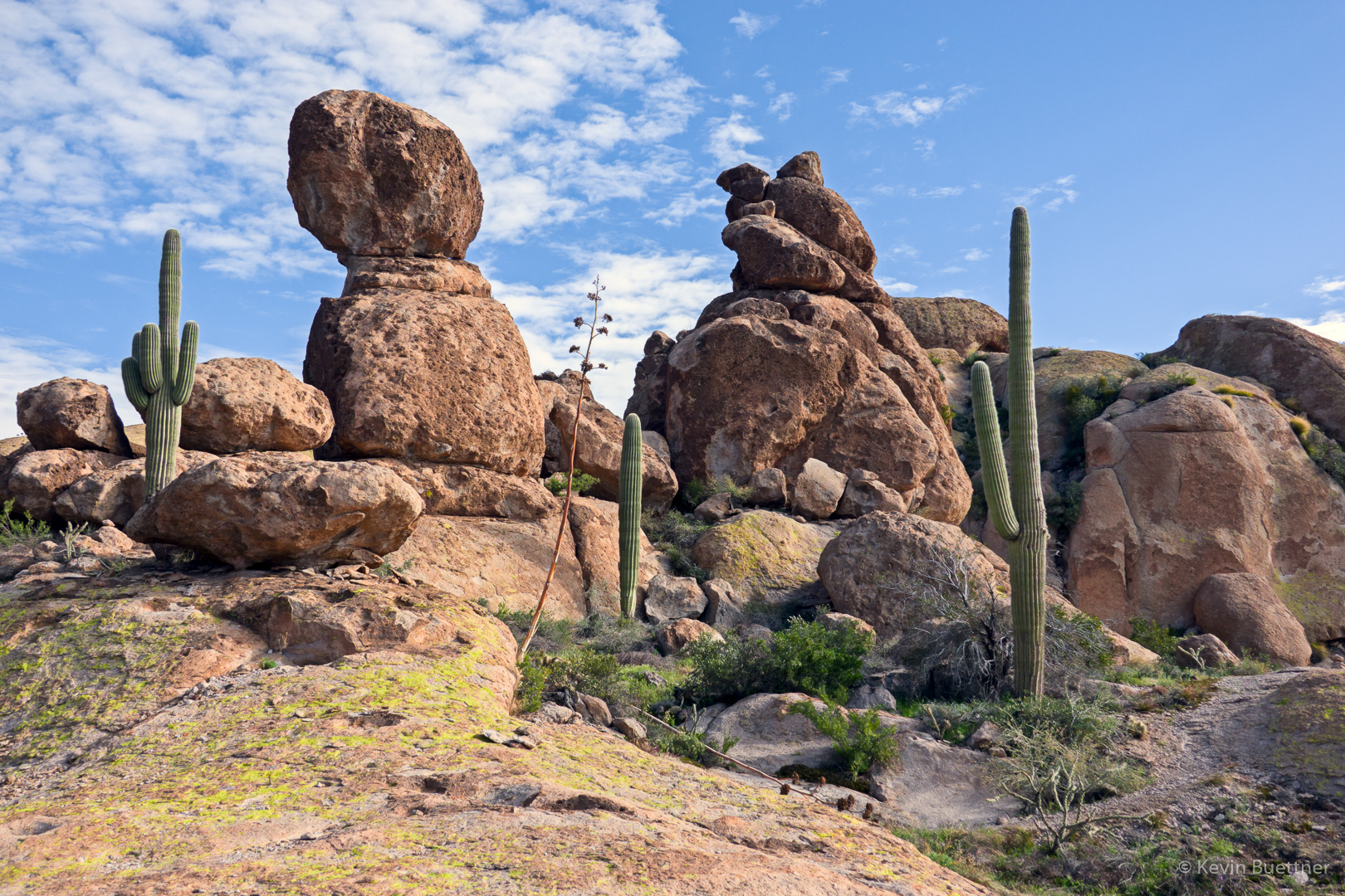
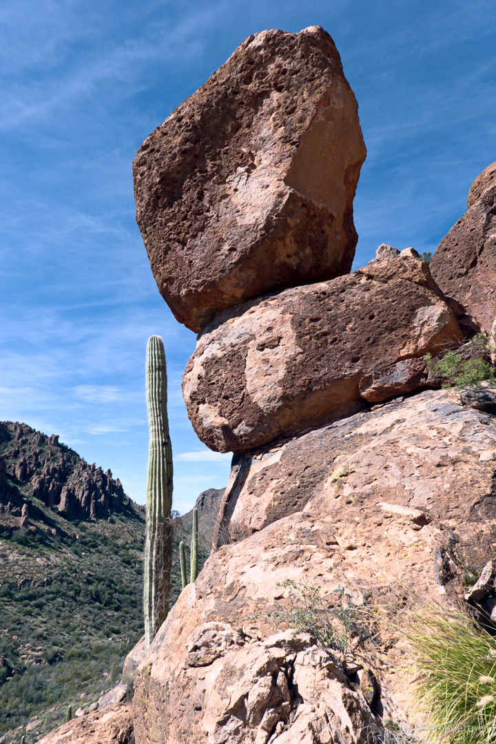
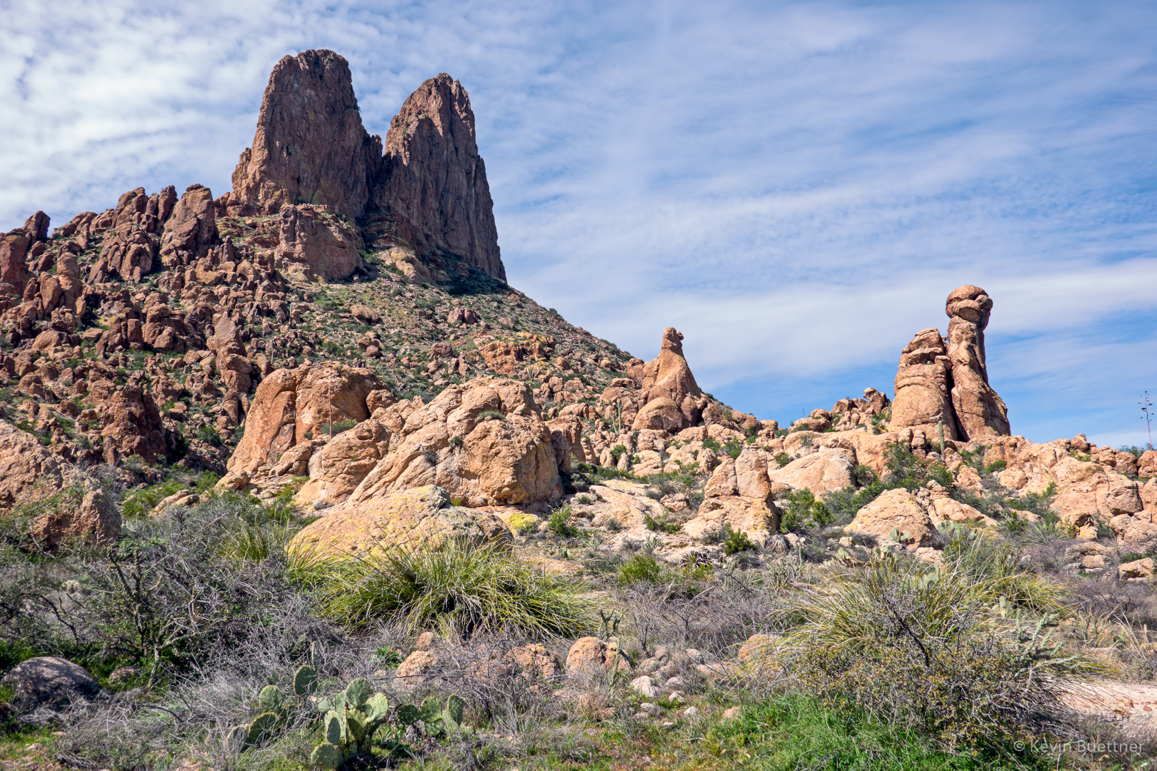
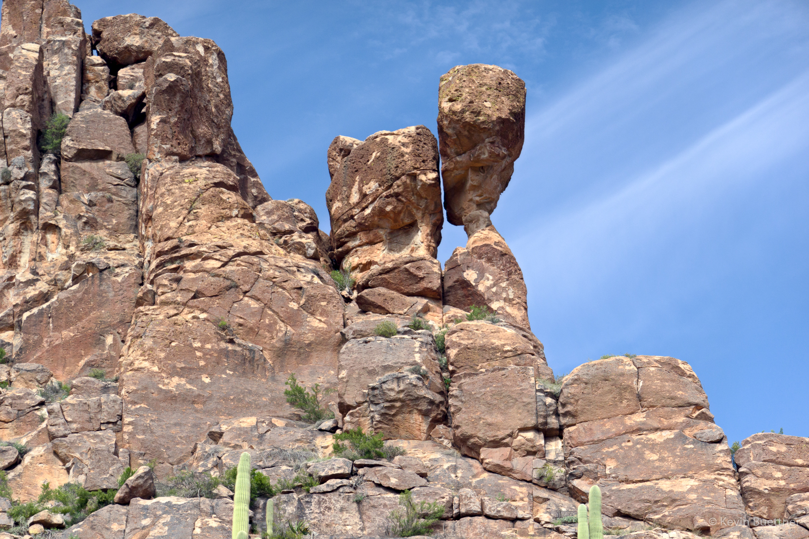
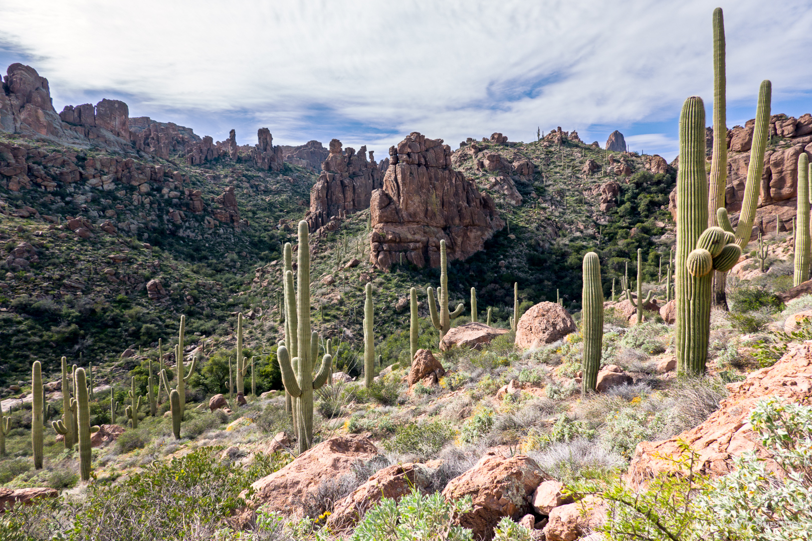
There are other rock formations along the way that aren’t Battleship Mountain…

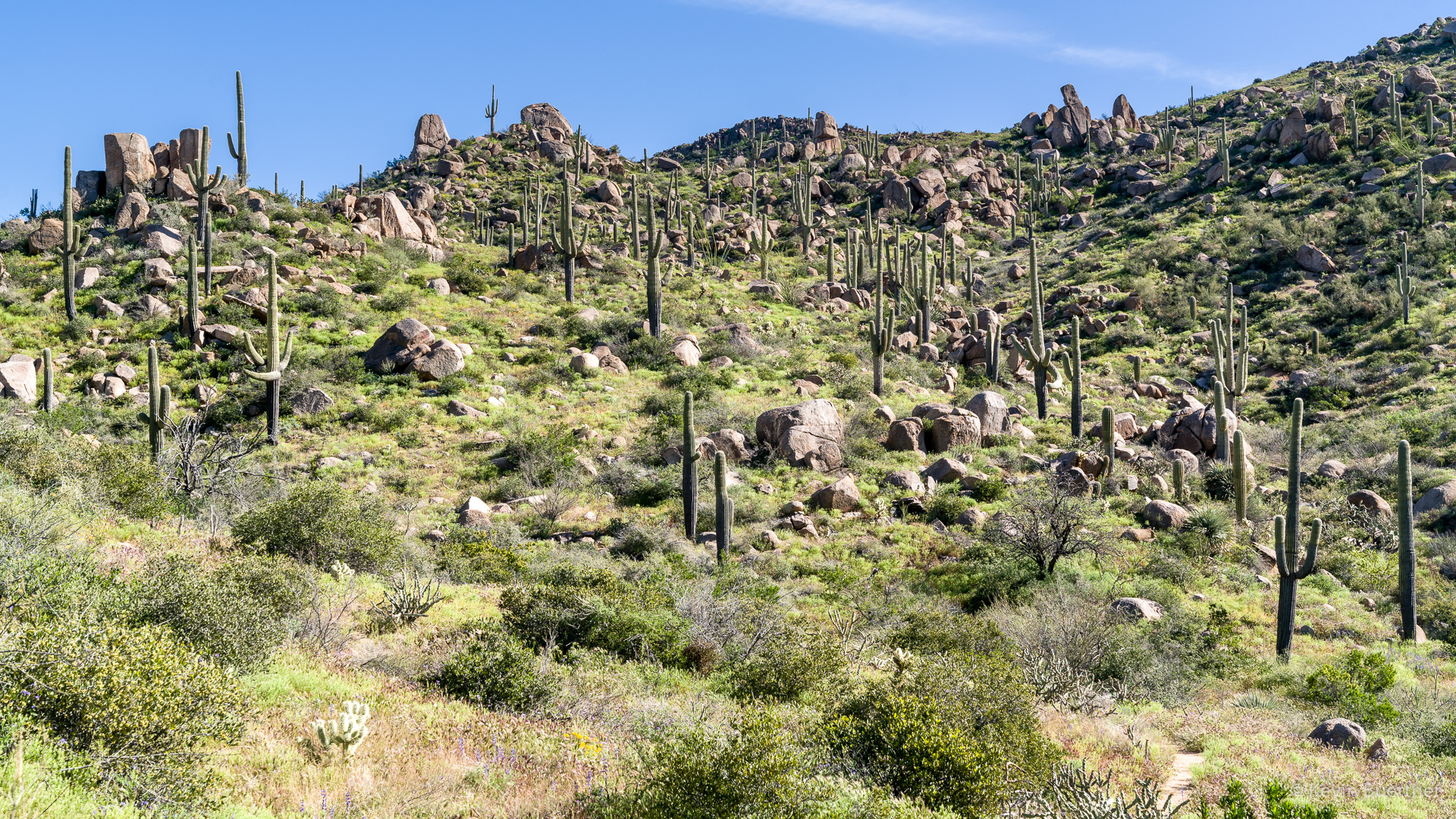
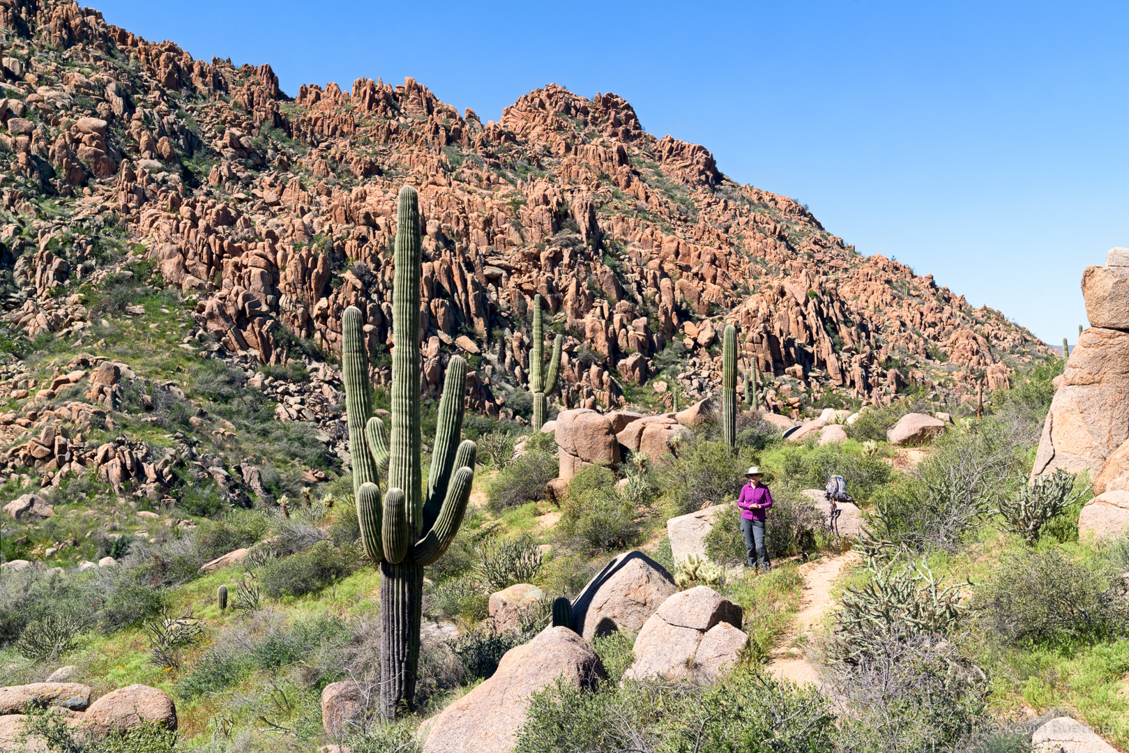
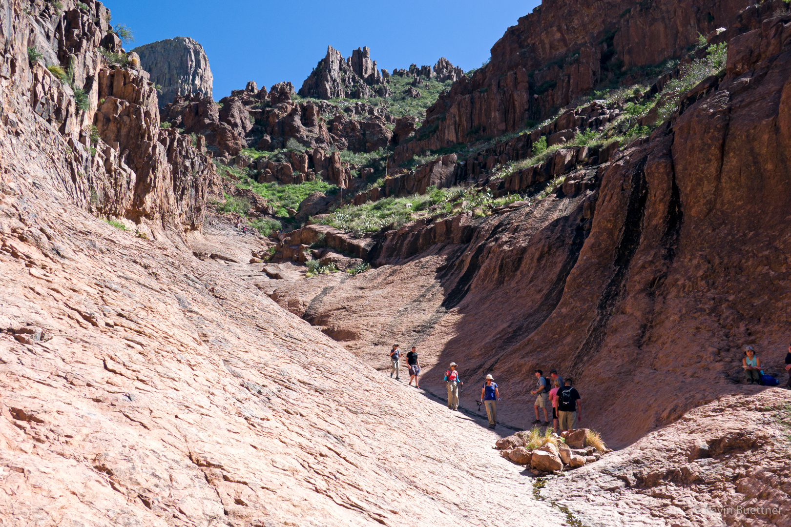
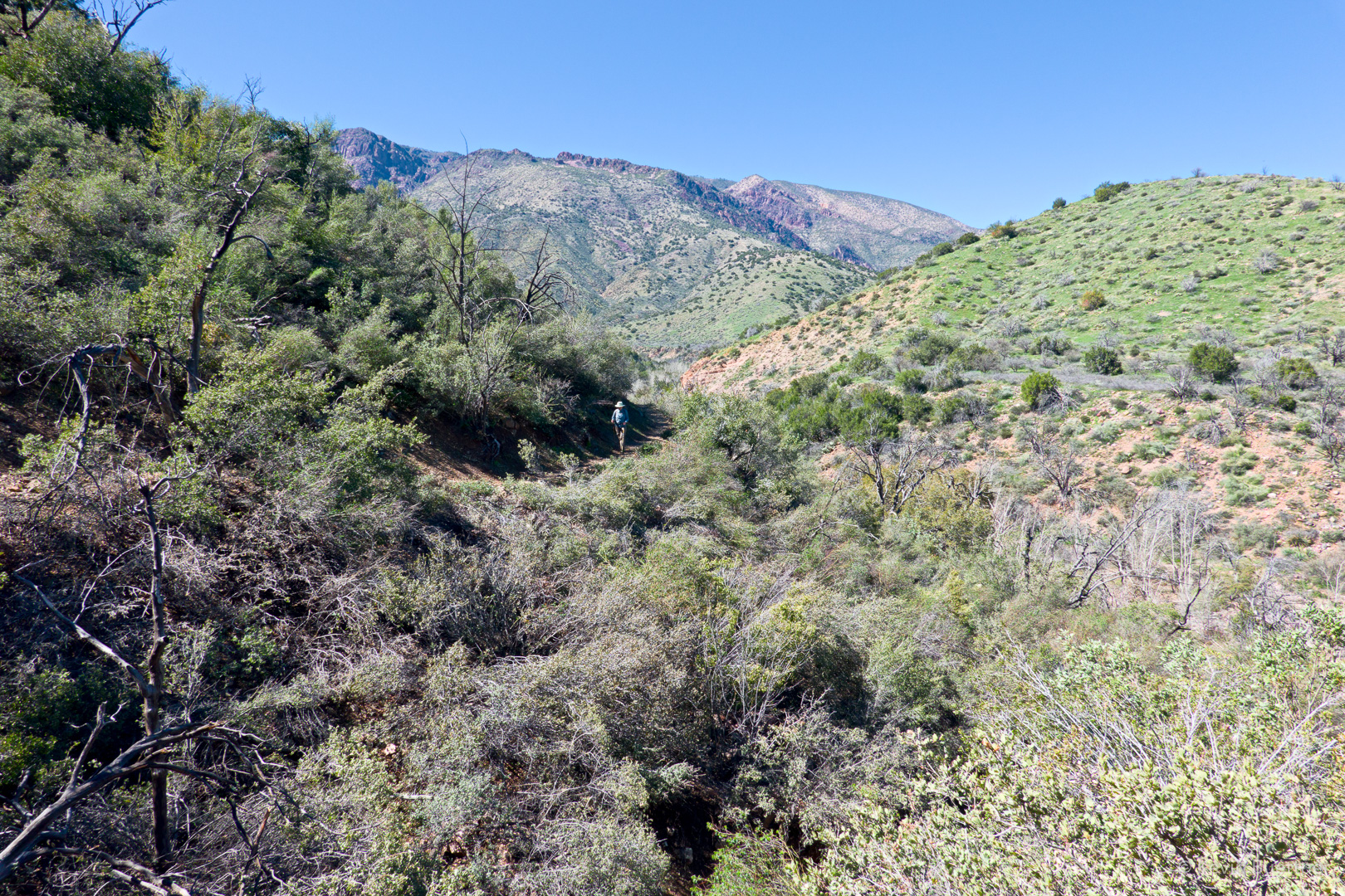
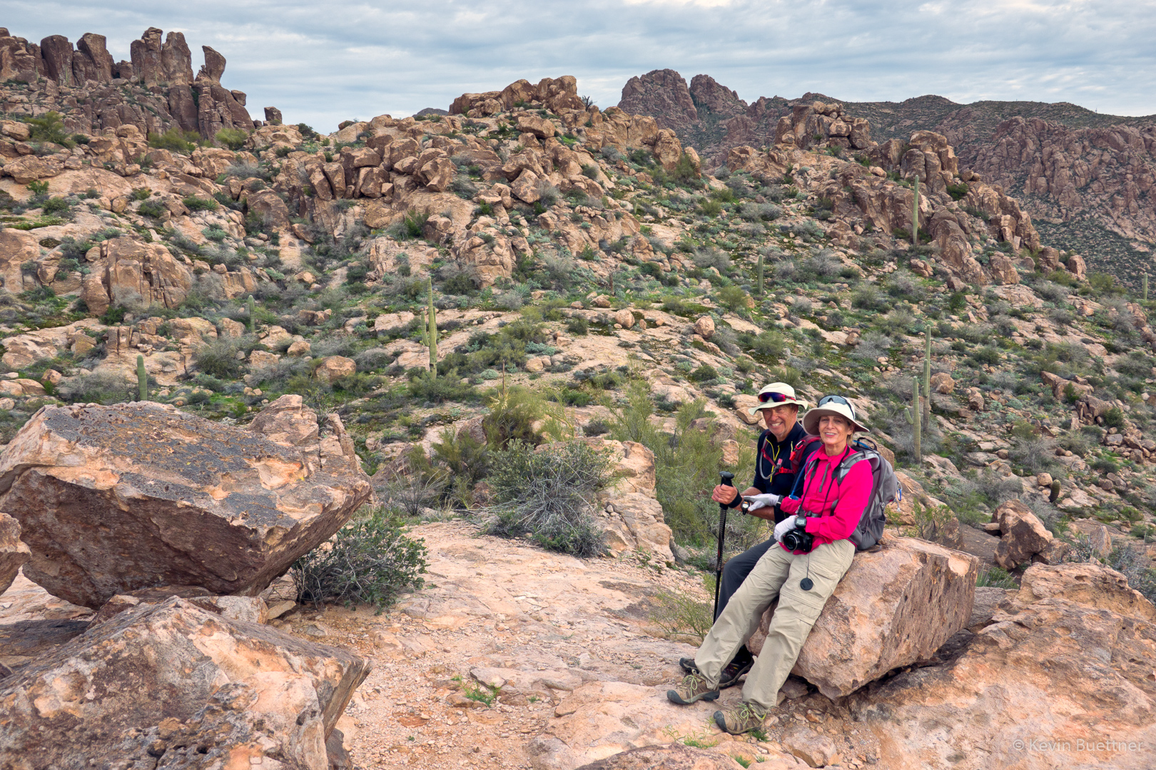
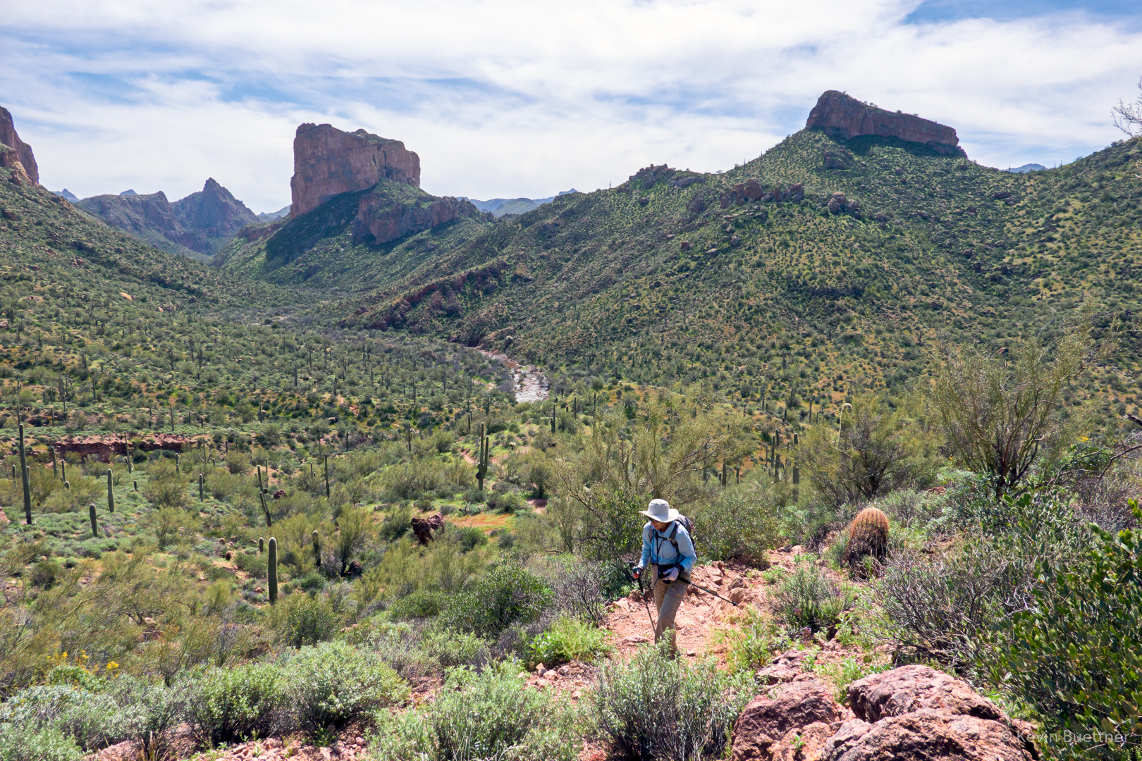
Marilyn, hiking back up the long hill from La Barge Creek:

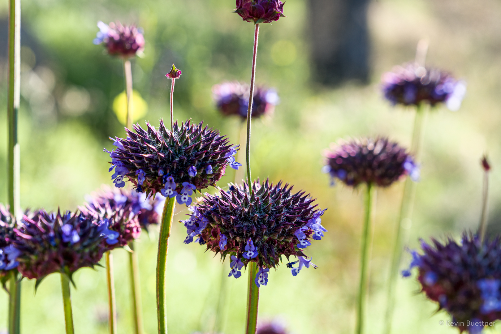
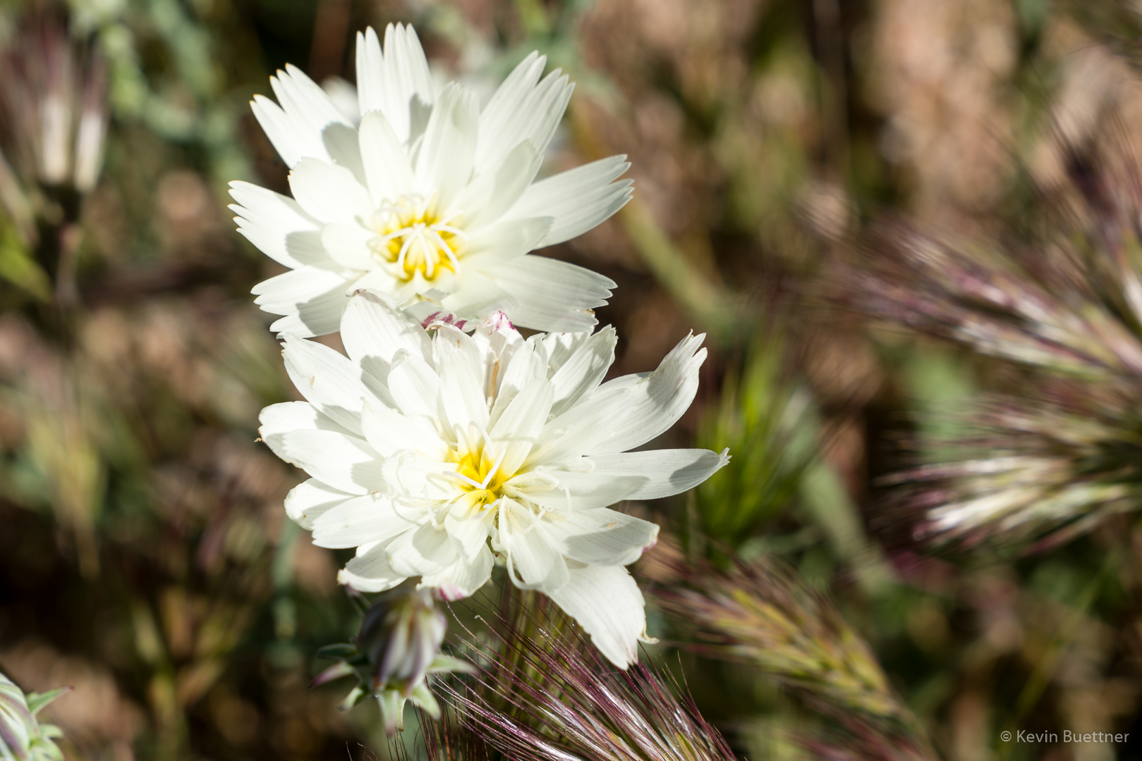
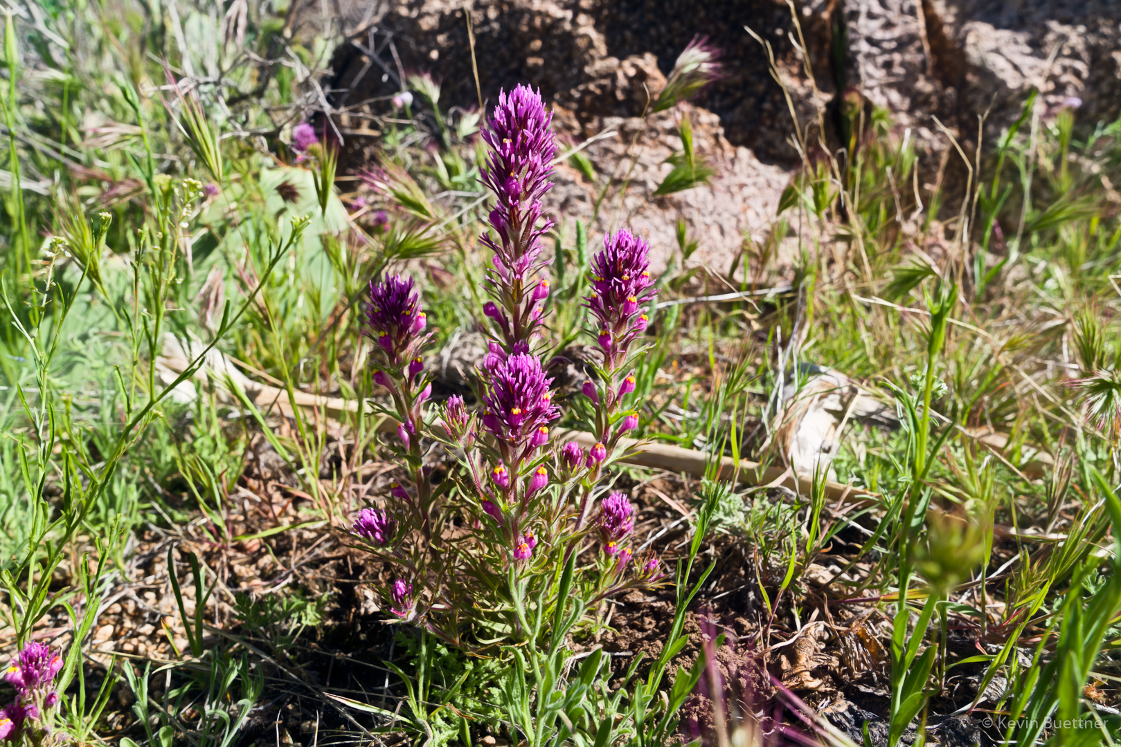
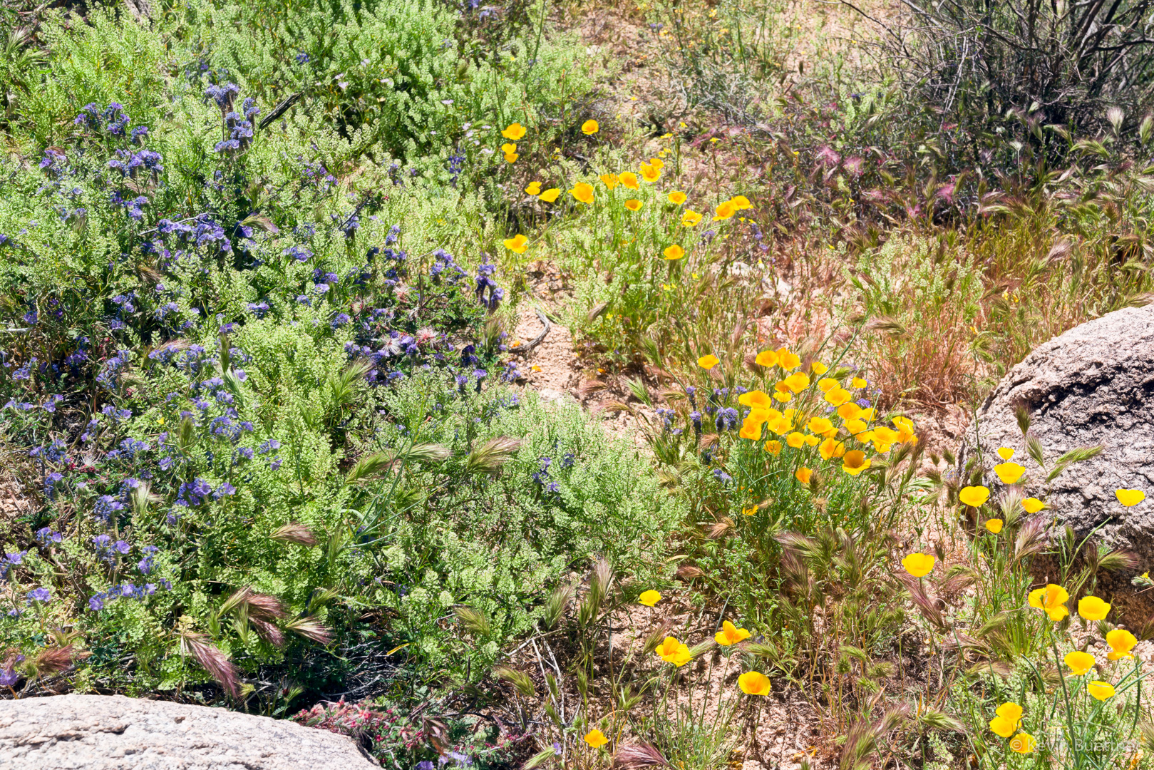
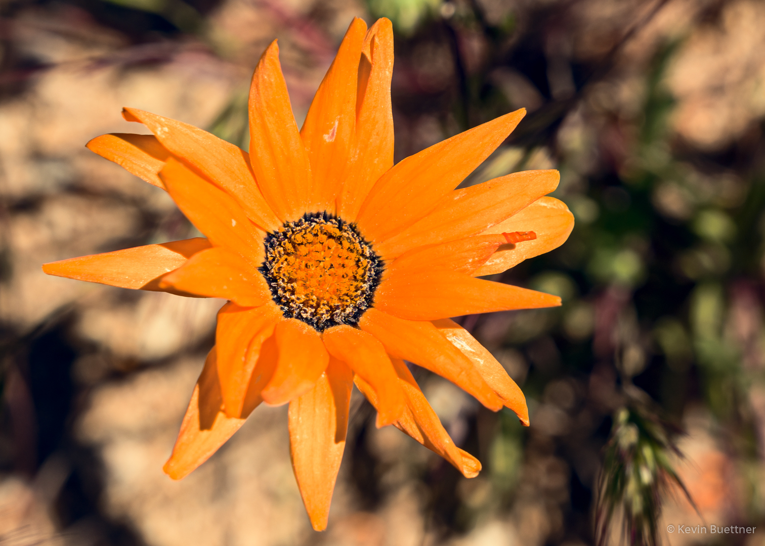
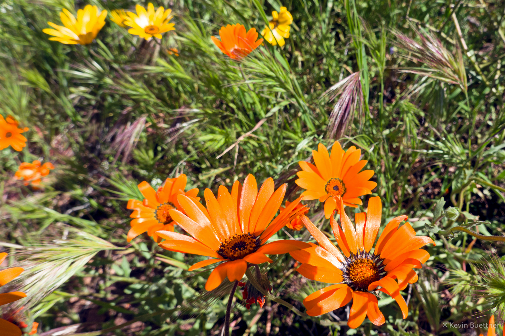
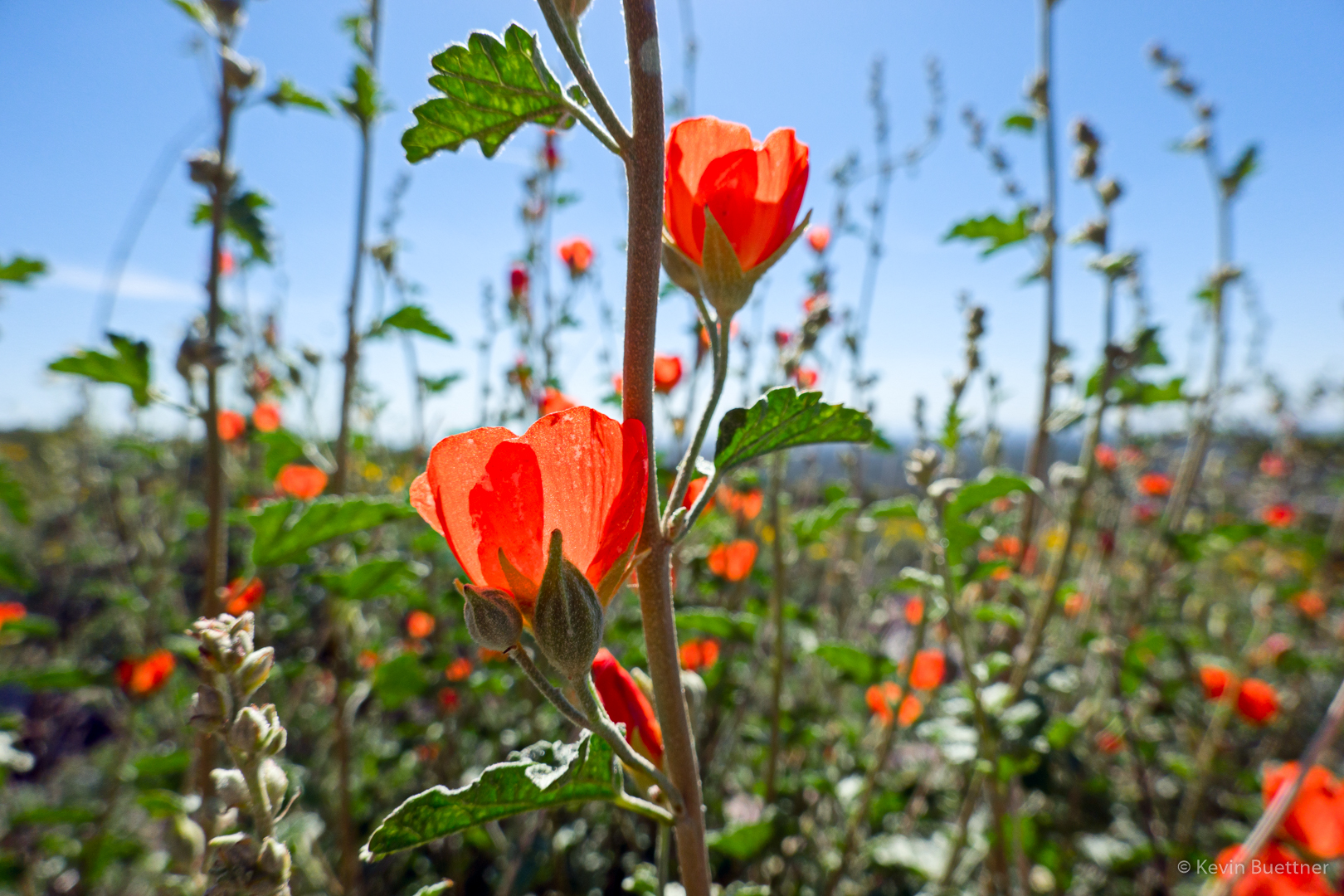
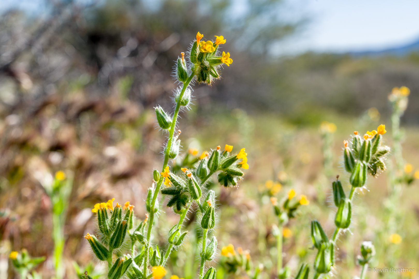
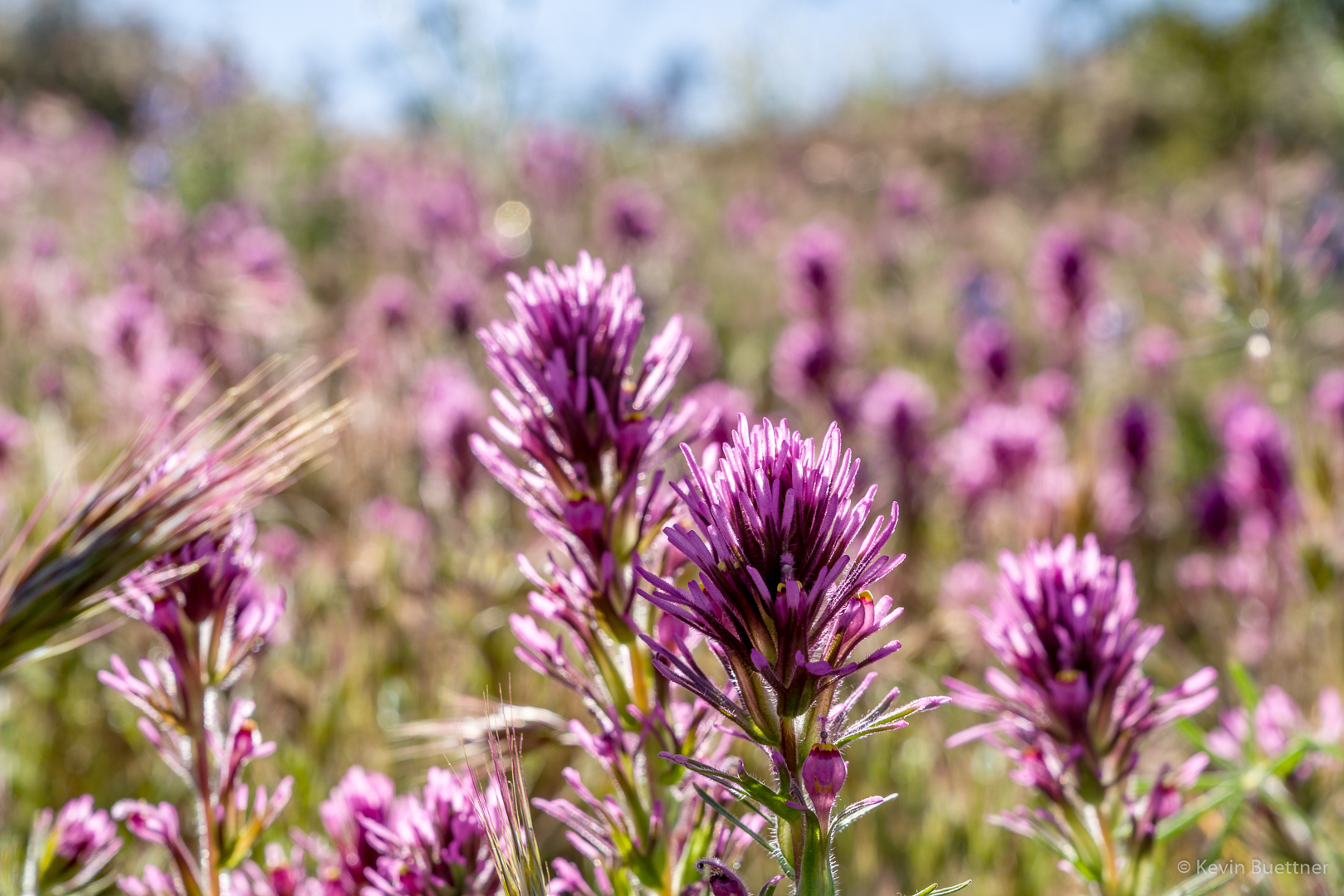
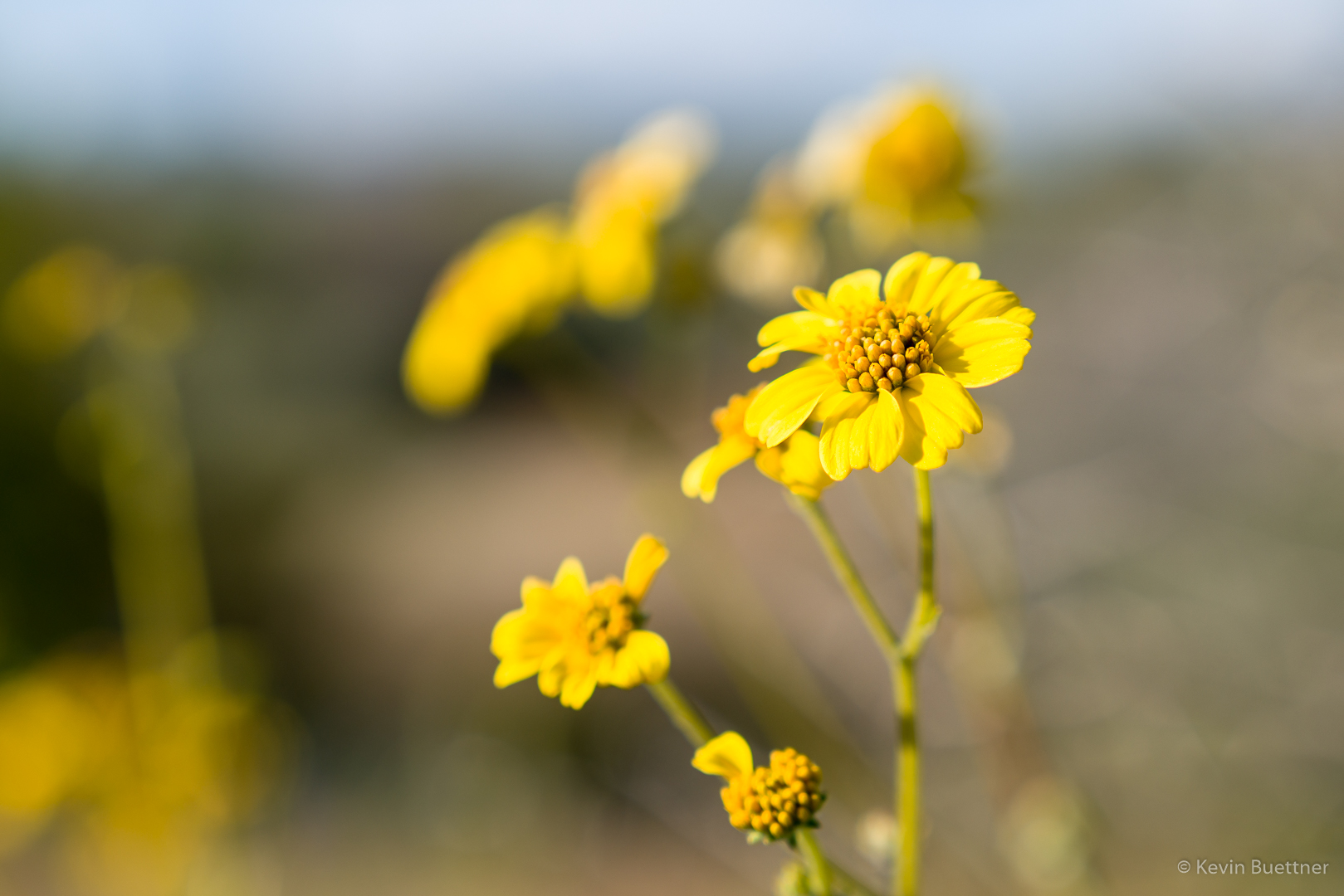
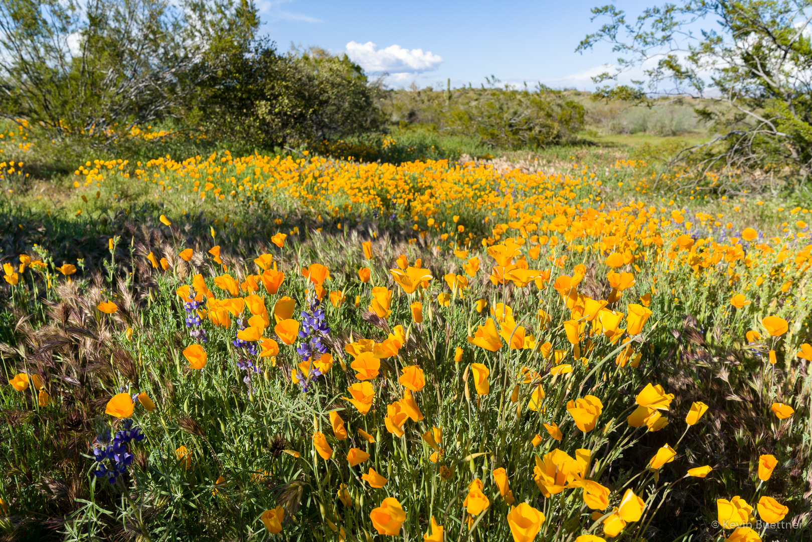
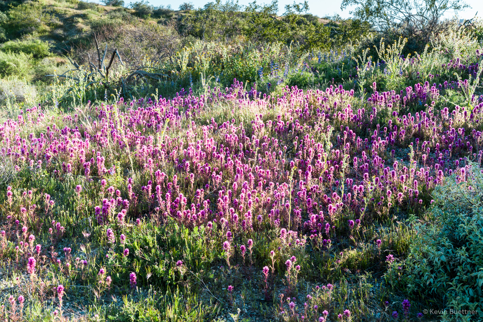
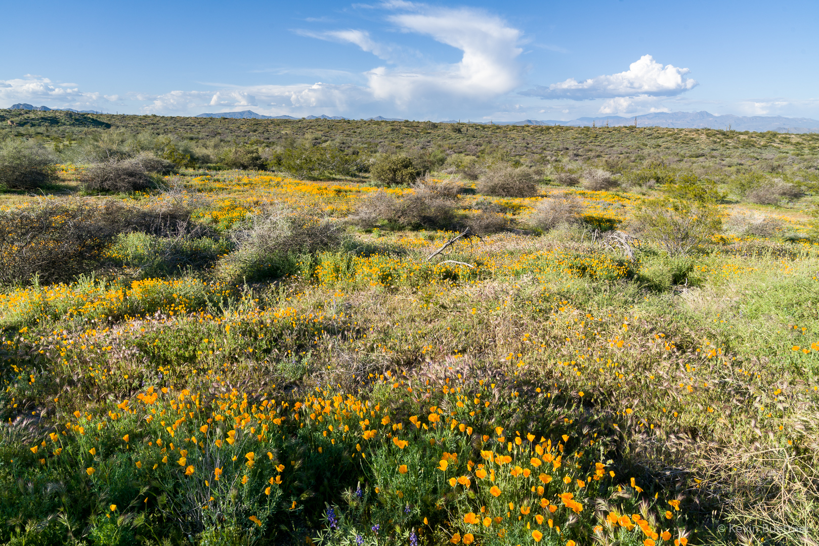
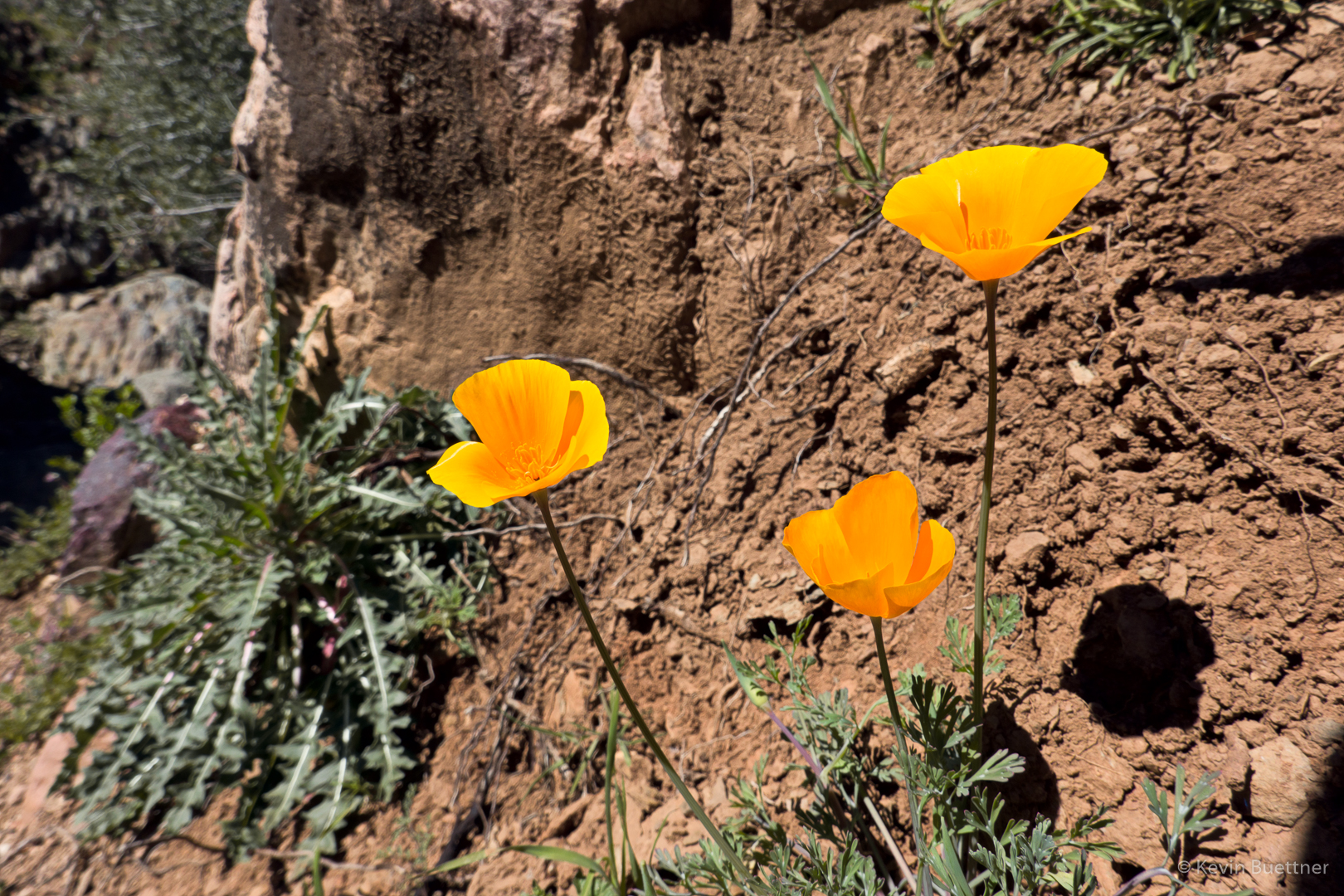
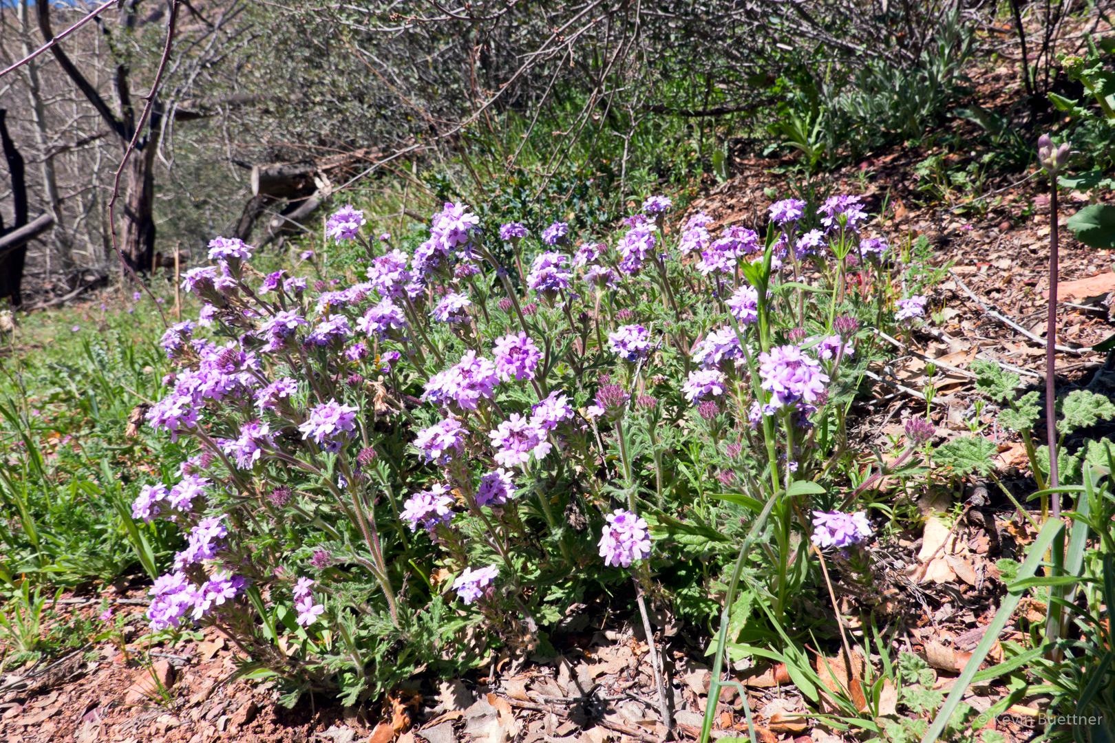
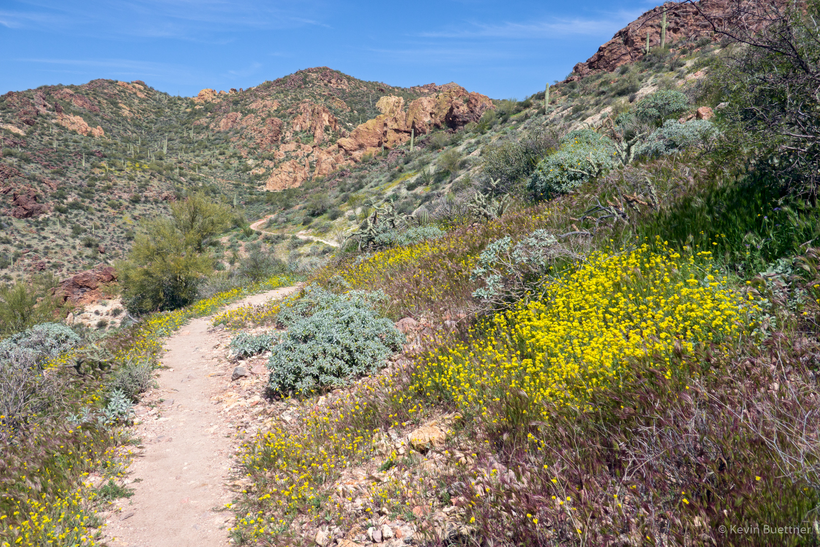
The flowers had opened up for our hike back:

Another view of Canyon Lake:

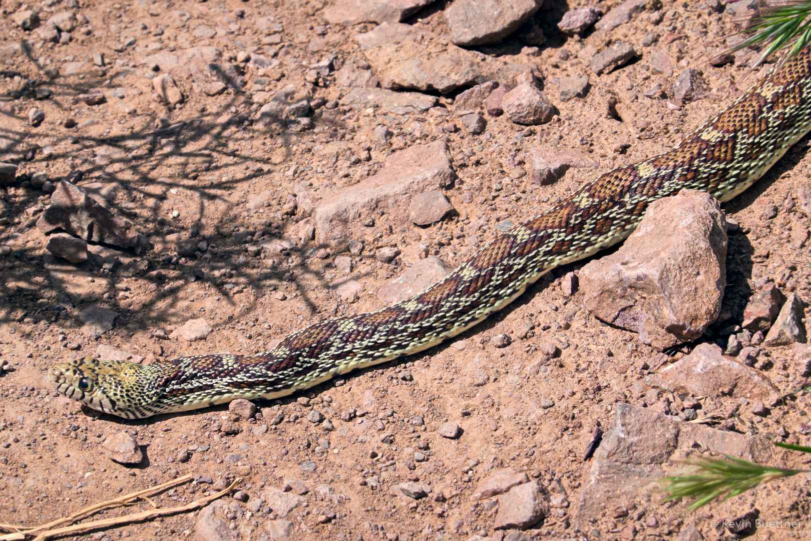
Had I taken a couple more steps, I would have stepped on this snake! I’m guessing it’s a type of gopher snake. It’s definitely not a rattler.

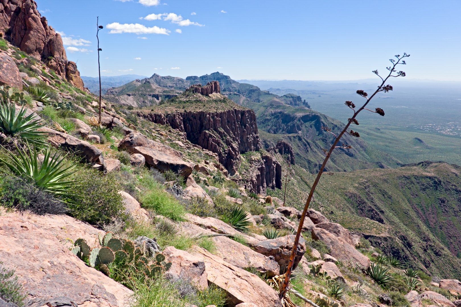
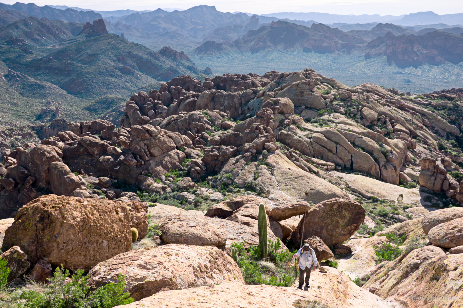
A view of Battleship Mountain and Weaver’s Needle from (near) Frog Peak:

Sunday Hike – Deer Creek

Marilyn, Marilyn, Ben, Mike, Nick, and I hiked part of Deer Creek Trail #45 on Sunday.  We hiked nearly ten miles; Marilyn H and I were forced to turn around just before the five mile point after being stymied by a section of creek which didn’t have enough exposed rocks to allow for easy fording.

Deer Creek had the most water that I’ve ever seen in it.  It’s been mostly dry when I’ve seen it in the past.

At about the three mile point, we saw Davey Gowan’s grave. According to the accounts that I’ve read, he had a cabin elsewhere in the area, but was buried where he was found beside Deer Creek.

Friday Hike – Miner’s Needle Loop

For our hike on Friday, March 8, Sara, Marilyn, Ben, Marilyn, Mike, Nick, and I hiked the Miner’s Needle Loop in the Superstition Wilderness. Starting from Peralta Trailhead, we hiked the Dutchman Trail #104 and returned on Bluff Springs #235.  I took a brief detour on Whiskey Spring #238 while the others ate lunch.

Weaver’s Needle seen from the Whiskey Springs Trail.

From this vantage point on the Whiskey Springs Trail, I was able to see both Miner’s Needle, below, and Weaver’s Needle, above.

Sara, Marilyn, Nick, Ben, Mike, and Marilyn:

Sunday Hike – Lower Barks Canyon Loop

Marilyn, Nick, and I hiked the Barks Canyon Lower Loop.  Starting from the Peralta Trailhead, the route is to take Bluff Springs #235, then turn south at the first intersection with Barks Canyon. The Dutchman Trail #104 is used to return to the trailhead. Total distance is only about 4 miles.  It took us about five hours to hike it though since we were in water much of the time while in Barks Canyon.


Friday Hike – Cave Trail, Weaver’s Crosscut, and Bluff Springs

Ben, Marilyn, and Mike joined me for 9.6 mile hike in the Superstition Wilderness. Starting from Peralta Trailhead, we hiked Bluff Springs #235, Cave Trail #233, Peralta #102, part of Weaver’s Needle Access, Weaver’s Needle Crosscut, Terrapin Trail #234, and Bluff Springs #235.

Our ascent of part of the Weaver’s Needle access was inadvertent. I wasn’t keeping an eye on the GPS track and we ended up hiking a fair way up the trail before realizing our mistake.  Even after returning to Weaver’s Needle Crosscut, we floundered around for a while before finding the path.  Weaver’s Needle Crosscut was still pretty steep – in fact some of it seemed more difficult that the part of the Weaver’s Needle access trail that we had done earlier.

We had hoped to hike Lower Barks Canyon for the finish, but it was wet and we were all pretty tired at that point.

A view of Peralta Canyon from the Bluff Springs Trail:

Ben and Marilyn take a break on the Cave Trail.

Ben and Mike on the Cave Trail:

Mike ascending the low ridge adjacent to the Devil’s Slide, to the right.  When I’ve hiked this in the past, in the opposite direction, we went down the slide, but it was wet on Friday; that low ridge looked safer.

Another view from the Cave Trail. (The Cave Trail is pretty awesome.)

A view of Weaver’s Needle as we’re descending the Peralta Trail NNW of Fremont Saddle.

We’re either on the Weaver’s Needle Access Trail or the Crosscut Trail at this point.

This was one of the easier sections of the Weaver’s Needle Crosscut Trail. The Crosscut Trail had less bushwhacking that I expected, but was somewhat more strenuous than I expected. It was still fun though!

A view of Weaver’s Needle from the Weaver’s Needle Crosscut Trail.  We are nearing the Terrapin Trail at this point.

A pair of hikers that we met on the Crosscut Trail told us about this large balanced rock.  The portion on top is at least as large as a bus. However, due to it’s closeness to the rock on the left, you might not even notice it as you hike the Terrapin Trail. I think it’s likely that we would have missed it had we not known about it ahead of time. There was perhaps a 15-20 foot section of trail where you could stand and see a distinct gap between the balanced rock on the right and the neighboring rock on the left.

I think we were on Bluff Springs at this point.

Another view of Weaver’s Needle:

Later afternoon on the Bluff Springs Trail: