Tag: Mazatzal Wilderness (page 3 of 3)

Barnhardt Trail Hike

Bob, Nick, Marilyn, and I hiked five miles out (and five miles back) on the Barnhardt Trail on Sunday. Total ascent was over 2,000 feet.

We heard, and then saw, an Arizona Black Rattlesnake. I had never seen this type of rattlesnake before.

20141026-_DSC4104-Edit-medium-2

I think this might be fleabane:

20141026-_DSC4194-Edit-medium-2

20141026-_DSC9413_3_4_4-Edit-medium-2

20141026-_DSC9452-Edit-medium-2

20141026-_DSC9481-Edit-medium-2

20141026-_DSC9508-Edit-medium-2

A view of the waterfall; only a small trickle of water was flowing through it on our visit.

20141026-_DSC9647-Edit-medium-2

Just outside of the alcove leading into the waterfall:

20141026-_DSC9681-Edit-medium-2

A dead tree – one of many – a short ways up the trail from the waterfall:

20141026-_DSC9700-Edit-medium-2

Bob scouted ahead while I was taking shots of the waterfall with my tripod. He recommended this shot of the pincushion (mammillaria) cacti.

20141026-_DSC9763-Edit-medium-2

This shot was taken near the intersection with the Sandy Saddle Trail.20141026-_DSC9799-Edit-medium-2

This panorama was constructed from 33 separate exposures. Eleven three shot brackets were processed individually to form eleven exposure merged files. These eleven files were edited in Lightroom and then combined into a panorama in Photoshop.

20141026-_DSC9949_50_51-Edit-medium-2

20141026-_DSC0001-Edit-medium-2

20141026-_DSC0007-Edit-medium-2


Deer Creek

Marilyn and I hiked at Deer Creek on Sunday.

20140928-_DSC8083-Edit-medium-4 20140928-_DSC8110-Edit-Edit-medium 20140928-_DSC8152-Edit-medium 20140928-_DSC8156-Edit-medium-4 20140928-_DSC8224-Edit-Edit-medium-2 20140928-_DSC8245-Edit-Edit-medium-2 20140928-_DSC8260-Edit-Edit-medium-2

Little Saddle Mountain Trail

Bob, Marilyn, and I hiked the Little Saddle Mountain Trail on Sunday.  This was my second time hiking it after the Sunflower Fire of 2012.  Marilyn, Joe, and I had attempted to hike it roughly six months after the fire, but had difficulty due to the trail disappearing under new growth and washed out areas.  The Little Saddle Mountain Trail is now part of the Arizona Trail; it was in very good condition.

It was cool and hazy during most of our hike.  There were still wildflowers growing alongside the trail and in and around the creek.  The haze forced me to take more flower pictures than I might otherwise.

We made it all the way up the the Saddle Mountain Trail.  Distance from the Trailhead to the Saddle Mountain Trail was about 4.2 miles.  Bob and I hiked a short ways on the Saddle Mountain Trail, bringing our distance up to 4.5 miles for a 9 mile hike total.  Total ascent was just over 2200 feet according to my GPS.  (Bob’s GPS showed an additional 200 feet or so of ascent.)20140511-_DSC1662-Edit-medium 20140511-_DSC1668-Edit-medium 20140511-_DSC1689-Edit-medium 20140511-_DSC1704-Edit-medium 20140511-_DSC1710-Edit-medium 20140511-_DSC1713-Edit-medium 20140511-_DSC1722-Edit-medium 20140511-_DSC1728-Edit-medium 20140511-_DSC1792-Edit-medium 20140511-_DSC1803-Edit-medium 20140511-_DSC1826-Edit-medium 20140511-_DSC1892-Edit-medium 20140511-_DSC1901-Edit-medium 20140511-_DSC1913-Edit-medium 20140511-_DSC1919-Edit-medium 20140511-_DSC1946-Edit-medium 20140511-_DSC1949-Edit-medium 20140511-_DSC1979-Edit-medium 20140511-_DSC1997-Edit-medium 20140511-_DSC2003-Edit-medium 20140511-_DSC2009-Edit-medium 20140511-_DSC2024-Edit-medium 20140511-_DSC2030-Edit-medium 20140511-_DSC2045-Edit-medium 20140511-_DSC2102-Edit-medium 20140511-_DSC2117-Edit-medium 20140511-_DSC2123-Edit-medium 20140511-_DSC2126-Edit-medium 20140511-_DSC2138-Edit-medium 20140511-_DSC2150-Edit-medium 20140511-_DSC2153-Edit-medium 20140511-_DSC2156-Edit-medium

More Barnhardt “Snow and Ice” Photos from 2012

I took these photos about a year ago.  I wasn’t especially happy with the way the original edits turned out, so I decided to edit a few of them again.  Only one of these, the first one, is sort of an re-edit of one I had done earlier.  It’s not technically a re-edit, since I used a different set of exposures, but it looks very much like one of the photos I had originally posted.

20121223-DSC01843-Edit-medium 20121223-DSC01867-Edit-medium 20121223-DSC02011-Edit-medium

Friday Hike: Gold Ridge Trail

Friday’s hike was up (and then down) the Gold Ridge Trail.  We started at the Deer Creek Trailhead, hiked a short way on the Deer Creek Trail and then hiked up, and up, and up even more on the Gold Ridge Trail.  We split up into several groups for this hike.  Bob and I hiked 12.3 miles with a total ascent of just over 3,000 feet.

View hike-130315-goldridge-track.kml in a larger map

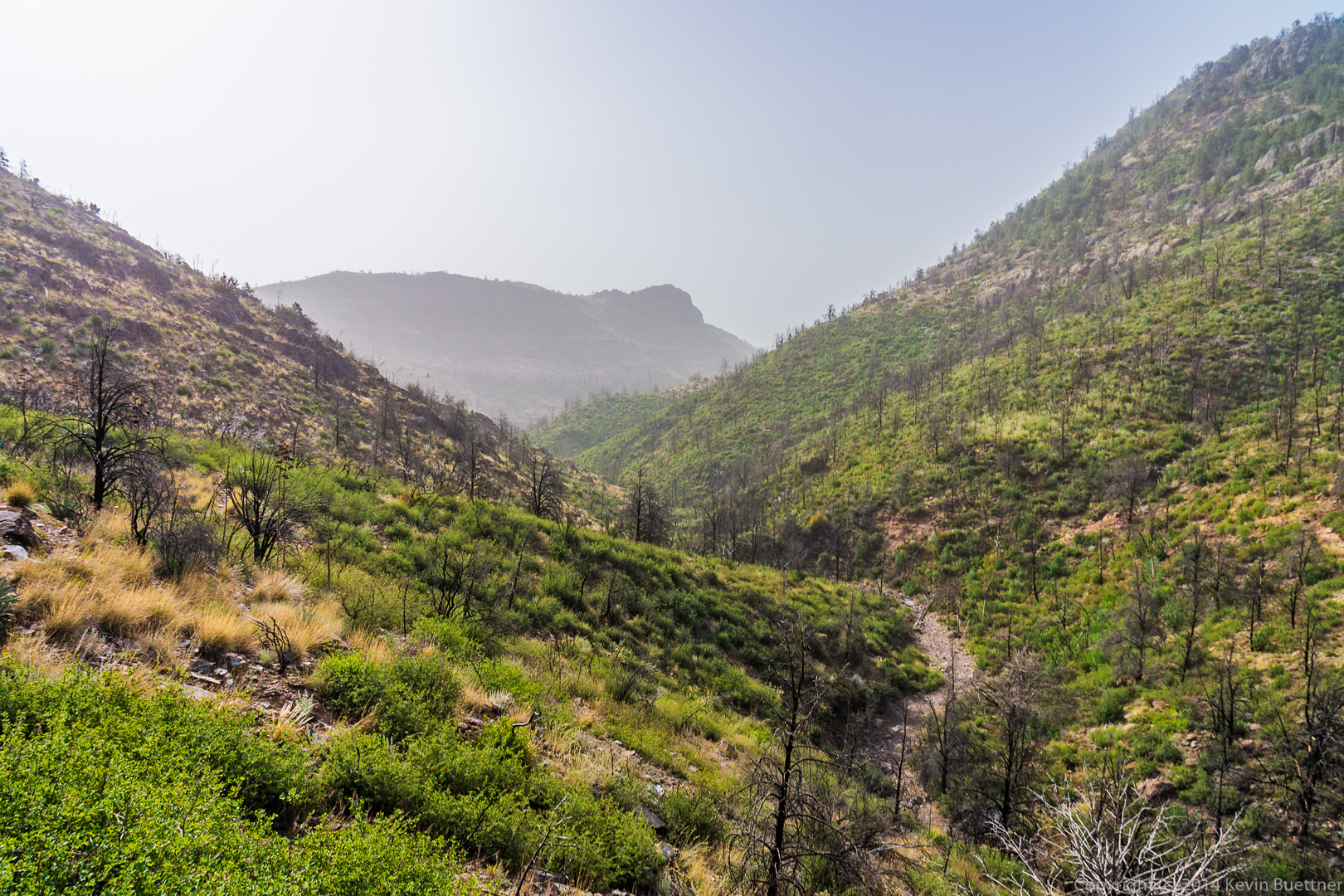
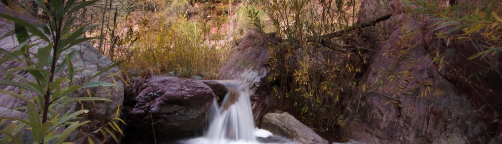
A look in the general direction of where we’d be going as seen from the Deer Creek Trail:

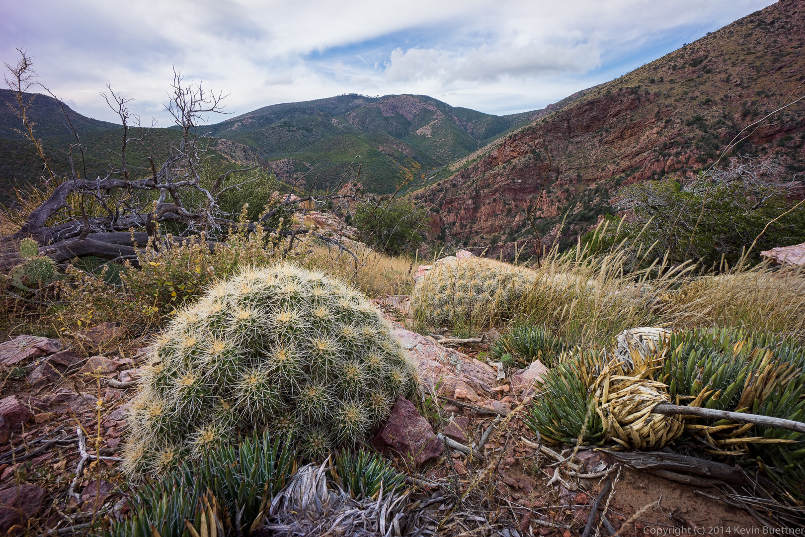
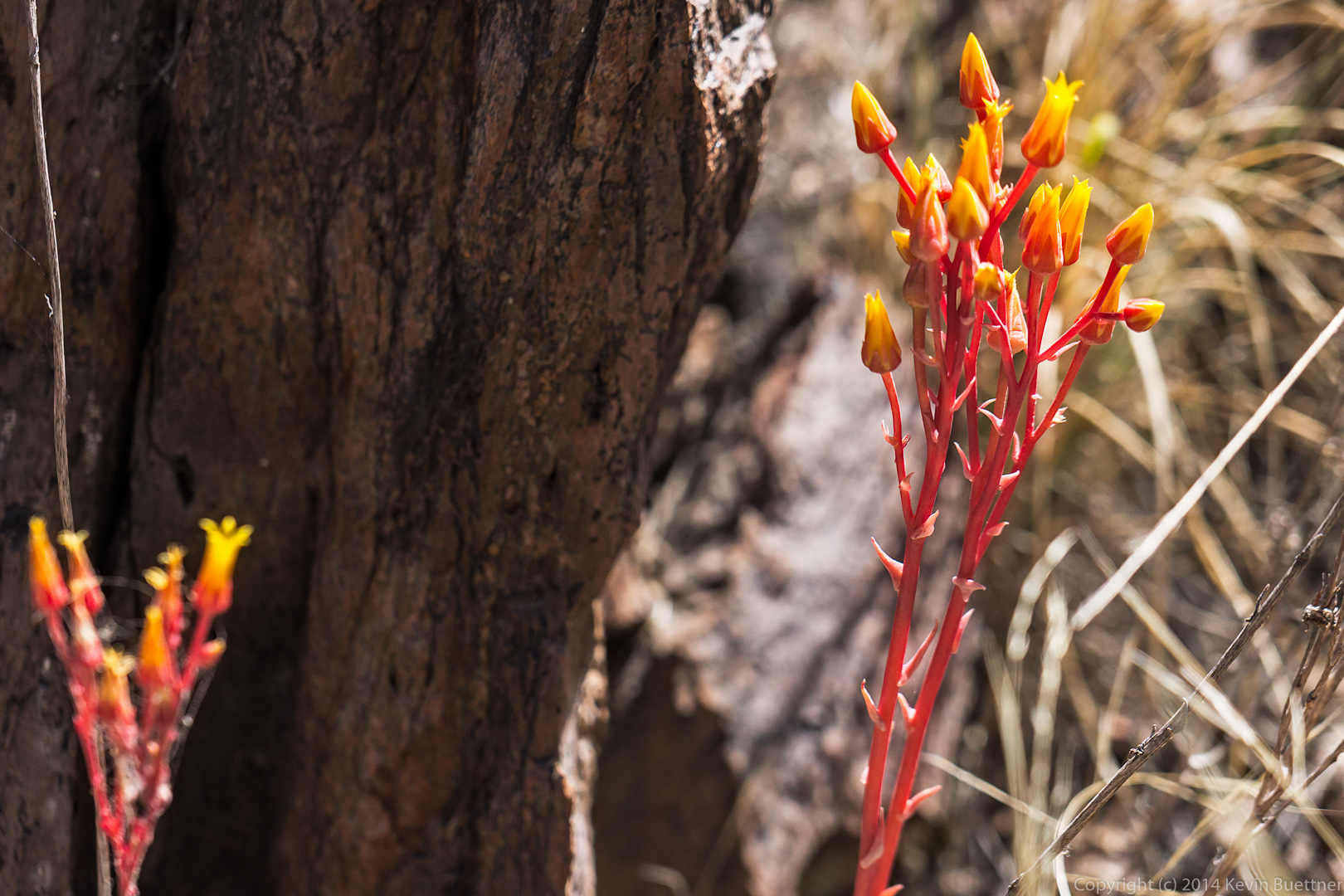
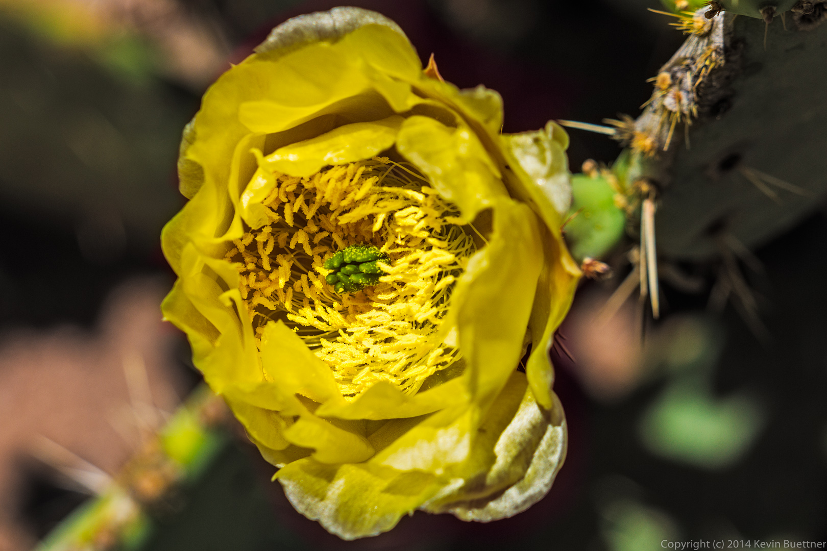
A small cactus seen in the early morning light:

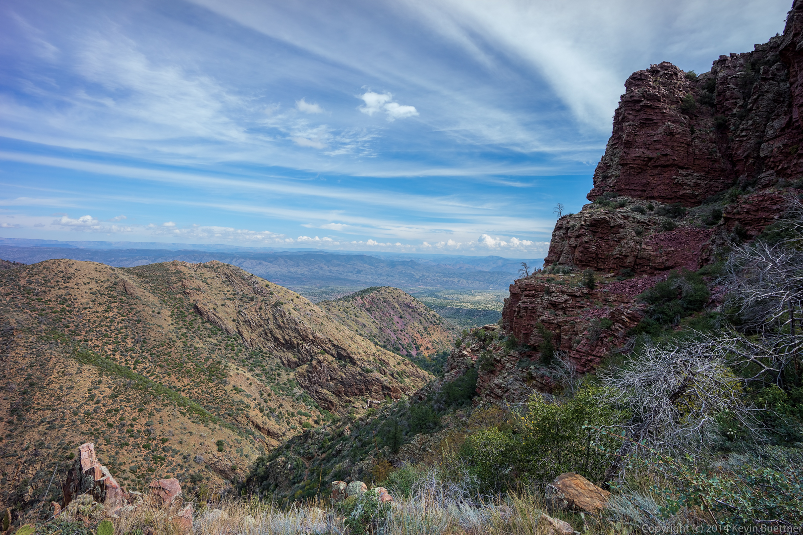
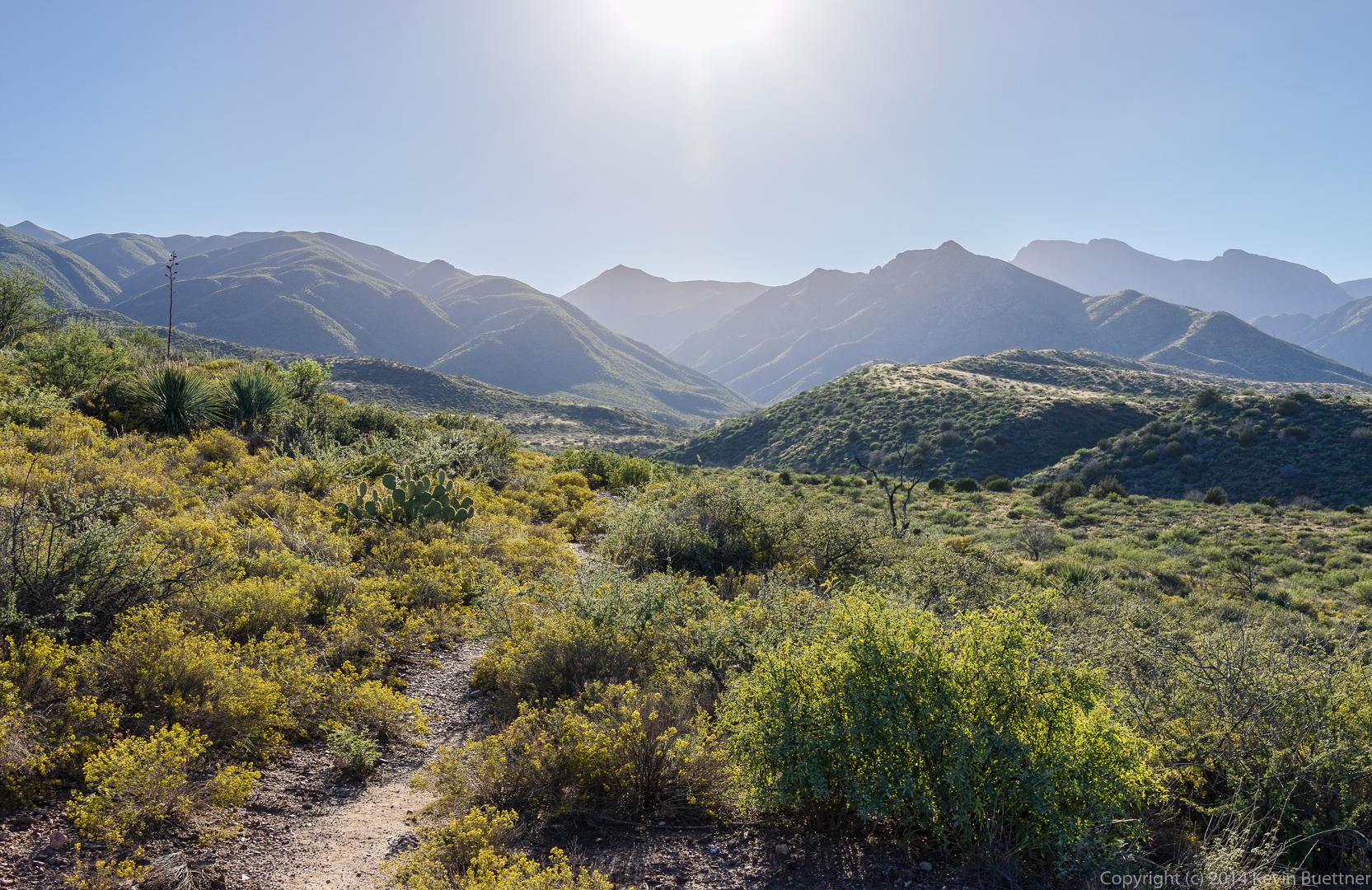
A view to the southeast from the Gold Ridge trail, early on:

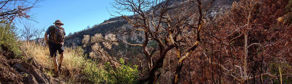
Bob, Marilyn, Janet, and Nick taking a break at the gate.  We had to hike uphill to get to this point, but that section was easy compared to what was ahead of us.

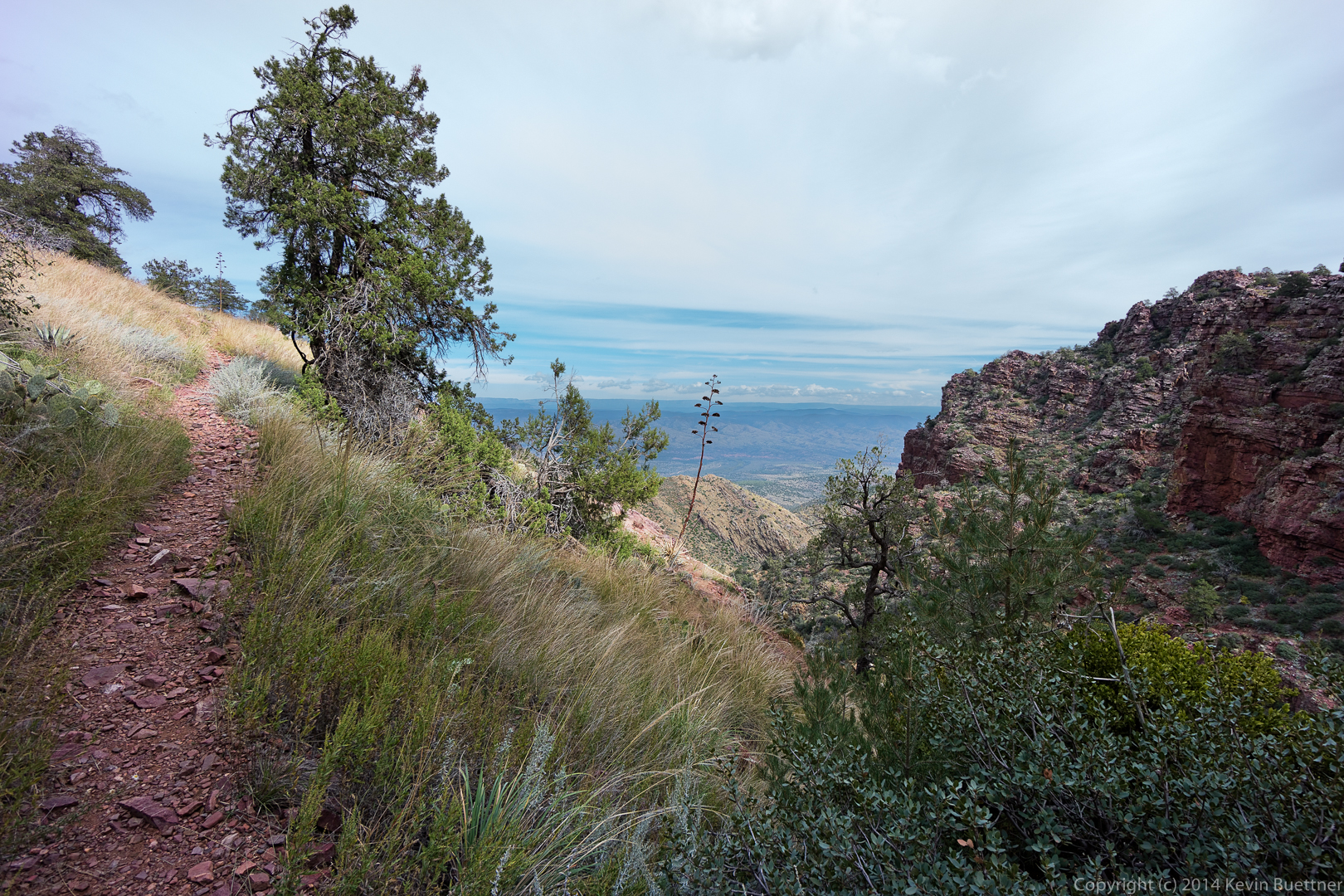
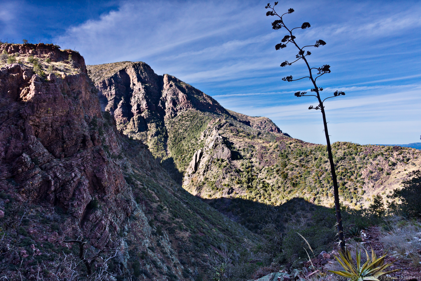
A view to the northwest:

The view to the northeast; Marilyn, Janet, and Nick are in this photo, but you have to look very closely to see them.

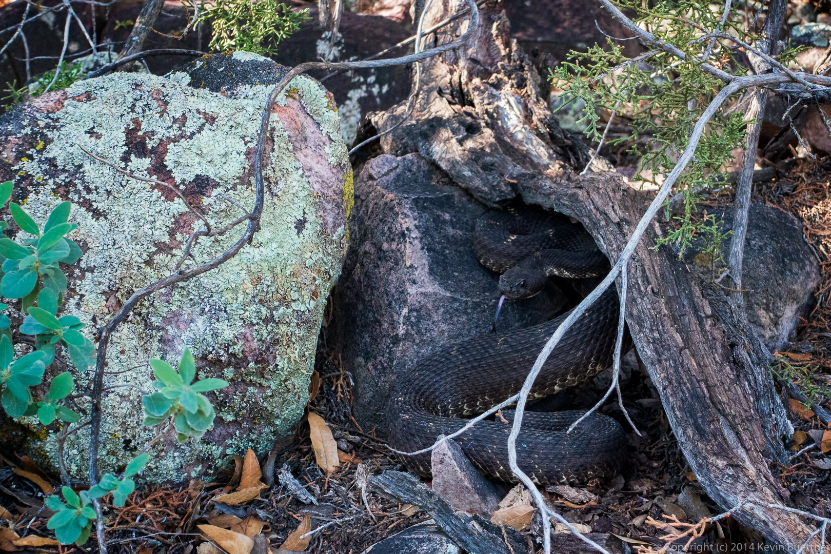
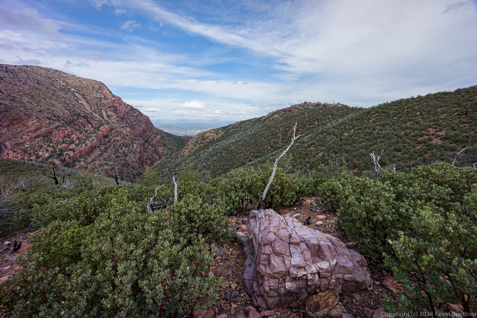
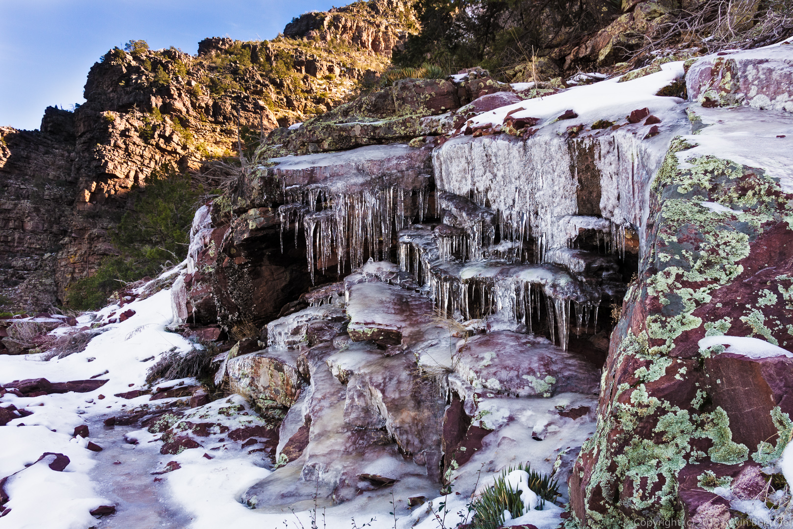
A similar view, but this time with a boulder in the foreground:

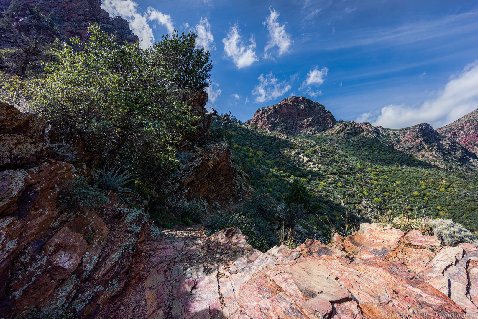
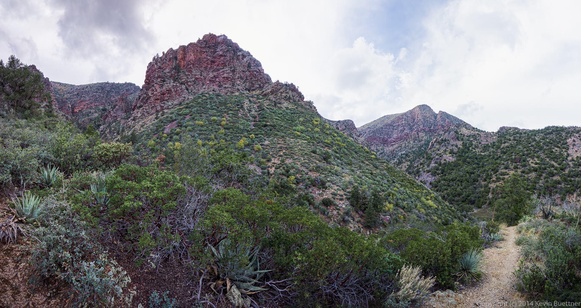
One of many hills visited by the trail.  From where I’m standing, it looks like the hill at the left is the “top”, but when you get to the top of that hill, it becomes evident that you go down a short ways and then up an even higher hill beyond.  This occurs repeatedly throughout the hike.

Bob, topping out on the hill in the previous photo:

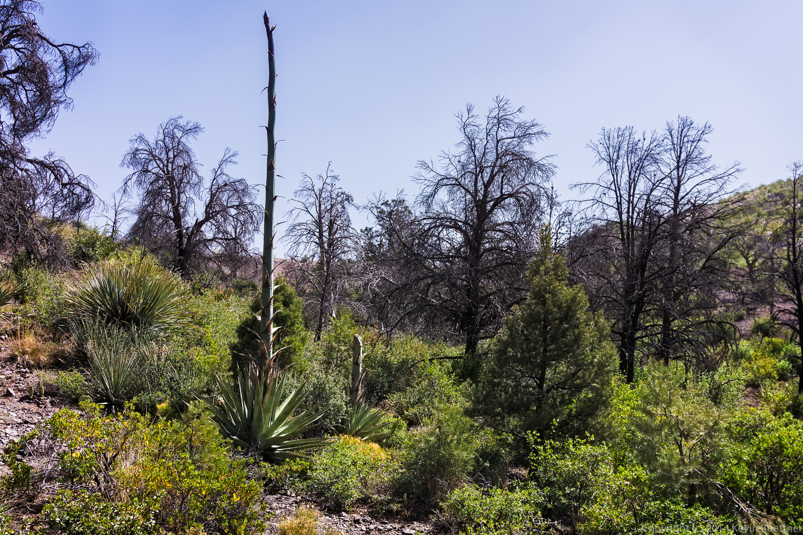
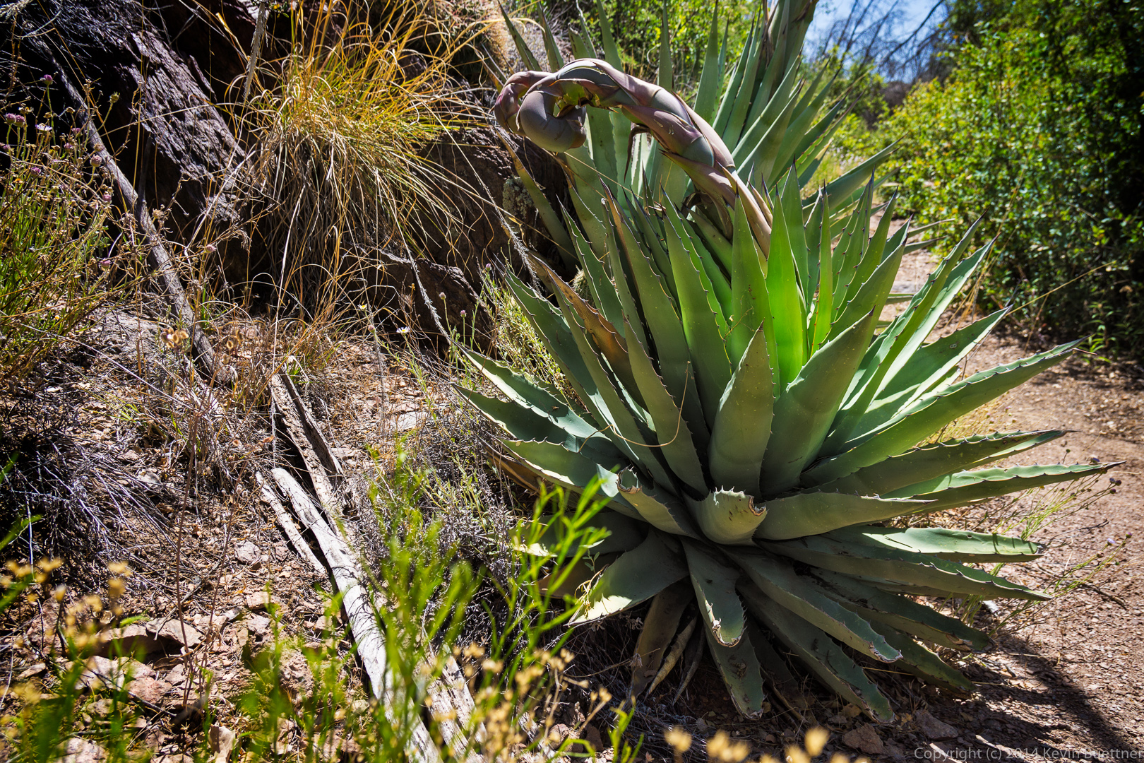
A dead, and toppled, agave stalk:

Another view towards the east.  Note the lake – Nick says he thinks it’s Roosevelt Lake – towards the upper right of the photo:

A view to the northeast after we’d hiked up several of the large hills:

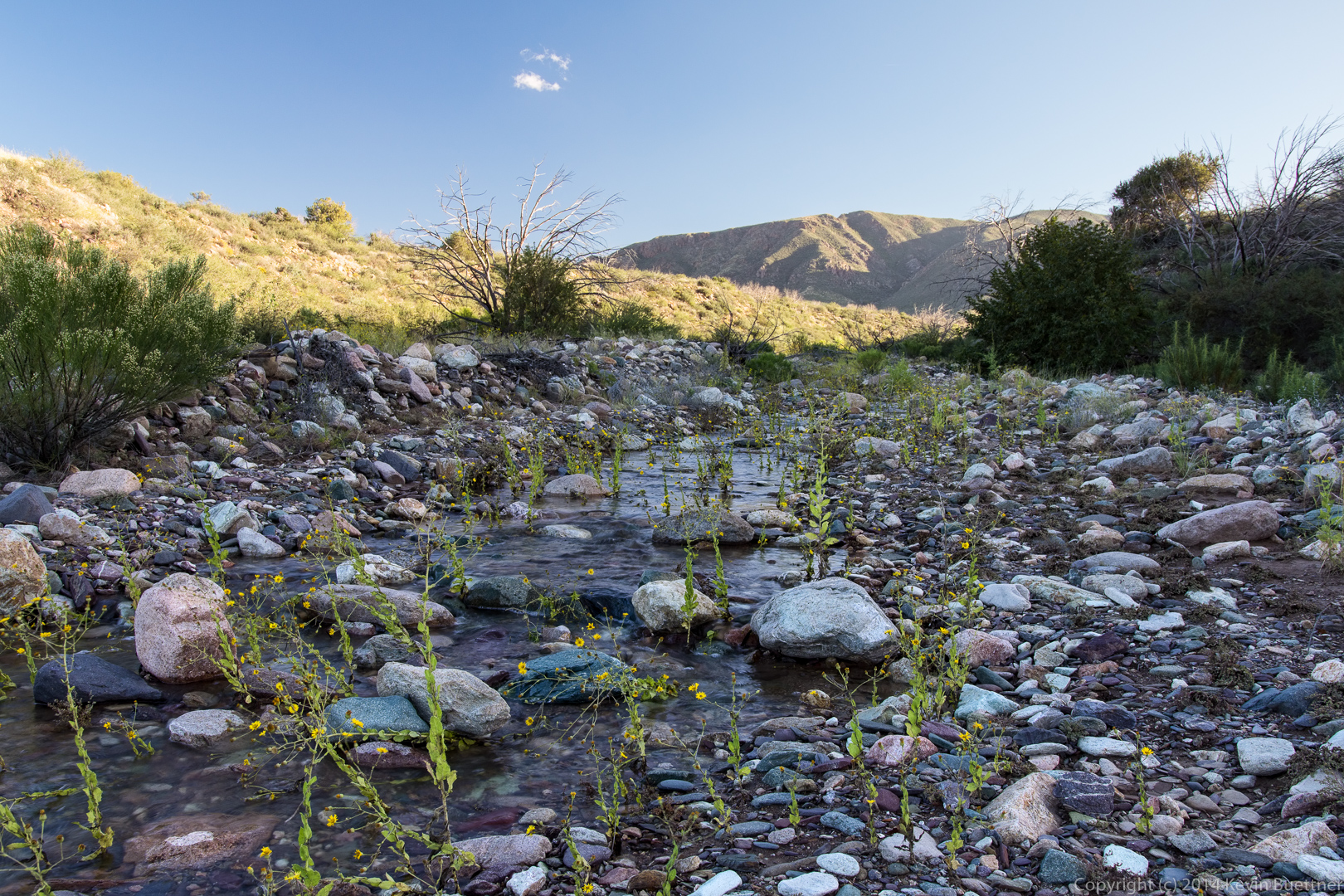
We saw a patch of melting snow on the trail.  My hands were sticky on the way back from consuming some gels and a Power Bar.  I used some of the snow to wash my hands.

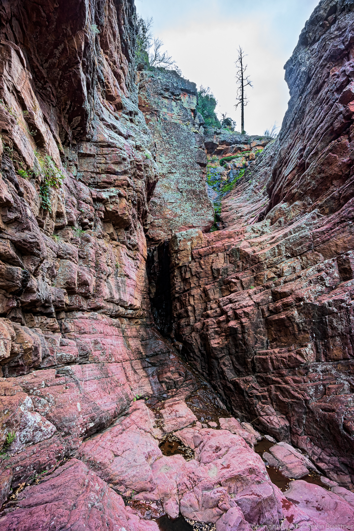
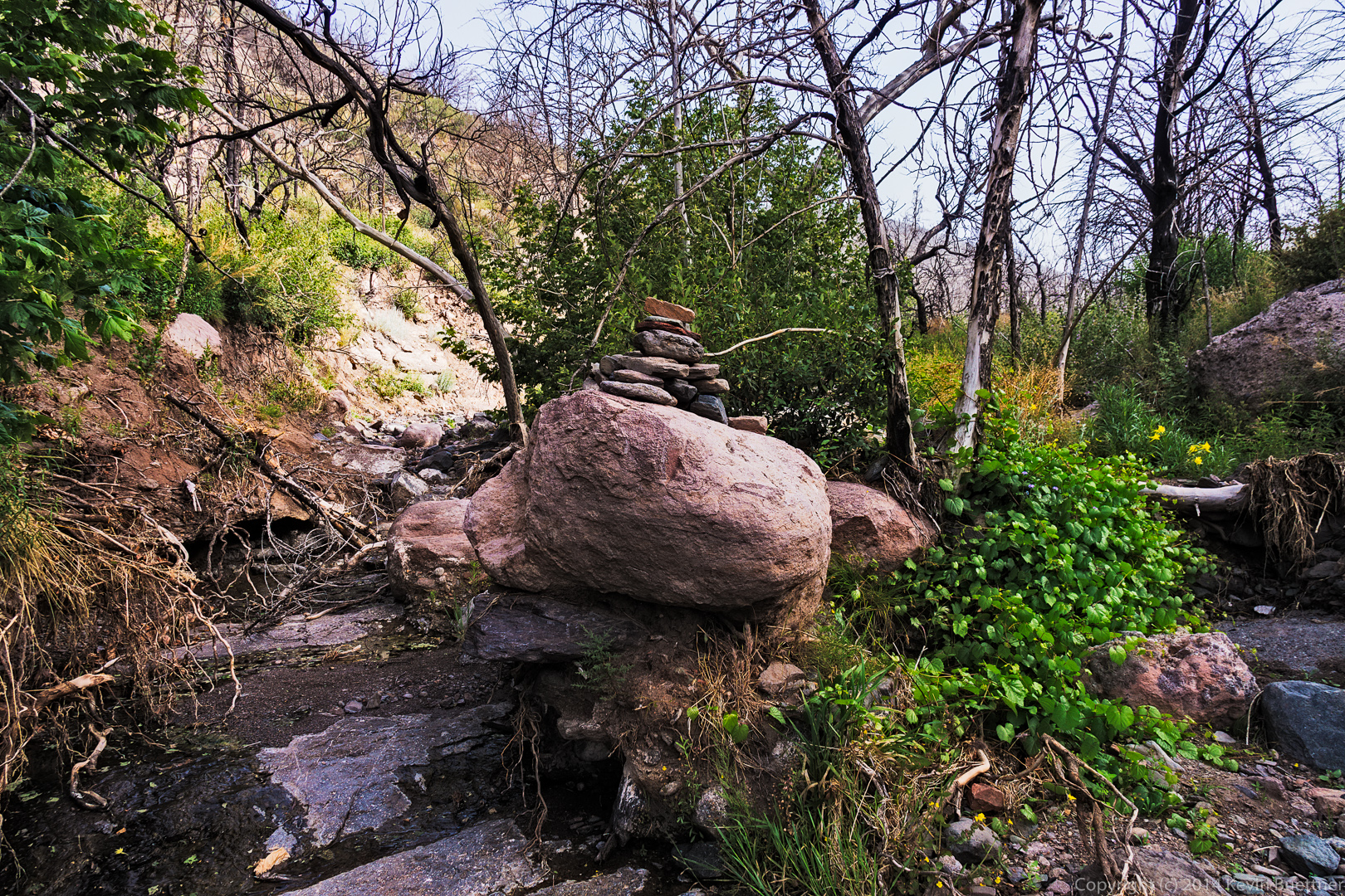
As we were hiking out, we looked back and saw this rock outcropping on the top of one of the hills:

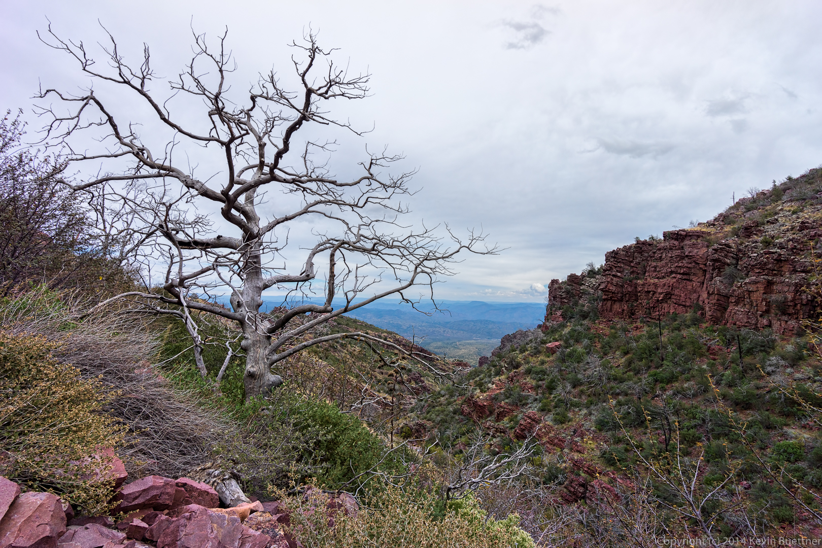
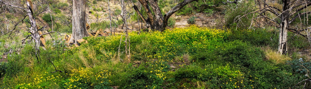
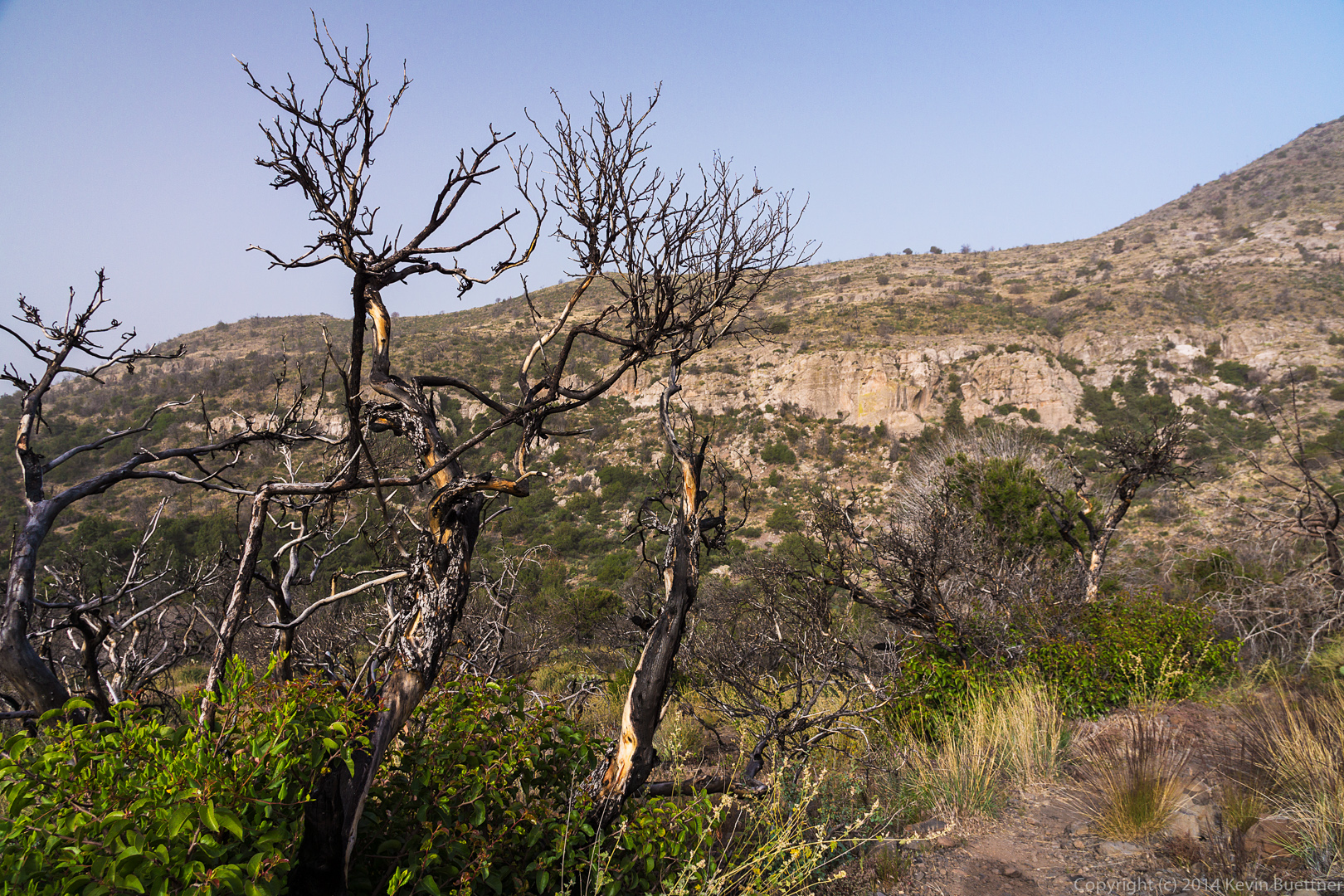
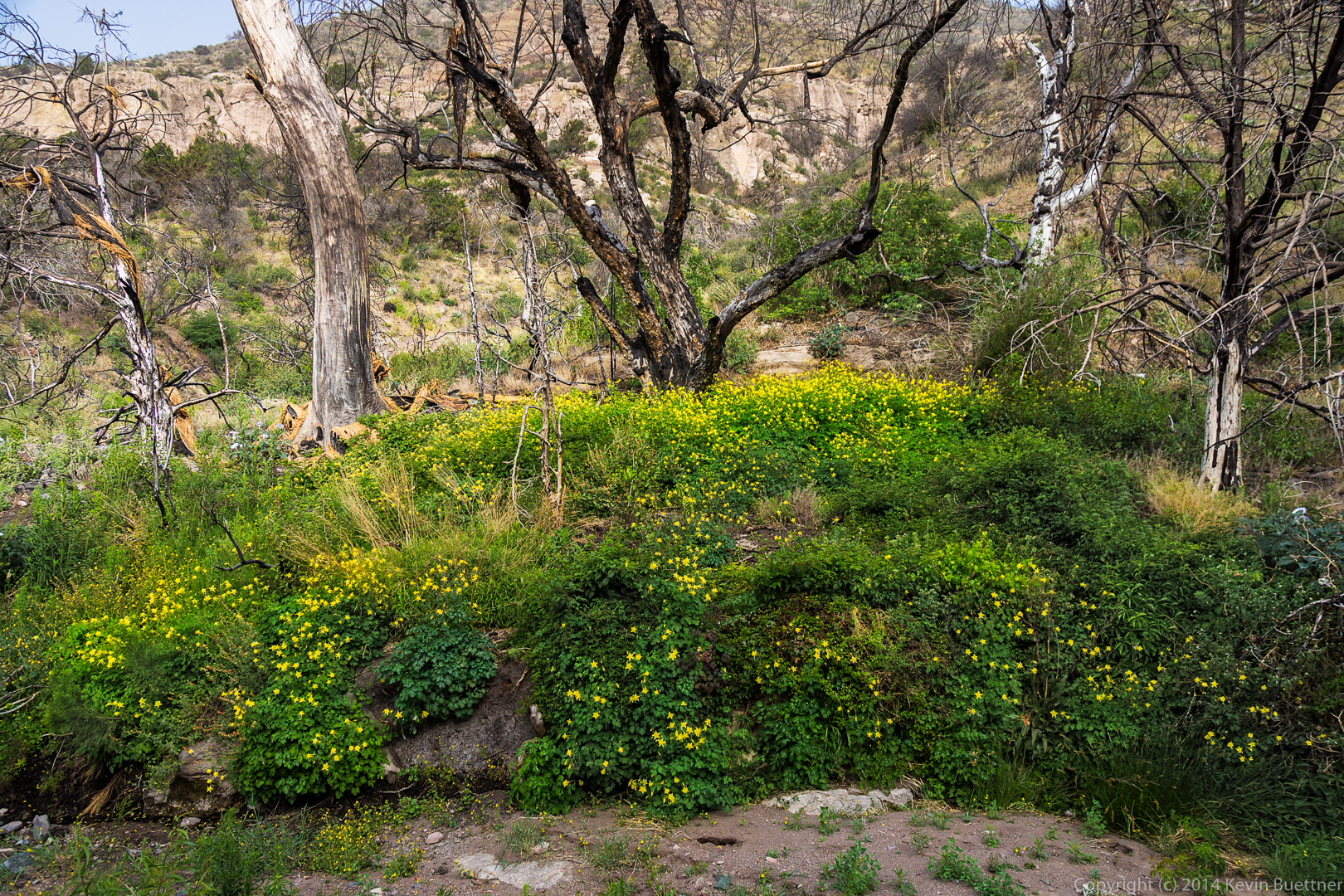
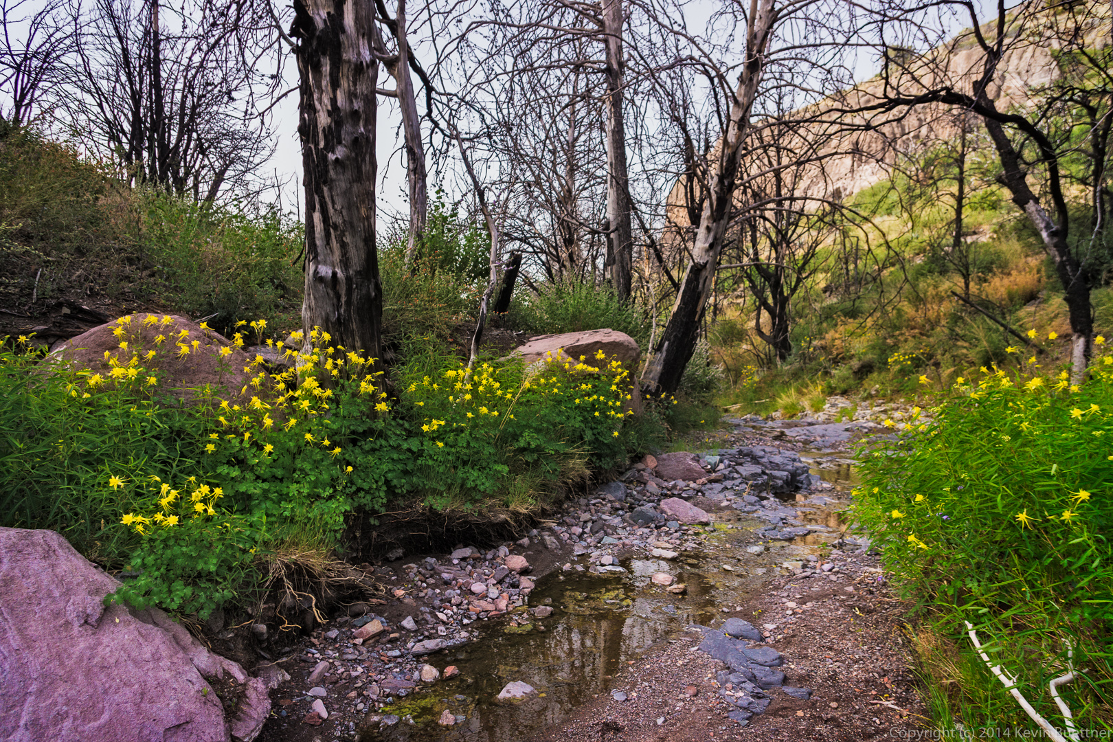
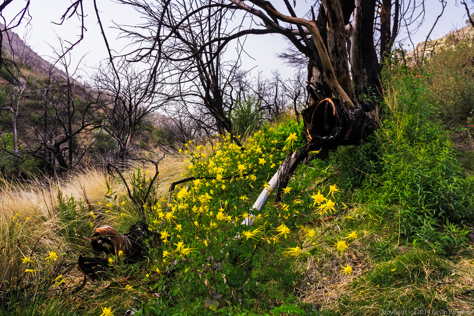
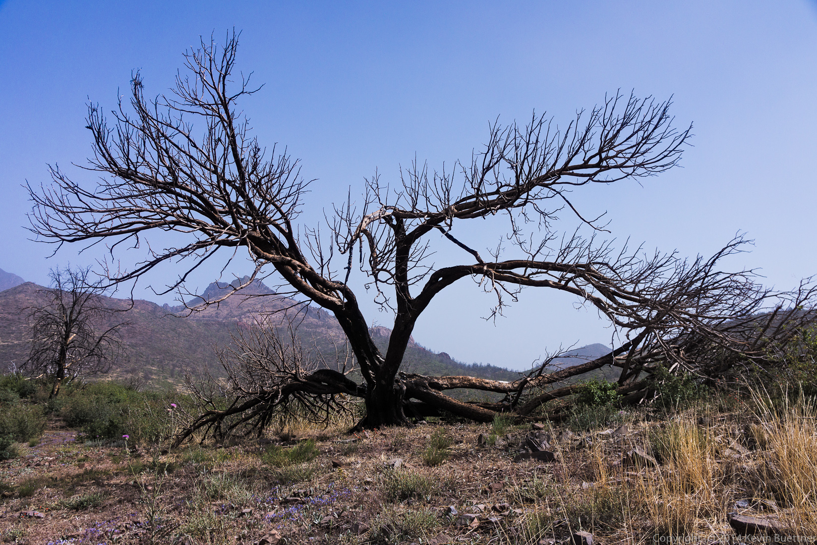
This area had been burned by the Willow Fire back in 2004.  We saw a lot of dead trees, some standing as shown in the photo below, but others fallen, some of which we had to cross over or under during our hike:

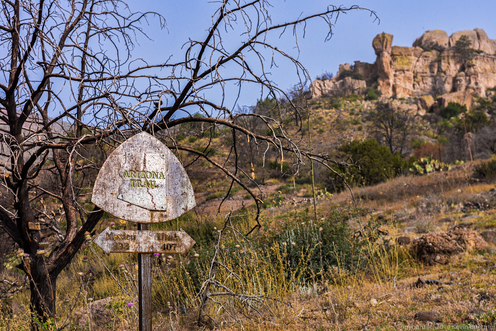
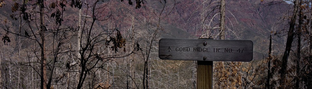
At around the six mile point, I saw this sign pointing back the way we came:

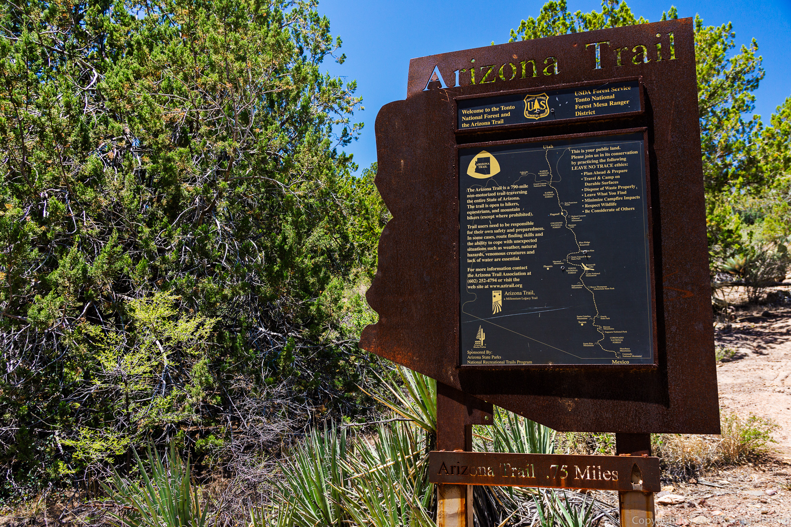
The Gold Ridge Trail meets up with the Mazatzal Divide Trail.  We didn’t hike this trail; we instead turned around and went back the way we came.

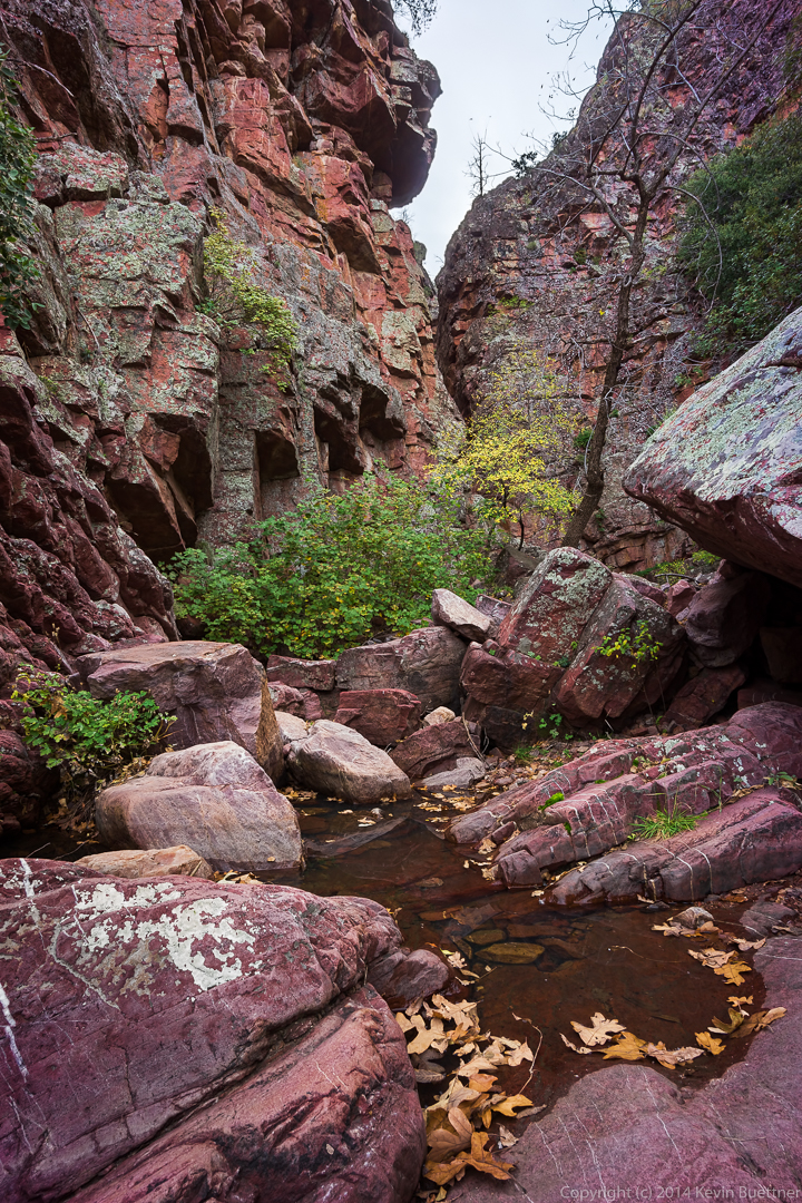
Another look at the rock outcropping through some colorful vegetation:

Another view of the distant lake, this time through some trees.

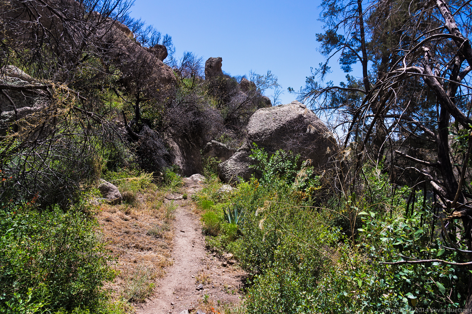
A closer look at the rock outcropping:

A dead tree intermixed with new growth:

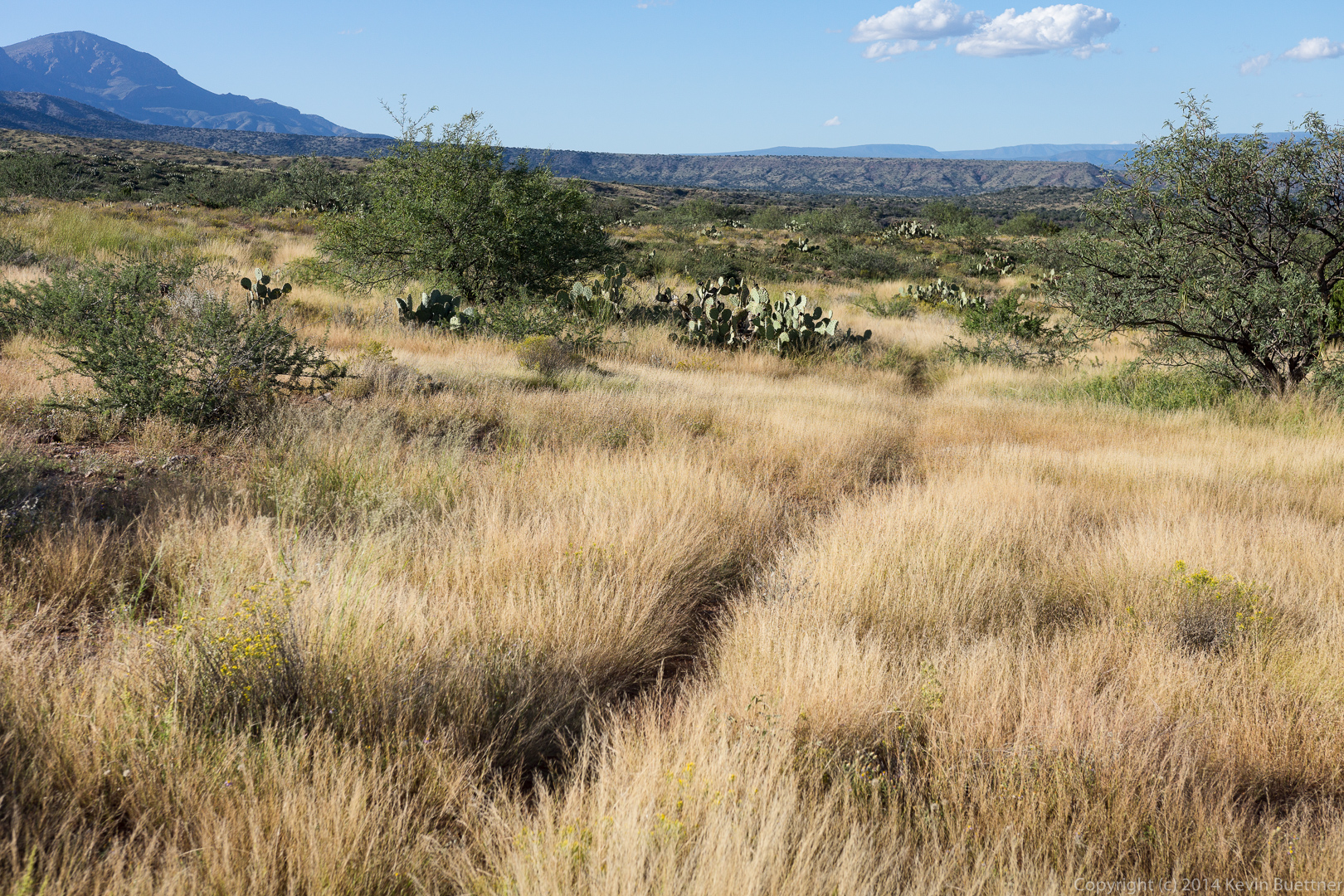
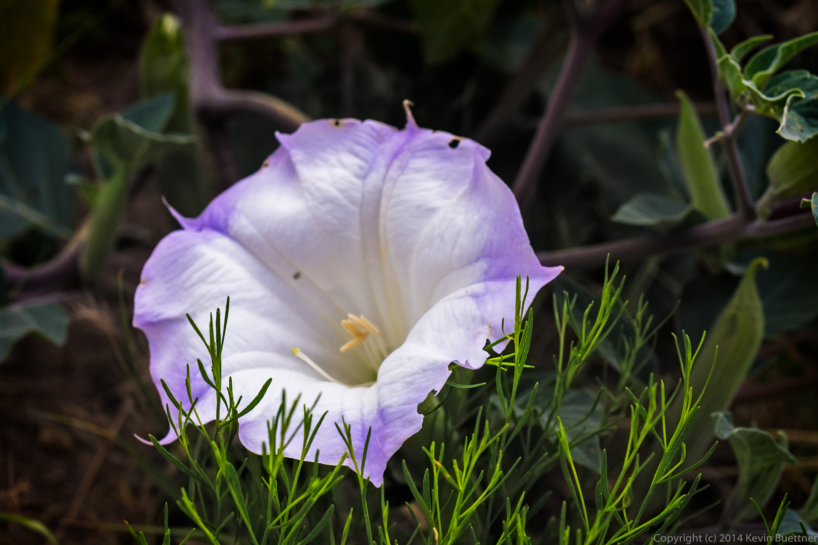
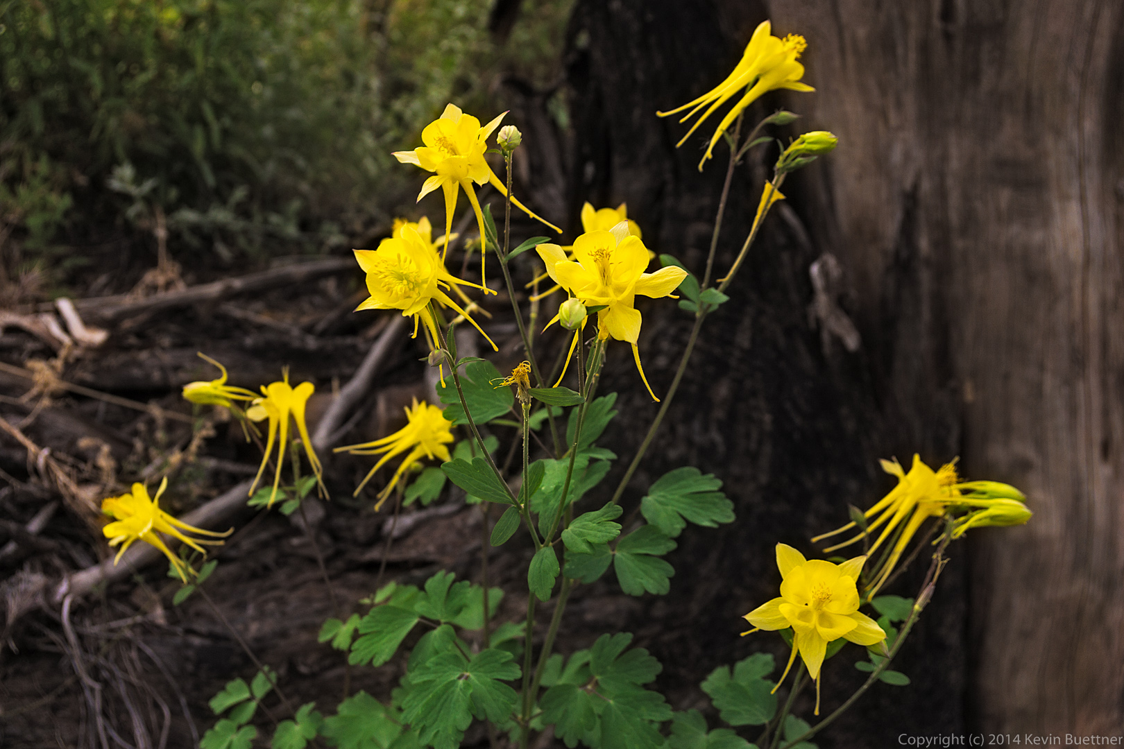
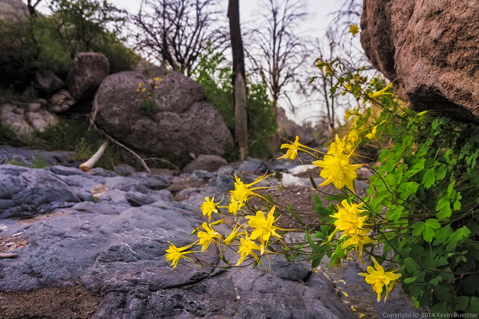
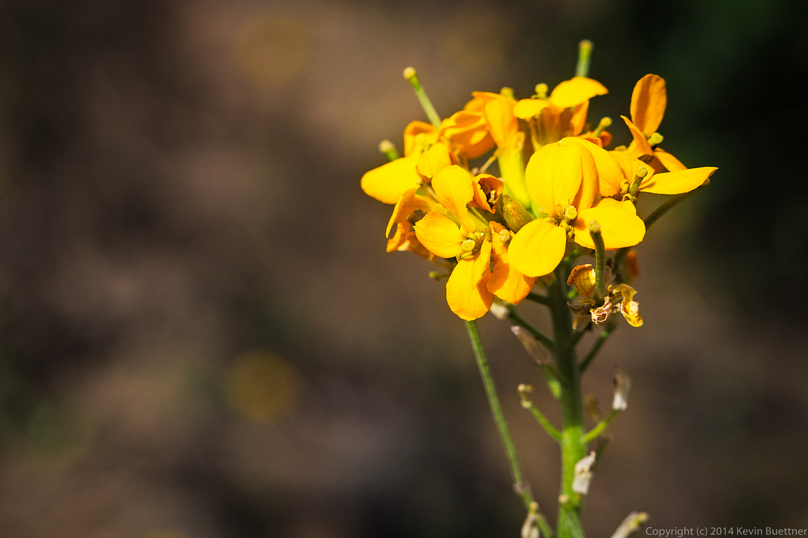
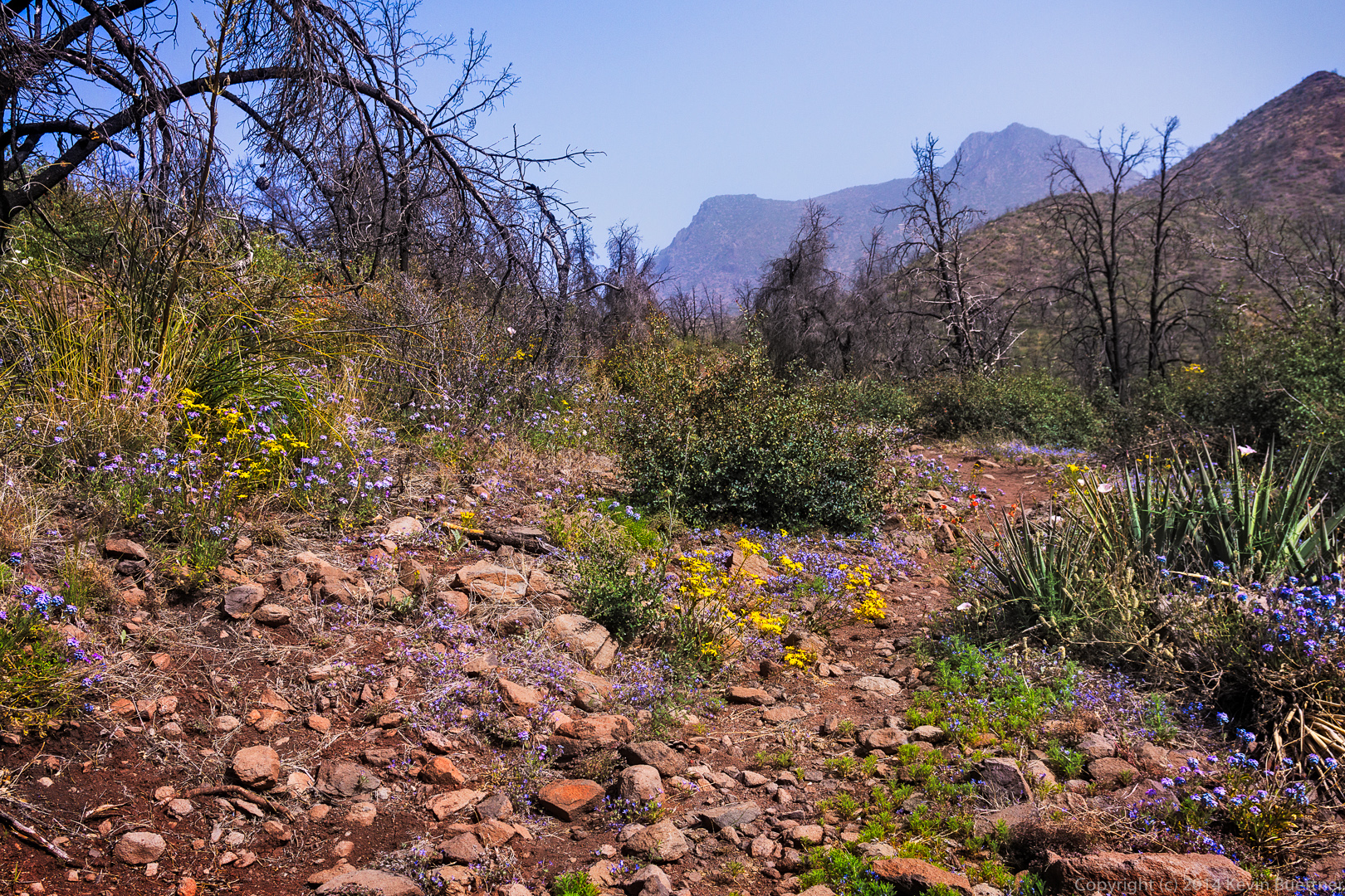
Poppies and other vegetation:

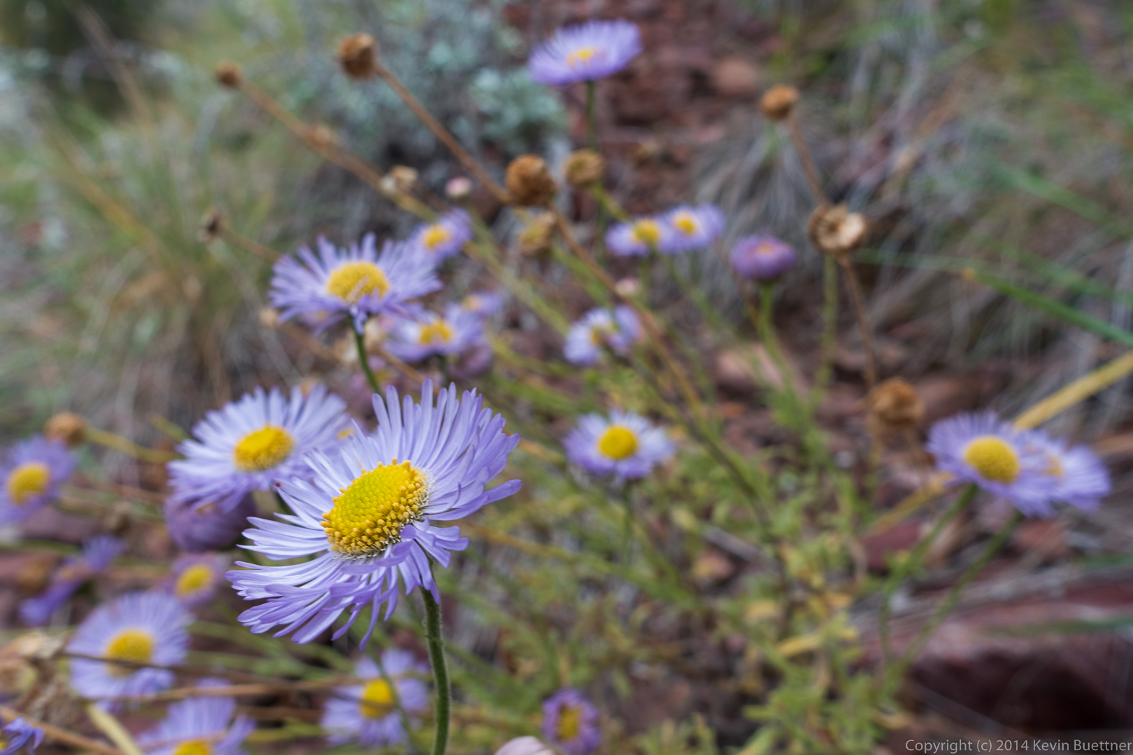
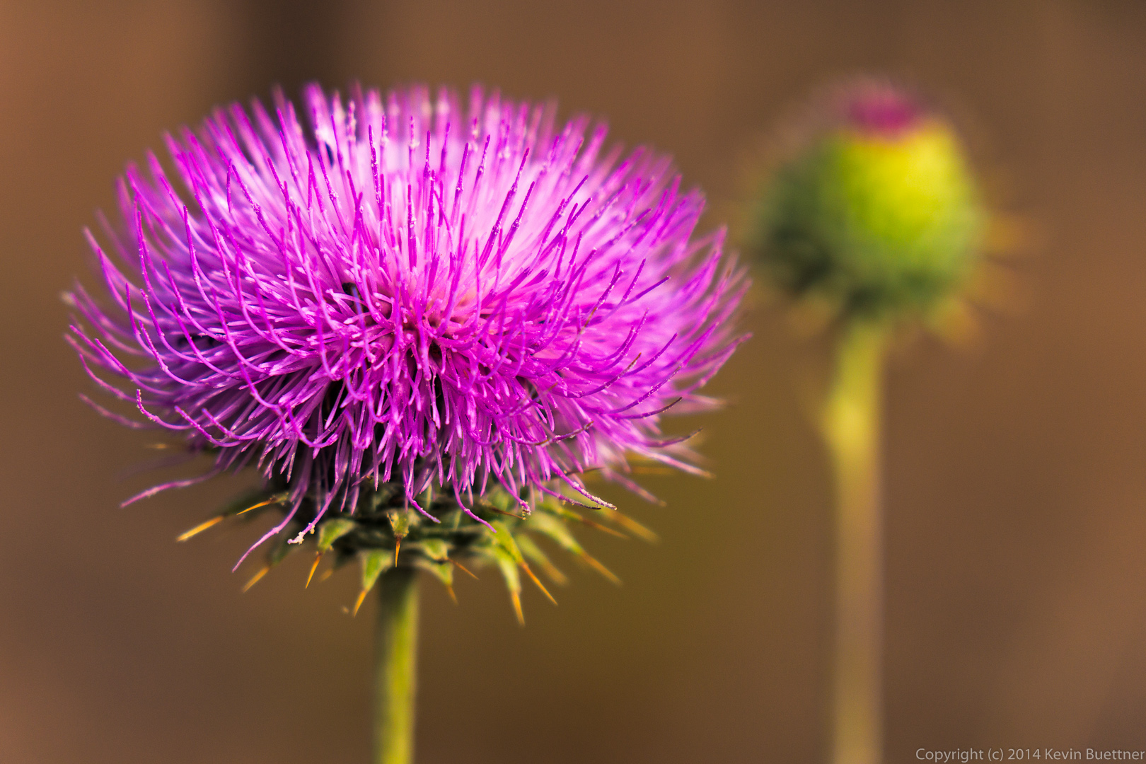
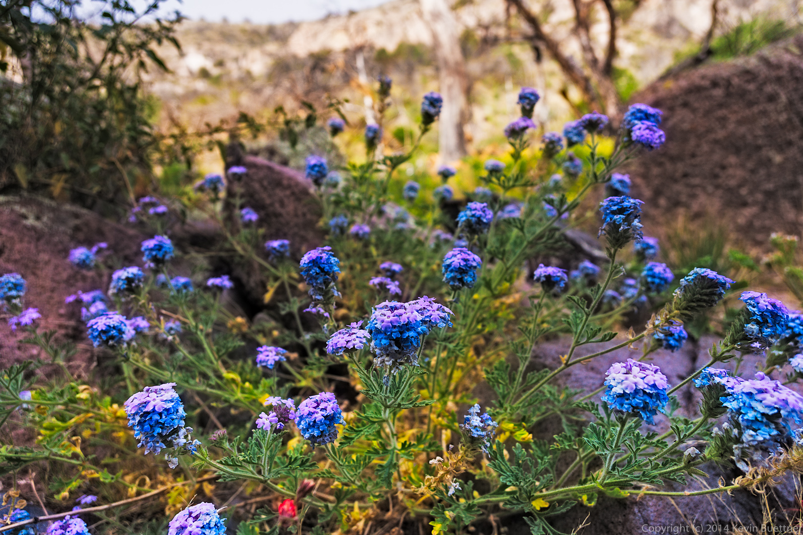
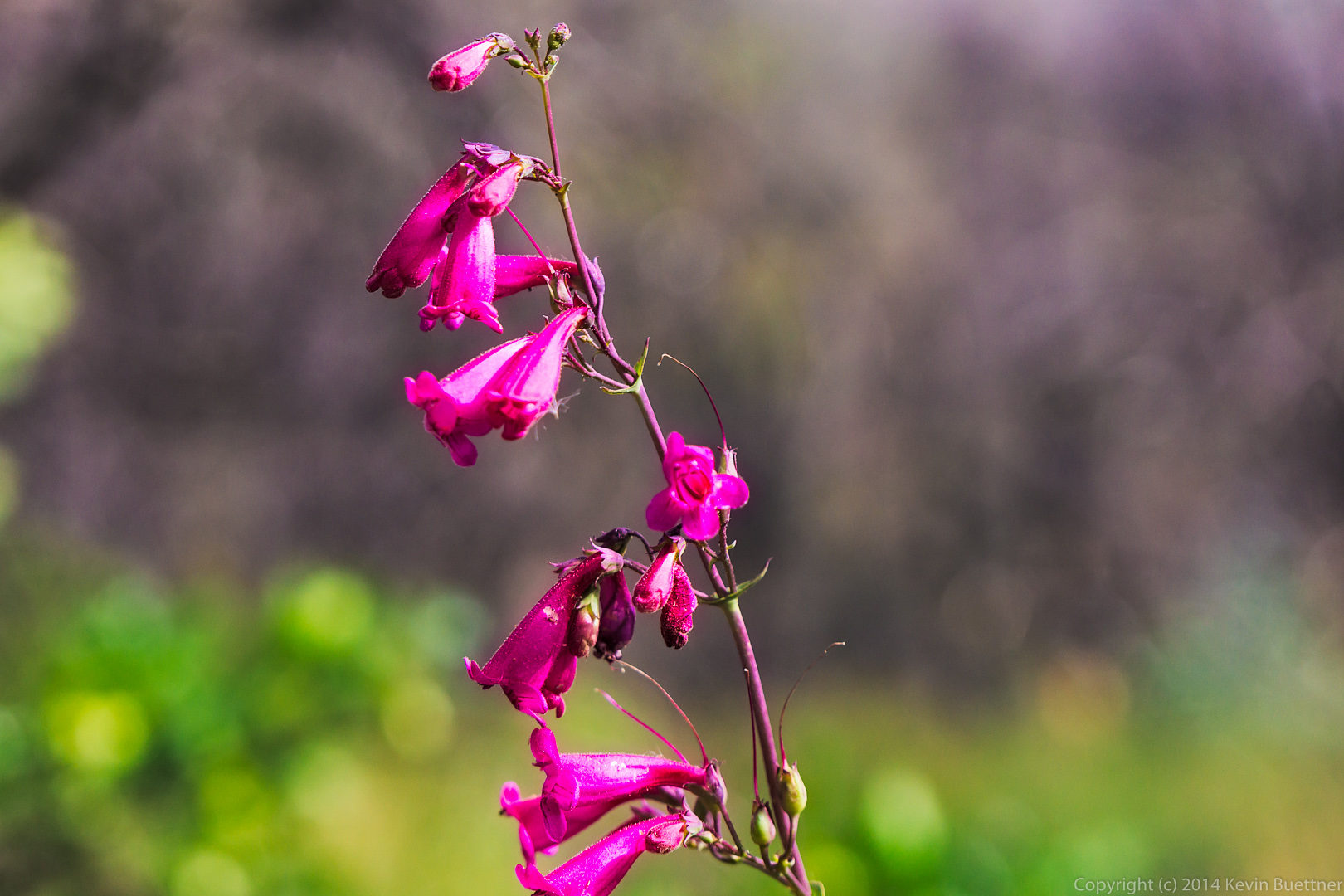
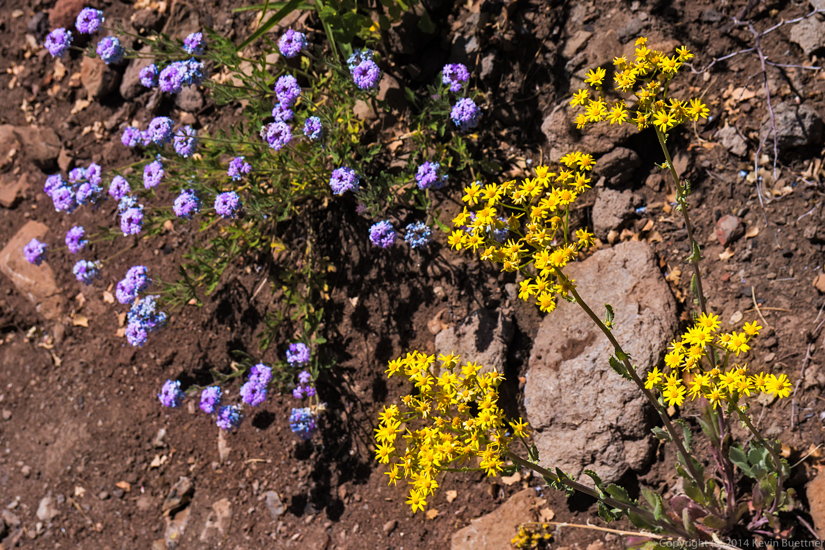
Poppies, purple flowers – I don’t know what they are – along with a big clump of grass with a rock behind it.

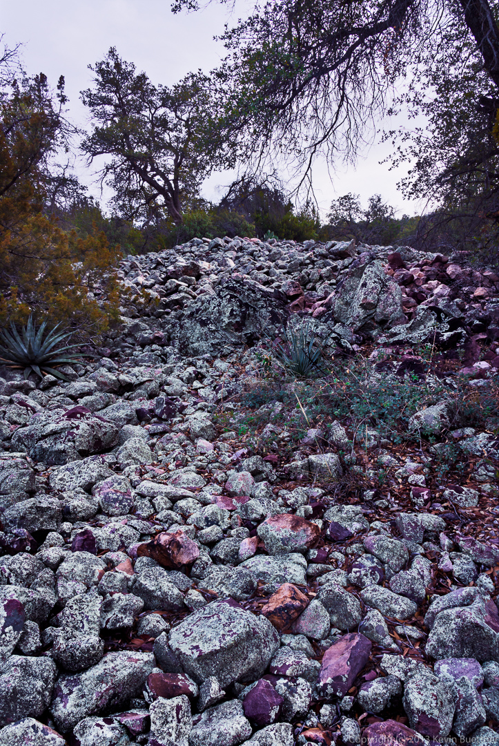
I saw this boulder field, intermixed with dead agaves and some trees as I approached the gate where Marilyn, Janet, Nick, and Bob were waiting for me.

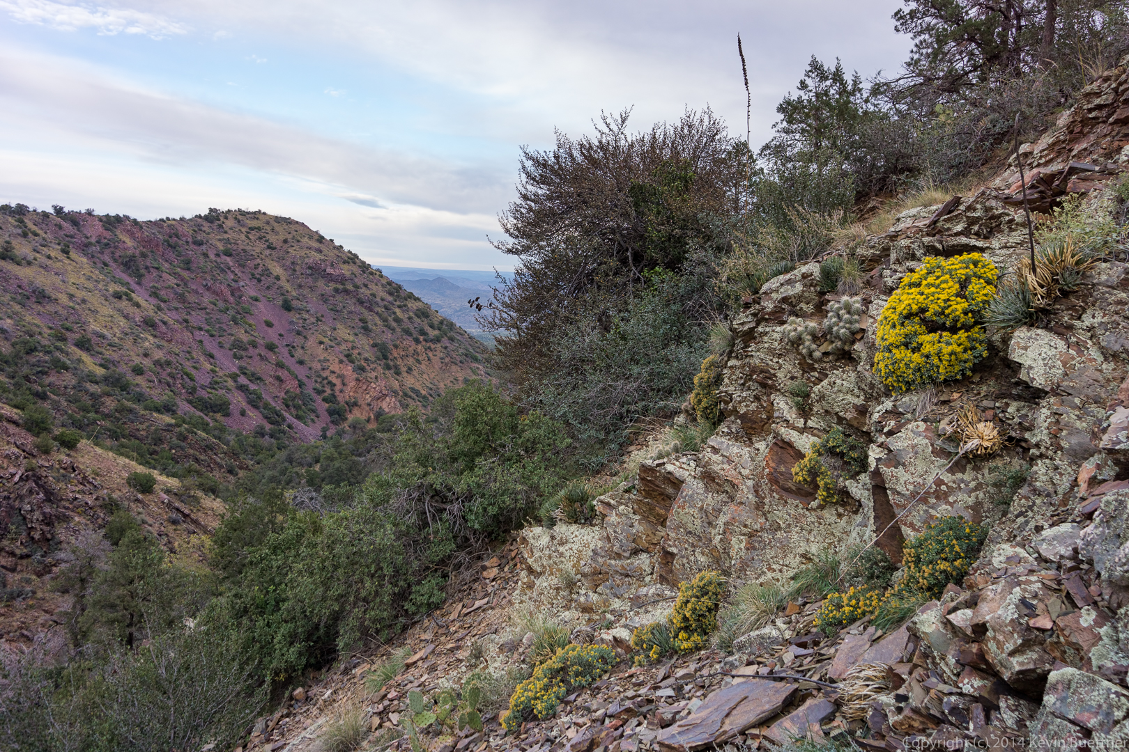
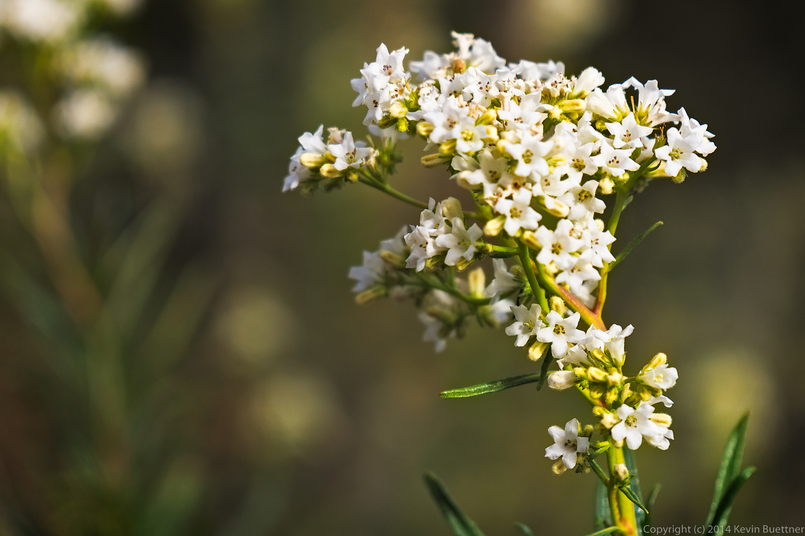
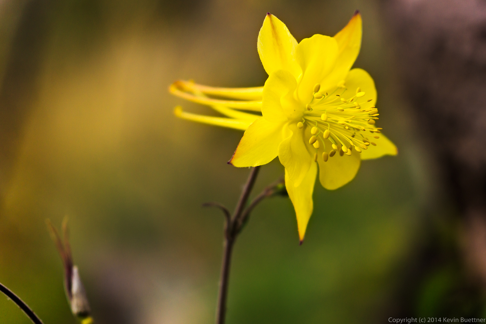
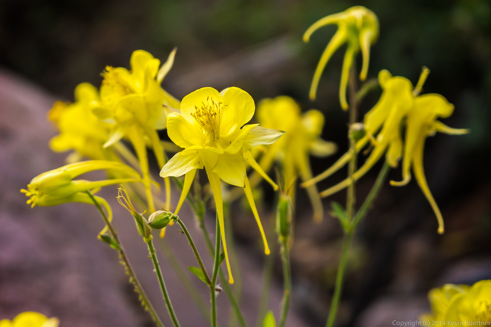
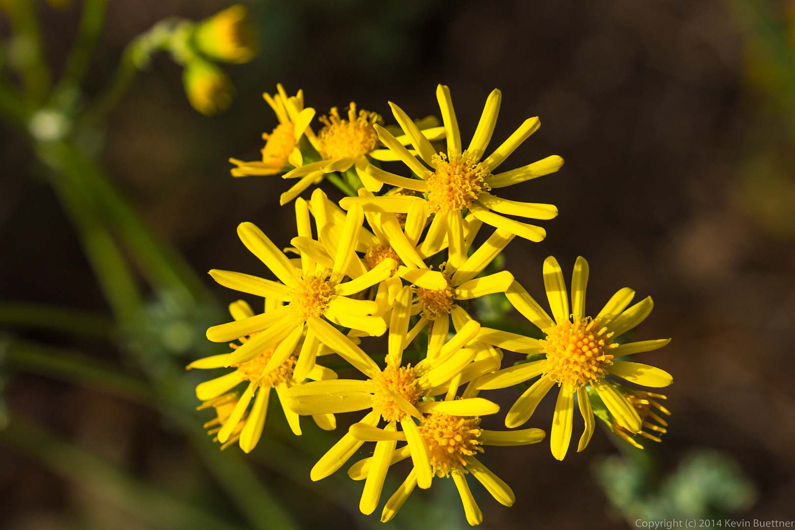
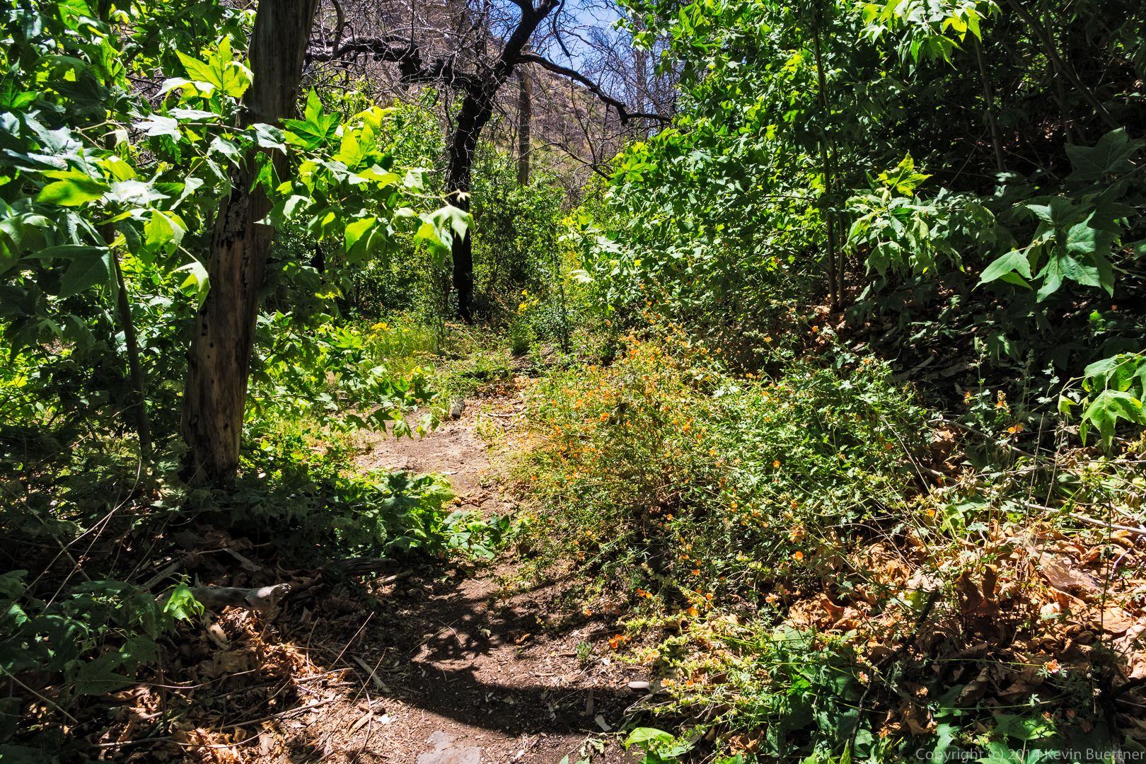
A colorful flowering bush:

Almost done!  My GPS showed that I had hiked 12 miles at this point.  It was only 0.3 miles back to the parking area.

Barnhardt Trail in the Snow and Ice

Nick, Bob, Joe, Marilyn, and I hiked the Barnhardt Trail on Sunday.

These icicles near the small cactus were a harbinger of things to come.

A view of one of the mountains in the area.

A small cactus coexisting with an agave:

A trickle of water near the waterfall:

A somewhat more impressive waterfall:

We had forgotten our hiking poles, so Joe fashioned us some poles using tree branches and agave stalks.  Marilyn fell down twice despite having two walking sticks.  Nick fell too and nearly went over the edge!

Joe, Nick, Bob, and Marilyn pose for a photo.

Icicles alongside the trail:

A view from the trail as we were heading back.  It took us longer to descend the portions of the trail covered with snow and ice than it did when we were going up.

A small pinnacle that I noticed while heading down the trail:

The trail went past and slightly above the tree at the upper right.  What I found fascinating about this spot is the large number of cacti growing out of the cliff wall.

This, in the photo below, is the same tree in the photo above, but from the other side of the tree.

Some of the other vegetation that I saw near the tree.  The cacti, agave, etc, were so dense in this area, that I had to carefully pick my way through them as I climbed back up to the trail.

The trail goes across this rock slide.  (You can’t see the trail in this photo as I’m pointing the camera up.)

A view of the Rim country off in the distance.

Marilyn took the rest of the photos, below.

Kevin, Bob, Joe, and Nick hike across the rock slide.

The four of us hiking, near the bottom left help to give a sense of the size of Barnhardt Canyon.

The snow covered trail:

Kevin sets up his tripod:

Icicles at one of the waterfalls.

Nick contemplates the view of the rim. 

Nick examines icicles:

Deer Creek, South Fork

Bob, Janet, Allen, Nick, Linda, Marilyn, and I hiked the South Fork of Deer Creek on Sunday.  It had rained for on Thursday, Friday, and Saturday.  We saw on many of the mountaintops on the drive up.  Both forks of Deer Creek are often dry, but the South Fork was definitely not dry on Sunday.  Flowing water made hiking somewhat more difficult because the trail crosses the creek a number of times.  In dry conditions, it is possible to hike up the creek bed in many places.

Marilyn took these shots of snow in the mountains at the start of the hike:

This photo, also from Marilyn, shows the wet and rocky conditions in the creek.  There were big rocks all the way up the creek.  We often stepped from rock to rock while fording the creek.  I was happy that I wore my Gortex lined boots.

Another photo from Marilyn showing the running creek:

A dead tree that we saw along the way.  The Willow Fire ravaged the area in 2004.  The trail was obliterated as a result of erosion that occurred after the fire.  The trail was in good shape when we hiked it on Sunday though.

Another view of the trail before it dipped down and zig-zagged across the creek:

Another view of the creek.  In many places, the creek bed was lined with those big rocks.  I  had difficulty hiking on the uneven terrain.

From time to time, the trail left the creek.  I was surprised to find this expanse of golden yellow grass.

These red seed pods in front of another dead tree caught my eye.

Linda’s colorful gaiters:

The white snow-capped peak in the photo below was visible for quite a long time as we hiked up the creek.  I thought it would continue to get larger and larger as we got closer.  It disappeared from view at some point though.  I don’t think we were able to see it again until we got far enough back on our return trip.

We saw several rapids, or perhaps miniature waterfalls, along the way.

I almost passed this one by, but everyone else was photographing it, so I did too.  I’m happy I stopped because I like this shot.

Linda hikes ahead of me, past a large red rock:

Janet, Linda, Marilyn, and Bob hike through one of many picturesque areas:

Marilyn readies her camera to take her own photos of this area:

Janet finds a way across the creek.  I lost count of the number of times we ended up crossing it.

Nick pretends to gnaw on a bone that he found.  Most of us stopped for lunch shortly thereafter.

I got this photo of some rapids as the rest ate lunch.

Janet hikes above another small waterfall.

The same waterfall with the Sun peeking through the vegetation:

I thought it was interesting to see stones intertwined with the roots of this fallen tree.

Nick rests by the creek while the rest of of catch up:

Linda, Marilyn, Nick, Janet, Bob, and Allen pose alongside and behind some cattails.  Apparently, the brim of my hat made it into the photo too.


Deer Creek

Joe, Marilyn, and I hiked Deer Creek Trail #45 on Sunday.  Joe and Marilyn hiked ahead of me and went a little over seven miles round trip.  I only went about five.  (I was busy taking photos.)

This is the south fork of Deer Creek just above the point where it joins Deer Creek’s main fork.

Fall color along Deer Creek.

A closer view of the golden yellow trees:

Another tree with the sun shining through:

Dead trees with new regrowth.  This area was ravaged by fire several years ago.

A rock along the trail.  I took this as I was heading back.

A small cacti.  I shot this at the lens’ maximum aperture of f/4 and maximum focal length of 18mm.  I was pleased with how well it blurred the background.

After sunset:

Little Saddle Mountain Trail, after the Fire

Back in mid-May, Joe, Bob, Nancy, and I hiked the Little Saddle Mountain Trail.  On that very same morning, a man from Mesa shot an incendiary shotgun round into some brush probably not more than a mile from where we were hiking.  This turned into a massive fire, known as the Sunflower Fire, that would eventually burn 17,446 acres in the area.

Joe, Marilyn, and I attempted to hike some of the Little Saddle Mountain Trail on Sunday afternoon.

We could see that some of the hills had been burned from where we parked, but the initial quarter mile or so of trail hasn’t been much affected.

I saw a bee pollinating some flowers…

…and some more flowers growing amidst some prickly pear:

Marilyn took this picture of an Agave.  You can see some burned trees on the hillside to the right.

Marilyn also took this photo of me and Joe hiking past some burned trees.  There’s some new growth in the middle of the remnants of the shrub on the far left – I think it might be a Manzanita plant that had burned there.  My guess is that the new growth is Manzanita too.

Burned trees:

More burned trees:

We encountered a blooming Agave or Century Plant:

Here’s a close-up shot of the blooms…

…and another crop showing the very top of the plant.  I don’t think I had ever seen one in bloom before.  As I was editing it, I noticed some bees on these blooms.

The creek had only a little bit of water in it.  We ended up hiking in the creek for a while because the trail became very difficult to find and follow.  Either new growth has sprouted up where the trail is or rain has washed parts of it away.  This is not uncommon in areas that have been ravaged by fires.  We made it just slightly less than two miles along the trail before turning back.  We could have gone further, but I was outvoted.

A roll of rusty barbed wire hung up on a burned out tree.  I think I noticed this wire on a previous hike, but of course, the tree wasn’t burned then.

A view as we were hiking back through the creek:

A ridged and pocked rock perched on the bank of the creek near some burned trees.  Their proximity to the creek did not protect these trees.

Joe, hiking up a hill on the way back:

Another interesting looking boulder:

Fallen Prickly Pear fruit below a ridge line of burned trees.  Most of the Prickly Pear that we saw looked to be in reasonable condition.  Most of the Barrel Cacti that we saw though seemed to have been burned on the inside leaving only a yellow husk.