Tag: Mazatzal Wilderness (page 2 of 3)

North Peak Trail – Mazatzals

On Sunday, I hiked the North Peak Trail with a visit to the North Peak in the Mazatzals.  Hike distance was nearly 11 miles with around 4,000 feet of total ascent.

Bob and Mike, who accompanied me for part of the hike, can be see in this photo.

I think this is Manzanita fruit:

This was a photo from the summit. If you look closely, you’ll see a lot of flying ladybugs. I didn’t spend much time at the summit because I was in a hurry to start back down.

This is a close-up of the flowers from the above photo.

Not too far away from the cacti with the flowers, I found this marker.  I was hoping that it would state the elevation, but I don’t see it on this marker.  There may be another nearby marker with that information.  I don’t think that this was actually the highest point.

This flower reminds me of a Mariposa Lily, accept that it’s purple instead of orange.

I got this shot in late afternoon on my way back to the trailhead.

Sunday Hike – Half Moon / Rock Creek Trails

I hiked about 12 miles round trip on the Half Moon and Rock Creek Trails beginning from the Barnhardt Trailhead.

Back in 2002 (or maybe 2001), I had first scouted these trails and then hiked them as part of a loop.

Later, after the Willow Fire of 2004, Marilyn, Nick, and I hiked the Half Moon Trail. It was miserable after the fire – some of our clothing was torn to shreds by catclaw and other thorny bushes.

I’ve become interested in perhaps doing a loop in this area again, so I decided to hike the Half Moon Trail to assess it’s condition. A lane of eight feet or wider has been cut through the thorny brush for most of the trail. The same is true for sections of the Rock Creek trail as well. I’ve posted a complete triplog at hikearizona.com.

Sunday Hike – Black Ridge Loop

Marilyn, Nick, Bob, and I hiked the Black Ridge Loop on Sunday…

Sunday Hike

Marilyn, Marie, and I hiked part of the Sunflower Trail and part of the Little Saddle Mountain Trail on Sunday.

20160529-_DSC2758-Edit-medium 20160529-_DSC2764-Edit-medium 20160529-_DSC2783-Edit-medium

20160529-_DSC2820-Edit-medium 20160529-_DSC2828-Edit-medium 20160529-_DSC2835-Edit-Edit-medium

Sunday Hike

Photos from the Cross F area north of Sunflower…

20160522-_DSC2301-Edit-medium 20160522-_DSC2363-Edit-medium 20160522-_DSC2418-Edit-Edit-medium 20160522-_DSC2633-Edit-medium 20160522-_DSC2689-Edit-Edit-medium

Cross F Wildflowers

Marilyn and I did a short hike near the Cross F Trailhead on Sunday. The area still has abundant wildflowers…

20160417-_DSC0807-Edit-medium

20160417-_DSC0903-Edit-medium

20160417-_DSC0944-Edit-medium

20160417-_DSC0945-Edit-medium

20160417-_DSC0981-Edit-medium

20160417-_DSC1071-Edit-medium

20160417-_DSC1086-Edit-medium

20160417-_DSC1128-Edit-medium

20160417-_DSC1134-Edit-medium

Friday Hike – Black Ridge Loop

Nancy, Eva, Linda, Doug, and I hiked the Black Ridge Loop on Friday.  Starting from the Cross F Trailhead, this loop utilizes FR 393, a short portion (several hundred yards) of the Sunflower Trail, an old rancher trail to Brunson Tank and more of the same to the Little Saddle Mountain Trail.  From there, the Little Saddle Mountain Trail (which is also the Arizona Trail) leads back to the trailhead.  We hiked eight miles in about six hours with just over 1900 feet of total ascent.  Route finding was somewhat challenging on this route; we wouldn’t have figured it out without the GPS track posted at the hikearizona.com.

A view of the old Beeline Highway from FR 393:

20160304-_DSC1973_4_5-Edit-medium

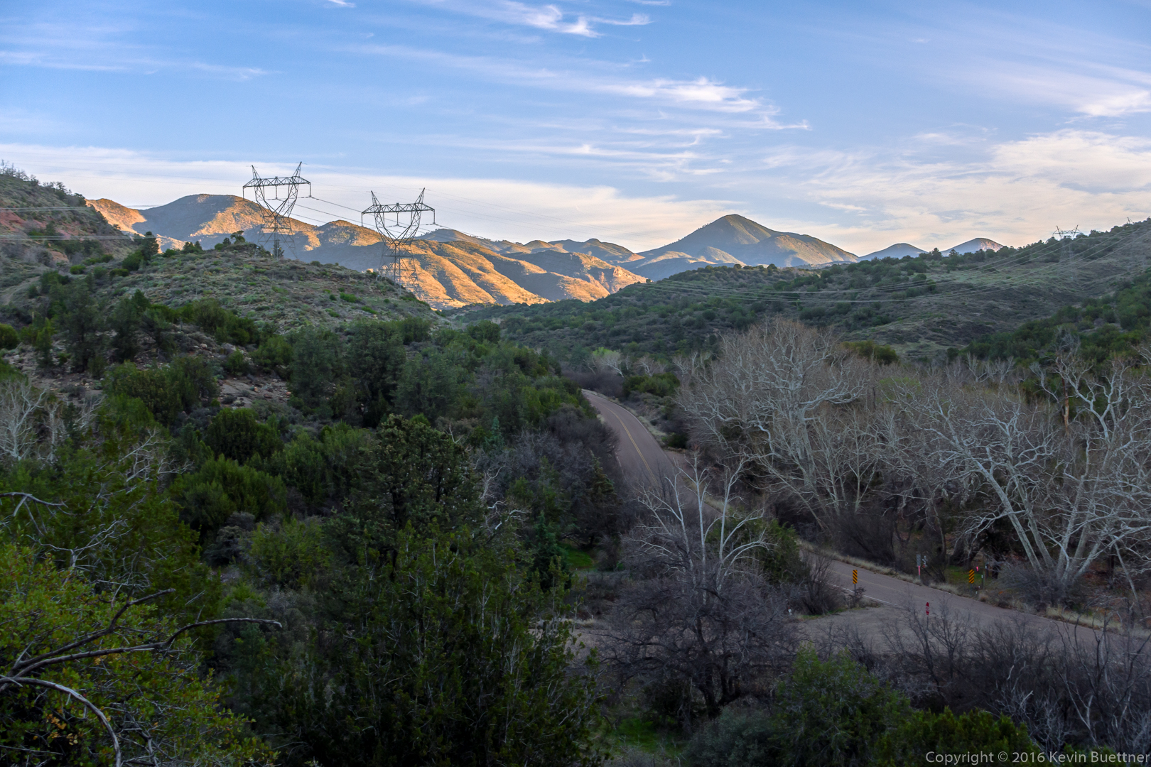
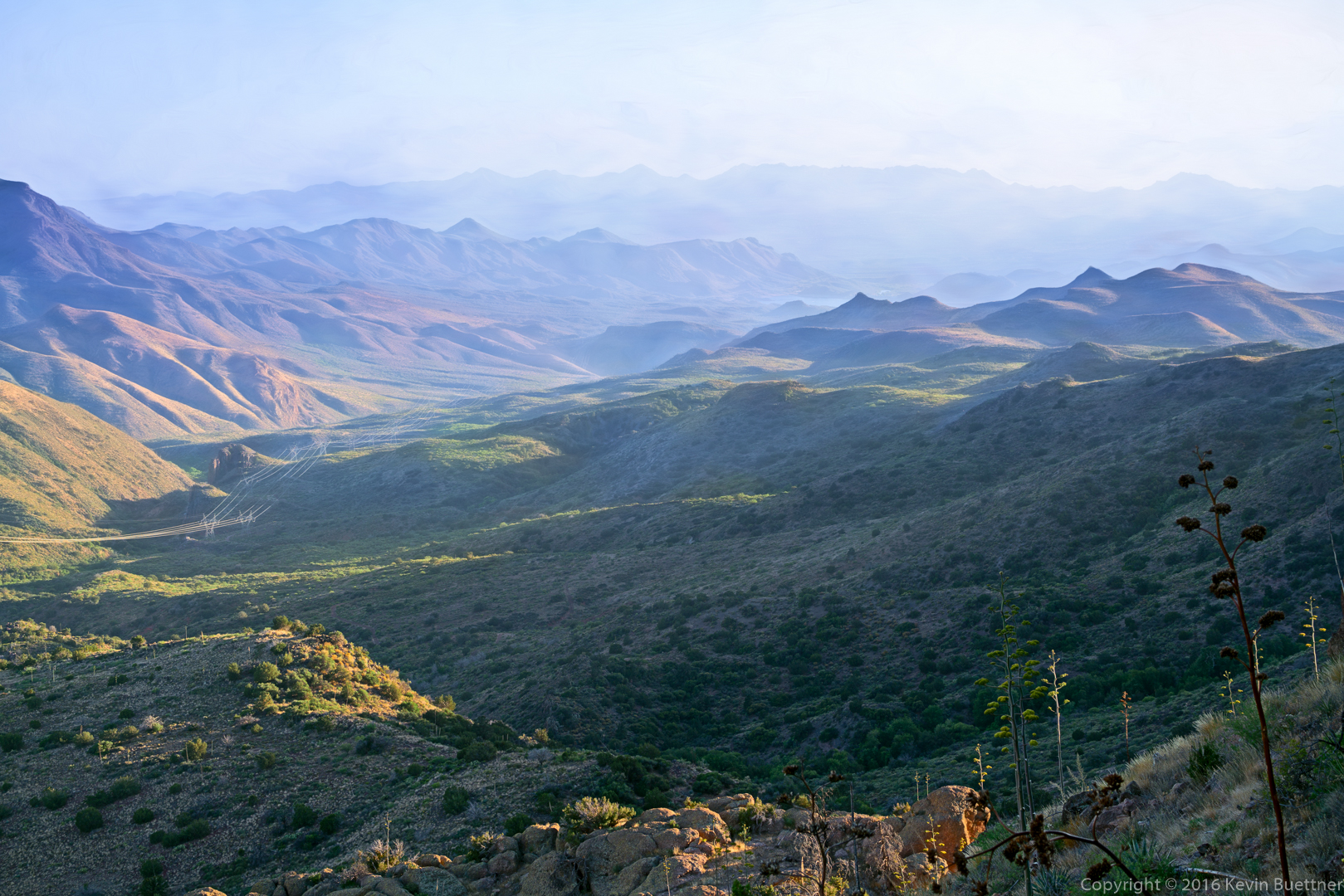
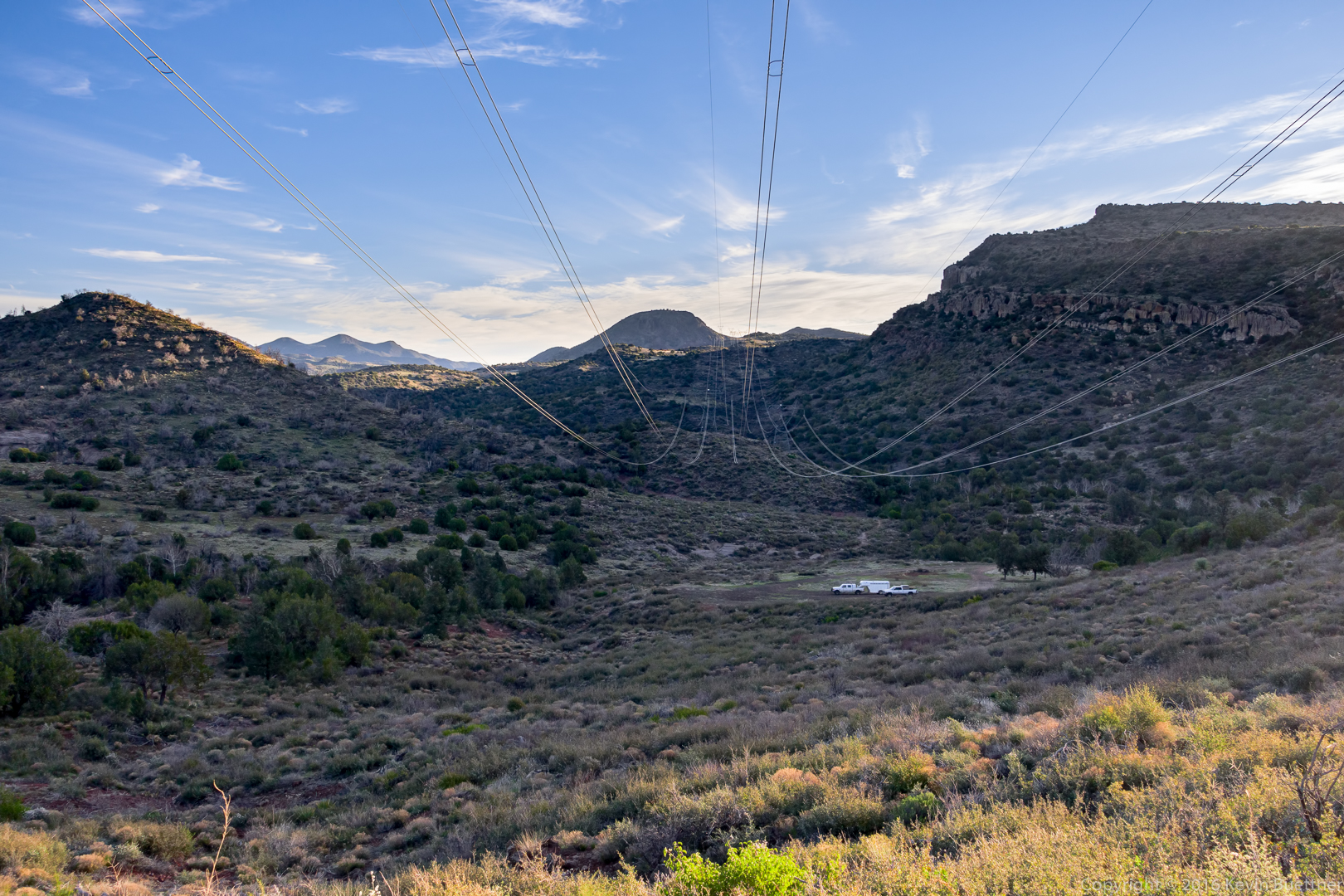
A view of the power lines from FR 393.  The horse trailer and truck are parked at in the clearing at the end of FR 3460.  (I inadvertently hiked up 3460 on one of my scouting hikes.)

20160304-_DSC1985-Edit-medium

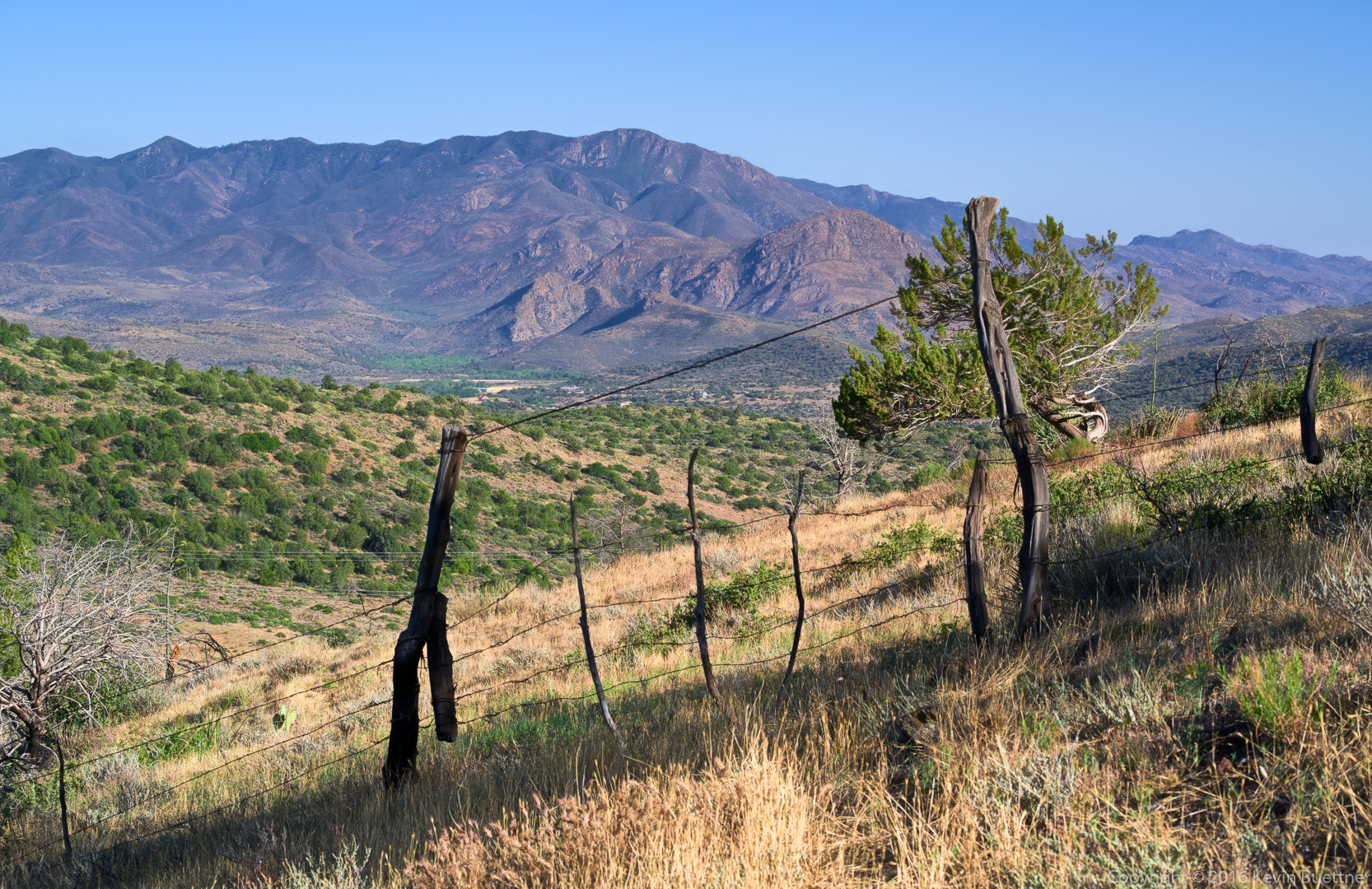
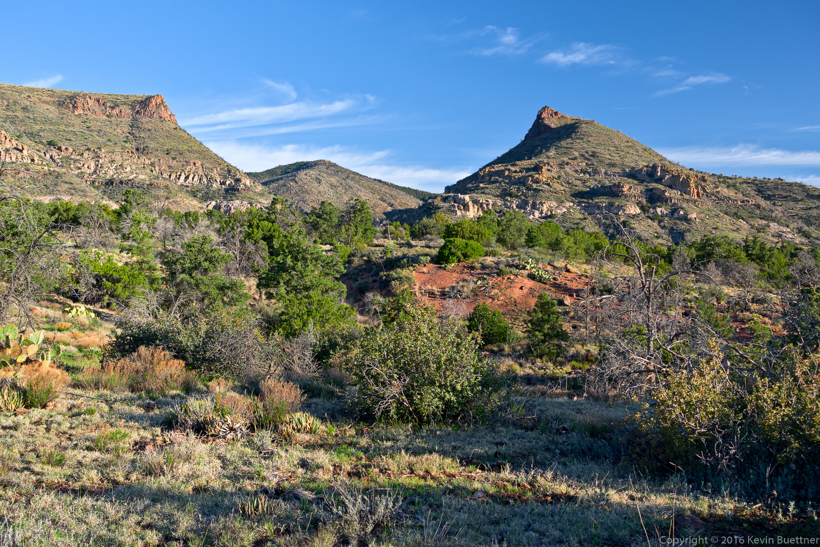
Another early morning view from FR 393:

20160304-_DSC2090-Edit-medium

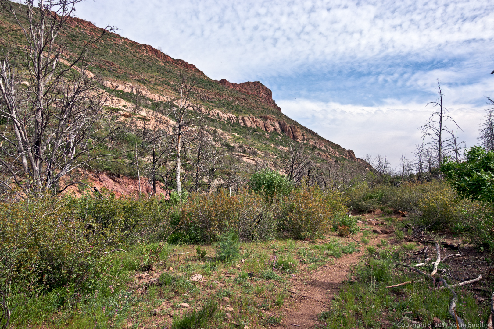
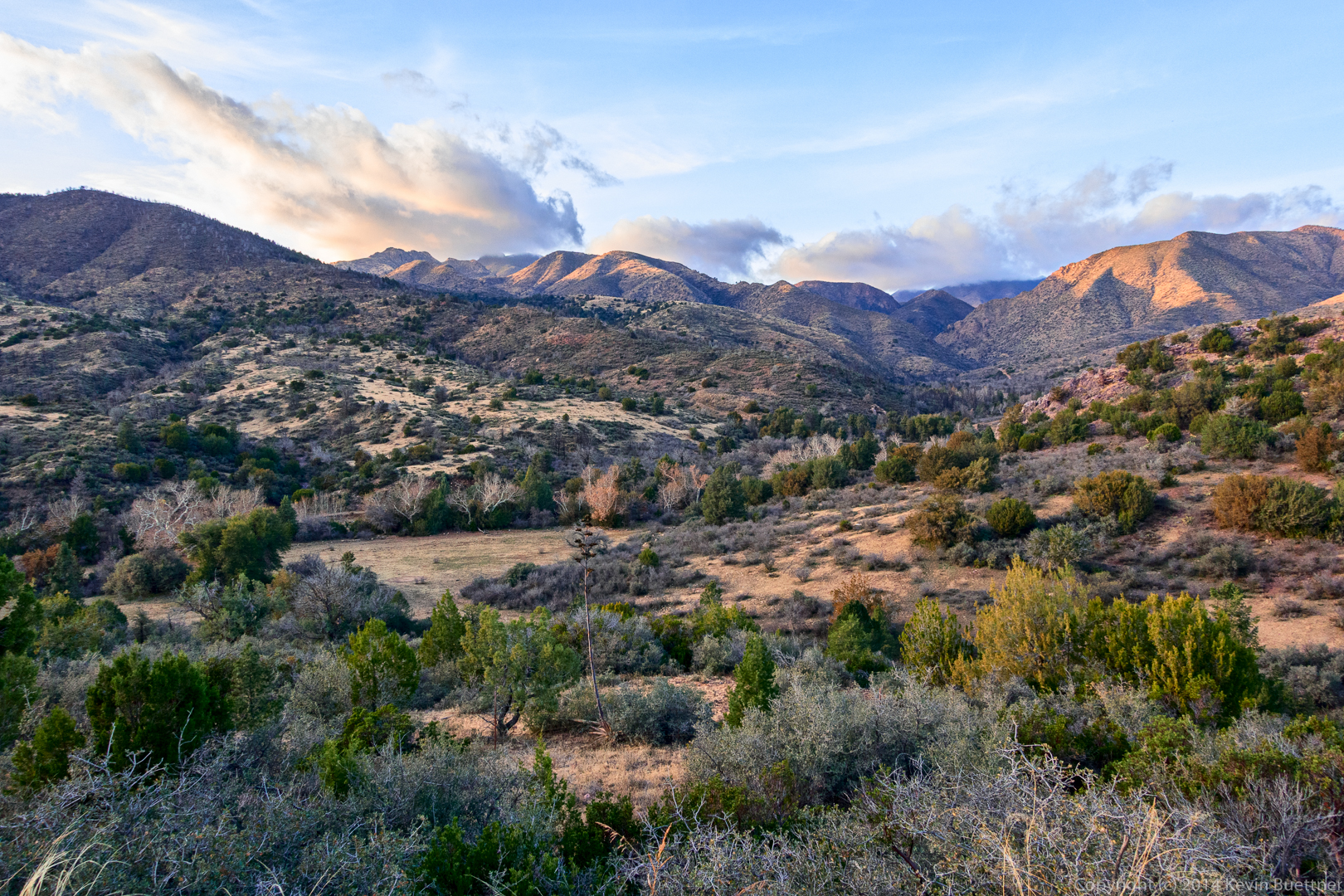
A view from the trail leading up to the ridge:
20160304-_DSC2126_7_8-Edit-medium

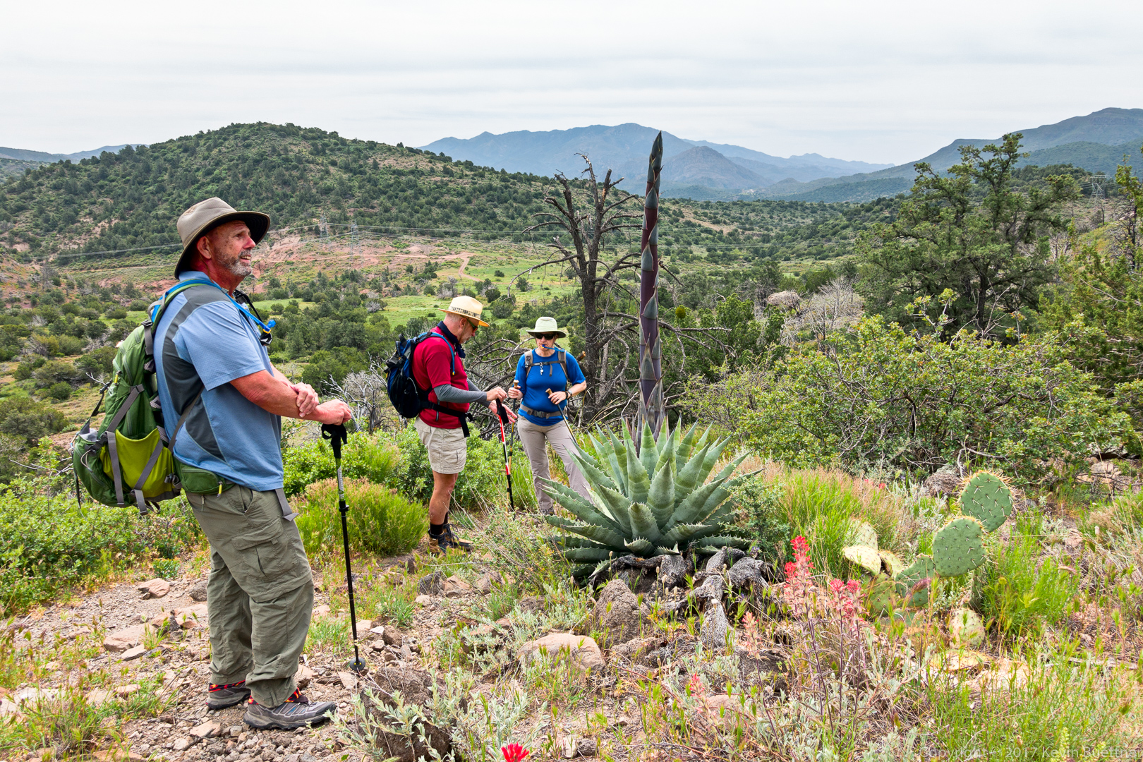
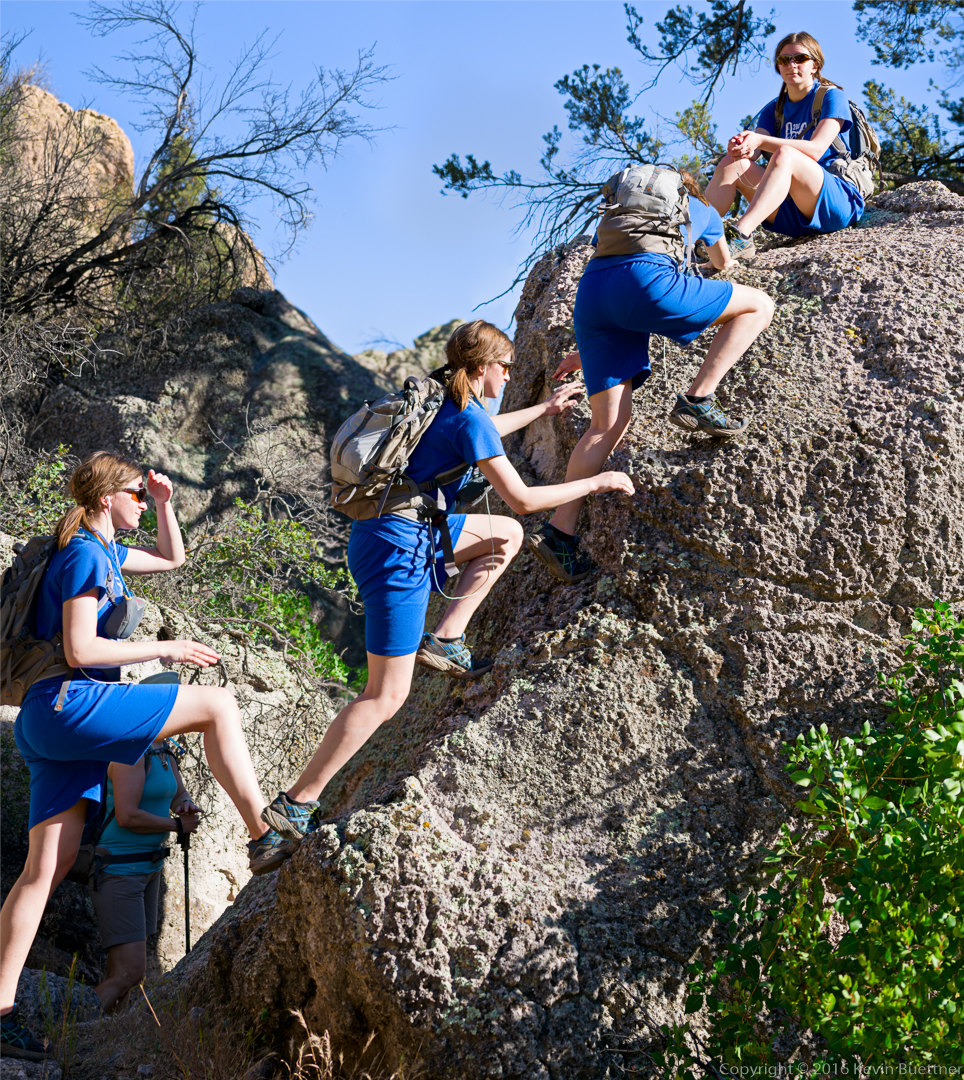
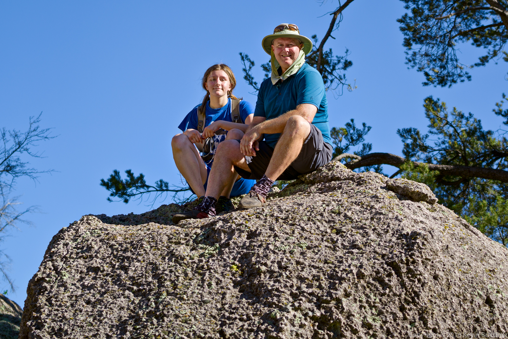
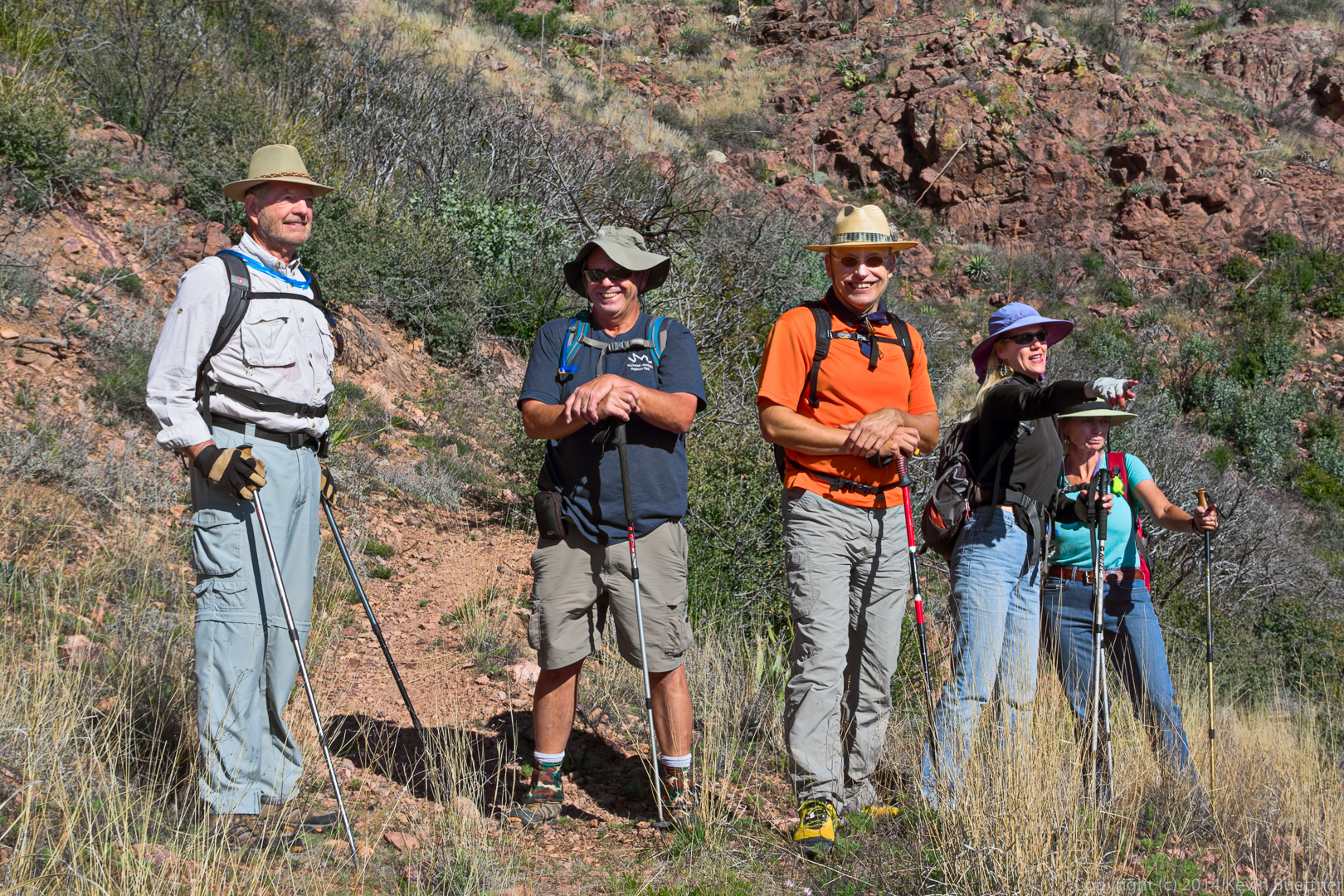
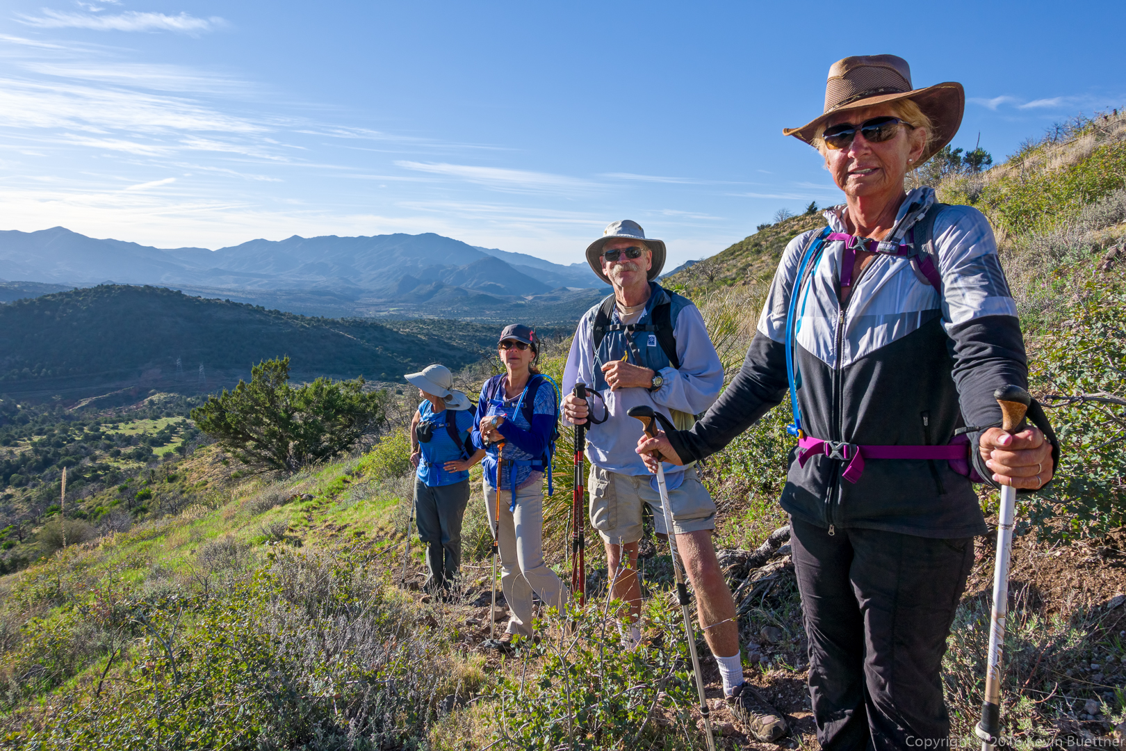
Linda, Eva, Doug, and Nancy:

20160304-_DSC2150-Edit-medium

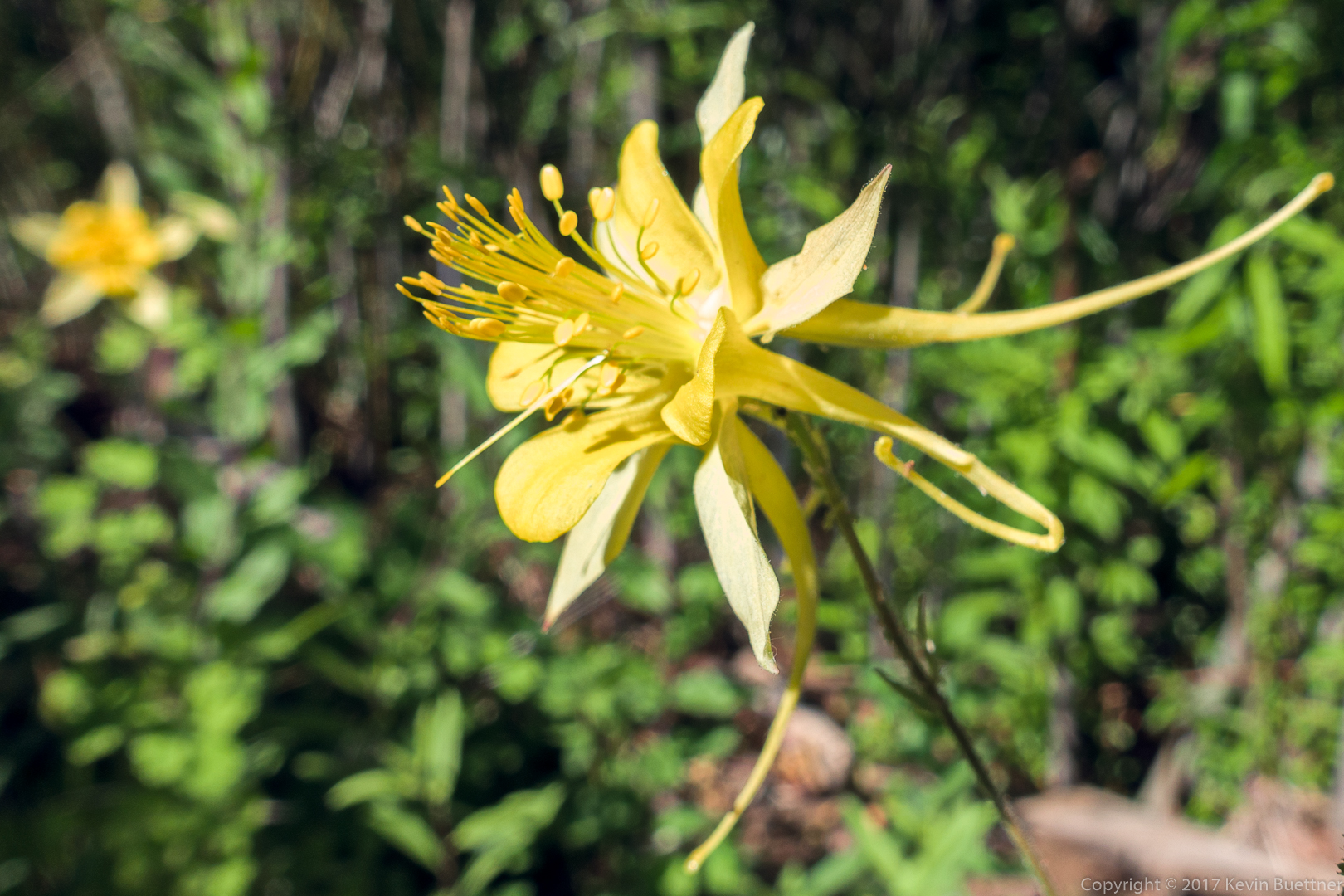
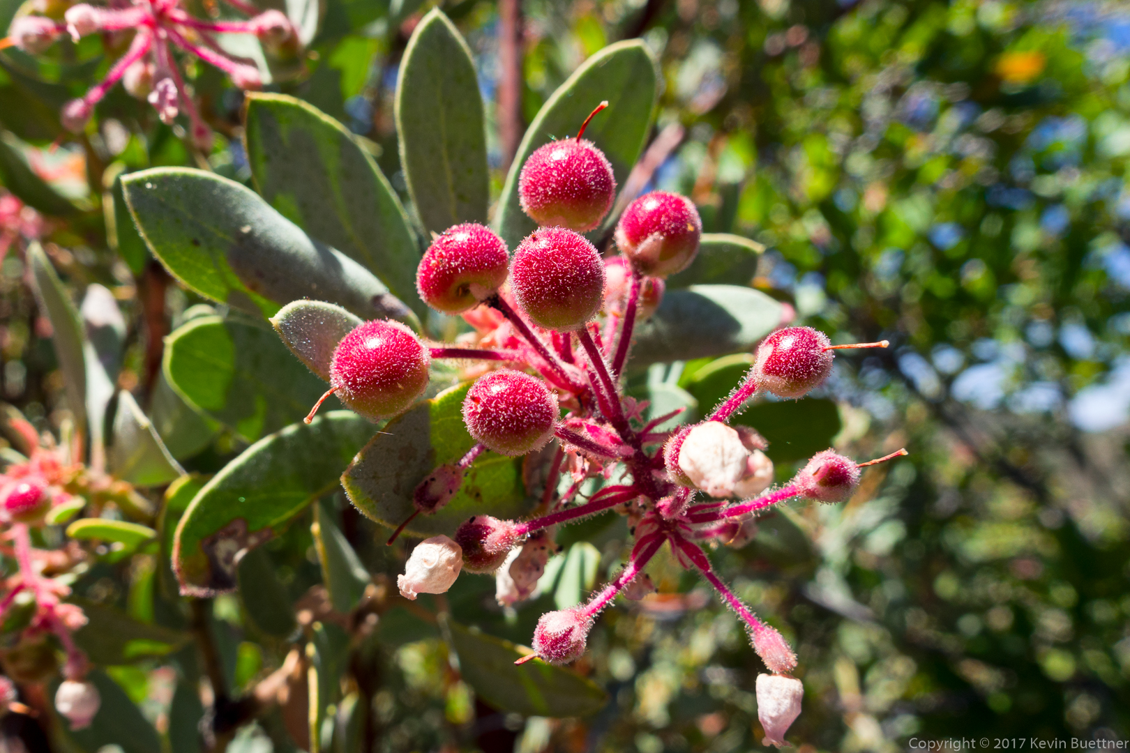
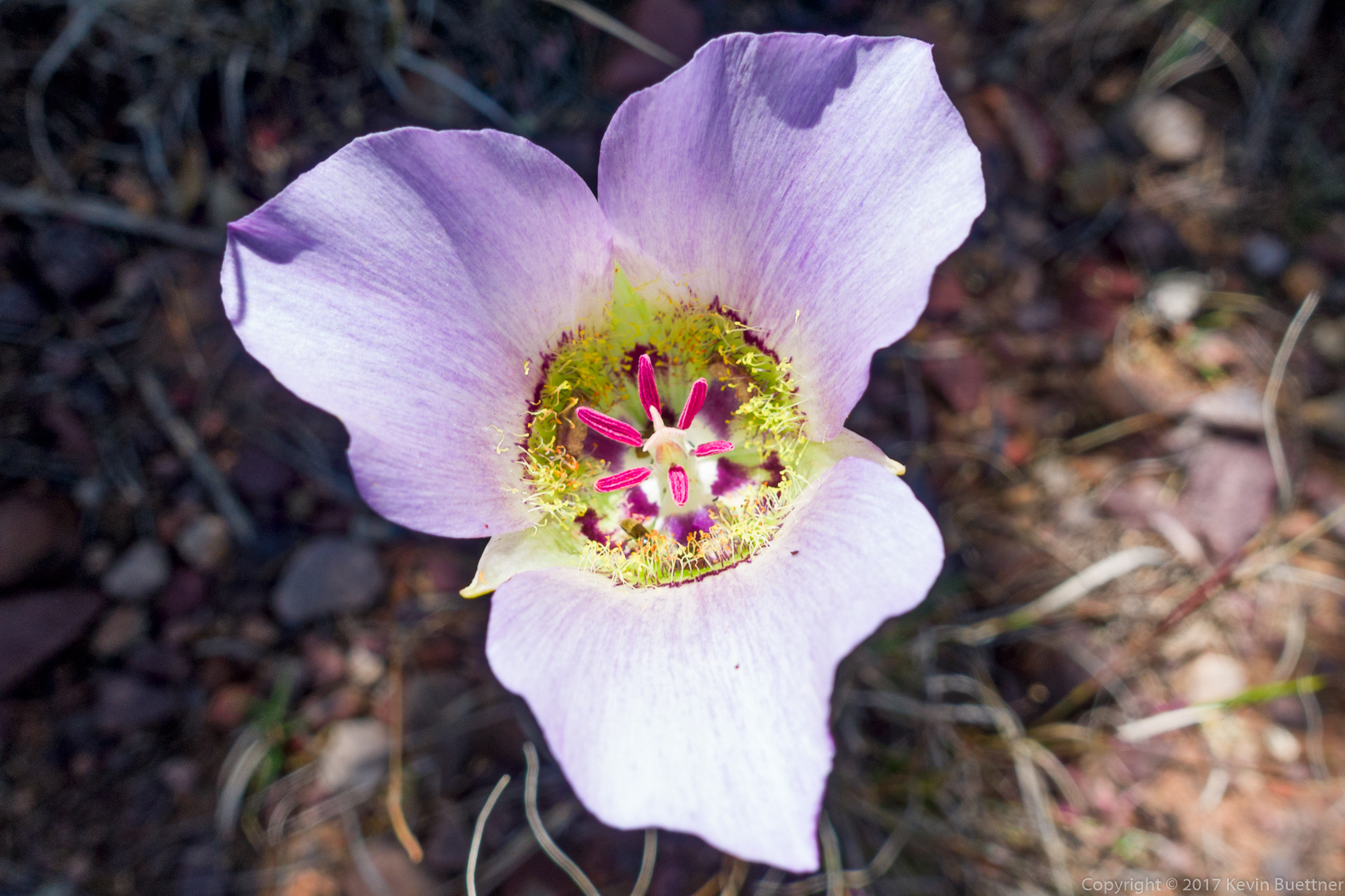
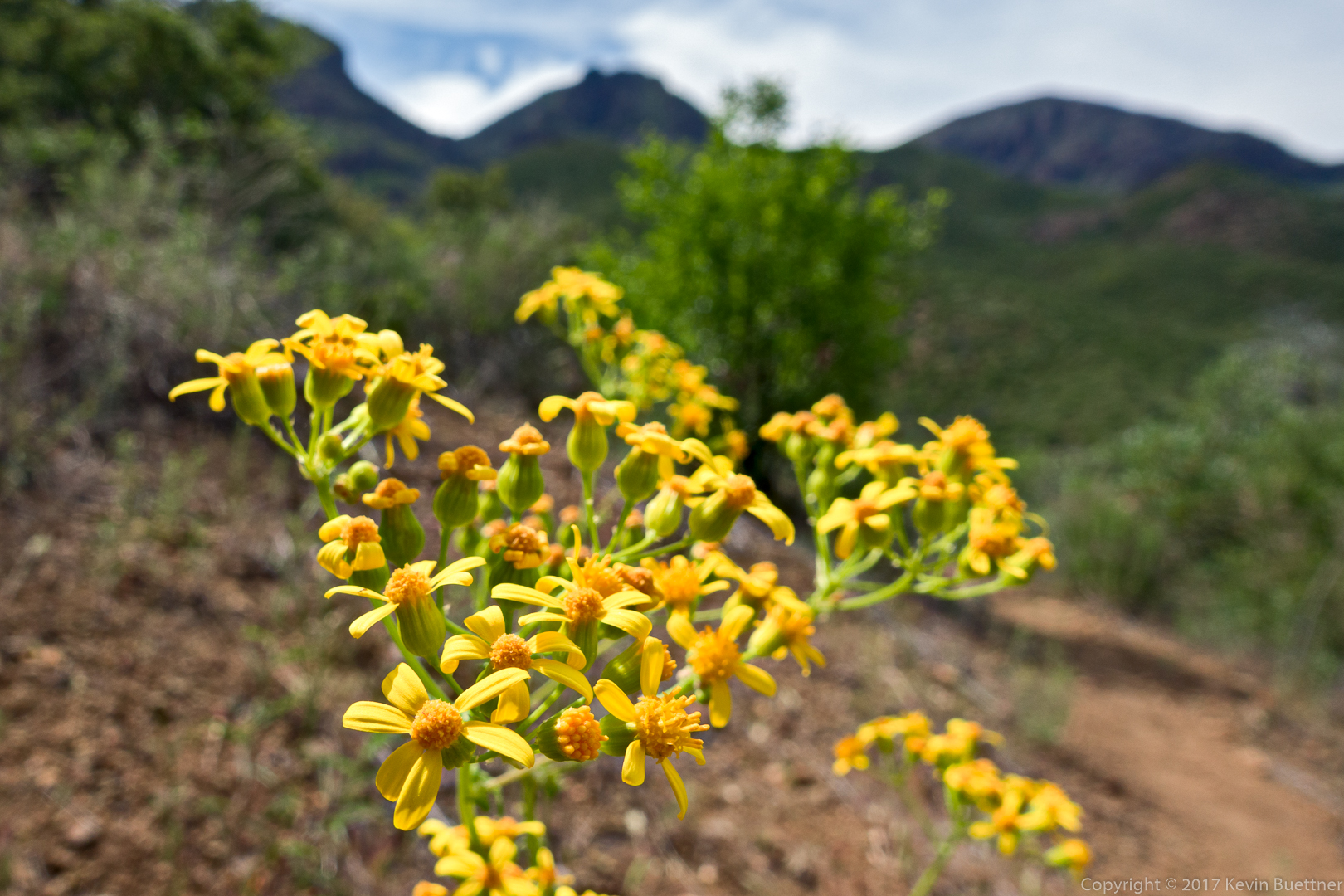
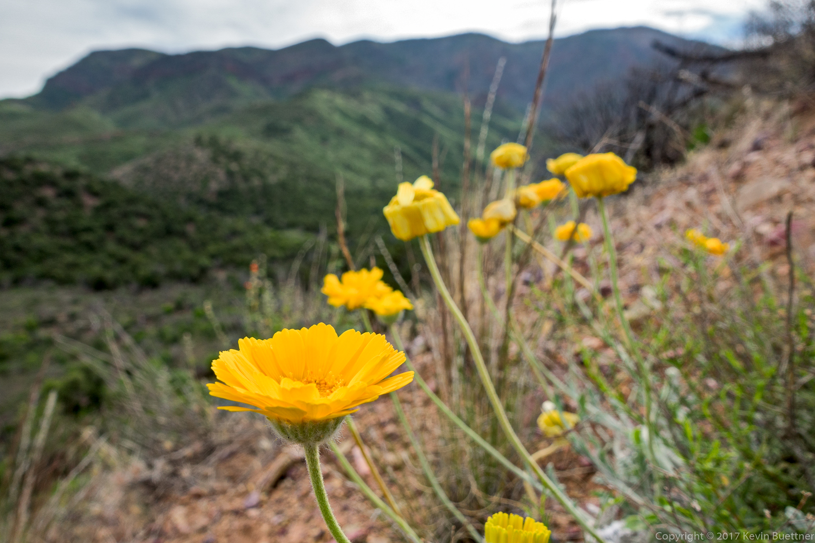
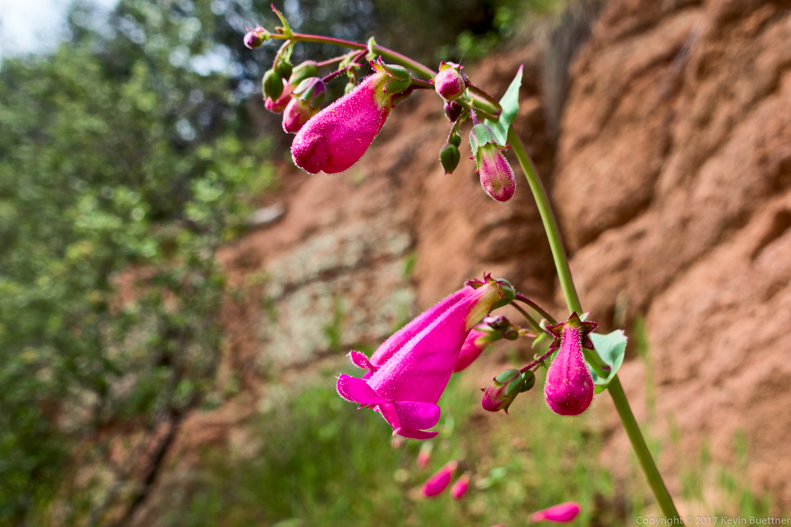
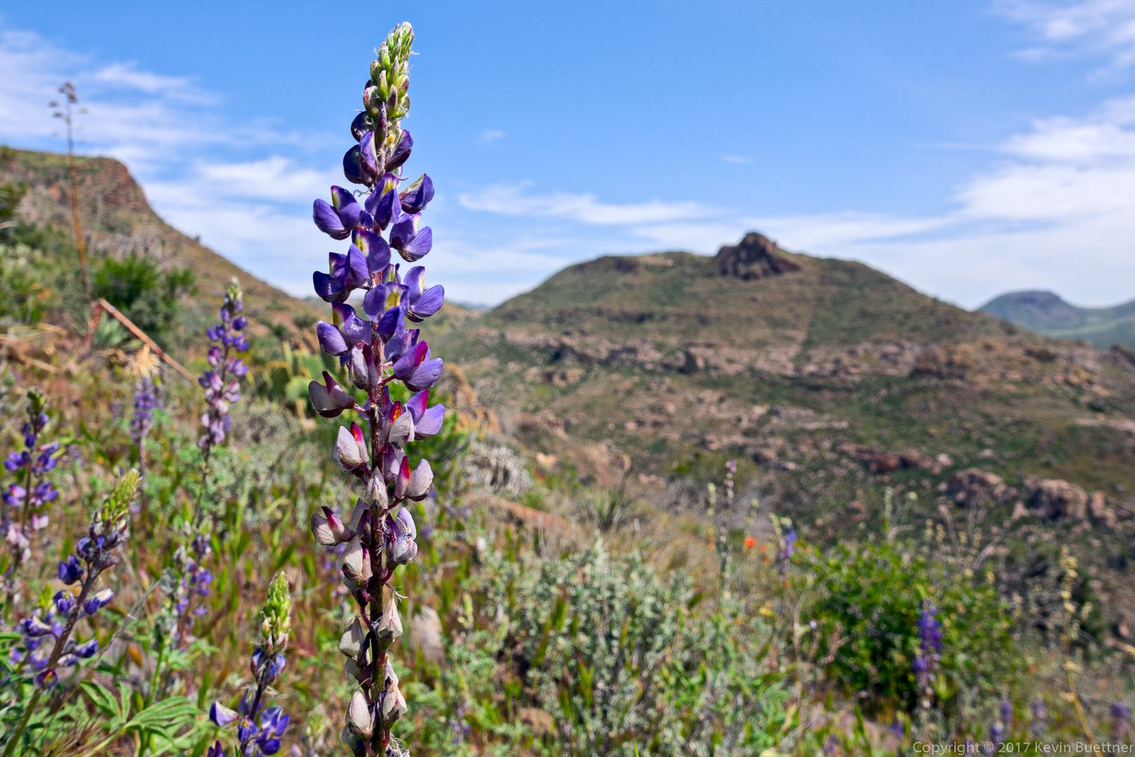
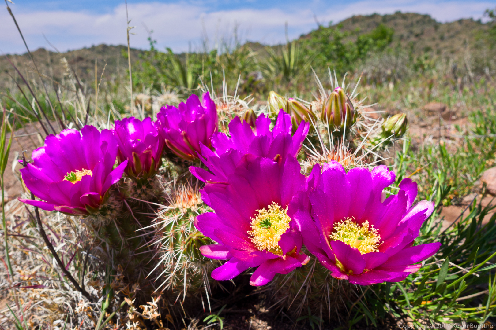
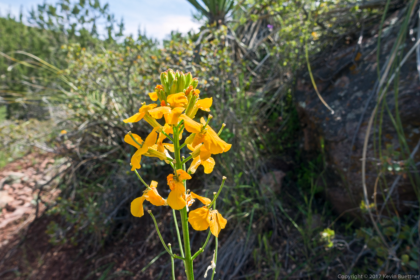
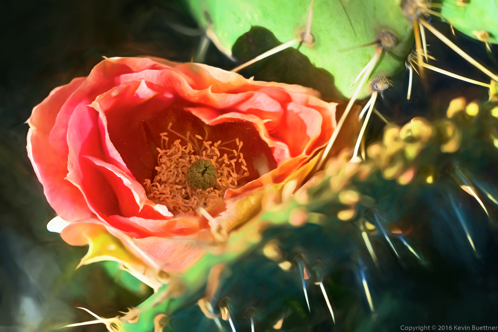
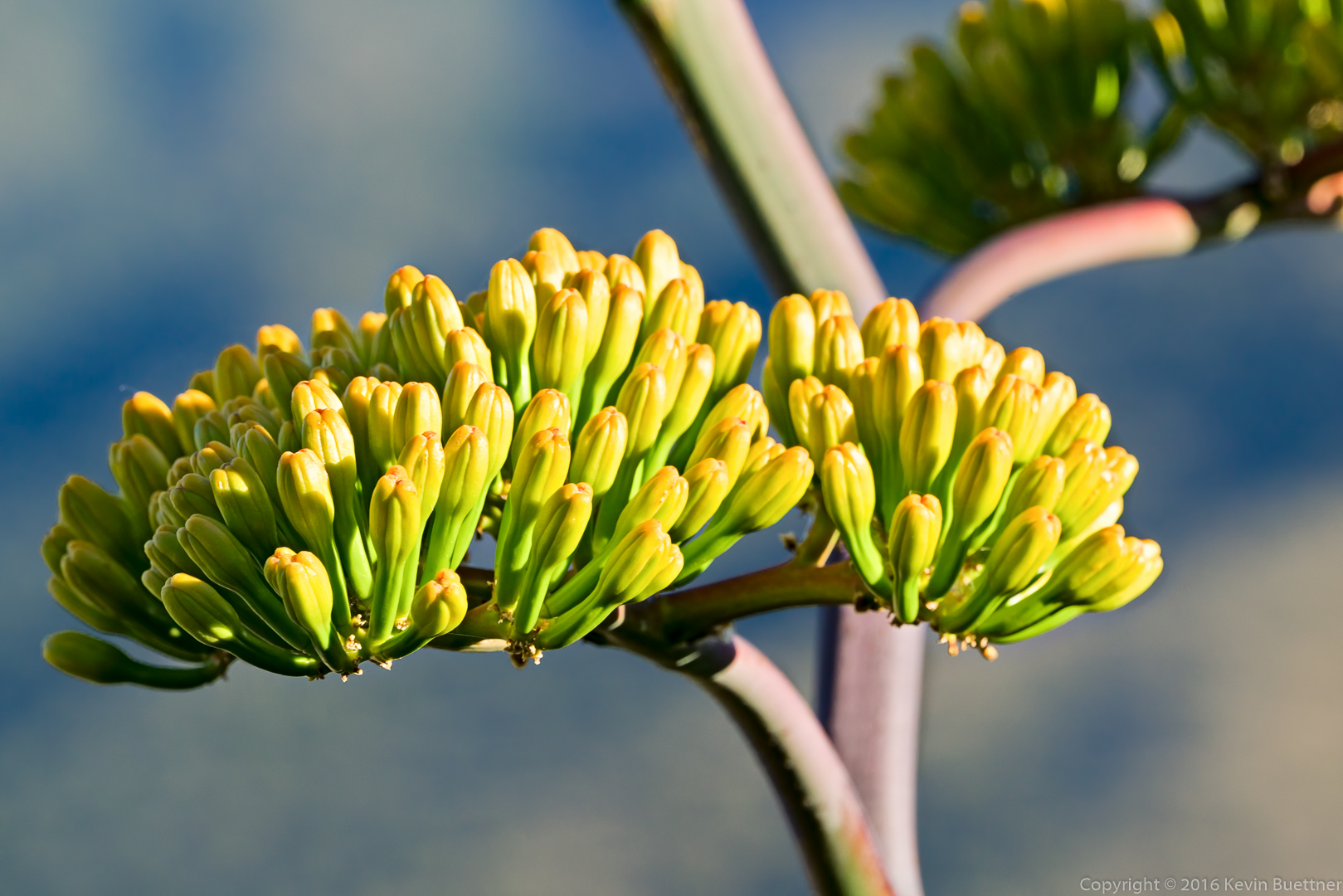
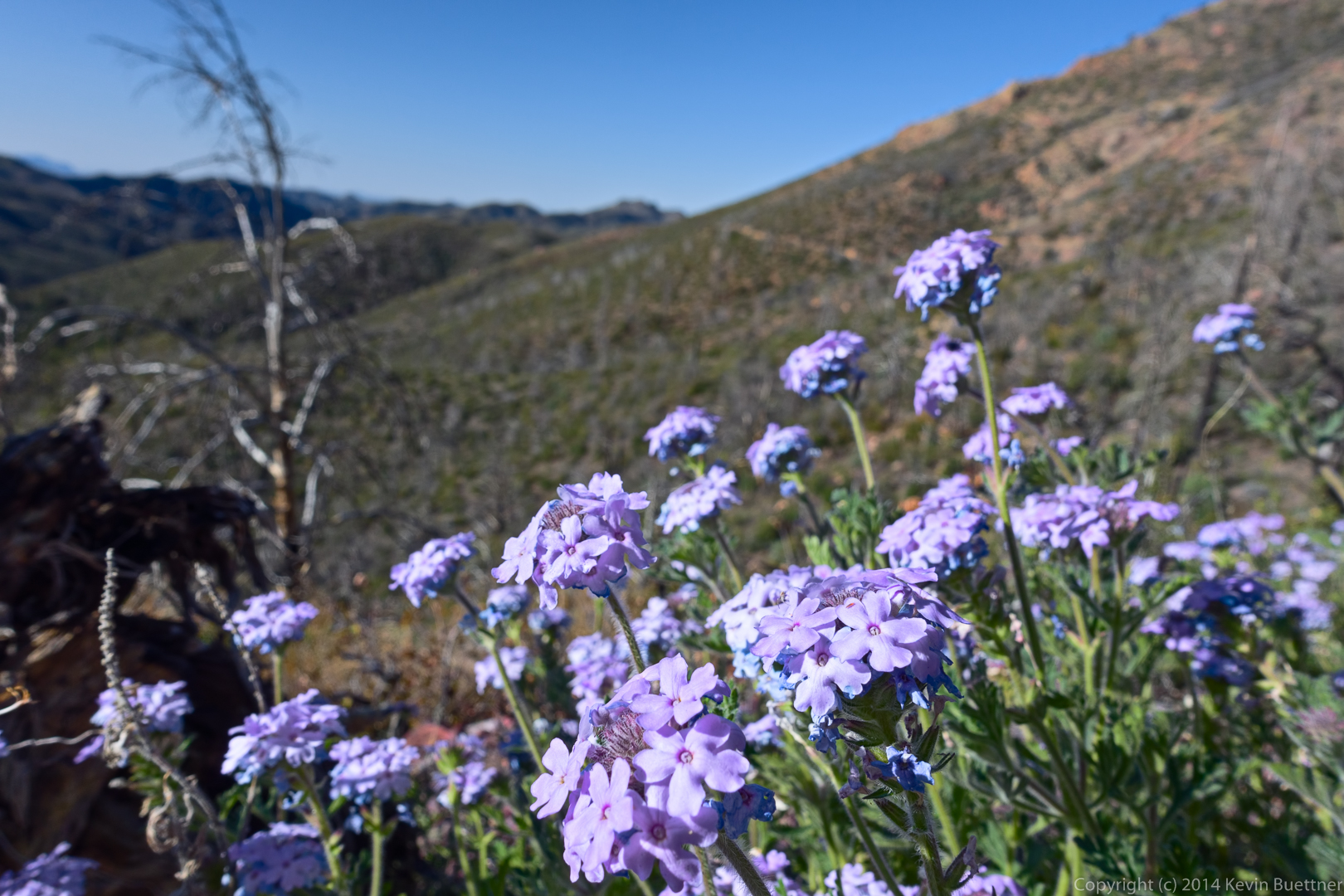
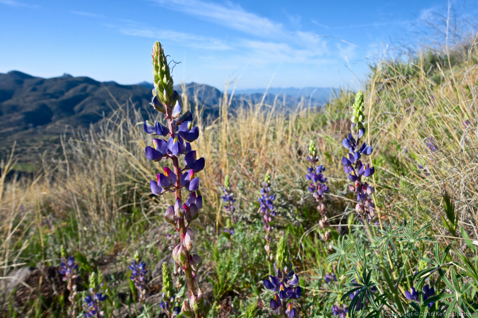
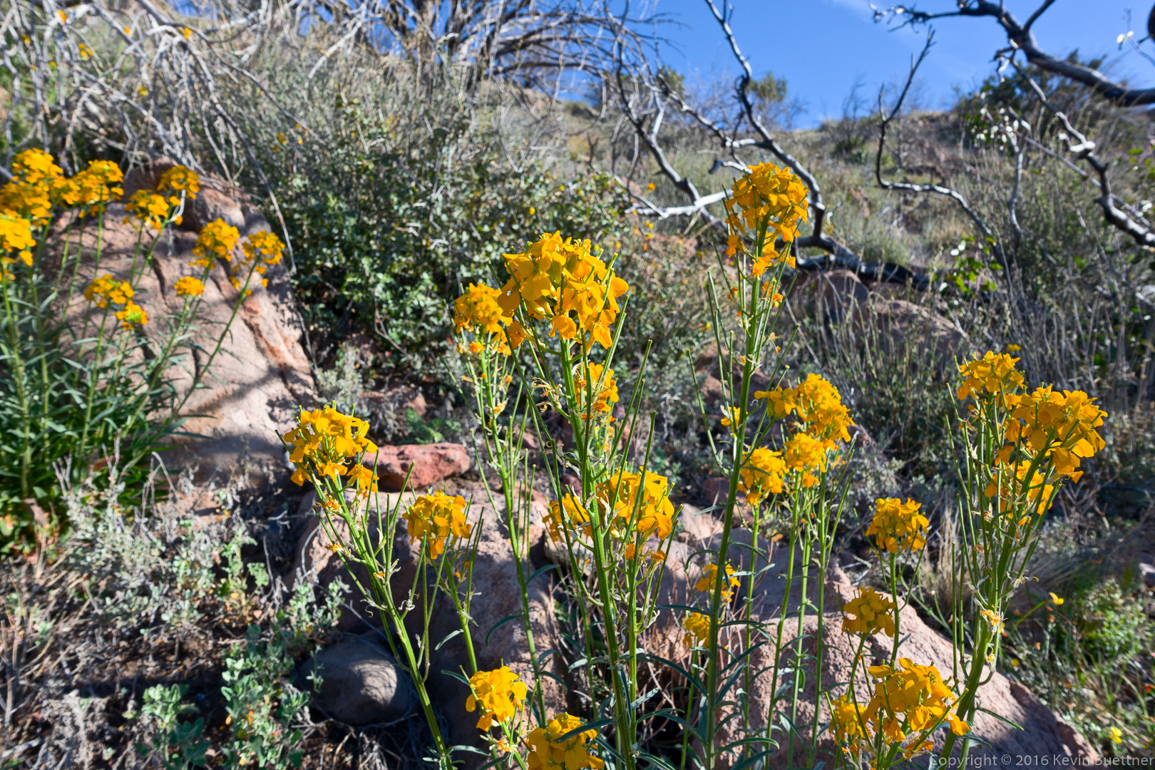
We saw a lot of flowers on our hike.  I think this is Lupine.

20160304-_DSC2168-Edit-medium

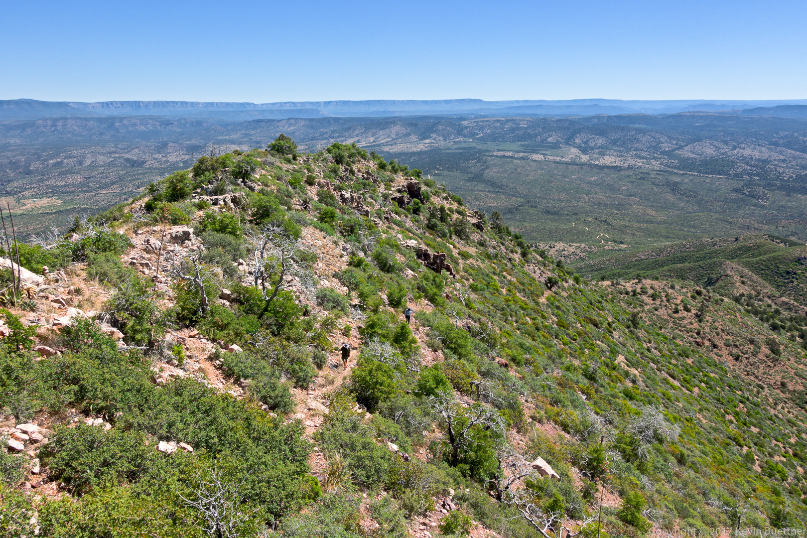
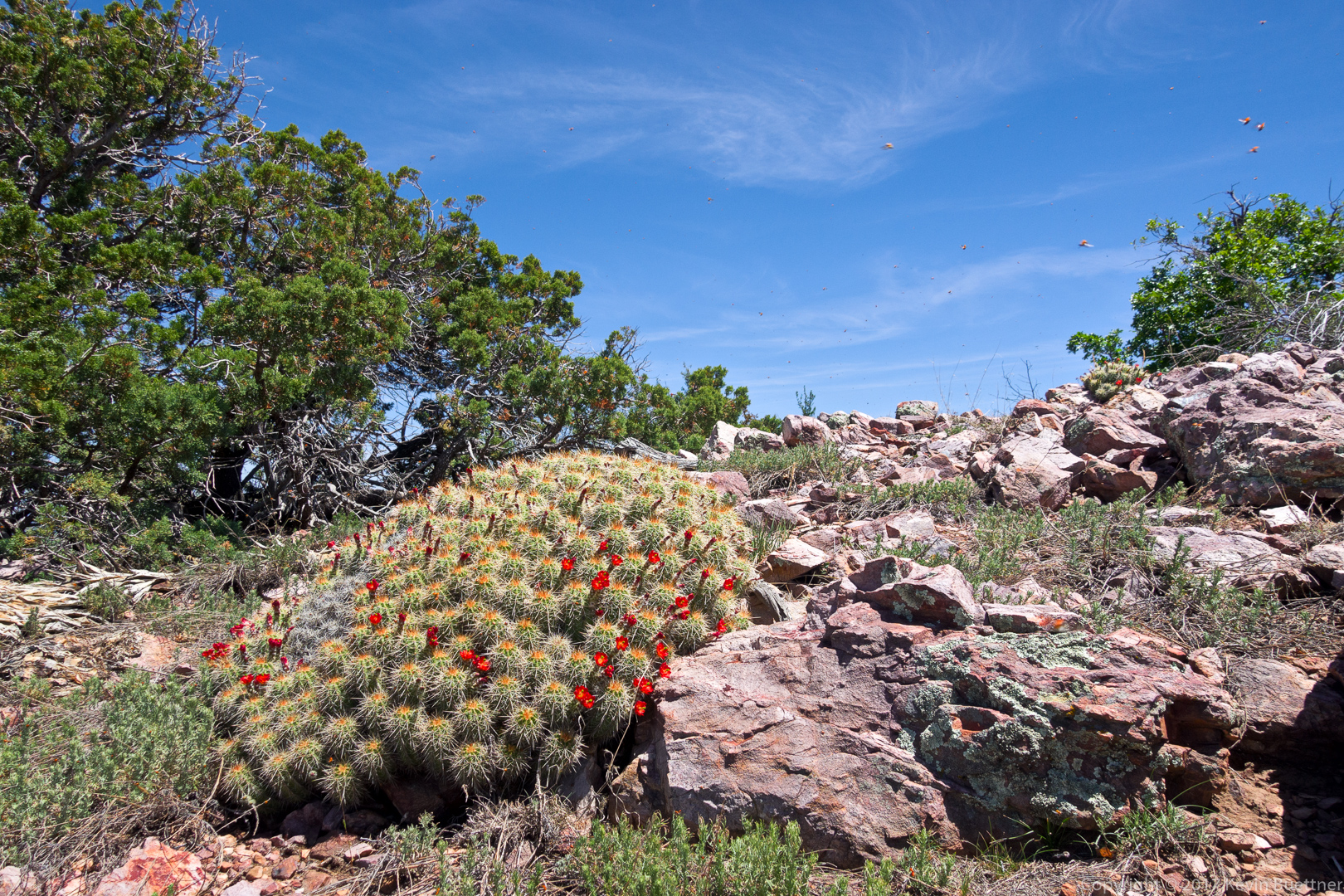
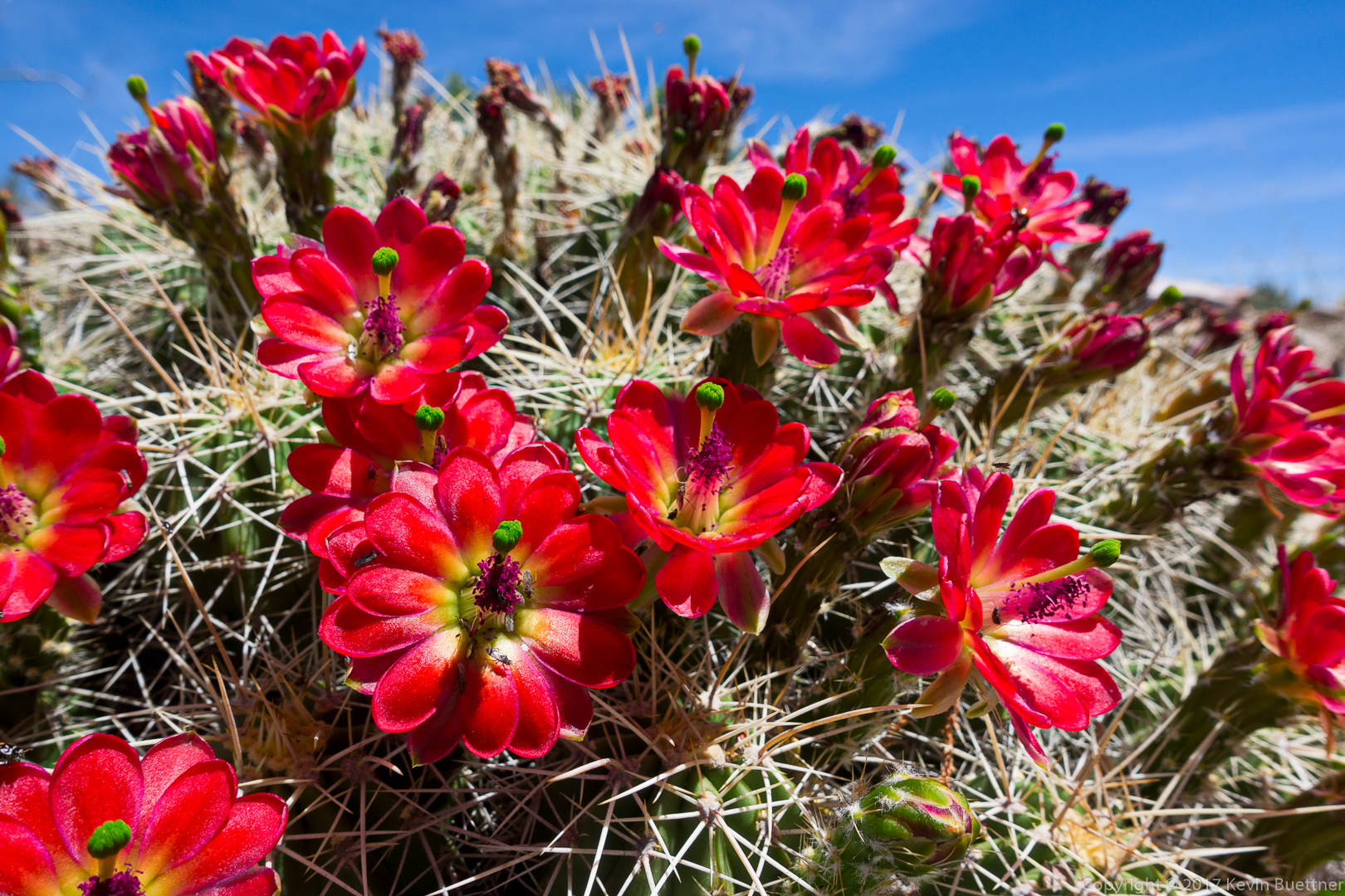
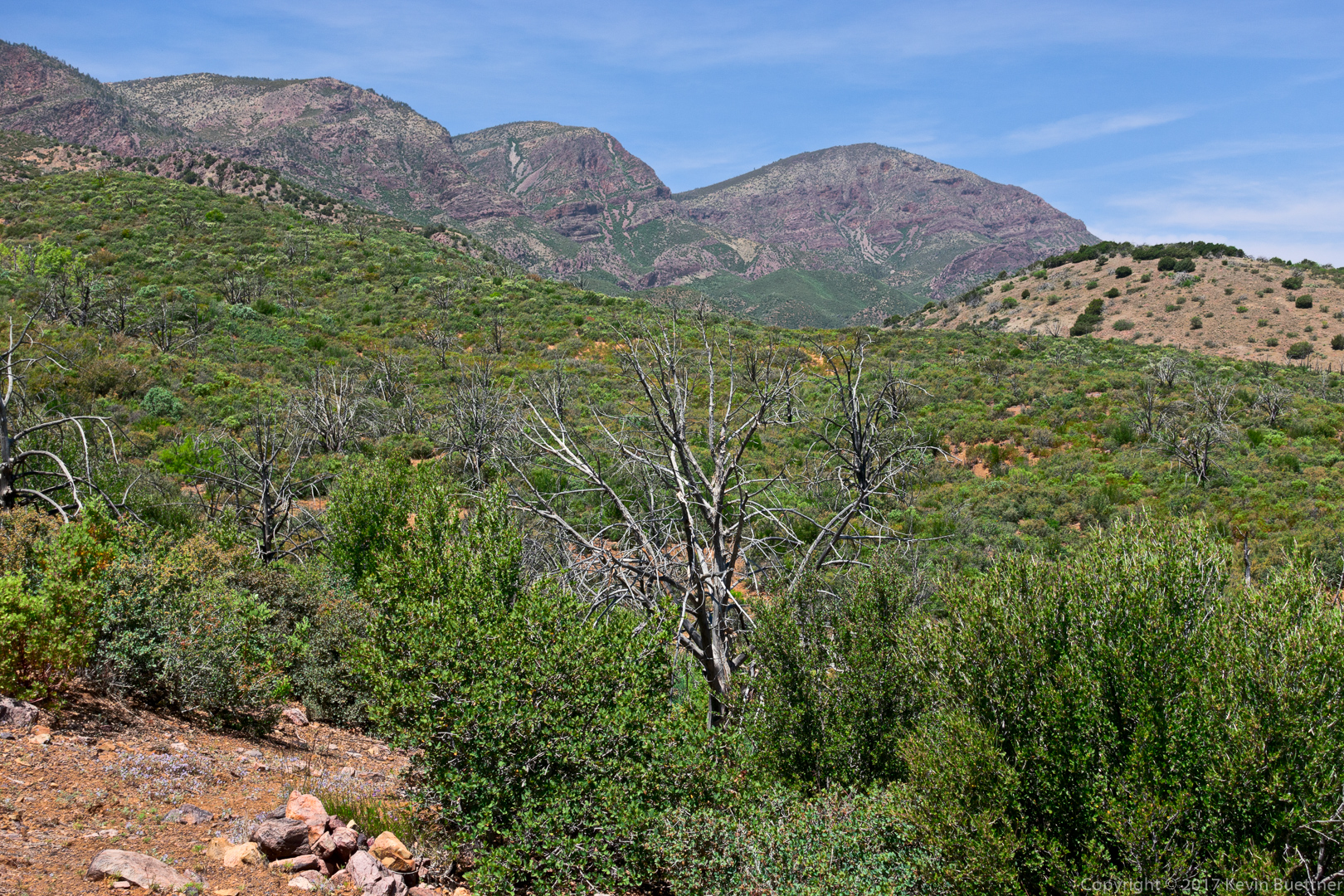
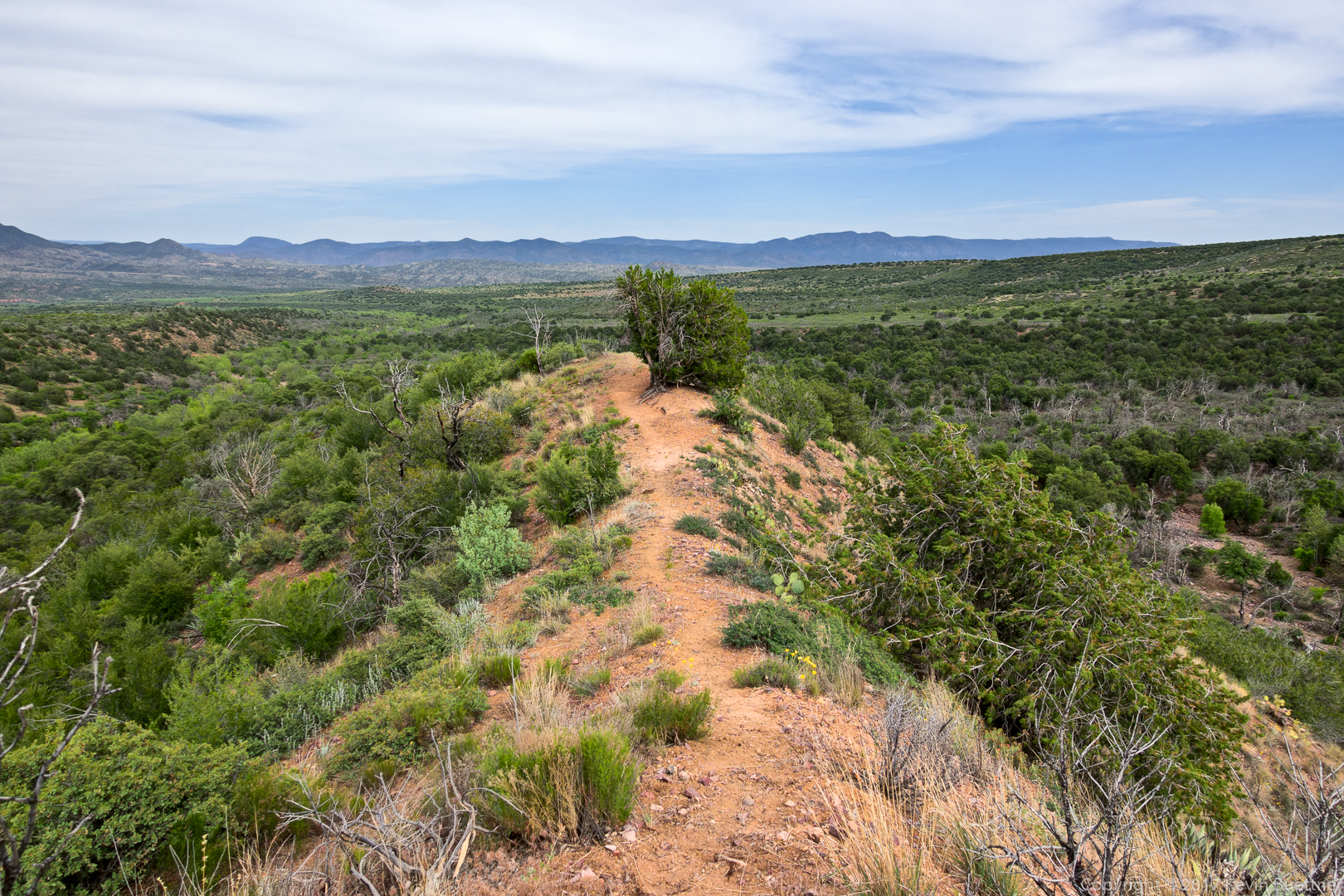
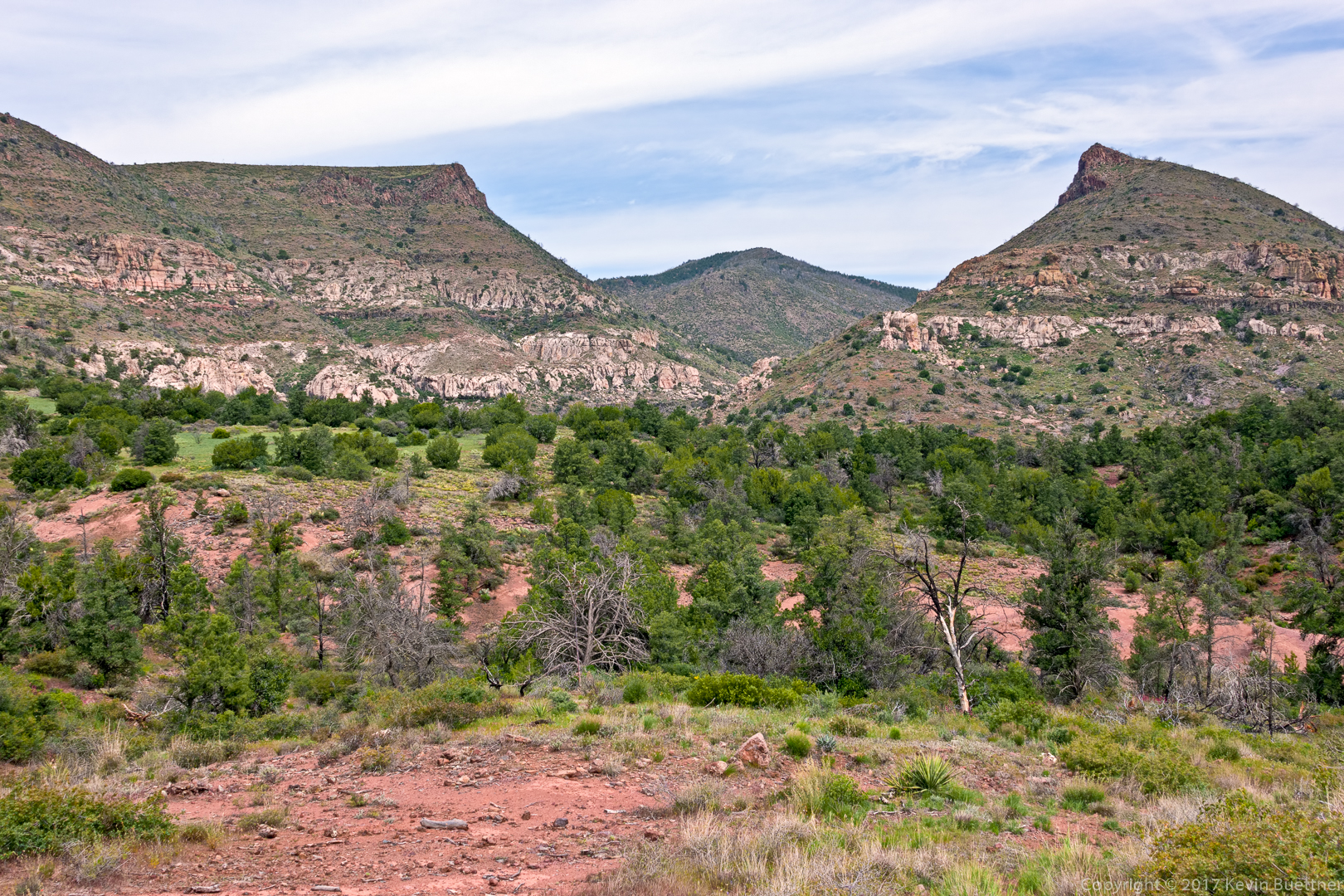
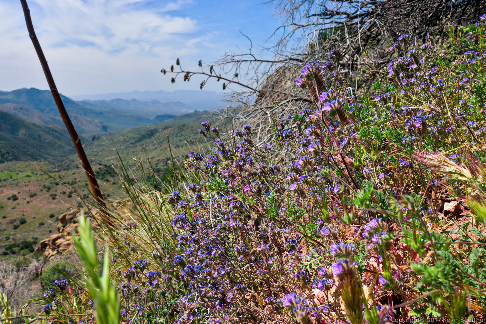
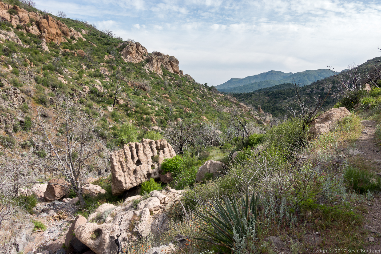
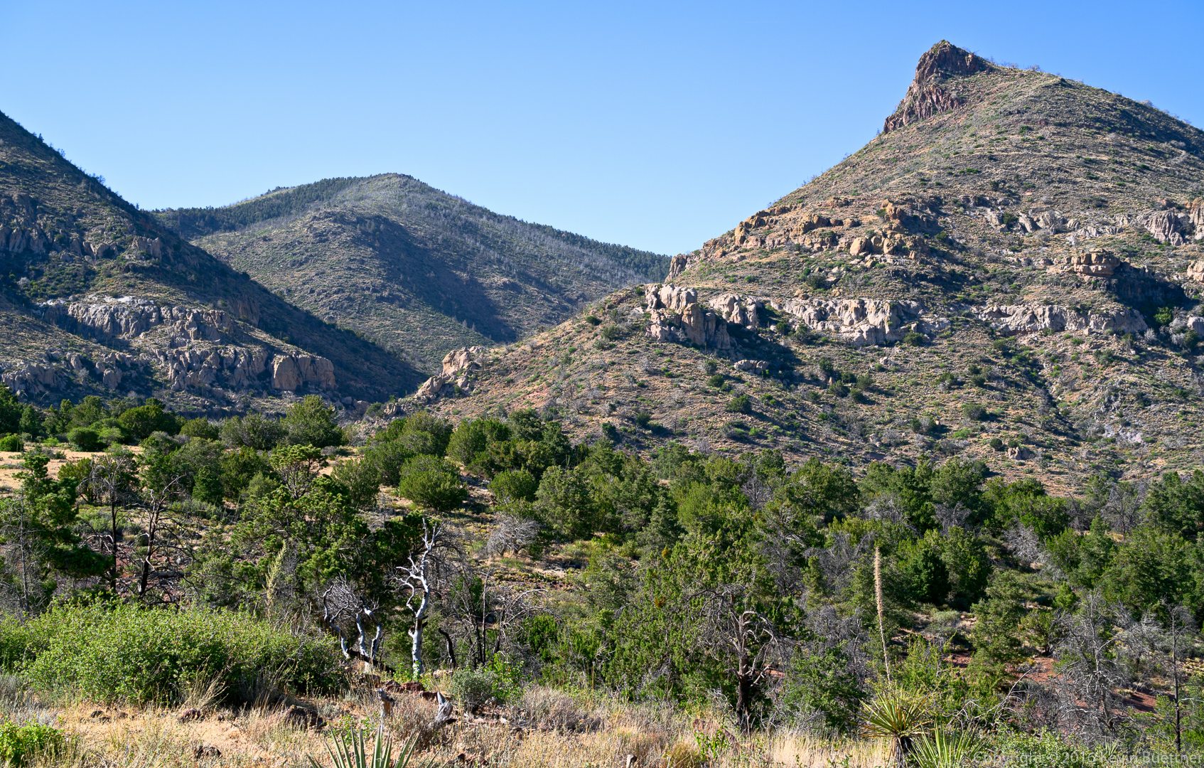
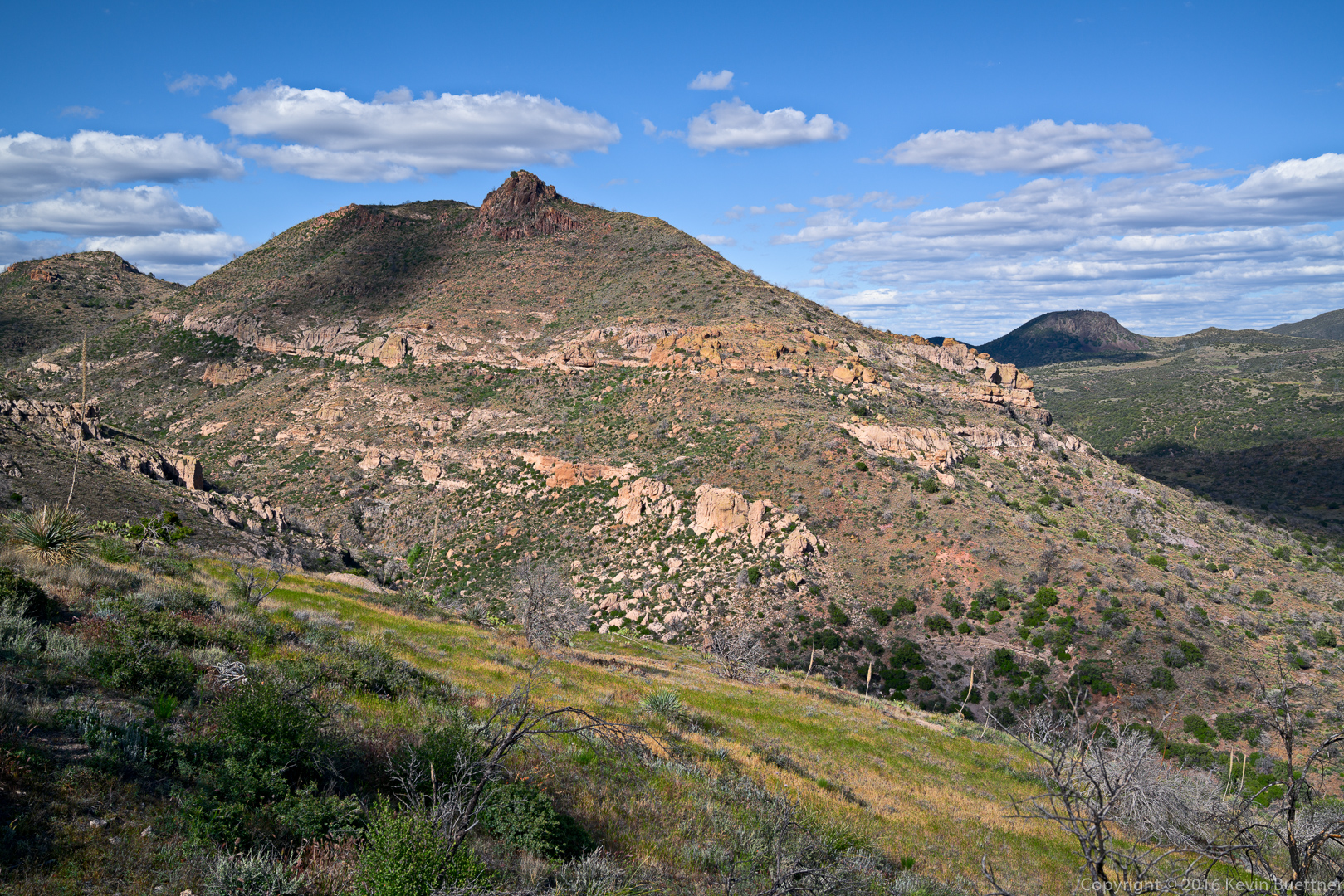
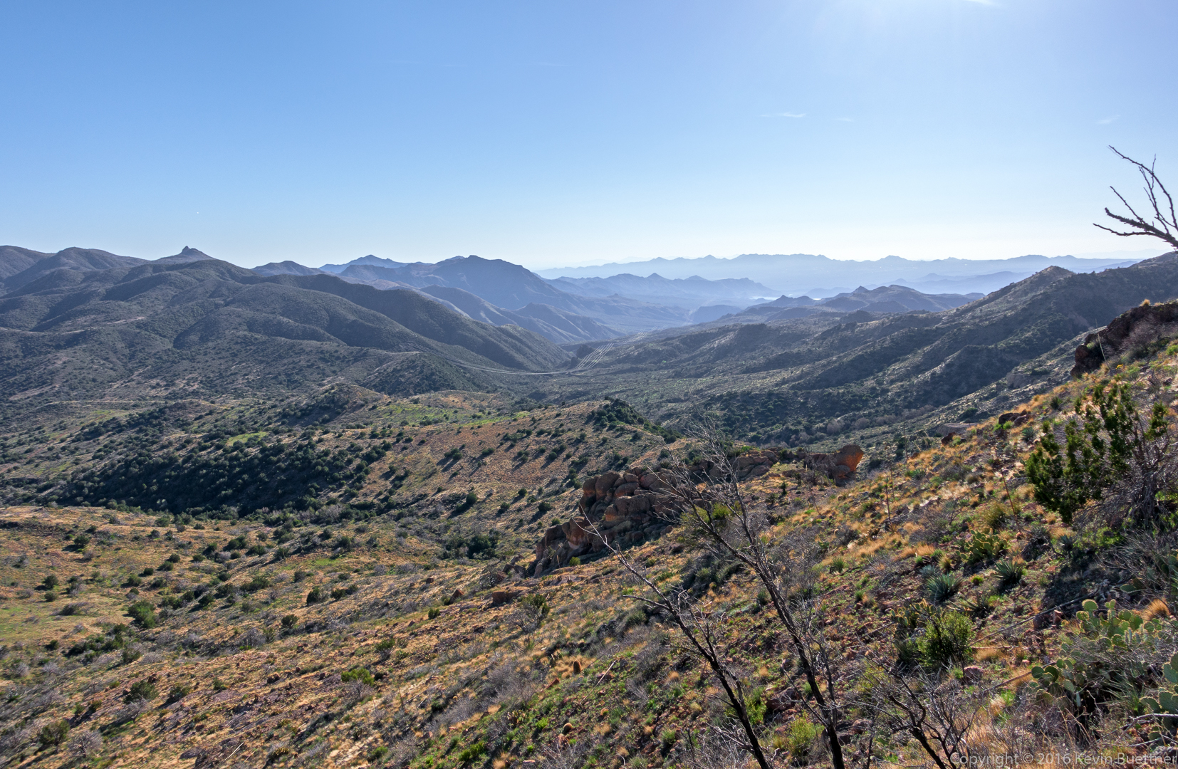
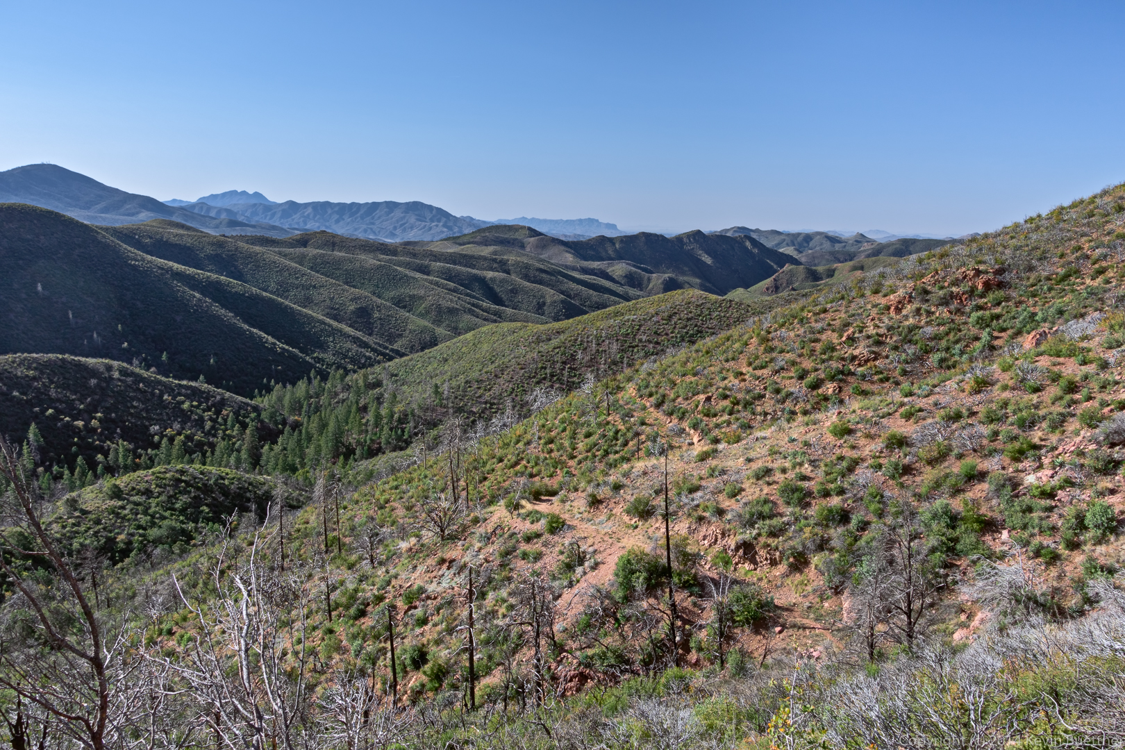
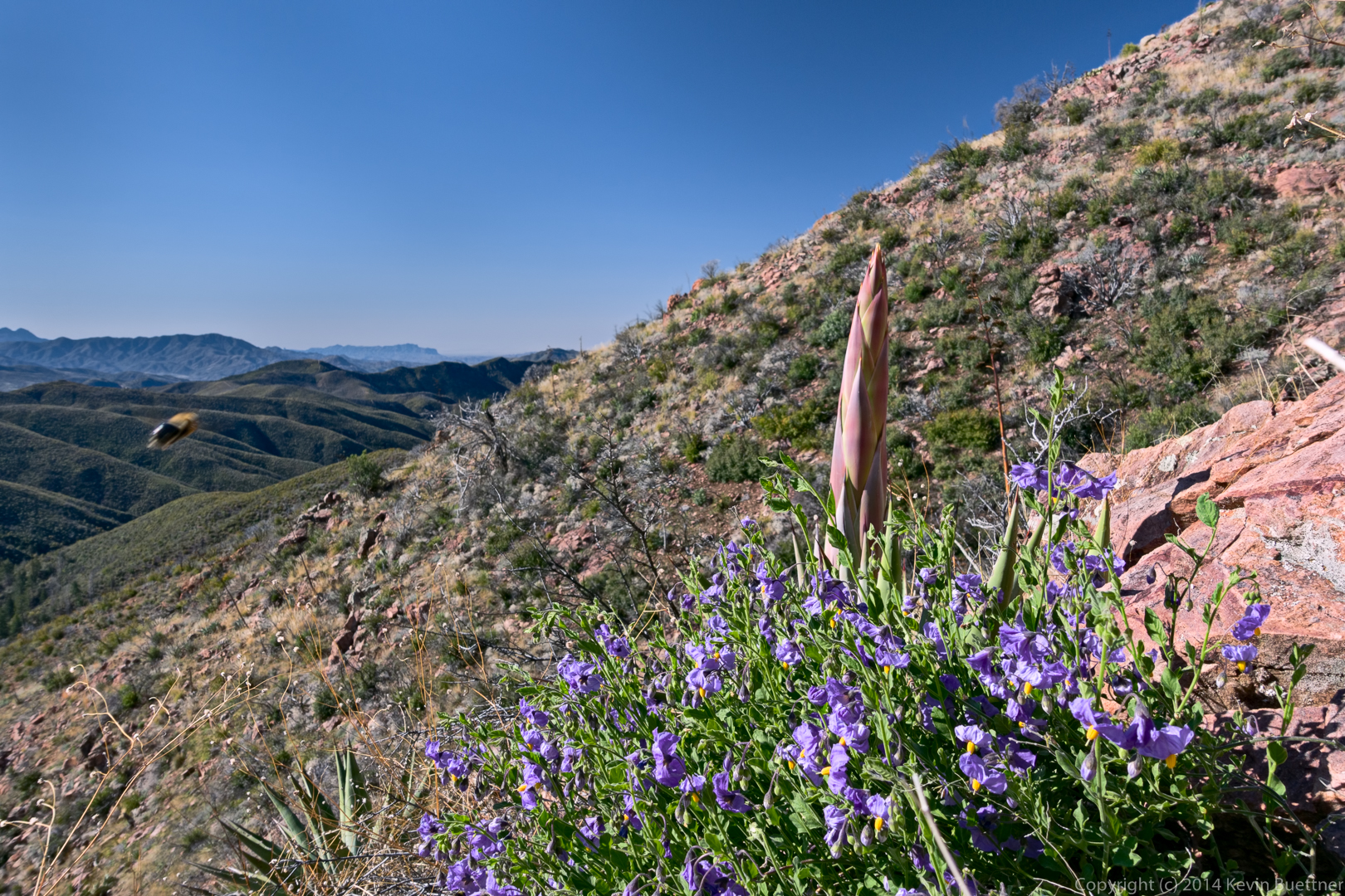
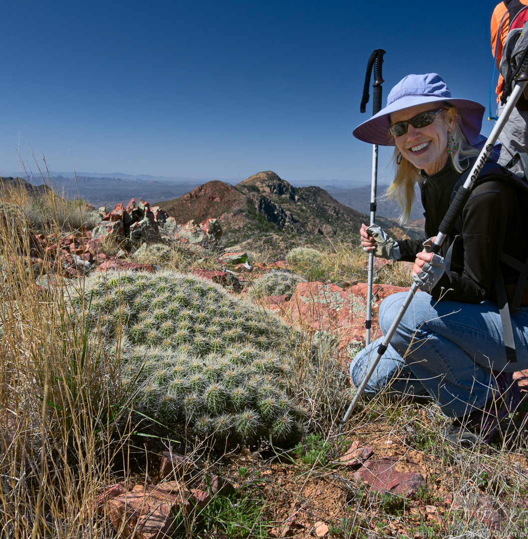
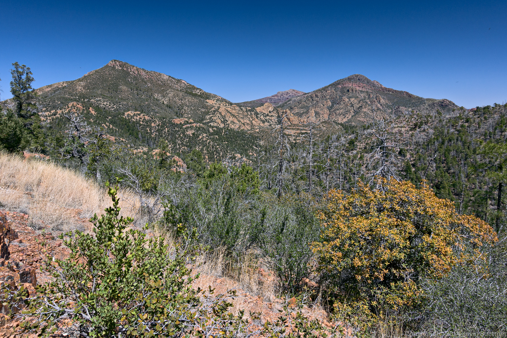
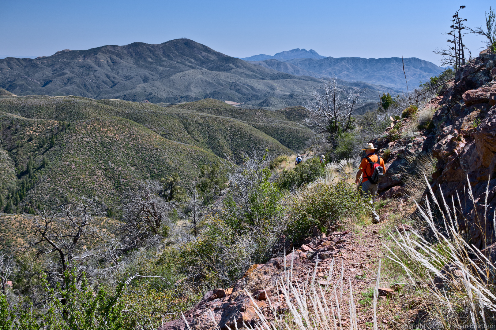
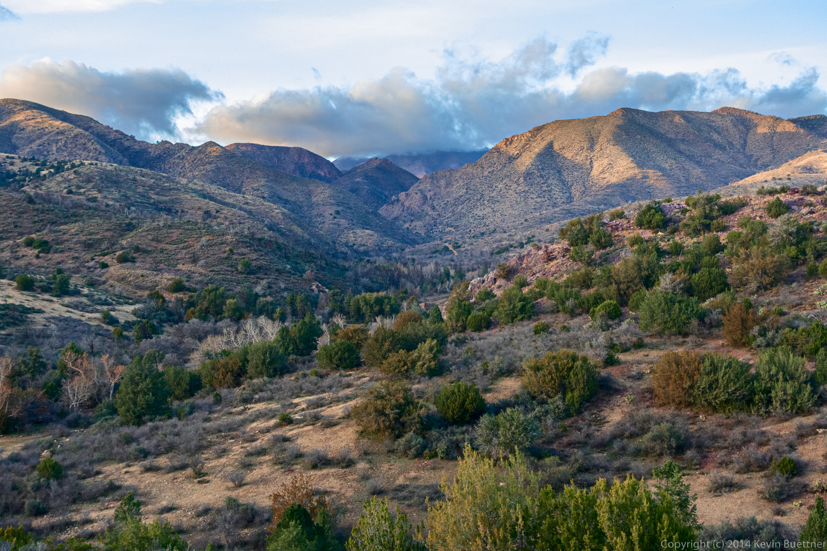
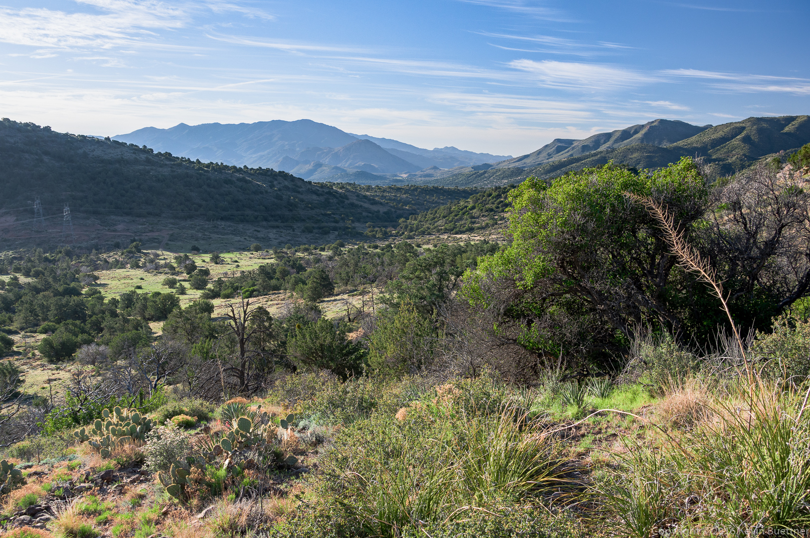
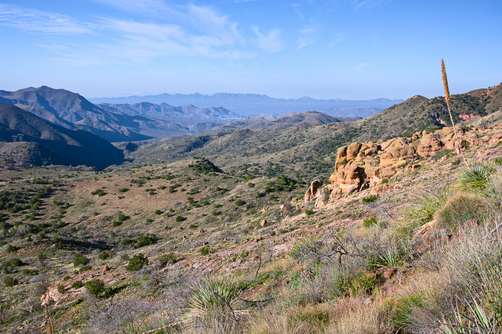
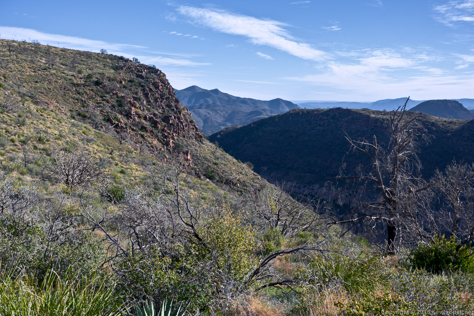
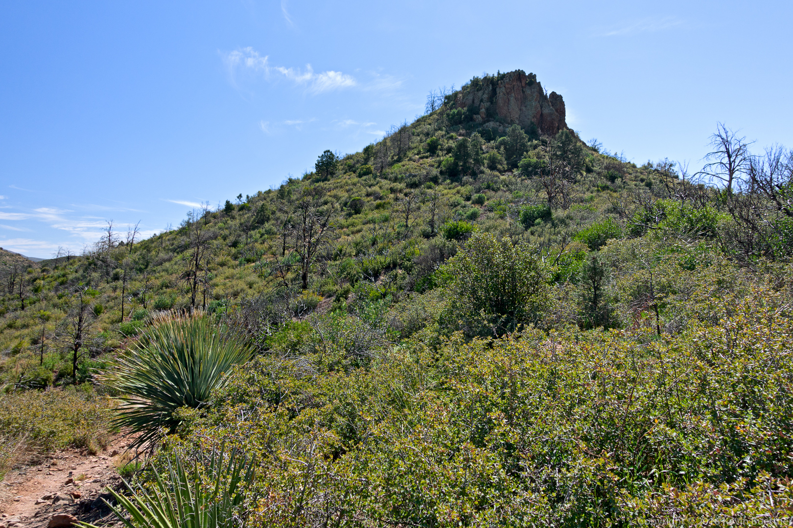
A view from the ridge:

20160304-_DSC2177-Edit-medium

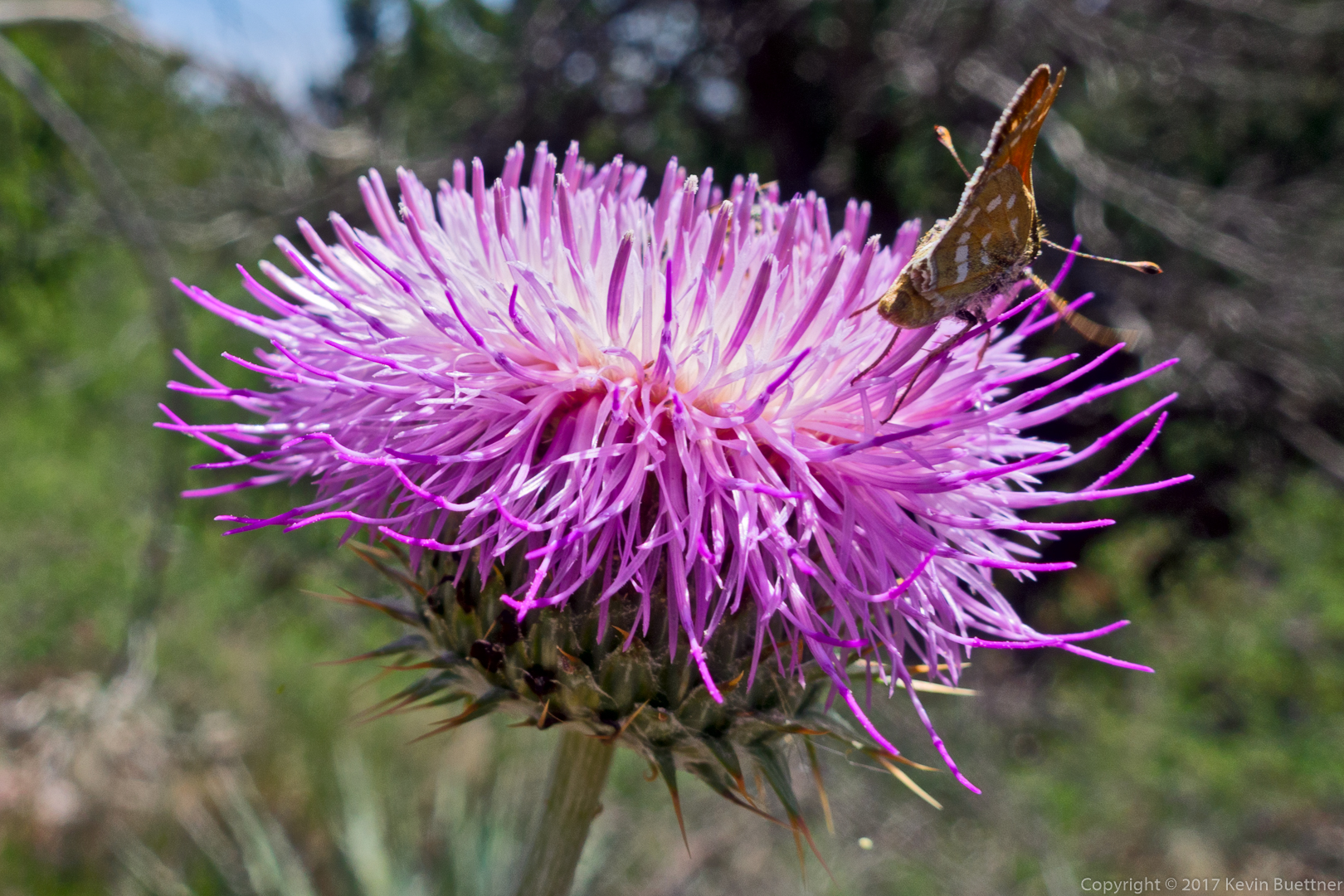
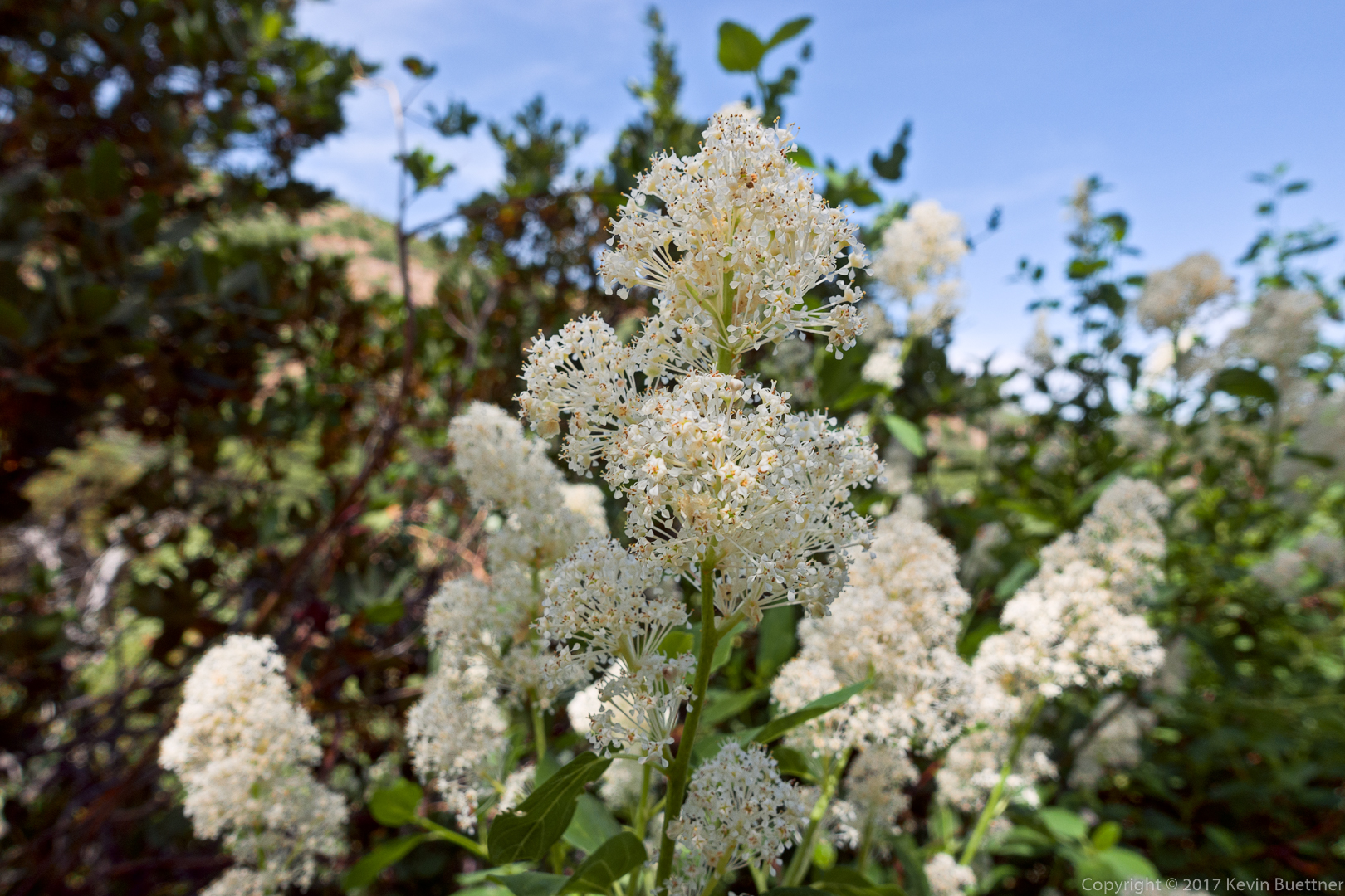
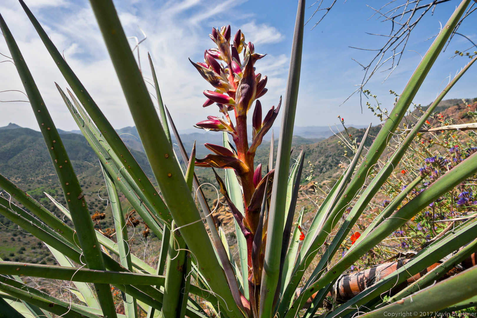
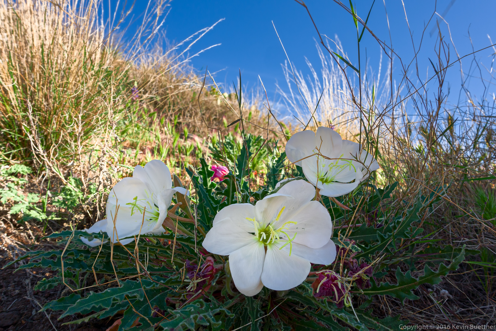
This might be Jimson Weed / Thorn Apple.
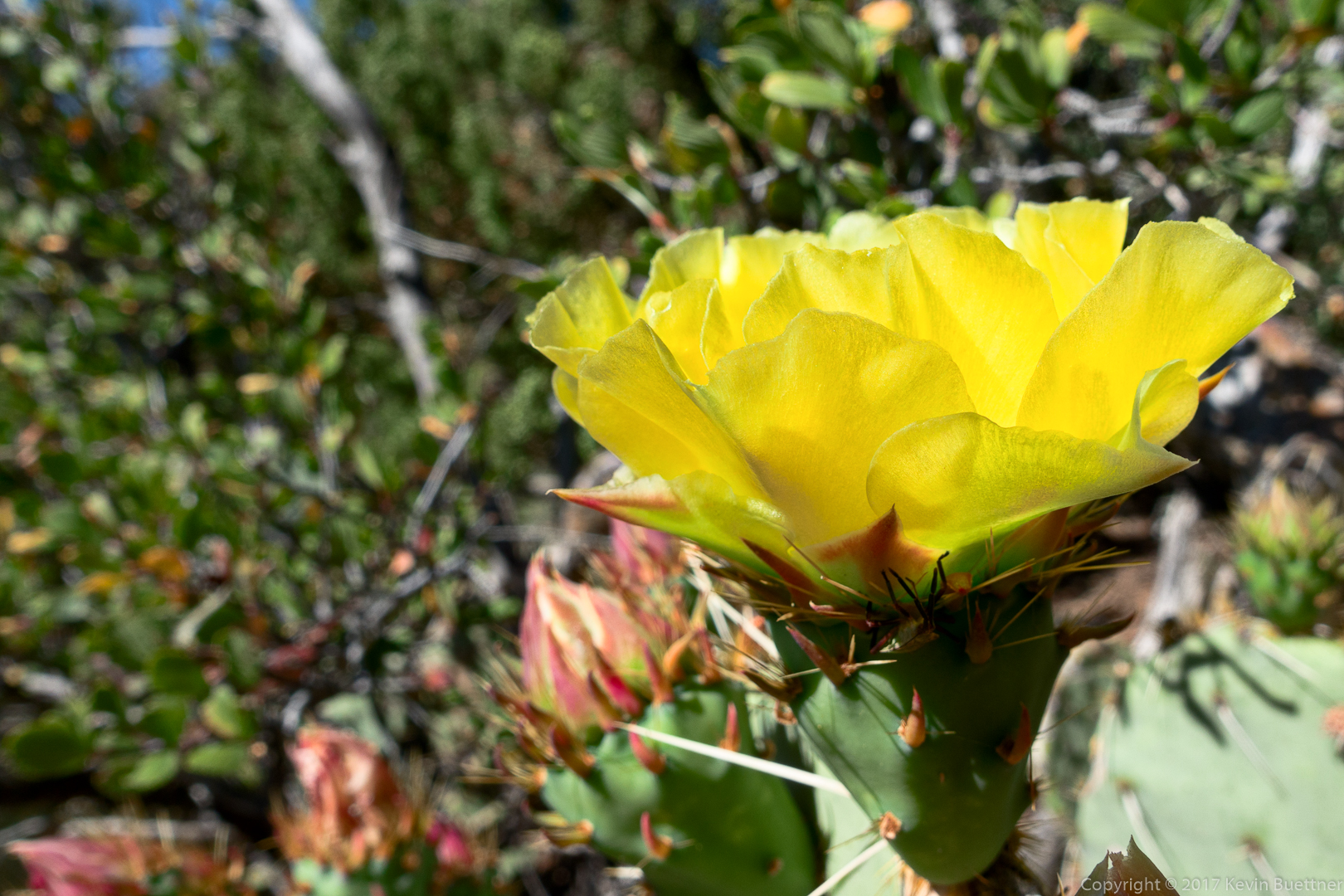
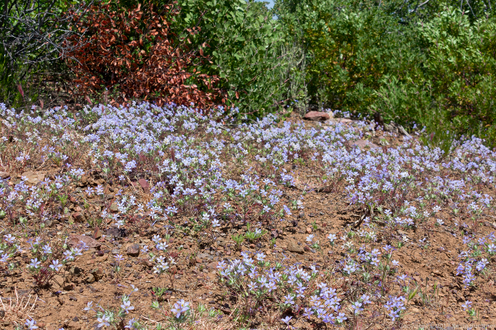
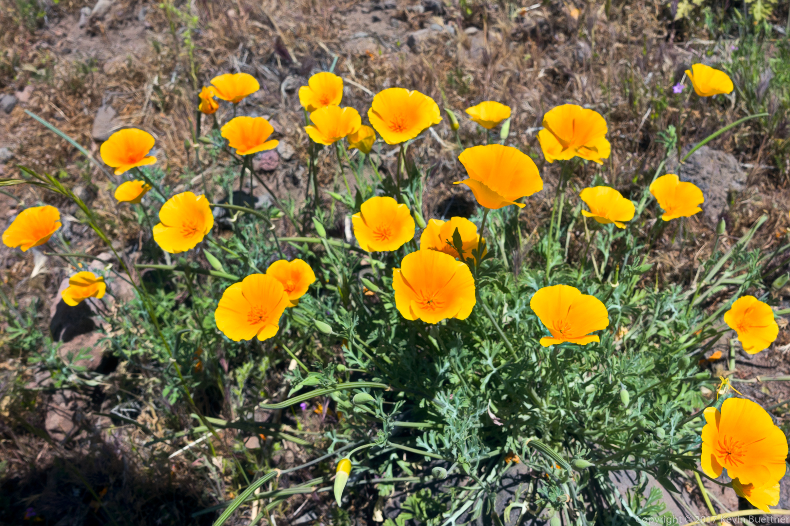
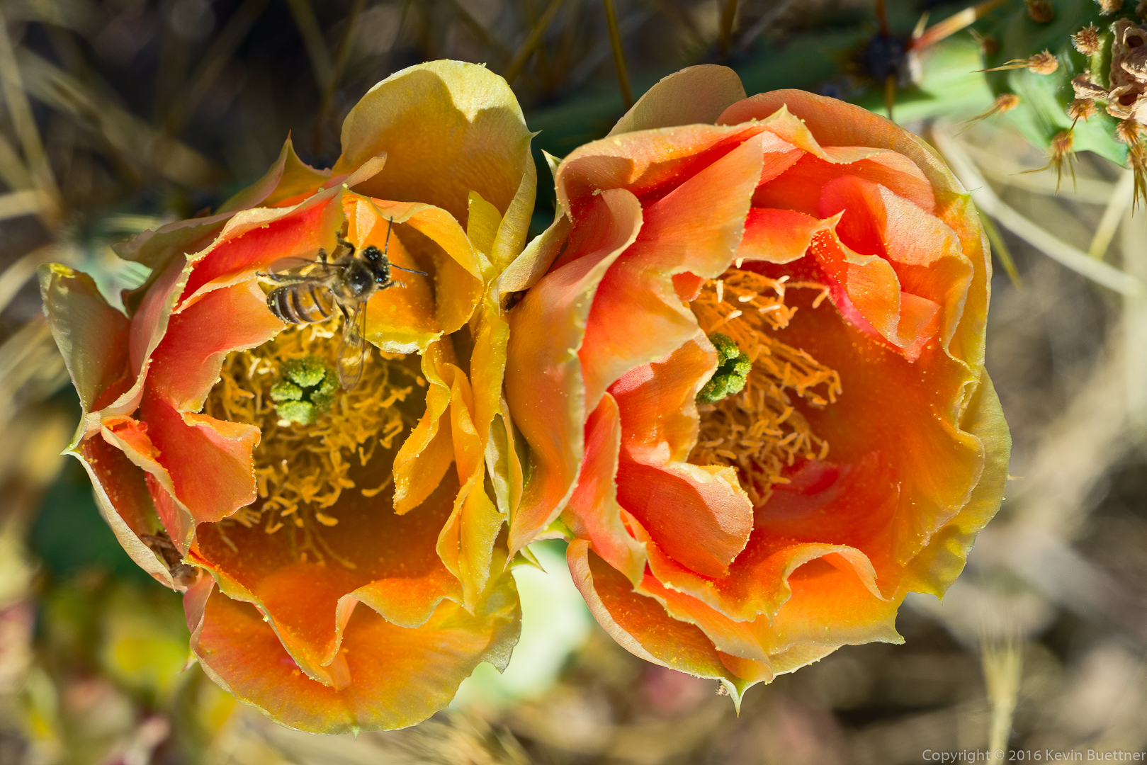
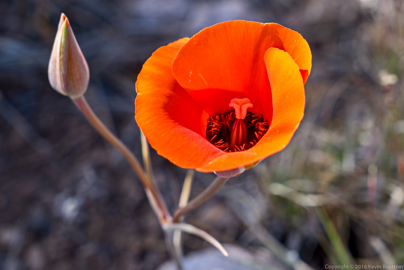
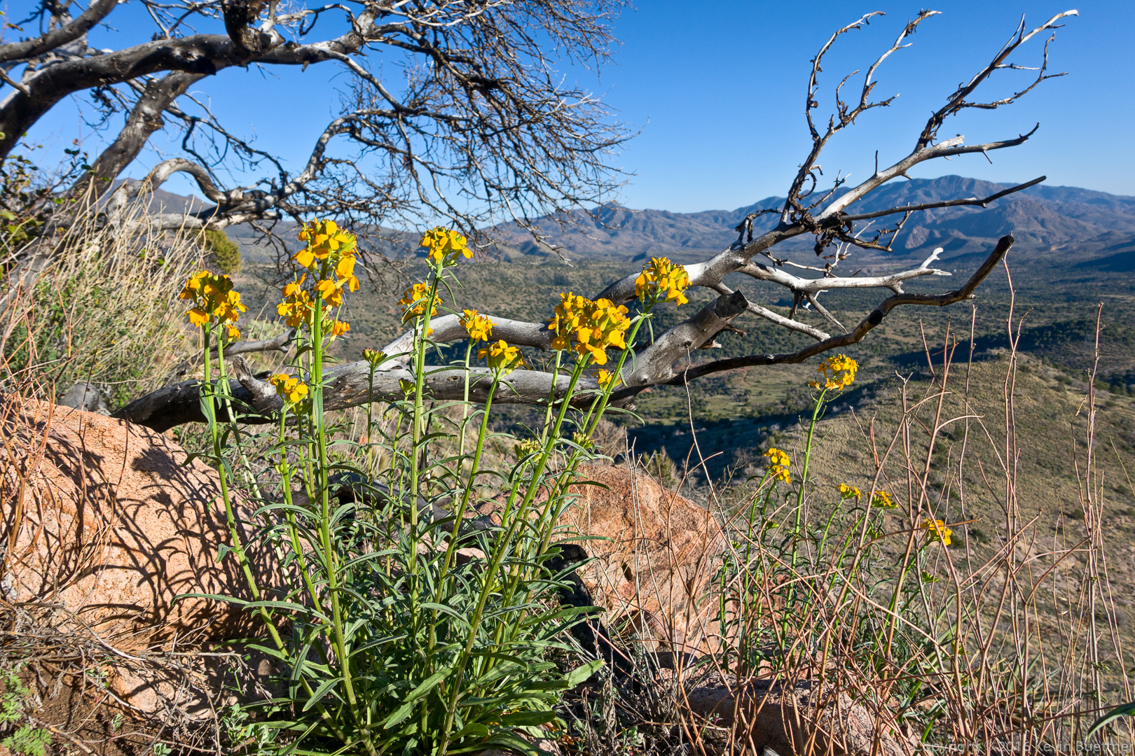
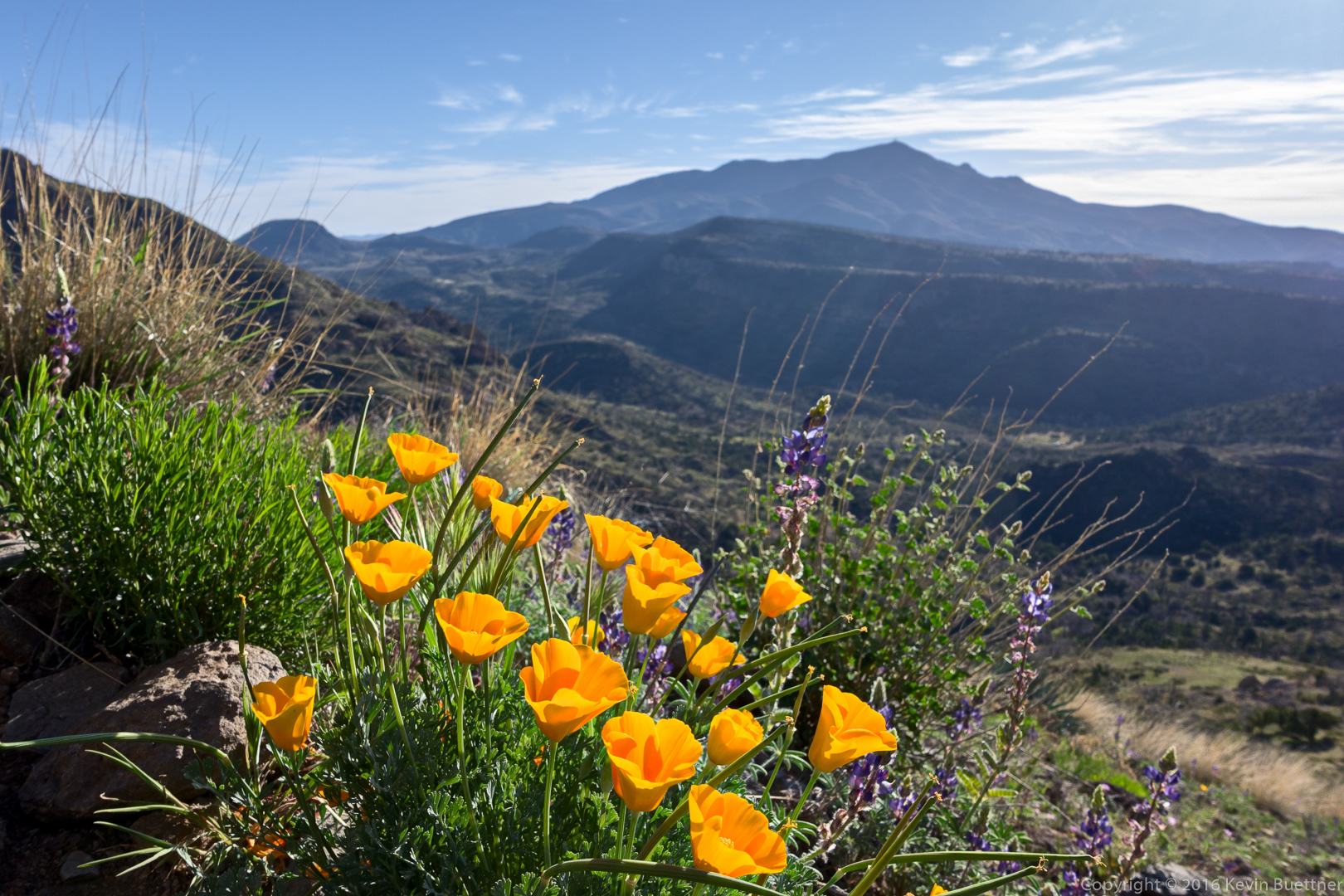
20160304-_DSC2186-Edit-medium

Poppies and Lupine:

20160304-_DSC2195-Edit-medium

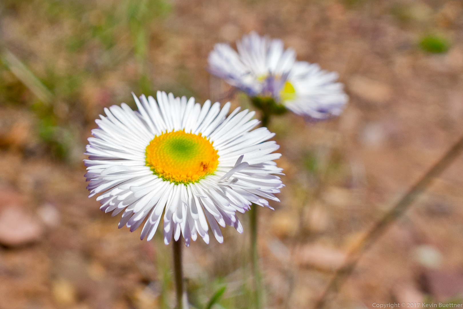
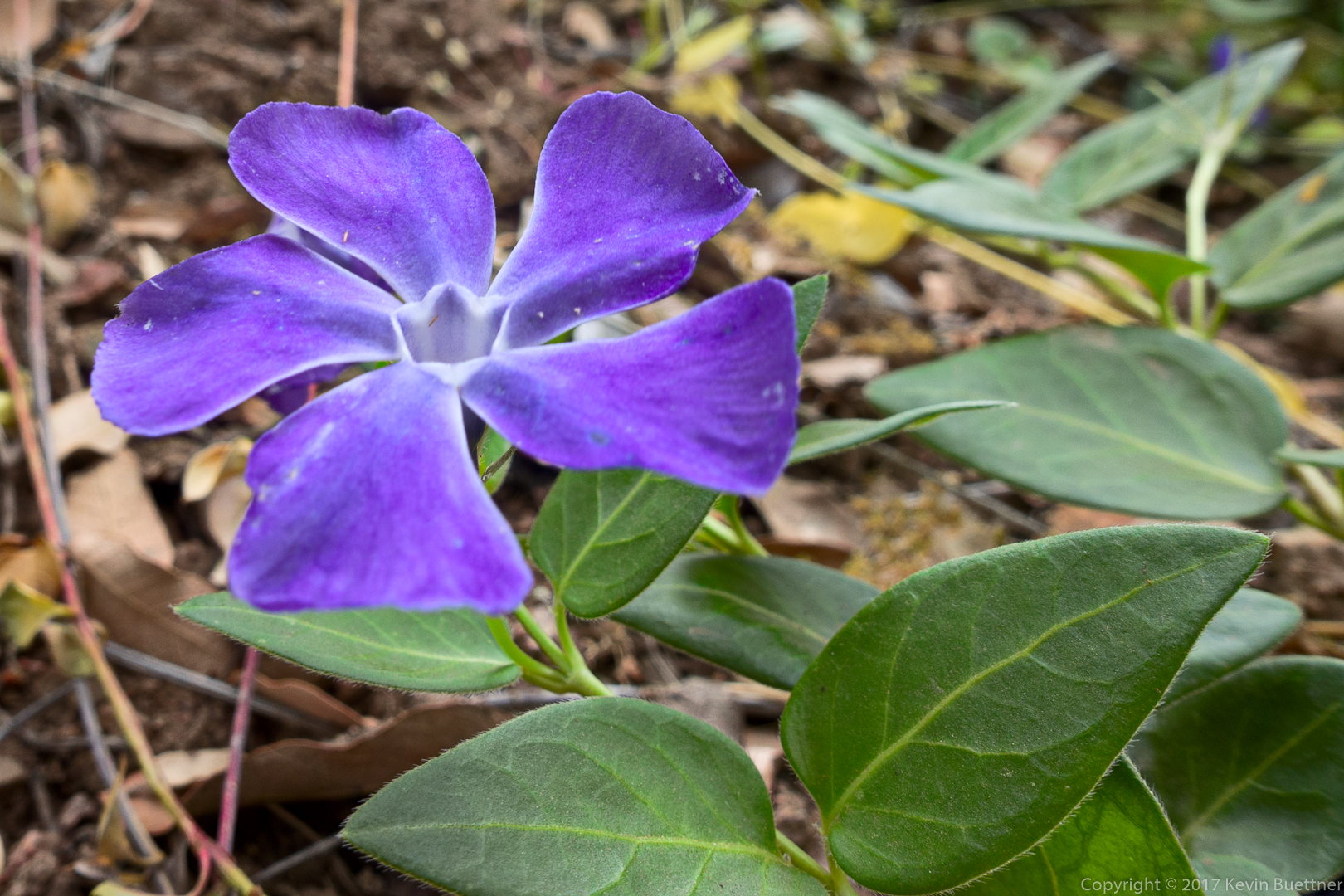
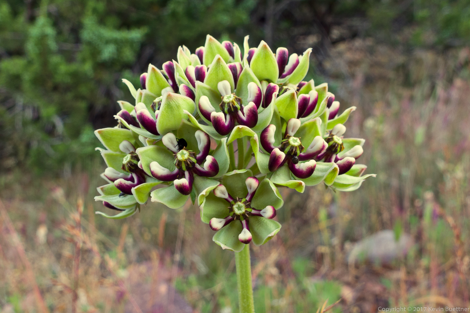
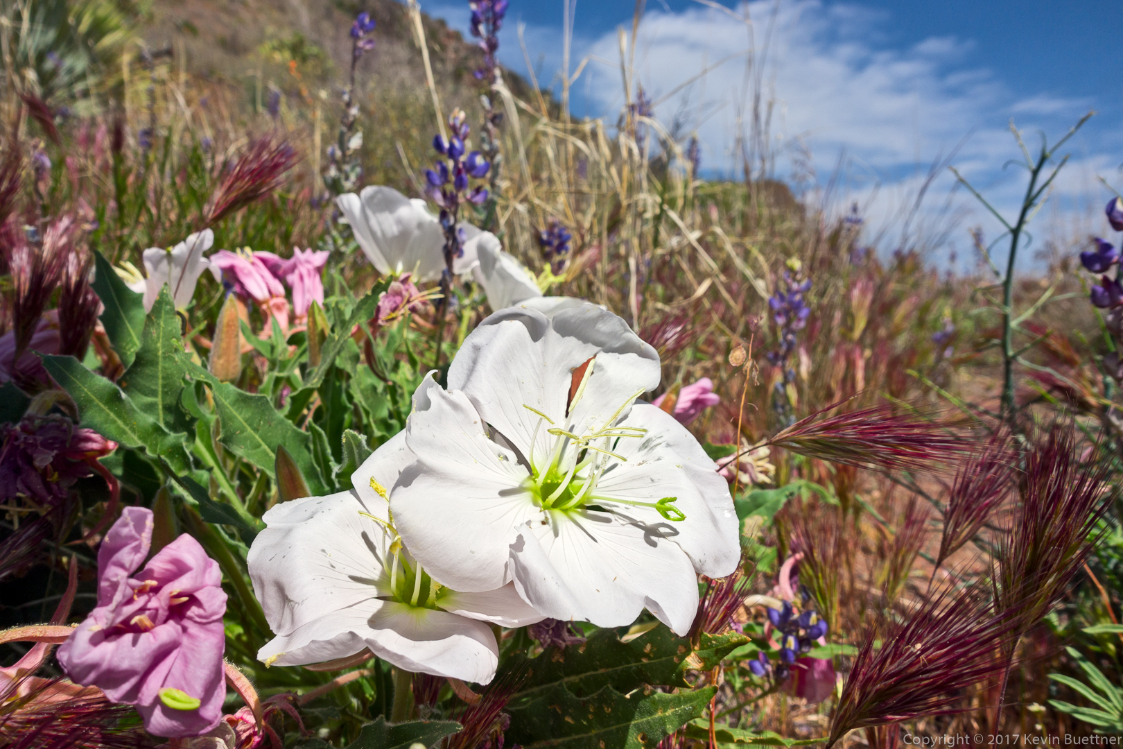
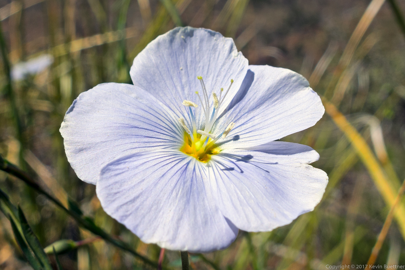
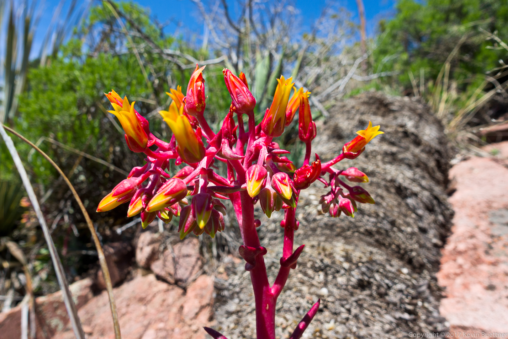
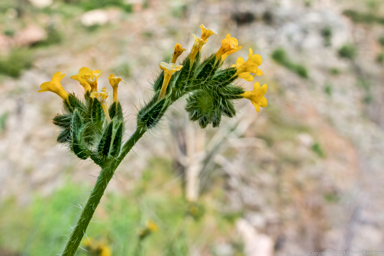
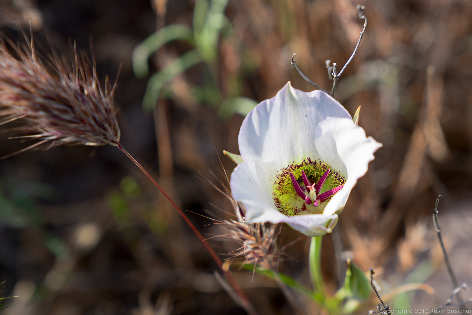
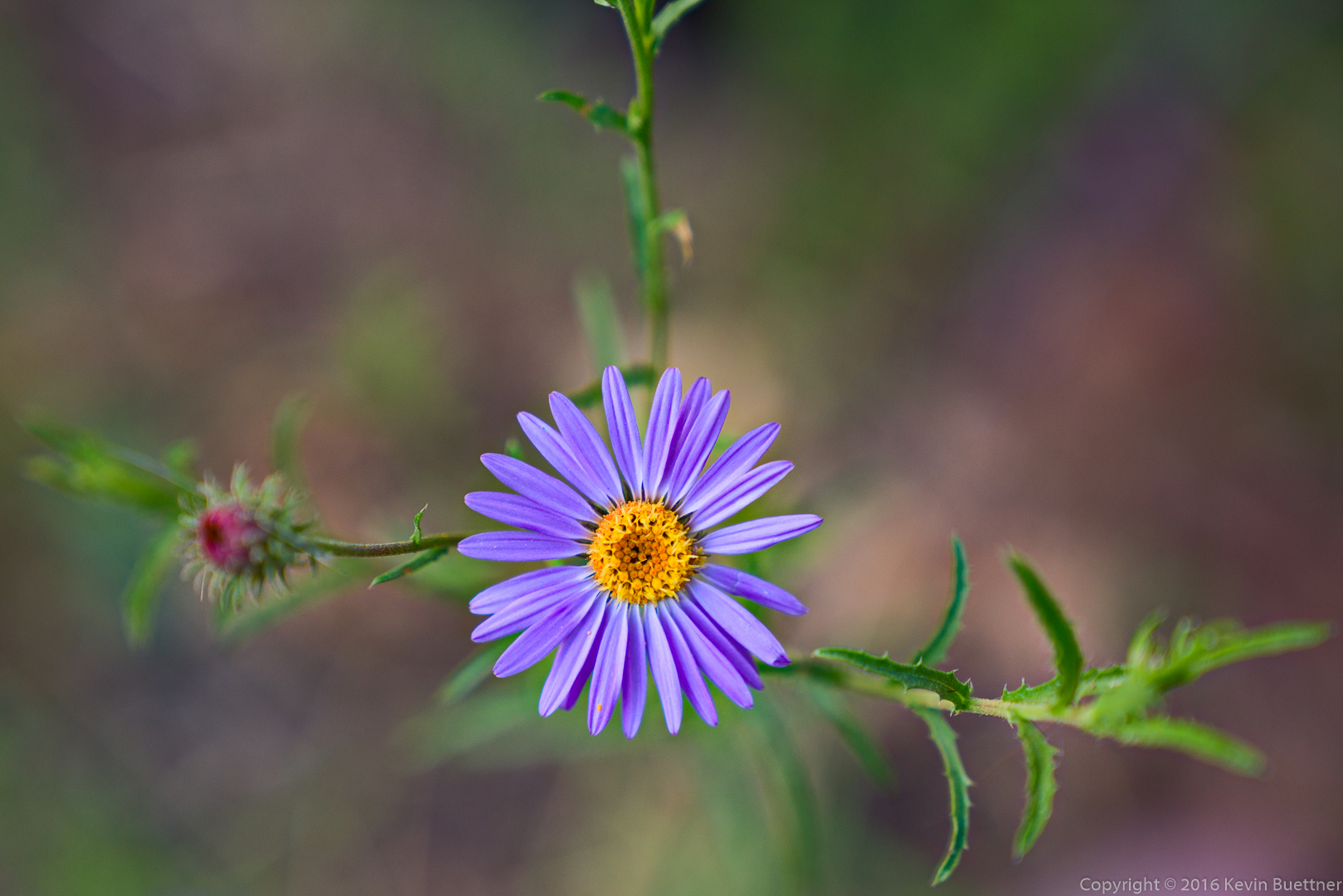
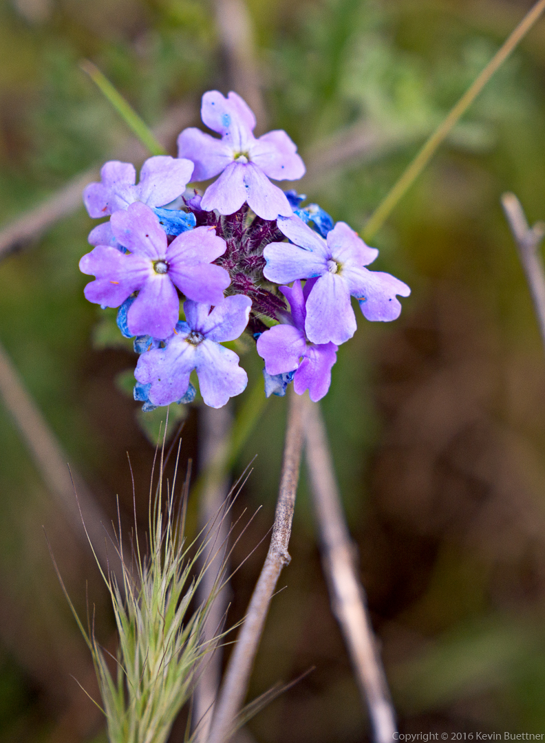
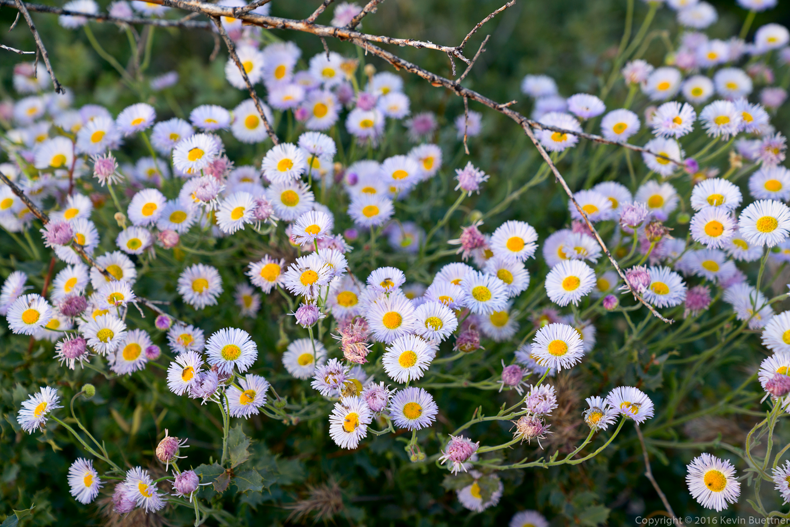
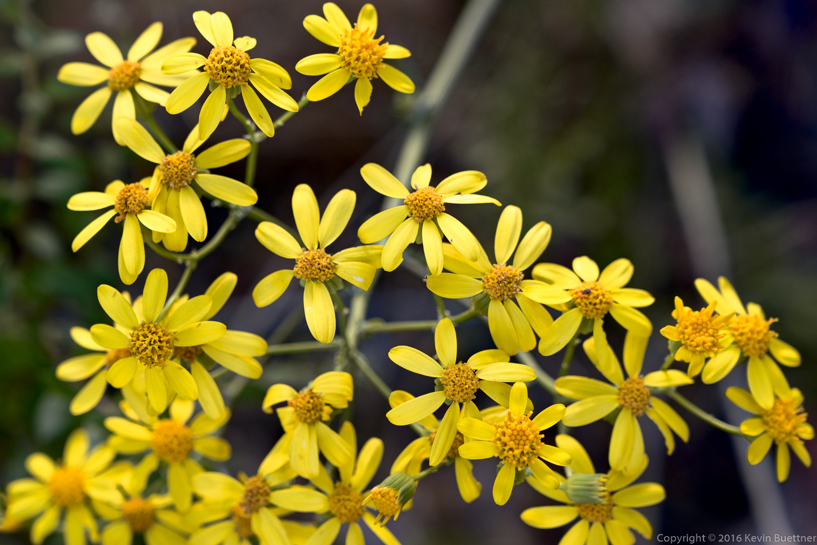
I don’t know what these are:

20160304-_DSC2237-Edit-medium

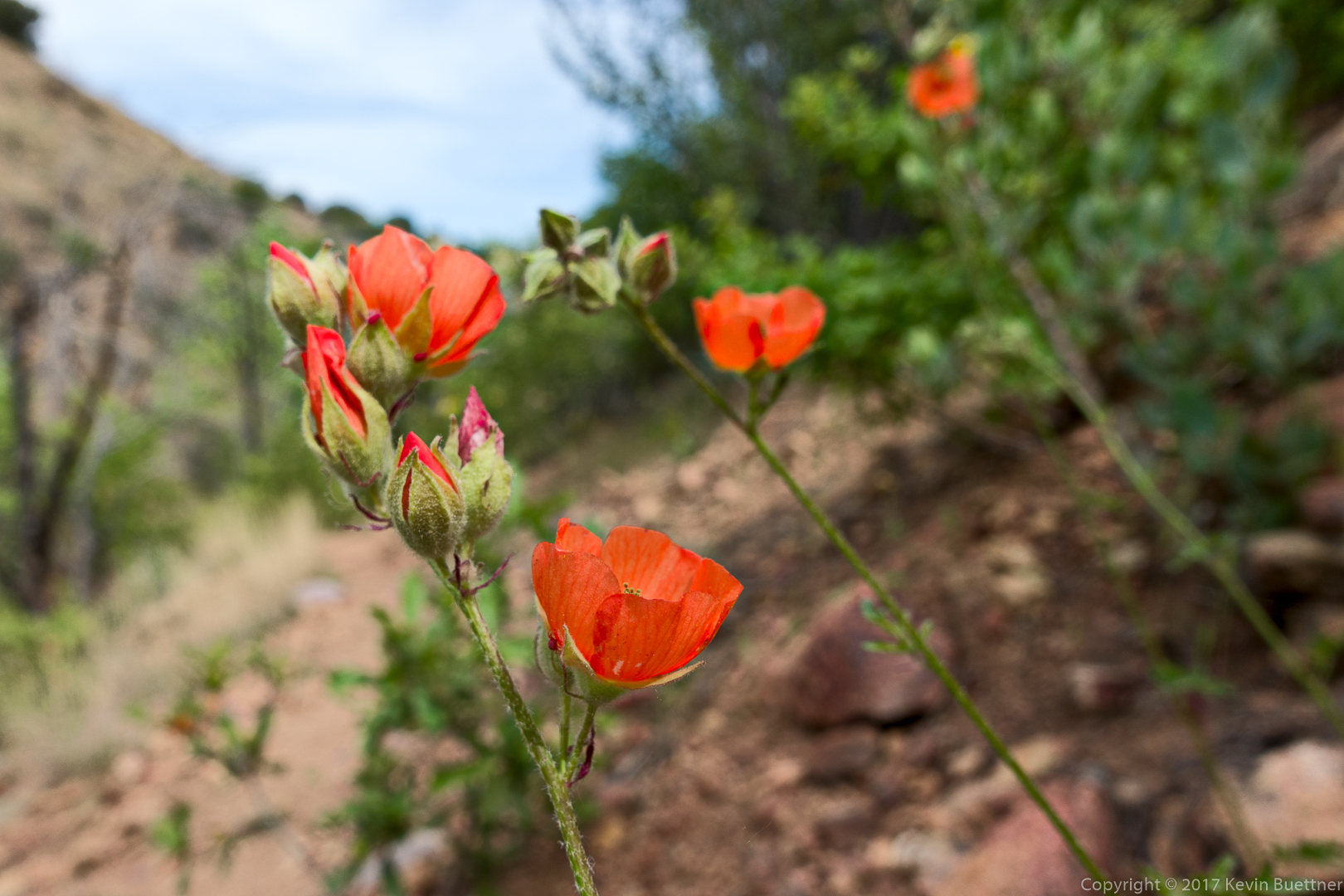
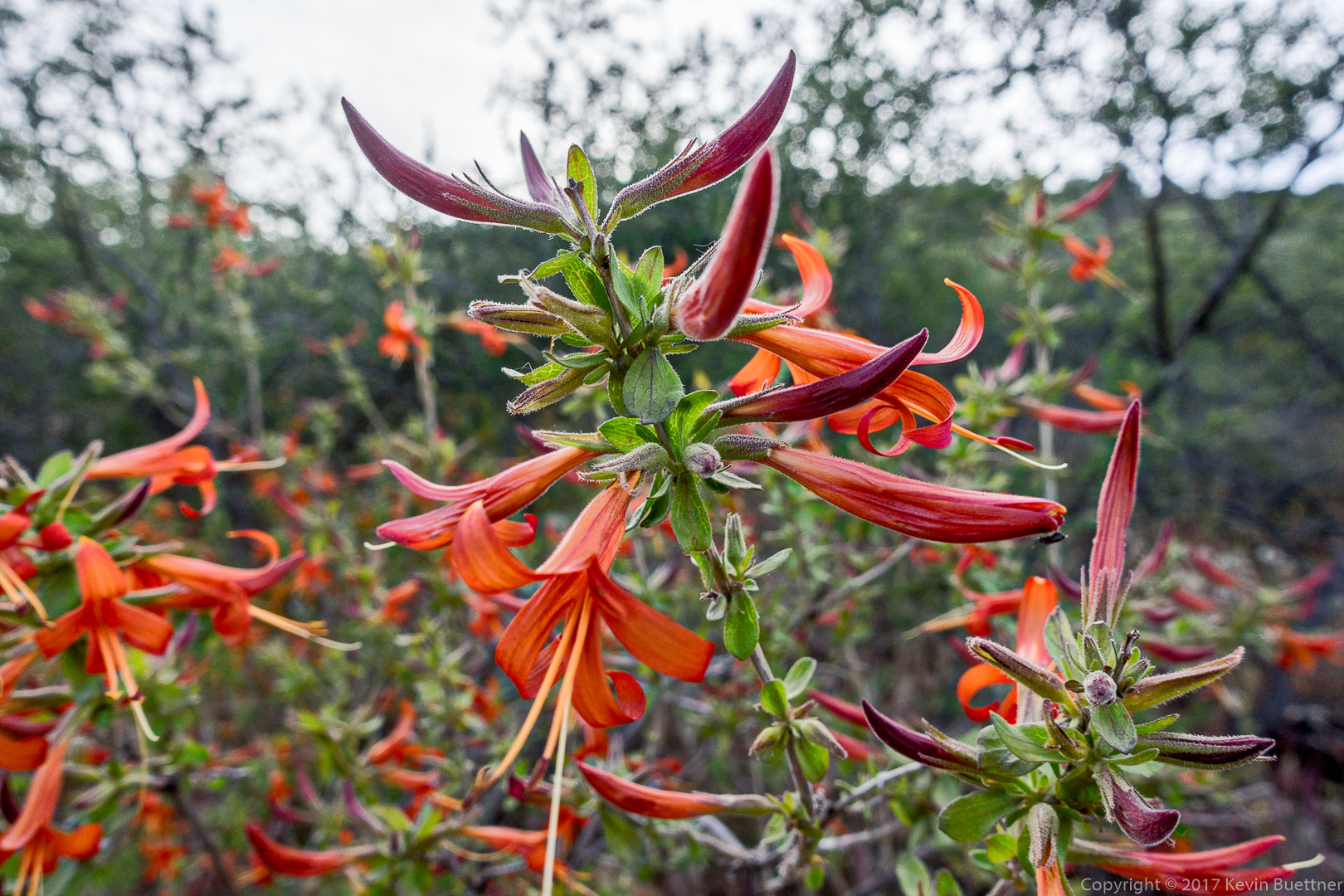
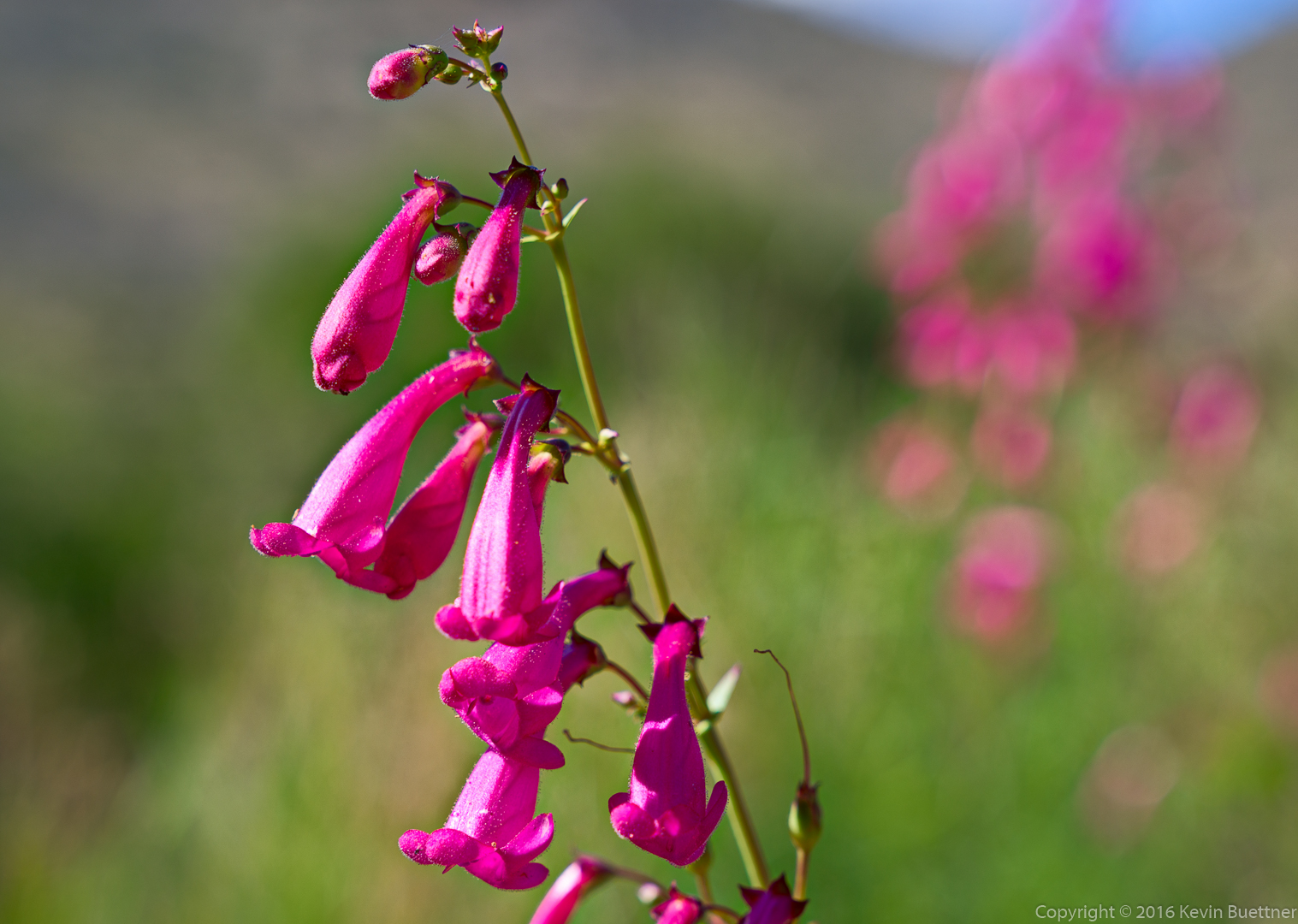
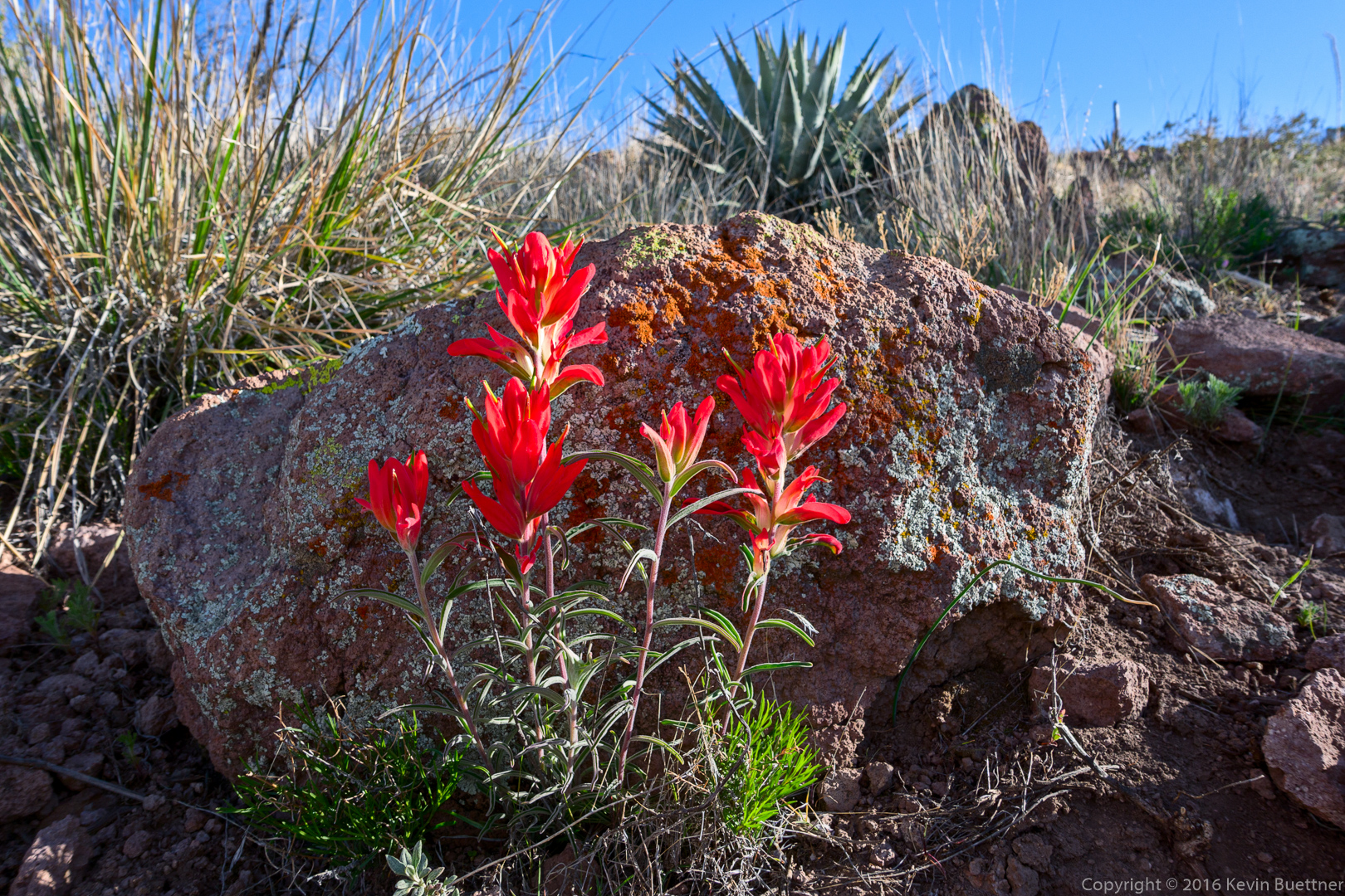
Linda identified this as Indian Paintbrush:

20160304-_DSC2252-Edit-medium

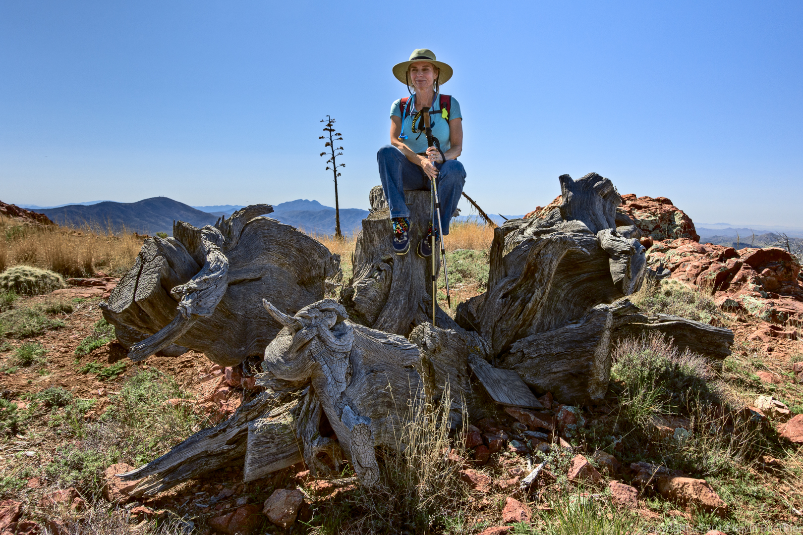
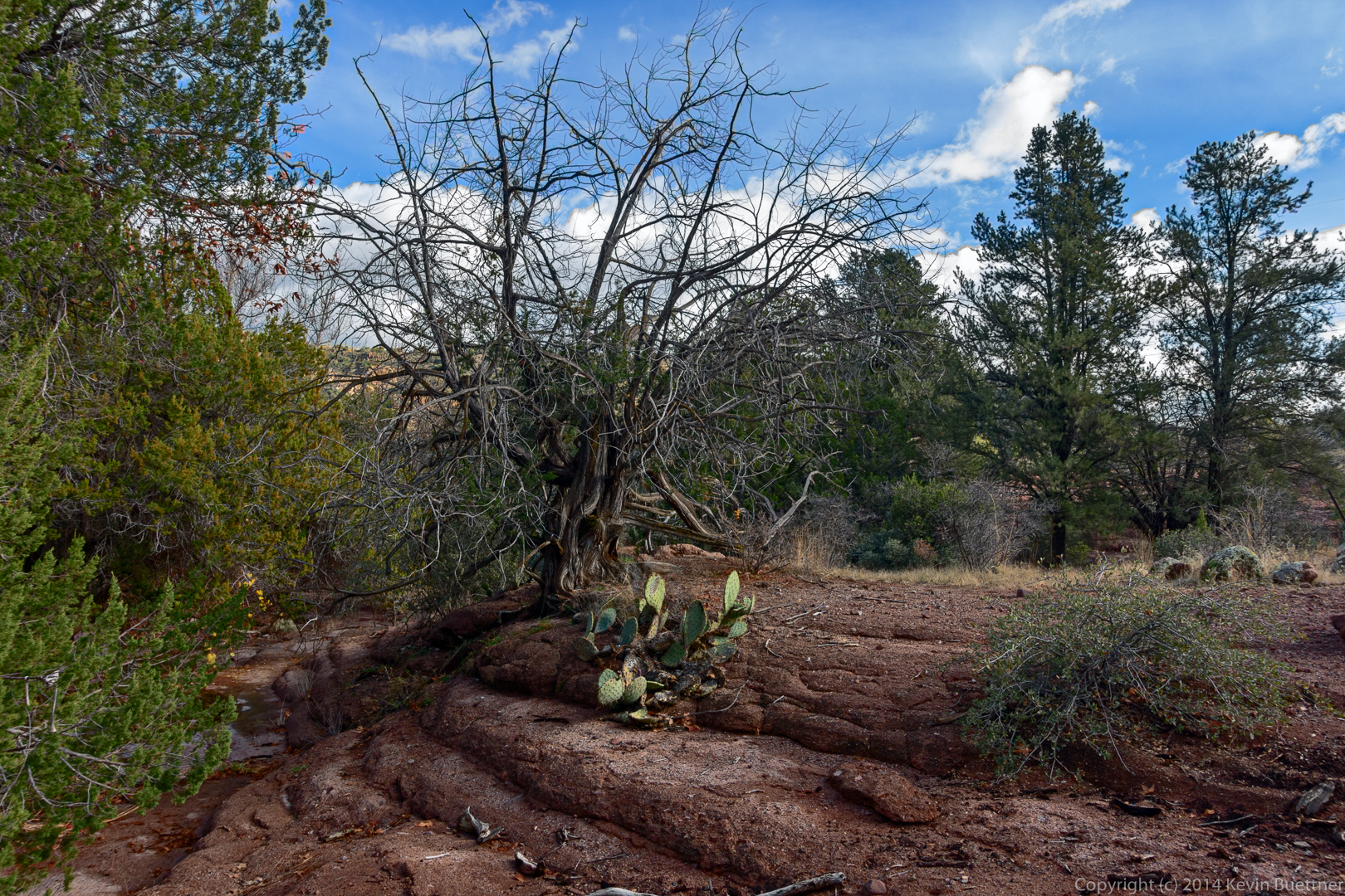
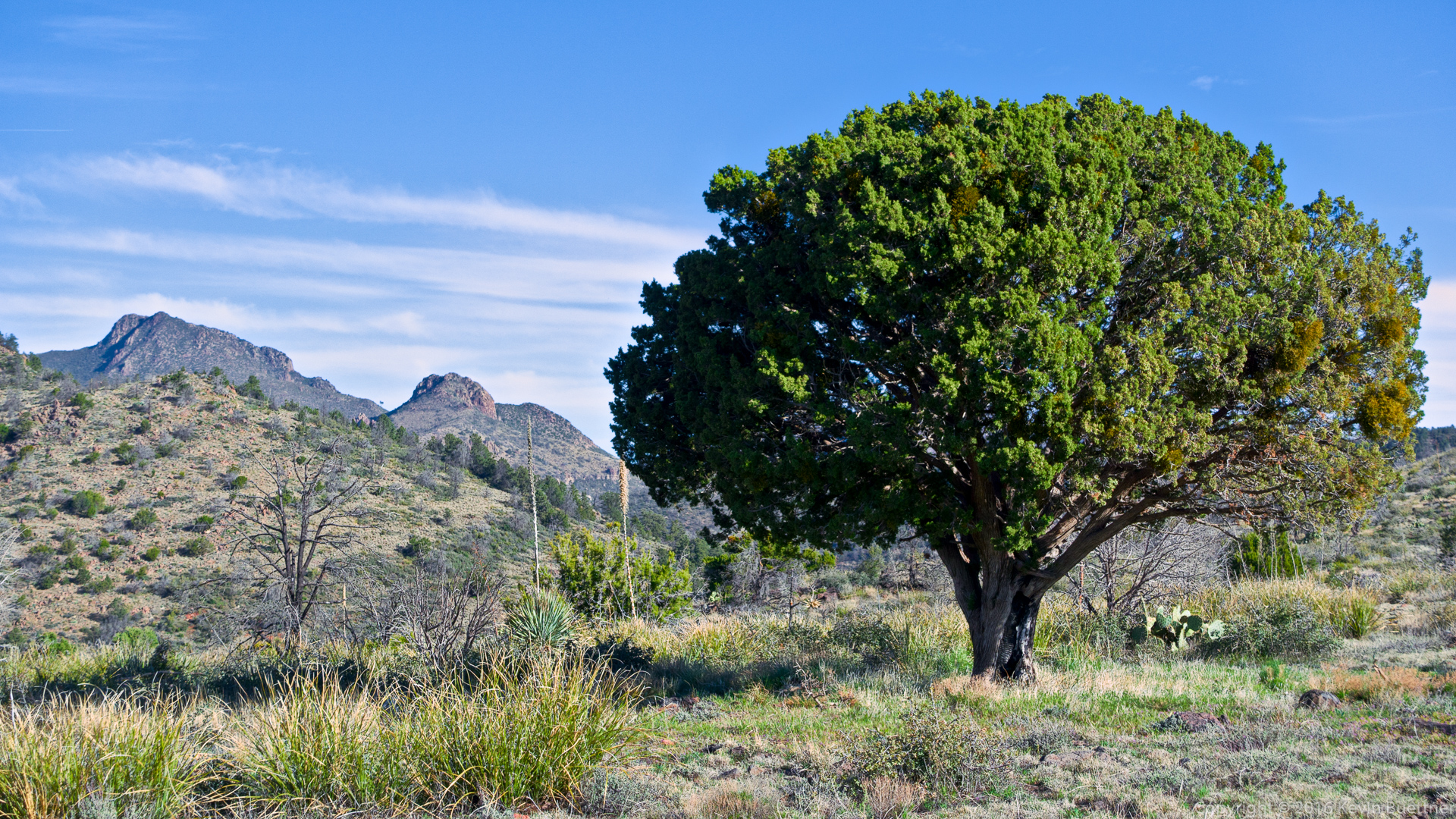
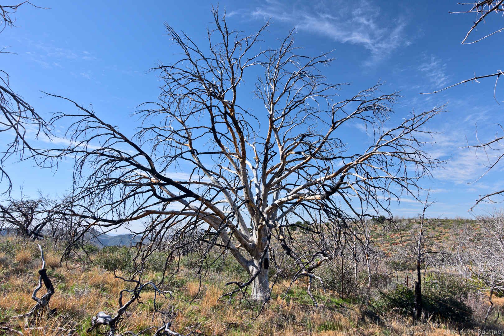
A nice looking tree at the top o fthe ridge:

20160304-_DSC2270-Edit-medium

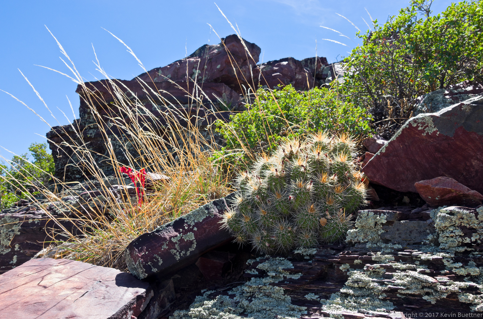
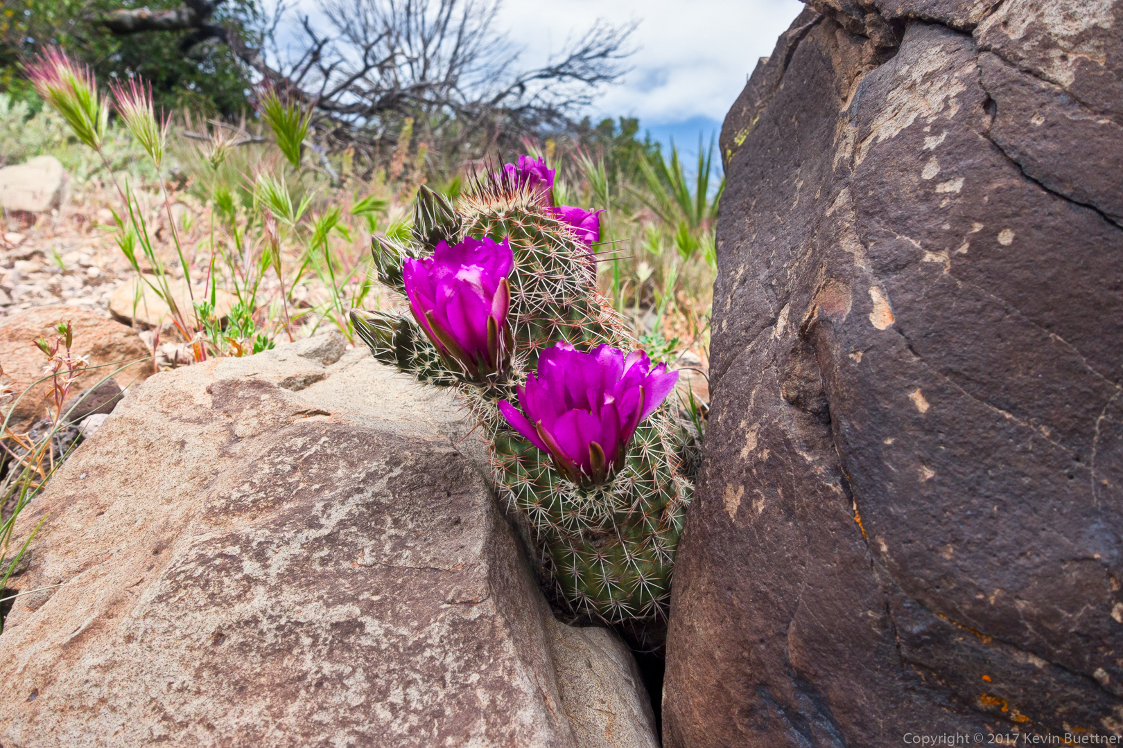
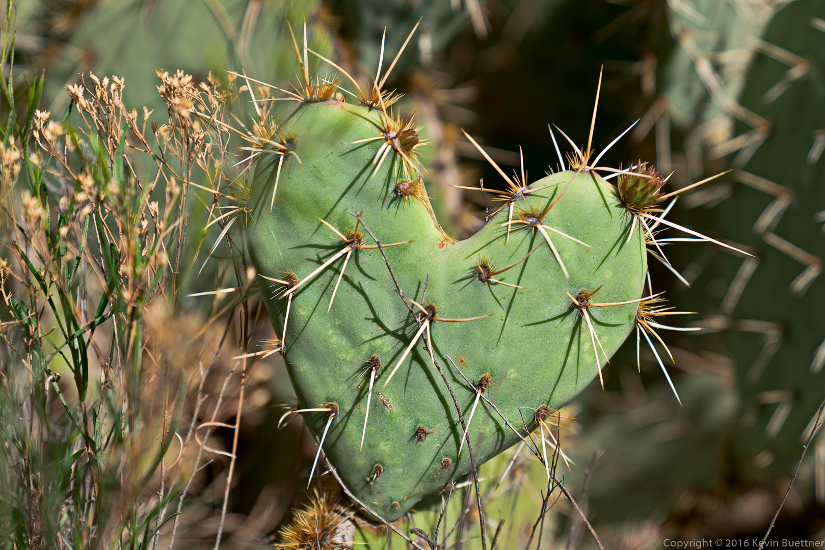
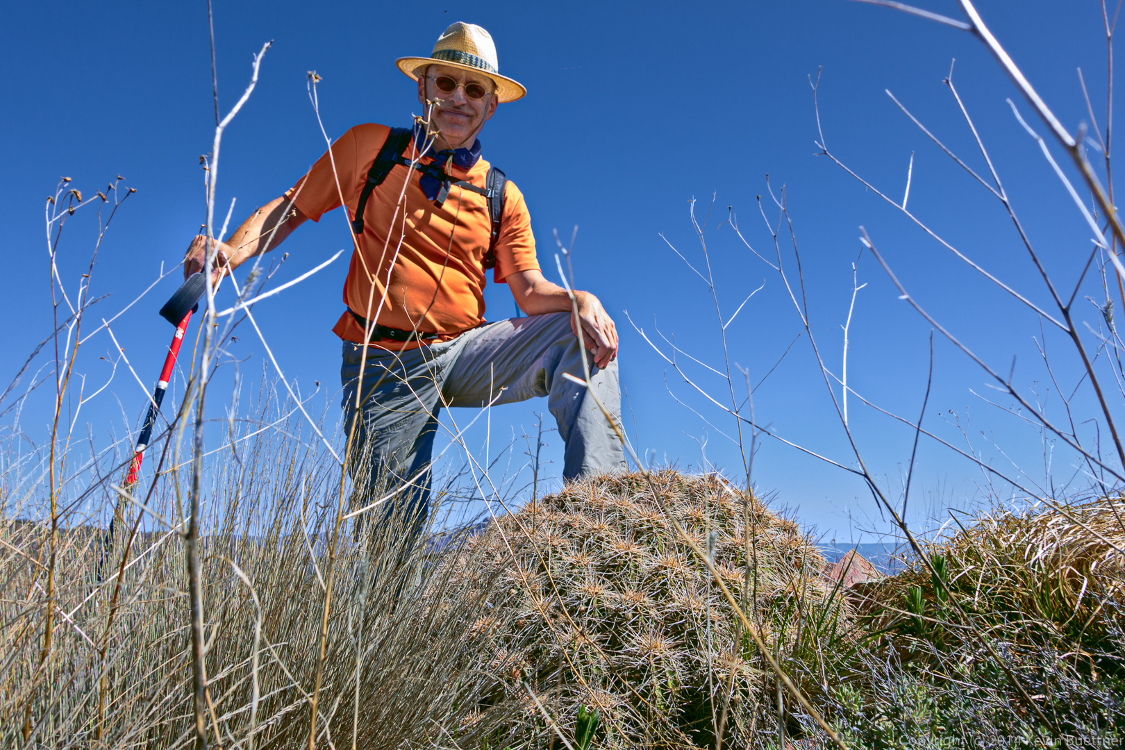
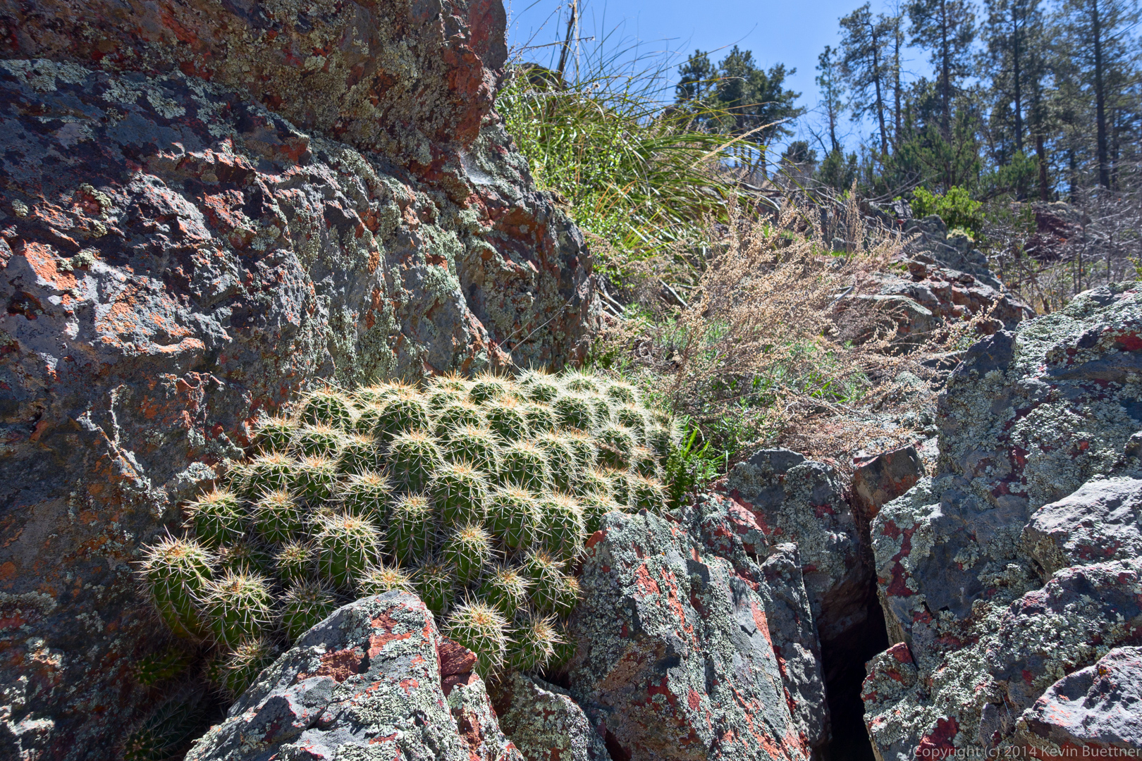
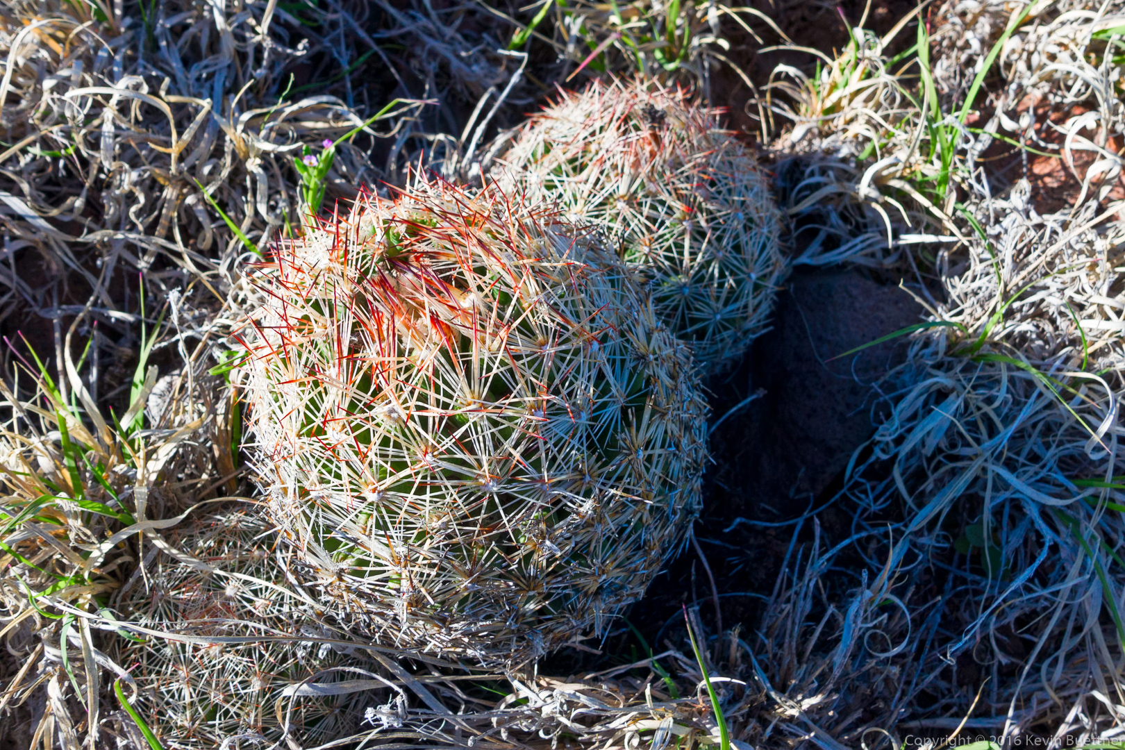
I nearly stepped on these small cacti while walking back to the trail after photographing the tree.  There were a lot of them in the area.

20160304-_DSC2276-Edit-medium

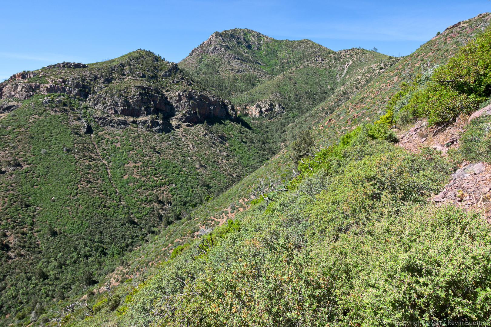
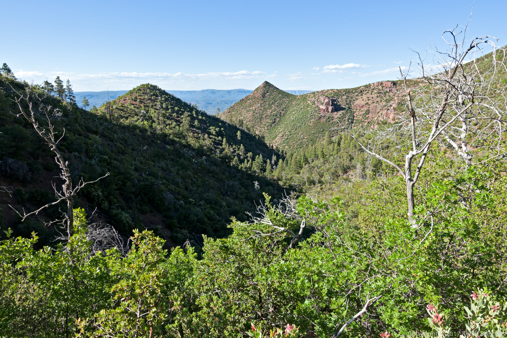
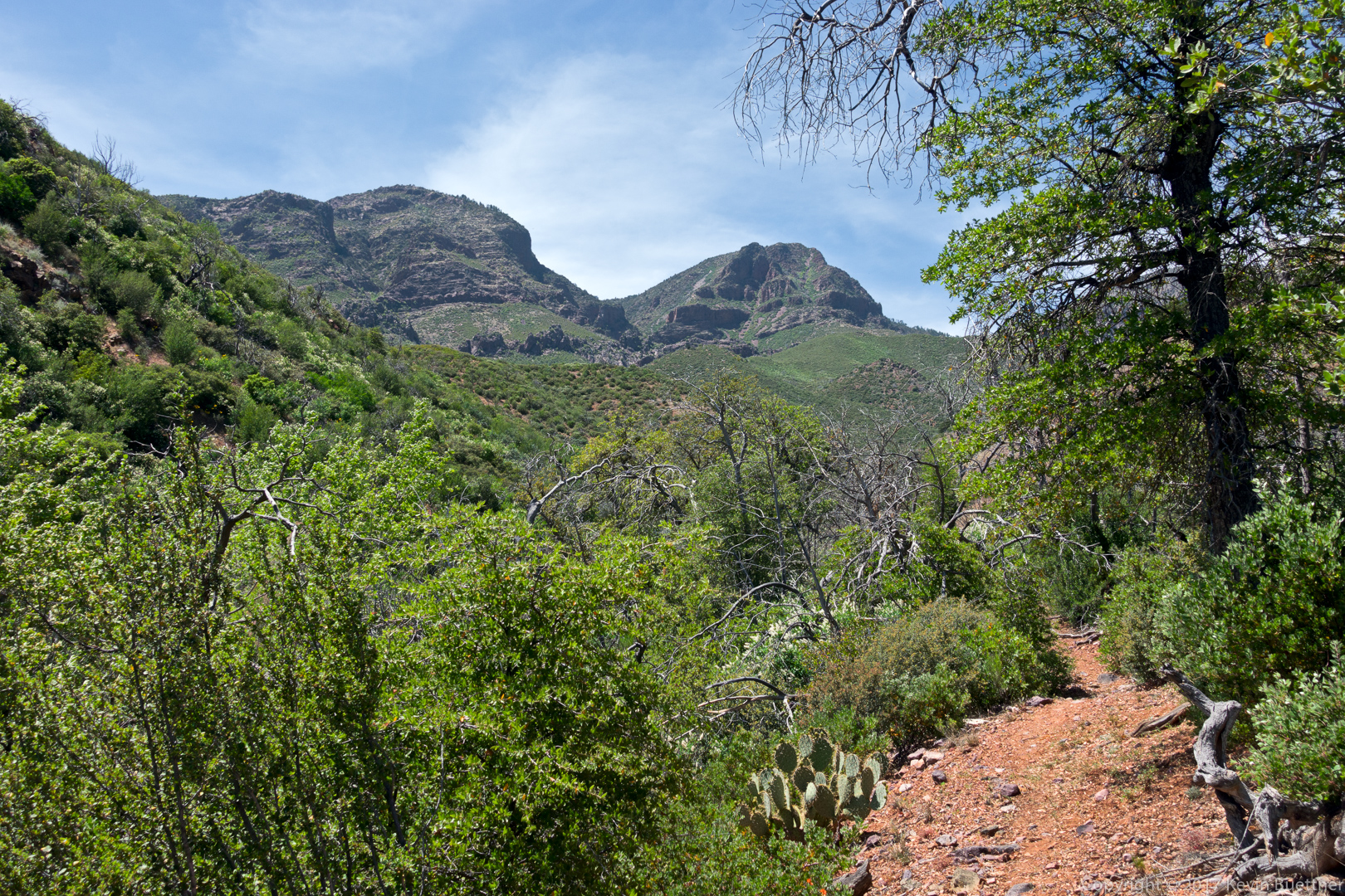
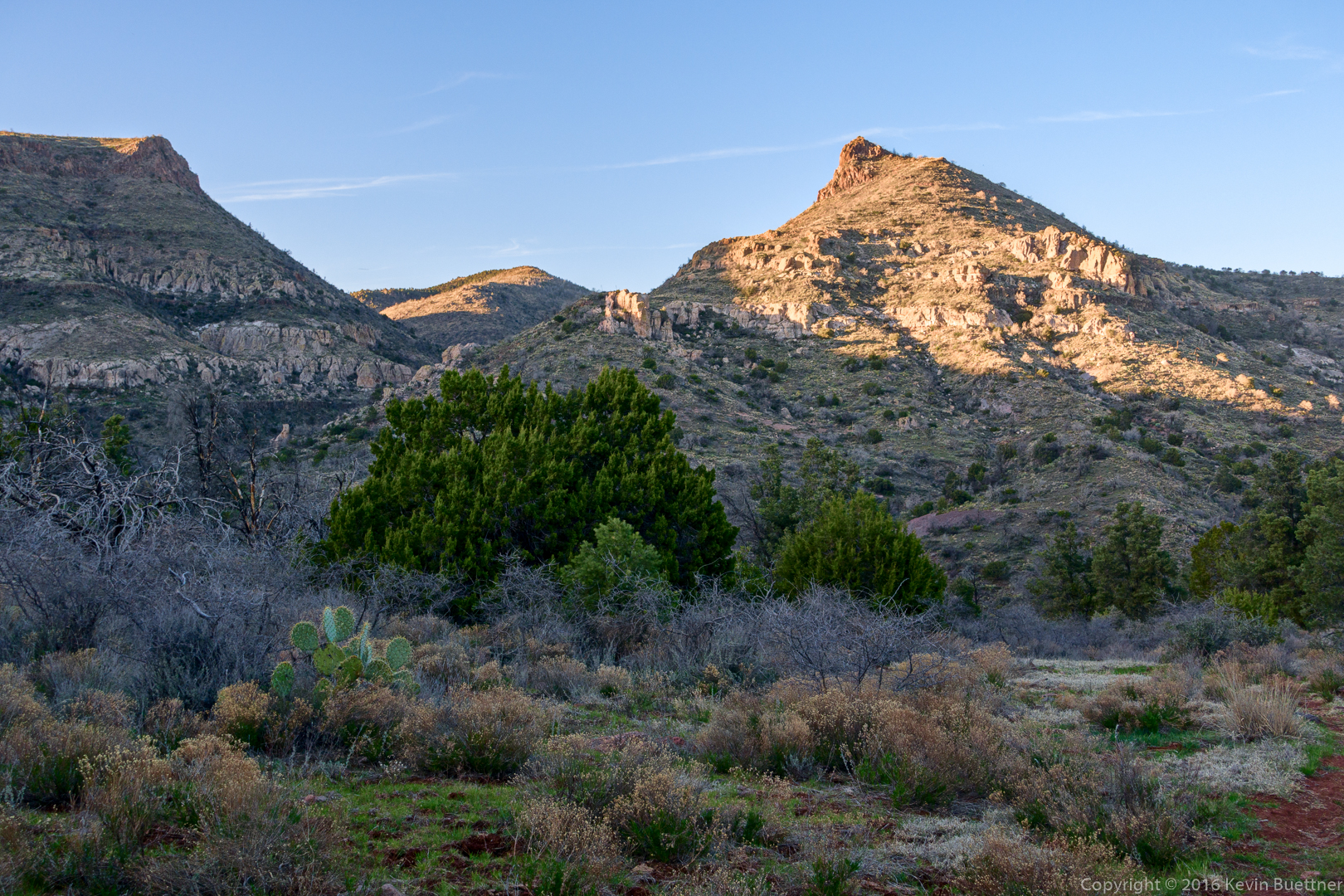
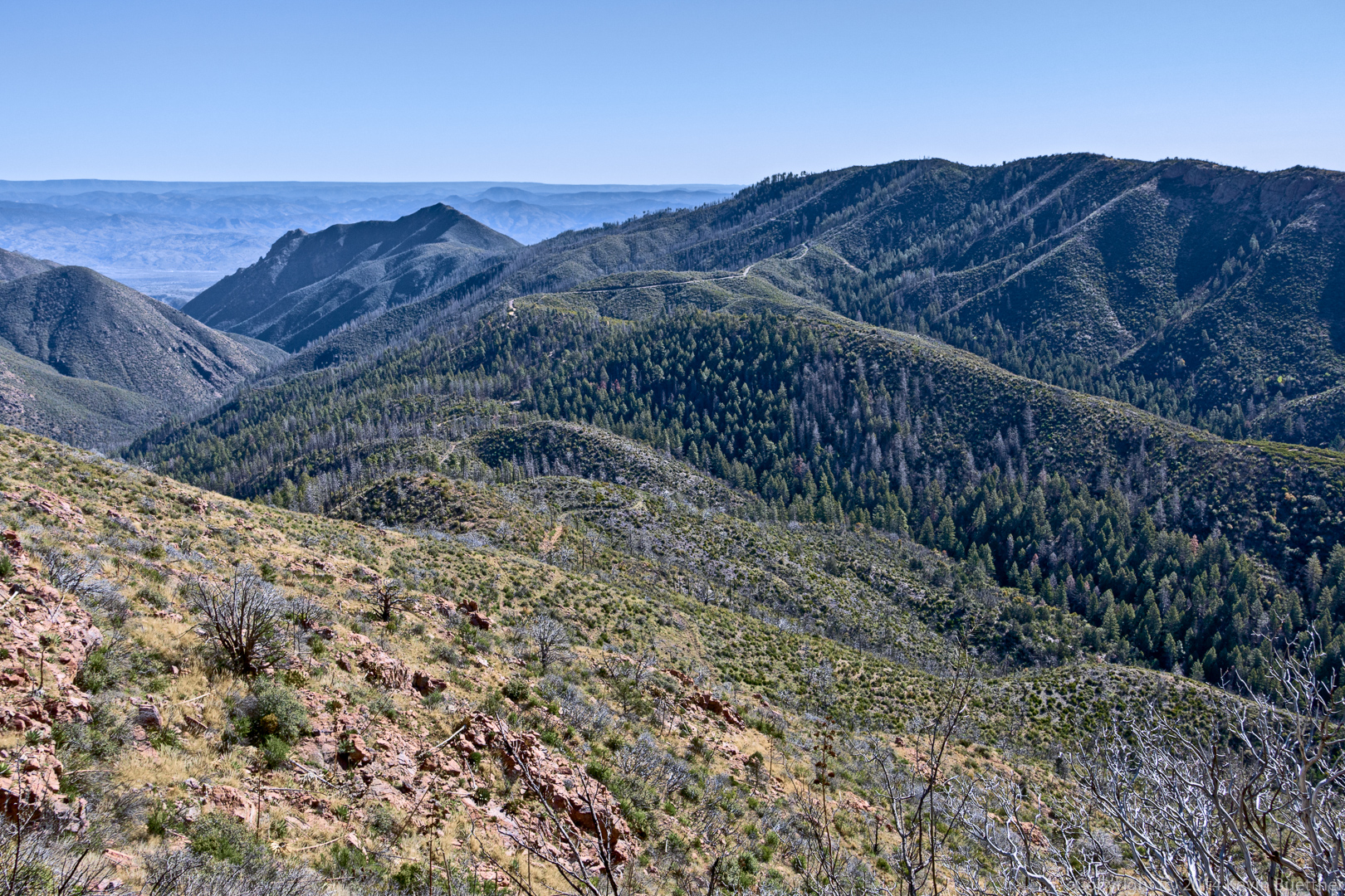
Another view from the ridge:

20160304-_DSC2282-Edit-medium

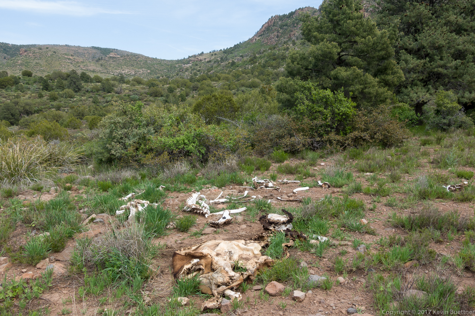
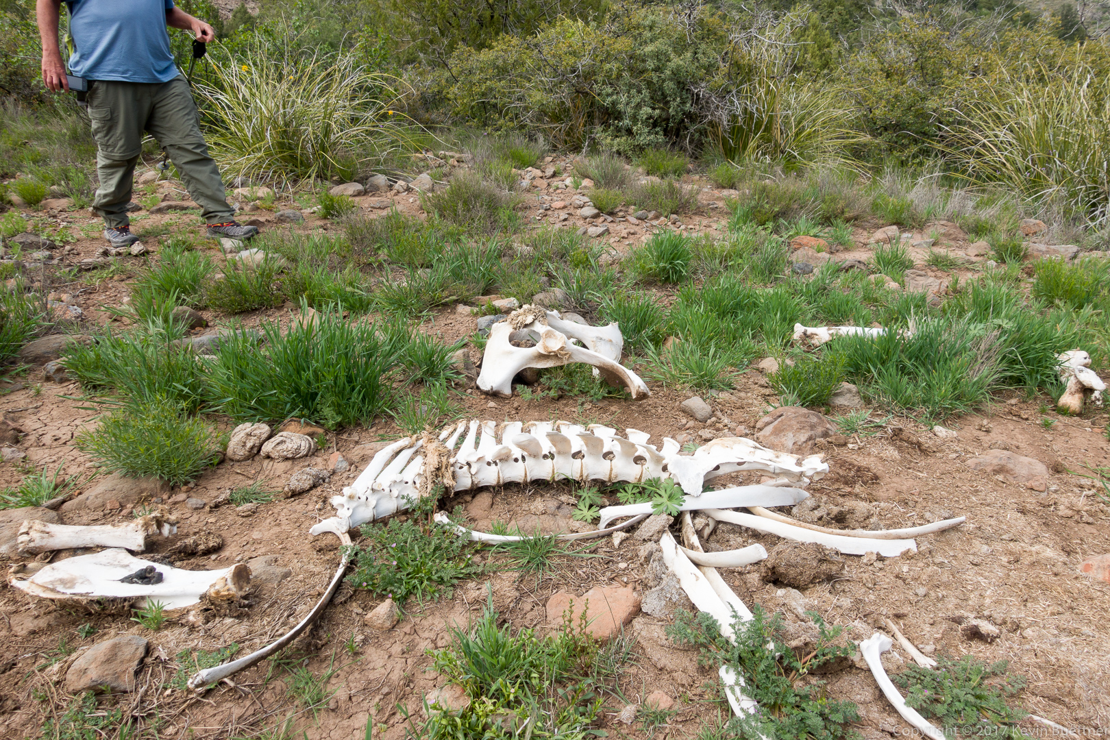
We saw this dead tree as we neared Brunson Tank:

20160304-_DSC2363-Edit-medium

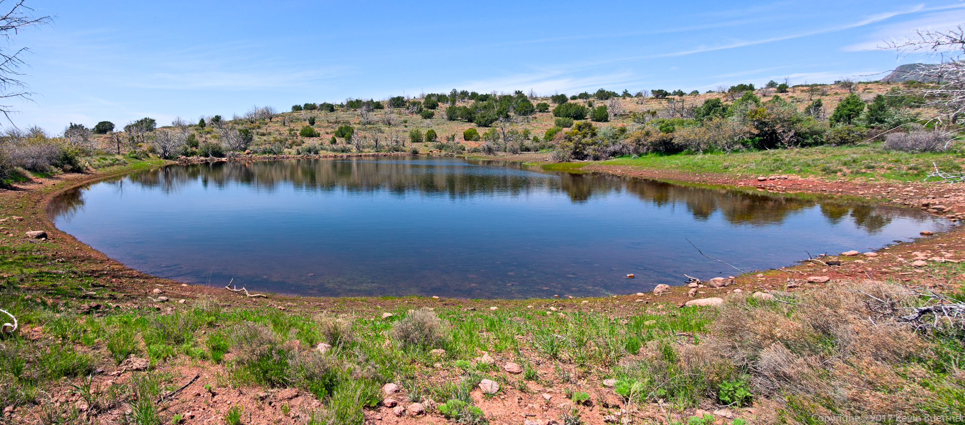
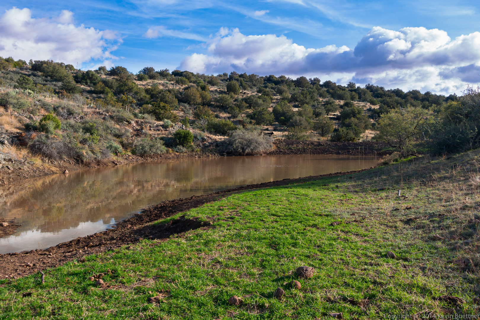
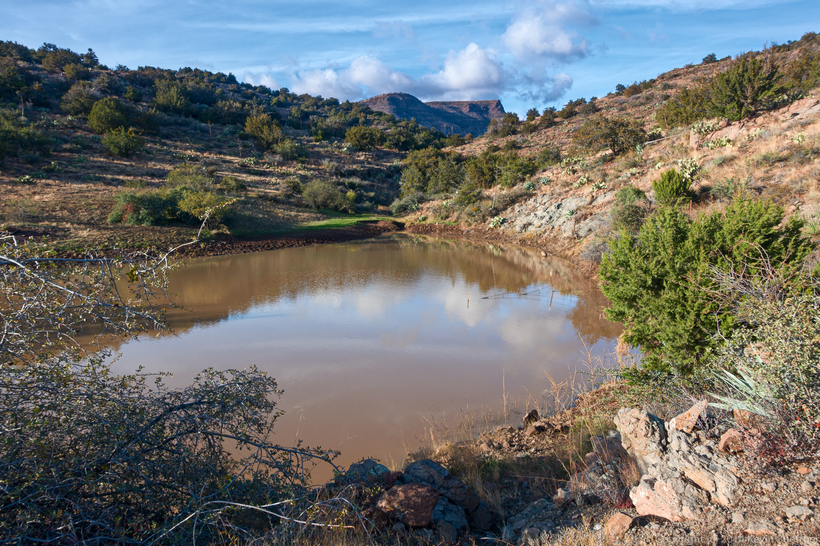
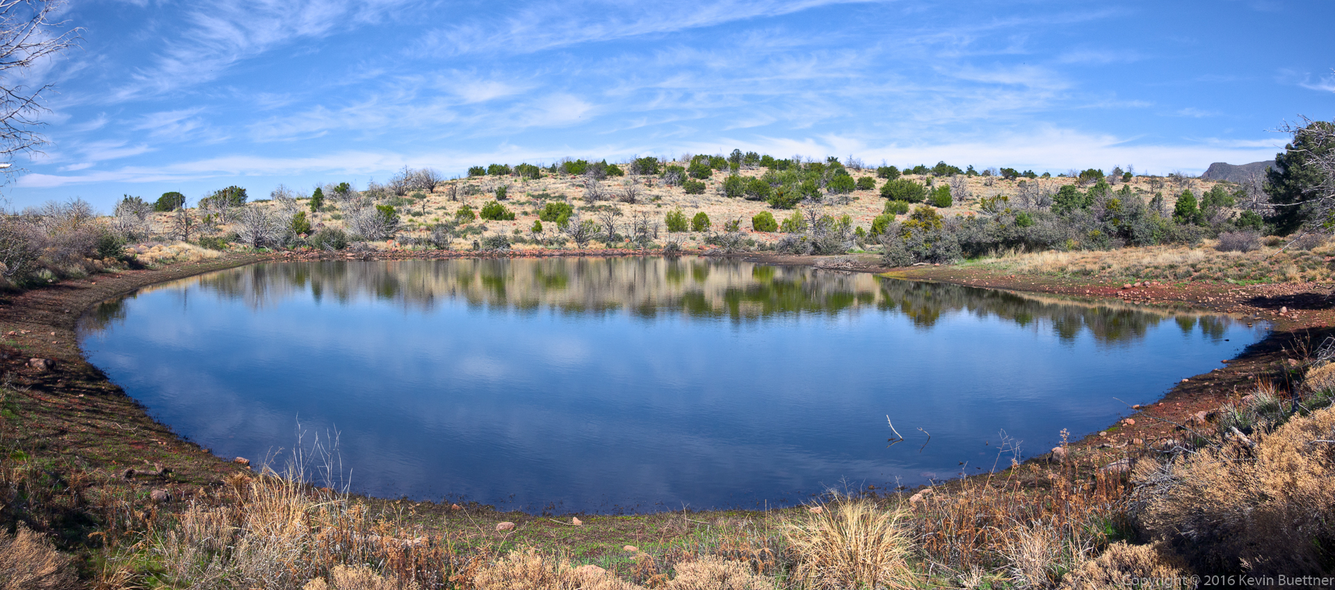
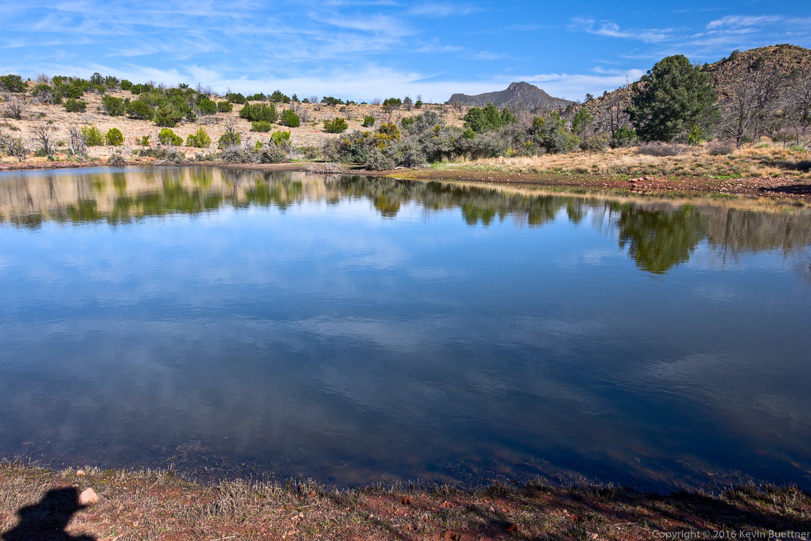
Two views of Brunson Tank…

20160304-_DSC2369-Pano-Edit-medium

20160304-_DSC2396-Edit-medium

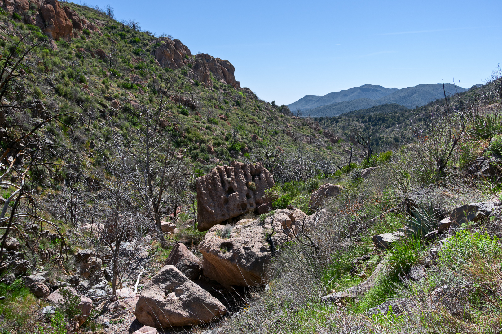
An outcrop near the intersection of the Arizona Trail and the rancher trail:

20160304-_DSC2477-Edit-medium

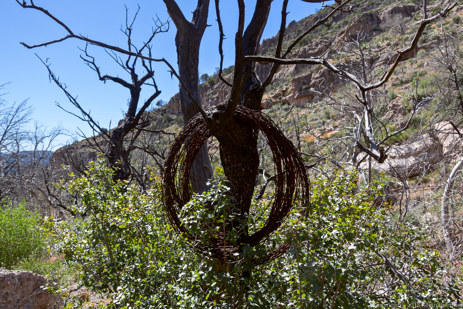
Old rusty barbed wire hanging from a tree:
20160304-_DSC2495-Edit-medium

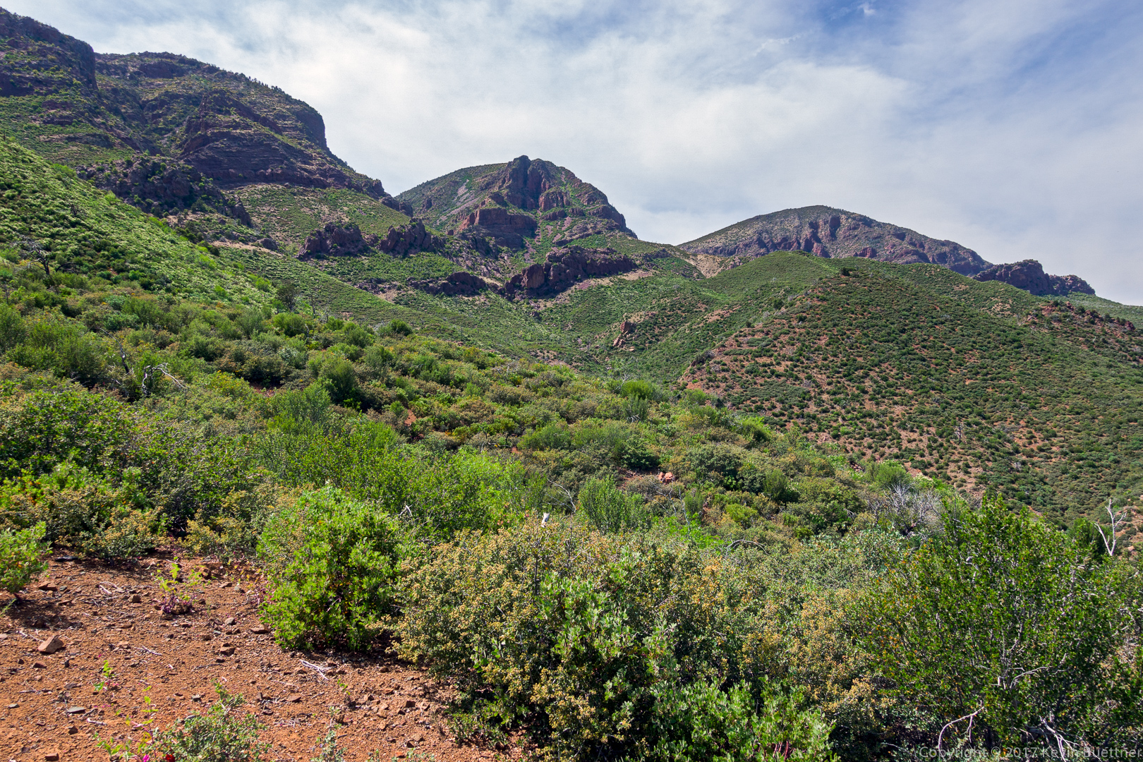
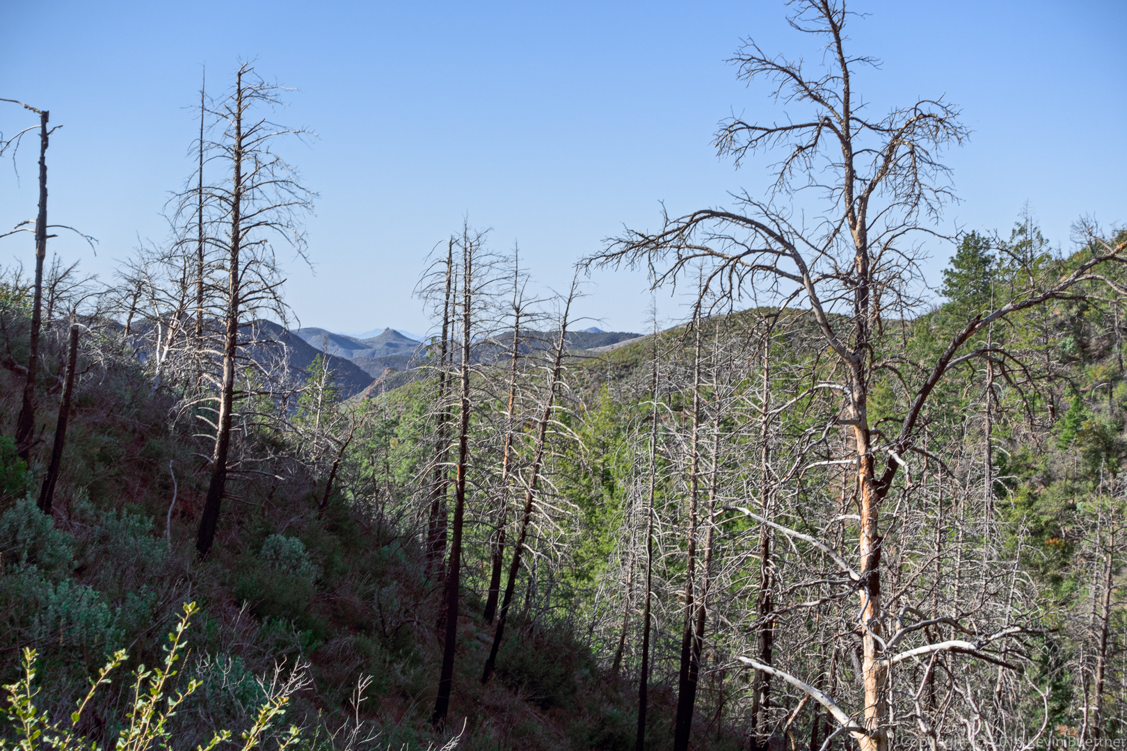
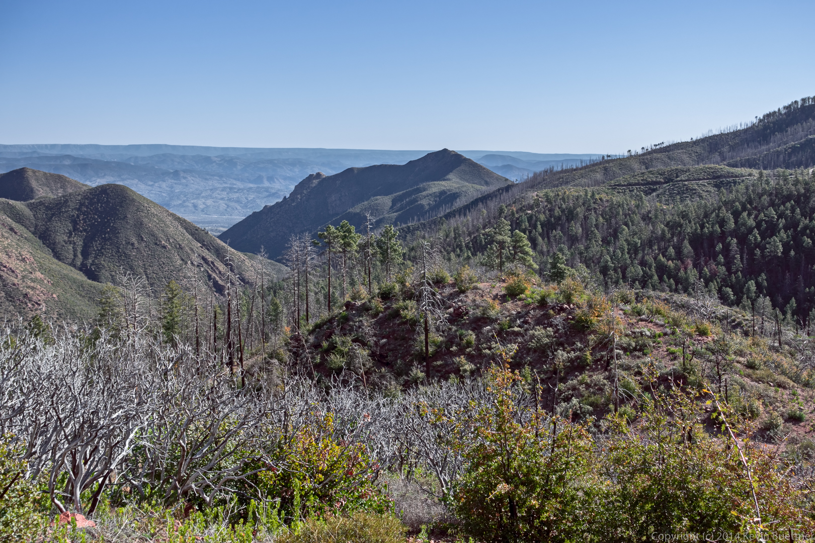
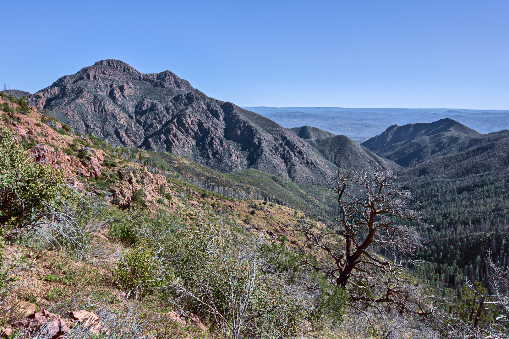
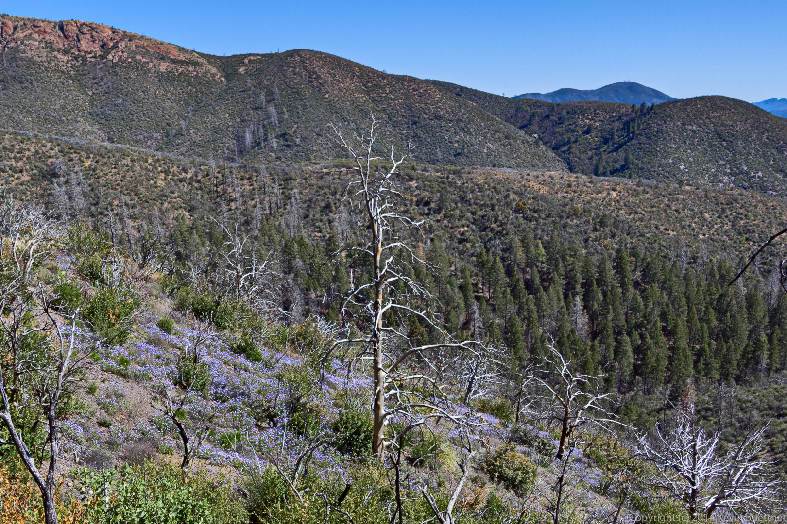
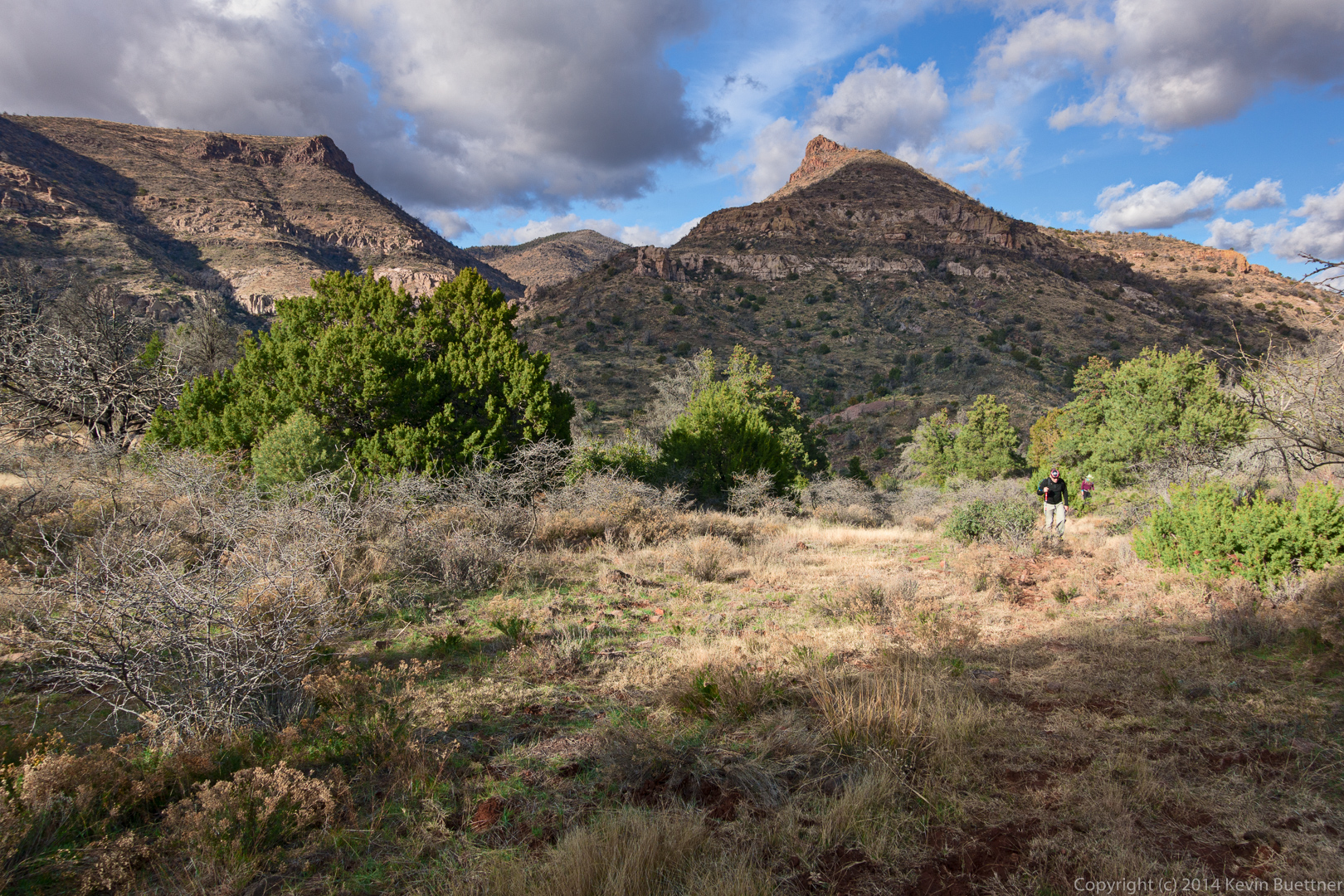
A view from the Little Saddle Mountain Trail:
20160304-_DSC2513-Edit-medium

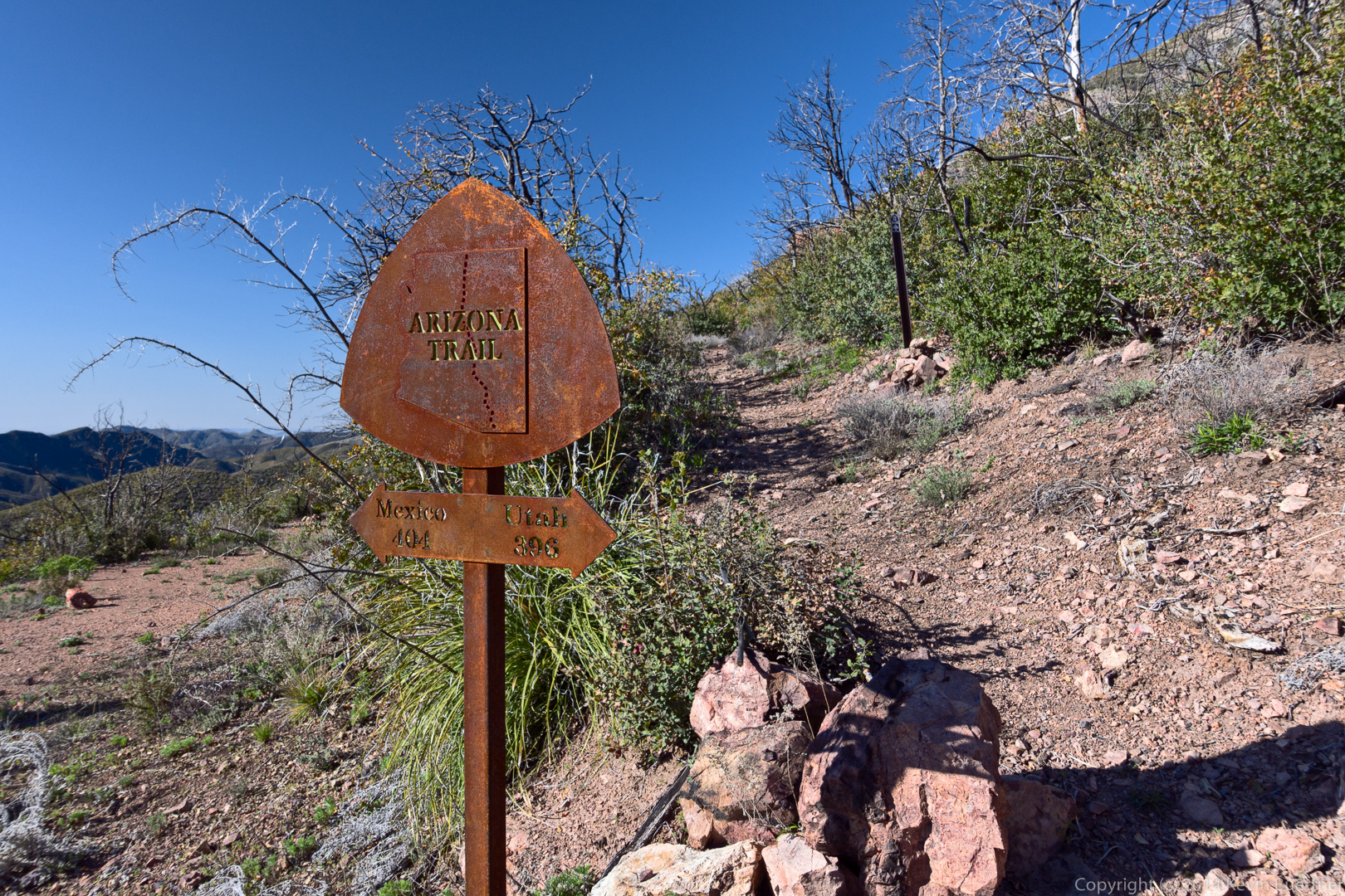
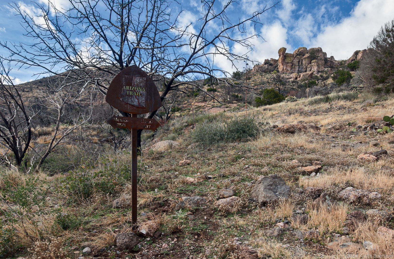
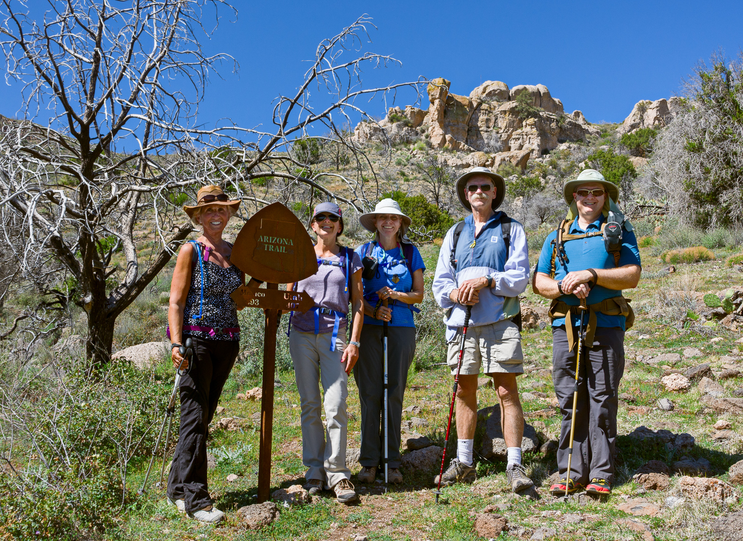
Nancy, Eva, Linda, Doug, and Kevin at the Arizona Trail sign. It’s 393 miles (along the Arizona Trail) to Mexico and 407 miles to Utah.

20160304-_DSC2555-Edit-medium

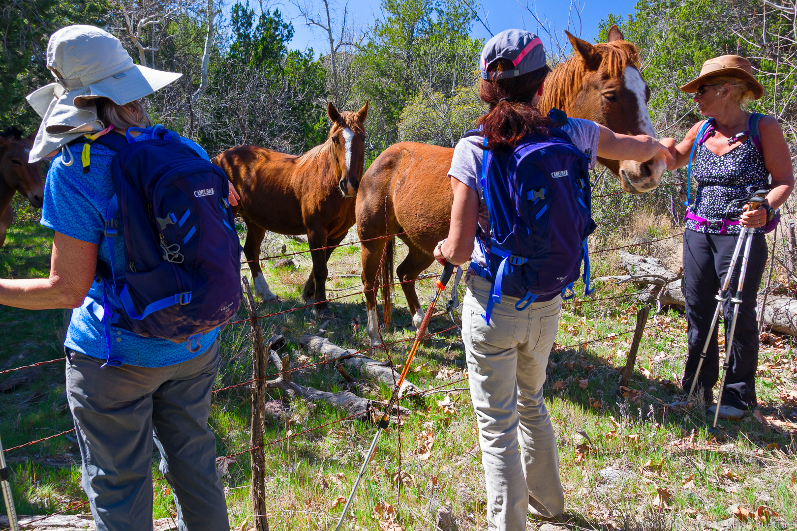
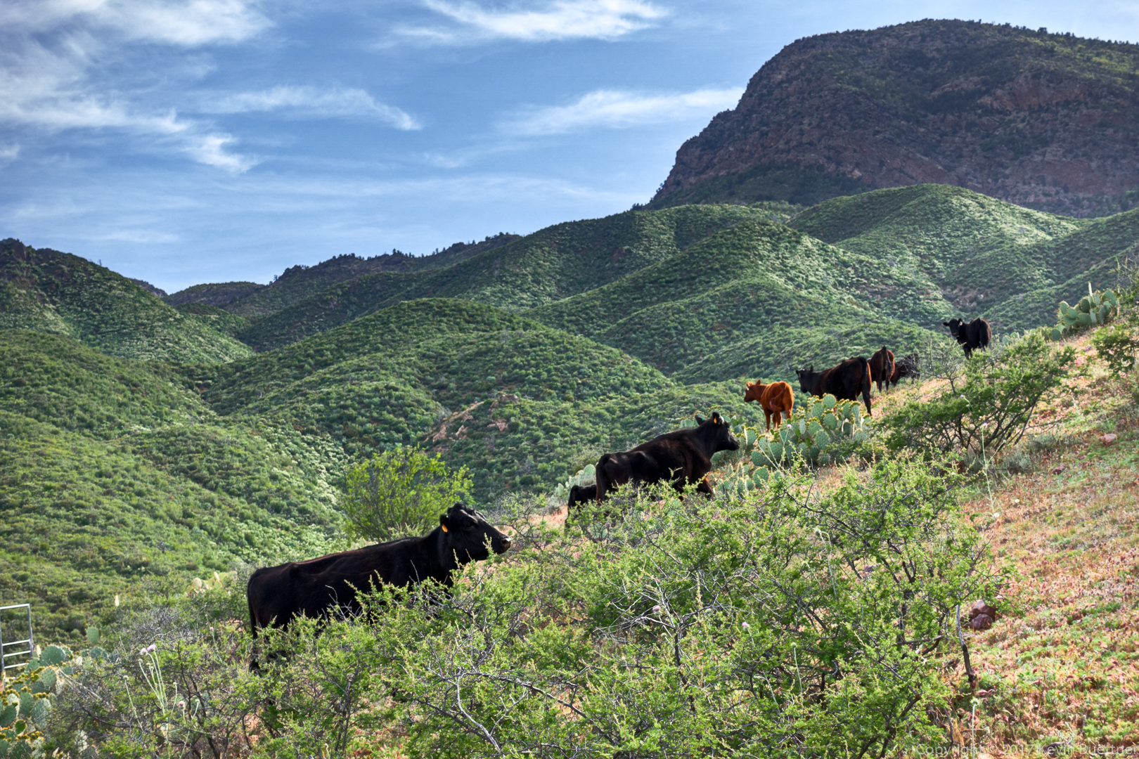
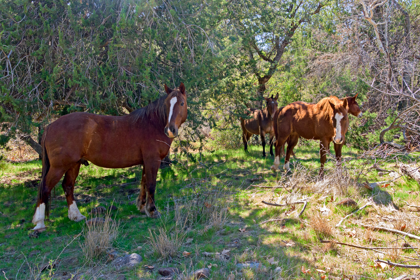
We saw some of these horses earlier in the hike too.

20160304-_DSC2591-Edit-medium

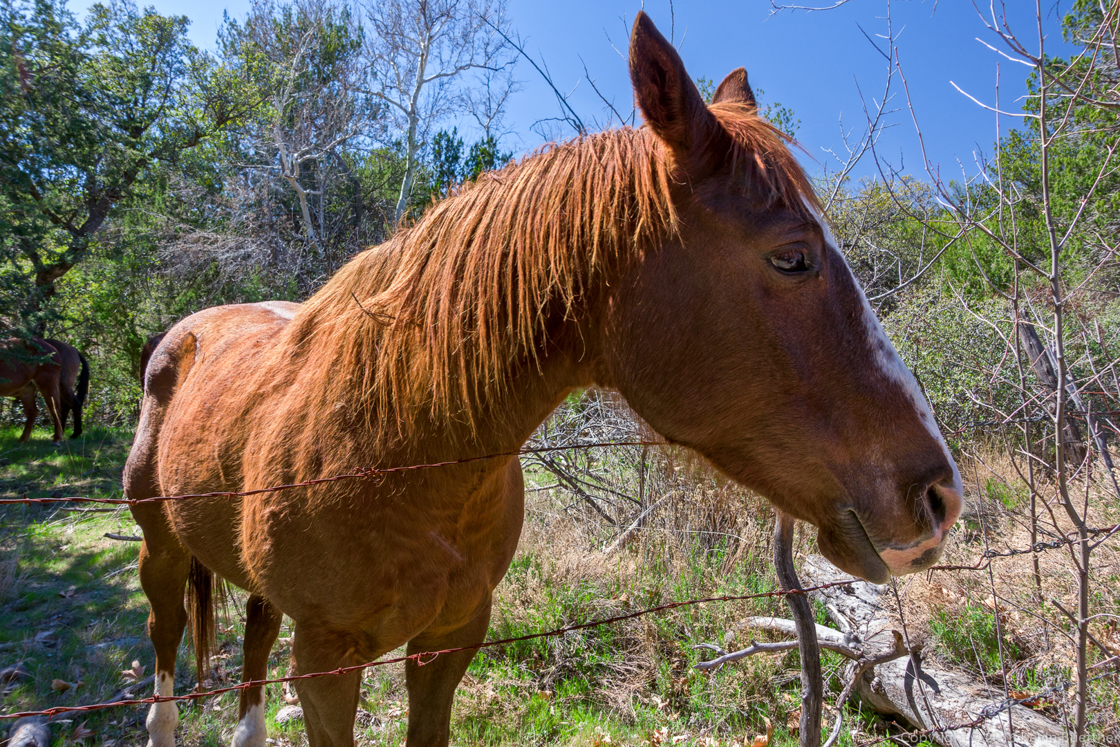
This one was friendly – it was curious about my camera.
20160304-_DSC2597-Edit-medium

Nancy with the horse:

20160304-_DSC2610-Edit-medium

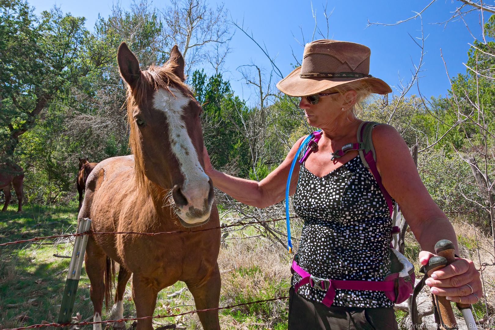
Several other horses wanted attention too…

20160304-_DSC2636-Edit-medium

Black Ridge Loop Scouting Trip

Starting from the Cross F Trailhead yesterday, I scouted part of the Black Ridge Loop to see if it would be suitable for a hike in March.

20160221-_DSC1205-Edit-medium 20160221-_DSC1226-Edit-medium 20160221-_DSC1259-Edit-medium

Friday Hike – Mt Peeley Summit

Bob, Nick, Bill, Denise, Linda, and I hiked to the top of Mt Peeley on Friday.  The ascent consists of roughly two miles of hiking on the Arizona Trail (which is the Mazatzal Divide Trail through that section) followed by half a mile of less defined trail to the top of Mount Peeley. When we descended the half mile portion, we hiked a bit more of the Mazatzal Divide Trail before turning back.  Total distance was 7.9 miles with 1500 feet of total ascent.


20150327-_DSC3161-Edit-medium 20150327-_DSC3176-Edit-medium 20150327-_DSC3179-Edit-medium 20150327-_DSC3194-Edit-medium 20150327-_DSC3206-Edit-medium 20150327-_DSC3209-Edit-medium 20150327-_DSC3242-Edit-medium 20150327-_DSC3263-Edit-medium 20150327-_DSC3266-Edit-medium 20150327-_DSC3349-Edit-medium 20150327-_DSC3371-Edit-medium 20150327-_DSC3374-Edit-medium 20150327-_DSC3644-Edit-medium 20150327-_DSC3713-Edit-medium 20150327-_DSC3716-Edit-medium 20150327-_DSC3731-Edit-medium

Sunday Hike

Marilyn, Nick, and I did a short (4 mile) hike starting from the Cross F Trailhead. We hiked south a short ways on the Arizona Trail and returned via a service road.

20141214-_DSC7844-Edit-medium 20141214-_DSC7850-Edit-medium 20141214-_DSC7865-Edit-medium 20141214-_DSC7877-Edit-medium 20141214-_DSC7892-Edit-medium 20141214-_DSC7913-Edit-medium 20141214-_DSC7946-Edit-medium 20141214-_DSC7949-Edit-medium