Tag: Friday Fitness Hike (page 29 of 36)

Friday Fitness Hike

We met at the Tom’s Thumb Trailhead for Friday’s hike.  A new hiker to our group, Marilyn, joined Bob, Amy, Janet, and me for a hike up to Tom’s Thumb.

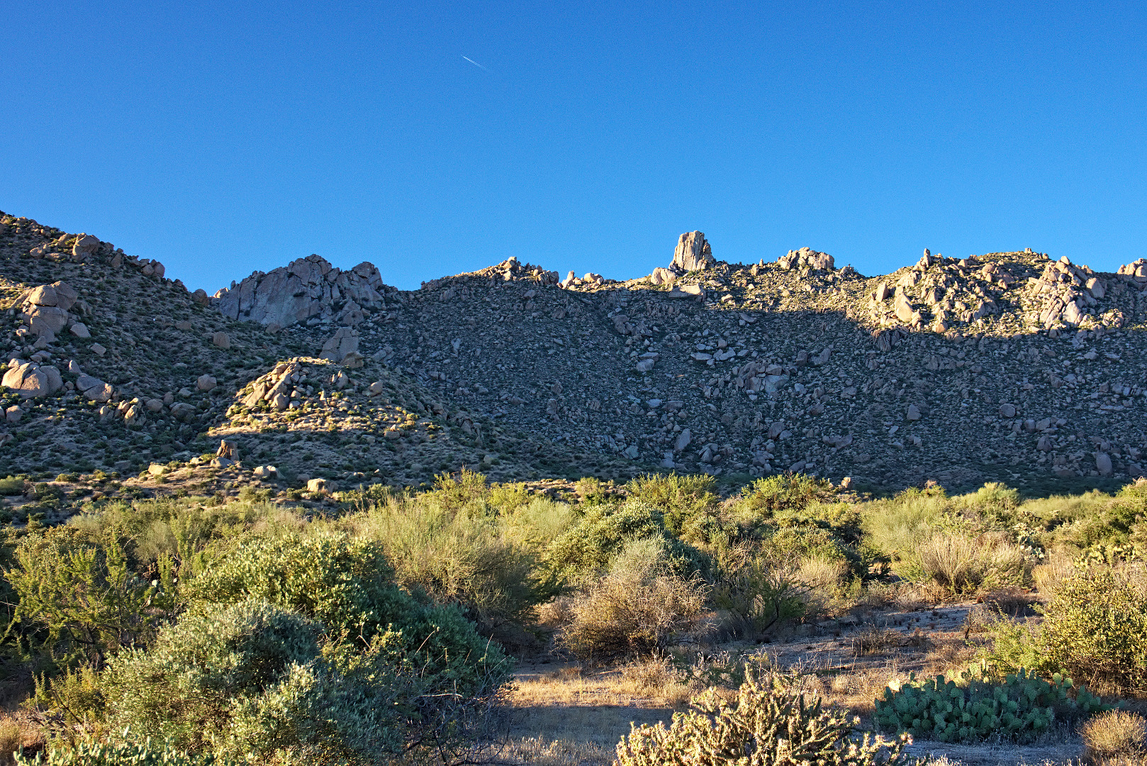
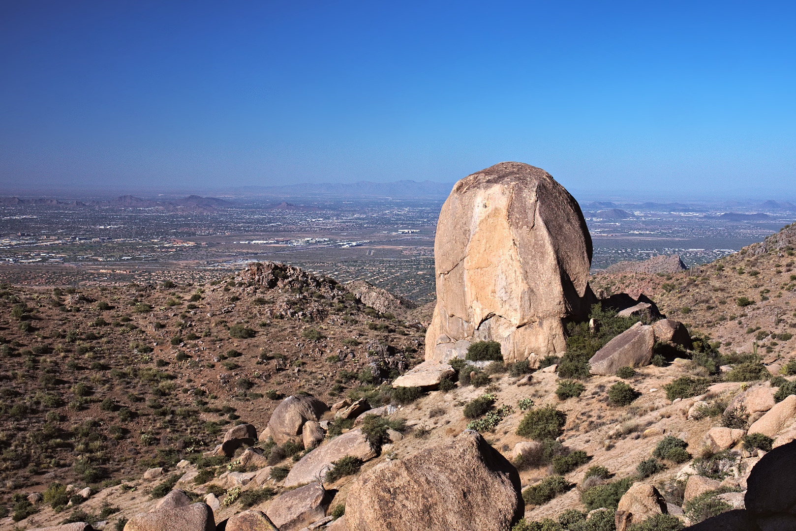
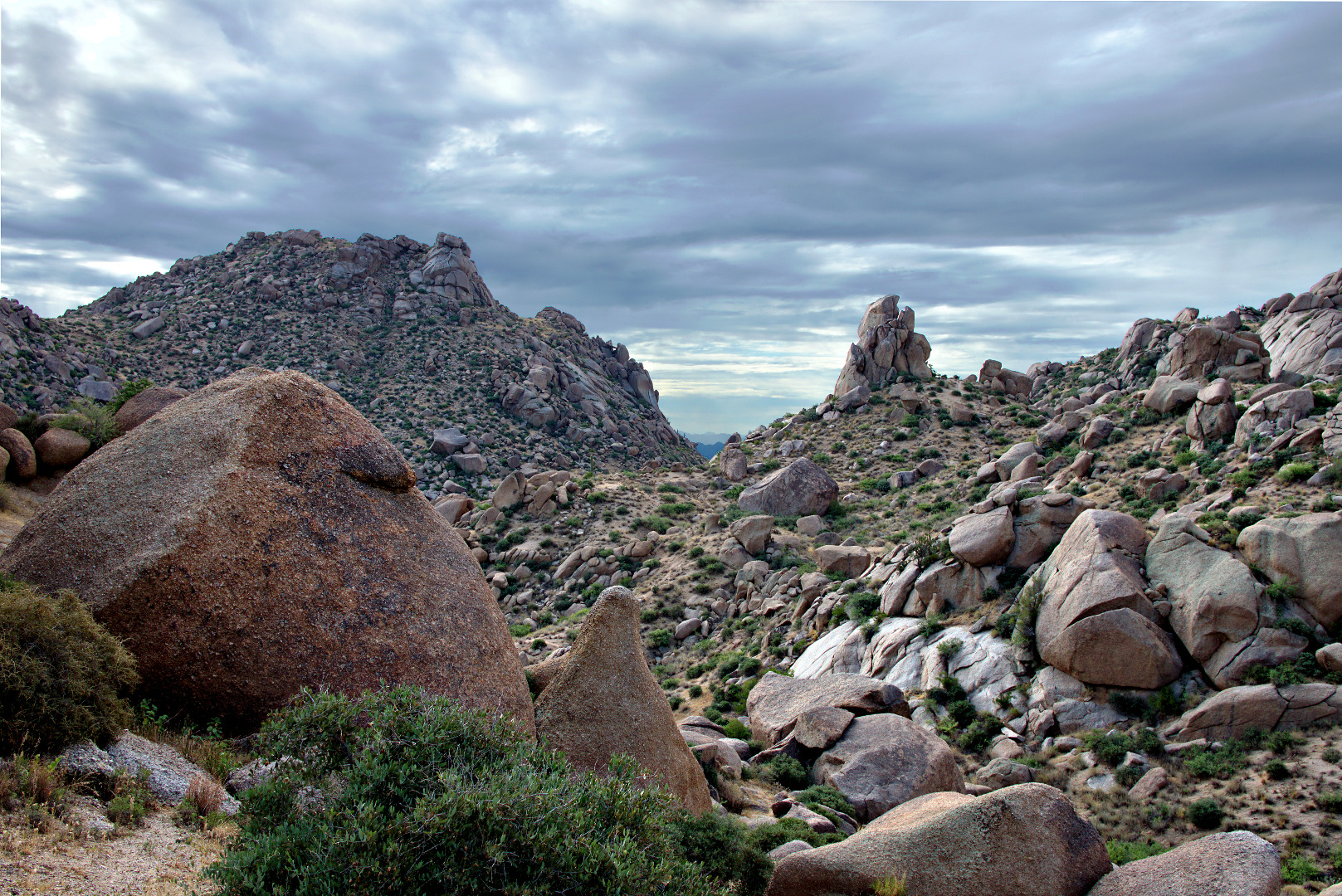
Below is a view of Tom’s Thumb and the surrounding area in the early morning light.

2013-10-25-DSC01223-medium

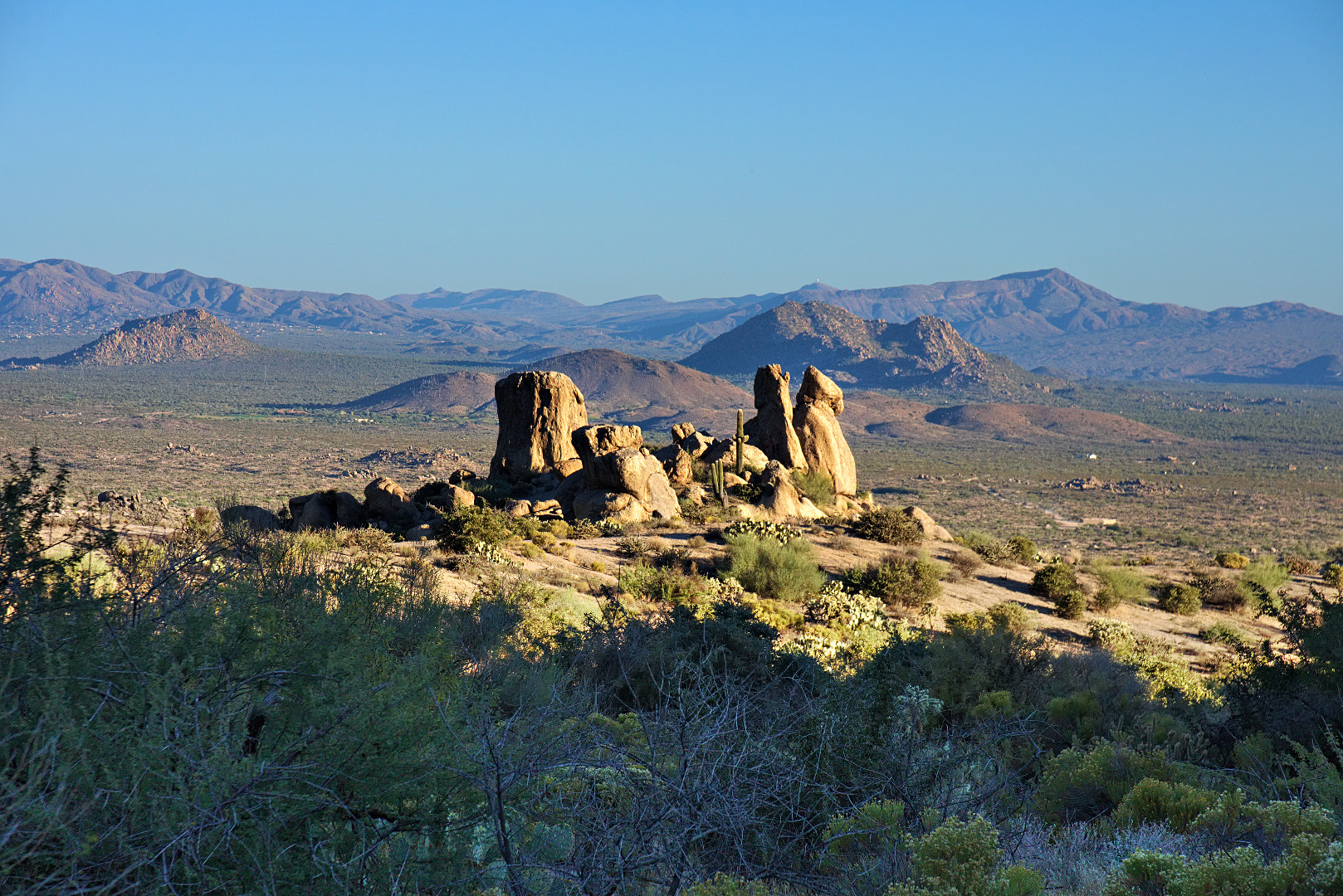
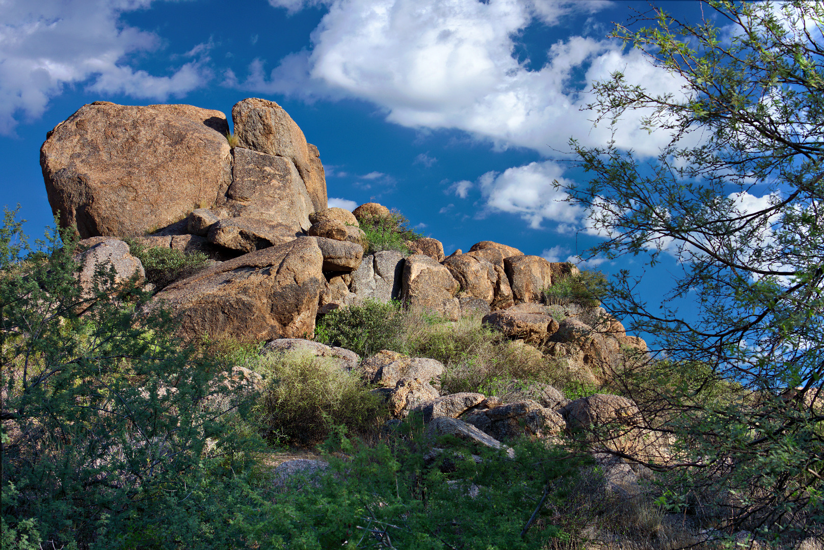
We saw this cluster of rocks early on, through one of the easier stretches.  I think the boulders in the picture below are on private land.

2013-10-25-DSC01250-medium


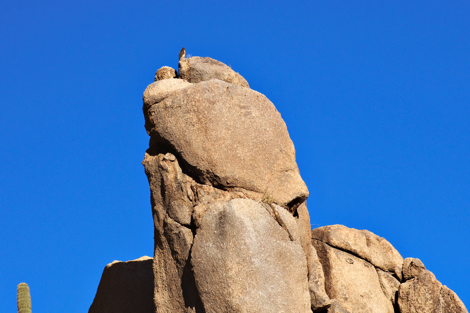
We saw a red-tailed hawk on the top of a rock, just as the trail started getting steep.

2013-10-25-DSC01271-medium

Another view of the rock upon which the hawk was perched:

2013-10-25-DSC01274-medium

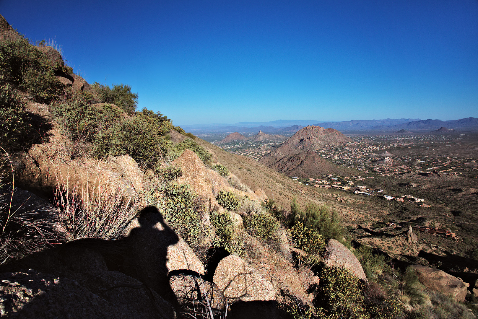
Two views of Troon and Pinnacle Peak, off in the distance:

2013-10-25-DSC01313-medium 2013-10-25-DSC01319-medium

We got high enough to see a Juniper Tree.2013-10-25-DSC01322-medium

A view to the west taken from the ridge west of Tom’s Thumb:

2013-10-25-DSC01331-medium

The East End, the very top of Gardener’s Wall, Glass Dome, Weaver’s Needle, Tom’s Thumb, and the Rist are all visible in this photo.

2013-10-25-DSC01351-medium

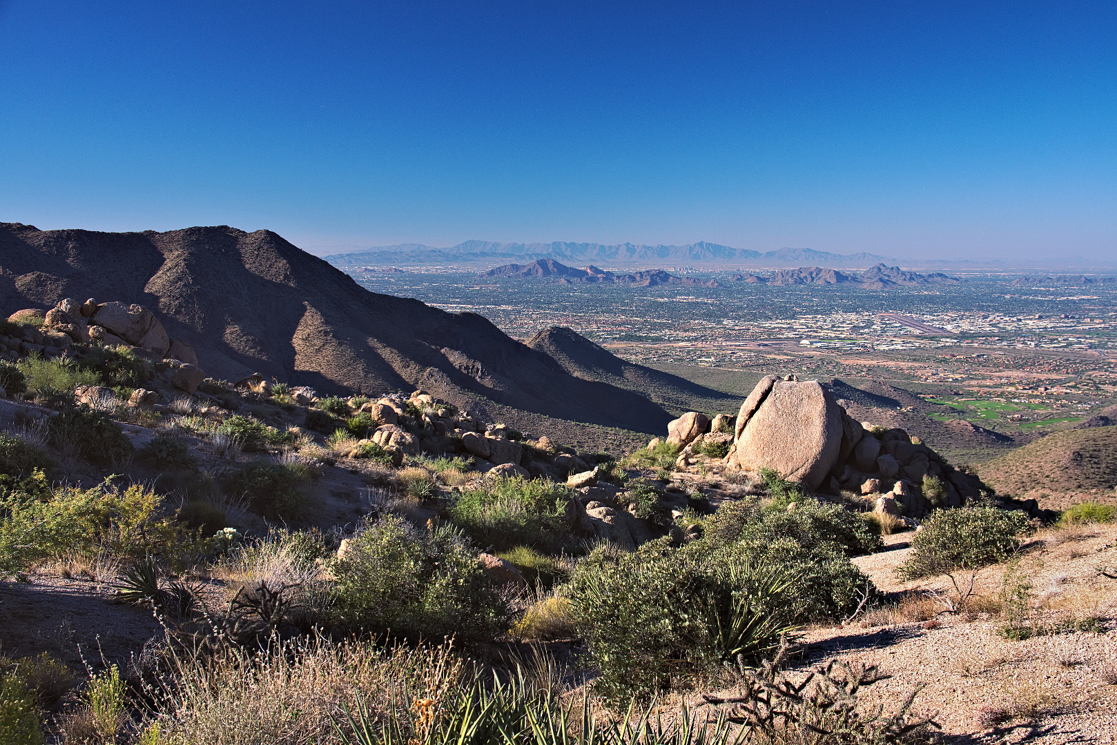
We noticed that we could see downtown Phoenix from the ridge near Tom’s Thumb. (Scottsdale is the closer community though.)

2013-10-25-DSC01352-medium

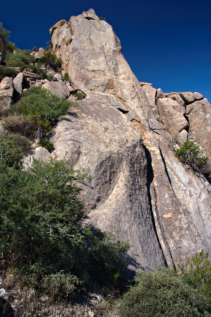
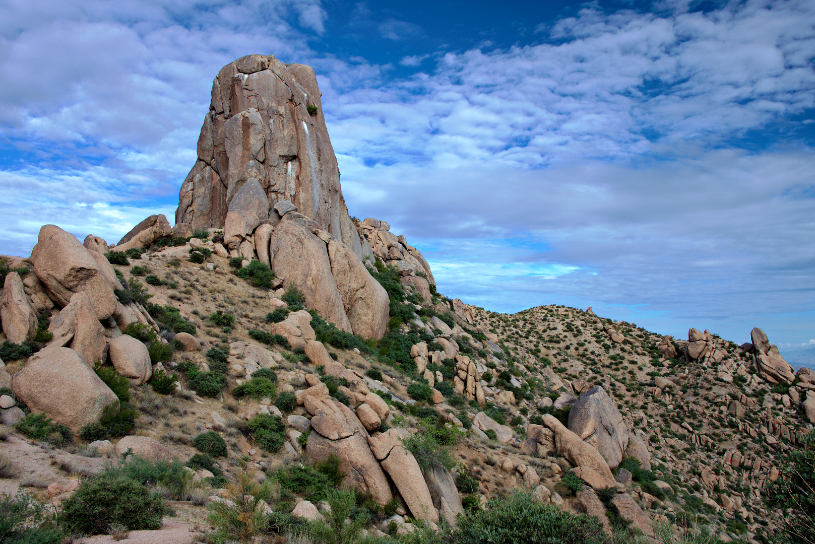
A view of the west side of Tom’s Thumb.  (The camera is looking east.)2013-10-25-DSC01370-medium

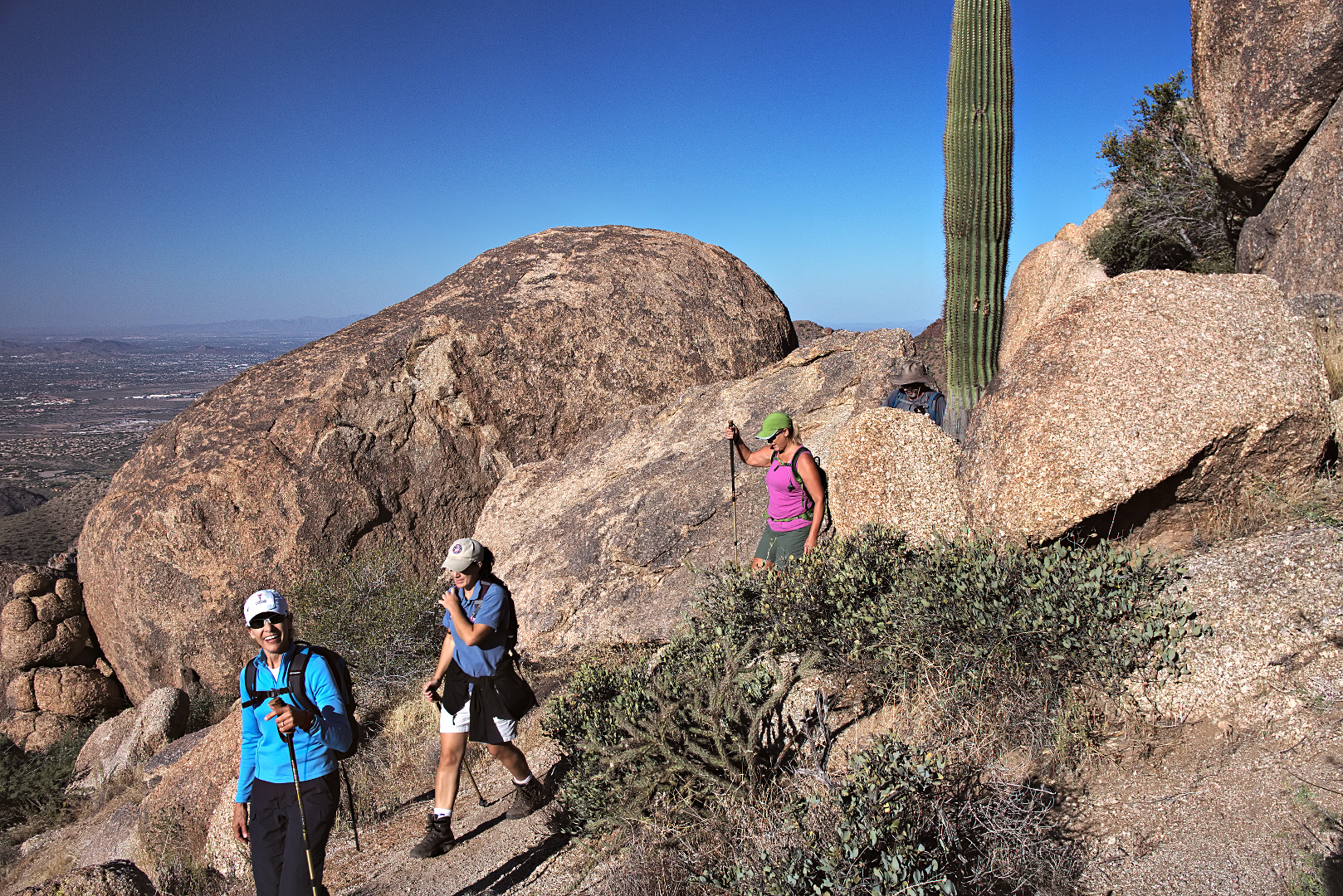
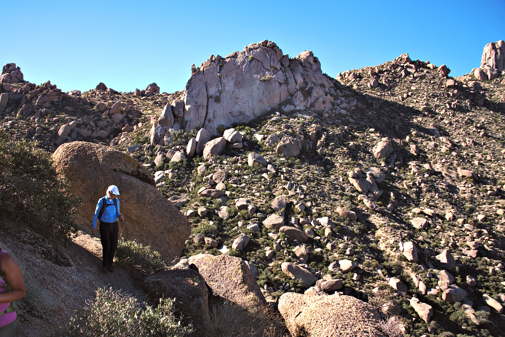
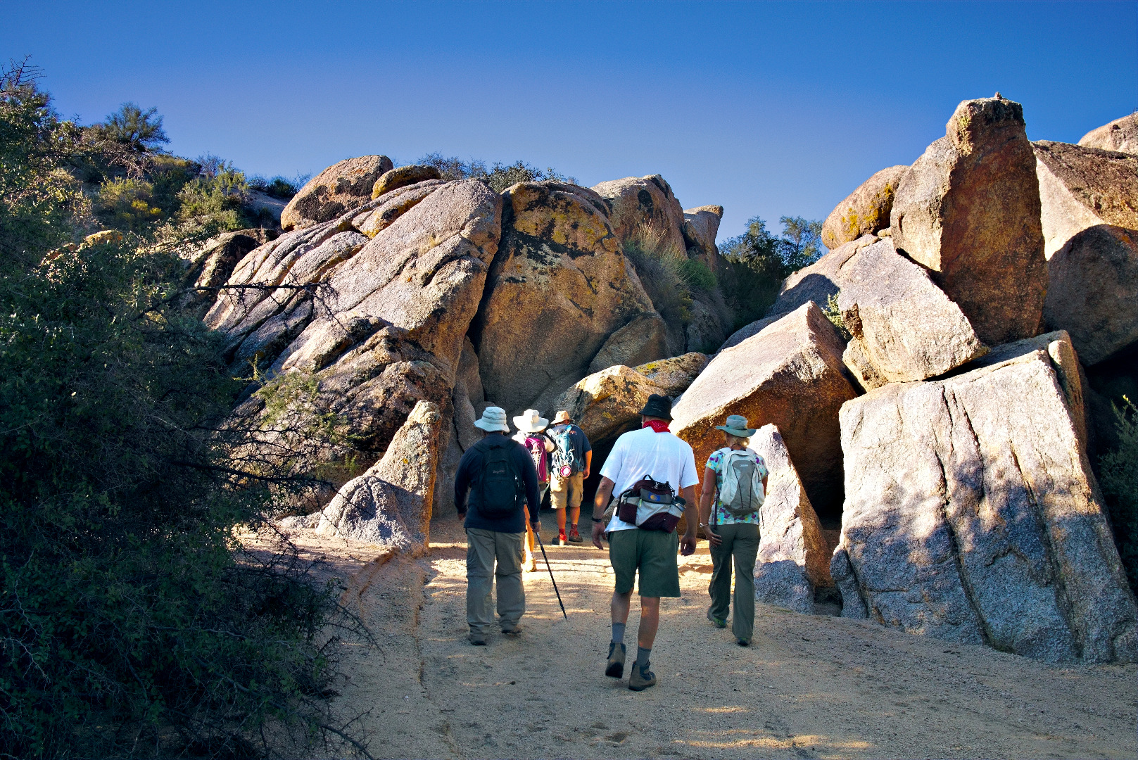
Marilyn, Amy, Janet, and Bob approach Tom’s Thumb.

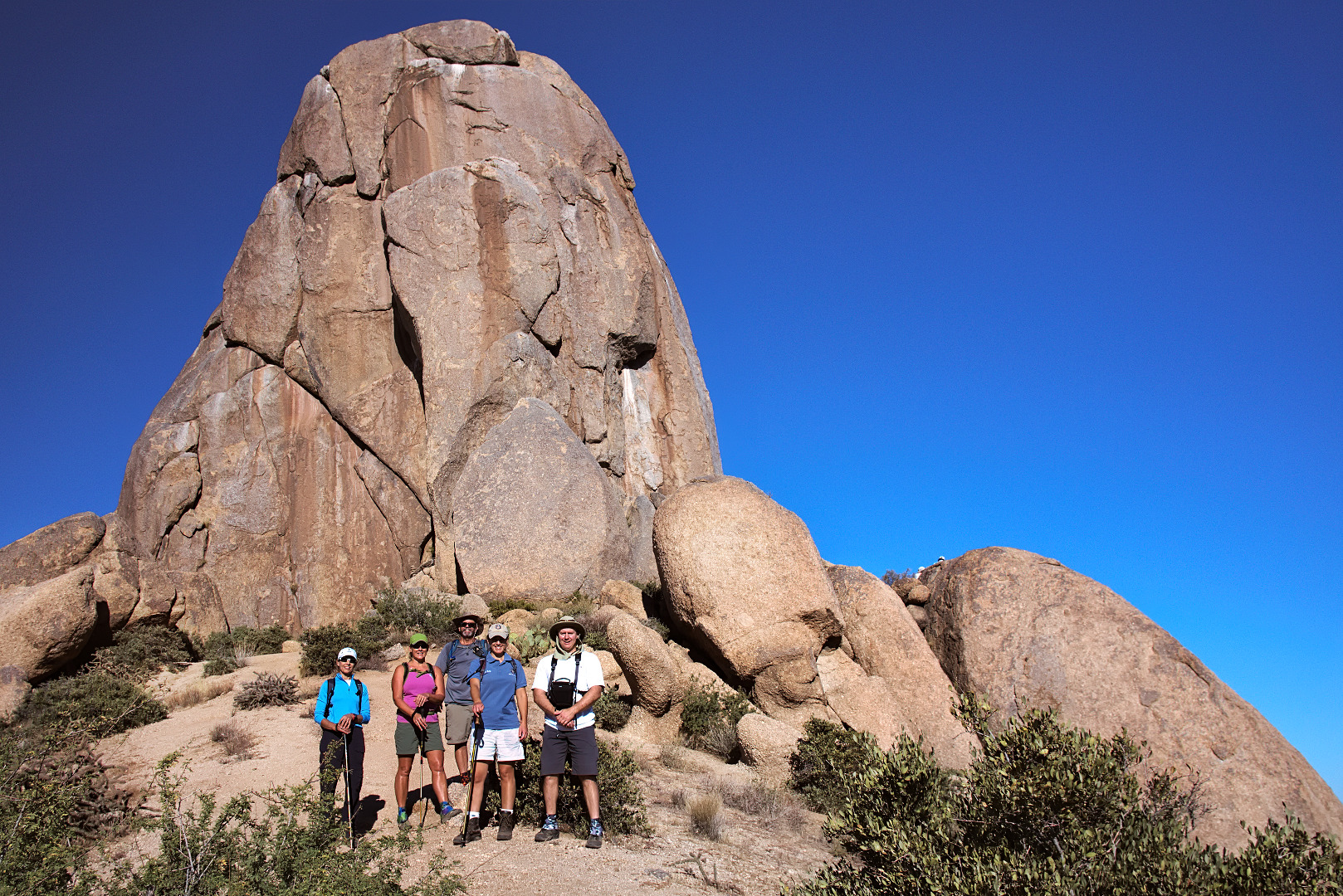
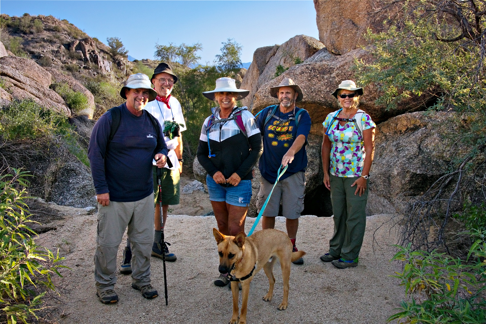
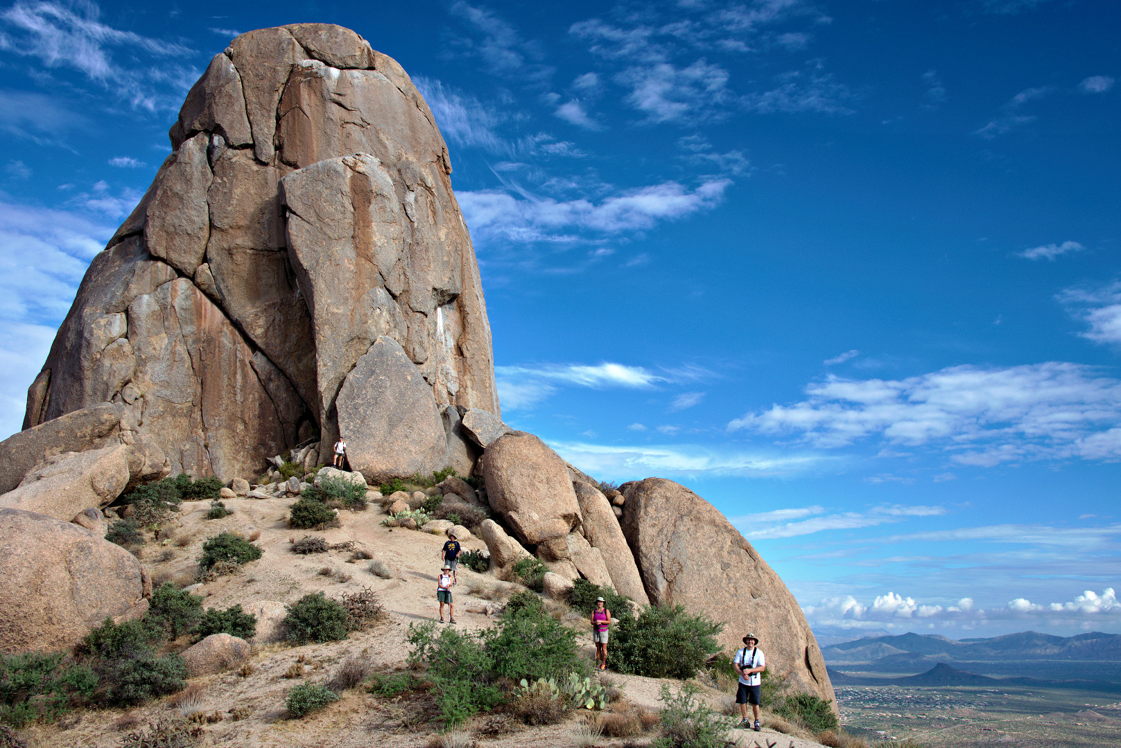
2013-10-25-DSC01379-mediumA photo of the five of us on the east side of Tom’s Thumb:

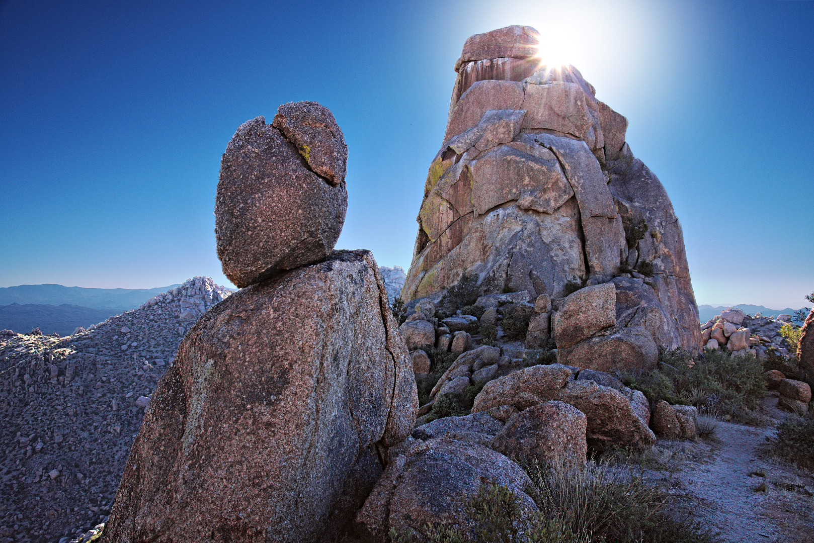
2013-10-25-DSC01400-mediumAnother pinnacle that we noticed on our descent.  (I don’t know the name of it.)

2013-10-25-DSC01414-medium

I chose a rocky path for part of our descent…

2013-10-25-DSC01482-medium

Marilyn, looking down into the canyon below Gardener’s Wall:

2013-10-25-DSC01489-4-medium


Friday Fitness Hike

We hiked the Scenic Trail for last Friday’s hike.  When we were done with the Scenic Trail, Marilyn, Linda, Nancy, Janet, and I hiked another five miles, visiting the Tortoise enclosure and the wreck of the old Chevy along the way.  Our total distance was around 9.5 miles.

Red Mountain as seen from the Scenic Trail:

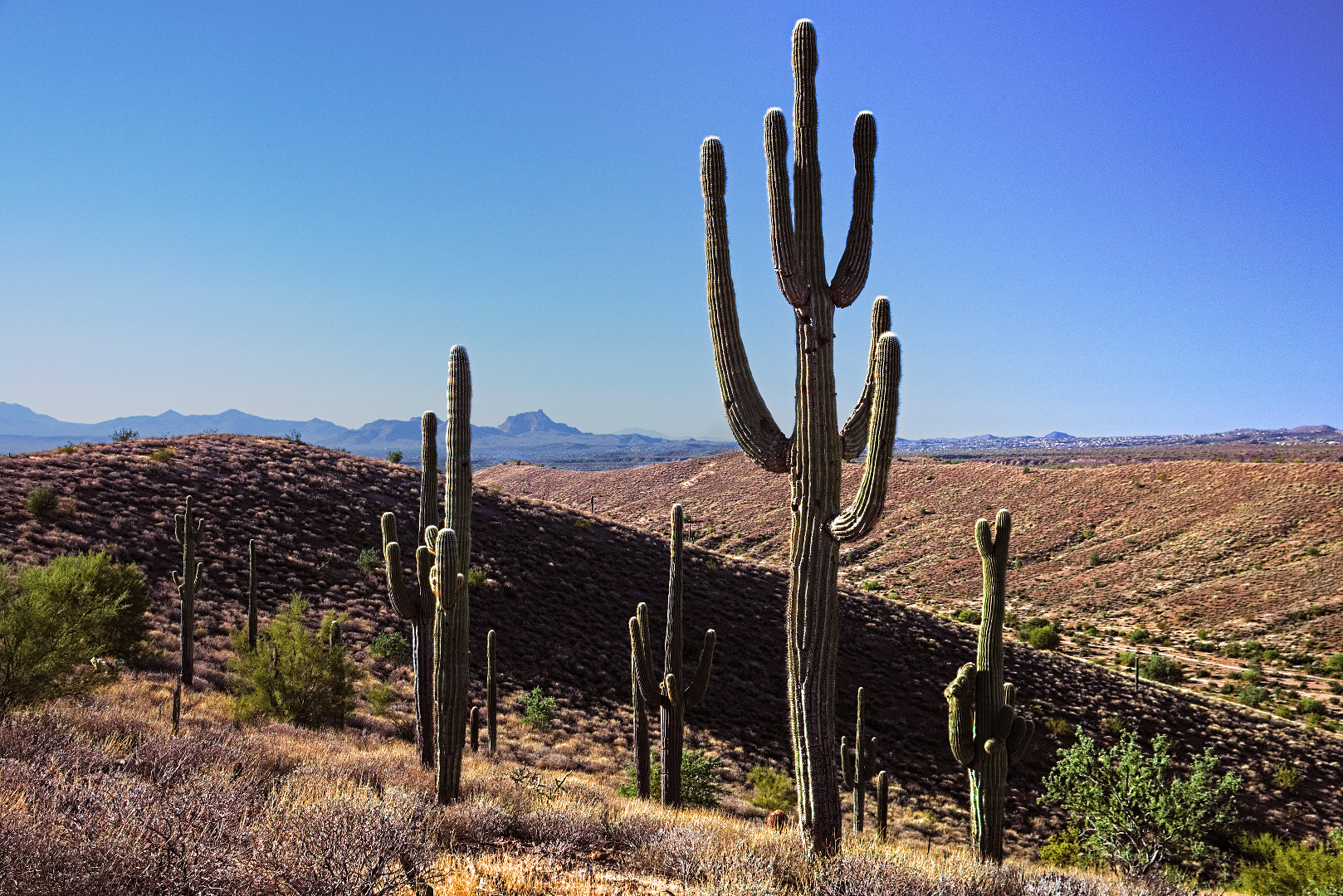
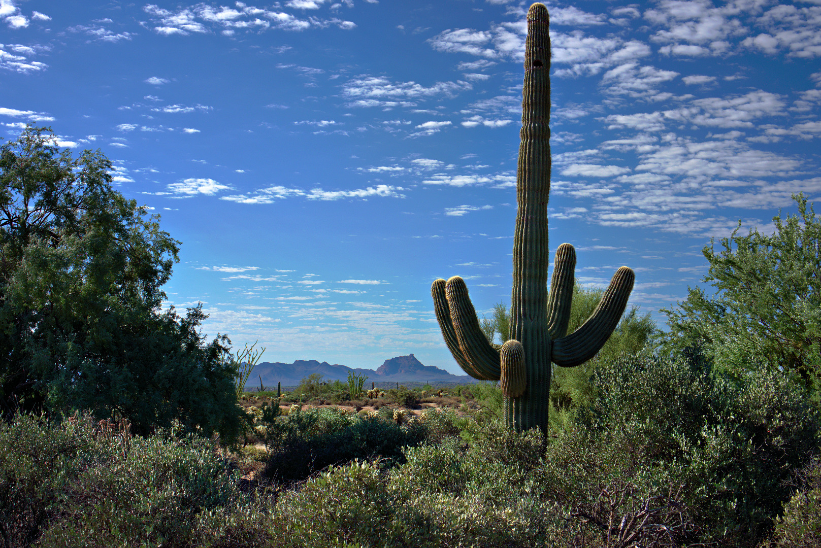
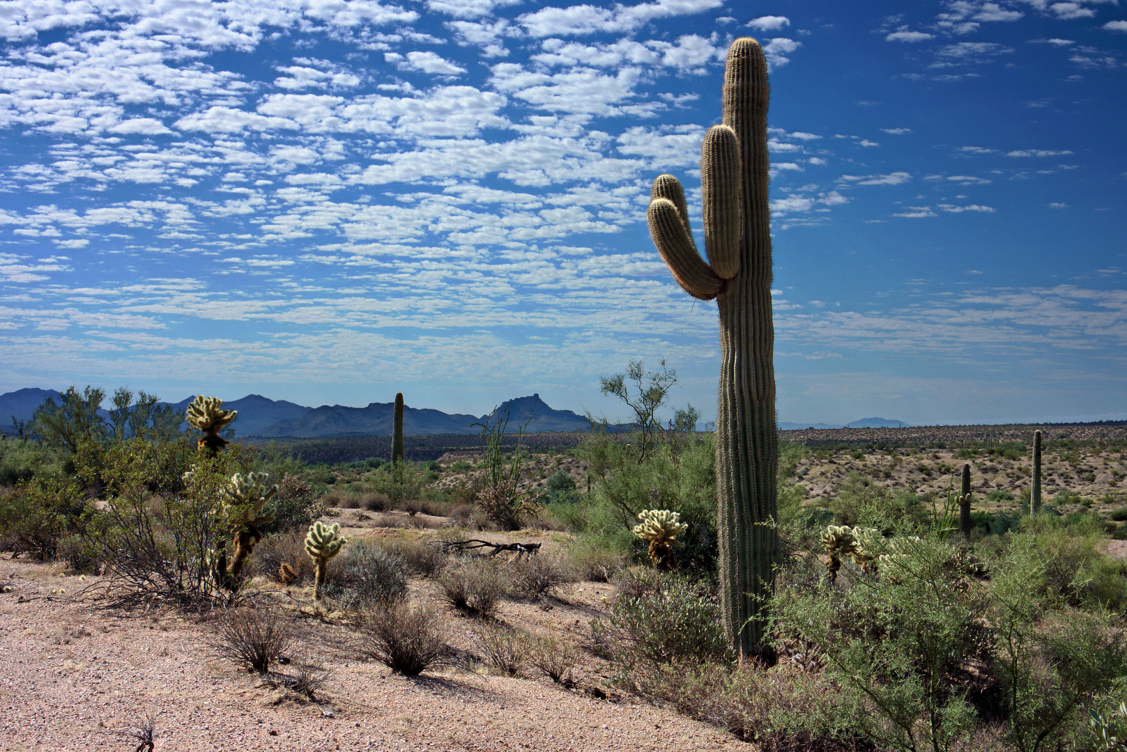
2013-10-18-DSC01064-mediumAnother view of Red Mountain with some large saguaros in the foreground:

2013-10-18-DSC01097-mediumAmy and I took this group photo in the wash just off of the Scenic Trail.  (The Scenic Trail used to be routed through this wash.)  From left to right are Amy, Nancy, Linda, Janet, Linda, Marilyn, and Kevin.

2013-10-18-DSC01130-cropped-medium

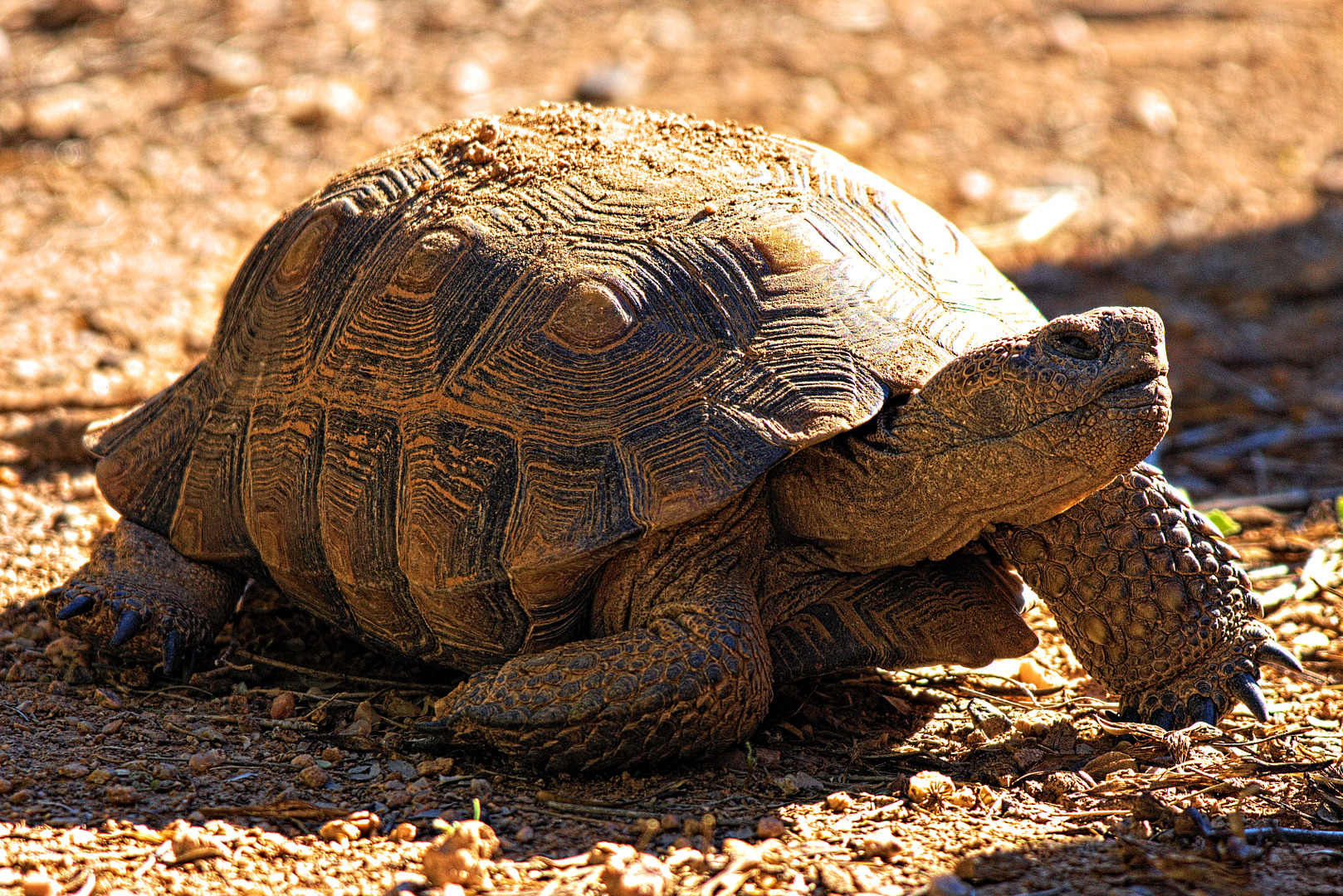
Rand told me that the friendly tortoise in the enclosure is named Scarlett.  She crawled toward us and opened her mouth several times during our visit.  I think she wanted us to feed her.   (I learned from Amy, later on, that this tortoise’s name is actually Alice.  There is another tortoise named Scarlet in the enclosure.)

2013-10-18-DSC01145-medium 2013-10-18-DSC01172-medium


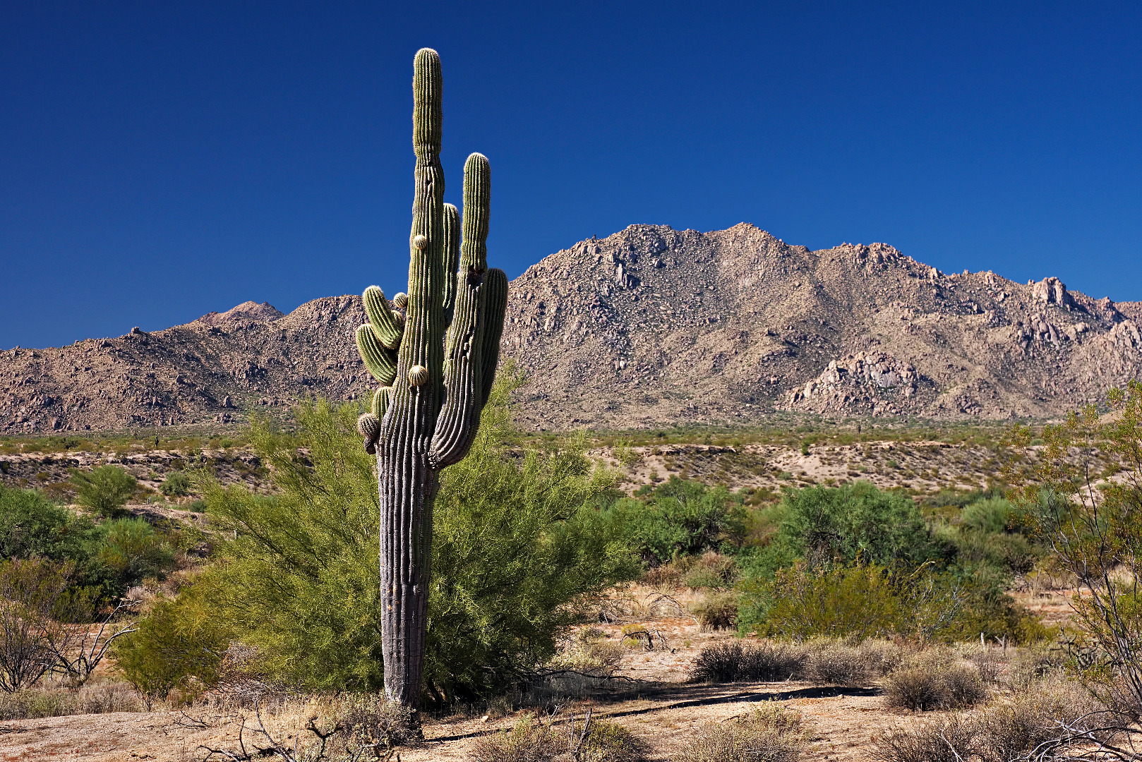
This is the saguaro that’s at the intersection of the Wagner and Granite trails.  The McDowell mountains are in the background.2013-10-18-DSC01184-medium

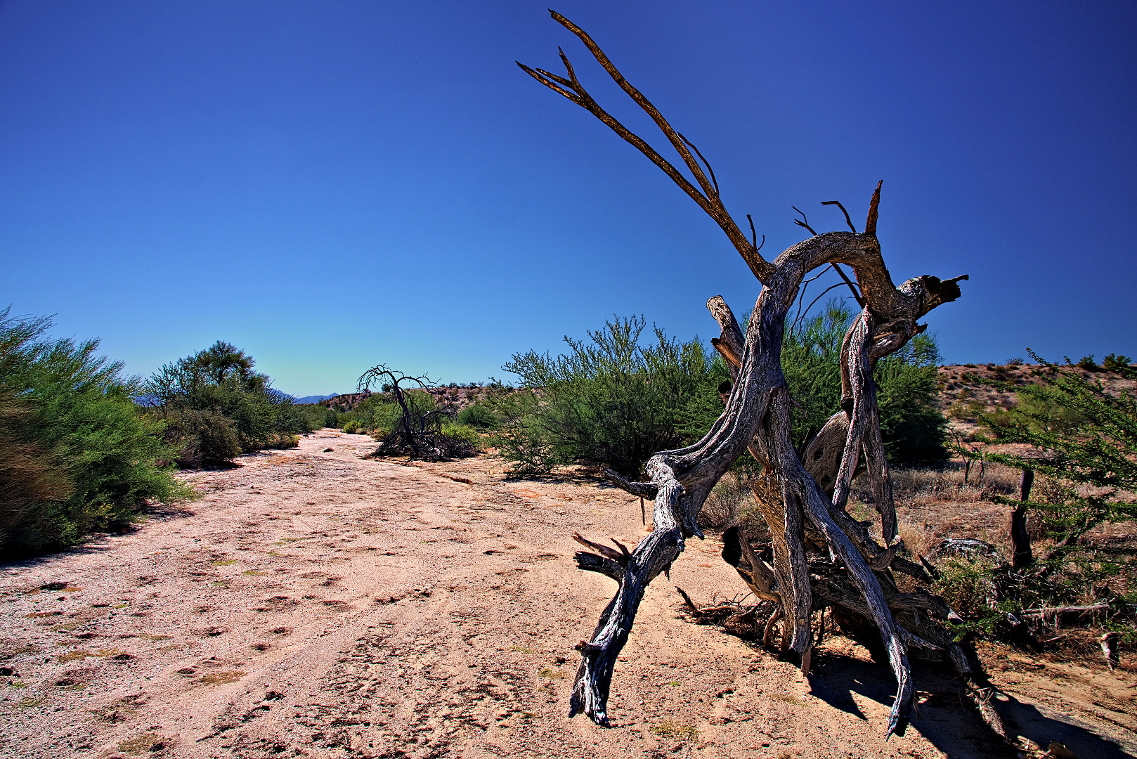
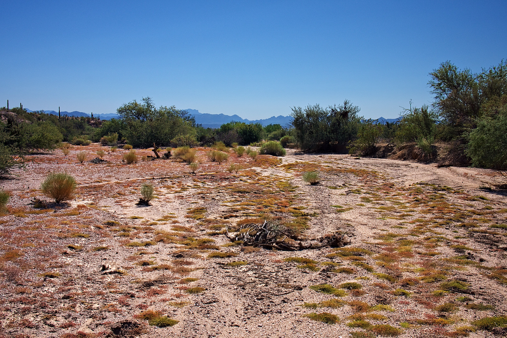
Stoneman Wash:

2013-10-18-DSC01204-3-medium 2013-10-18-DSC01205-medium

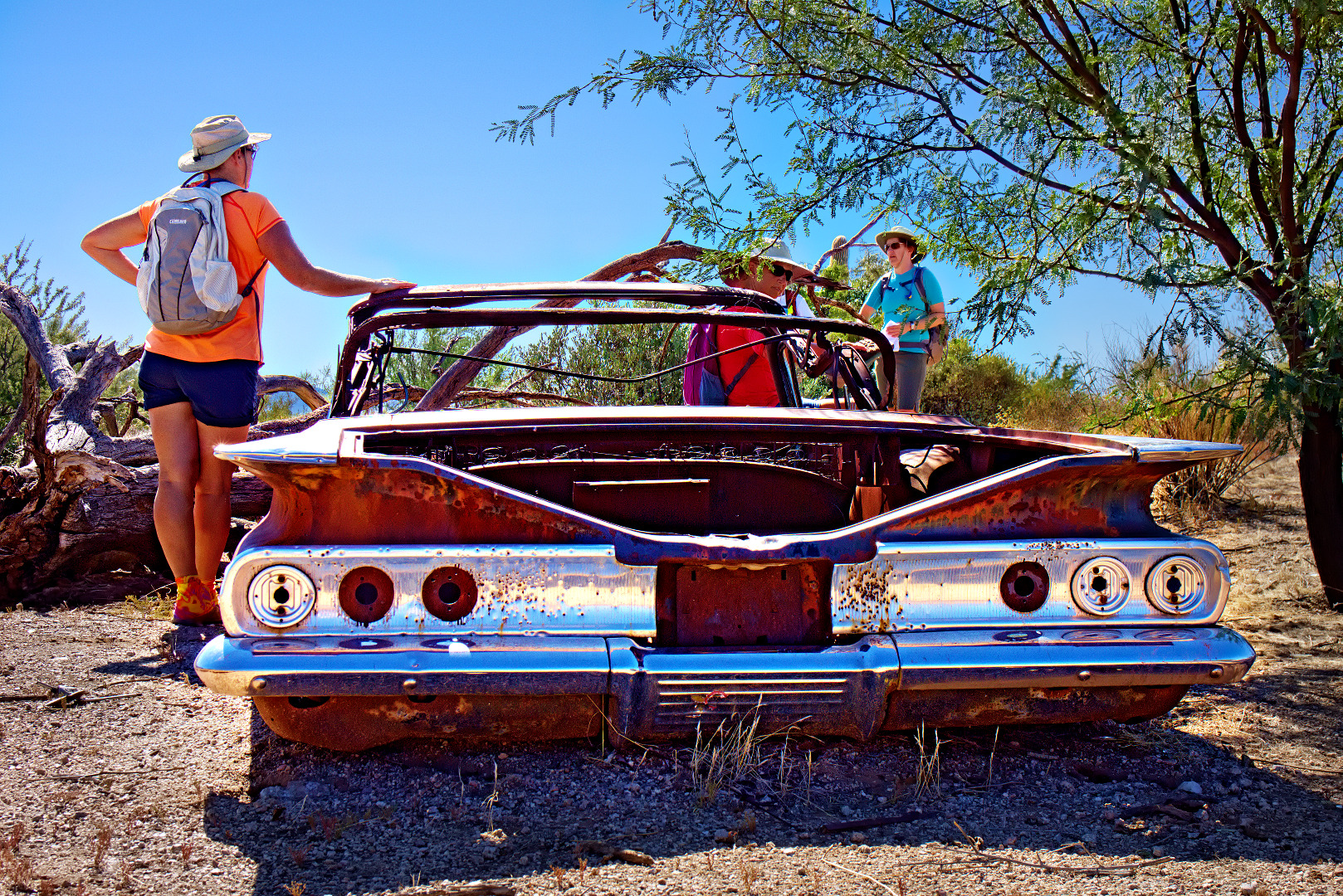
This is the old Chevy in Stoneman Wash.

2013-10-18-DSC01211-medium


Friday Fitness Hike

Friday’s Hike started at the Wagner Trailhead.  We hiked Wagner to Granite, Granite to the Bluff Trail Wash, the wash to Pemberton, Pemberton to Delsie, Delsie back to Granite, Granite to Wagner, and Wagner to the Trailhead.  Total distance was 9.75 miles.

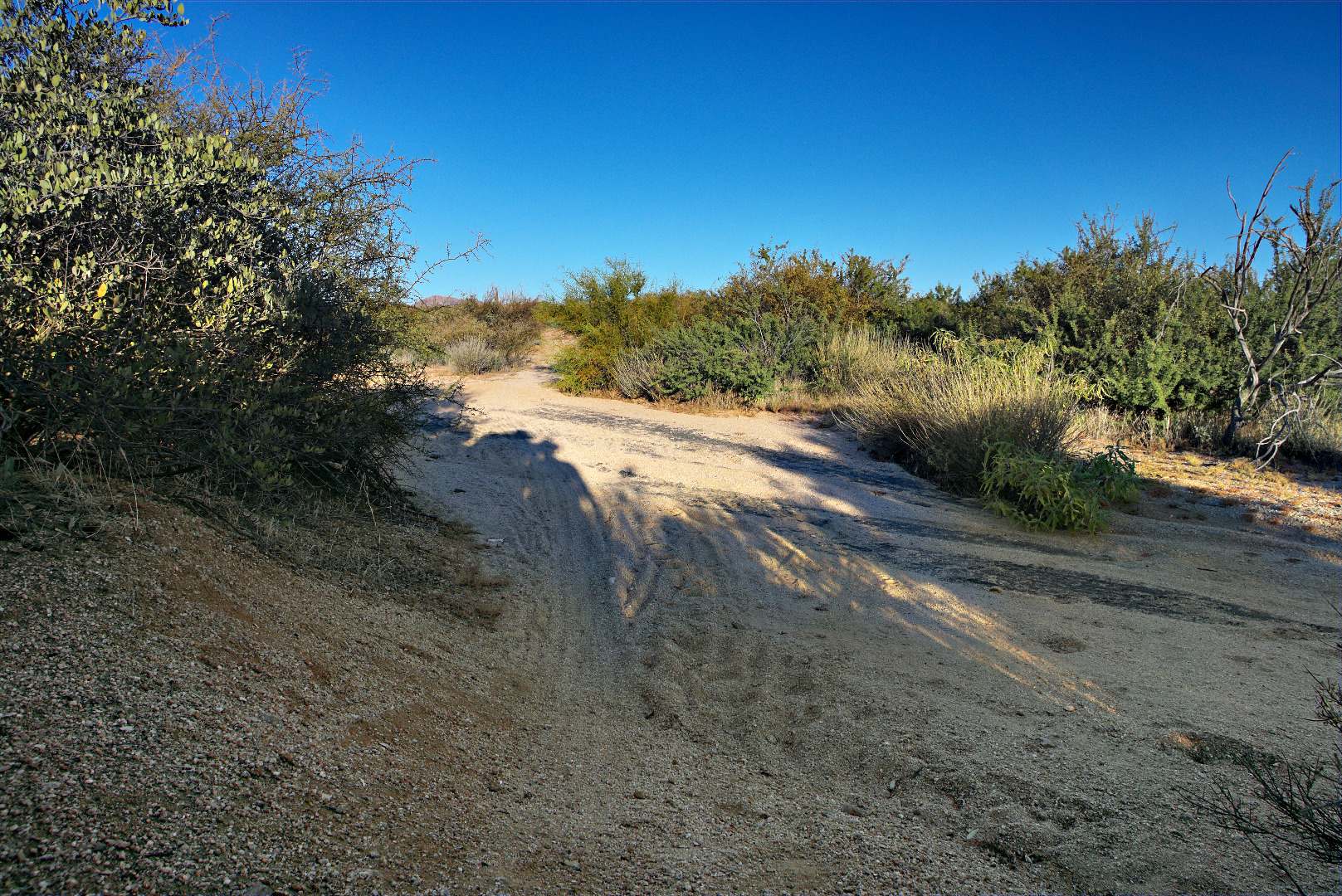
We encountered this wash on the Wagner Trail.  This wash sometimes has deep sand in it.  When I started mountain biking, I fell while crossing it at least once.

2013-10-11-DSC0073-medium

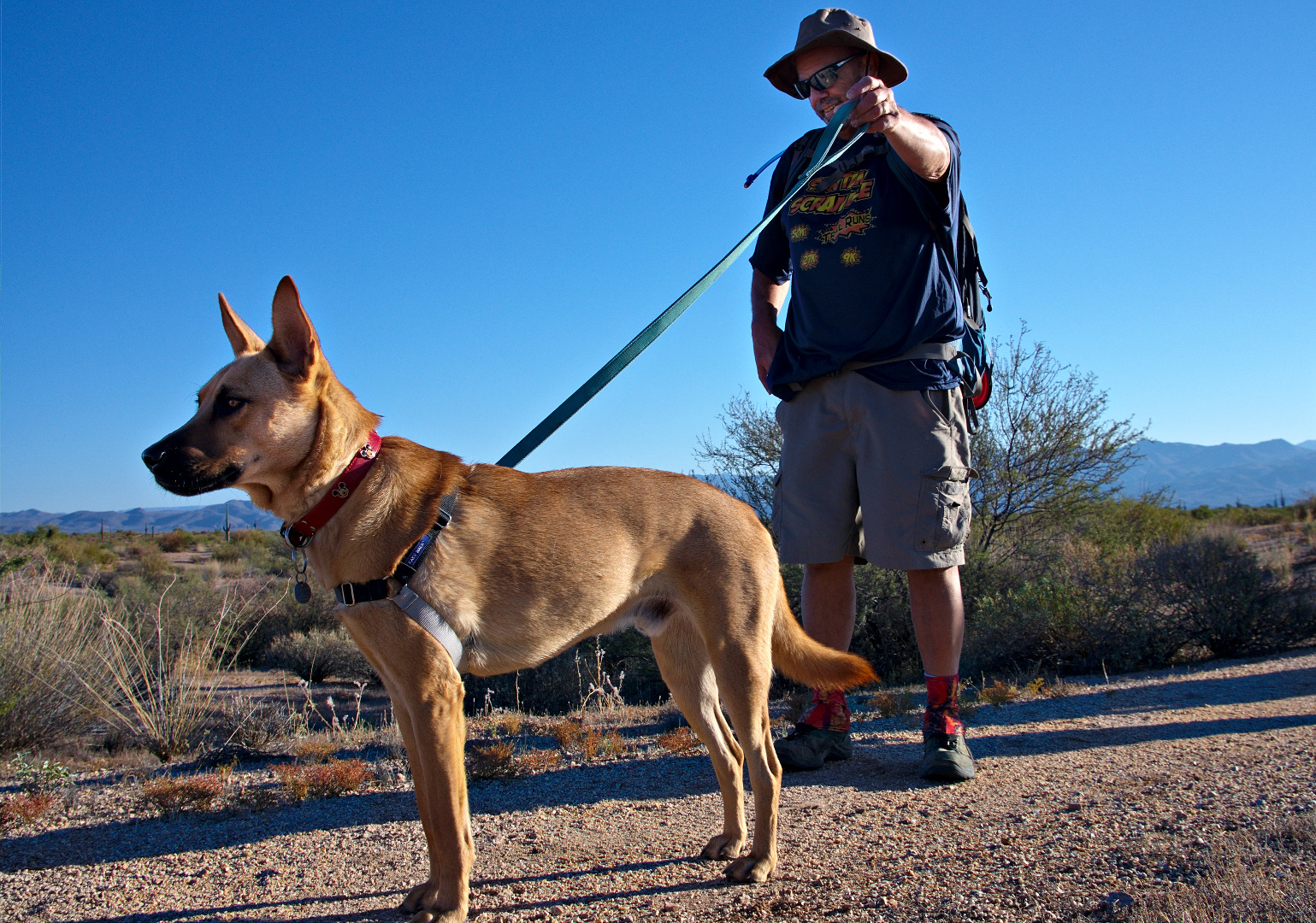
Bob and Sarge:

2013-10-11-DSC00797-medium

Approaching the scramble for the Bluff Wash.  (That’s not an official name.)

2013-10-11-DSC00806-medium

Jerry, Joe, Nancy, Sarge (in front), Bob, and Janet.  Tom and Michelle hiked partway with us, but continued their hike on the Granite at the point where we turned into the wash.

2013-10-11-DSC00815-medium A view of the McDowells from the Pemberton Trail.

2013-10-11-DSC00869-medium

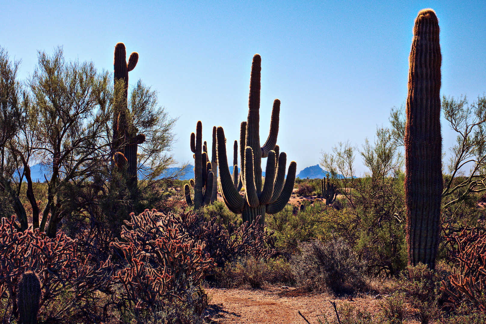
Saguaros on the Delsie Trail.

2013-10-11-DSC00911-medium

A small portion of a buckhorn cholla:

2013-10-11-DSC00926-medium

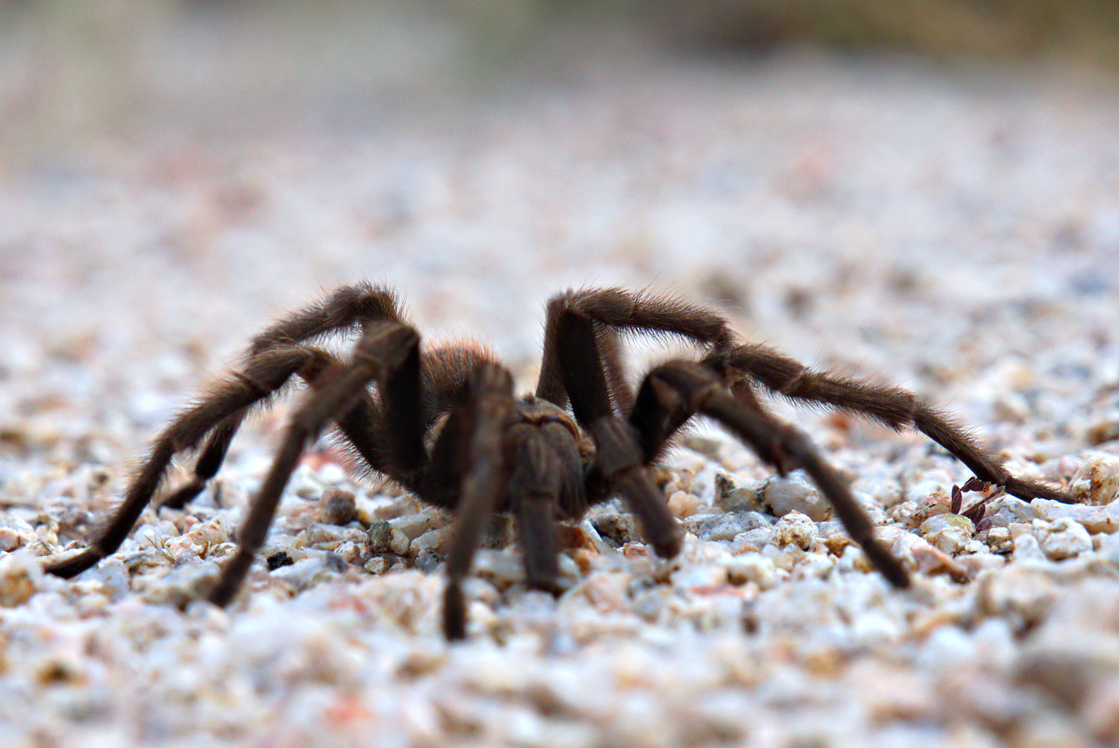
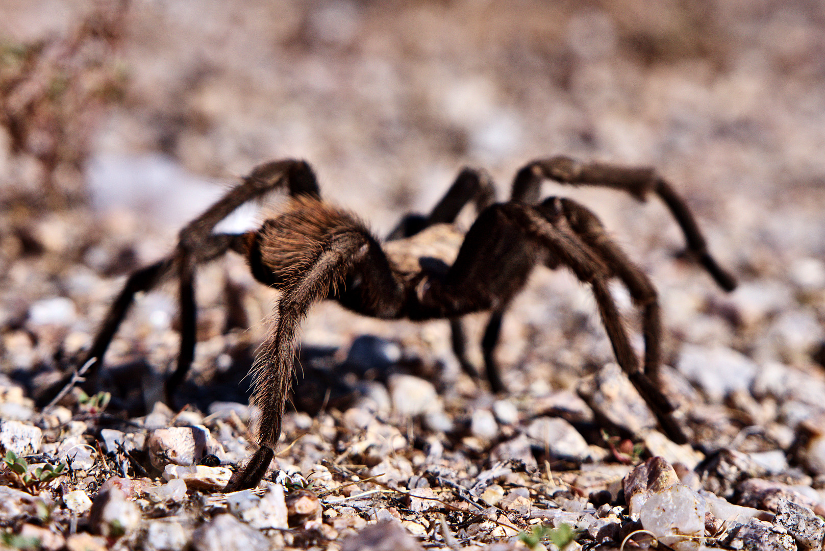
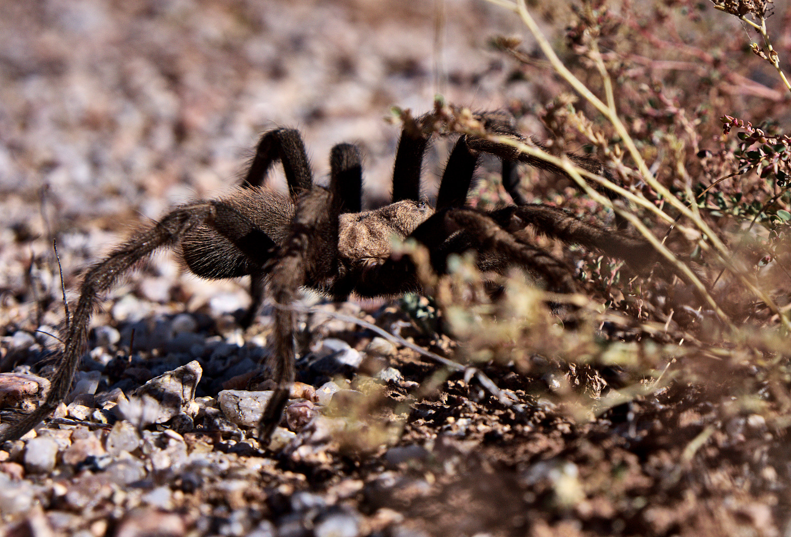
We saw a tarantula while hiking back on the Delsie Trail.  I took a lot of photos, but these were the only ones which were close to being in focus.  Clearly, I need to work on my technique – I think I’m taking to long to frame the shot after acquiring focus.  This works for static scenes, but not very well for moving subjects.

2013-10-11-DSC00941-medium 2013-10-11-DSC00957-medium

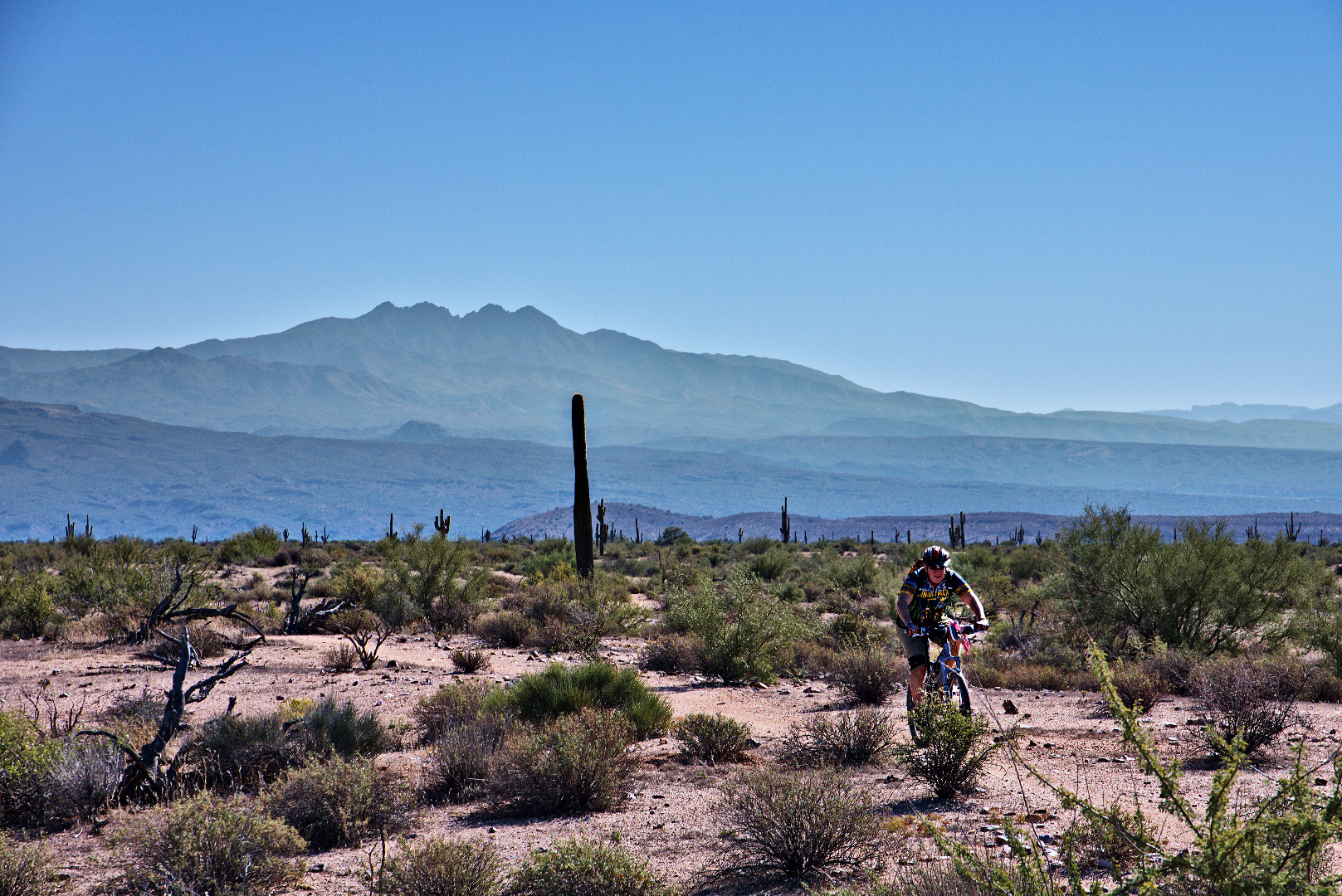
A mountain biker on the Delsie Trail.

2013-10-11-DSC00971-medium

Friday Fitness Hike

Friday’s hike was somewhat over seven miles.  We hiked the North Trail, the Chuparosa Trail, and part of the Pemberton (out to Cedar Tank).

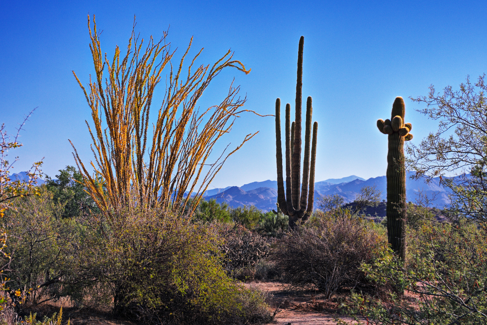
One of the things we noticed on this hike is that we’re starting to see fall colors in the ocotillo – many of the leaves had turned a golden yellow color.

2013-10-04-DSC00345-medium

We saw more flowers this week too!

2013-10-04-DSC00352-medium

Another golden ocotillo…

2013-10-04-DSC00354-medium

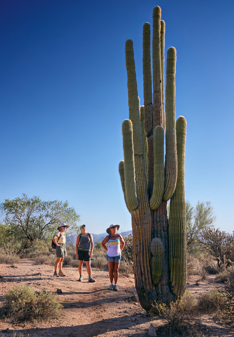
Linda, Janet, and Nancy examine an unusual saguaro.  Most saguaros do not have arms so close to the ground.  We thought it interesting, too, that there’s a fairly small arm near the ground.

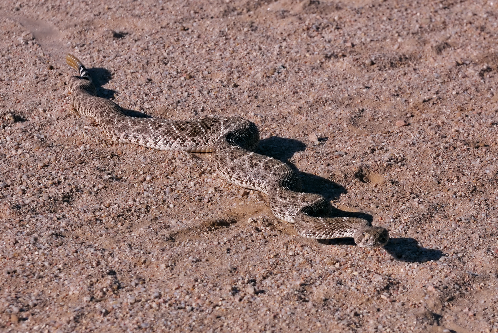
2013-10-04-DSC00357-1-medium We saw a rattlesnake sunning itself on the trail.

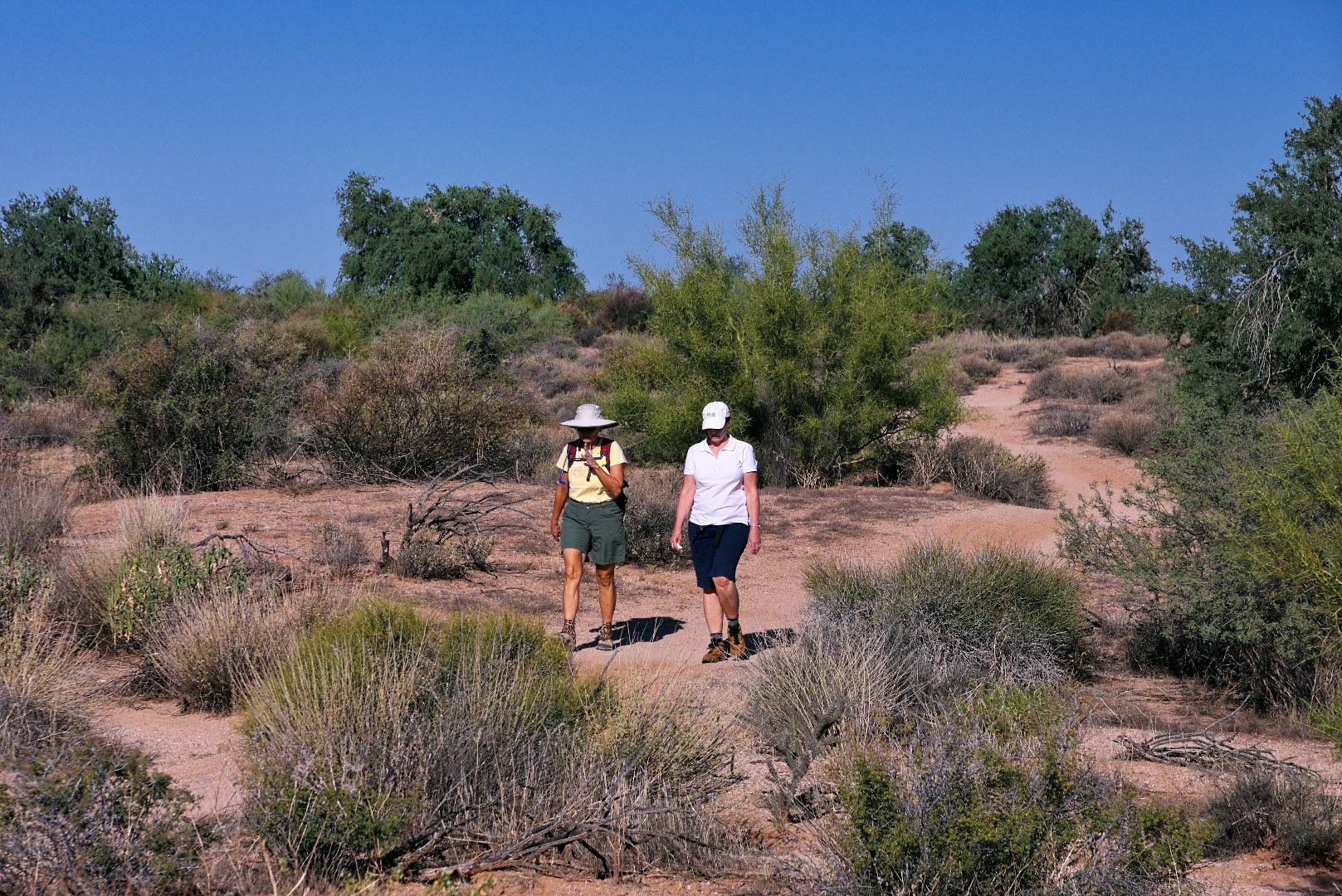
2013-10-04-DSC00375-medium Linda and Michelle hiking the Pemberton Trail:

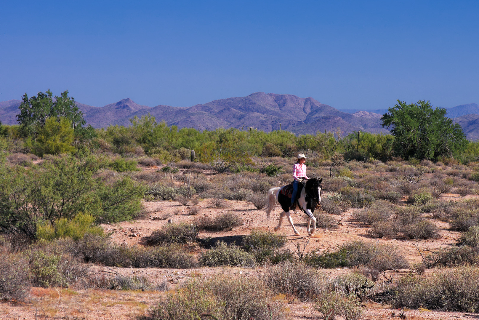
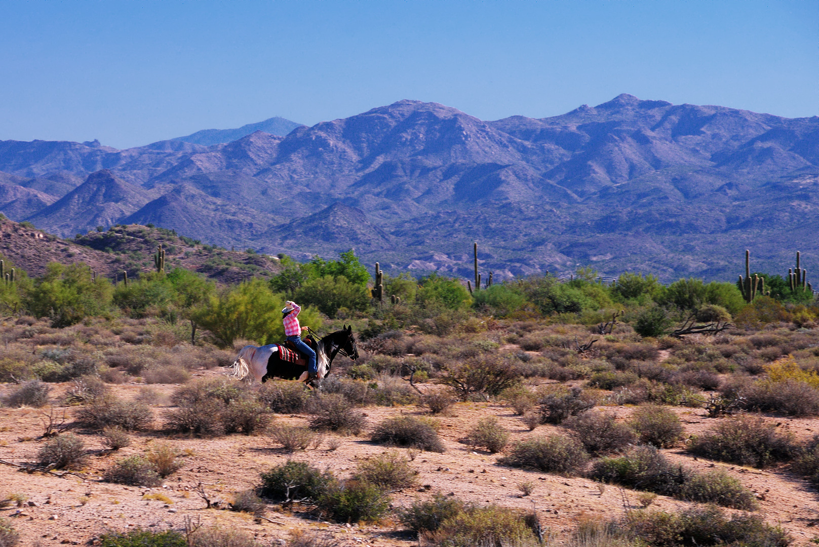
2013-10-04-DSC00390-medium We saw a lone equestrian riding her horse on the 168th St Spur.

2013-10-04-DSC00402-medium 2013-10-04-DSC00405-medium

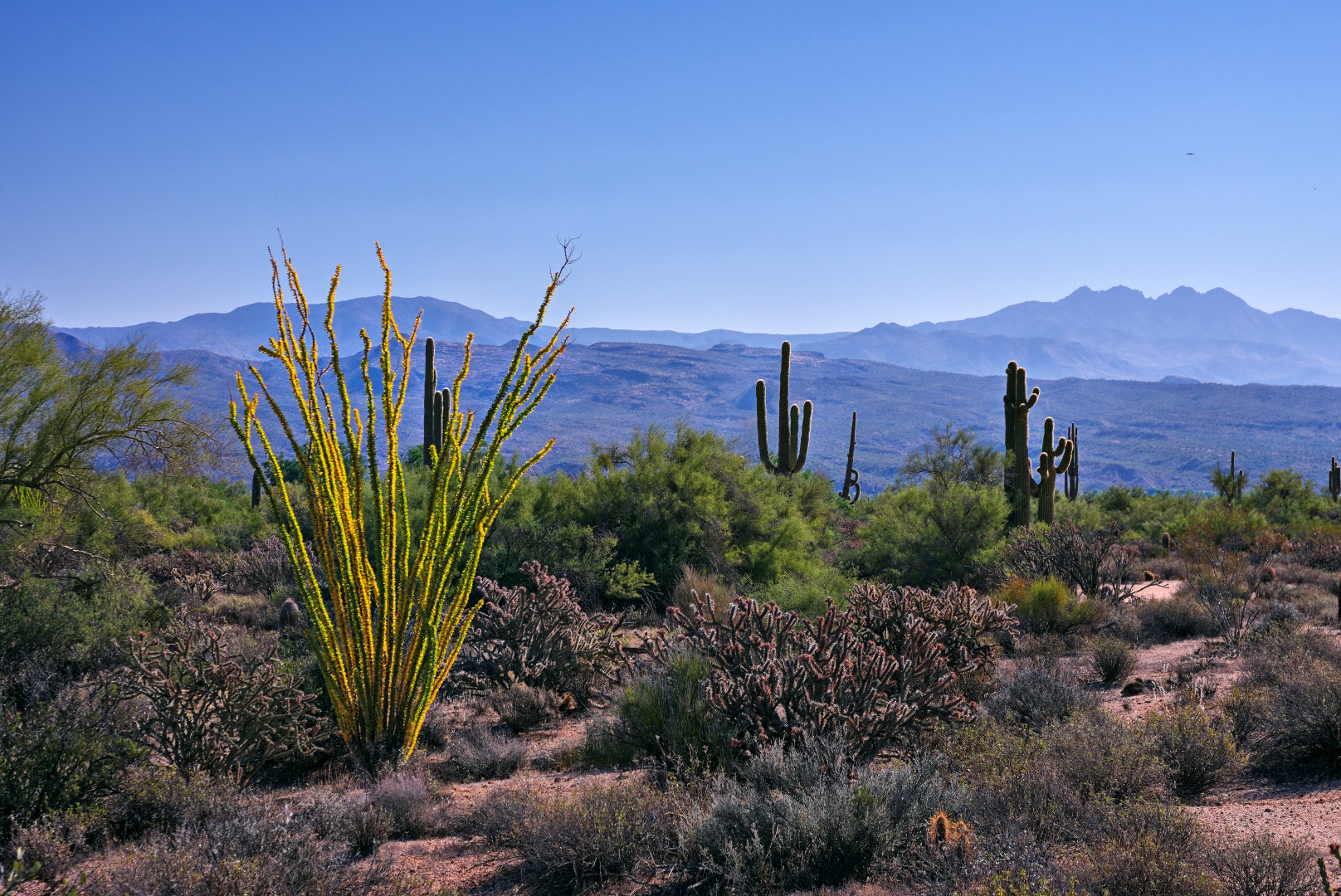
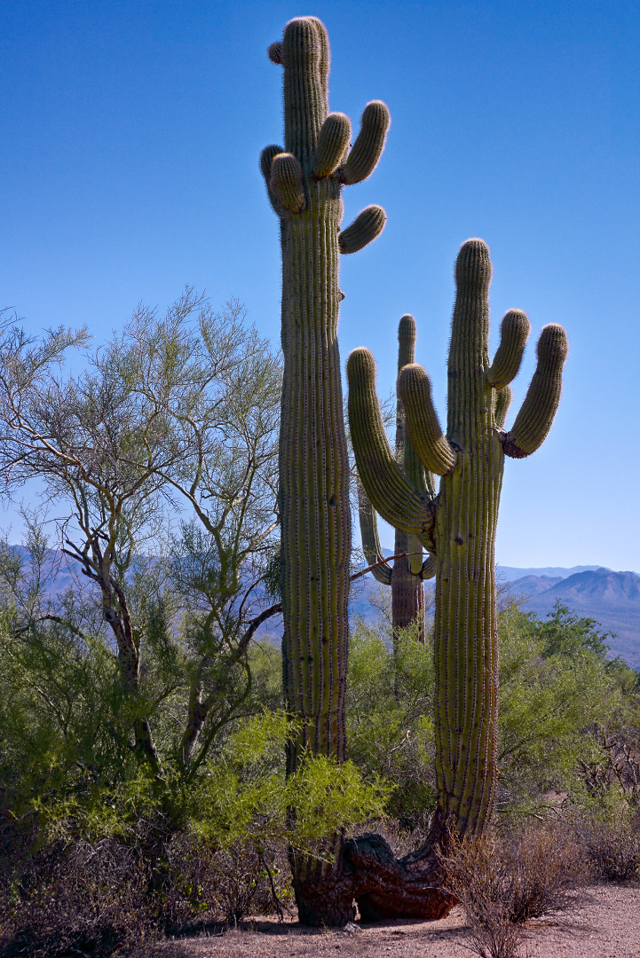
Yet another golden ocotillo with Four Peaks at the far right, in the background.2013-10-04-DSC00414-medium An interesting saguaro on the North Trail.

2013-10-04-DSC00420-medium

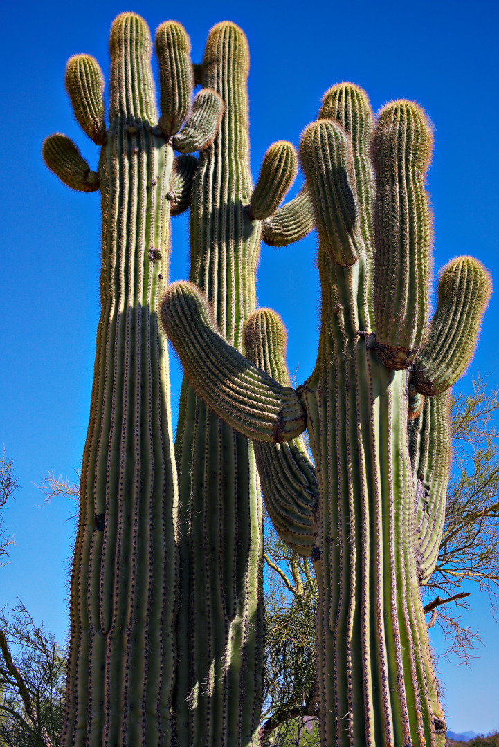
Looking up at the saguaro in the previous picture:

2013-10-04-DSC00423-medium

Friday Fitness Hike

Friday’s hike started from the Tom’s Thumb Trailhead.  Ranger Amy lead four others (including Bill and Kathy from last week’s hike) on a hike of the Marcus Landslide Trail.

Bob, Linda, and I hiked less than a half a mile with Amy and her group.  We parted ways when we got to the Feldspar Trail.  I had hoped to hike to the top of Morrell’s Wall.  We made it as far as the base of the wall, but seeing no easy way to the top, we made our way over to Mesquite Canyon instead.  From there we followed the trail leading to Hog Heaven.  We hiked up past Hog Heaven to the Thumbnail Pinnacle and continued on to the East End, which is the highest point in the McDowells.  We finished our hike by taking the Tom’s Thumb Trail back to the trailhead.  We hiked only about five and a half miles but had well over 2,000 feet of total ascent for the day.

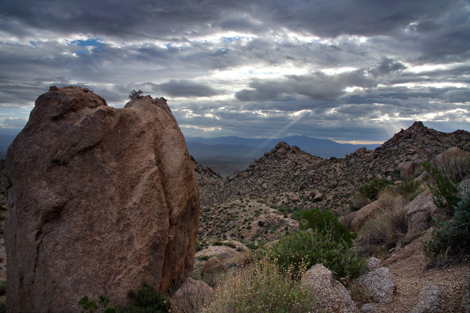
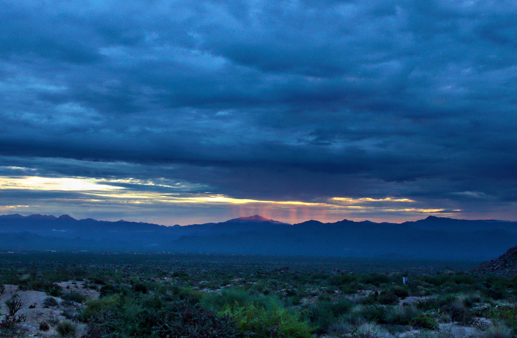
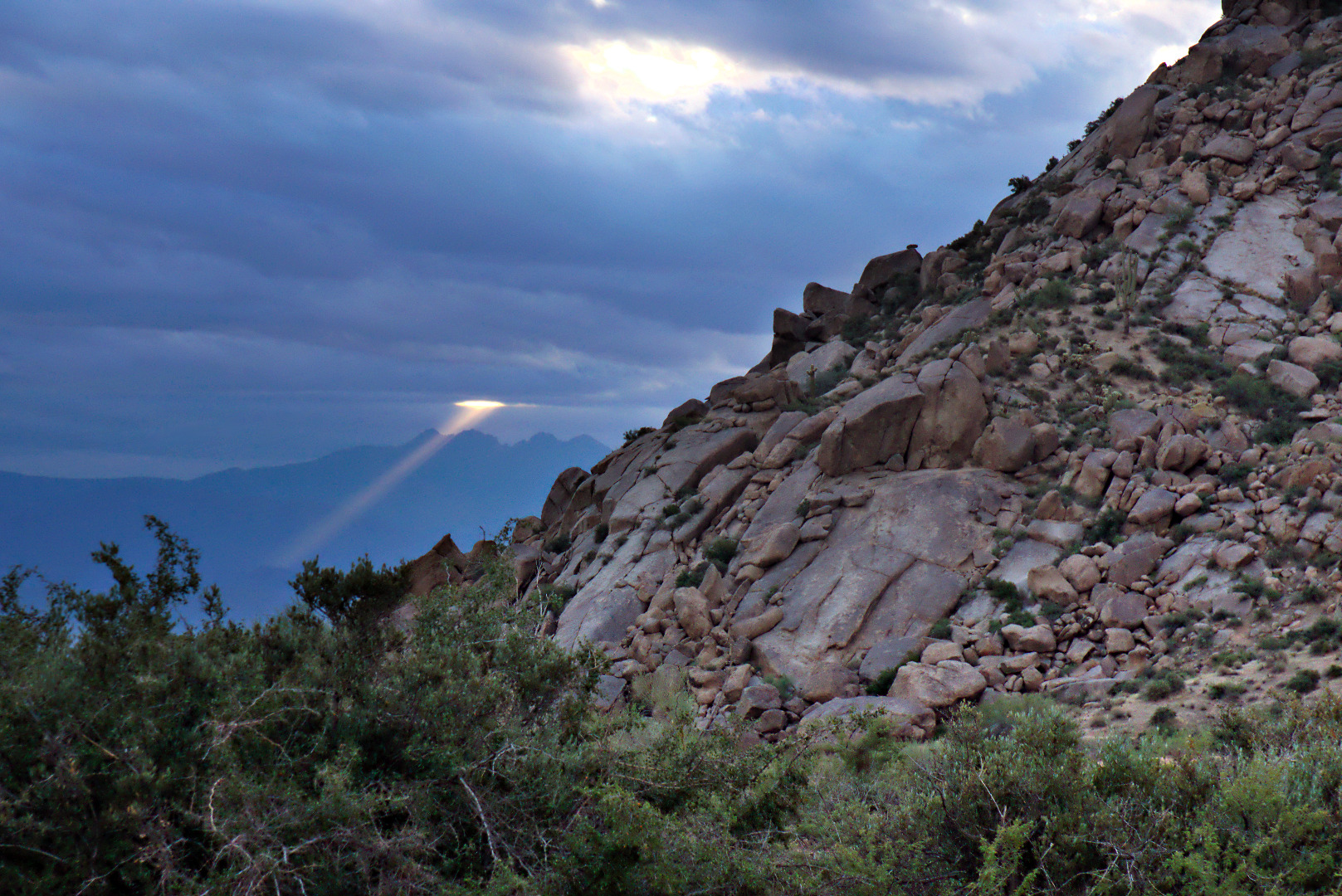
The day started out cool and cloudy.  We saw this beam of light shining through the early morning clouds.
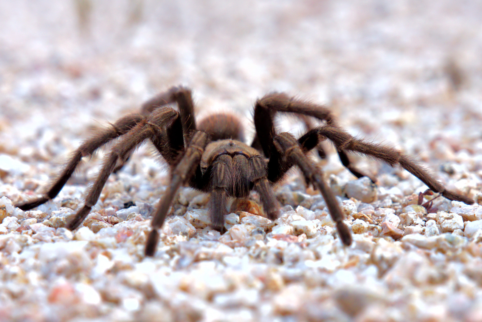
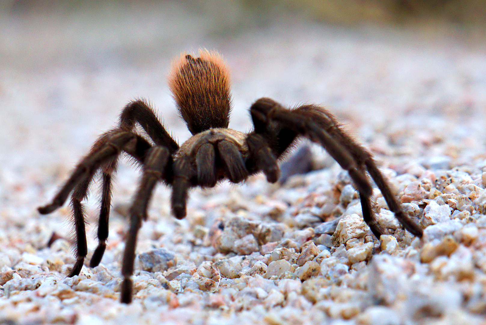
2013-09-27-DSC09562-mediumShortly after we got on the Feldspar Trail, we saw this tarantula.  I took lots of pictures, but am only including three of them here.
2013-09-27-DSC09594-medium 2013-09-27-DSC09601-medium

In this shot, it had woken up and was starting to crawl towards me.
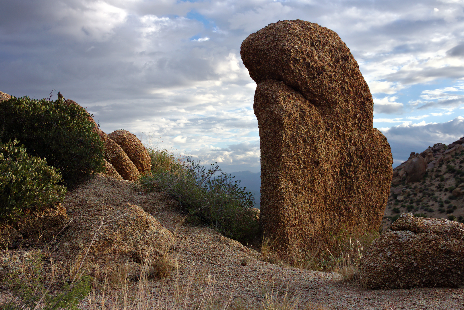
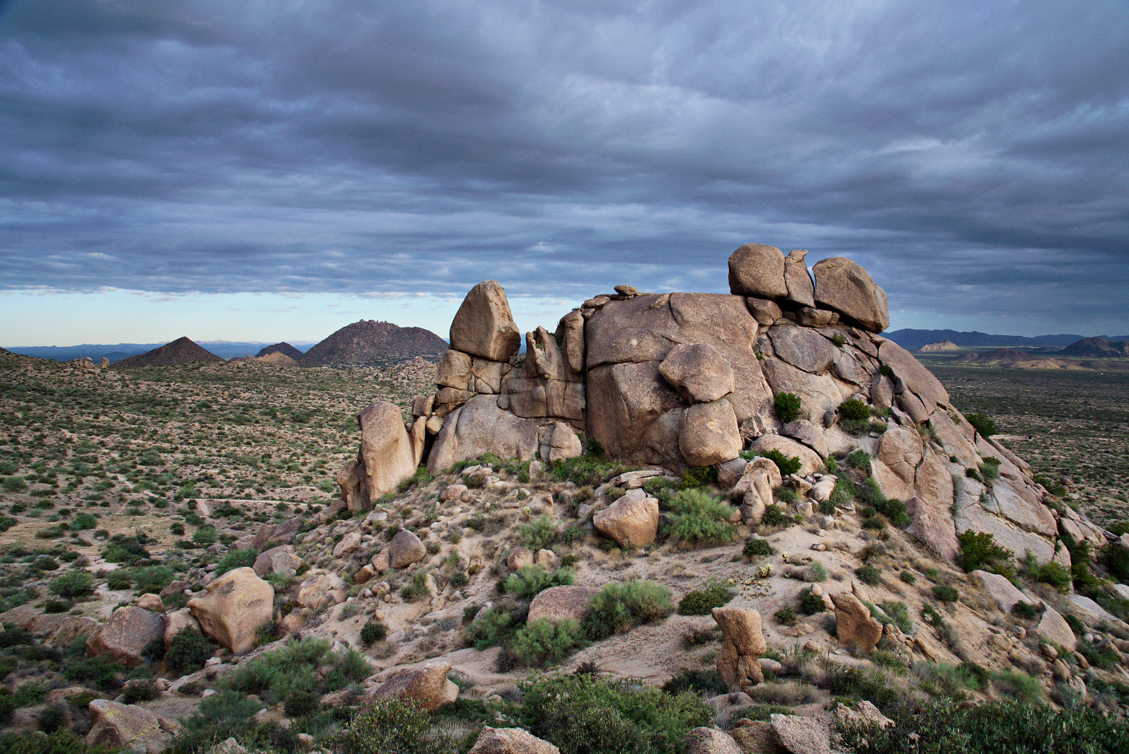
2013-09-27-DSC09604-mediumWe passed this boulder on our way up to Morrell’s Wall.
2013-09-27-DSC09625-mediumThis rock pile is part of the Morrell’s Wall Parking Lot Area.  There is no longer a nearby parking lot, but there was a nearby temporary parking area constructed for Tom’s Thumb Trail not long ago.  The area had been named well before that however.  In the past, a narrow jeep road lead to the rock pile with a turnaround / pullout that could accommodate two or maybe three vehicles.
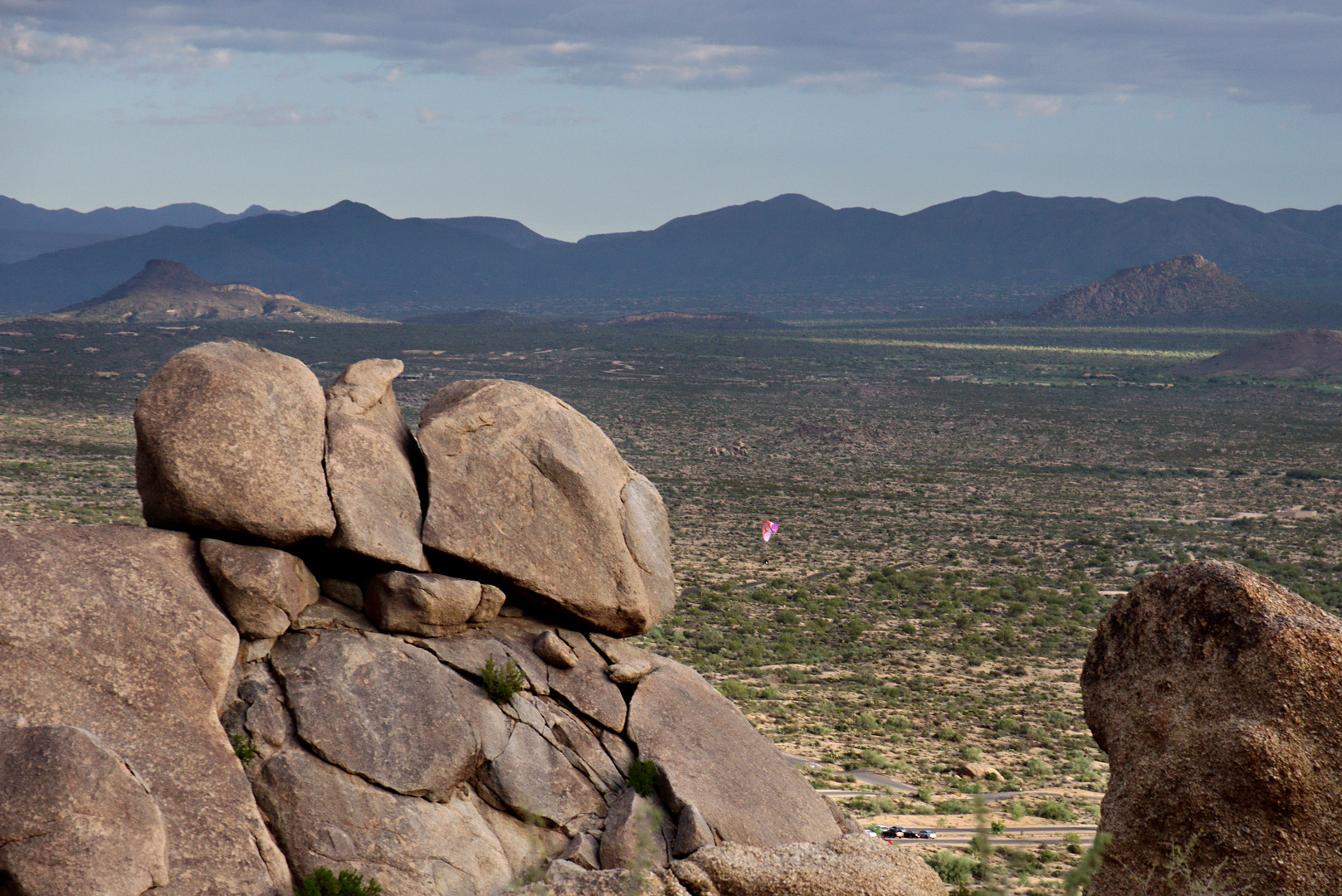
2013-09-27-DSC09643-medium We saw a paramotorist (powered paraglider) just after takeoff as we rested on our way up to Morrell’s Wall.  We also saw some hot air balloons far off in the distance.  I took some photos, but the balloons were too far away to see clearly.
2013-09-27-DSC09664-medium

More interesting clouds…

2013-09-27-DSC09695-medium 2013-09-27-DSC09715-medium


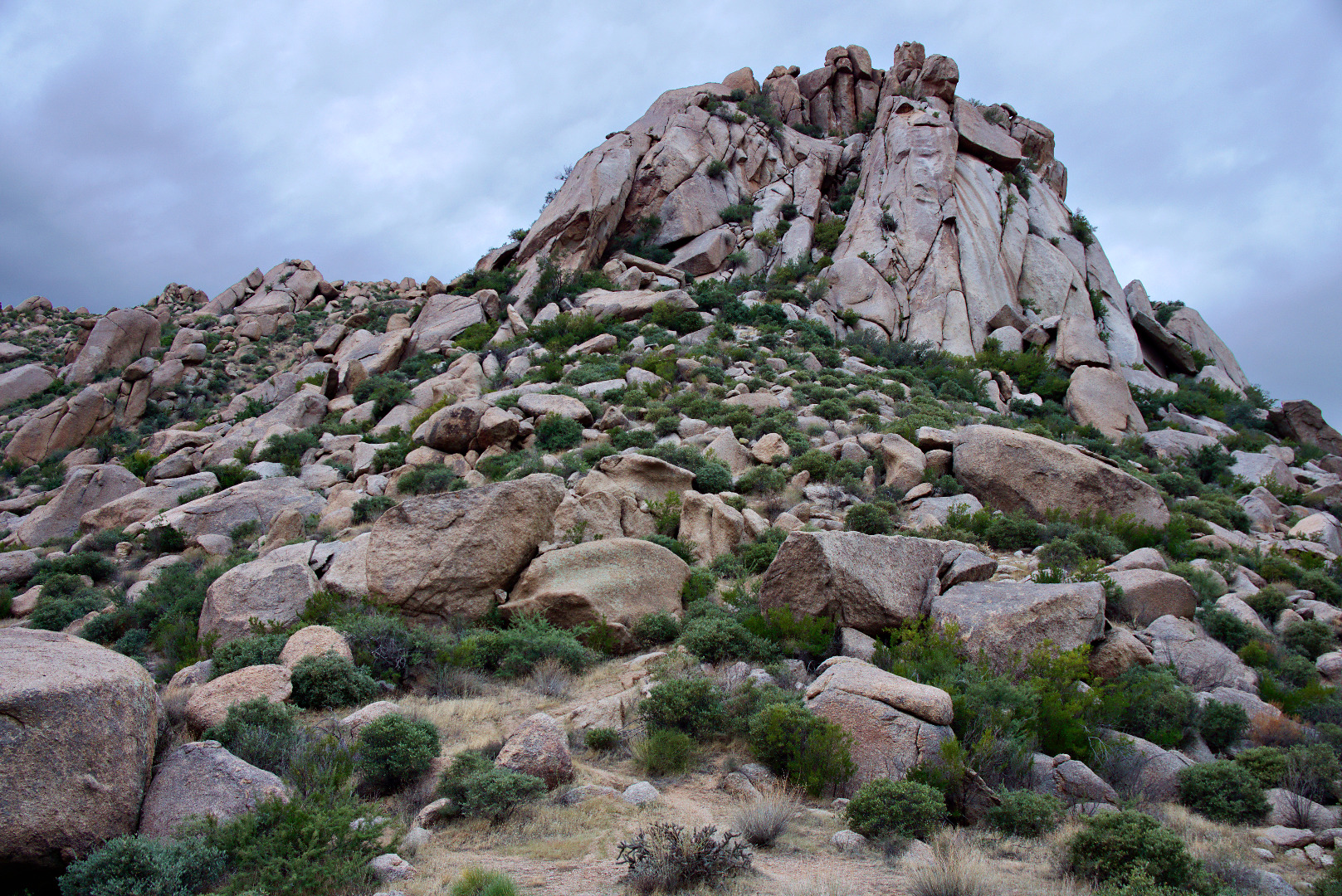
In this photo, below, of Morrell’s Wall, it looks like it should be possible to get to the top by going left, but once we got there, our way was blocked by large boulders and unforgiving vegetation.
2013-09-27-DSC09718-medium

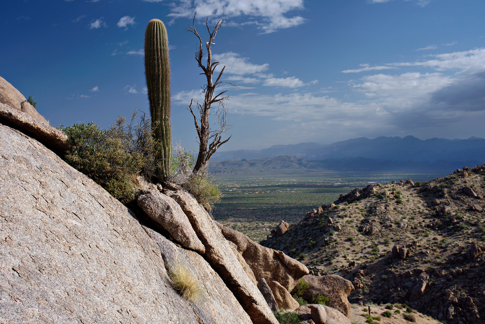
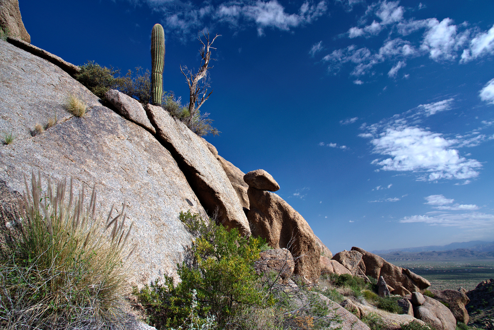
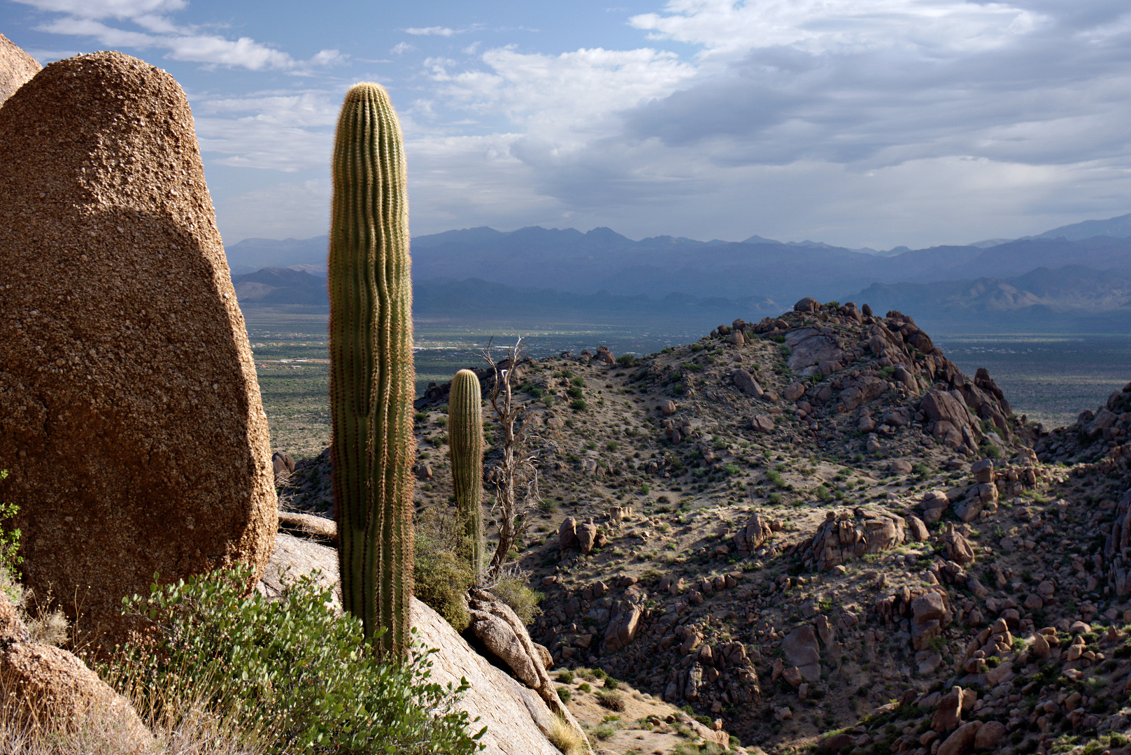
I liked this view of two saguaros with a dead tree up on a rock wall.  I took several photos from different angles.
2013-09-27-DSC09766-medium 2013-09-27-DSC09769-medium 2013-09-27-DSC09777-mediumLinda took this photo of me as we were hiking up to Hog Heaven.
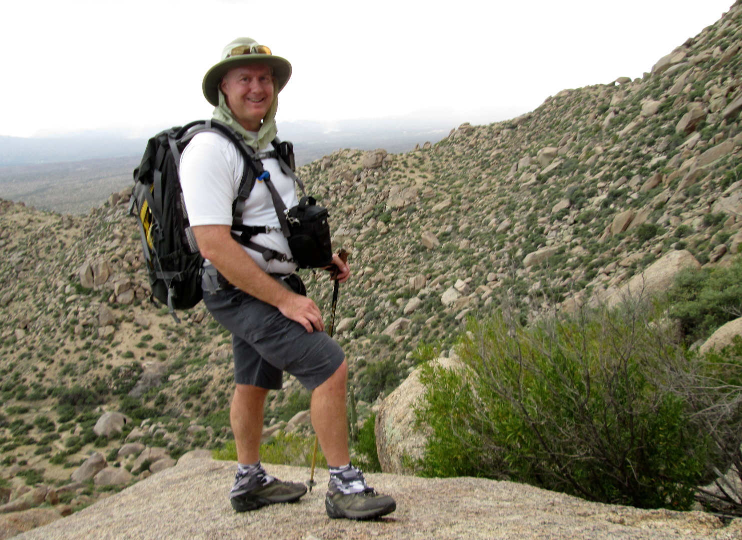
2013-09-27-From_Linda-024


This is the Main Wall at Hog Heaven.

2013-09-27-DSC09848-medium

Bob and Linda make their way up the trail past Hog Heaven.
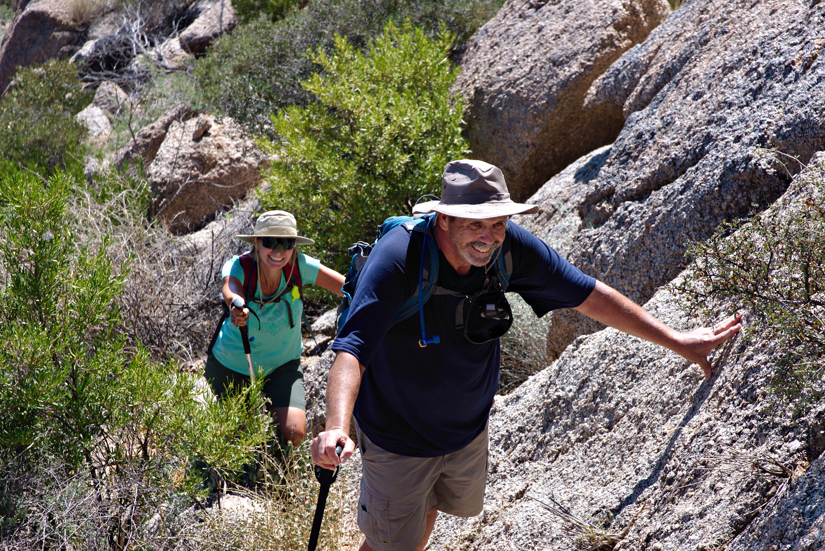
2013-09-27-DSC09885-medium

A wide-angle view from partway up the ascent adjacent to Hog Heaven.  The wall is quite tall – it took us a while to get above it.  The Fountain (in Fountain Hills) can be seen in the right hand corner of this photo.
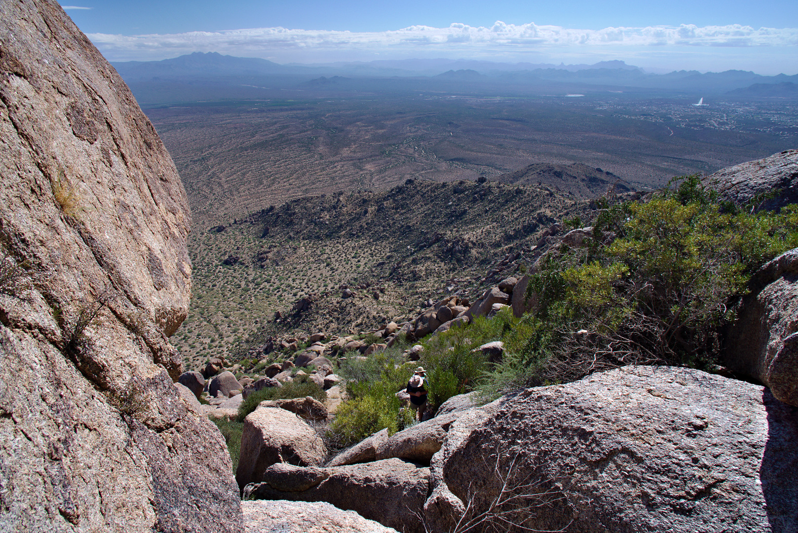
2013-09-27-DSC09891-medium

Another view of the Fountain.  Red Mountain can be seen in this photo too.
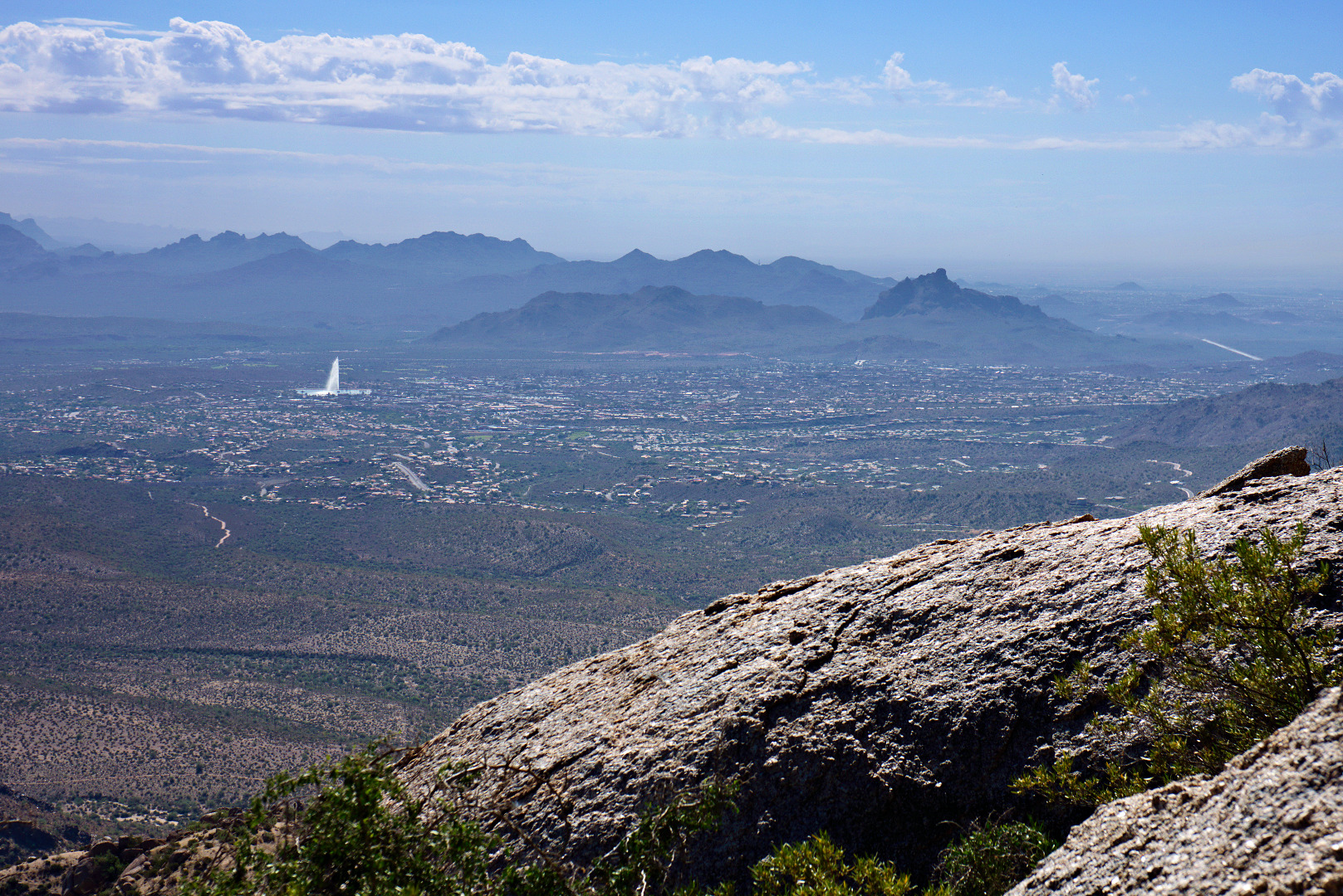
2013-09-27-DSC09897-medium

Linda scrambles up some more rocks.

2013-09-27-DSC09906-medium A view of the Thumbnail Pinnacle from below.
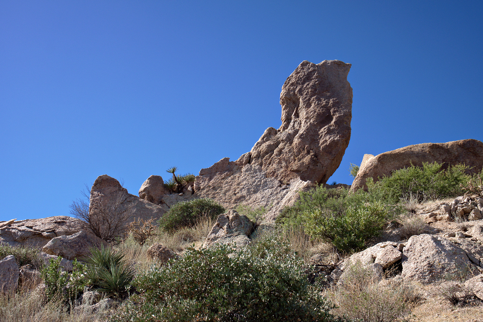
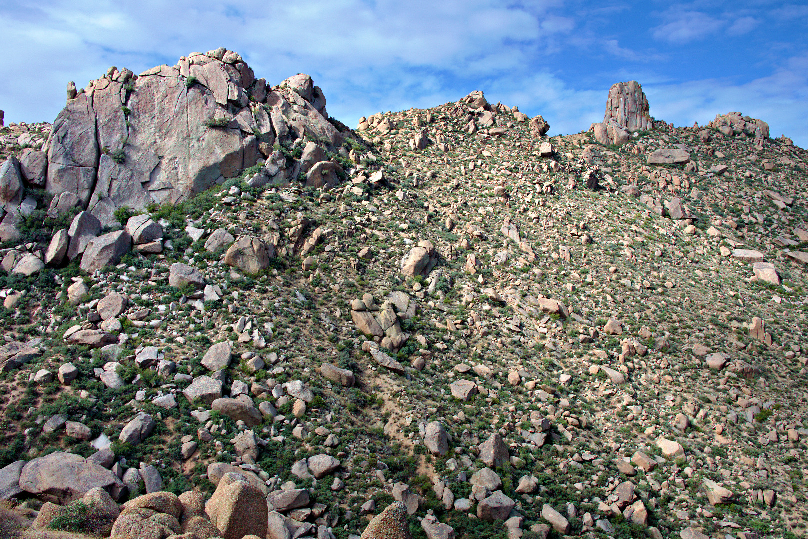
2013-09-27-DSC09909-mediumA view looking down at the top of Hog Heaven.  Further below, part the Marcus Landslide slide mass, is a large boulder known as Submarine Rock.
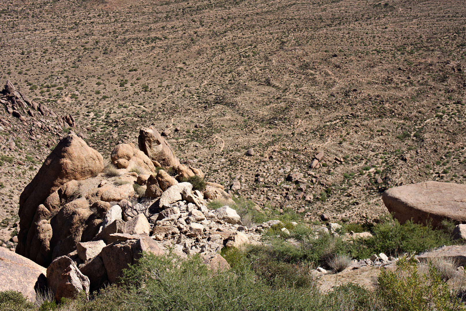
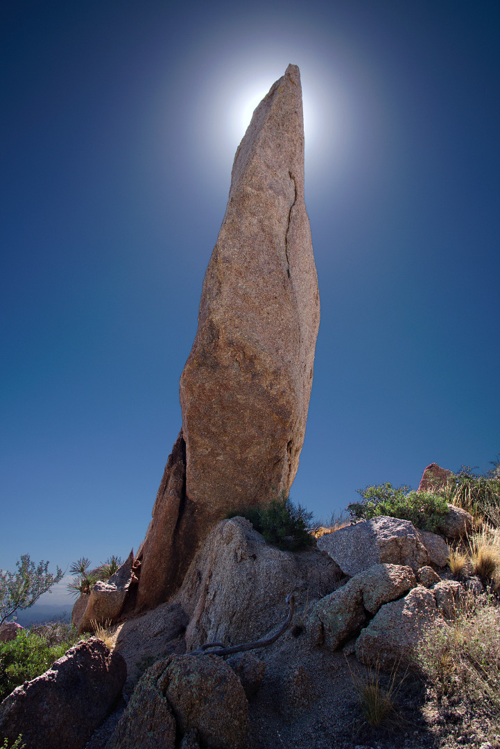
2013-09-27-DSC09915-mediumA view looking up at the Thumbnail Pinnacle.  I happened to be there at just the right time of day so that I could get the upper part of the pinnacle to partially block the sun.
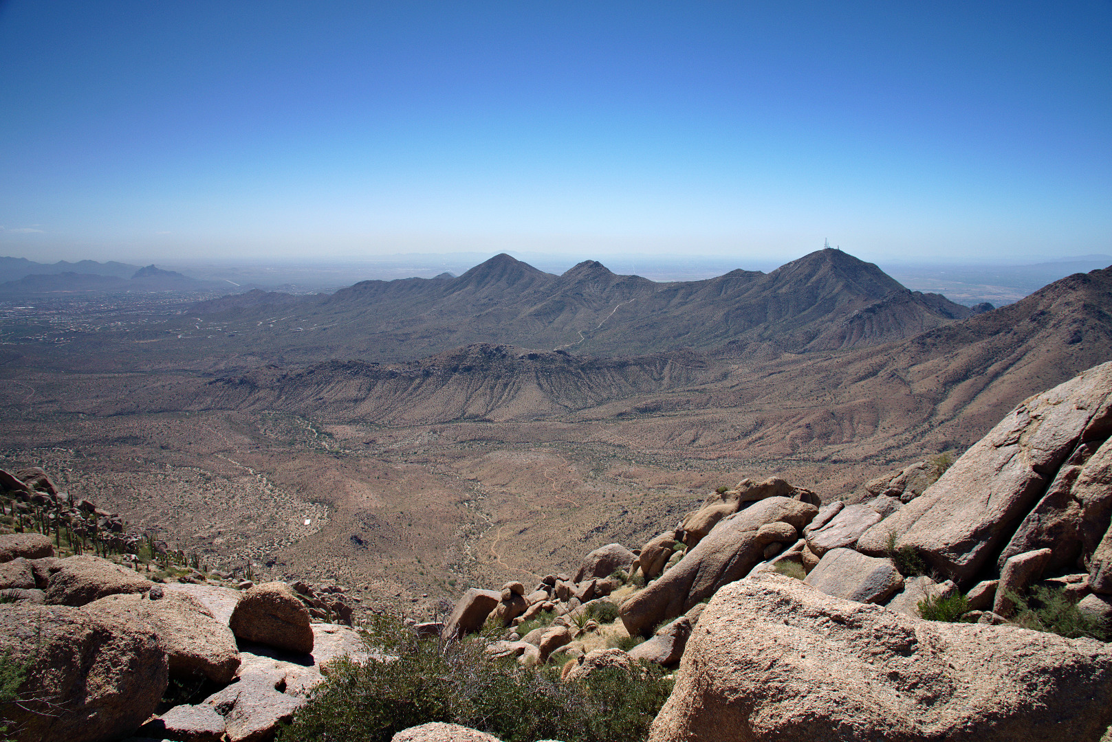
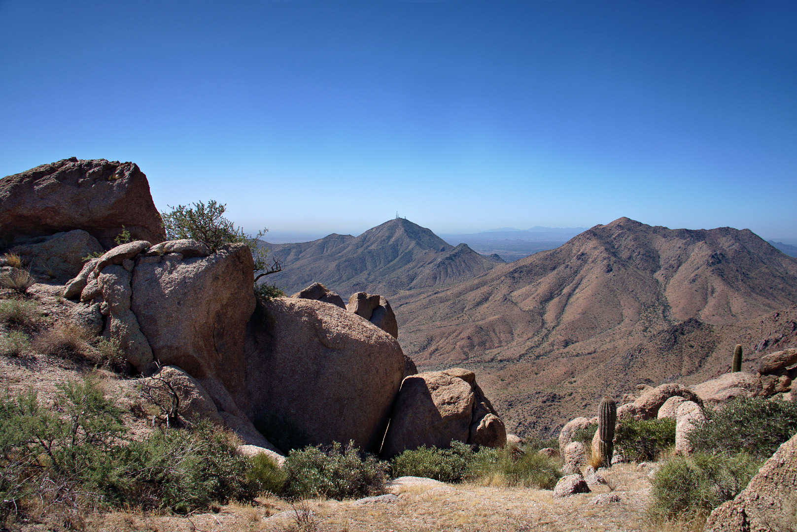
2013-09-27-DSC09933-mediumOnce we got to the Thumbnail Pinnacle we were afforded new views to the east.  Thompson’s Peak (with the antenna towers) is visible in the photo below.
2013-09-27-DSC09945-mediumLinda, standing next to the Thumbnail Pinnacle.  It’s surprising how different it looks depending upon from where it’s being viewed.
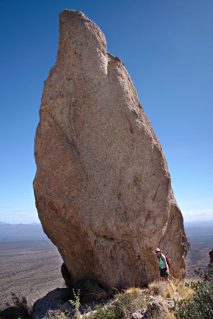
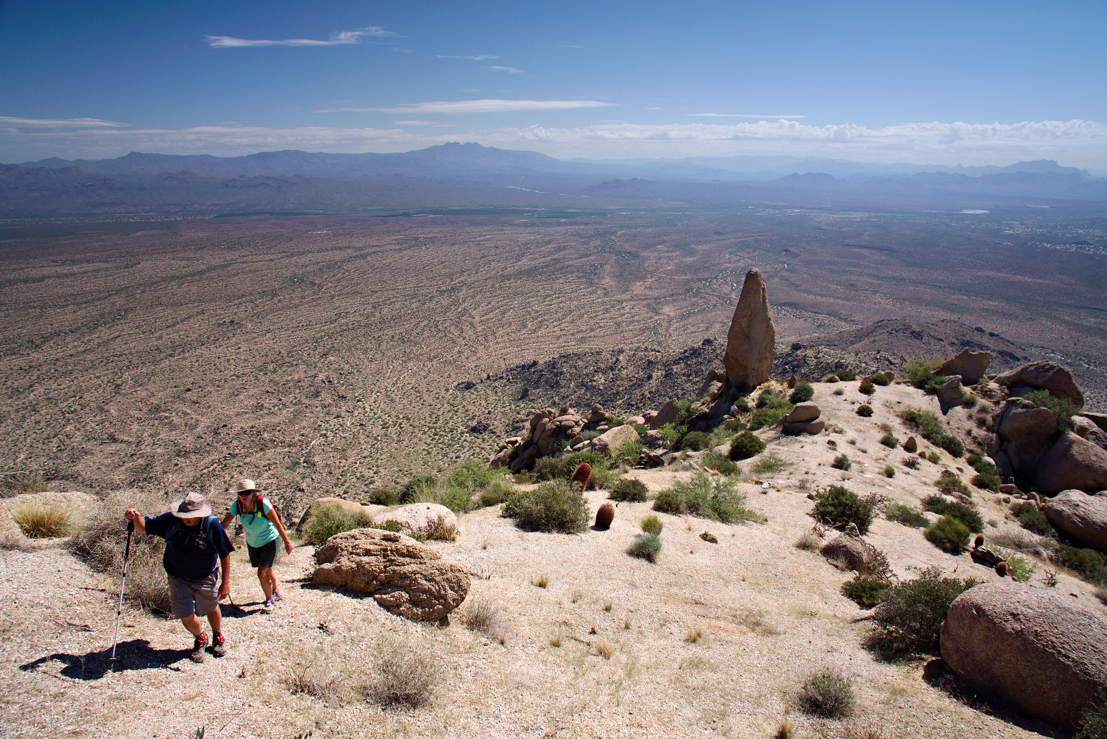
2013-09-27-DSC09948-mediumGetting to the Thumbnail Pinnacle was a goal, but there was more uphill ahead of us.  This photo below, looks back at the Thumbnail Pinnacle, before we went over the ridge blocking our view of it.
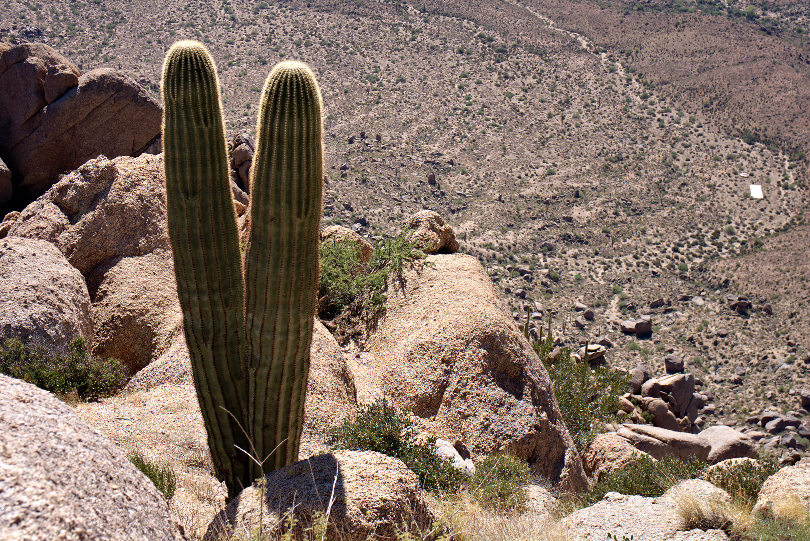
2013-09-27-DSC09975-medium A double saguaro!  And… it’s a long way down!
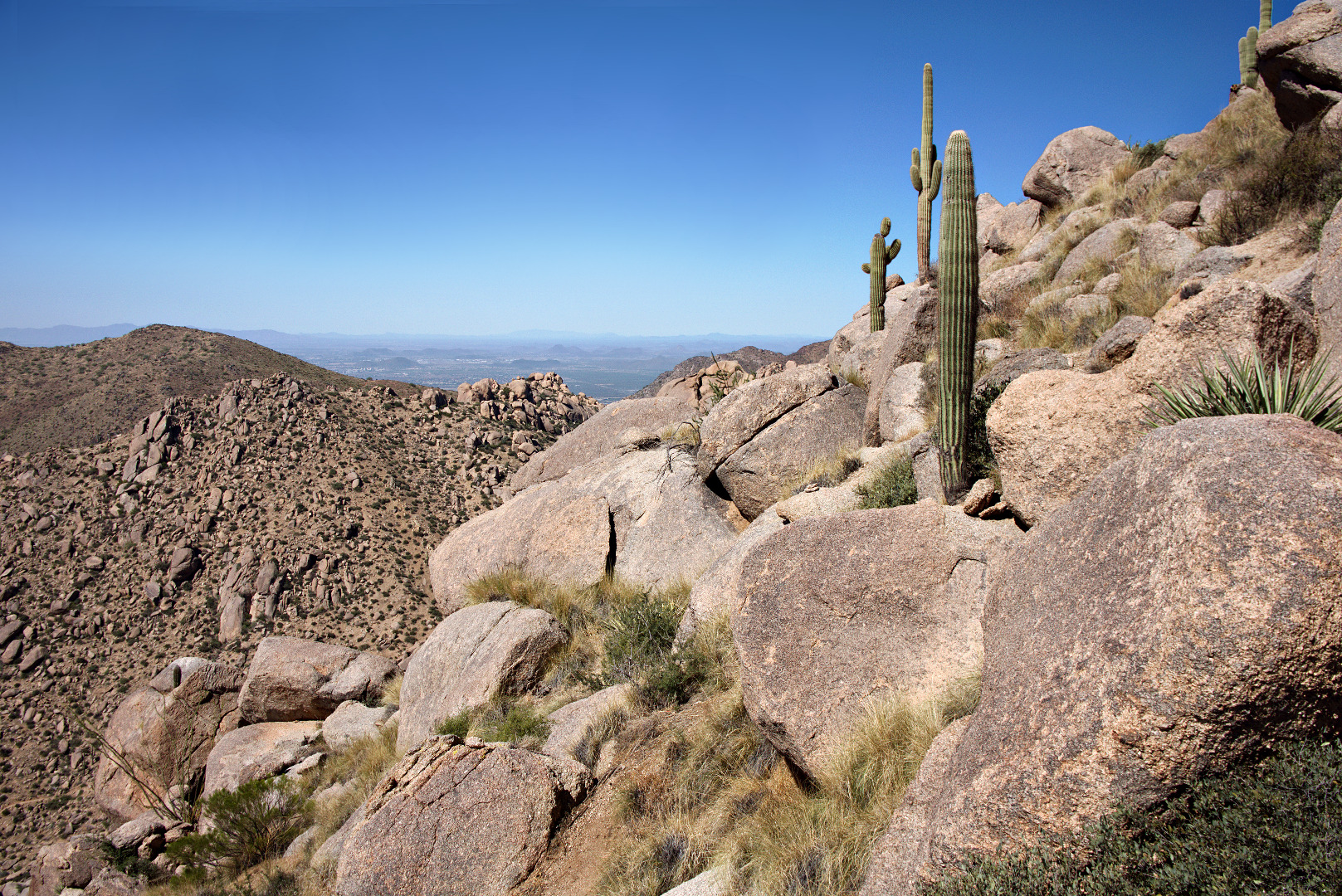
2013-09-27-DSC09993-mediumMore saguaros upon the boulder encrusted ridge.  The trail lead over and around some of these boulders.
2013-09-27-DSC09999-medium


Looking back towards Thompson Peak.  The East End Trail can be seen far below.
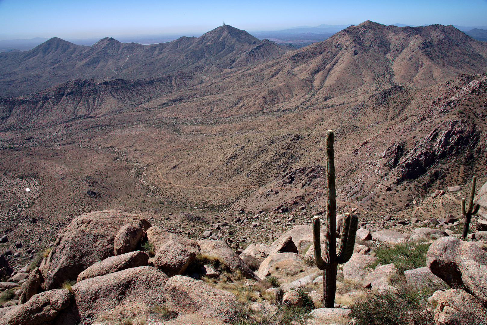
2013-09-27-DSC00009-medium

We saw some very tiny yellow flowers.  Each flower was smaller than my pinkie fingernail.
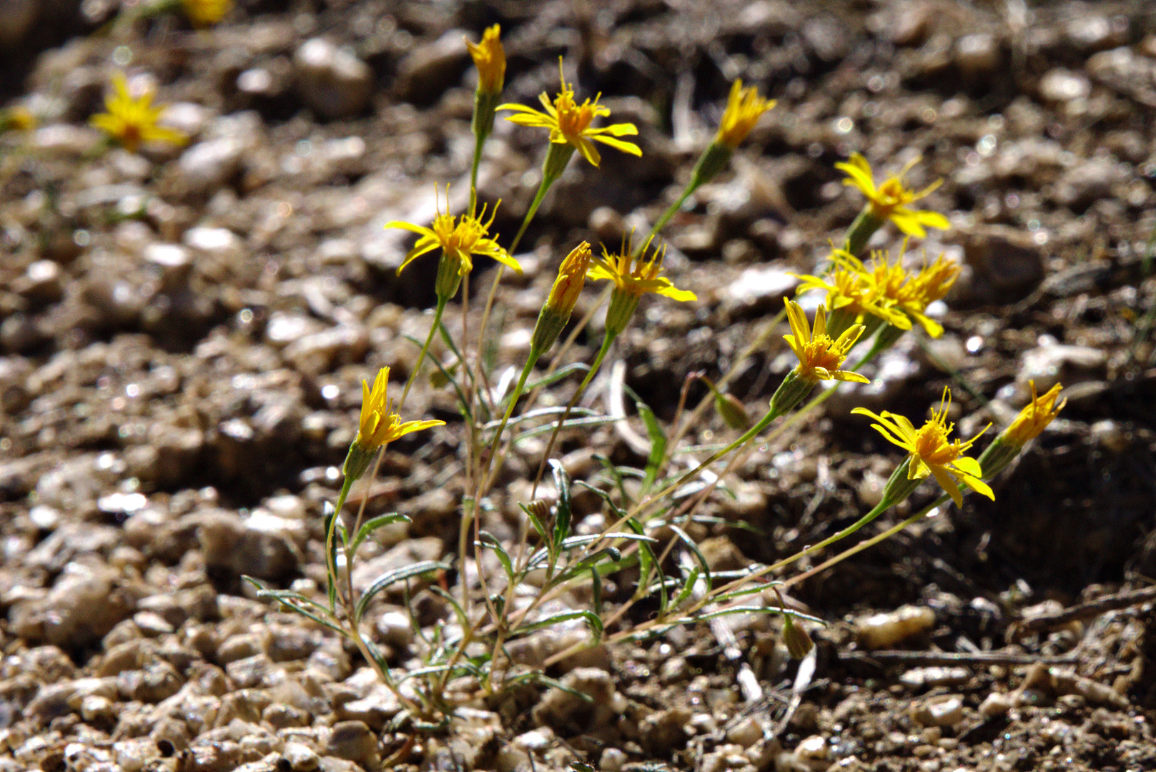
2013-09-27-DSC00051-medium

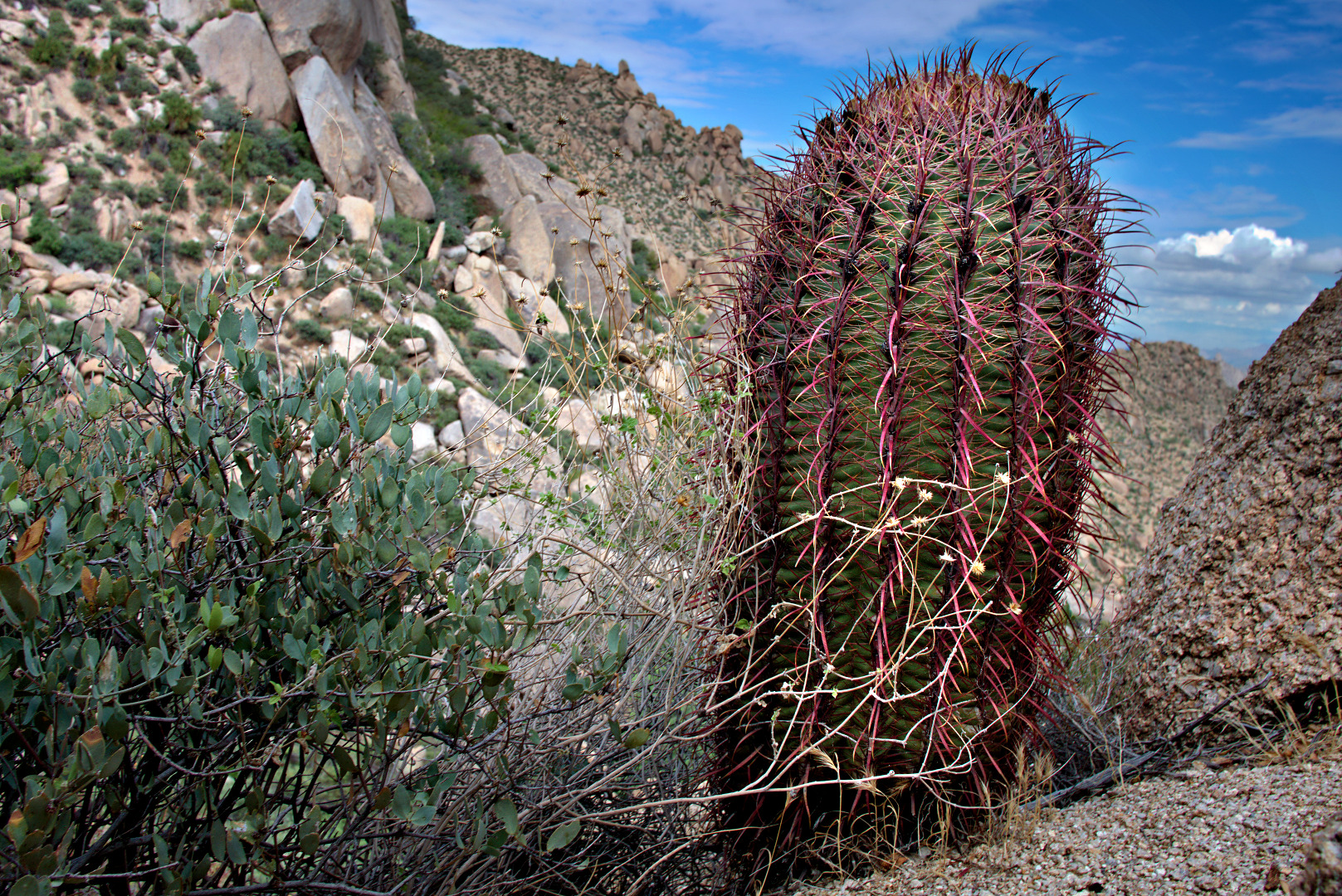
A barrel cactus with extraordinarily red needles.
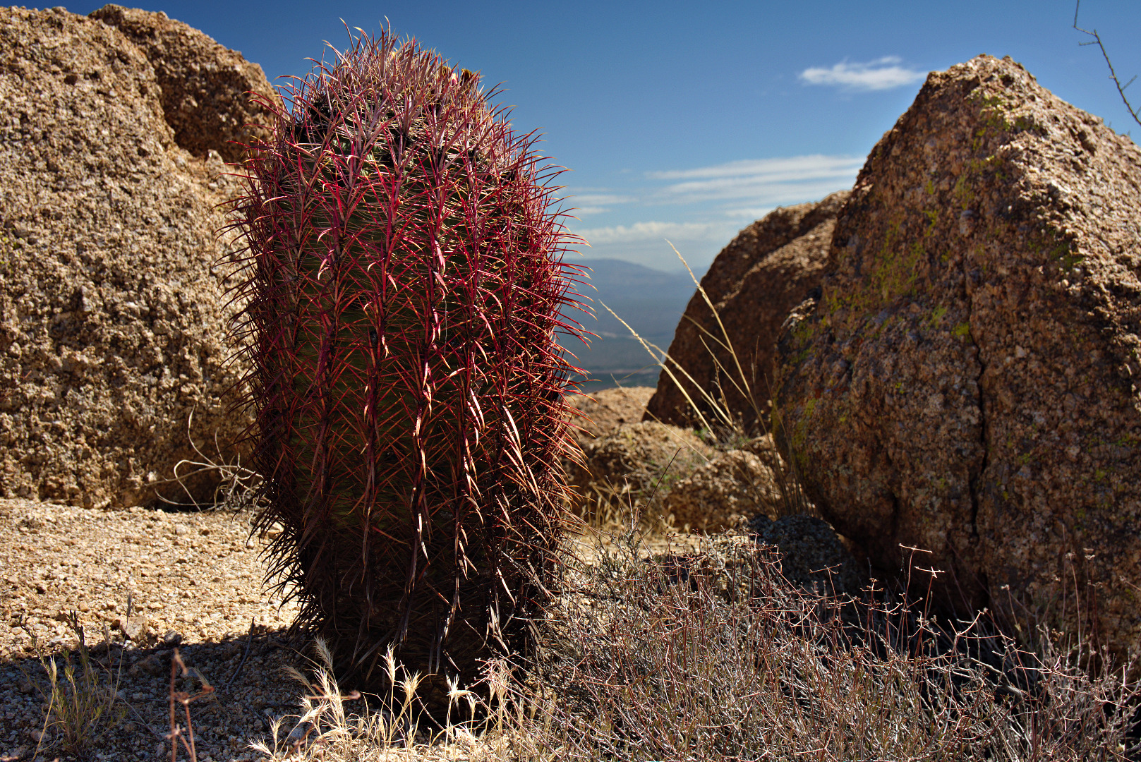
2013-09-27-DSC00066-medium

Yet another view to the southeast.

2013-09-27-DSC00081-mediumAt this point, but behind the camera, we’re approaching the East End, which is the highest point in the McDowells.  This photo, below, looks back at the boulder encrusted ridge that we hiked to get over to this point.  The Thumbnail Pinnacle is not visible from here.  It is below at the left end of this ridge.
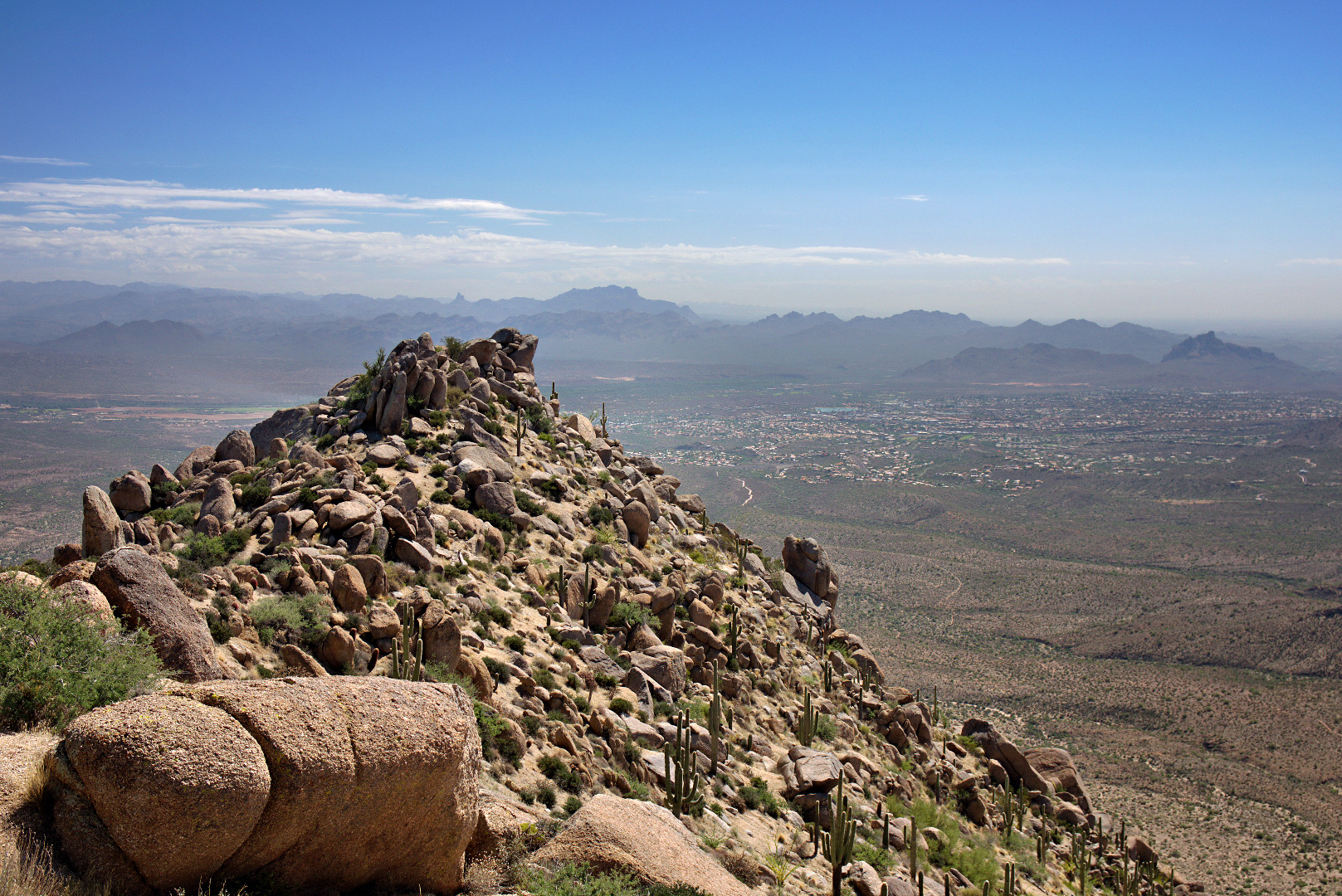
2013-09-27-DSC00099-medium A view of Glass Dome, on the left, and Tom’s Thumb on the right.  Gardener’s Wall is below and slightly to the right of Tom’s Thumb in this photo.
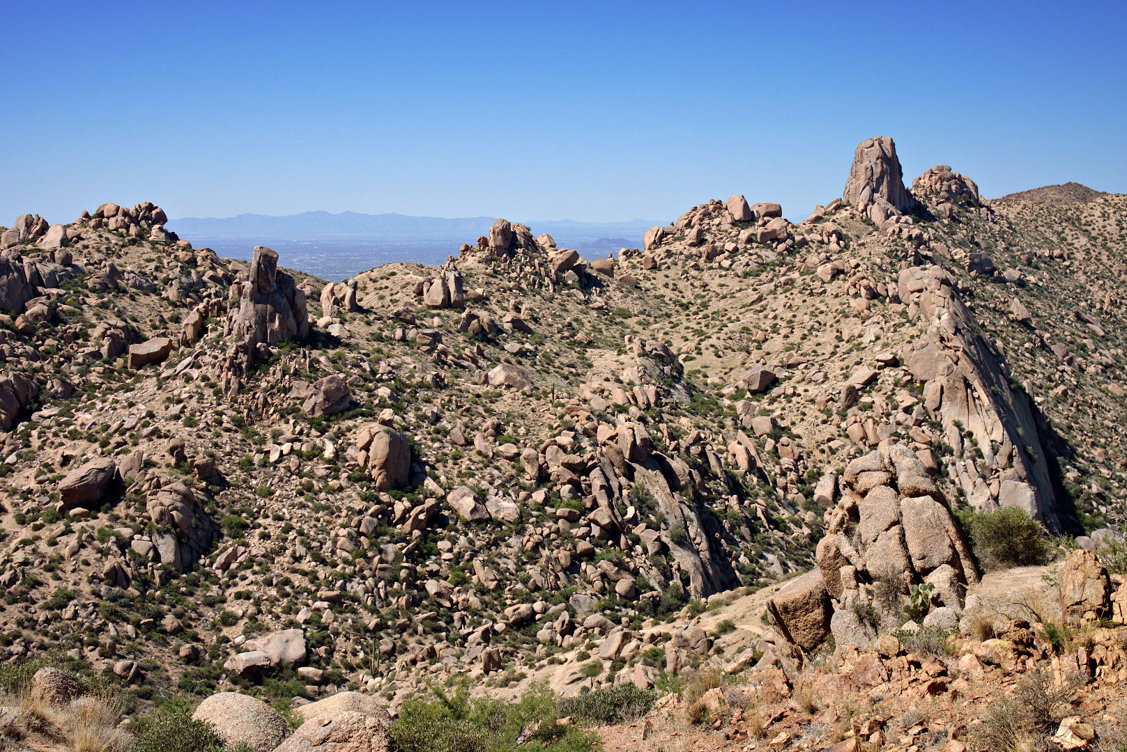
2013-09-27-DSC00126-medium

We saw a larger yellow flower as we were descending.
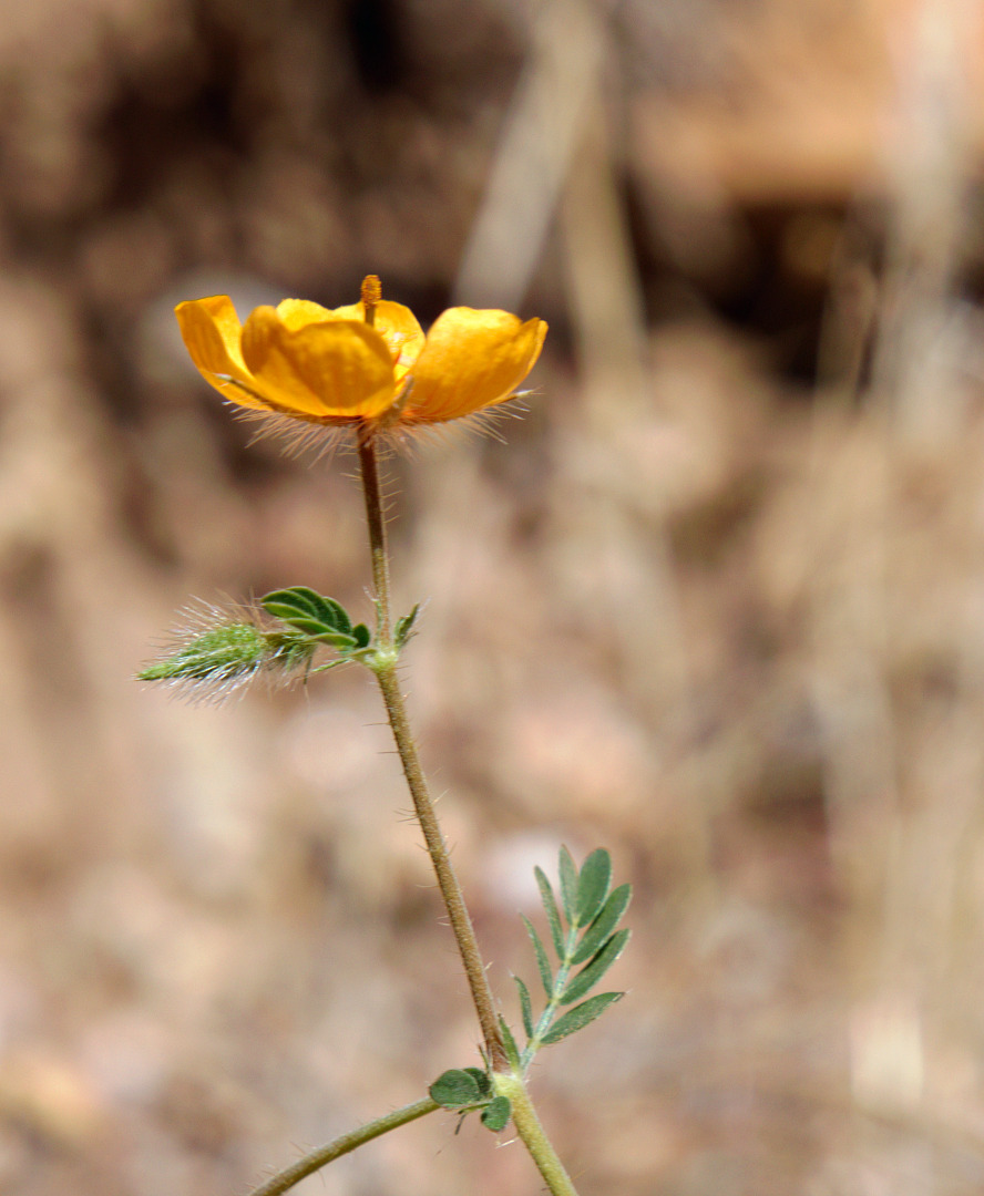
2013-09-27-DSC00147-medium A view of Tom’s Thumb from the Tom’s Thumb Trail.
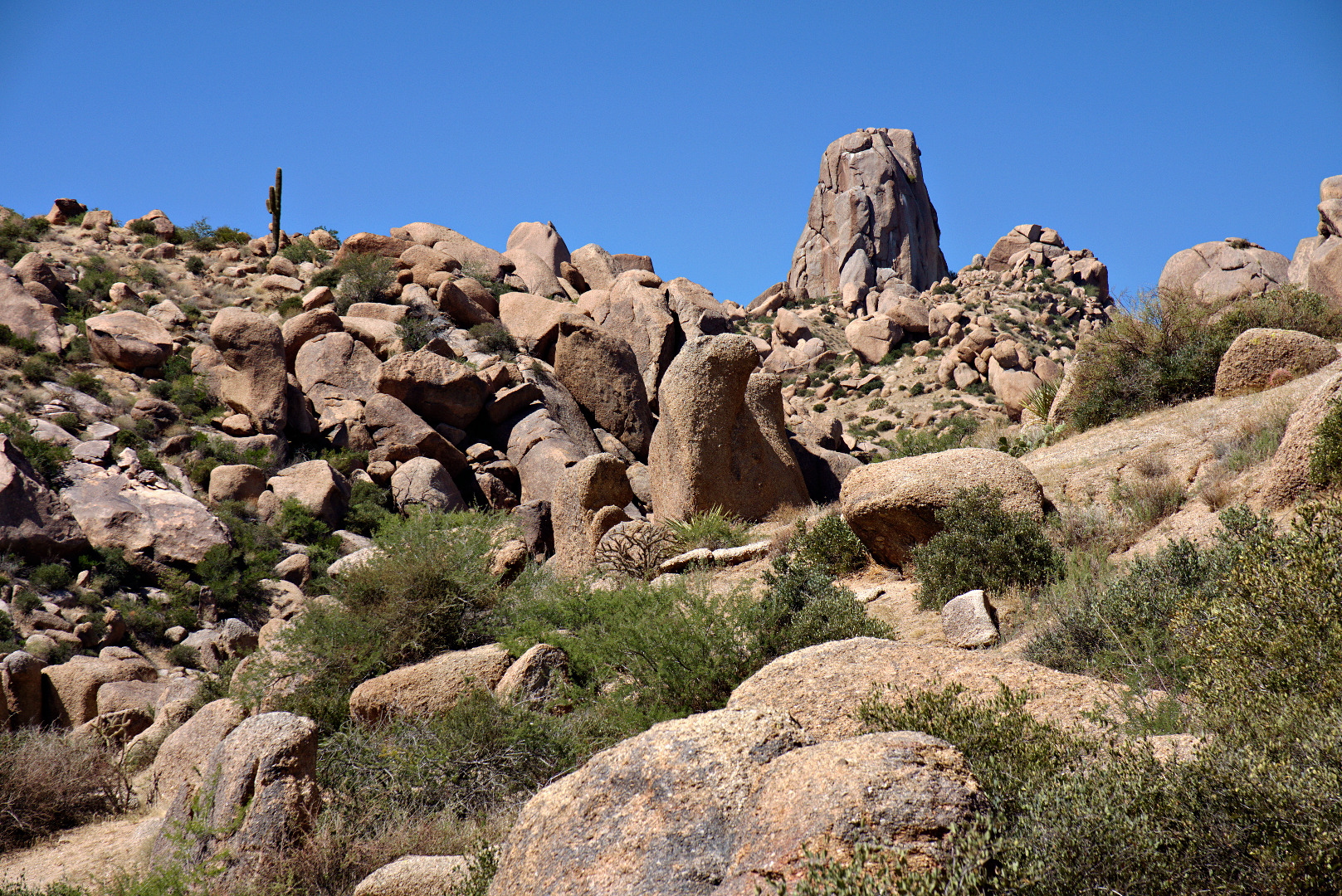
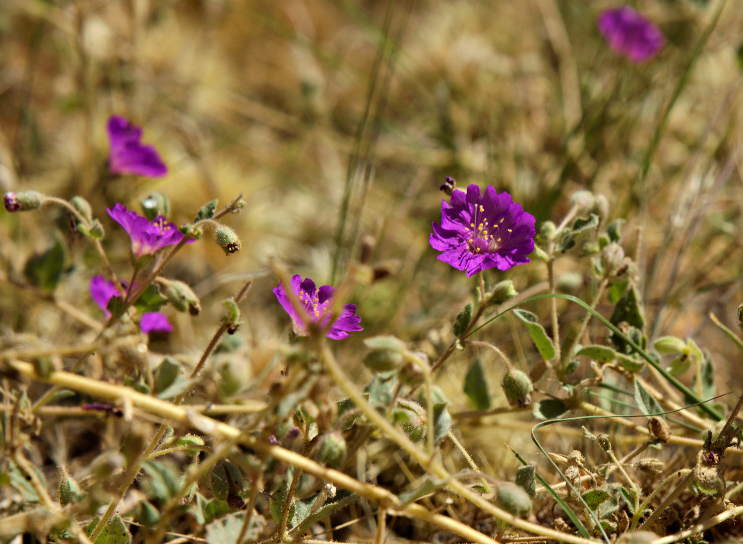
2013-09-27-DSC00150-medium We saw some purple flowers too.

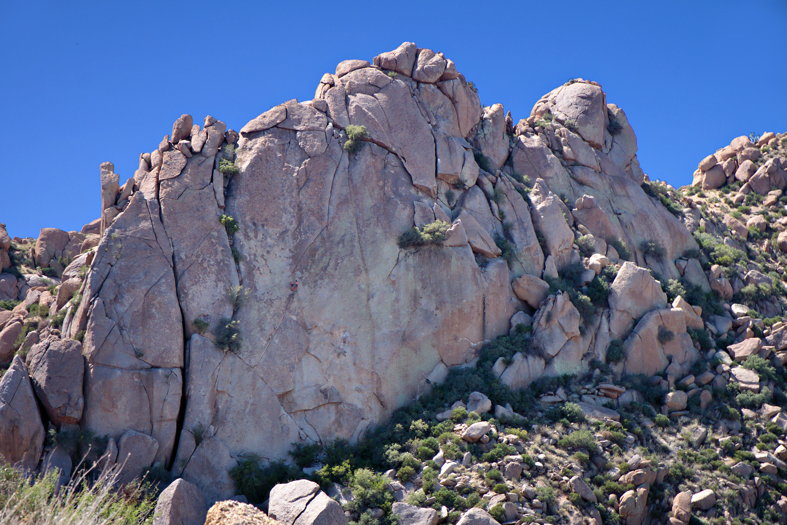
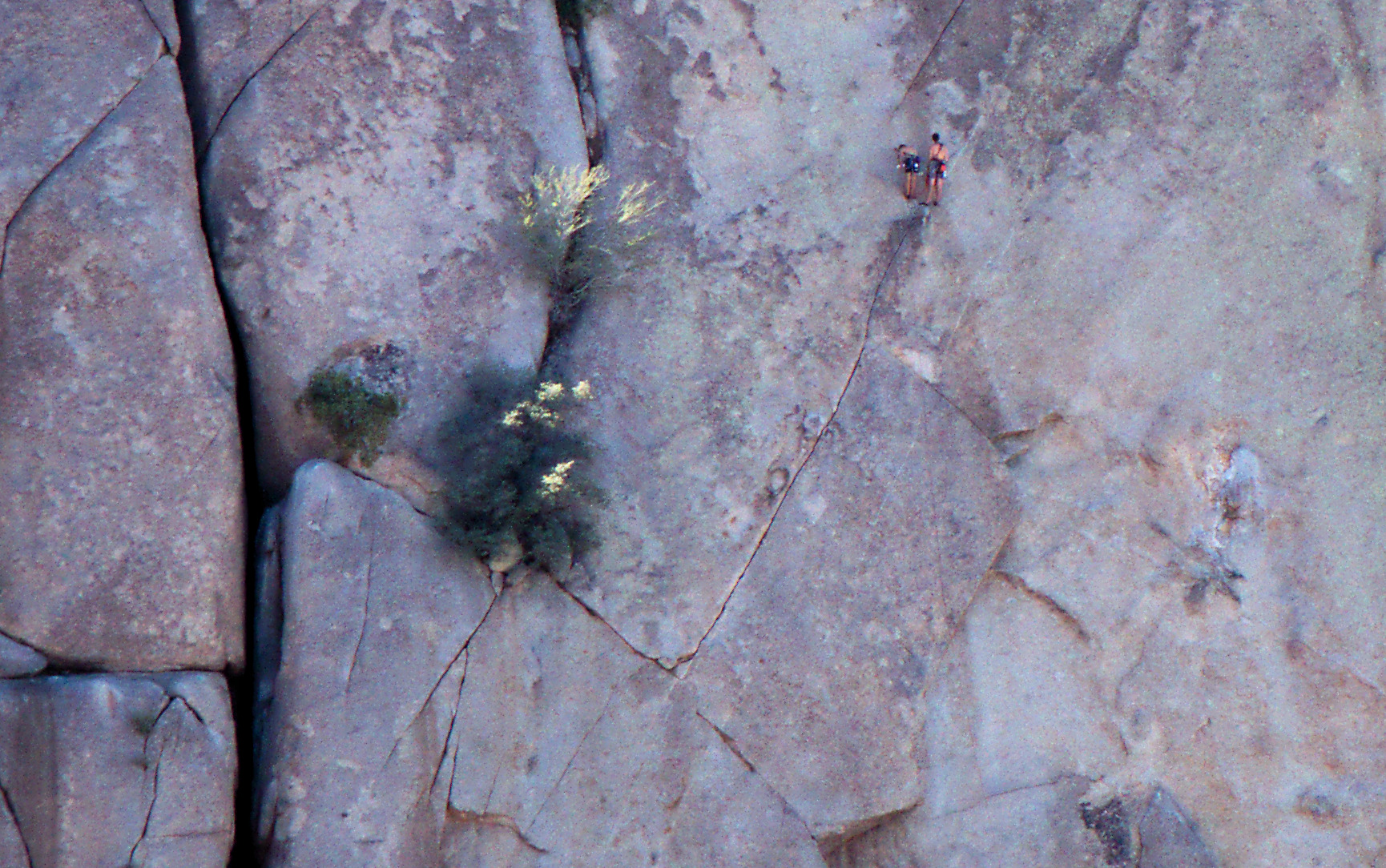
2013-09-27-DSC00162-mediumOn the way down, we saw climbers on Gardener’s Wall.  There are two climber’s at the belay station midway up the wall.  A third and maybe even a fourth climber are at the bottom waiting to make their ascent.  As we watched, we saw the third climber start on the first pitch of Hanging Gardens (5.5).2013-09-27-DSC00171-medium Here is a crop of the above photo showing the climbers.  From the bottom, the climb follows crack system that leads up and left, where it intersects another crack leading up and right. Past the belay station, there are a few face moves that lead to another crack leading up and to the right.  My recollection is that you have to work your way left again once you get close to the top.2013-09-27-DSC00171-cropped


Friday Fitness Hike

For Friday’s hike, Linda, Amy, Bill, Kathy, and I met at the Trailhead Staging Area.  The five of us hiked the Scenic Trail.  After that, Linda and I continued on and explored Stoneman Wash.

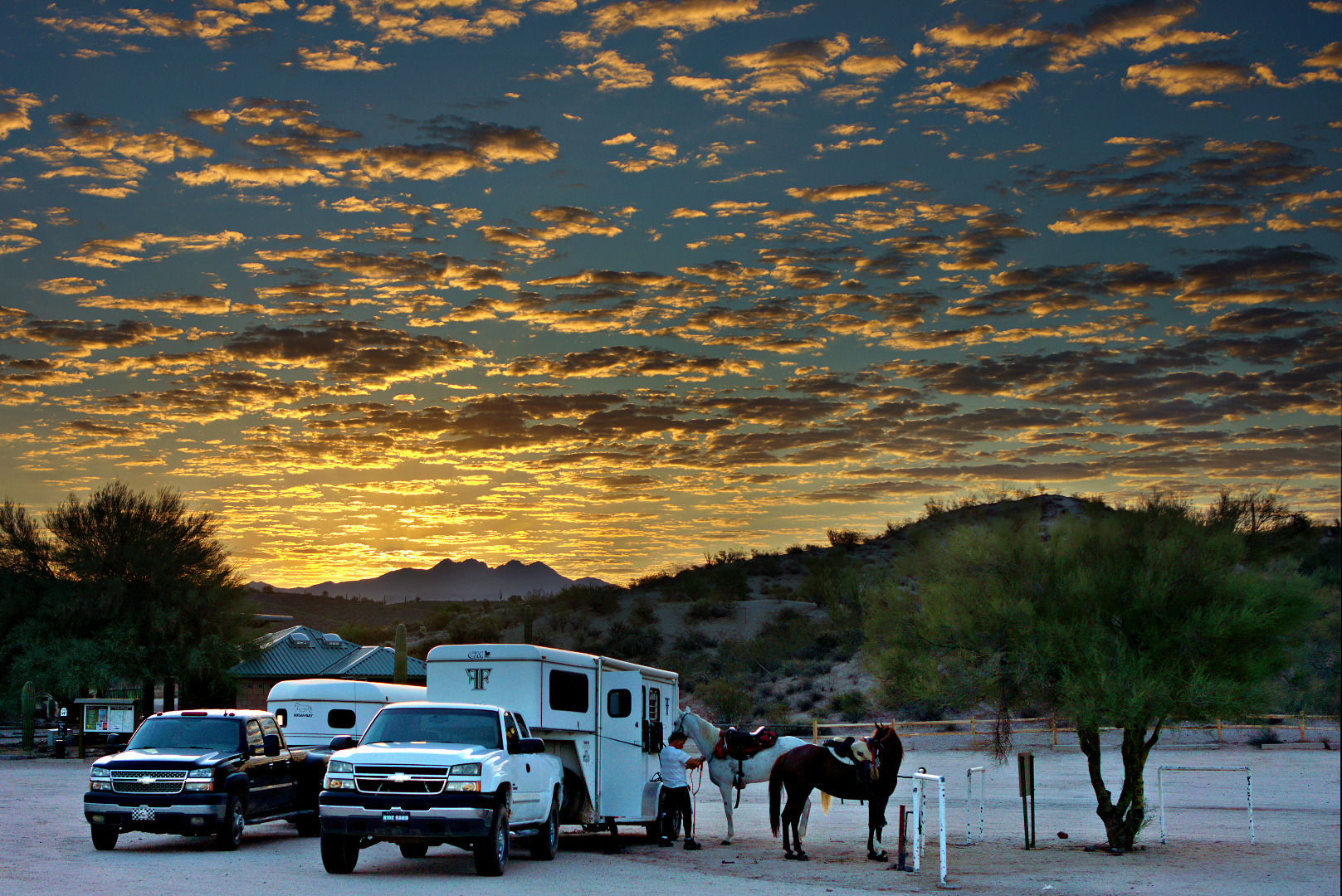
Equestrians saddle their horses just before sunrise.

2013-09-20-DSC08920-medium

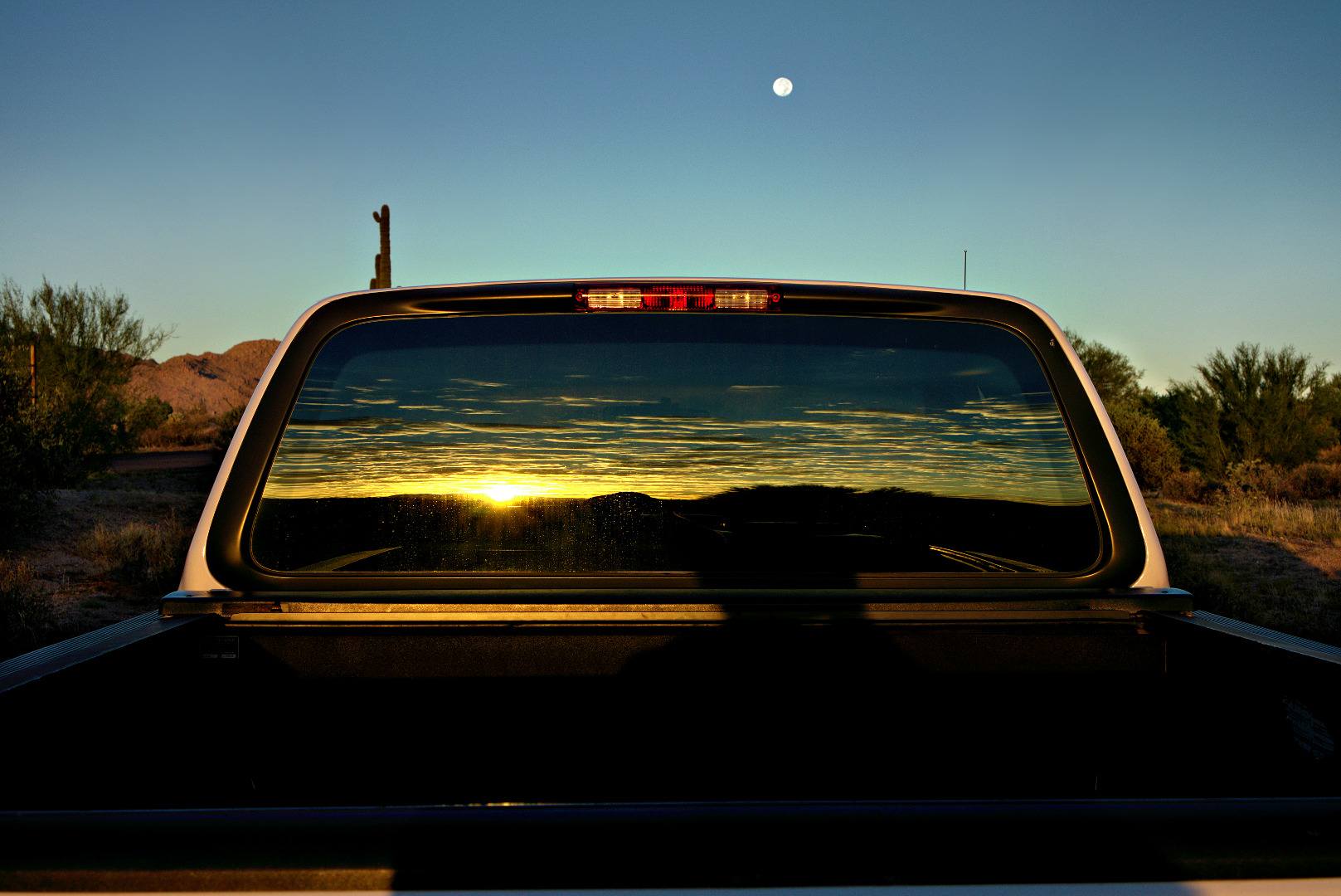
Sunrise in the rear window of my F-150; the moon is still on its way to setting just over the cab.

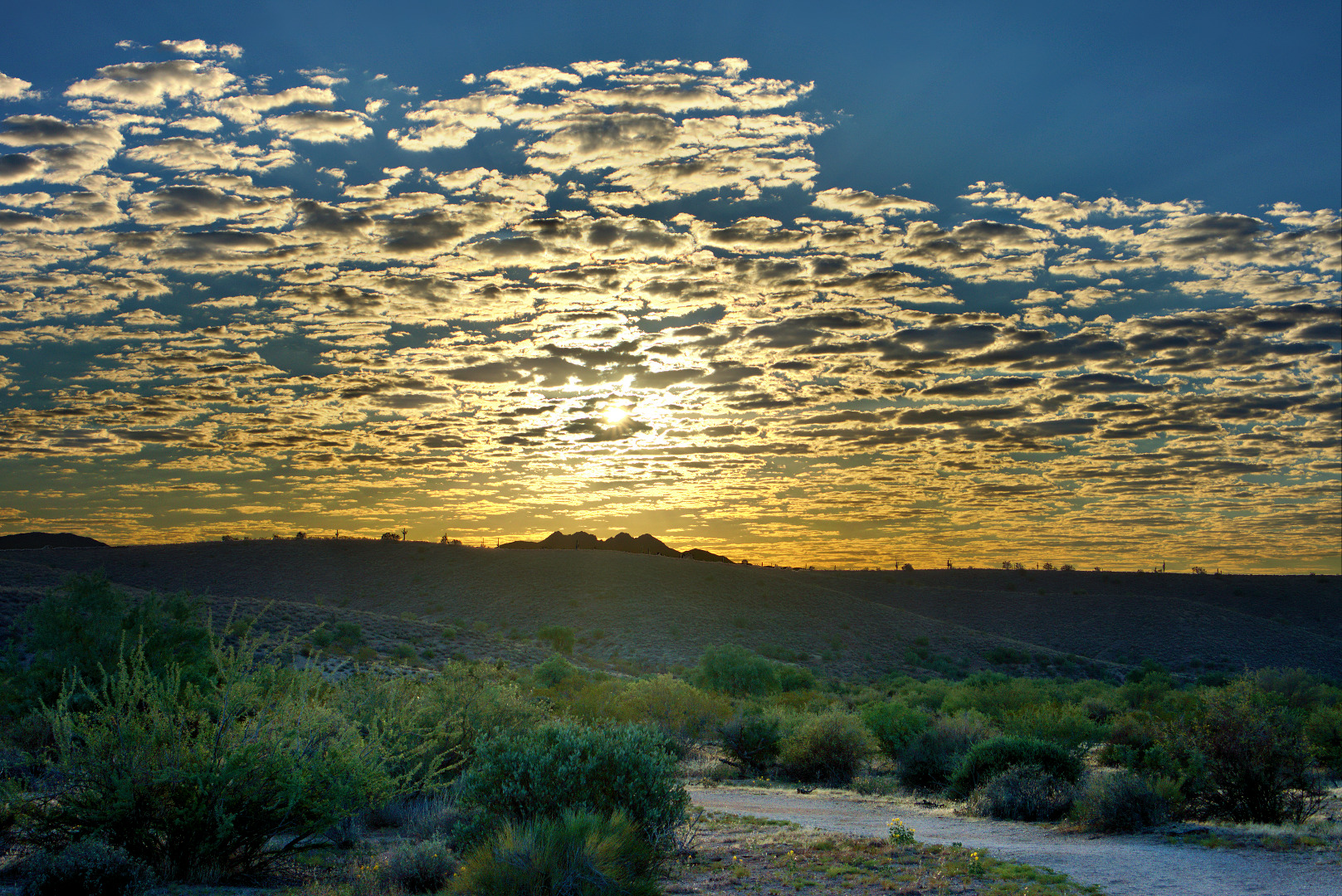
2013-09-20-DSC08932-mediumA view from the Scenic Trail early in the hike.

2013-09-20-DSC08951-medium

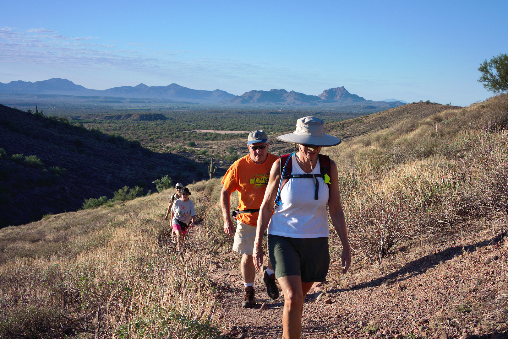
Linda, Bill, Kathy, and Amy hike up the one substantial hill on the Scenic Trail.  It’s only about 200 feet of elevation gain.

2013-09-20-DSC08962-mediumThe view from partway up the hill.  Amy suggested we stop for water; good thing we did, or I would have missed this picture!

2013-09-20-DSC08974-medium

Another view from approximately the same location.

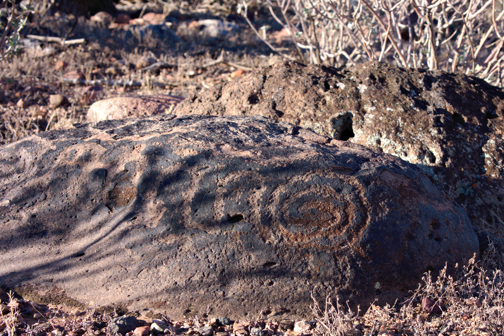
2013-09-20-DSC08983-mediumA petroglyph can be seen along the trail.

2013-09-20-DSC09013-medium Another “scenic” view from the Scenic Trail.

2013-09-20-DSC09031-medium A view from the Pemberton, shortly before crossing the road:

2013-09-20-DSC09066-medium

A view of a small feeder wash to Stoneman Wash.  This can be seen from the Pemberton just before descending a short hill leading down into (and across) Stoneman Wash.

2013-09-20-DSC09081-medium

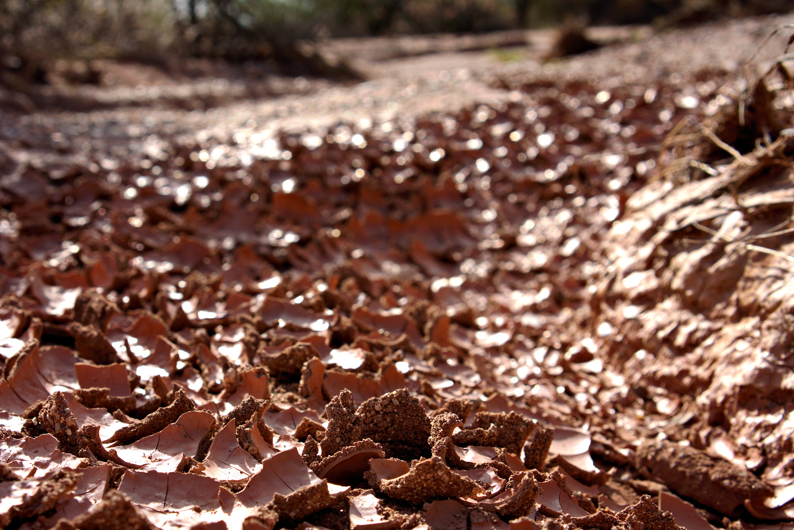
Dried and cracked clay near the former clay mining test site.  I wouldn’t have thought to take this photo, but I saw Linda photographing it with her camera, so I decided to give it a try too.

2013-09-20-DSC09102-medium Another view of Red Mountain.

2013-09-20-DSC09171-medium

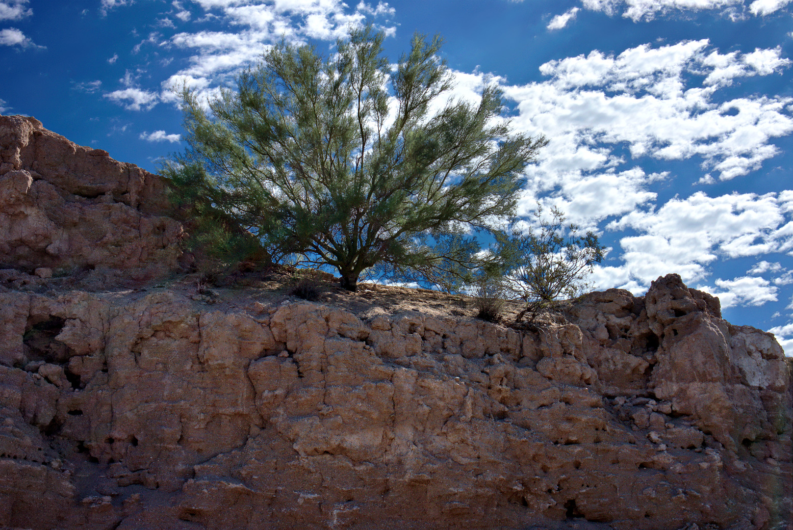
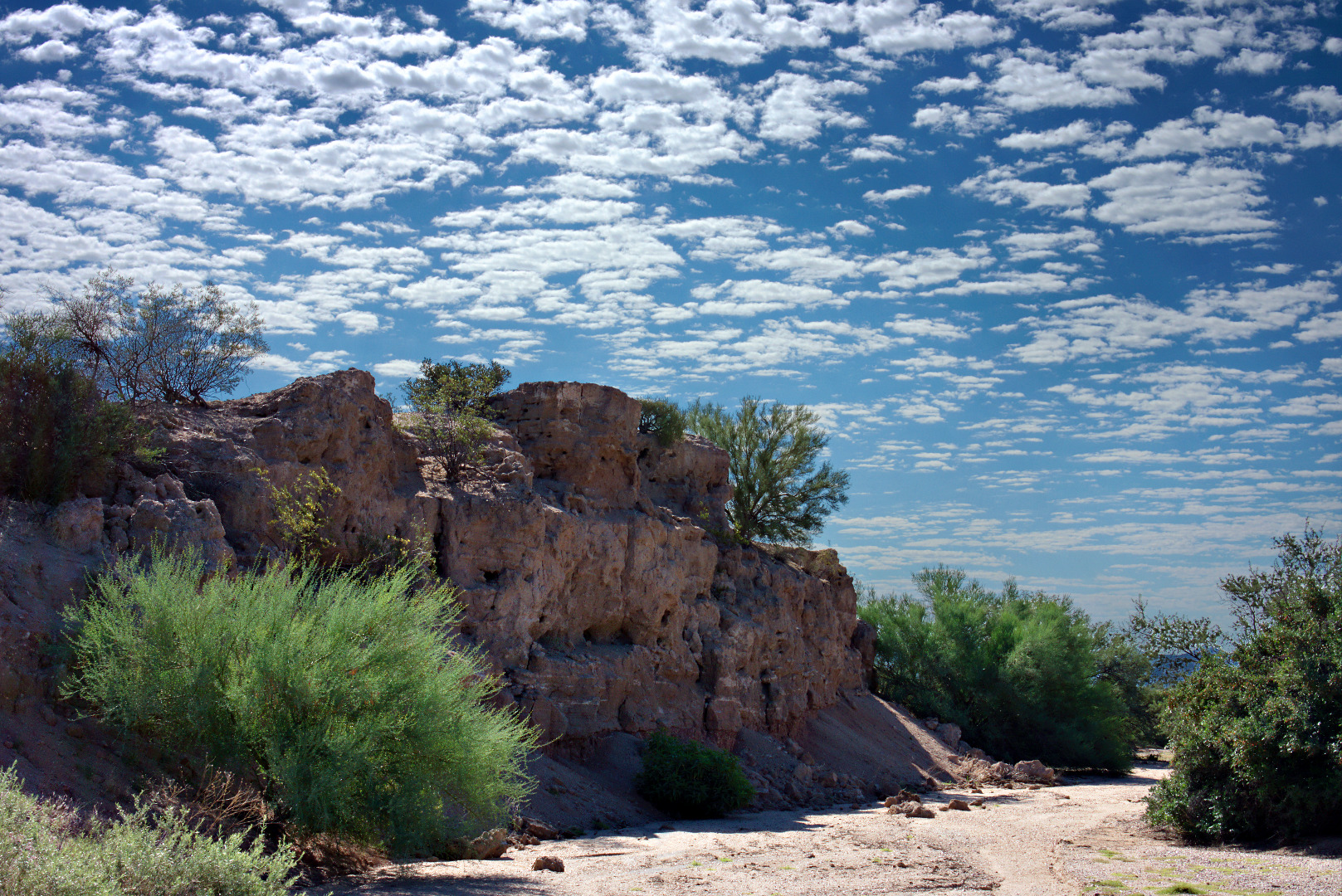
A palo verde at the top of a small bluff along Stoneman Wash.

2013-09-20-DSC09199-medium

The same bluff as above, viewed from a short ways further up the wash:

2013-09-20-DSC09210-medium

A large palo verde tree in Stoneman Wash:

2013-09-20-DSC09222-medium

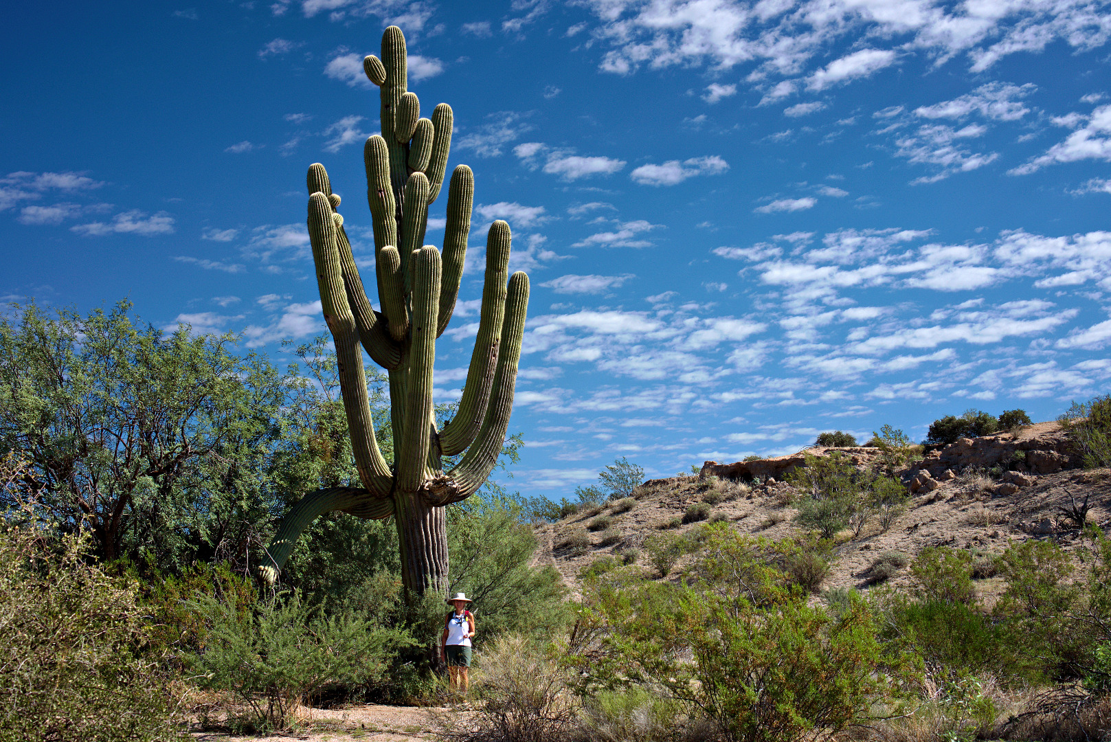
Linda poses next to a large saguaro.  It really was leaning that much.

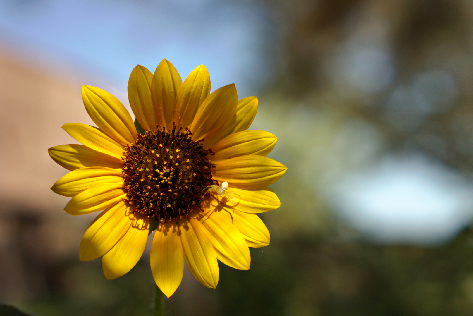
2013-09-20-DSC09255-medium A bright yellow flower with a small white spider in the tortoise enclosure.  We looked for tortoises in the enclosure, but did not see any.

2013-09-20-DSC09264-medium

Friday Fitness Hike

Friday’s hike started at the Wagner Trailhead.  Ranger Amy introduced regulars Bob, Linda, Janet, and me to Bill and Kathy who recently moved here from Wisconsin.  Also joining us was Jerry, who had been on one of our hikes in the past.  Amy had to work at the visitor center and was unable to join us for the hike.

We hiked the Wagner Trail to Granite, turning right.  We followed the Granite Trail until we got to the wash below the Bluff Trail.  We hiked up the wash until we got to the Pemberton Trail, seeing two snakes along the way.  From there we hiked a short ways on Pemberton, turned onto Bluff and followed the Bluff trail to the bottom where it intersects with the Granite Trail.  From there we took Granite back to Wagner, which lead us back to the trailhead.  Total distance was a little over seven miles.

A view of the McDowells from the Granite Trail.

2013-09-13-DSC08361-mediumRecent rainstorms have caused some flowers to bloom.  I think these are Senna, but Jerry knew them by a different name (which I’ve now forgotten).
2013-09-13-DSC08385-medium

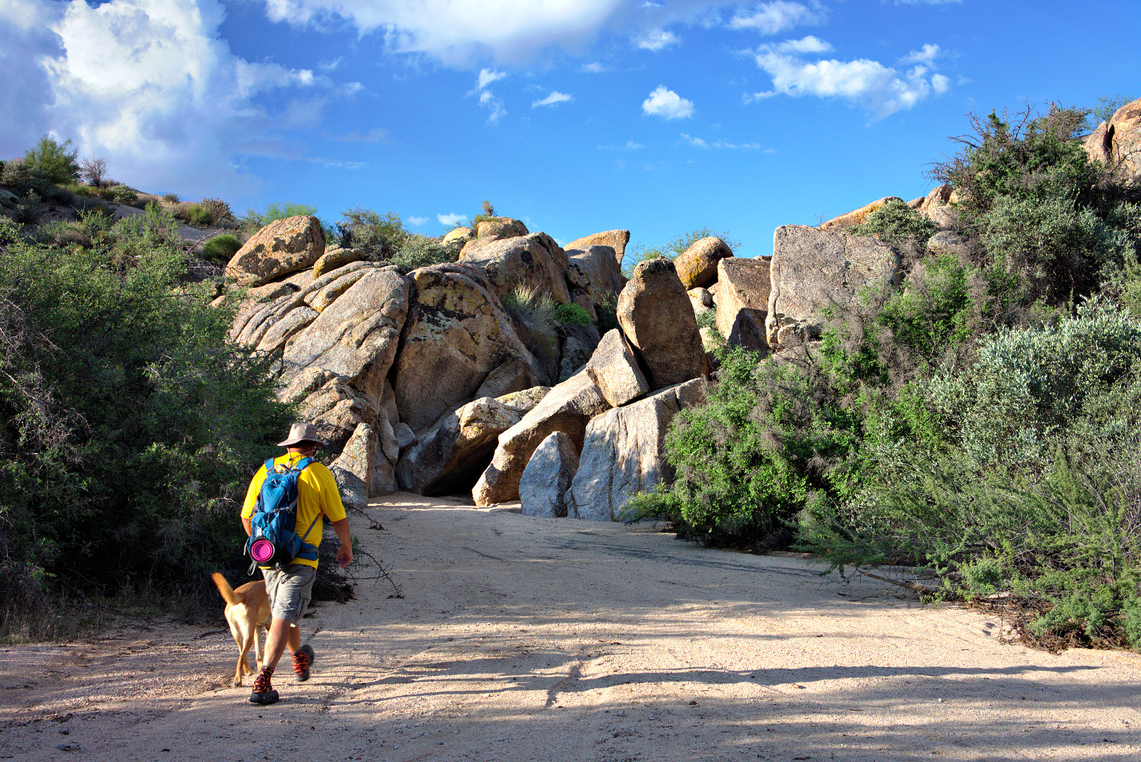
Bob and Sarge lead the way to the gap in the rocks where an easy scramble allowed us to continue on up the wash.  Sarge tried to make it up the rocks on the own, but he needed a boost.  He was a very good dog when I picked him up.

2013-09-13-DSC08388-mediumEasy scrambling was required further up the wash too.

2013-09-13-DSC08393-medium

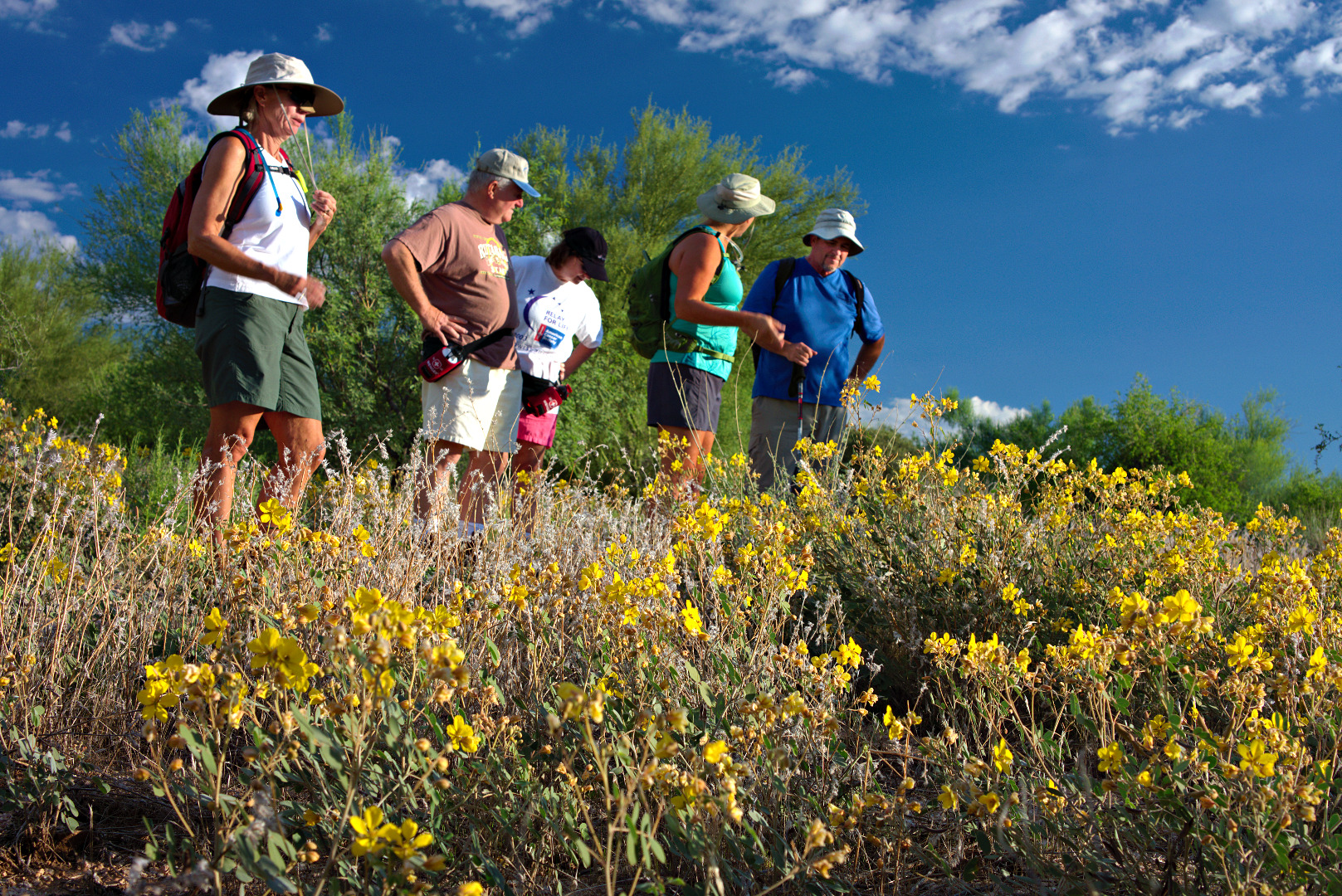
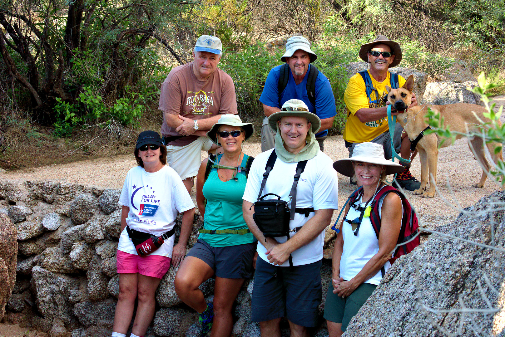
We stopped for a group photo at a small wall built in the wash.  We don’t know who built this wall or the purpose of it, save that it may prevent erosion to some degree.  Perhaps it was a small dam at one time which filled in over time?

From left to right, and top to bottom, are Bill, Jerry, Bob, Sarge, Kathy, Janet, Kevin, and Linda.

2013-09-13-DSC08404-medium

Boulder-strewn hills form the banks of the wash.

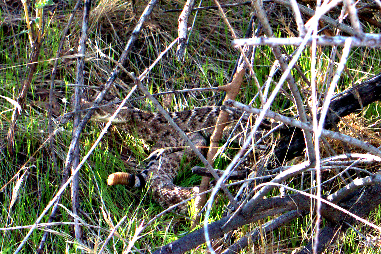
2013-09-13-DSC08411-medium This rattlesnake was well away from where we were walking, but made itself known to us by employing its rattle.  It was kind of dark and difficult to see this snake.  This is the best photo I got of it.

2013-09-13-DSC08473-medium

The upper parts of the McDowells can be seen from the wash.

2013-09-13-DSC08477-medium

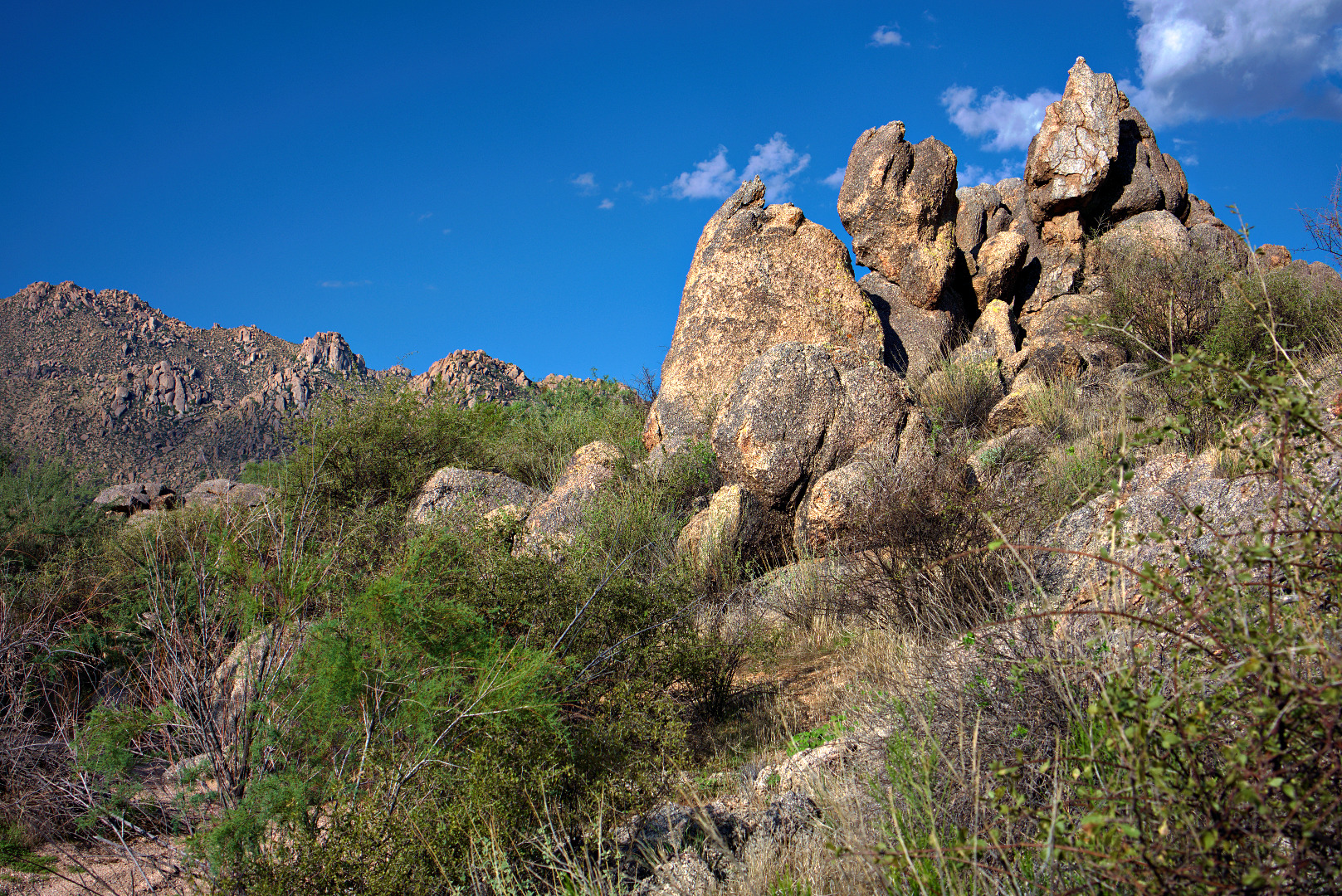
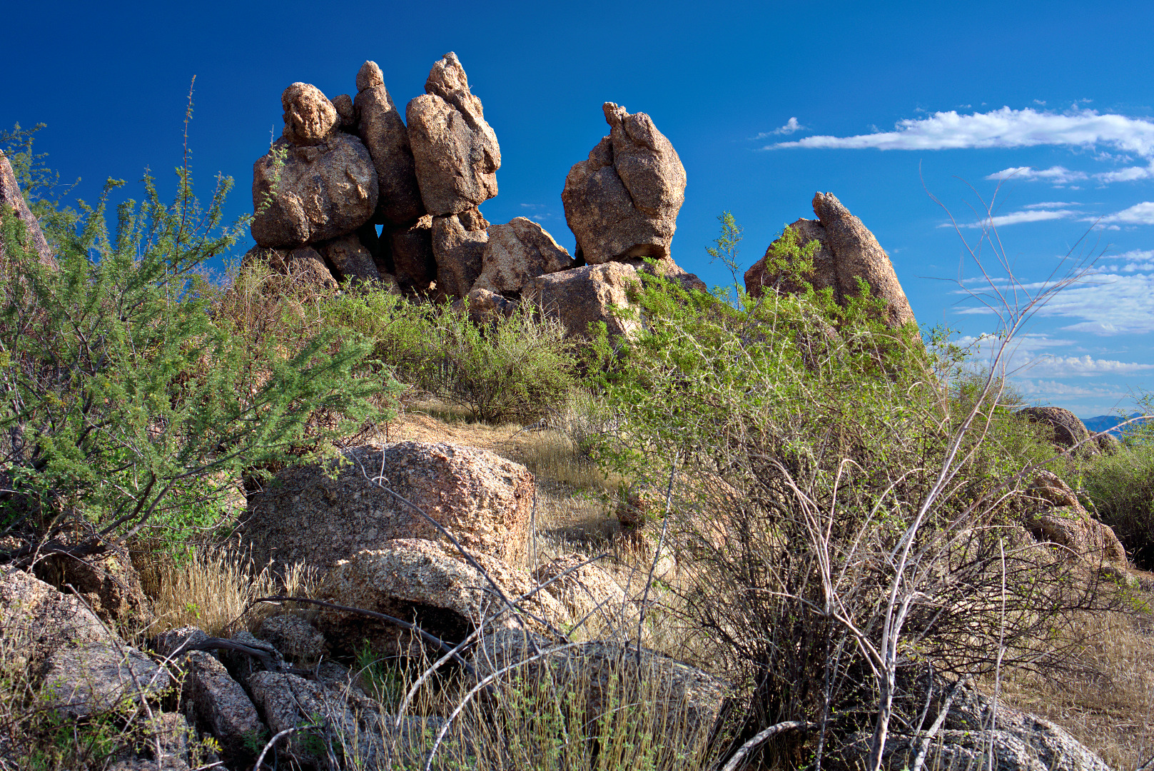
More bouldery outcroppings…

2013-09-13-DSC08485-medium 2013-09-13-DSC08486-medium

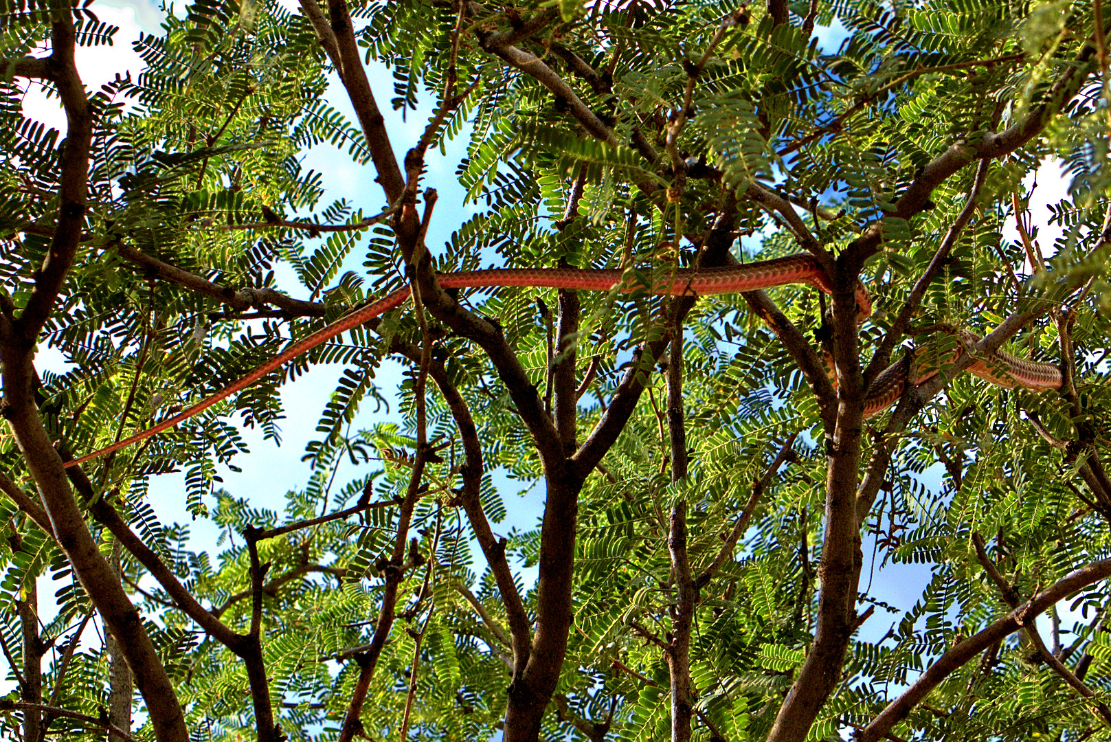
Just before reaching Pemberton, we saw coachwhip snake, also known as a red racer.  I tried to get close to it while it was still on the ground, but it raced away, disappearing into some brush.  Moments later, Jerry noticed it slithering up into a tree.  It took me a long time to see it because, to me, it looked like just another branch.  Once I finally did see it, I was able to take the photo, below:

2013-09-13-DSC08497-cropped-mediumHere’s the uncropped version of the photo above.  I like this one too because you can see the sky through the leaves and branches of the tree.

2013-09-13-DSC08497-medium

This is the palo verde (tree) at the top of the hill near the intersection of Bluff and Pemberton.  There is a small bench, just barely visible, to the left of the tree.

2013-09-13-DSC08507-mediumSarge and Bob pose for a picture.

2013-09-13-DSC08530-medium

Snake in a Tree? How can that be?

We saw this snake during our hike today.  It started out on the ground, but then raced off, climbing into the tree.  Bob identified it as a red racer.

2013-09-13-DSC08497-cropped-medium 2013-09-13-DSC08497-medium


Friday Fitness Hike

Friday’s hike started at the trailhead for the North Trail.  Linda, Janet, Bob, and I joined Ranger Amy for a 7.2 mile hike that utilized the North Trail, Chuparosa, and part of the Pemberton Trail.  We focused on hiking, mostly.  I took few photos on this hike than usual.

I took this photo before the hike begin, shortly after sunrise:

2013-09-06-DSC07892-mediumLinda took this photo of Bob and Amy at Cedar Tank.  The tank has water in it and Amy saw swimming shrimp.  There were also mosquitoes there, so we didn’t stay long.

2013-09-06-From_Linda-015We stopped to take a group photo near an old water tank no longer capable of holding water due to many bullet holes.

2013-09-06-DSC07941-mediumWe saw these large saguaros as we were nearing the Chuparosa Trail on our way back.

2013-09-06-DSC07998-medium


Friday Fitness Hike

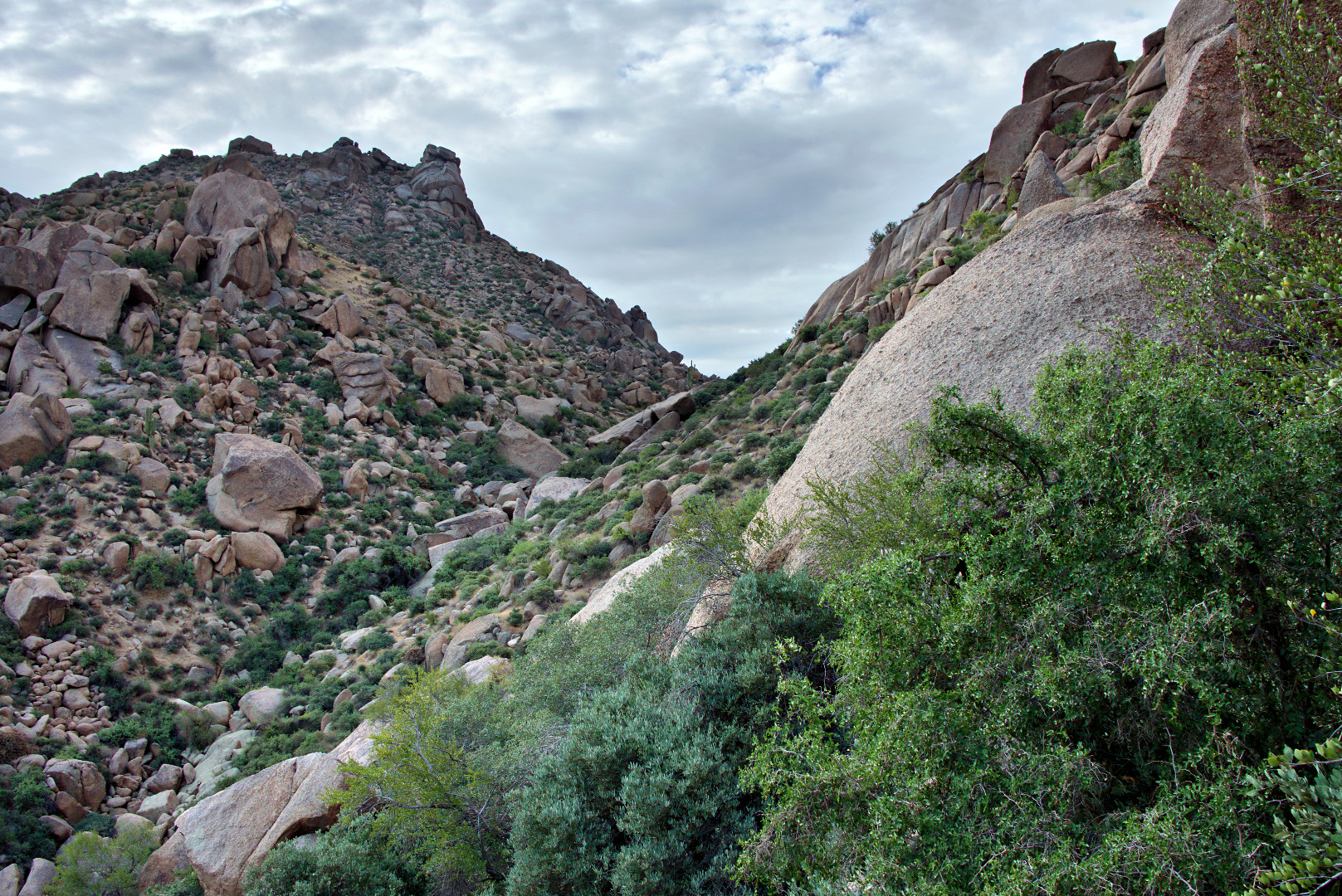
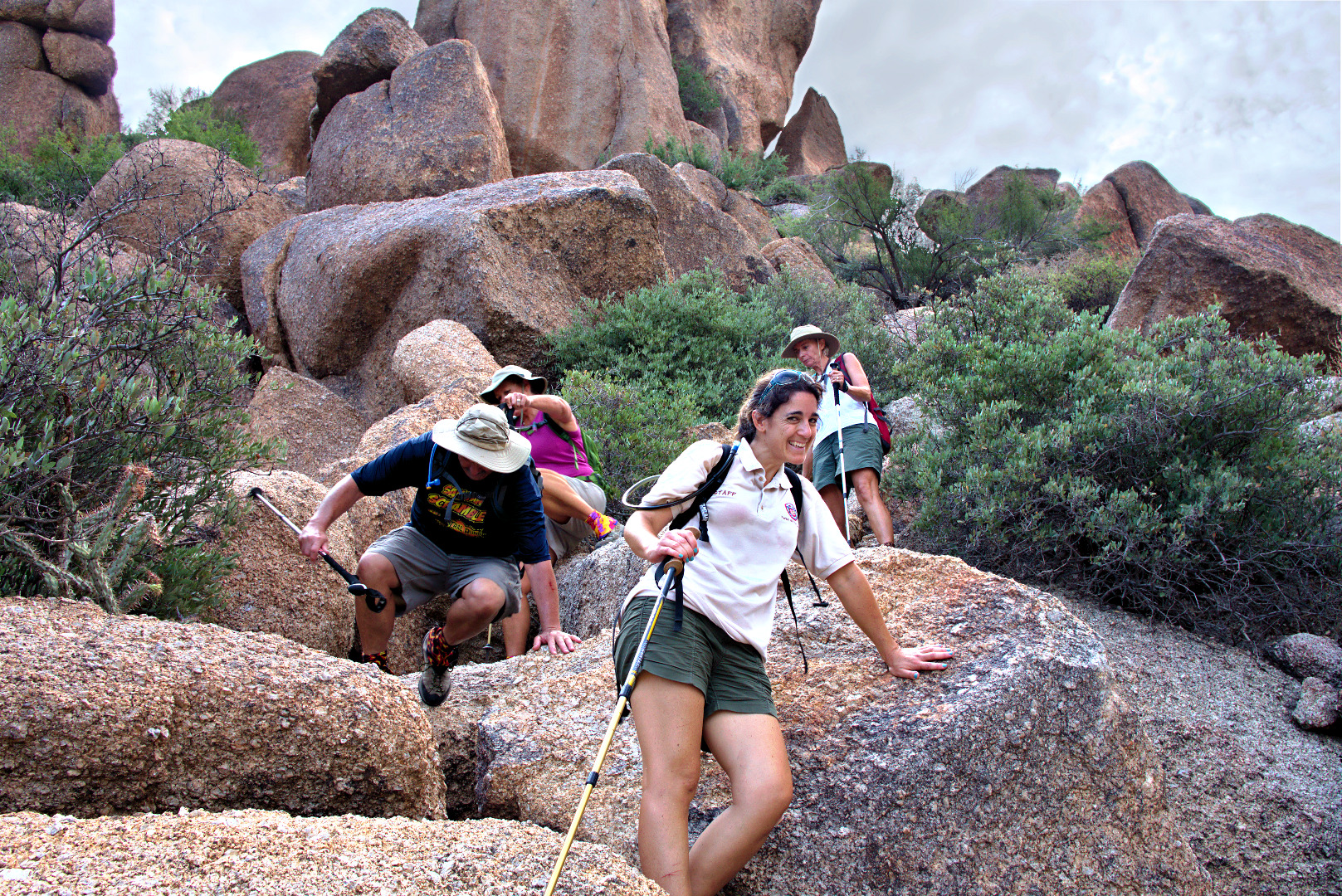
Friday’s hike started at the Tom’s Thumb Trailhead.  Linda, Janet, Amy, Bob, and I hiked the Tom’s Thumb Trail to the climber’s access trail for Gardener’s Wall.  We hiked up past Gardener’s wall, ending up at the top of the wall and then hiked a short ways further to reach Tom’s Thumb.  For the trip back, we hiked back down the Tom’s Thumb Trail for a ways and then took a somewhat easier route back amongst the rocks adjacent to Gardener’s Wall.   We hiked only a little over four miles, but we had a lot of elevation gain along with some technical challenges along the way.

Note: The route that we took is not the easiest nor the safest way to get to Tom’s Thumb. It has many steep and loose sections. Finding a workable route over, around, and even under the many boulders below the wall can be challenging even for those familiar with the area.

The easiest and safest route to Tom’s Thumb is via the main Tom’s Thumb Trail to the climber’s access trail leading to Tom’s Thumb.  This latter trail is hiked so frequently that route finding is relatively easy and its condition is about the same as that of the Tom’s Thumb Trail.  (The Tom’s Thumb Trail doesn’t actually go to Tom’s Thumb.  You have to take another trail – the climber’s access trail just mentioned – to get there.)
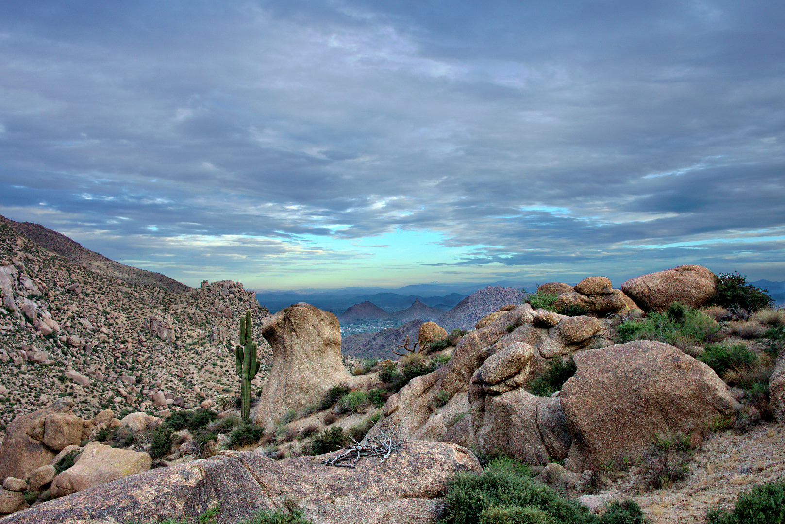
This is a view from the parking lot prior to starting the hike.  It had rained the night before. Although there were a lot of heavy clouds, it did not rain on us during our hike.

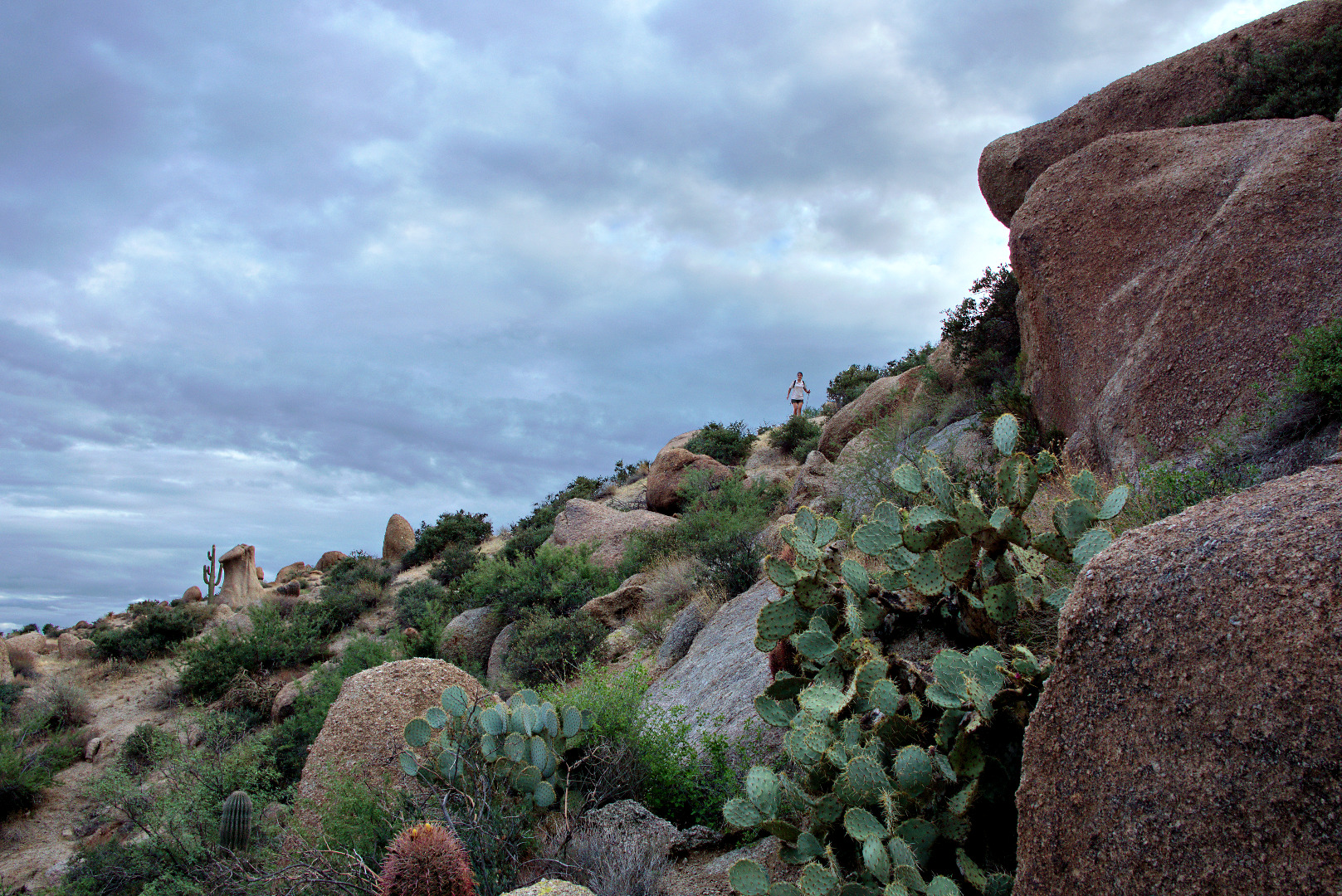
2013-08-30-DSC06916-medium A view of our destination for the day: Tom’s Thumb, off in the distance.

2013-08-30-DSC06961-medium A view of Troon Mountain and Pinnacle Peak2013-08-30-DSC06979-medium

A saguaro snuggles up next to a large rock. Pinnacle Peak and part of Troon are visible in the distance.

2013-08-30-DSC06988-medium

Amy hurries to catch up with the group after taking her own pictures.

2013-08-30-DSC07009-medium

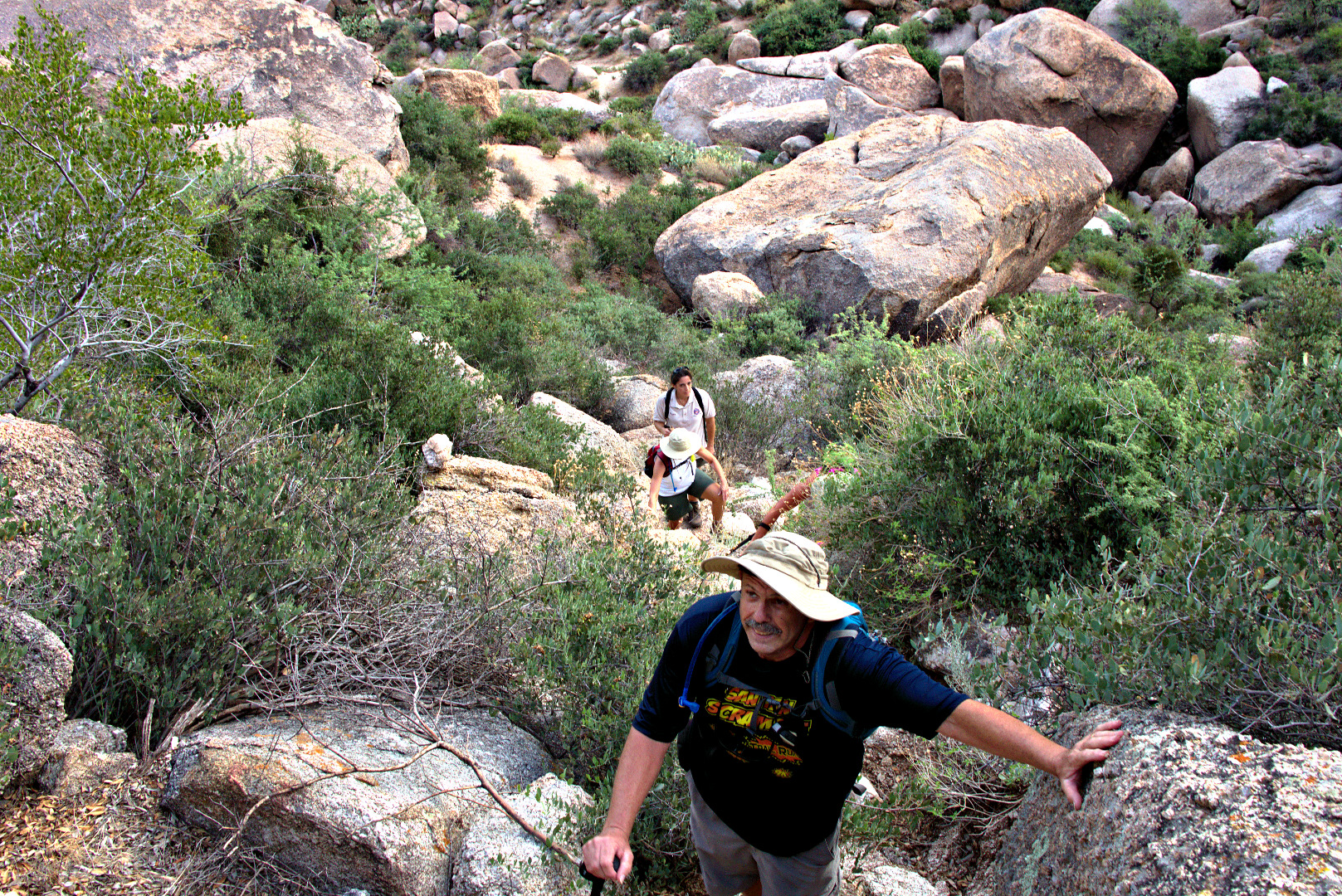
Some of the technical challenges involved scrambling up and down large boulders along the way.

2013-08-30-DSC07018-medium Bob uses the sticky rubber on his approach shoes to scramble up a large boulder.  There was an easier way around the boulder, but we both thought that climbing up the boulder was more fun.

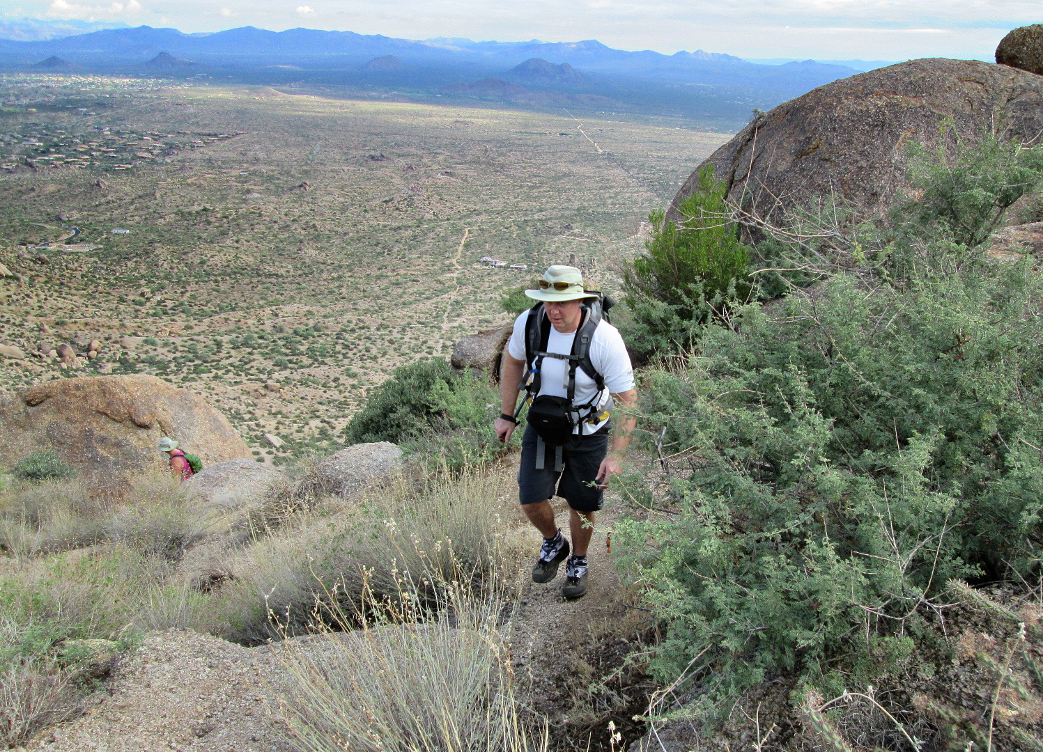
2013-08-30-DSC07035-medium Bob pauses on his way up to Gardener’s wall.  The trail is steep and loose in spots.  The hiking poles that we brought along helped us to make our way up the trail without slipping too much.

2013-08-30-DSC07044-medium

Looking over towards the East End from near the base of Gardener’s Wall.

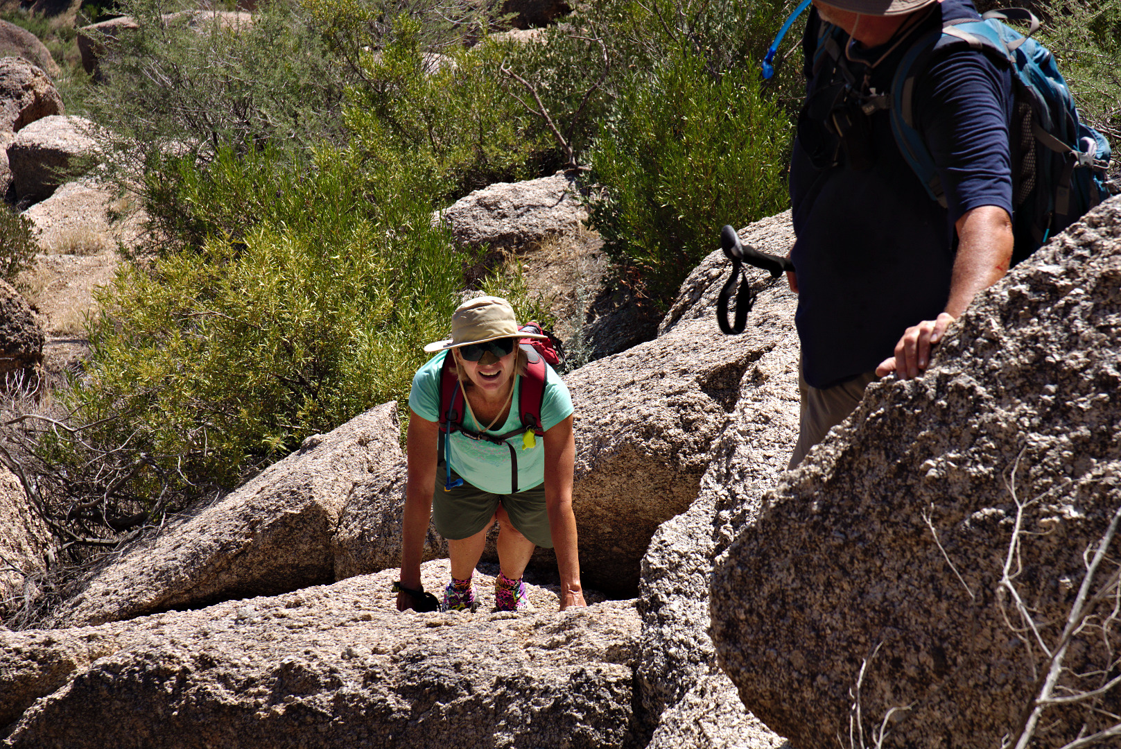
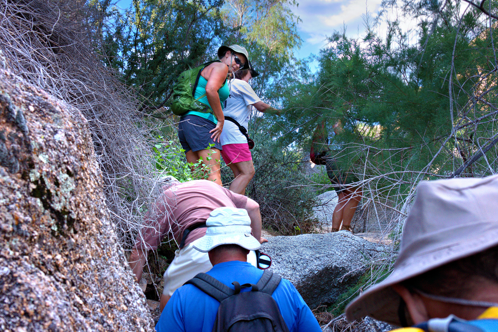
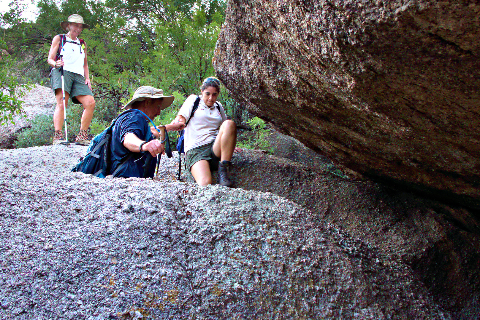
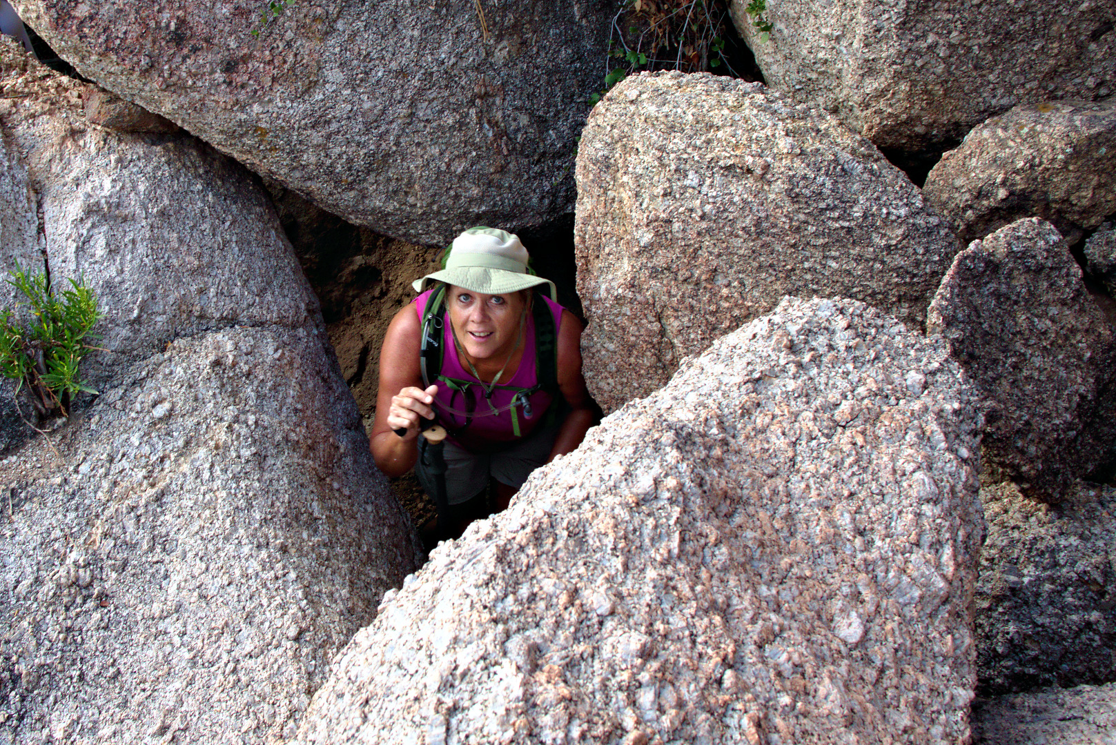
2013-08-30-DSC07060-mediumThere was a spot where we had to crawl under a boulder only to emerge and have to scramble up another boulder to make progress.  I got this photo of Janet just as she looked up after crawling underneath the boulder behind her.

2013-08-30-DSC07063-medium

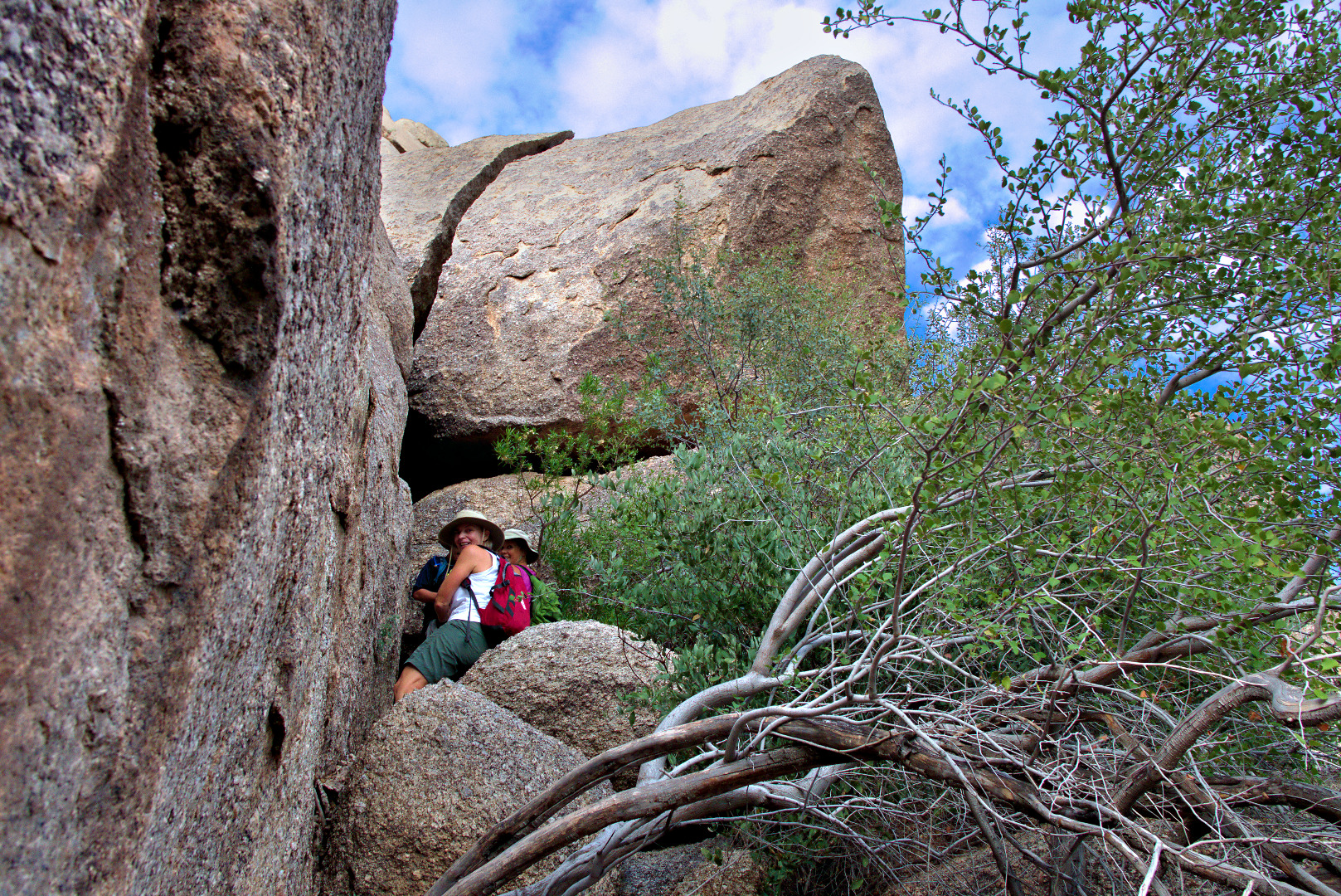
The trail hugs the large boulder to the left, going over smaller boulders along the way. Linda and Janet are approaching the black opening of the “cave”.

2013-08-30-DSC07075-medium

We also had to crawl into a “cave” which consisted of a huge boulder piled on some other supporting boulders.  We posed for a photo here, though it did not turn out as well as I would have liked.  It was fairly dark in this cave: this was a two second exposure at f/8, ISO 400.  Many of my other shots in brighter conditions used the same aperture size, f/8, at ISO 100 for 1/60sec or even faster.  I’d like to try a shot like this again some time using a fill light.

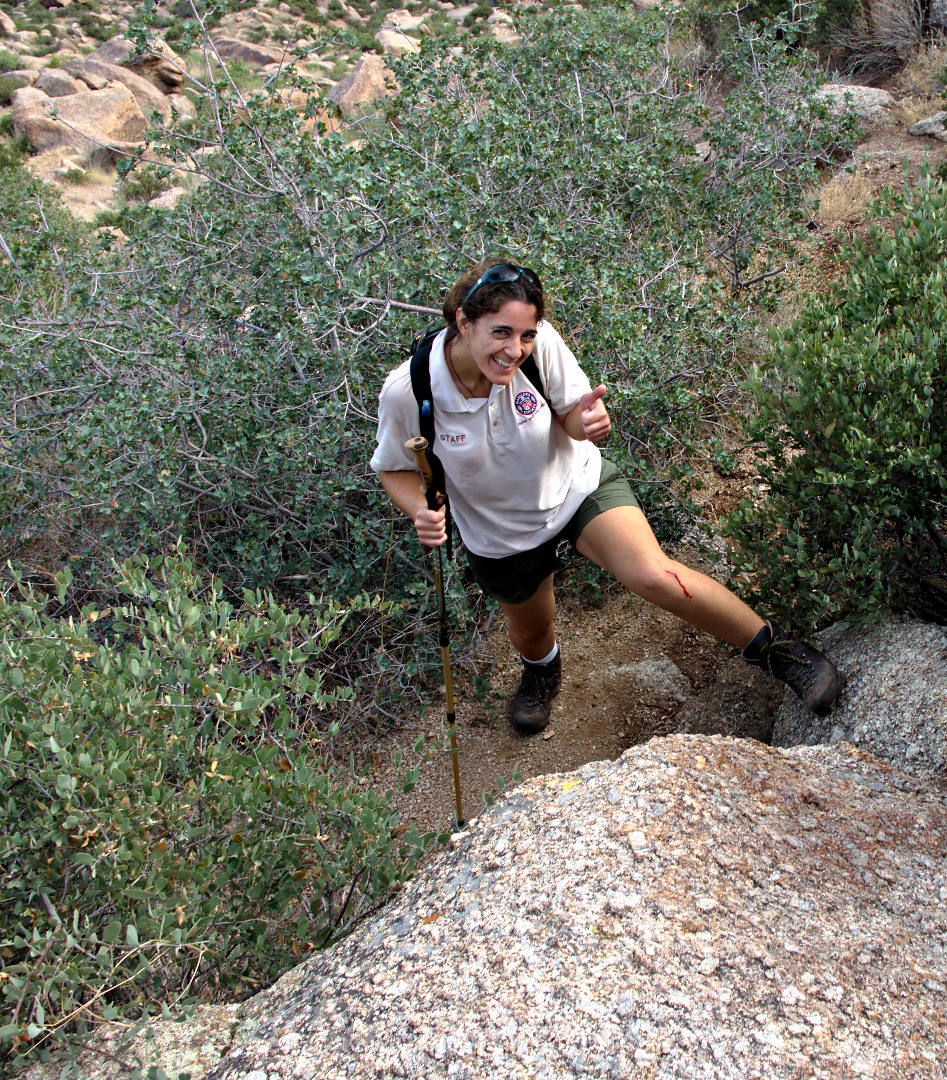
2013-08-30-DSC07085-mediumAll of us lost a bit of blood on the hike, due to sharp rocks and the prickly vegetation.  Amy gives the “thumbs up” even though her leg is bleeding.

2013-08-30-DSC07140-medium

A view of Glass Dome and East End to the left from where we topped out above Gardener’s Wall.

2013-08-30-DSC07151-medium

Linda took this photo of me hiking back up the trail again after going back to check on the whereabouts of Janet and Amy.

2013-08-30-From_Linda-025-medium

We’re getting close to Tom’s Thumb!

2013-08-30-DSC07178-medium

Amy, Bob, Linda, Janet, and I pose in front of and below Tom’s Thumb.

2013-08-30-DSC07207-medium

Amy poses in front of Tom’s Thumb.

2013-08-30-DSC07238-medium A view of the top of Gardener’s Wall.  We topped out in that saddle just to the left of the rocks forming the top of Gardener’s Wall.

2013-08-30-DSC07241-medium A view of the Flatiron and Red Mountain from the intersection of Tom’s Thumb Trail & the East End Trail.

2013-08-30-DSC07258-medium Looking the other direction towards Pinnacle Peak.

2013-08-30-DSC07273-medium Another view of Glass Dome.

2013-08-30-DSC07286-medium

Our return trip featured more scrambling.

2013-08-30-DSC07306-medium A barrel cactus along the trail.

2013-08-30-DSC07313-mediumA view of Gardener’s Wall and Tom’s Thumb.  There is a smaller boulder pile known as “The Rist” to the right of Tom’s Thumb.

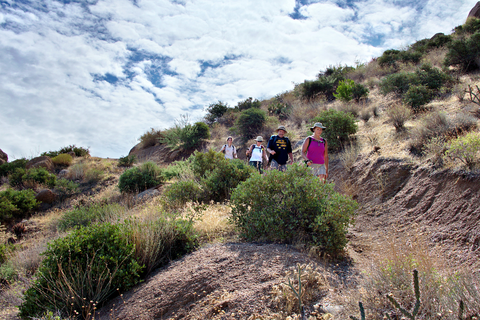
2013-08-30-DSC07325-mediumAmy, Linda, Bob, and Janet hike down the Tom’s Thumb Trail.

2013-08-30-DSC07337-medium